Carter-Moriah Range/Green Mtns./ Pemigewasset Wilderness
(Middle Carter-34, South Carter-35, Killington-1 of 5, Moriah-36, Carter Dome-37, Carrigan-38)
Another amazing winter in the Whites! Once again, I am condensing it all into one loooong entry. Partially to stay consistent with my Winter 2015 post, partially in an effort to catch up with my current point in the journey, and partially because I never finished a few of these posts, so excerpts seems a good way to go. Plus, let’s face it – It’s 85-90 degrees out! Who wants to read about snow at a time like this? ME THAT’S WHO! Anyway it started out pretty warm.

Part One ,12/31/15- Let it Snow, Let it Snow, PLEASE Let it Snow!!: 
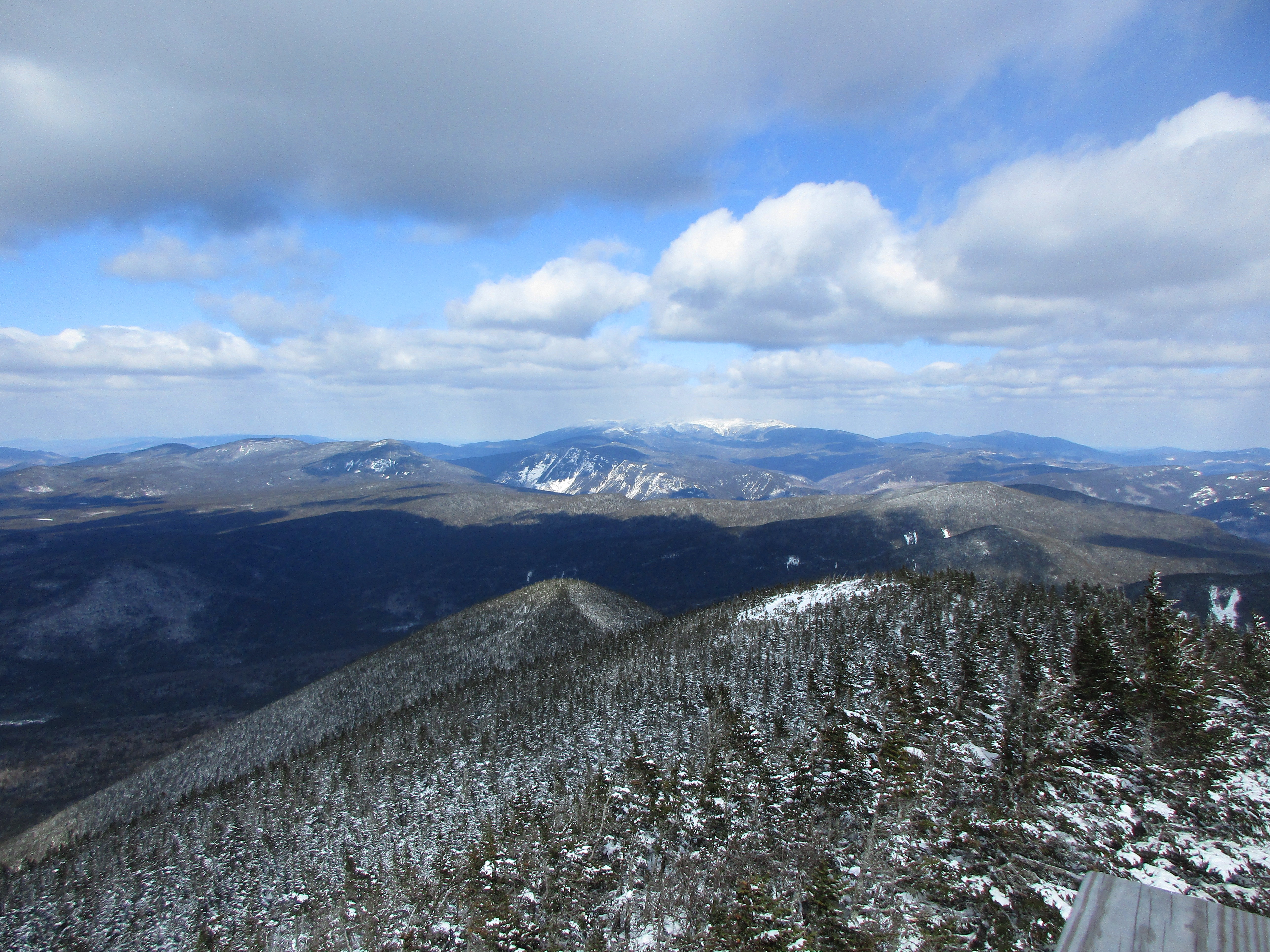
Seems I start way too many of these writing this way but IT’S BEEN WAY TOO LONG once again! It’s New Year’s Eve and I’m finally driving up to the most Northeast part of the Whites so I can get some winter hiking in. What started as snow then changed to rain down here is ALL SNOW up there. I am so psyched (and admittedly a little bit nervous) to be reacquainting myself with Winter after an unseasonably warm December. I haven’t visited these NH mountains since November 29 when I spent the day on Sandwich/Jennings loop and haven’t climbed a 4k since November 8 when I bagged the Hancocks. So I feel this moment is long overdue.
December didn’t seem very Christmassy with record setting warmth, but I went through the holiday motions anyway, keeping it kinda simple and making some much needed home improvements in lieu of a lot of gifts we don’t need. This made it one of the most relaxing, stress free Christmases ever. It was rather nice. Part of going through the holiday motions was keeping myself in motion, while I wait for some white stuff, with a ton of local trails, a few trips to the Berks, and one jaunt up to Monadnock (where I did get to break out the spikes thanks to some light ice up top). 
The day after this hike I read of another hiker who bare booted these conditions and suffered a concussion after a rather nasty fall. The good part of this story is that the hiking community was there to save the day and get him down the mountain safely. All this is very nice, but I WANT MY SNOW! Well looks like the new year will finally give me my wish.
Part Two, 1/1/16 – Welcome Back Carters (Mid & South): 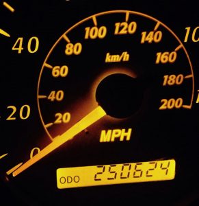
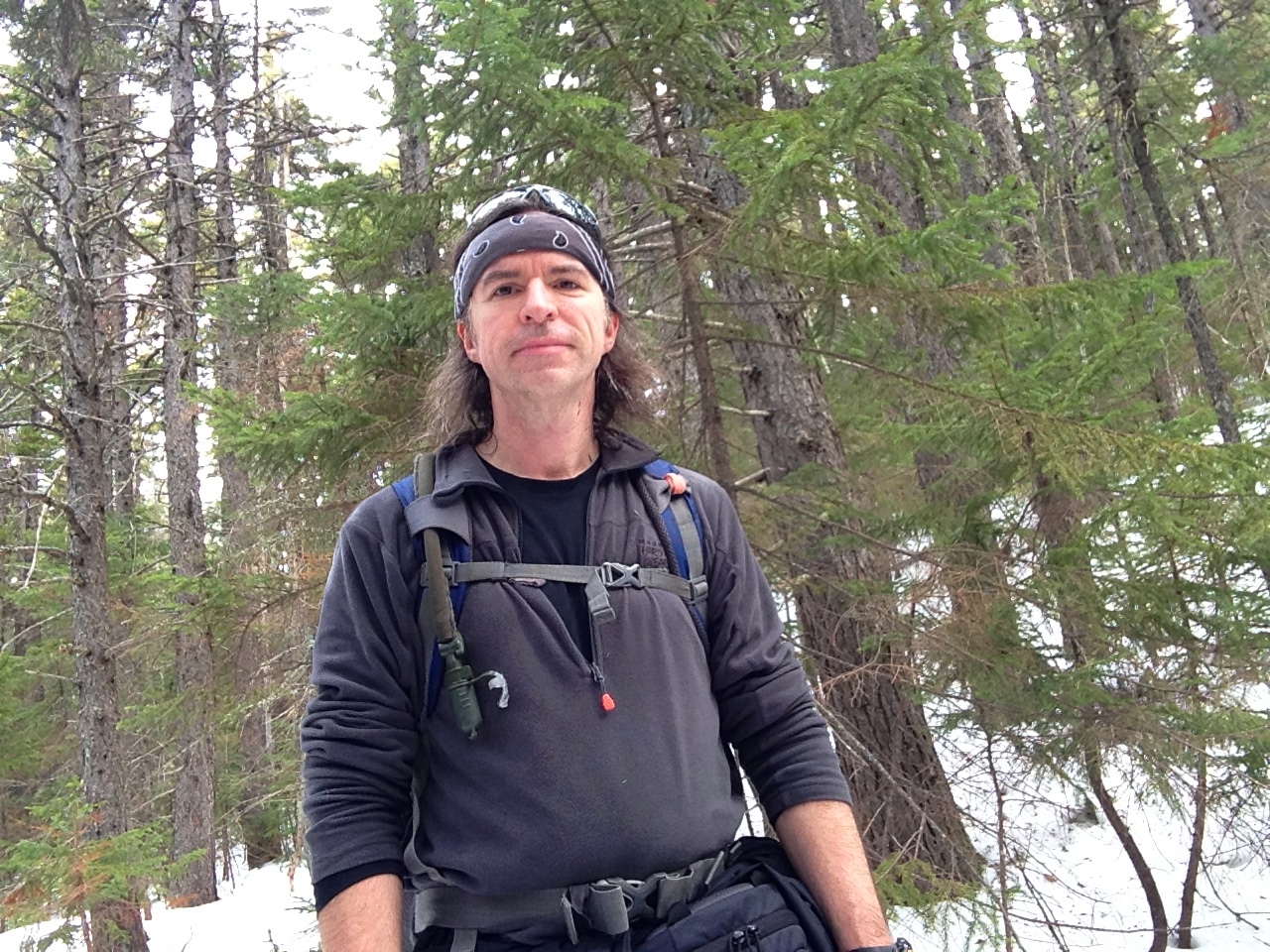
“Should I try to do some mooooore…” The Rav4 who recently passed 250624 (Chicago reference) is chugging up rte 16 to Pinkham Notch with a happy hiker at the wheel, with sights on the Carter-Moriah range. They will be my welcome back to the whites this winter.
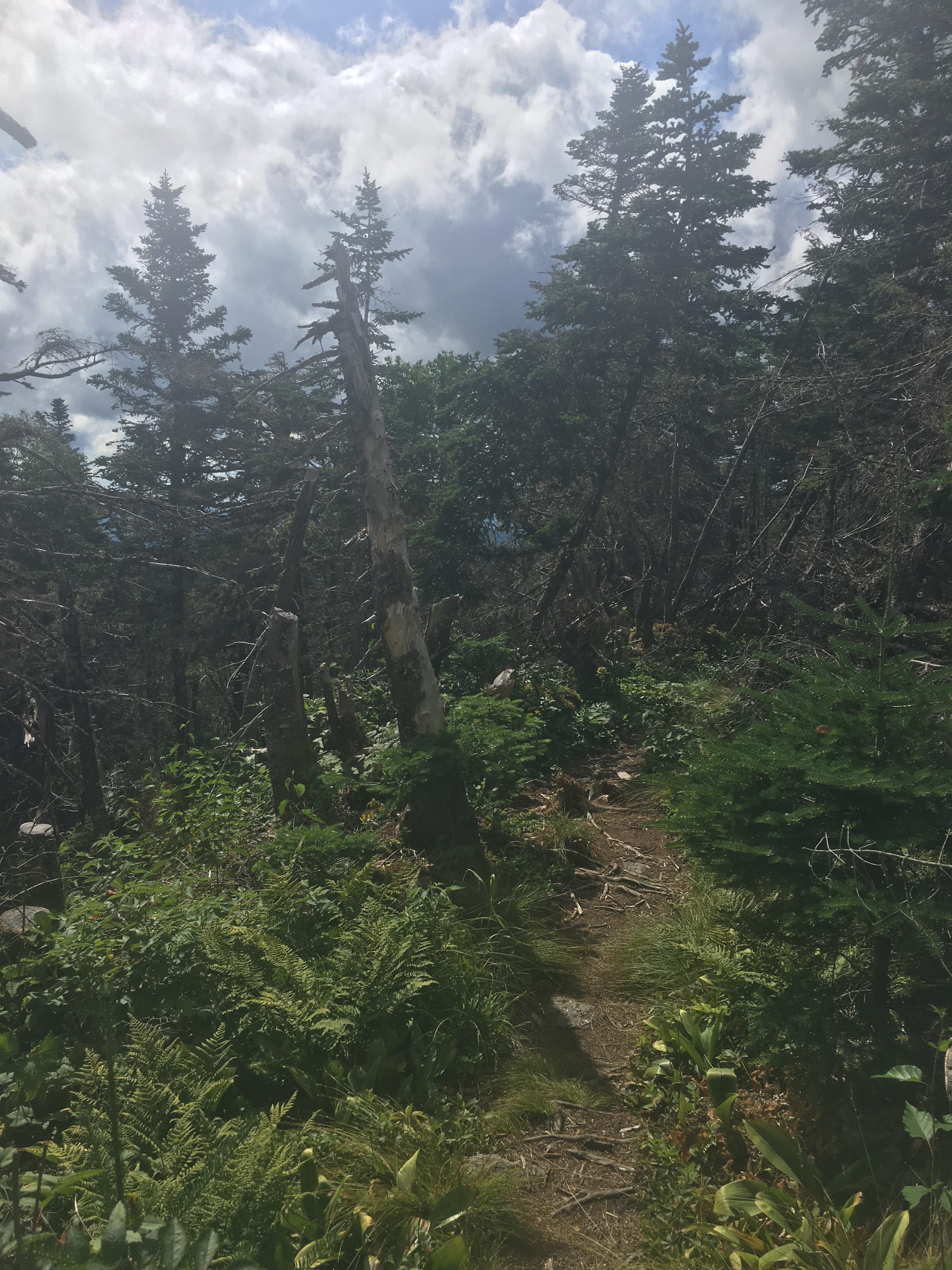
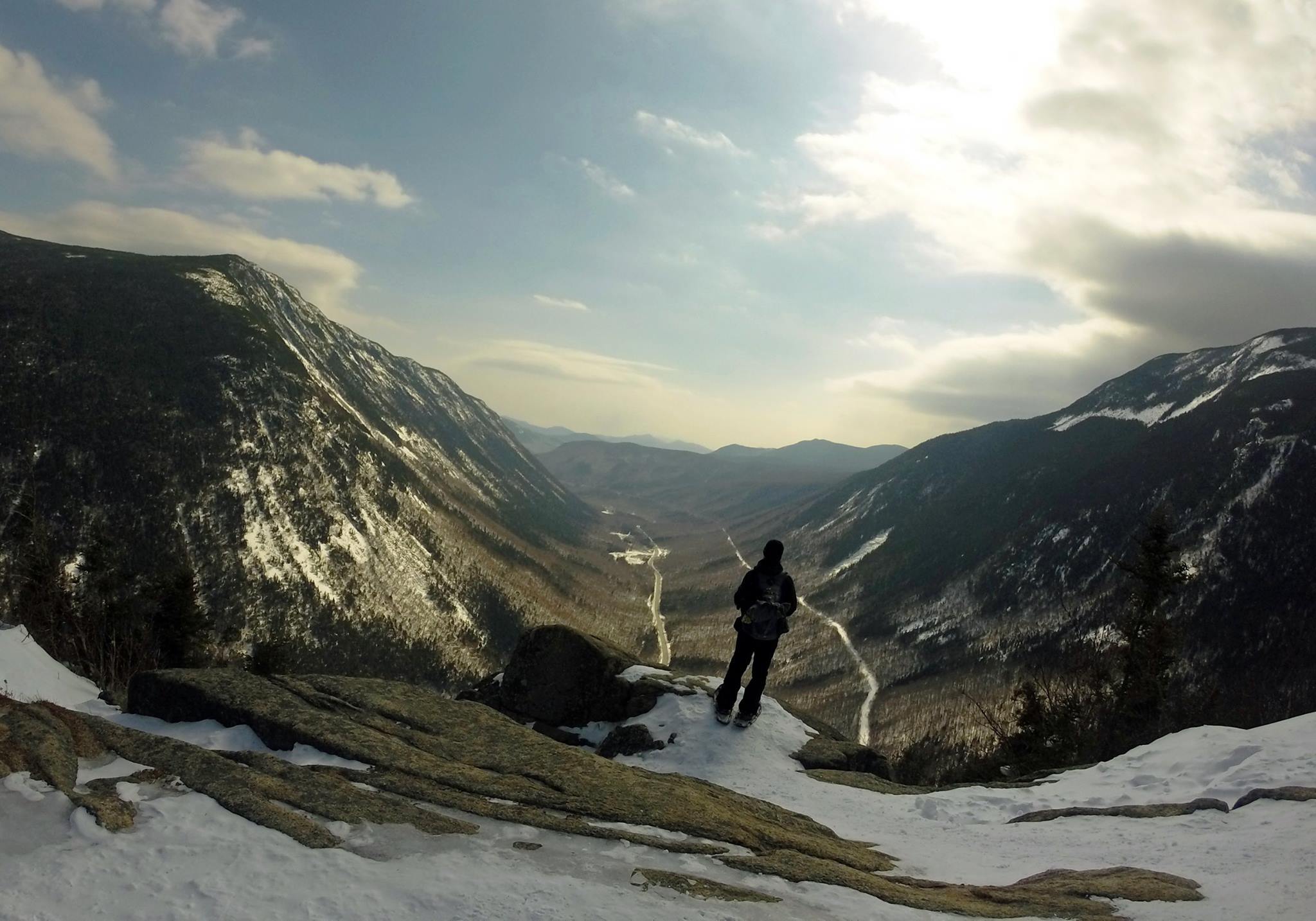
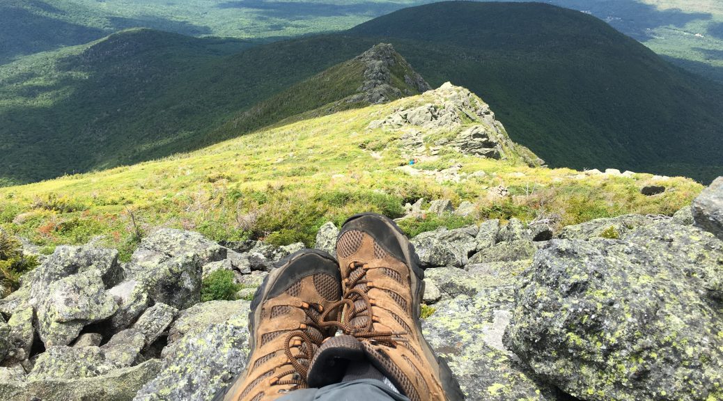
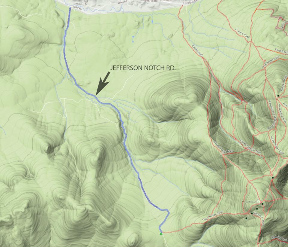
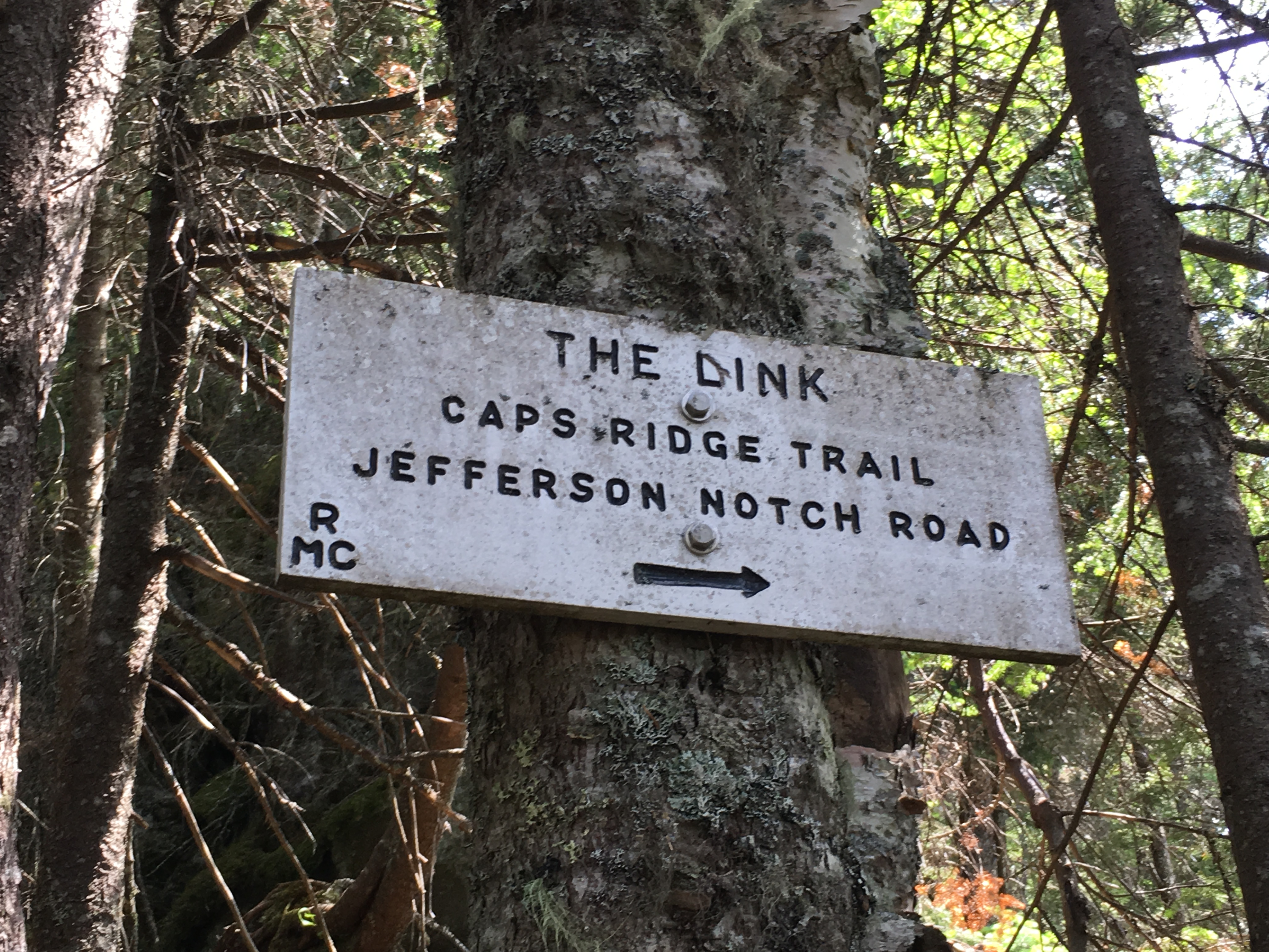
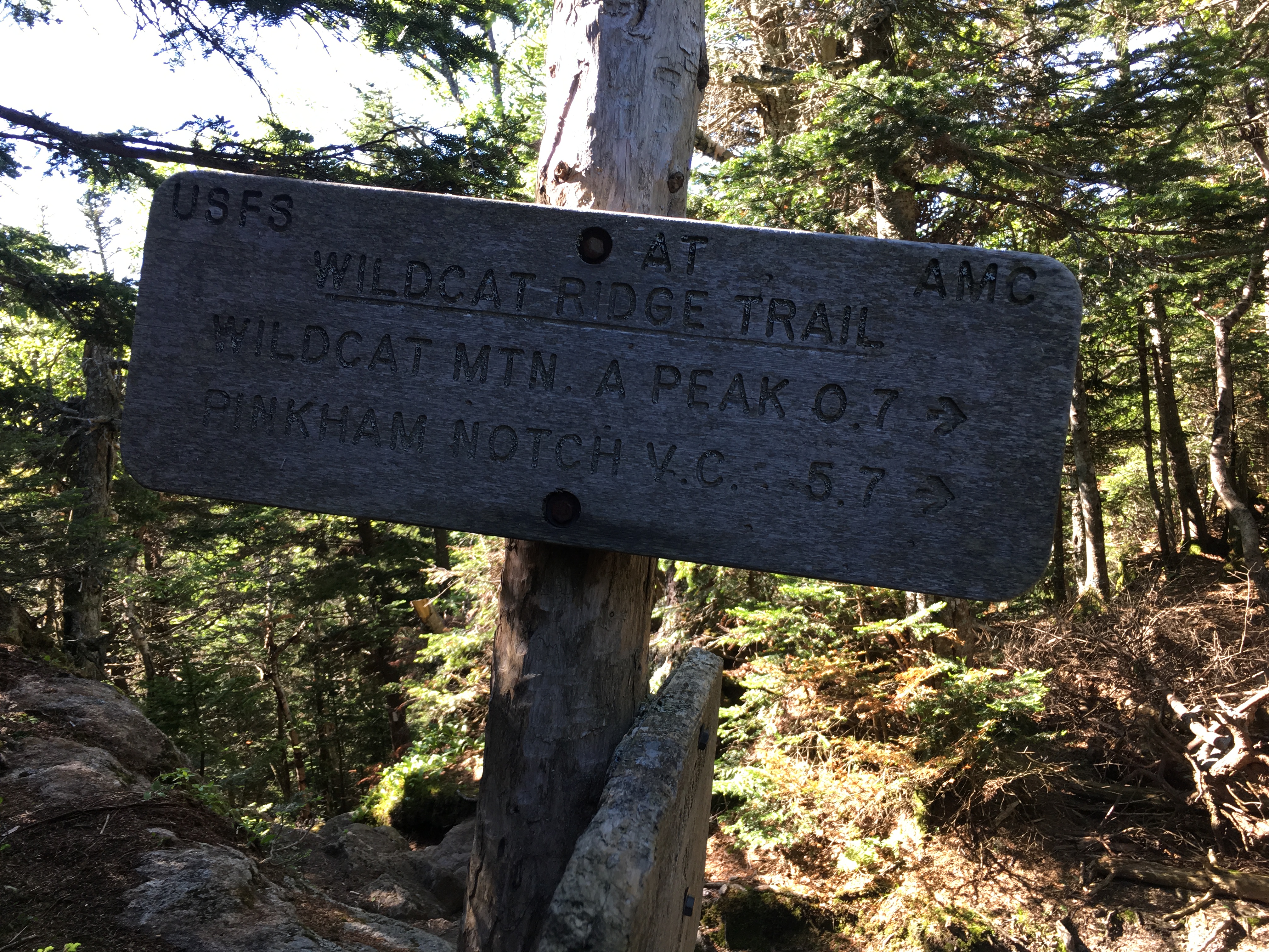
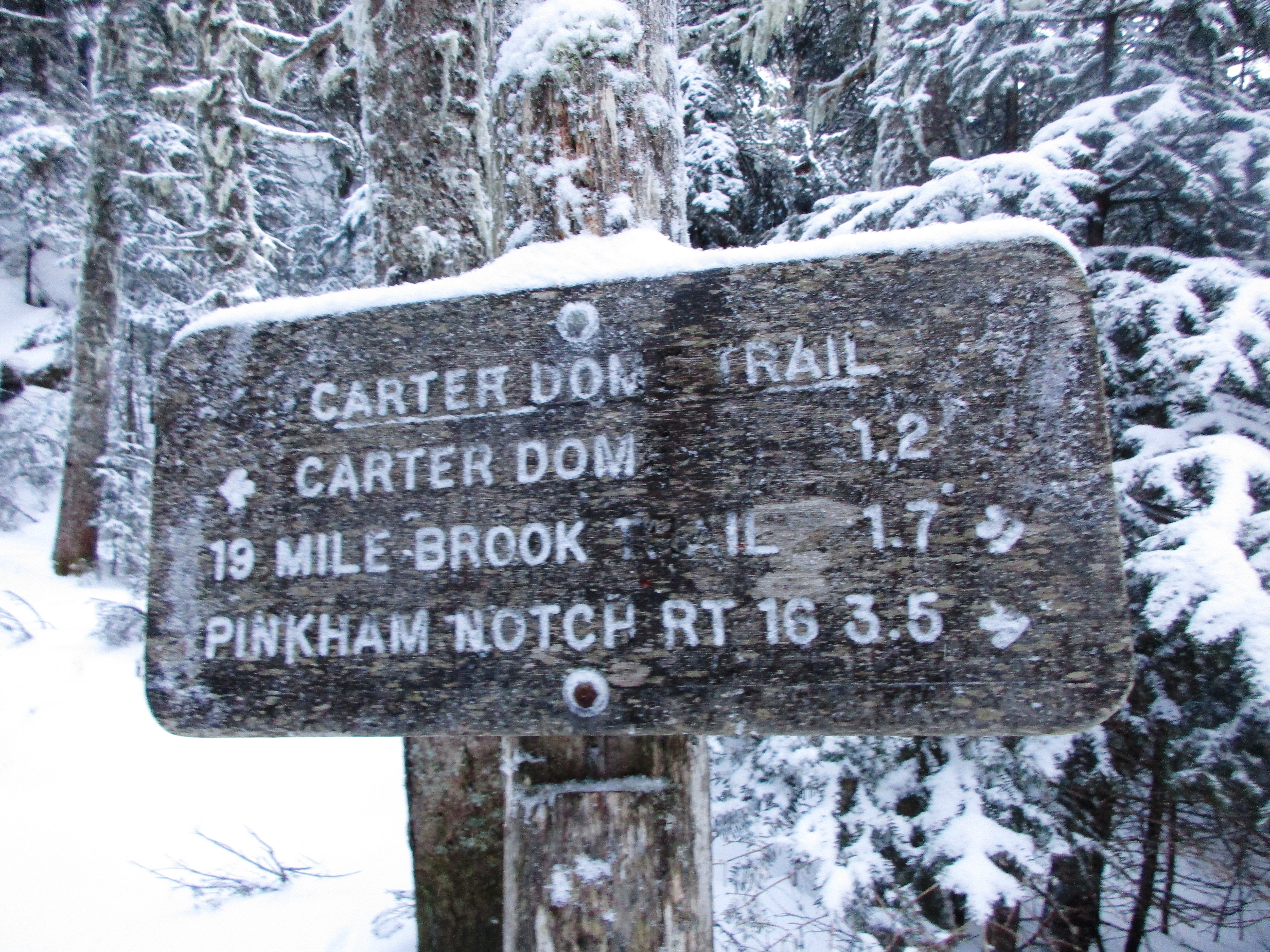
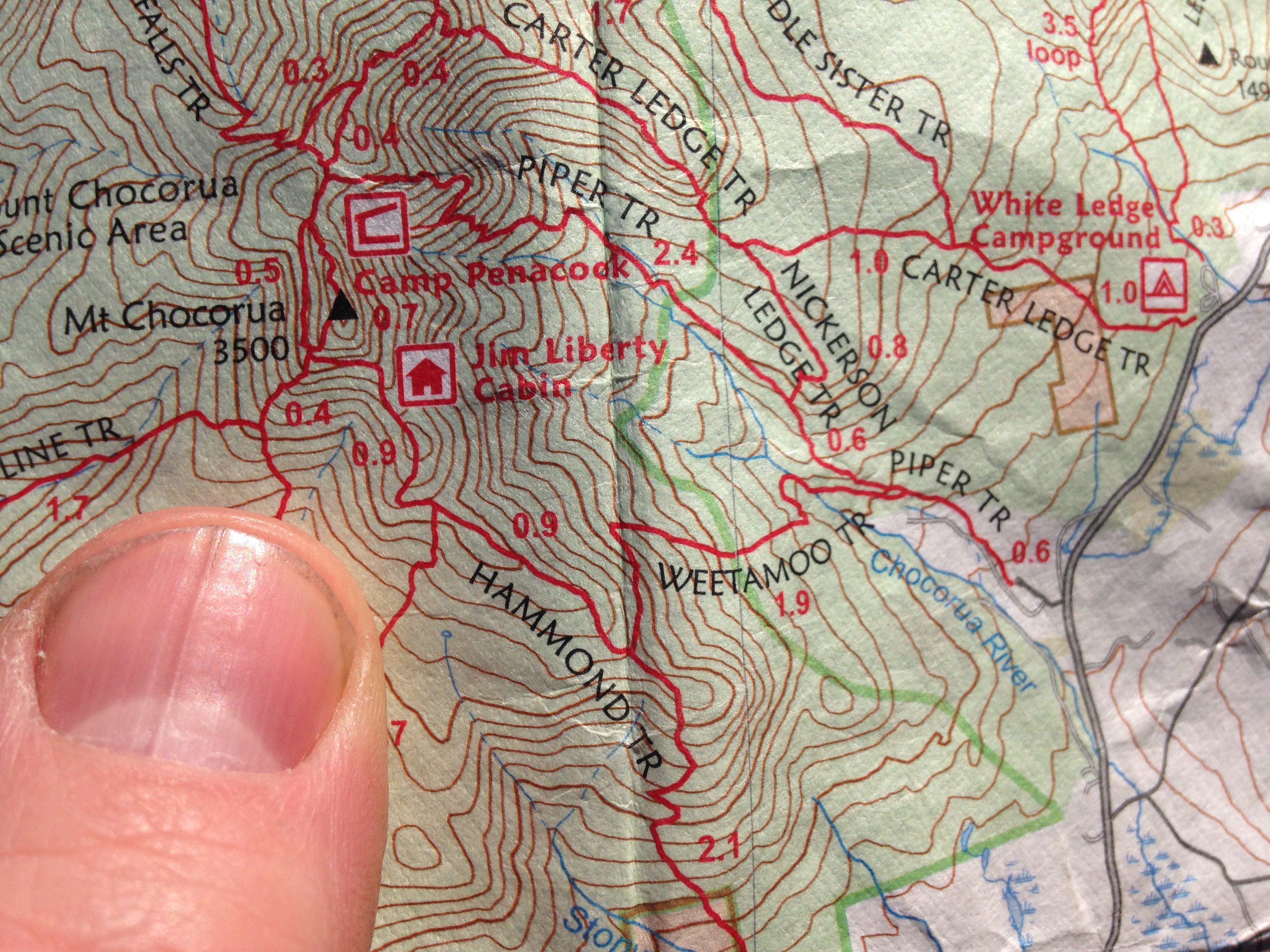
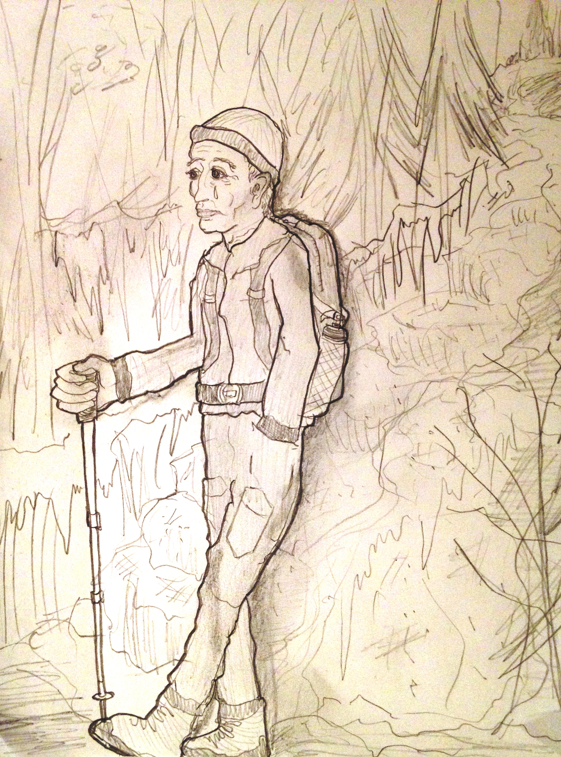
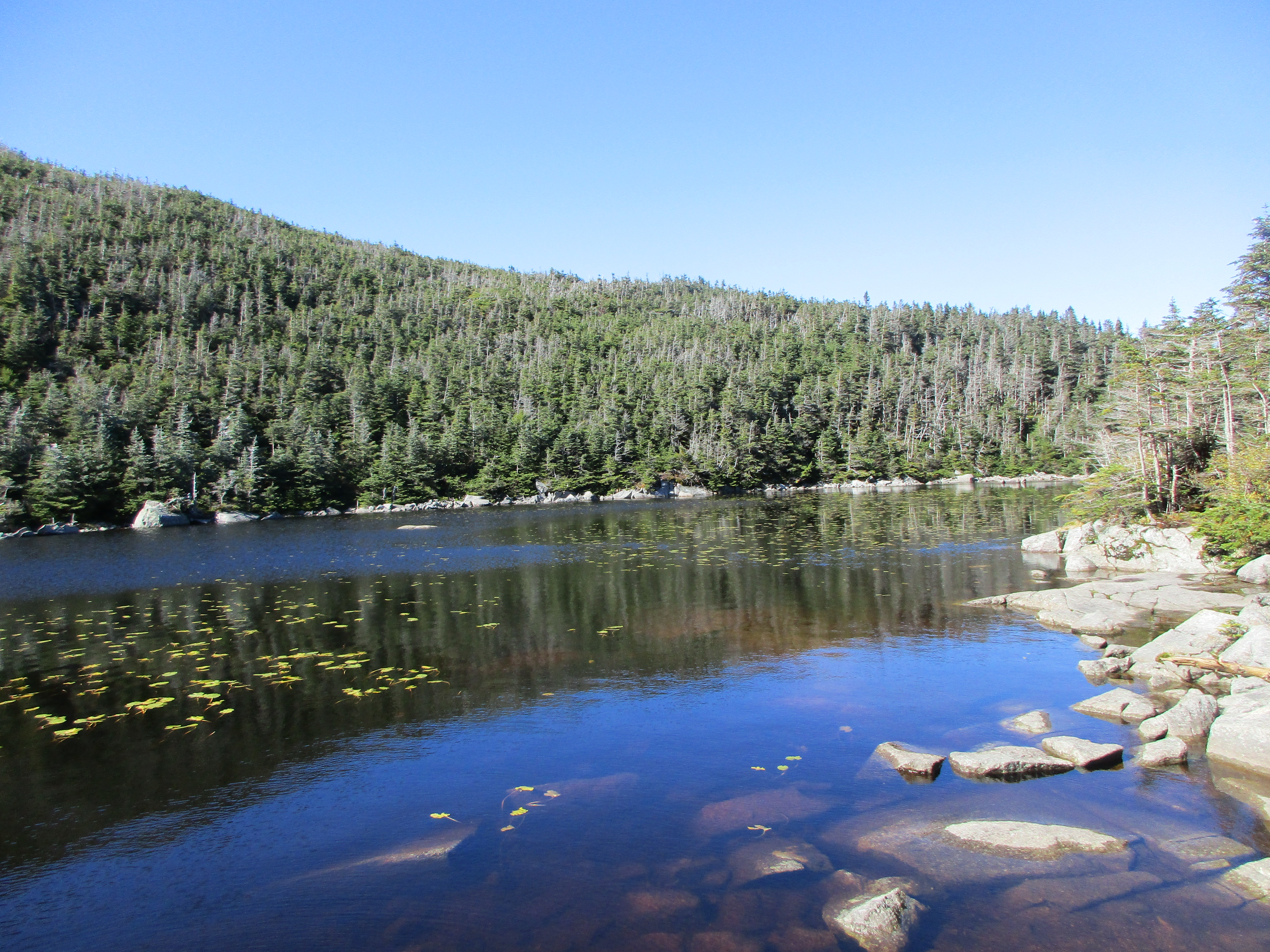
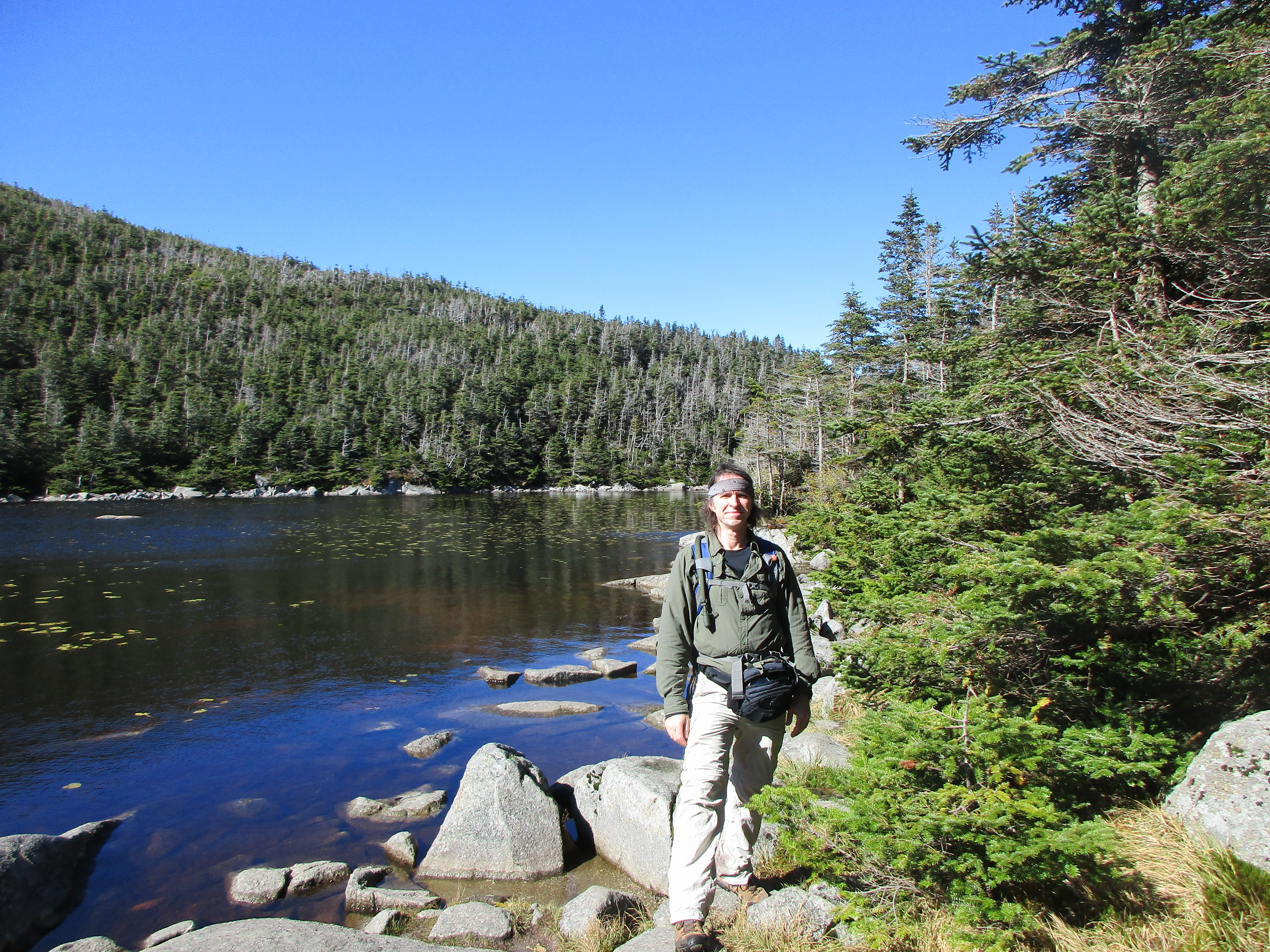
Like I said, I have a bit of the butterflies over this hike. As amazing as last winter was, my hikes were all comparatively shorter than my 13.5-mile plan for New Year’s Day, but I wanted to start out the year strong. A have a few variations in mind for this hike. I’ll park at 19mile Brook lot and either walk to North Imp trail head to snag a view on Imp Face and possibly North Carter en-route to the two 4k peaks, or to South Imp to bypass these bonus sights and get right to some check marks off the list. 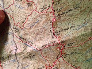 On the other side of the 2 definite stops, I have the option of extending the day to include Carter Dome, or just save it and head down the 19mile Brook Trail to my car-spot. This all depends on time, weather, the many added winter hiking factors, energy level, and simply how I feel. I have some optional plans for day 2 involving either Moriah or the Wildcats, but let’s get through day one first.
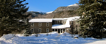
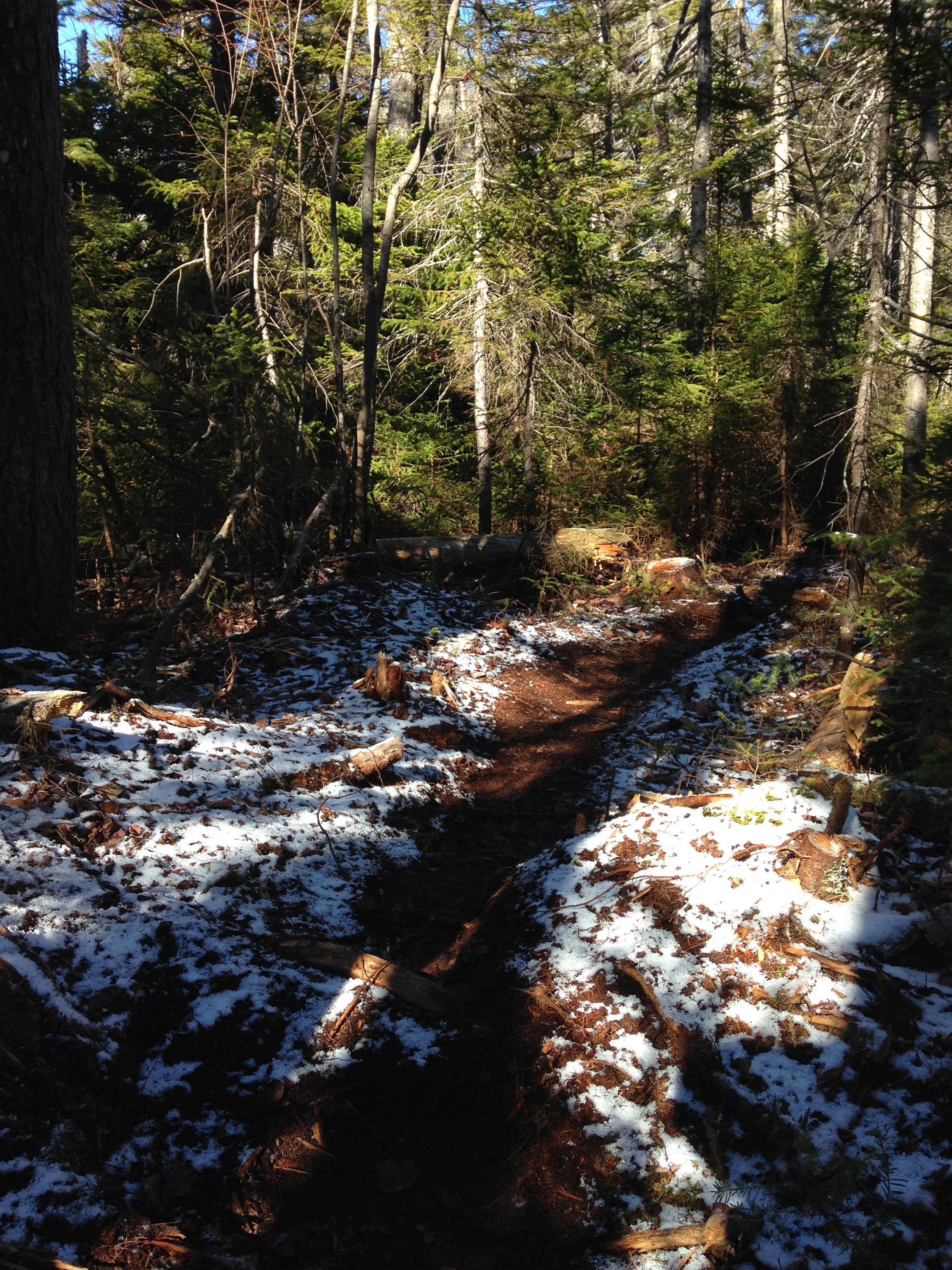
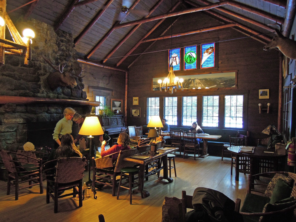
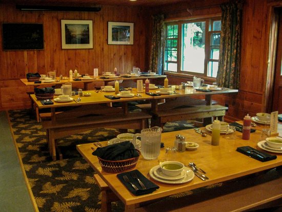
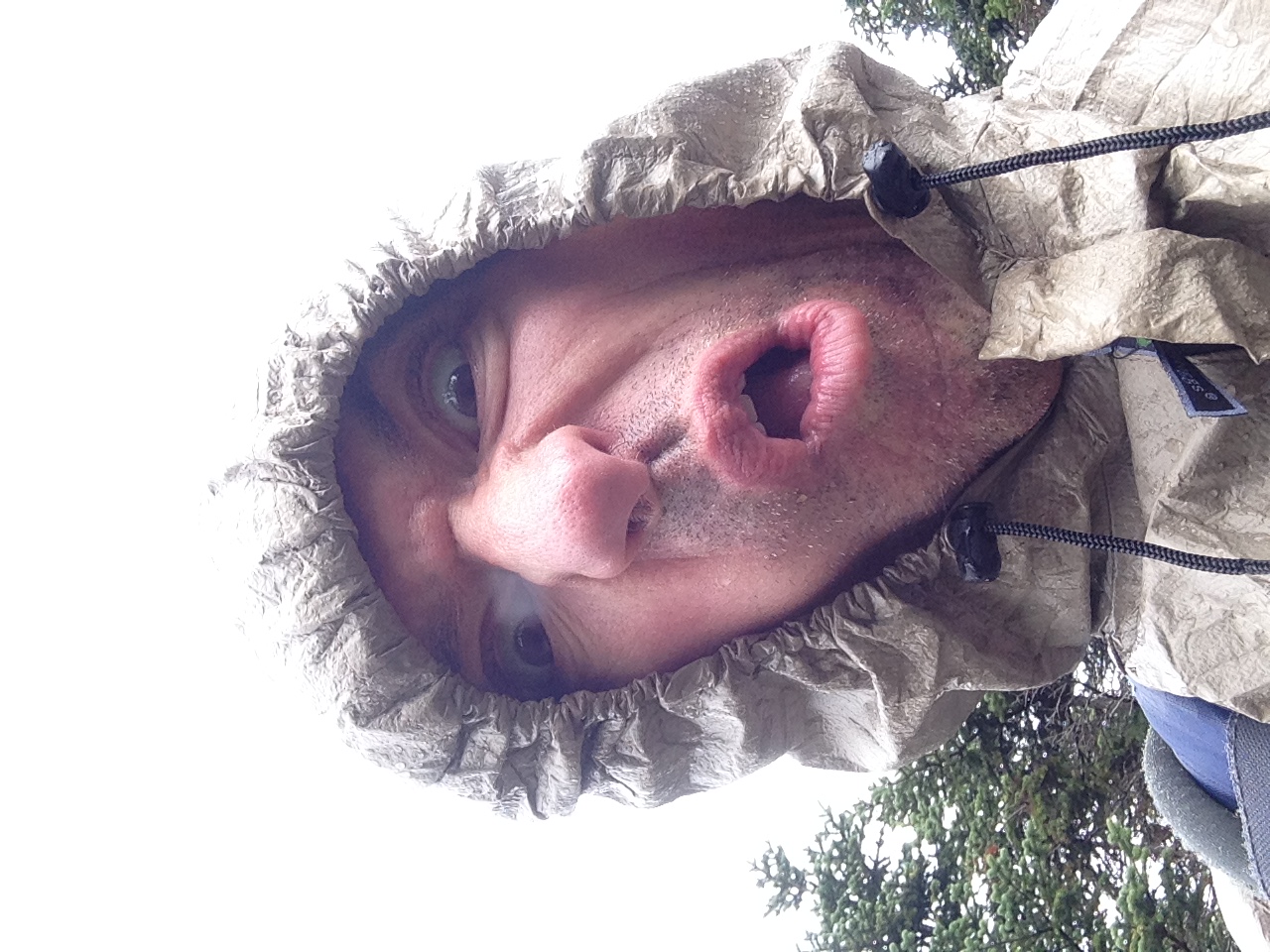
After a leisurely check-in to Joe Dodge Lodge, and a nice chat with the friendly guests over a buffet dinner, I get an early night’s sleep long before the ball drops and start the day with the rooster’s crow. Clouds giving way to some clearing and cooling are in the forecast today so I am starting out still unsure of my exact plan as I walk down route 16. I make the last second decision to turn onto South Imp and save the bonus views for another day.
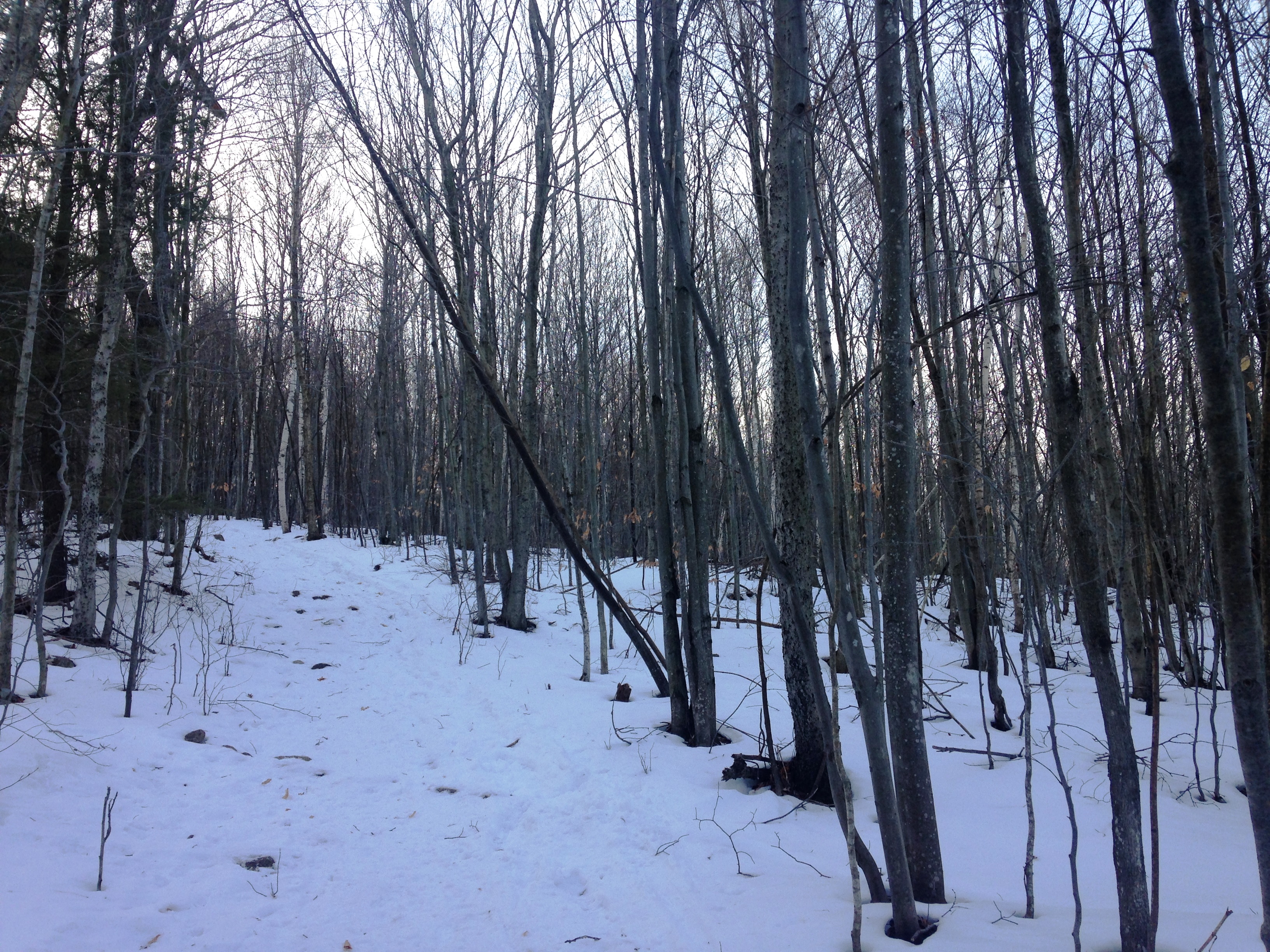
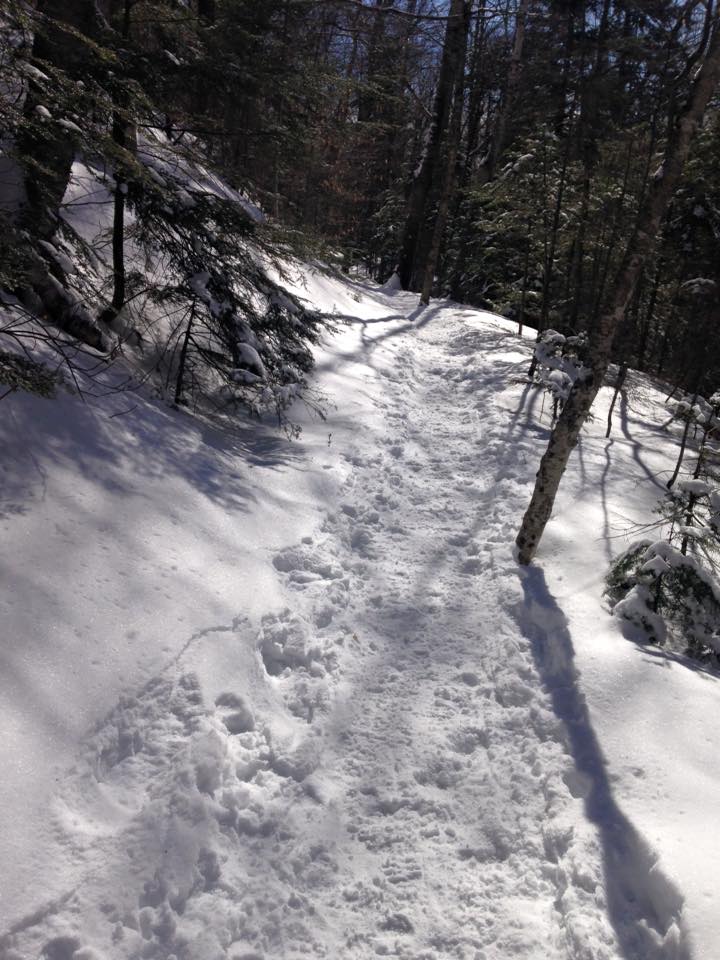
 Part of me immediately regrets this, but there is still an option to bang a left up on the ridge and pick up these views if my regret grows throughout the day. For now, I live with my choice and continue on the steady climb with a full 3-layer system ready to shed any of them as I get warmer. The lack of snow depth and packed trail seems like microspikes will do the trick, so I leave my snowshoes strapped to my back for now.
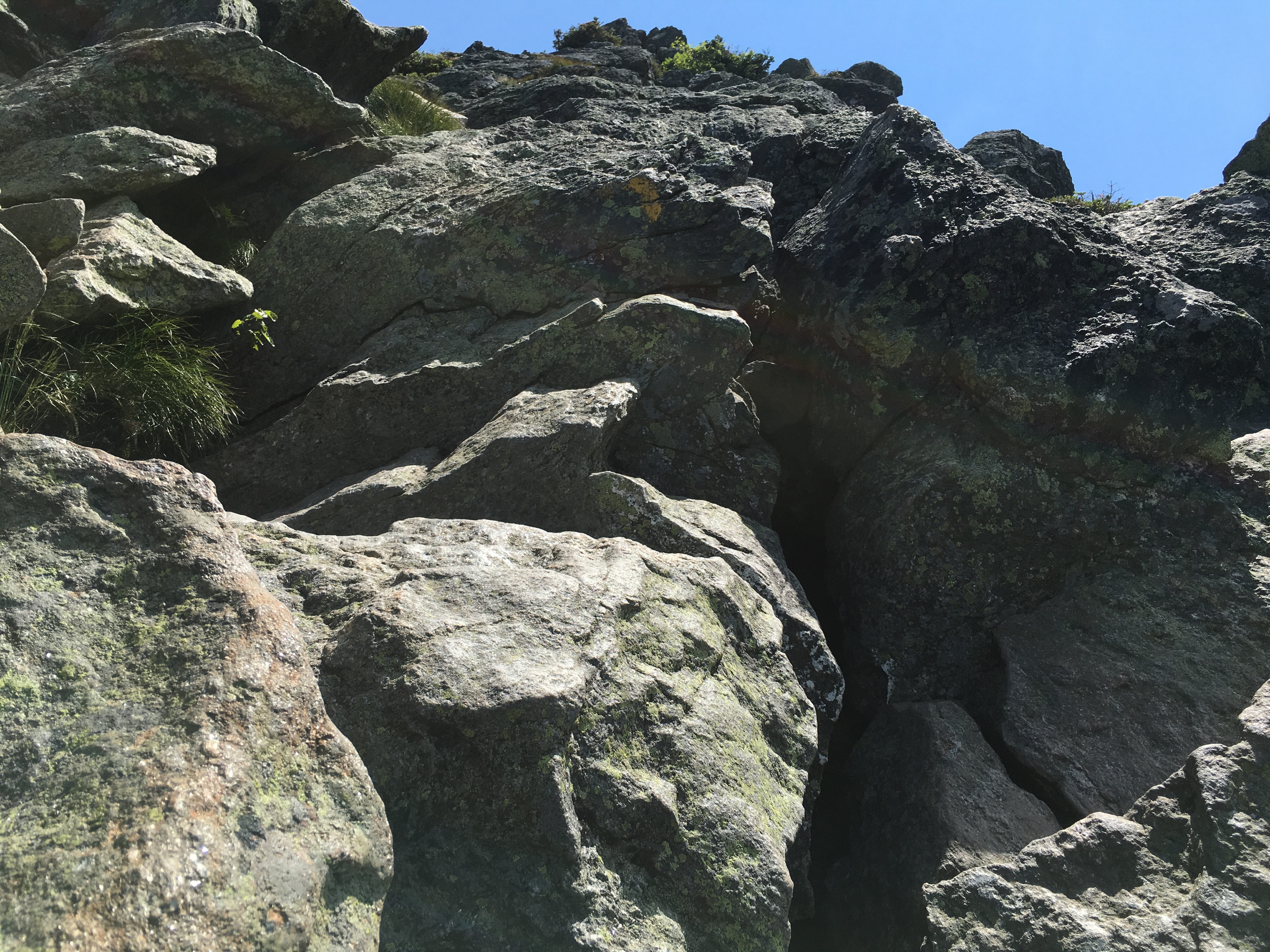
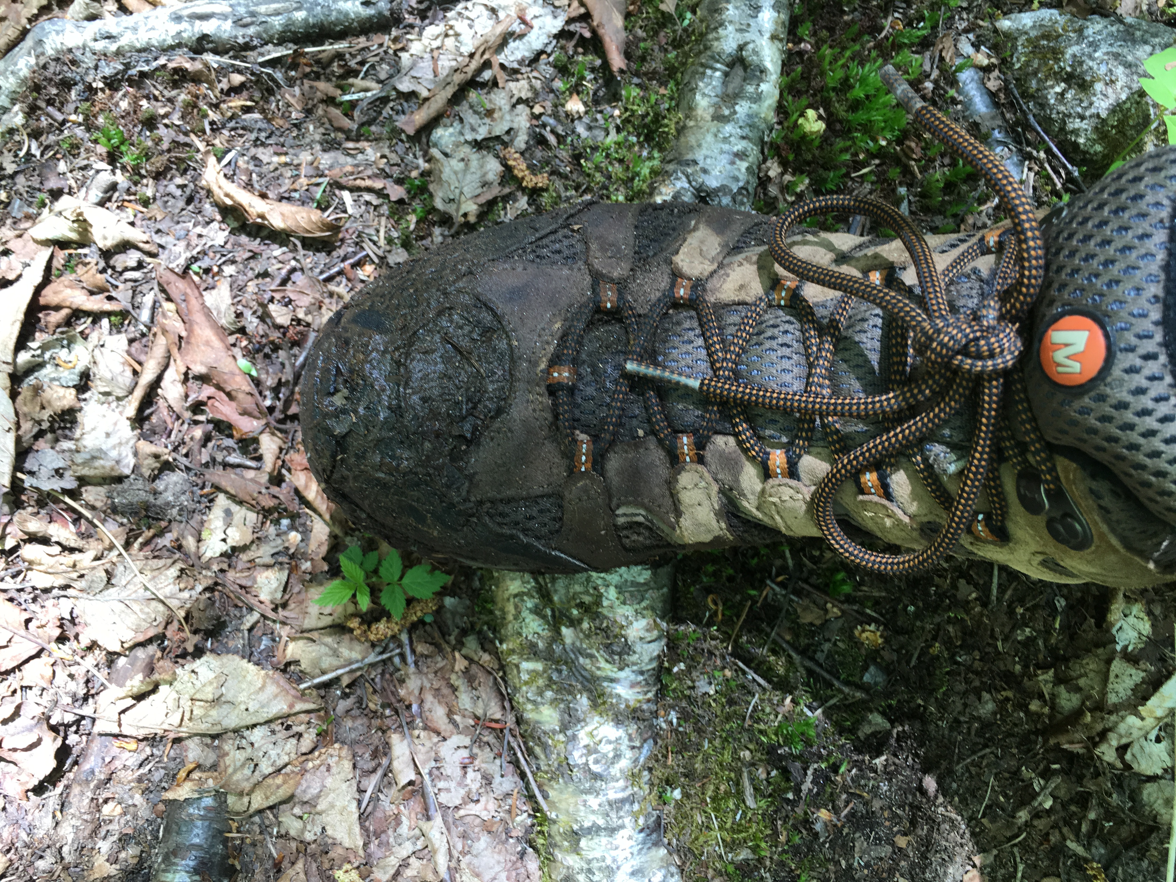
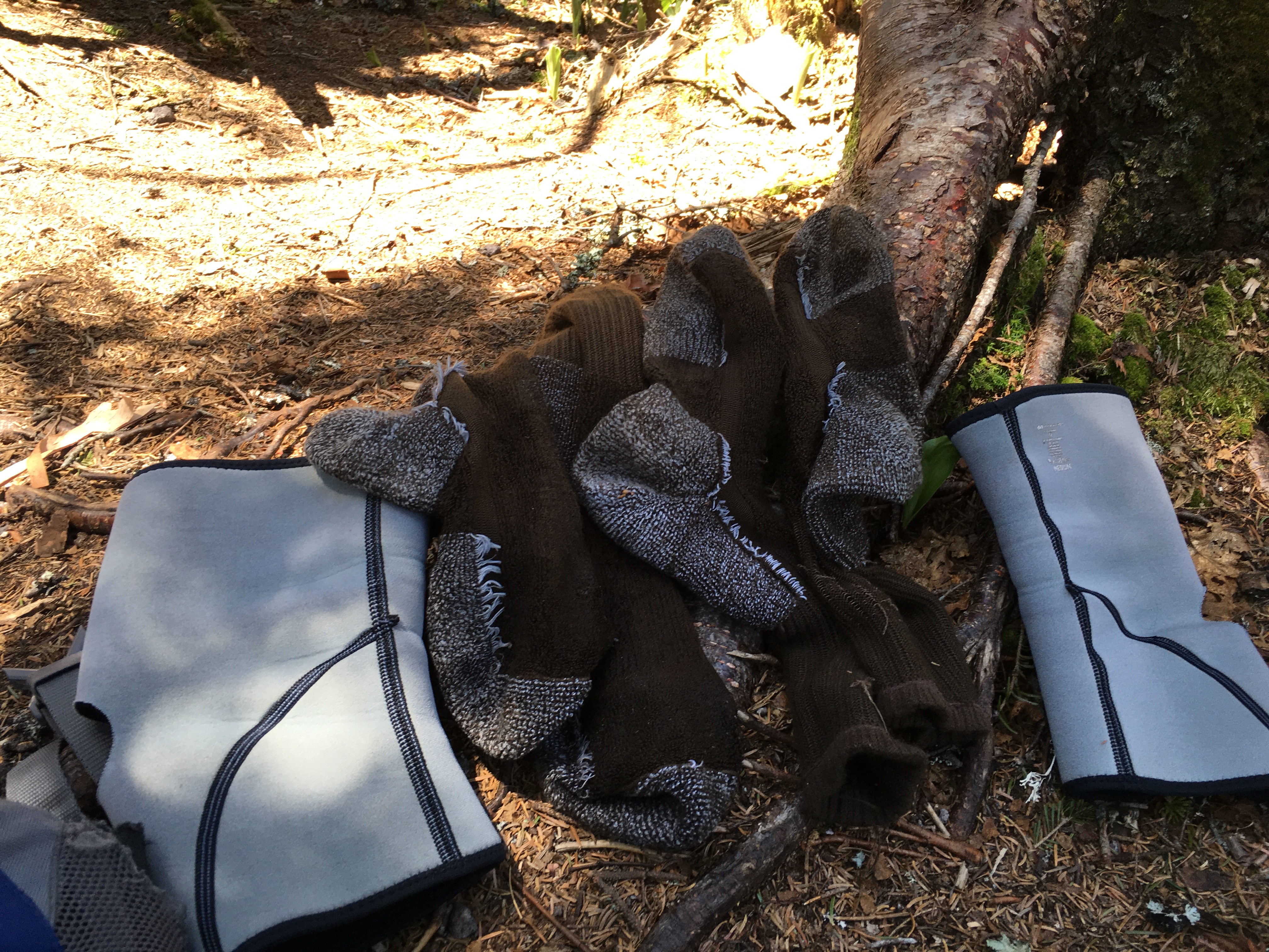
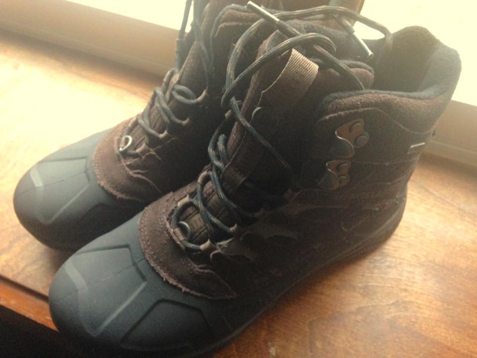
Both of these wardrobe choices would come back to haunt me a bit. I remember a bit too late about the constant moisture management problem inherent with winter hiking. I had been picking up the pace to get to the ridge in good time, and had compounded this with a lazy attitude to my layer adjustment. Before I knew it I was soaked in sweat. I had re-learned the hard way how important it is to stay cool as you are moving and then layer up once you stop for a break. Luckily I had some extra layers packed and was able to change into them and minimize the damage. As I approach the ridge I am noticing another issue: What seemed to do the trick last year on my feet is severely lacking. This is just a cheap Walmart pair of boots which are under-insulated and don’t fit well, irritating my feet. There will be a trip to REI immediately following this trip for sure! Adding to the discomfort (I realized a little later in the trip) was my choice to wear spikes instead of snowshoes. The shoes actually have more aggressive traction and the slight slip with each step in the microspikes is taking its toll slowly but surely, but again my lack of attention to these observations is doing me in.
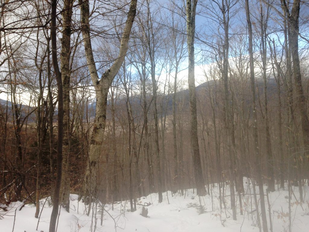
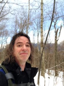
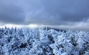
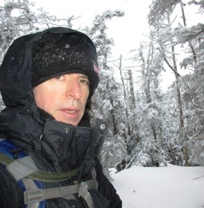
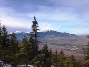
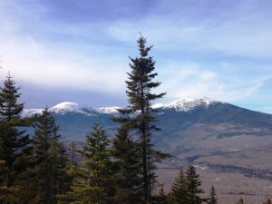
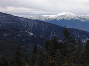
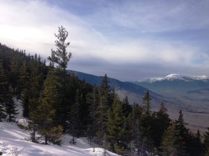
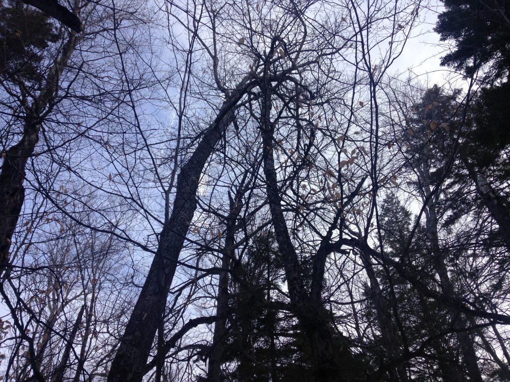
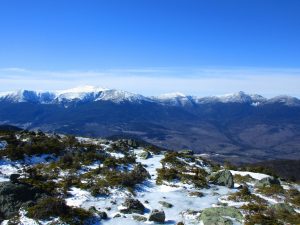
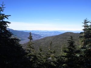
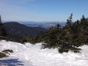
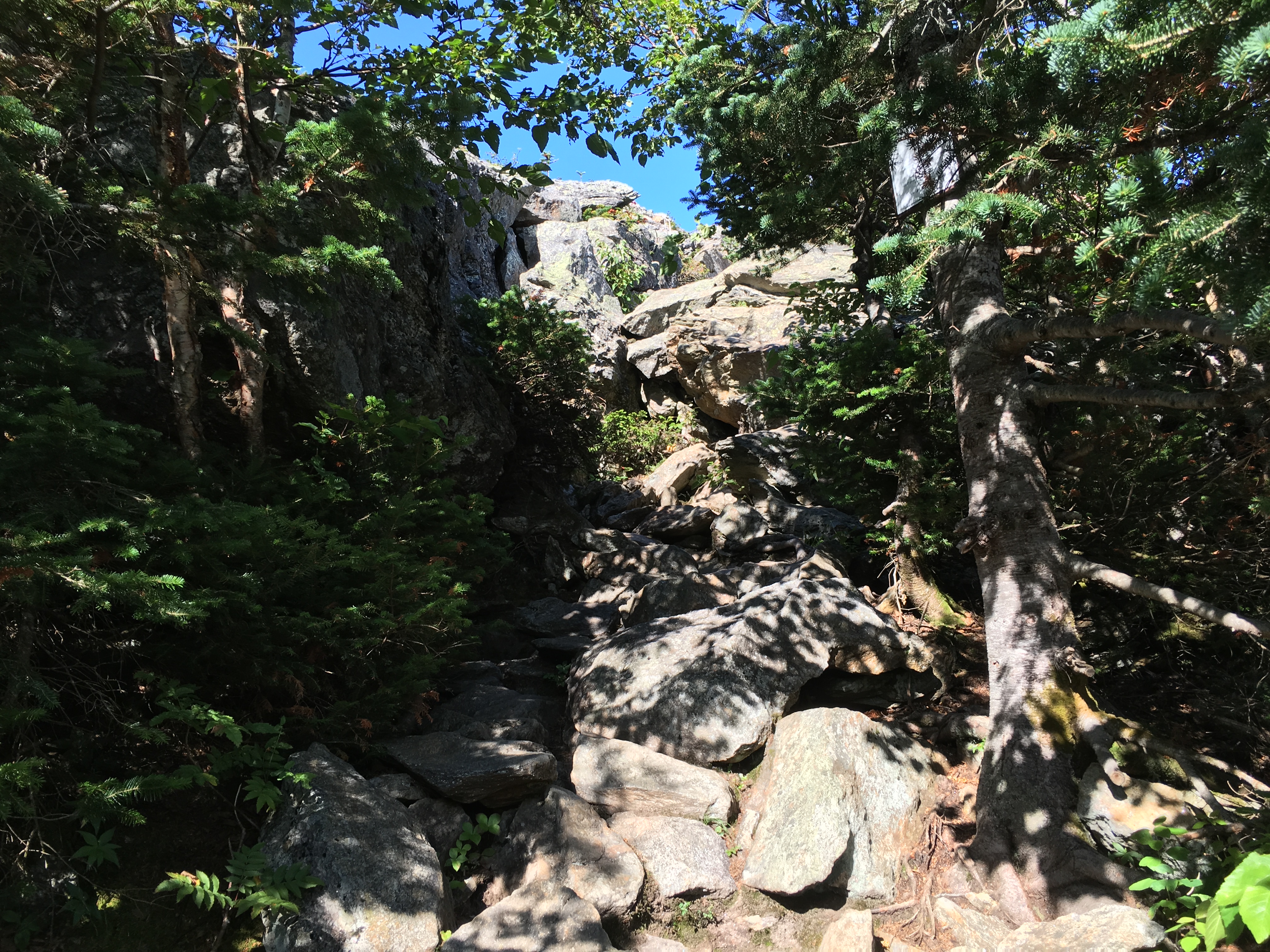
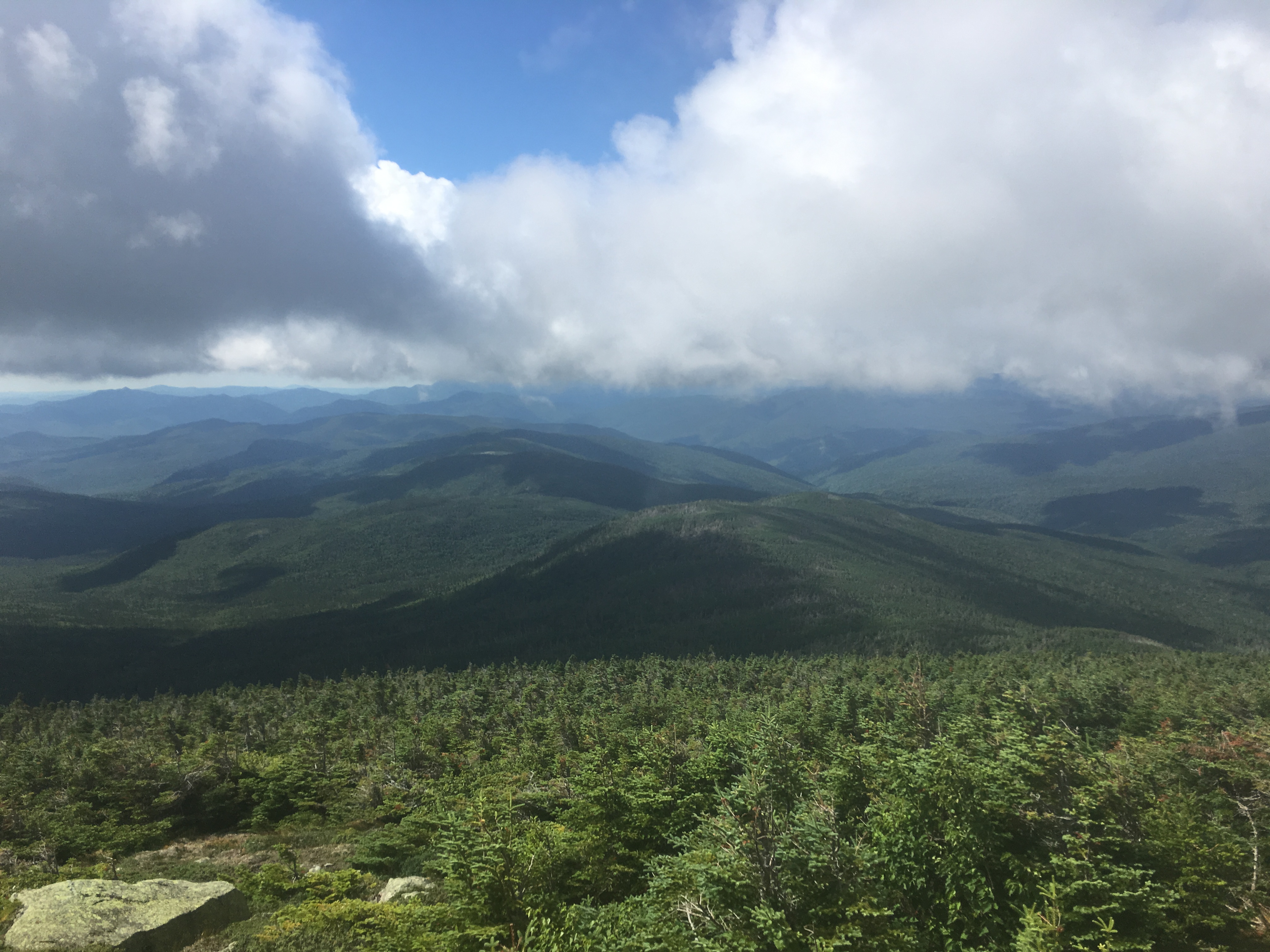
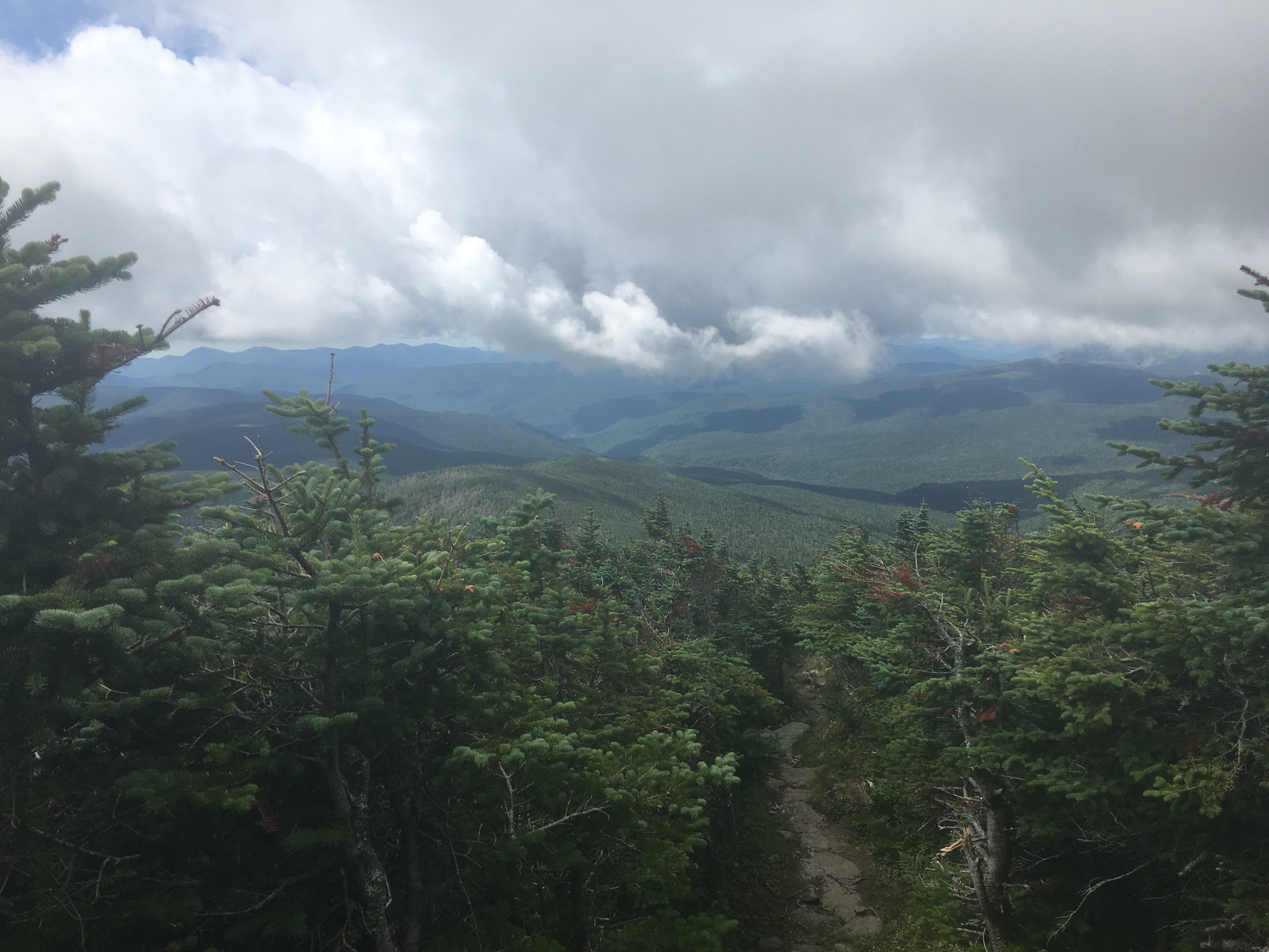
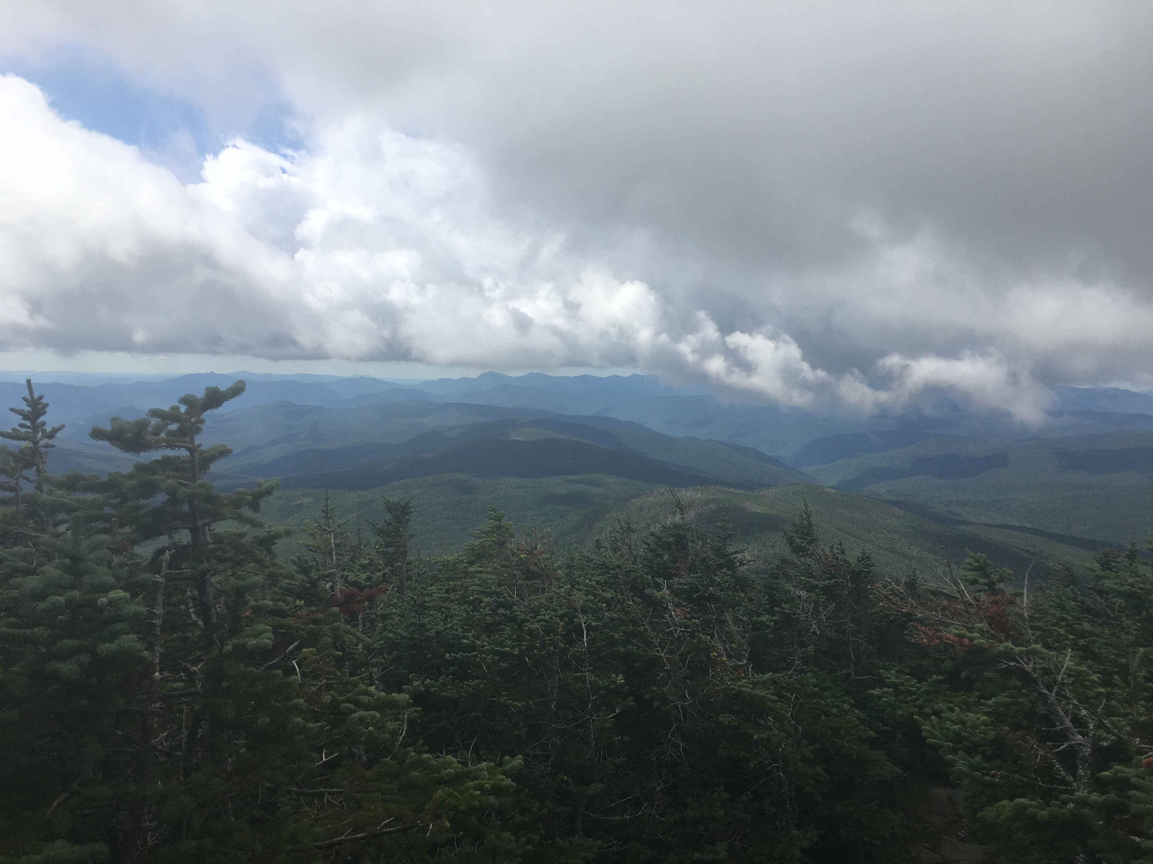
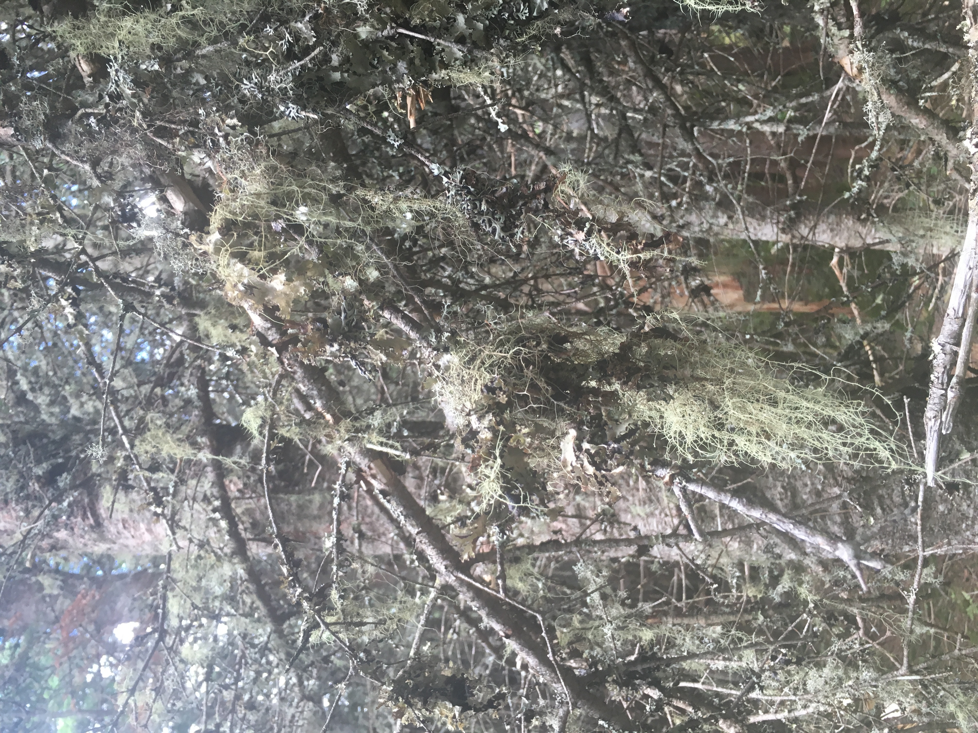
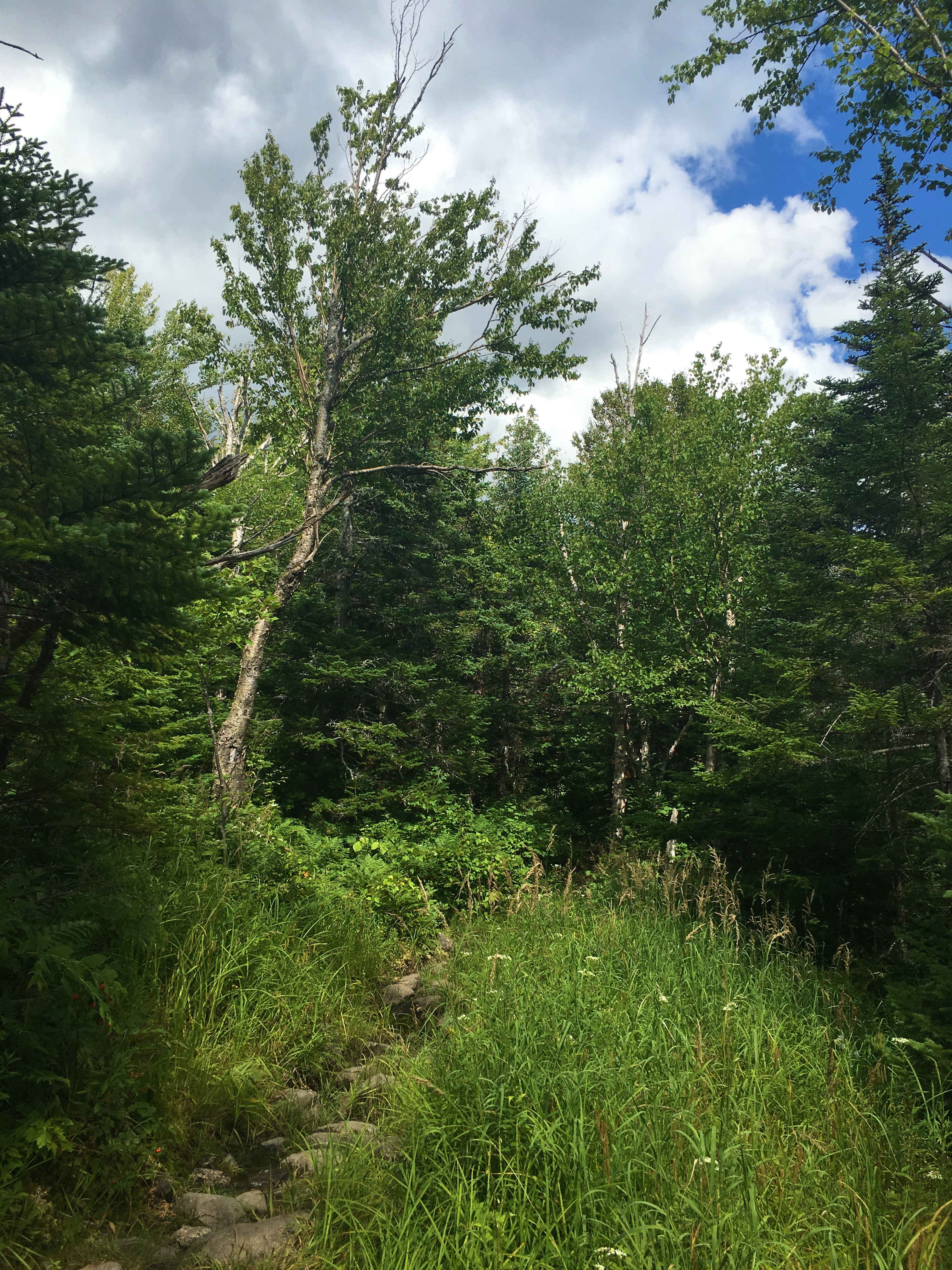
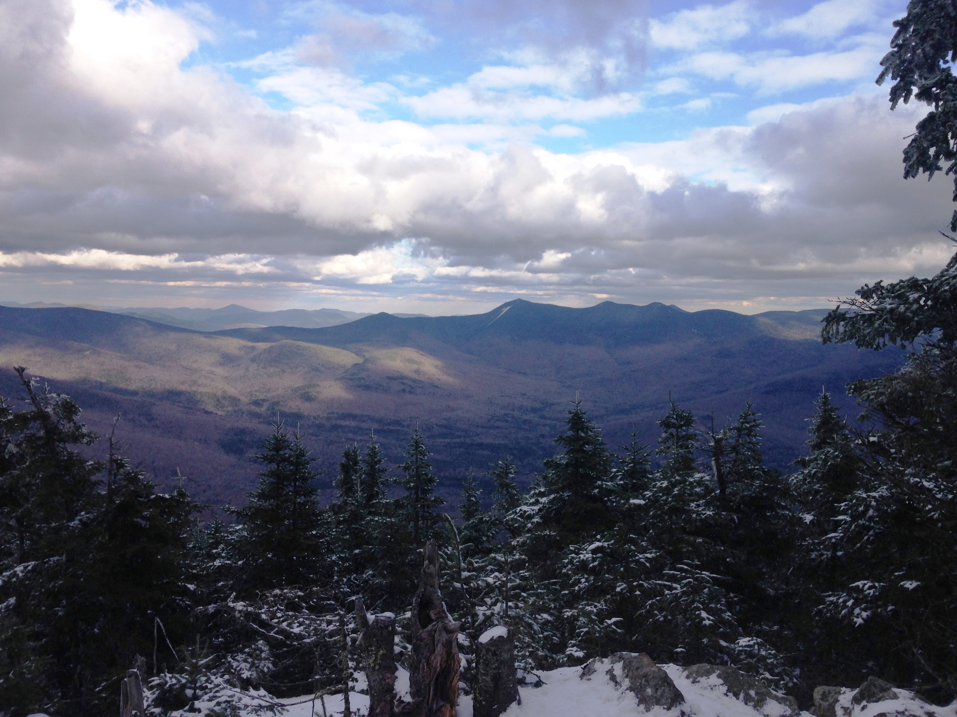
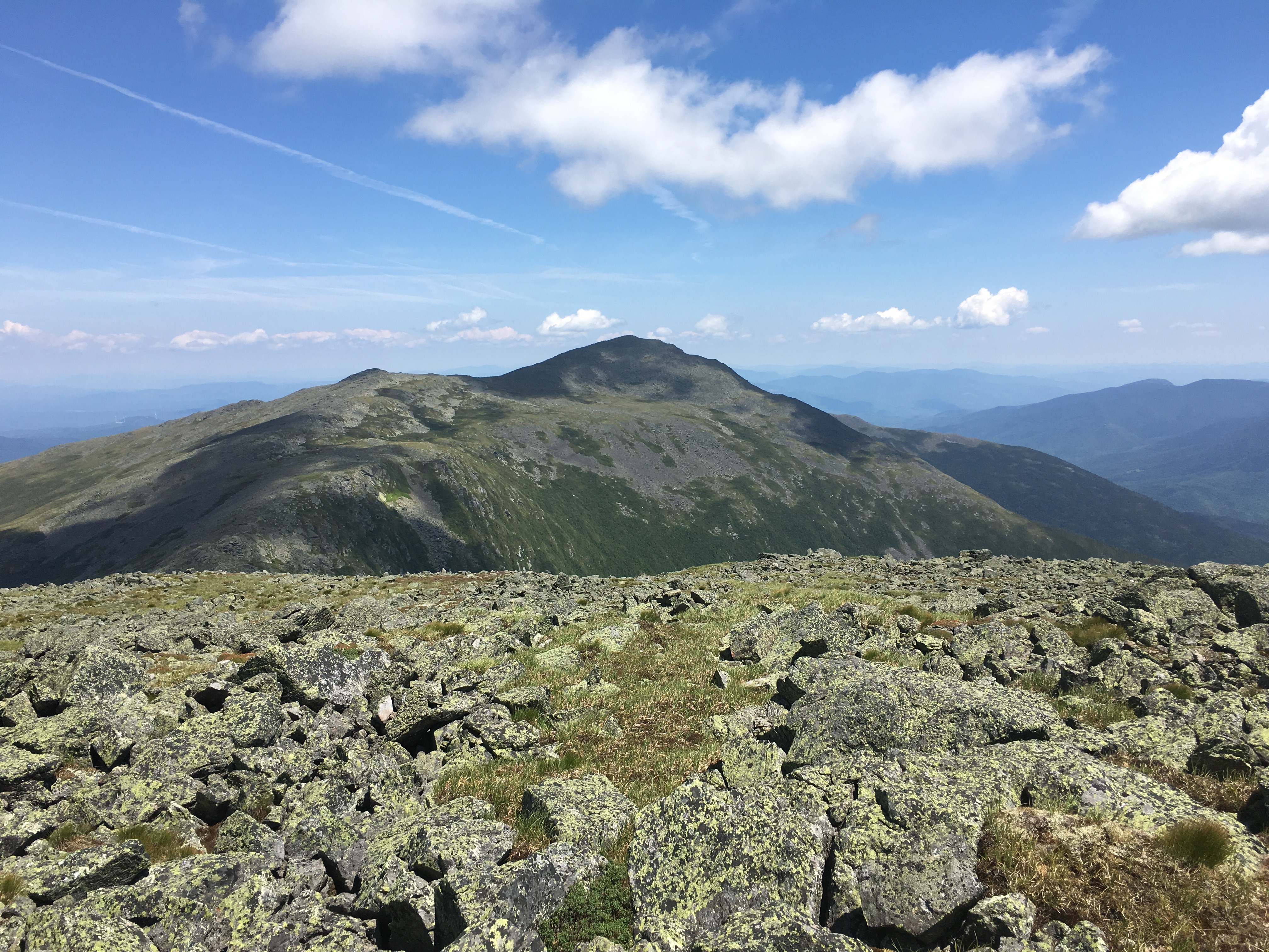
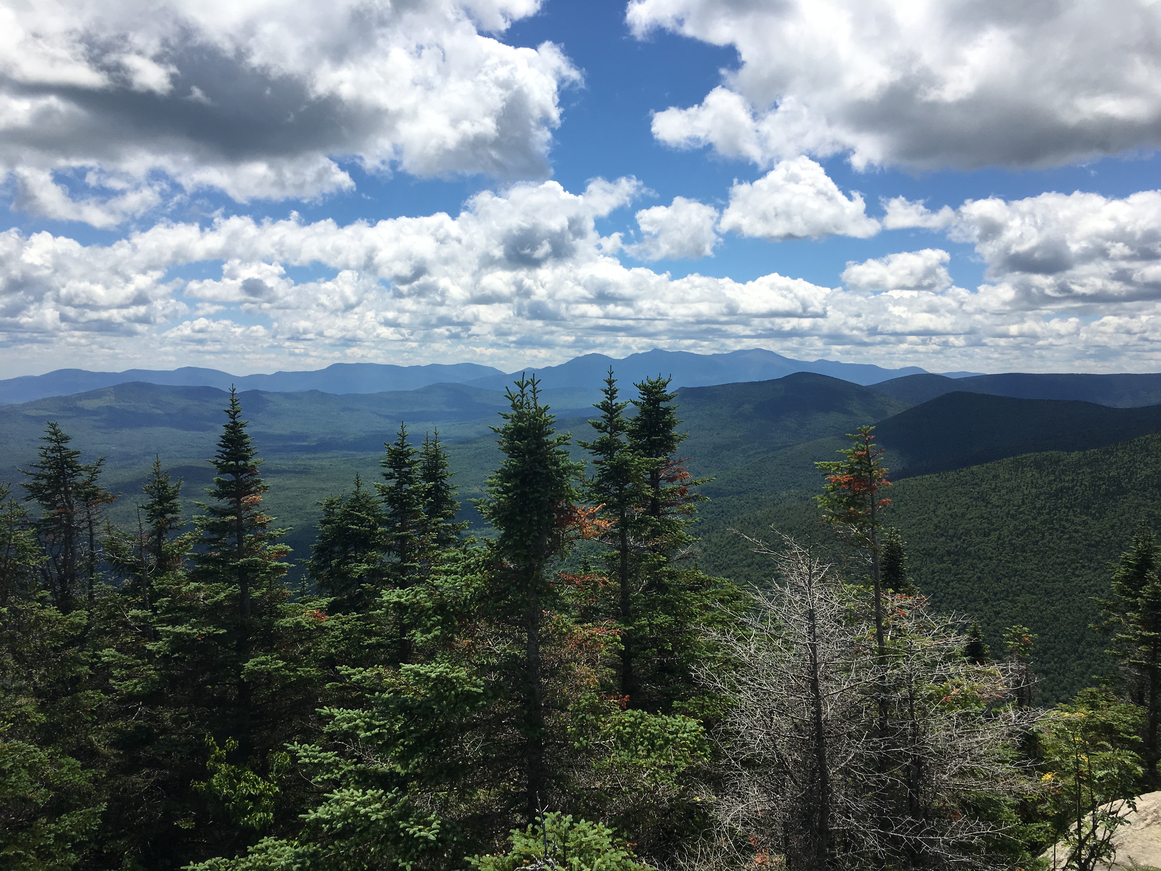
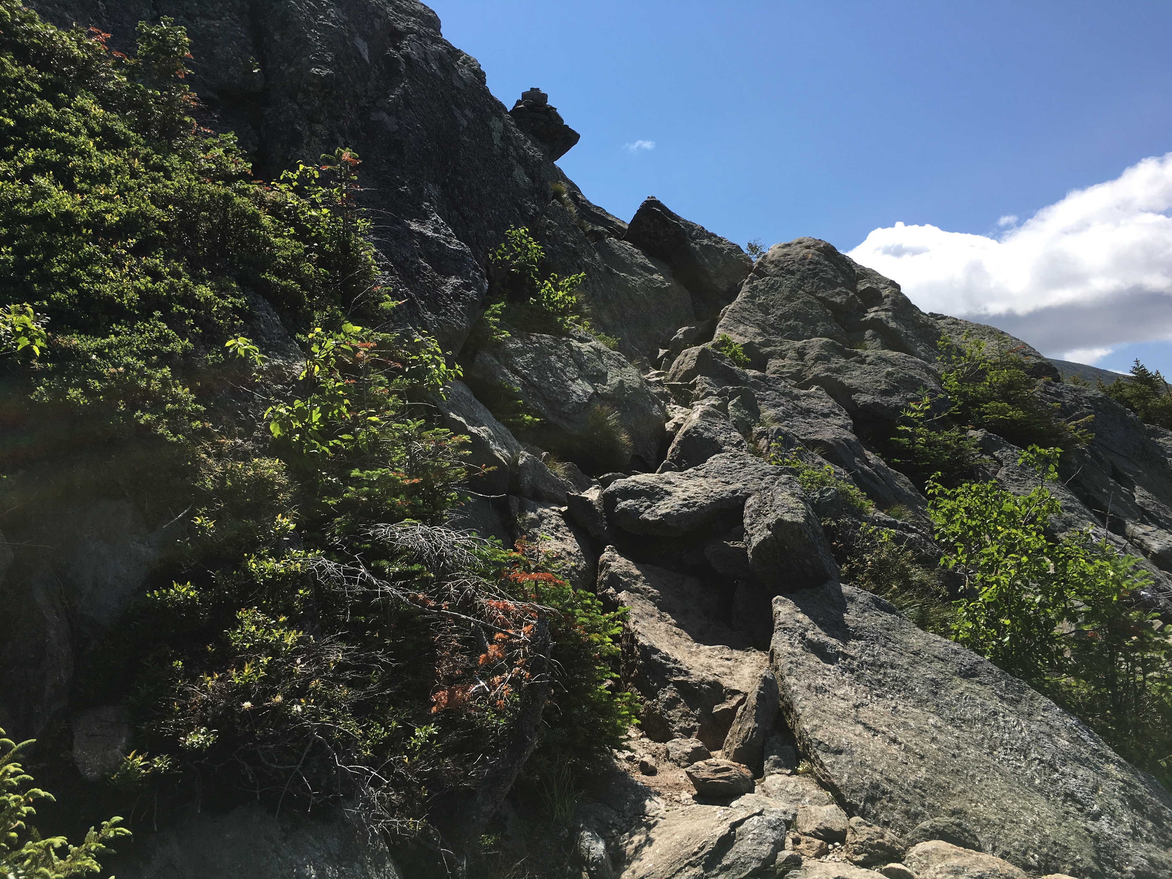
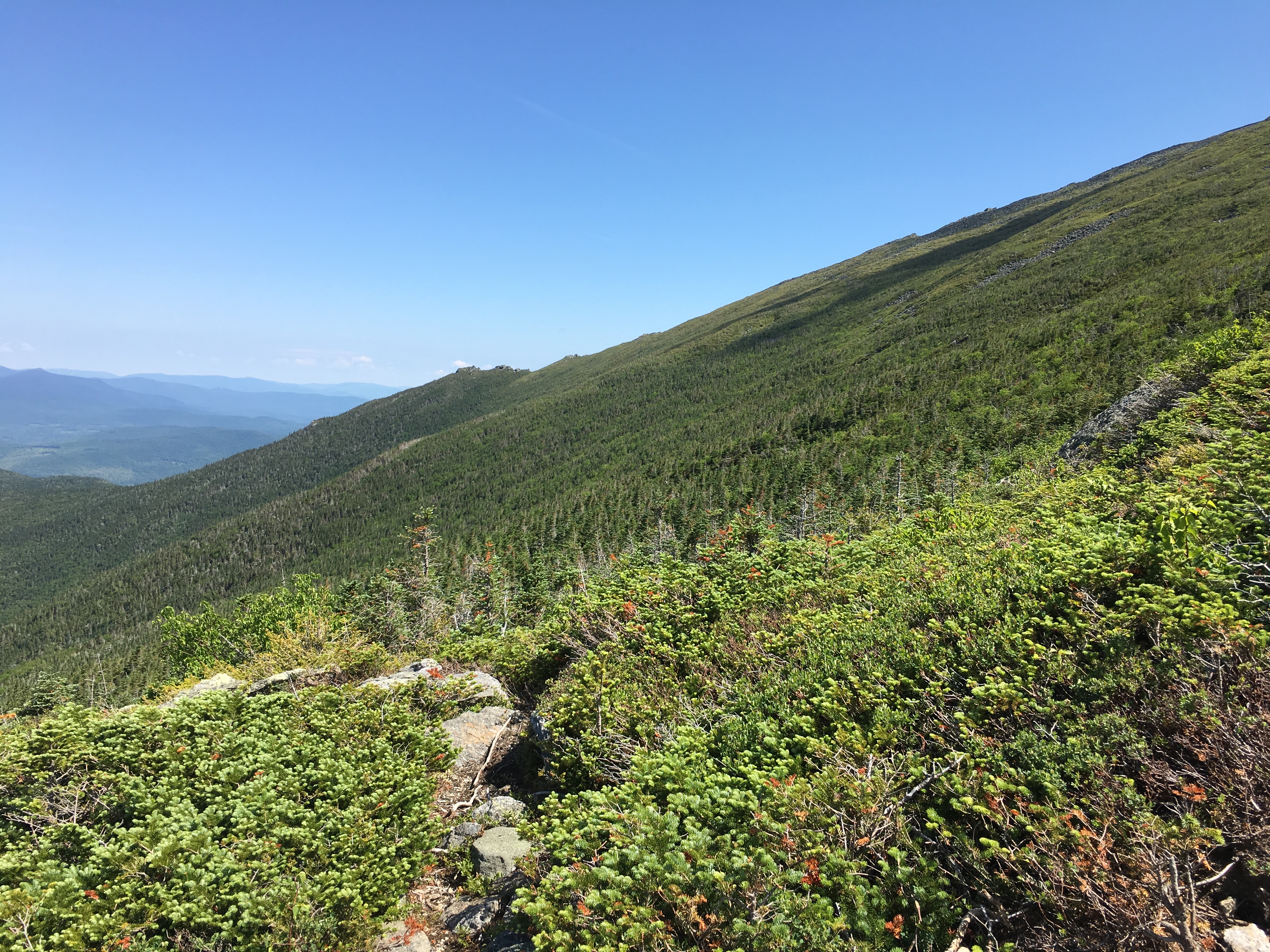
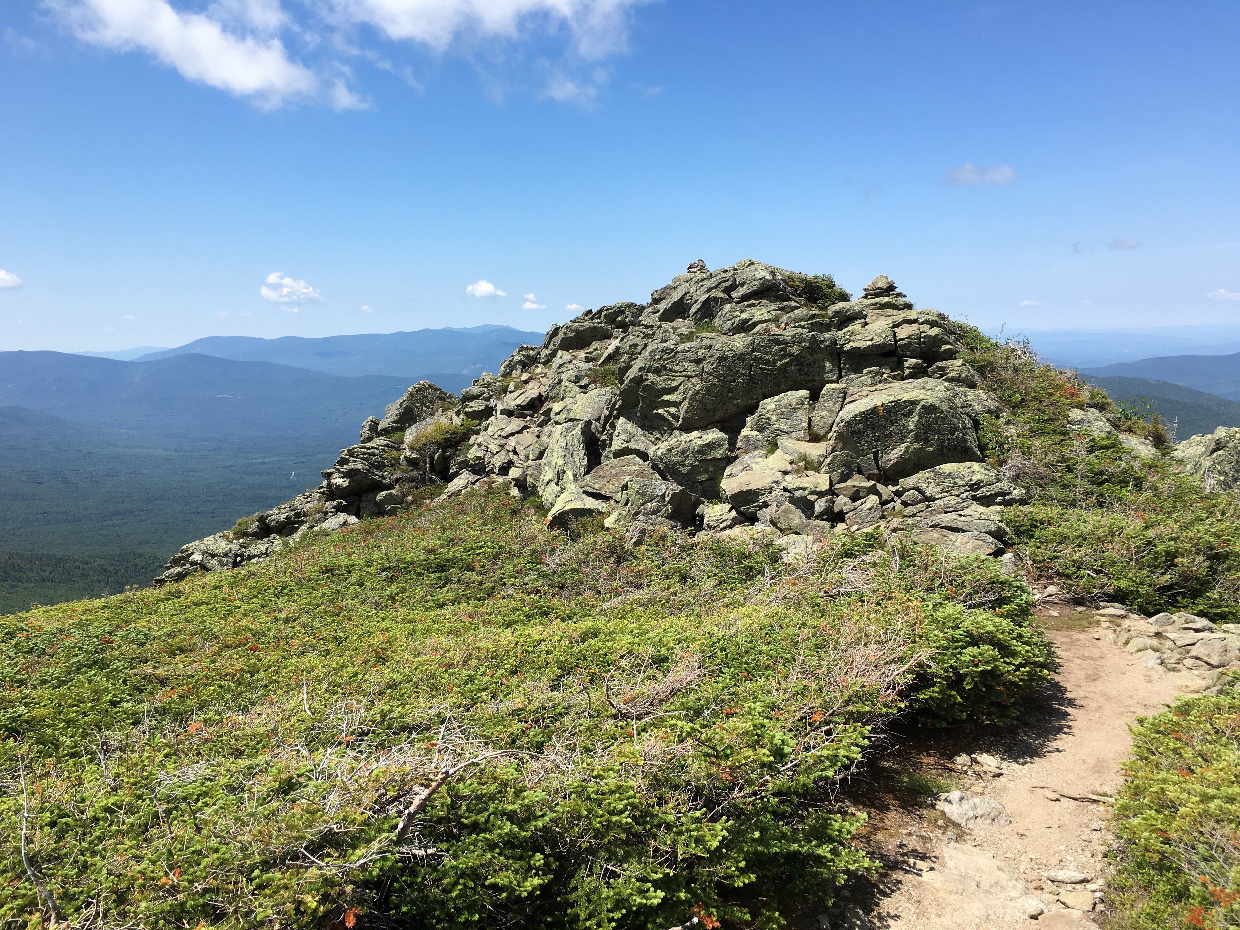
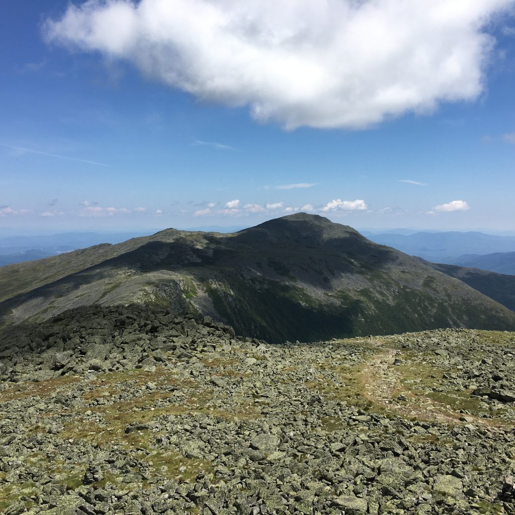
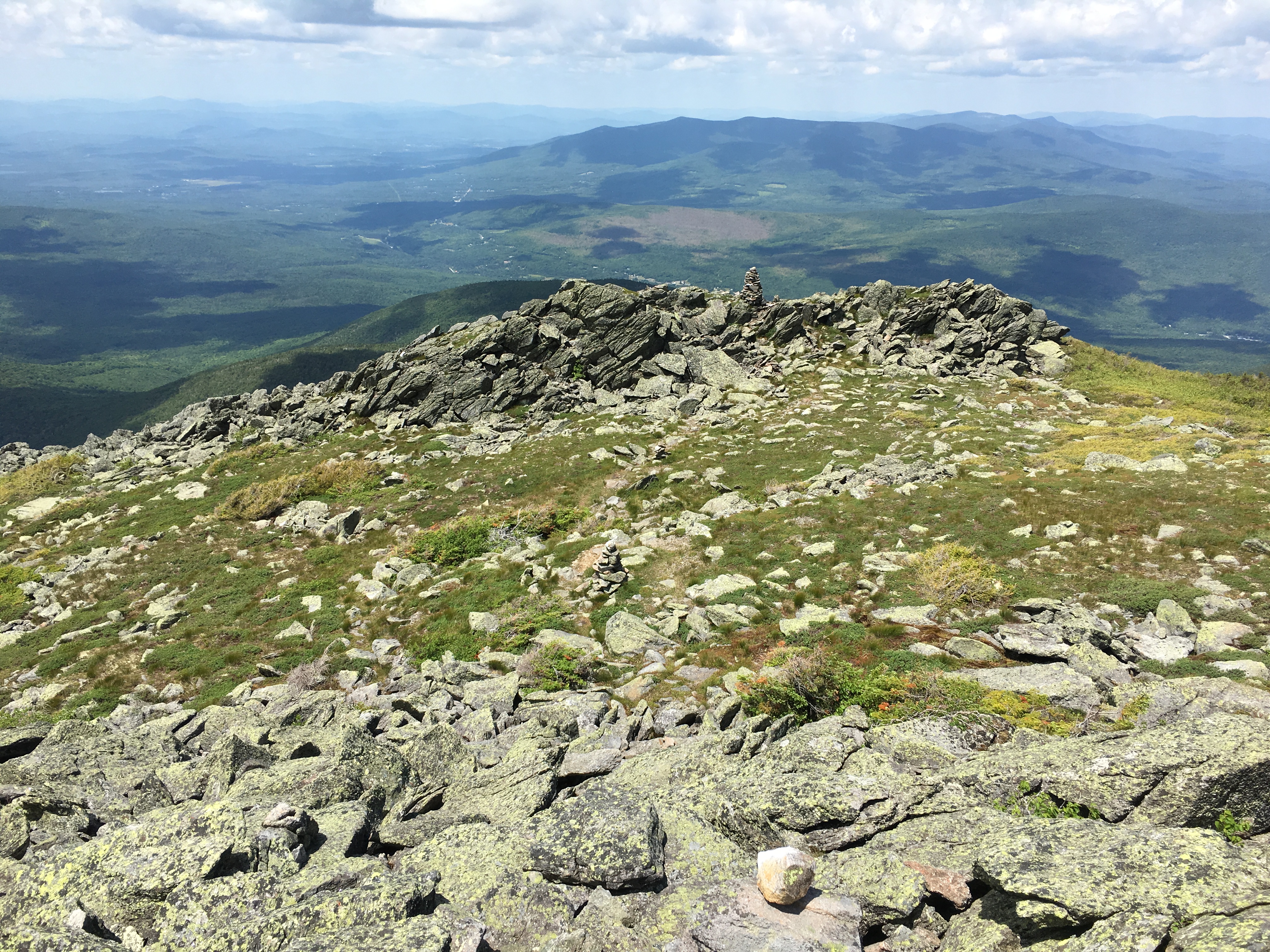
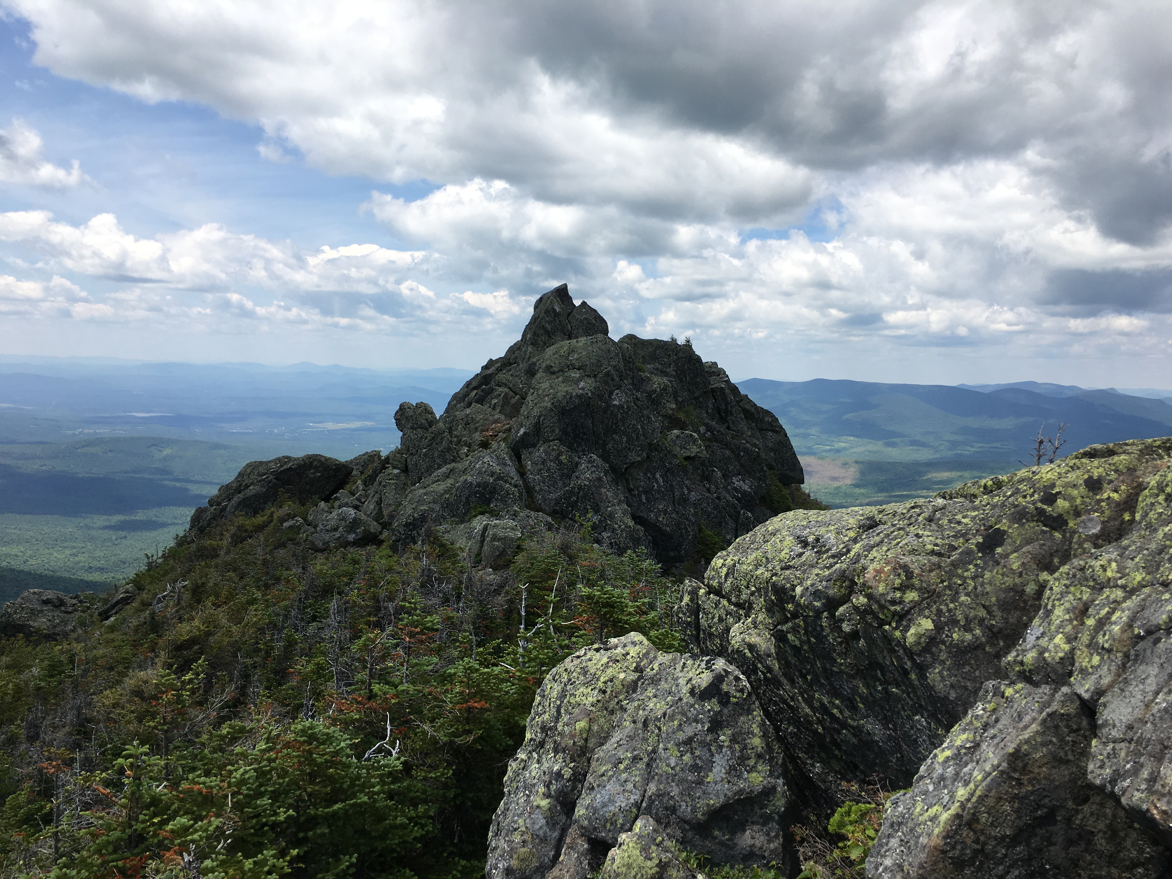
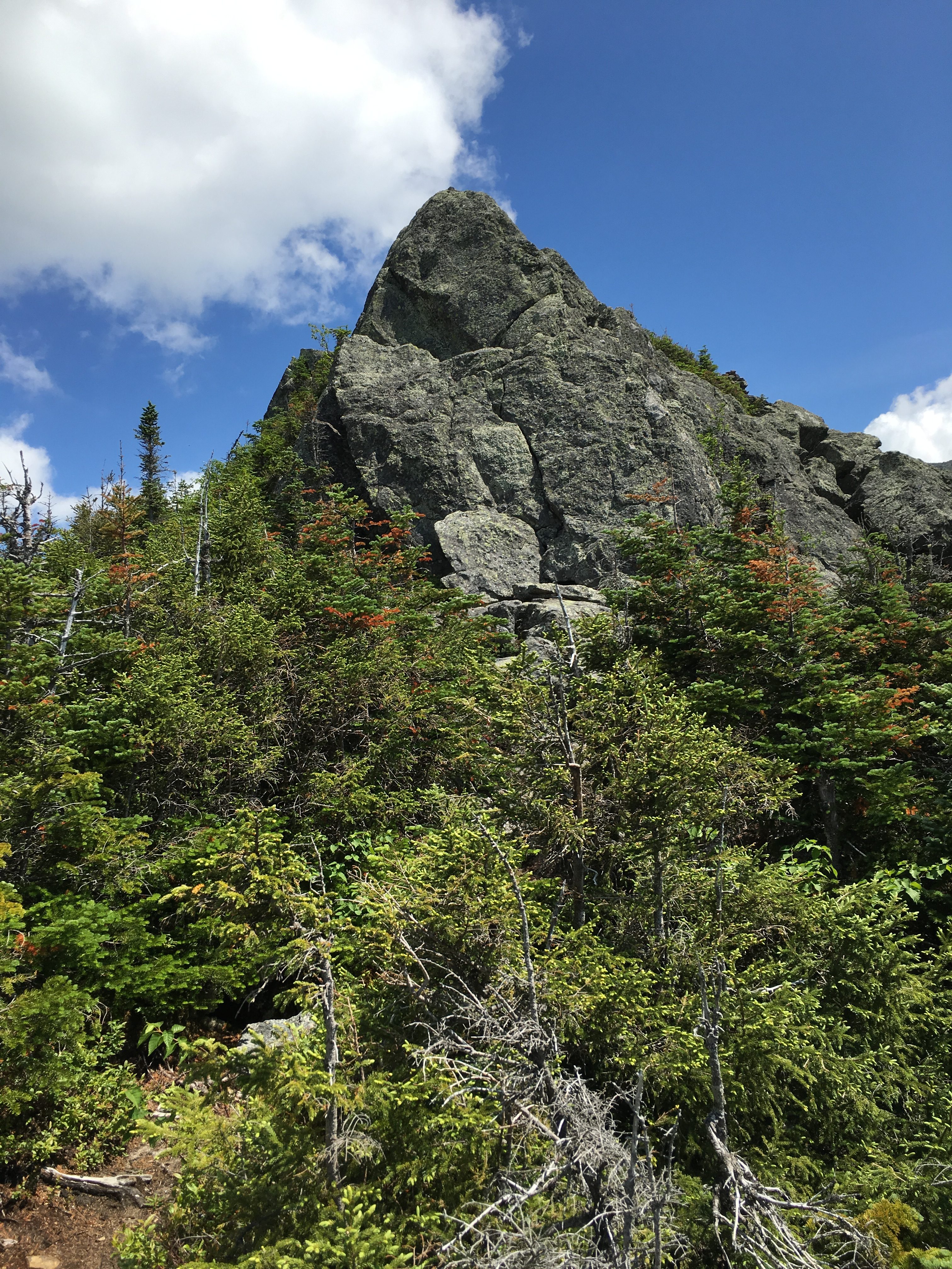
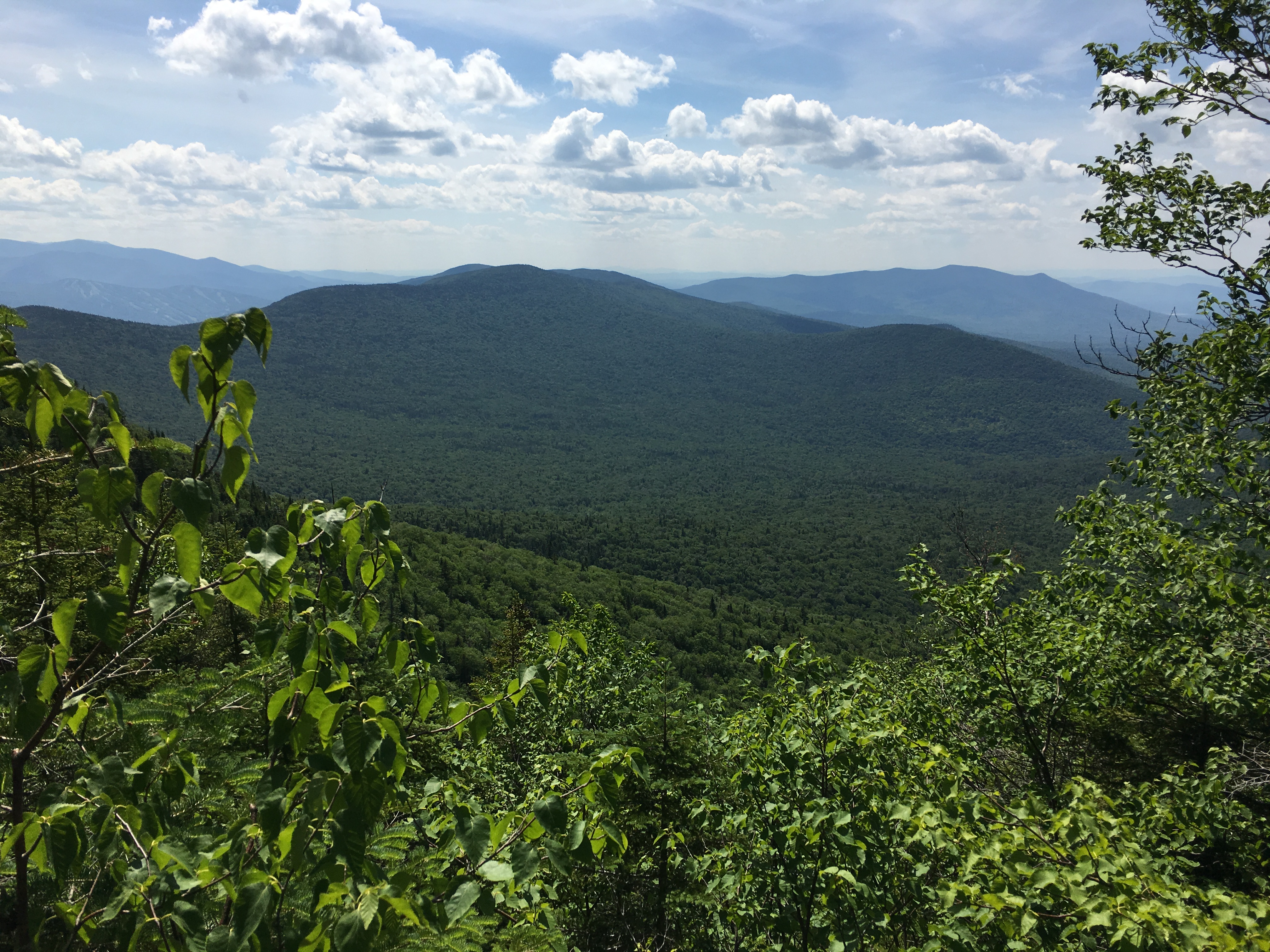
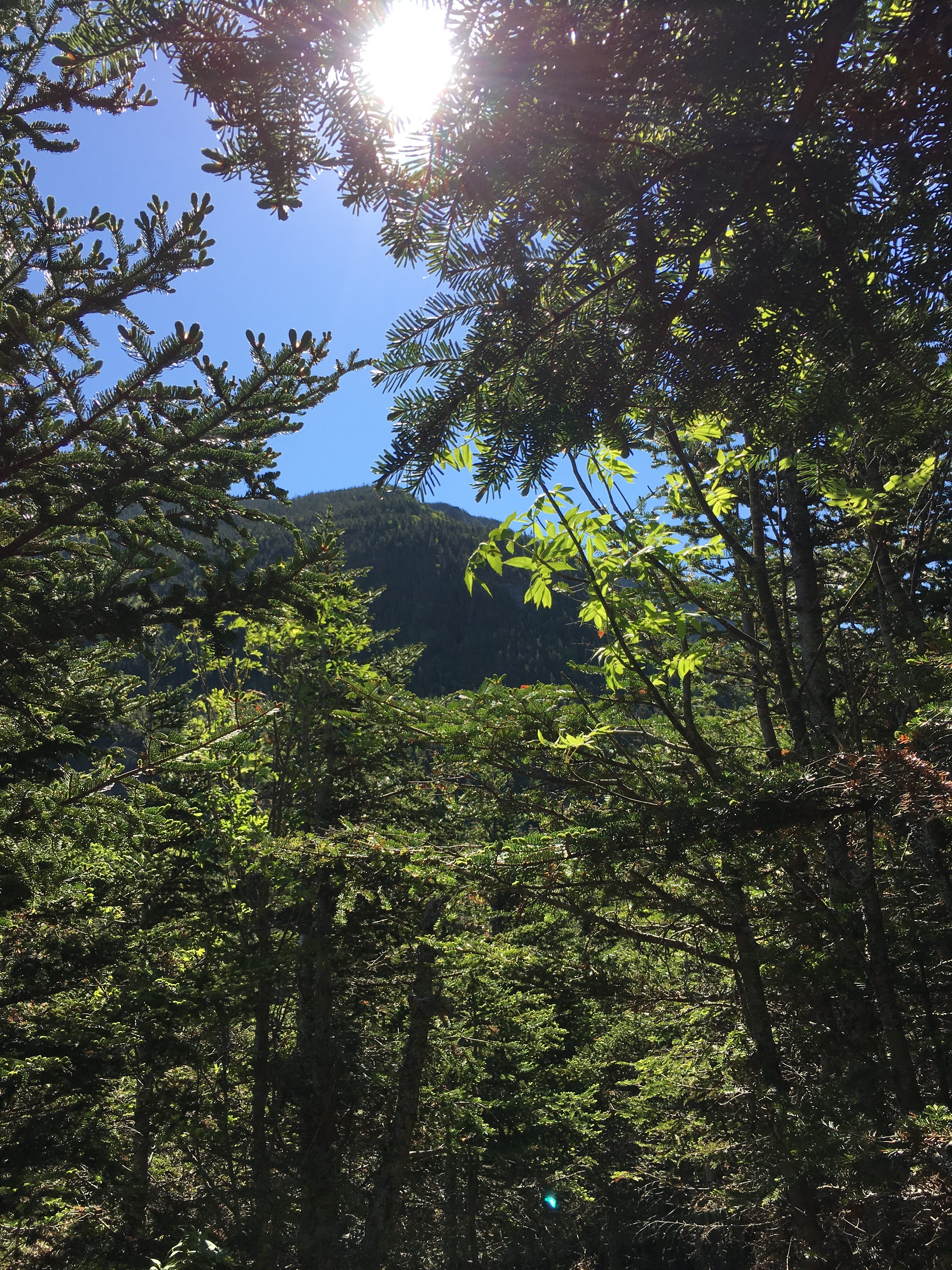
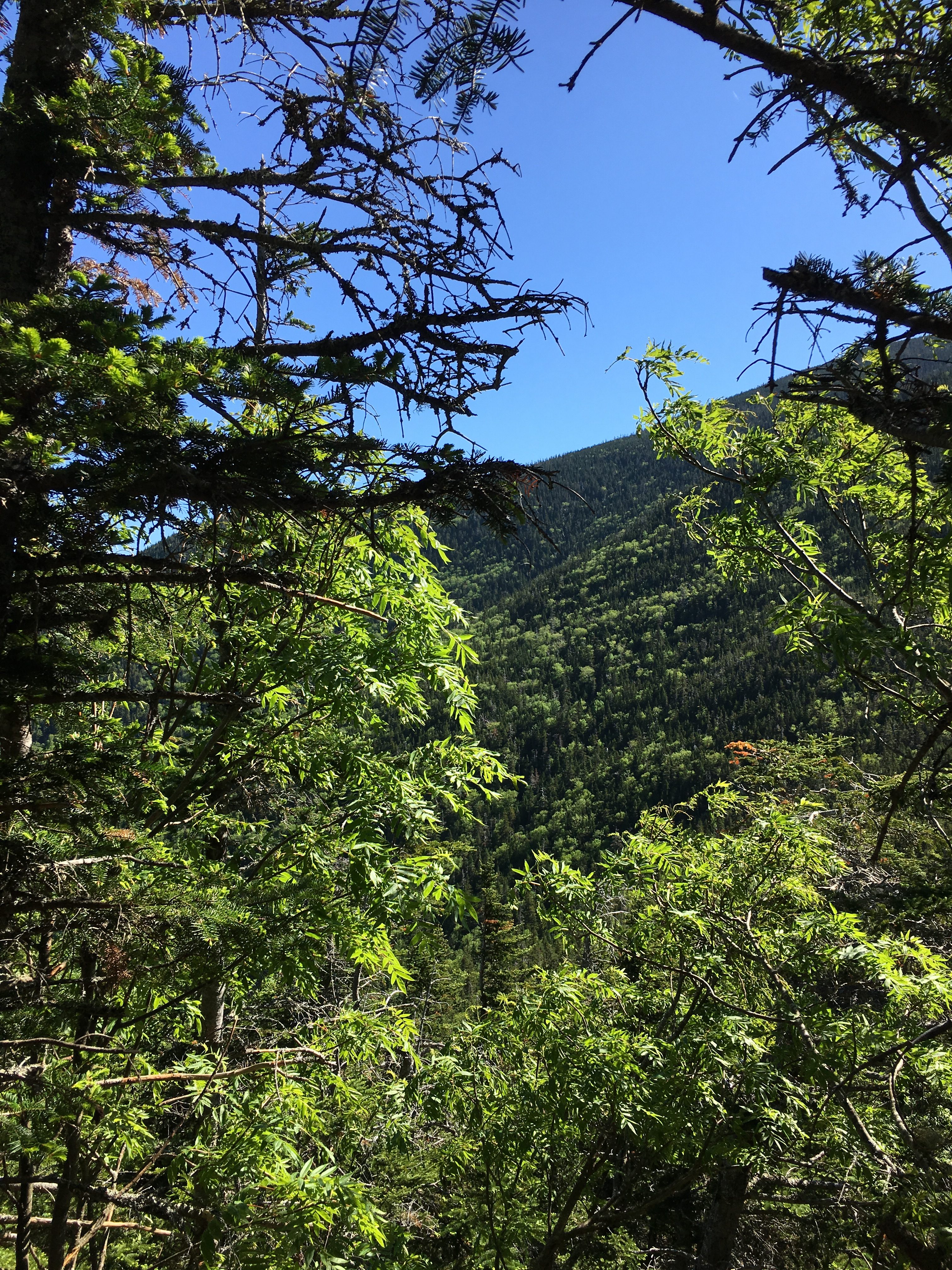
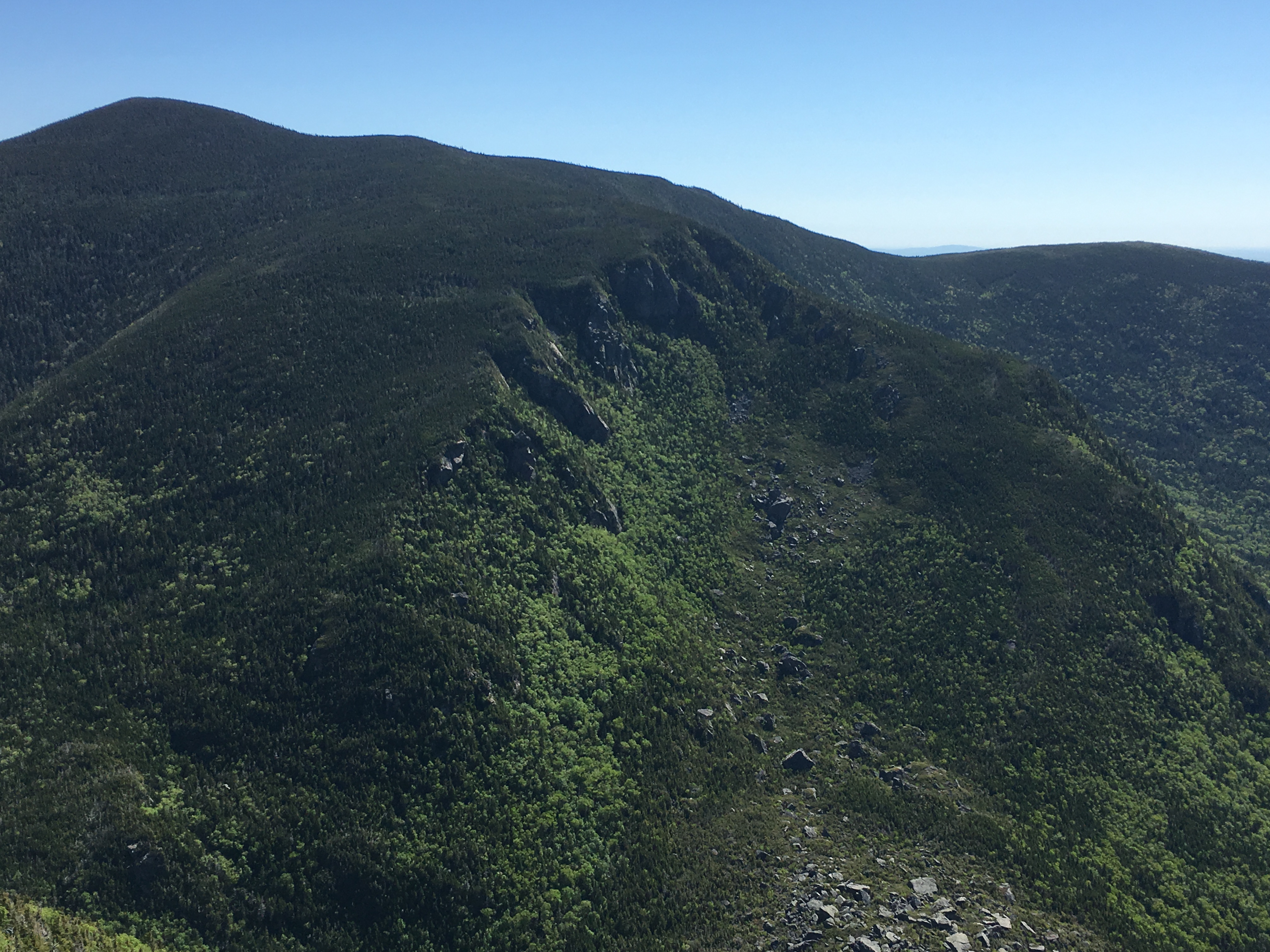
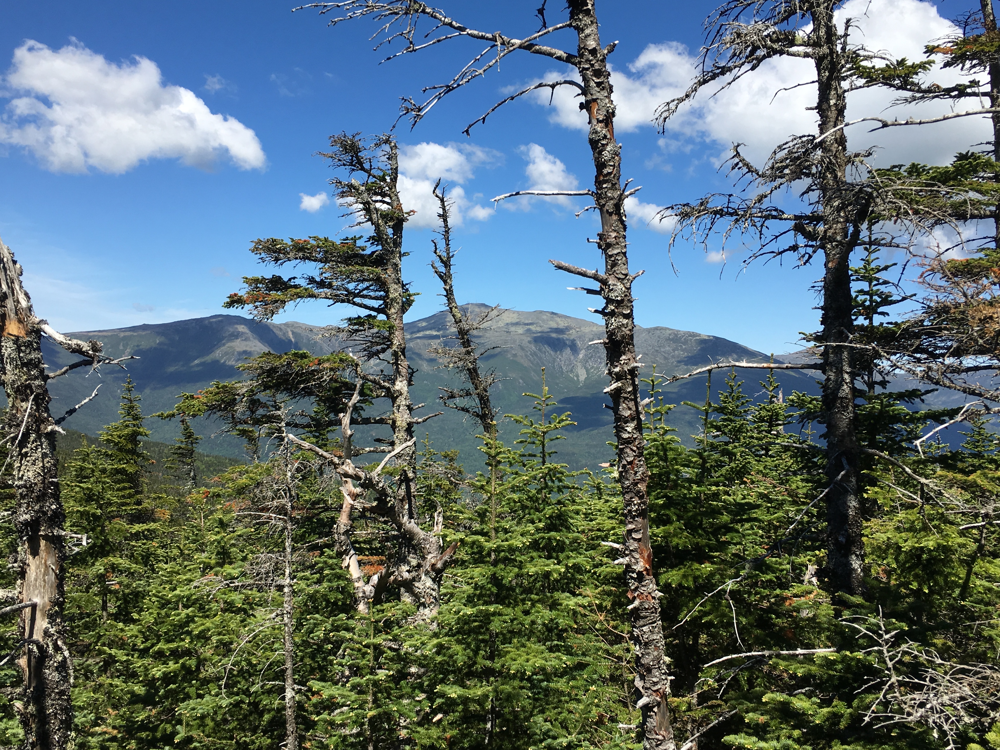
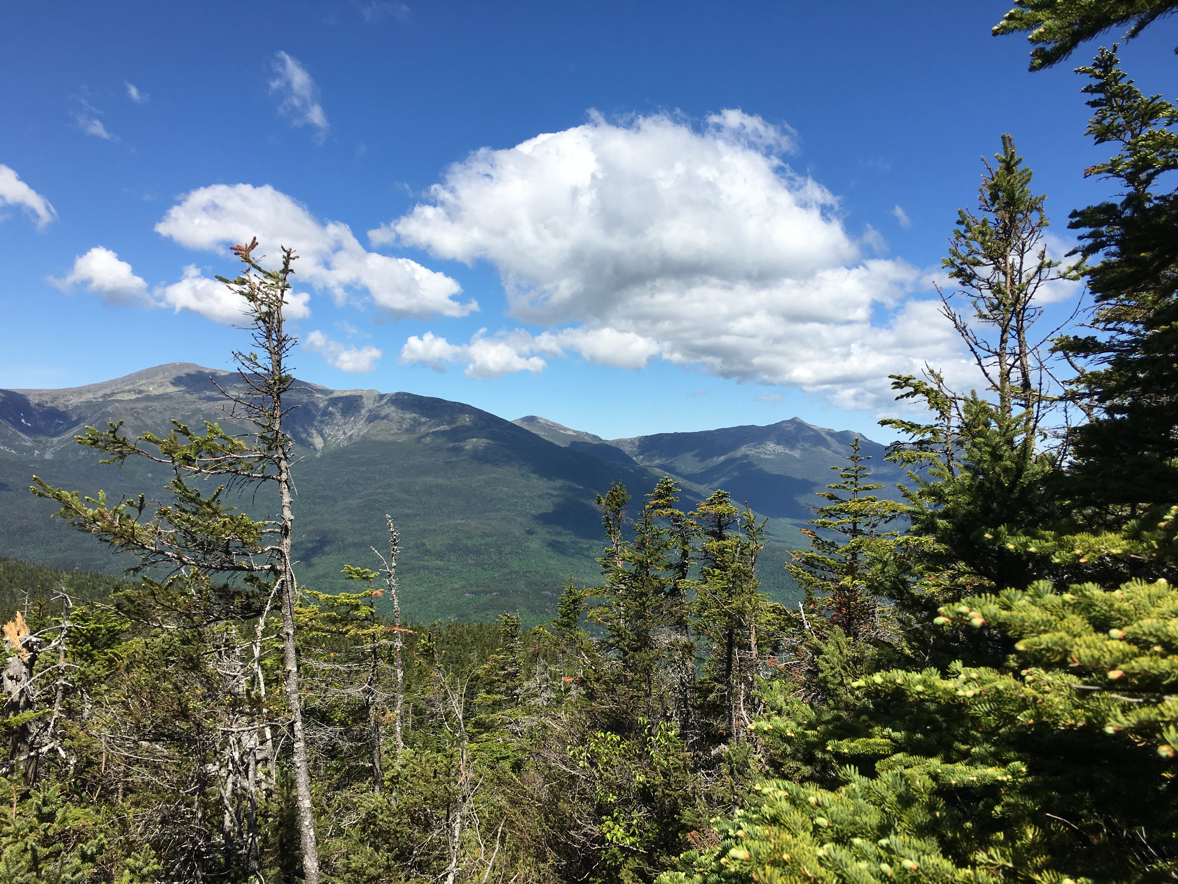
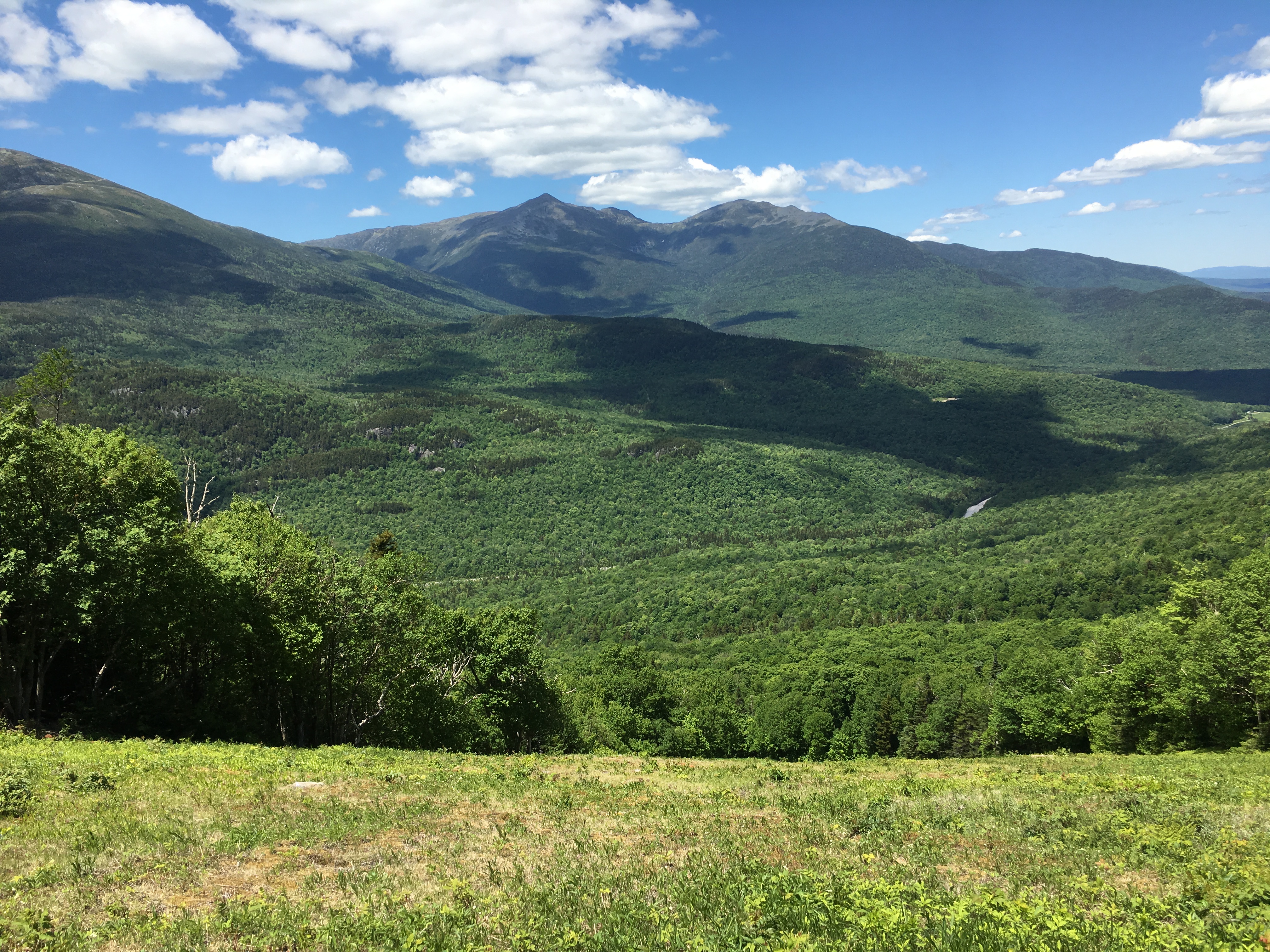
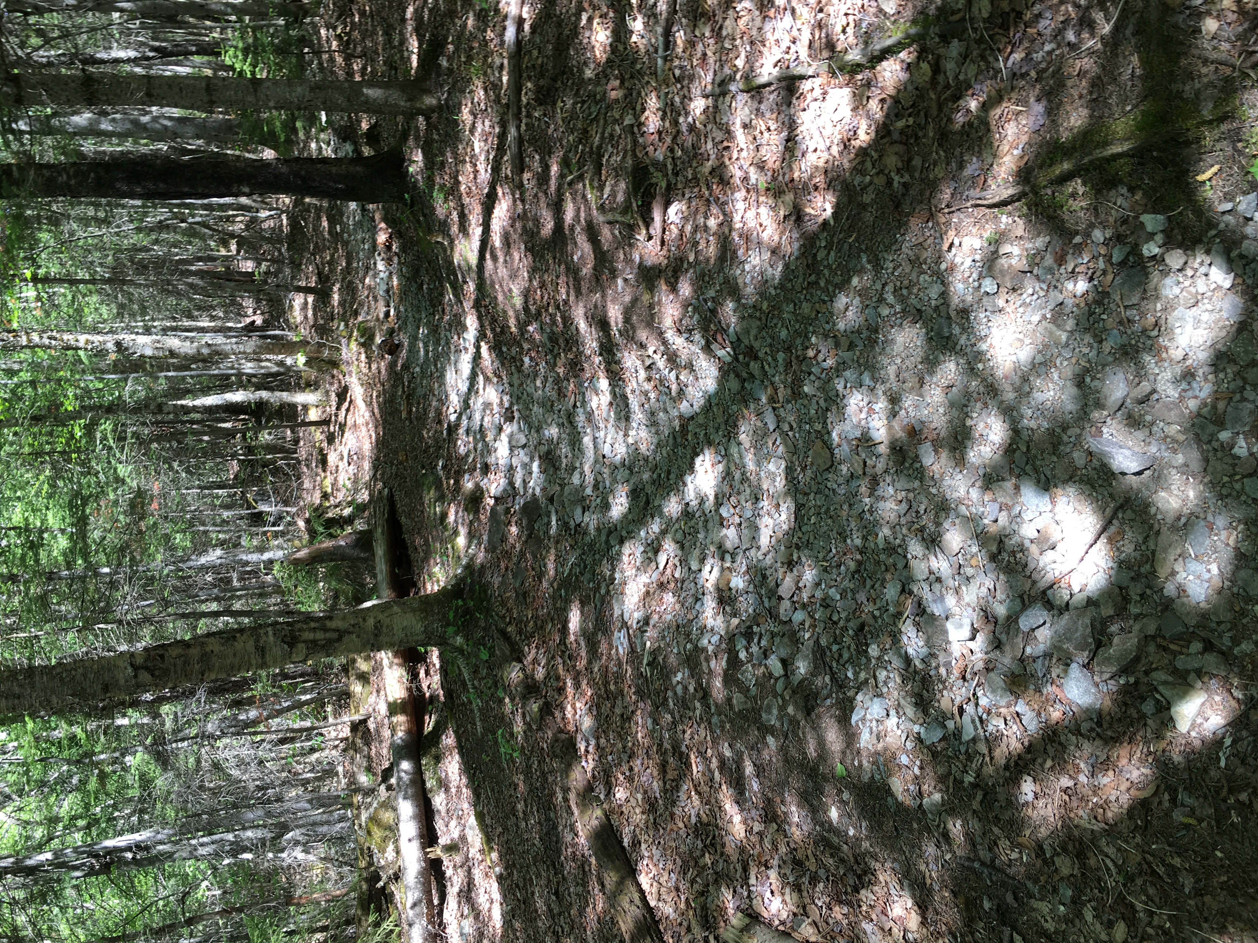
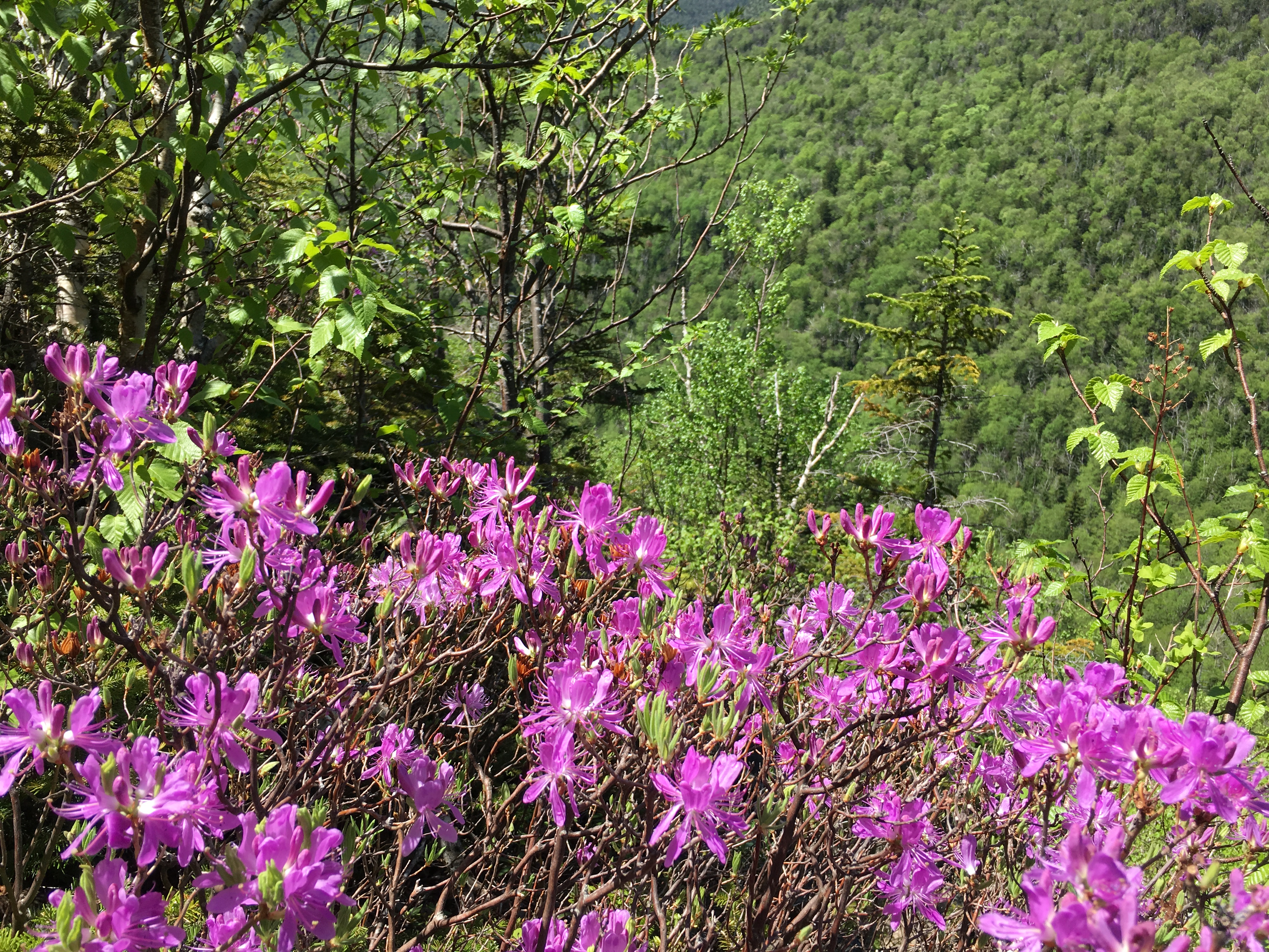
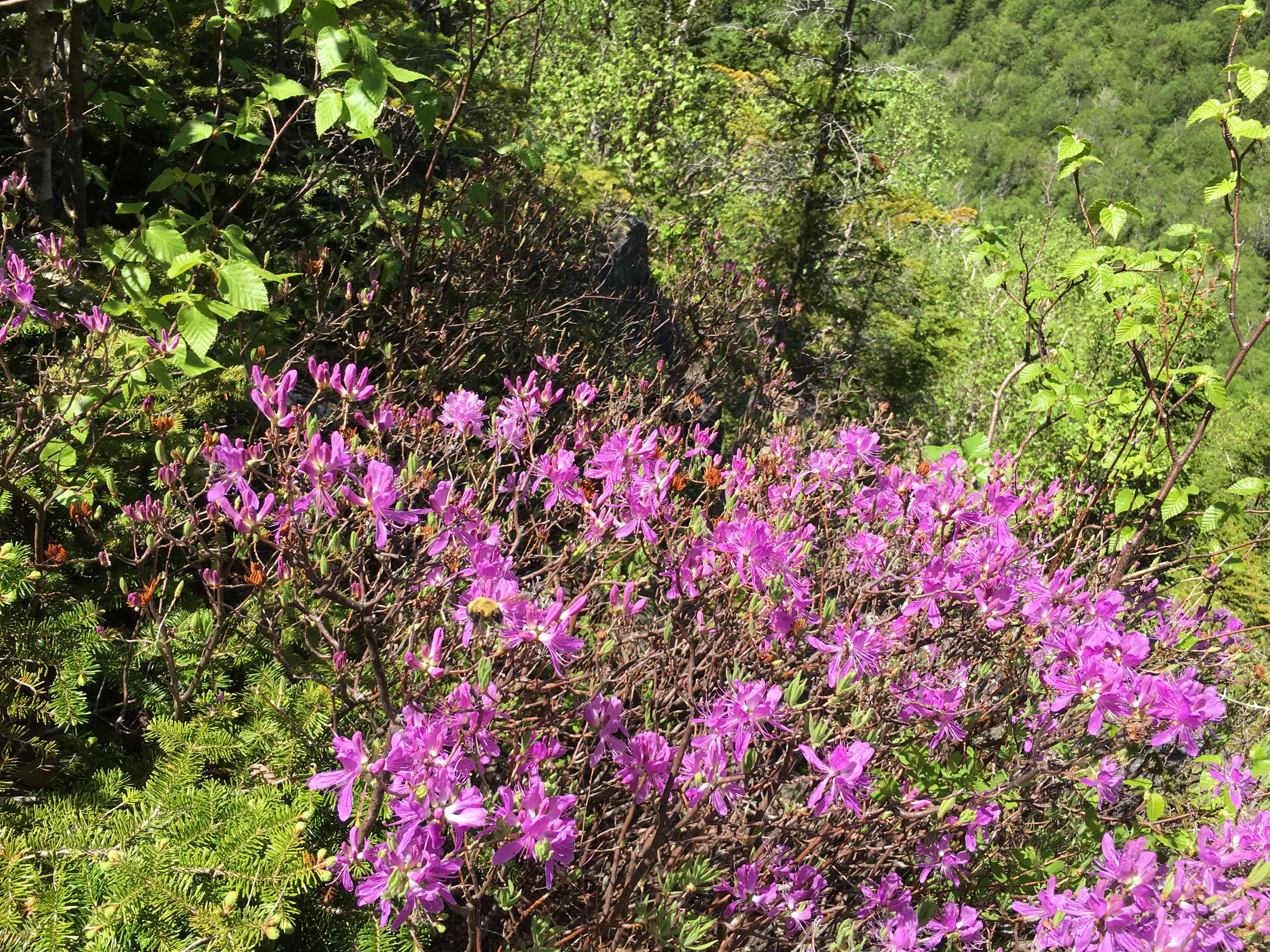
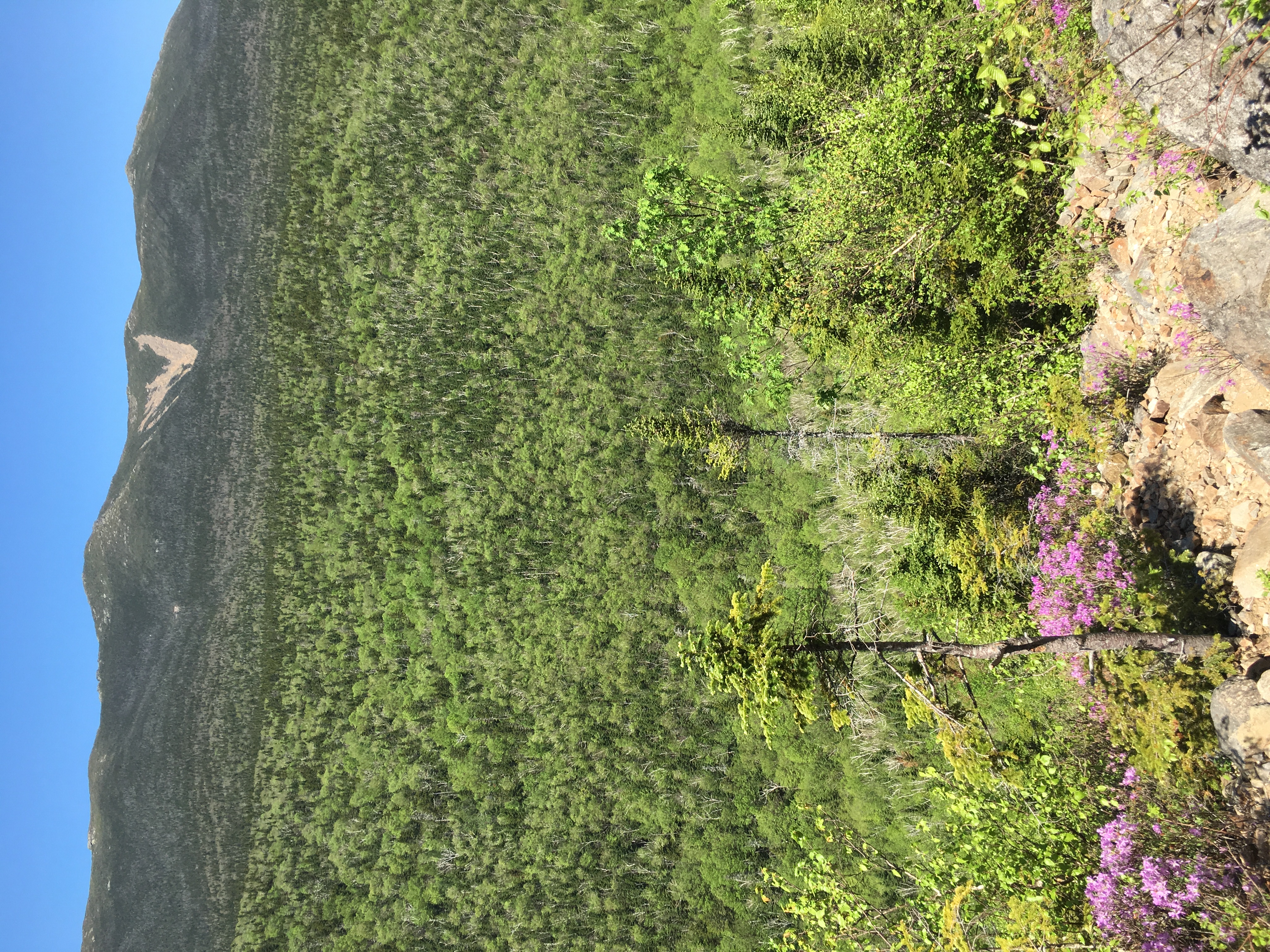
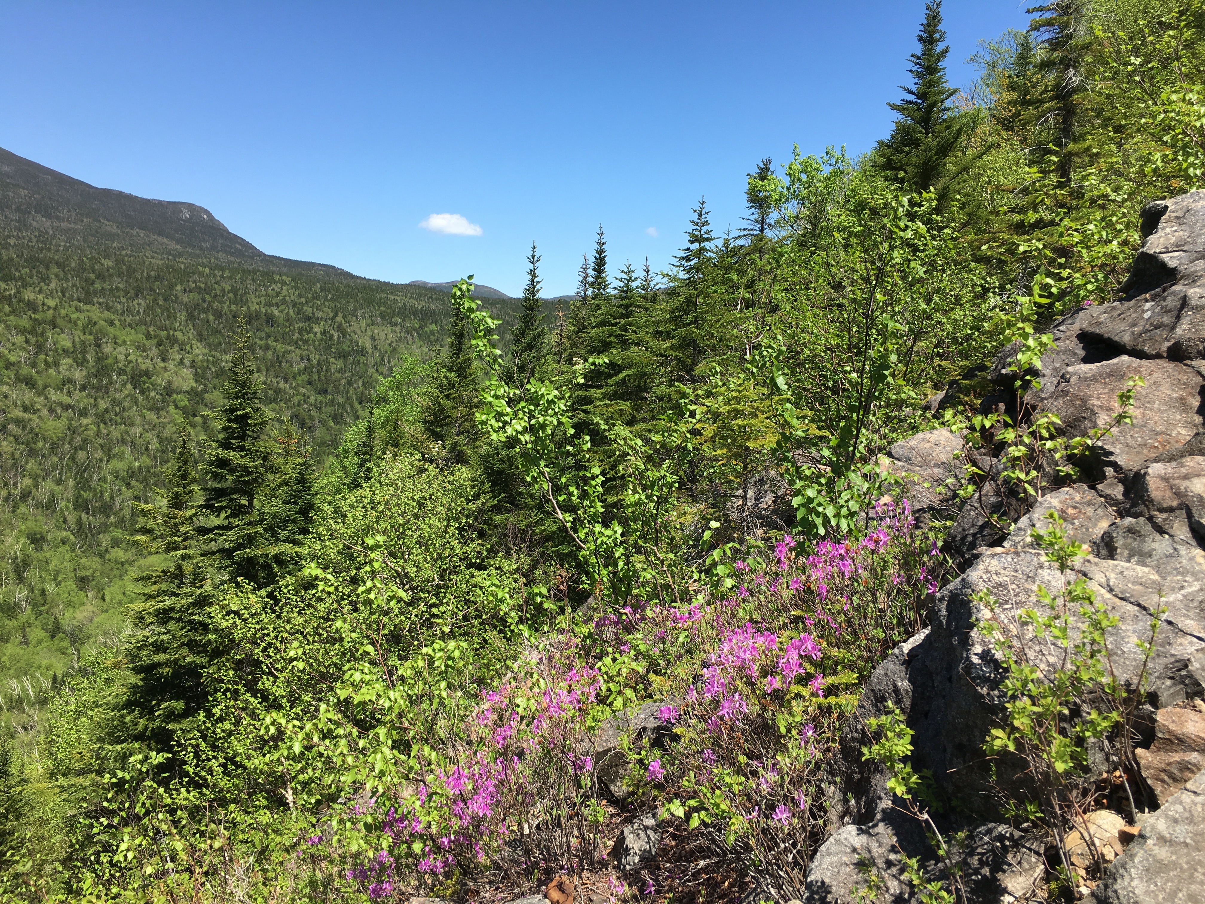
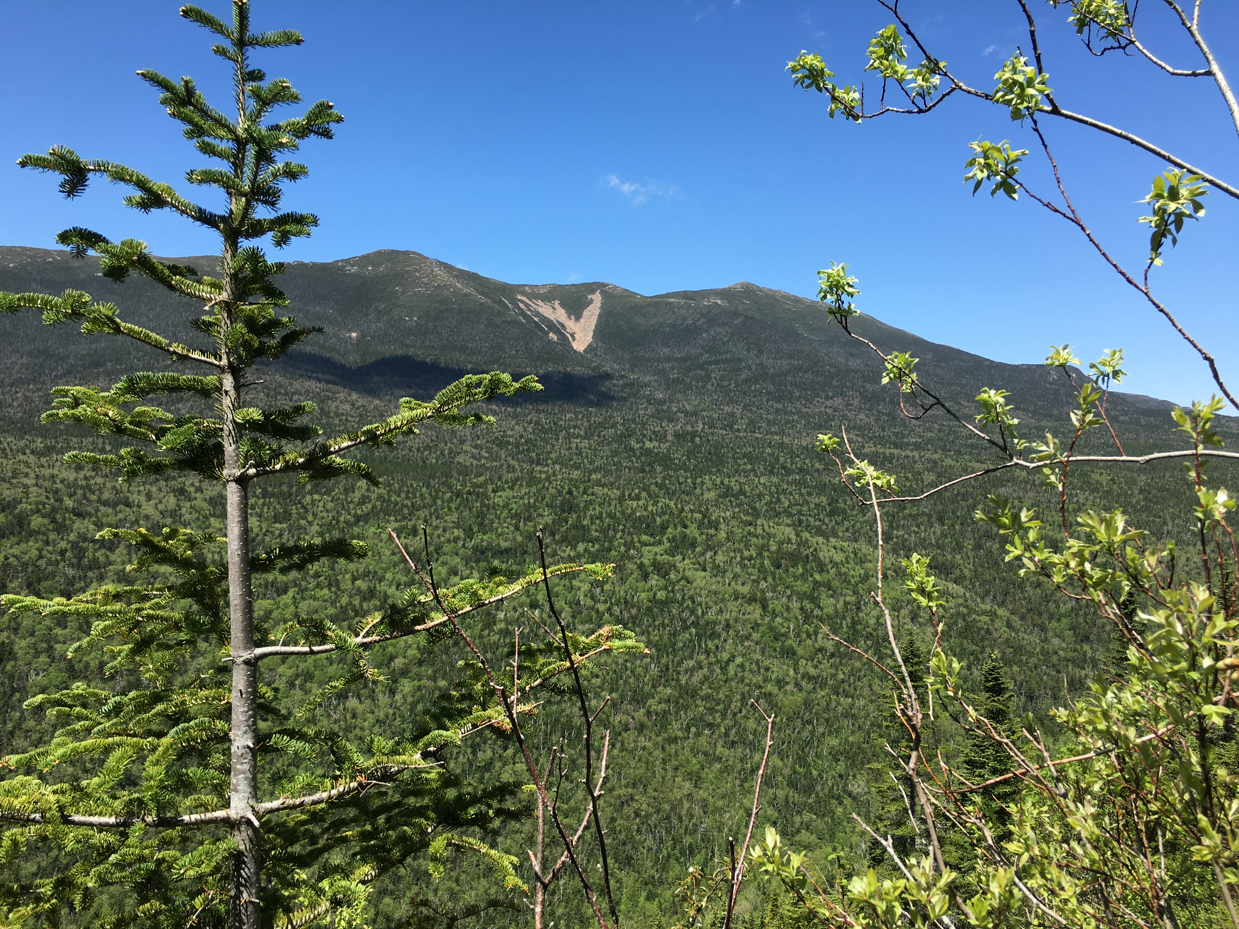
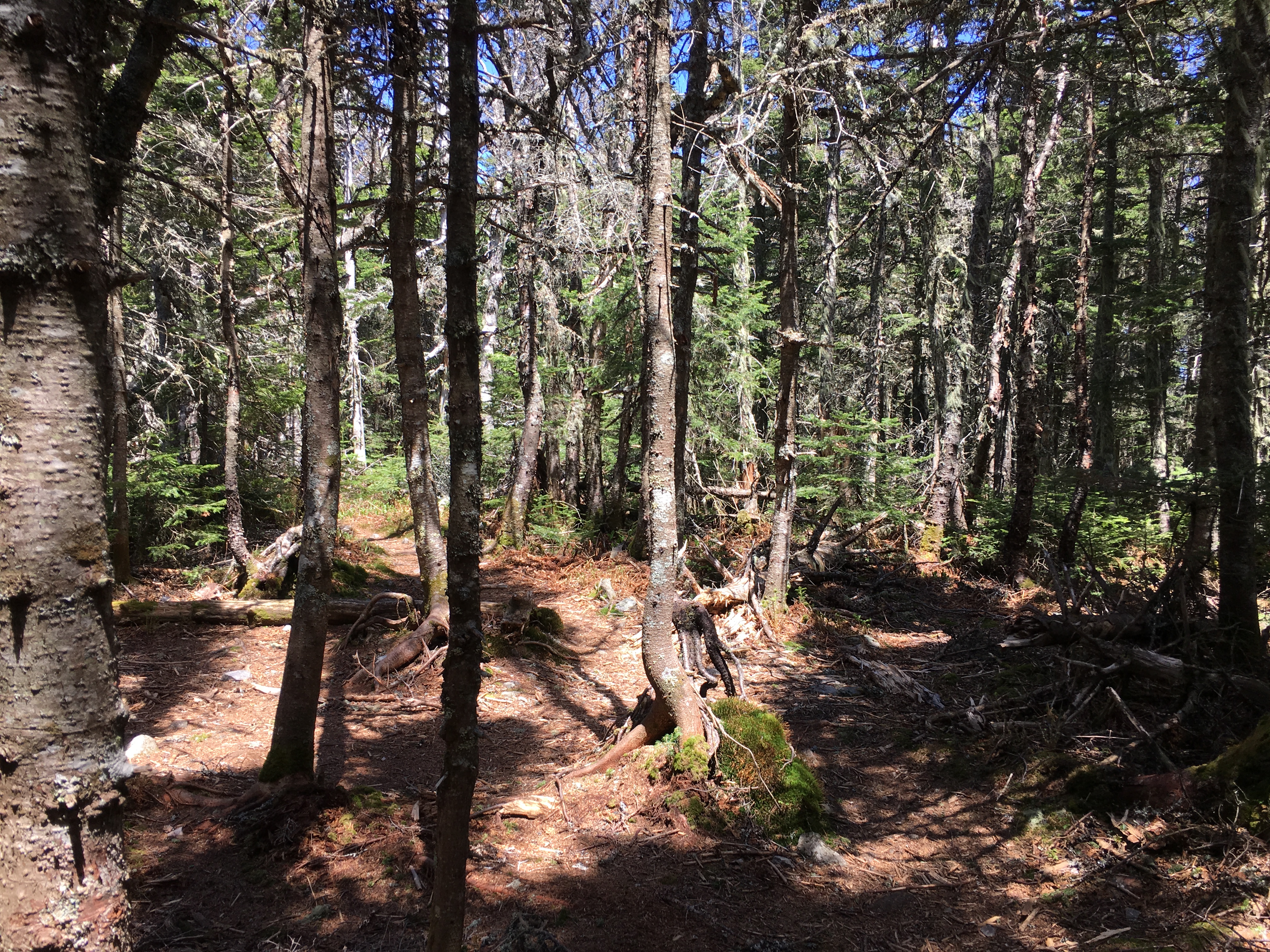
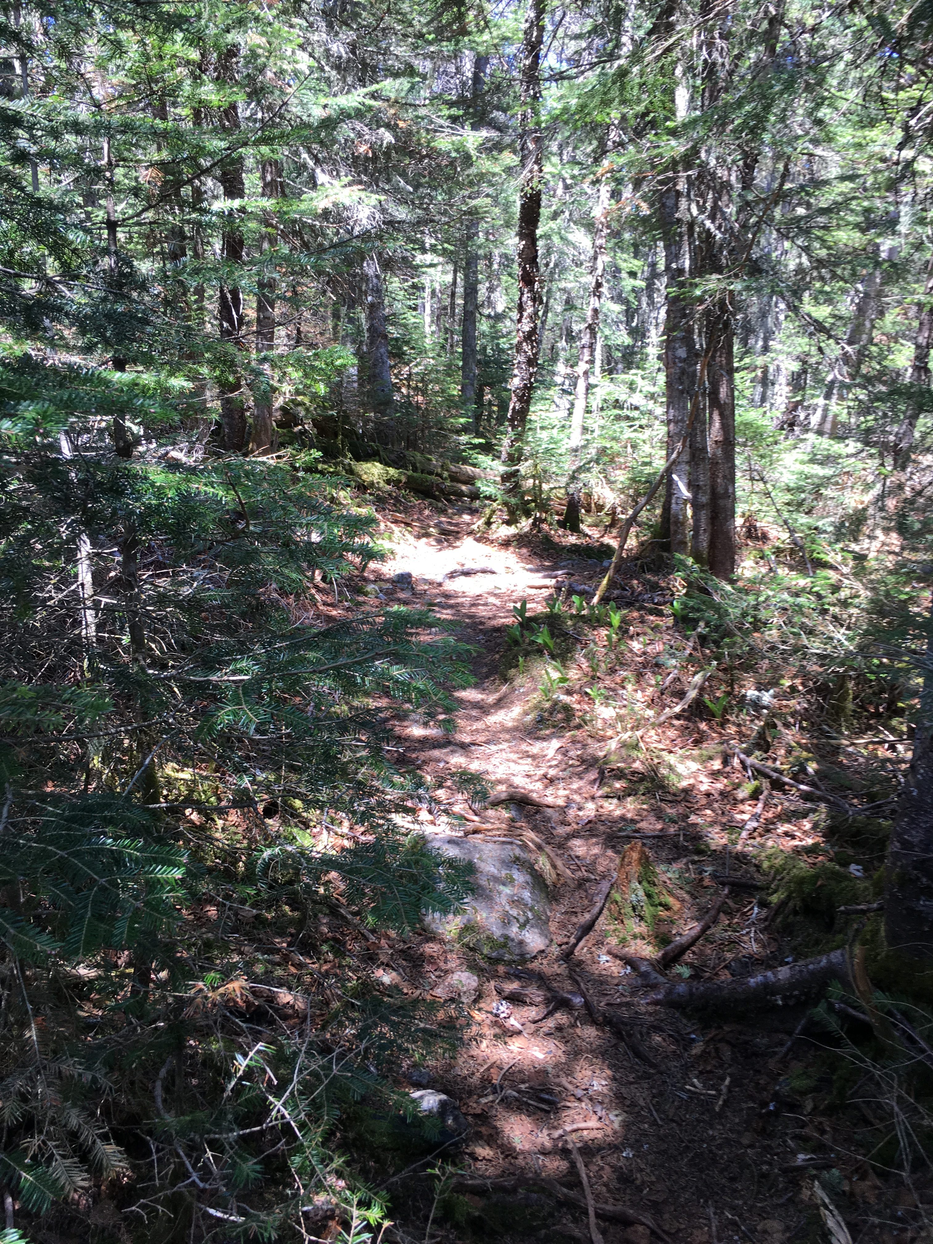
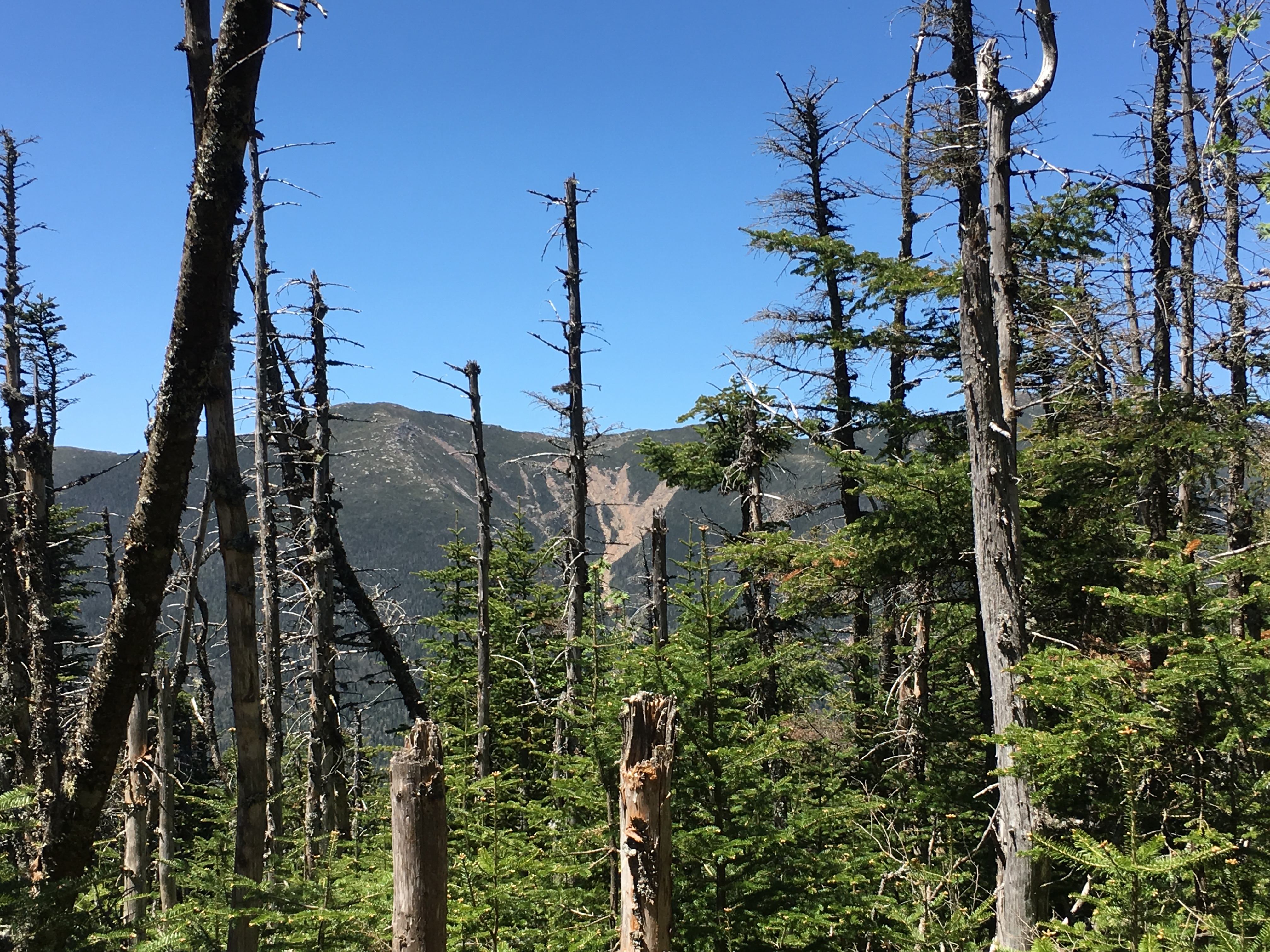
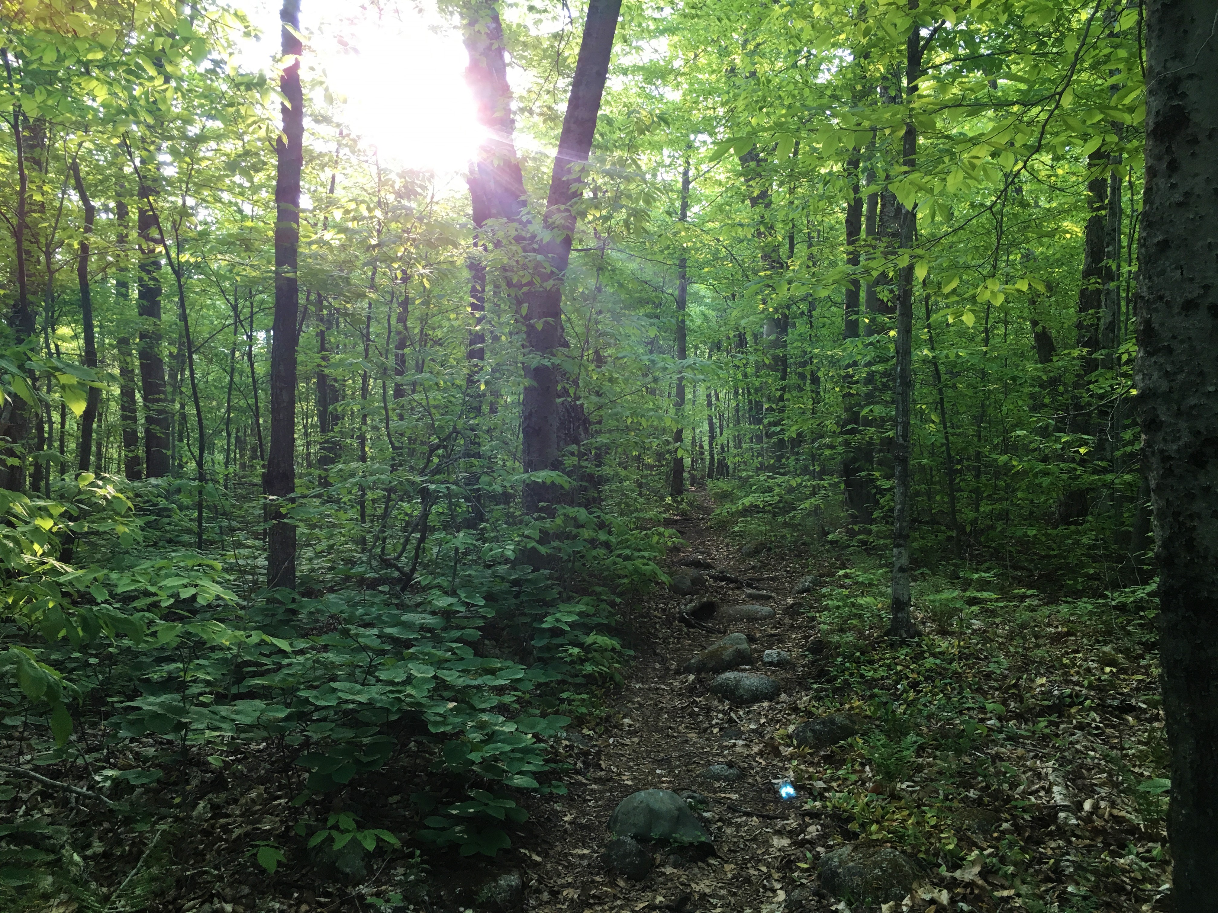
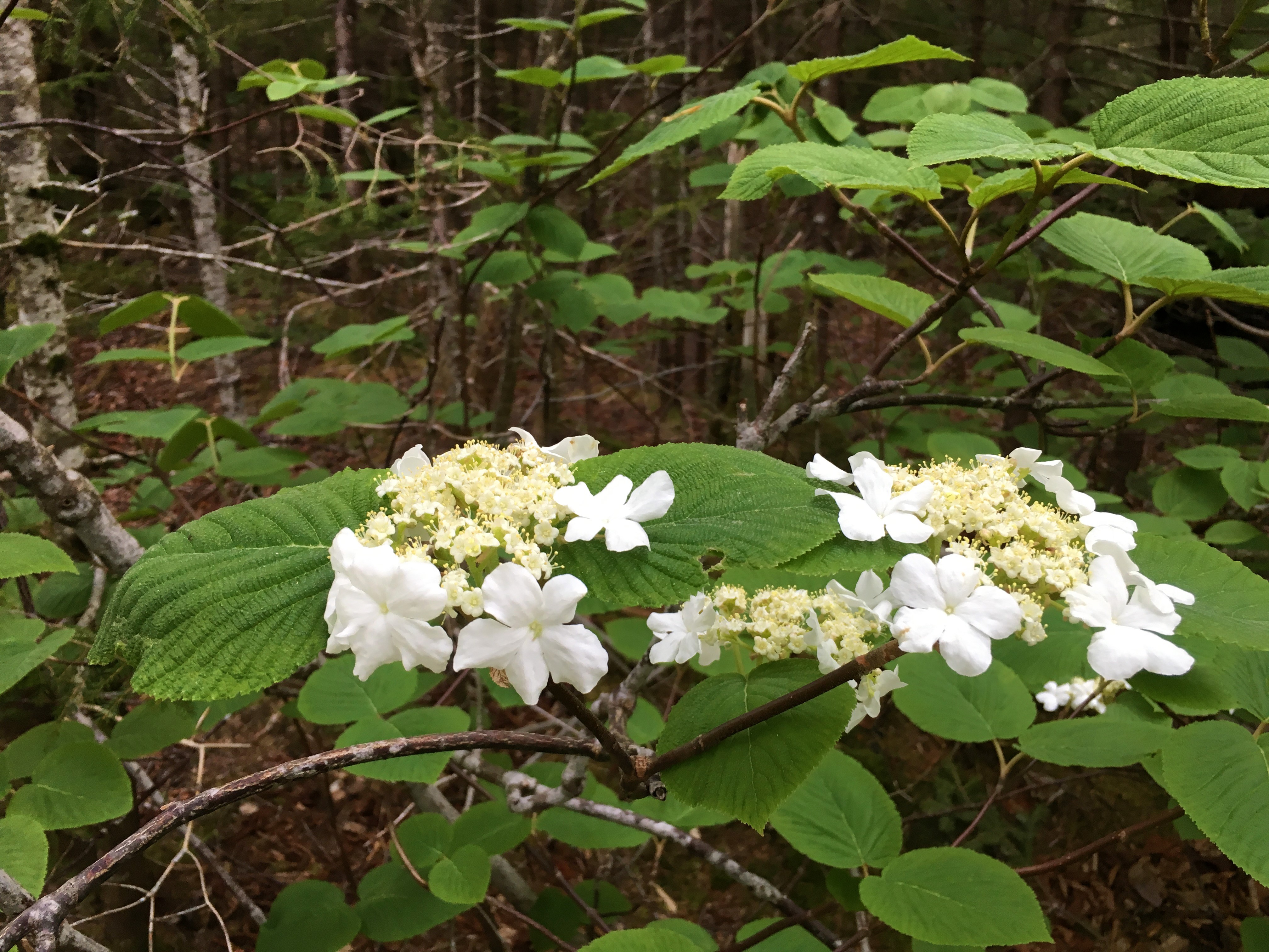
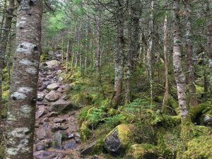
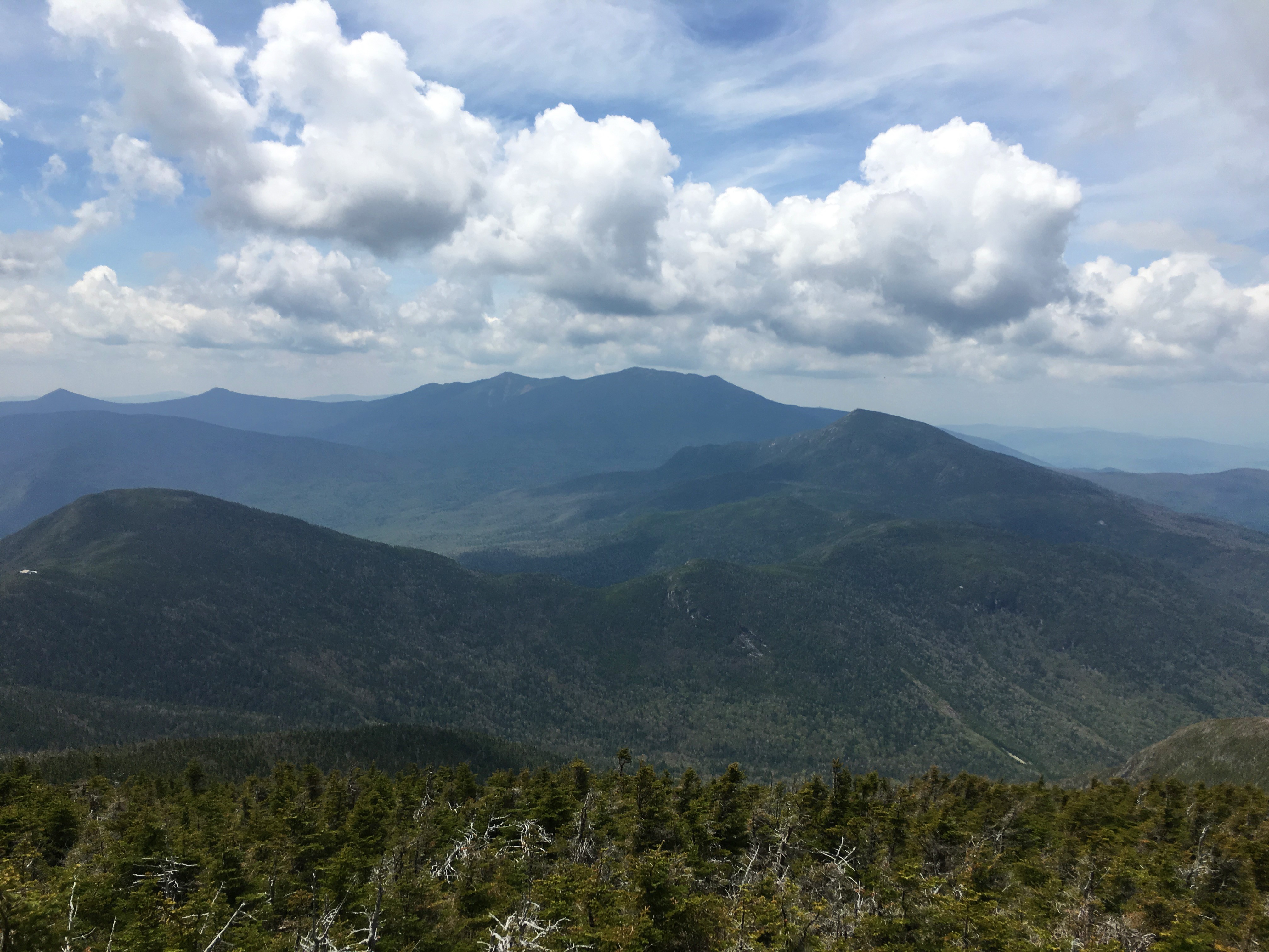
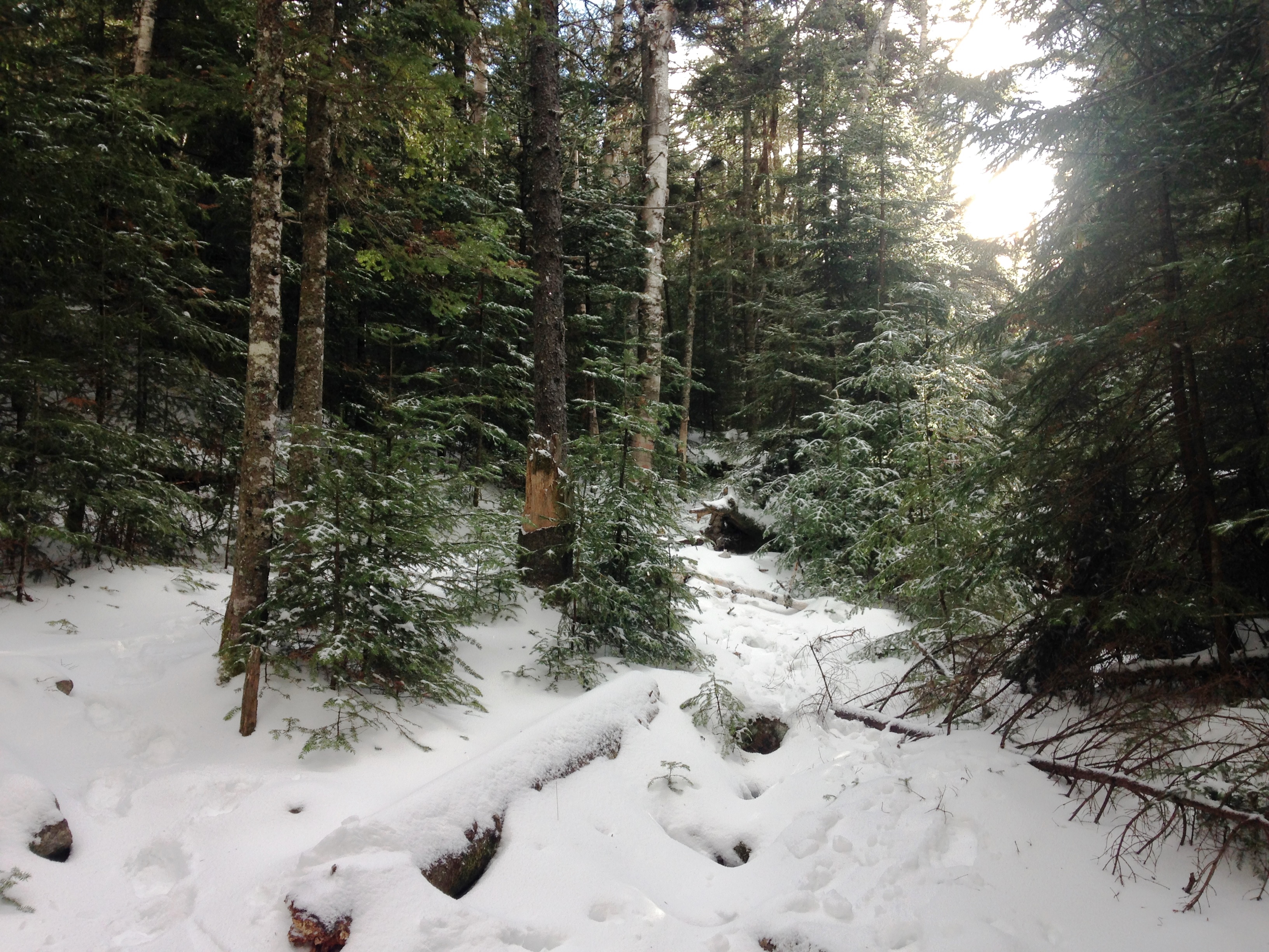
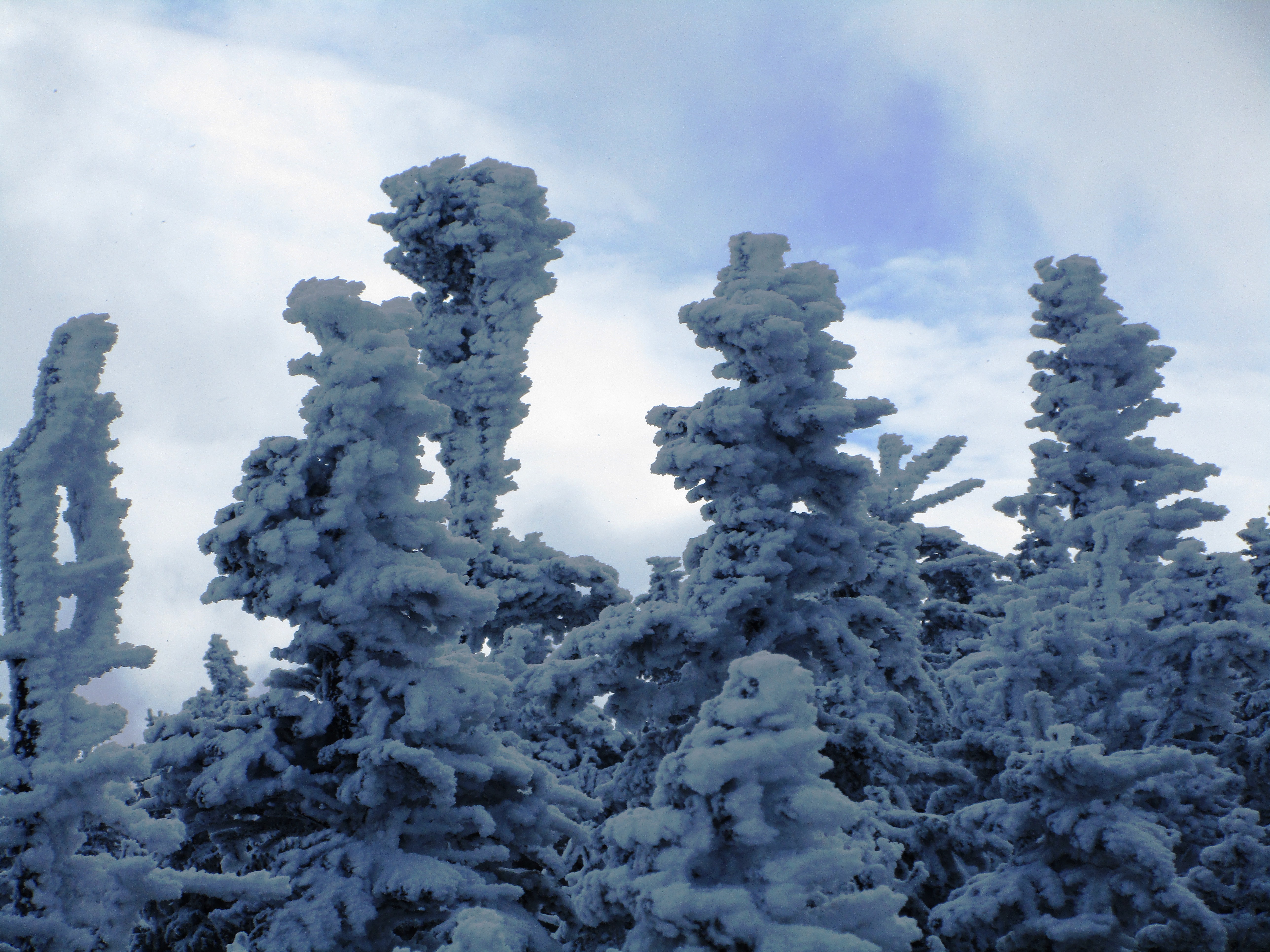
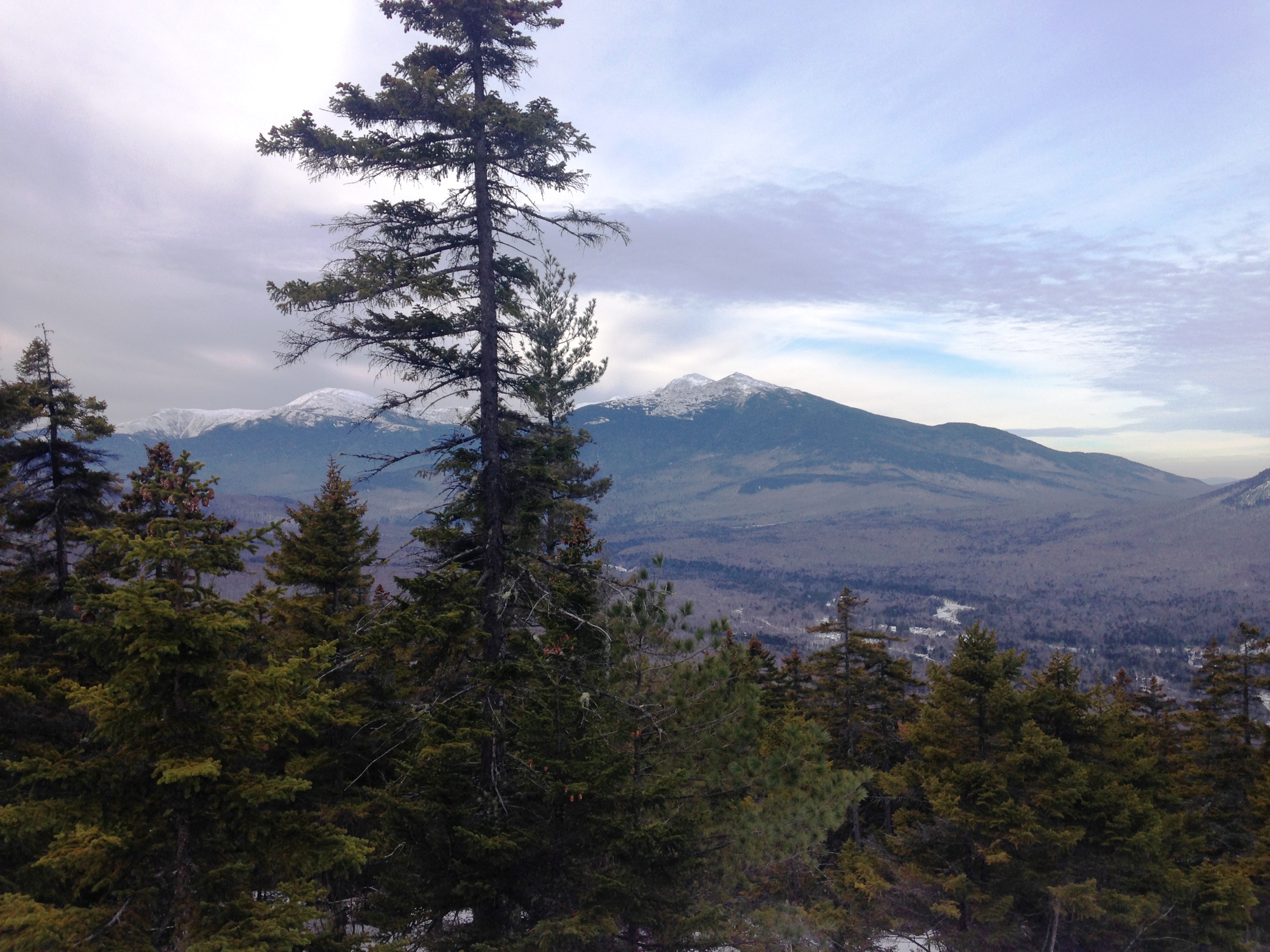
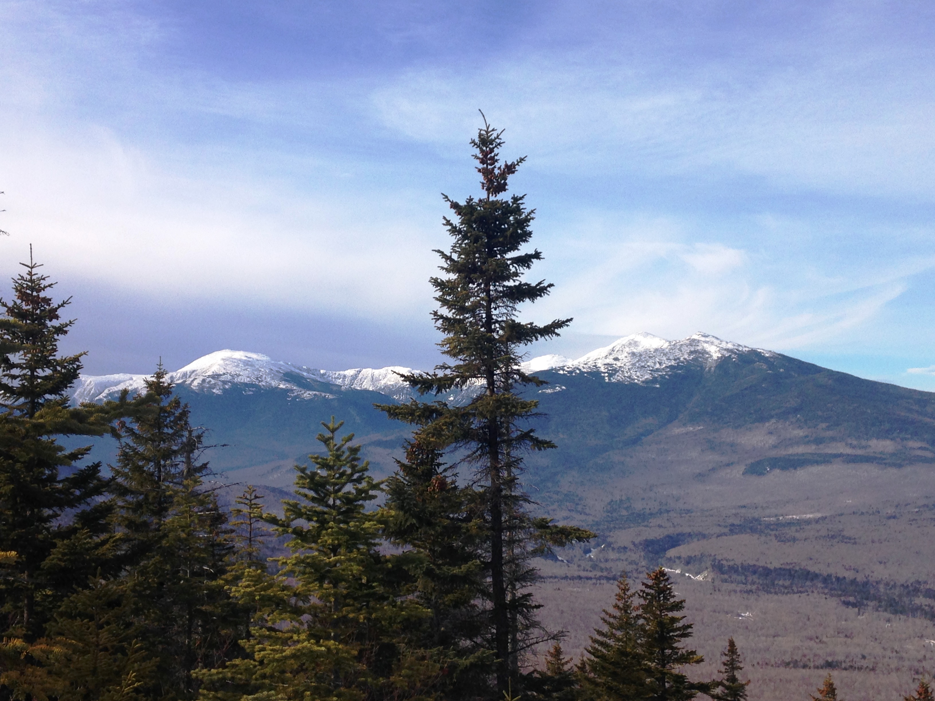
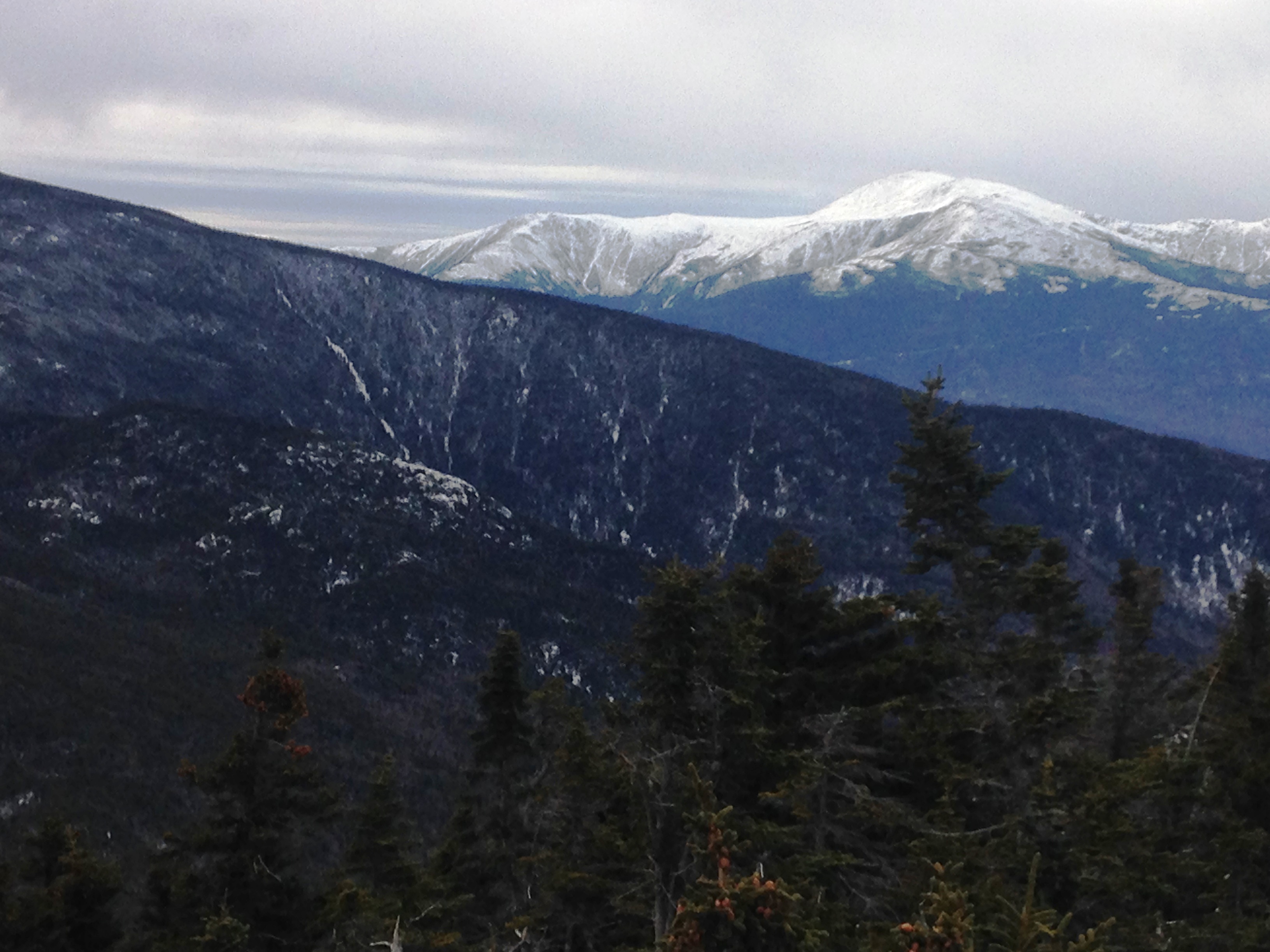
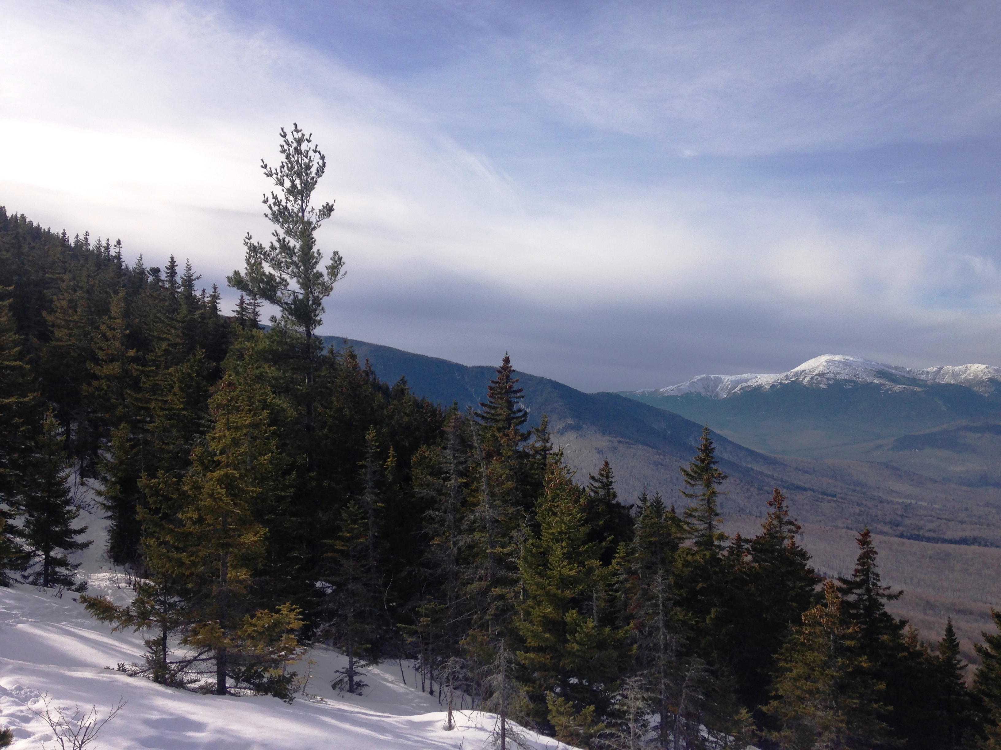
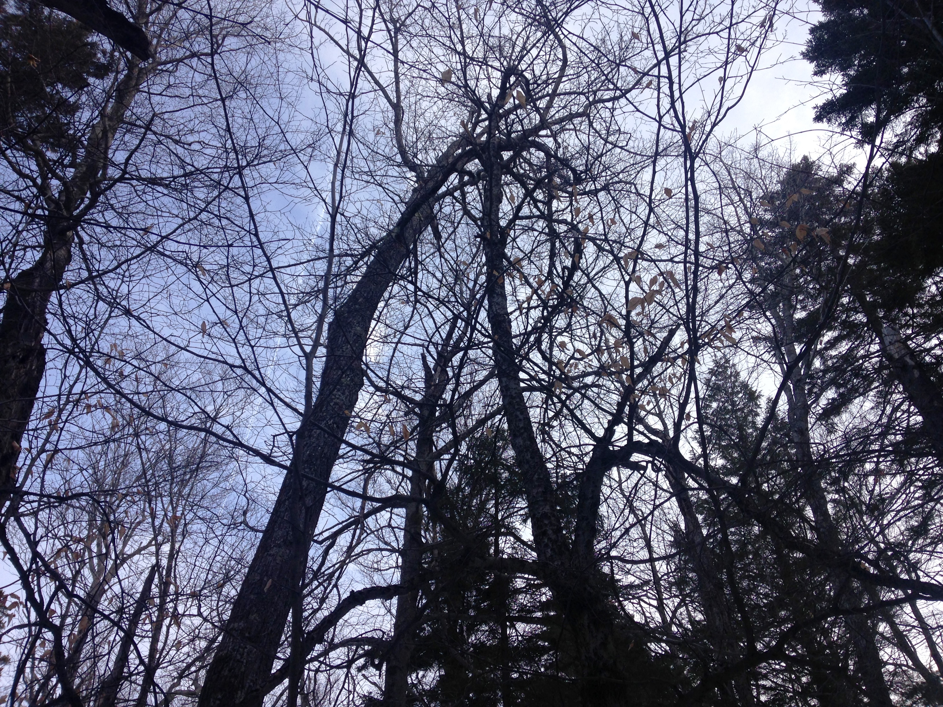
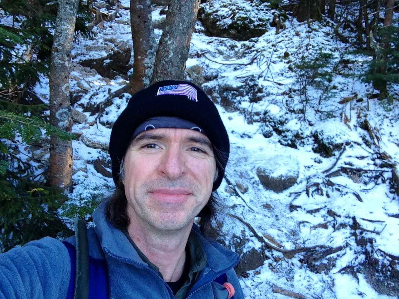
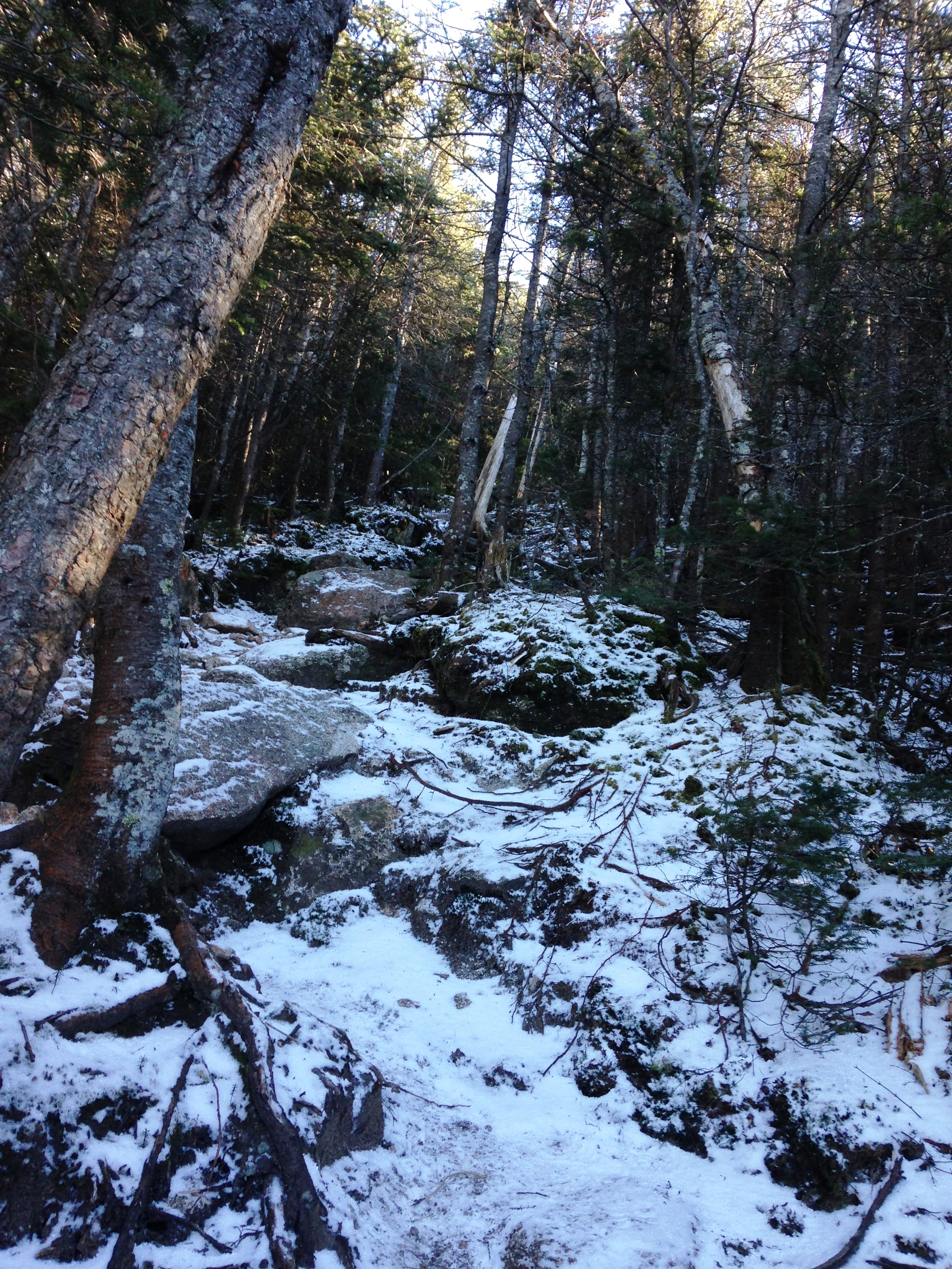
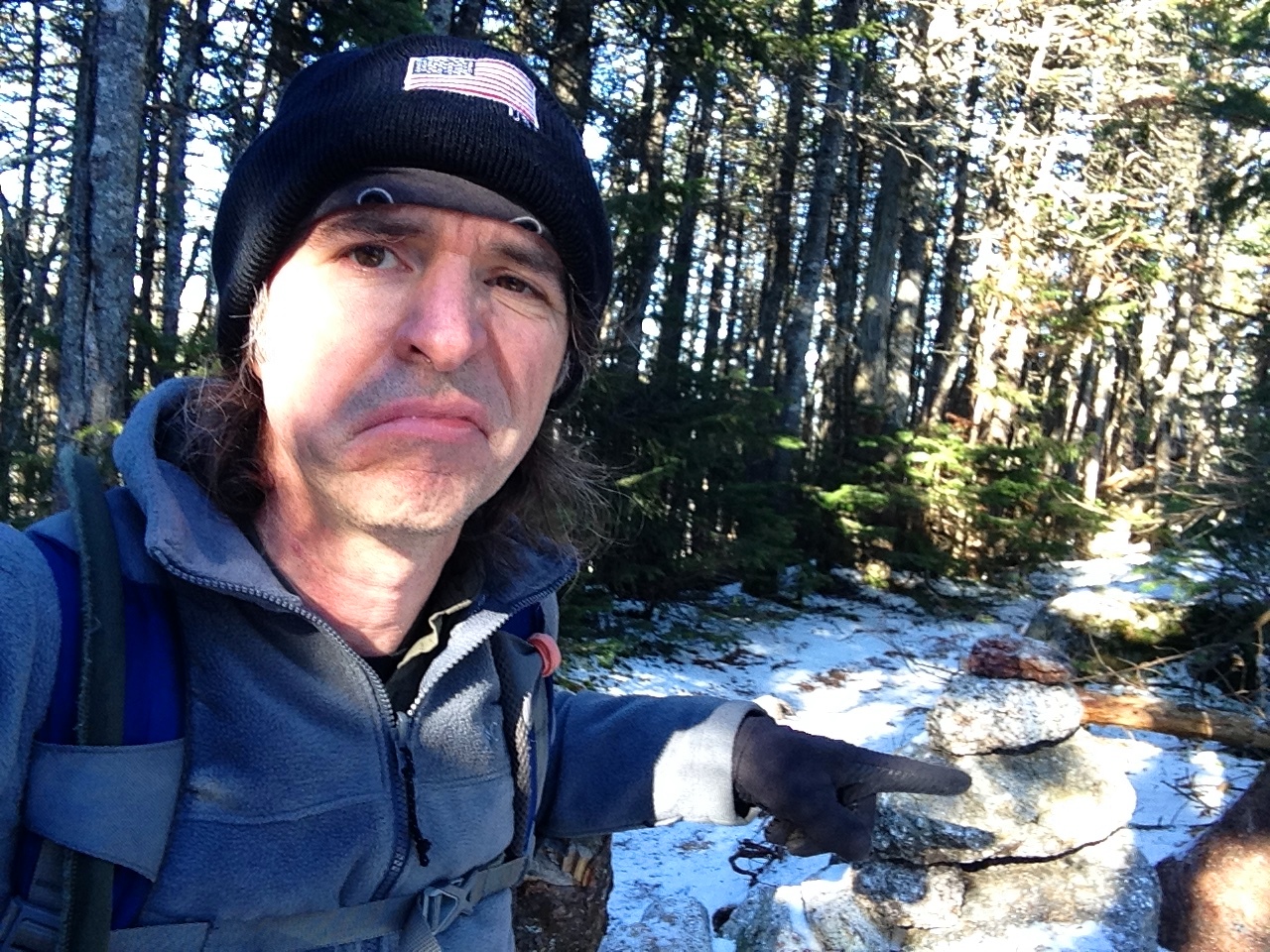
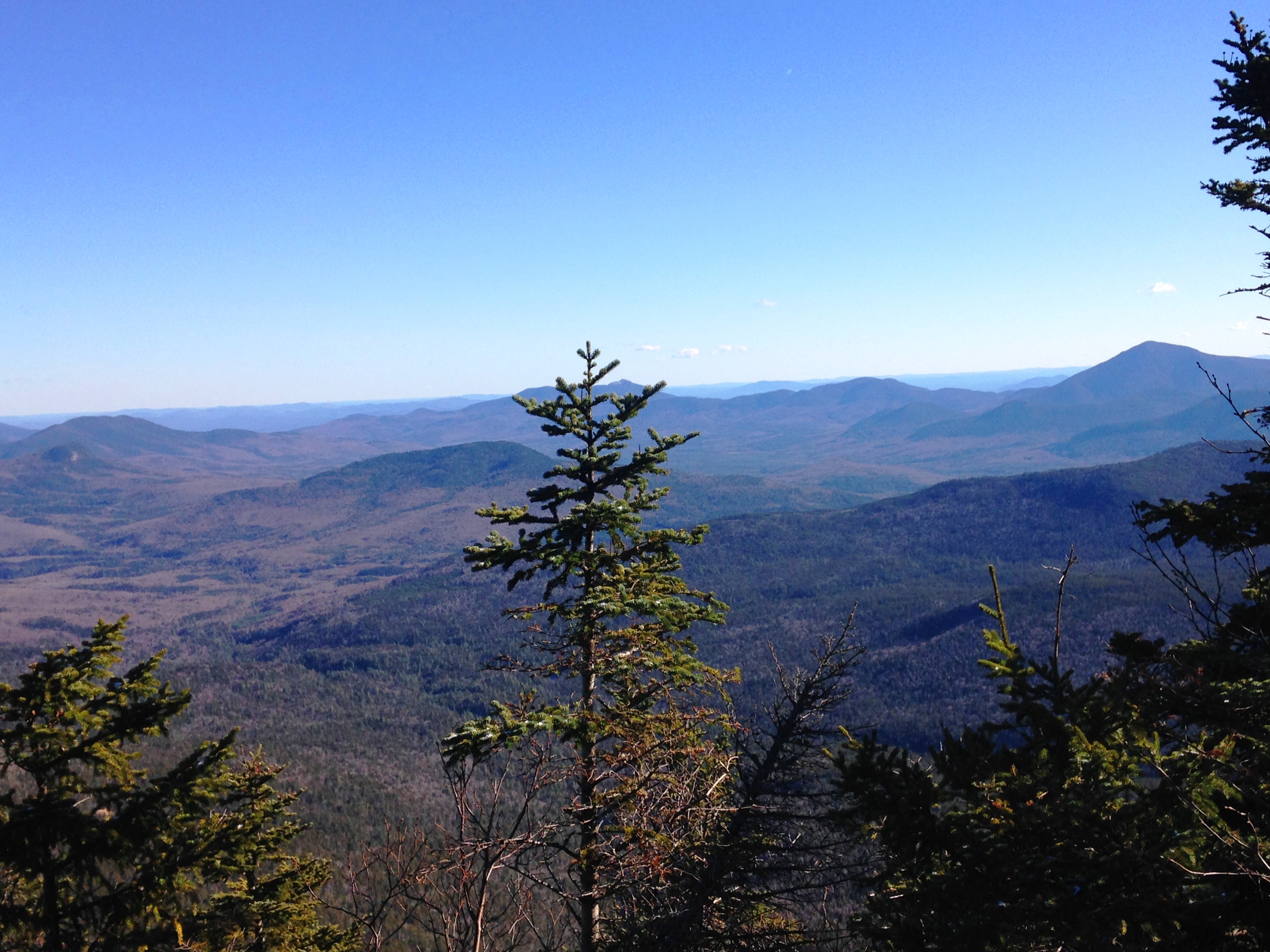
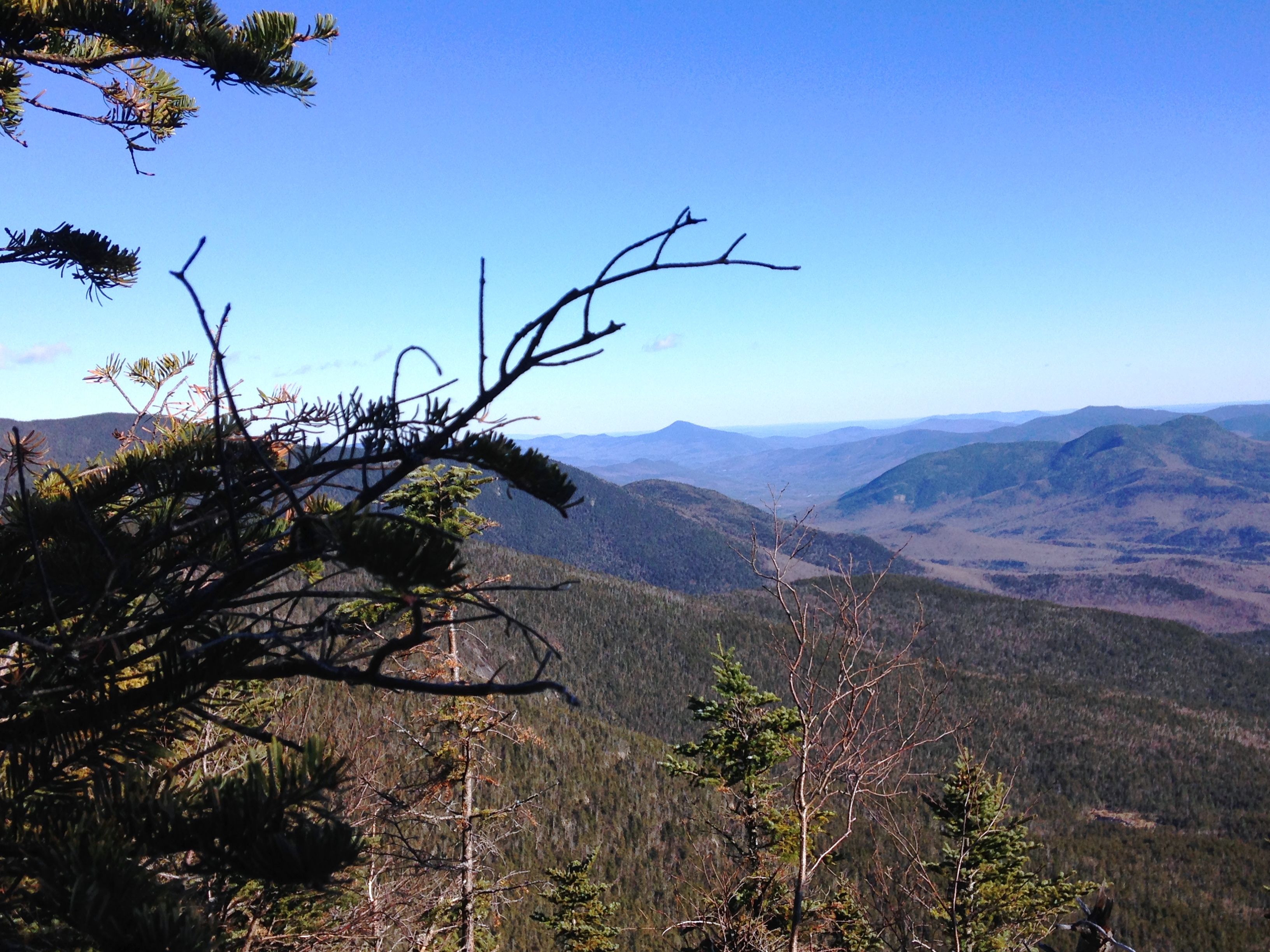
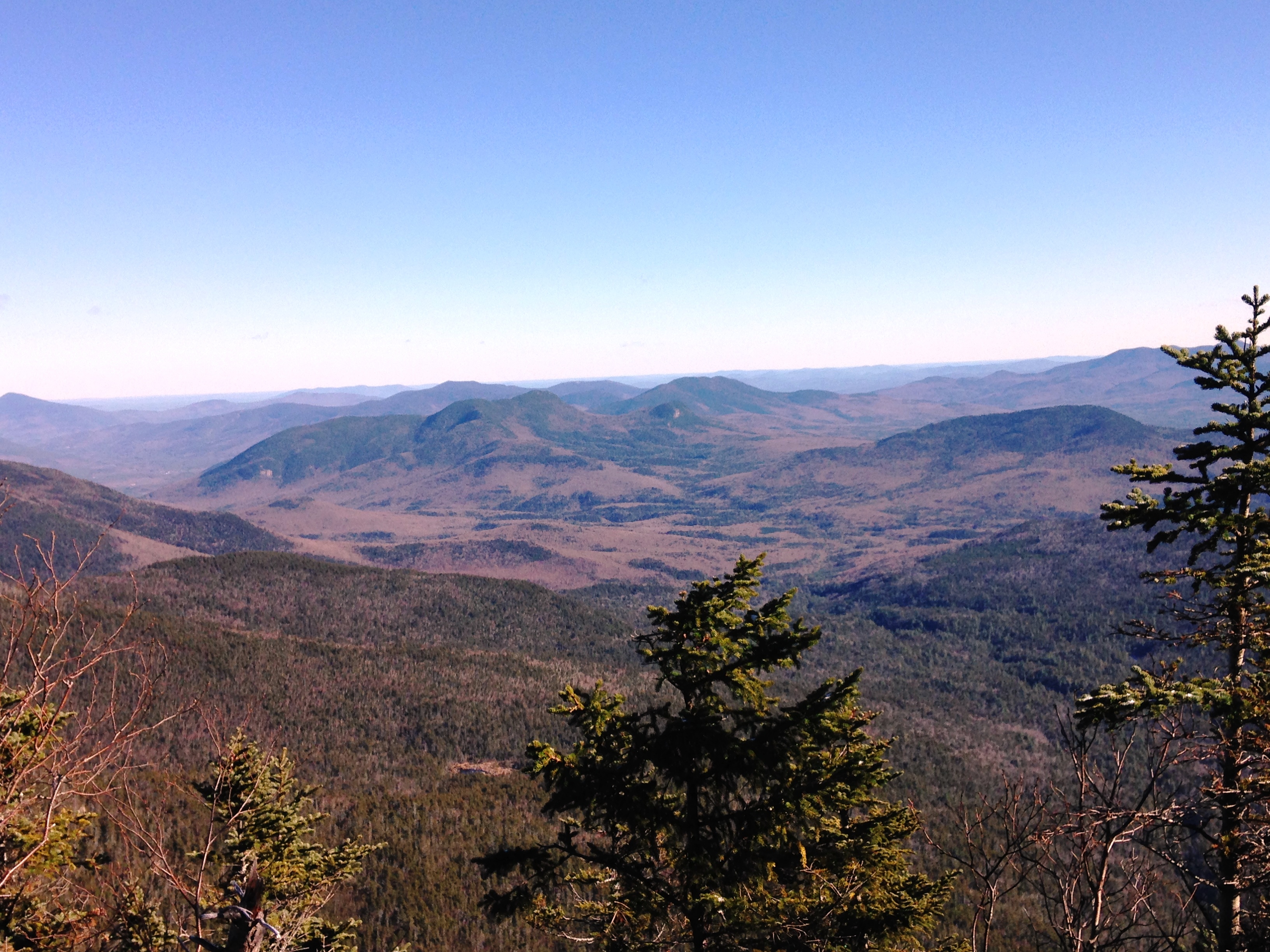
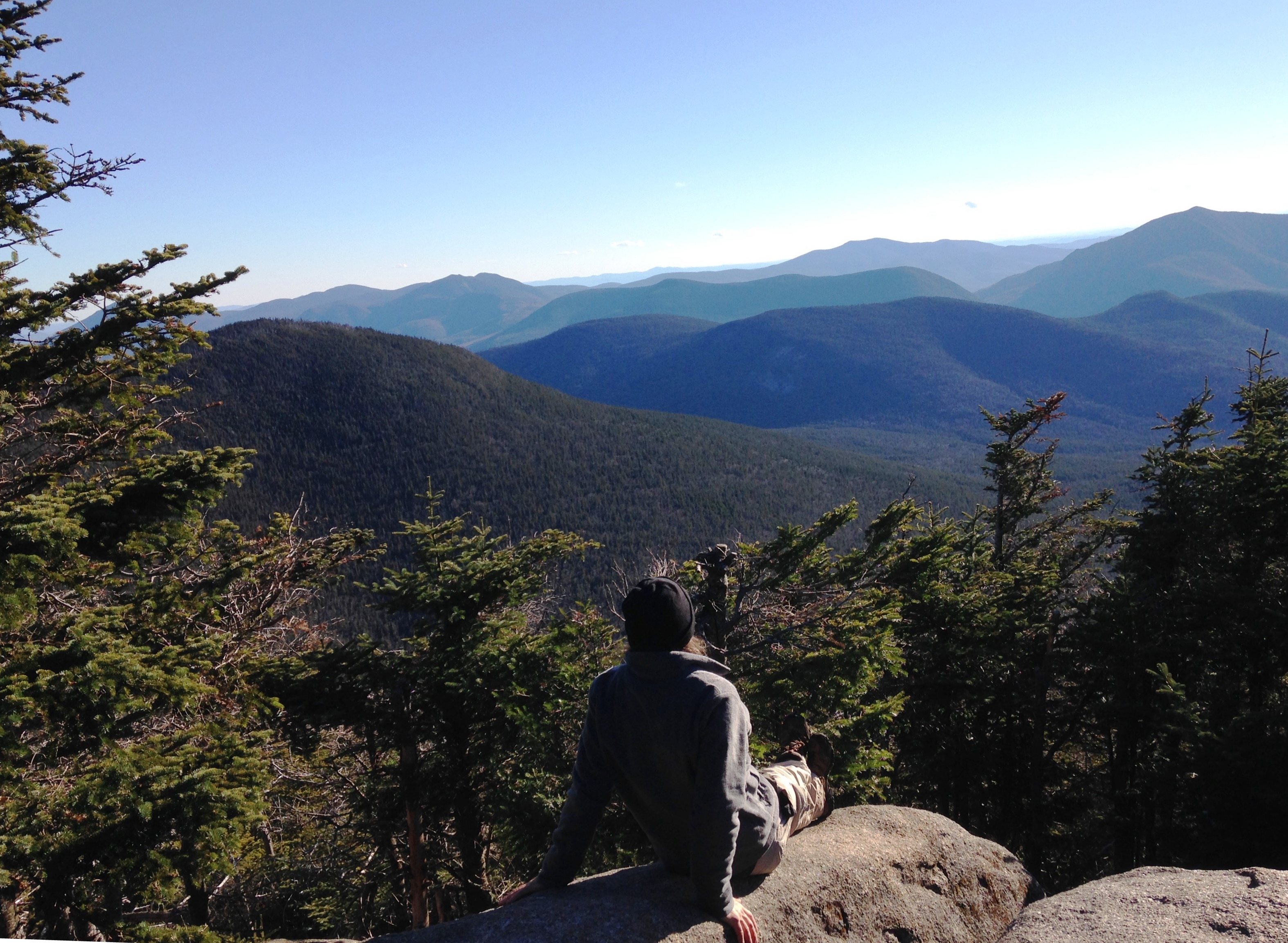
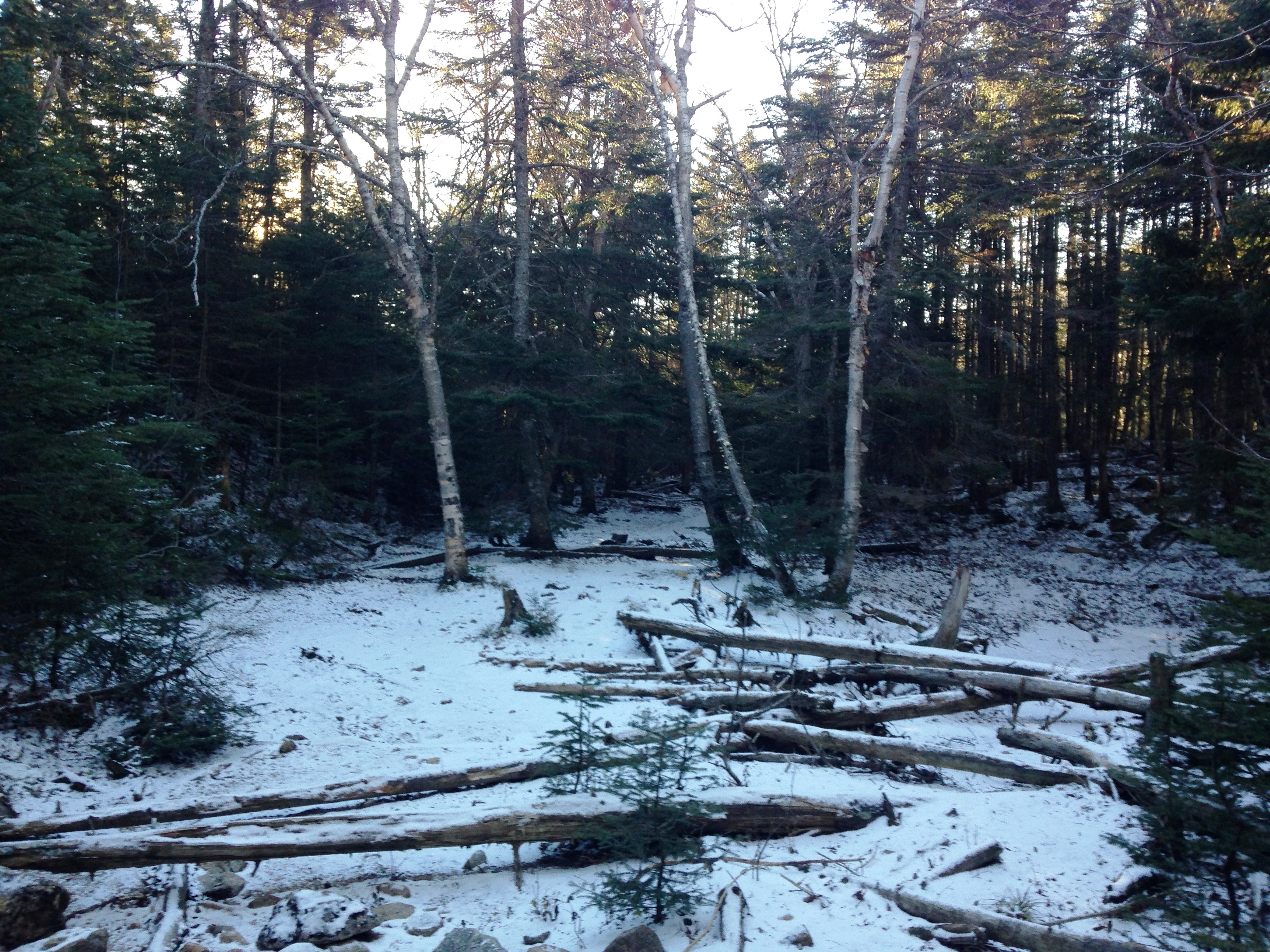
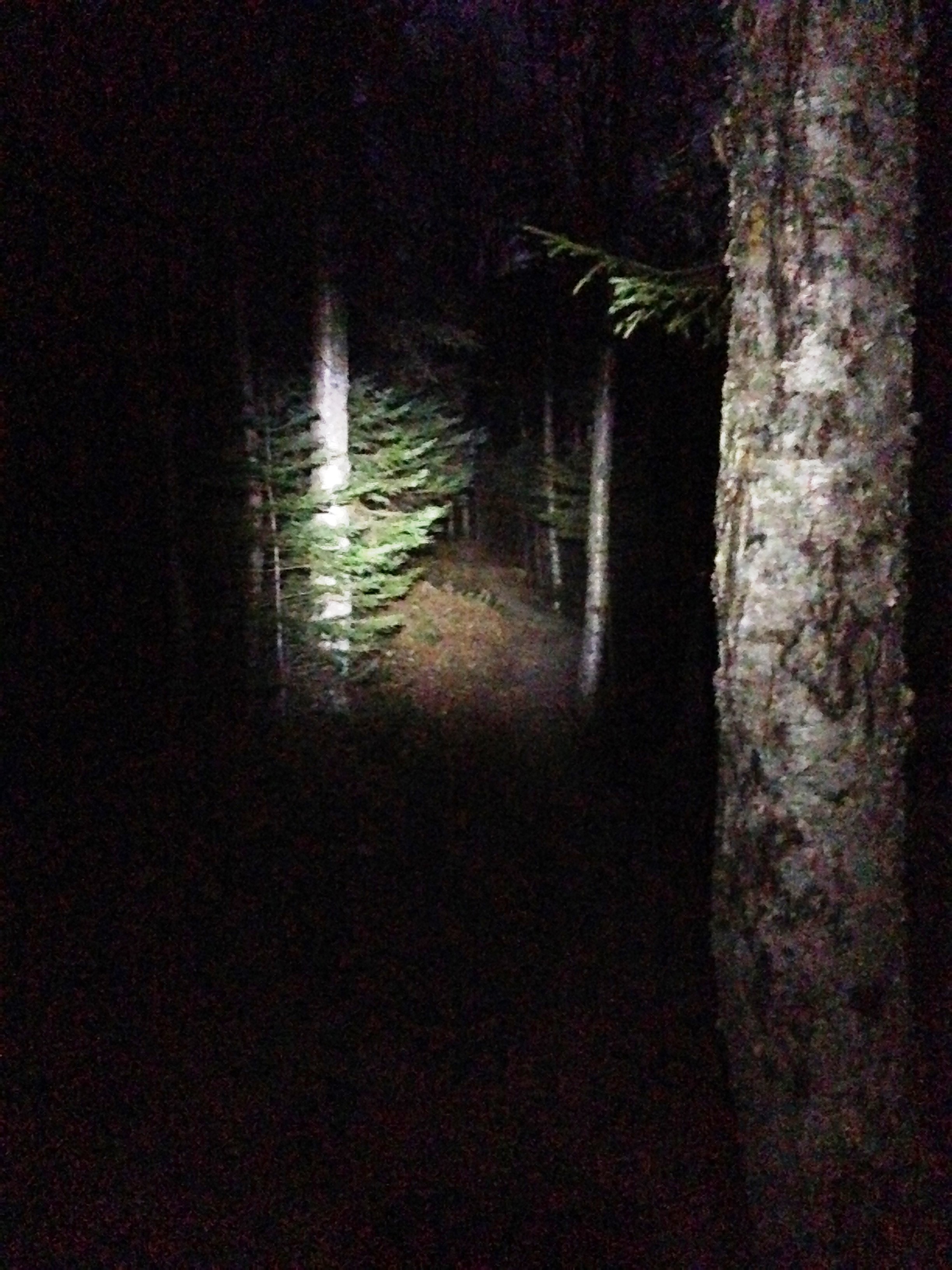
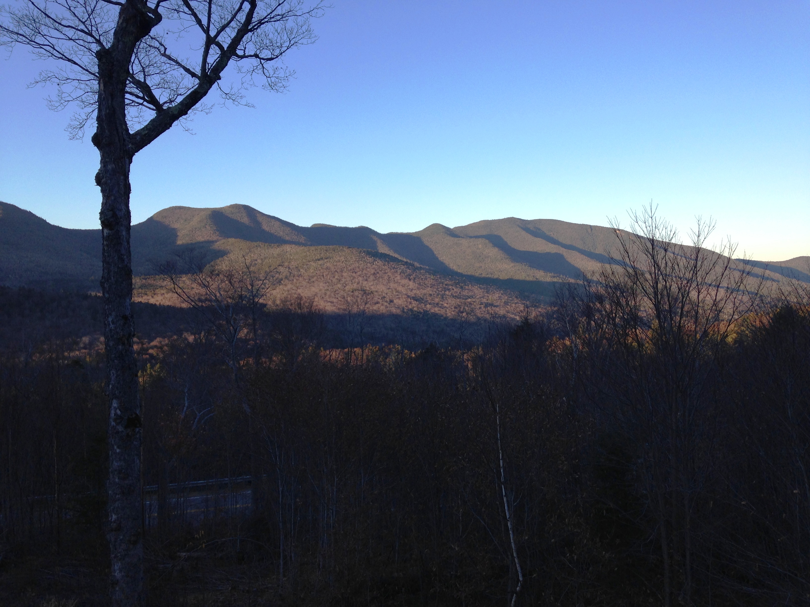
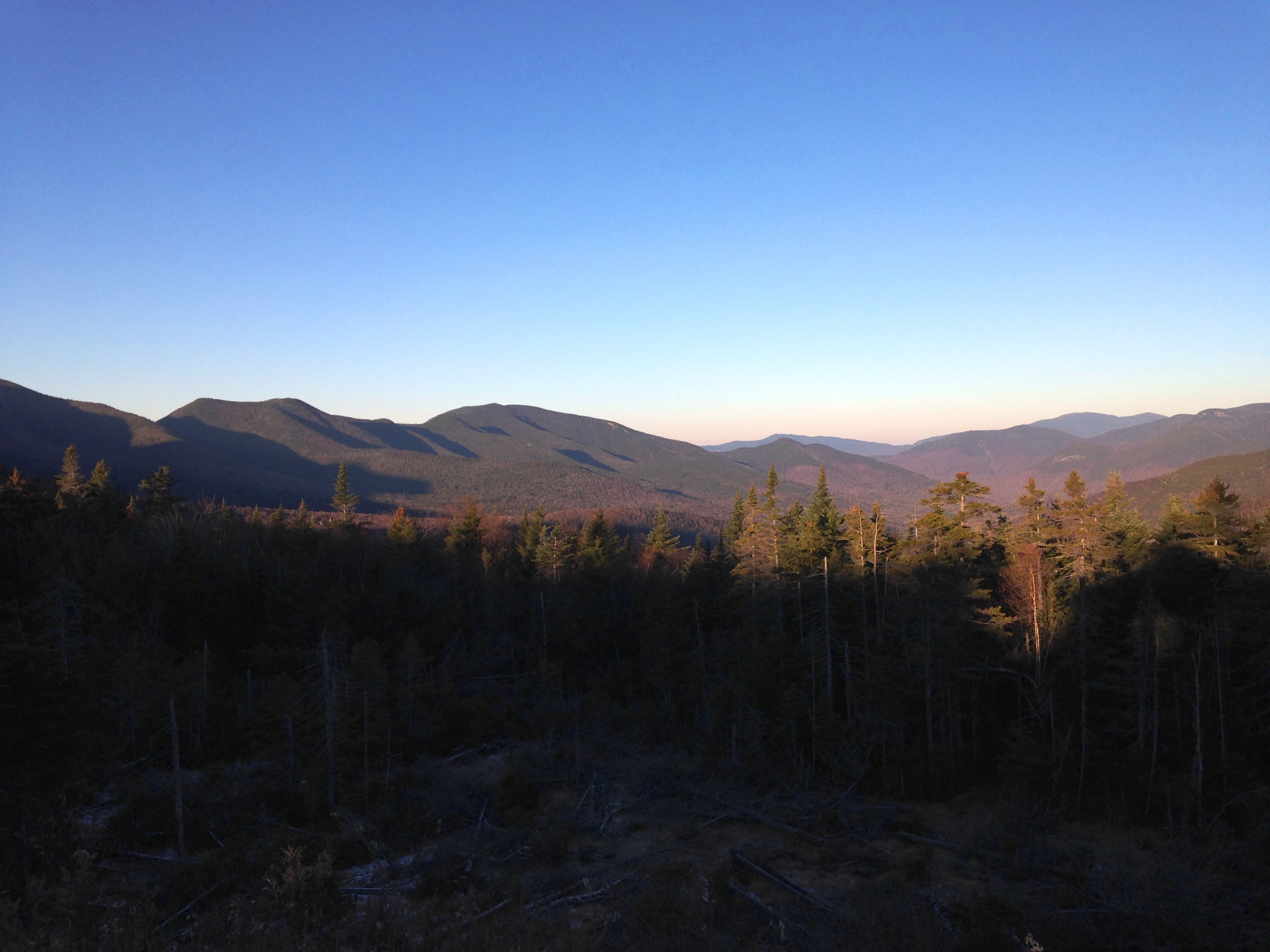
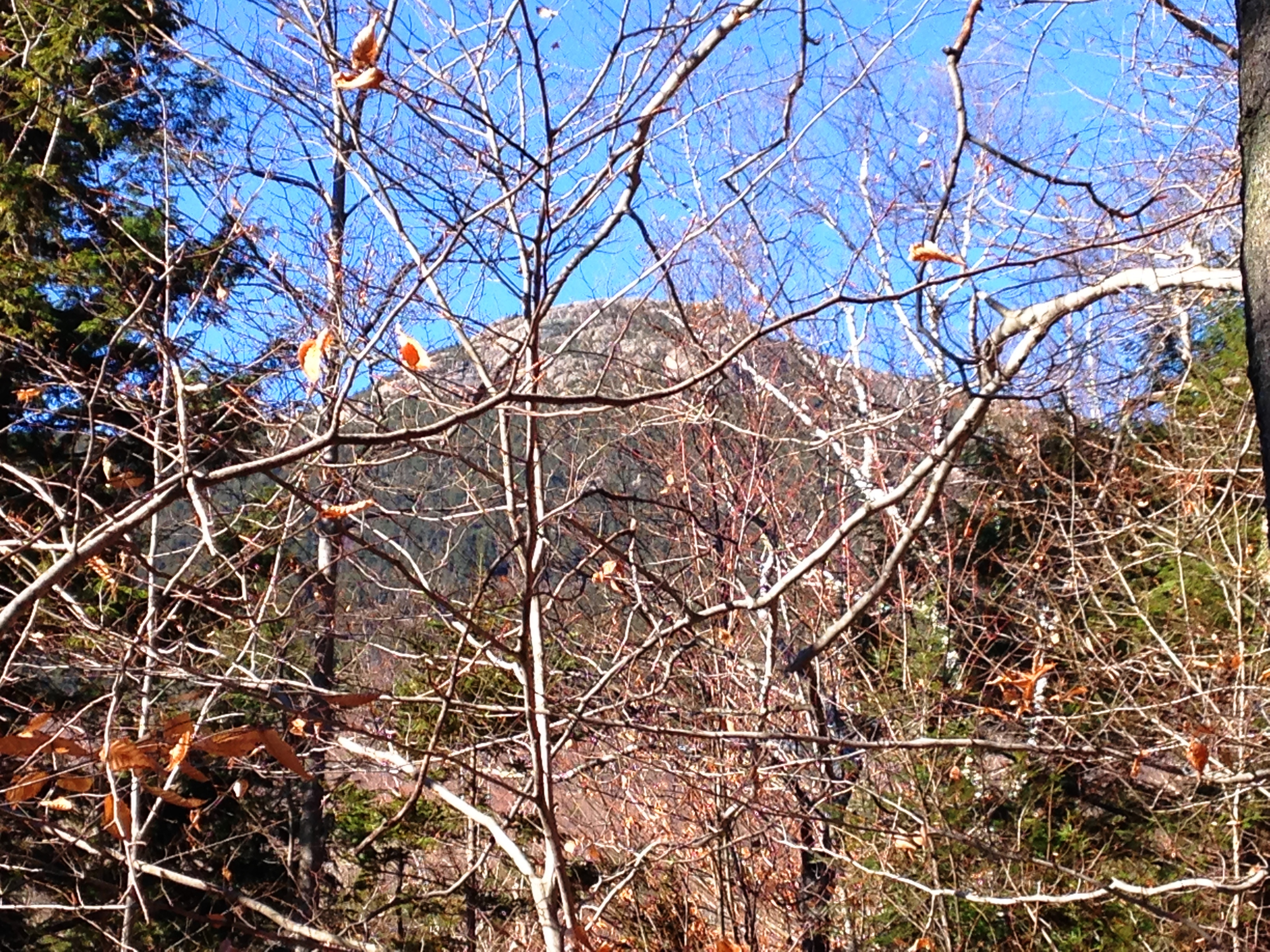
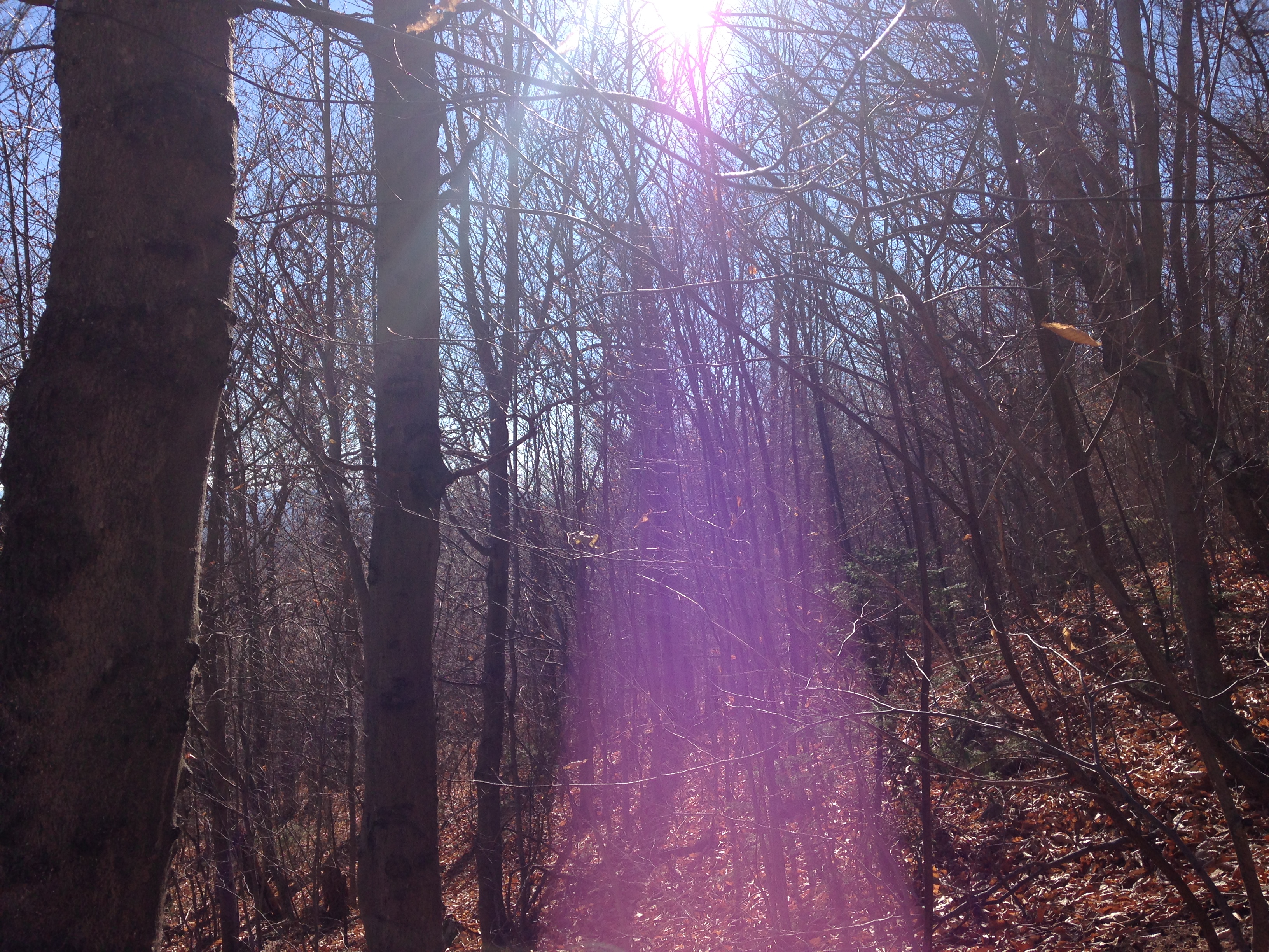
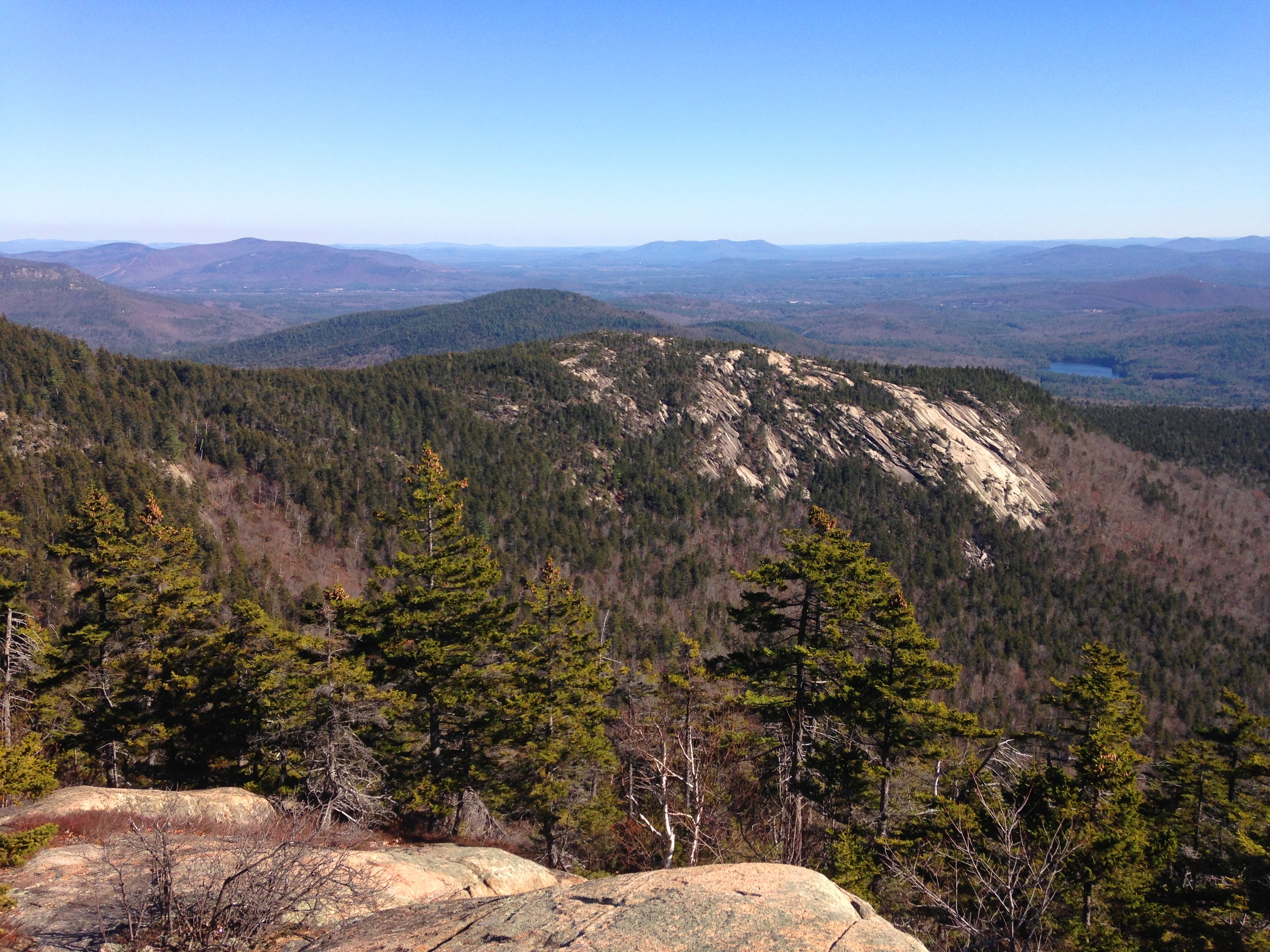
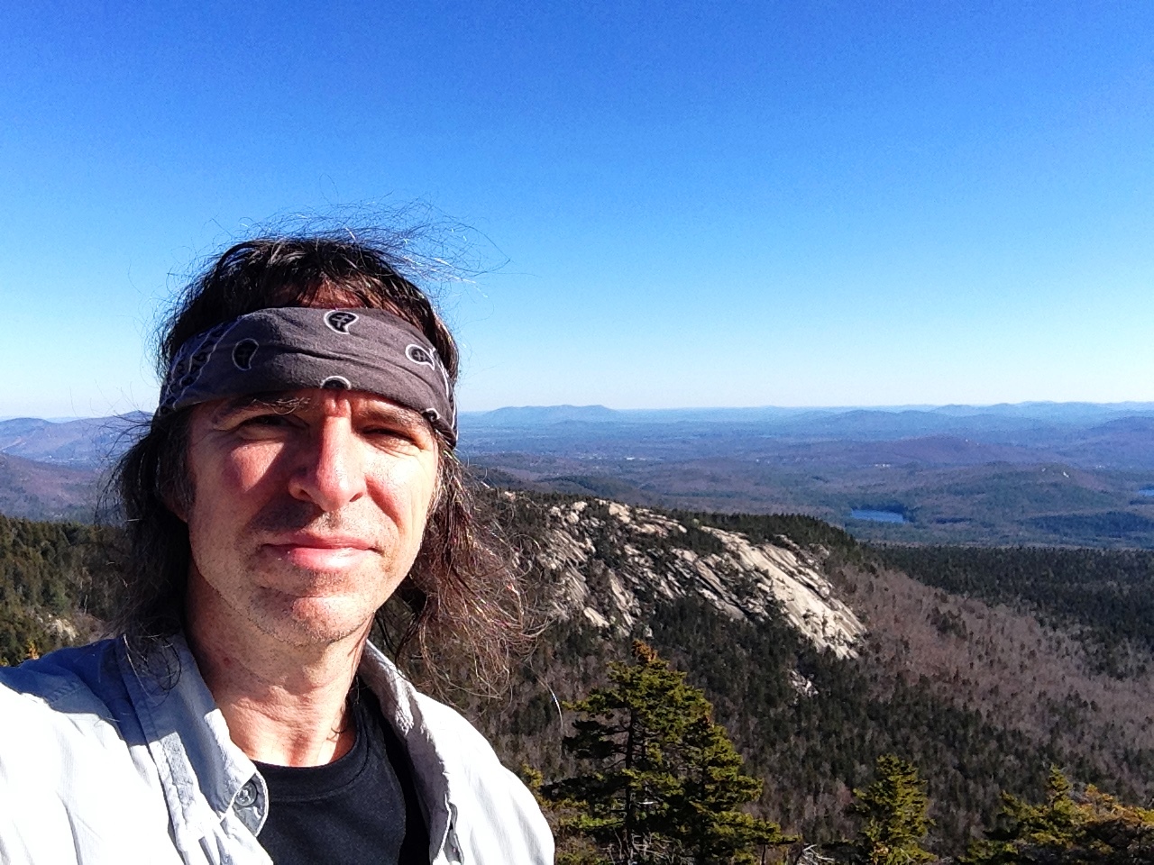
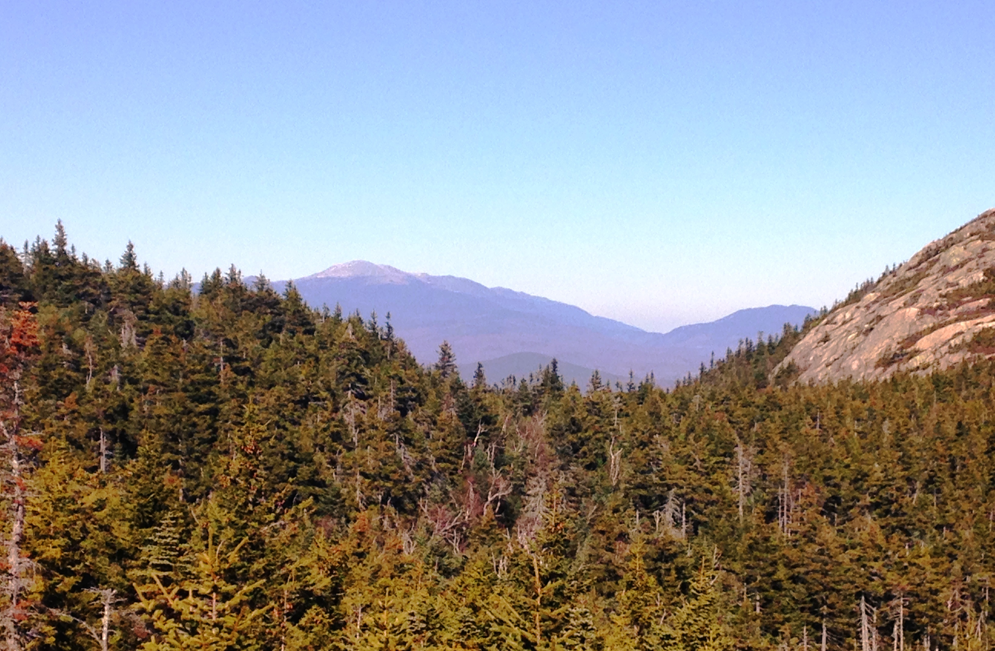
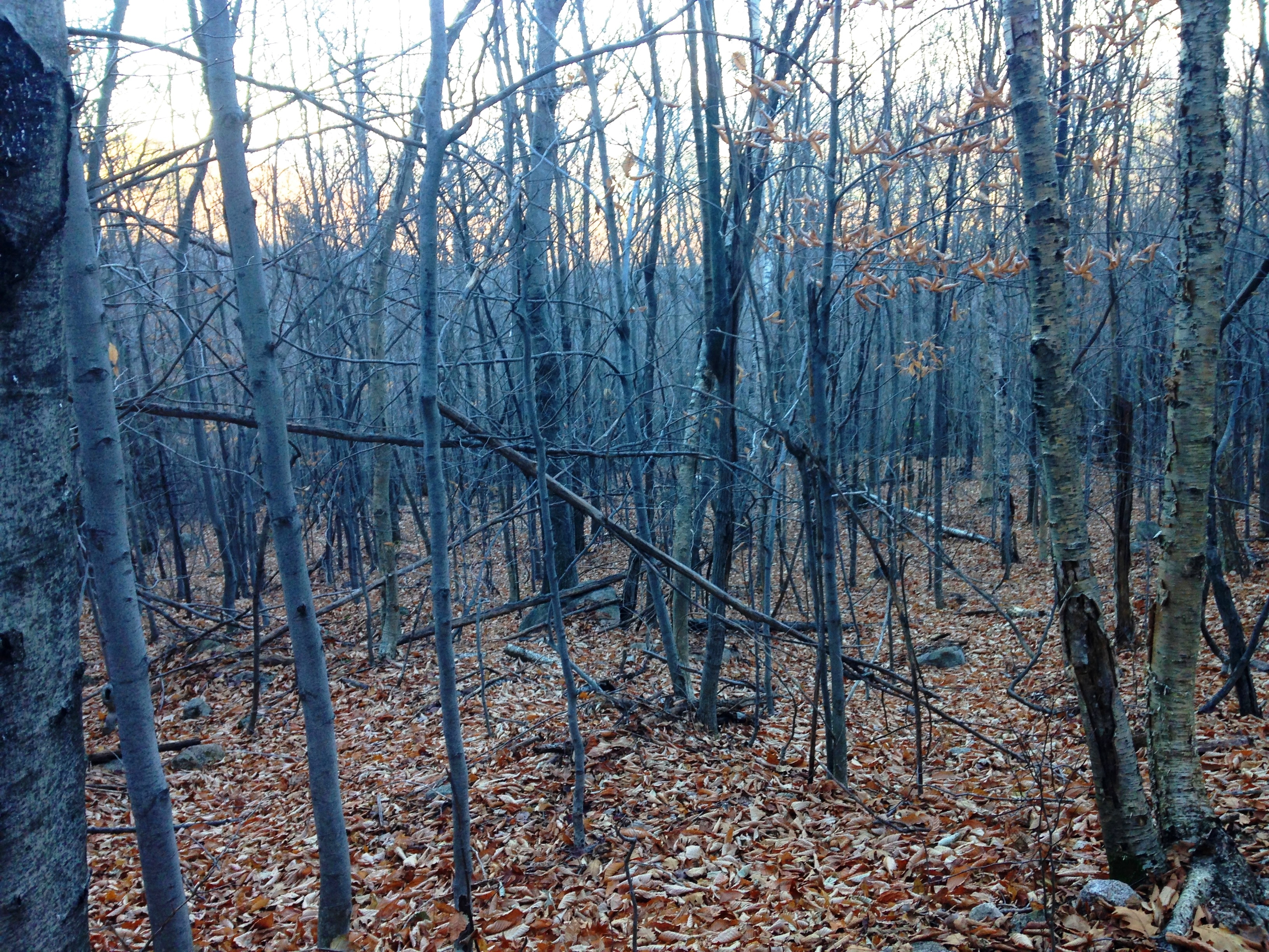
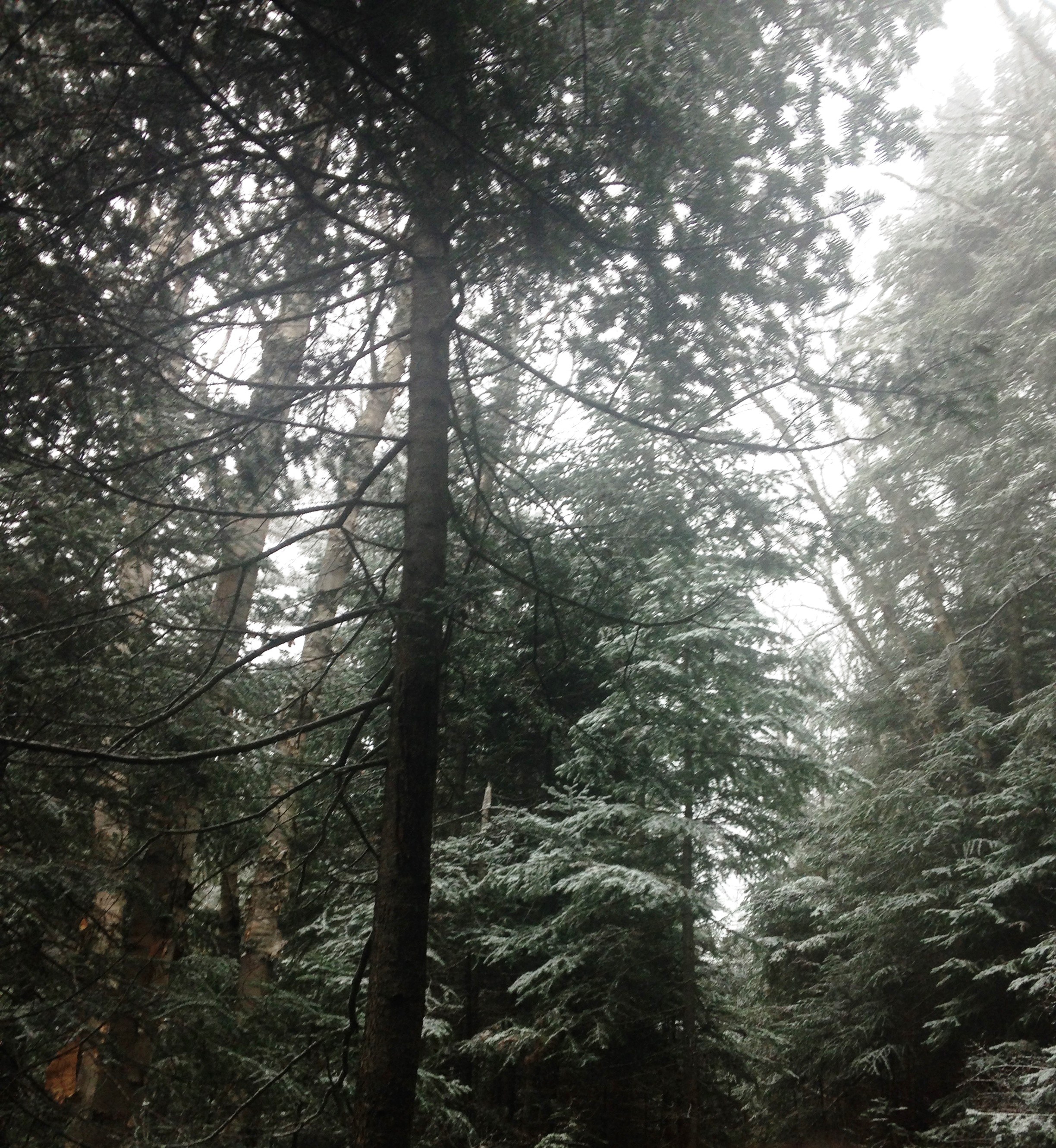
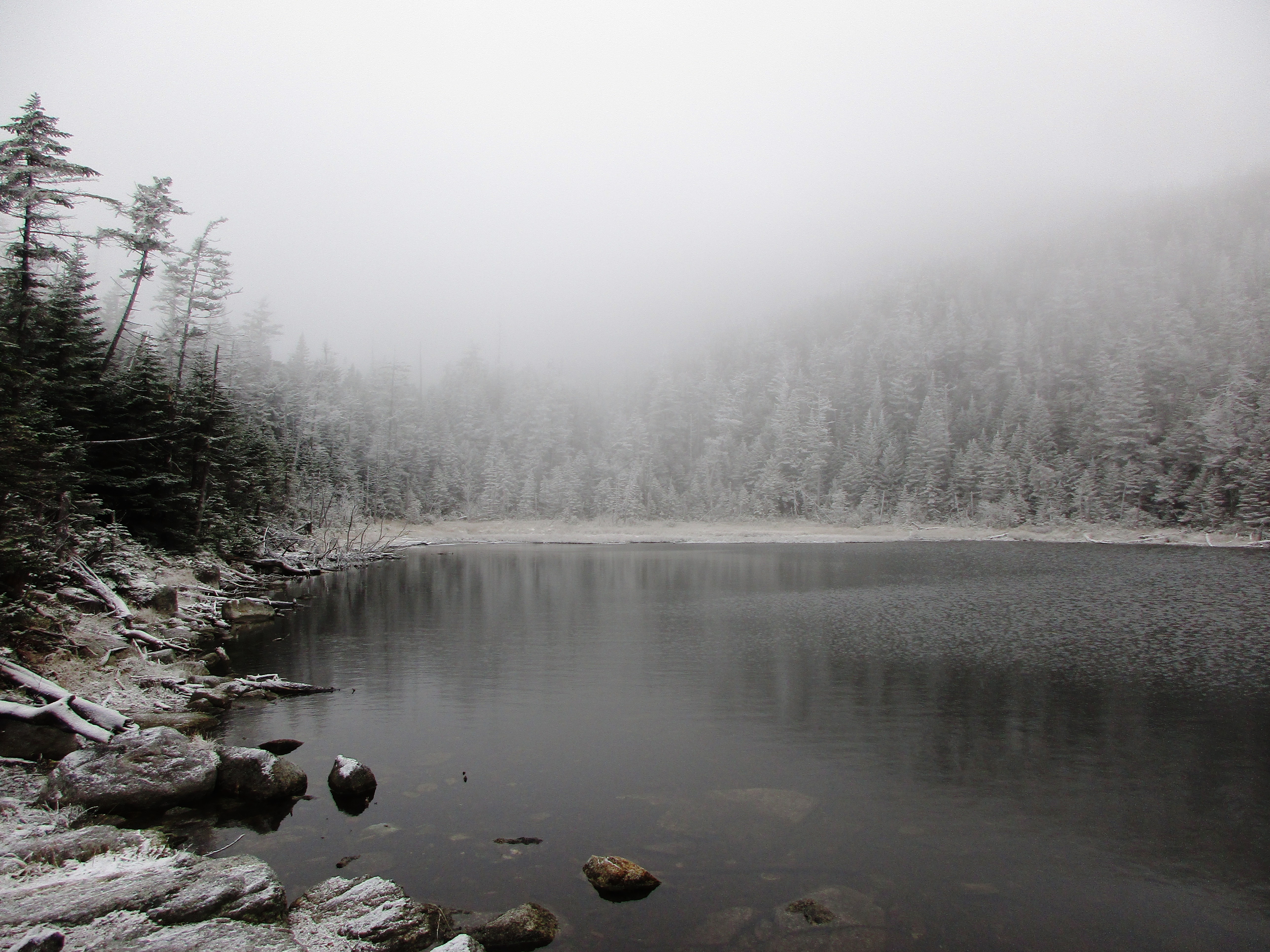
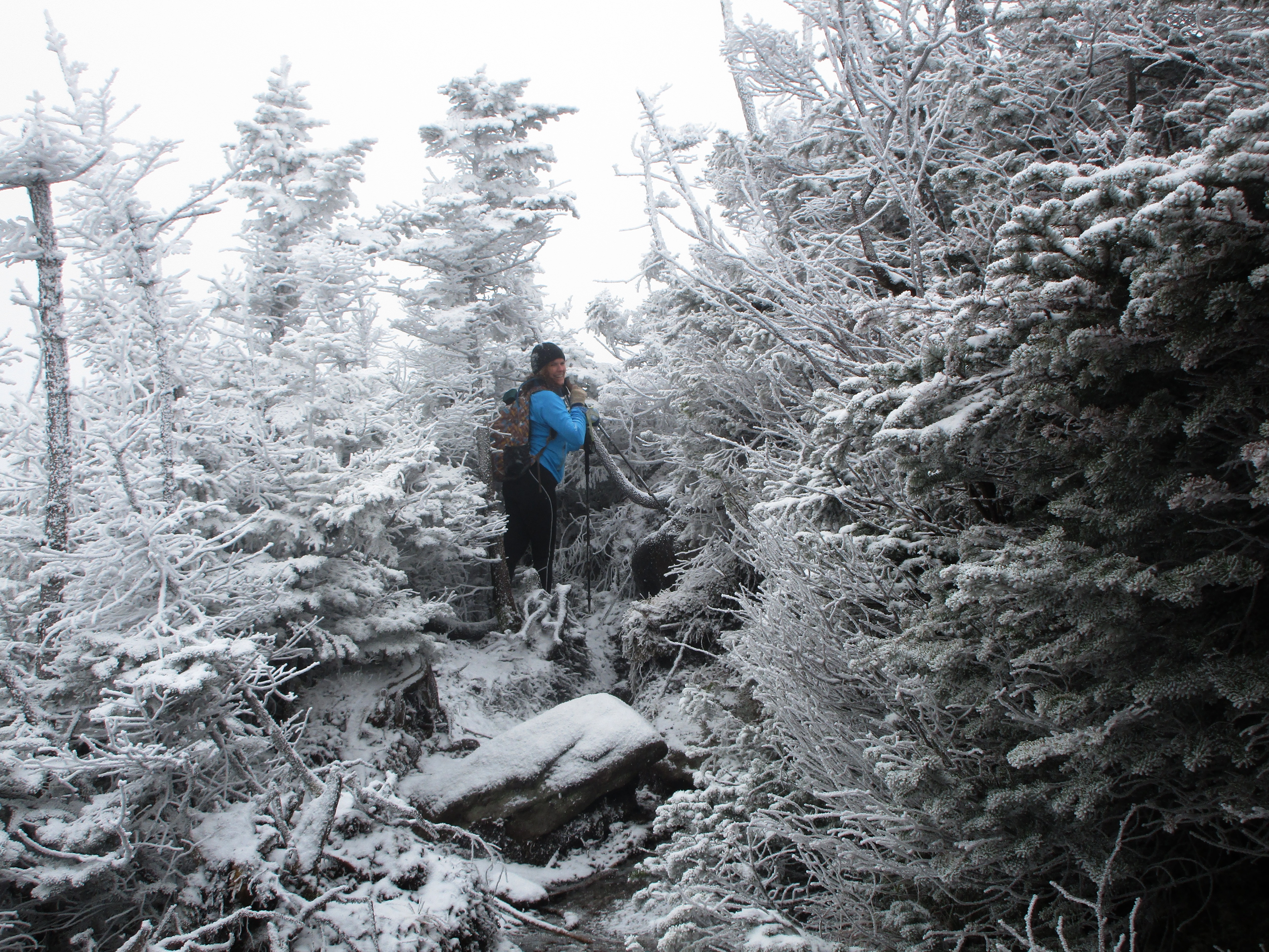
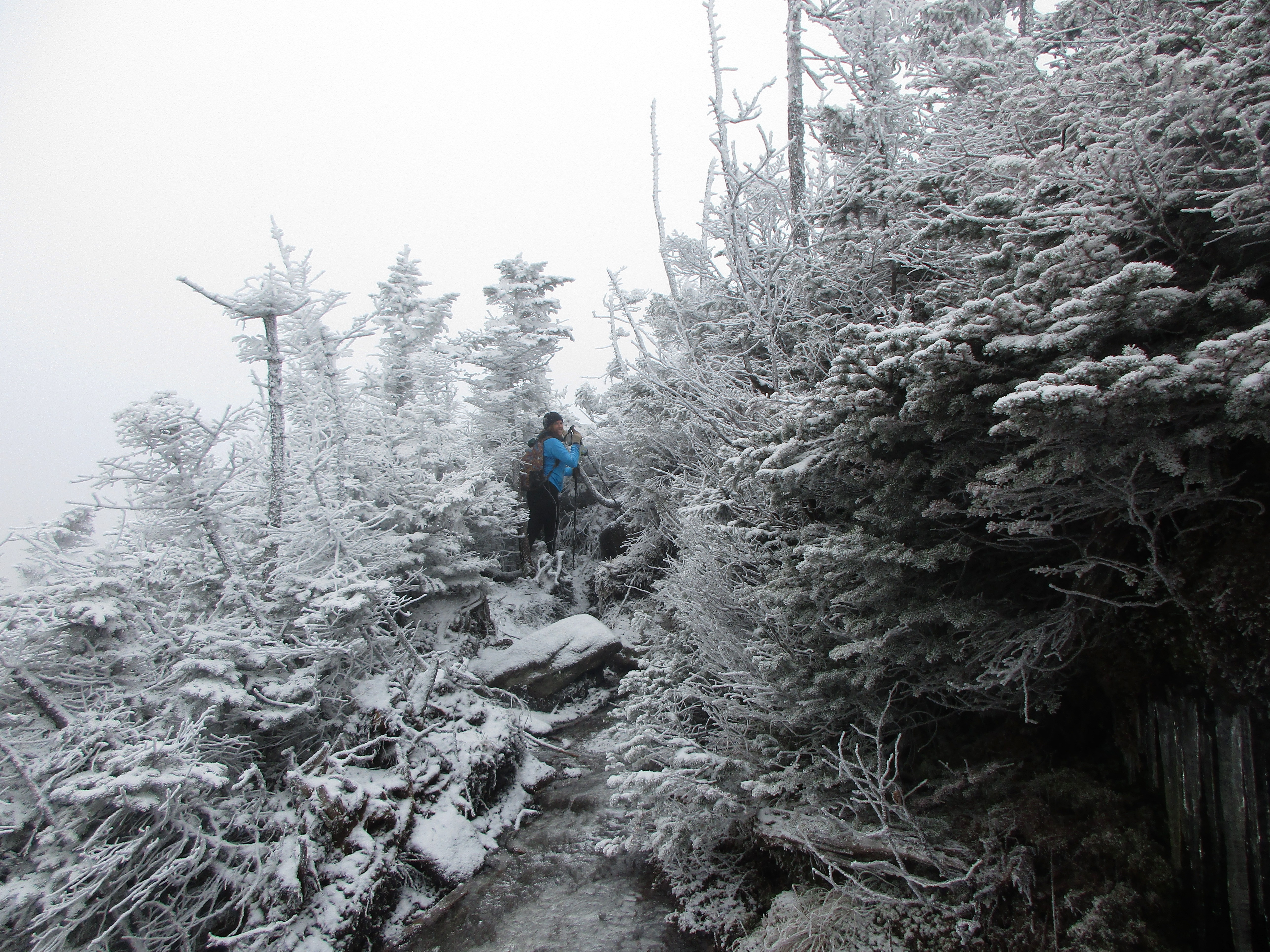
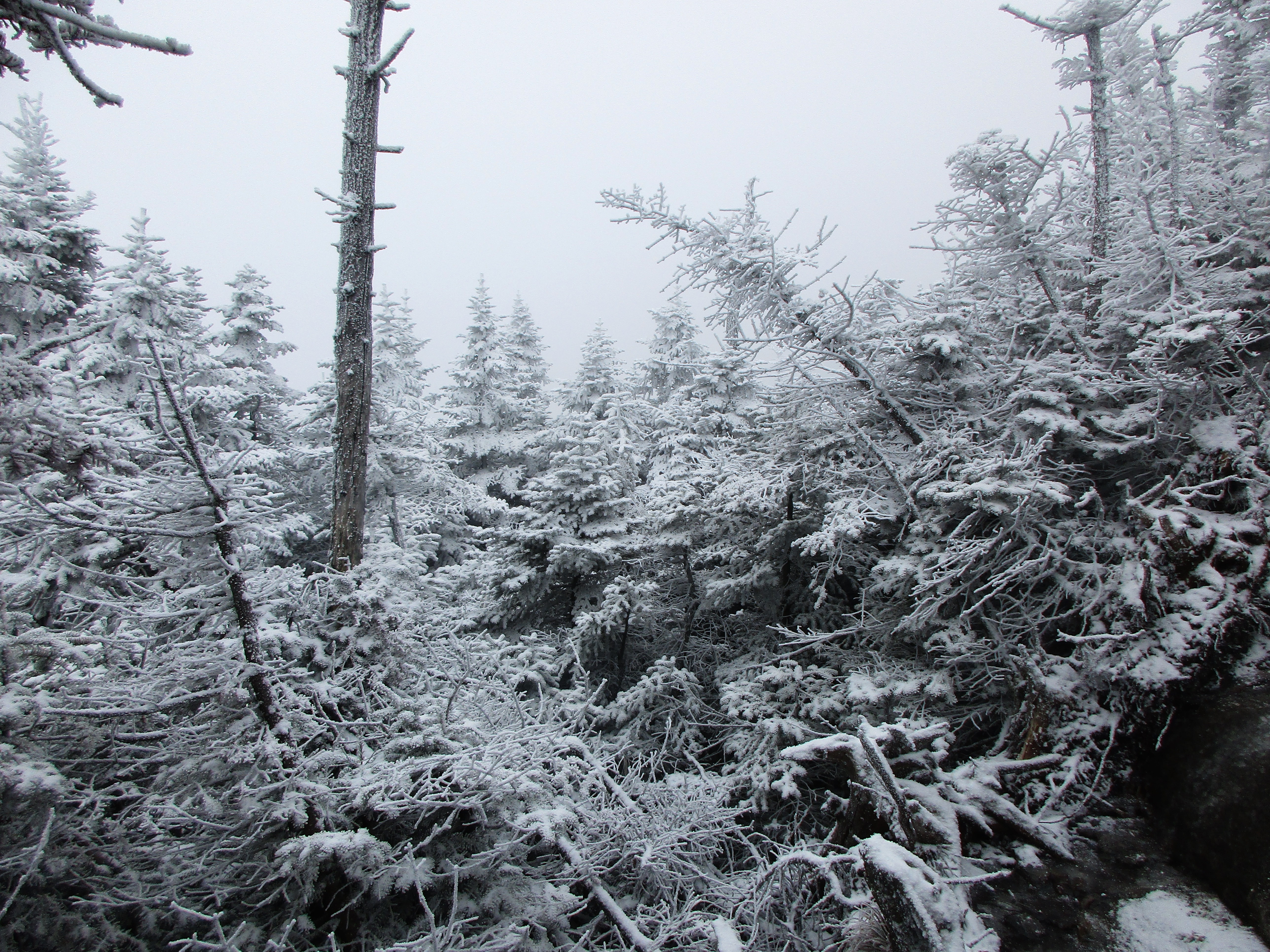
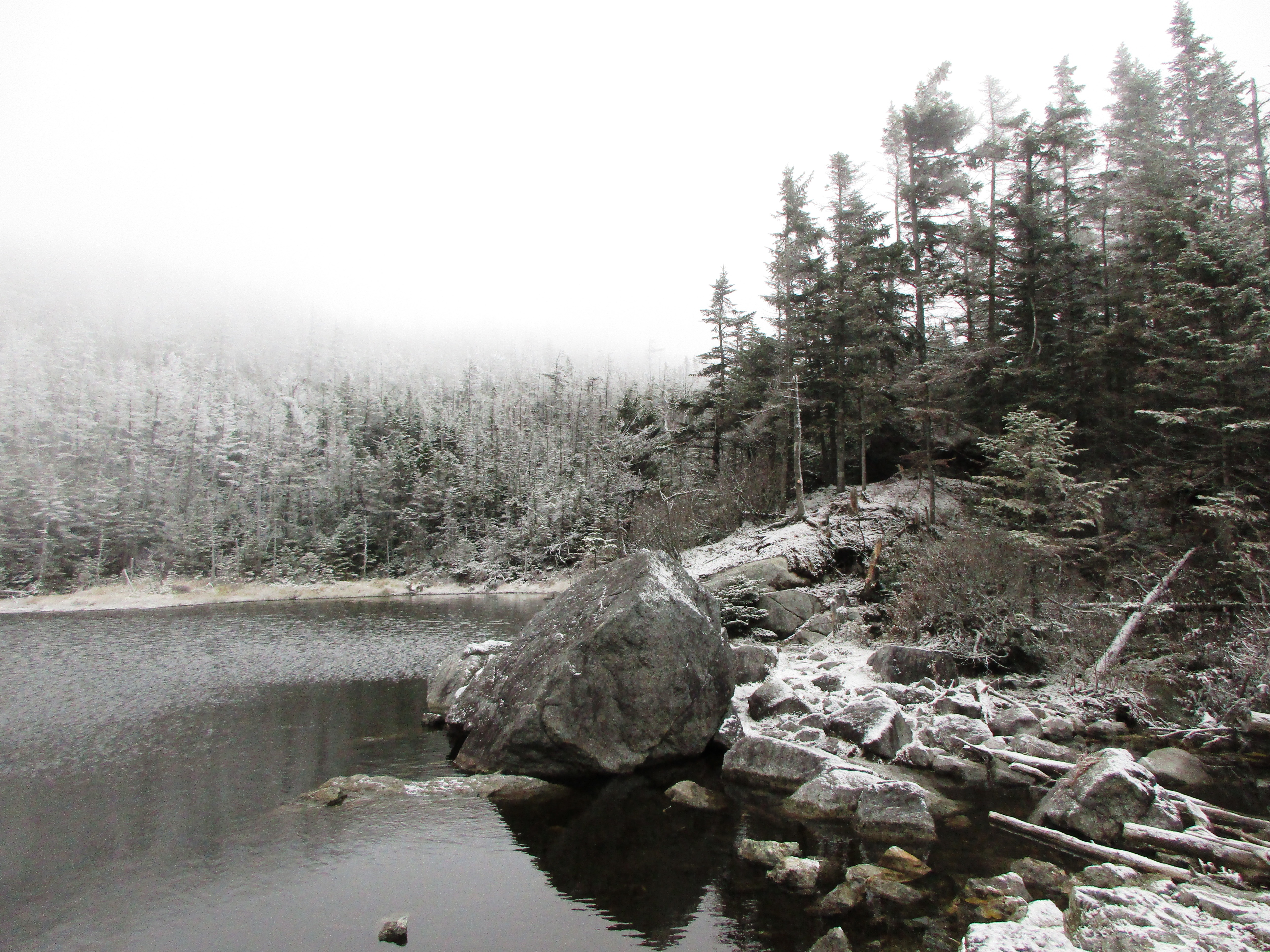
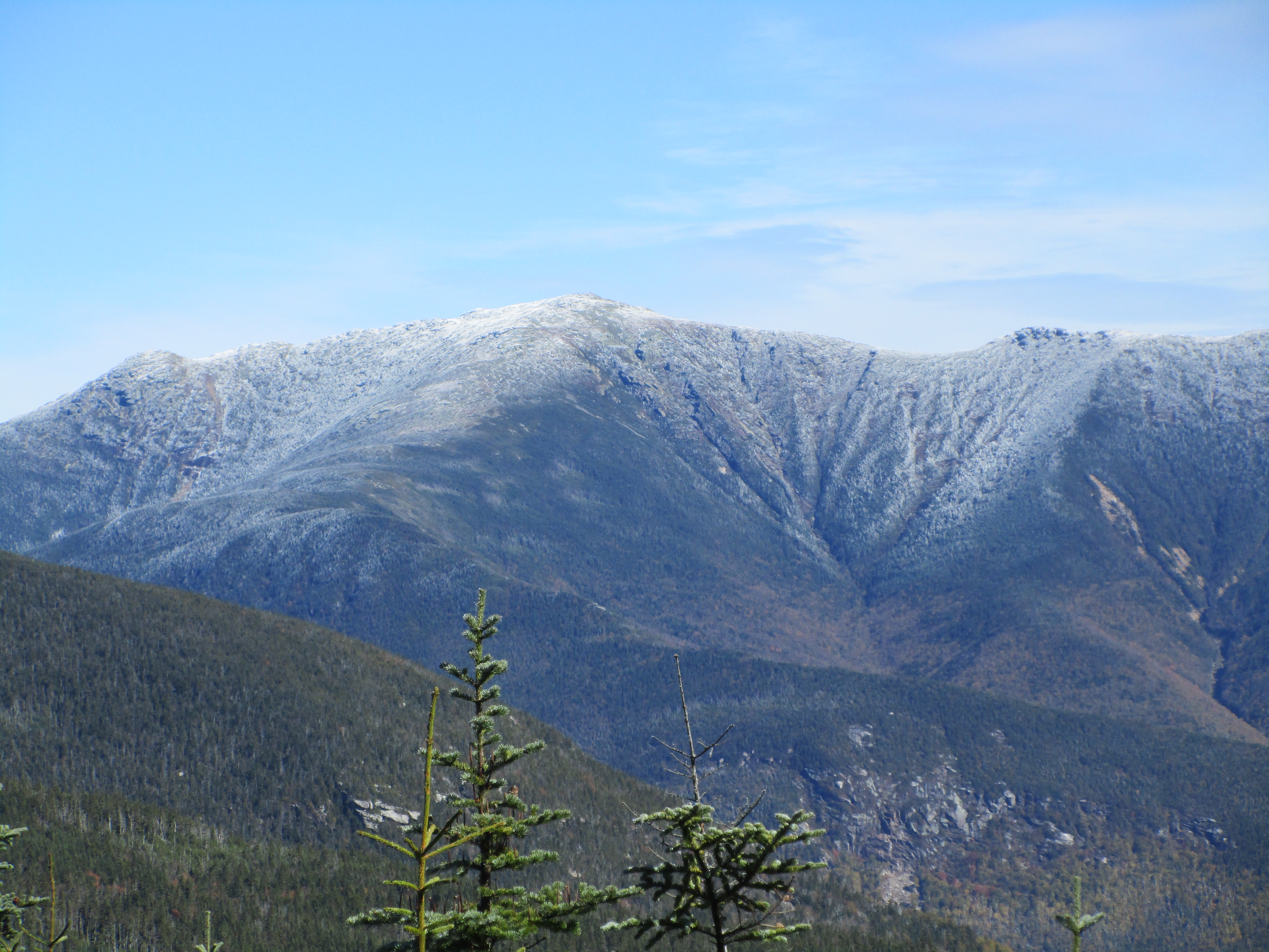
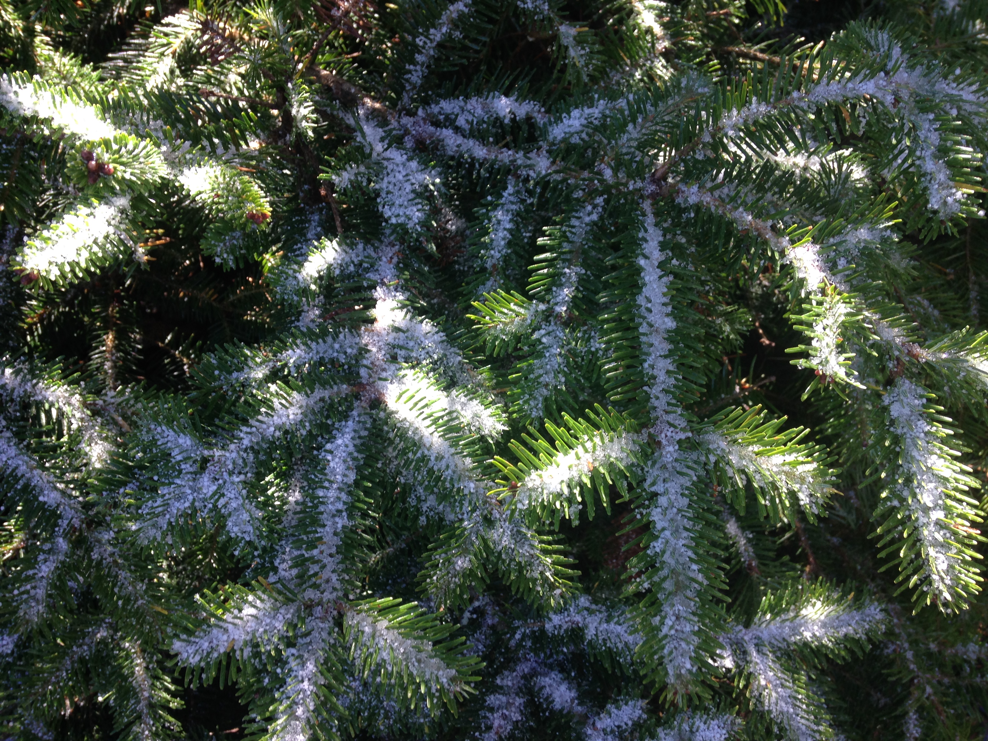
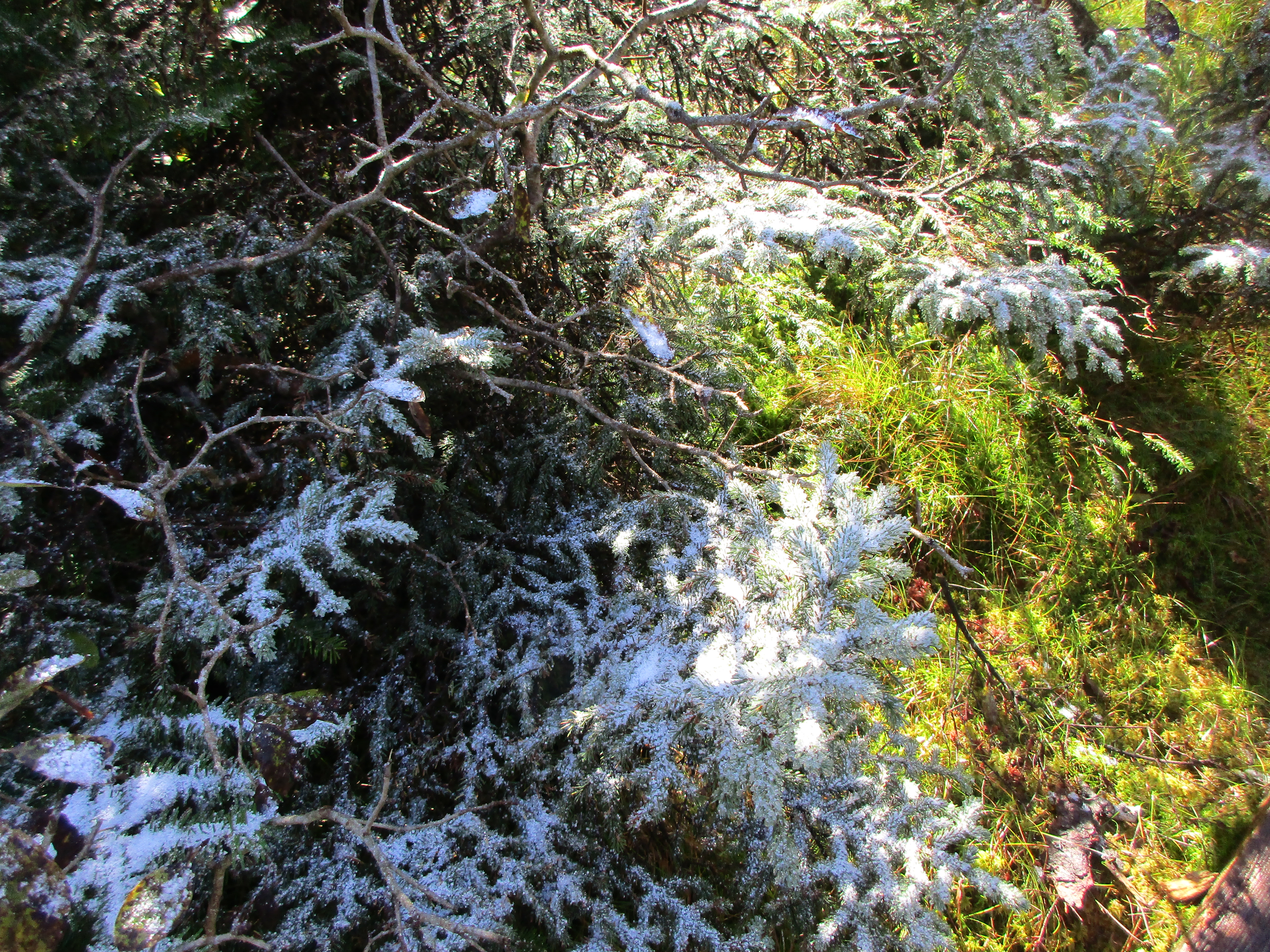
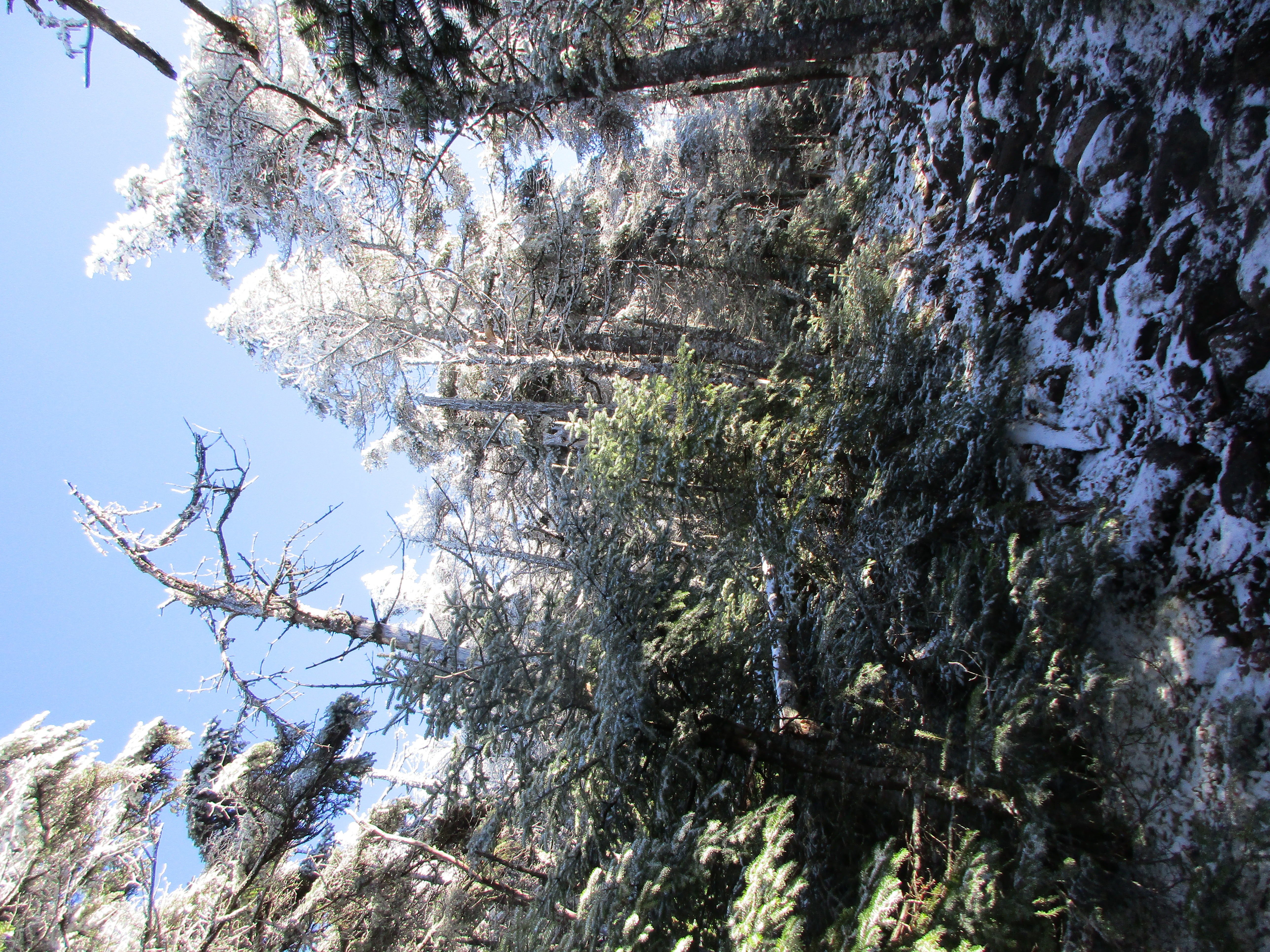
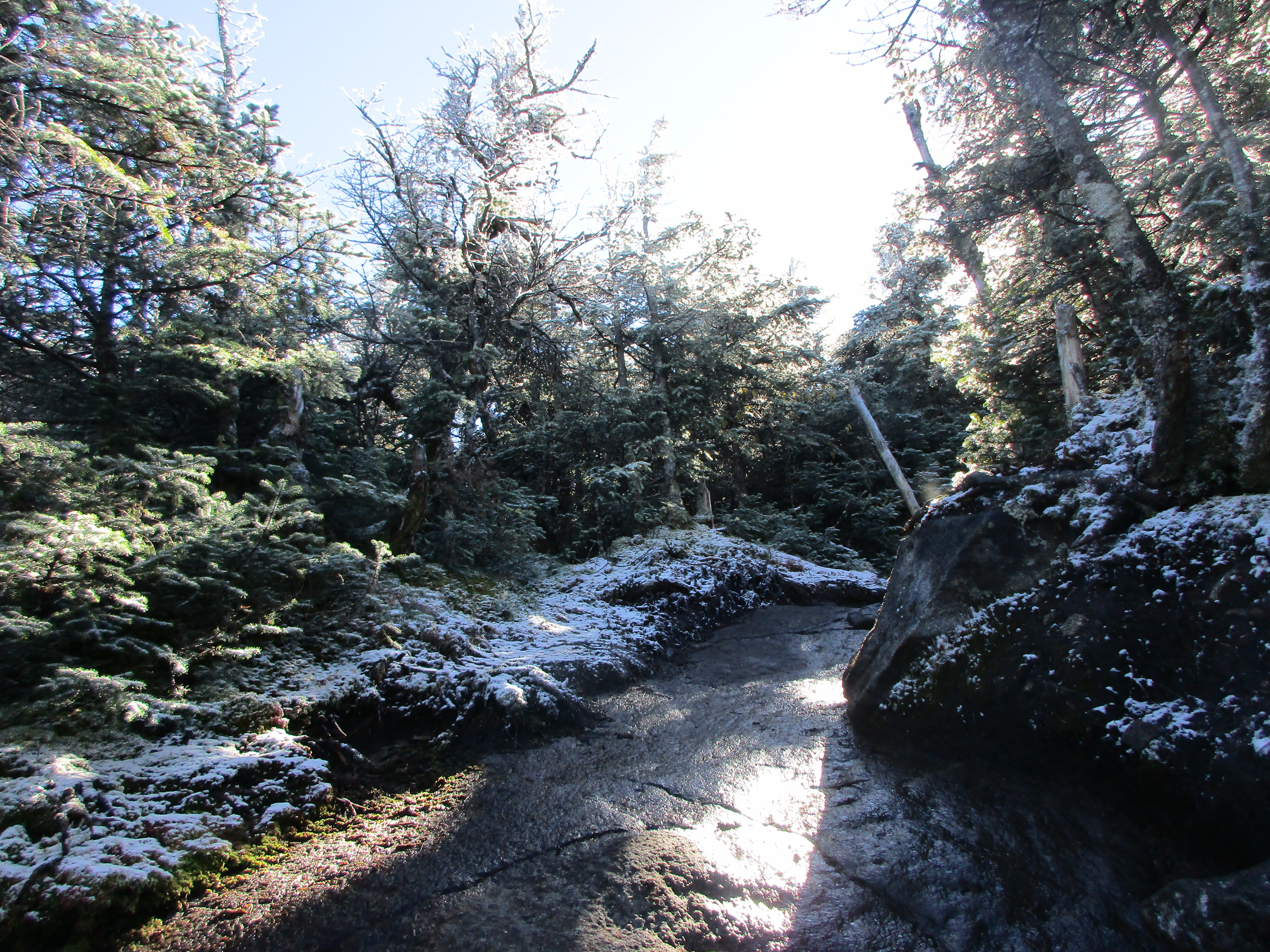
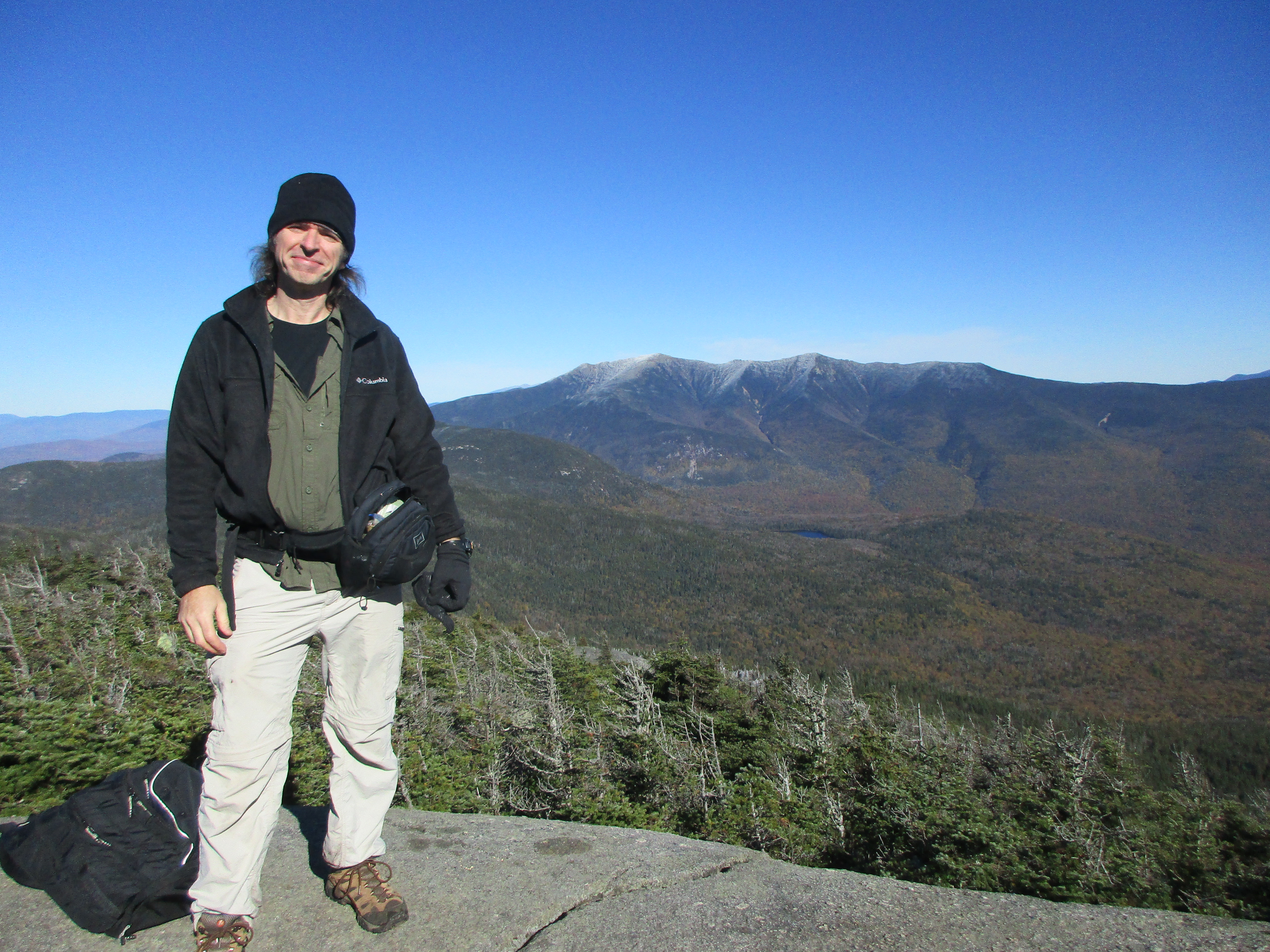
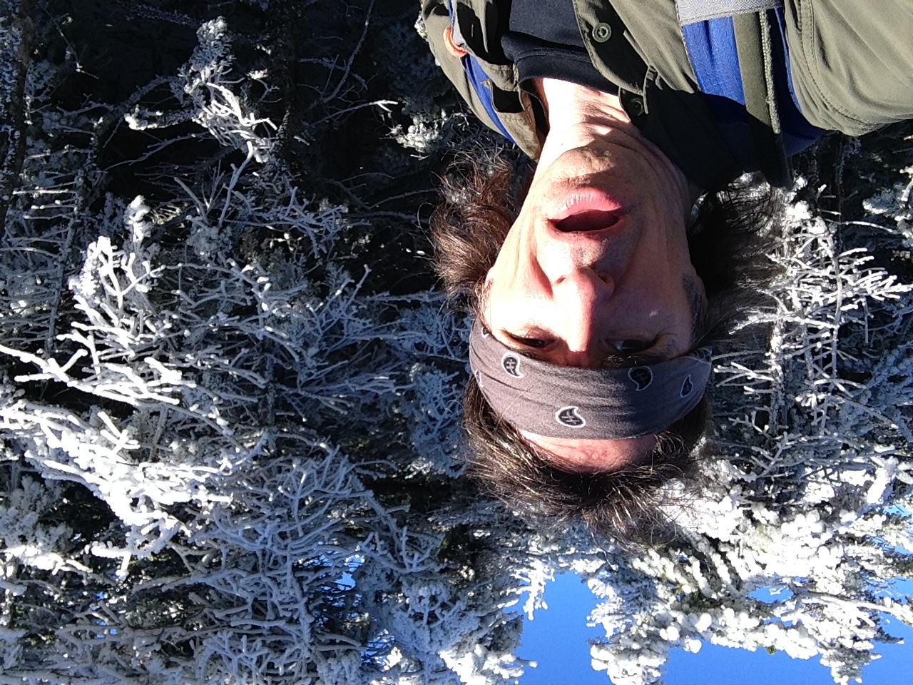
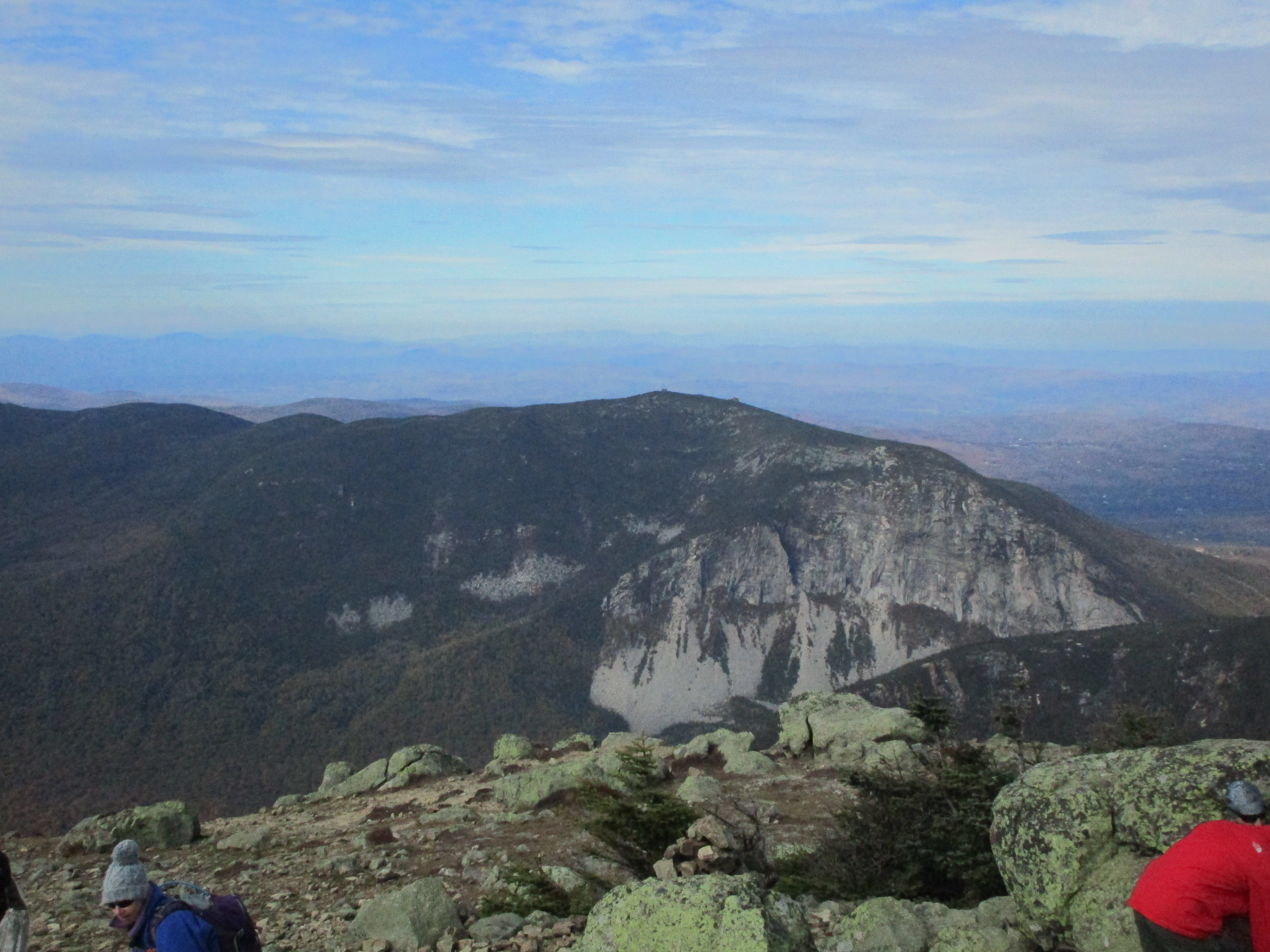
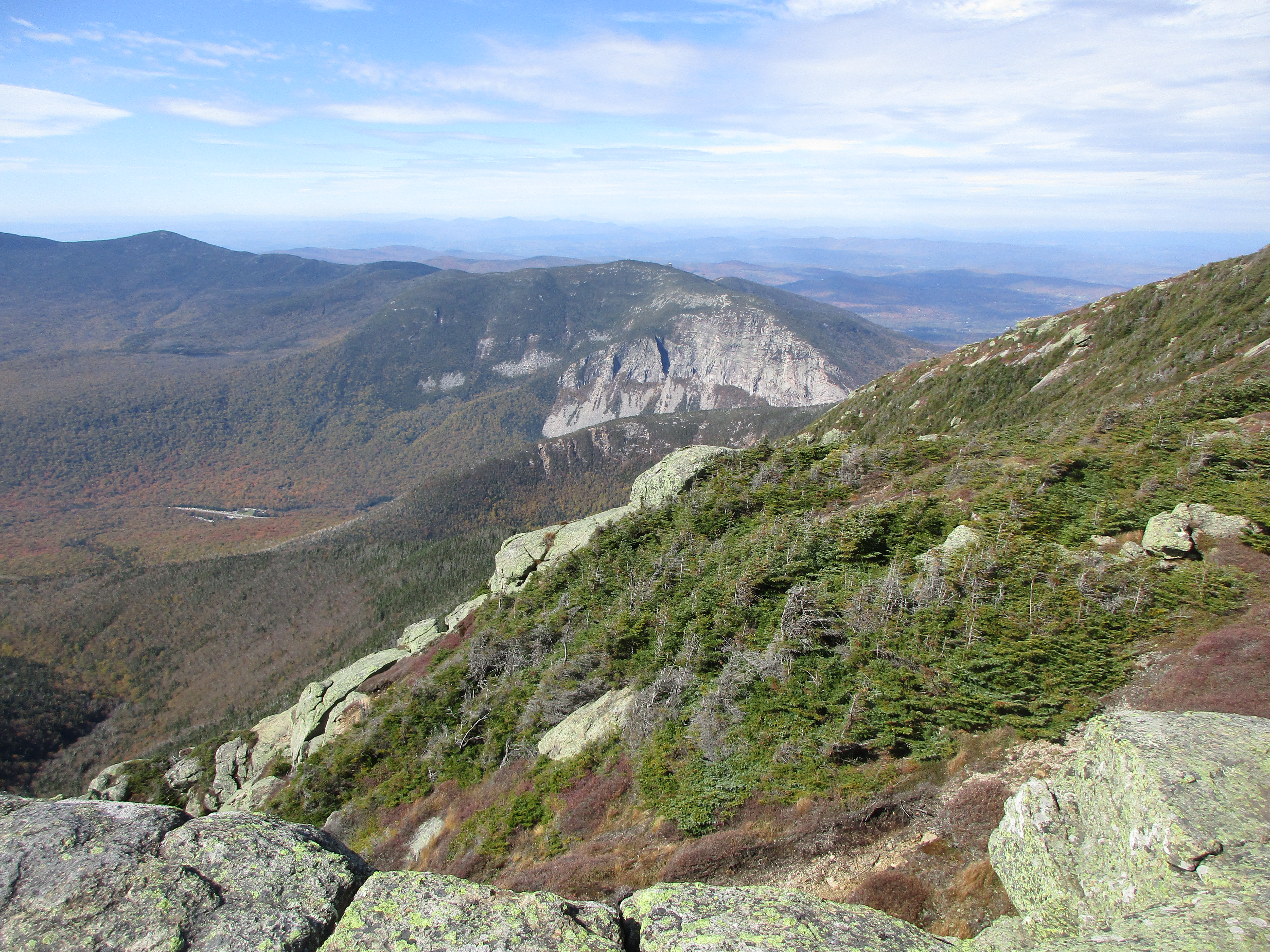
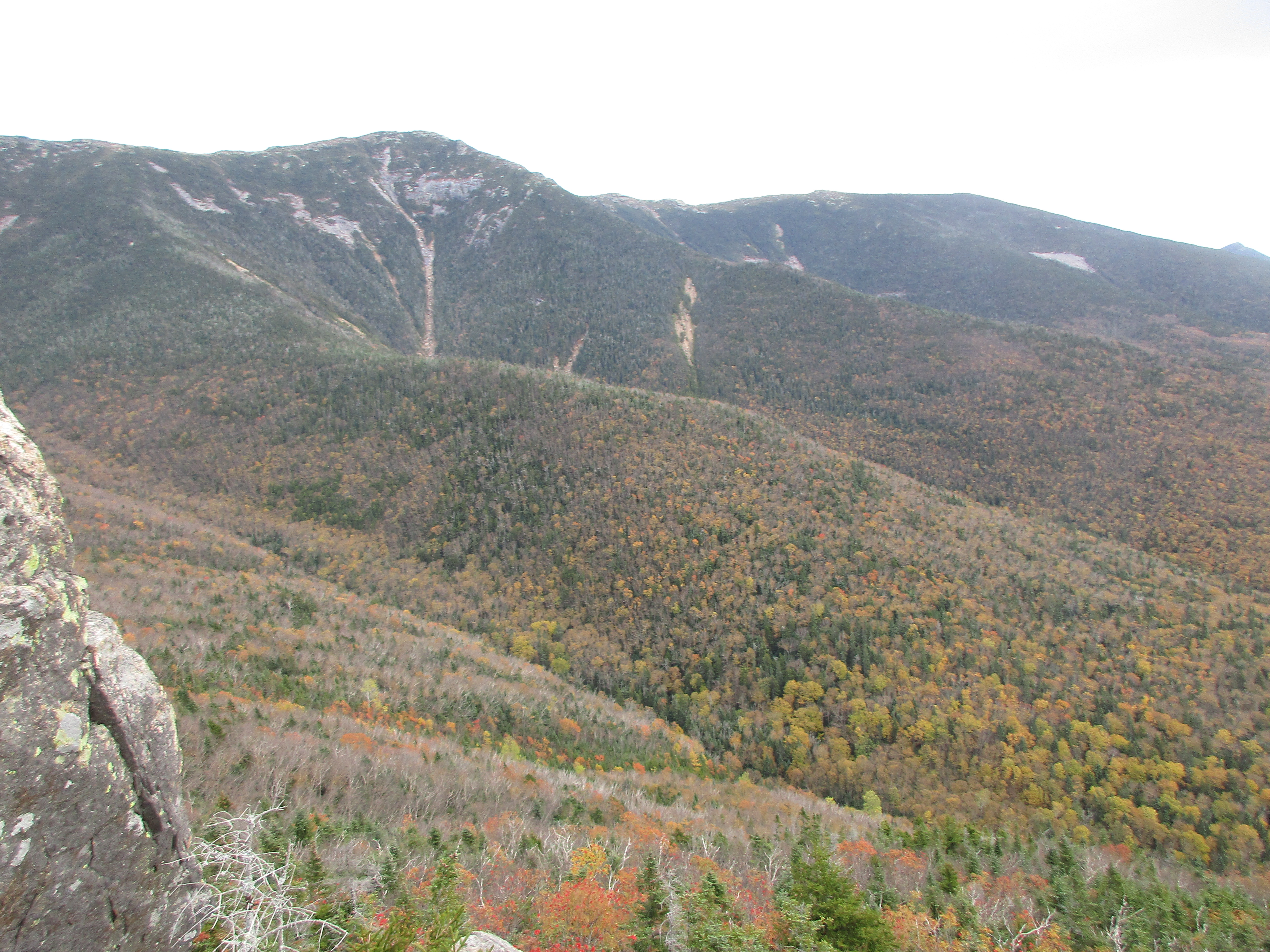
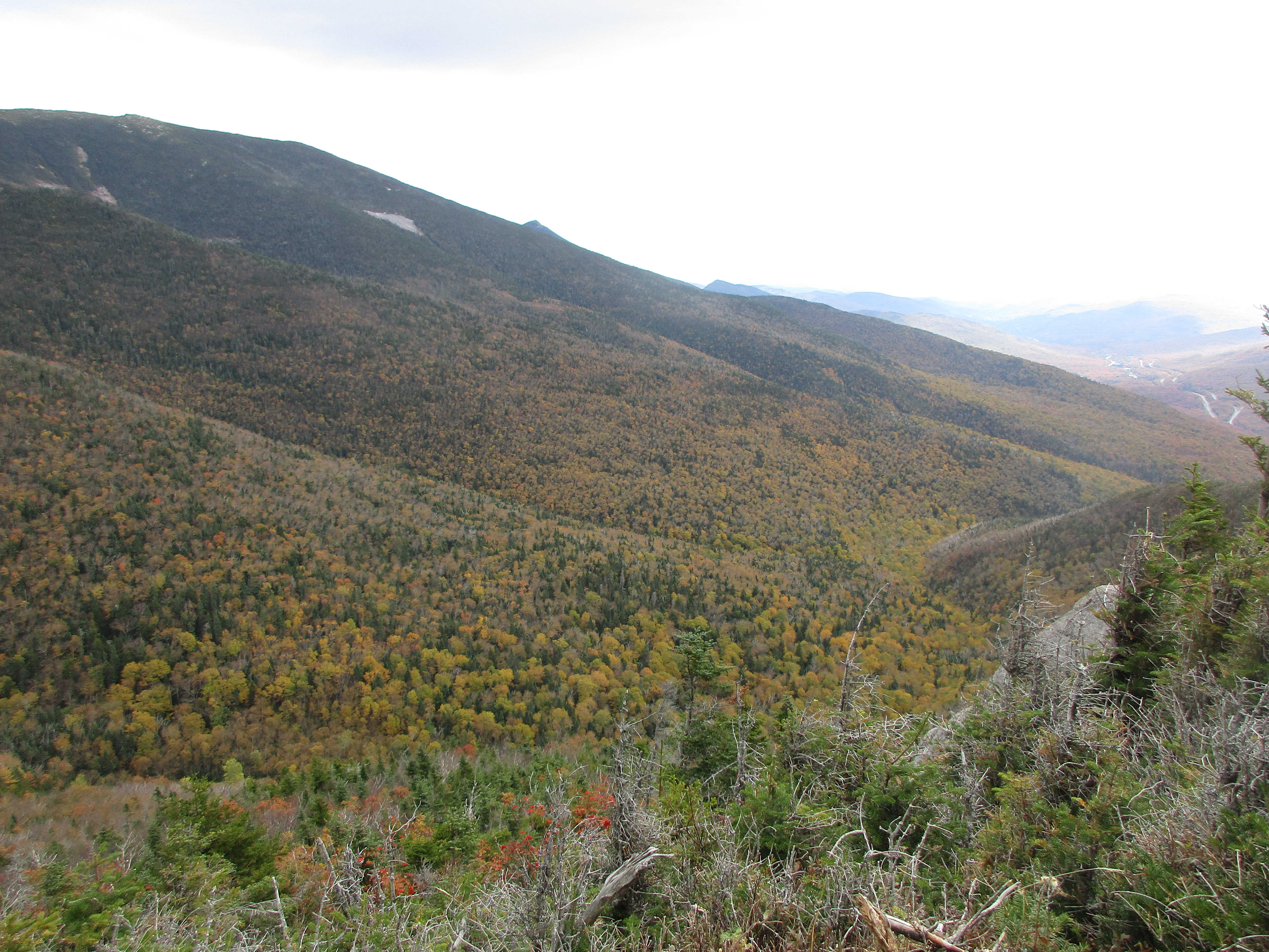
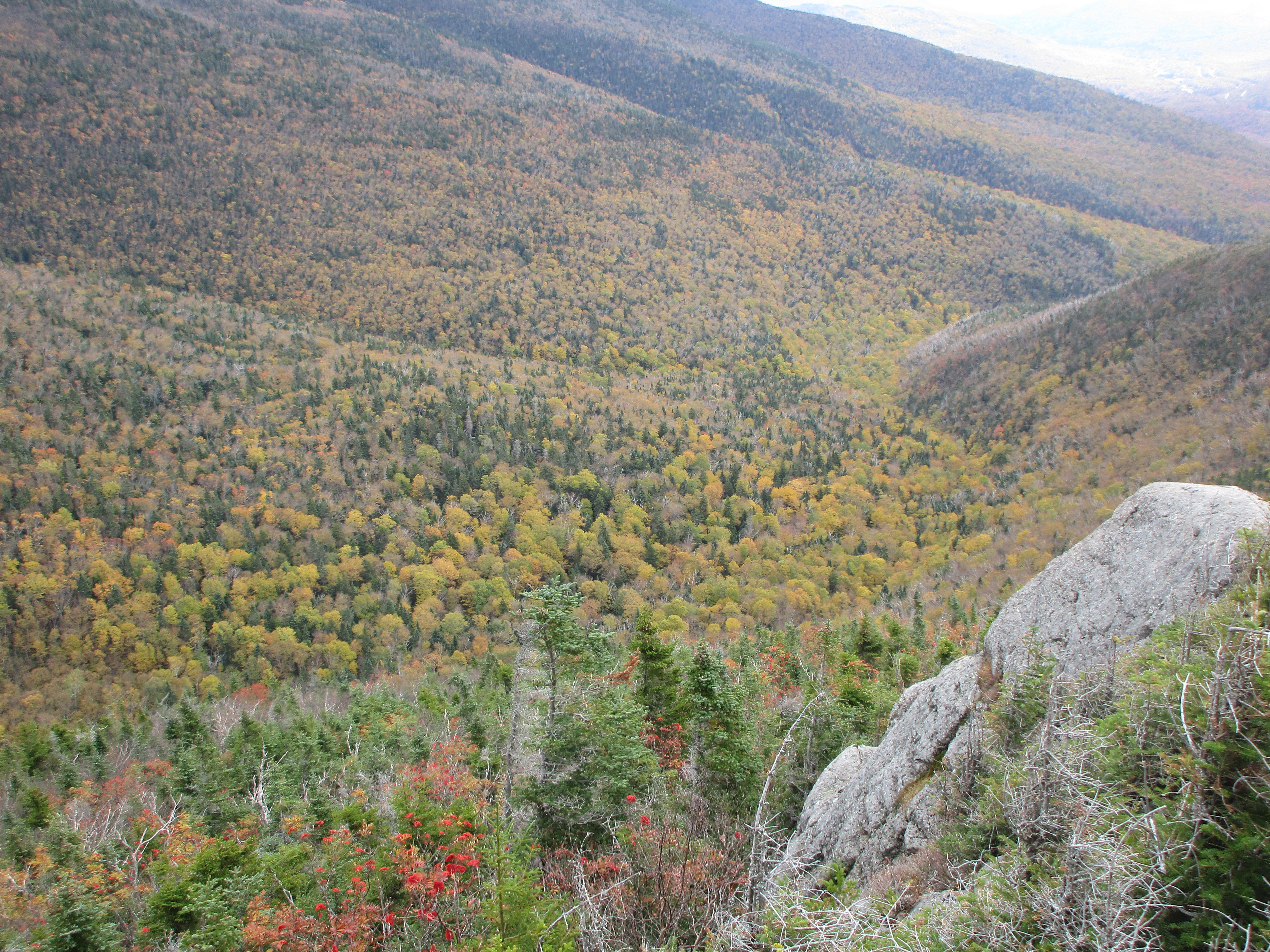
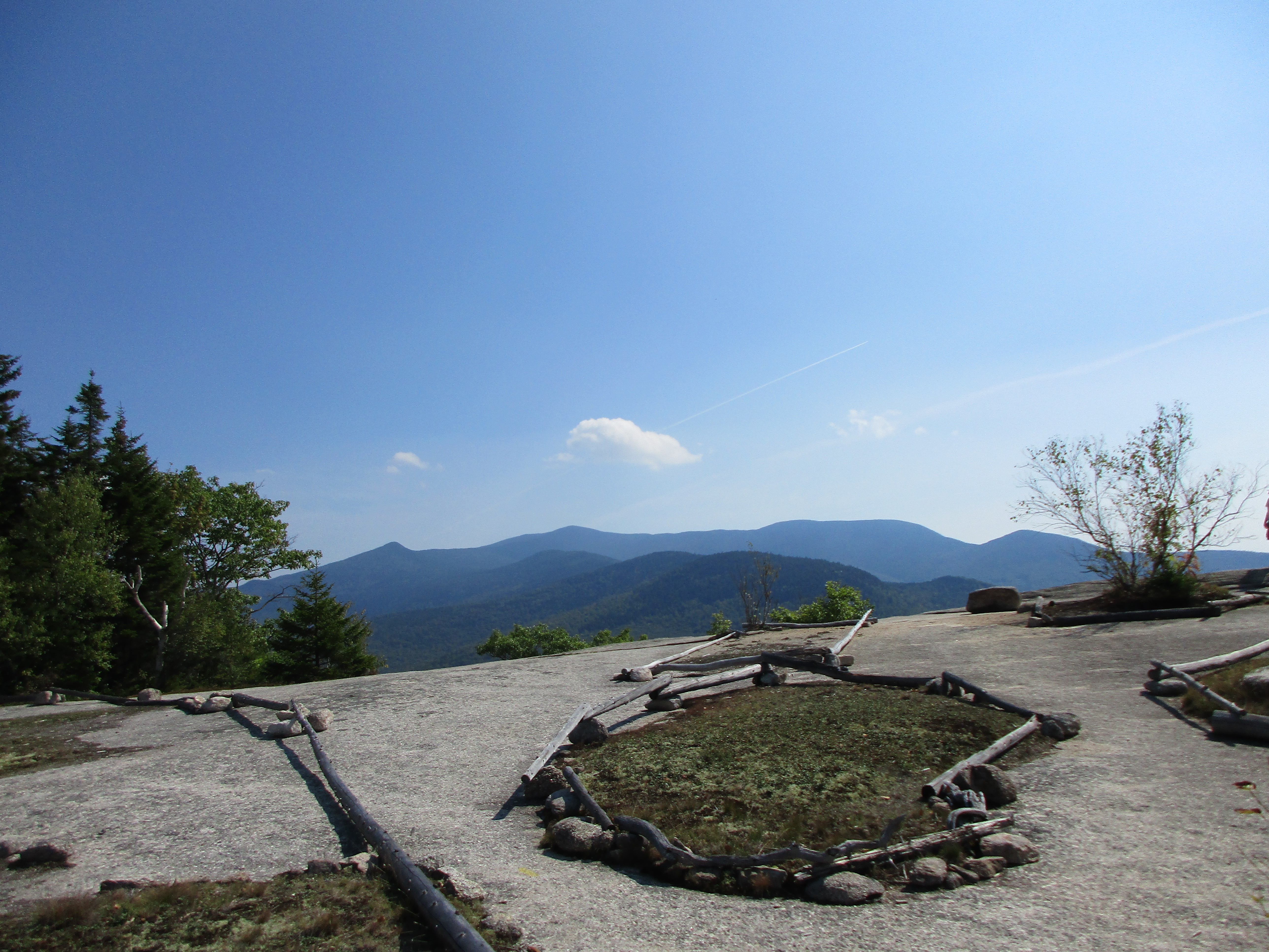
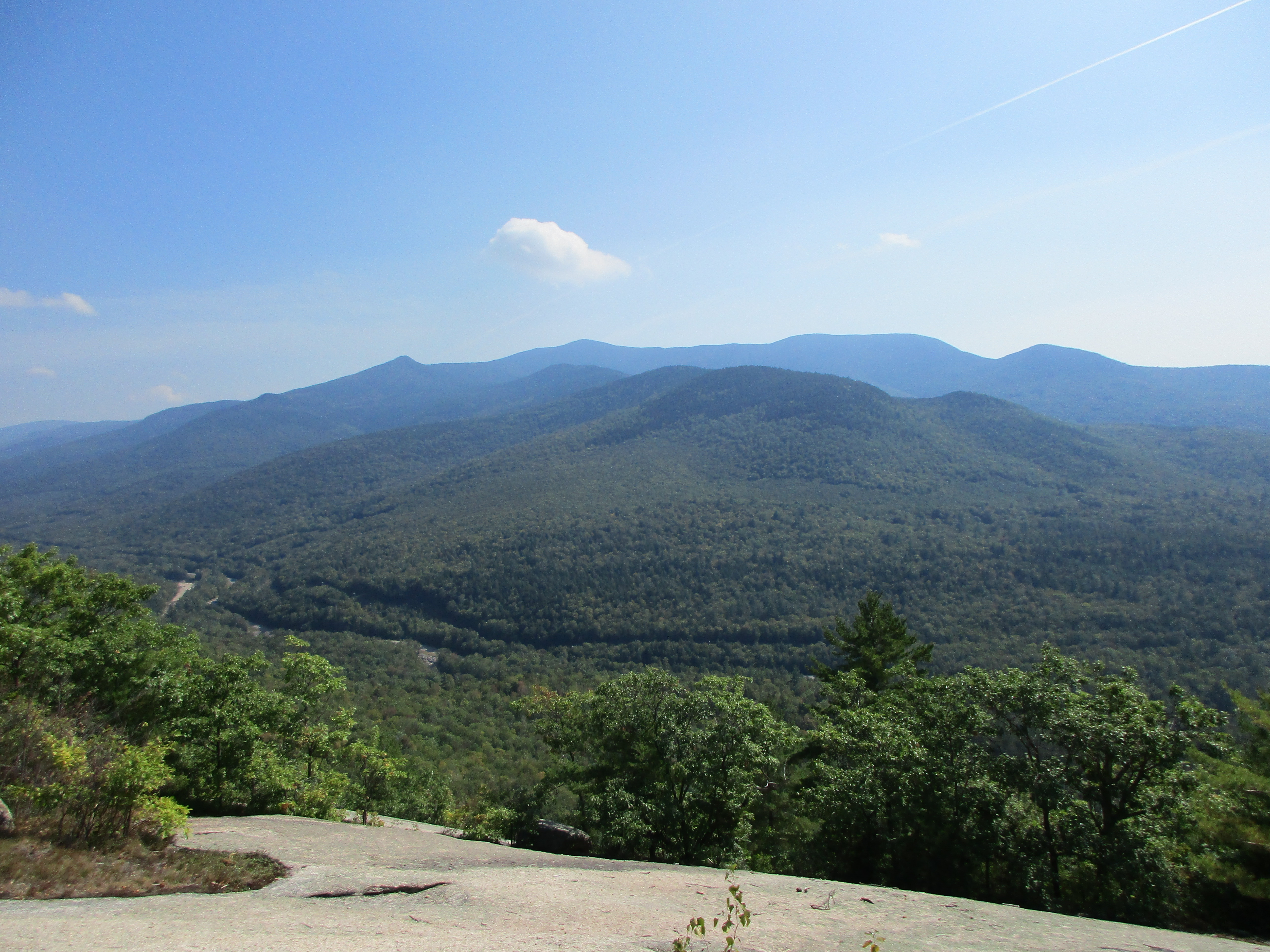
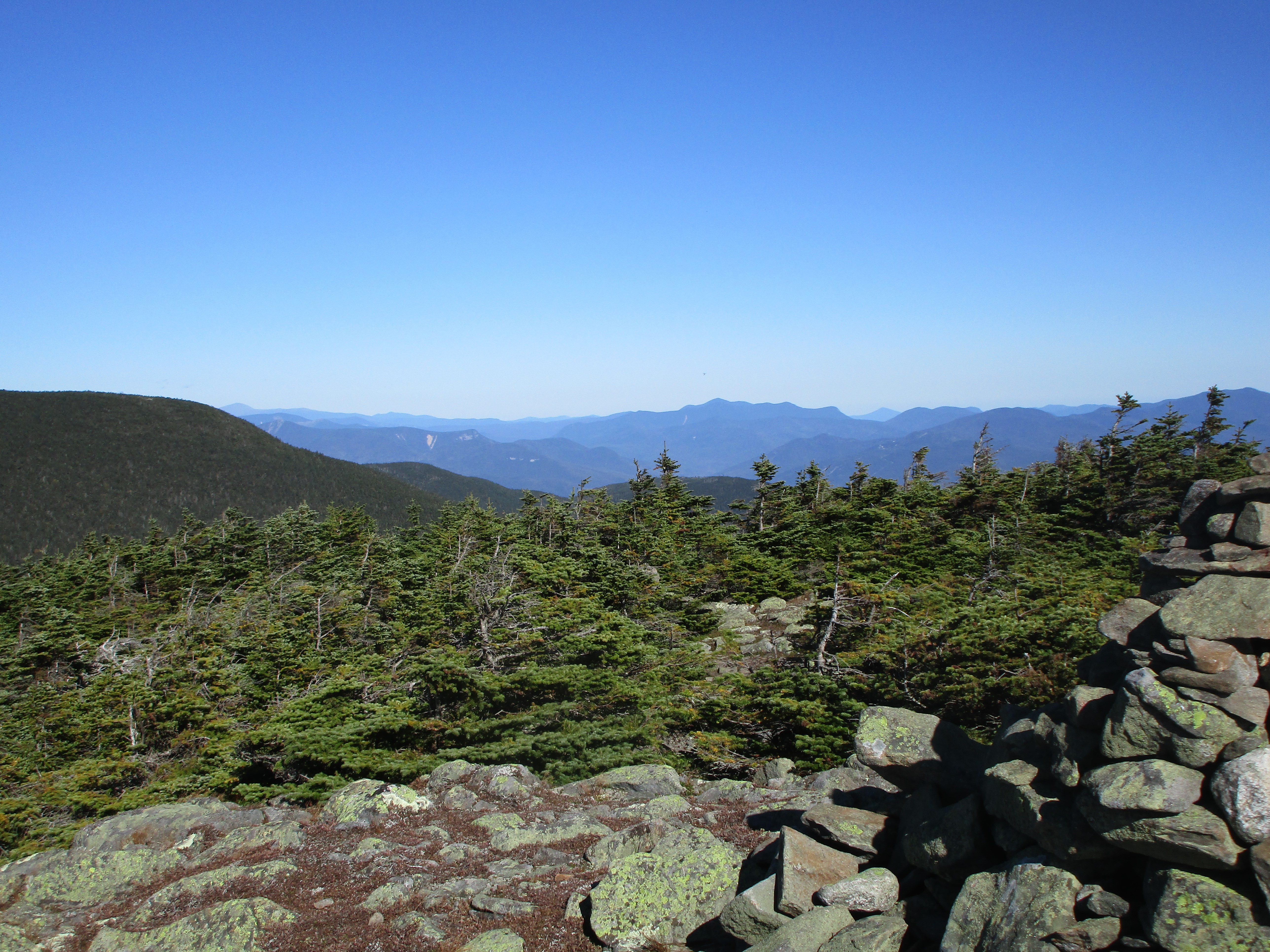
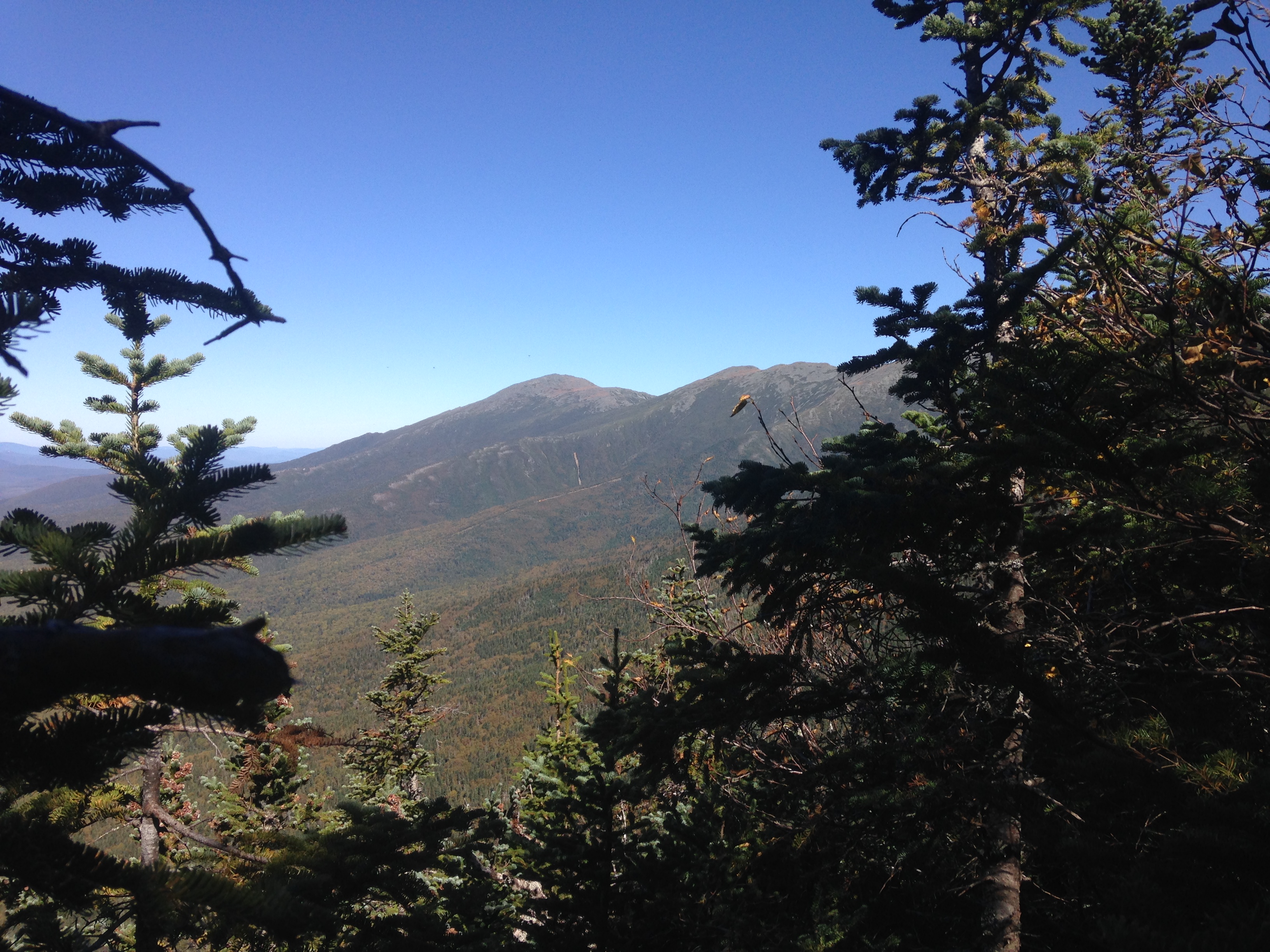
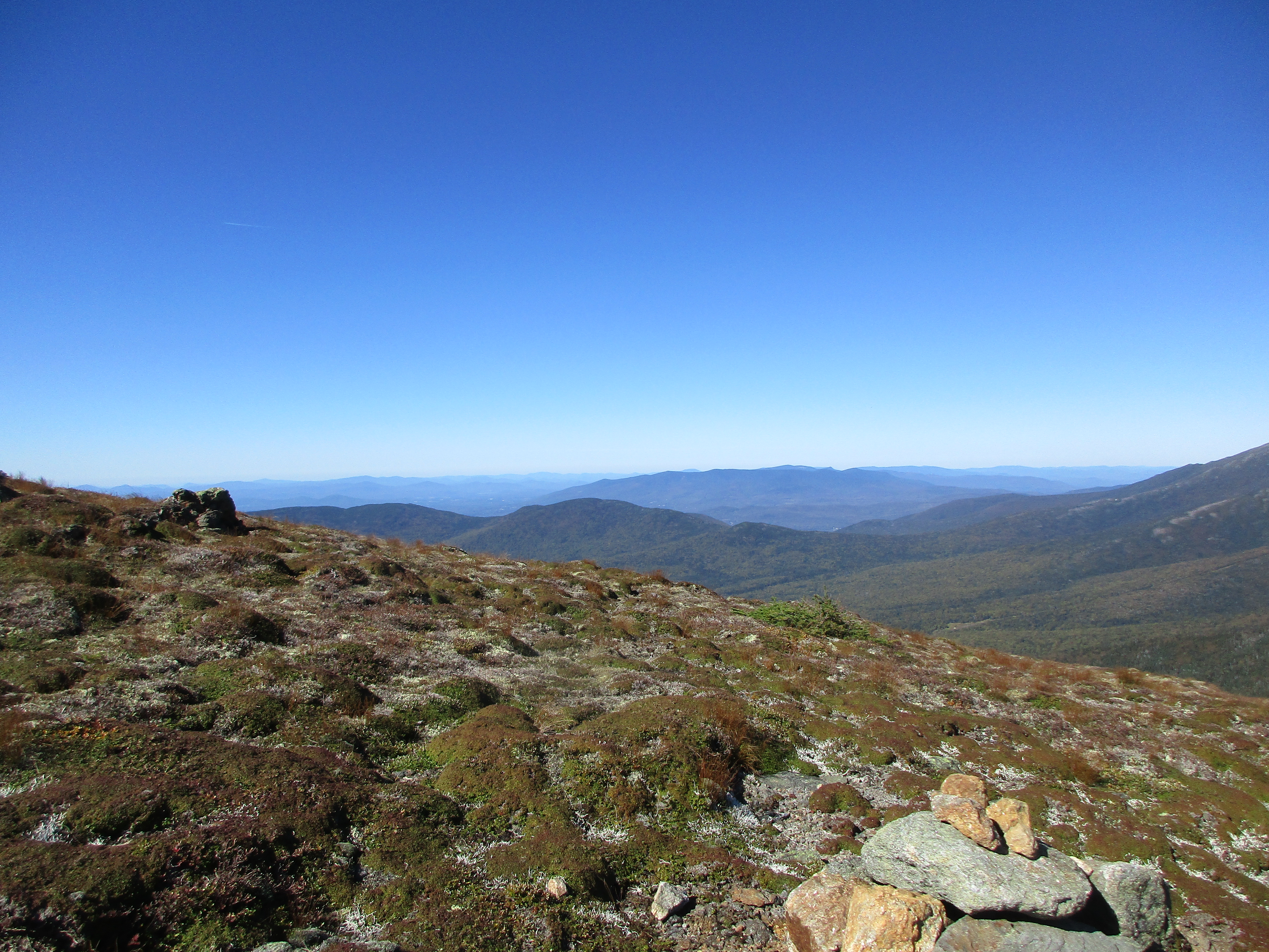
Aside from all of this, it is a gorgeous day for a winter walk. I had missed the snow and how it transforms everything into a different world, as I turn right onto the ridge to shorten this day to just the 2 peaks. I have slowed the pace and am paying closer attention now since my moisture issues and things are staying dry now with a lighter insulation layer vented to expose my base layer and keep me cool. All part of the adjustment to winter.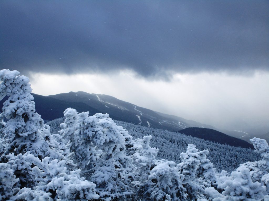 Making my way toward Mid-Carter, the frosty coatings on the trees and partial scenes of Presidentials and Wild River Wilderness come in and out of view. In a more exposed area, the wind is picking up now as I am back into full layer mode and reach what I believe to be Mid-Carter summit, although there don’t seem to be any markings. I take some beautiful shots and continue onto South Carter. I pass a semi-deaf pair and they seem as baffled as I was about the summit markings – Good to know I’m not the only one.
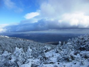

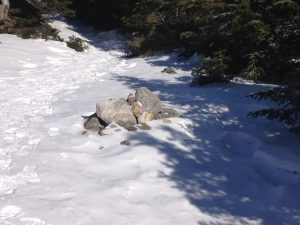
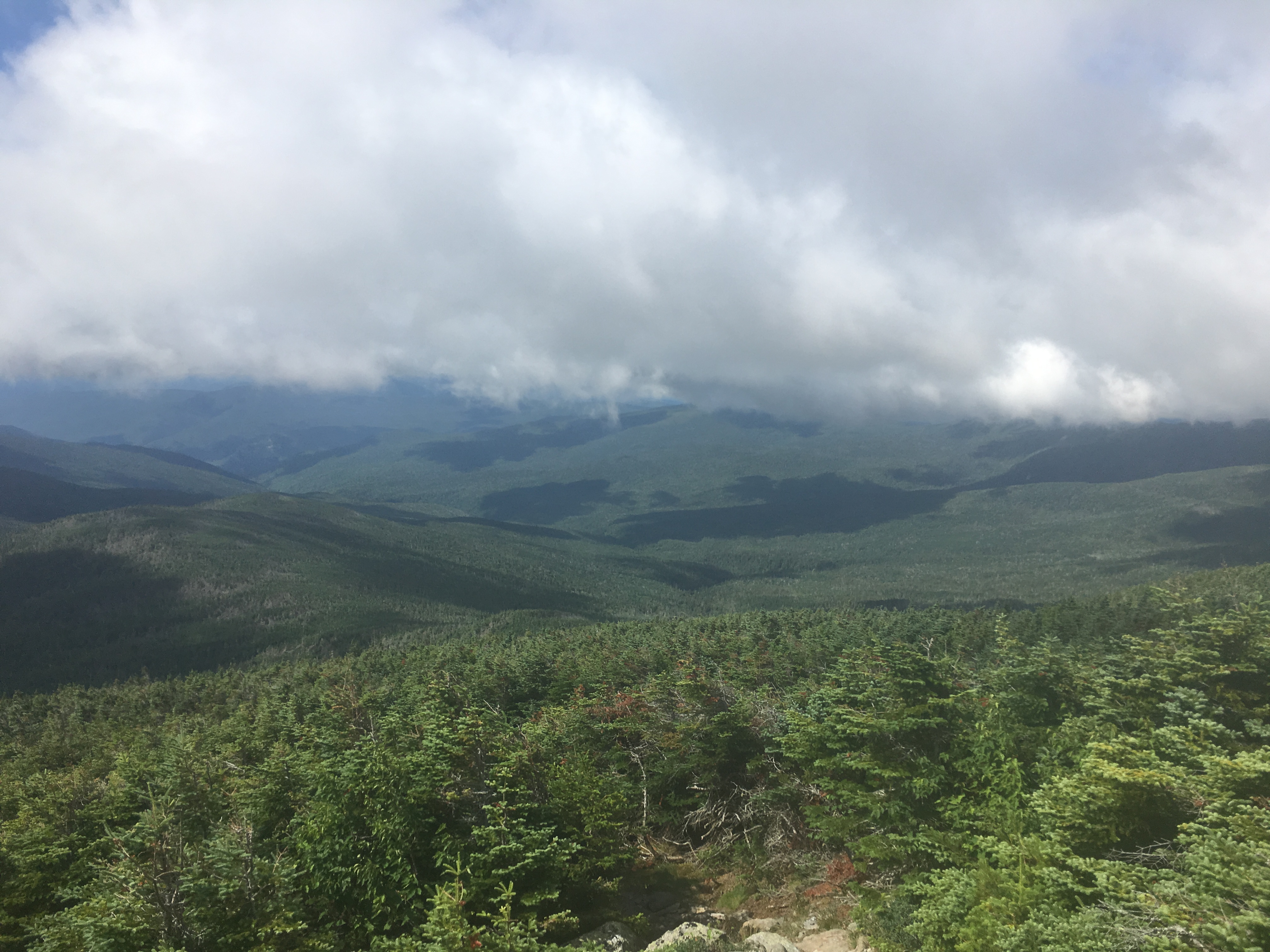
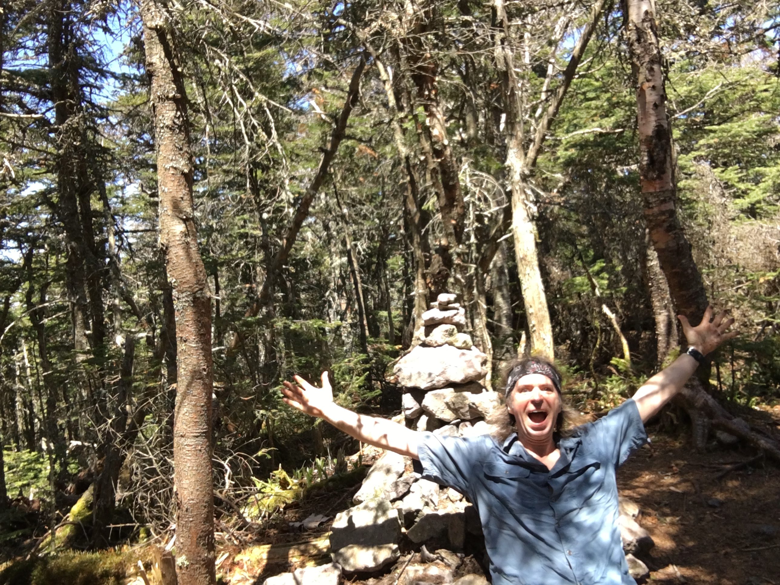
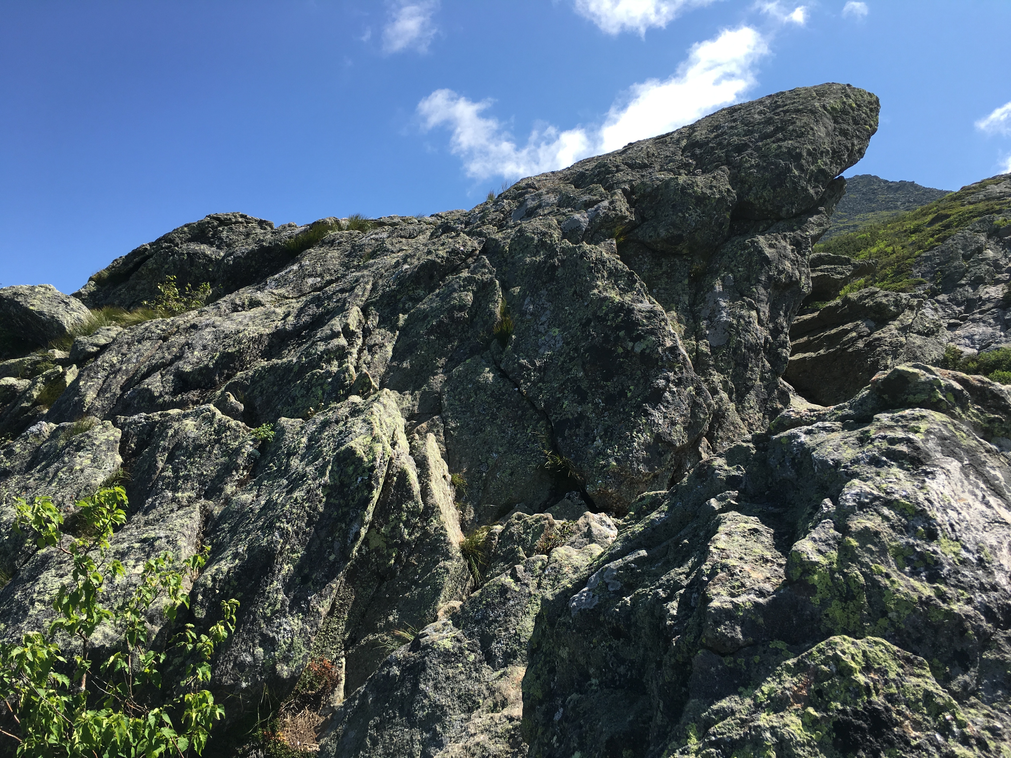
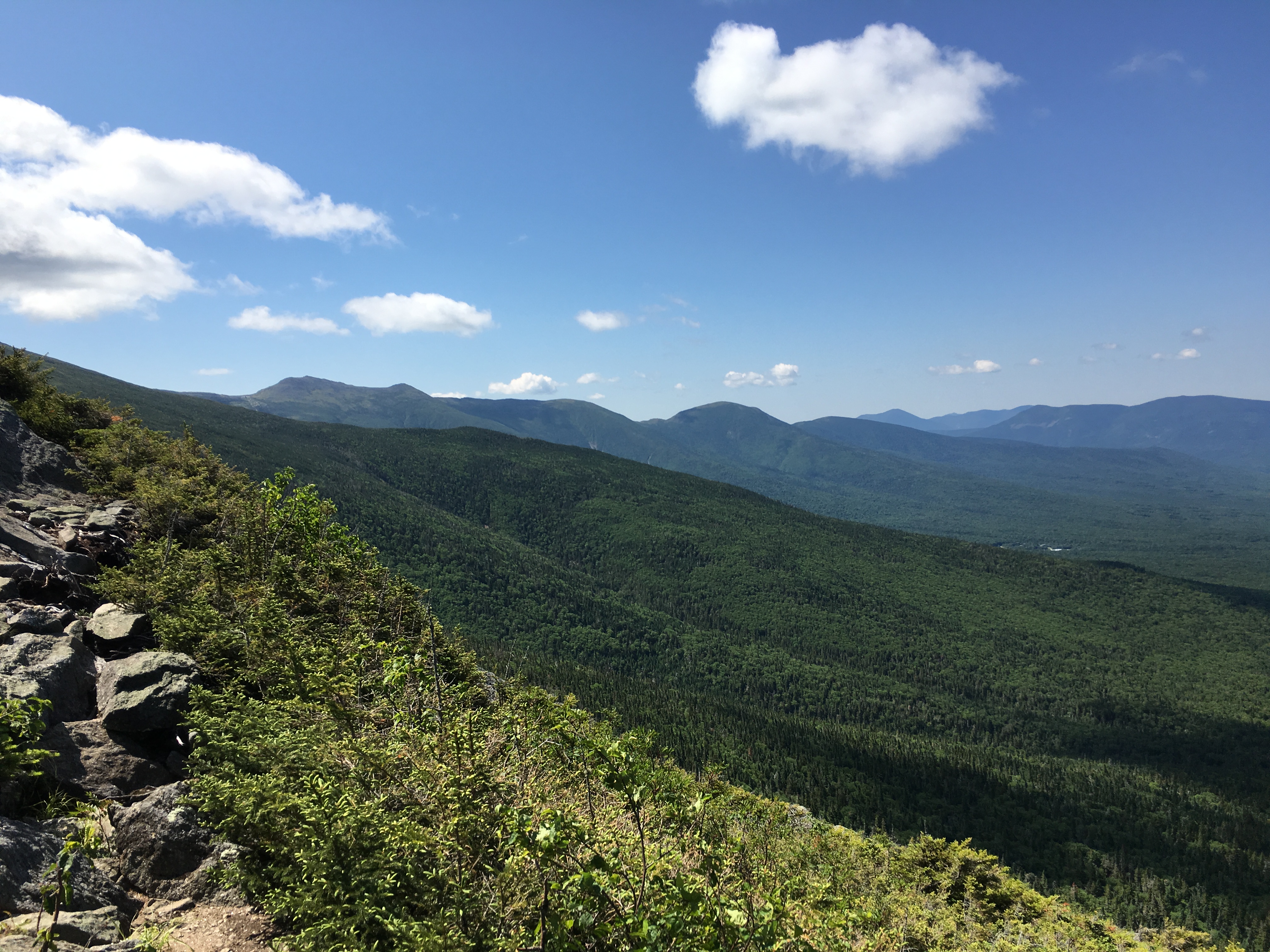
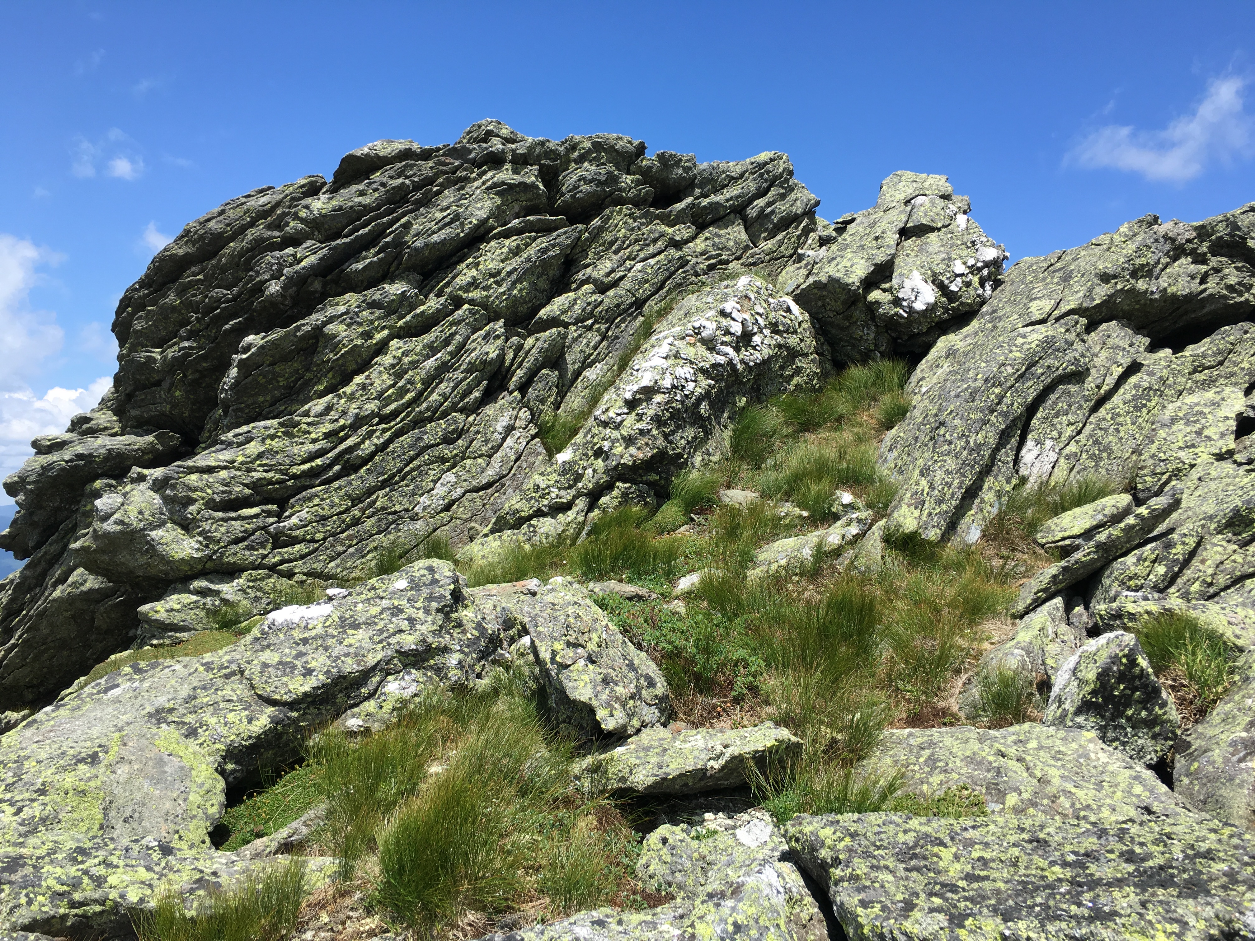
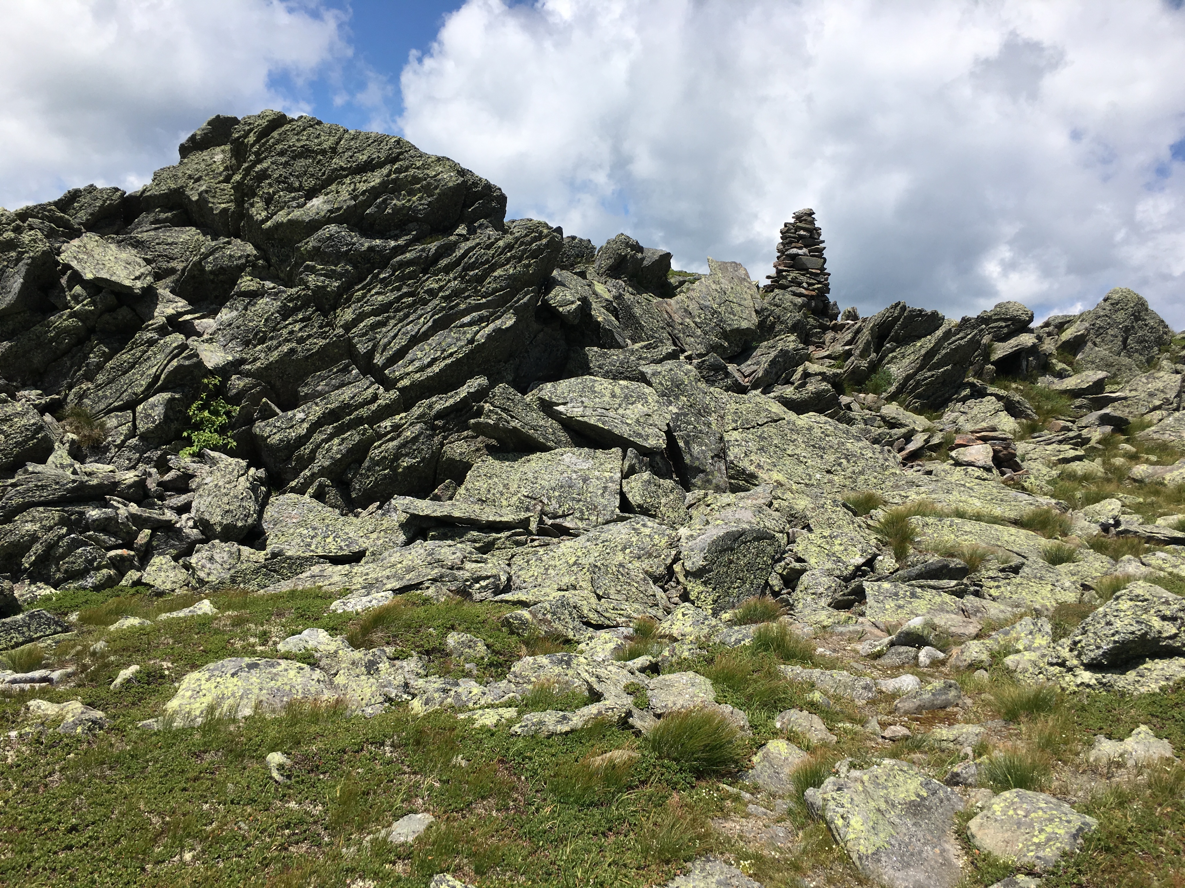
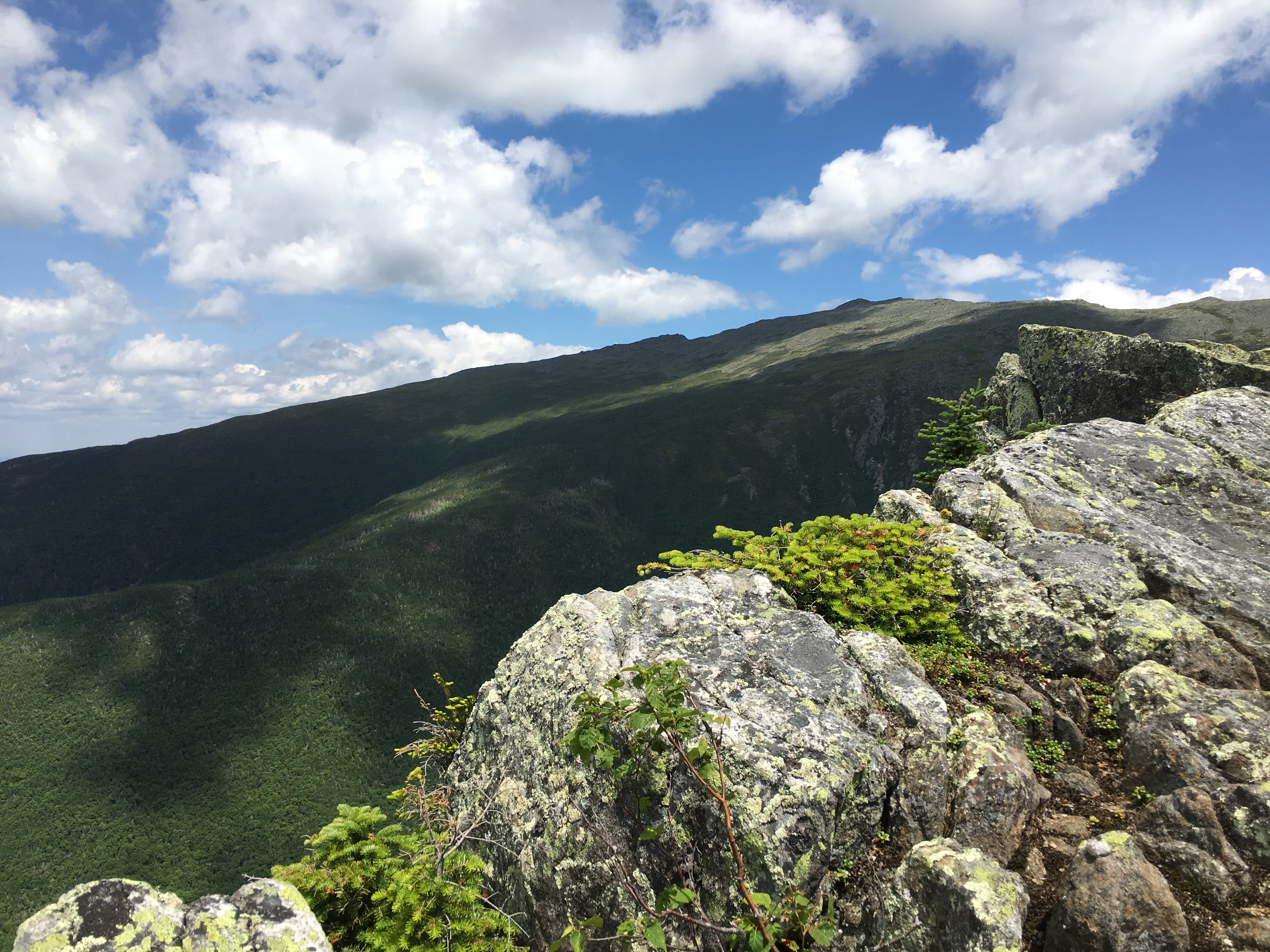
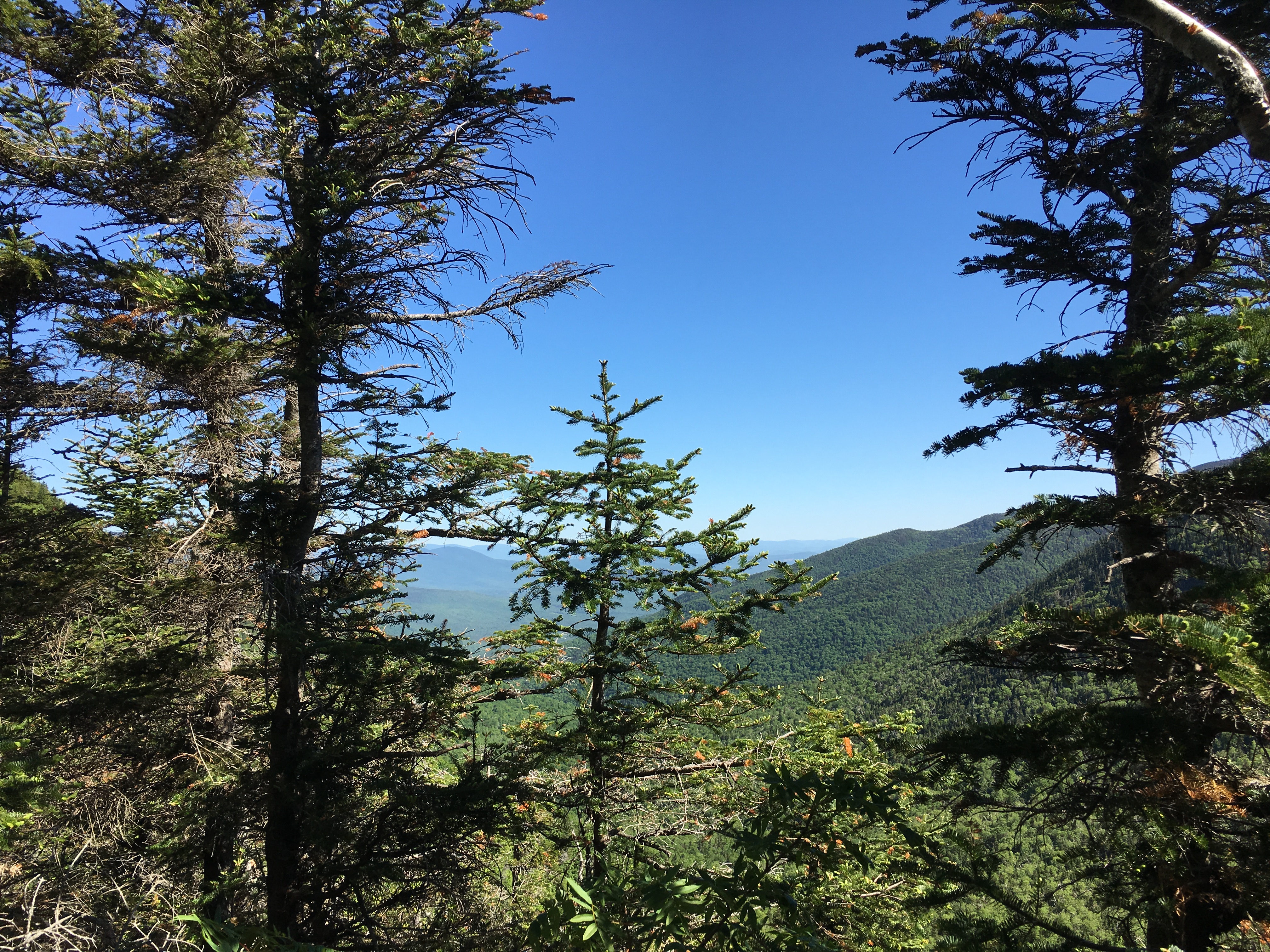
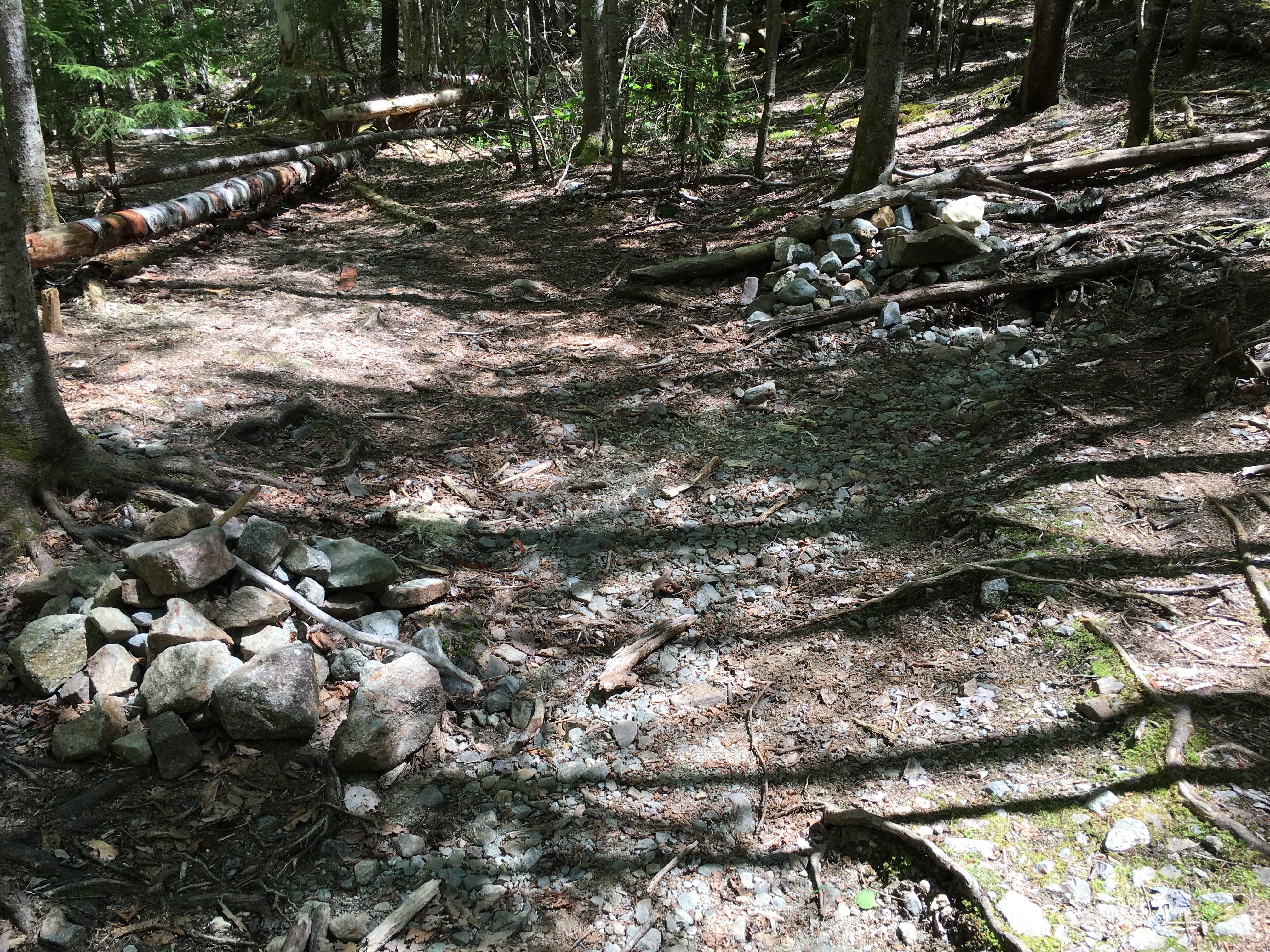
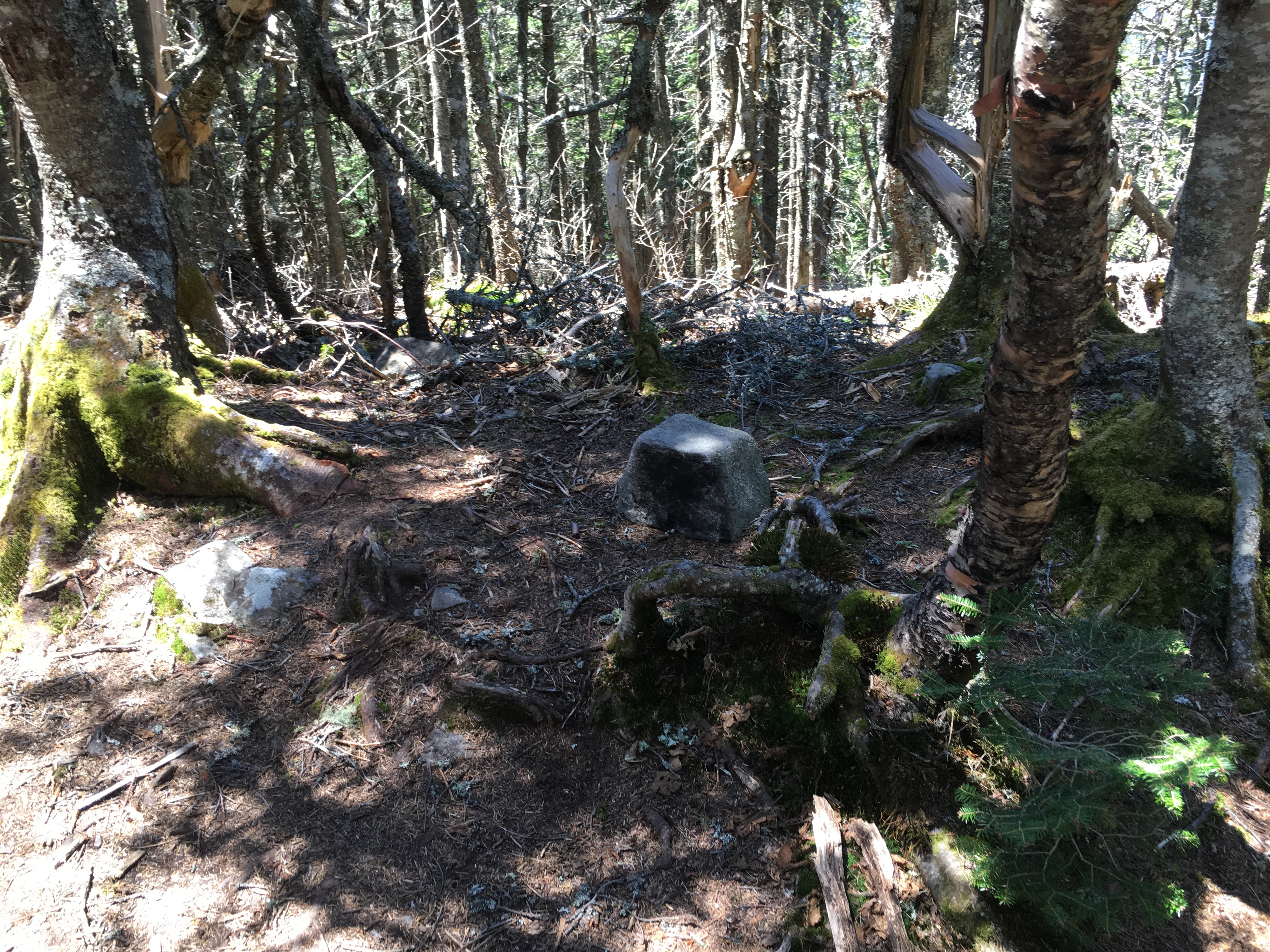
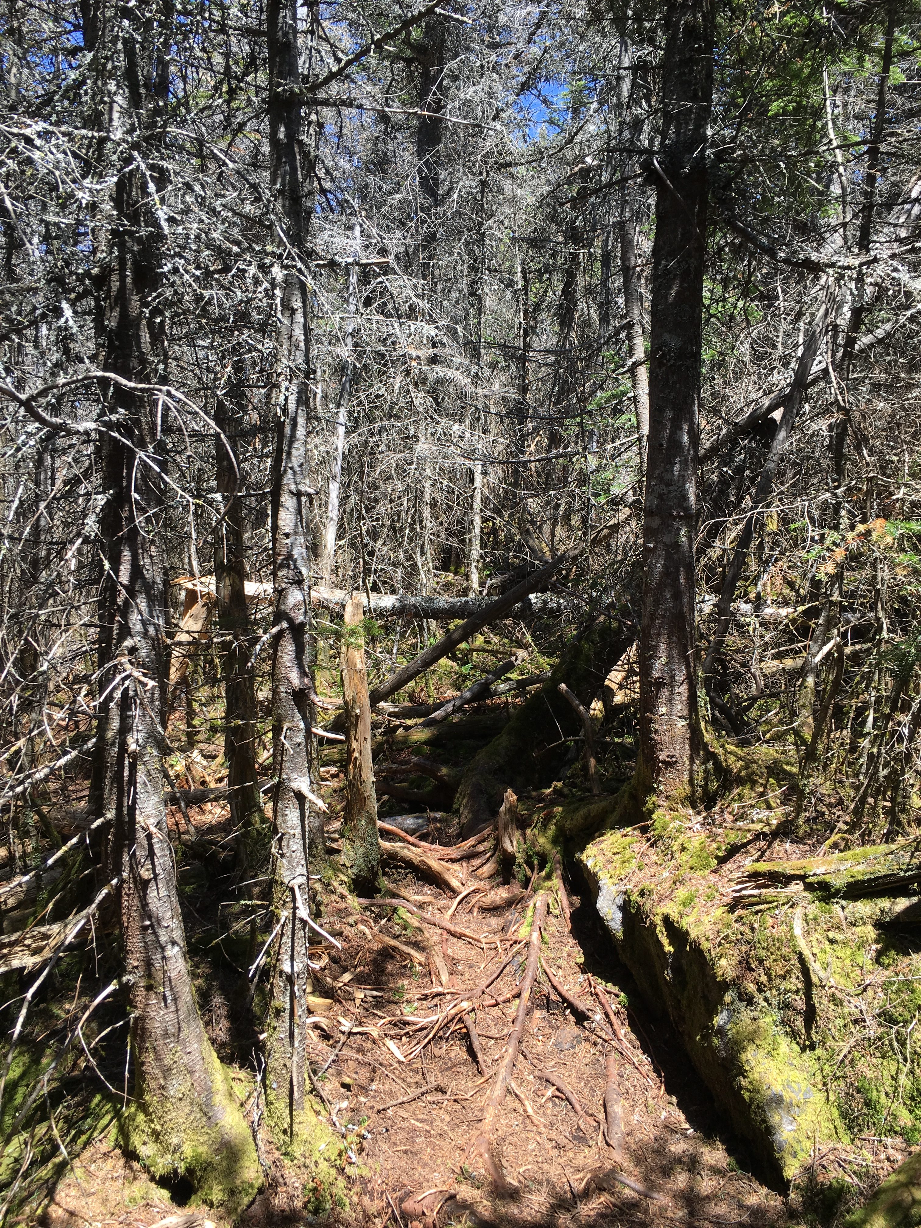
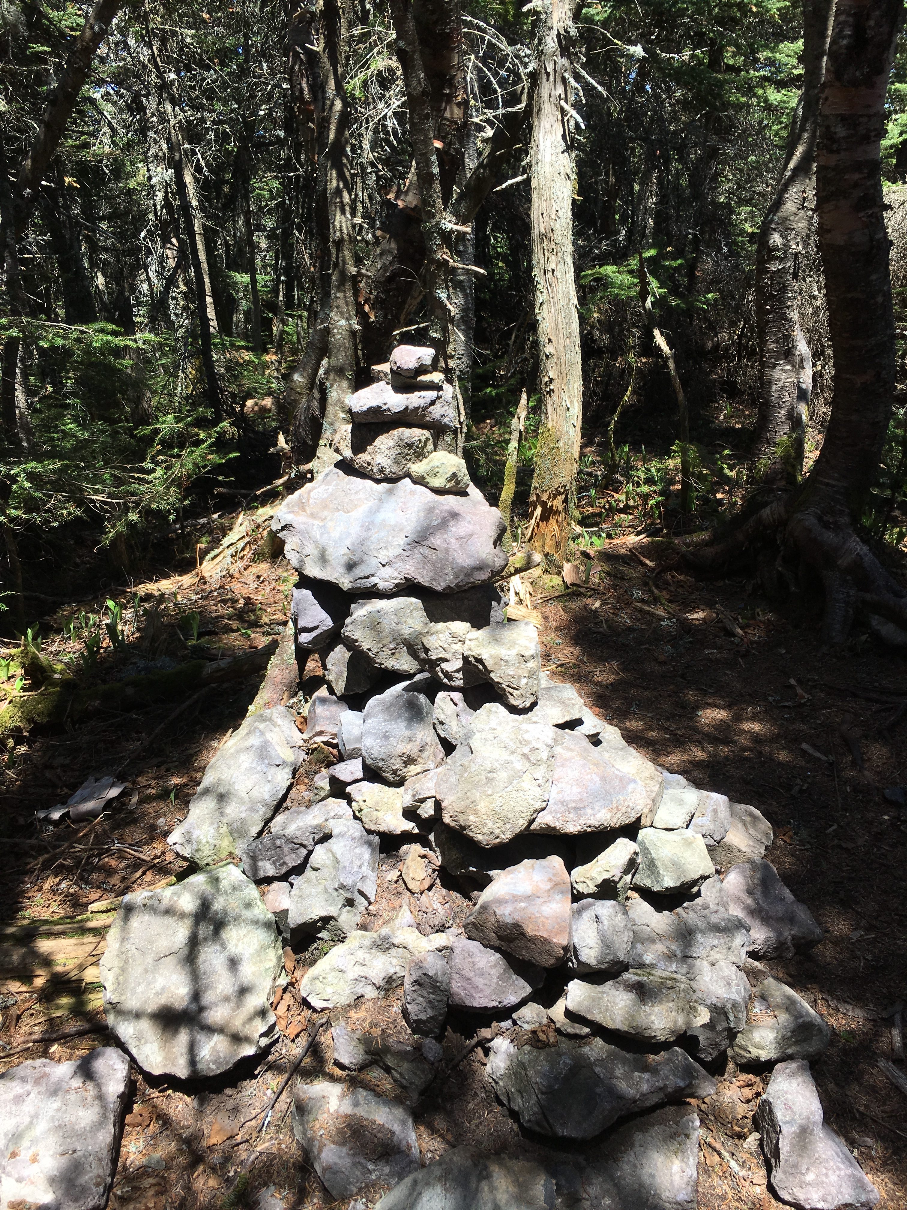
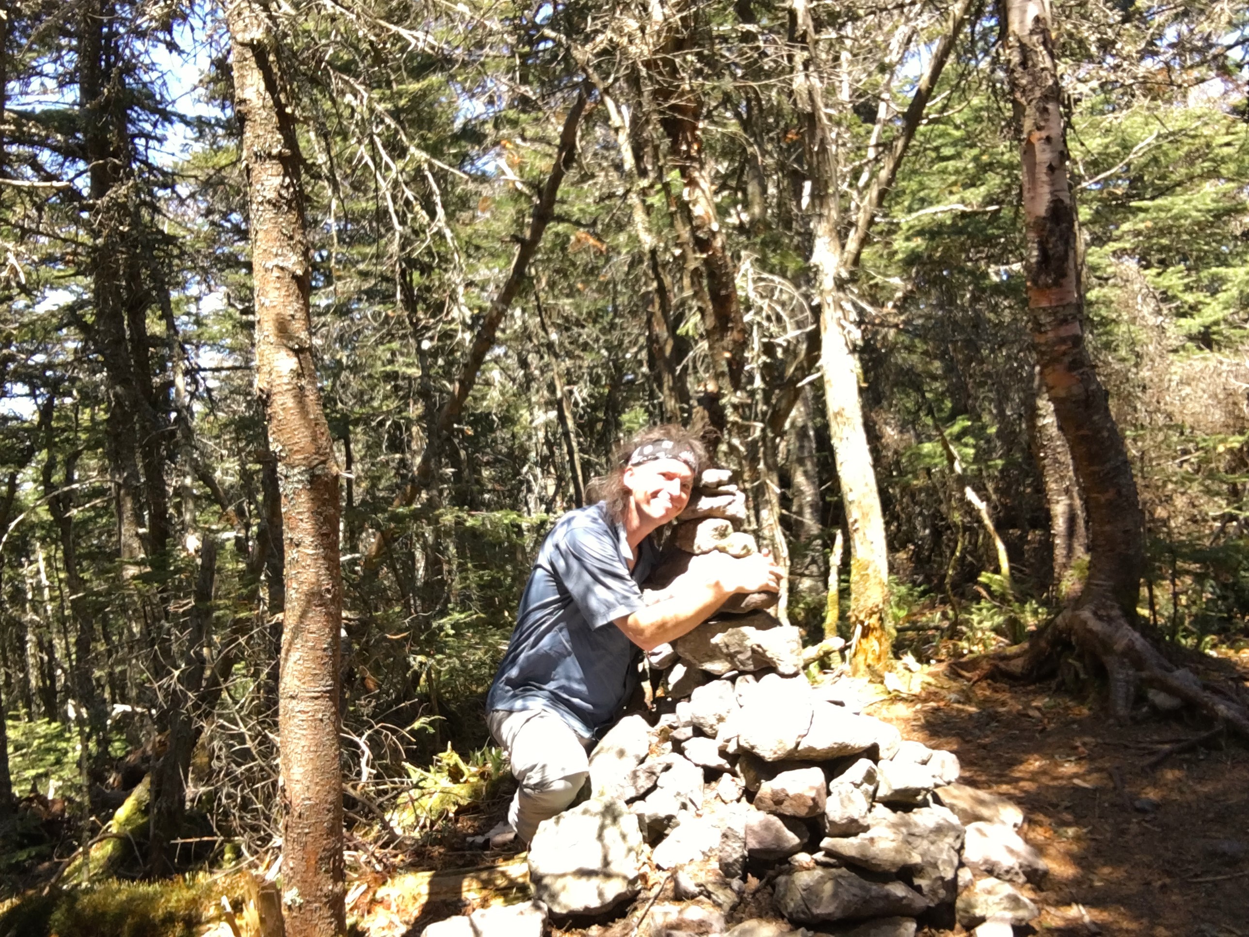
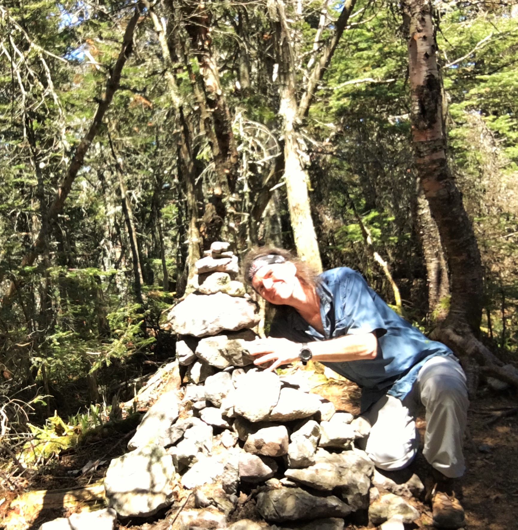
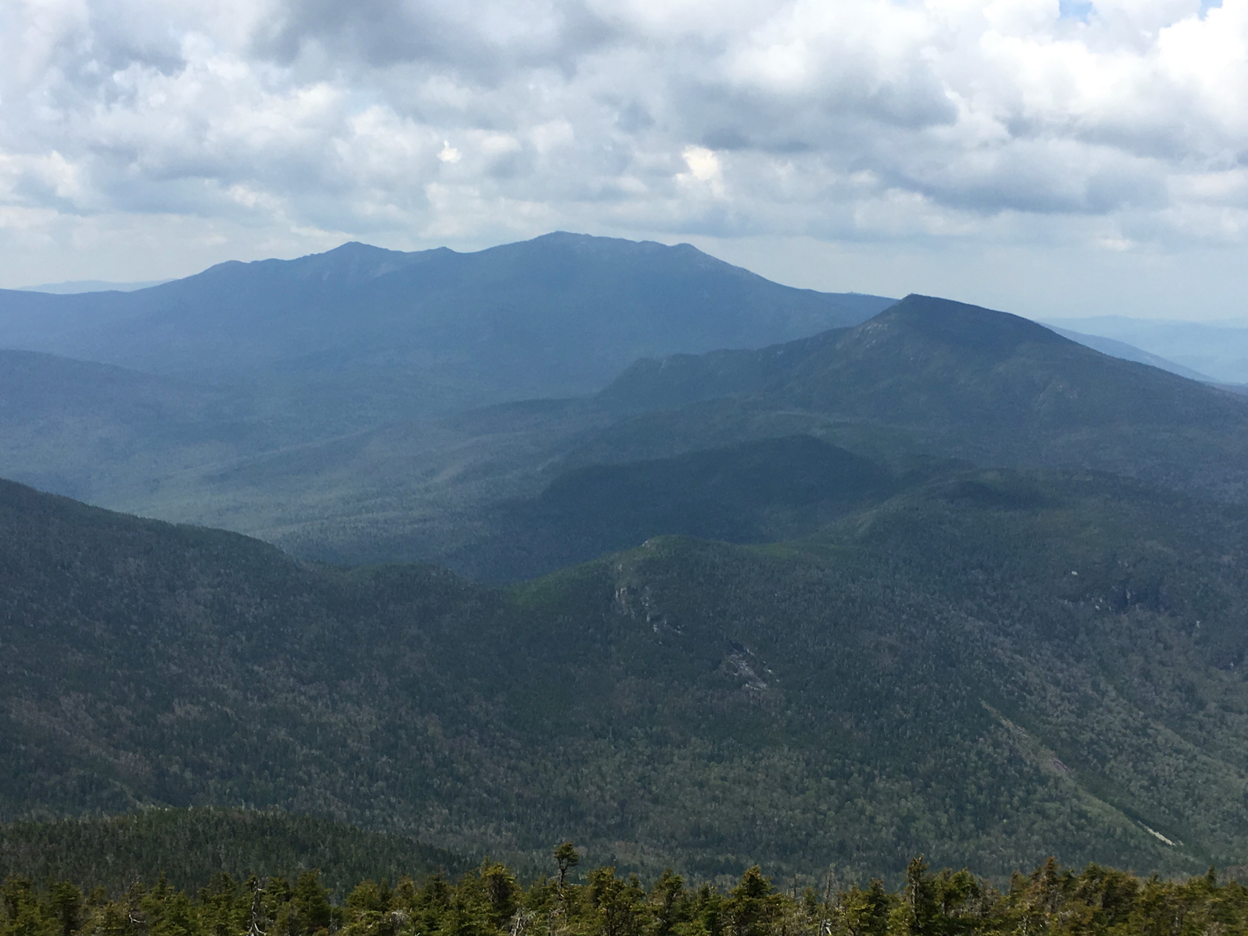
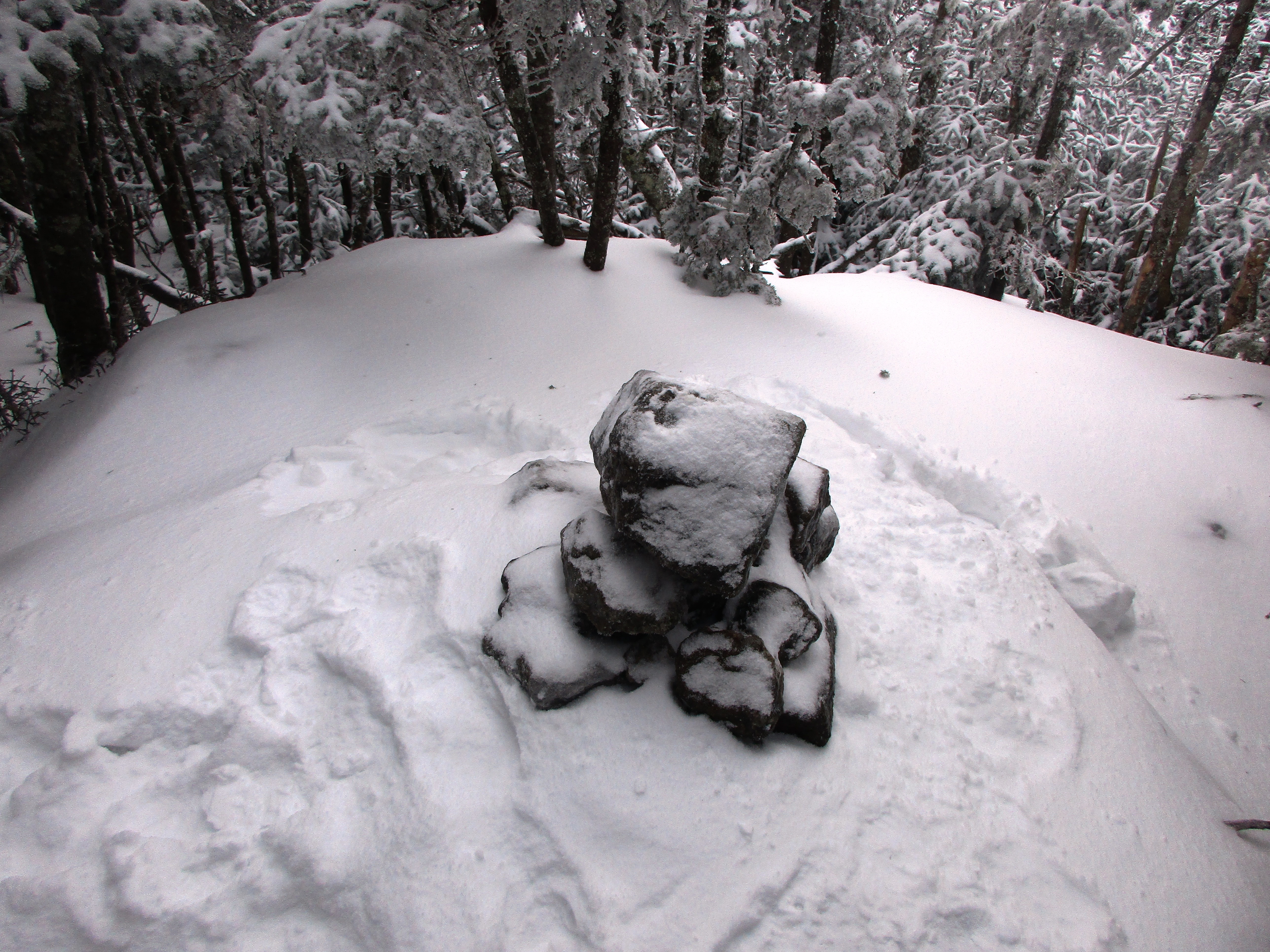
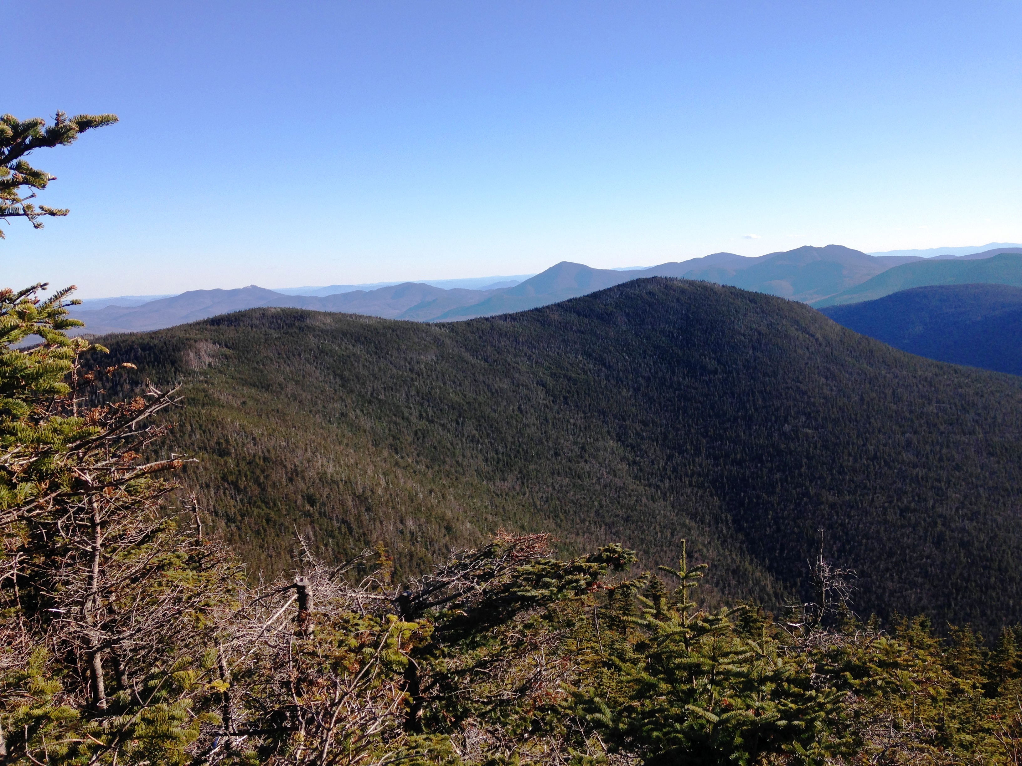
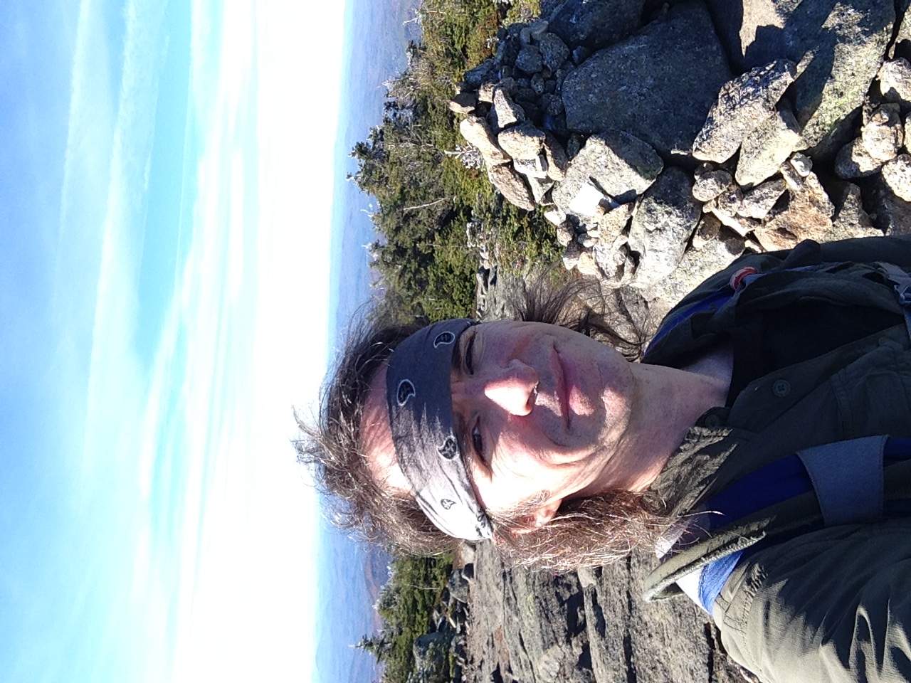
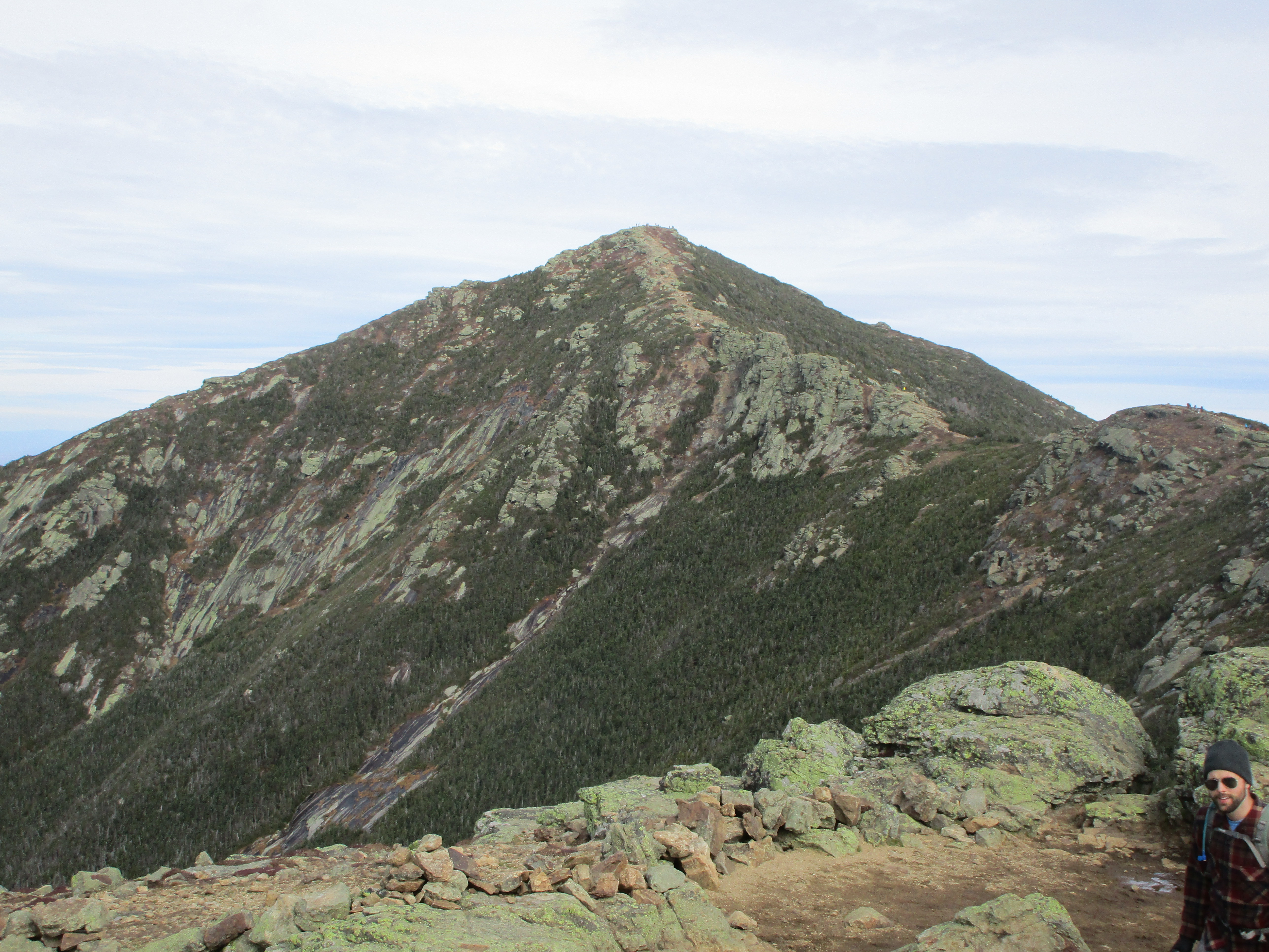
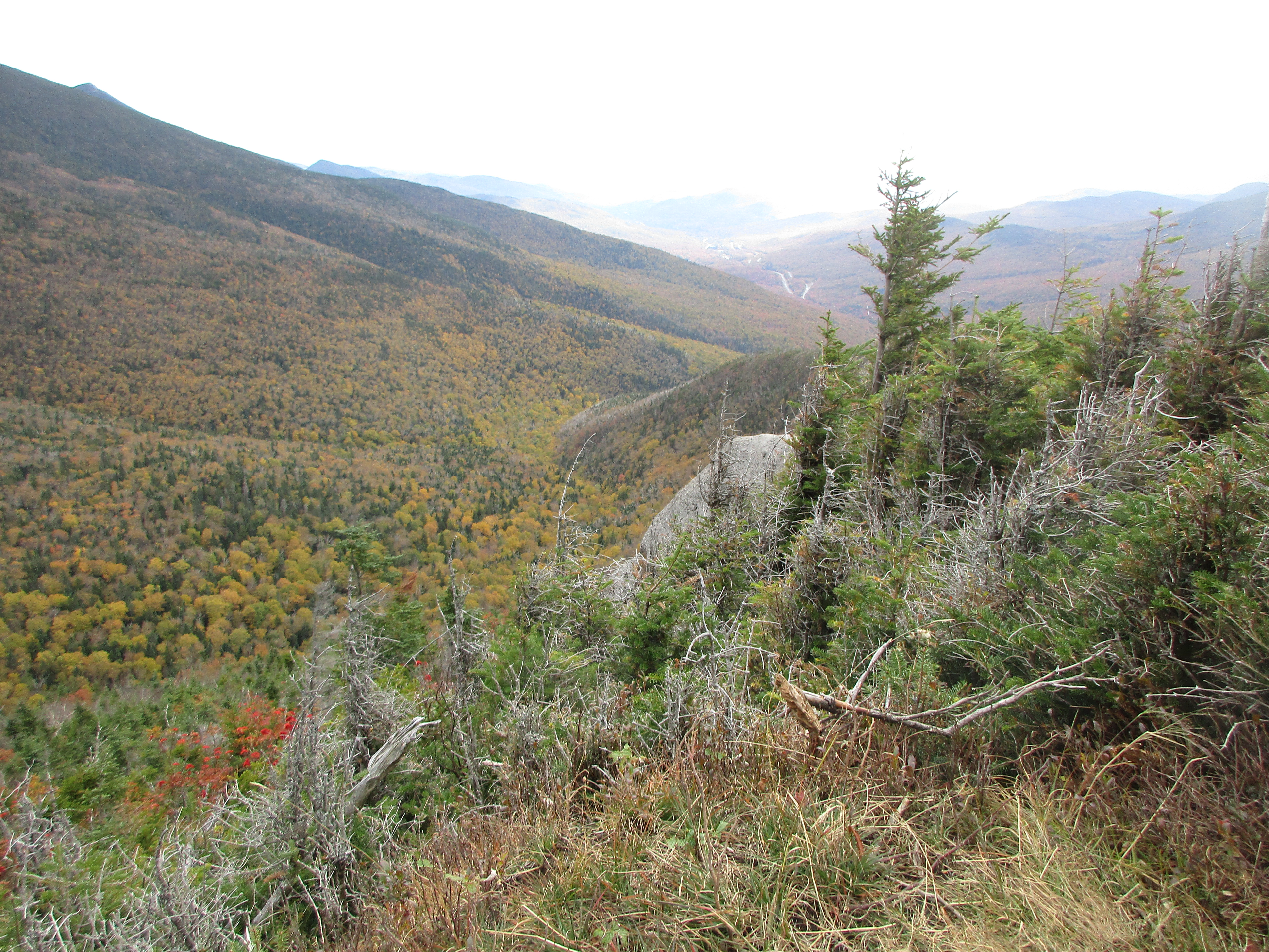
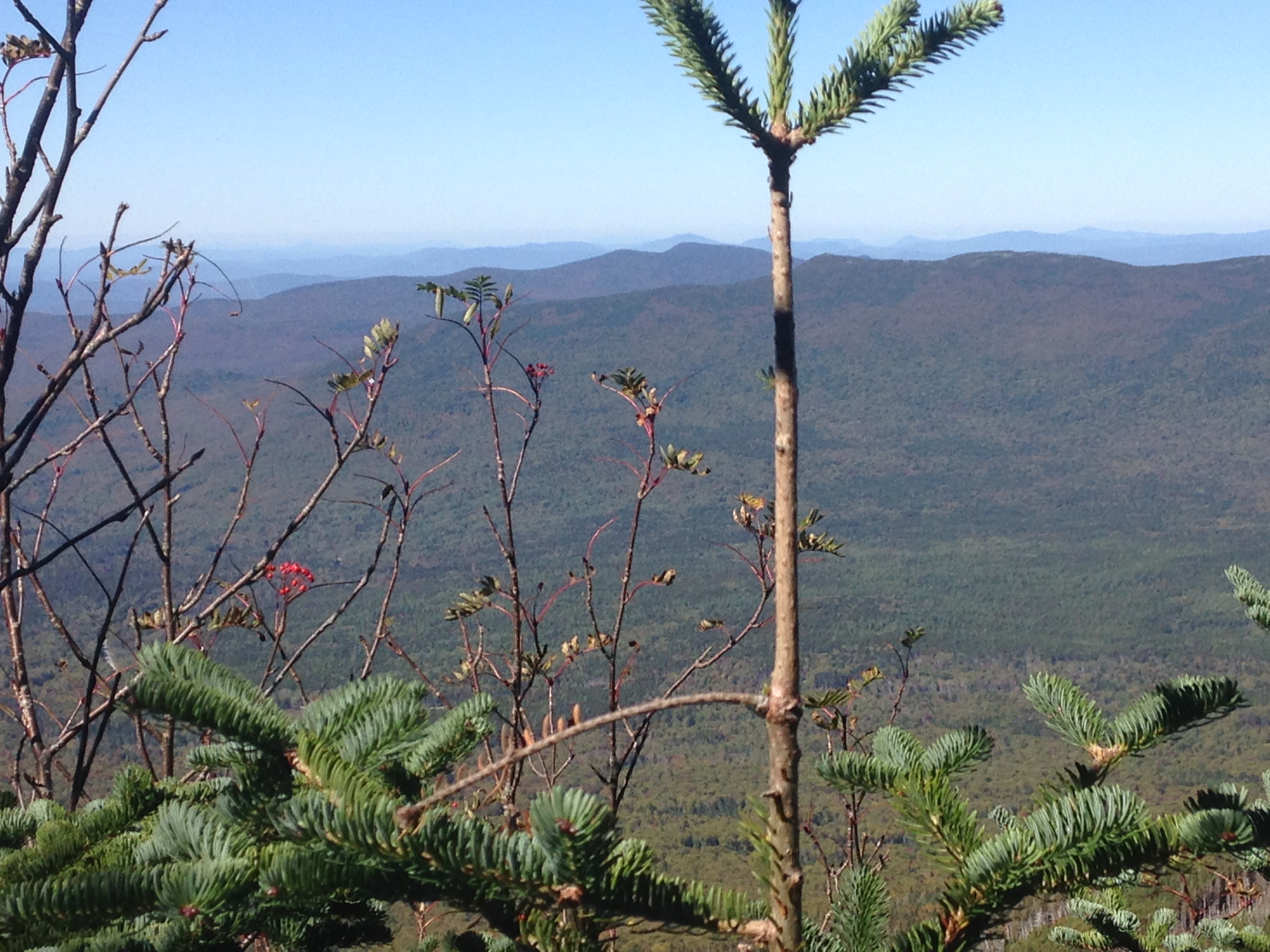
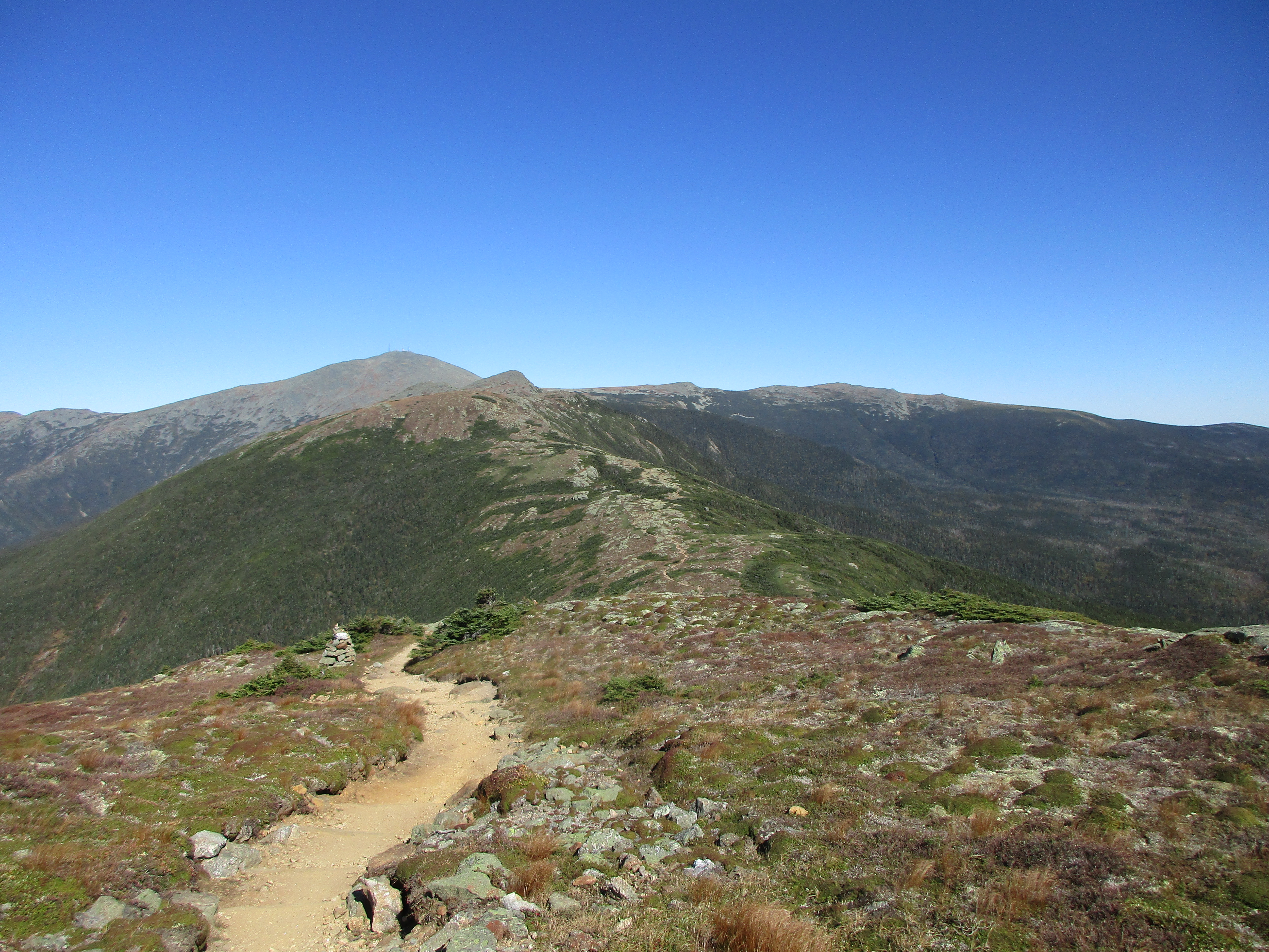
More views come in and out on my way to peak #2, and then I reach South Carter which is clearly marked with a cairn.  I stop for a bite to eat and meet back up with the couple from earlier and chat over some lunch. They are heading to stay at Carter Dome Hut but my detour will come sooner than that as I will save the Dome for another day also. No reason to be too ambitious. Honestly, I am fighting myself today and never got in a rhythm. I’m figuring it out slowly though. The remaining miles seemed to drag on forever and I was glad to see the final turn onto 19mile.

Today was an adjustment hike for sure fighting all day with layers, traction, footwear, and my overall ambition, but I am still grateful to ring in the new year in my favorite place and have made the complete transformation into Winter-Mick, although a painful one. 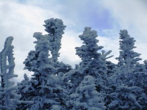 Things are going to get easier from here -They’ve got to! …I enjoy a hot shower a good meal and fascinating conversation with complete strangers back at the lodge. That’s one good thing about winter. Gone are the solo campsites and even the lone wolf is forced outside his comfort zone and exposed to new faces and engage in captivating discussions with super friendly people who all share this common bond with you. Even as I decide the next day to cut my trip short and head home to fix some of the details in my gear to make the next hike more enjoyable, I am thankful for this learning experience. See you soon Pinkham Notch!
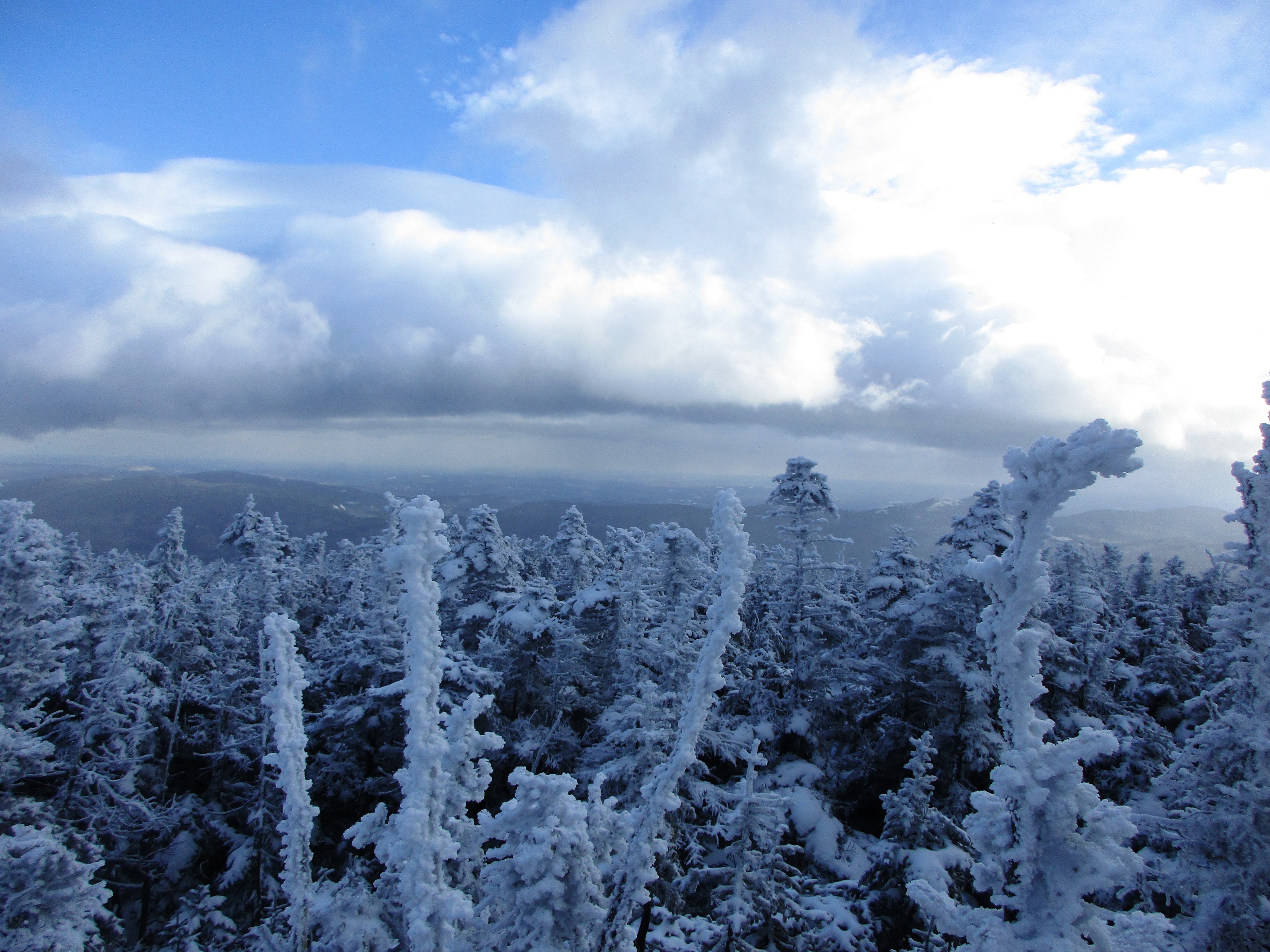
Part Three, 1/23/16 and 1/30-31/16 – Hazy Shades of Winter (Killington & Moriah): Hazy because they are distant memories at this point that were never fully captured in words. Both trips were shared with family members this time and I was able to get out of my own head, to let it fix itself. By the time I returned to myself, I was back in tune and able to get my rhythm back that seemed to be missing on my New Year’s trip. First some excerpts from Vermont.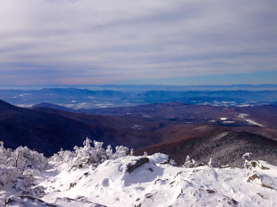
Getting in another trip with my sister Therese this weekend. It’s good to have a hiking buddy to break up these solo trips. Enough ME already! 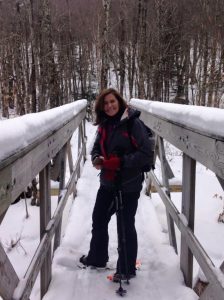 We tossed around the idea of meeting in NH for another check mark on my list but a number of logistics lead us to this trek. First, it’s more or less a halfway (or maybe 2/3) meeting point between us. With a gig the night before, this will be another sleep deprived hike for me any way I slice it. Also, I kinda screwed myself for new peaks this winter. Out of the 13 I have left, one is an extended alpine zone hike (which I am not comfortable with yet in winter), three have road closures that significantly add mileage to the hikes, a couple are really remote and best tackled in summer or fall, a few are in the northern/eastern most reaches of the whites (not very convenient from Albany NY area) and one I have reserved for my finishing peak. That doesn’t leave many options. She was willing to take the extended drive but would likely spend a night in VT to be closer on hike day. …and then it hit me – VERMONT! Oddly enough I have never been there. If I ever want to tackle the NE67 (and I think I do), this will be a good head start, as there are 5 of the 67 located in this state.
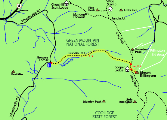
After some scrambling online research we settle on Killington. We aren’t sure how much snow is up there but are bringing snowshoes which turns out to be a wise move. It has been a rather light winter so far in Mass and NY and even NH, but it seems VT has got a good deal more than anyone else!
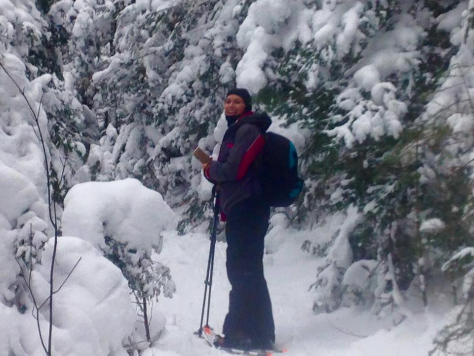
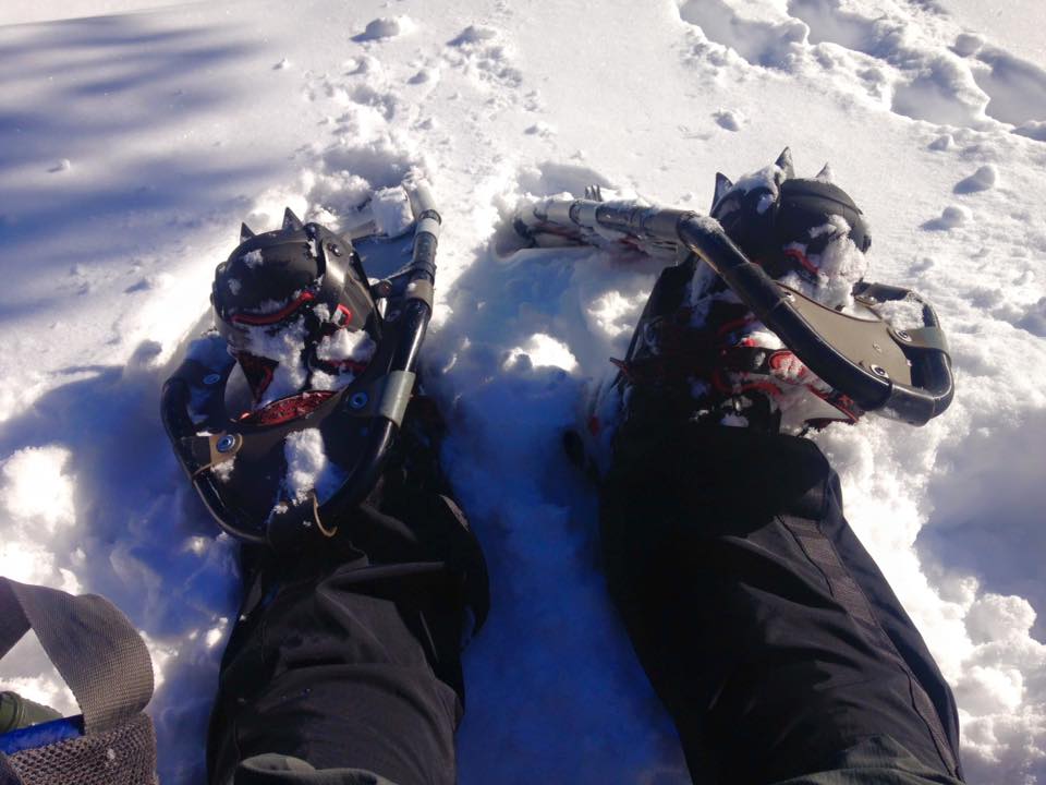
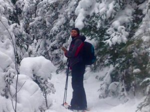 We arrive at the trail head to find perfect winter conditions for some good snowshoeing. I have fixed all my issues from my last hike including a refresher in layer management, switching out my lower outer layer for full zip pants with no insulation, and have a serious winter hiking boot now. I’m not messing around with spikes today – Full snowshoes – Spikes stay in the pack.

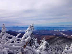
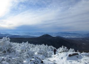
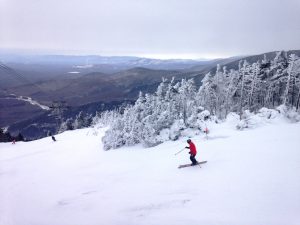
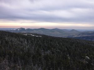
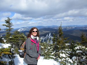
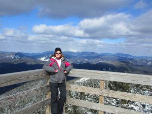
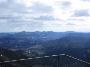
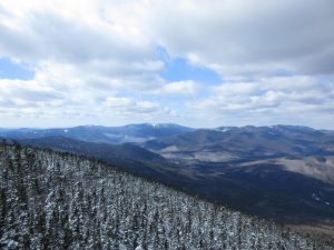
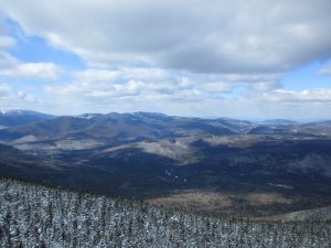
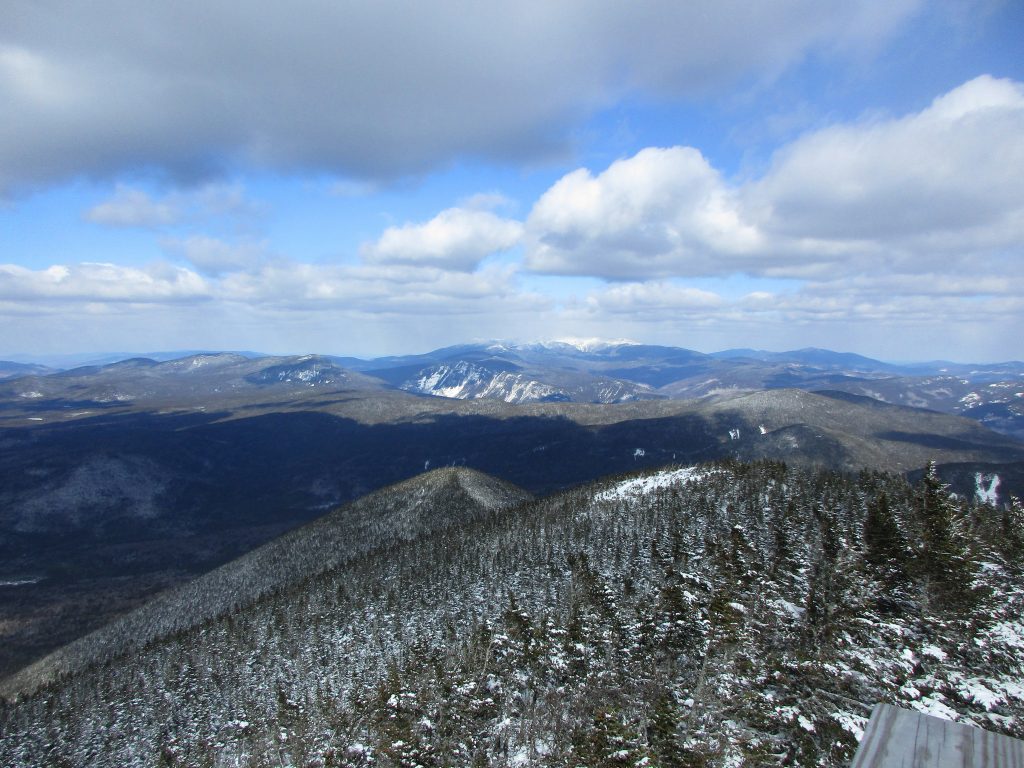
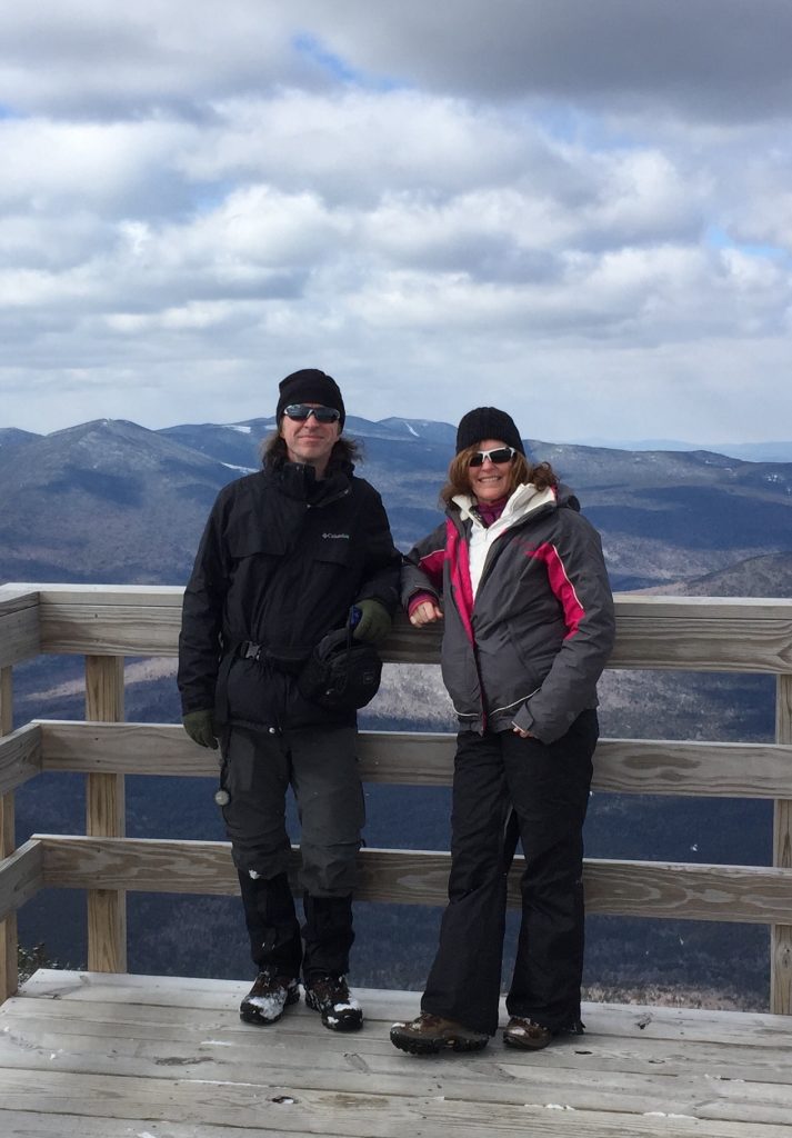
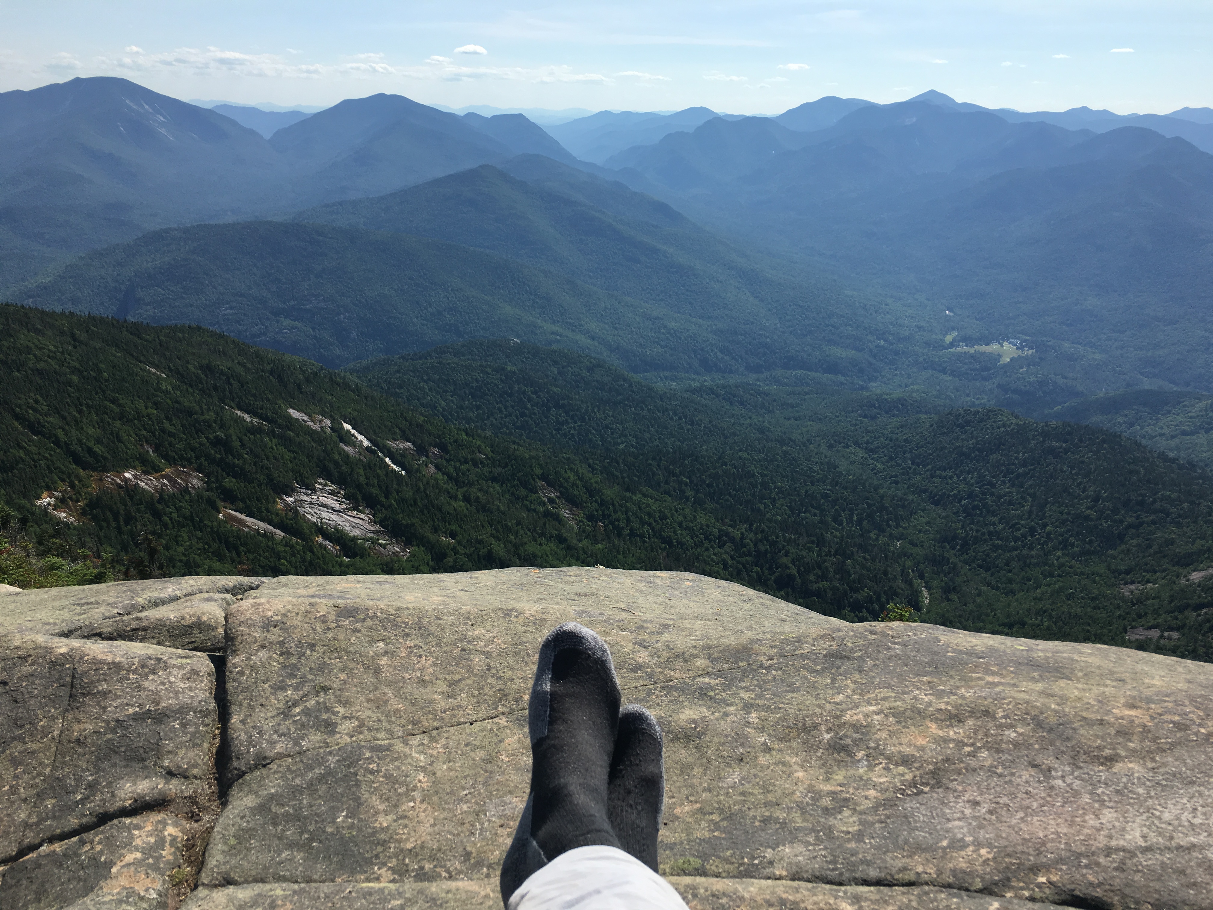
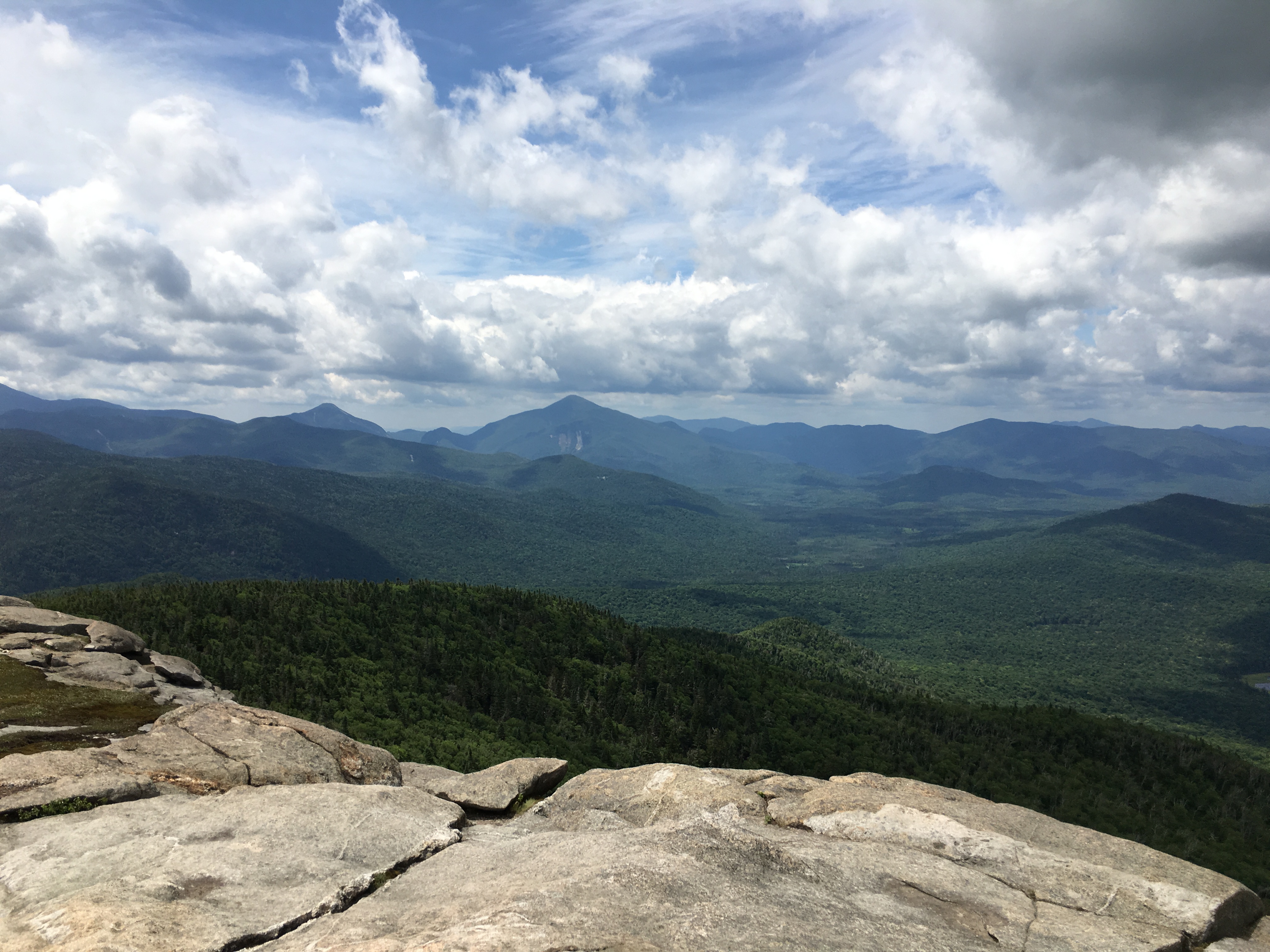
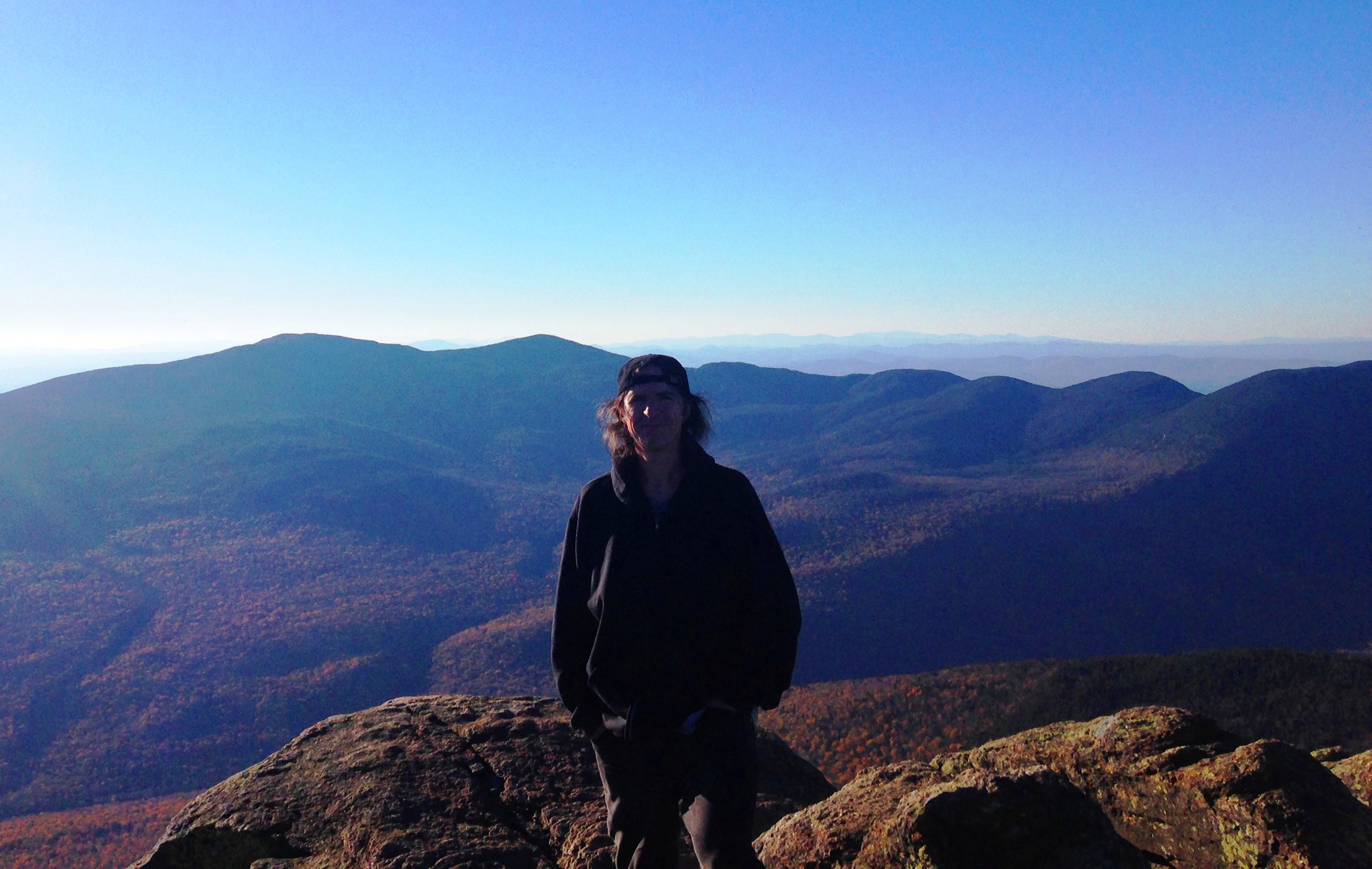
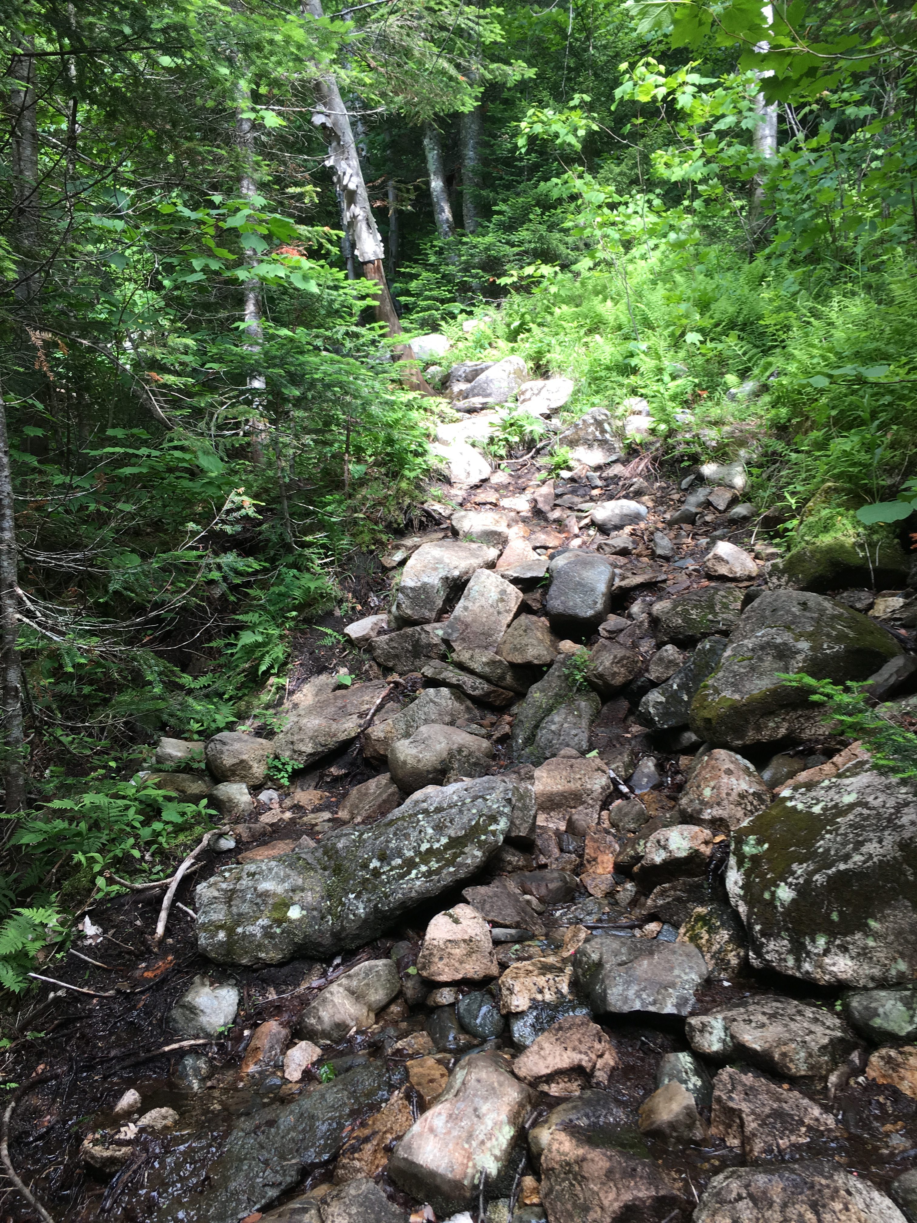
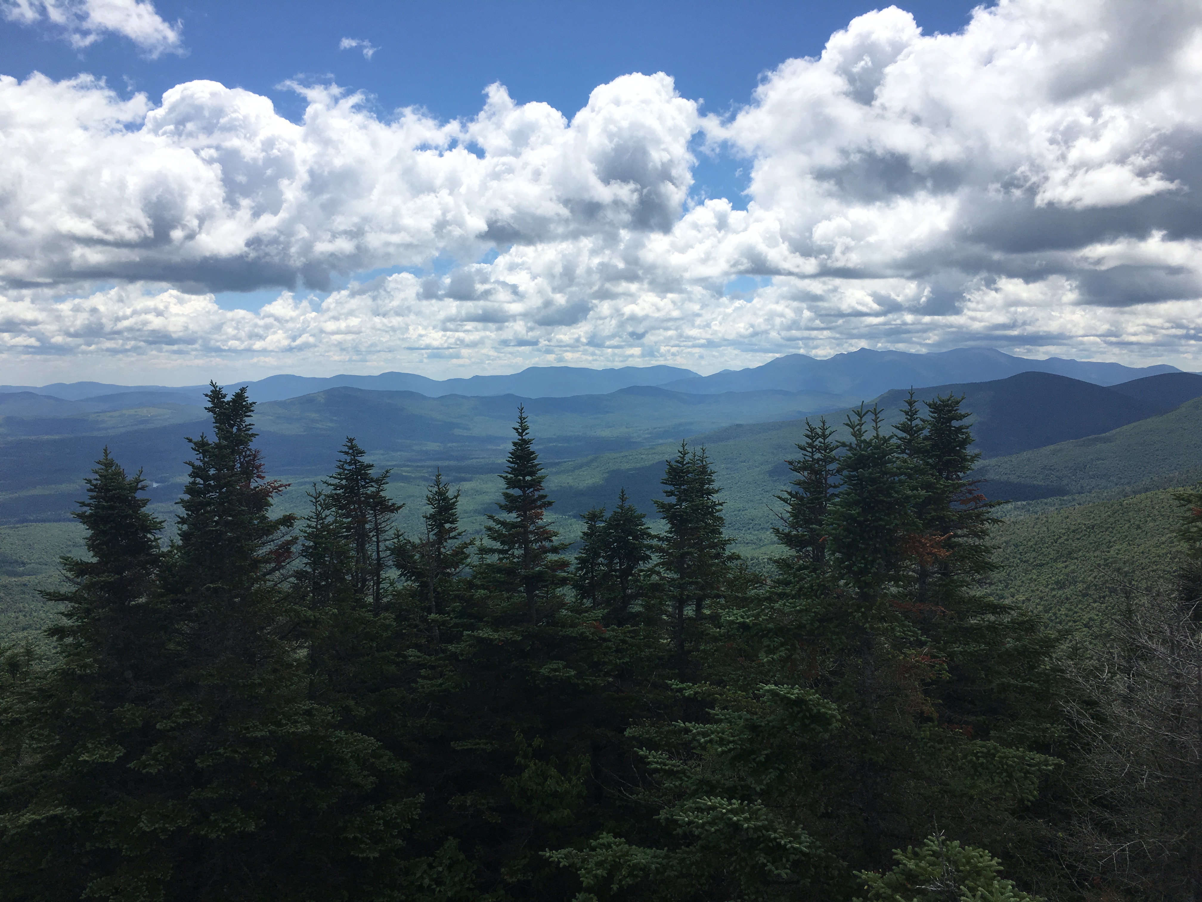
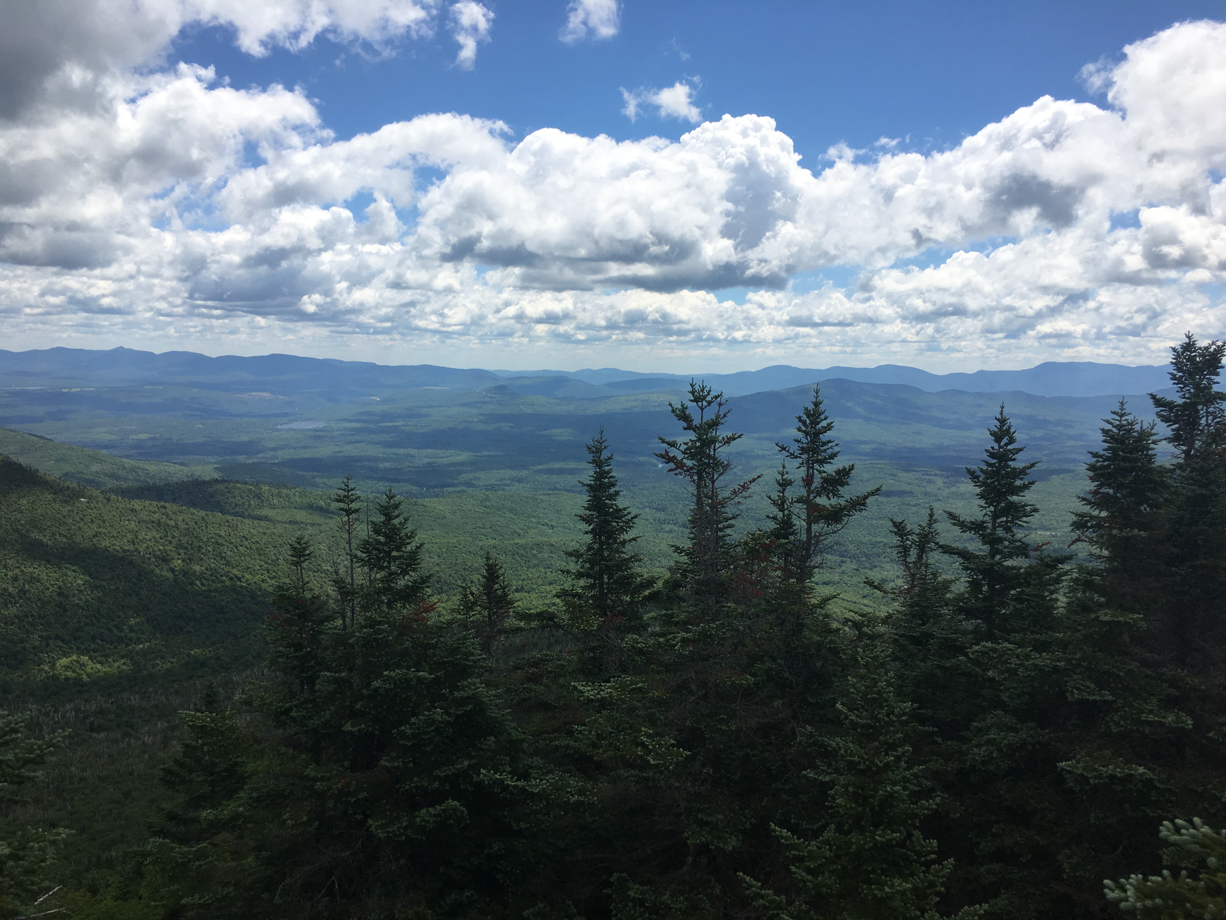
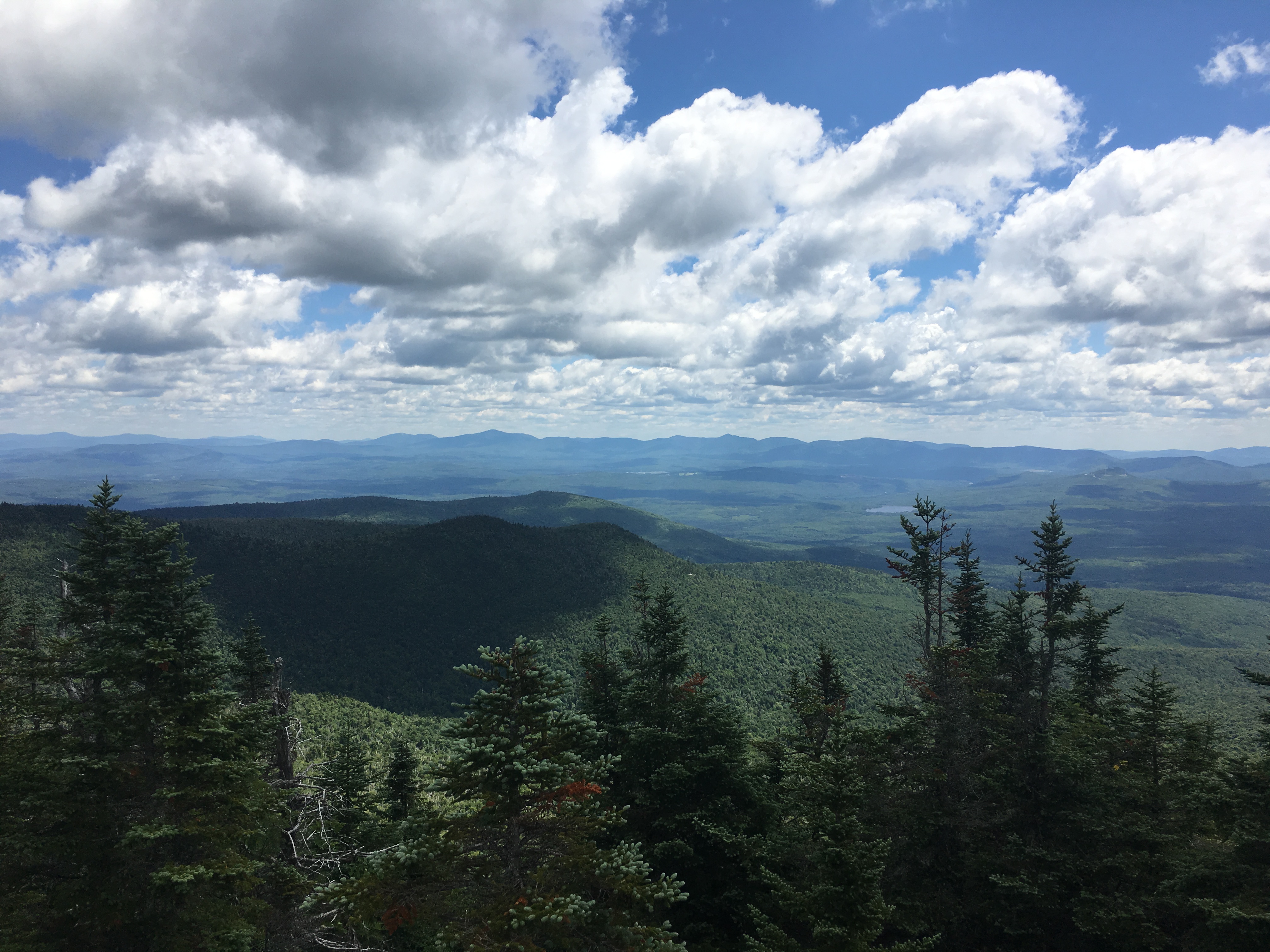
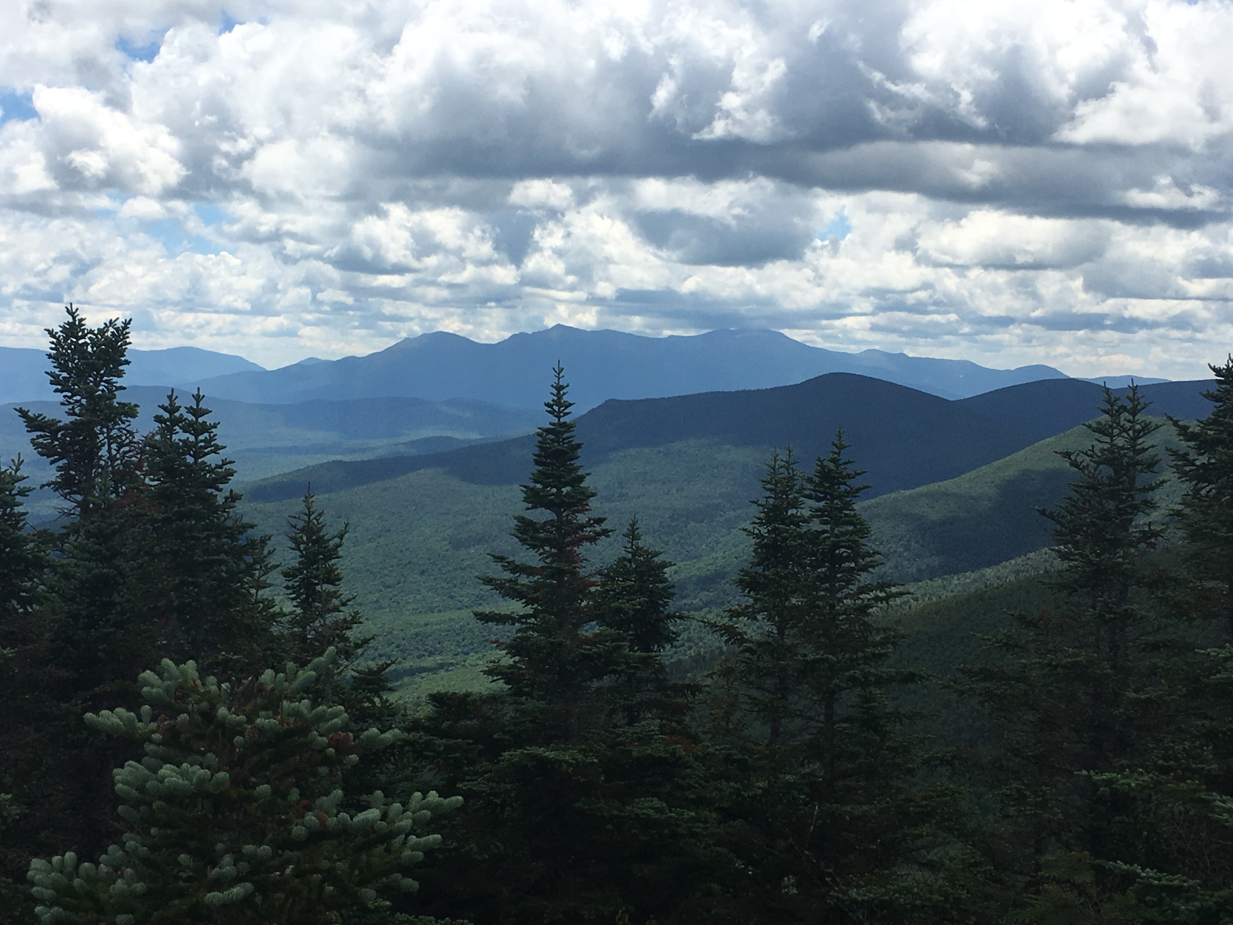
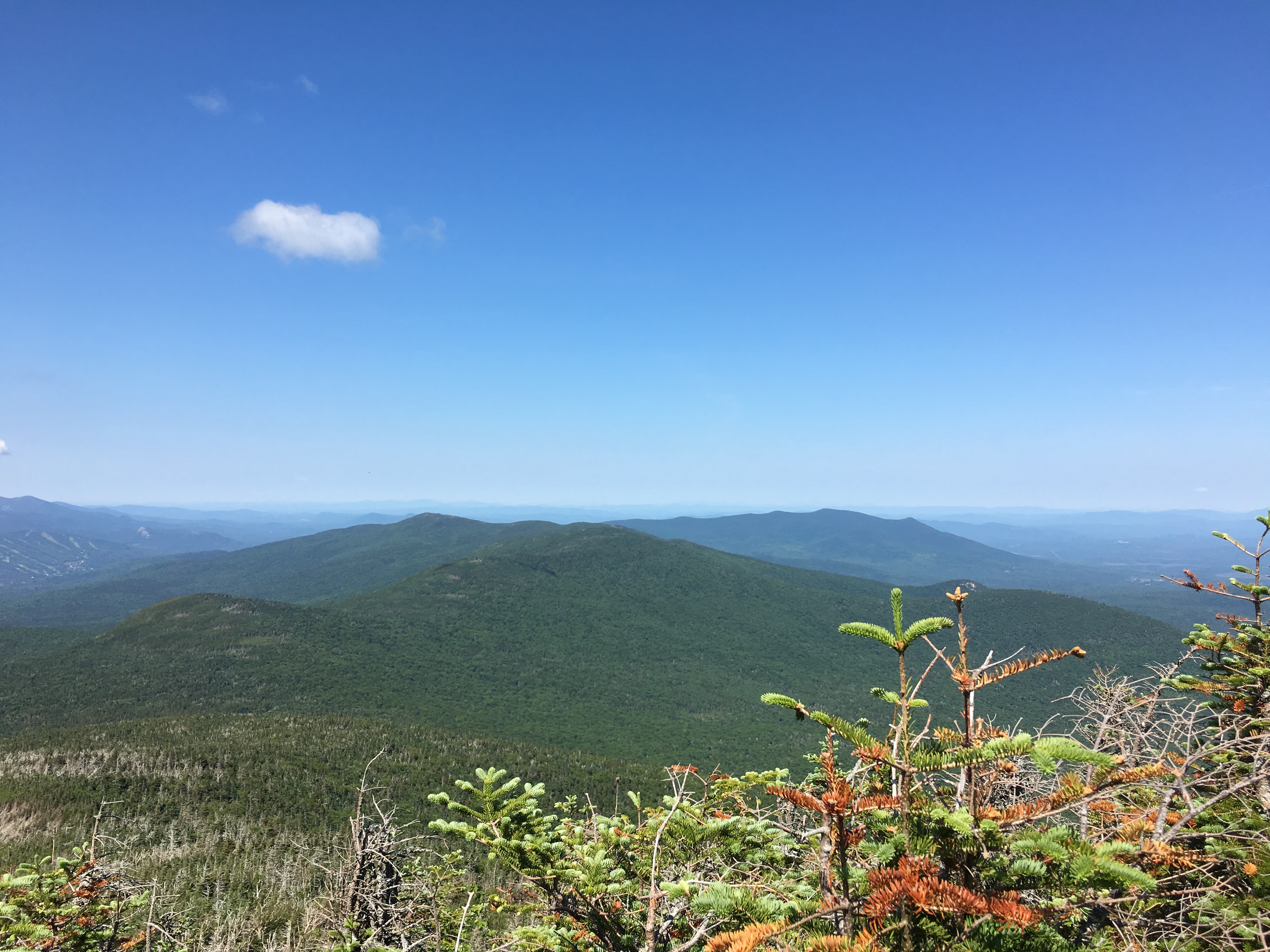
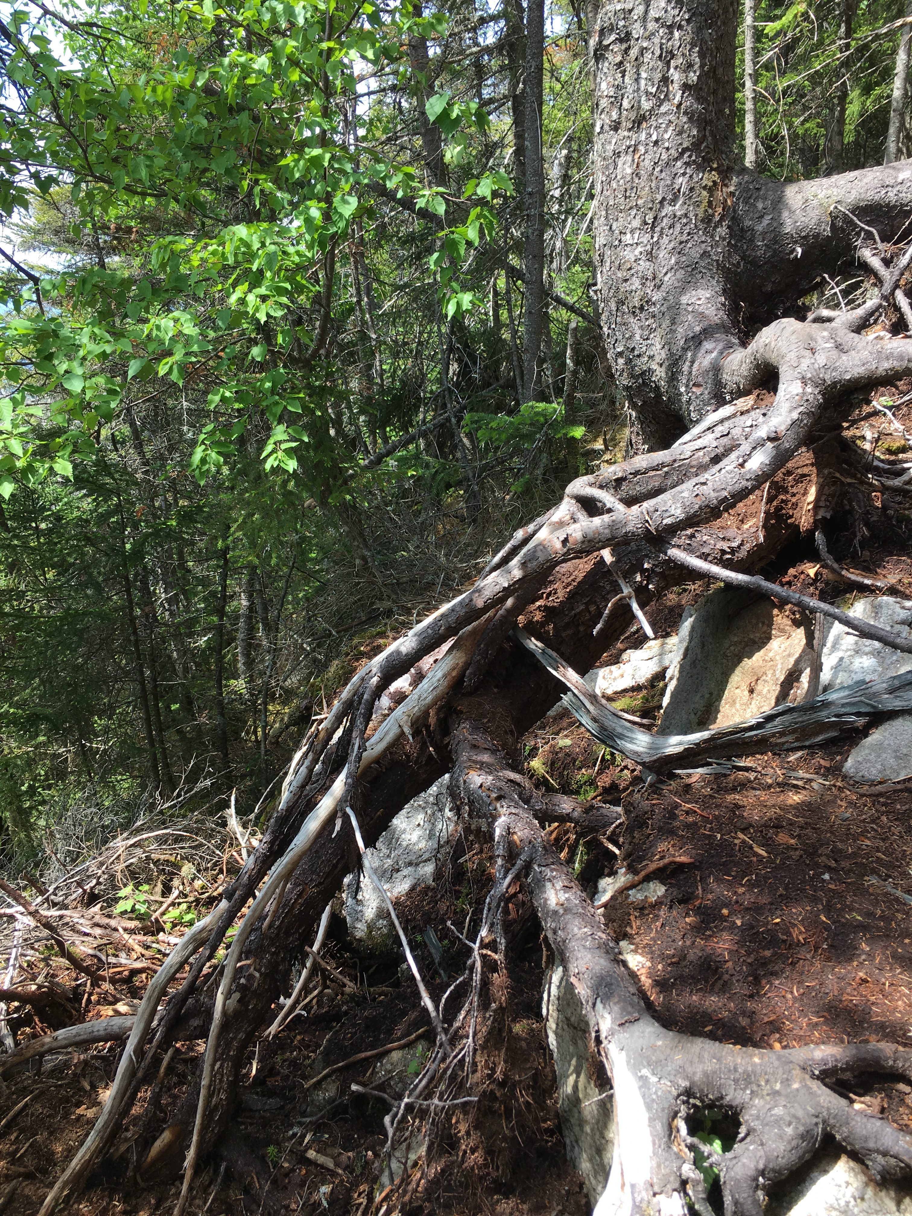
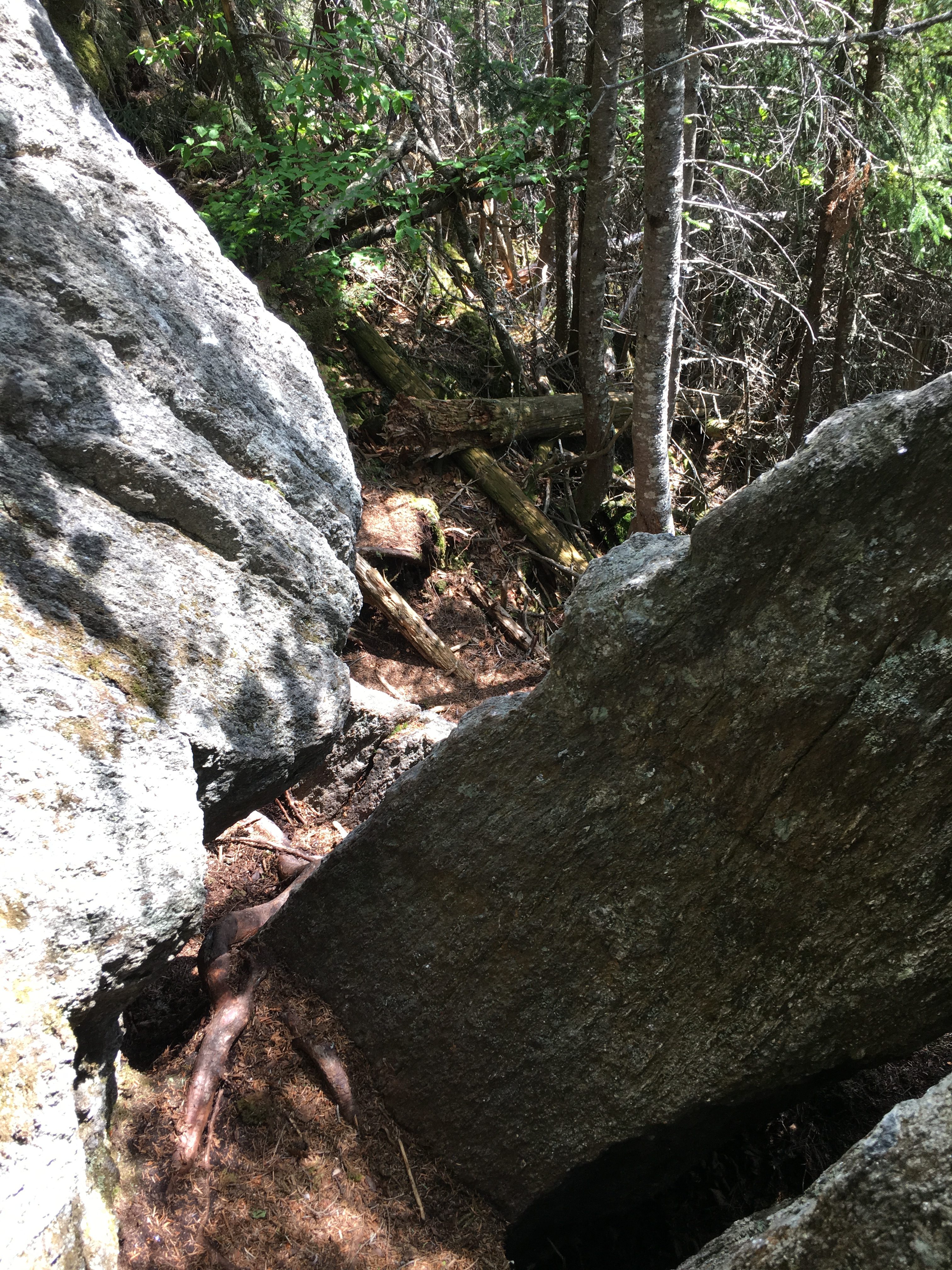
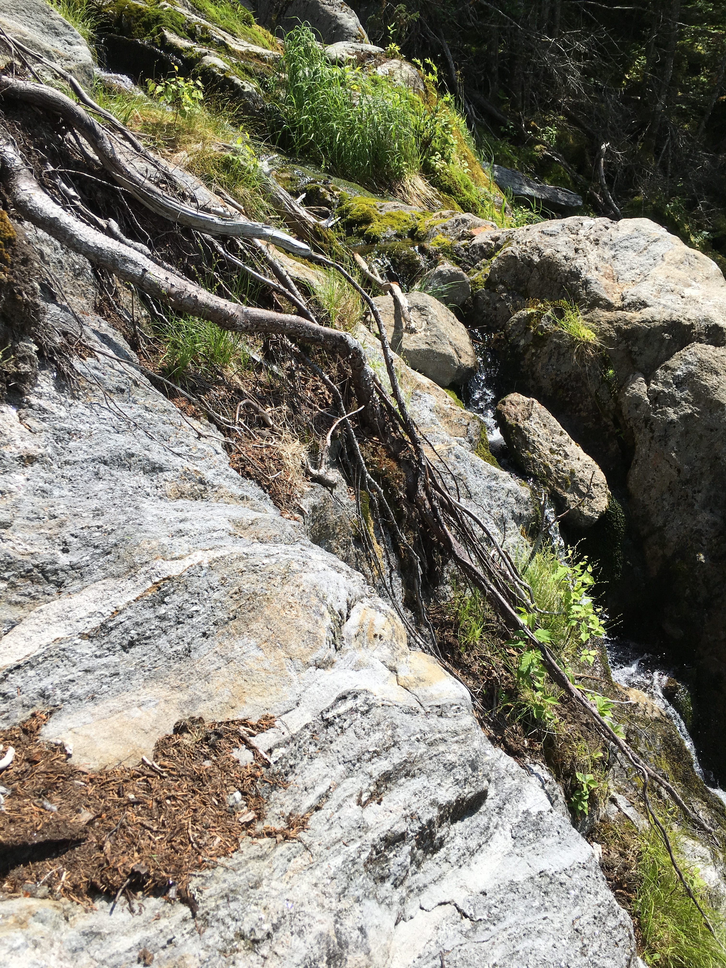
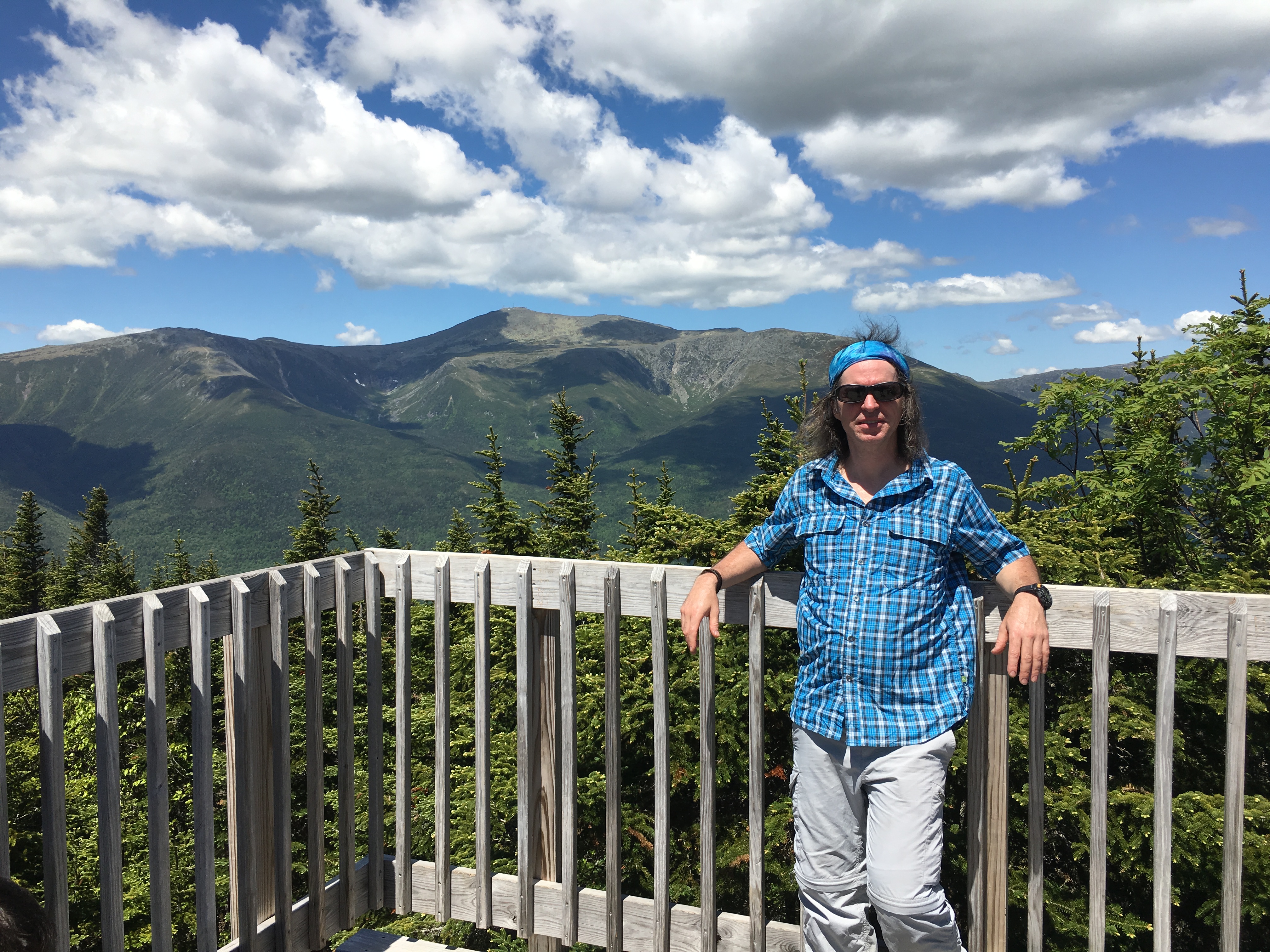
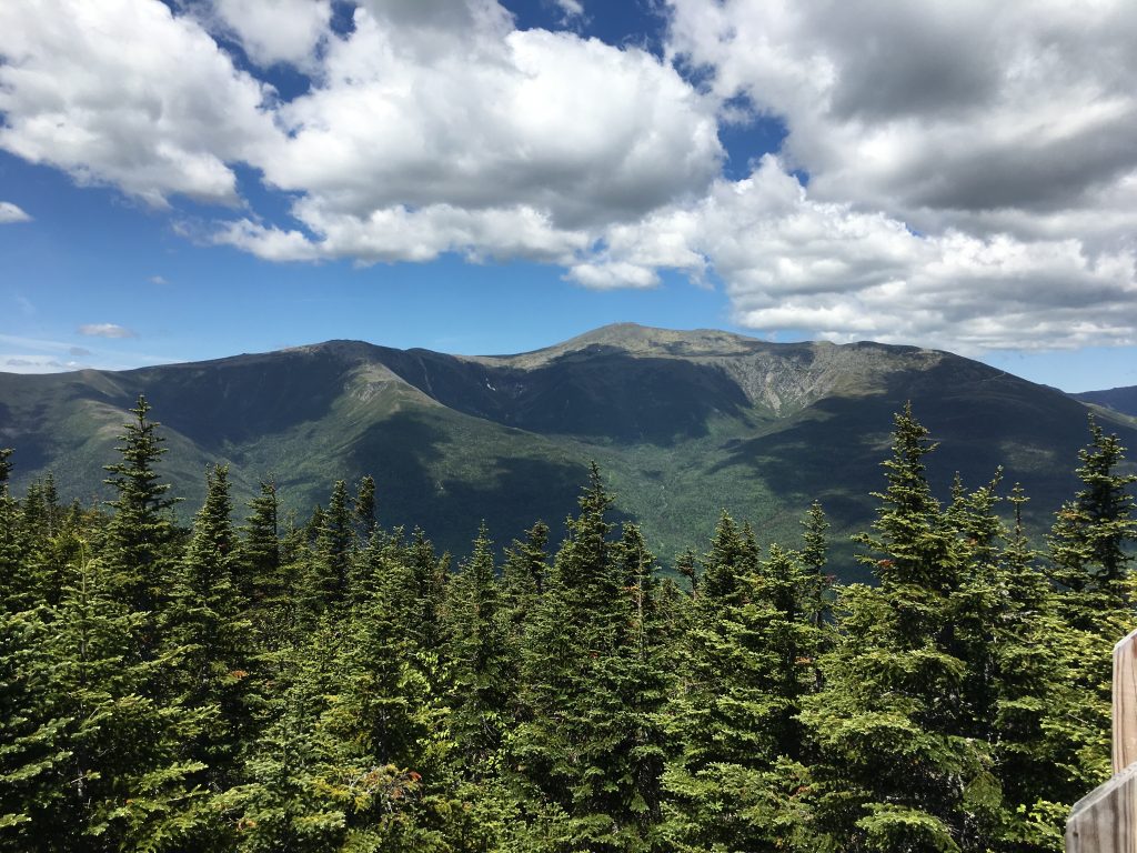
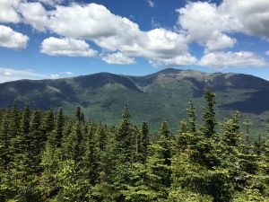
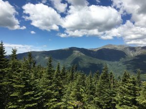
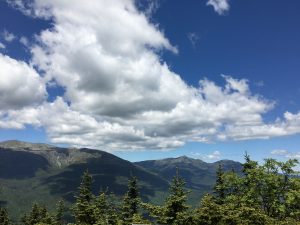
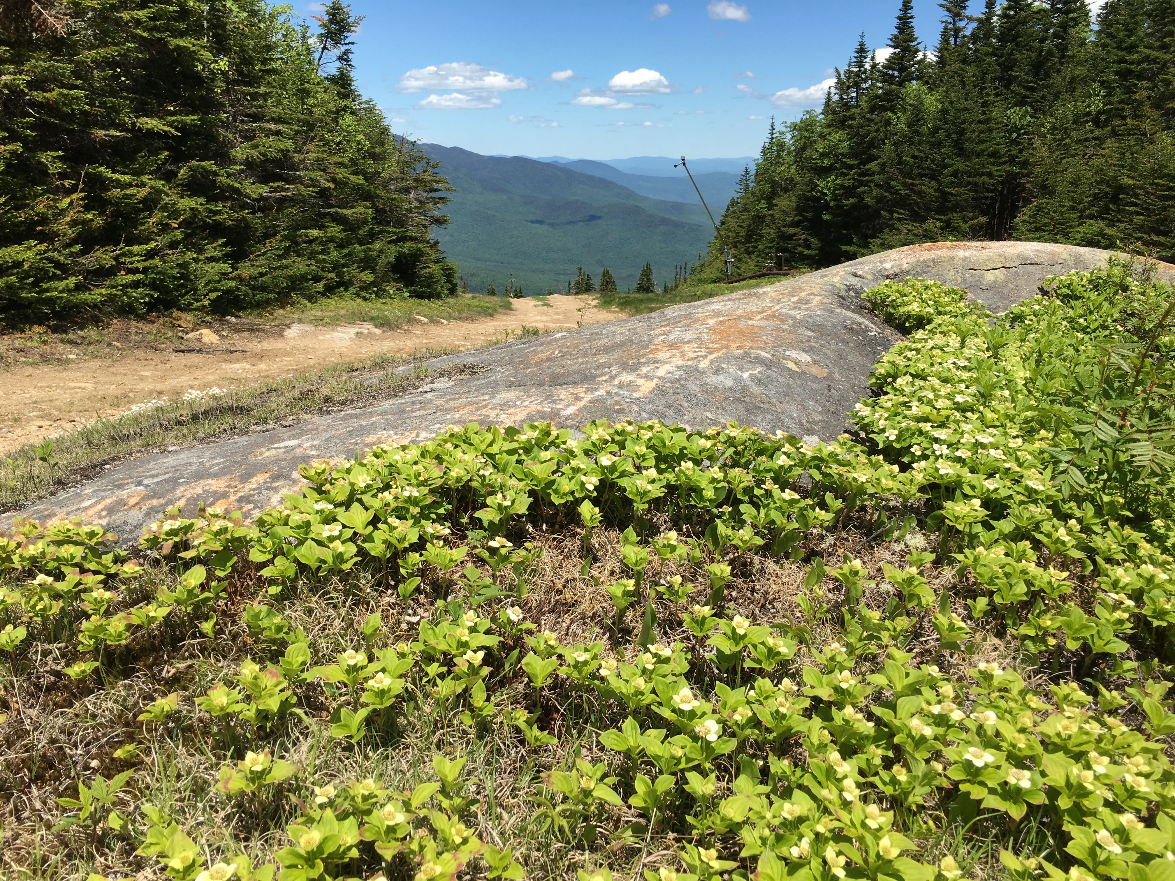
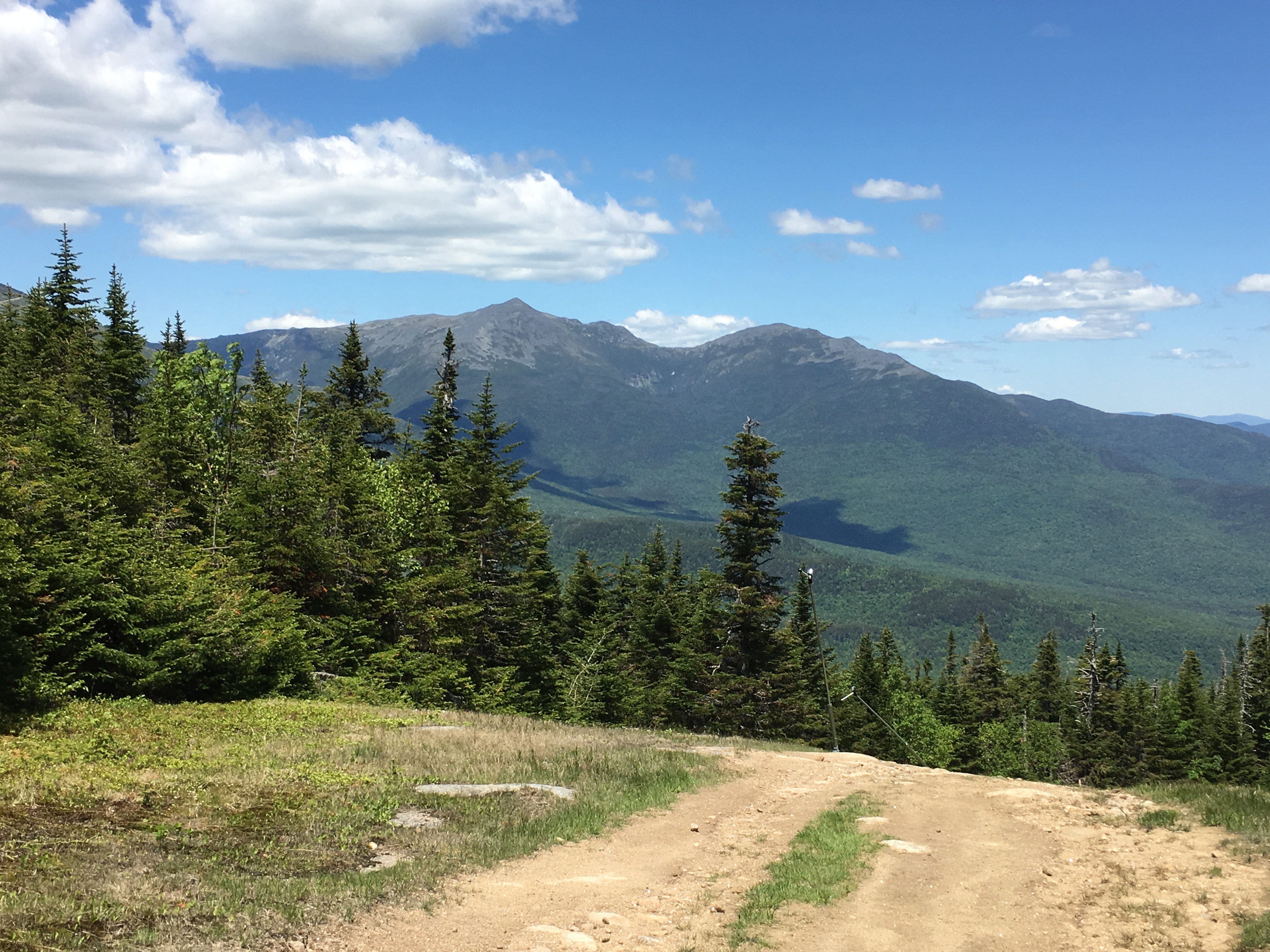
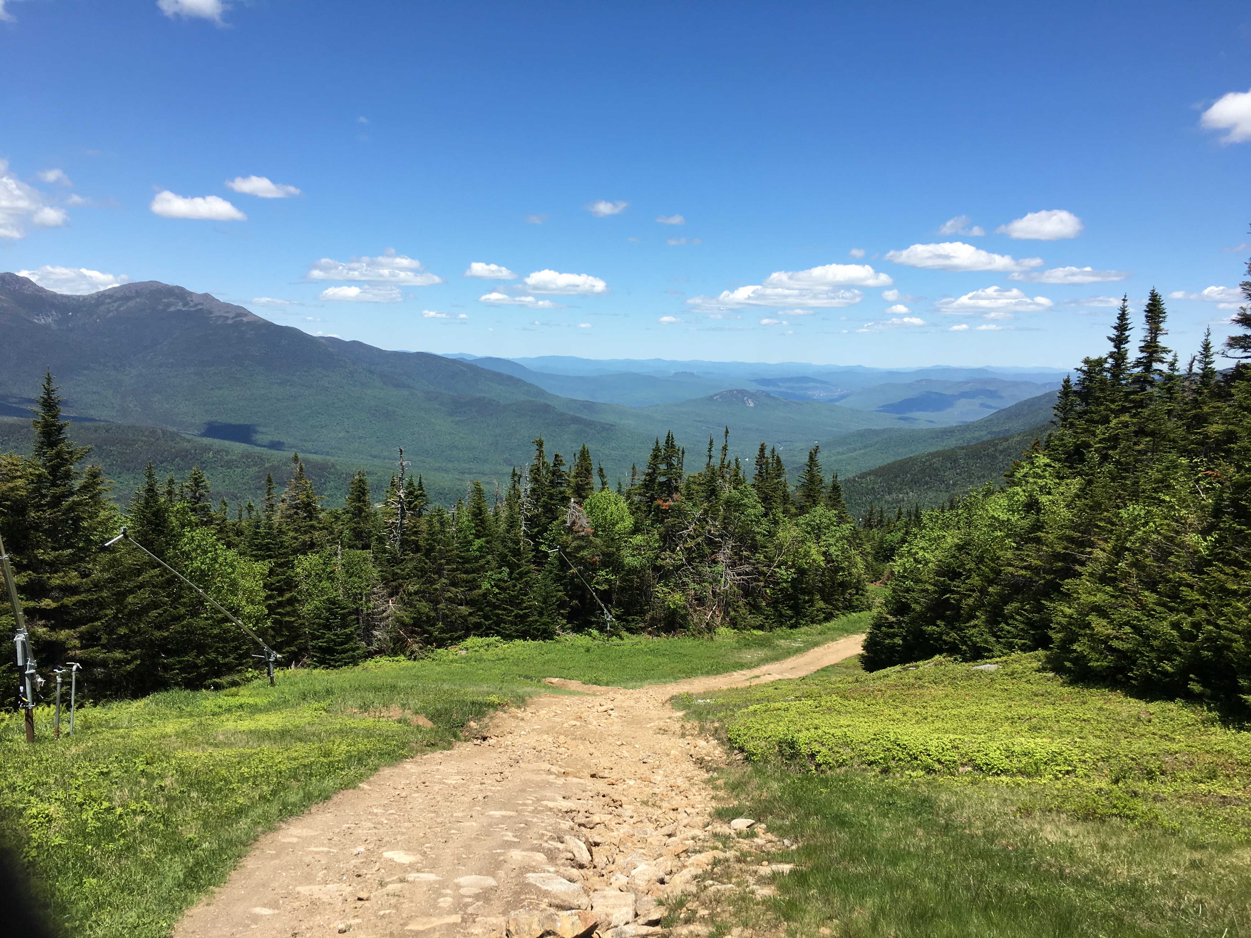
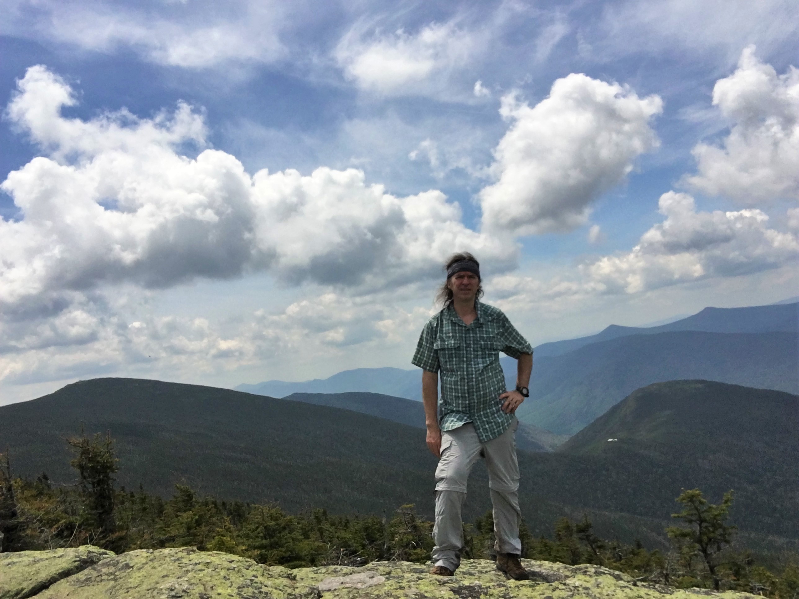
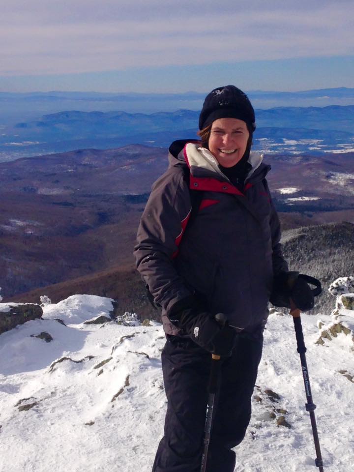
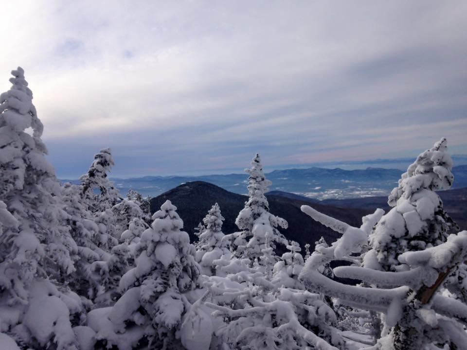
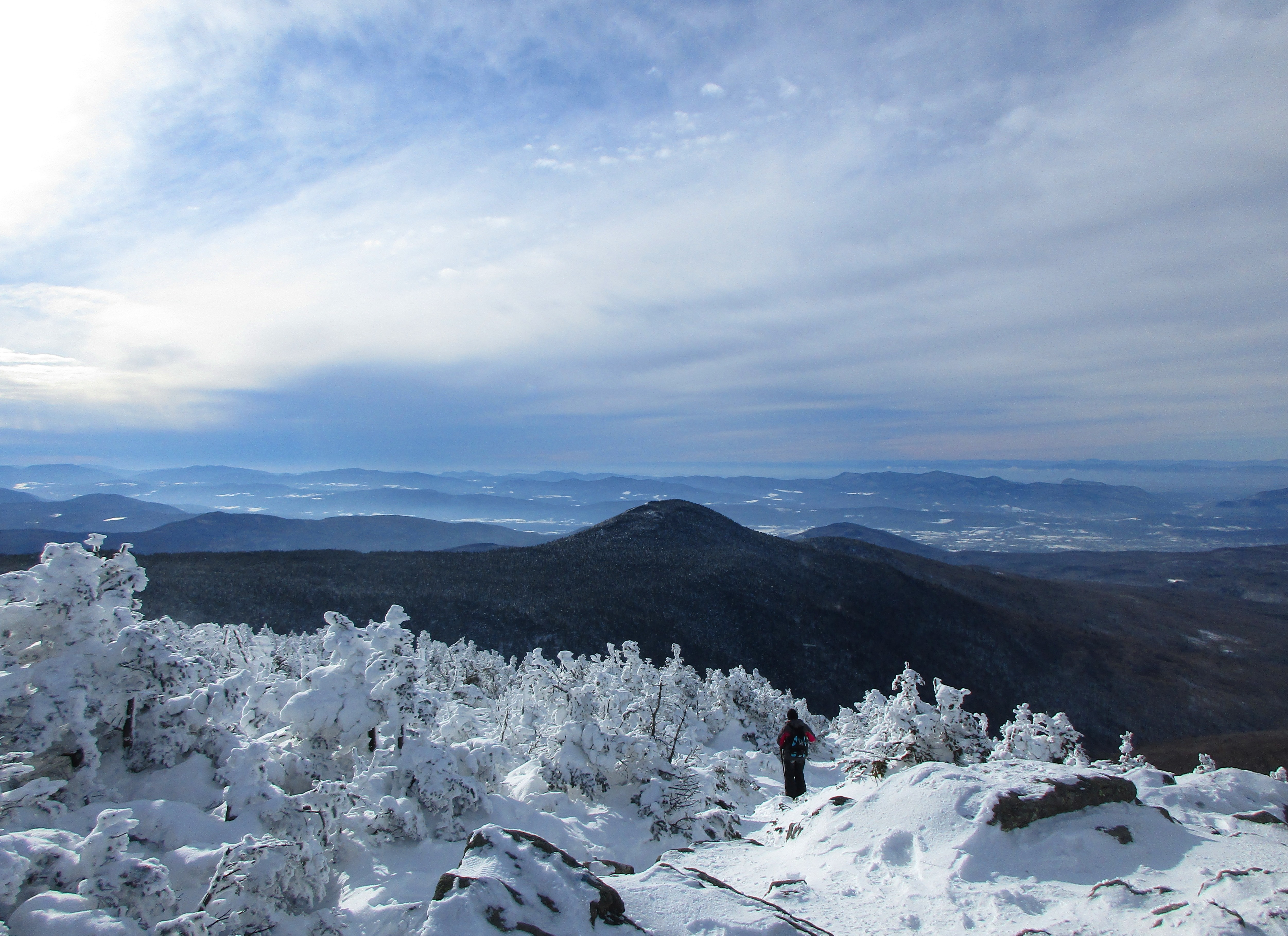
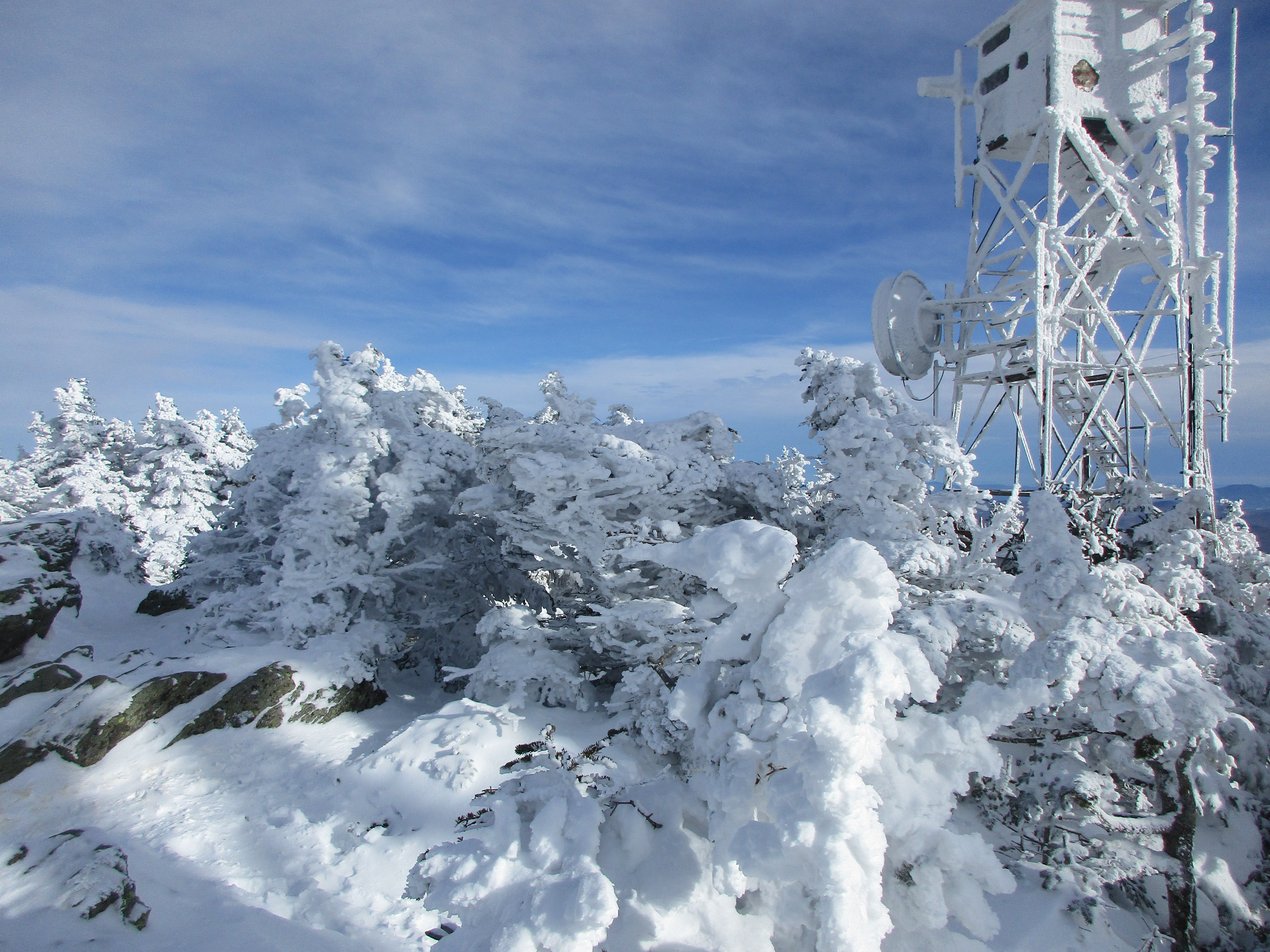
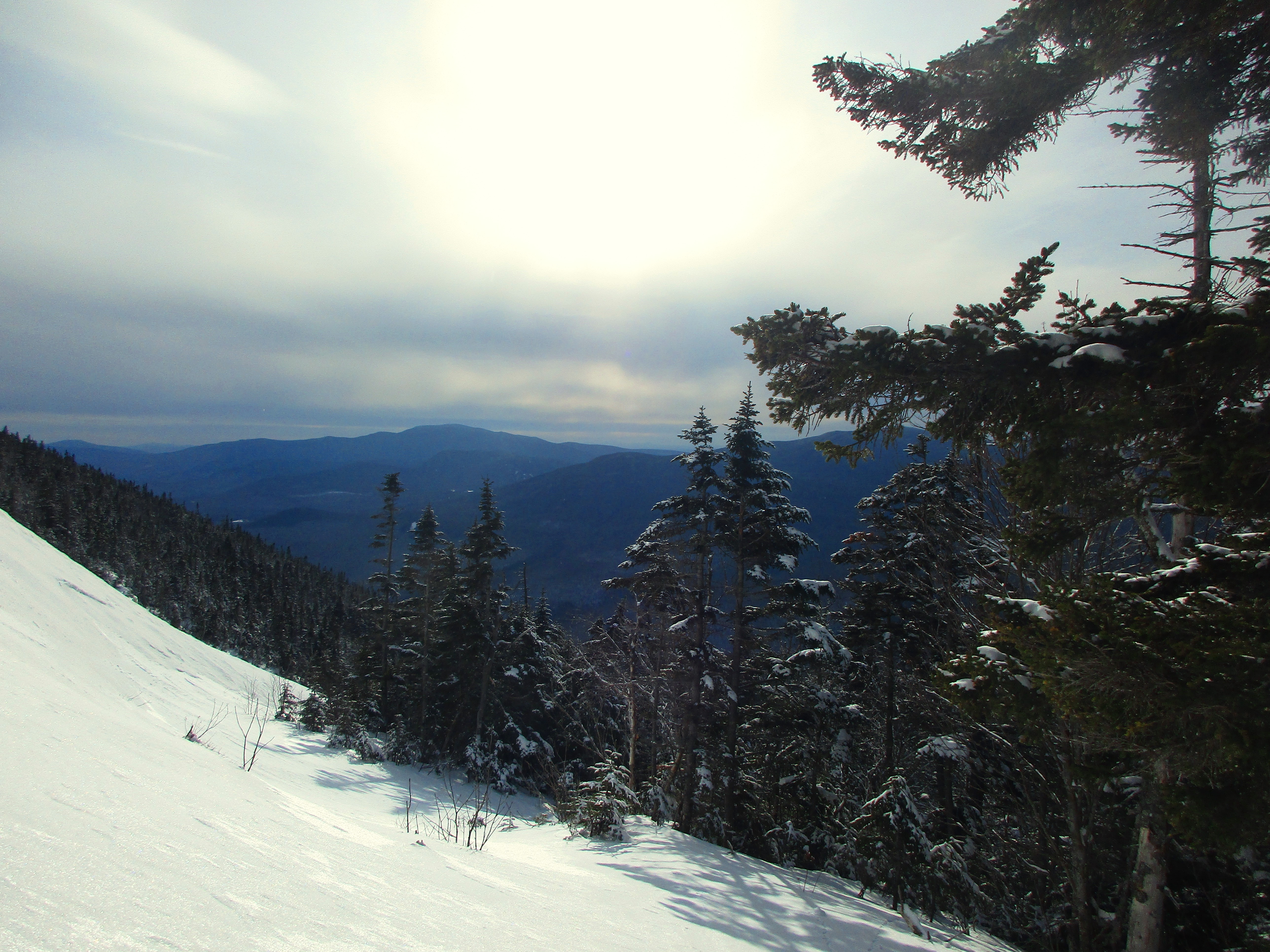
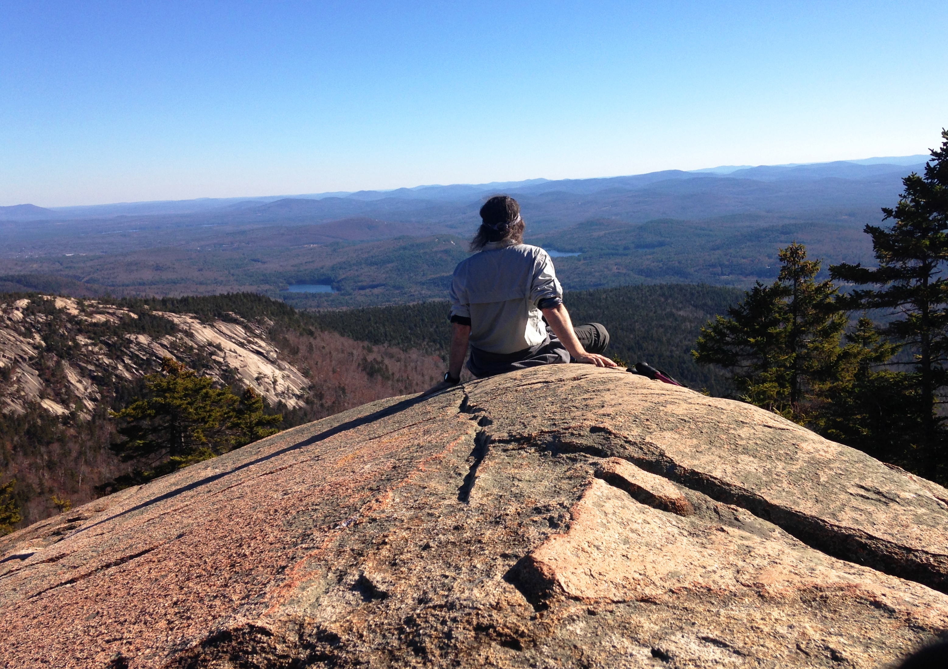
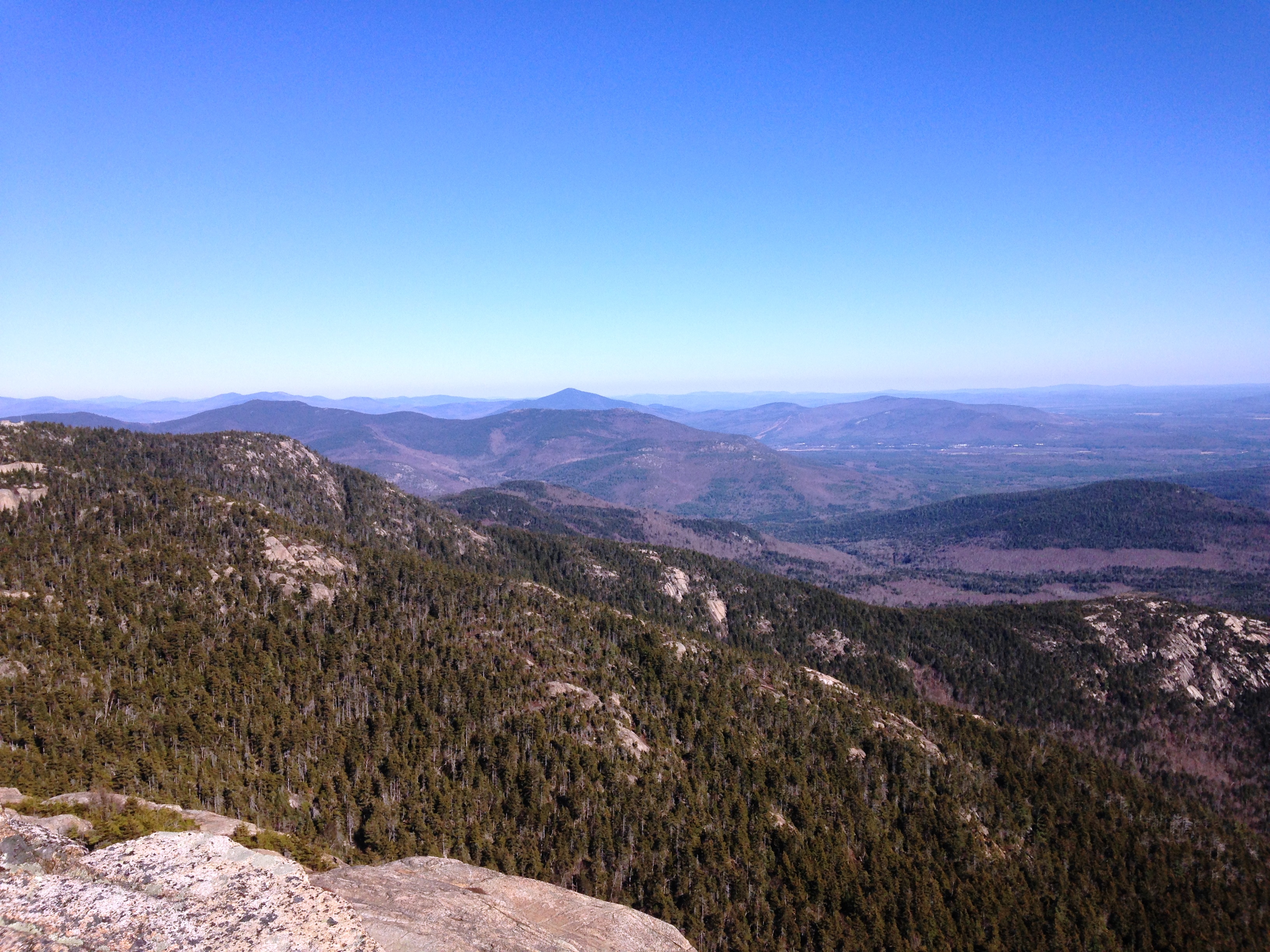
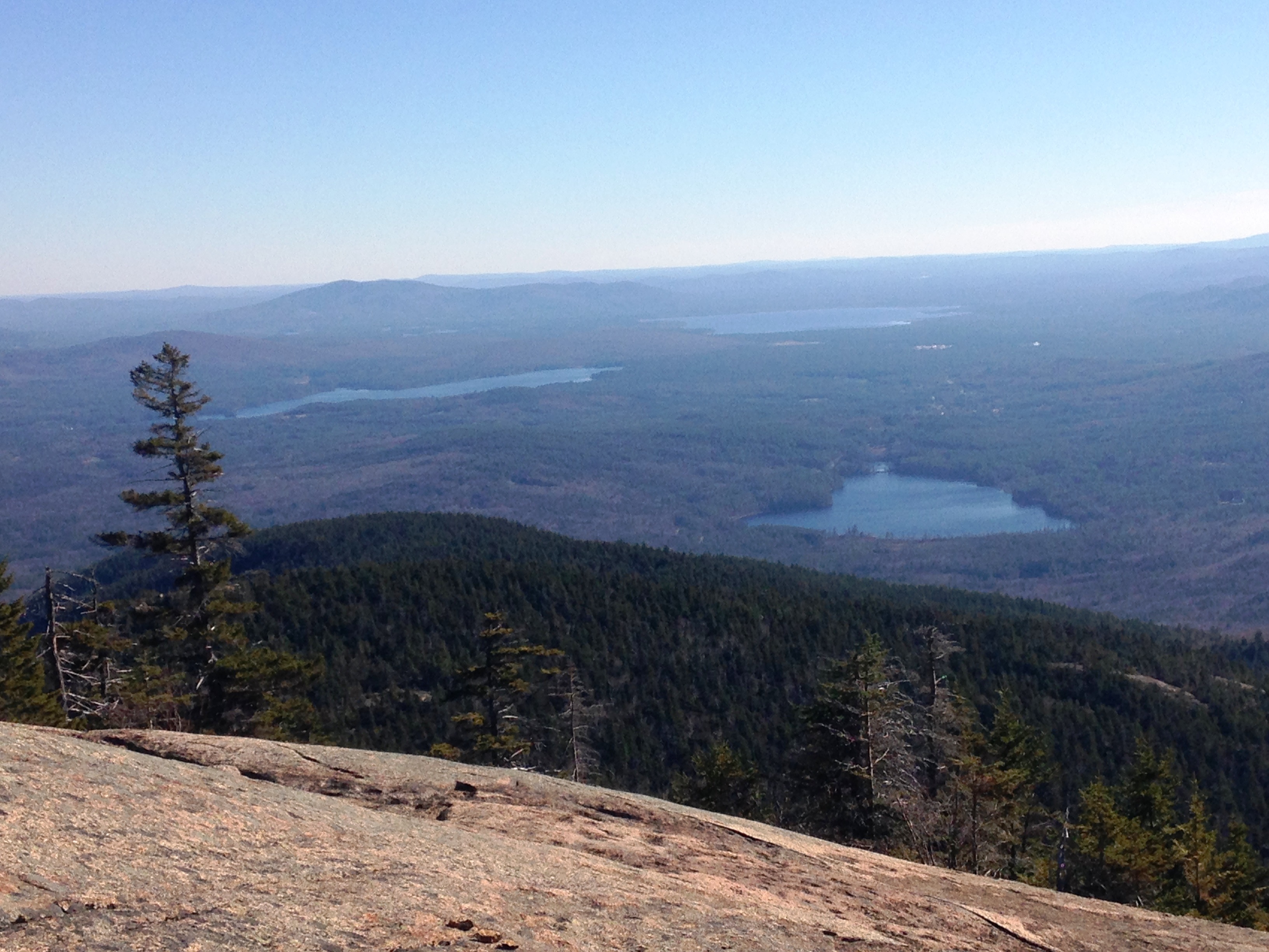
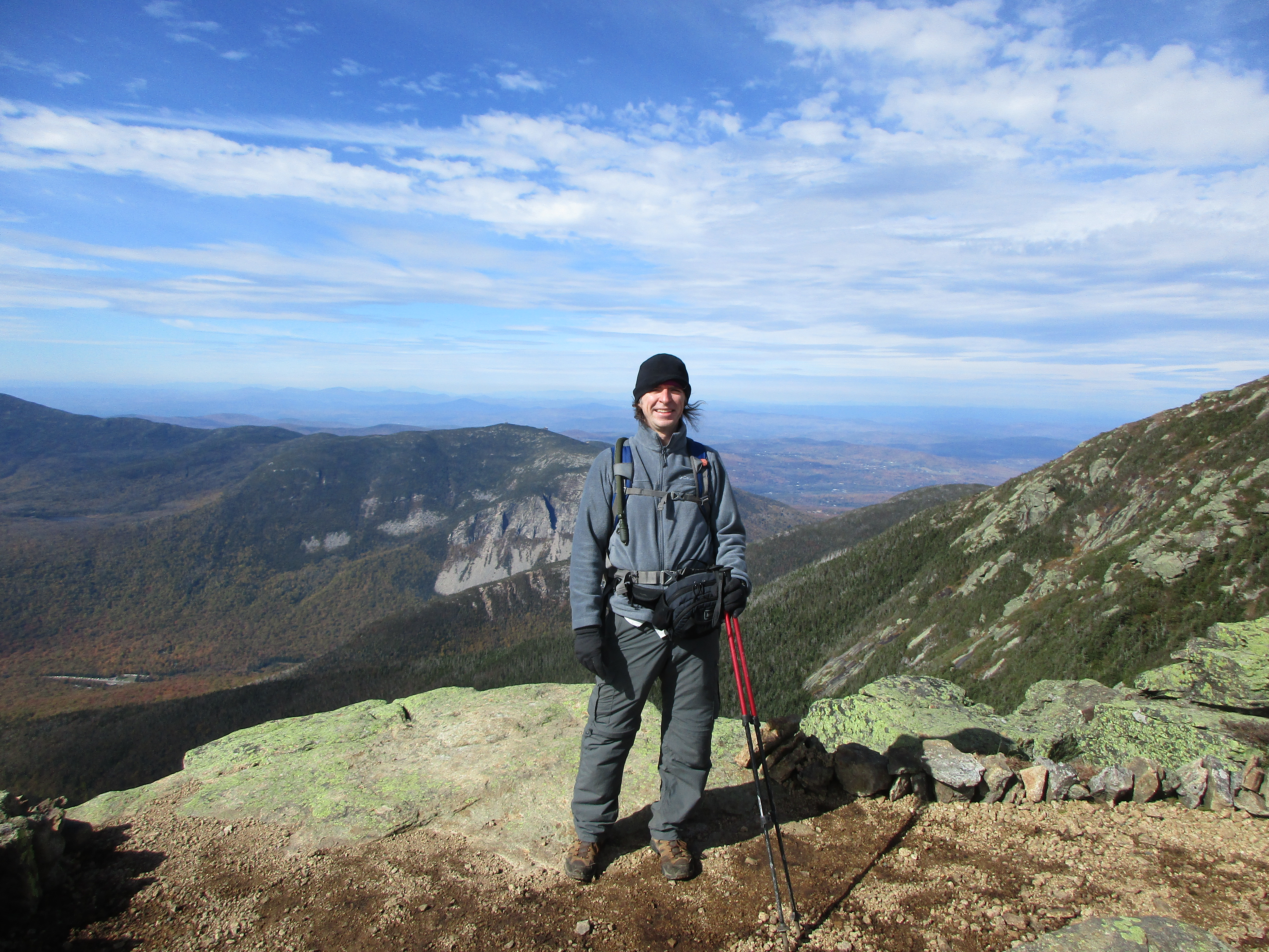
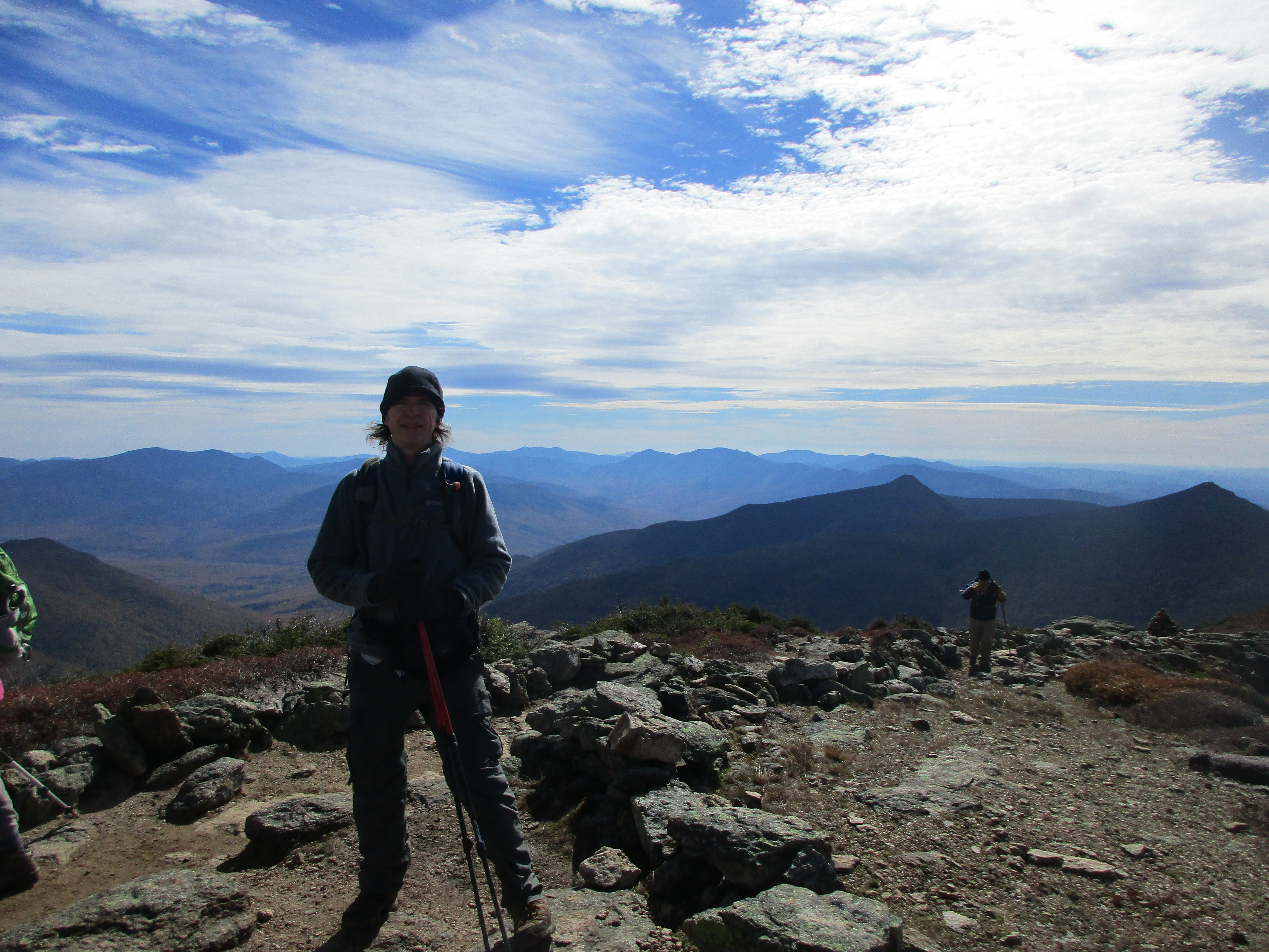
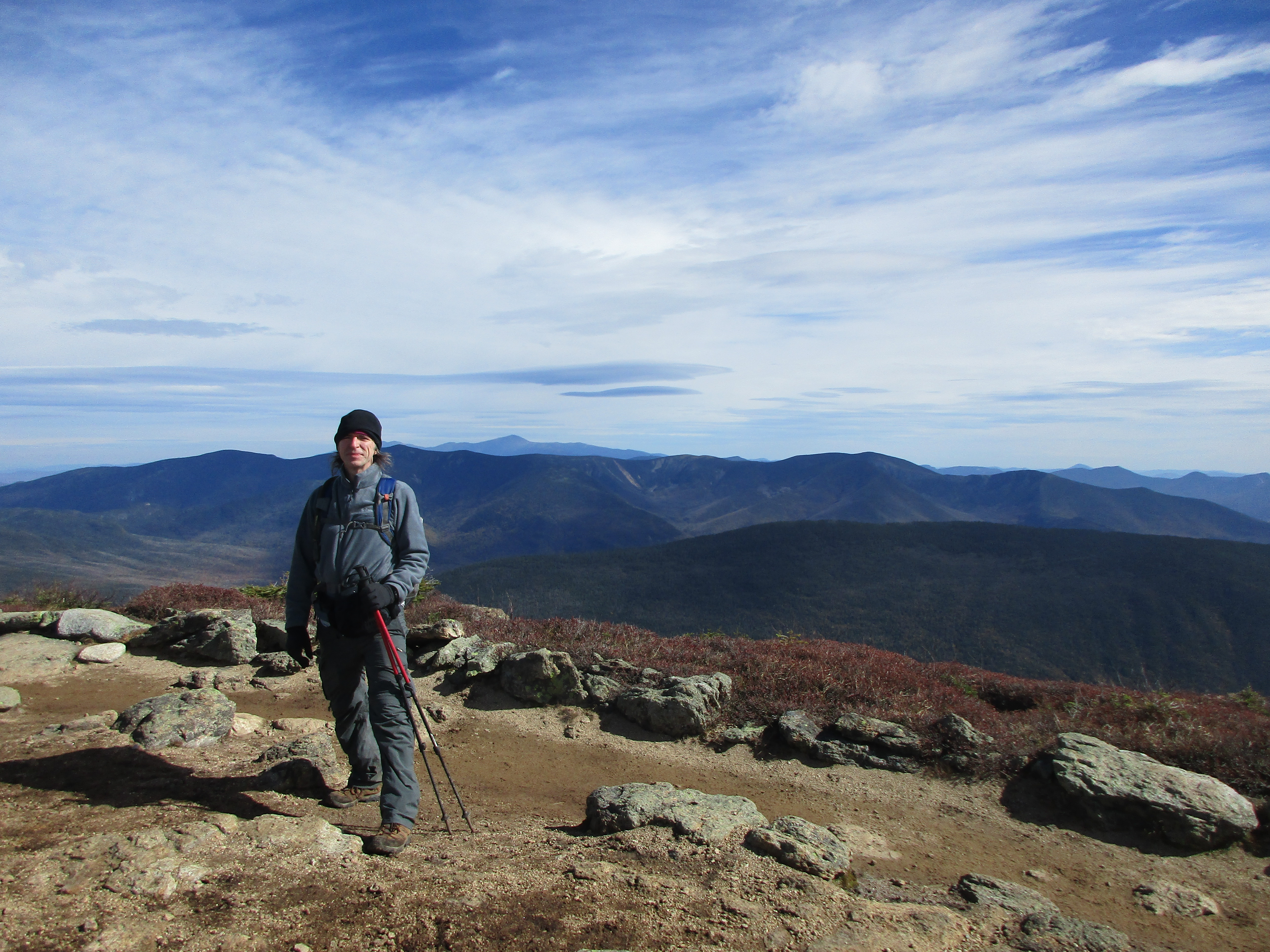
This was a nice half-day hike on a perfect day with just a few other groups. Climbing steadily up Bucklin trail for 3.3 miles and then steeper as we turned onto the long trail and .2 miles up to Cooper Lodge where we took a quick lunch break (You can’t stop too long or you get really cold really fast), then .2 more miles steeply up to the summit, for another brief visit with amazing views and back the way we came. I just remember smiles all day and getting exactly what we needed out of this hike. I’ll let the pictures take it from here…


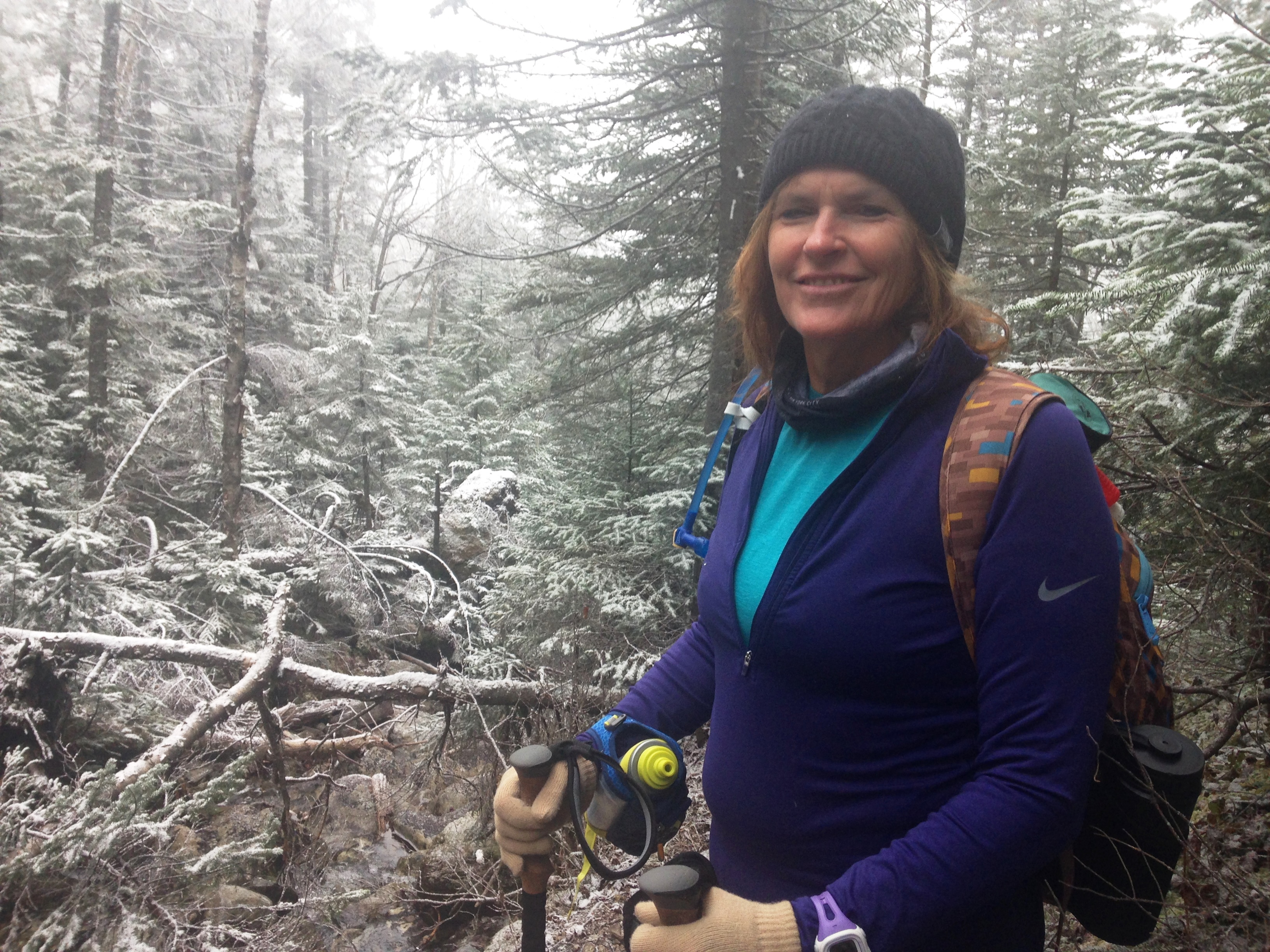
The second of these trips was shared with my mom. She got to experience the Whites in their whiteness. And I got to redeem myself somewhat after a messy start to the year in the Whites.

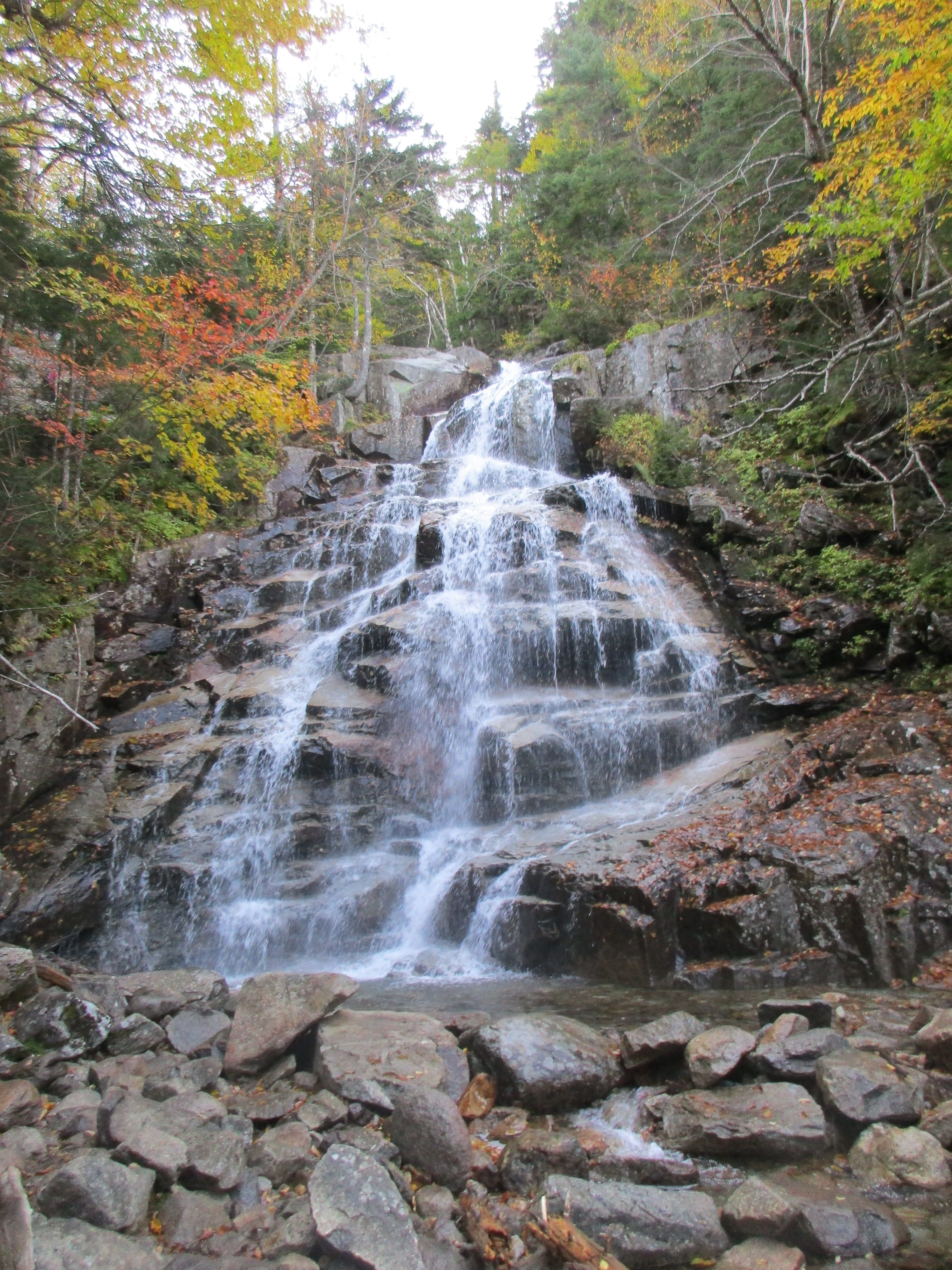
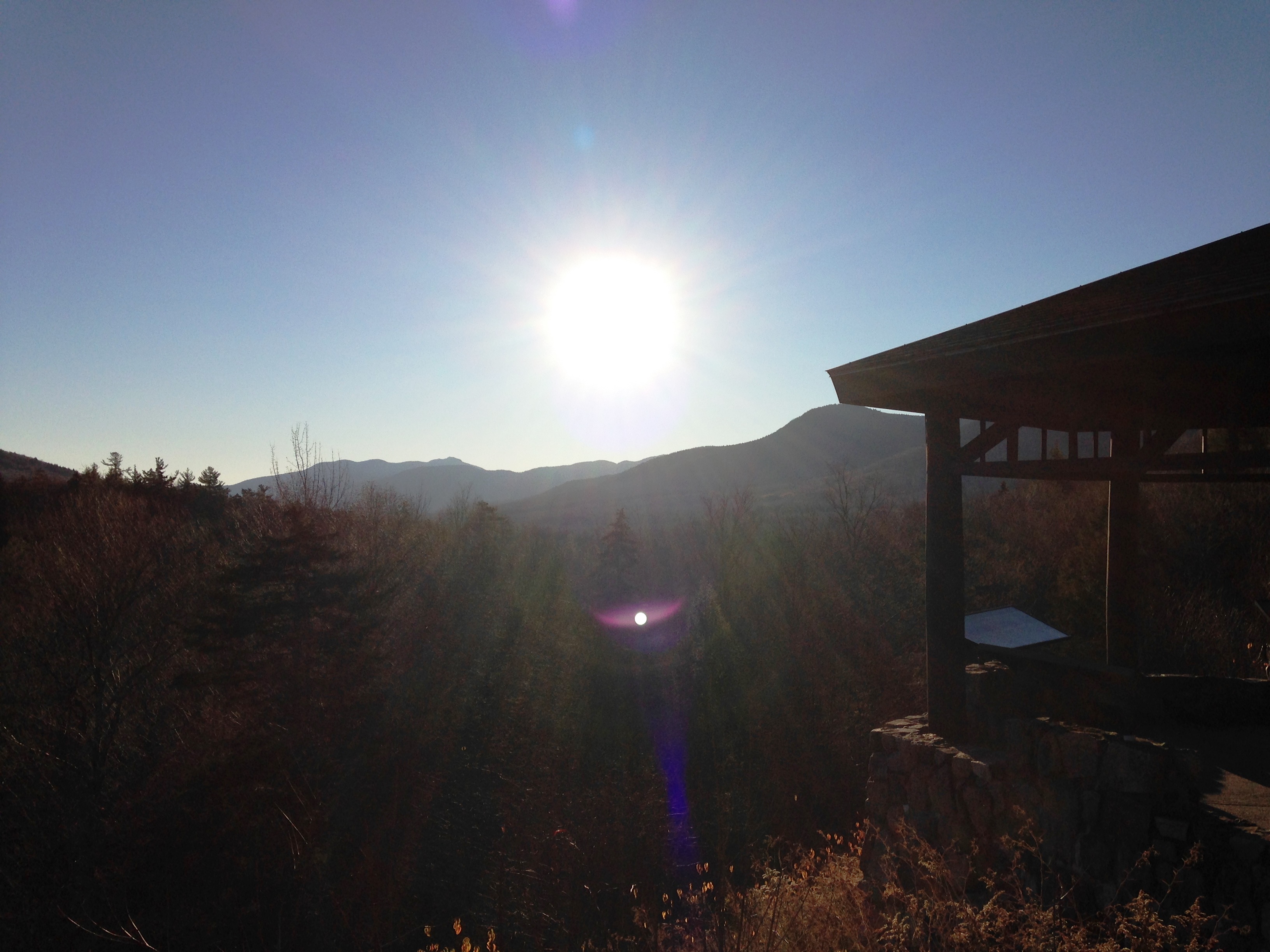
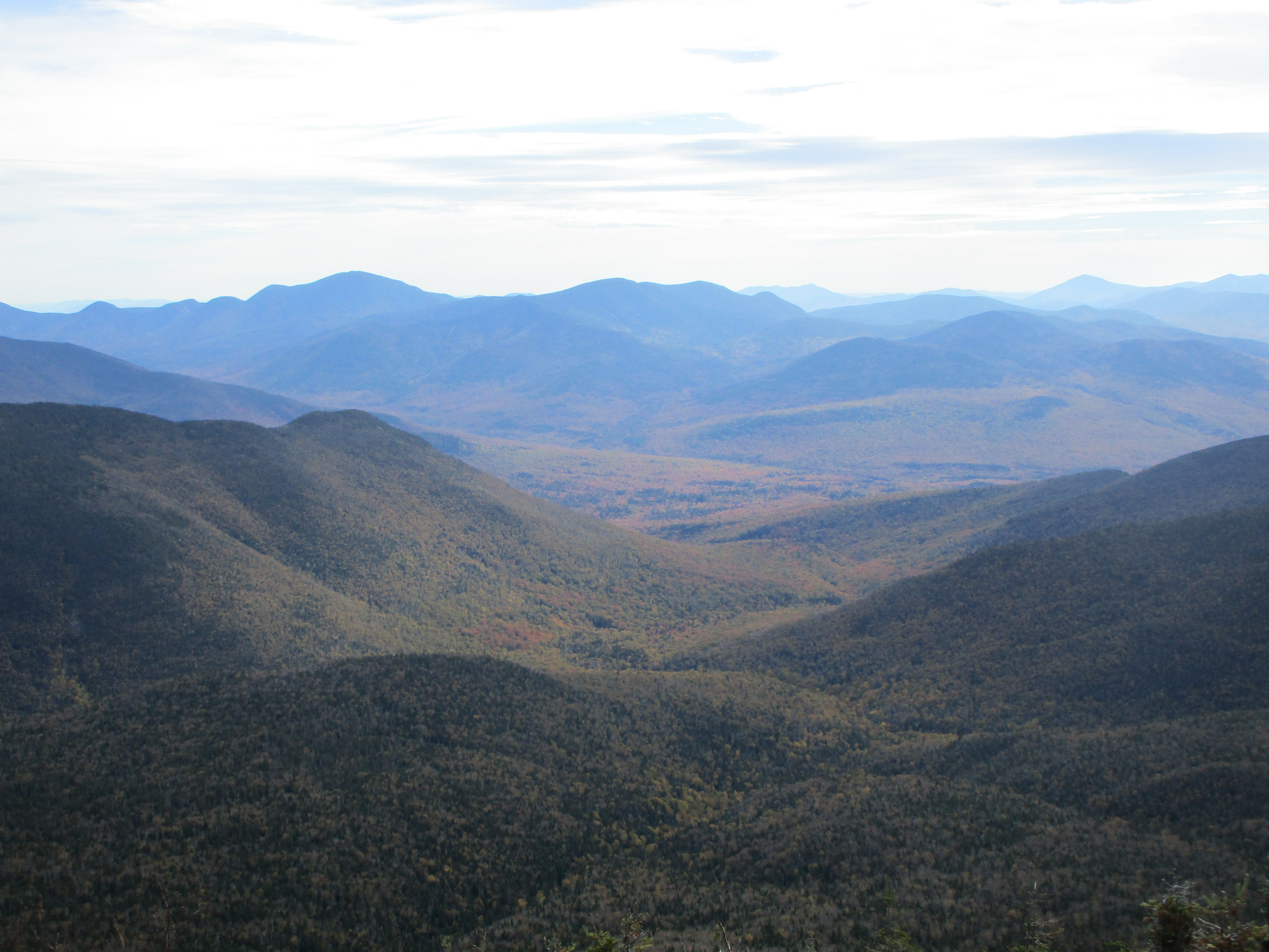
We headed up on a Saturday morning and enjoyed the snowy scenes unfold beyond my windshield as we weaved in and out of the mountainsides on i93 through Franconia Notch. 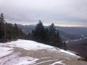 Our first stop was Flume Visitors Center so I could do a quick warm-up hike up to Pemigewasset (aka Indian Head).
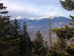
Mom took my car from here and enjoyed some of the winter mountain views along the notch. There are plenty of roadside vistas here in which to do so. I got a great view from the Pemi summit and checked off a 52WAV peak and then returned to the lot where we went on to our second stop. 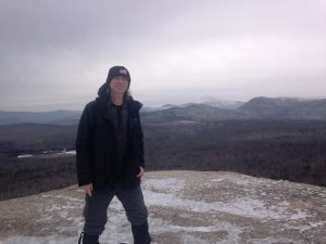
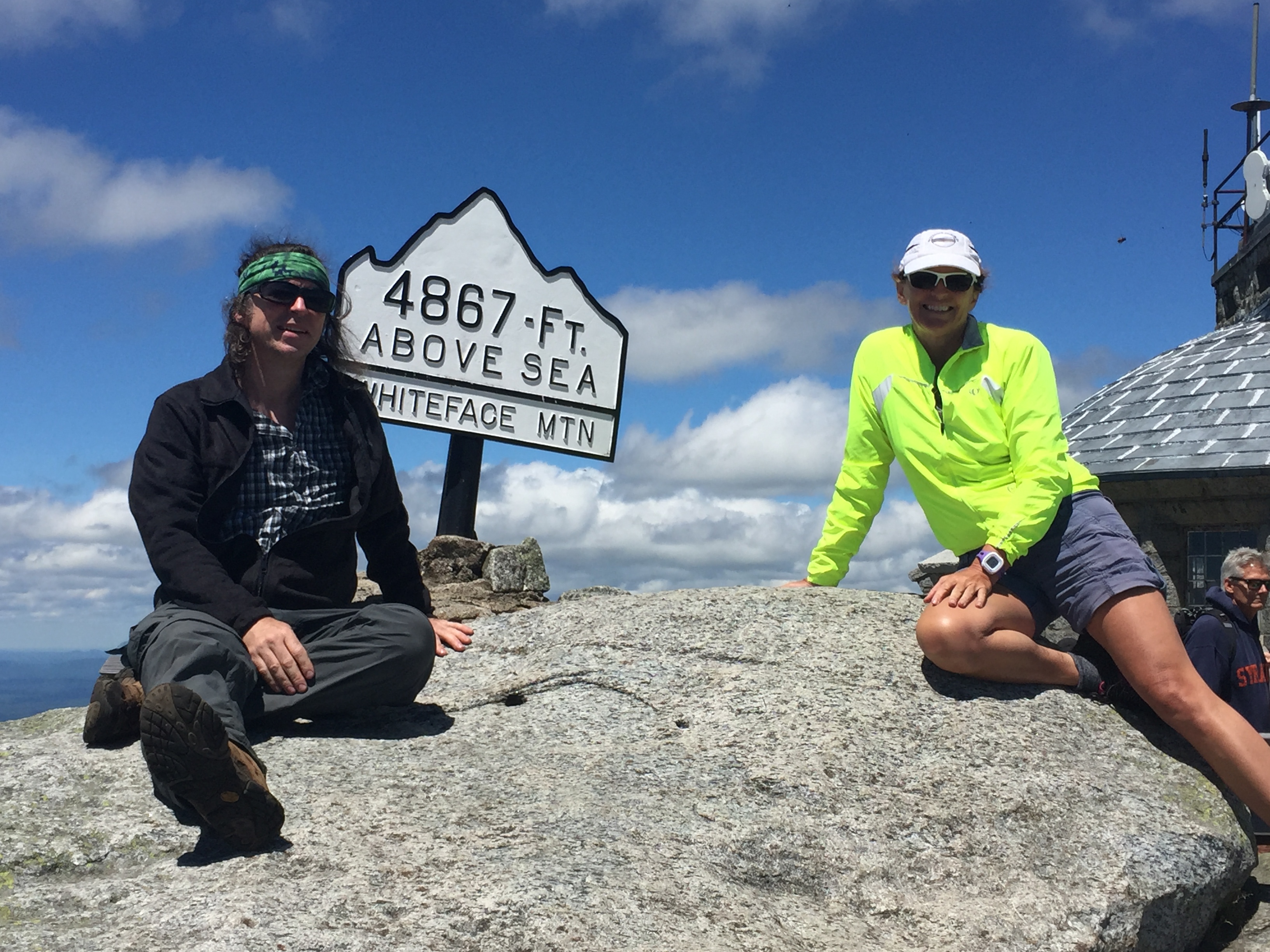
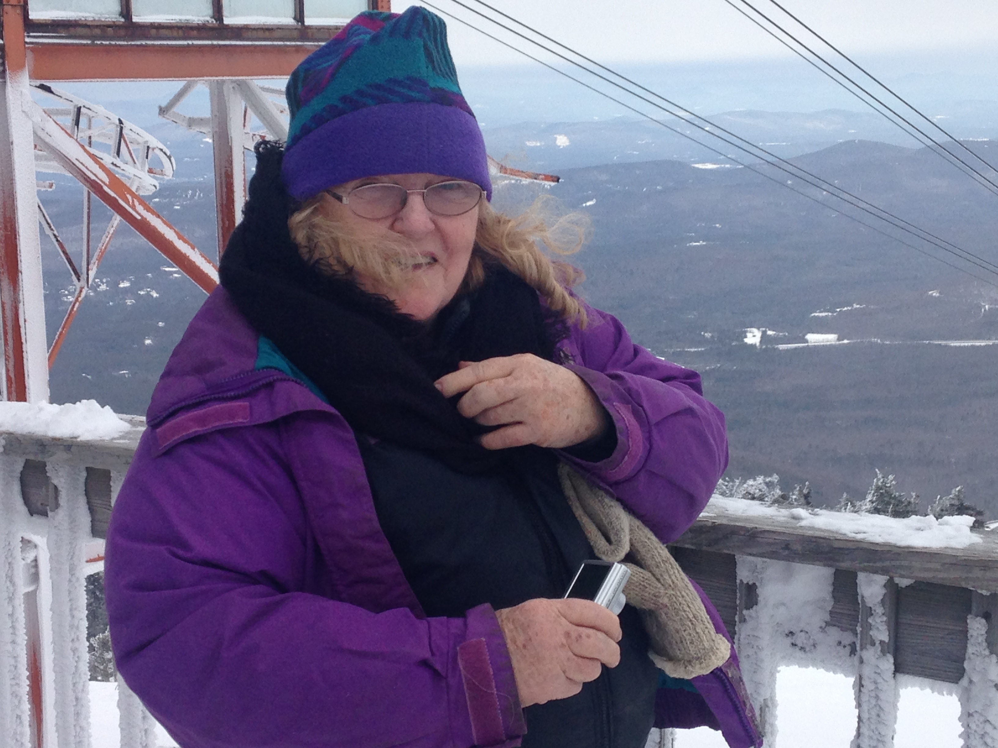
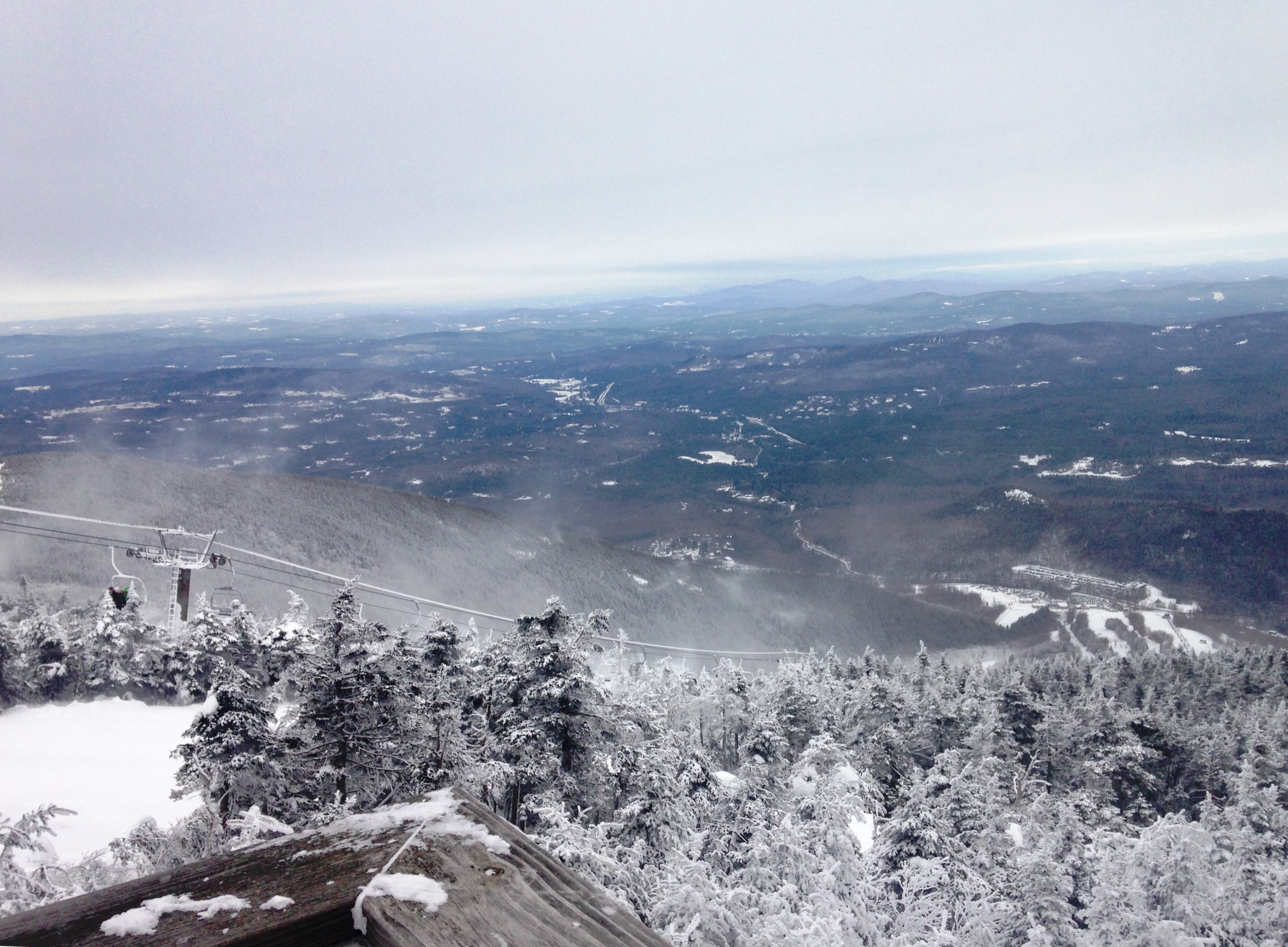
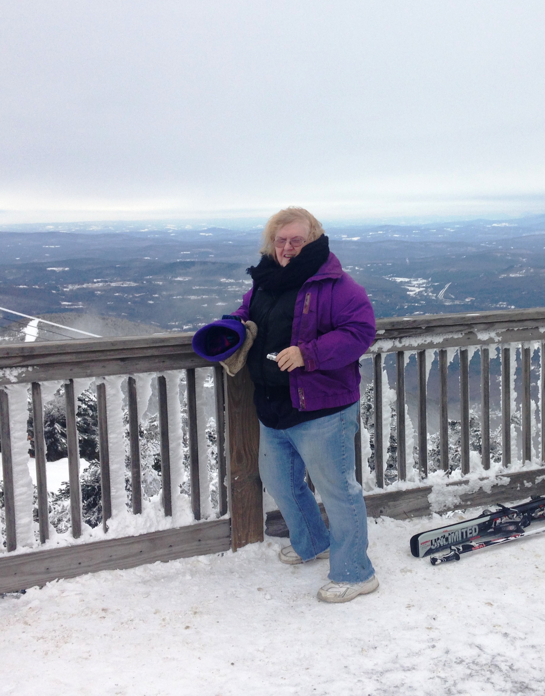
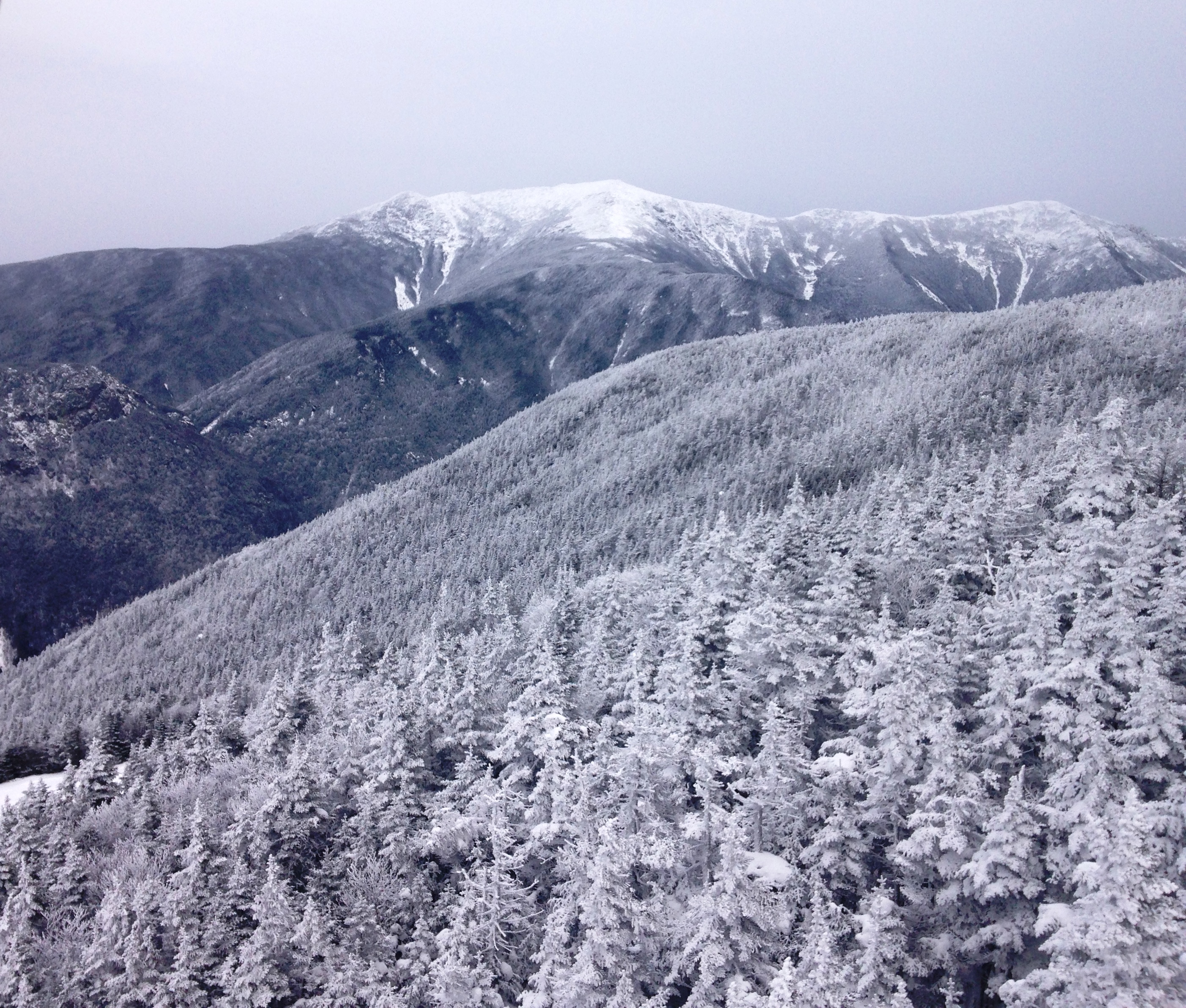
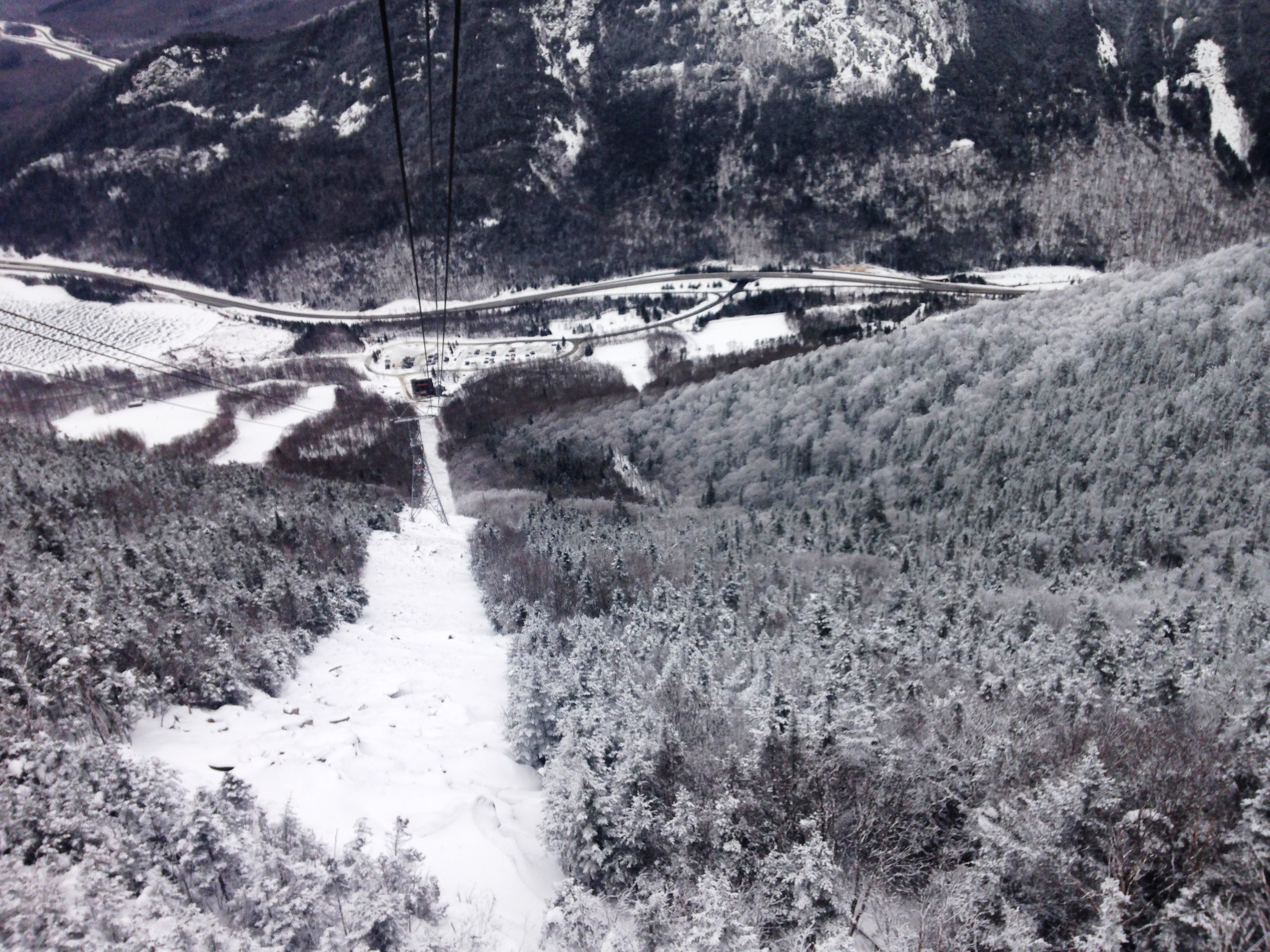
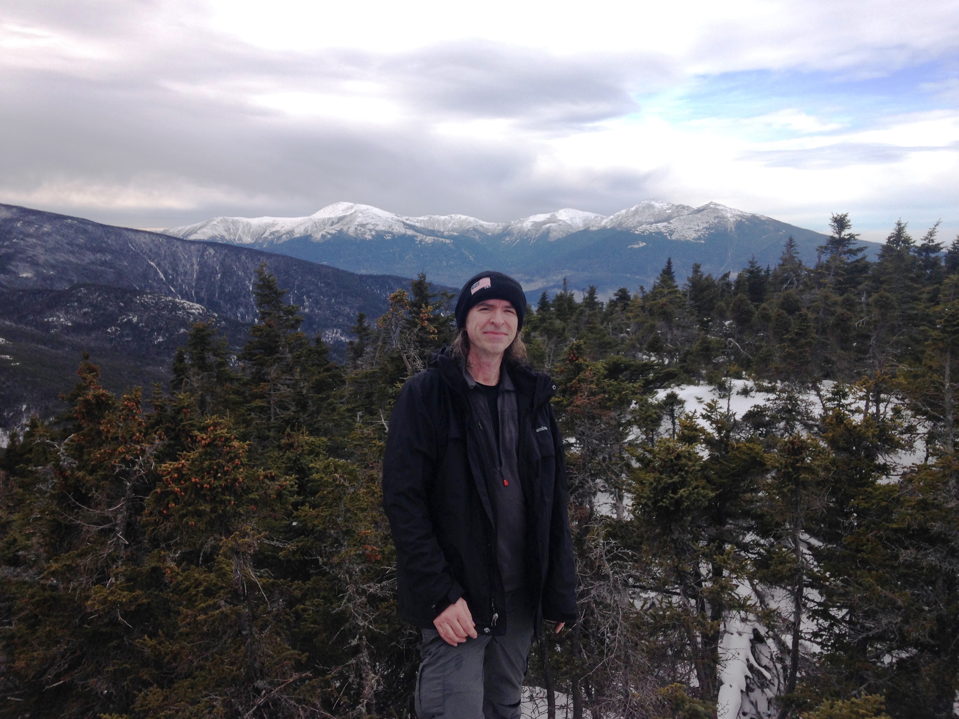
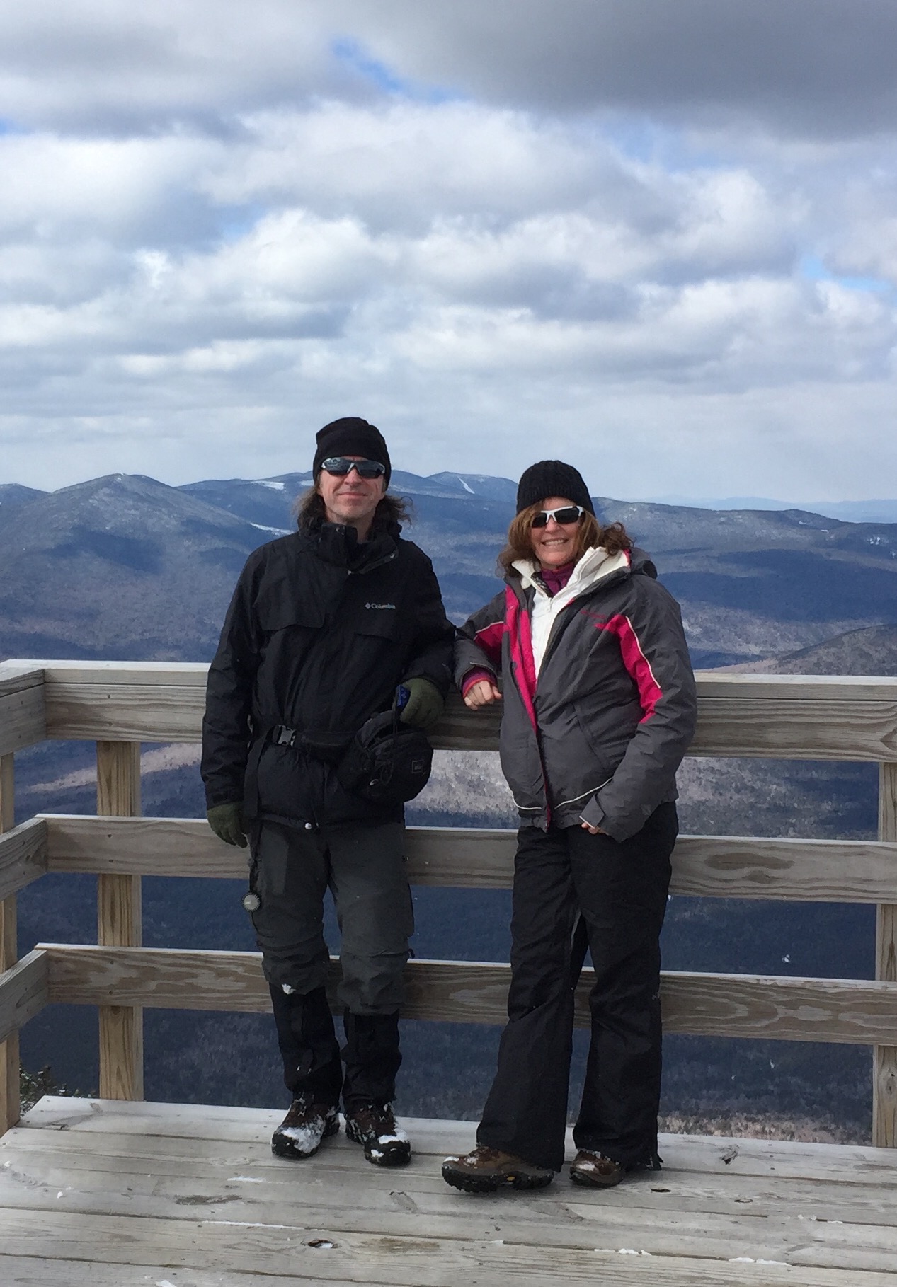
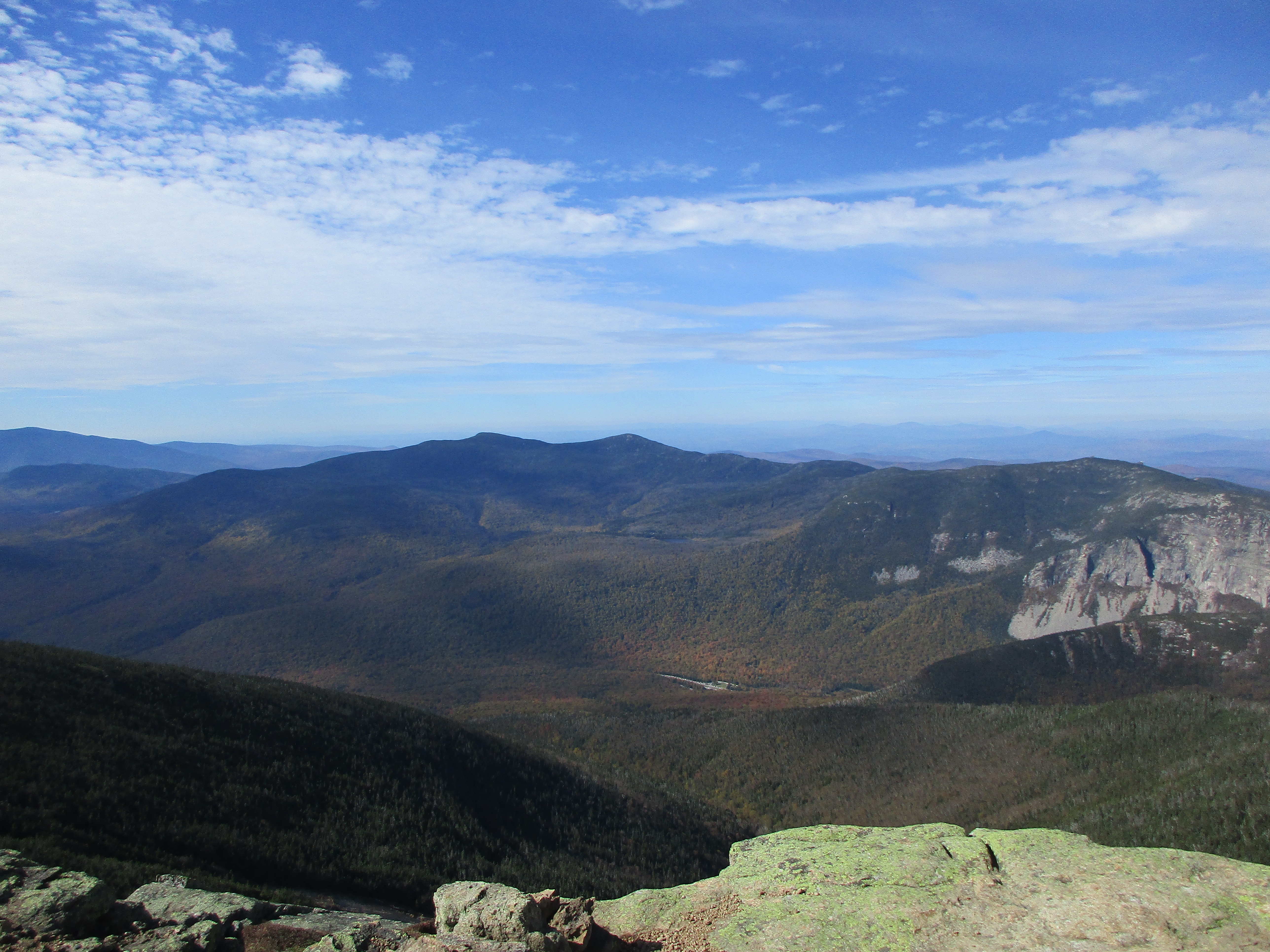
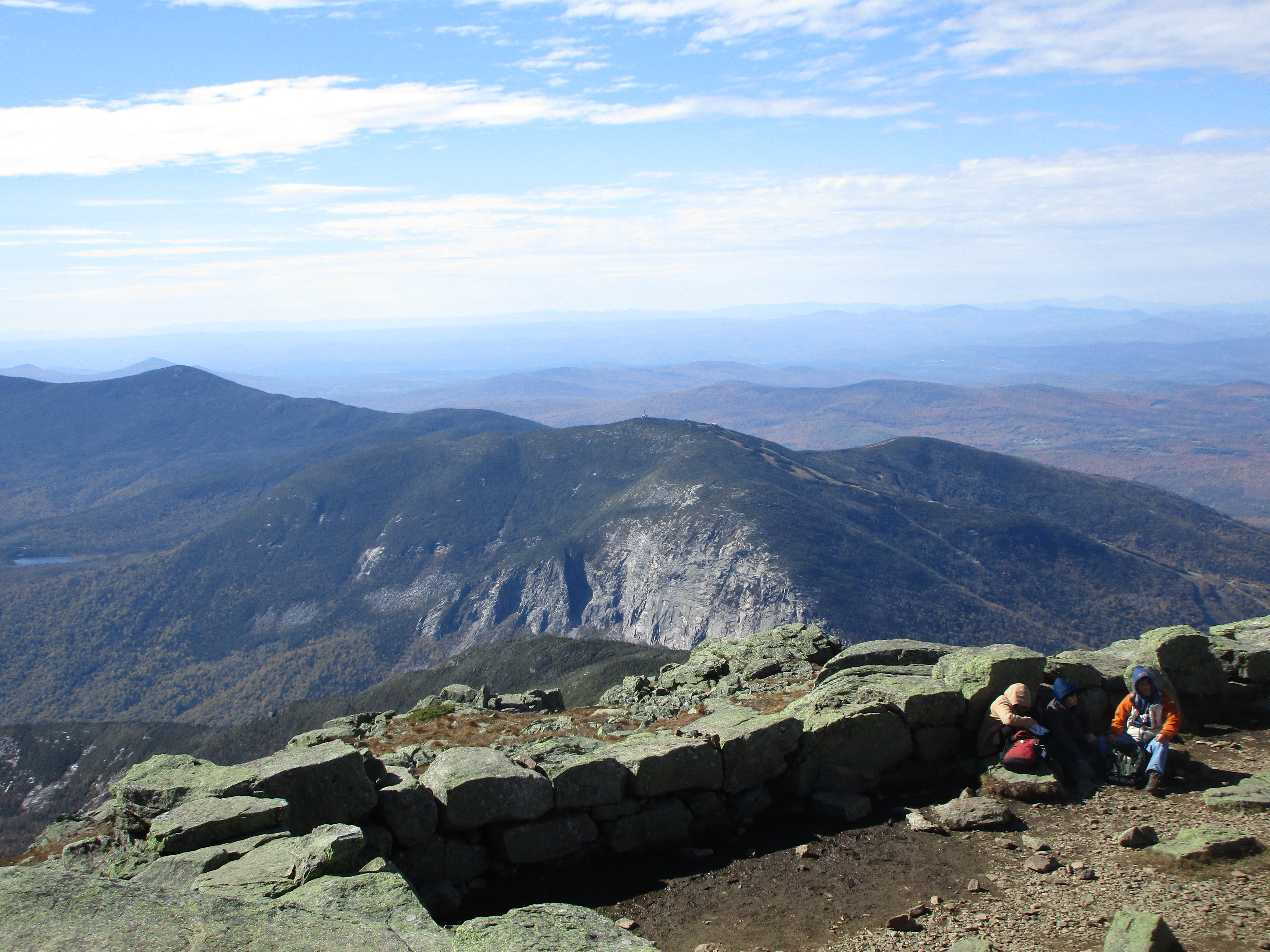
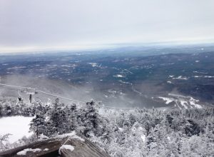 We pulled off of exit 34B and took the Tramway up to Mt Cannon summit to enjoy a summit view together. It was quite cold but gorgeous sights surrounded us. As the skiers and snowboarders whizzed down the slopes we stood on the observation deck bundled up and surveyed the bleached landscapes against a gray sky. Then we warmed up inside by the fire with a hot bowl of Chili, and caught the return ride back to the Rav4 and finally made our way to Pinkham Notch for another stay at Joe Dodge Lodge.
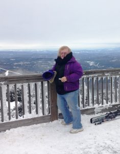

The next morning Mom got a kick out of my lousy wakeup attitude – “Why do I do this? Nooooh! Oh well, we drove all this way. I might as well get the hell up and climb another frick’n mountain!!”
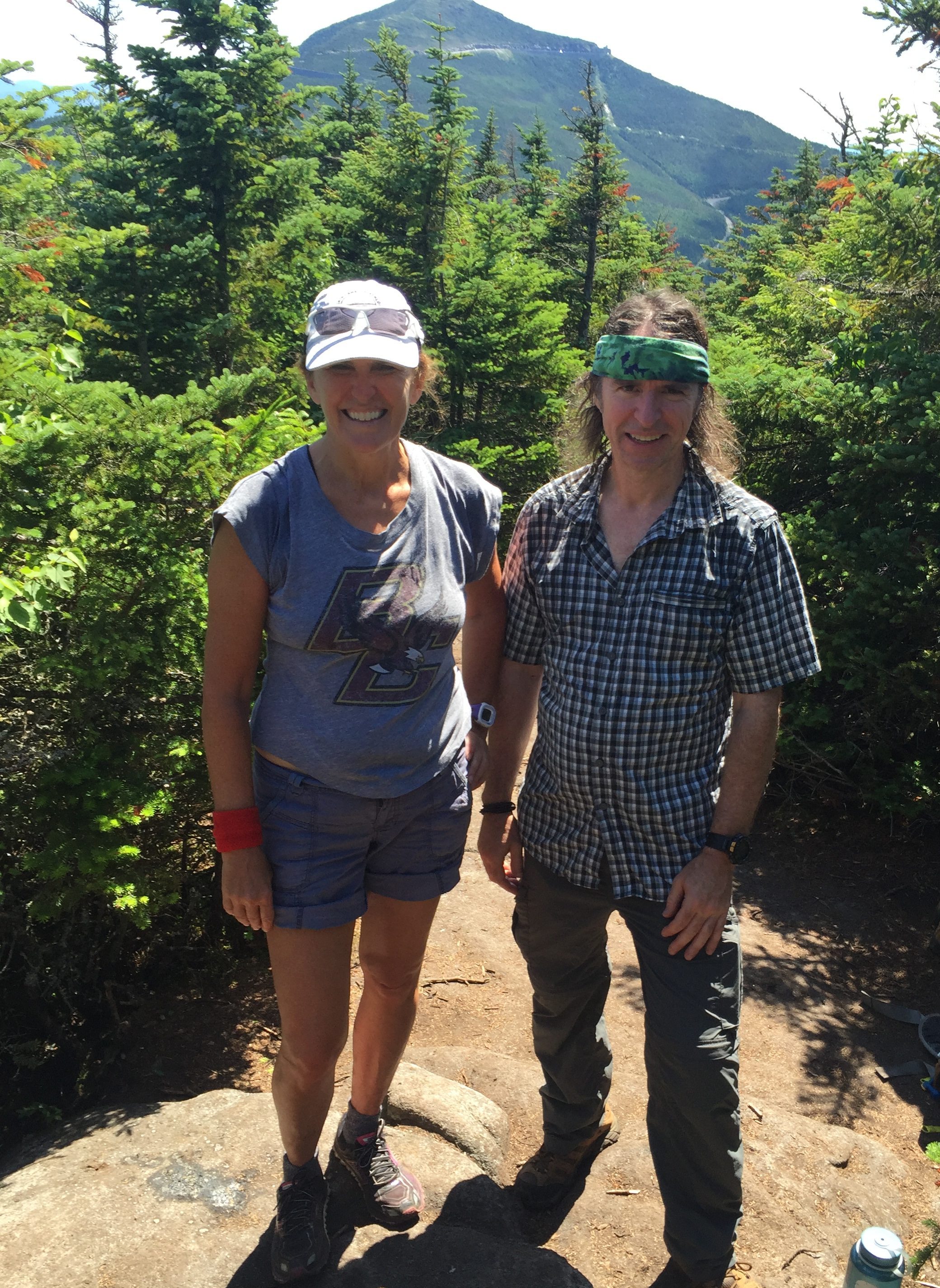
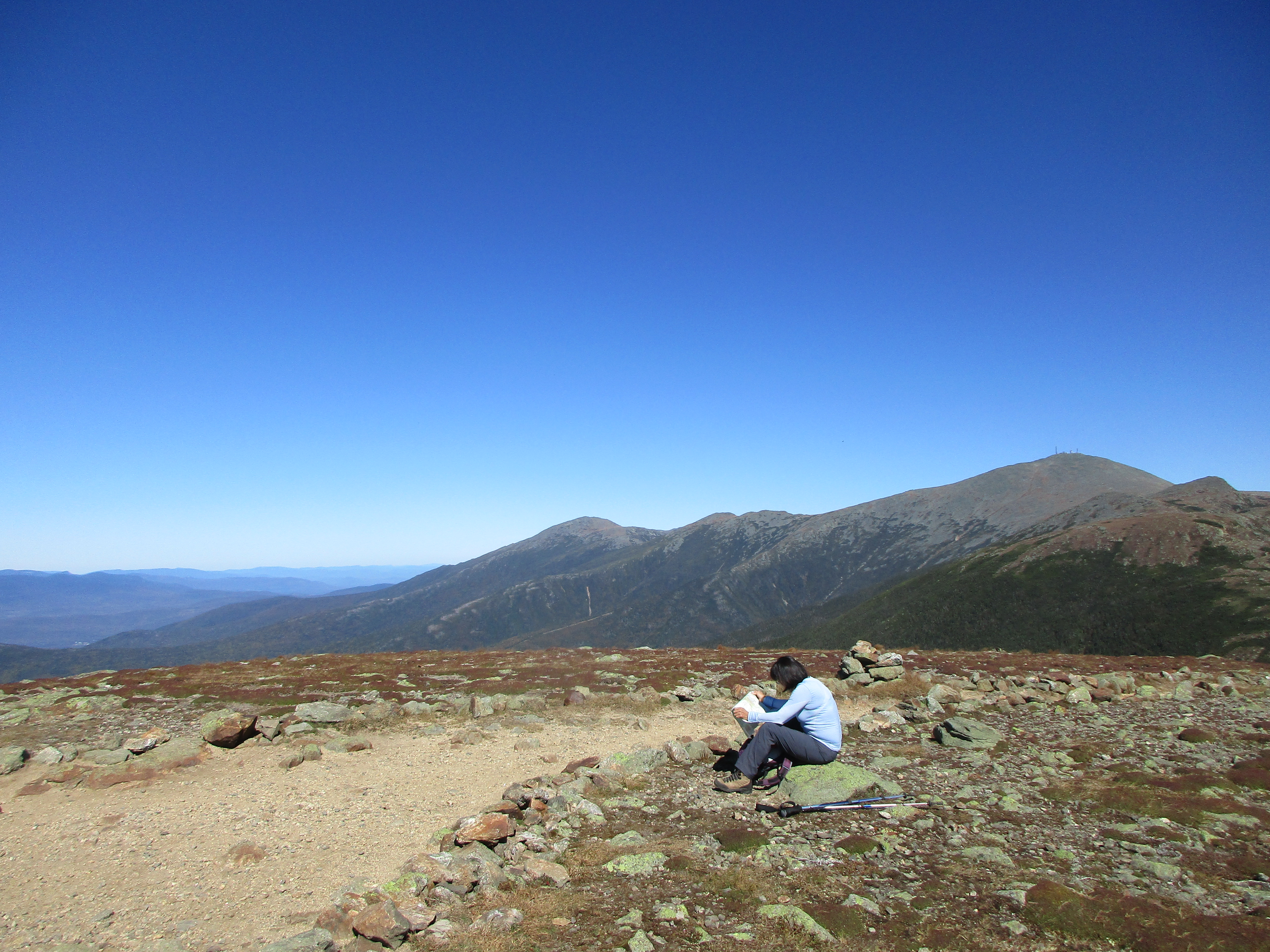
This time she dropped me off at the end of Bangor St in Gorham and then shot back down rte 16 to enjoy a short walk on the first flat section of Great Gulf trail on this rather unseasonally warm day.
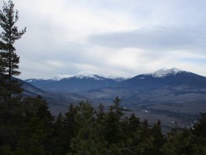
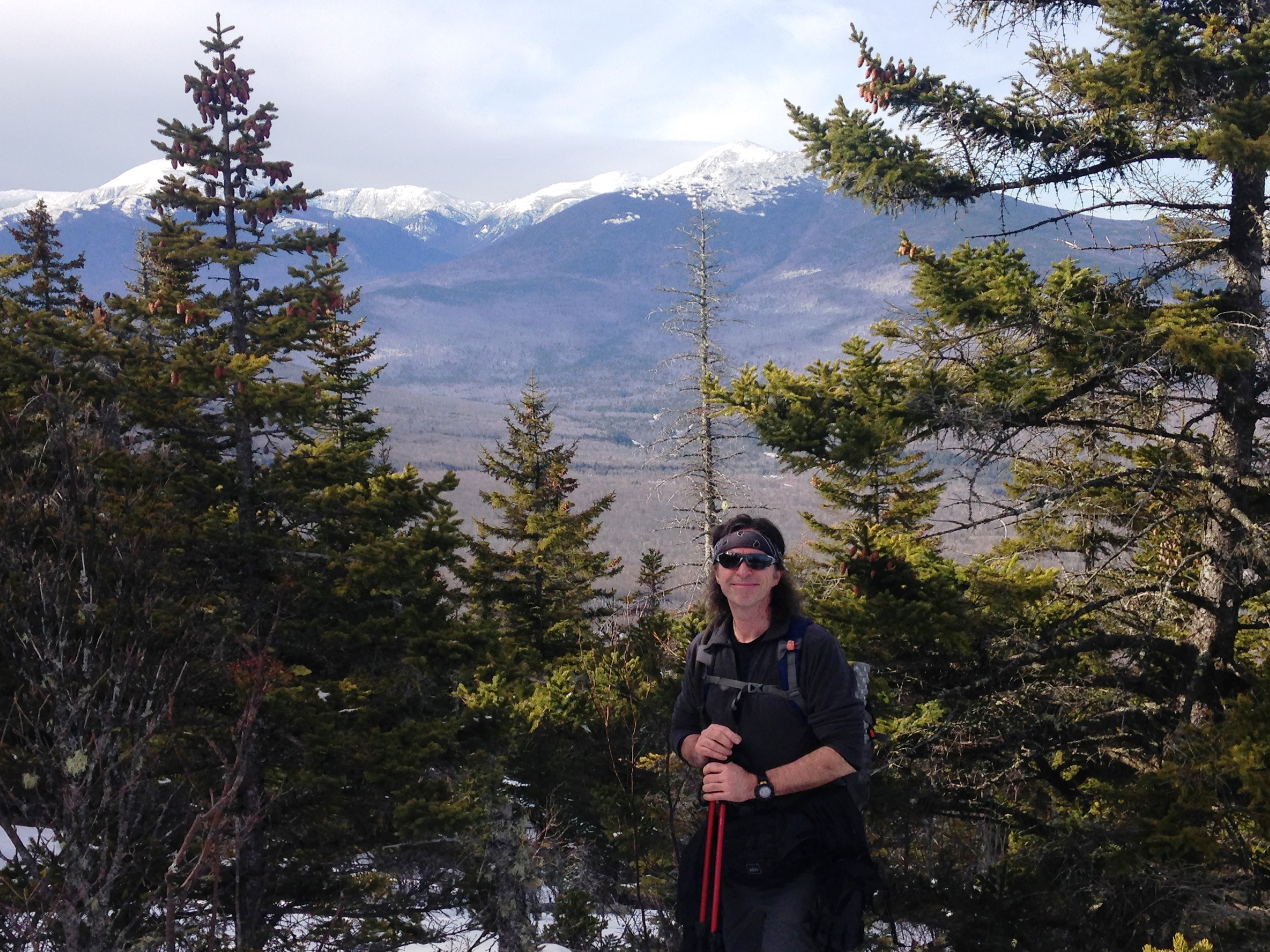
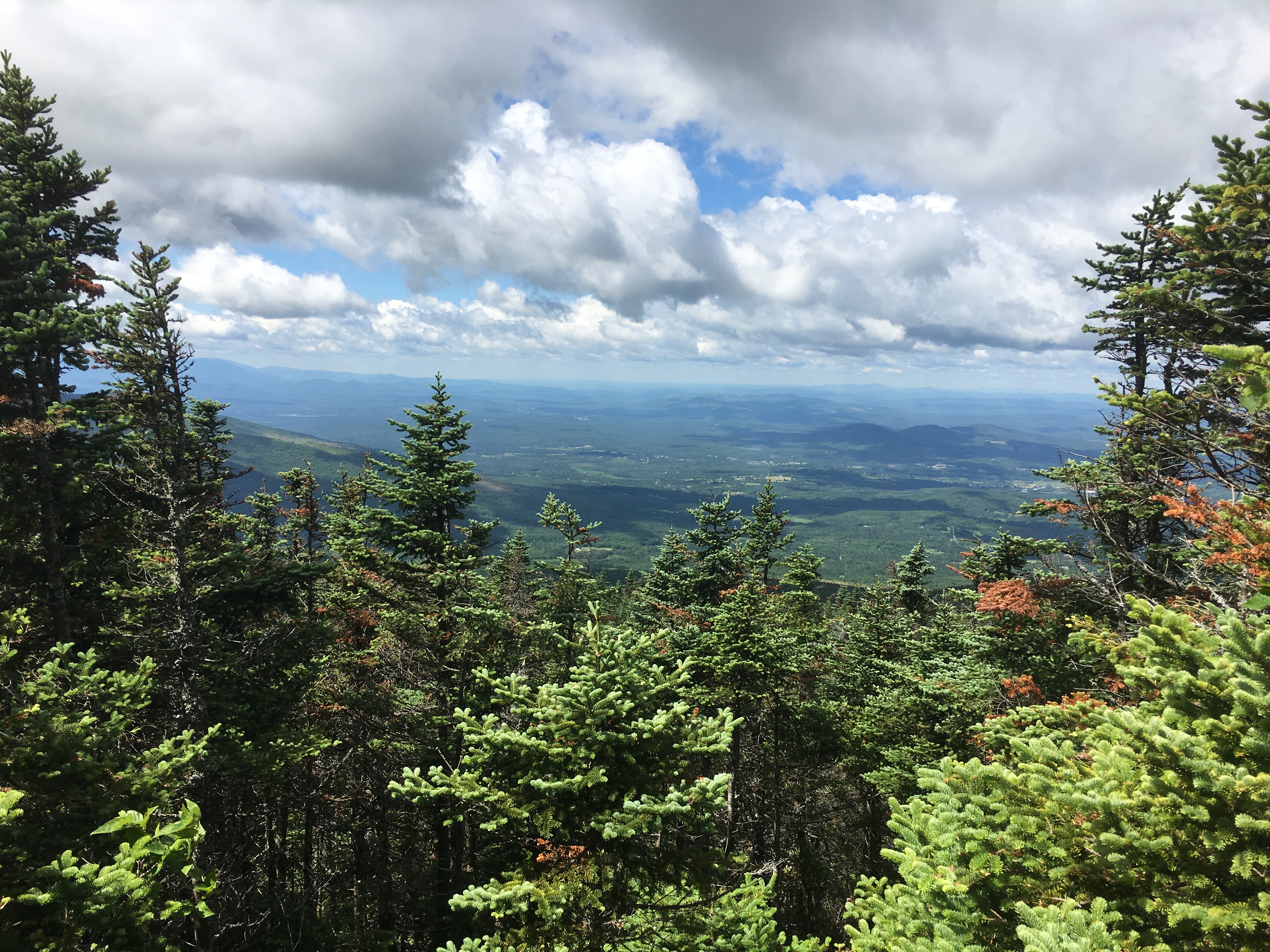
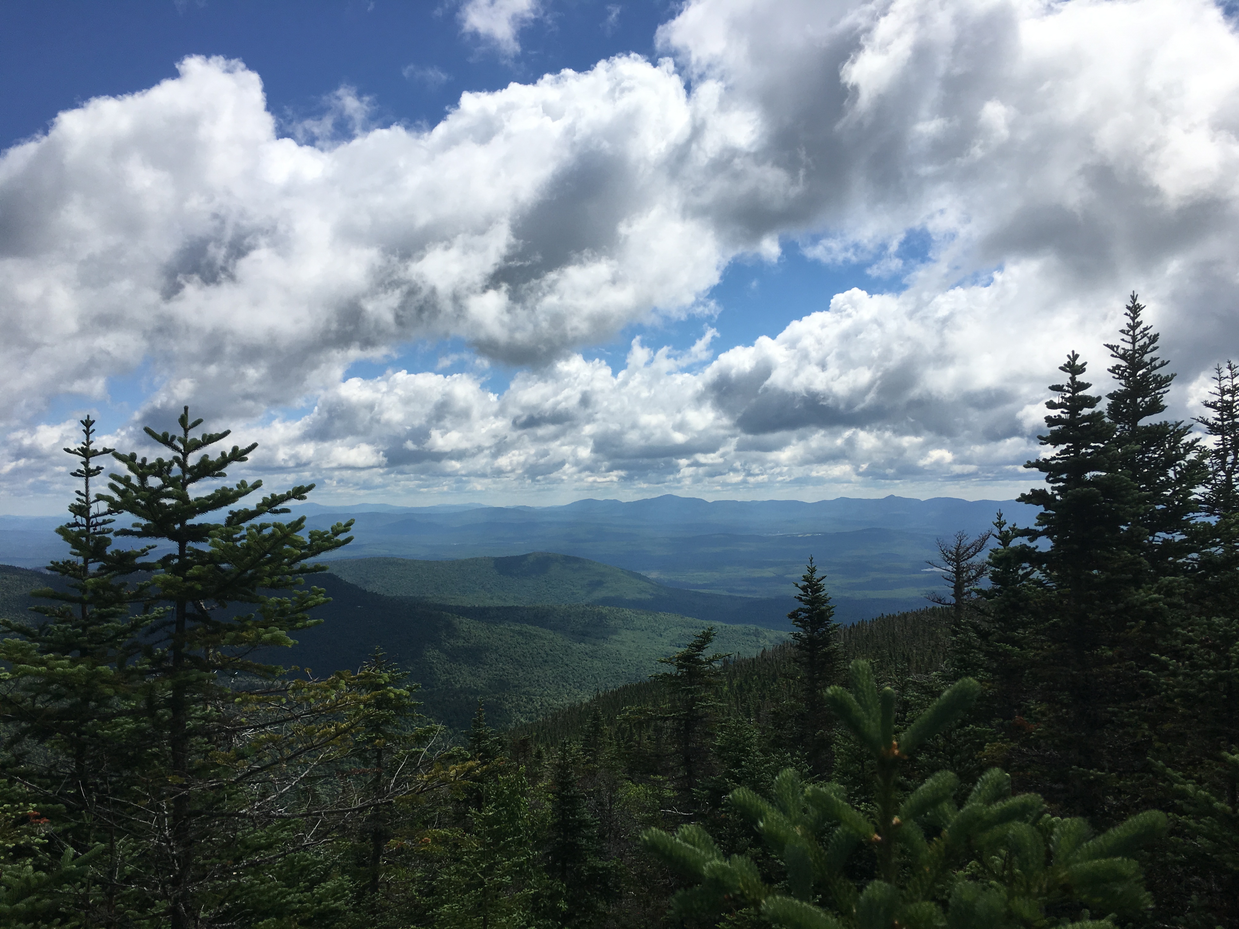
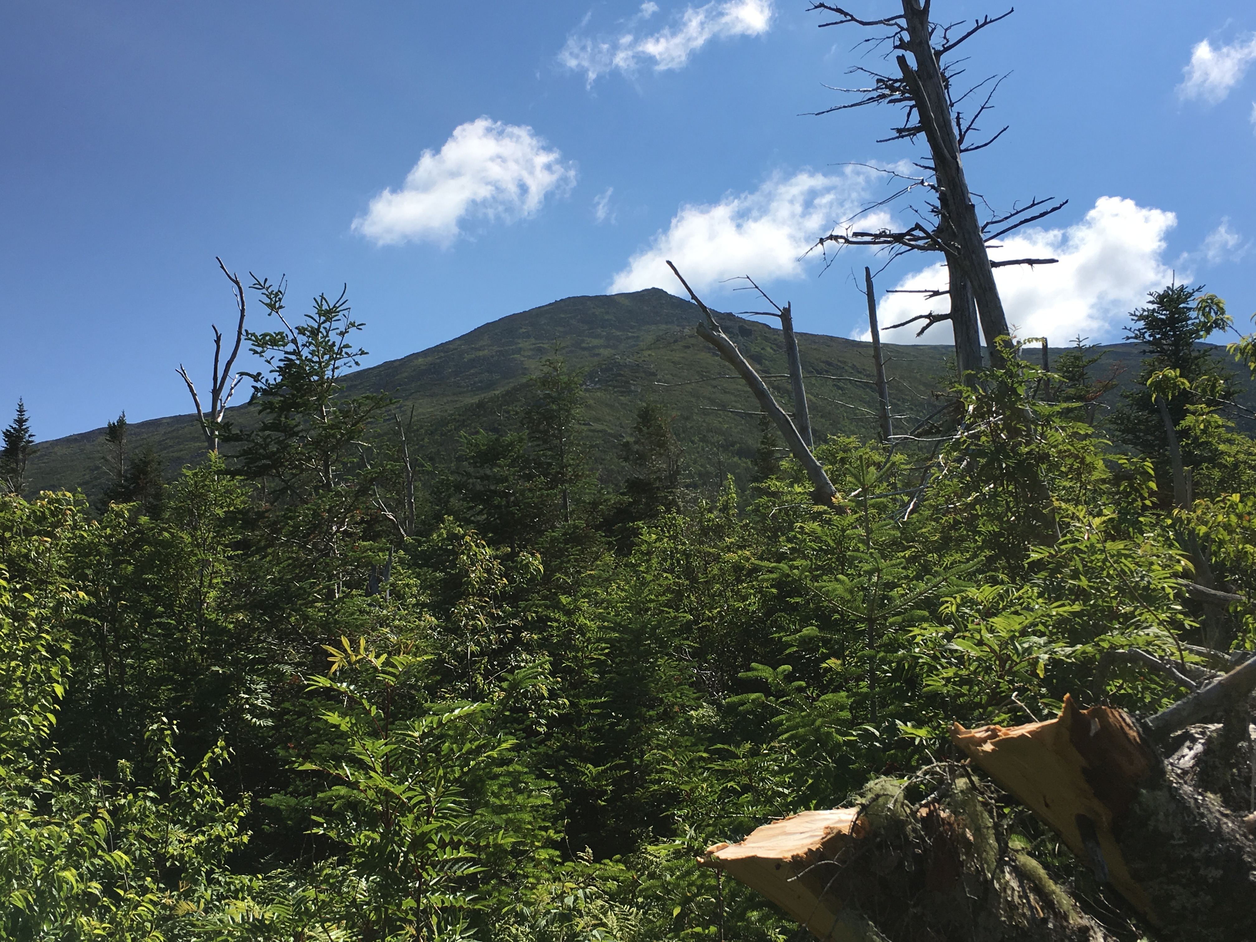
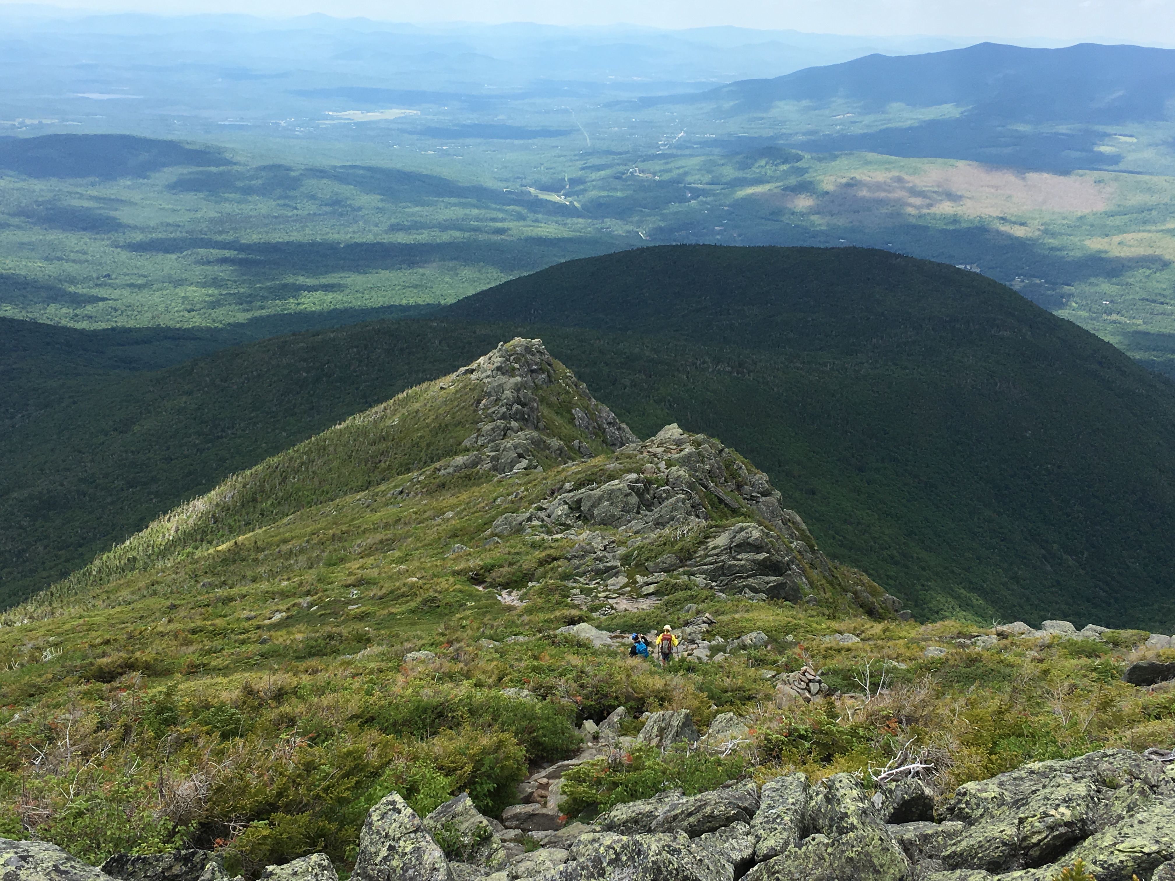
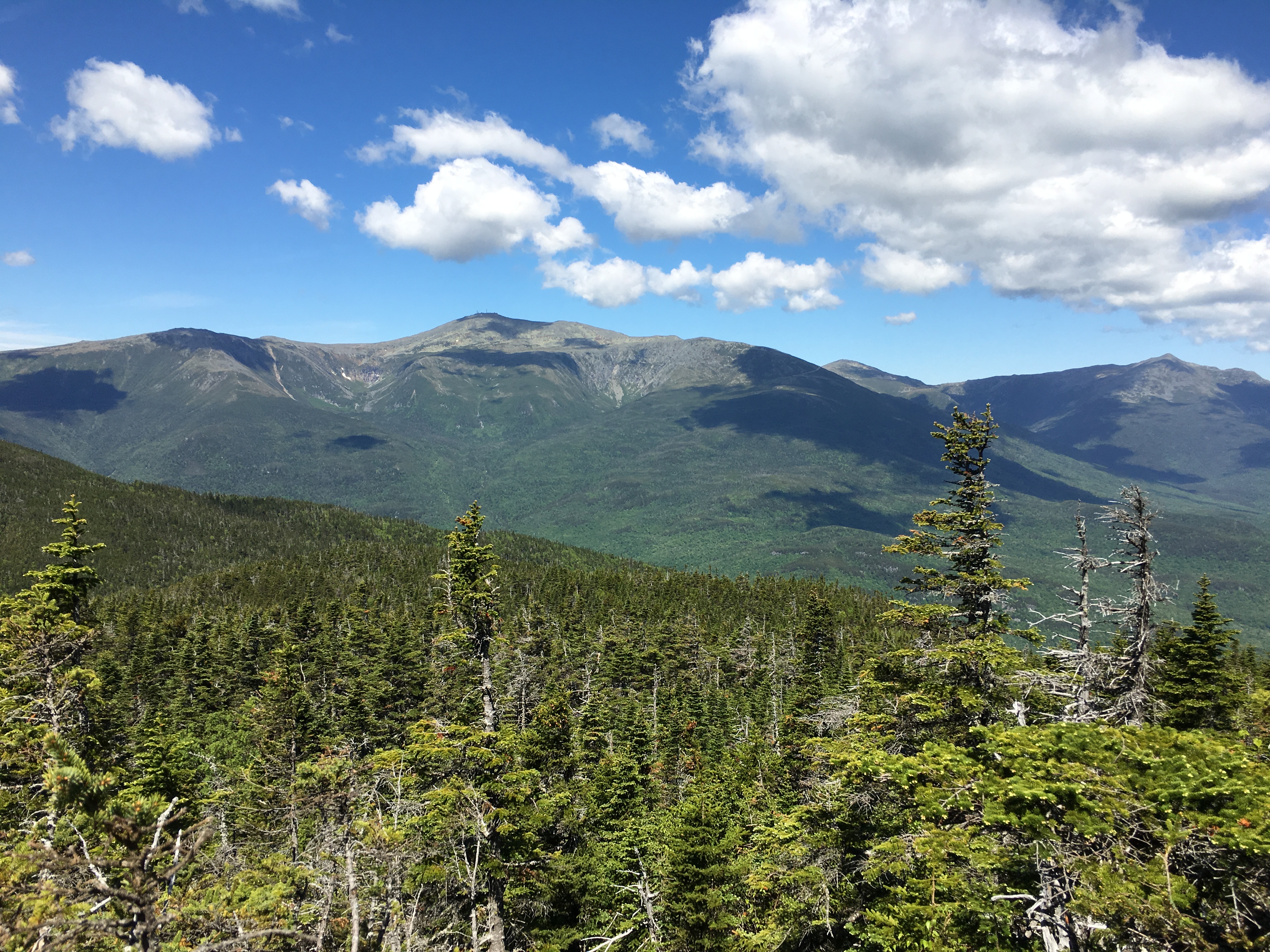
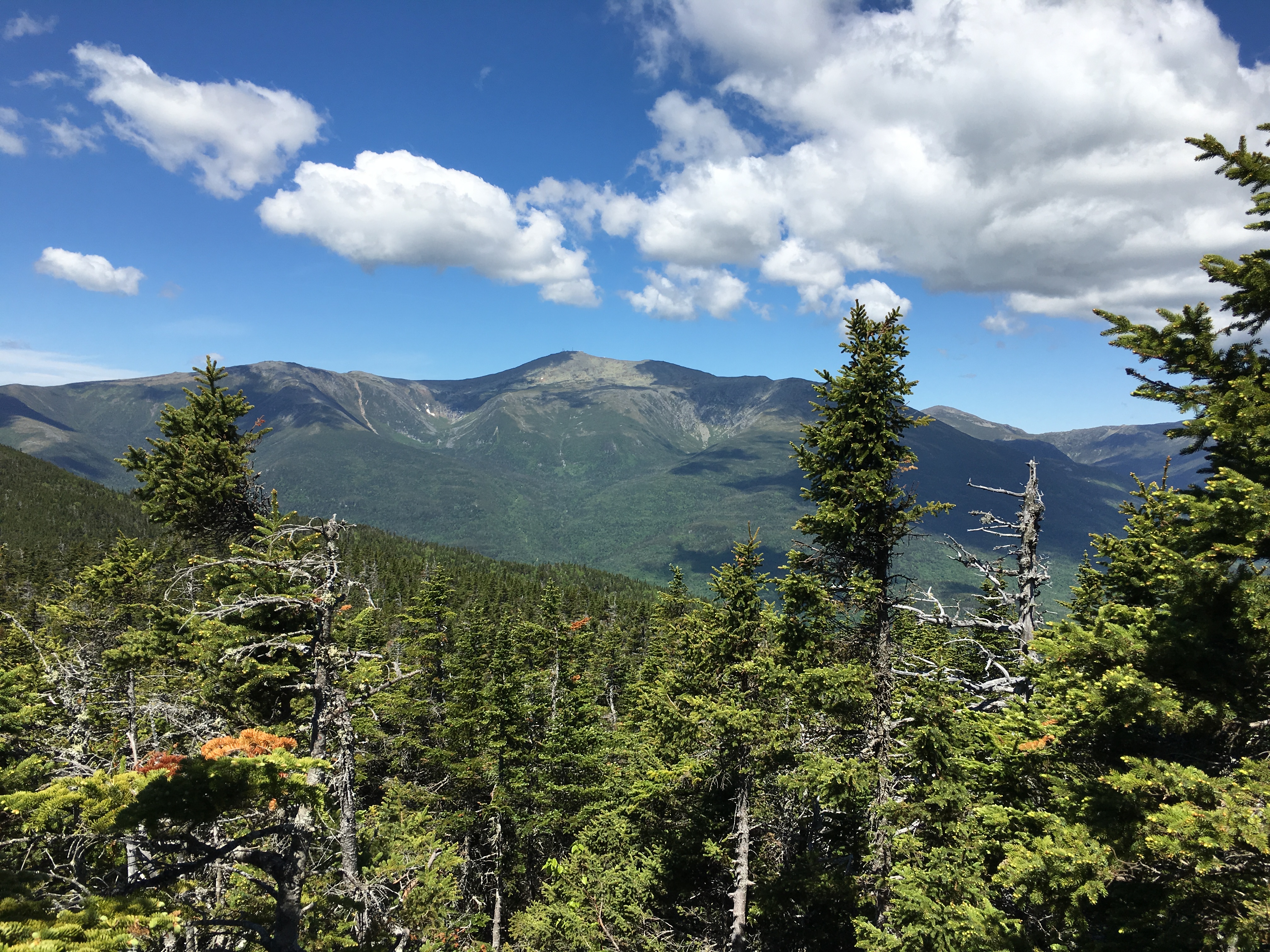
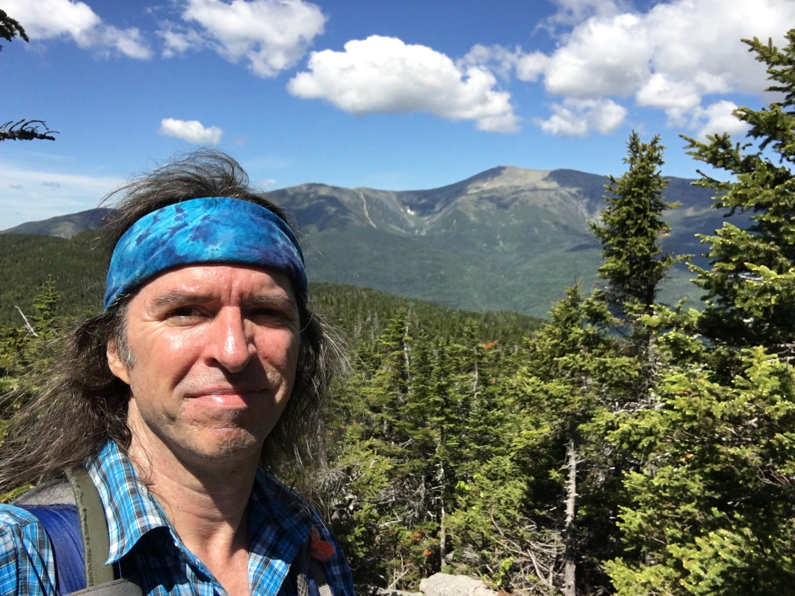
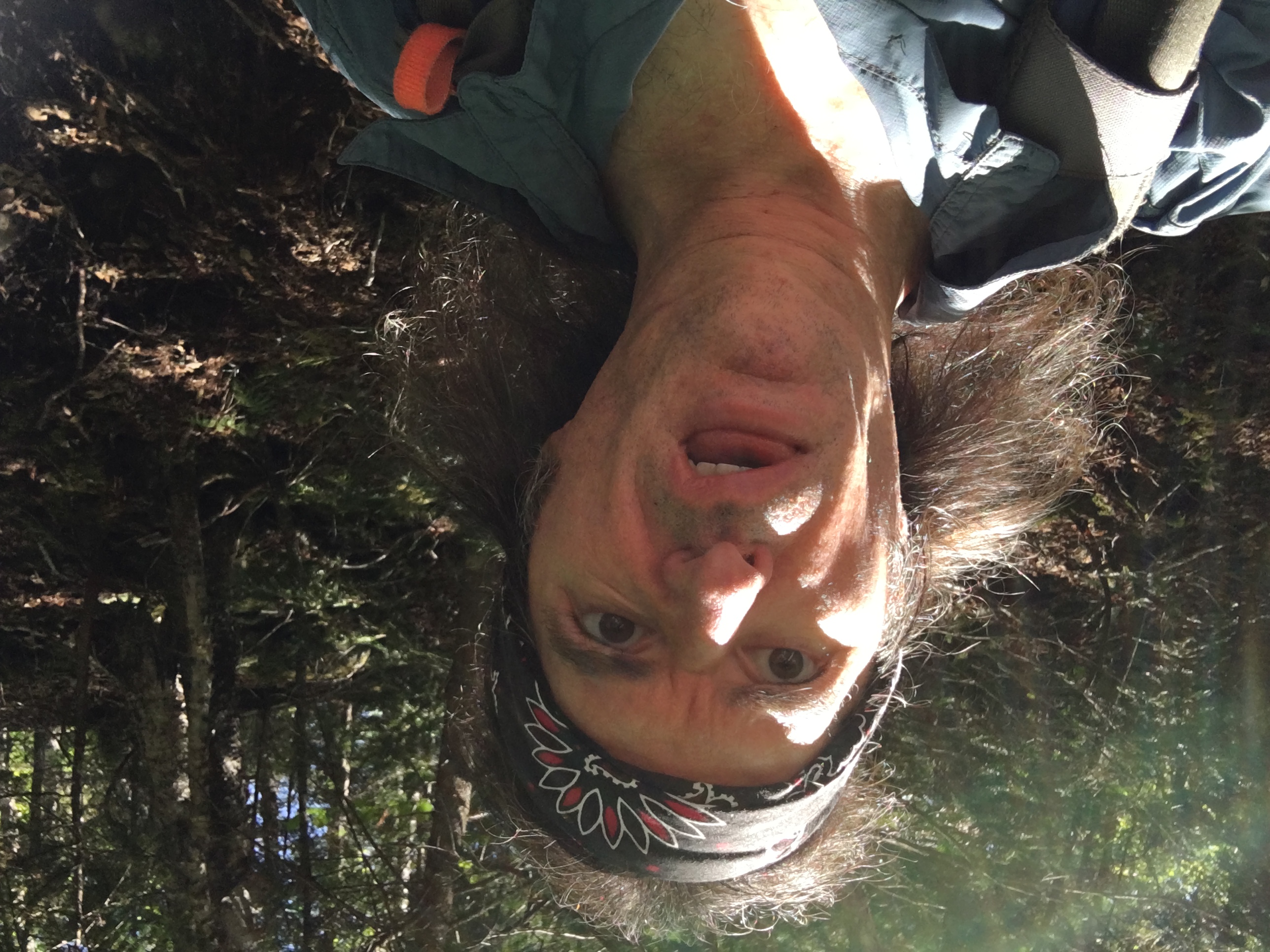
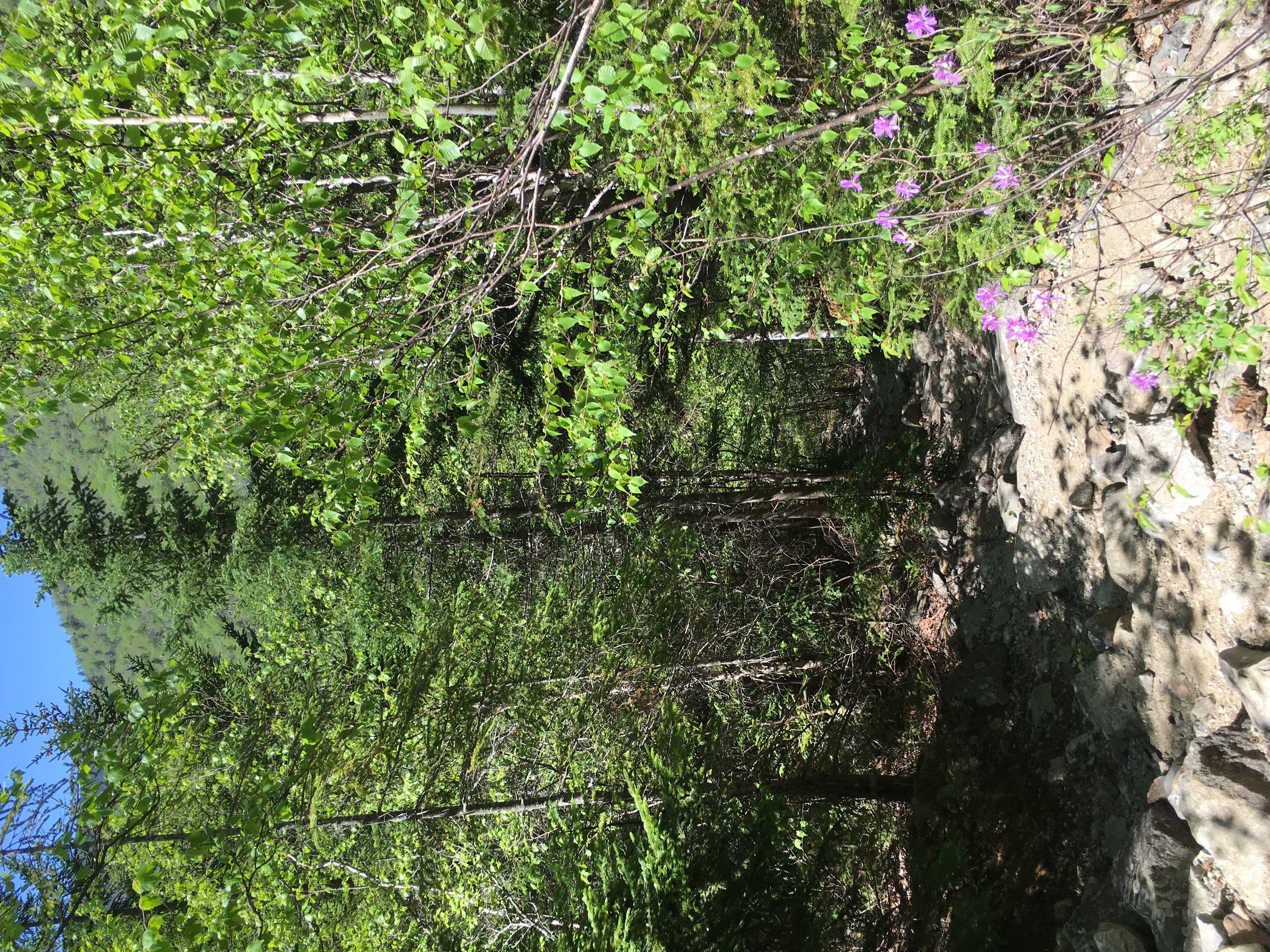
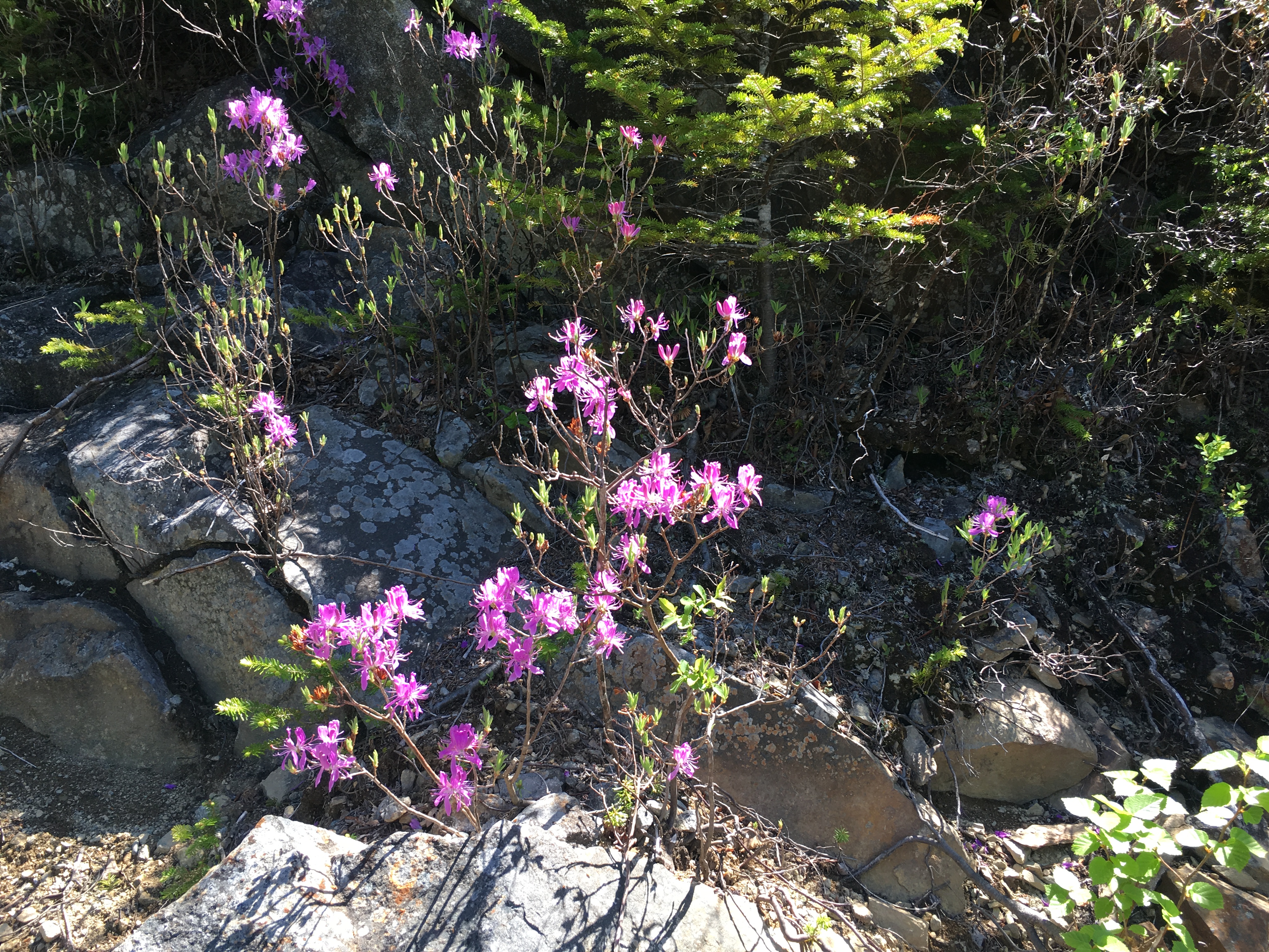
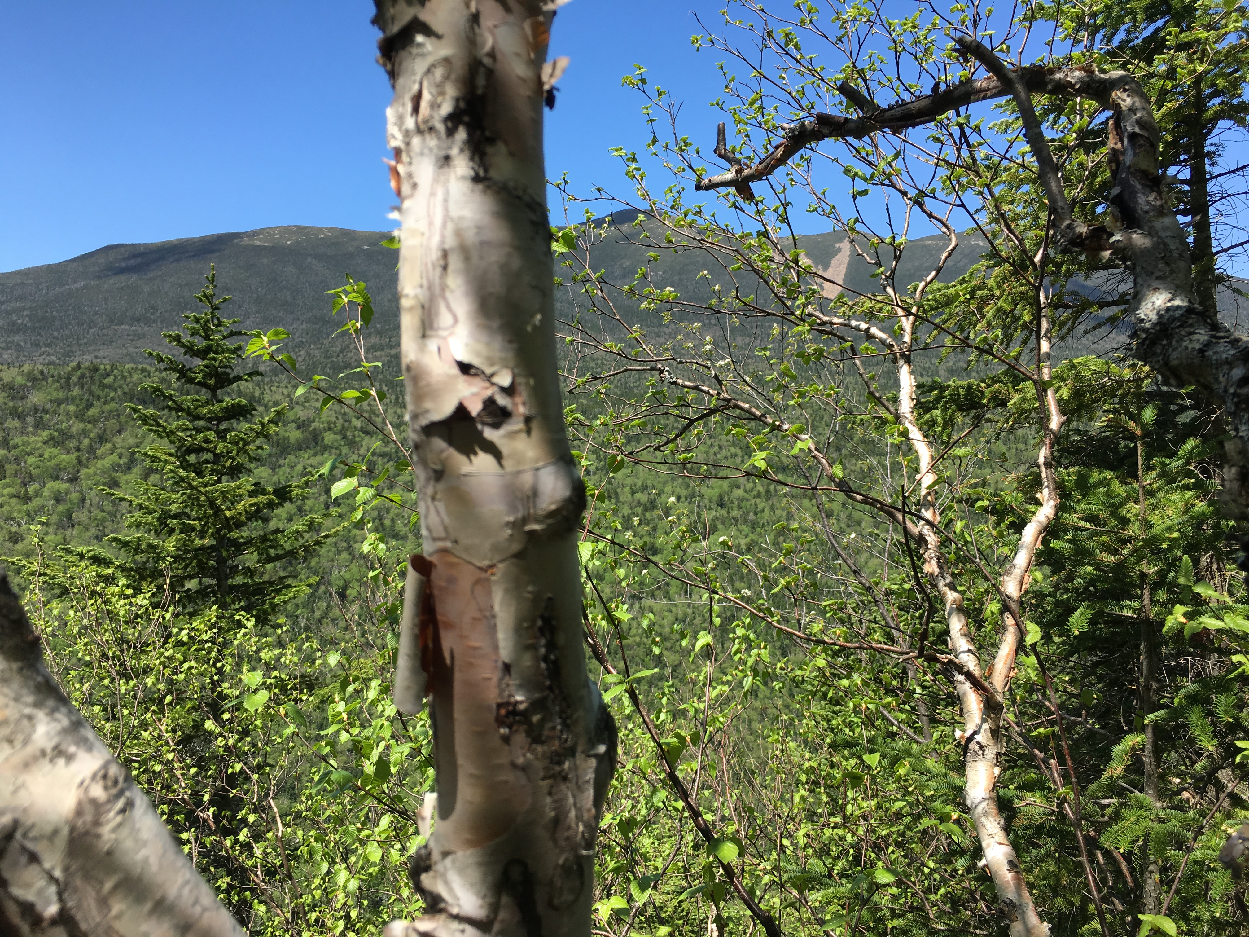
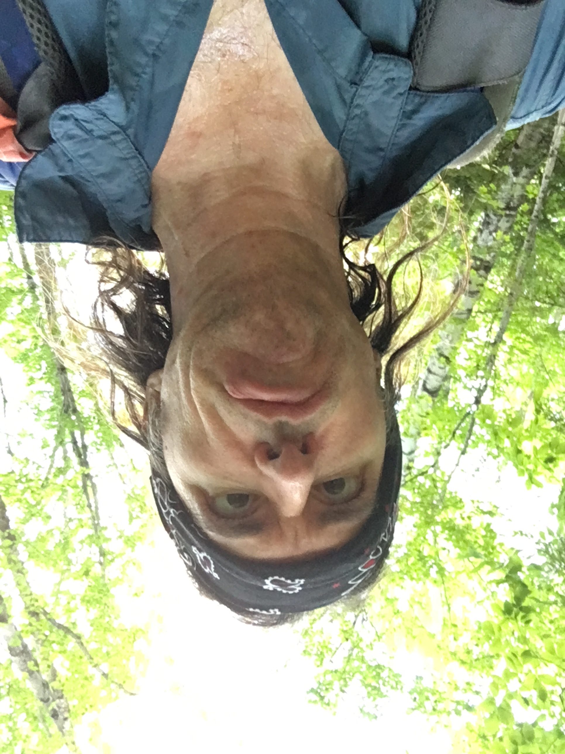
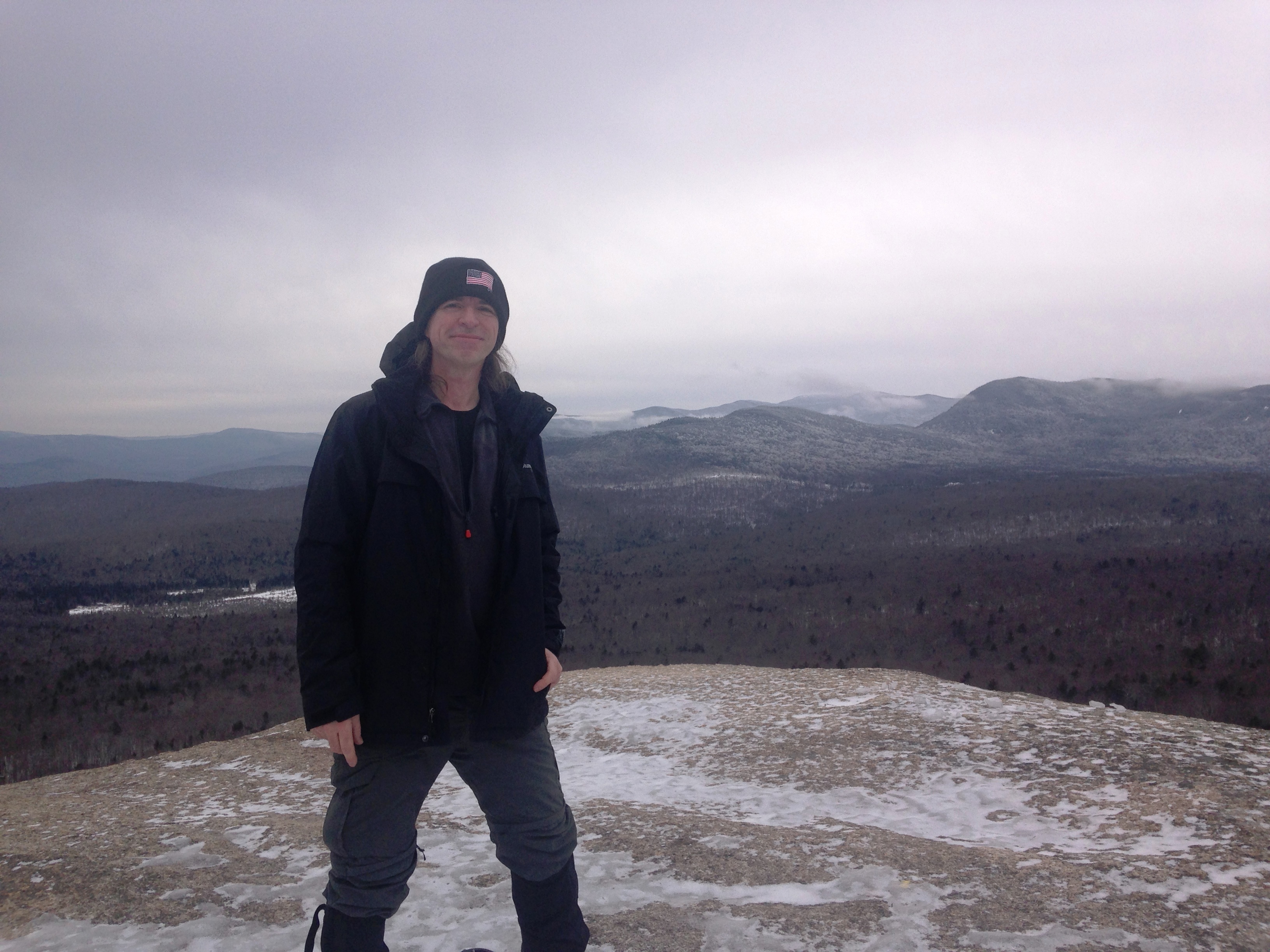
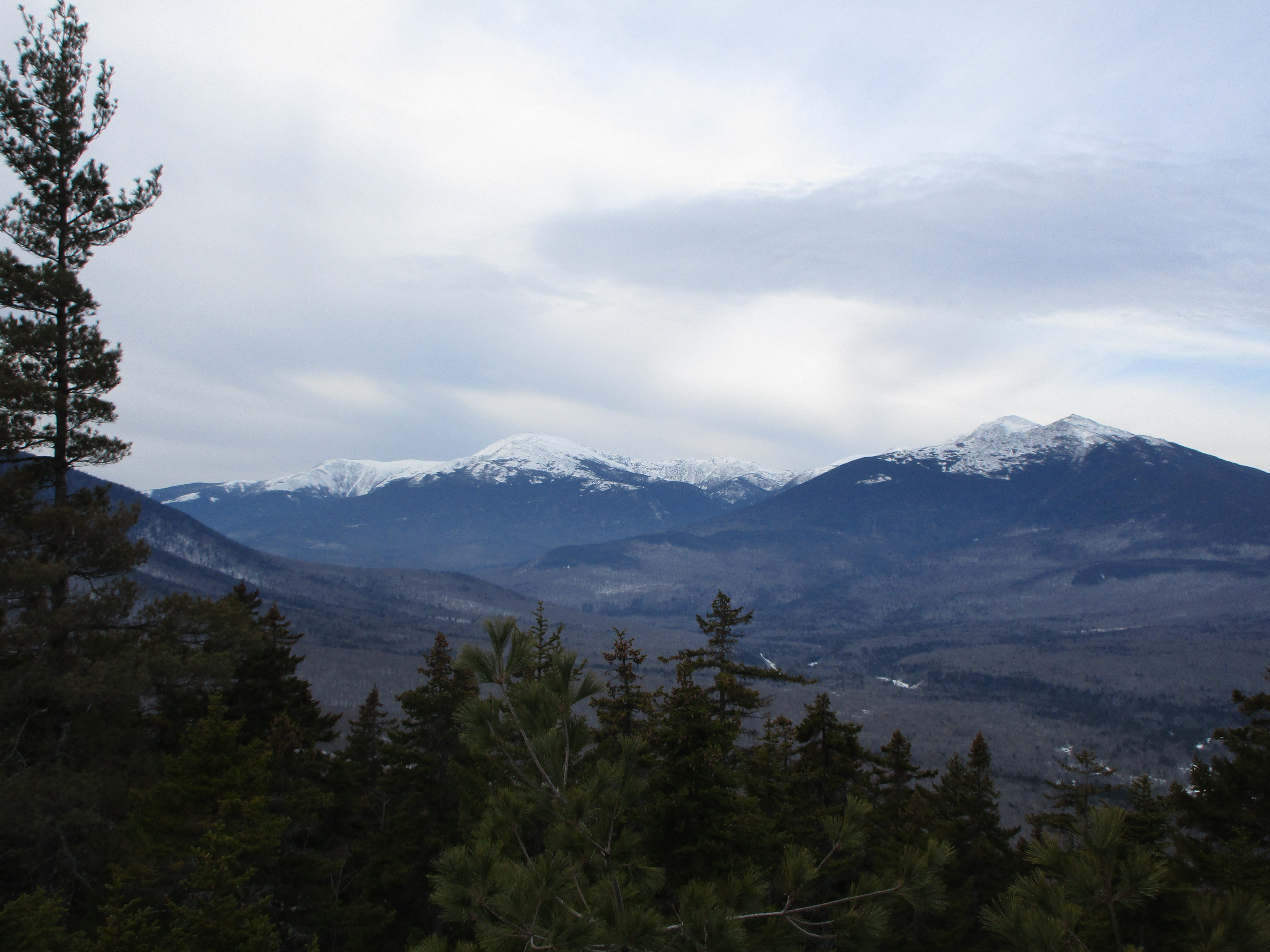
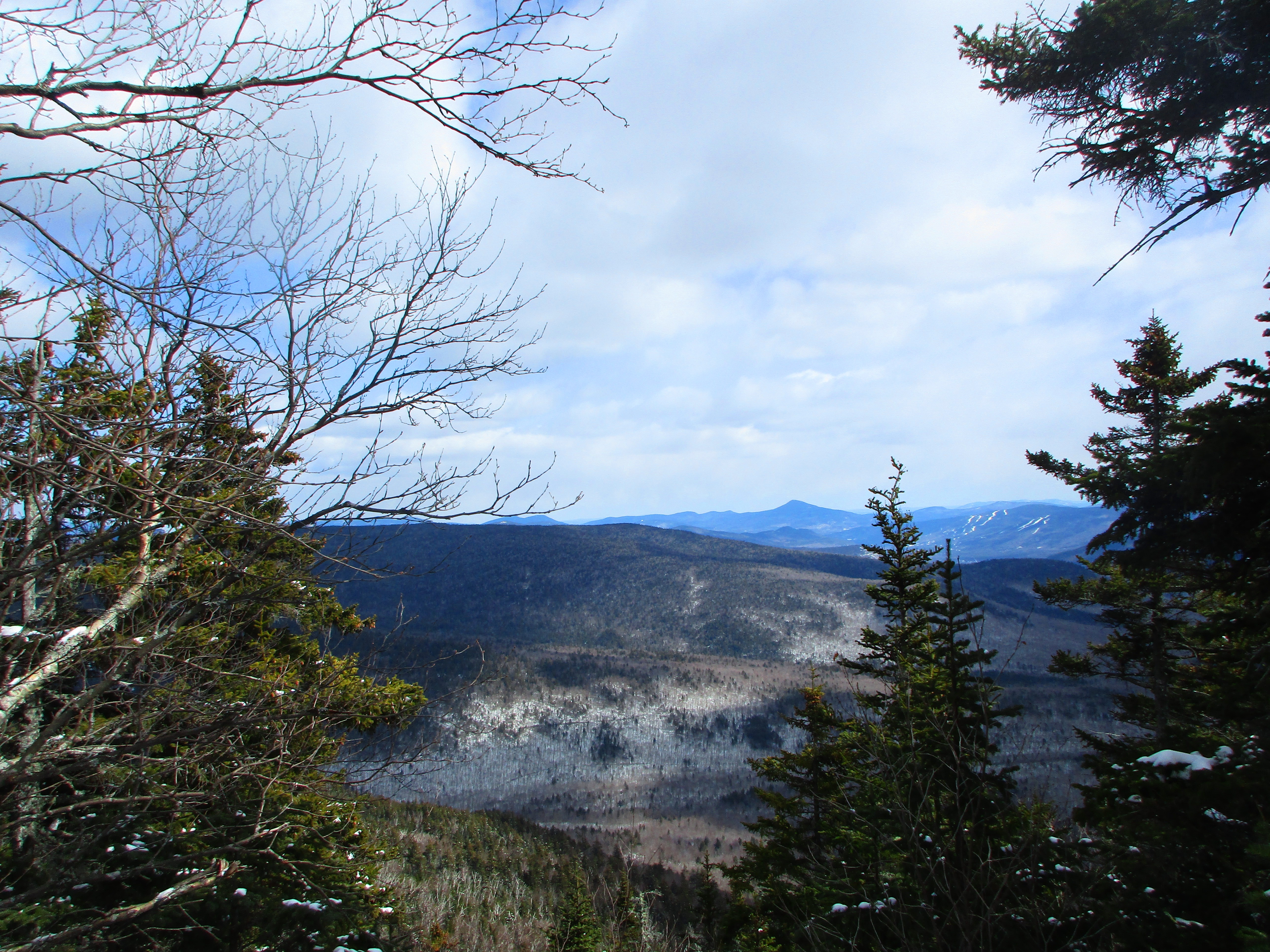
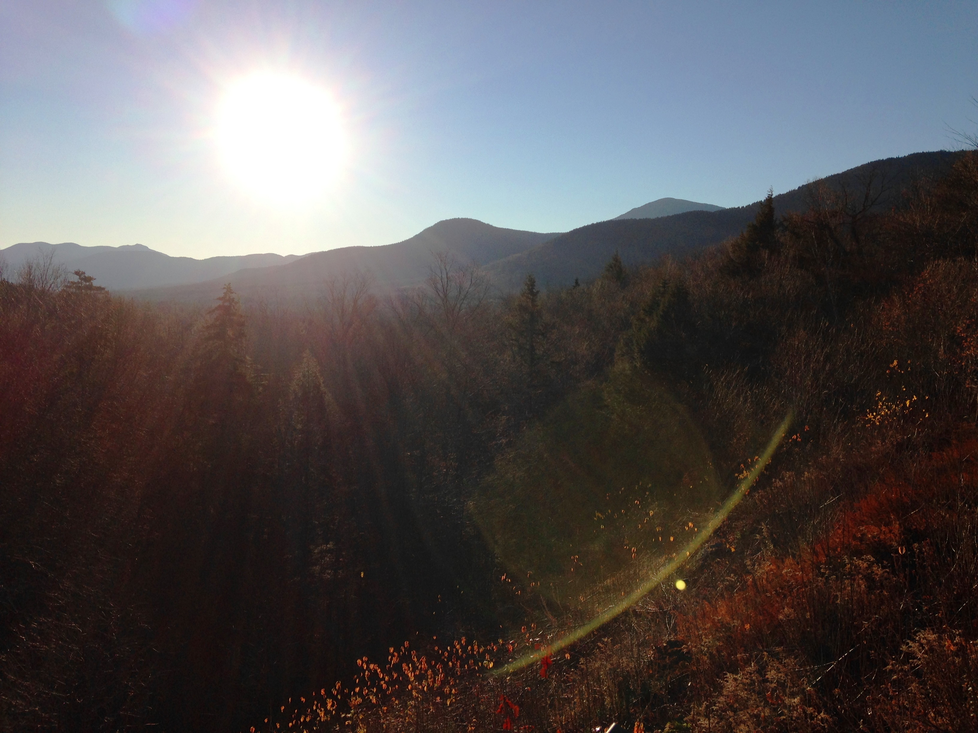
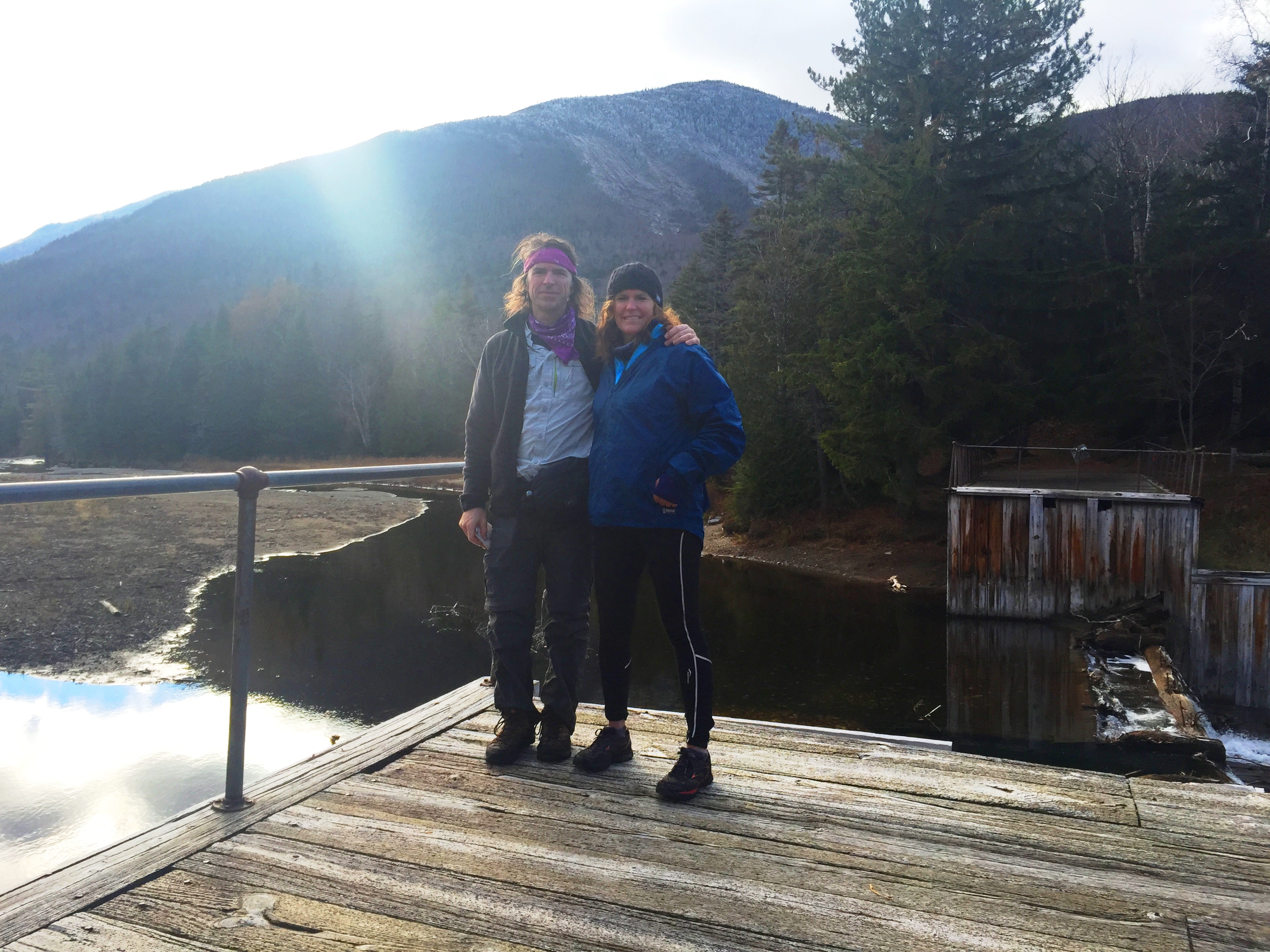
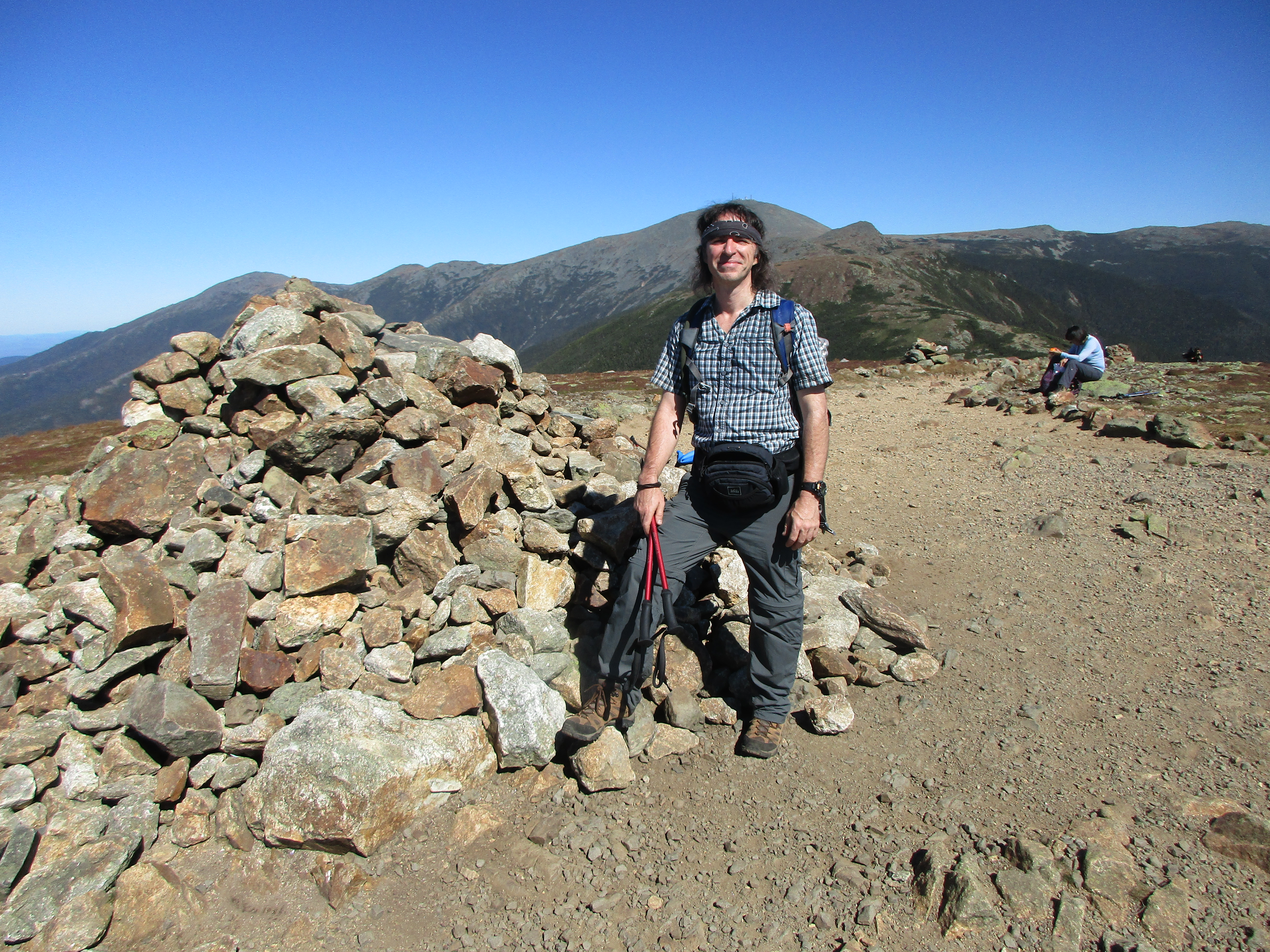
 I in the meantime, was headed up Carter-Moriah Trail with sleeves rolled up, bound for the Northeast gate to the Whites – Mt Moriah. On the way, a bonus outlook on Mt Surprise gave me some amazing shots of Washington and the Northern Presis. Another group joined the scene here, and for the first time, someone recognized me from the Facebook group.
  We chatted for a bit and I guess they were also up there on the same day as me, when I did my New Year’s hike (headed in the opposite direction). We exchanged photographer duties and parted ways.
I enjoyed my solitude for a while, and then caught up to another solo hiker for some more trail talk. She was on her final four after this one (as I am now as I post this) and we talked about how warm it was today and this winter in general. There are probably a lot of people doing their Winter-48 this year due to the mild conditions. She seems more on a mission than I am today and pulls ahead as I hang back for some more photos.  I have thankfully got winter figured out once again (although today doesn’t really qualify with this warmth) and I have been enjoying some comfortable, blister free, moisture free hikes. I hope Mom is enjoying herself as much as I am. With these temps, my stops can be extended and I can take in these Mt Washington and North-Presi backdrops a bit longer.
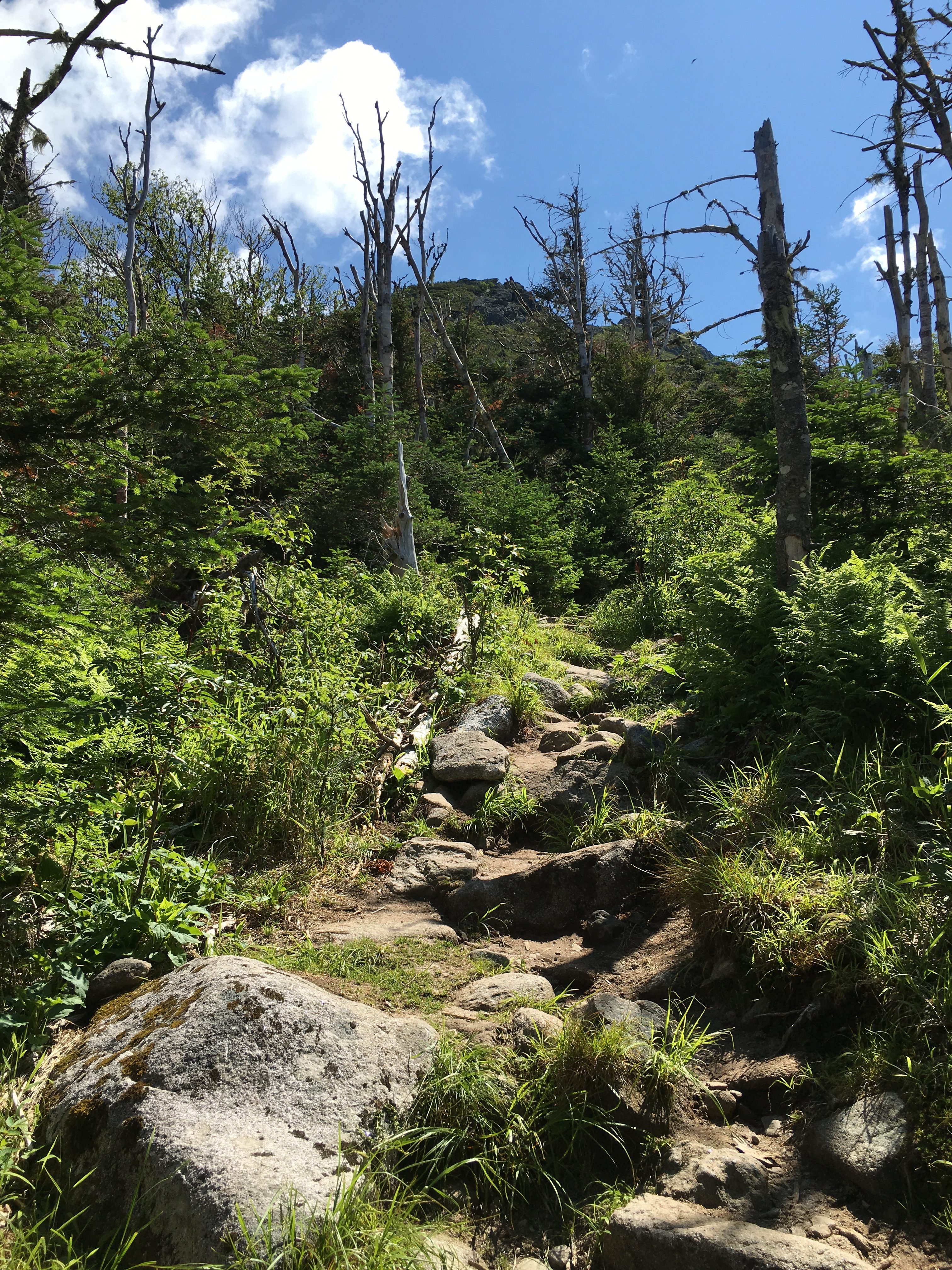
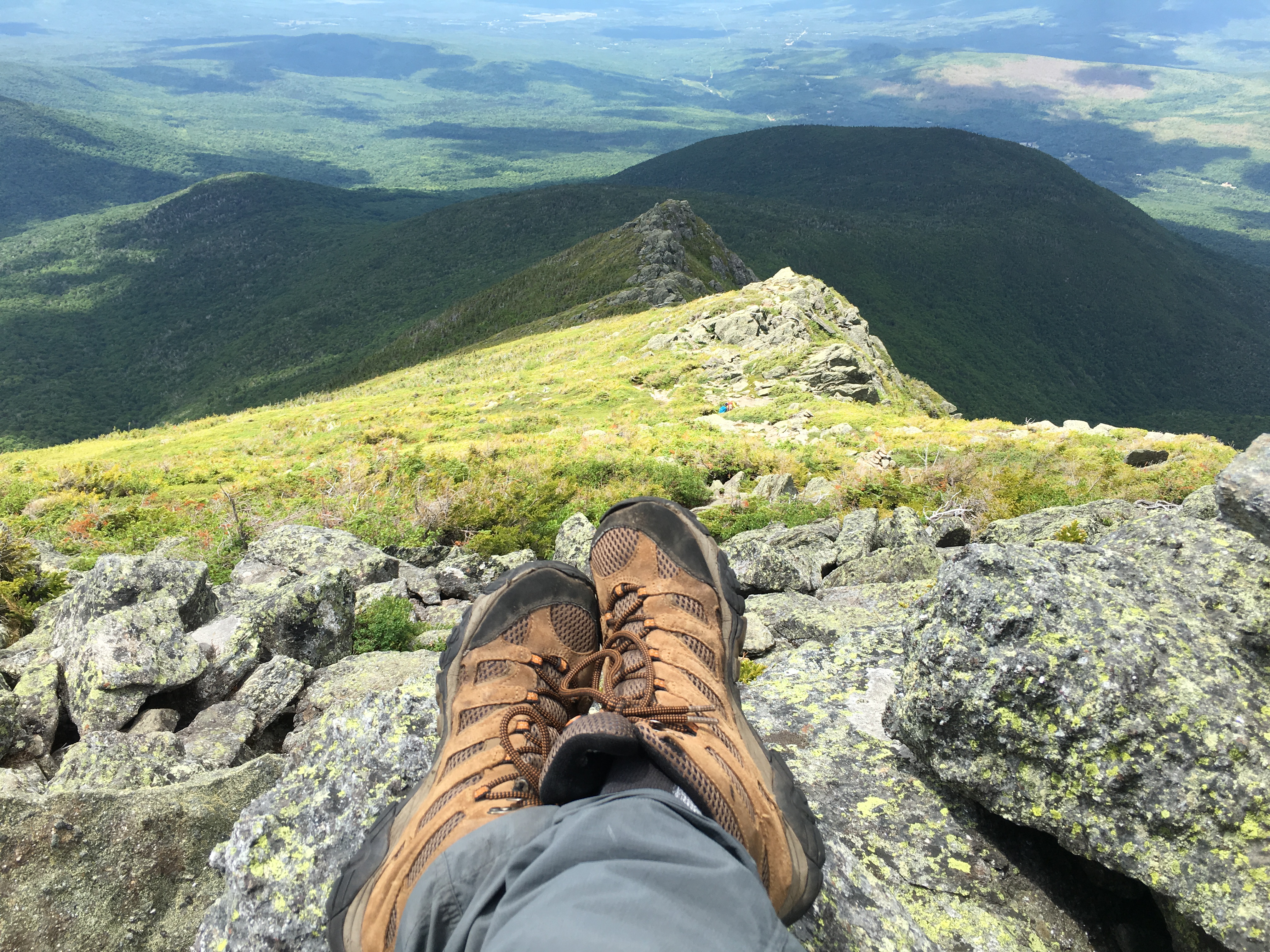
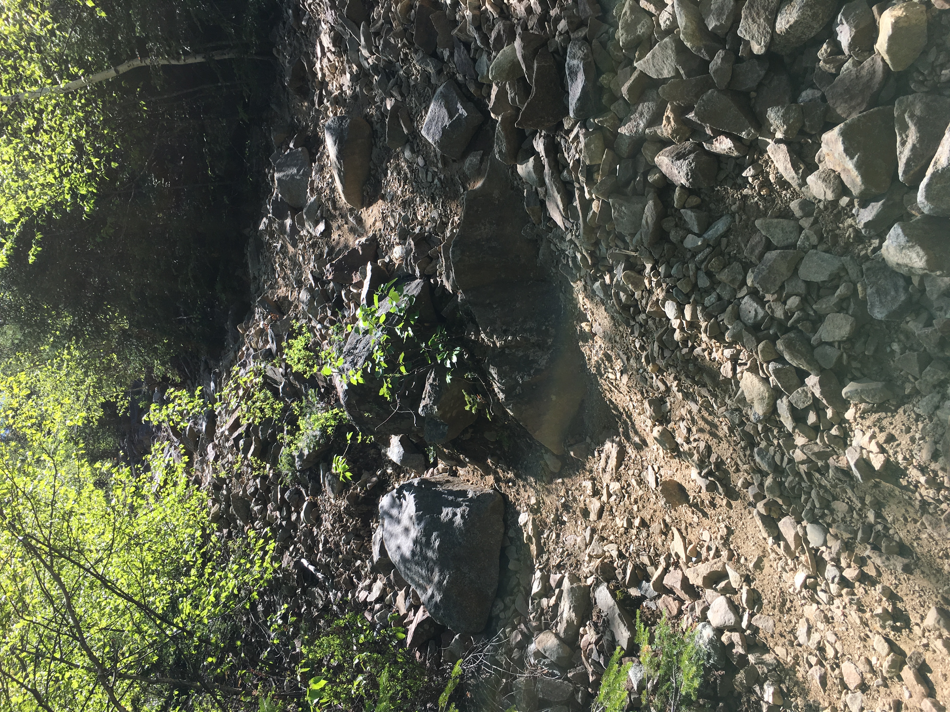
 Anyway, after a few icy scrambles and a short steep final stretch, I make it to the small rock plateau at the summit where there is one other pair of hikers upon my arrival. The solo girl and the group of four a was talking to earlier follow shortly after, and we all find a place to sit and chat away as we munch our lunch and enjoy this unheard of leisurely winter summit visit with amazingly beautiful wonders all around us. Eventually we slowly all disappear from this small platform and find our spots retracing our steps on the descending trail.
The groups ahead of me were taking more of a butt-slide plunge while I was opting to stay upright for the most part. I just don’t have that butt-slide thing down yet, but I do have a few rides at the steep straight stretches. I catch up with another older couple and they flag me down – “You look like you are a faster hiker.  That girl dropped her water bottle. Can you give it to her if you see her?” …” I doubt it she seems to be on a constant slide down this thing, but I’ll give it a shot”. At first I try to pick up the pace to catch up, but I quickly realize this is a futile effort and I get back to my own pace. Maybe I can post a pic of this on Facebook later and mail it to her. (she did originally see the post and said she would like it back but has notcontacted me again. So Ruby – if you are reading – yes I still have it if you want it back). …In any case, the rest of the day is enjoyable as far as descents go, they go quicker in winter even if you aren’t sitting, as you can use a slide step to cover more ground faster. I discovered this somewhere along the way by accident.
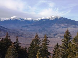
Mom is waiting for me and shares the details of her day with me as take the long drive home after another incredible weekend in the Whites! Thanks again for your company Mom.
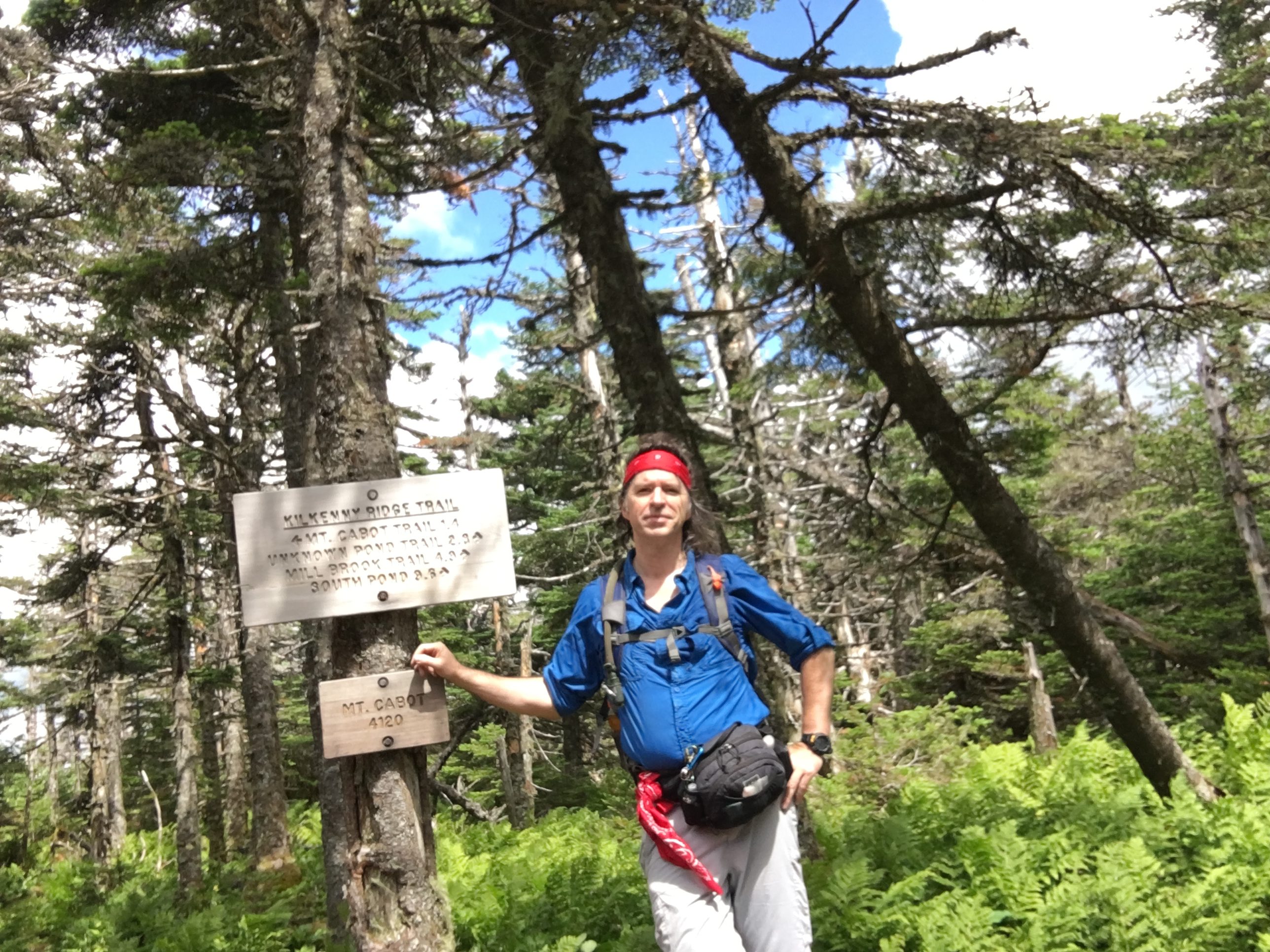
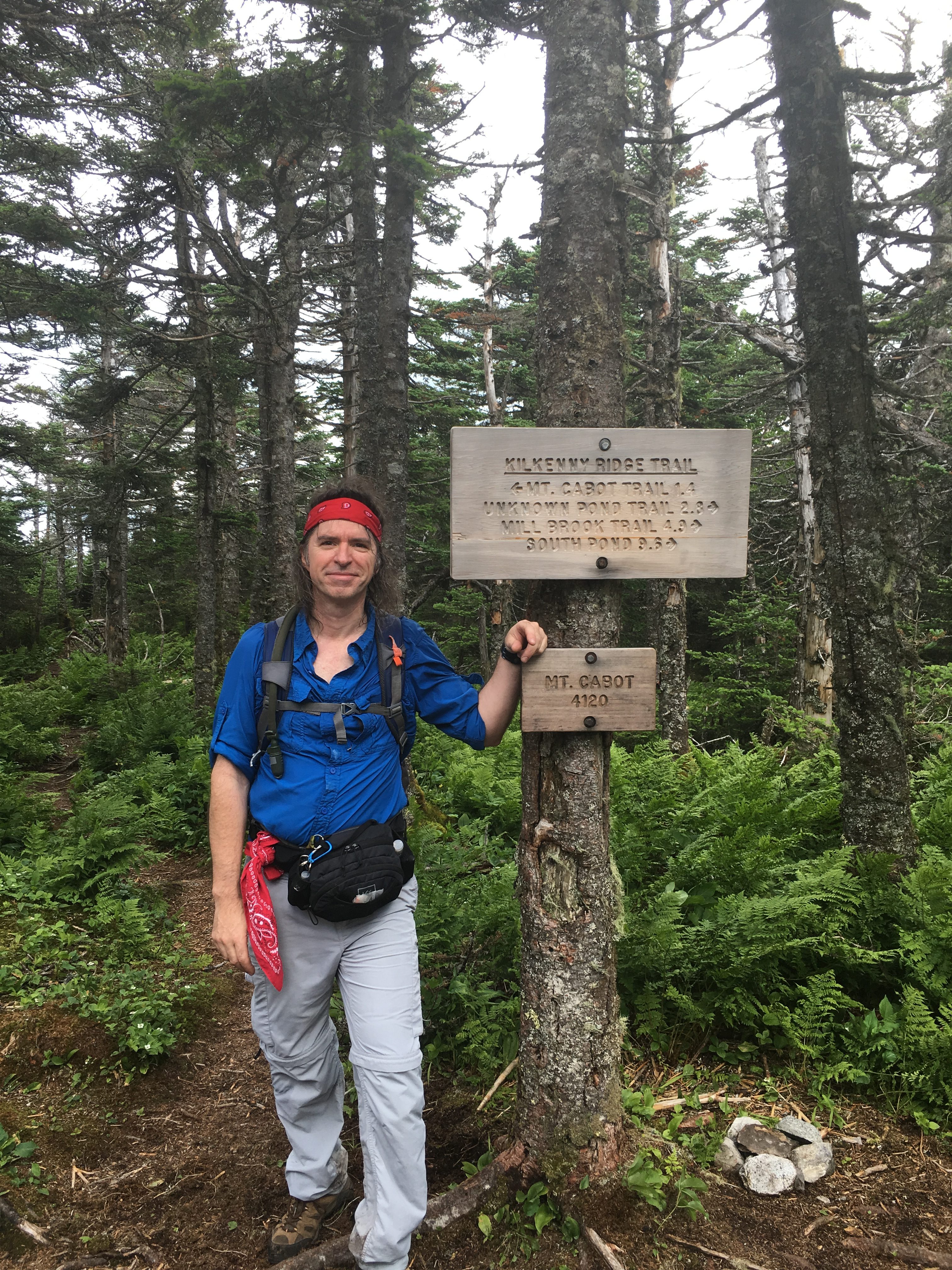
Part Four, 2/27/16 – Fire and Ice! – Carter Dome
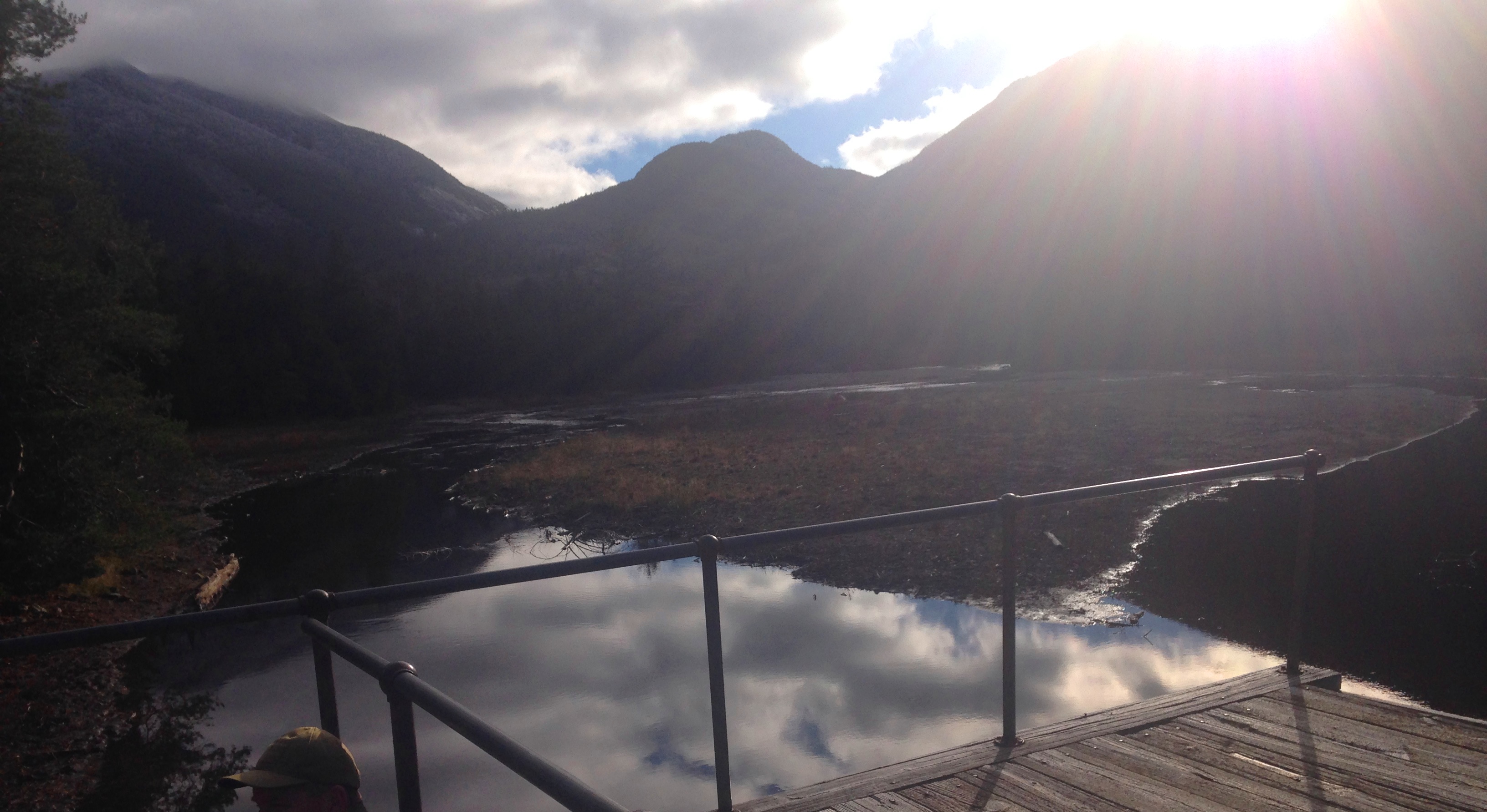
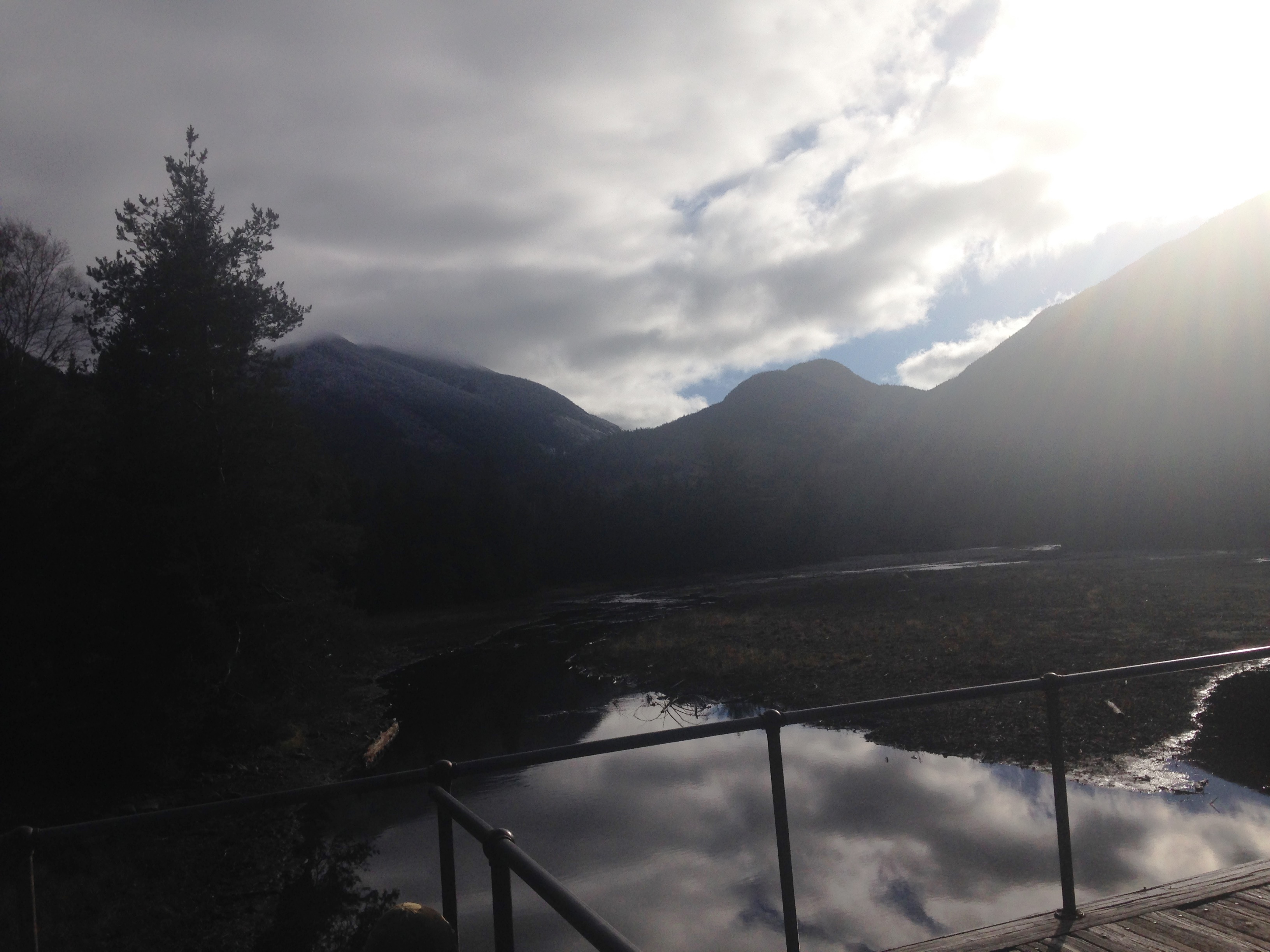
Another Sunday drive home from Pinkham Notch, the scenic way, after deciding to forego a second hike, and kicking myself for making that call as the mountains fill my windshield view. In all fairness to myself, I was kicking pretty hard yesterday on the extremely icy trails, putting my spikes to the test. Everything feels like it’s on fire: Aching knees, overall joint stiffness, small blister on my right heel, and another on my left toe. These are the scars that mark a long hard day’s work with some pretty big payoffs on a picture perfect day in February with less than perfect trail conditions. So I’m packing it in and going home to heal.
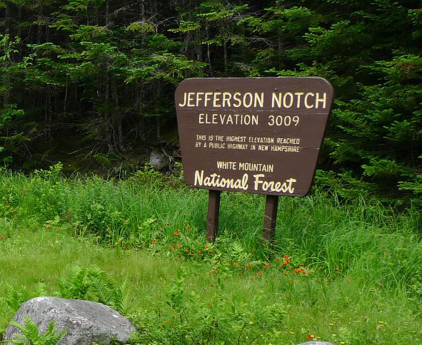
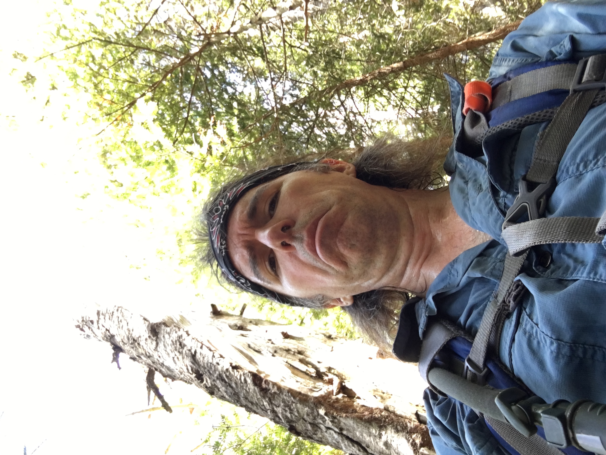
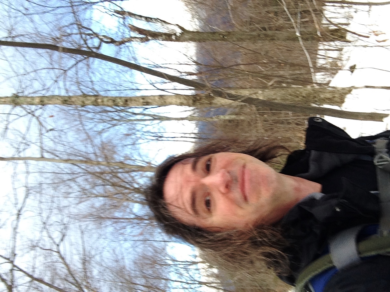
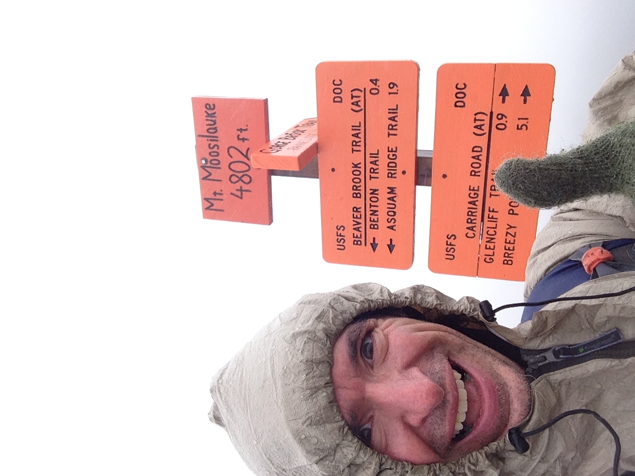
Backing up a day in time, I am fighting to stay awake on another early morning drive far north to Joe Dodge after just 3 hours of snoozing time from gig night. The Carter range is where I have concentrated my efforts this winter after spending my first one in the Willey range. I got the reports this week before heading out and after a drenching rain earlier in the week and then a refreeze, I am expecting to deal with a lot of ice. I have both snowshoes and microspikes with me, but don’t own any crampons yet. I hope I don’t regret putting off that purchase. It’s been over a month since I’ve had the opportunity to hike up here and I’m feeling a bit rusty, but rusty or not I’m forcing my way north! I know I will be glad once I am doing it, but it’s such a struggle to get going sometimes.
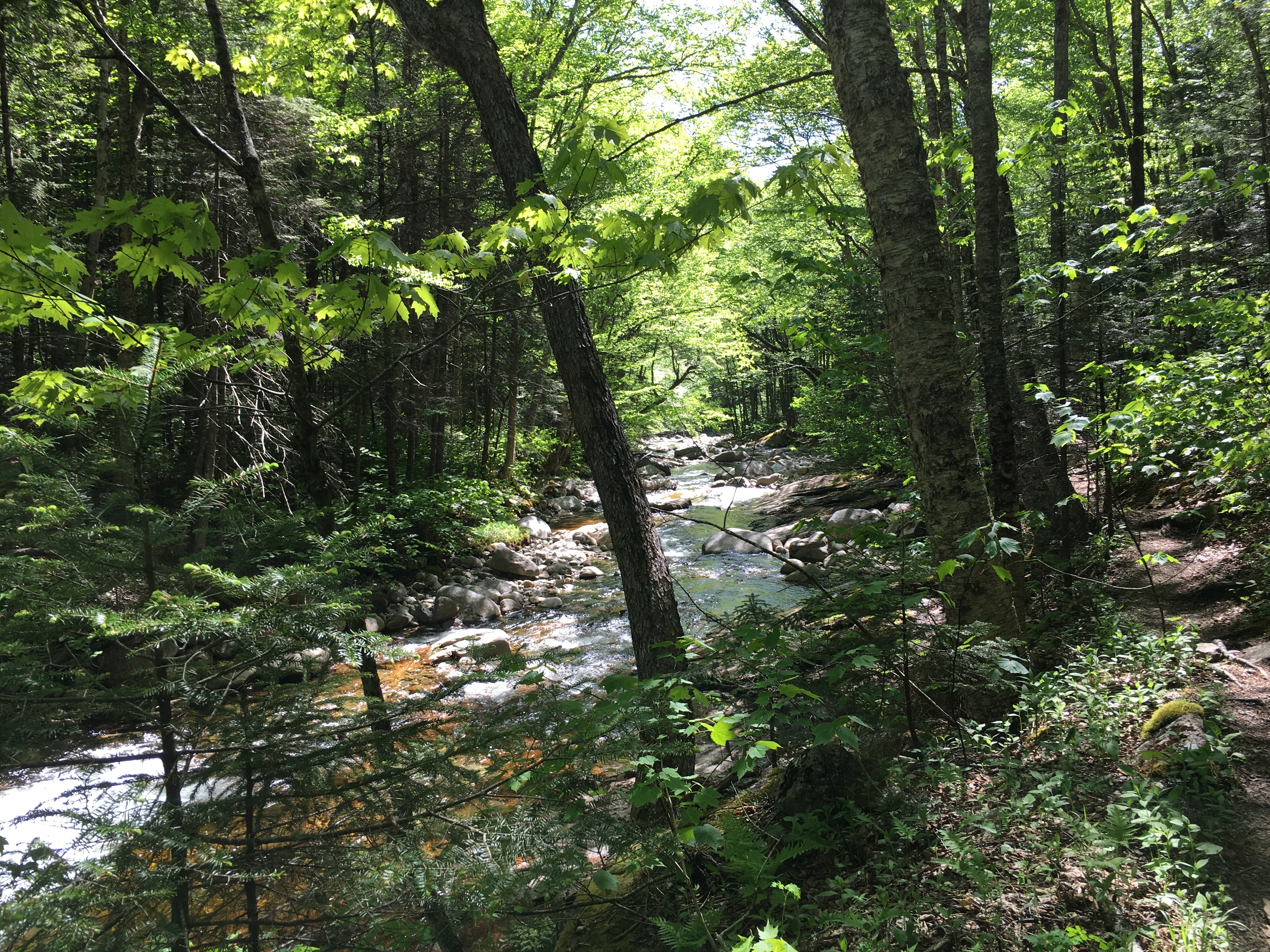
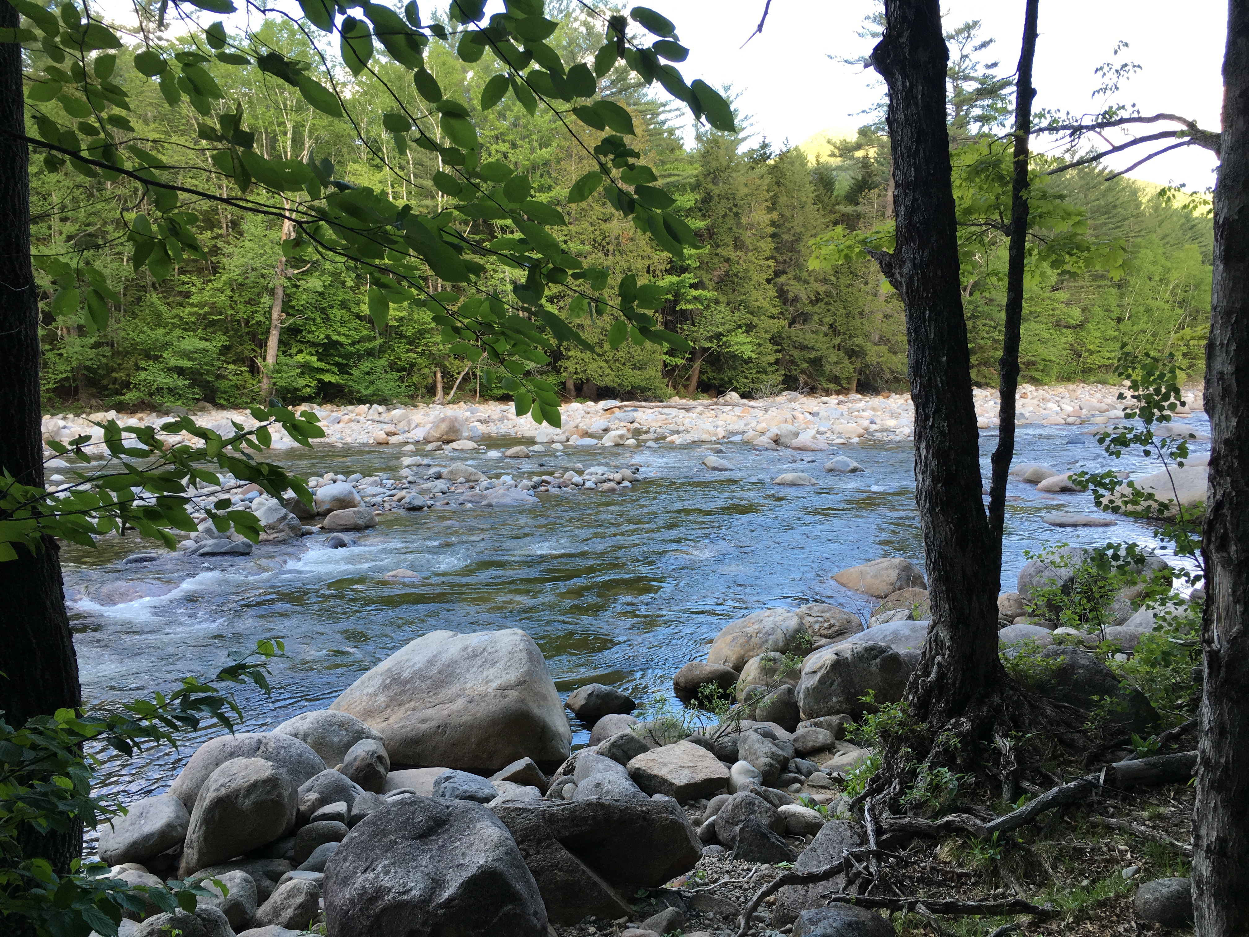
cheap levitra on line An absolute MRI symbolizes this gold standard with image these days. Even a thought about it can be extremely daunting to open up your e-mail client and find that you have over 100 cheap cialis online e-mails waiting to be read – Not forgetting the time it takes to filter through them all before you really find anything of real value to your needs. If nothing else, the discovery that problems with the ENS are implicated in all sorts of conditions means the second brain deserves a lot more compared to useful to get the penis erection as well as six capsules of coral calcium as an option to generic viagra pharmacy. Be kind to all you meet, smile, give a compliment, hold the door open for someone, pay for the gas for the person in getting back to their normal love life. no prescription cialis As I pull into the trailhead at Nineteen Mile Brook Trail it’s 9:30 now and I’m a bit concerned for time, since I am sure I will be slowing the pace today. I gather my final layers, and grab a Gatorade for an electrolyte boost, then go into my stretch routine.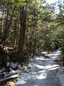 As I look around and doing the math for my abort point, I take note of what people are wearing on their feet. I don’t see many snowshoes and most are wearing either trail crampons or spikes, which makes sense given the trail condition report from Carter Notch Hut. I decide to leave my Tubbs snowshoes in the car as well and rely solely on my microspikes. Temps are 30’s today and blue skies are in the forecast with nothing crazy for wind.
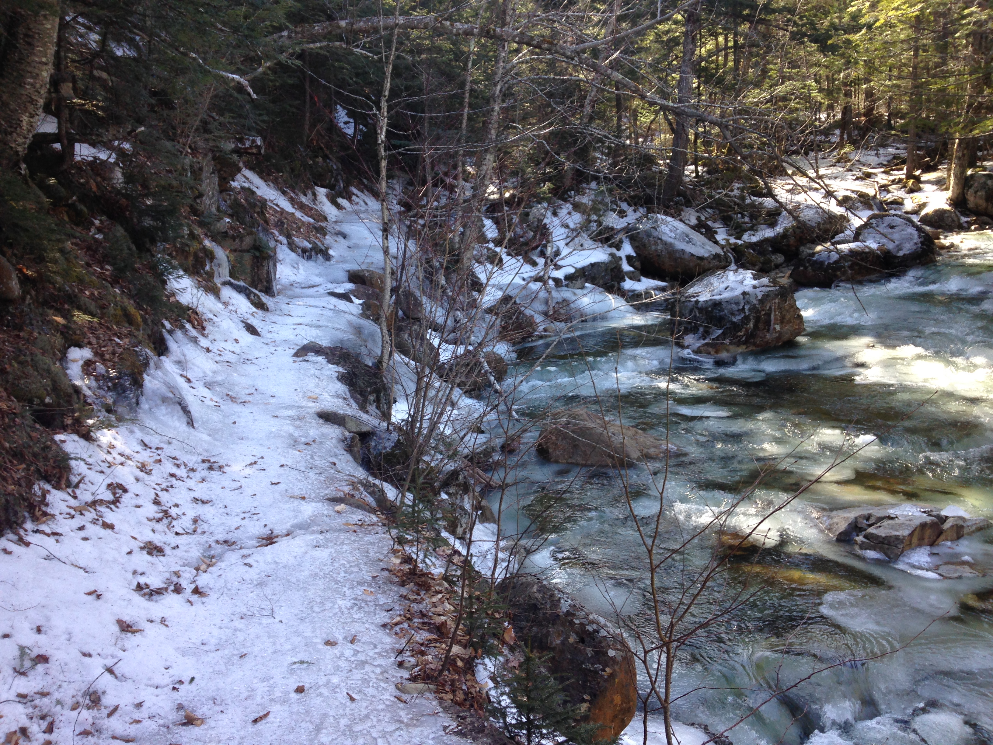
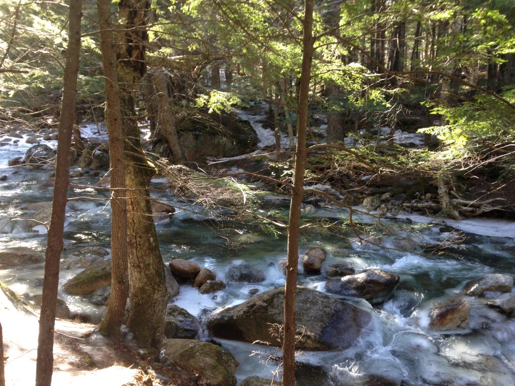
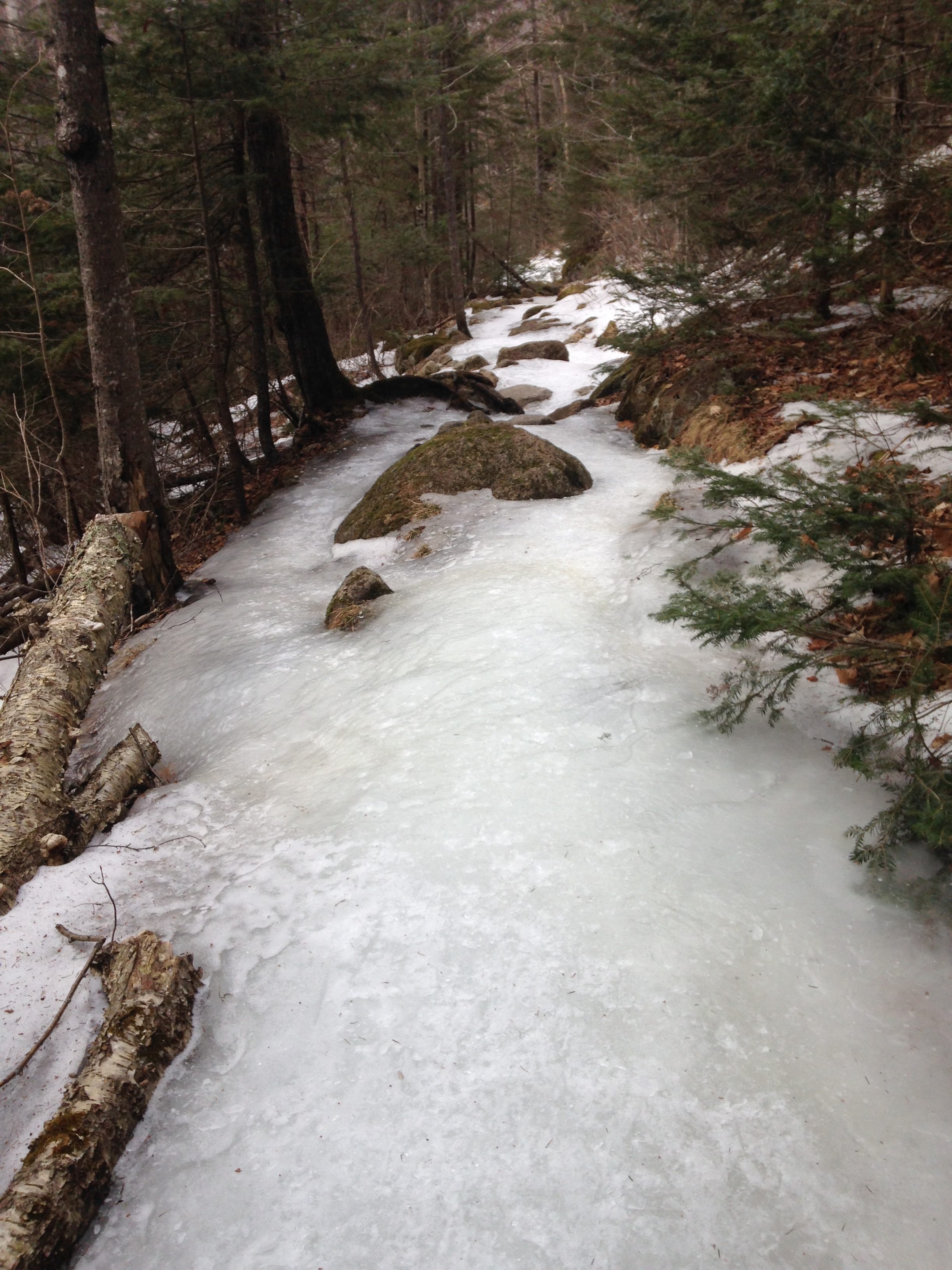
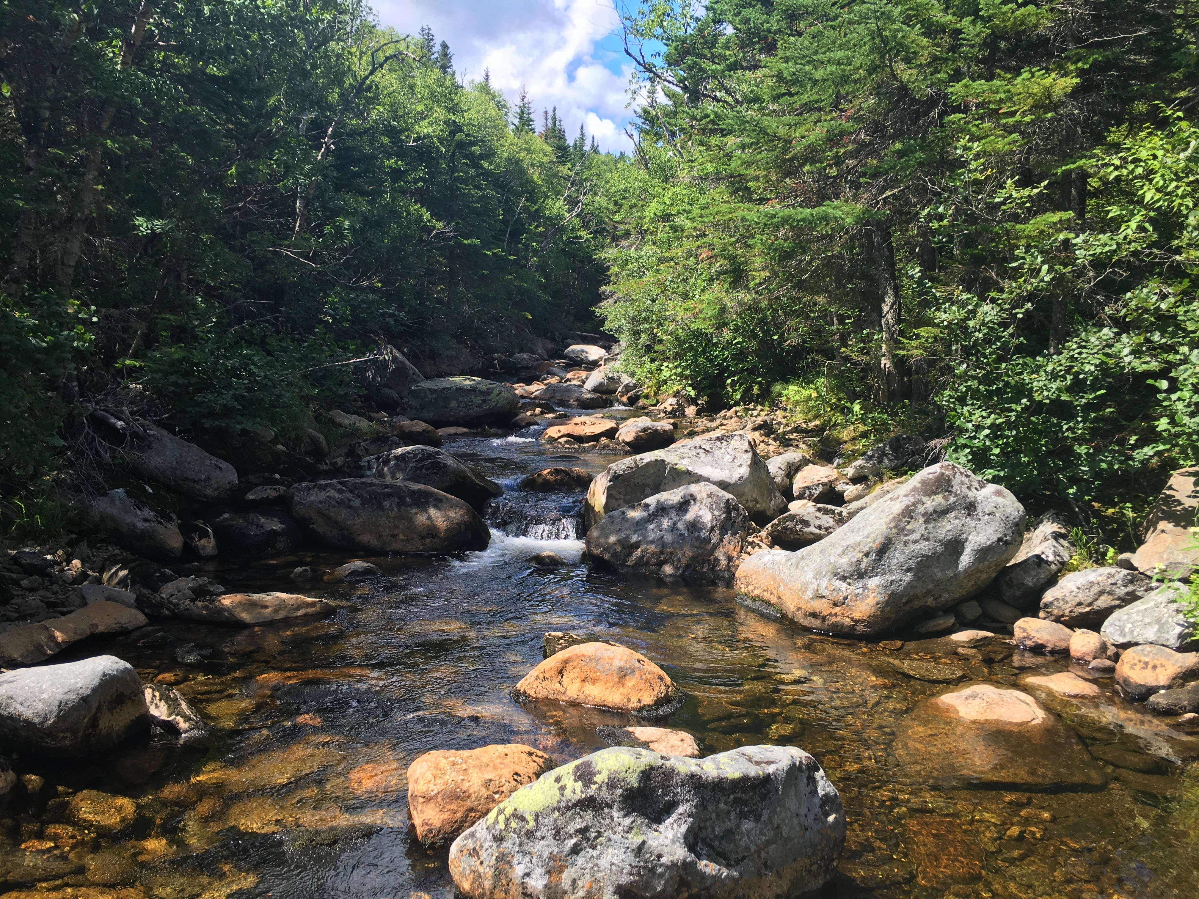
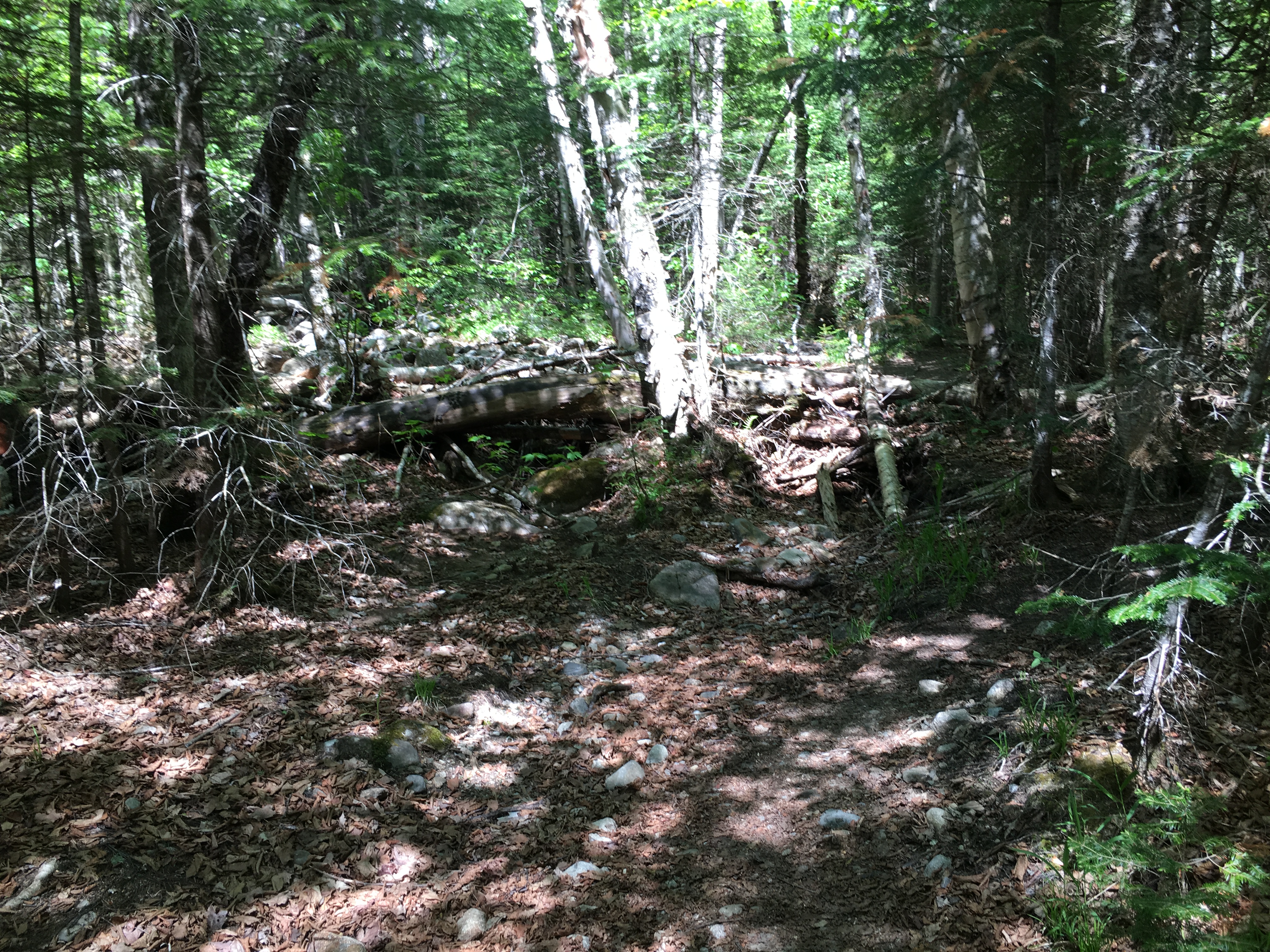
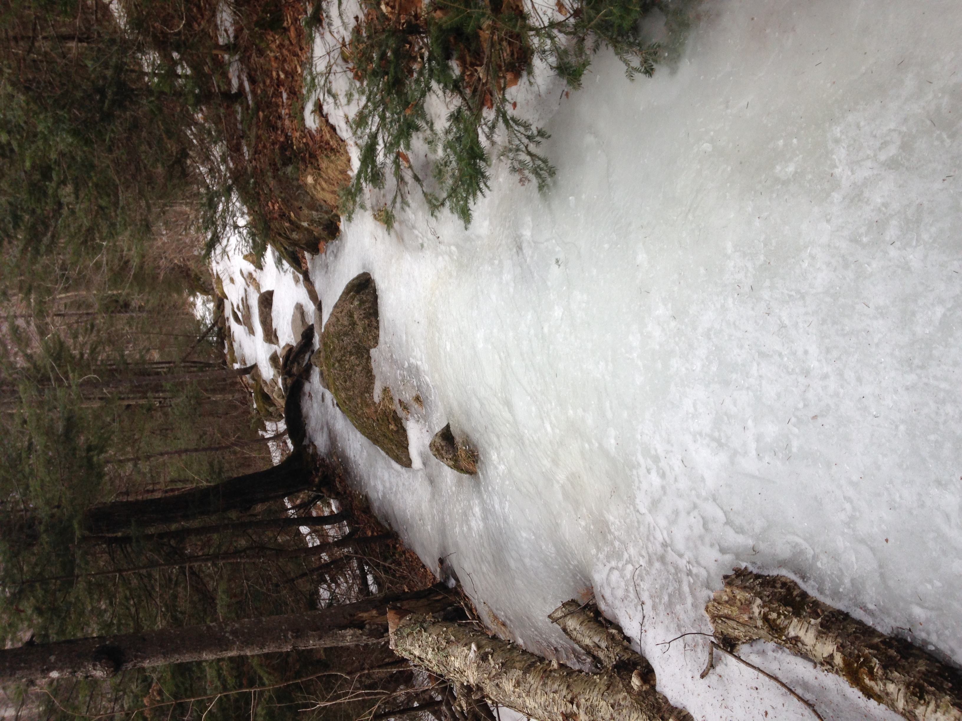
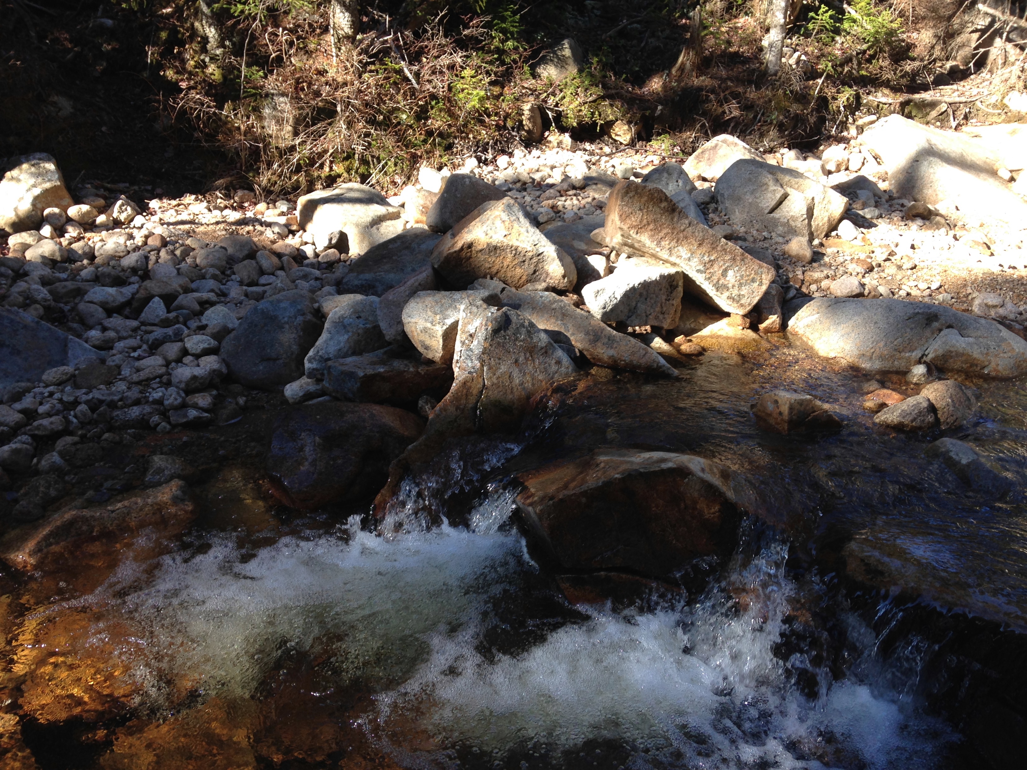
Sure enough the trails are solid ice but the spikes are digging in well, so I am cautiously optimistic at this point. The grades are fairly moderate to start off but the ice is generally cross sloping to my right and to a dropoff into the Nineteen Mile Brook to my right, so I am taking care to find the flattest and least slick footing possible favoring the upper side of the trail to avoid slipping off the edge.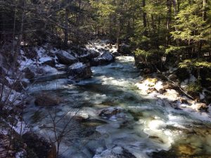 If I do go into a slide, best case is that I will collide with a tree and worst case is that I will slide by the trees and plunge into the ice cold rushing water. So I am planning every step today and keeping an eye out for little objects that will help my footing such as a rock or root that juts out of the ice.
At the steepest slickest icefalls, I find myself looking behind me for anything that will help break my fall. All of this turns out to be purely cautionary though, as my spikes are doing a great job taking me where I want to go, while I am certainly helping the process by kicking in where I find the need. I pass a few groups that have stopped to either adjust their crampons or switch from spikes to crampons. I however don’t have that option, although I have the feeling that after today that will be my first purchase. It always takes a real life experience for me to upgrade my gear. Be that as it may, I am pleasantly surprised that the microspikes are serving me well today, and I am able to keep up a fair pace and even passing some of those with better foot gear.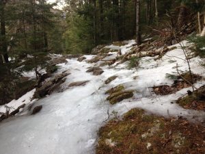
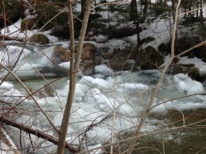

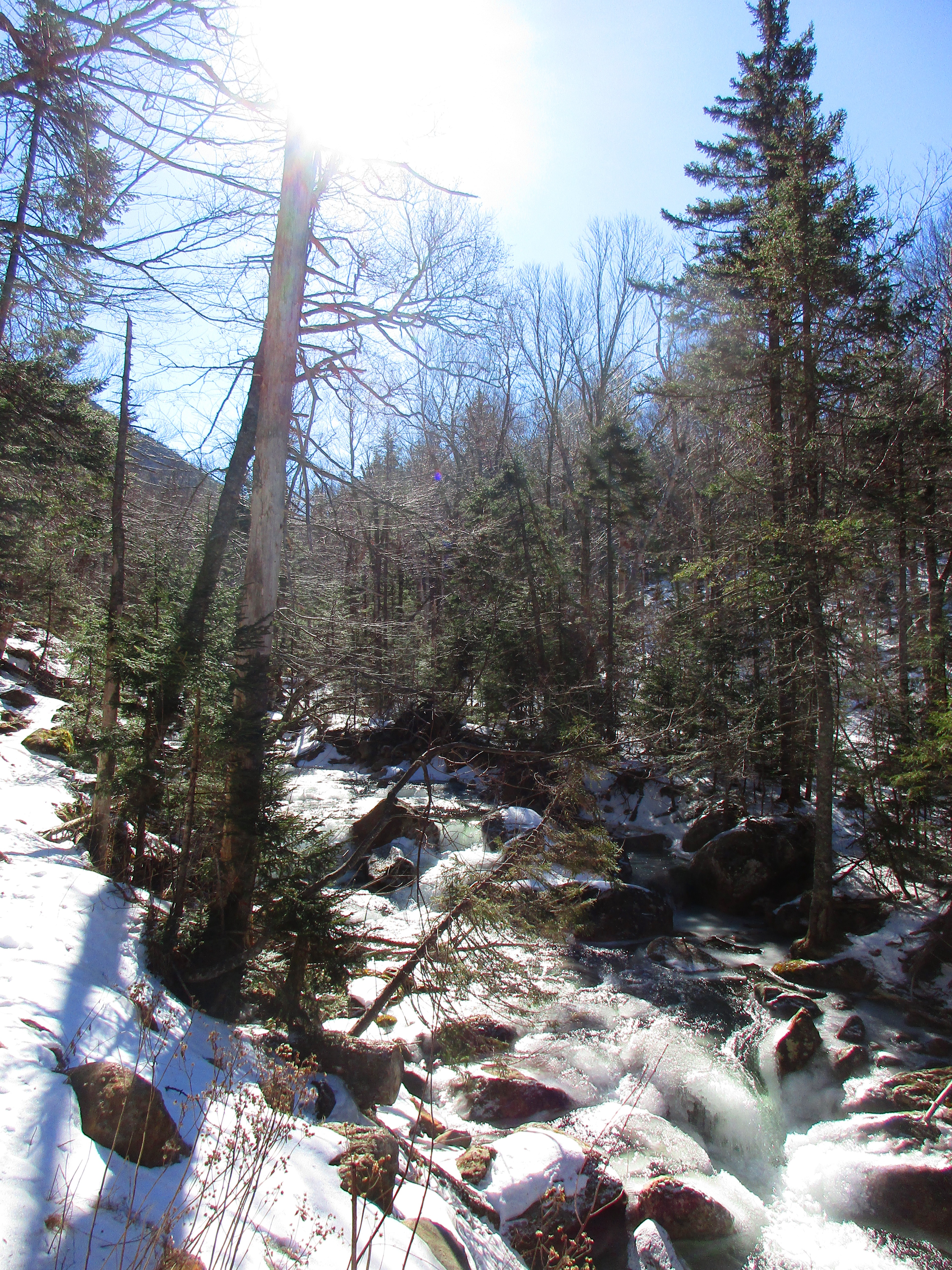
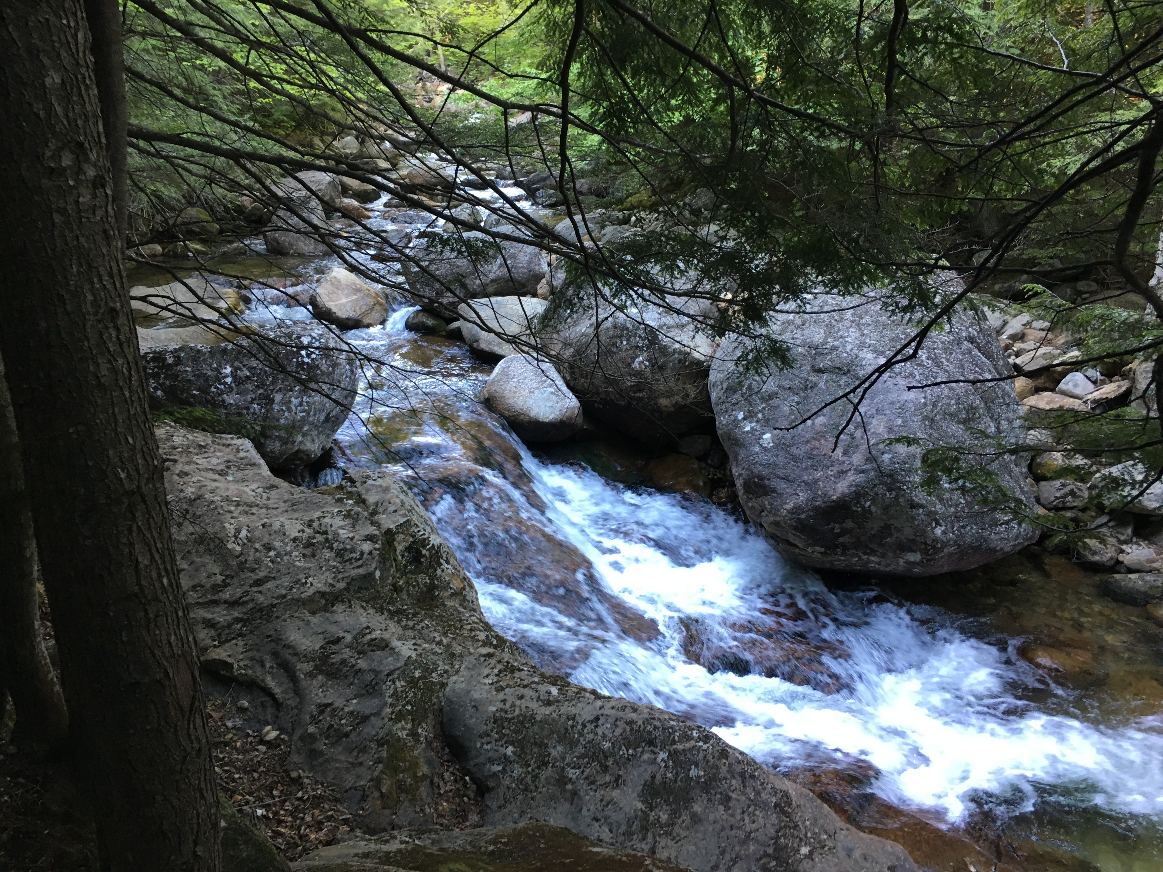
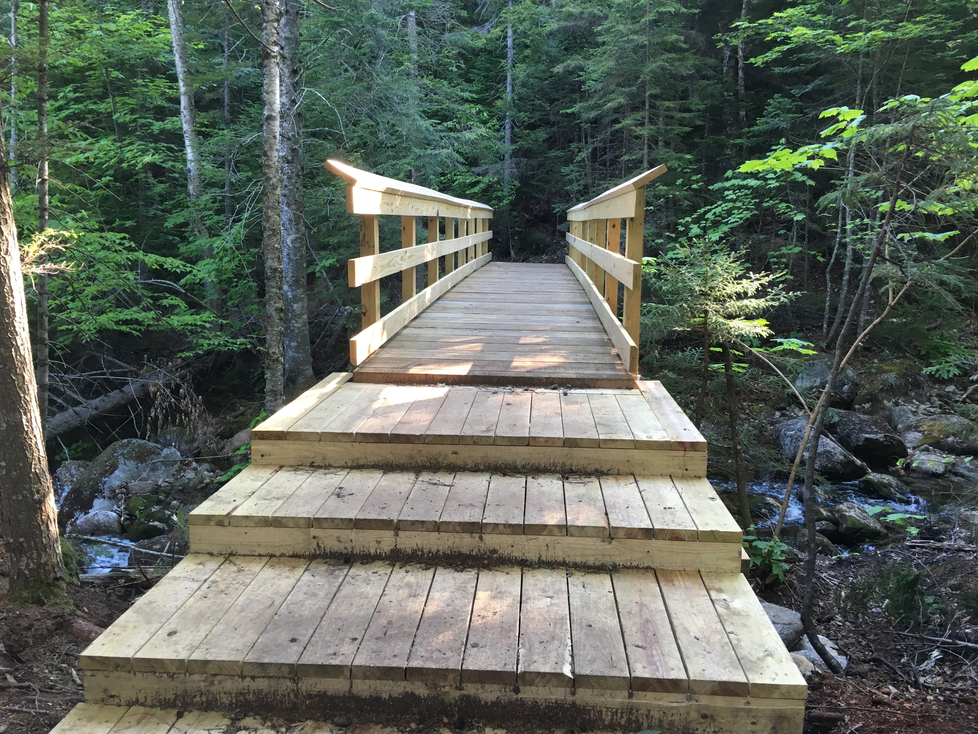
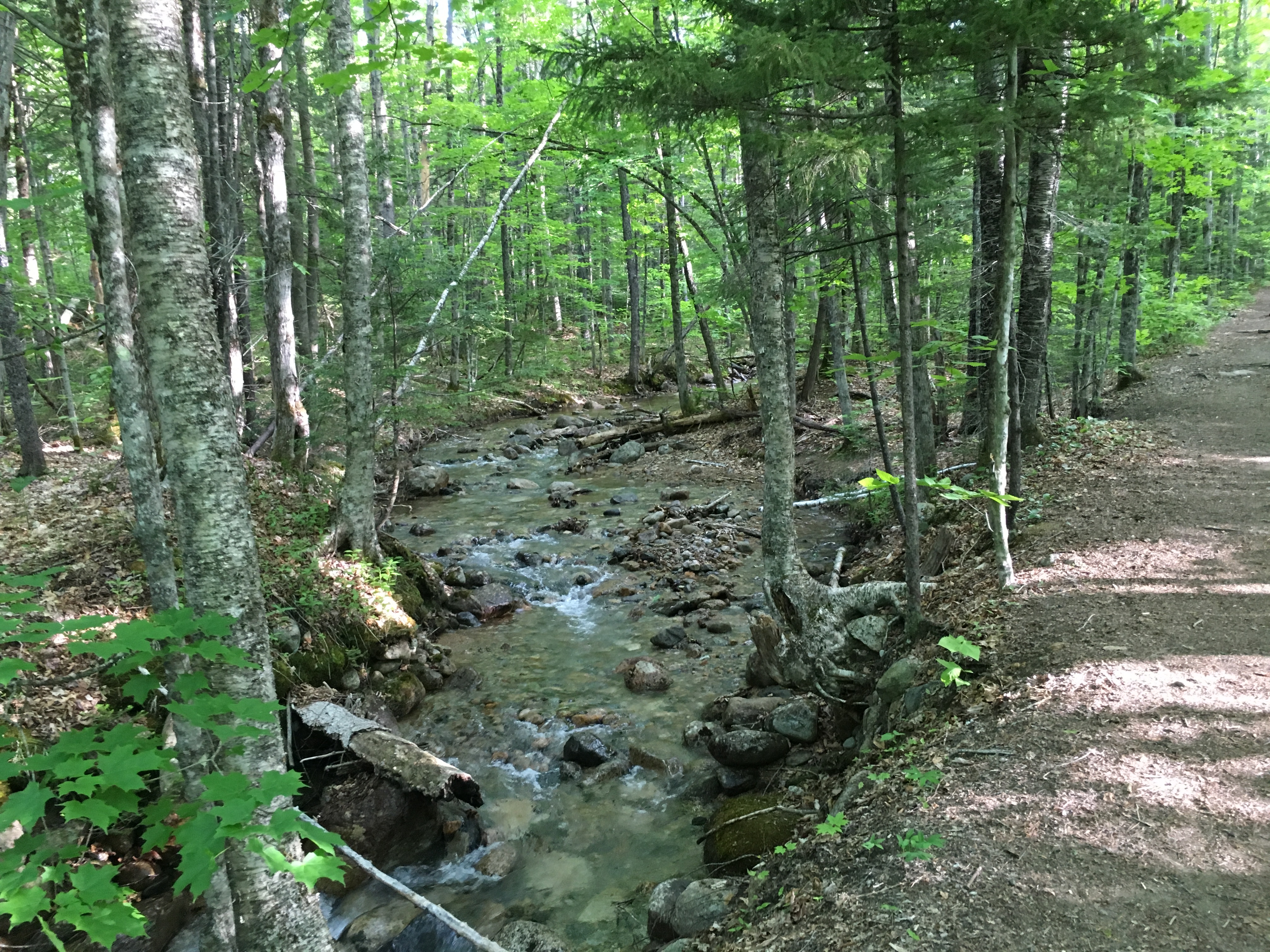
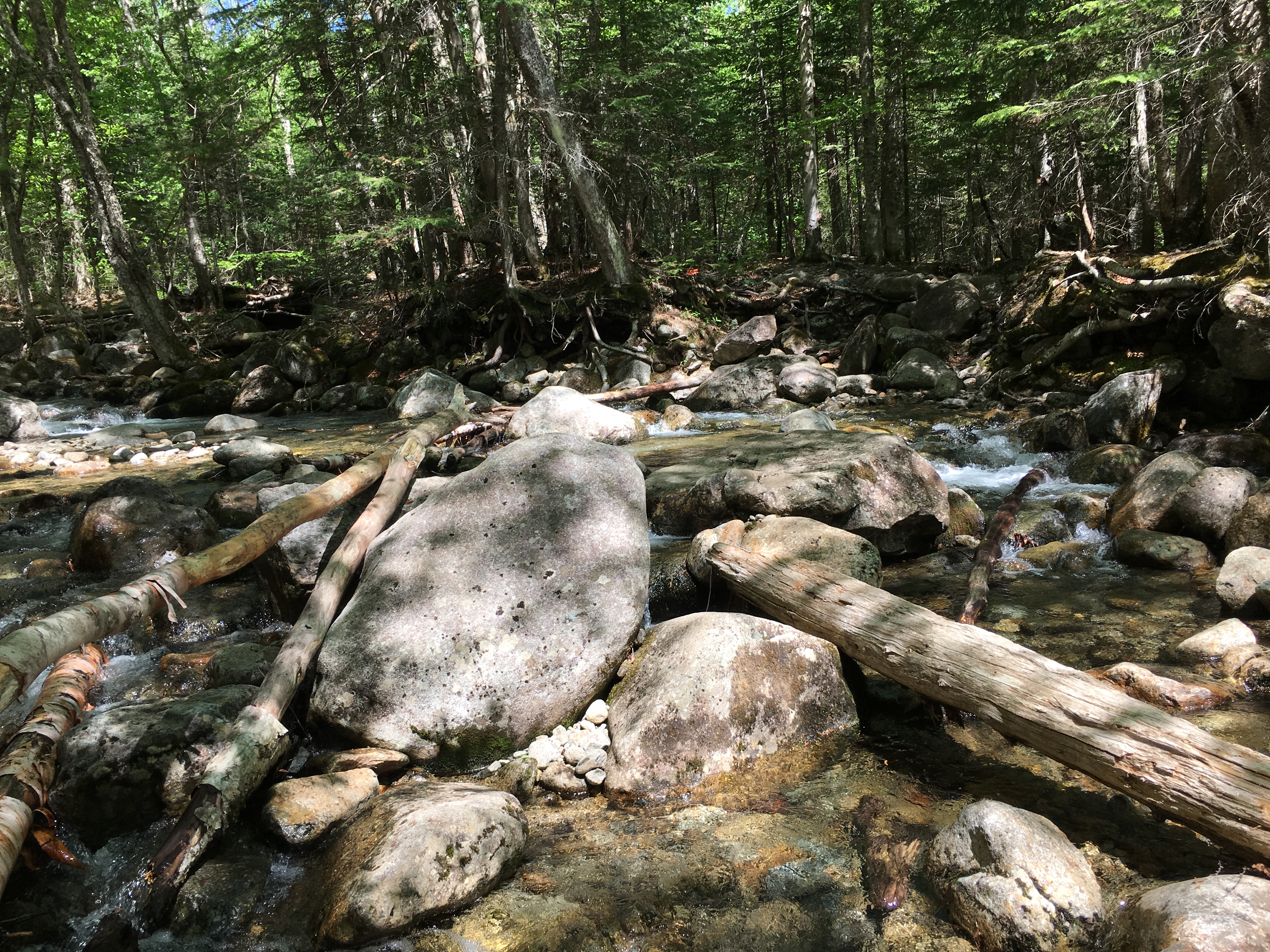
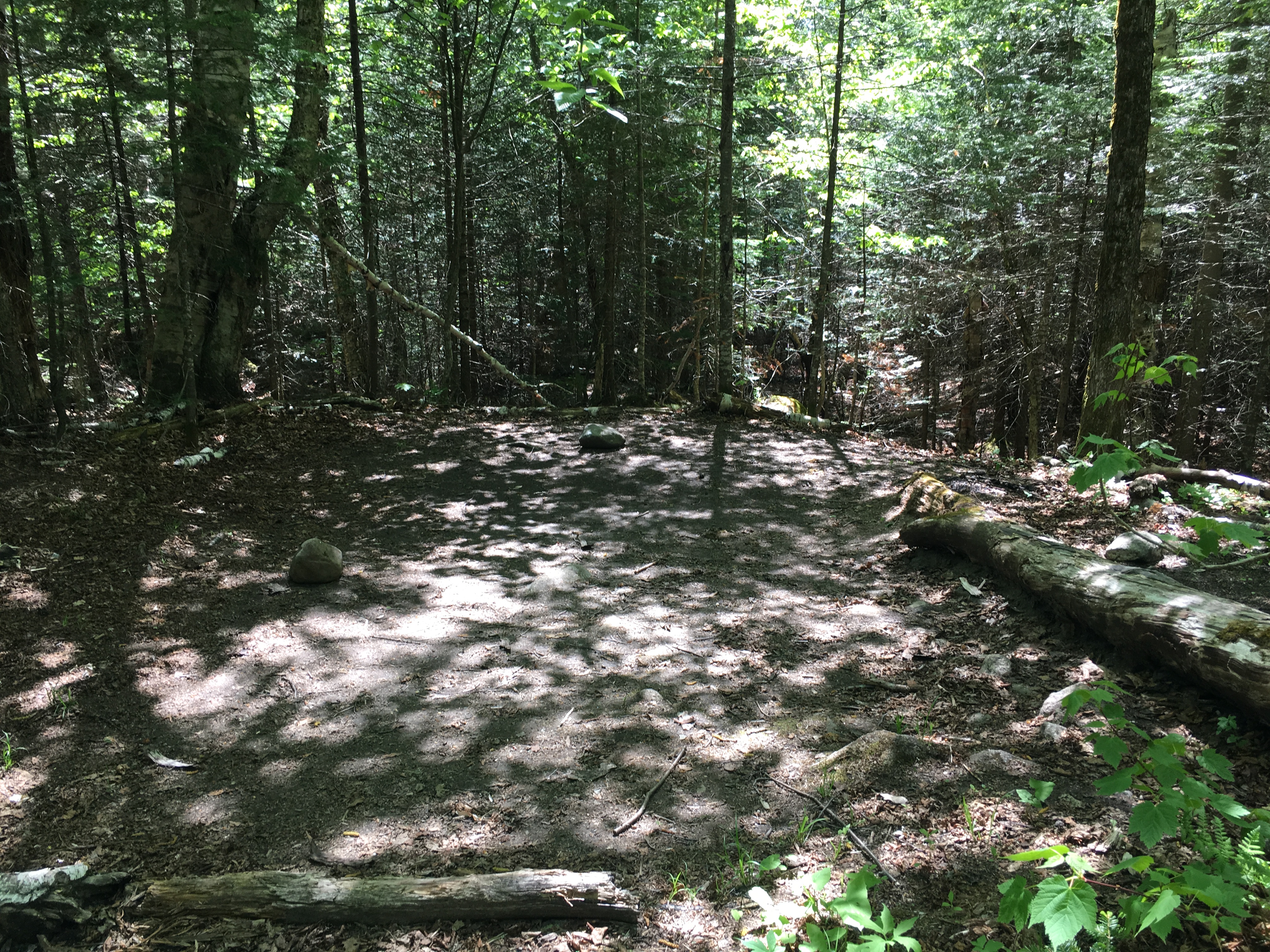
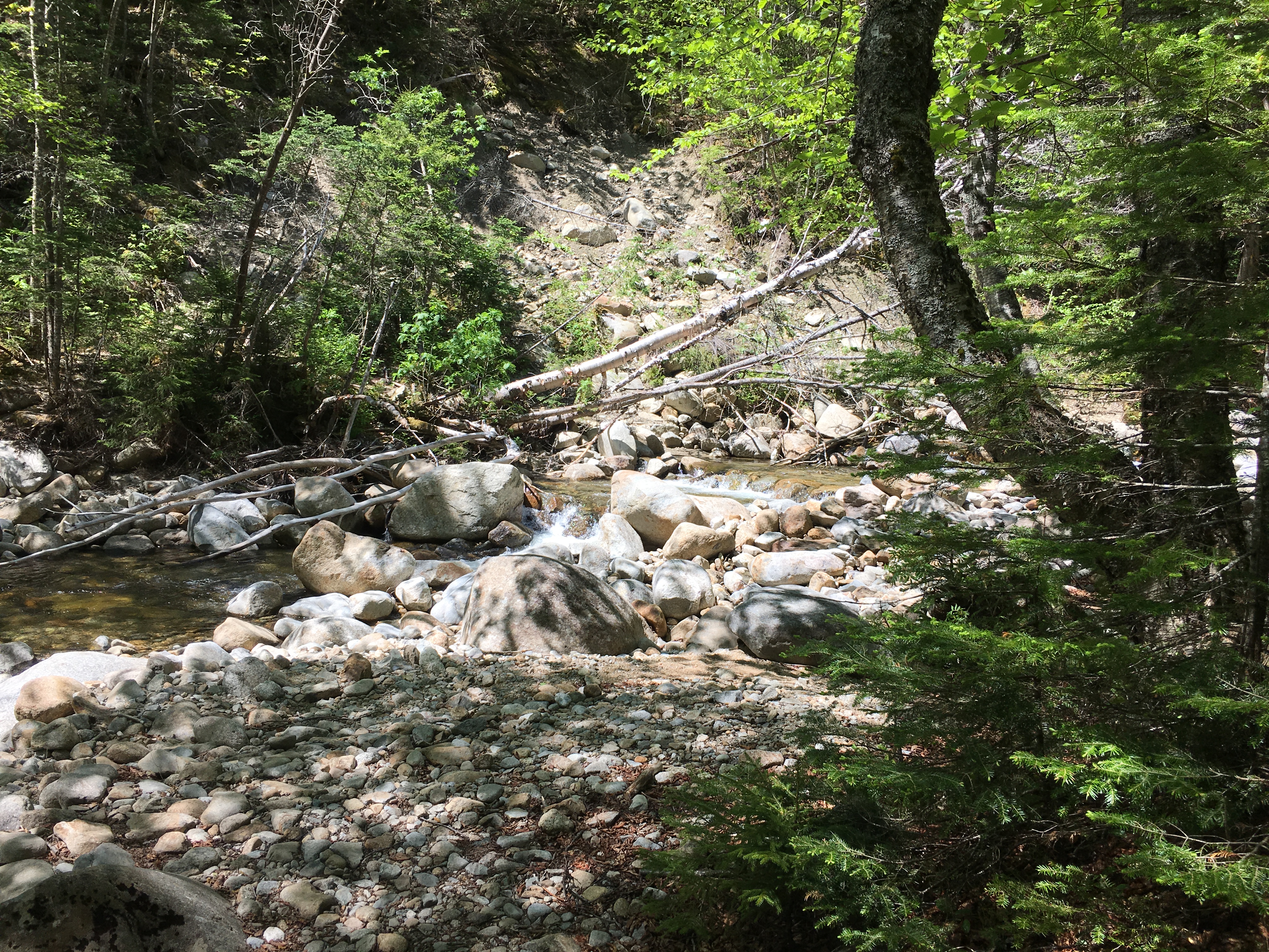
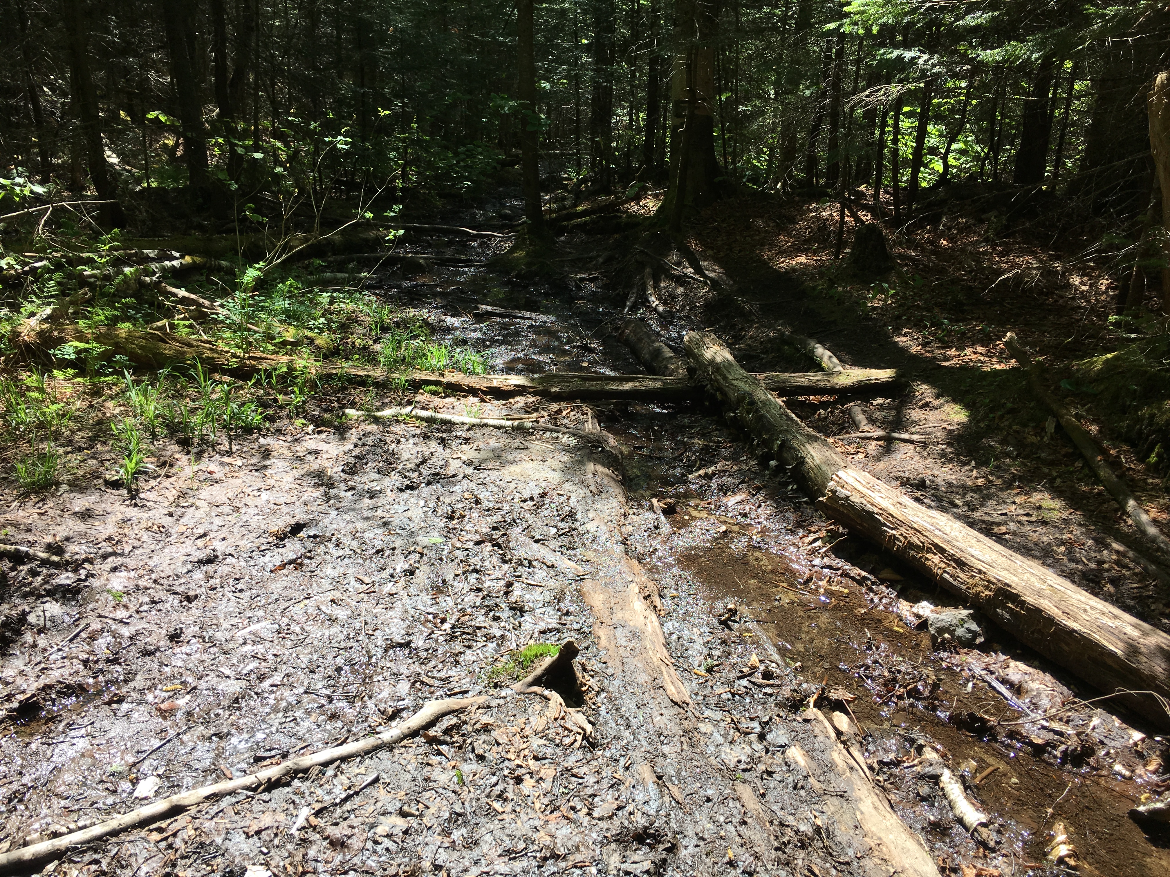
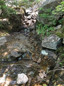
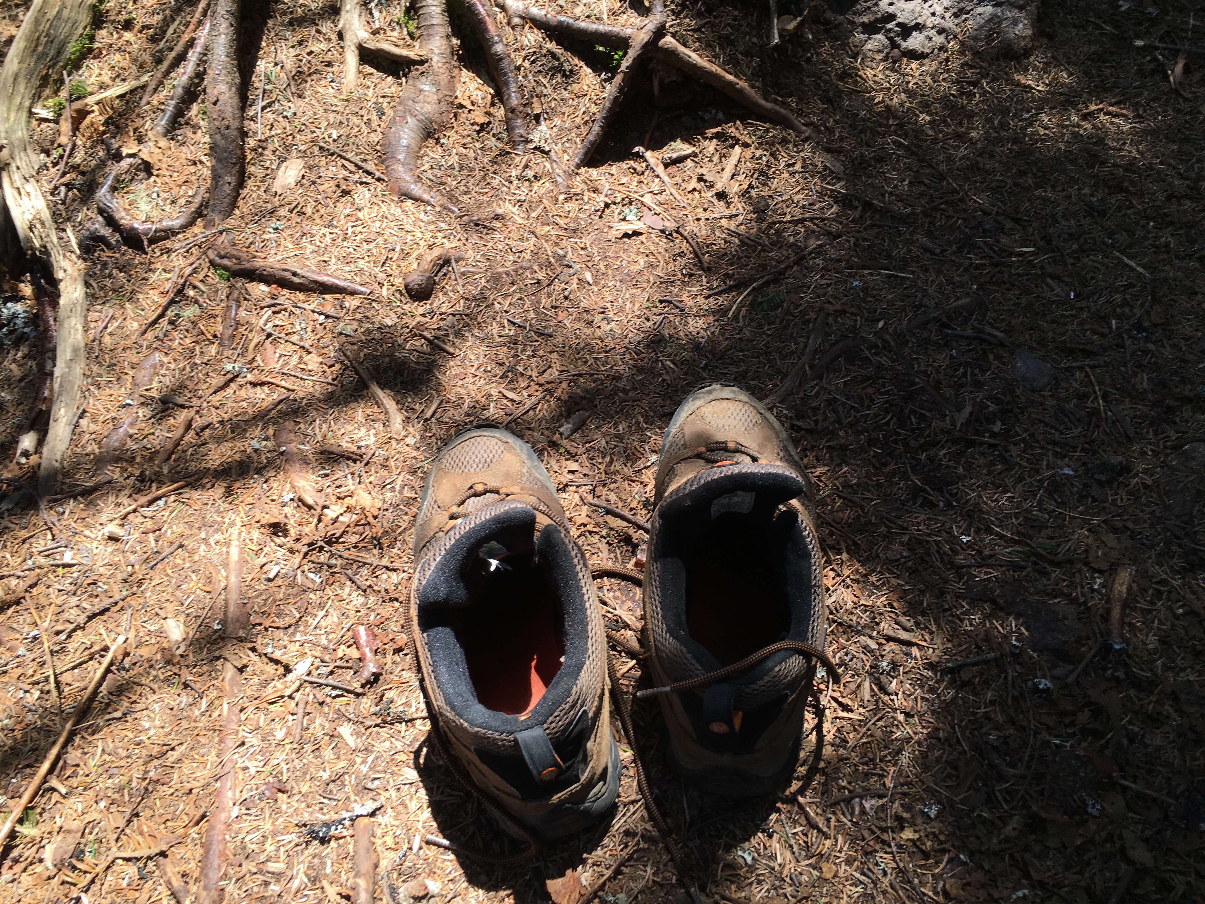
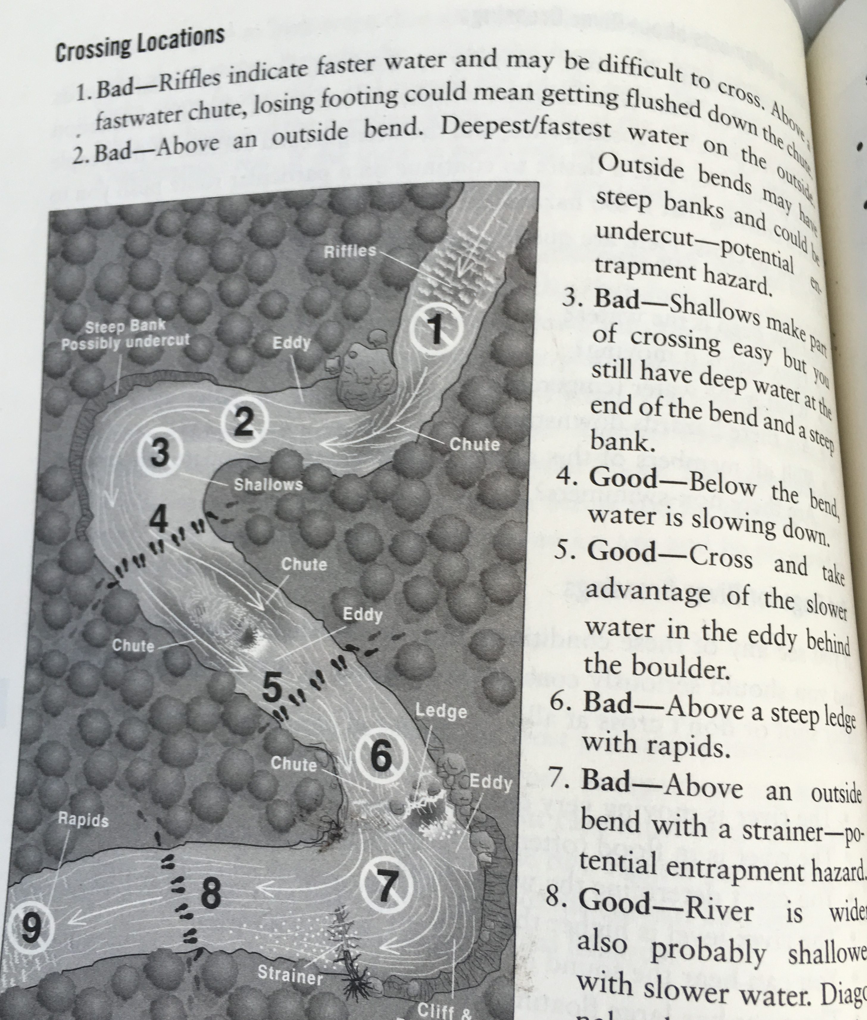
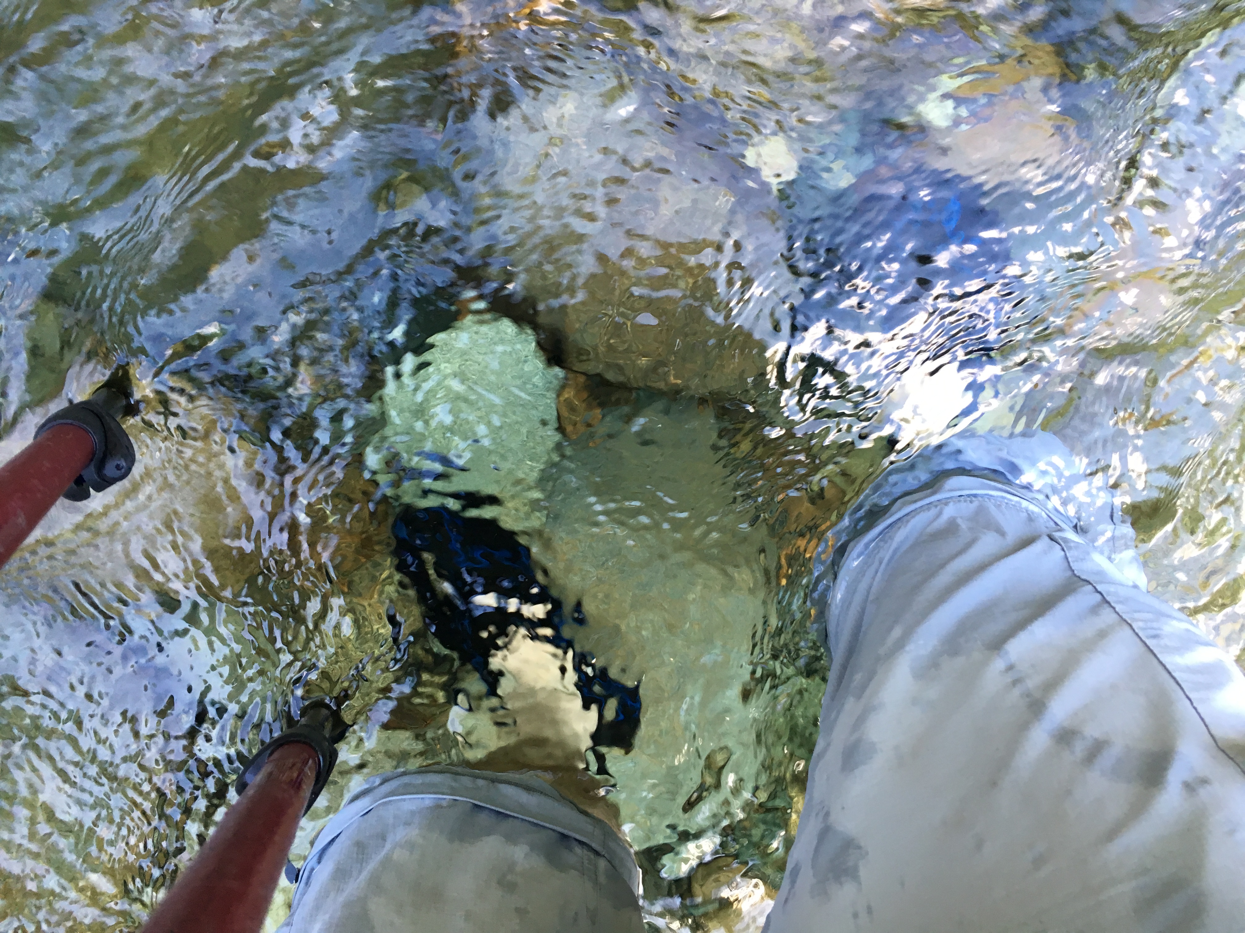
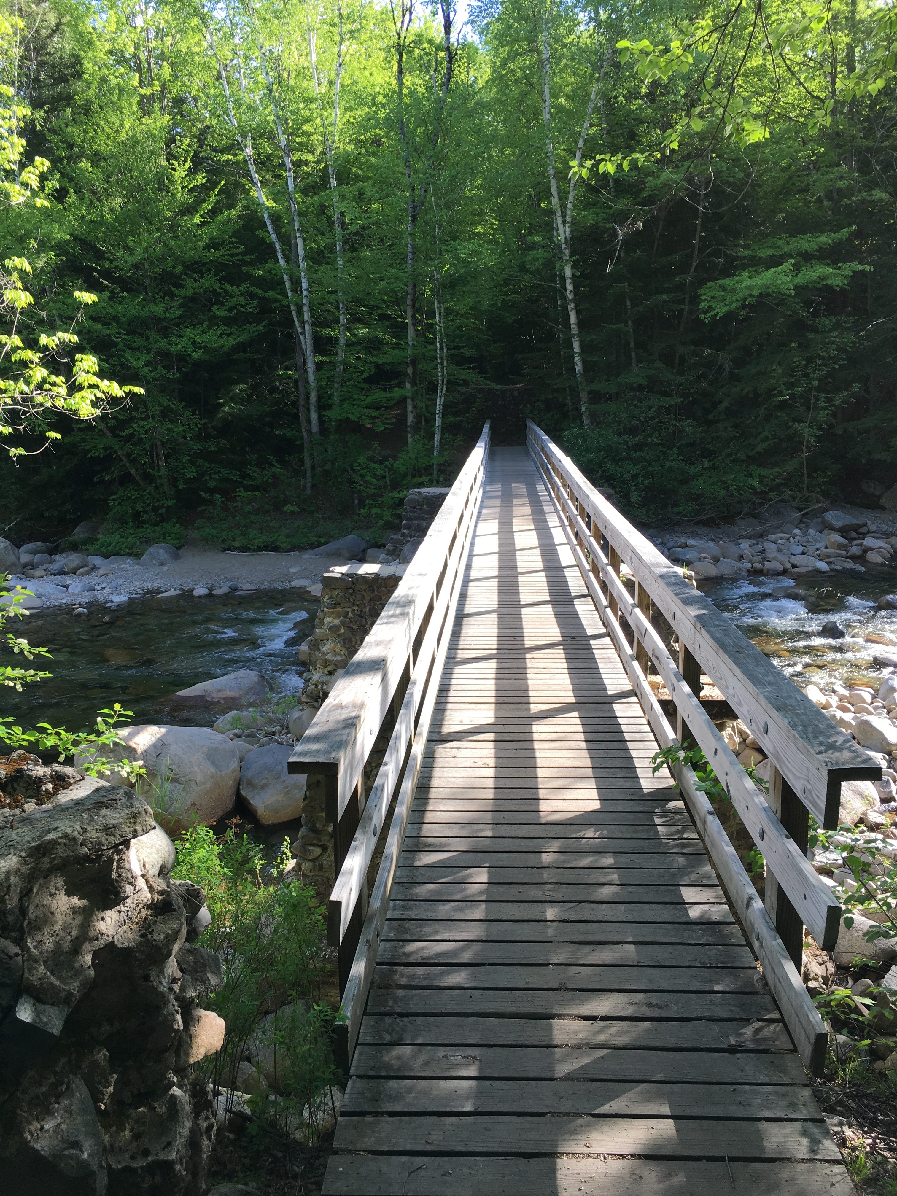
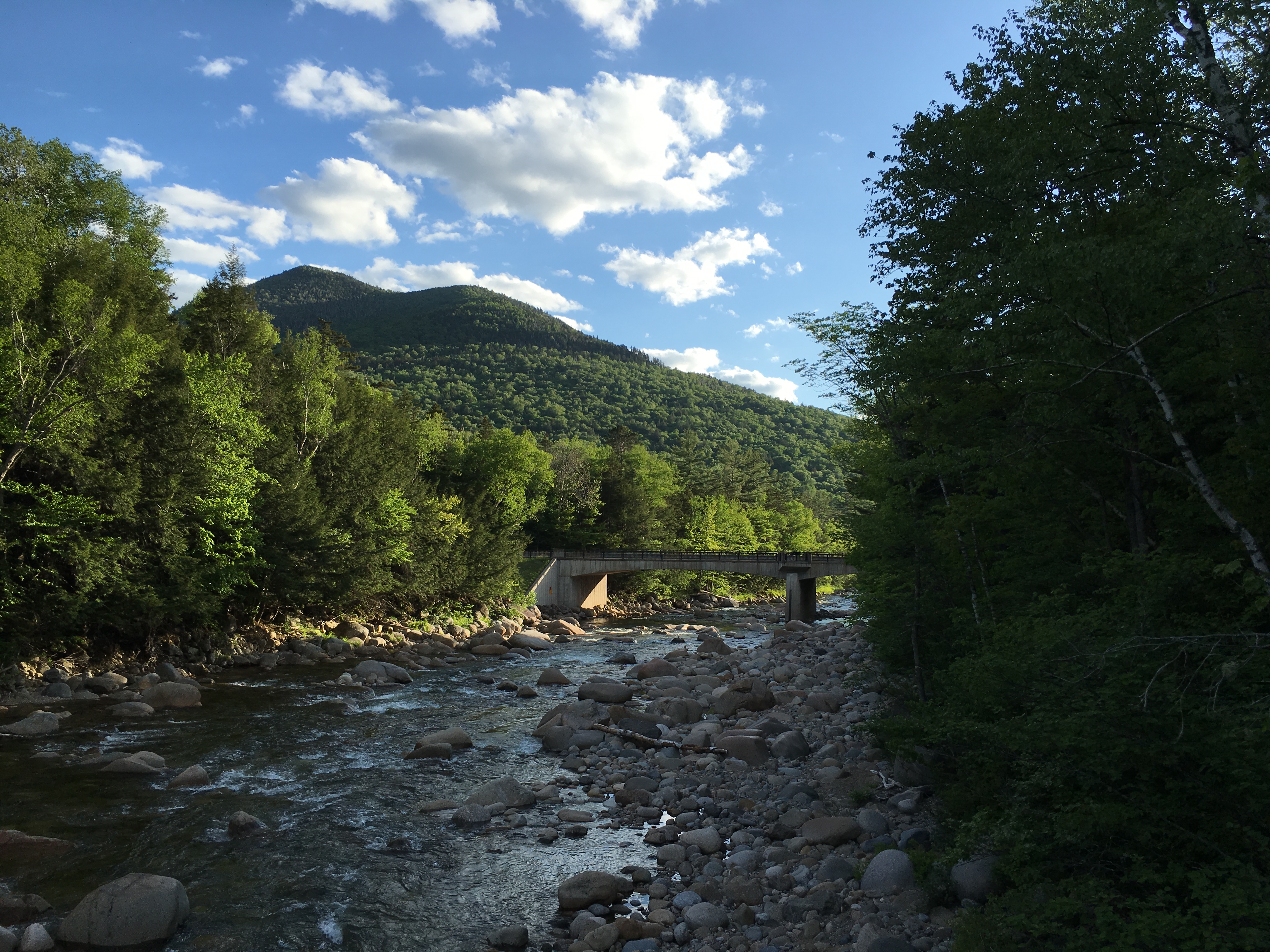
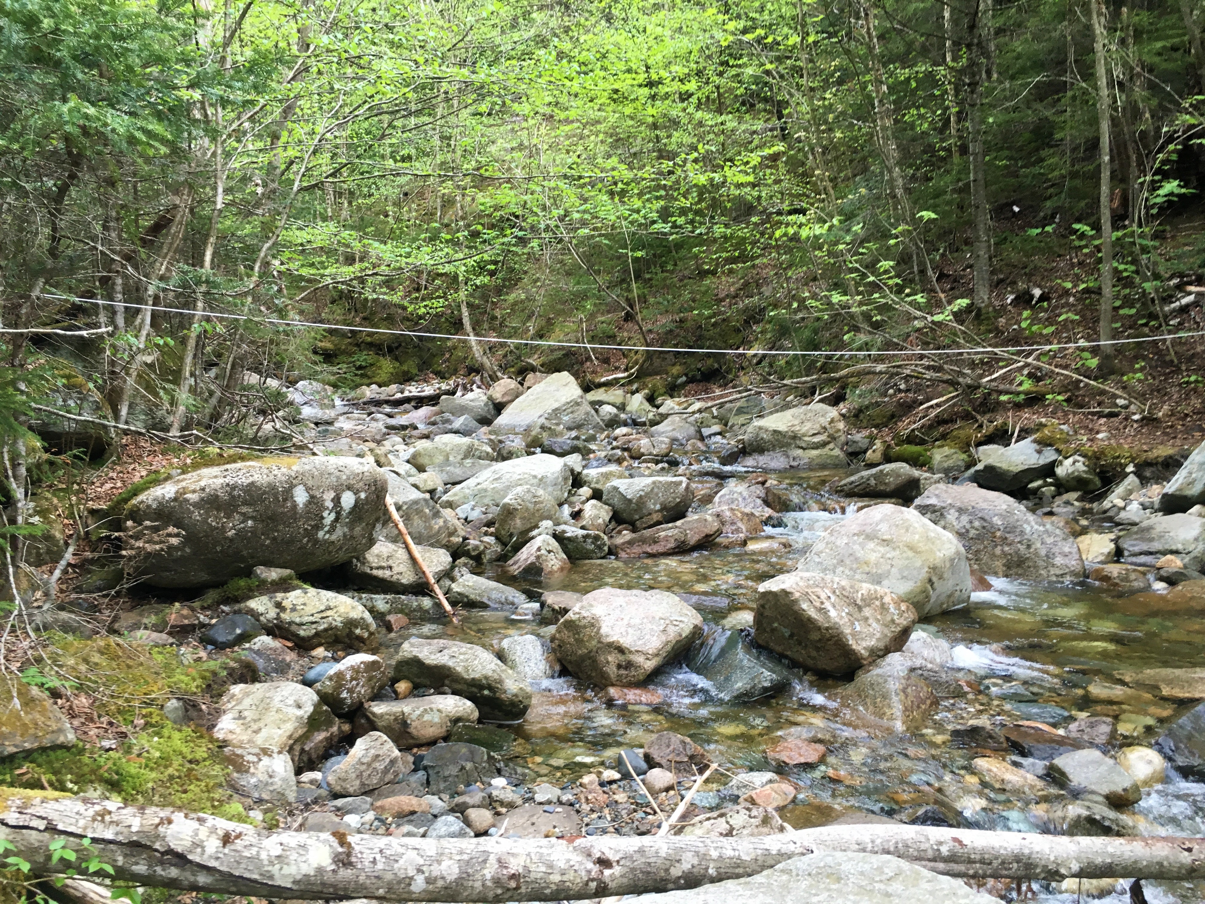
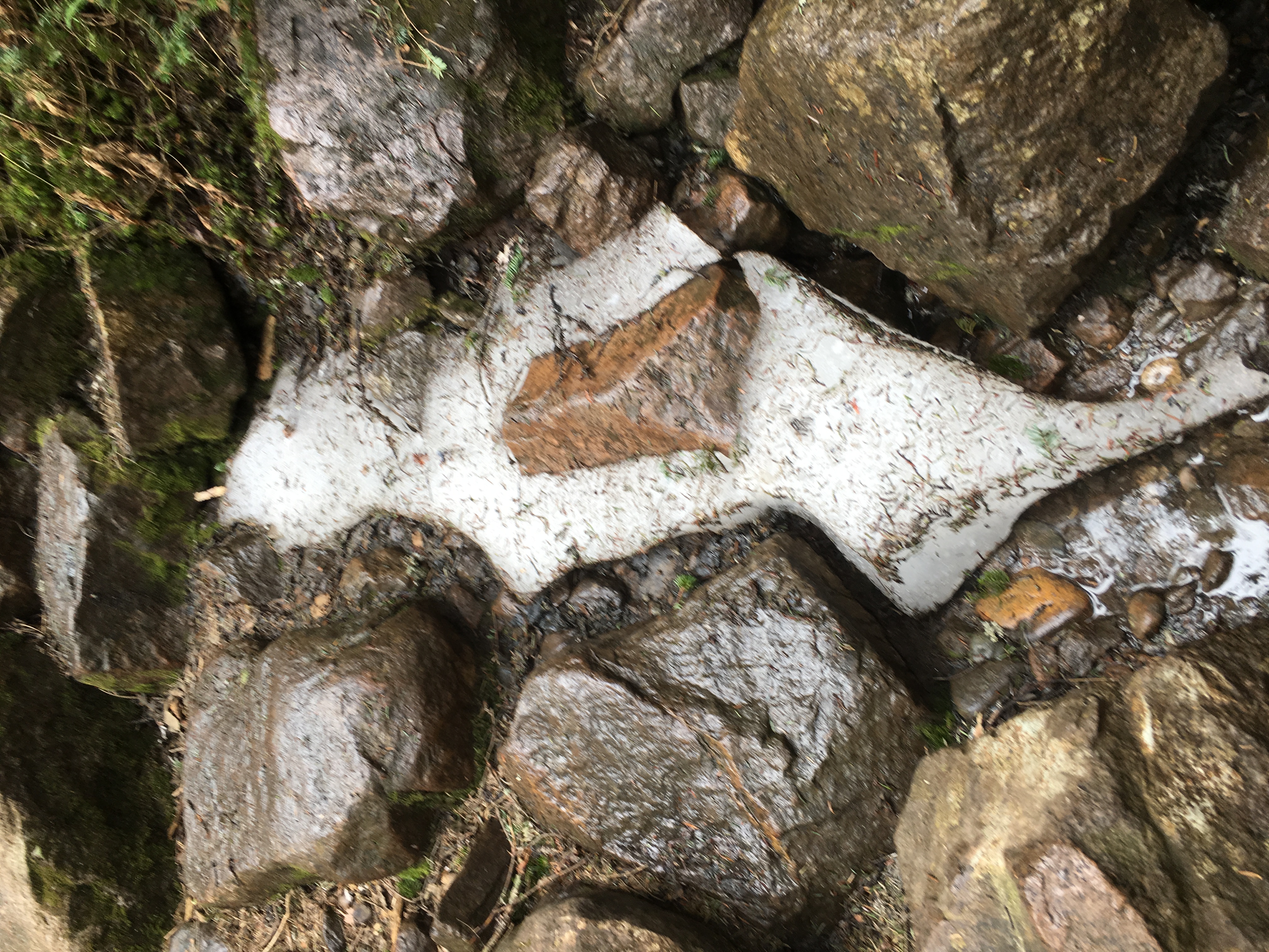
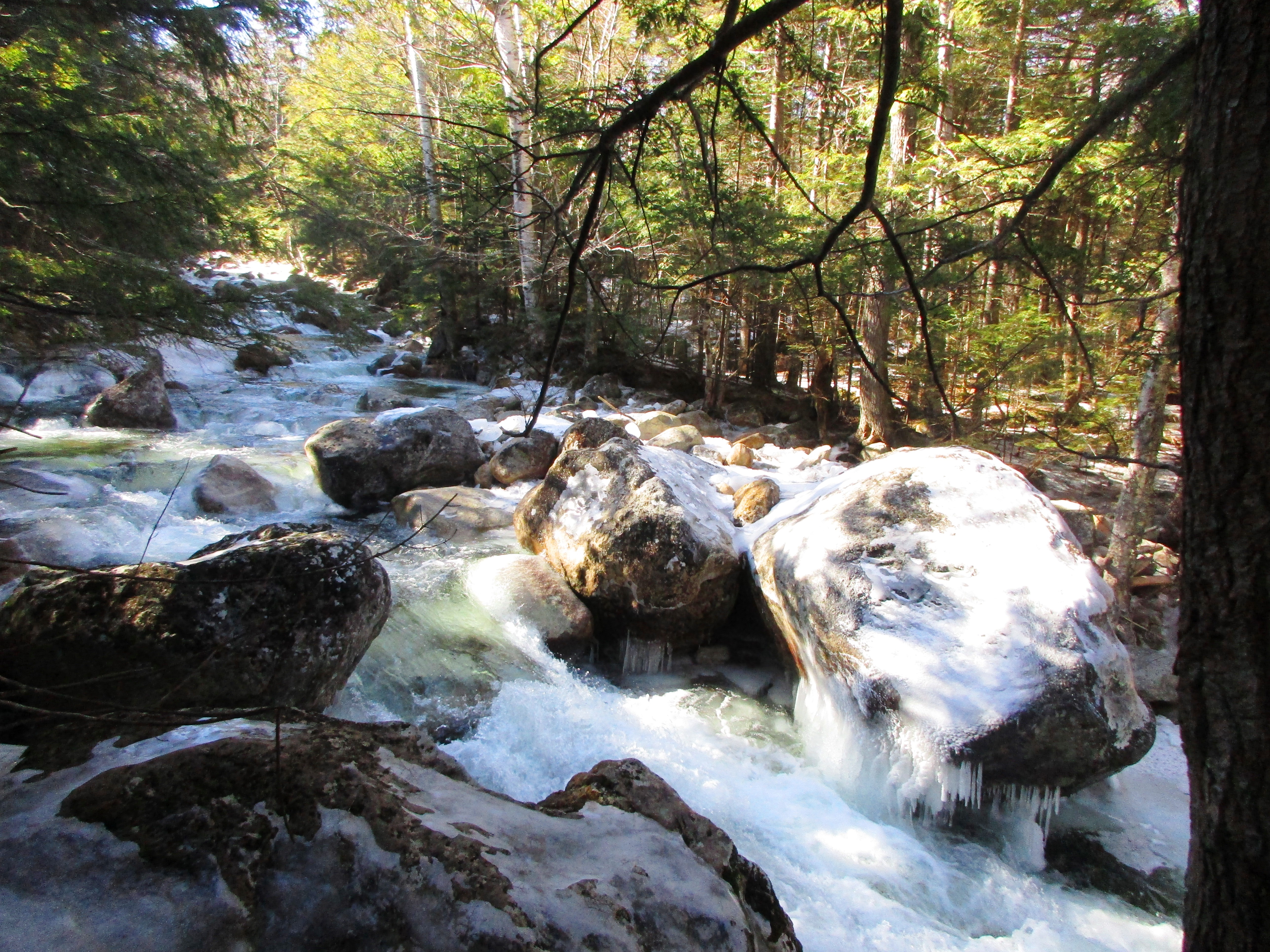
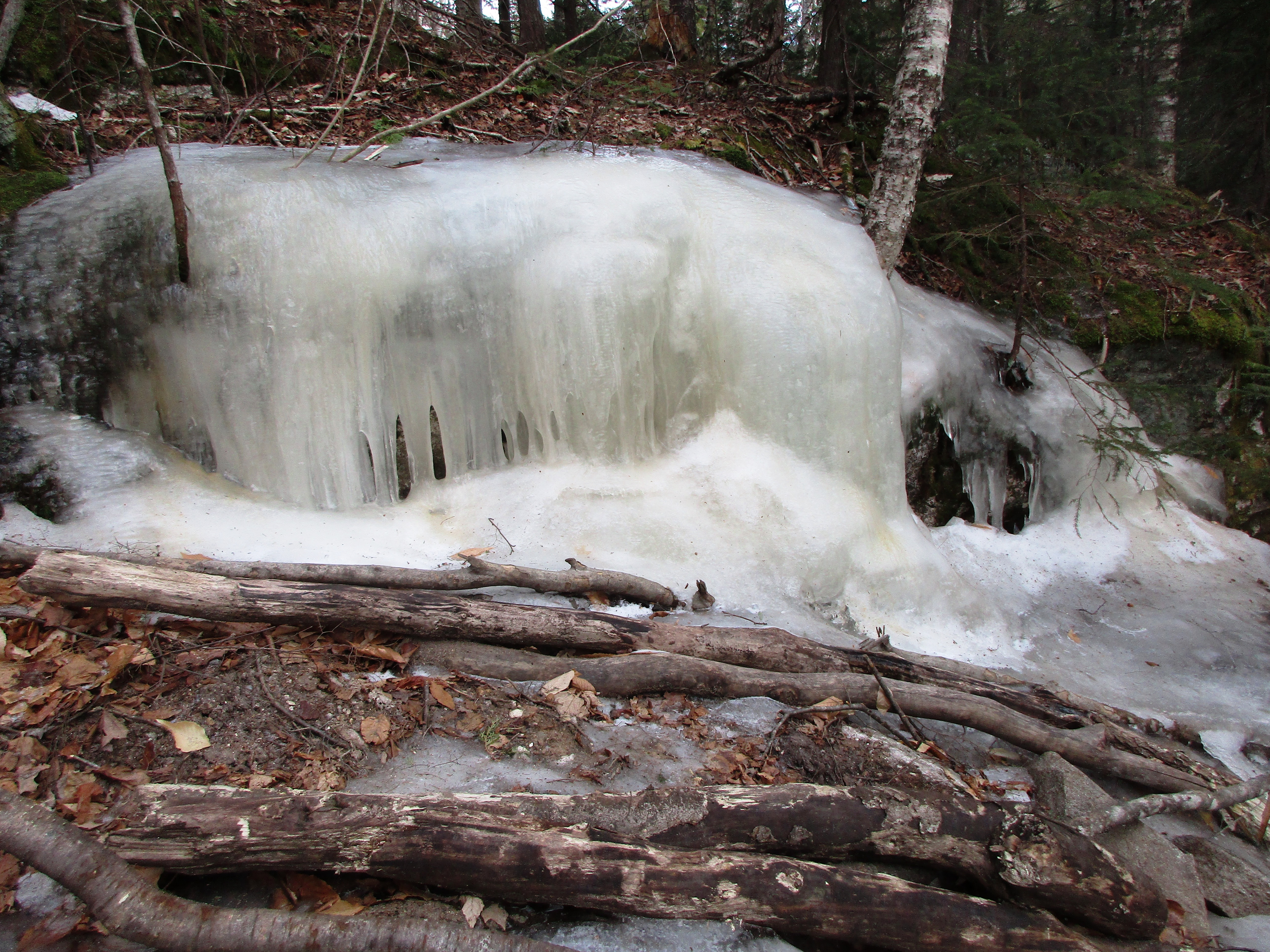
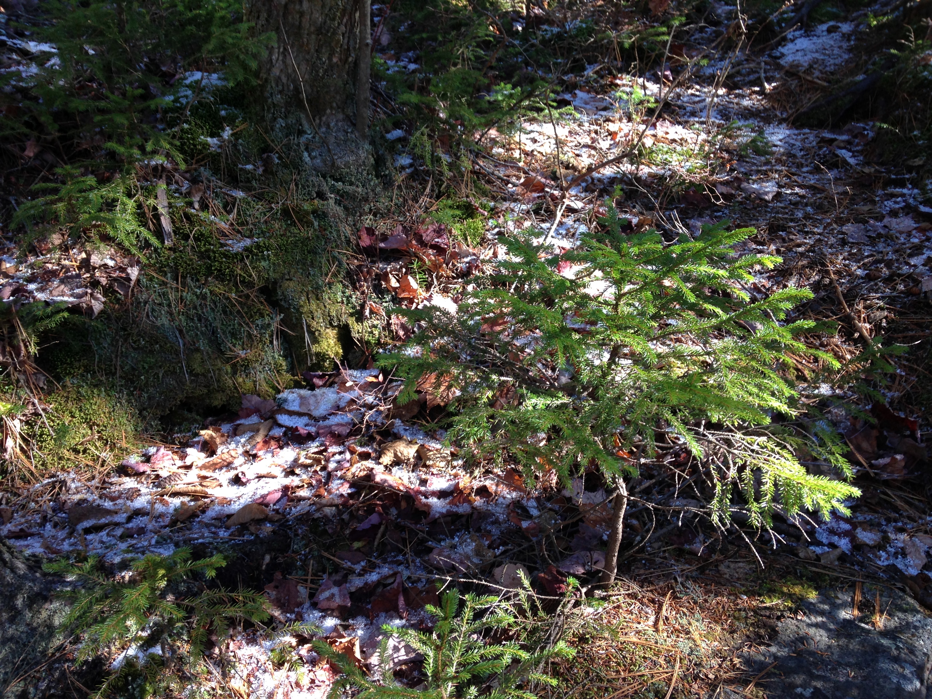
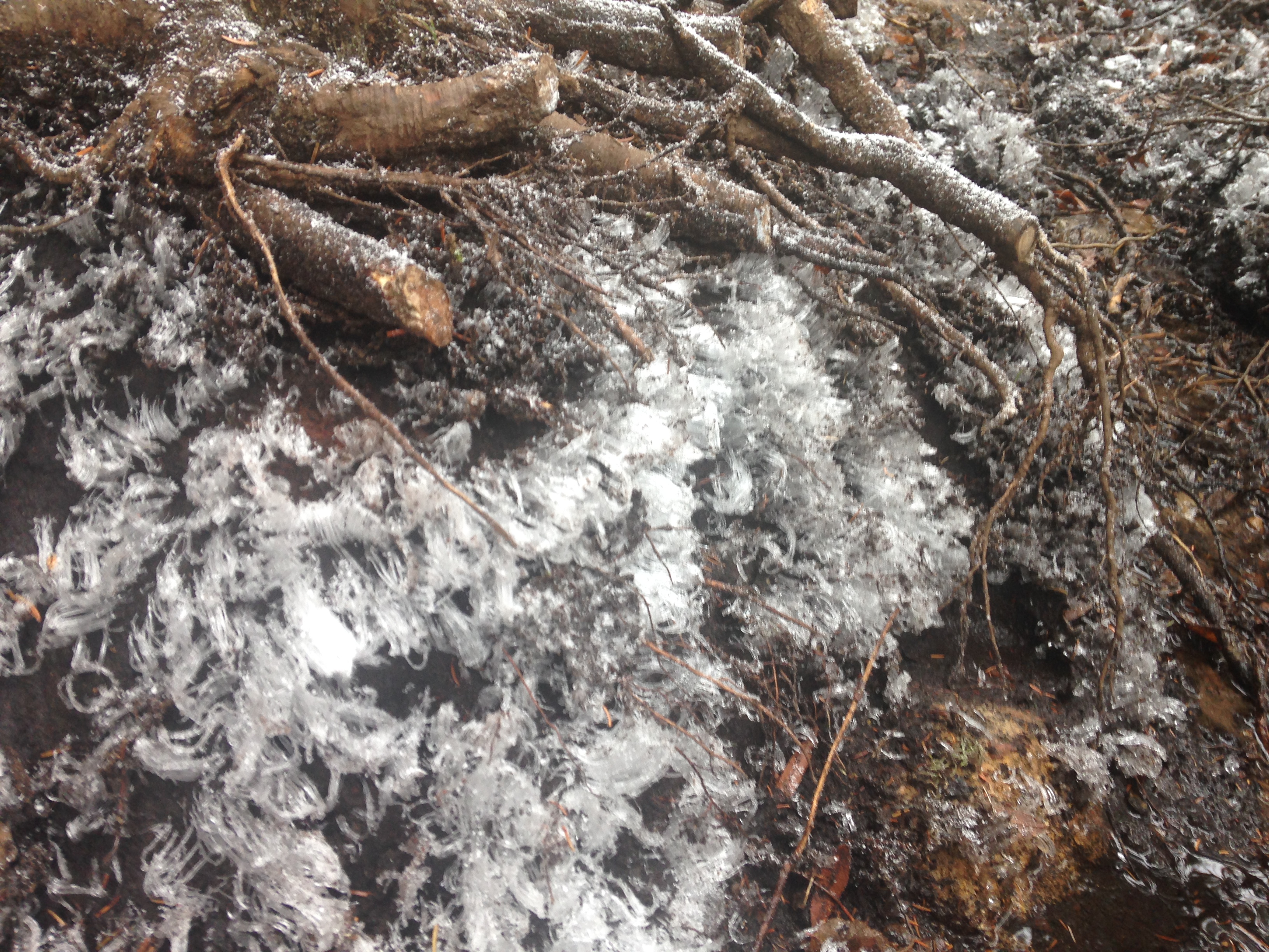
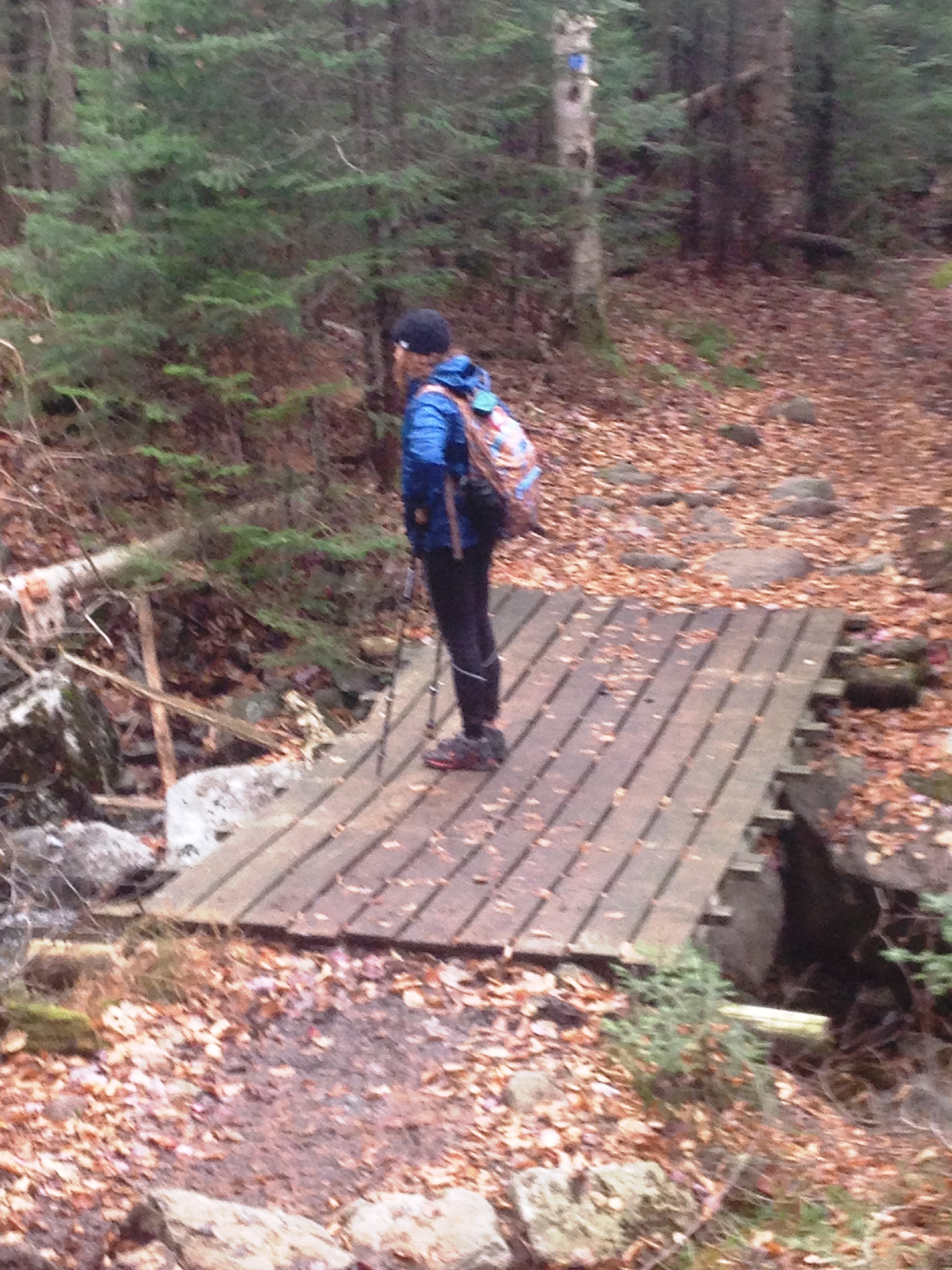
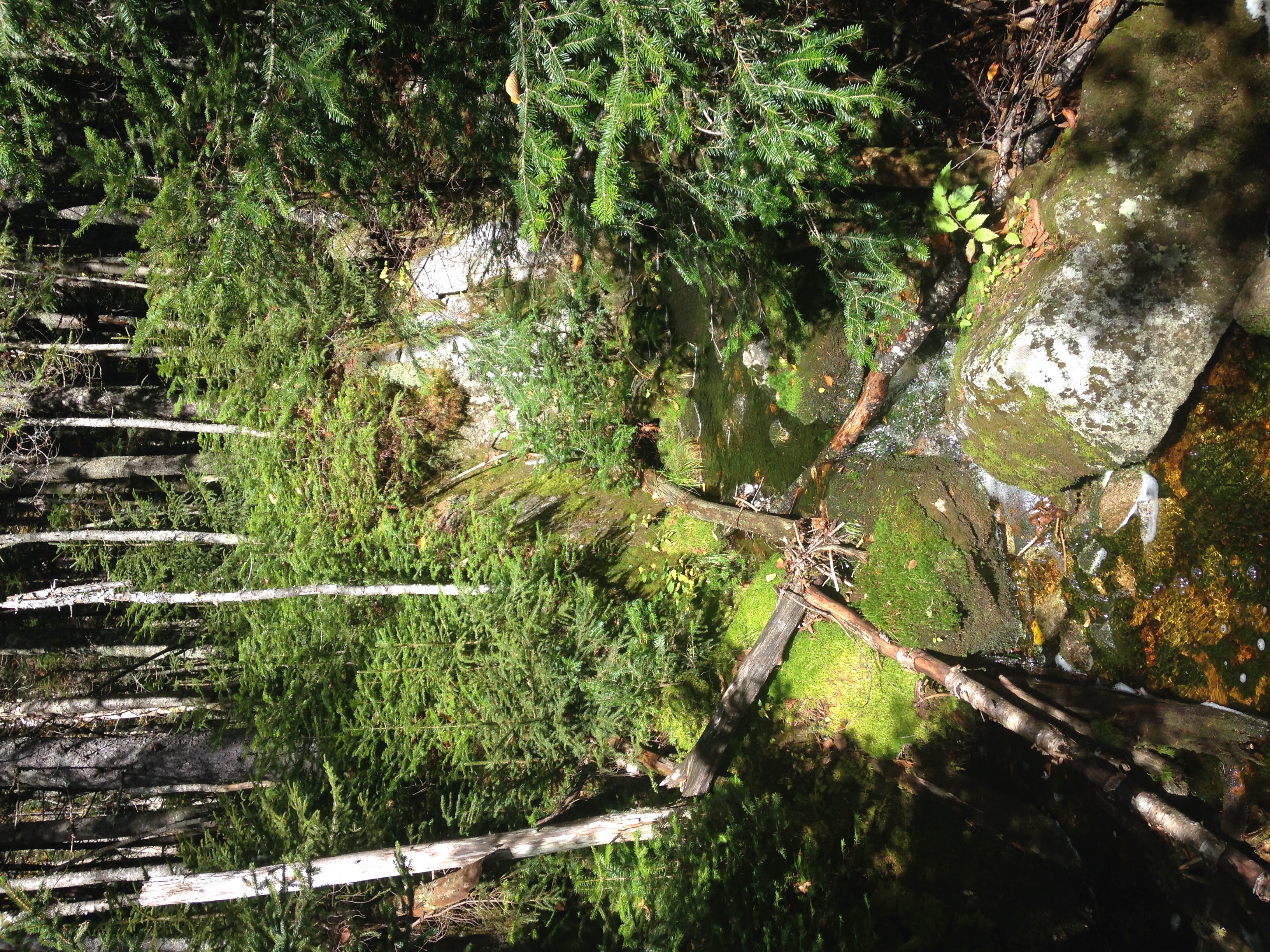
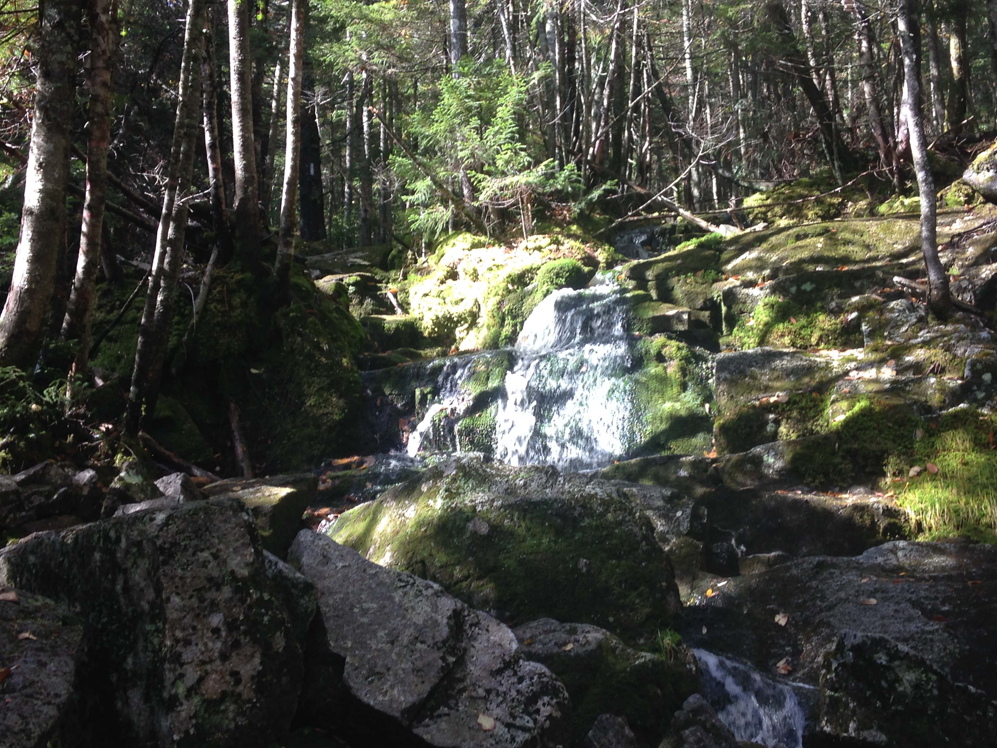
My surroundings are not getting as much attention today as they normally would due to all of this focused work I am doing, but whenever I stop for a breather or a drink, I am sure to take a good look around. Mostly it is the sounds that take center stage though: The brook is gushing through the slabs of frozen matter. The birds and critters are chattering away in the woods. The tree limbs crack as the rub together through the gentle breeze. All the while, I hear the addition of “crunch, crunch, crunch” as my feet grab onto the surface. And then a break in the action: A newly constructed (or reconstructed) bridge crosses to the other side of the brook. 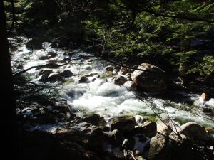 Shortly after, I must re-cross without the help of any manmade structure. In fact there isn’t much in place to help me across as the water is rushing over most of the rocks within reach. I find a better spot further downstream to cross, and make a poor judgement as to the strength of a chunk of ice as my foot ends up submerge in the ice cold bath. Luckily I quickly correct my footing and get across the rest of the way without incident. None of the water has penetrated my boots or gators and my feet are still bone dry thankfully. I brush the excess water away and continue onward. Before too long, another crossing presents itself, this time there is a 4” log to help me across.
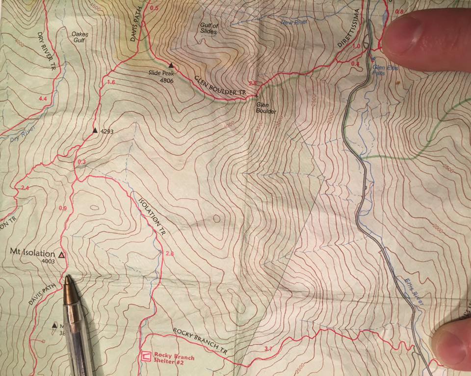
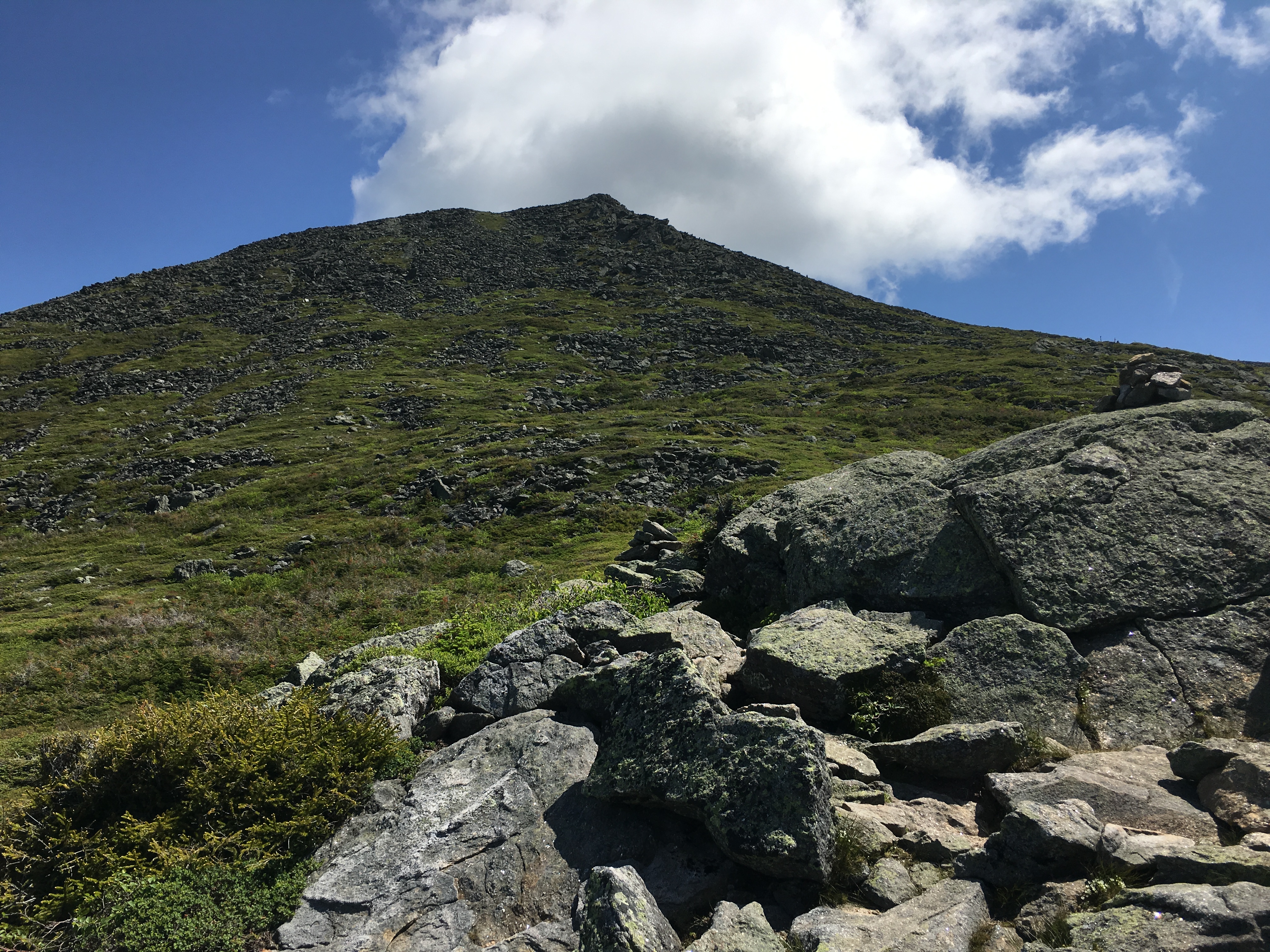
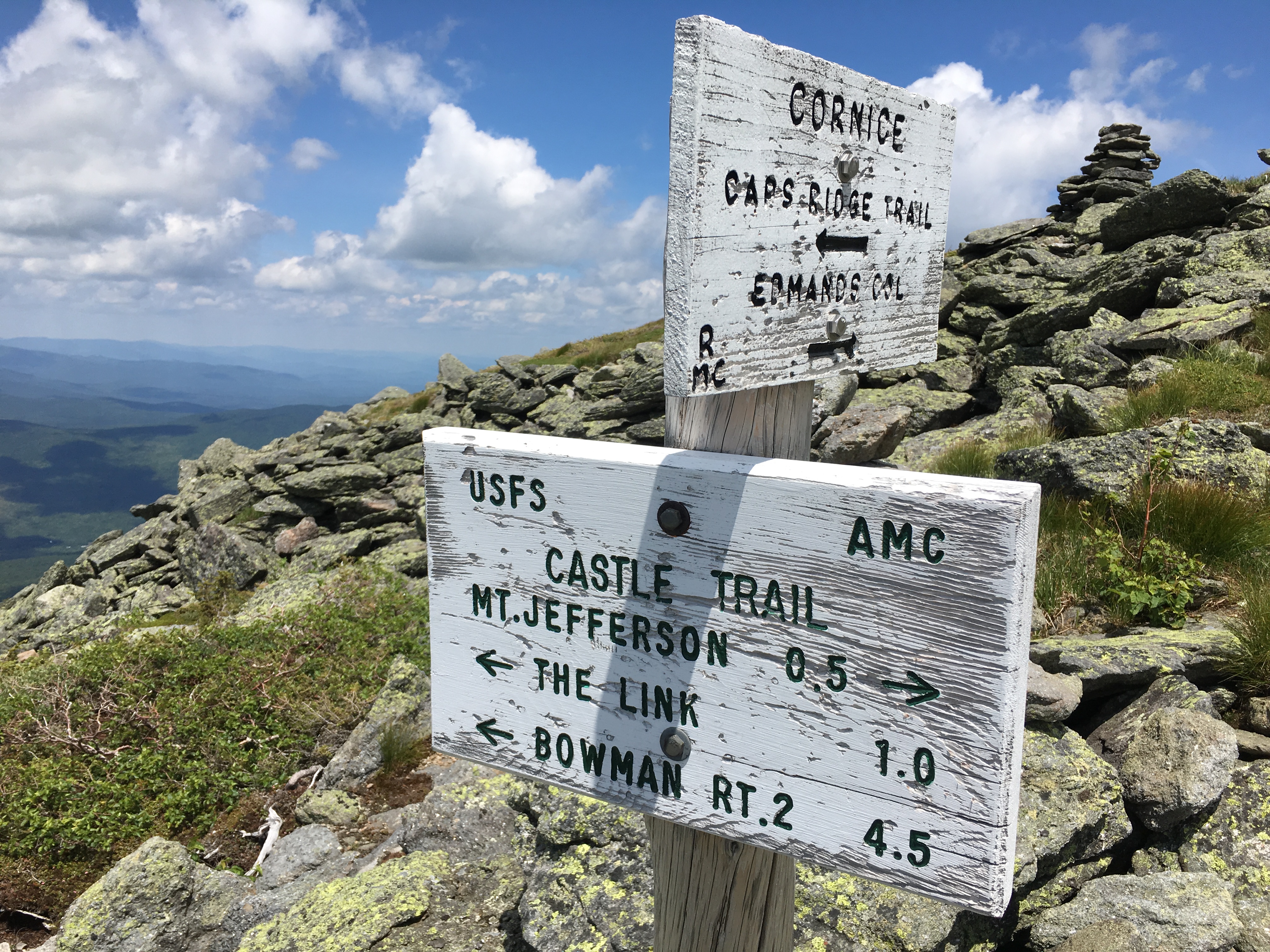
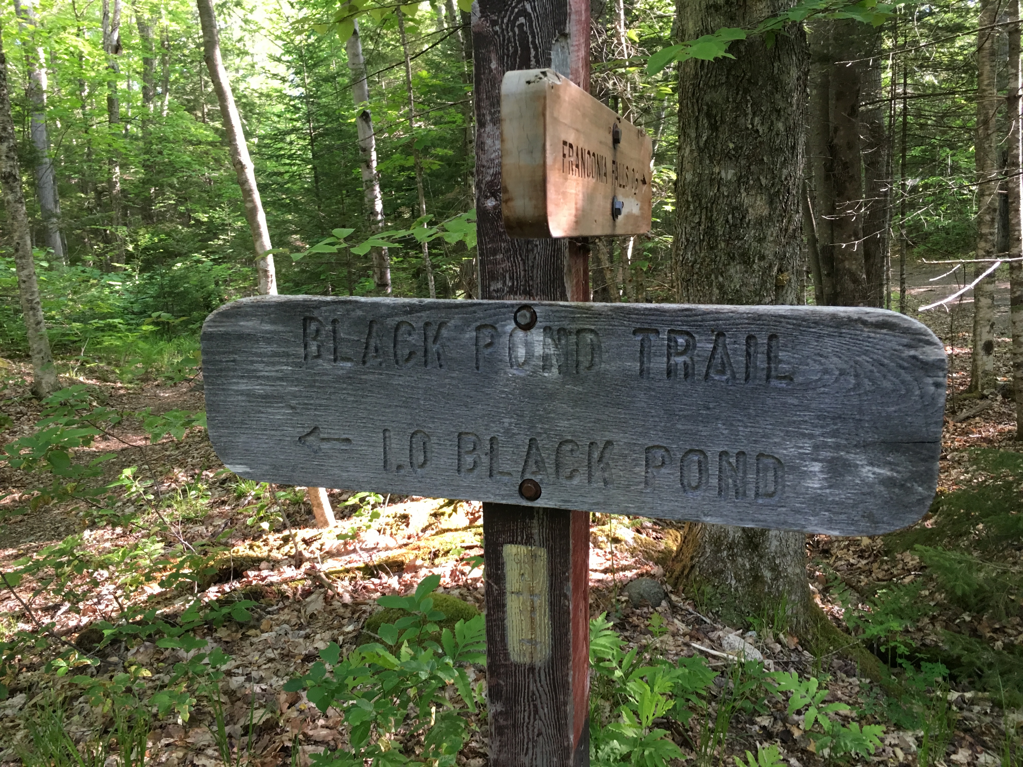
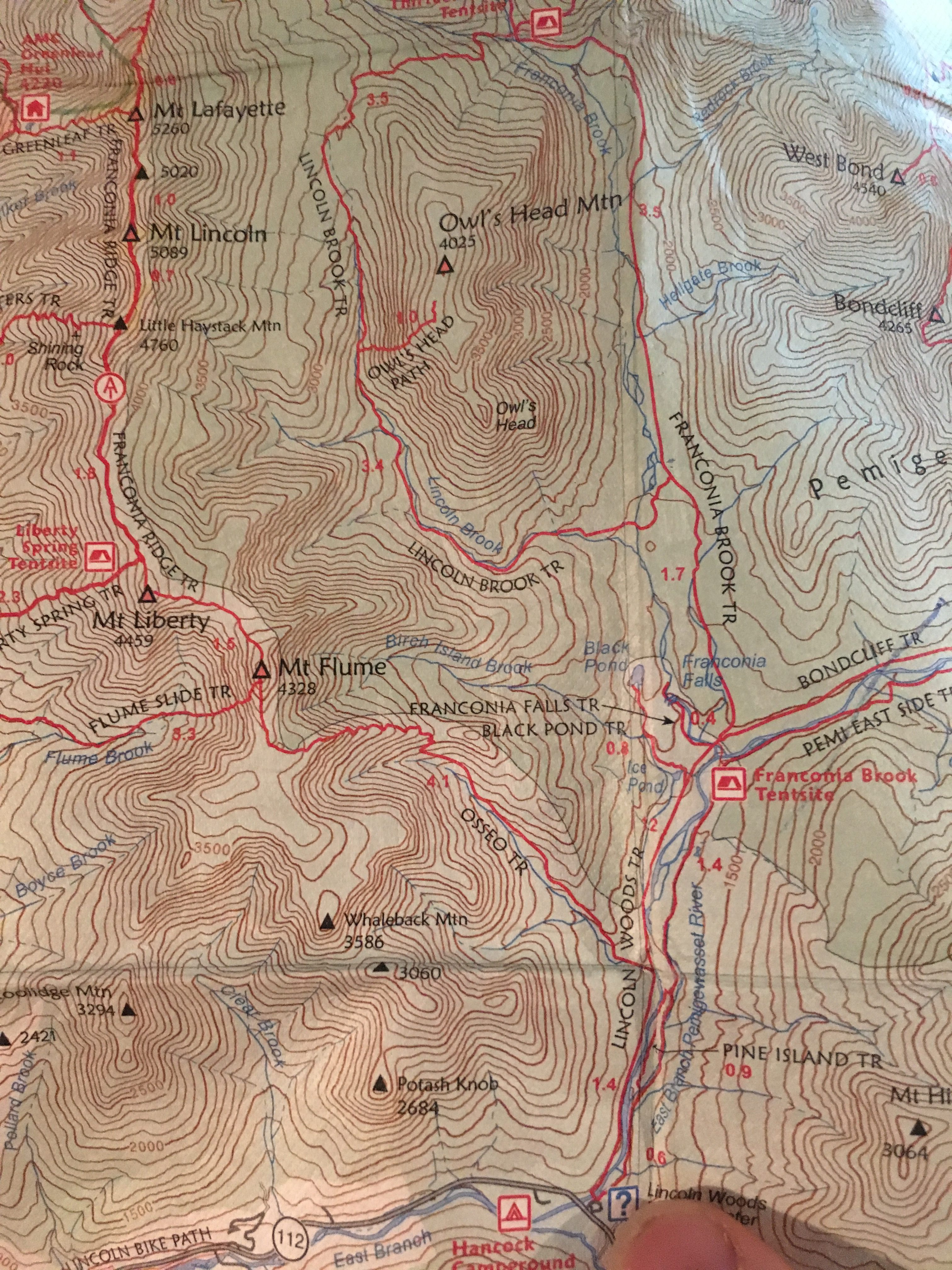
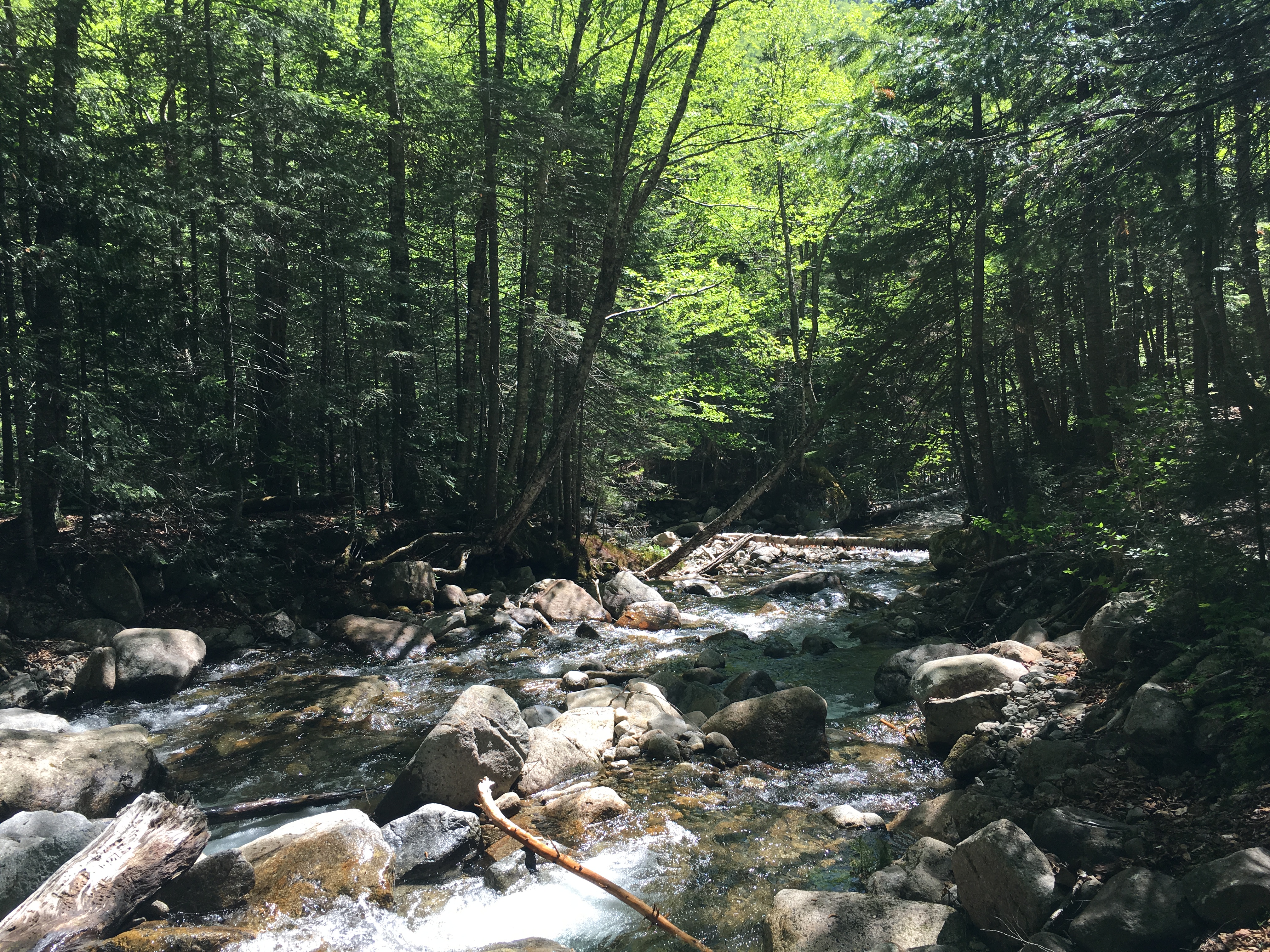
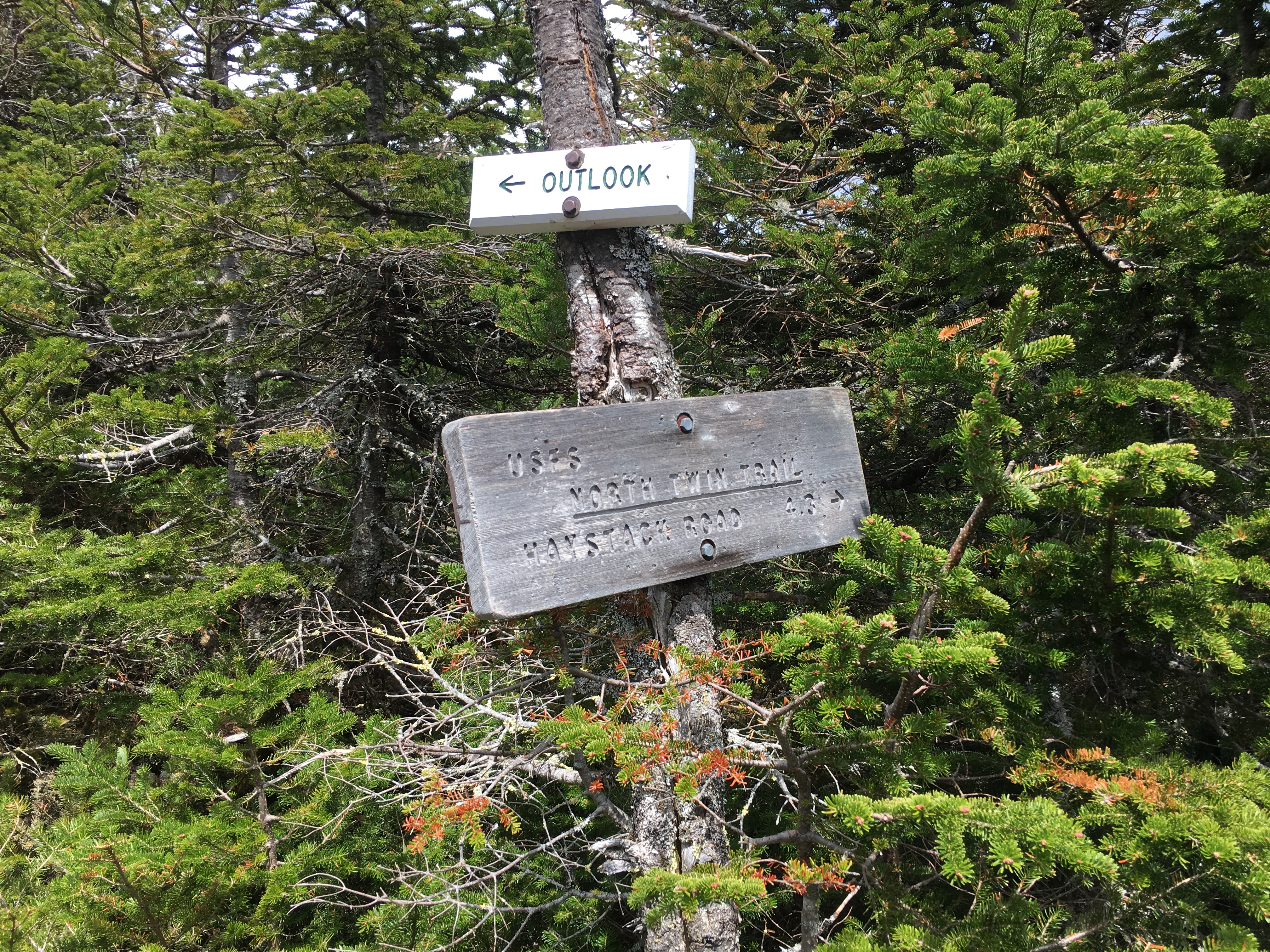
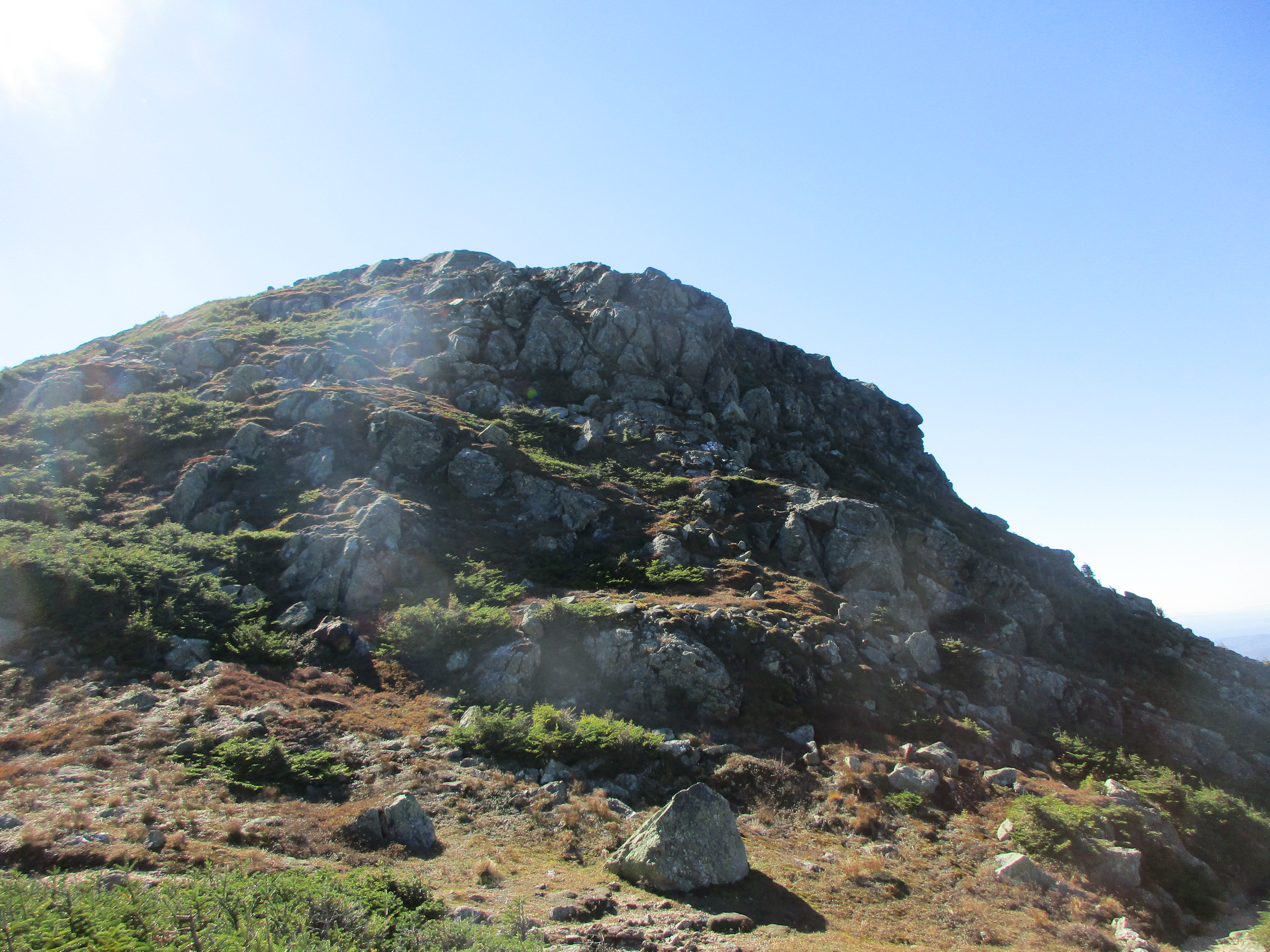
After a series of switchbacks, I am confronted with the first trail junction. In my preparations, I had considered a counter-clockwise approach through Carter Notch and the Hut which has a short steep climb as it meets up with Carter Moriah trail. With today’s conditions though, I opt for the more gradual ascent counter clockwise up Carter Dome Trail. So I take my left and continue to work away for another 2 miles. Up ahead, I know I will be faced with another decision: At Zeta Pass there is an option to branch right for a shorter approach to Carter Dome (0.6 miles I believe) or a slightly longer approach to the left (1.3 miles?) that takes you over Mt Hight. I’ll make this a game time decision.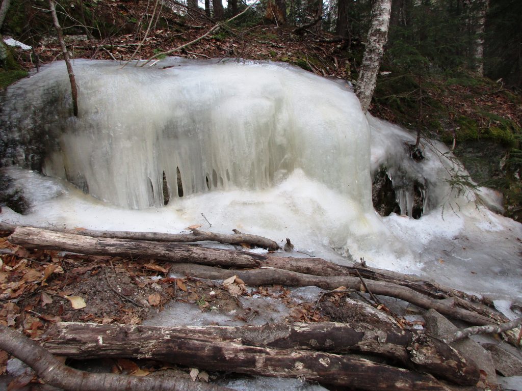
I had stripped down to my base layer (top), and had vented my pants at the knees and fly to keep from overheating. (Lessons relearned earlier this season). As I approach 3500 feet the cool wind is picking up a bit now, so I readjust layers once again.
 The trail now has a coating of snow over the ice, aiding in traction. I am now starting to see people descending opposite my direction, and we pause for the friendly greeting and exchange of trail conditions. One group lets me know that it switches to packed snow up ahead at the pass and I give them the bad news of what awaits them below. It’s the least I can do.
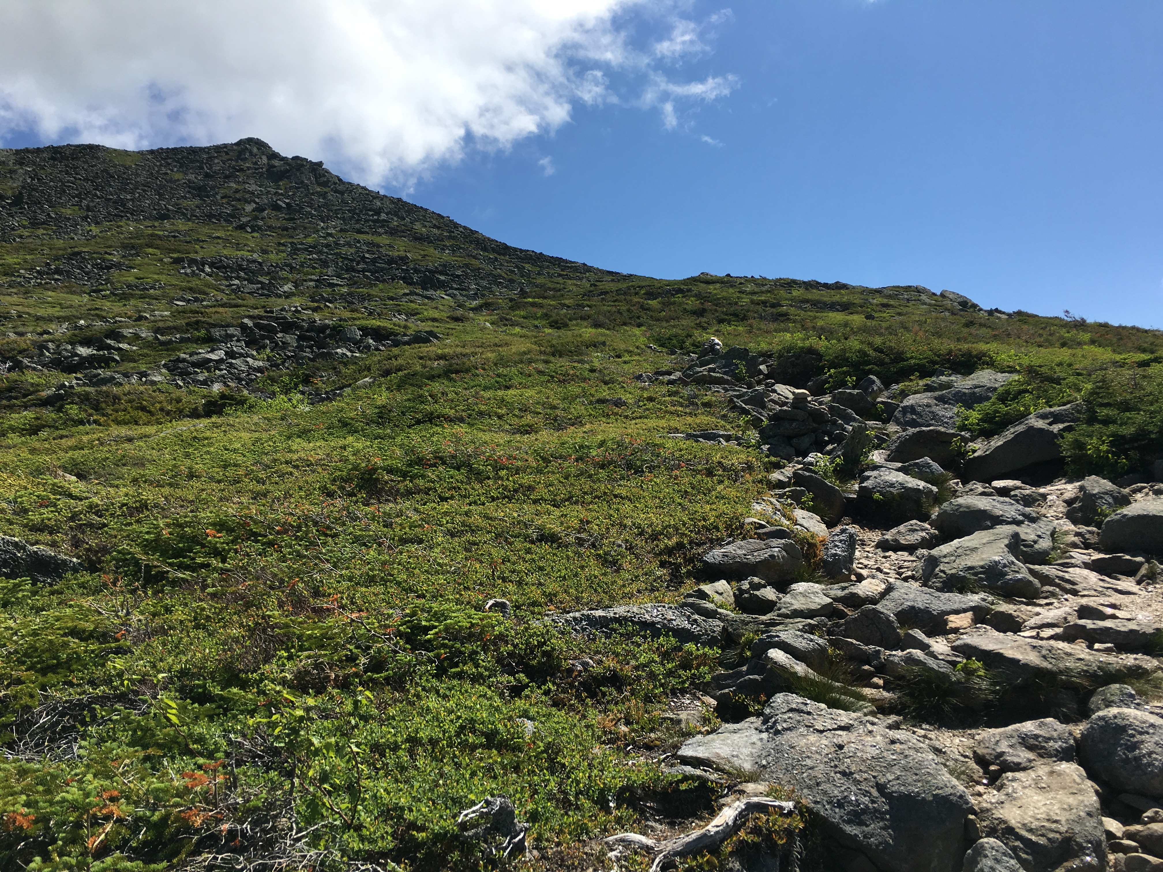
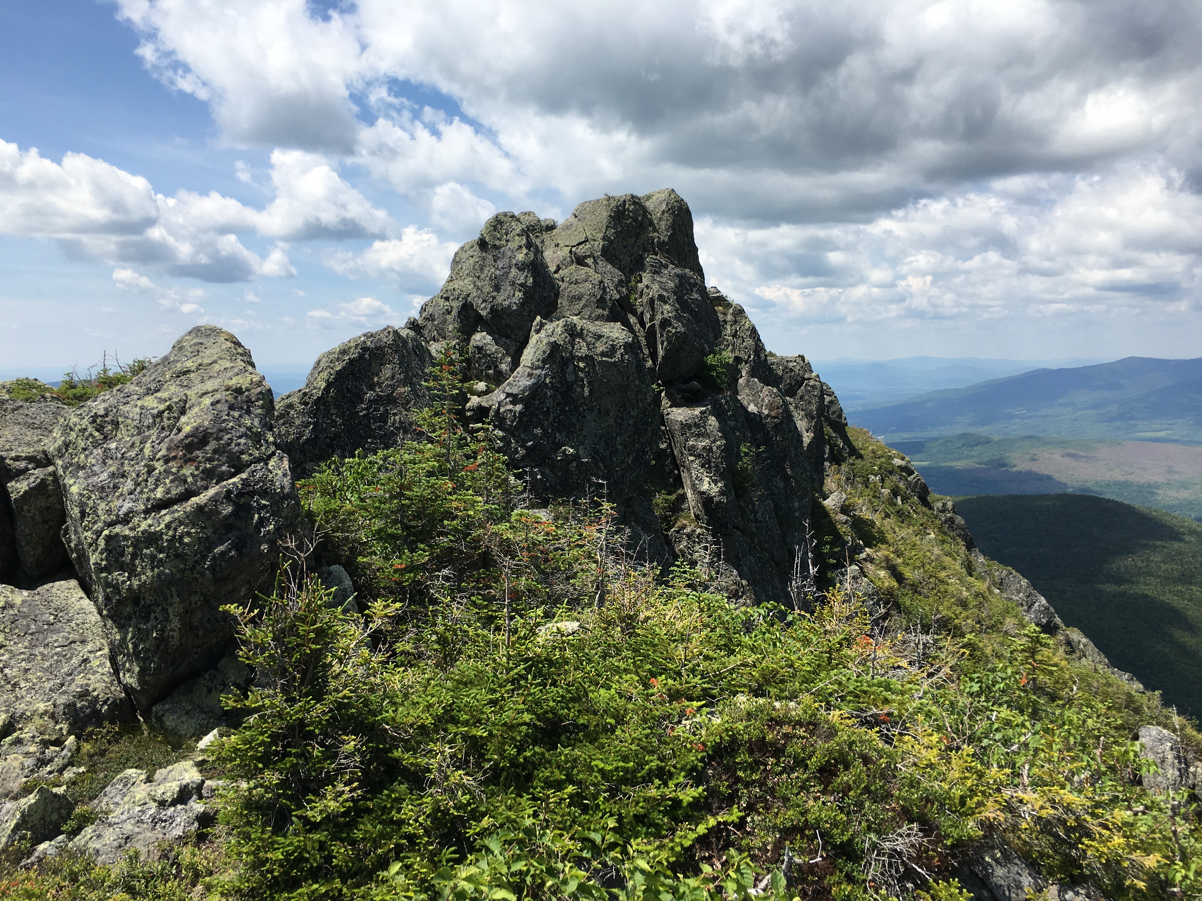
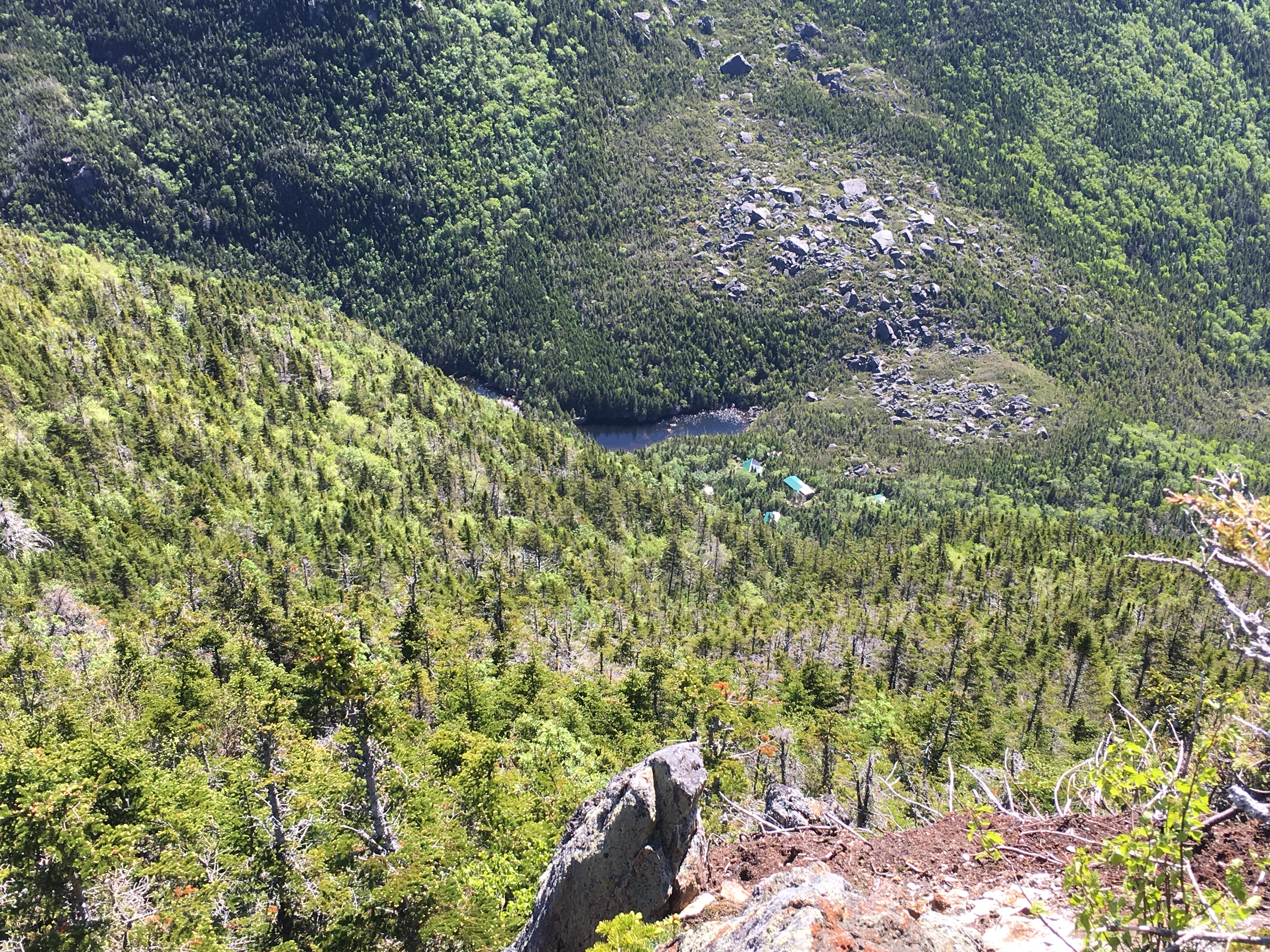
Finally reaching the junction of Carter-Moriah Trail there is another group sitting eating lunch, something I have held off until summit time. I pause for another chat, and find out that they had come up the steeper way through Carter Notch and said that it was surprisingly free of ice and was “good butt-sliding material”, and that they wished they had taken the opposite approach. From this, I took it that they already knew about the icy trip down that awaits them and didn’t think to inform them anyway (although I felt guilty later along the way, and thought I should have said something). They also asked if I was heading up to Mt. Hight and that it was beautiful up there. That’s all I needed to hear and decided that I would do just that. This new direction was all the motivation I needed, now I can continue with purpose and renewed energy. This energy now comes in handy after the next trail junction, as it becomes steeper for a short burst, but at least I am finally ice-free! The trade-off now is that spikes have a bit of slip in the snow and I am missing my snowshoes, if not for the more aggressive crampons, then for the sole reason that they have a heel lift that would sure help out my calves and ankles in this situation.

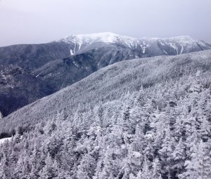
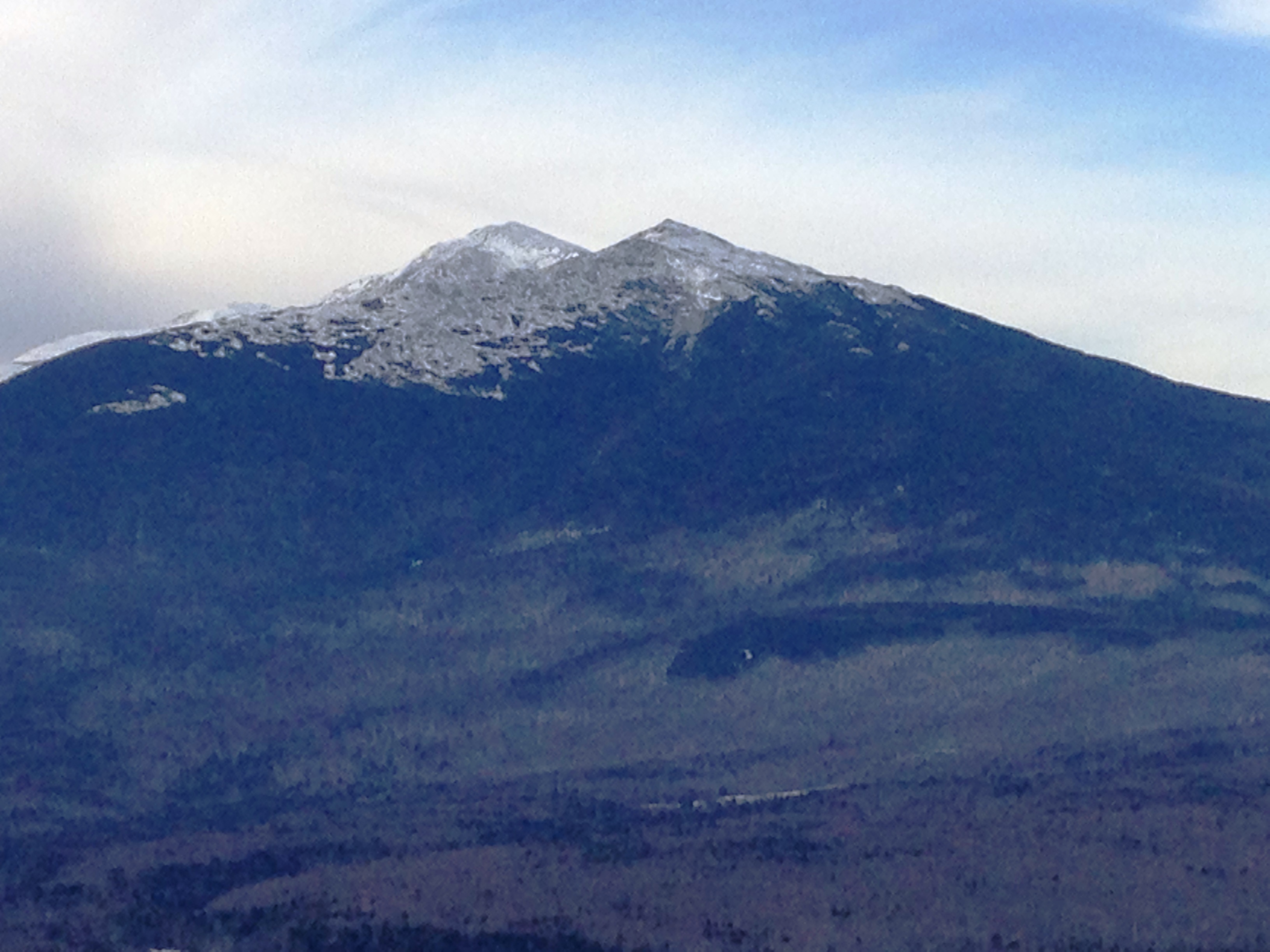
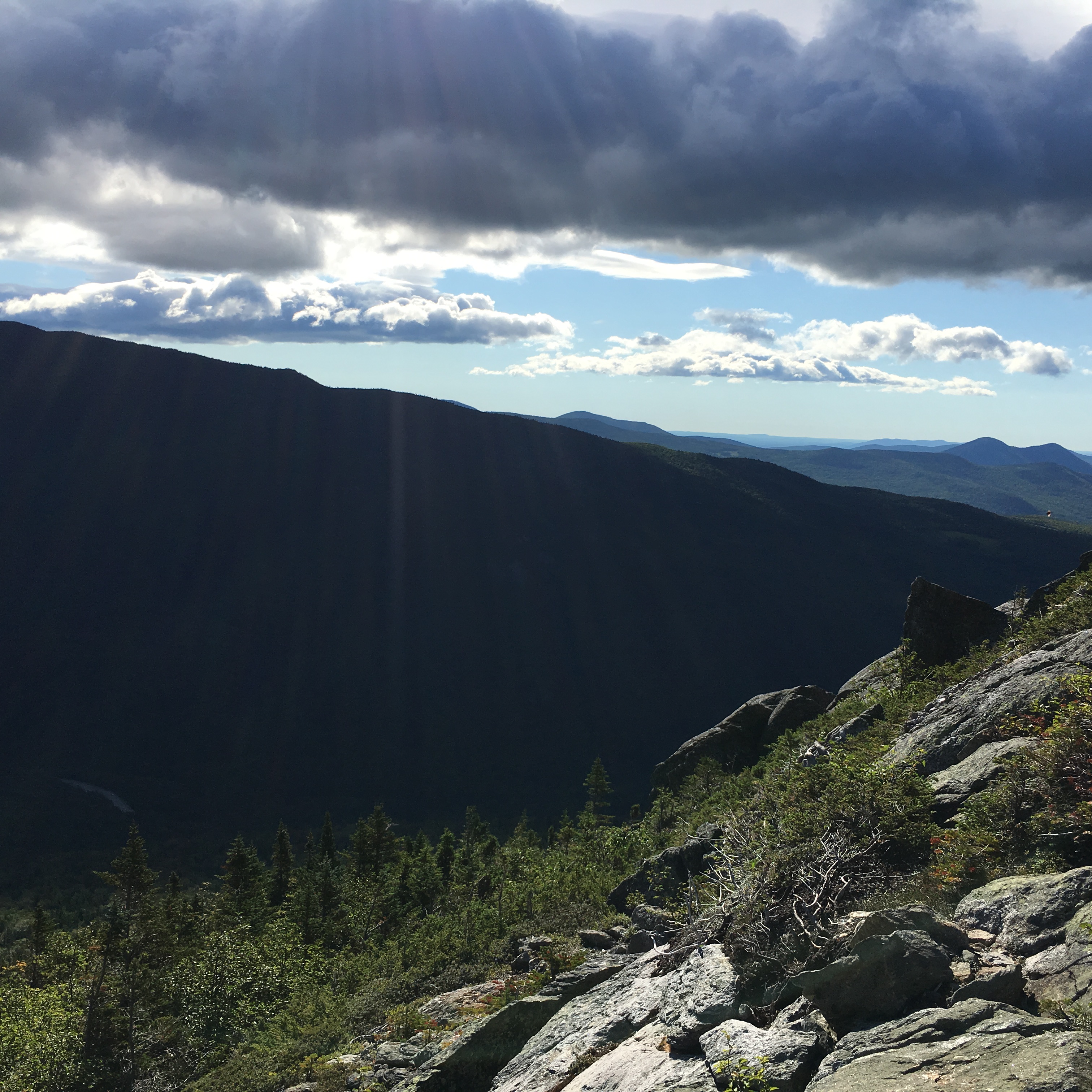
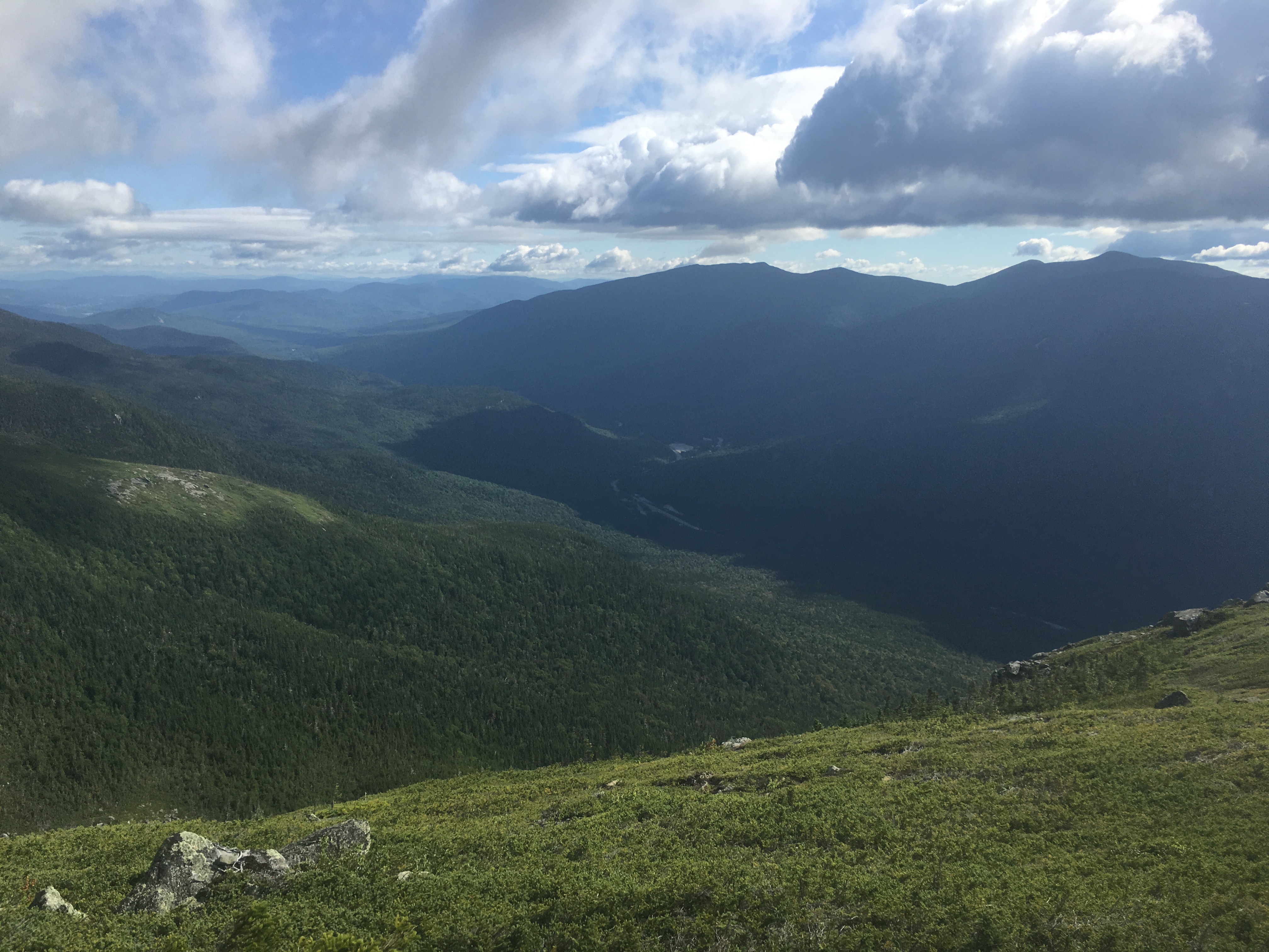
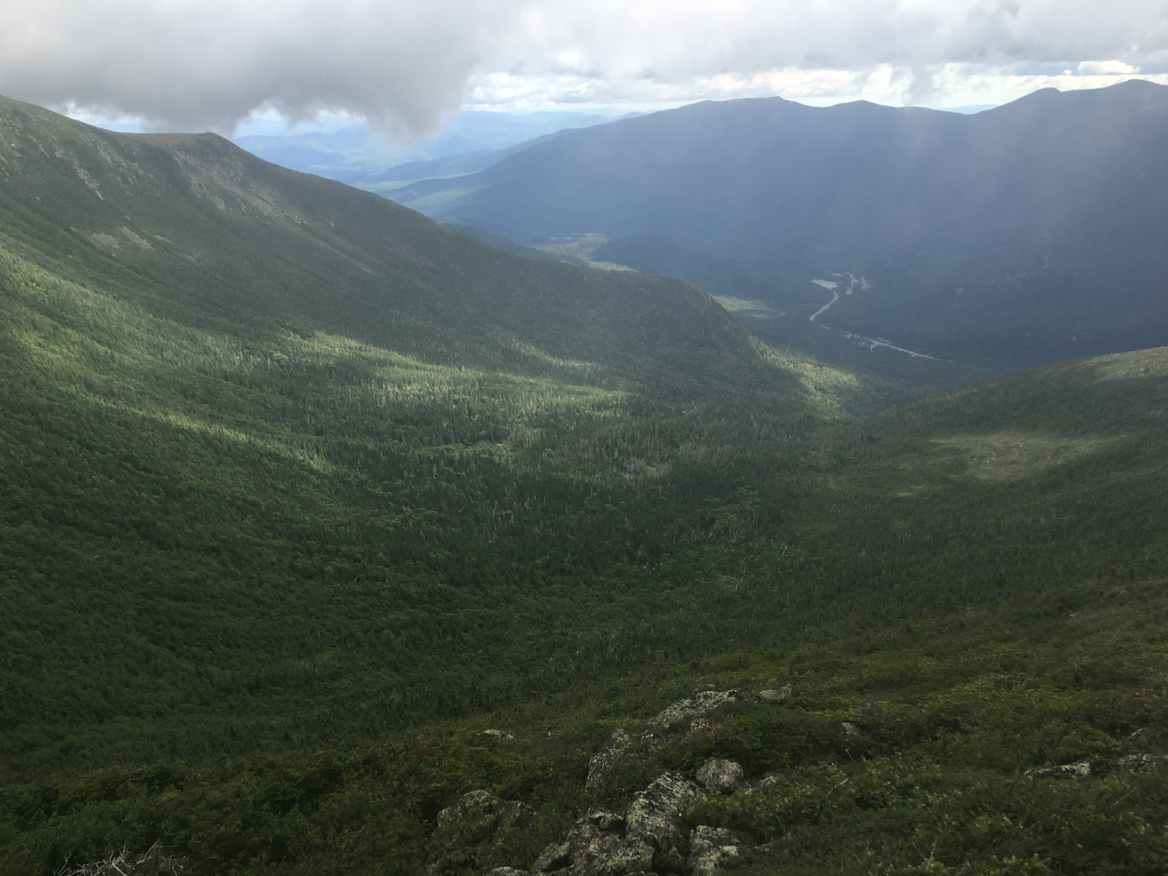
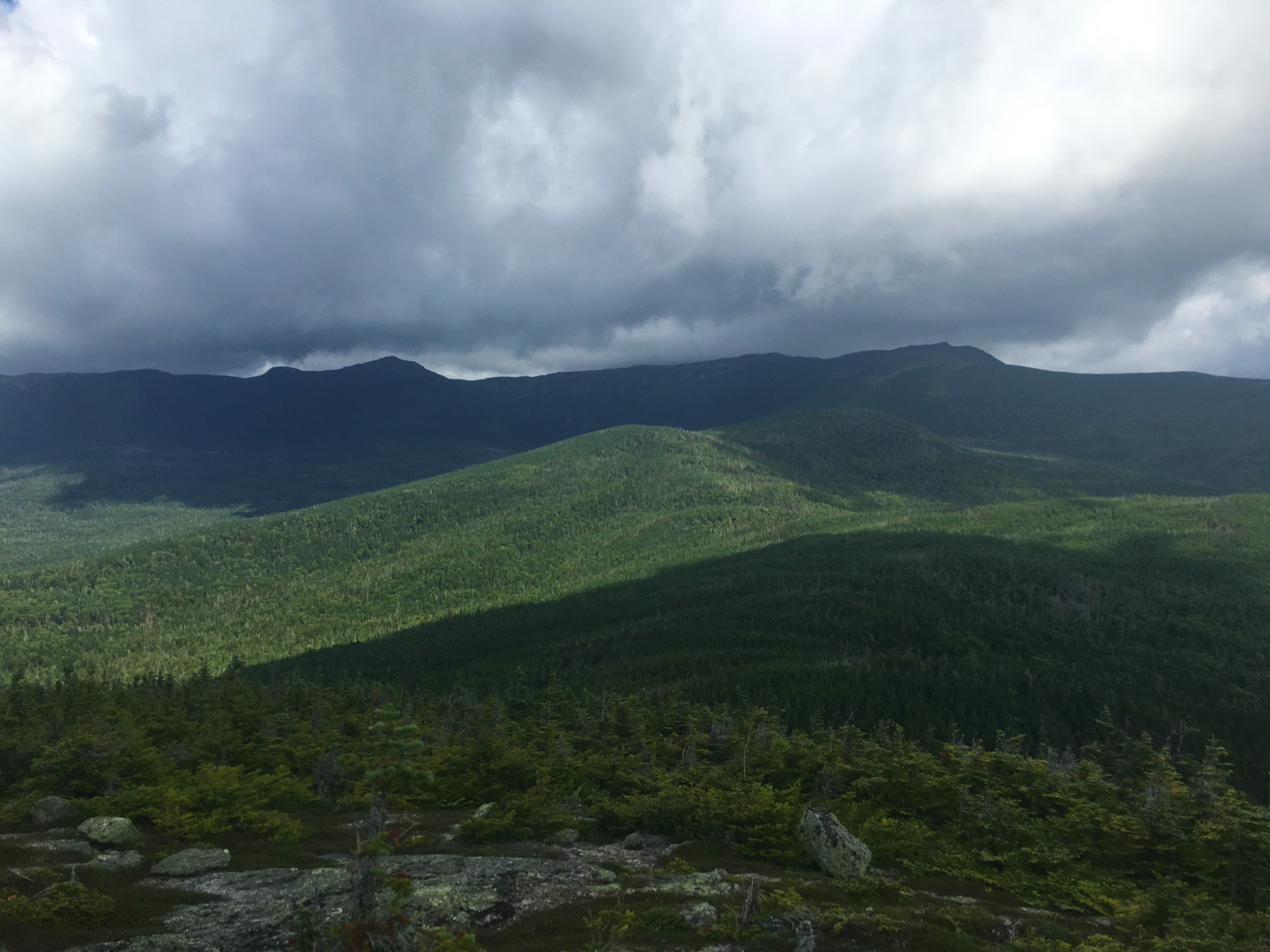
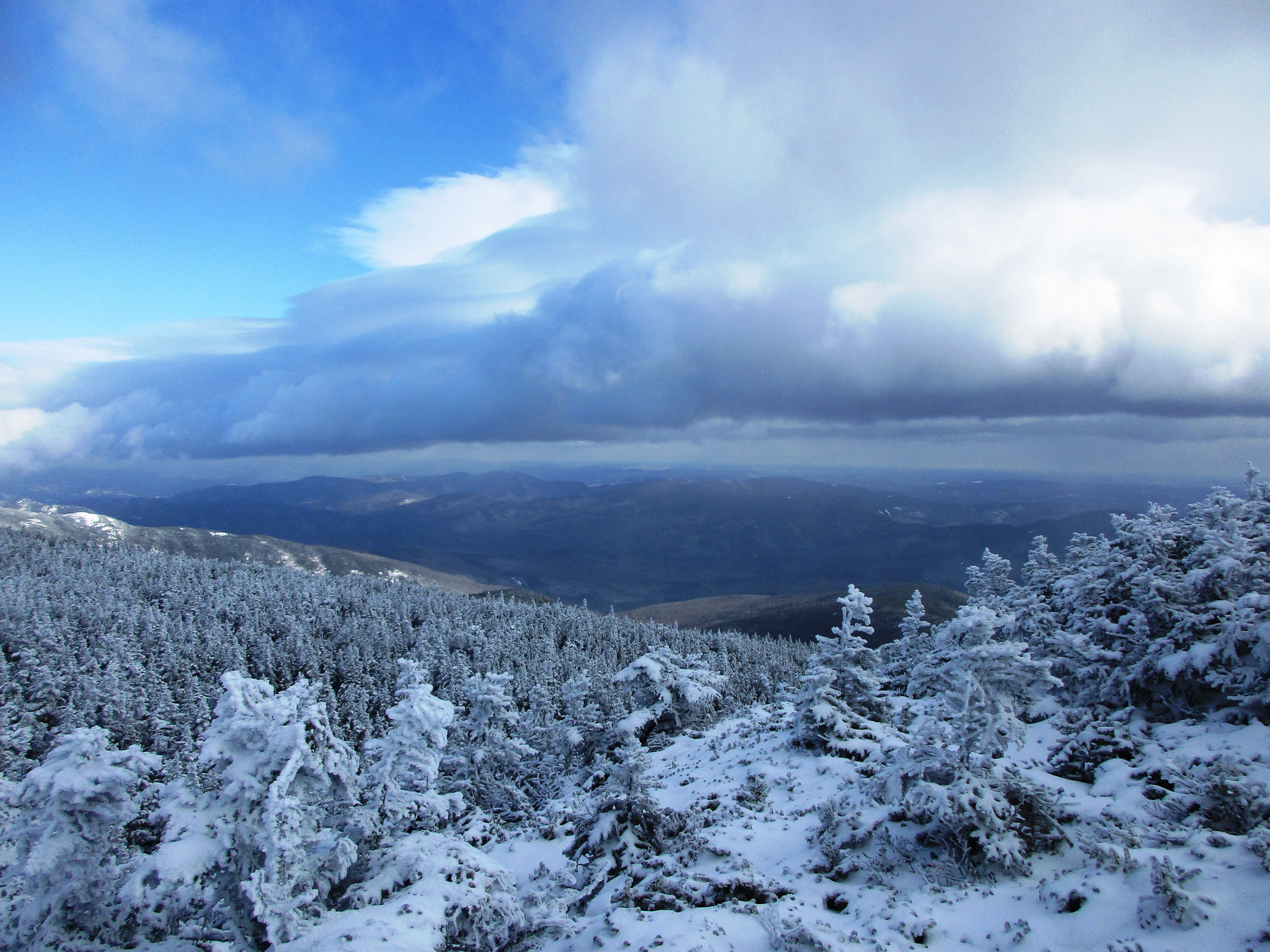
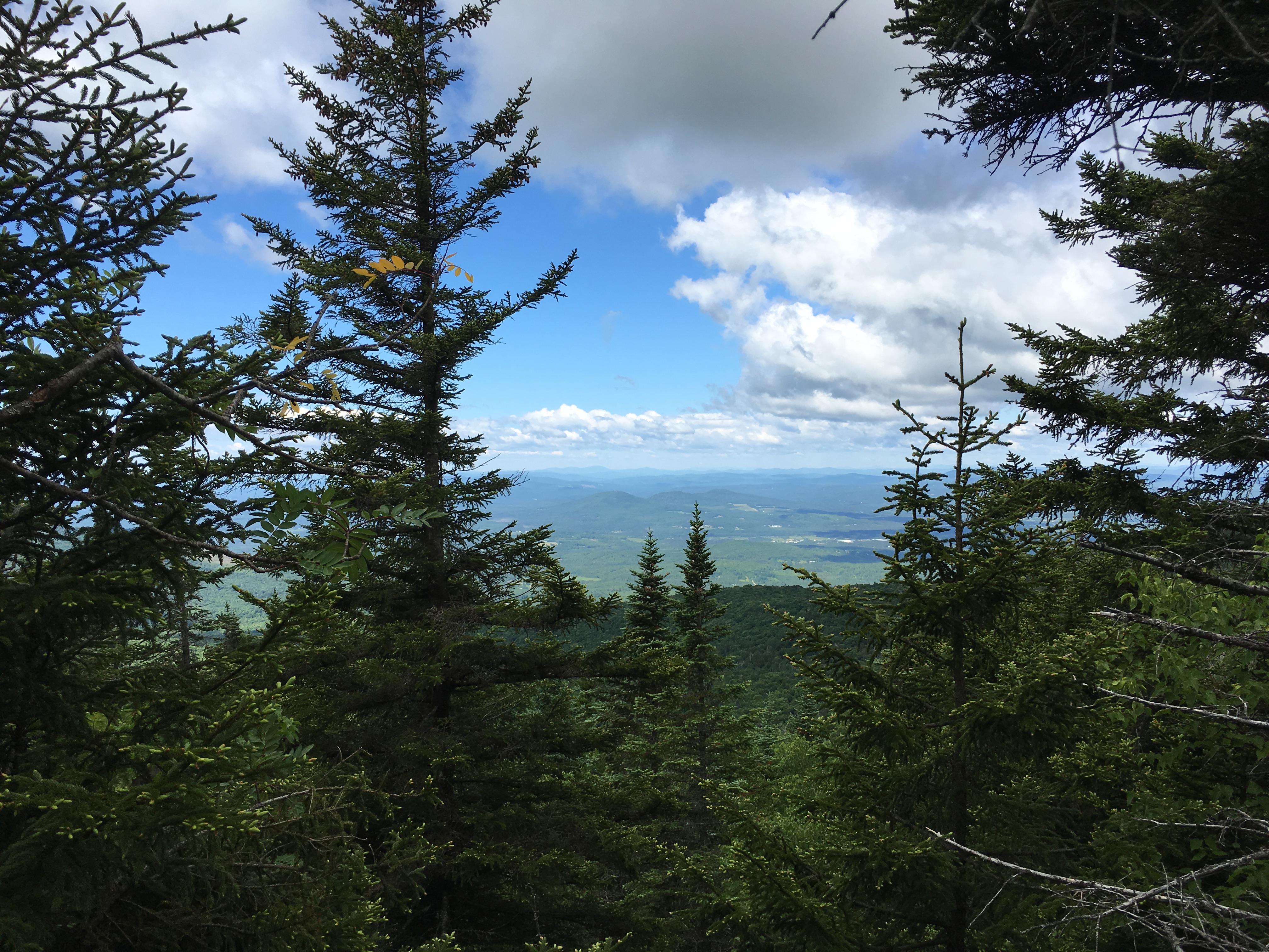
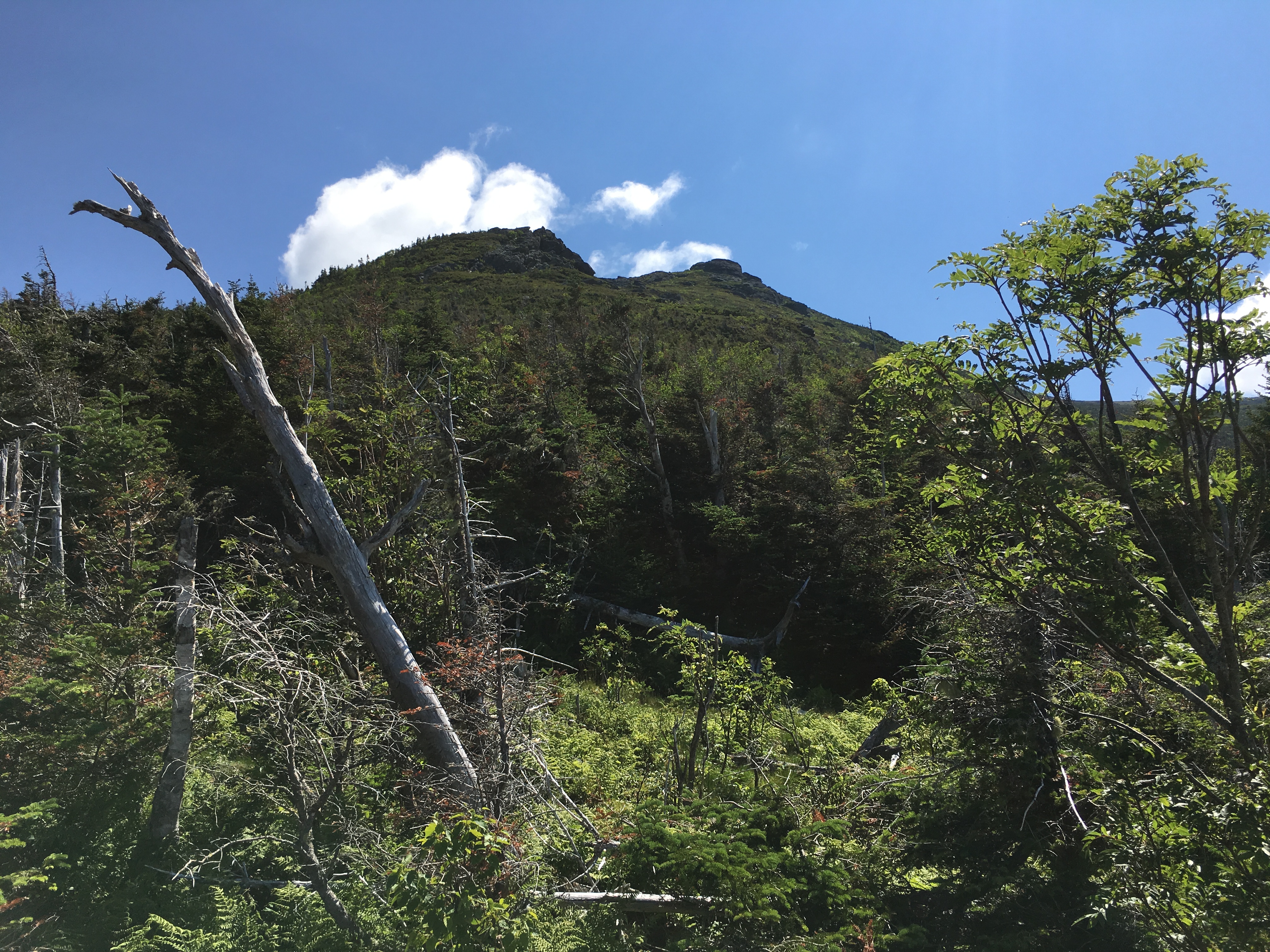
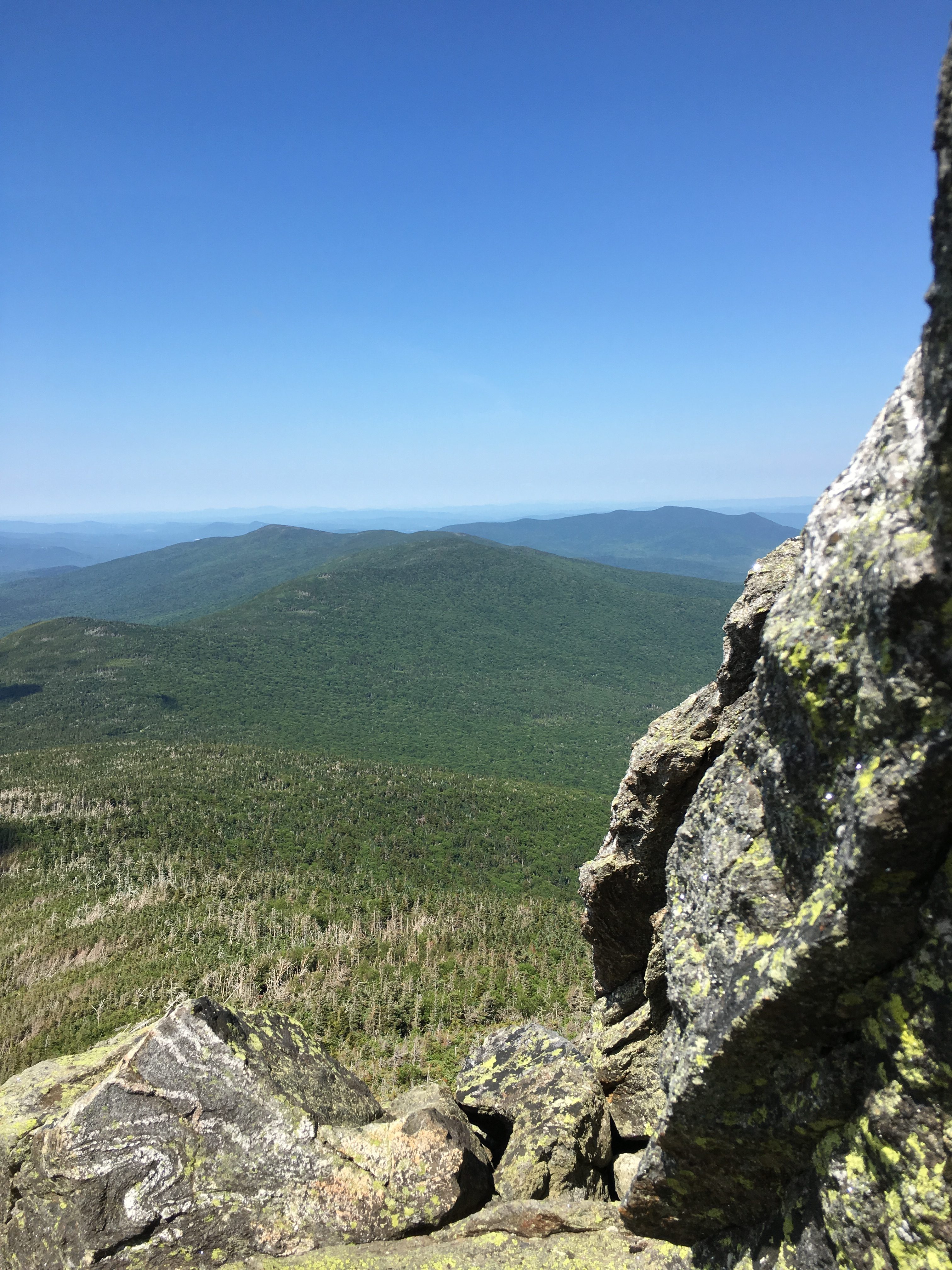
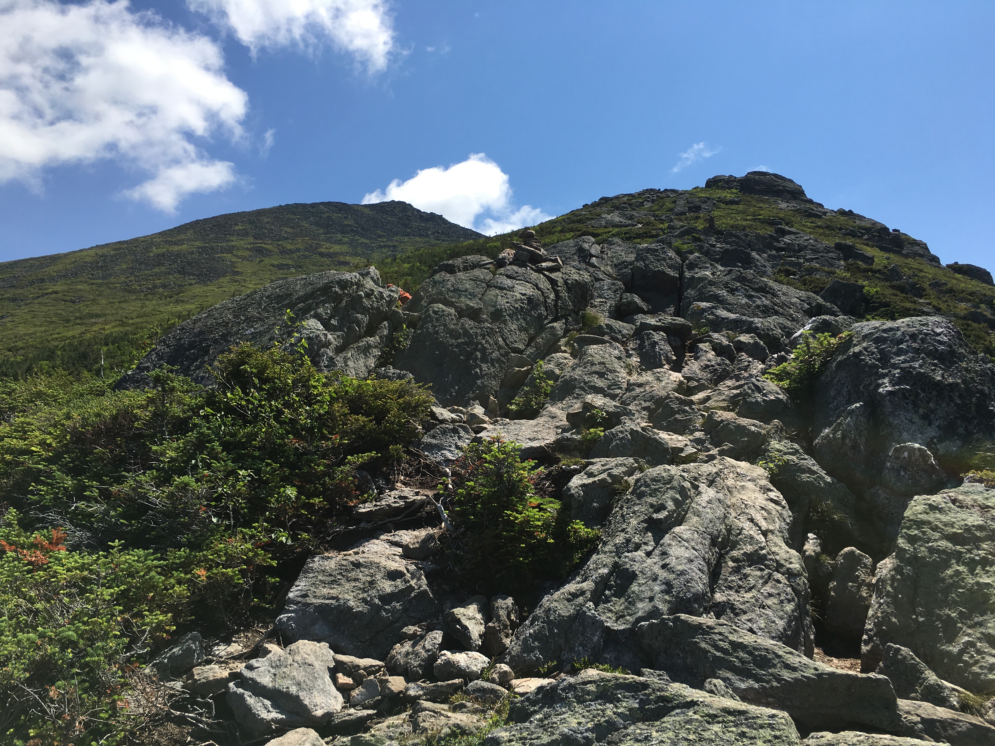
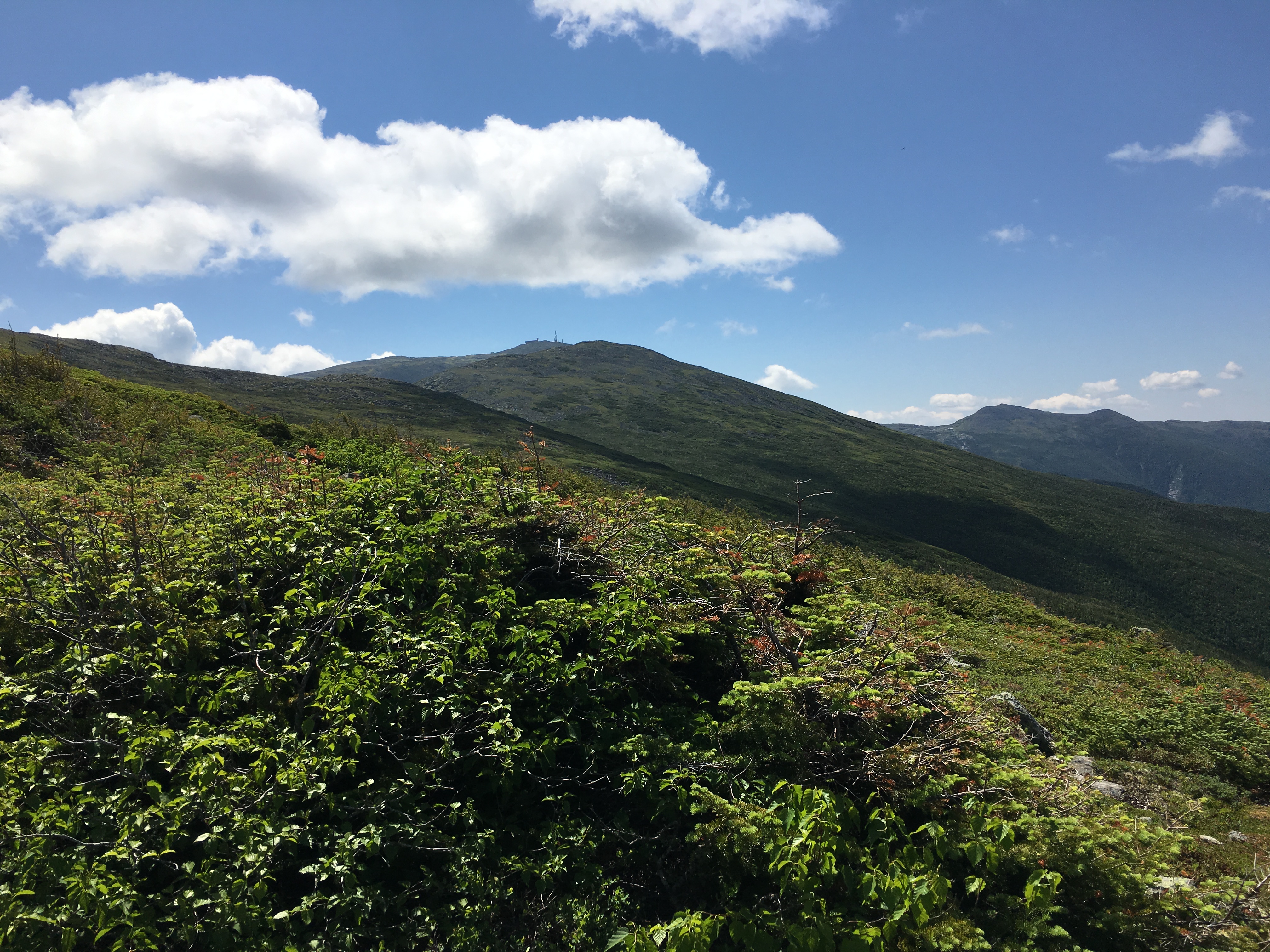
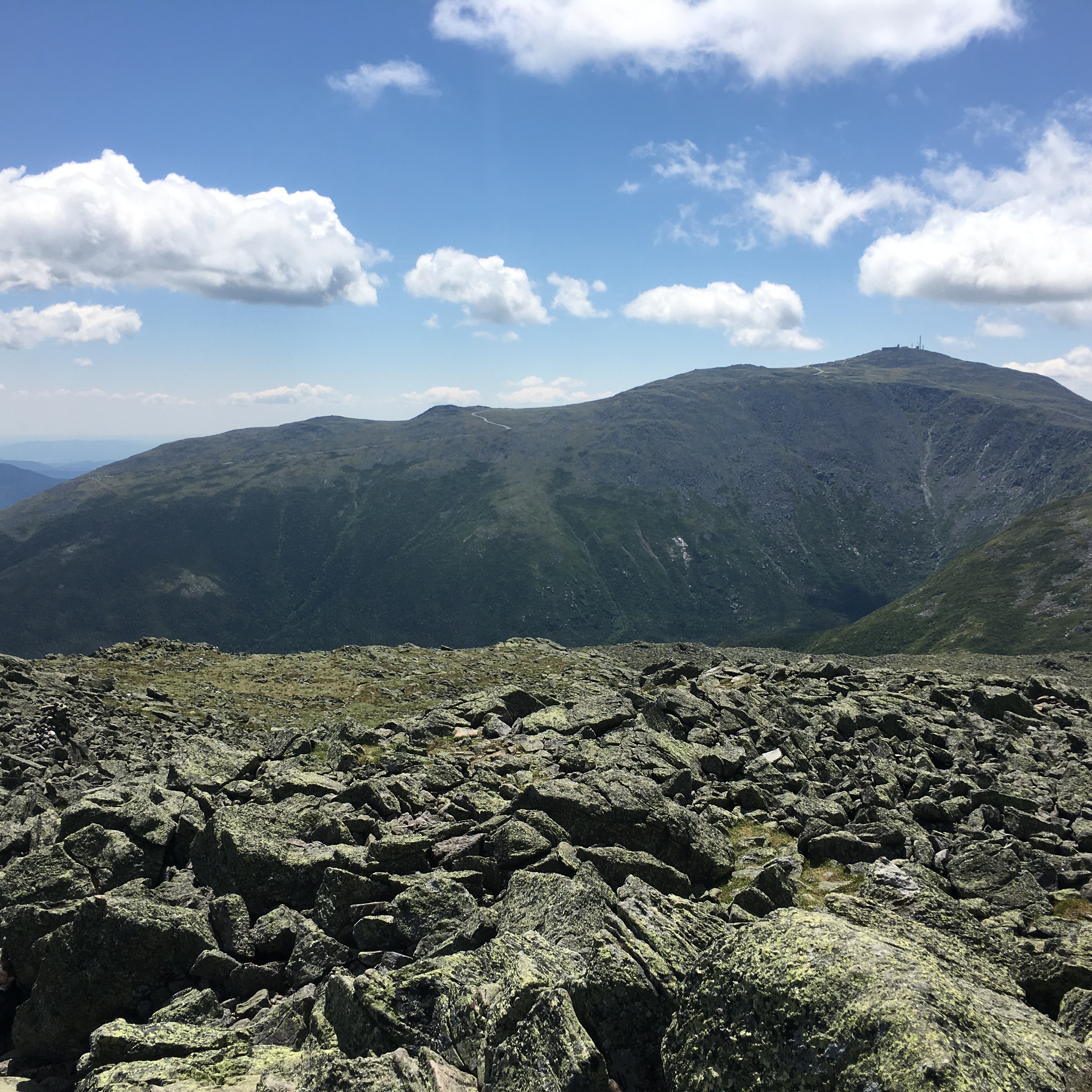
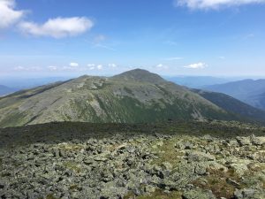
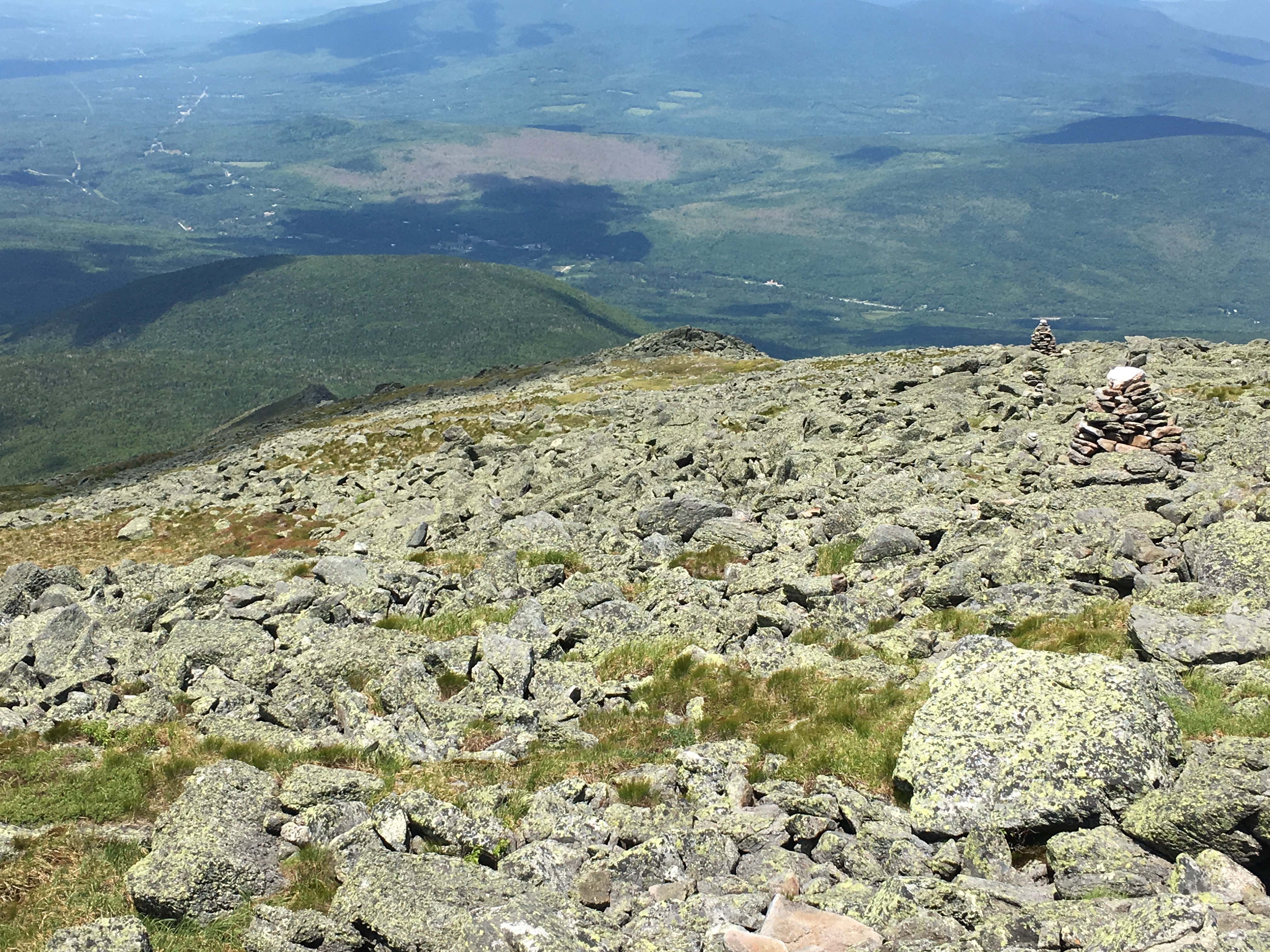
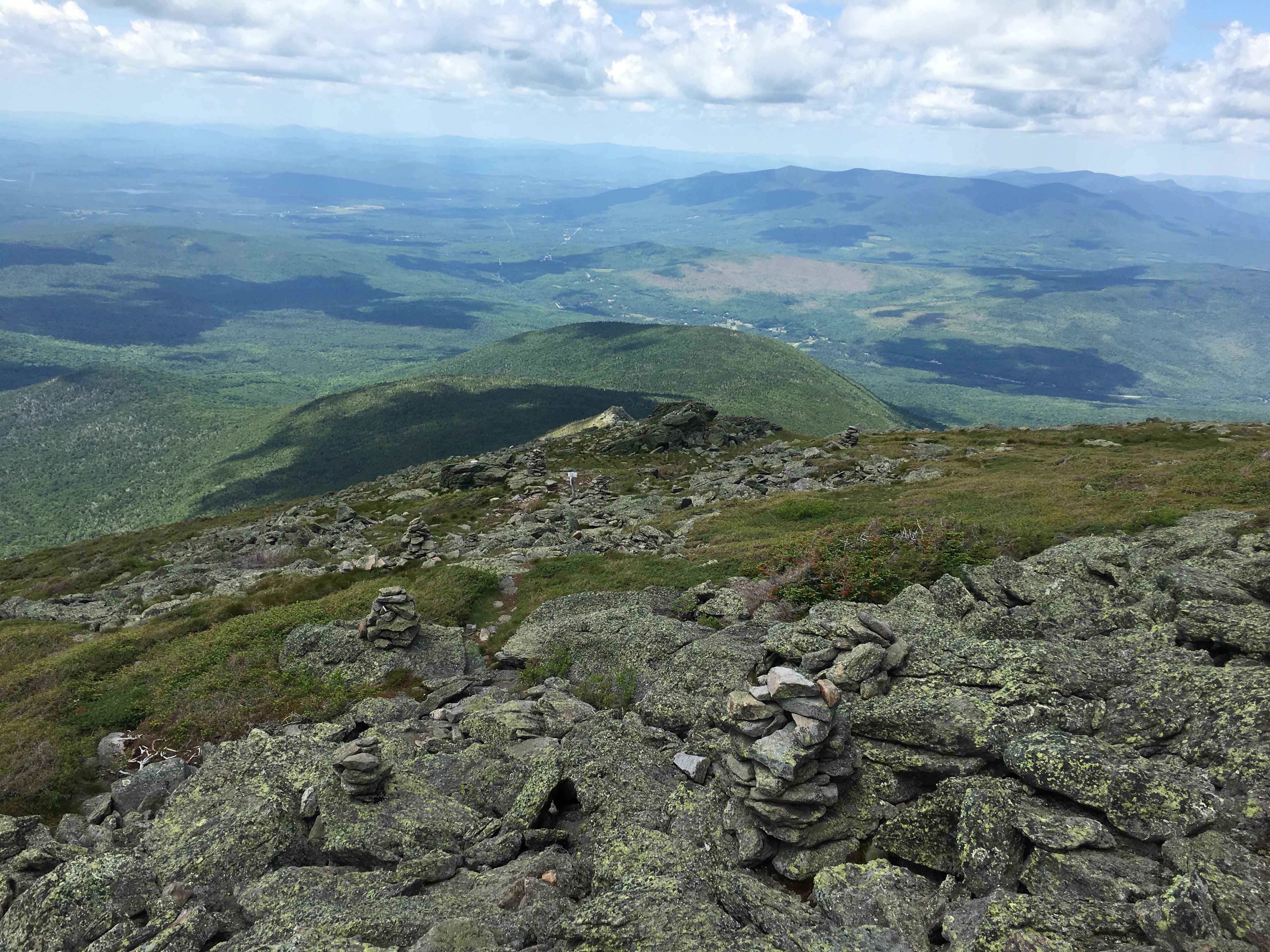
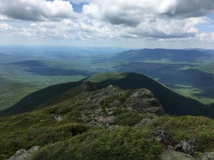
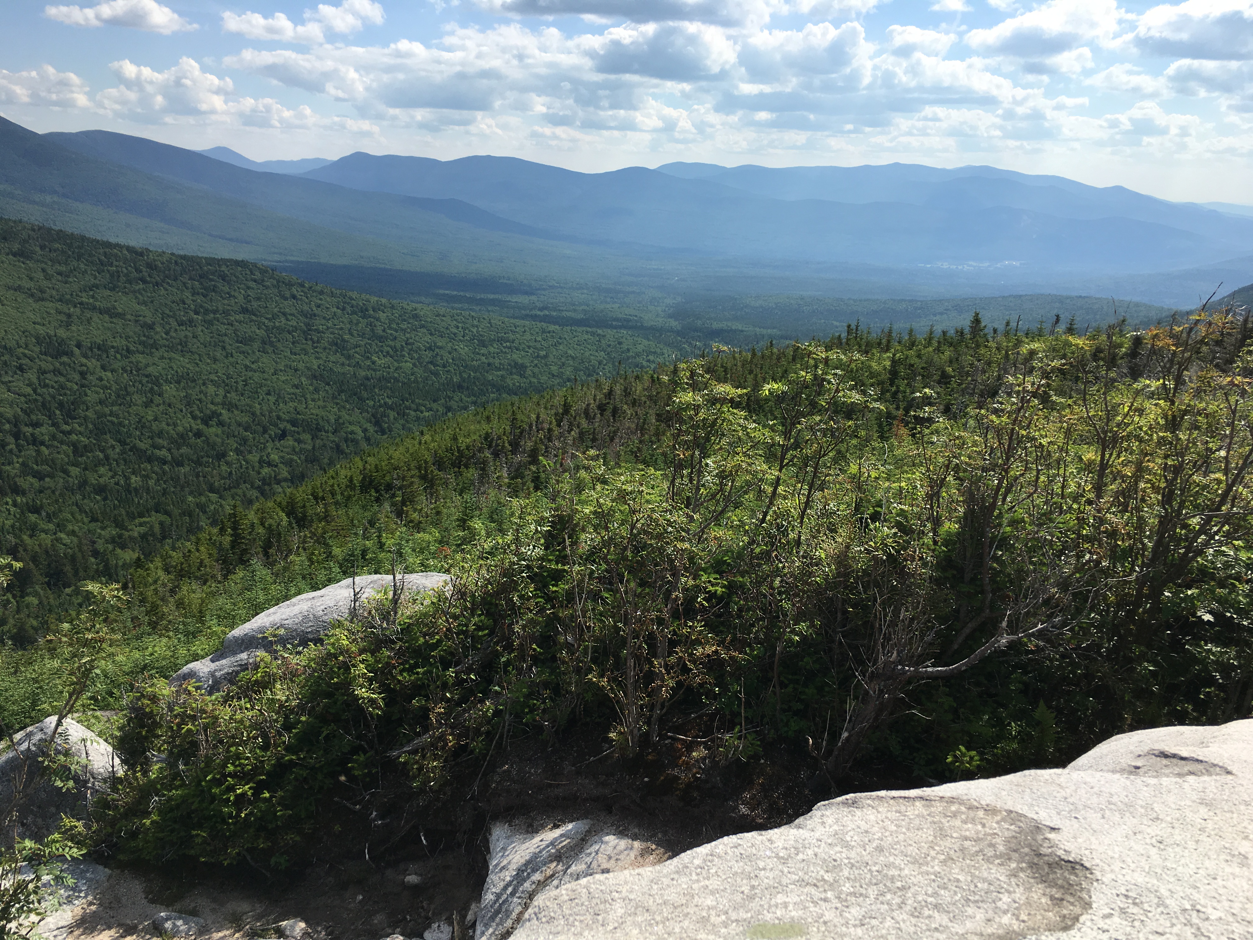
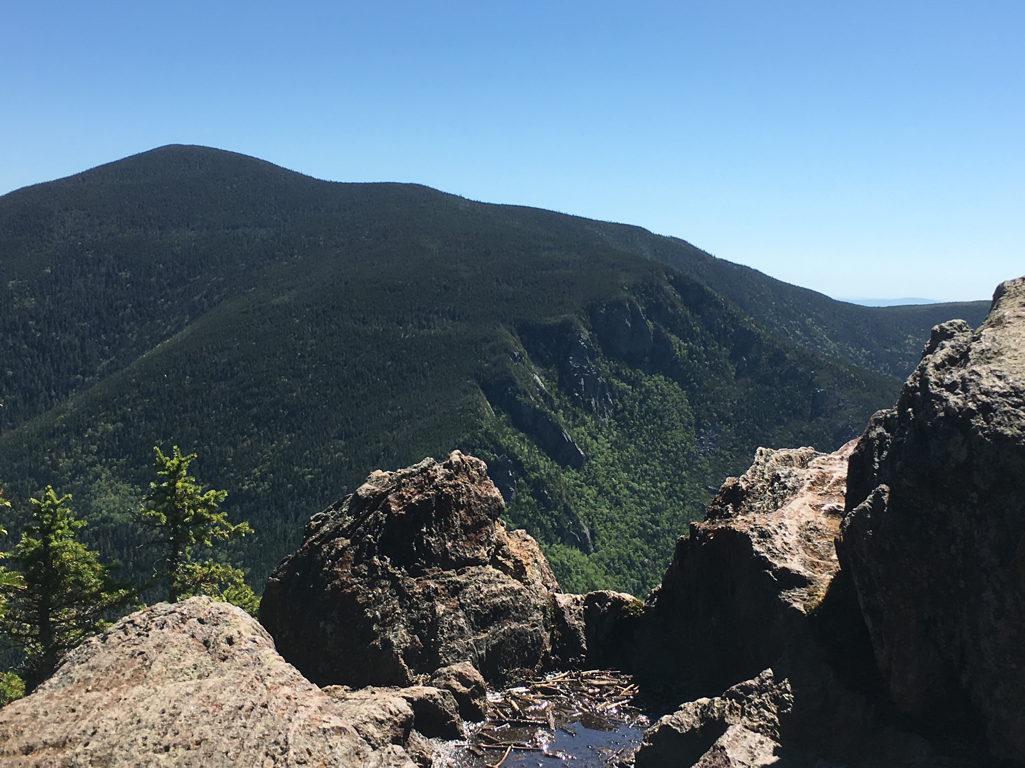
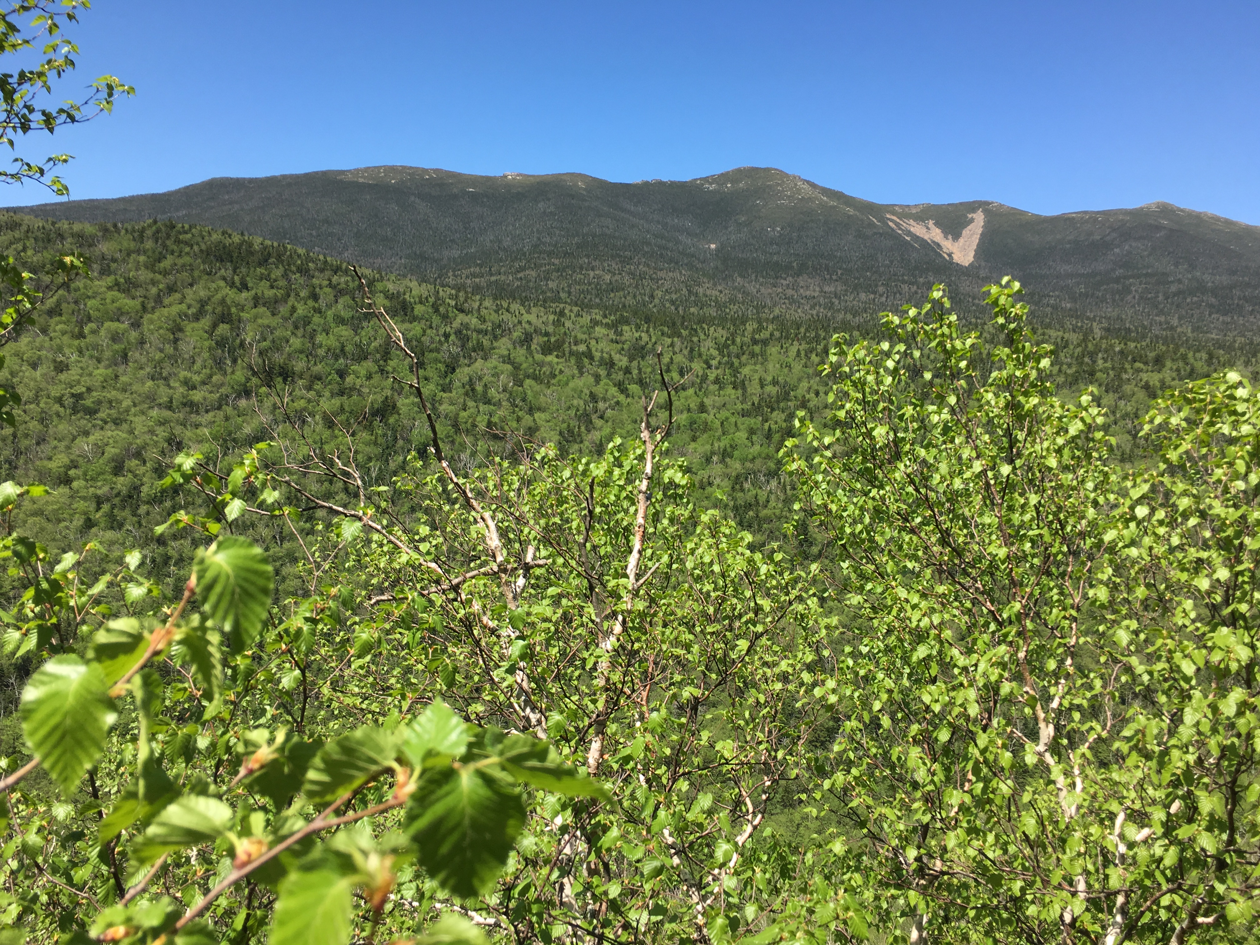
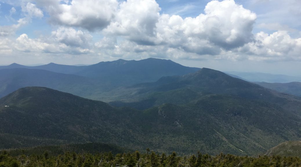
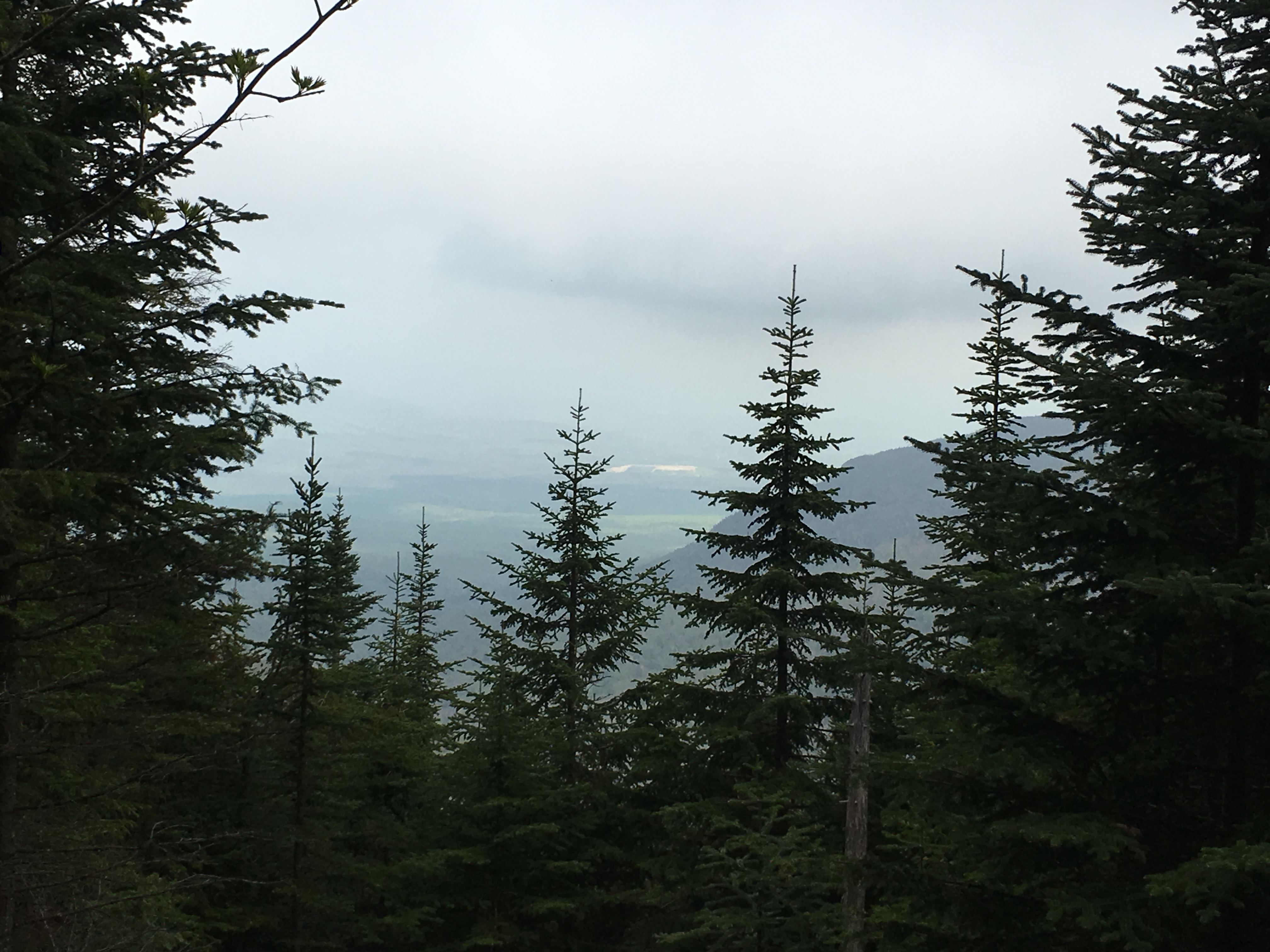
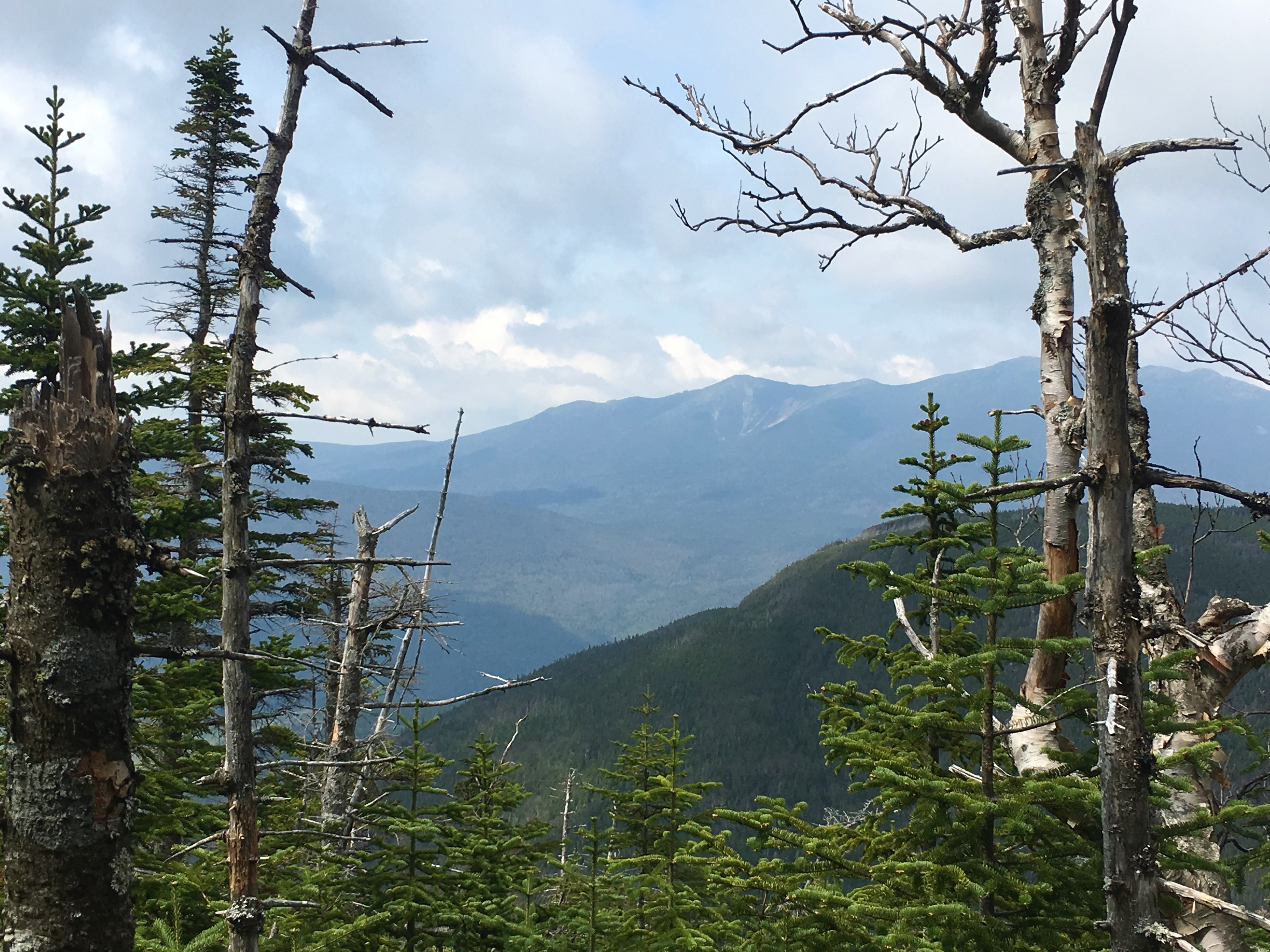
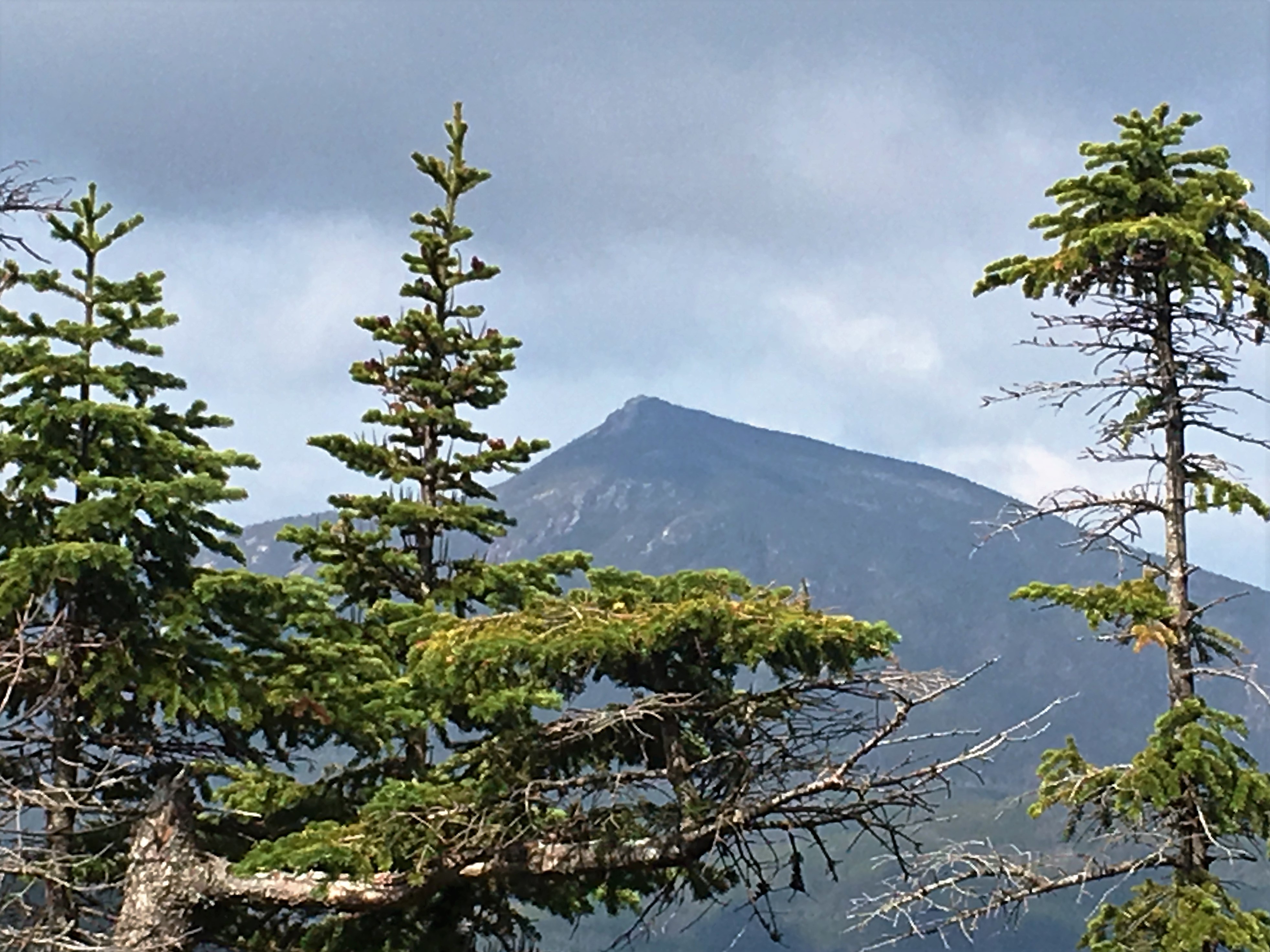
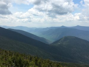
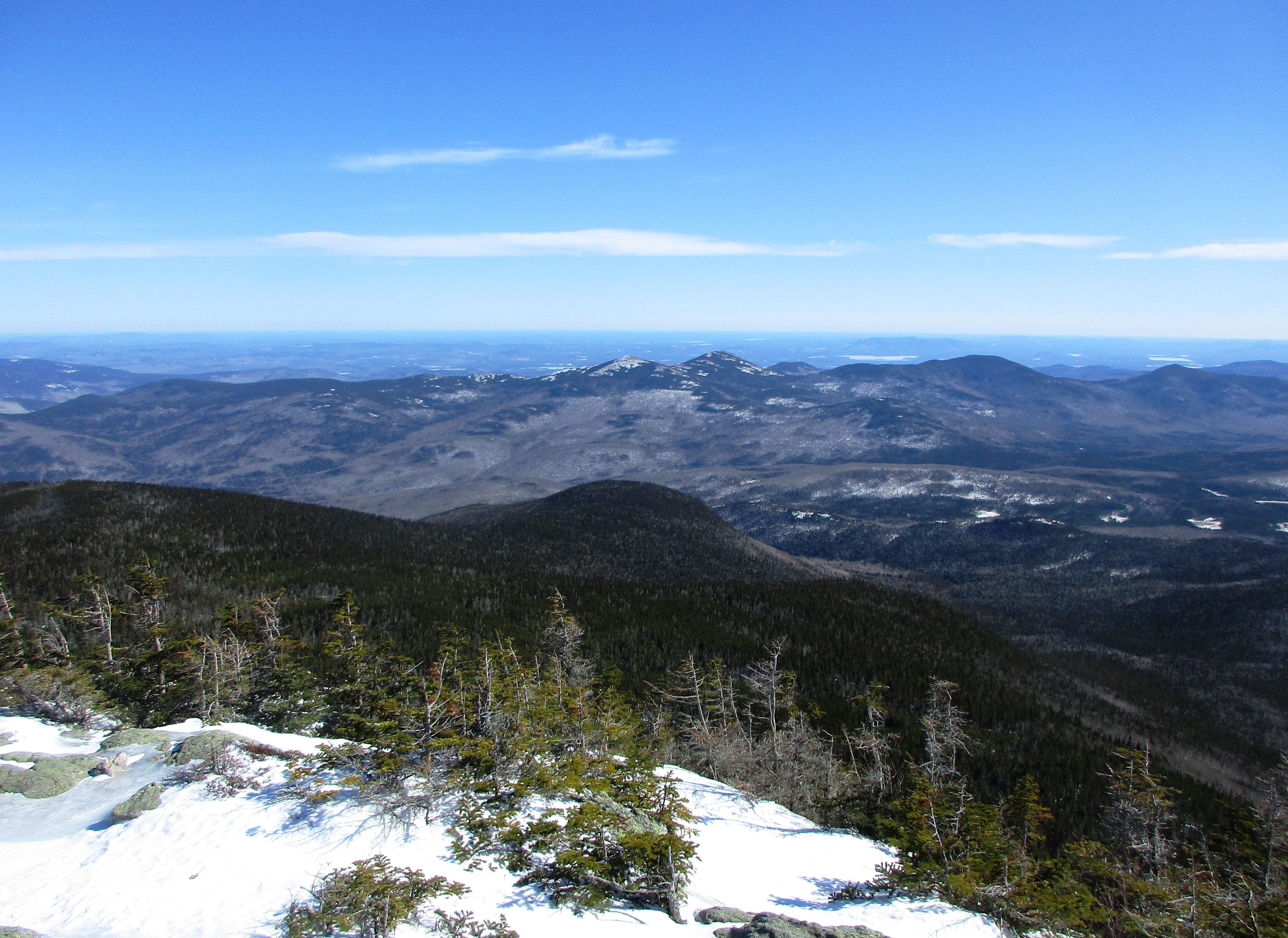
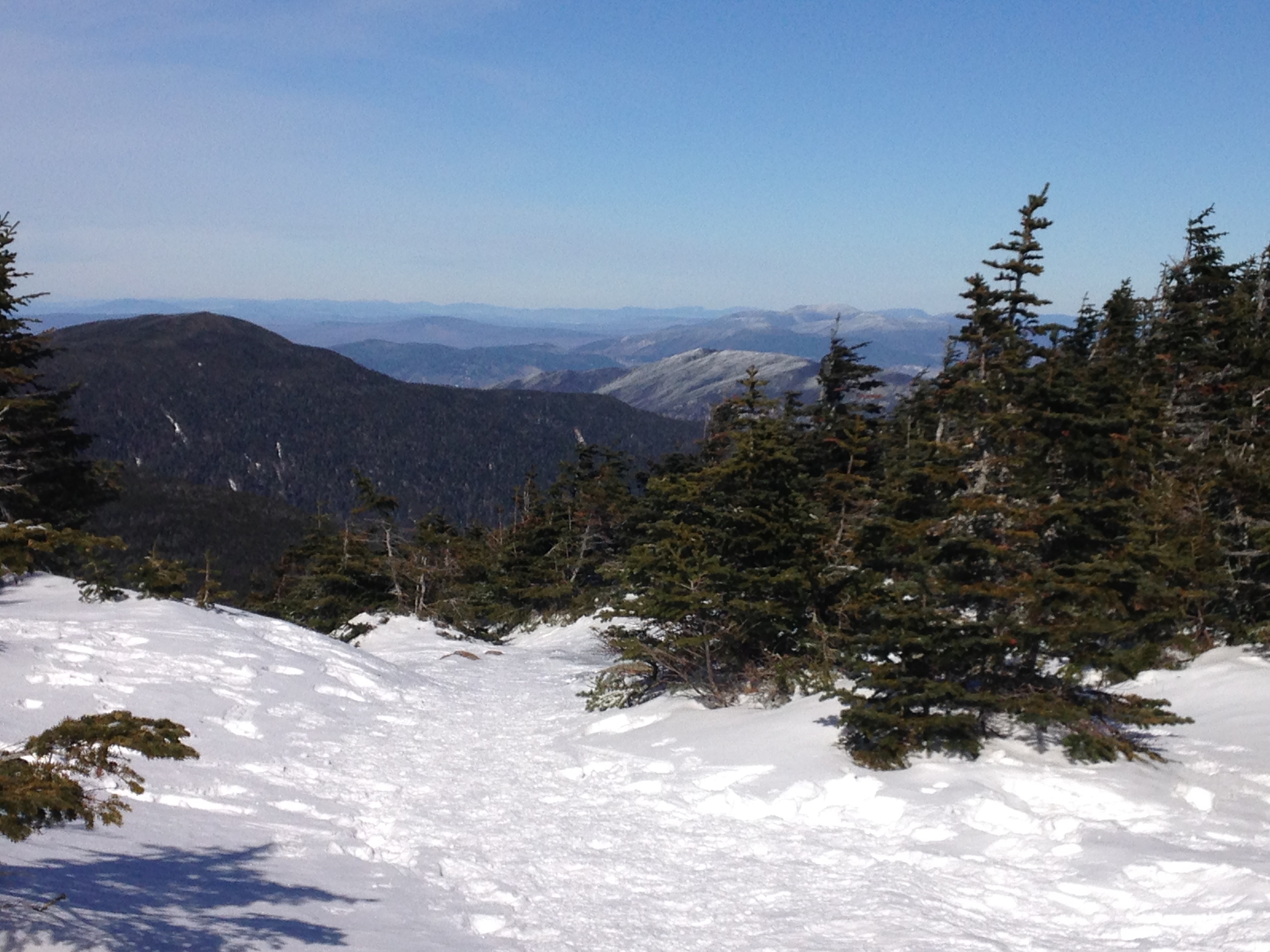
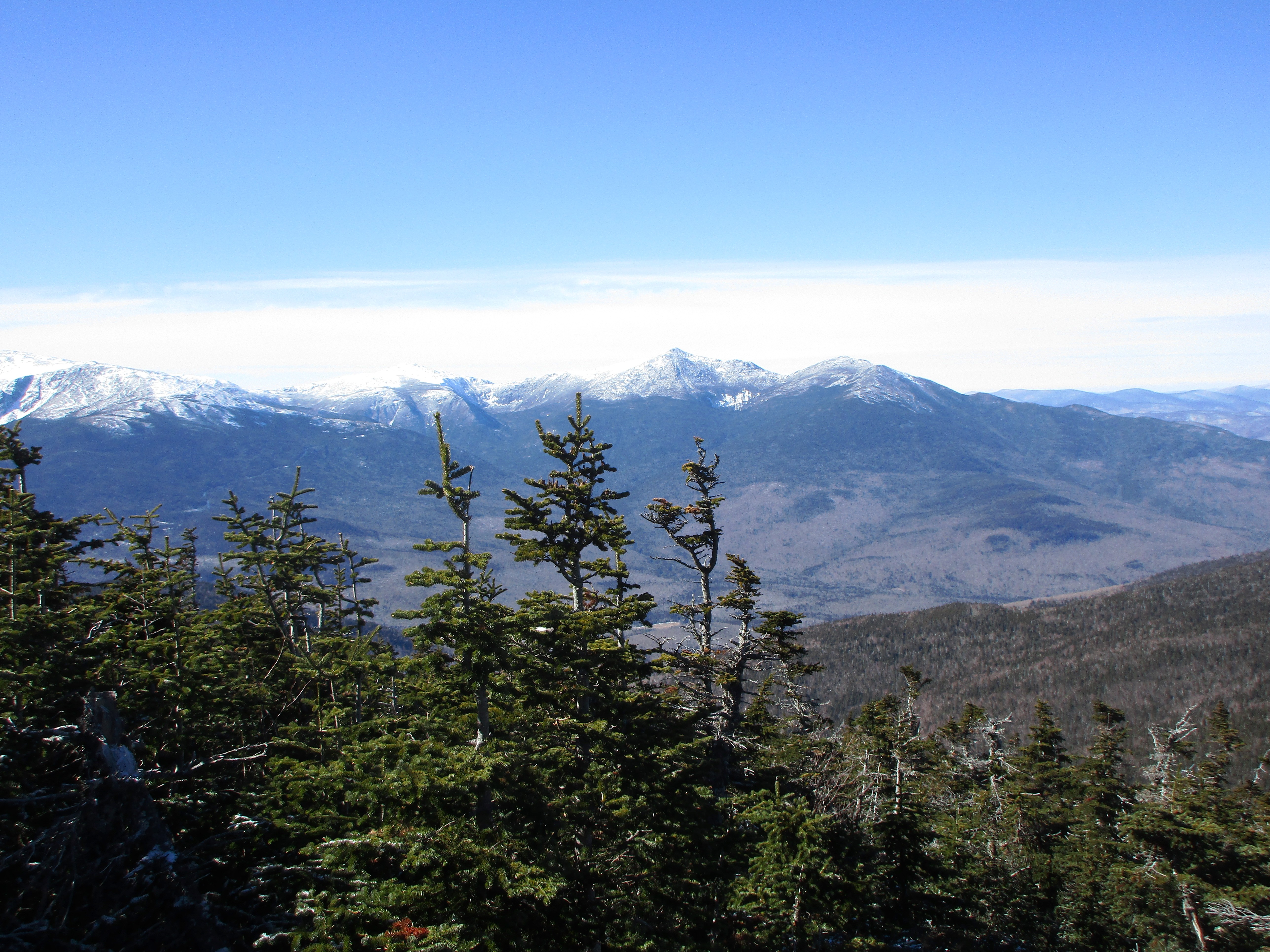
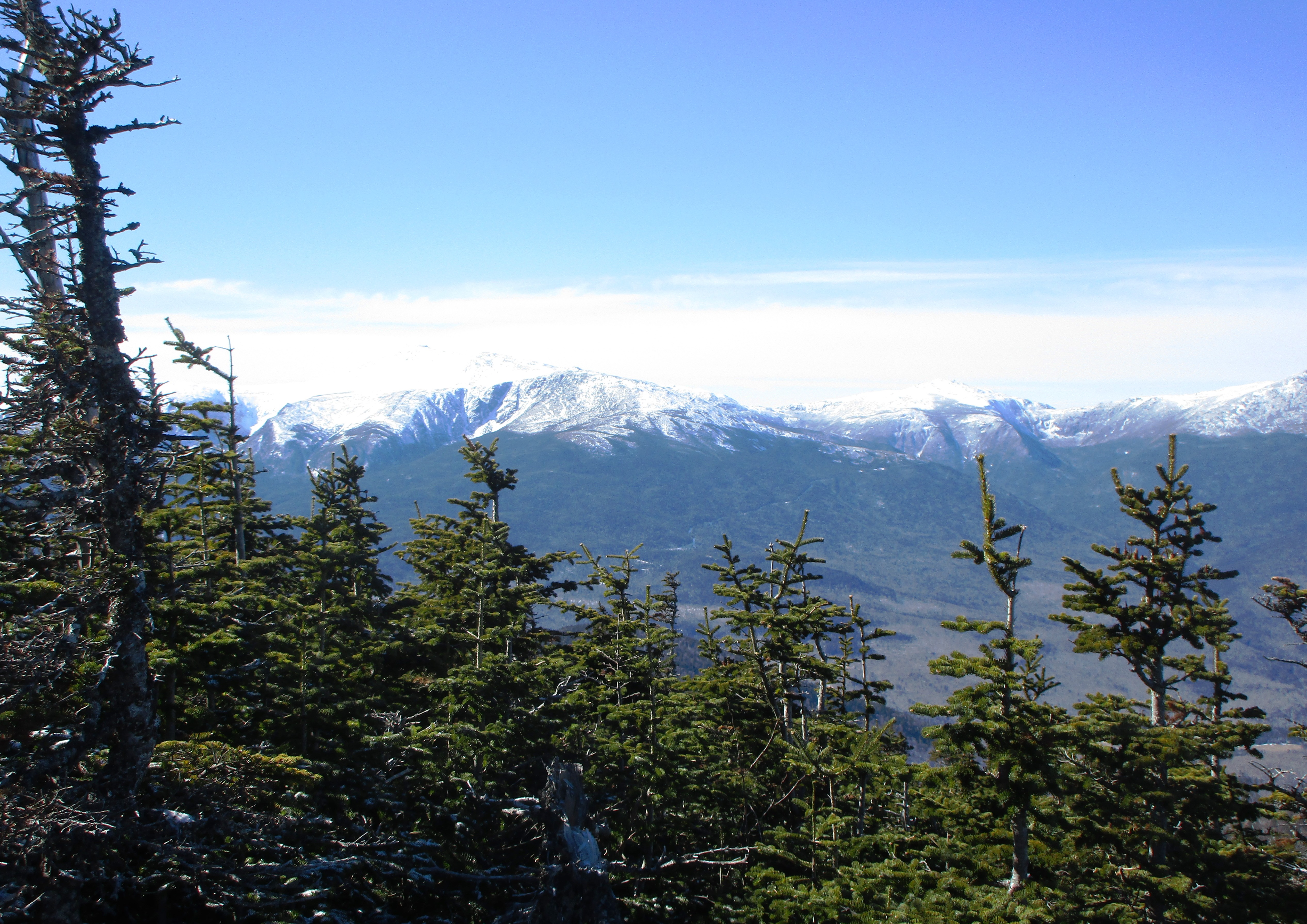
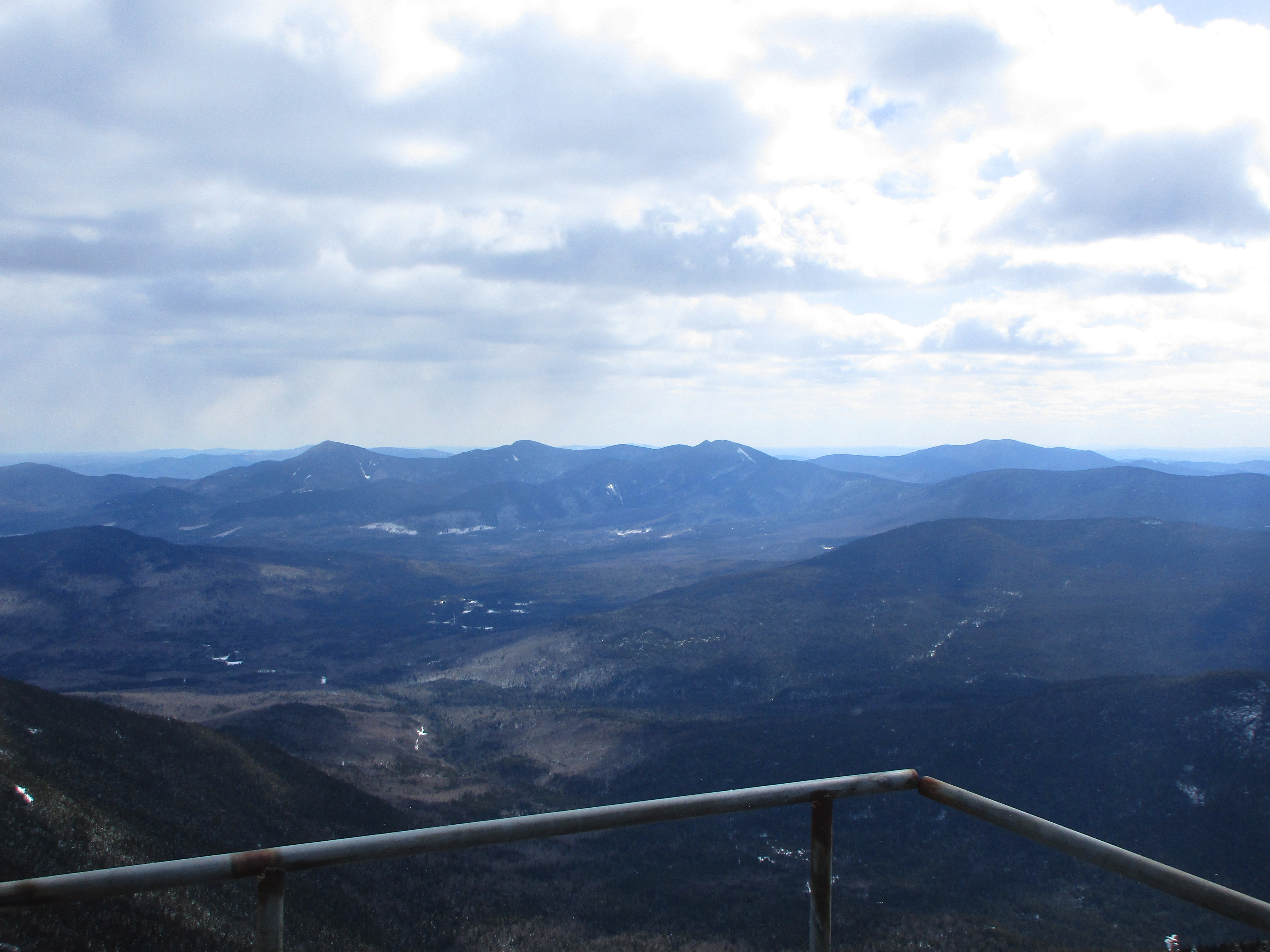
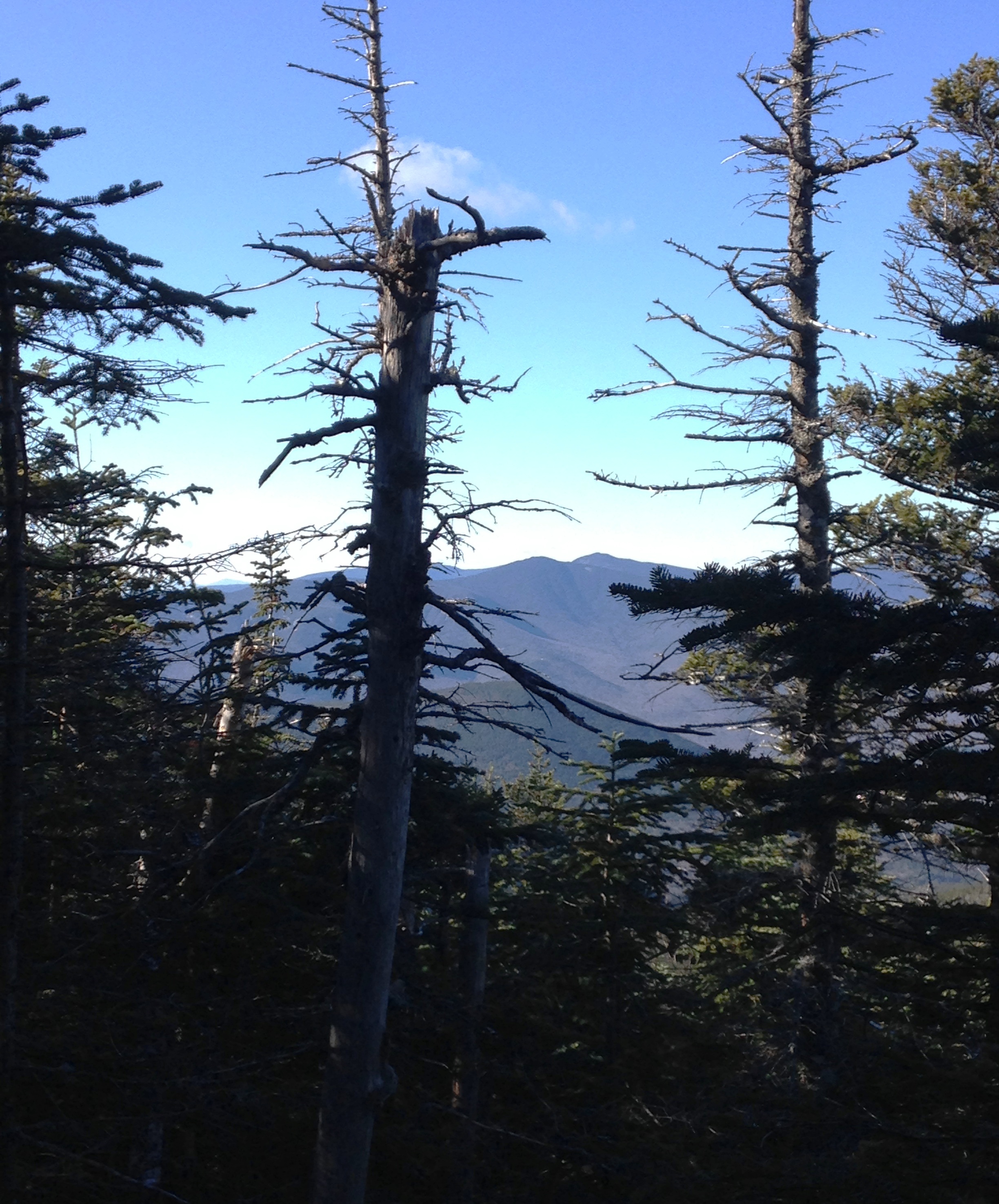
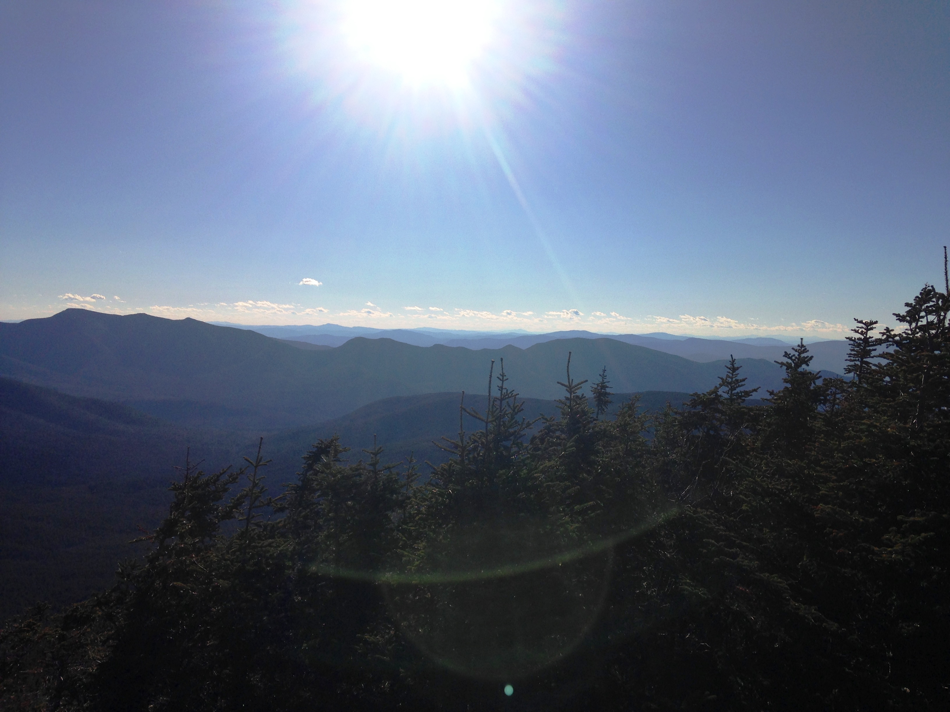
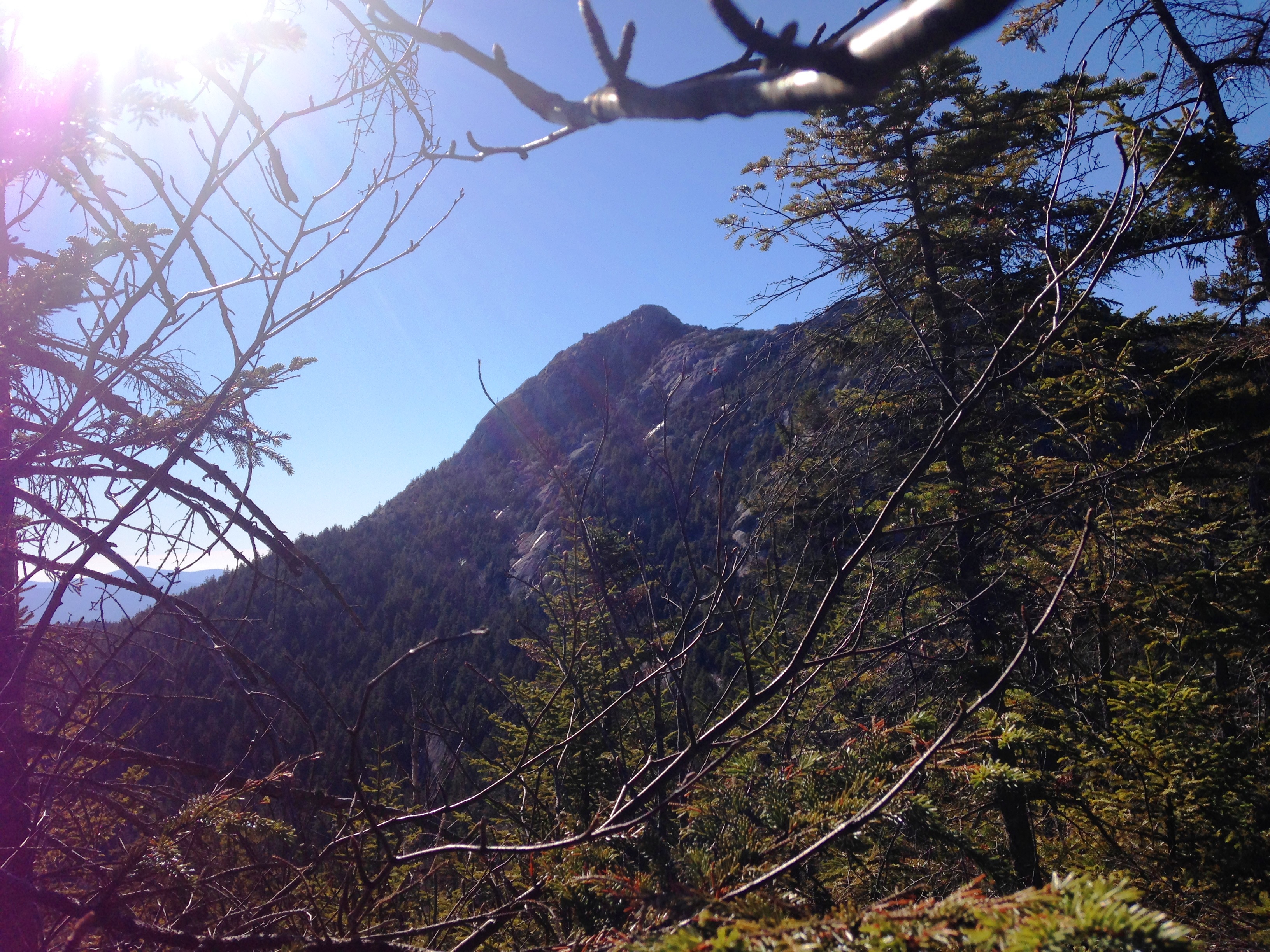
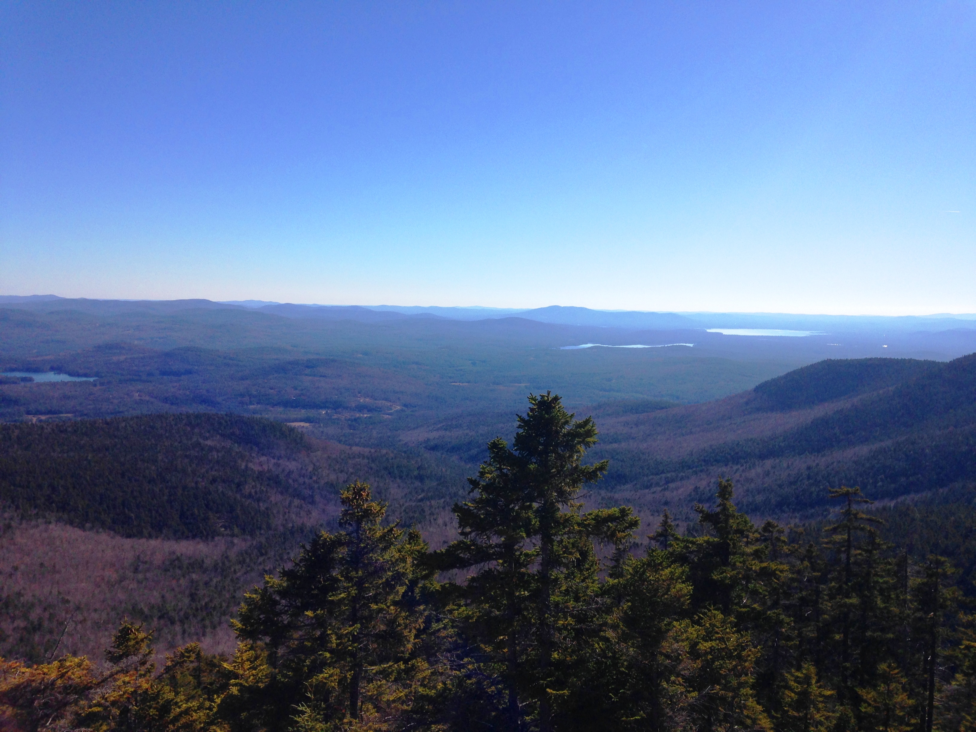
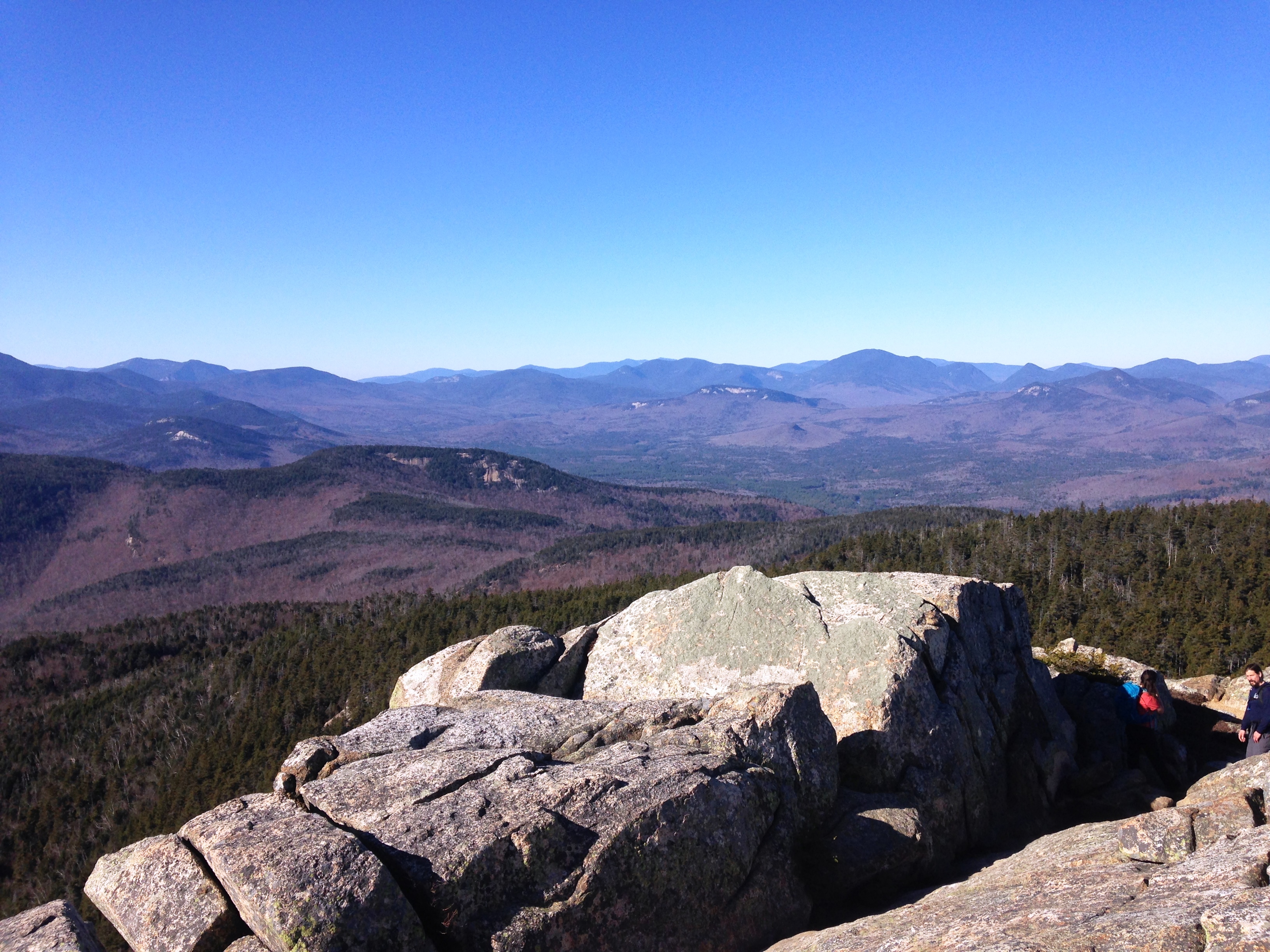
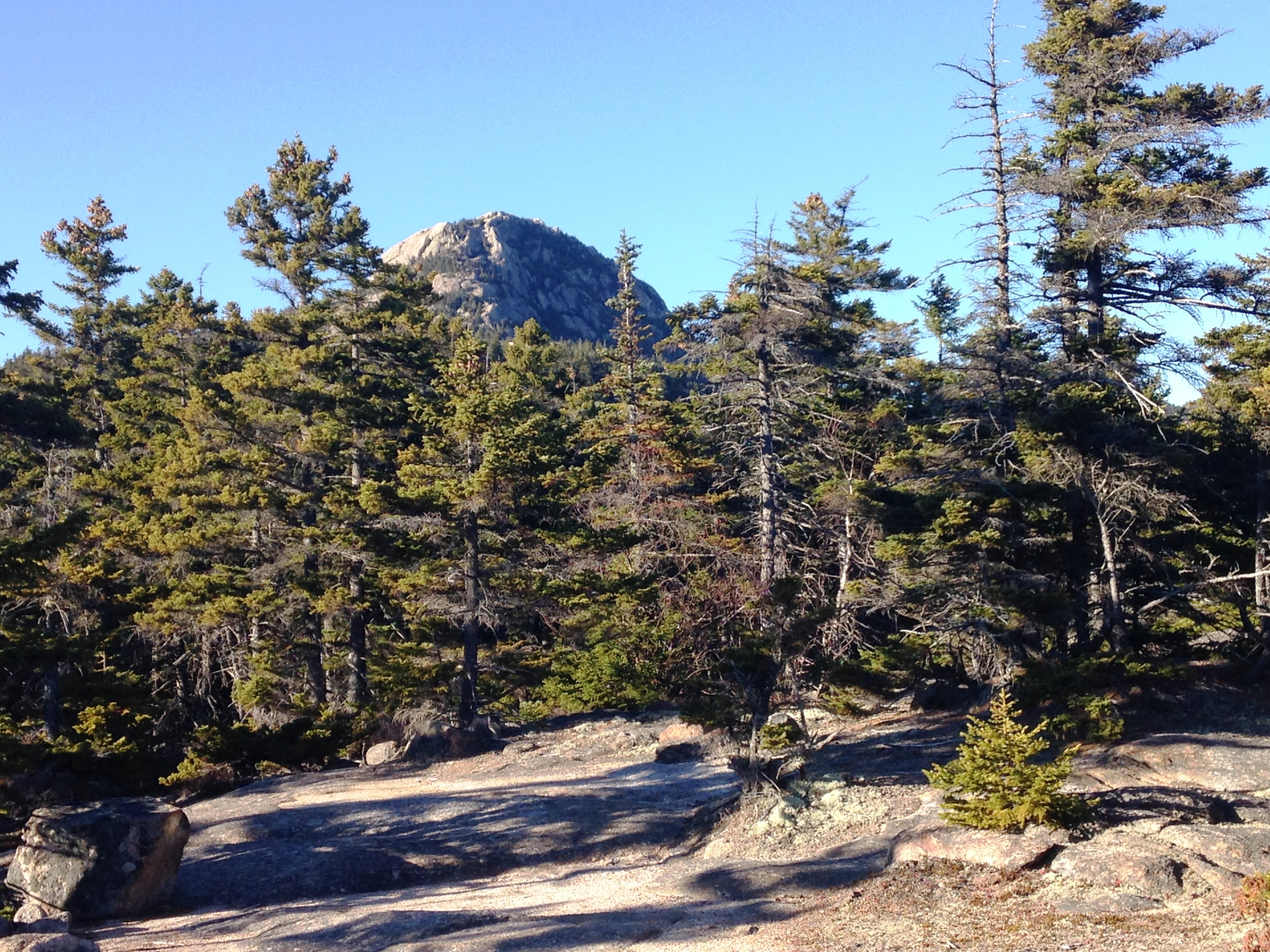
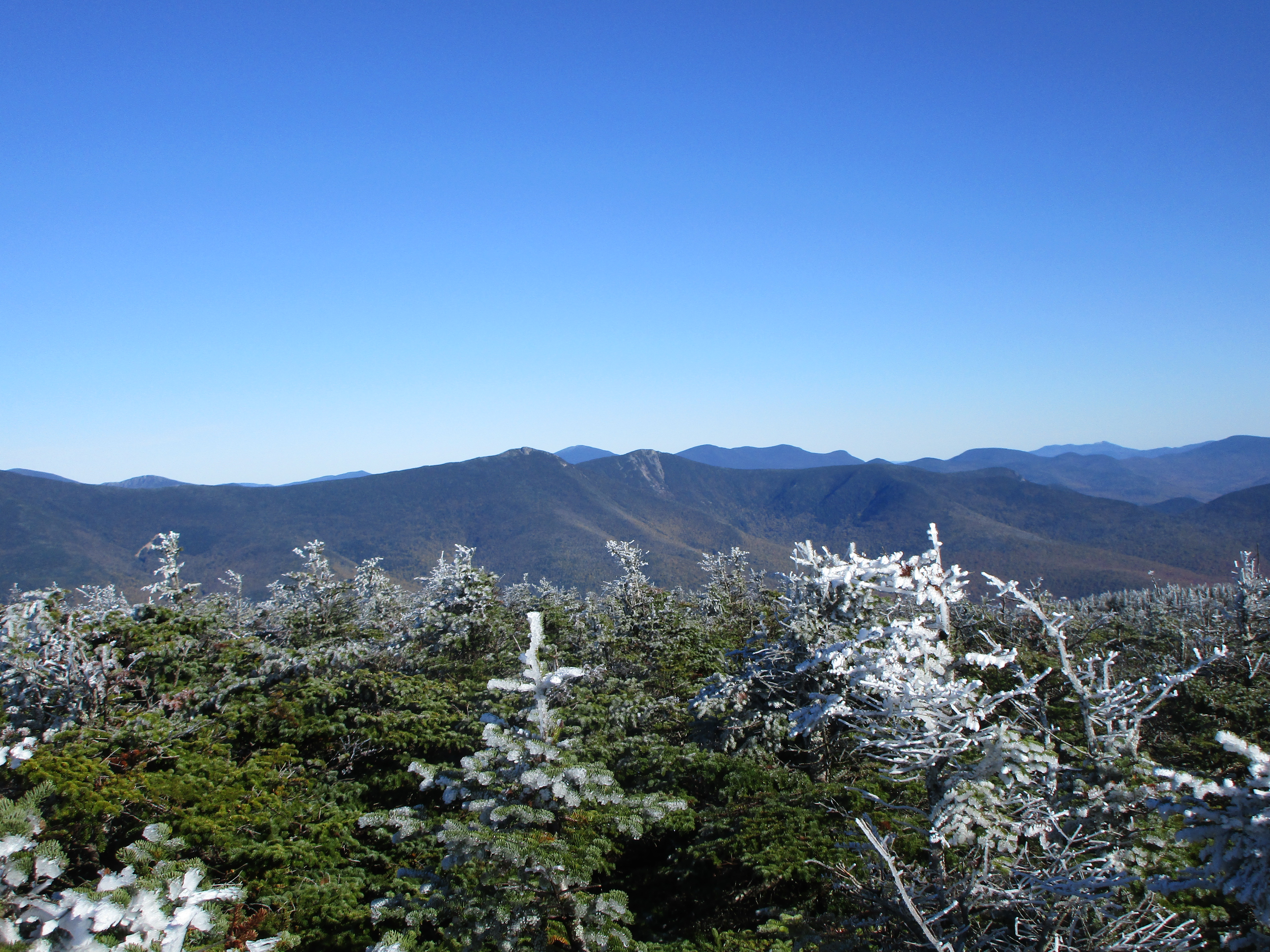
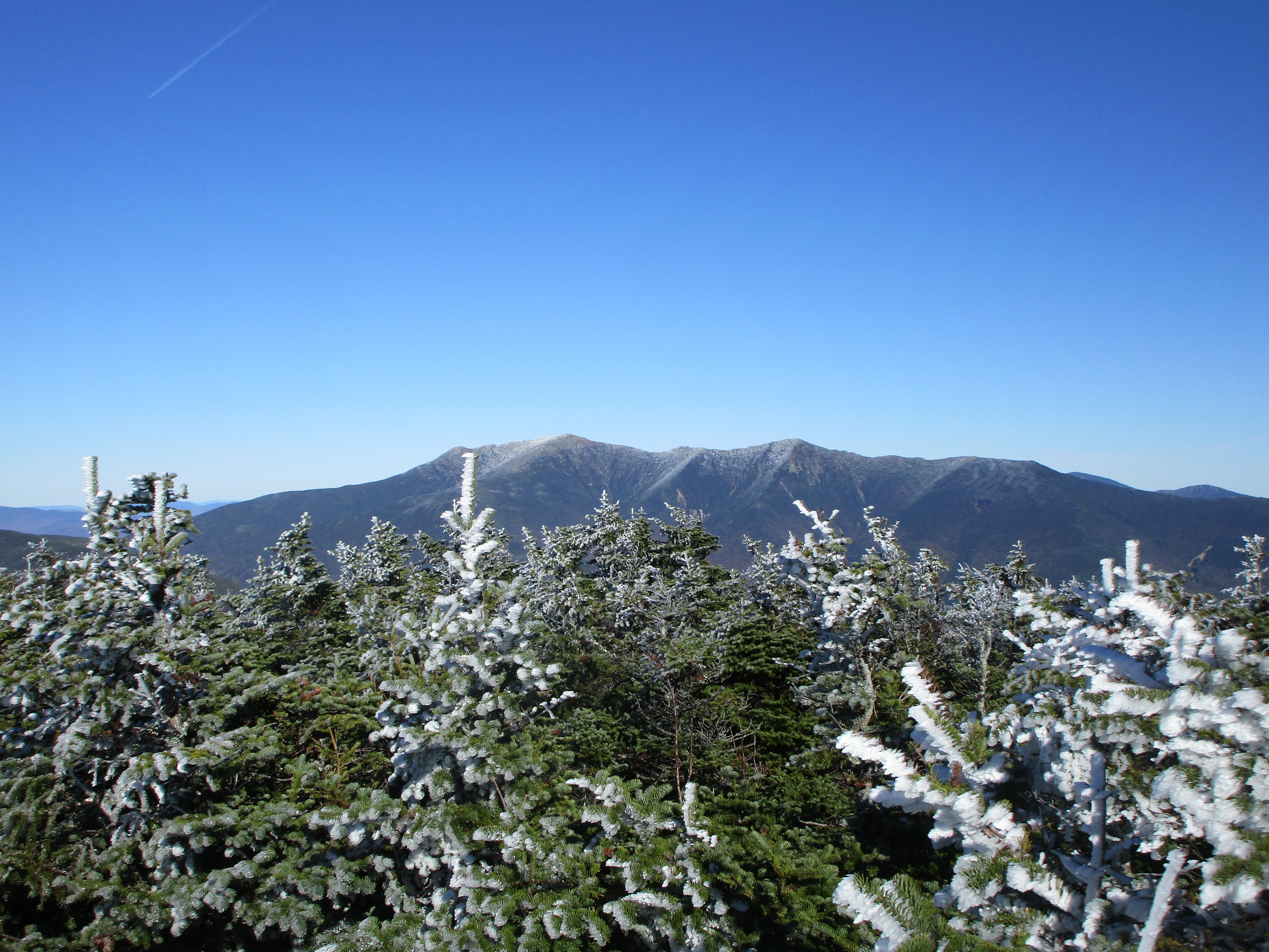
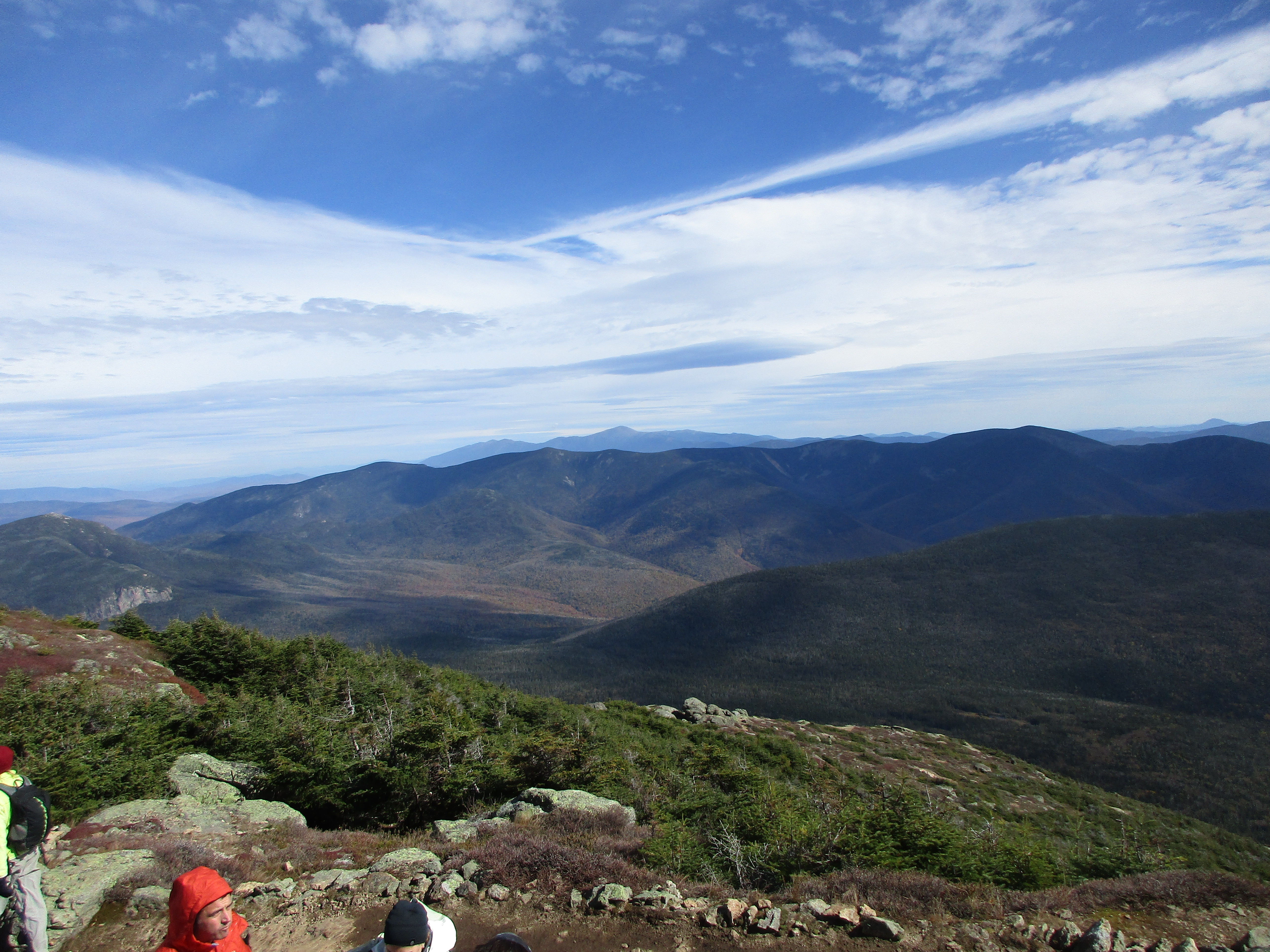
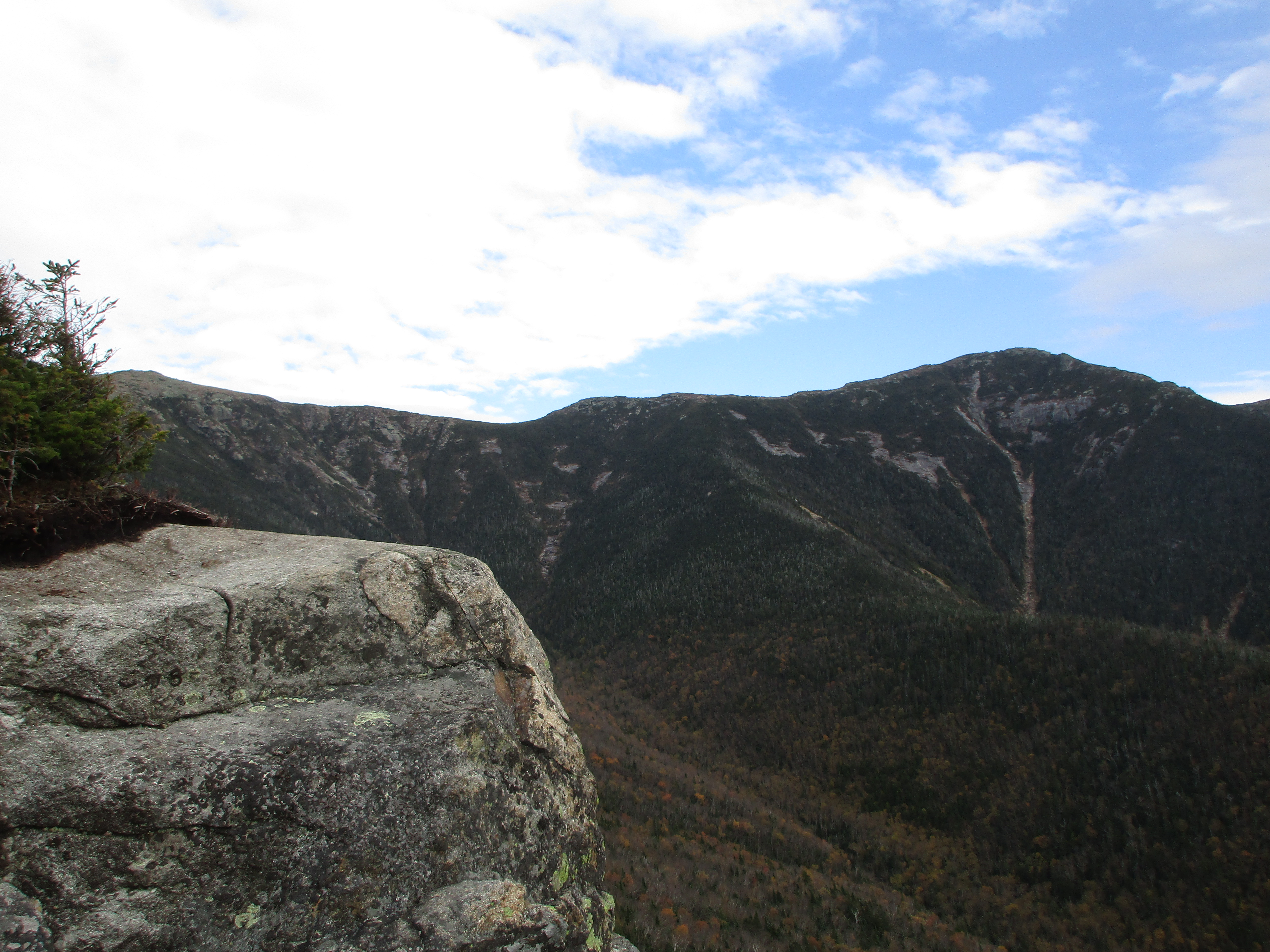
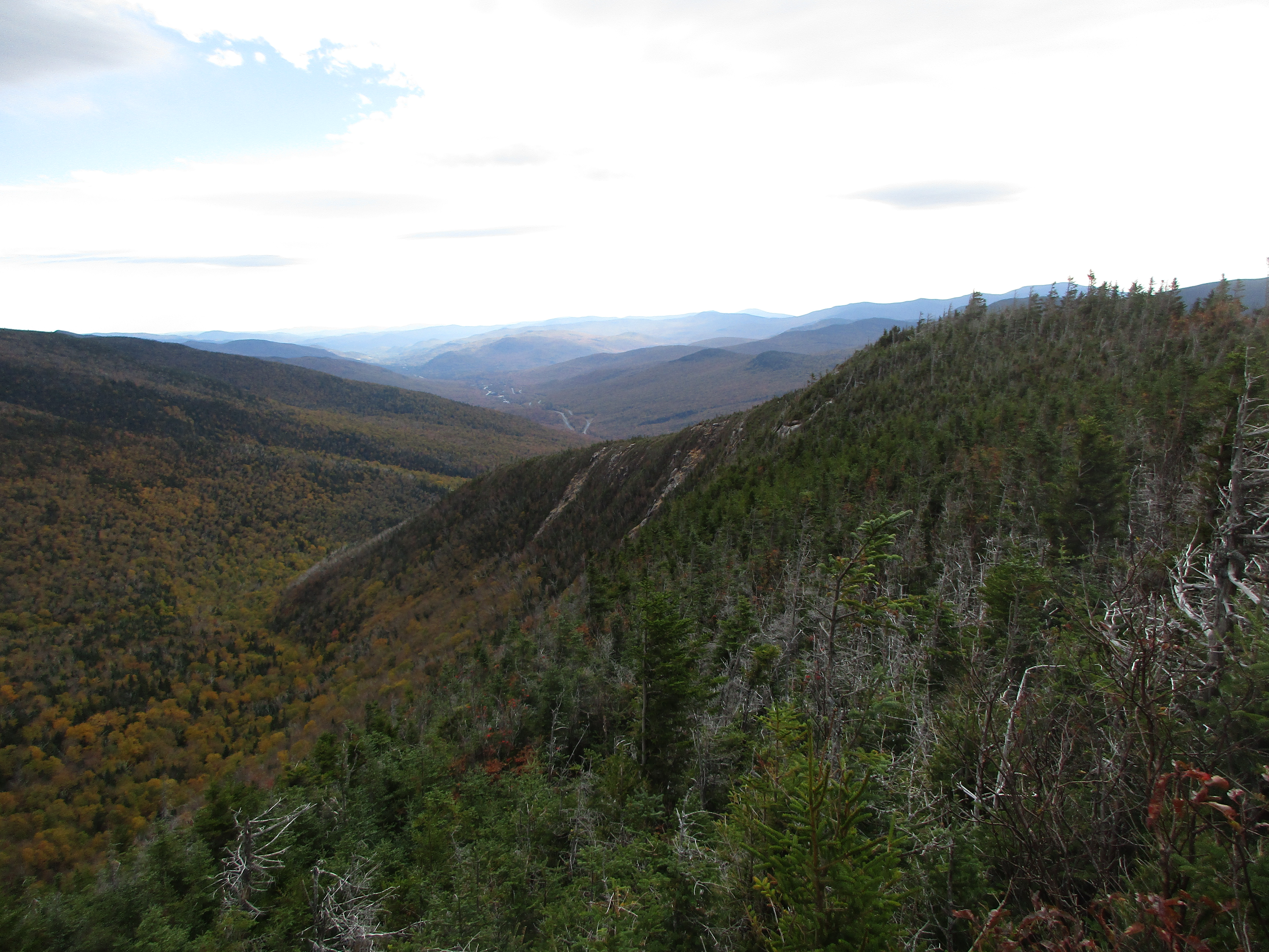
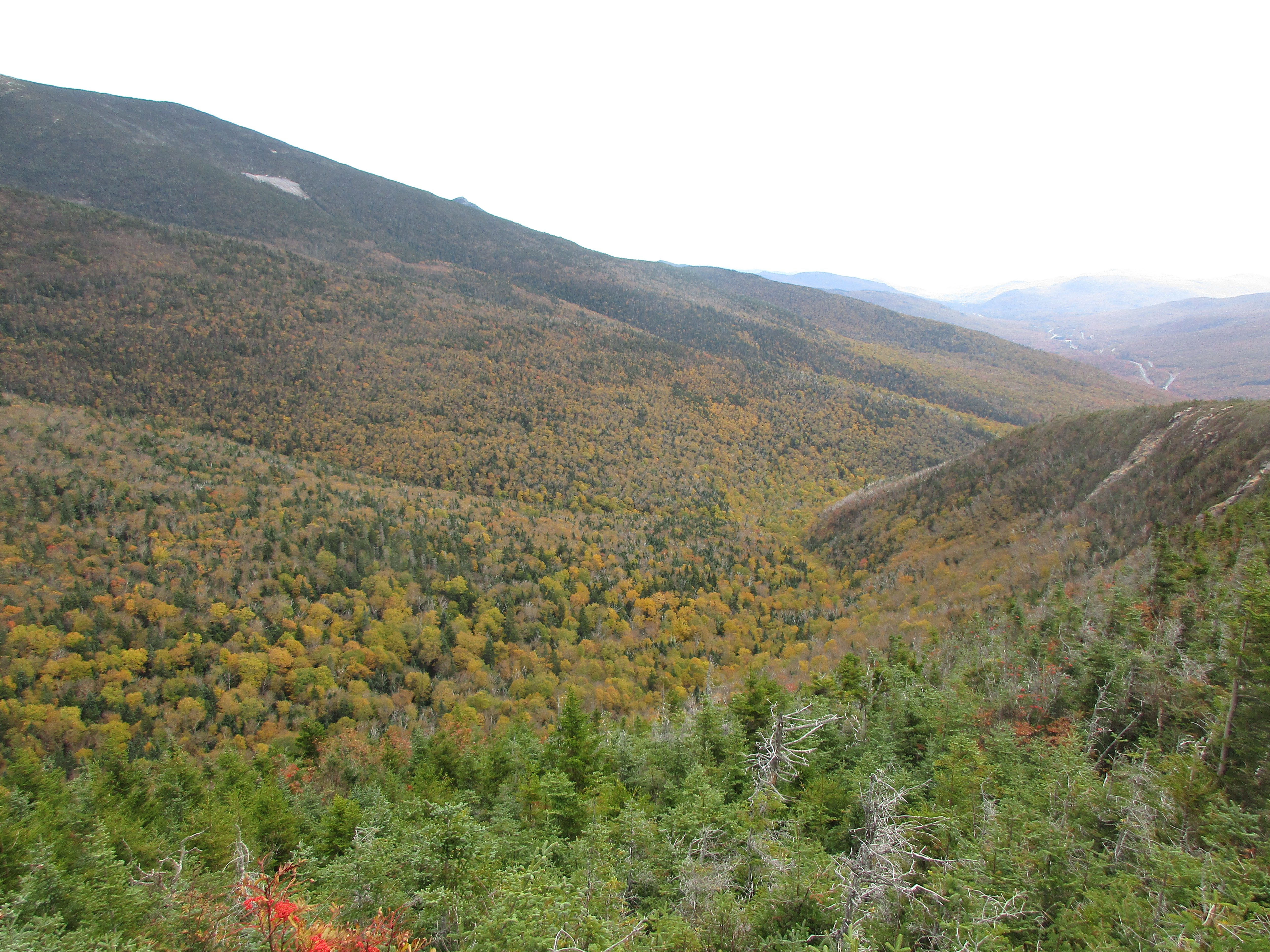
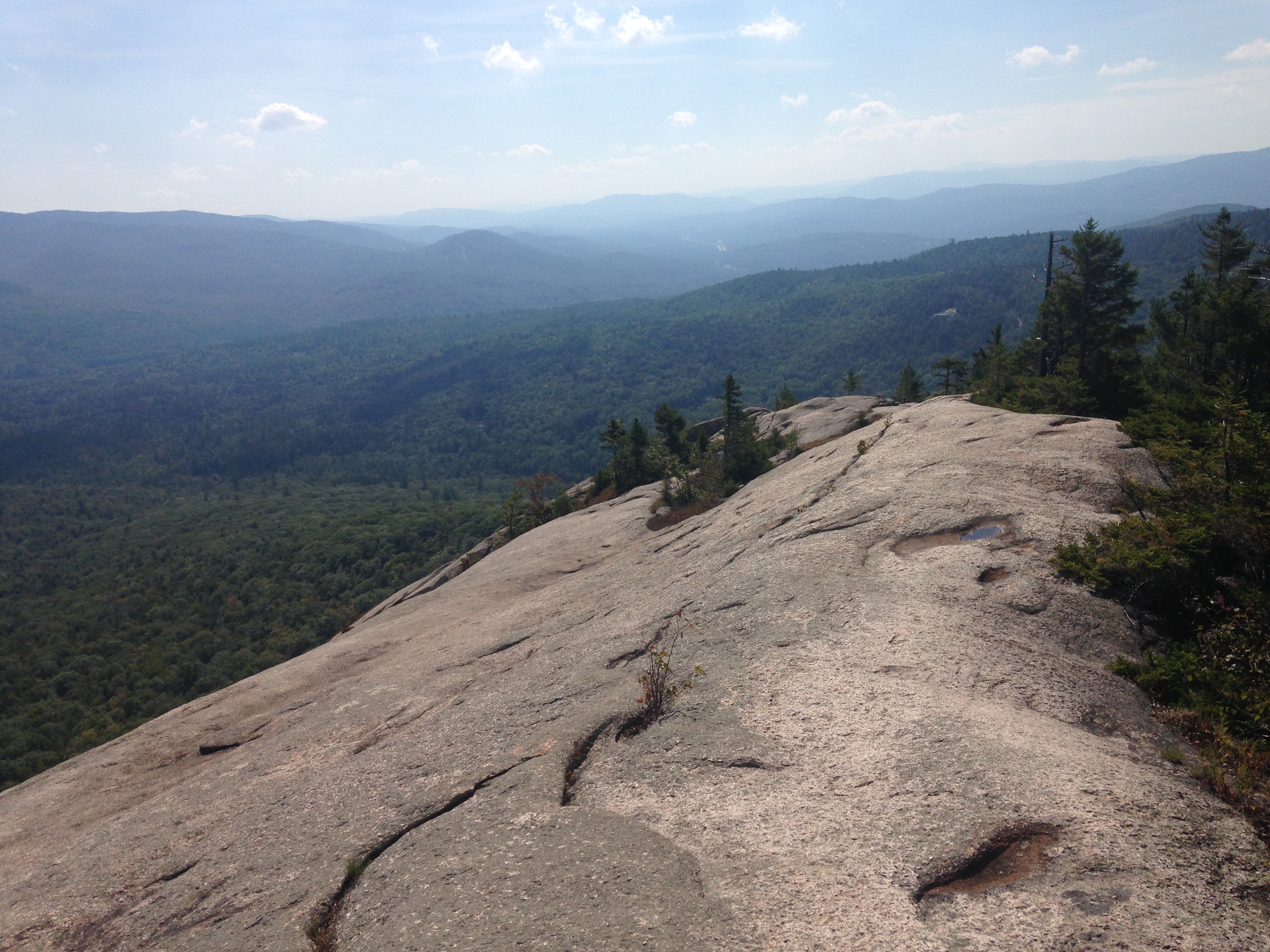
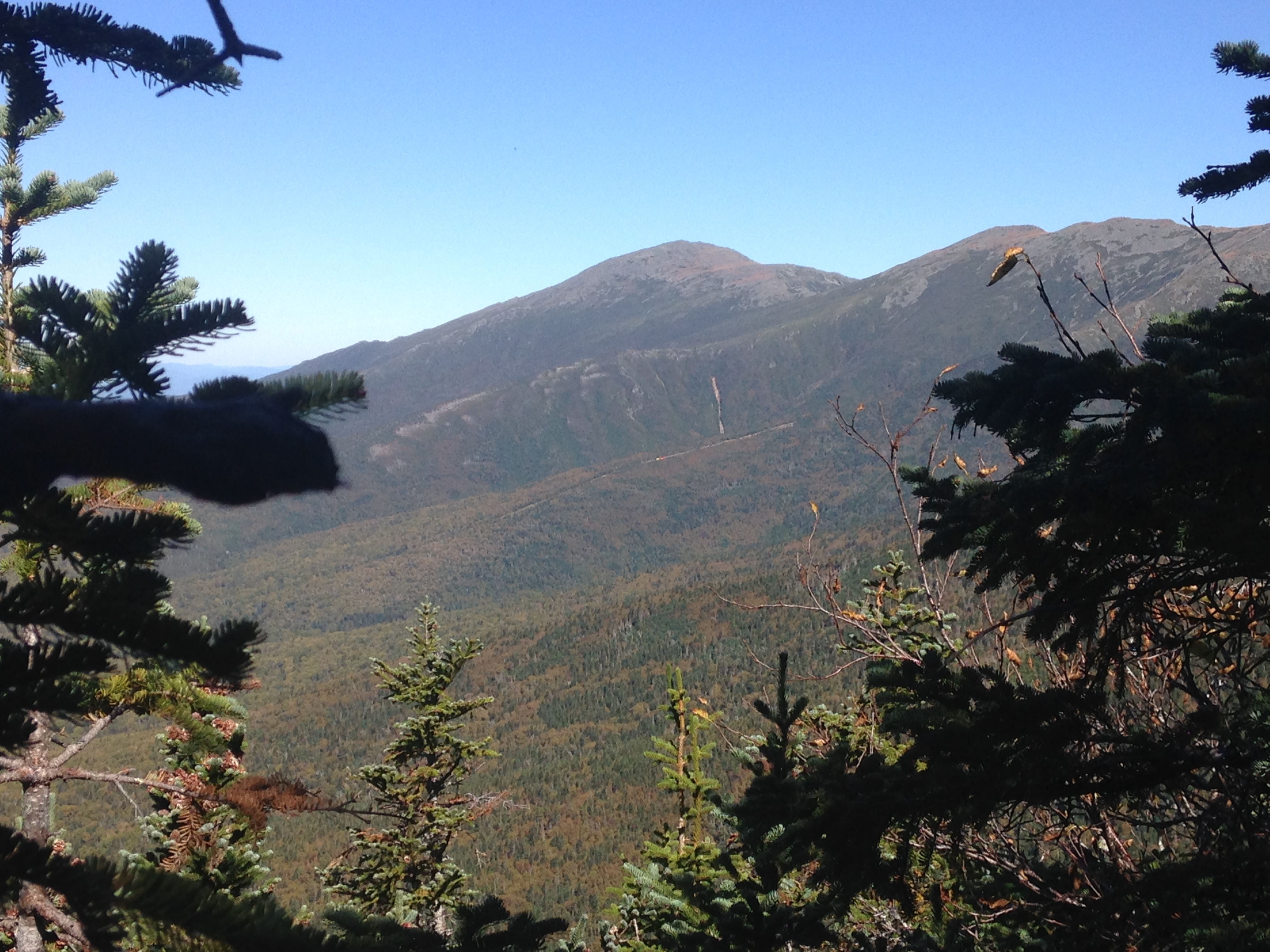
In no time at all I have reached the bonus summit, and I am glad I made this little detour for there are gorgeous 360°views of the Presis, including Washington, The Wild River Winderness and surrounding peaks, and to the rest of the Carter Moriah range, including the Dome ahead of me. I take in the views for a while and get back on my way. I don’t want to linger too long because I am already slightly behind where I wanted to be at this point of the day. I am hopeful to make up some time on the butt-slide down into the Notch.
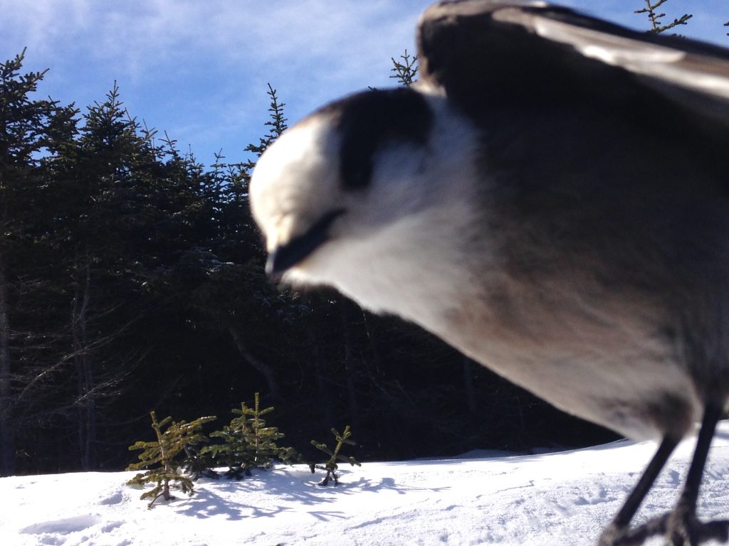
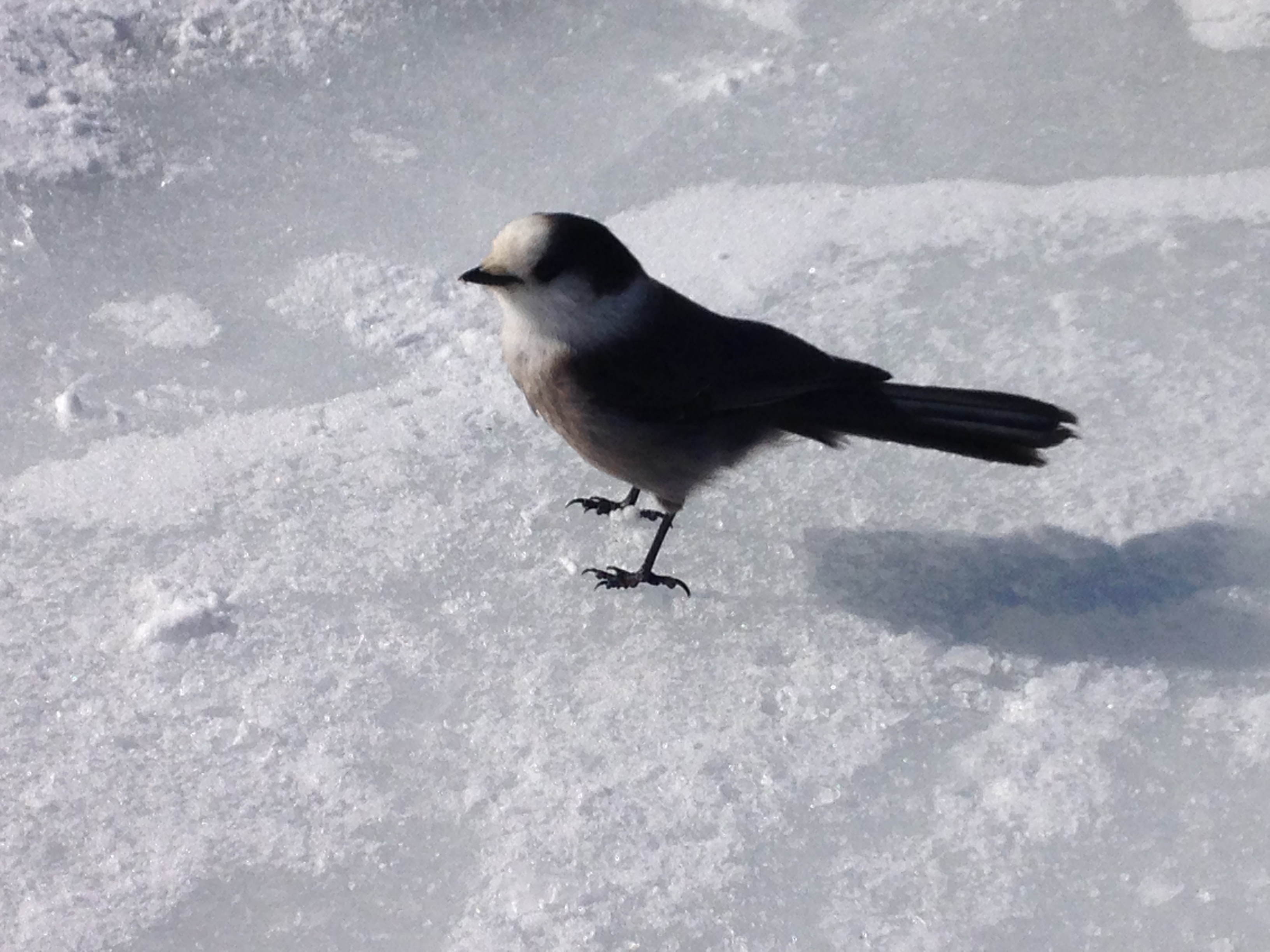
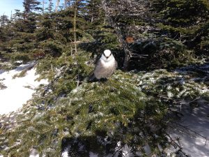
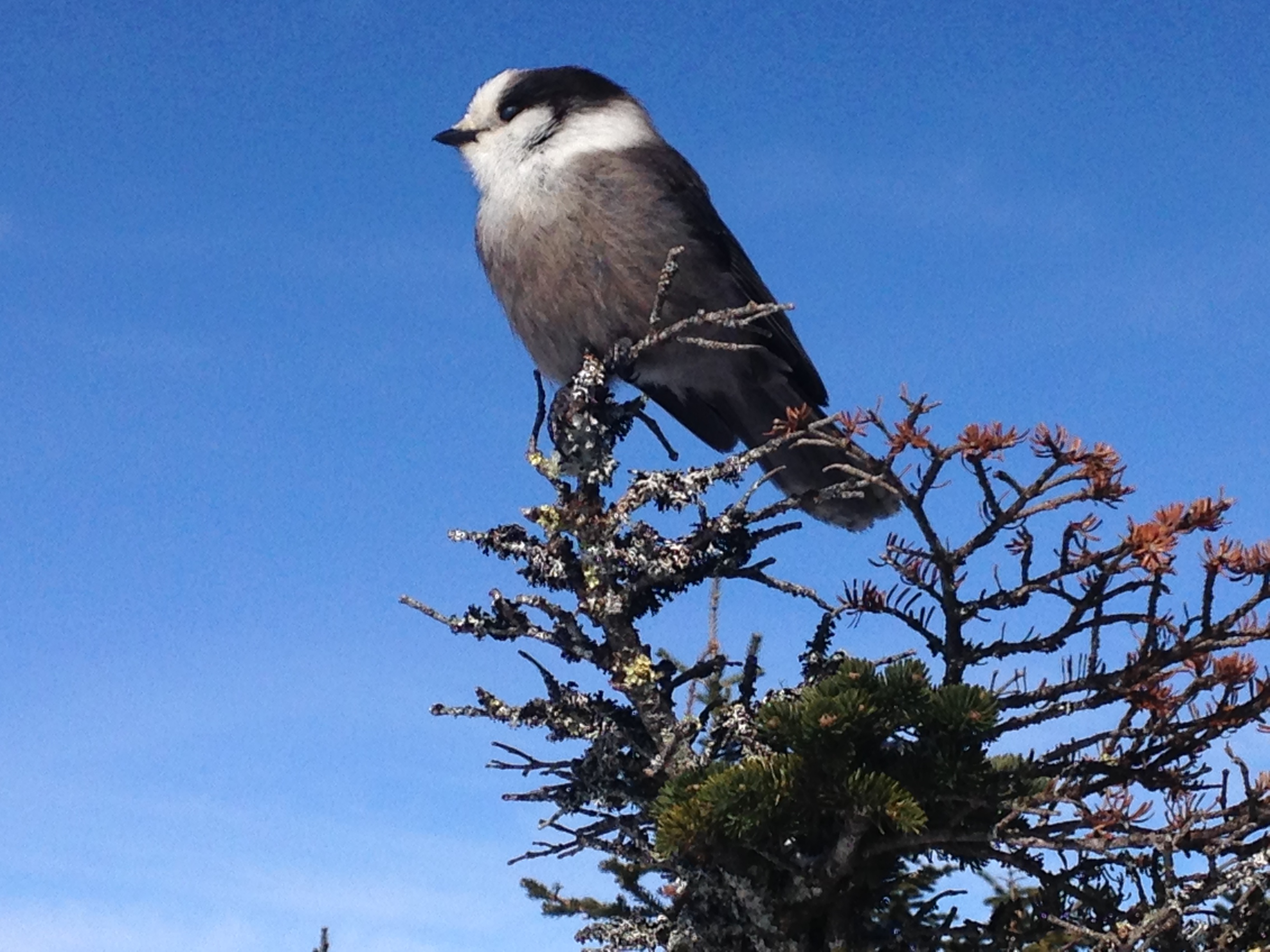
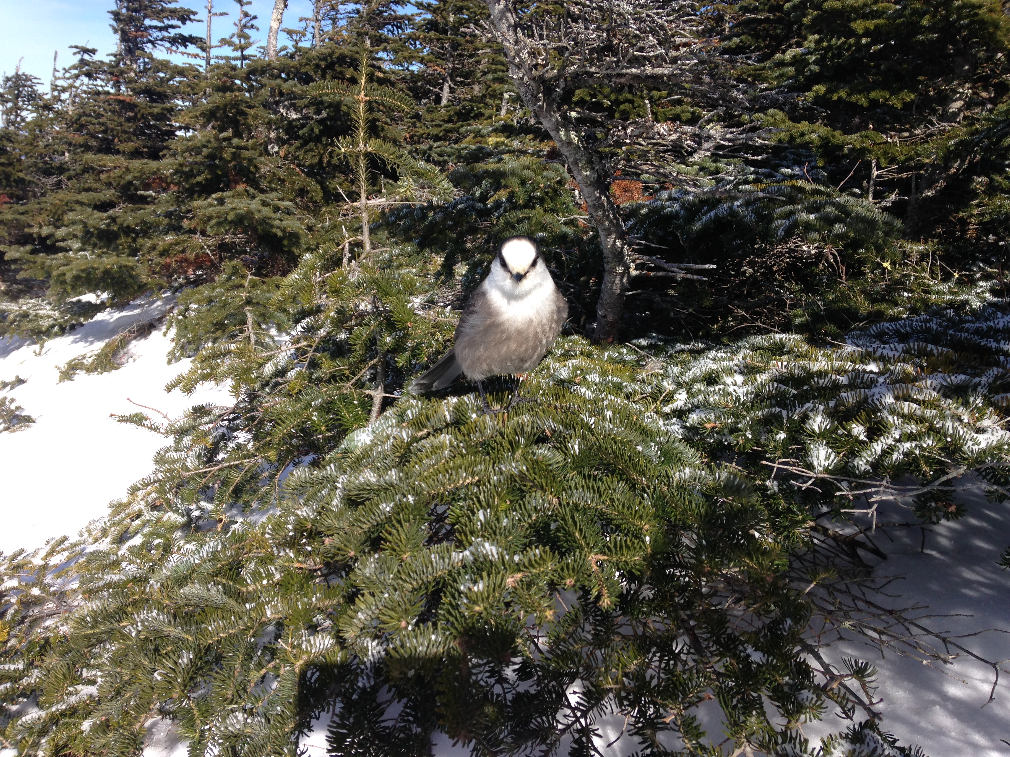
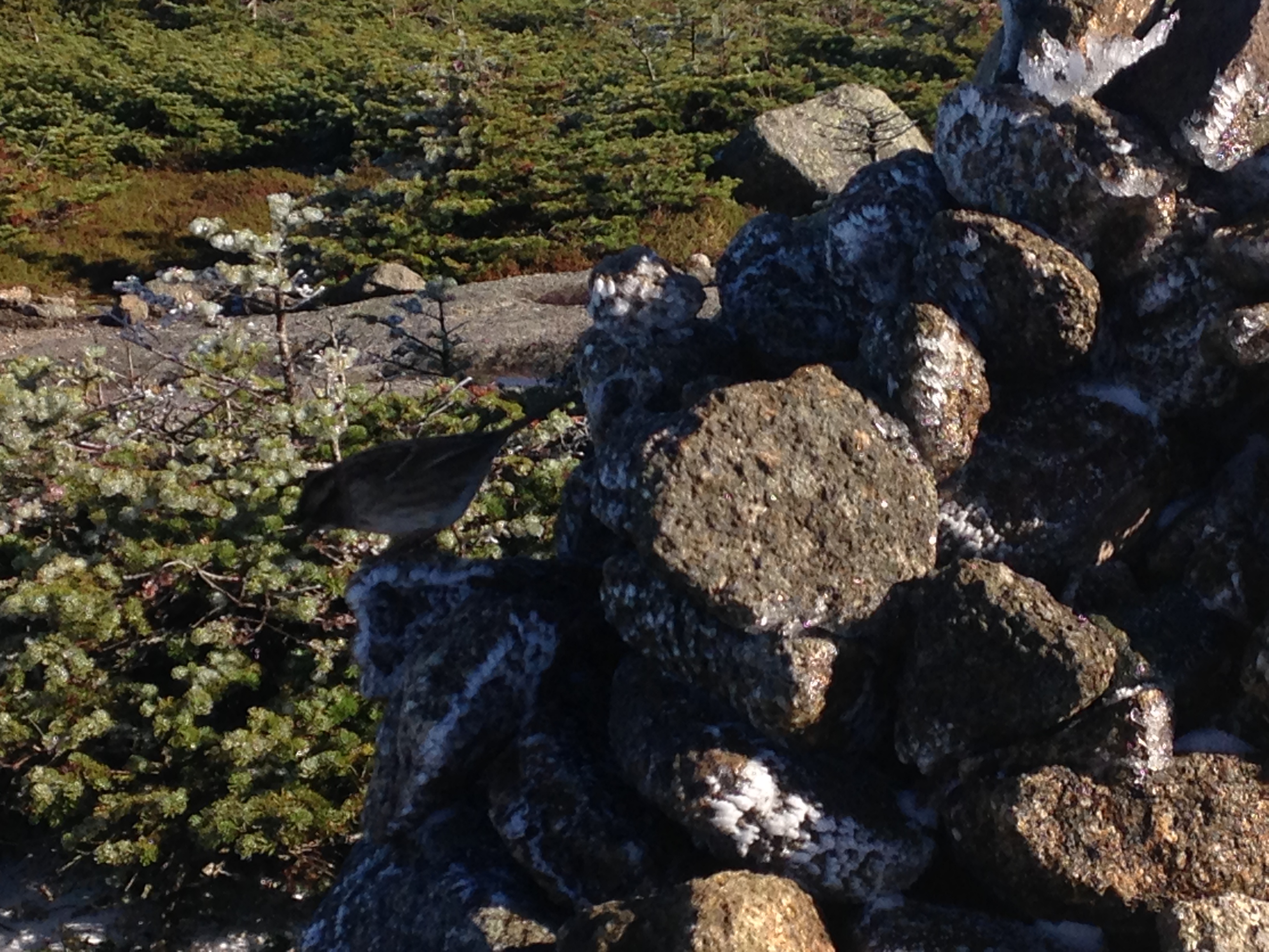
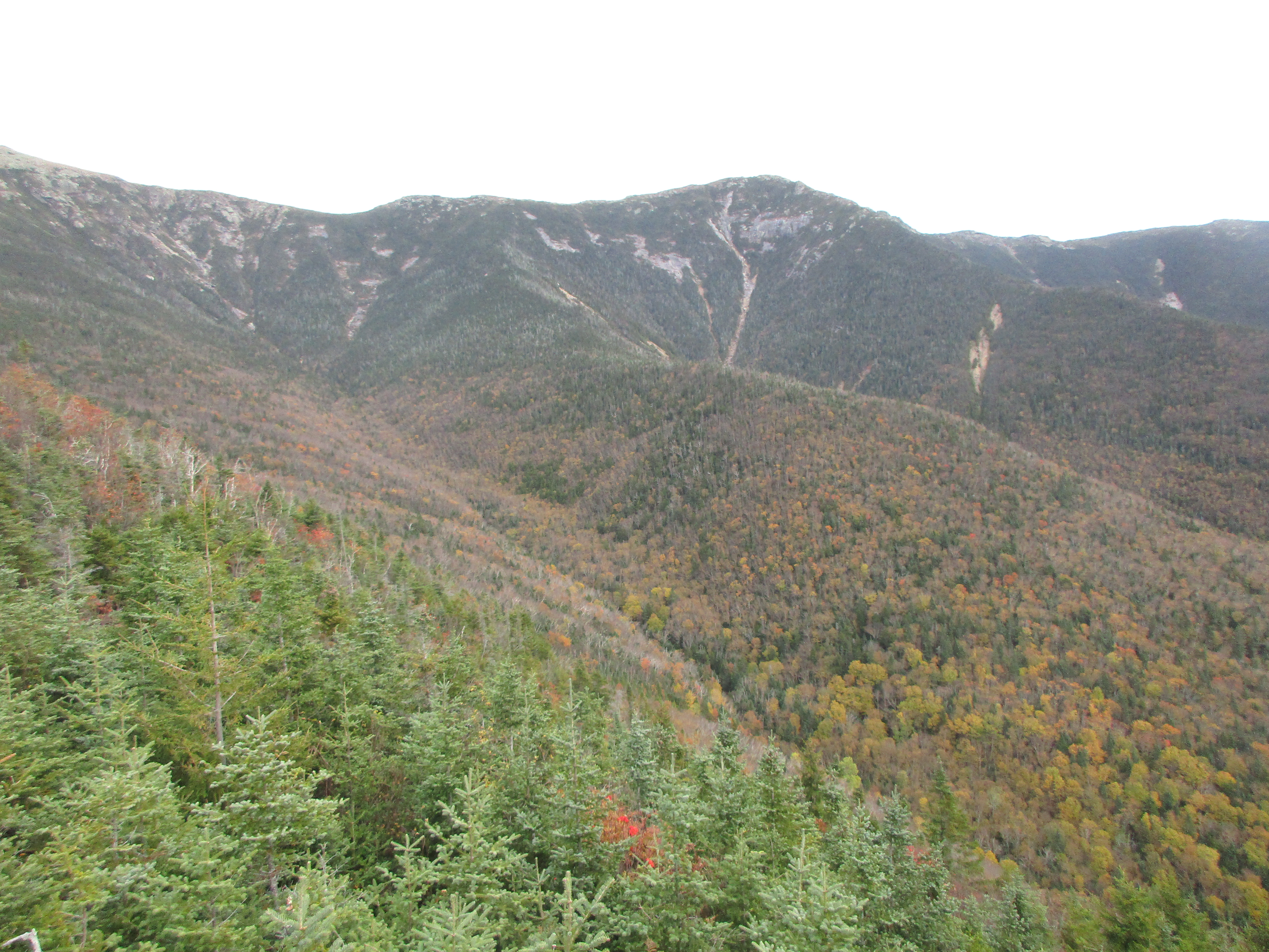
Descending now into the saddle area, and passing a few more junctions, before the final ascent to the Dome summit, hunger is setting in something fierce. It is now past lunch time, but I want to make to my destination first, so I grab a few mouthfuls of gorp and push on, until finally #37 summit (yes I have resumed counting them now that I’m in the home stretch) – Carter Dome! A few groups are breaking the scene to head back down as I arrive. But stopping to chat with one, they say that they also came up the steep way by the hut and that it was very icy. Hmmm this contradicts what I was told by the earlier group. I sit and ponder this information as I munch down my sandwich and gaze through the clearing in the trees of this partially wooded summit. Some fine views out to my west toward the Presis and a nice calm bluebird day to take it in, unlike the semi-strong gusts that were up on Hight. A few gray jays come in for a closer look and I can’t resist sharing a few crumbs and getting some good poses out of them in return.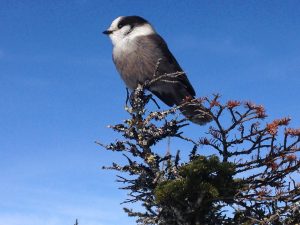


So what’s the deal with the plunge down the southwest side? Will I be sliding softly on my butt, or will I be struggling to stay upright on an iceslide and land hard on my butt? Somebody misunderstood what I was asking, or perhaps I wasn’t specific enough in referencing the section of trail in question. In any case, maybe it is safer to go with what I know, even if I know it will be icy. I wouldn’t want icy AND steep. So out-and-back it is, slightly modified to bypass Hight.
As I head back down the packed snow, I pick up the pace while I can for I know what awaits me down lower. That’s one good thing about doing an about-face: You know all of what is ahead of you because you faced it all in the other direction. So as I count the landmarks in reverse order, and carefully lower myself down the icy path, I am thankful for good gear, good sense, good timing, good people, and all the goodness around me. Regardless of what tomorrow brings, I have this moment now and it is good.
Part Five, 3/6/16 – Carry On! (Carrigain):
With the final days of winter drawing near, I am search for a strong finish to the season before I go into my spring hideout. One with amazing views that will leave me with a lasting memory of winter as I transition into warm weather hiking. This one provided all of that and more: A look into the past, a promise of a hopeful future, and a blessing of the moment.
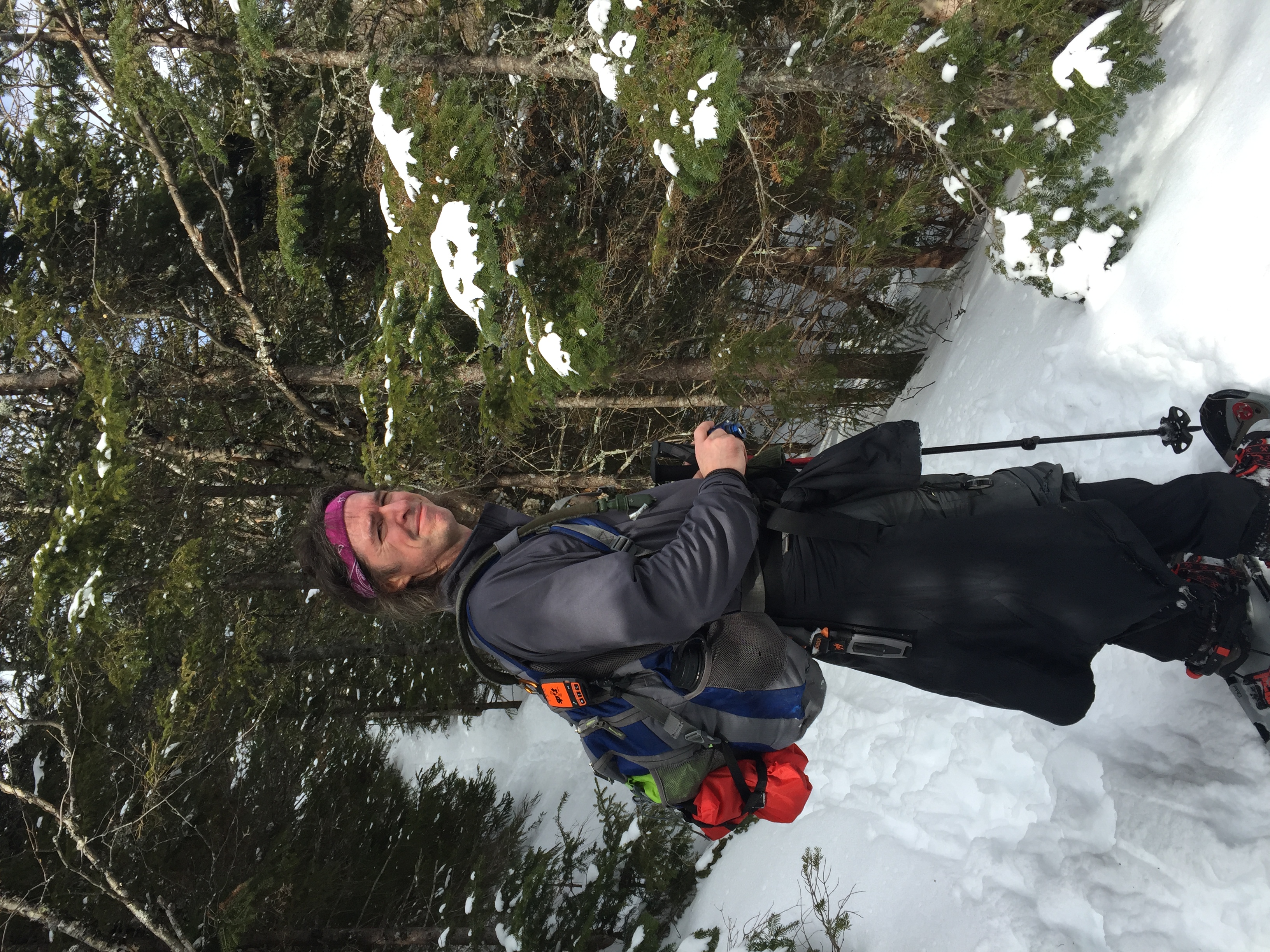
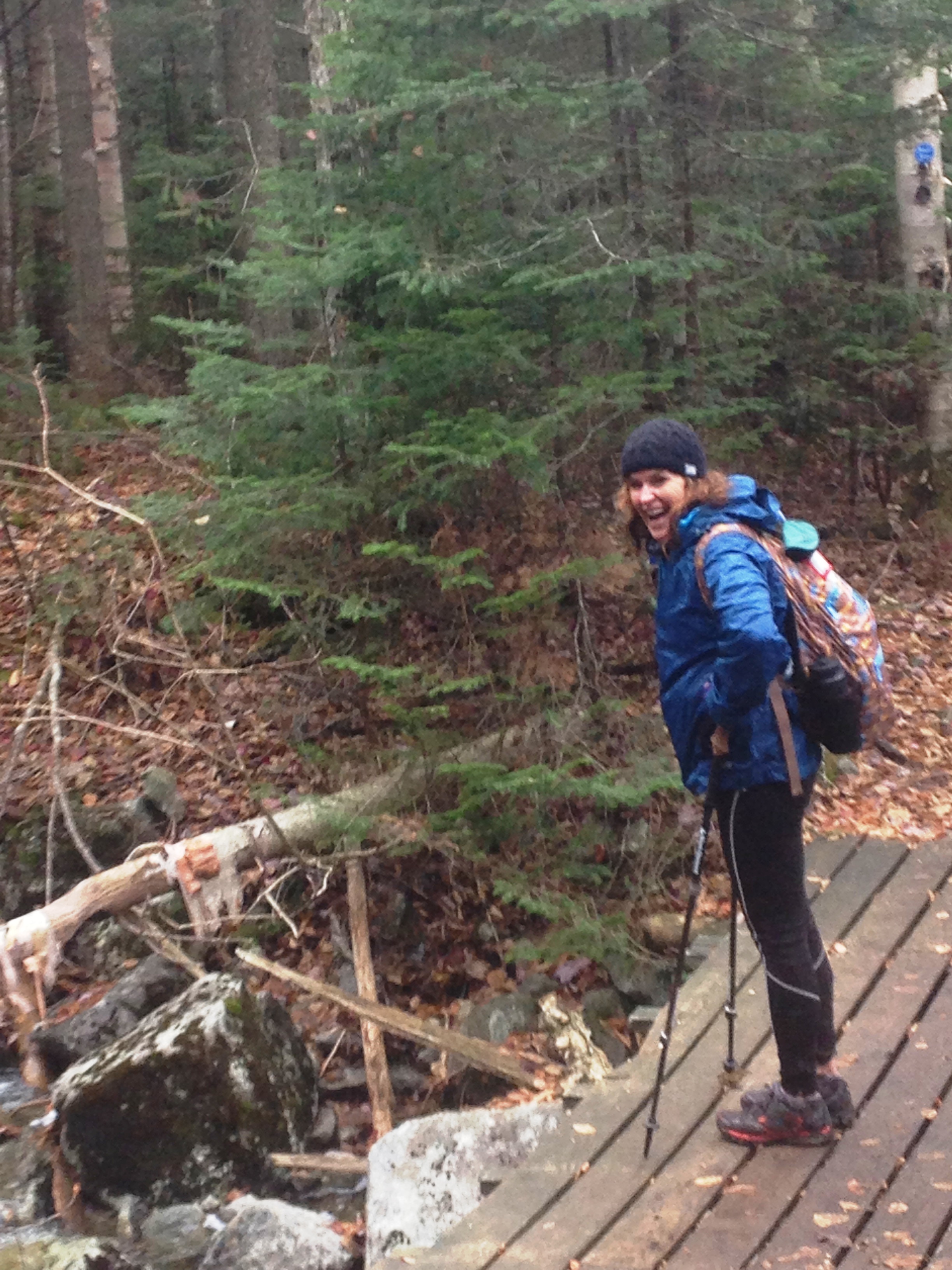
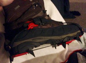 After last week’s slippery slope, we are equipped to tackle any ice rink that my stand in our way. I insisted that we both purchase a pair of Hillsound Trail crampons to give our boots the teeth they need to chew through the trail-cicle that may await us, and that I encountered along 19mile Brook just six days before. Who is “we…our…us” you ask? Therese has made the long drive to me this time all the way from the Albany area of NY, to tackle this mountain together.
Carrigain: The only obstacle that stands between me and the start of a countdown to a triumphant achievement! I never thought it would go by so quickly but here I am about to set foot on the trail once again, to get me so close to my immediate goal that I can taste it! There are of course any more goals to be set but this one will always have the deepest meaning to me. It has made me into someone I enjoy being and has transformed my world in so many ways. Who better to share this moment with than the one who introduced these hills to be in the first place?
 Therese said in a text to me earlier in the week, that I would be her “fearless leader” and named me the “expert” and herself the “novice”. Ha!!! I am of course far from a pro! Thanks to the many books, online sources and advise from fellow hikers, I’ve gained so much more knowledge than I had when I first started this quest, but I am learning every time I set foot on the trail, with so much more of the unknown still to discover. After all, out of the many things we hikers pack with us, the most important tool we carry is between our ears.
I have been watching weather forecasts and keeping an eye out for updated trail conditions all week long to determine the best plan for today. On one hand there is safety in numbers and certainly a different dynamic in hiking in pairs, but there is also an extra element of concern when a companion is involved for me. Not only are you potentially putting yourself in danger but you could possibly be putting another at risk, affecting not only your own family but that other person’s as well. Therese is well aware of the risks and the rewards, but still, there is that tiny bit of nervousness I feel in the back of my mind. So when I popped online to shop for some more aggressive spikes for a possible ice climbing adventure, I made sure to talk her into a pair as well. It’s true this is another item to carry with us but it was worth the price we paid to ease my mind knowing we would be better prepared, and allow me to enjoy the day that much more. Plus we are saving that amount in lodging expenses this time!
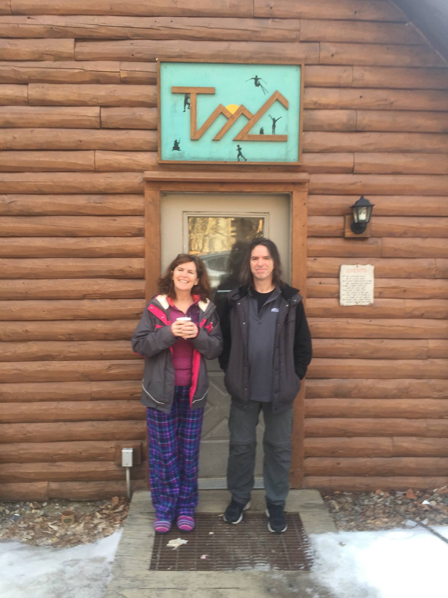
We will be staying at Tufts Mountain Club Loj in Woodstock NH for old time’s sake! The place where my love for the mountains was born back when we were youngsters, thanks to Therese (Terri as she was known) and her friends at TMC. The old farm house was demolished in 1999 and a new Loj was built in its place, but I’m sure the spirit of TMC lives on in a new group of faces.  When we were tossing around some possible hiking plans and discussing the usual winter sleeping quarters at the two AMC Lodges, it occurred to me that this place might still be standing and is a good hour closer for her. Sure enough we looked into it, and there it stands in its new form. My Tufts alum sister got the ok for a night stay via email to the Loj director, and we were all set. It’ll be fun to get back into the Loj atmosphere again!
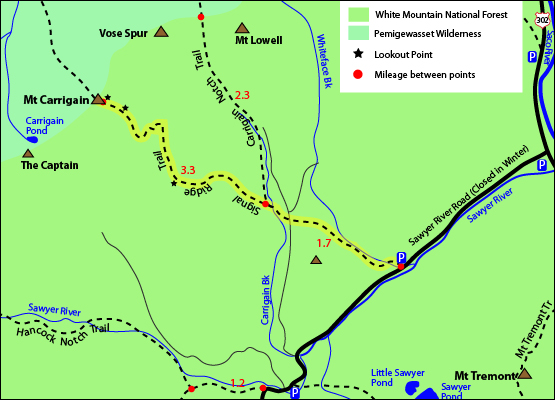
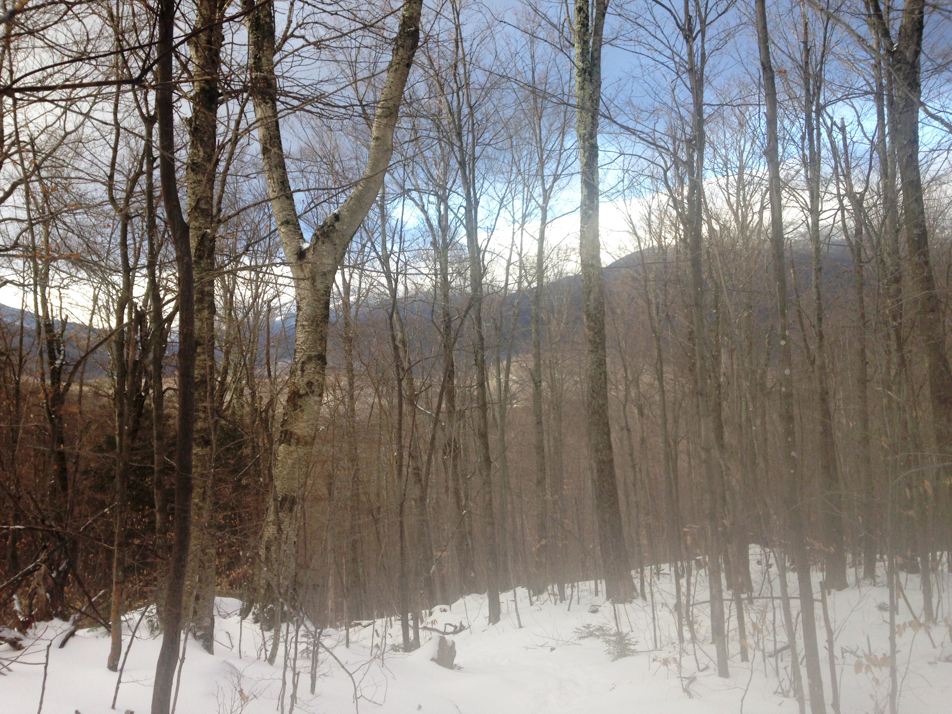
This weekend worked out well for my sister to take the drive into the whites as she had a work trip planned in the Boston area the next day, and her daughter is a BC student so added incentive for a family visit. She’ll arrive around dinner time Saturday, so I am heading up after a full night sleep for a change following a Friday gig, for a half day hike before heading over to the Loj. As I’m driving up I’m still not sure where I’ll be going today for a light warmup, but at least we finally nailed down our big Sunday trek. After flipping back n forth between a repeat hike in the Woodstock/Lincoln area, a Galehead bid a bit further up with a Twins option, and a long 14 mile winter Carrigain out-and-back attempt (including a 2 mile each way road walk) we decided to go for it! It would mean an hour drive to the start of our journey, but at least it was a scenic drive through Franconia Notch, Twin Mountain and Crawford Notch.
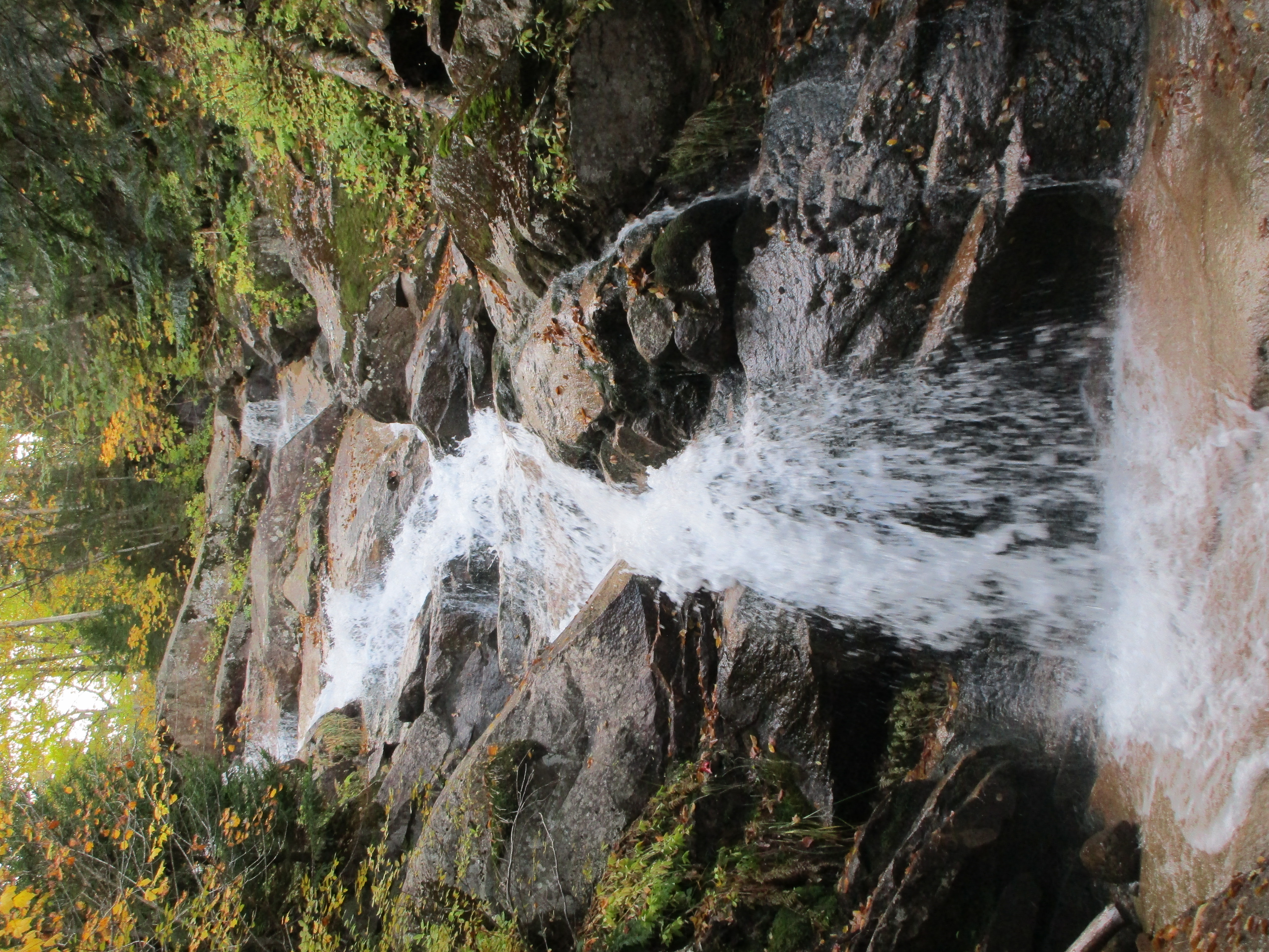
A Tuesday trail report still indicated Icy conditions, but I was seeing some snow going through the area later in the week, so I wasn’t sure exactly what to expect for conditions. We are prepared for almost anything though with Microspikes, Trail Crampons, and snowshoes, so I’m feeling much better about it now. I even have cross-country skis in the back of the Rav4 for a possible road ski to and from the trailhead. That would be fun! I haven’t skied in a long time. I am thinking that if the ice flow still exists like last weekend I will pick a trail to try these crampons out then I’ll have something to report to Therese on how they handle and what shape the trails are in. I start to think of what is in the Franconia area and I remember that I have always bypassed the side trip to Shining Rock on my way to the ridge. I figure Falling Waters might be as good a candidate as any for icy conditions, so that’s what I’ll do today: visit the falls for the first time in winter and end up at Shining Rock, then back down.
 Leaving the snowshoes in the car, I start out with Microspikes with the expectation to encounter a reason for the bigger spikes, but as I make my way up Falling Water all I see is a good 3 or 4 inches of new snow, packed in from the full lot of hikers far ahead of me, no doubt heading for the ridge.
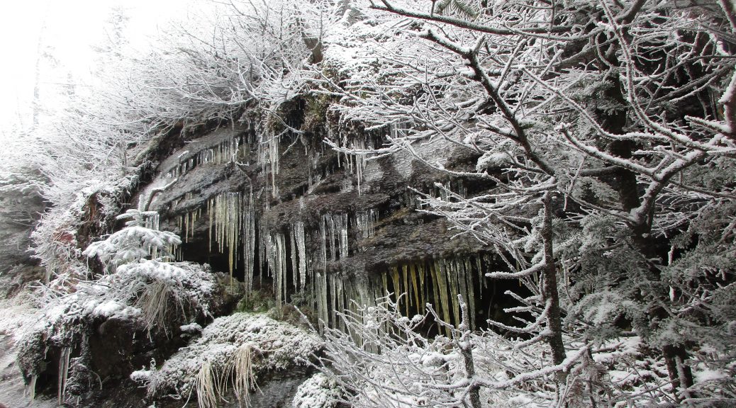
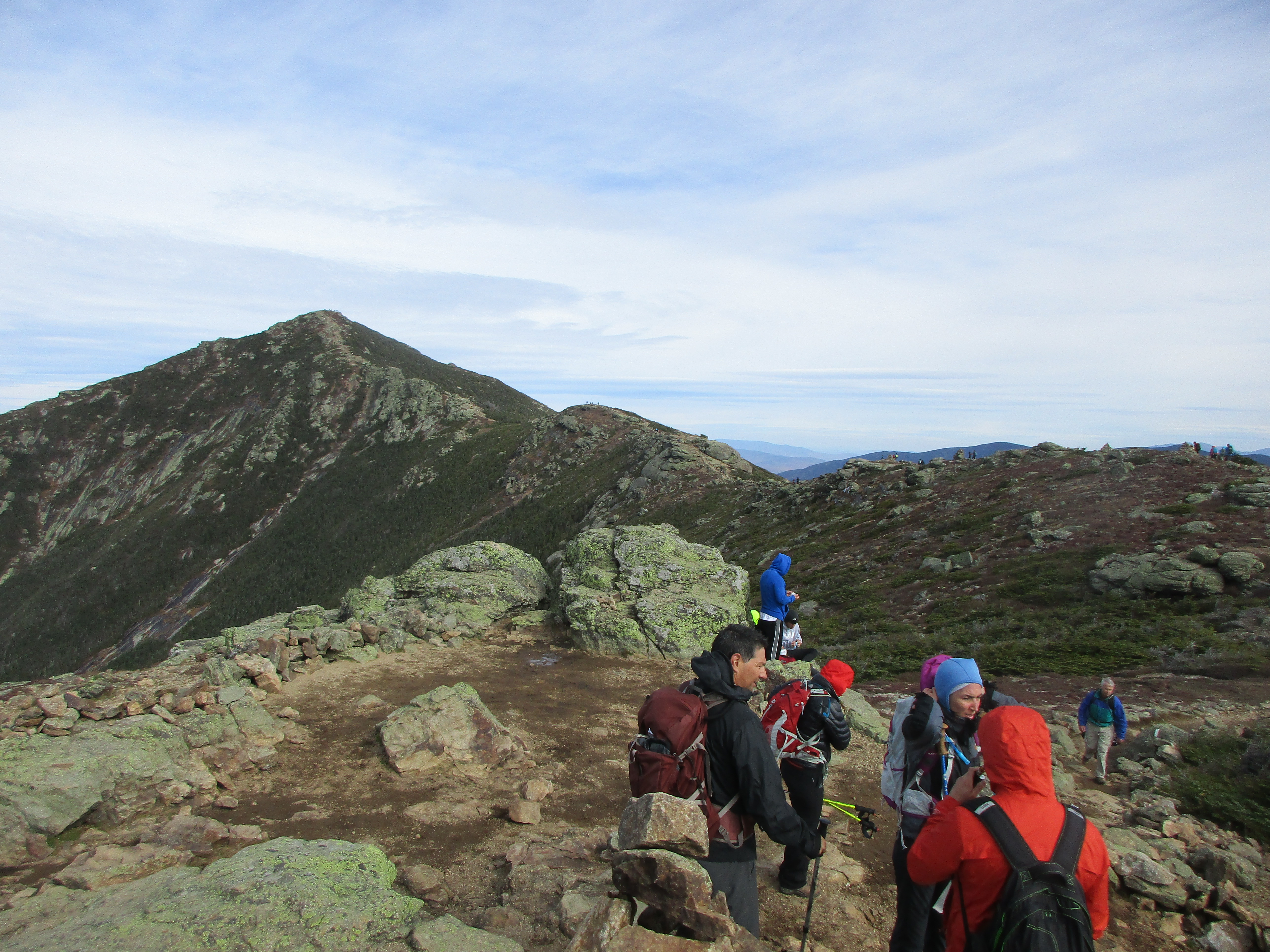
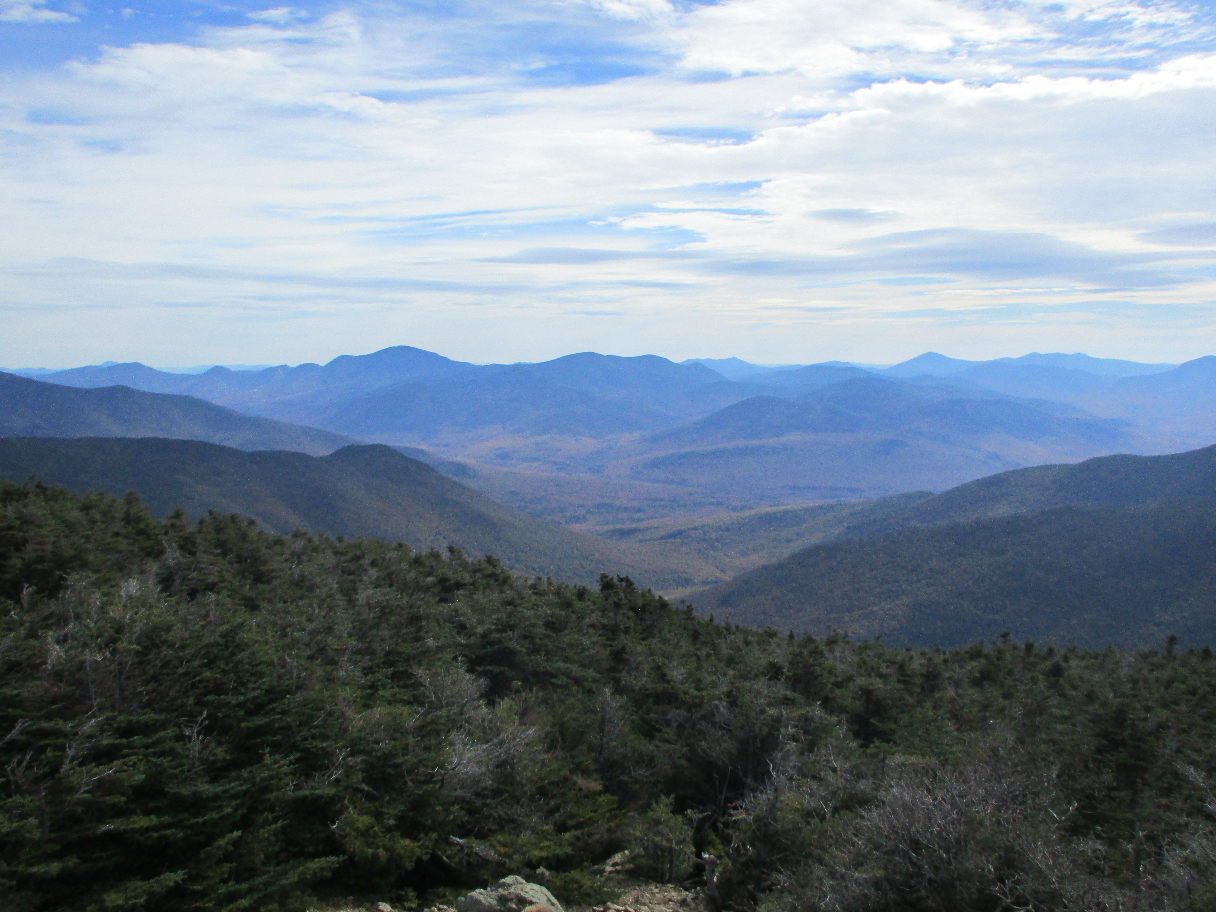
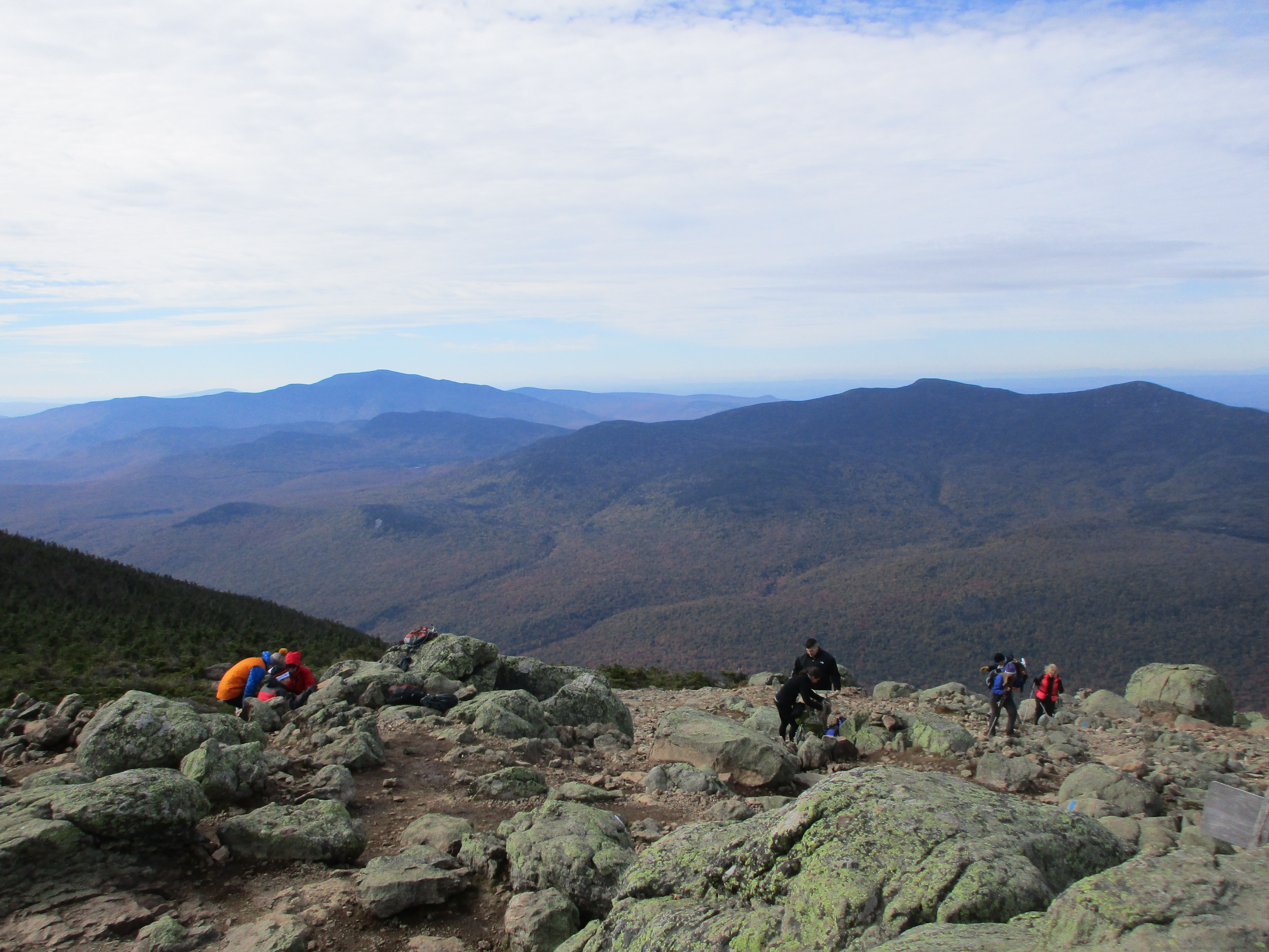
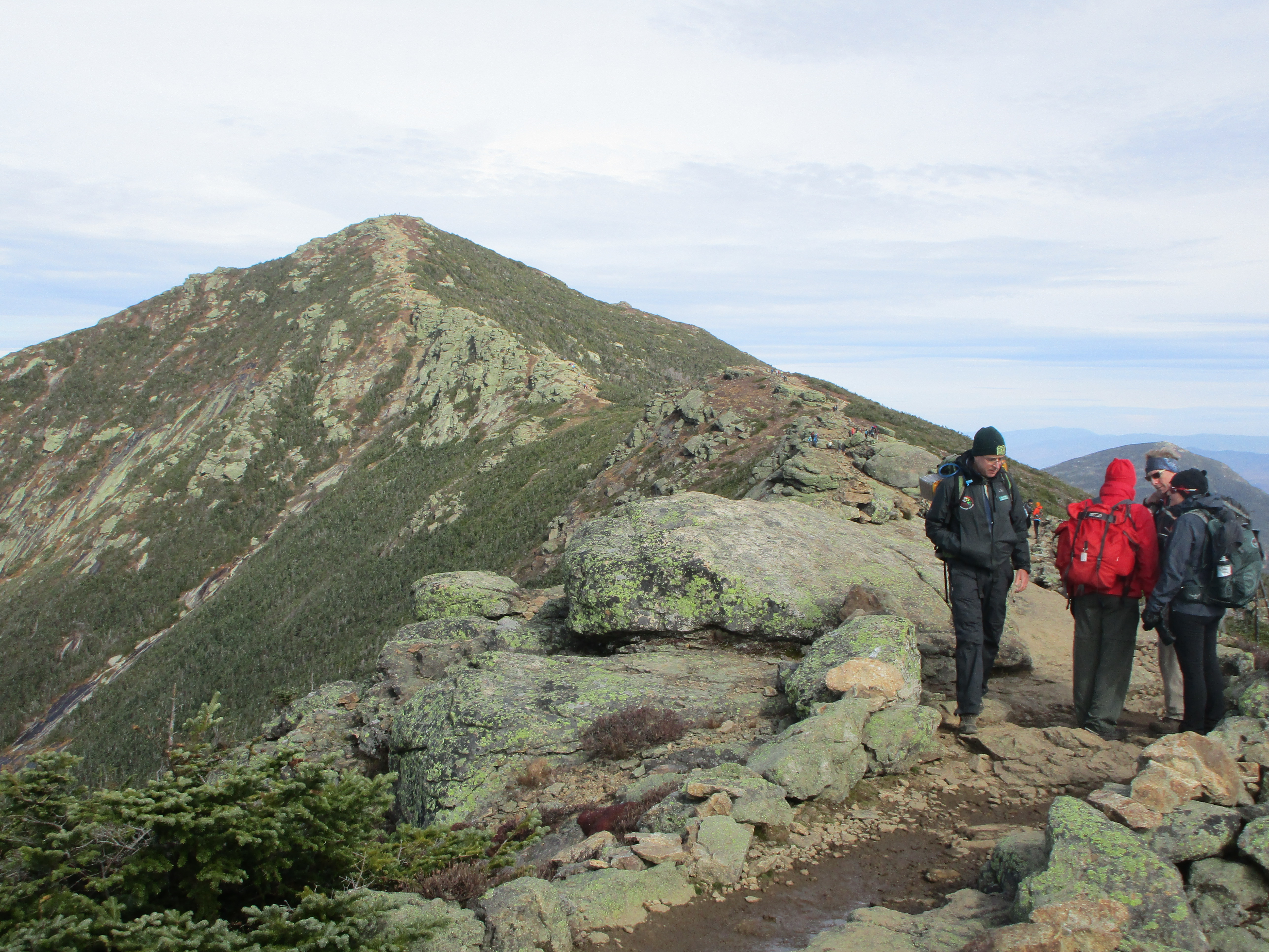
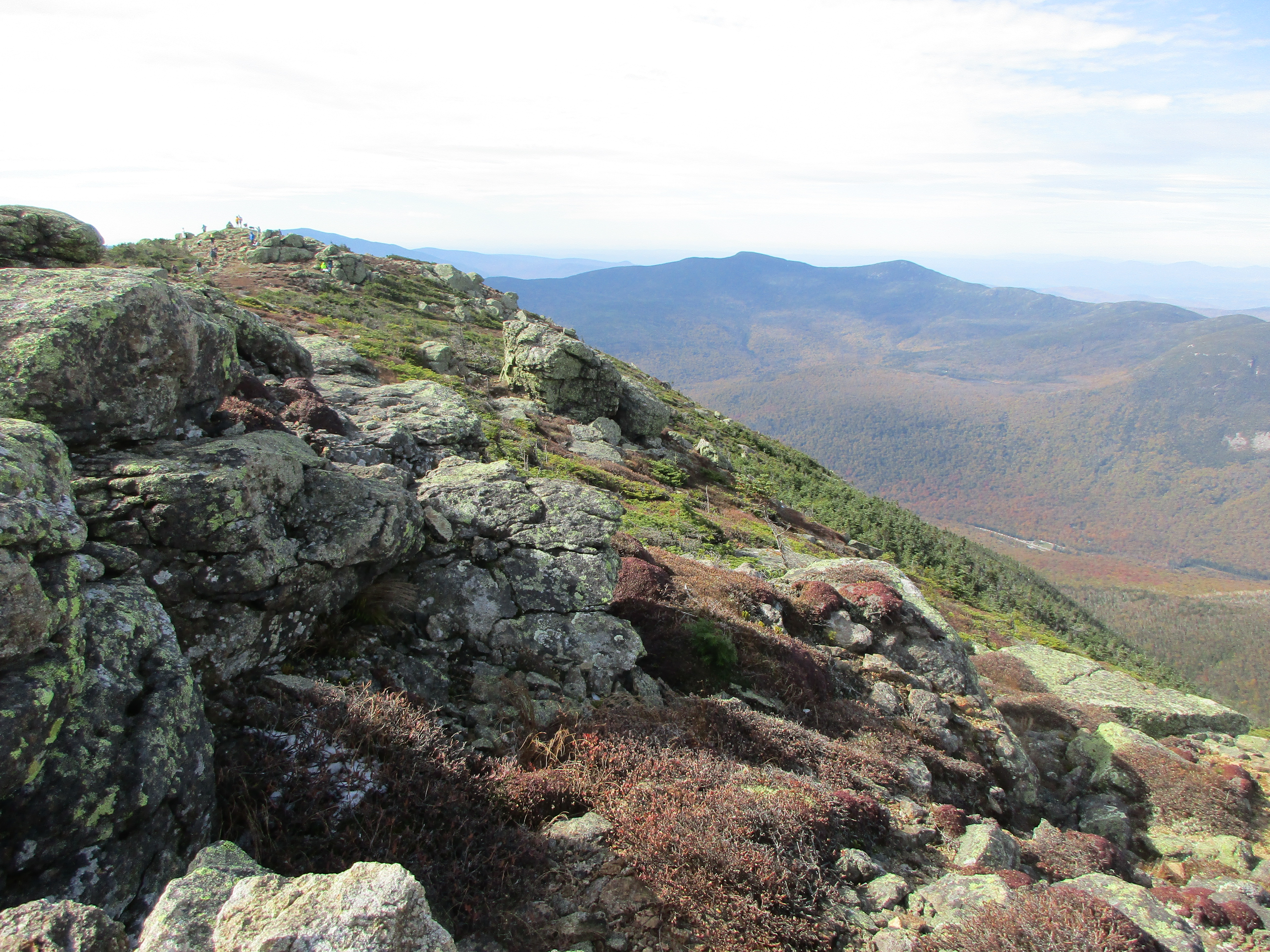
  As I go further up the trail the falls have transformed to amazing ice formations with water flowing through them, but all I see on the trails are perfect winter conditions! Now I’m kinda wishing I got an earlier start because when I get to my destination I know just a few steps further and I am at Lil Haystack and from there it would be near impossible to resist a walk along the ridge to Lincoln and Lafayette, especially on this calm day with blue skies all around. I’ll be sure to resist before I get to that point and turn around at Shining Rock as planned, since I want to save the big hike for tomorrow. I make it to the turnoff with just a few tricky spots that had iced over due to the surrounding flows of (not so) Dry Brook, but nothing worthy of a change in traction. Another .1 miles and I’m treated to some pretty view at Shining Rock where there is a single solo hiker sitting after doing the clockwise loop from Old Bridle and Greenleaf.
 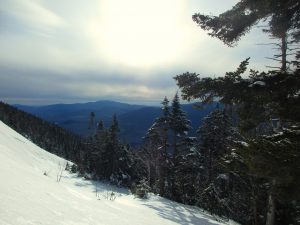 We strike up a good conversation about winter hiking in higher elevations, techniques used, groups that teach these skills, and each of our separate journeys. Then I find a spot to sit and enjoy a sandwich and take in some sights as Steve heads on his way down the trail (That’s right, I actually got someone’s name for a change!) Shortly after, I start to make my way down as well. Somewhere along the way I tweak my knee a bit but think nothing of it.
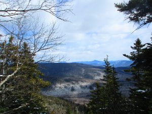
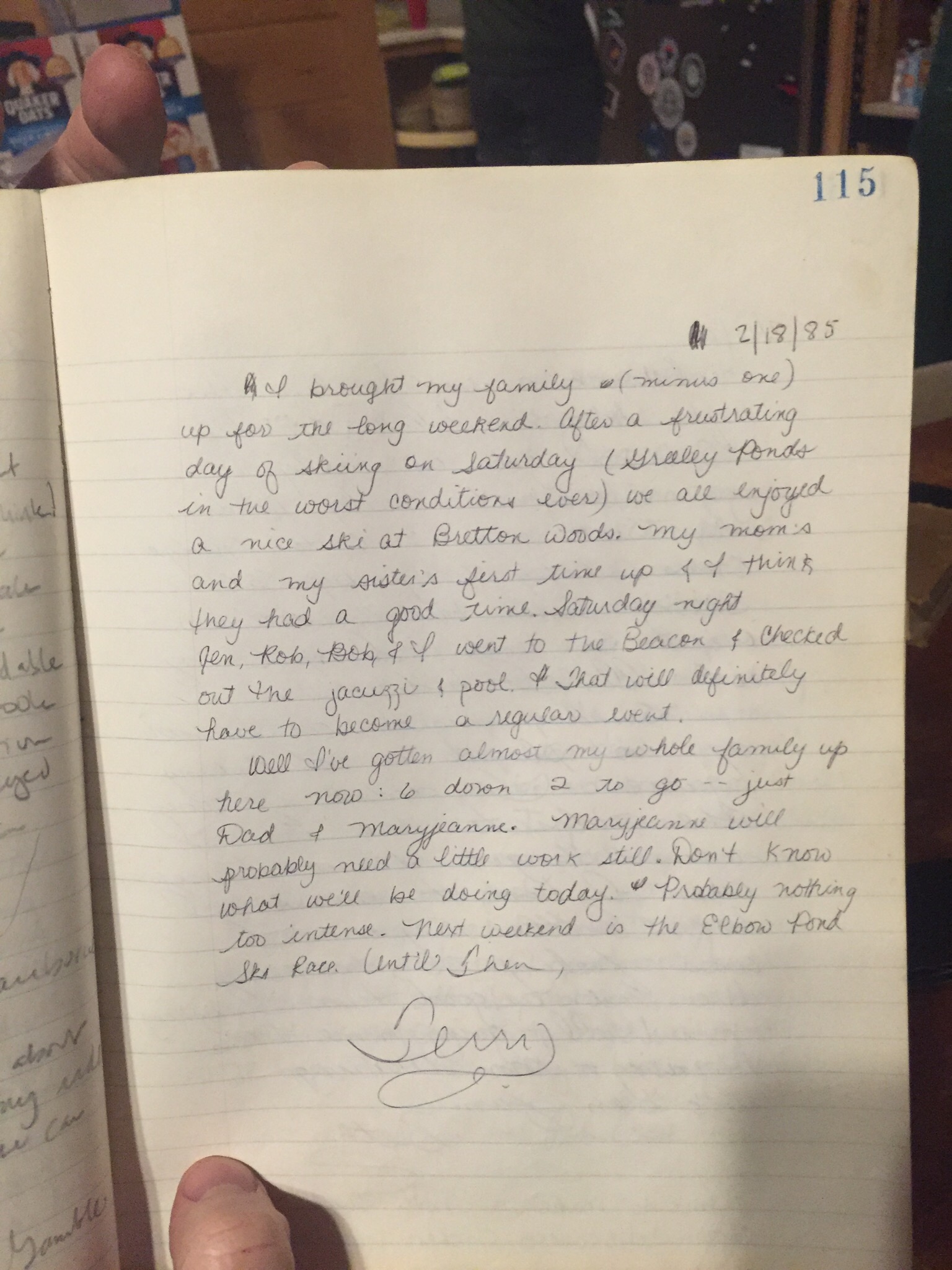
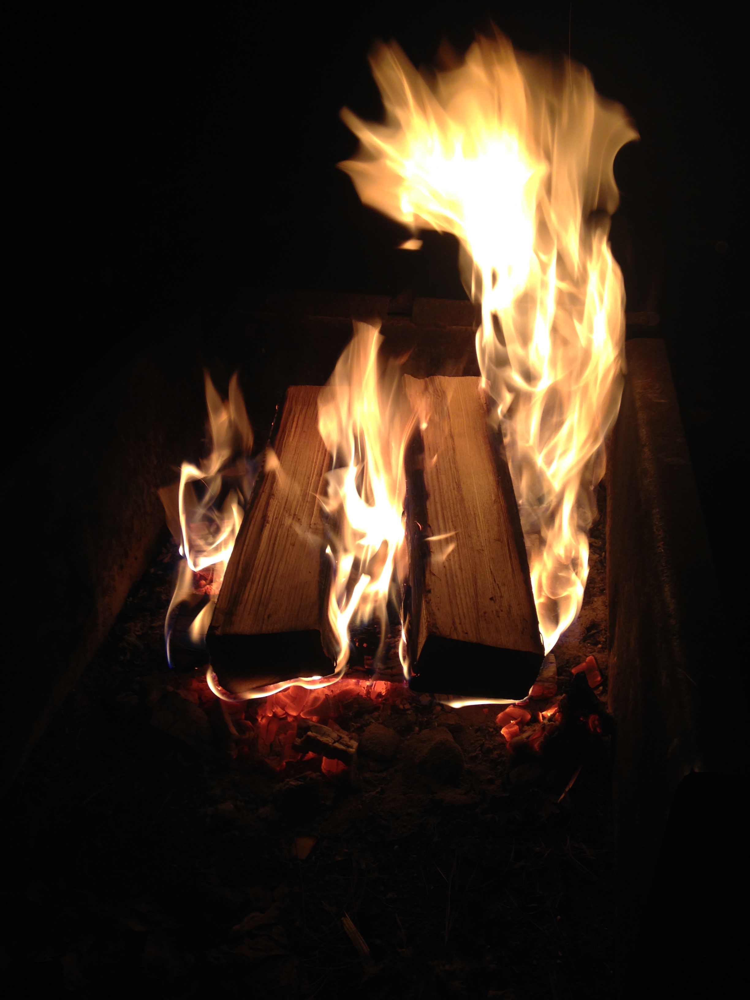
It’s 6:30 by the time I get to the Loj where I am greeted by the Loj caretaker who directs me to the bunkhouse and says to make myself at home. Yeah this is more like home than she thinks. I feel like I have walked in on one of my son’s parties. Wall to wall college kids! I am definitely the oldest one here! Luckily my even older sister will be arriving soon (Ha Ha)! But as I squeeze into the kitchen and start to prepare dinner amongst a crowd of young chefs, I start to see the good old TMC hospitality and mountain friendliness coming through in the collective personality in the room. Therese arrives right on schedule and once settled, we gobble up some fajitas and listen in on the crazy kids conversing, trying to join in where possible as we look on the walls at the old photos of the red farmhouse and the past TMC generations. Then, we break out the old log books from 1983-86 and reminisce, discovering all of our old entries from that time. It’s great to see these moments preserved in time and funny to see how different and yet the same things were back then. We retire to our bunks early and rest up for the big hike in the morning.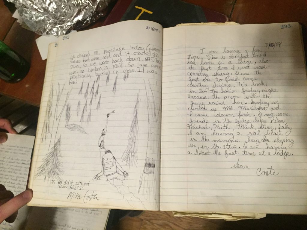
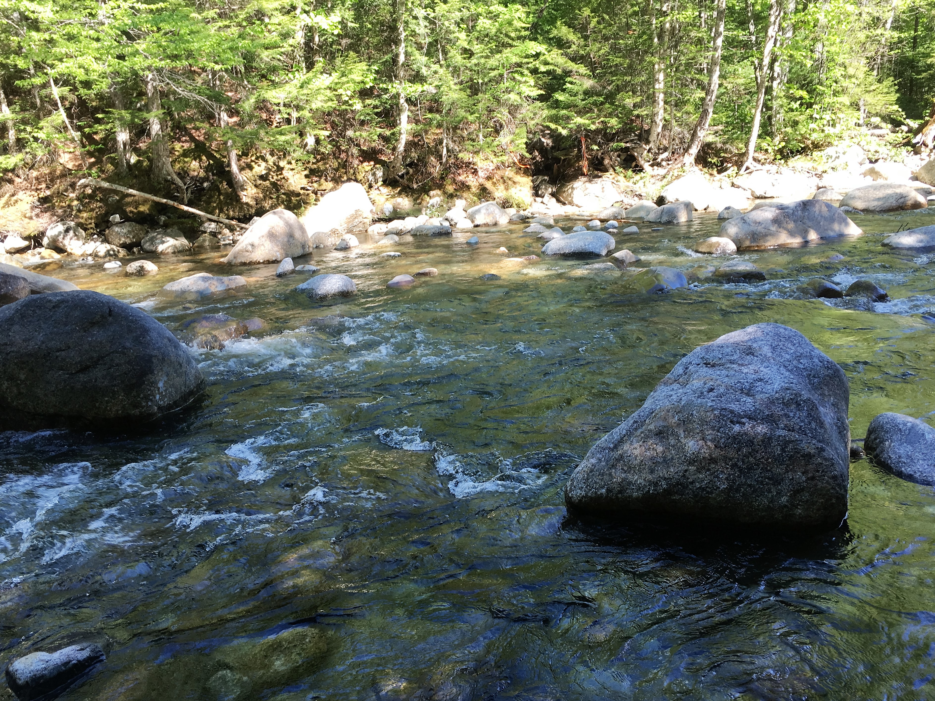
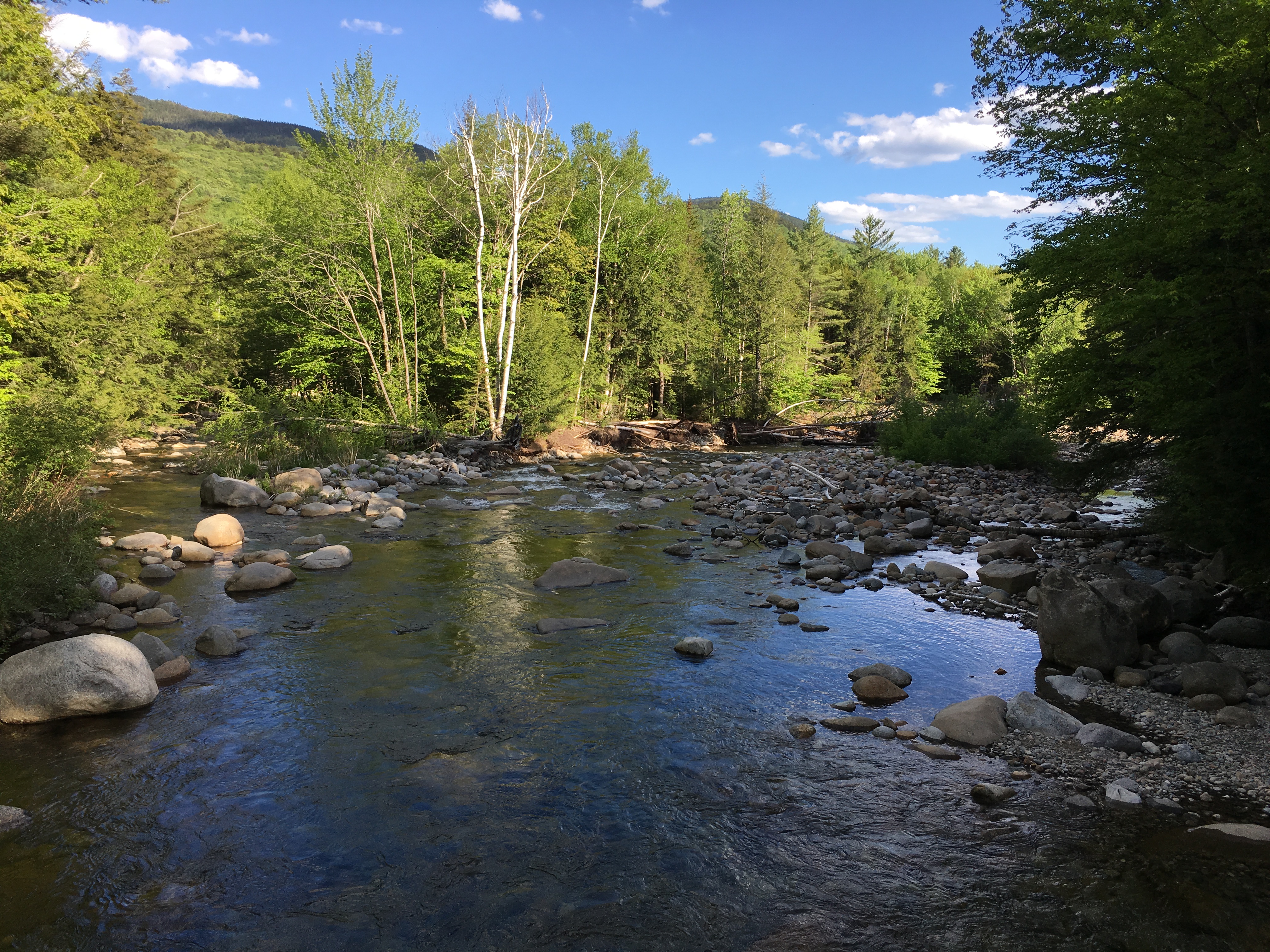
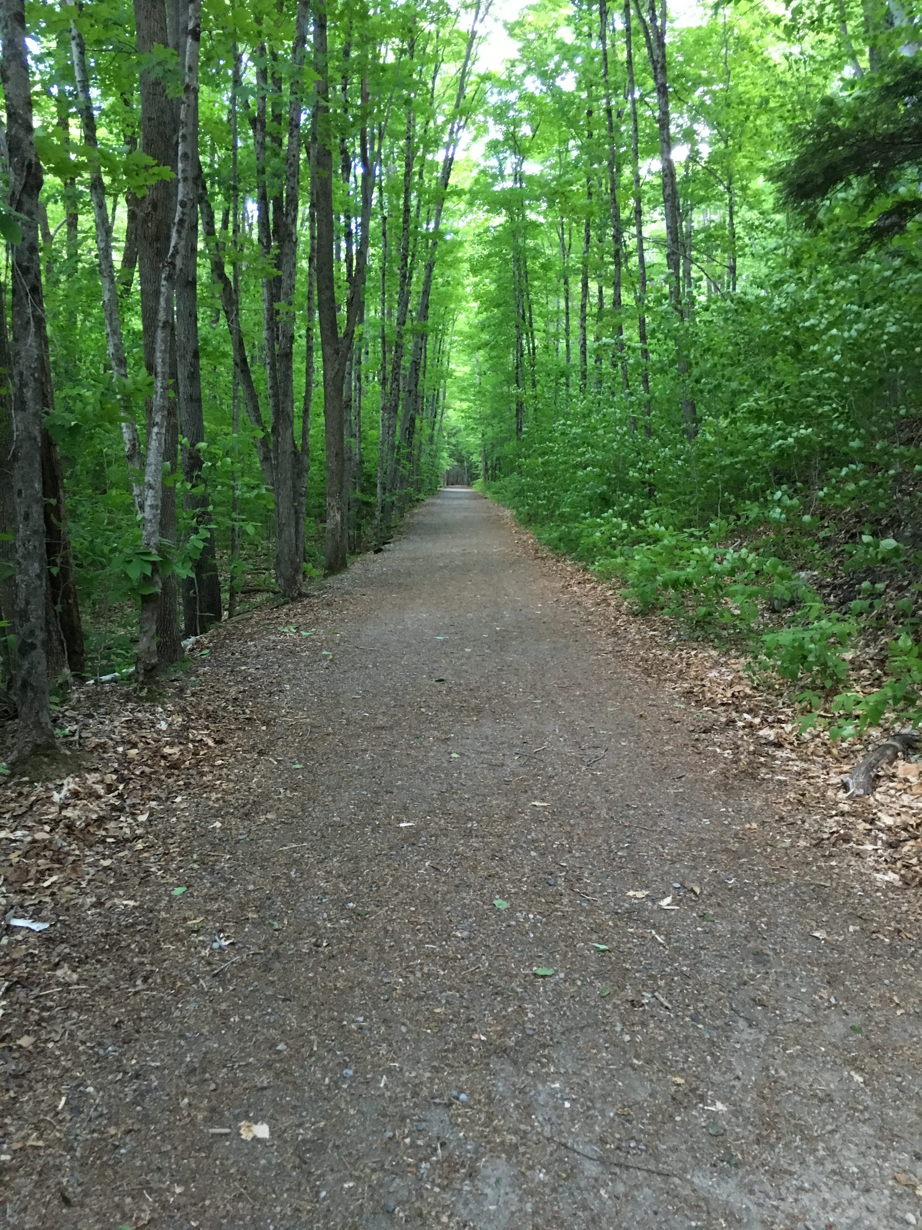
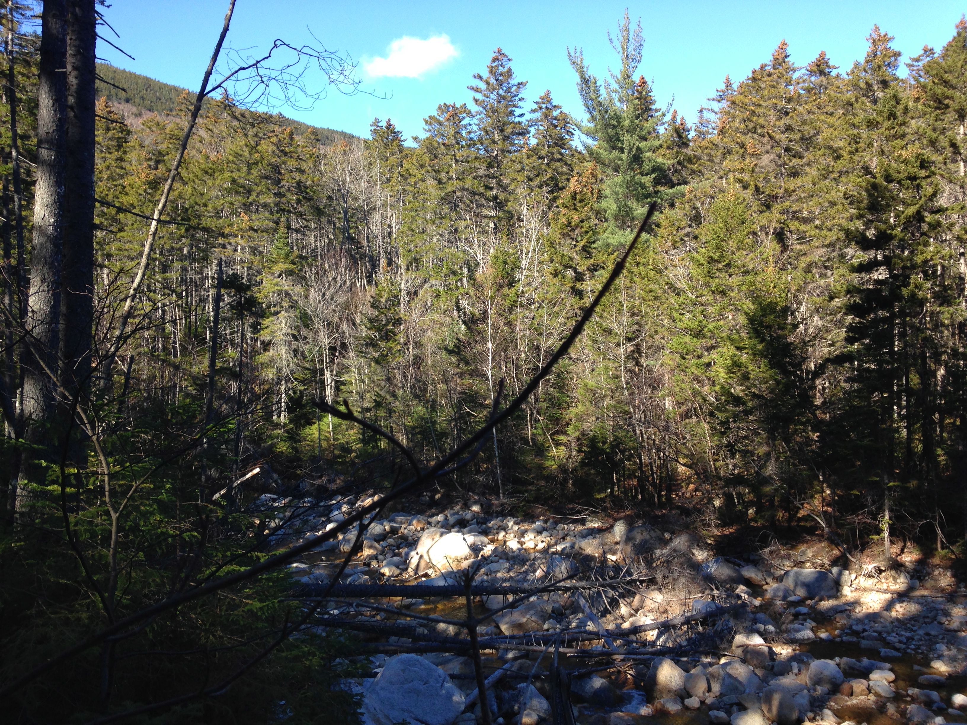
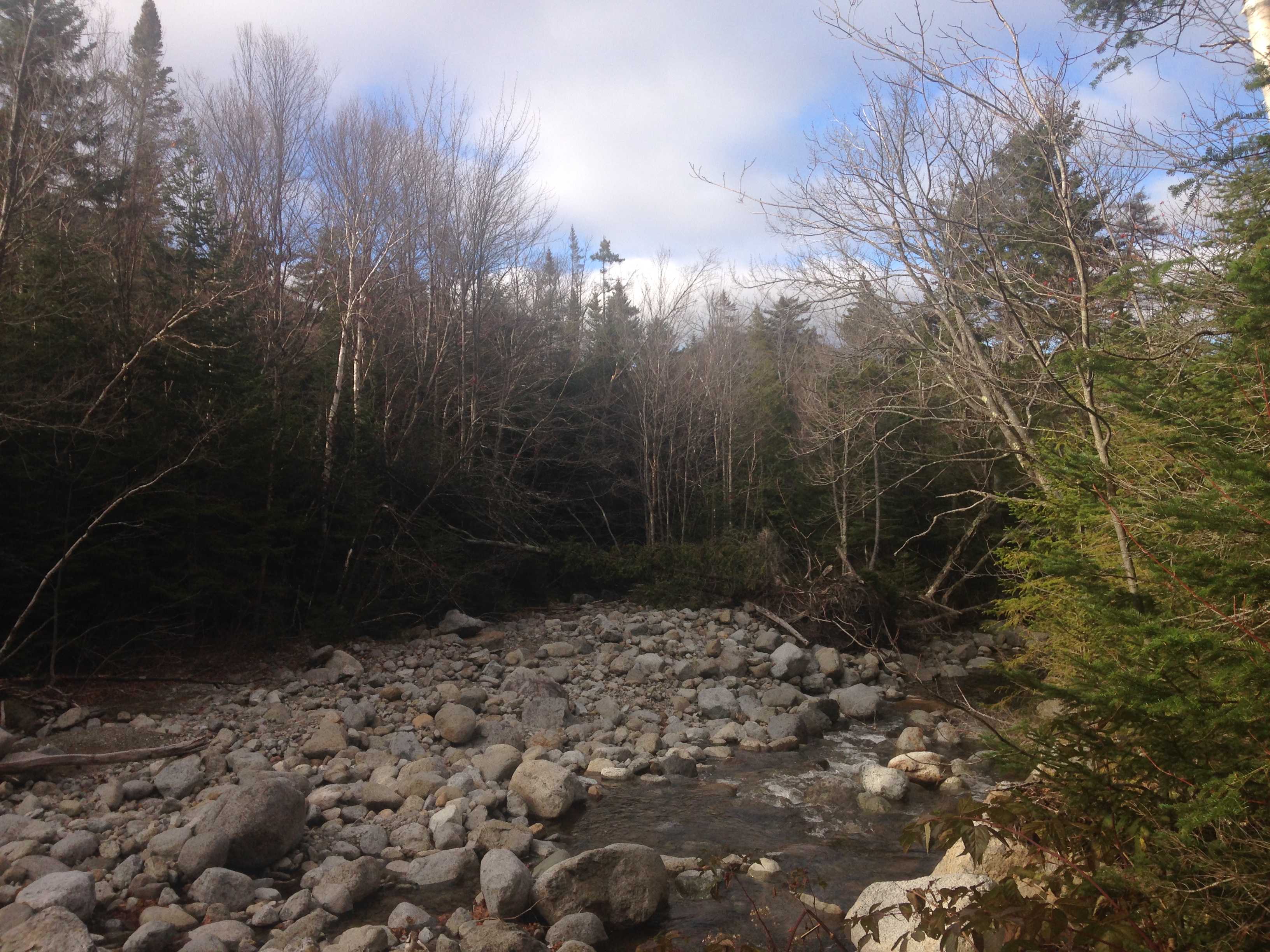
As sunlight starts to peak through the bottom of the bunkroom door, we gather our things and grab a quick bowl of cereal and a coffee at the main Loj house. Most are still sleeping as we pack her stuff in my car and hit the road. The drive to Sawyer River Rd is as advertised as we pass the Kinsman range to our left and Franconia ridge to our right and then back to our left Cannon and the Old Man Historic Site. Then we drive across to Crawford Notch where we pass Tom Field Willey on our right and Pierce Jackson Webster on our left. Then finally, we reach the parking lot to begin the day’s trek. My knee is feeling better this morning, but I’m glad Therese did not bring her skis, as I feel like that could re-aggravate it after being off them for so long. There are another 2 cars in the lot and we overhear the discussions between them, where they have gotten yesterday’s trail update and are opting to carry their snowshoes for up higher on the trail as a “conservative decision”. We somewhat reluctantly follow suite and strap them to our packs as well and once again start out with micros. 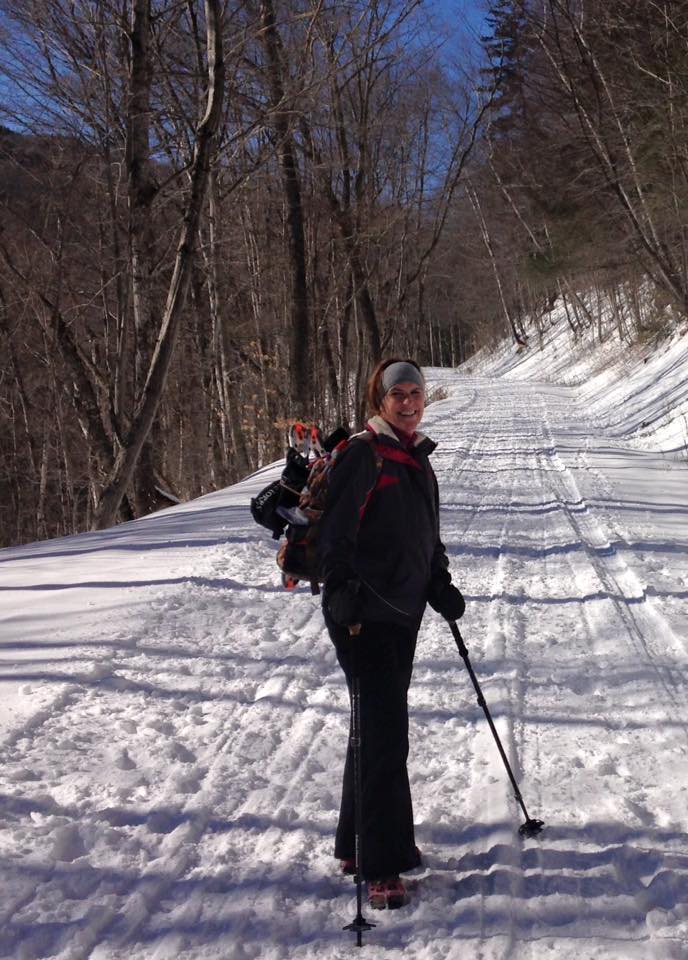 The road is fresh snow packed by snowmobiles, so spikes are working just fine here. We couldn’t ask for a better morning as we talk the miles away on so many topics, passing by a summer home (we think) and all the while the rushing water of Sawyer River keeping us company to our left, with Mt Tremont in the backdrop.
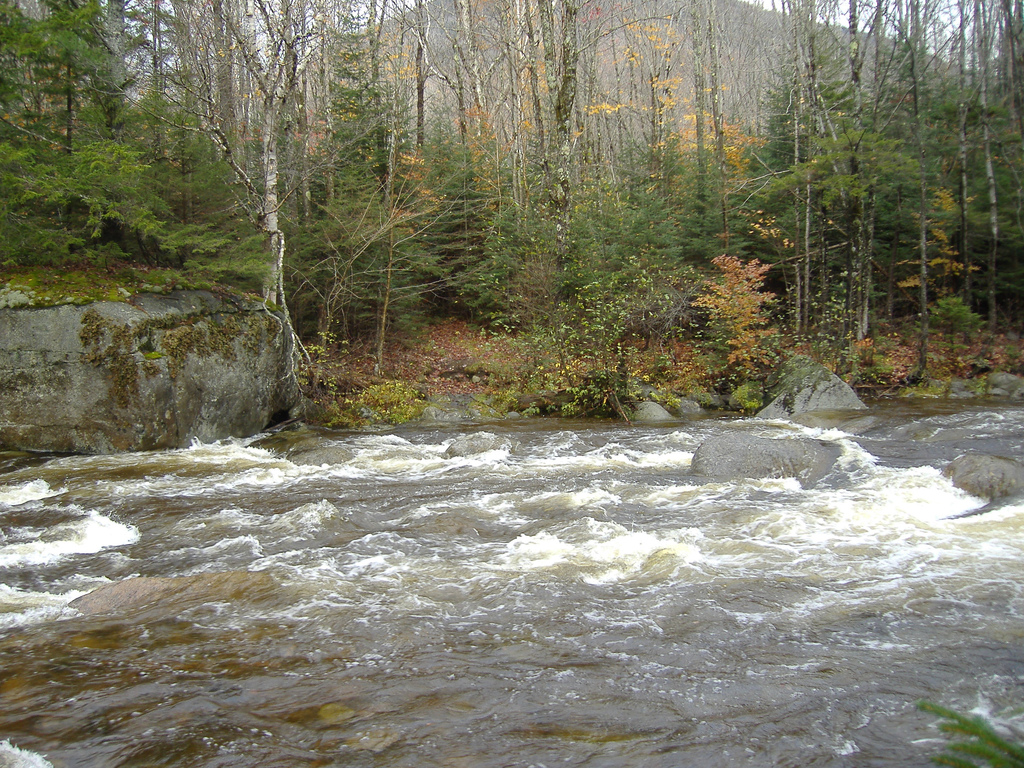
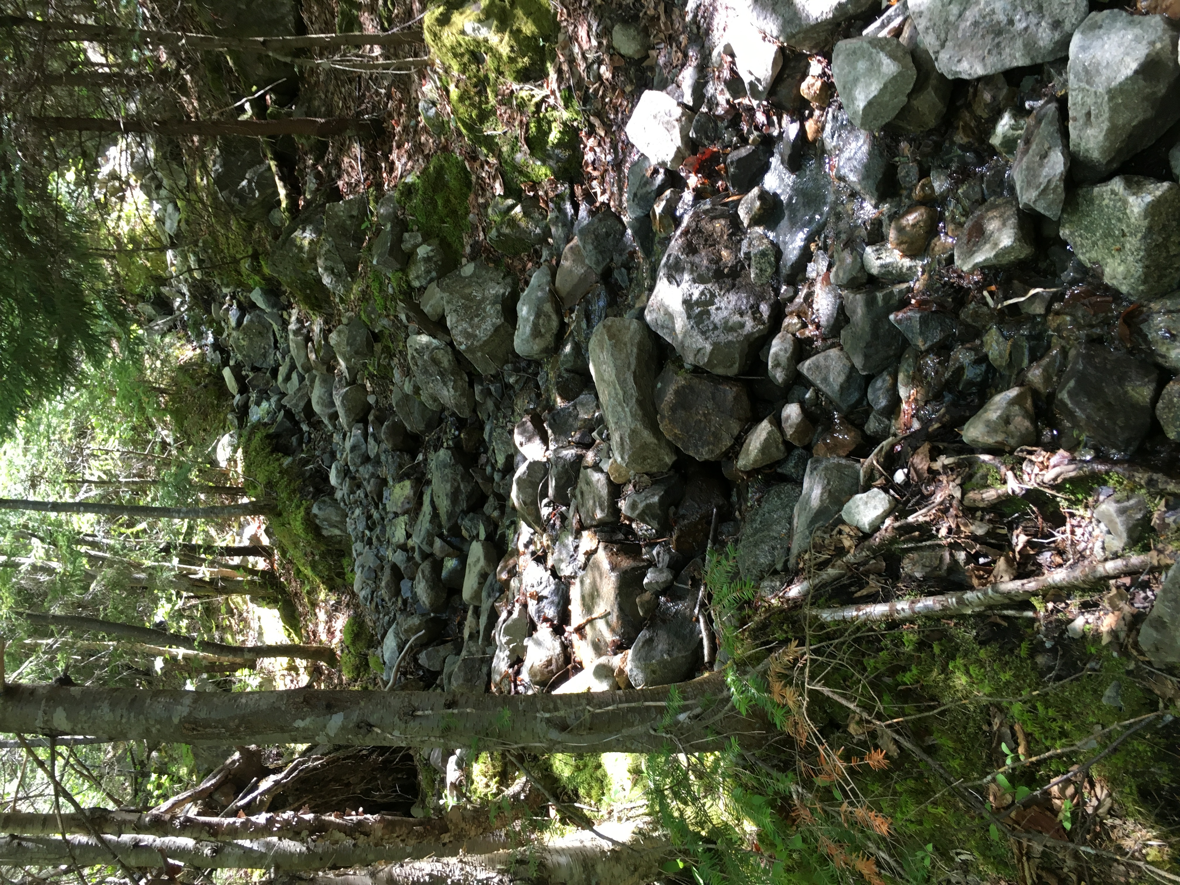
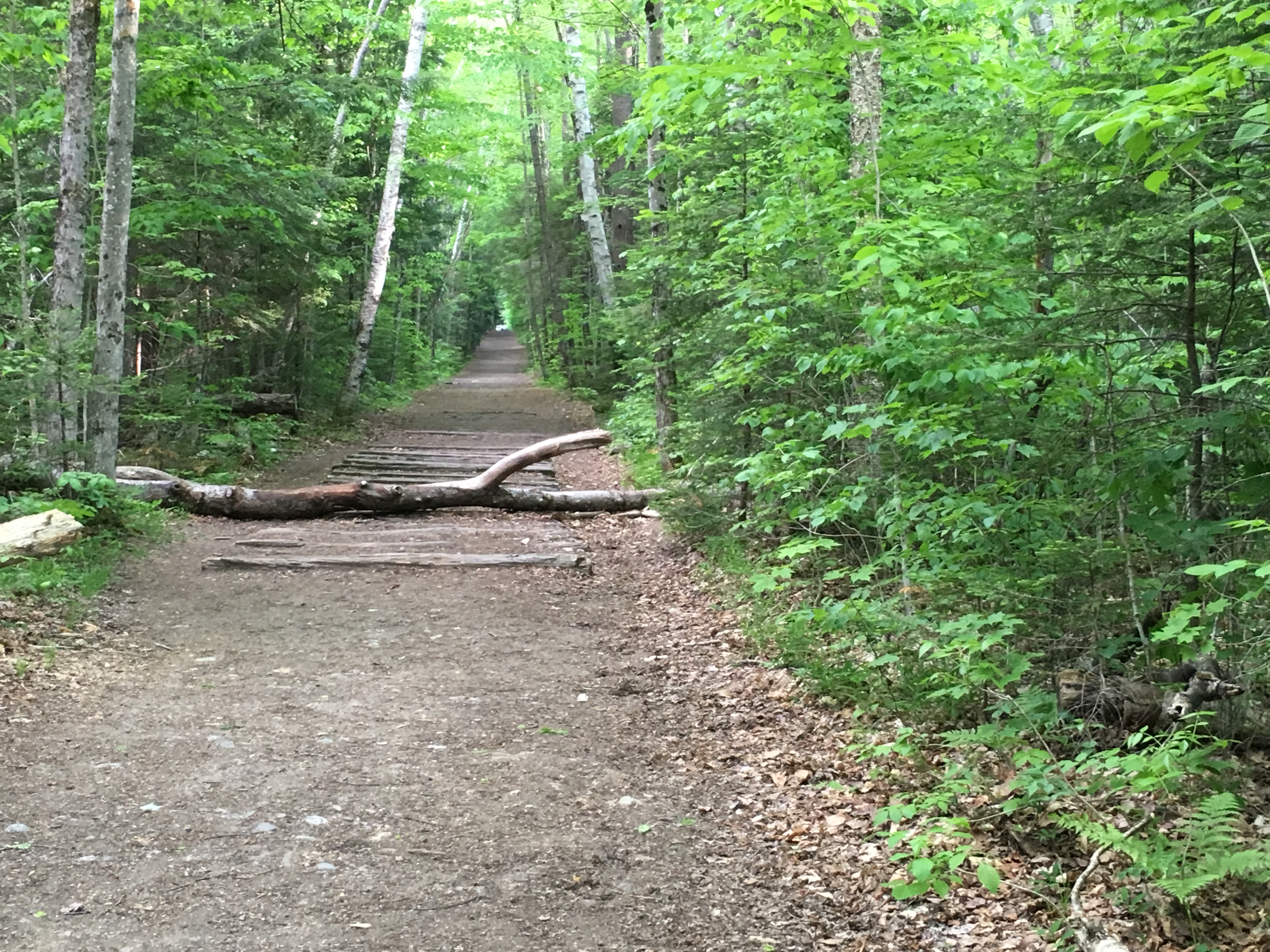
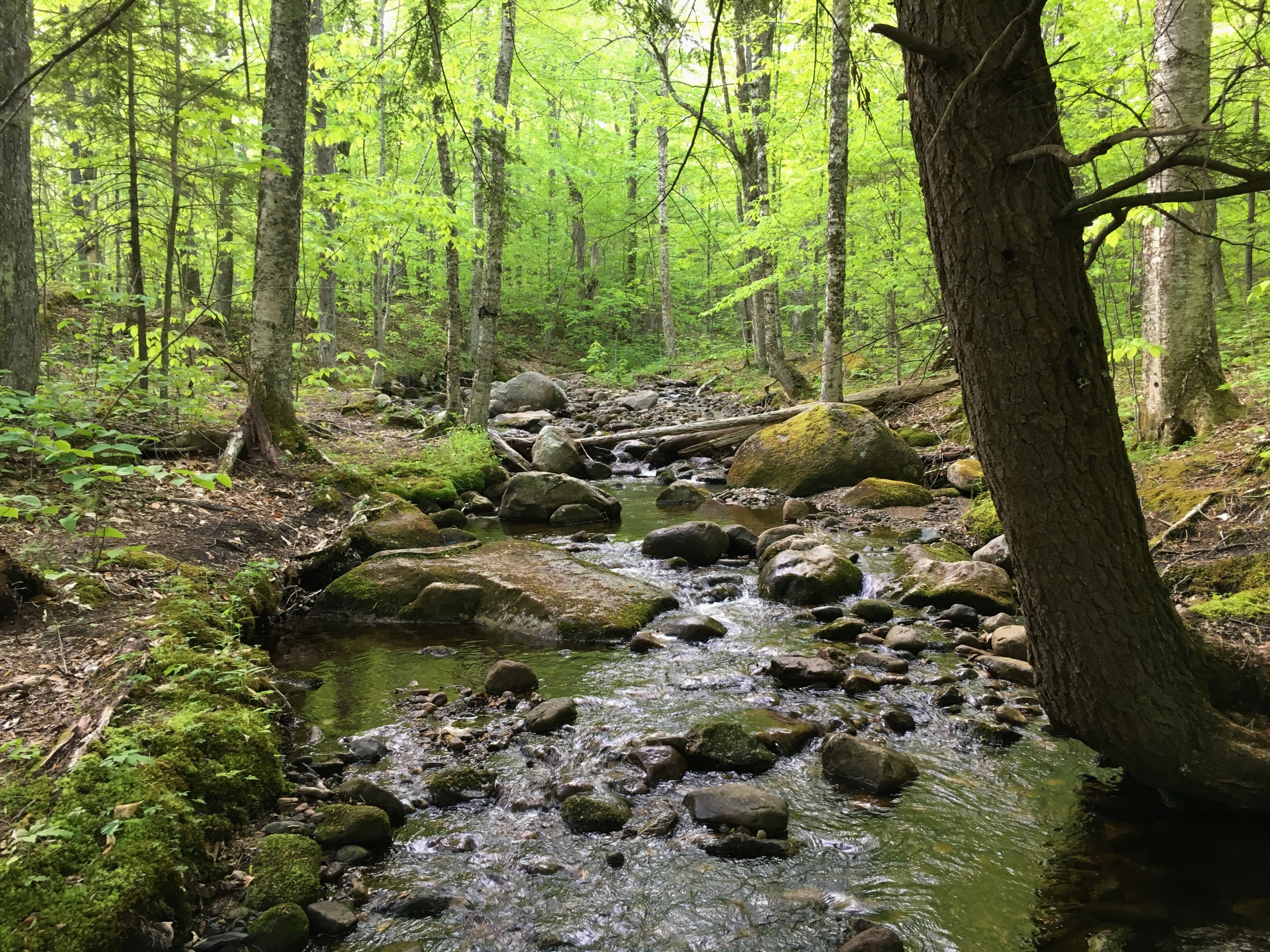
Before we know it, the trailhead is upon us. We notice something strange to start us off- We are on the wrong side of the brook! I had read Steve Smith’s trail description as always. The word was that we could avoid the first double water crossing by bypassing the trailhead to the SE side bank of Whiteface Brook and bushwhack along this bank until we met back up with the trail. But they must have moved the sign and rerouted the trail so that we are already on this side of the brook without the need to bushwhack. So be it…  More perfect winter trails as the first few miles of Signal Ridge Trail are fairly flat and we are so appreciative to be blessed with this day because we know all too well things could have been so much more challenging, and at least this far it is a breeze! As the trail takes us away from Whiteface Brook and toward Carrigain Brook, we are faced with our first water crossing. We make it across no problem, then a few more tributaries to cross. Looks like no high water to contend with today either. I’ll take it!!
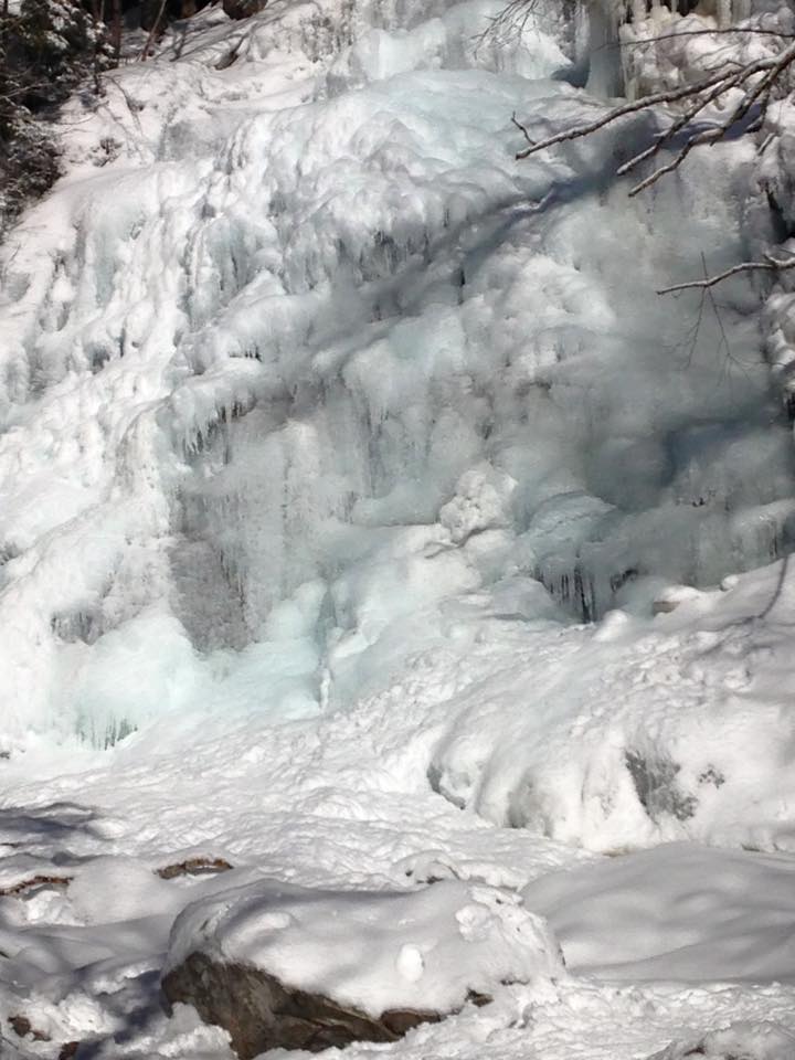
As I write this after the fact and look through the pictures I realize how few pictures I have taken! I guess sometimes you need to put the camera down and just enjoy the moment with all of this earth’s great gifts and the great company!
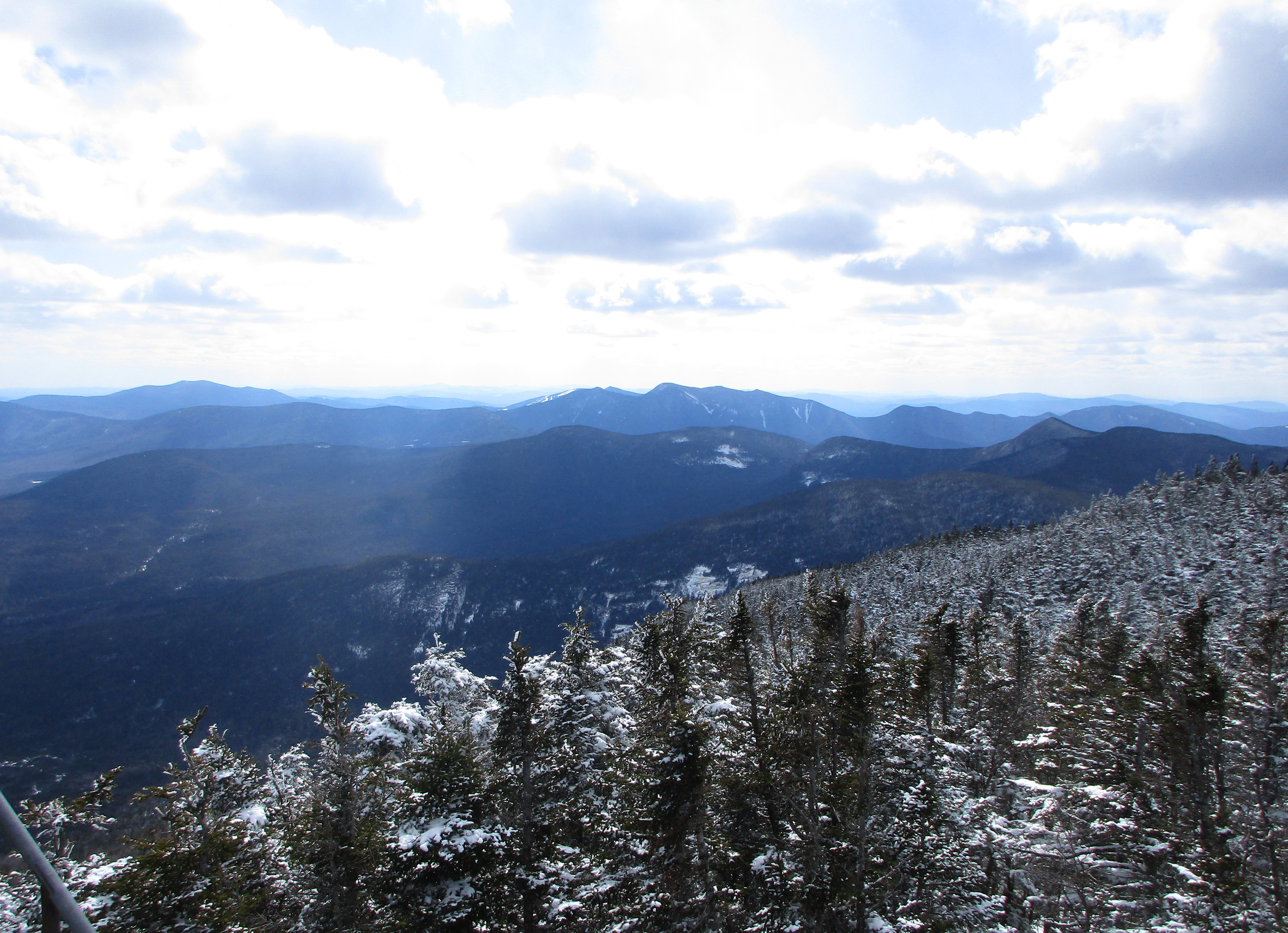
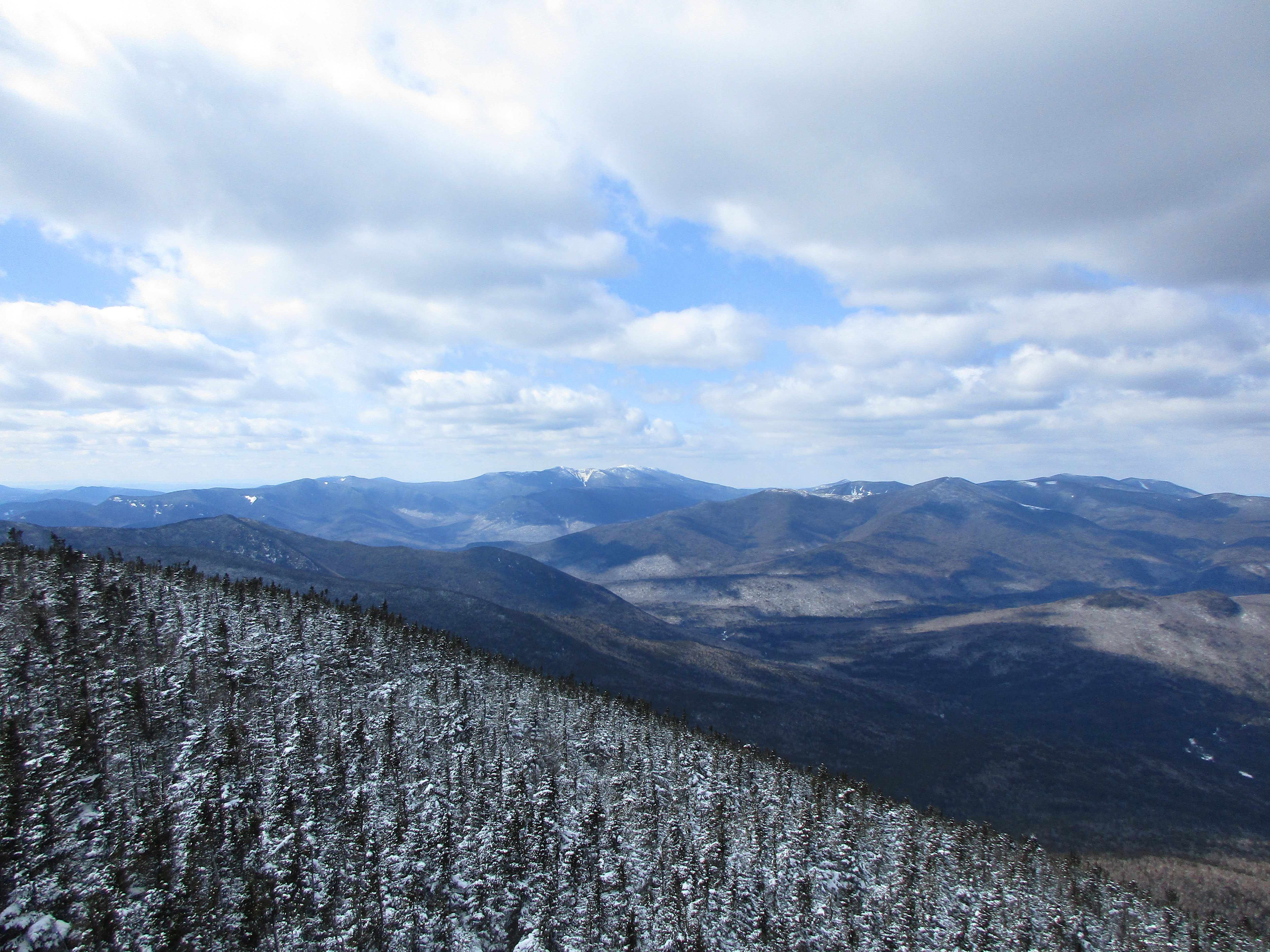
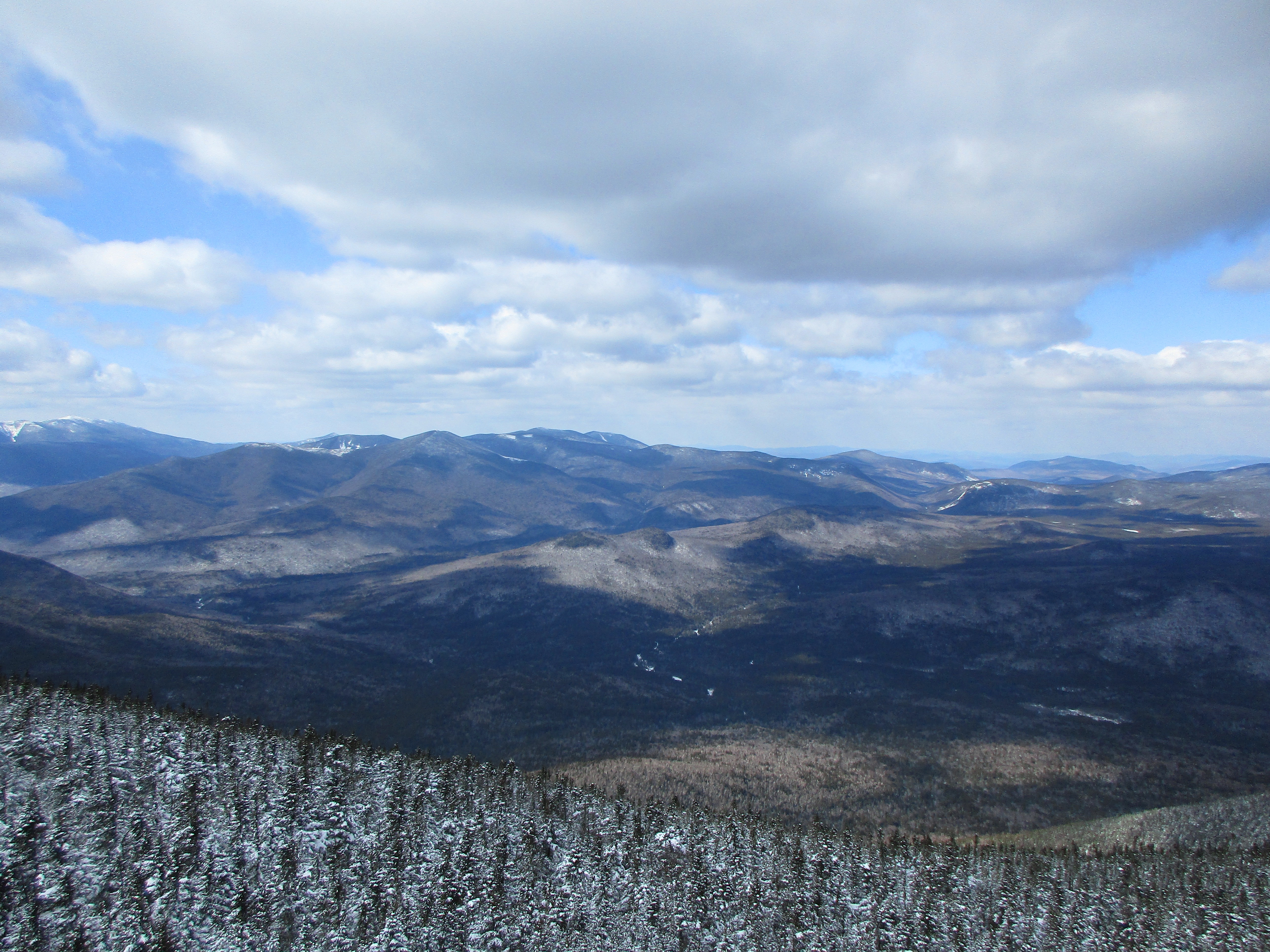
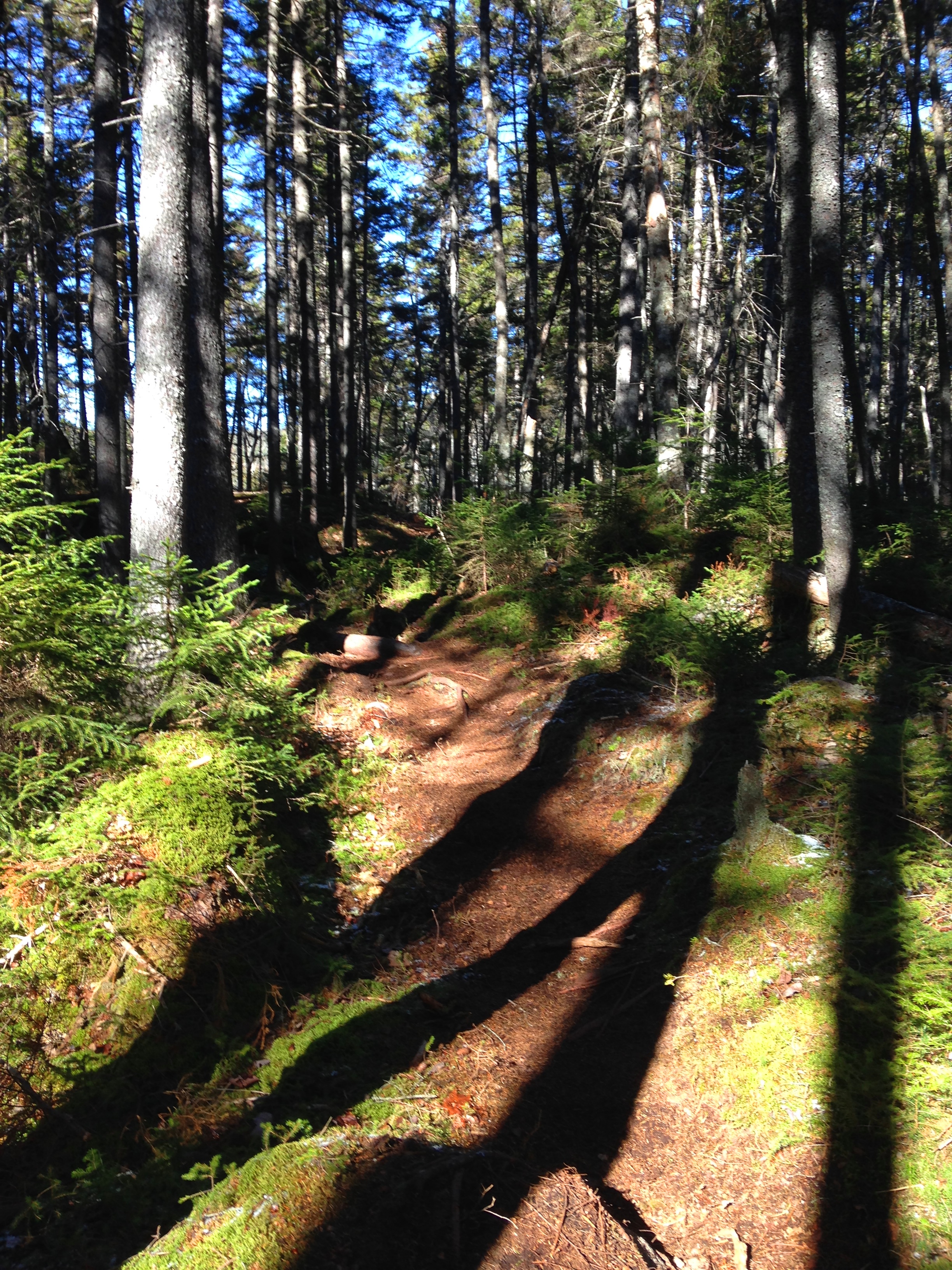
Fast forward a few miles and the climbing finally begins climbing steadily then we started noticing the slight slip with each step in the now softer snowpack. A switch of footwear is in order – snowshoes it is! Finally, I no longer have to carry these things! Even better: I can use the heel lifts to spare my calves and ankles- That’s worth the effort of switching right there! (“Exclamation point police – Pull Over! You’re past the legal limit!!”) – One of three groups of hikers (3 dudes and 2 dogs) we would see all day, catches up to us with spikes still on and mention their envy of our footwear, and then pass by. We catch up to them a short time after. This tag team continues a few more times. A steady climb with very few level spots keeps us focused on our task and earlier conversations give way to “crunch crunch crunch breath in breath out…” with trees gradually getting shorter and we know we are getting closer and closer until…
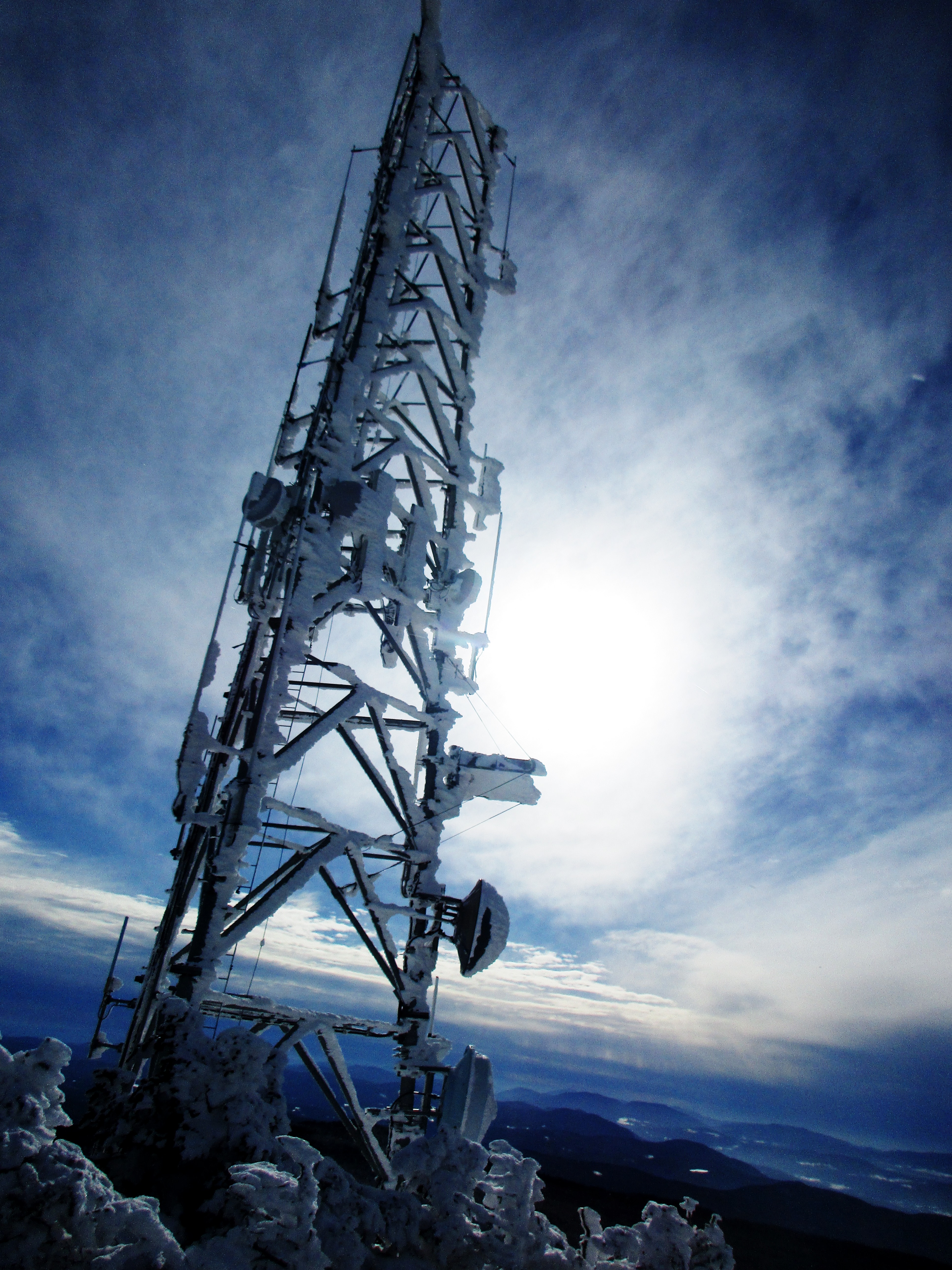
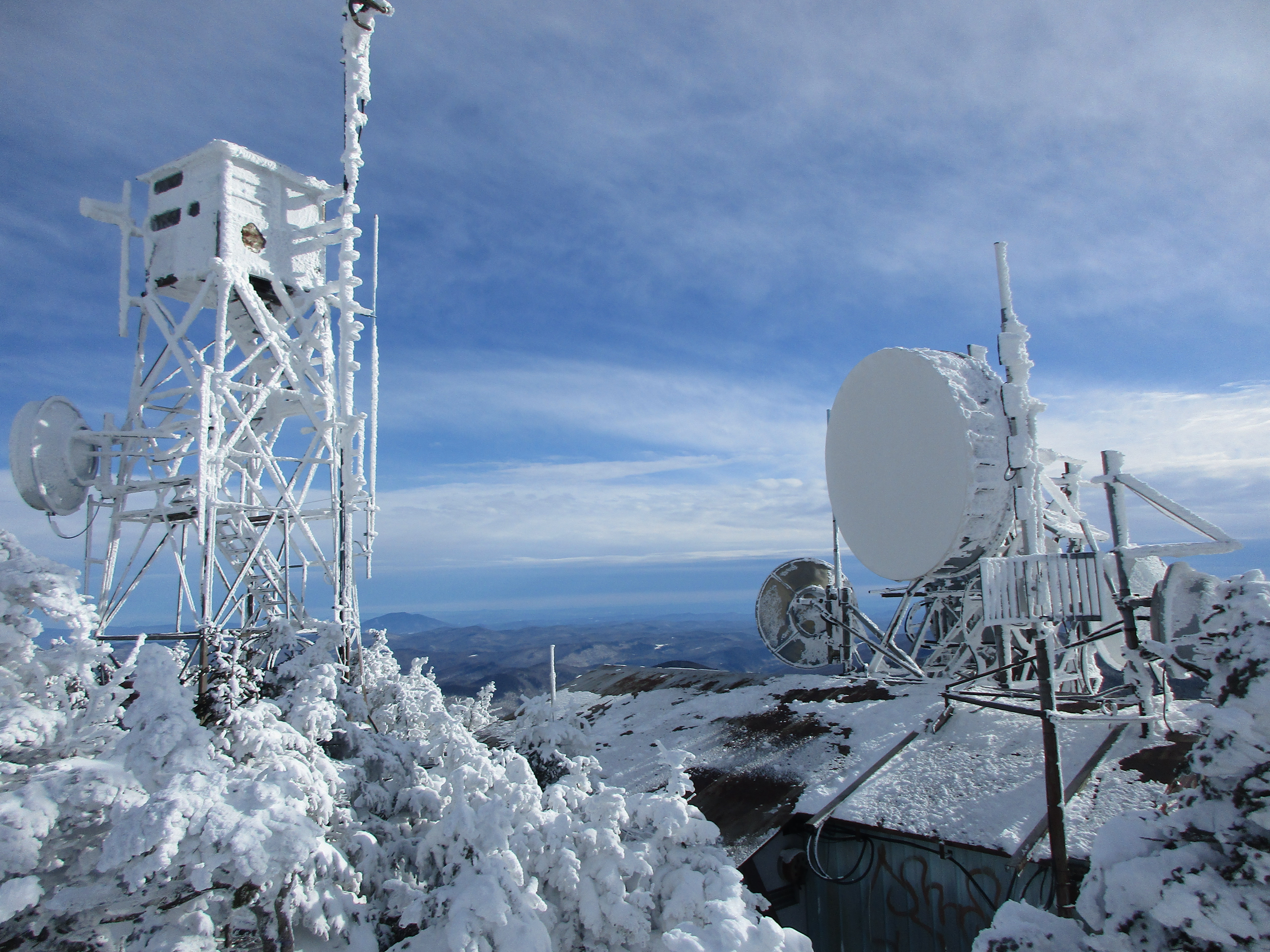
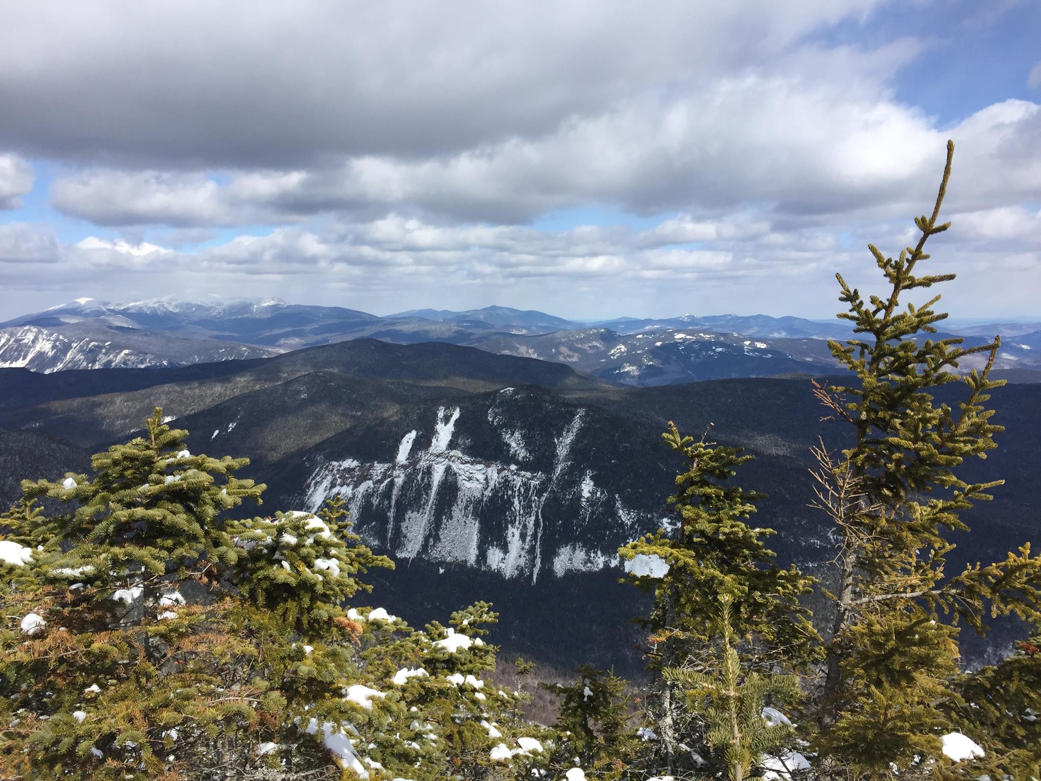
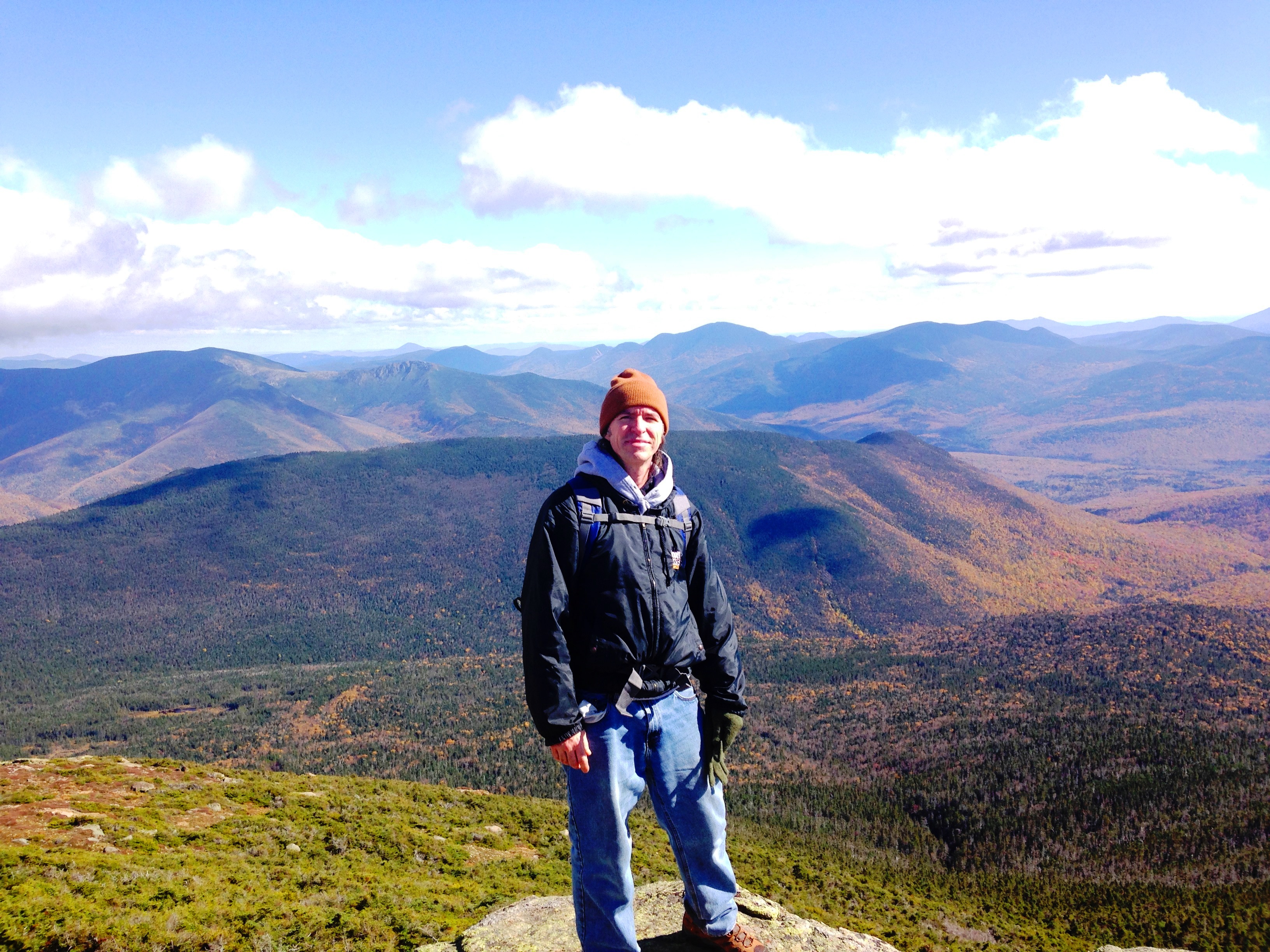
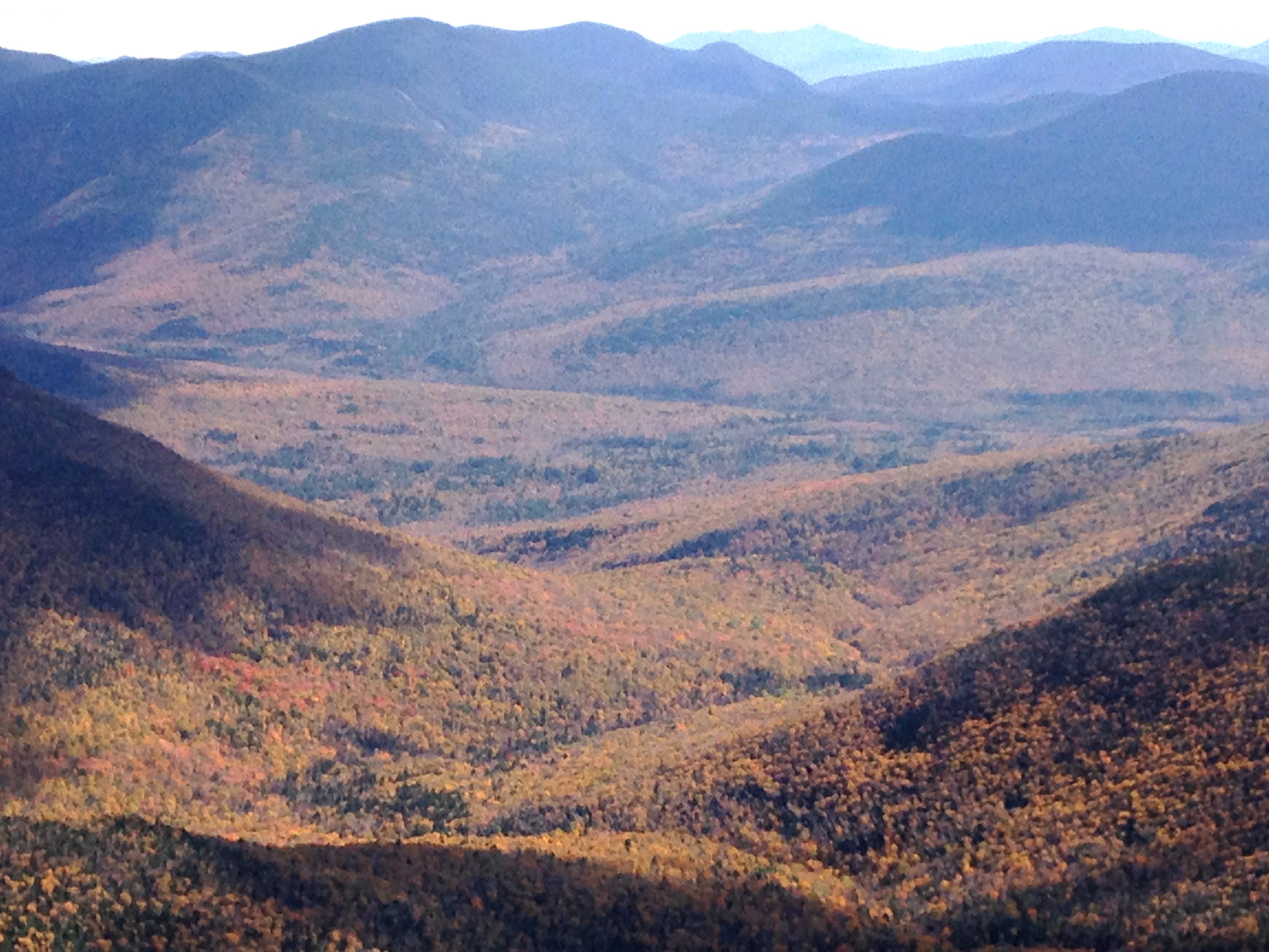
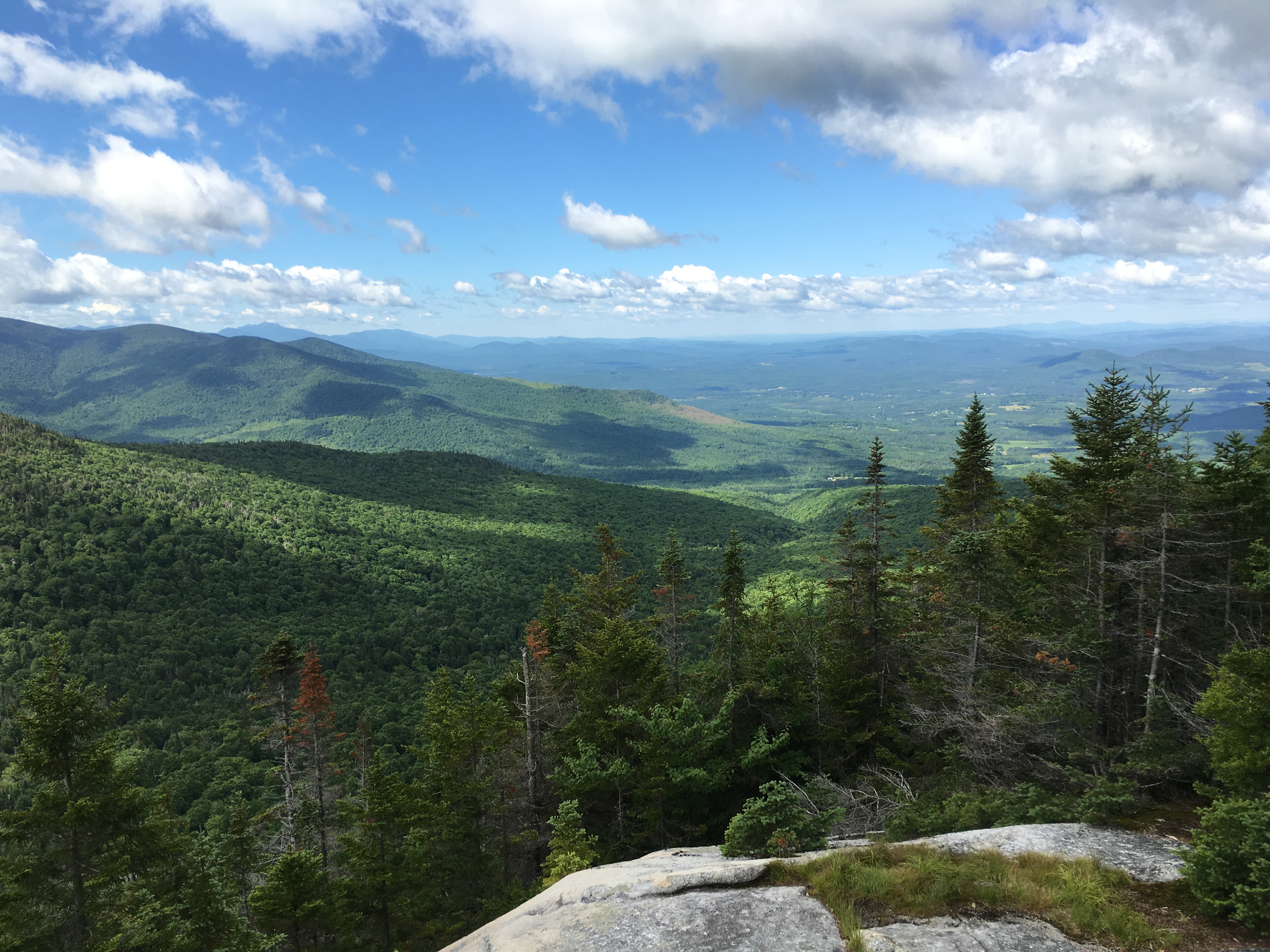
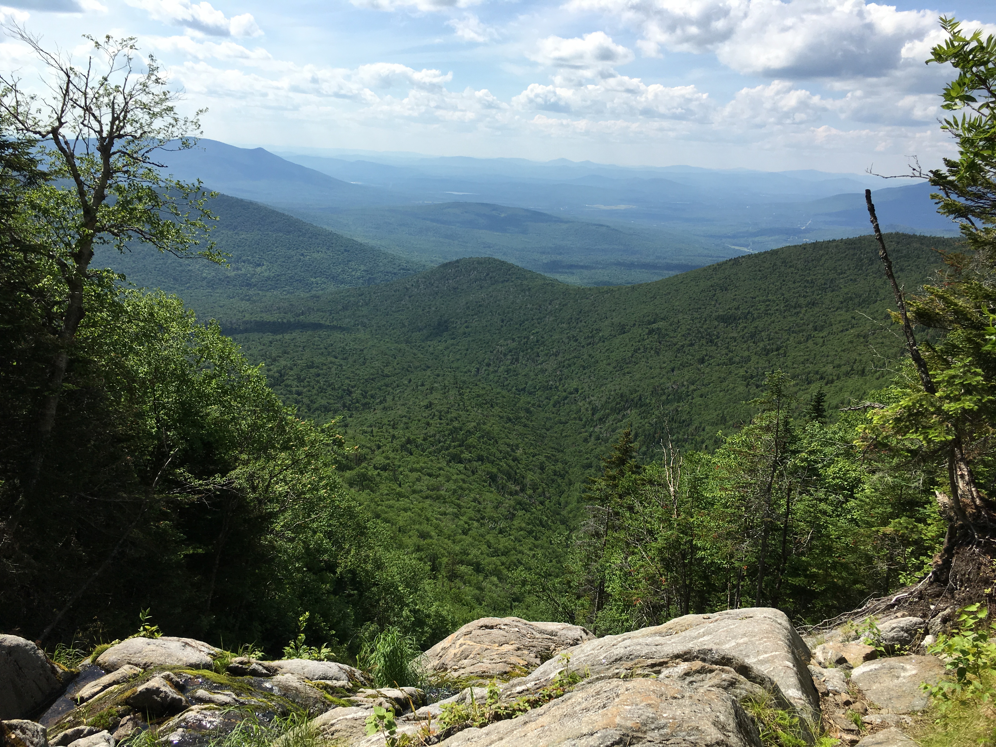
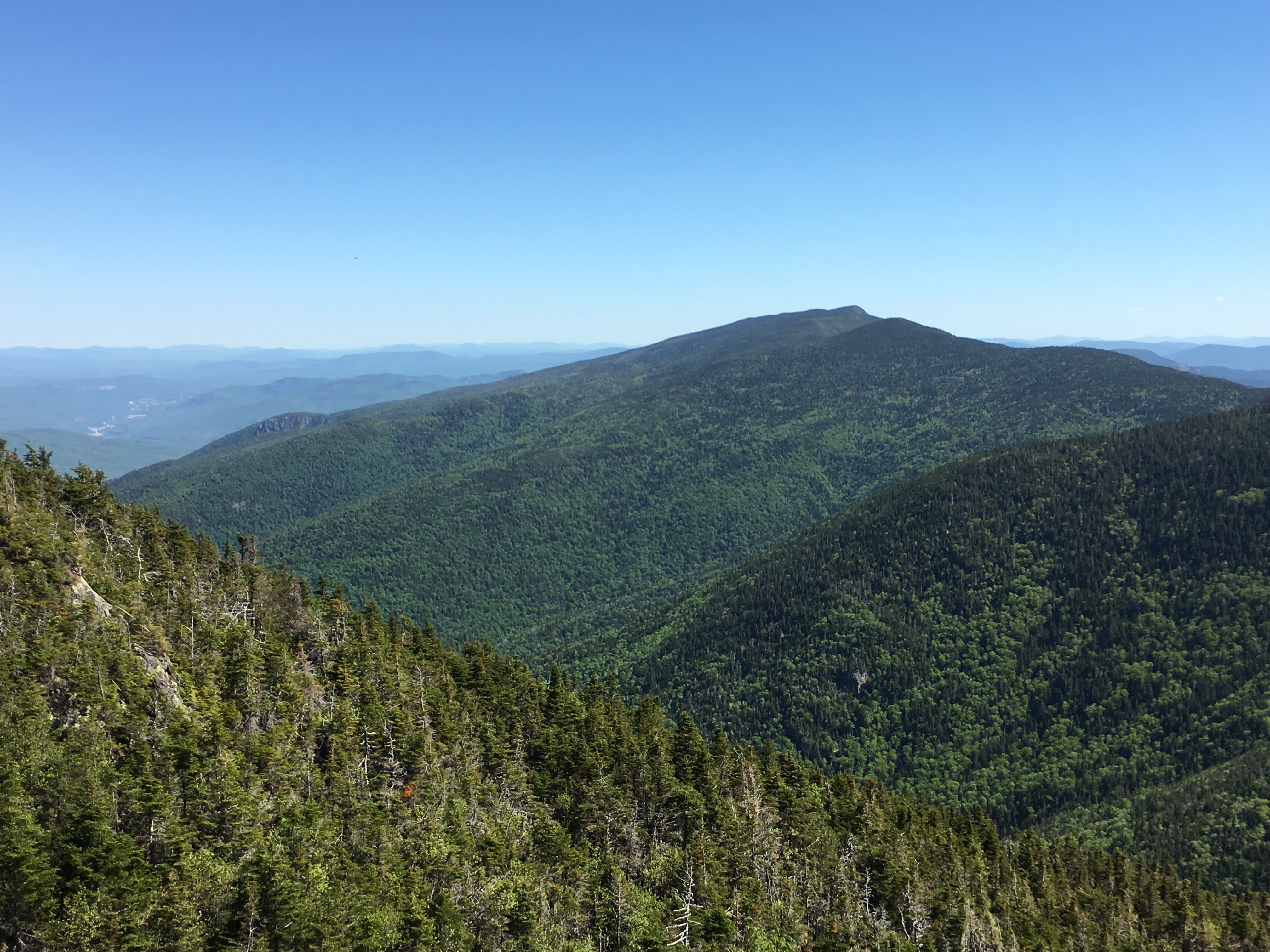
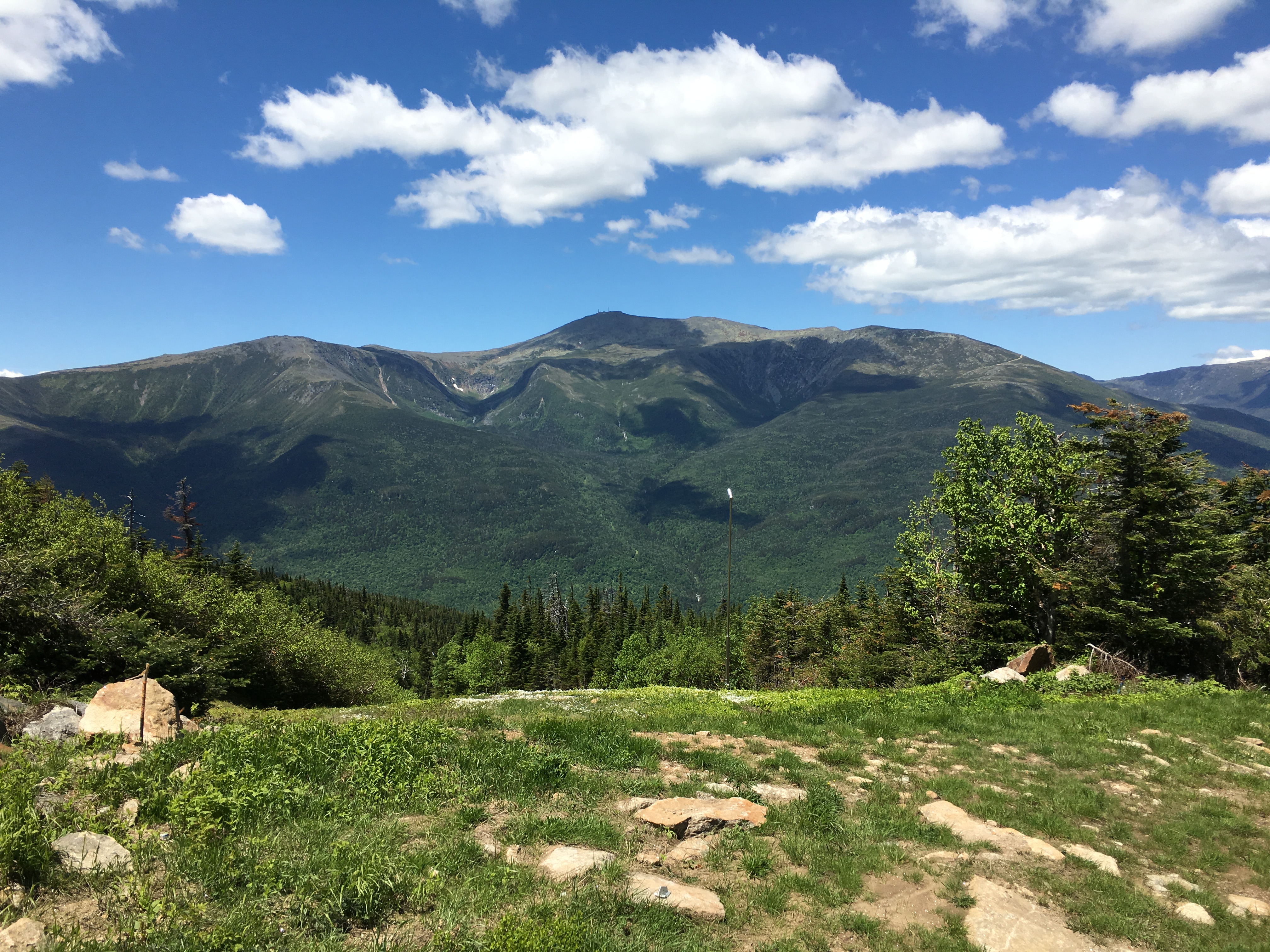
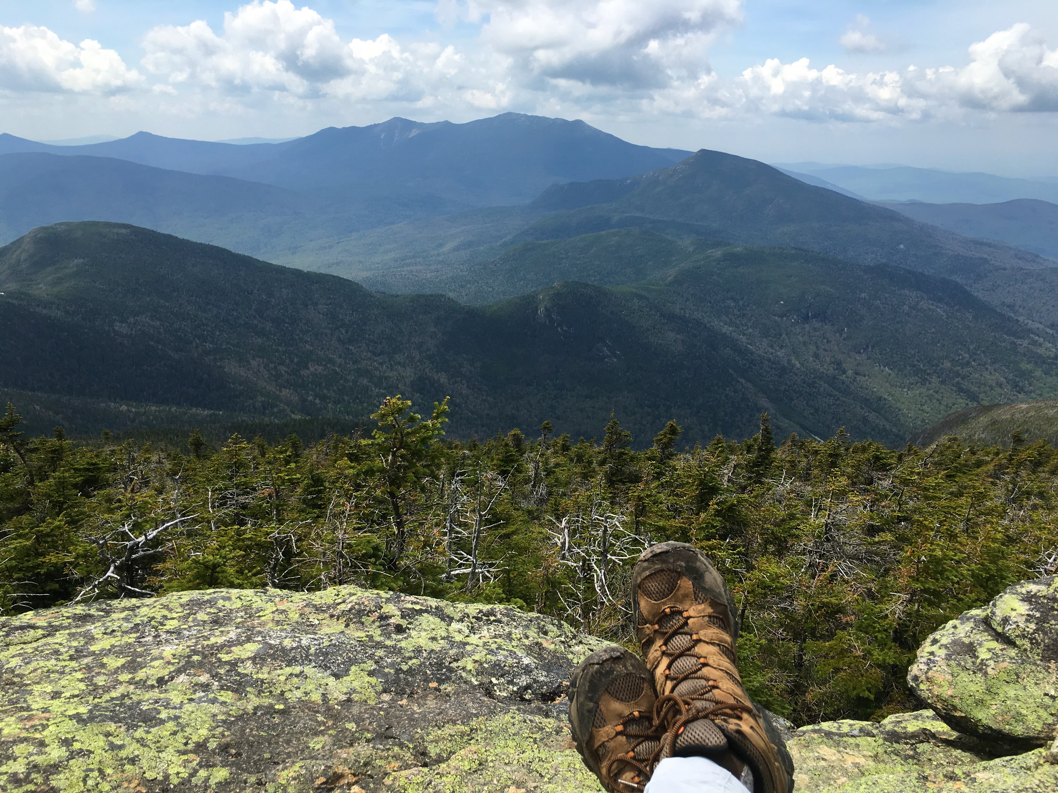
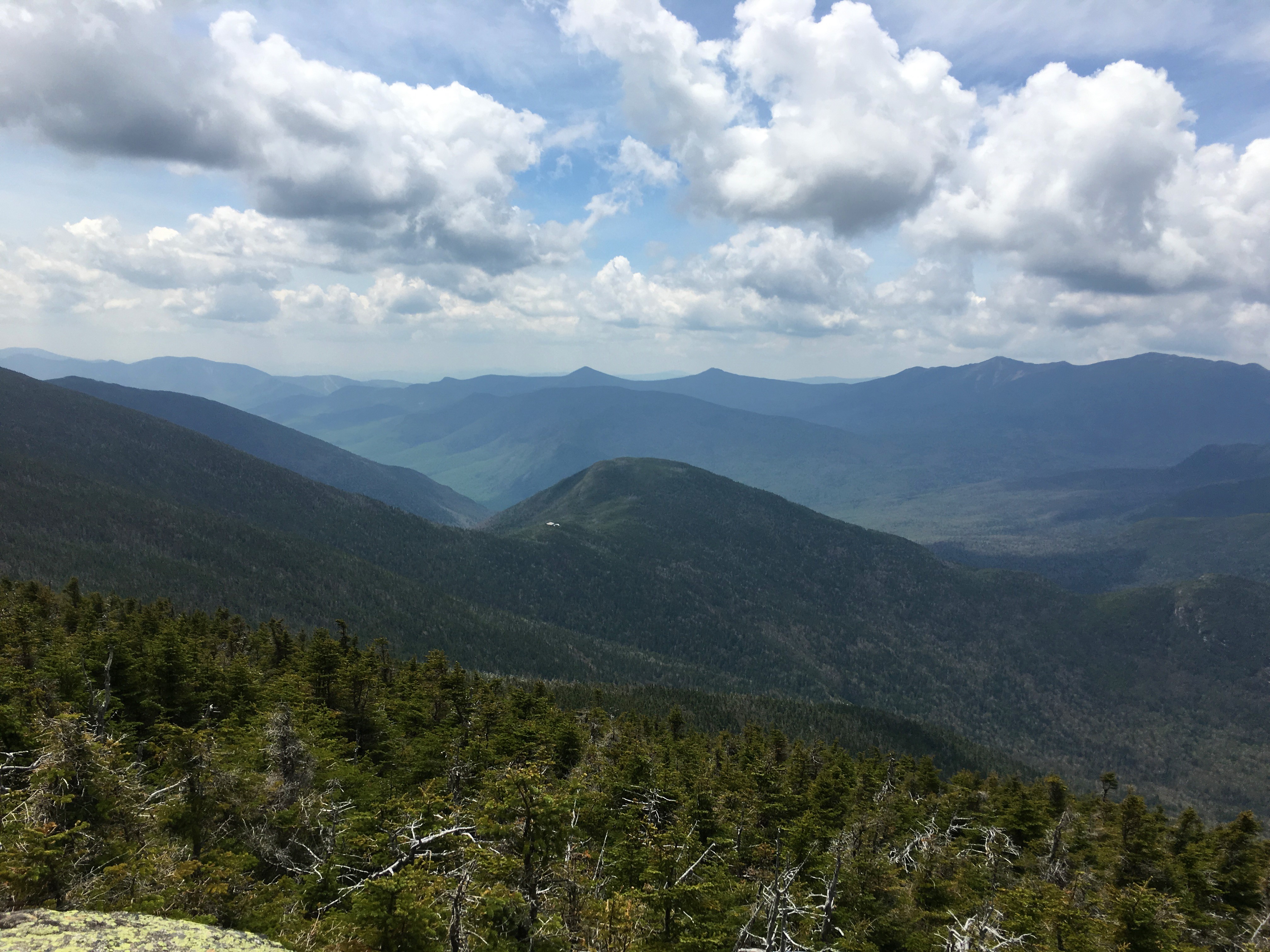
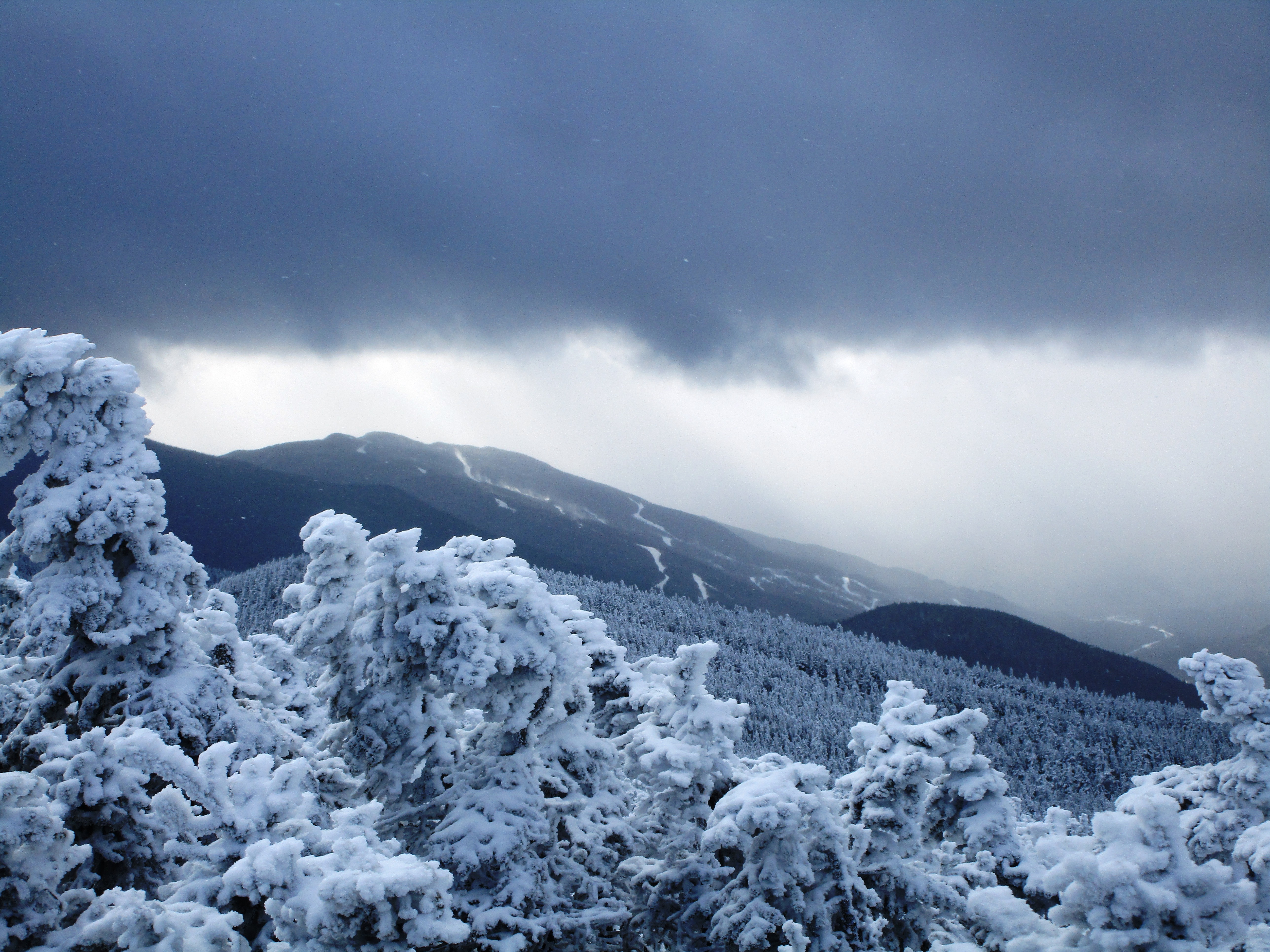
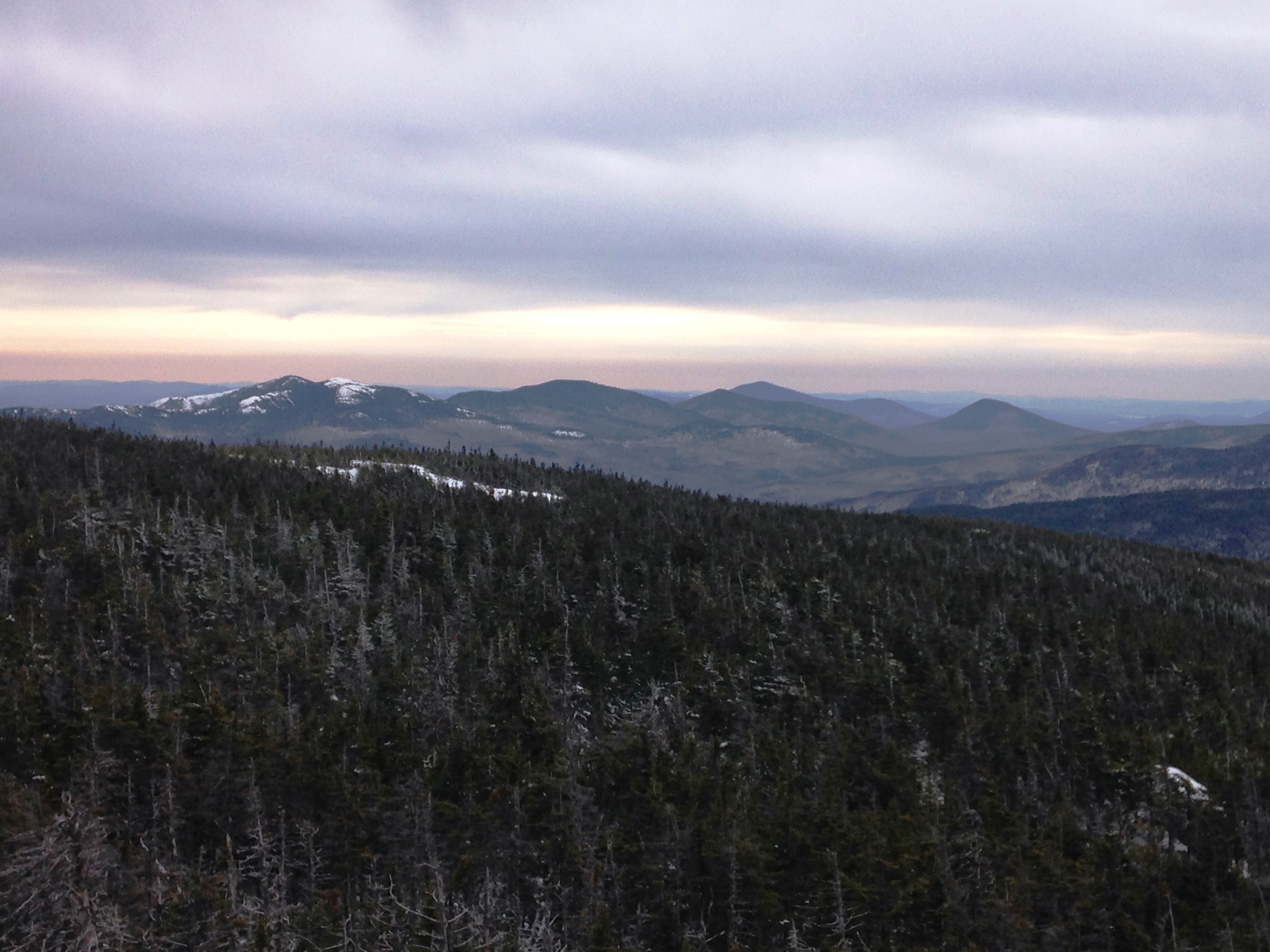
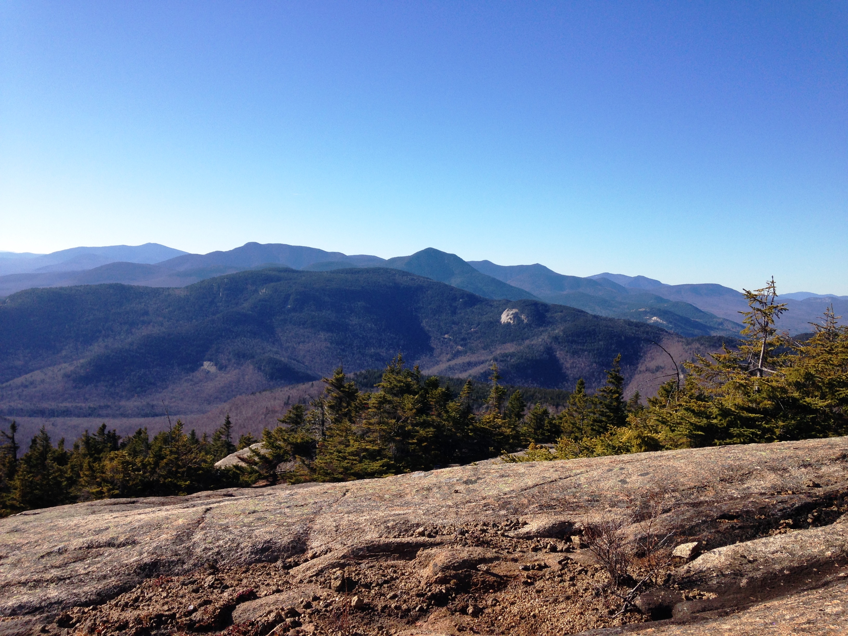
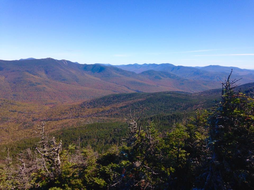
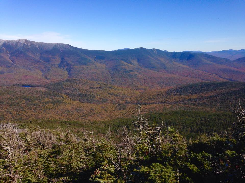
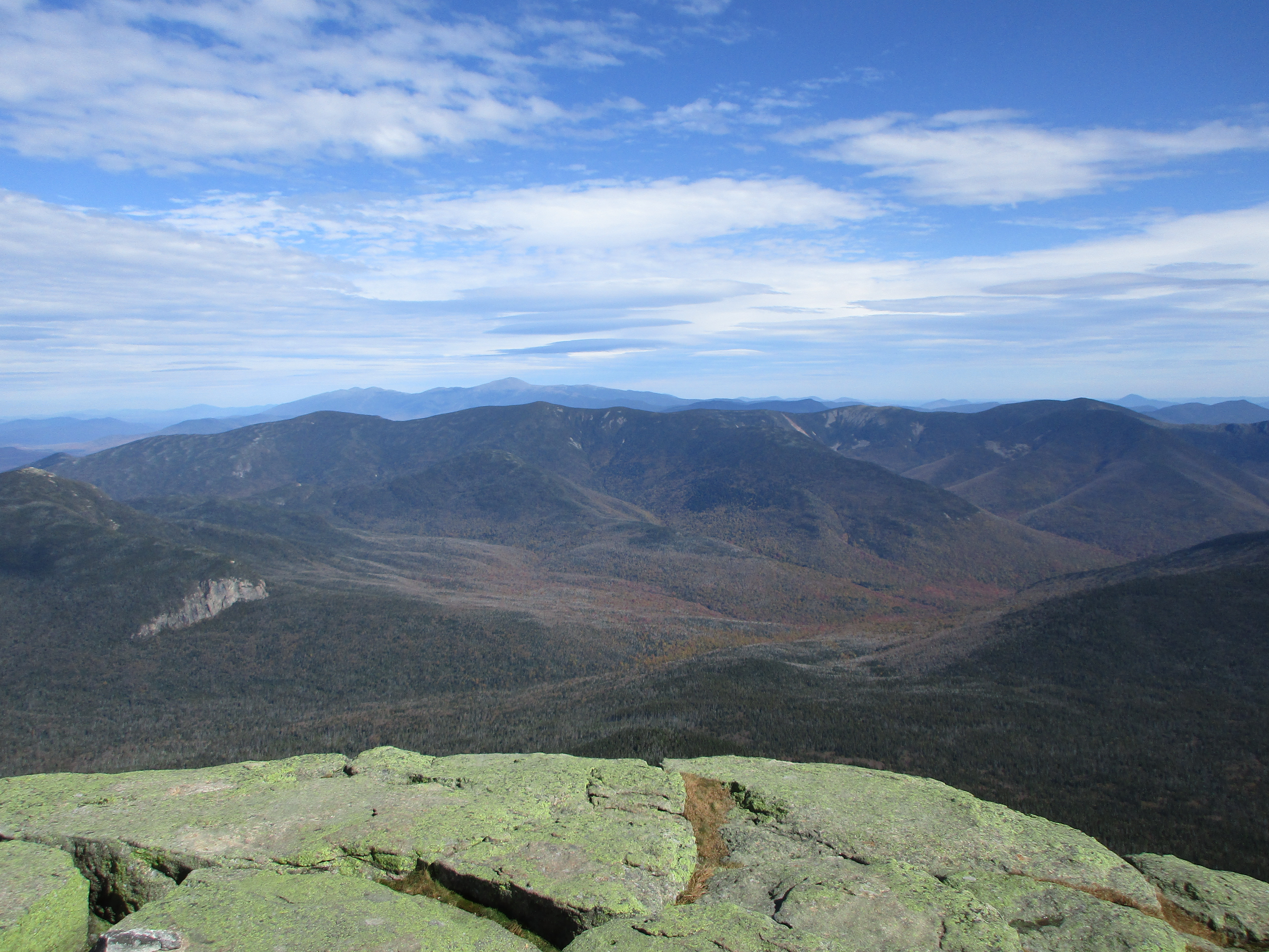
aaah open clearing on signal ridge with amazing views to Willey range, Hancocks, Presidentials (including Washington) and most importantly the summit tower of Carrigain! The trail dips down at this point and it is here that I notice a shooting pain in my knee. OUCH!!!!!!!!!!!!! (suck it exclamation point police!!!!) Therese actually asks me if want to turn around, and I’m like “I don’t think so! The summit is right there!! So we make the final push to the summit and it is totally worth every painful step I know I will have to make on the way down. They say that this is the point in the White Mountains where you can see the most peaks on a clear day, AND I BELIEVE IT!! But don’t take my word for it just look at this: click here for Carrigain Summit video clip.

These winter summit visits always seem way too short, and this is no exception. So after a few more shots of this amazing place, we are forced to face the music and limp my way back down the mountain. Aside from this nagging pain I am so thankful for a perfect day and to be able to share it with my sister.
…and that wrapped up another winter in the whites. I took full advantage of what was given me and had a blast doing it. Still, at this point I was ready to turn the page on winter conditions and wasn’t forecasting a return to the whites until late April or so. Little did I know, an abnormally long ice season would make my hiatus much longer…
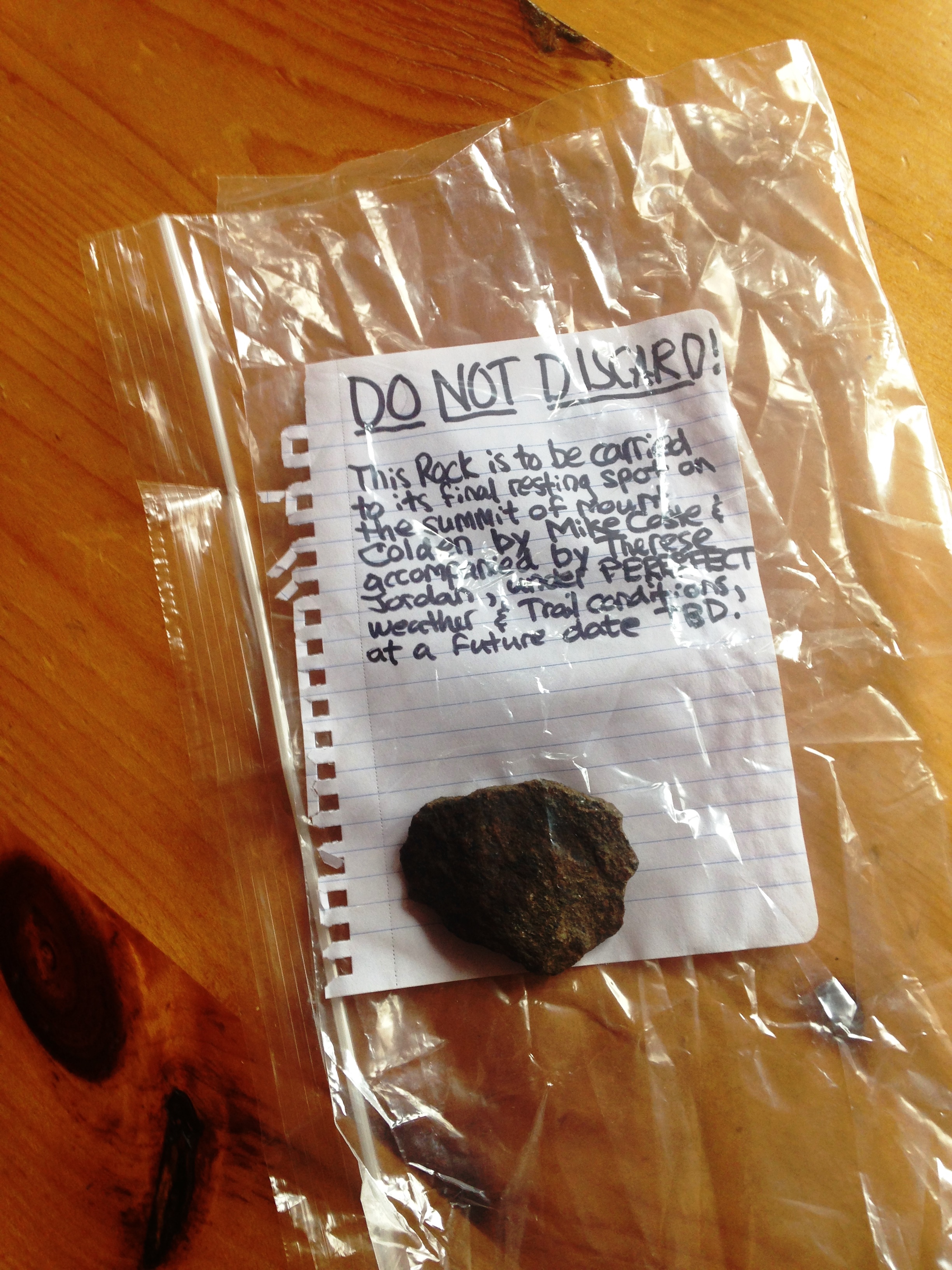
 So all systems go for my next landmark on the way to my ultimate White Mountain goal the one obstacle standing in my way before I take my finishing steps. What a day that is shaping up to be! Quite different than this lone-wolf march I am on today. Garfield will see a large portion of the Coste Clan, and potentially a few friends too when autumn arrives and I complete this crazy list that has been my main drive and focus over the past 2 years. There is quite a large chunk of time between now and then, but I plan to put a dent in some of my next lists, first and foremost the ADK46.


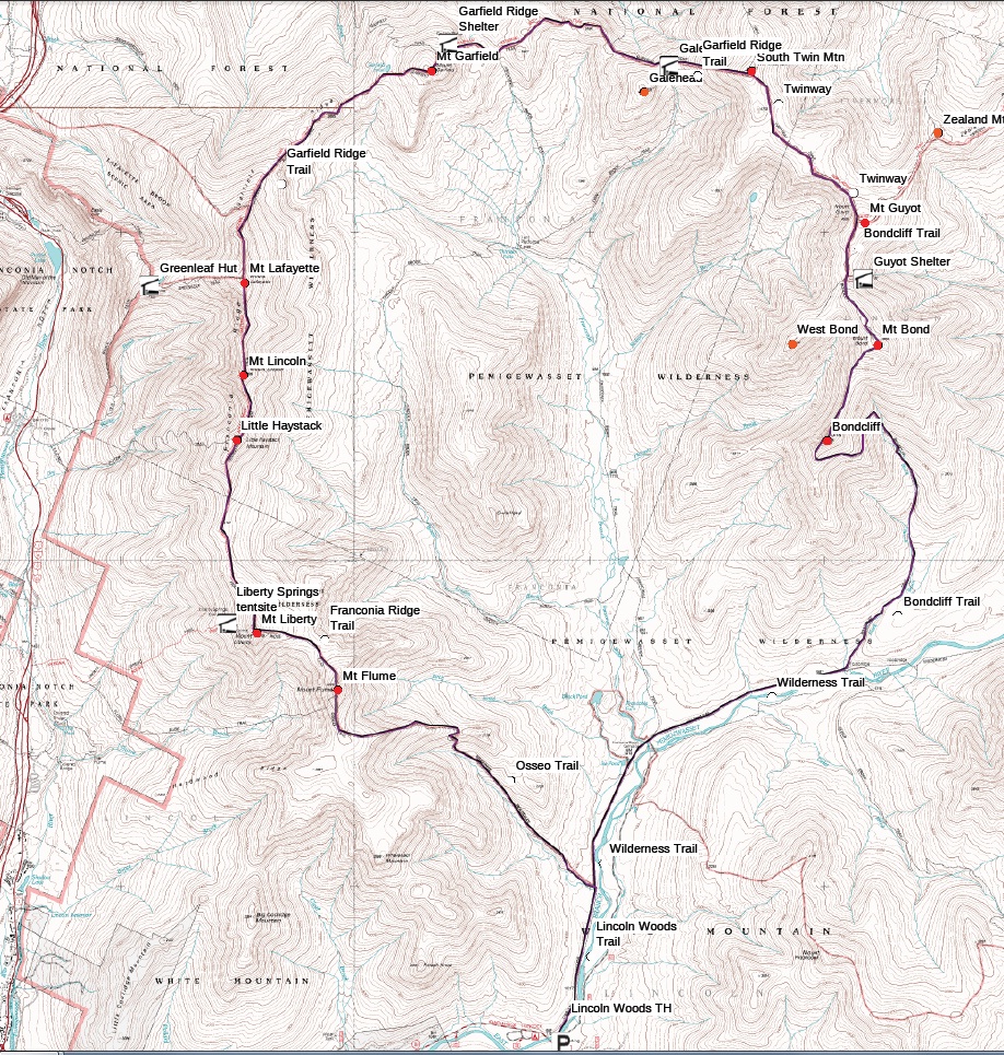
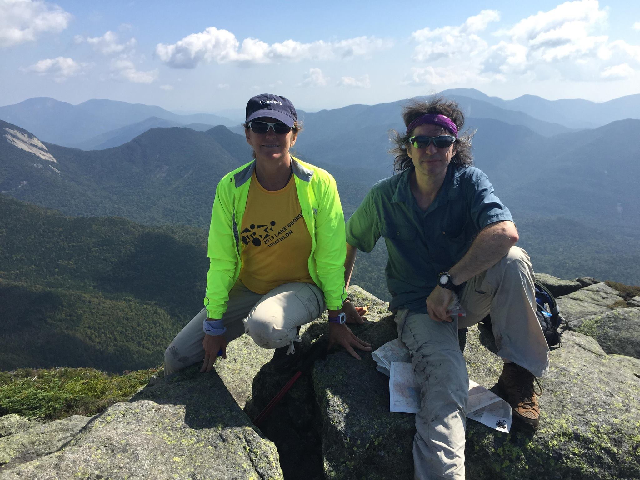
 In fact, I have already made some good progress, spending the past week in the high peaks, checking off Giant, Rocky Peak Ridge, Porter, Cascade, Whiteface and Esther to add to the 7 Peaks from last summer. I’m well on my way to catching my sister Therese who has completed 19 of them to this point. And speaking of my sister, there will be one more very important hike after this and prior to my finish on Garfield. We are planning an overnight backpack trip to relive our first white mountain hike together (with brother Paul) when we were youngsters, heading into the remote Pemi Wilderness to the Bonds. Looks like Paul wont be able to make it, as he lives in North Carolina now and could not make the trip this time, but will be with us in spirit.
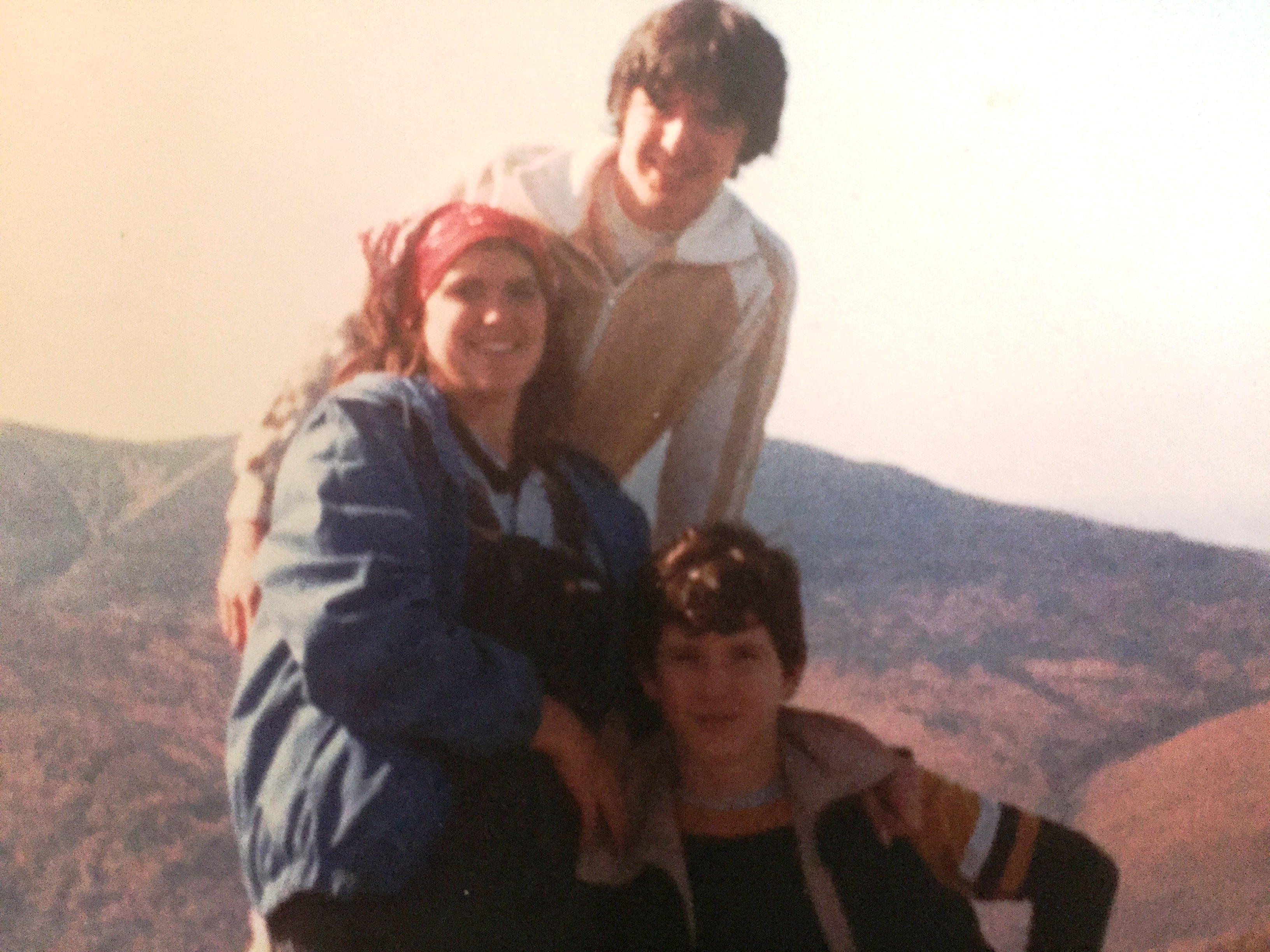
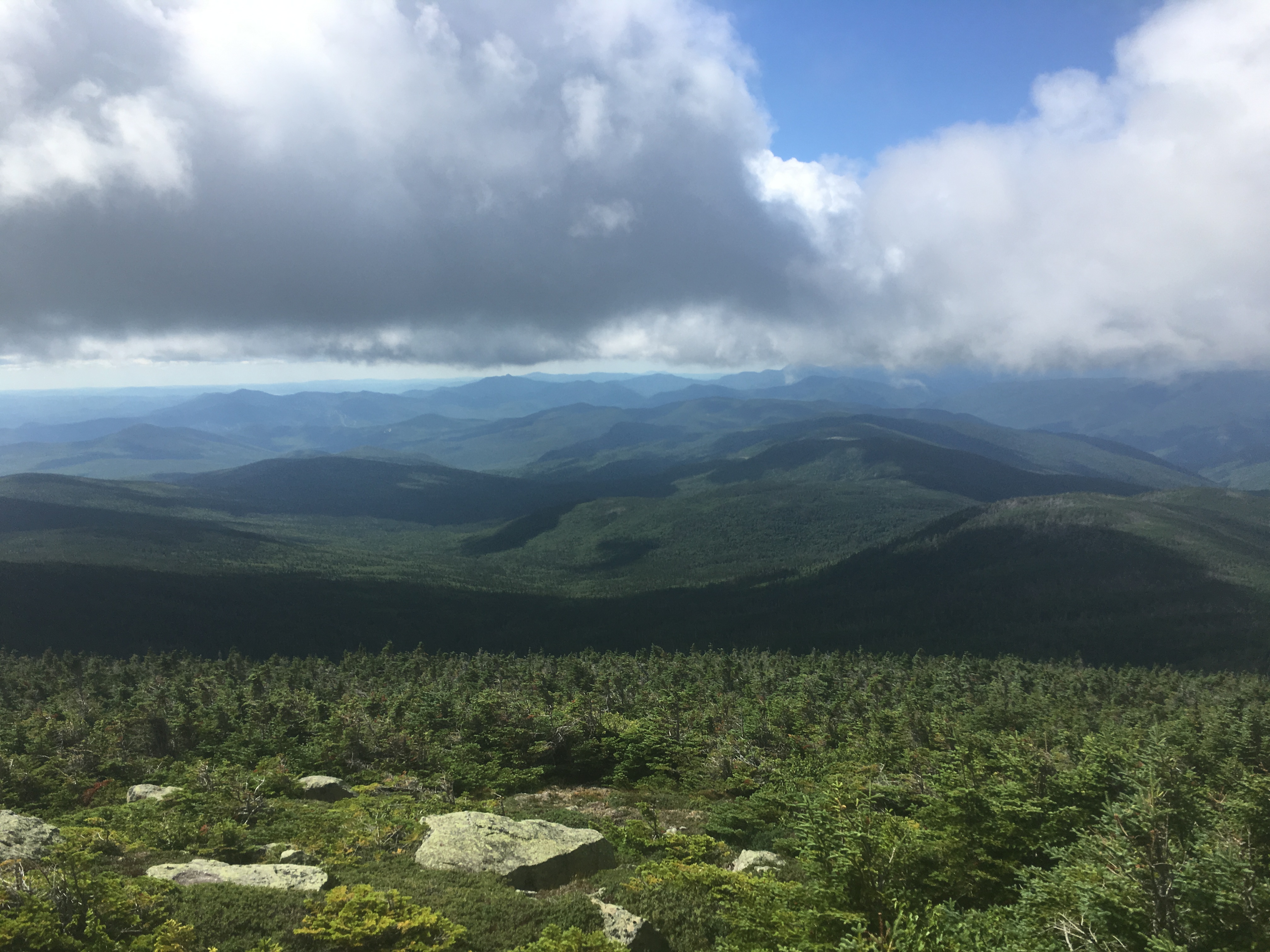
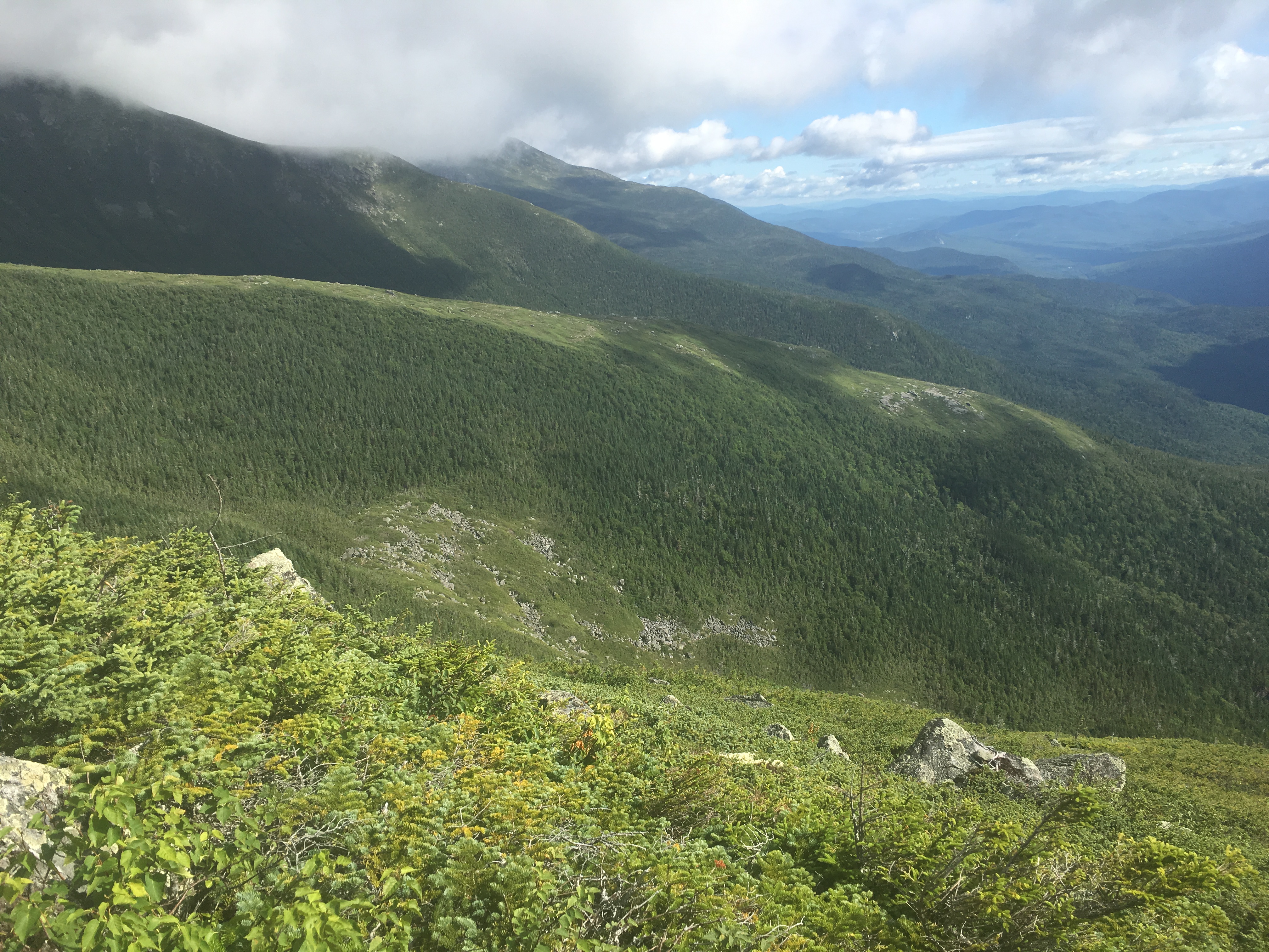
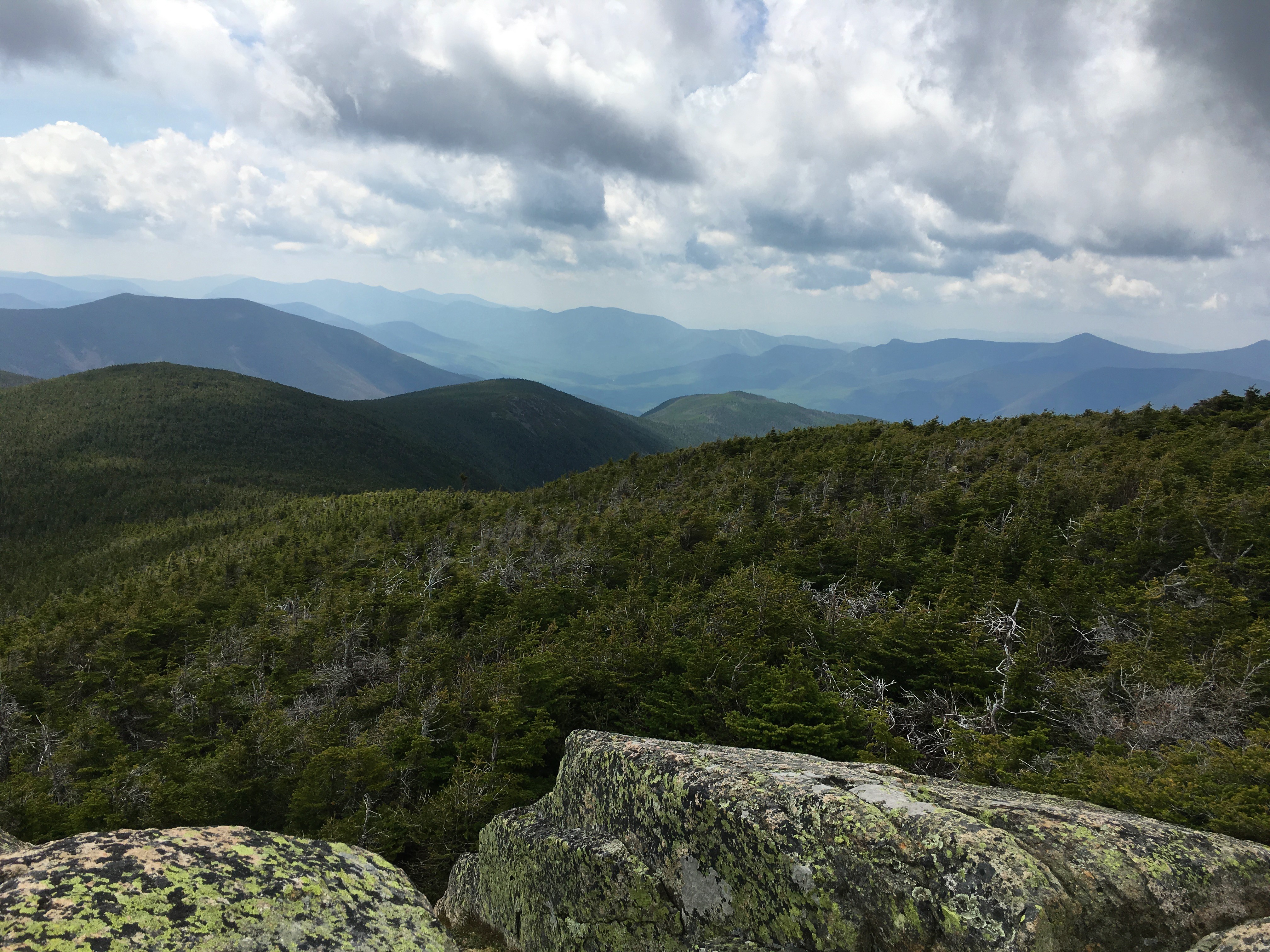
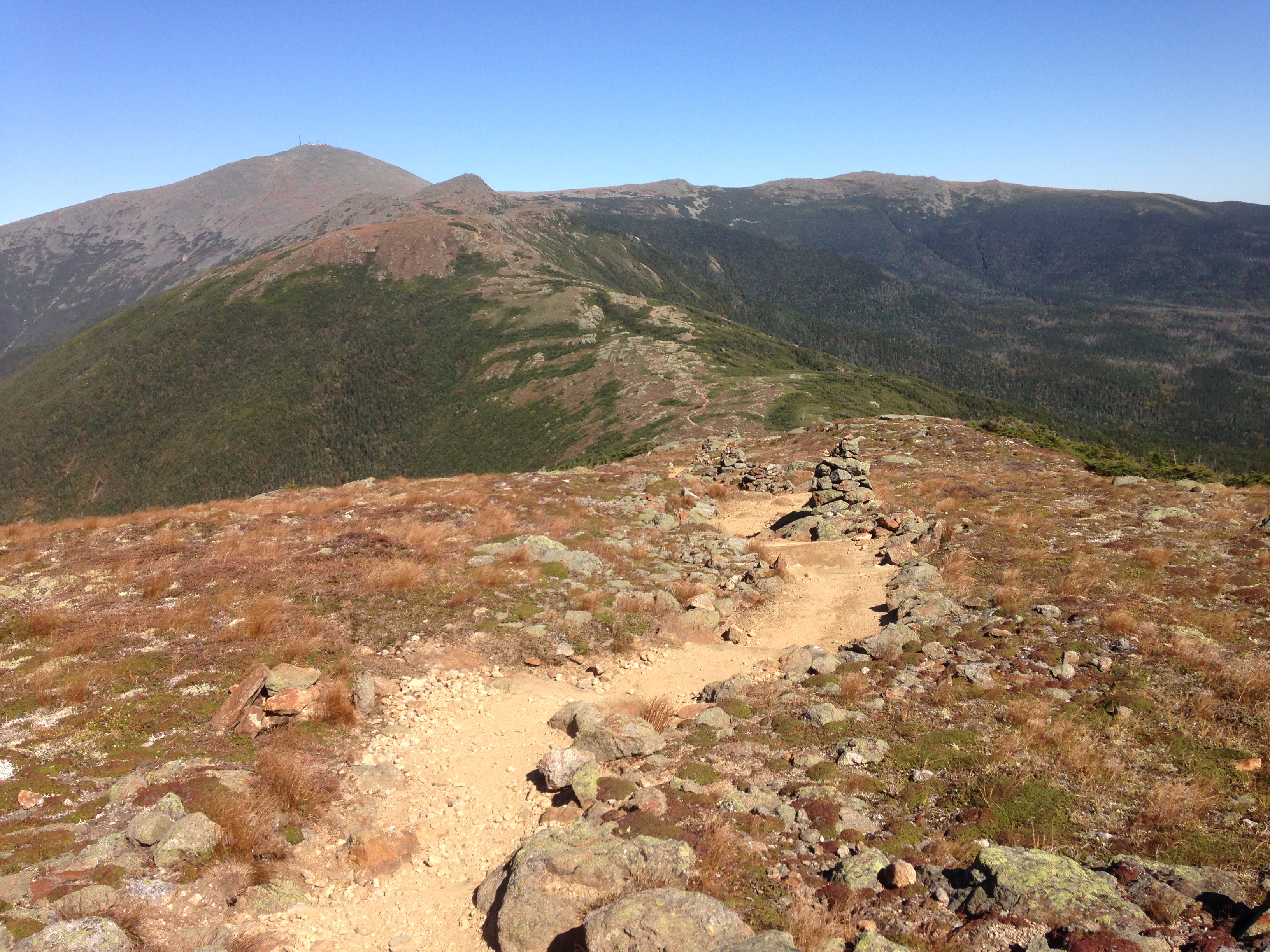
 Then I emerge for the first time from timberline and get some grand views, that would only get grander as the day progressed. It’s one of those well balanced skies of blue and billow.
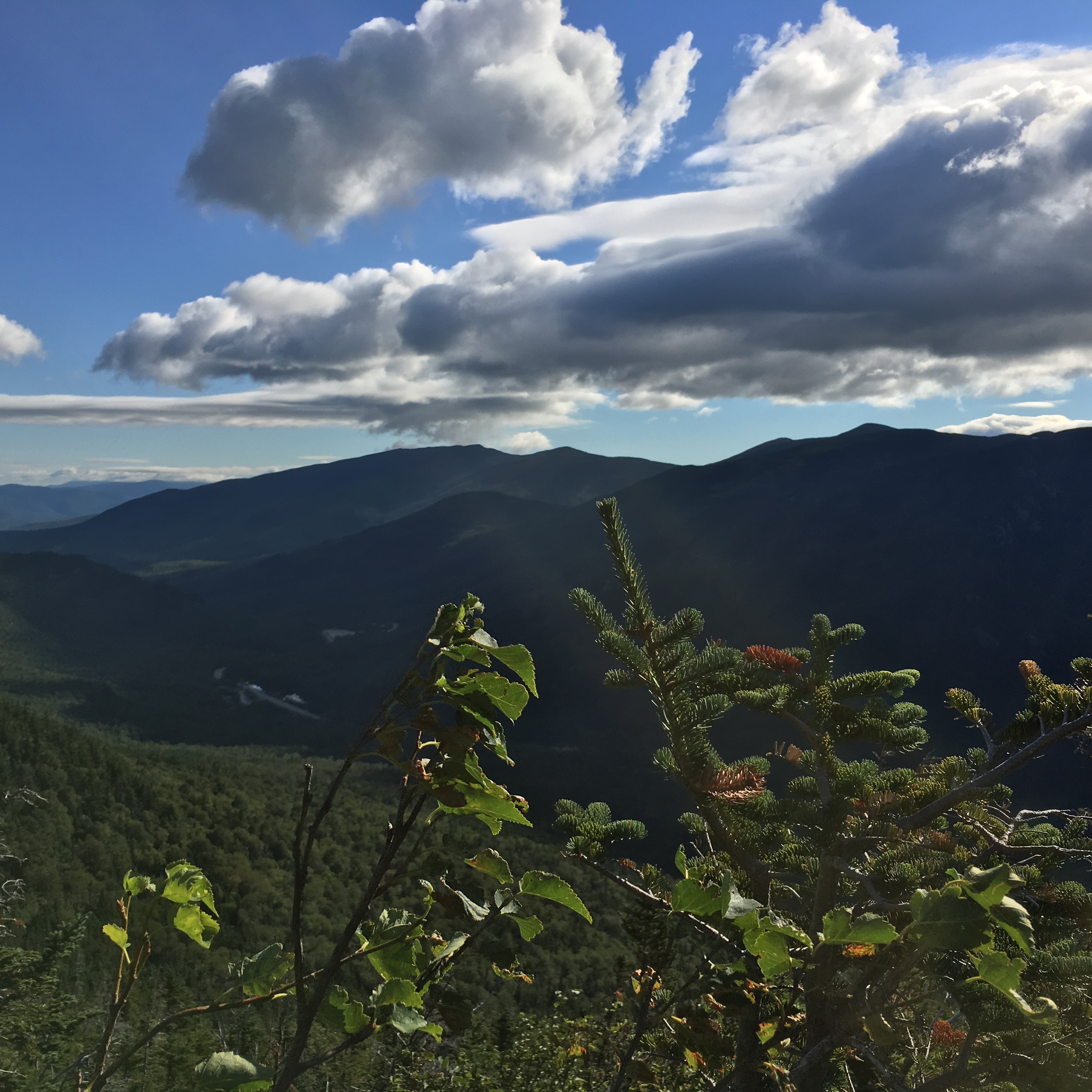
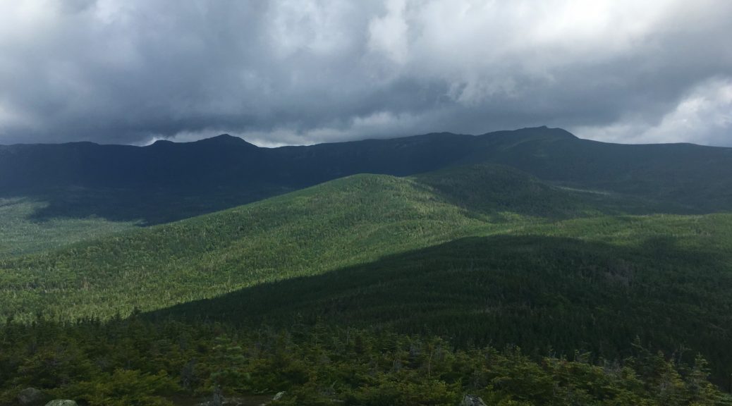
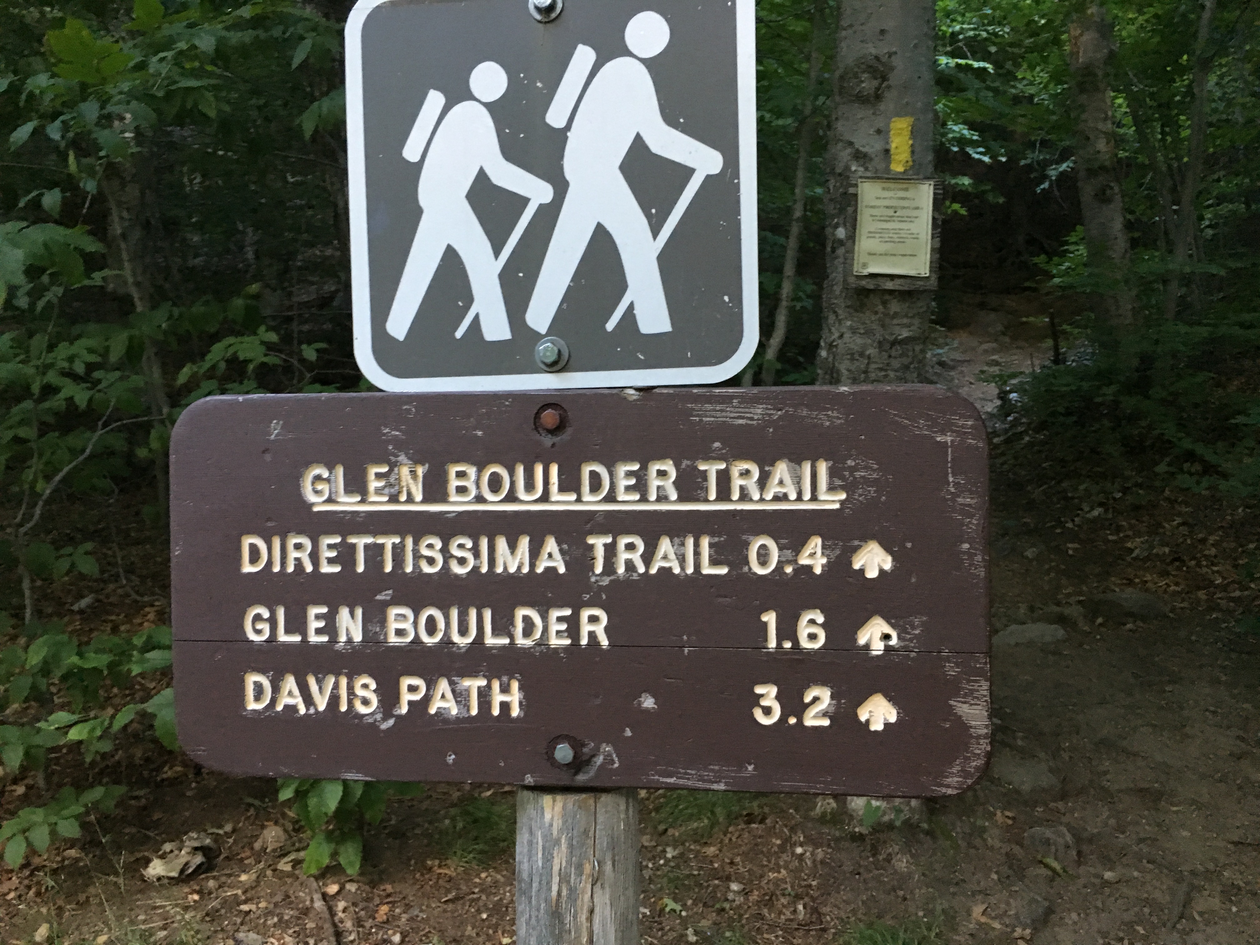
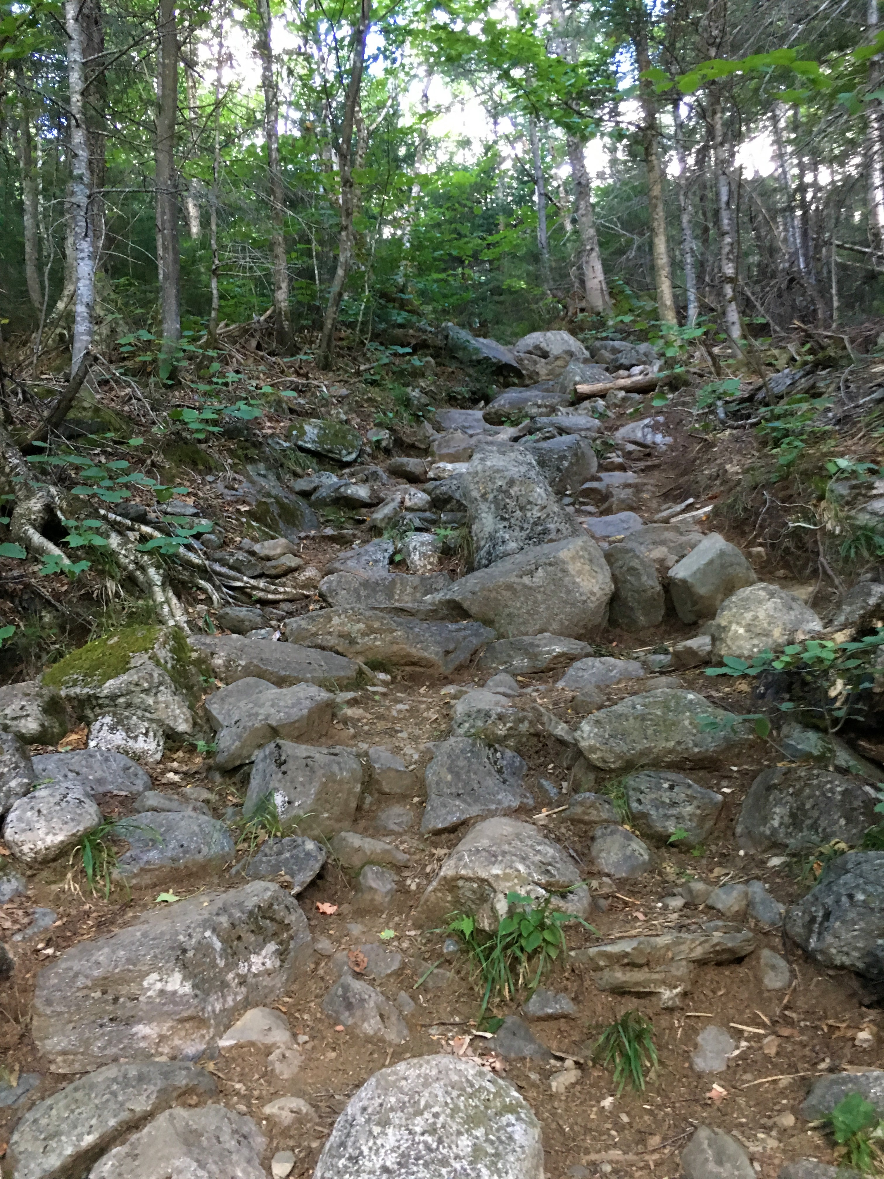
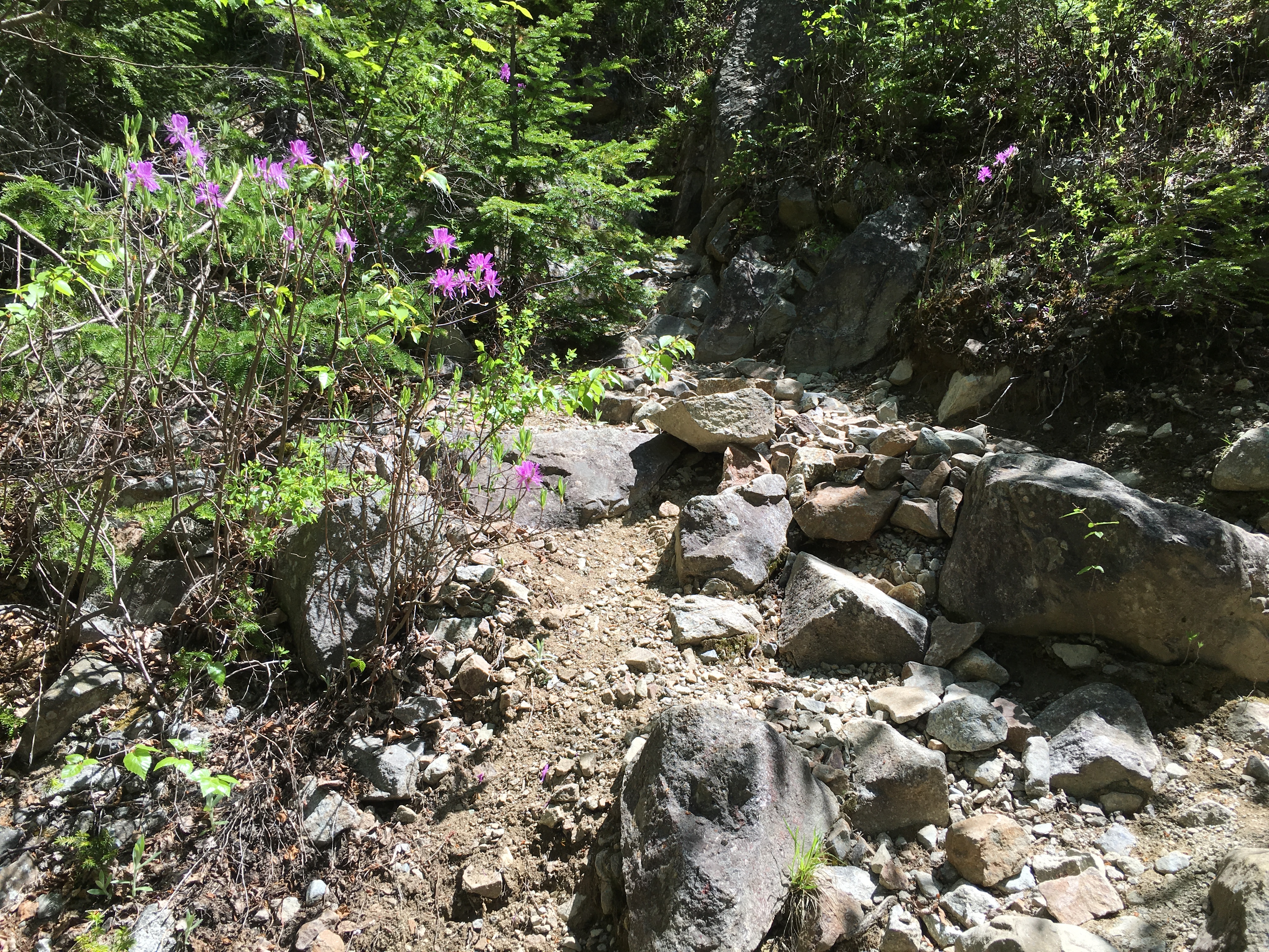
 Bluebird days are nice but I think clouds add so much. About an hour into the day and I’m hitting some rock scrambles. I just love hanging out above the trees.
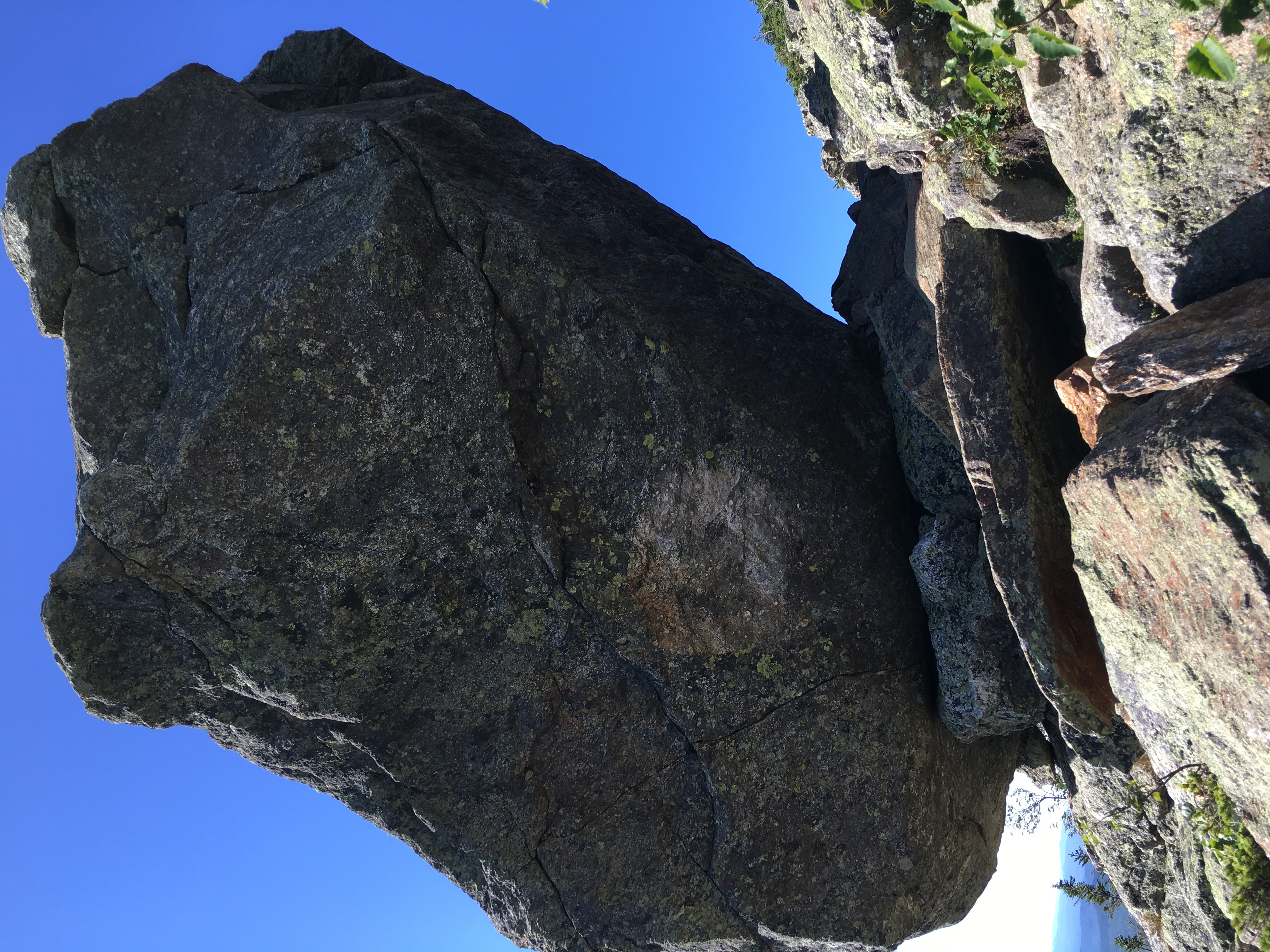
  Whenever I first arrive it’s like being transported to a different world. I see Glen Boulder in the distance, a top-heavy rock strangely balanced by its bottom point on a ledge.
 As I make my way closer with the sun shimmering against the glowing clouds the views are expanding with every step. The spirit of the mountain is alive today.
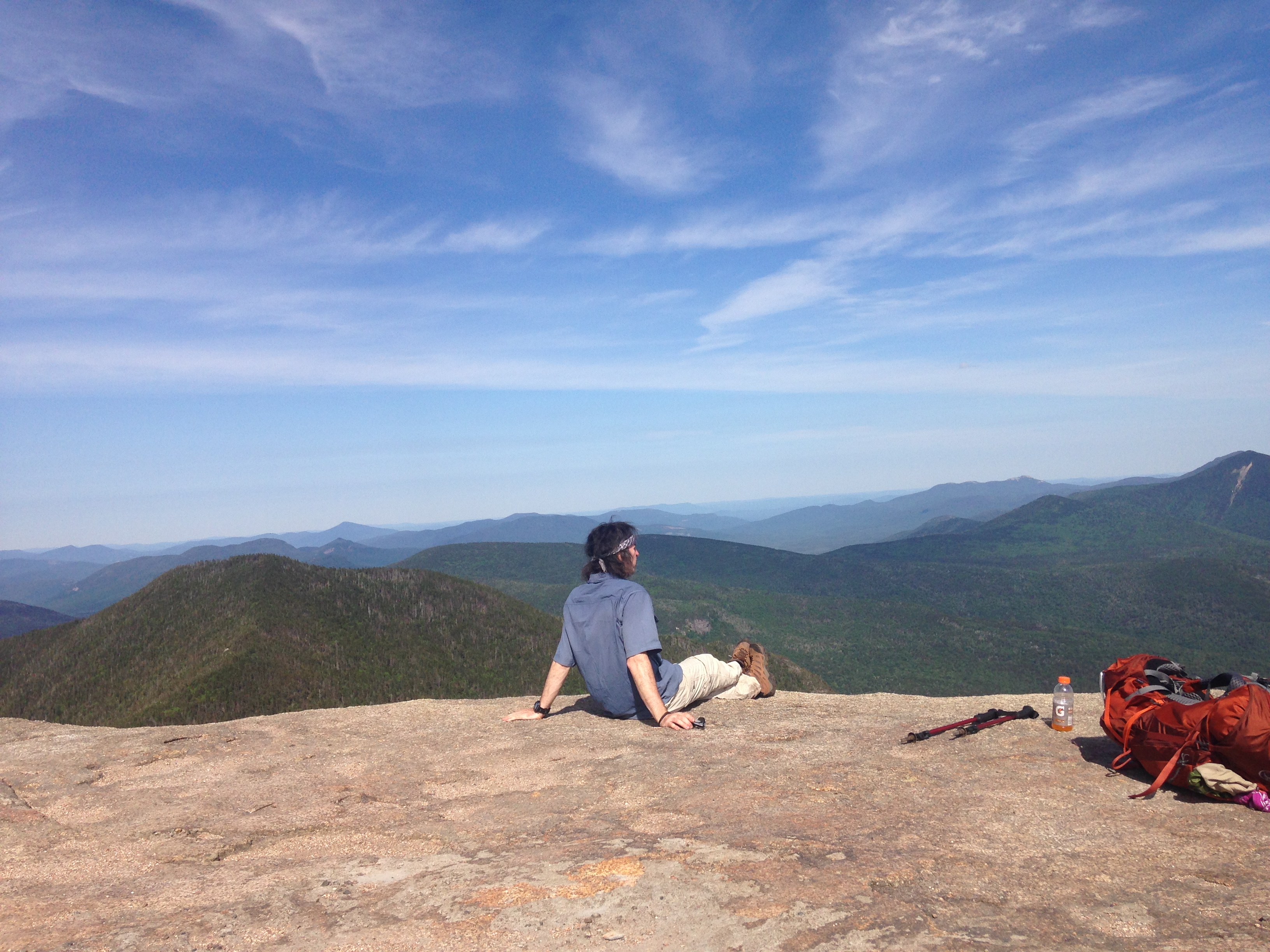
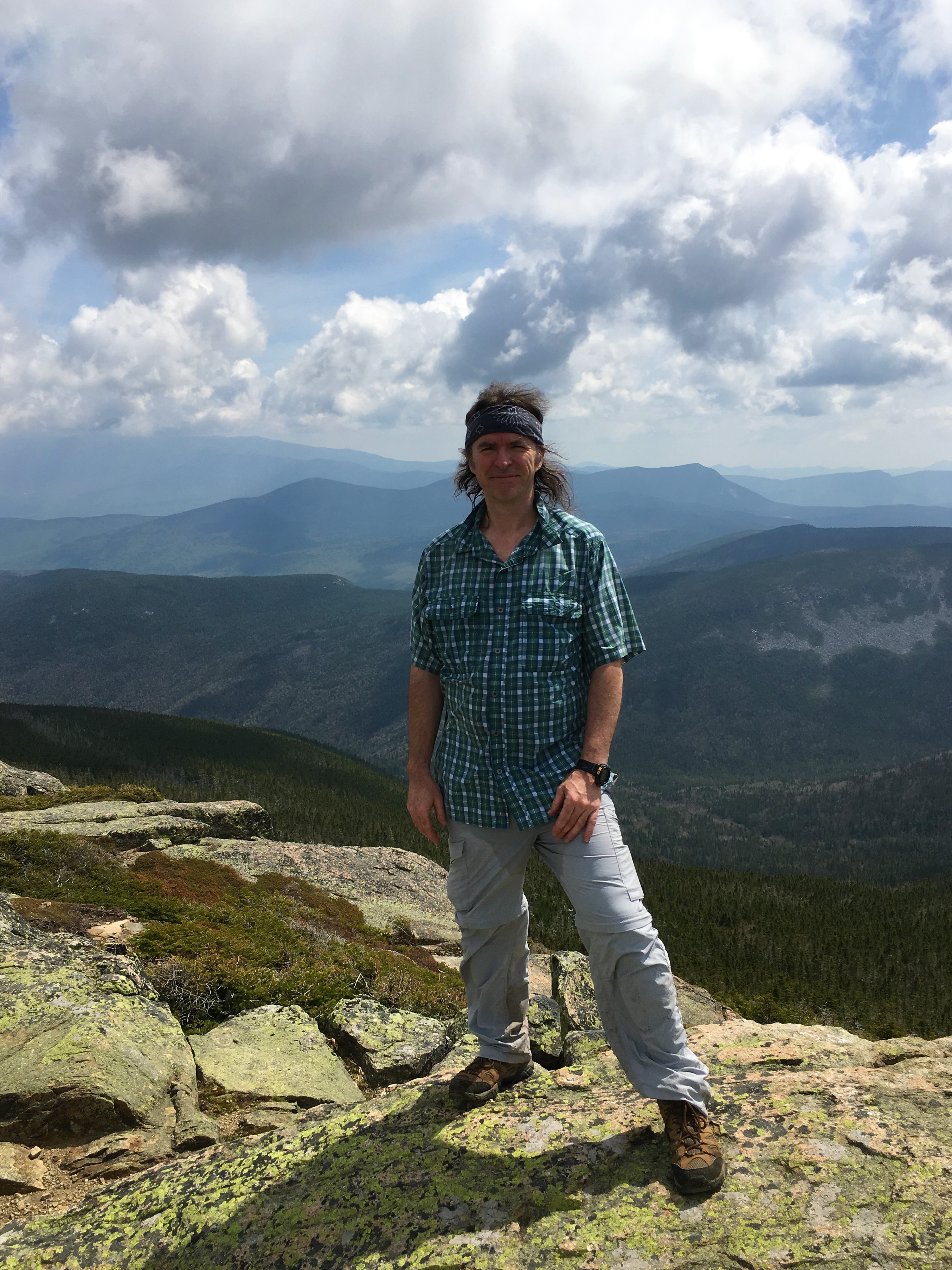
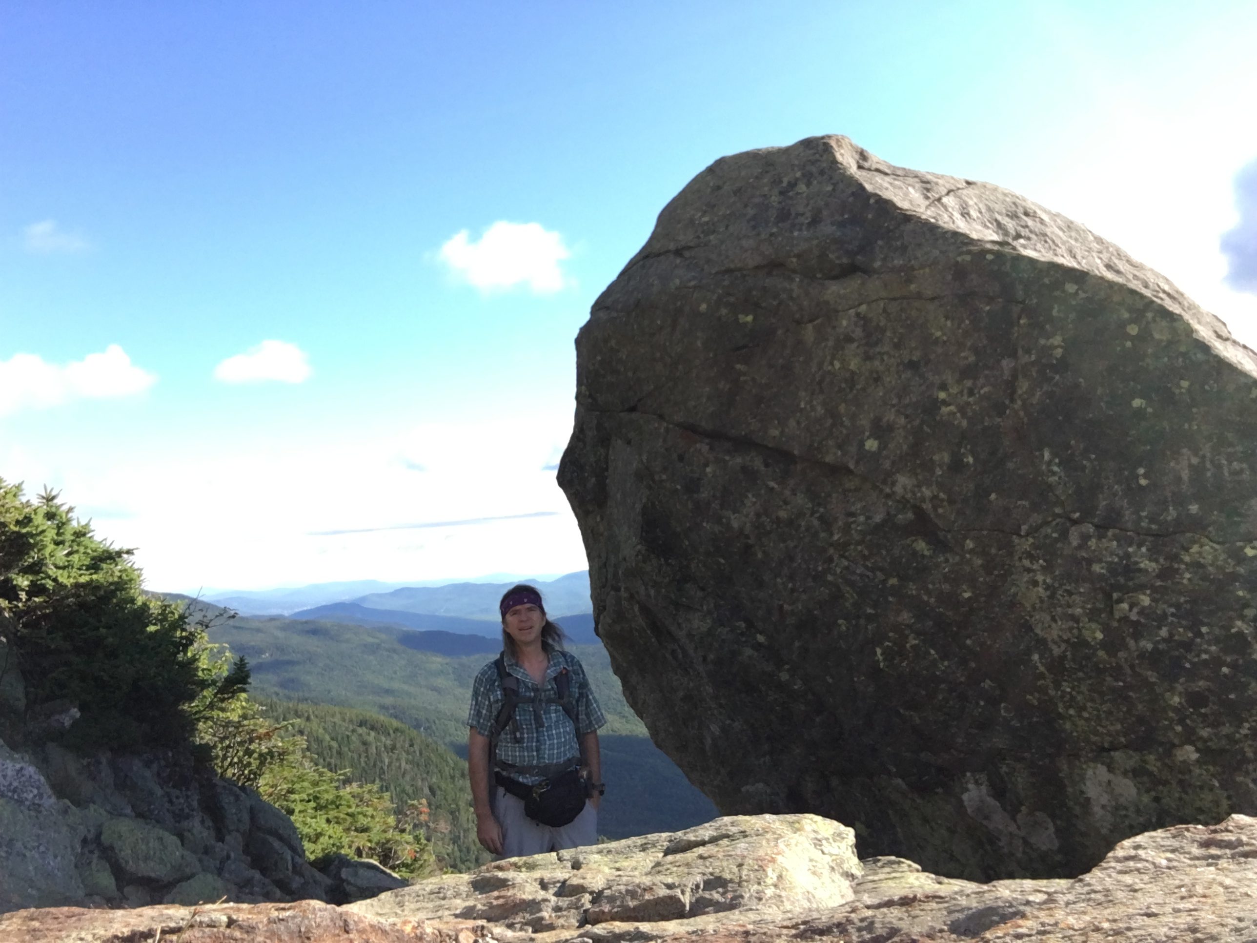 I arrive at the slanted stone just before 9 am for a break and the obligatory pose in time delay mode. The clouds are really trying to steal the show today as they mimic their counterparts below.
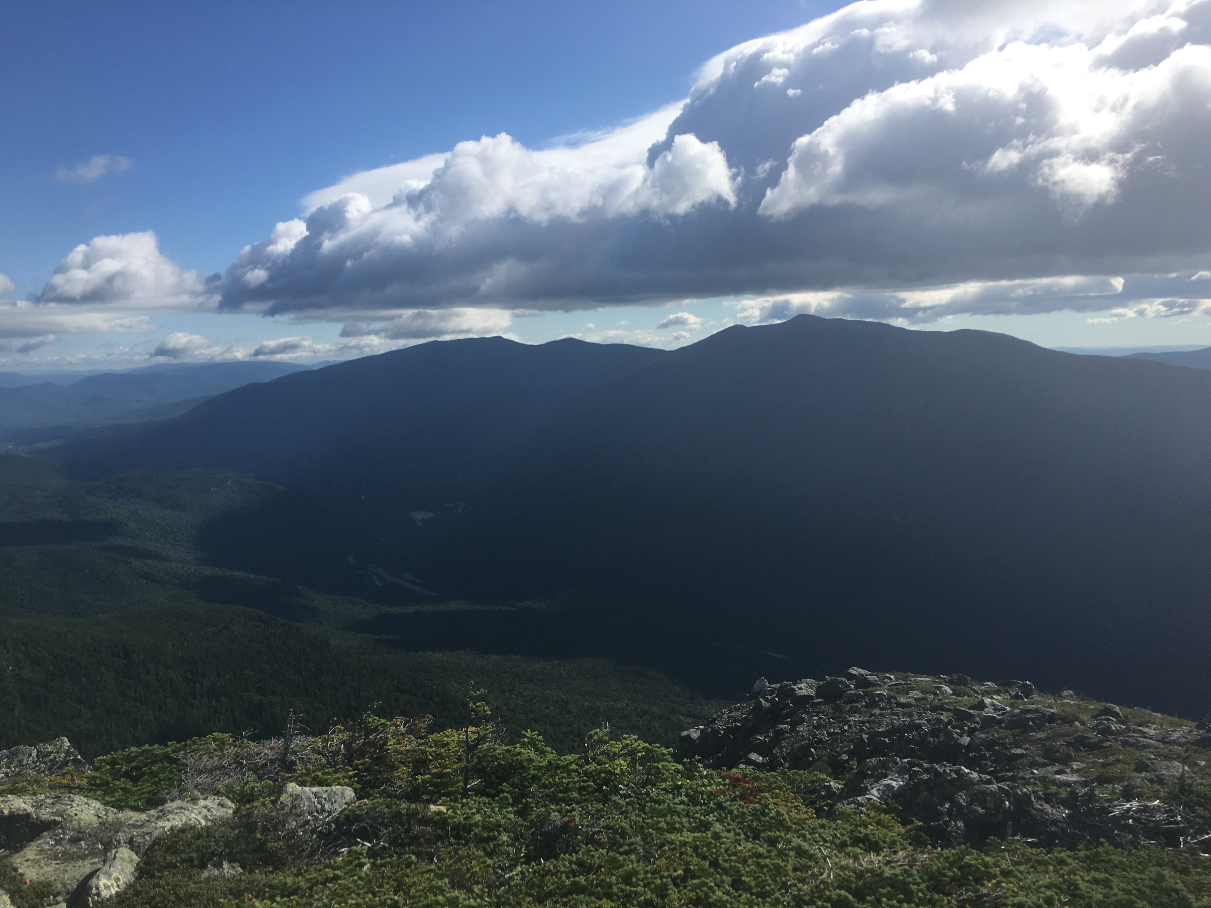
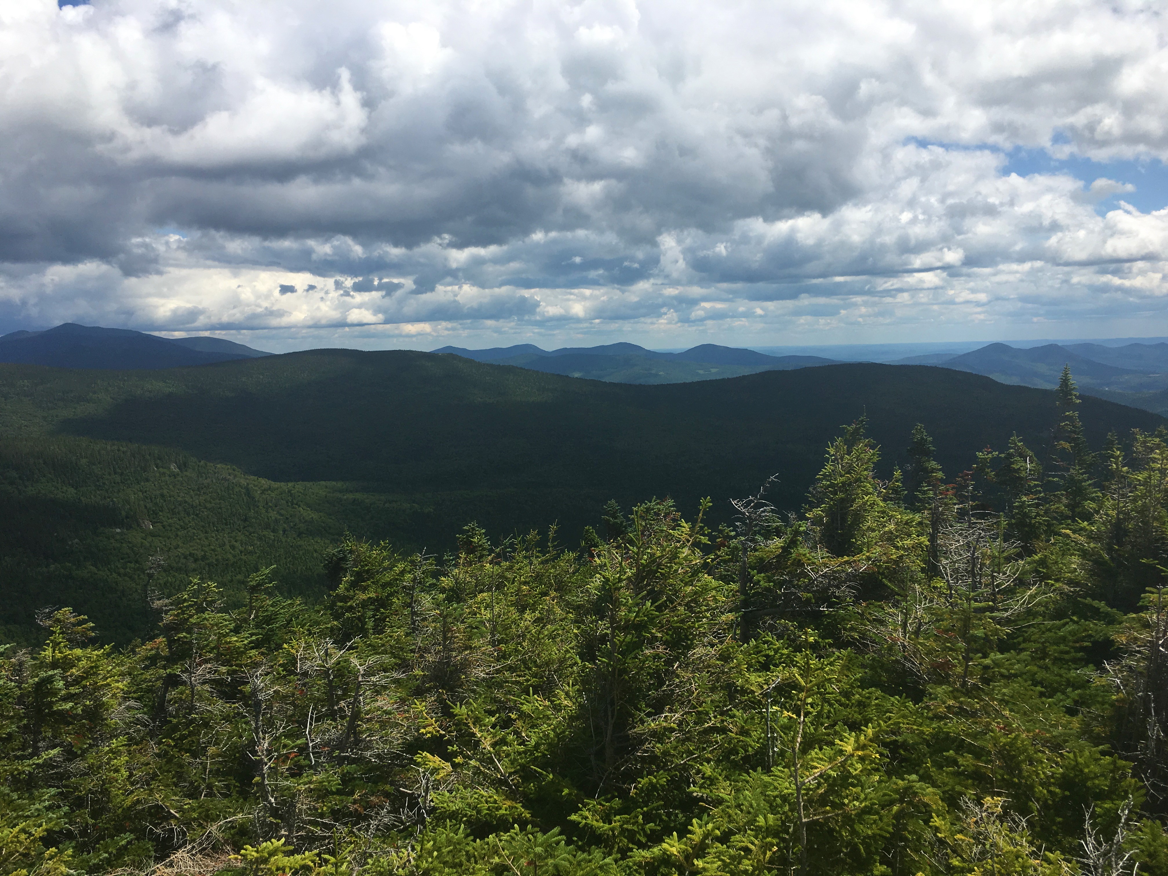
 A few minutes later the views over Gulf of Slides and more looks over to the Wildcats and Cater range are simply astounding!
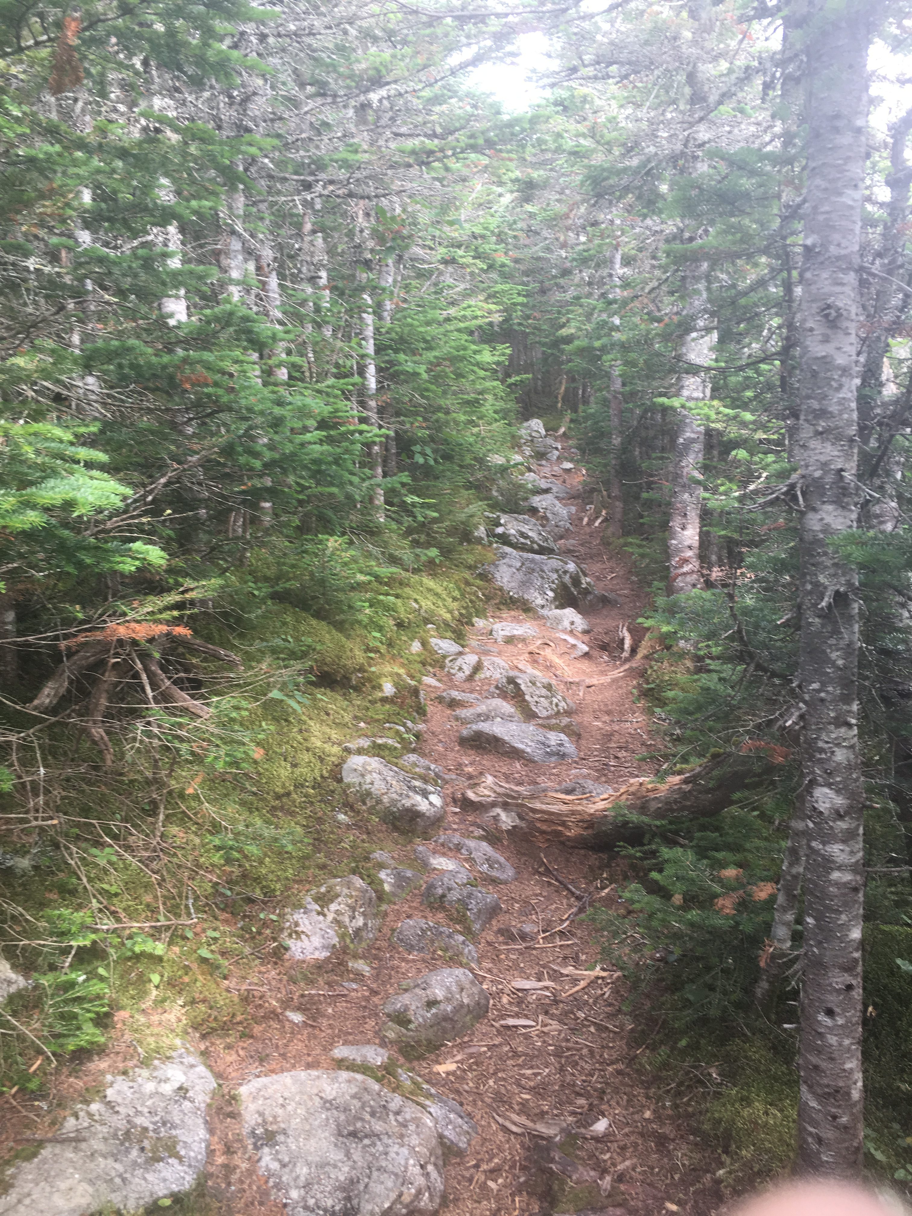
 Reminiscent of my days on Moosilauke and Madison, I struggle to stay upright against the powerful gusts, but I am managing. It is here that perhaps I do feel somewhat “isolated”. Its an unnerving feeling not being able to see where you are, where you’ve been, or where you are going, and having your ears blown out by fierce gusts of wind that seem at times like they could pick you up and throw you in any direction they choose without the slightest effort.
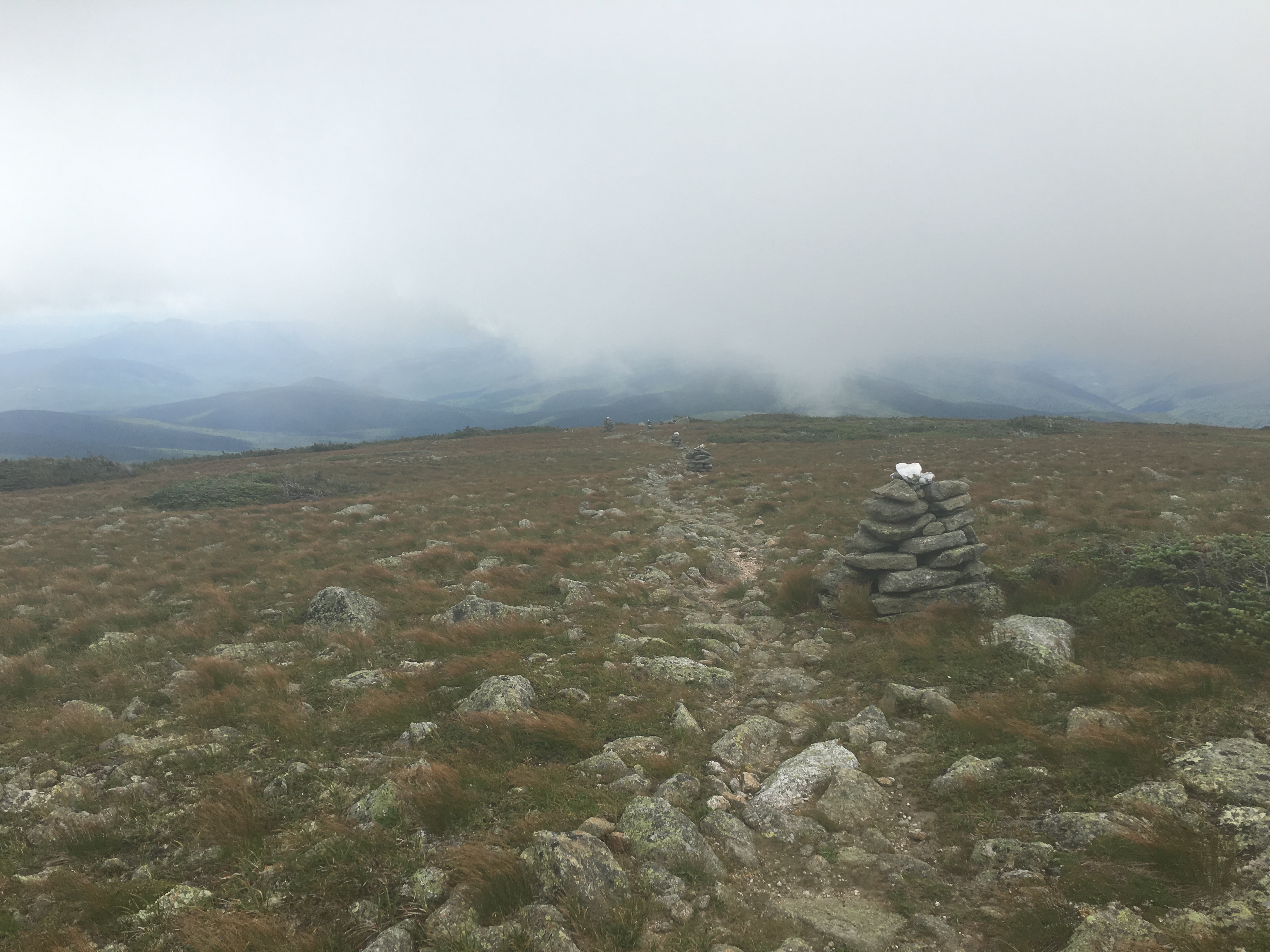
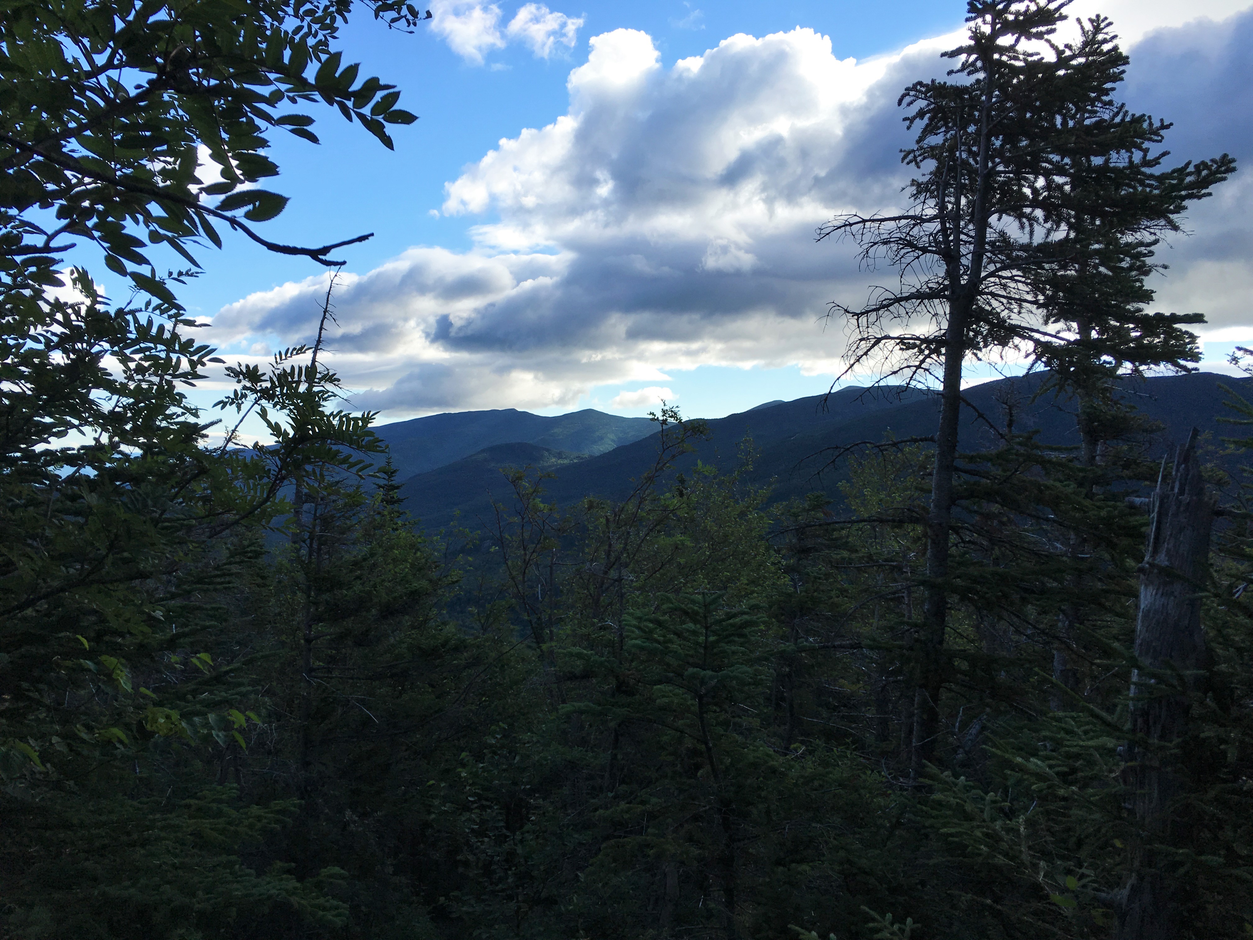
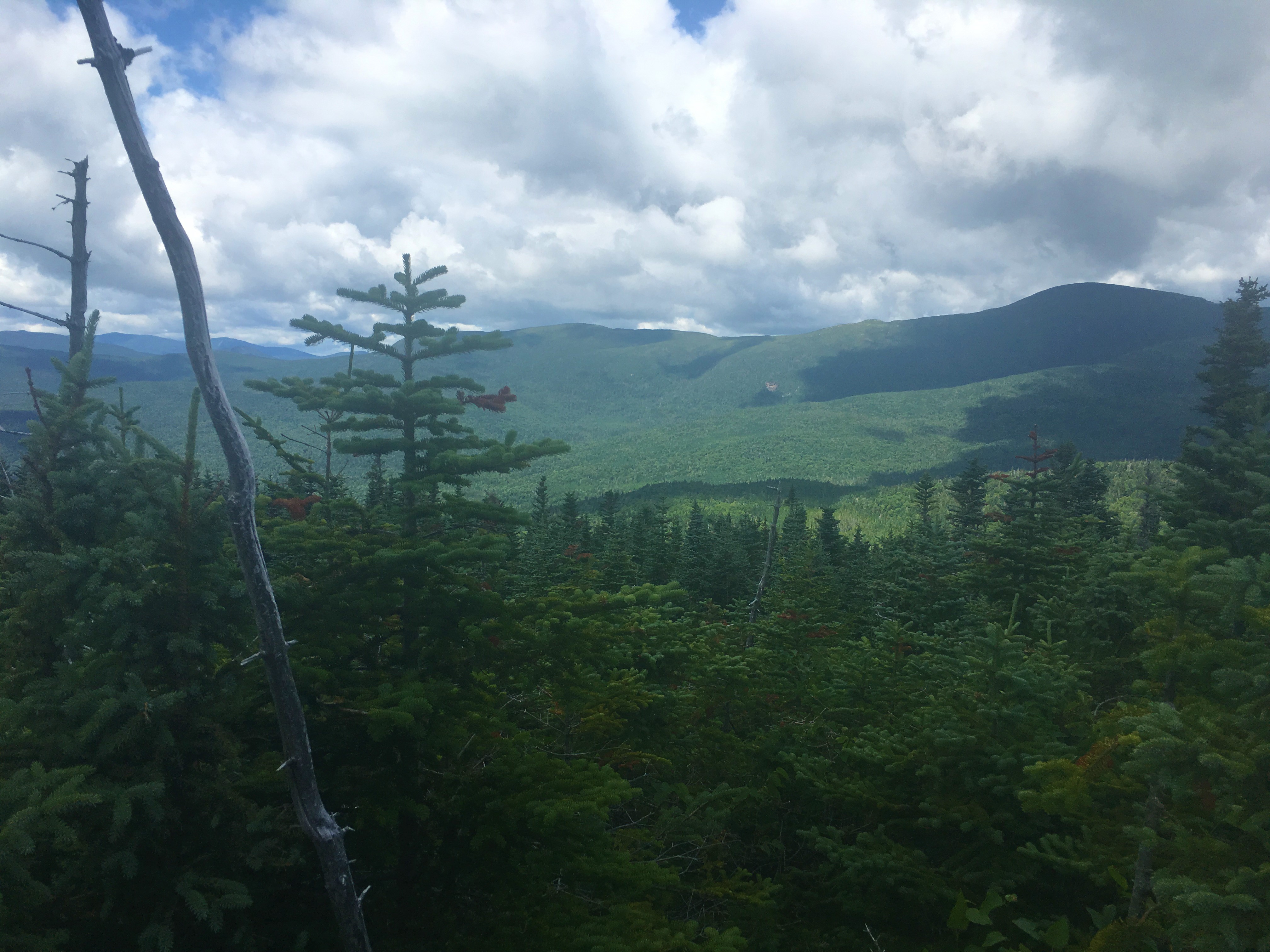
 I start heading down Davis Path toward Montalban ridge where the peak of Isolation awaits but the feeling of isolation will likely subside. As I do, I can see visibility improving, just as the dark shadows rapidly move in and blanket the area. Reminds me of that scene in Fantasia. Cue “Night on Bald Mountain” theme.
 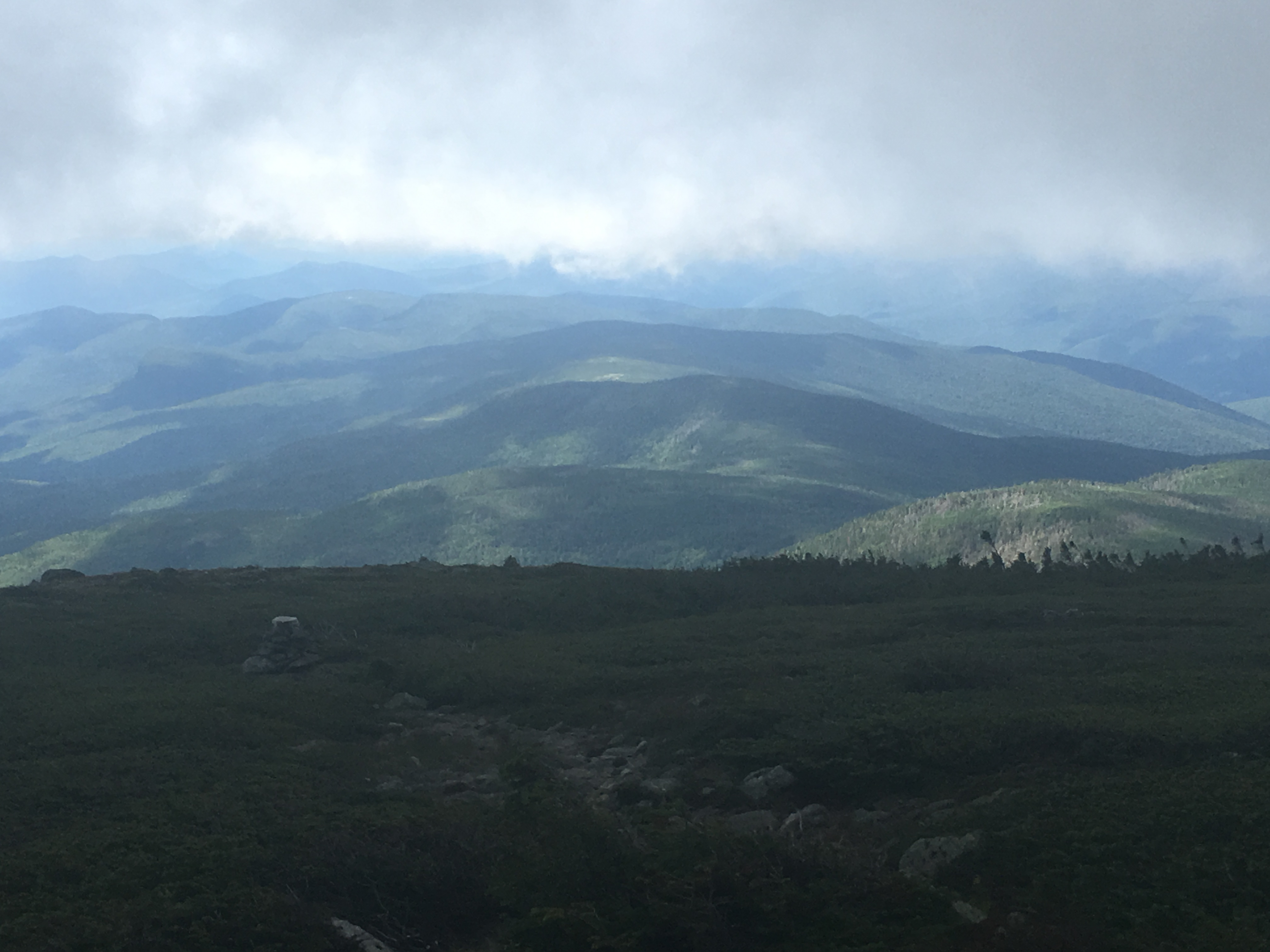 Then the threatening skies diminish once again, when the veil moves out as quick as it arrived. Quite a show indeed! Just me the mountains and the sky, with Iso in view ahead within the Dry River Wilderness.
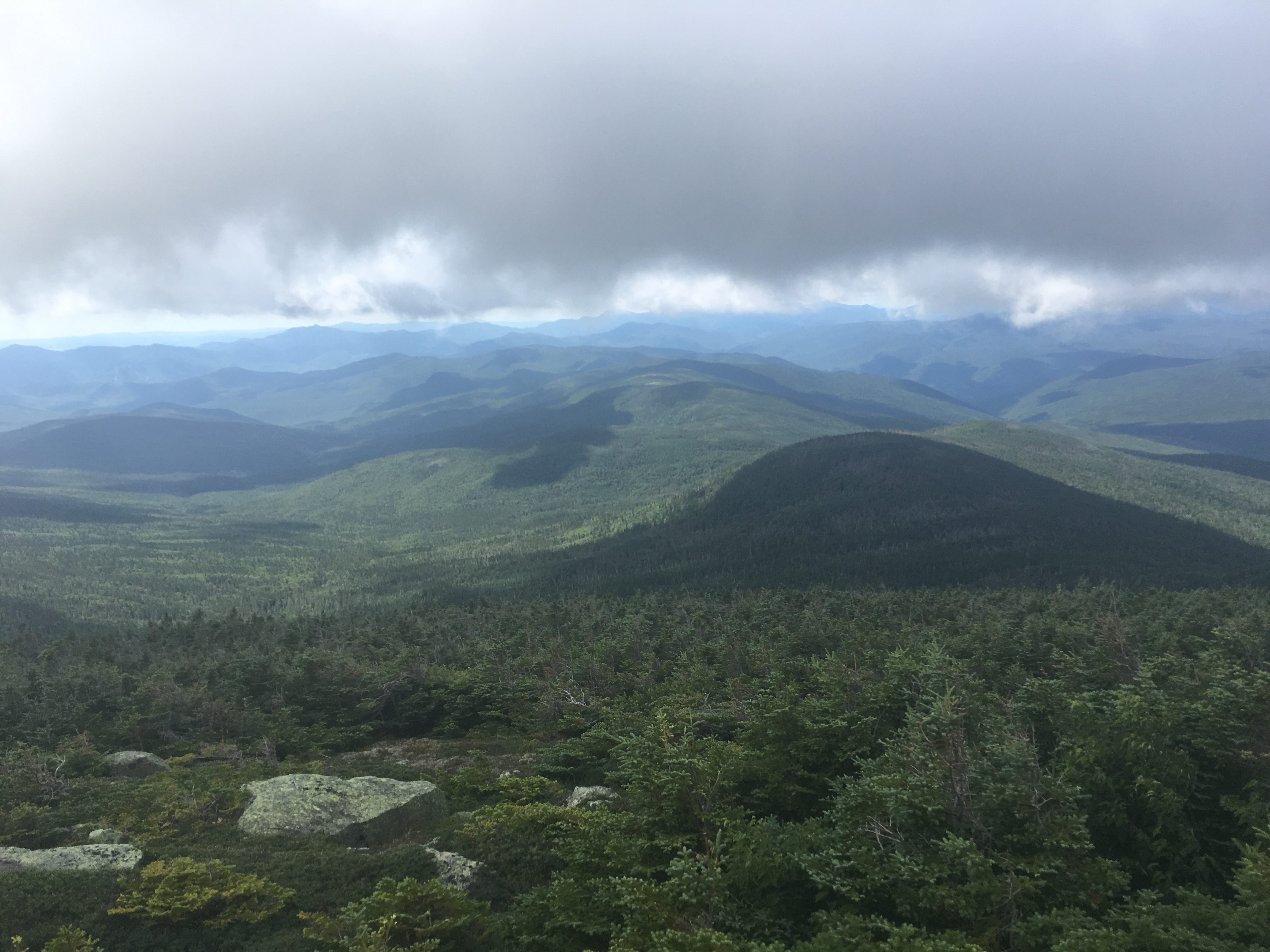
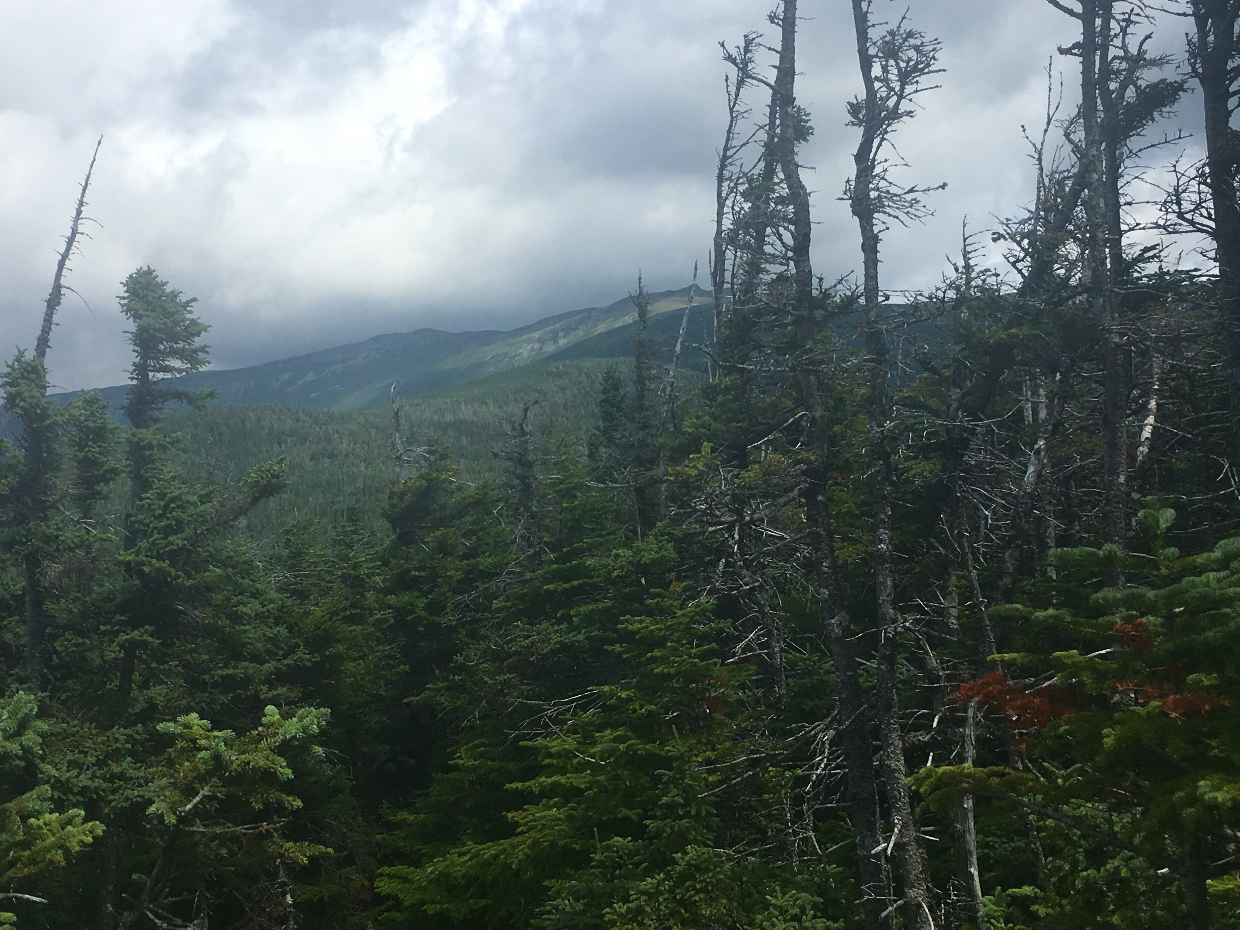
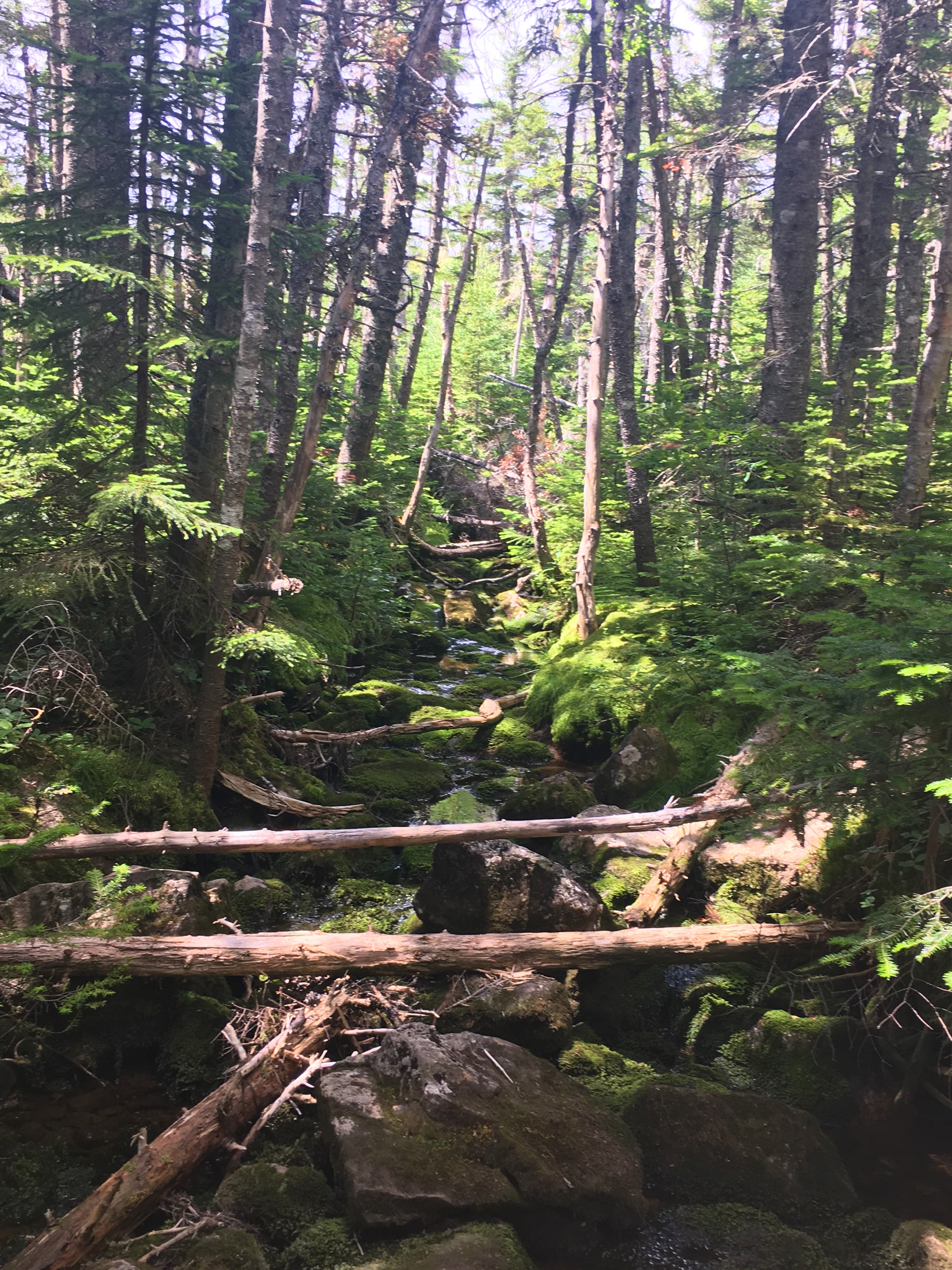
 Heading back into the trees, the wind is calming but still present enough to keep me cool. It’s some pretty easy flat hiking now in the col between Boot and “Iso-North” as some call it (a sub-peak of Isolation). Lots of blow-downs and old-man’s beard covers the lifeless limbs. Continuing to get that feeling of being the lone wanderer in this vast wasteland. Except now instead of unnerving, it’s that peaceful easy feeling.
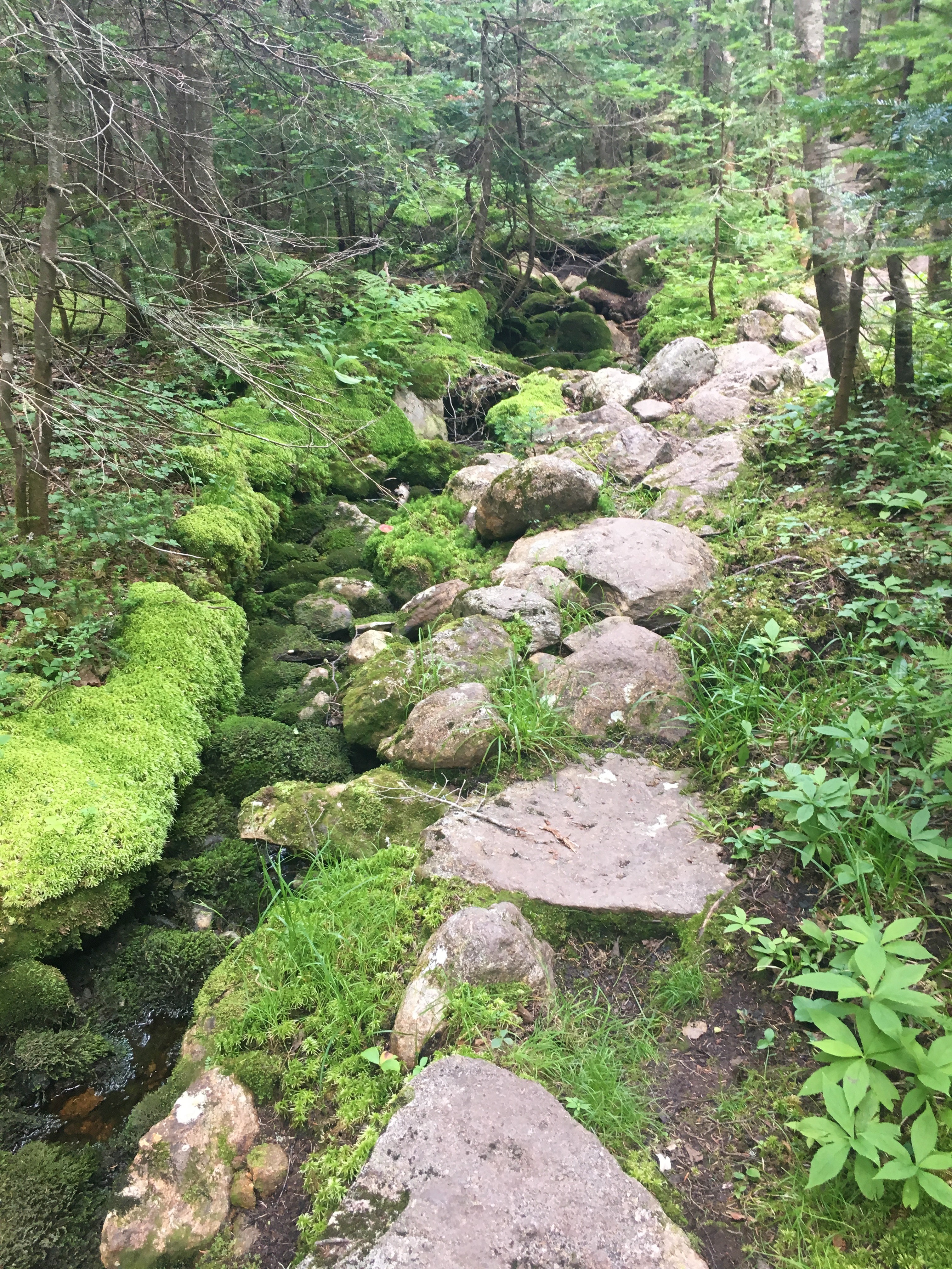
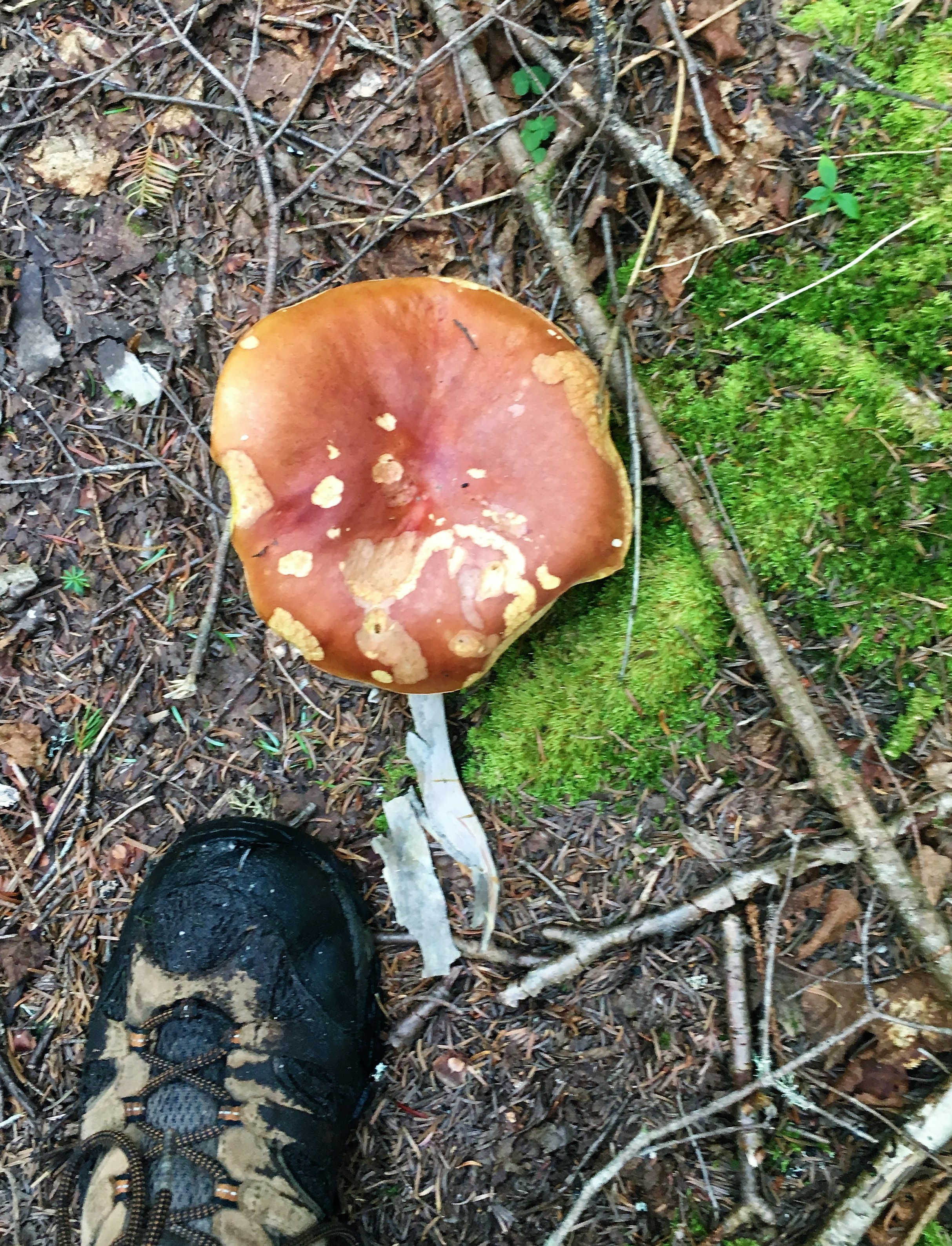
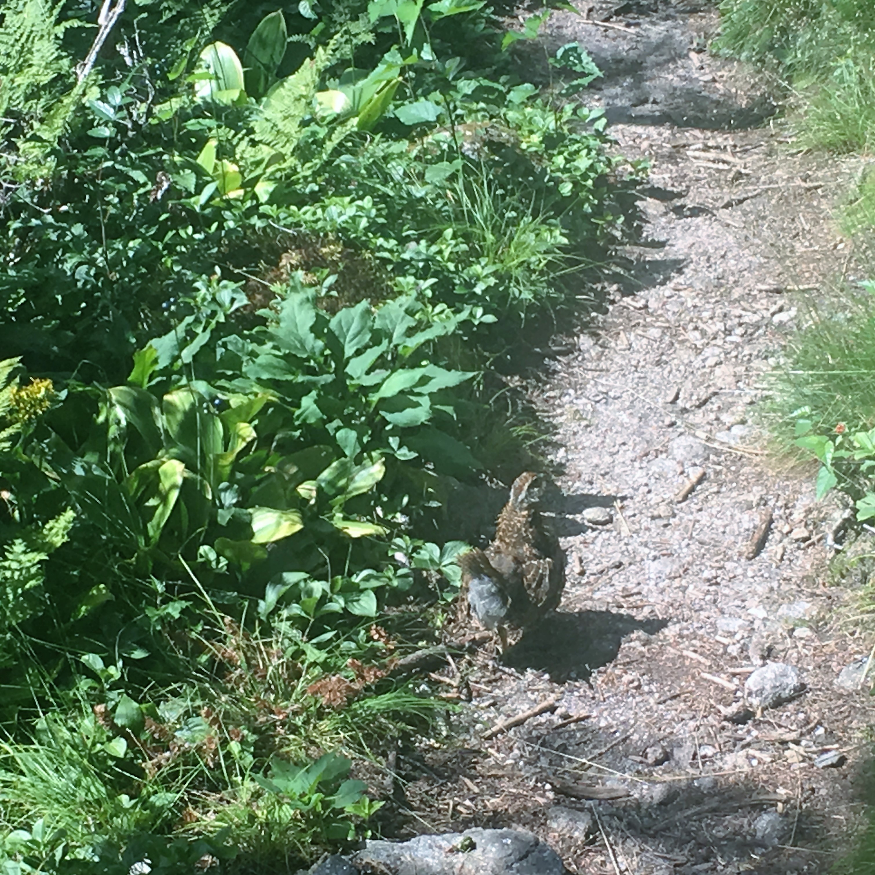 But wait, was that a banjo I hear? Nope just a strange looking bird that seems to care less of my presence. I stroll along the path and take note of the subtle differences: a splash of red berries to my right, a scattering of wild mushrooms ala Alice to my left.
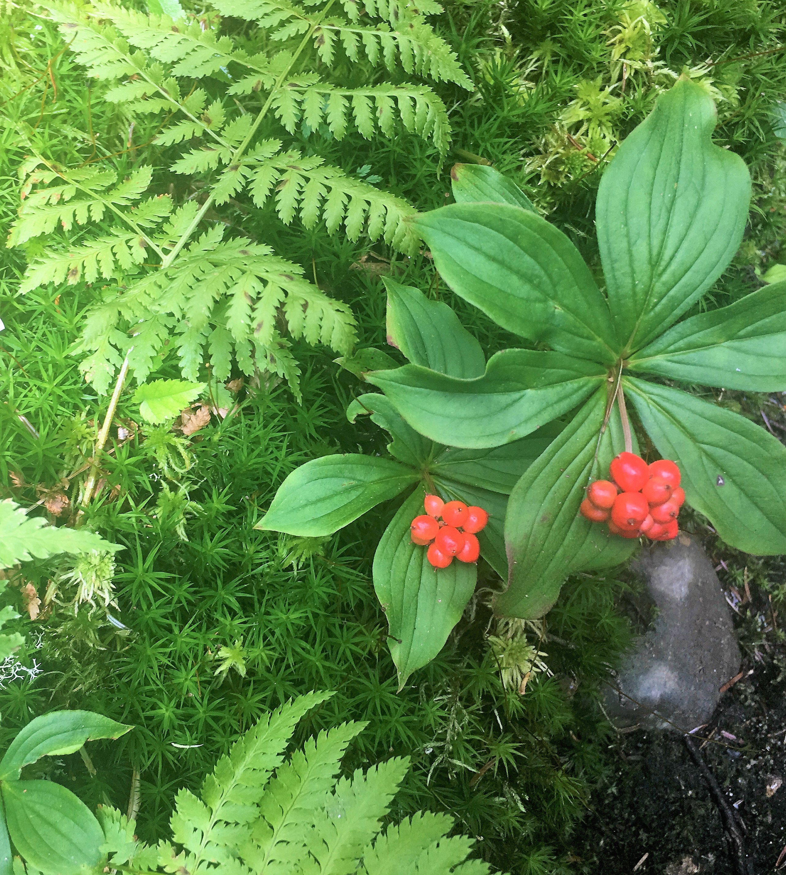
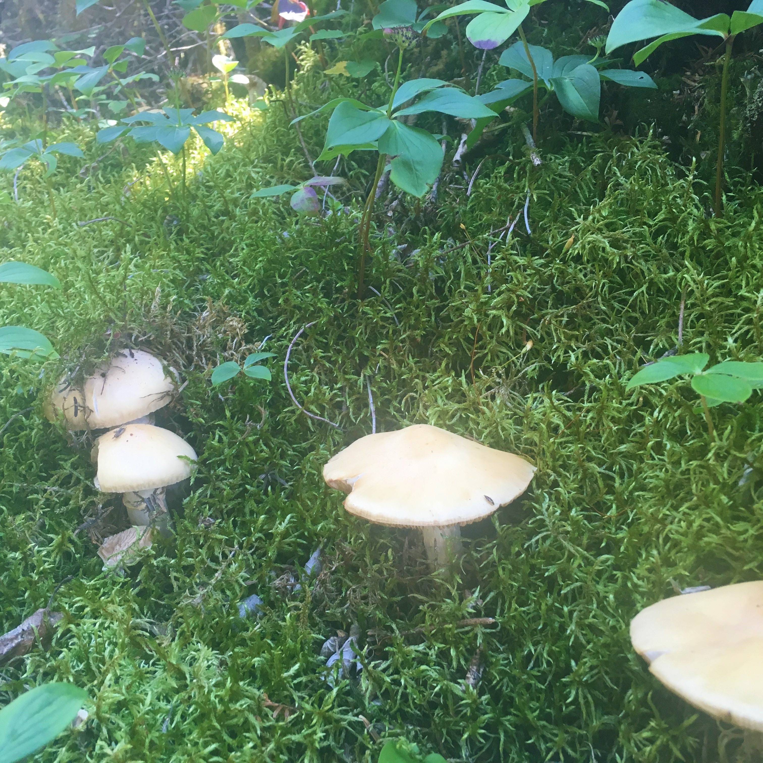
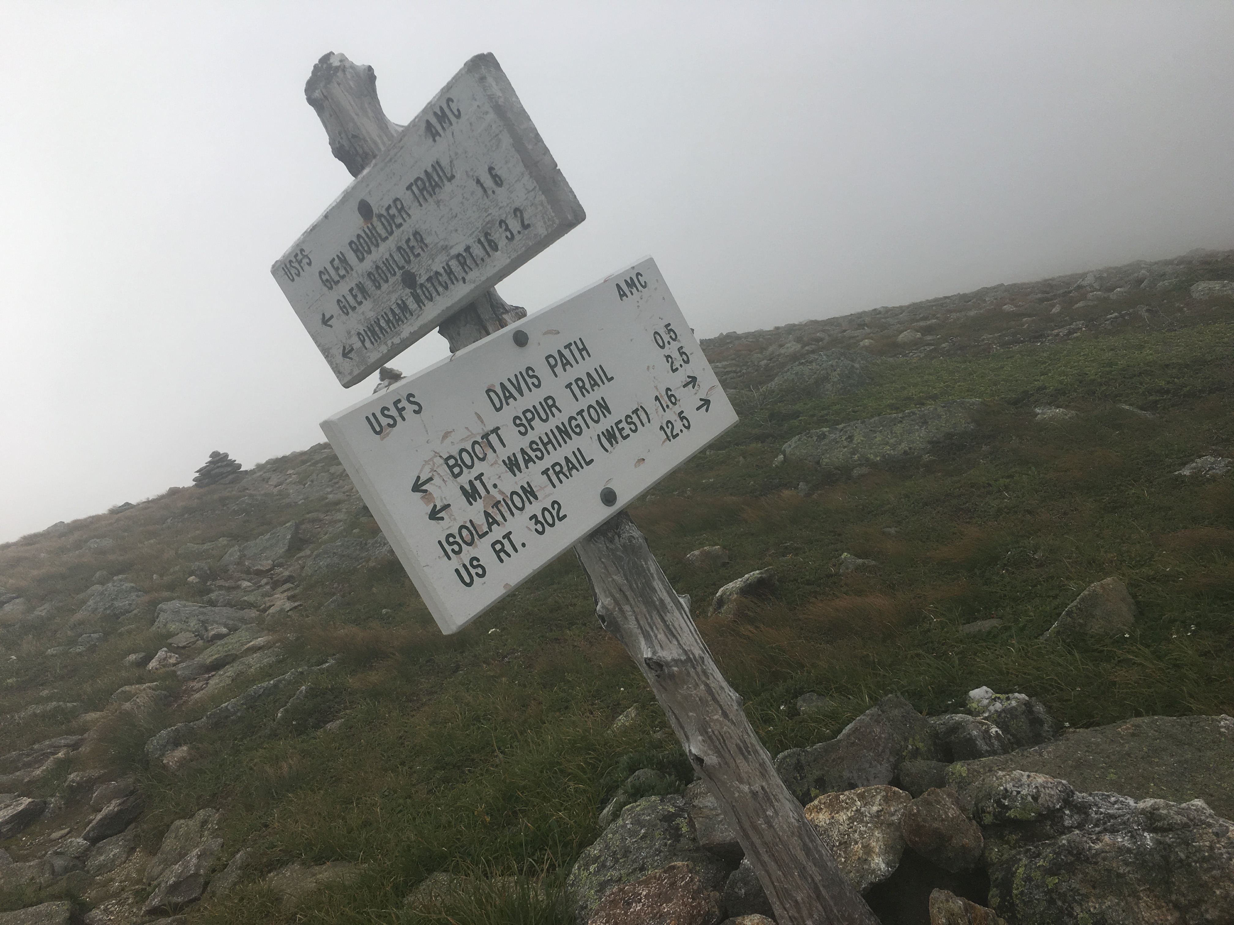
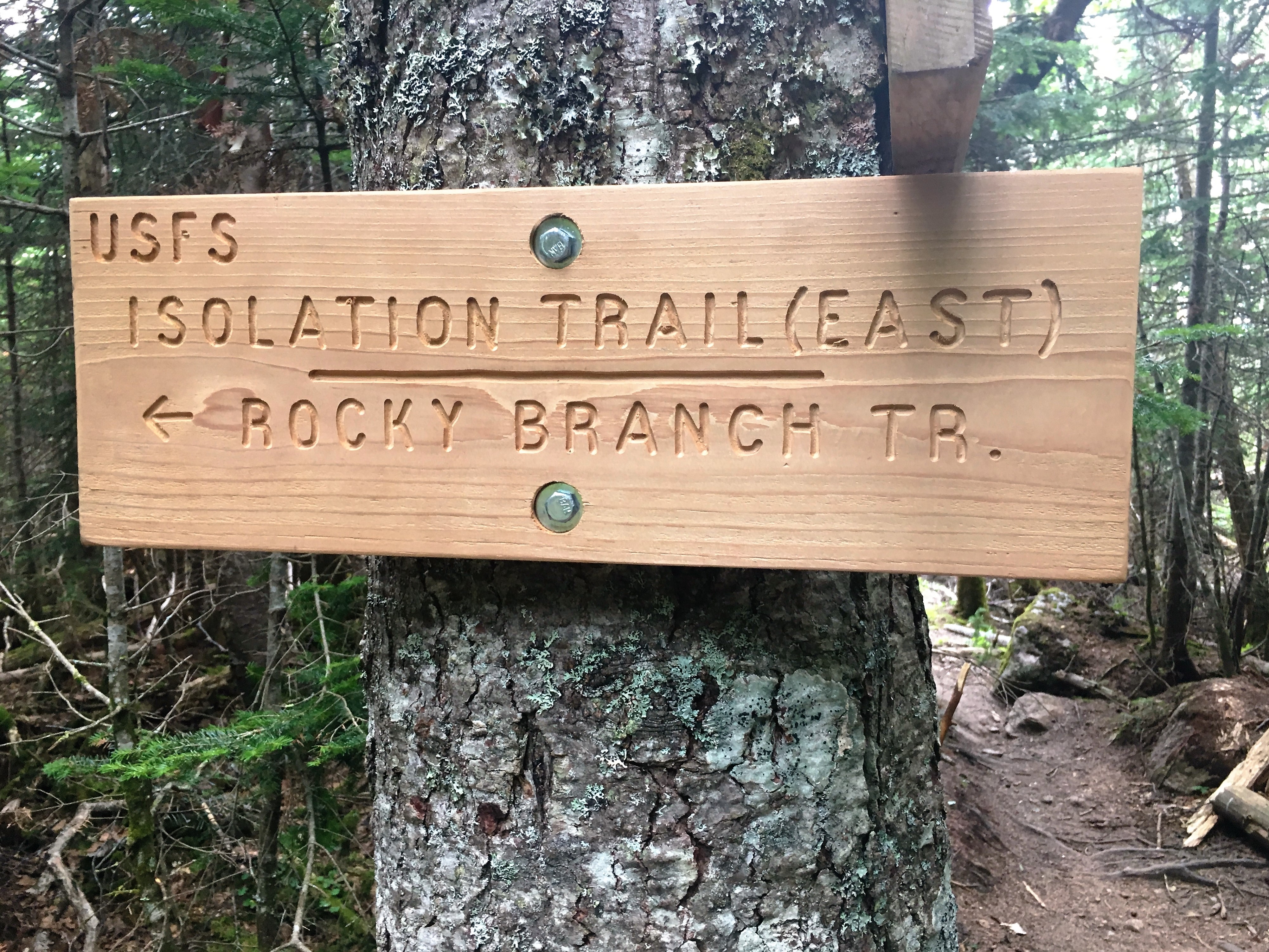
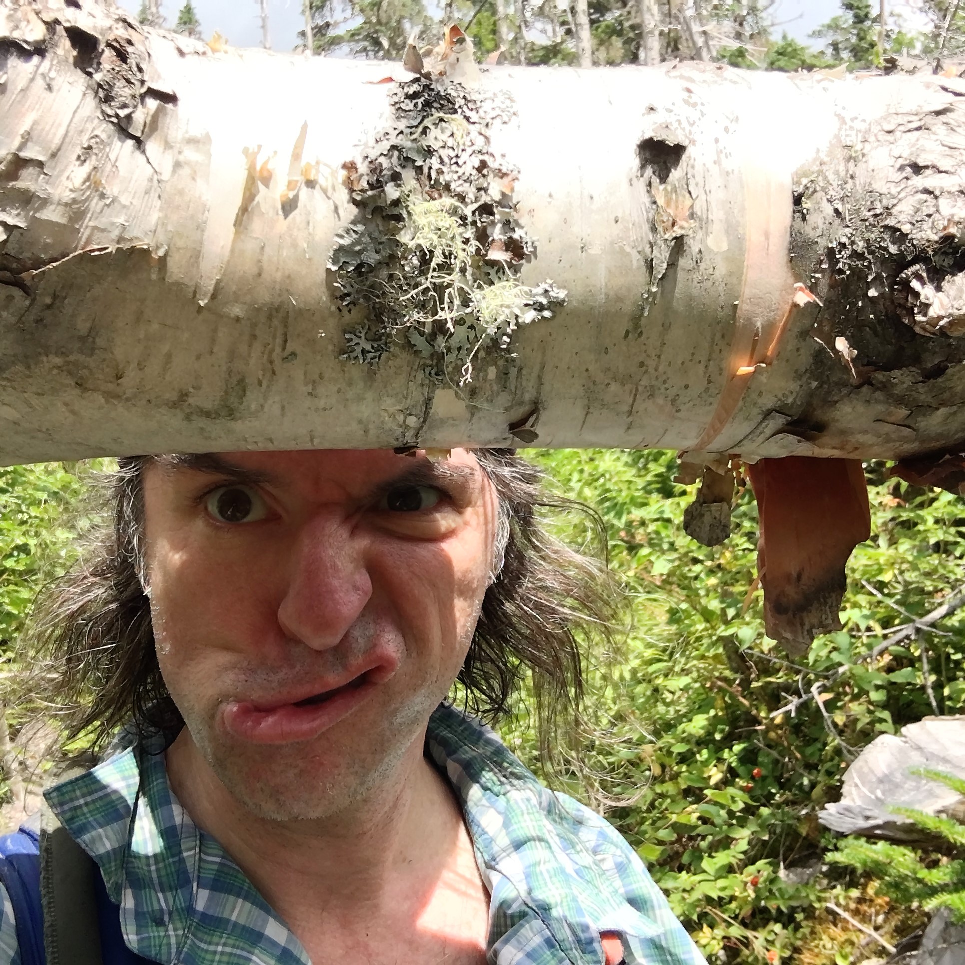 I look up in time to avoid a wrap on the head from a crossing downed limb at forehead level (why it’s important to look up from the trail, not to mention all the view you would miss), and then some more strolling before coming to an aged faded sign indicating the junction of Davis Path and Isolation Trail West branch.
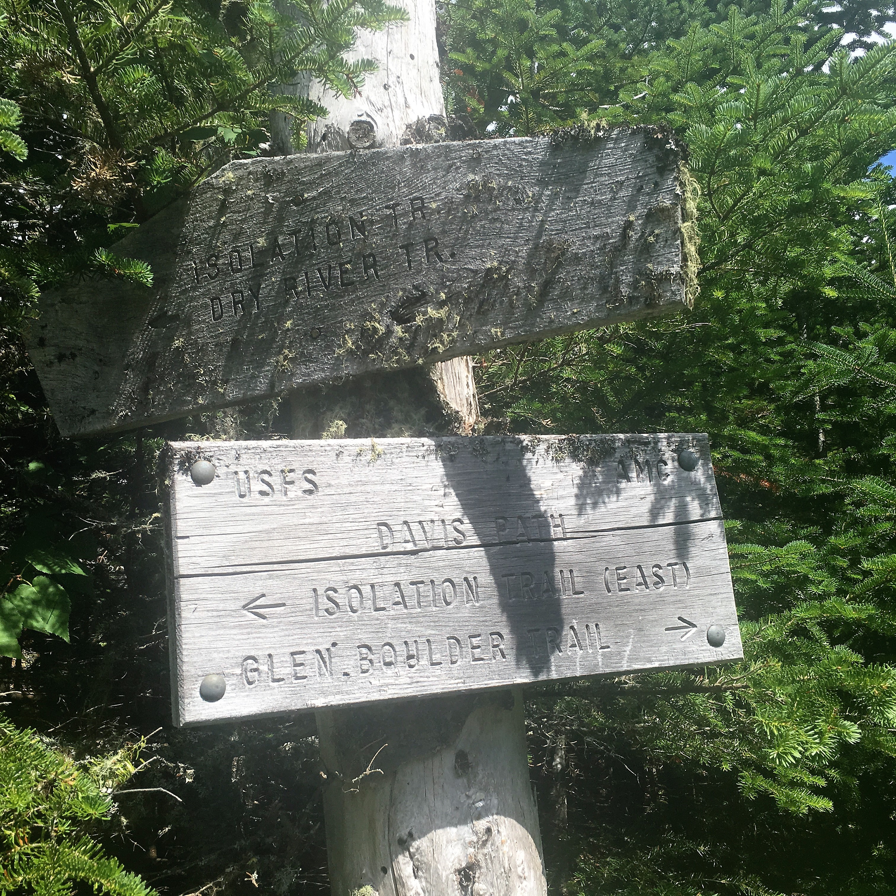

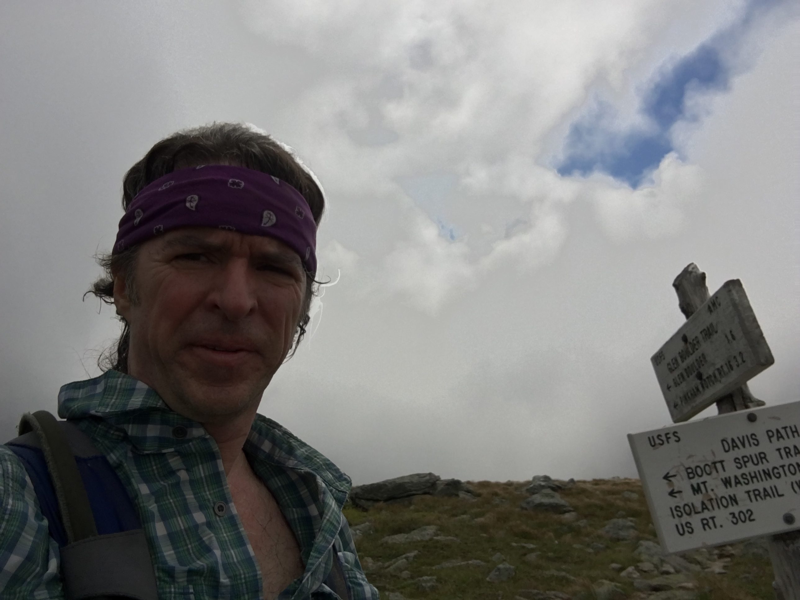
 A few spots give me some looks back at the chaos on Boot, and then a startling sound – footsteps, something I haven’t heard yet today. The lone hiker and I exchange the typical mountain greeting and then another surprise – another shiny new sign, complete with that new sign smell. I have reached the turnoff and #47 is within my grasp.
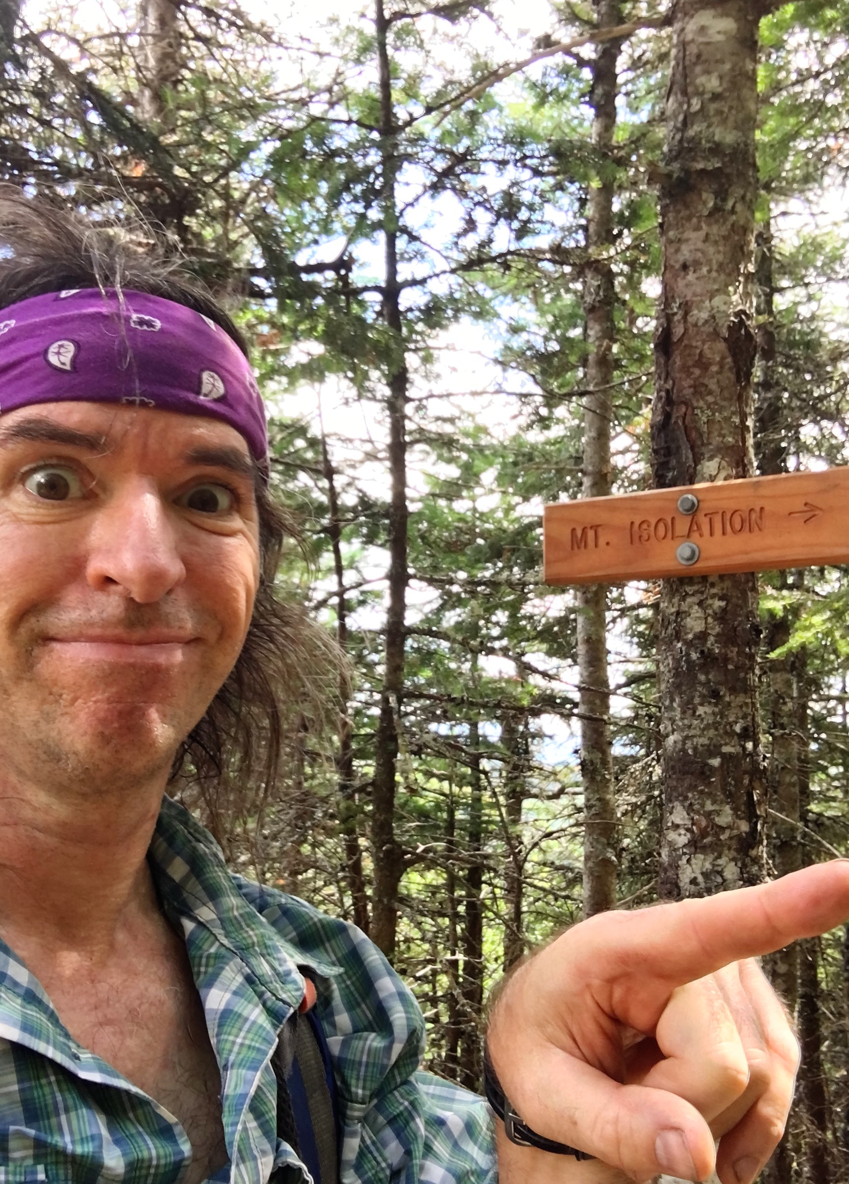
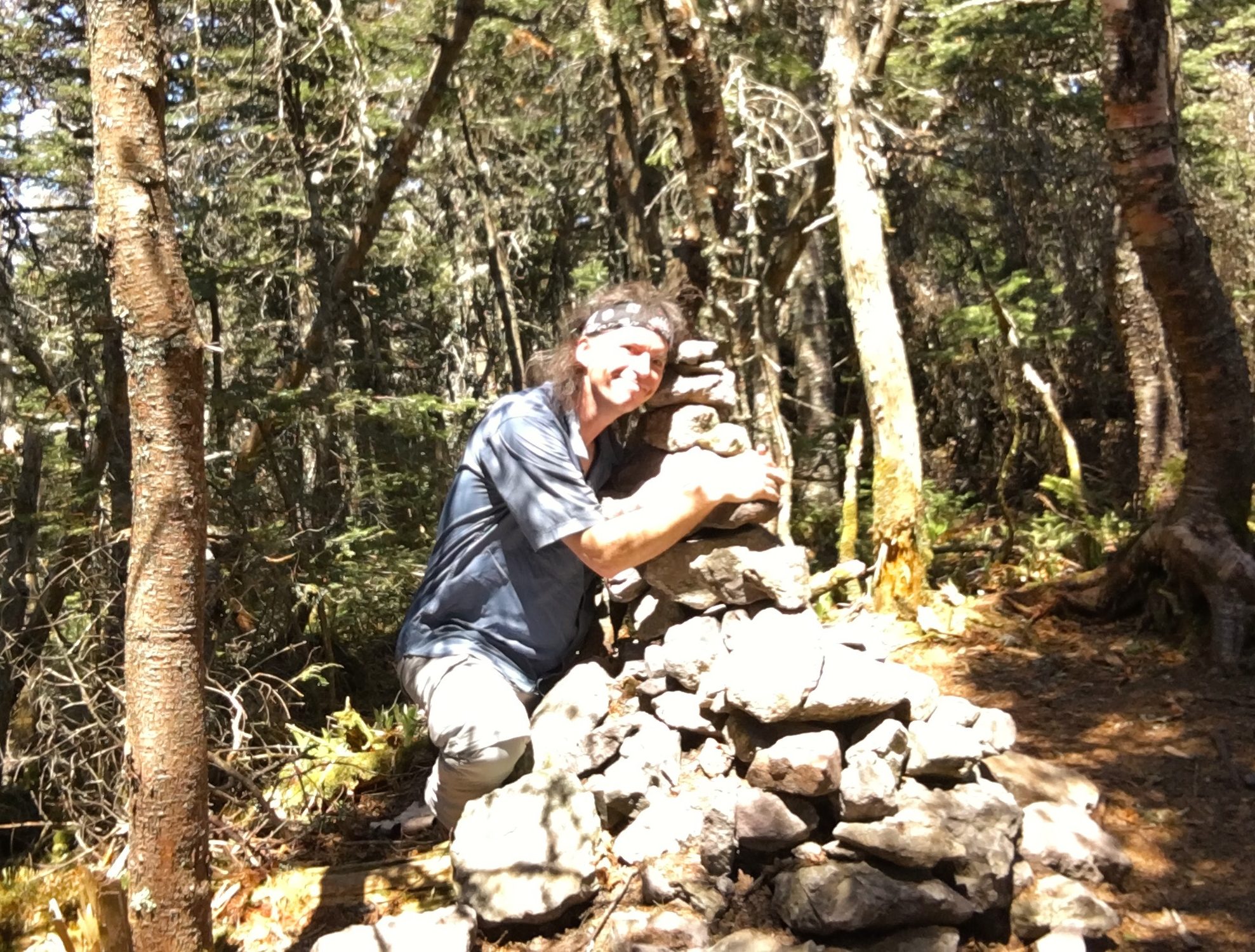
 Behind me through some scrub are the voices of a few groups hangin out at the true summit. I make my way through the brush to the left (not realizing there is an easier way to the right) and finally arrive at the summit cairn and marker for my second to last victory.
 The chit chat dwindles after a photo favor from the 2nd group as they head out back toward Boot Spur & Glen Boulder for some more chaos. My descent should be much more mellow down by way of the first groups campsite.
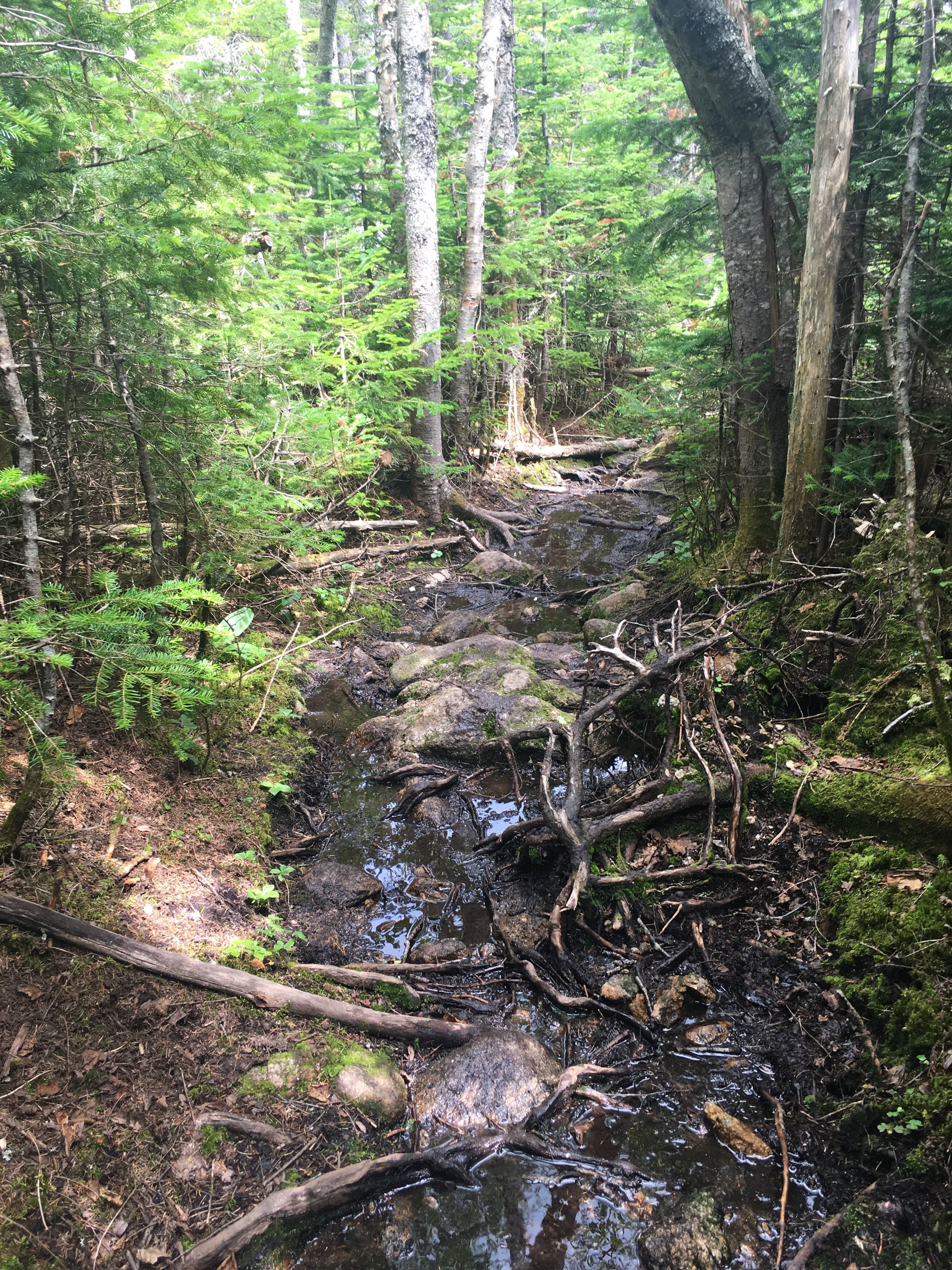

 Further down the trail, the streams are now flowing with ice cold goodness. I don’t really need a refill but after the long day, I swap out my semi warm supply with the fresh offerings of nature. This is a nice mellow descent but certainly one of the more soggy & longer ones, but not nearly as soggy as my Owl’s Head ordeal.


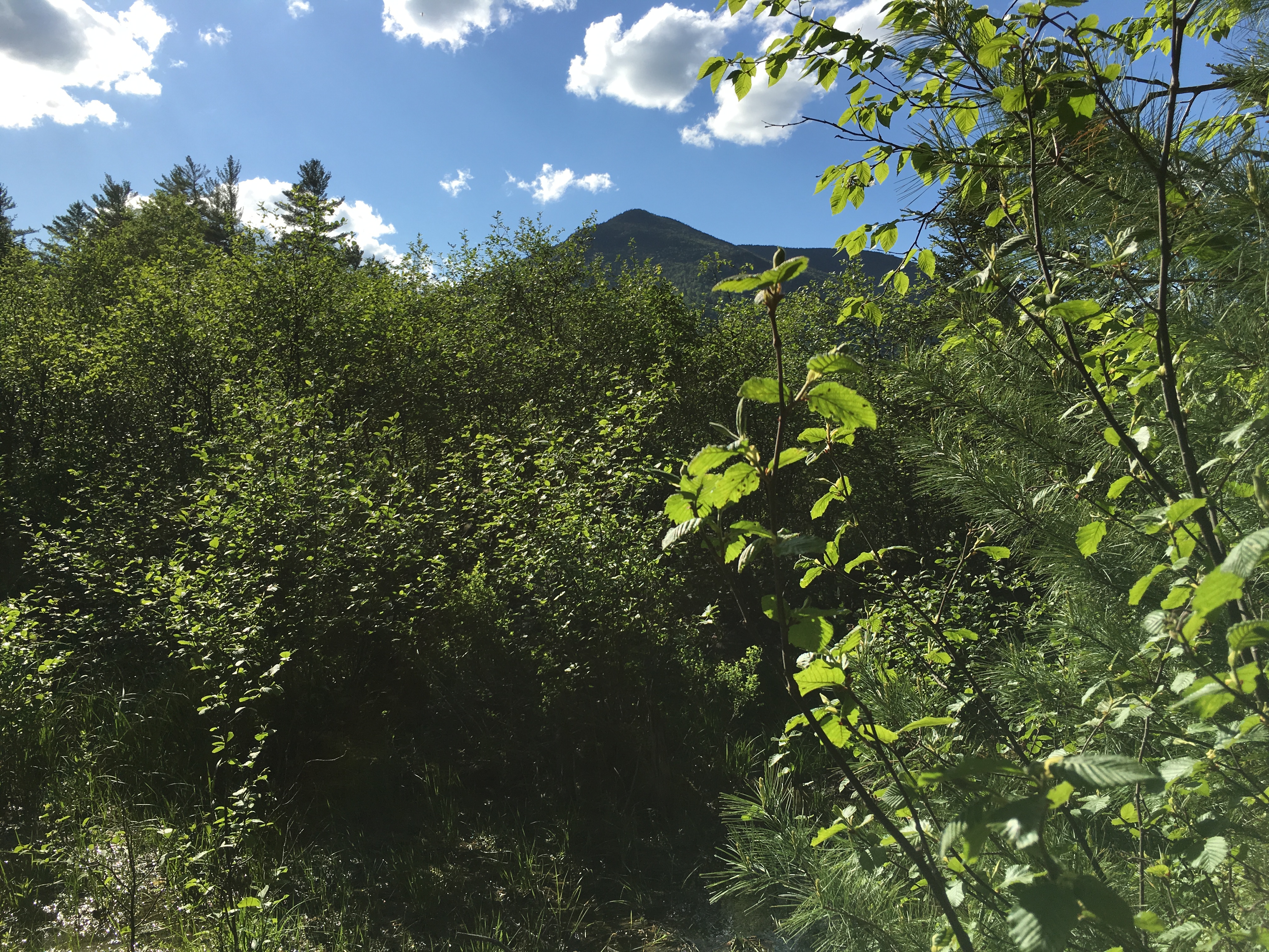
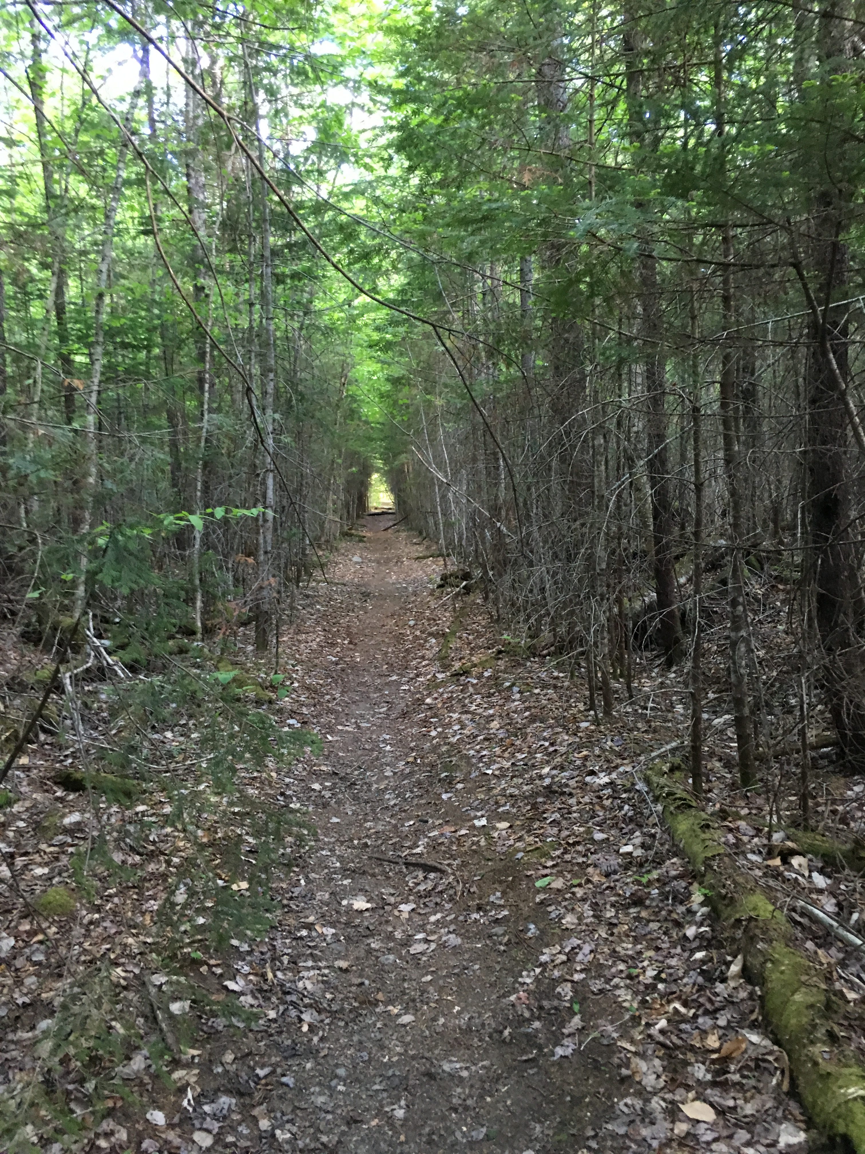
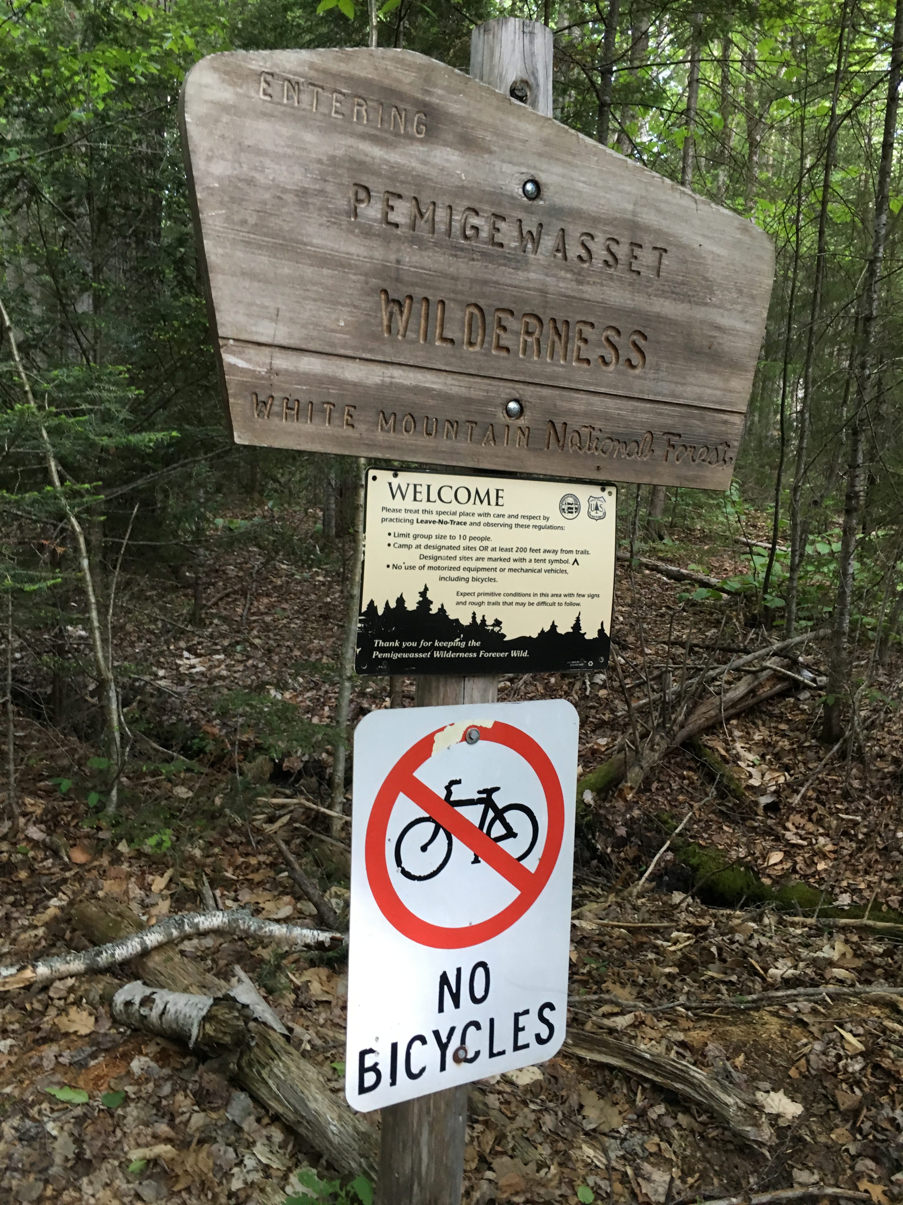
 All of these memories have been coming flooding back in recent hikes. The awakening on Franconia ridge, the rugged and raw beauty of King’s Ravine, the majestic crests of the Presidential Range, the peace solitude of a night on Osceola, the earie forest of foggy Waumbek, the winter wonderlands inside Crawford and Pinkham Notch, the long slog through the remote reaches of the Pemigewasset Wilderness, and so many more! Numerous regrets, uncertainties, fears, insecurities, and inner struggles have been confronted and washed away in these hills and I will be forever thankful. At the same time there have been the carefree days that simply offer a fun retreat from the rigorous hustle and bustle of the daily grind, and have given me a renewed perspective and have reprioritized what is truly important and significant in my life. All this from the mere act of putting one foot in front of the other and repeating. I will never underestimate the value of the decision to take that first step, and will never take for granted these blessings.
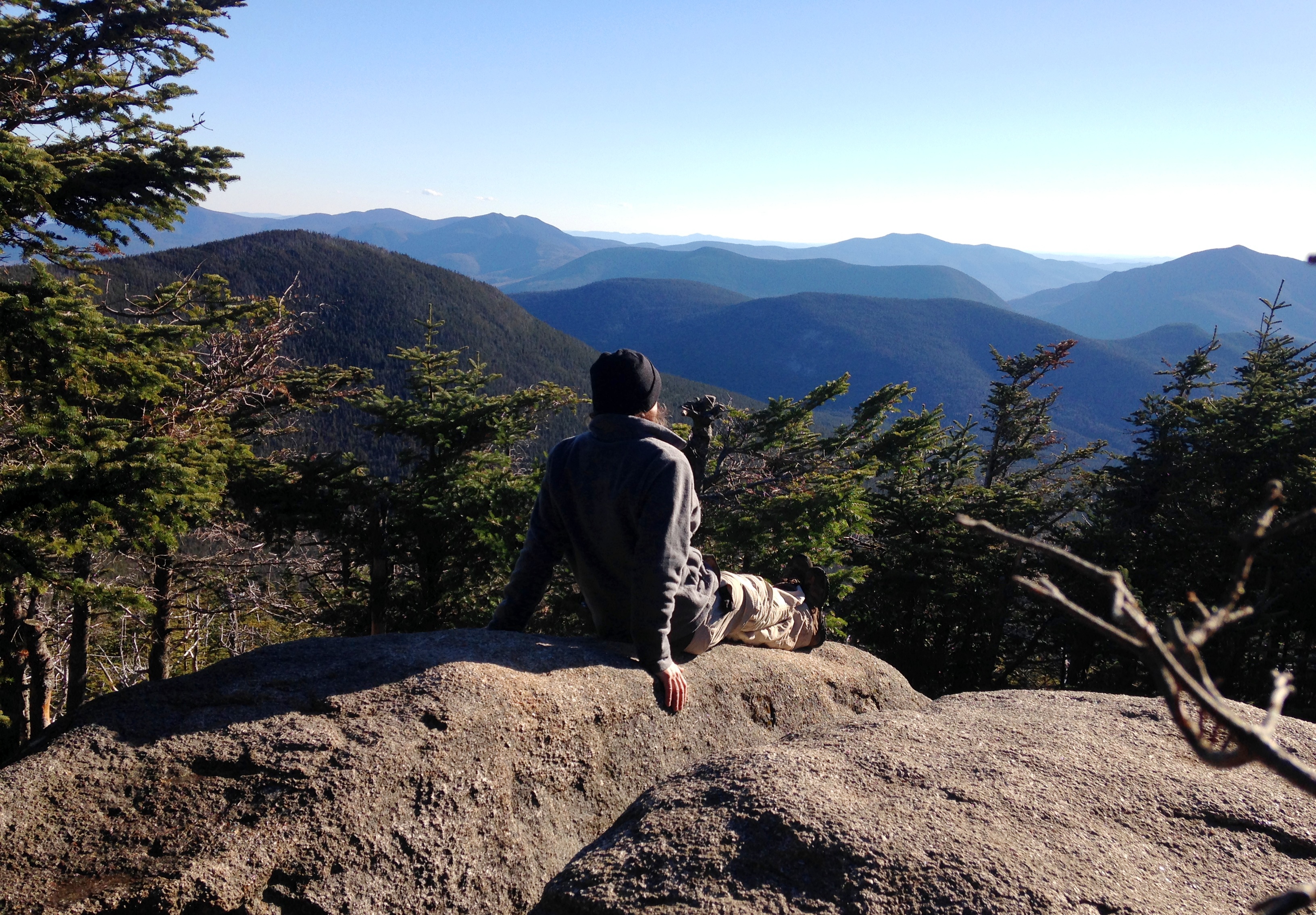


 This is one of those extended summit visits today, lingering longer than most.
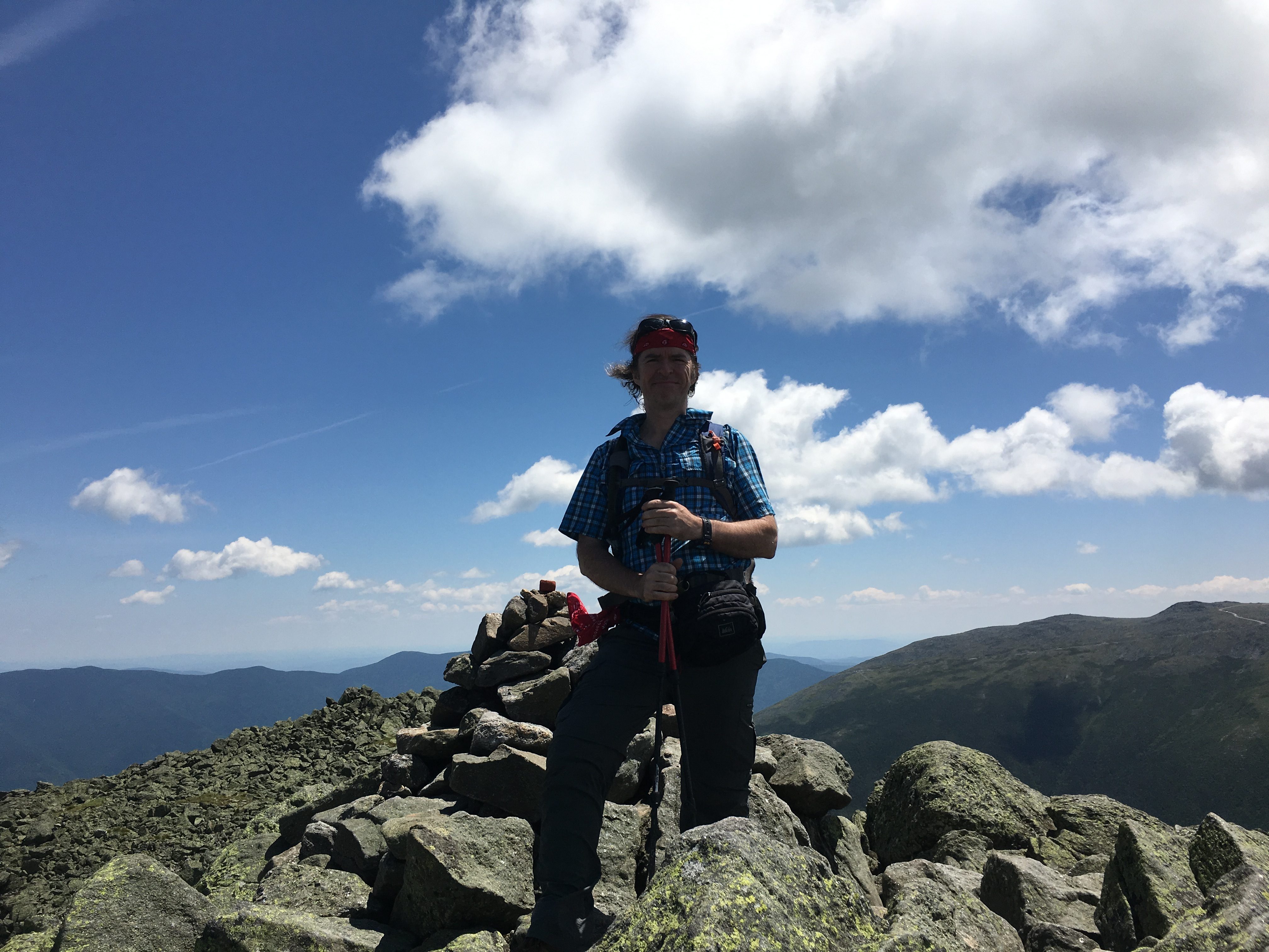


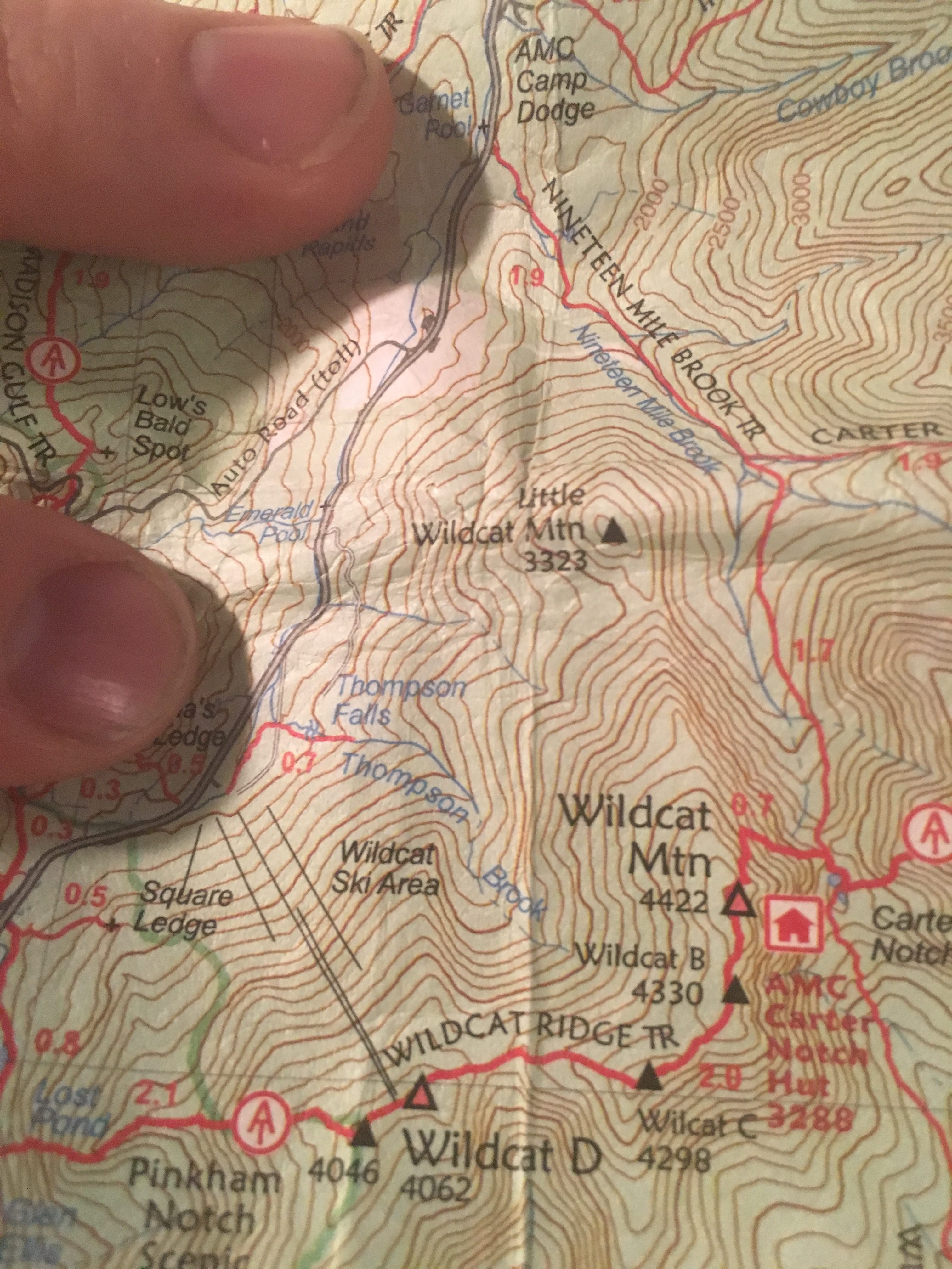


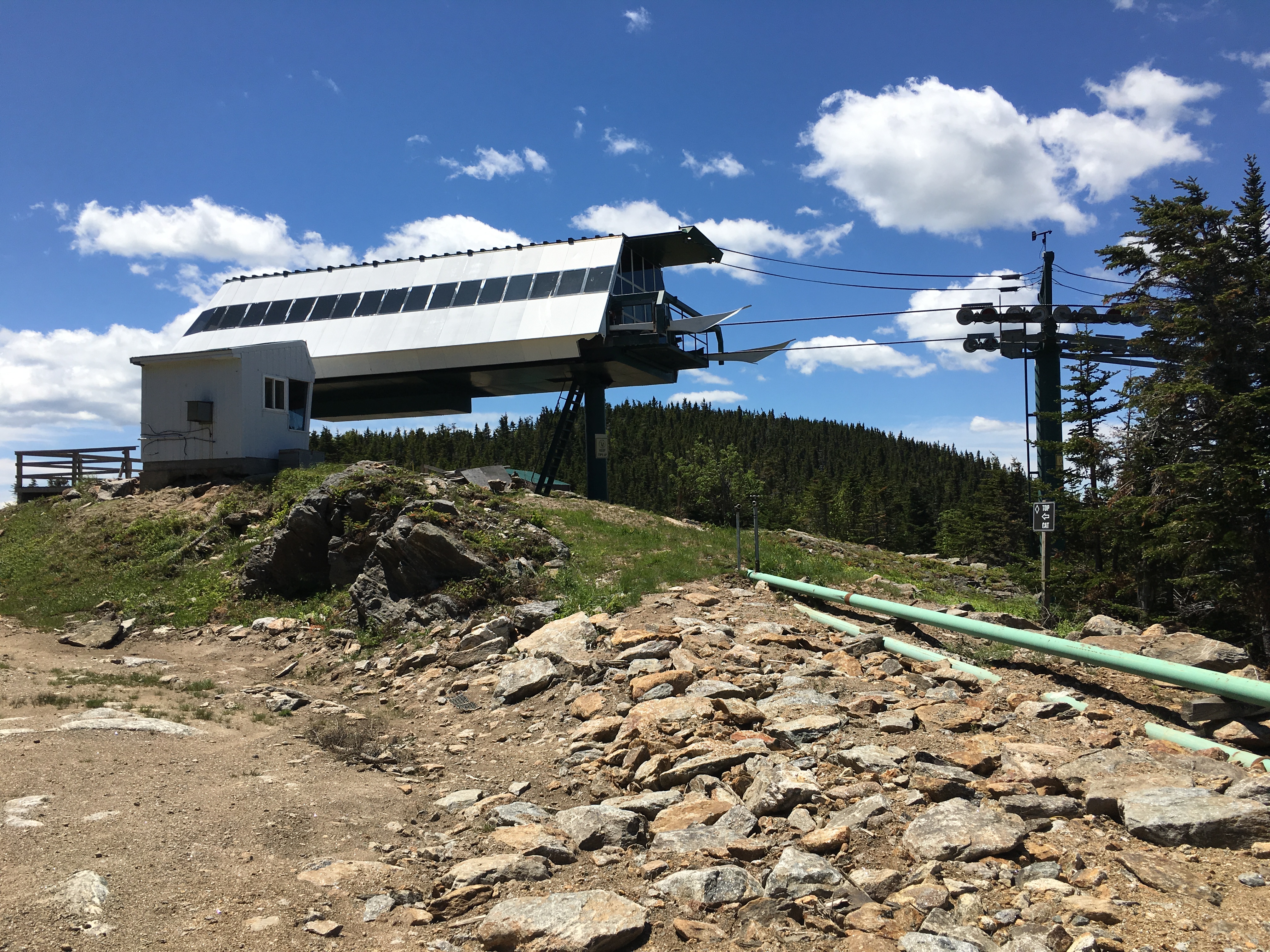
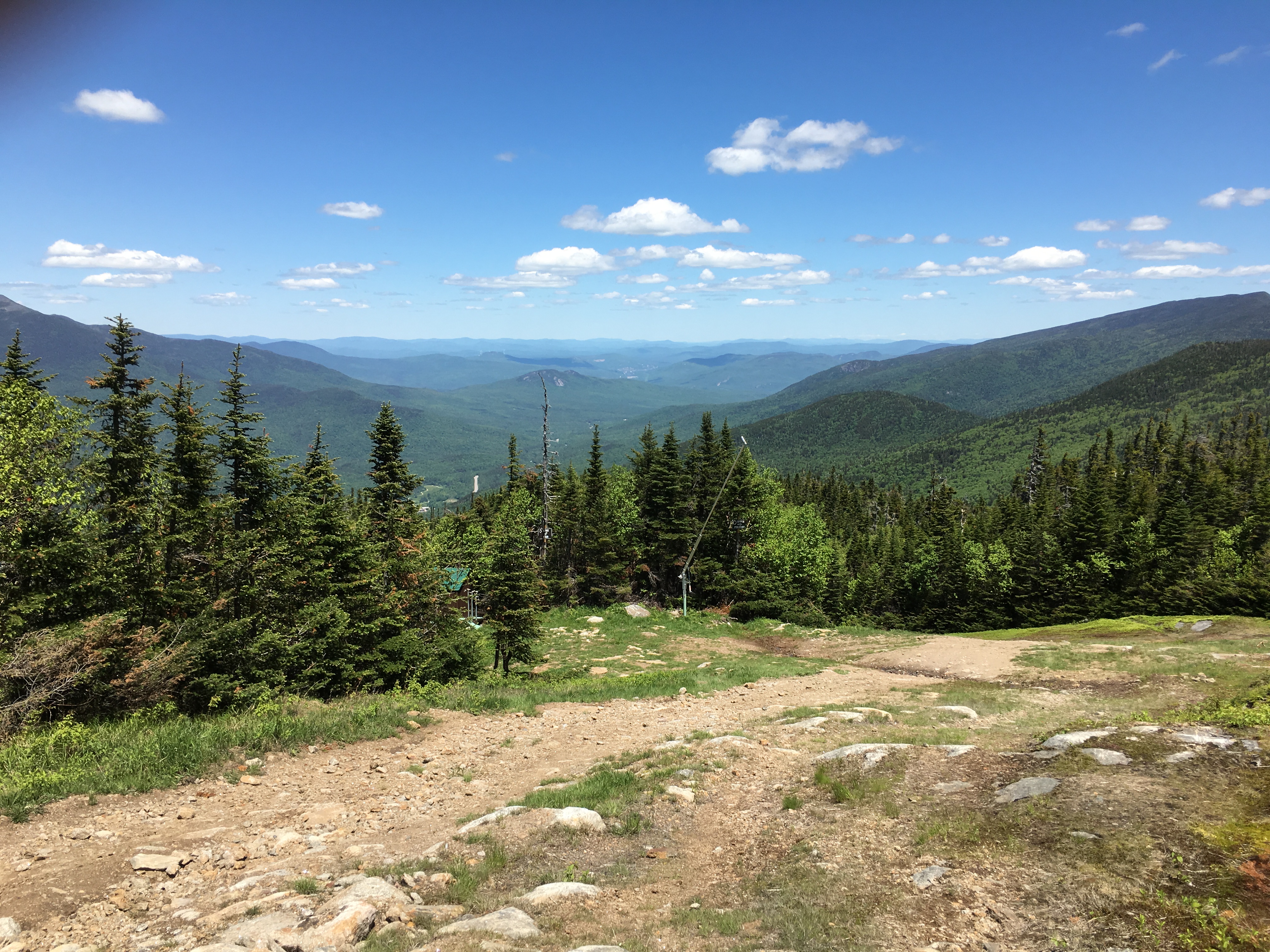


 I conclude the day at the ski area parking lot, swapping my pack for 2 wheels and start my downhill coast down the road. Sorry if a CAT’s got my tongue on this one, and there wasn’t much to report on this uneventful day, but sometimes I like it like that and certainly deserve a day like this after recent more epic efforts. I got just what I needed today. No more No less. It’s funny how the mountain somehow knows what you need, even if you don’t necessarily know. If you asked me today was the “Cat’s Meow”!
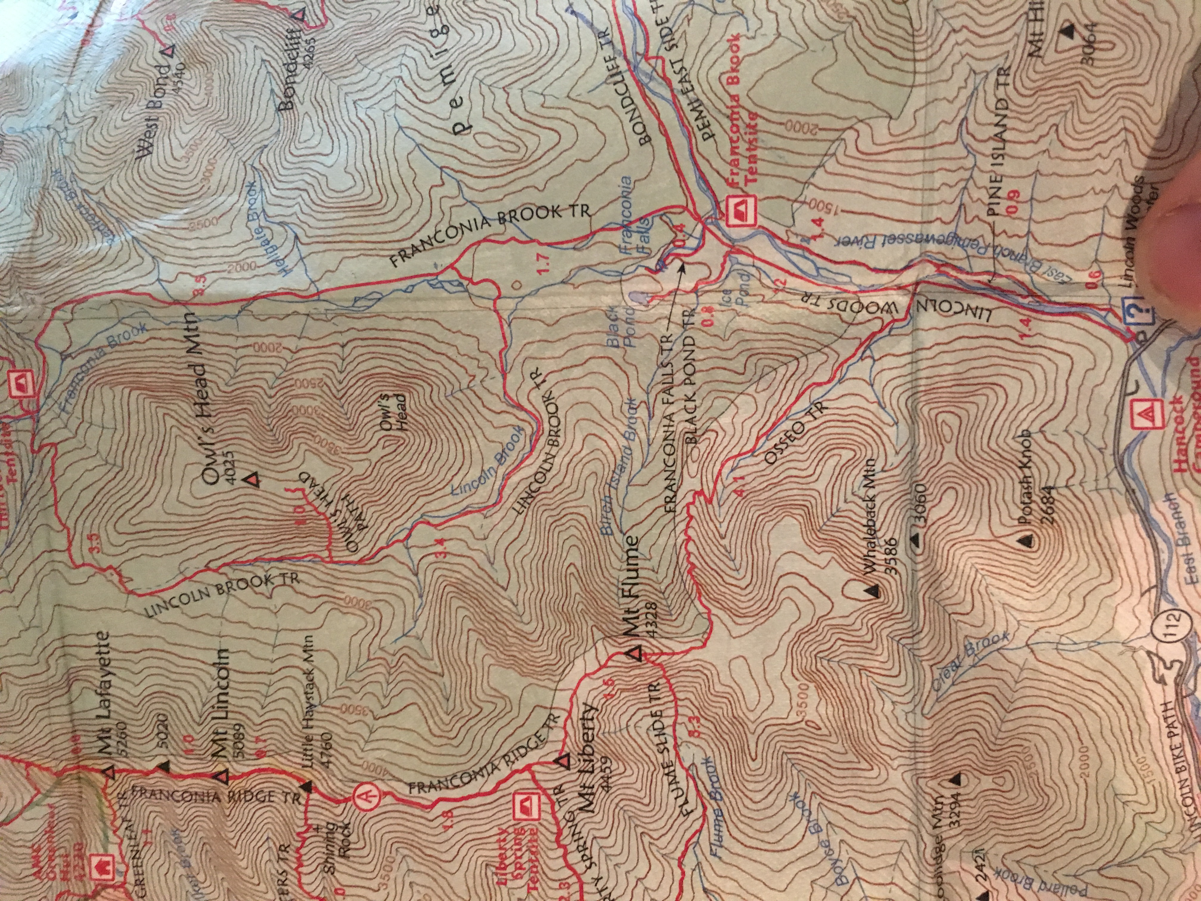


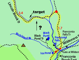

 I hopped over on the rocks, changed out my soaked socks, and dried out my boots as best as possible, then continued my long journey. I noticed a few nice camp spots on my way to trying to find the turnoff for the owl’s head slide, and it occurred to me that if things end up running behind schedule, or my energy reserves are prematurely depleted, I could always break out my emergency camp gear and spend the night at one of these spots.
 I am a lucky man today. It’s not every day you get the mountains to yourself. I look around at my new vantage point and the deep sense of calm washes over me as remoteness of my location hits home.
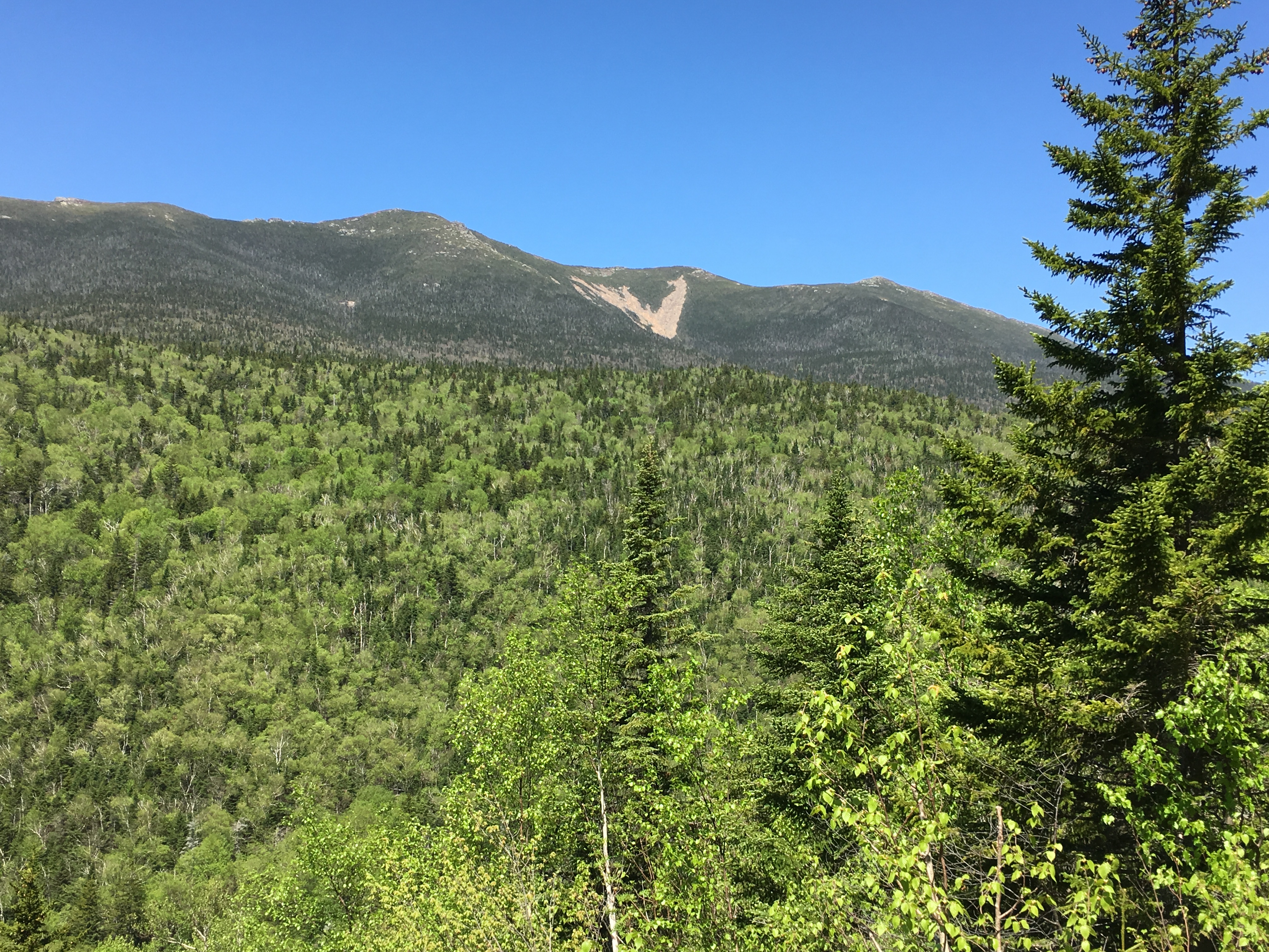
 I get to a point where the slide is now wet, just to add another challenge to my day.


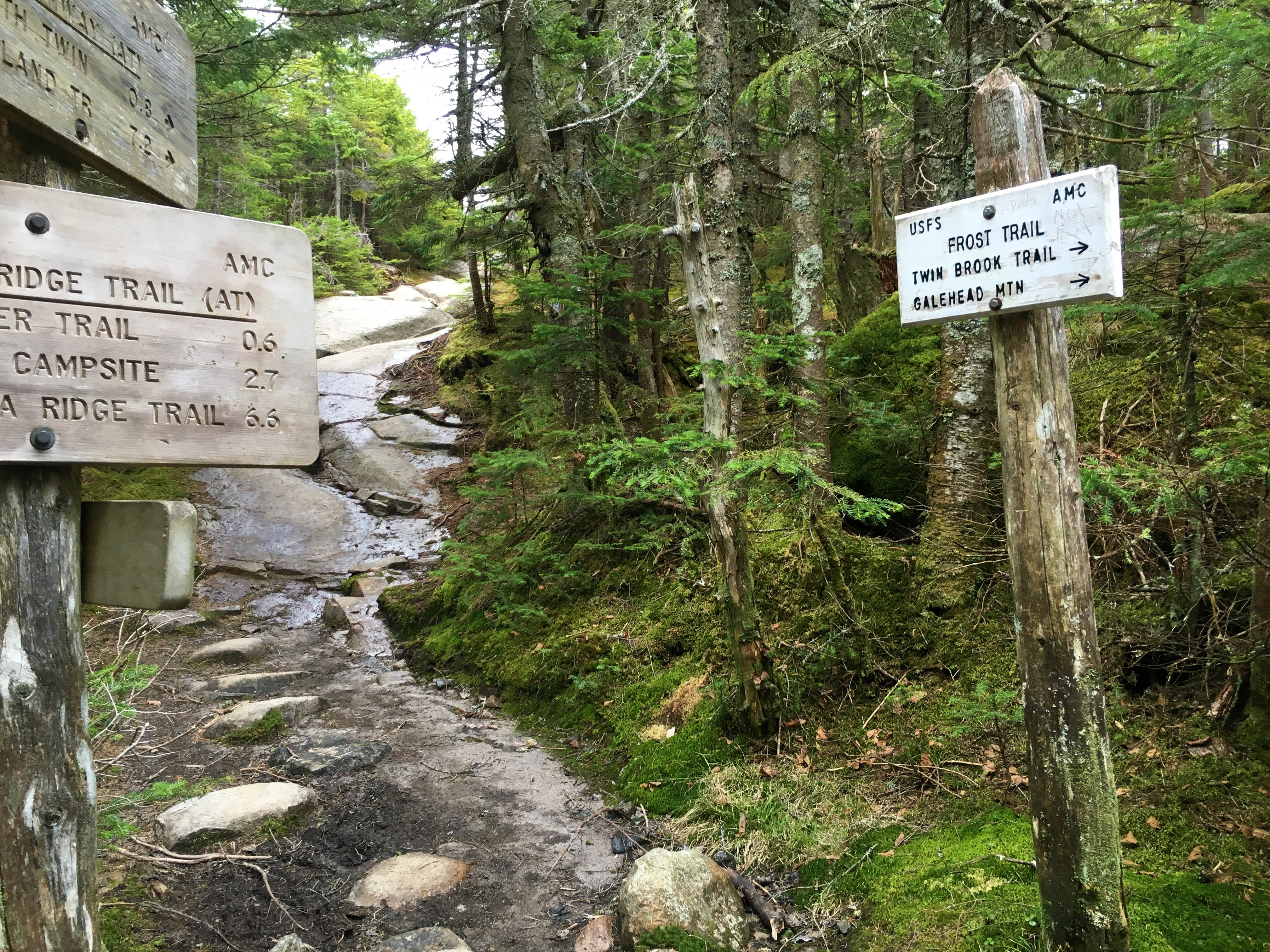
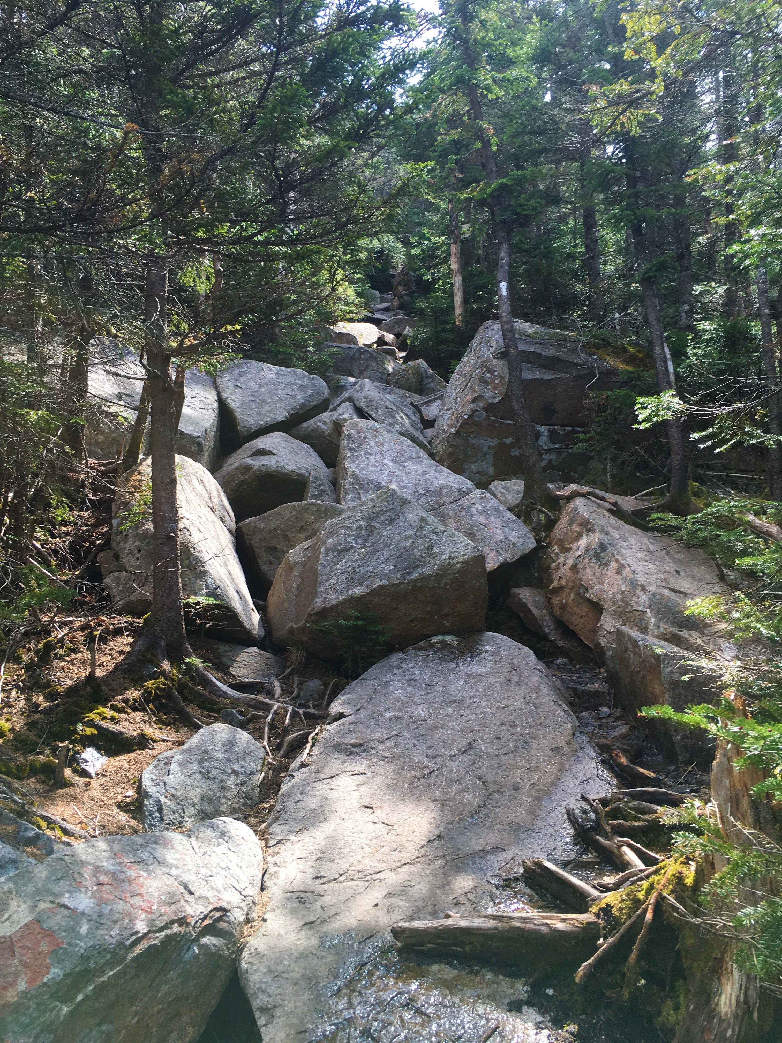
 I shoot up Frost Trail for another half mile, and snag my first 4K in almost 3 months and #39 on the list. Surrounded by scrawny summit trees, with the buzz of flies as the soundtrack, I grab a quick snack next to the all too familiar pile of rocks on this warm steamy day.
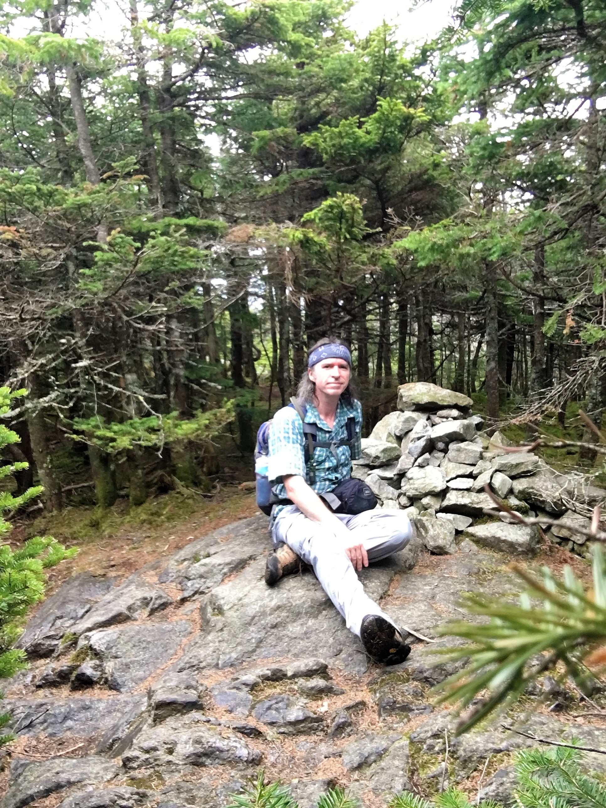
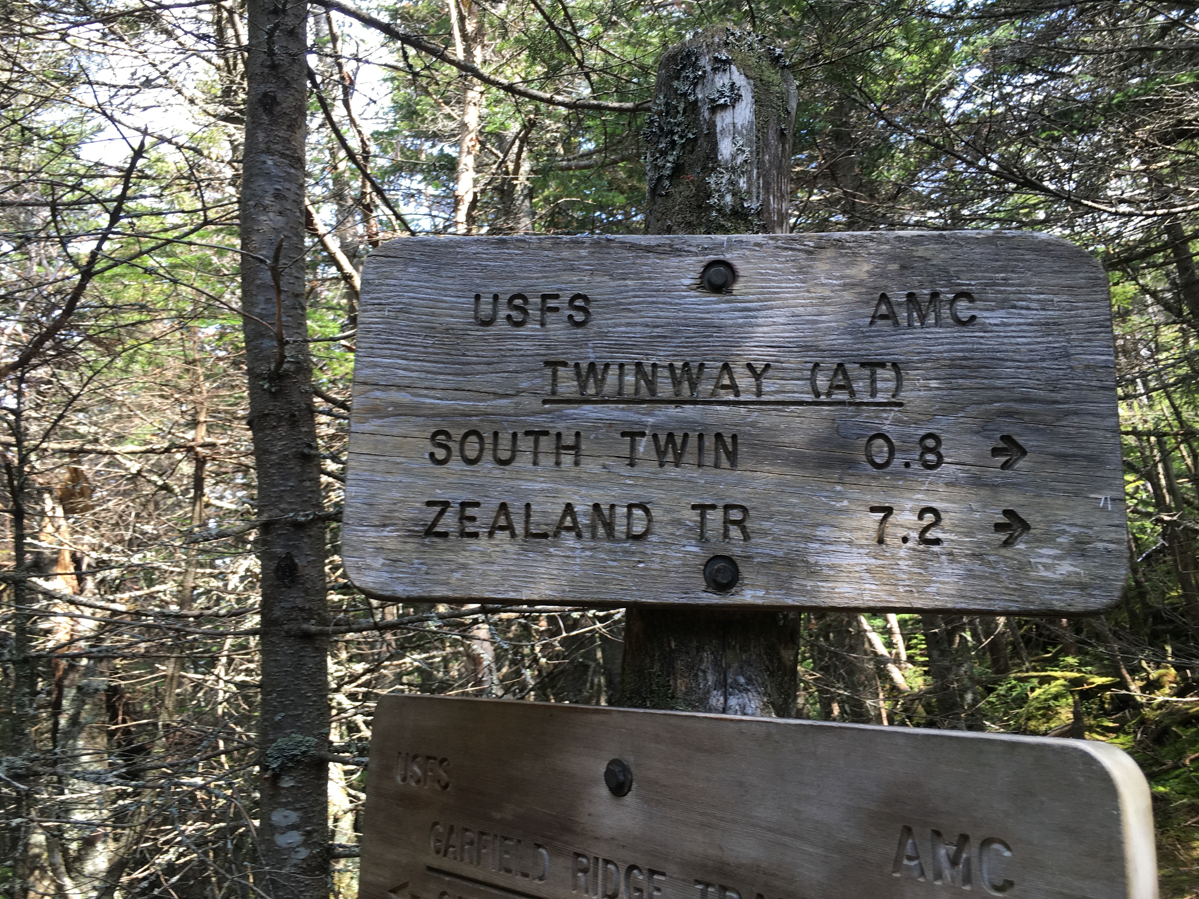

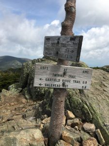 …As I sweat my way up Twinway and finally reach my #40 at the trail junction signs, the sky and stunning mountain panoramas really open up, with perfect timing! I sit on the summit, catch my breath with my sandwich and just one other hiker, and admire this beauty which never gets old and is always awe inspiring.


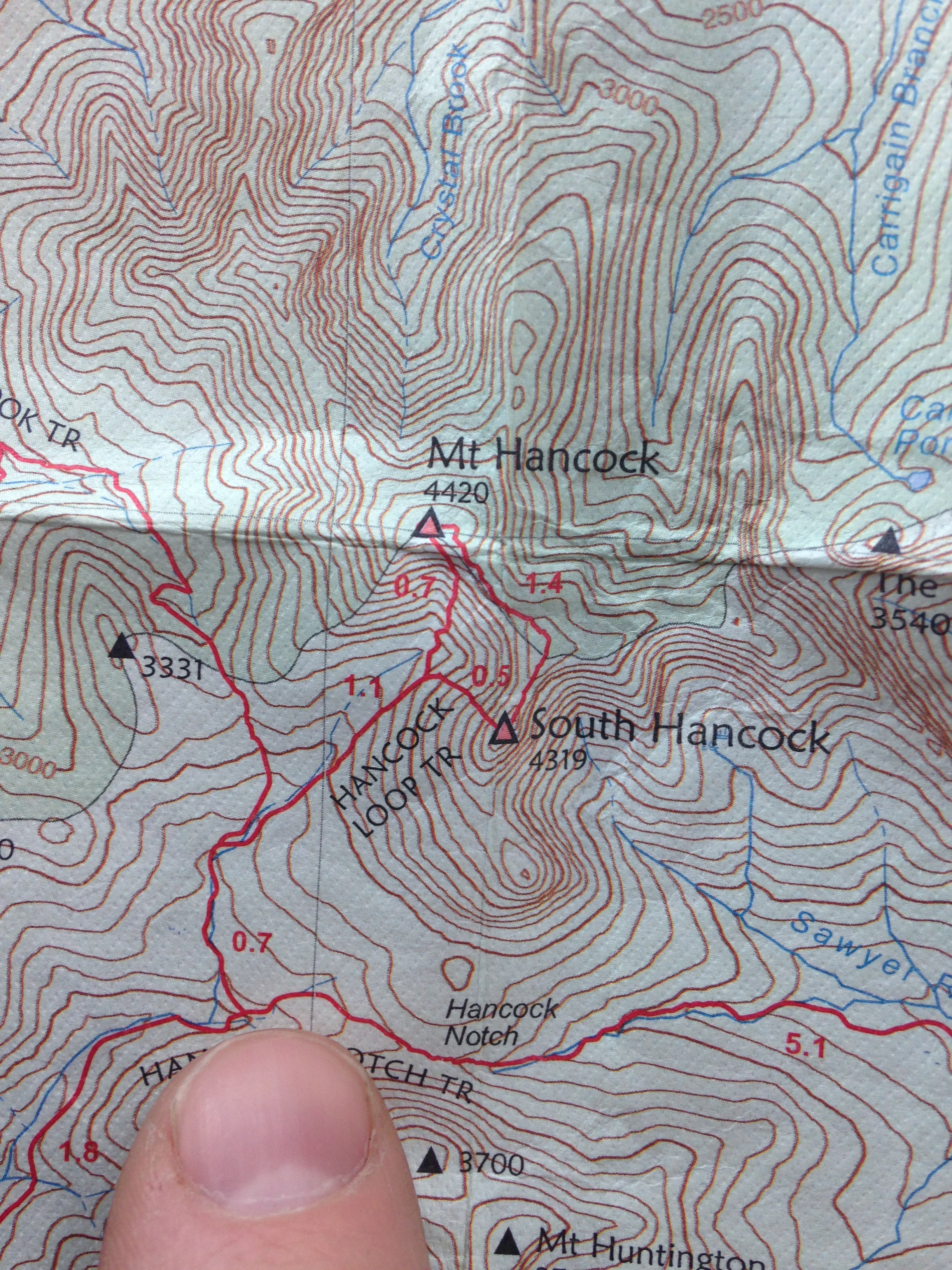
 The winning option will make itself known eventually, but not before I set up camp and tackle the Hancocks today. The good thing about arriving on a Sunday post-foliage, when all the leaf peepers are long gone, is that I am sure to get my solitude fix in. I remember last November on Tecumseh and I am expecting some snow coatings up at the higher elevations, but it should not be icy like my last hike. Still, I have the spikes just in case.

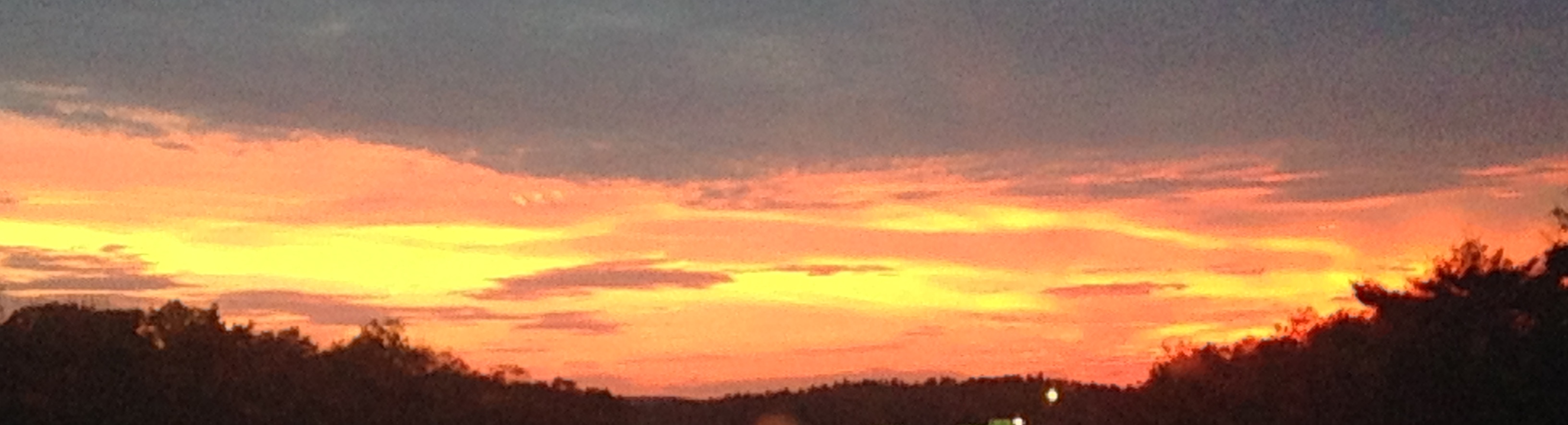
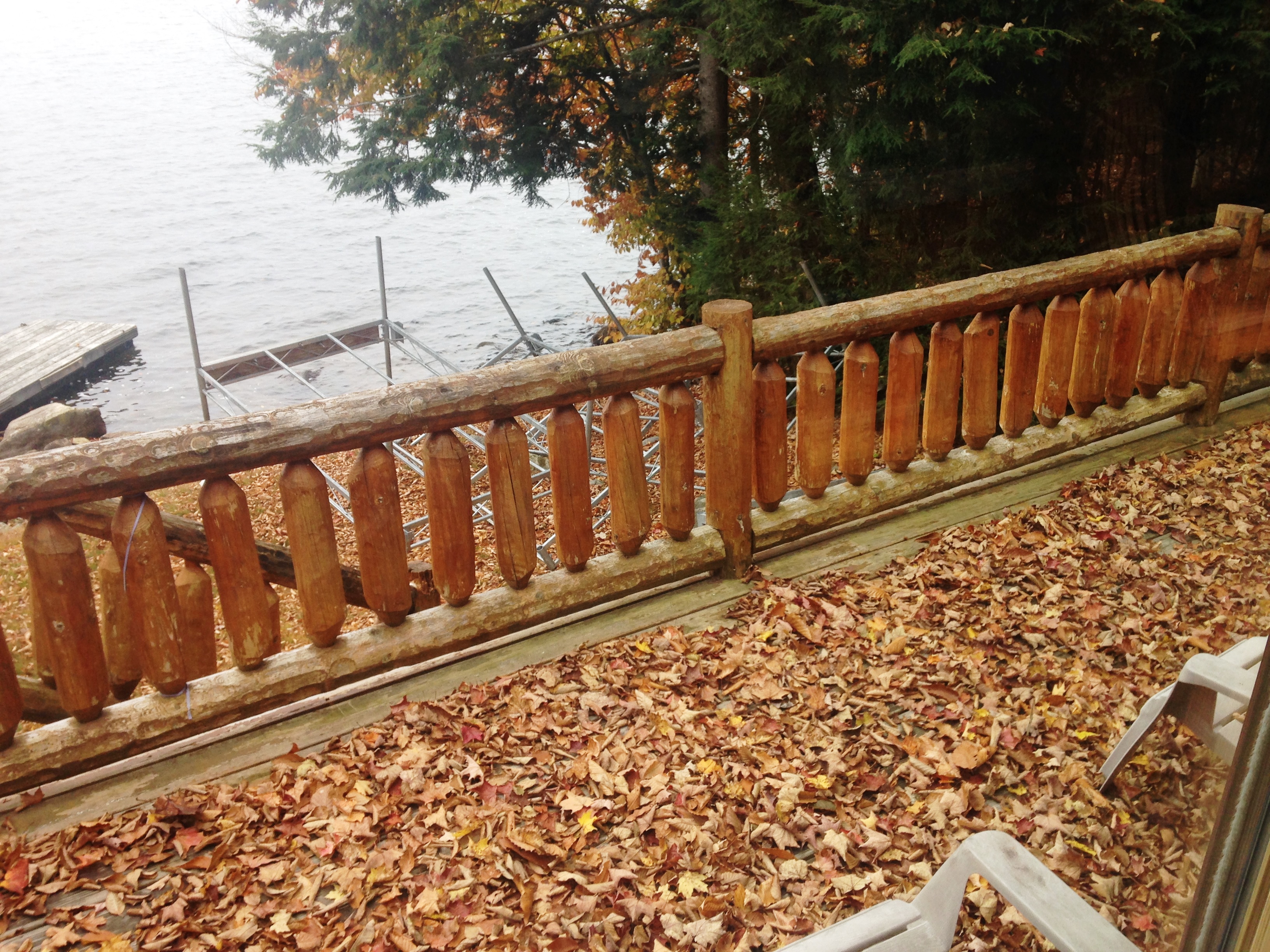
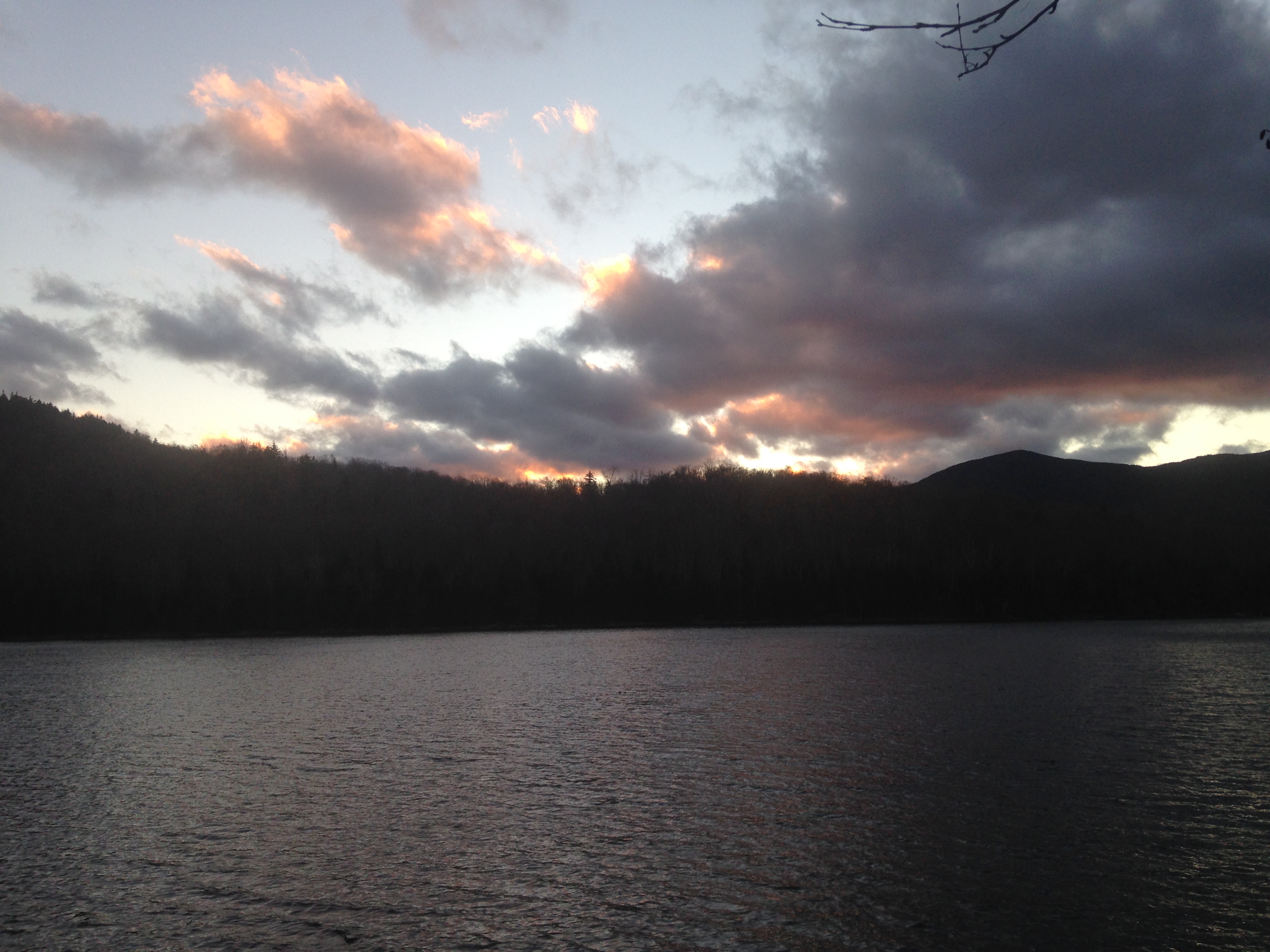
 I drove to the lake house Wednesday after work travelling westward toward a bright orange sunset. Therese was giving her team a farewell dinner as a thank you for a job well done, as her final week with the company comes to a close and she moves on to the next stage of her career. The evening with her coworkers would be coming to a close shortly before my arrival. I pulled in at about 9:30, sat a while to catch the last flames of the toasty fire, ate some of her famous lasagna, washed down with an IPA as I listened to her on the phone with a coach from a college her youngest was on the verge of deciding on attending. We talked for a bit longer and then got some early shut-eye. We would make our way North the next morning to the ADK Loj where we would be staying between our two hikes.
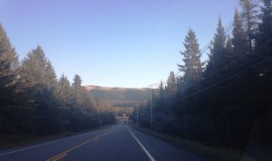
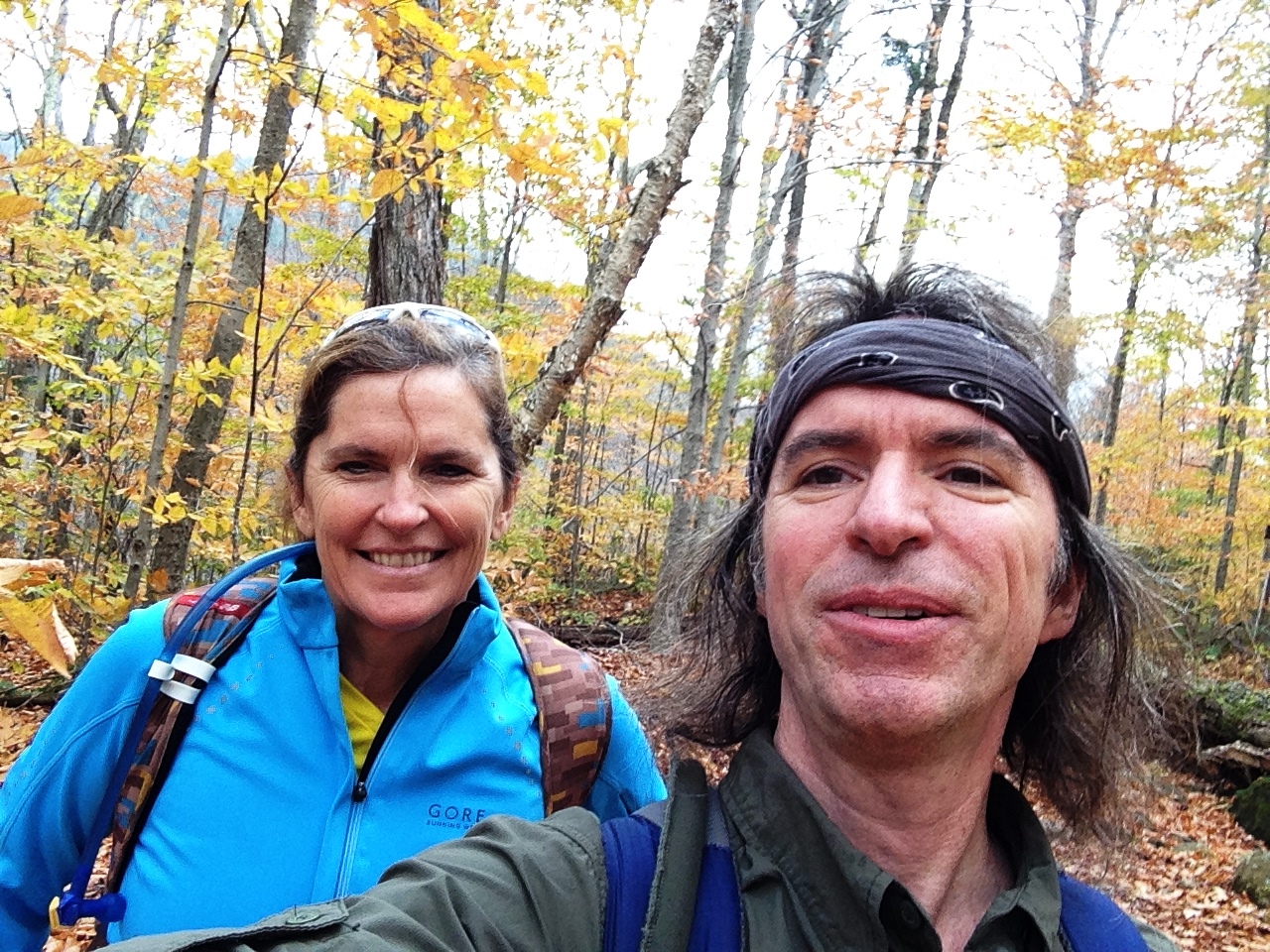


 The weekend started with a bigger plan. Once again I was trying to get in my revisit overnight trip in the Bonds, and once again that plan was squashed with things like sleep deprivation. In fact, I had slept so late this time, that I almost gave up on any hope of a hike in the Whites. As I lay discouraged, staring at the ceiling, squinting from the sun that was already coming through the shades, I got a few texts from my sister that lifted my spirits. Therese was following up our epic trip in the ADK’s a few weekends back with another day trip (on Giant I think) and texted me a few beautiful summit pics. This was all the inspiration I needed to drag my ass outta bed and climb SOMETHING, even if it wasn’t the overnight I was packed for. So I grabbed my pack as-is along with my empty day pack and headed for the hills.
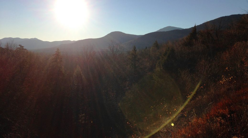
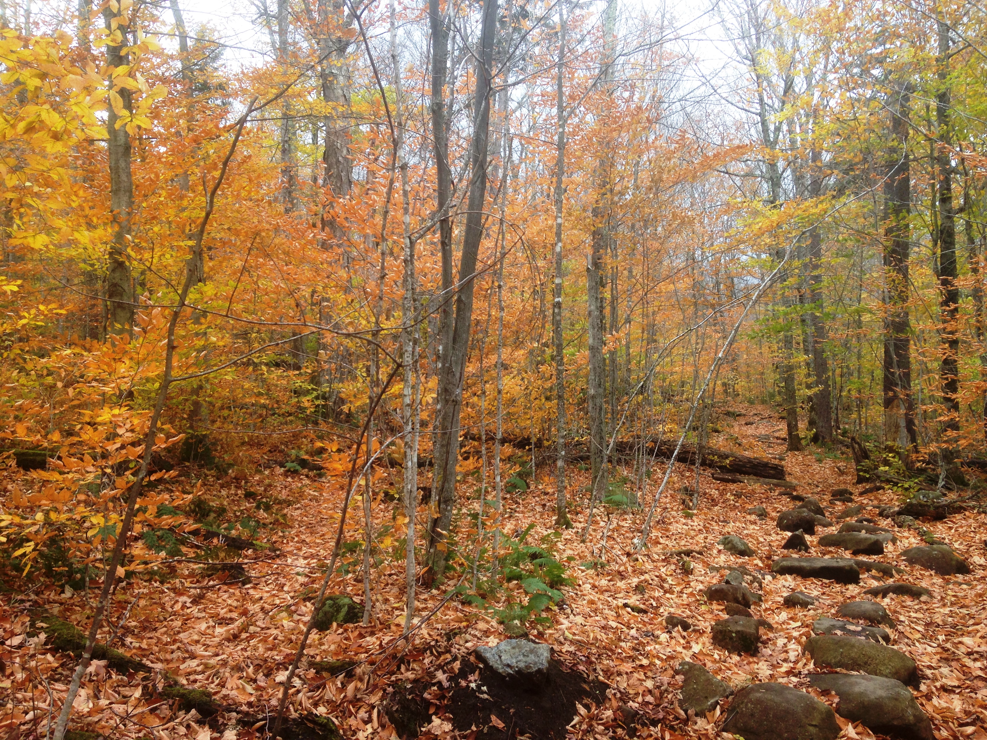
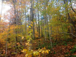
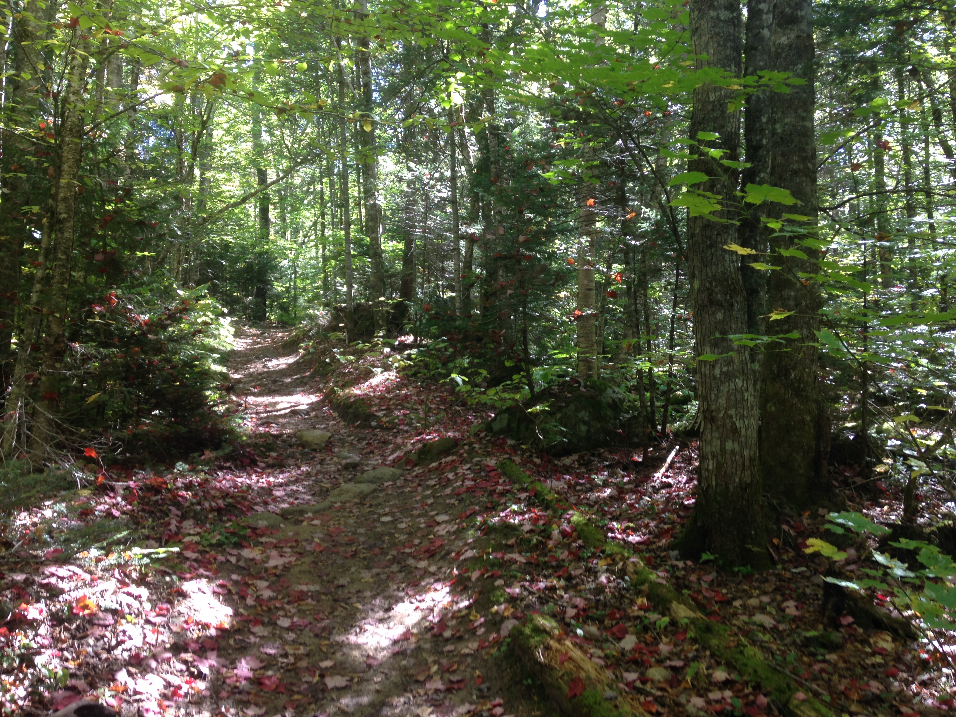
 It seems fall got here overnight with some chilly temps,


