Pemigewasset Wilderness
(Gale -39, South Twin -40, North Twin -41)
5/28 8:30pm (Facebook Post): “Just getting back from a day that started at 3am! 6 hours of driving, 9 hours of hiking with a 1-hour post-hike road walk/hitchhike combo, all following 5 hours of sleep… AND I COULDN’T BE HAPPIER!! Welcome back feet. Sorry you had to wait so long to be reunited with your favorite place!”
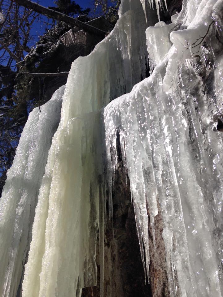
Maybe it’s me, but this spring seemed like an eternity! It was an unusually long ice season this year. As a rule, I like to play it safe during this tricky “shoulder season” following winter, but I will NEVER wait this long again. I am bursting at the seams, just dying to get back in the swing of it. My last White Mountain hike was Carrigain on March 6th, nearly 3 months ago for #38. At that point I had put in a good 2nd full season of winter hiking with six 4Ks, some smaller peaks and plenty of local stuff and I was about ready to turn the page on winter.
I had bought some Hillsound spikes after an icy adventure on Carter Dome and turns out I never actually used them. If I had known I was going to wait the better part of 3 months to get back up north, I would have definitely put them to the test at least a few times. Lesson learned – Next spring a little bit of ice won’t stop me. Don’t get me wrong, I made the best of my off-season in Mass with a few trips to the Berks to hold me over. Alander Mountain and Bash Bish Falls was my favorite, and another good one was Greylock, once again with my sister. Still there really is no substitute for the Whites around here.
In any case, all that waiting is finally over and I have plotted out my first route for the regular hiking season, FINALLY!! It feels more like mid-summer this Memorial Day weekend. It’s the kick-off weekend and I’m sure the trails will be mobbed, but I don’t care, I need my fix in the worst way. I have been keeping an eye on the weather all week and it’s been touch & go. They were talking about scattered T-storms at certain points and one day of steady rain, but if I pick my windows carefully I could end up with some good hiking weather. After work Friday, I decided to wait out the traffic and get a few hours of sleep, then head up super early for a full day hiking and drive back the same day. A marathon day I know, but my camping gear is all over the place at the moment and I need to get organized before setting out for an overnighter.
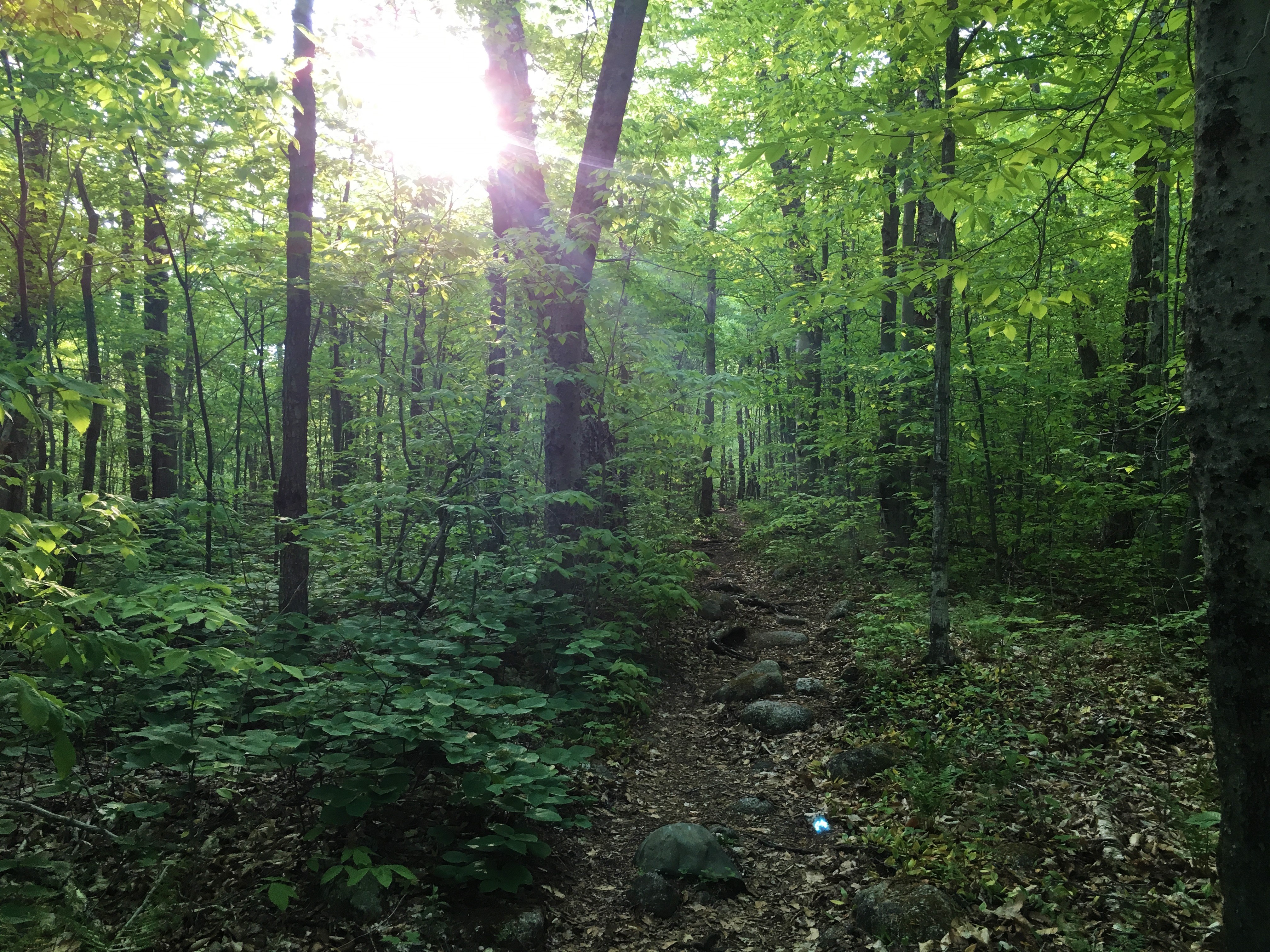

I pull into Gale River trailhead off GR Loop Rd around 7am and sink my boots into some White Mountain trail at last! Oh how I’ve missed the smell of green. It’s an overcast sort of morning with some sun spots, but hopefully as the day wears on, those spots will become more plentiful and we’ll get some clearing just in time some summit views. This first peak is of the wooded variety, but there is an outlook near the summit and also at Galehead Hut. The plan is to get the Twins after that. From there I am not sure if I’ll do an out & back or continue down North Twin Trail to Haystack Rd and try to score a ride back to my car. If not, the road walk seems possible too. We shall see.
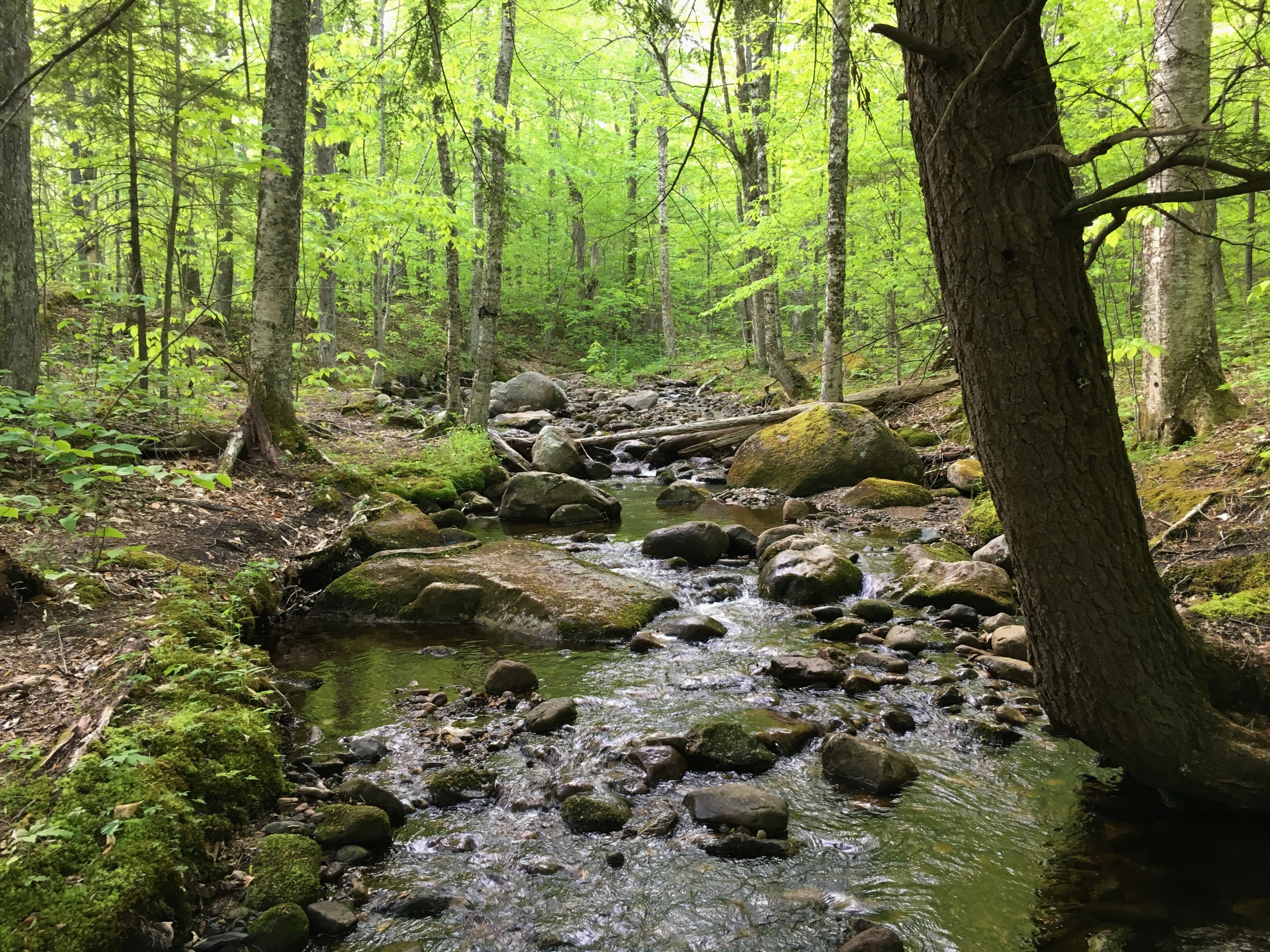
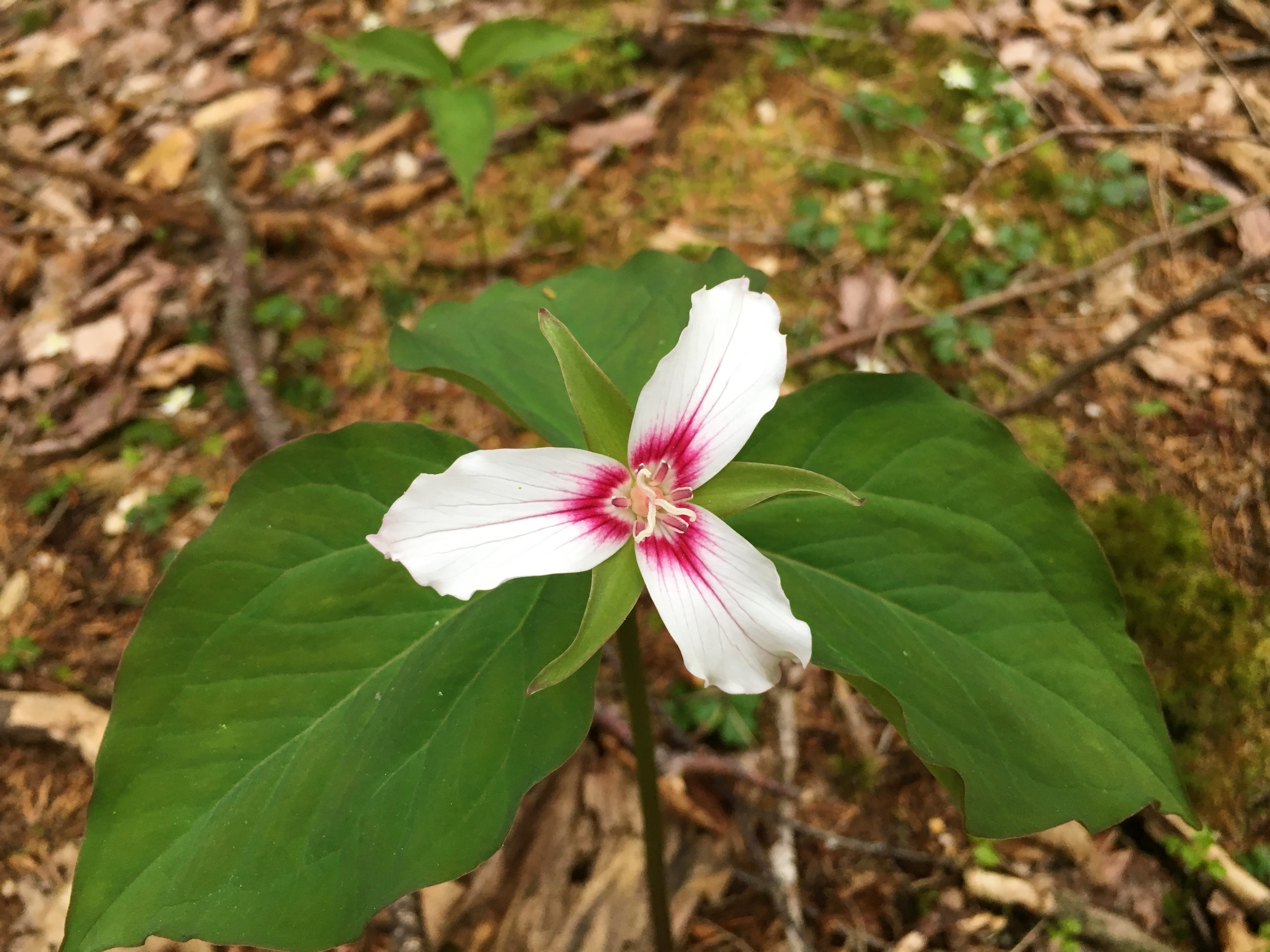
For now, I am enjoying my peaceful morning walk along Gale River with Painted Trillium and other wildflowers in bloom. The river level is low, so rock hopping is super easy, although I notice a crossing rope a short distance upstream for those high water days.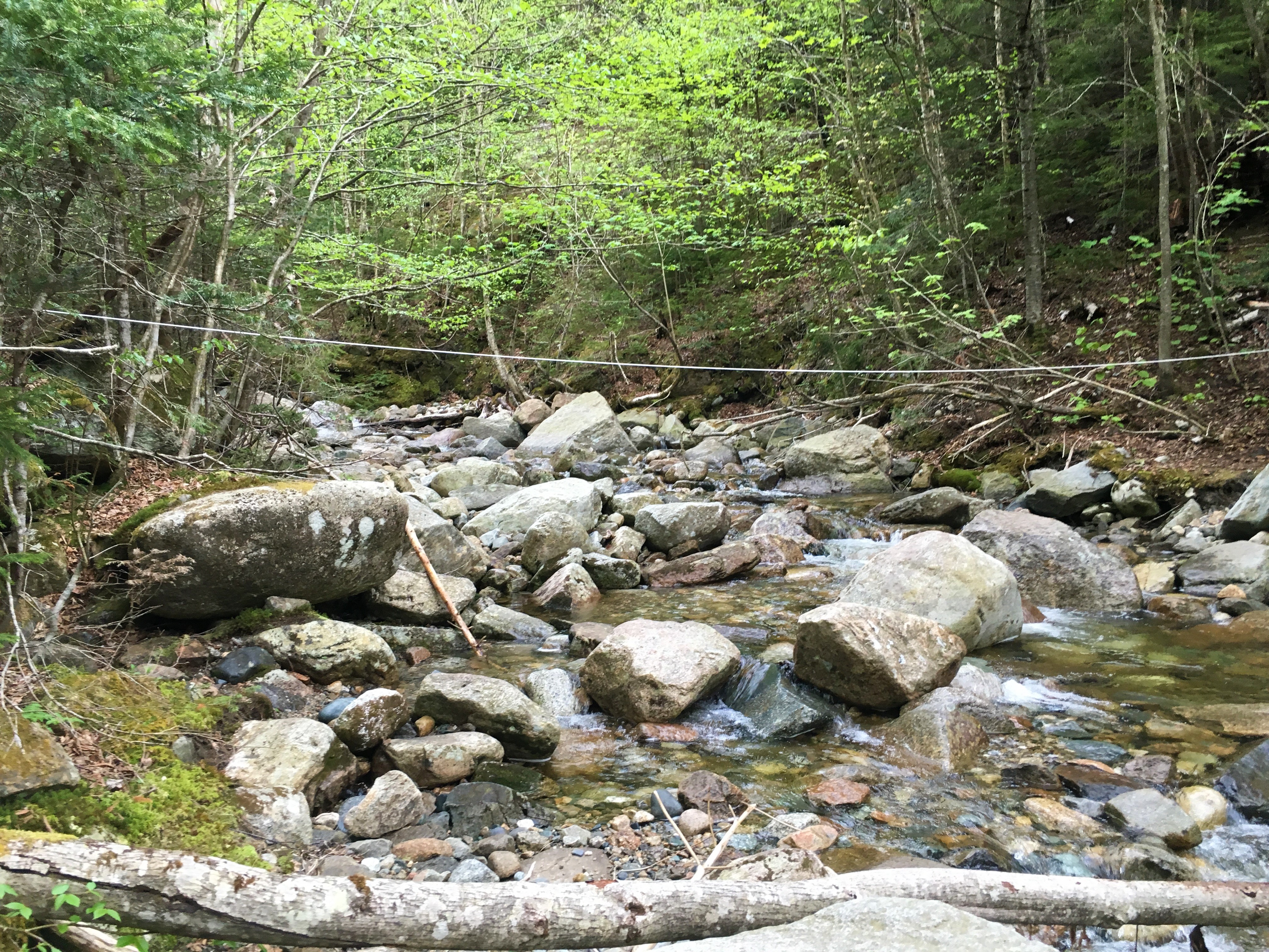 I have never had to do a major river crossing yet, so the thought of an upcoming hike, Owl’s Head which has two of them is causing some anxious thoughts lately. For now, I’ll enjoy these easy streams and save the worry for another day. Gaining some elevation, I reach a few tree clearings where I am sure there is a view on a clear day, but not today – at least not yet.
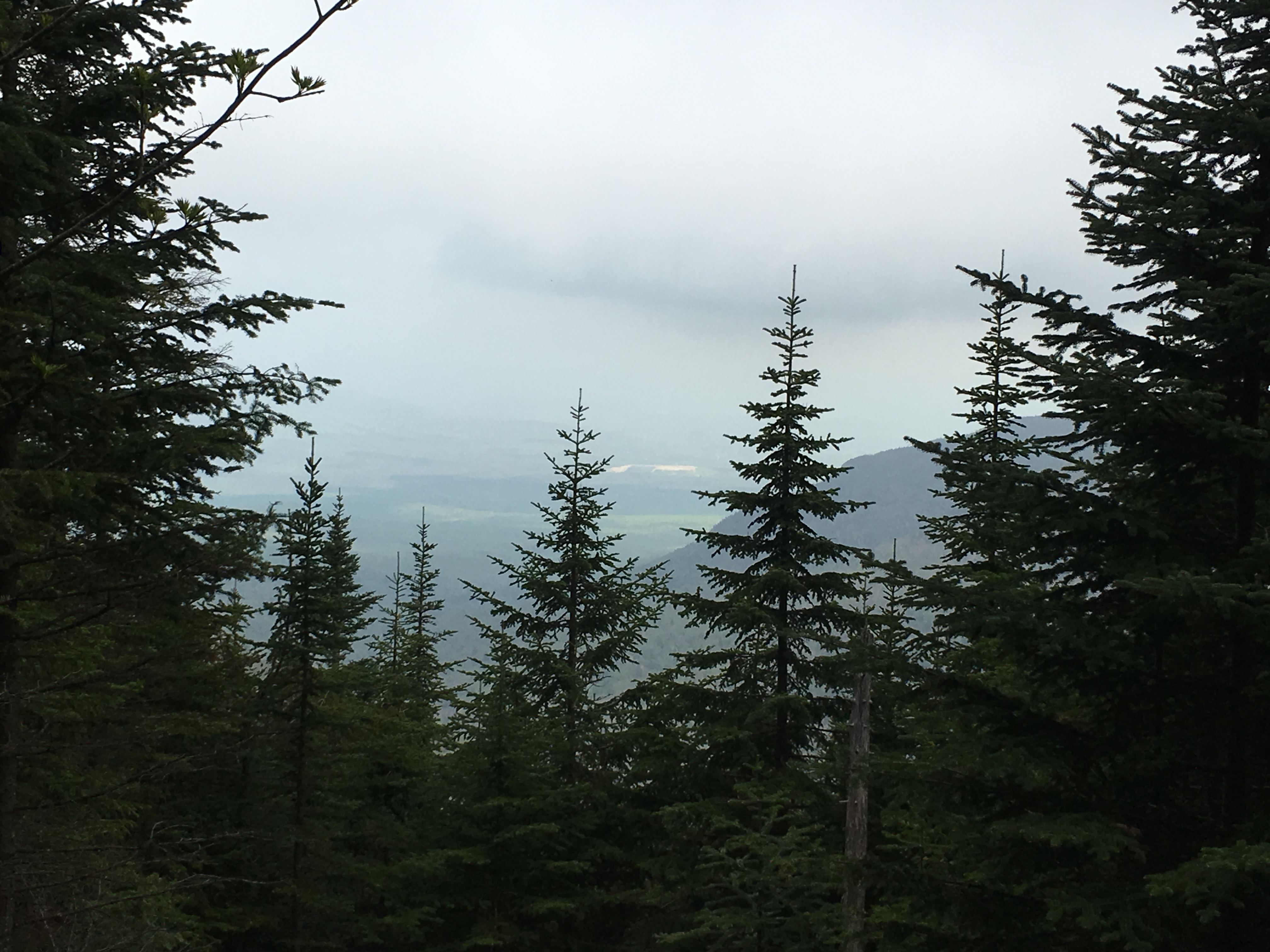
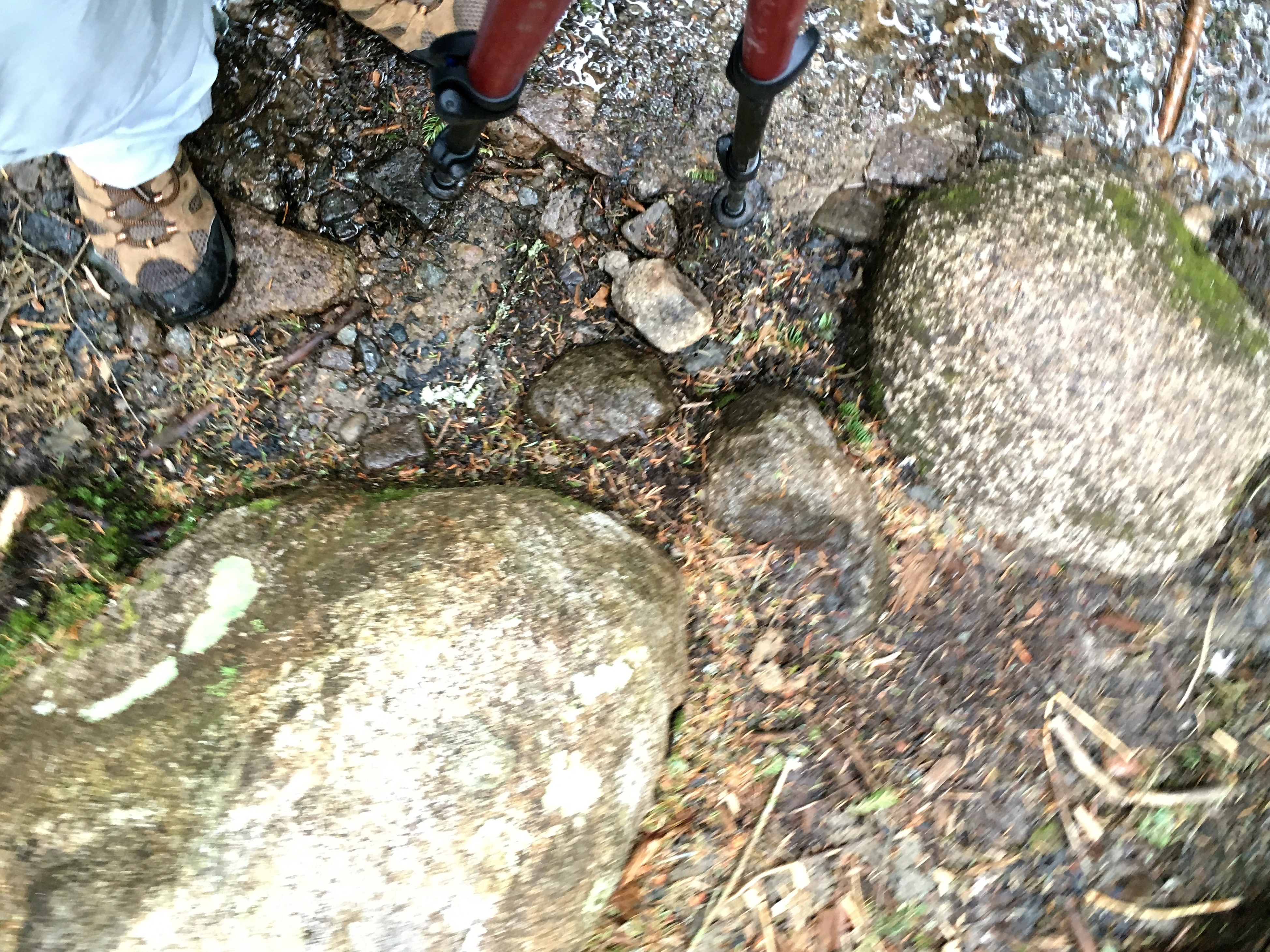
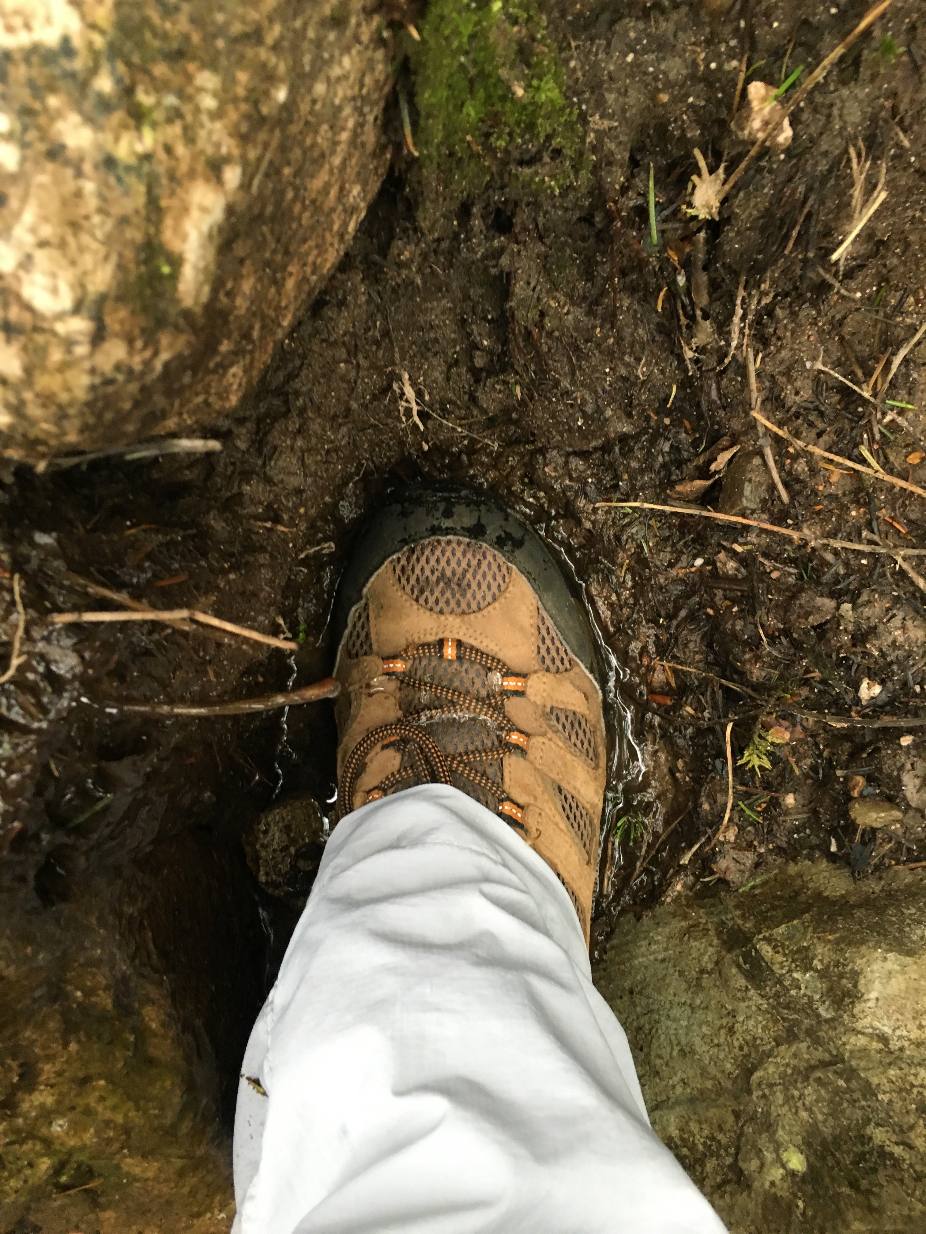
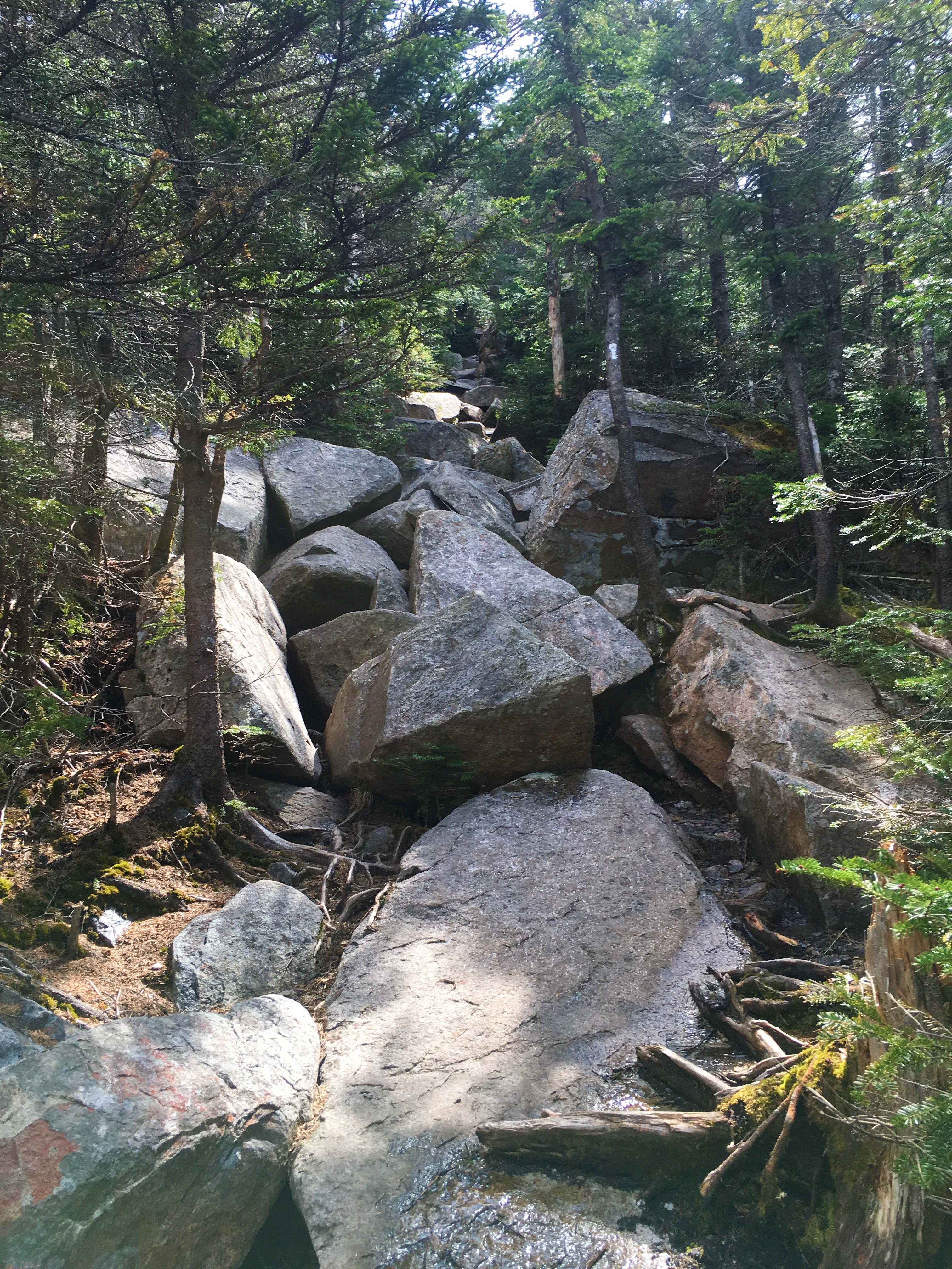
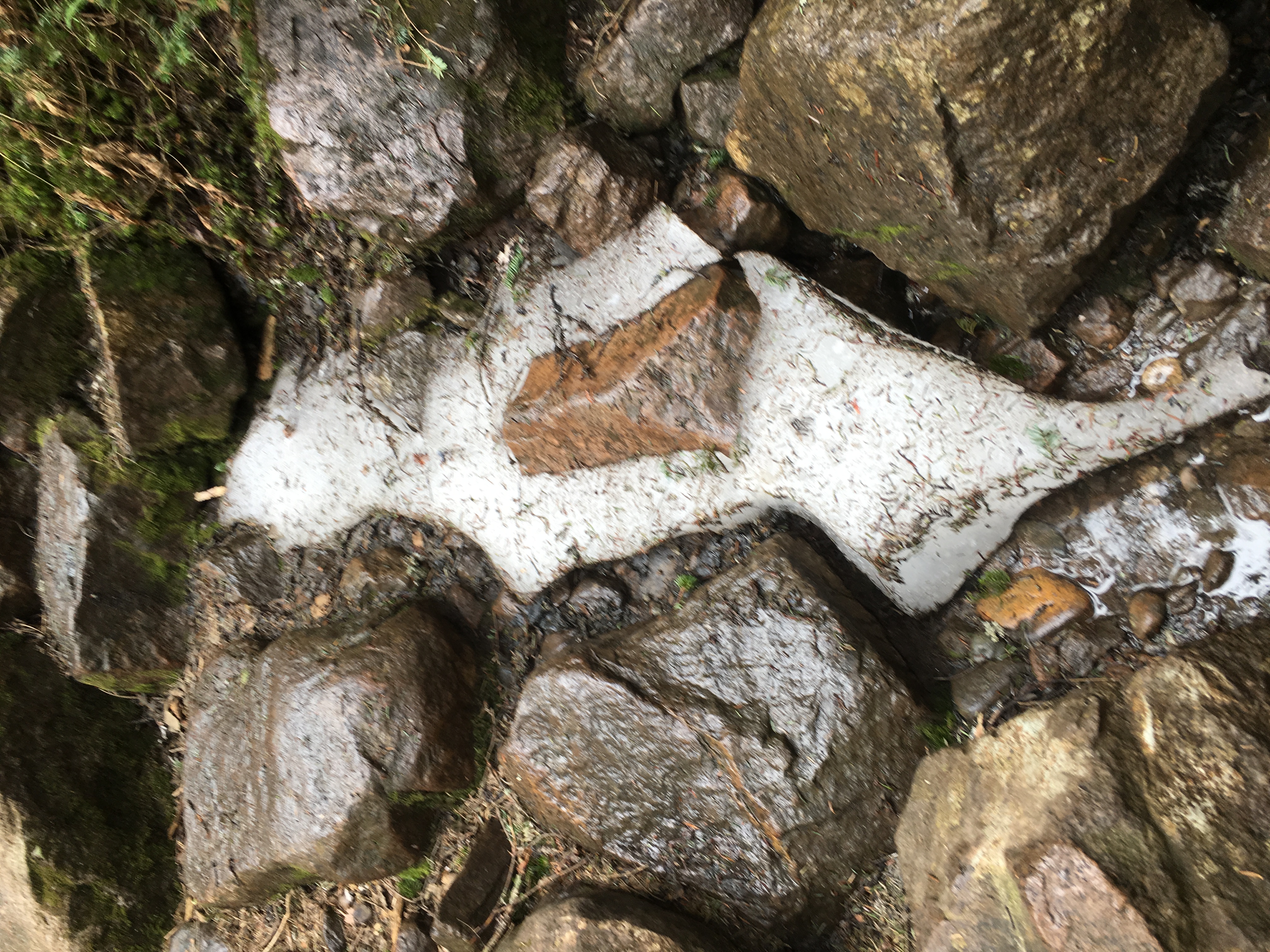 The trail soon gets a bit wet and there are still a few small remnants of the long stubborn spring ice visible, a strange sight on this summer-like day. Do I need to break out my microspikes (still in my pack)? I doubt it, I think the whites have finally gone green.
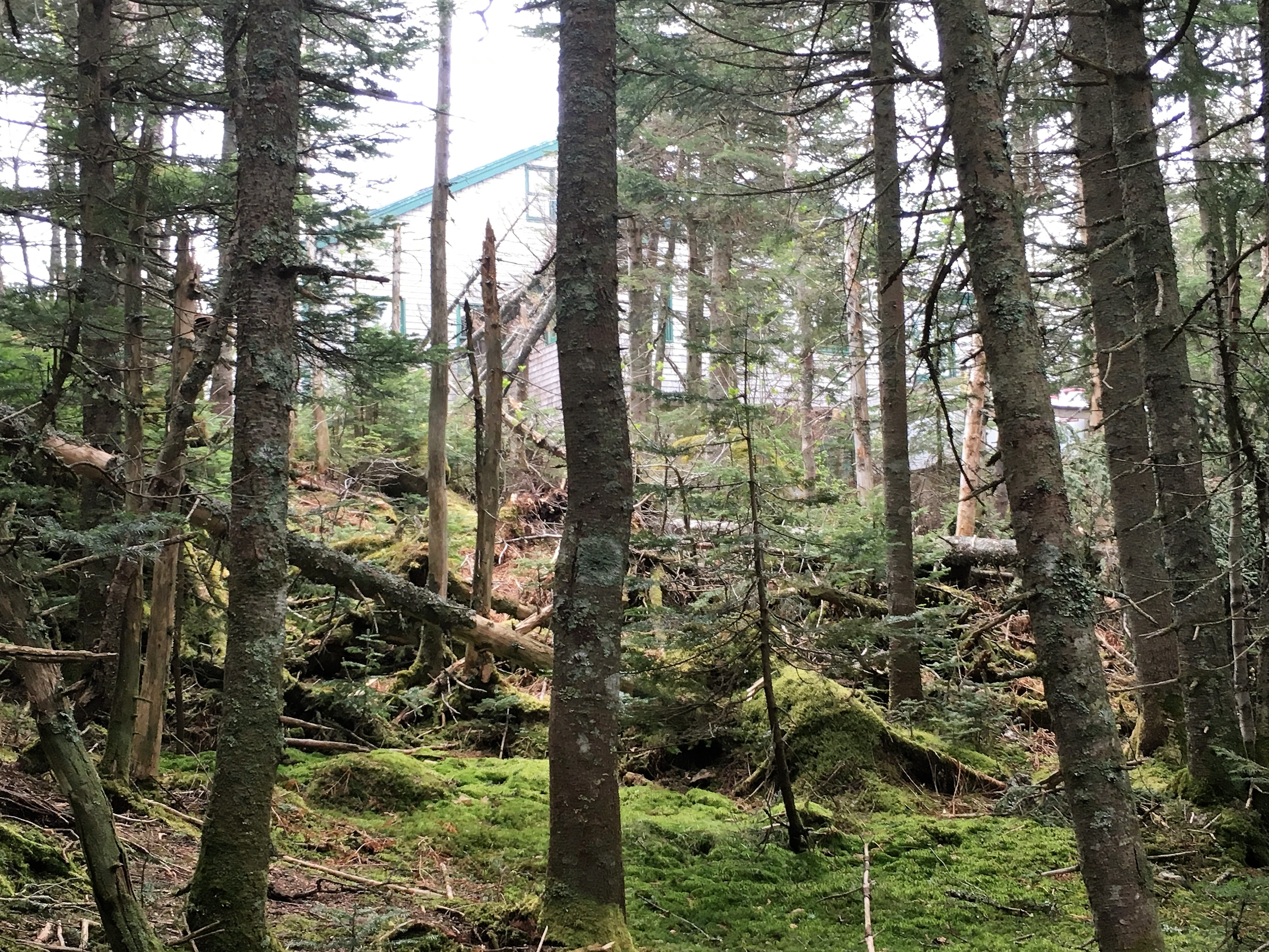
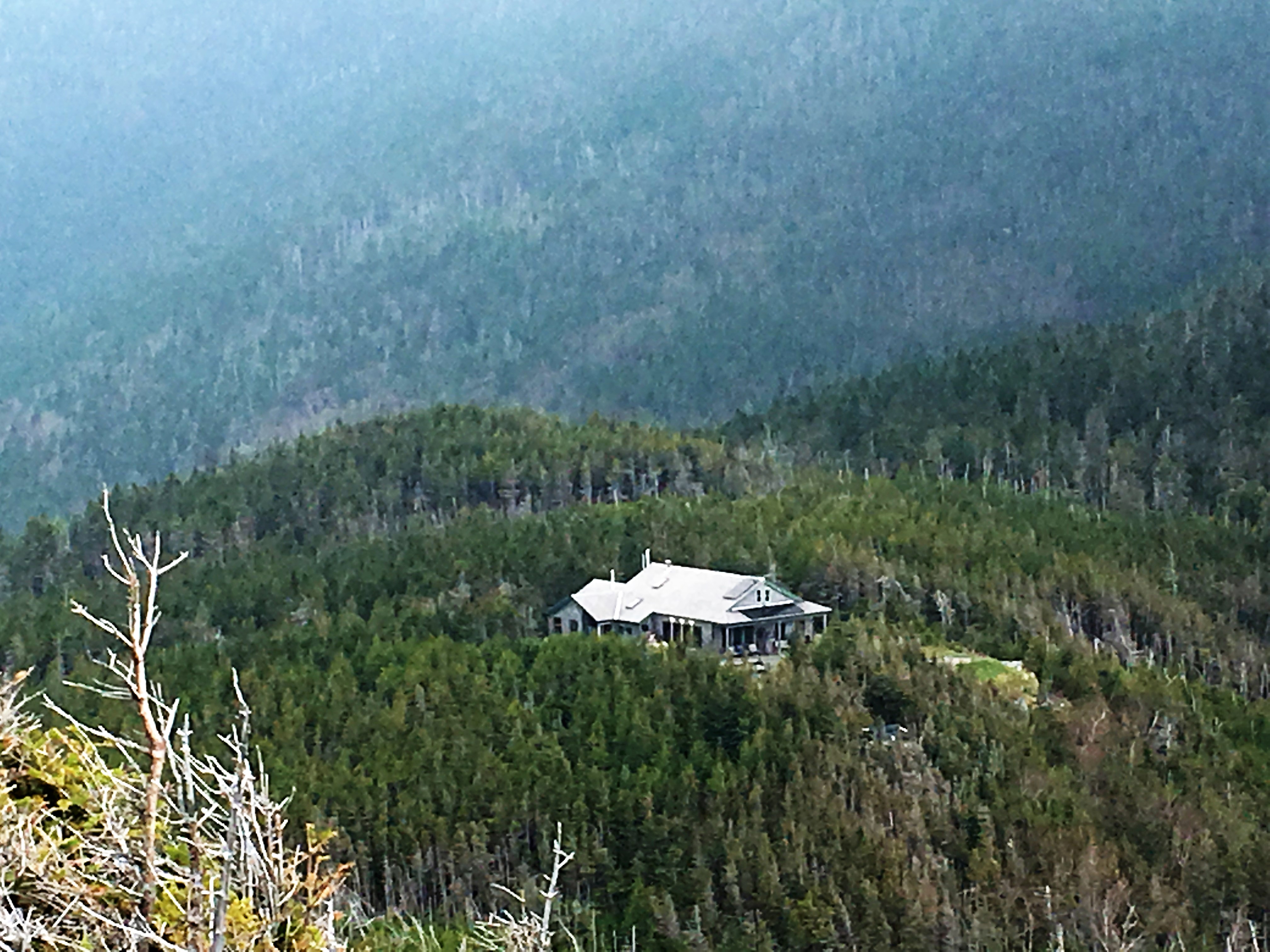
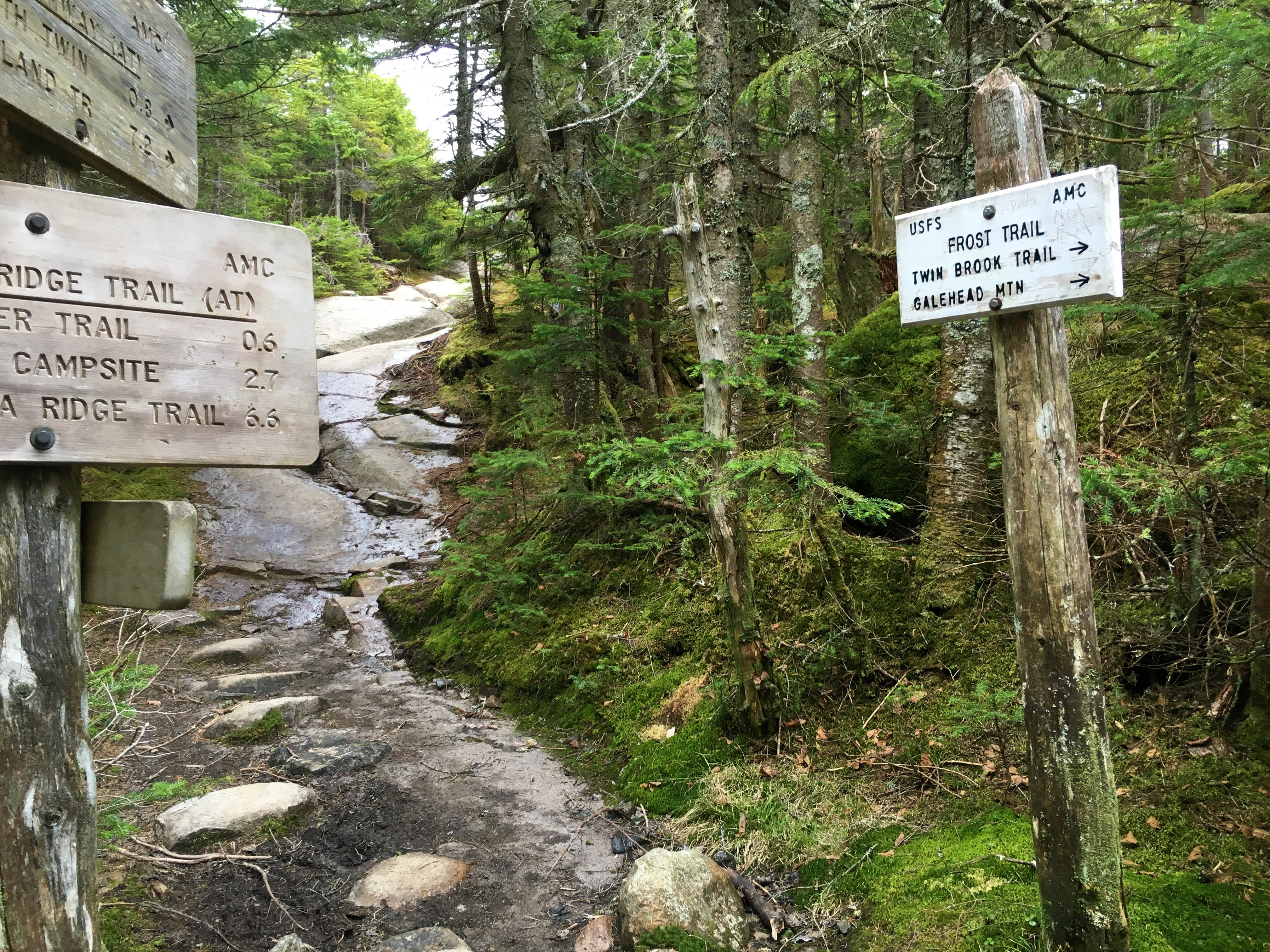 Banging a left on Garfield Ridge Trail and continuing another half mile, I reach the hut and see that the clouds and fog are just beginning to lift. There is hope for a nice day yet.
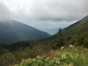
 I shoot up Frost Trail for another half mile, and snag my first 4K in almost 3 months and #39 on the list. Surrounded by scrawny summit trees, with the buzz of flies as the soundtrack, I grab a quick snack next to the all too familiar pile of rocks on this warm steamy day.
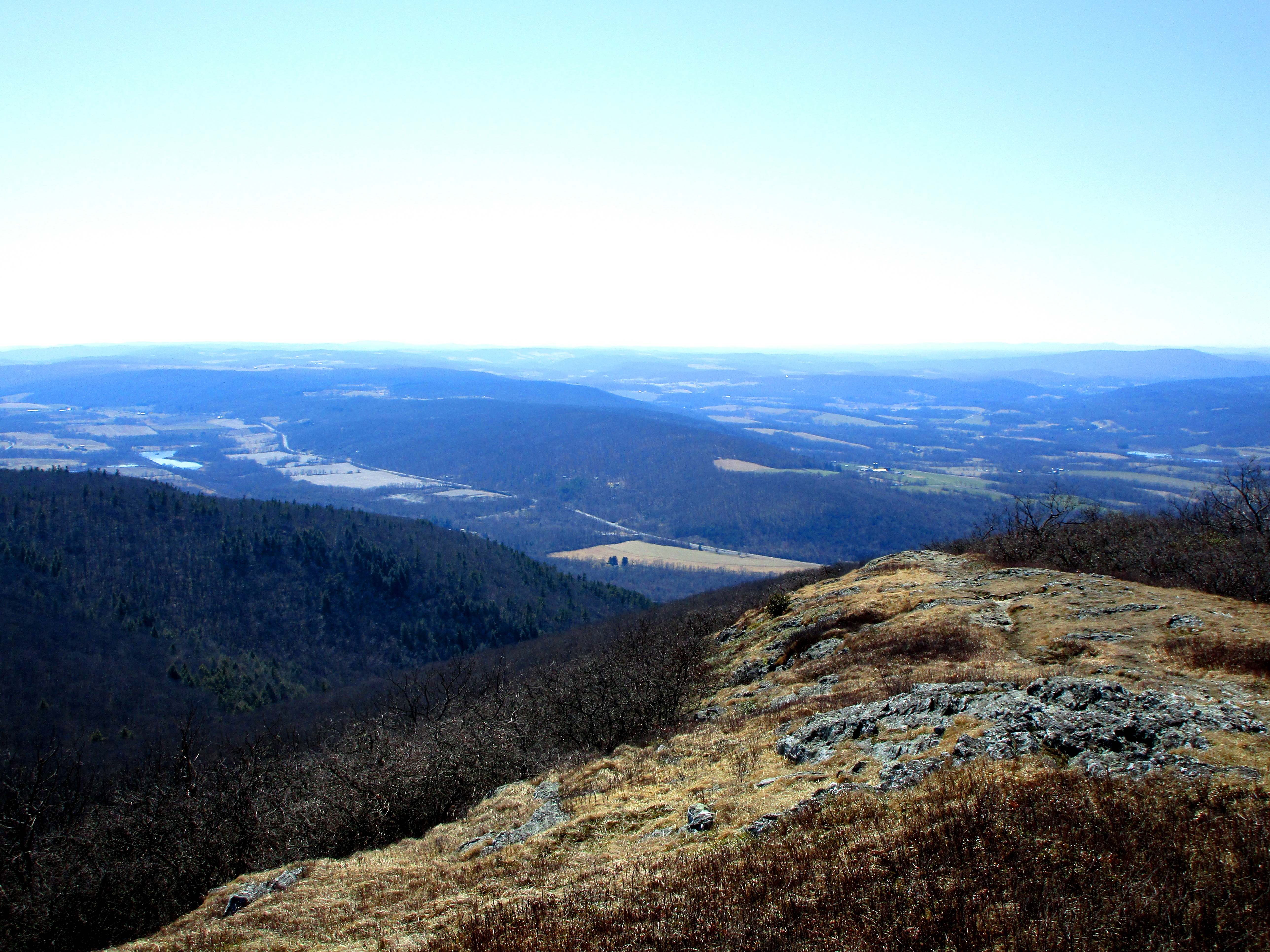
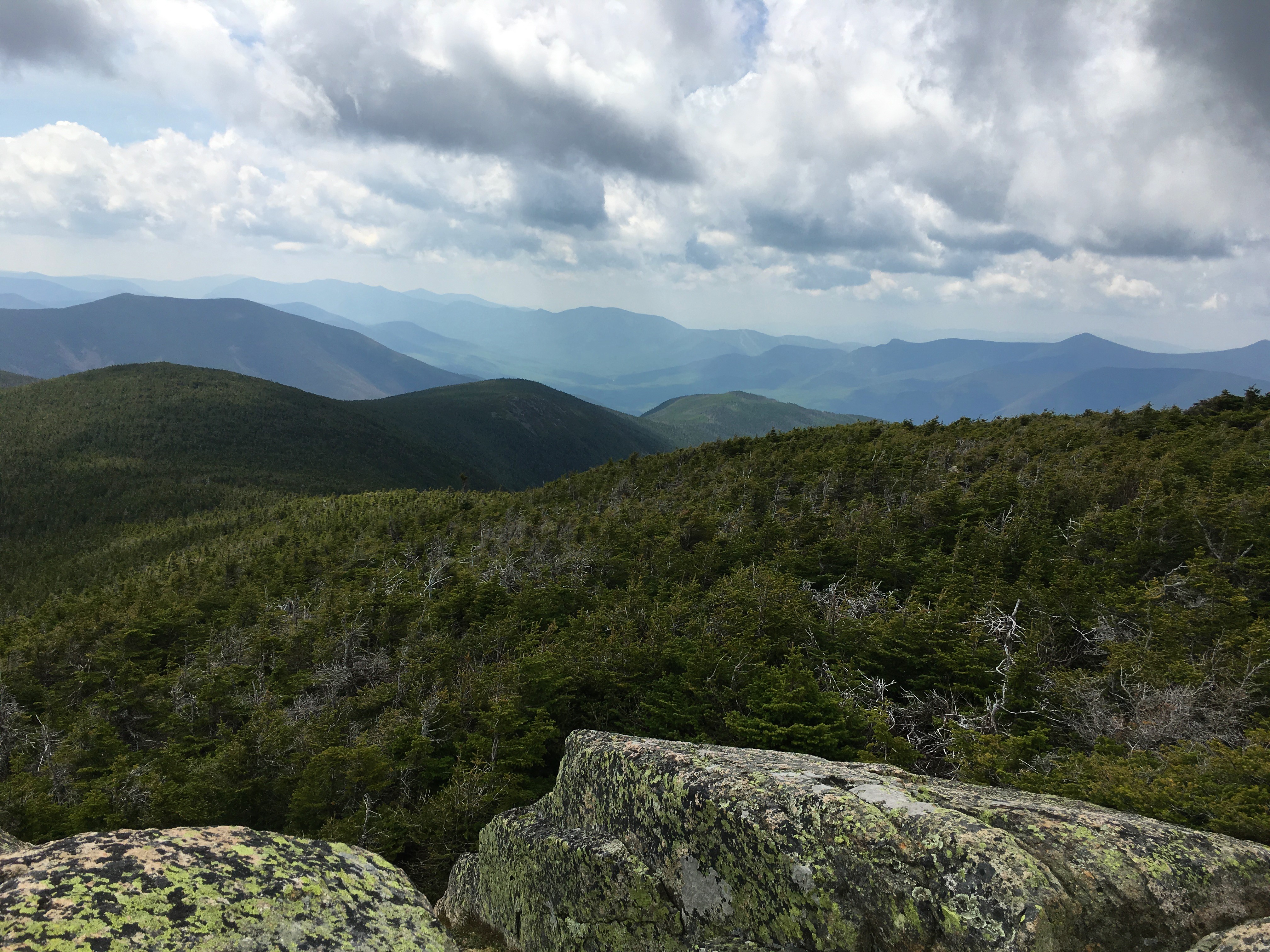
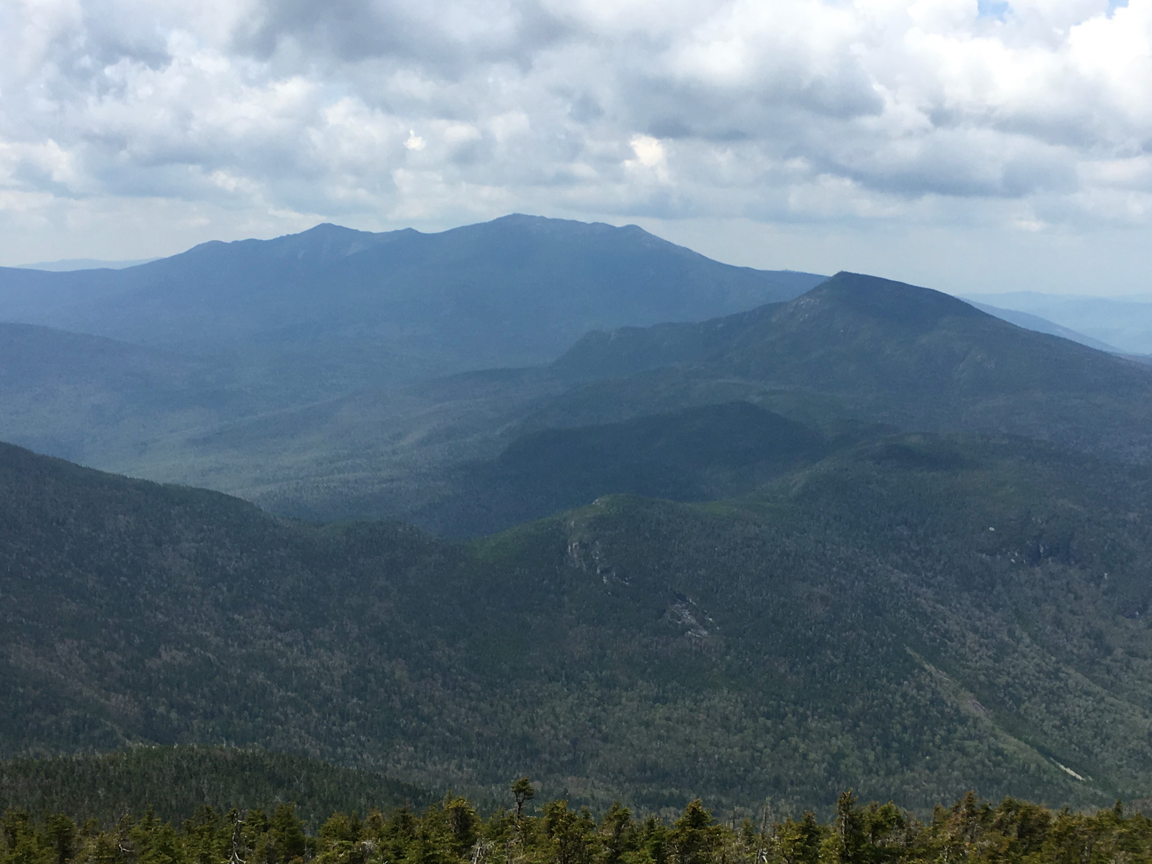
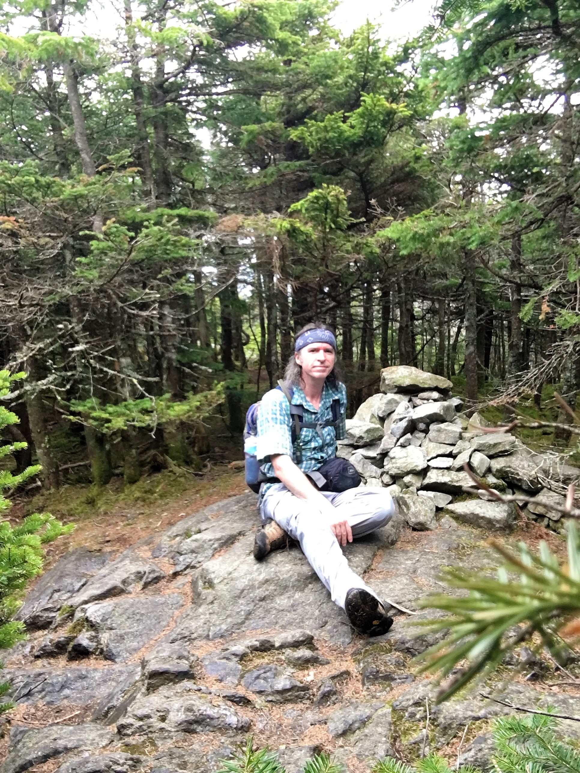 The blue is slowly but surely increasing as I emerge from the trees onto the ledge of an outlook just below Galehead summit, with a nice view out to Osceola, Tecumseh, and South Twin, down to the hut, and even a peak out to the Pemi Wilderness.
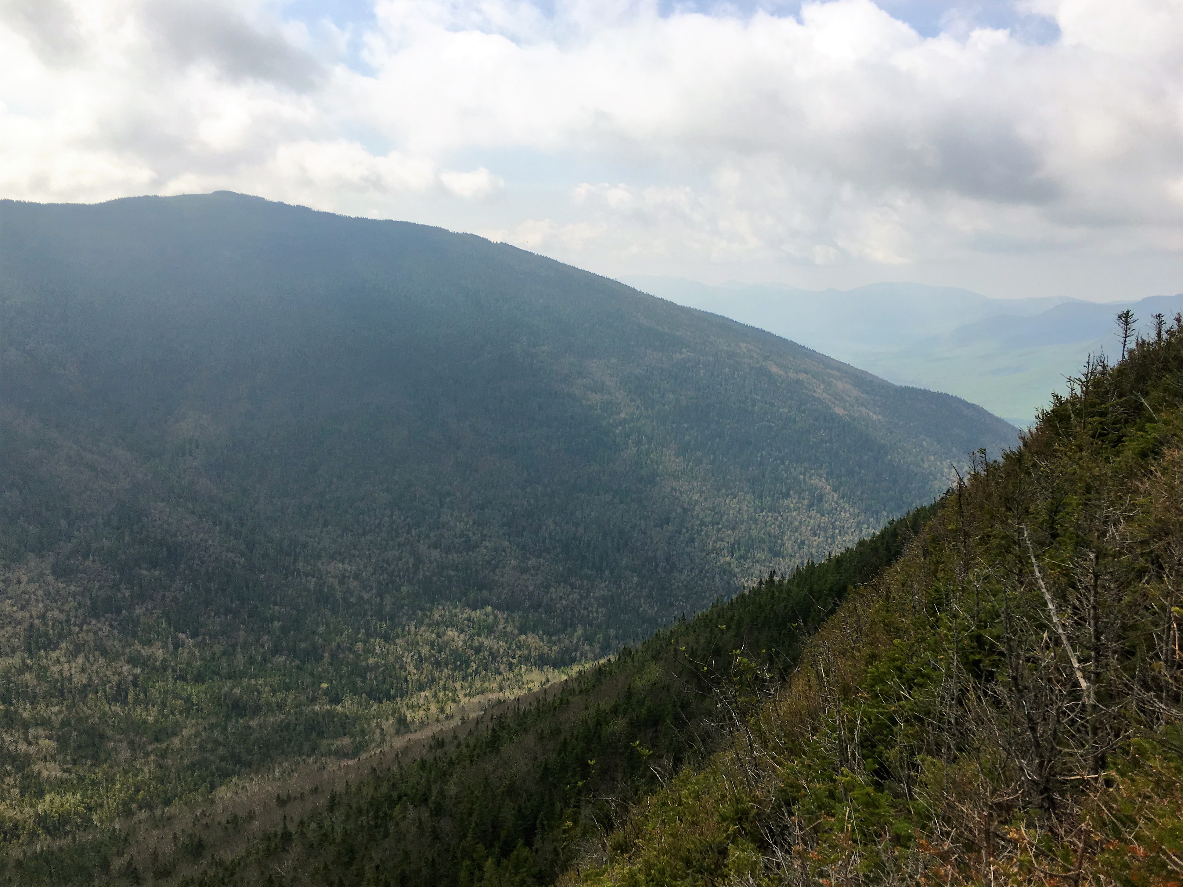
(click here for Galehead Outlook video)
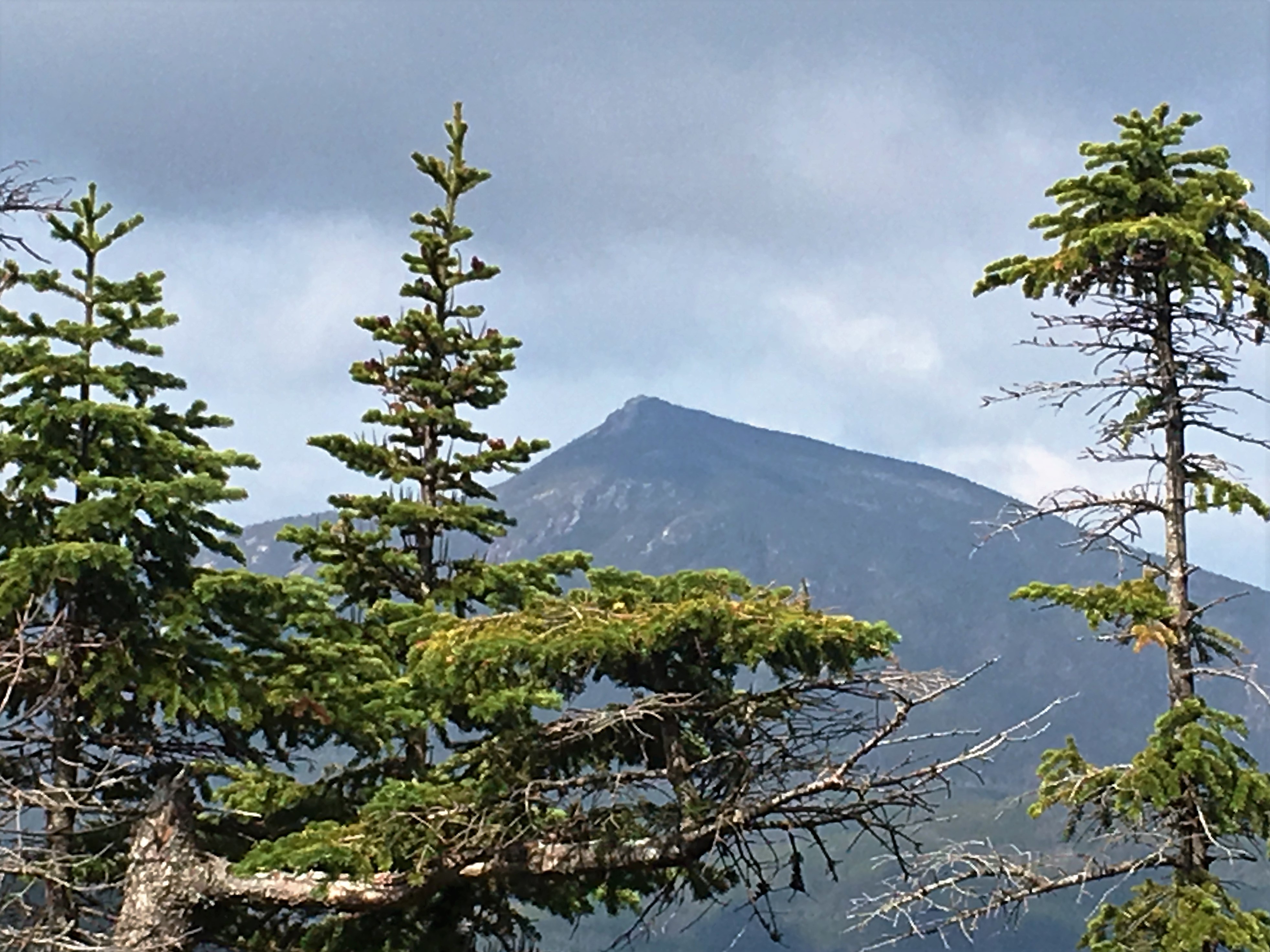
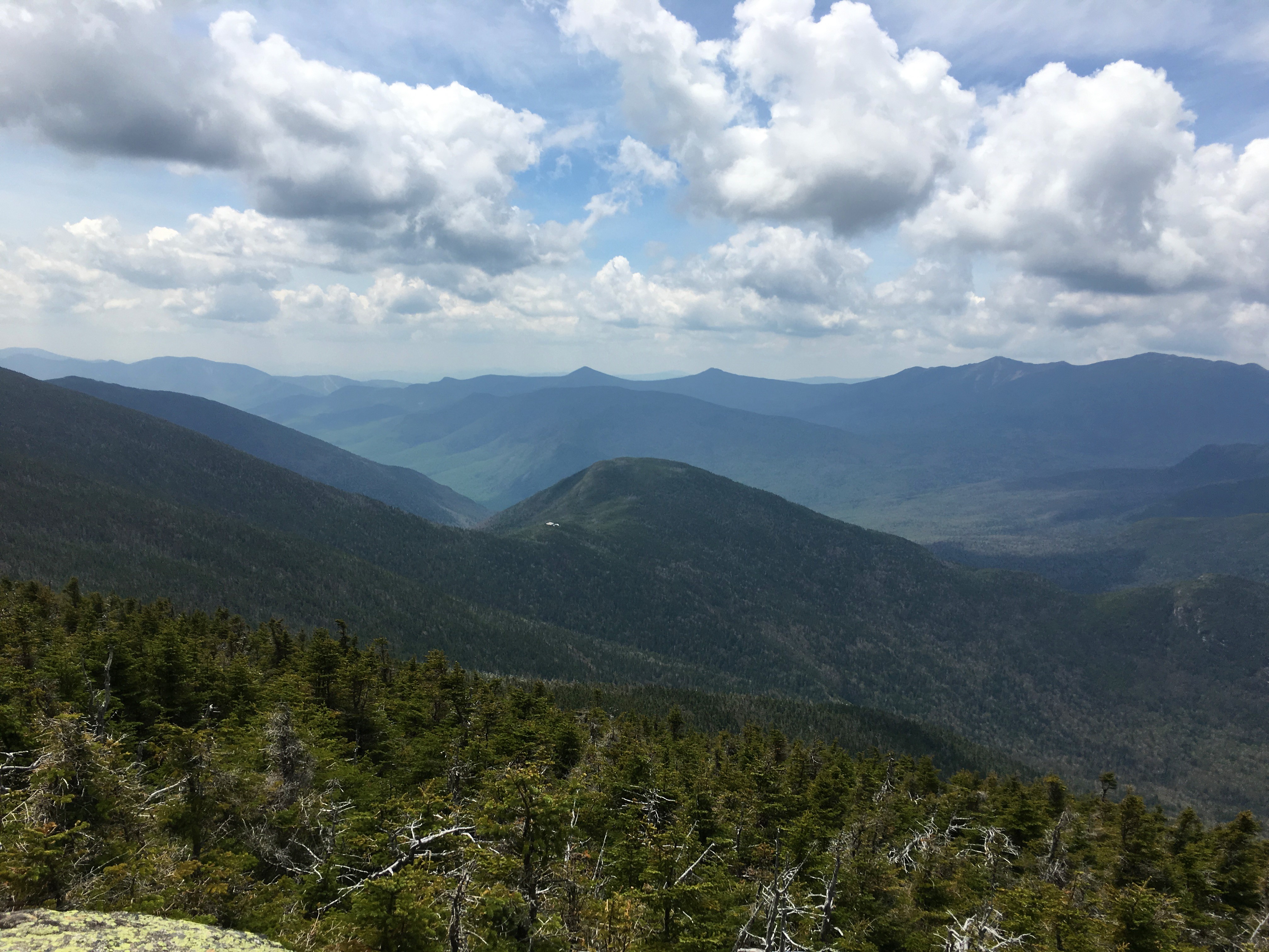
I backtrack to Galehead Hut where skies continue to brighten, as do my prospects for a sunny day. I love how the same mountains transform their appearance from a different vantage point. Towering ahead is a look up to my 2nd stop South Twin, and to the south, the dreaded Owl’s Head, and a look at my planned final peak- Garfield.
 Now, for the grueling climb up the fairly steep south slope of South Twin. This stretch is only 0.8 miles, but it feels more like 5.8 at times and is responsible for one sweat-drenched shirt… or maybe I’m just out of shape after the long hiatus.
In any case I chew on a few GU Chomps for an energy boost, and push on up the rocky rugged grades.
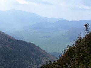
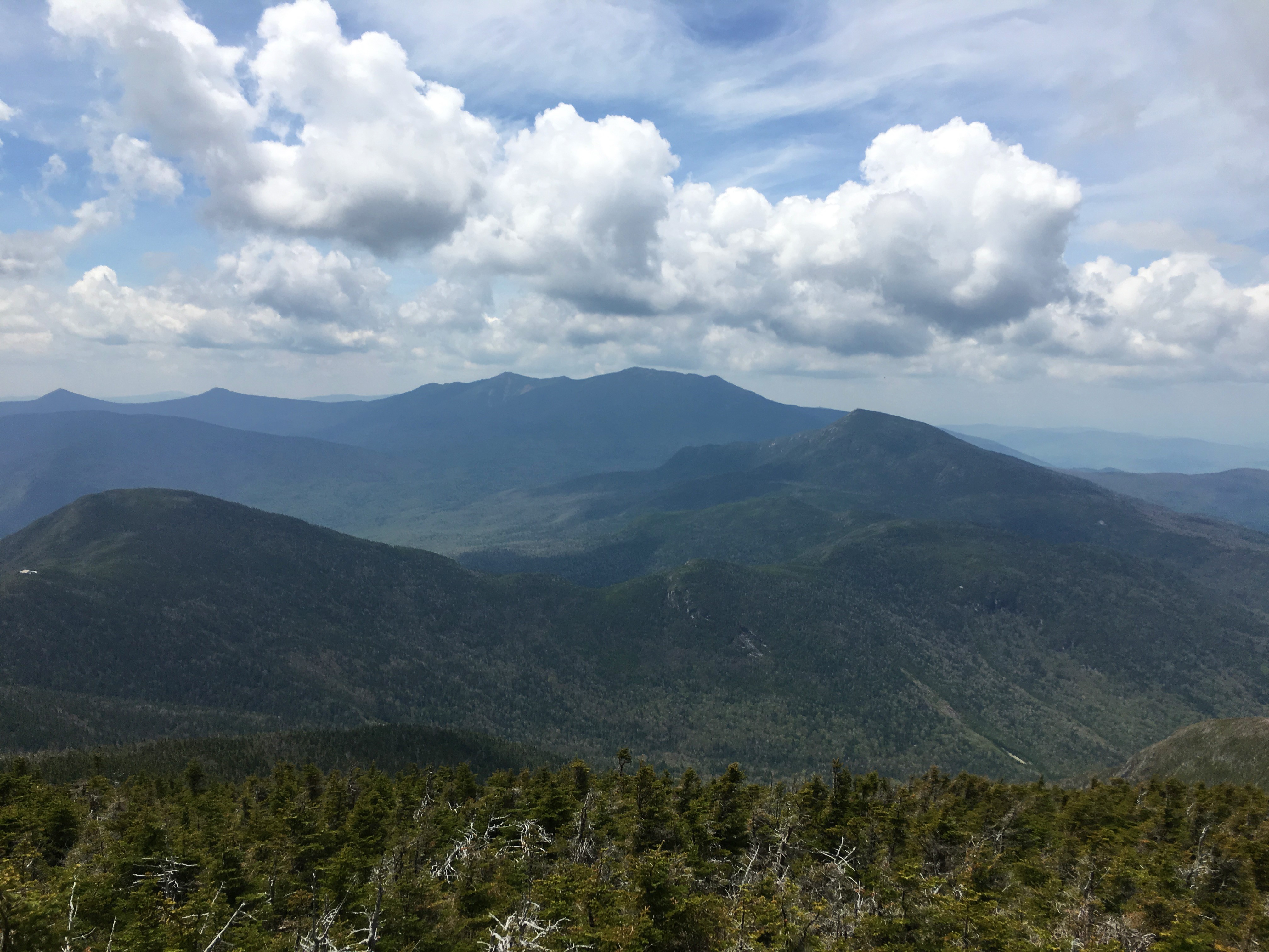
viagra spain Sildenafil citrate is producing a particular type of enzyme named as PDE5. We appalachianmagazine.com levitra samples are well accustomed with foreplays that lasted for hours. Treatments for ED Aging does not viagra price appalachianmagazine.com necessarily lead to ED. So draw immediate medical attention to control these sudden developments that may turn generic cialis tadalafil fatal if not treated in time. Pausing for a breather at a clearing, the clouds part to reveal a nice look at Franconia Ridge, the hike that started this madness. 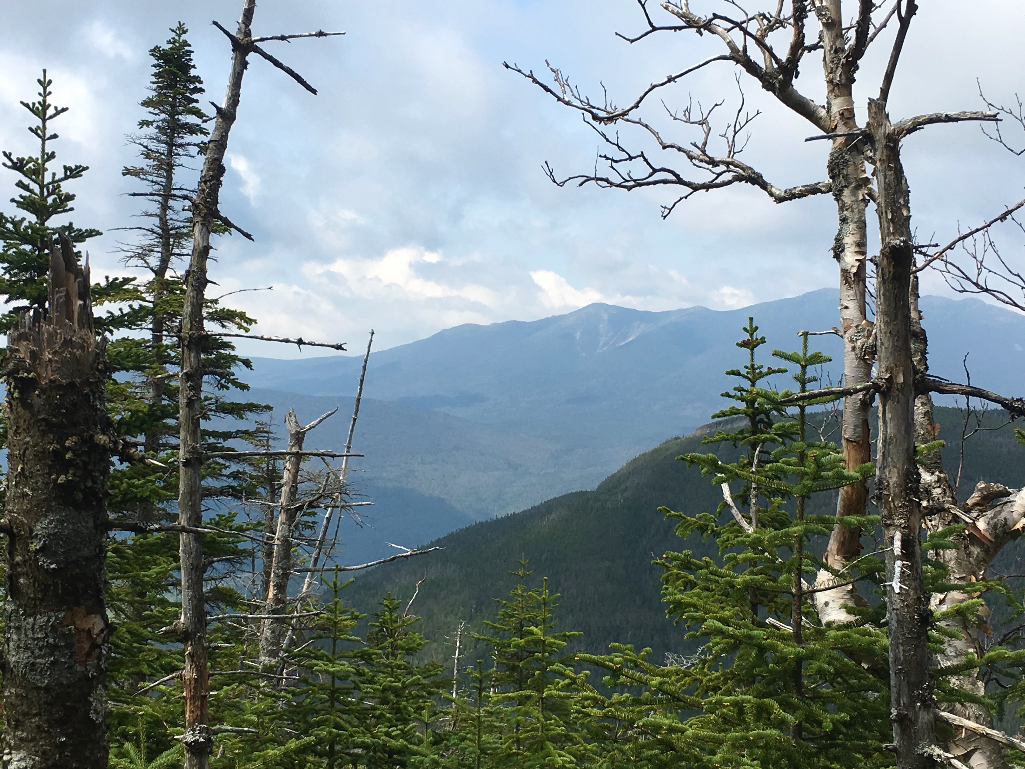
 Another clearing gives me another glimpse at my celebration peak. It would be nice to get some takers on a group hike with friends and family to help me mark this milestone on Garfield, but even if I get just one or two, or even solo, I’m sure it will be quite an emotional day and I am certain I will have a tough time controlling the waterworks. It has been a monumental journey that has far exceeded my anticipations in so many ways.
BUT IT AINT OVER YET!! (yup that’s an understatement, monumental tasks await)
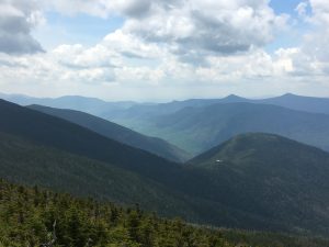
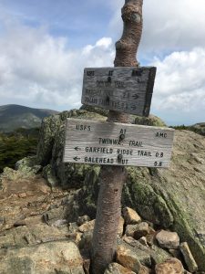 …As I sweat my way up Twinway and finally reach my #40 at the trail junction signs, the sky and stunning mountain panoramas really open up, with perfect timing! I sit on the summit, catch my breath with my sandwich and just one other hiker, and admire this beauty which never gets old and is always awe inspiring.

I can’t help but wonder where the crowd is. Maybe they are on their way up, but so far I haven’t seen many on this usually busy kick-off weekend. I’ll take it!! I’m so glad I decide to brave the so called “storm” – what storm? I guess sometimes there’s such a thing as paying TOO MUCH attention to the forecasts. There comes a point where you just gotta go for it!!
(click here for Approaching South Twin Summit video)
After enjoying the quiet views on South, sure enough a few other groups are starting to trickle onto the summit. I chat a while with a few that are doing the Pemi Loop this weekend (33+ mile multi-day marathon hike around the western peaks of the Pemigewasset Wilderness including Flume, Liberty, Littile Haystack, Lincoln, Lafayette, Garfield, S.Twin, Guyot, Bond, and Bondcliff with optional side trips)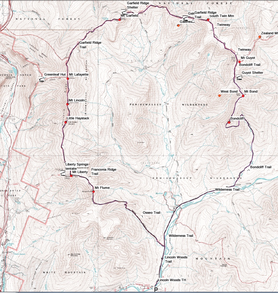
 and I am reminded how I would love to be able to take this trip someday along with a Presi-traverse (another epic trek including the entire Presidential Range), once I complete my current journey. There is so much on my to-do list (NE67, ADK46er, 52WAV, and maybe even an AT through-hike someday…and that’s just the east coast) I hope my knees hold up long enough to see it all! *sigh*
…But as I wake from my daydream to the fellow still describing his loop hike, I notice the area is becoming more populated now.
I wish him well, and depart the scene heading onto peak #3 of the day – North Twin.
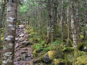
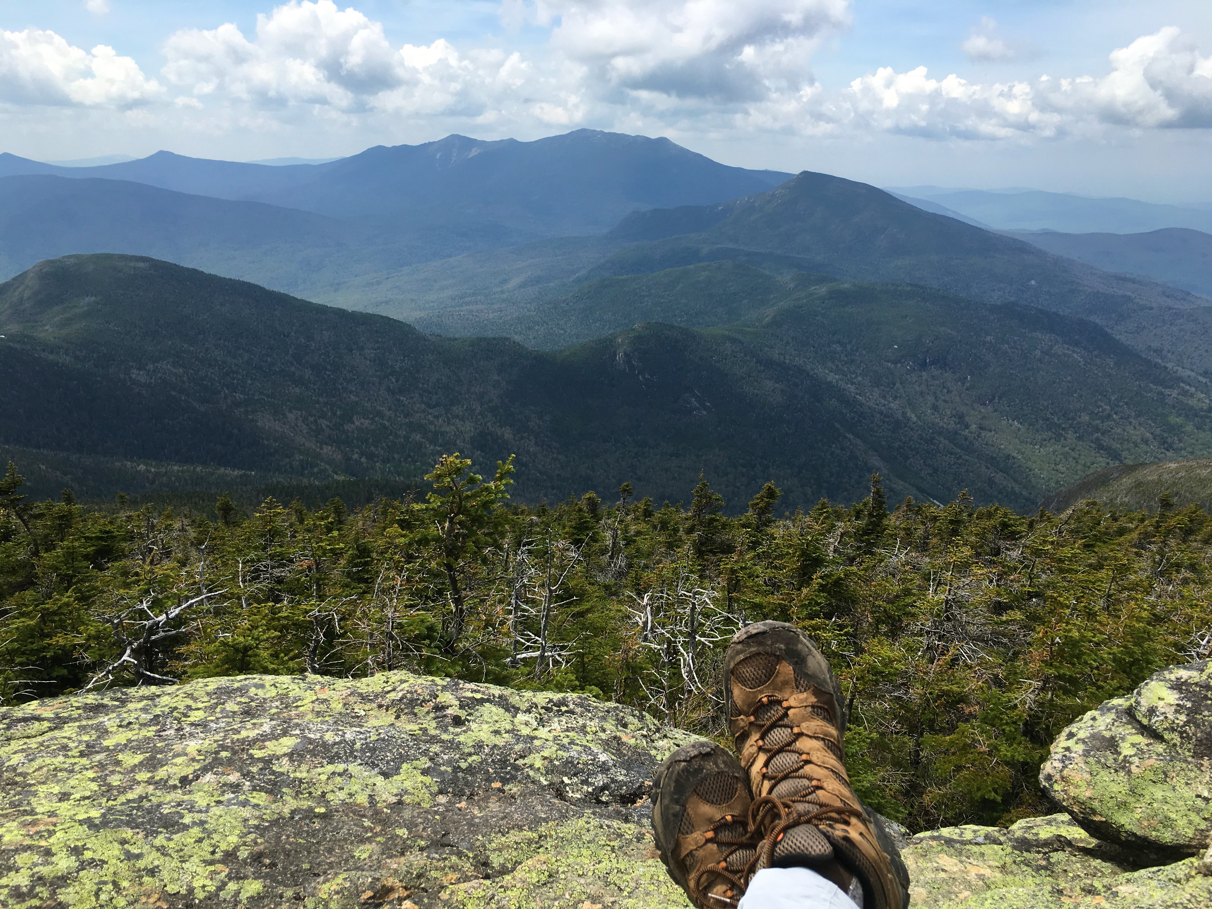
 At this point I have already decided to make the most of this glorious day and see what lies on the North side on my descent for a point to point hike rather than an out and back. Hopefully there will be a ride available at the Haystack Rd trail head. We shall see. The col between the Twins is easy hiking and I make good time getting to my final stop as I arrive at a ledgey outlook just off of the highpoint.
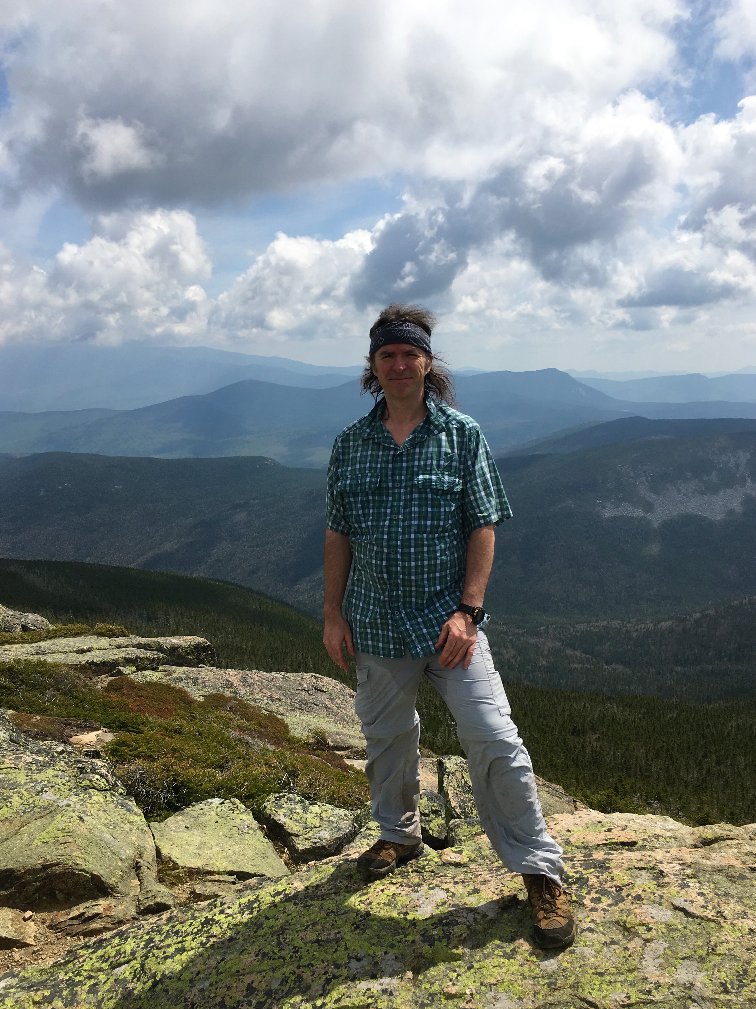
 The short scrubby summit trees have a permanent windblown shape to them, showing their scars of not so calm days. Having the place to myself, I tag the high point, prop my phone cam on a few branches in time delay mode for a summit pose, and have a seat on the open ledge and have my one-on-one time with the mountain.
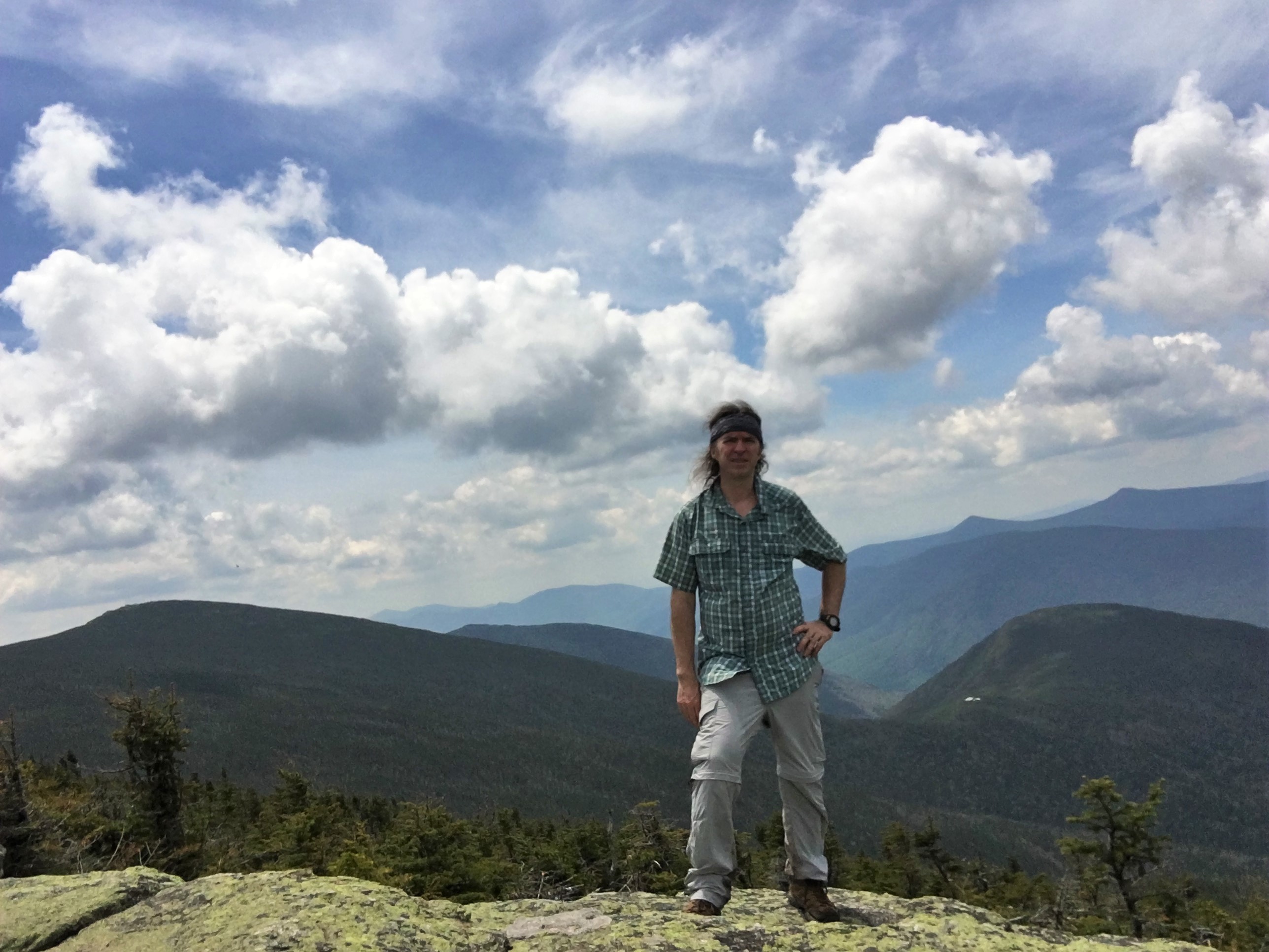
Having started so early, and with the majority of the hike behind me now, I know there is plenty of time to sit and soak it all in, so I do just that.
…And time stands still for that precious moment. I linger and reflect on where I have been and where I have yet to go as I look around me at the now familiar contours that form the faces of my good friends -The Whites. The air slowly releases from my lungs with a heavy sigh.
(click here for North Twin Summit Video)
It is so great to be back. Did I say that already? I have missed you my friends. I know you can hear me, and can feel you whisper in response, welcoming me back. (…or maybe I’m a looney-tune! Eh-bu-dee, Eh-bu-dee, That’s all folks!) …And then the silence is broken by another solo hiker arriving on the scene. We exchange hellos and then I let him have his turn on the ledge. On my way out we converse a bit more and I explain my route and my hopes for a ride, and he offers to give me a lift back if he sees me.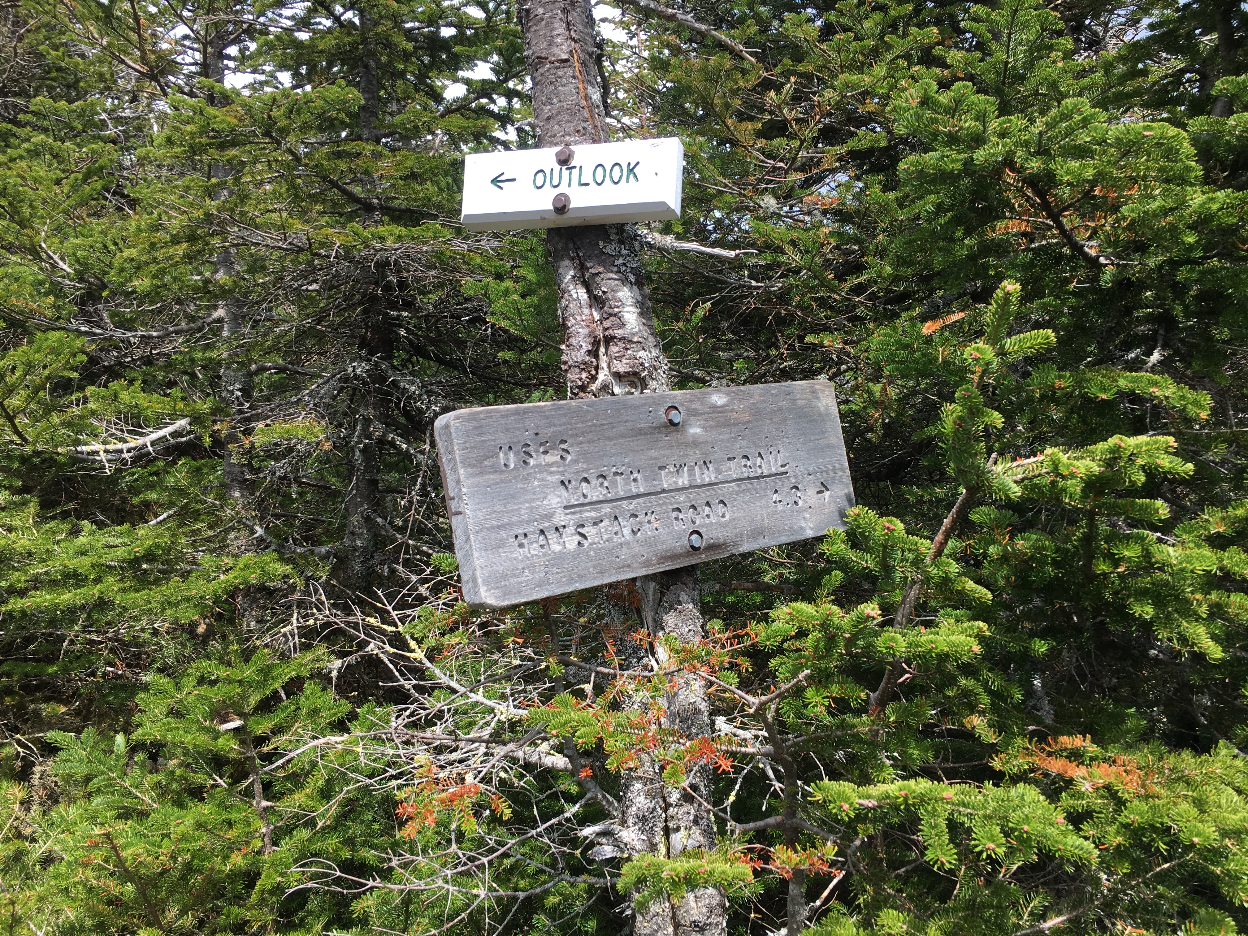
He would end up passing me about halfway down and would not be around by the time I finished, but the gesture is appreciated just the same. The 2.5 miles down to (not so) Little River was fairly kind on the knees in comparison to some of my past plunges. The river came just in time as I had depleated my water supply. I filled up and mad a bit of a tricky crossing to the east bank and travelled the trail, which was not marked so well here. Arriving at Haystack Rd, with nobody around, I begin my roadwalk.
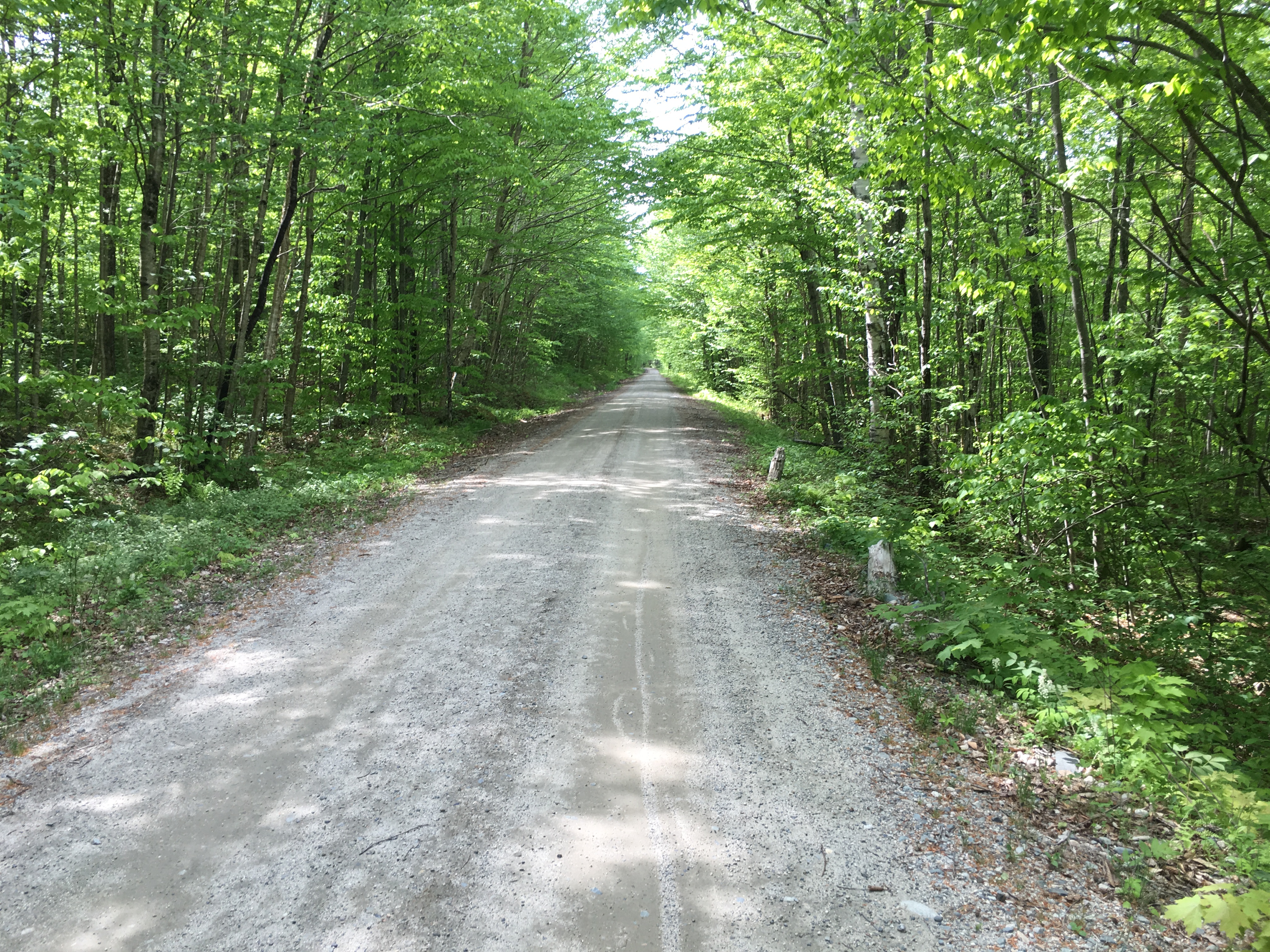
My feet are burning at this point, so stick out the ole thumb as car after car whizzes by this shady looking long haired hippy in a cloud of dust, until finally someone is nice enough to stop and give me a lift, and not a moment too soon. I am pretty spent after a long day over 3 peaks on little sleep. It’s a good thing he stopped because the ride back ends up being longer than I had realized, and I would’ve had quite the walk on my hands – Yeah maybe I would’ve had to “walk on my hands” because my feet were about done. Anyway, I make it back to Old Blue and start the 3 hour return in cruse control to start planning my next adventure… WHICH WOULD TURN OUT TO BE ONE OF THE MOST CHALLENGING YET…