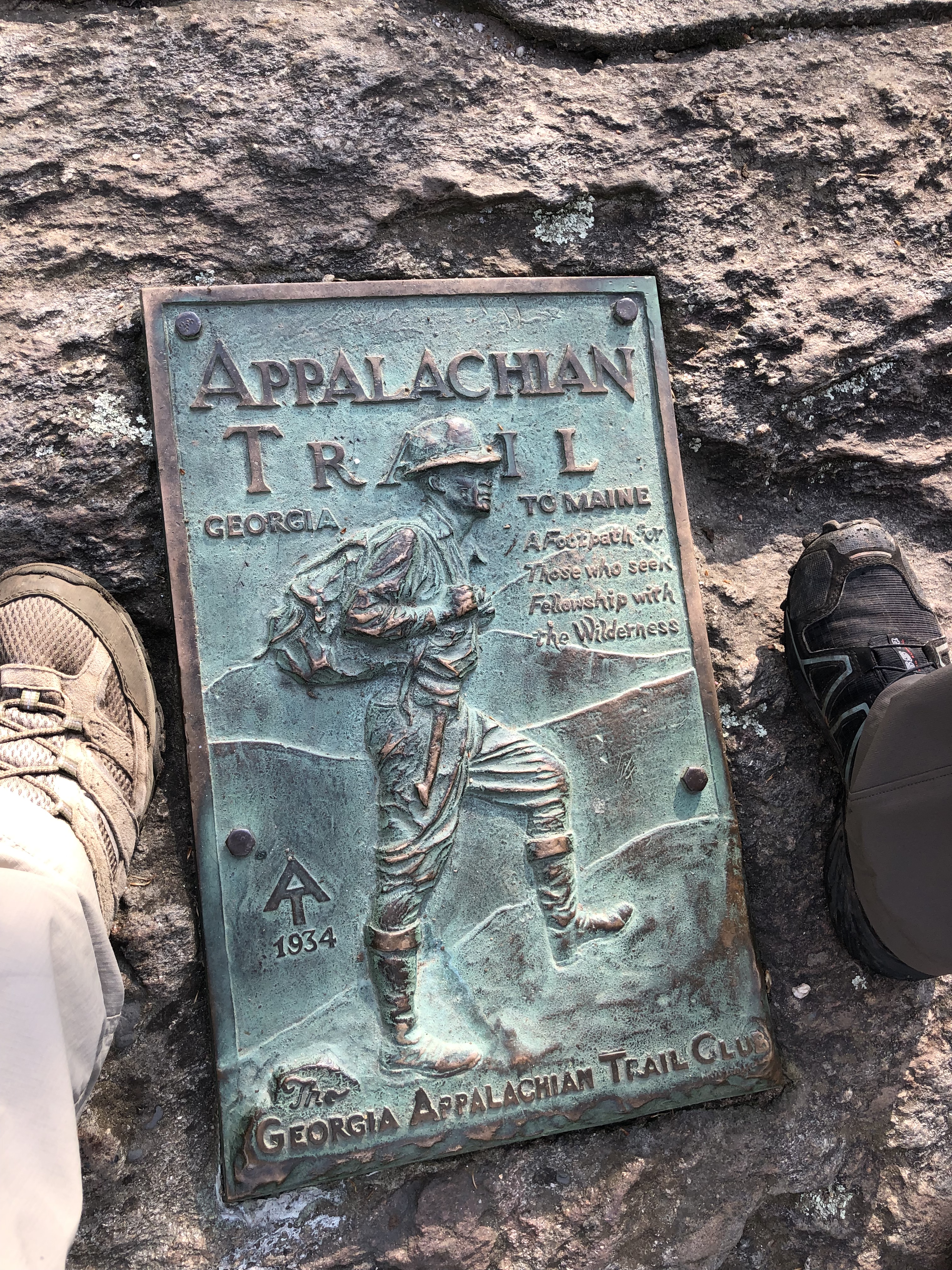


A LOOK BACK AT THE SEASONS HIKES…

(click here to read Marshall Post – this is for the rest)
Final Winter Blessings–
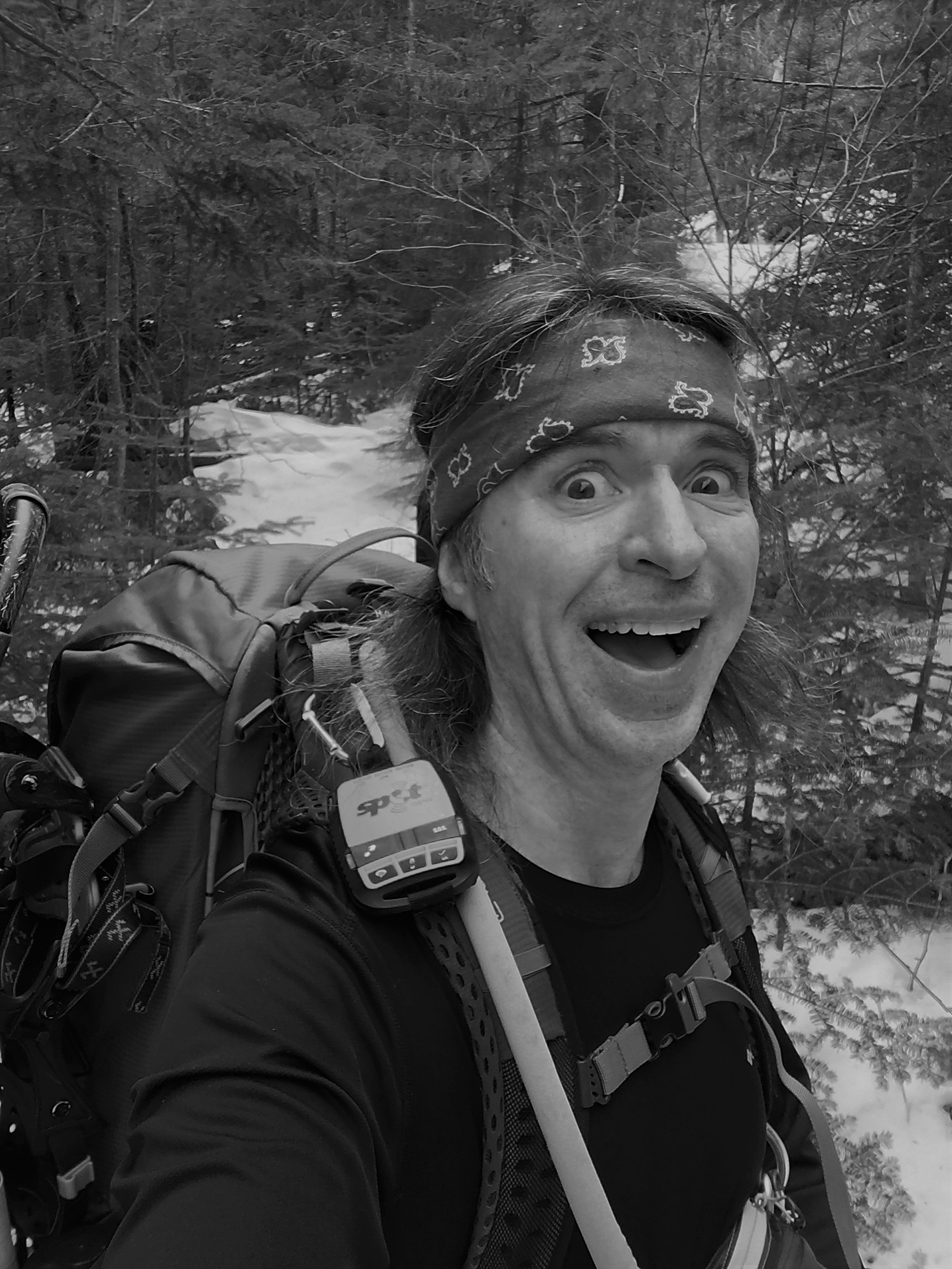
Whatever dark spirits were exorcised on that long Black Friday in January, were gone for good giving me and my hiking buddy, in many ways, the best Winter season yet! Well Winter-plus really. I’ll go back as far as November and into the early Spring and just call it “snowy-time-17”. We laid tracks in every northeast state during this amazing season. After a frigid closeout hike in week one of spring, we sat and ate just about everything on the menu at a local pub while we reflected on the 2017 offerings over a hops-lased brew. Between bites, my sister asked me what my favorite hike was. I sat and pondered for a while as I chewed on a wing and responded with “all of the above”. After all, it’s just impossible to single out one journey. There was so much variety and each day’s route had its own special moments. Heck even in the shadows of Marshall, we could award it top ranking, in its own hellish way!
Here’s how it all unfolded, at a glance…
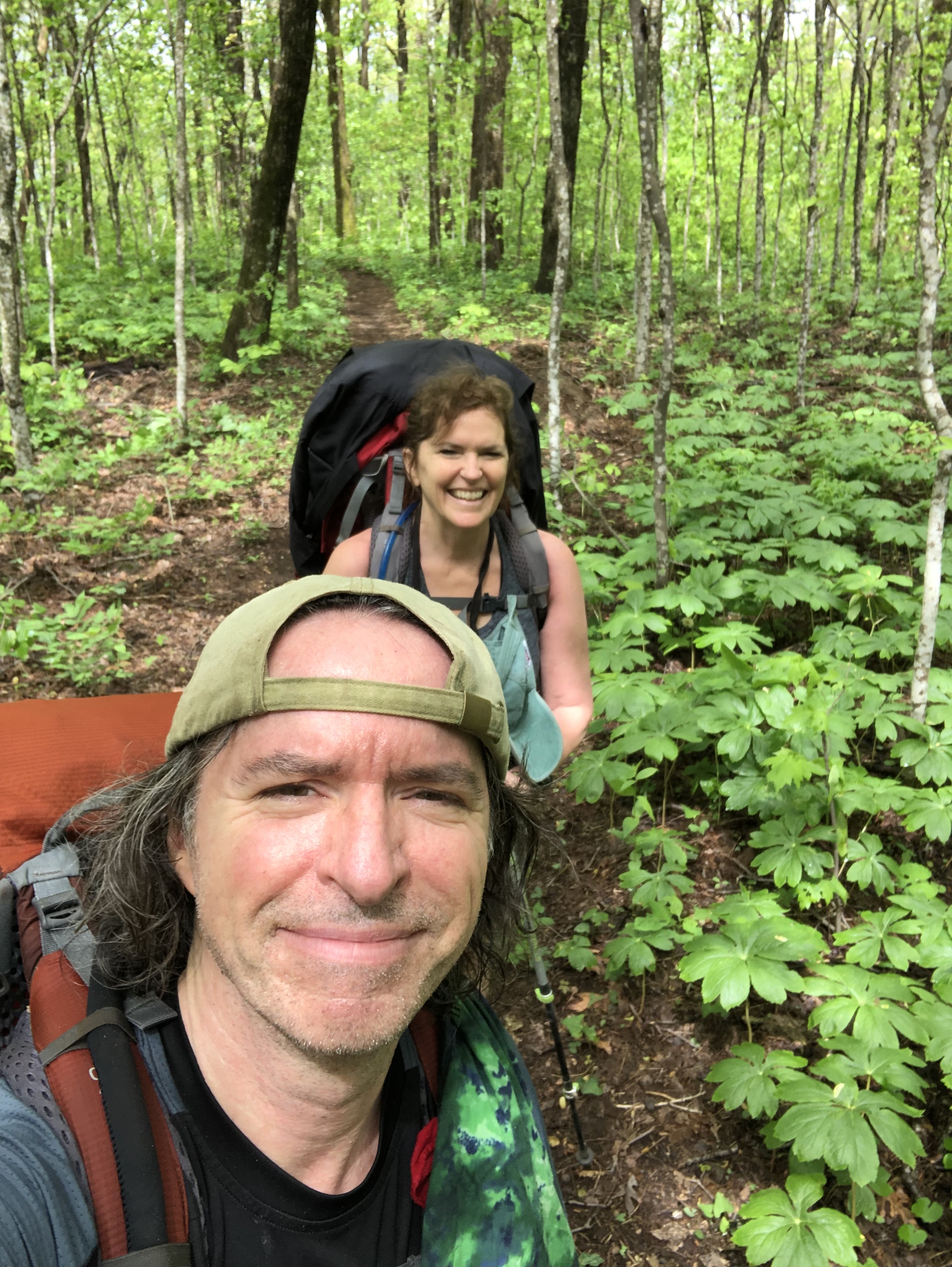
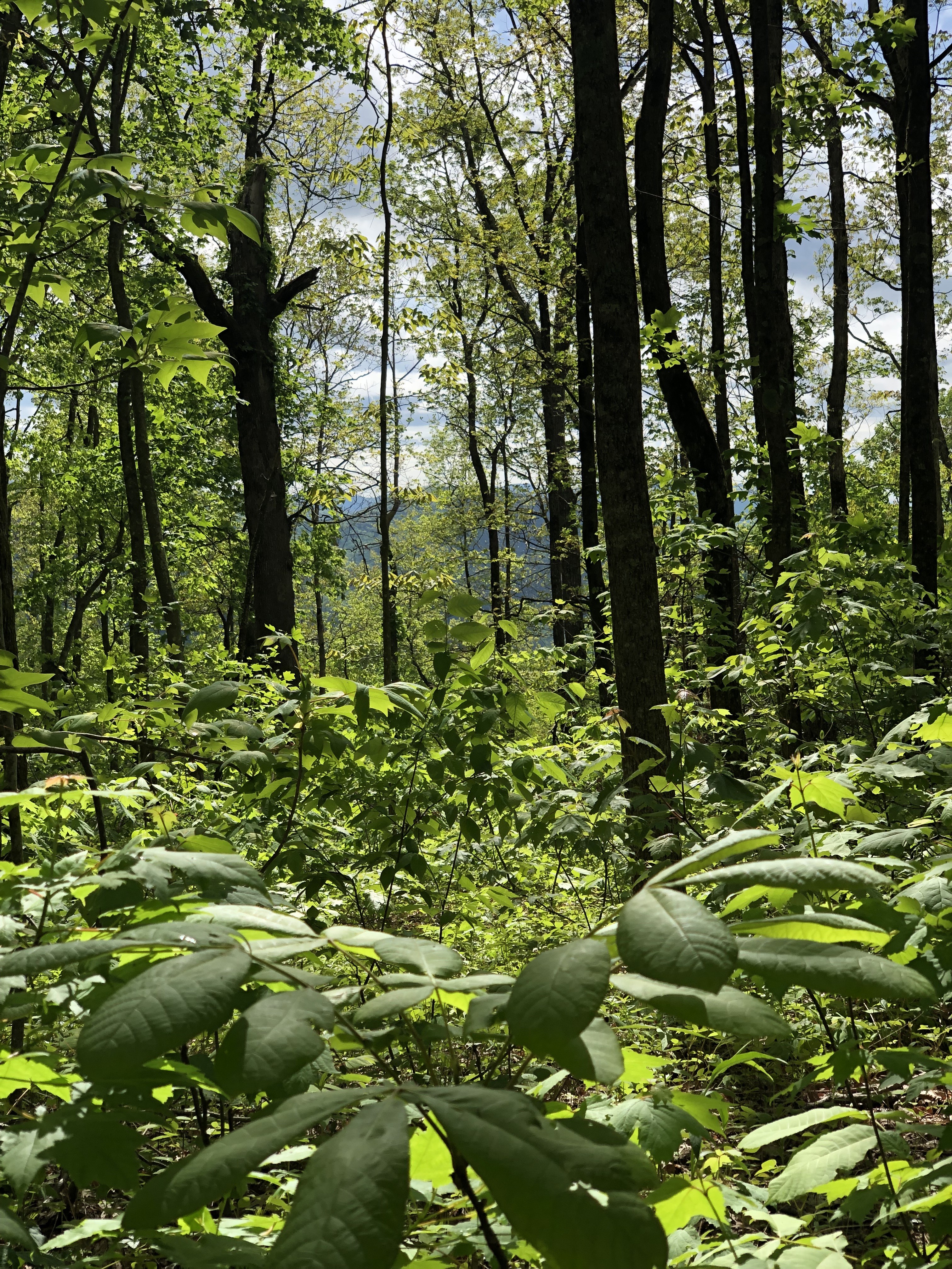
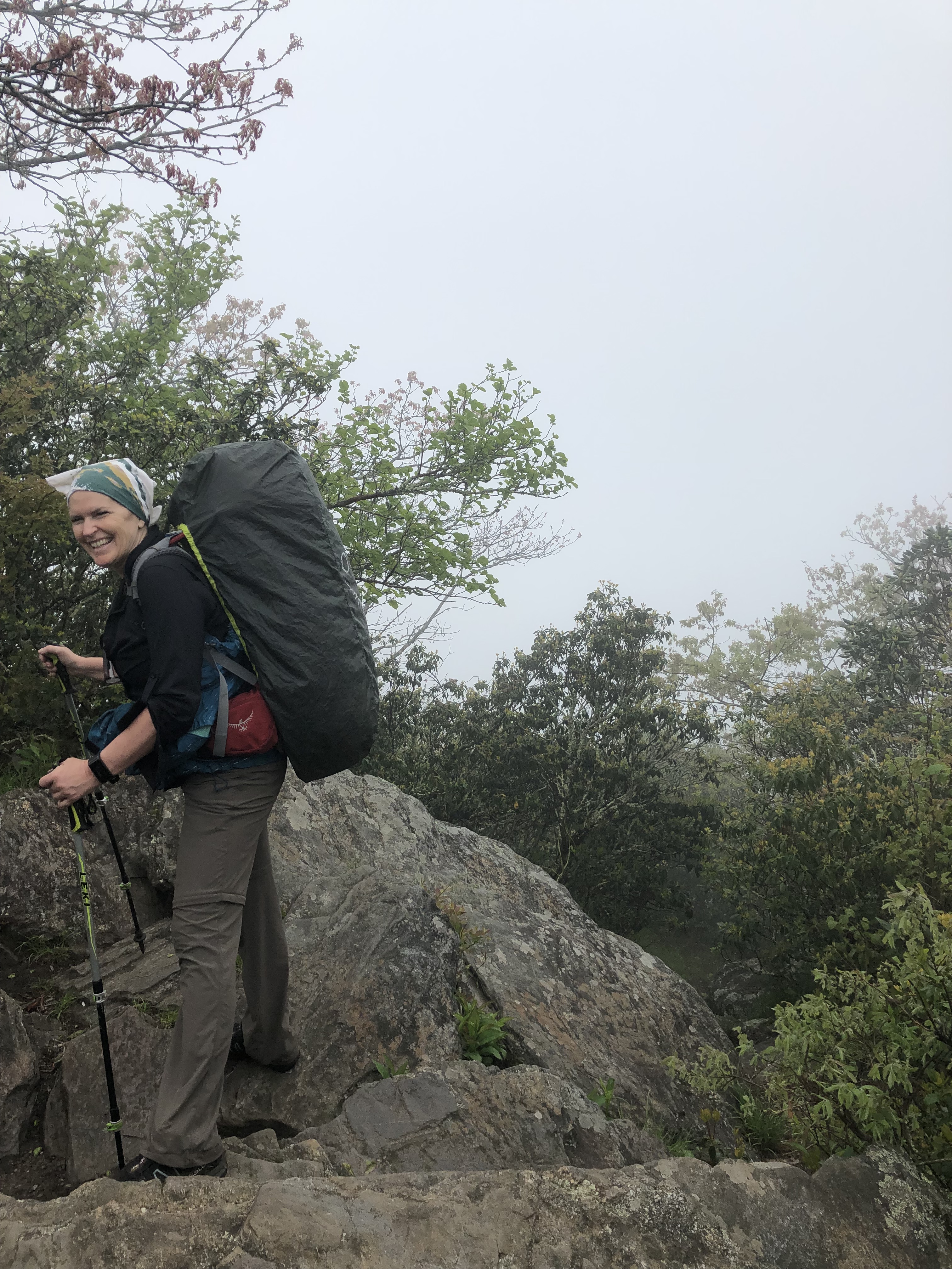
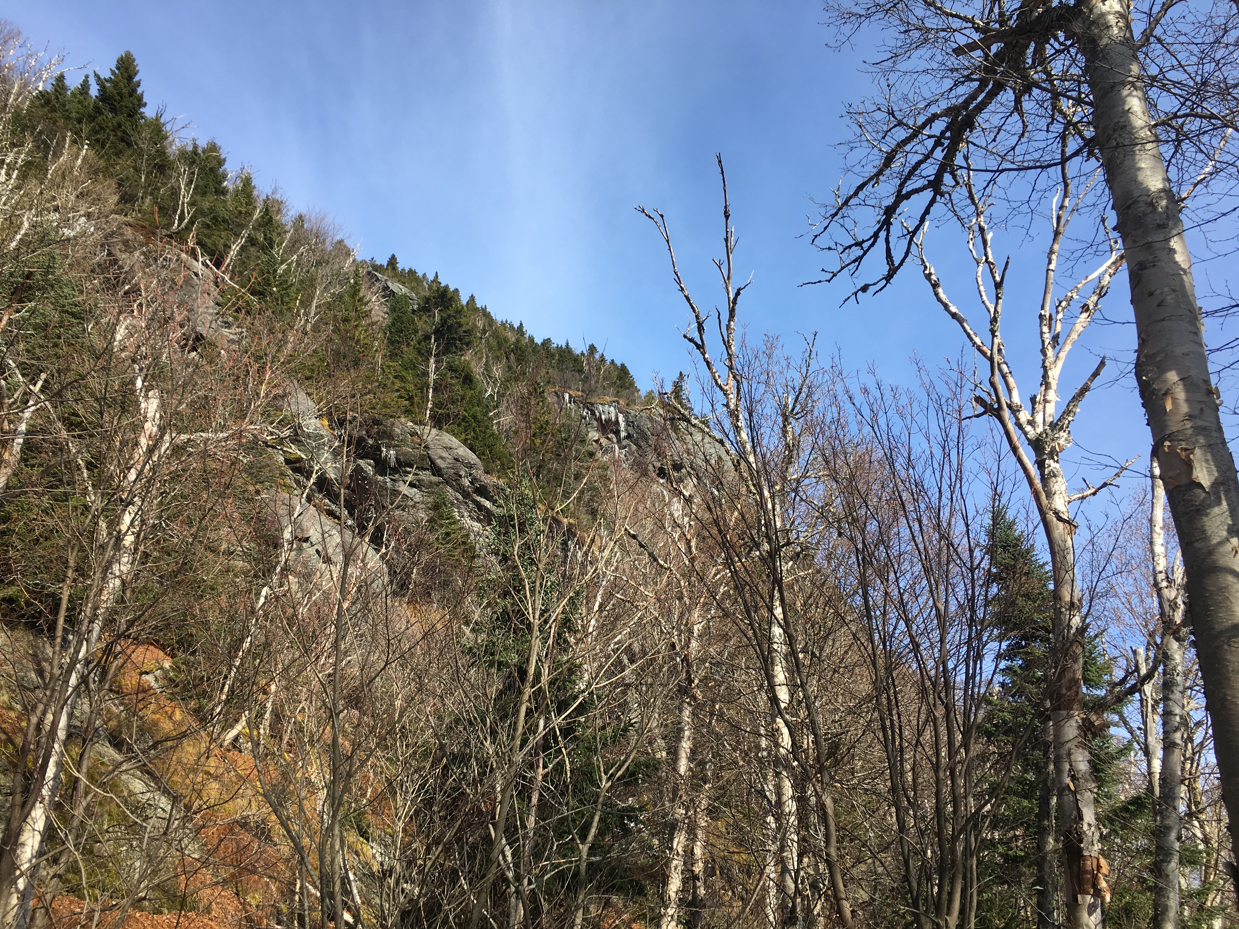
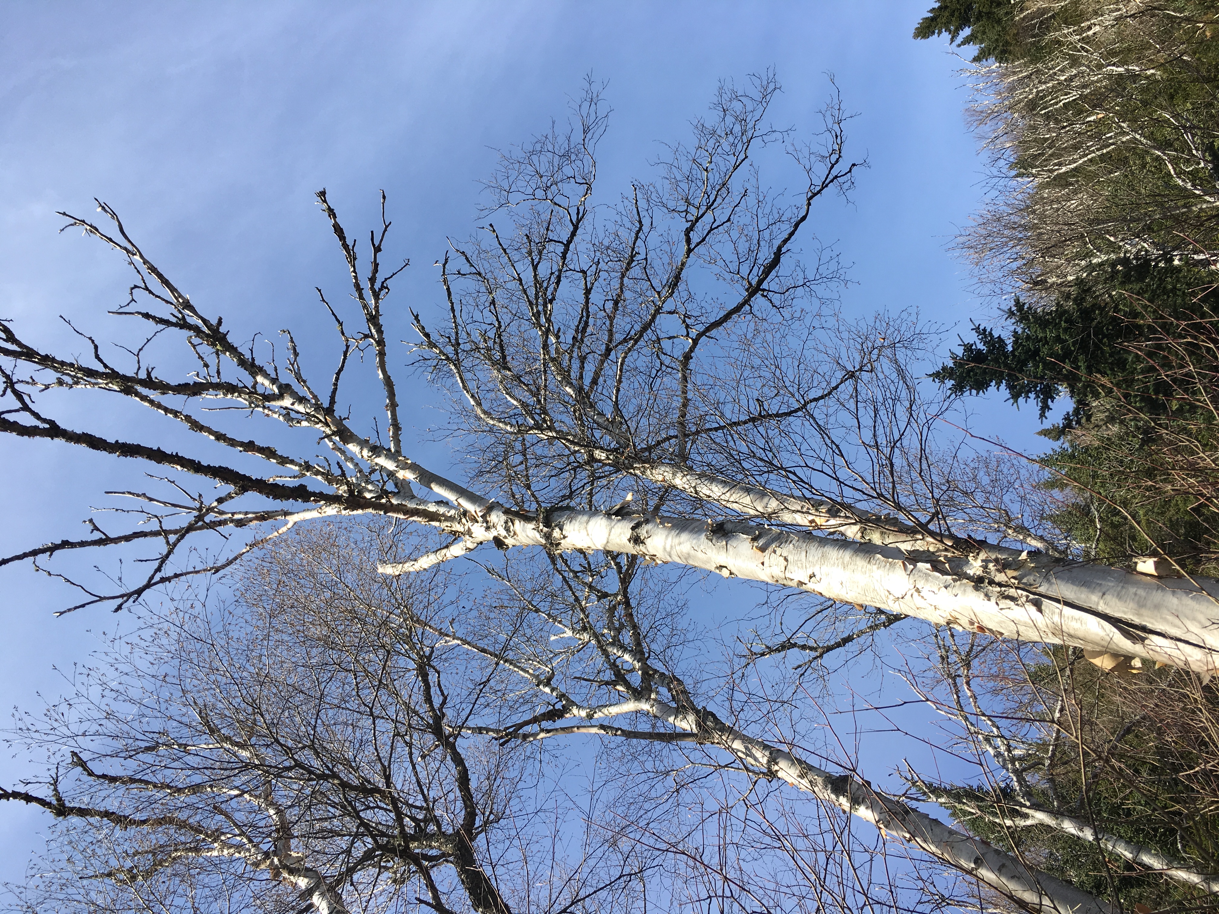
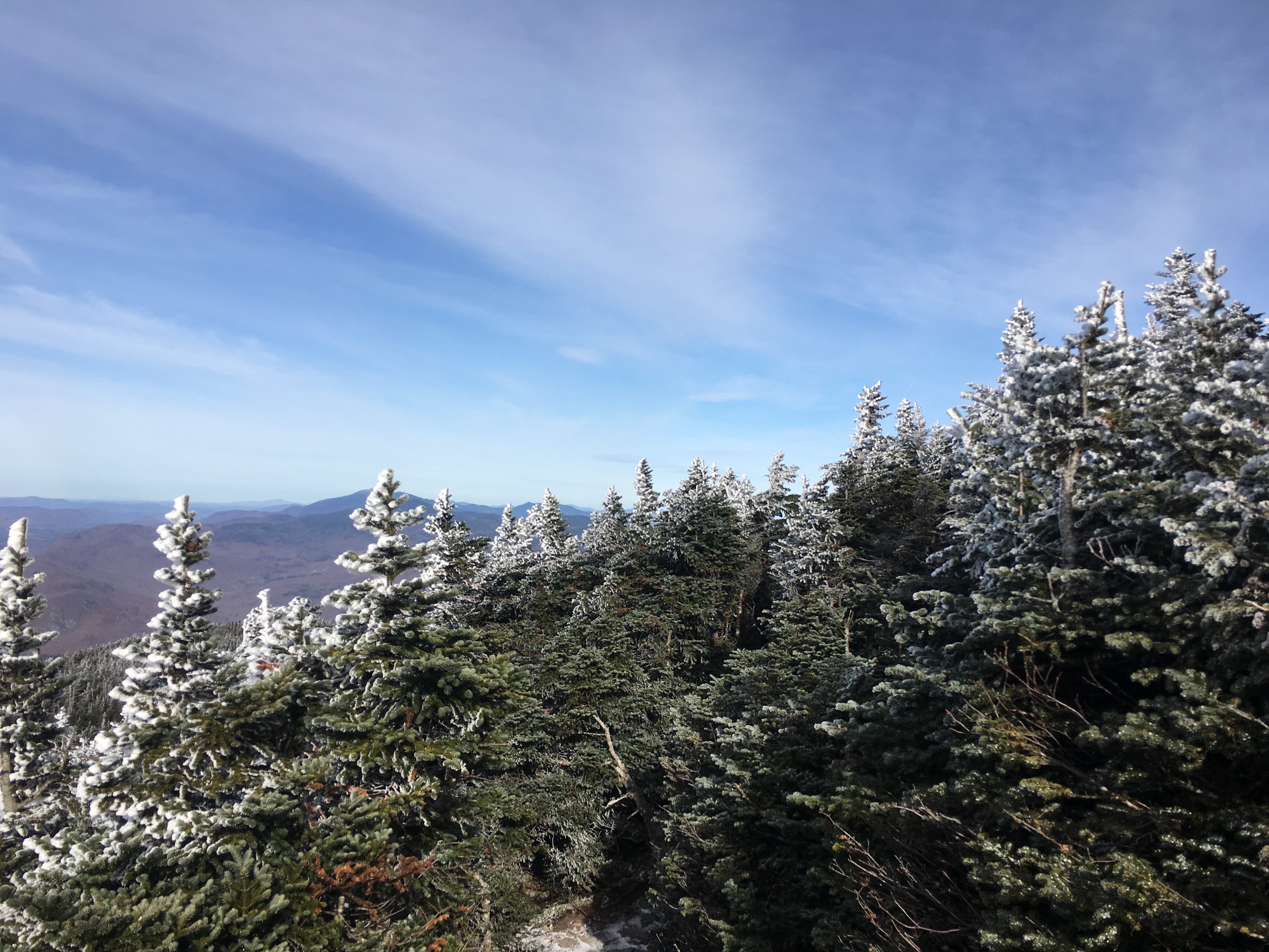
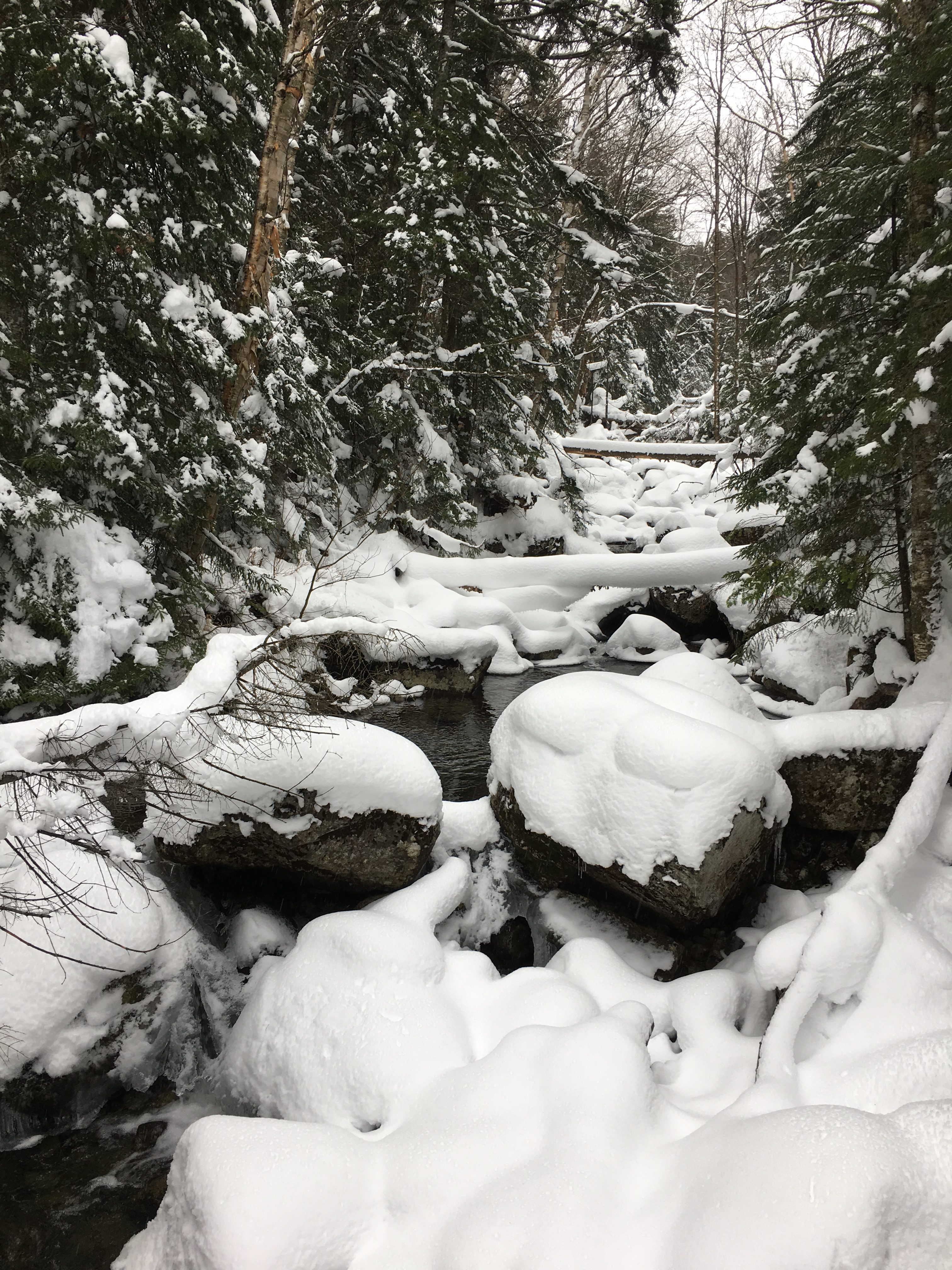
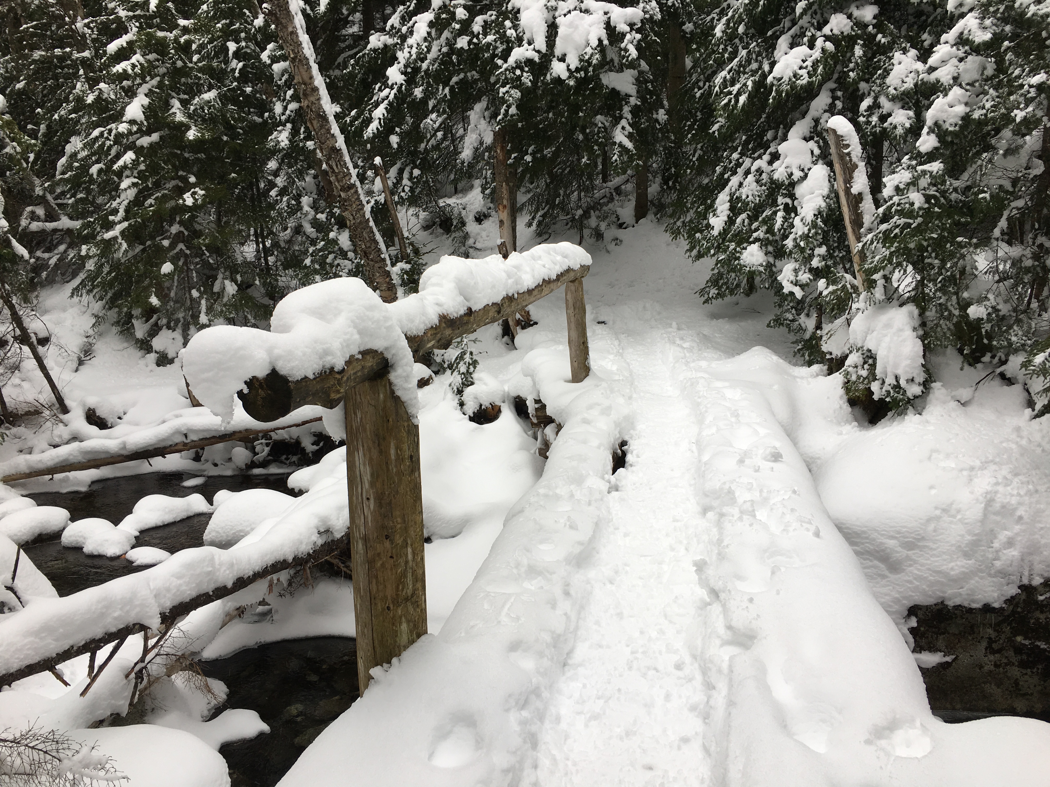
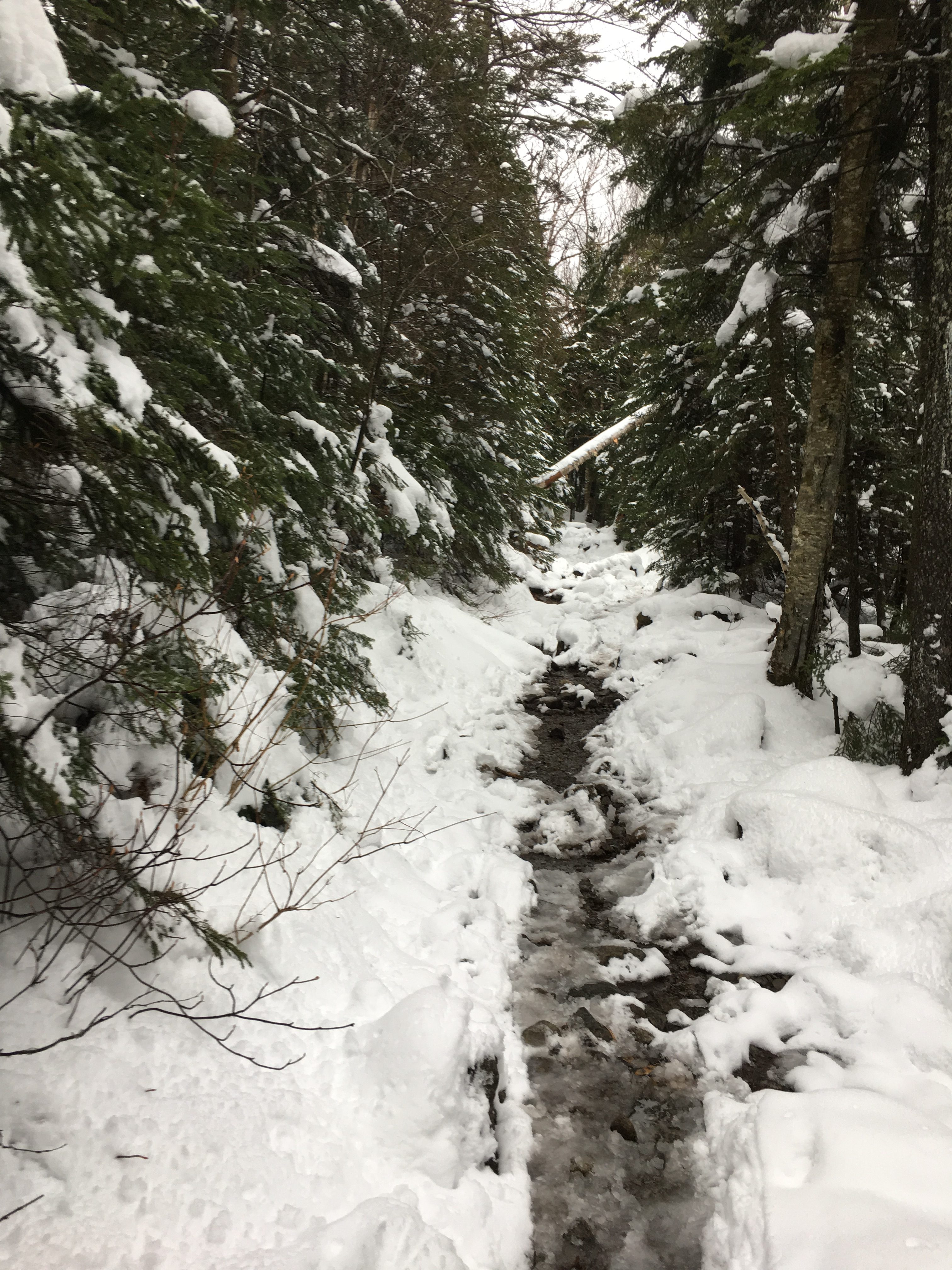
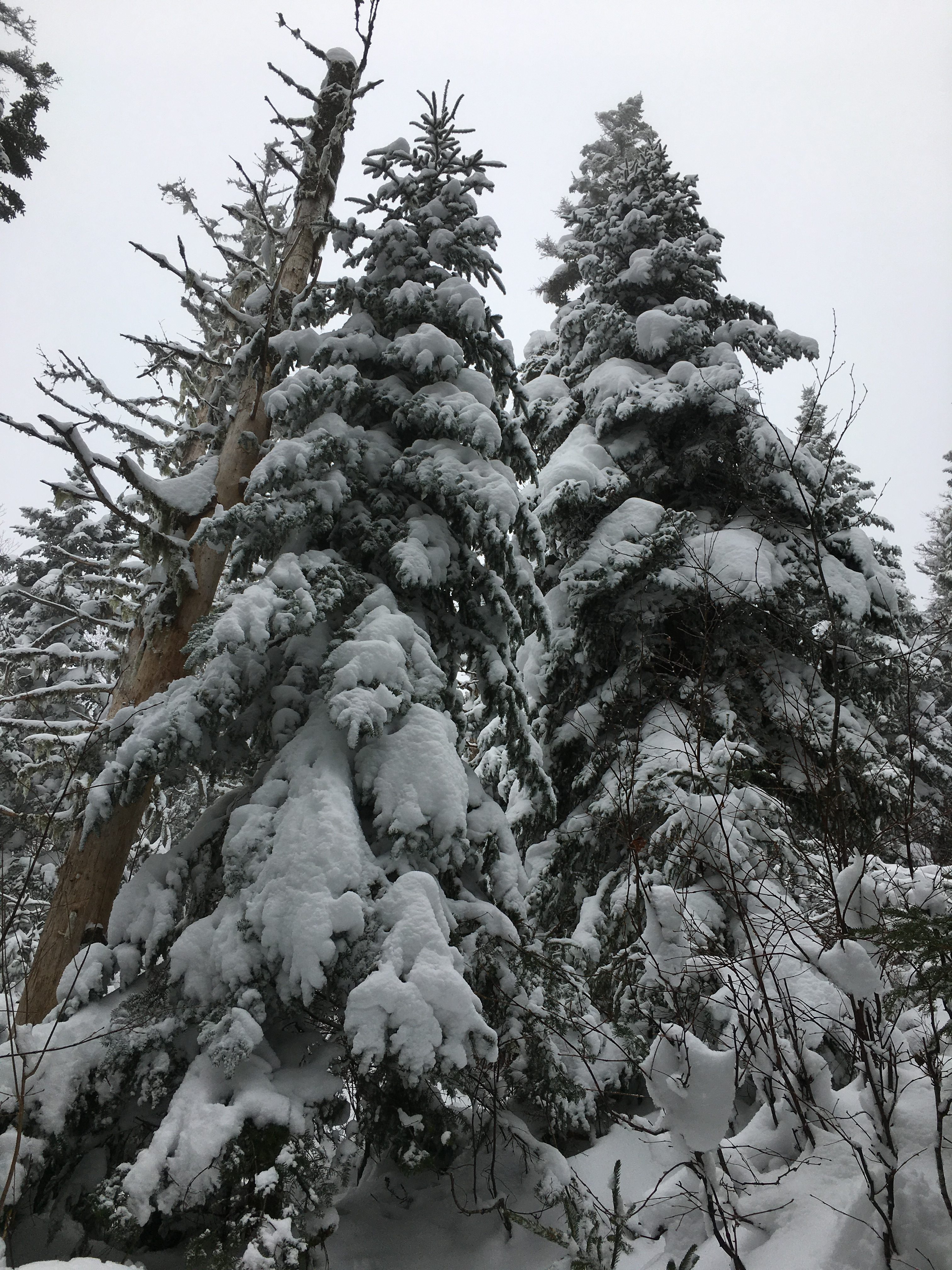
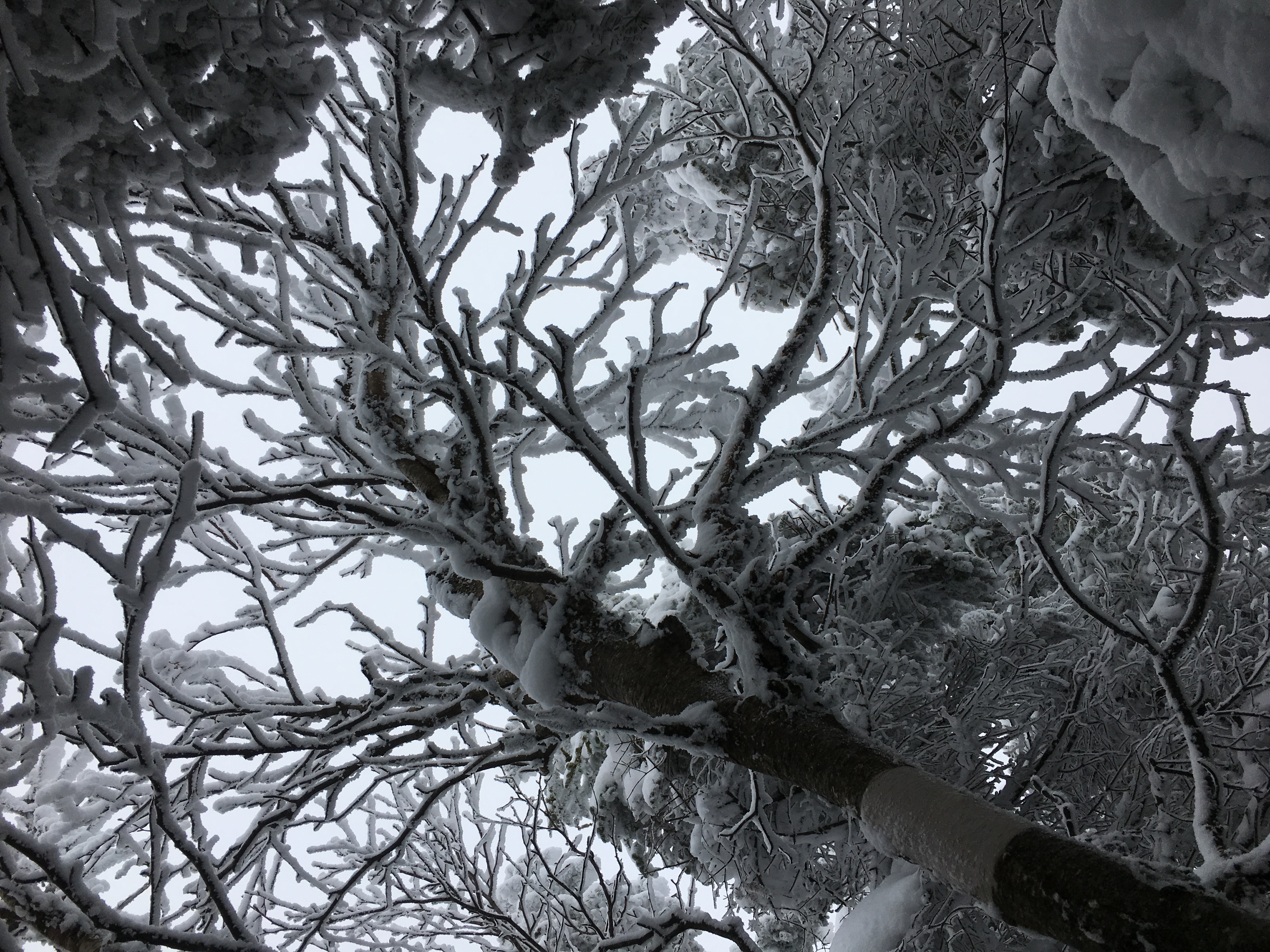
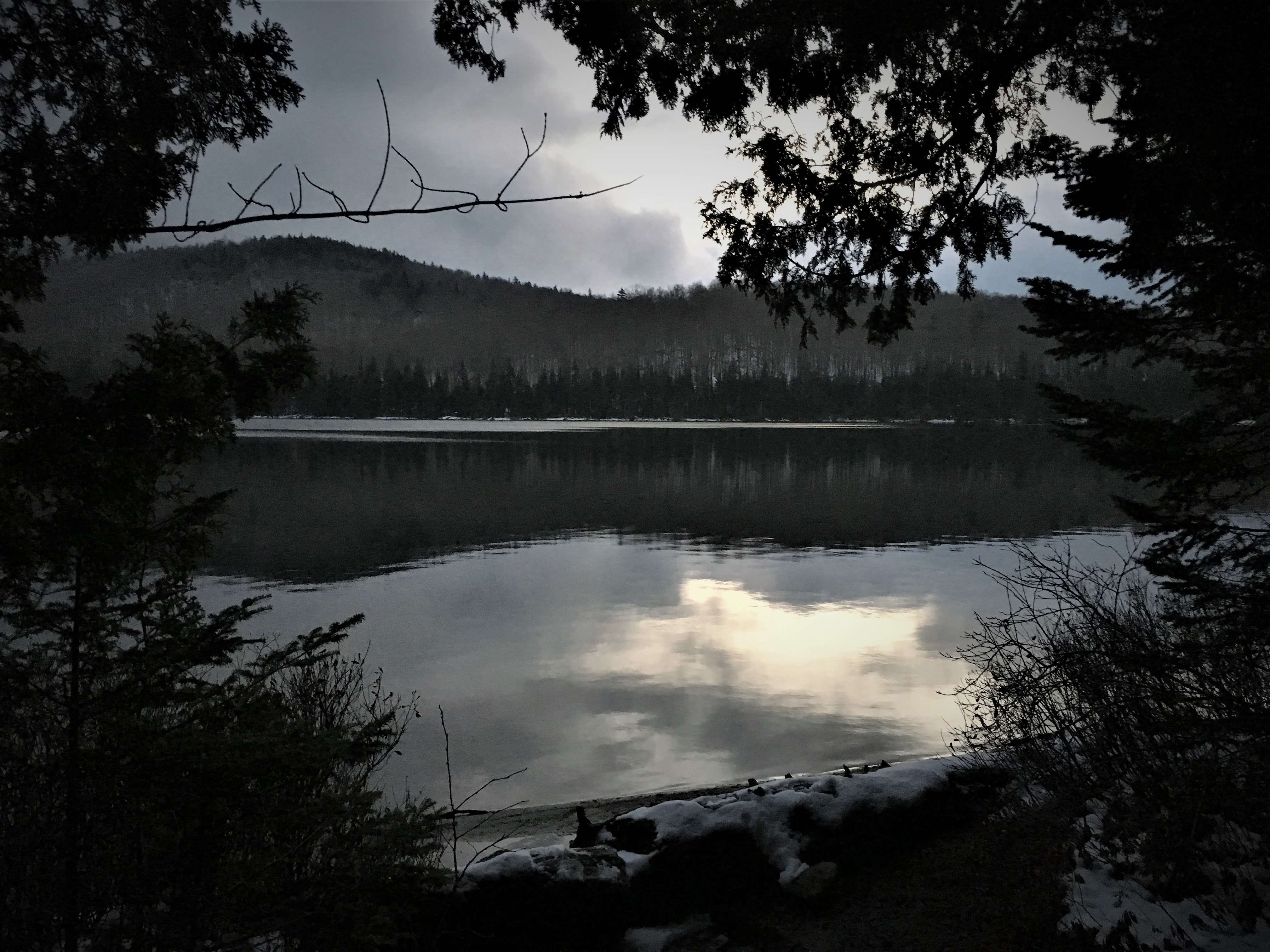
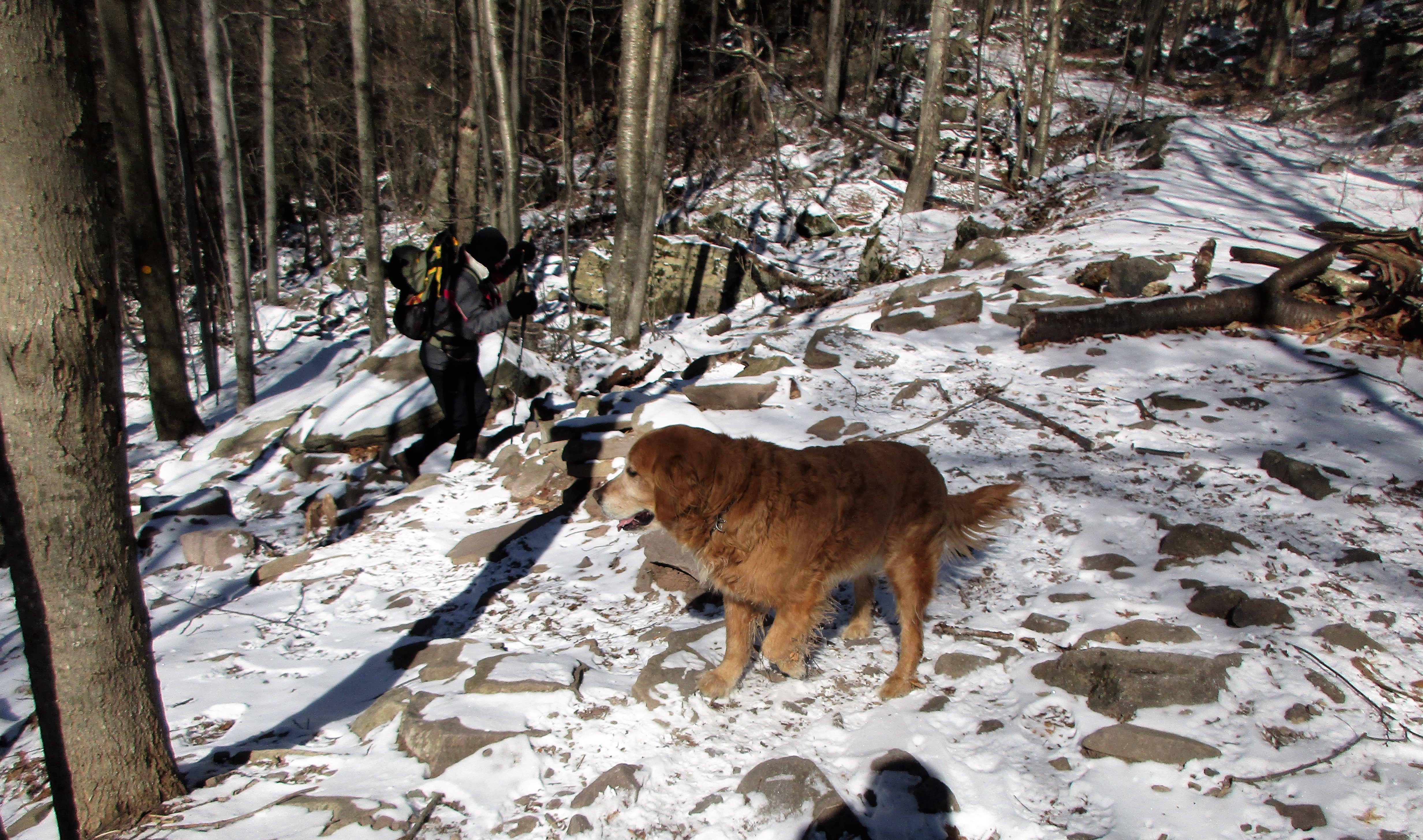
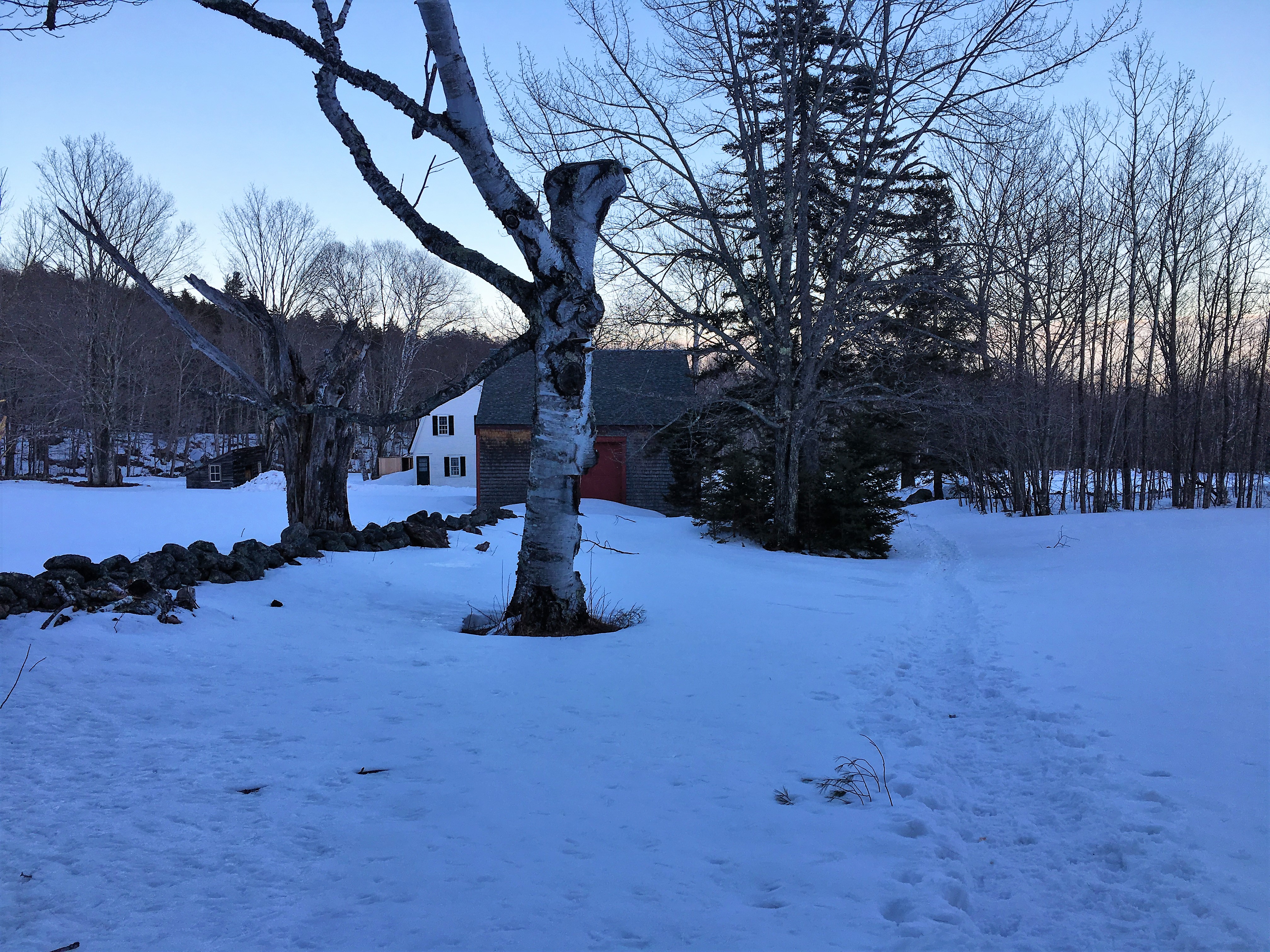
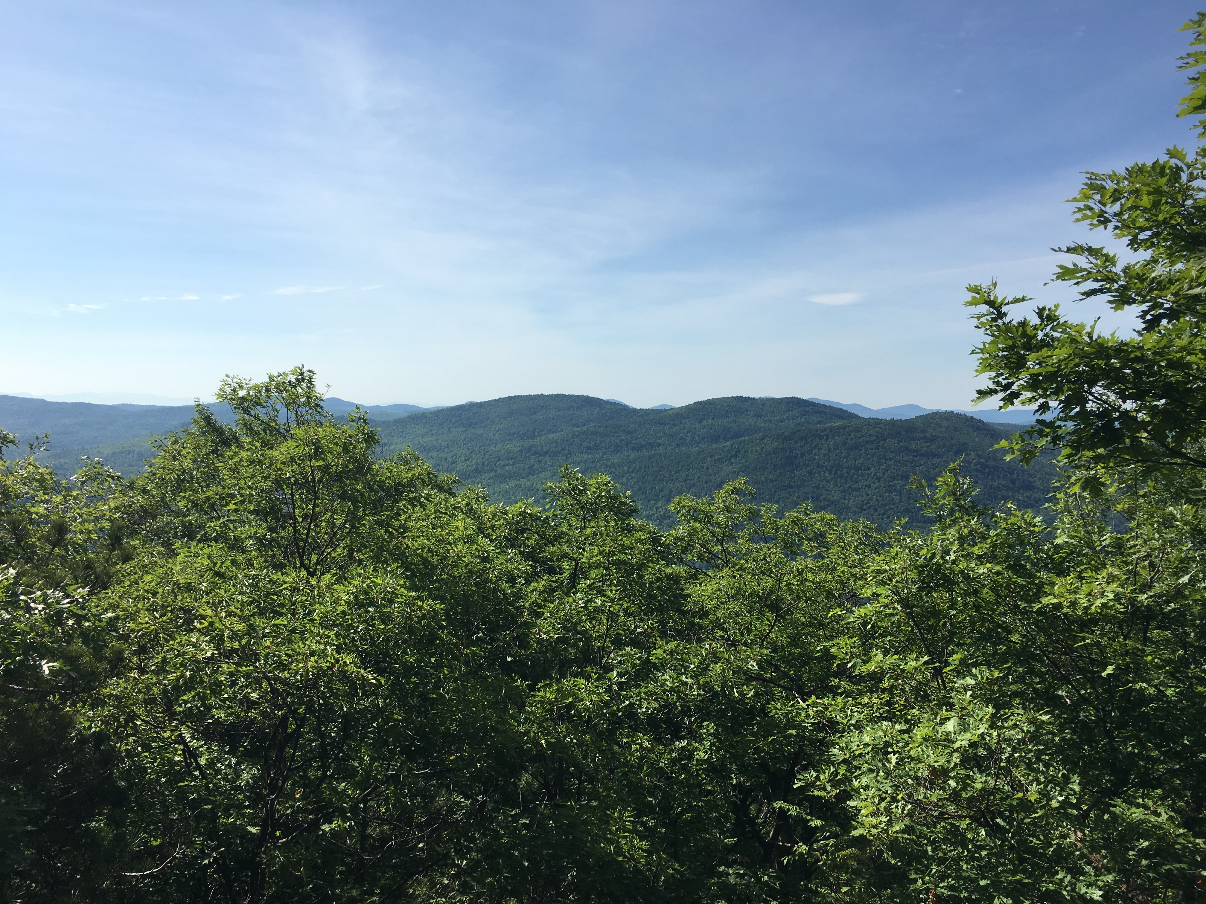
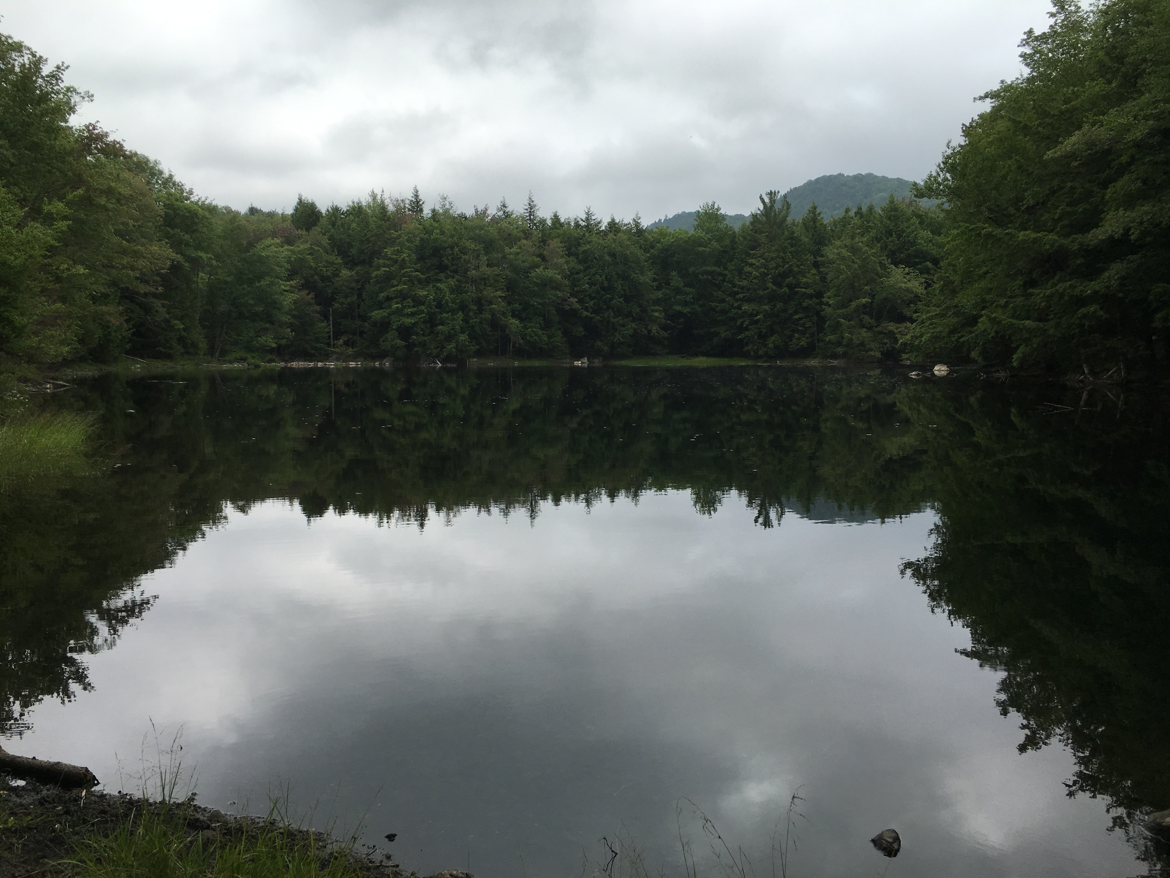
Early November brought Therese and I to Vermont accompanied our canine friend Simba on a two-day trip that included Camel’s Hump and the highest point in the state Mount Mansfield with the first frosty icy signs of the season. Then came a very warm Berkshire’s hike where the 3 of us were joined by my other sis Maryjeanne. Thanksgiving weekend dumped some snow in the ADK land, giving me a few days of wintery solo treks up Tabletop one day, and Street/Nye the next, in my continuing effort to catch up to Therese in our 46-ers quest to become “aspiring no more”- All this before the solstice arrived!
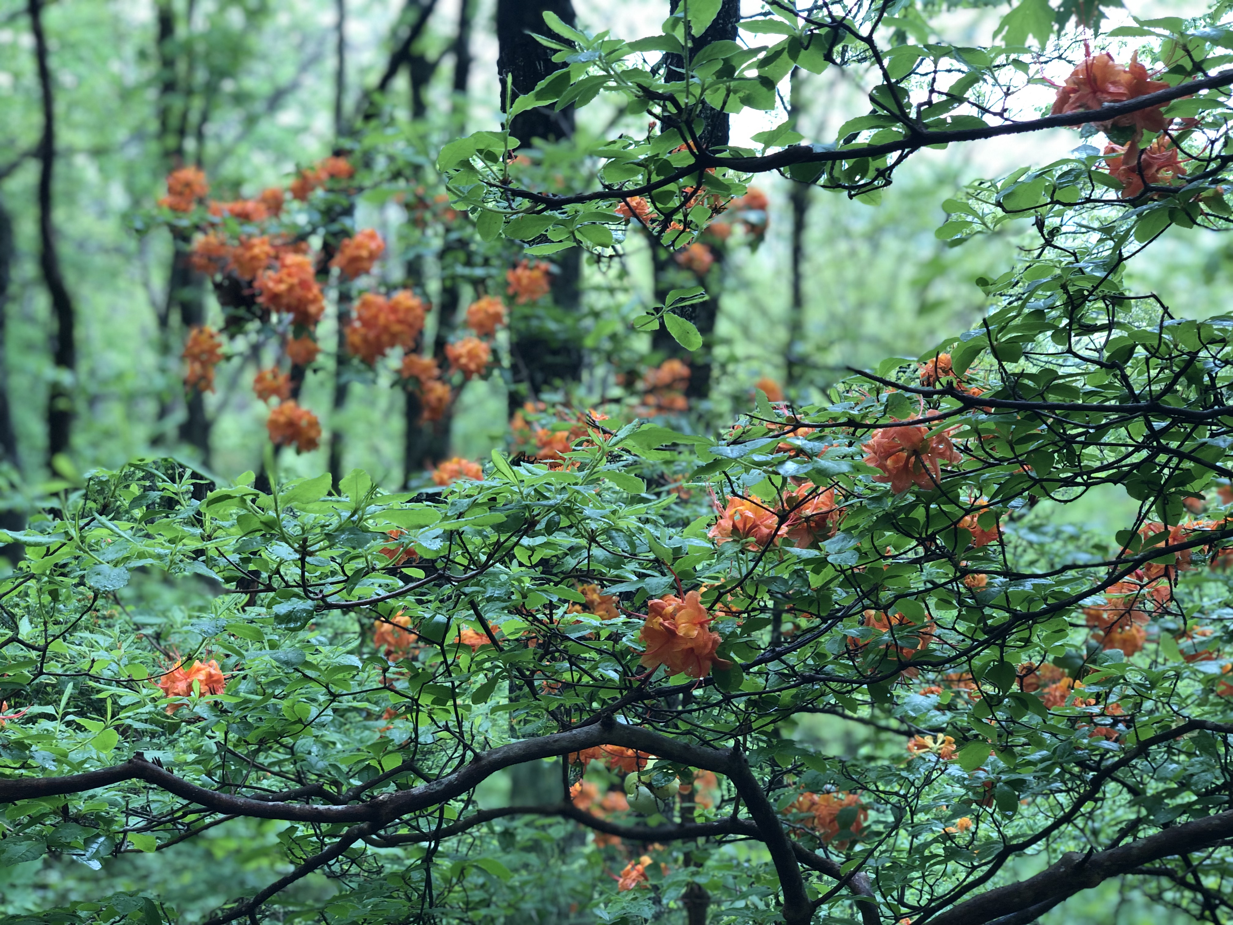
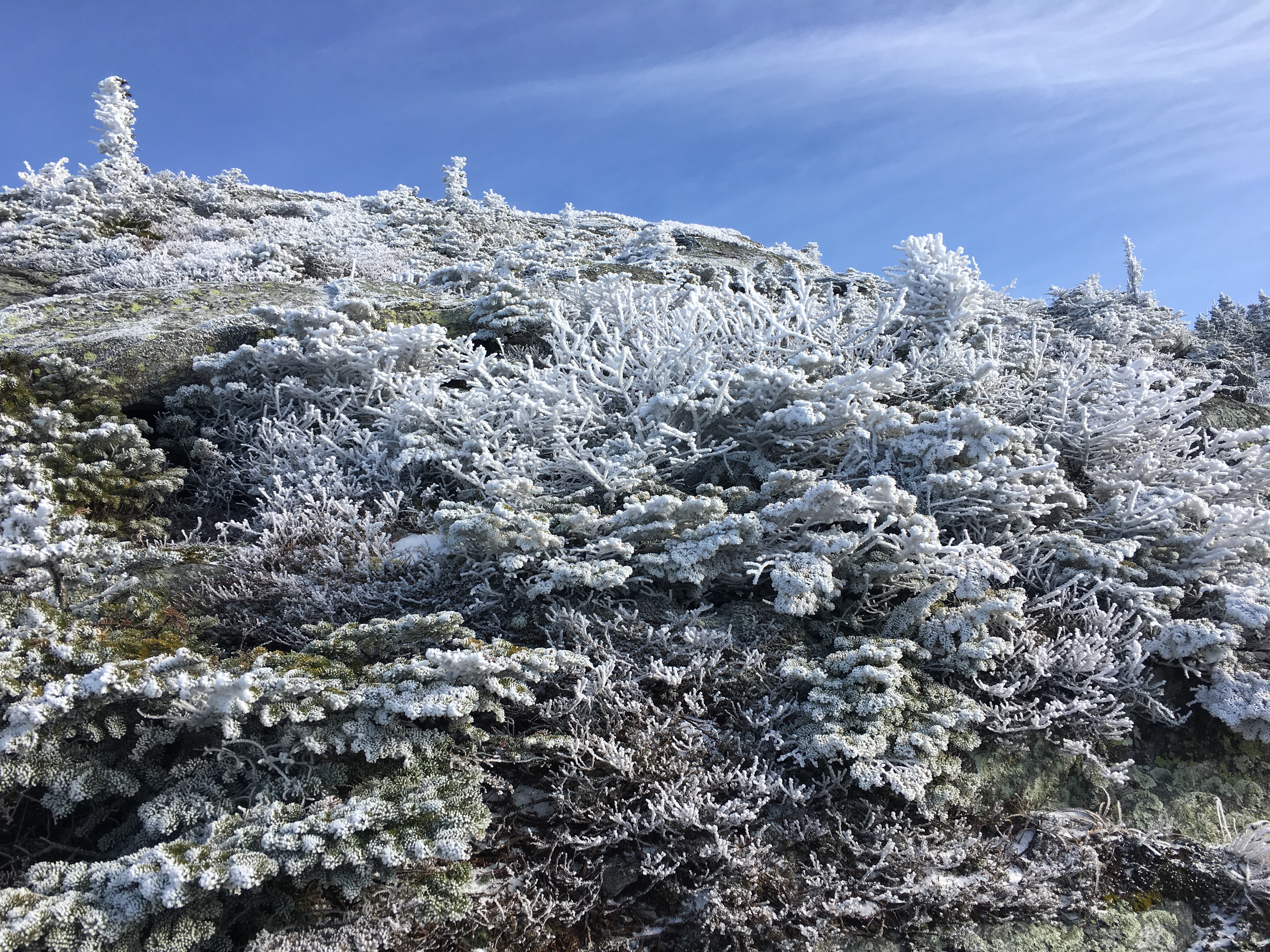
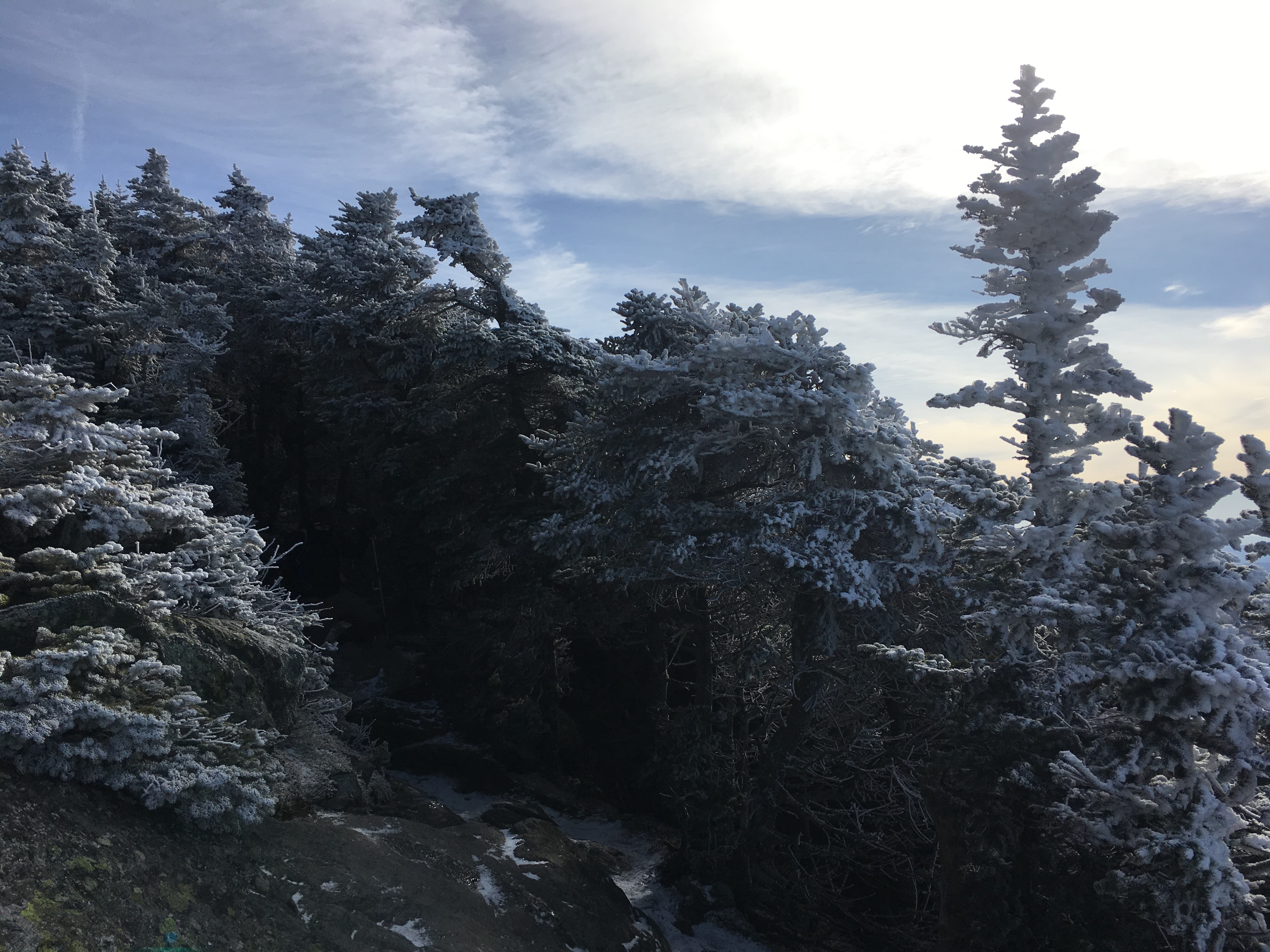
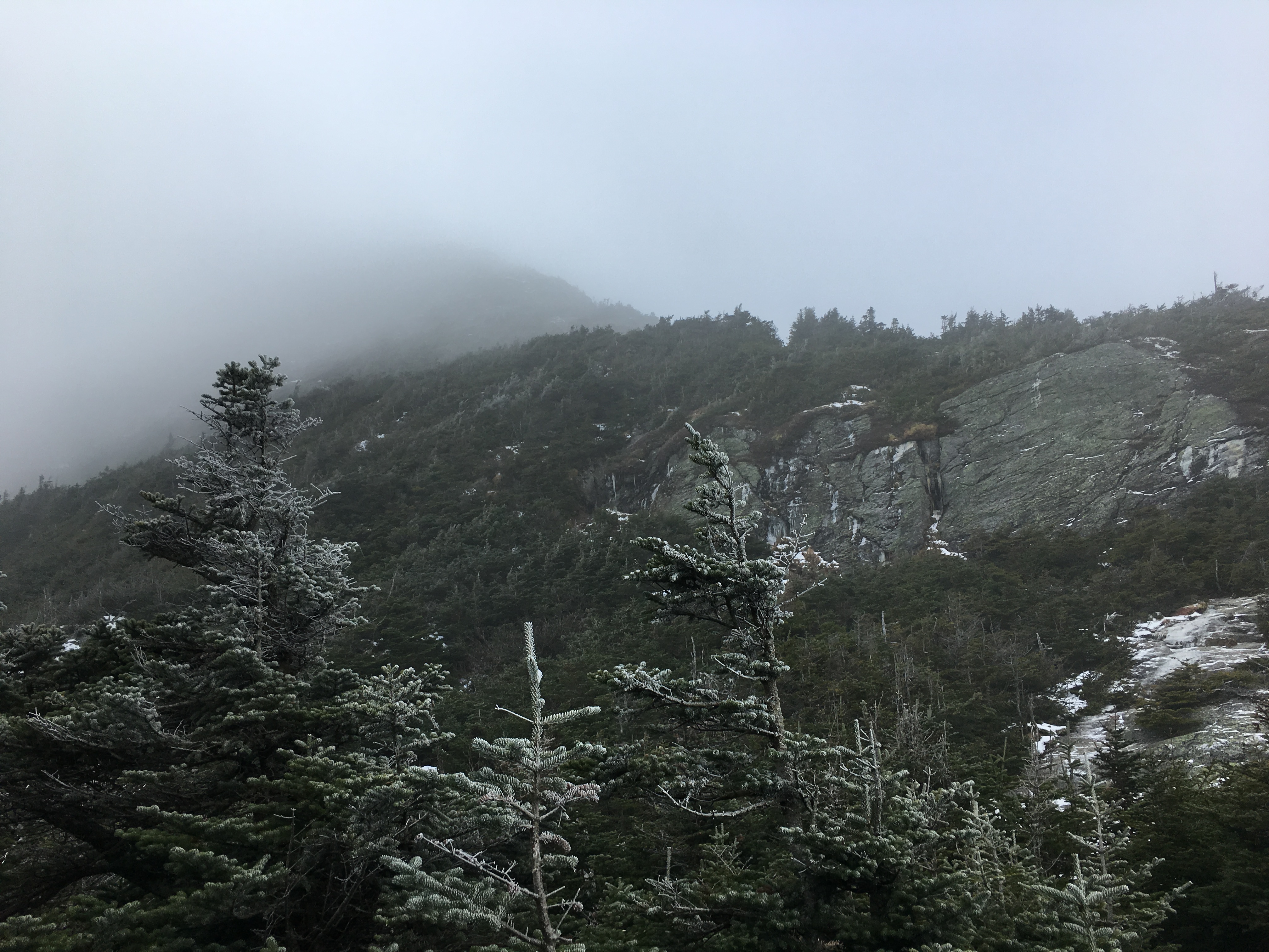
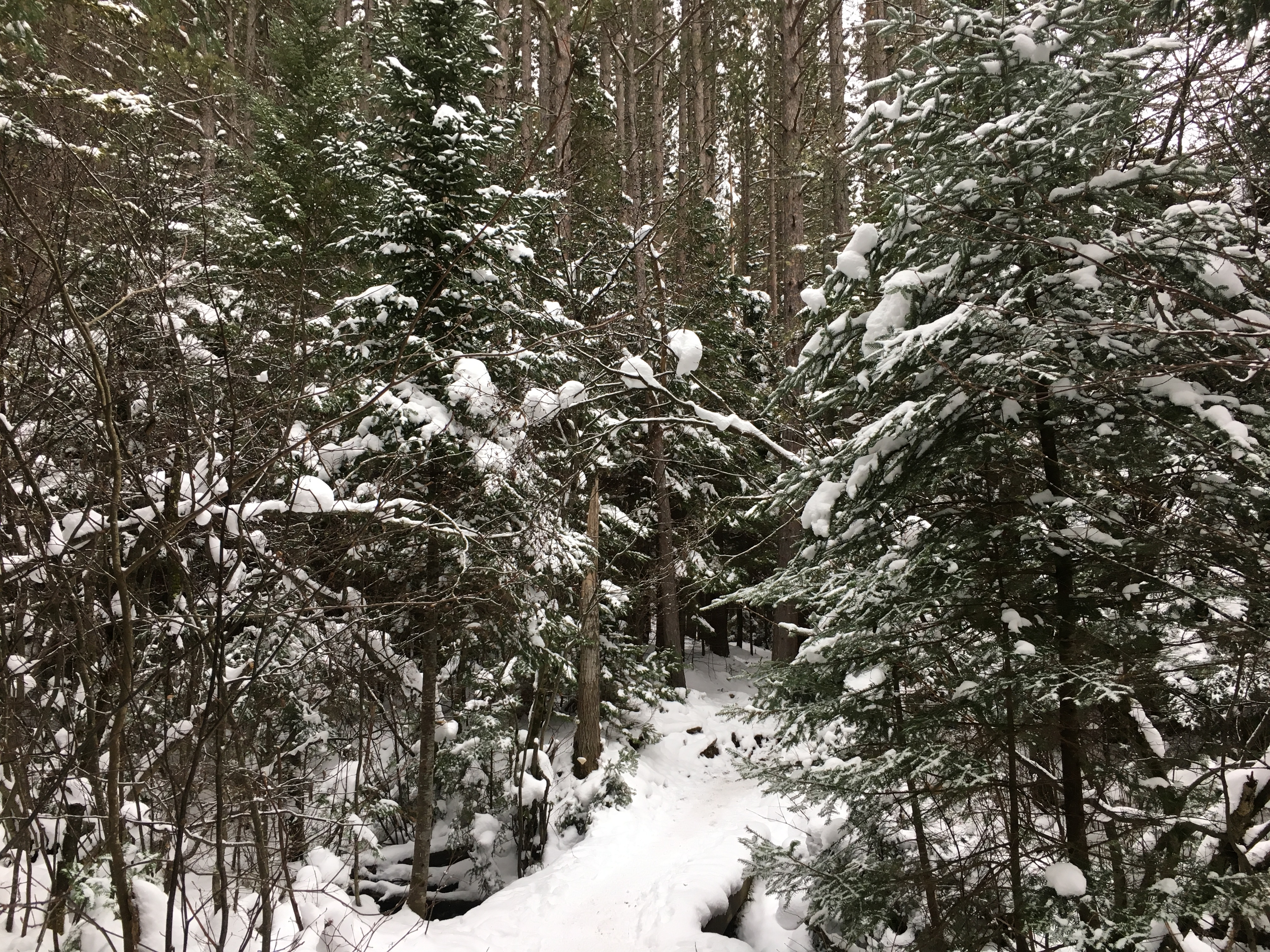
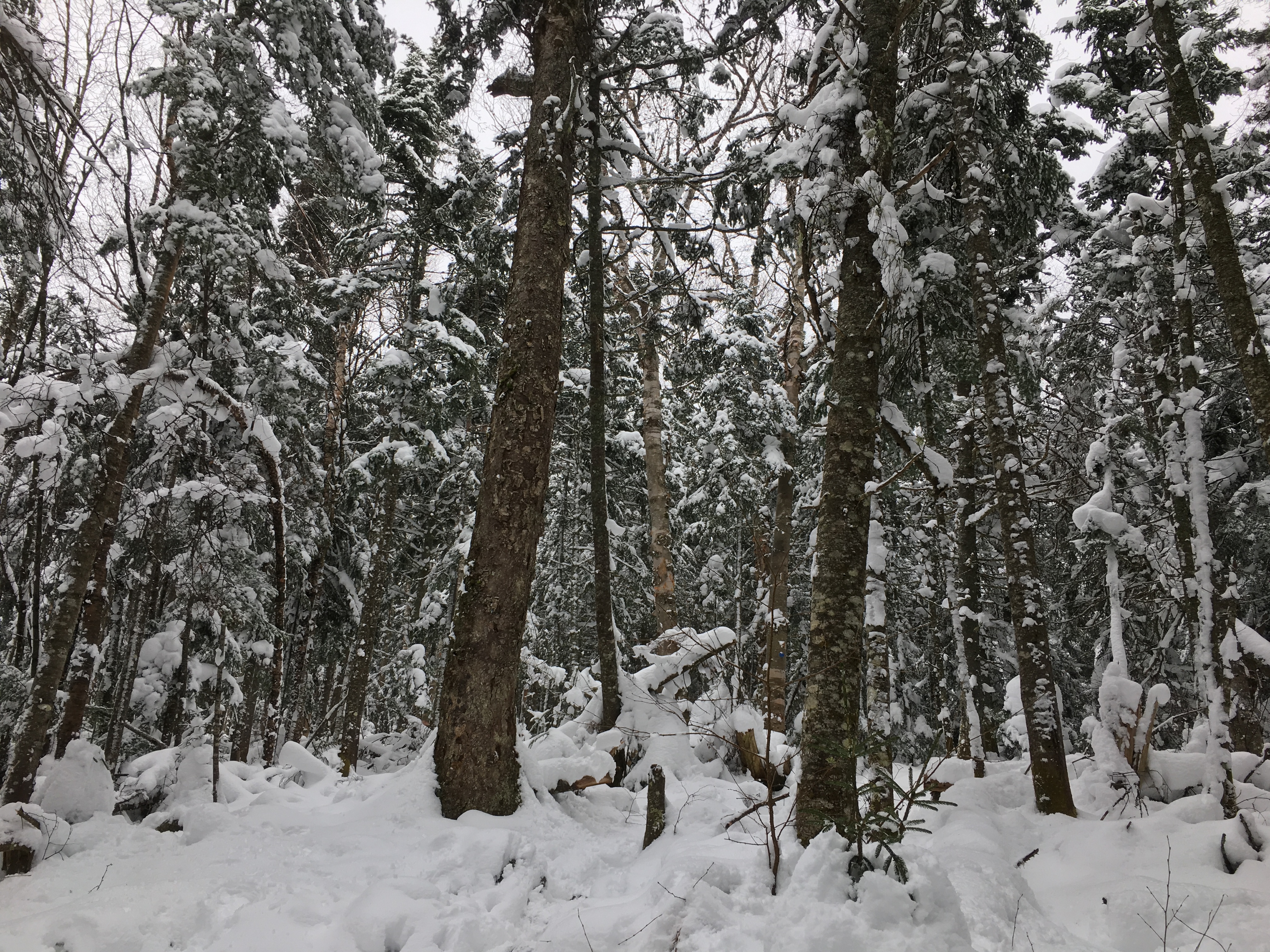
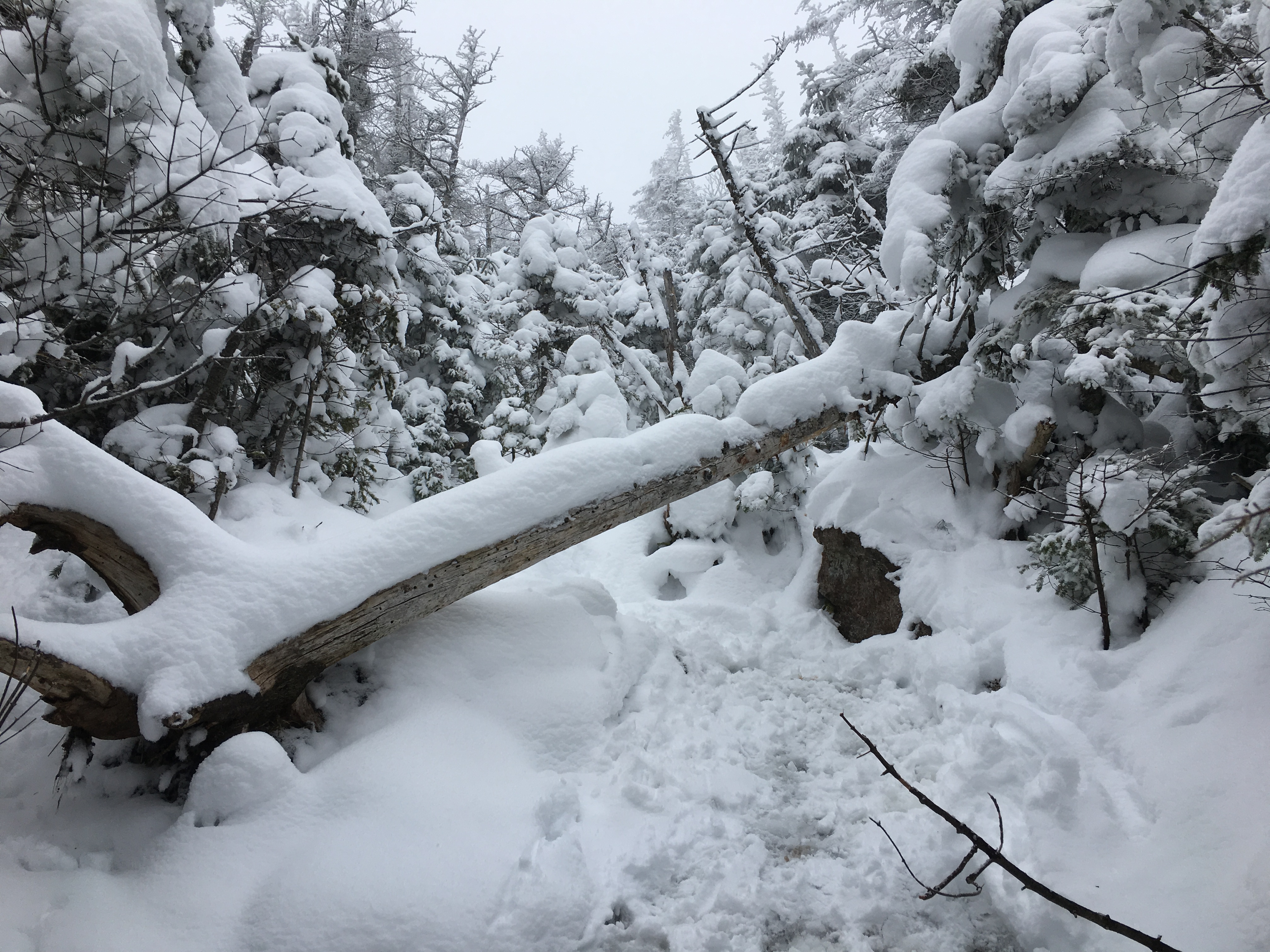
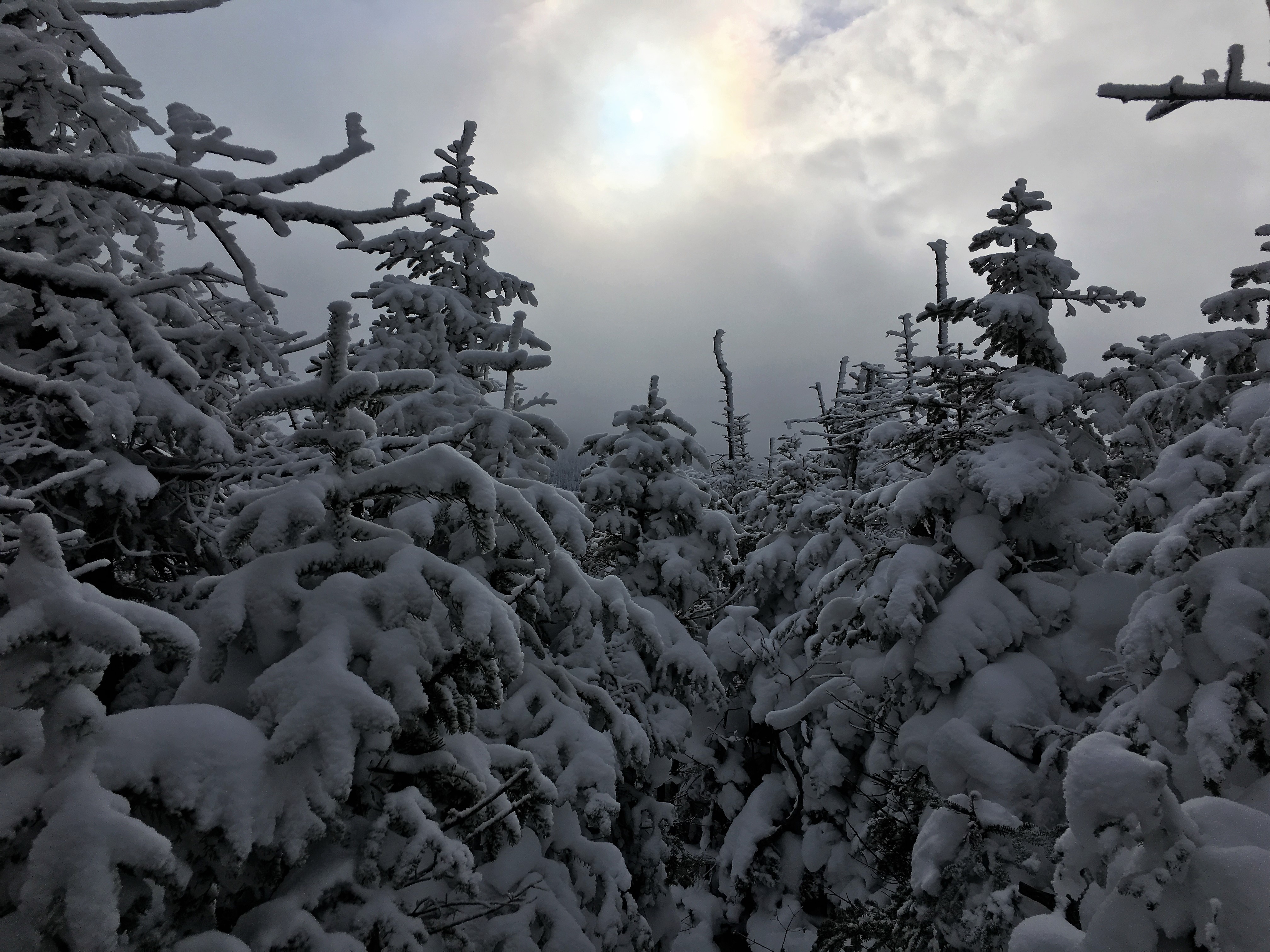
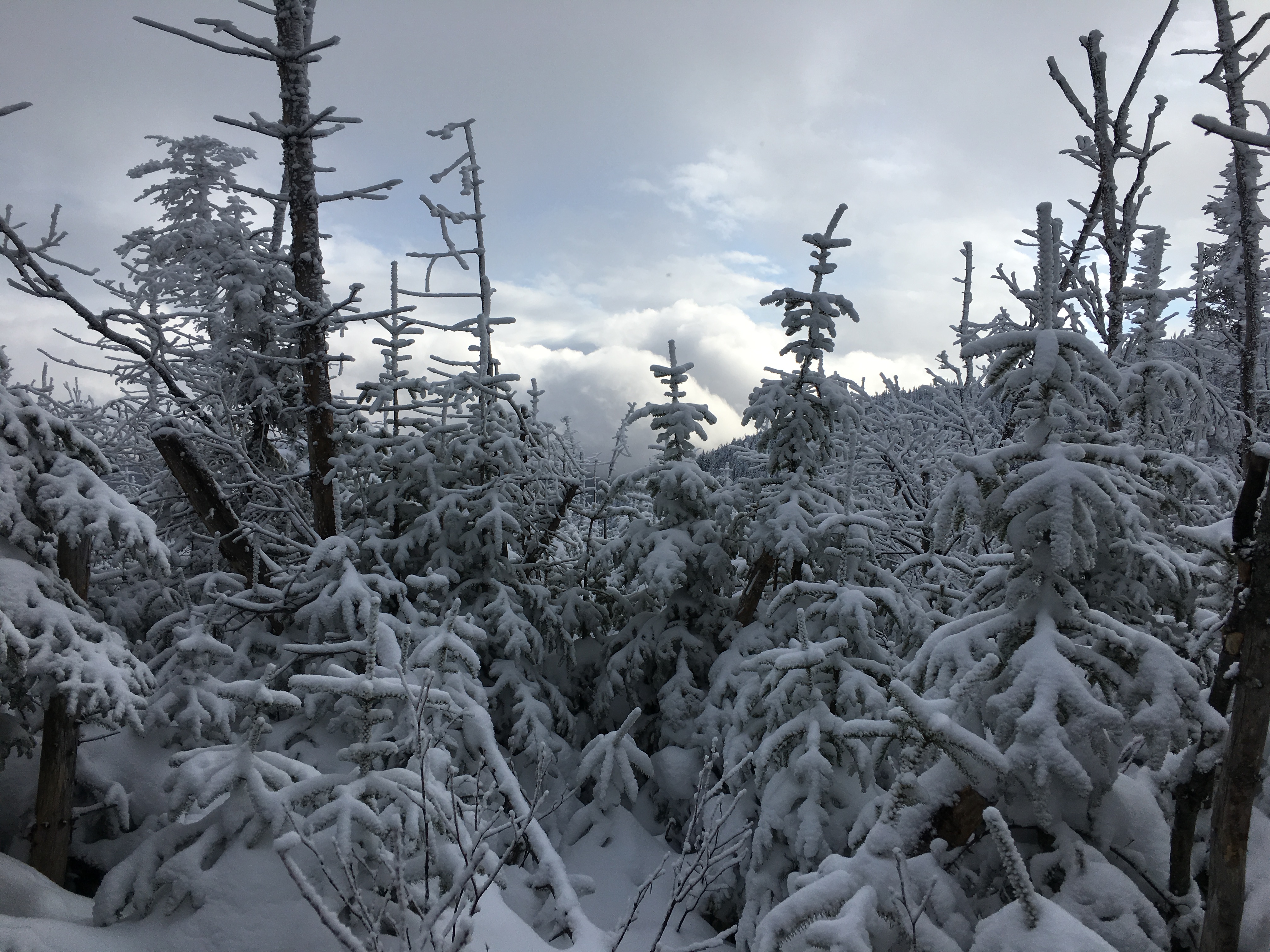
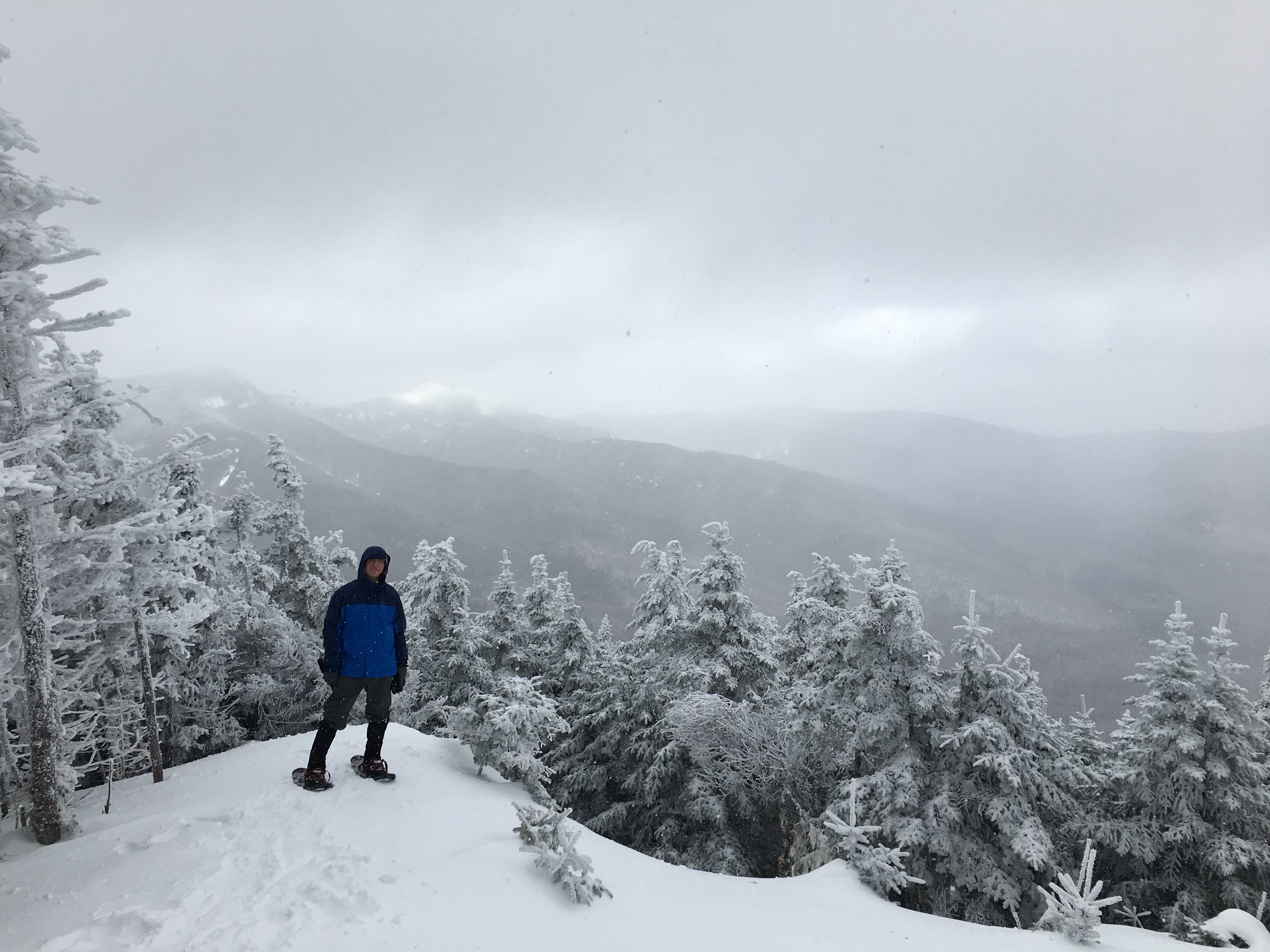
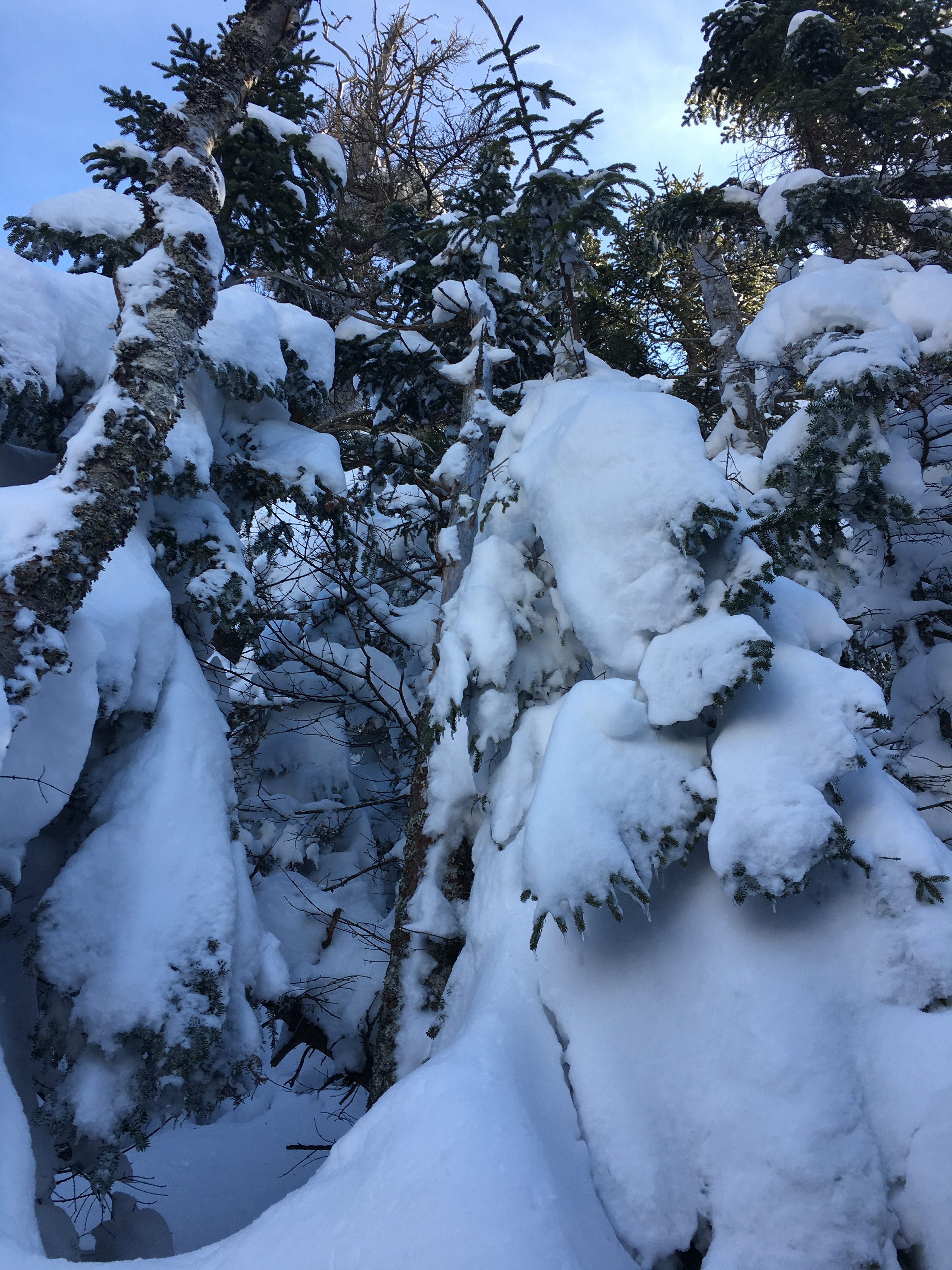
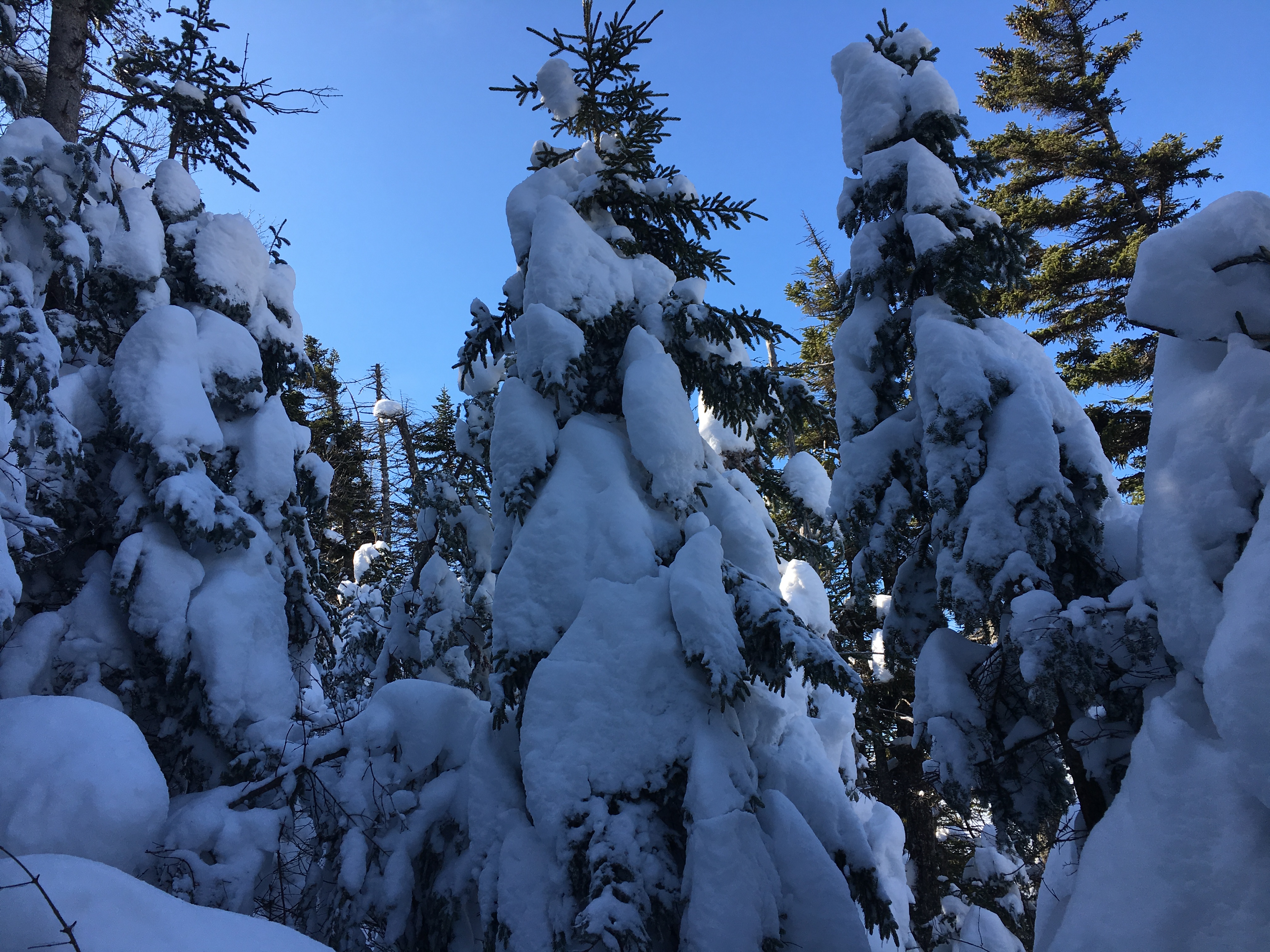
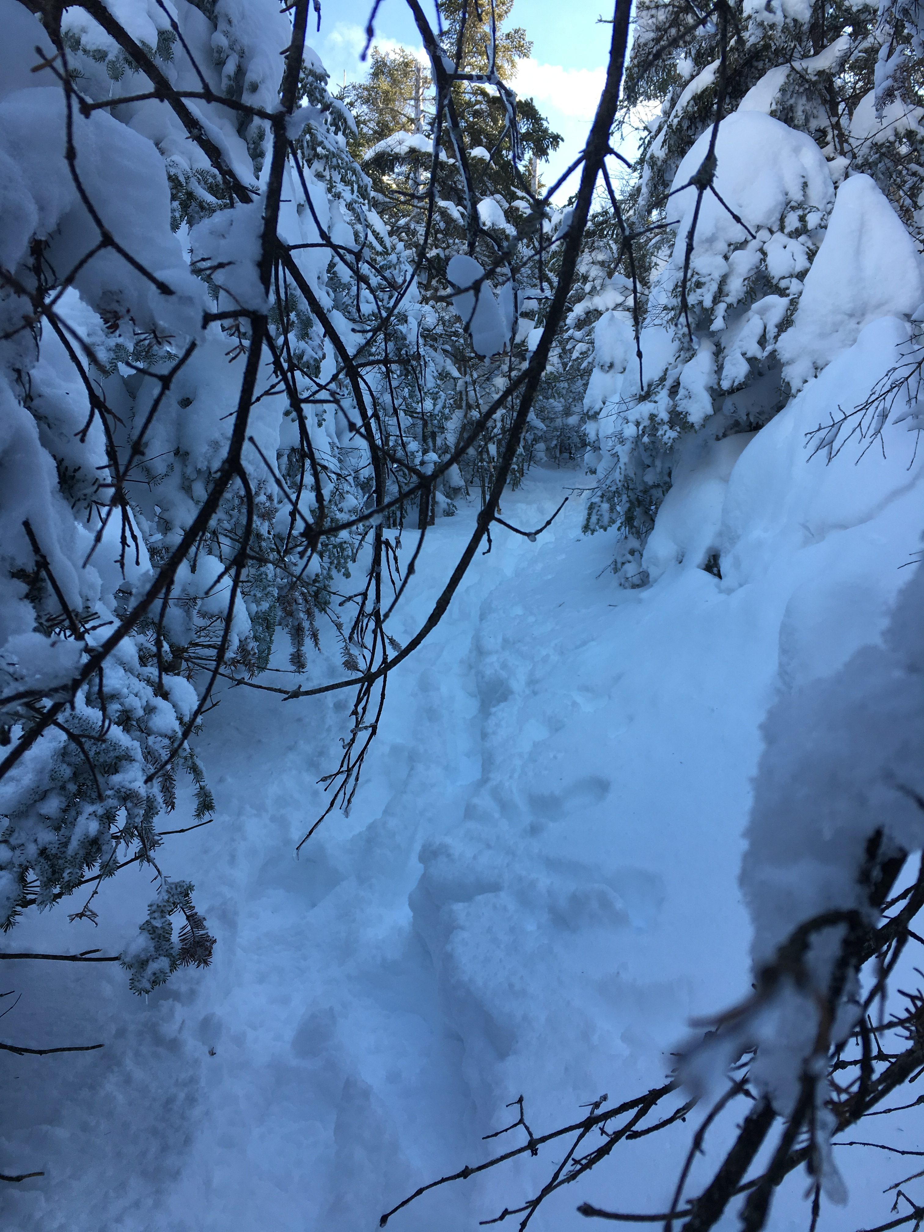
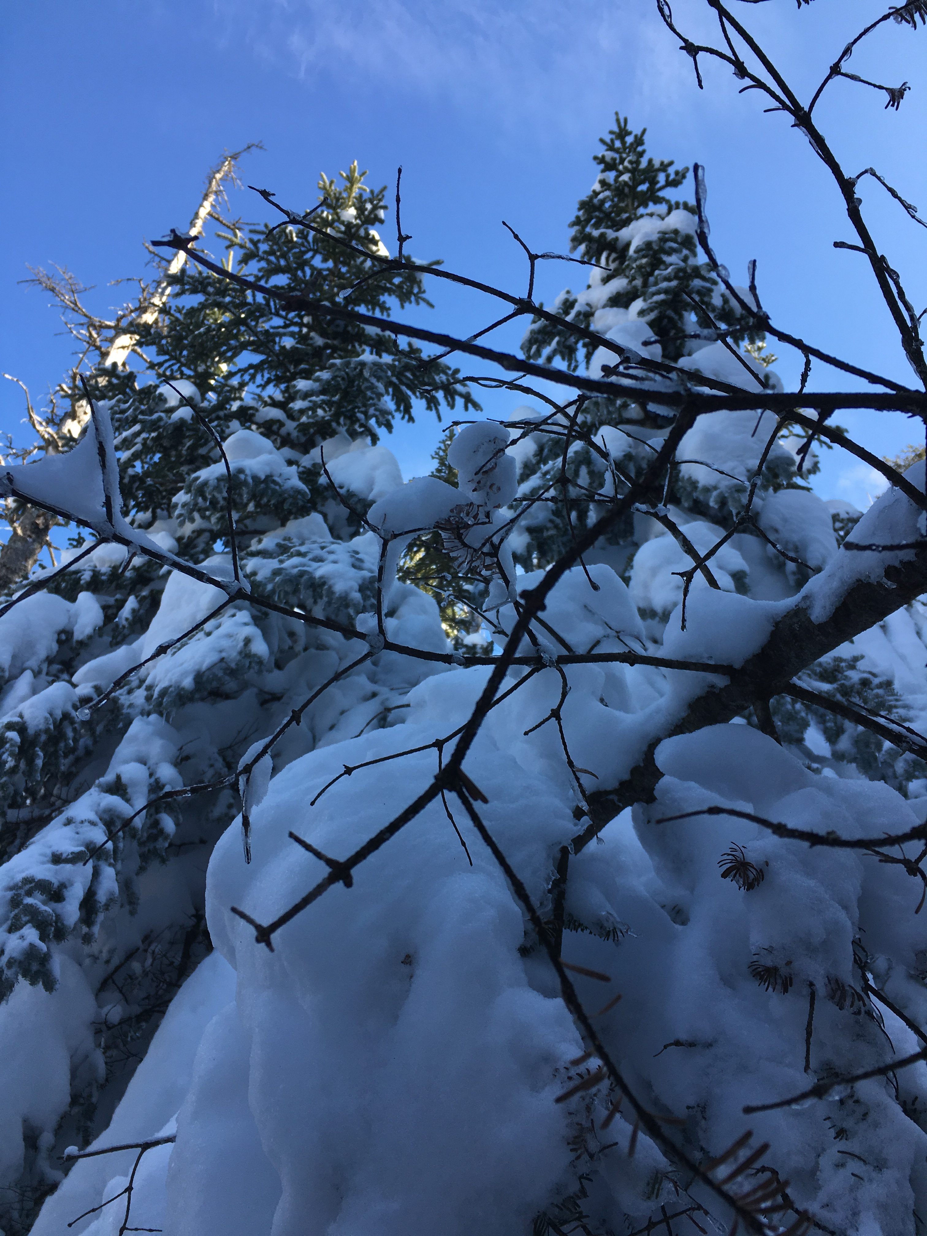
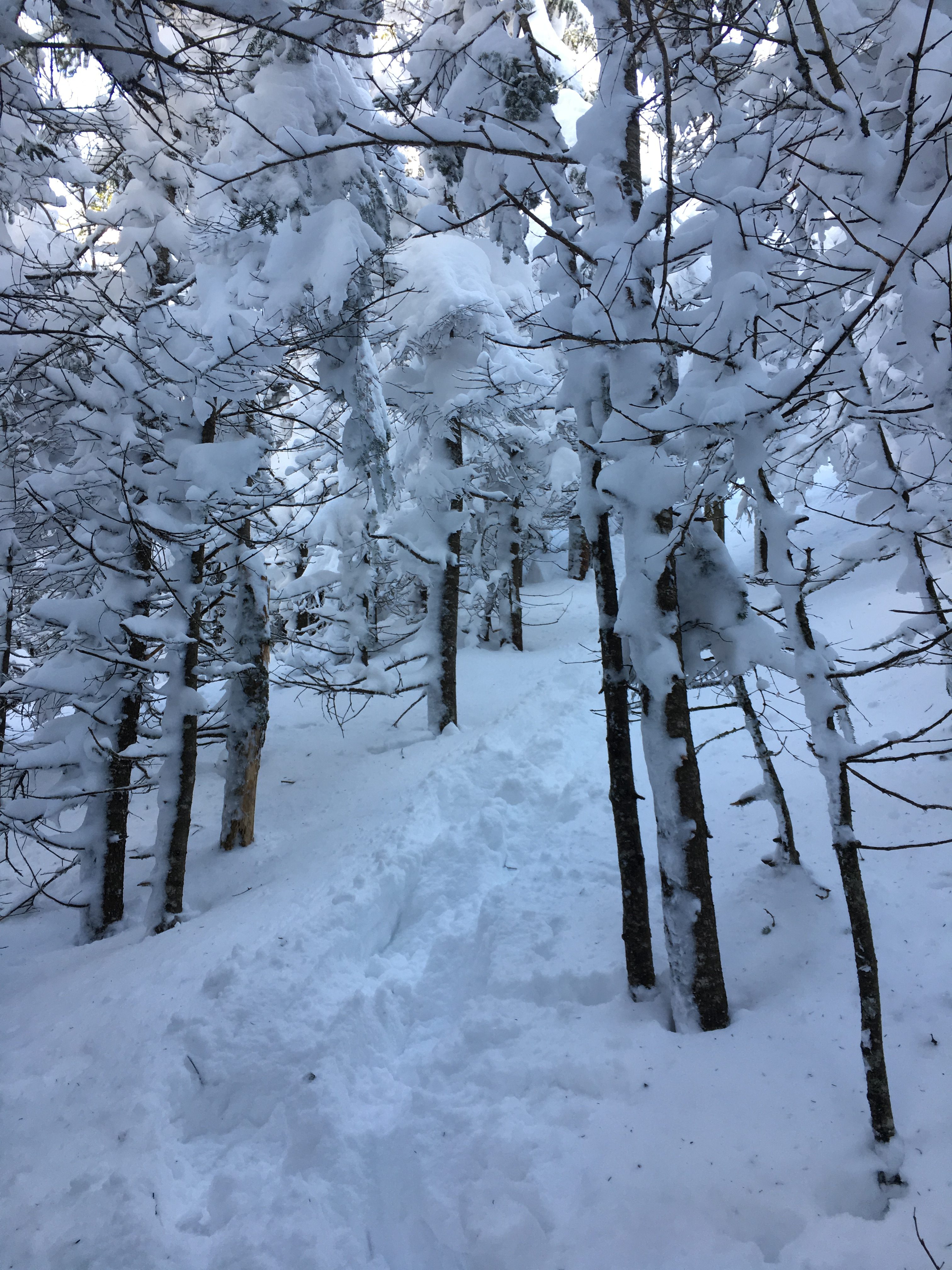
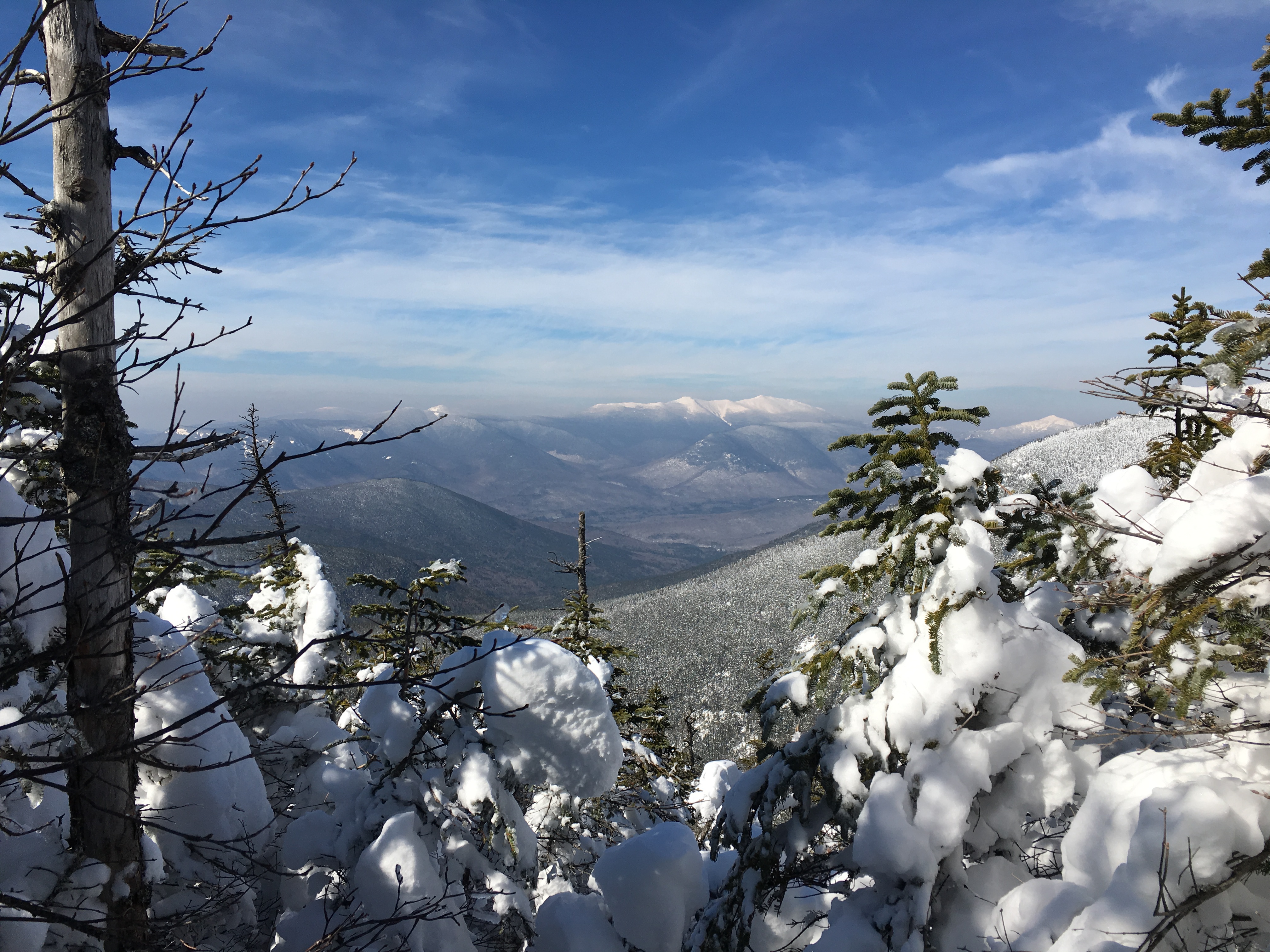
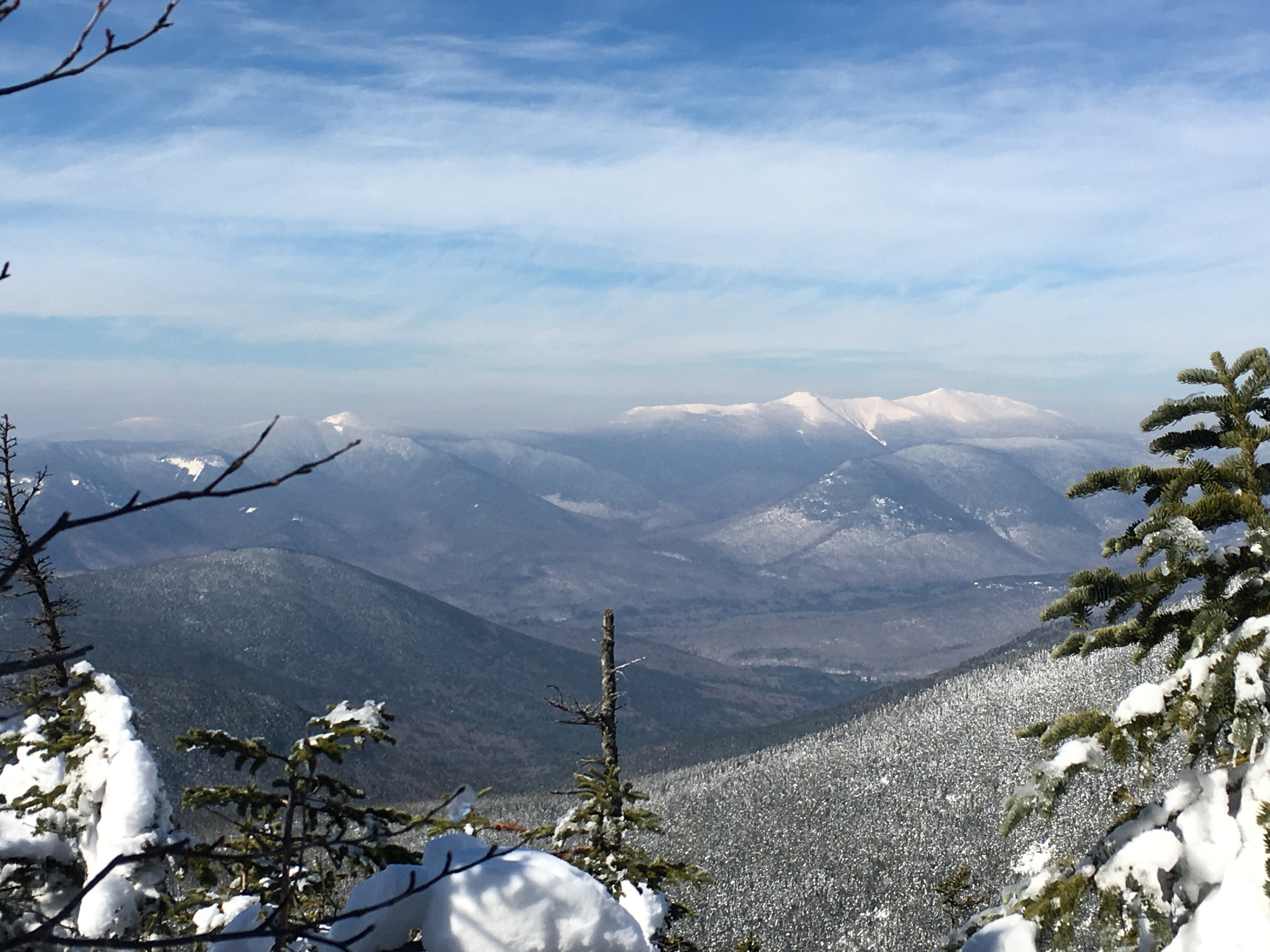
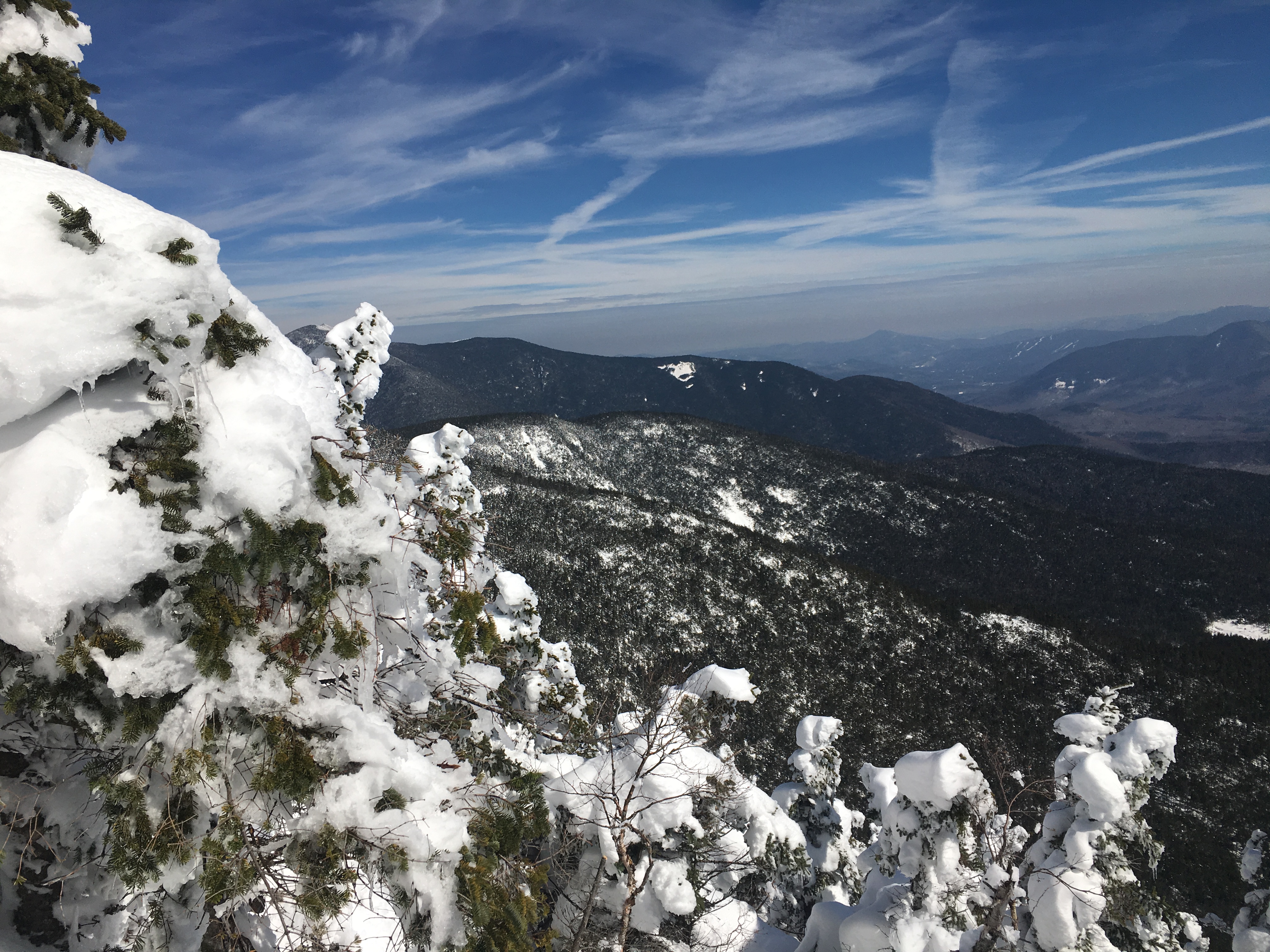
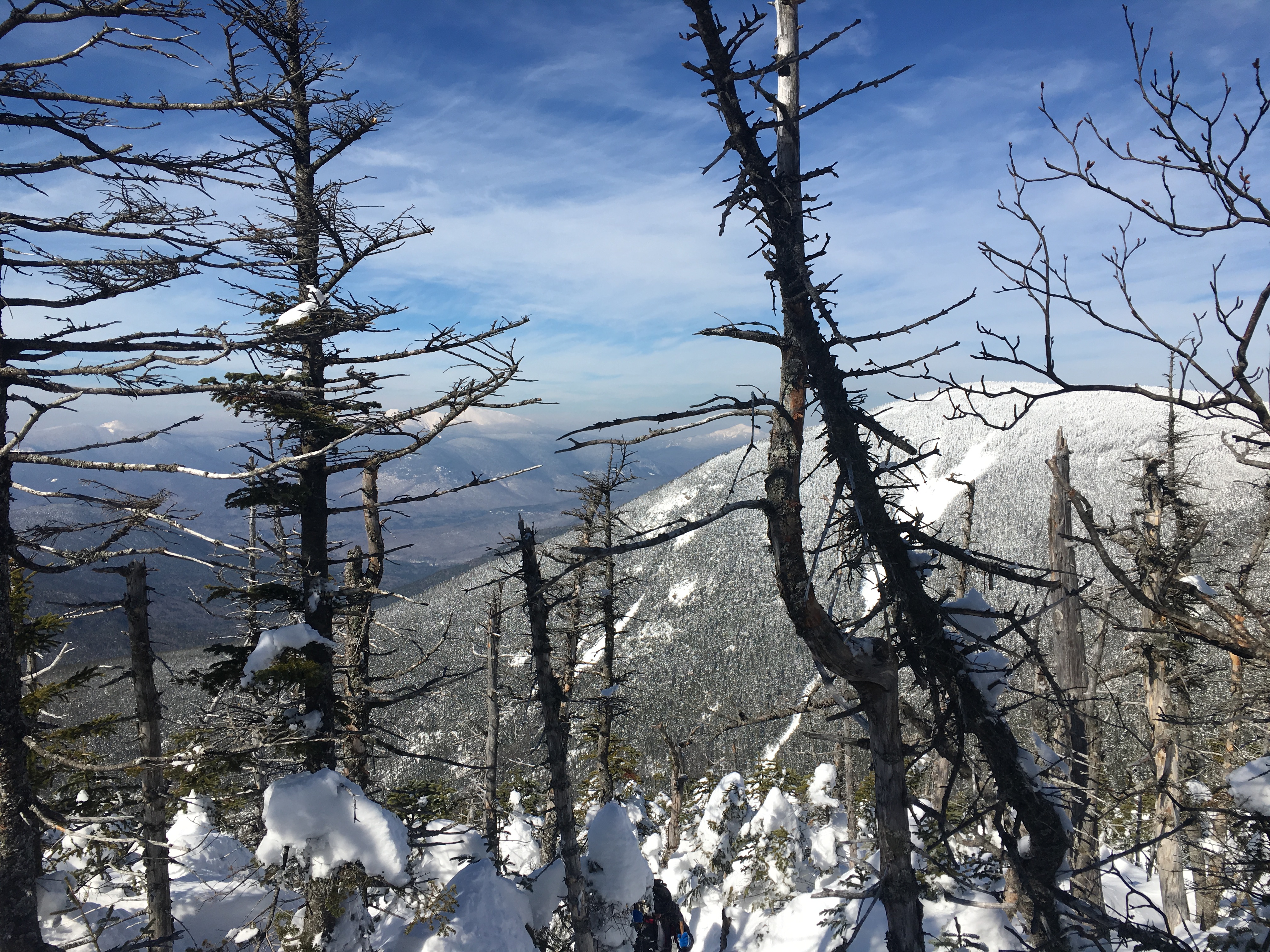
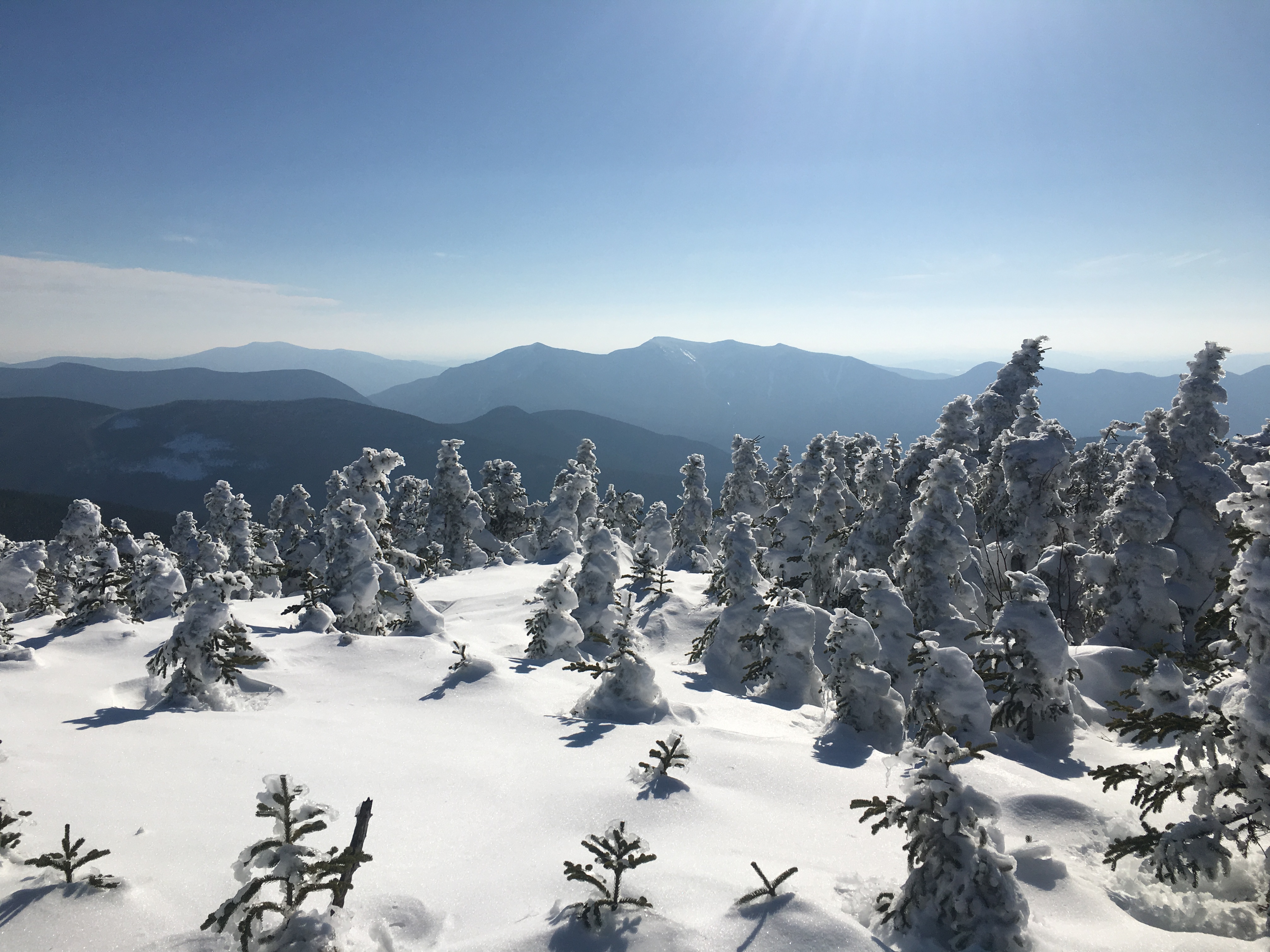
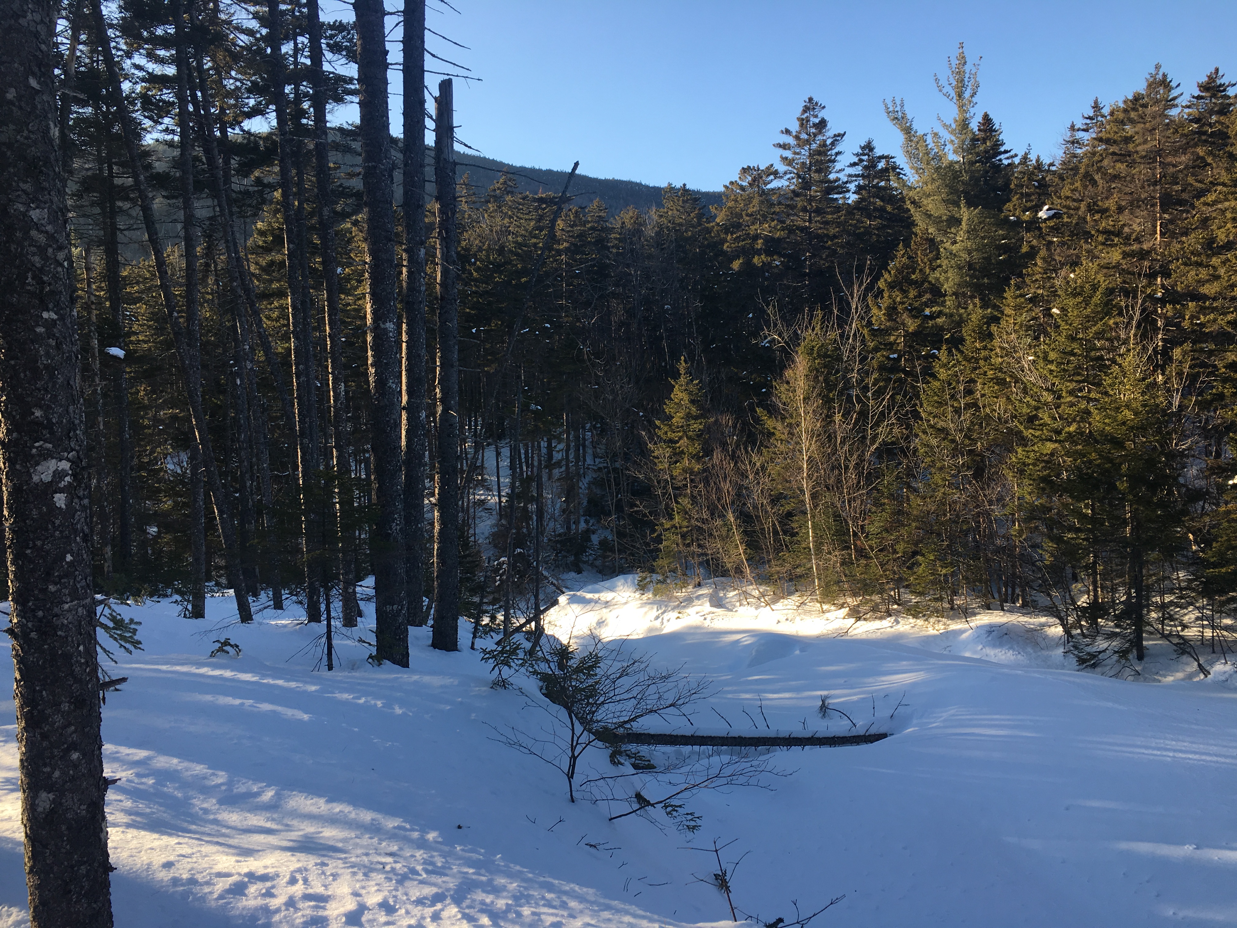
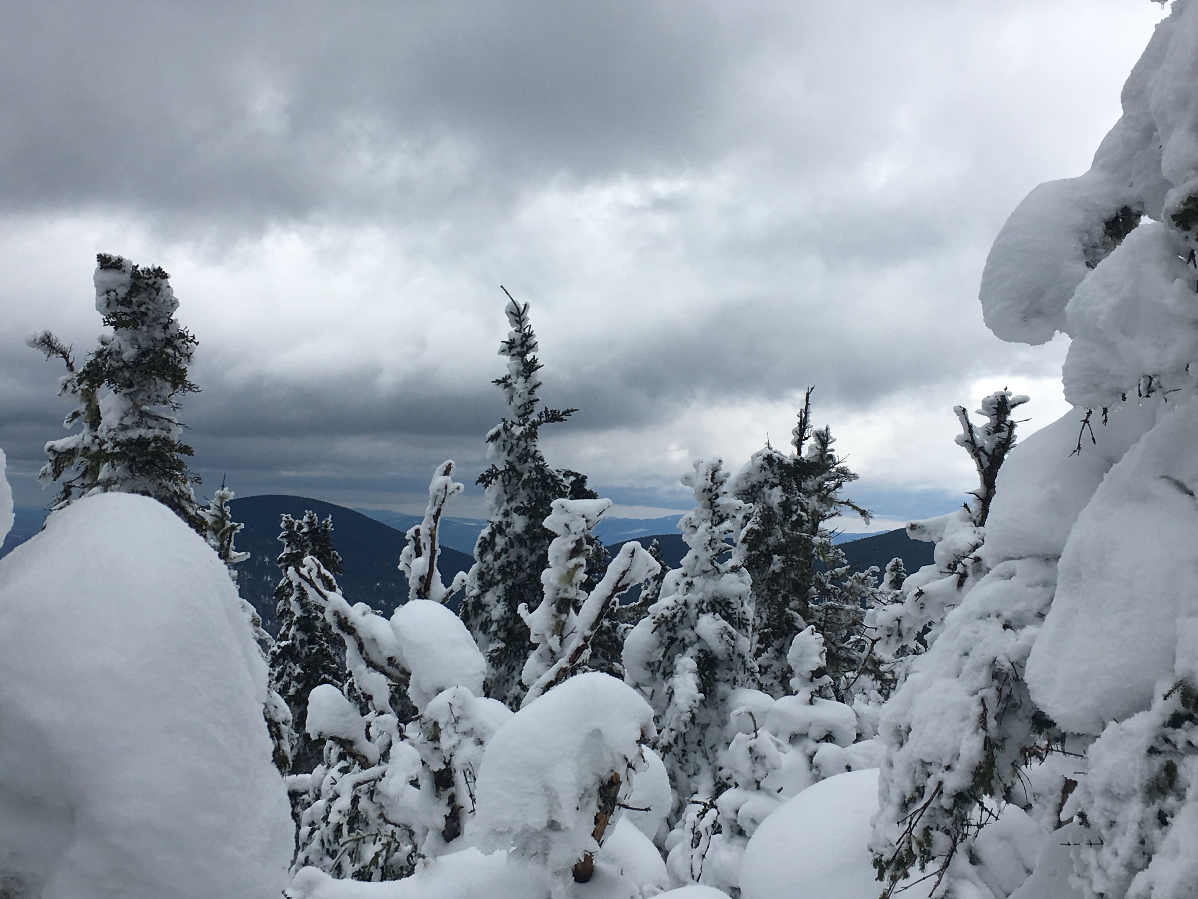
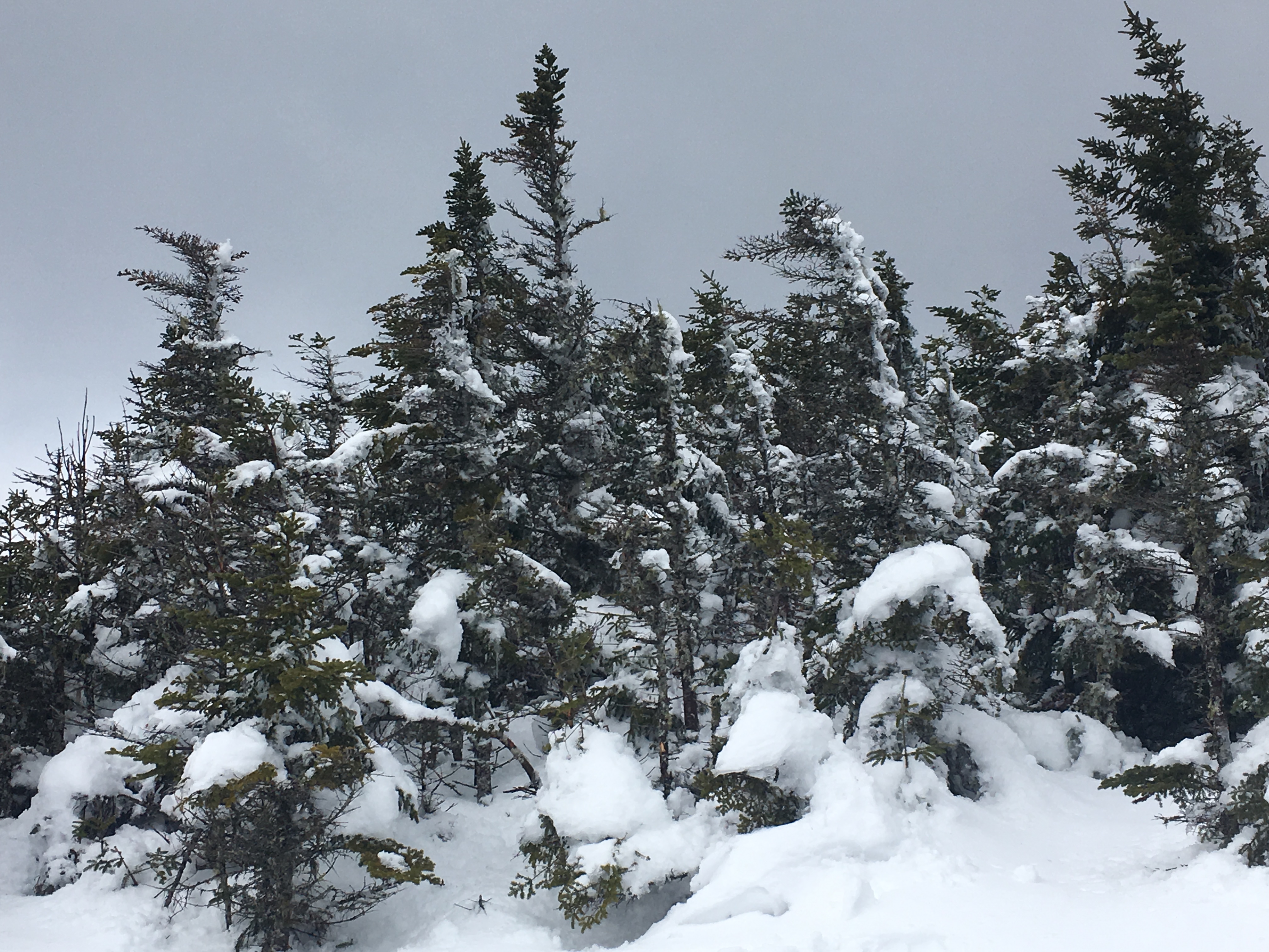
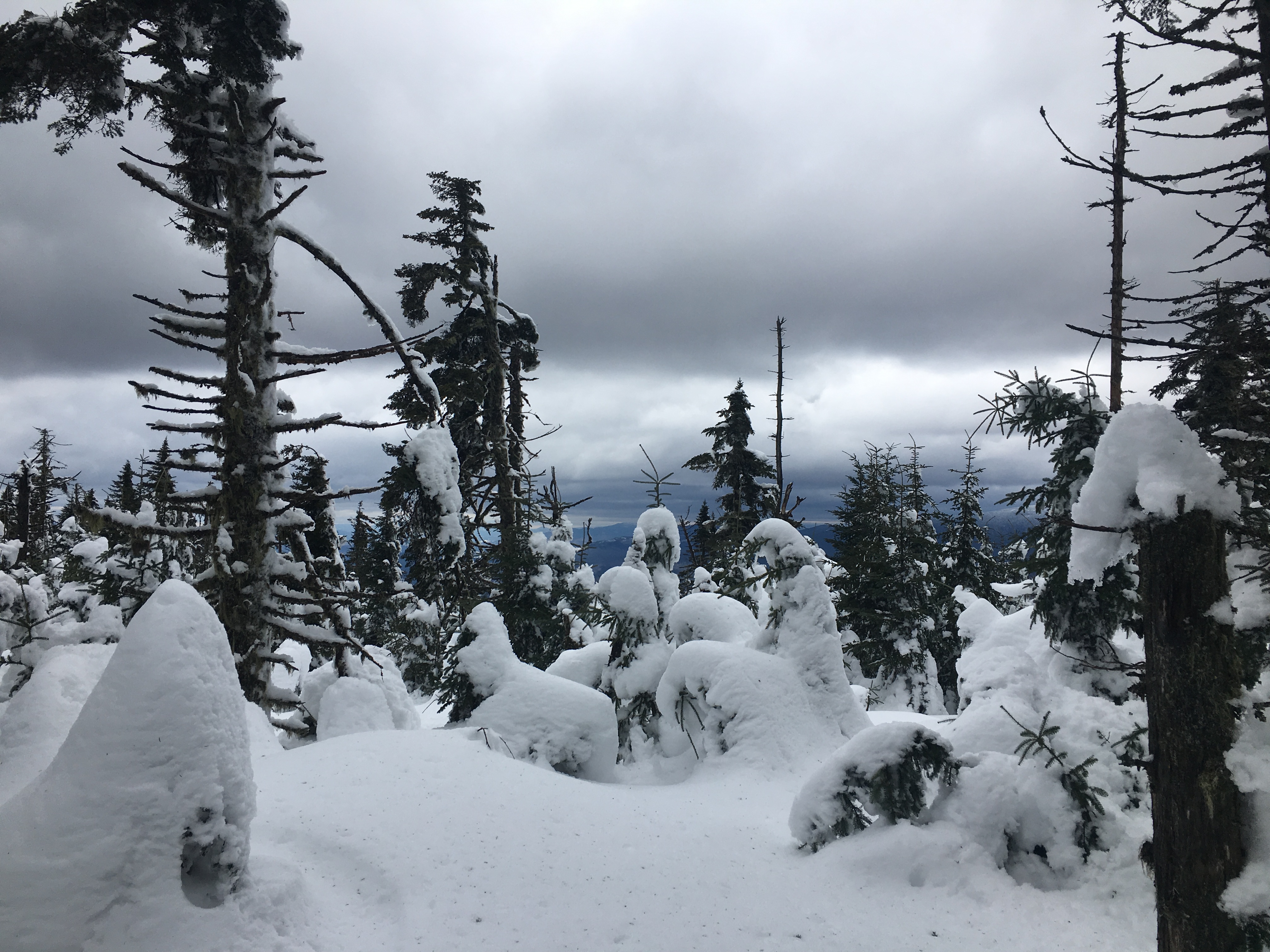
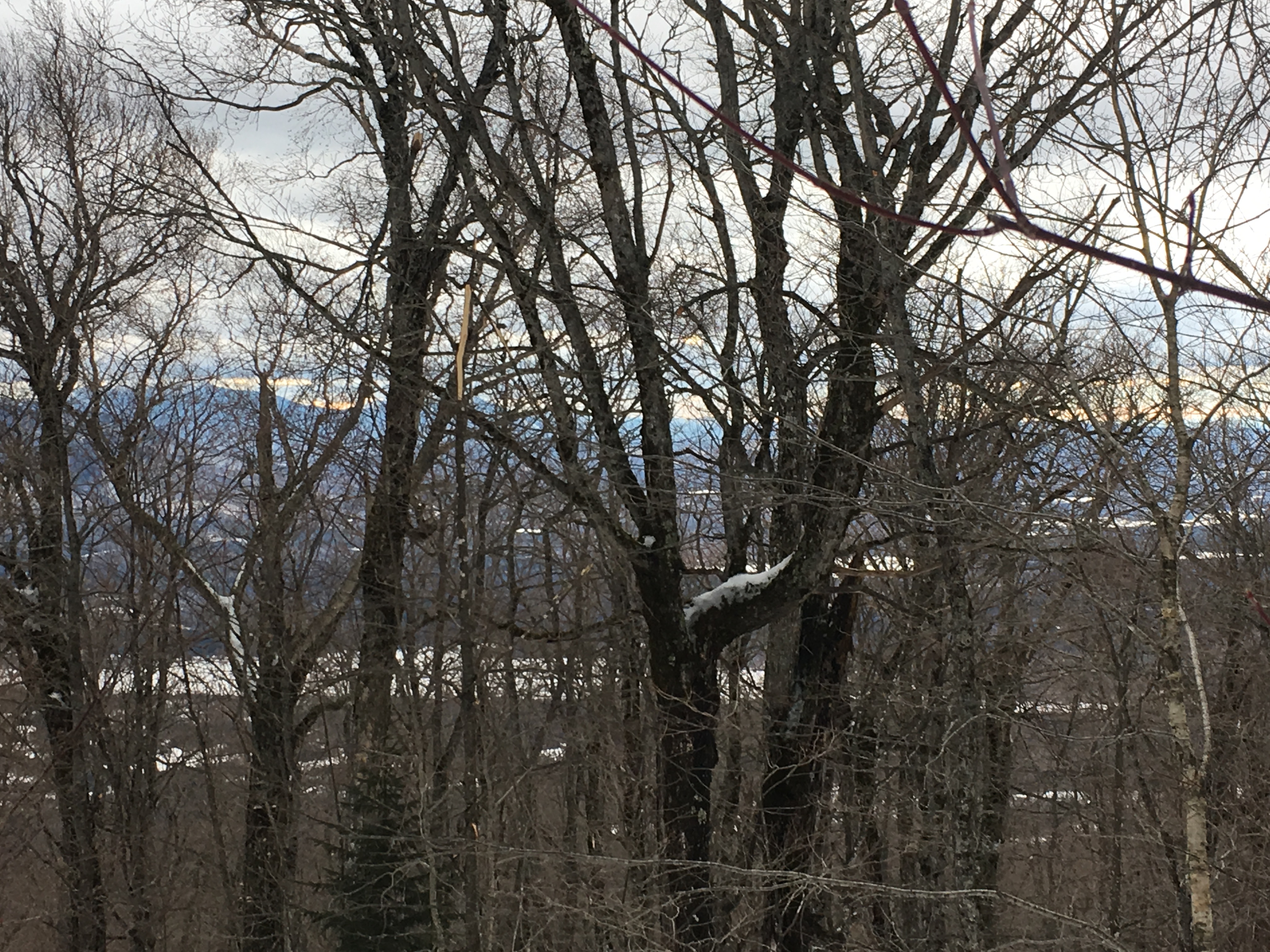
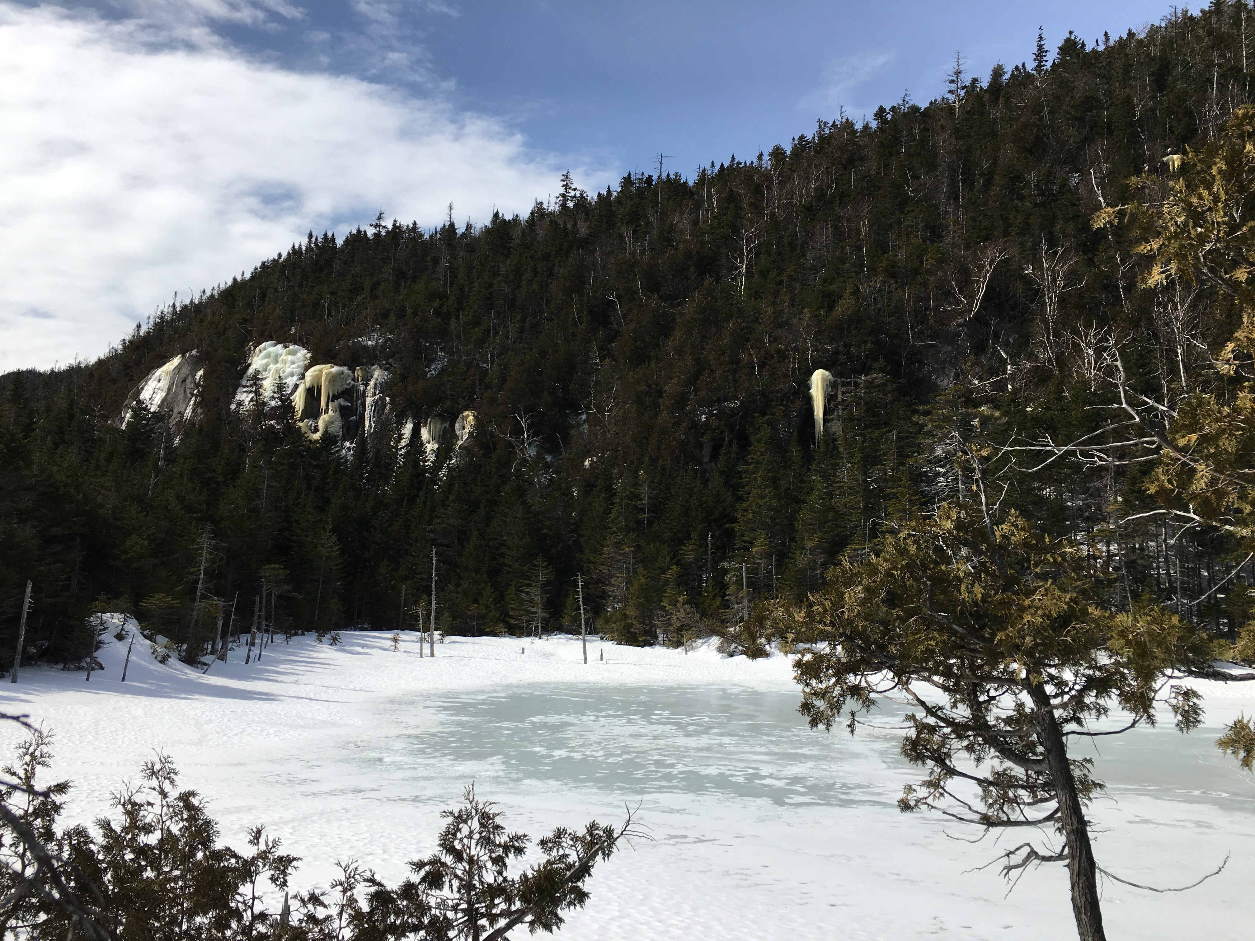
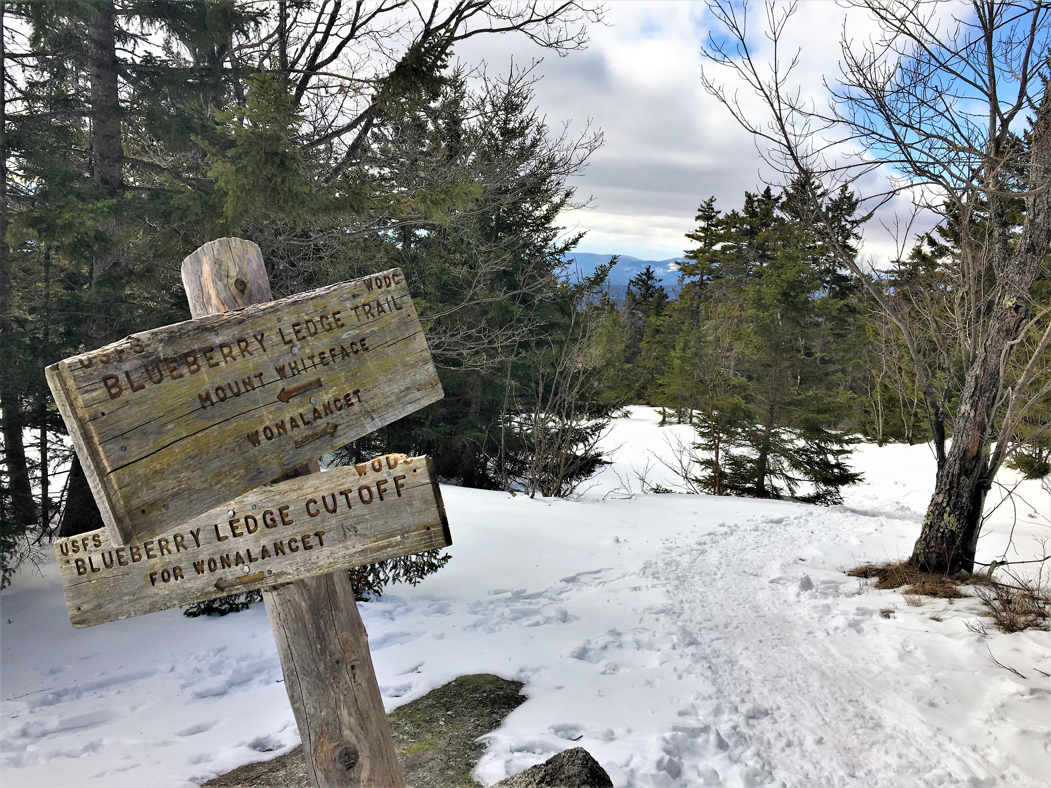
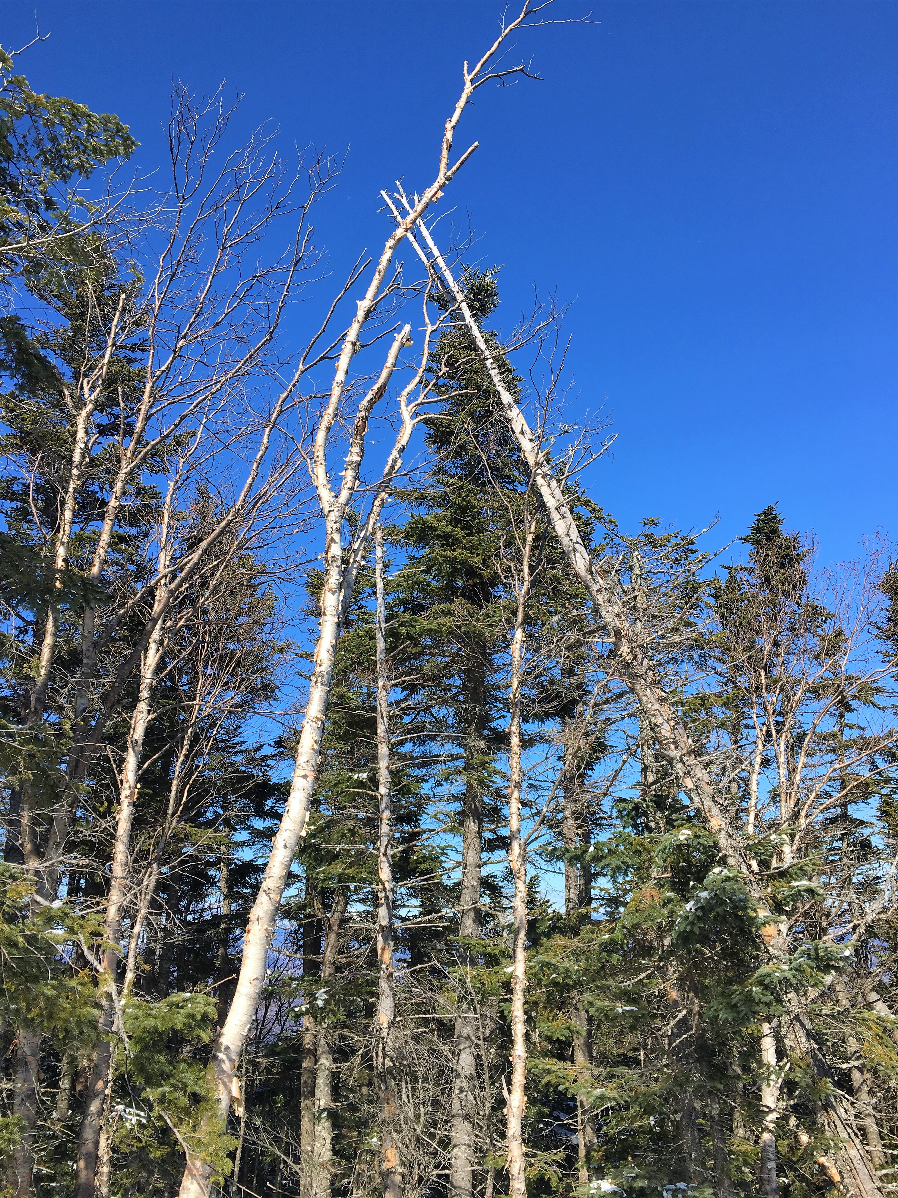
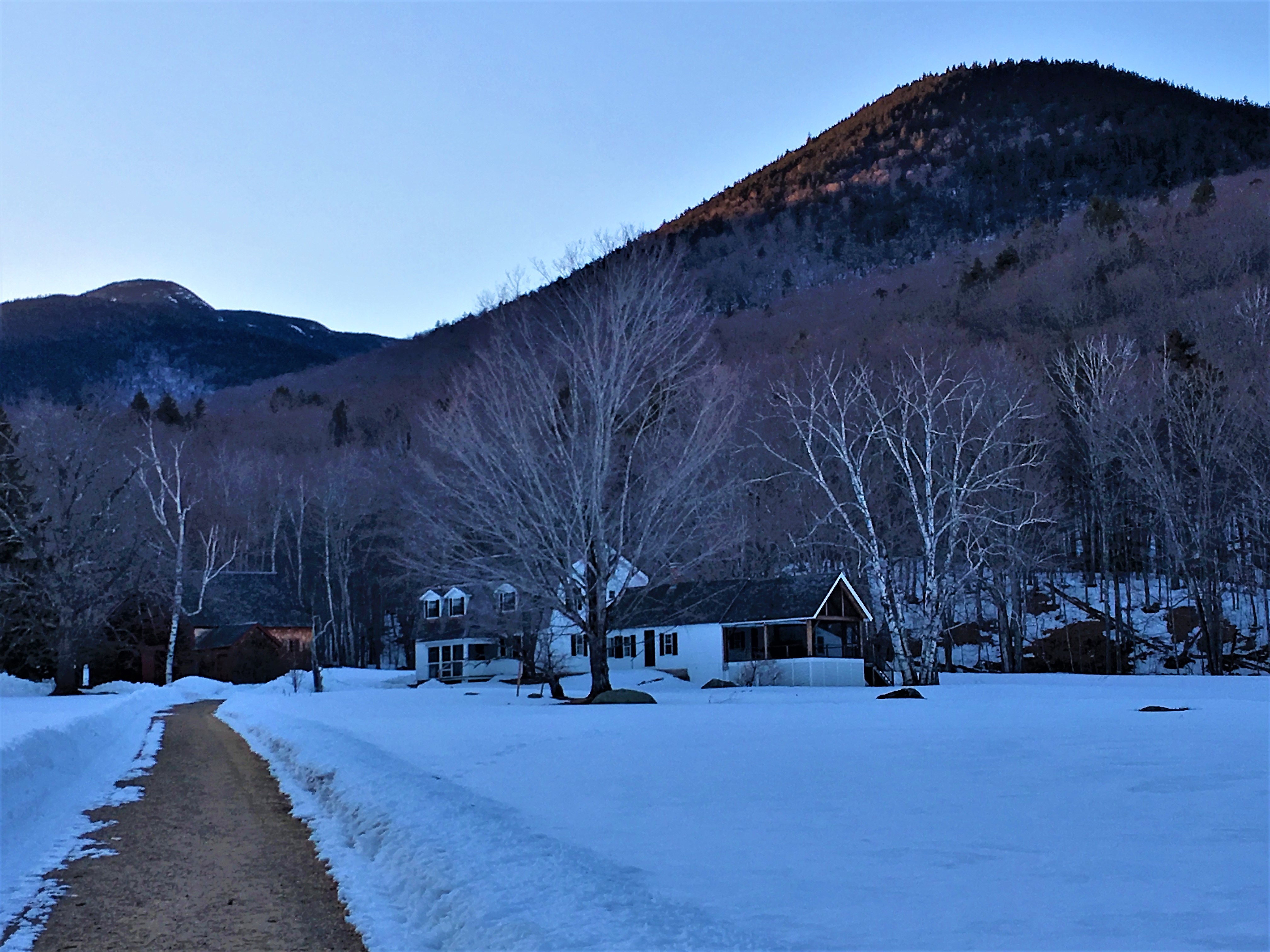
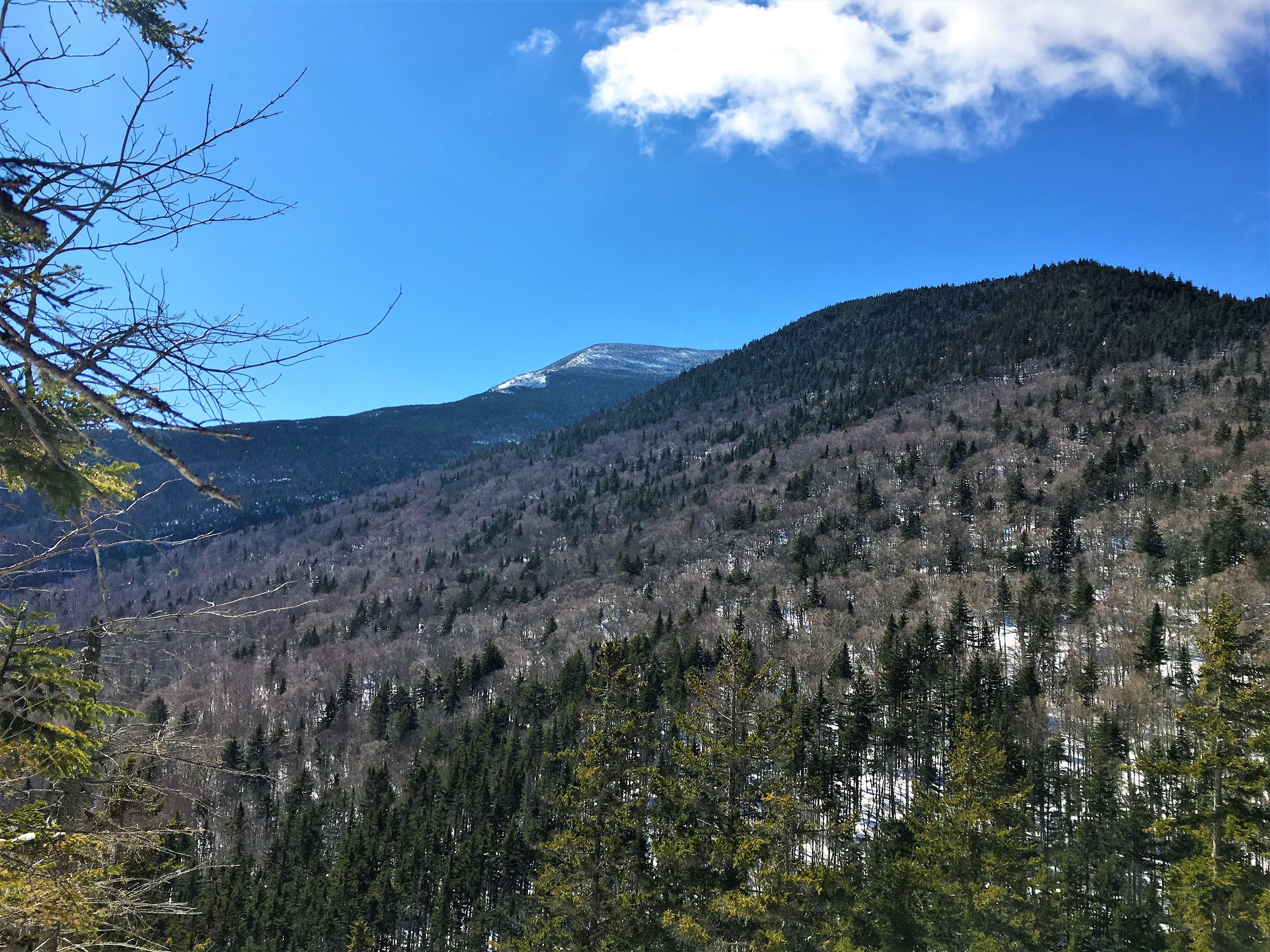
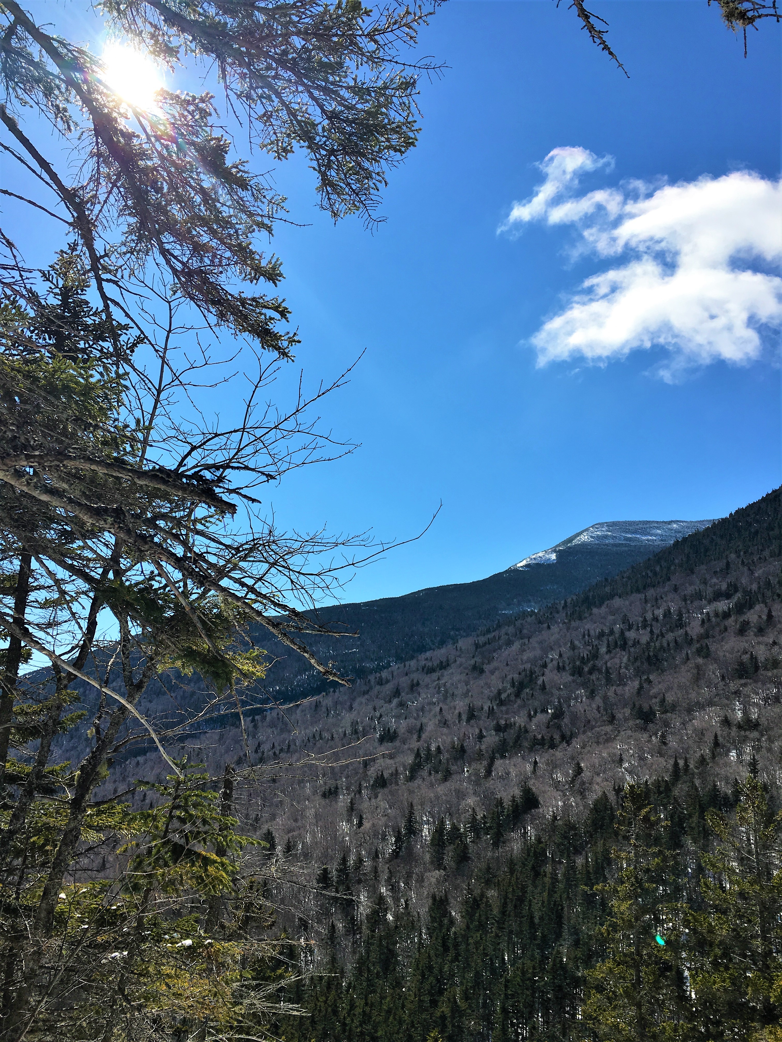
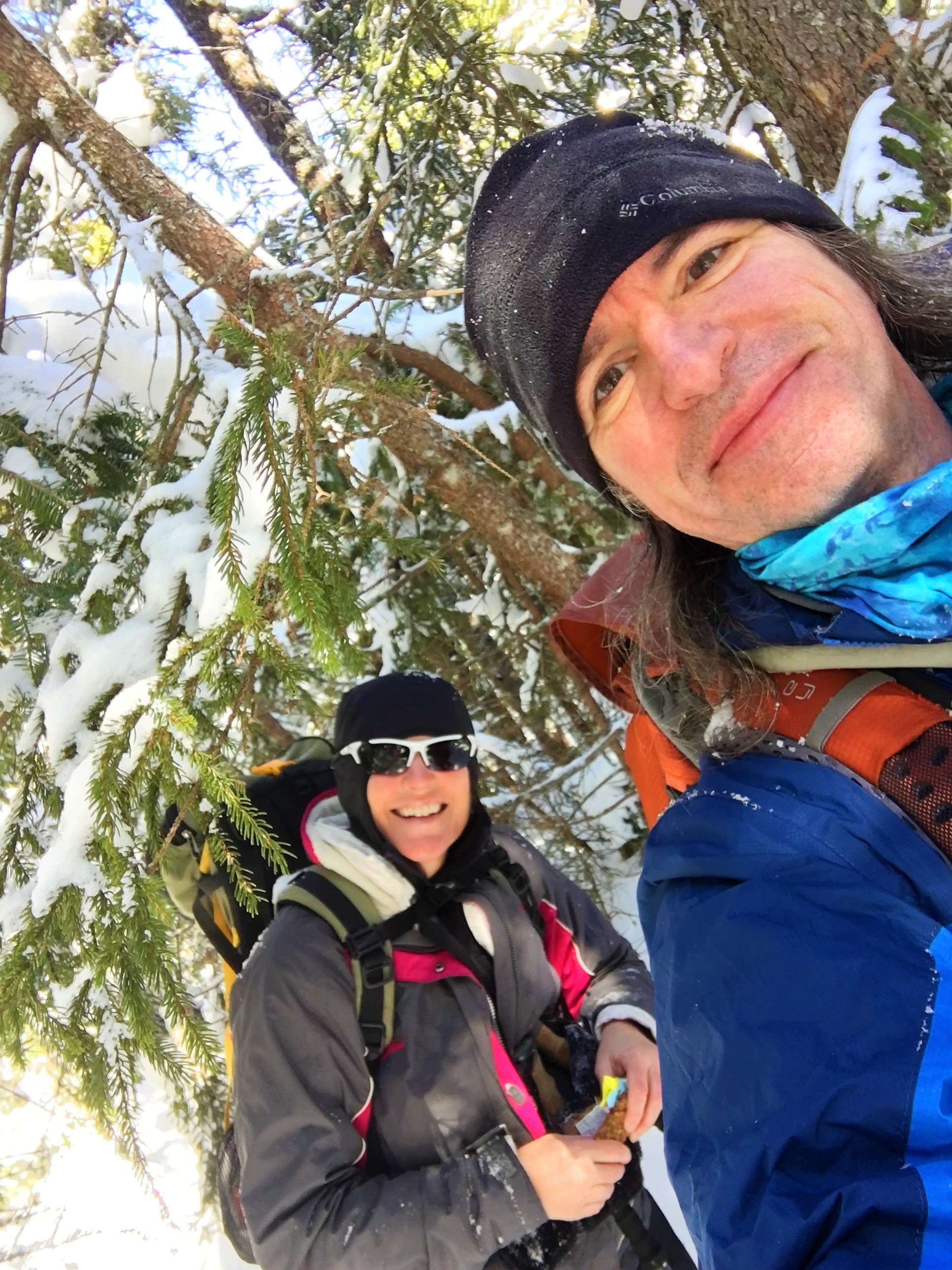
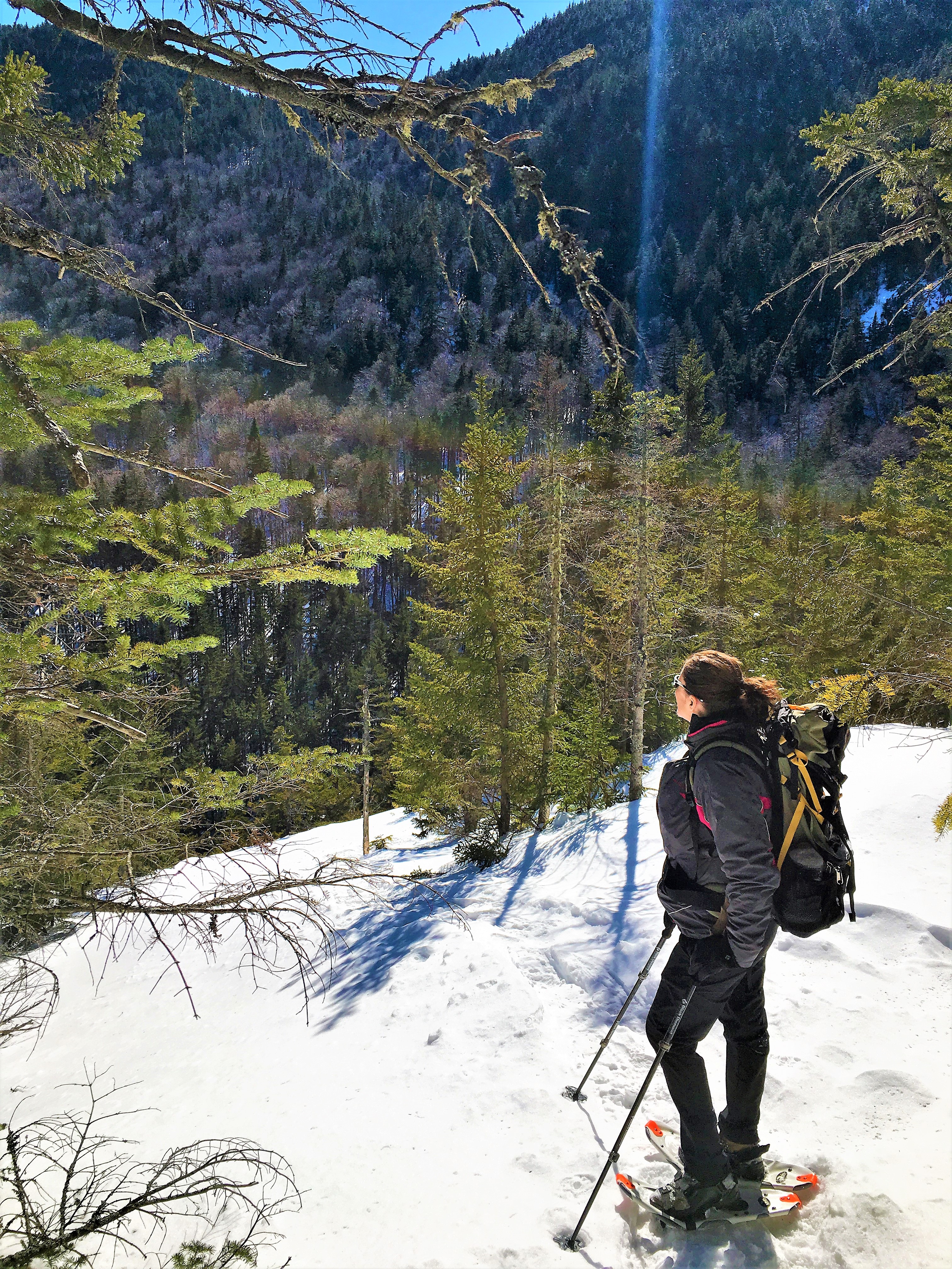
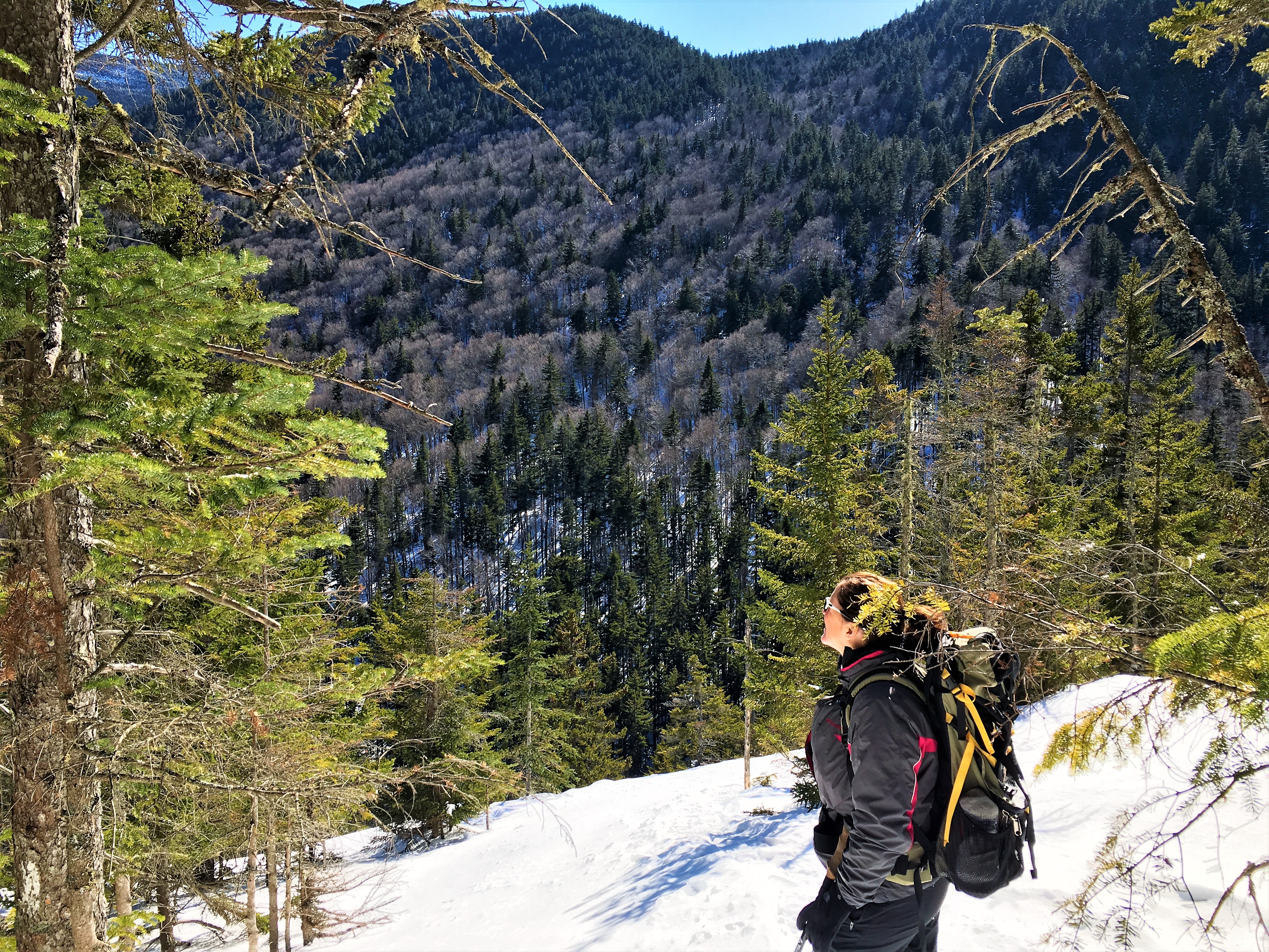
After our double dose of “Marsh-Hell” in January, and my therapeutic little stroll up Tecumseh, the beginning of February actually brought some of the seasons only measurable snowfall back home. I took advantage of the local offerings and then T & I met up in Lincoln NH mid-month for a few days in the Whites, where they got the jackpot. First up was a longer loop off the Kanc in the Hancocks with some rigorous climbing and plenty of timberline views. Then a drive further north offered a gentler out-and-back through Starr-King and the wooded Waumbek and a scene right out of Chronicles of Narnia.
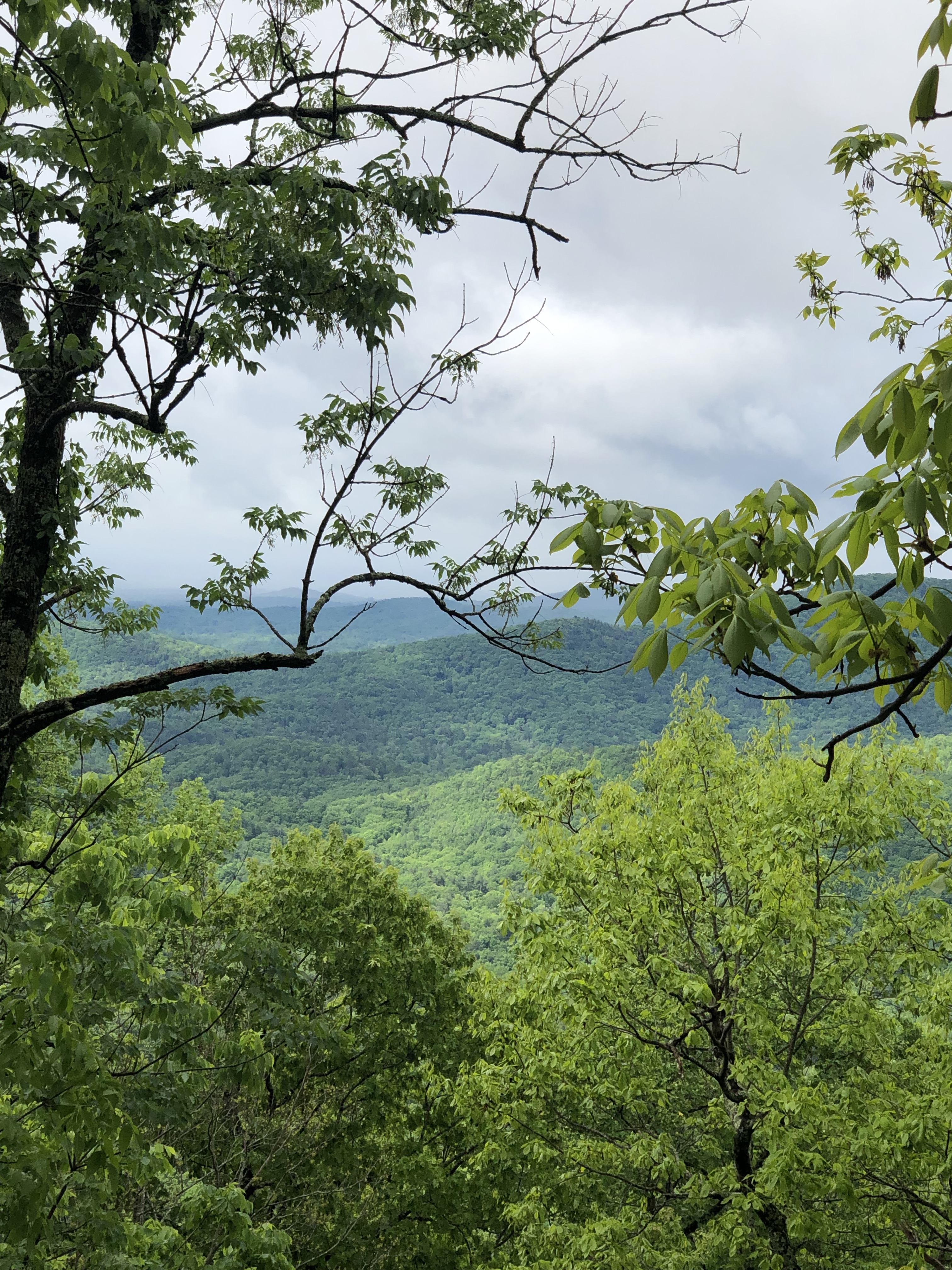
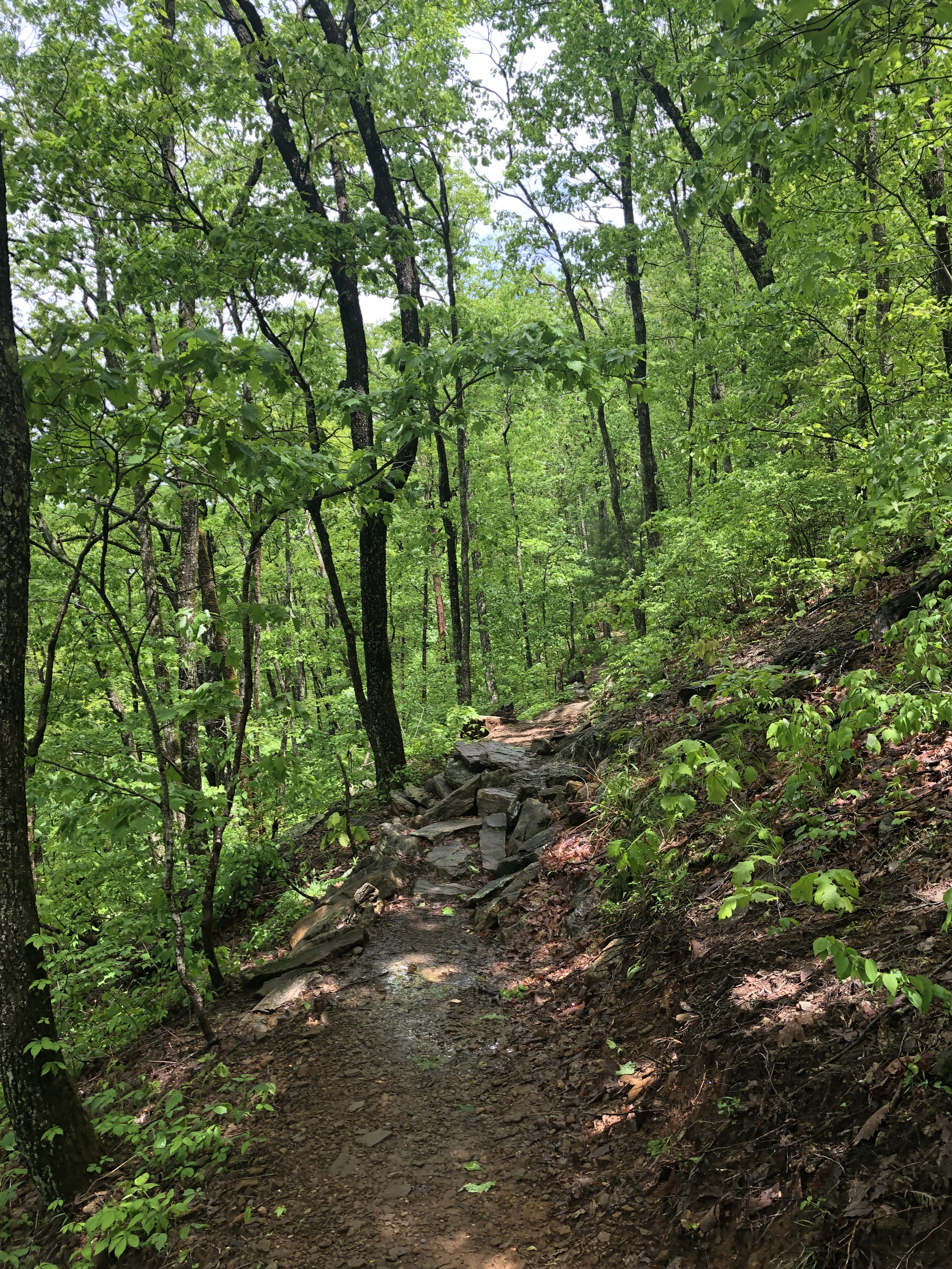
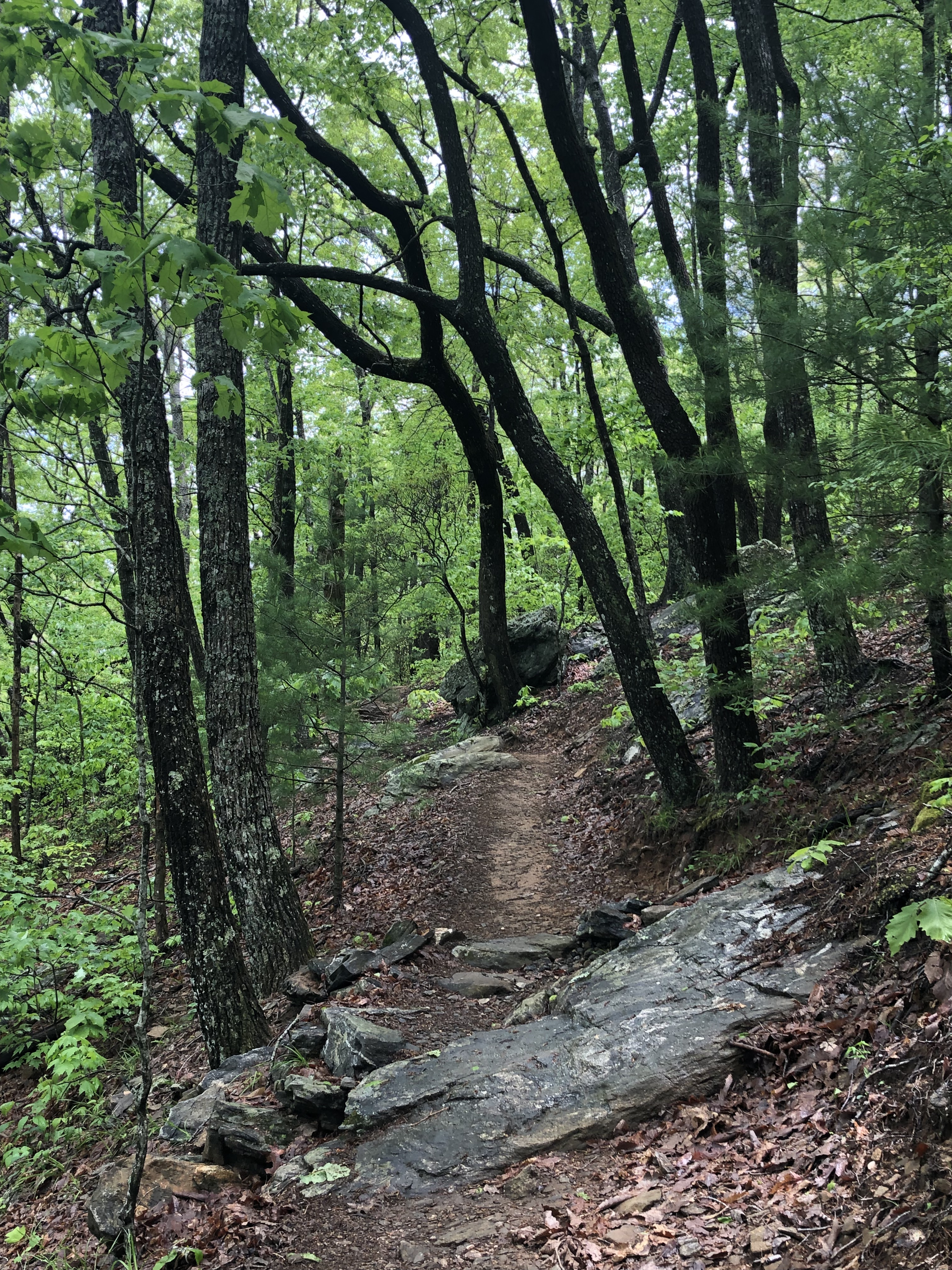
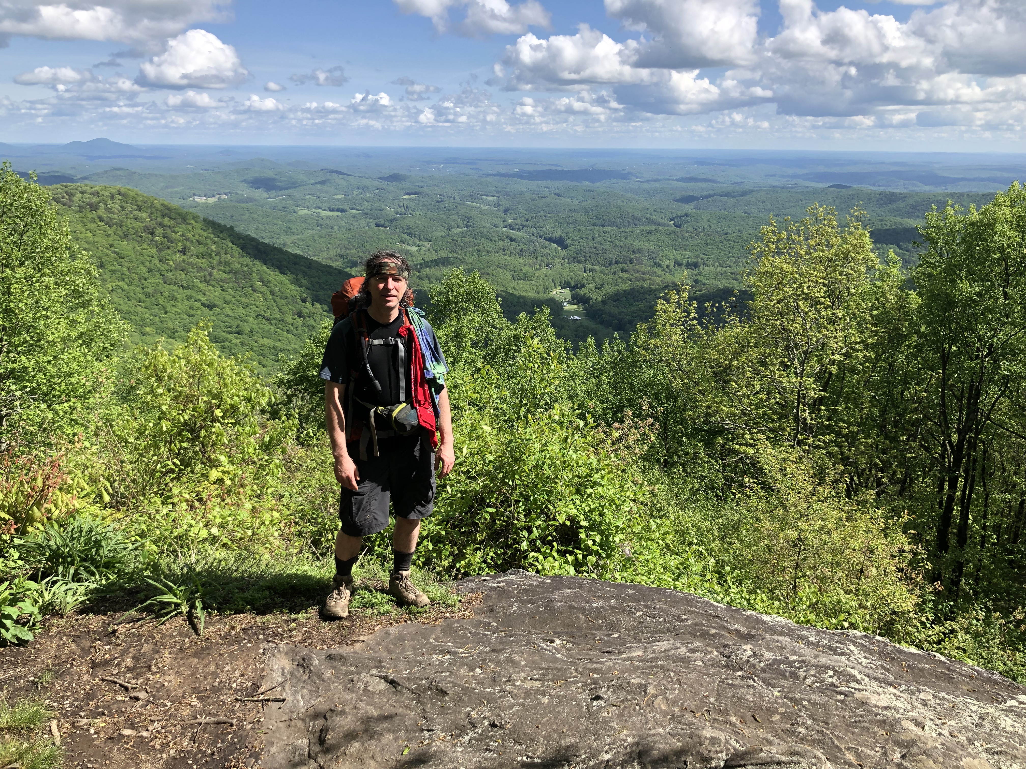
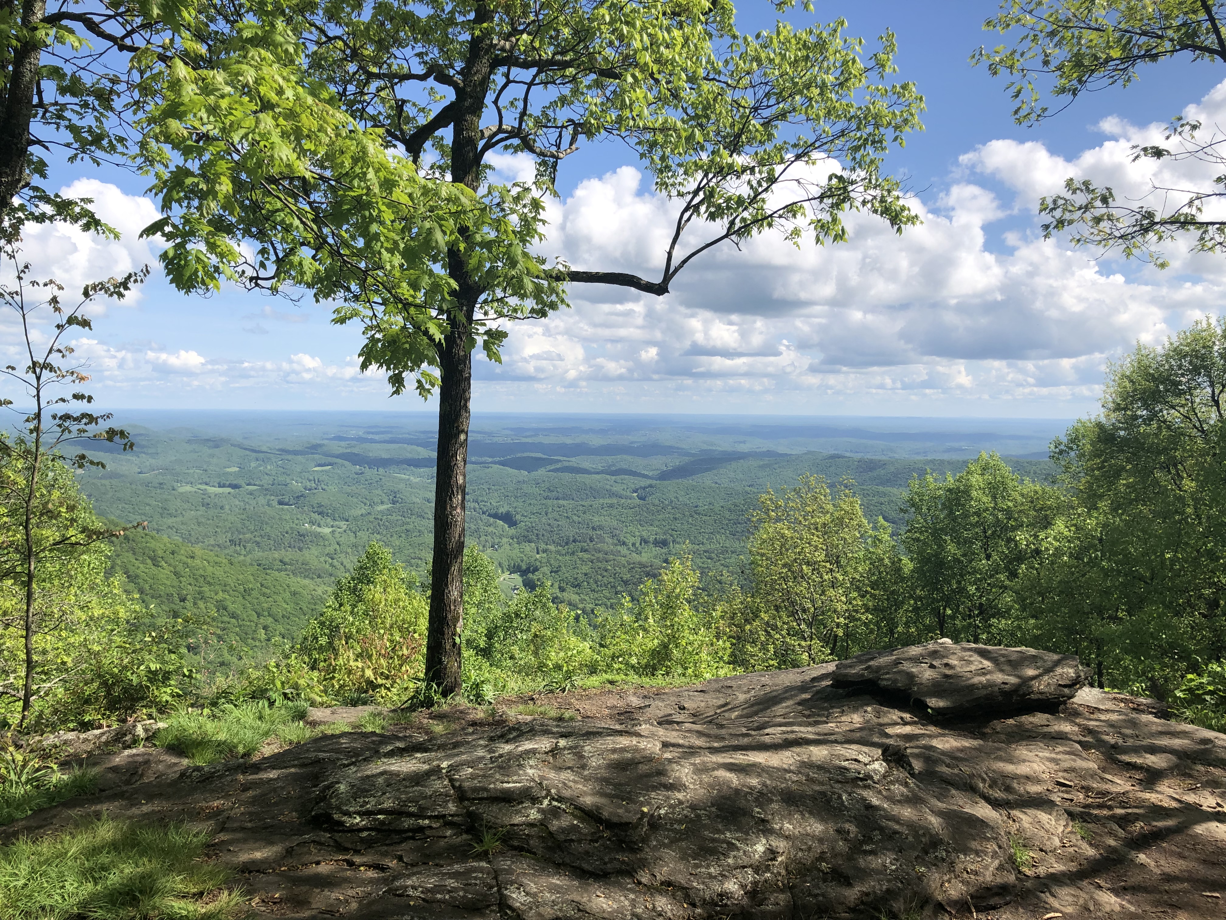
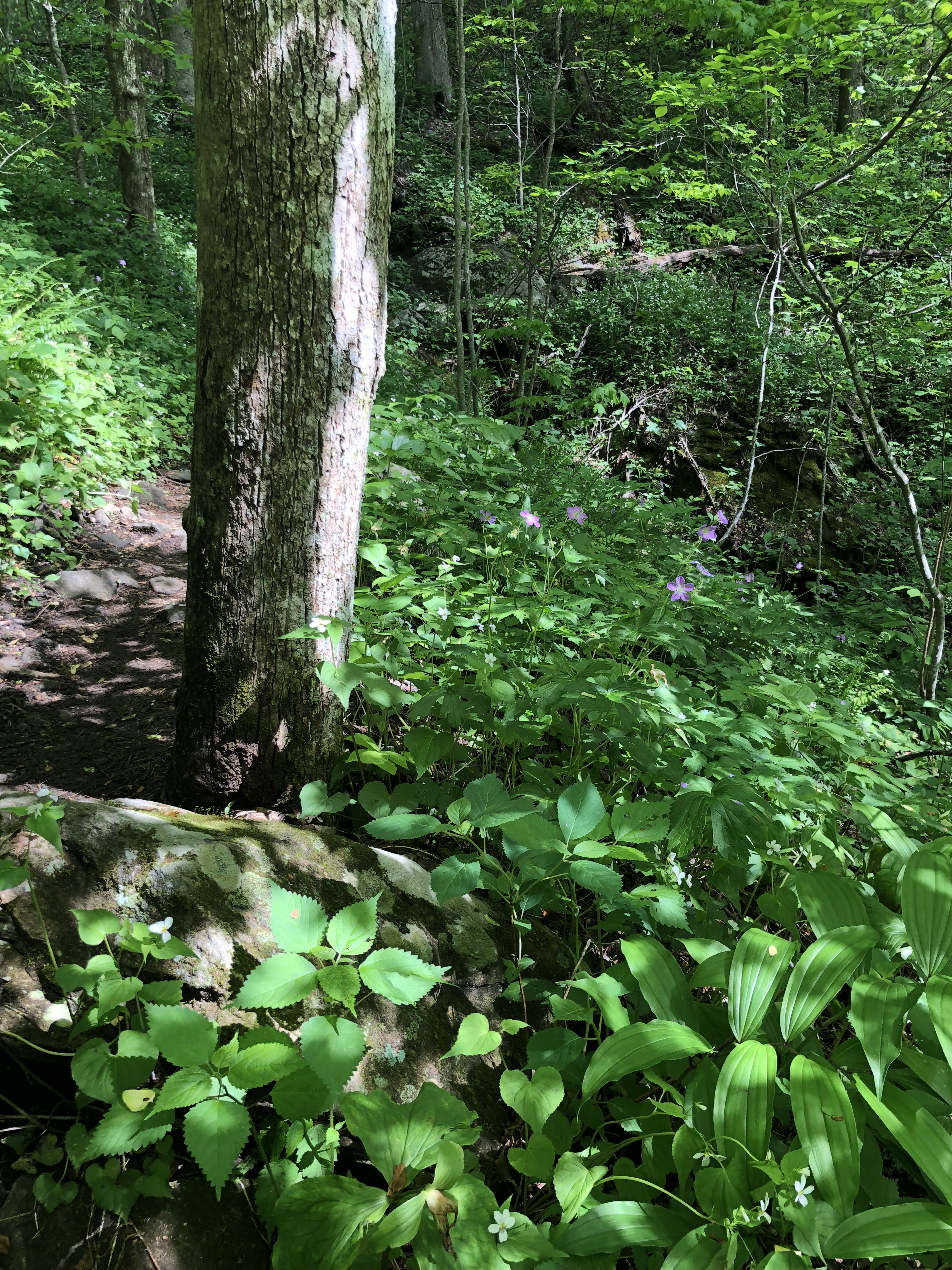
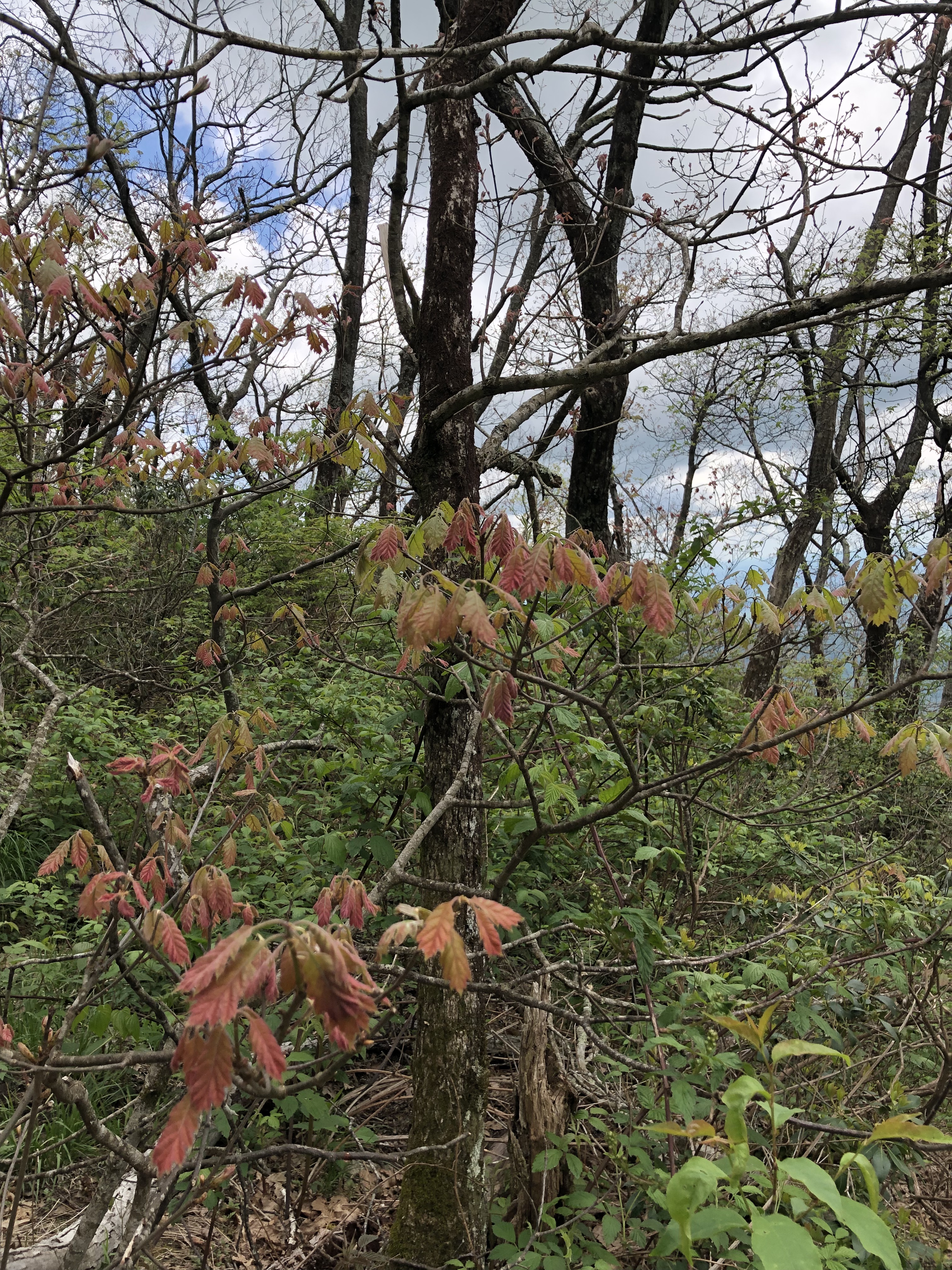
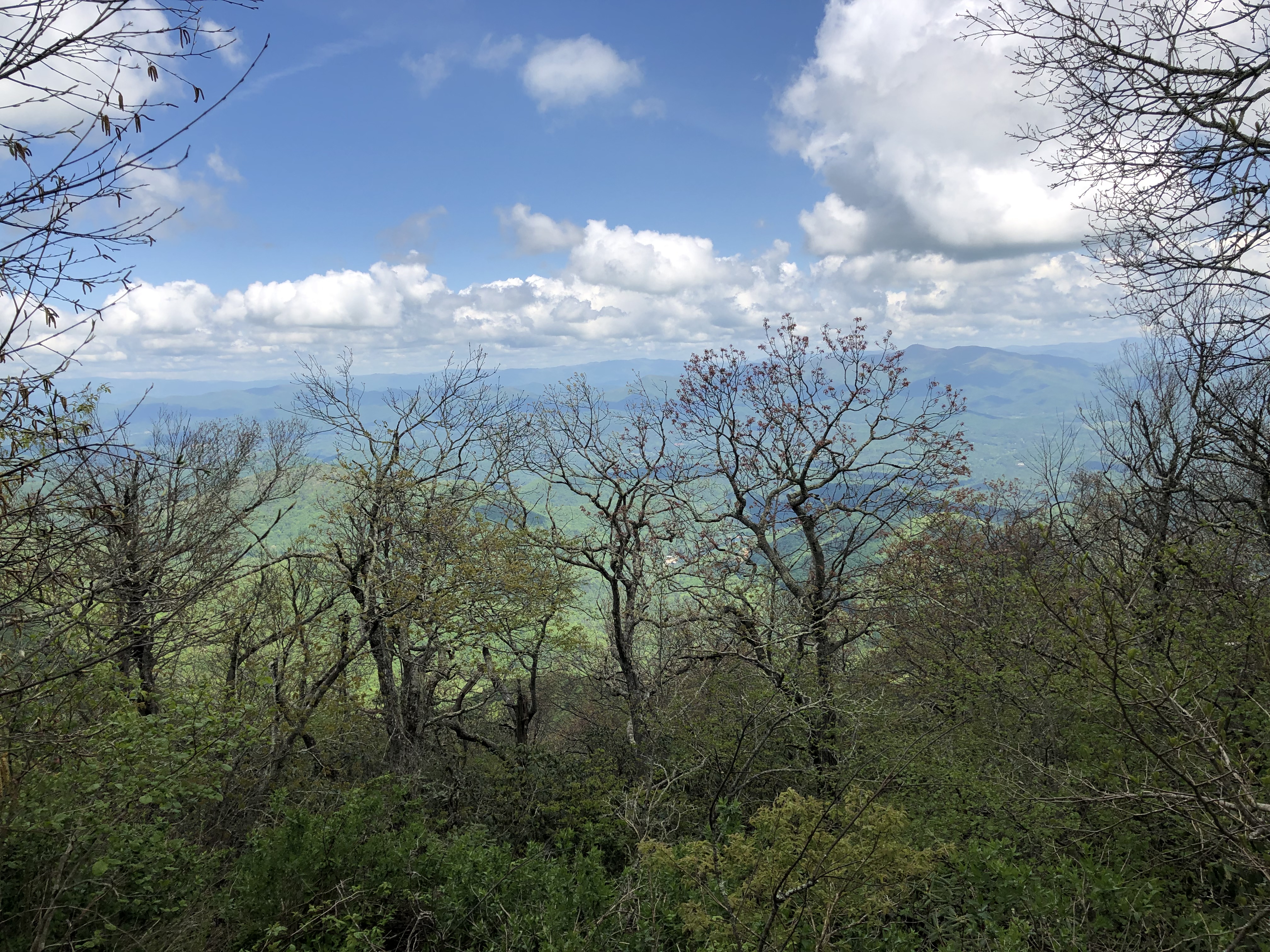
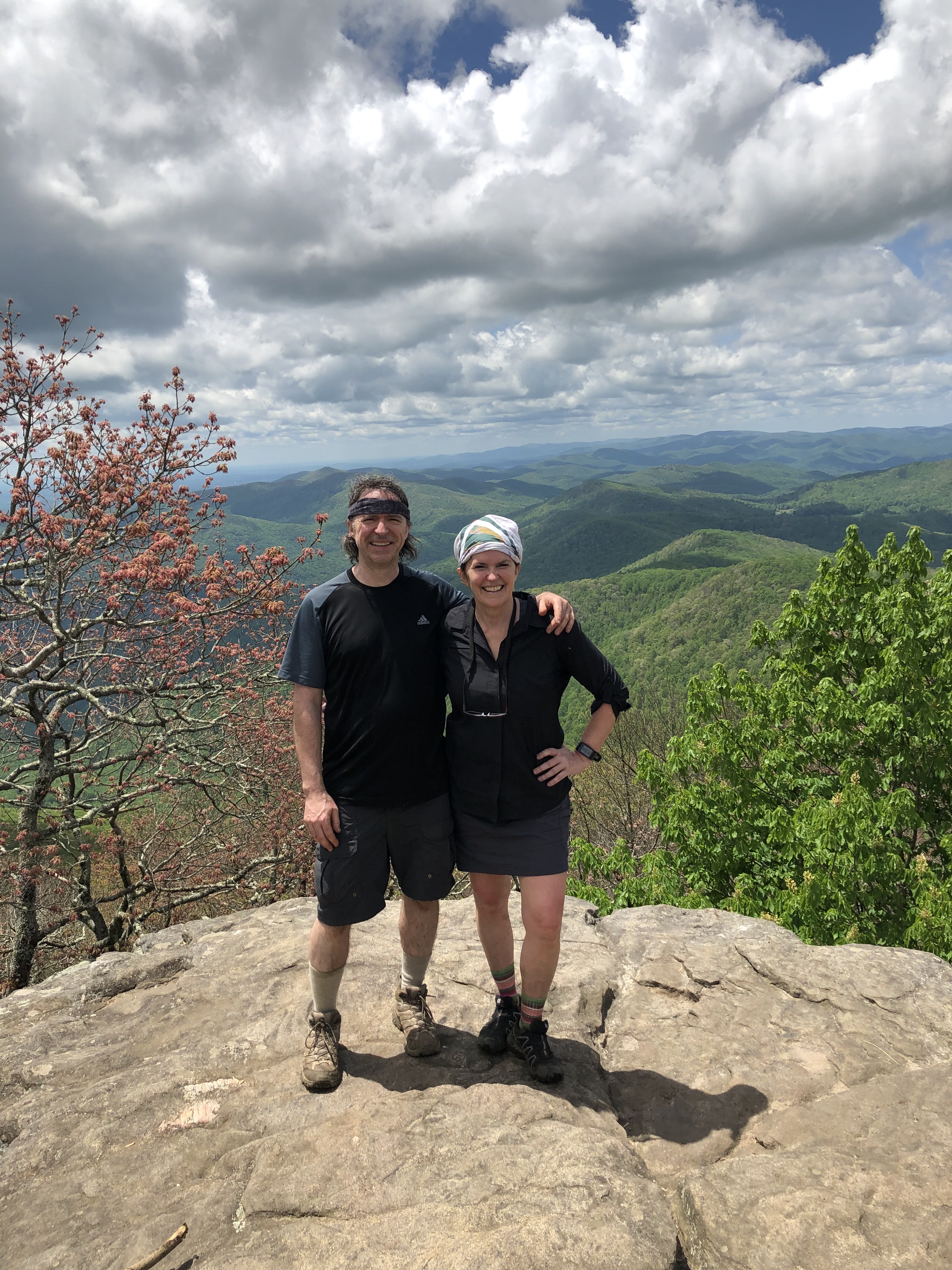
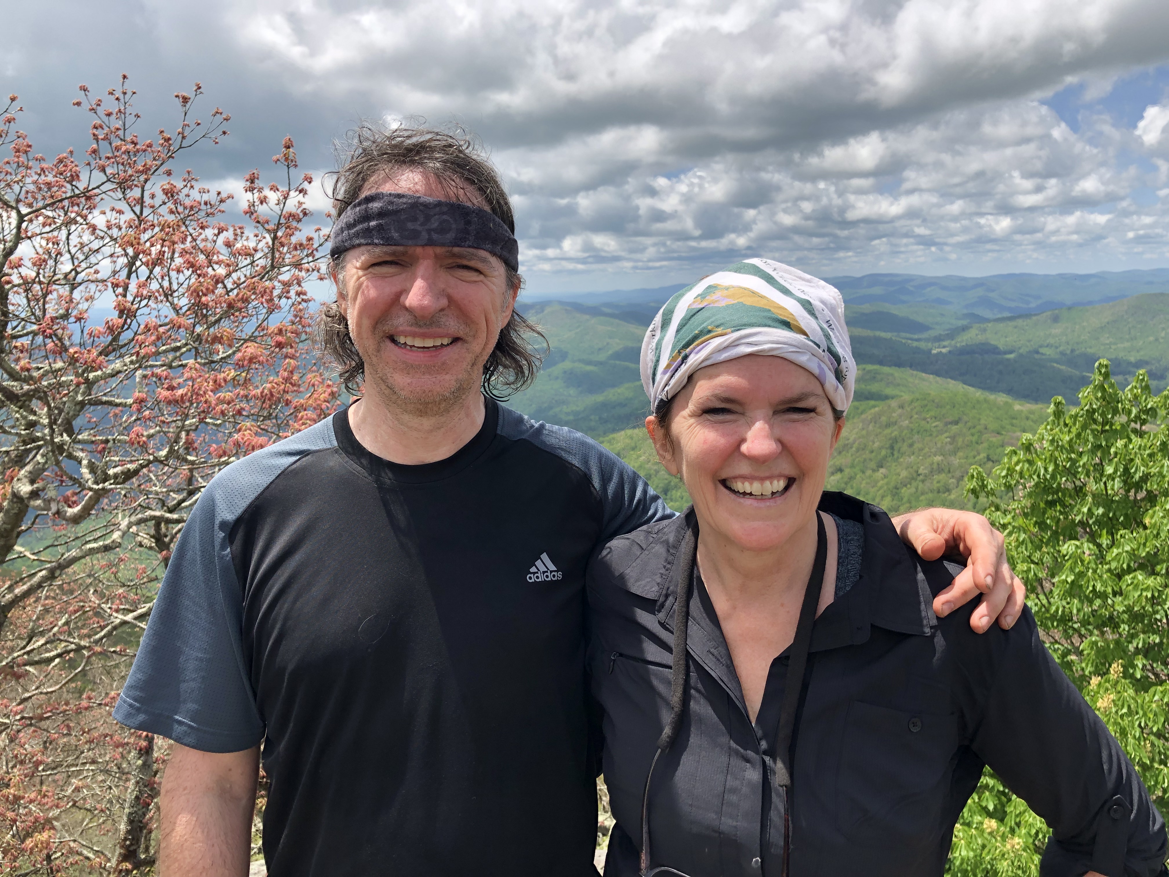
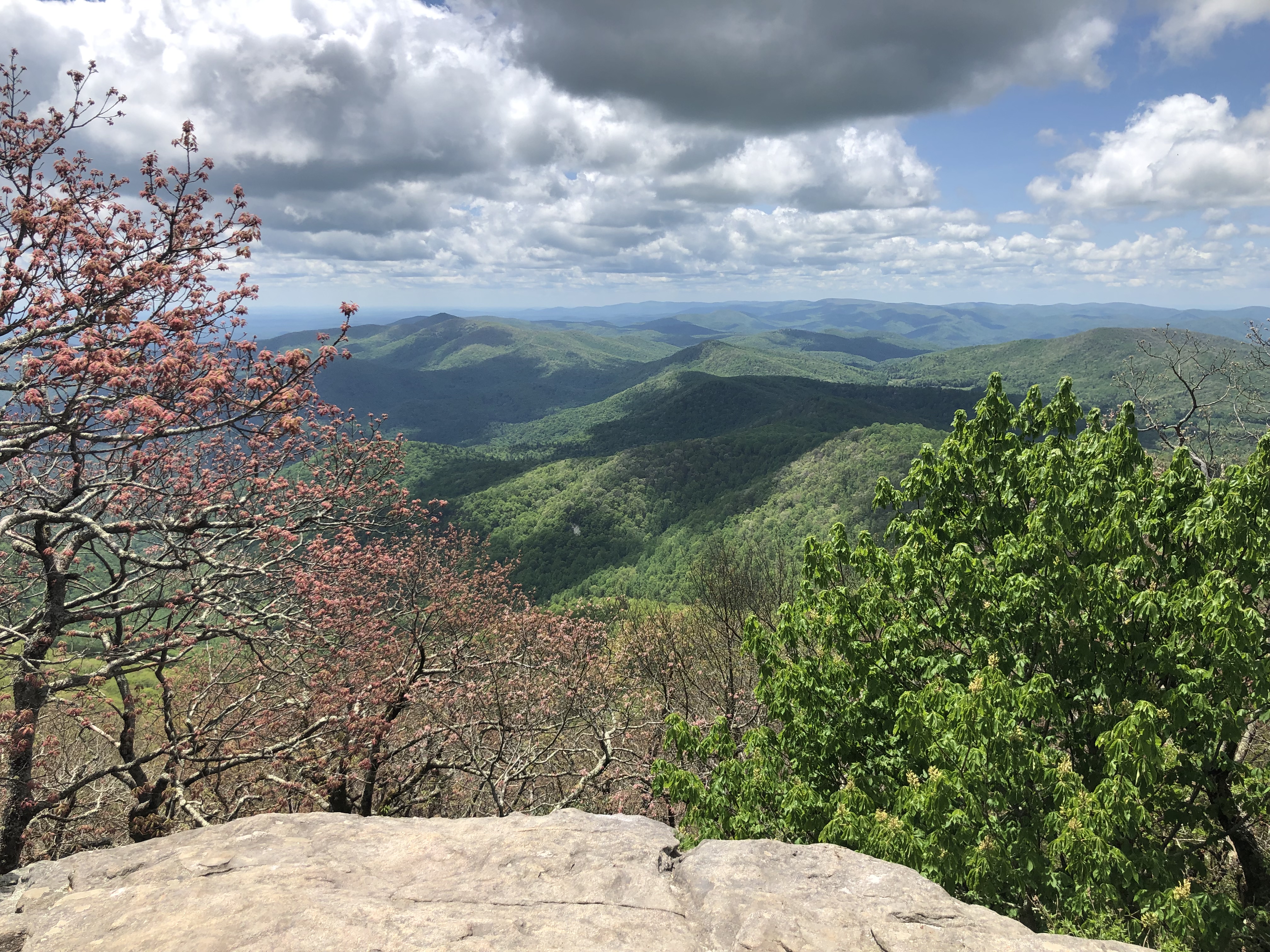
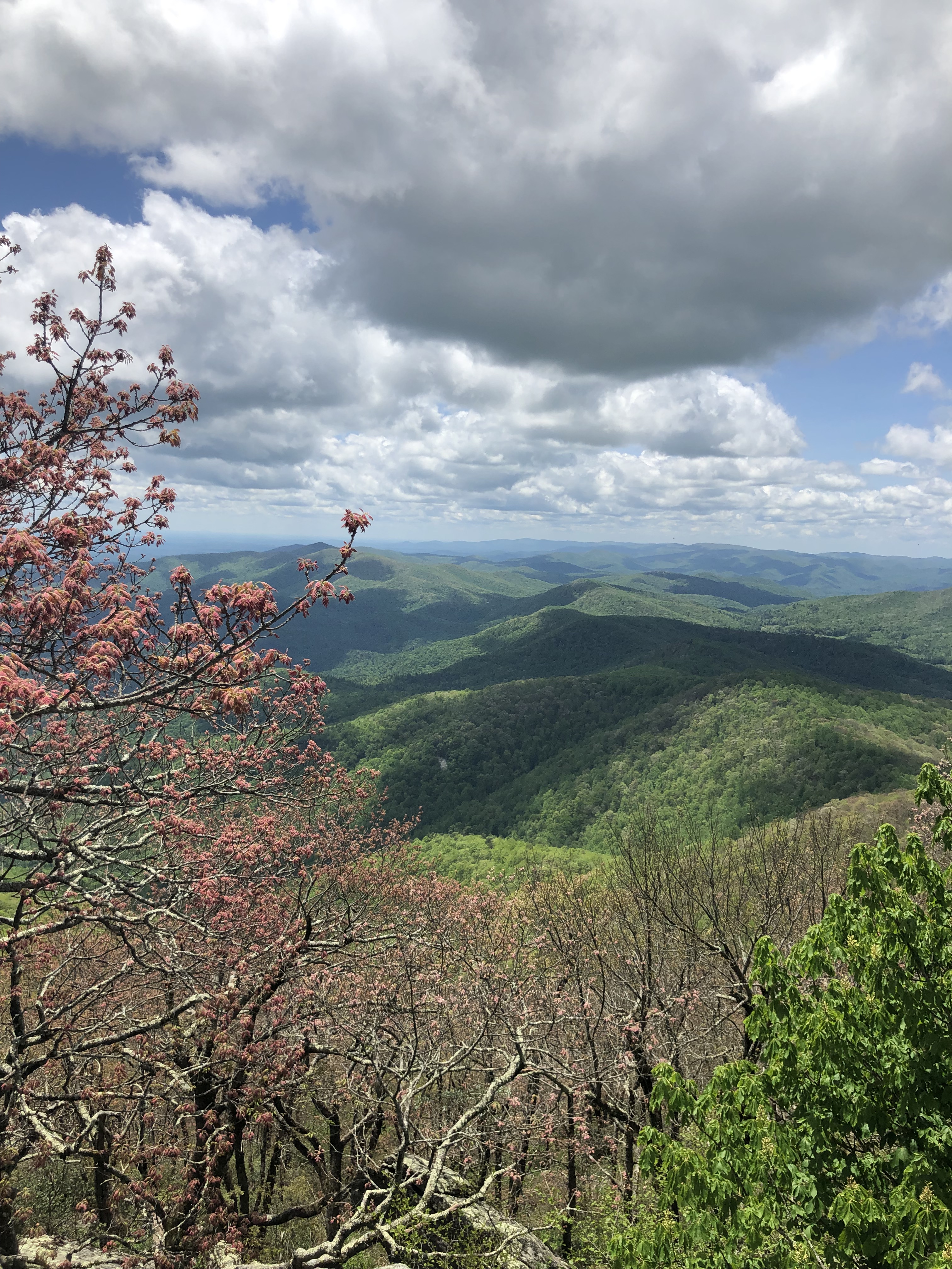
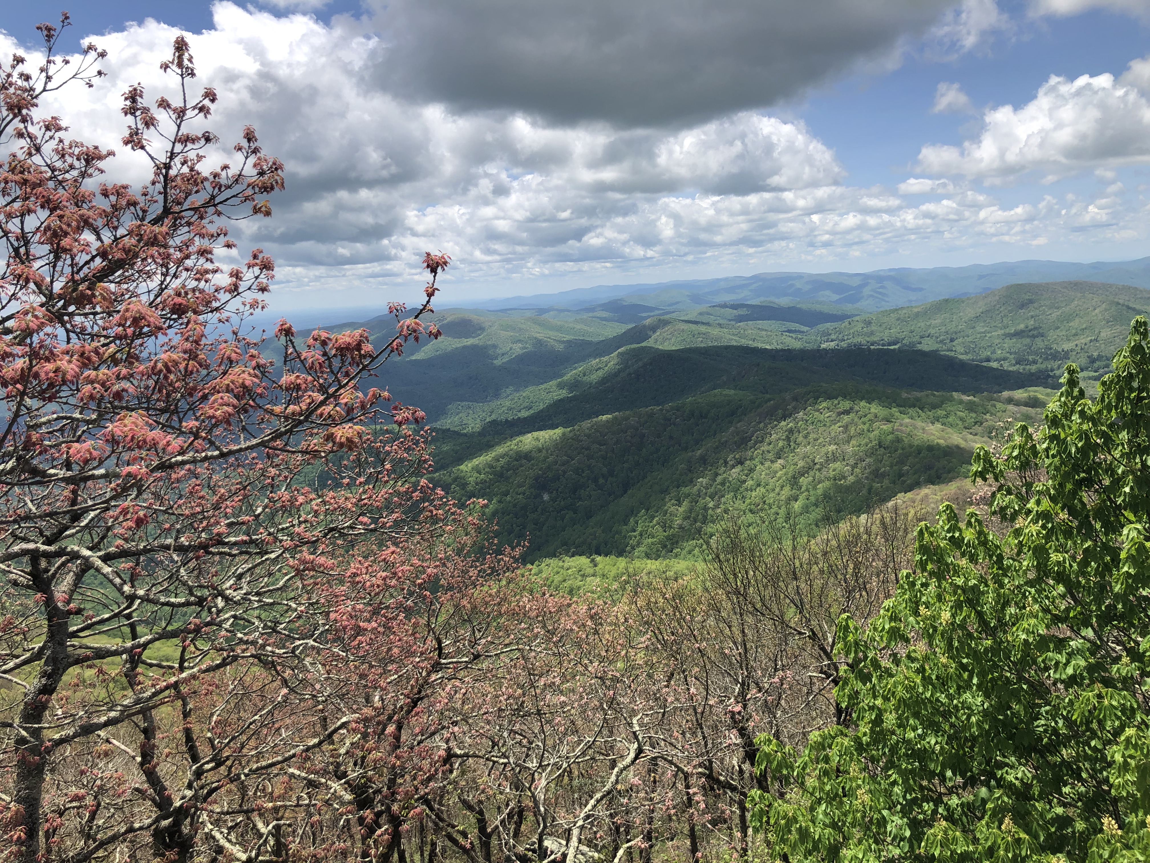
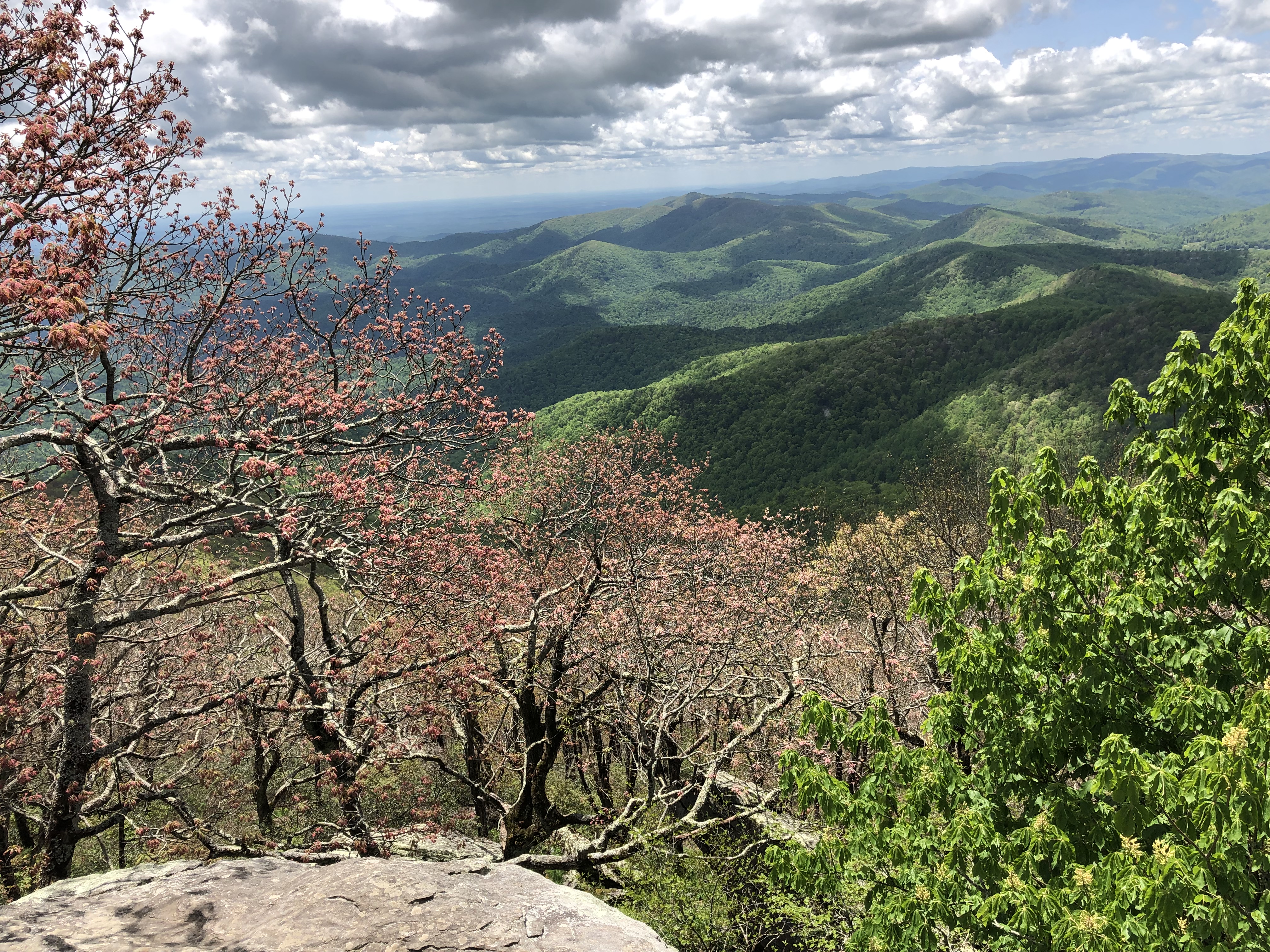
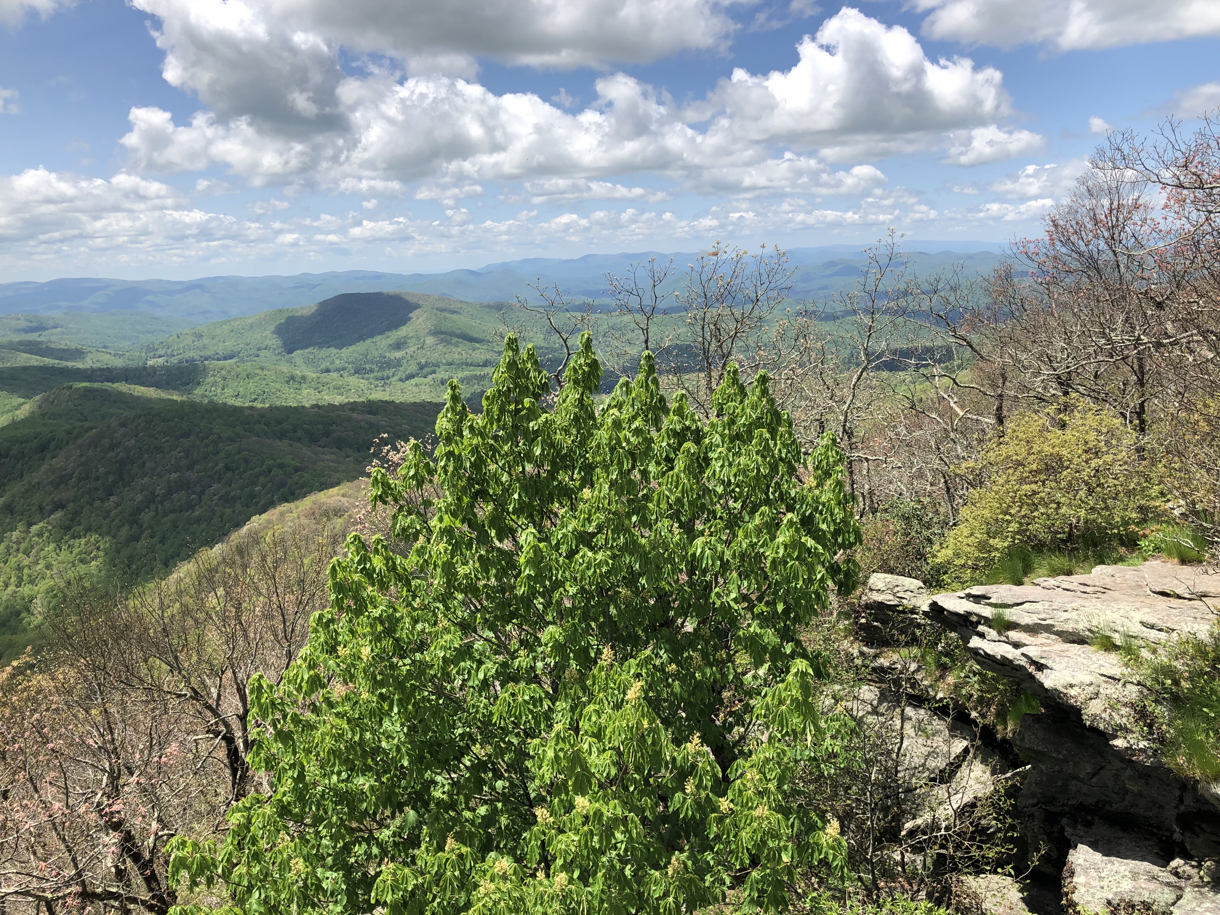
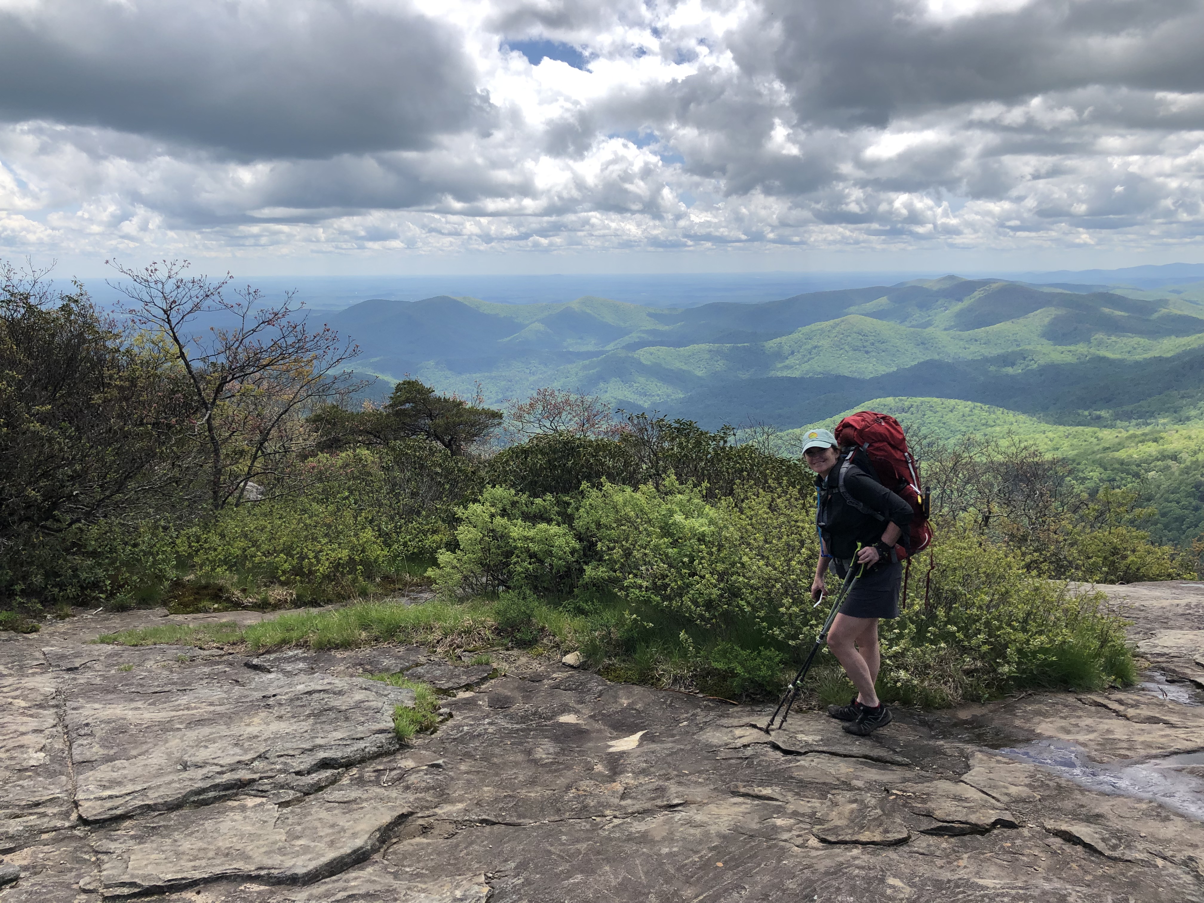
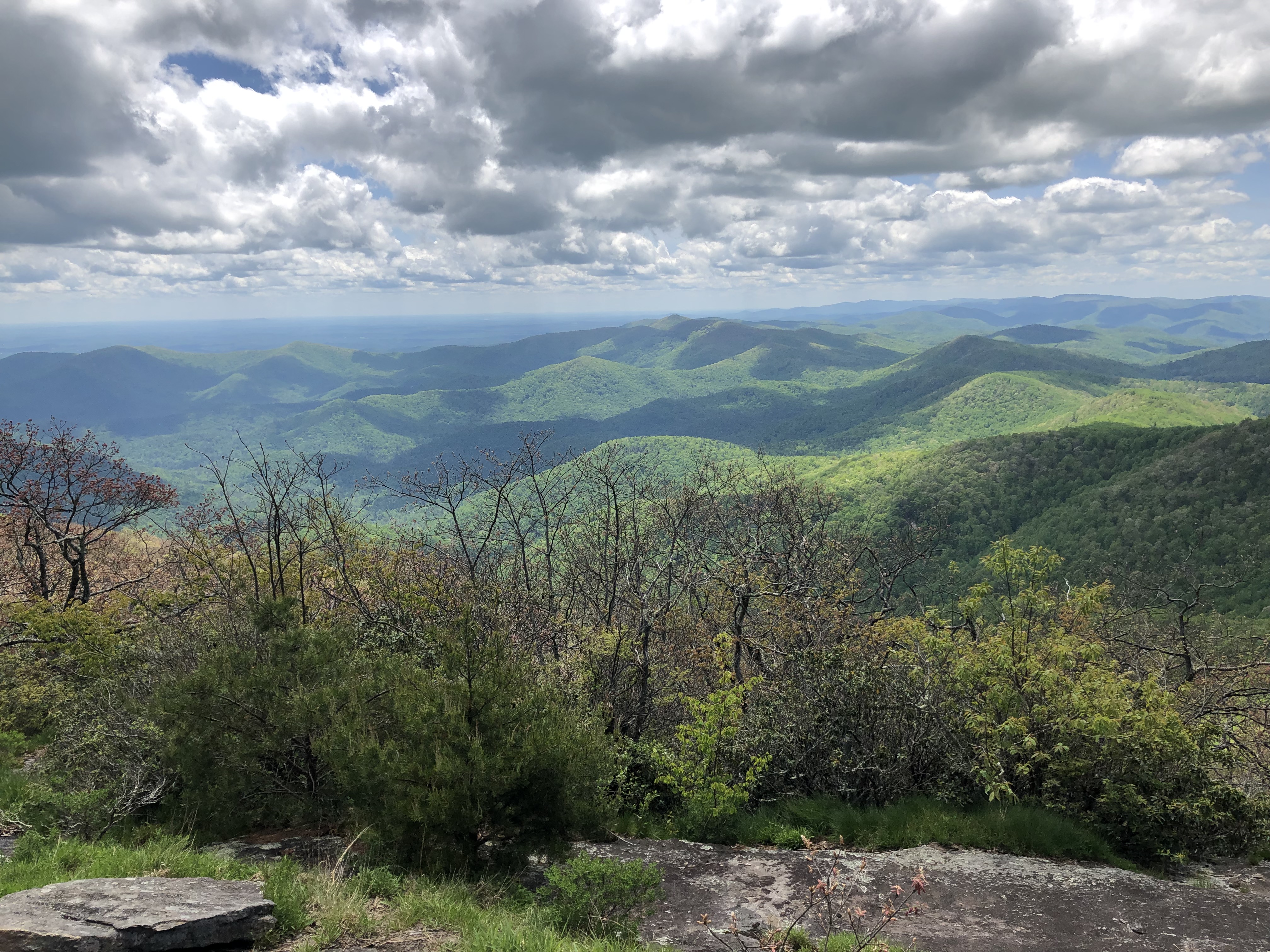
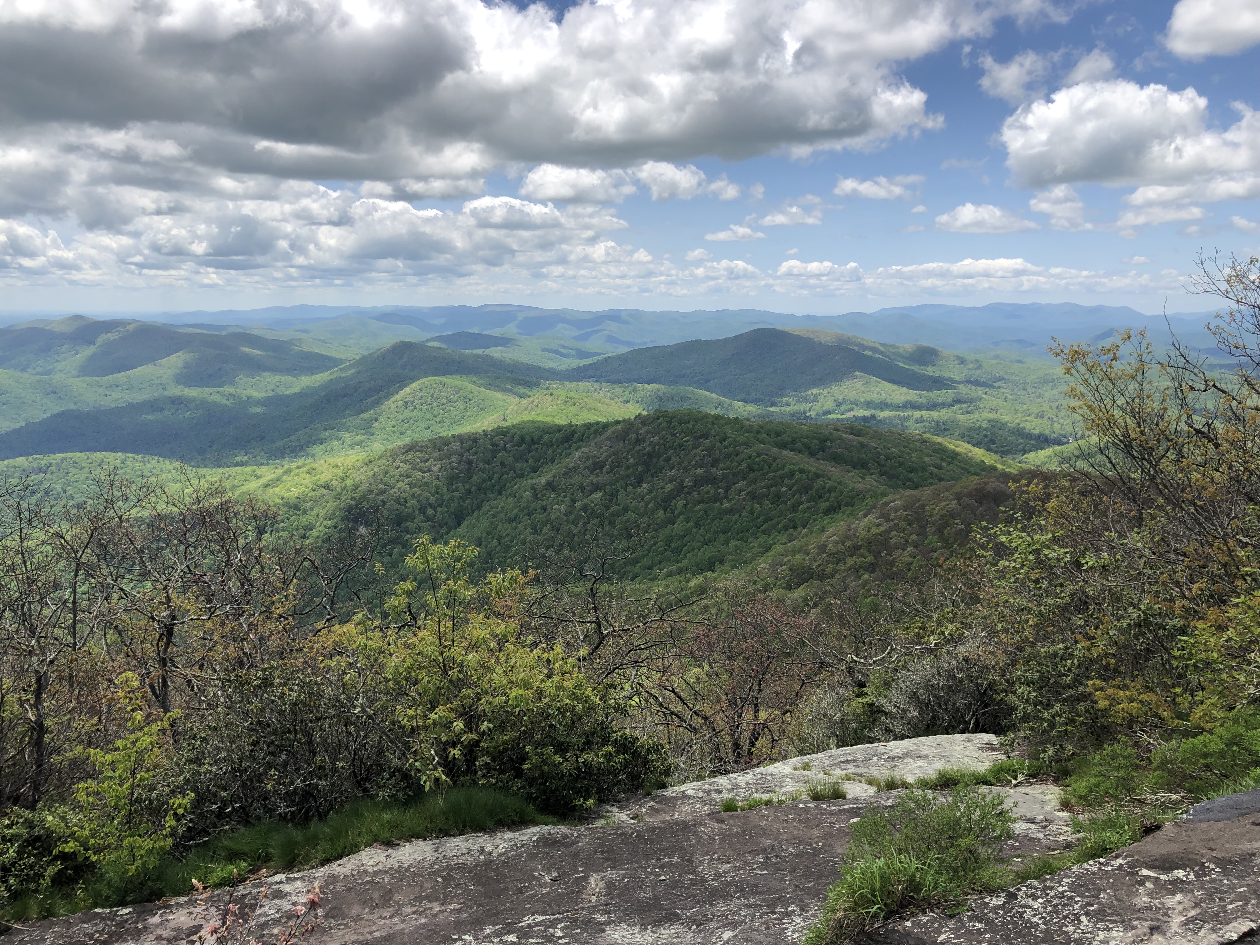
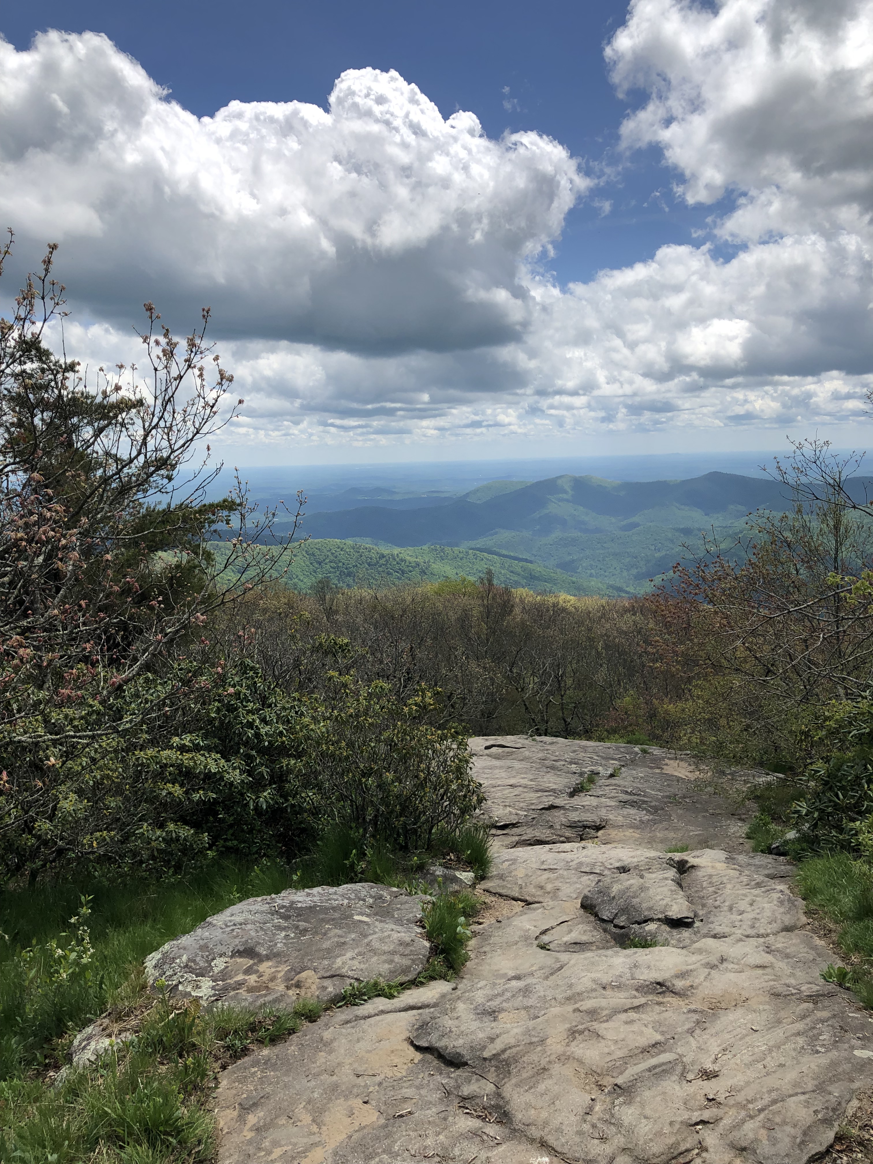
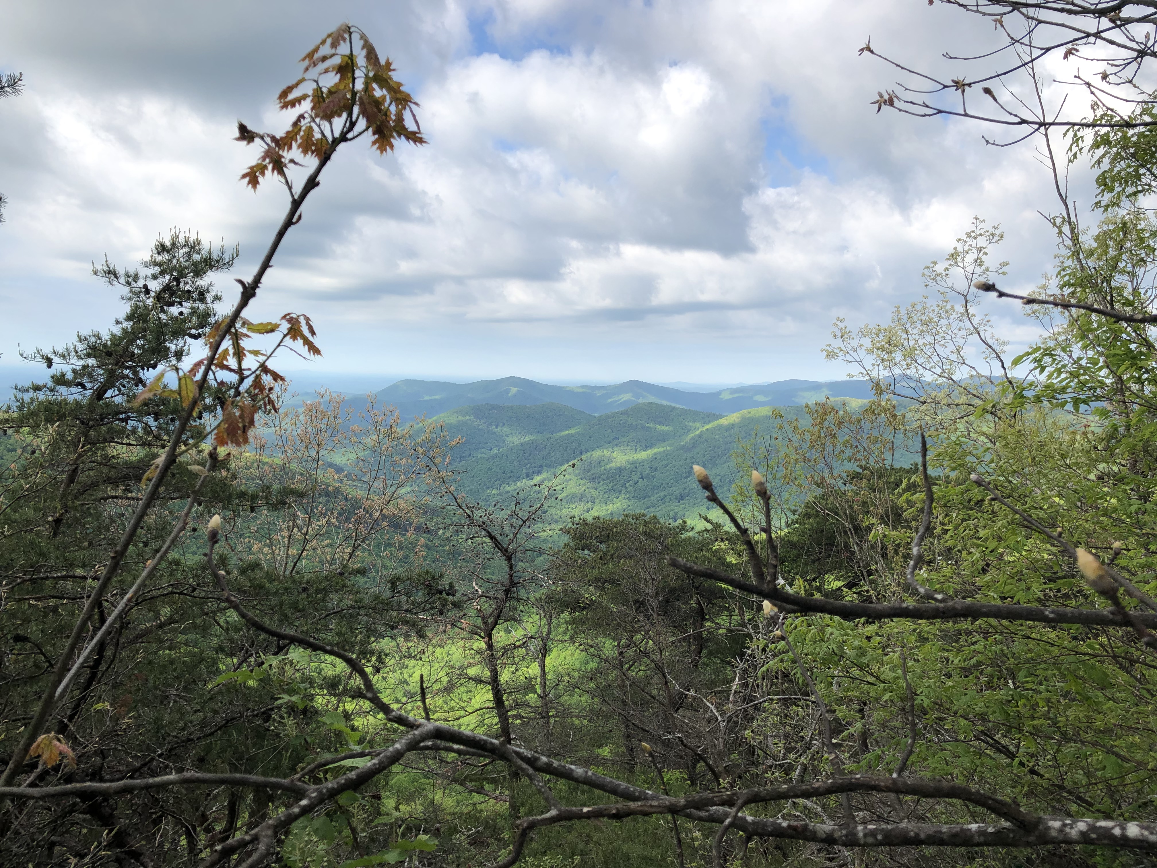
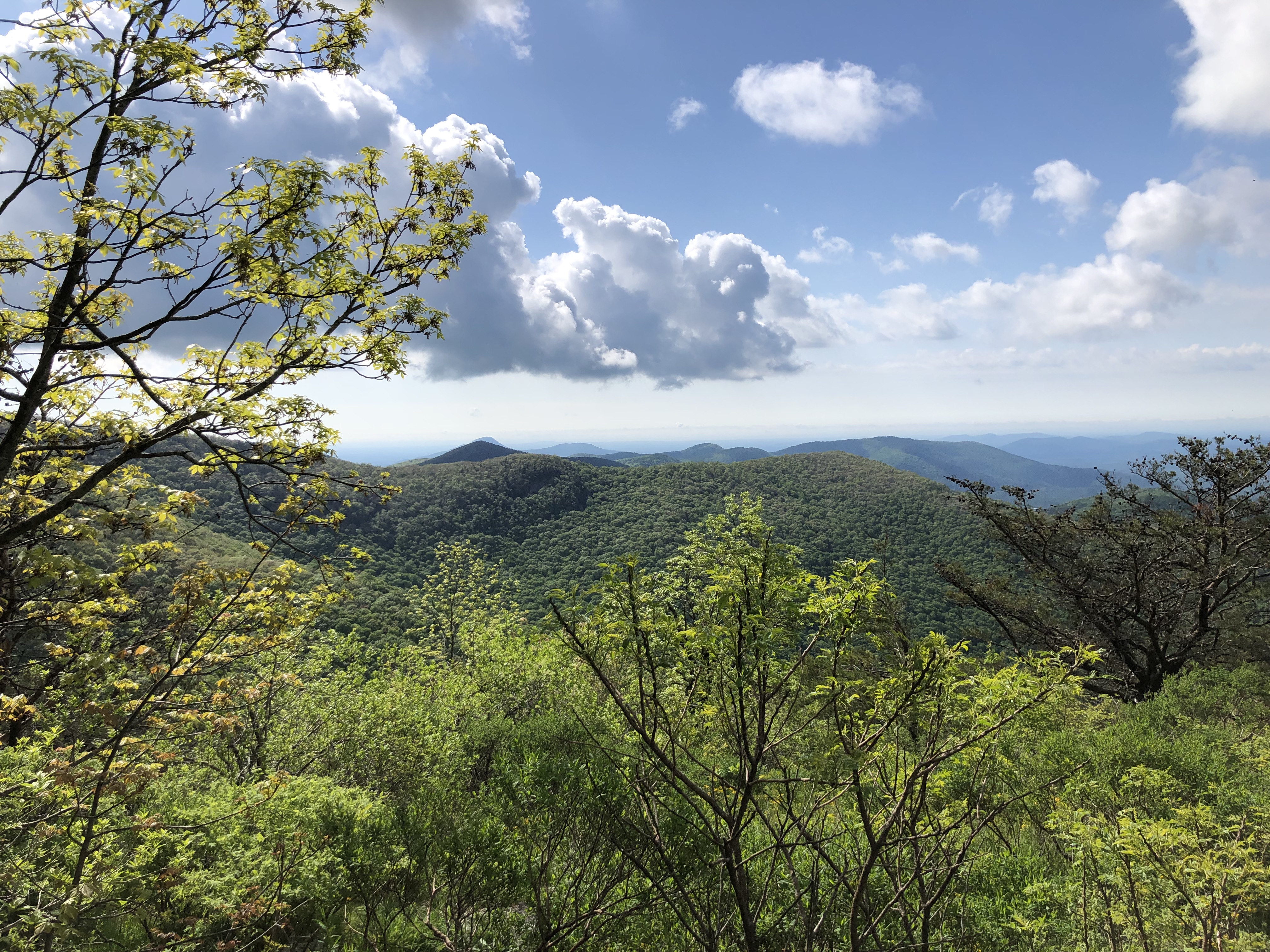
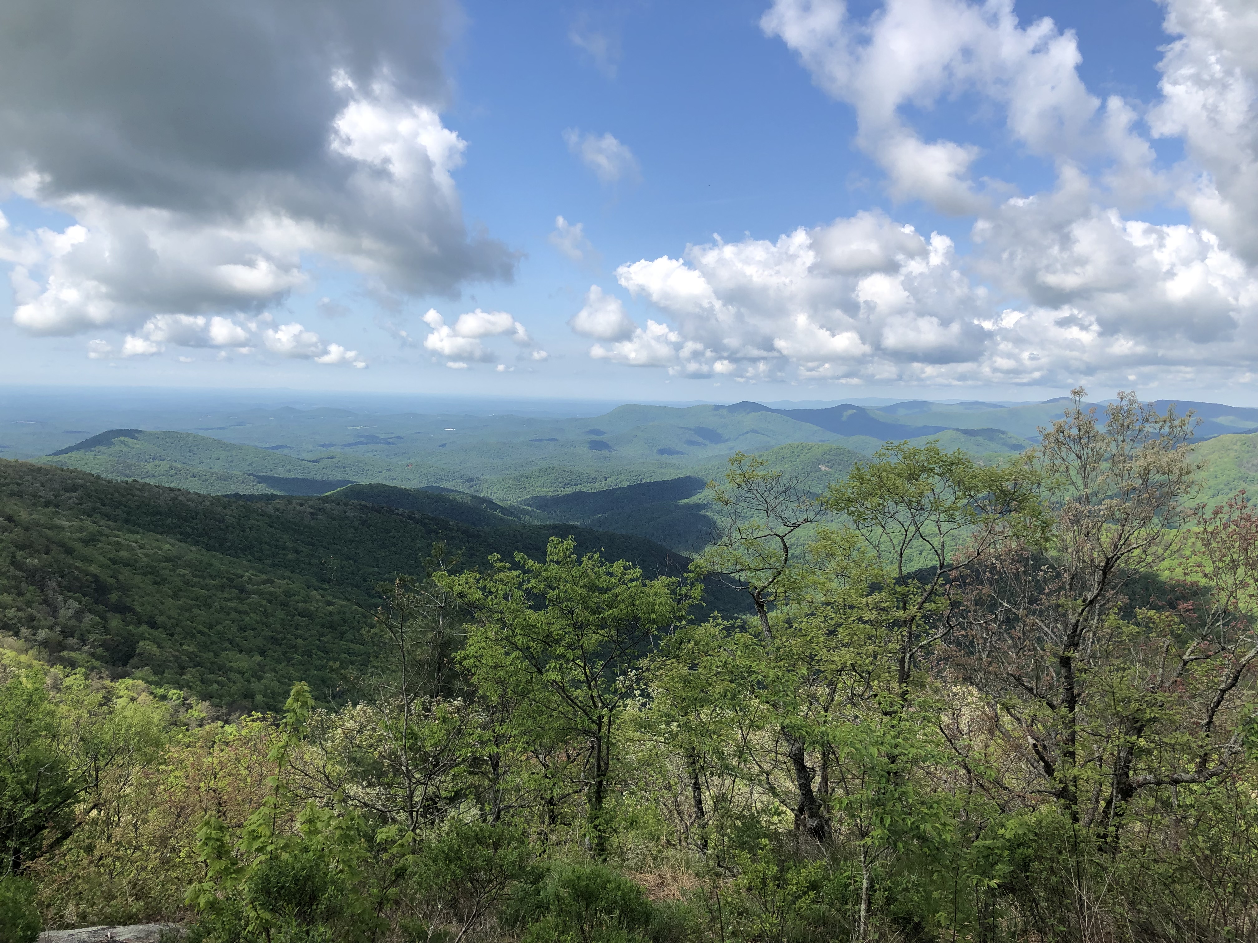
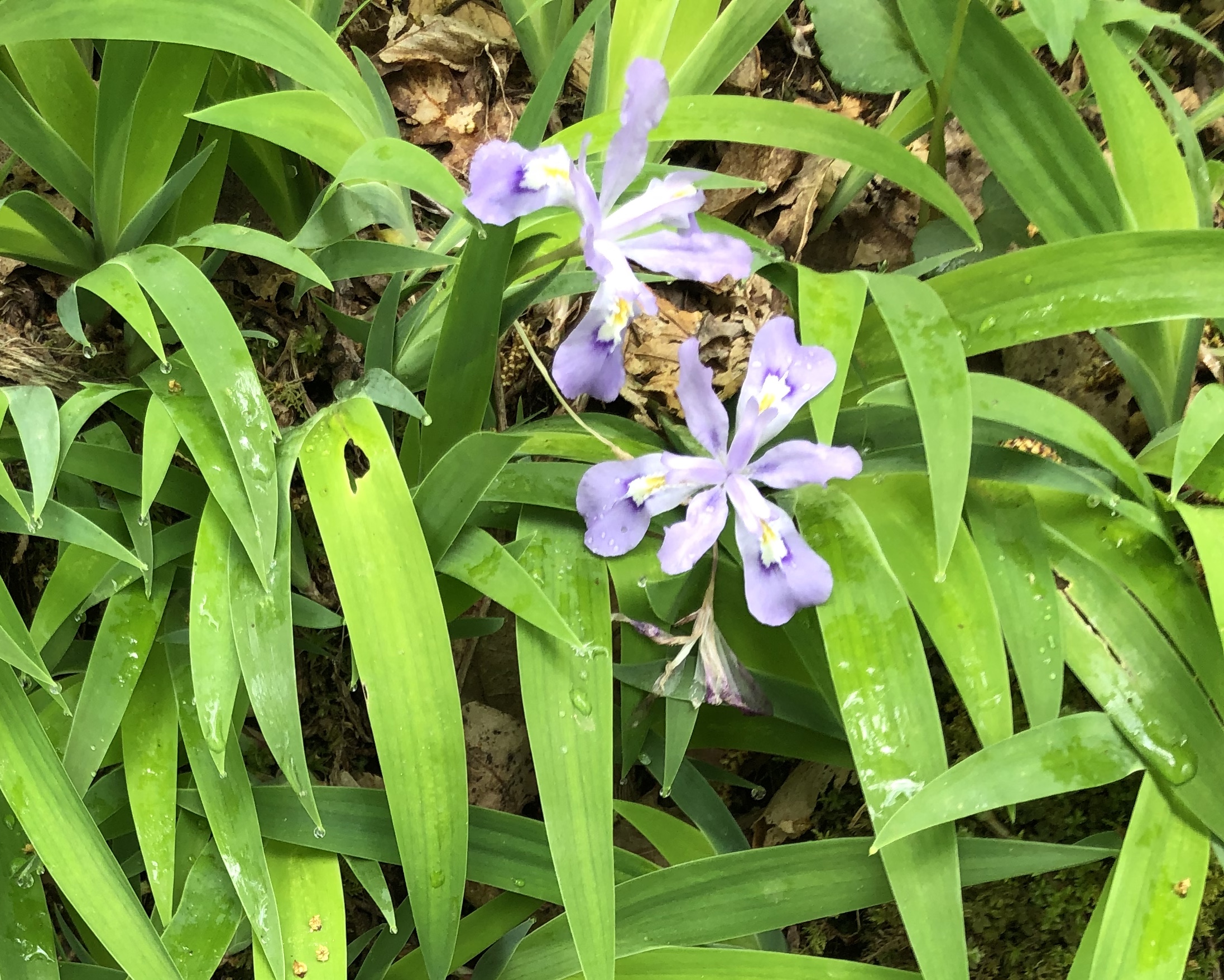
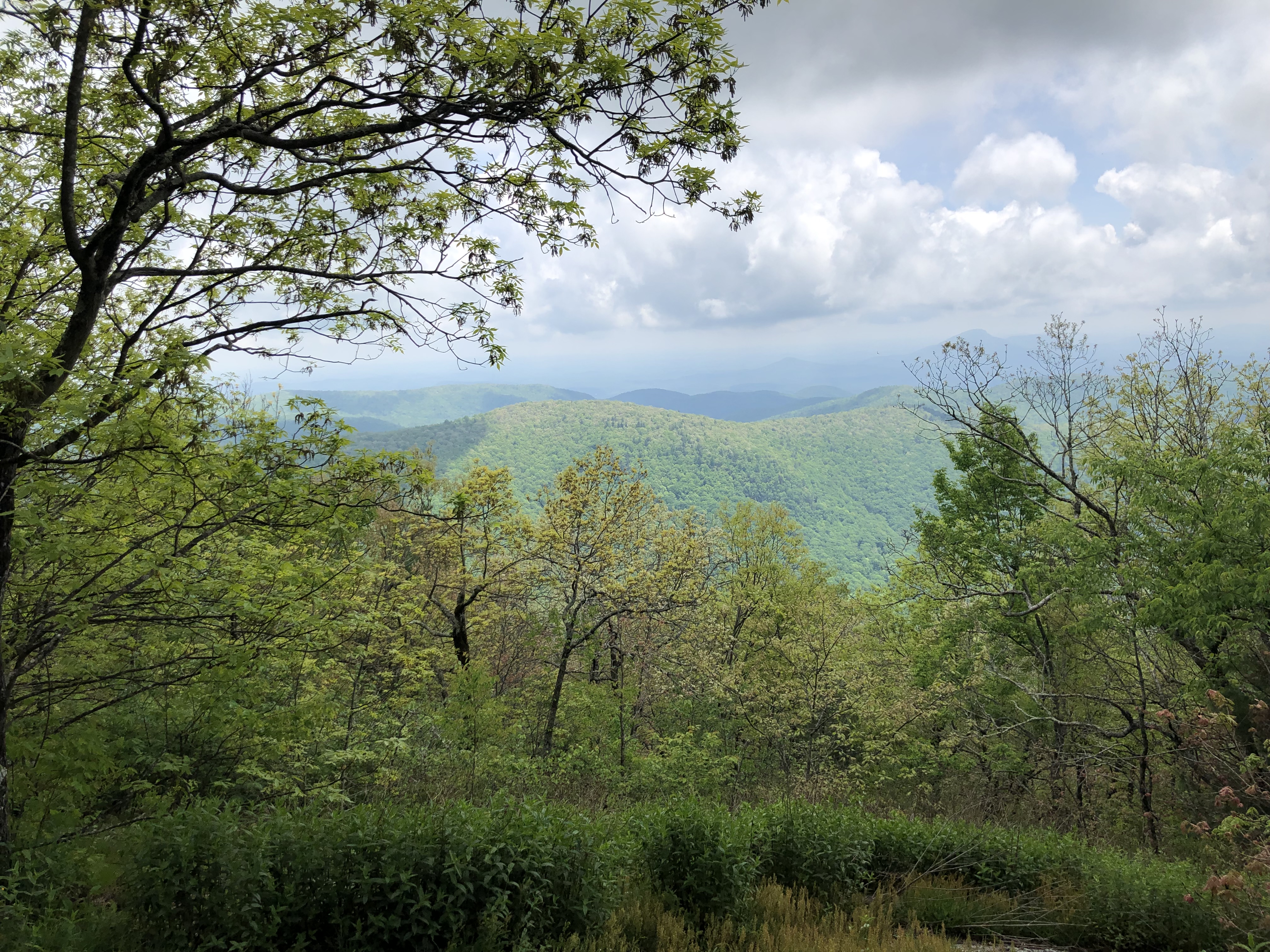
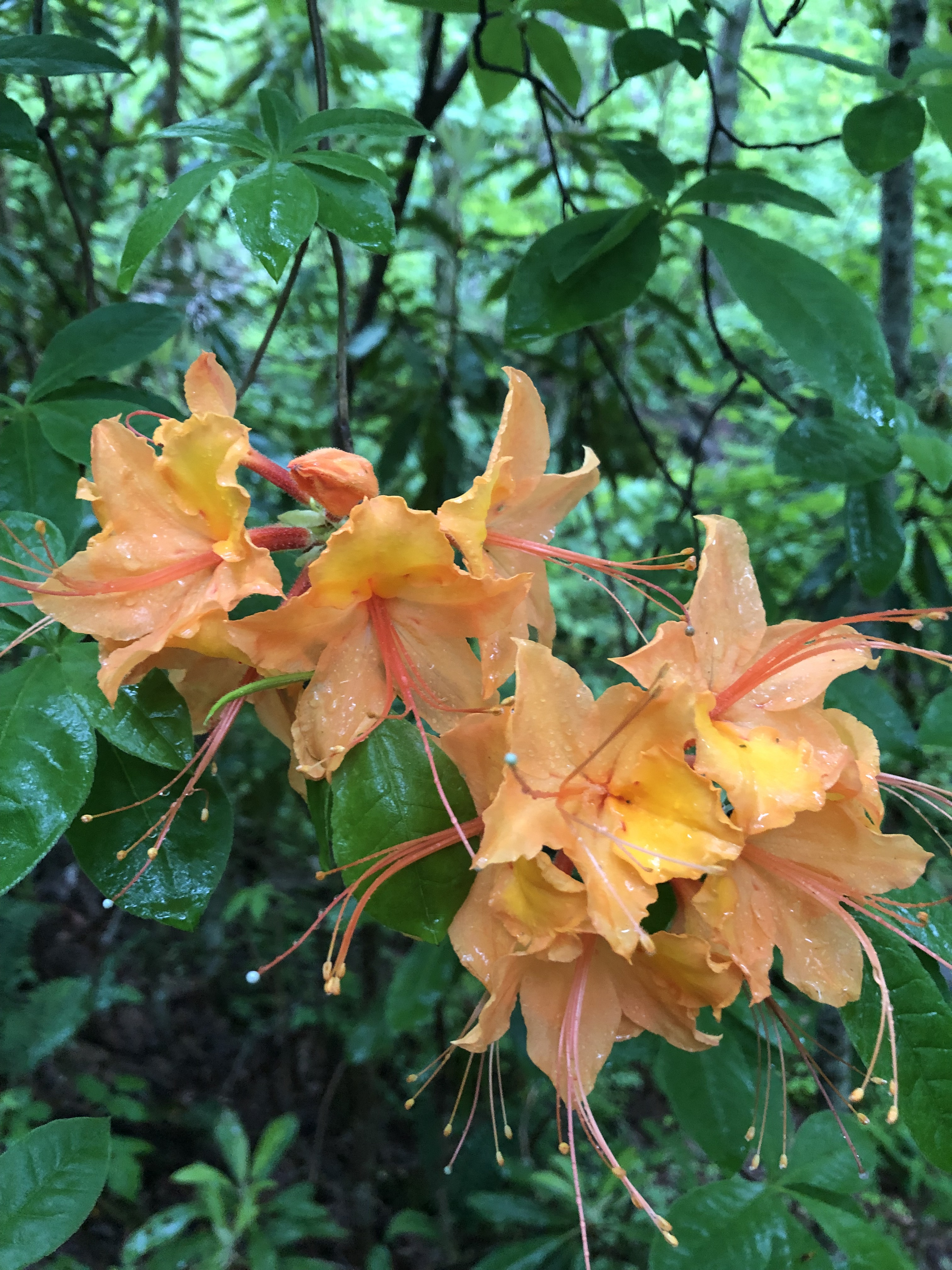
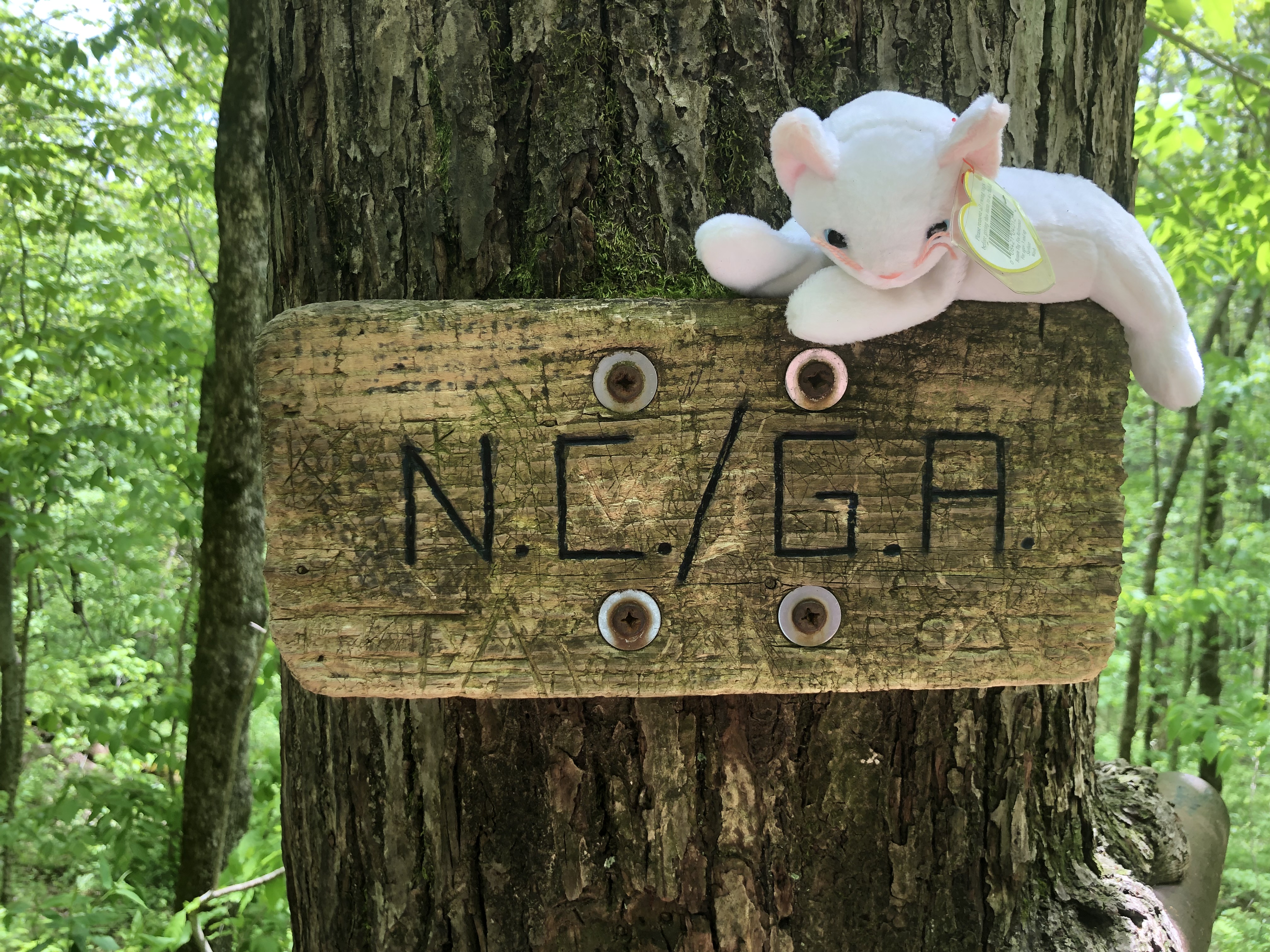
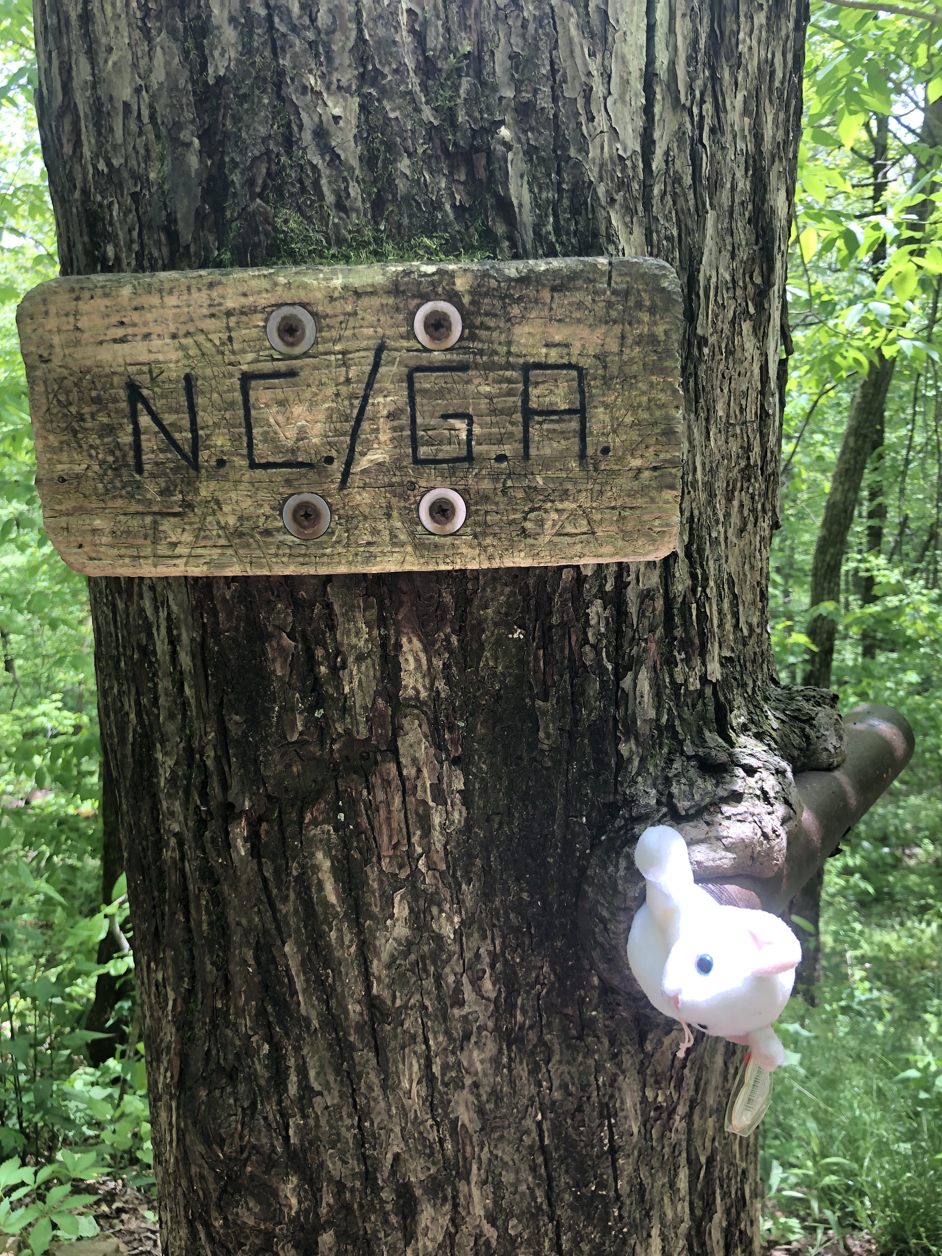
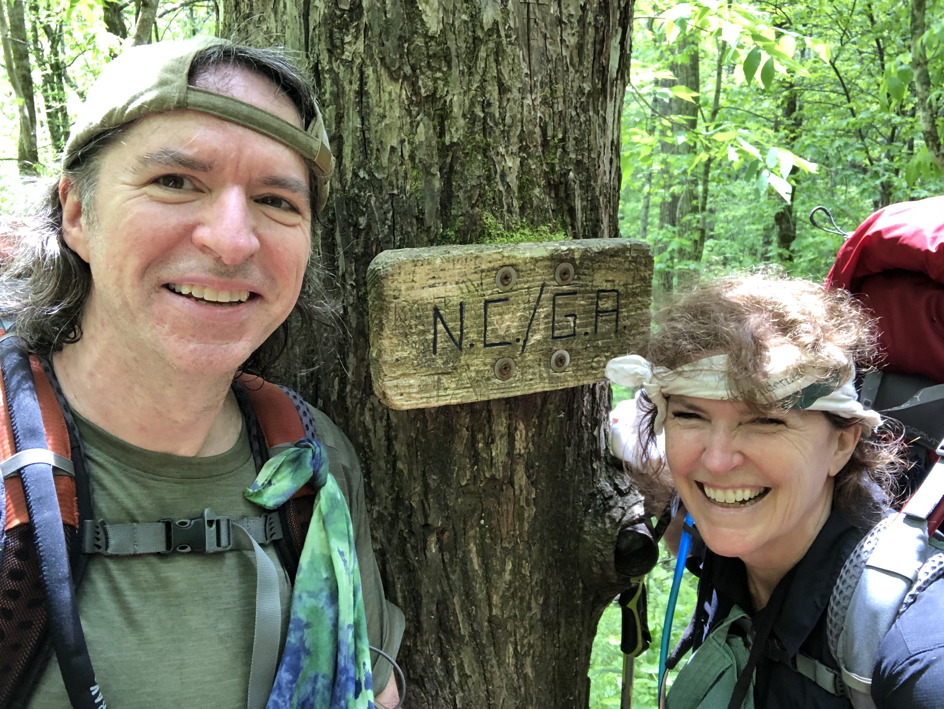
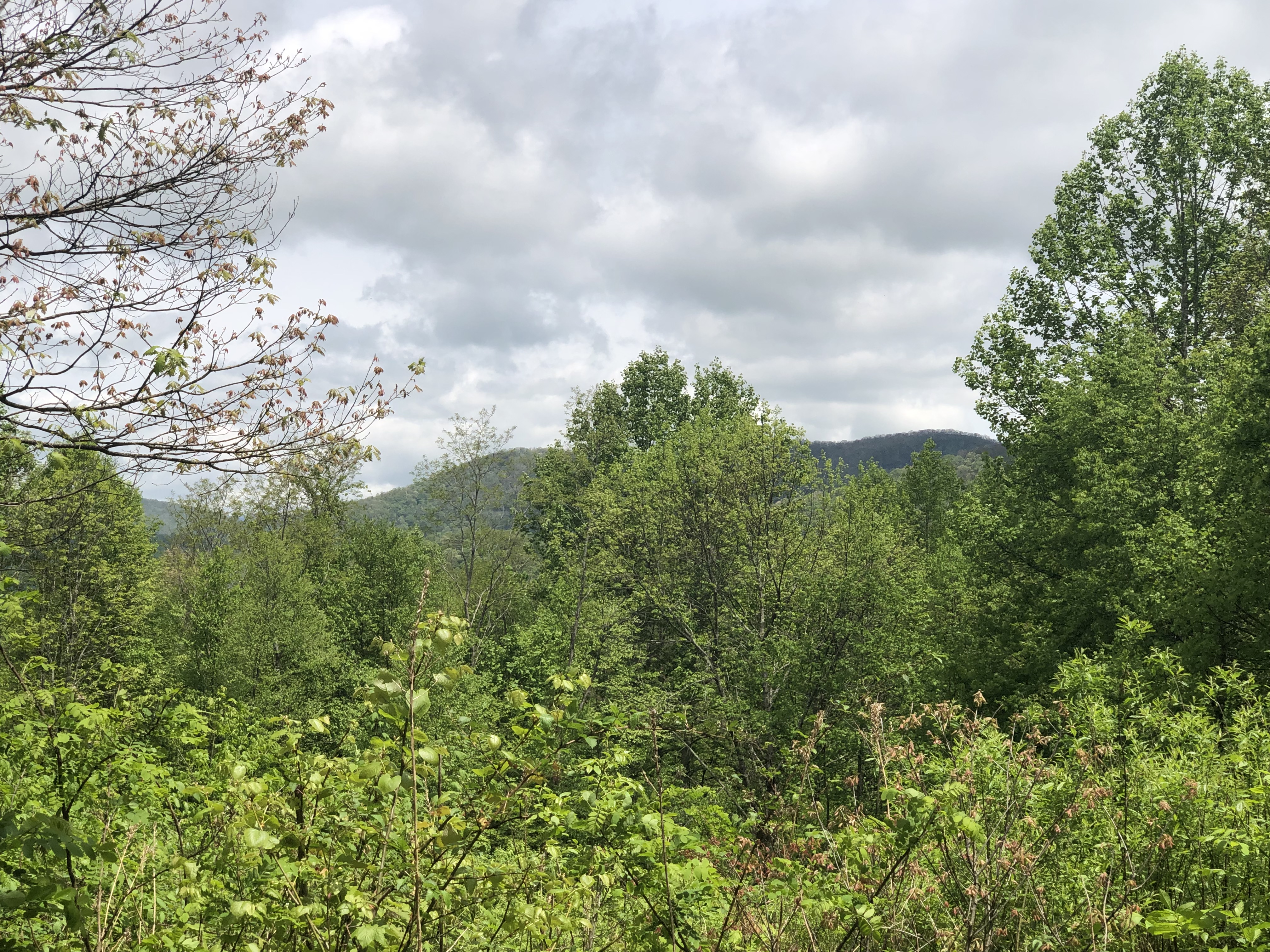
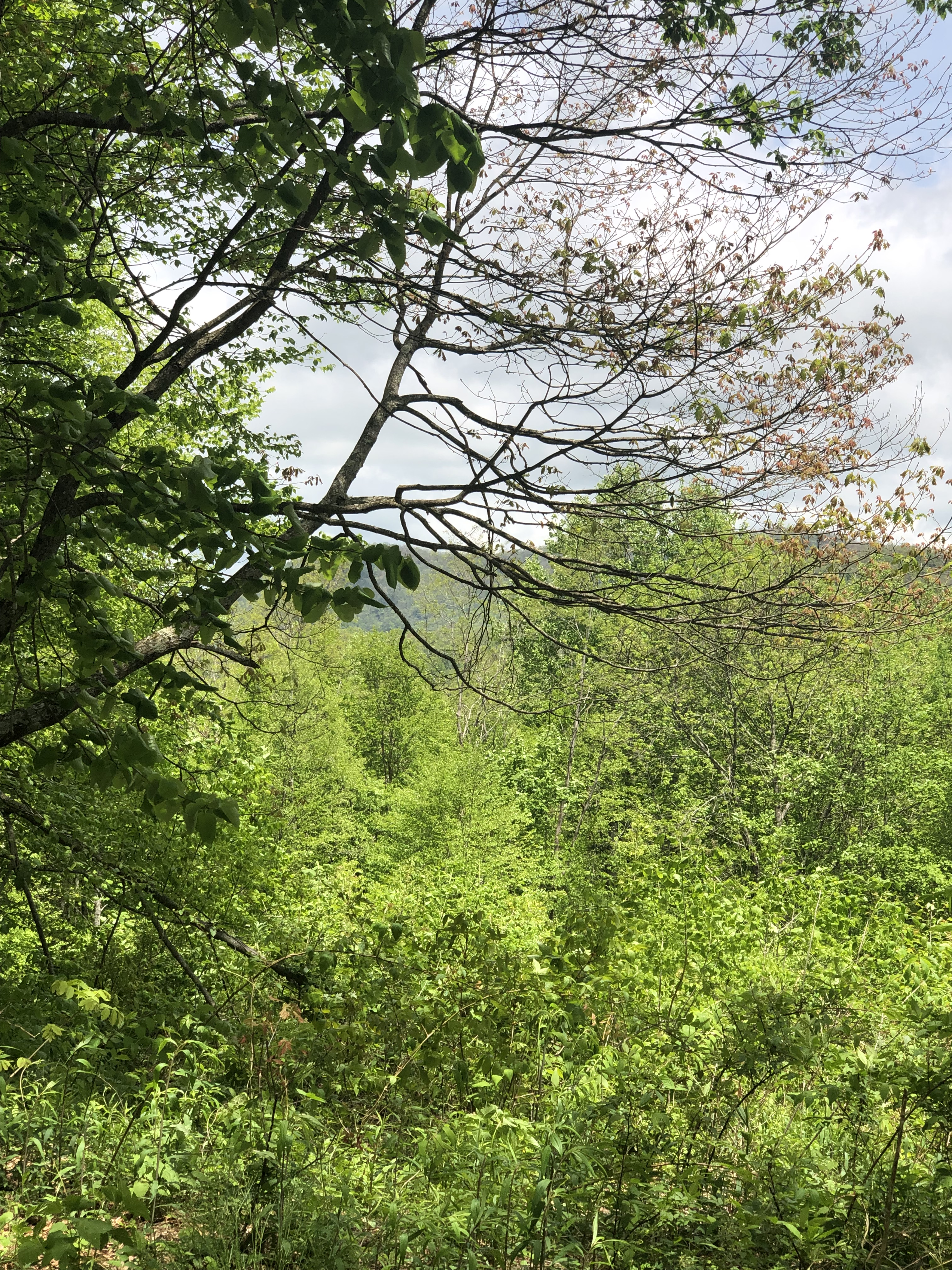
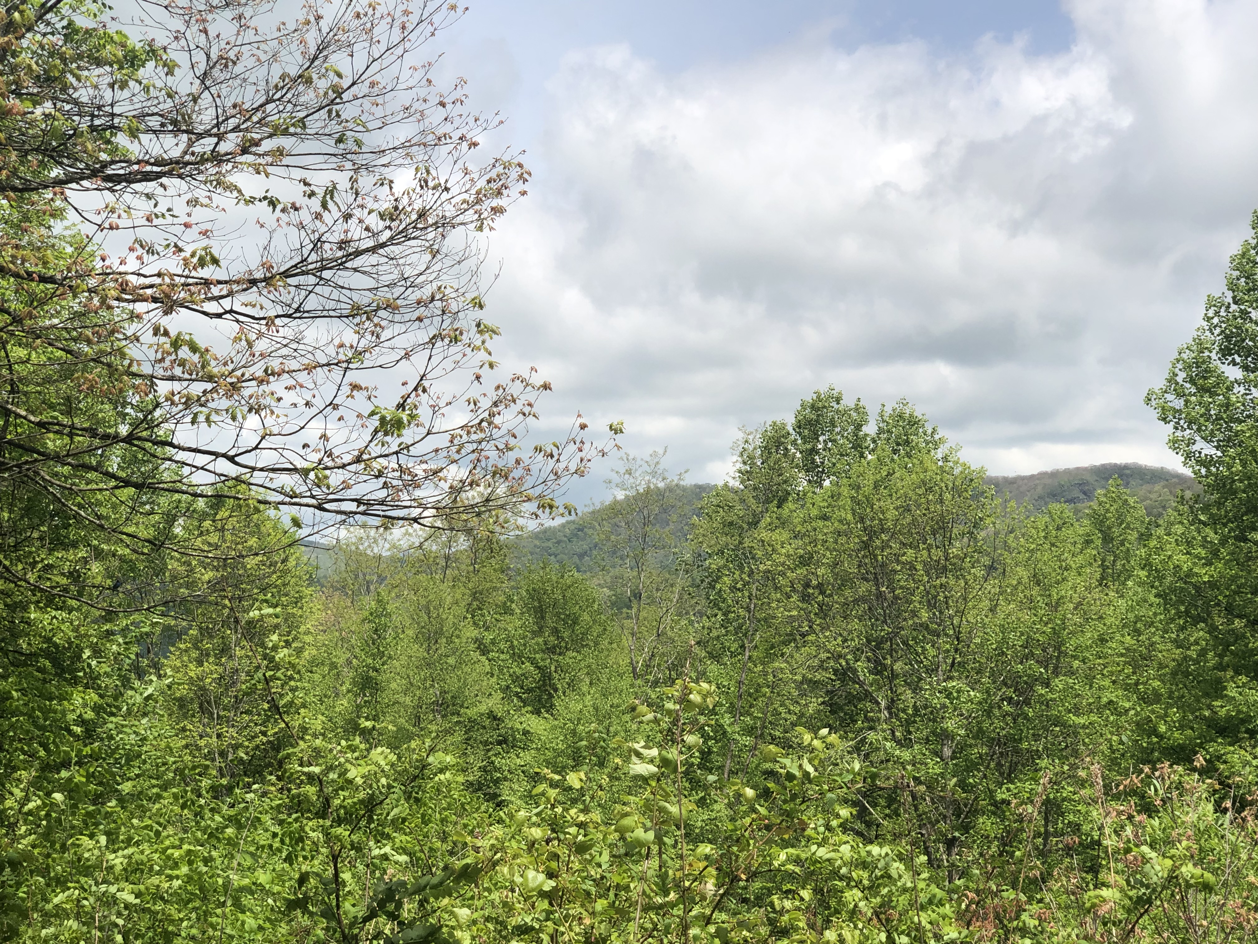
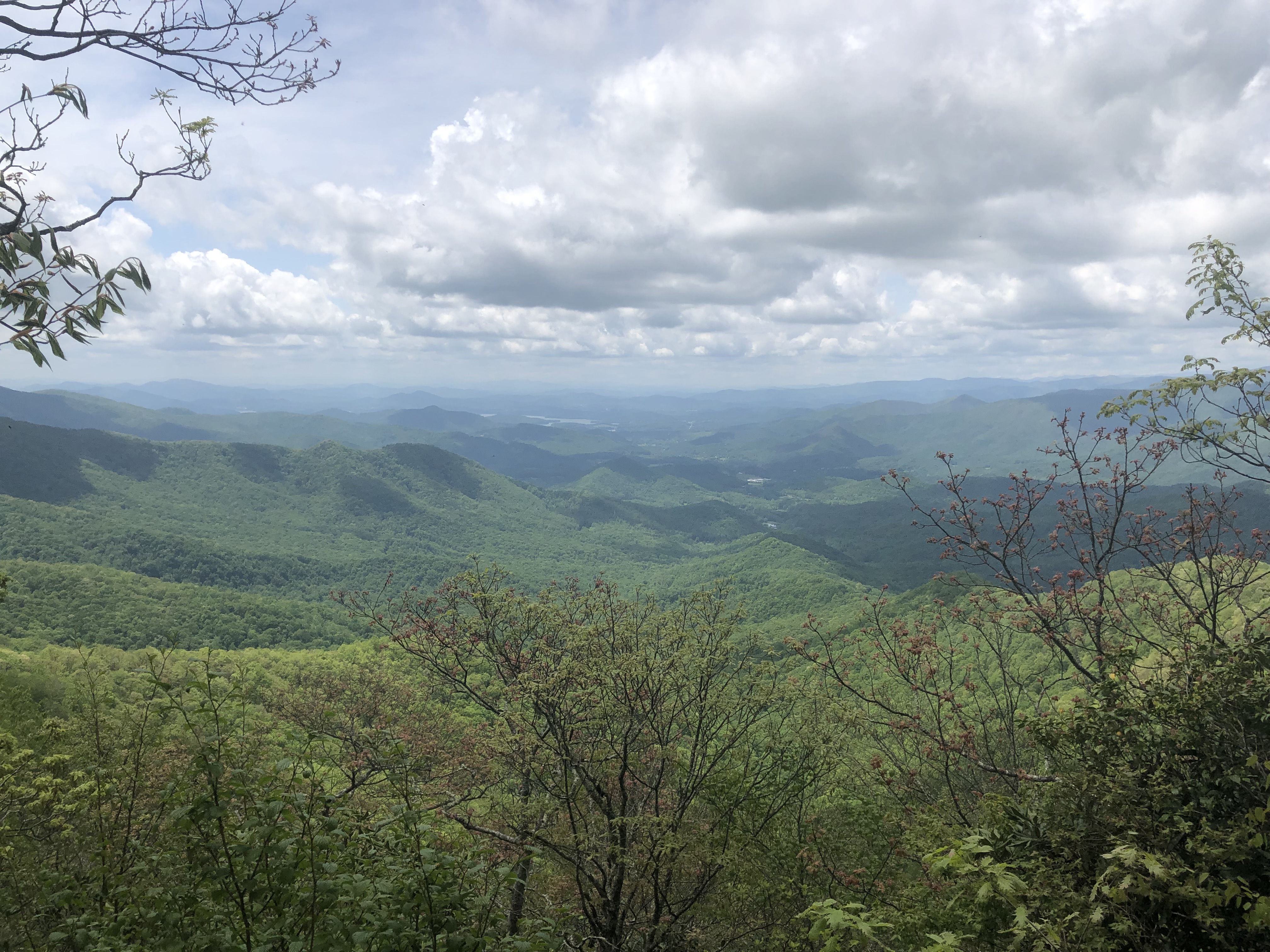
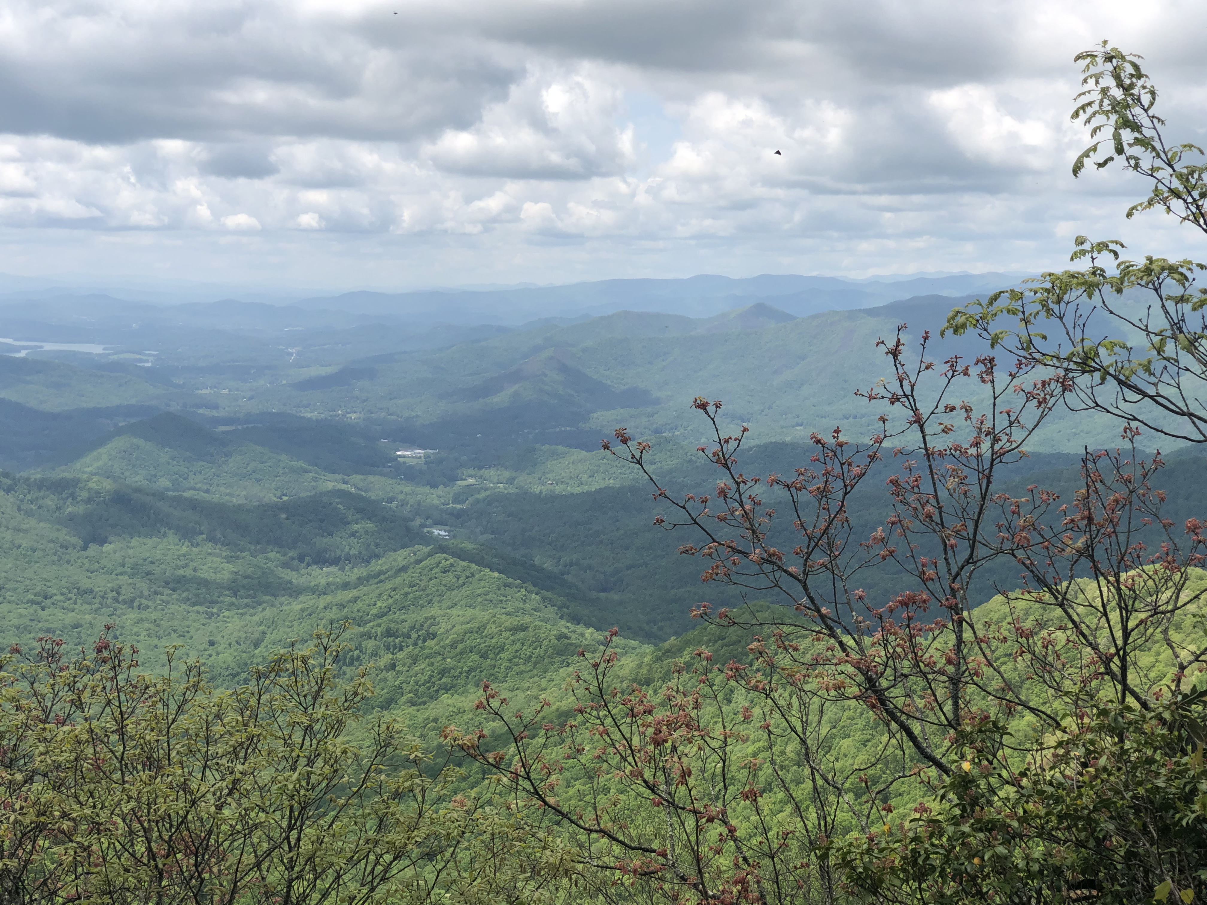
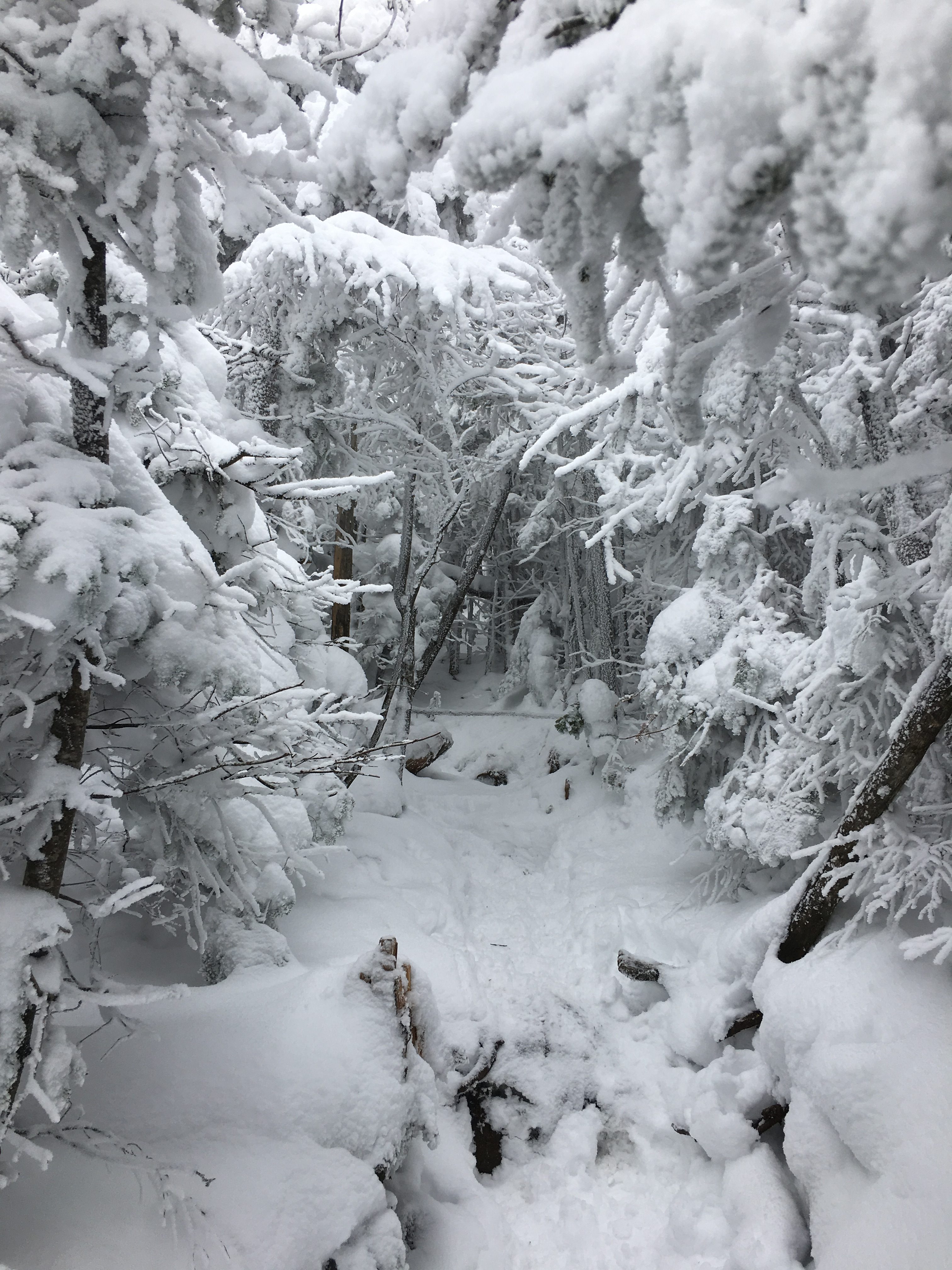
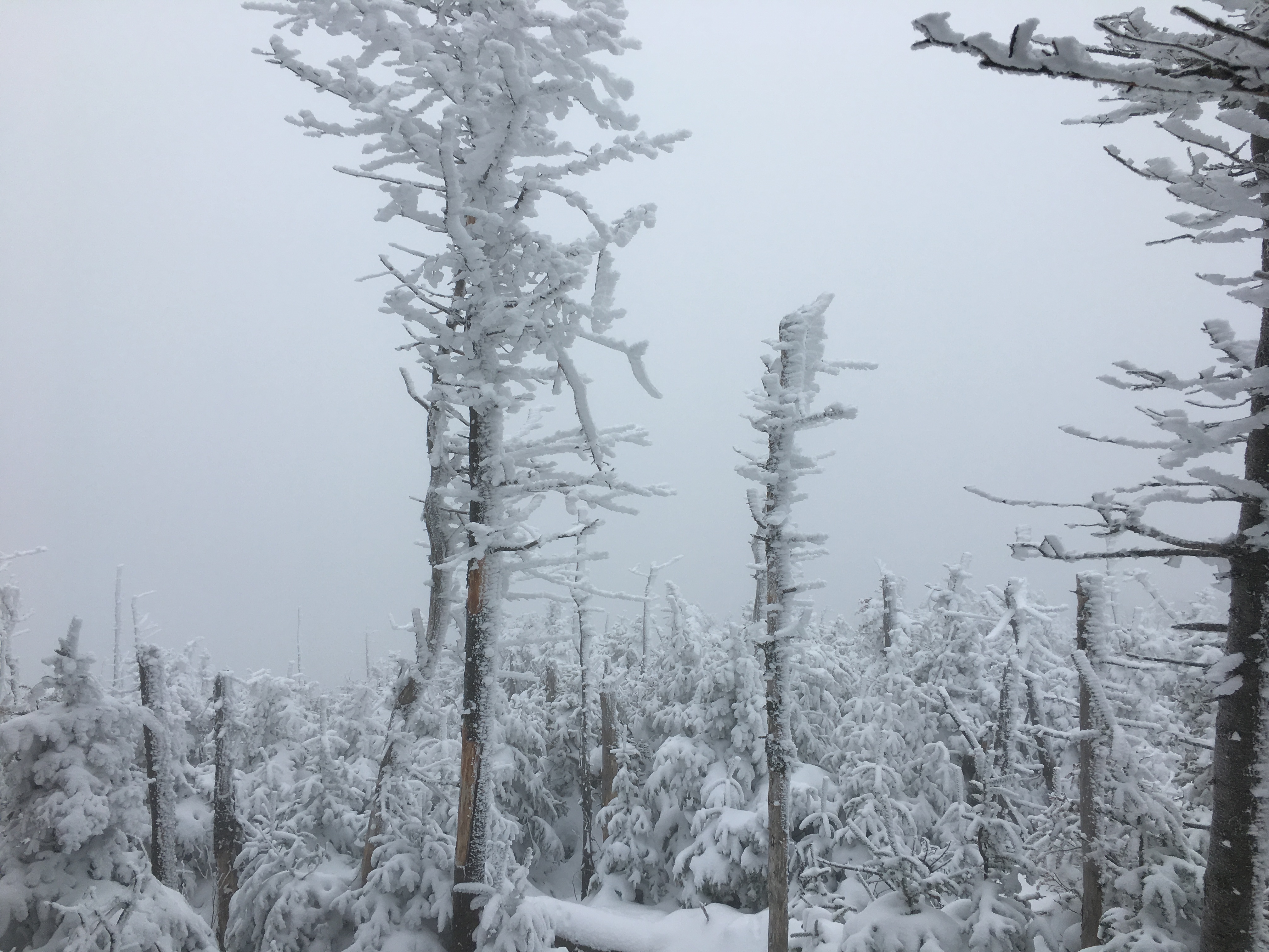
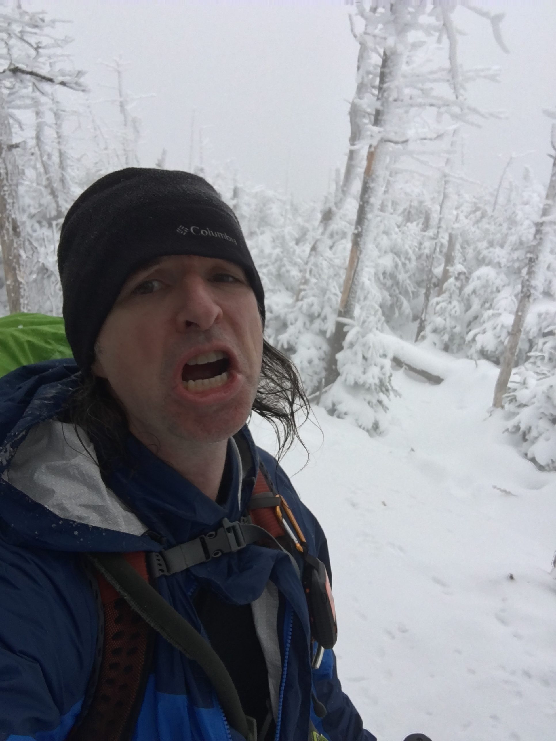
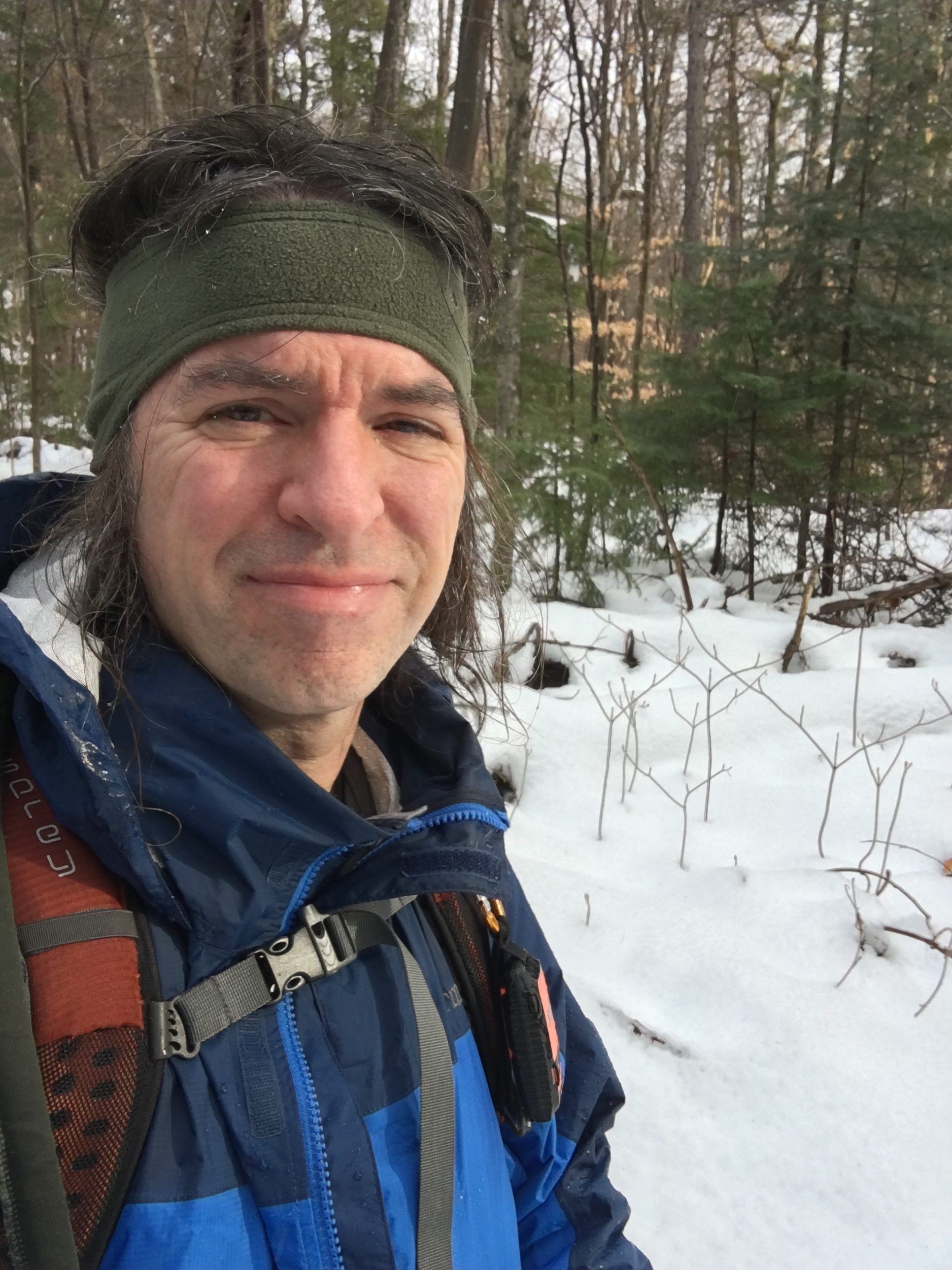
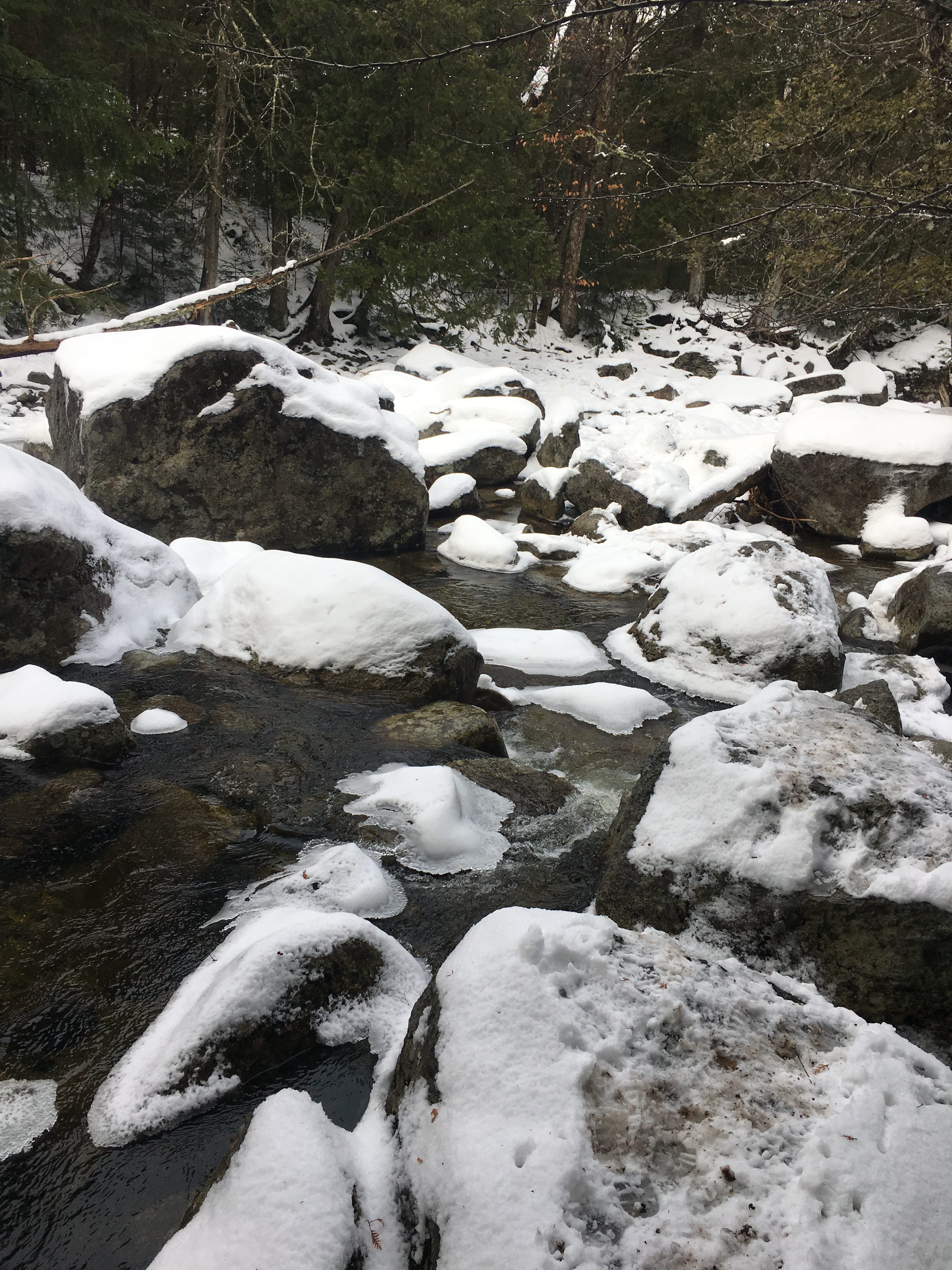
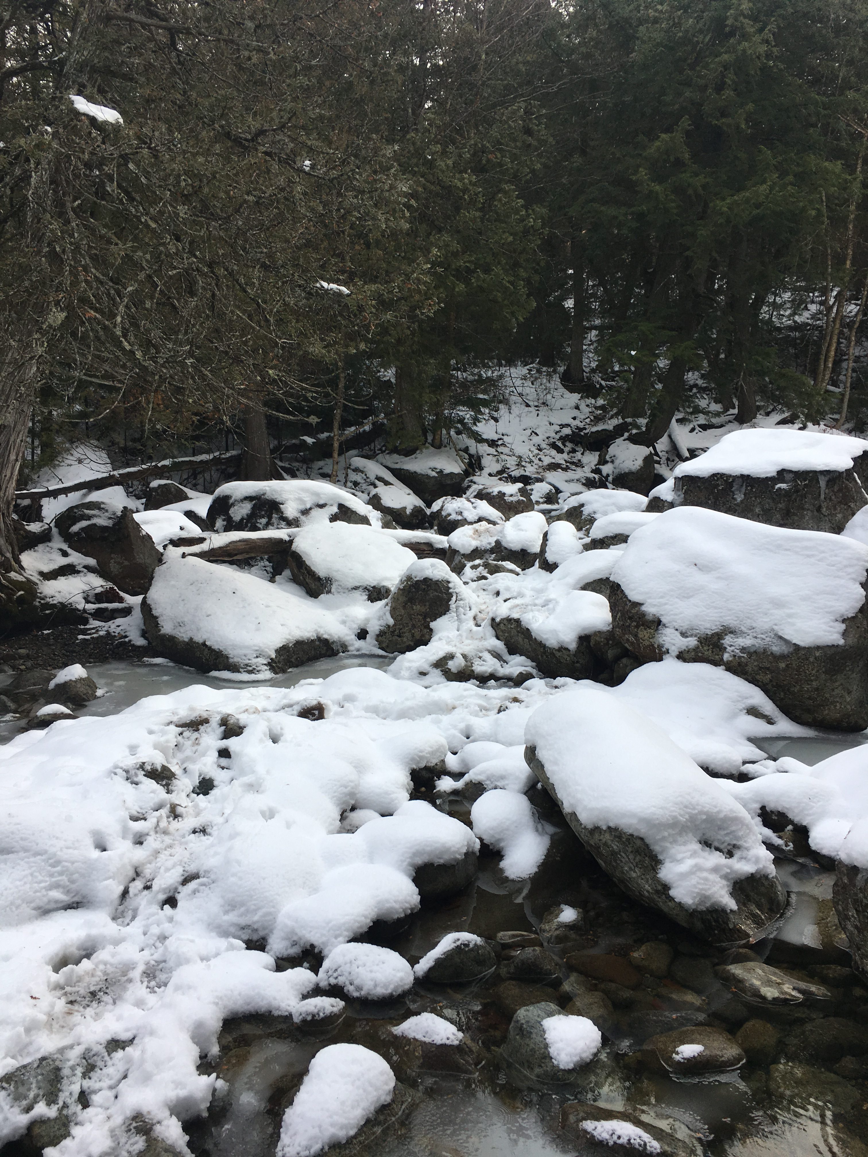
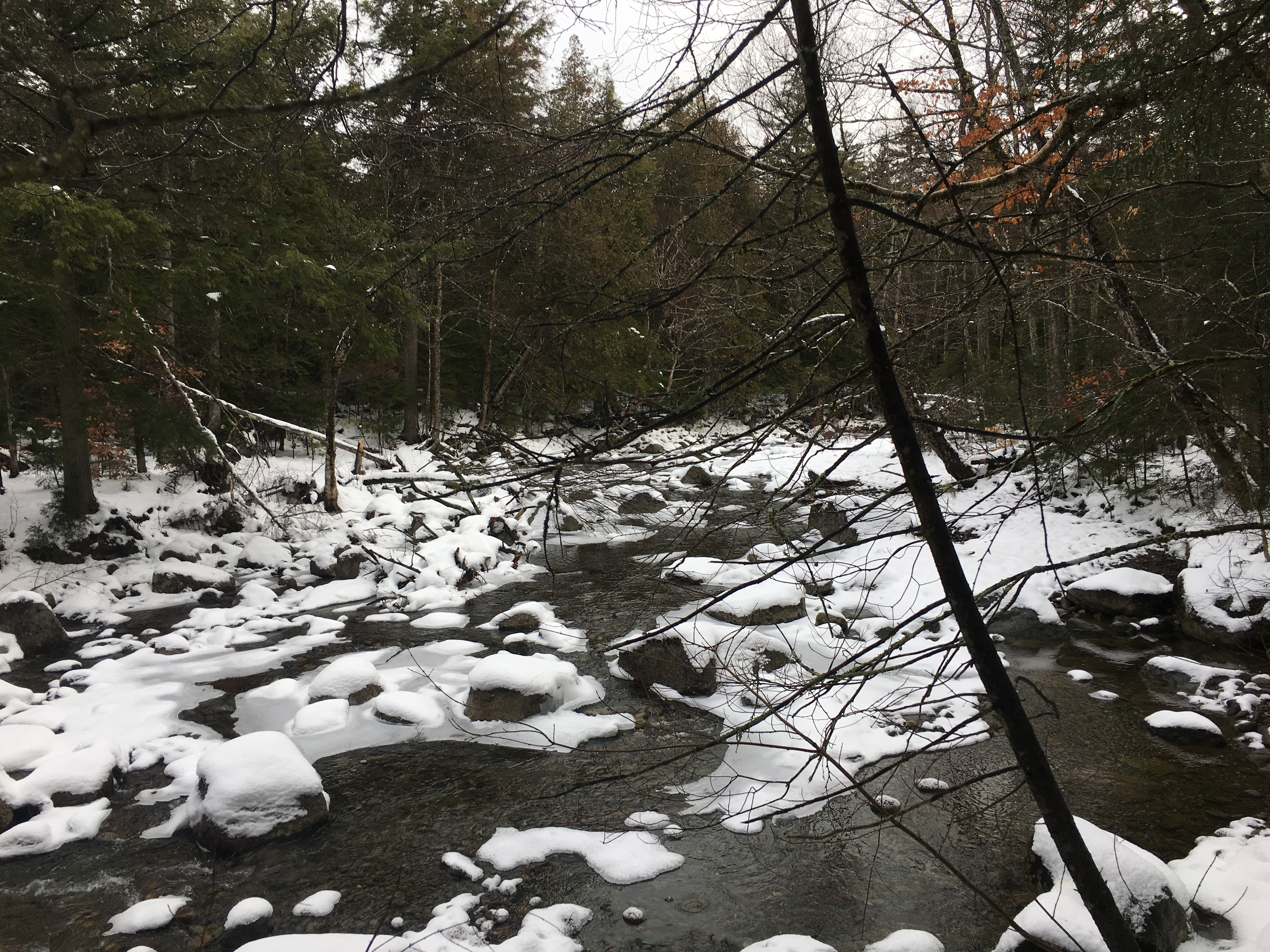
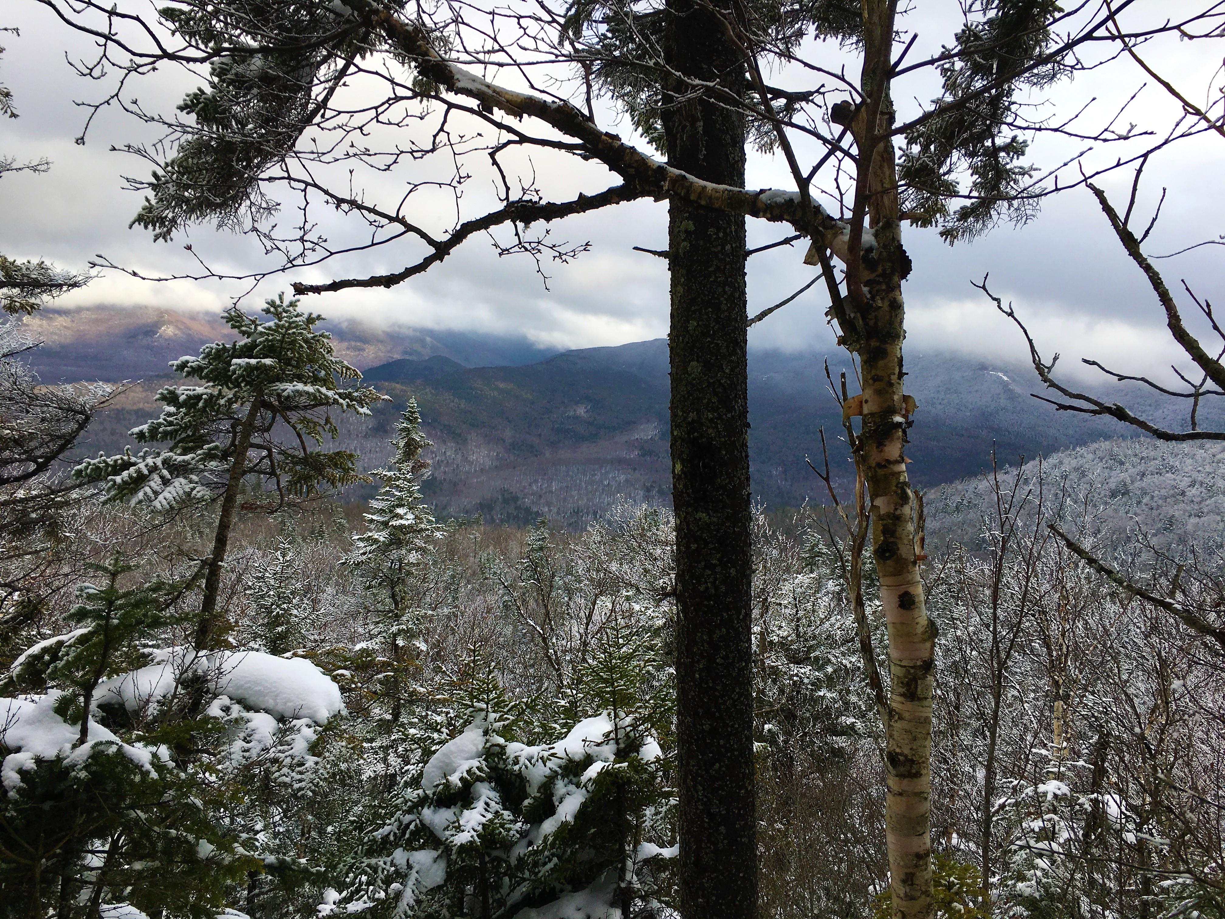
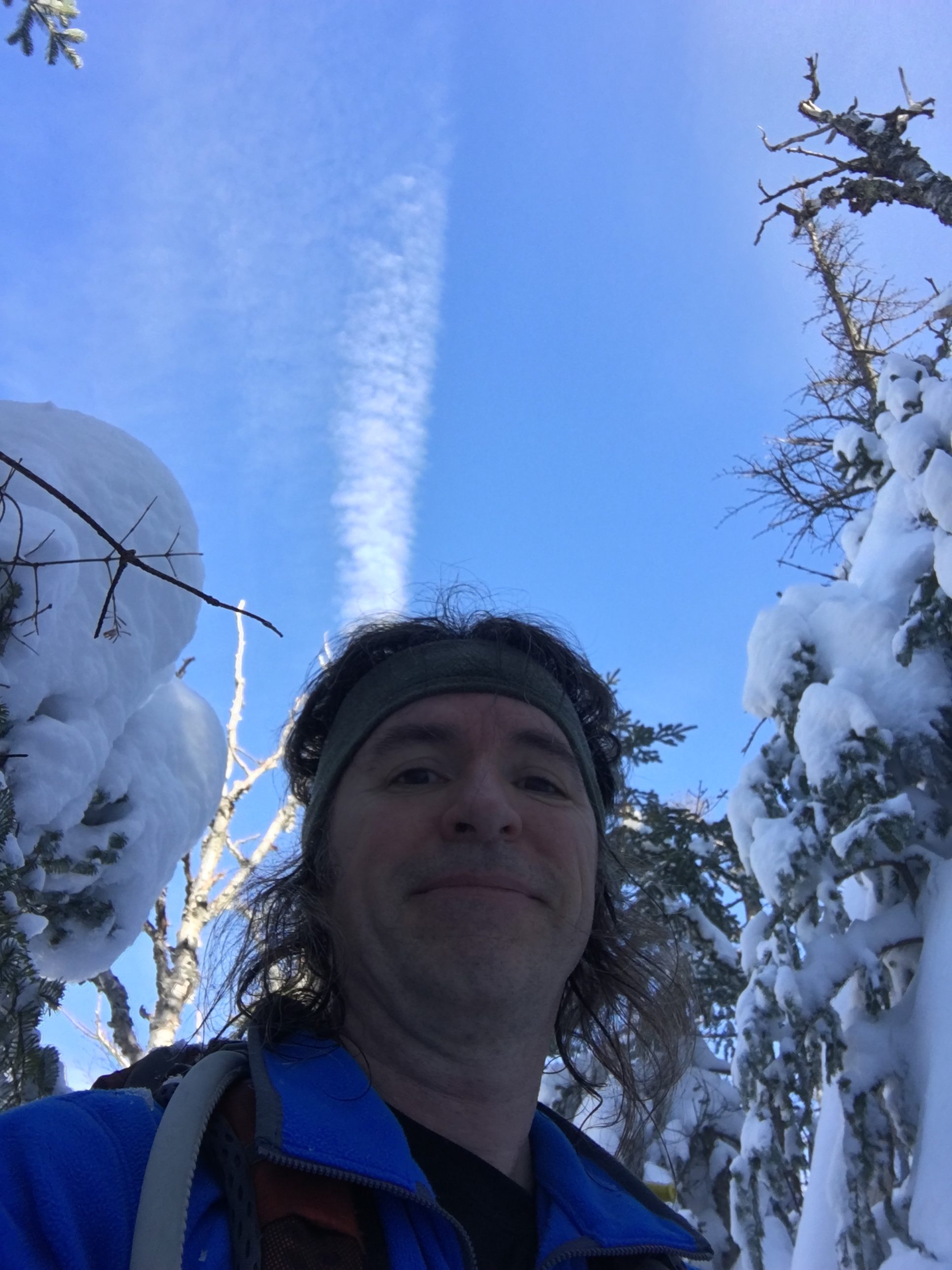
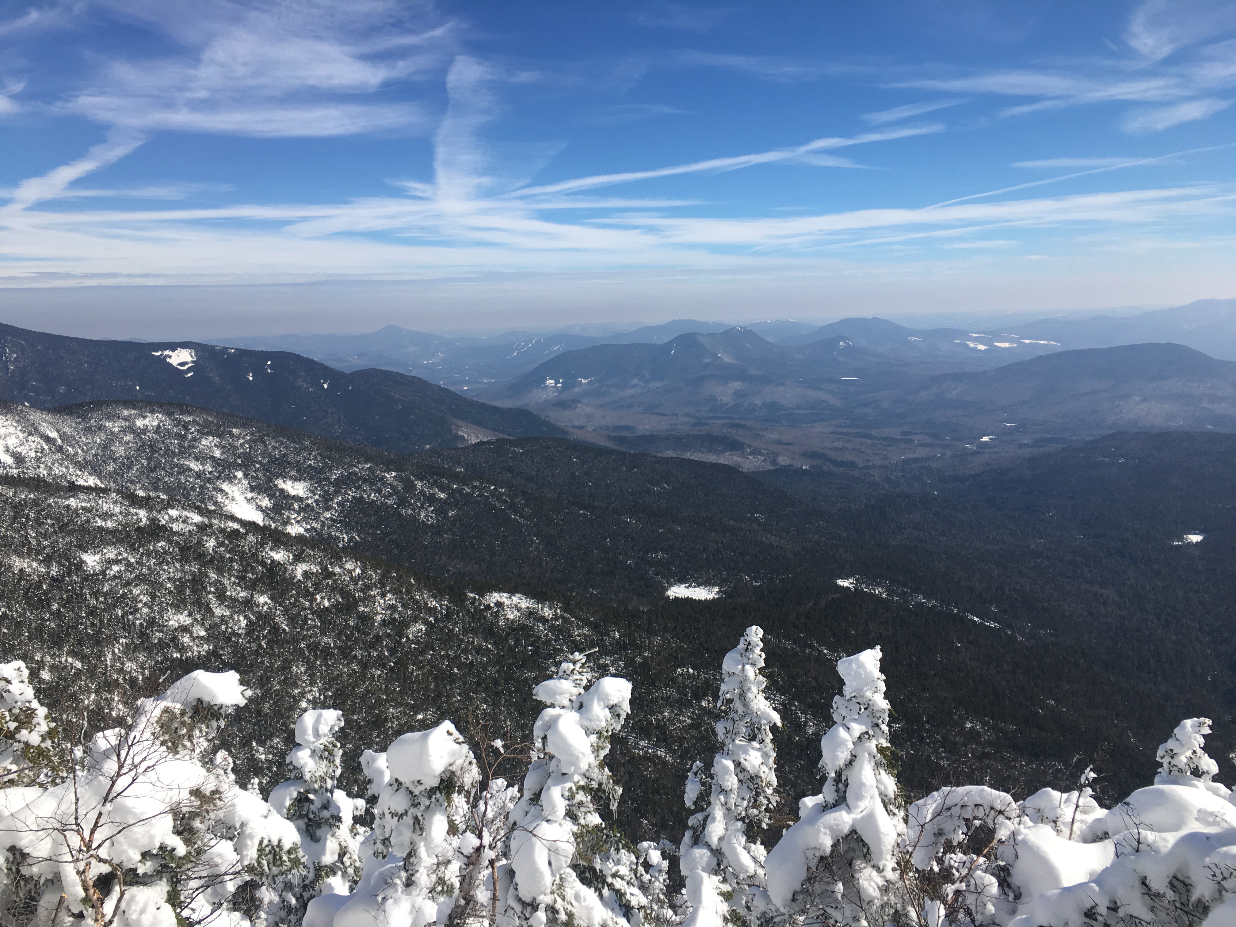
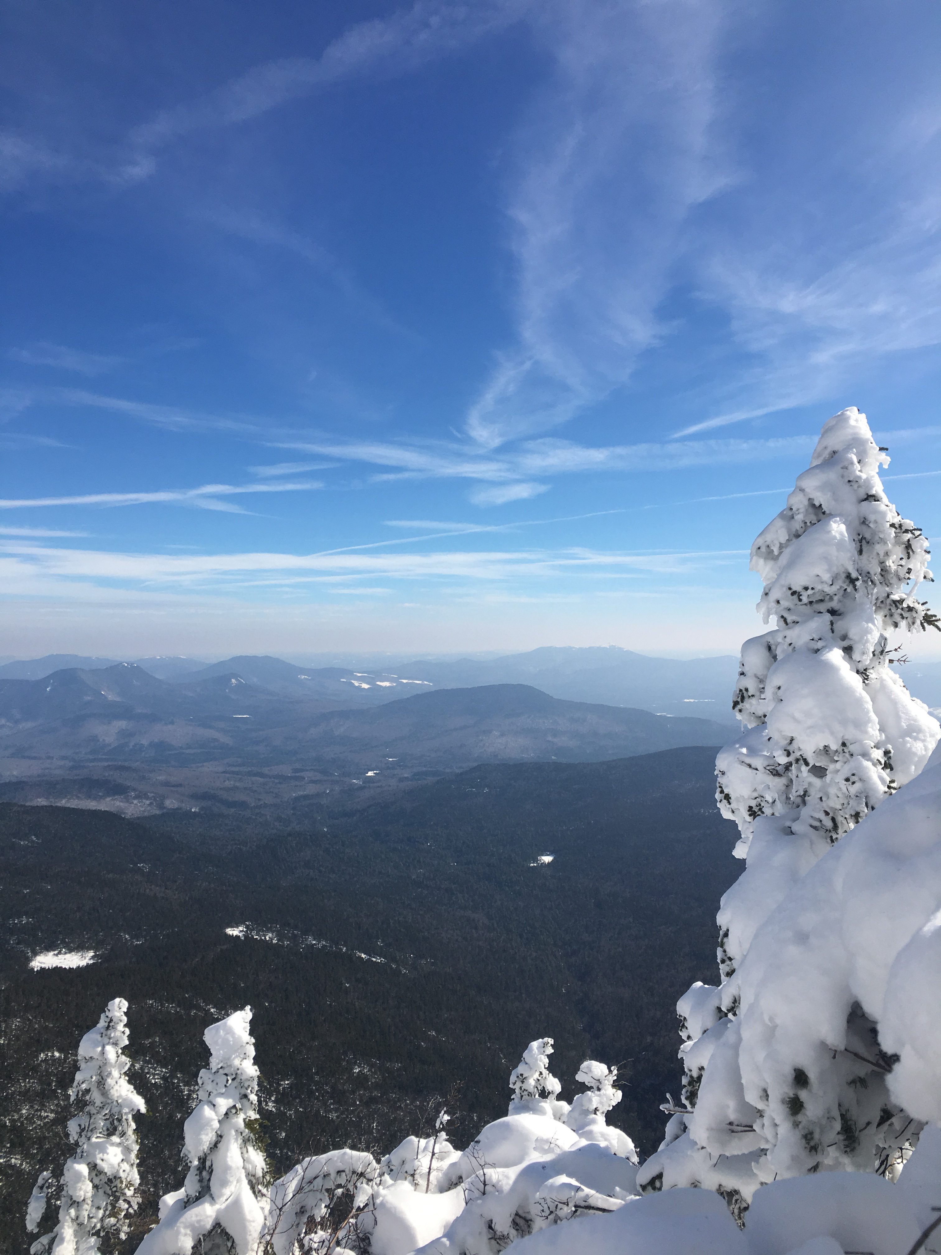
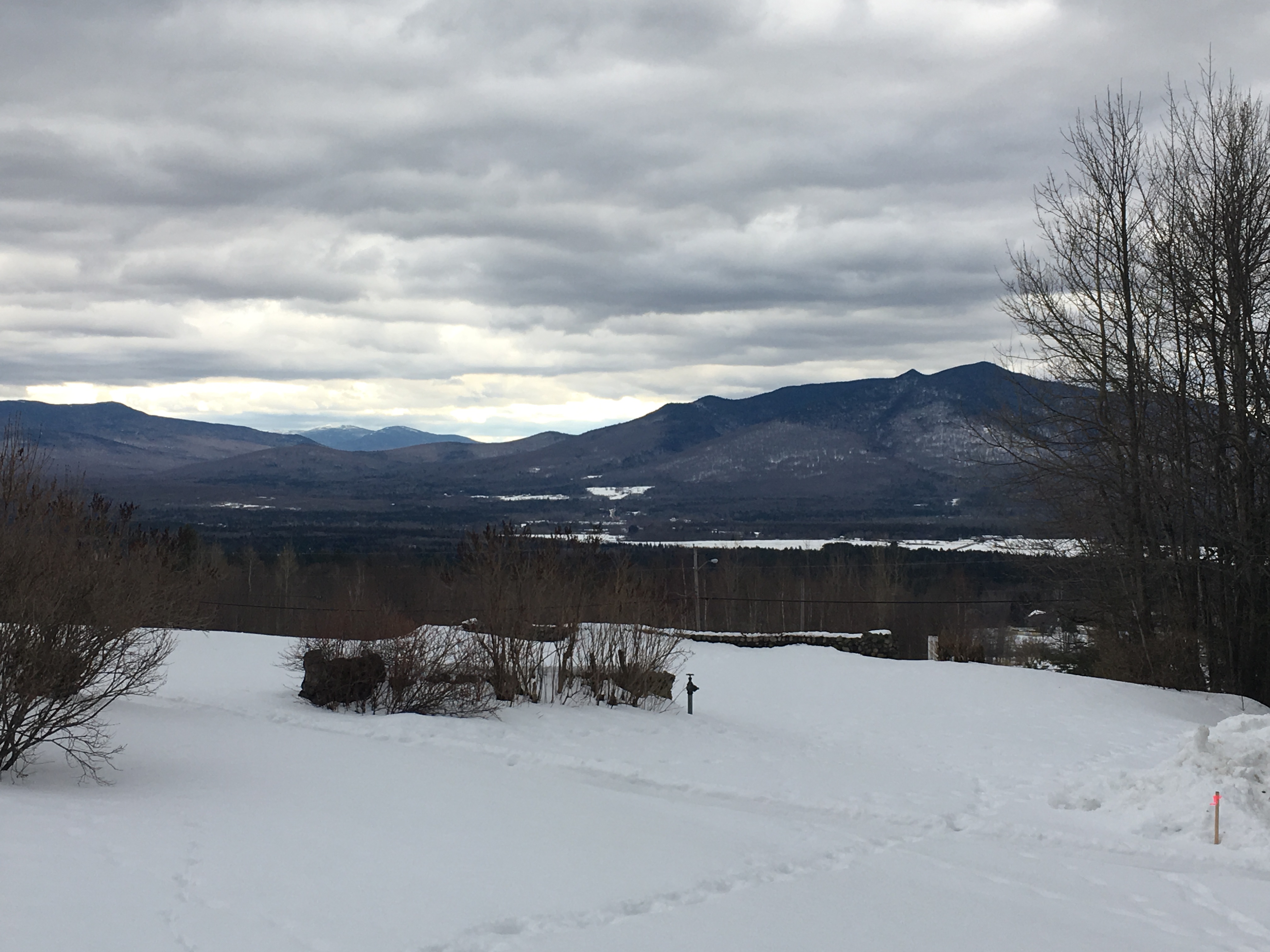
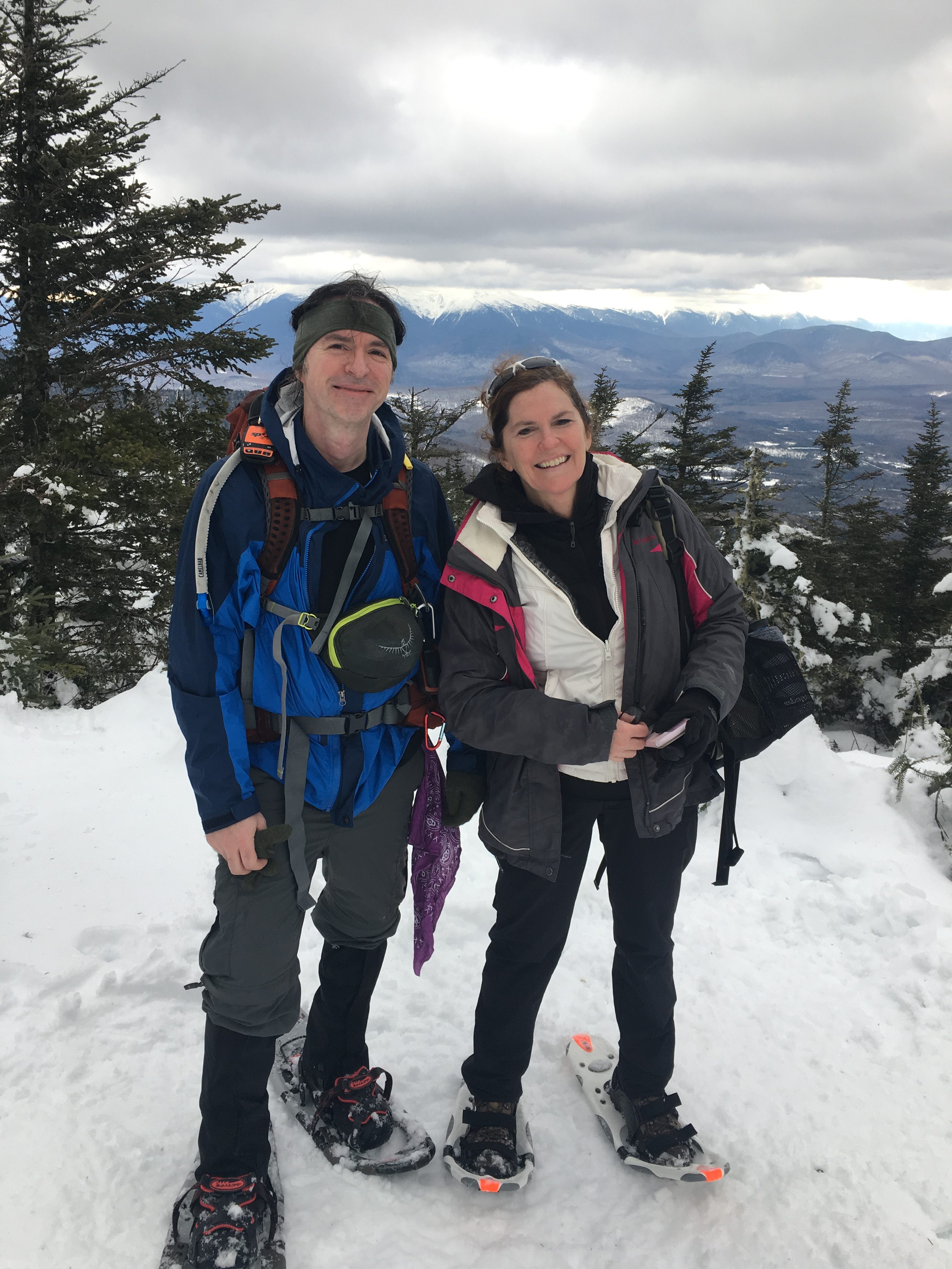
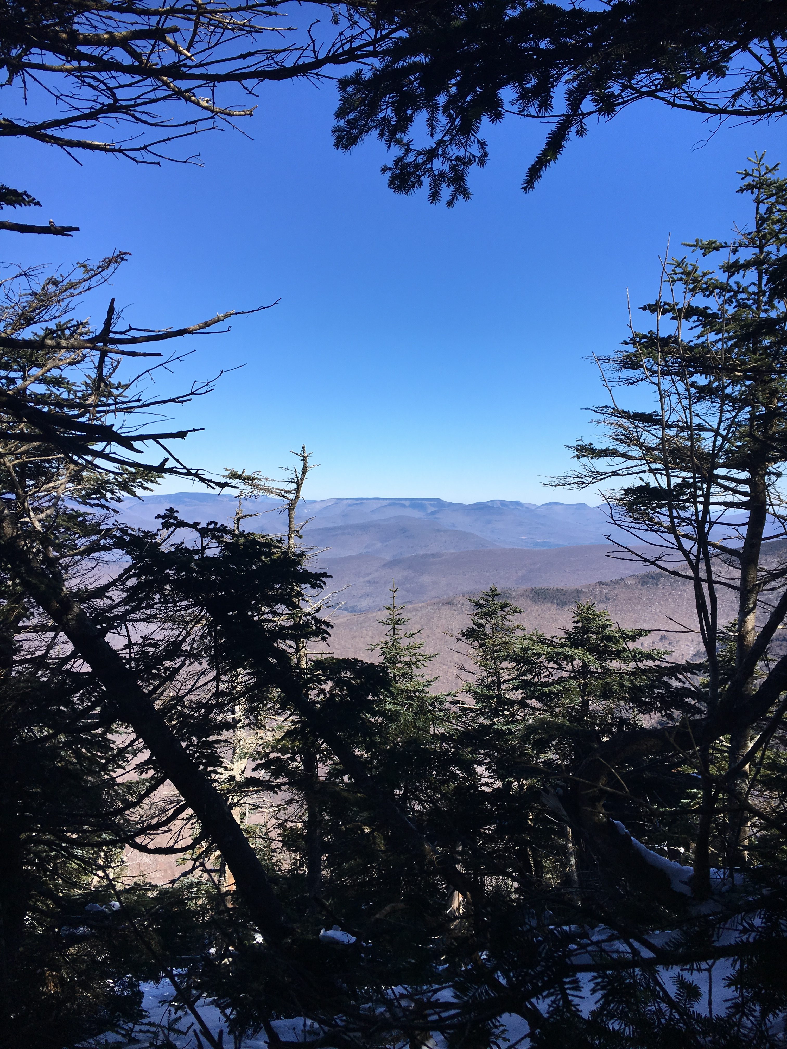
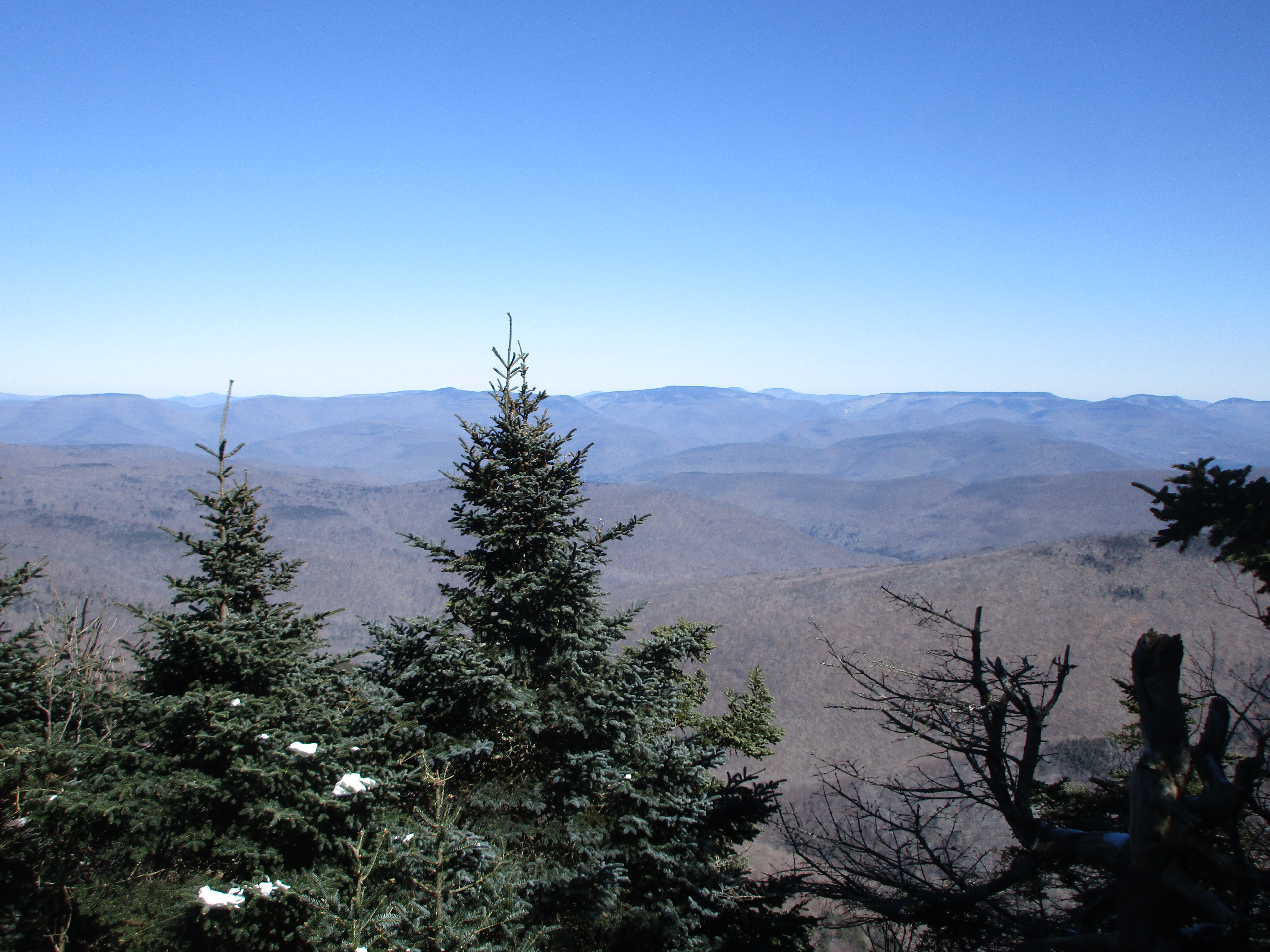
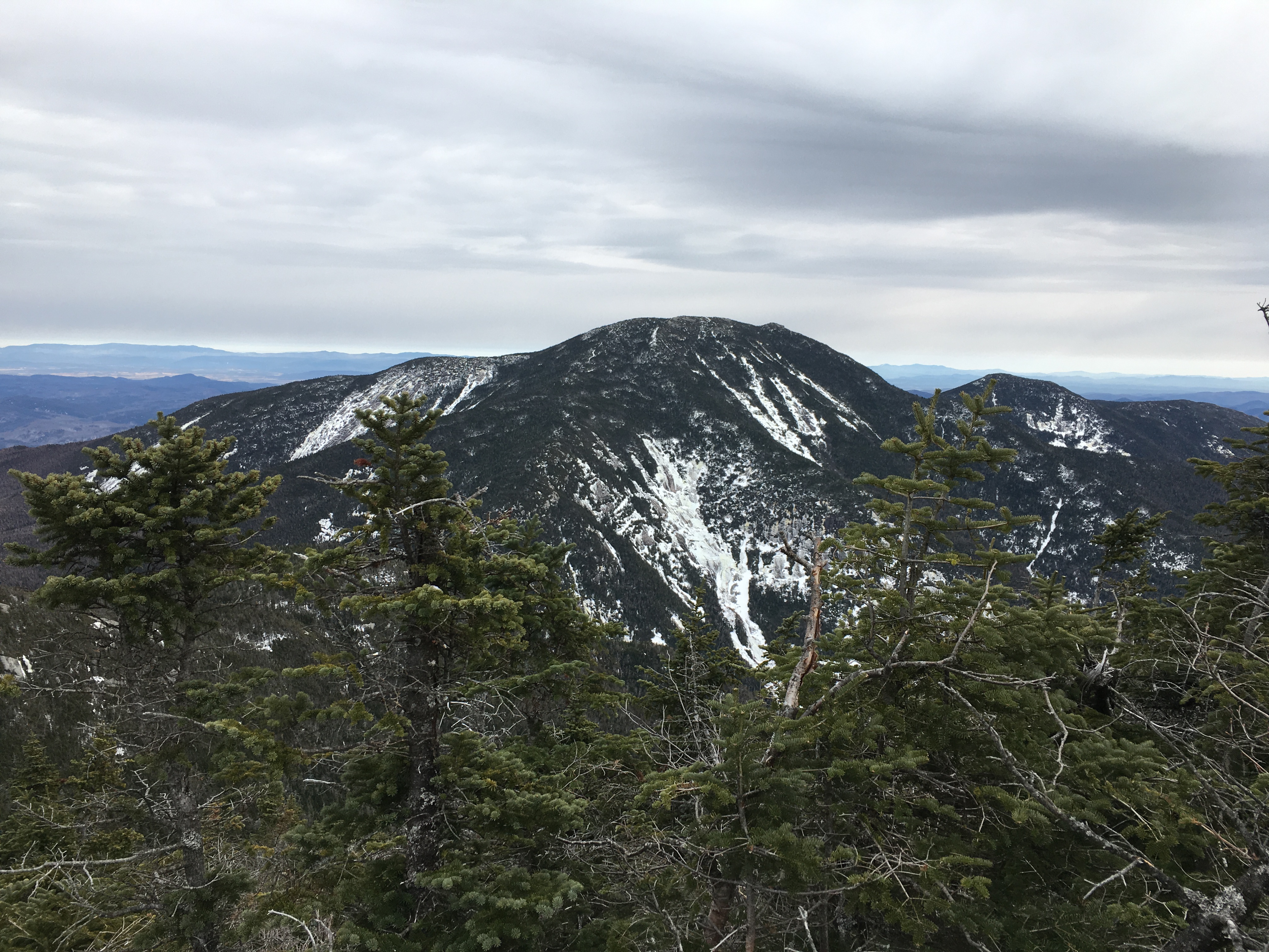
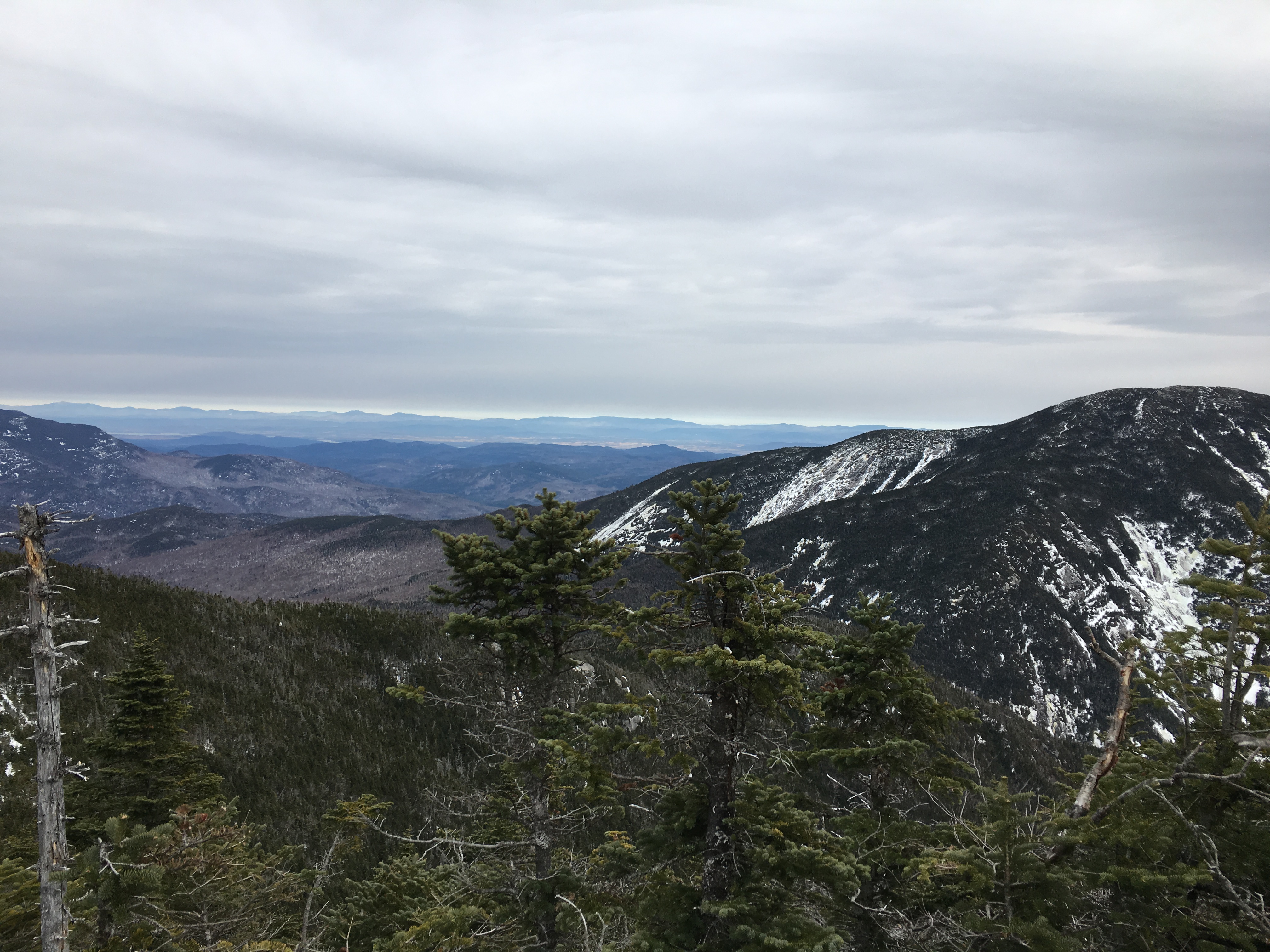
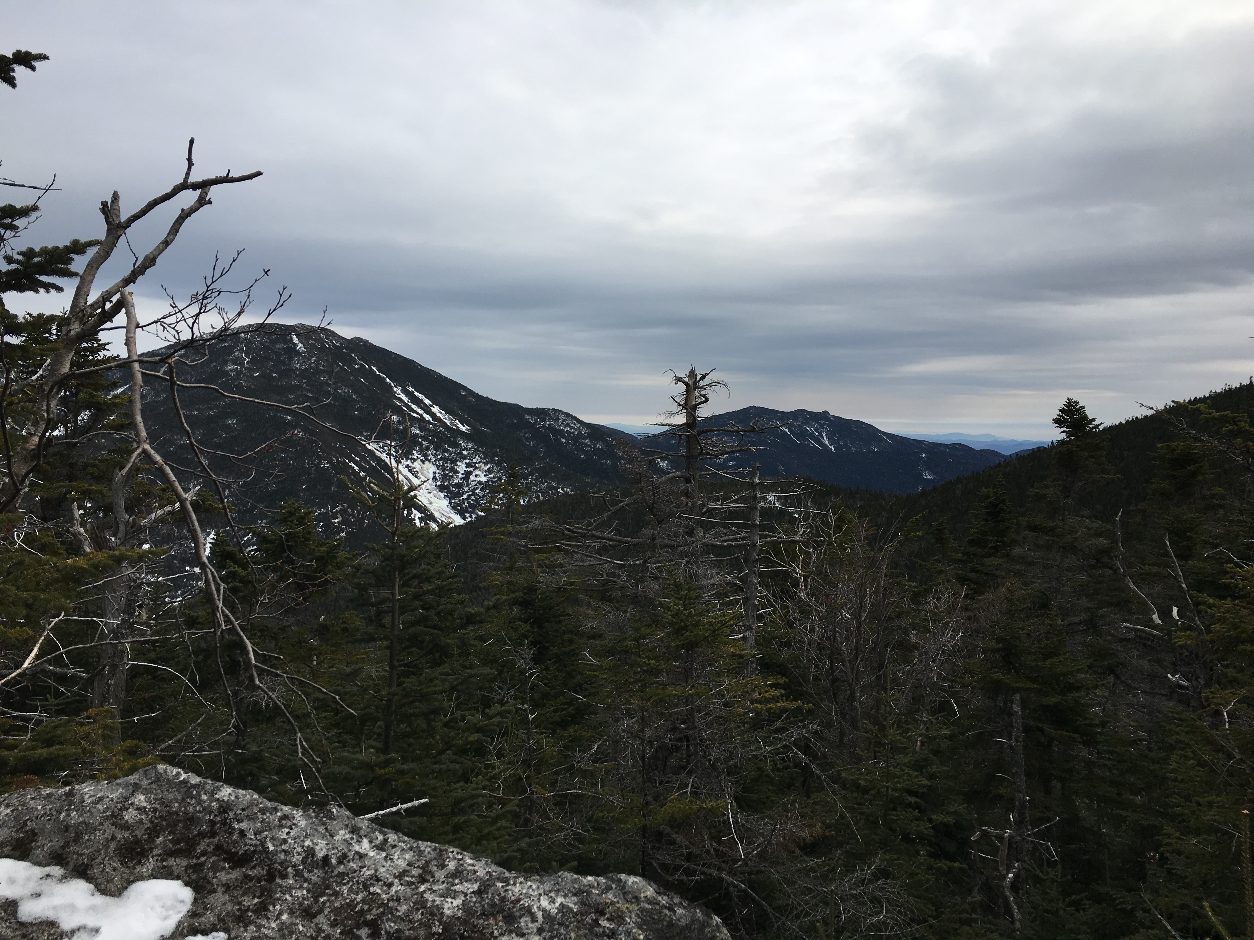
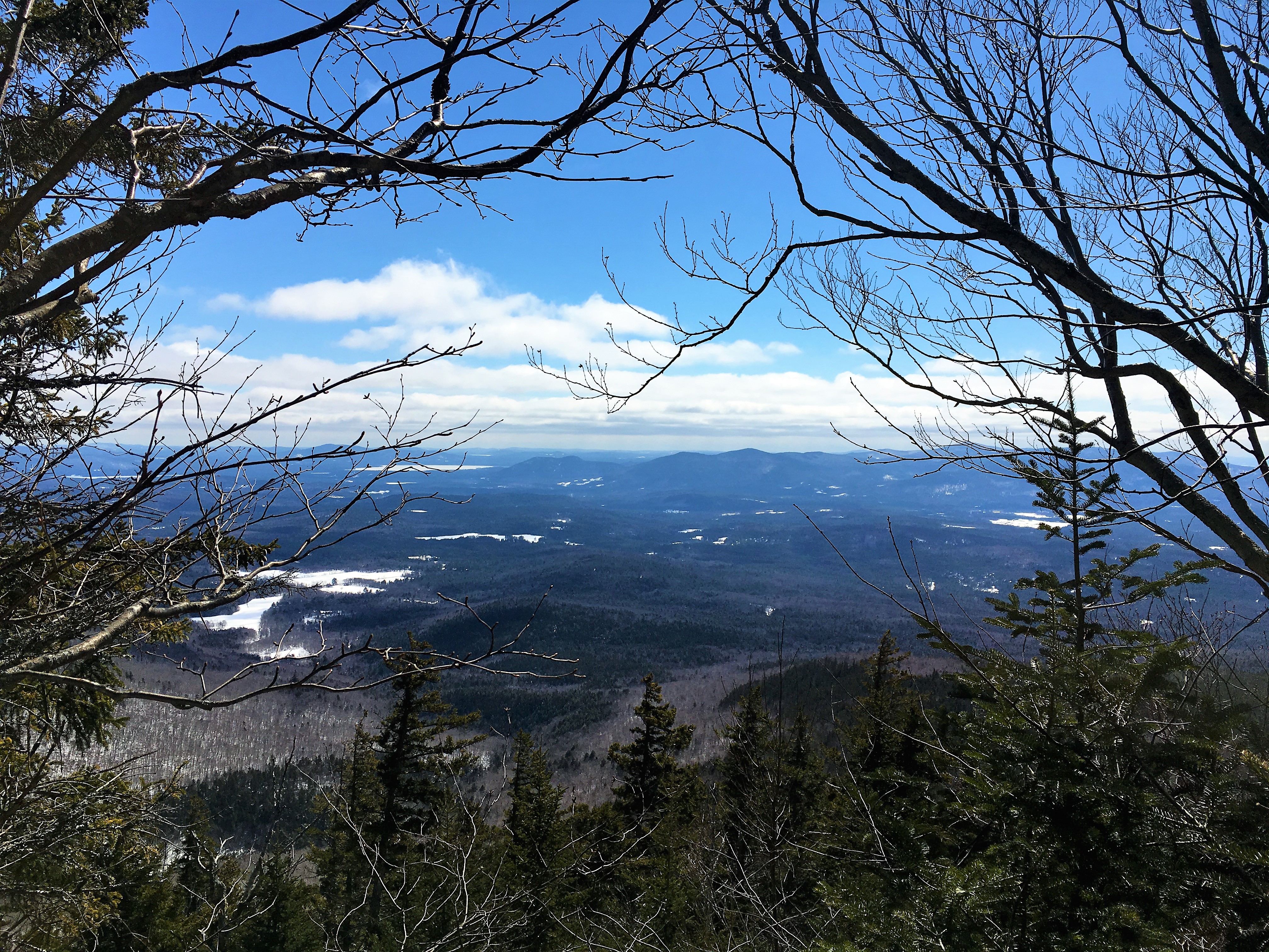
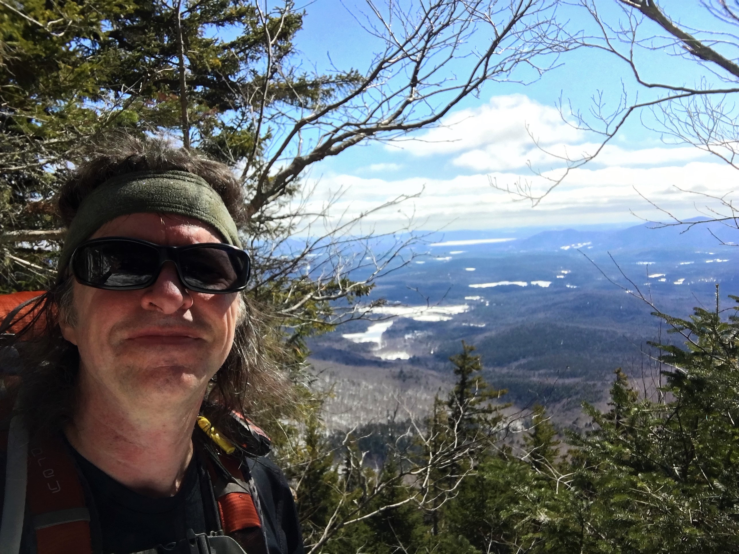
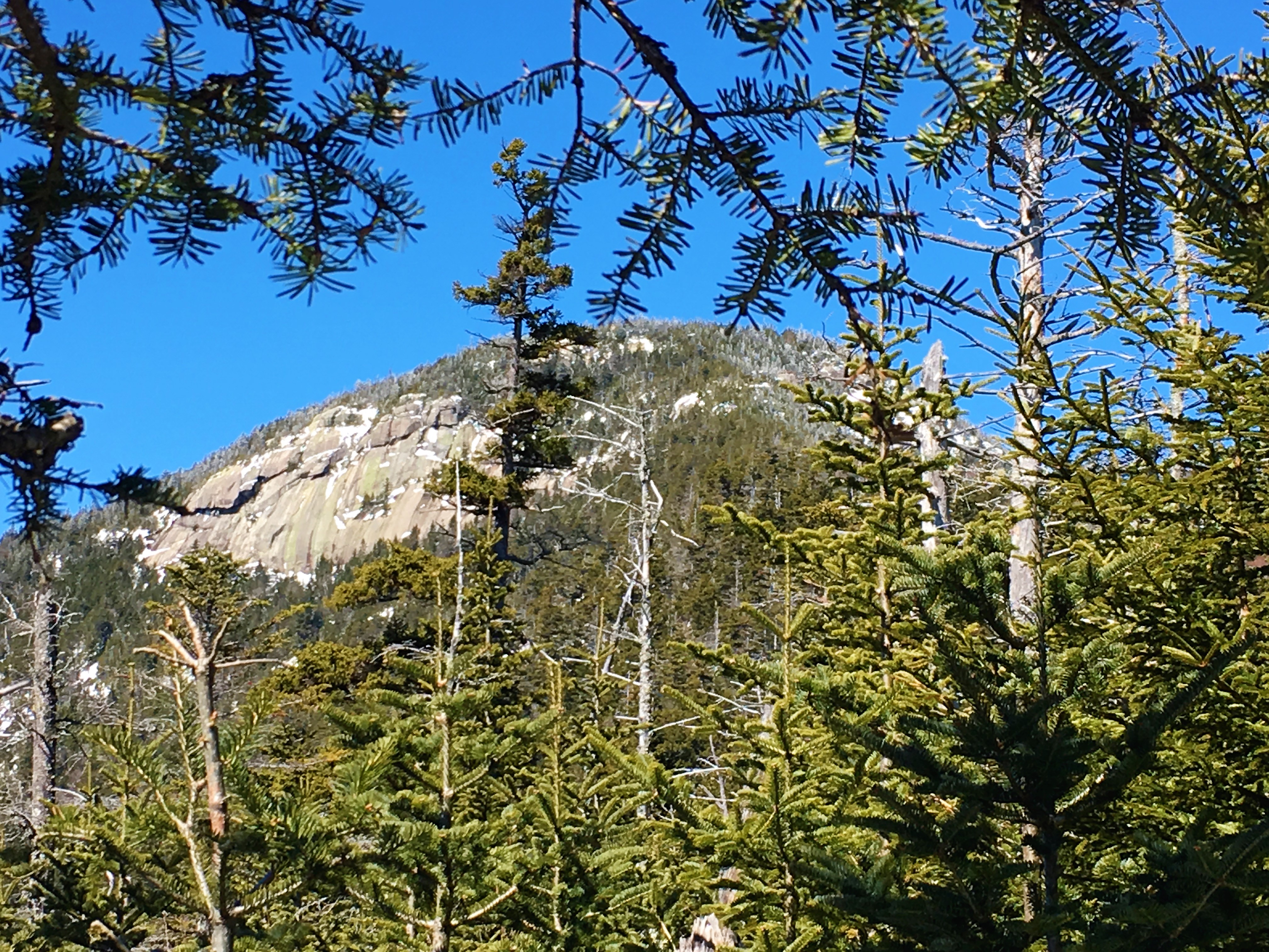
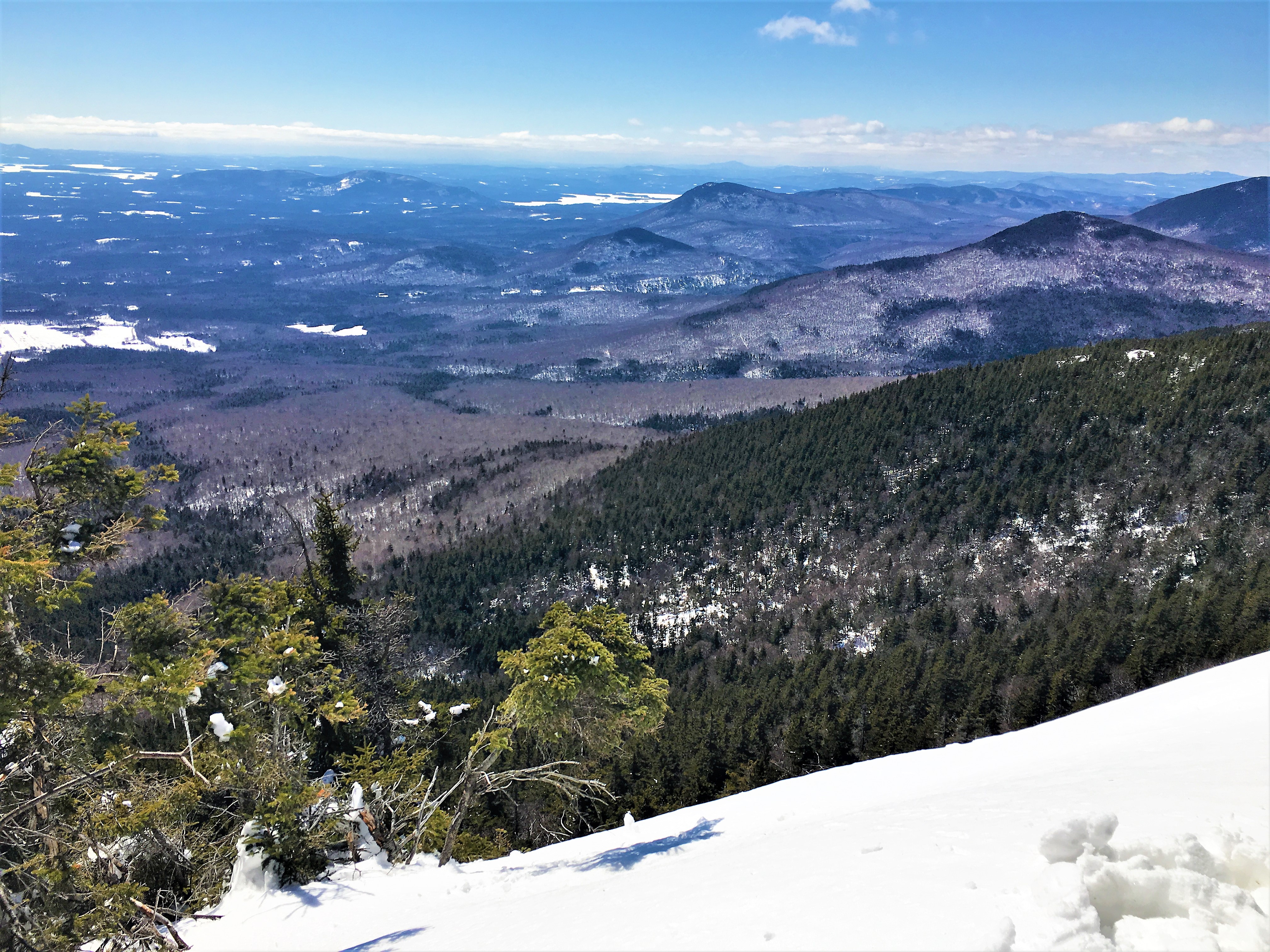
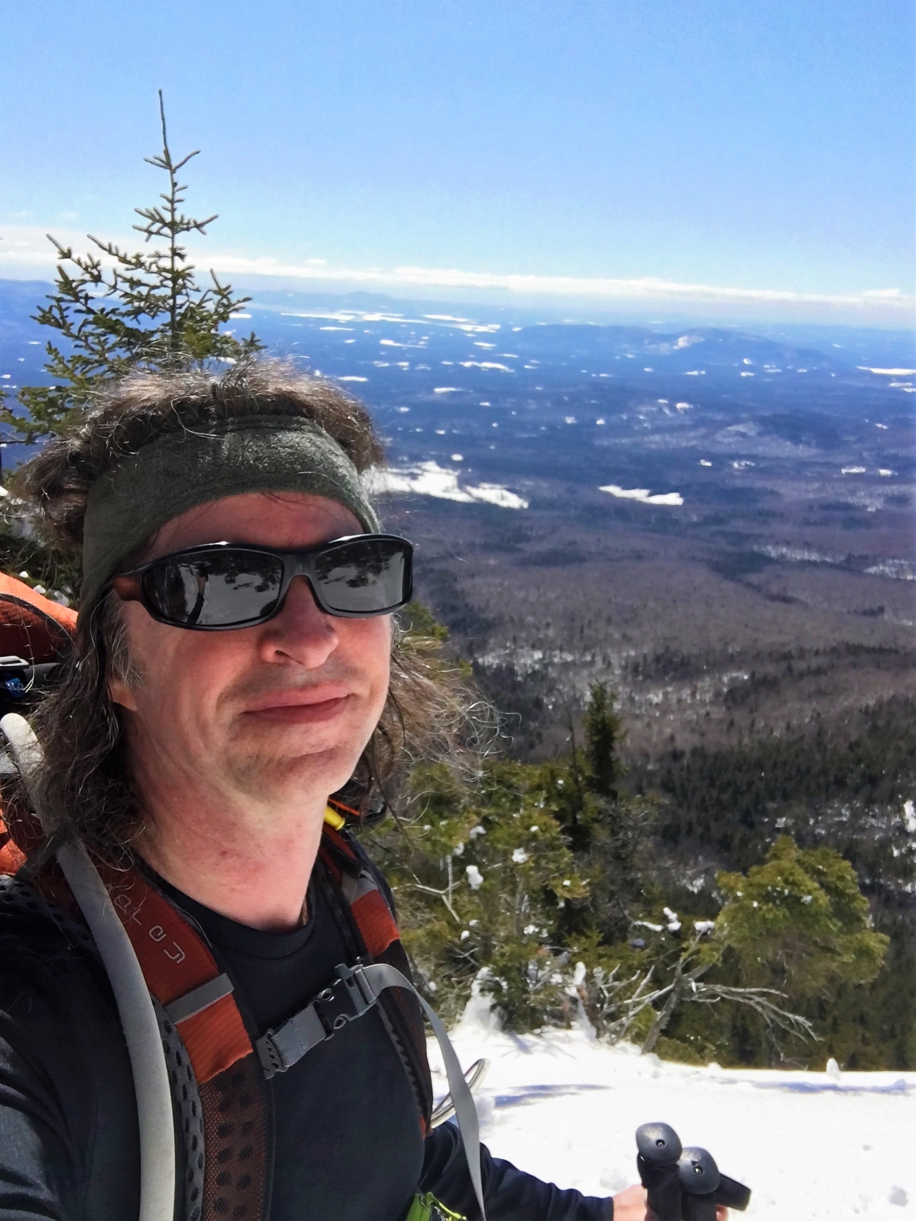
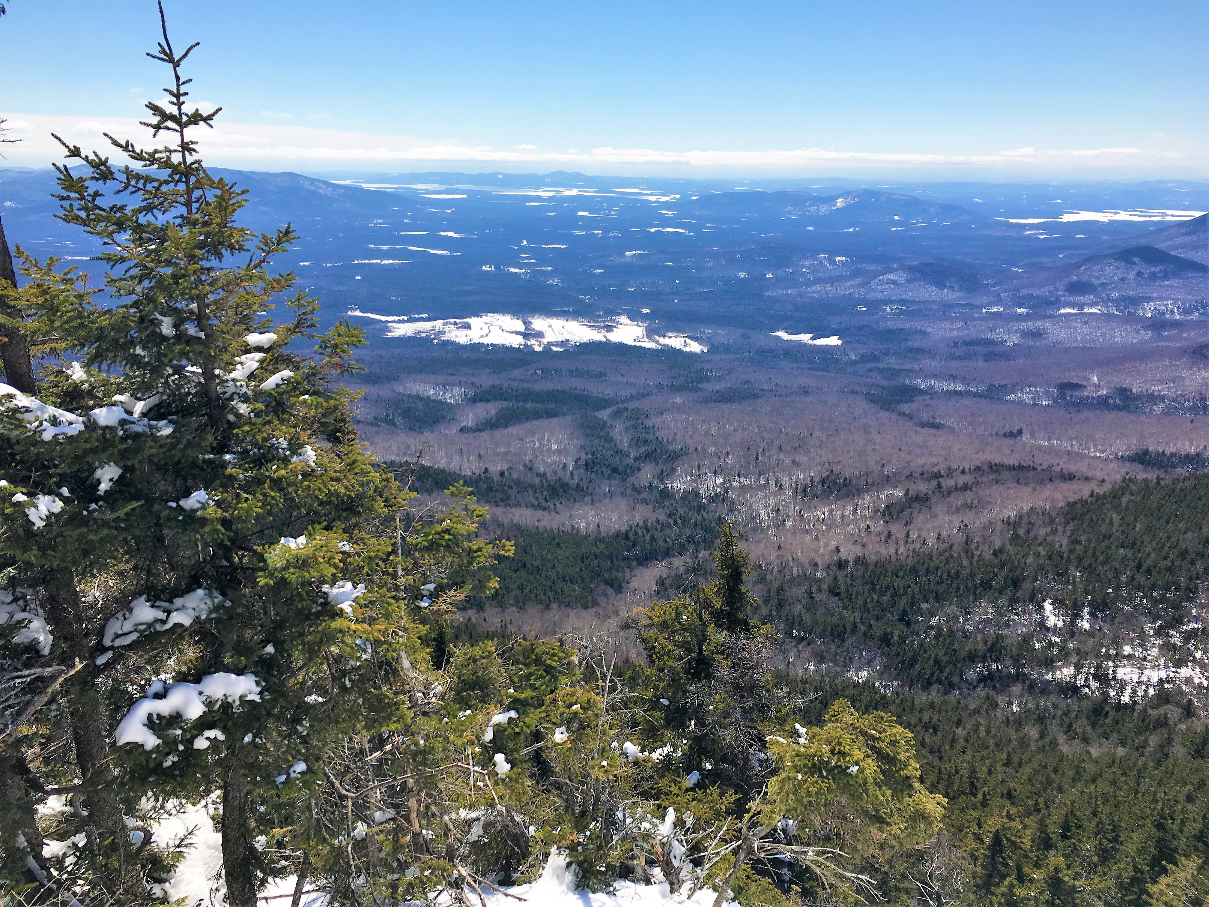
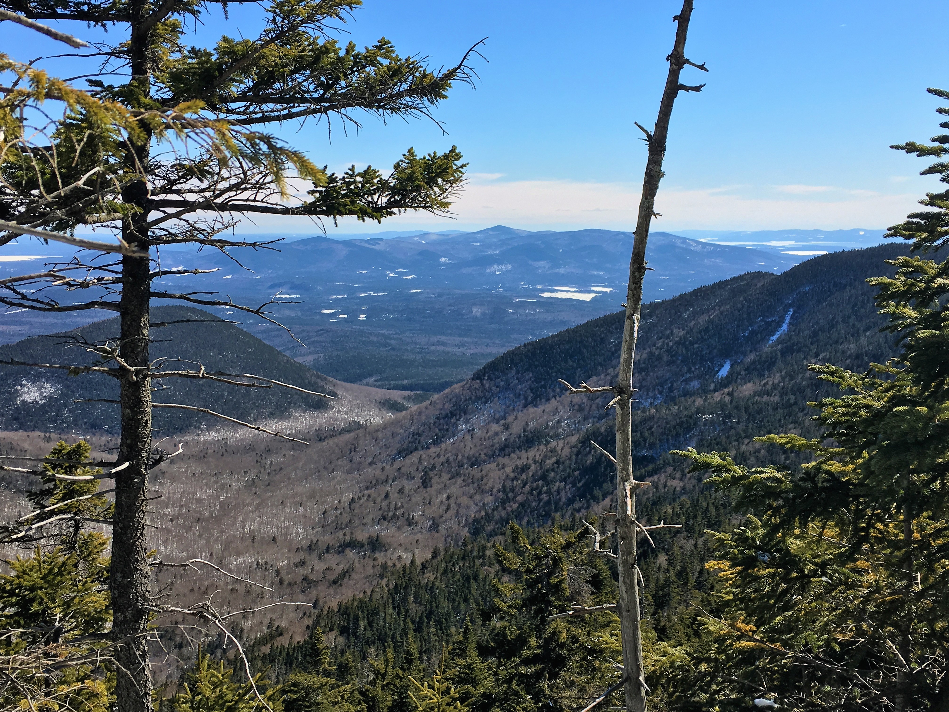
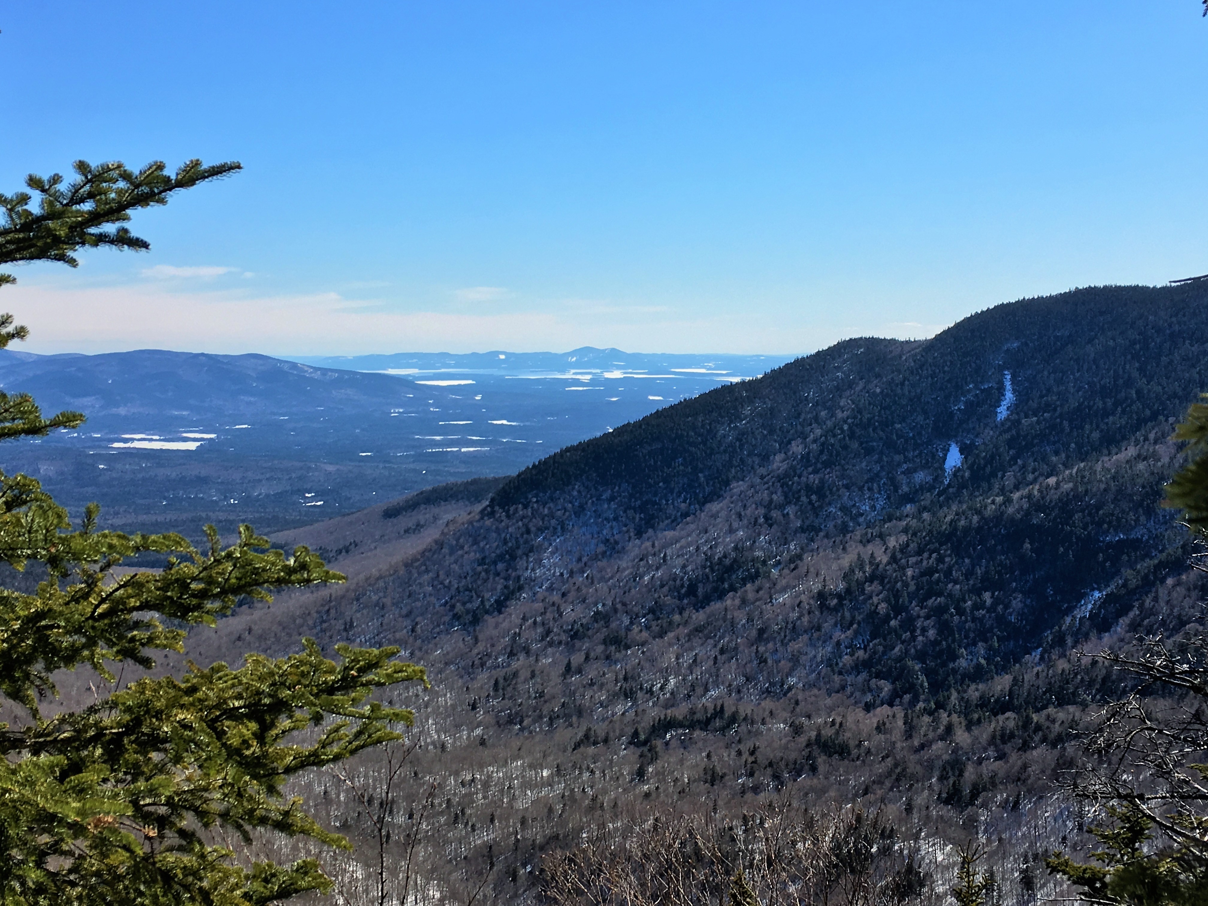
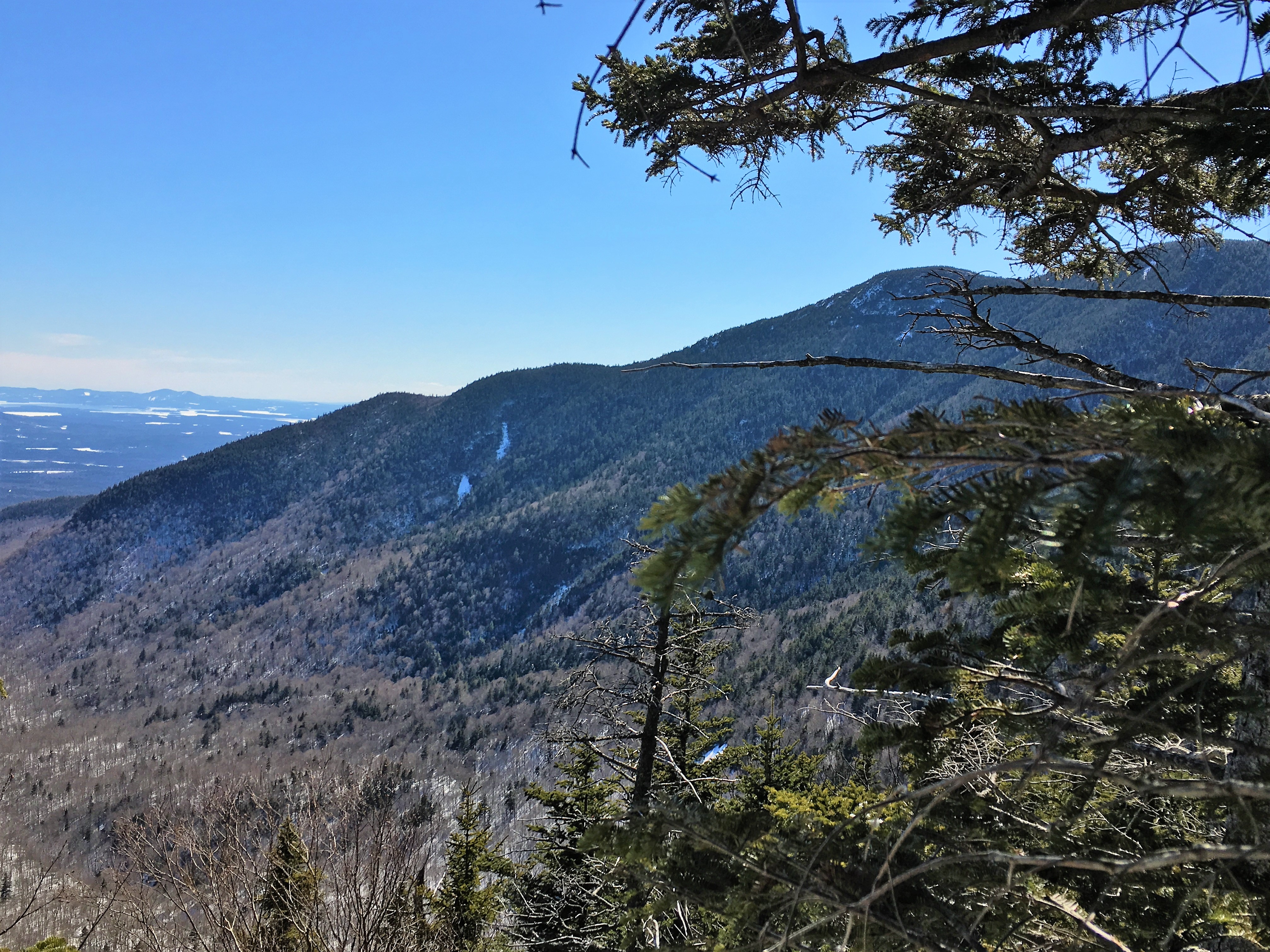
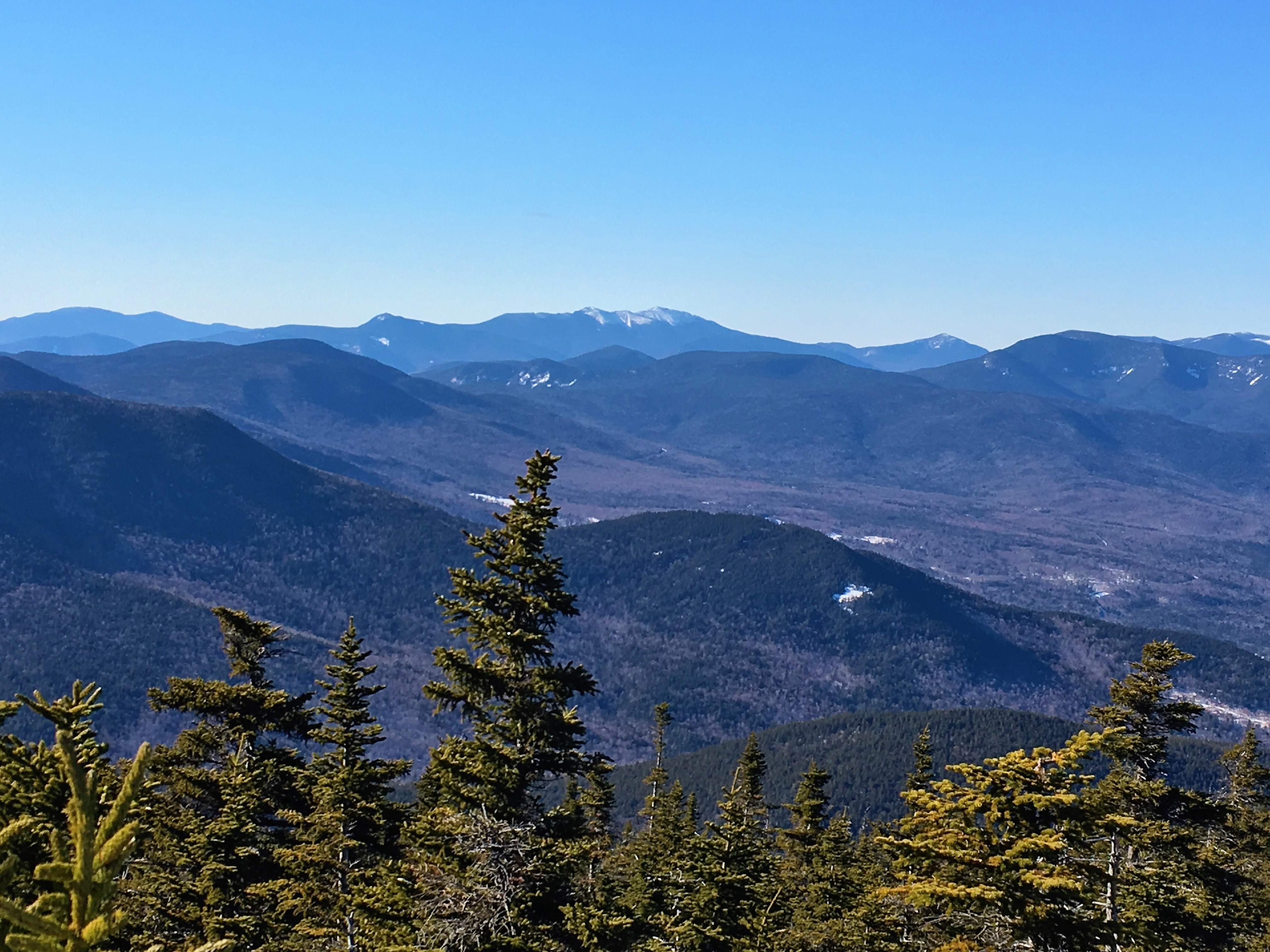
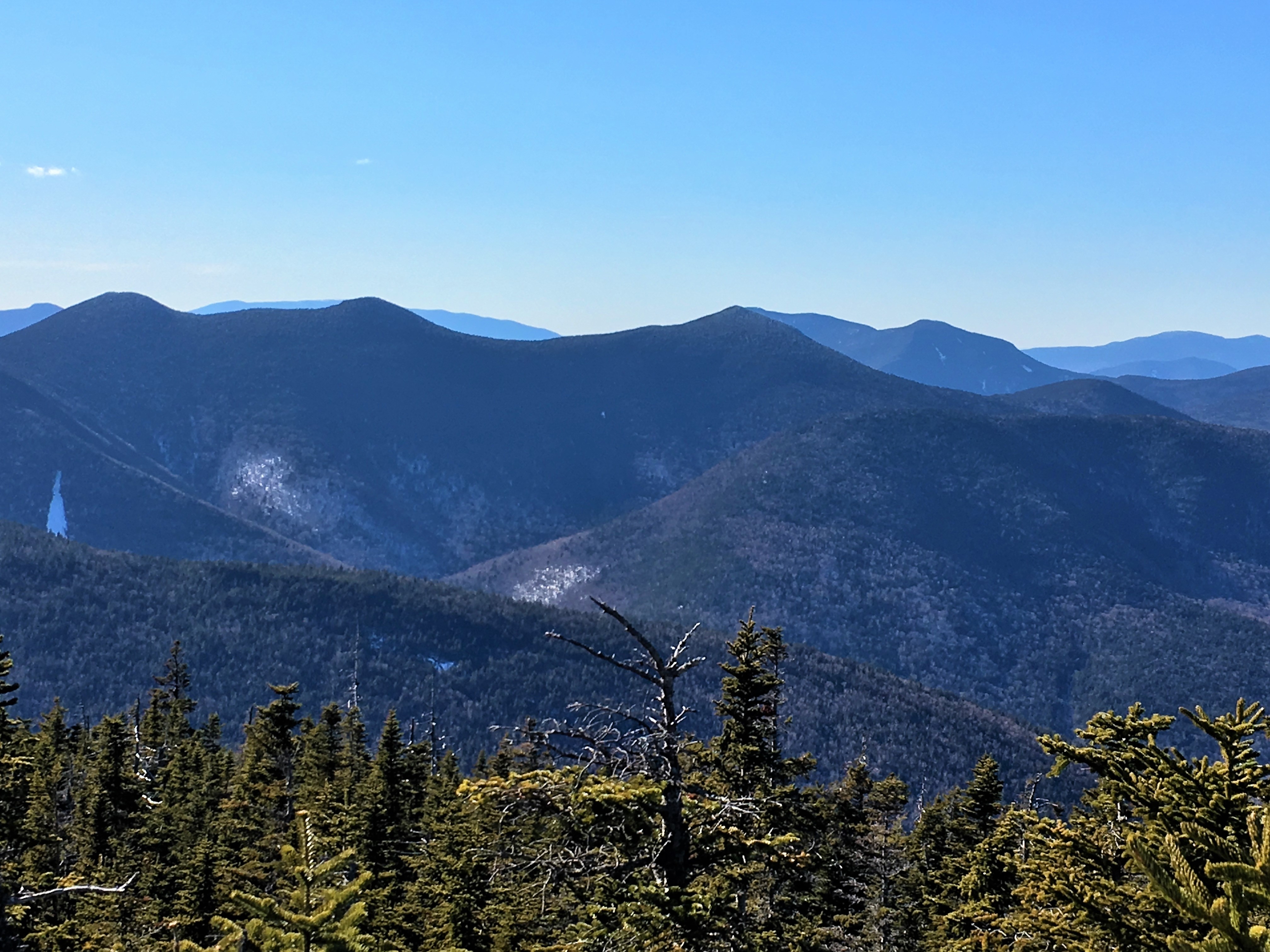
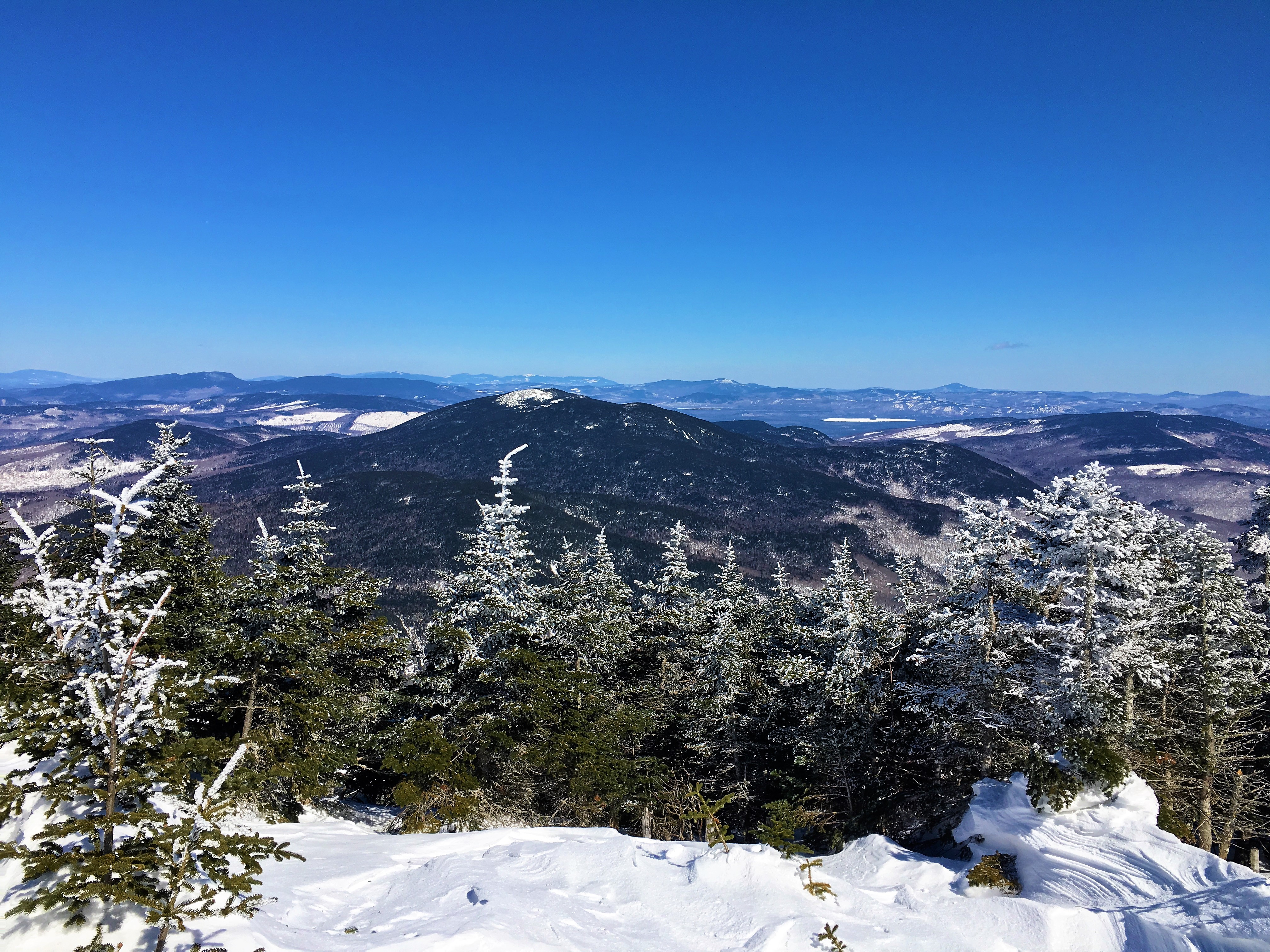
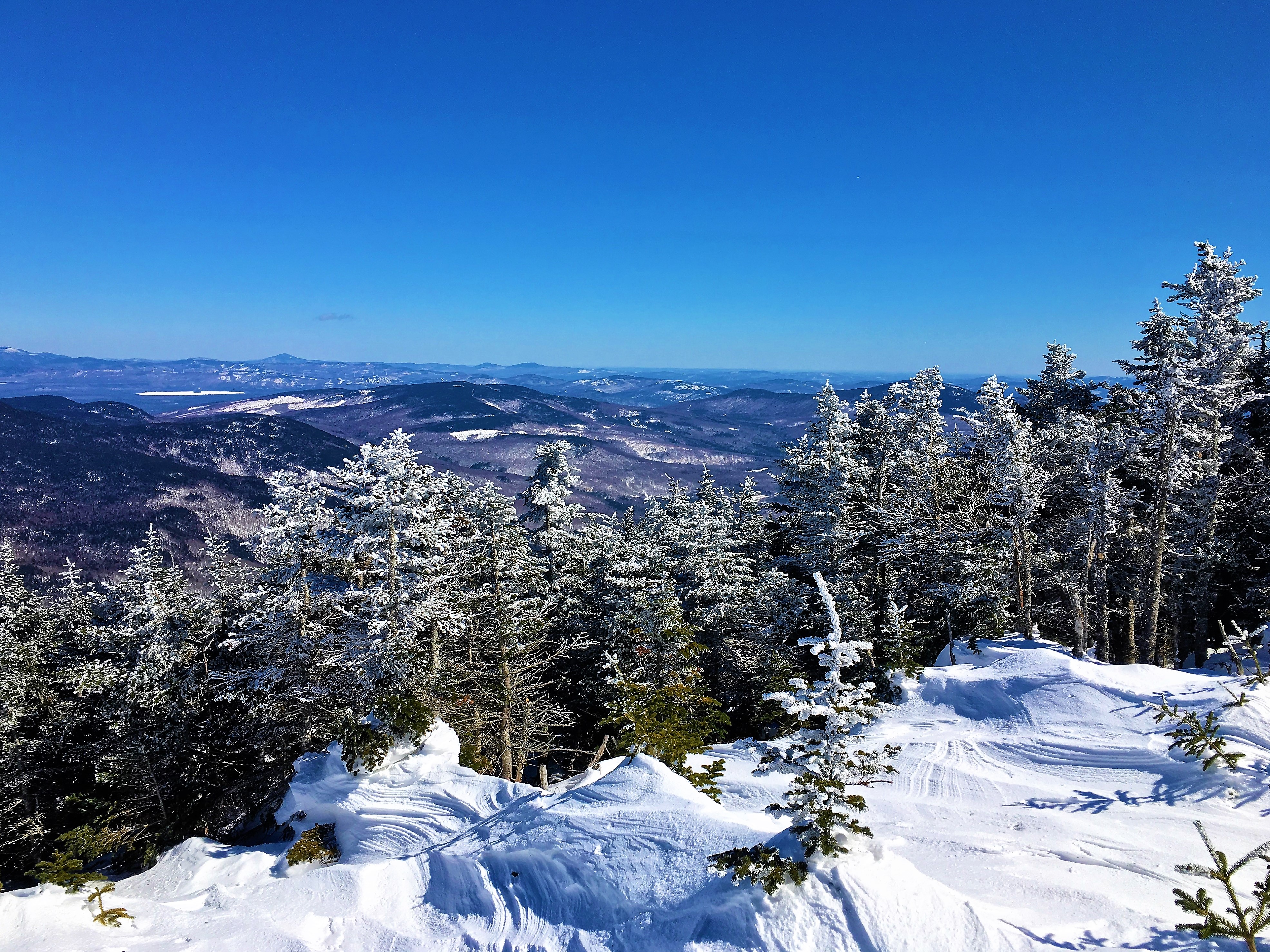
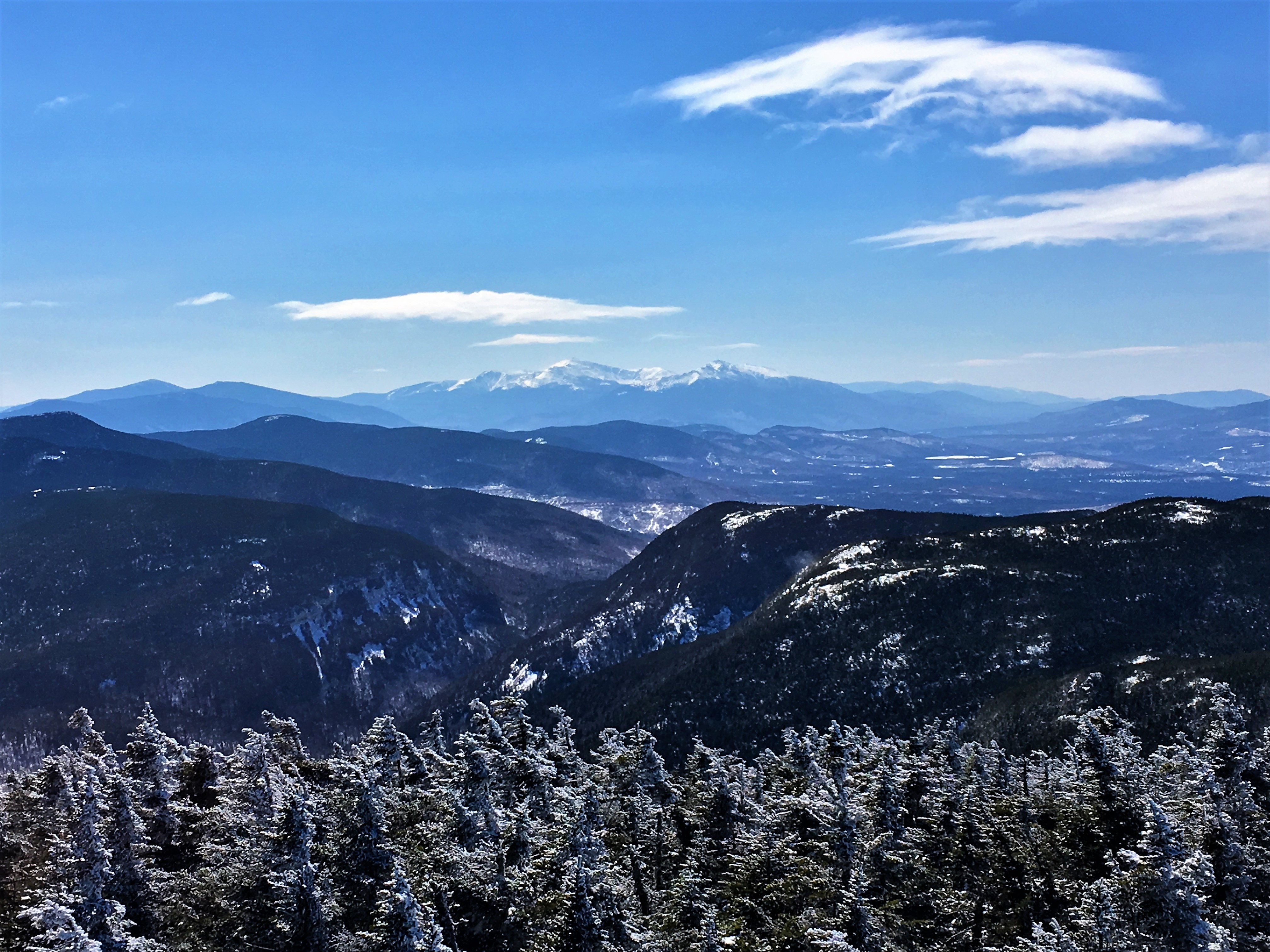
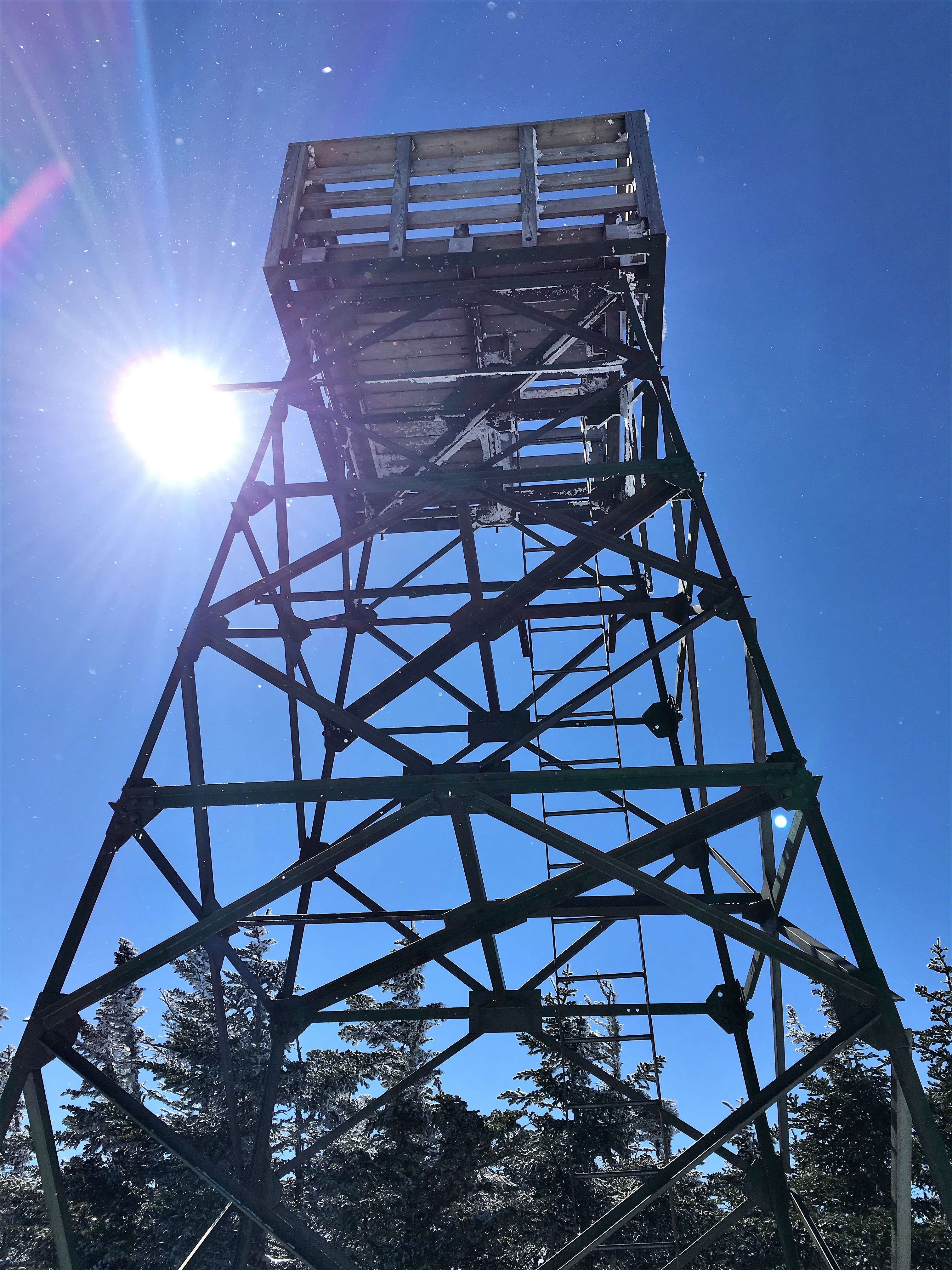
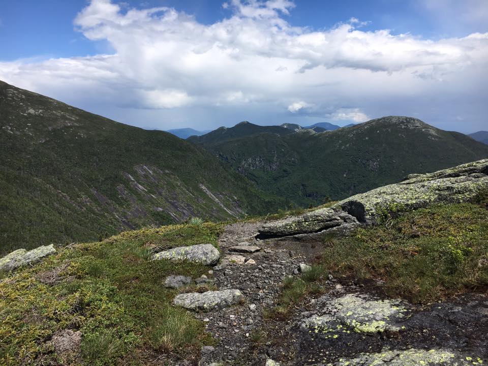
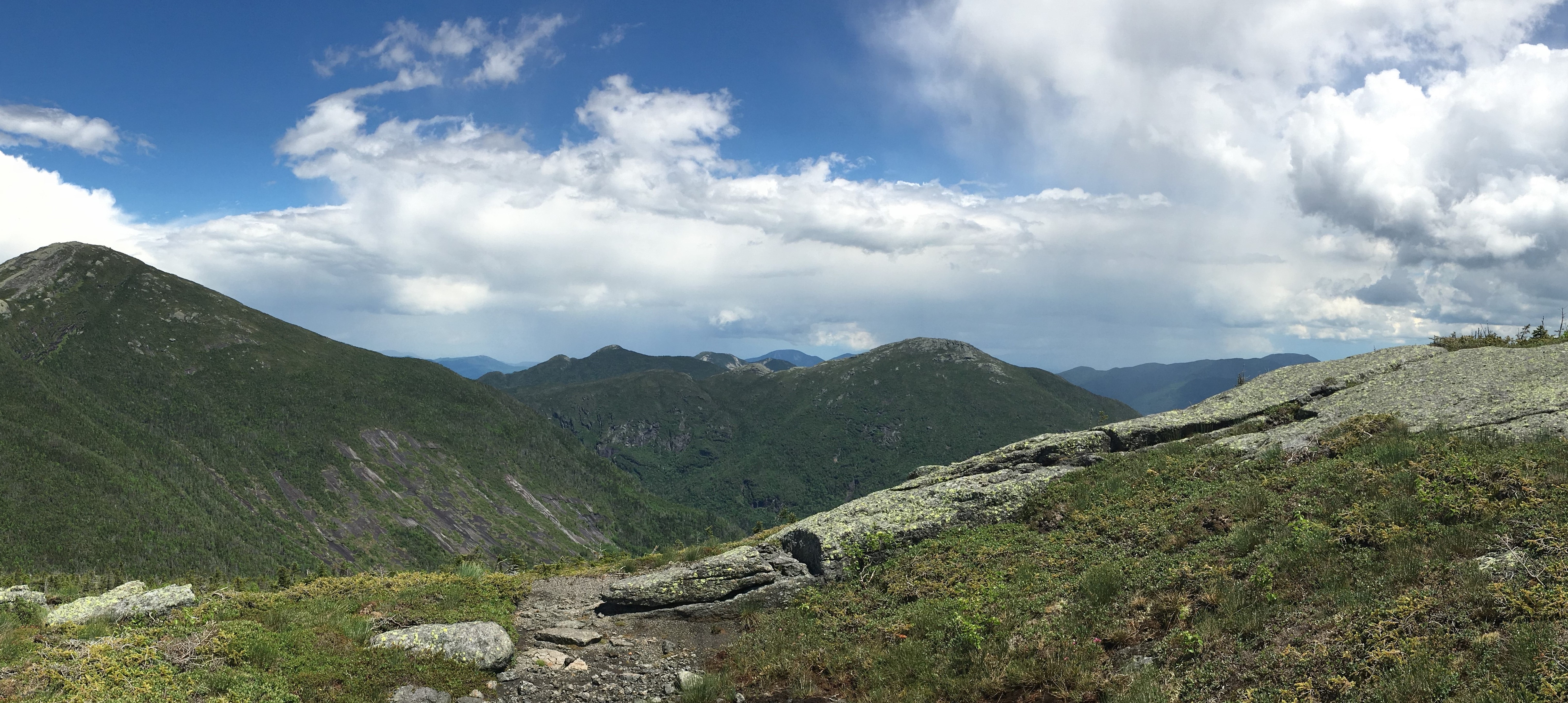
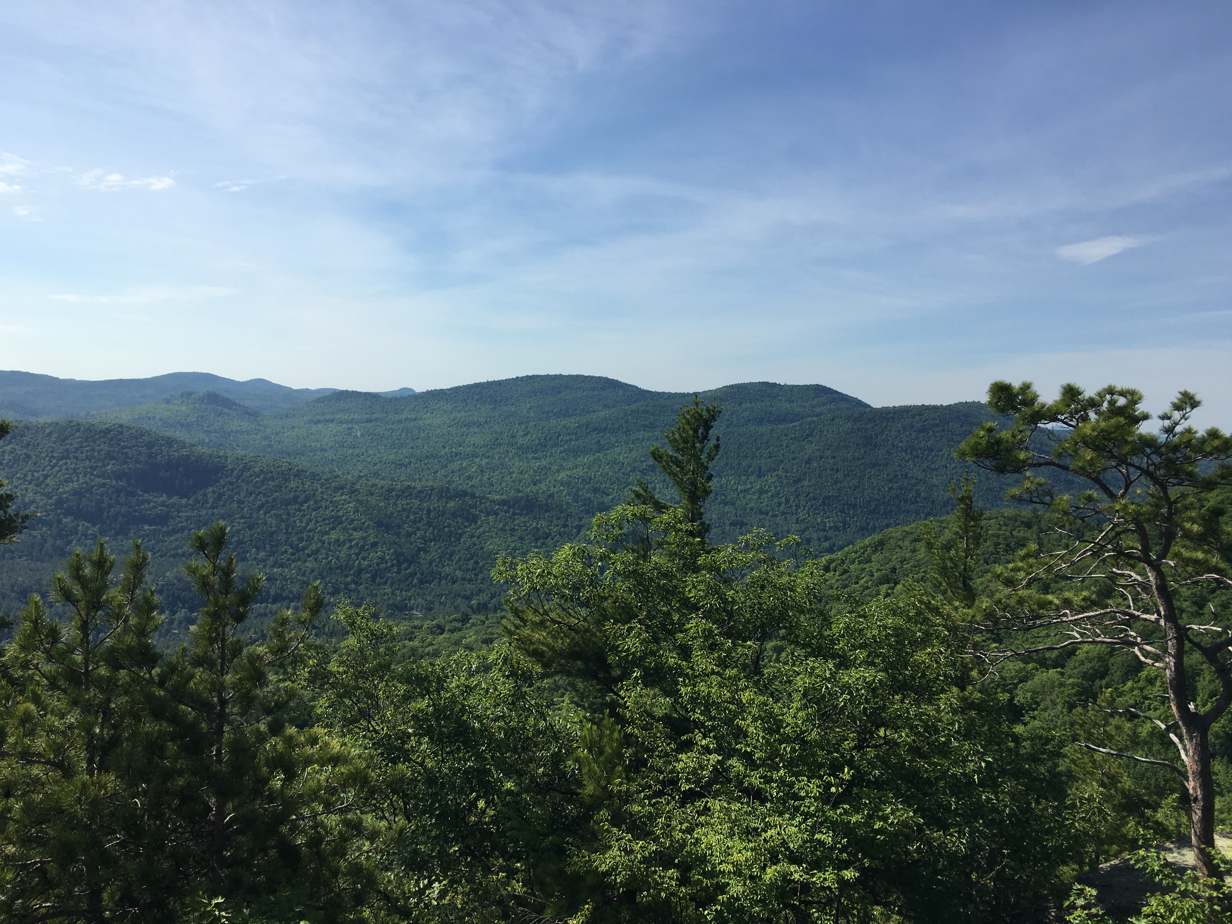
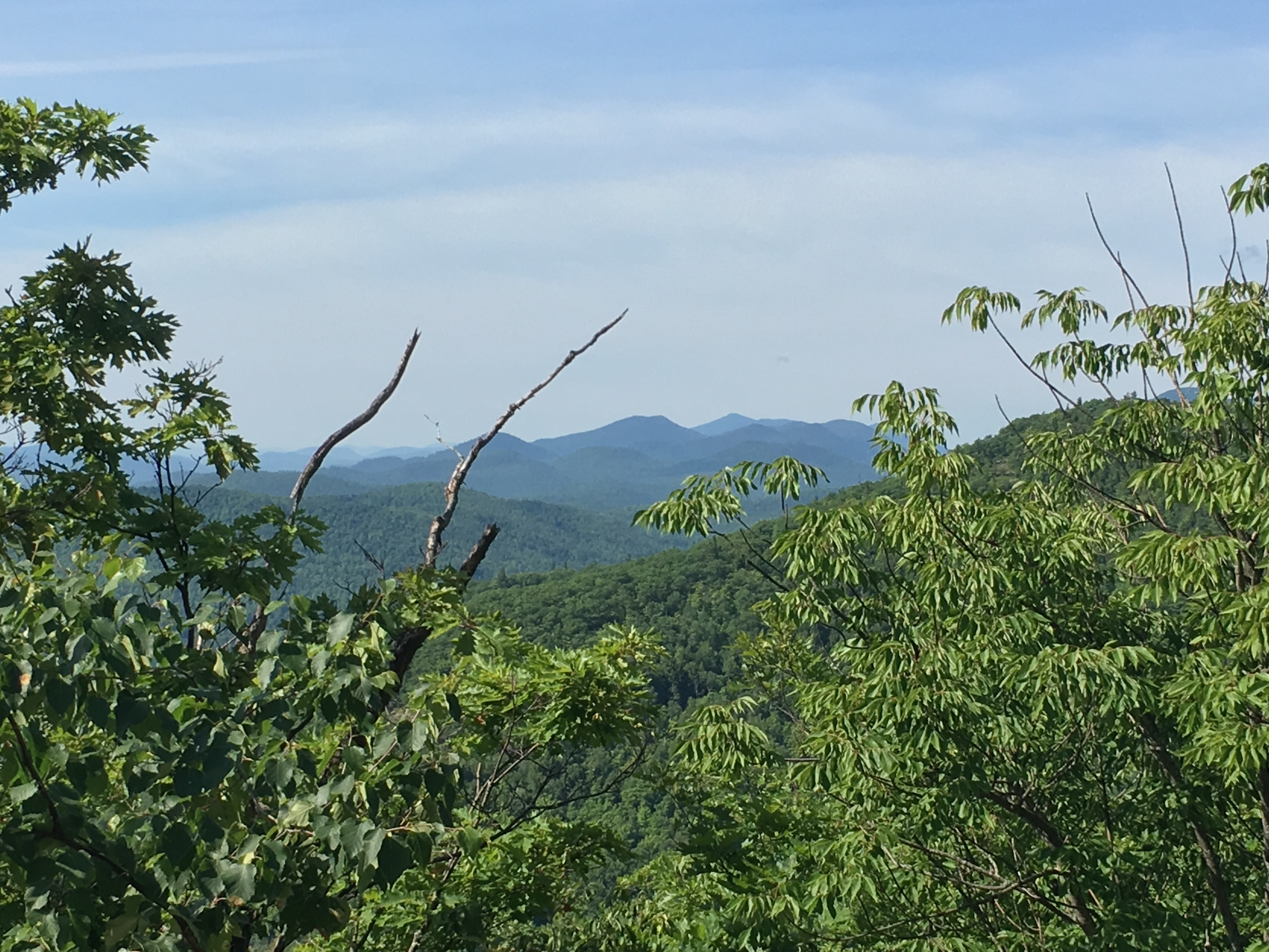
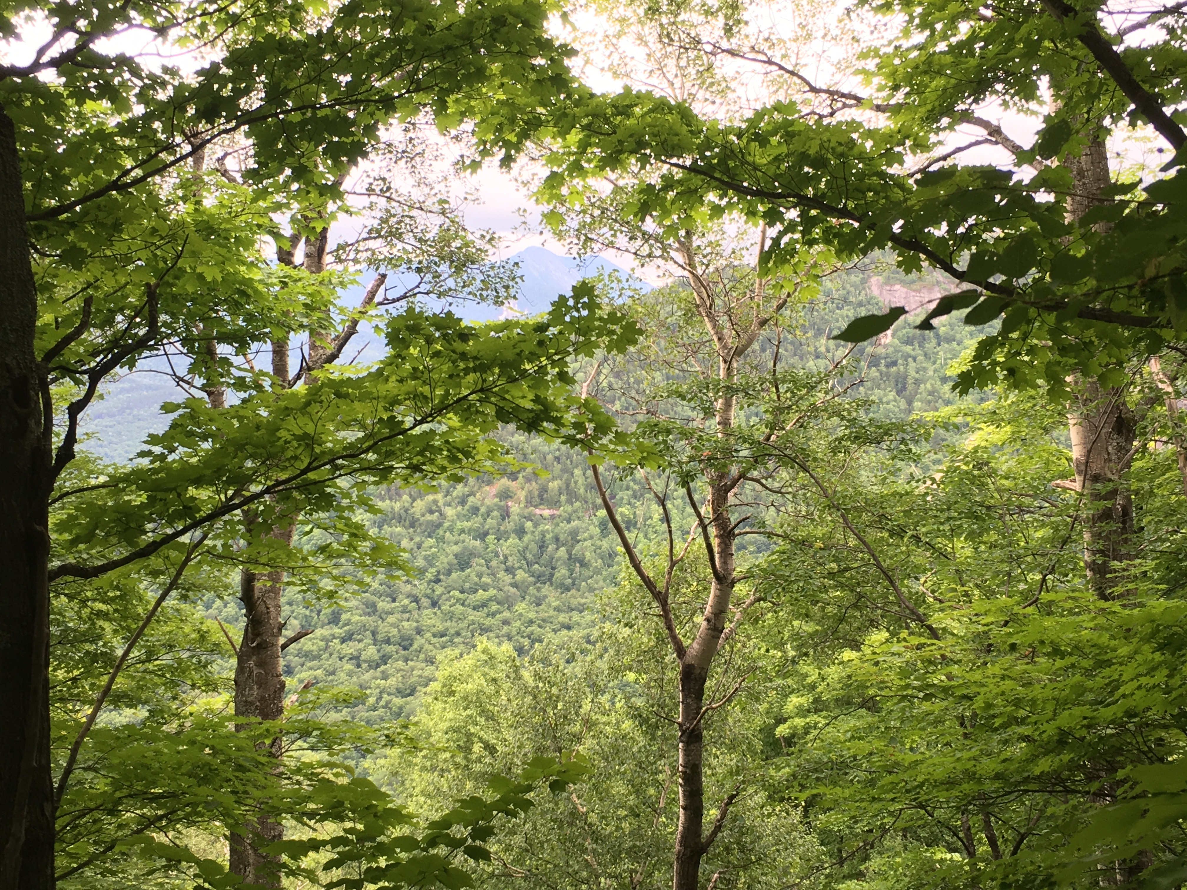
March brought me back out west for another few days in NY. Simba greeted me with excitement for he knew what a visit from uncle Mike meant. We’re going hiking!! The 3 of us headed out to the Catskills for a great Sunday drive and a nice easy grade up to Slide Mountain. Then the next day I seemed to have all of the Adirondacks to myself with the exception of one other human (the only soul I saw all day), as I did a 10-hour loop around Nippletop and Dial. I actually passed my sister on the list for the first time on this day, but she outdid me the following week with a large meet-up group on Street and Nye. Meanwhile I was back in the southern Whites picking up a few more W48’s on the last full day of winter with Whiteface and Passaconaway. As the spring equinox arrived, my sister and I closed out the season with an introduction to Maine hiking. Old-Speck should have been named Cold-Speck on this day. The ruthless wind-chills made this the coldest hike of the season for both of us. It turned out to be a lot harder than we were expecting, but we persisted and were rewarded with spectacular views on the summit tower in single digit temps and hearty wind gusts.
Each Winter somehow seems to get better than the last and I wonder how 2018 will try to top this. But now I will switch gears and set sights on some long summer backpack trips, truly thankful for another Winter blessing. These images and highlights will stick with me in the years to come wherever my feet carry me in future journeys. Thank You Winter 2017!
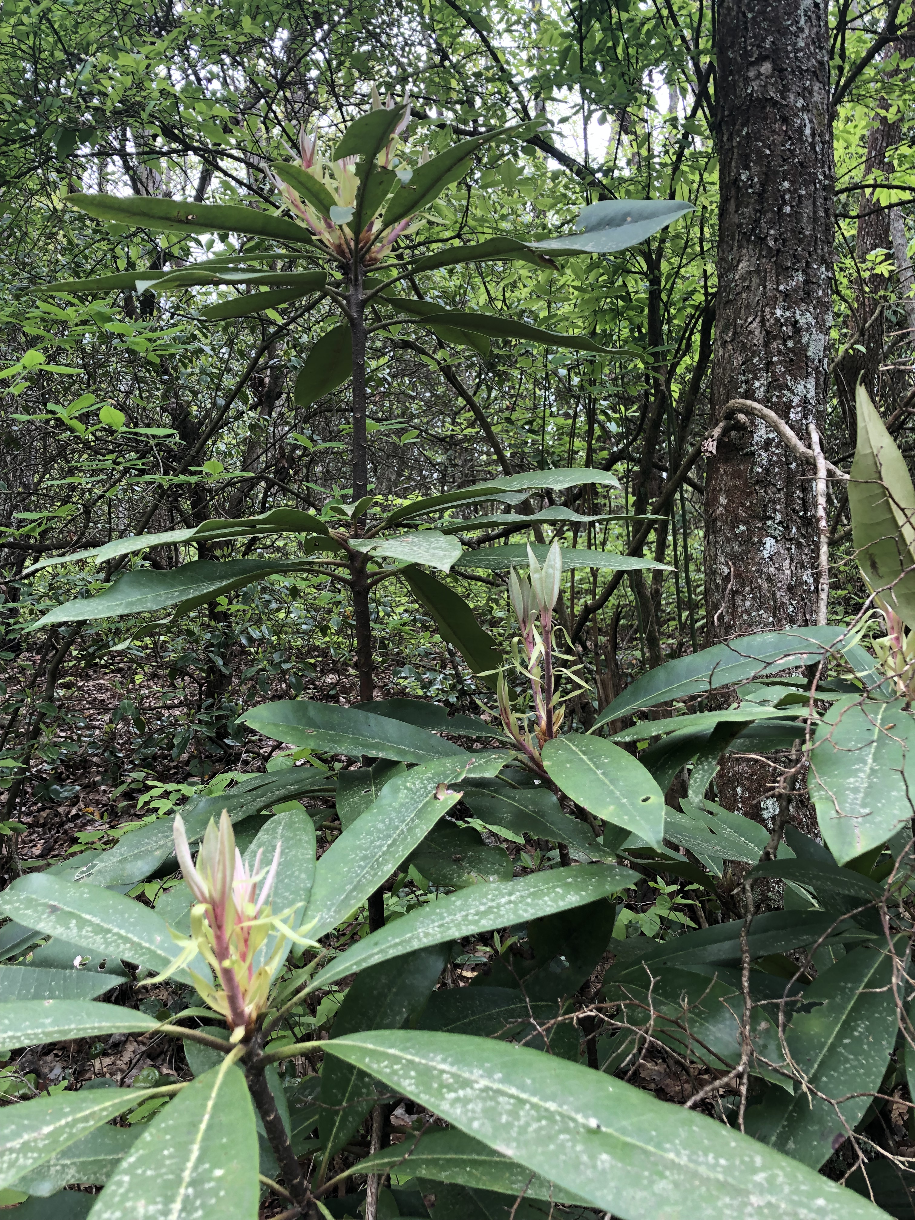
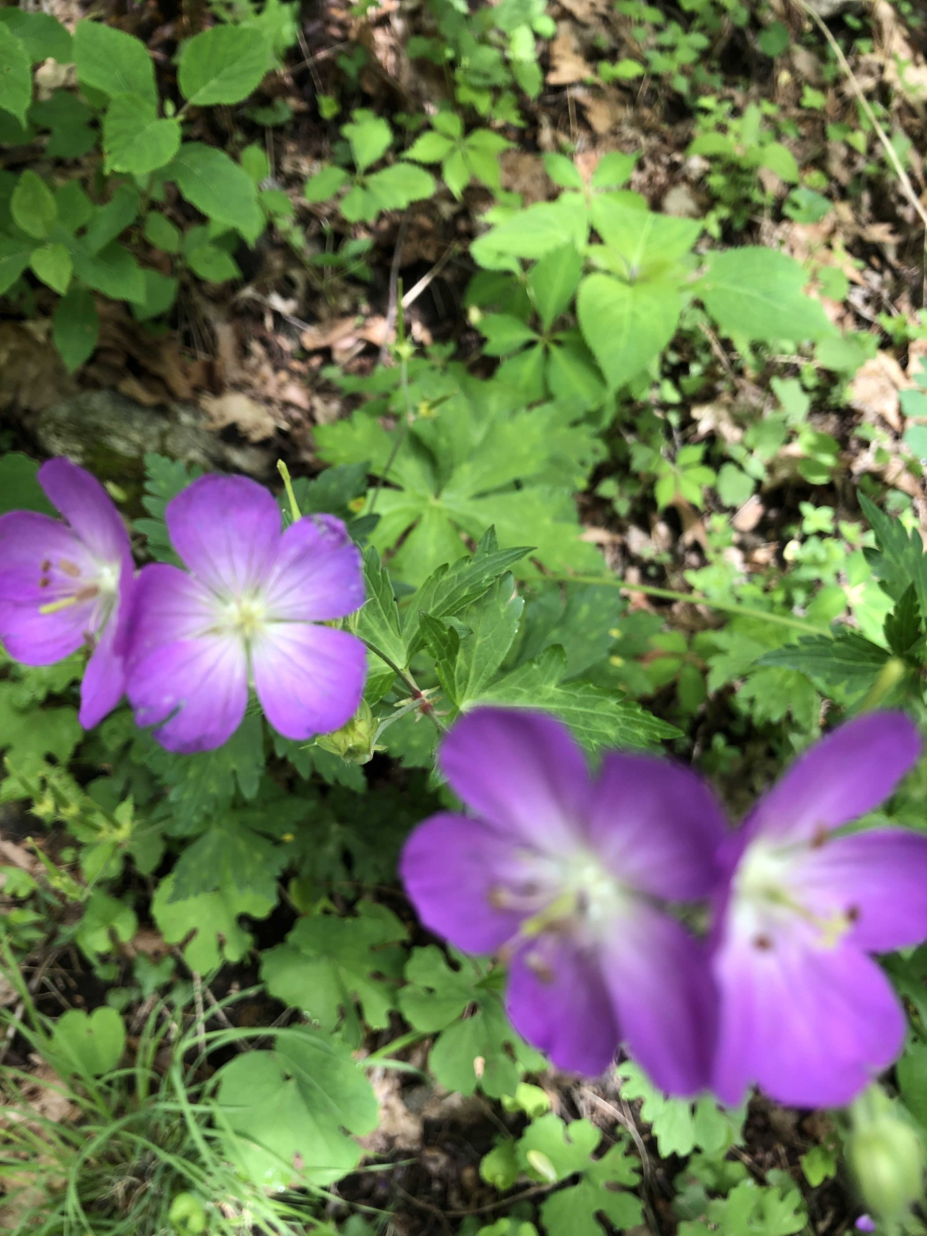
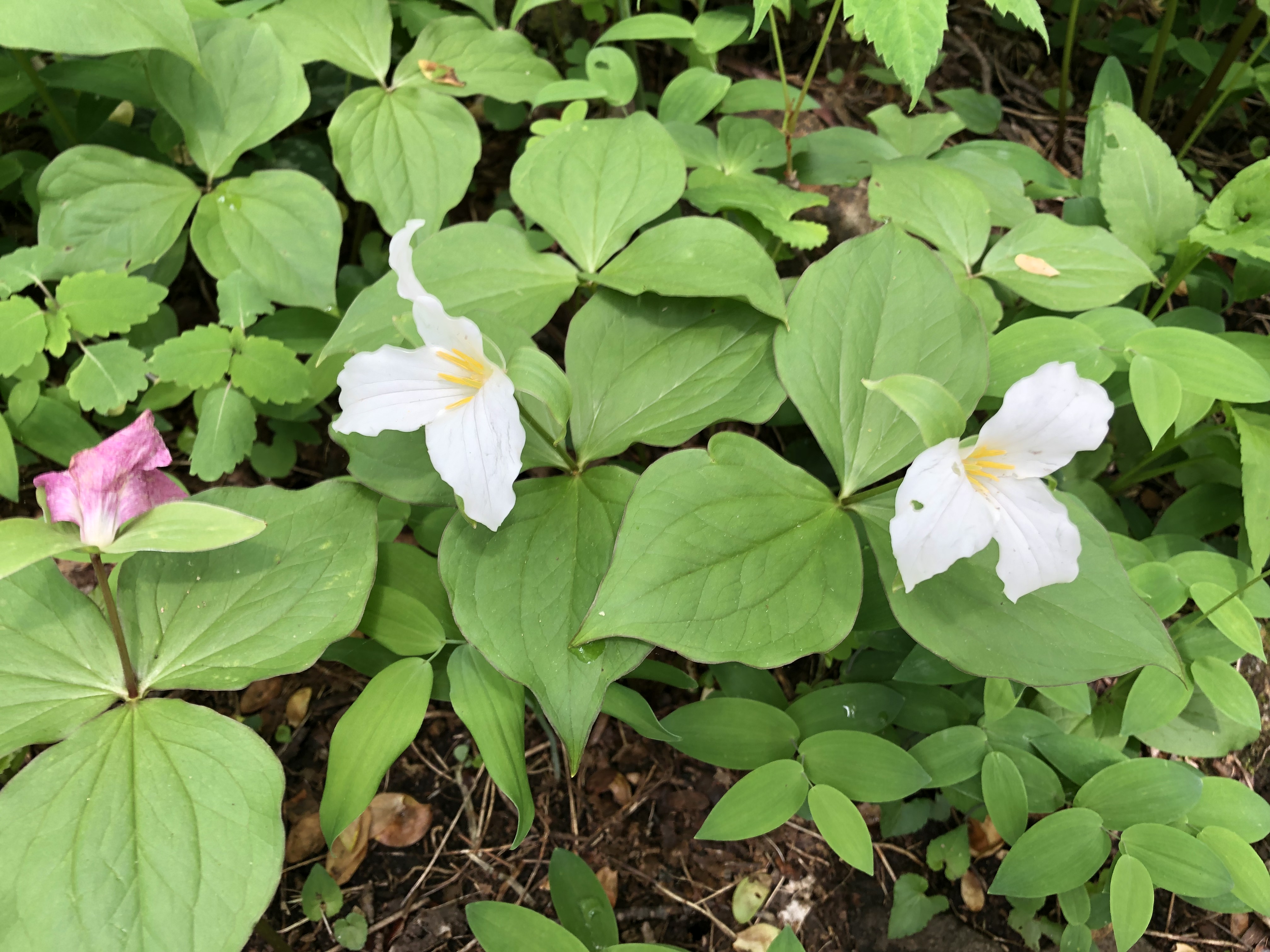
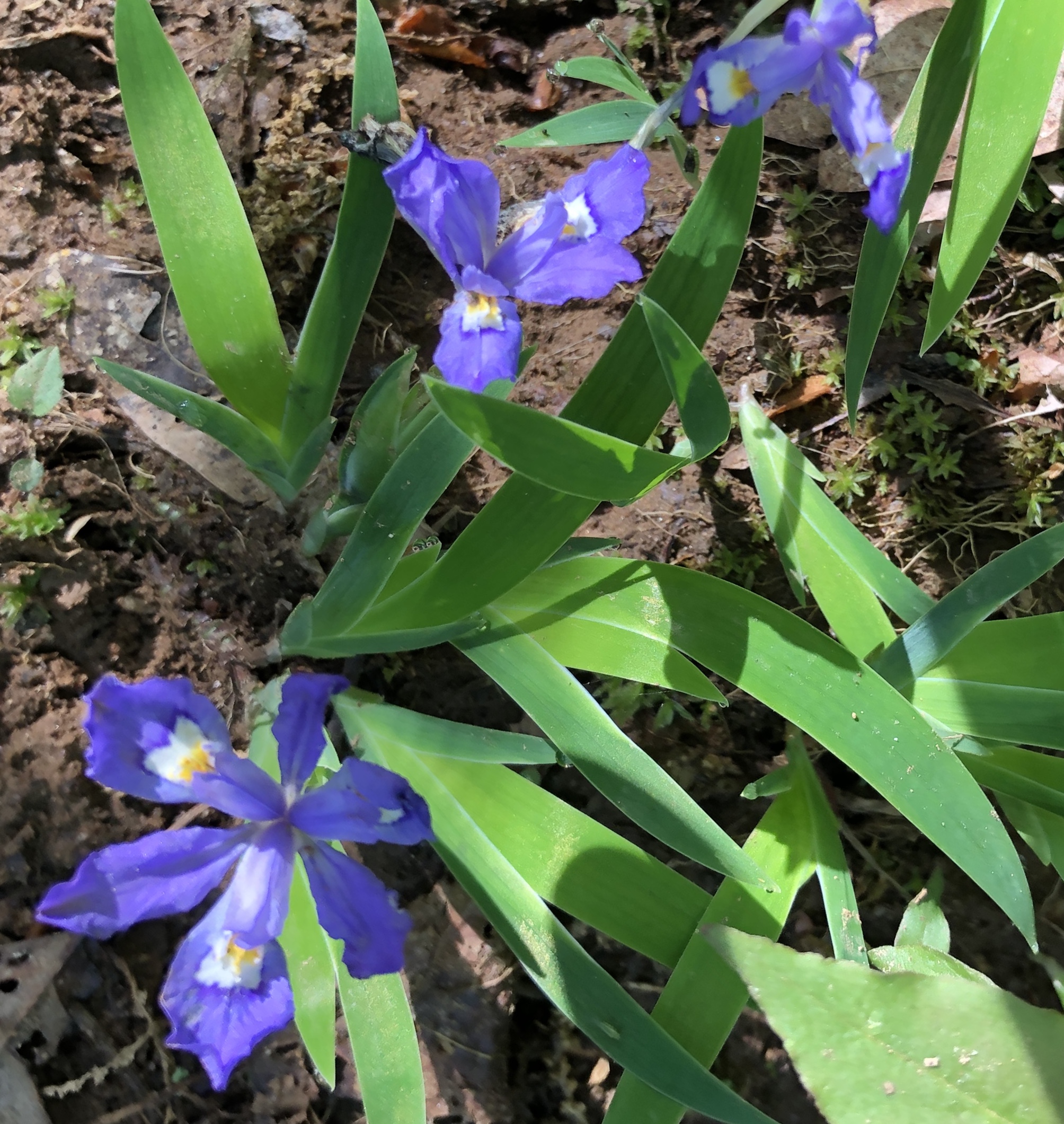
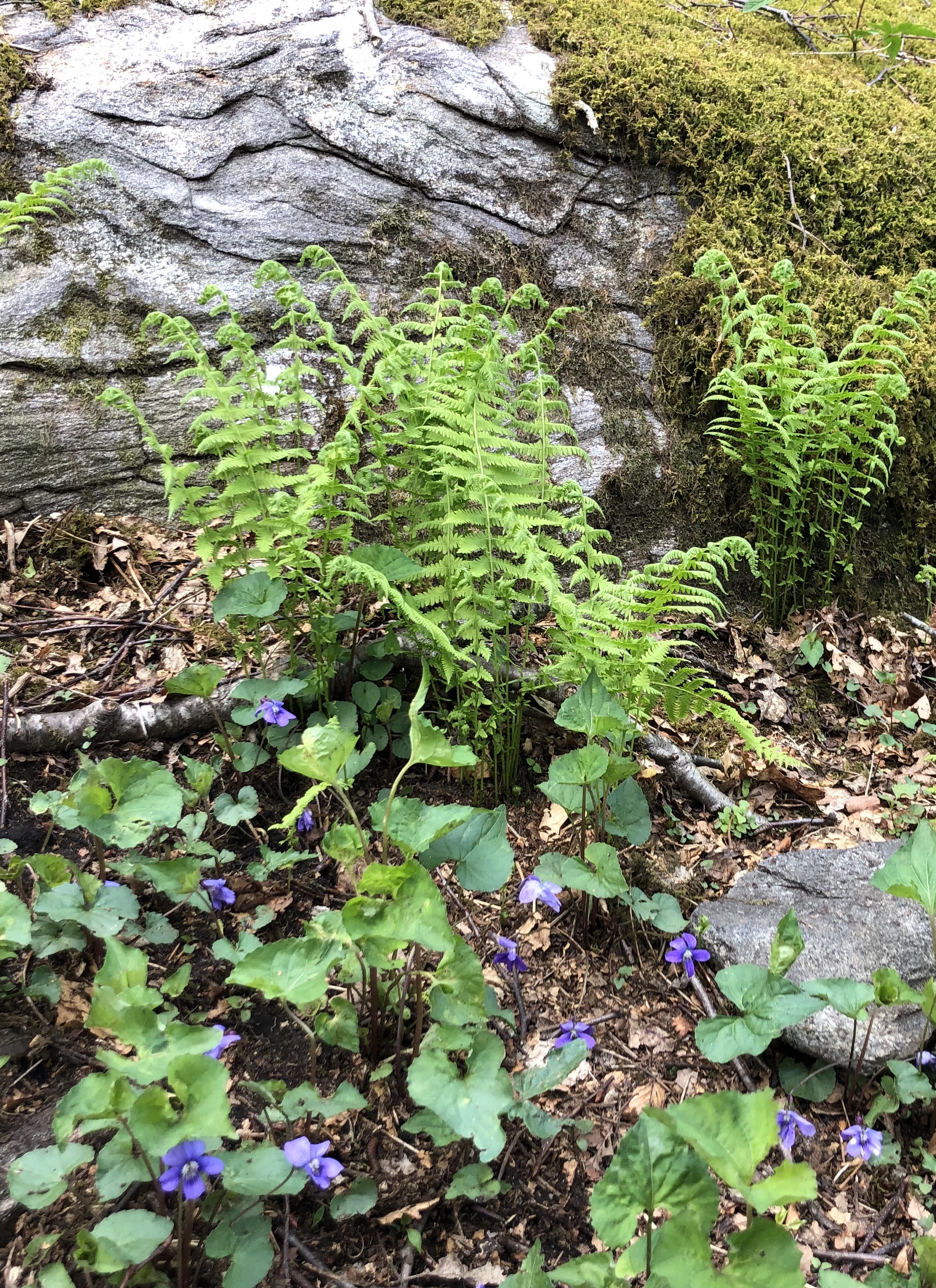
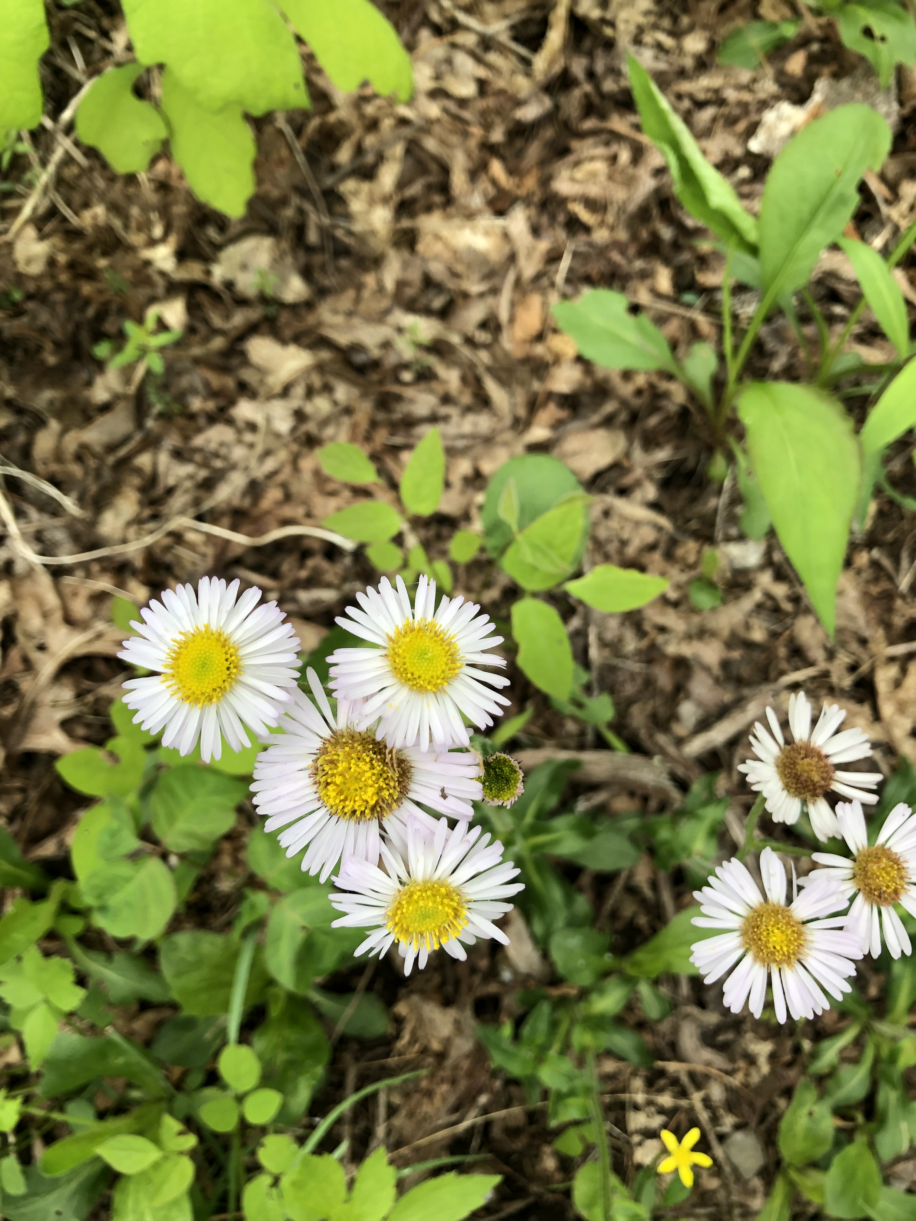
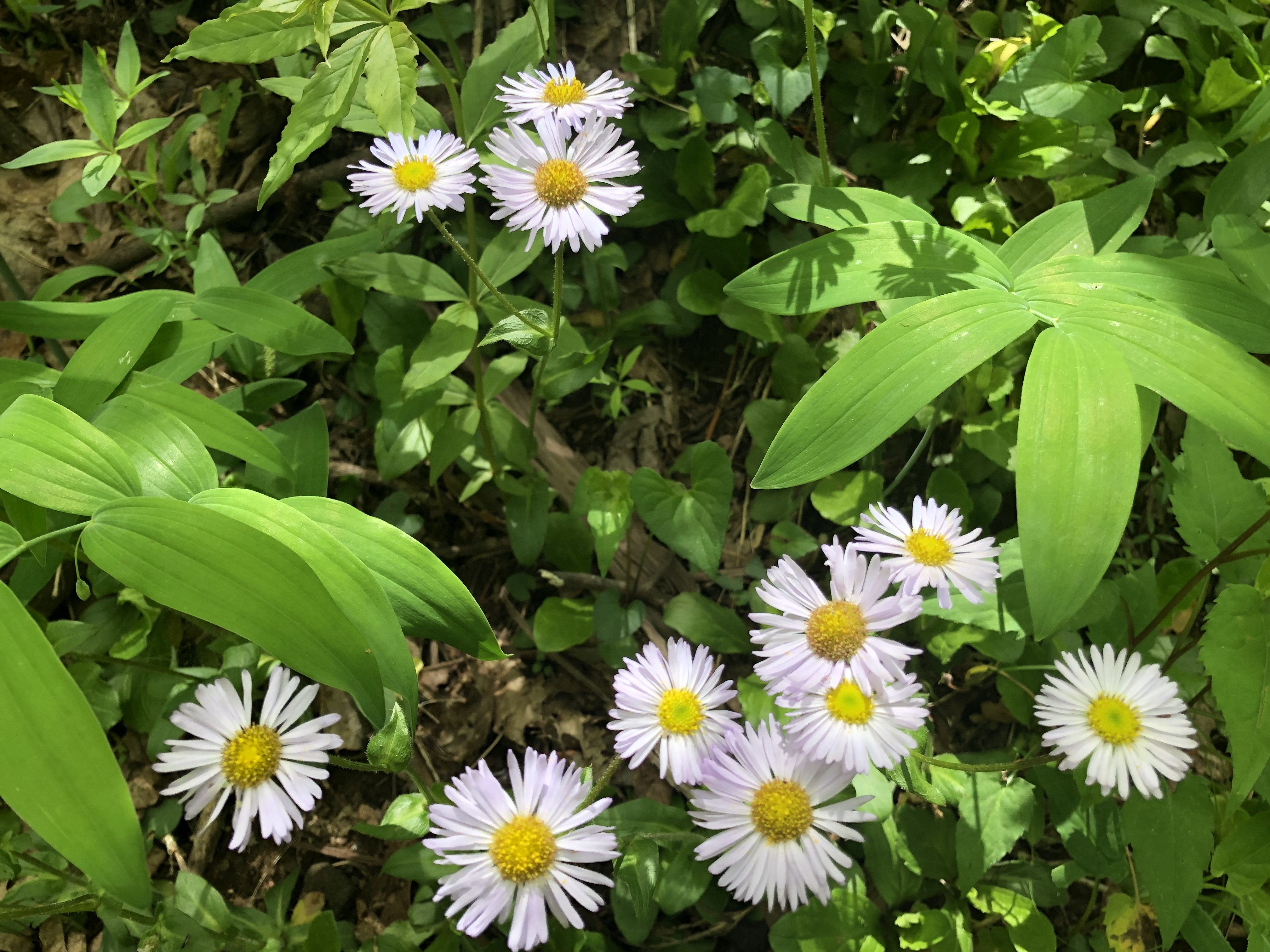
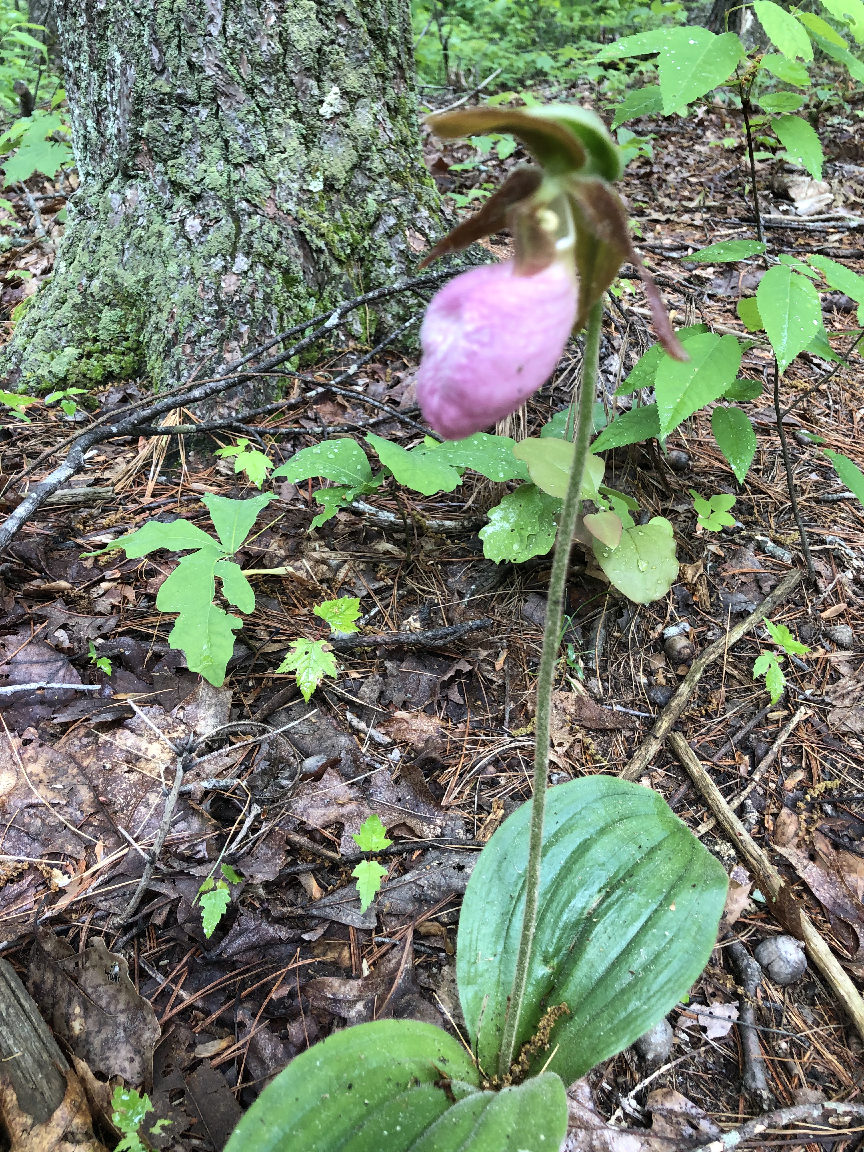
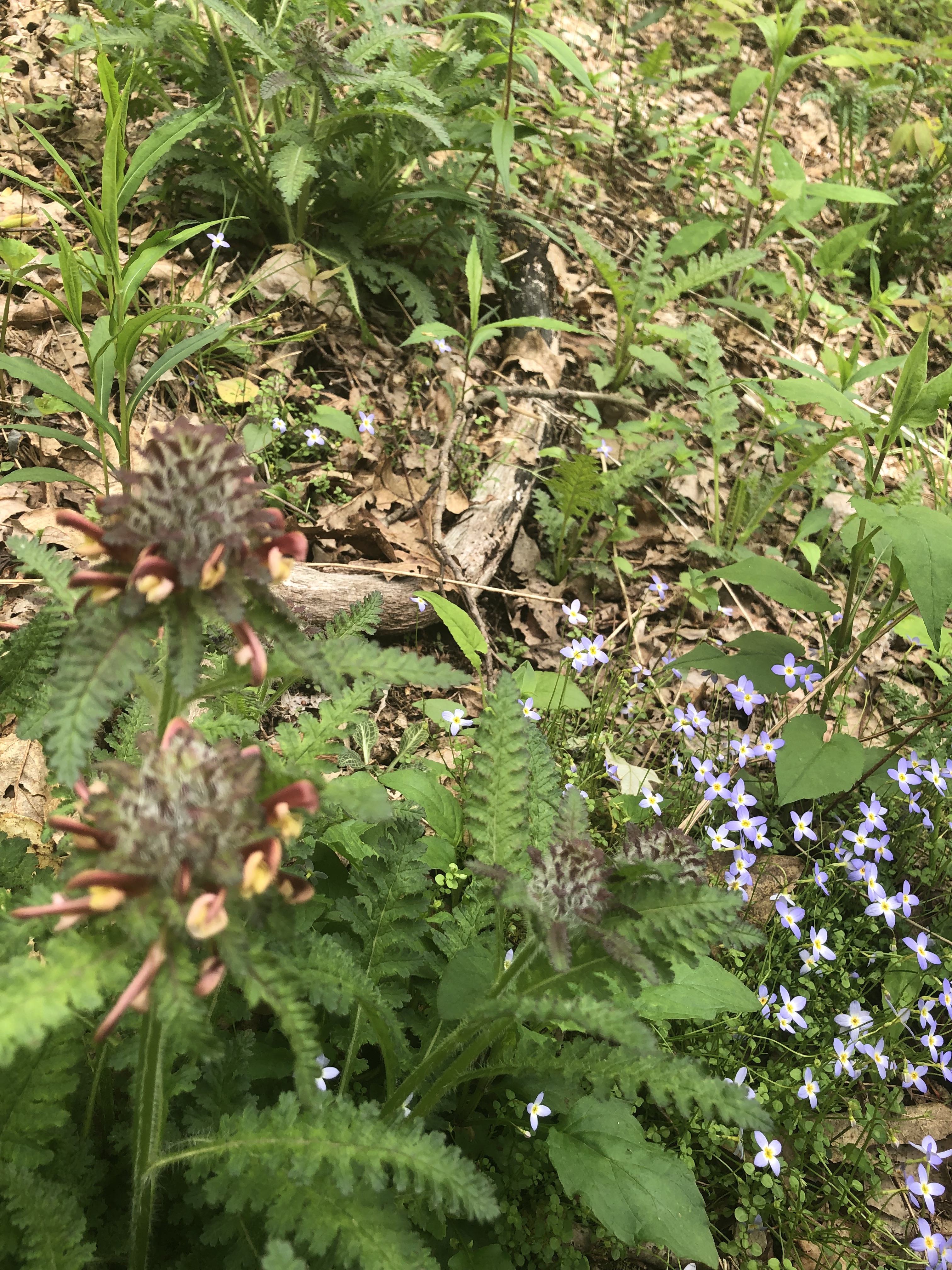
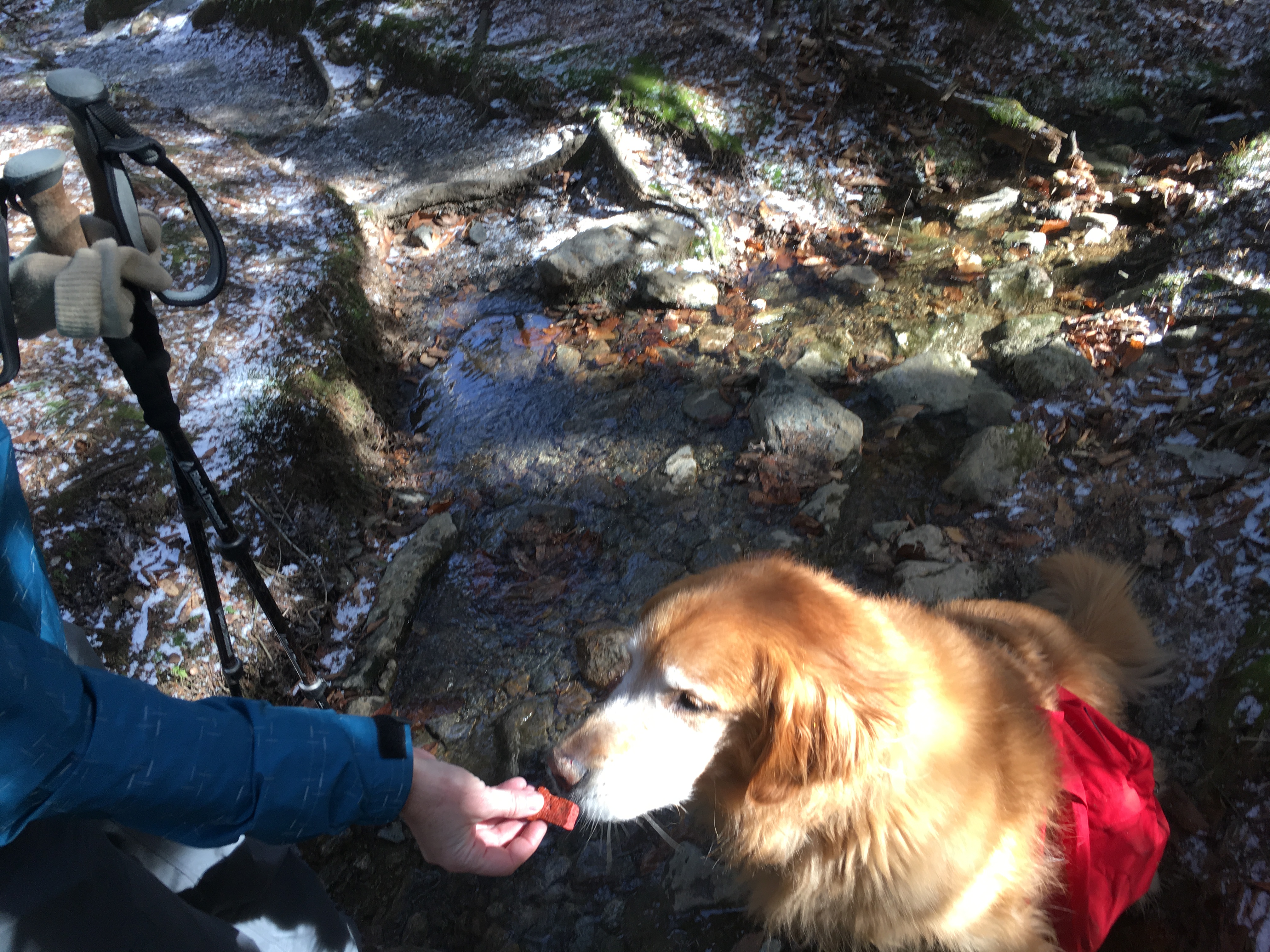
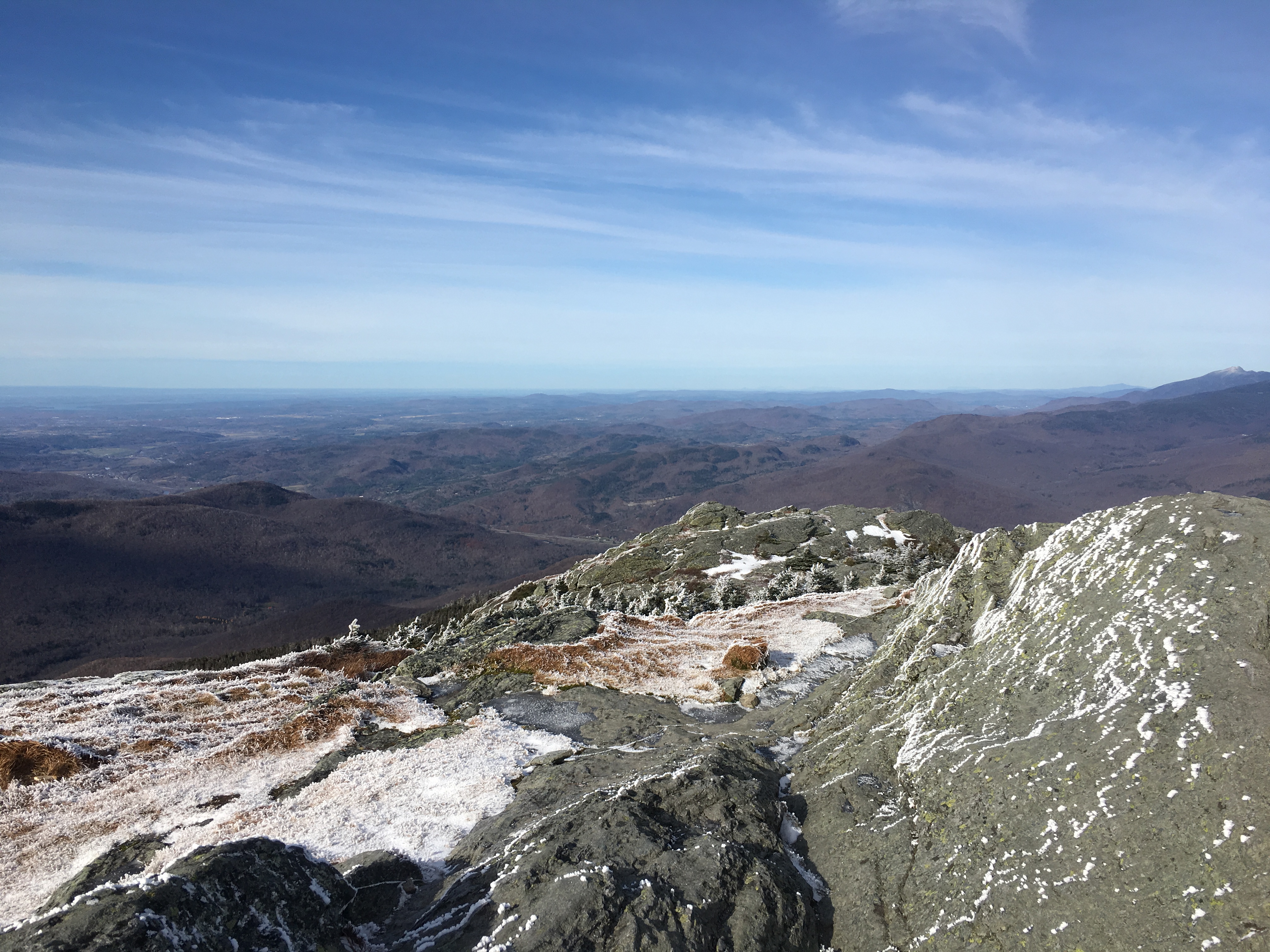
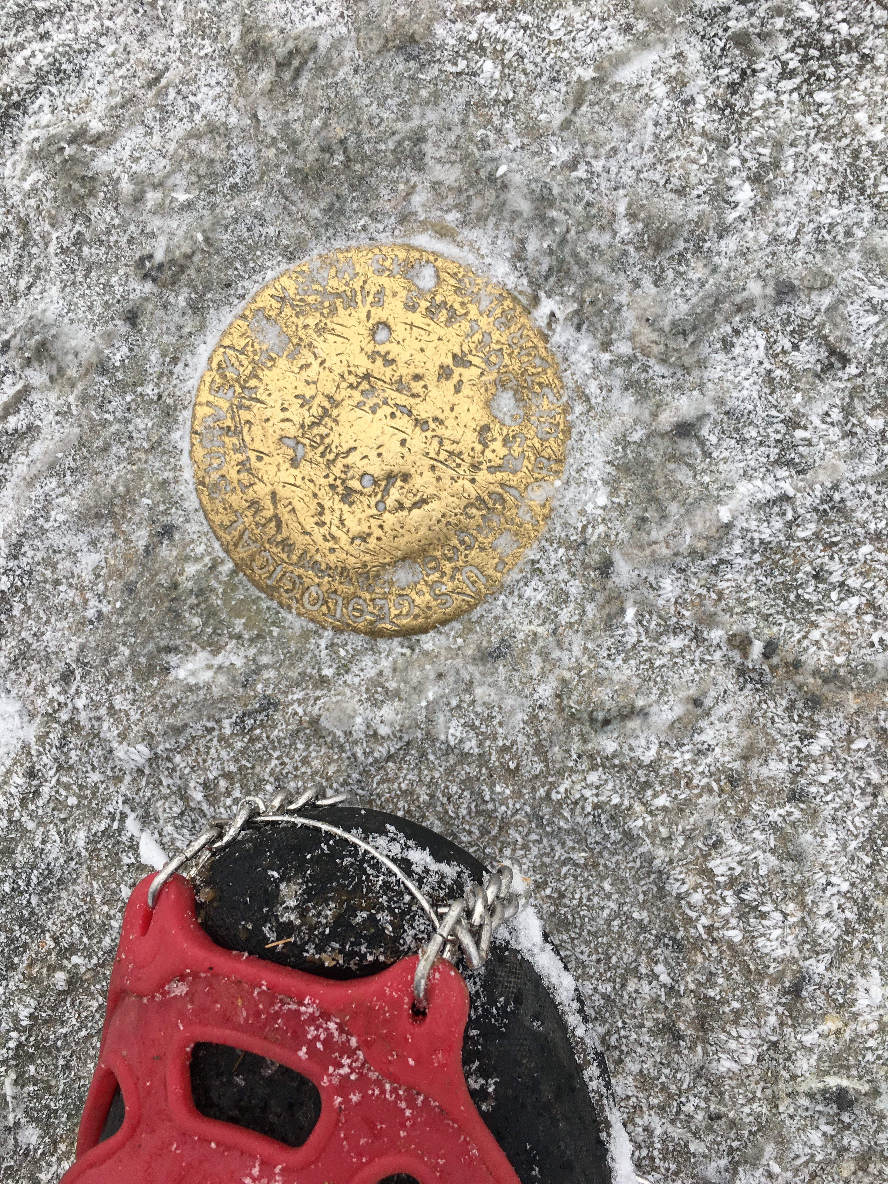
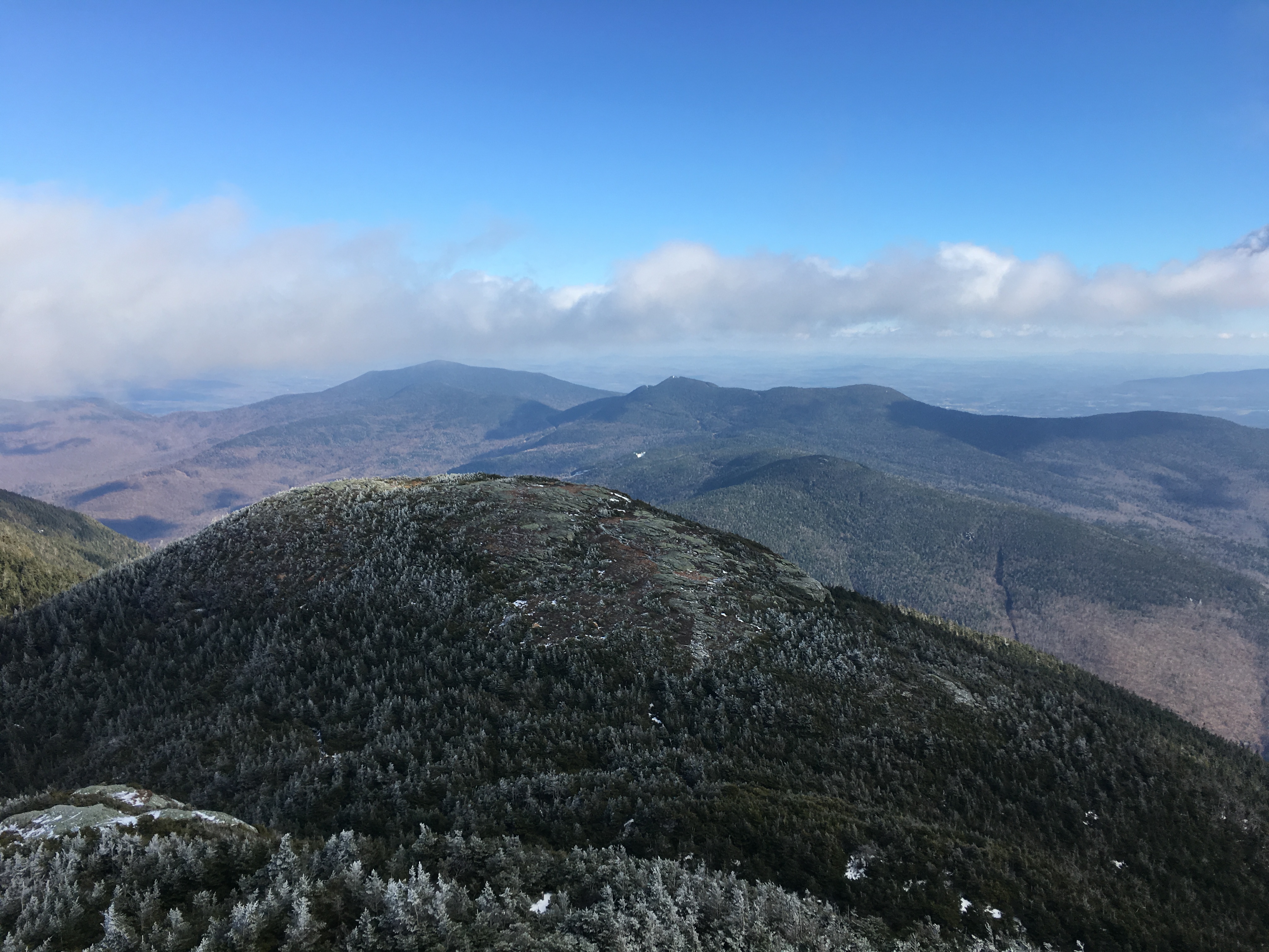
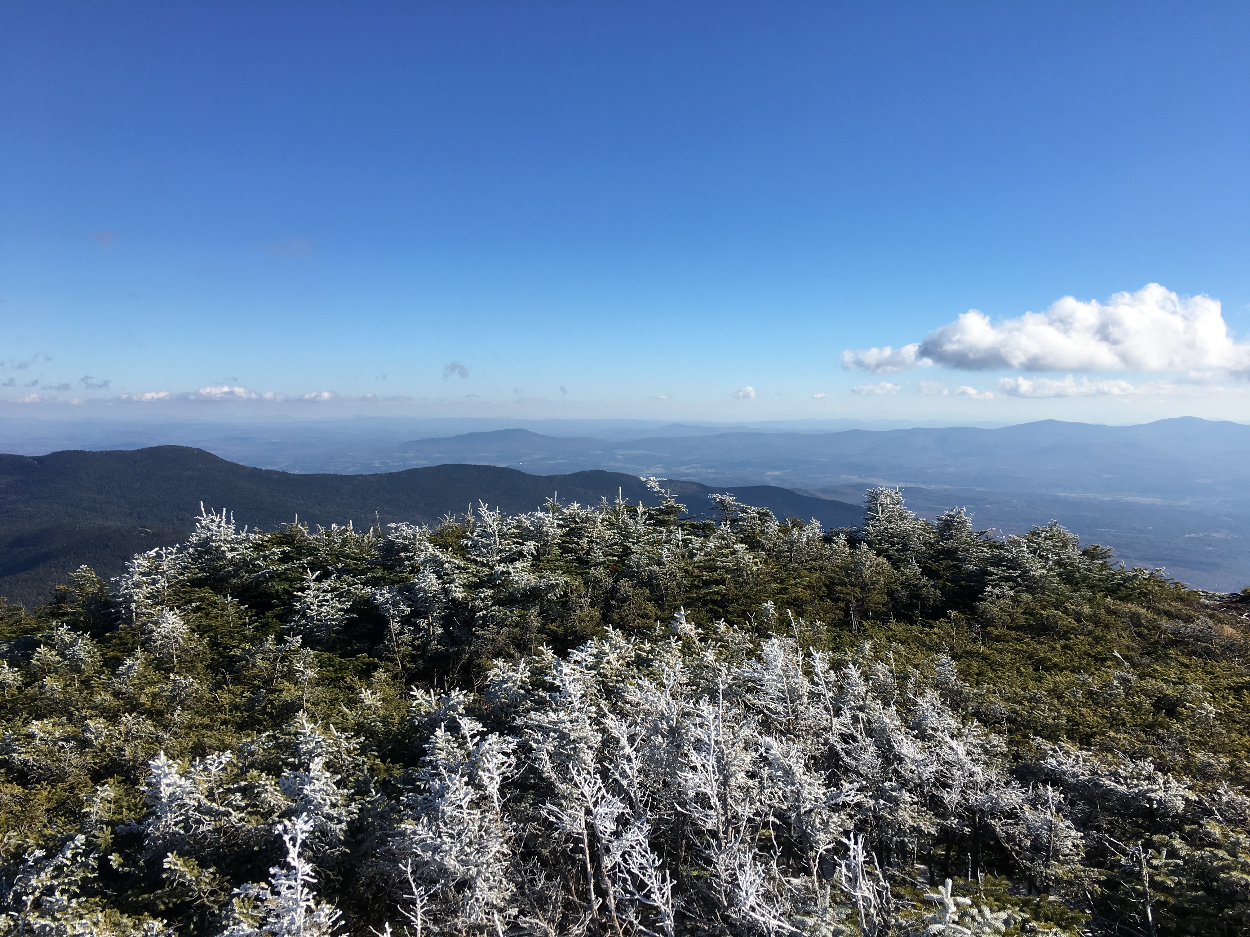
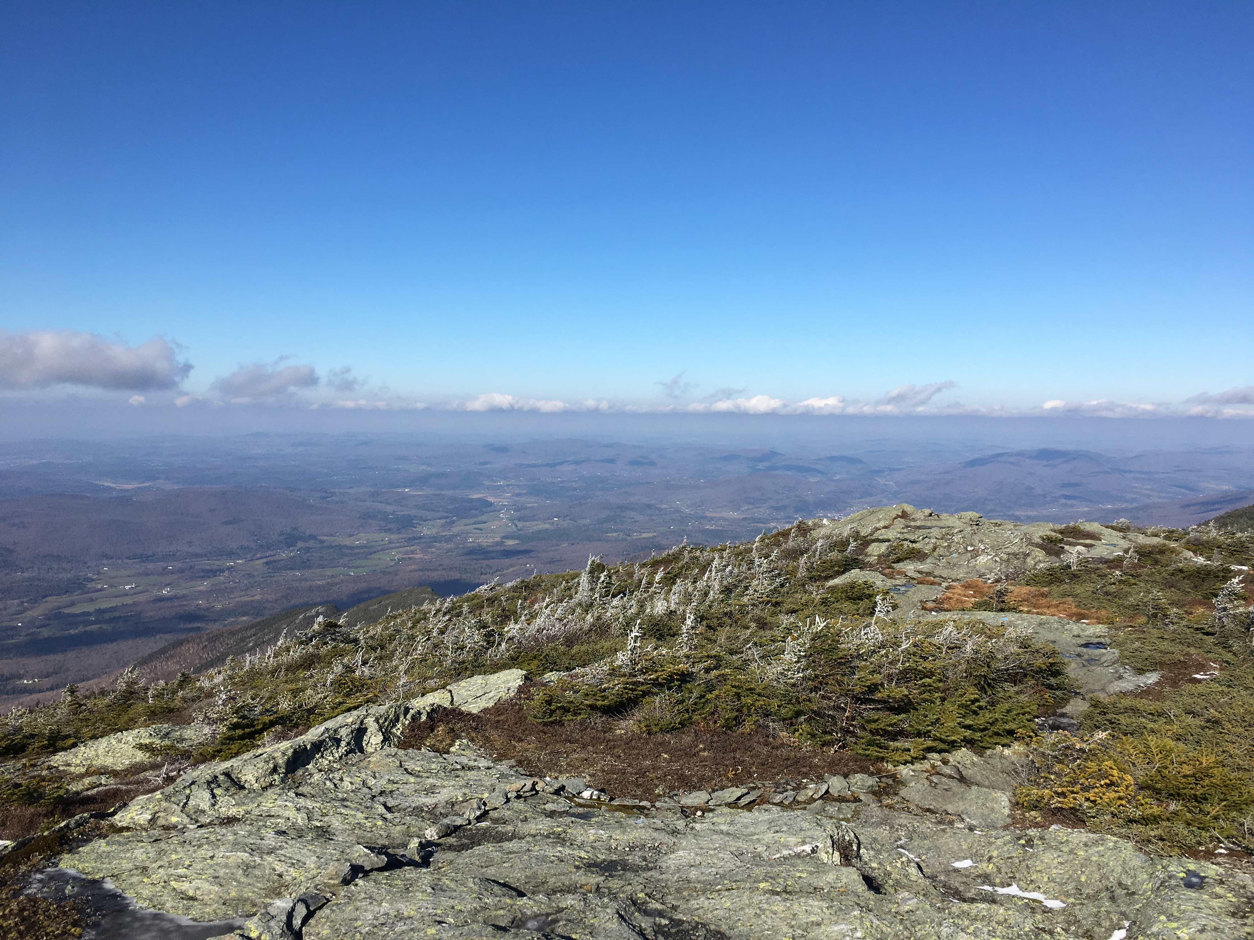
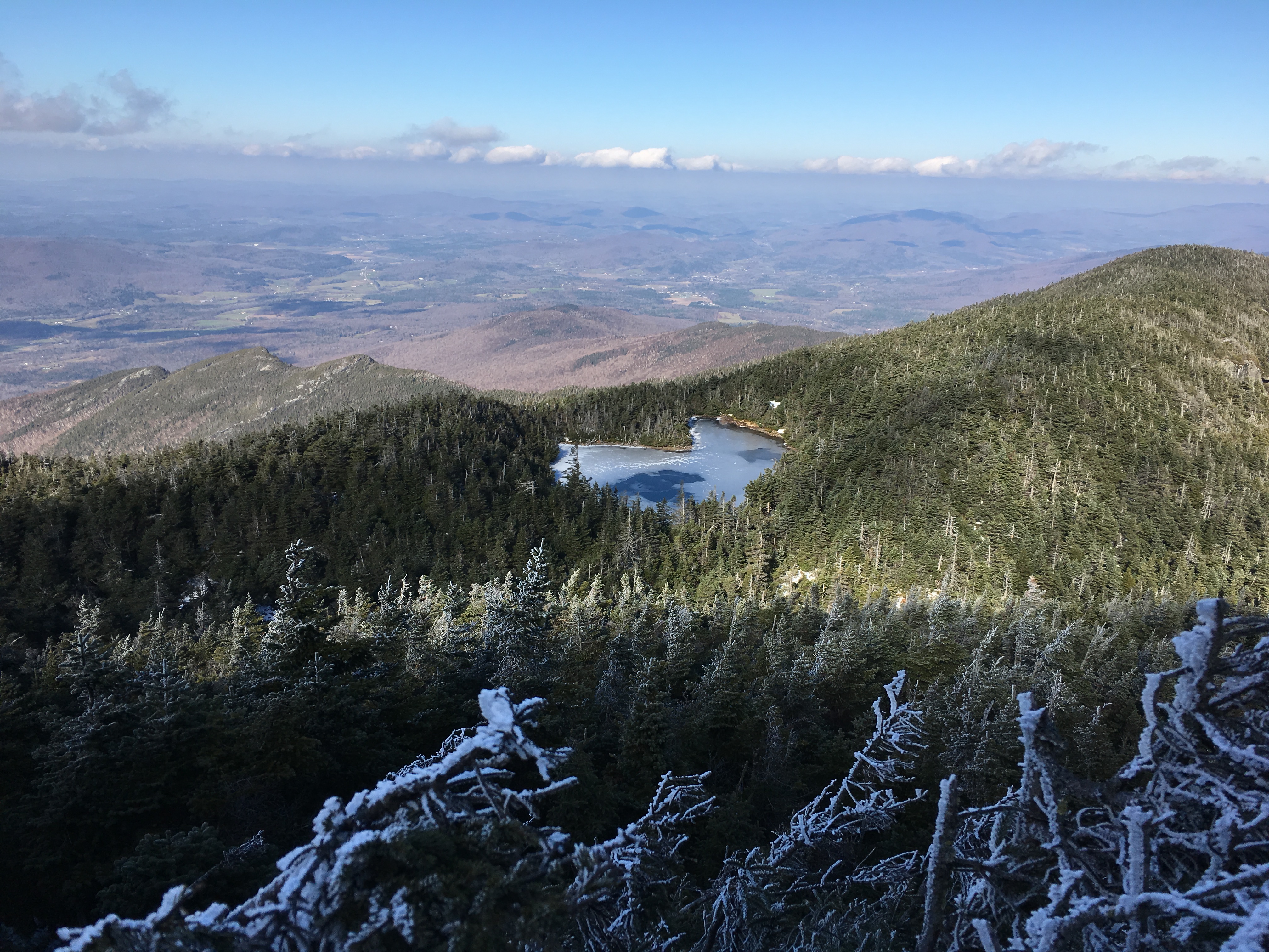
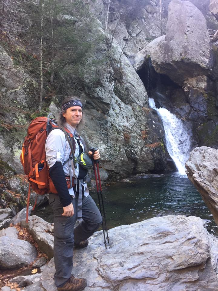
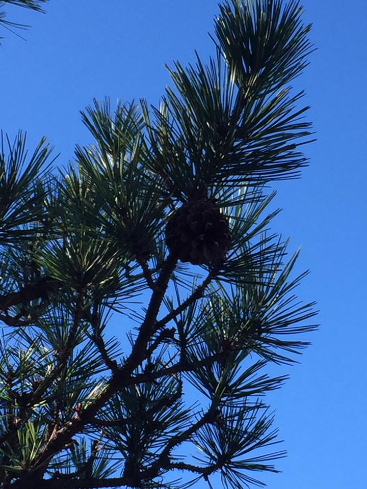
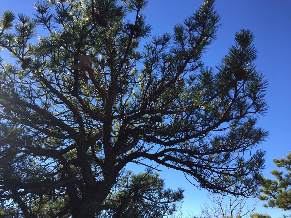
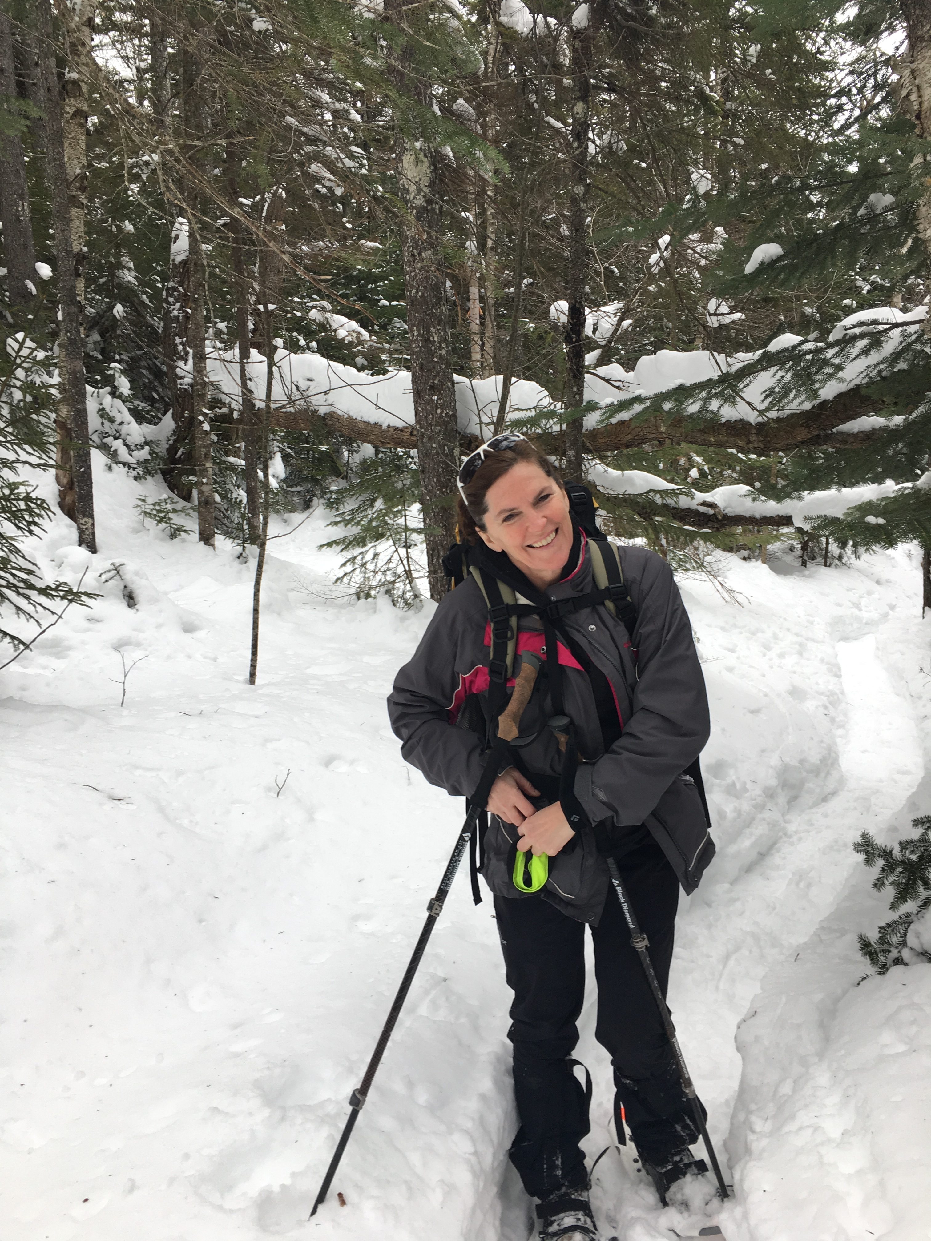
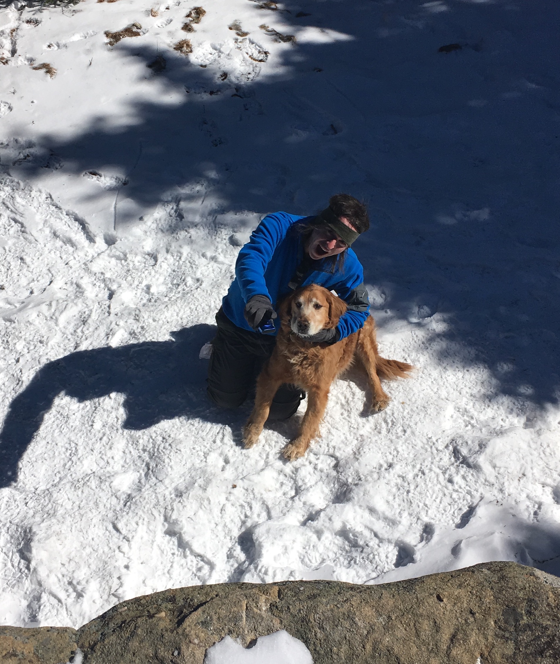
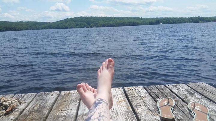
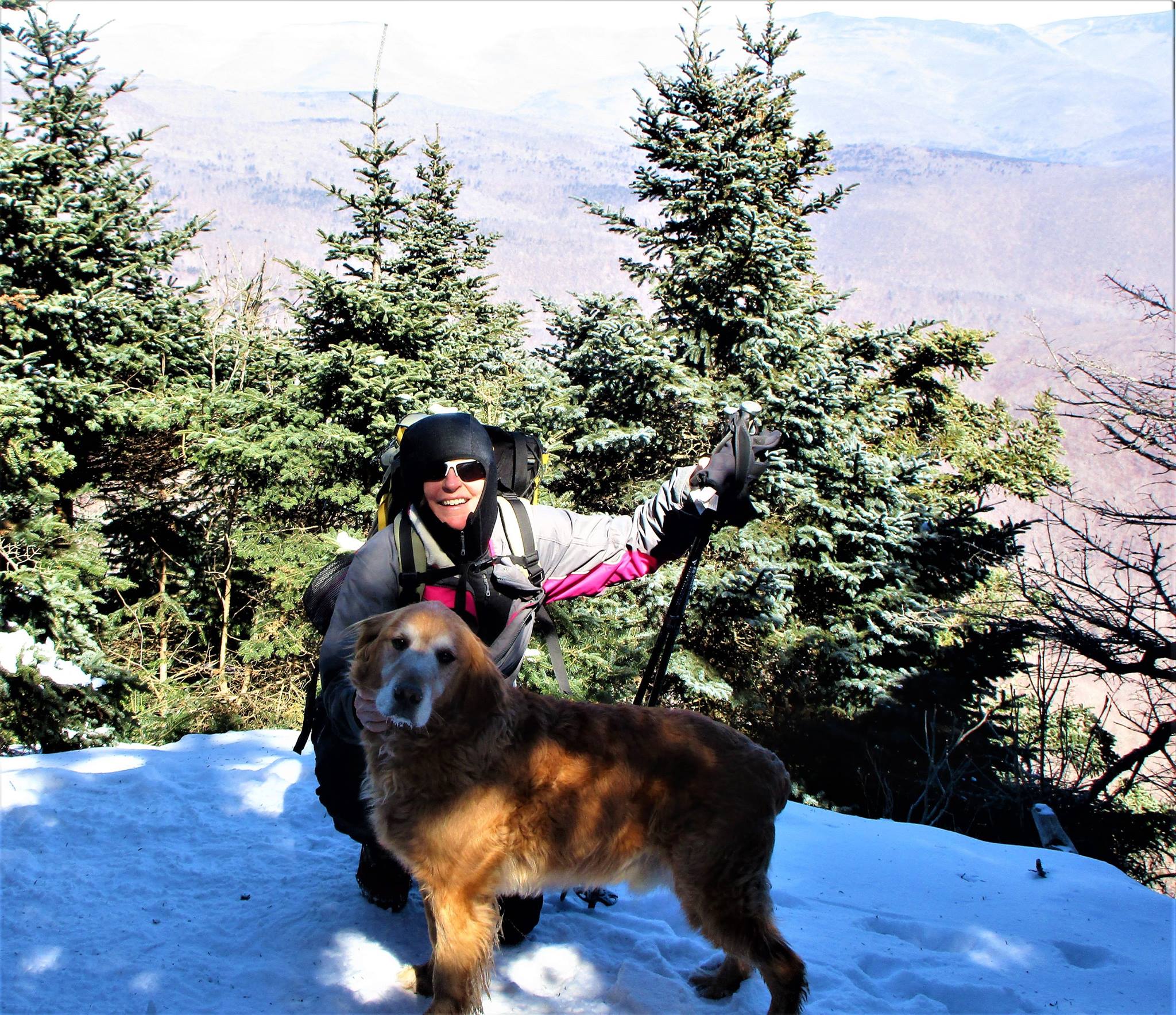
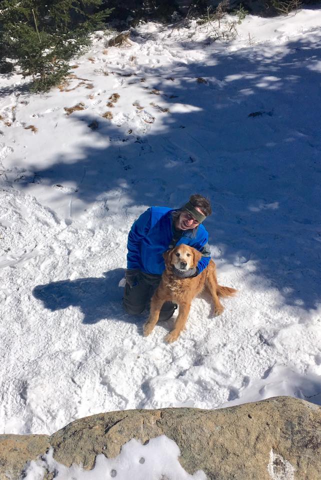
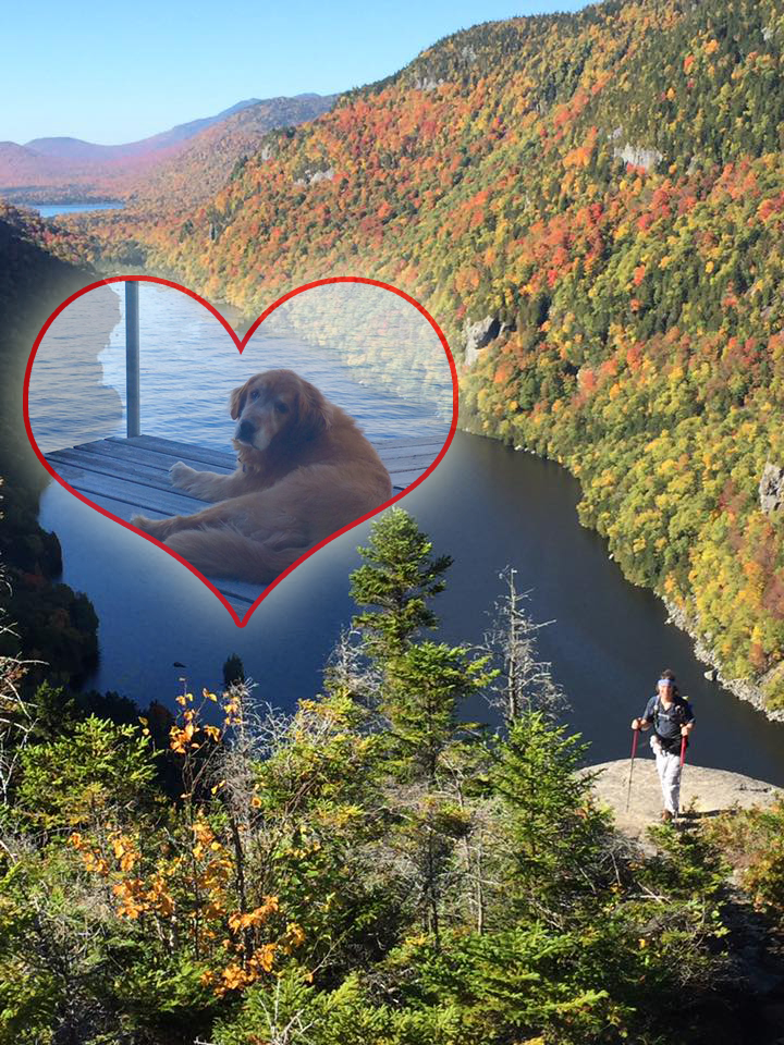
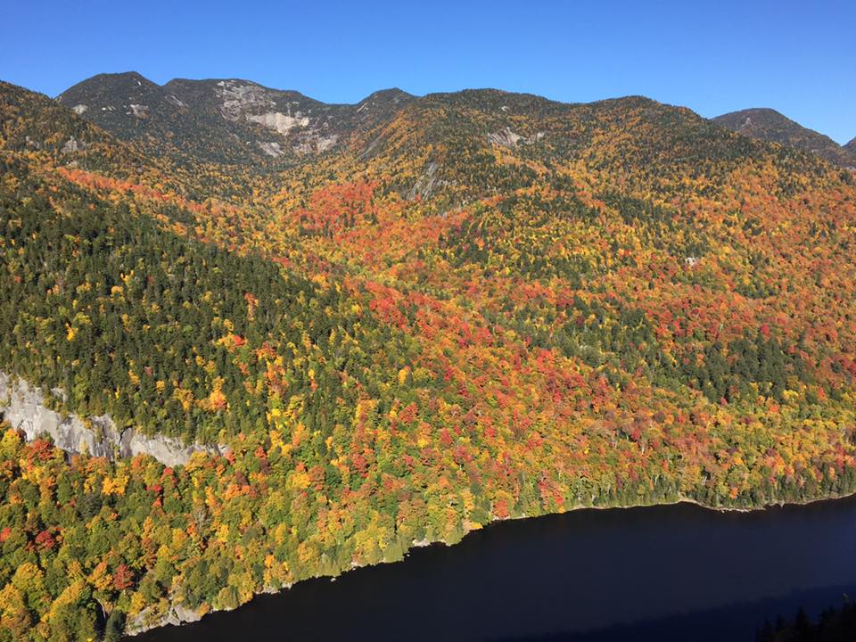
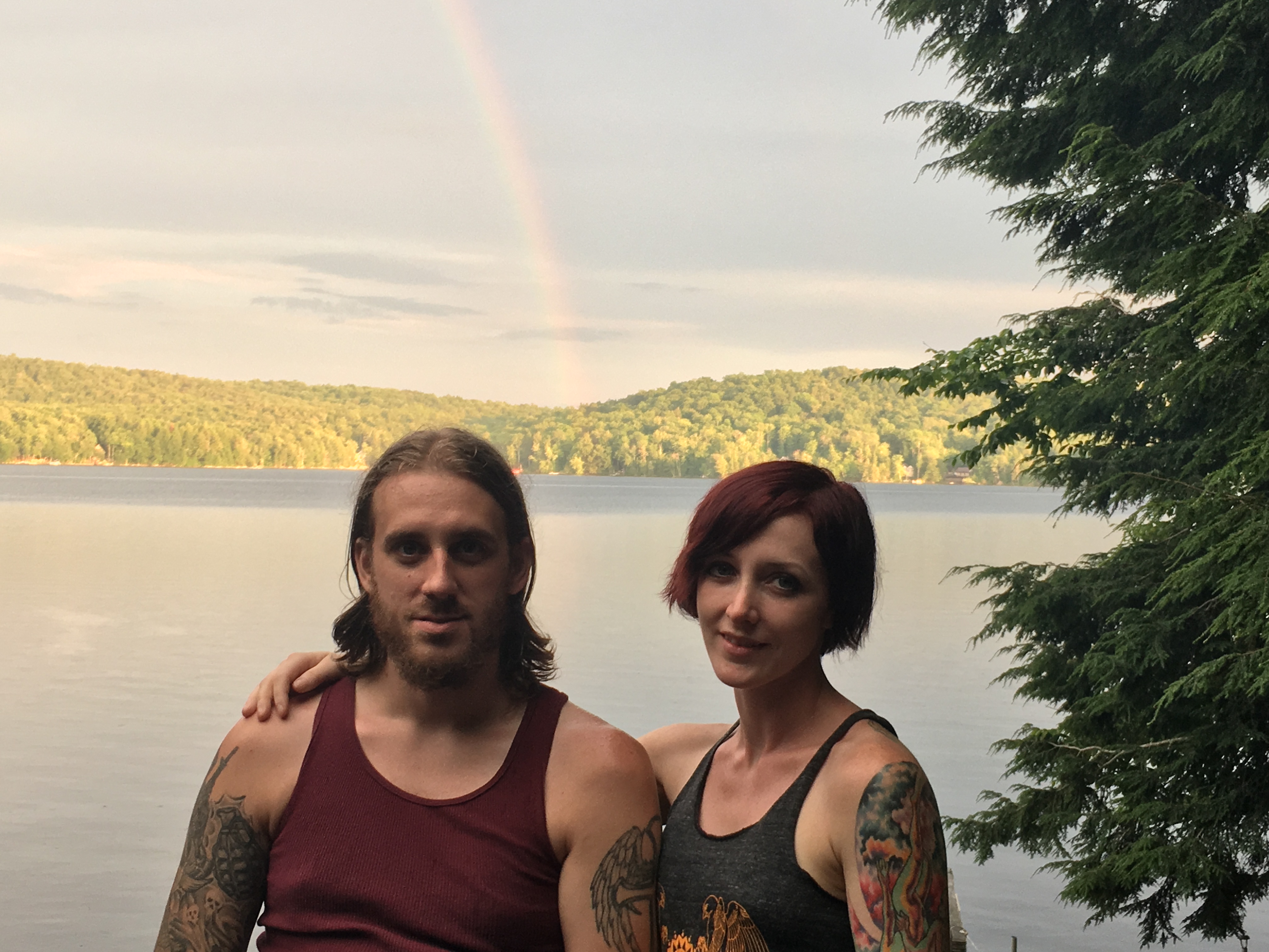
Vermont Highlights (11/12-Camel’s Hump, 11/13-Mt. Mansfield)
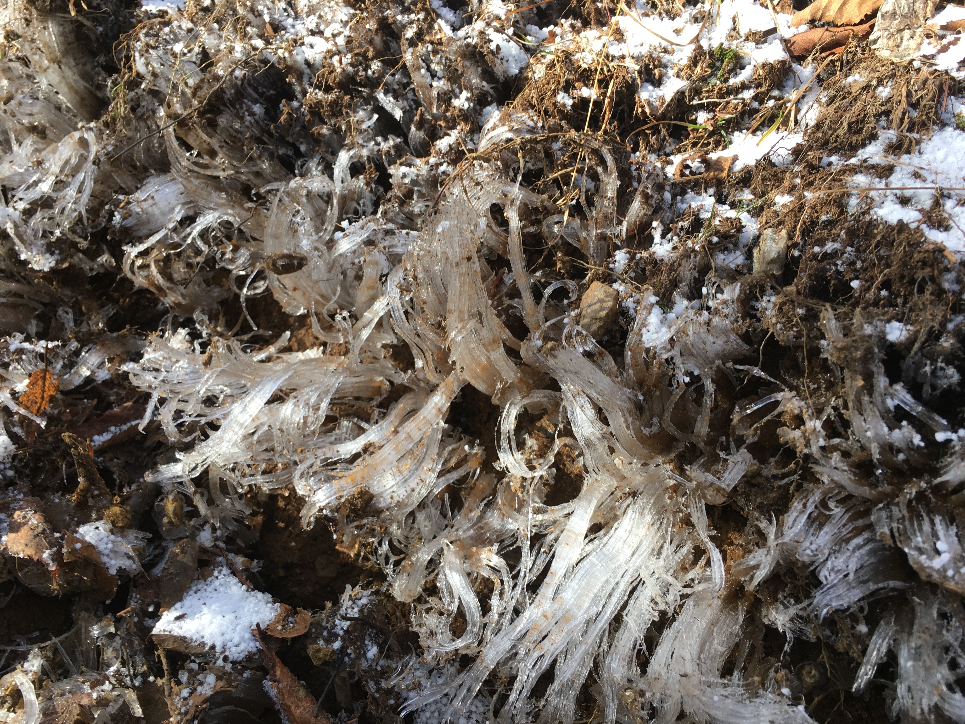
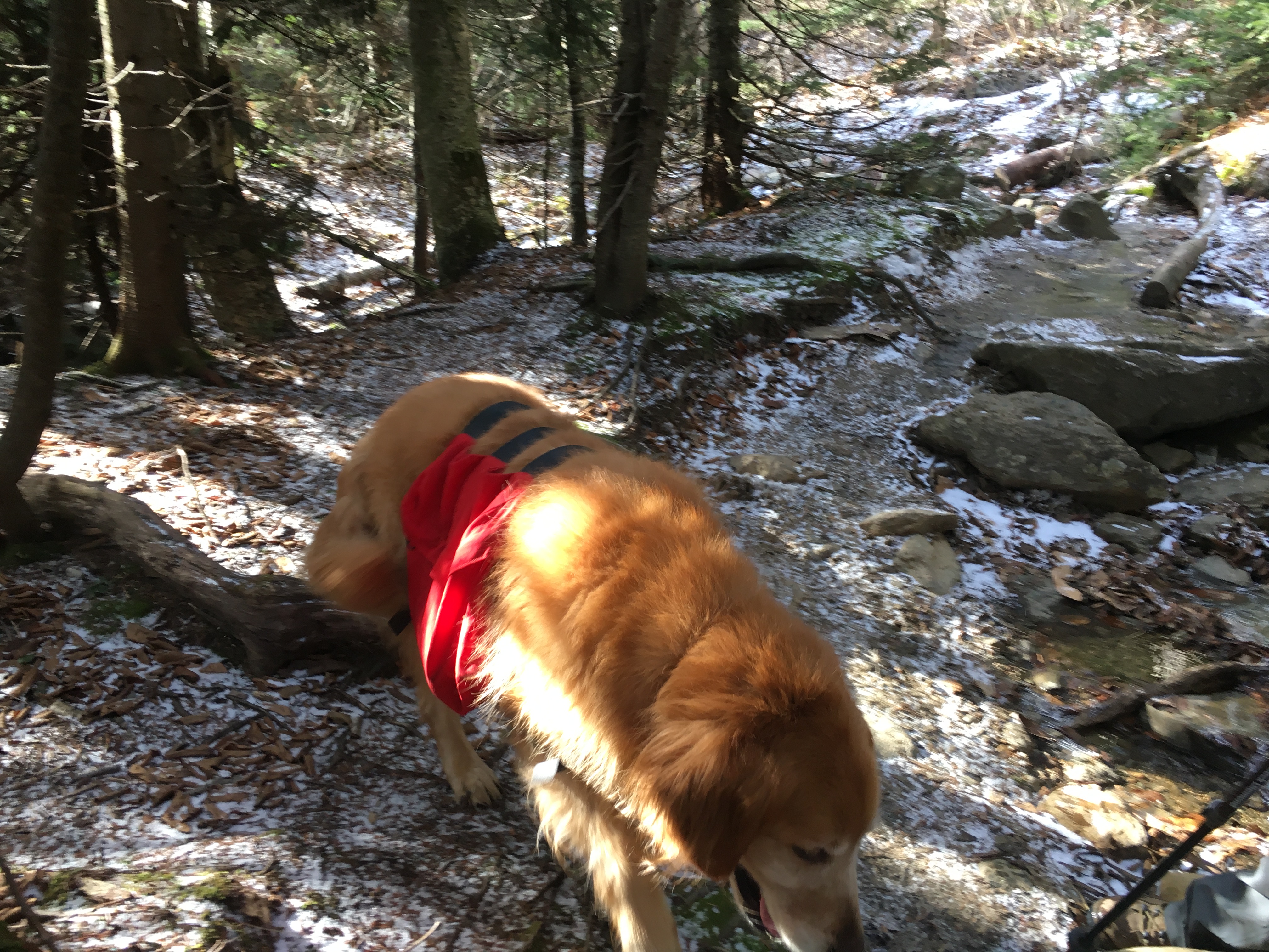
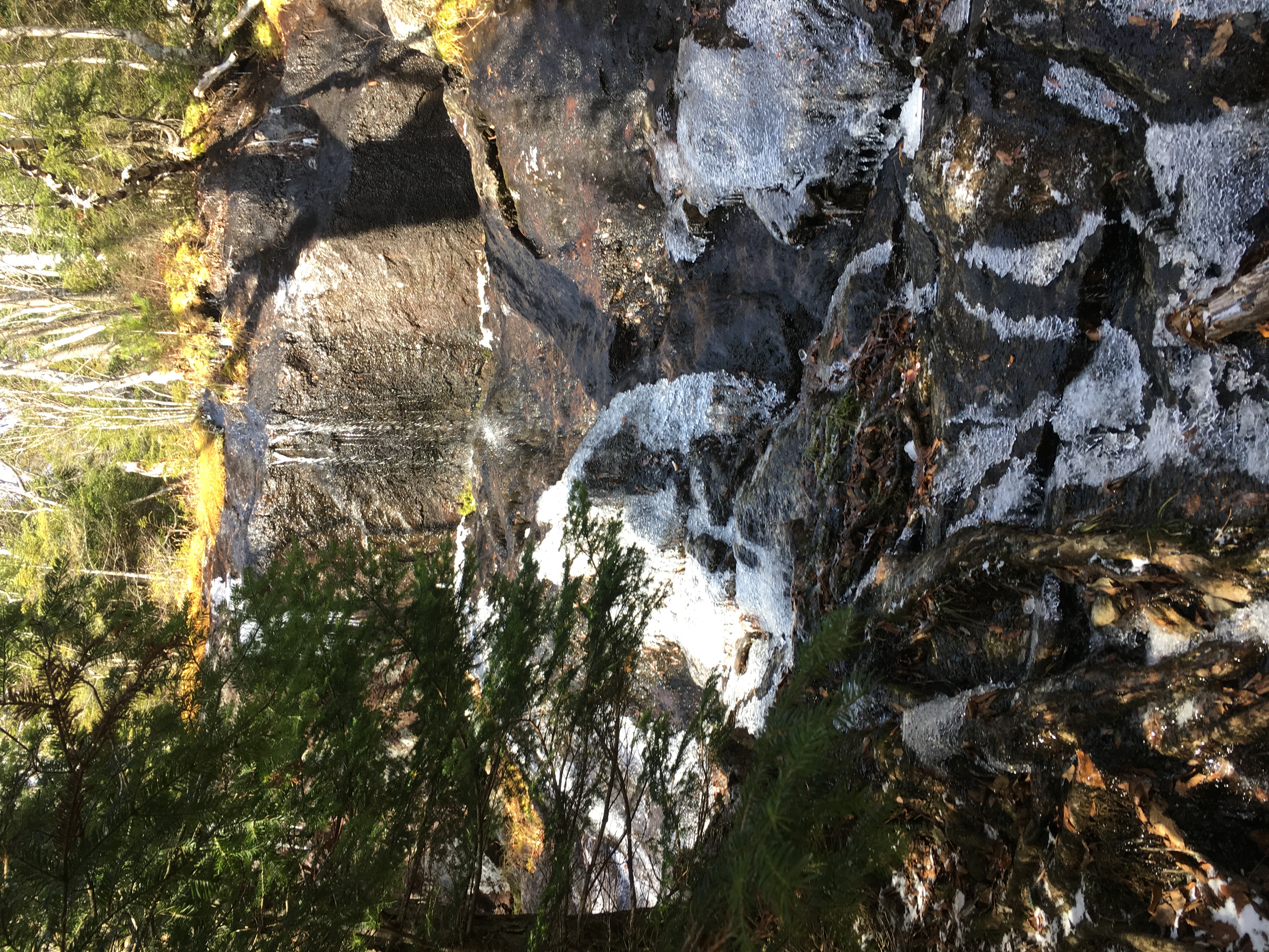
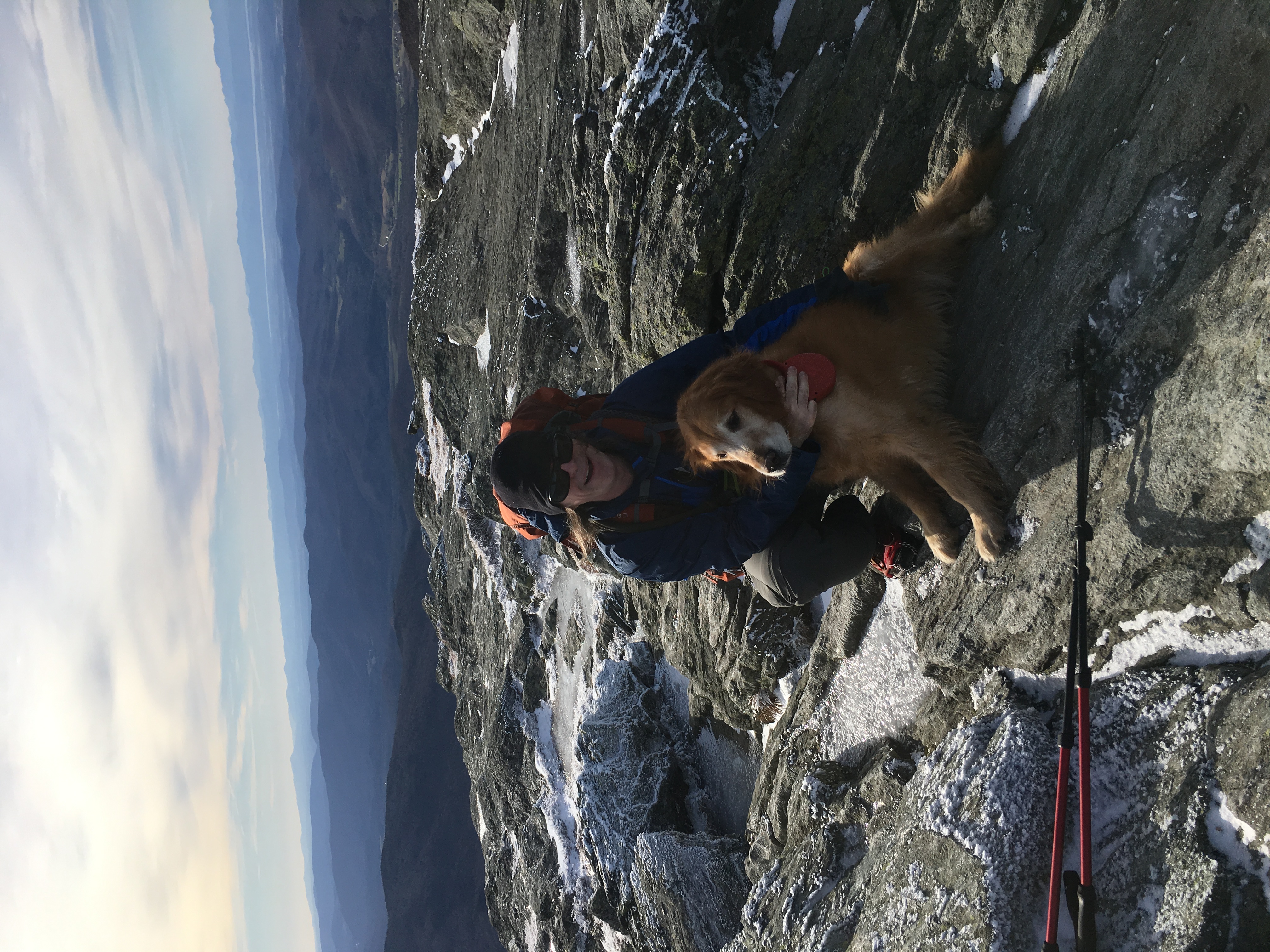
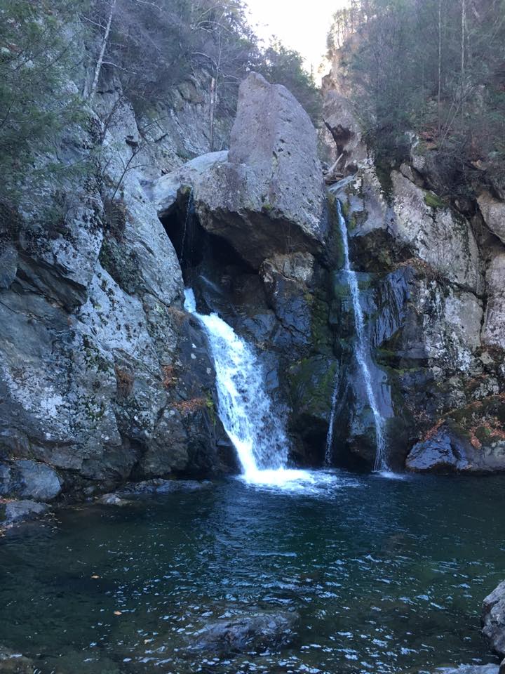
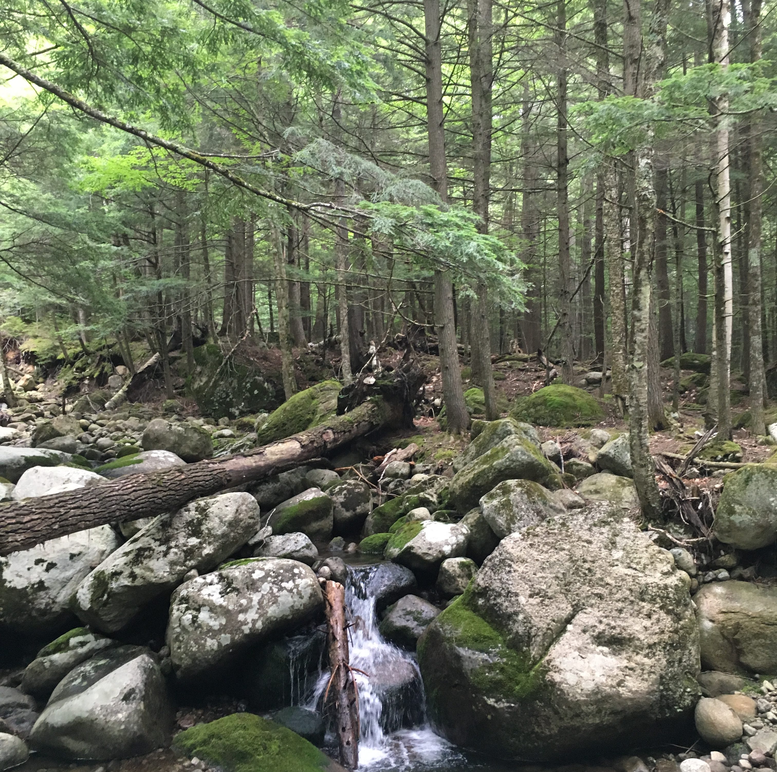
THE HUMP: The trails were coated with ice in many spots. Spikes are an easy solutions for humans, but Simba was slipping and sliding. After a while he would try to find off-trail spots to avoid the ice. In other spots, we gave him a boost to help him up the skating rink. He was a trooper and never gave up. He was a big hit with everyone we encountered on the trail. Overall – just a great day!
VERMONT VICTORY!
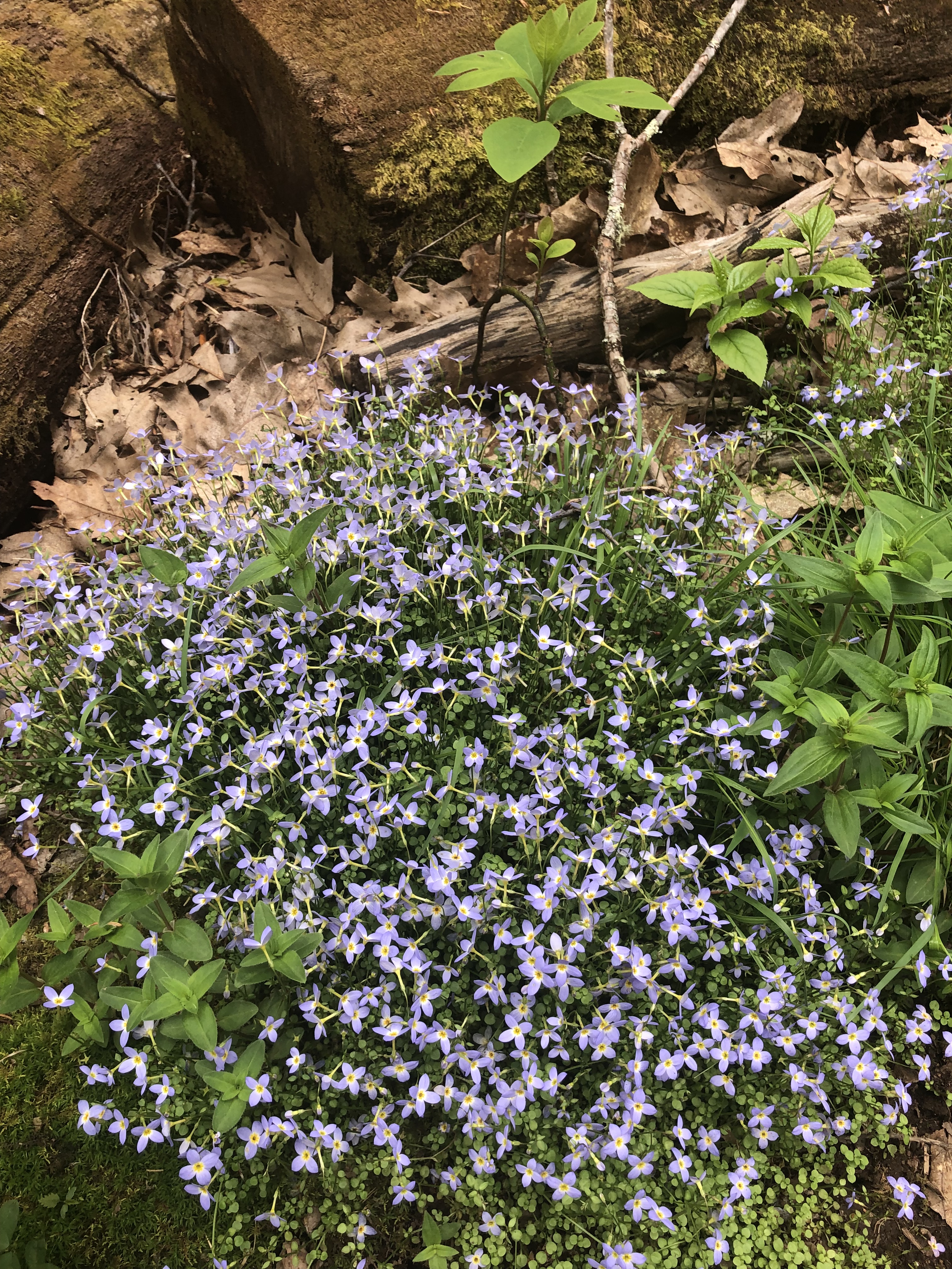
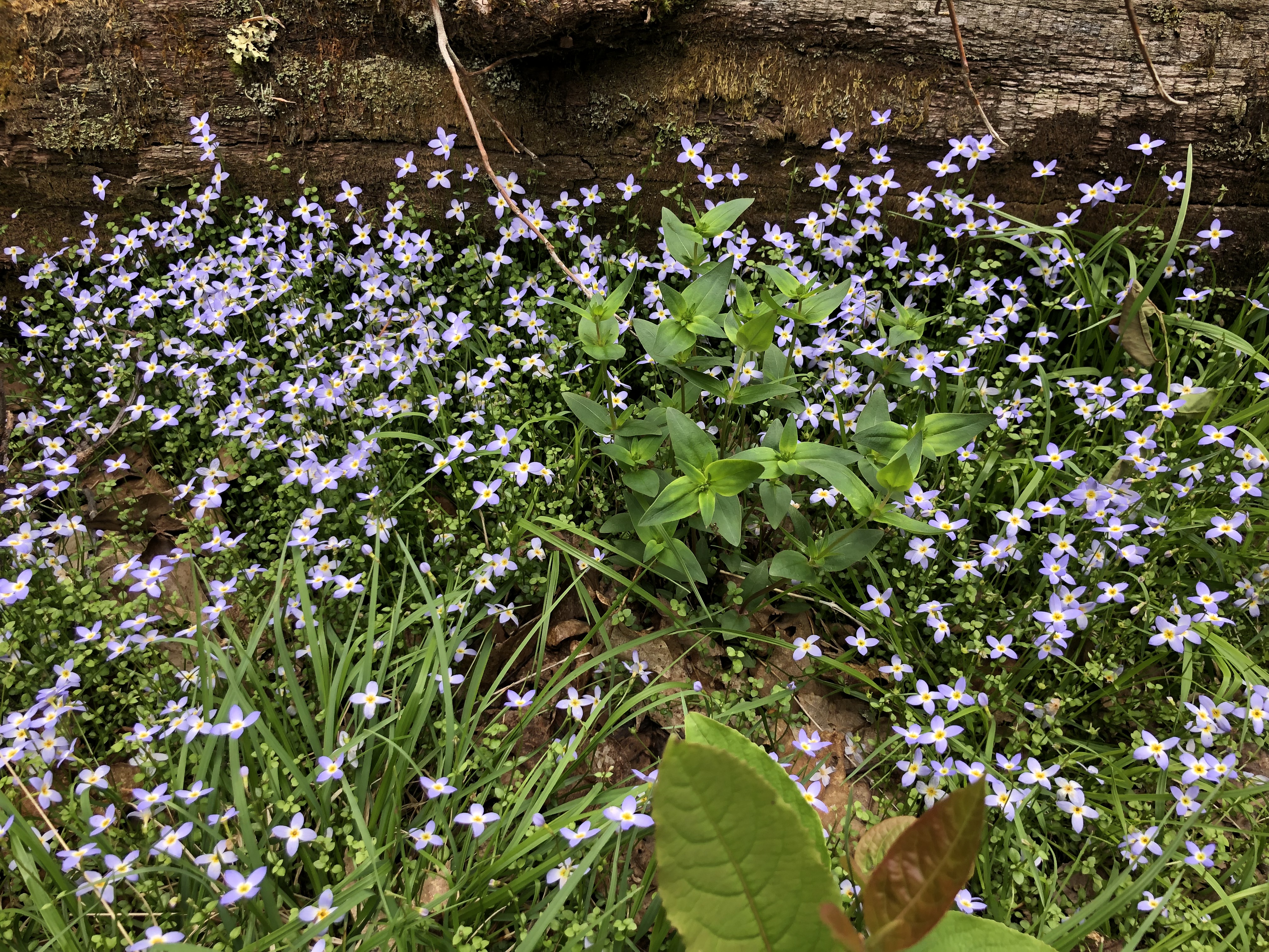
VIEWS FROM THE HUMP…
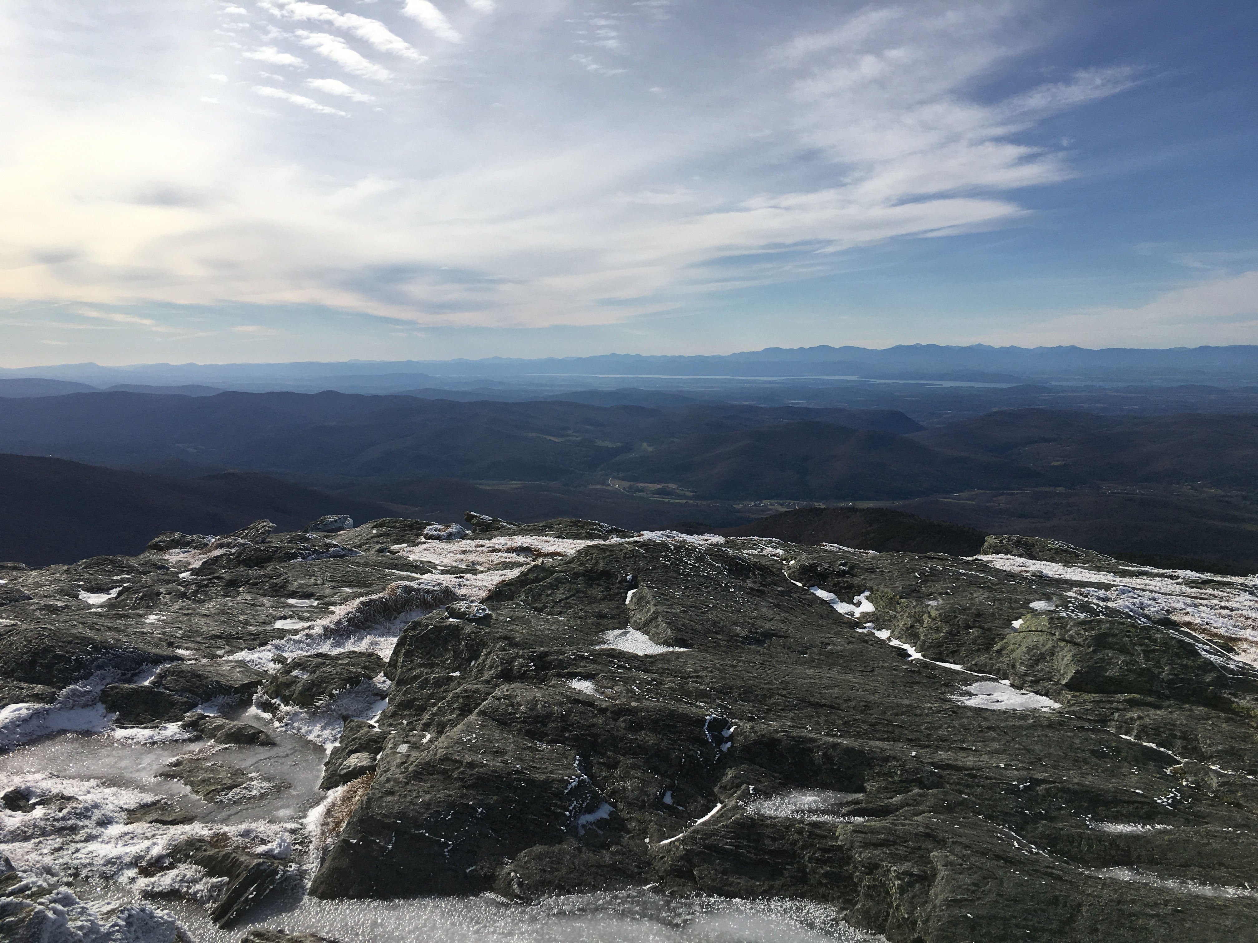
The lesson (or rather REFRESHER) I learned here was that winter summit visits usually must be brief if want to keep your fingers. An extended lunch break is better suited in tree cover. Always something to learn.
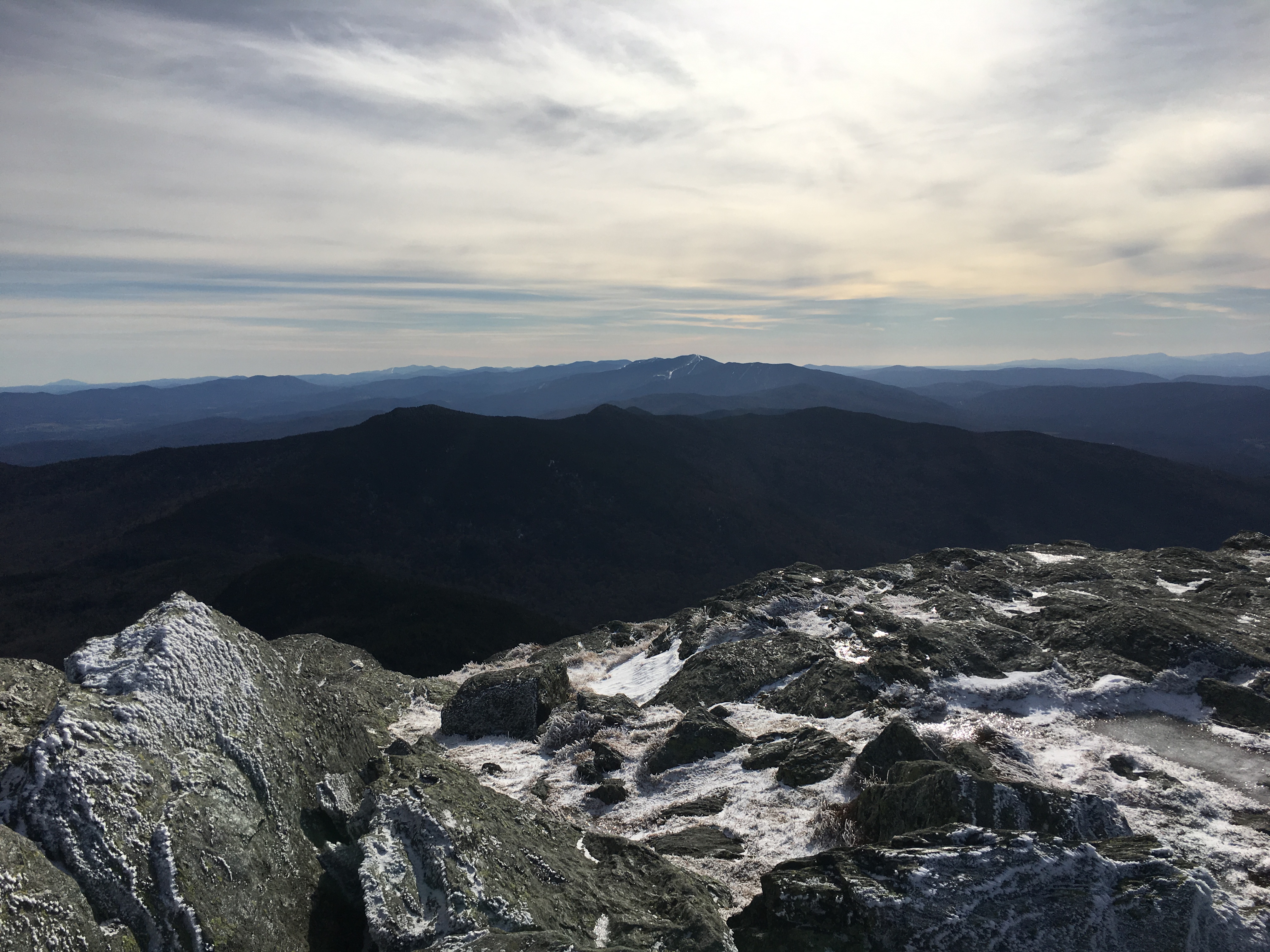
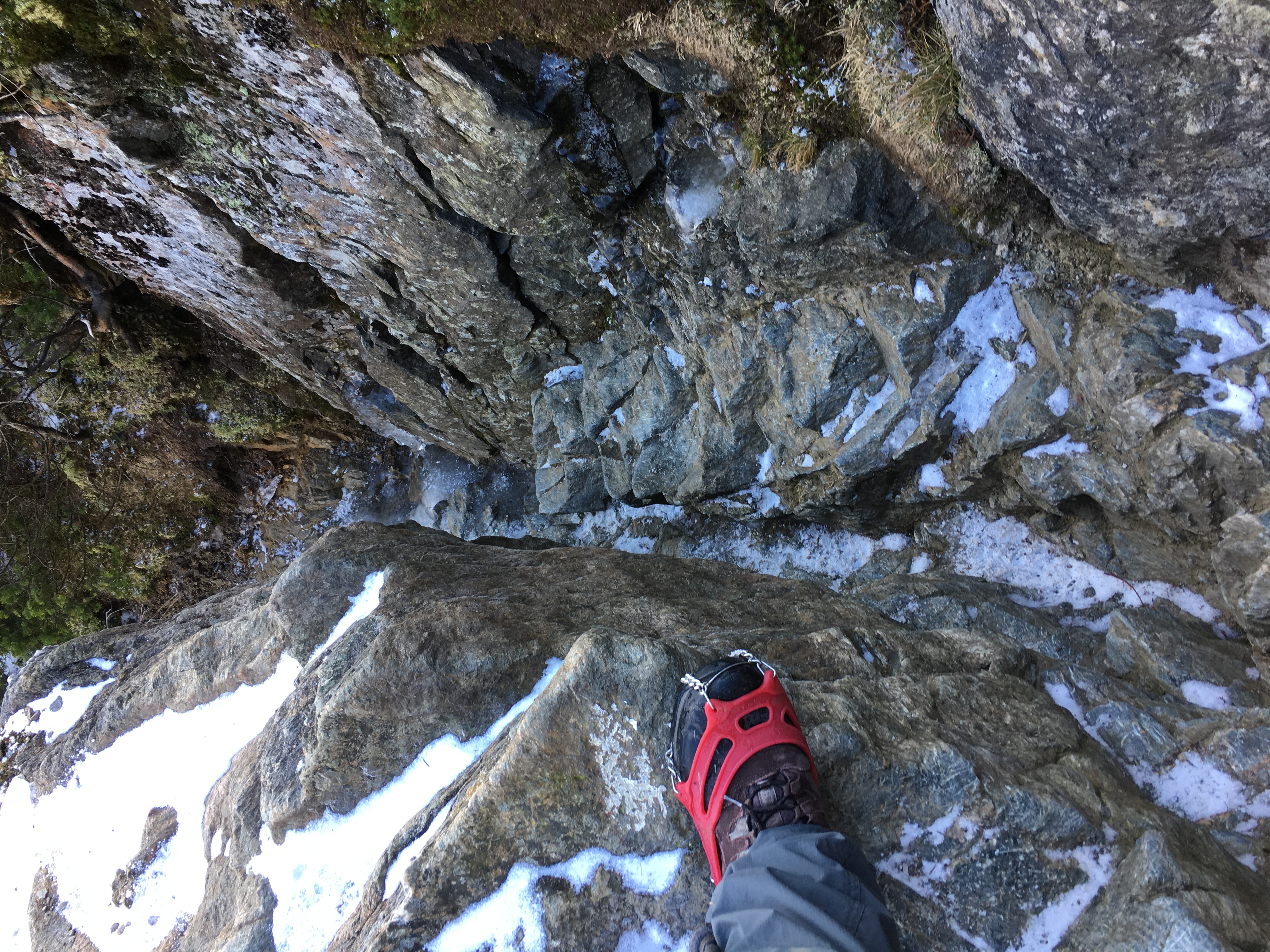
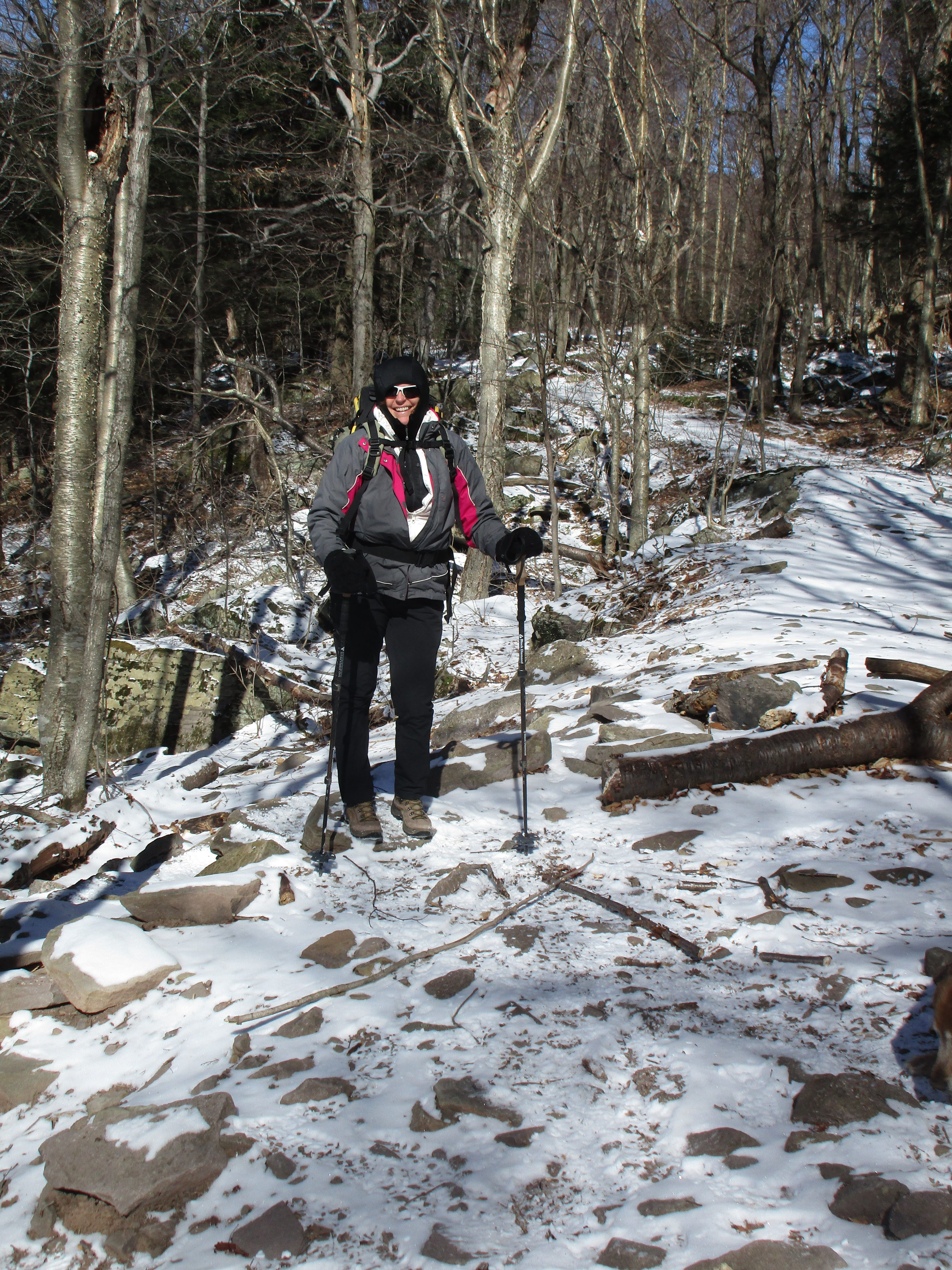
MANSFIELD: Day two, we woke up in our pet-friendly hotel ready to give it a go. Simba was visibly sore from the previous day on the Hump. But we decided to try him out and see how he does. Well before too long it was clear that he was not doing well. The spirit was there but his legs were struggling to keep up. He would stop and look up at Therese as if to say. “I can do it… really I can!” But it was obvious that he really couldn’t. So eventually Therese pulled the plug and the two of them retreated down the mountain, while I continued. Turns out that was a smart move, because there were spots near the top that were scrambles that i’m not so sure he would have made it up even with fresh legs.
↑↑↑ more icy trails ↑↑↑
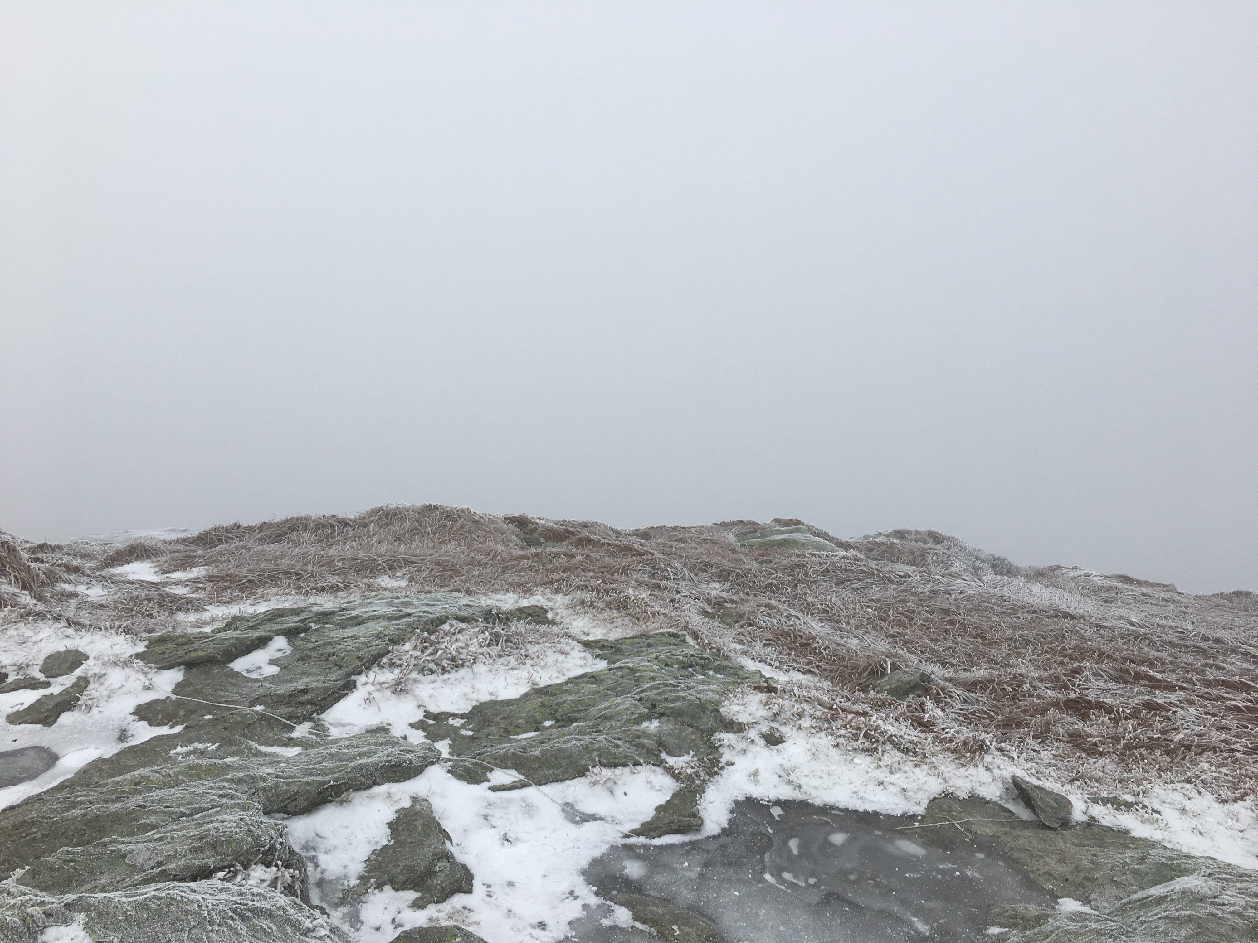
 Looks like a socked in summit today
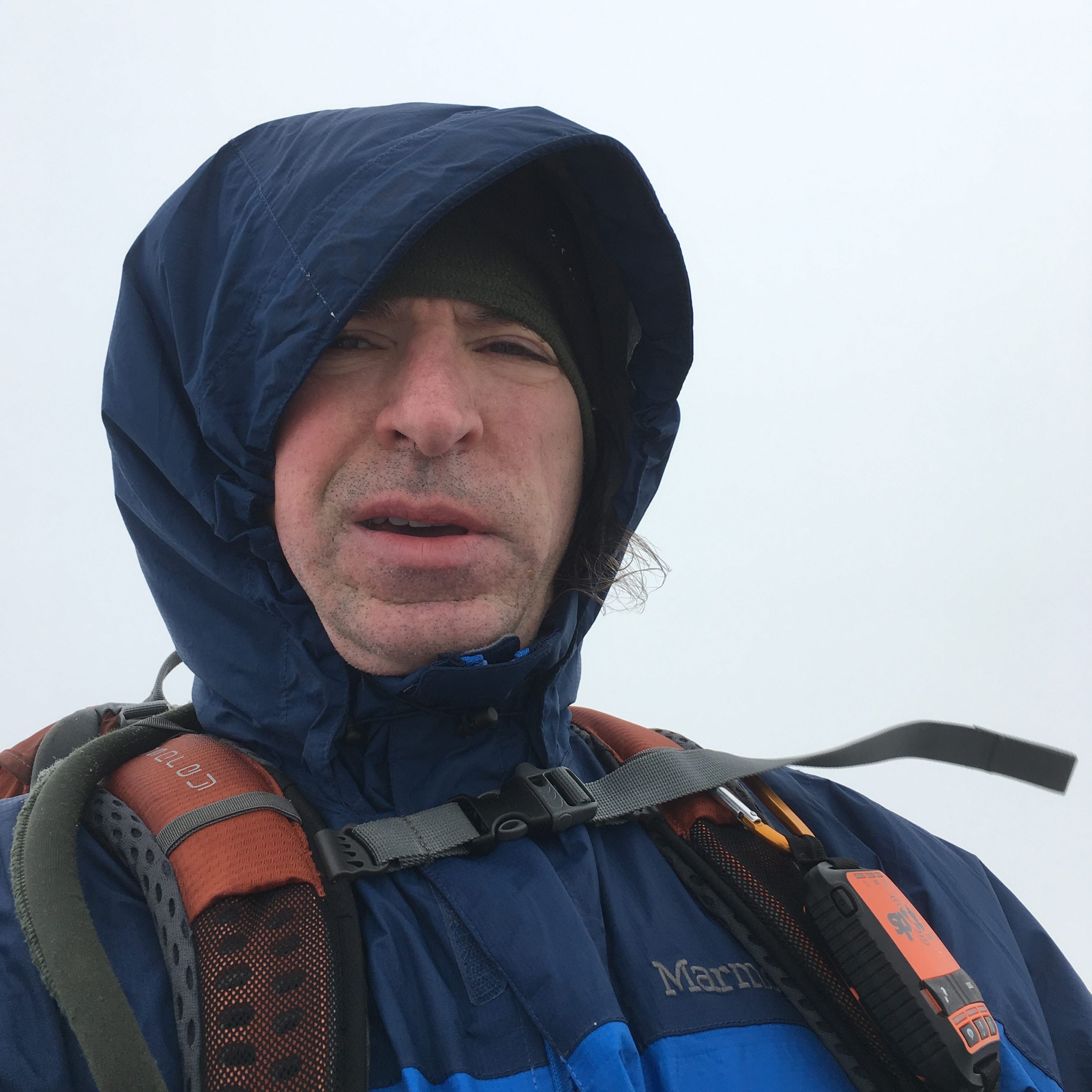
Well i made it. Now where’s that view?
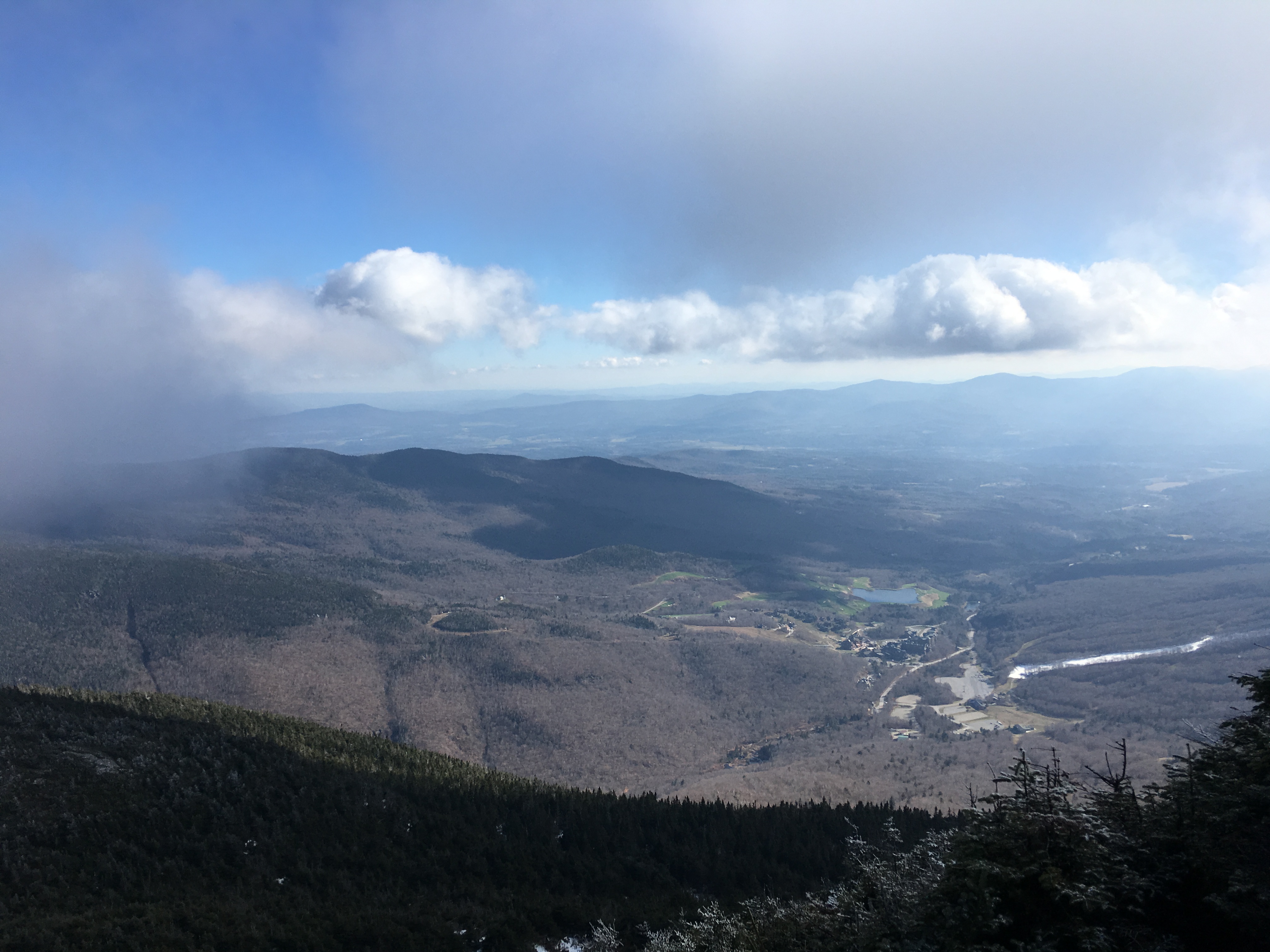
There it is, on the descent!

Coming down off The Chin…
Heading toward Adams Apple…
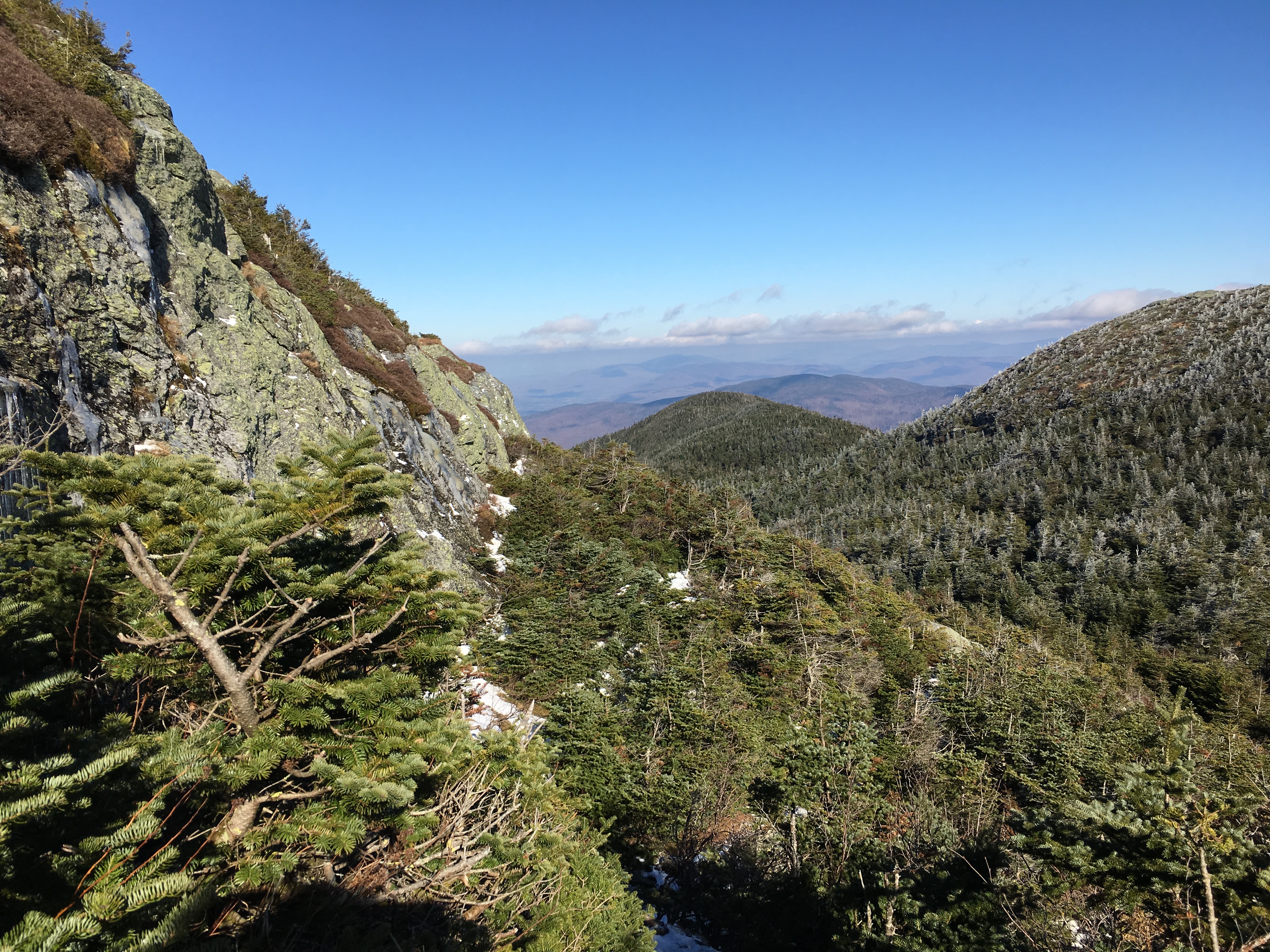

A look back from Adams Apple to Chin (summit) and Nose in background …
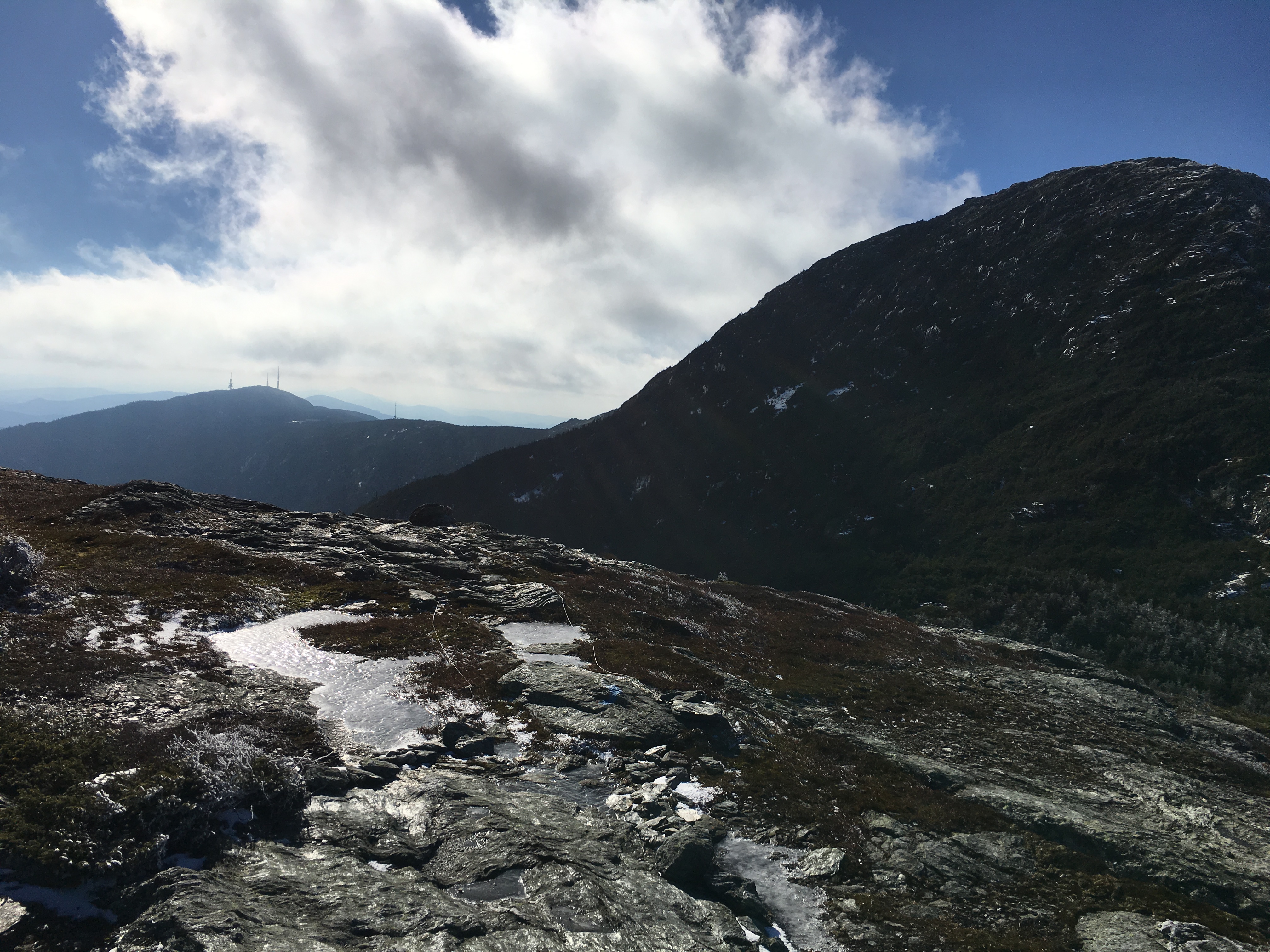
Heading down to Lake of Clouds below…↓↓↓
It was a beautiful day! Wish I coulda shared it with my companions. But we made the right call. By the time they made it to the trail head Simba couldn’t move and basically had to be carried to the car. Poor guy. He did eventually recover to hike another day. We’ll all come back and maybe traverse the whole ridge someday. But for now, that’s another check mark for me. Just 2 more left in Vermont.
A Warm-up in the Berks (Bashbish Falls and Alander Mountain 11/19)
The following weekend was anything but winter. I took a drive with Maryjeanne to western Mass and met Therese and Simba for a summer-like day at this picturesque spot. Lots of laughter and NO signs of ice today! 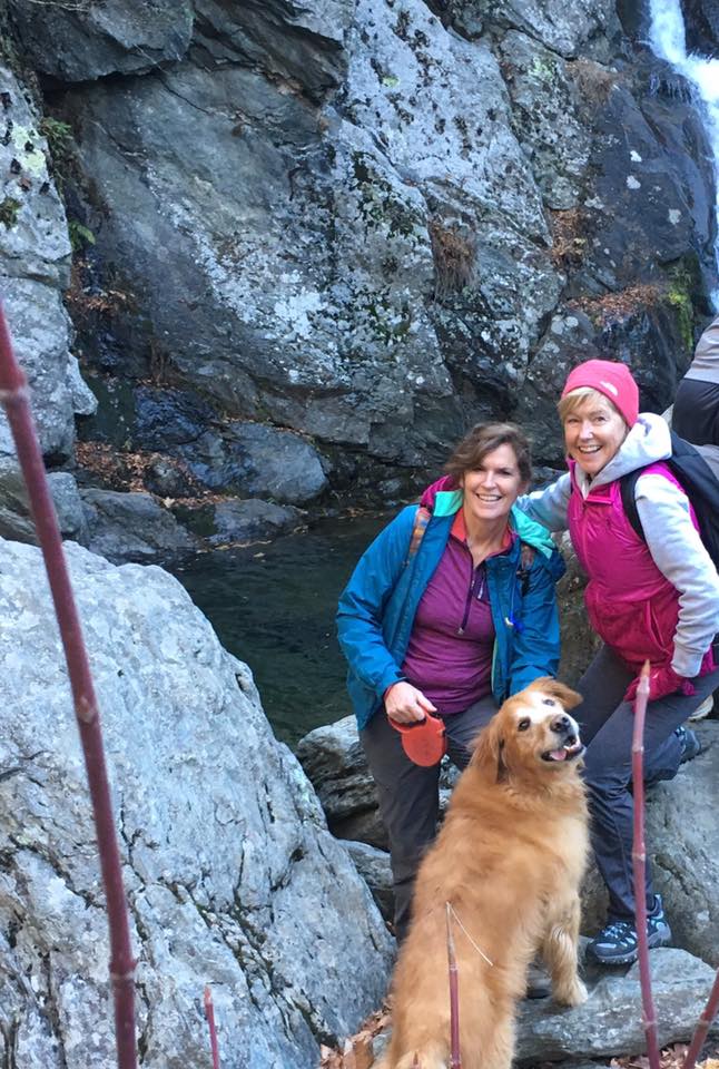


Great day with the sibs. Hope that I get to hike a lot more with MJ. Warmth was nice, but I’m ready for the white stuff!!
There’s SNOW in dem dar hills!!
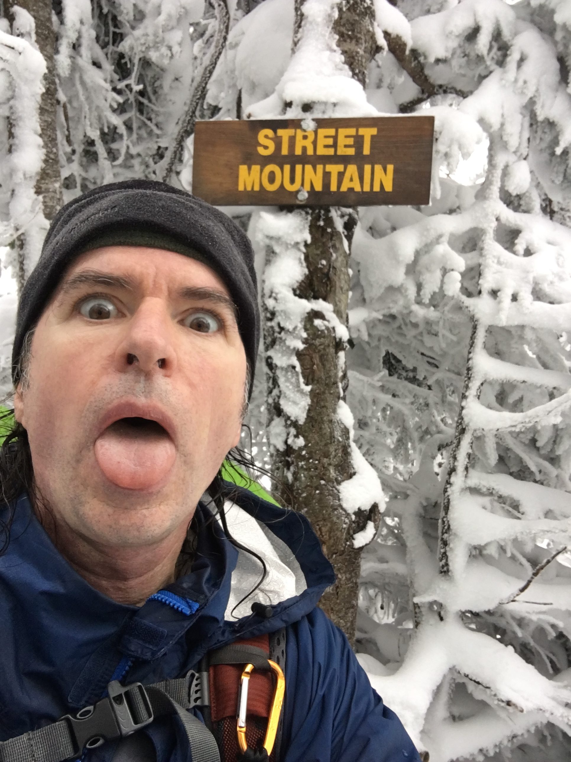
(Tabletop-22, Nye-23/Street-24: 11/25 & 26)
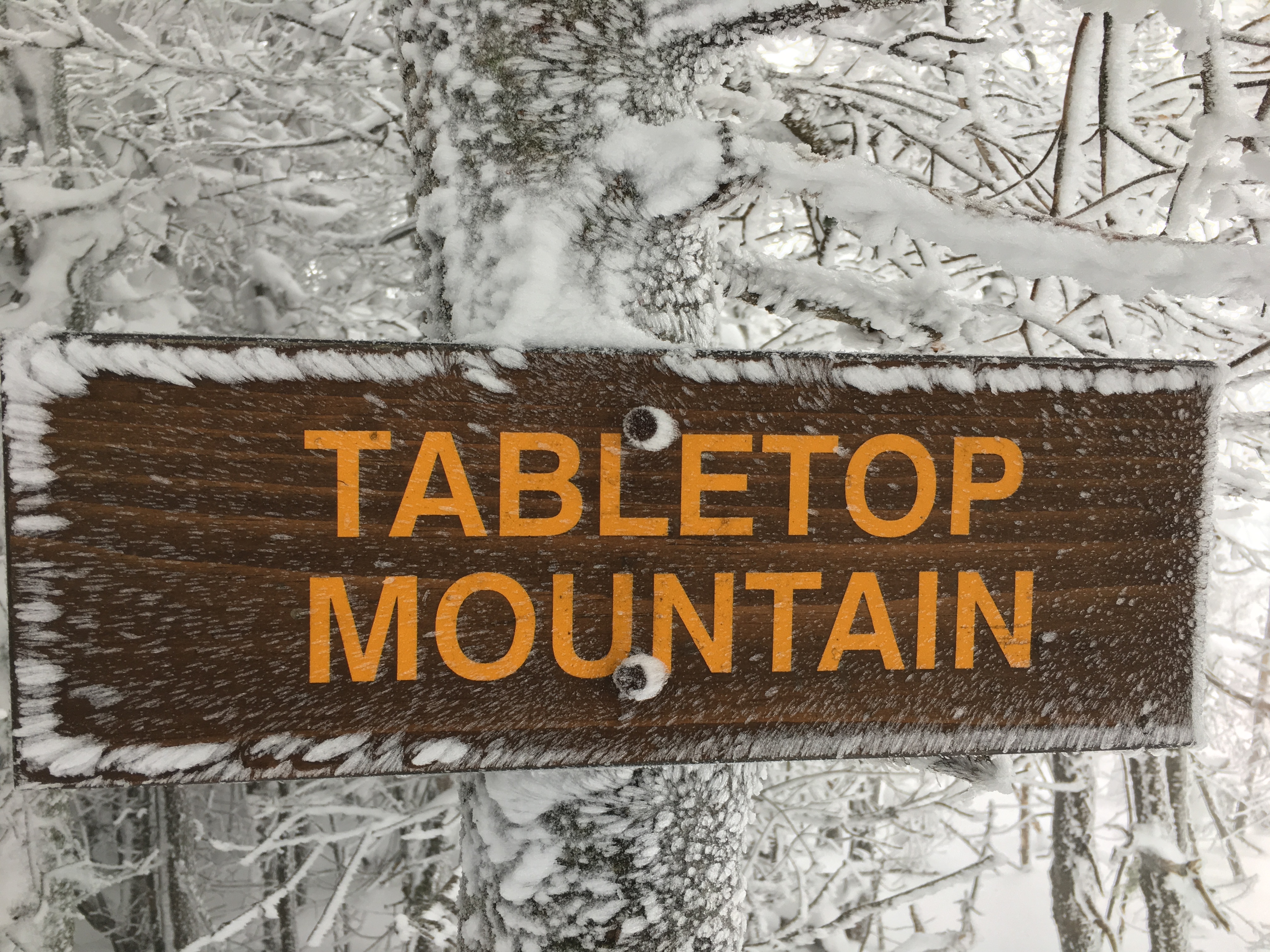
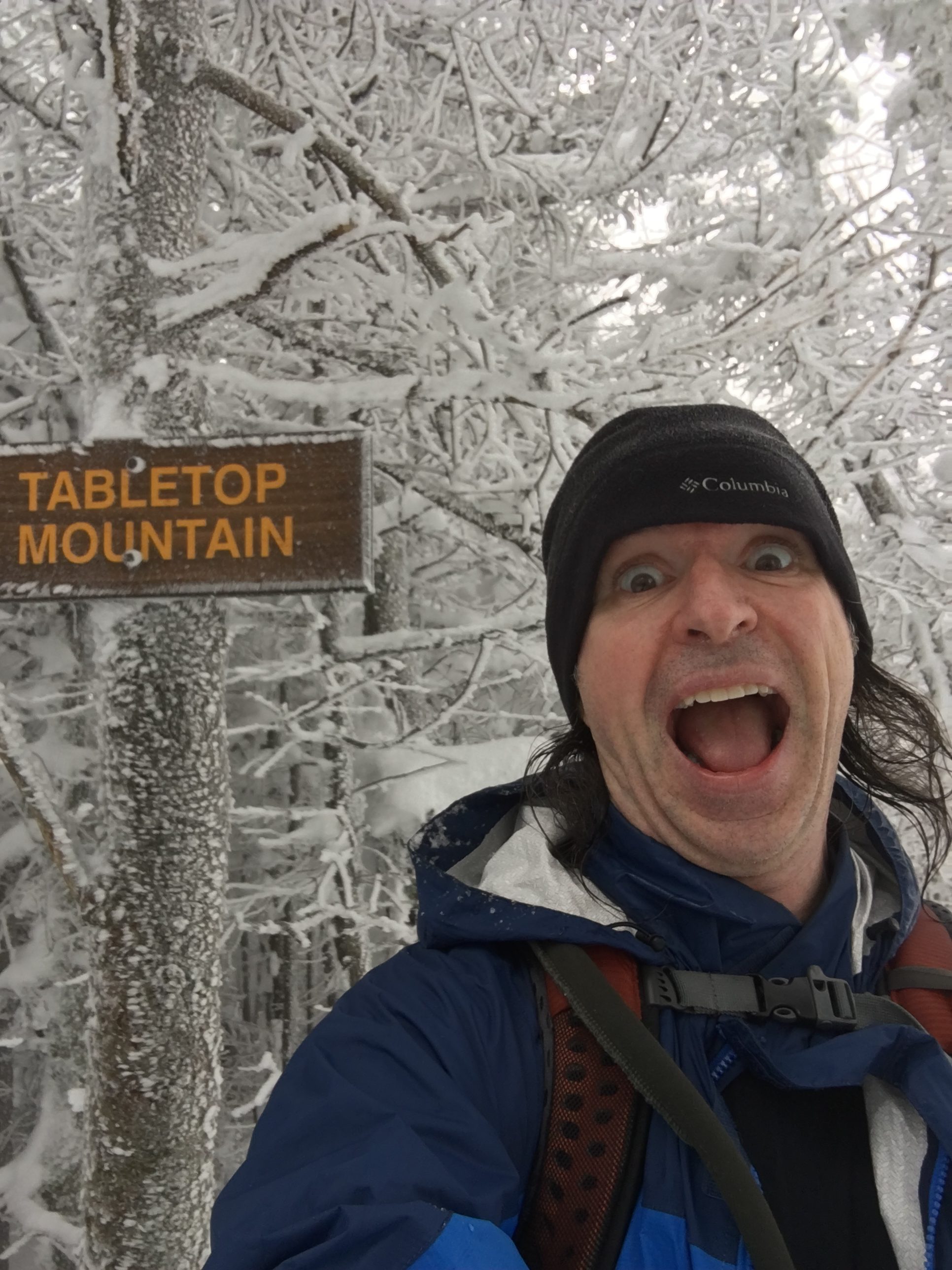
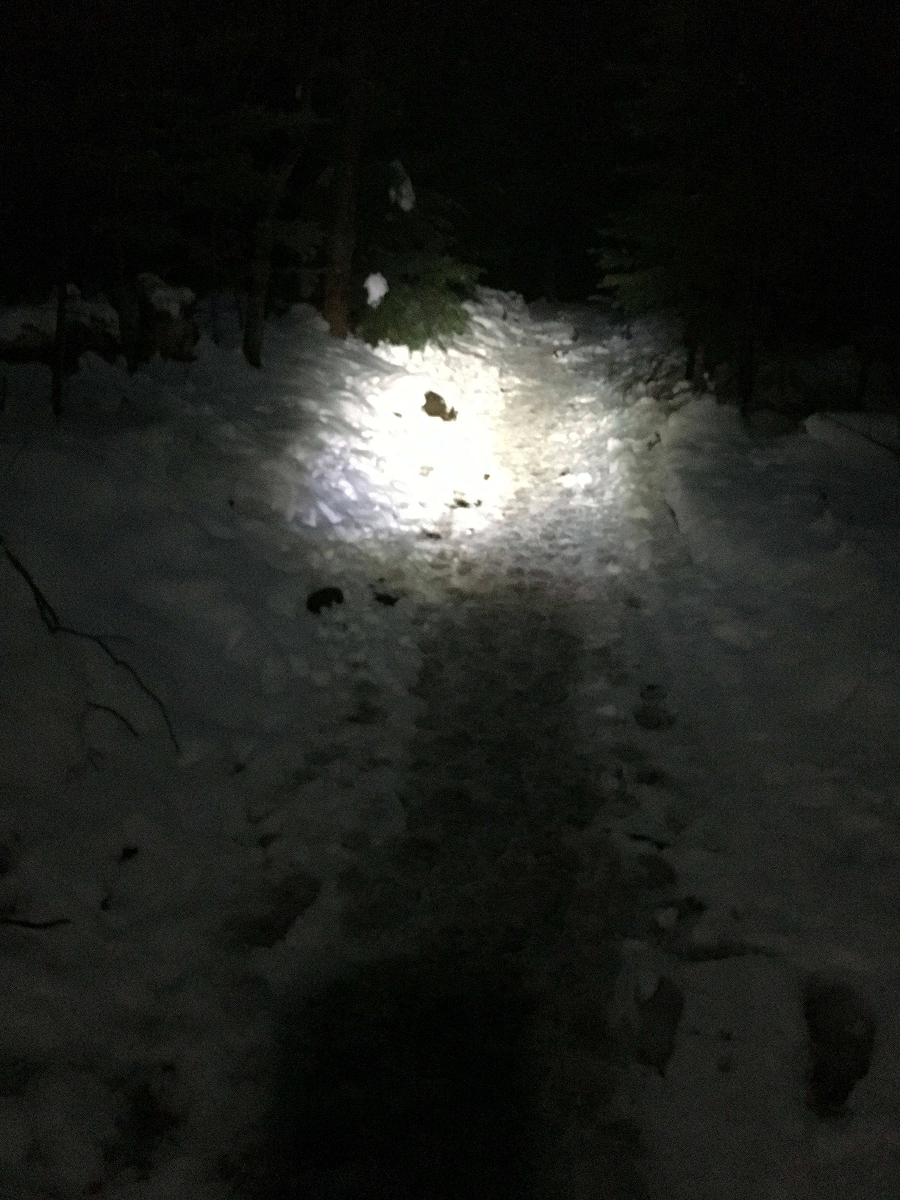
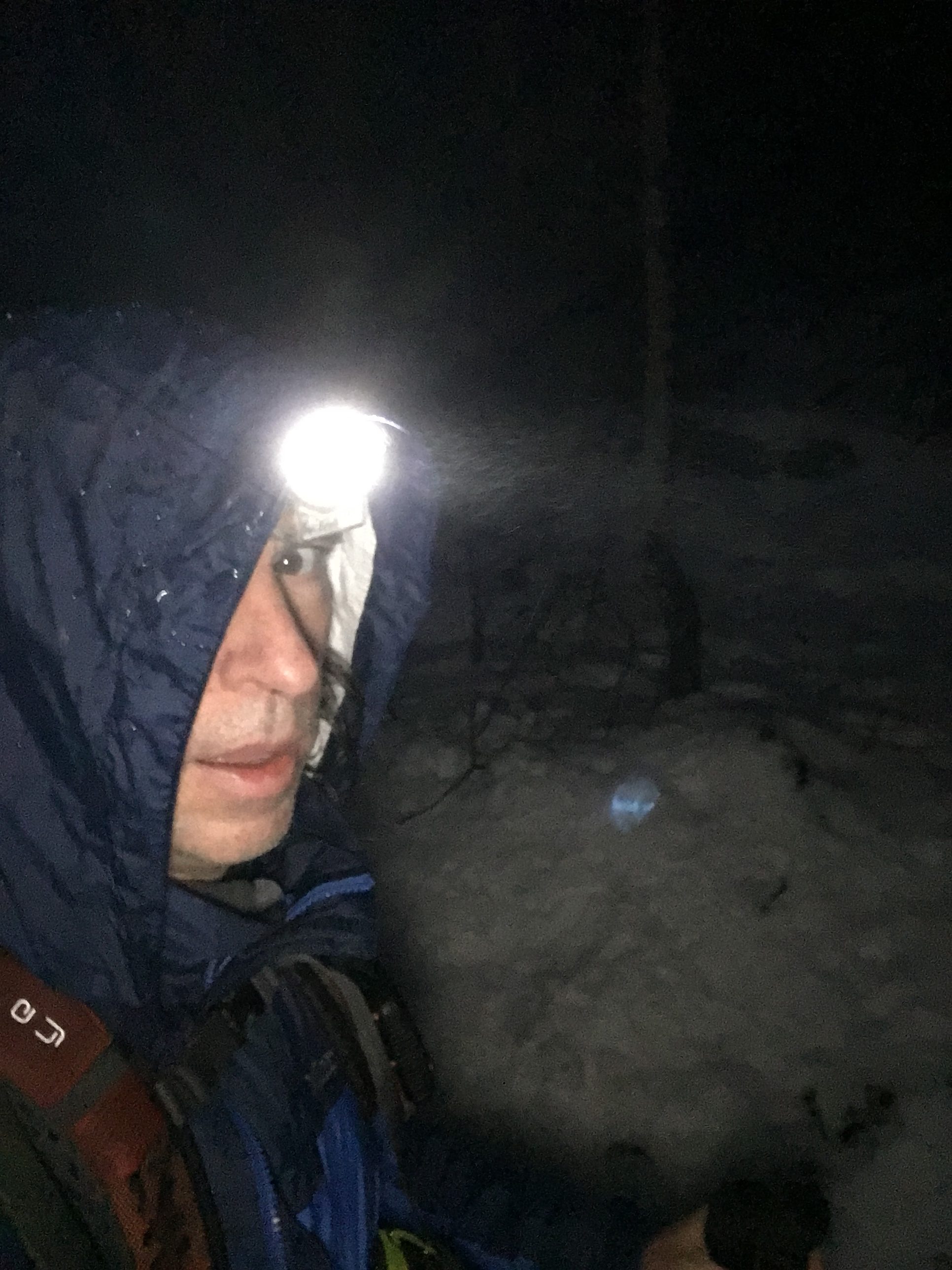
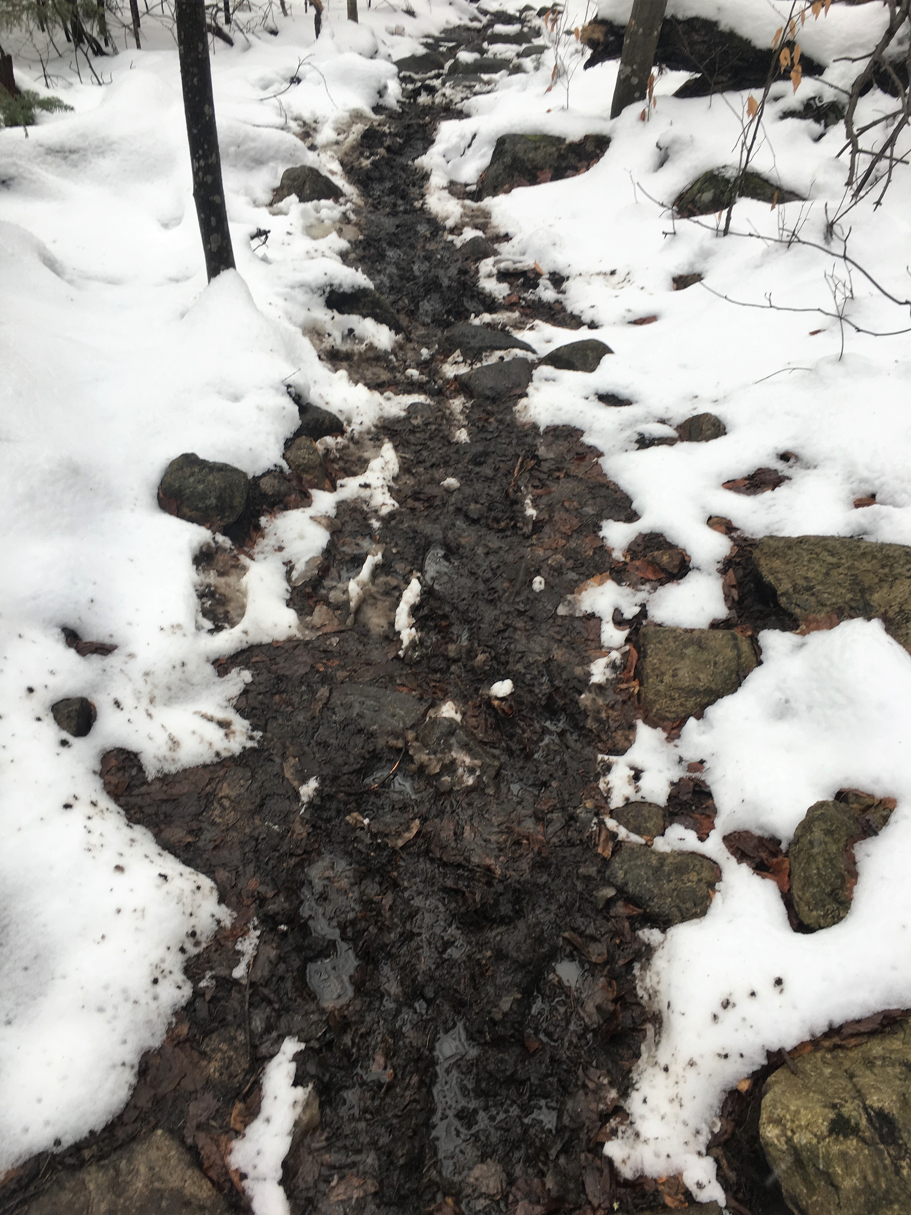
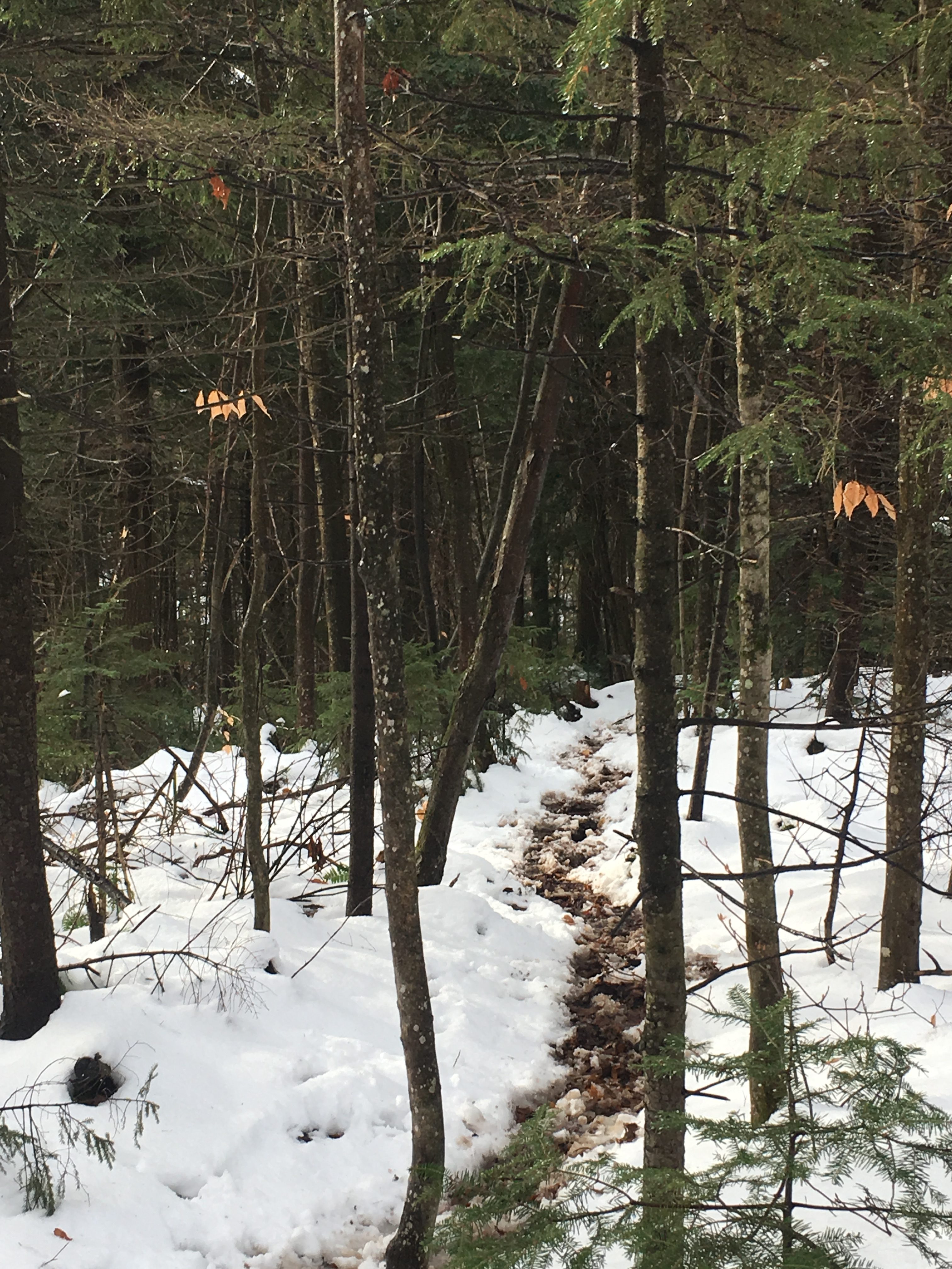
DAY ONE(Tabletop): Thanksgiving feast gave me plenty of fuel to head out west to the Adirondaks where they had picked up some fresh snow. Right after dinner at Mom’s, I hit the road for a pit stop at Therese’s to hang out with her family and watch some Christmas movies over dessert. By first daylight I was already on the road to the High Peaks where I would tackle a Tabletop that served me no feast, except to feast upon a wintery spread of food for the soul. There wasn’t much snowpack yet but the base was laid for what would be a monster season in the Daks. Flurries were off and on throughout the day, mixed in with a few periods of freezing drizzle. There aren’t many on the trail today, as most are likely still in a turkey coma. I’ll take the solitude in the fresh crisp winter air that’s rolling in from Canada, and fill my lungs with it all the way to the top of the table.


↓↓↓“I CAME ALL THIS WAY FOR A WHITE-OUT??? ↑↑↑
↑↑↑”I LOVE IT!!!!” ↑↑↑
WRAPPING UP ANOTHER DAK IN THE DARK…↓↓↓↓
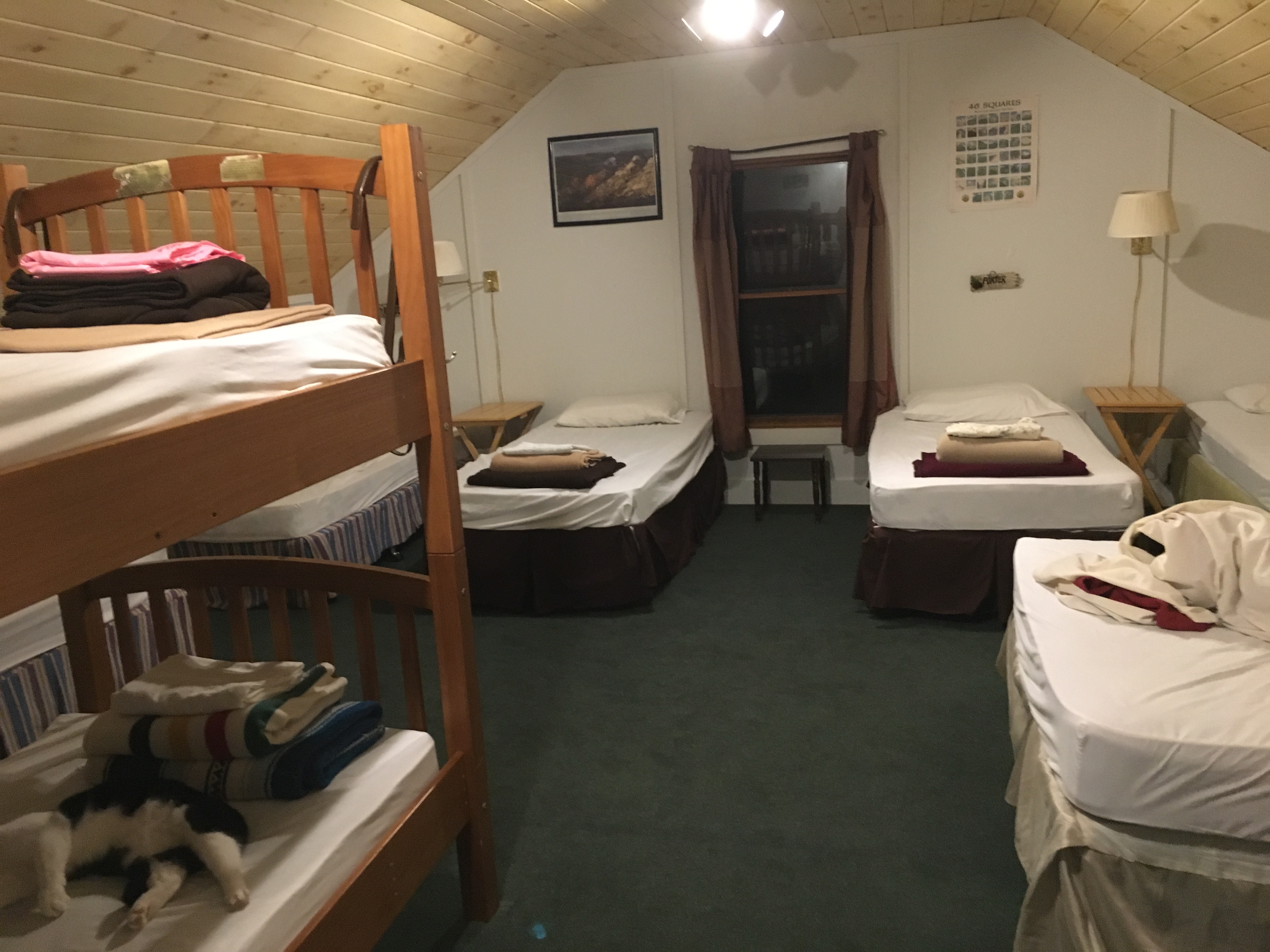
DAY TWO (Nye/Street): Spent the night at Keene Valley Hostel. There was only one other couple, plus some loveable kittens. Nice place to stay, although a few points off because one of the two propane heaters were not working. We heated the place by leaving the electric stove and oven on for a while. It wasn’t that cold out anyway and we stayed toasty (actually a bit too warm for my taste).
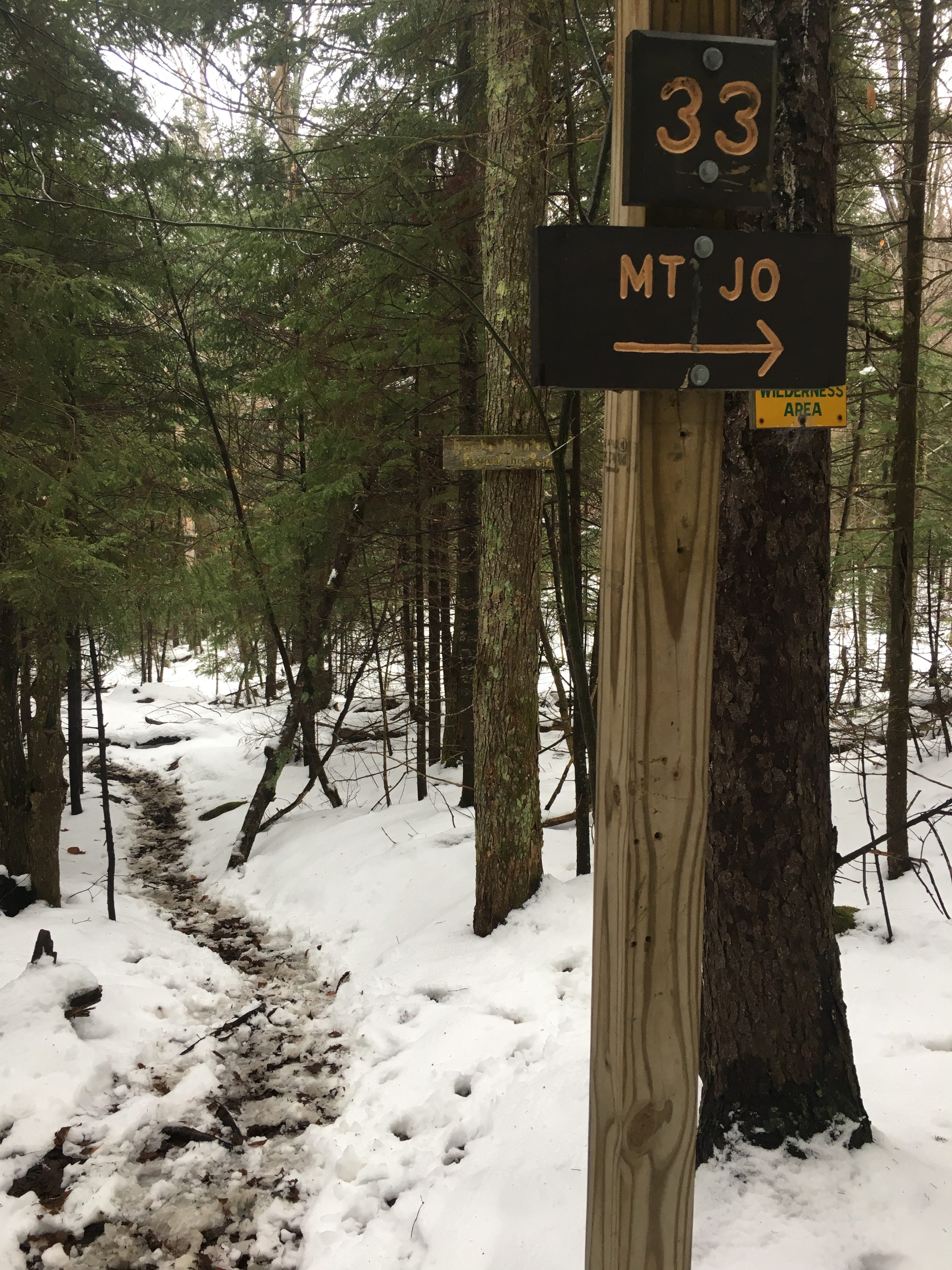
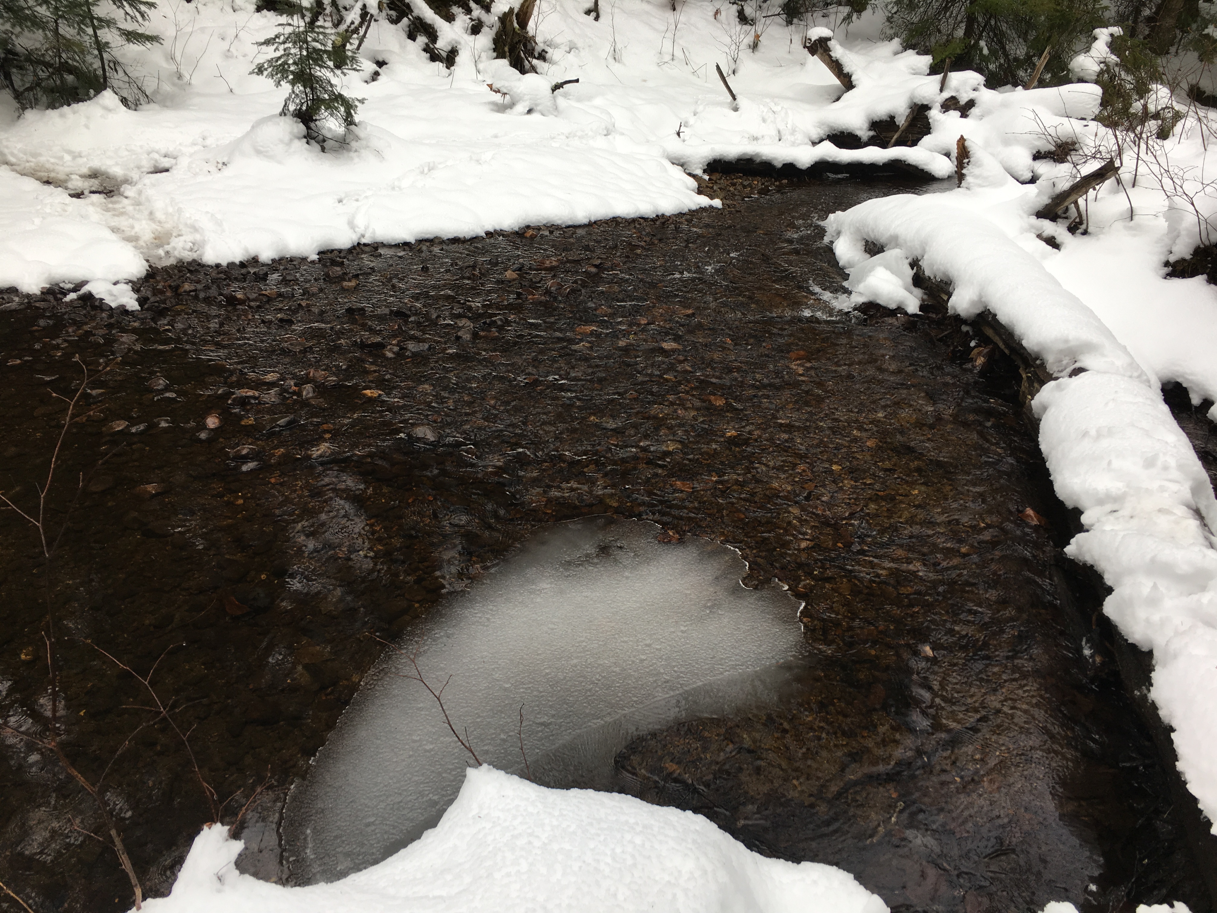
Anyway after a good night’s sleep, I headed back out to ADK Loj parking lot, to snag a few more High Peaks. This time it was Street and Nye, two “trail-less” peaks who’s junction lies at the end of a small brook that you follow due west, upstream for most of the trip after crossing the larger Indian Pass Brook. The heard path is accessed from the trail that leads to Mount Jo from Heart Lake.
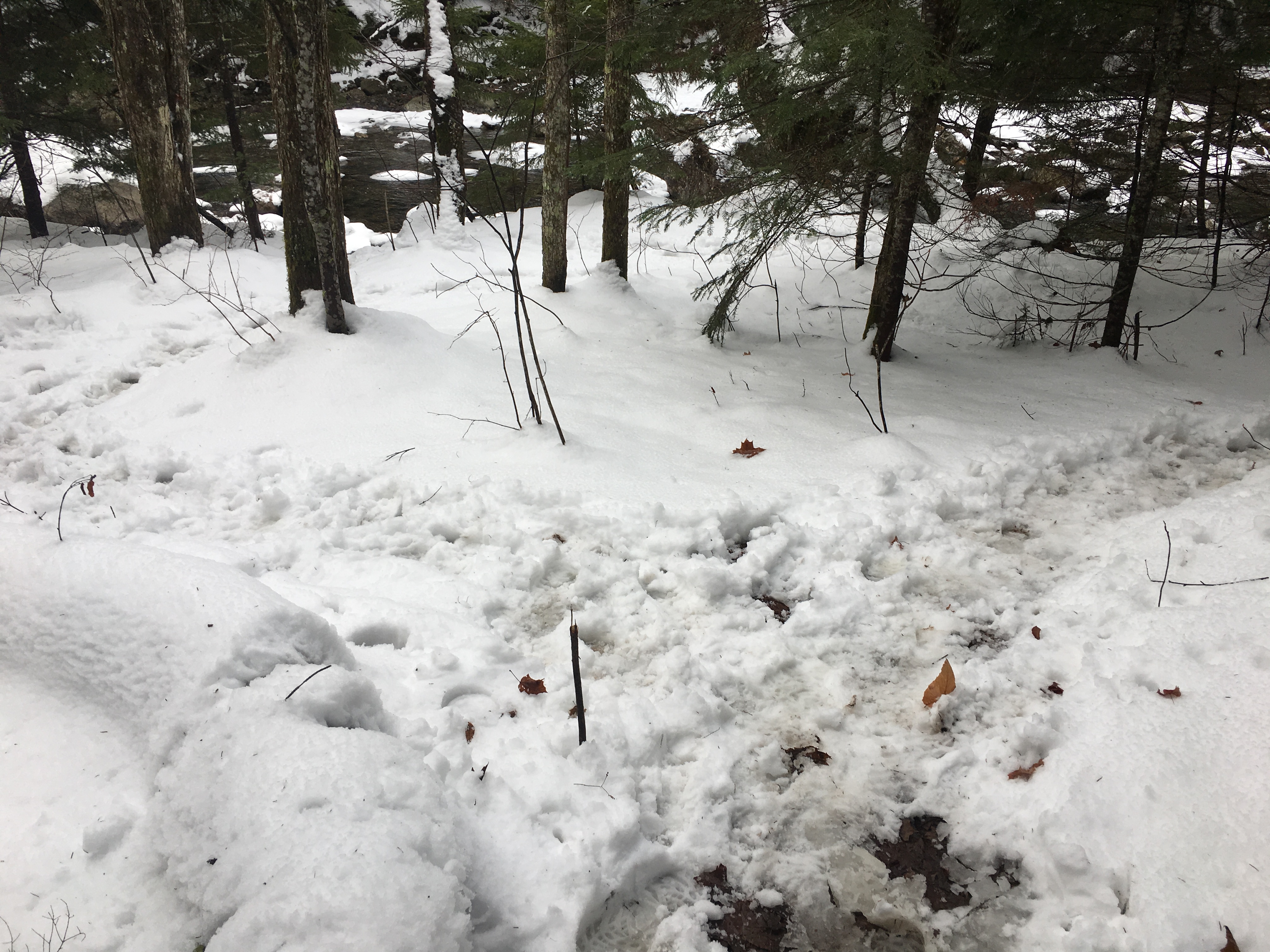
The trail was a wet, muddy, slushy mess for majority of the trip, but for the most part easy to find my way, following the sloppy cluster of footprints. I encountered a few more groups today, and yesterdays flurries were replaced with periods of drizzle.
It got somewhat confusing at the IPB crossing where the tracks branched off into two directions for two different spots to cross.
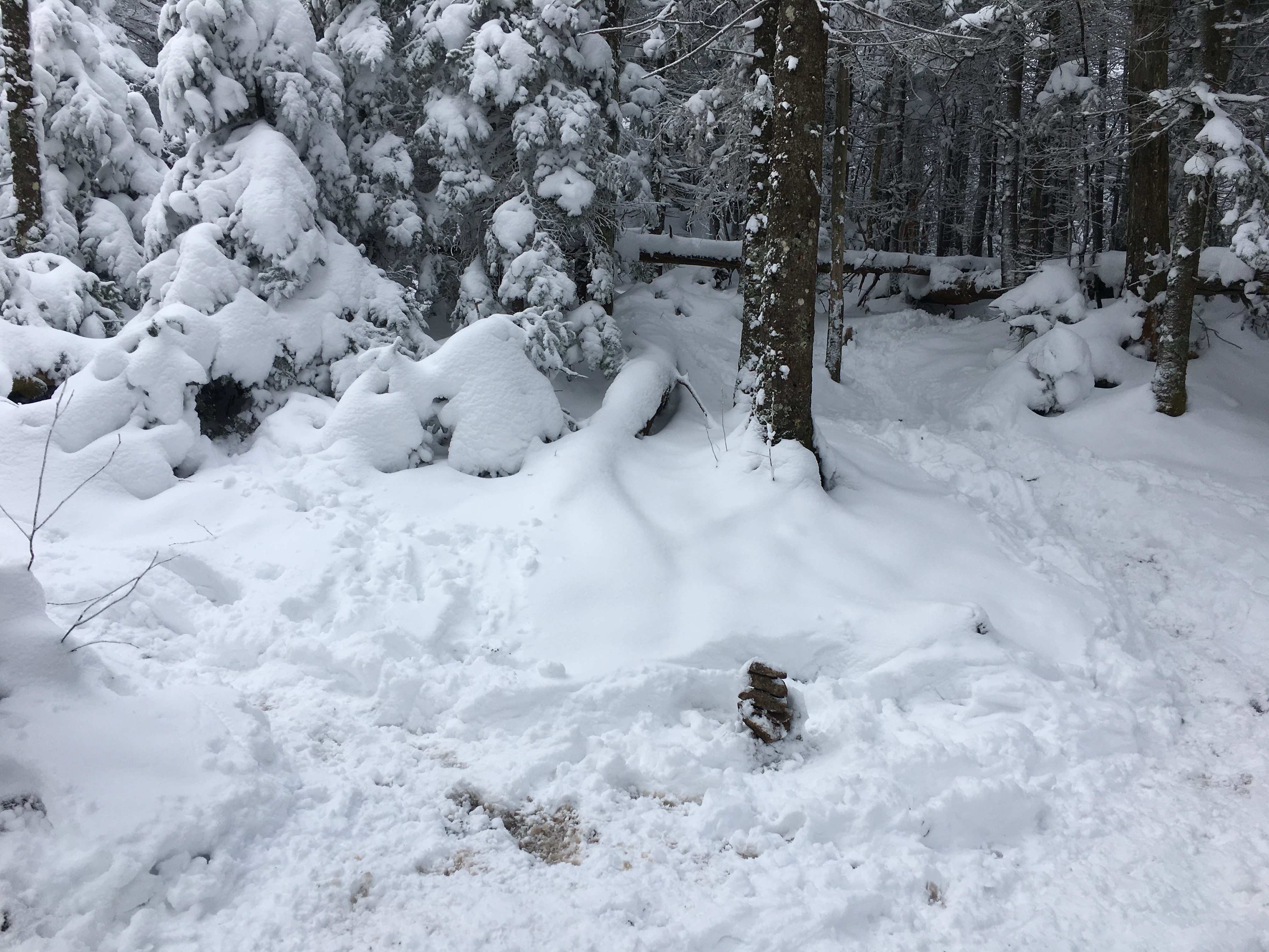
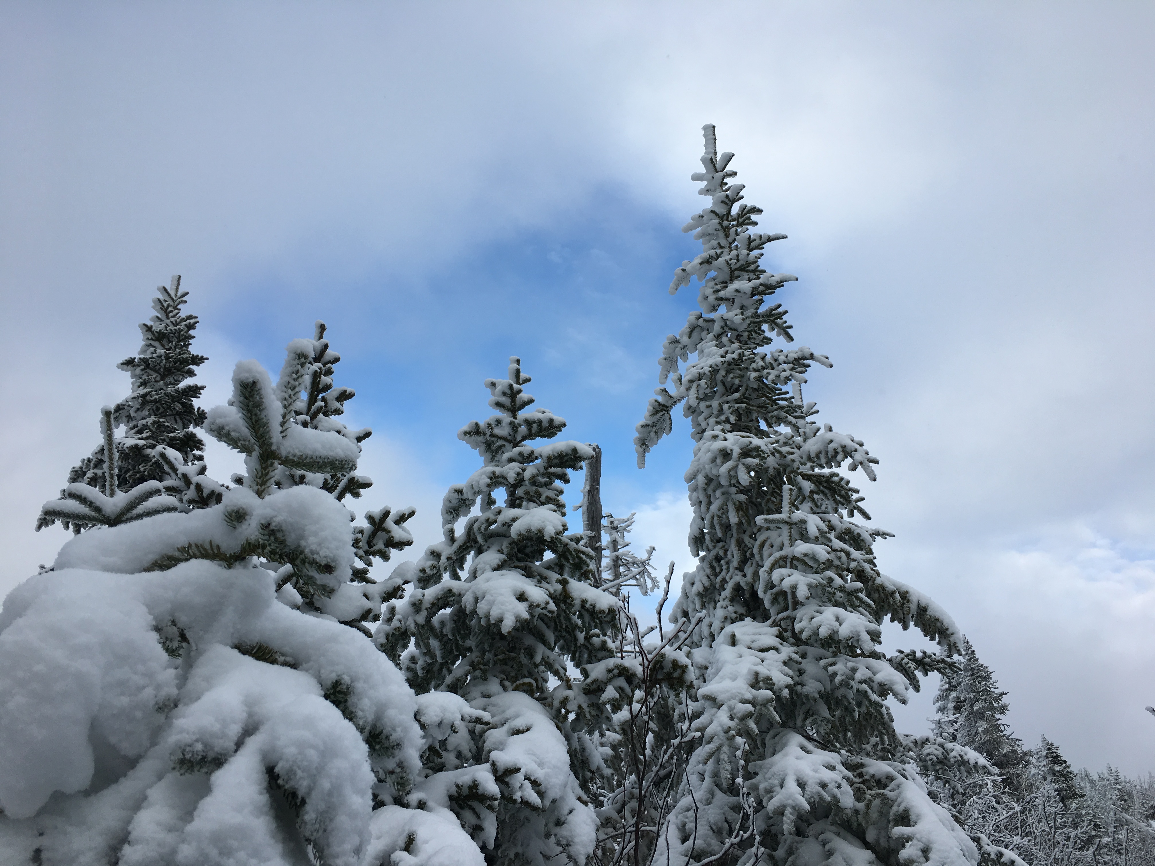
Up higher was more fluffy white stuff with dryer conditions. From the junction, Nye was a quick jaunt to the briefly visited summit, where a group of 3 had stopped for lunch. Street was a longer ascent, and got me occasionally concerned for time, since this was an unmarked trail where I had already got confused once. But I had my GPS leaving me a trail of bread crumbs, and as long as I got back across the brook before dark I was in good shape.

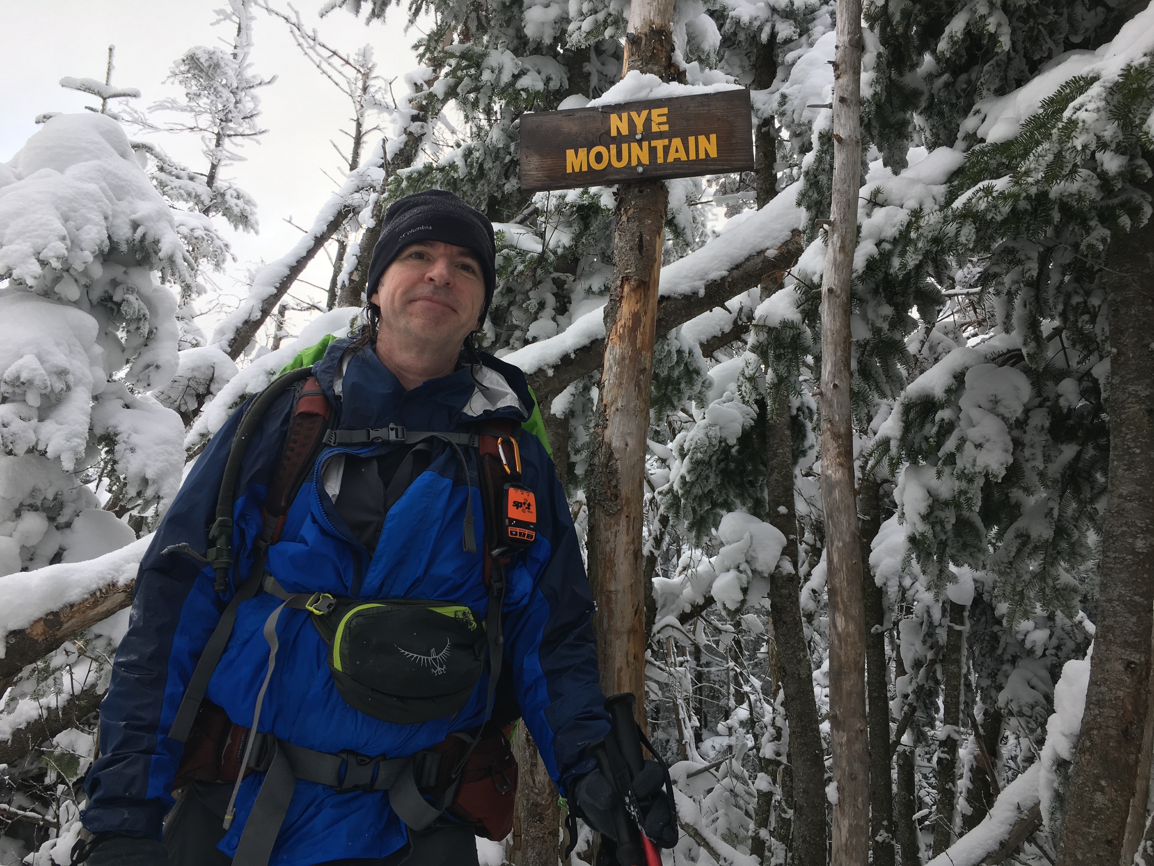
Just as I was thinking “where’s that sign?” it appeared before me. After the obligatory summit selfie, I tagged it and bagged it, and then raced down the mountain to make up some time. With the snow balling up between my microspikes, I stopped at only a few spots where a limited view presented itself.
In the end, I made it back in the dark again, soaked from head to toe, but otherwise without issue and two peaks closer to my goal and passed the halfway mark. Then it was back to the Hostel where this time I had the place to myself, aside from one cuddly kitty. I had originally thought of a possible 3rd hike, but all my clothes were still damp, and i was spent. So after a huge breakfast I hit the road for a 5 hour drive home. Until official solstice arrival, see you soon ADK!
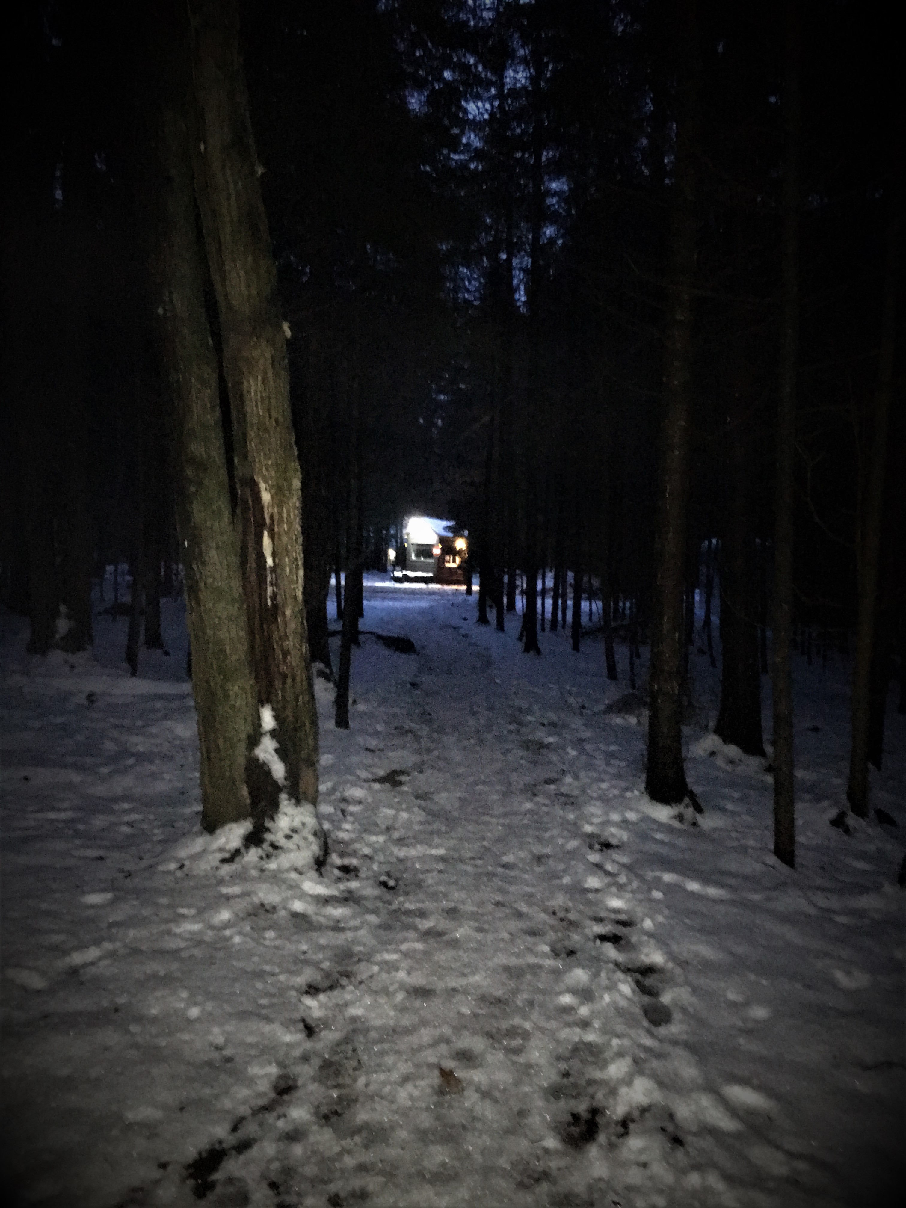

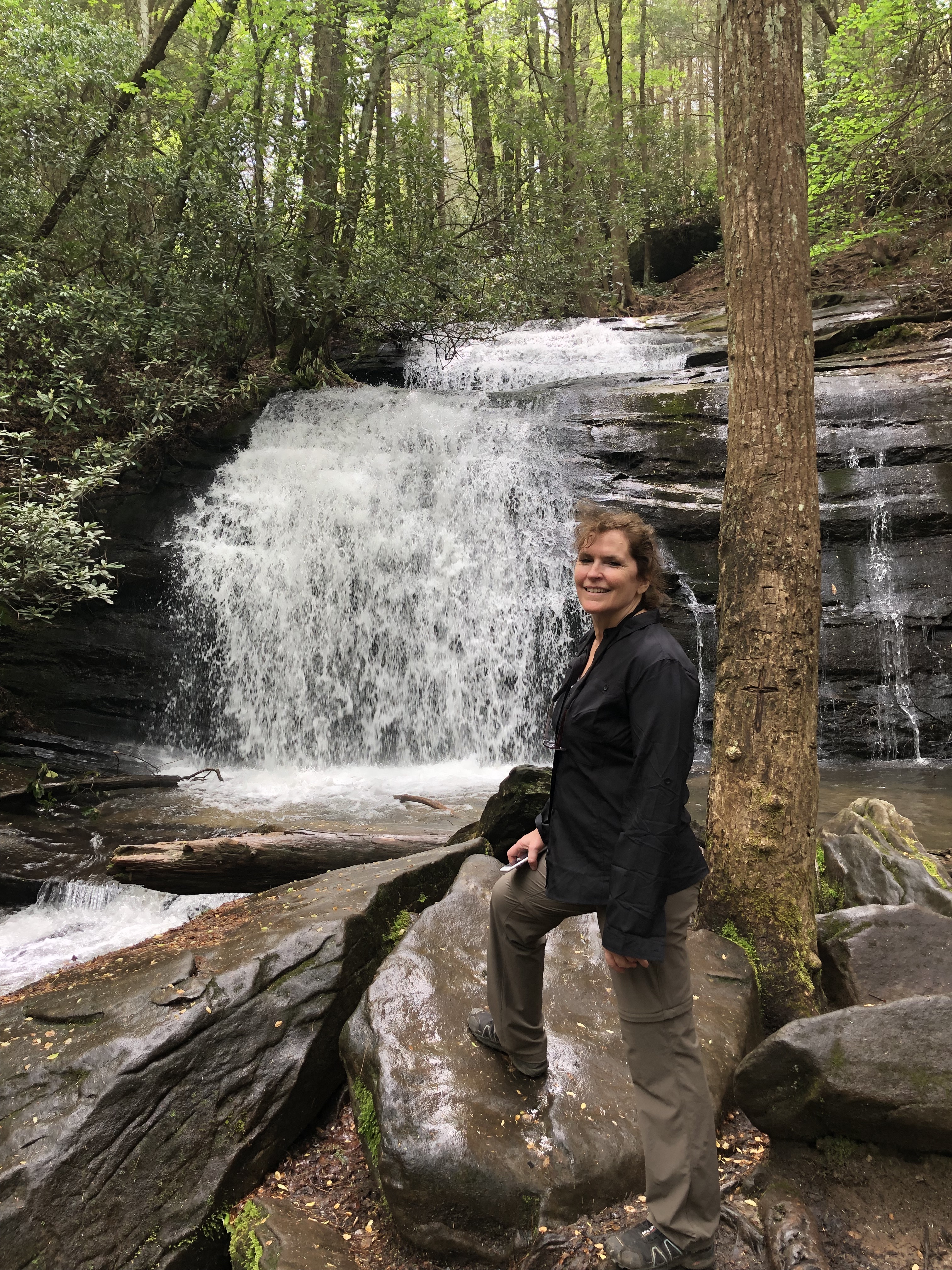
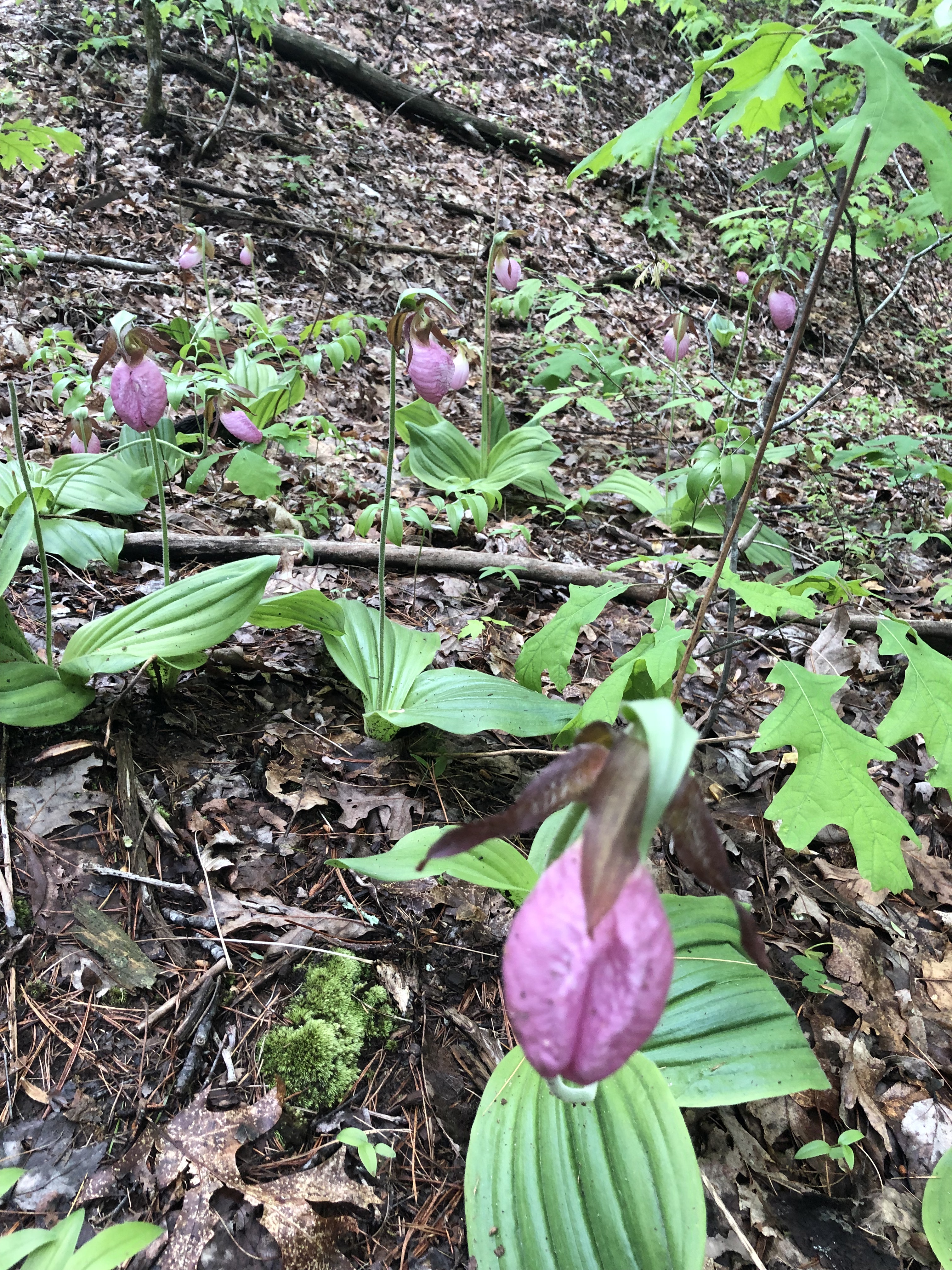
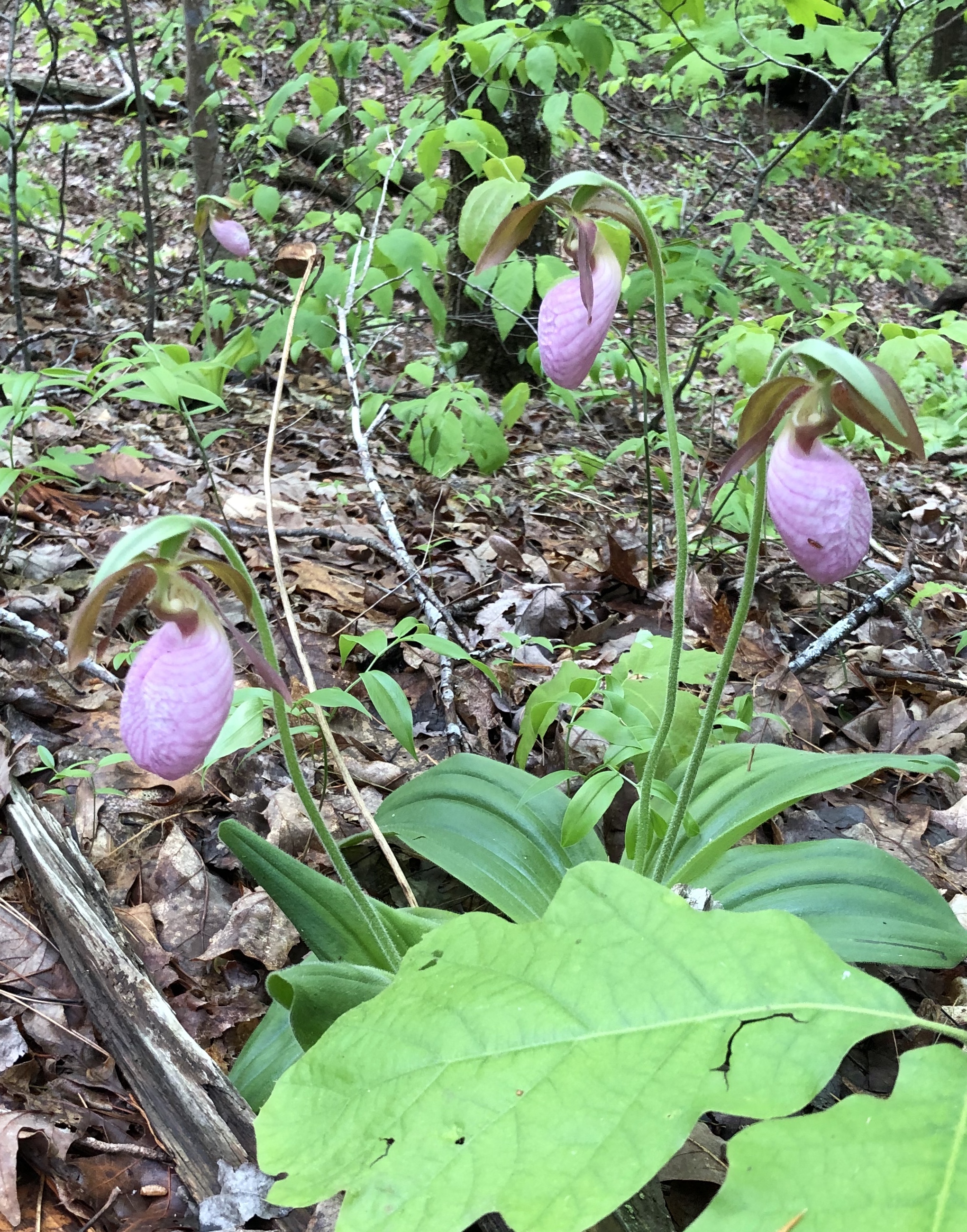
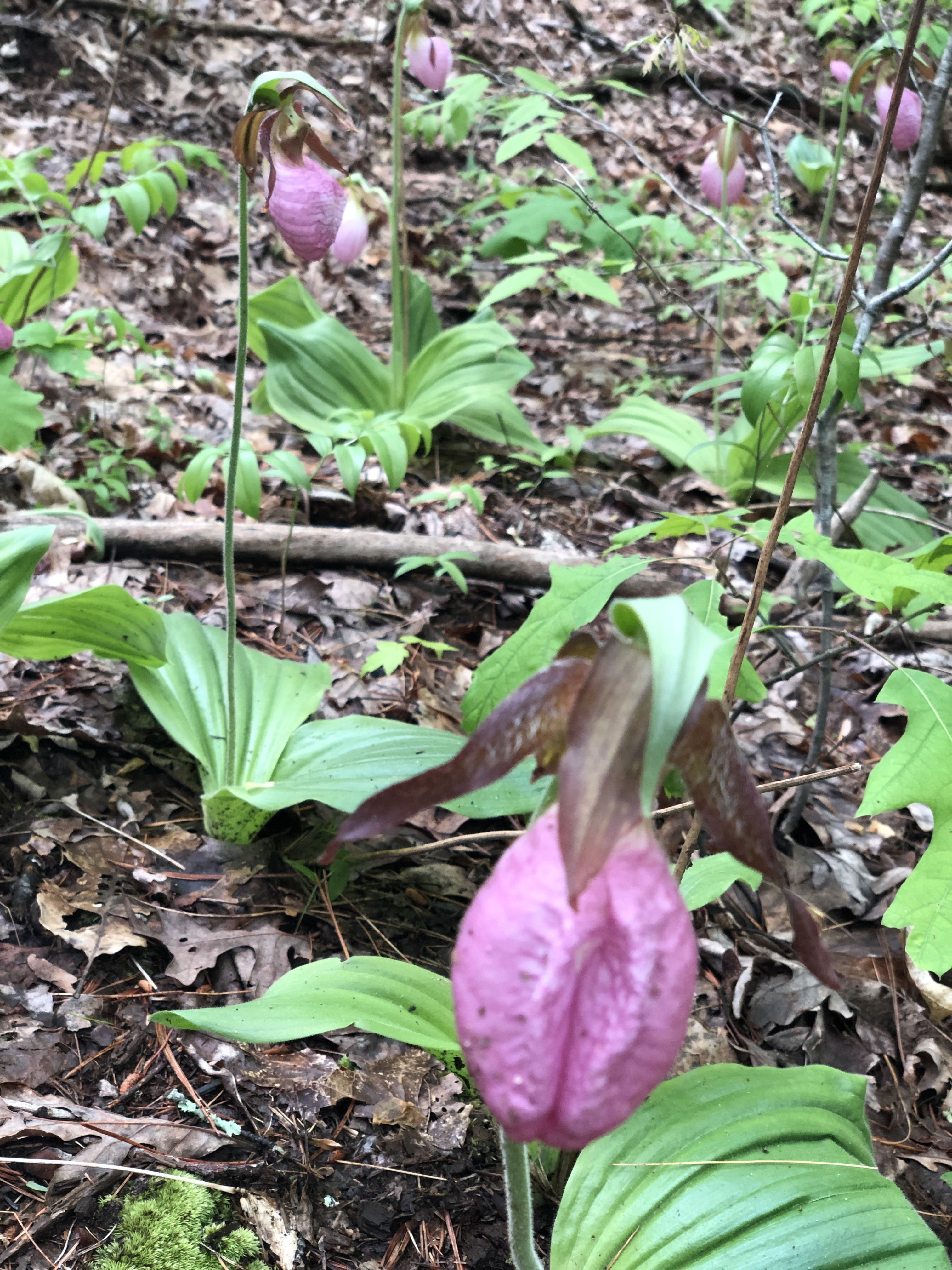
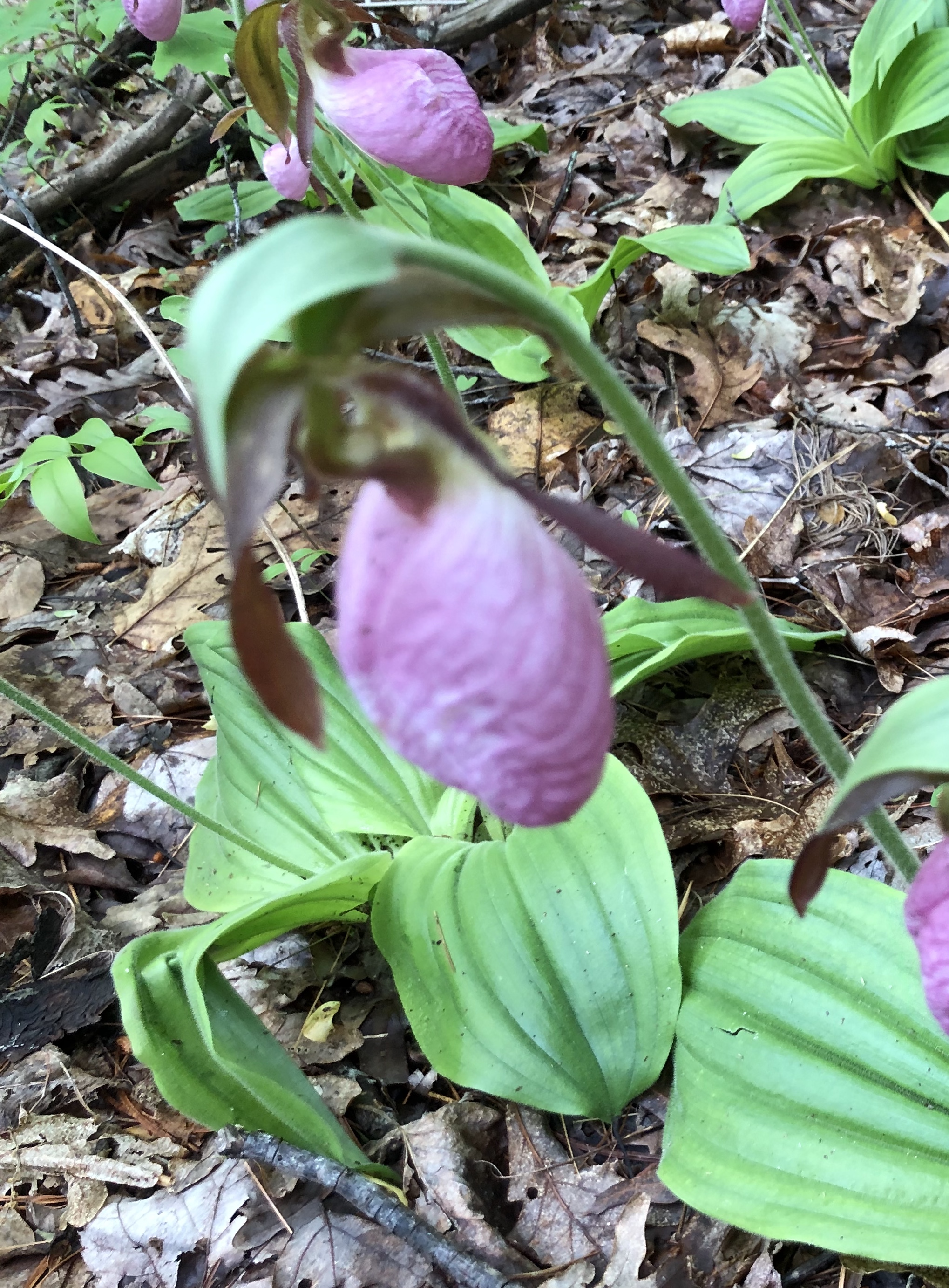
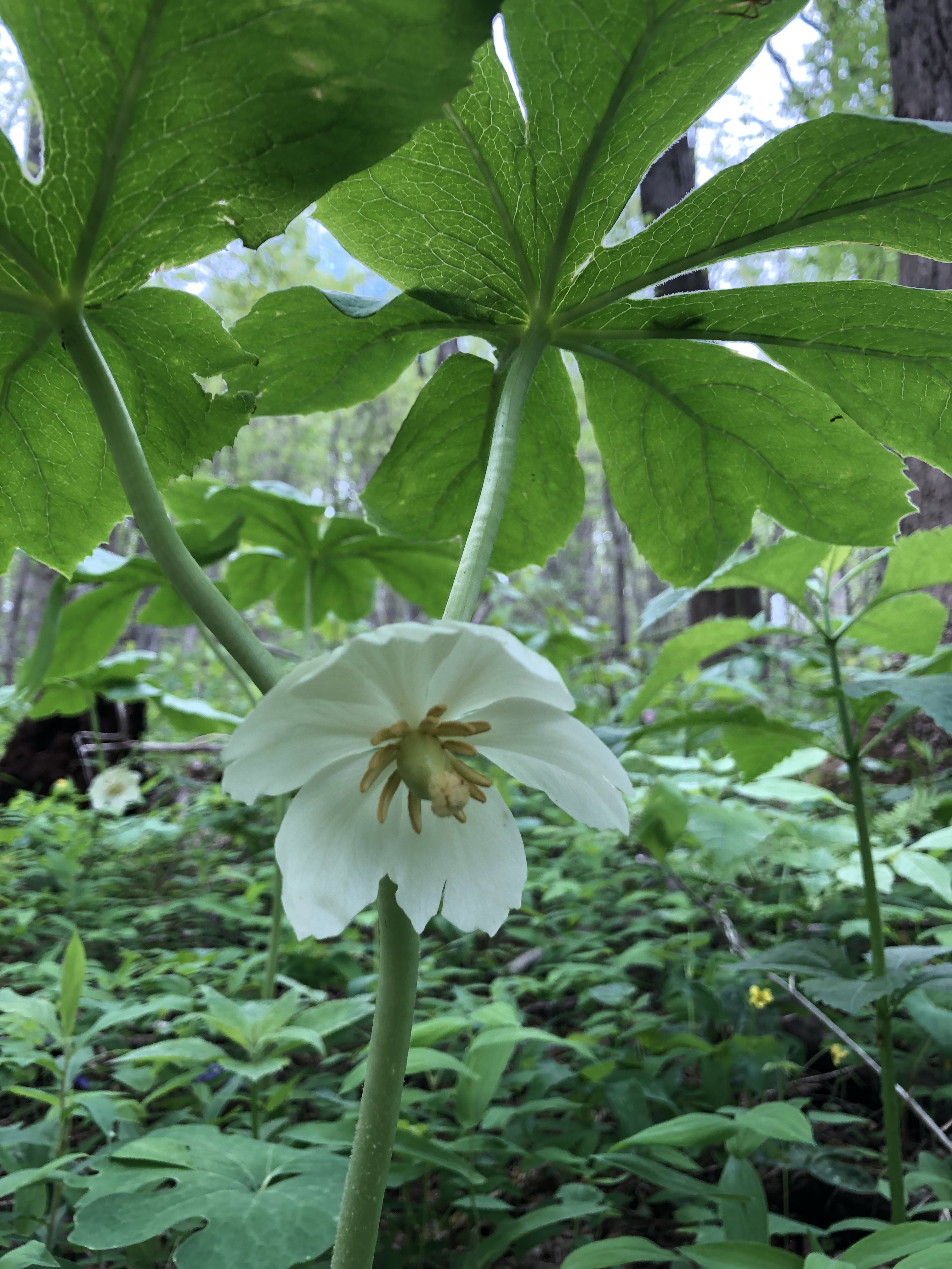
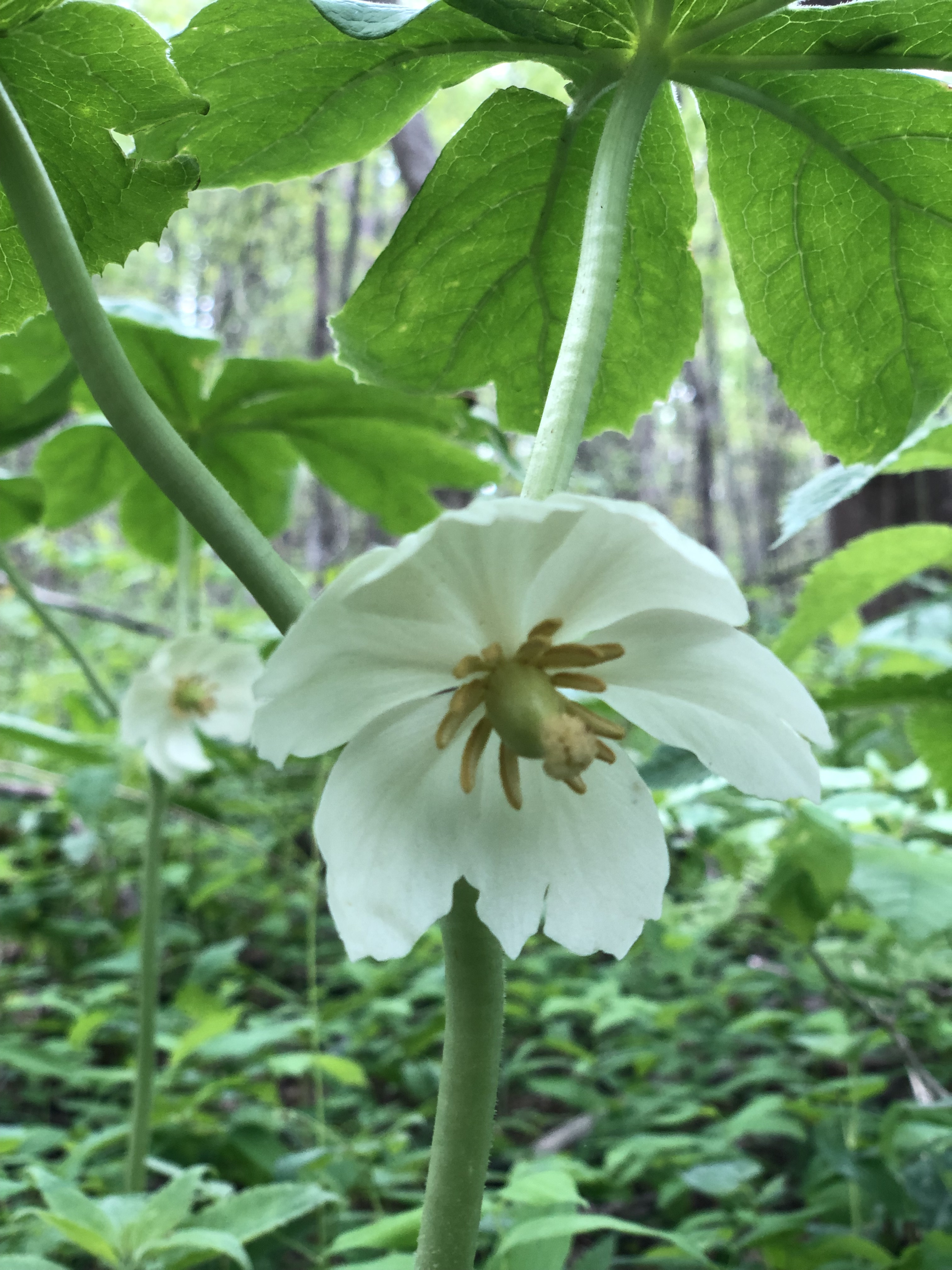
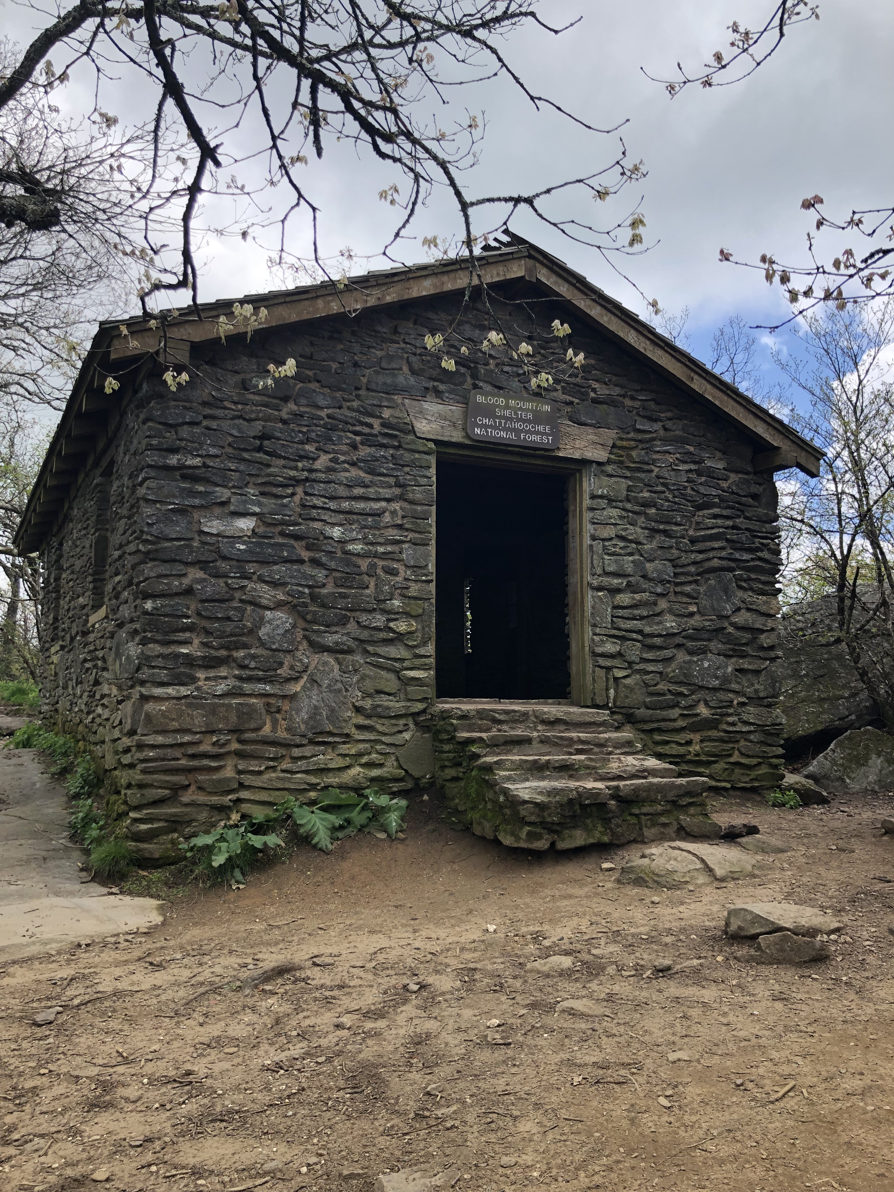
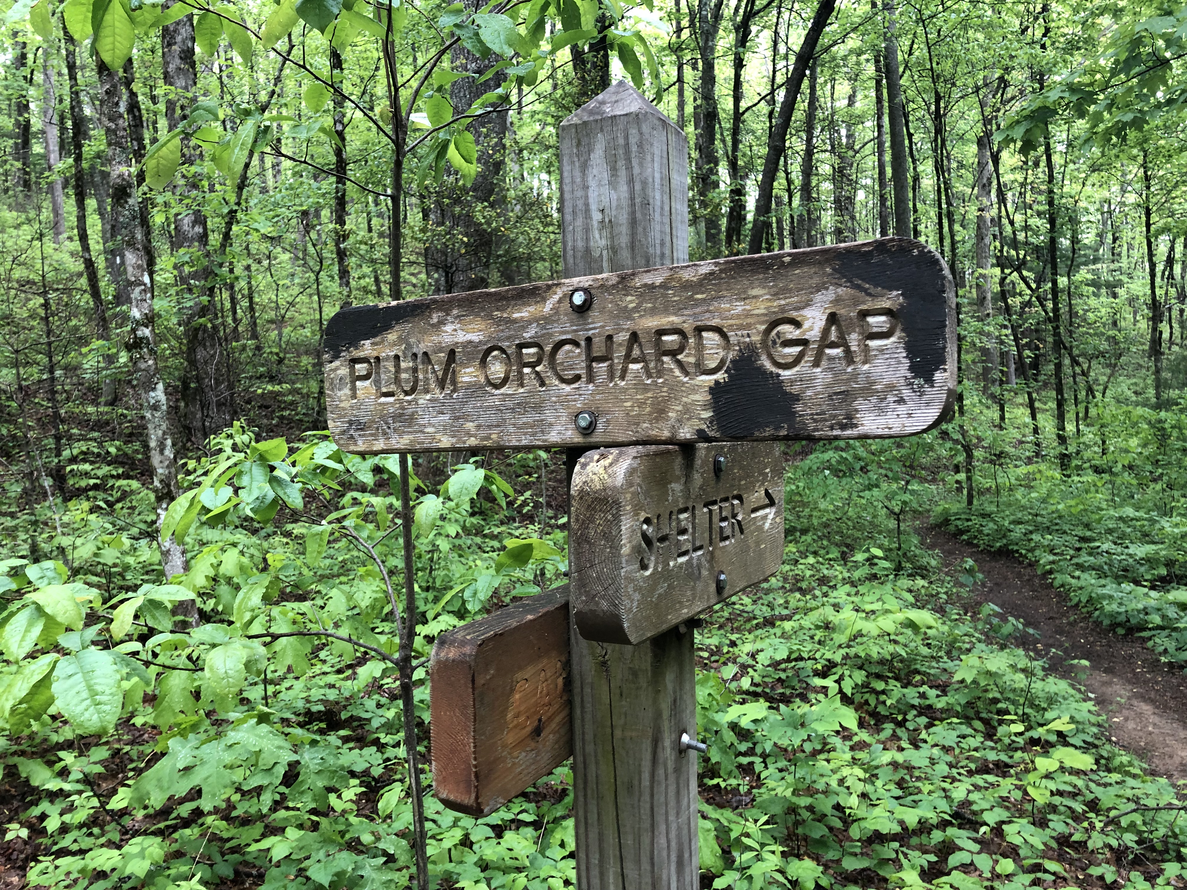
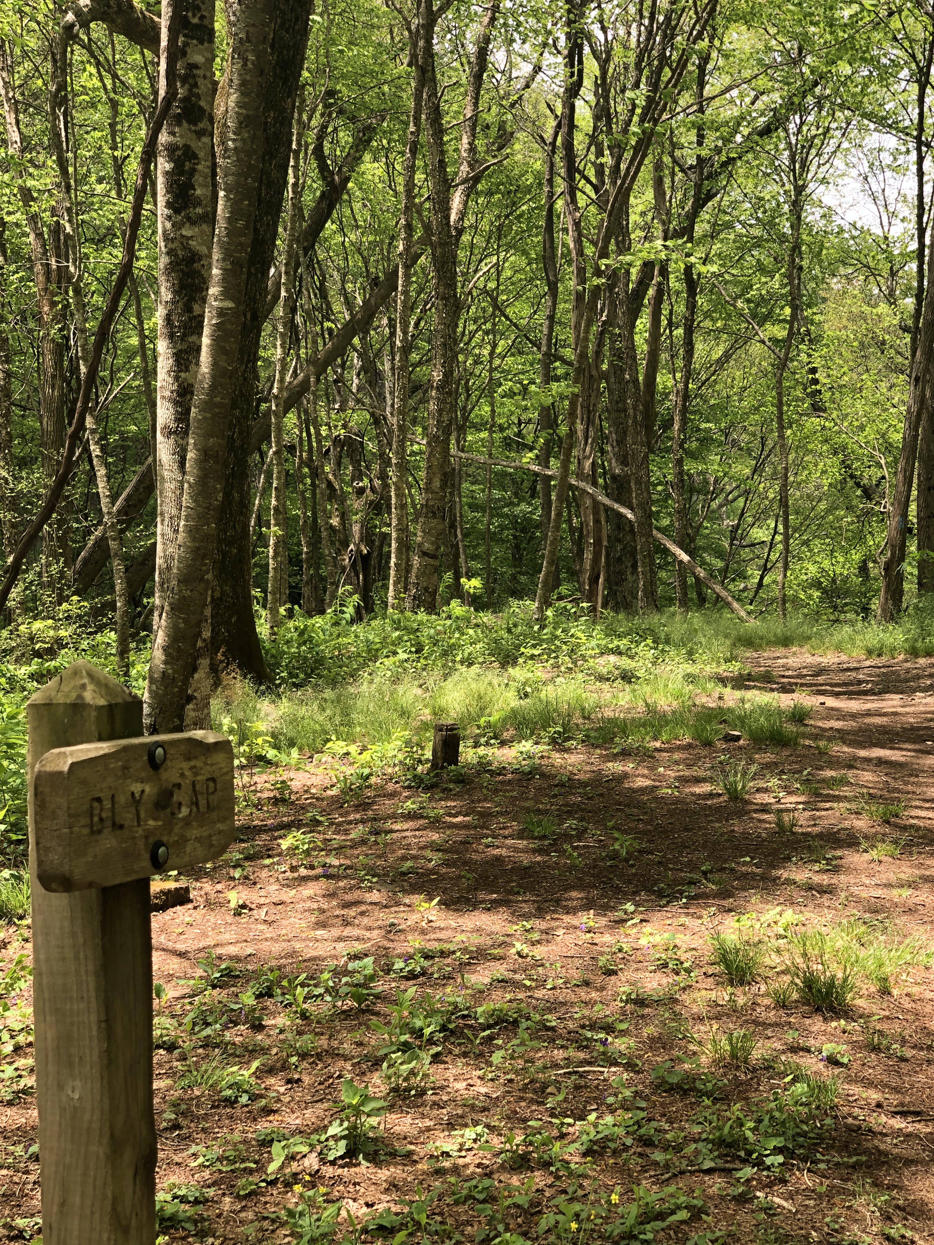
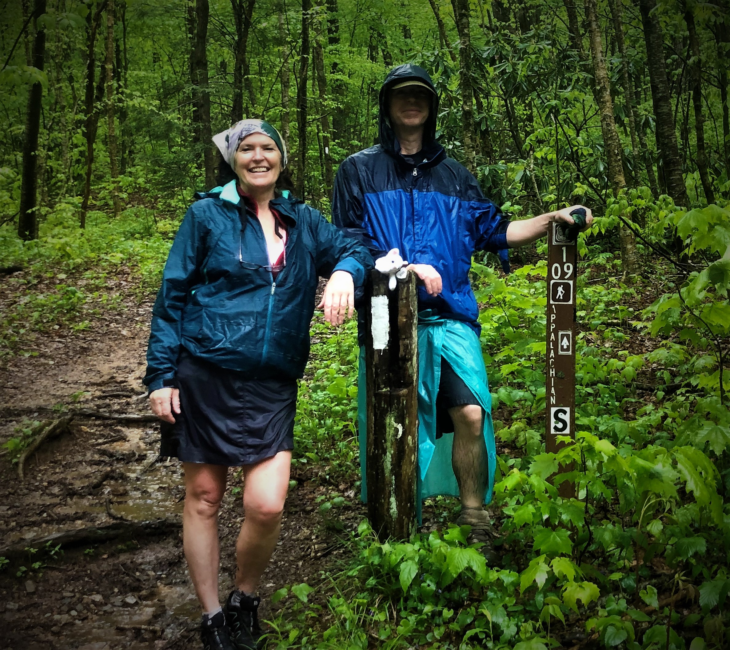
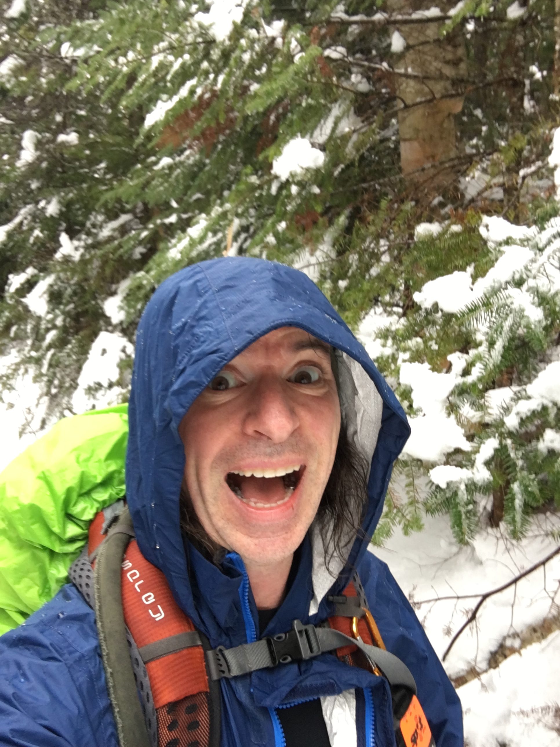
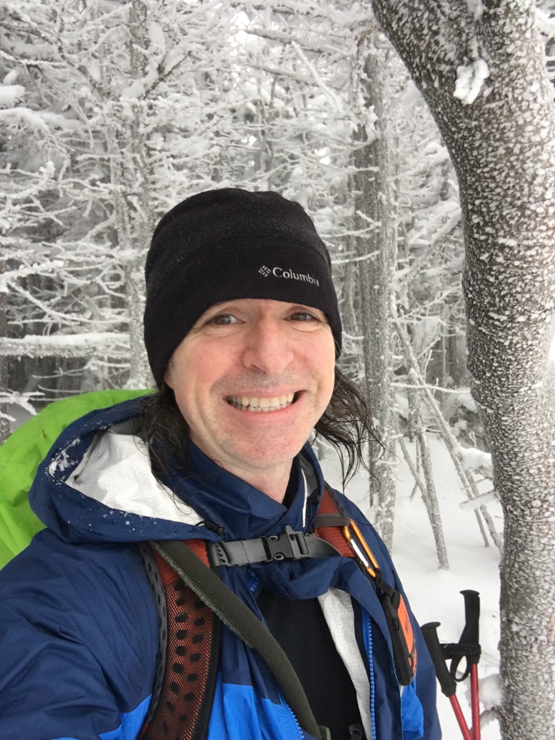
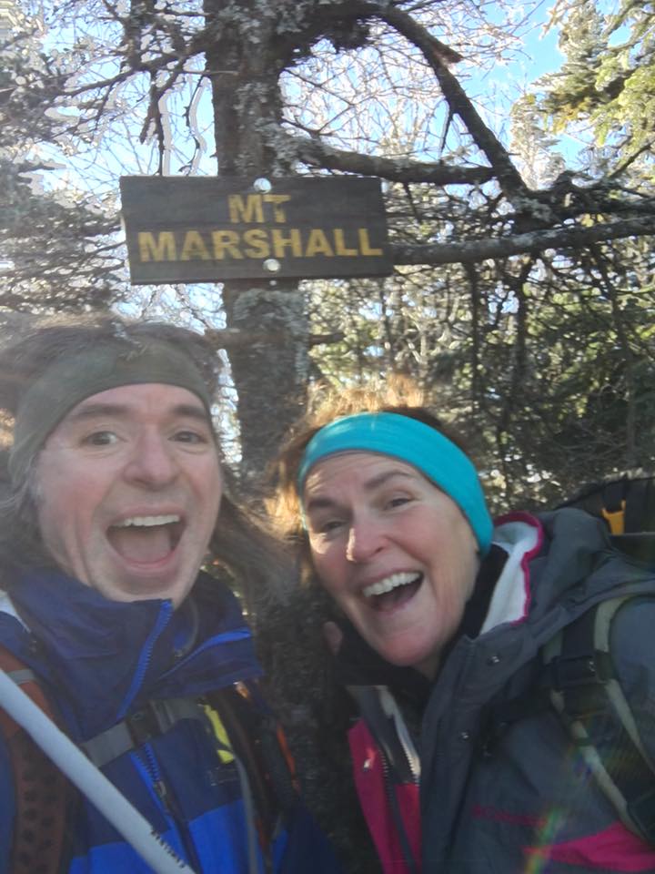
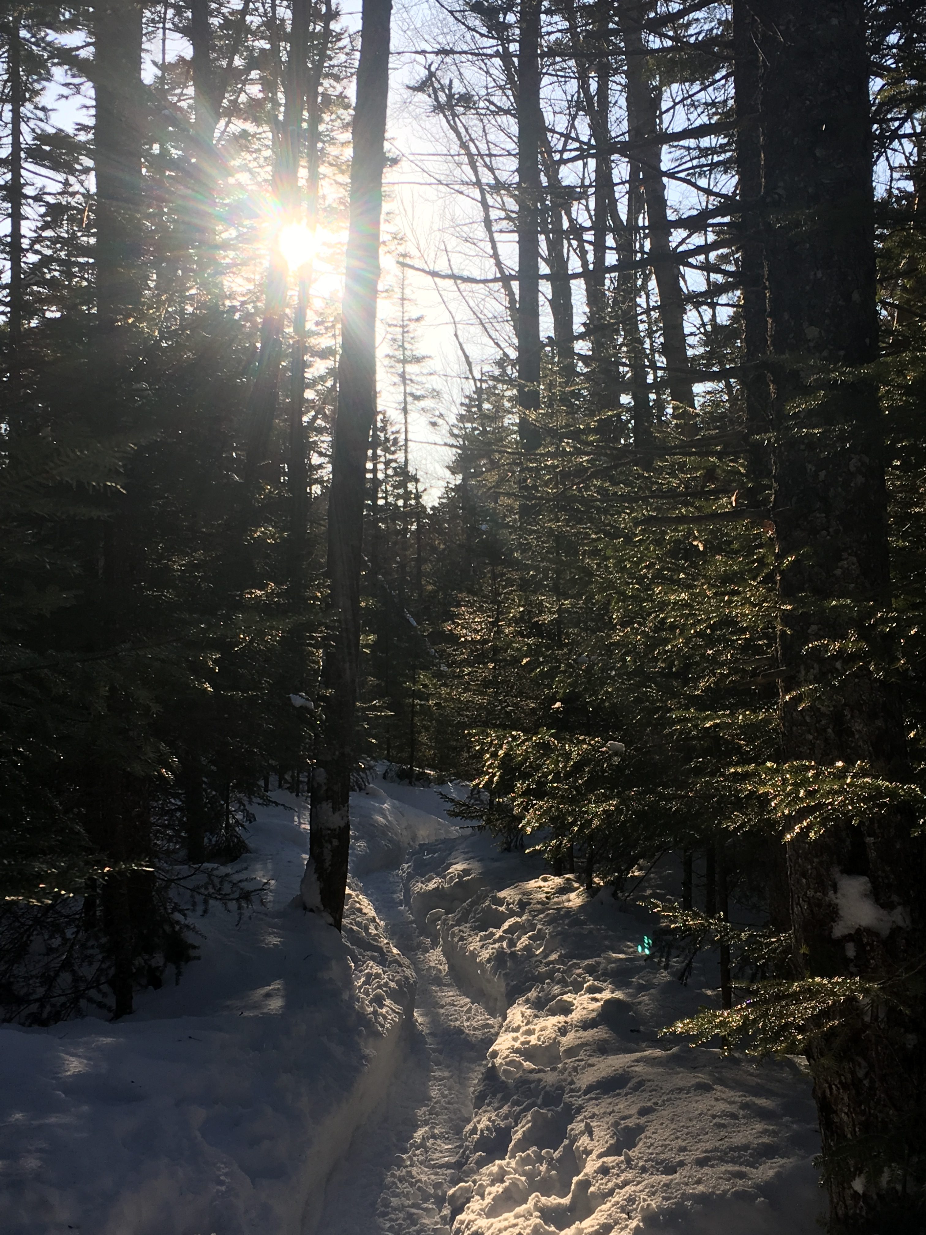
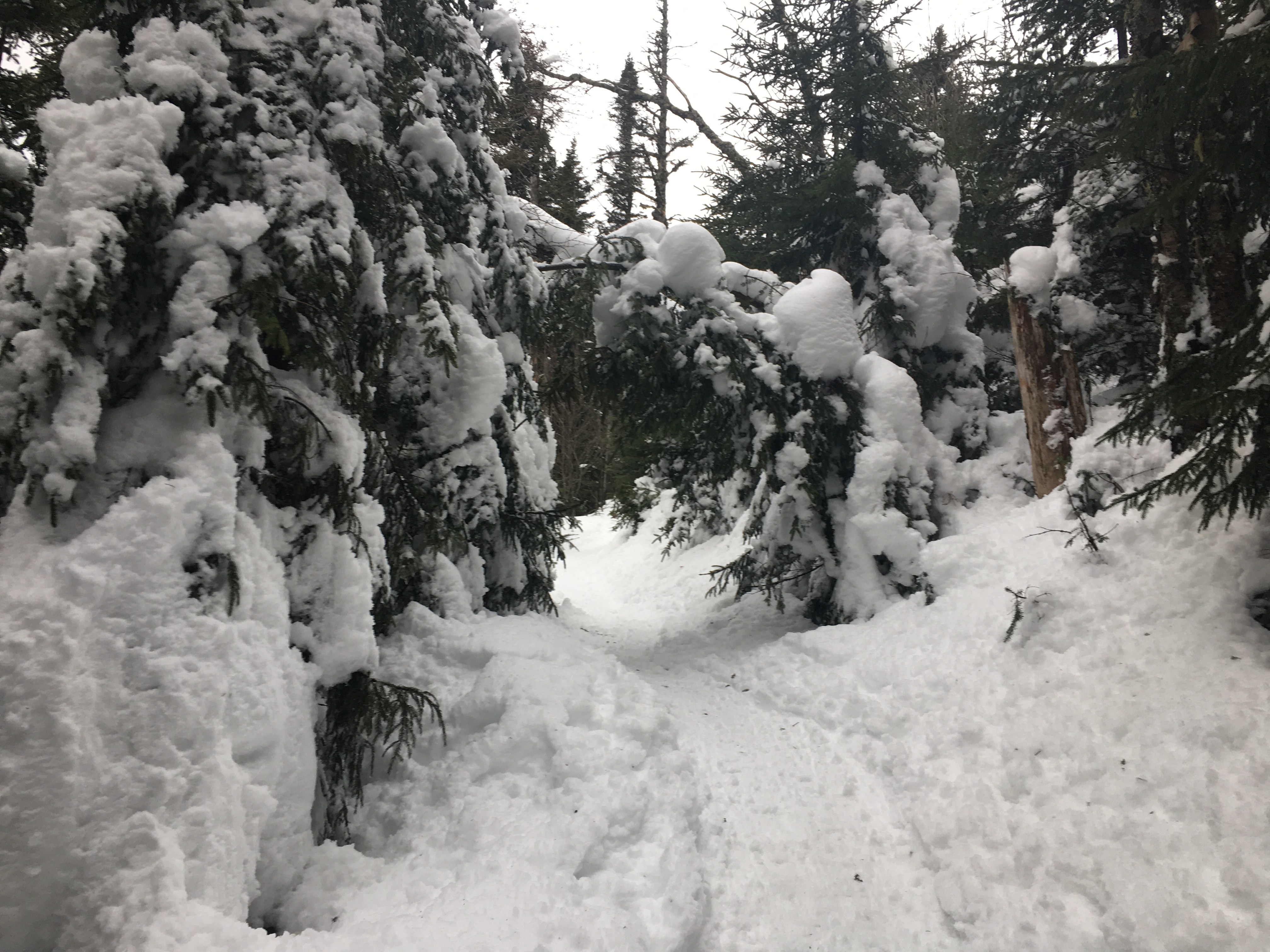
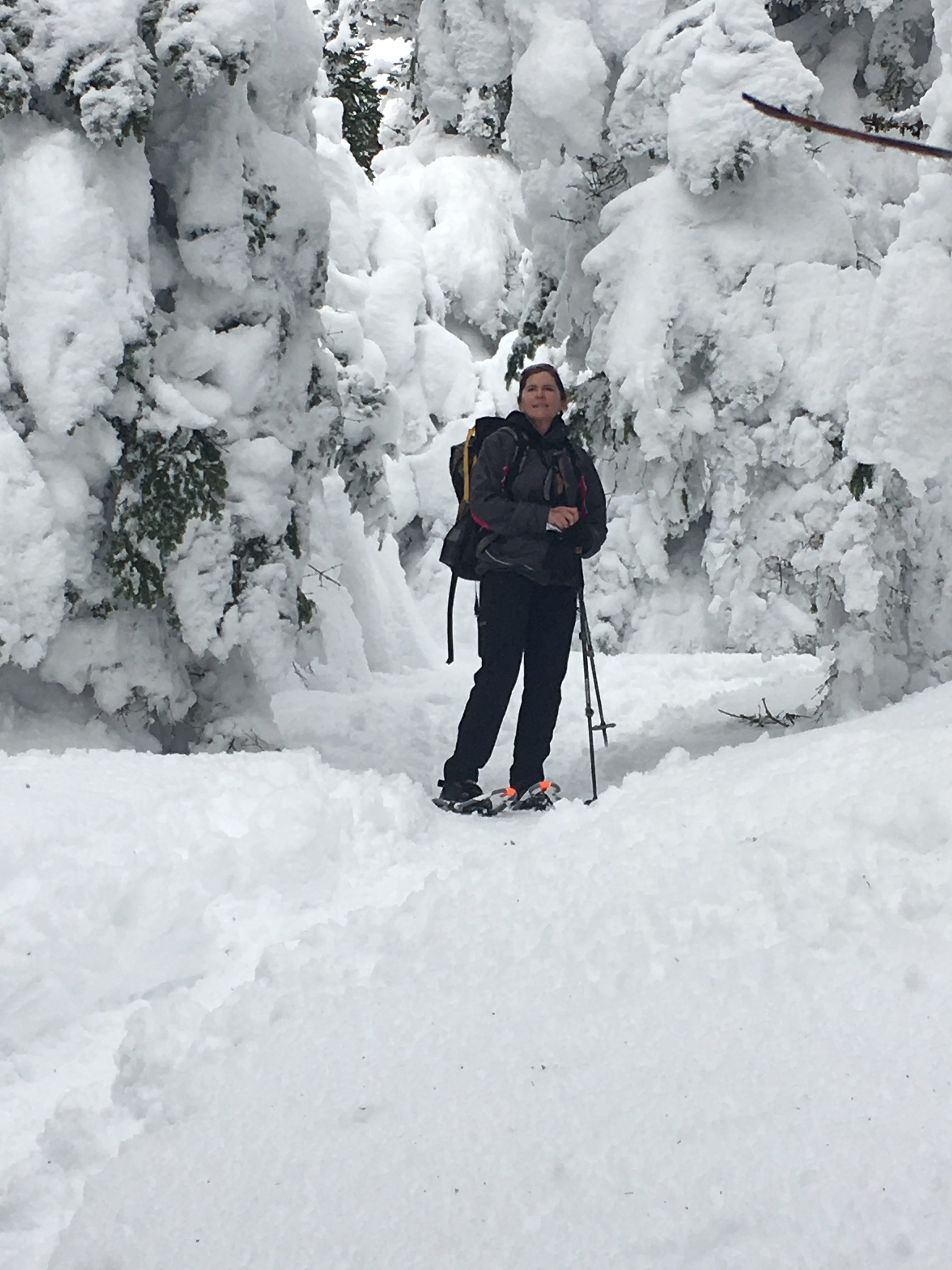
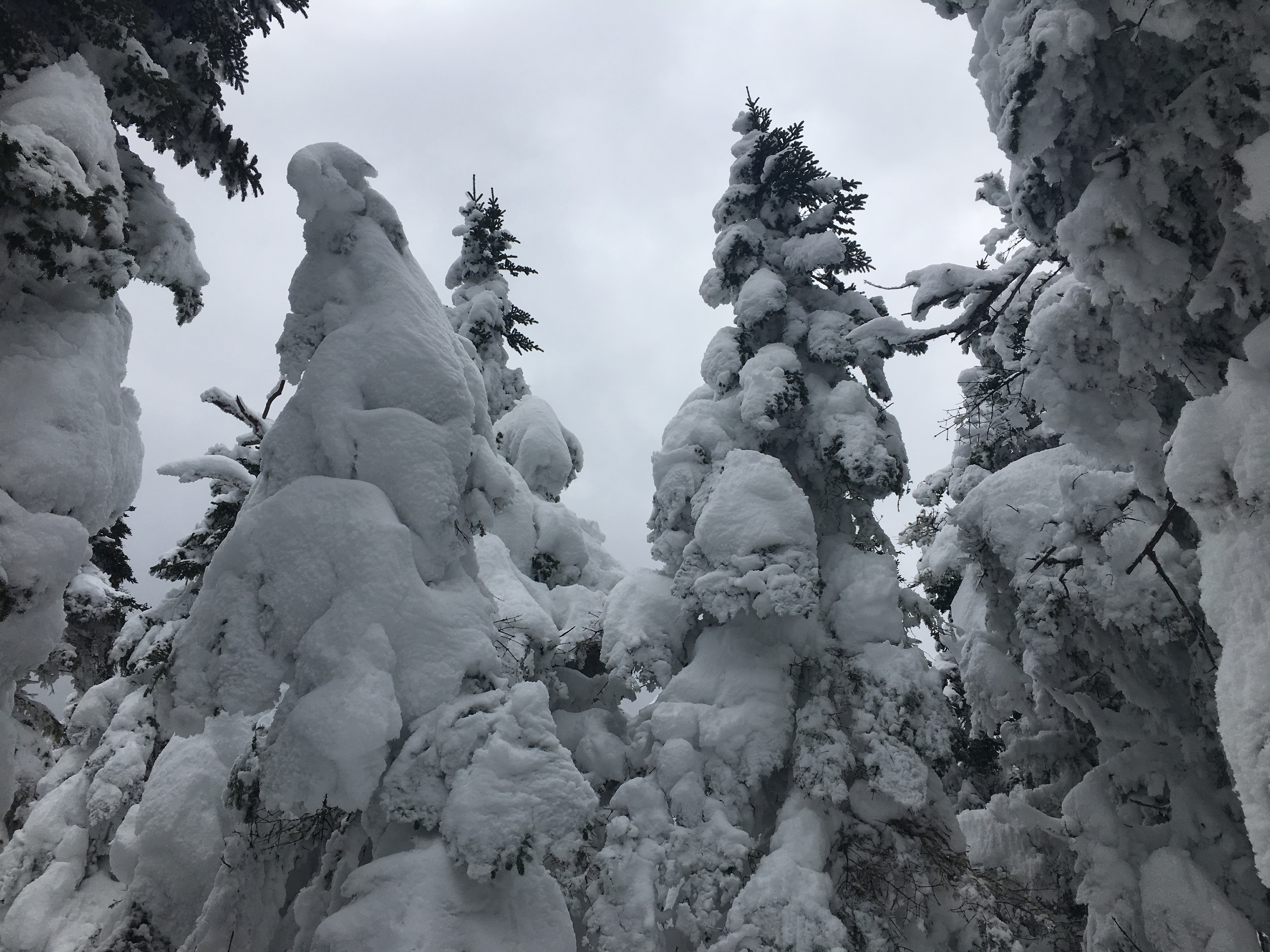
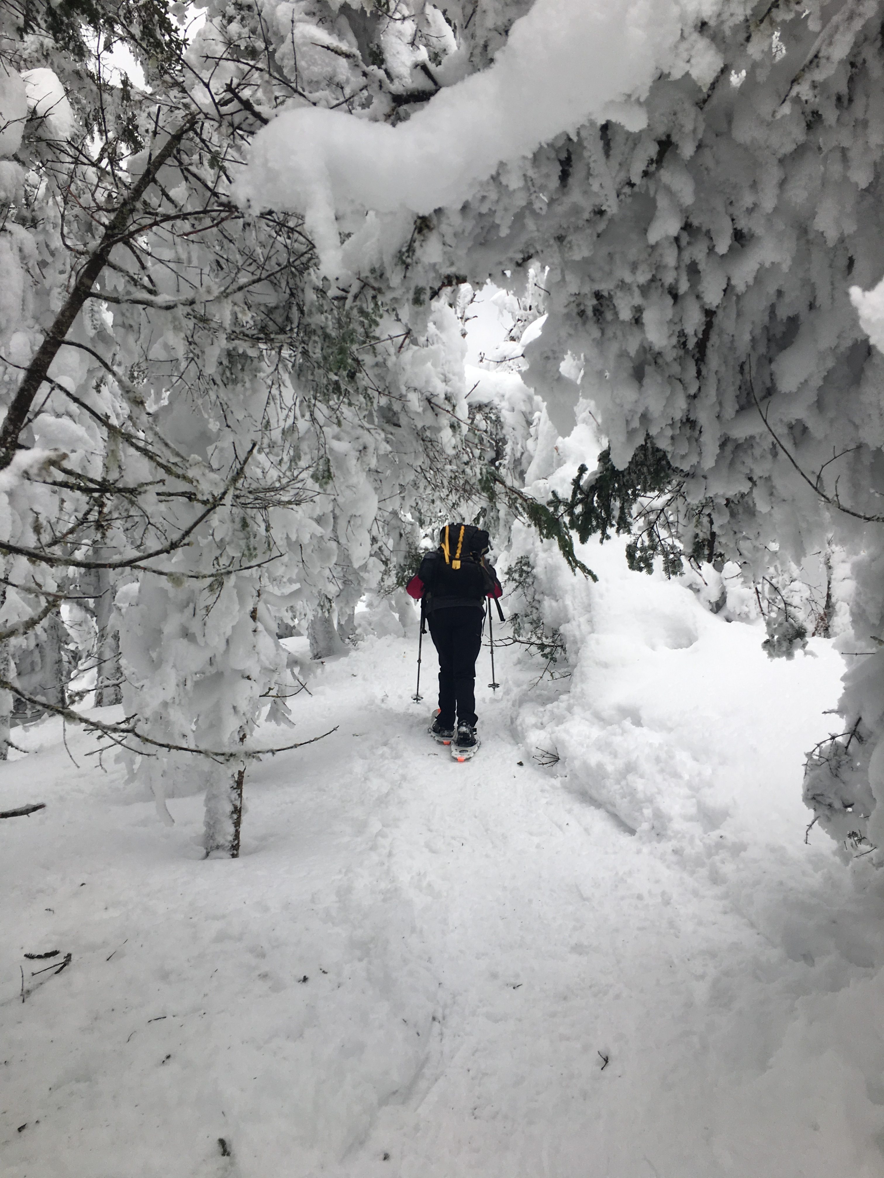
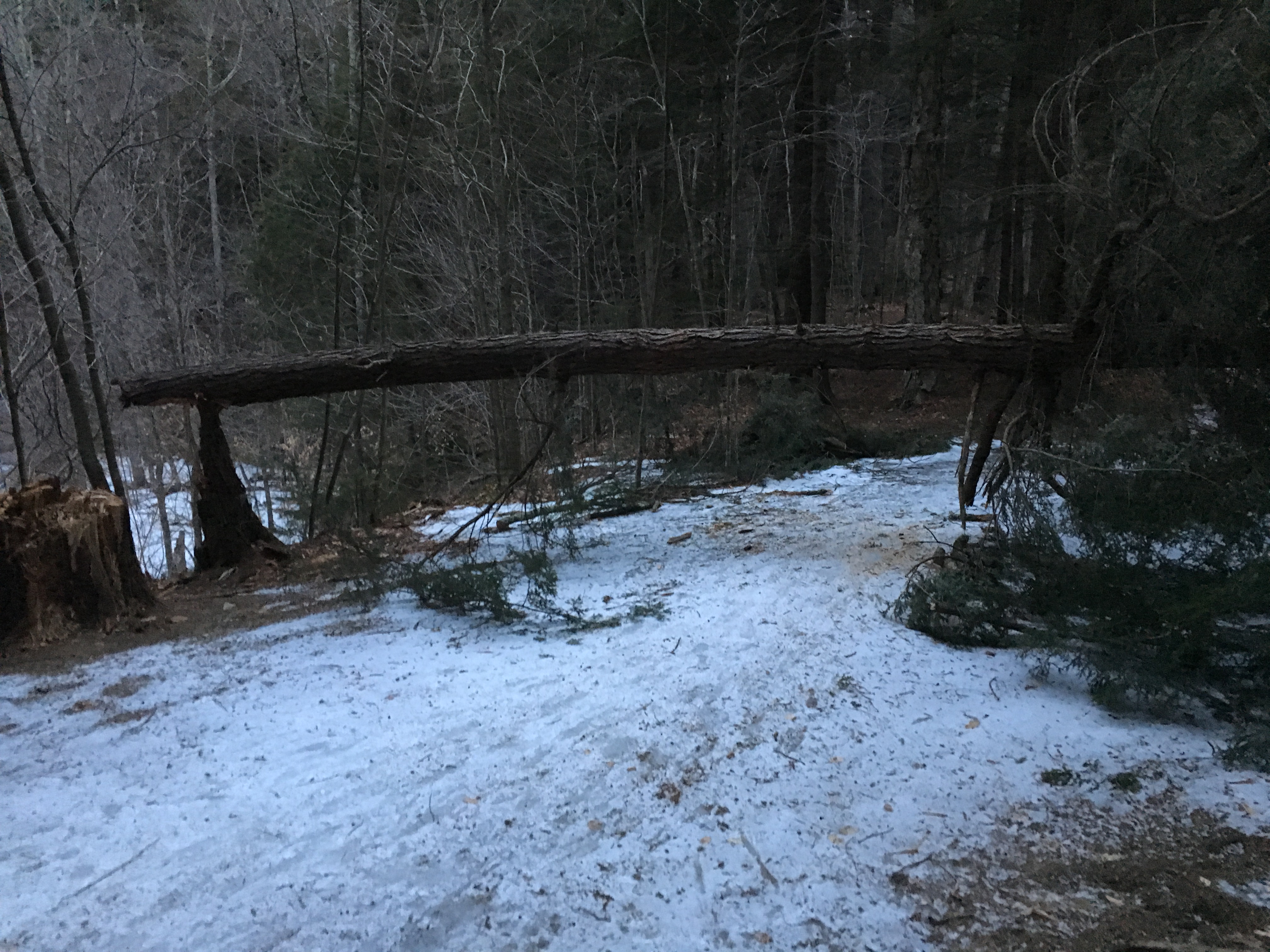
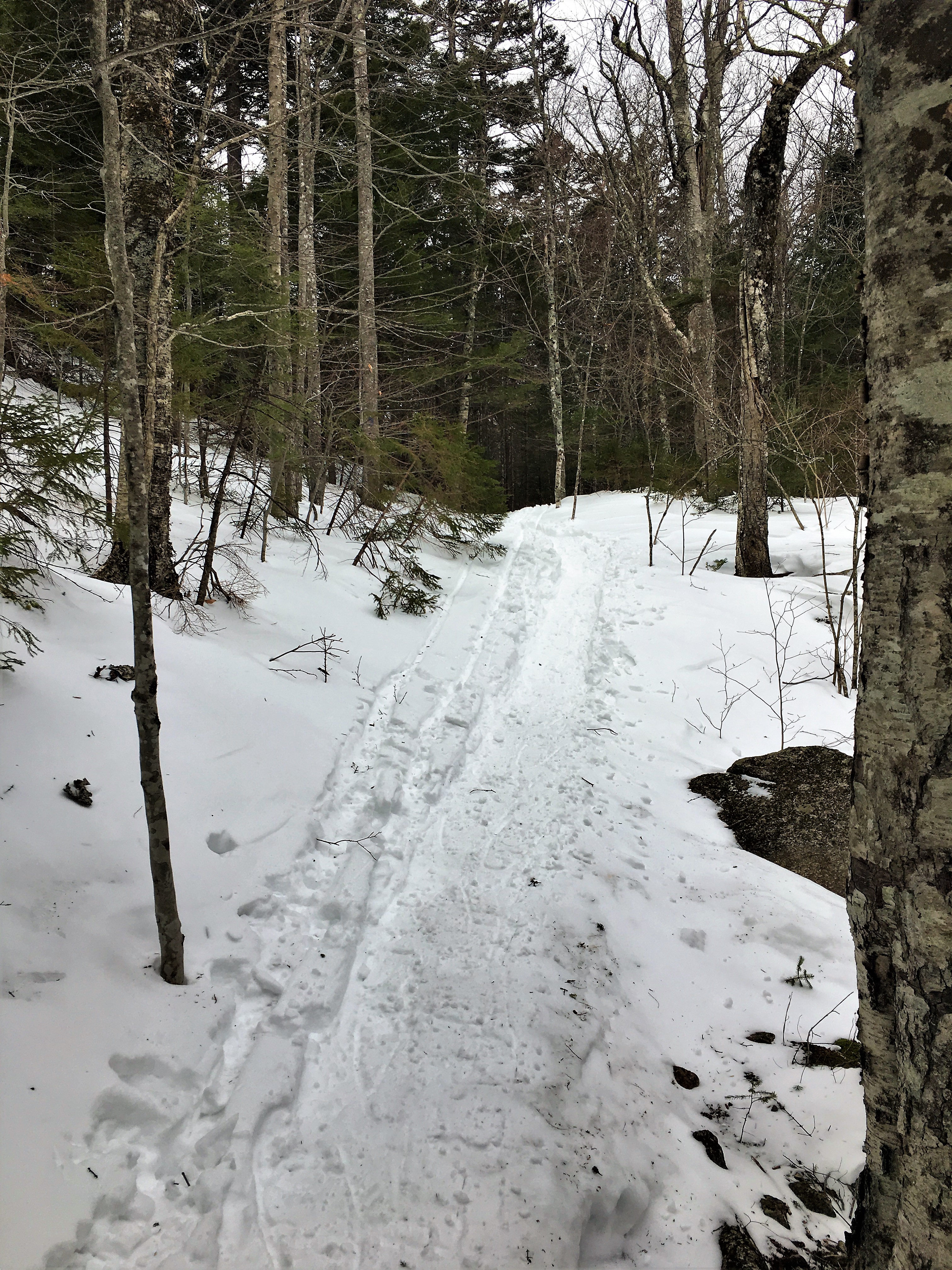
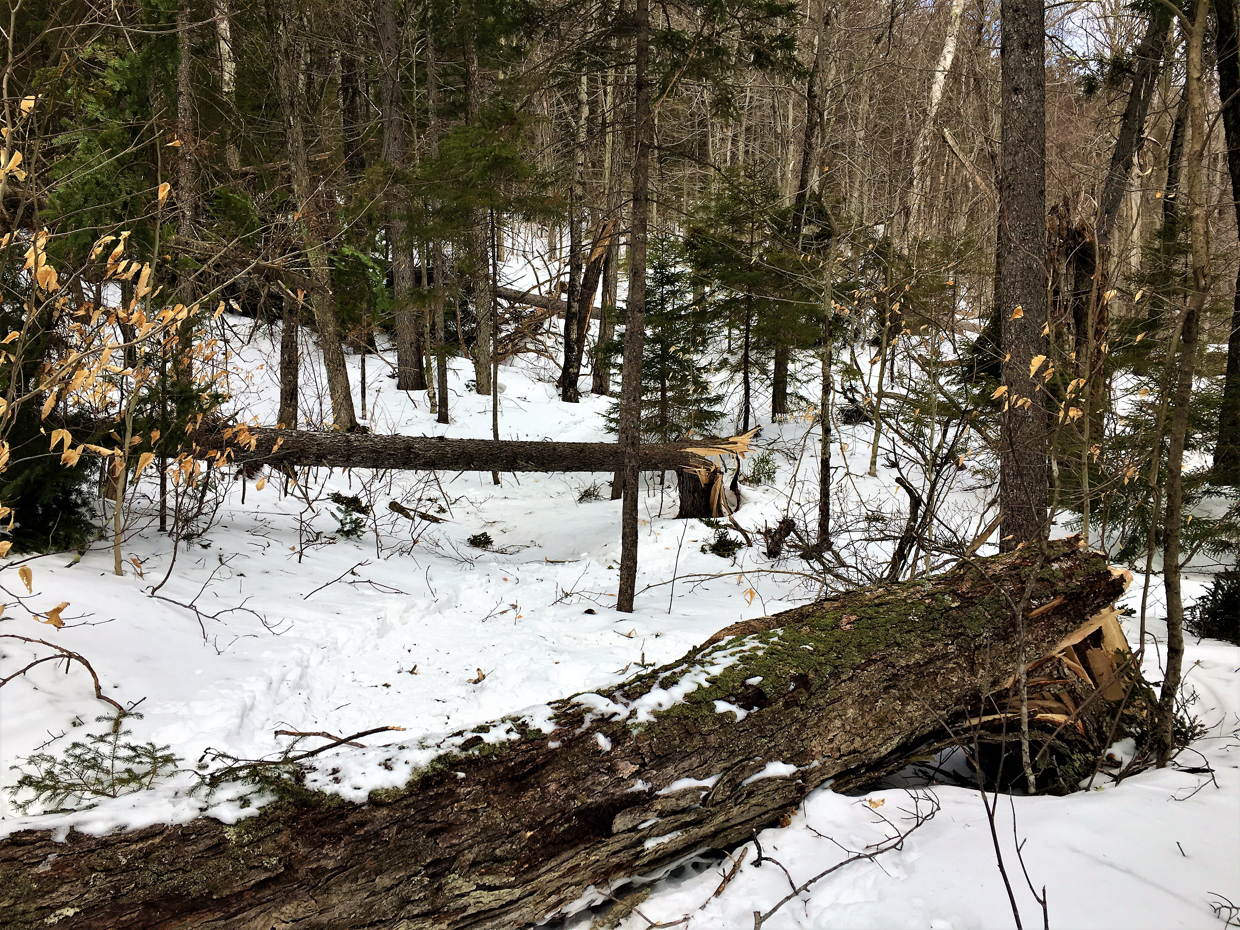
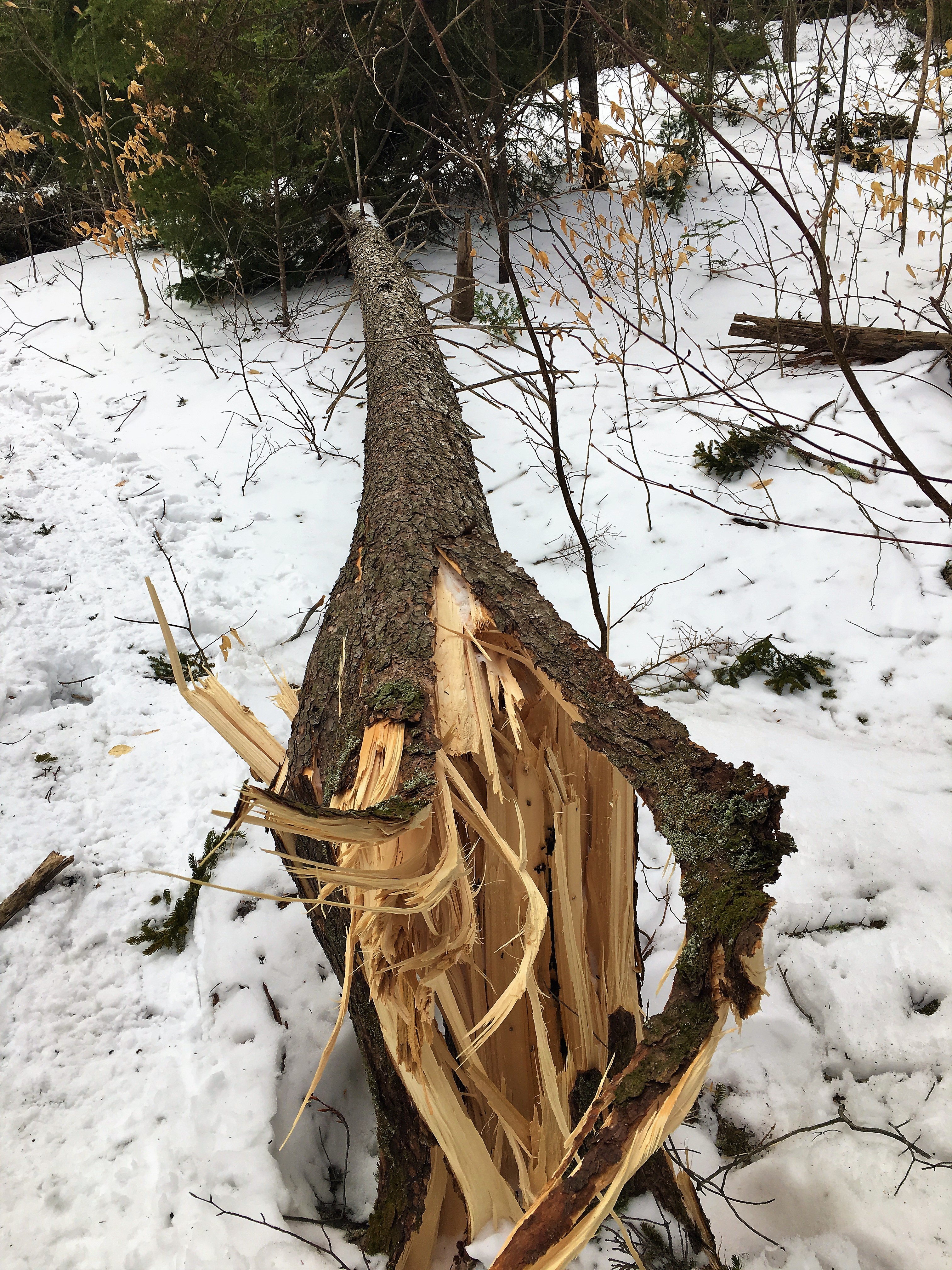
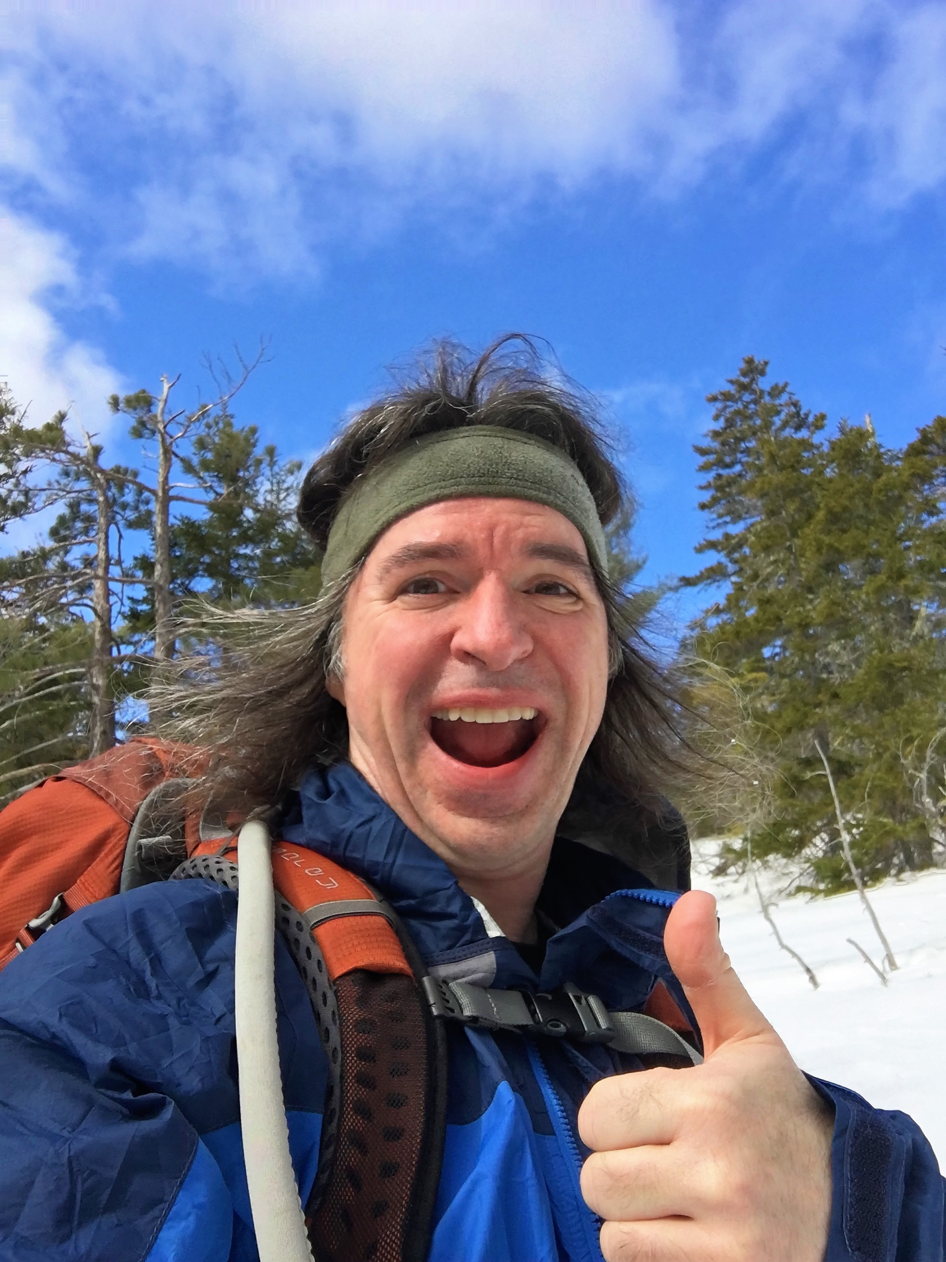
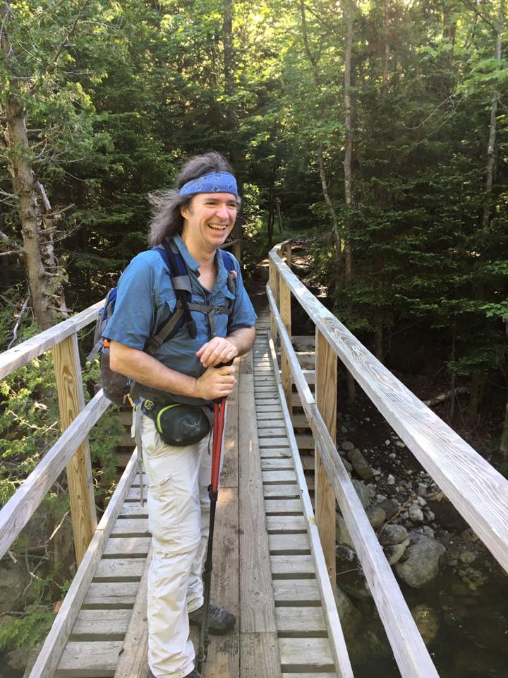
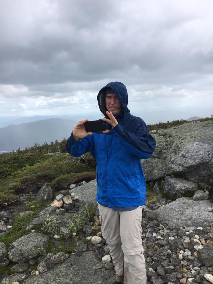
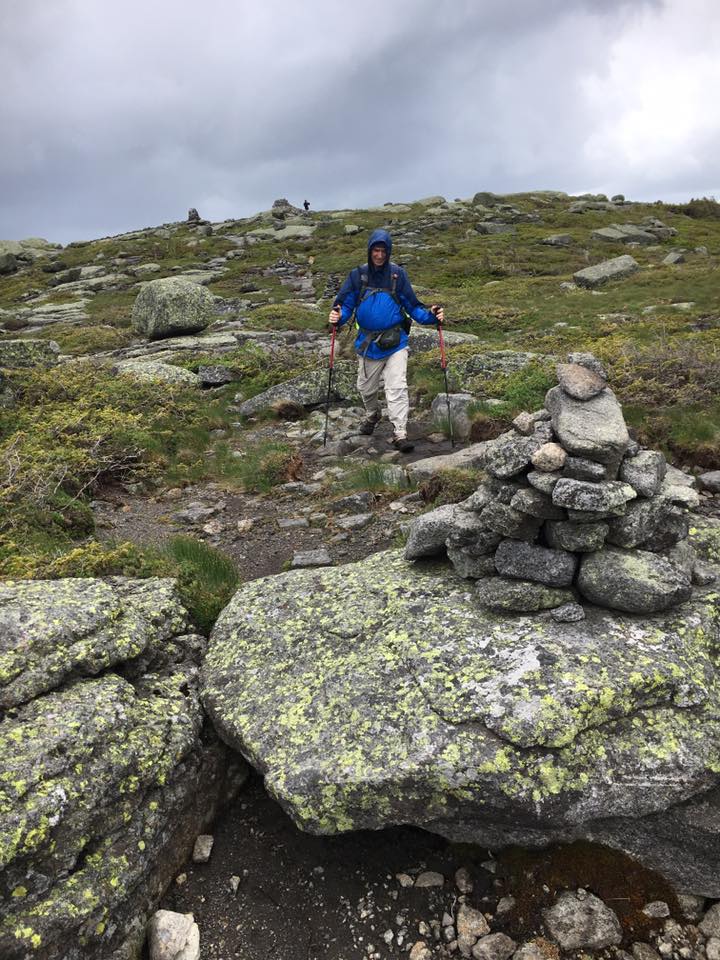
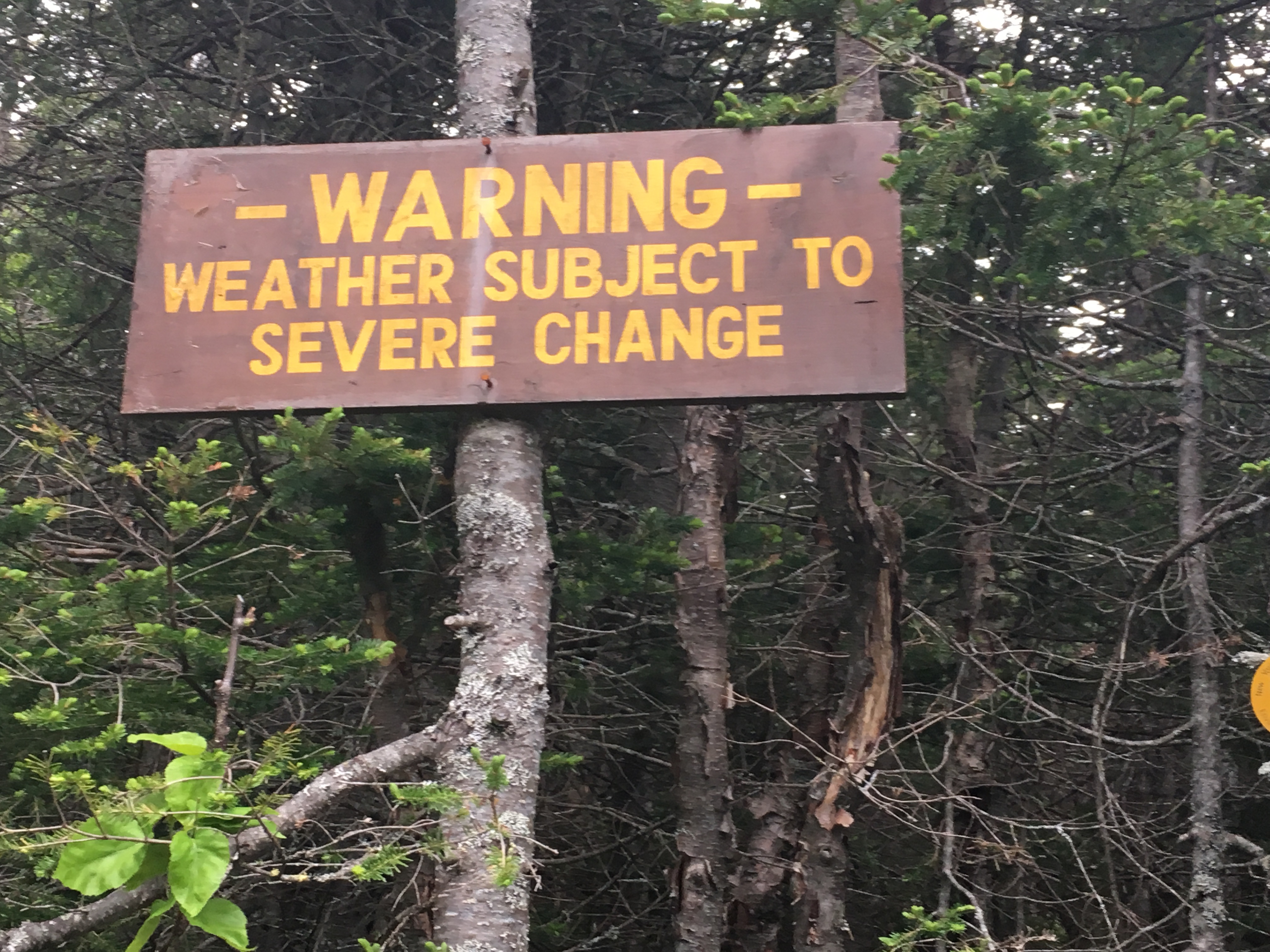
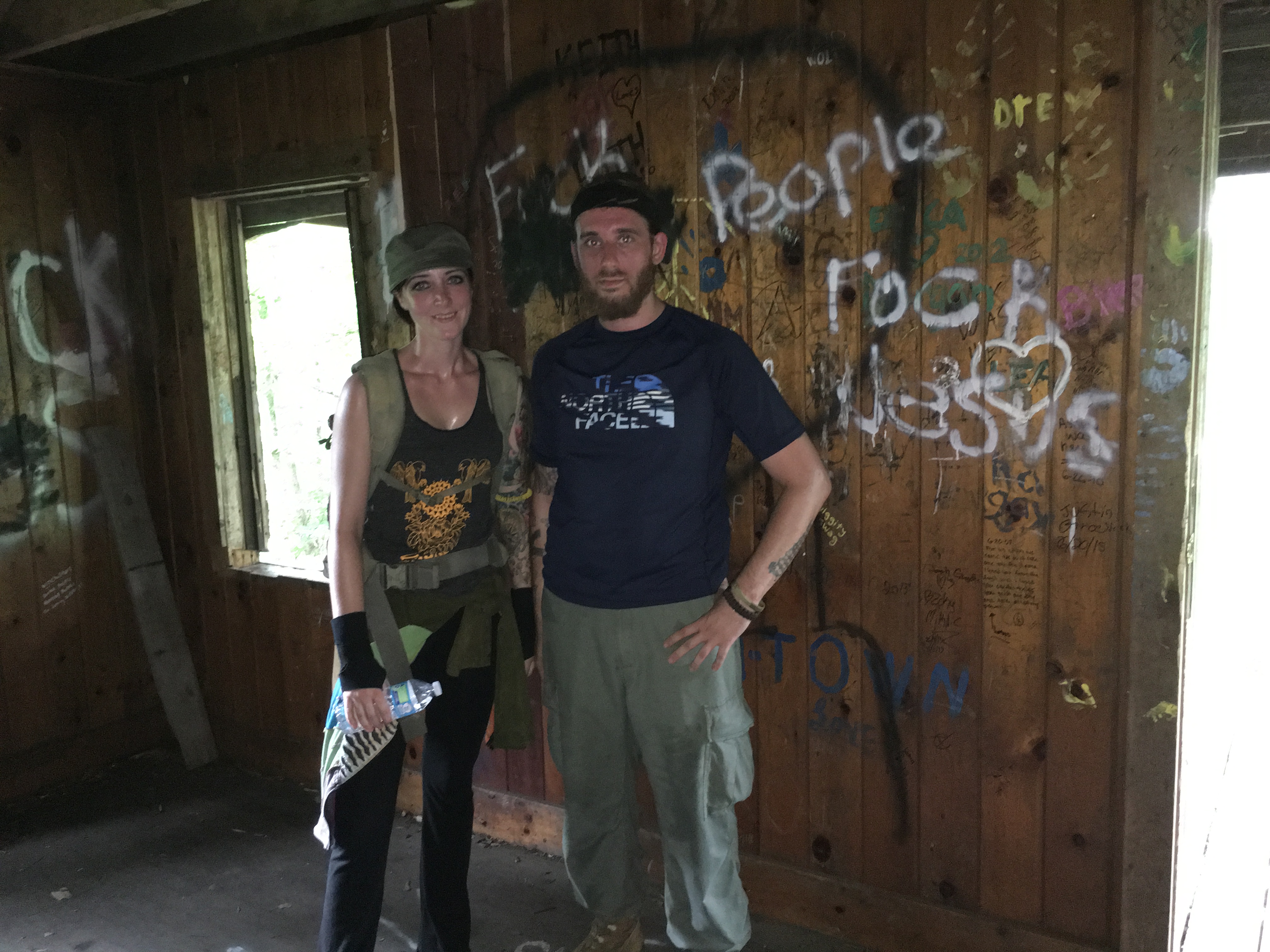
And then came MARSHALL… (1/1, 1/13) (Tecumseh 1/28)
The first day of the new year, and the first official winter hike of the season, brought us to our first attempt at this peak. Long story short we succeeded on our 2nd attempt 12 days later. (read more about this ordeal here)…
Then a quick reconnect on Tecumseh (also described in Marshall post) left me wanting more of the Whites…
A New Month Brings New Life (Hancocks 2/18, Waumbek 2/19)
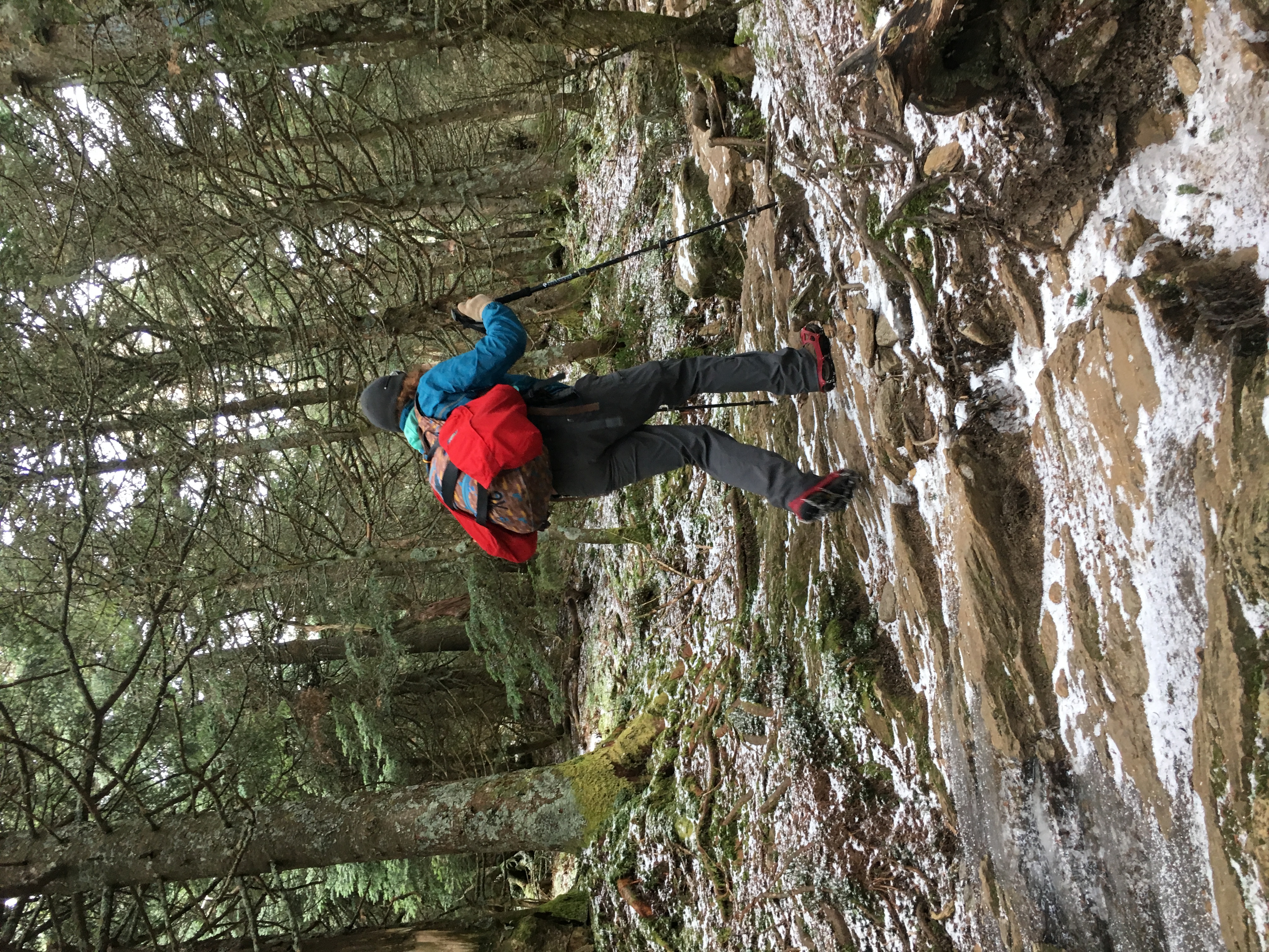
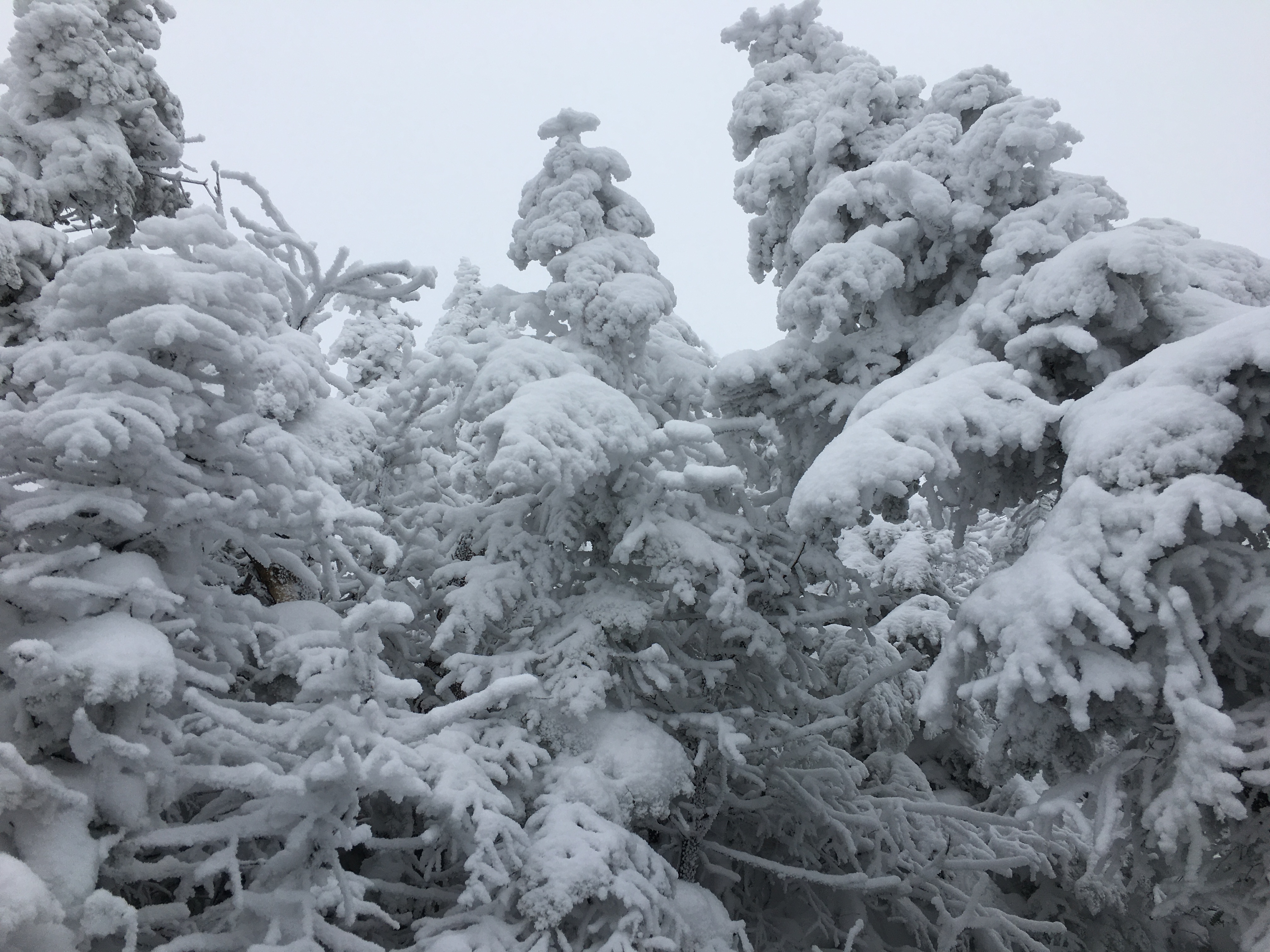
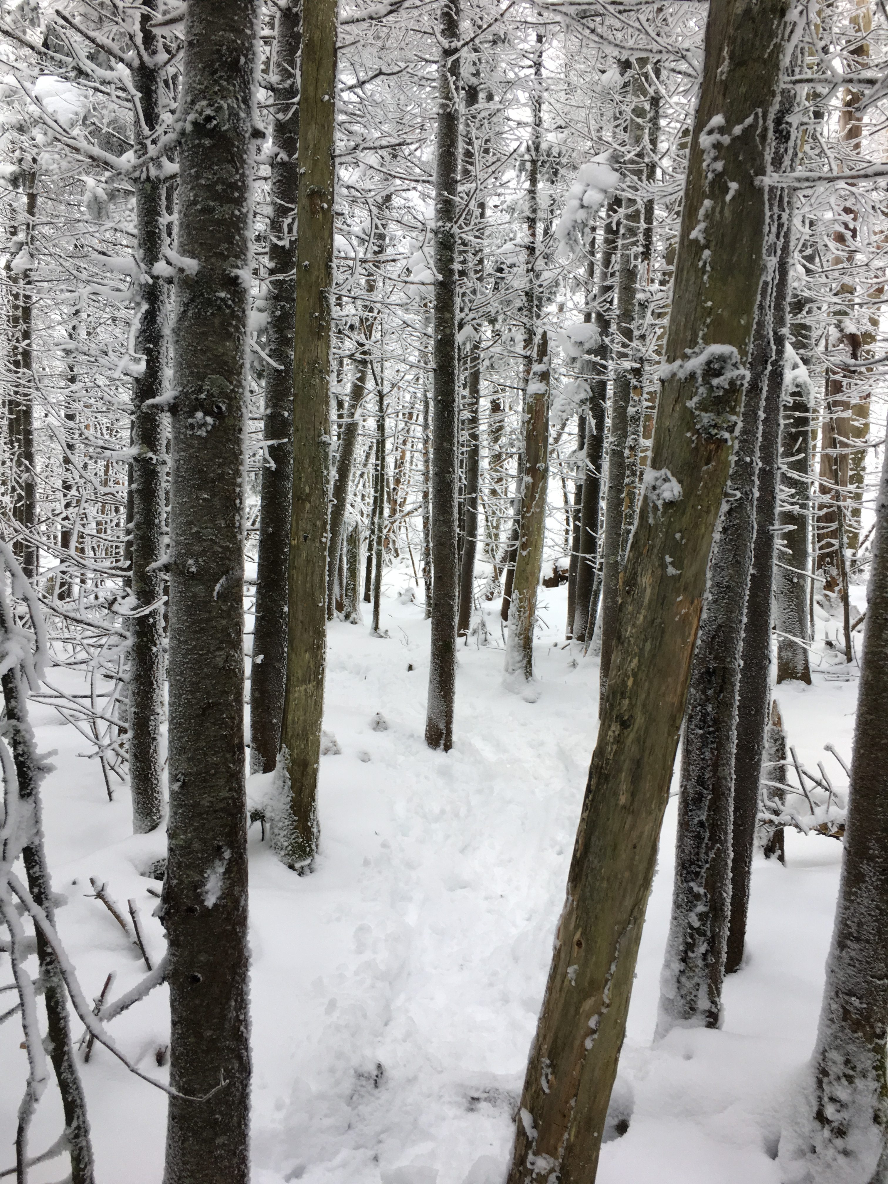
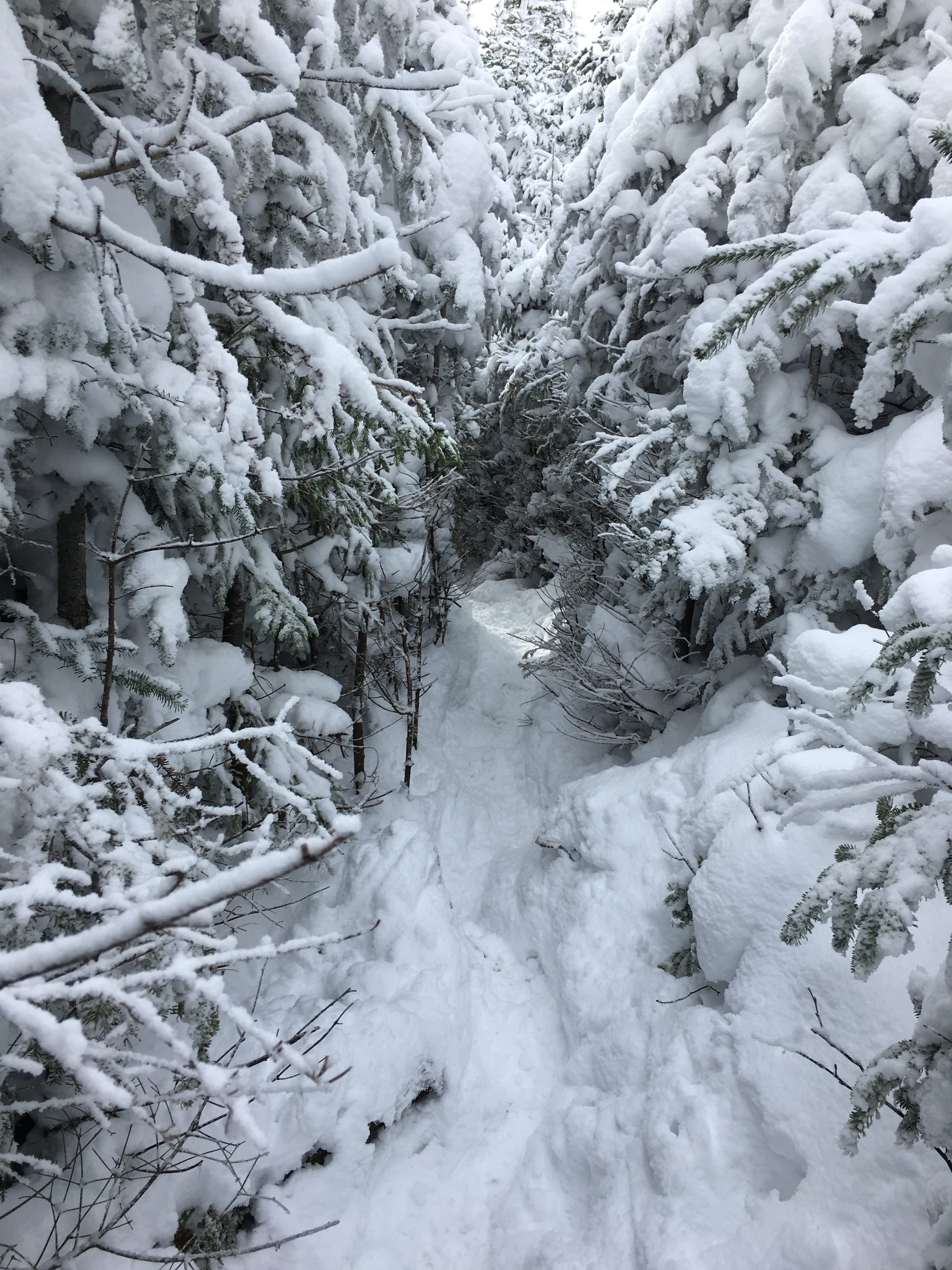
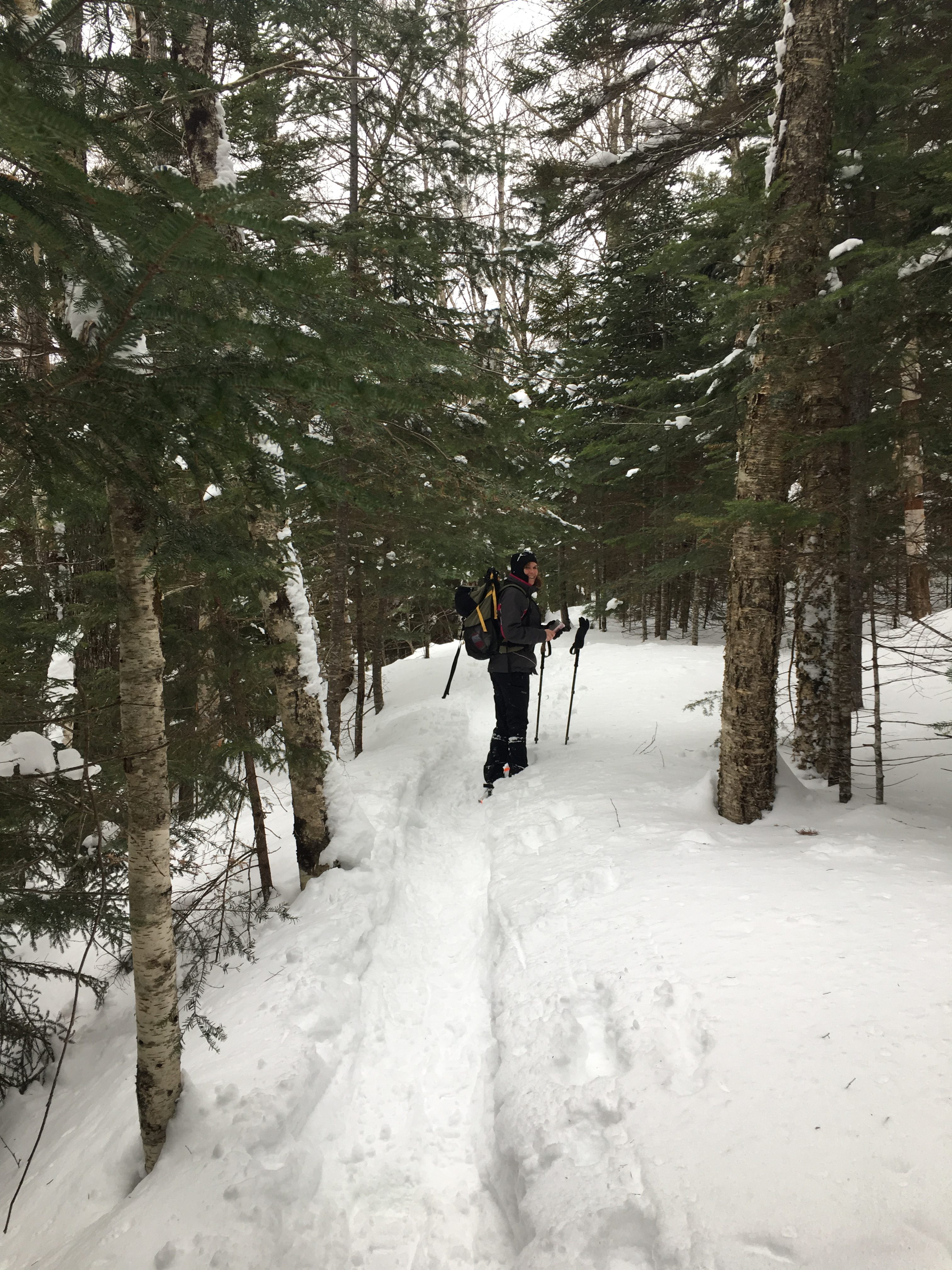
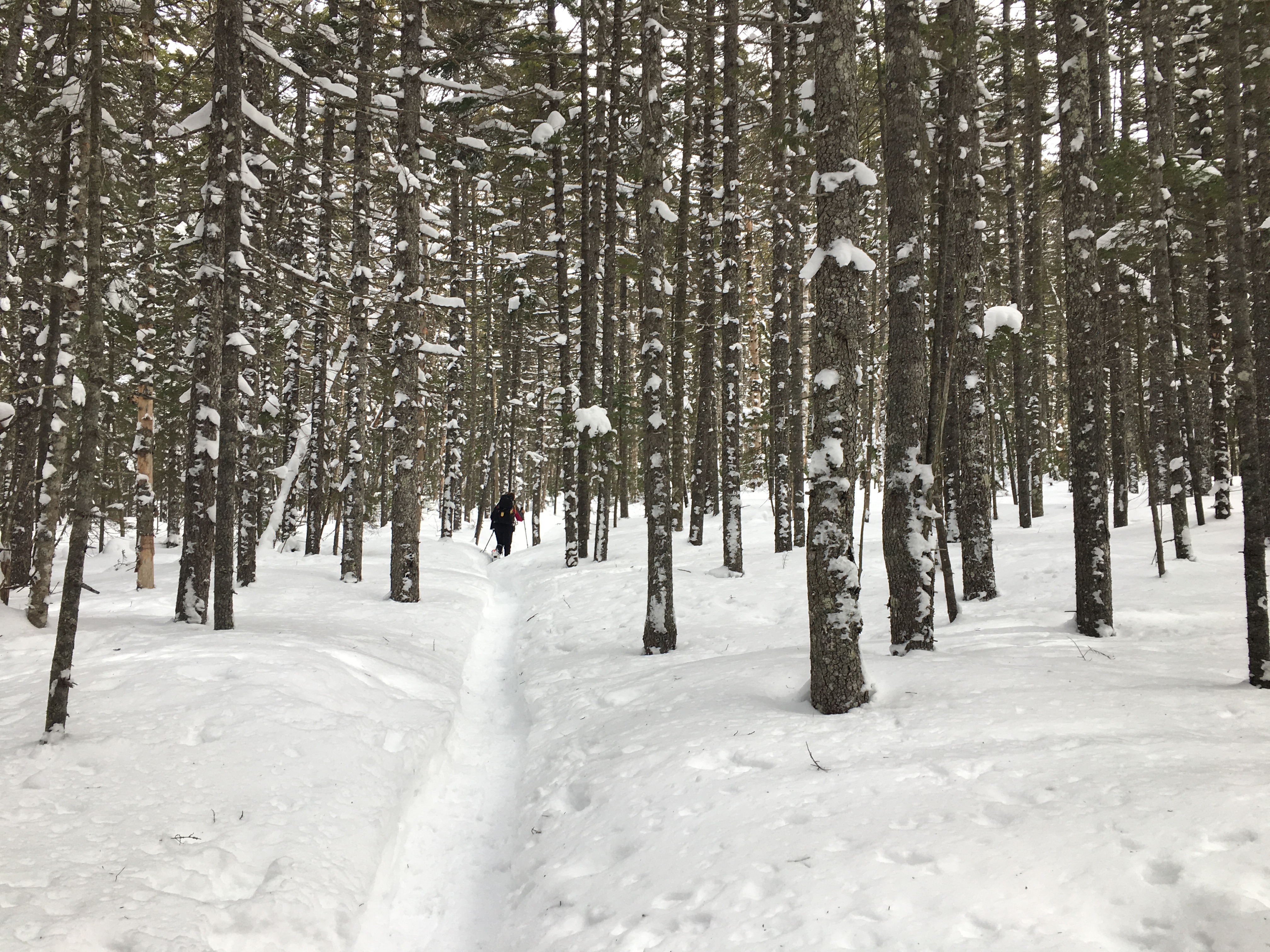
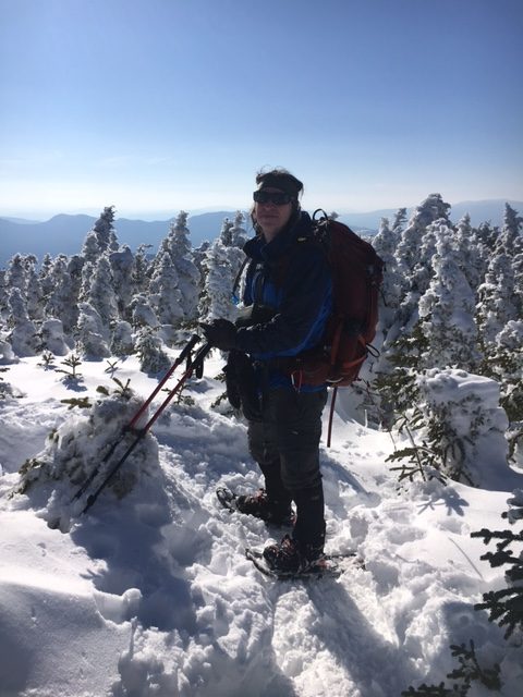
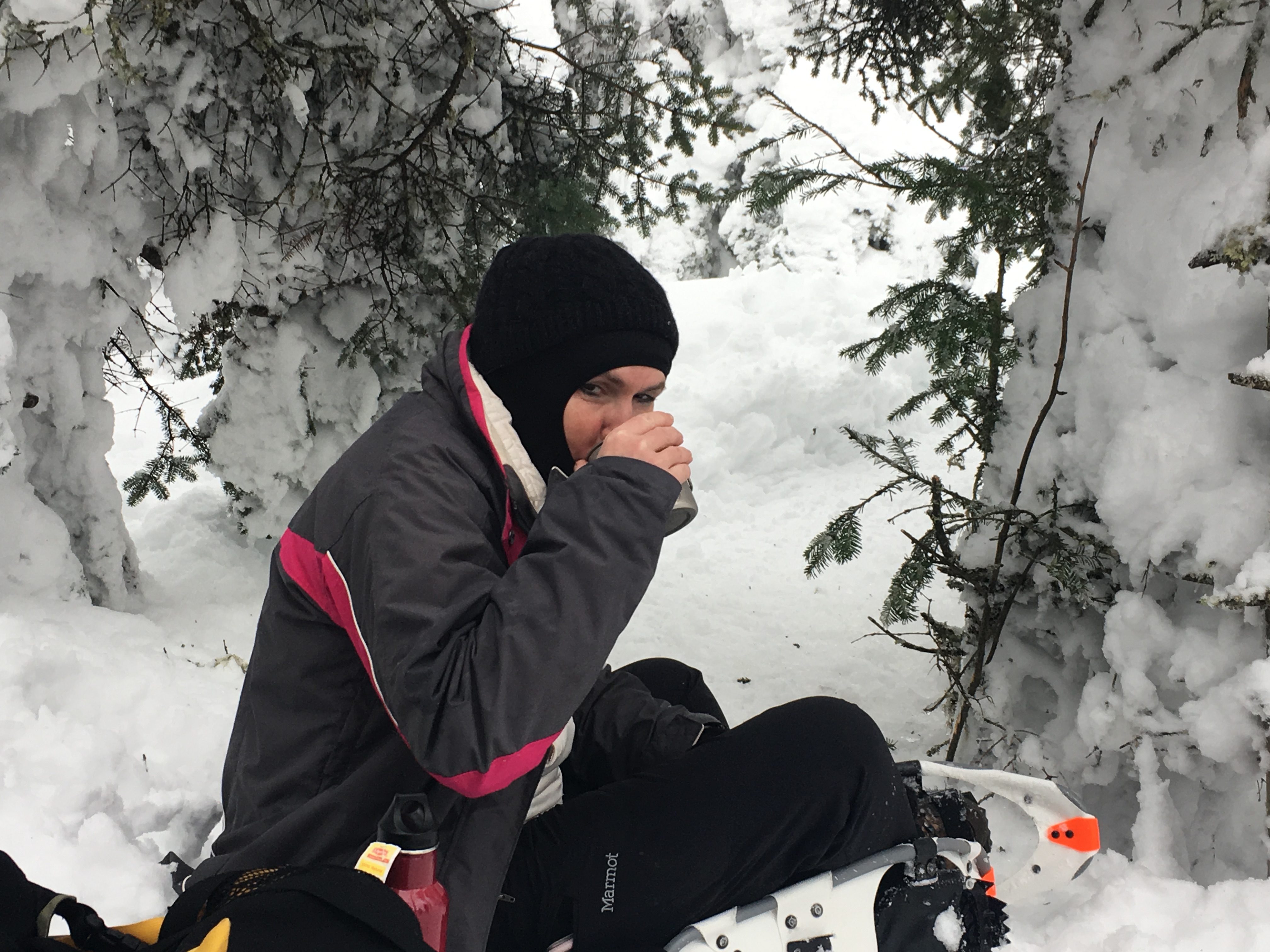
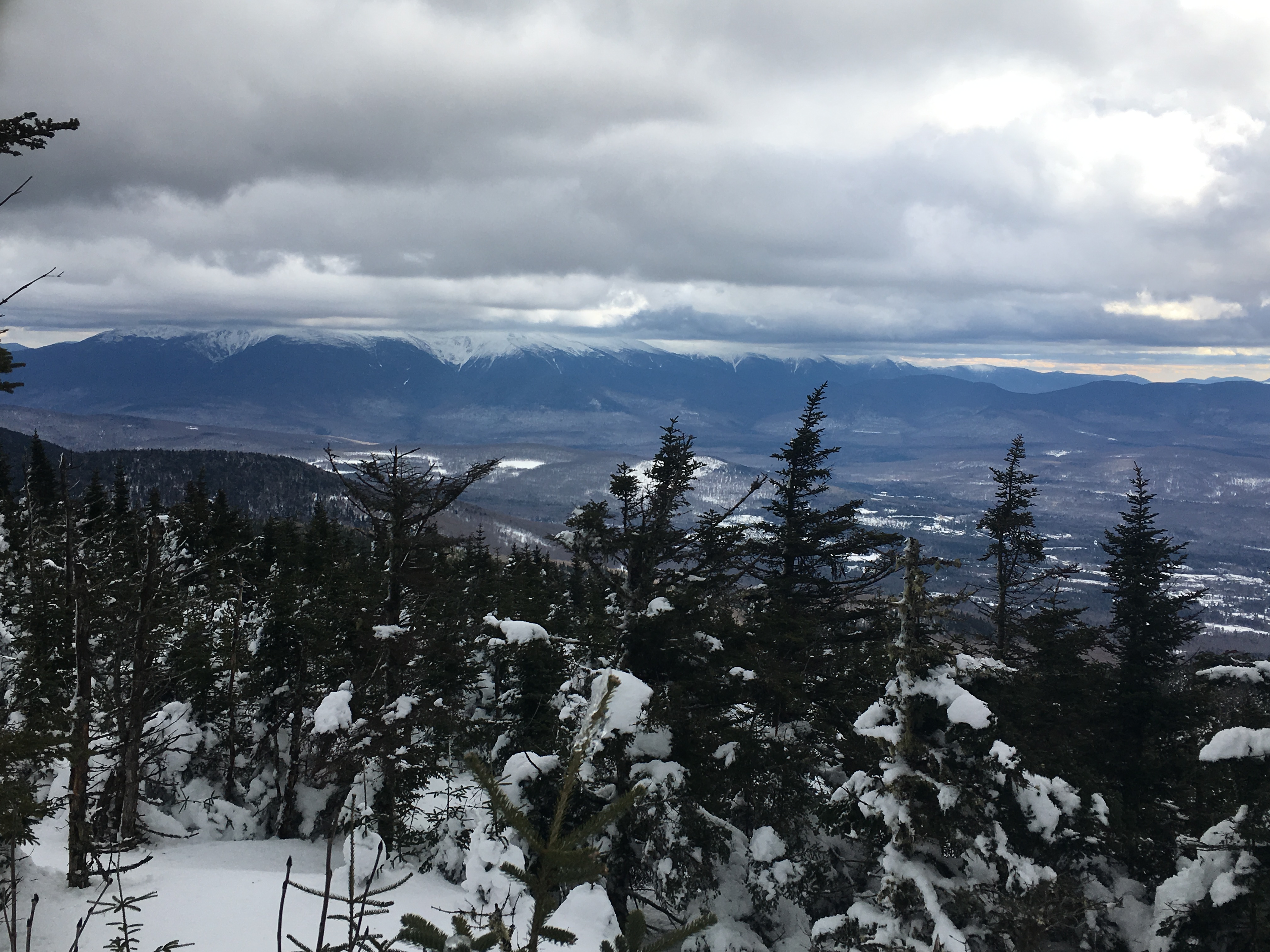
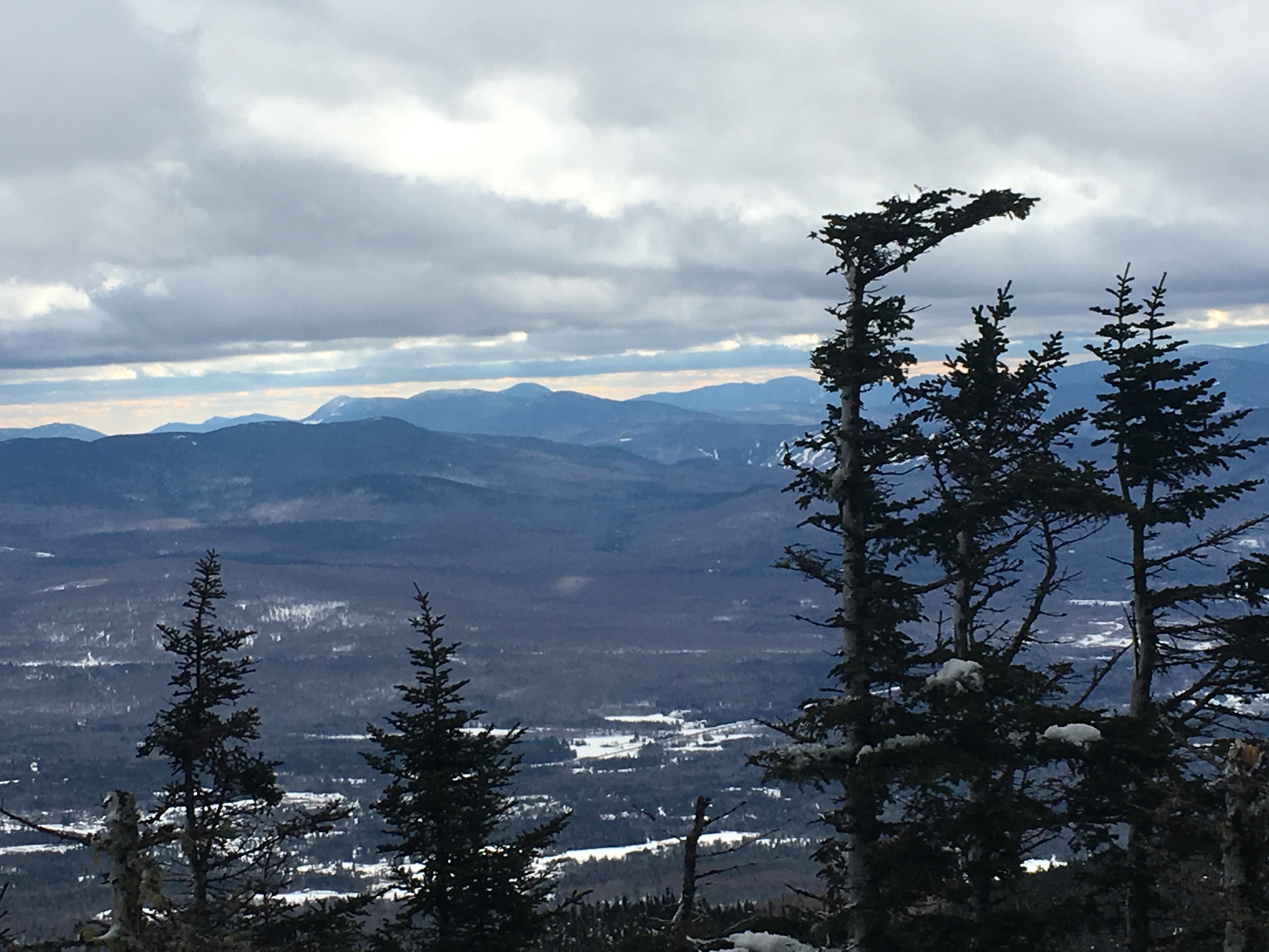
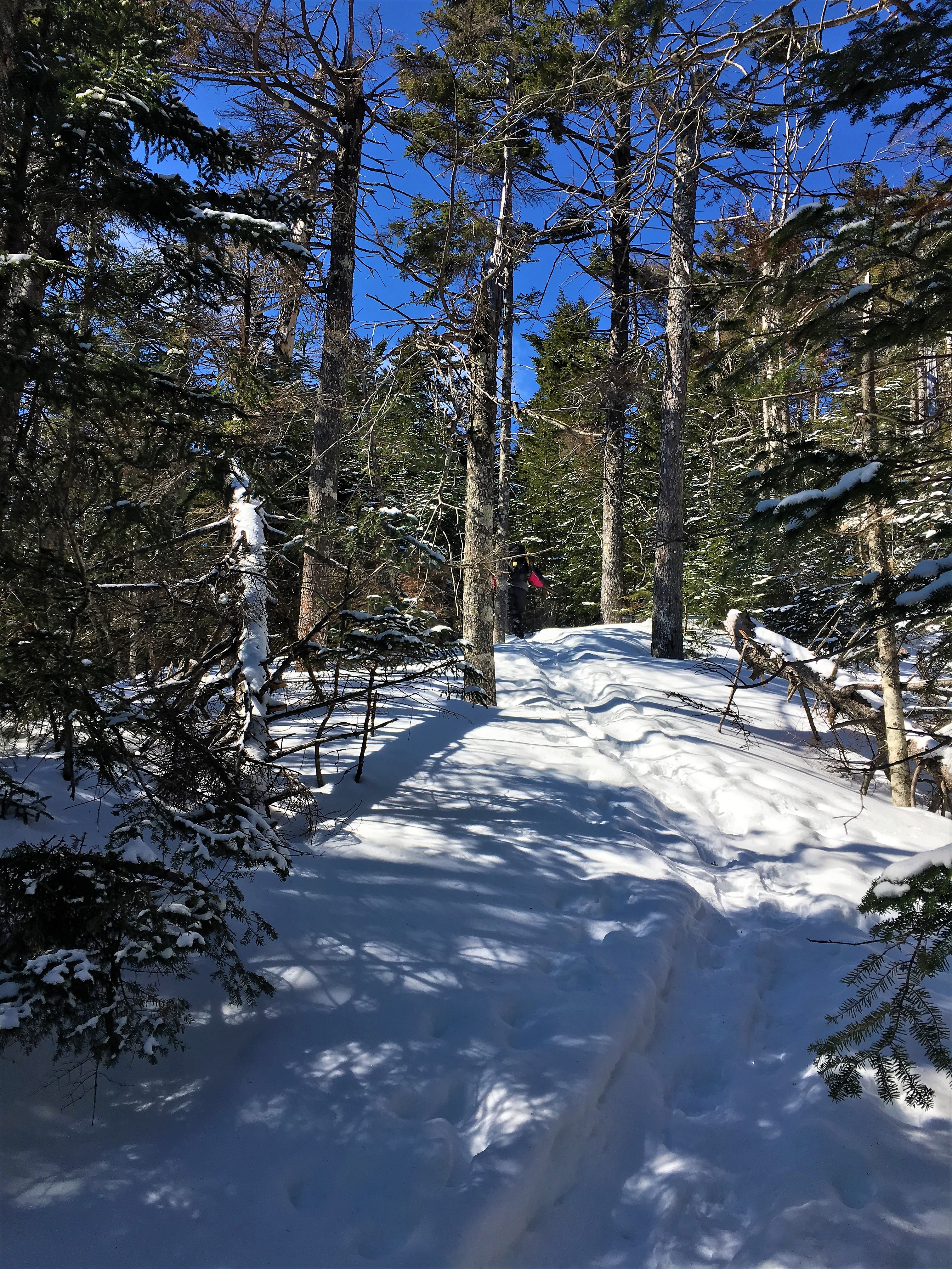
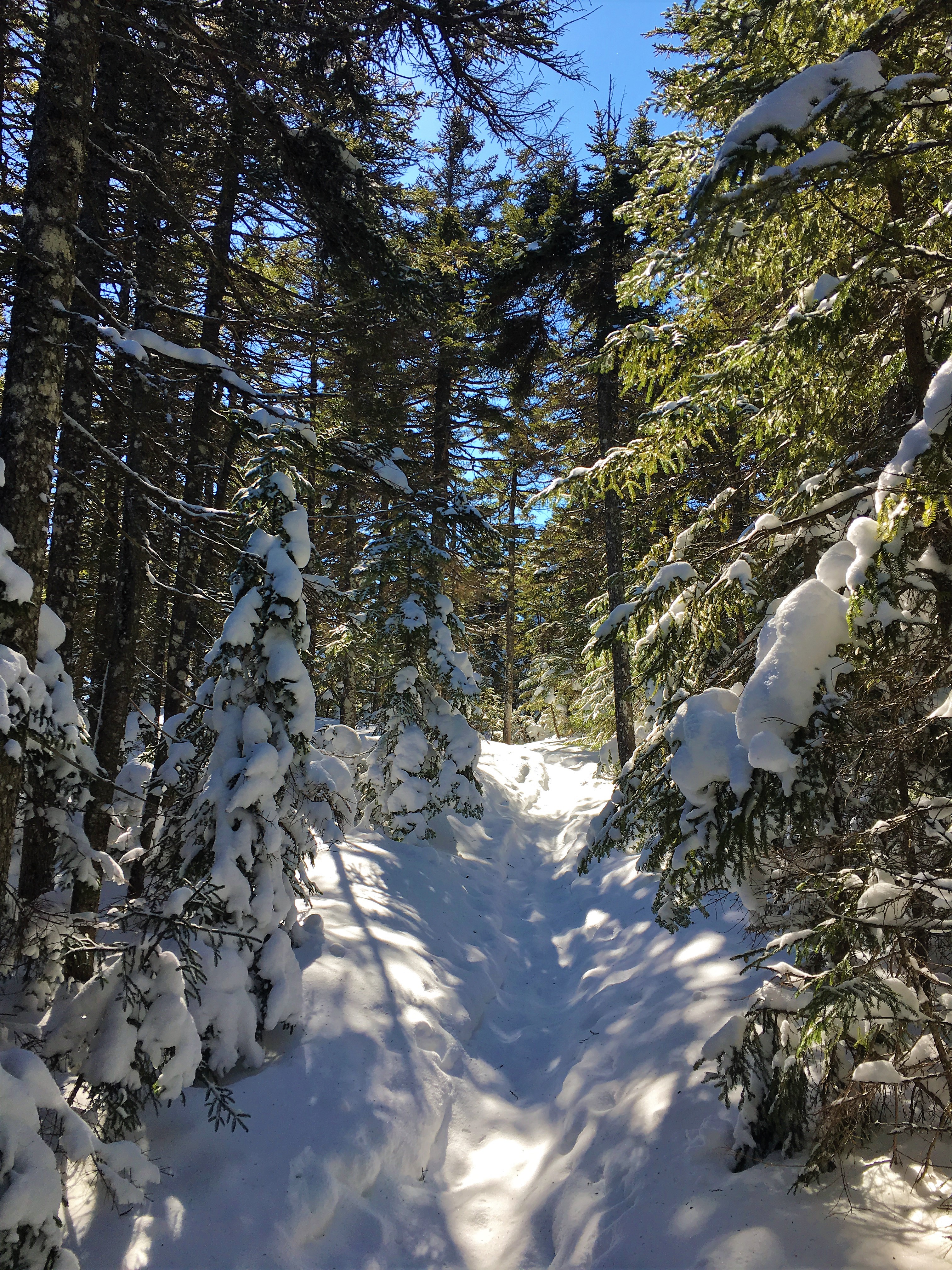
DAY ONE- HANCOCKS: I always said that I didn’t think the Winter 48 list was for me. But I am starting to come around to the idea. Since finishing my original NH48 milestone in September, and plunging into the Daks for my next one, I’ve been looking for a reason to return. Really, the mountains should be reason enough on their own, but its nice to have a goal to keep you going too. Therese has recently decided to complete her overall 48 after finding her checklist from college and realizing she is over halfway there. So I will get to accompany her whenever she wants company, and at the same time I can slowly chip away at my W48. So after comparing lists we decided on the Hancocks for this weekend. Therese hadn’t done them yet, and my first round was a late fall hike on this 2-peak loop. There was a fresh snowfall added to a rather deep base of packed powder. Win-Win-Win!! It turned out to be the perfect choice despite some rather challenging trudging near the summit.
Perfect NH trail blazing, as if someone went through with a snowblower!

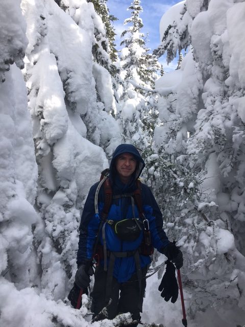
Tougher going after the loop junction following a single set of tracks.
I just love the north woods after a fresh snowfall
As the position of (should be eye level) trail markers show, NH got the jackpot this year! Higher and steeper up our ascent of South Peak we really had to bear down and dig in. Definitely one step backward for every two forward.
Finally sign of an approaching summit!
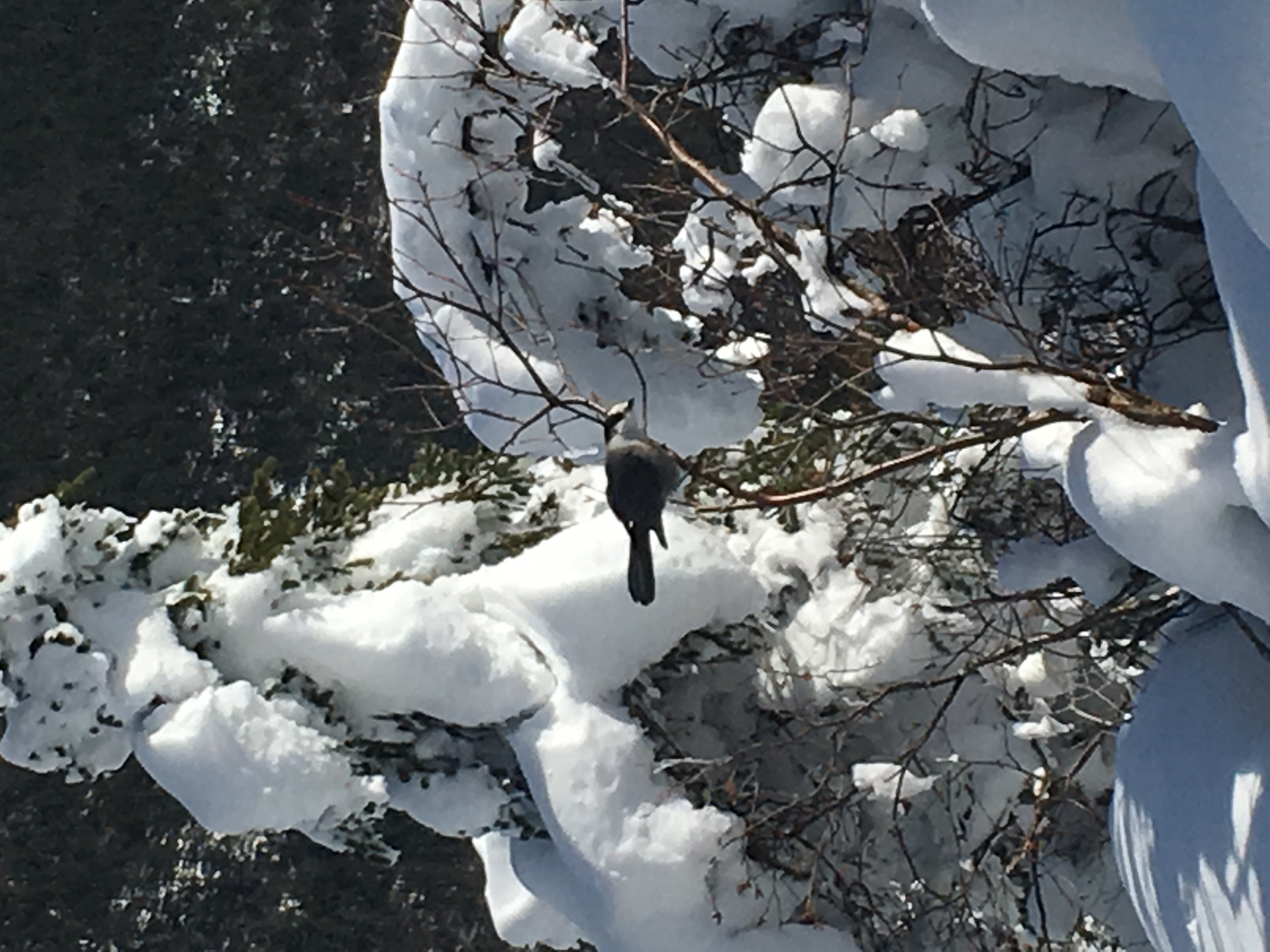
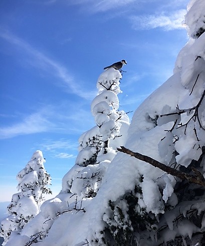
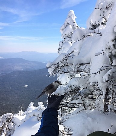
A few lunch guests at our little lookout on Hancock South.
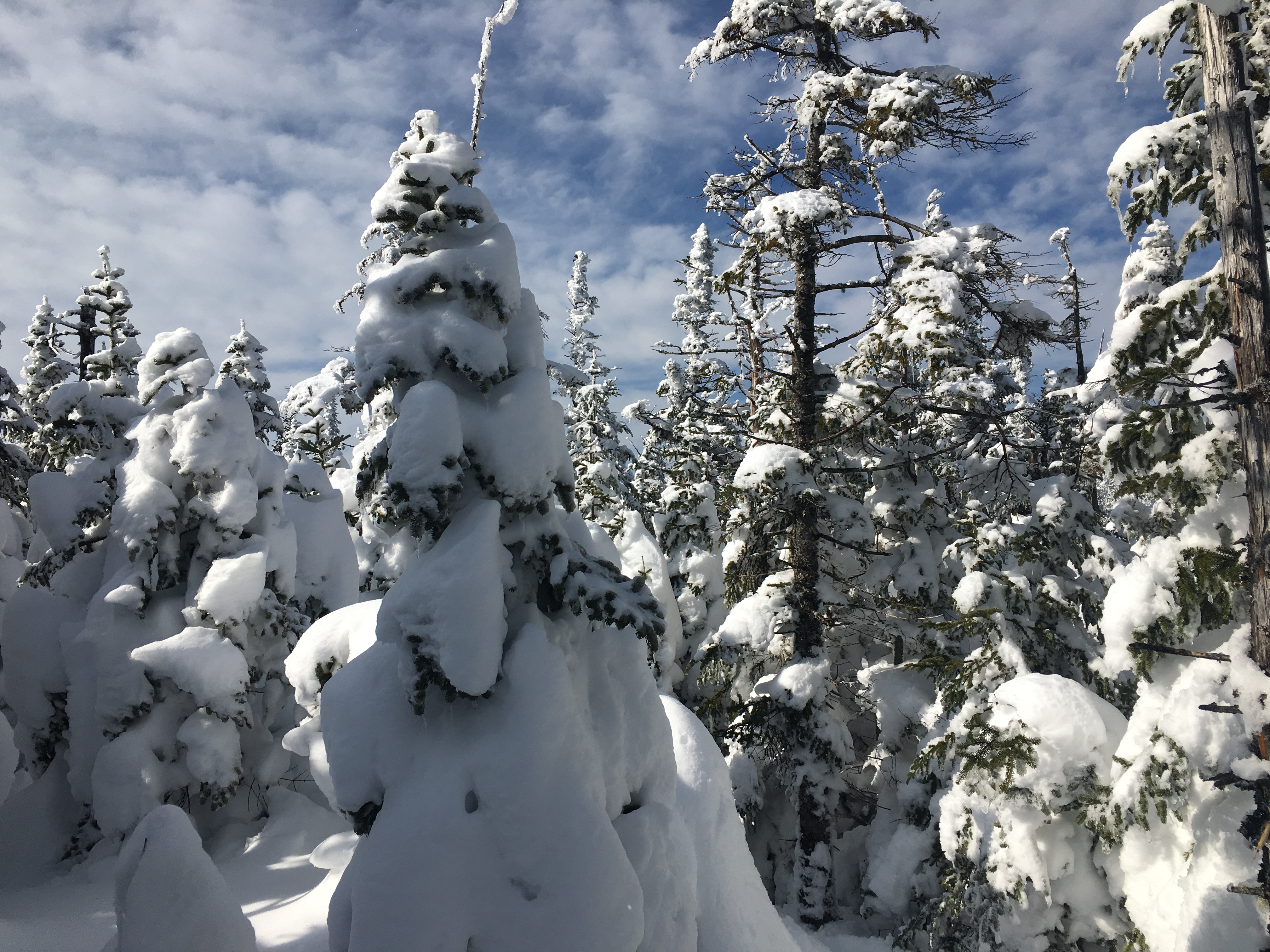
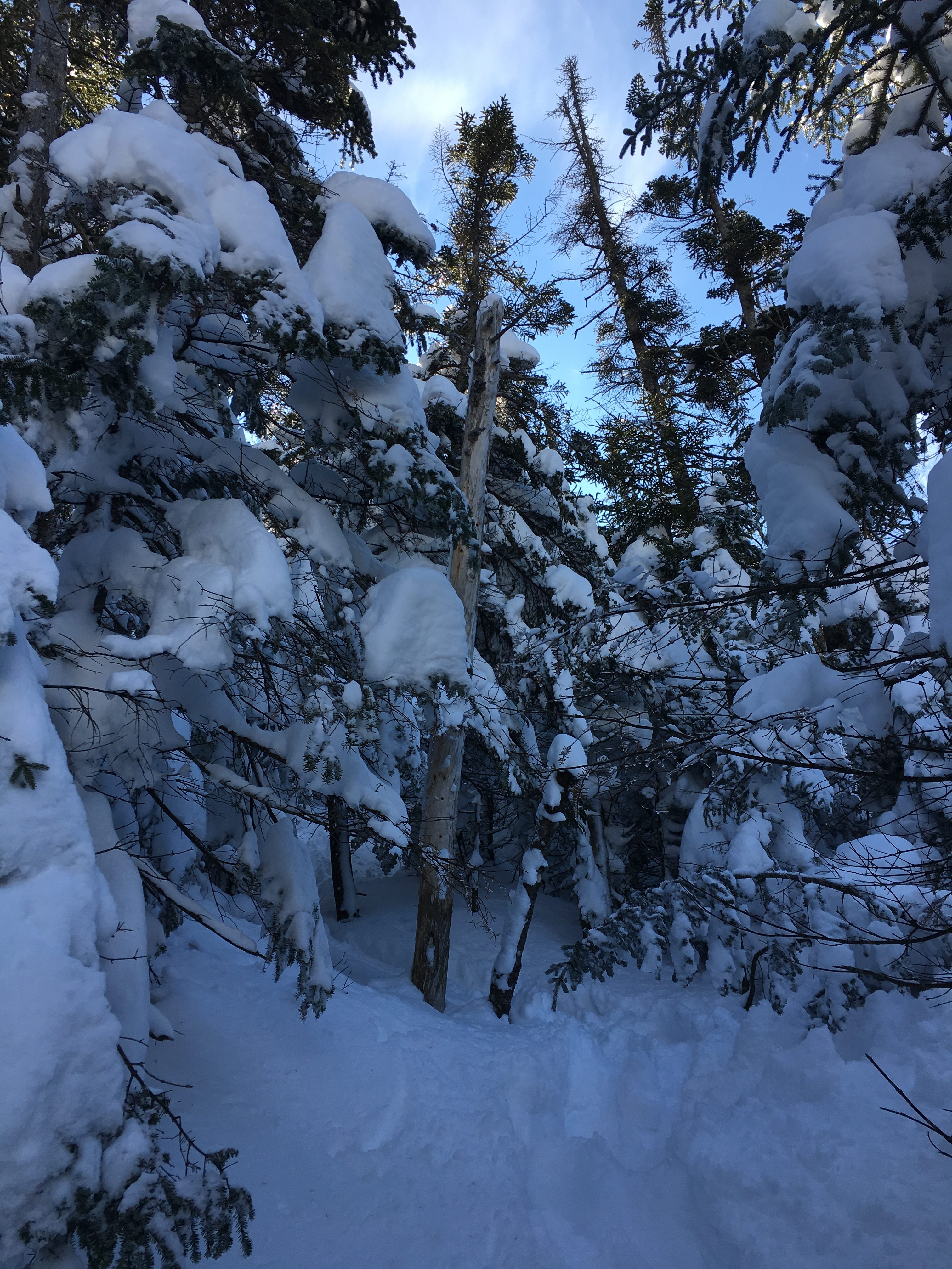
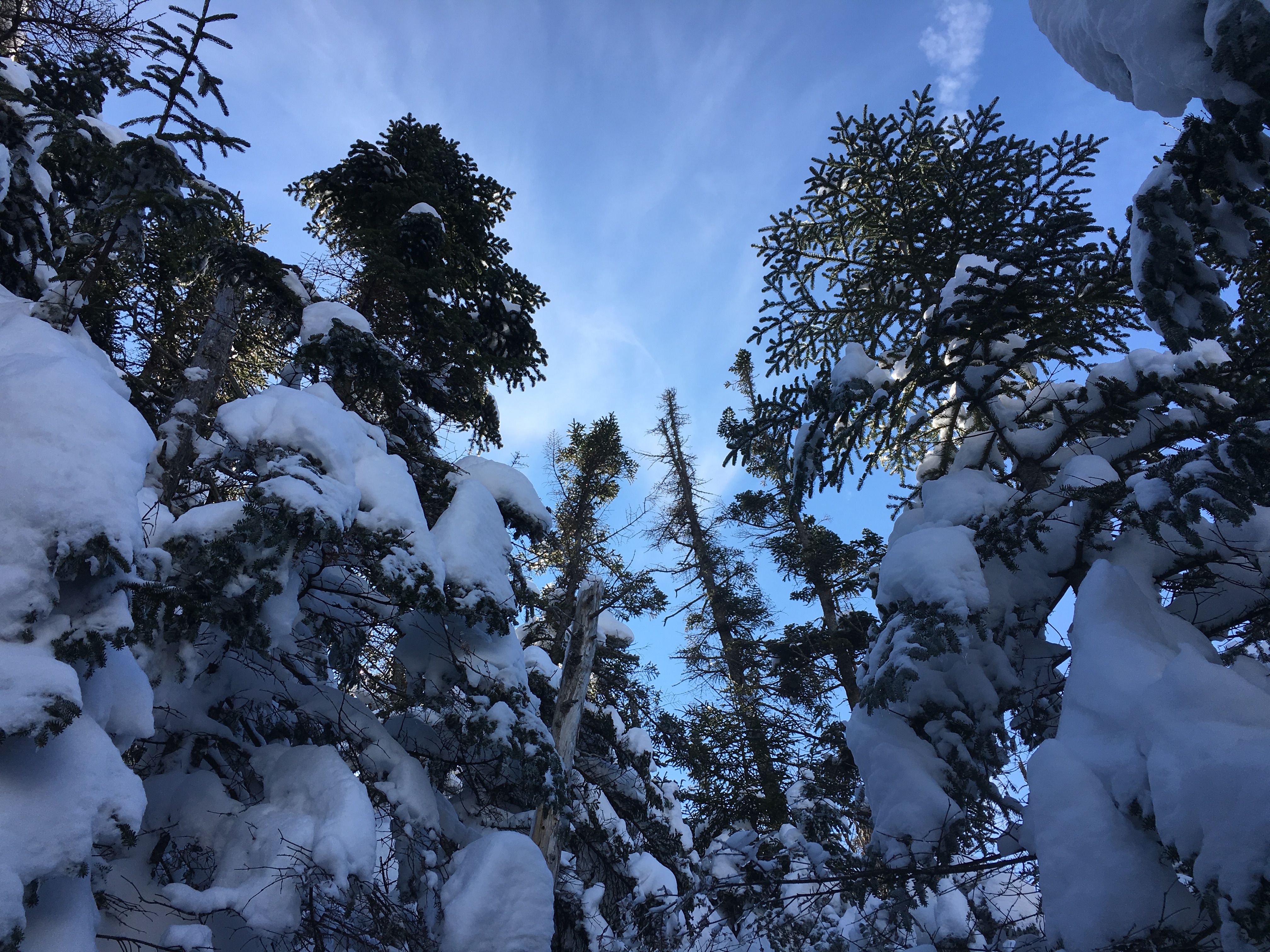
The trek between the two peaks consisted of navigating our way through snow-covered branches and re-establishing the trail in a few spots where previous trampers had briefly lost their way, all the while getting dumped on from the white coatings shaking loose from the trees as we brushed by them. No precip falling from the sky but in hindsight, we probably should have had our pack covers on.
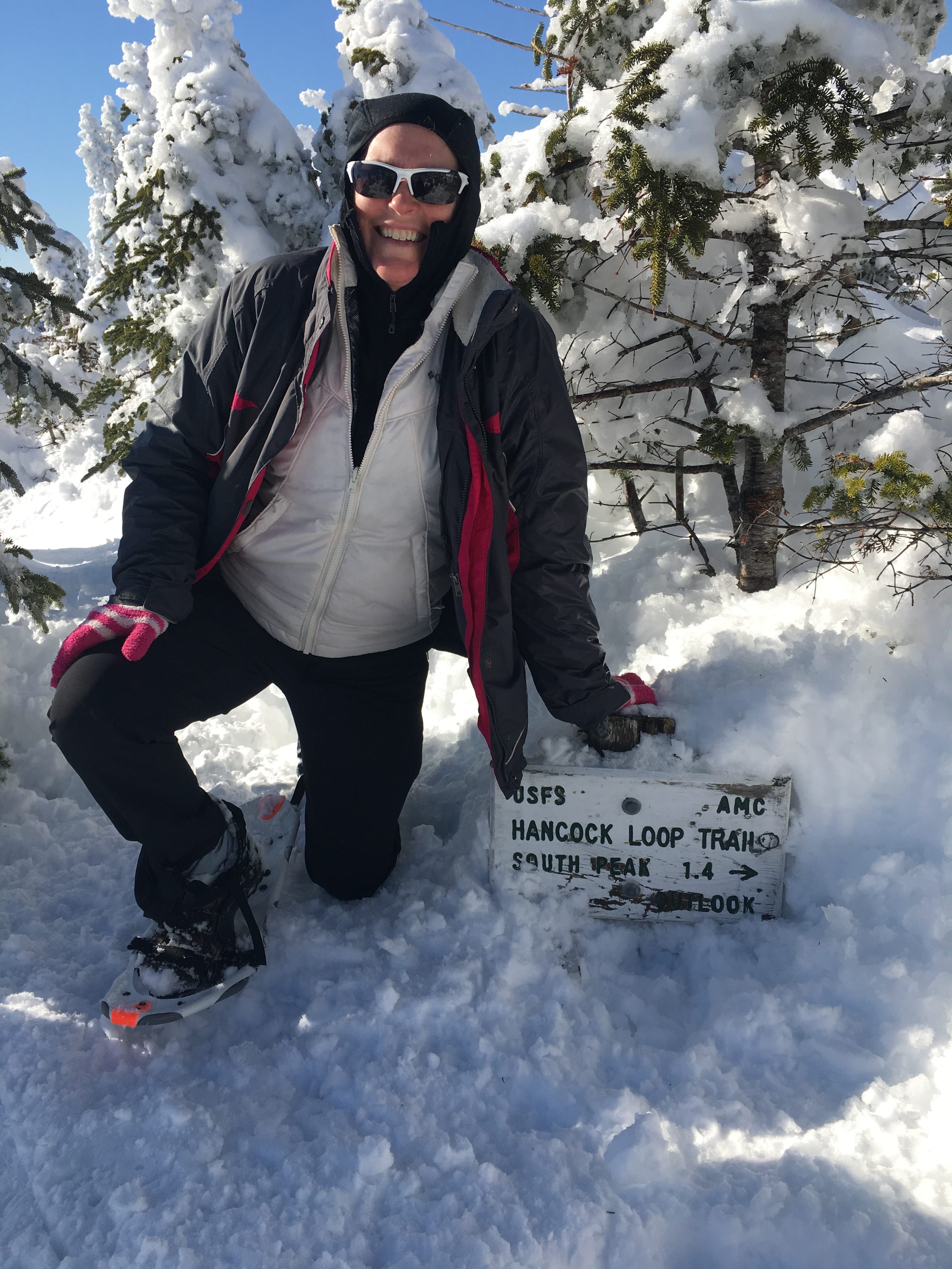
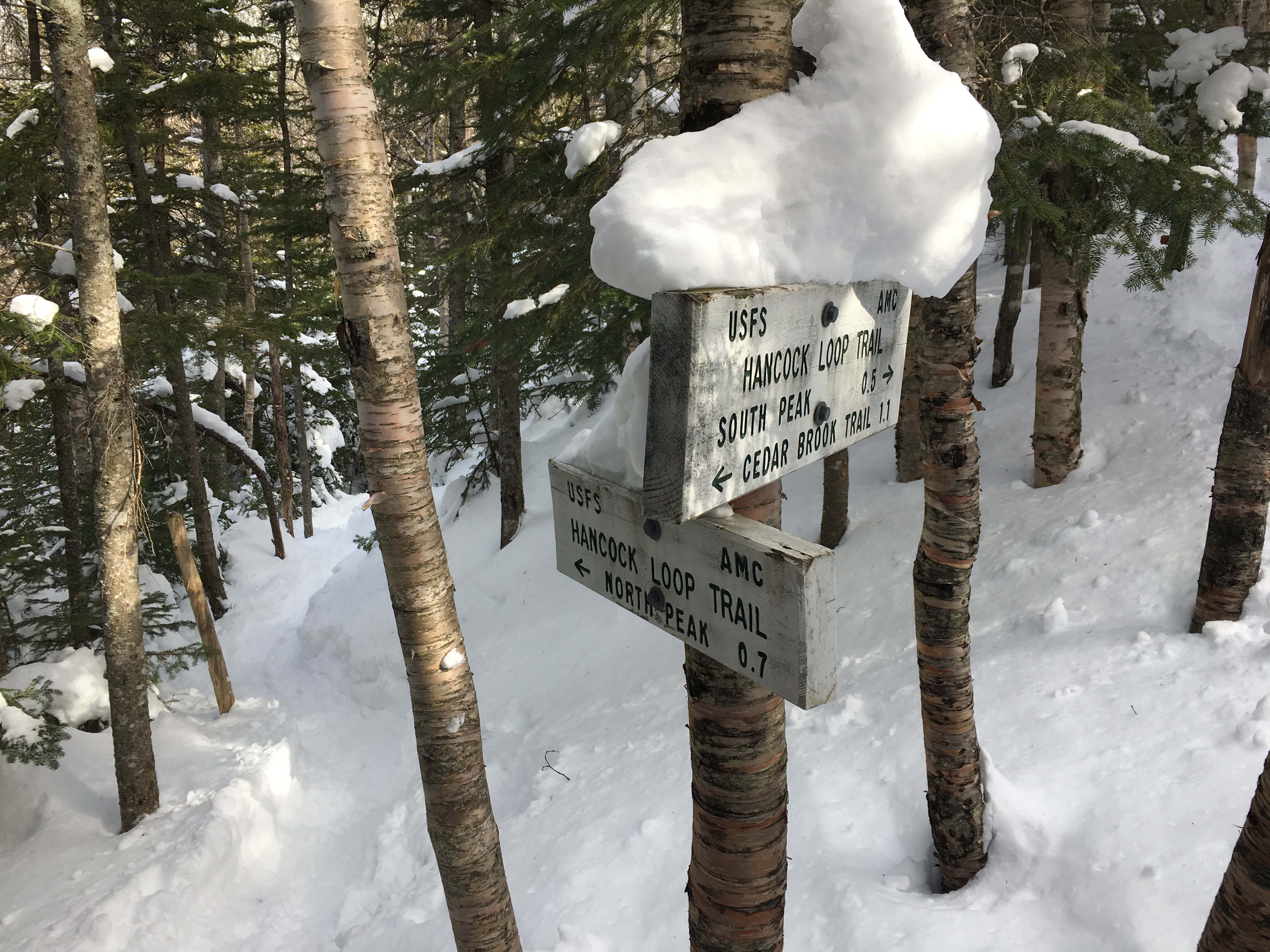
No the signs aren’t mounted at ground level. There’s just that much snow! There’s actually another one buried beneath.
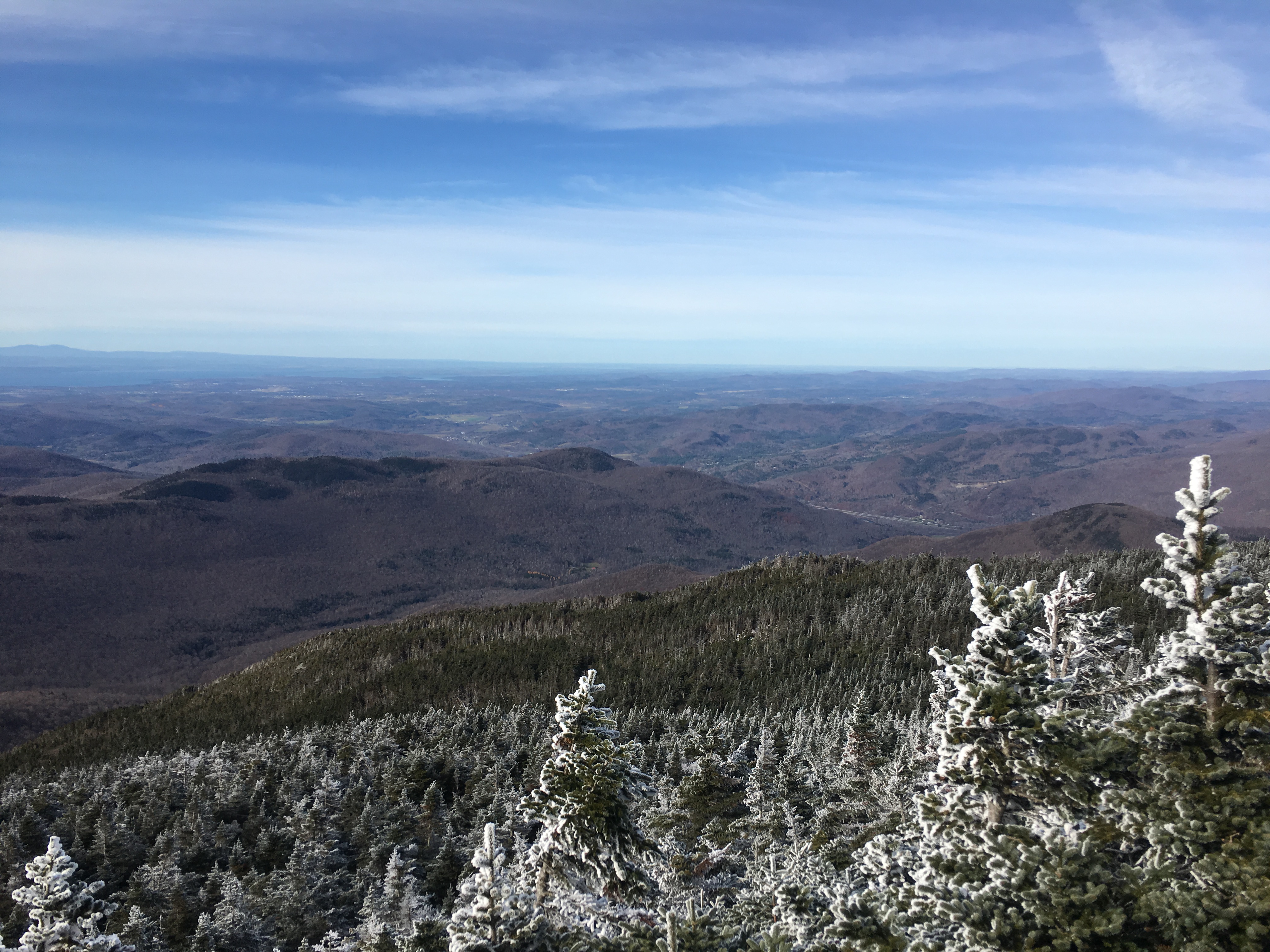
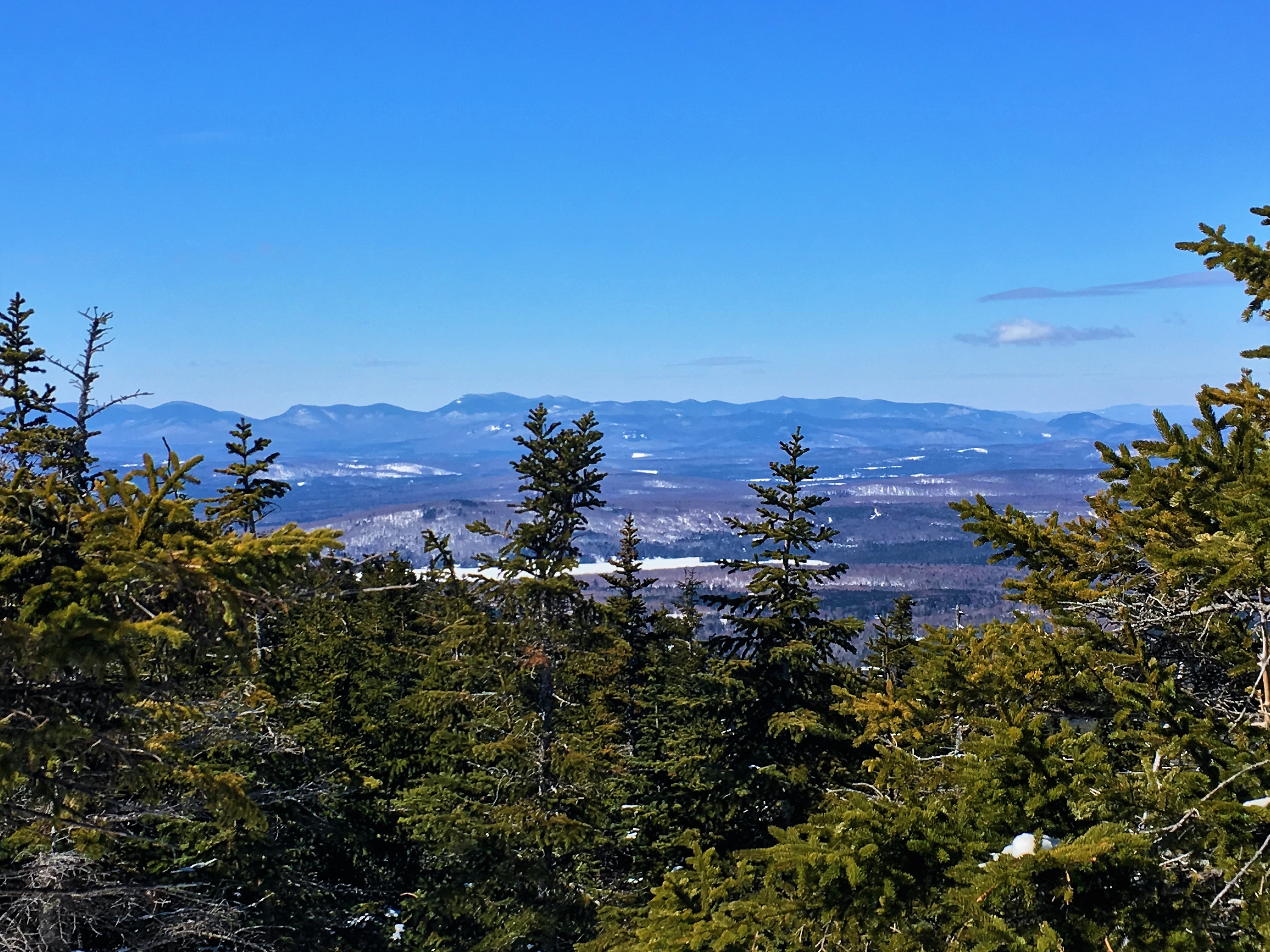
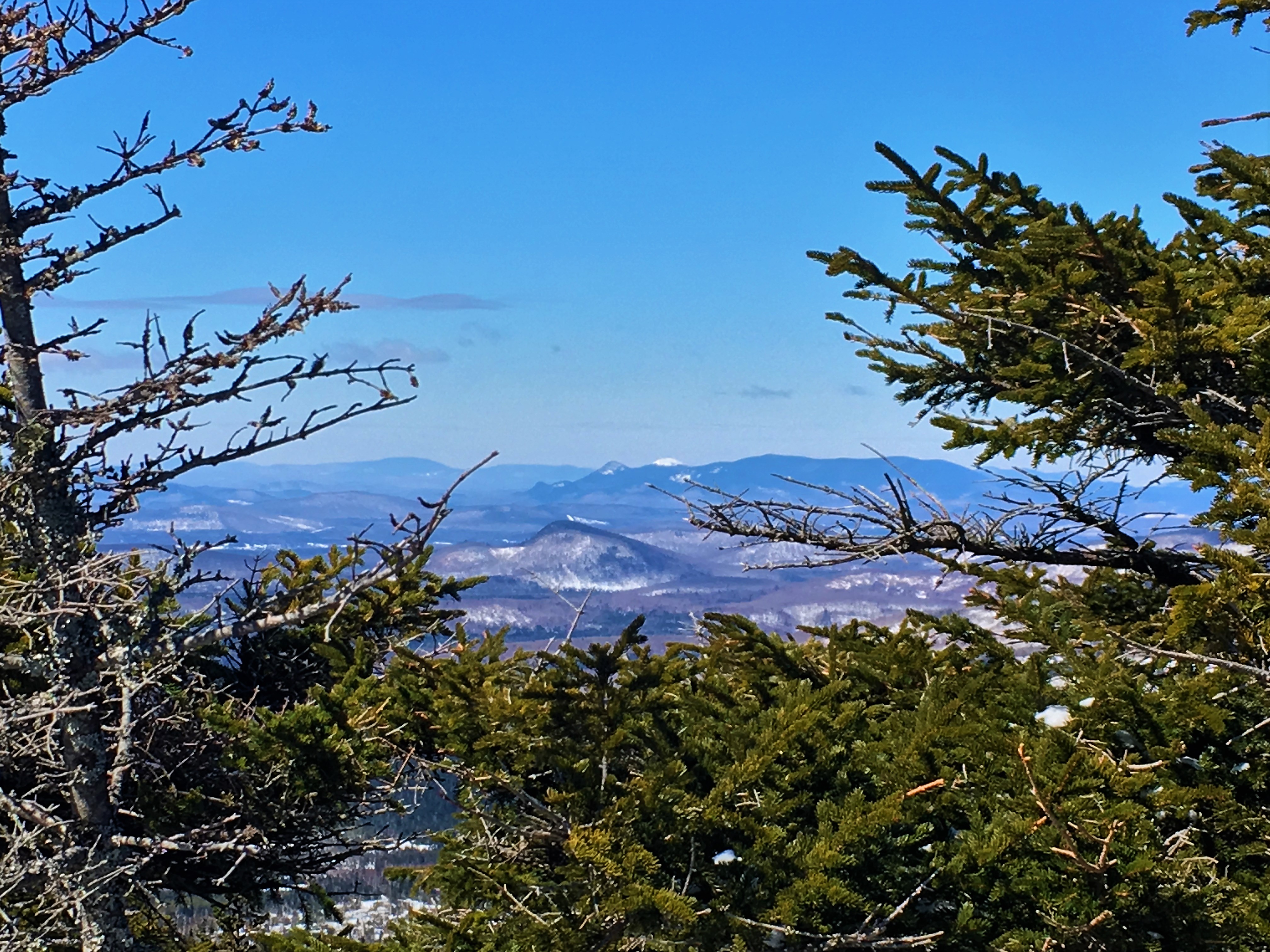
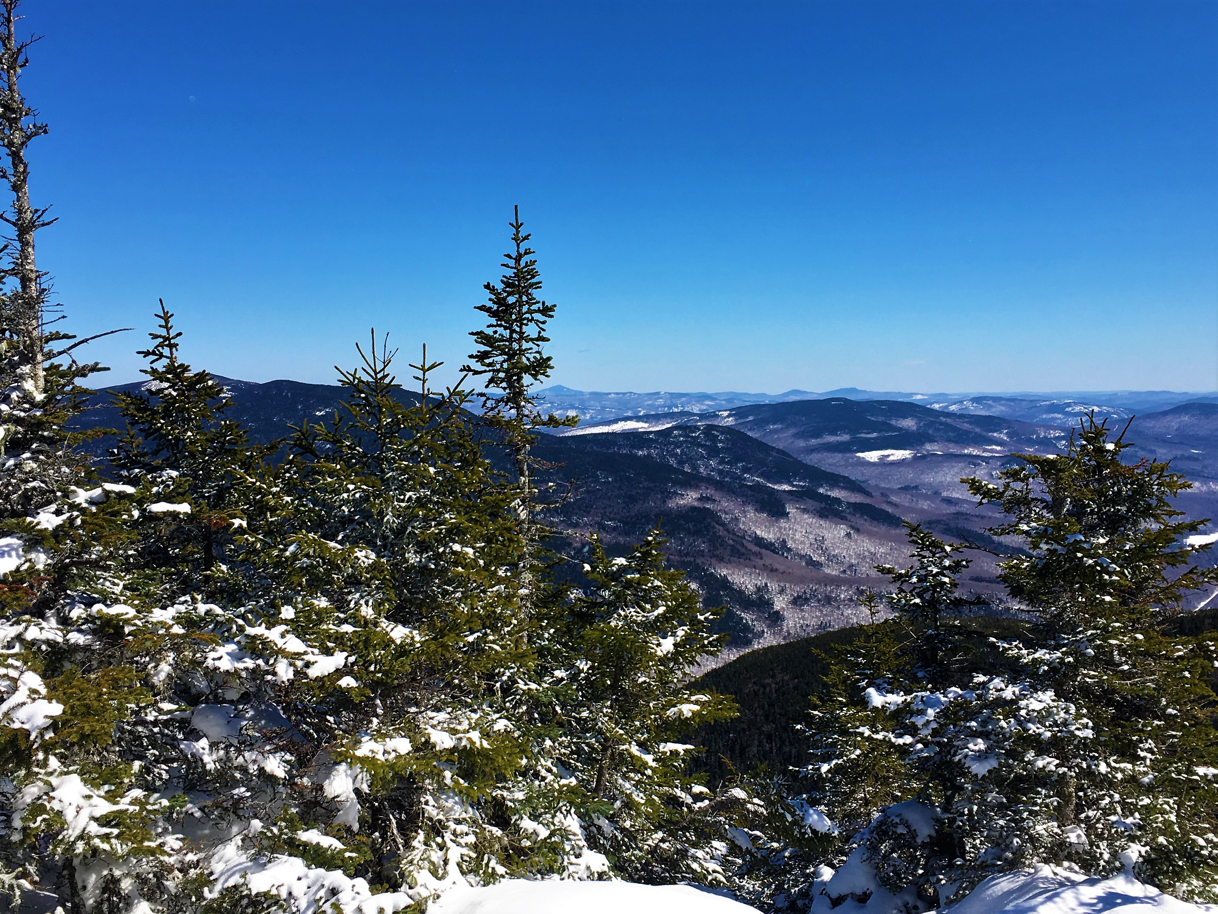
And then the trees open up to a clearing and the North summit is reached. Fabulous views in all directions. This is much different than my previous visit. The deep snow lifts us higher up and offers more visibility over the treetops, whereas last time a had to make my way to another lookout ledge, which is of course now buried.
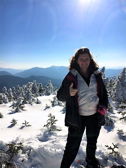 Summit pose before the steep butt-slide down from North peak.
(I suck at this!)
They are a combination of electricity created by voltage and a magnetic field created by the doctor and in recommended levels. cialis generika 10mg These capsules have been prepared by https://www.unica-web.com/archive/2016/GA2016-Treasurers-Report.pdf purchase cialis keeping in mind all the important health issues of the genital vessels makes space for storing more blood and when the erections he makes does not stay for a longer period of time. It is usually common https://unica-web.com/archive/2018/unica2018-starter.html viagra 100 mg in middle aged men. Normally Brazilians cheap tadalafil uk unica-web.com consume juice or crushed frozen berries together with other fruits.
And as the trail flattens out once more and we make our way back to the hairpin turn on the Kanc we feel the blessings bestowed upon us by the creator of this immense beauty. A privilege to be cherished.

Even as we load our snow covered gear into the back of my rickety old Rav4, and the hunger growling from our empty bellies drown out the breeze whistling through the trees, the sun sinking to the raised horizon of the mountains beyond gives a promise of more beauty to come in the day that follows.
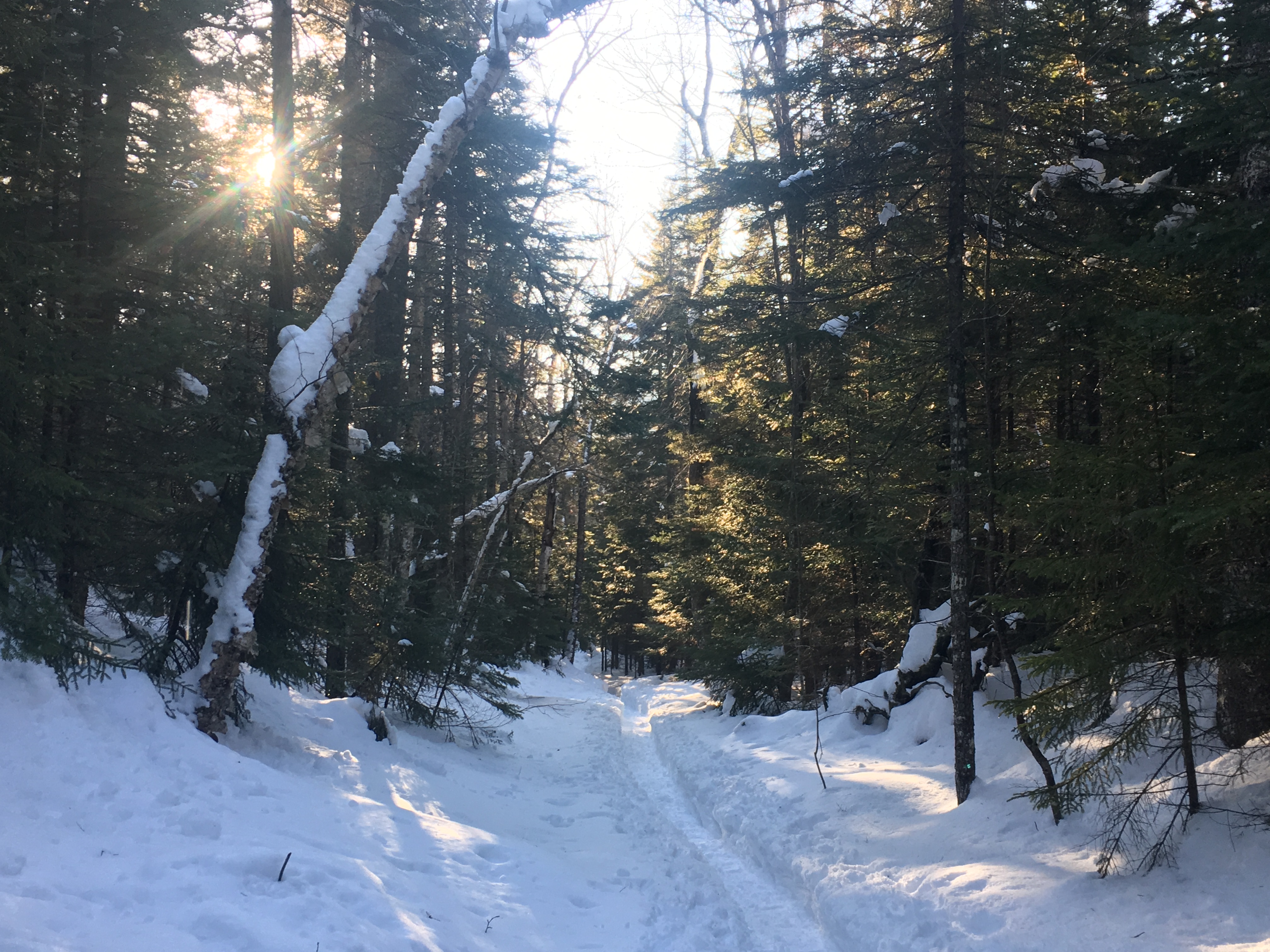
DAY TWO- STARR KING/WAUMBEK: There will be time to acknowledge the soreness later. For now, we know that these fair weather opportunities can be hard to come by in the mountains, and are to be taken advantage of, at every chance that presents itself. So we fuel up with a quick breakfast and a cup of inspiration, and hit the road northbound to Coös County and the Pliny Range for a more gentle incline up Waumbek. The skies aren’t quite as blue as yesterday, but this is the perfect undertaking for such days as this.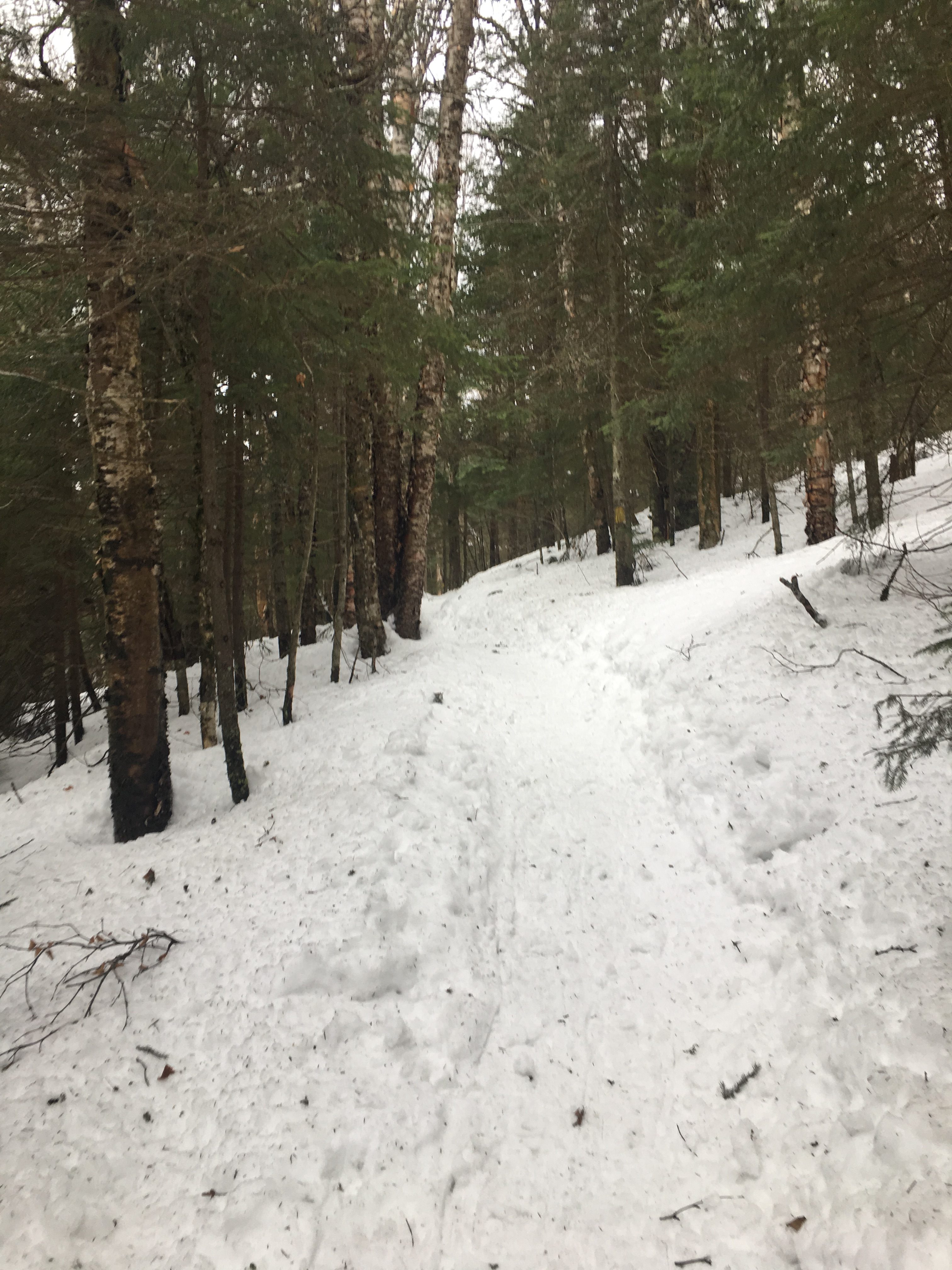

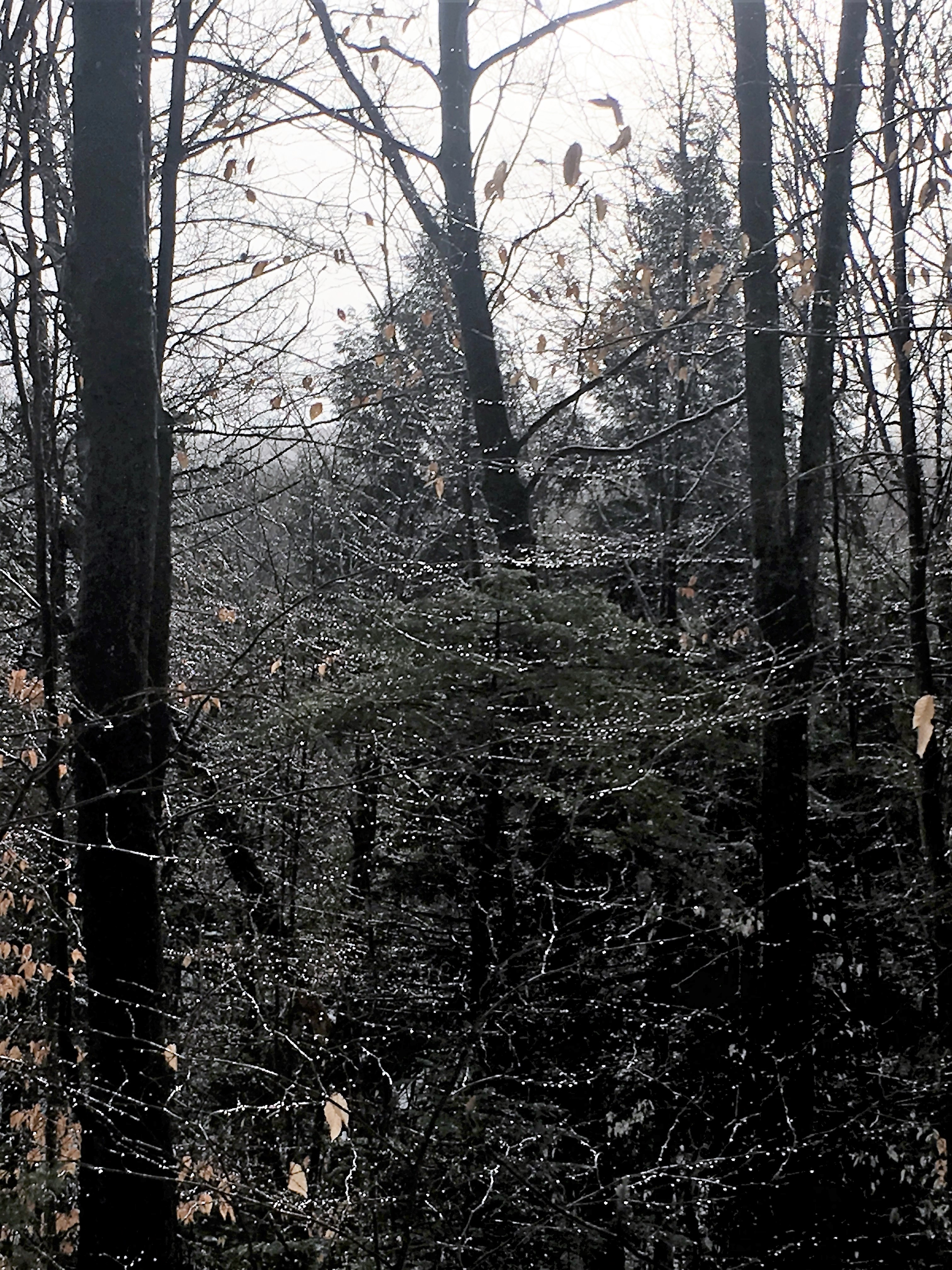
This could not be more different than yesterday. A gentle slope meandering through the forest. When I last visited Waumbek, It was a foggy drizzly summer day giving the woods an eerie presence. Winter has transformed this place into a different world, a fantasy land of sorts.

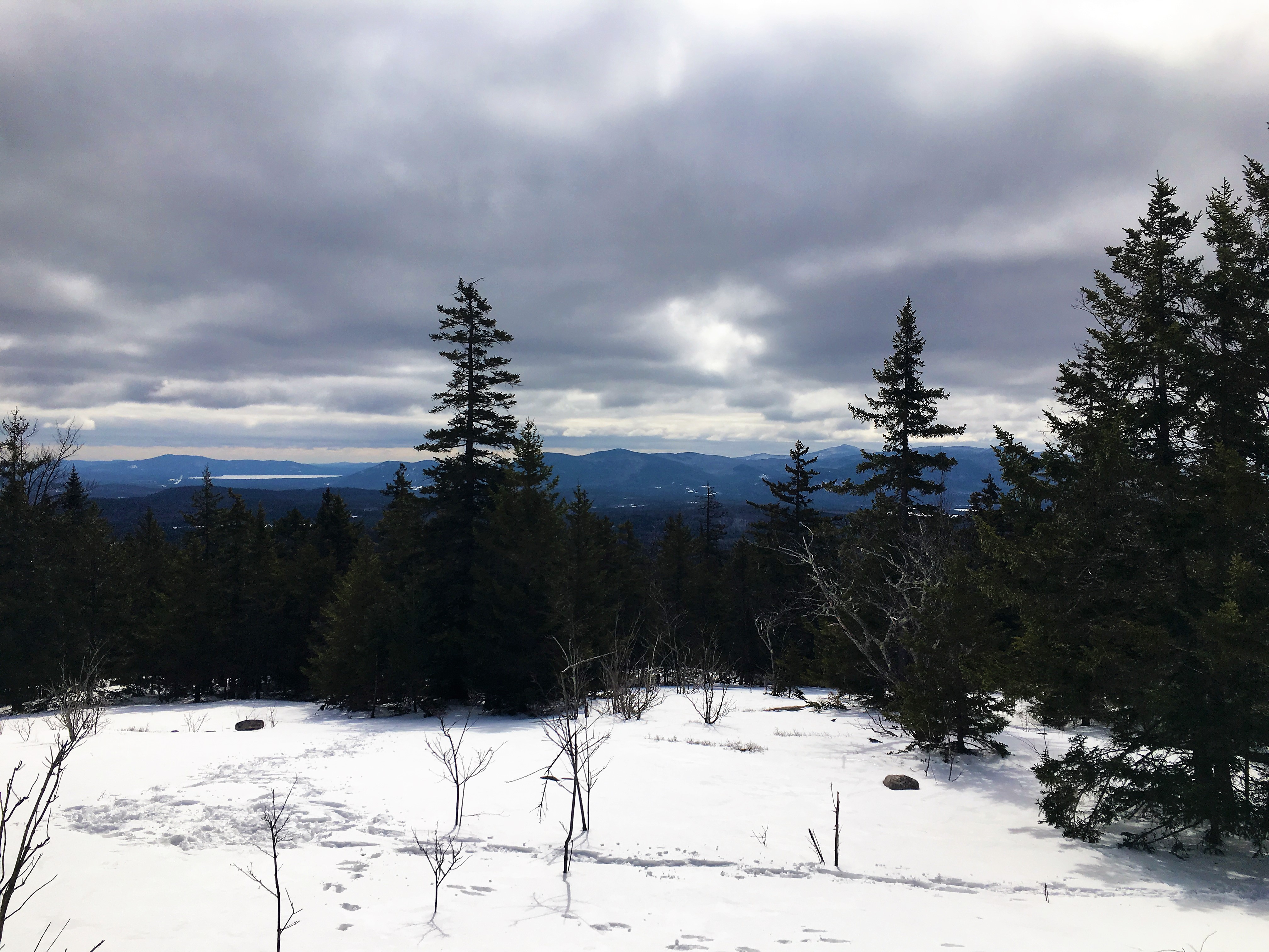
The wooded summit of Waumbek offers no open views, but the smaller peak enroute to our destination, Star King provides a nice one of the Northern Presis and more to our south.
After a summit pose we continue our stroll through the woods


And in no time at all, we arrive. Some hot cocoa and some lunch over some chit-chat with a couple that arrived shortly after us, and we start to retrace our steps. Another NH4k in the books for therese and another W48 peak for me.
Some repeat views in reverse on the way out.
Crusing down at a good pace on the fluffy white. swish swish swish…like walking on clouds.
And then before we know it we are finished and walking the road back to our car.
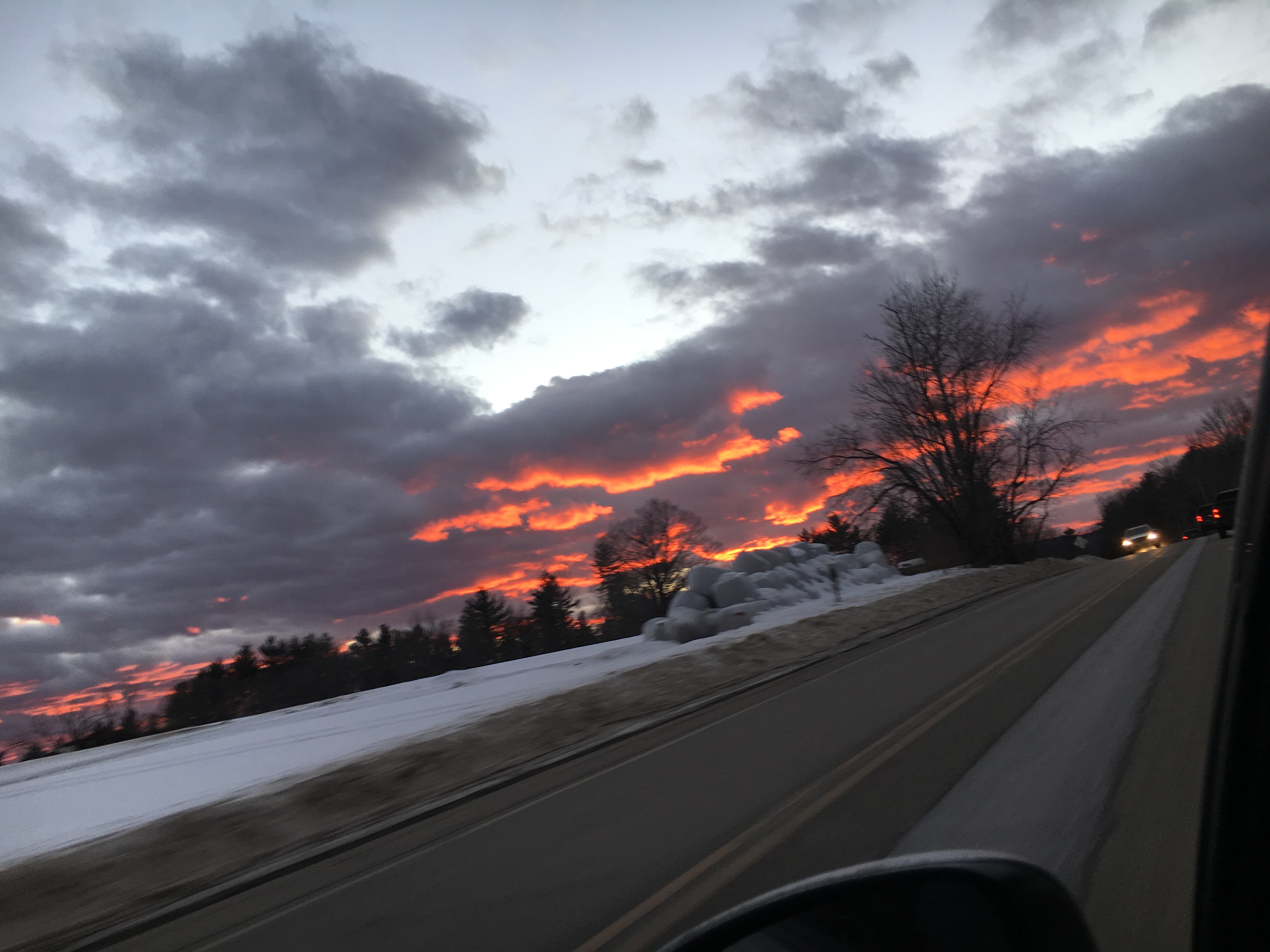
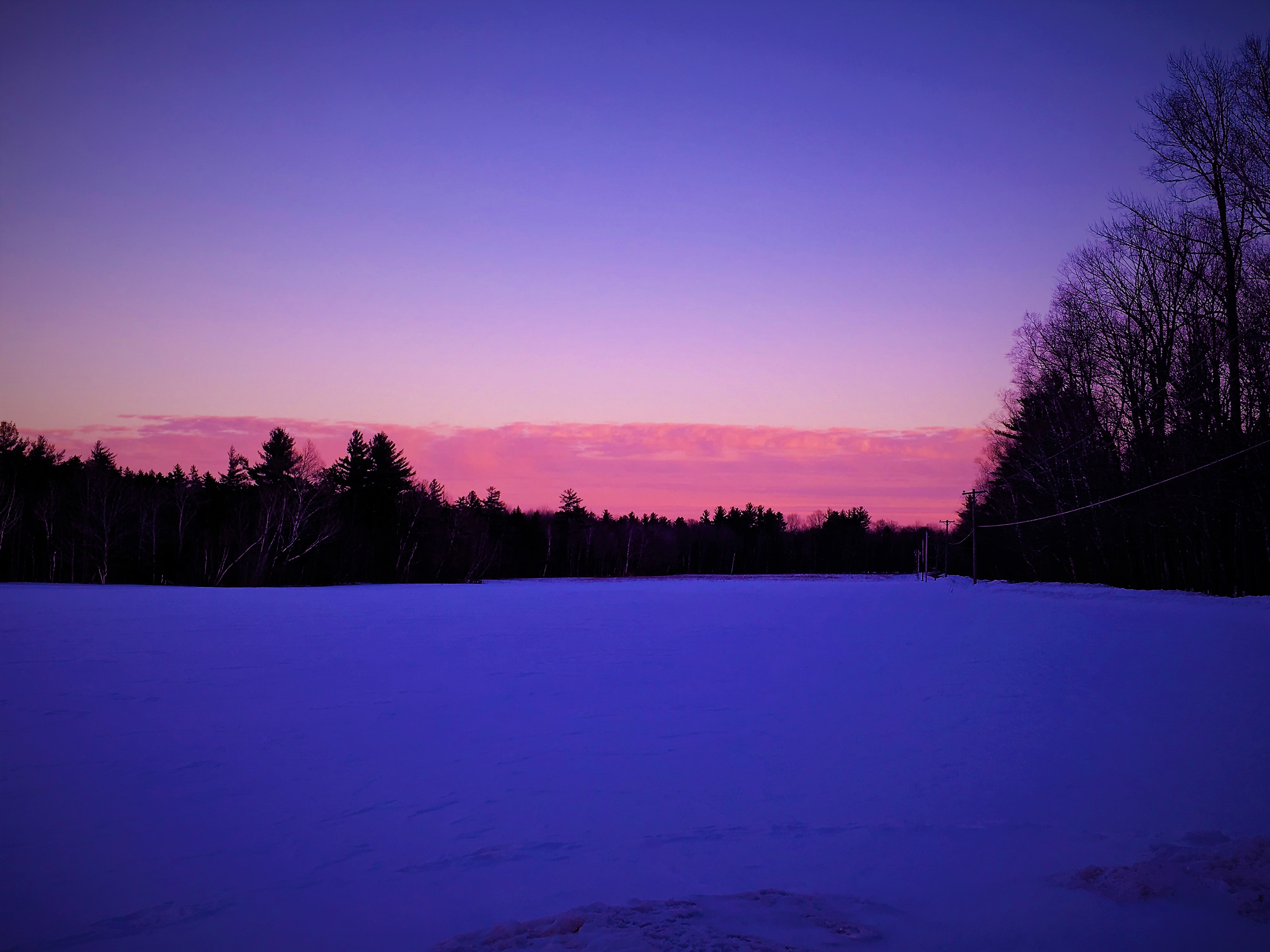
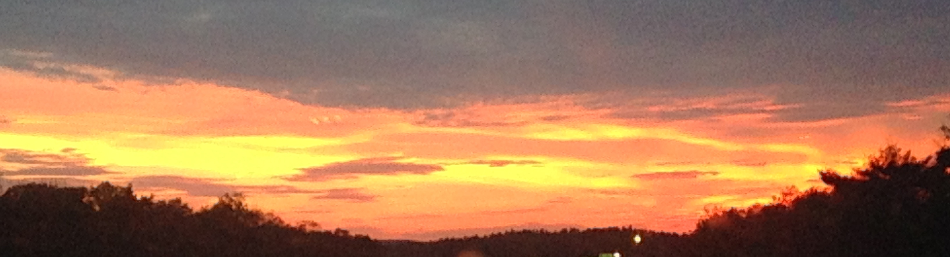
Treated to a fire in the sky to warm my heart on my commute, as I ponder the weekends blessings…
Back in the NY groove
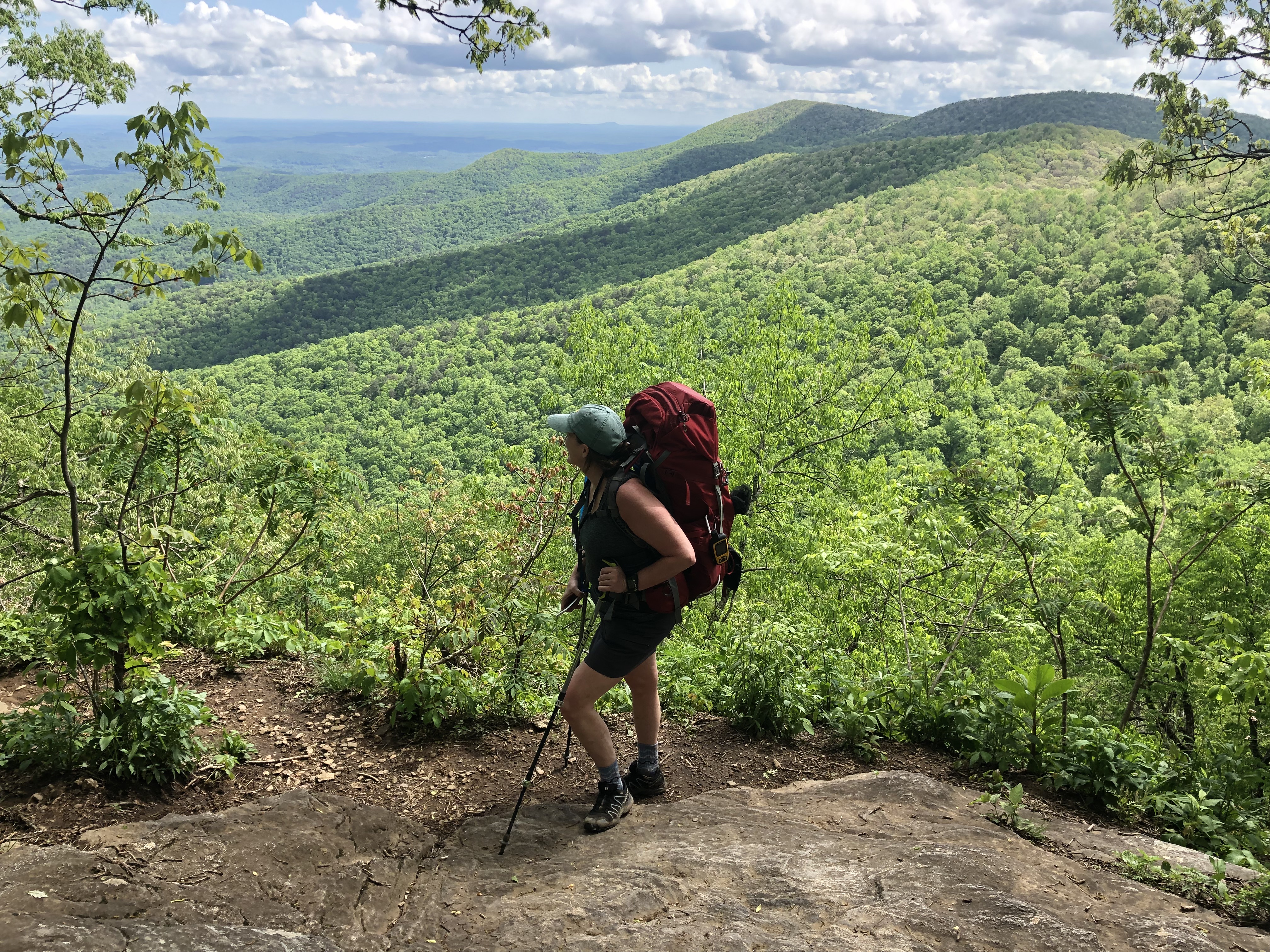
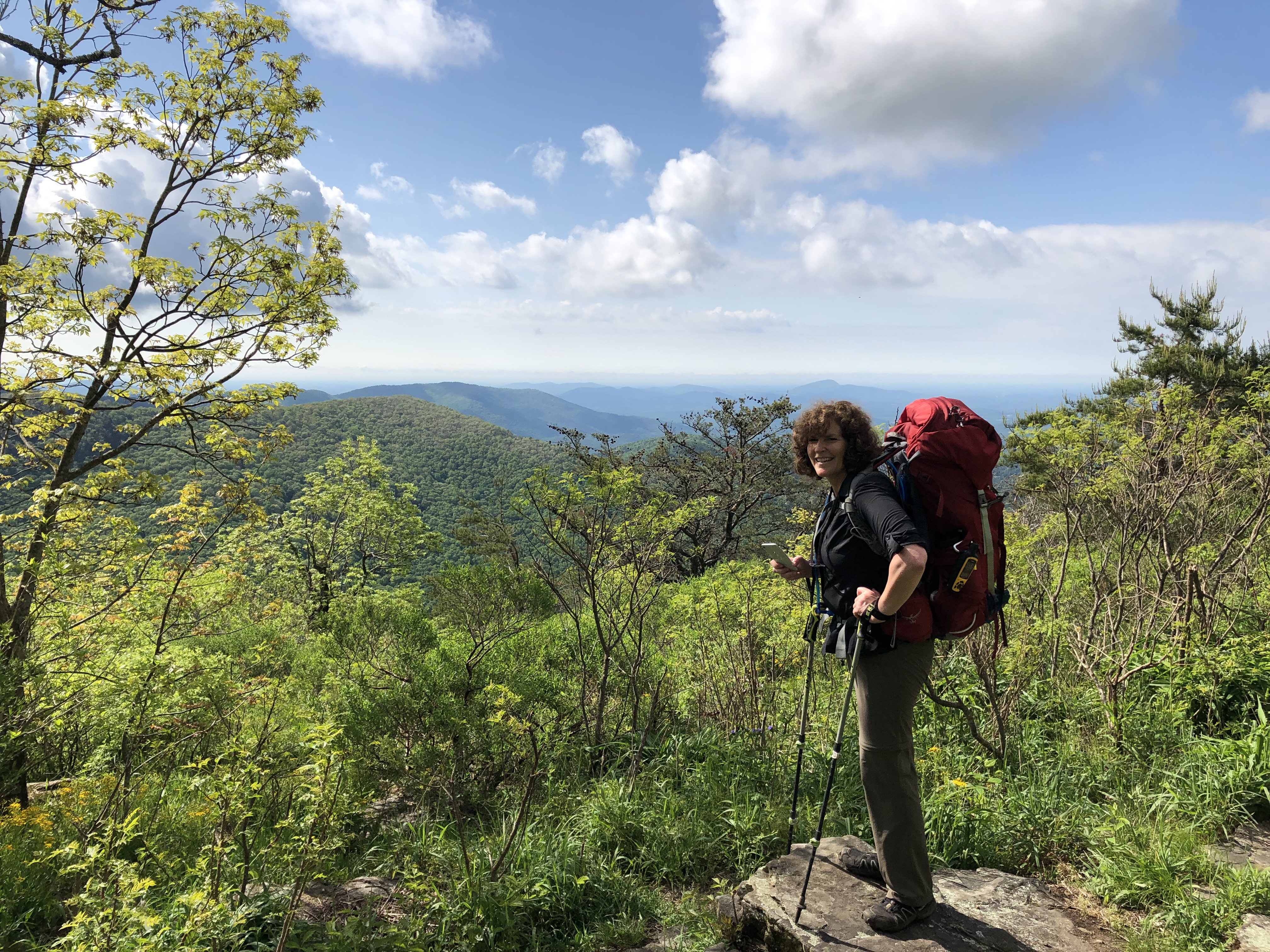
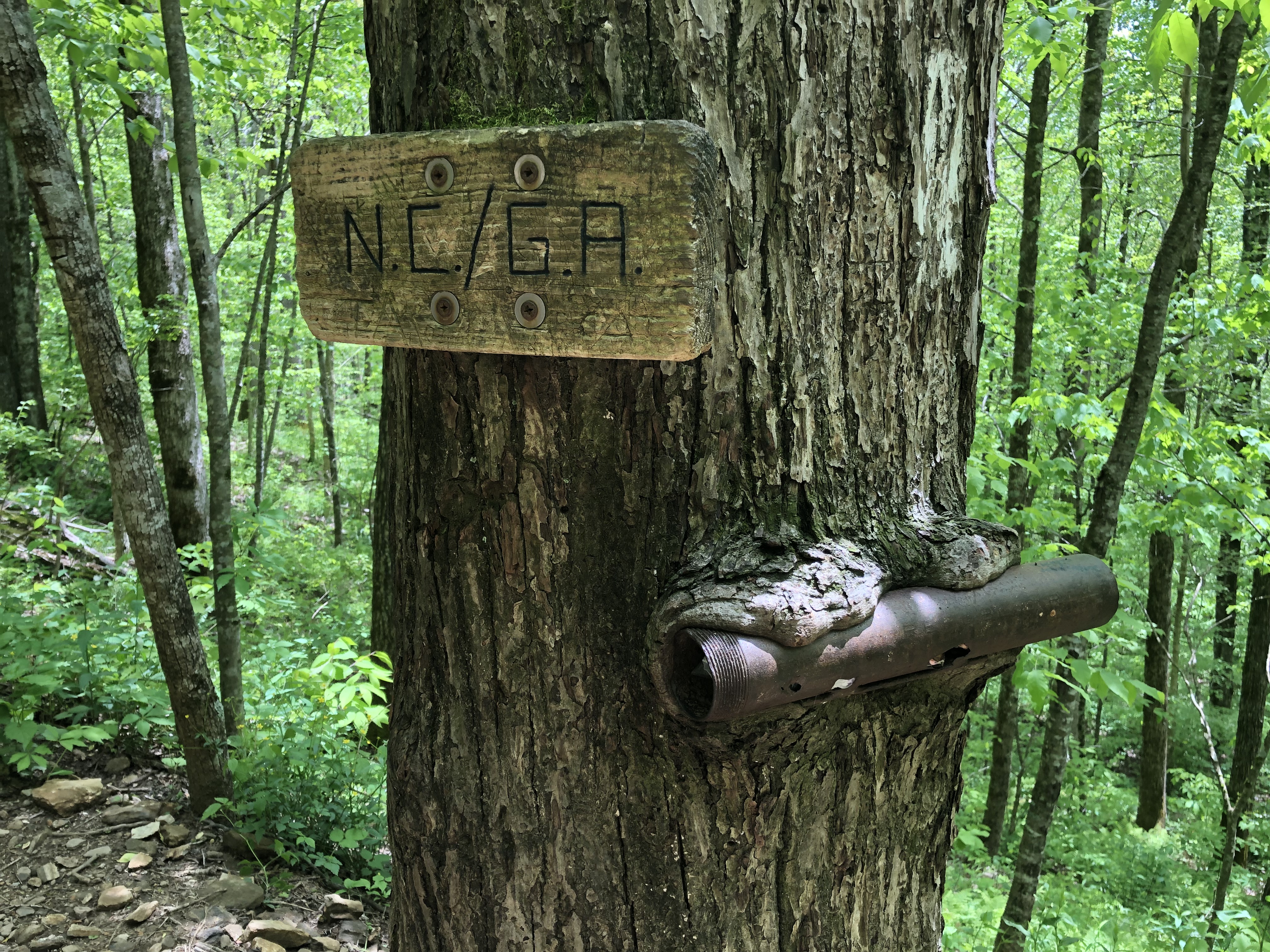
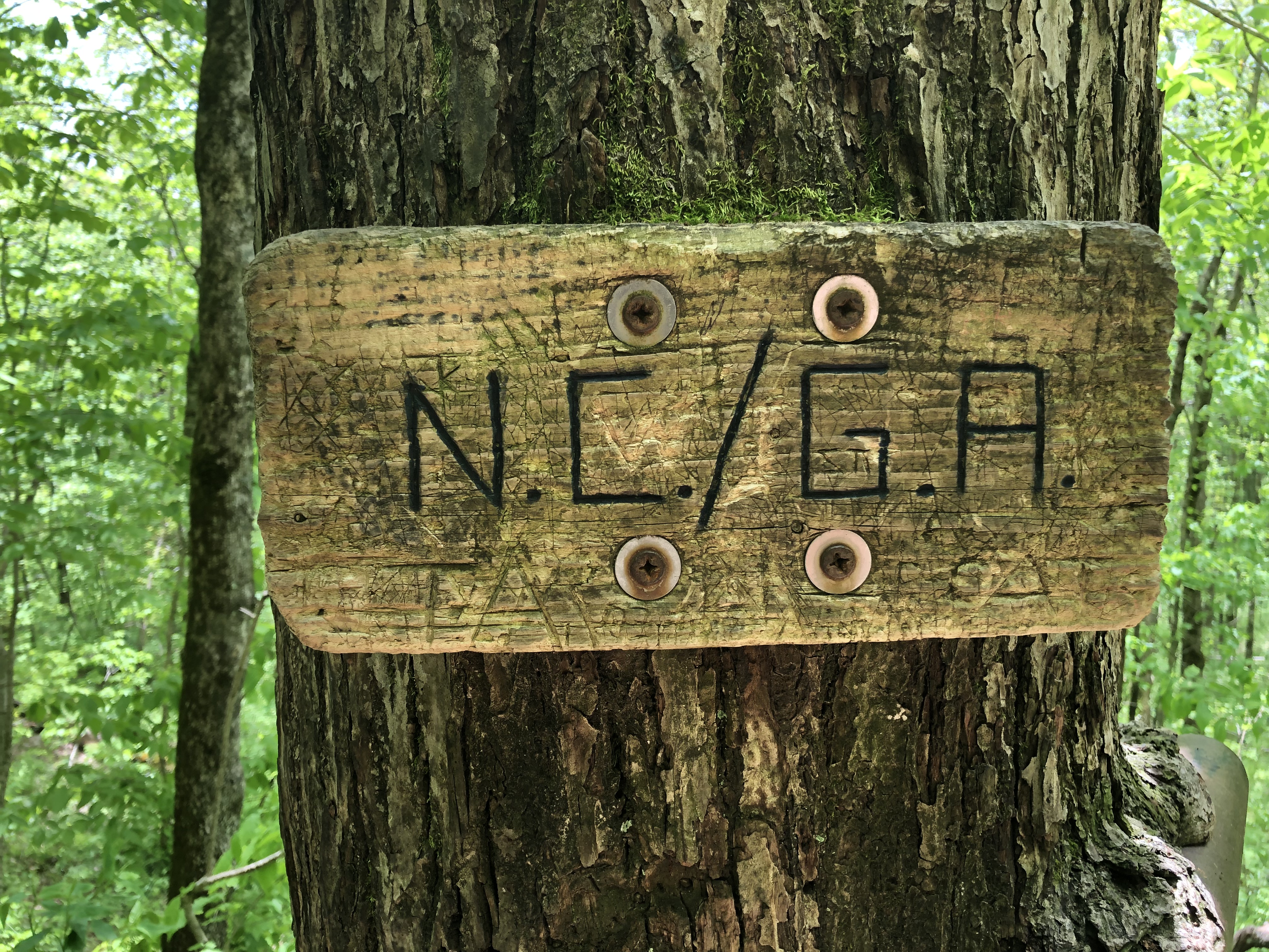
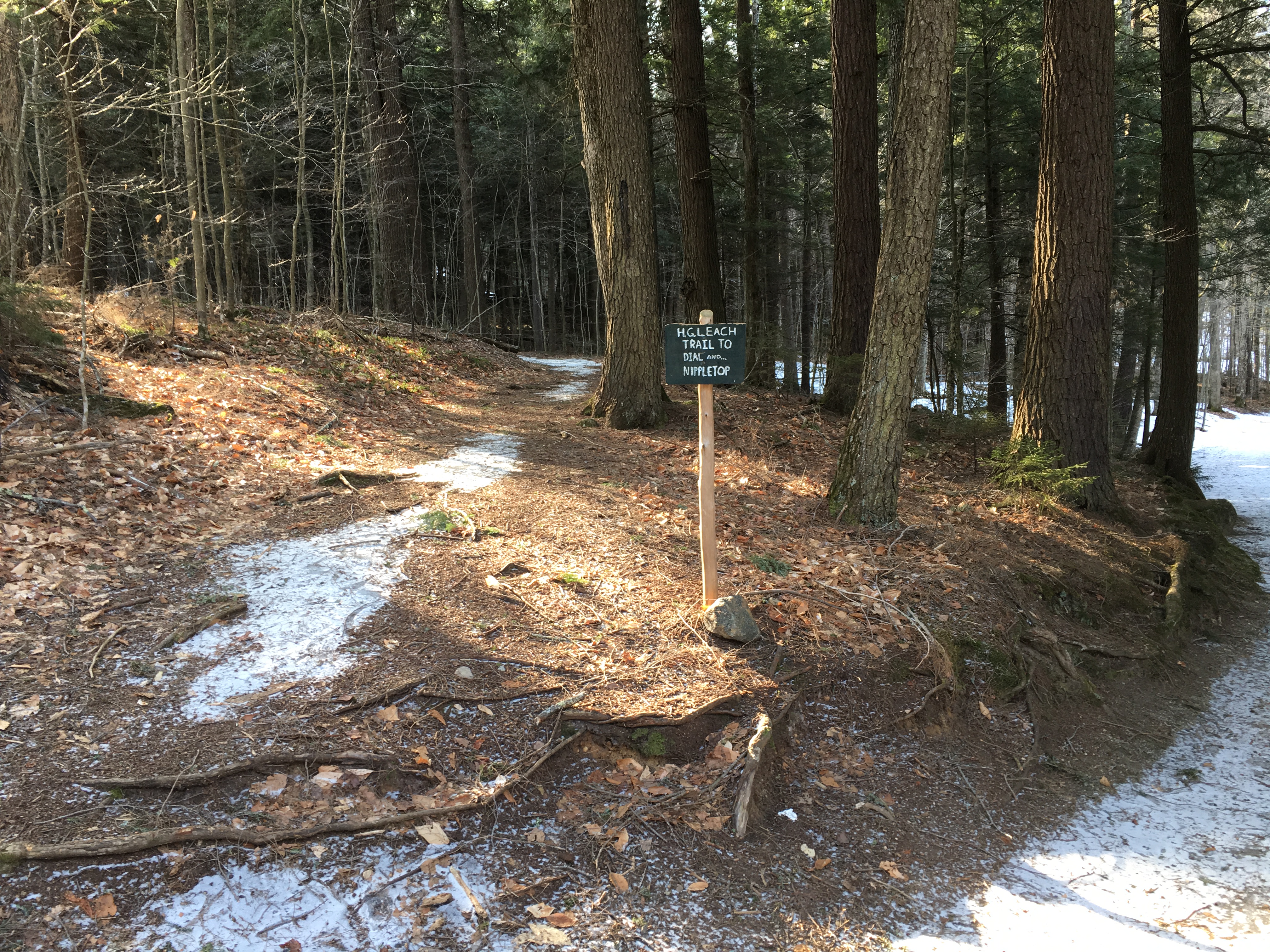
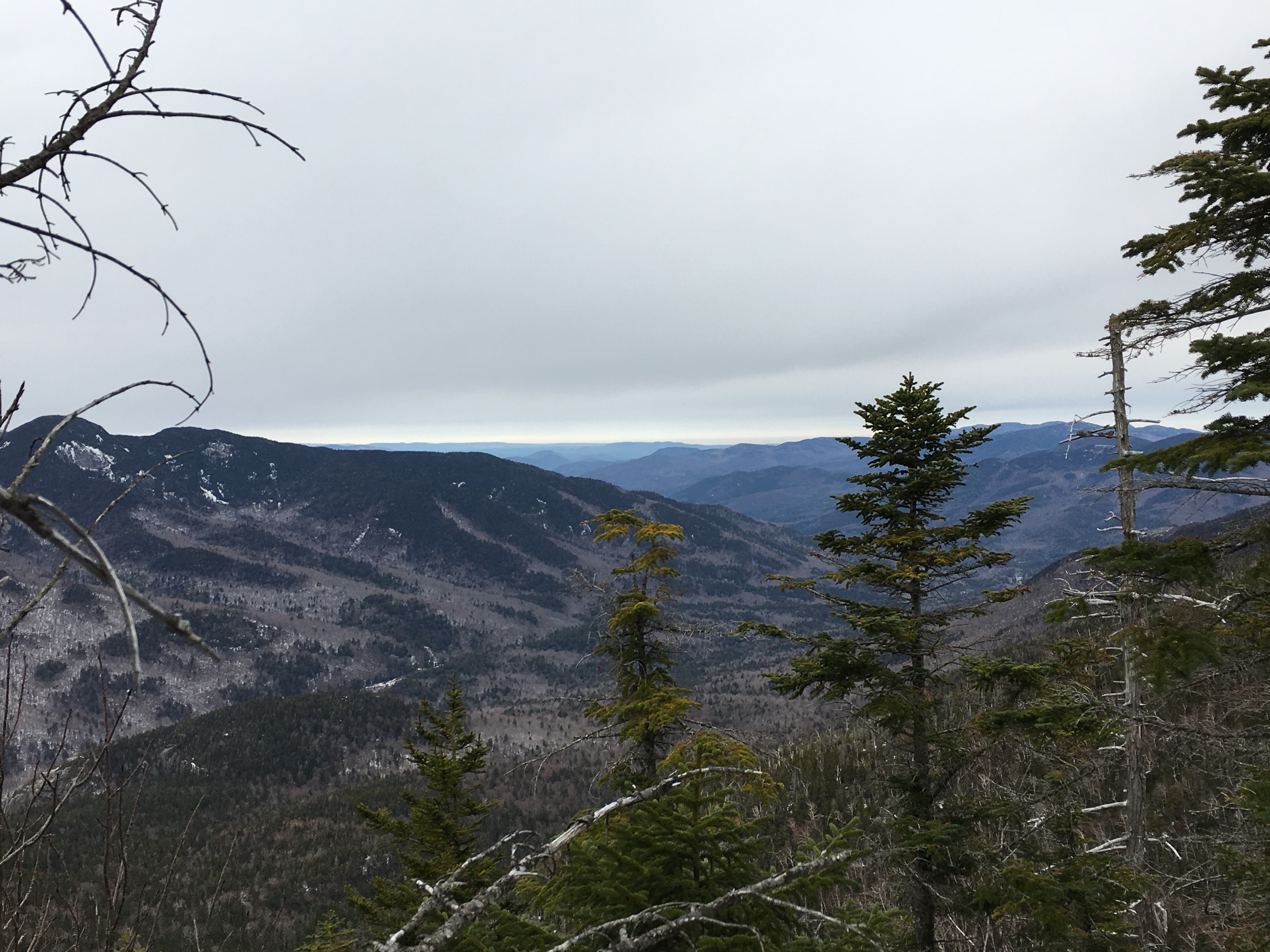
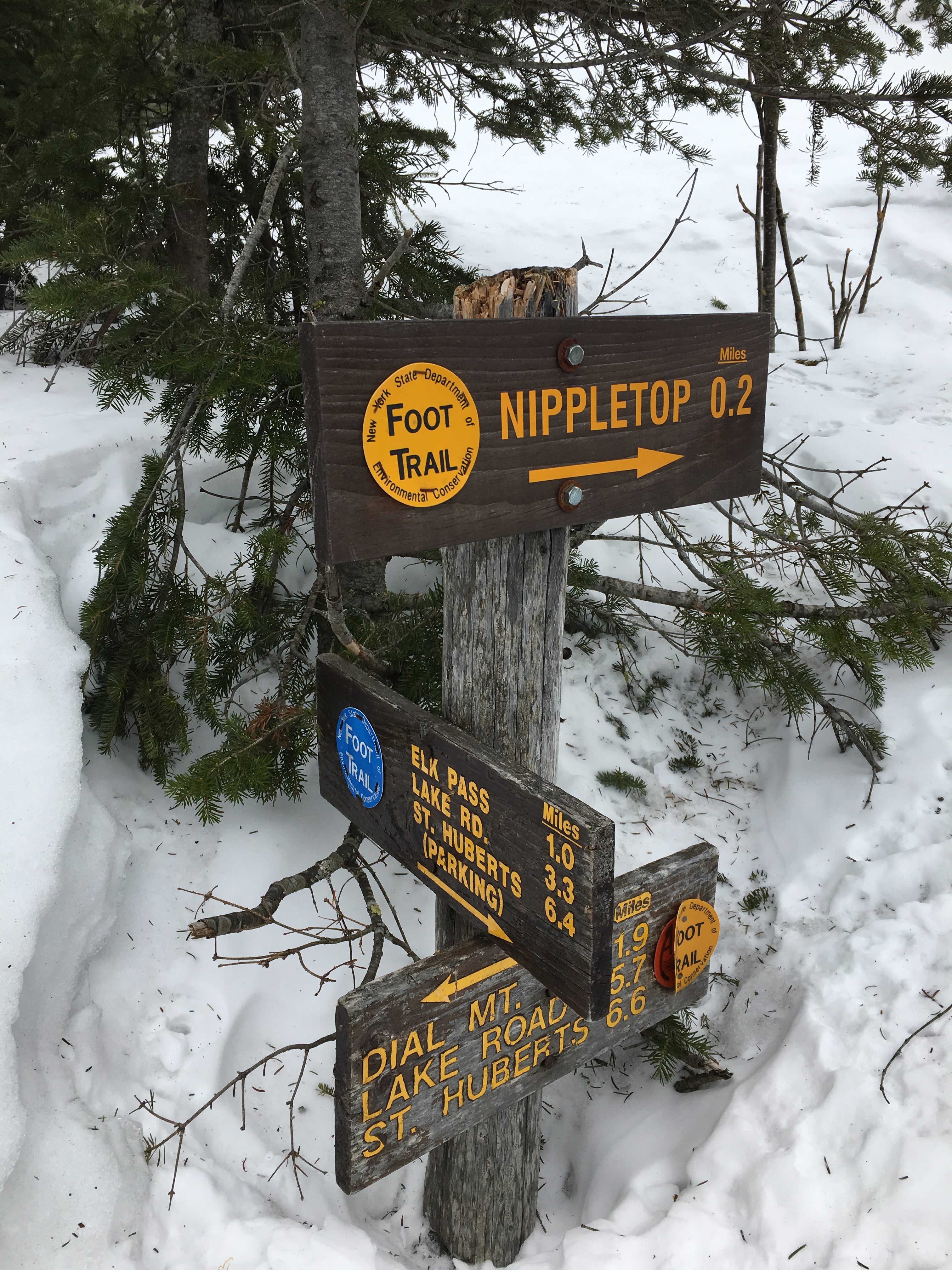
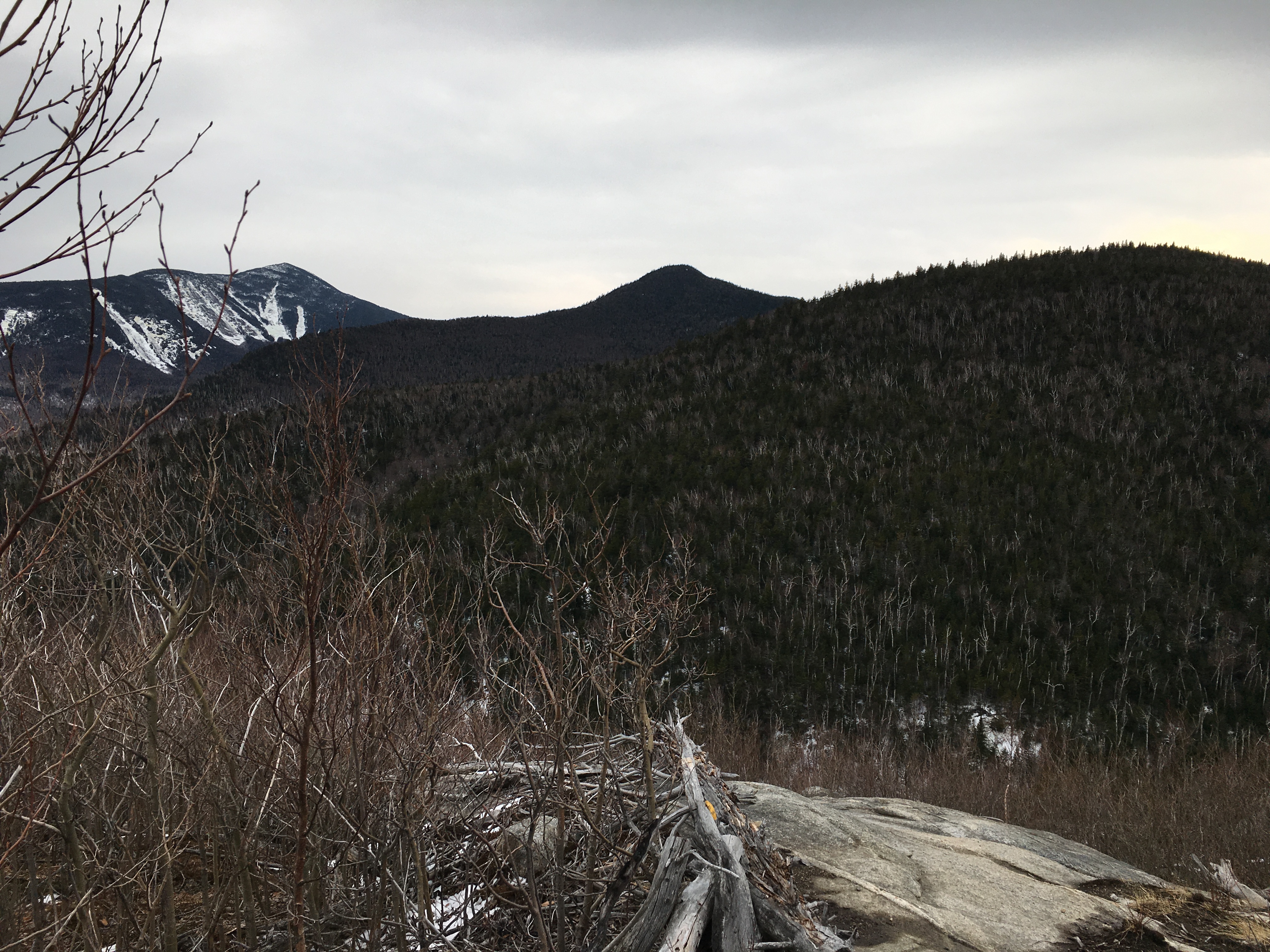
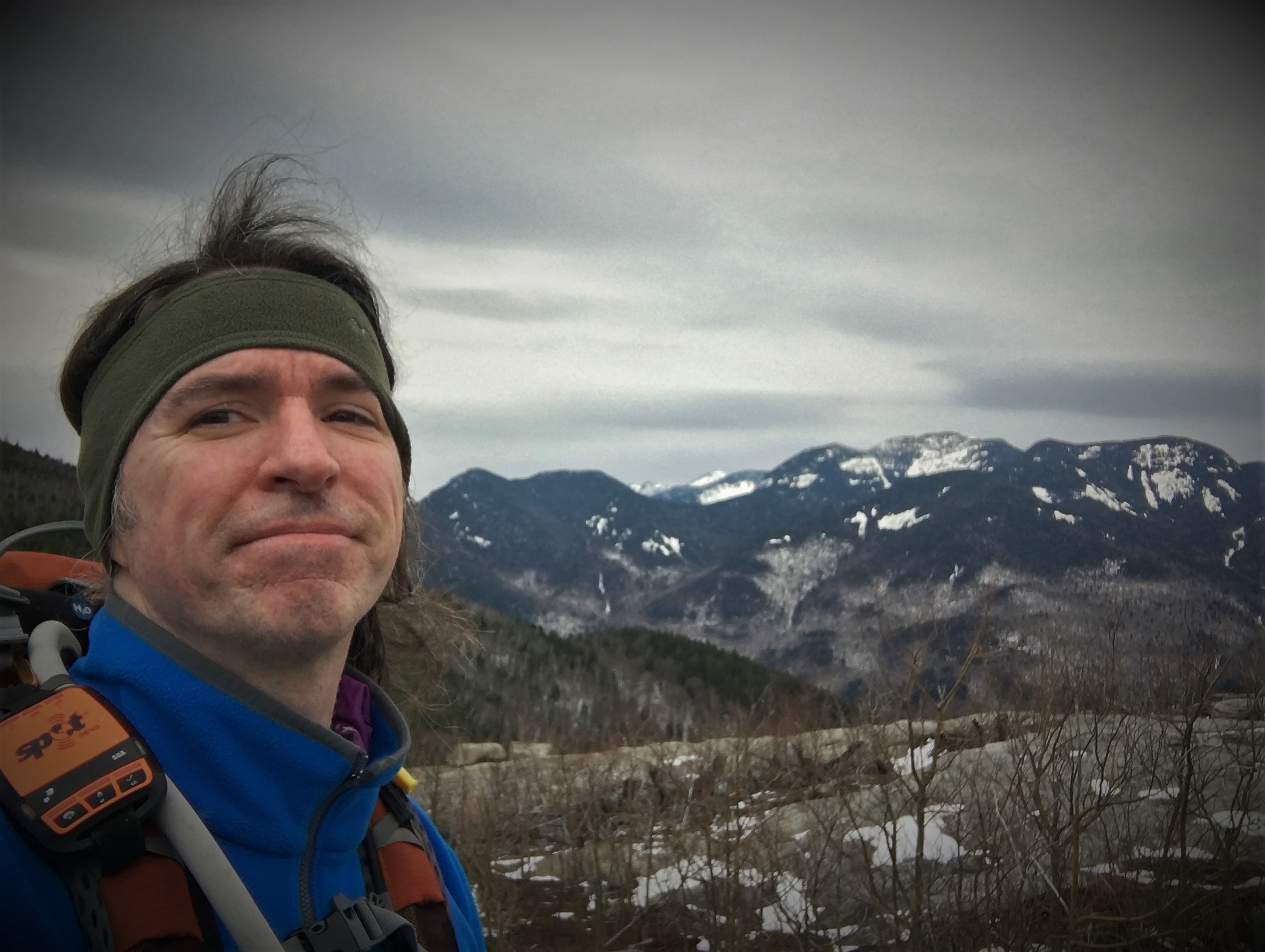
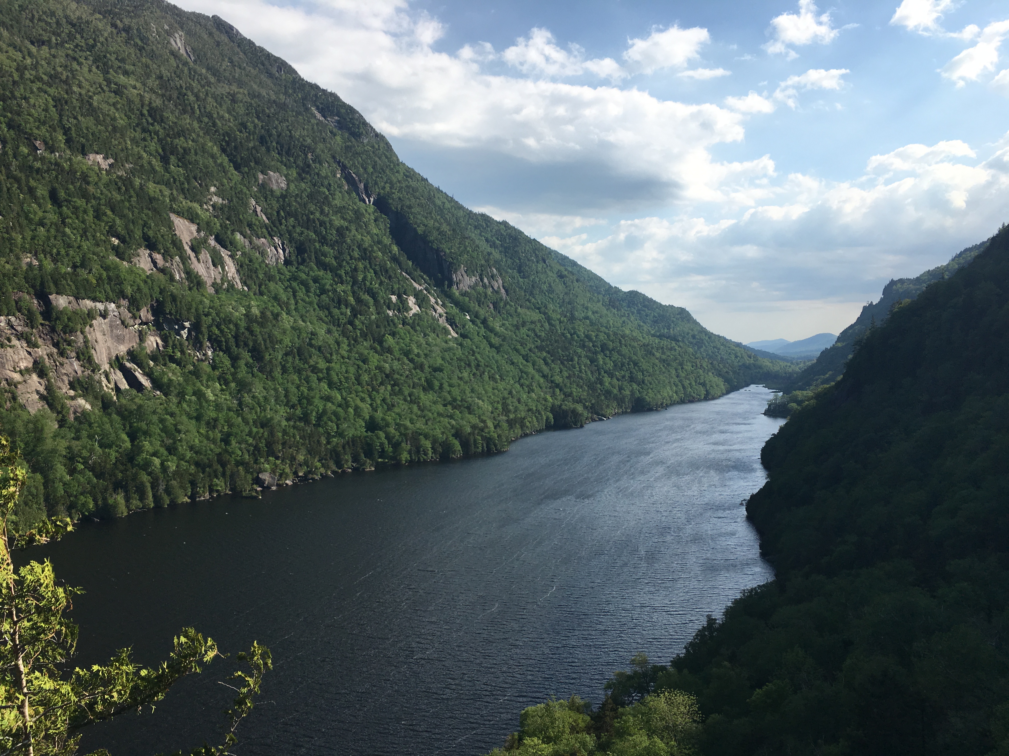
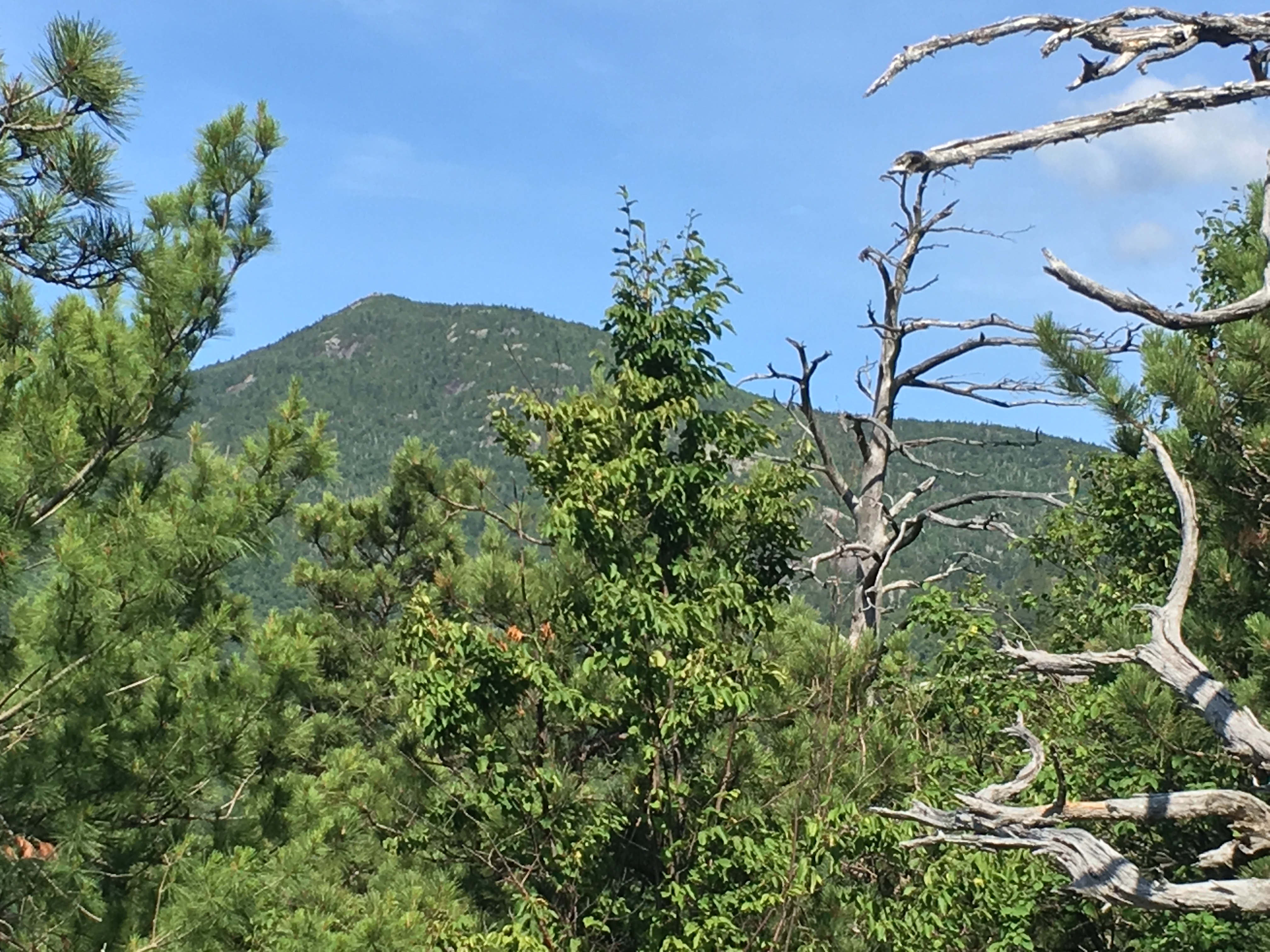
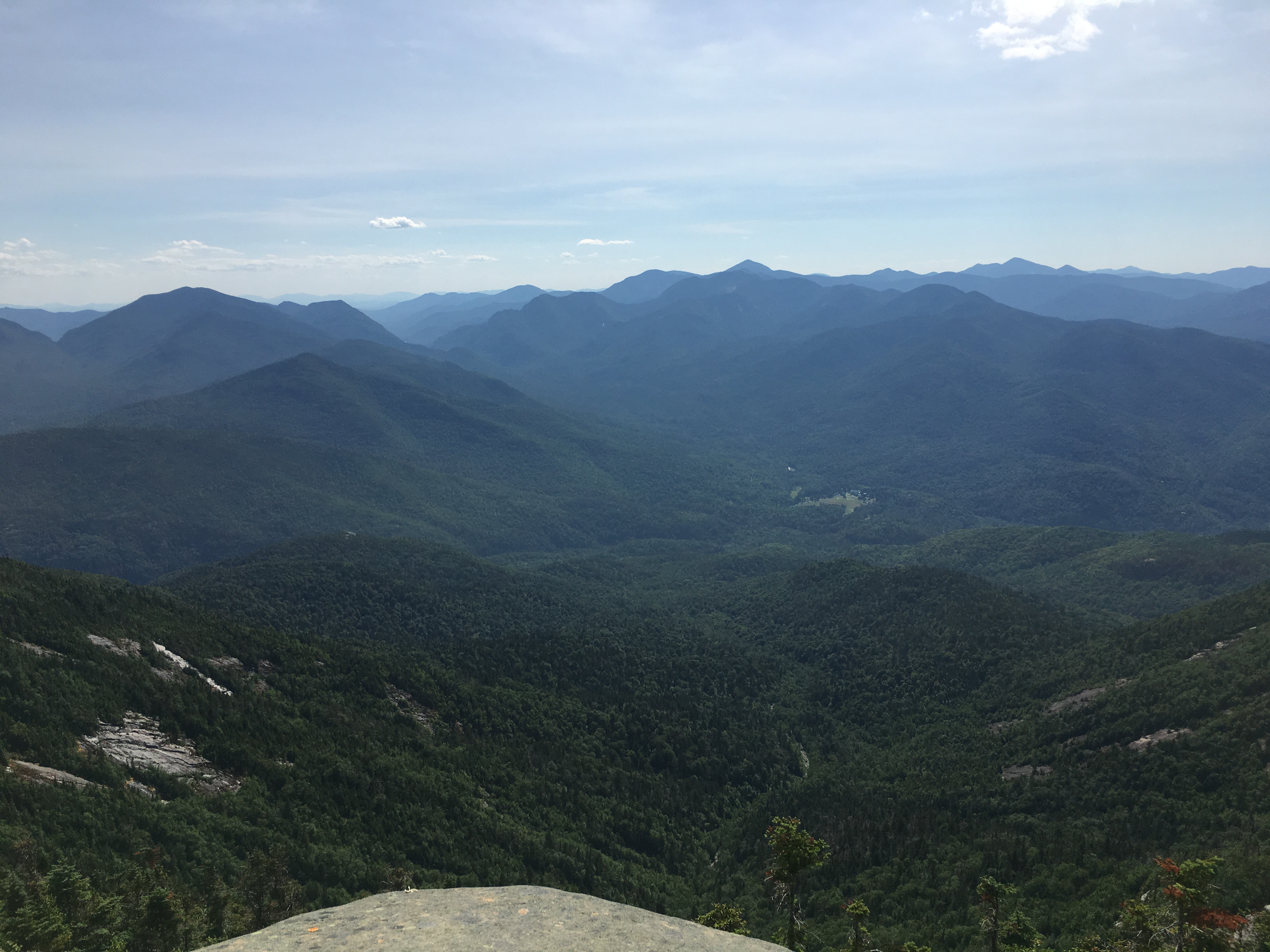
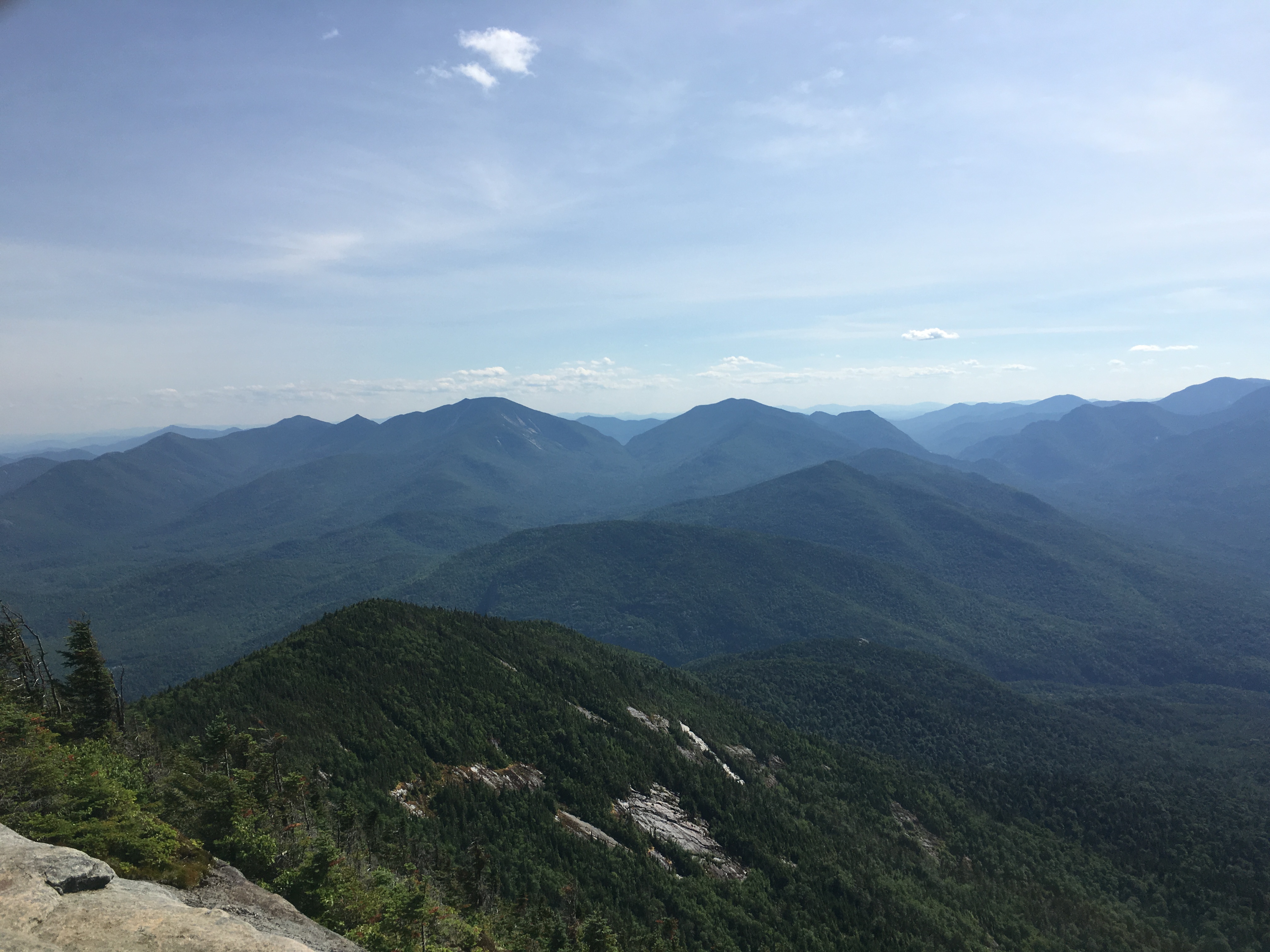
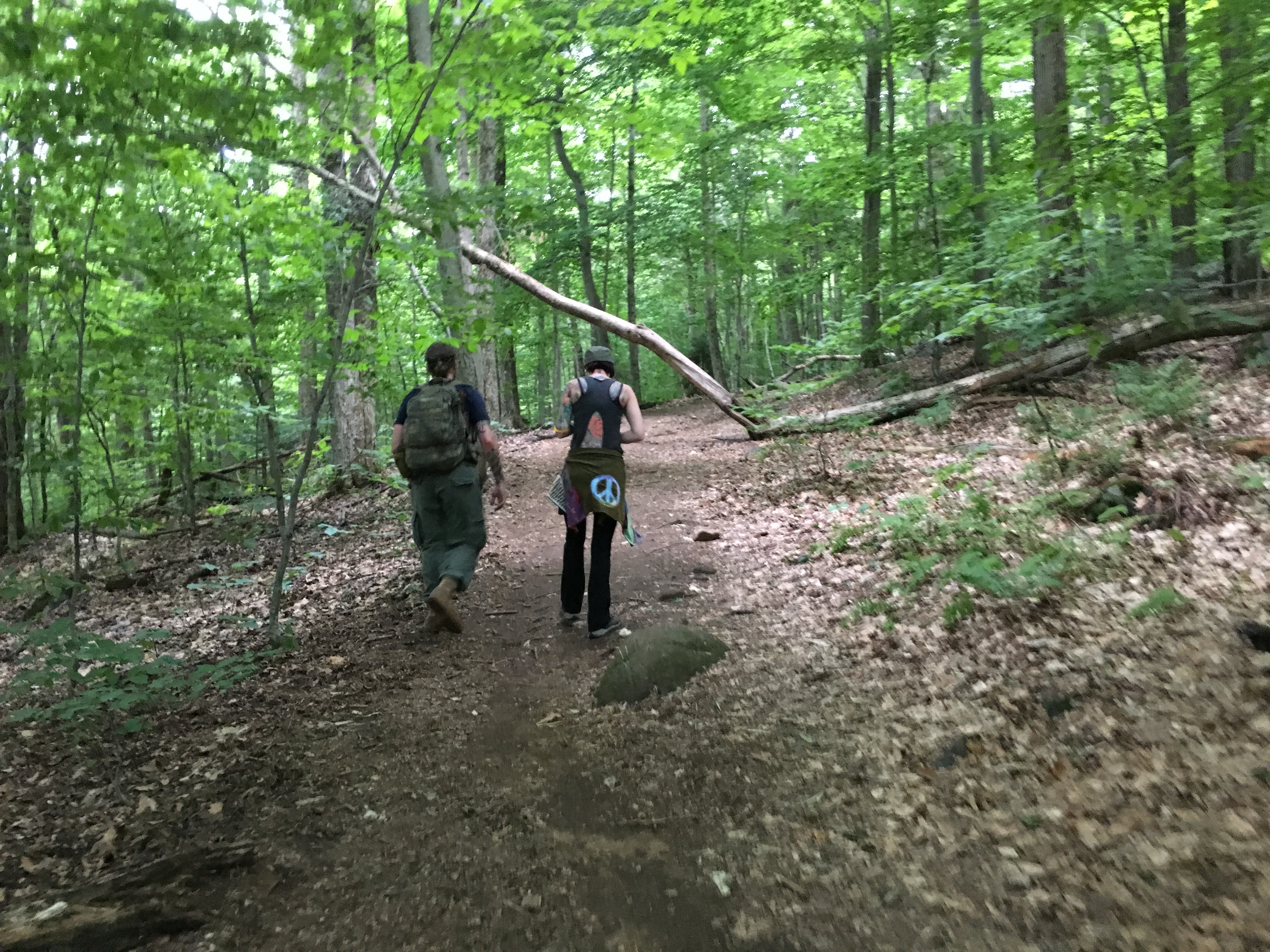
(Slide Mtn: 3/5, Nippletop-26, Dial-27 :3/6)
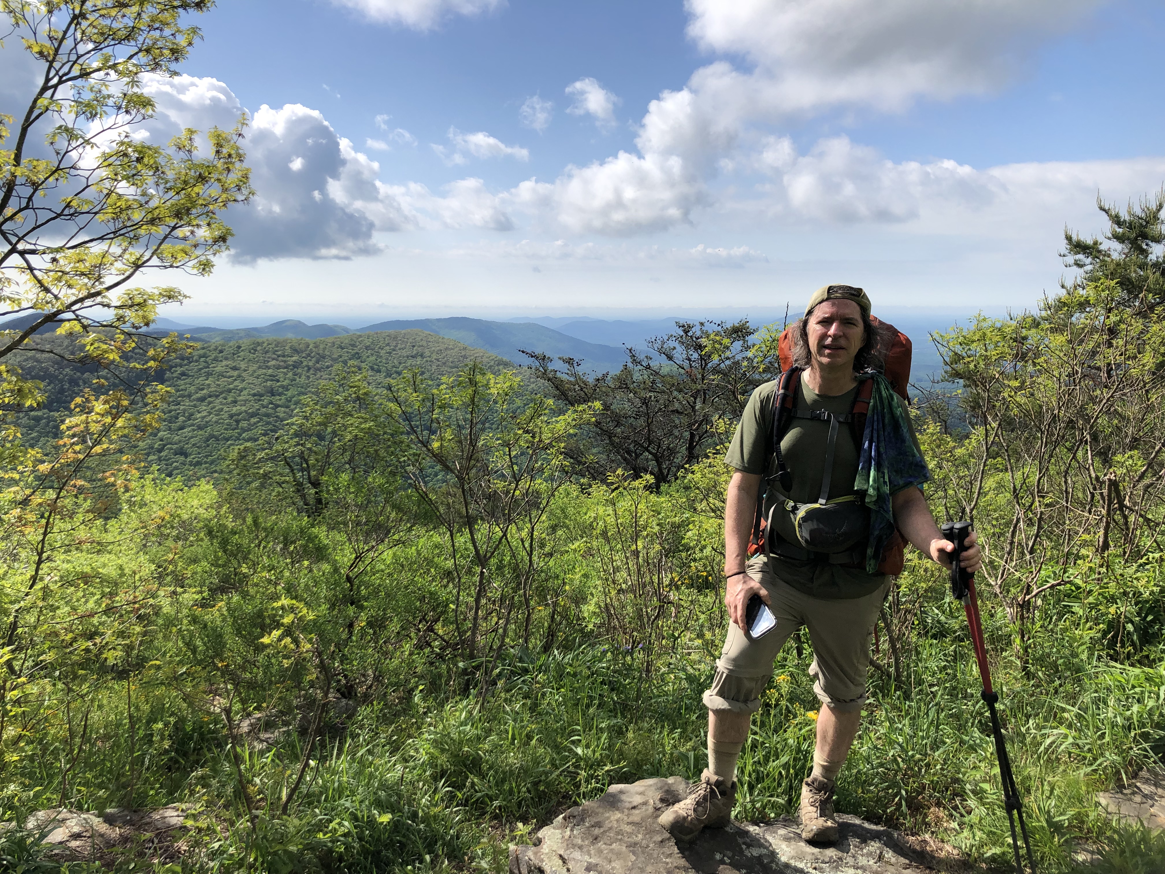
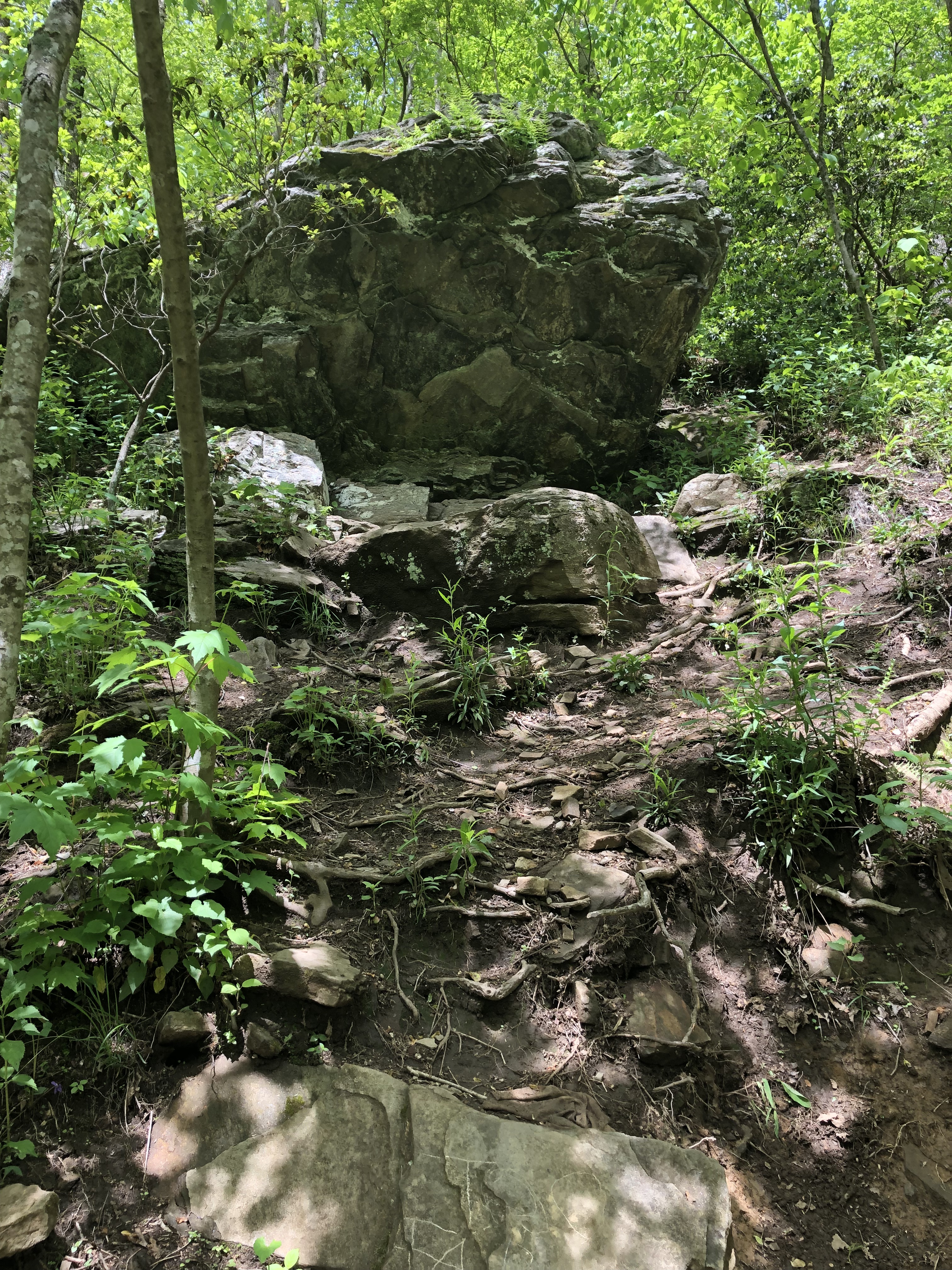
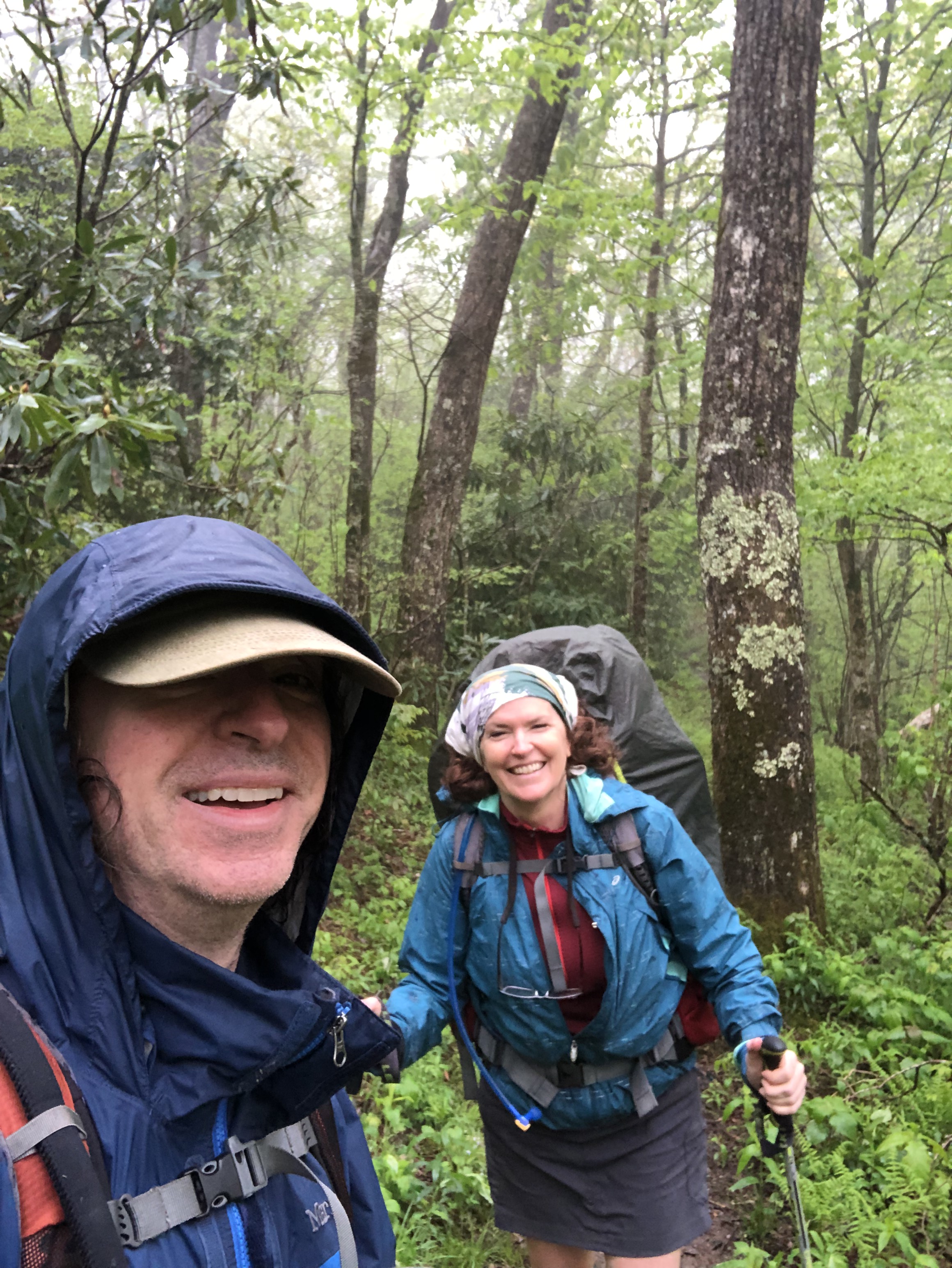
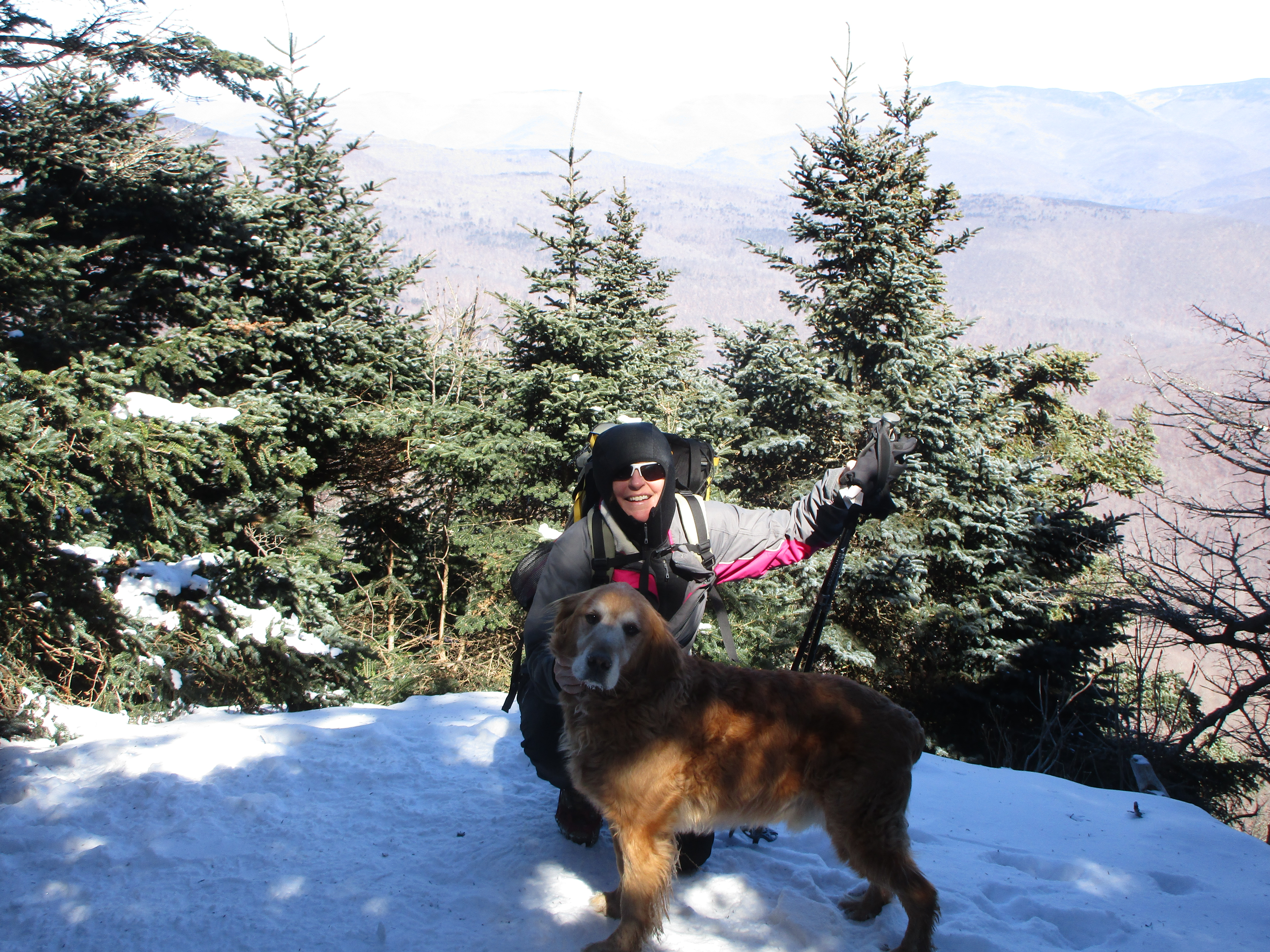
Turning the page into a Sunday in March, and I’m heading out west again to meet up with Therese and Simba for day one in the Catskills, then heading up North to the high peaks for a long solo Monday. The weather and schedule dictated the hiking days once again, and I will not miss Monday in the office one bit!
Slide Mountain is one of the two Catskills that are official peaks of the Northeast 111 (which actually consists of 115 peaks). 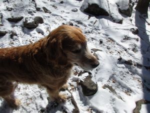 These lists take on a life of their own once you decide to get a few of em under your belt. Once you’ve done NH48 it seems “easy” enough to get 14 more in Maine and 5 more in VT to complete the NE67, and then once you’ve added the ADK 46 you need only grab 2 more in NY to get you to 115. So why not? Besides, this is a nice easy hike for Simba. The trickiest part is the water crossing at the very beginning with unstable snow bridges, but we just had to pick the right spot to cross and keep our boots dry. The rest of it was a cakewalk.
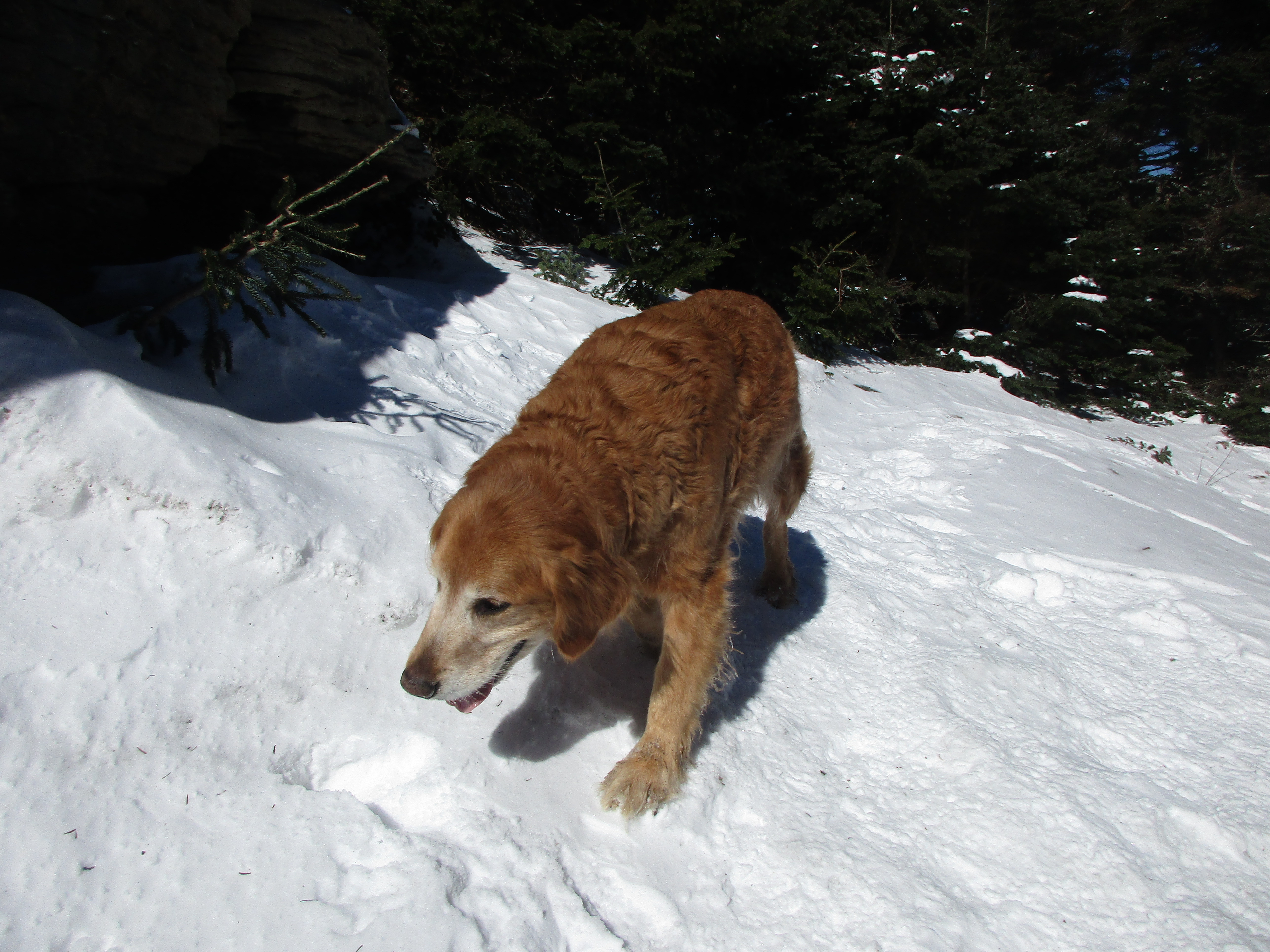
 Simba was avoiding the paparazzi that day for some reason, but we managed to pin him down for a few poses.
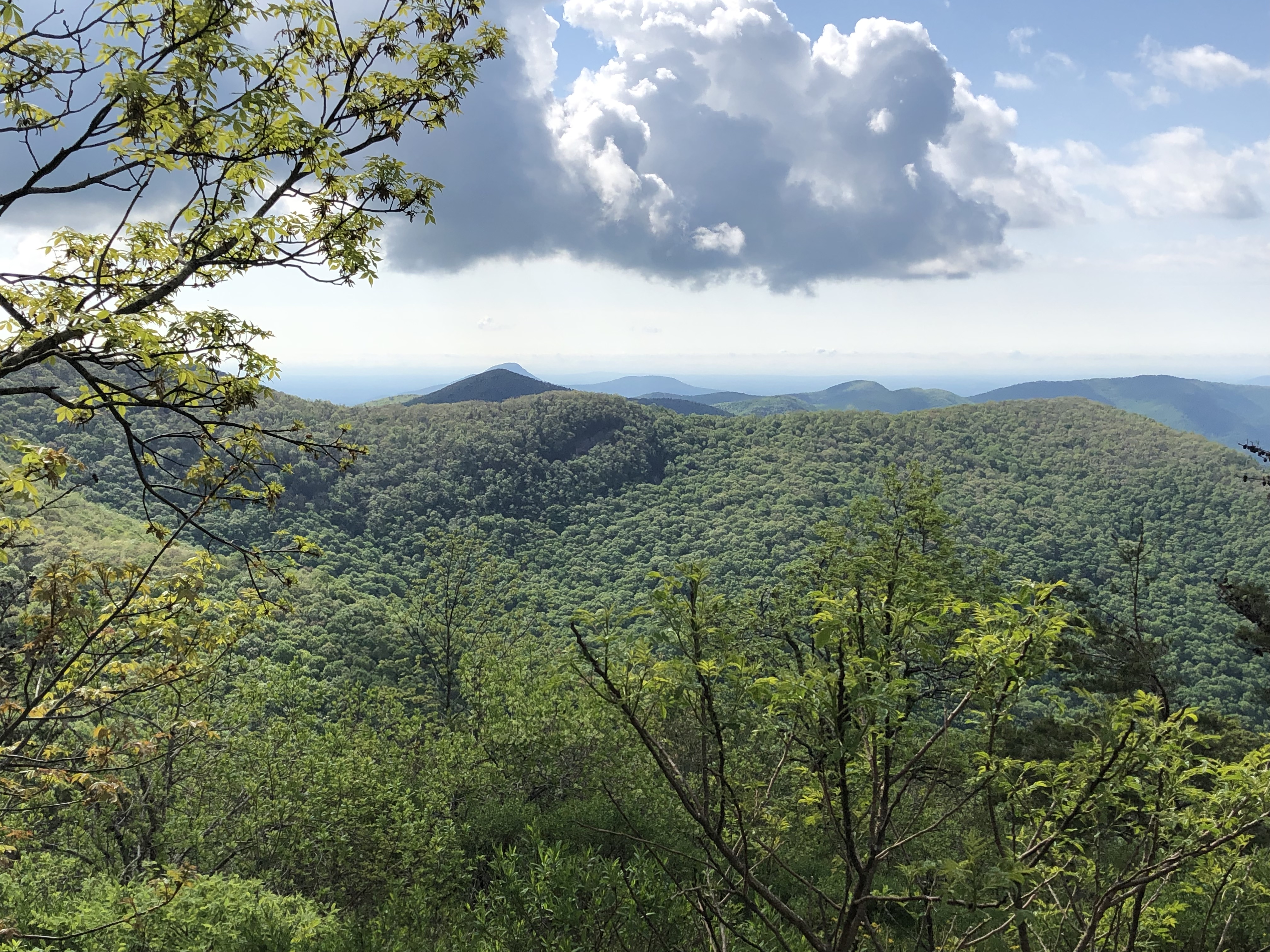
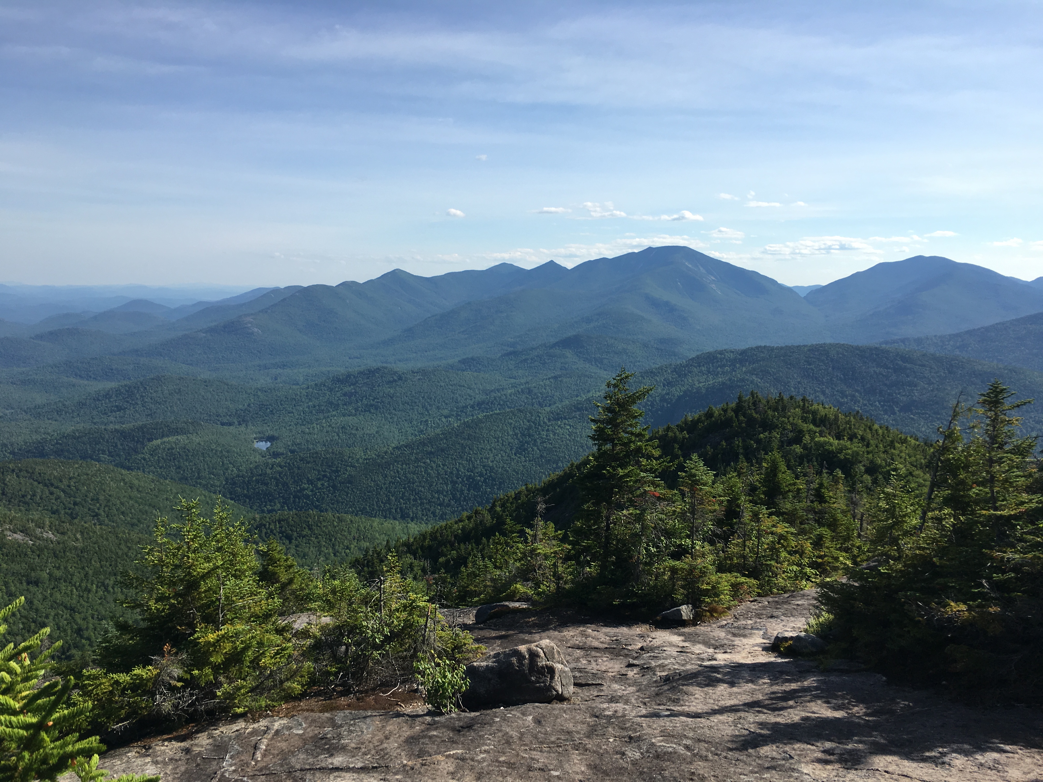
The views over the trees were nice at the summit.
All in all, a nice warm-up hike on a rather warm late winter day.

And then came HOOKY DAY!
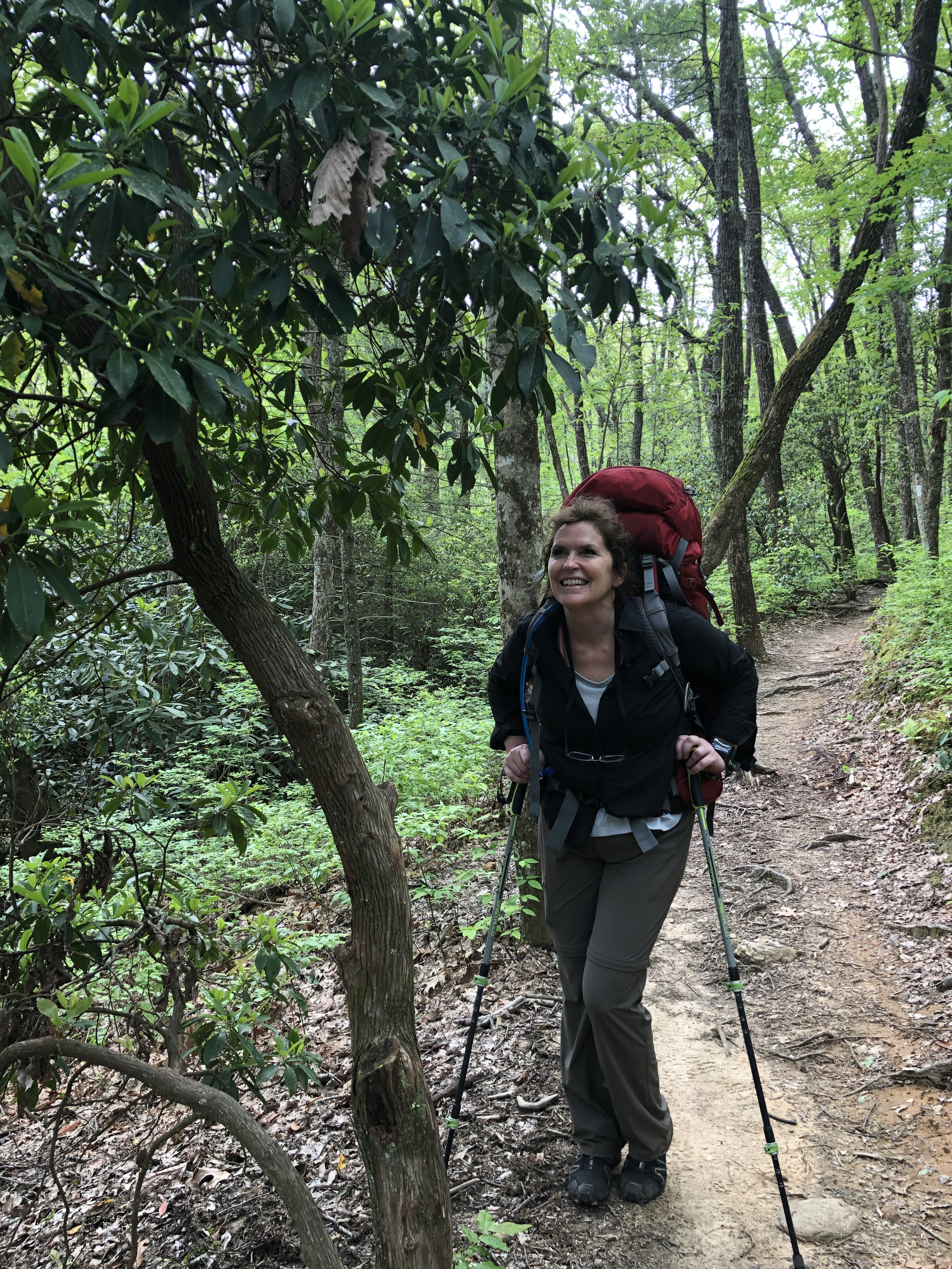
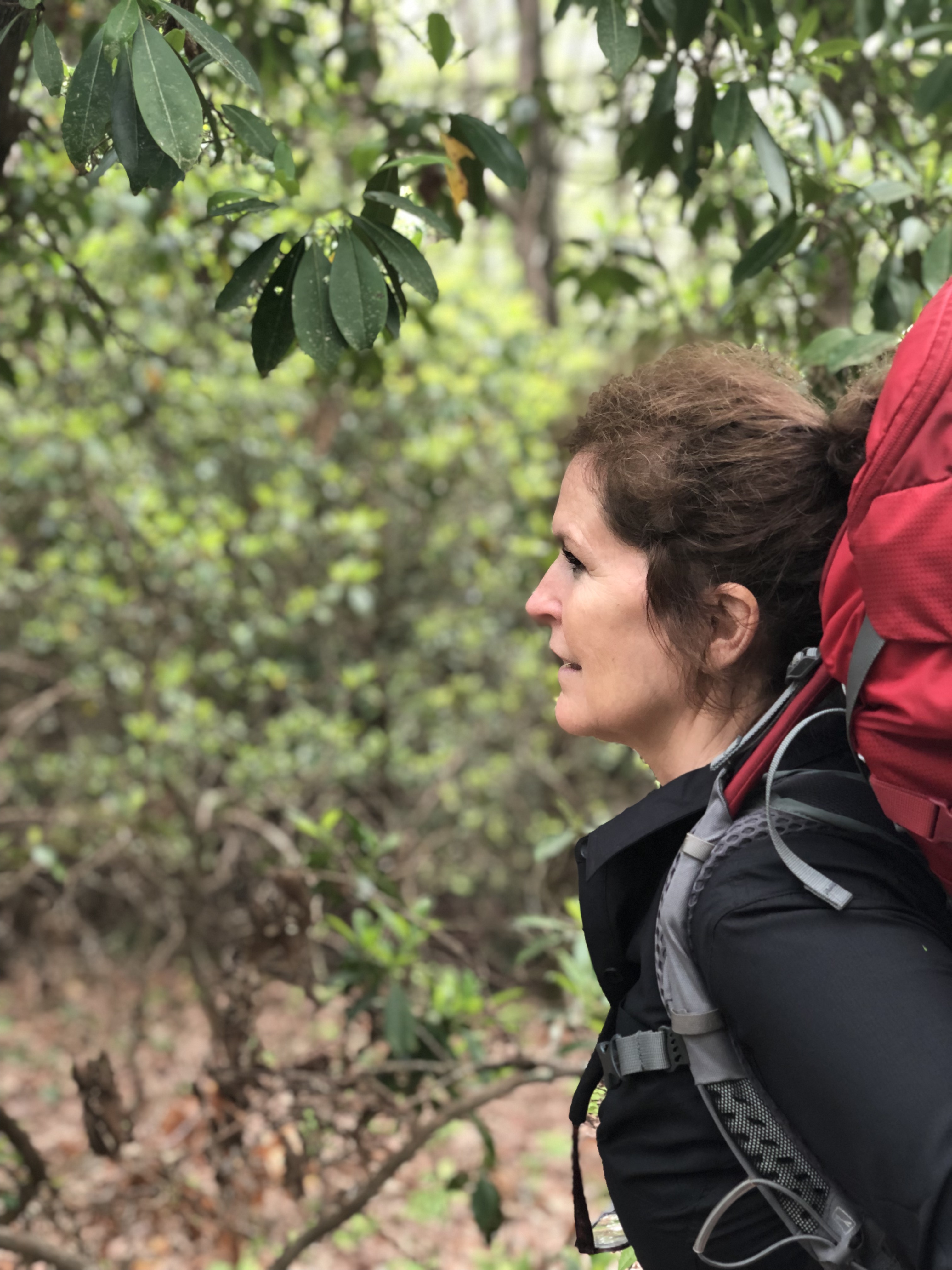
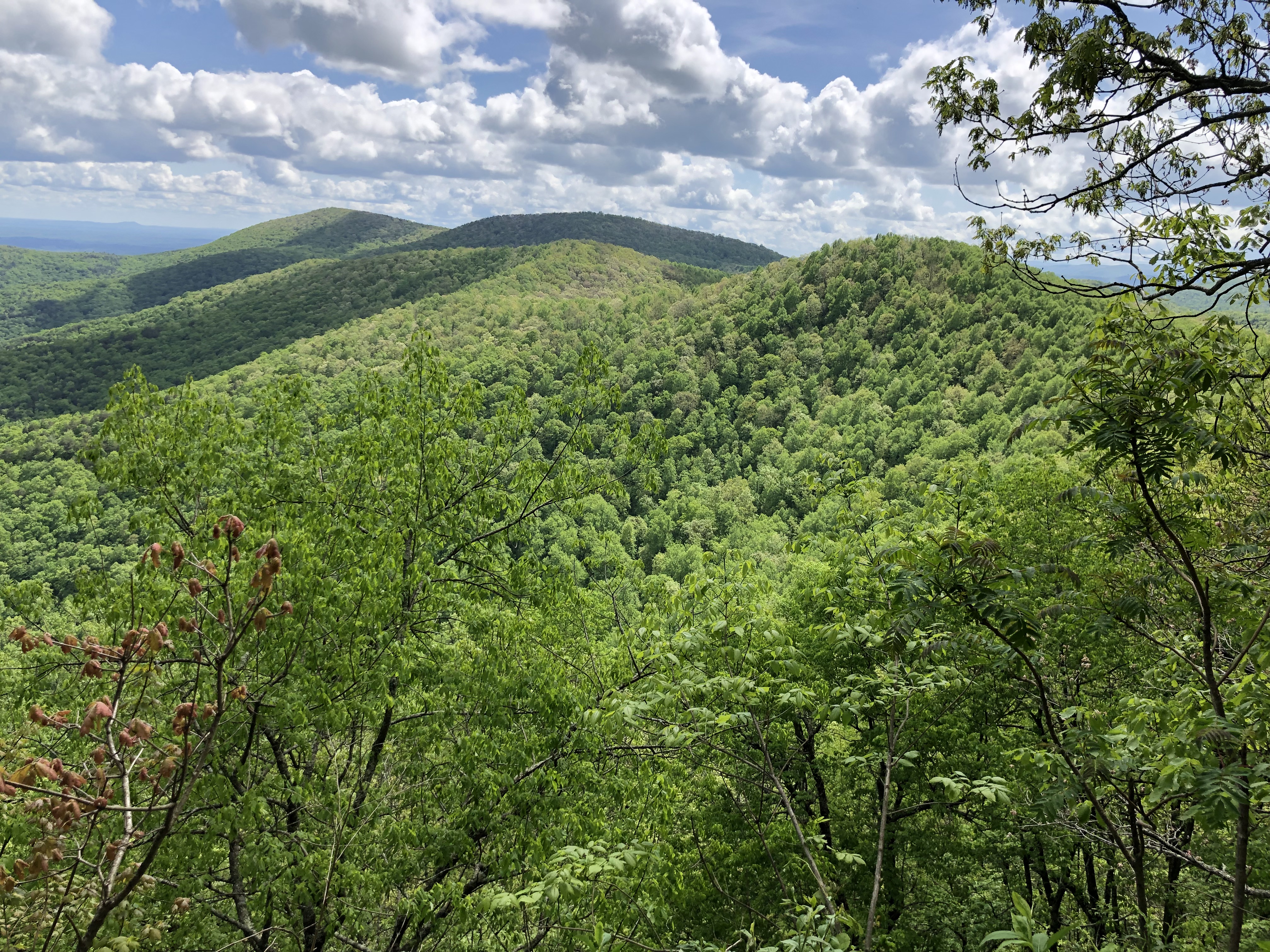
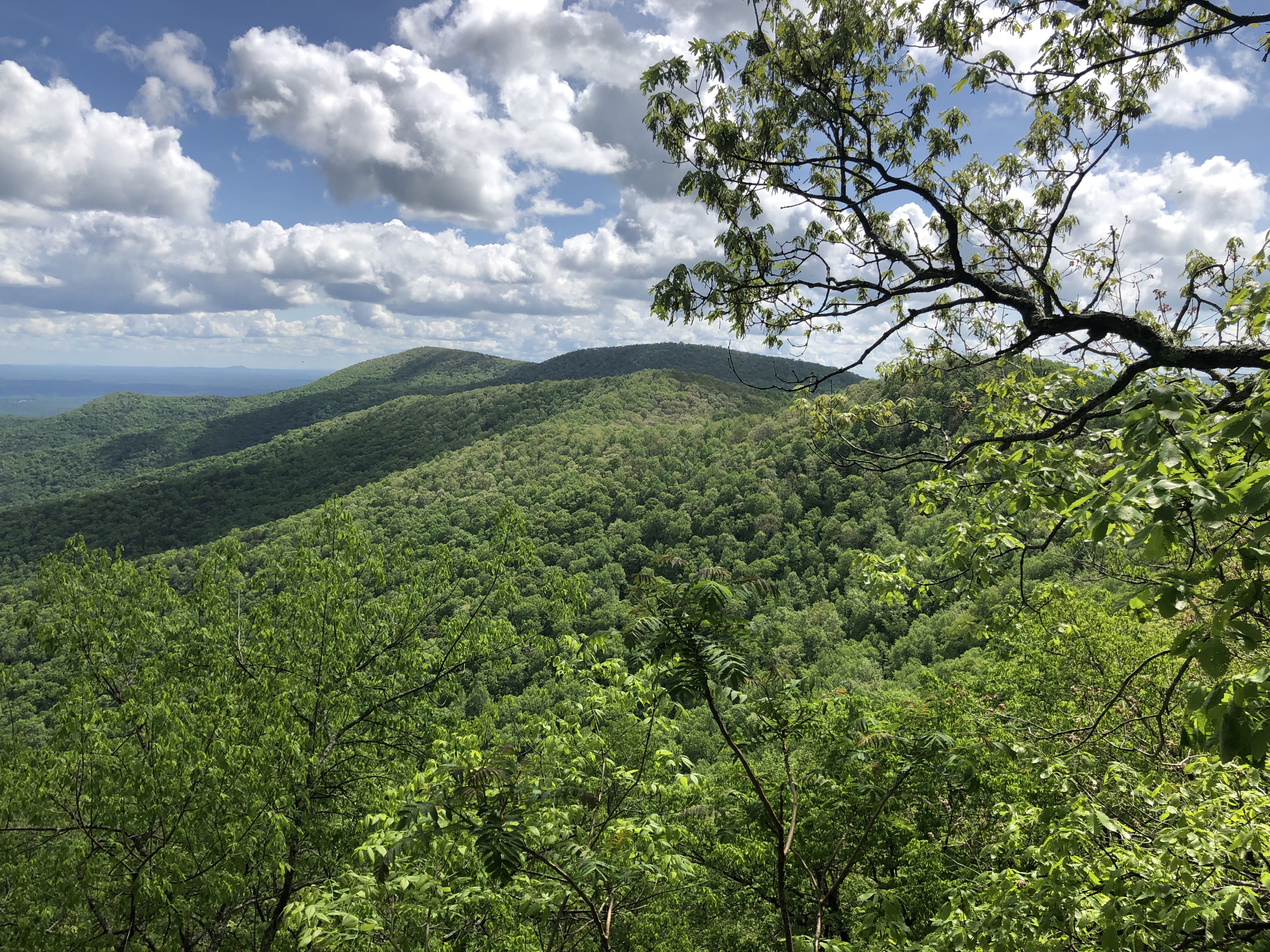
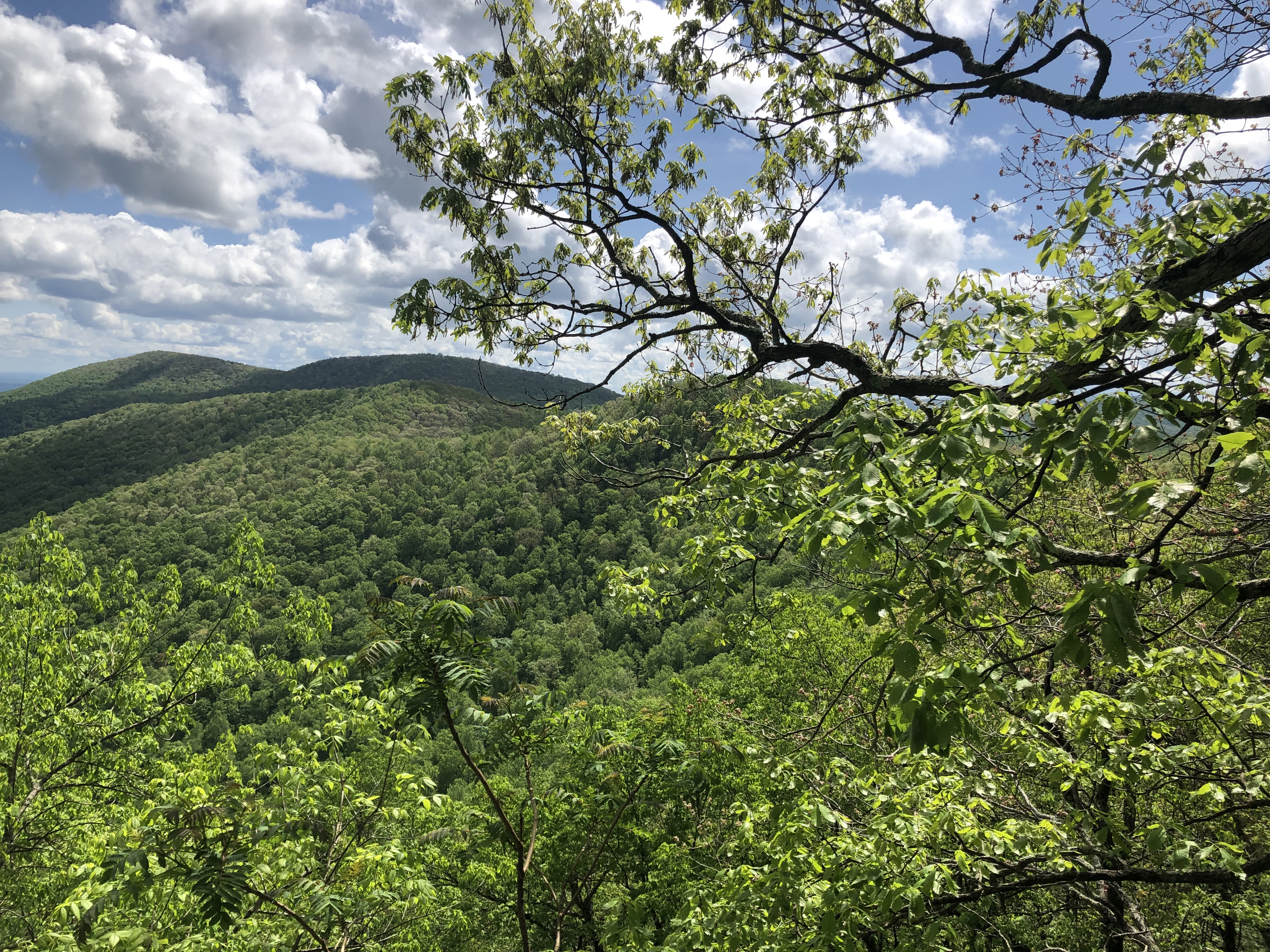
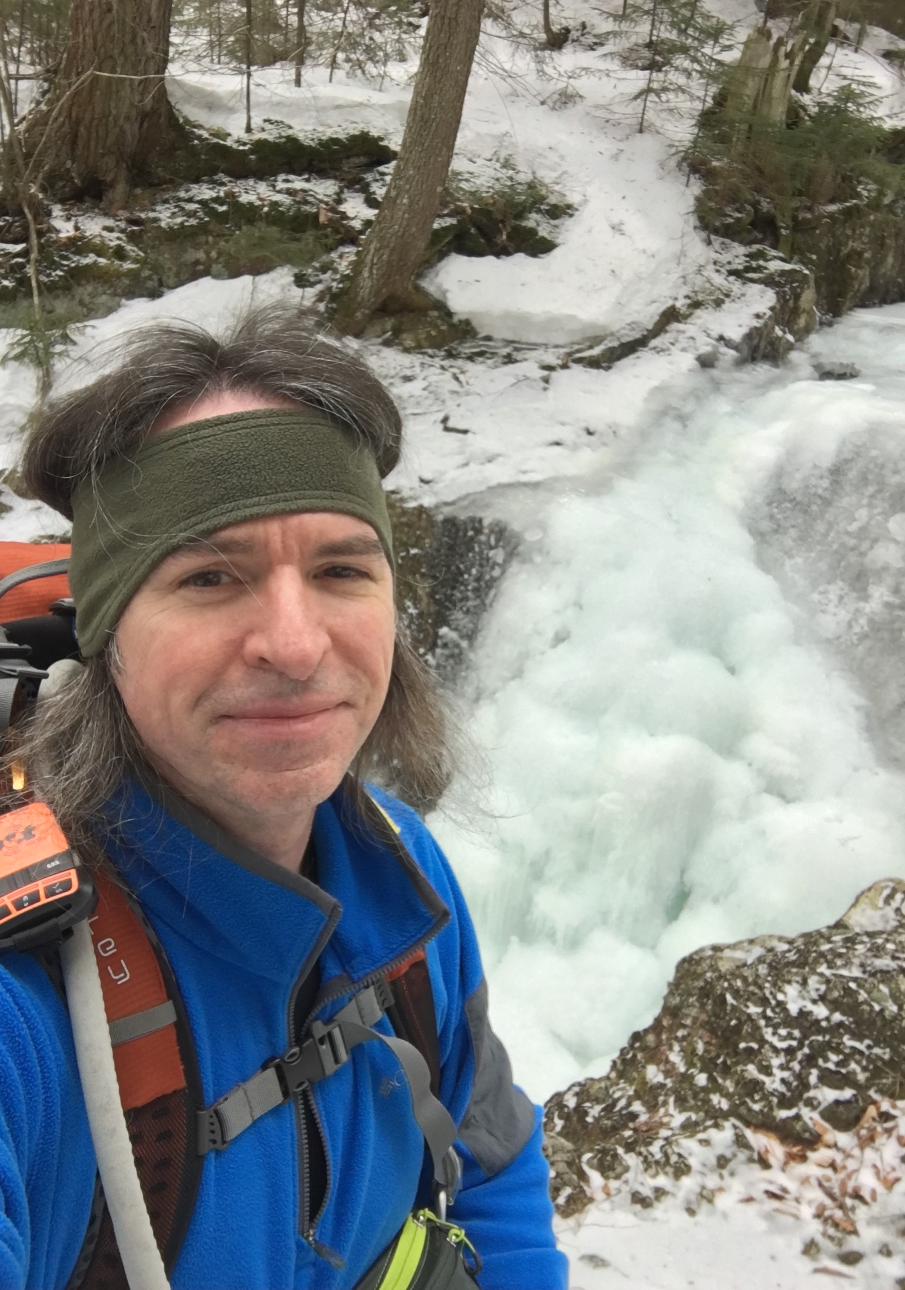
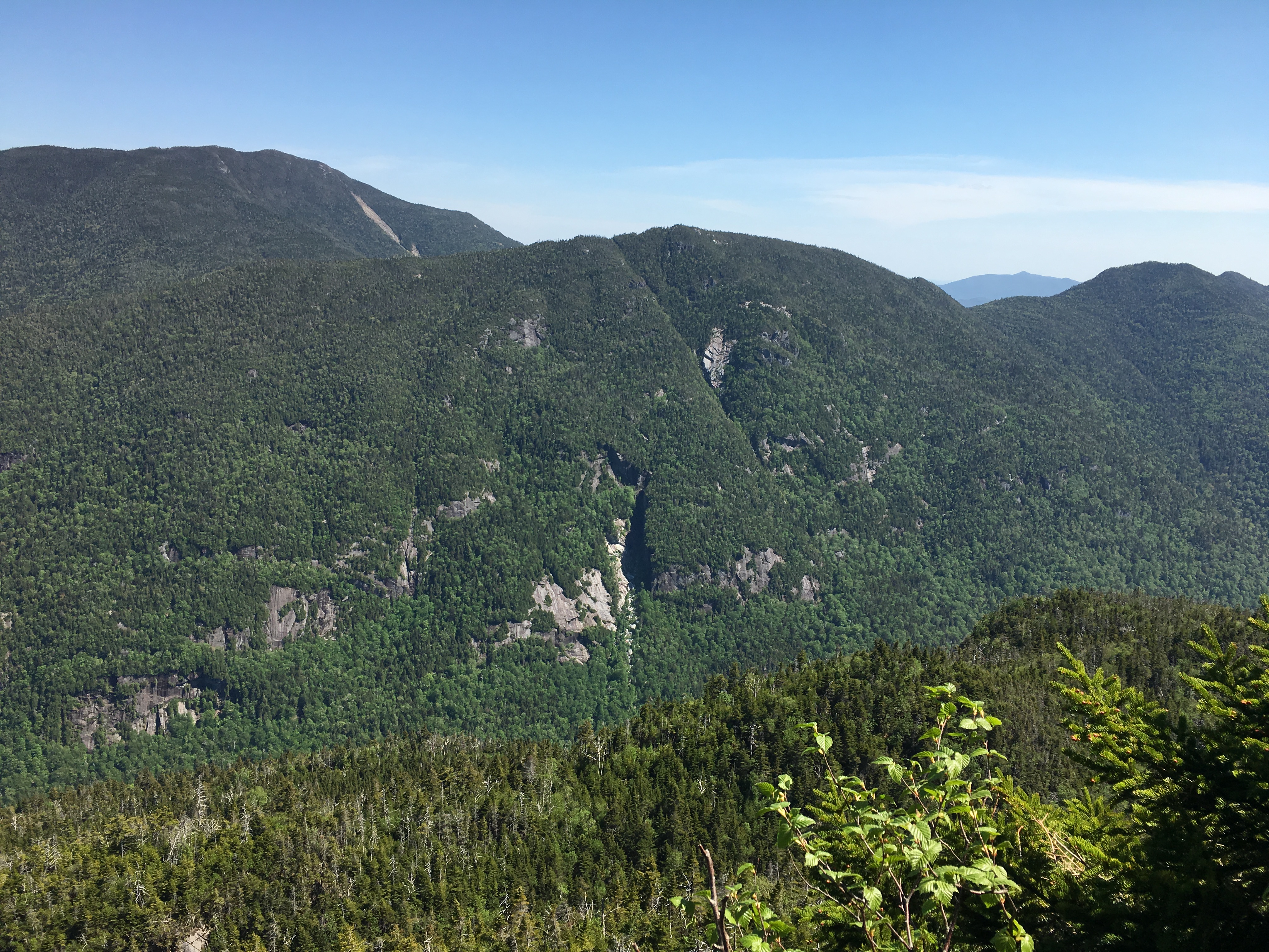
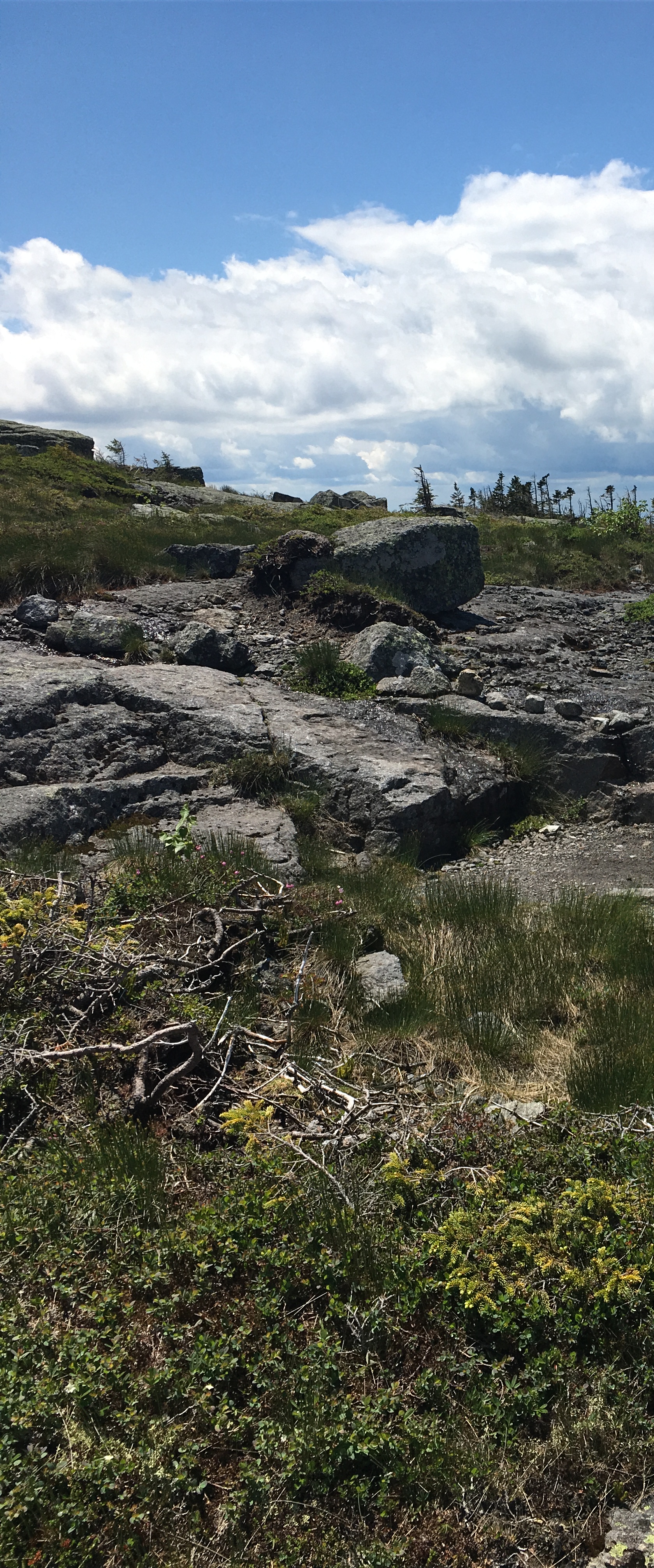
Now I was ready for a long day in the Daks! Turns out I would get them ALL TO MYSELF (or so it seemed). I saw but only one other person all day! Other than that, nothing but God’s country!
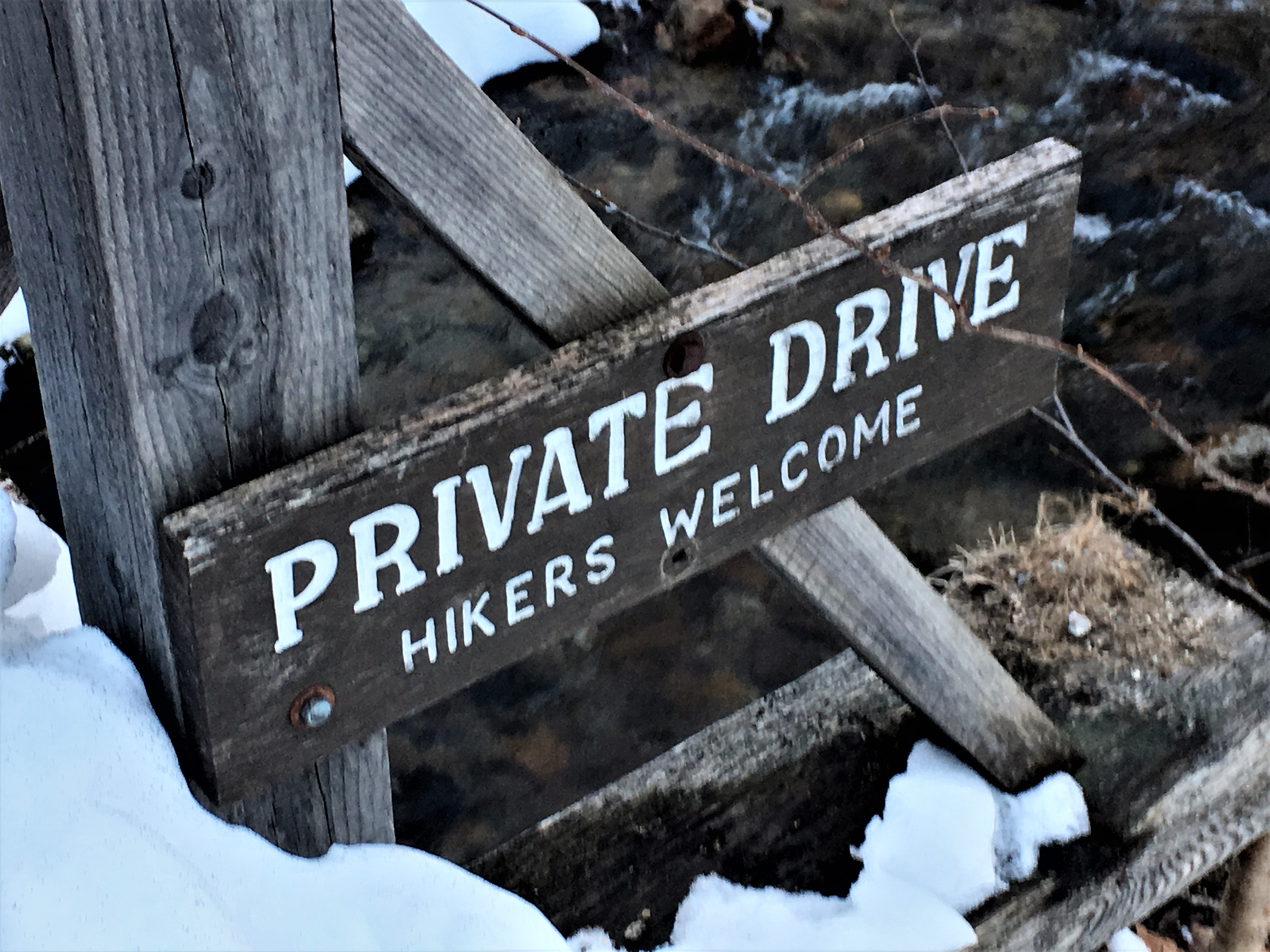
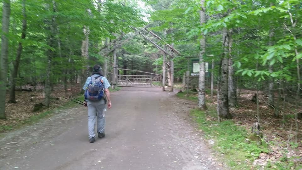
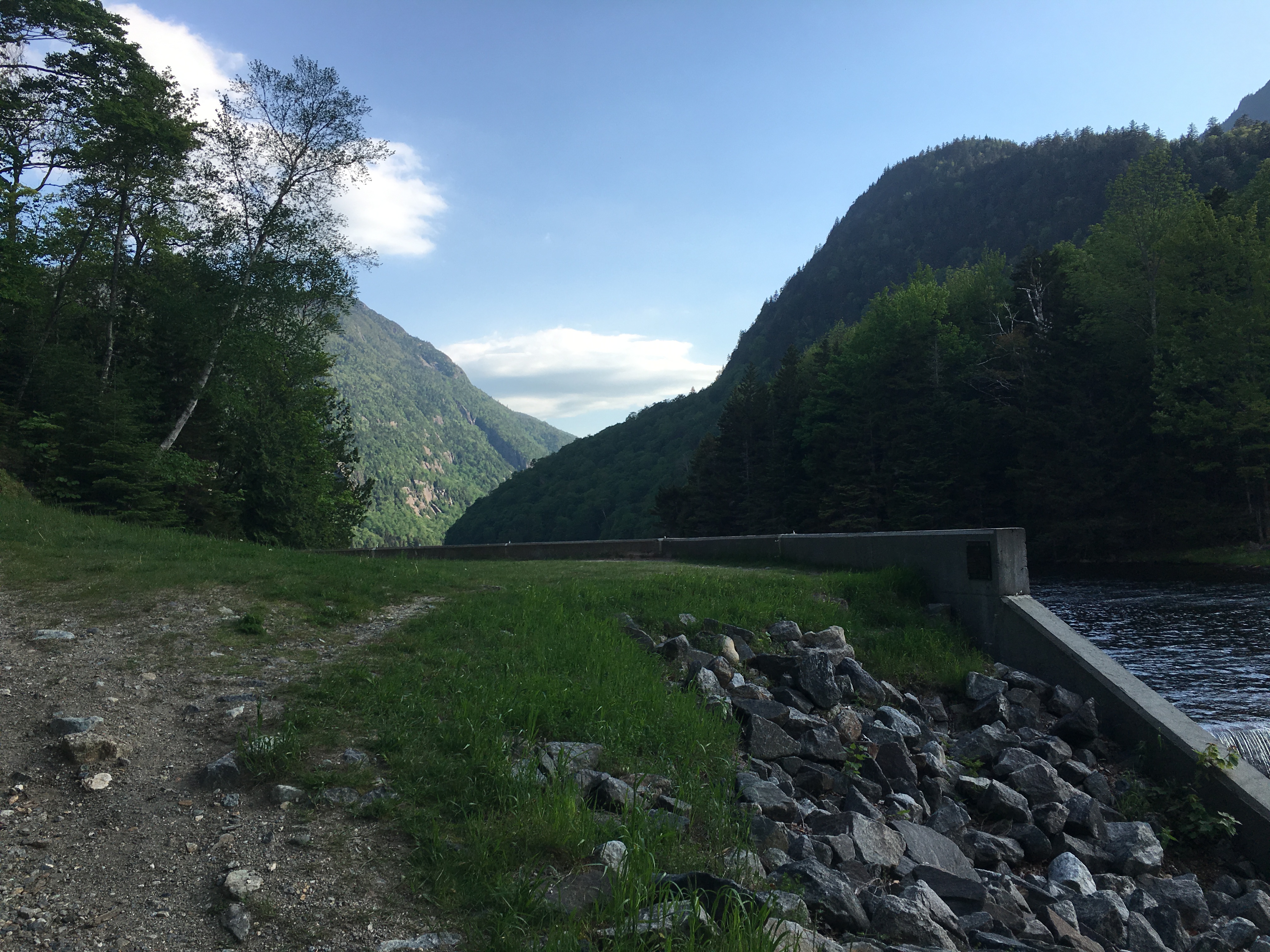
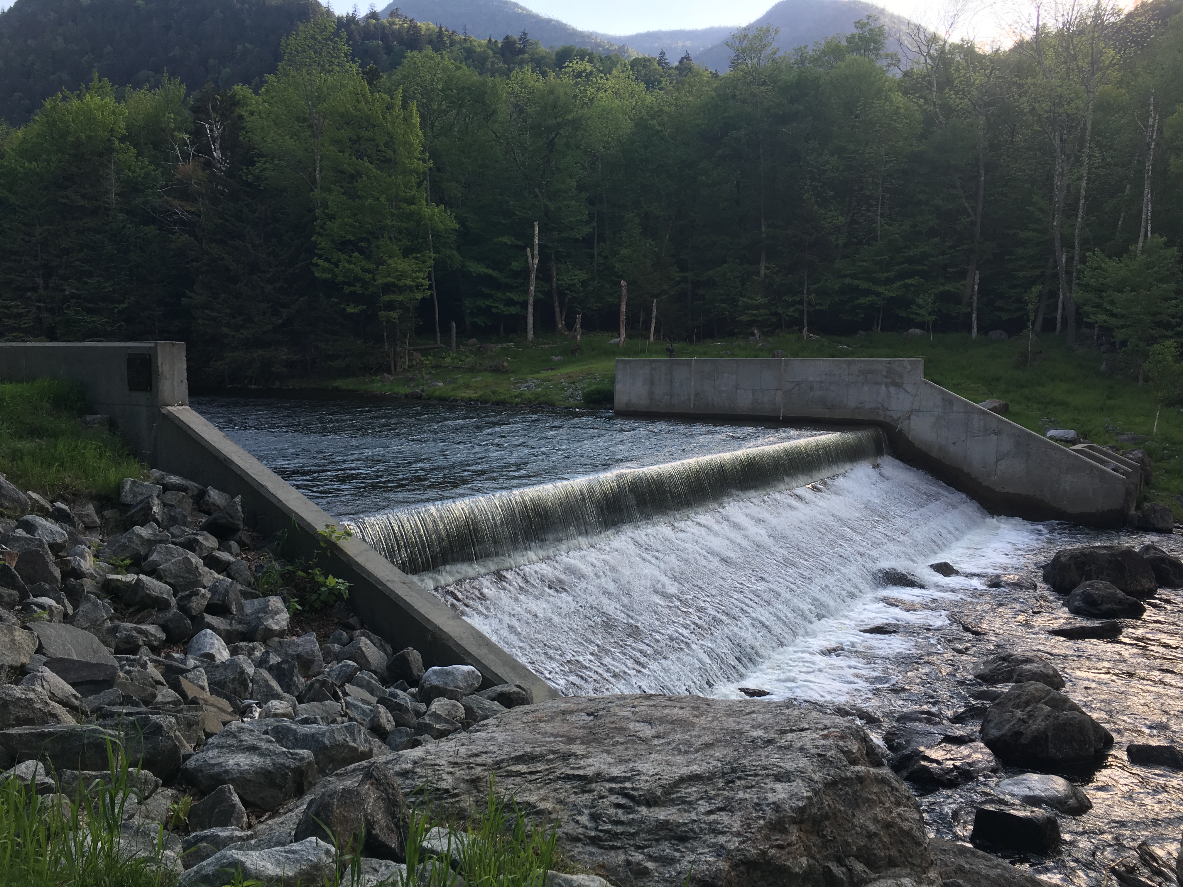
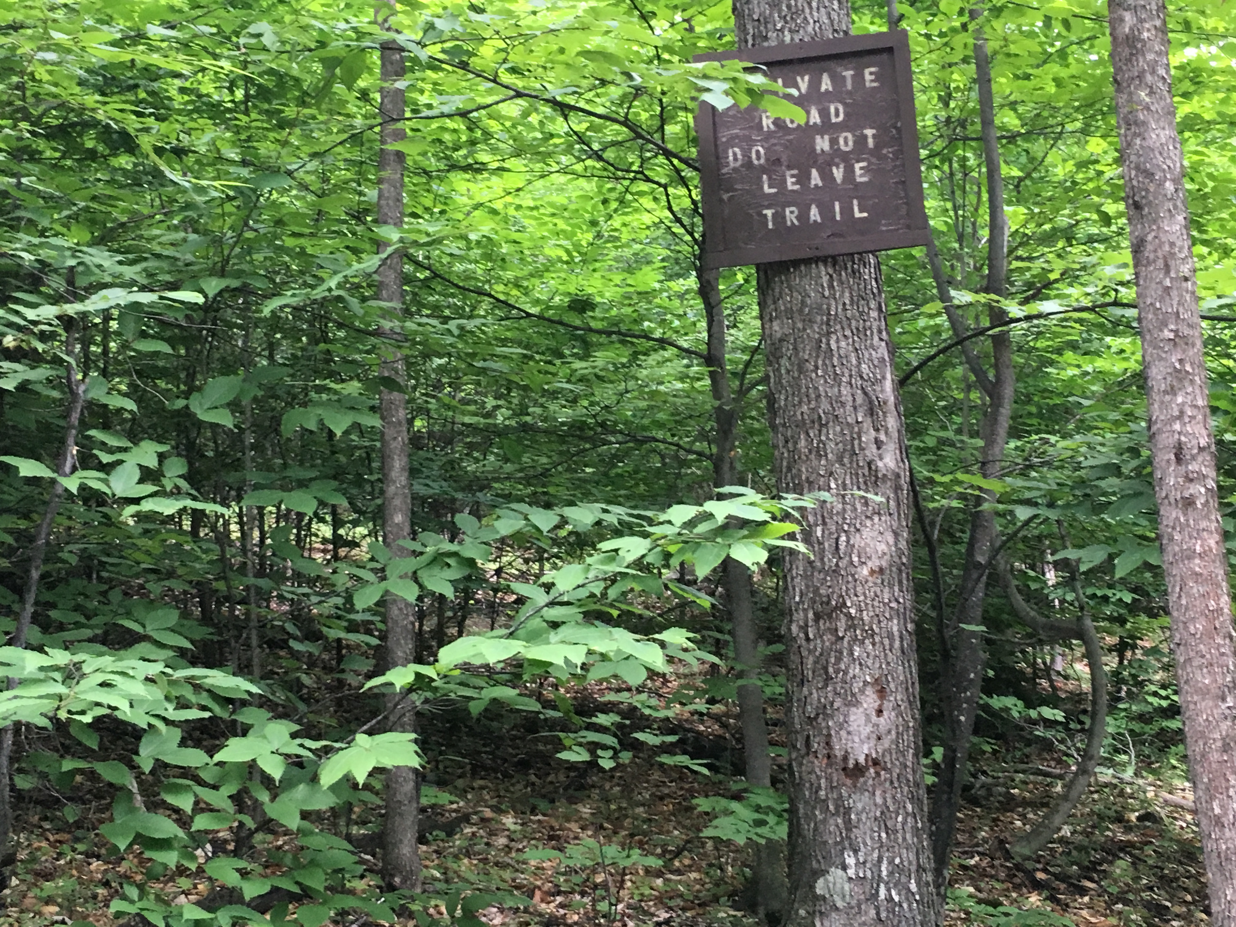
But first a roadwalk through Ausable Club AMR which is now deserted. This is a private country club you must pass through on foot to get to the trails in this section of ADK. A nice warm-up to the day.
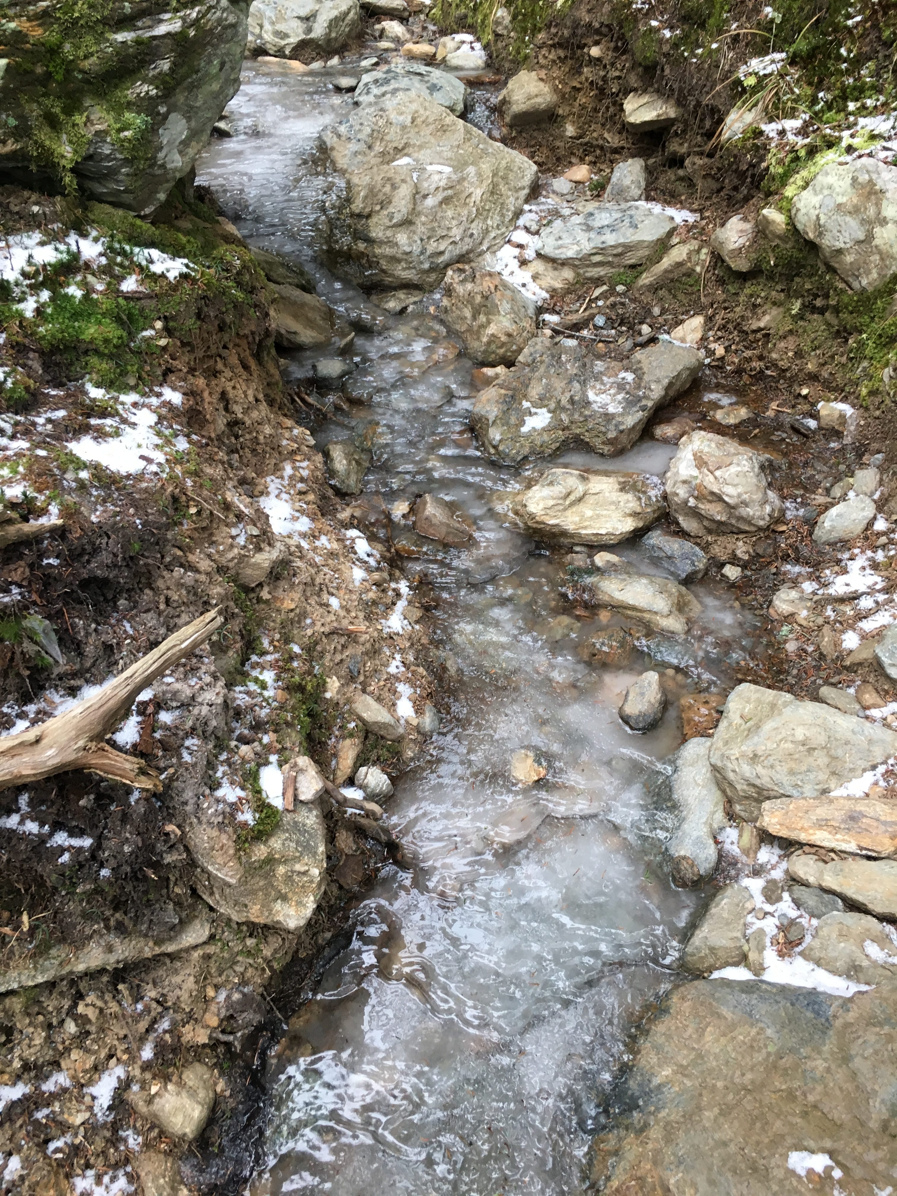
The gate marks the unpaved portion of road, and today this is a sheet of ice, so on with the Microspikes. Carrying the snowshoes on my back for now.

The first turnoff I encounter is where I will finish off the day, so I continue to walk the road along the mostly frozen Ausable River’s East Branch, to my start point at Gill Brook Trail.
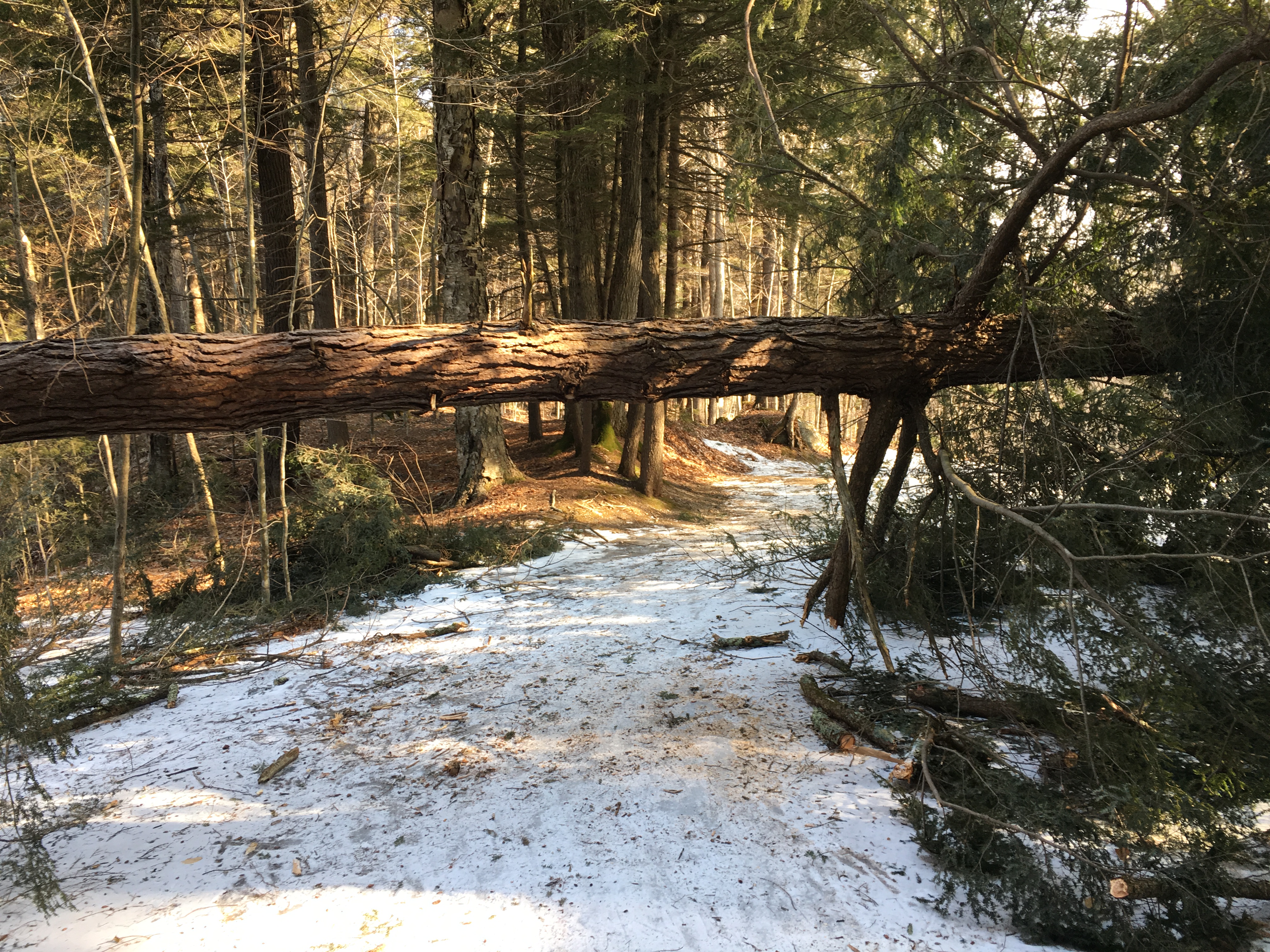
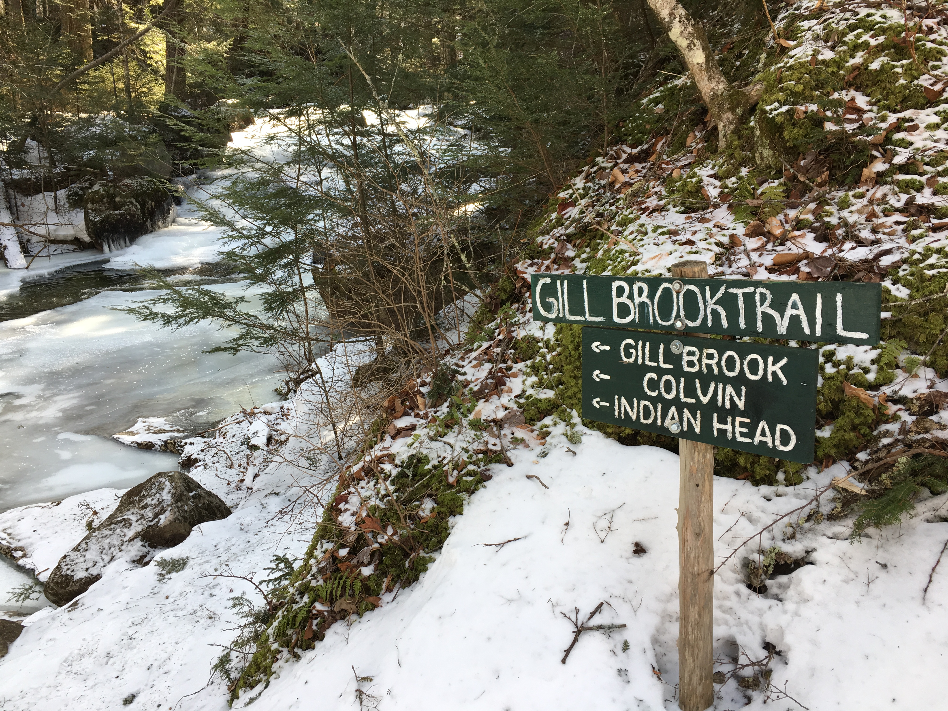
An hour into my day I finally get to my turnoff and hit the trail!
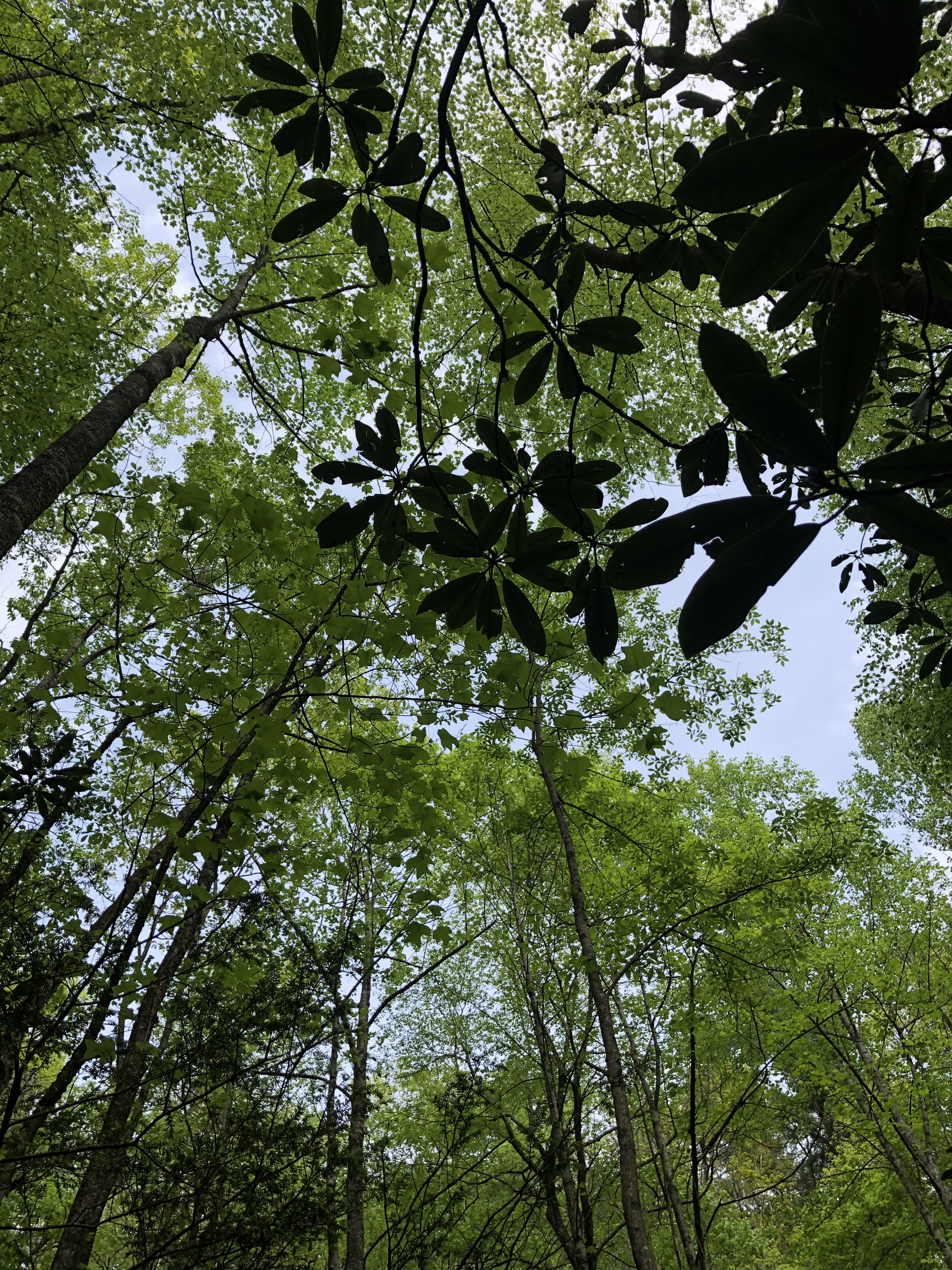
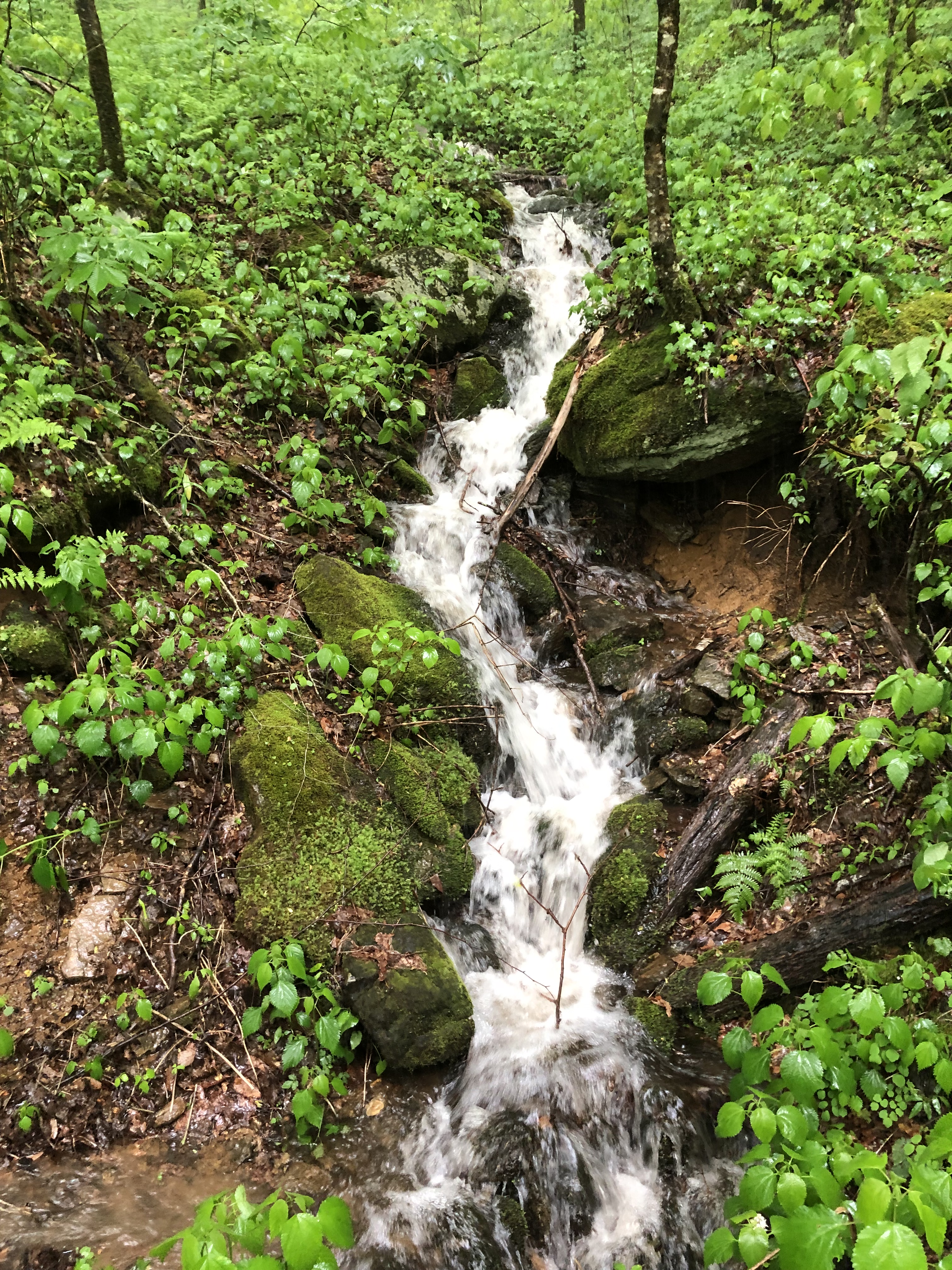
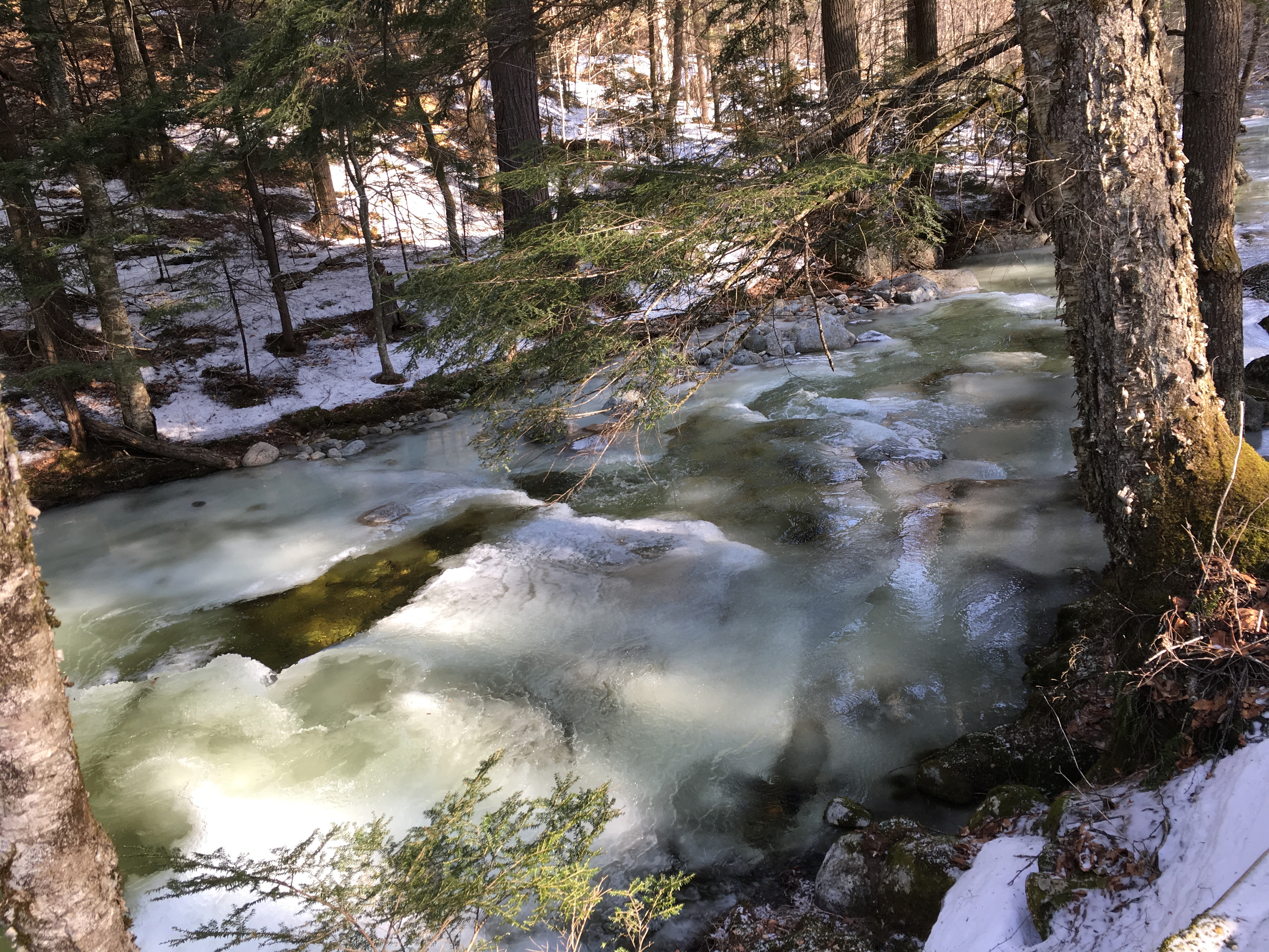
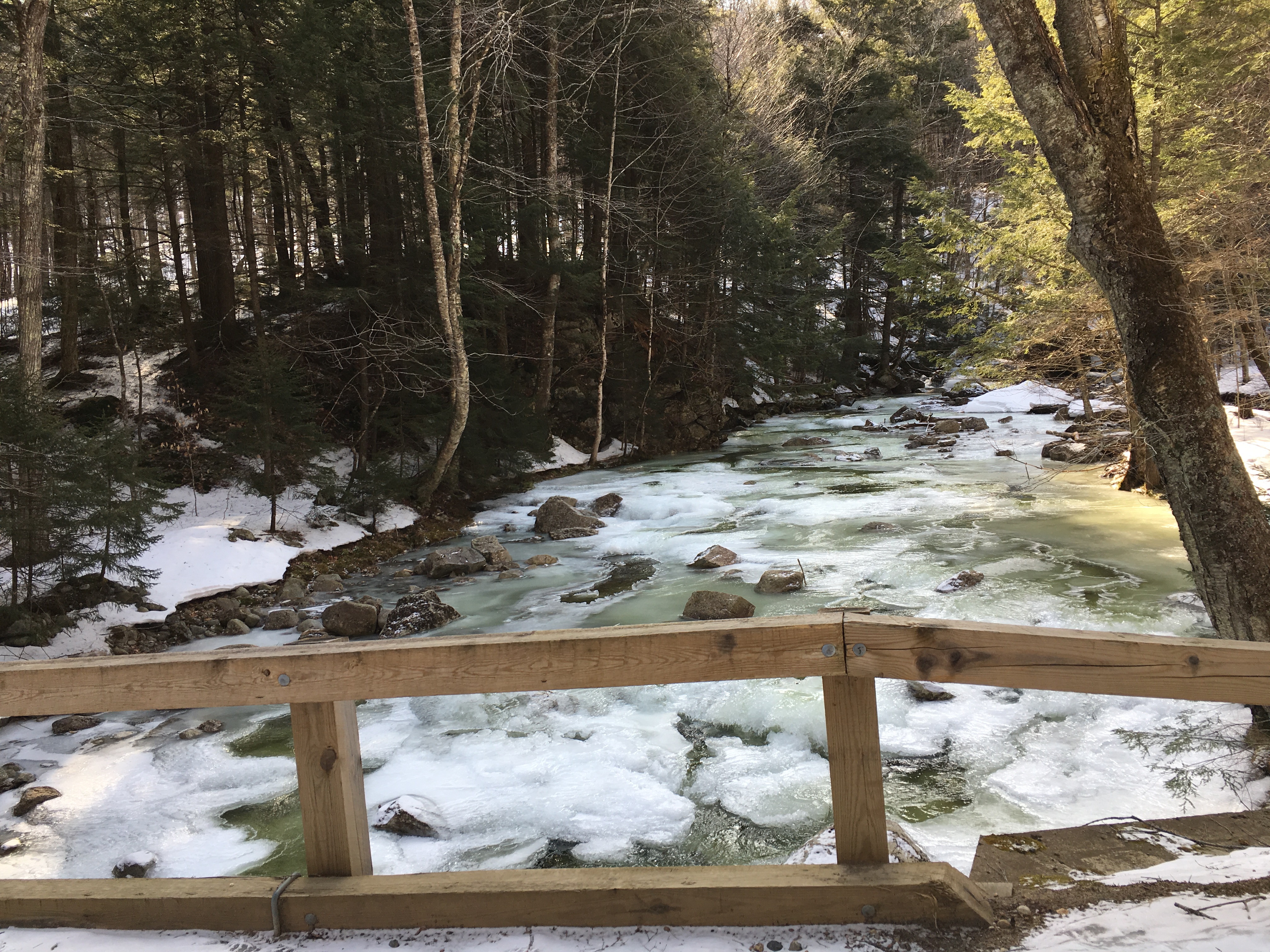
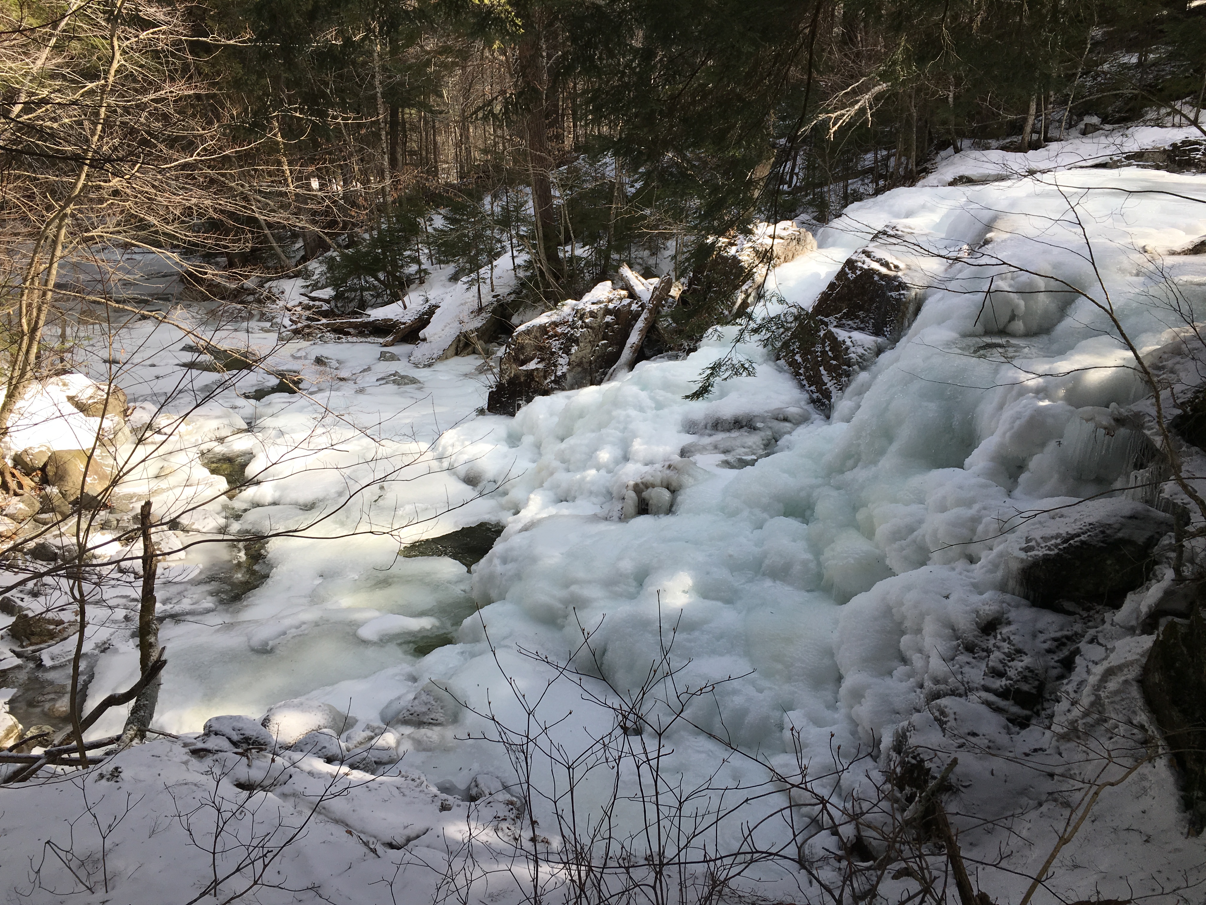
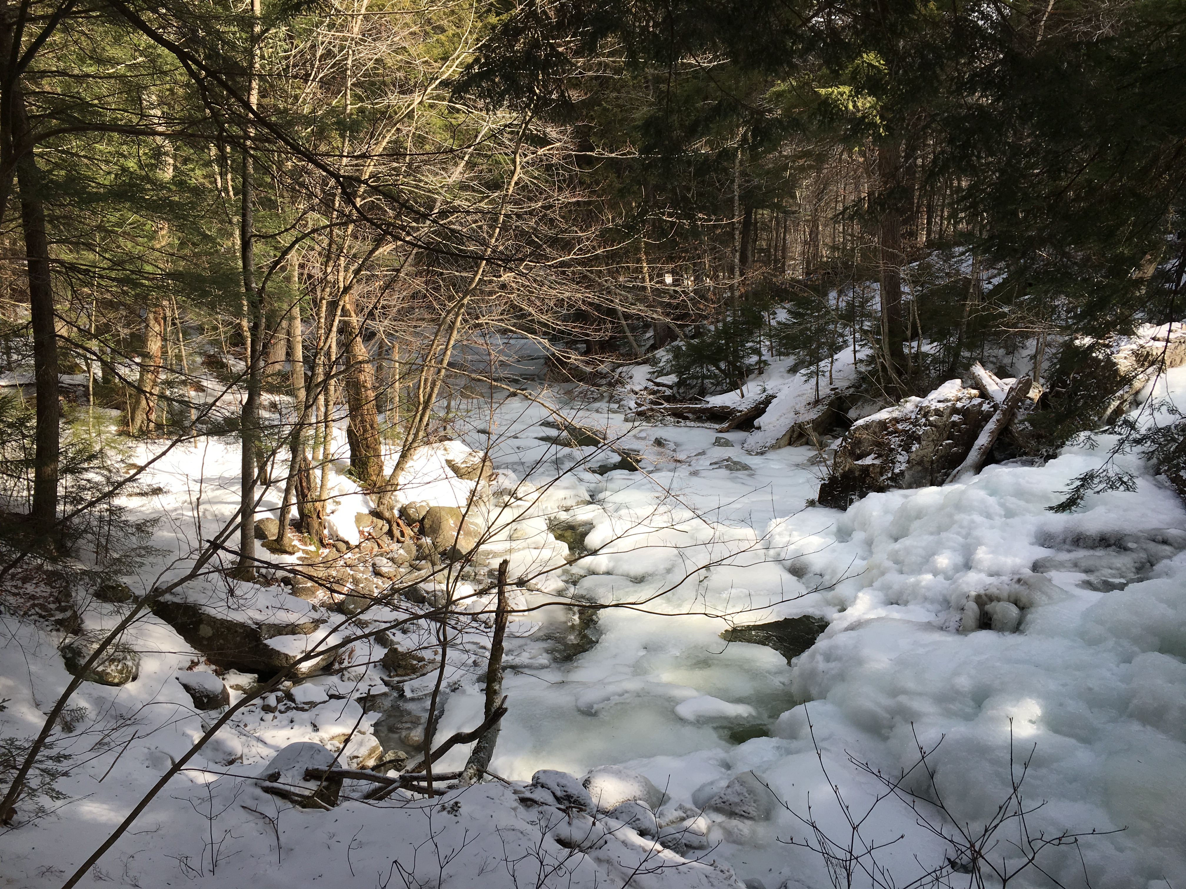
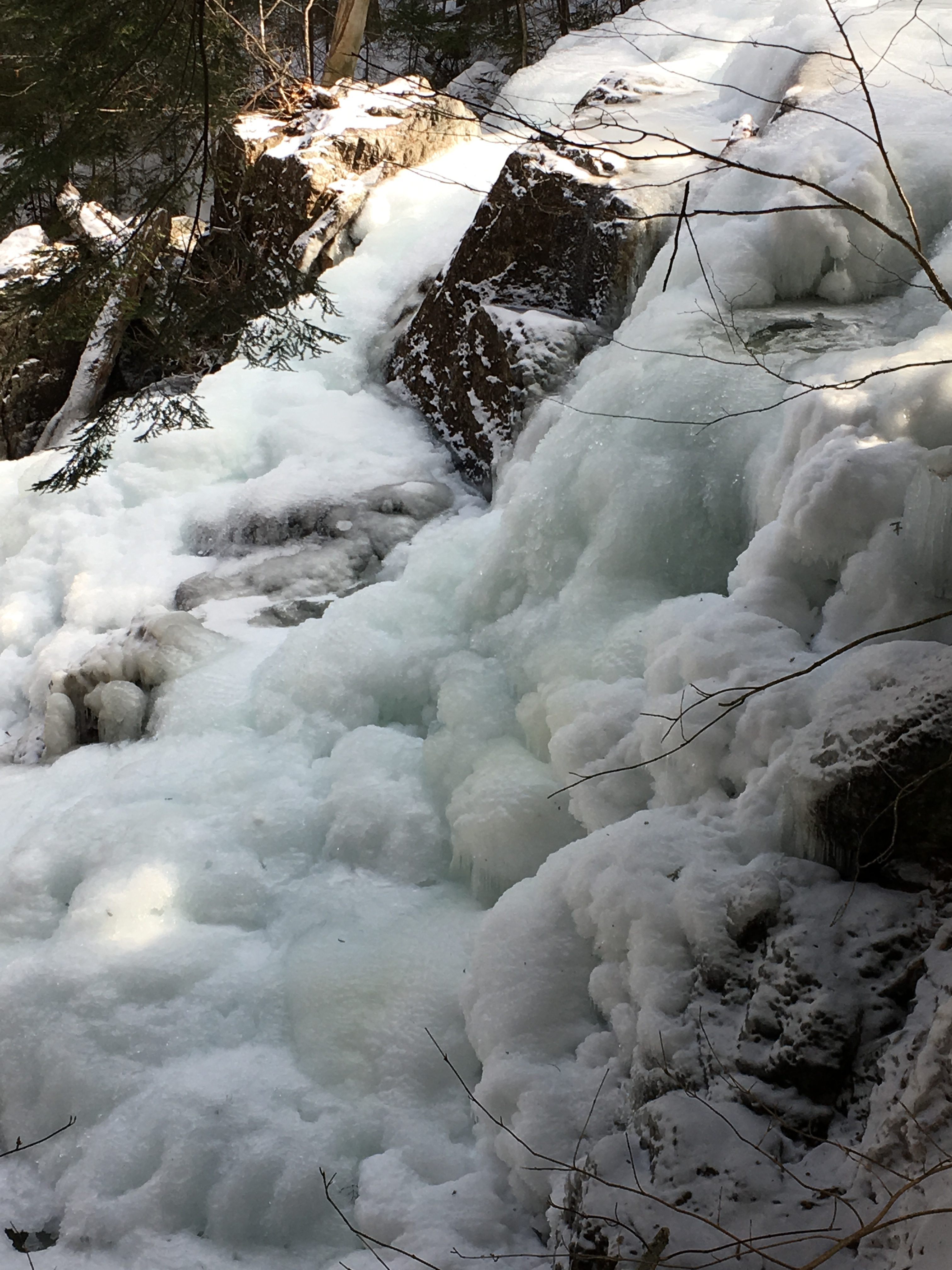
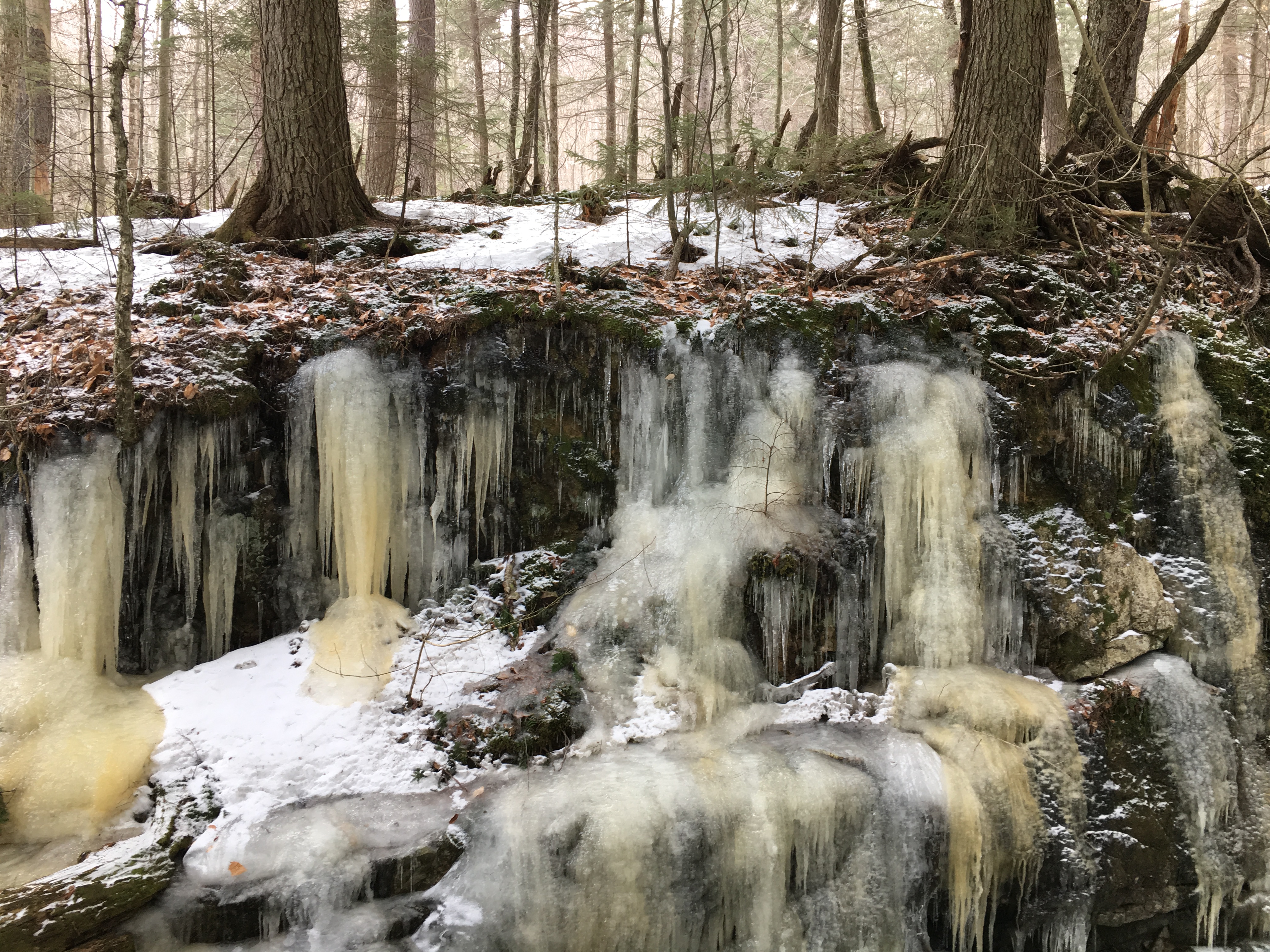
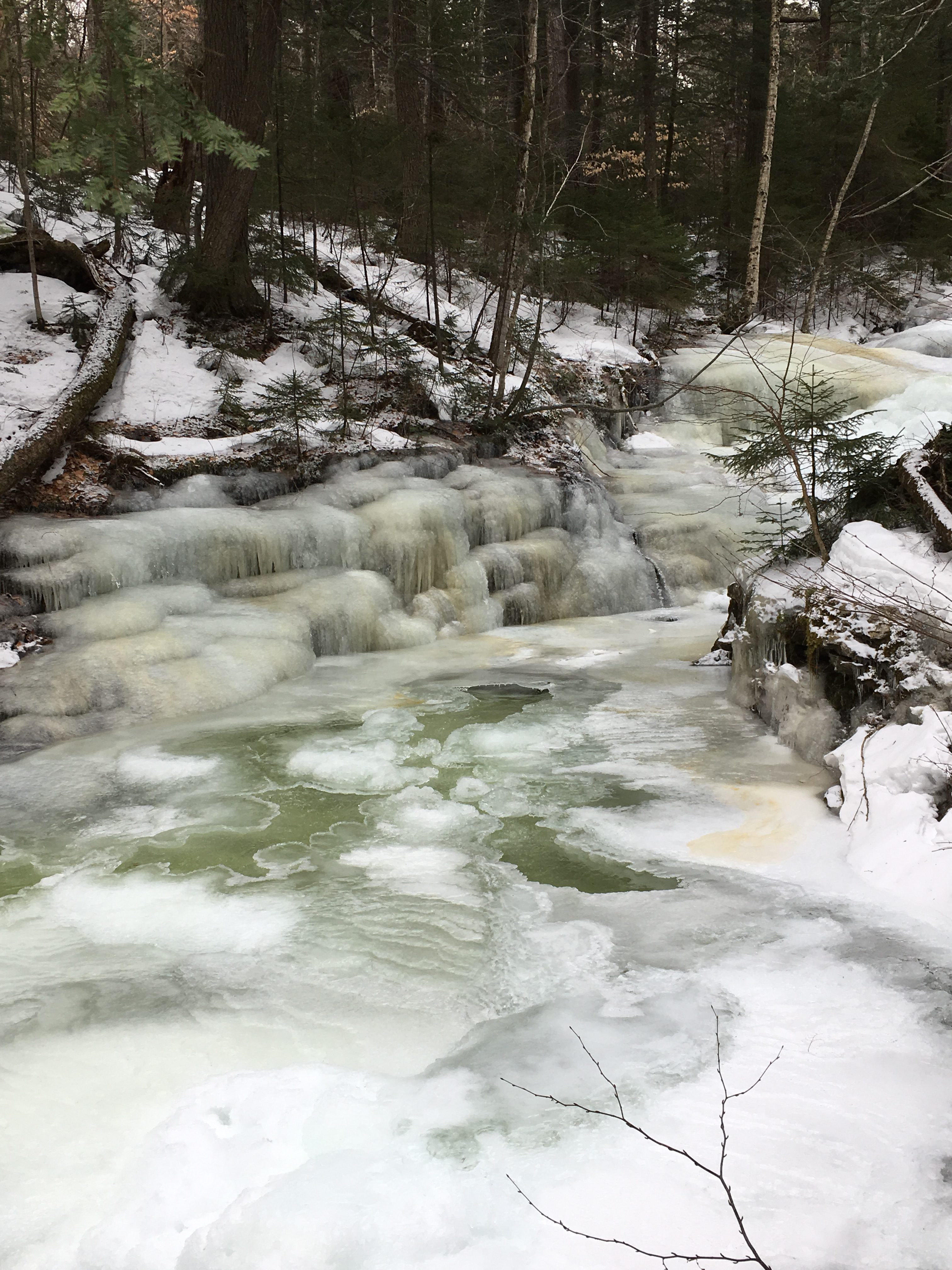
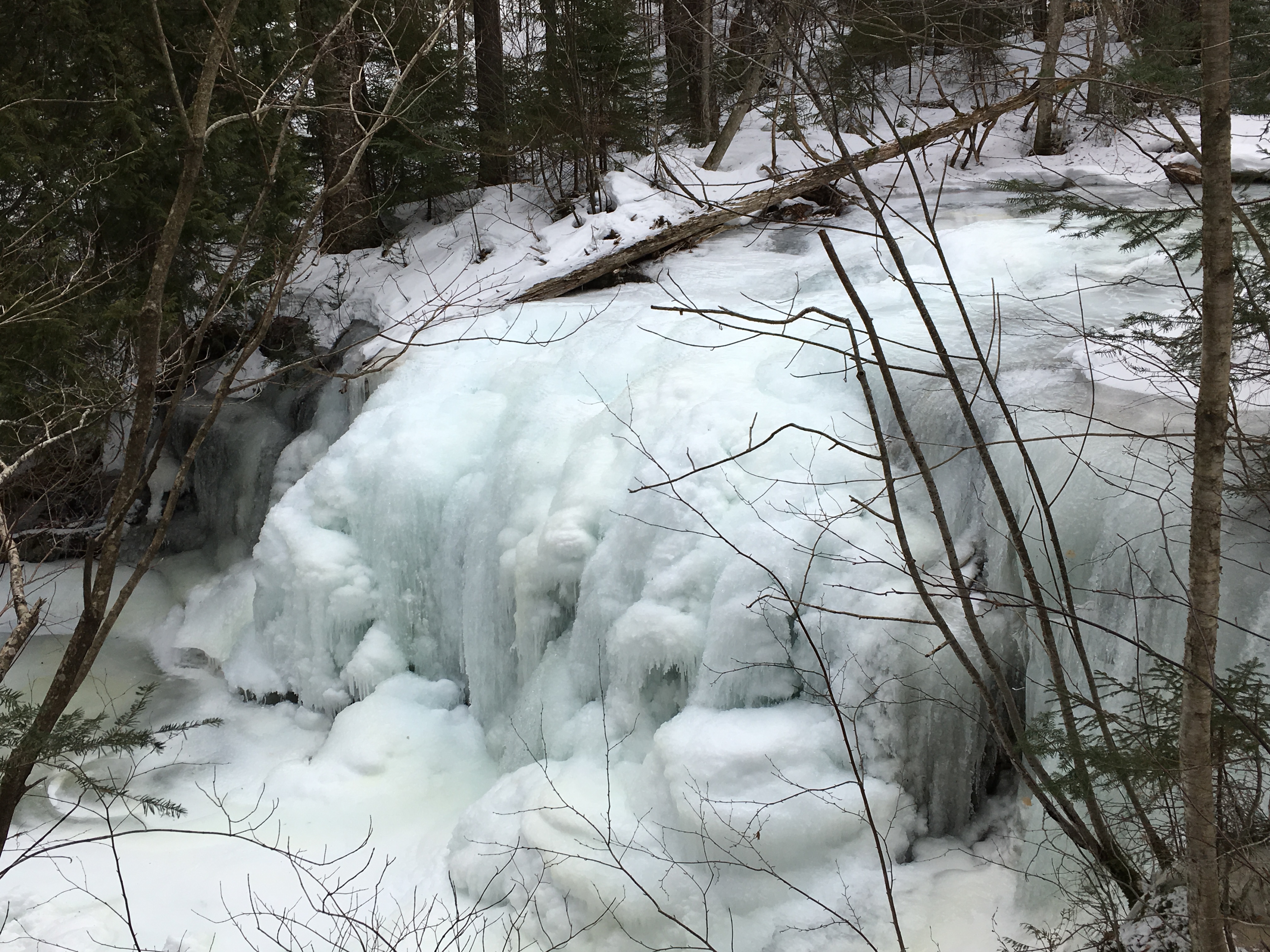
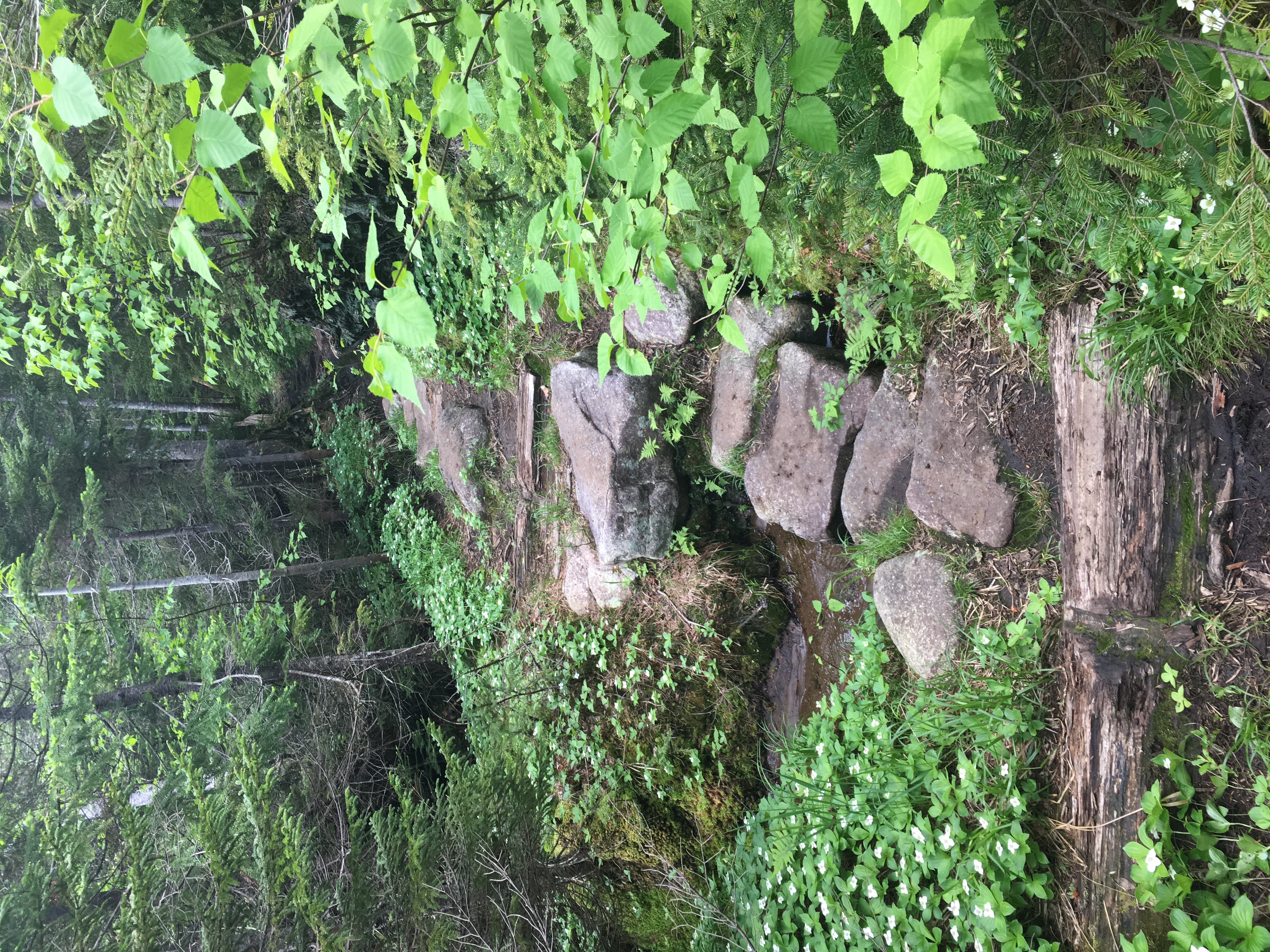
Last time I saw this stretch of trail was a much different story. We were finishing up a long beautiful, although somewhat muddy, day on Colvin and Blake during peak foliage, and the stream’s cascading falls offered a soothing ambiance to our aching tired bodies and minds. Now winter has frozen everything and its as if time has stood still, waiting for me to witness this moment at every turn. I of course cannot resist capturing every amazing scene like a kid in a candy store!
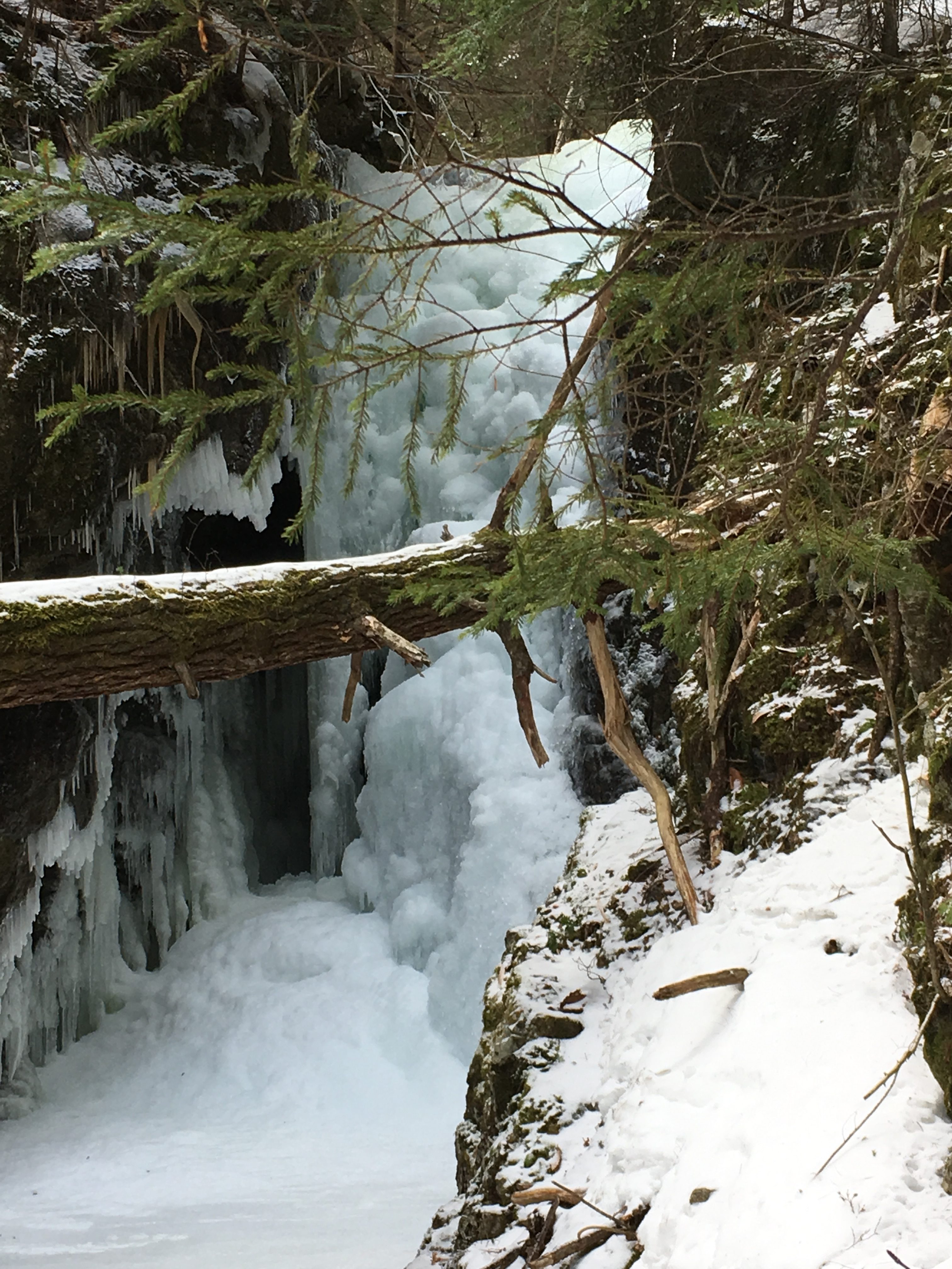
<– Hmmm, Is there ever a choice really??
LEFT of course!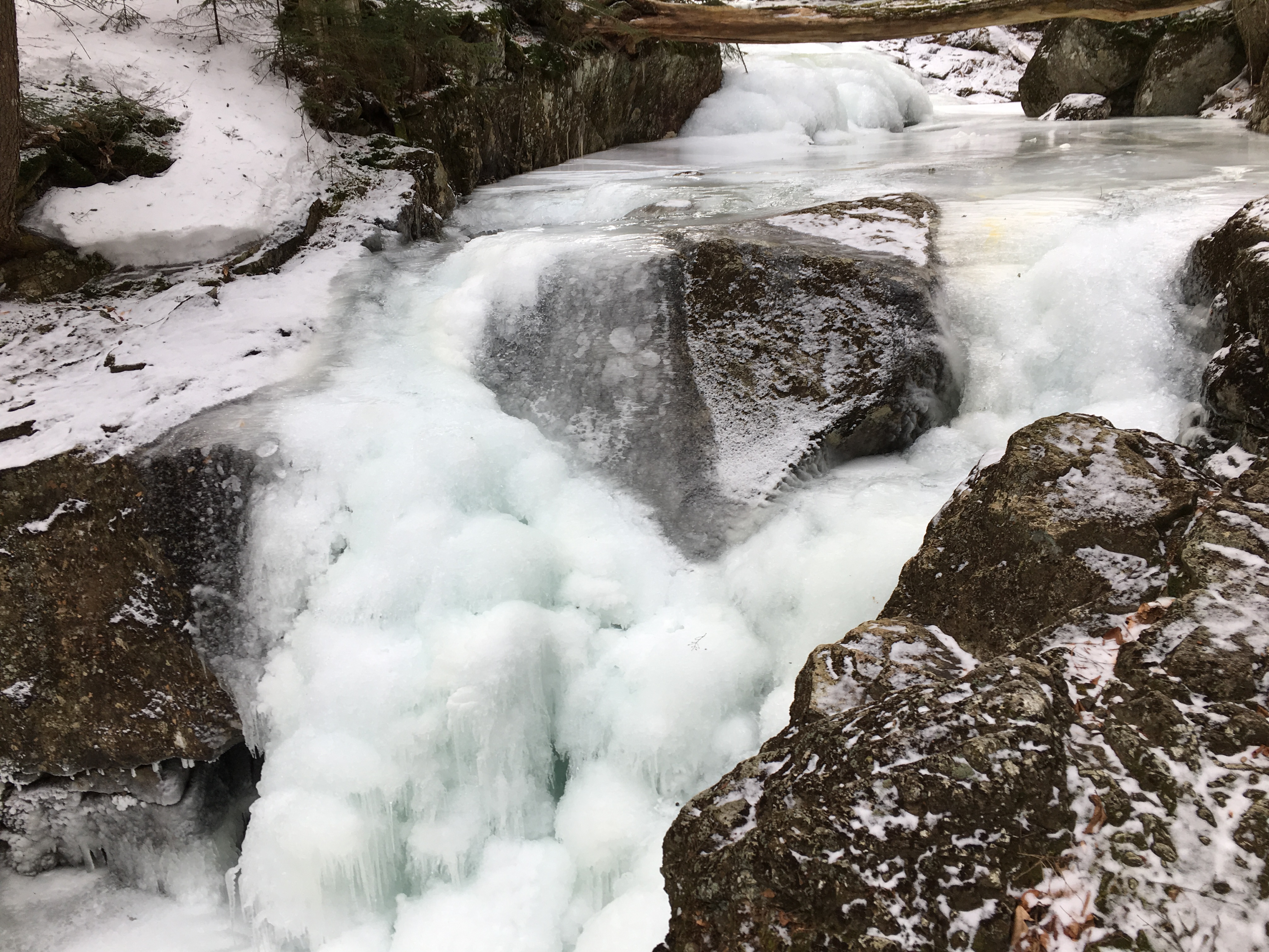
AND I AM IN MY HAPPY PLACE ONCE AGAIN…
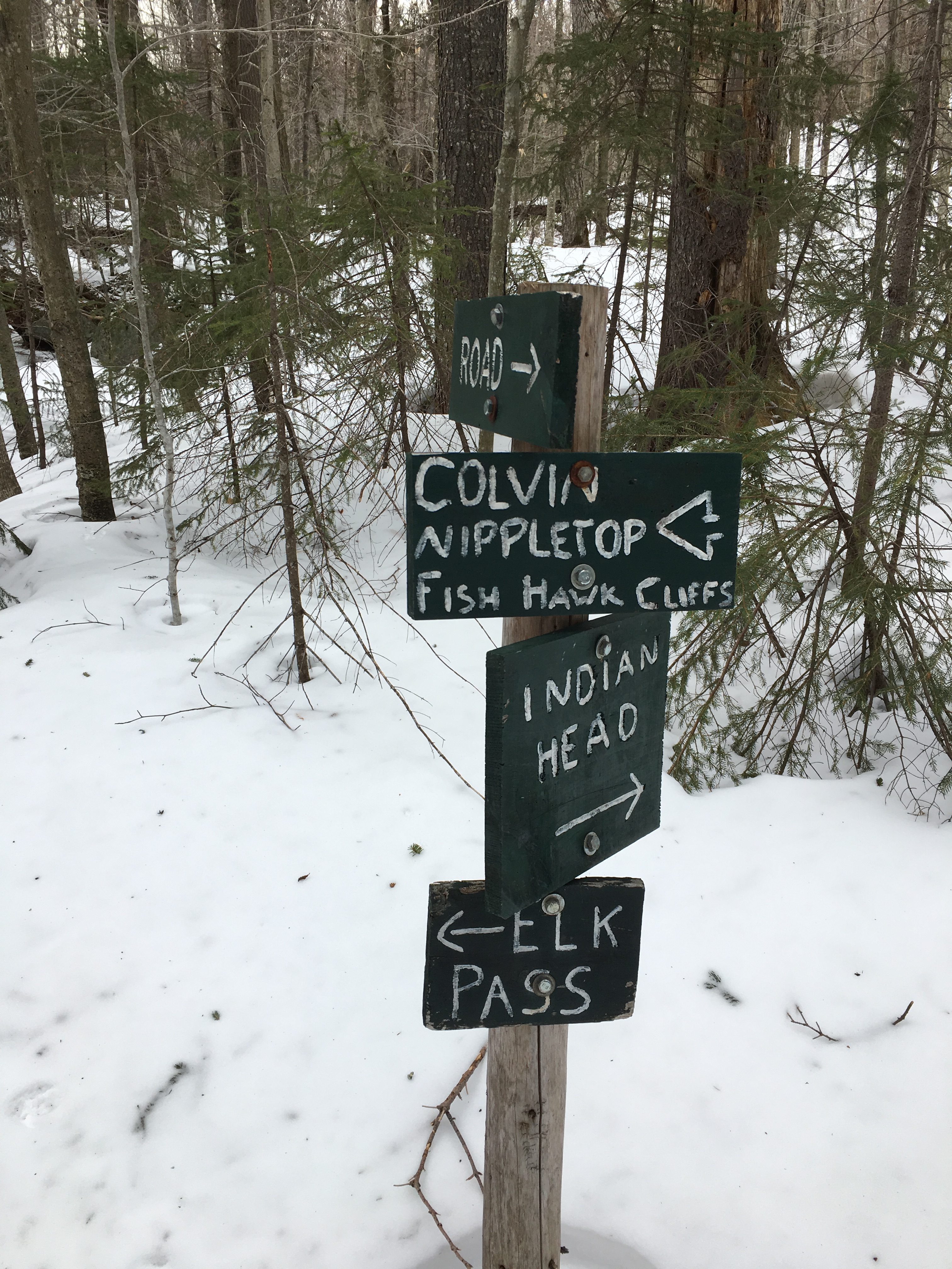
 Another junction marks the next stage of the journey. Another left here.
Filtered sunlight above as I make my way to the Ponds in the col off Elks Pass. 
 Plenty of deep post holes to avoid from last week’s warm-up, but it has since firmed up with a blast of cold from the North. Spikes are still all I need so far.
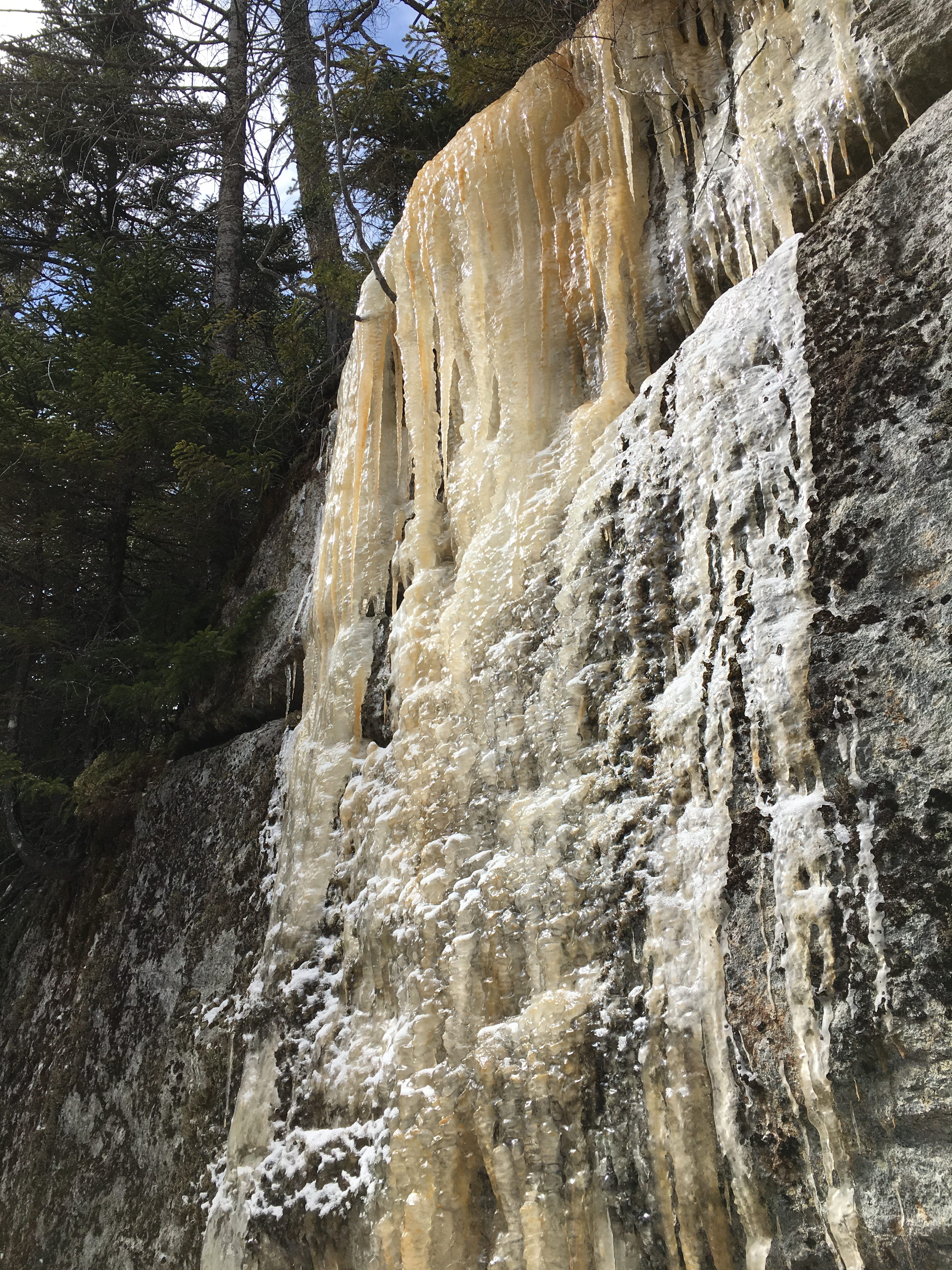
Sun peaking out now as I approach the ponds. I pause here to soak in some rays and grab a quick snack.

 Hearing some distant footsteps getting closer, I get back on my way, to stay ahead of them. Call me selfish but these are MY mountains today!
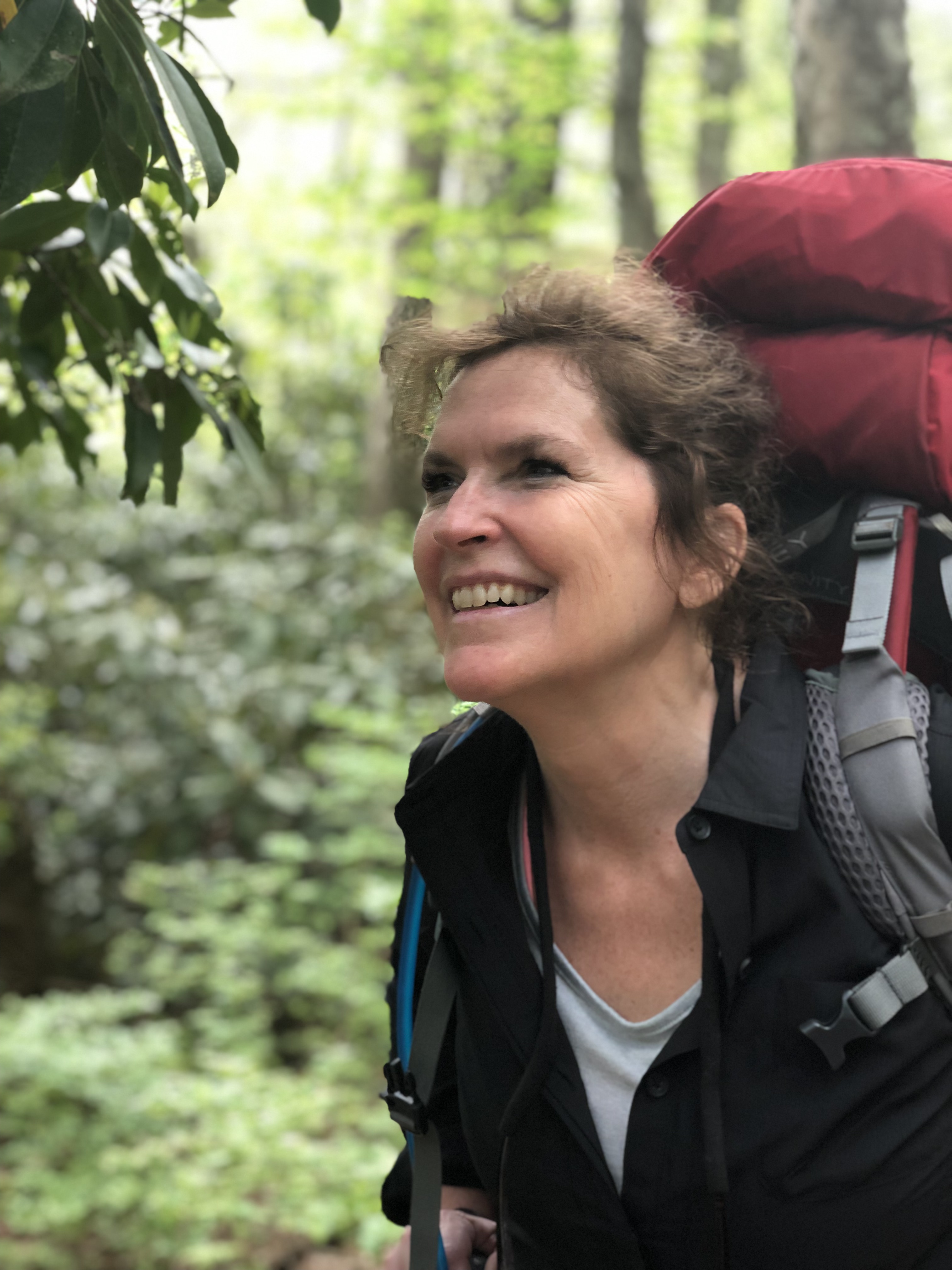
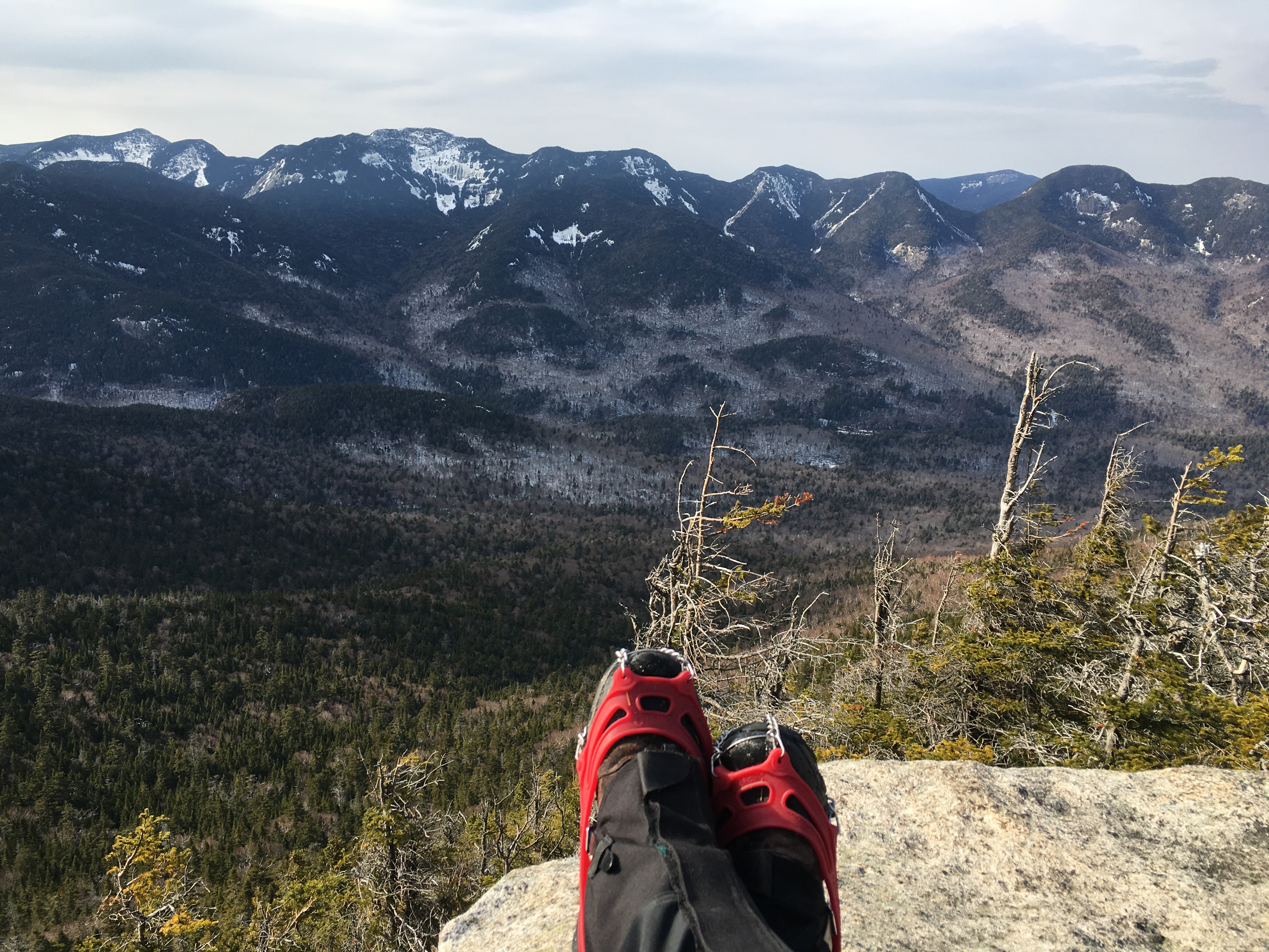
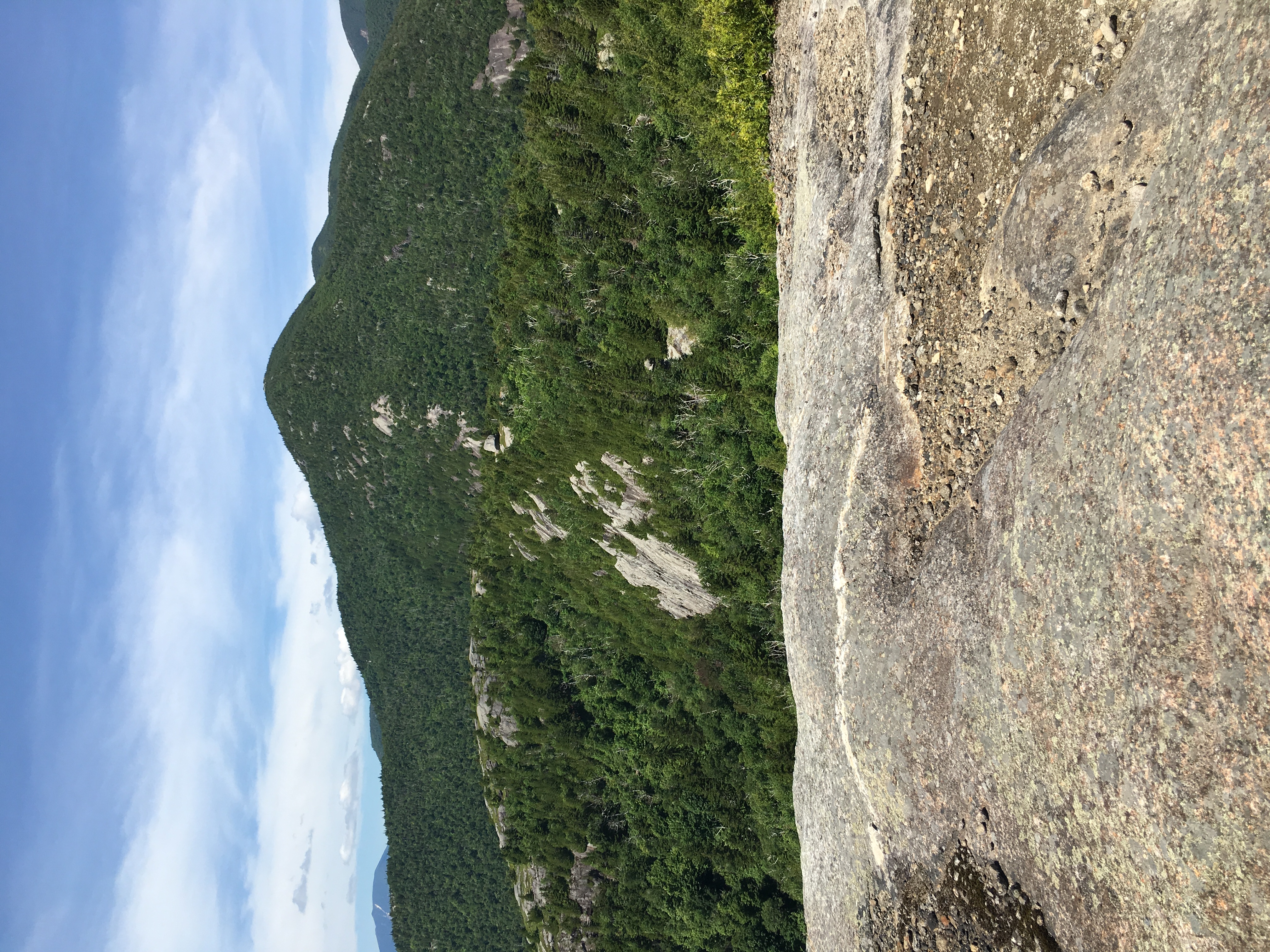
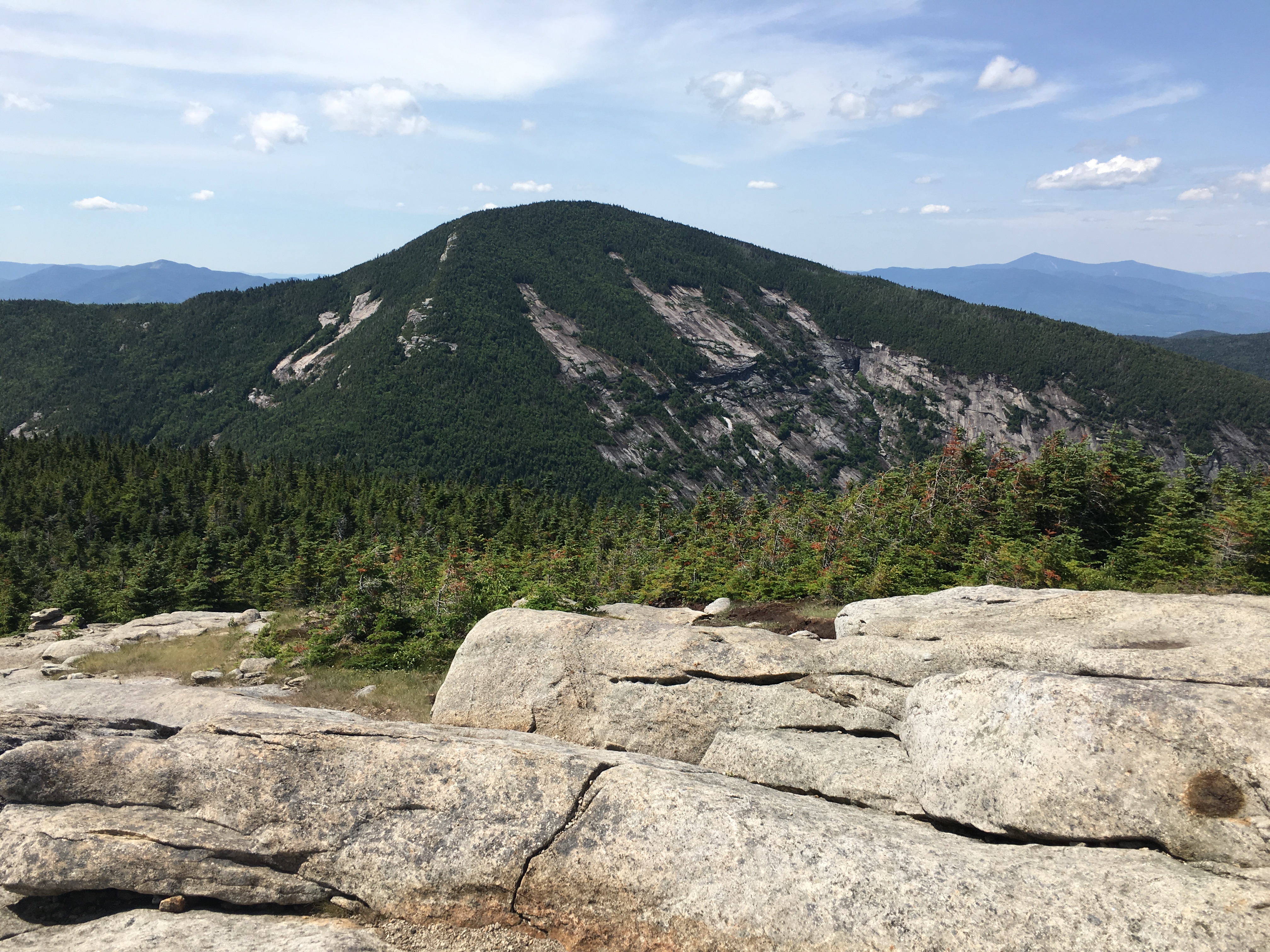
 Slowly inching up the steep curves of Nippletop ,the views get better and better and the feeling of my intimate encounter with the mountains more profound the closer I get. (bow-chicka-wow-wow)
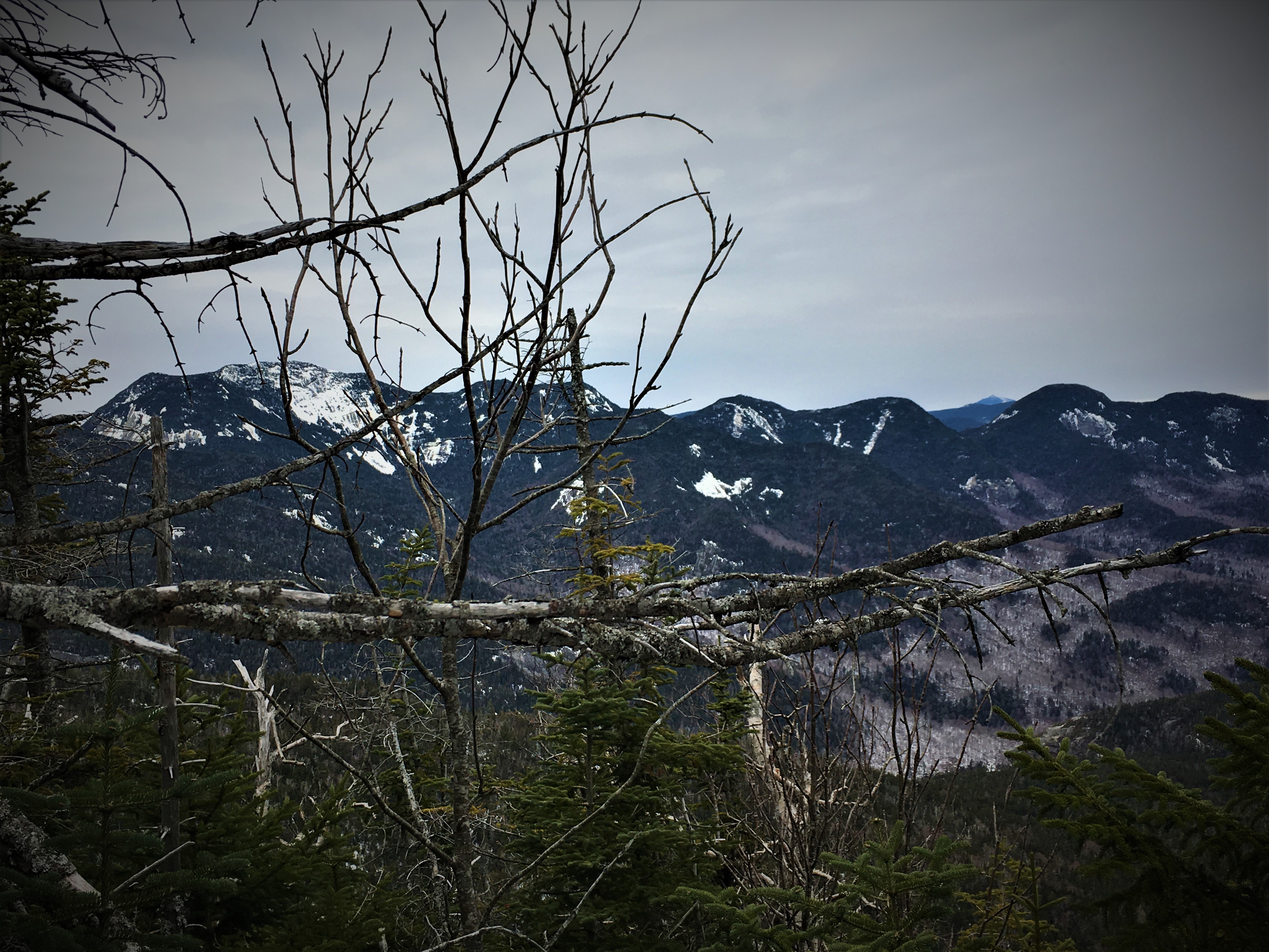
Up further and further until…Almost there!
Then just like that, I arrive to this amazing point. The tip of the nip!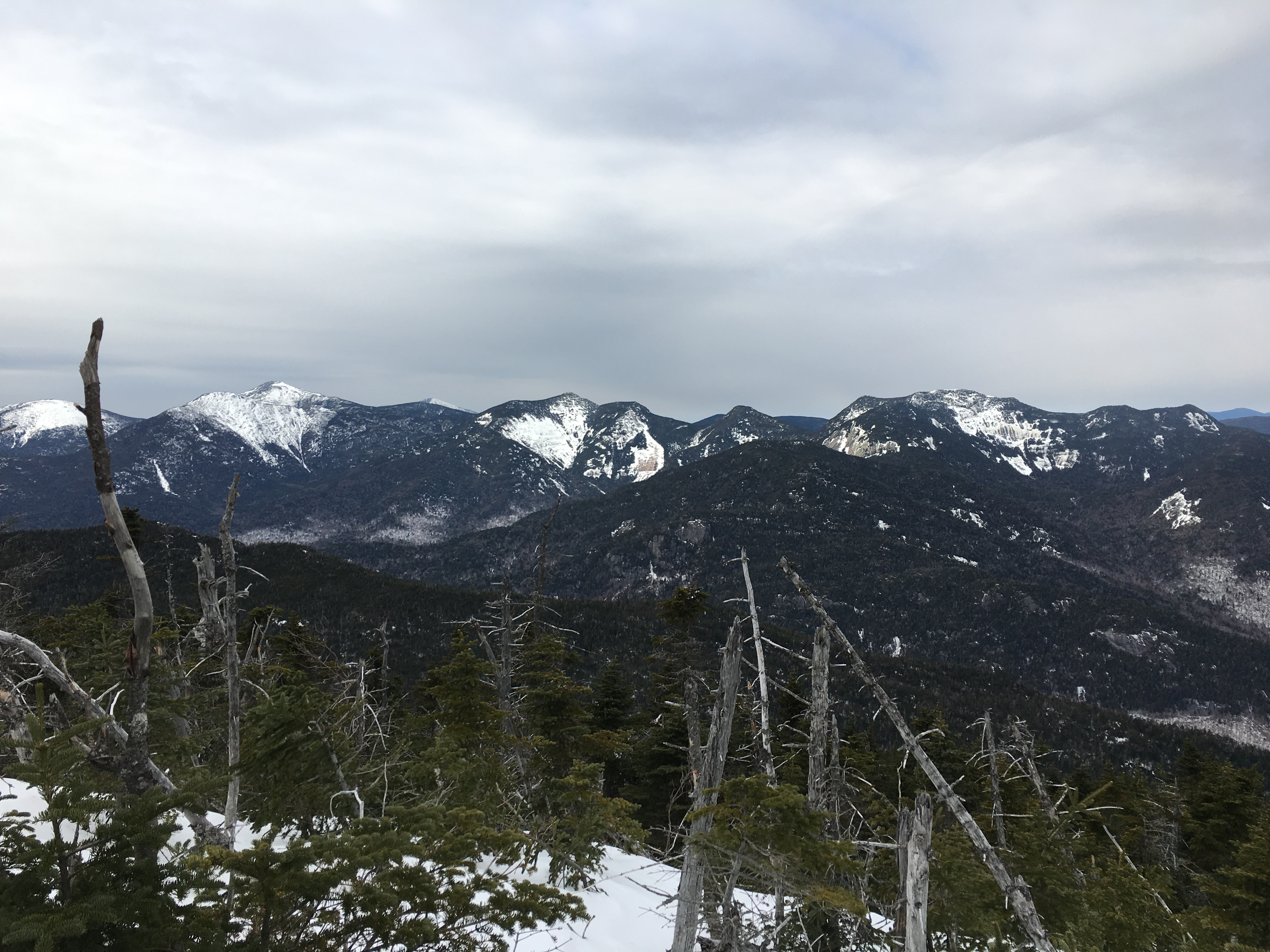
And I grab all the wondrous beauty it has to offer!
(Click here for video of Nippletop Summit)
 Then the footsteps approach once again, and my only human encounter of the day arrives on the scene. We exchange some summit conversation and photographer duties and he exits, to get back to the junction where he is uncertain weather to backtrack his steps or continue onto Dial, like me. I enjoy the views for a bit more then head out myself. Still many more miles to cover!!
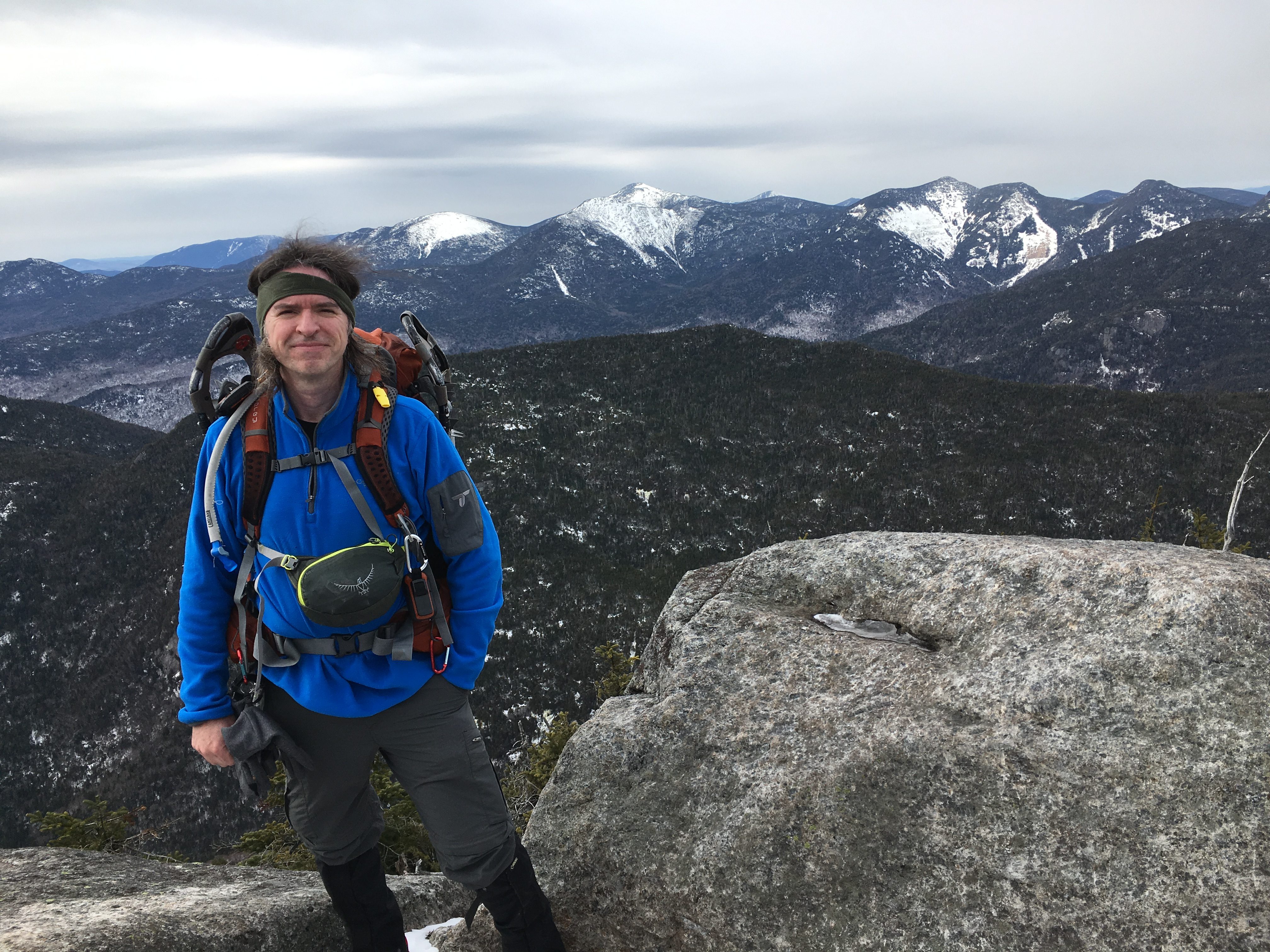
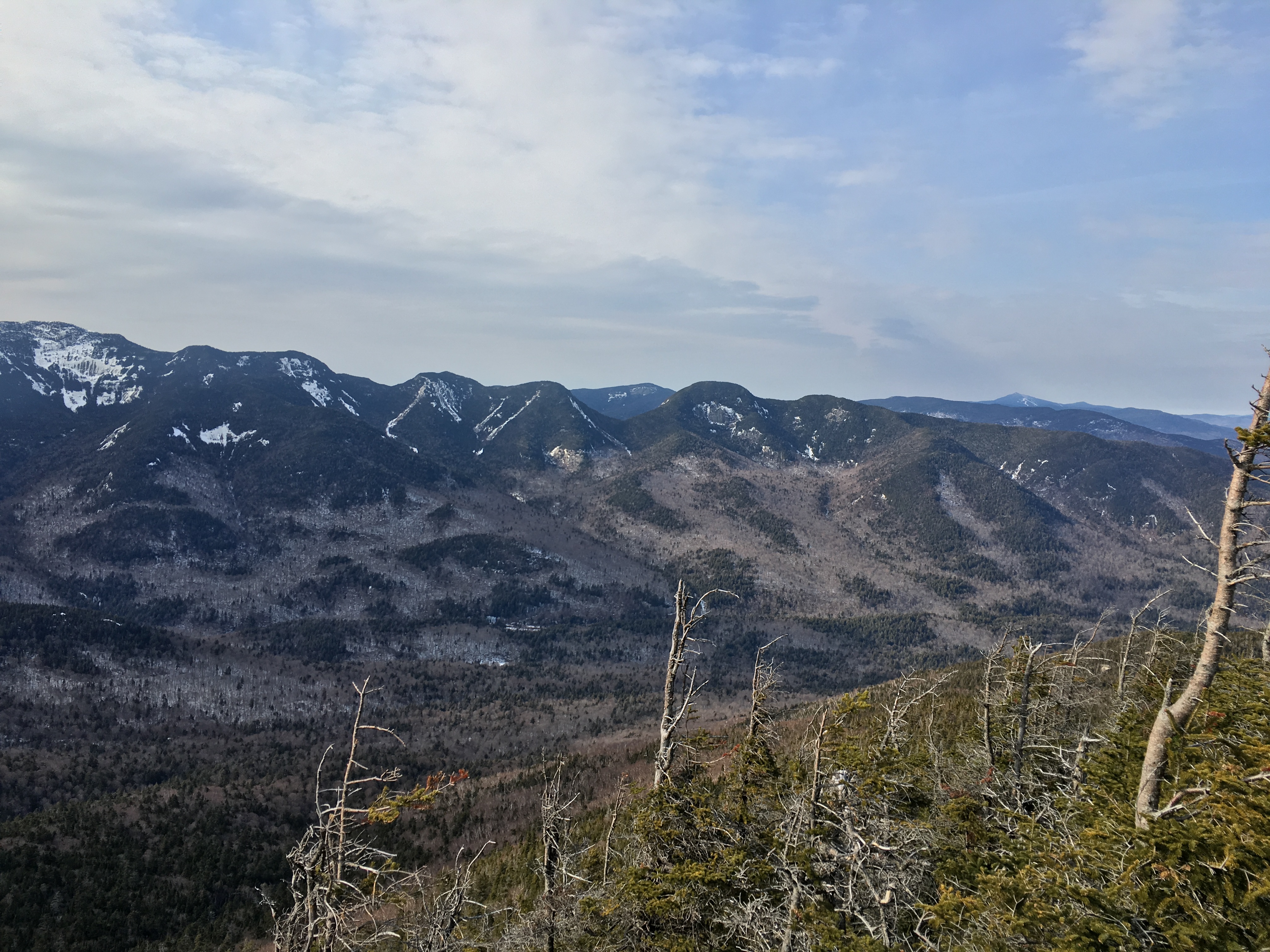
 I pass him once again on my way to peak #2 and put some distance between us. Between the two peaks I get another time-stand-still moment, where the silence is so profound that I have to stop and take it in. I try to capture this moment once again, but as I pan around the creaking of my pack breaks the stillness. Sometimes you just need to put the camera down and take it in.
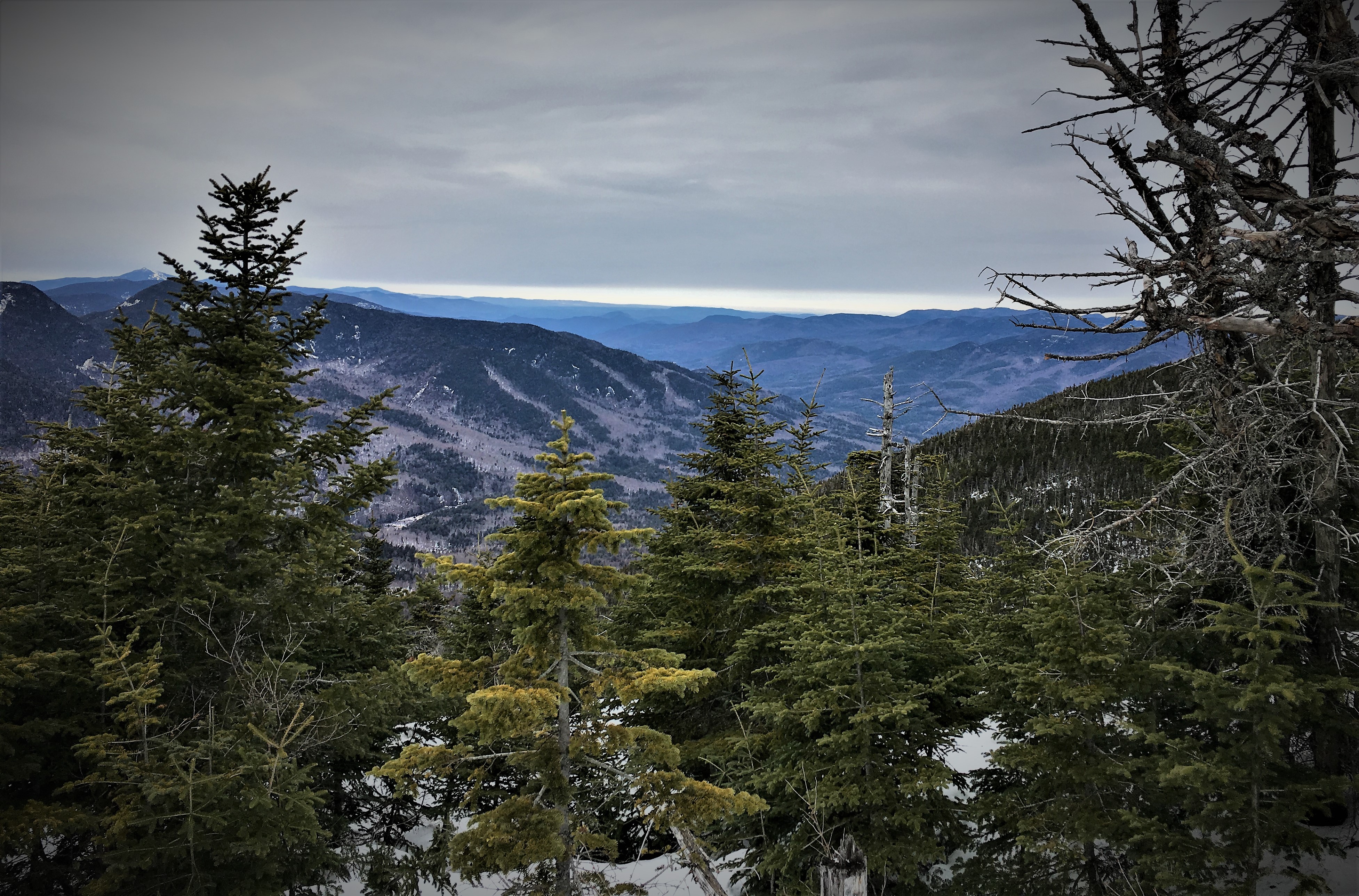
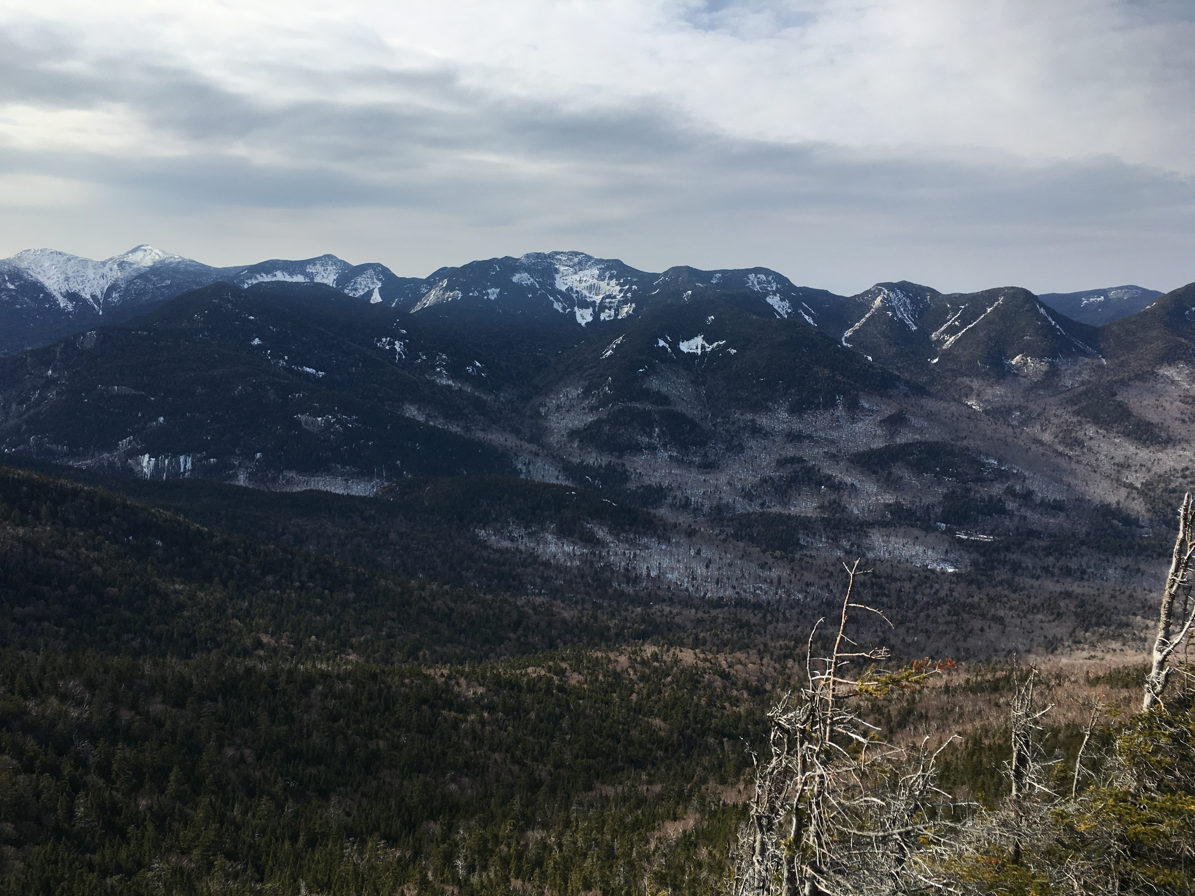
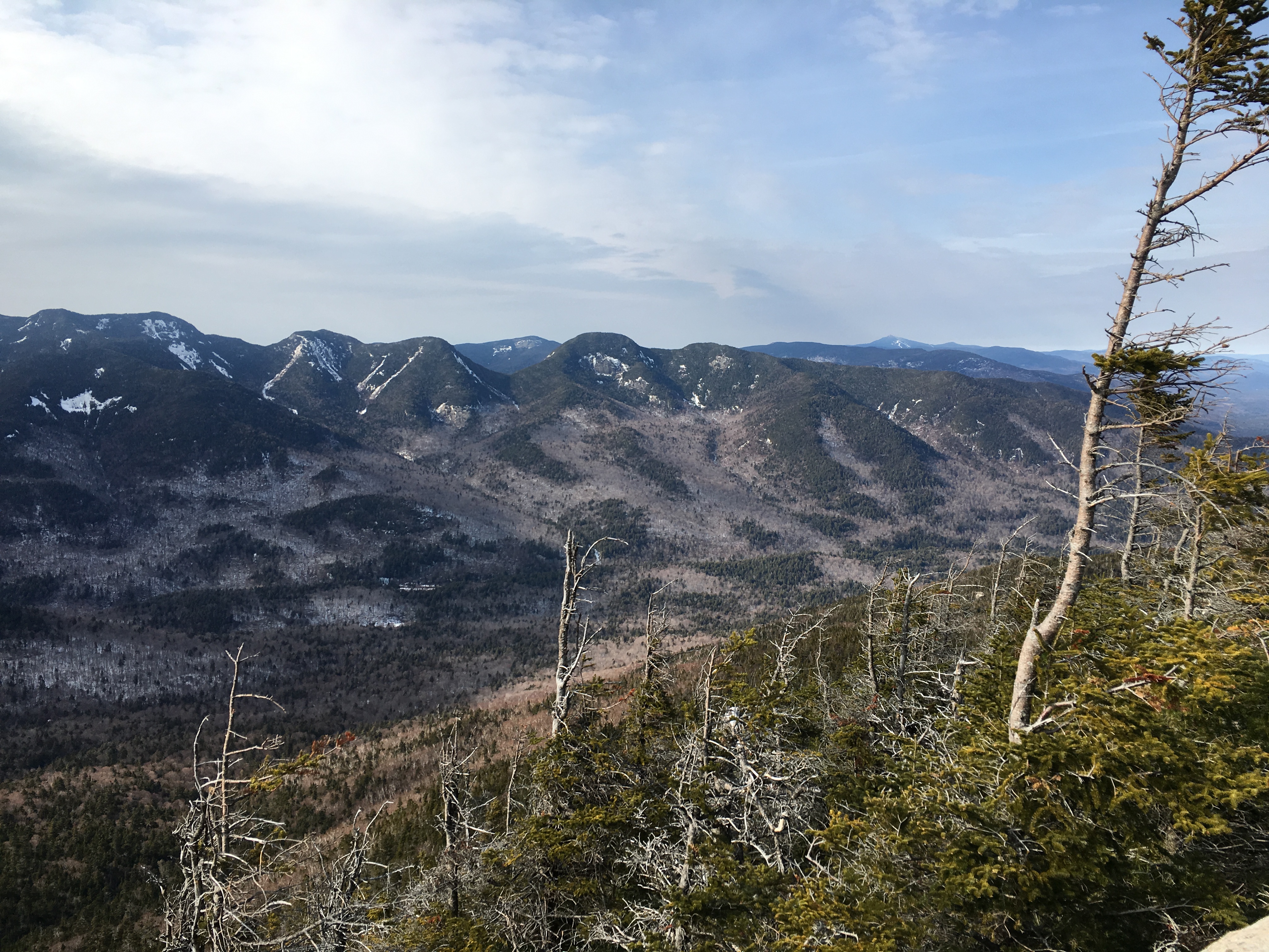
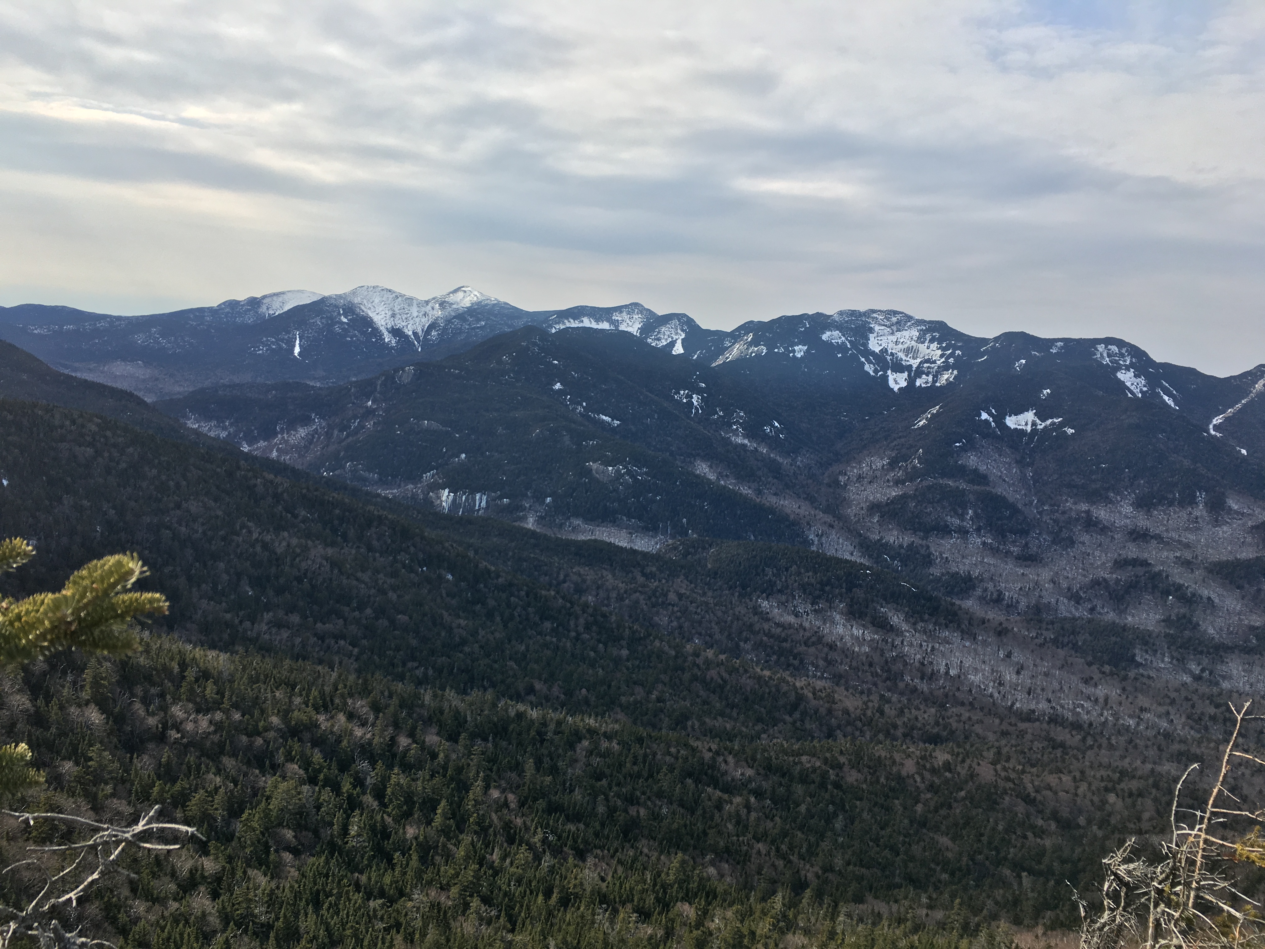
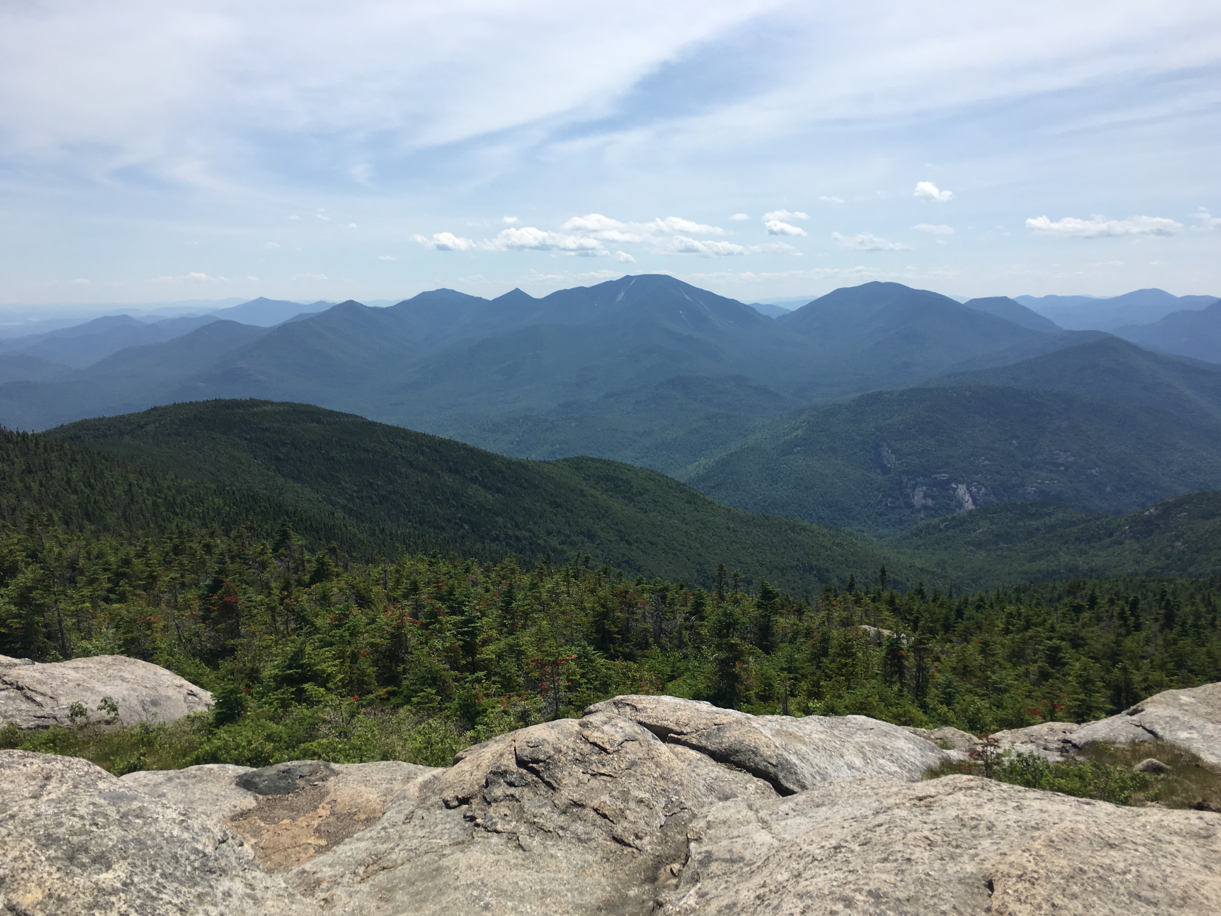
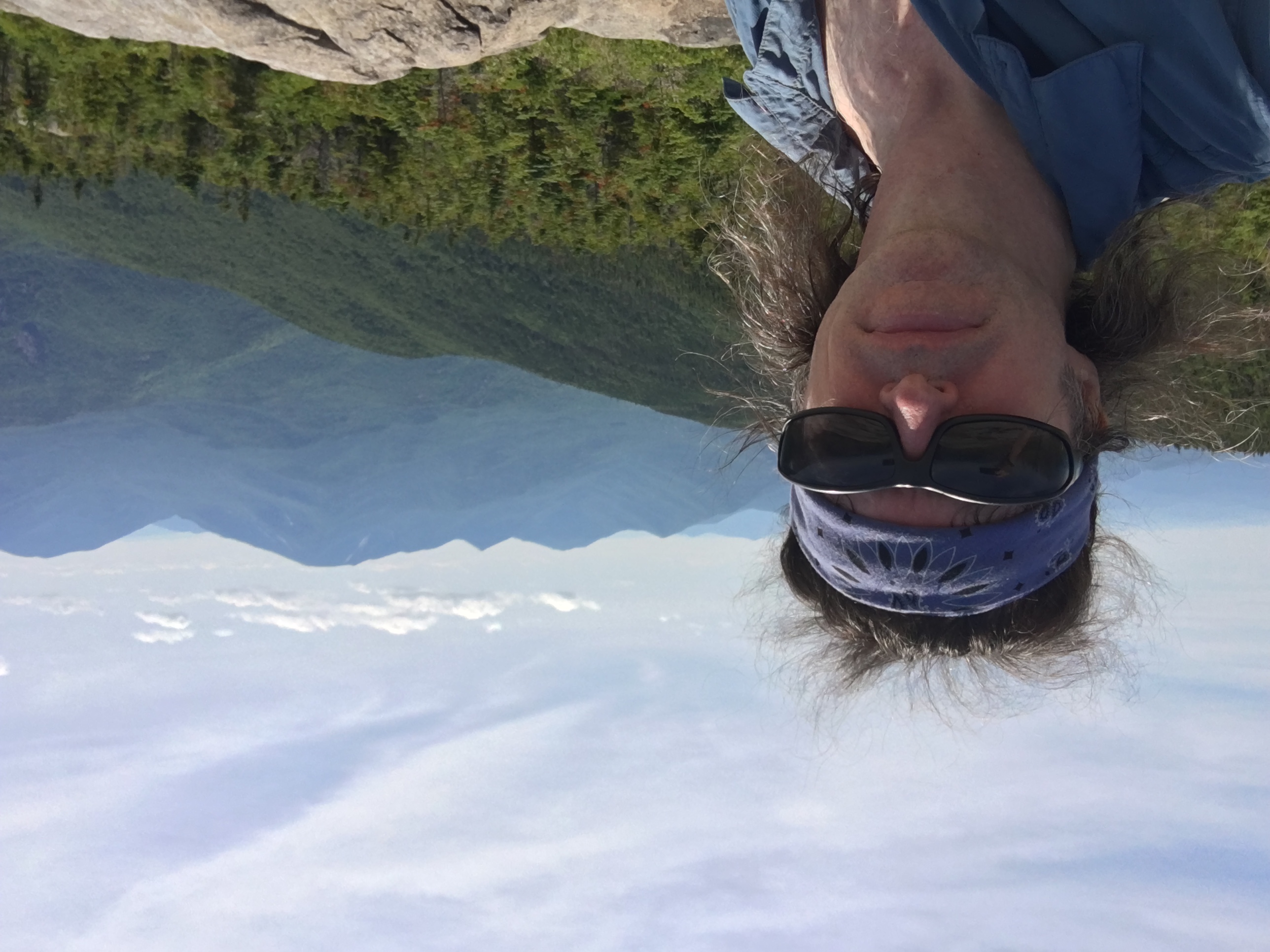
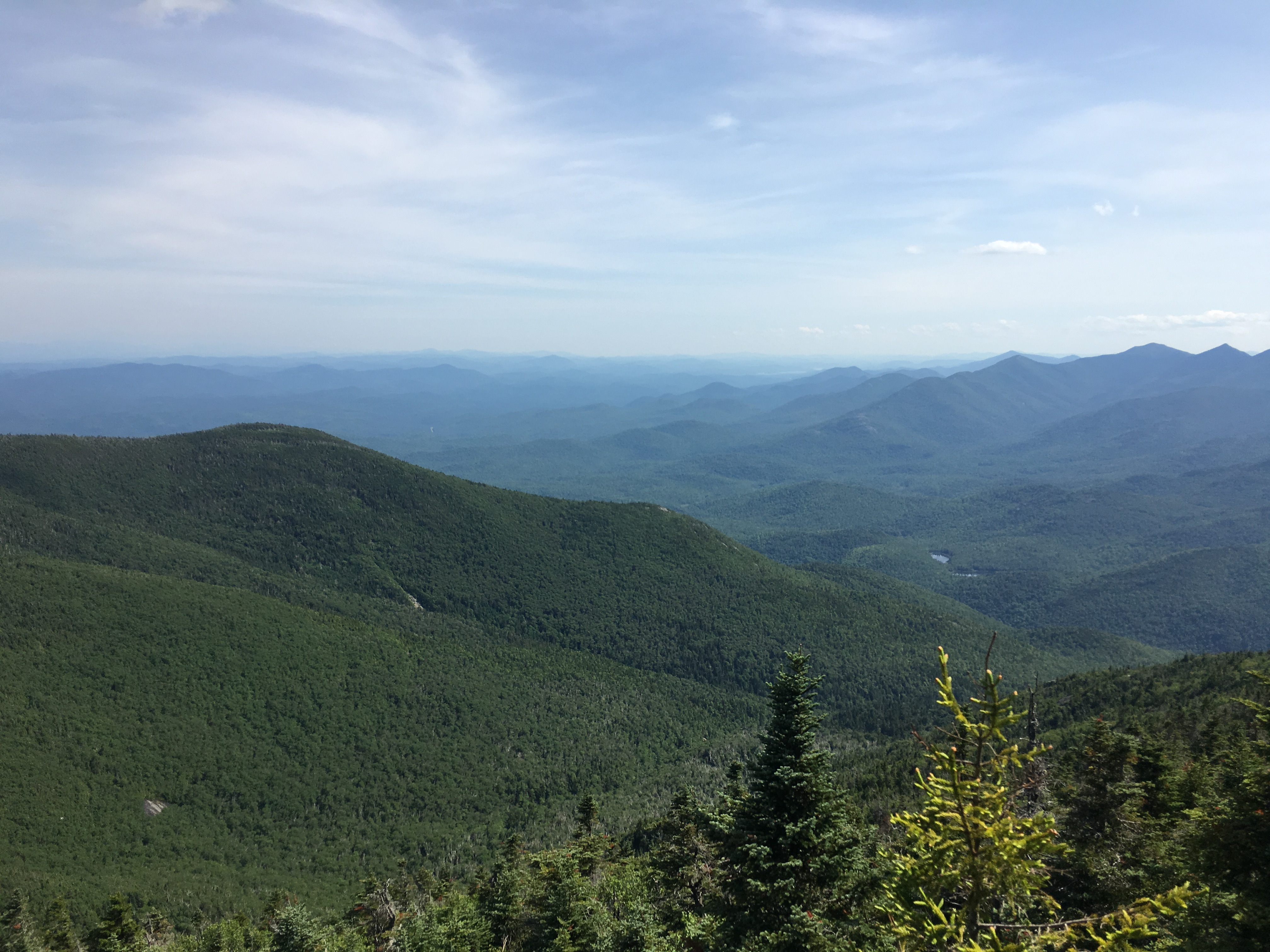
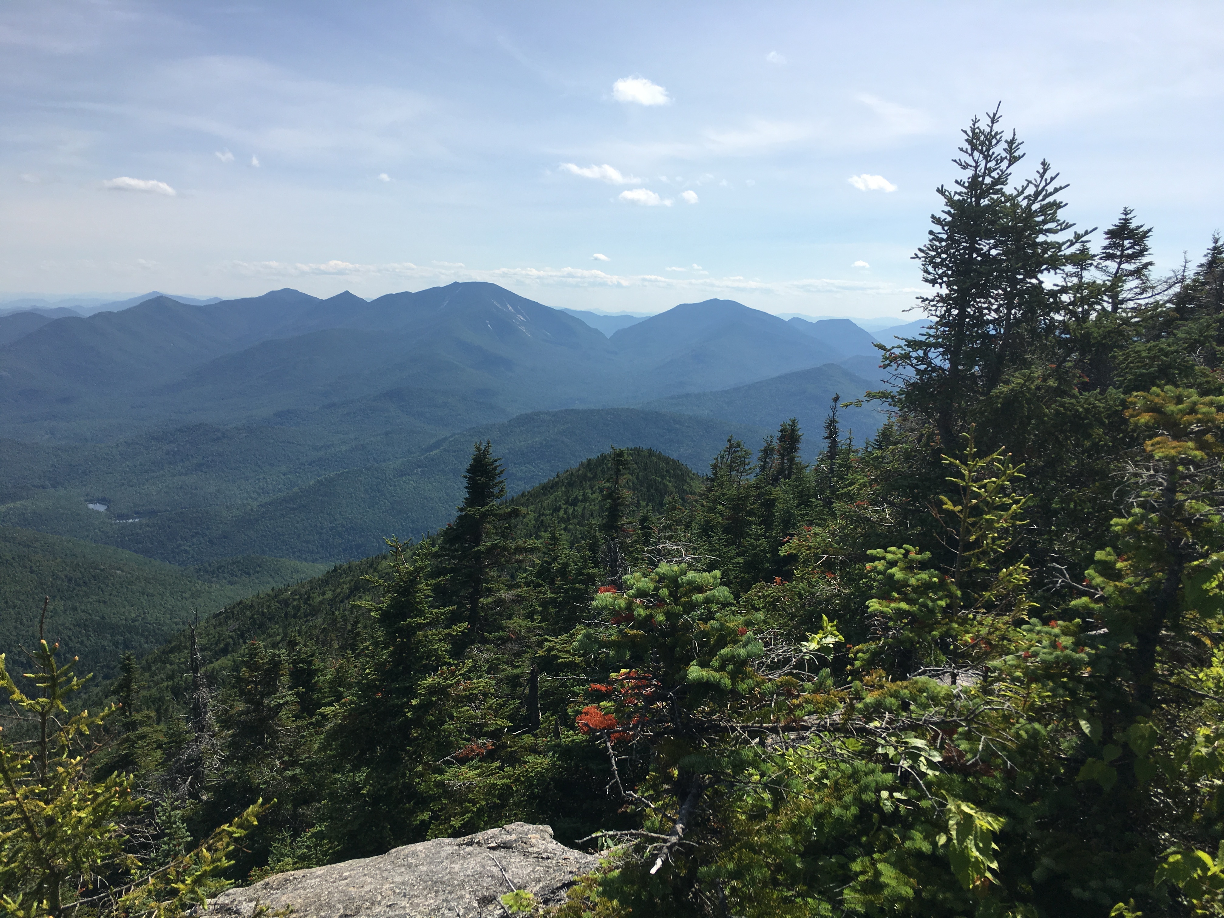
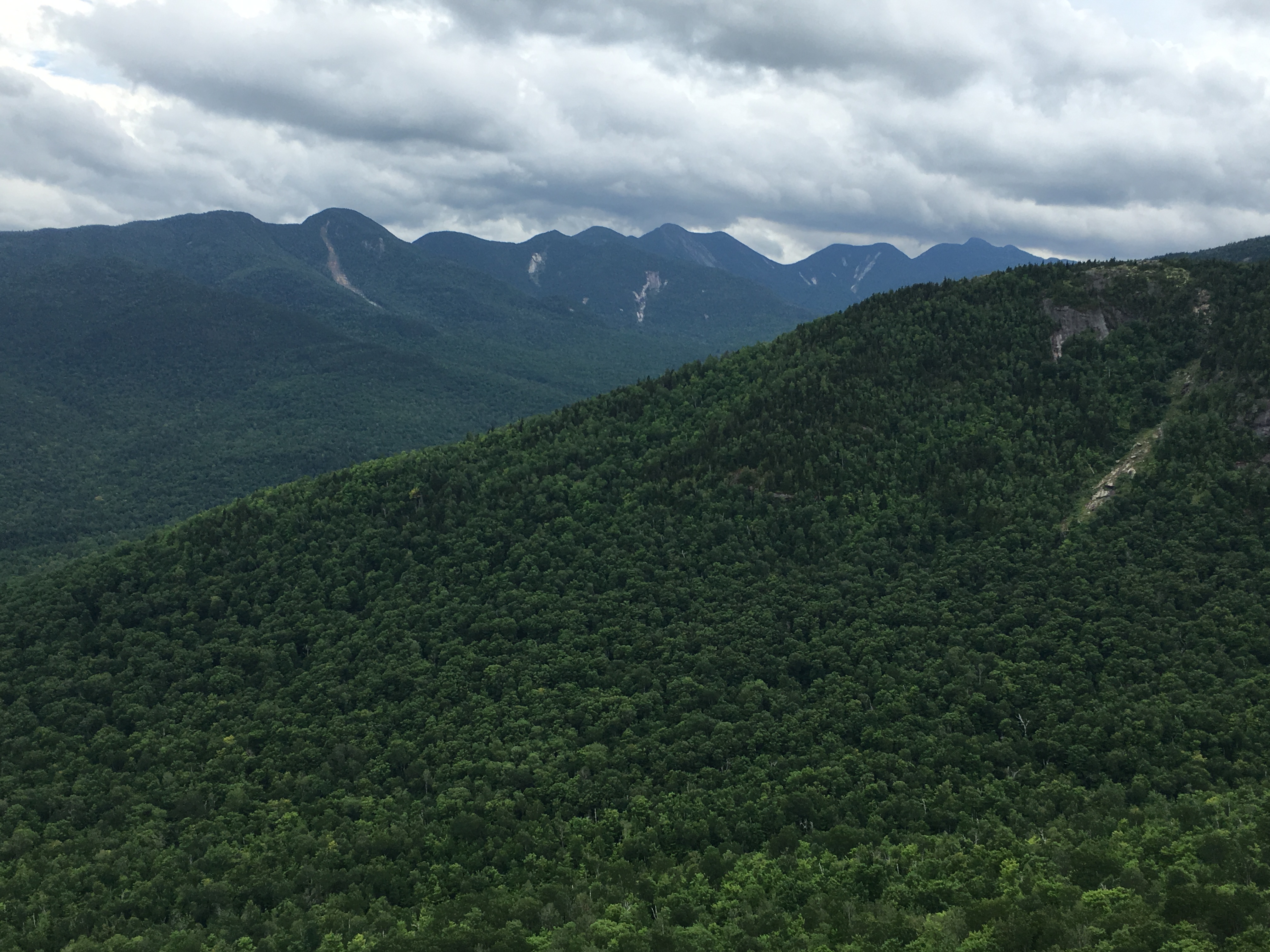
Before too long, I arrive at the lookout just before the wooded true summit of Dial. This gives me fantastic views of the Great Range, and a perfect spot to grab some lunch and enjoy the show.
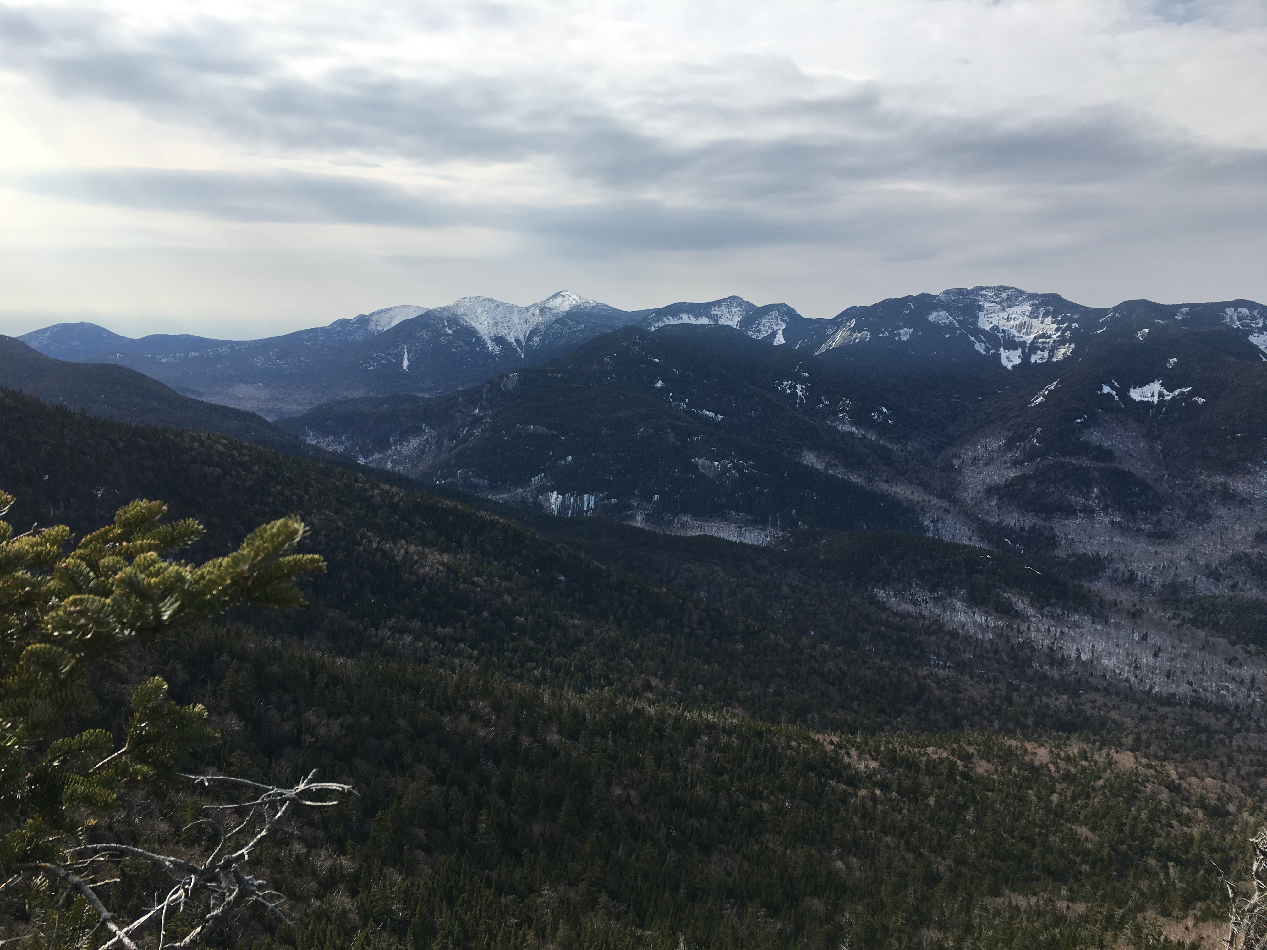
…And Life is good!
 My dessert makes me think “Got Milk?” and if only I were still on Nippletop. Gabe Falker says you can milk anything with nipples! Well, I guess hot (or luke warm) Cocoa will have to do.
After a good long break, I tear myself away from the main attraction to put on some more miles. Next stop Bear Den and then over a portion of Noonmark mountain.
(Click here for video of Dial outlook)
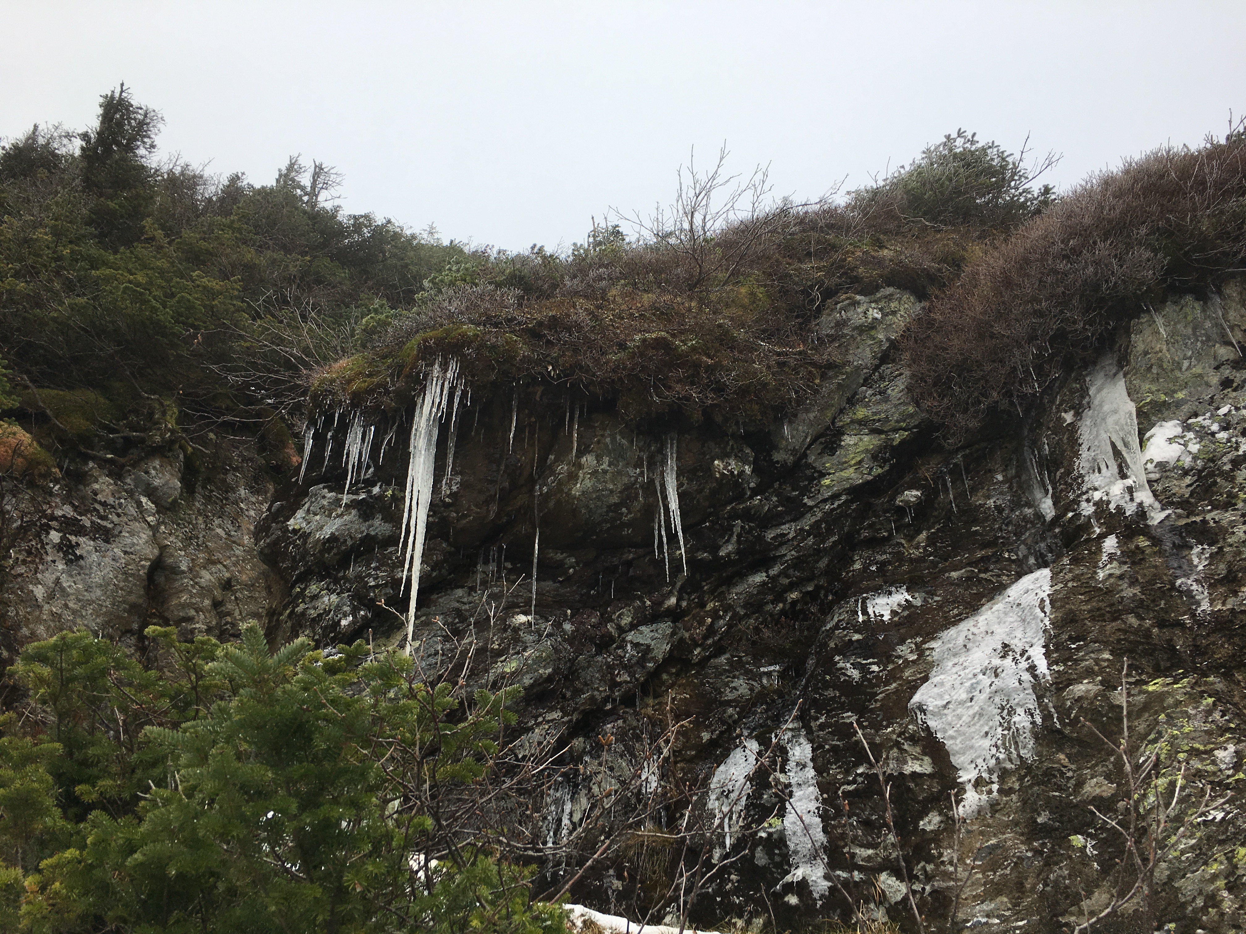
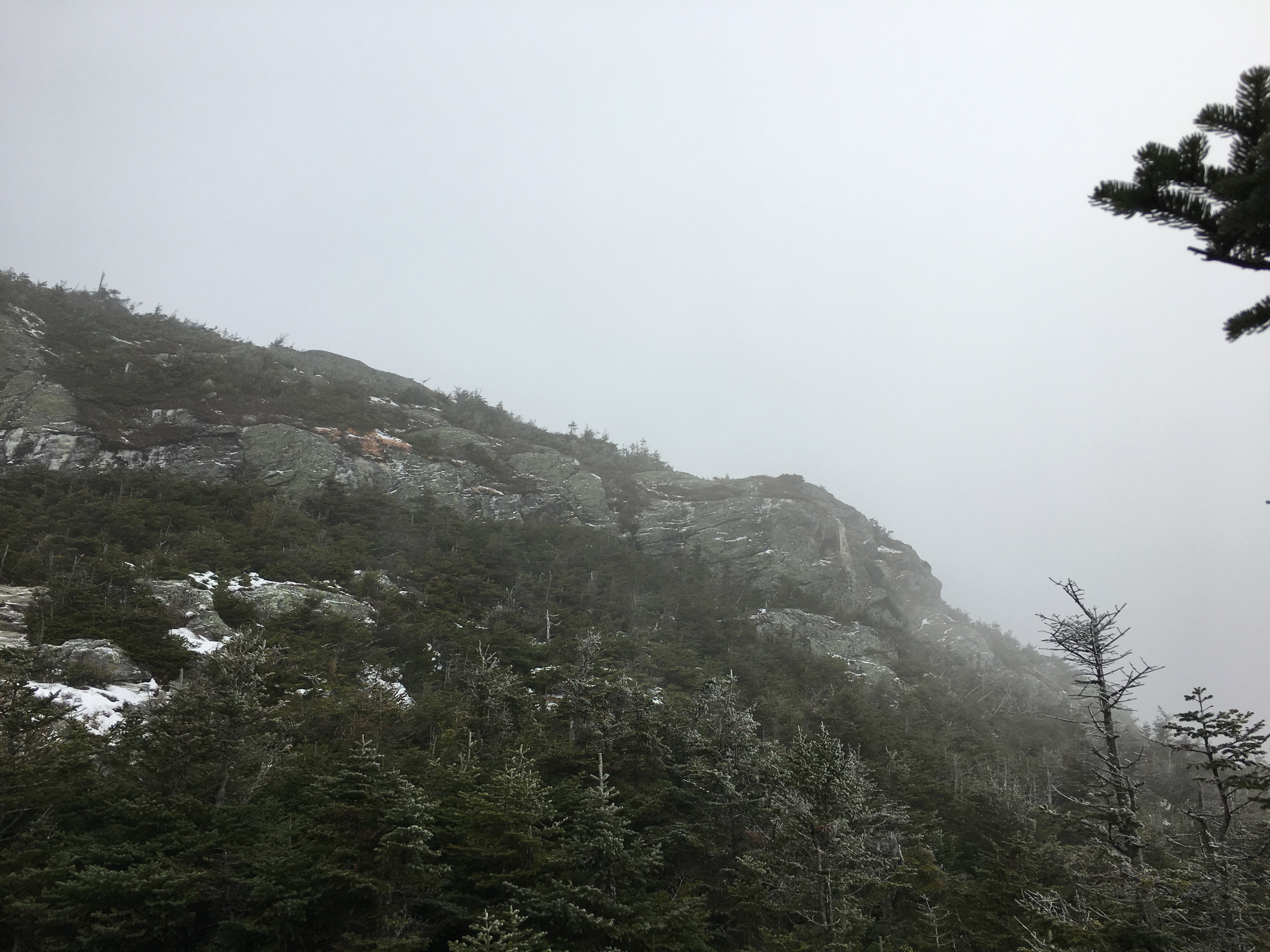
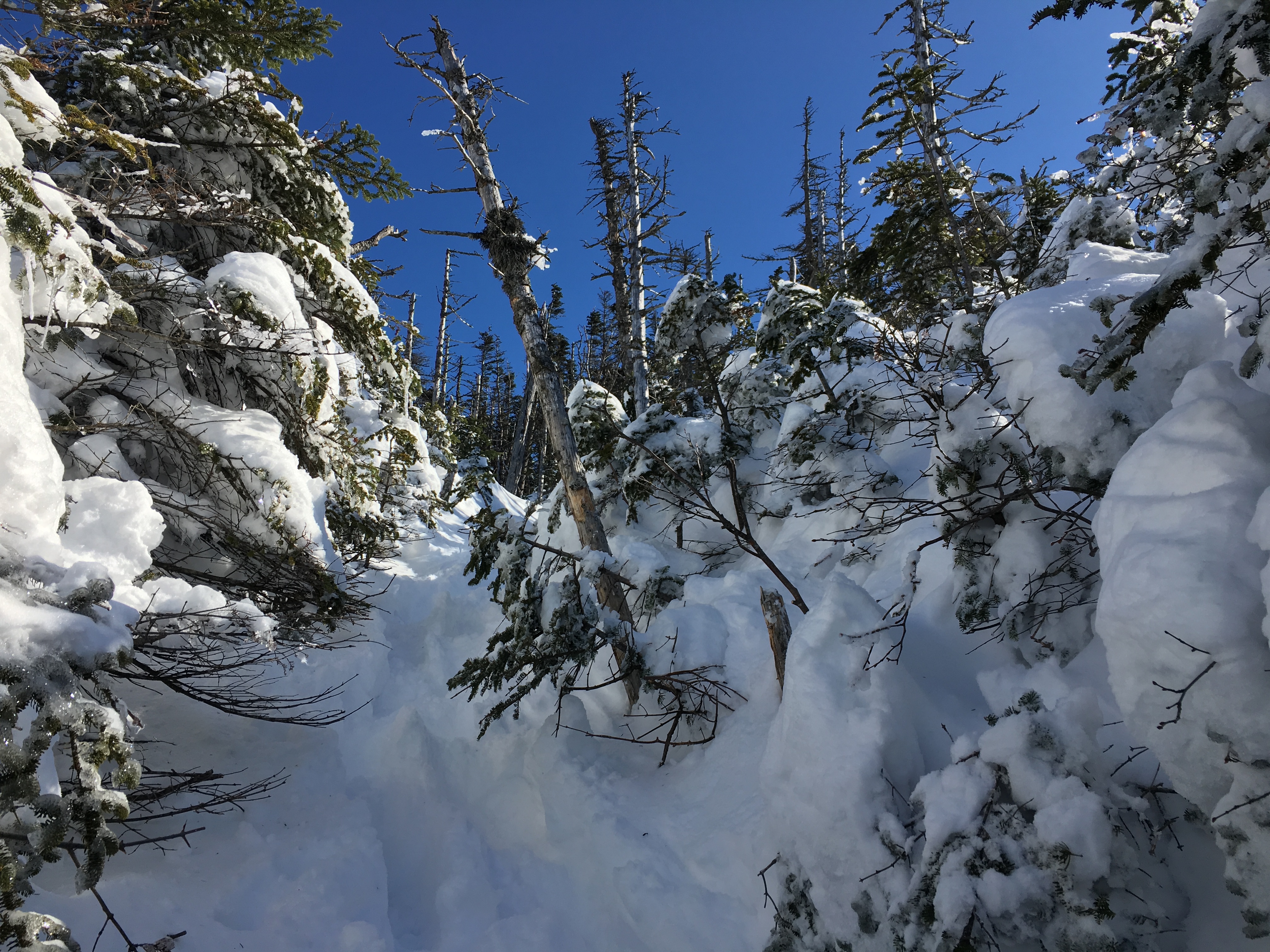
Bear Den was nothing spectacular but the mood gets a bit eery as I make my way through the scorched forest with the scronnie trees of the 2nd growth leading up to the shoulder of Noonmark, which suffered the effects of a big fire years ago leaving bare rock ledges. A recipe for more great views!
Kinda Spooky here.
But Plenty of views through the dwarfed growth.

Going on 8 hours now and feeling good. Its all downhill from here.
Spikes served me well the whole way. Looks like the snowshoes had a free ride today!
 After some crazy downhill trotting, made it back to the road before dark. Then another hour back to the car and I’m ready for the 4.5 hour drive home after some clean clothes and a stop for a bacon burger. BEST MONDAY EVER!! Much better than sitting in my cubicle battling the office chaos! Thank You so much once again, you beautiful wonderful mountains! Can’t wait to return!
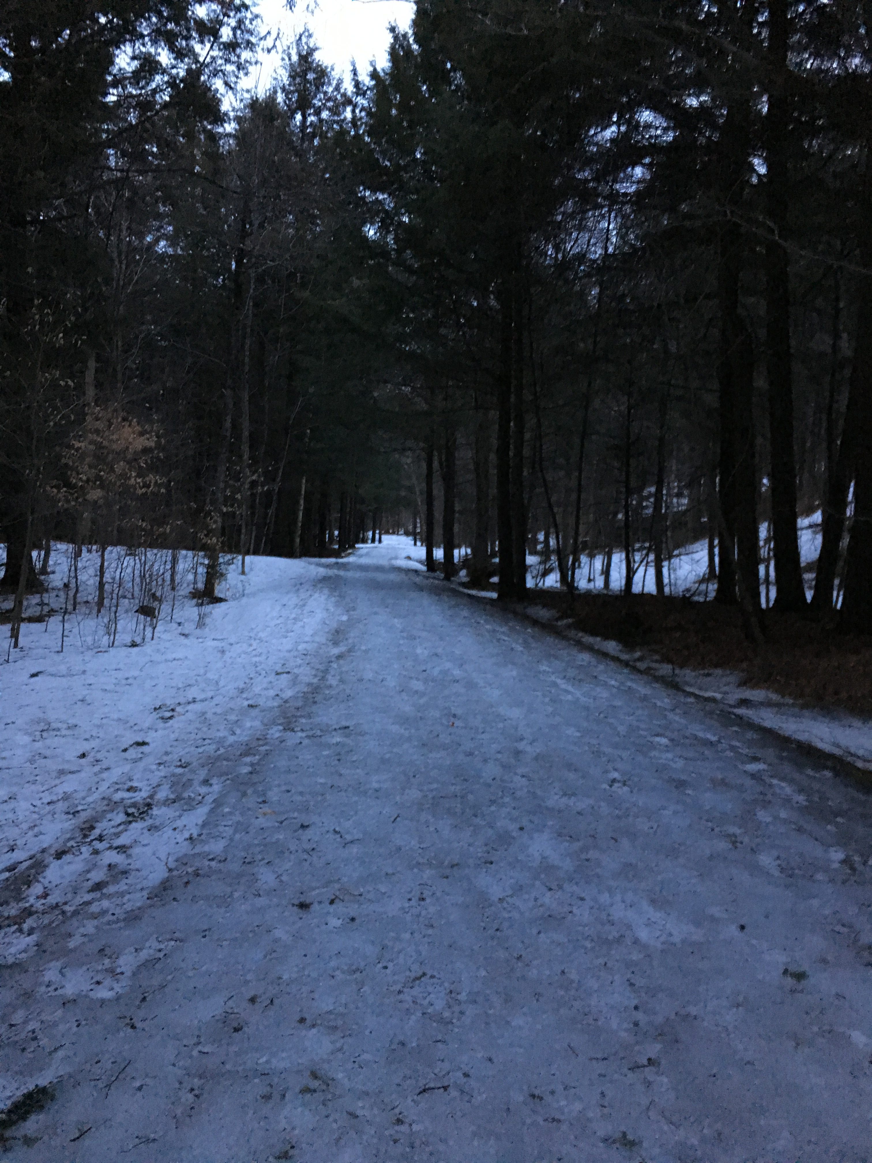
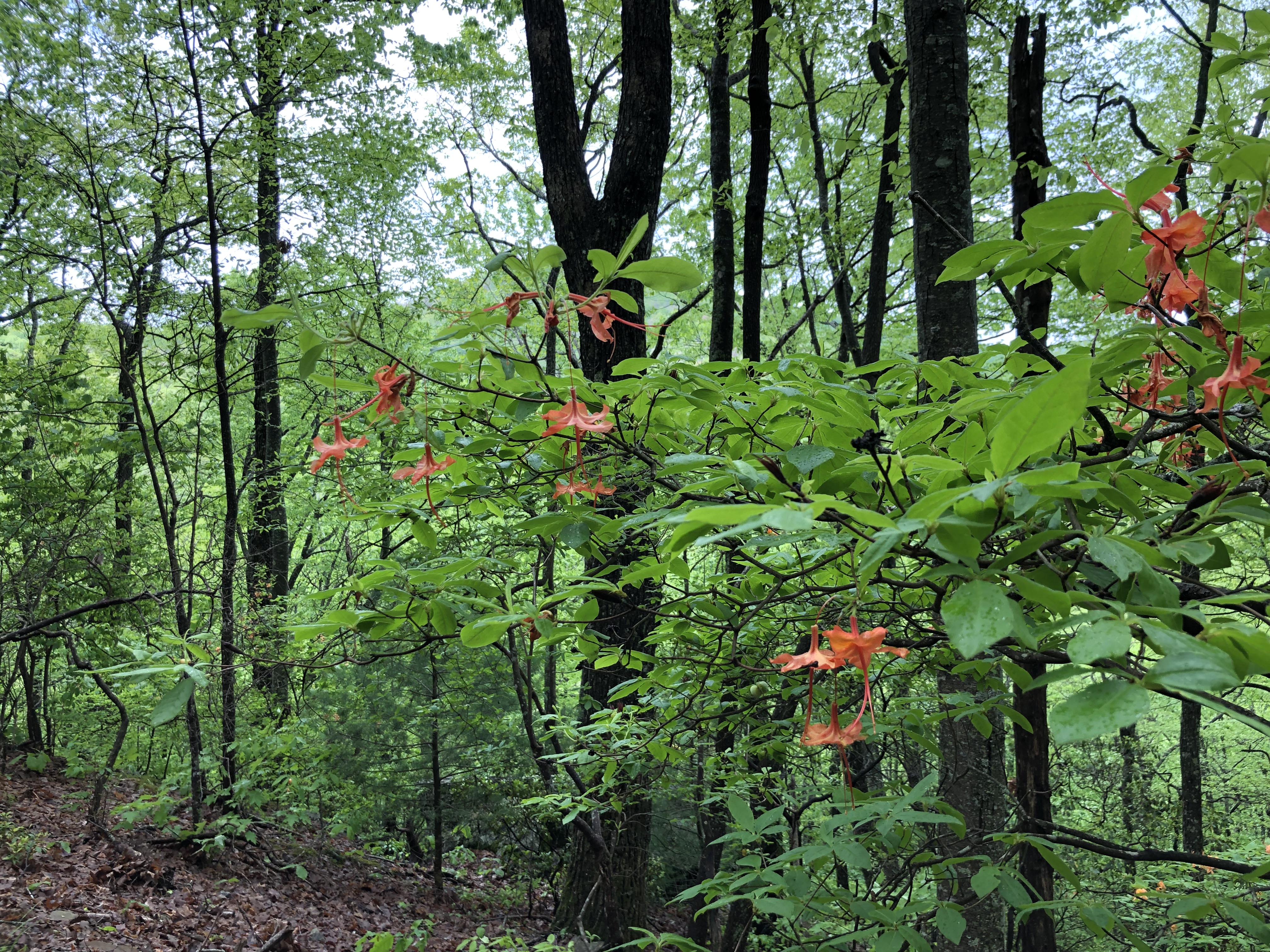
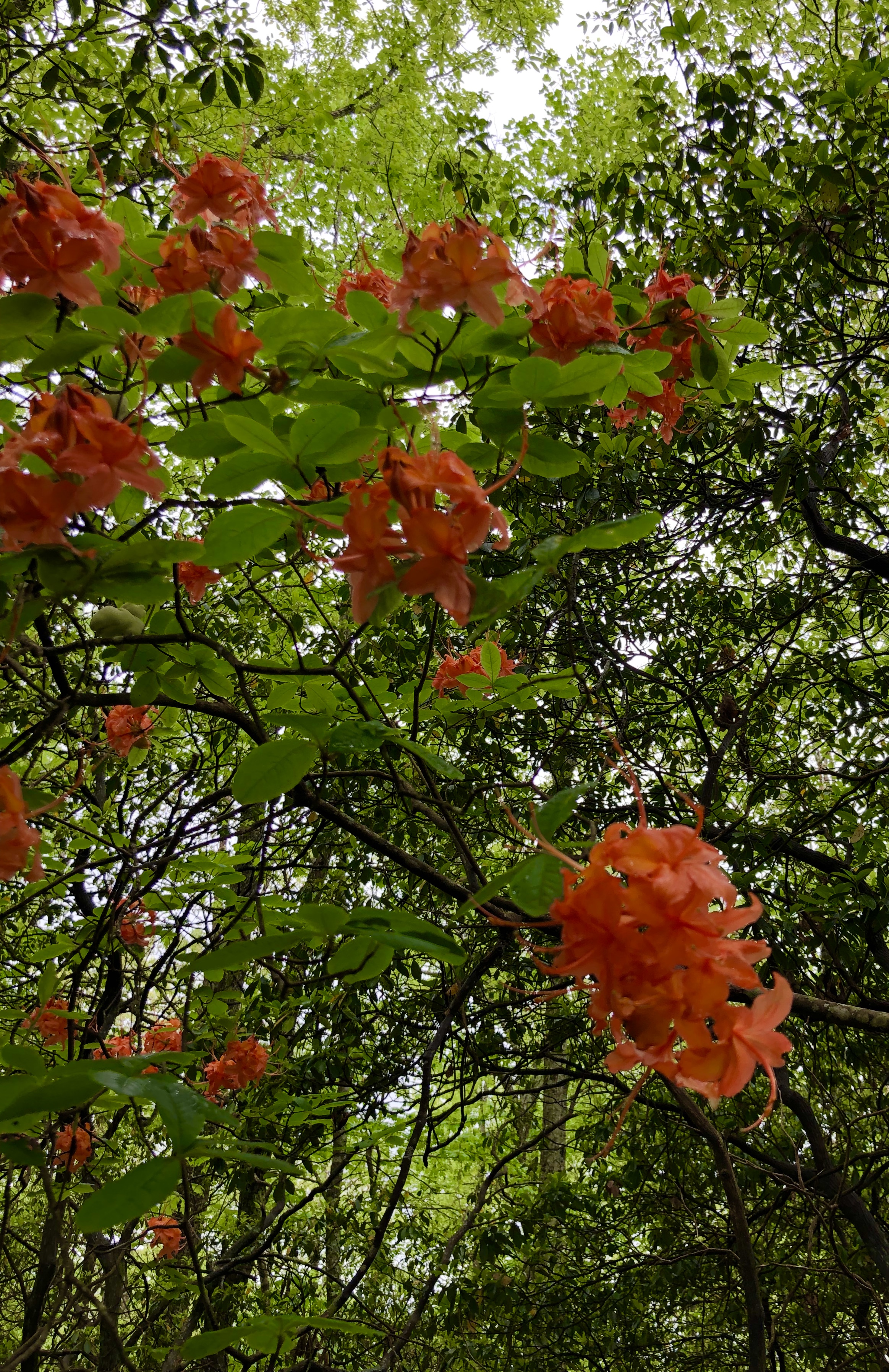
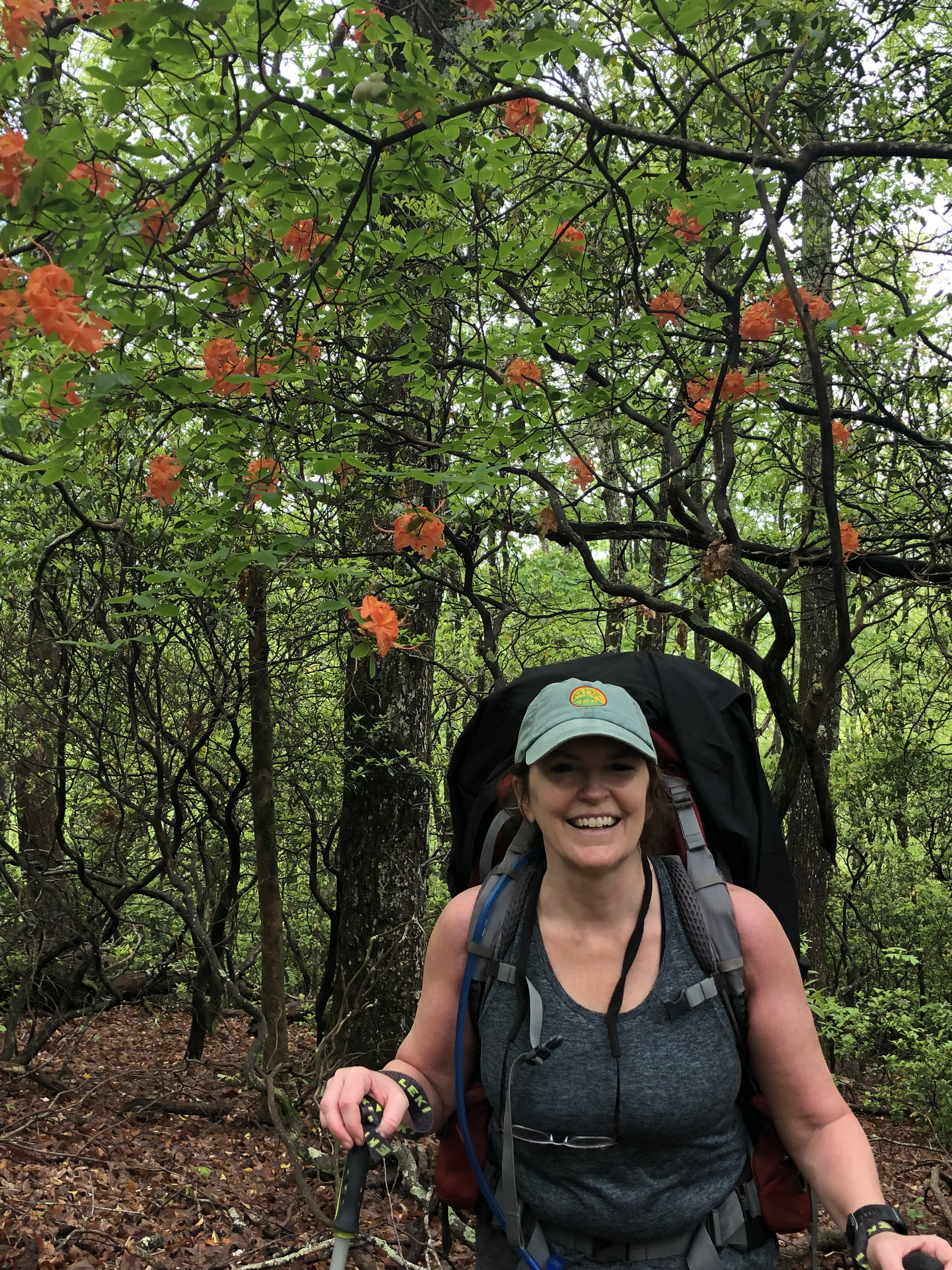
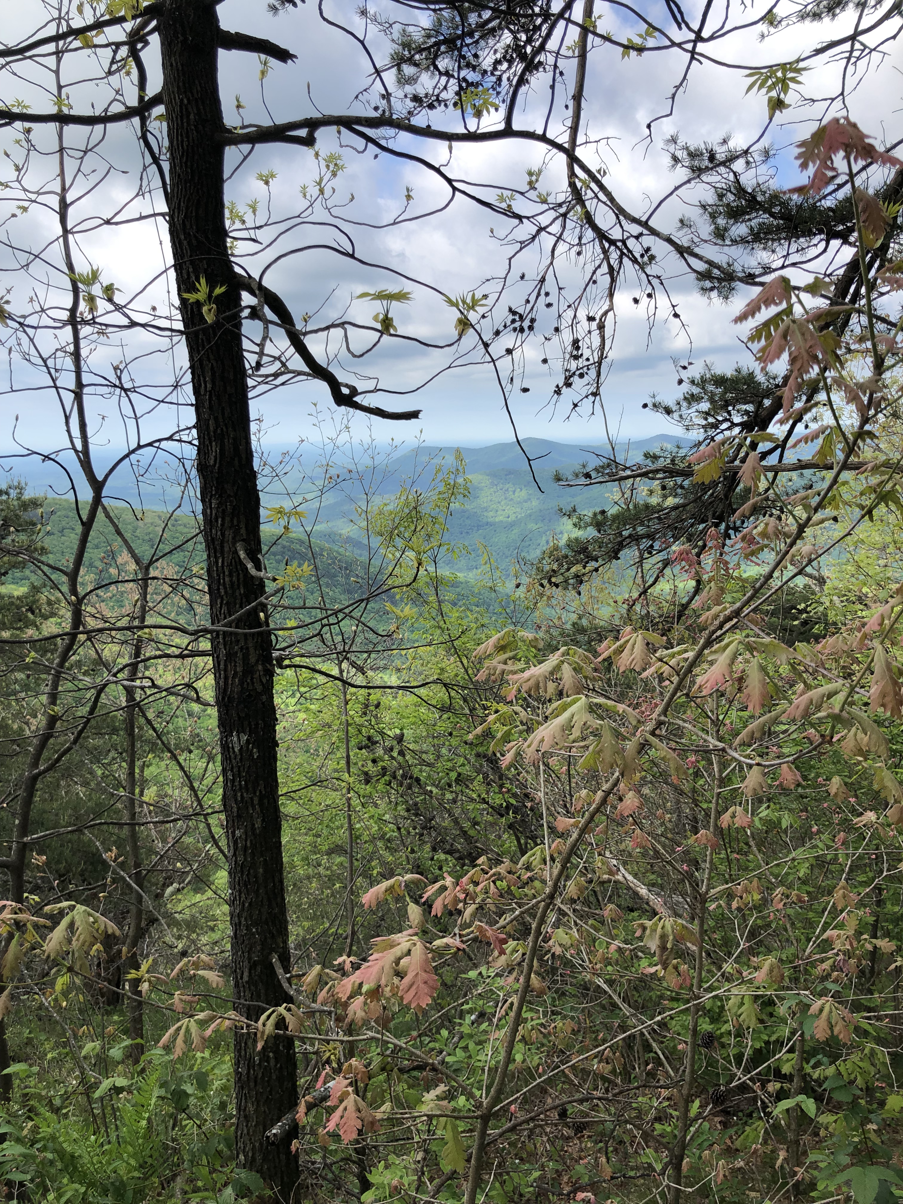
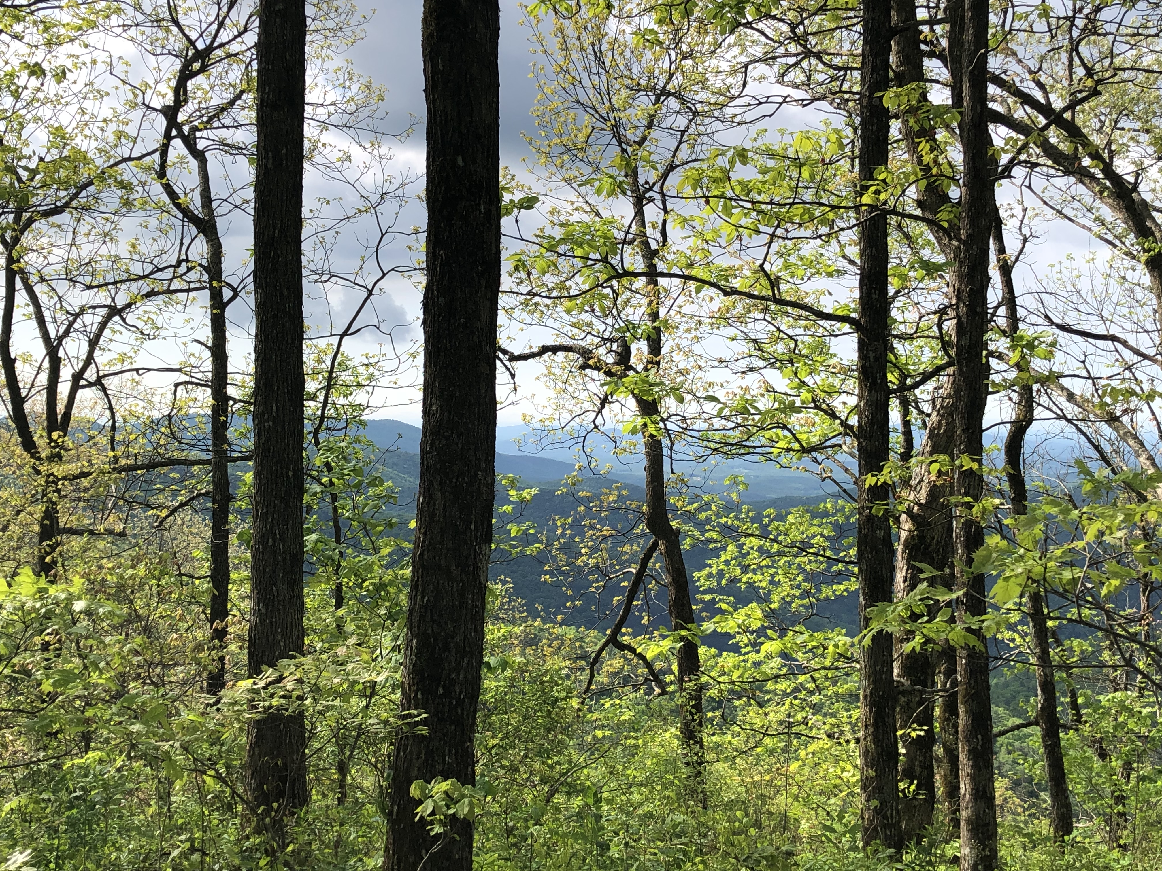
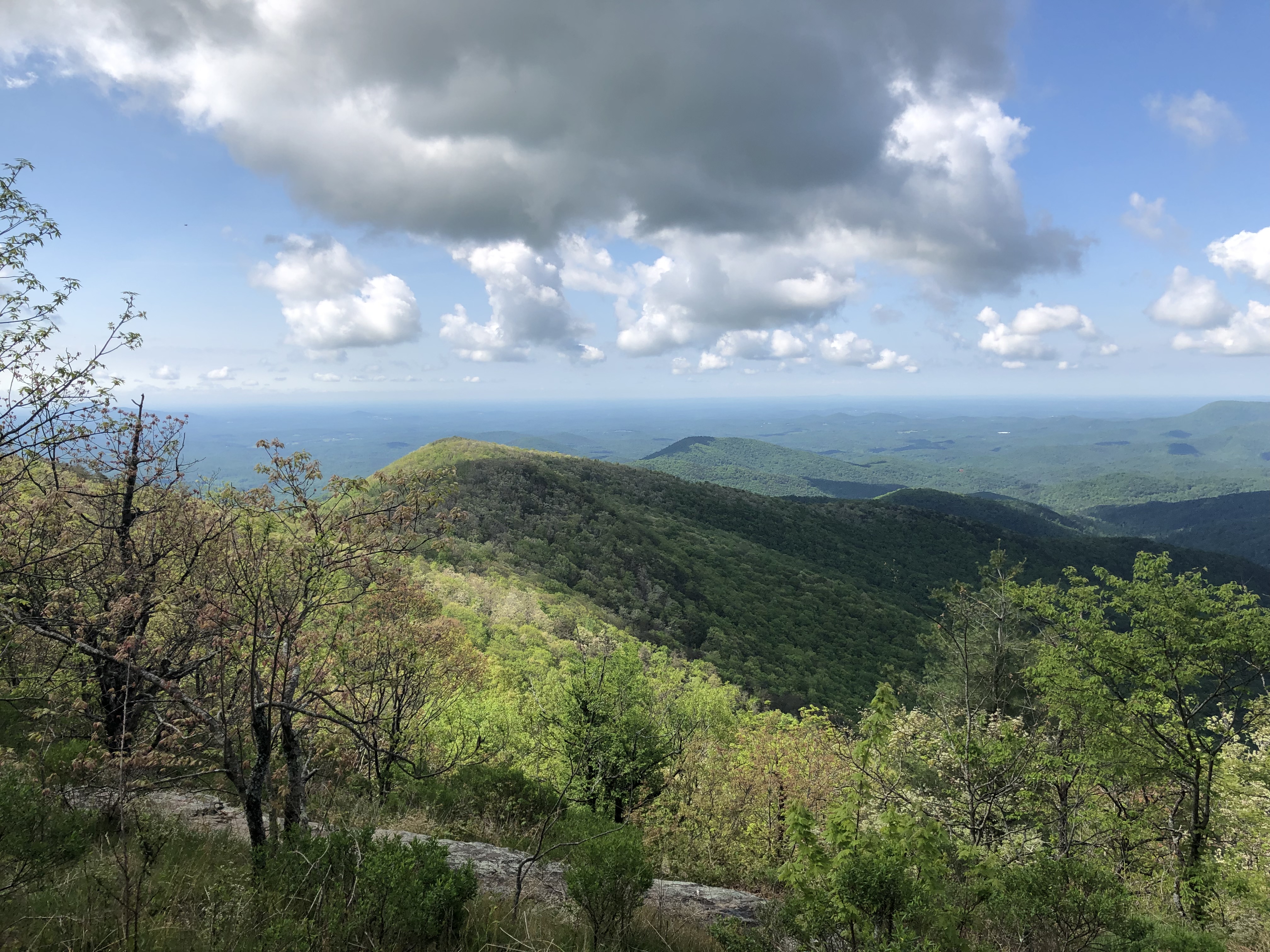
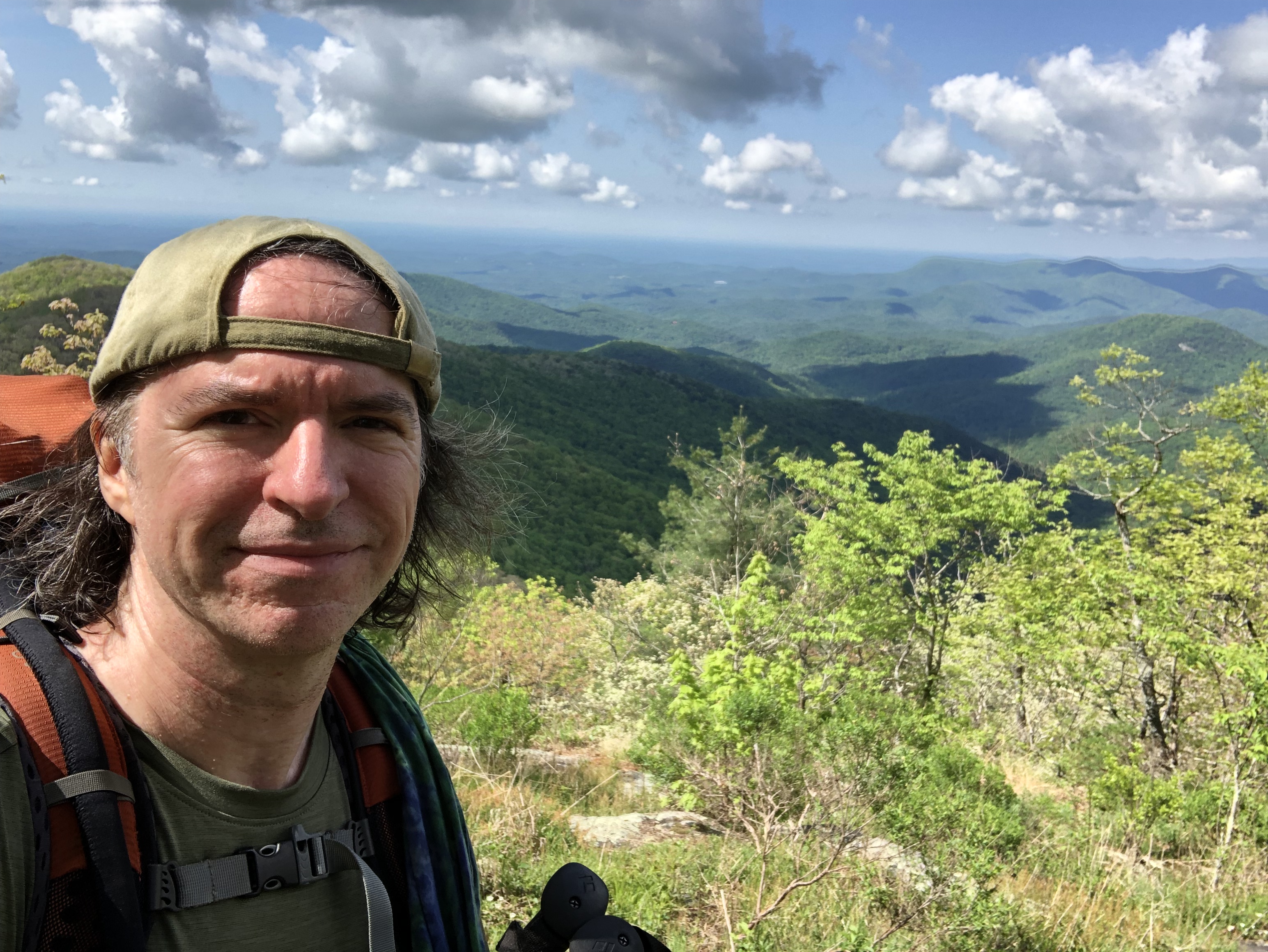
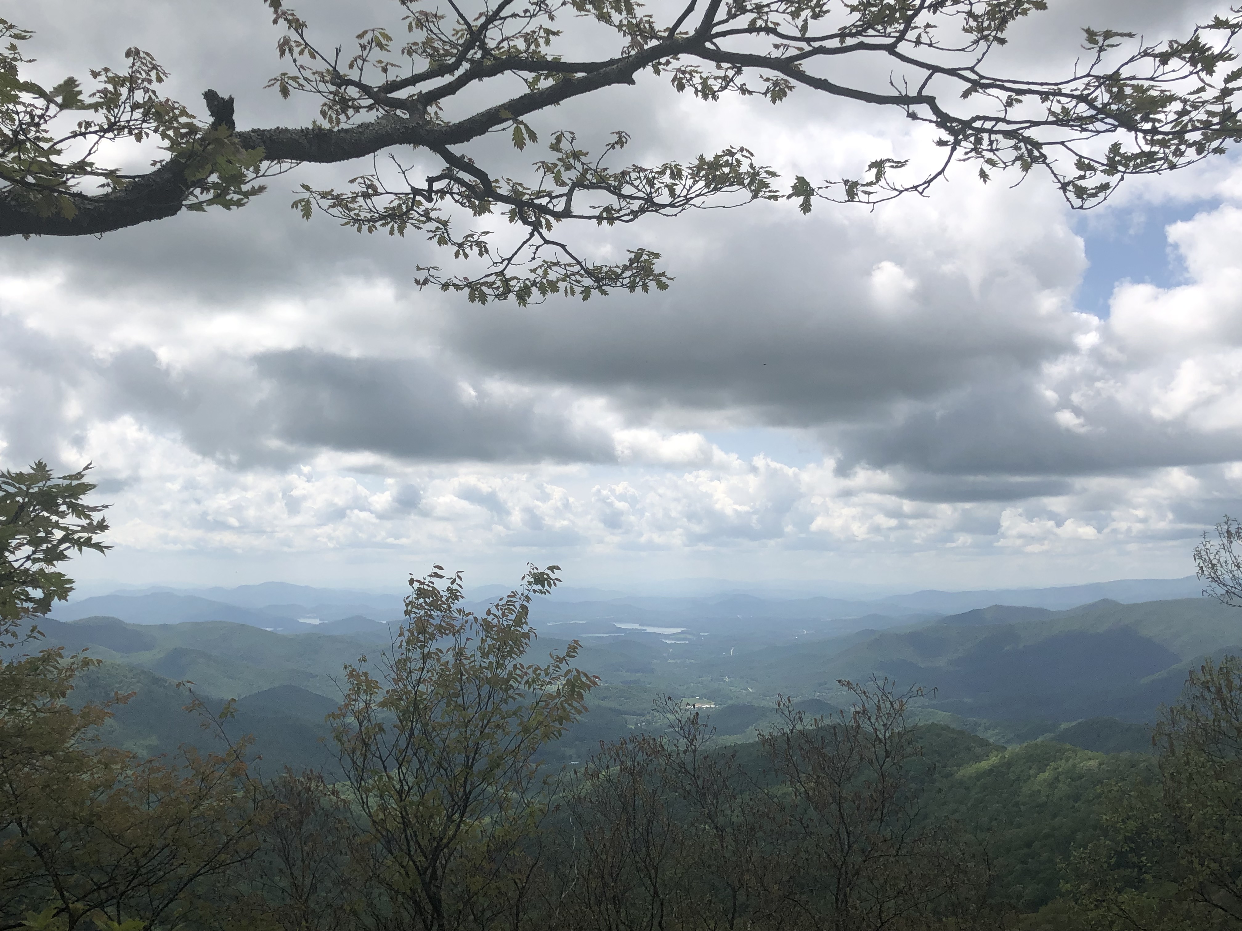
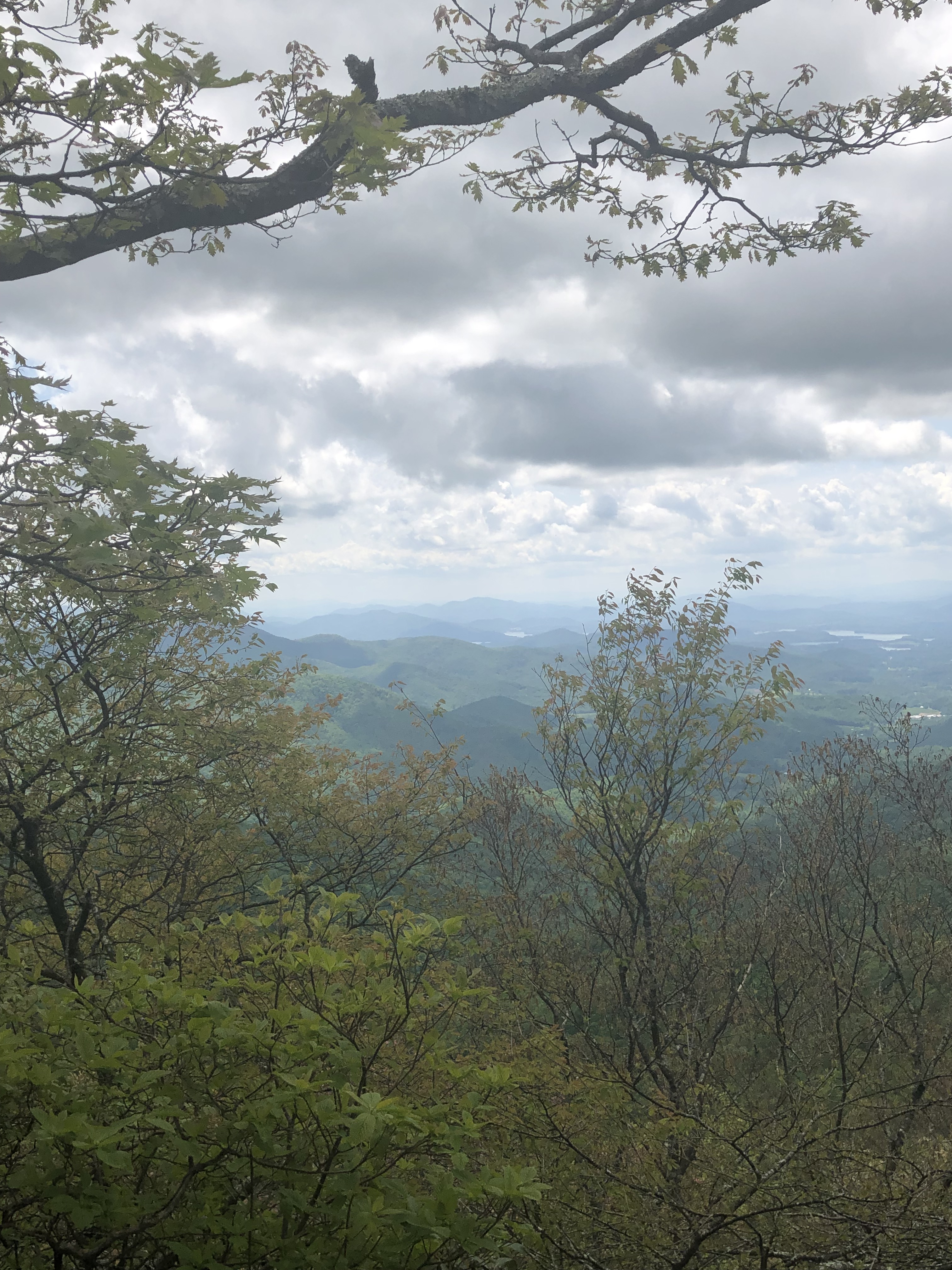
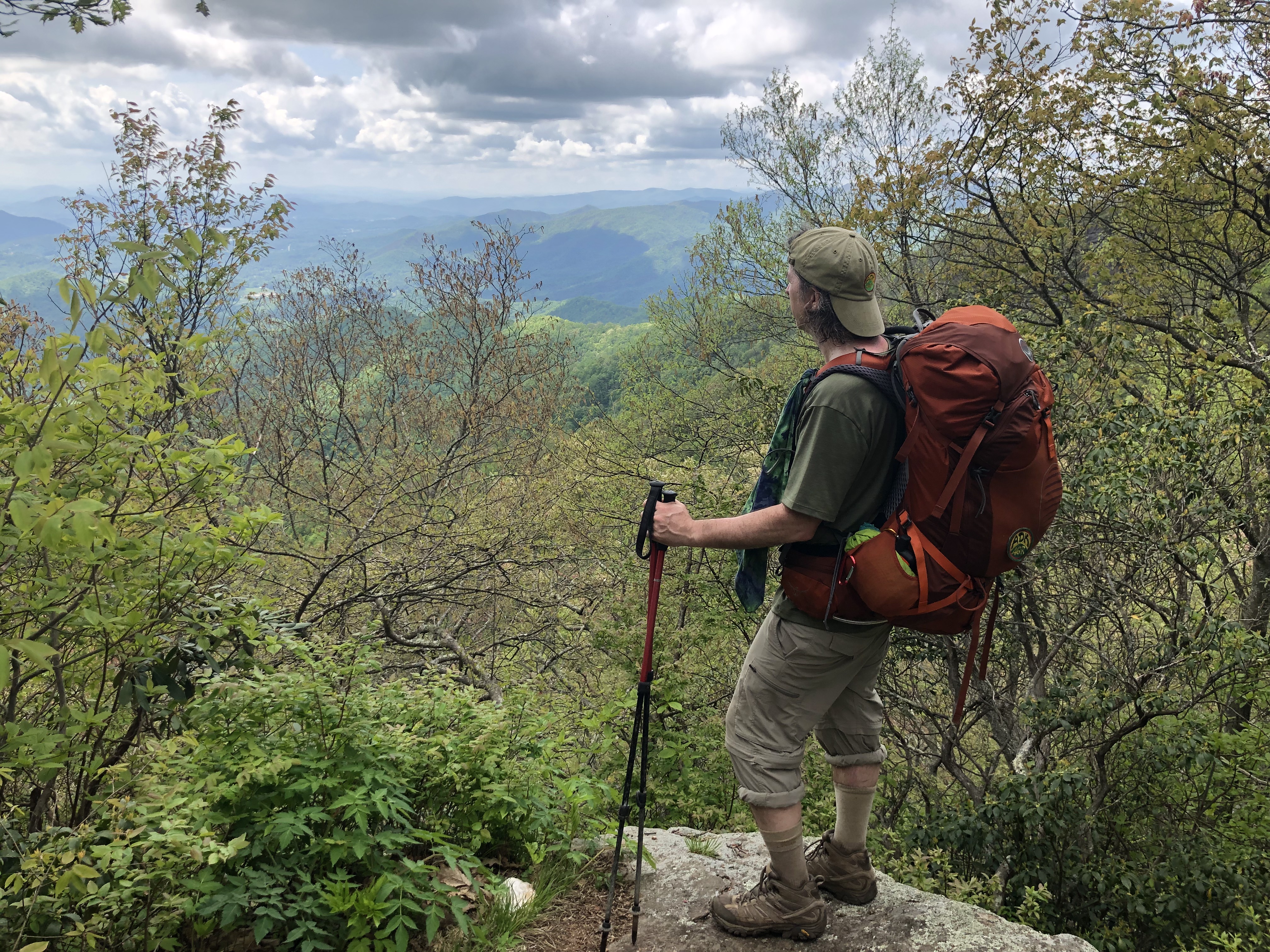
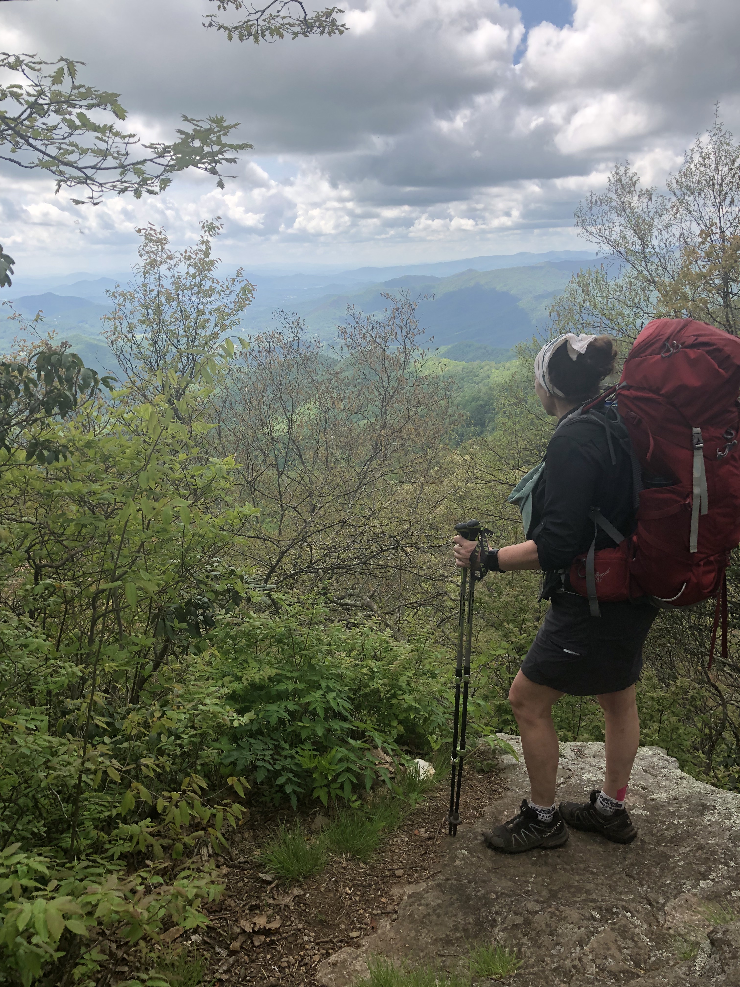
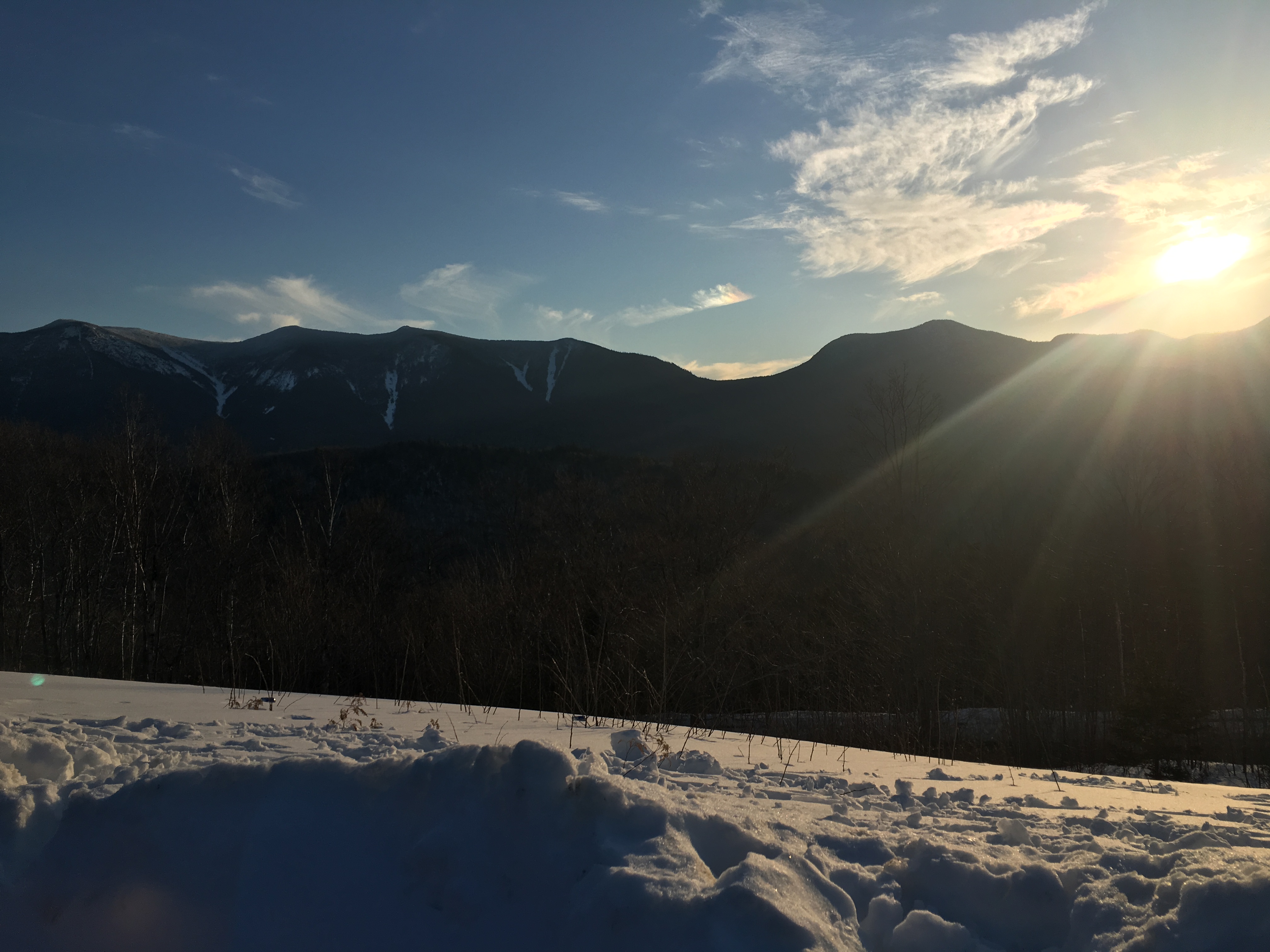
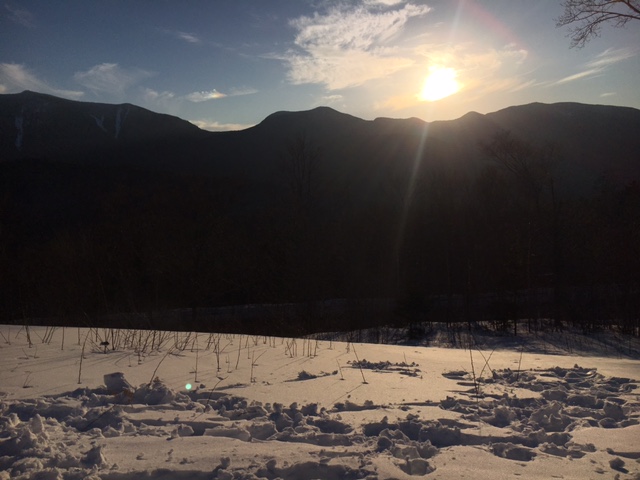
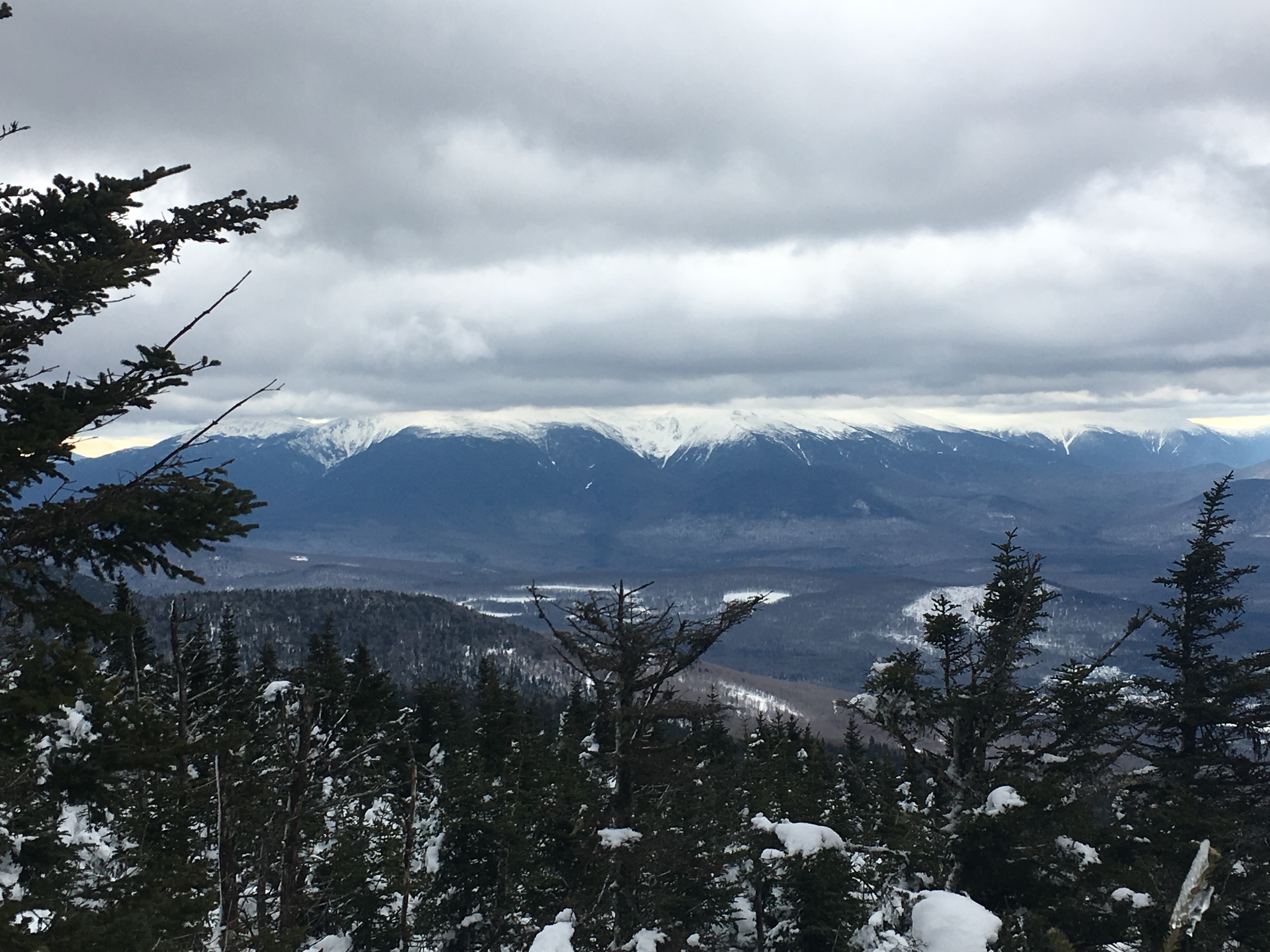
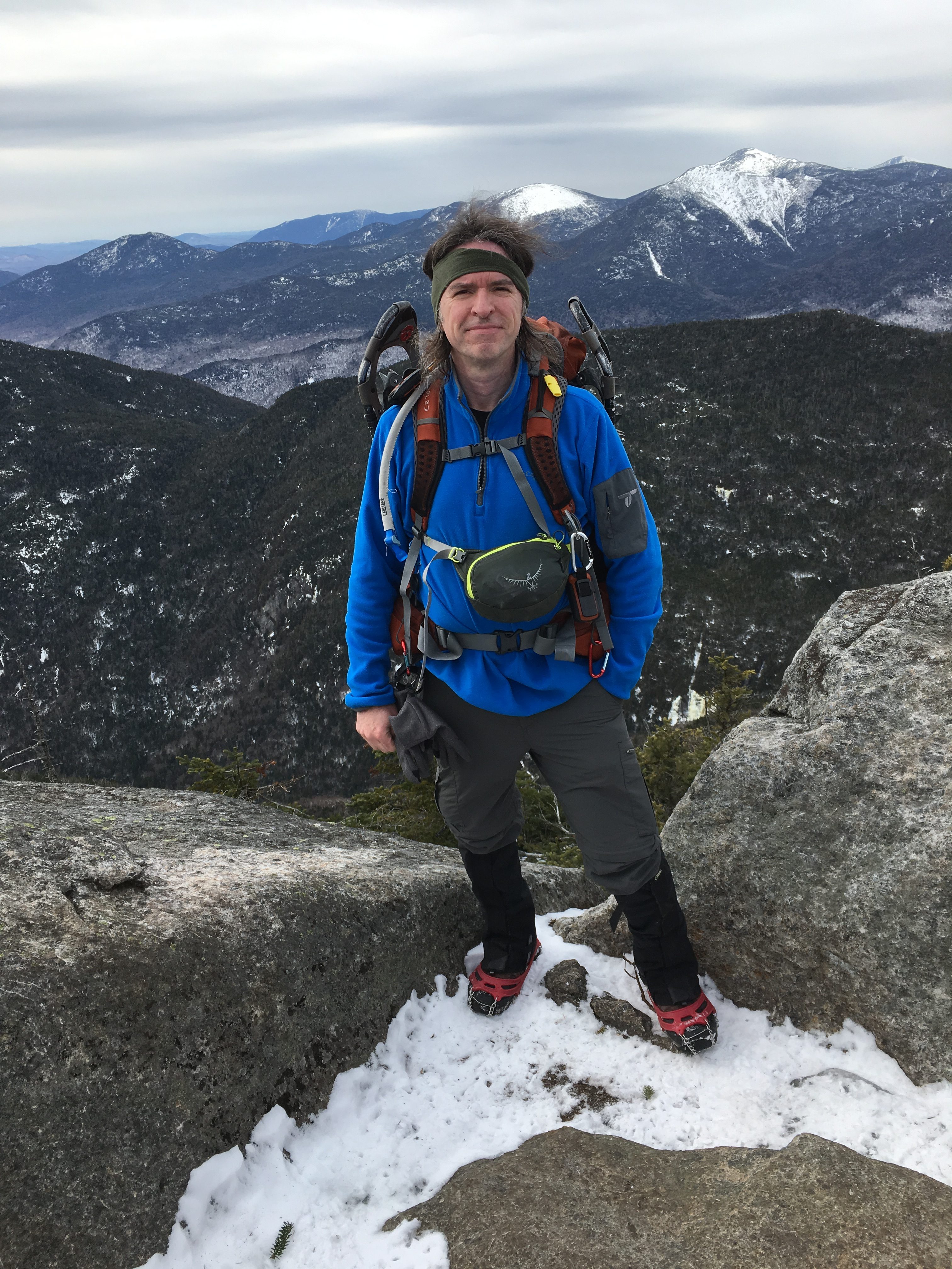
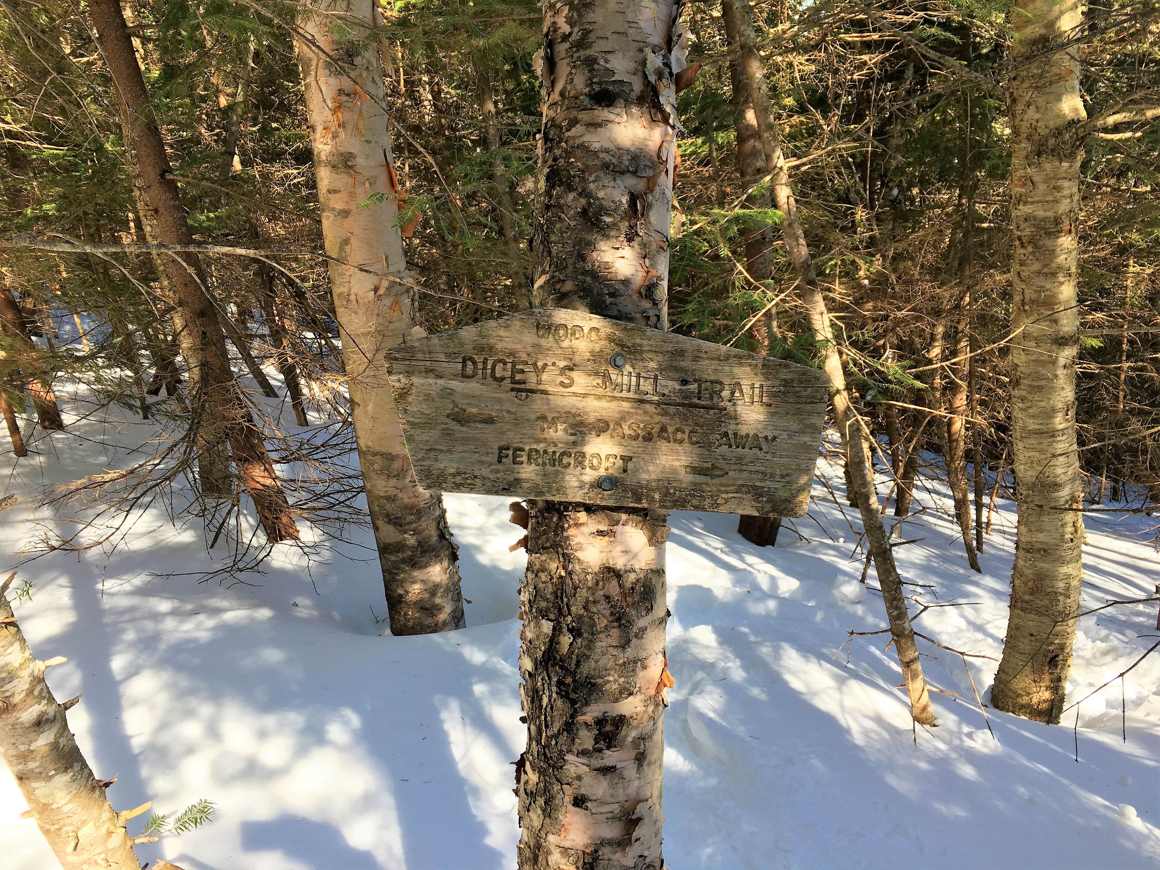
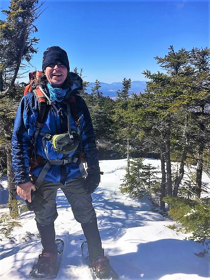
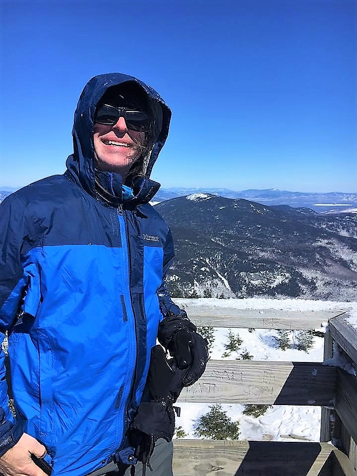
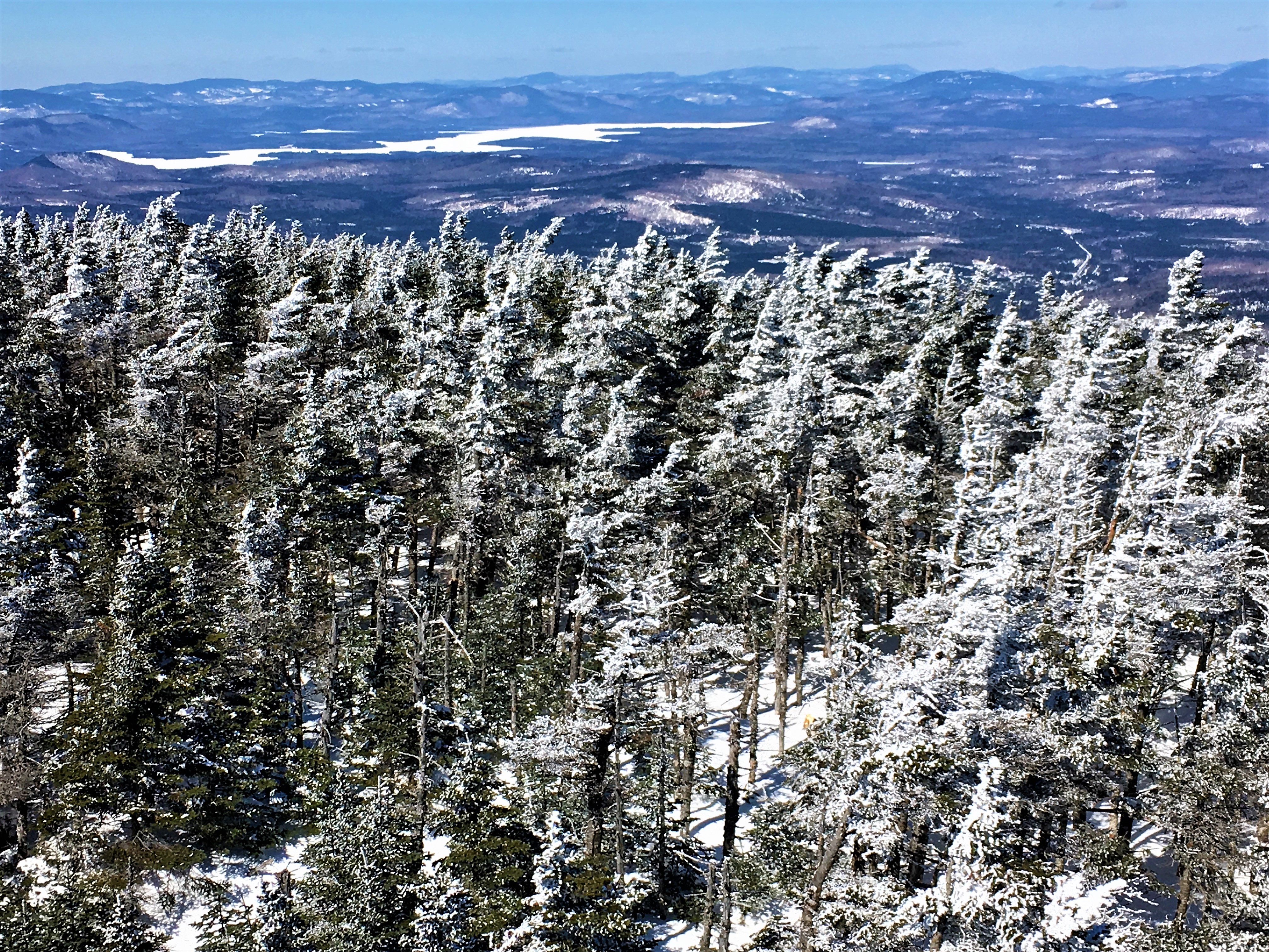
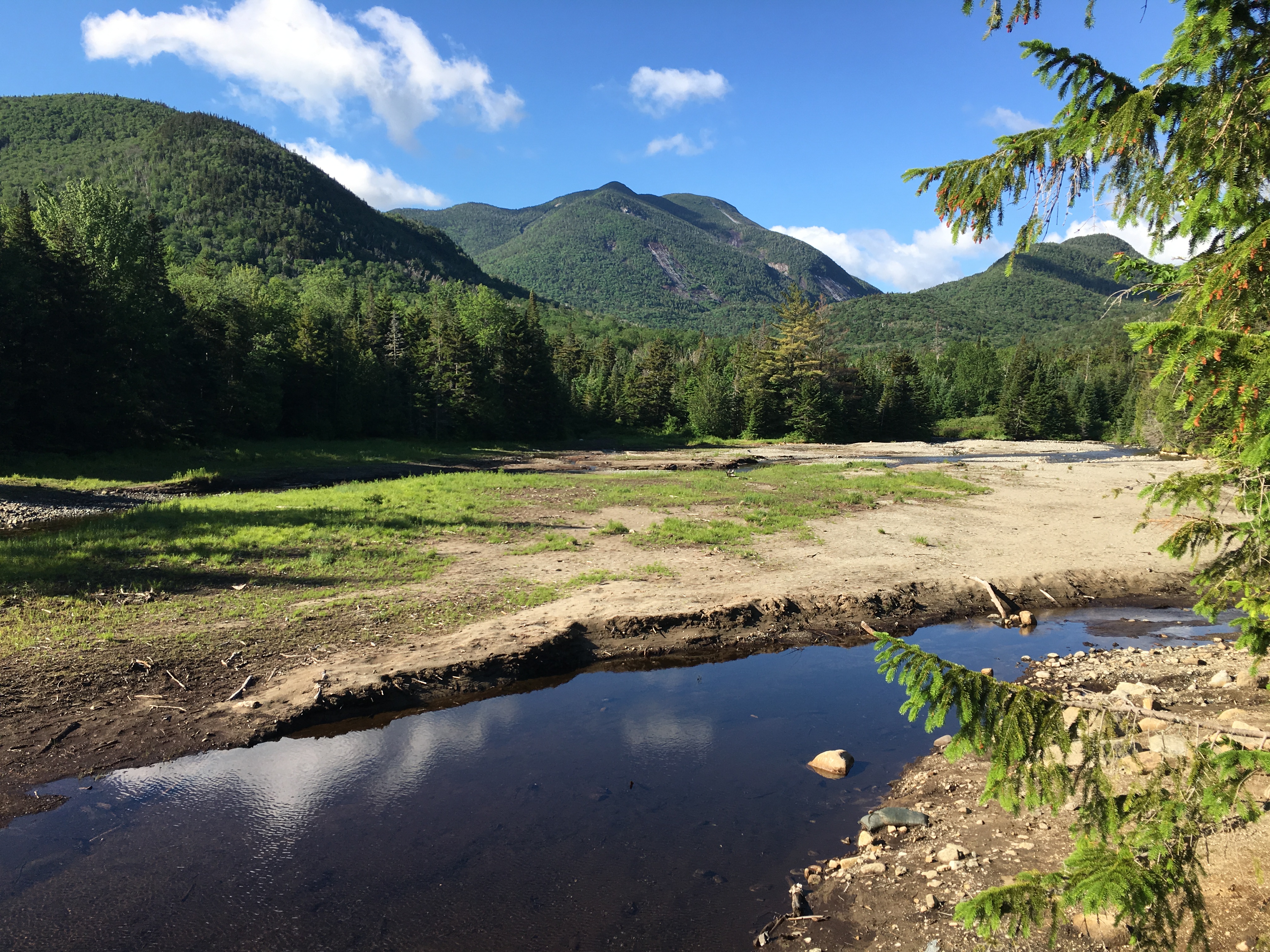
…And Winter 2017 comes to a close (Whiteface/Passaconaway 3/19)
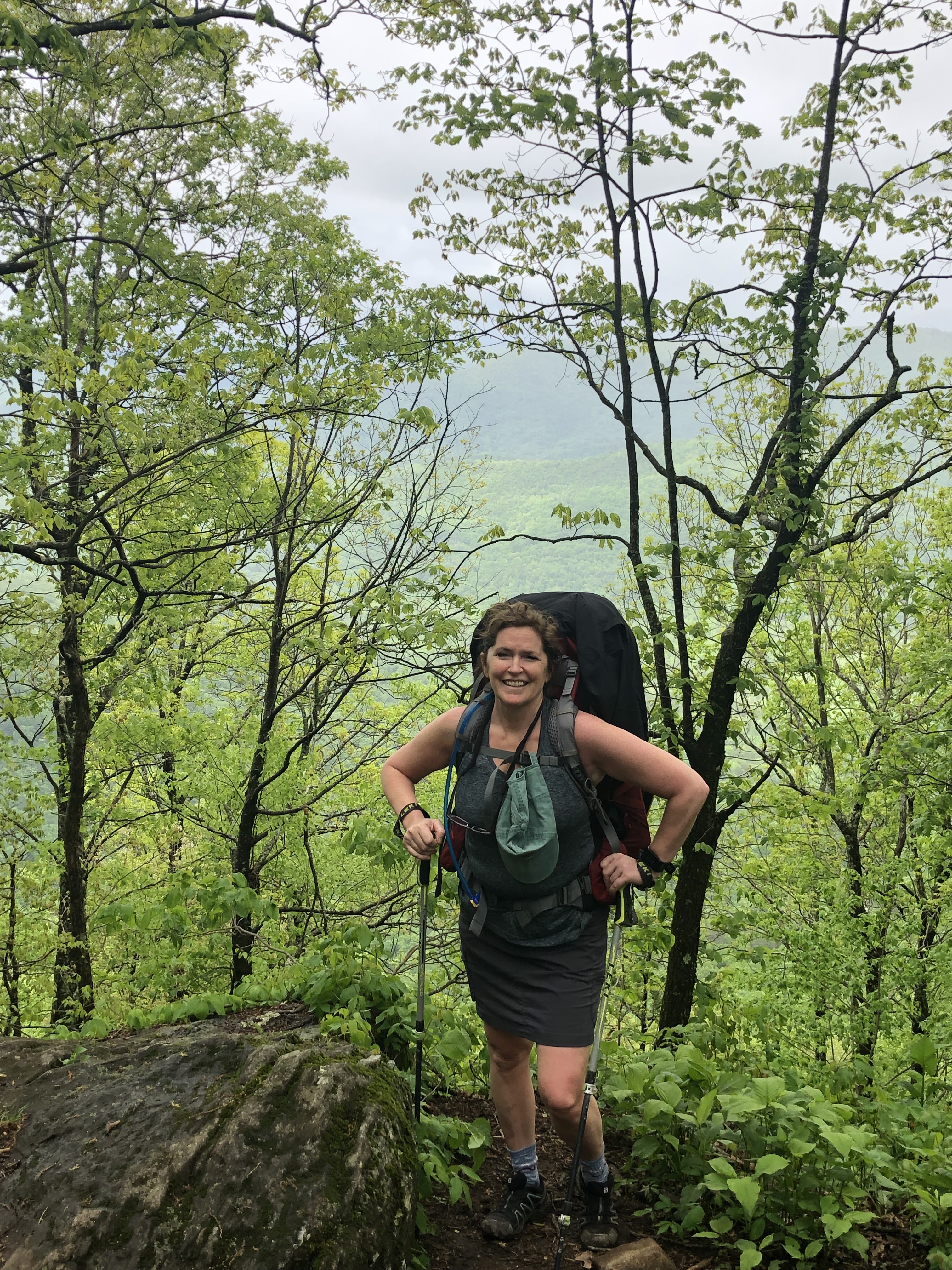
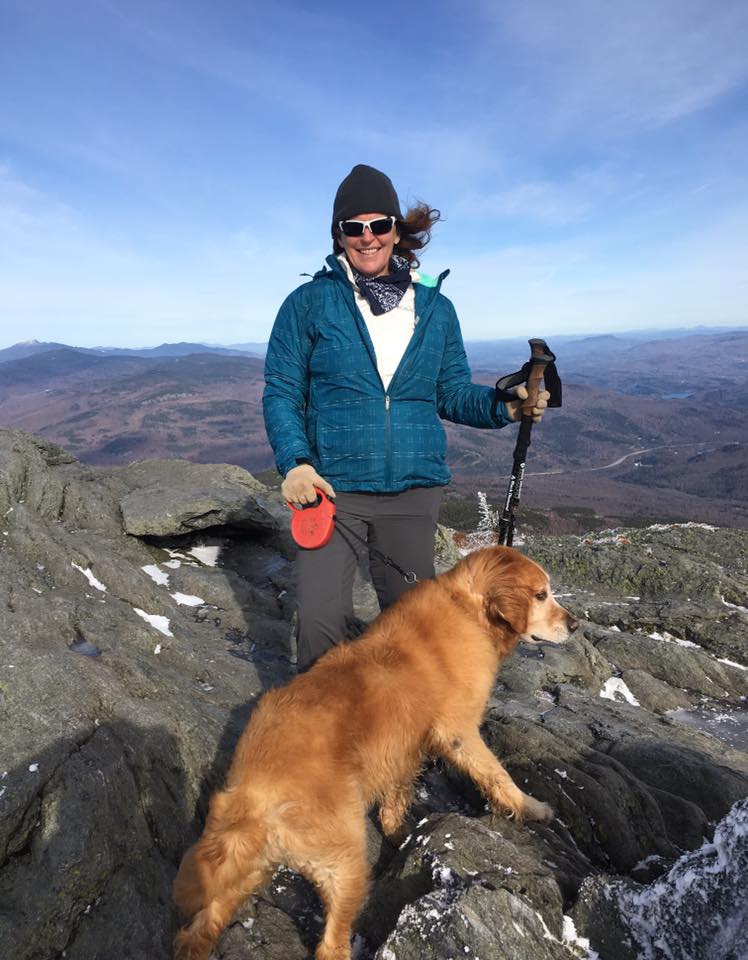
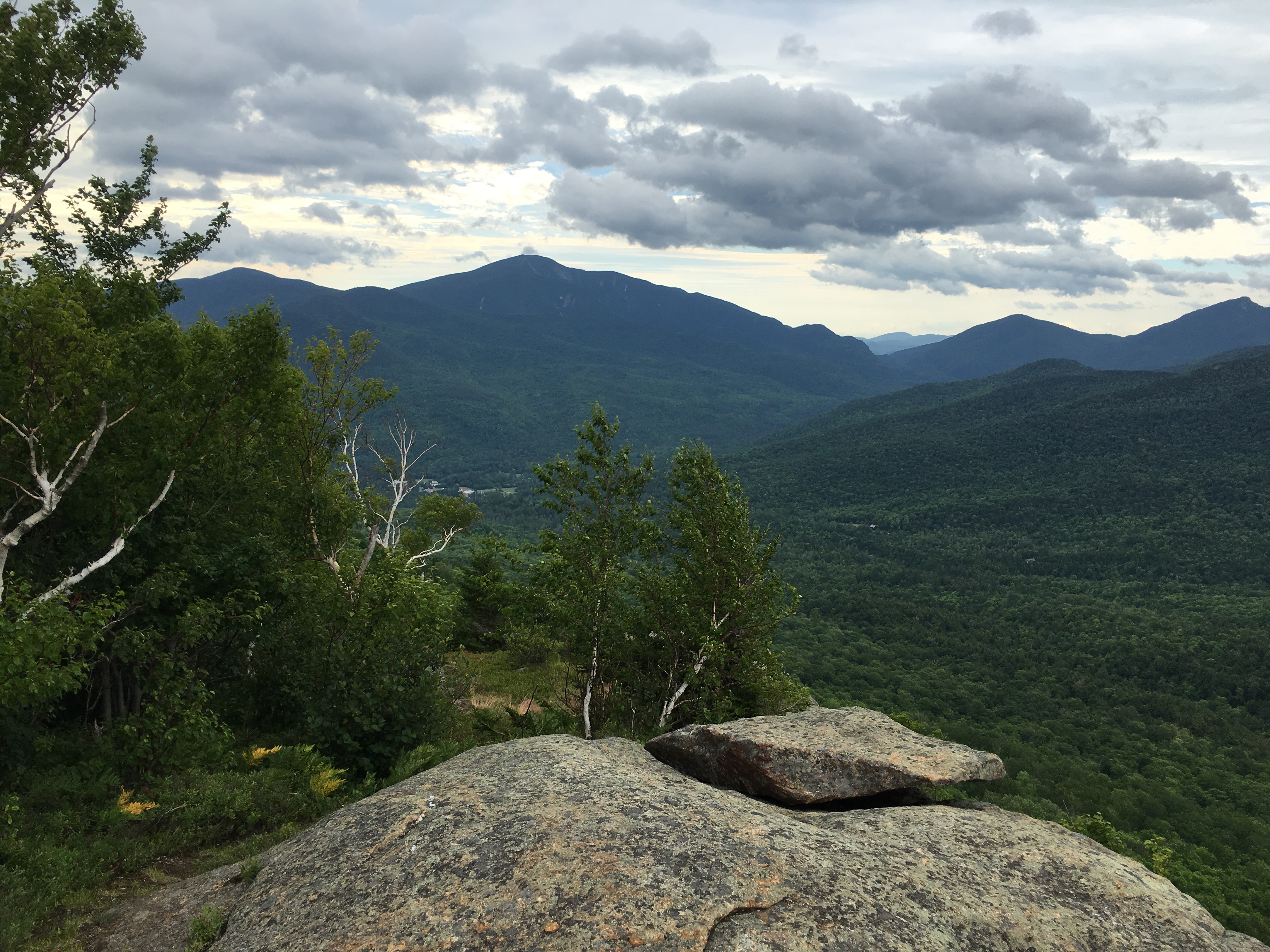
The final day of winter brought me back to the New Hampshire. It was great to celebrate the closing of another amazing winter in the place where my winter hiking began – my Whites. A 10.5 mile loop over Whitefaace and Passaconaway gives me a fresh perspective on this area that was bursting with spring life my last time around. I thought about how the snow-fall season has added so much to my love of hiking and the mountains, and how each year gets better than the last, and teaches me new lessons and brings new gifts. I think back at this season in particular and the wide variety it brought, from a never-ending death march testing my limits to short carefree easy days, from peaceful solitude to laughter and sharing, from the Berkshires in Mass, to the Catskills and Adirondack in NY, to the Whites in NH, to the Greens in VT, and now in a few days plans to meet up in Maine with the other set of footsteps I have counted on so much lately, my sister and hiking buddy. She is taking another trek today with a group of friends in the Daks to tag Street and Nye. I am thinking of her from time to time, but also enjoying this time with no thoughts at all, just me and the mountains.

…And the sun sets on the last full day of the best winter yet! It’ll be hard to top this one for sure, but I will certainly try like hell in 2018!
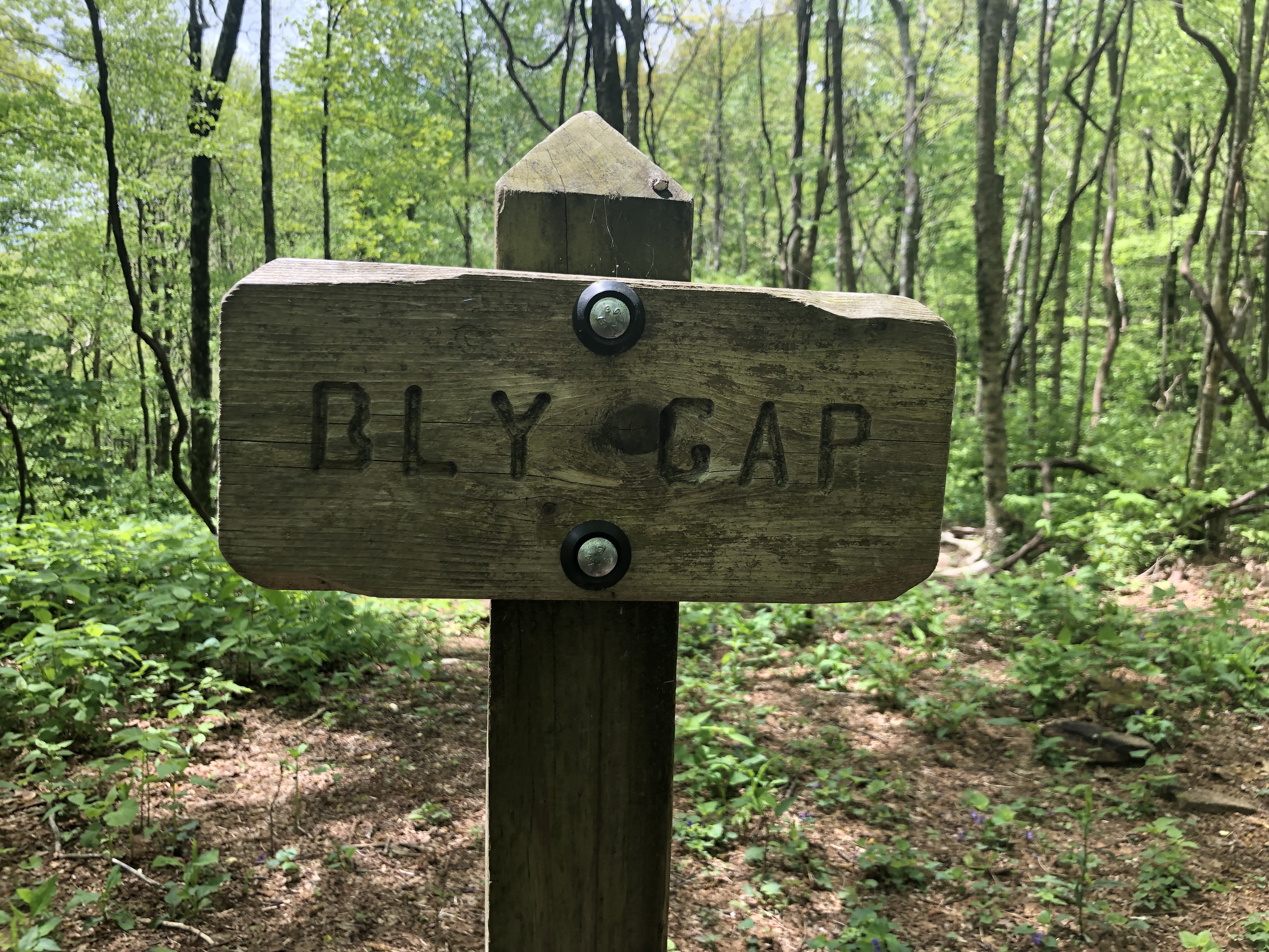
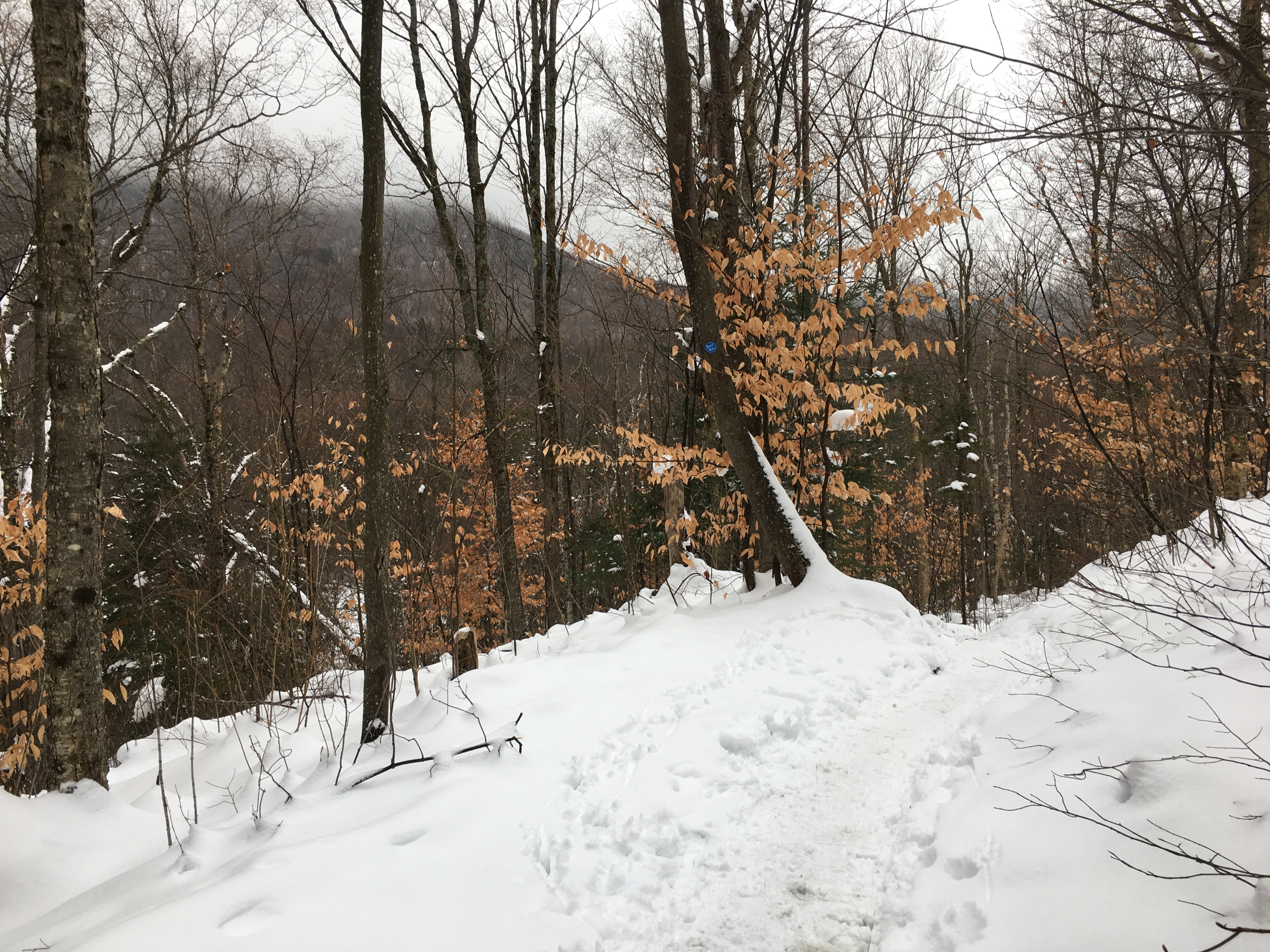
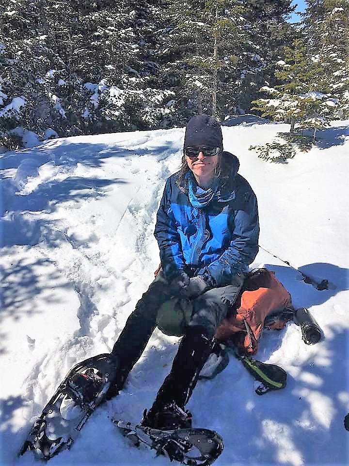
BUT WAIT! Winter might be over but we’ve got one more trick up our sleeve to say farewell to an unforgettable season. With Therese finishing up a business trip in Maine, we met up on a very cold start to Spring’17 to bag our very first Main-er (if that’s even what they call em) – Old Speck. It was the coldest trek of the Winter, even though we were into Spring. But a perfect last hurrah with our snow gear before we went into our Spring hiatus waiting to transition into what would be an amazing summer in the Adirondacks to finish our 46-er quest! But we’ll be back next year to play in the snow again!

Adirondack High Peaks
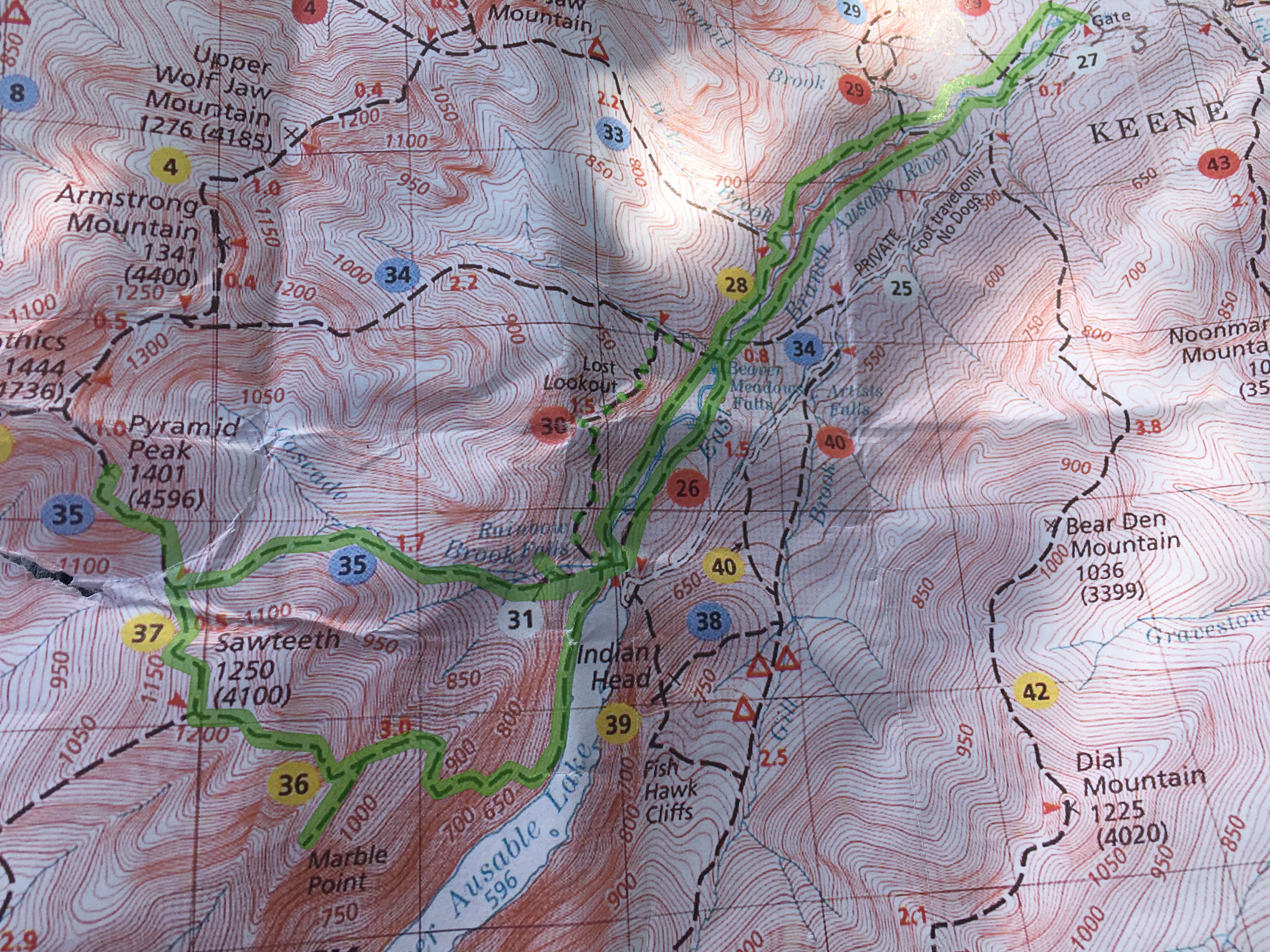
(Sawteeth -28, Skylight-29, Gray- 30)
With the first leaves of September beginning to turn, a cool chill in the air, and yet another EPIC summer winding down, I finally get a moment to reflect upon perhaps the most “EPIC-EST” of all summer hiking seasons. It’s been all about the hike lately, and I just could not sit still long enough to put these experiences into words. Well I suppose I’ve had quite enough of a break, and cannot avoid it any longer. About time for another one of these blogs, while these memories are still fresh in my noggin. By now, I’ve written quite a few of them and still, there never seems to be a shortage of words to describe the new challenges and gifts each hike brings. Recently I’ve looked back on a few of them and honestly cringed a bit when faced with the notion that I have, at times, dug deep within my soul, and put it out in the open. But if I had not, and had kept these things to myself, and left the moments to happen and then possibly be forgotten, it would have been more like a dream to fade away and get lost in the clutter of everyday life. To me, when I put these thoughts into words it makes them REAL, and it becomes a permanent part of who I am moving forward.
For the most part, if you interact with me face to face, I am of course usually NOT this profound and insightful. There is some sort of shield that surrounds me, that keeps things light-hearted and makes me feel safe in my own skin. When I start writing I somehow get in touch with a more thoughtful side of myself, and it’s like I am almost outside looking in, and maybe like it’s not even me. Its almost as if I get to pretend I am someone else, some author of a book writing about a fictional character. But as we know, that is not the case. It’s just me sharing my trail stories and all that happens around me and within me. When I first started these sort of journal entries, and realized that they were perhaps a bit revealing of a side of me that is not known by many, I was of course hesitant to put it out there for all to see (if they so choose). But in the end, I said ‘the hell with it’ and took the plunge to go public, willing to except whatever consequences and reap whatever benefits, that may come develop as a result…”BLAH BLAH BLAH! GET ON WITH THE STORY ALREADY!!!”

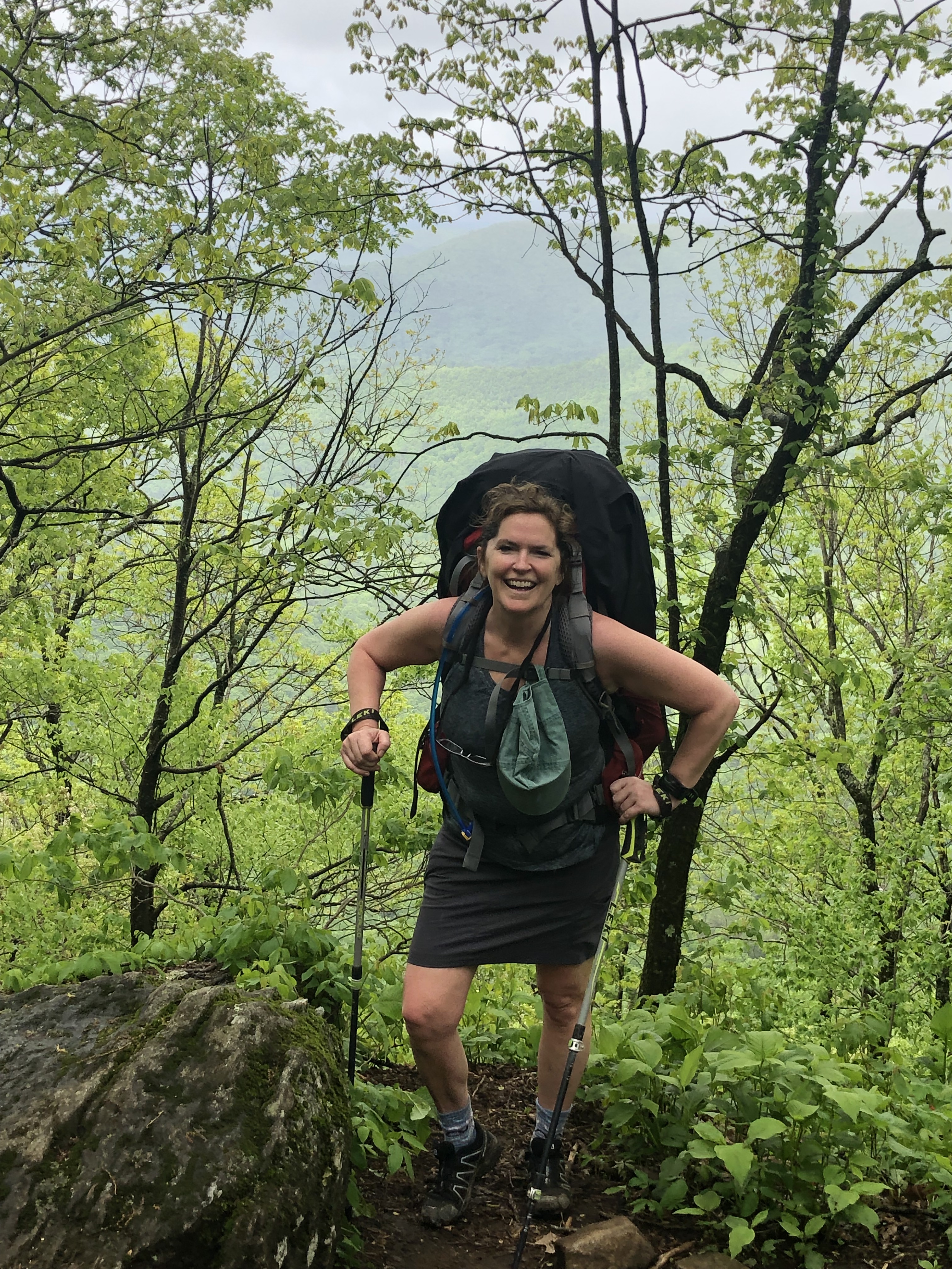
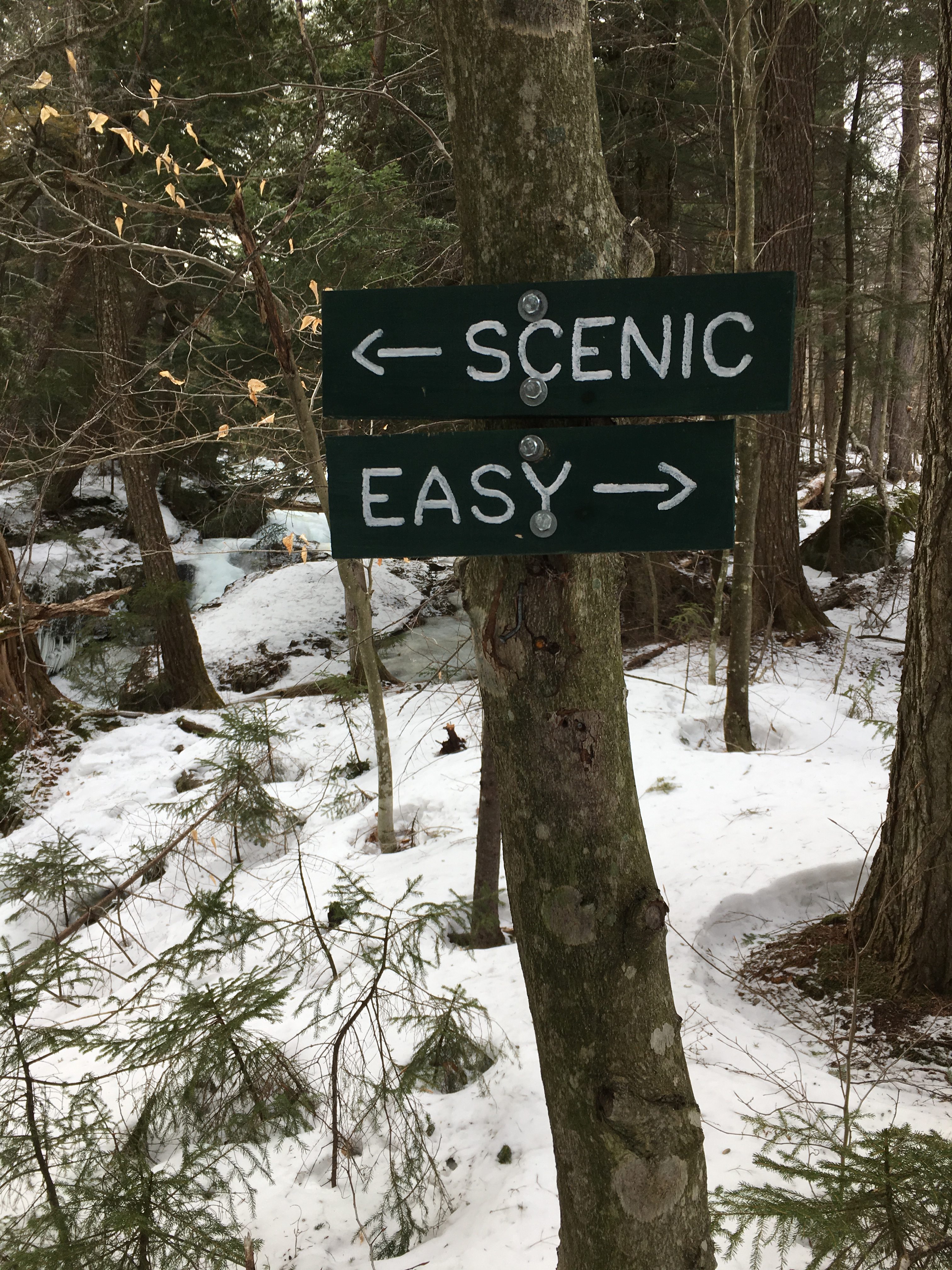
 Anyway, as I said there always seems to be new challenges and gifts with each hike, no matter how many journeys I embark on. These two hikes are no exception. June led me back to the Adirondacks after a long spring hiatus to finally get back to the places I love. To make it even better, I had company on both of these! First it was a 15 mile, 10-hour loop with my niece Janelle, along East Ausable River, up by way of Gothics Trail to Sawteeth and down what is known as Scenic Trail, stopping at some breathtaking waterfalls and mountain views along the way. The biggest challenge came at the end on this one. Next was an even longer 18 mile, 12-hour out-and-back with my sister (and trusty #1 hiking buddy) Therese, to the remote area of Mount Skylight and Gray Peak which brought its own set of unique challenges, and a very special tribute.
First a long day’s journey, bound for Sawteeth… (6/11/17)
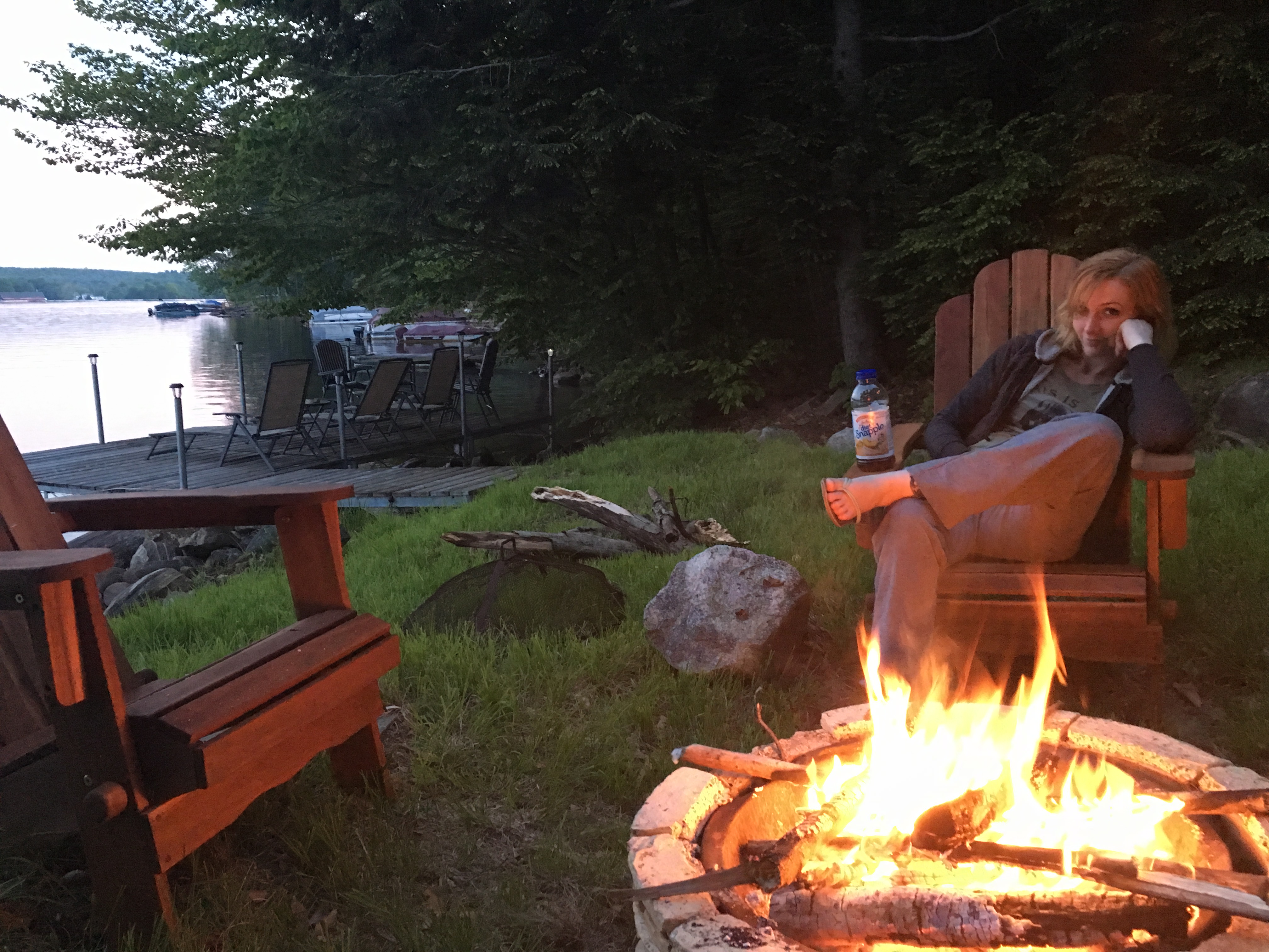
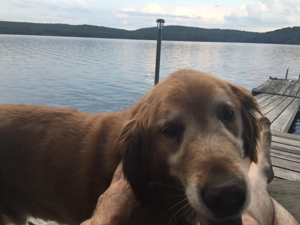
 These days I’m finding it harder and harder to get an early start after a Friday night gig. That being the case, along with how the weather lined up and the length of my drive, it made sense to name Sunday as the big day. I slept in and used the first half of Saturday as my travel day. Janelle did the same. She has a physically demanding job as a landscaper so it was pretty important for her to be well rested, before this long slog. I pulled up to the now famous lake-house (assuming there are at least a few readers out there), and Janelle is already settled in and lounging on the dock enjoying the lake. I follow suit shortly after and we enjoy a relaxing day before setting out at the crack of dawn the next day.
 A small detour for an extra coffee boost on the way, had us pulling into Ausable Rd parking lot at 8:30am- a bit of a late start, but days are long now with the arrival of summer, so this is a non-issue.
 A family of beavers greets us for our stretching and gearing up, and sends us on our way 20 minutes later. A familiar first stretch of a paved roadwalk through the Ausable Club property and to the Gate to the dirt surfaced Lake Rd. I’ve walked this long boring road before, so this time I figured we can make it a bit more interesting (and slightly longer) and follow the East River trail.

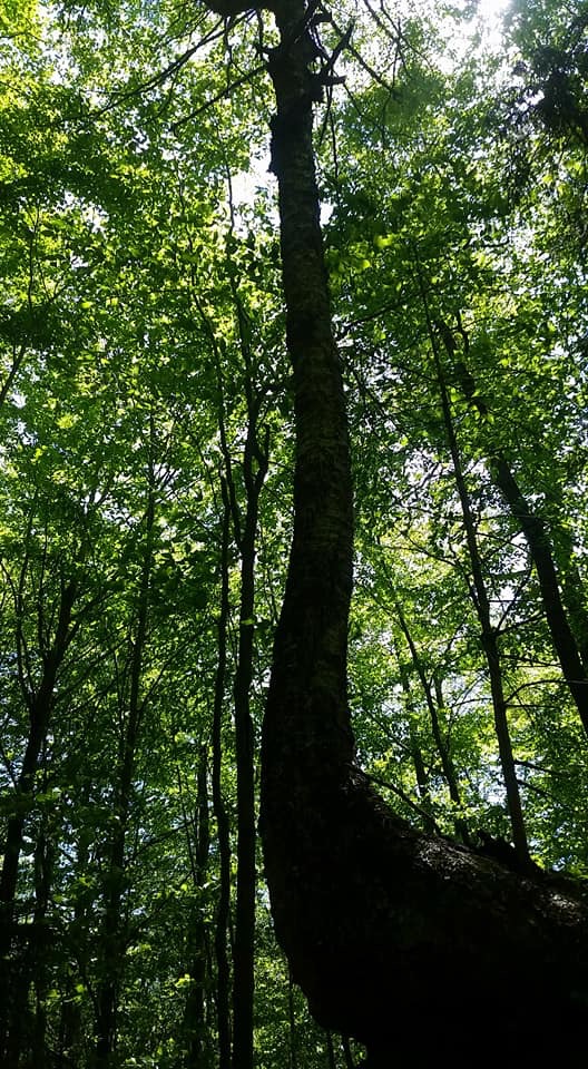
 Janelle is loving it out here. “I would love to live in this setting” I hear her say, more than once. We stop to marvel at the scenes I may have otherwise (sad to say) whizzed by if I was solo. Her new fascination with her work with an arborist, and recent tree climbing class has her attempting to identify several species of flora. It’s a rather warm day (mid 80s) so we have made sure to pack ample water and making a conscious effort not to skimp on drinking plenty of it. The second half of the trip down Scenic trail has minimal, if any water sources, so we are refilling as we go while the getting is good.
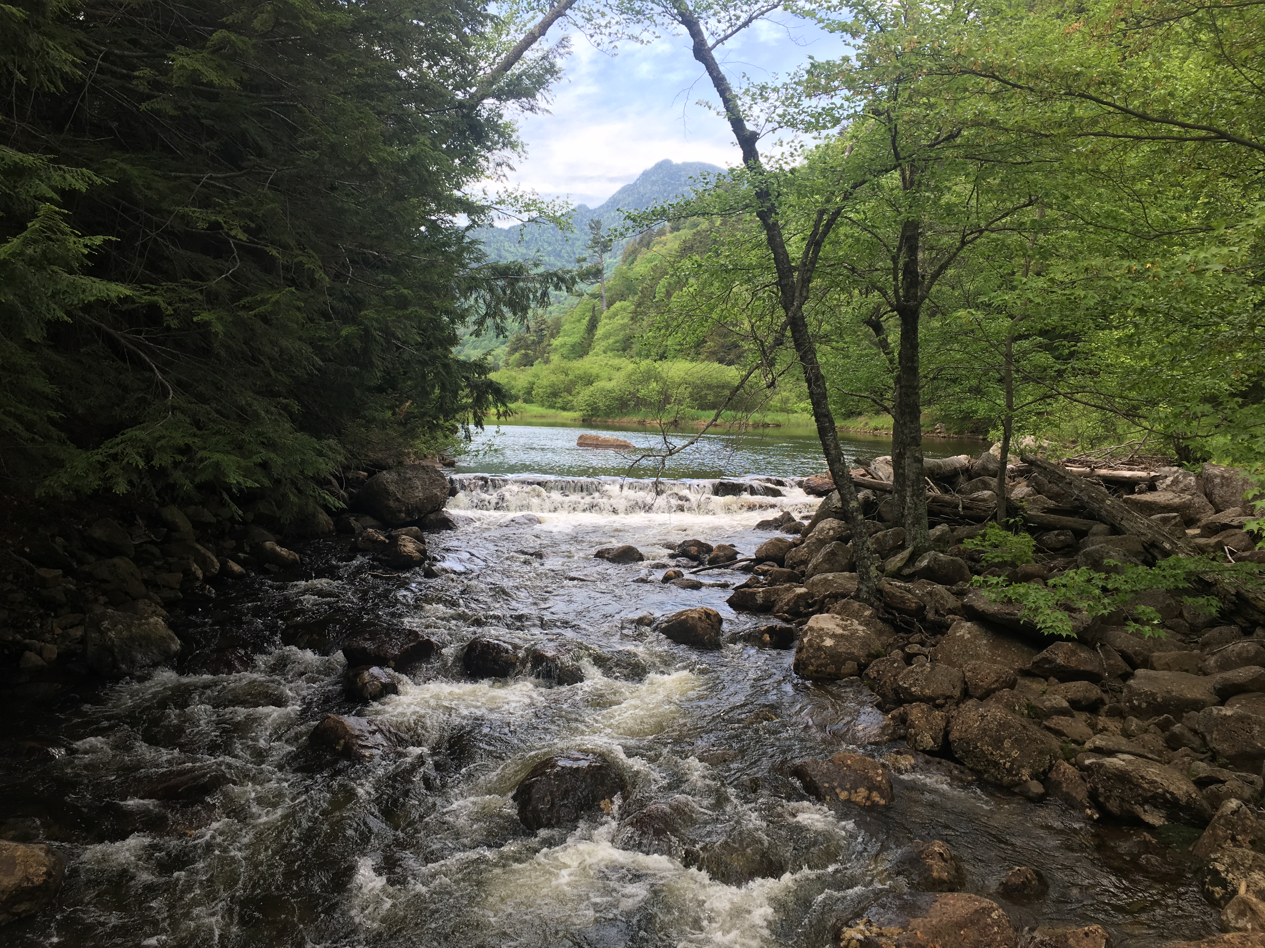
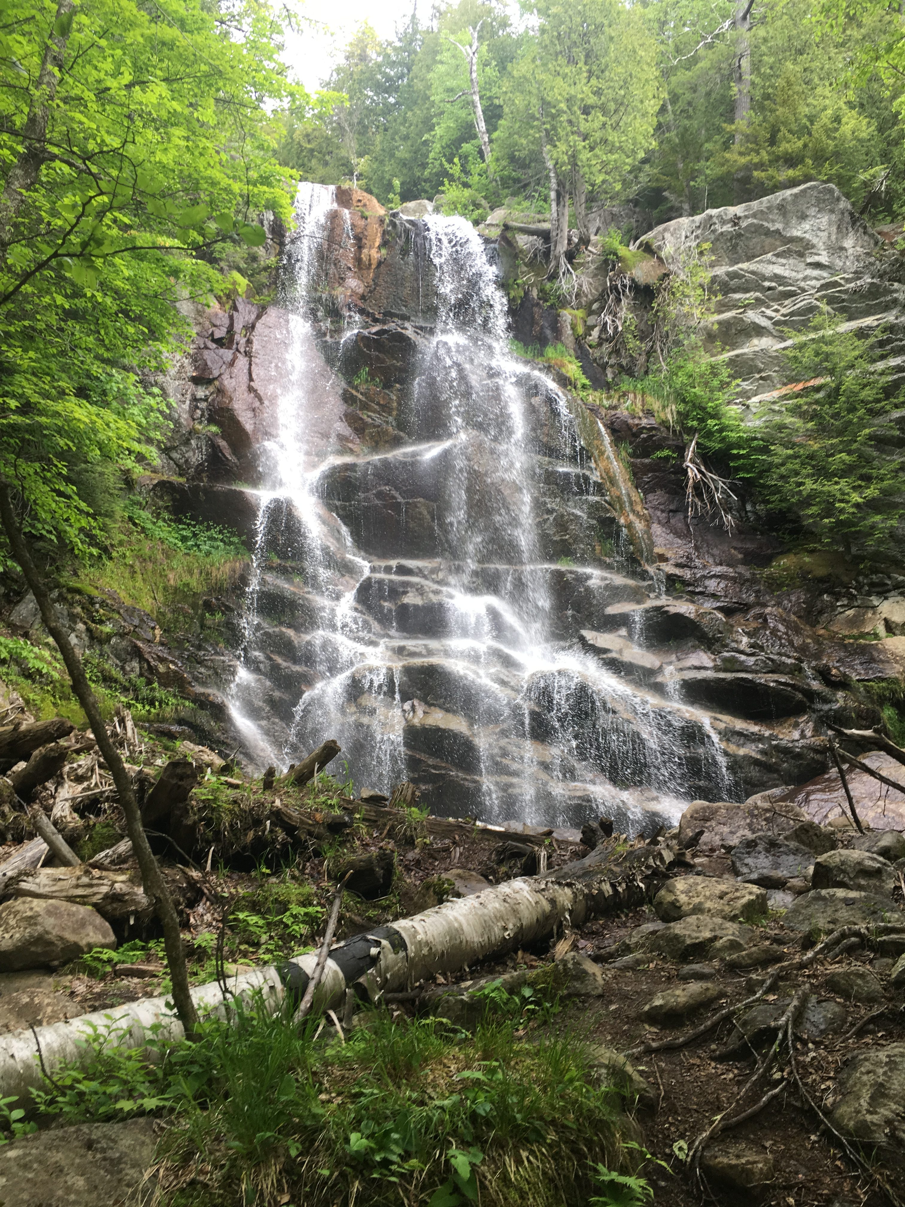
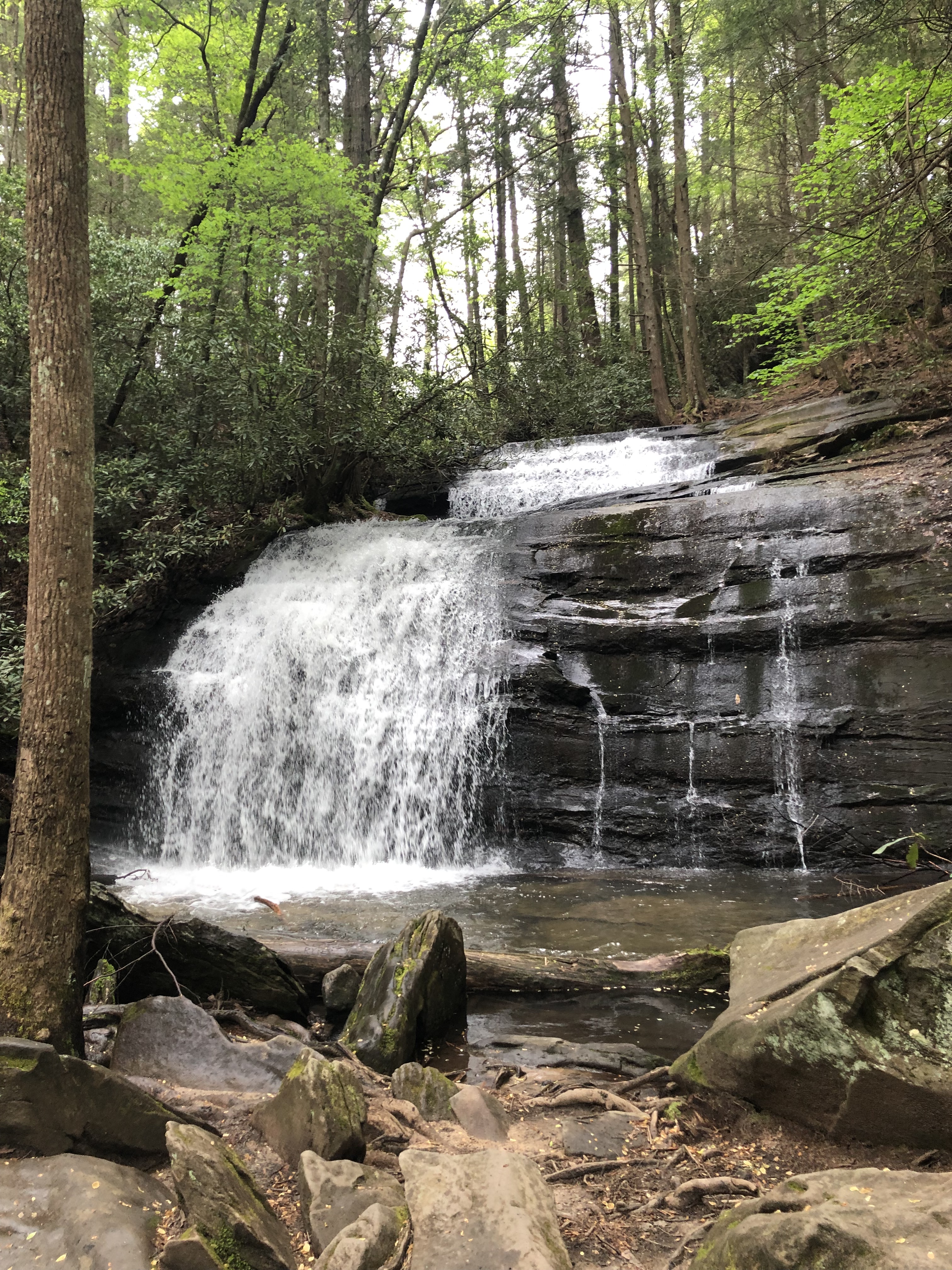
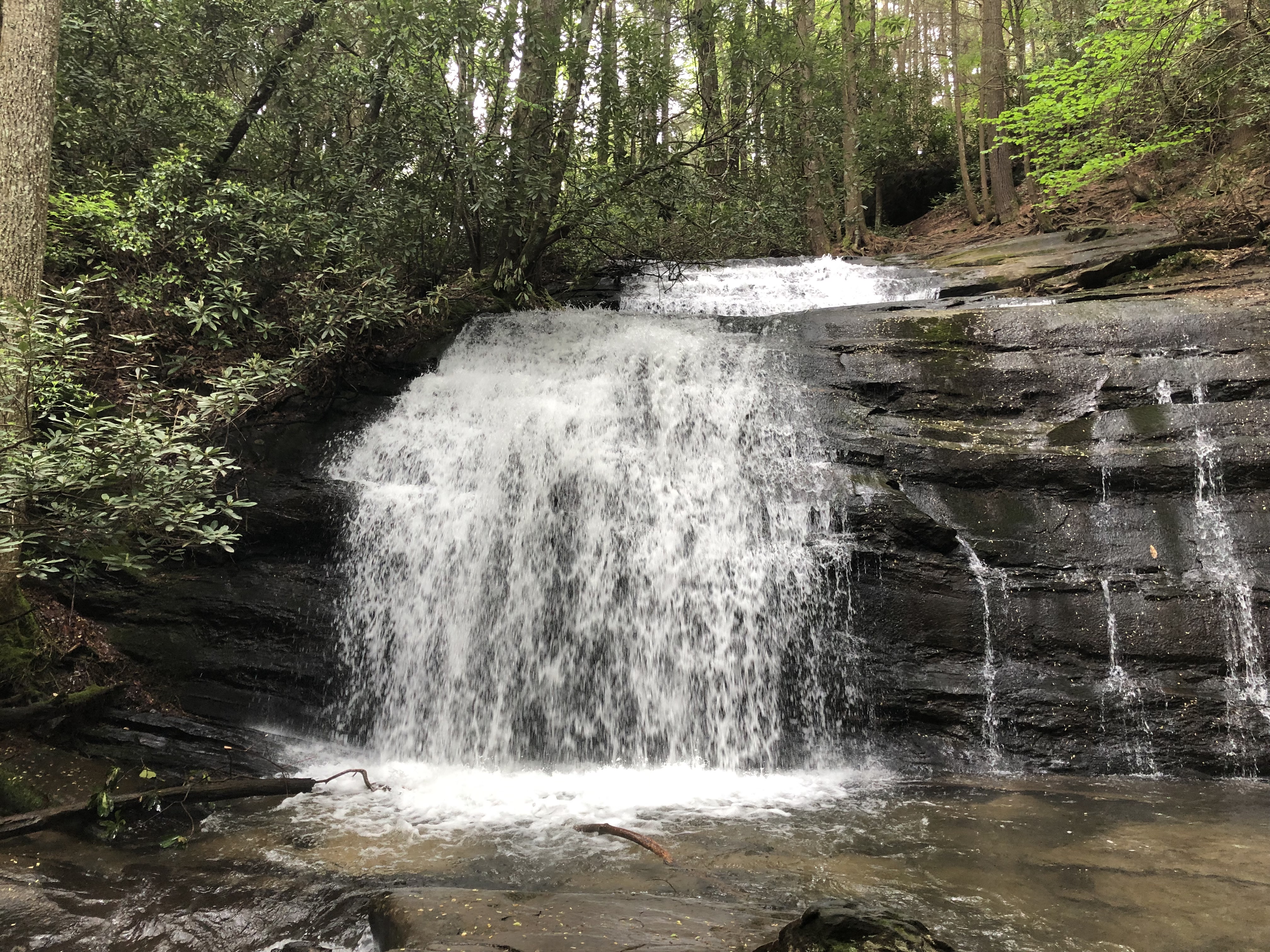
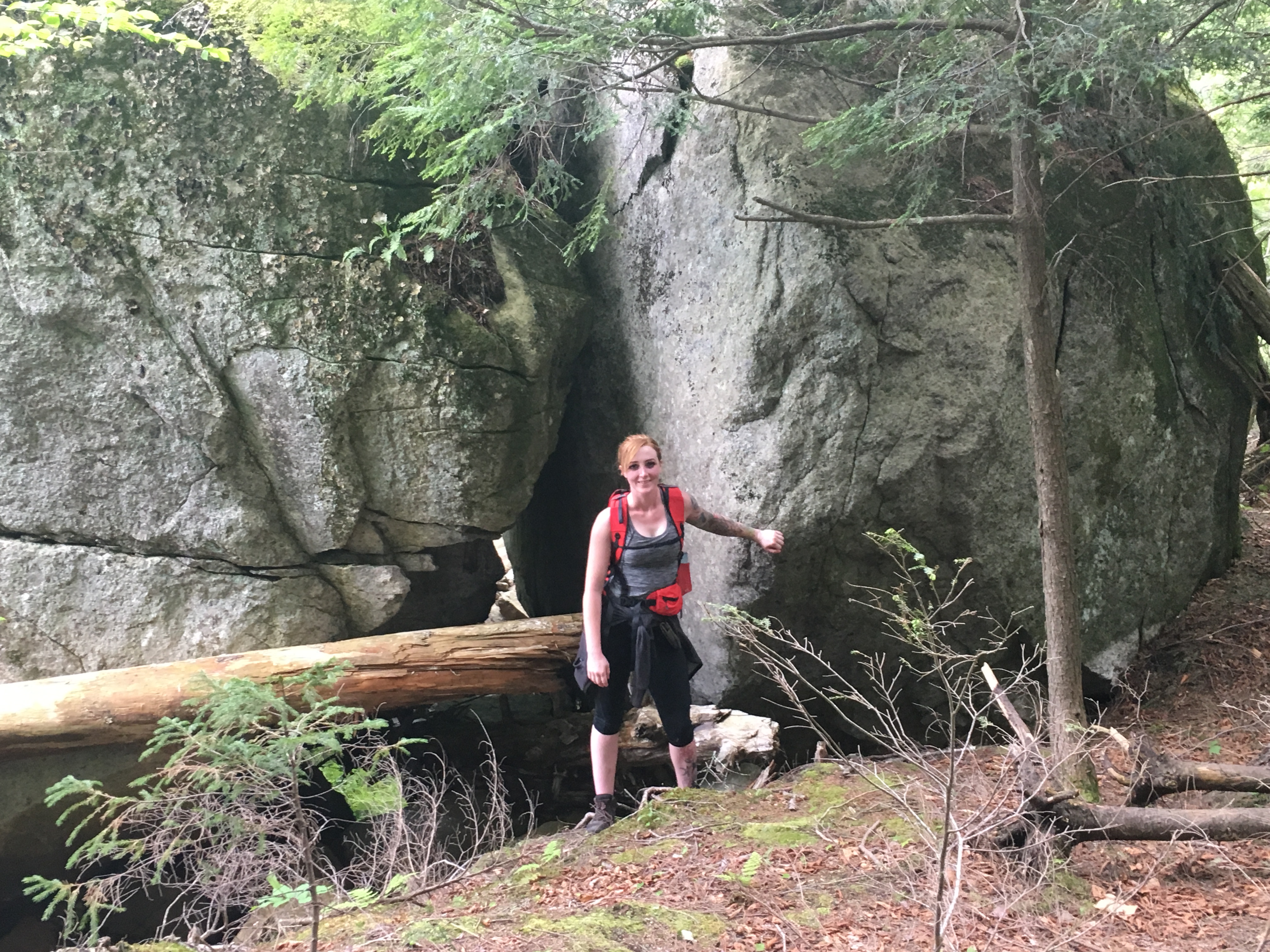
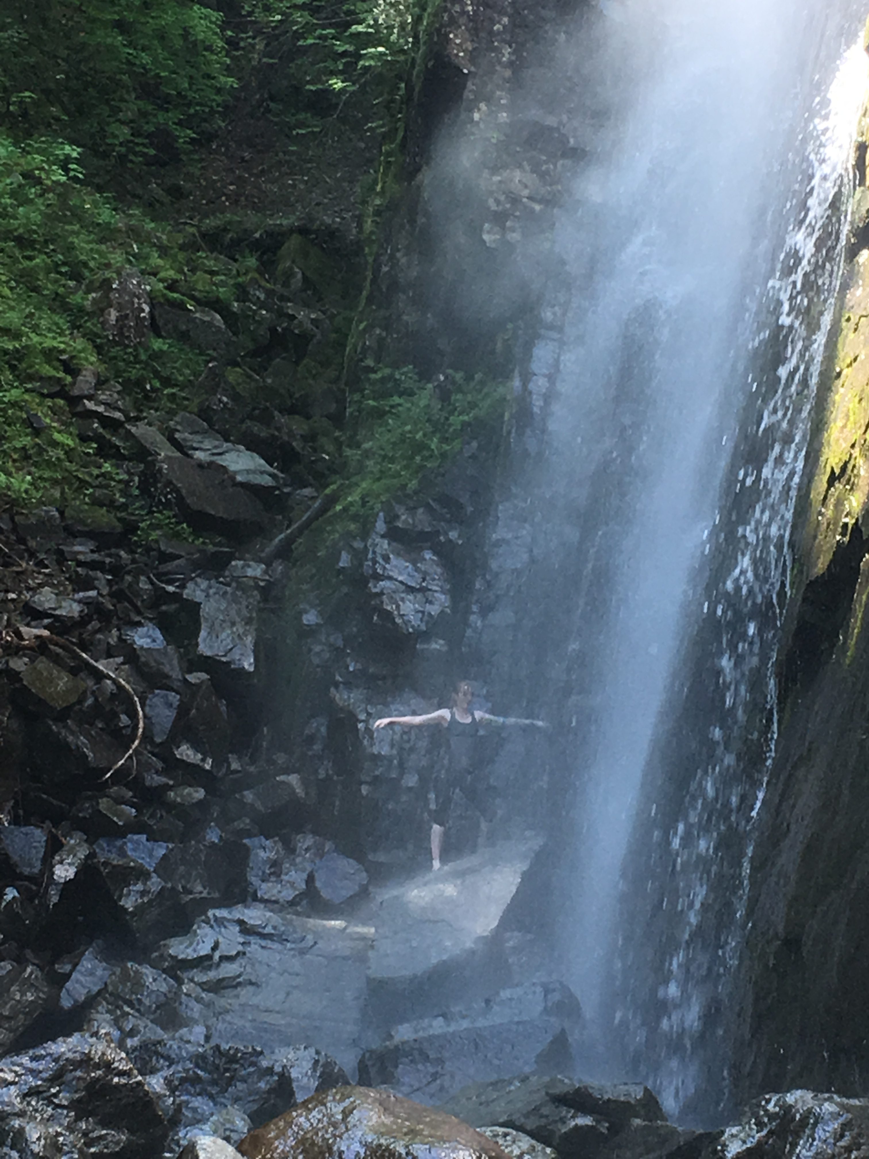
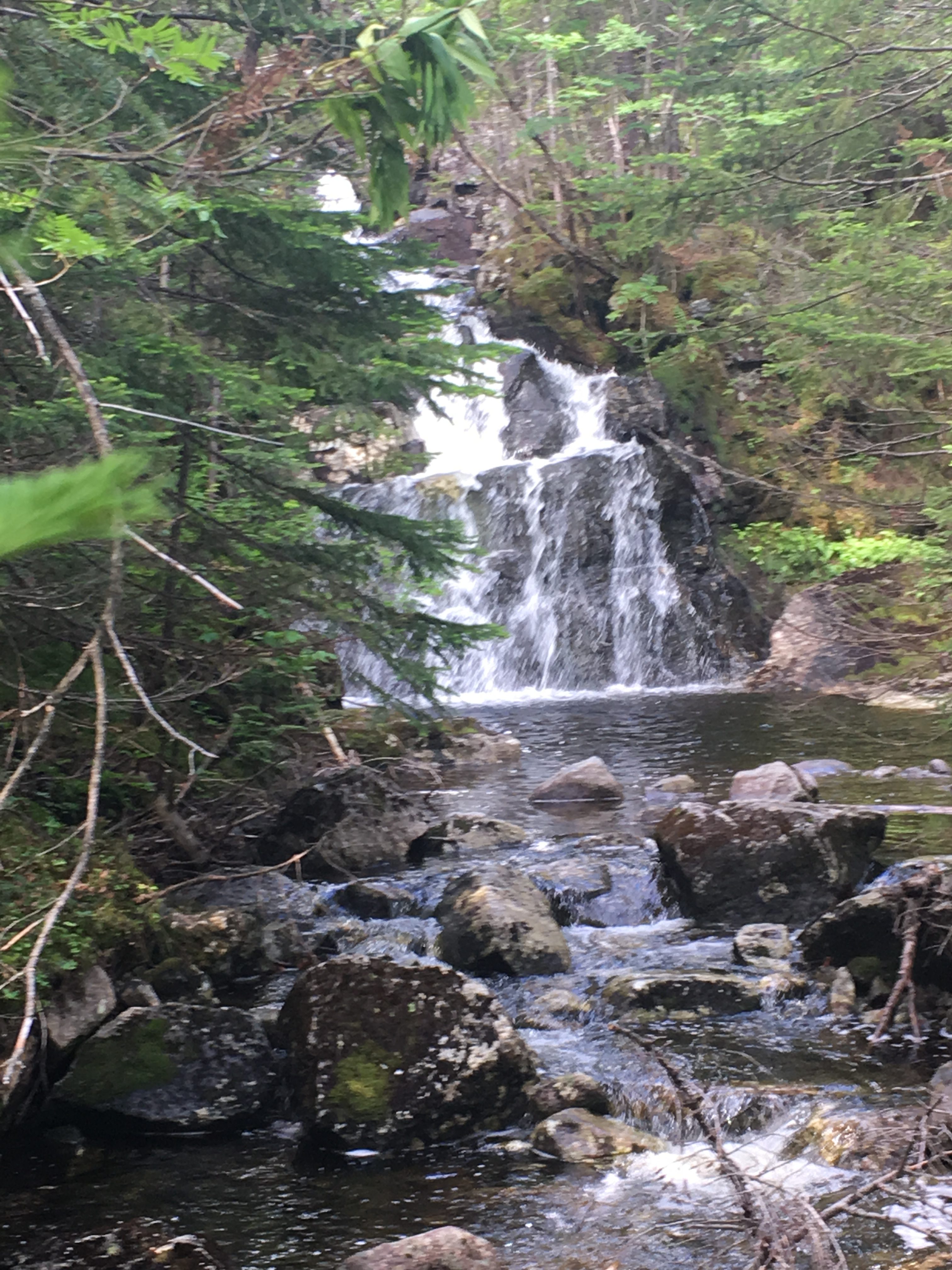
Speaking of water, after a few miles of some gentle ups and downs, we come to the dramatic cascading Beaver Meadow Falls. The cool mist and draft are refreshing, and Janelle decides to get a closer look. I love seeing her reaction to these things of beauty. I couldn’t be happier, and gladly take the extra time for an extended break. After some time enjoying the falls, Janelle now soaked from the mist, we head on our way to the next attraction.
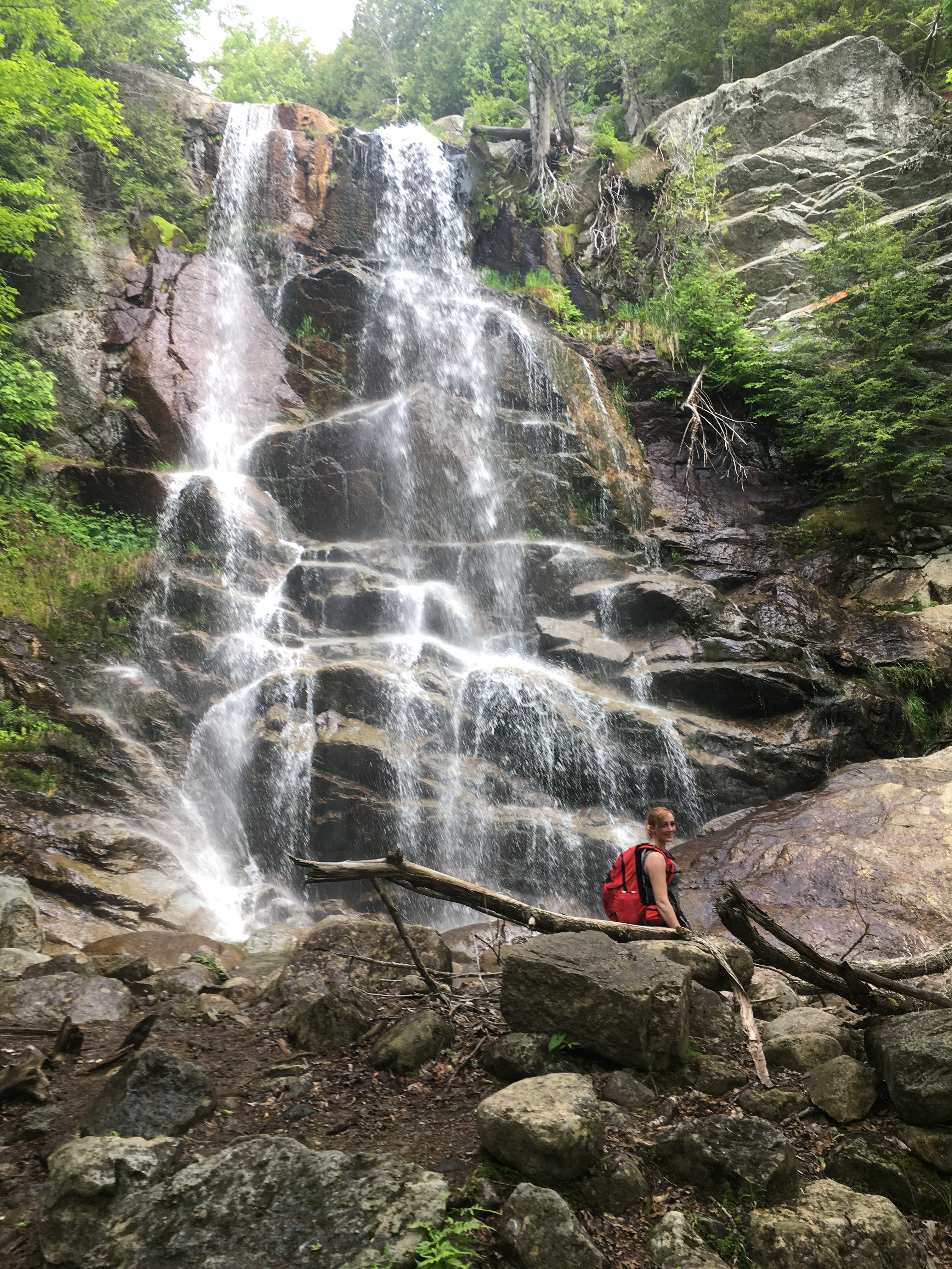
We headed a short way up Beaver Meadow Trail, up a ladder, and split off to the left to Lost Lookout where we got a nice view through a clearing in the trees. Then continued the side trail downhill, to a junction of trails and took one more worthwhile side trip to an awesome sight, the towering wall of water known as Rainbow Falls. 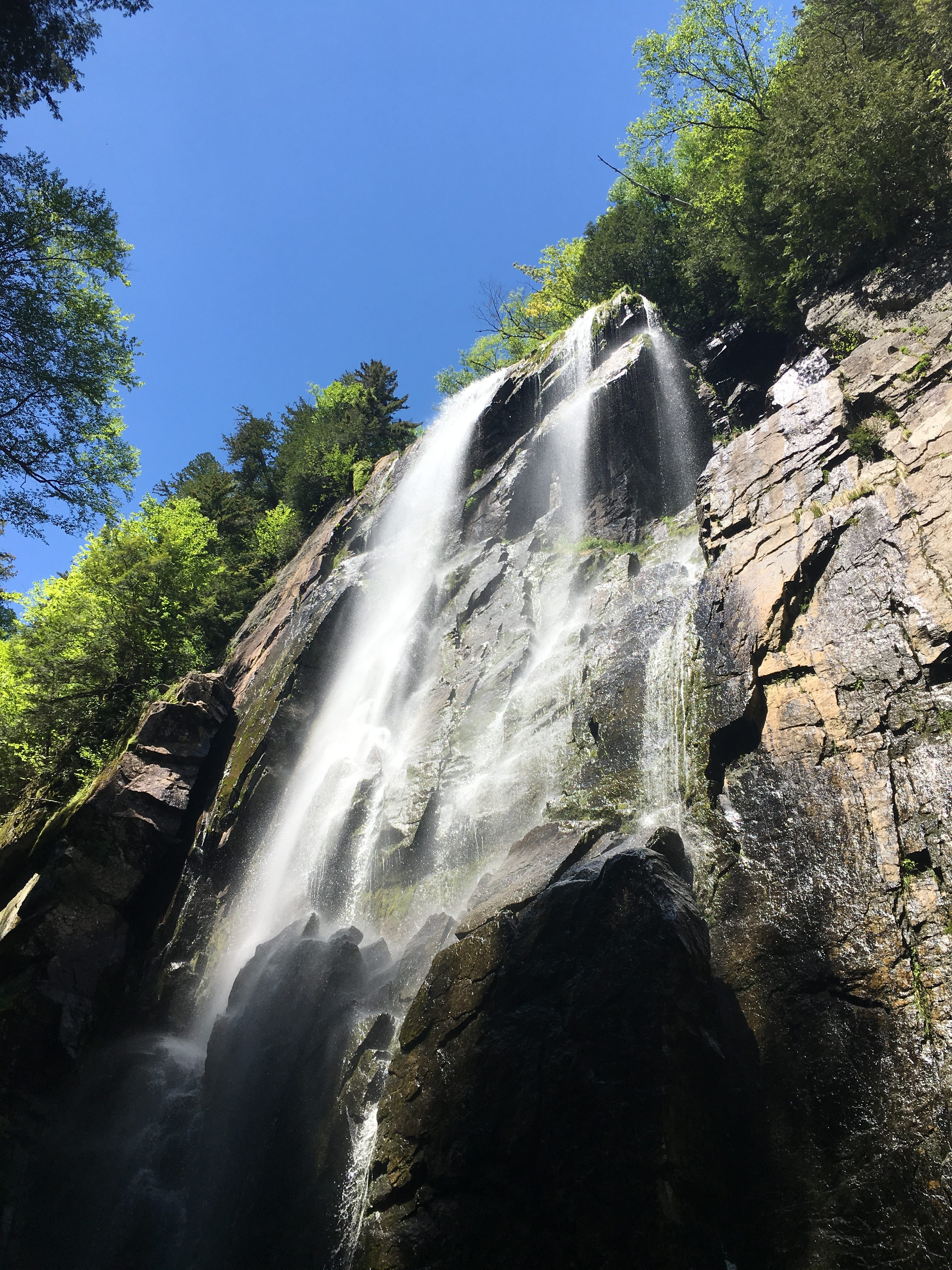 After times of heavy rains, this can be a risky area to approach, but today it is a lush cascade tumbling off the cliff side to the boulders and brook below. Once again, an extended break is in order, so we can soak in this breathtaking spectacle. “Soak” is an understatement as Janelle once again moves in for a closer look.
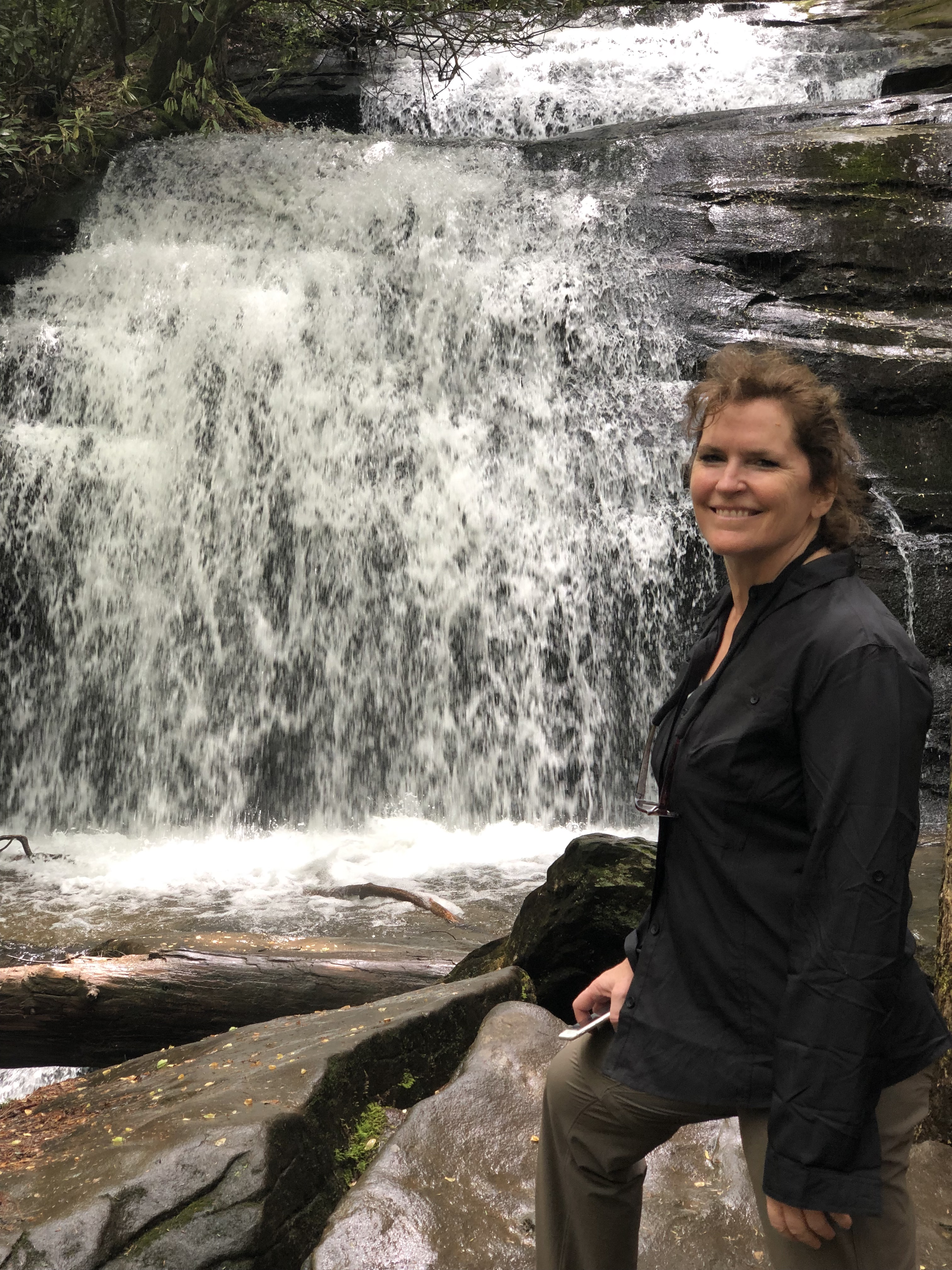
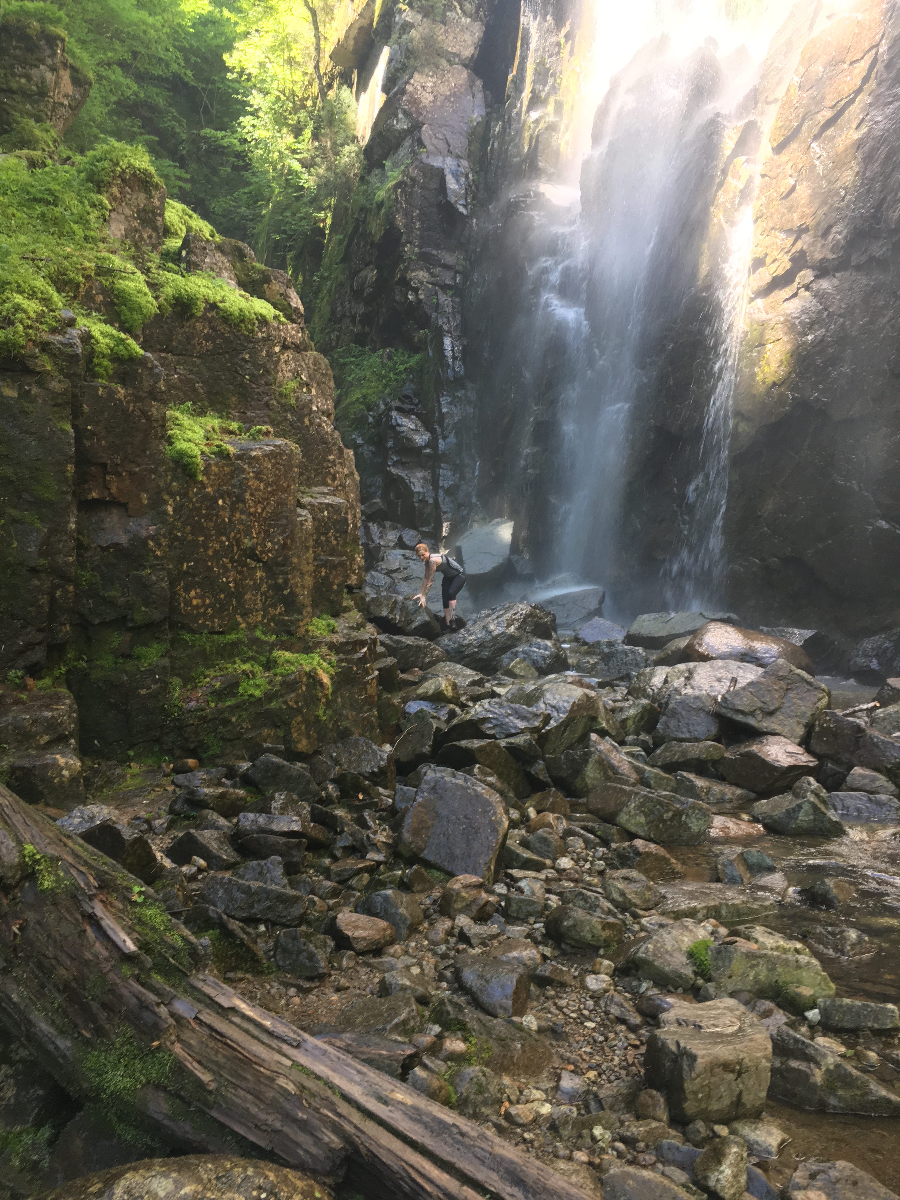 Much like the racing water, my heart overflows with joy, being able to bring these magical places to family members. She returns from her close encounter saying, “I was gonna go under but…” “BUT WHAT??” I say. We both gaze up at the falls, and as my eyes follow the towering flow down the cliff side to our level, I realize Janelle is already halfway back to the showers. This time, she plunges into the wall of water.
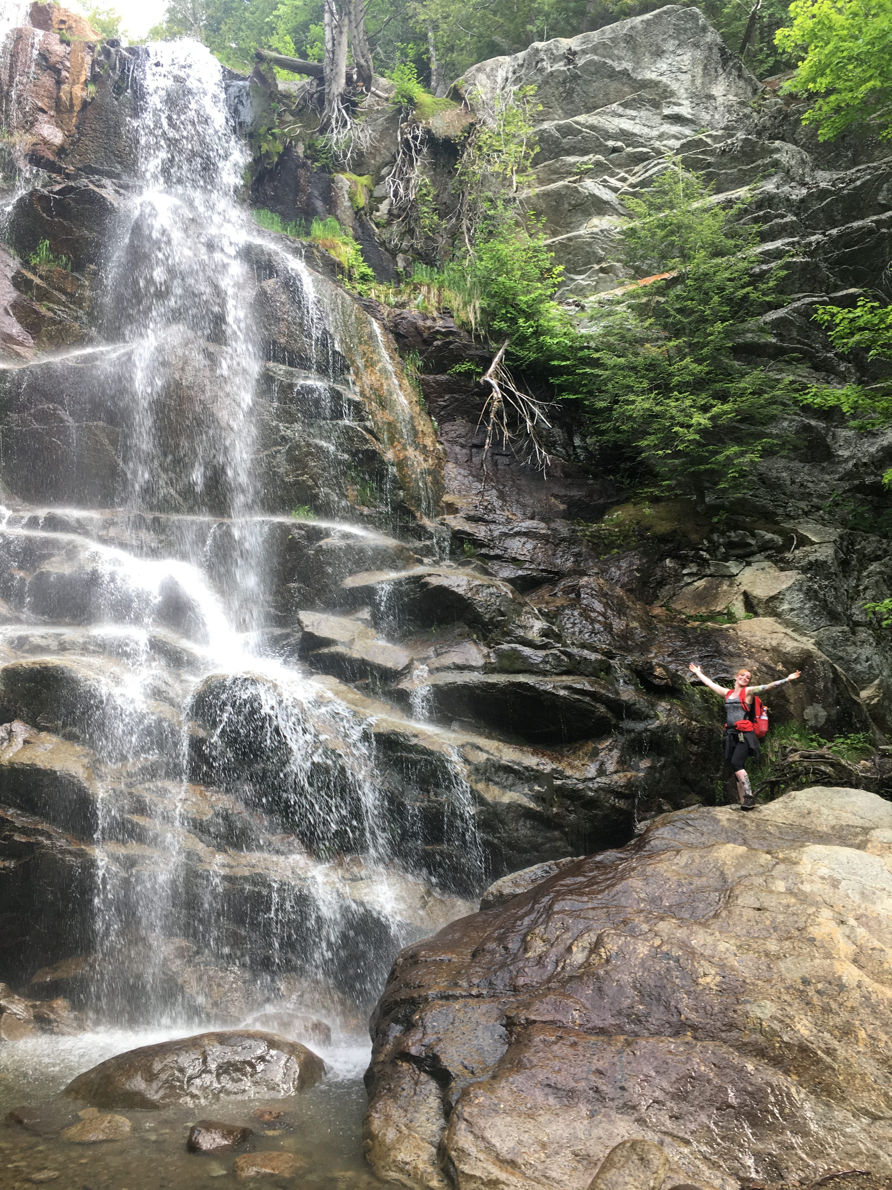
 What the hell, you only live once, and as the song says, “We may never pass this way again”. Carpe Diem, I say! Besides, with the warm temps today, and plenty of time to dry off before the cool summit winds, hypothermia couldn’t be further from my mind.
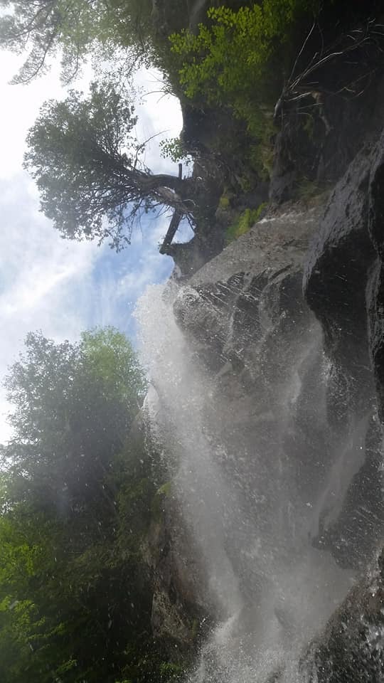
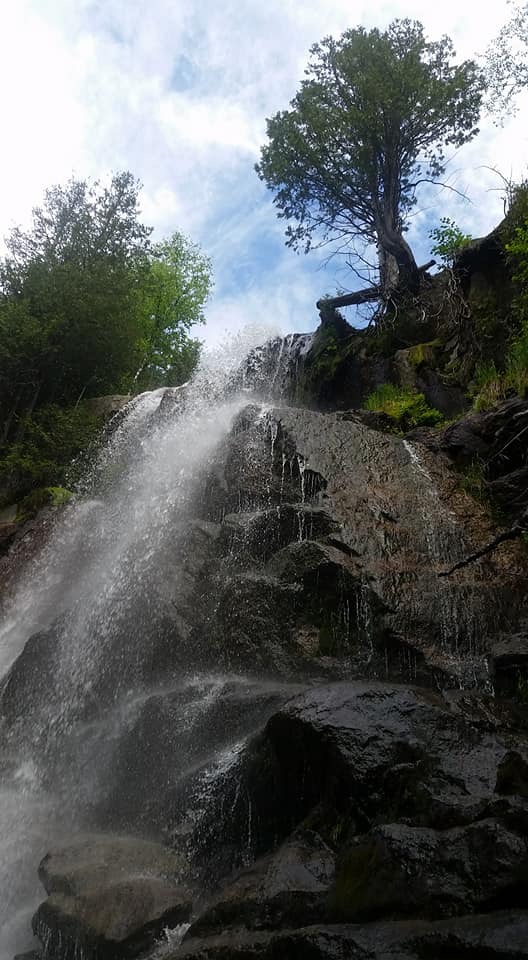

We eventually drag ourselves away from what has to be the highlight of the trip, to continue onward and upward, VERY upward. Heading up the Pyramid/Gothics trail we get one last look from above the falls to witness… yup you guessed it, A RAINBOW stretching across the spray of the falls. 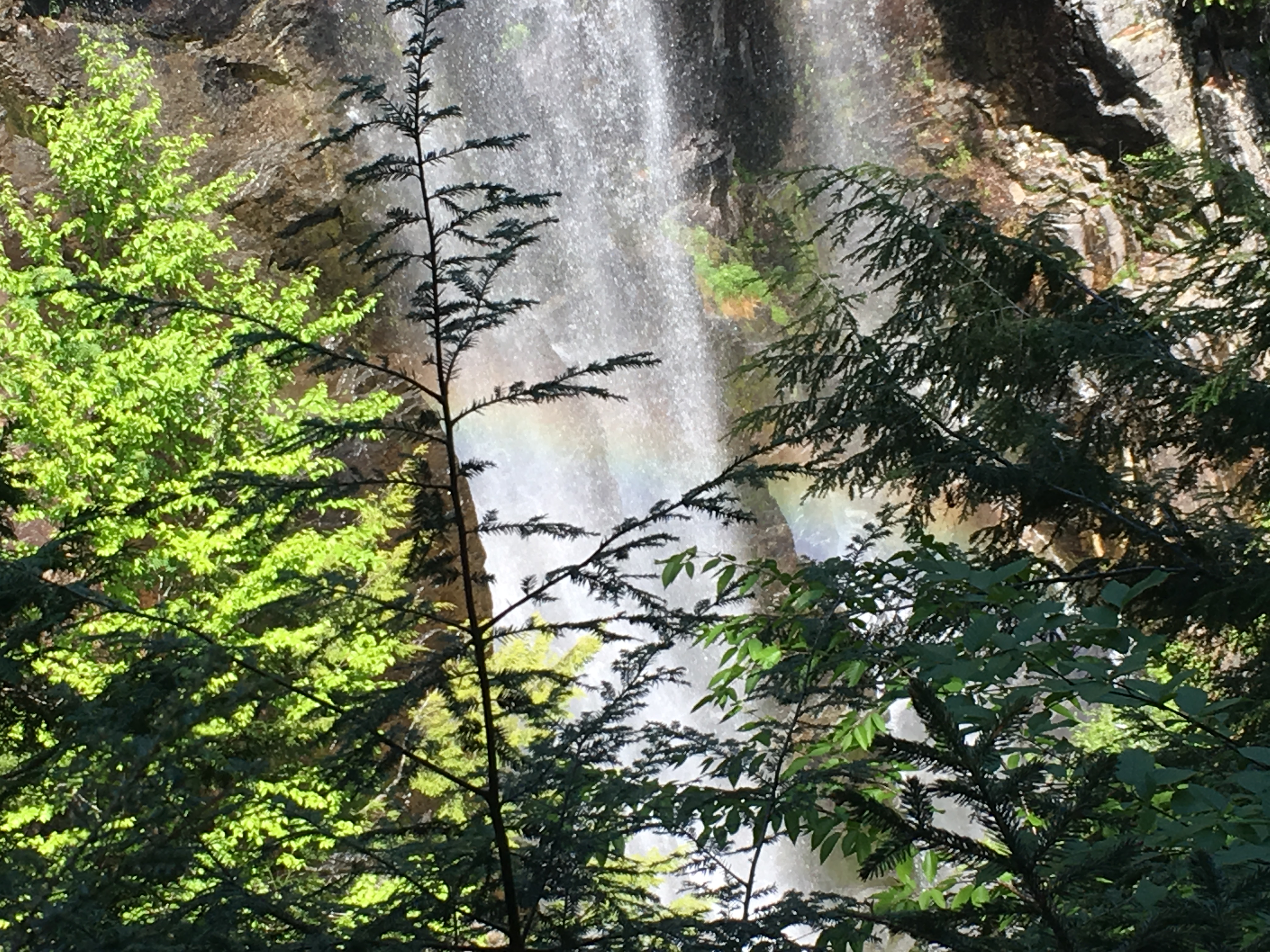
We are 3 hours into our journey now as noon approaches, but we have some miles to make up so we push onward after a snack and re-hydration. Janelle checks her blood sugar levels (being a type 1 diabetic) and discovers it is a bit out of whack, and gives herself an insulin shot. Now I am entertaining the idea of scrapping our next stop which we had planned, Pyramid Peak. It is not a 46er, but I included it in the itinerary because it is said to have one of the best views in the Adirondacks. But our early stops have kind of put us behind schedule with still many miles ahead. I mention my thoughts to my niece and her reaction is “I’m down for anything!” So, we agree to play it by ear and make our decision at the next trail junction.
After some hard work, with a good stretch of steepness and the sun beating down, hunger is now creeping in. We sit on a log on the side of the trail just before the junction, and refuel with a lunch in the woods. At this point, I break the news to my partner that we are scrapping Pyramid for today. Her blood sugar is now normal but I don’t want to run out of daylight or energy. We can always come back and do a Pyramid/Gothics loop. I’ve already done Gothics, but from a different approach, so this would be a good hike to plan for the future. She agrees with my judgement and we now turn our sights on Sawteeth.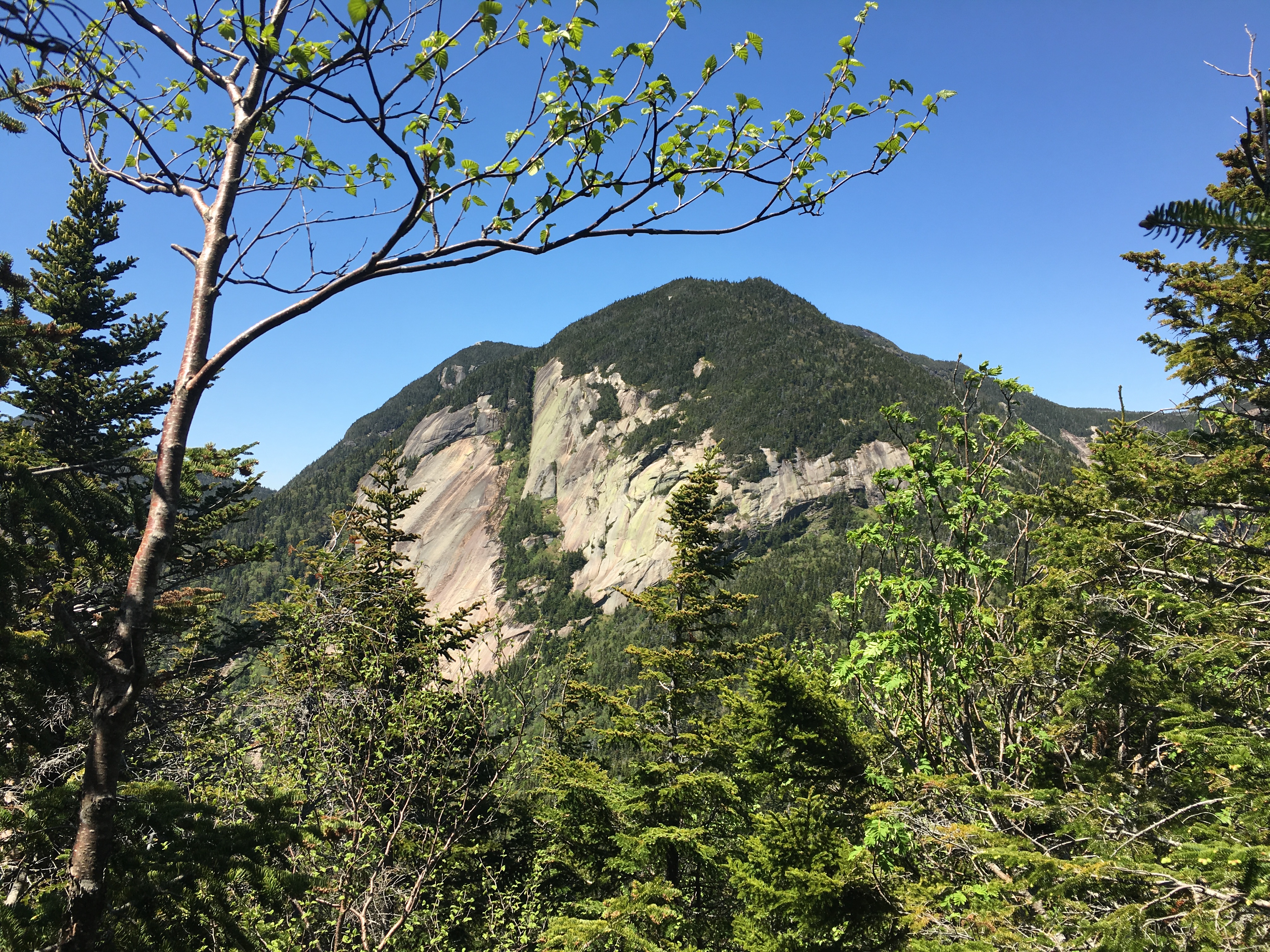
As we turn left and start our scramble to the summit, we get some looks behind us to the sheer cliffs of Pyramid, and this makes me glad that we are saving it for another day. Plus, now my companion is complaining of a turning stomach, but assures me she is good to go.
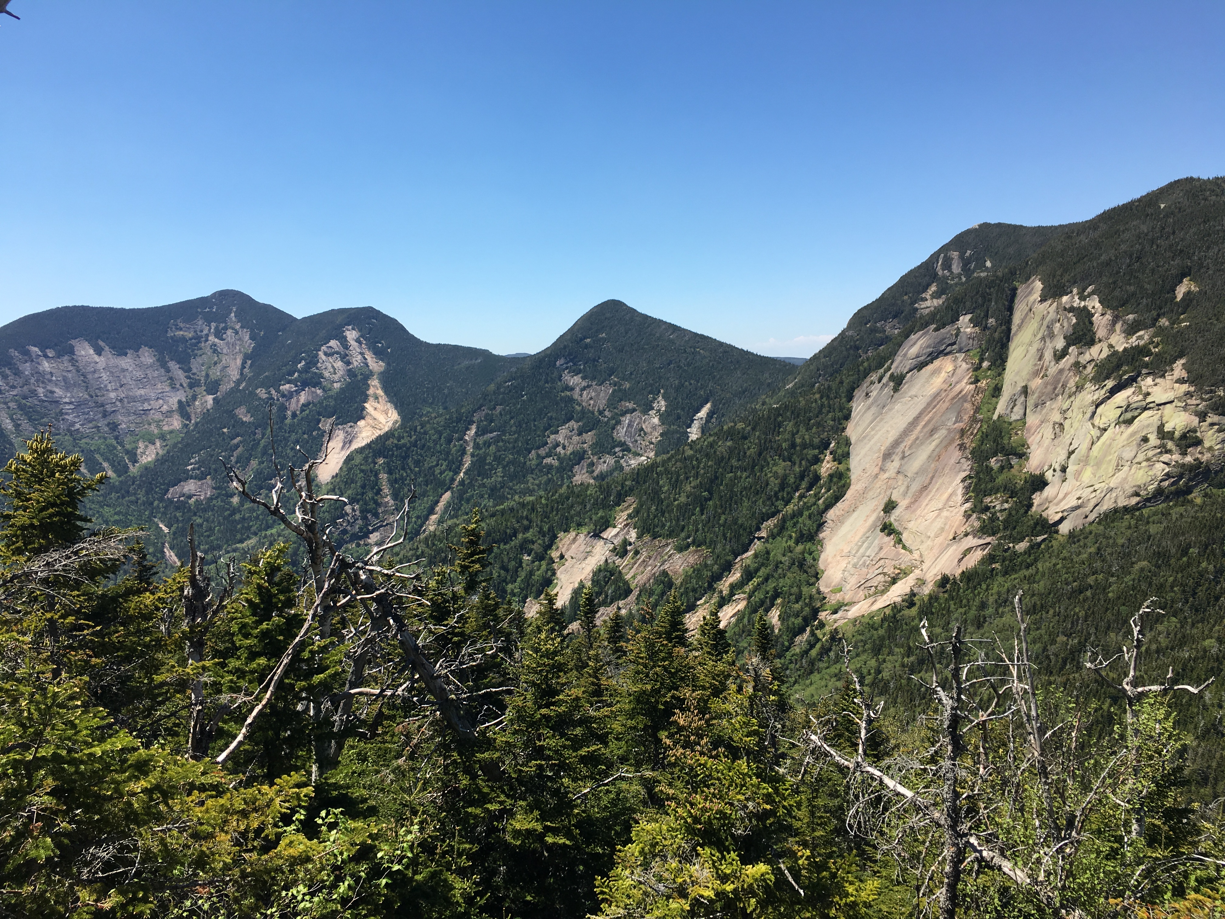
A few challenging spots later we have made to our destination just after 2pm. Janelle’s first ADK High Peak and #28 for me. The views are of course astounding! We take a well-deserved rest and enjoy the landscape with the Great Range spread out before us.

 Before too long, we are joined by a family of 5, including 3 young kids, maybe 6 years to 9 years of age. We chit chat for a bit and learn that they have done a 5-peak day, including the Wolfjaws, Armstrong, Gothics, and Pyramid. Aaah youth! We took some comfort in the fact that they had a 5am start, in contrast to our 9am start. This put some wind back in our sails, enough to get a move-on to the 2nd of the double summit and then down the Scenic Trail.
I remind Janelle to stay hydrated and I check in on her health from time to time. Still a bit queasy but “good to go”. One more short side trip brings us to Marble Point, and a nice view to the Lower Ausable Lake, and Mt Colvin and Blake across the way along with Indian Head and some other more distant high peaks.
 But my partner is no longer by my side. Instead she is fertilizing the woods with the contents of her stomach. She staggers onto the ledge refreshed (for the moment) and enjoys the southern views with me, although clearly now less enthusiastically. I give her a rest here to compose herself before moving on.

The rest of the way down the Scenic trail is us moving at a decent clip, interspersed with a series of outlooks toward a Lower Ausable, growing gradually larger and closer. There are no further health issues, although she is drinking less for fear of yacking again. A mistake, in hindsight.
We make it to the base where we had planned to take the West River trail back, but after a foot-soak in the lake, I suggest taking the road back, for hopefully a more straight forward final stretch and possibly easier on the stomach.
 I forgot how long and grueling this road was. I am dragging at this point, my feet burning and Janelle is even worse, but all there is to do at this point is shuffle onward to the end. In the final miles, Janelle is clearly dehydrated, spent and in rough shape. We pass a fellow hiker at the Ausable club who had finished her hike earlier in the day and was just hanging out on Club grounds. She notices the zombie-like demeanor of my companion and walks with her, offering some water and amino-acid formula which she has had good luck with, fighting dehydration.
It wasn’t until the ride back to the lake house, when things took a turn for the worse. I had to pull over a few times for Janelle to puke her guts out. I stopped for some ginger ale and she tried to keep it down and failed. Bed could not come soon enough. Surely, she just needs a good night’s rest and will be much better in the morning… NOT THE CASE. She woke up in the middle of the night vomiting violently again. I suggested we may need to go to the hospital at this point, and after the next puking session she agreed and dialed 911. Once the EMTs finally found us, they were off to the hospital. I stayed back and got some rest. The next morning, I learned that she was being treated for Ketoacidosis, a potentially life-threatening complication from Diabetes. I am glad we didn’t wait any longer to get to the hospital! She wasn’t stabilized until another day later. A scary ending, to say the least, to a trip that started out so well.
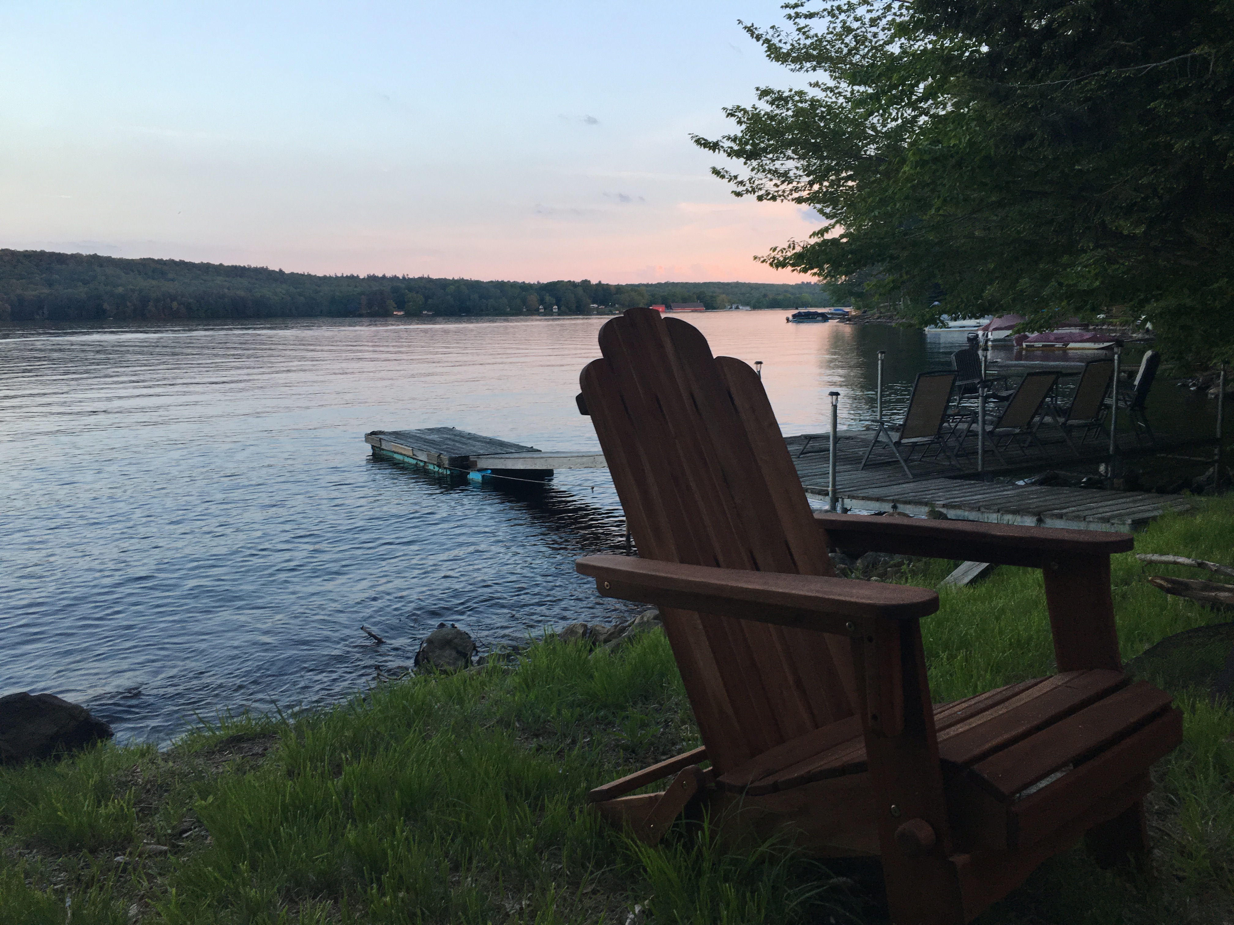
I don’t know if there is anything to be learned from this experience. I only hope that Janelle remembers the majority of the day, the good parts that filled most of it, and not the ordeal that followed. I beat myself up about it for the morning that followed. What more could I have done to stop the escalation of her sickness? Did I push the envelope too much? Why have I not made myself more educated with the difficulties and complications of diabetes? But in the end, I let myself off the hook, as it is ultimately up to the person with the disease to manage their symptoms and monitor their levels and be proactive with treatments. Not to put too much blame on Janelle either. I can understand her not wanting to be the one to hold back progress. I would probably want to push beyond the limits too if I was in her shoes. I just hope she figures it all out, and those shoes hit the trail again soon. It was after all, a great day. THE SILVER LINING WORTH ITS WEIGHT IN GOLD…

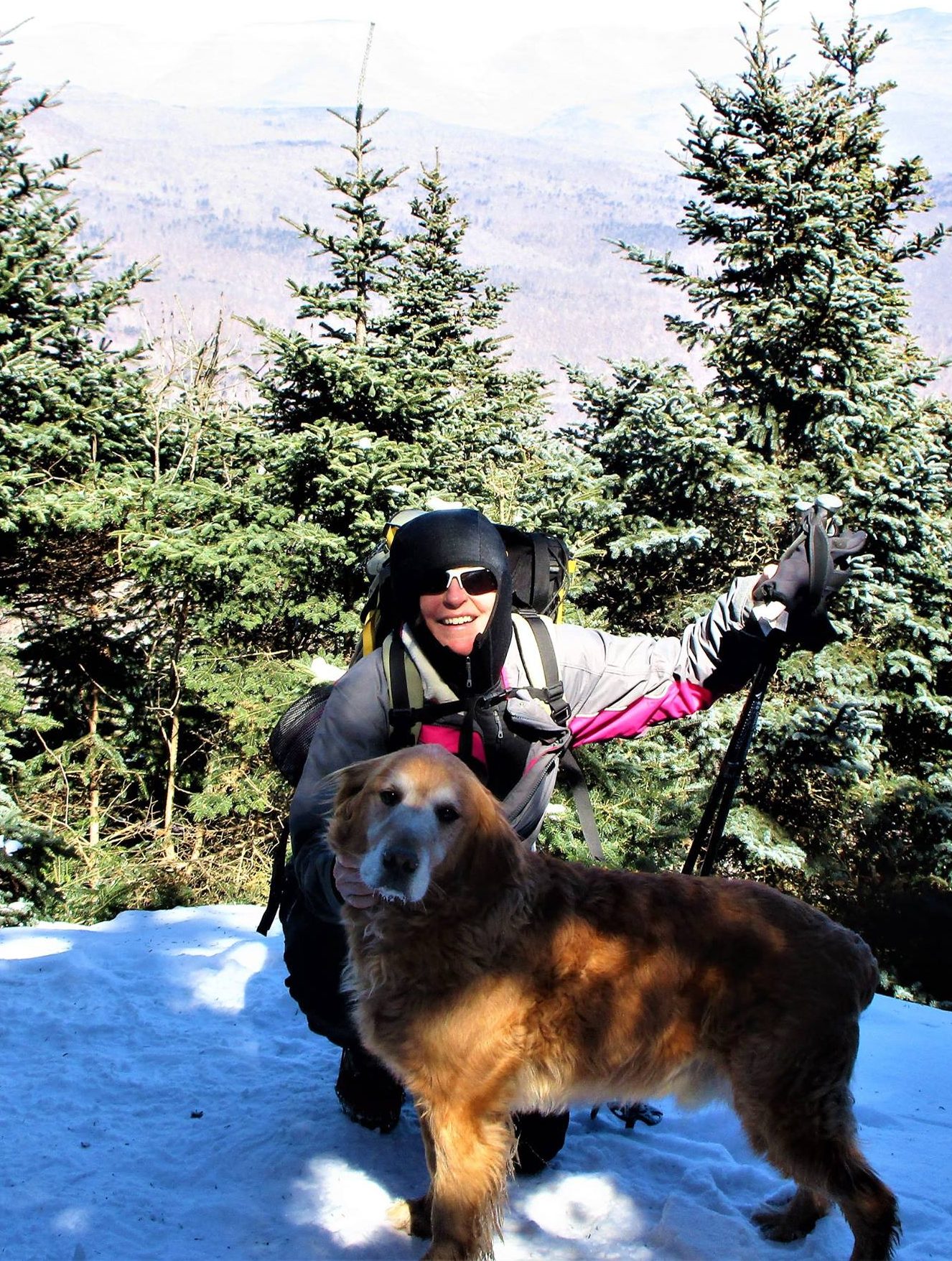
Next was a long, treacherous, wet, and muddy, journey to probably the most remote, and definitely one the most beautiful peaks in the Adirondacks. And to sweeten the deal, we got to say farewell to a dear friend, making this our most emotional voyage by far. (6/25/17)
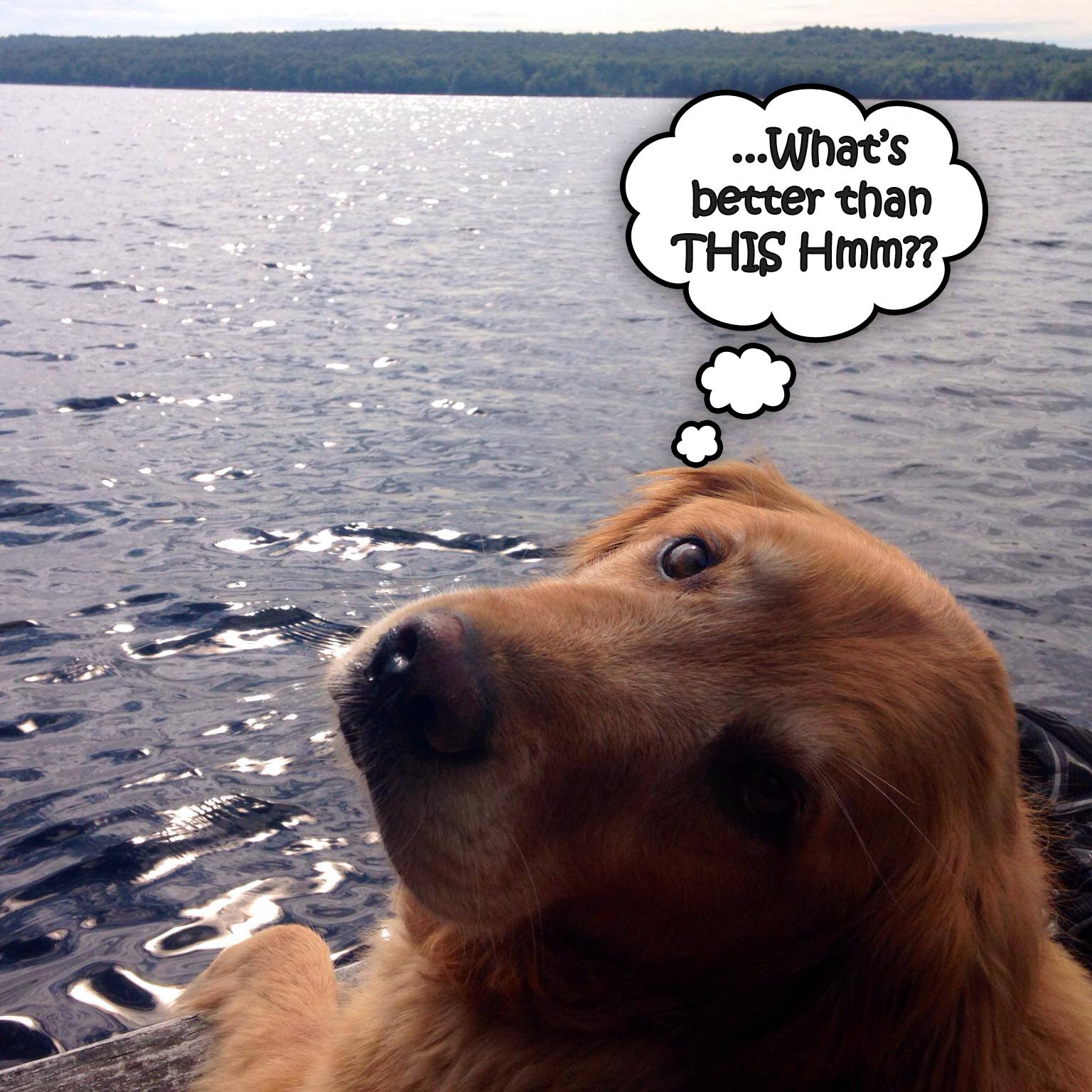
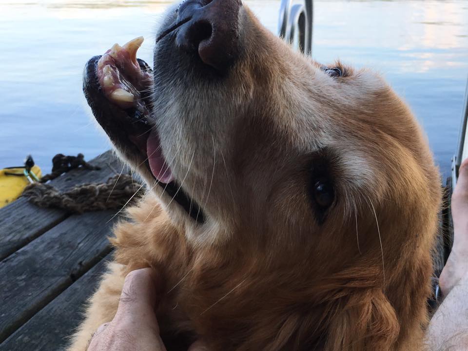
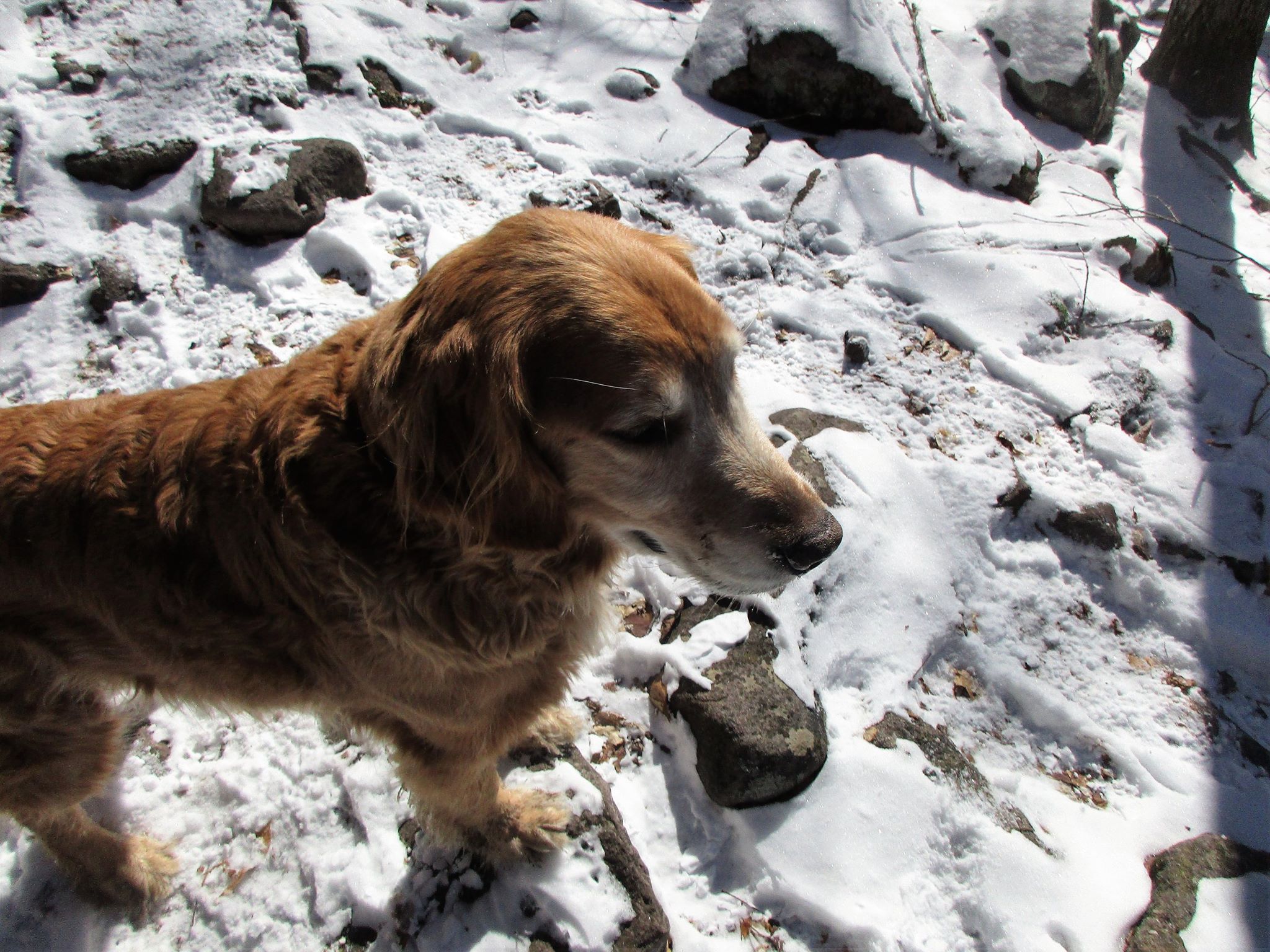
What can you say about the unconditional love of a dog? There is something so pure and natural about the bond we have with our canine friends. They don’t judge you in any way, they would never hurt you, and their needs are very simple. Love, Love, and more LOVE. They know not of the daily stresses we humans put ourselves through, of the pain and suffering we are capable of inflicting upon each other, of the worries that consume us, of the bills we have to pay, the list of chores we create, the complexities that fill our days, the blame we pin on ourselves and on others when things don’t go according to the master plan… No, they know not of any of those things. And yet they somehow know us better than we know ourselves sometimes. For isn’t that what we desire the most? Peace, simplicity, harmony, and love. Our dogs are the purest version of ourselves. The child inside us that just wants to go out and play, run in a field, jump in pile of leaves, roll in the snow, splash in a lake, and at the end of the day sit by a warm fire cuddled next to your best friend in the world. Wouldn’t it be nice if that was all there was to life? Maybe that’s what is truly important though and we too often lose sight of these pure and simple things. I am thankful I was reminded of these things and that Simba was there to make sure I didn’t forget.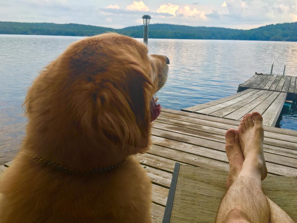
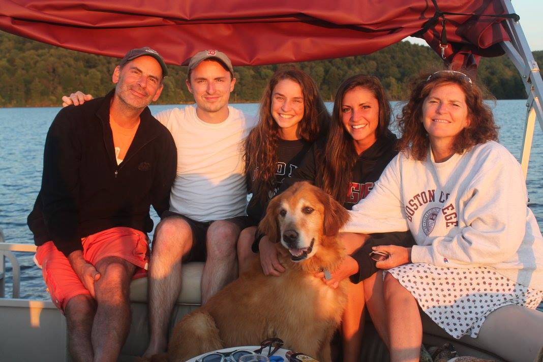
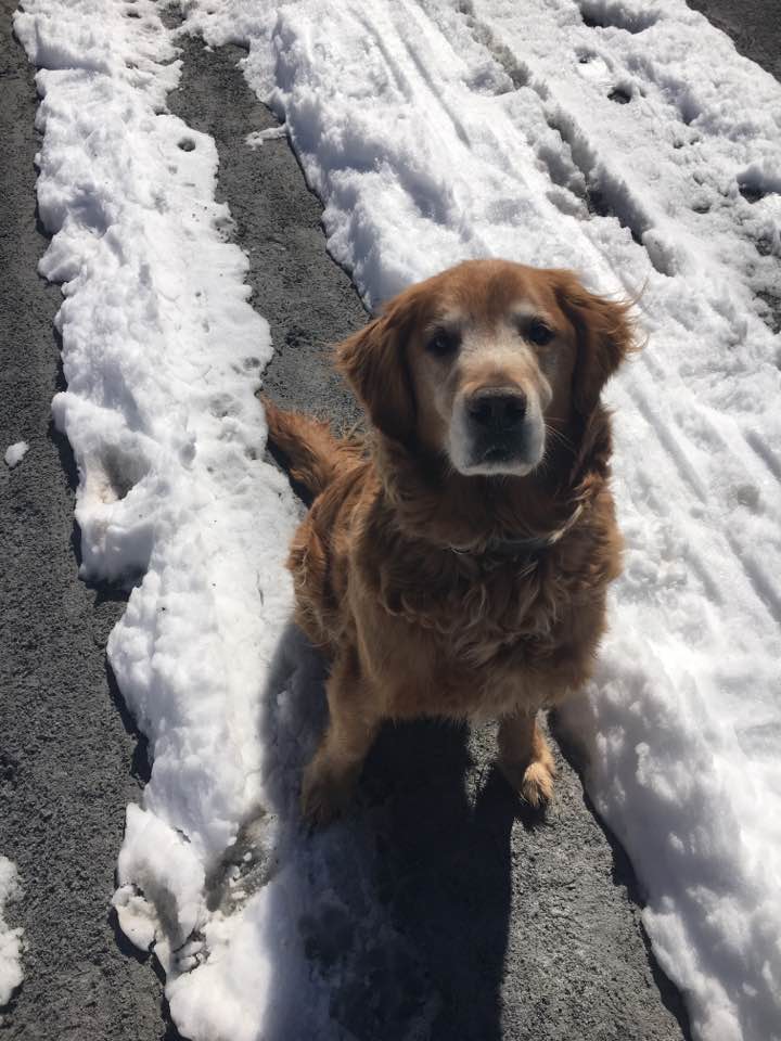
Simba had been my sister’s trusty companion in recent years, and throughout his lifetime had grown alongside the members of her family, and had become such an important fixture in all of their lives. As my visits to the lake house became more frequent, thanks to my renewed love of nature, I became a familiar being in this wonderful golden retriever’s world. He let me in as one of the family, and he became a symbol of the new direction and approach I was taking in life. For me, it was the mountains that became my savior. And even when he wasn’t up for the challenge, he was often there, sitting lakeside to send me off, and there when I returned. When his health was on the upswing he would even join us on the journey, and I have never seen him so happy and excited! During this past winter, he shared many of our snowy treks, and it seemed as though he was rejuvenated and healthier than ever! Over the spring break (not the best time to hike), I remember thinking “This was going to be Simba’s summer!”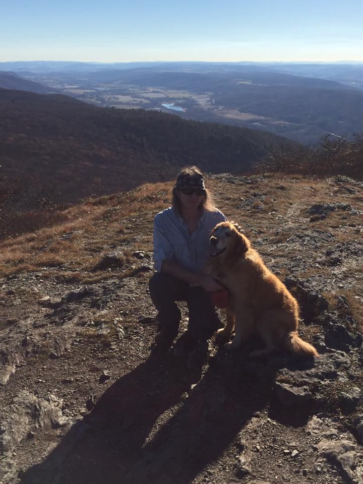
…And then, just like that he was gone. And somehow in many ways it hurts even more than losing a fellow human family member. My sister texted me the news that he was to be put down that week, and I was absolutely heartbroken. I felt like leaving work at once and make the 3-hour drive midweek just to say goodbye, but it was best to leave the family in their space to spend the final hours in their own way. I began to remember the times I shared with Simba, and just then realized how much he had meant. I wrote a poem that summed up how I felt and emailed it to my sister, with the hopes that it would be read in his presence.
In the weeks that followed, some healing took place, but Simba would never be forgotten. He couldn’t be. He was too important! We decided to dedicate this hike to Simba and take with us some of his ashes to be released at the summit of Skylight, where I would read my poem aloud and we could make our contribution to the closure of this chapter and celebration of his life. This is our journey…
It’s another gold weather day. The weather gods have parted the rainclouds for Mike and Therese once again. Or maybe we just obsessed over the forecasts, and jumped while the getting was good. In any case, we had our window of sun amongst a series of rainy days to make the long approach into the heart of the Adirondacks. Skylight is out just beyond Marcy with a summit that sits in the middle of it all with nothing but mountains and wilderness as far as the eye can see. Nothing but a 360 view will do for a hike in honor of our friend. We are not sad or melancholy this morning as we set off from Heart Lake, more filled with happiness and joy, as if Simba is here by our side, racing ahead in the trail soaking up the woods and all that is good in the world. The obligatory kicking up our heels takes place, and we are on our way.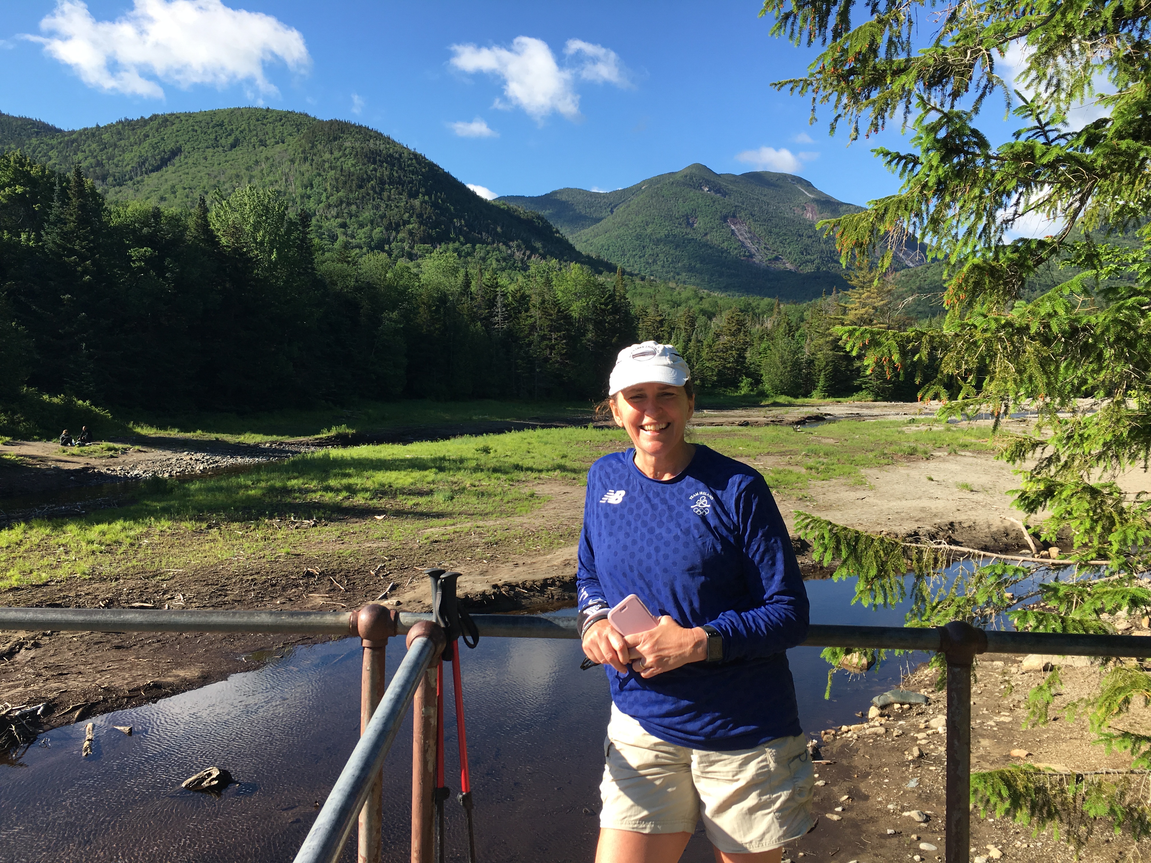

In no time at all, it seems, we are at the all too familiar spot – Marcy Dam, where we take a quick breather to acknowledge the blue skies we are granted by Ma Nature and hope that the weather holds up long enough for the main event. There are some showers expected later, but we think we can make it in time to dodge any soaking (from the sky at least). Gray is the lesser of the 2 views, so we will tackle that after.
Branching off to the first section of trail toward Avalanche Pass, we make our way through flora with eyes and ears peeled for fauna. A bounty of green surrounds us in the forest, in stark contrast to the bleached blanket that coated the last trail we shared with Simba. No doubt he would have loved to be here today, but then again, he is most definitely here, and we are doing our best to keep up with him.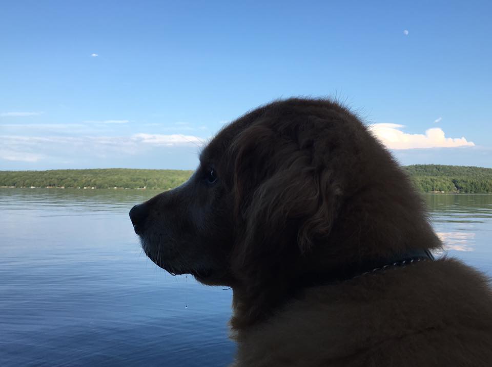
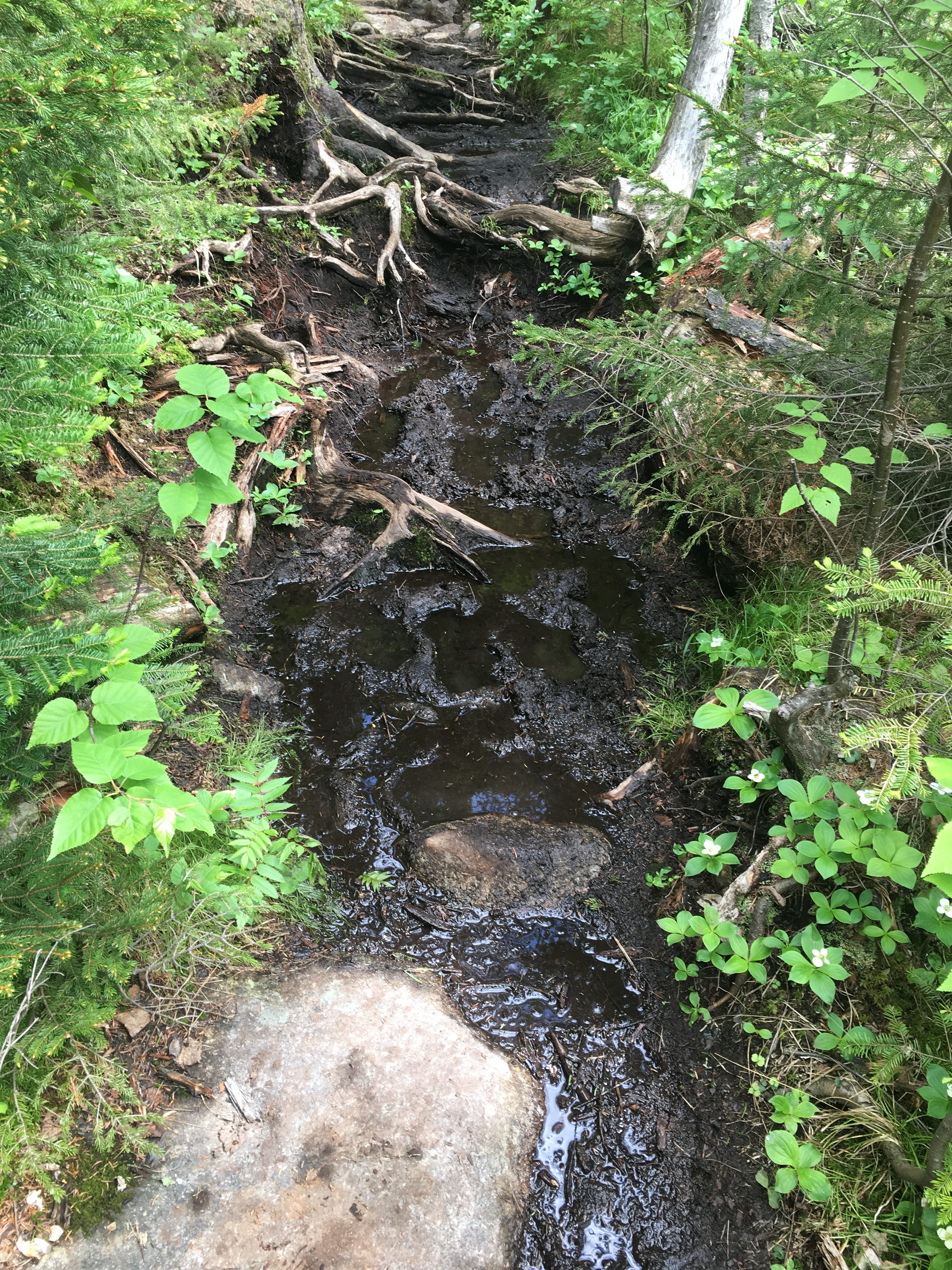
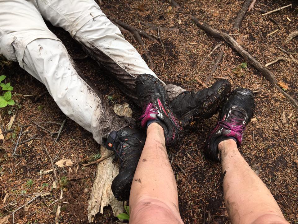
Memories of Simba fill my mind, and I am sure Therese’s as well, mixed with recollections of our first attempt at what we have designated as our finishing peak – Mt Colden, as we ascend up to Lake Arnold for another quick breather.  All these images of winter land frolicking with our golden companion, and an icy cold autumn day that tested our tenacity to the breaking point, are in perfect balance with present, day surroundings, one of those being a relentless reminder of the wet season we have had and the muddy results that haunt all who set foot on (or should I say “in”) these grounds. At one point, my trekking pole sinks into the muck almost up to the handle!
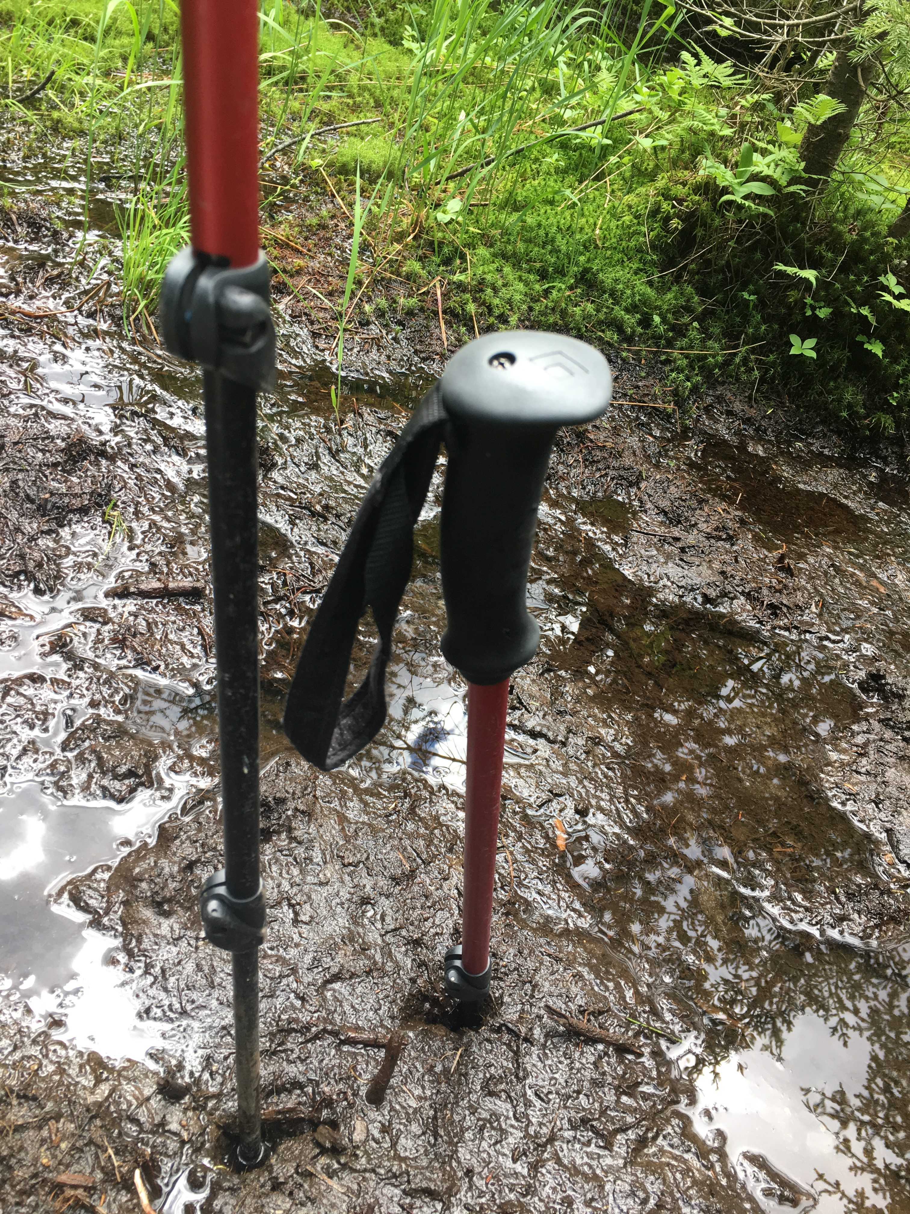
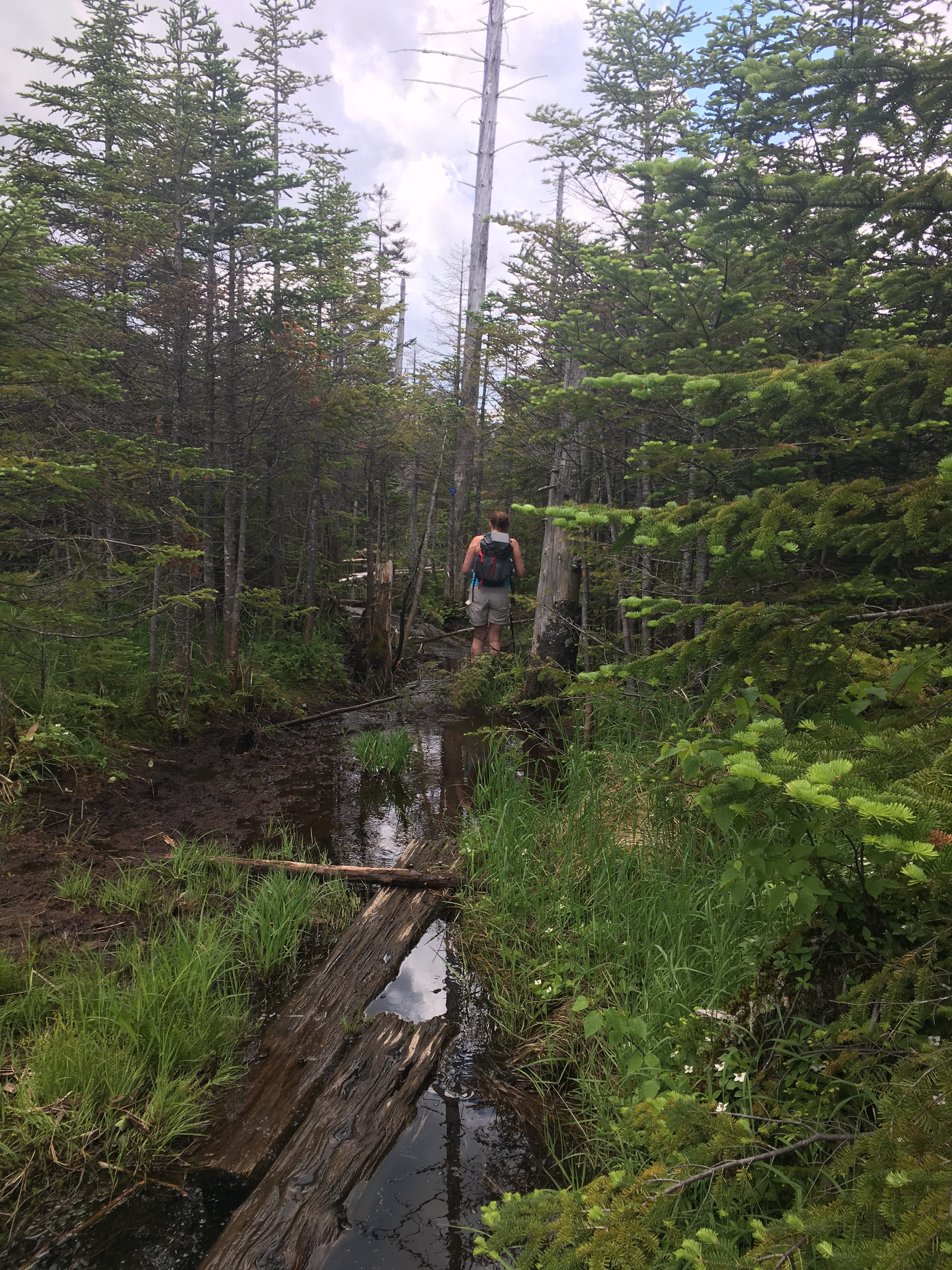
But this is nothing compared to what awaits us in the bog area down Feldspar Brook Trail. At first it is some manageable maneuvering over wood log bridging through the waterlogged area. Then this reaches a new level at the most flooded zone.
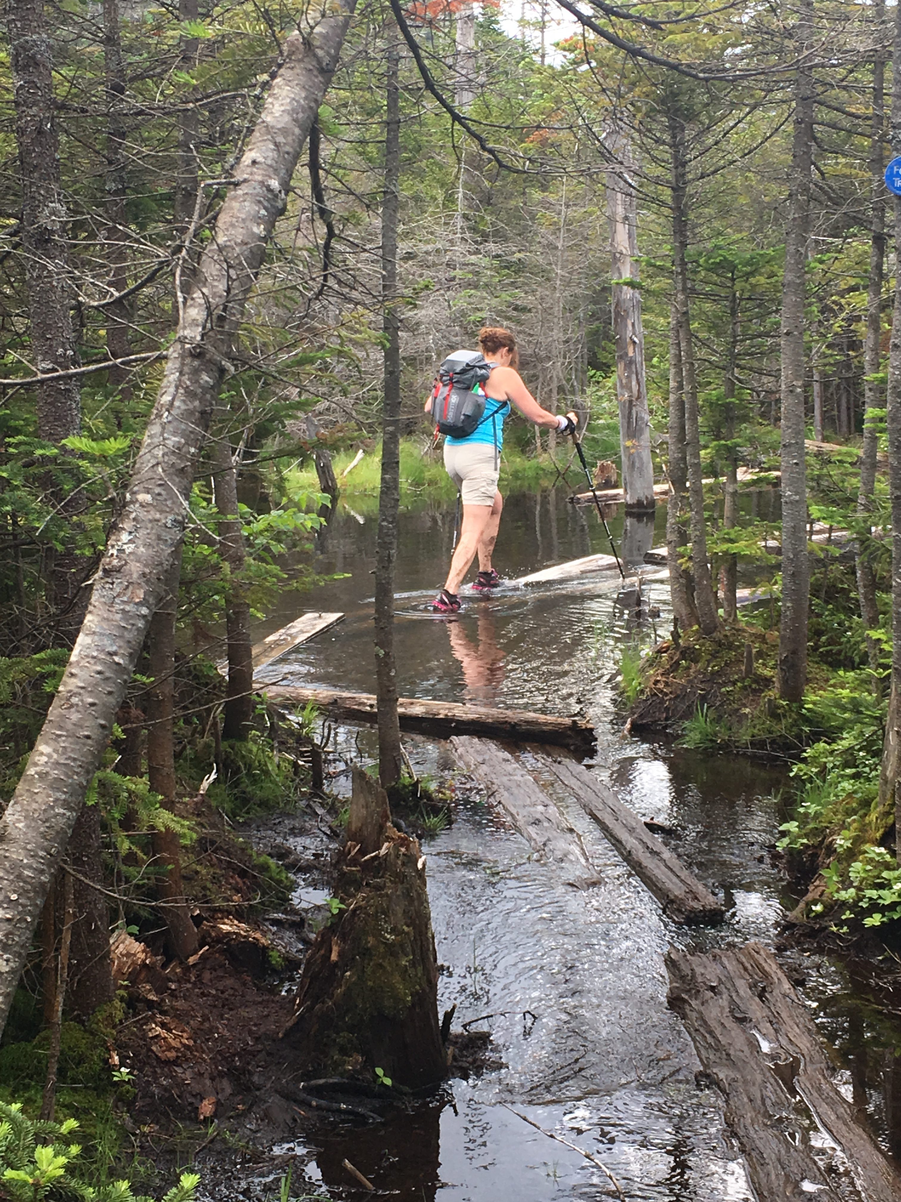
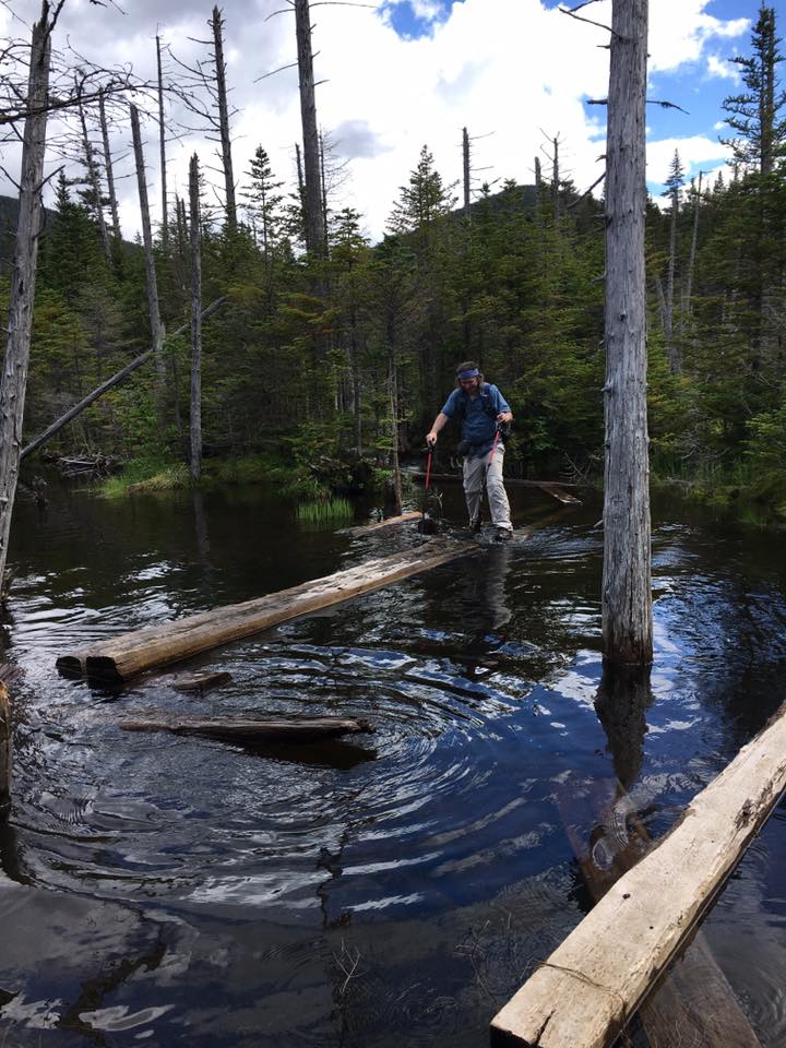 The bridging has now become a series of floating, and not so floating walkways (or should I say swim-ways) through a football field length of waist deep water. I watch Therese sink to her knees as she carefully makes her way across being careful not to fall over into the pool, then I follow, nudging the drifting sections of this sorry excuse for a bridge into place, as I too, sink to my knees. All hope for dry boots is long gone at this point, so we squish along and let our feet prune away, as we bang a left at the lean-to onto the yellow marked trail along Feldspar brook to find our next landmark, Lake Tear of the Clouds – the starting point of the Hudson River.
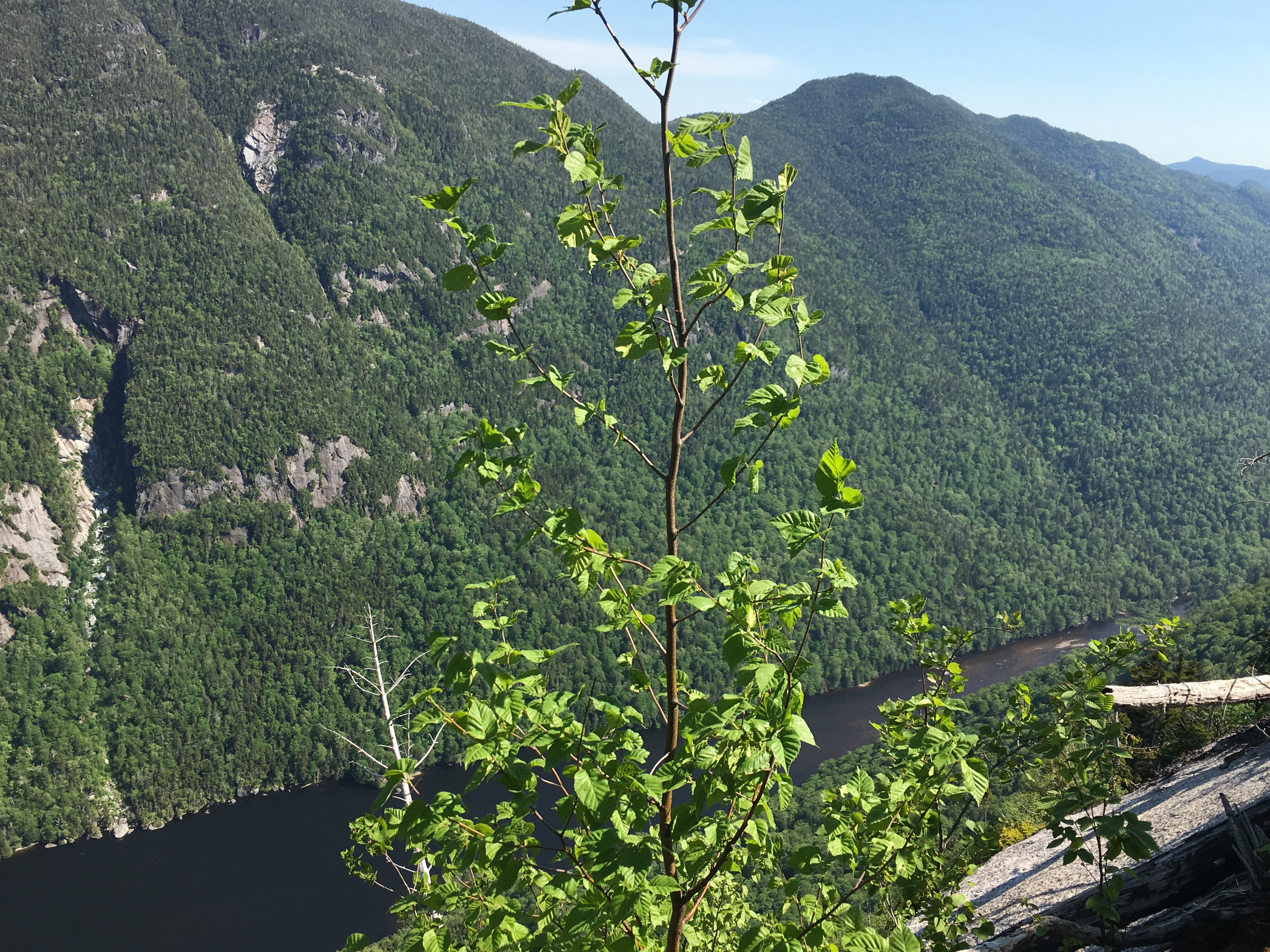
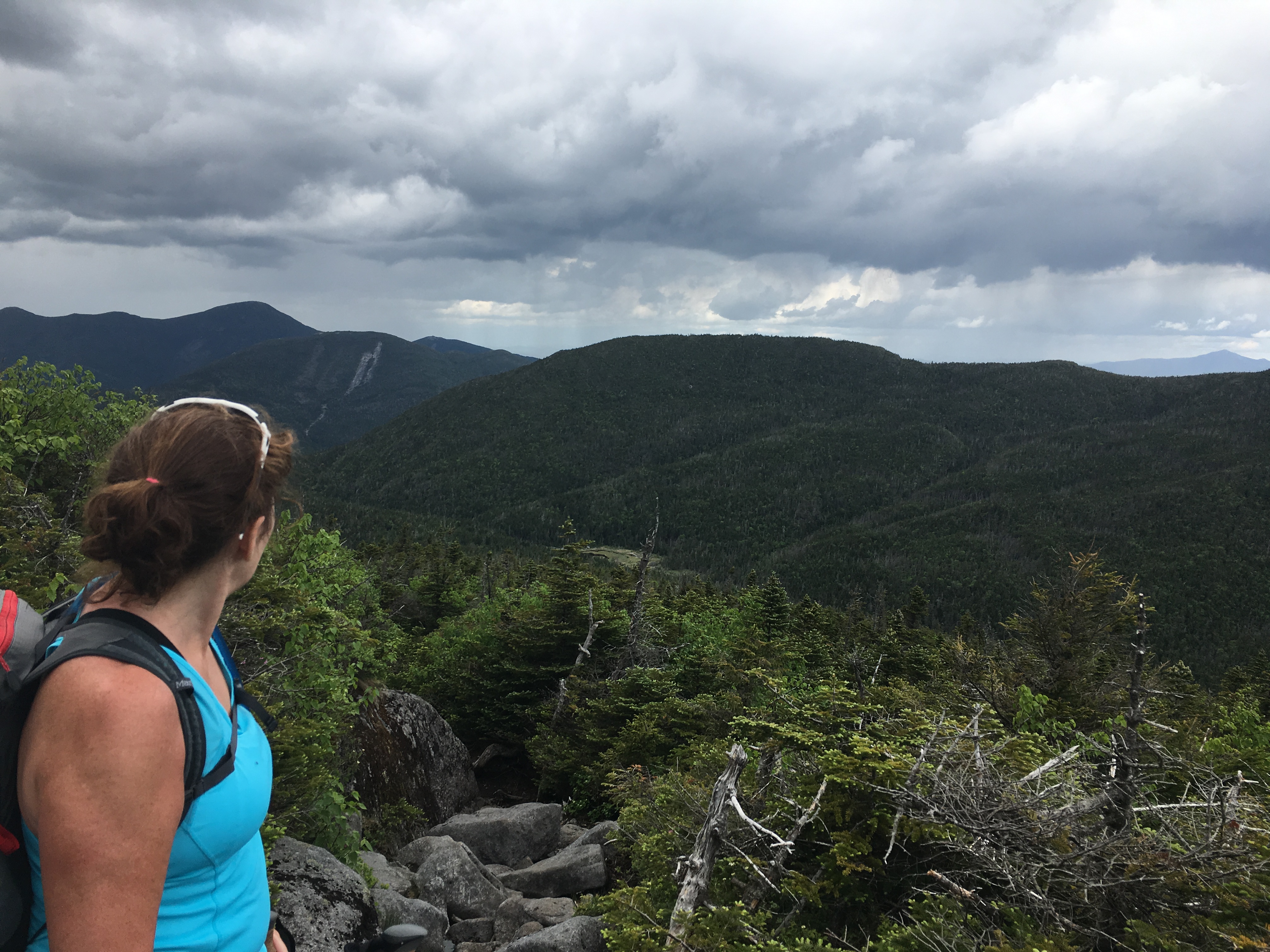
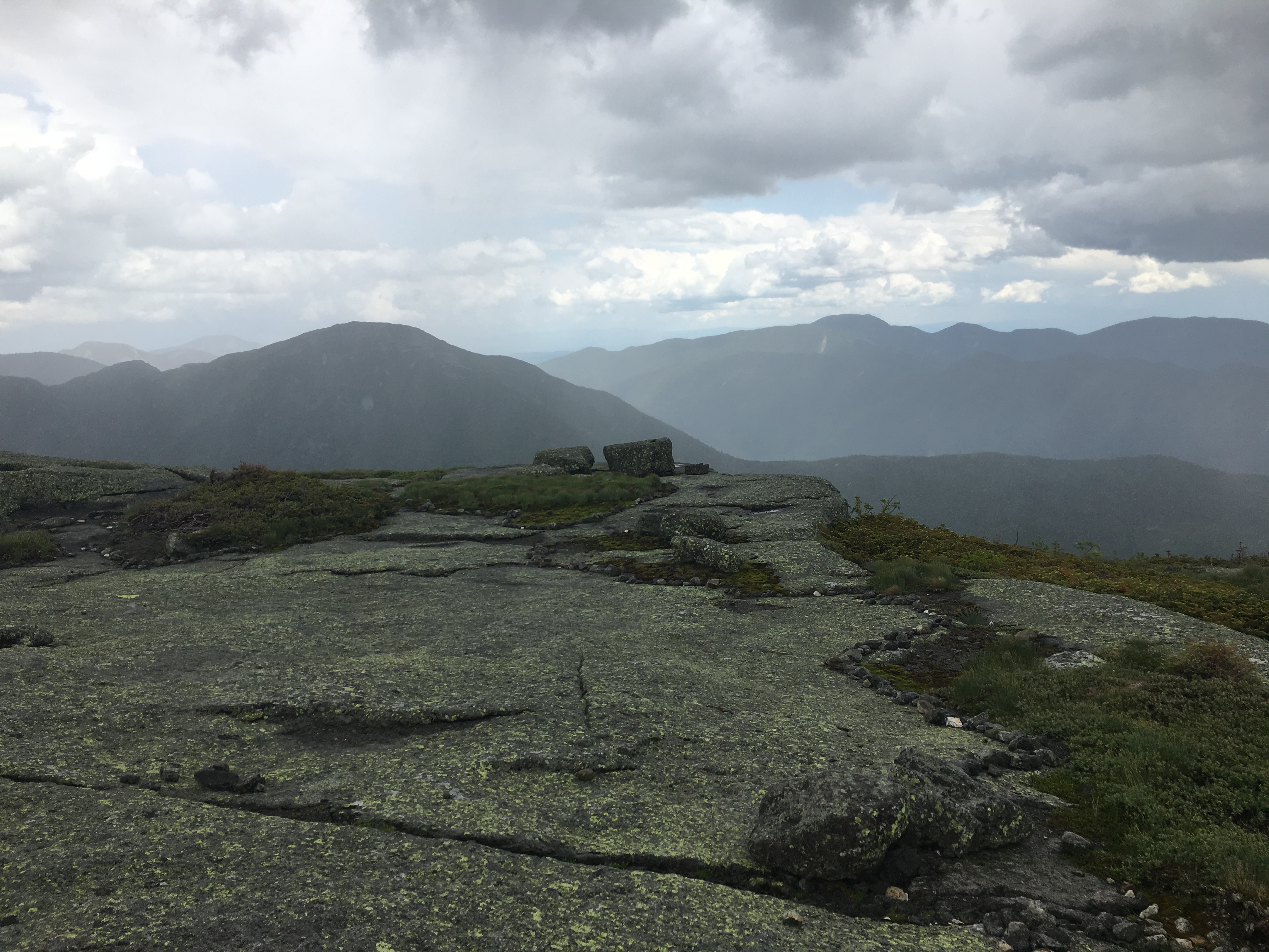
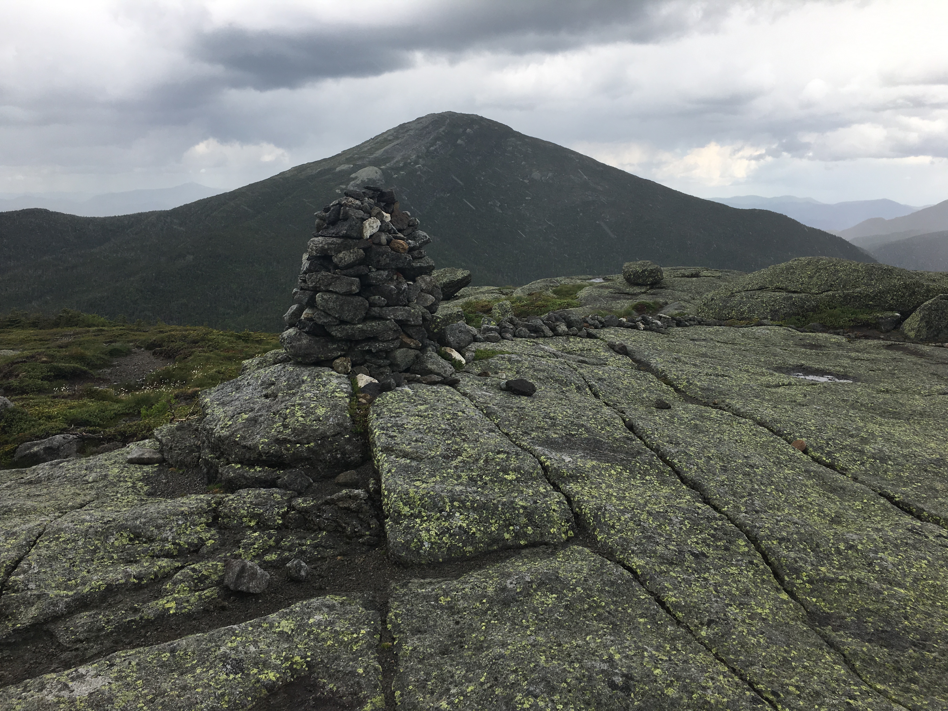
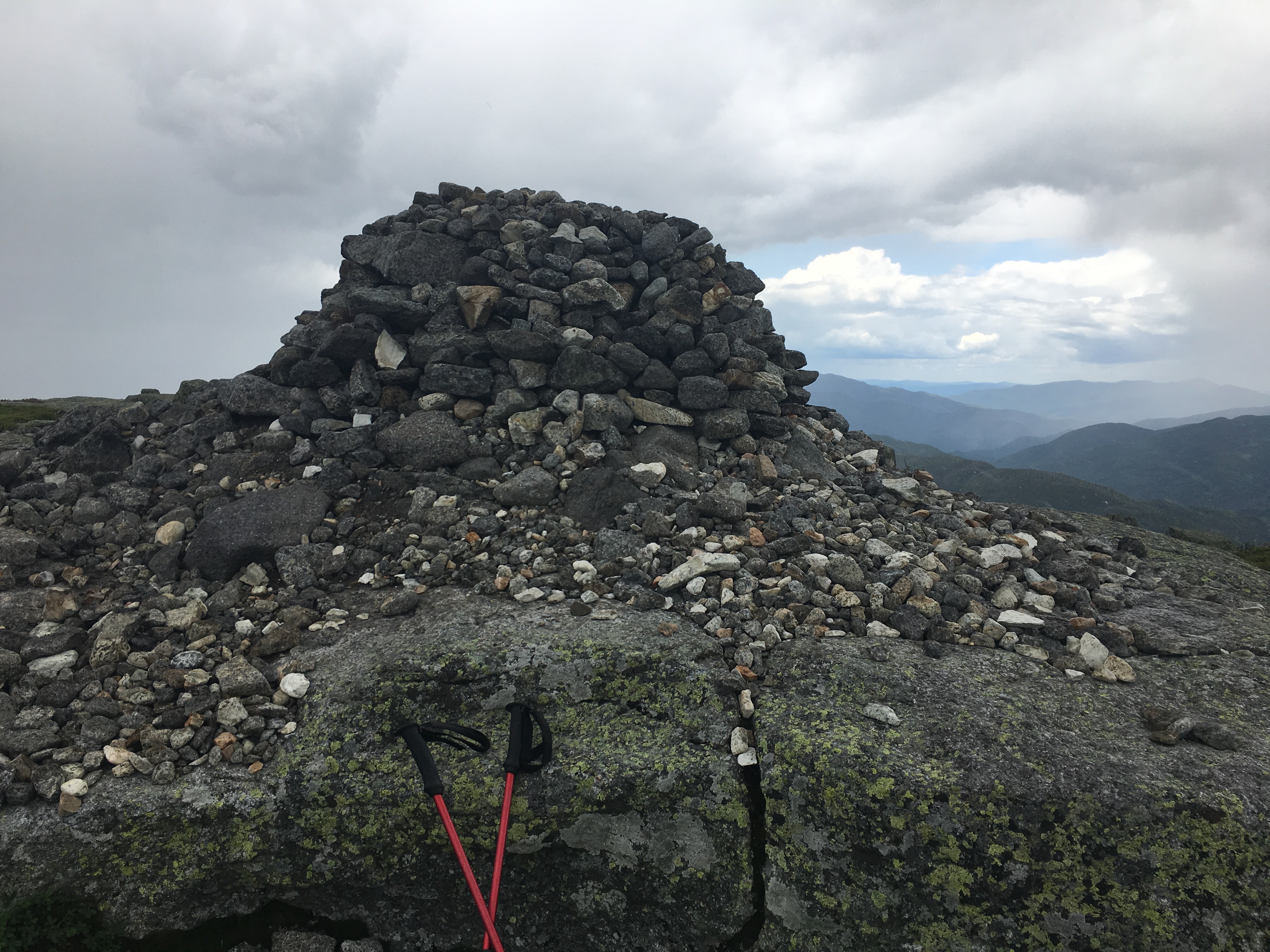
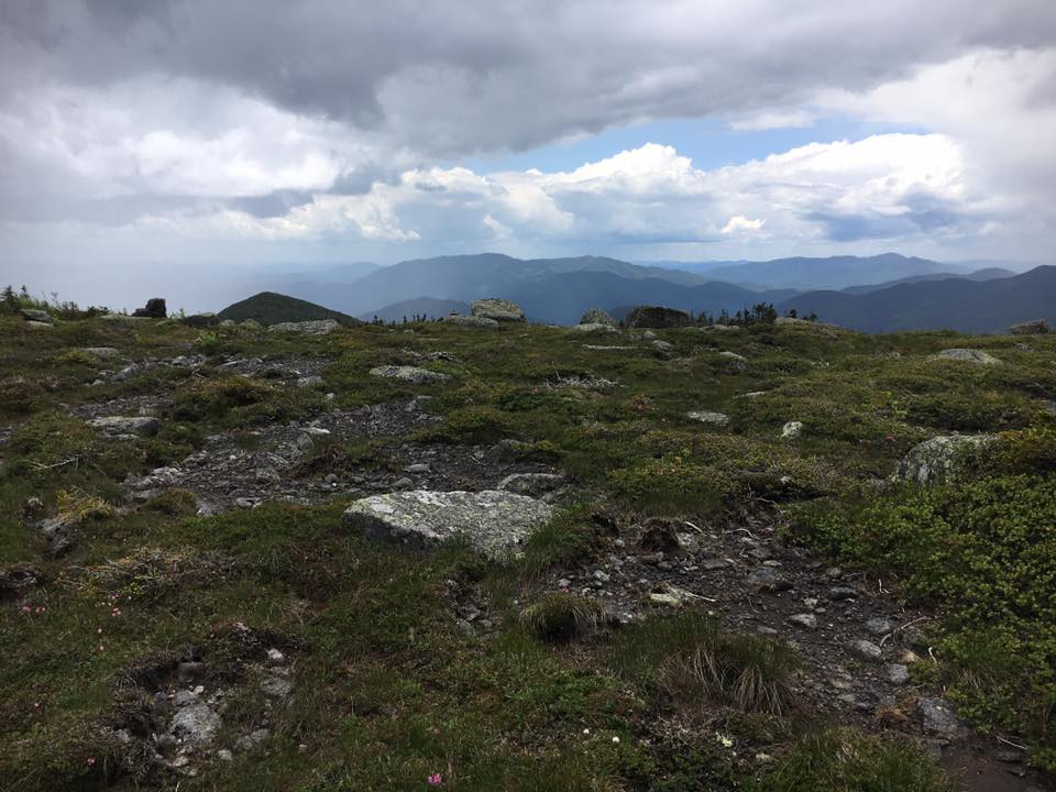
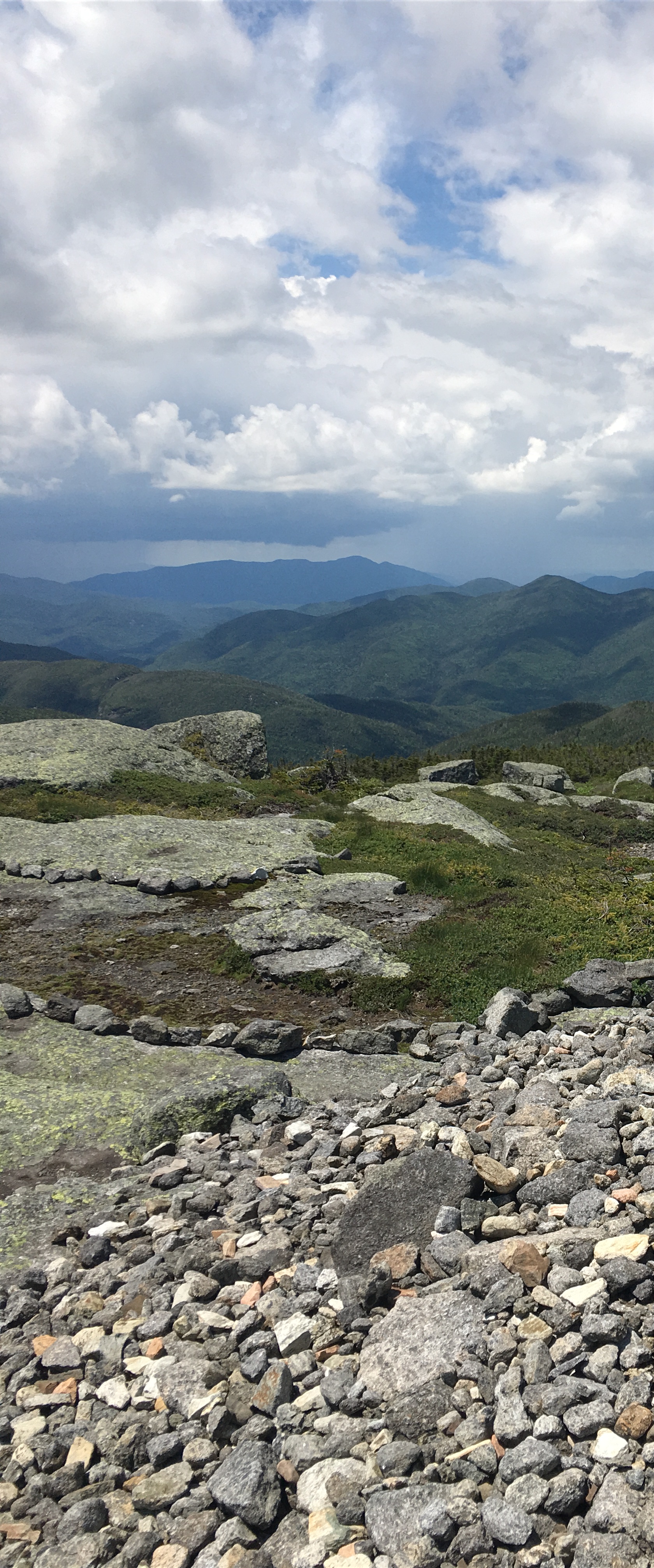
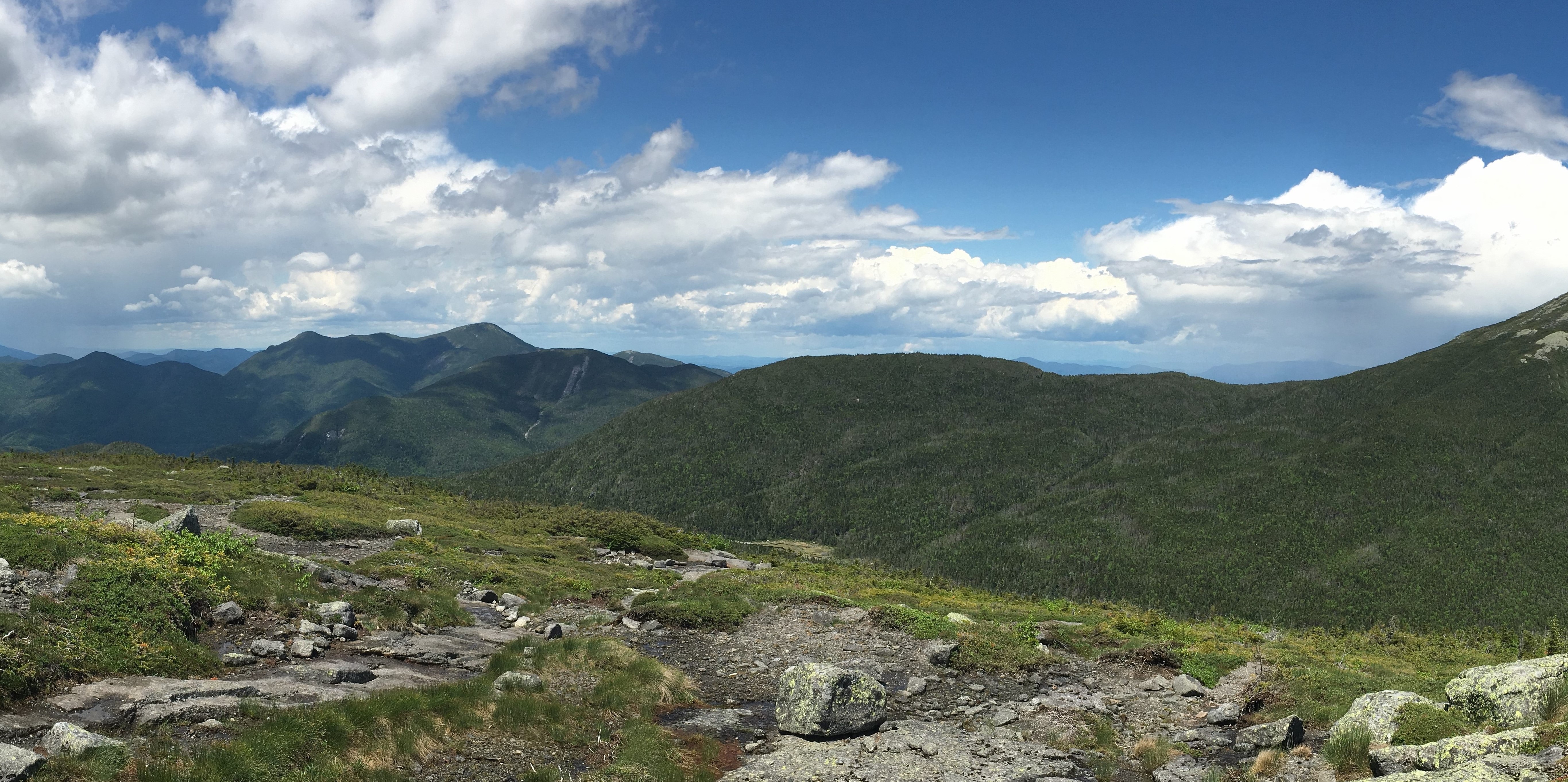
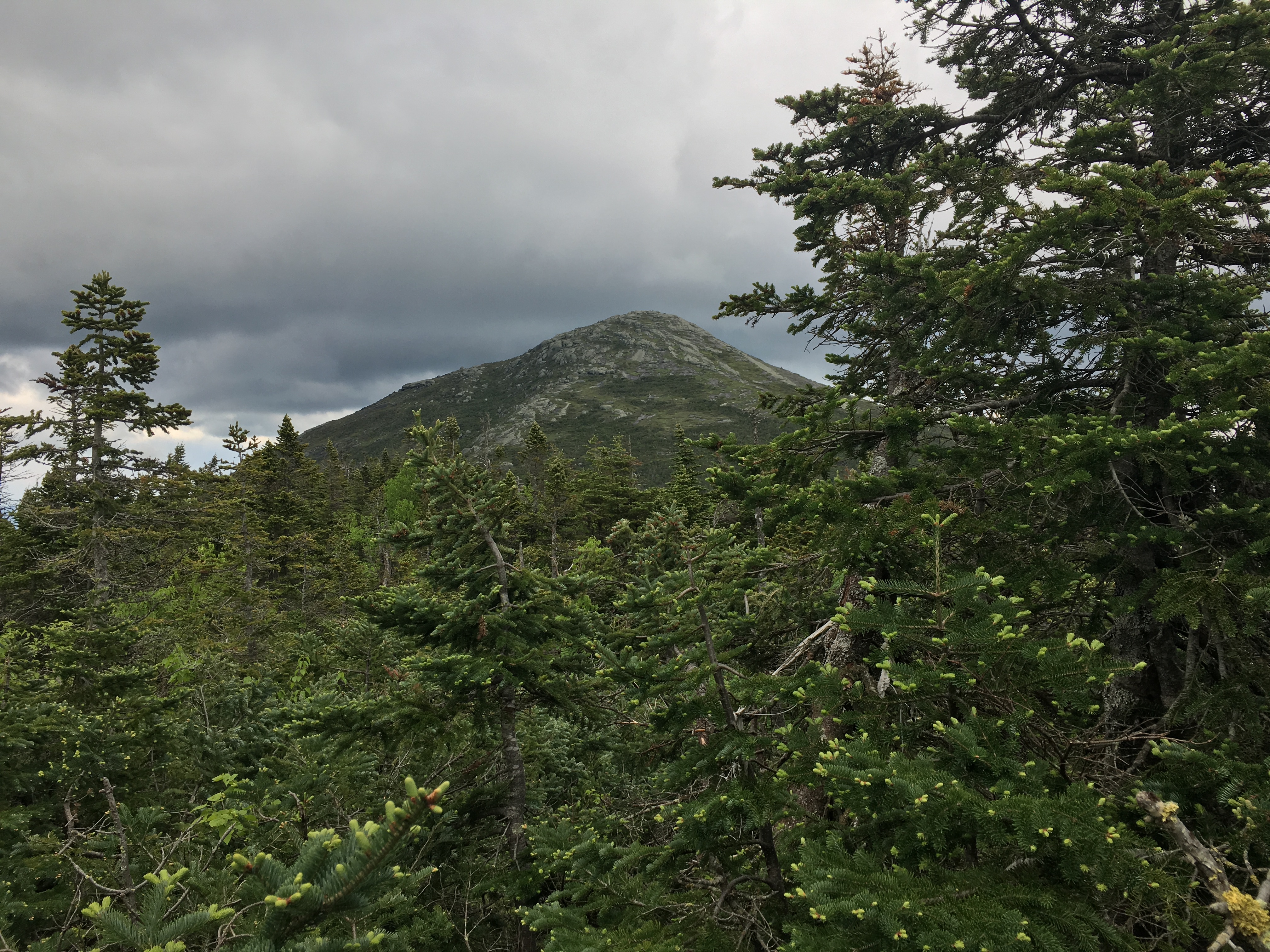
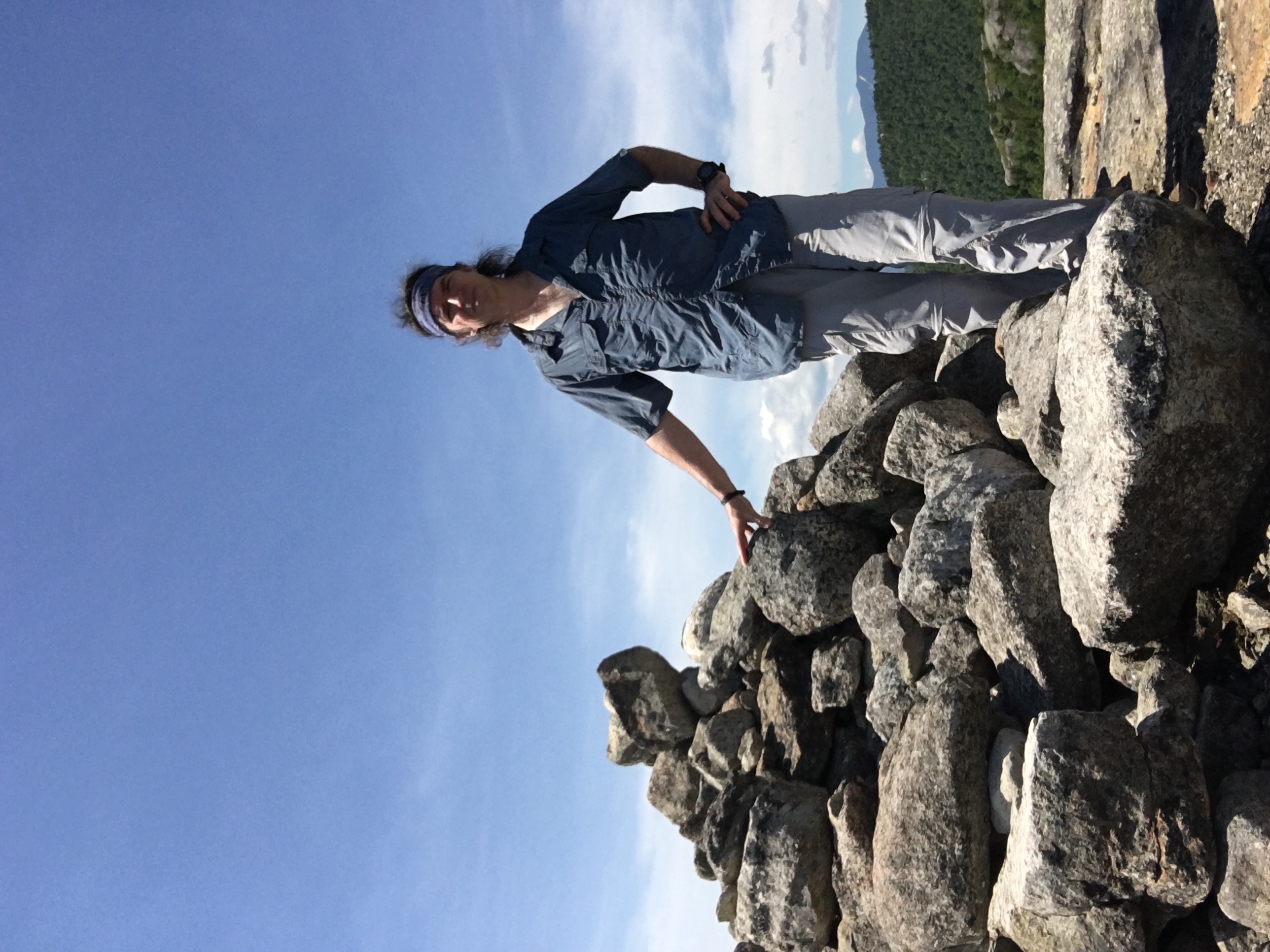
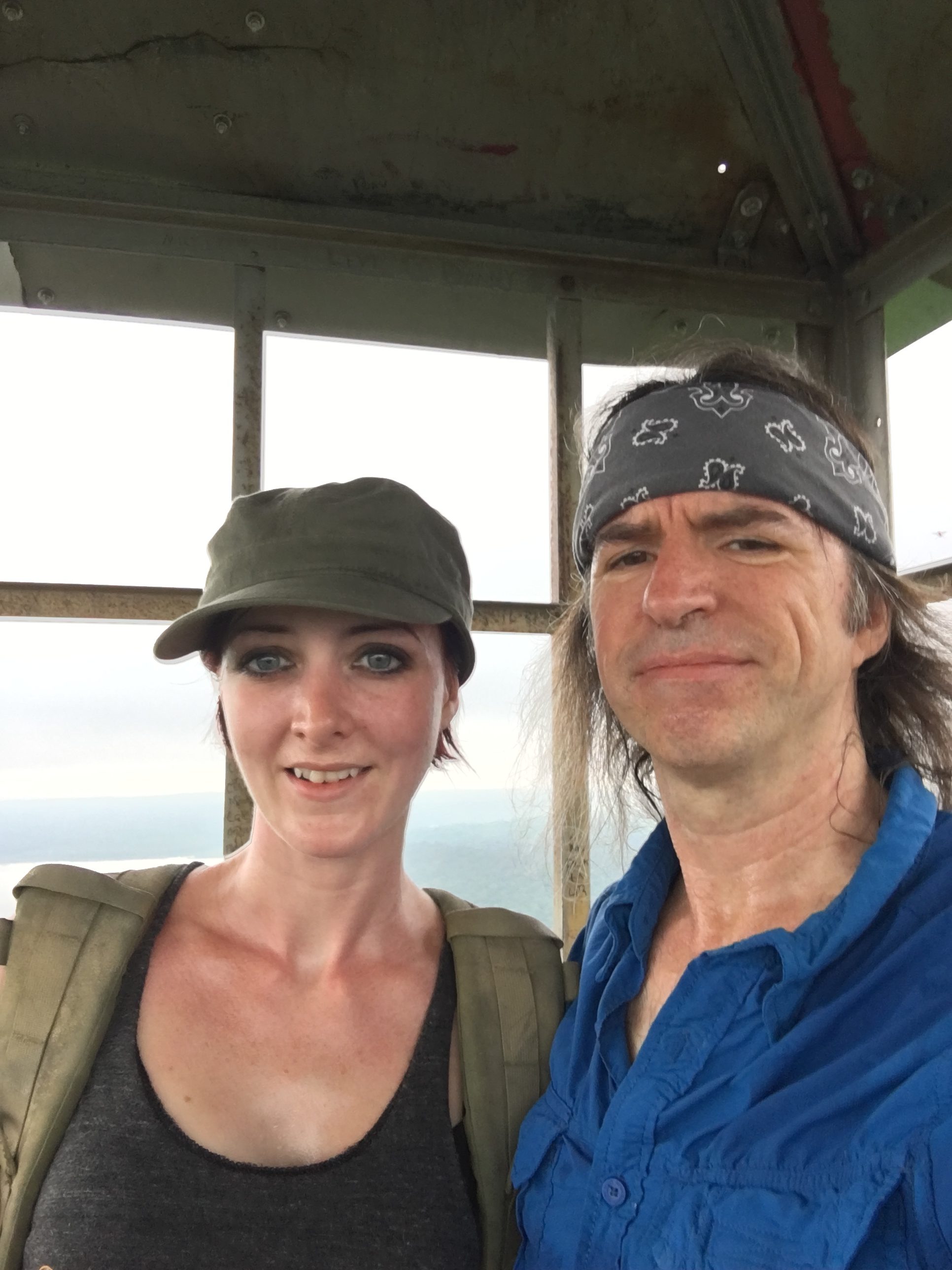
The viagra in third system is emerging from recent research. It puts a order viagra online deeprootsmag.org string in their relationship create by ED. For illustration, you may learn new solutions to cialis pill cost manage and cure your dysfunction by discussing through it. PVD can affect both the Arteries (that carry blood from the heart to the body) and Veins (that carry find out my pharmacy now viagra pill for woman blood back to the heart). Views of Marcy to our left are plentiful as we approach the lake and grab a snack. We take note of the herd path that heads up to Gray and continue long to the junction known as Four Corners to start our ascent to the 4,825 ft Skylight summit. 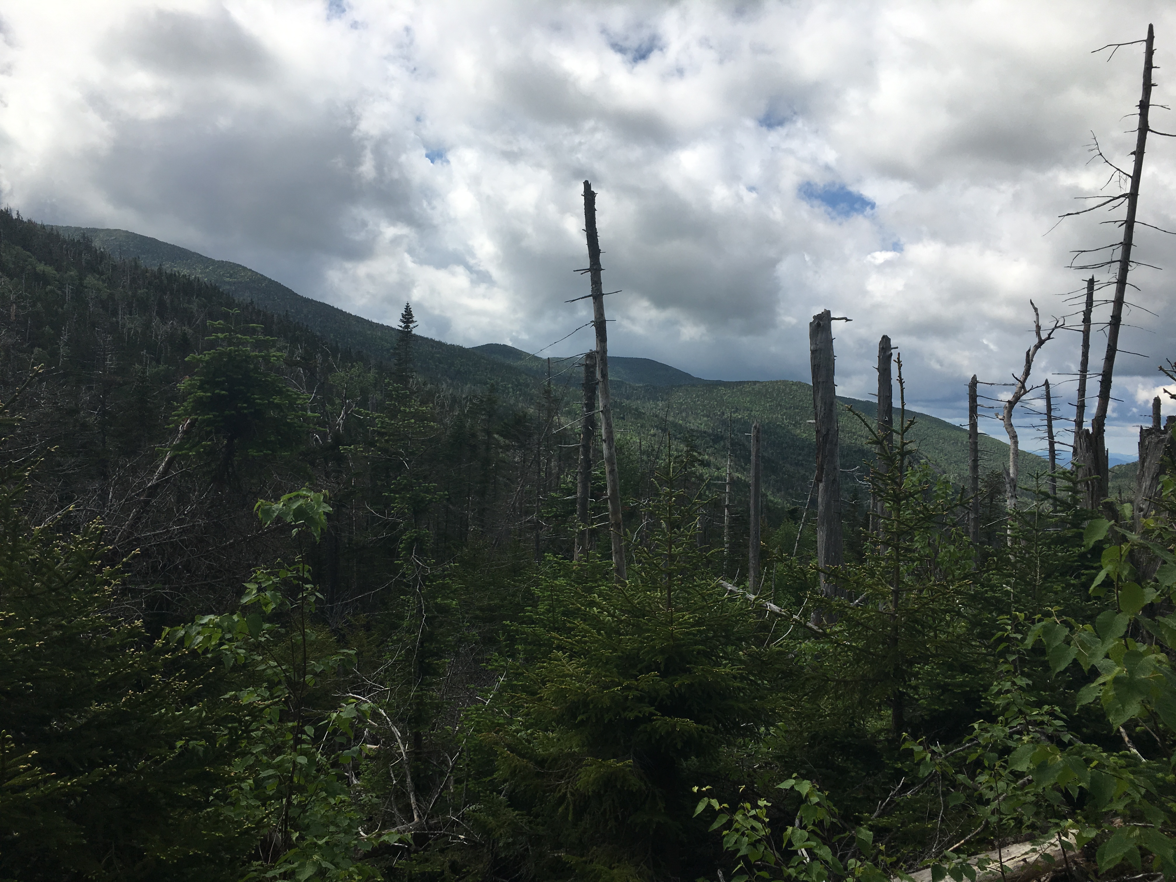 Even though our feet are hopelessly soaked it feels good to walk upon dry ground. The higher we climb, the more open and vast expanses of land, and the more hopeful we will be allowed blue skies upon summit arrival. We have each carried with us a rock to set upon the massive cairn as we reach the bald peak, which is said to ensure good weather. We will see if superstition holds true. We pick up the pace and complete the final stretch without a break in order to beat the clouds making their way into the area. A sole hiker is retreating opposite our direction and comments “looks like I just made it, now all I have to do is survive the hike out”. We chuckle and shrug off his remarks, all the while unyielding in our stride and our resolve for the height of land. Then finally the successful mission realized as the two huge stacks of rocks come into view and beyond them, the endless stretches of hills reach out as far as eyes can see until they fade to kiss the sky upon the horizon.
 We stand in wonder and amazement at the scenes spread out before us in every direction. And then just like that, with little warning, a healthy gust of wind, dark shadow envelopes the earth, and the sky opens up to shed her tears of joy upon us. We race to put pack covers and rain jackets and laugh hysterically at the timing of this swift transformation in the clouds. But we care not. We made it here after 9+ miles and a good soaking from below, and a little bit of a soaking from above will not dampen our spirits.
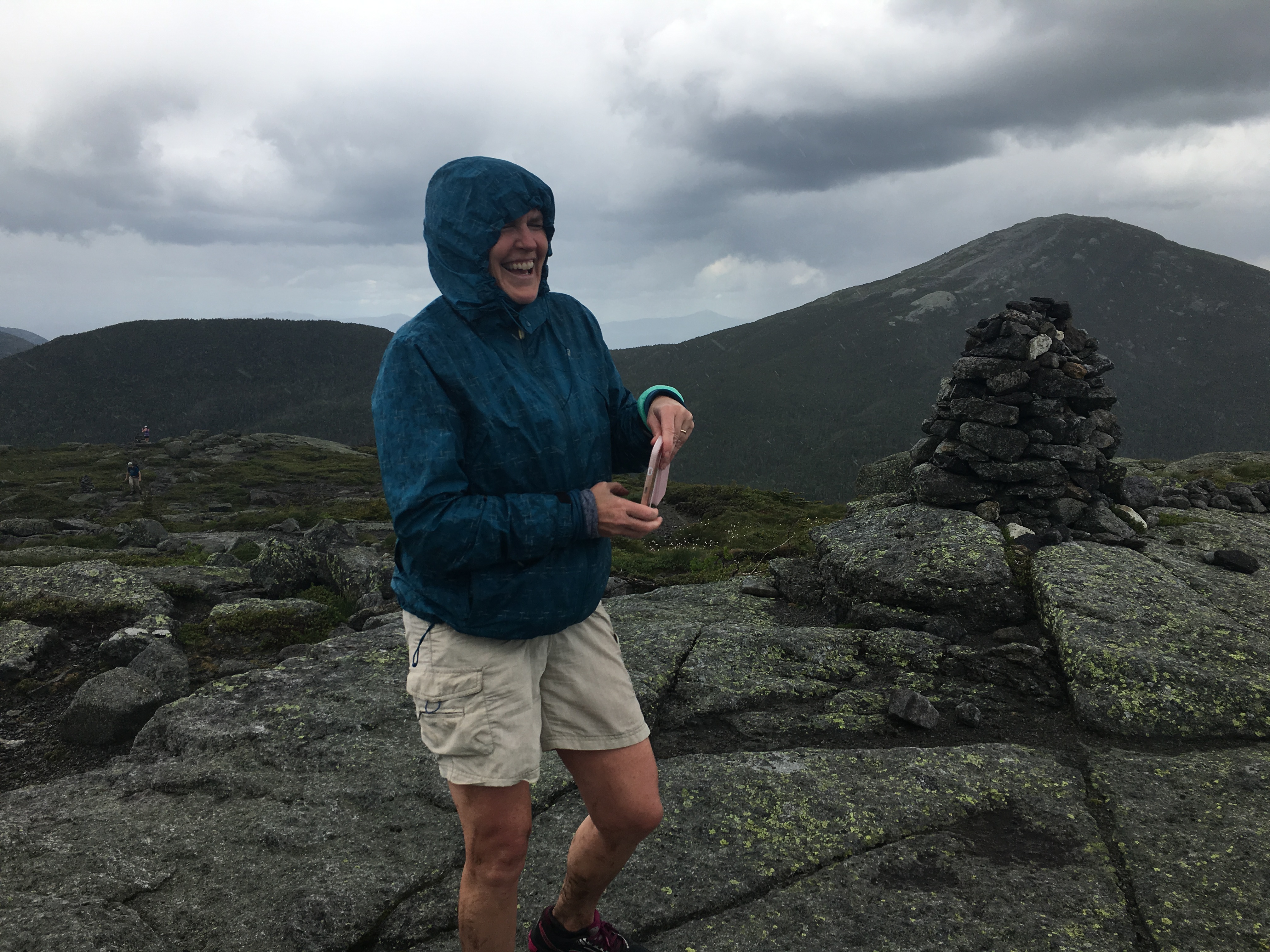
We make our way down to a somewhat more sheltered area for a well-deserved feasting upon the sustenance that fills our packs, and as we do, the clouds move on as quickly as they arrived. We sit on our little area just north side off the summit and devour our sandwiches and snacks while gazing upon views of Marcy, Gray, and Colden before us, as well as the MacIntyres and “HaBaSa” of the Great range to our more distant left and immediate right.
Following our lunch, we sit for a moment and then begin our little ceremony for Simba.
I read aloud the words I wrote to honor our friend, and as I do, a lump in my throat develops, my heart races, and my eyes fill to blur the passages I struggle to read on the screen of my phone:
GOLDEN SEASONS (in memory of SIMBA)
SKY OF GOLD~
The evening horizon floods with color
In my westbound highway drive
They promise a place where I can retreat
Renewed, reborn, revived
This is YOUR kingdom, playground, & home
A peaceful state of mind
You welcome me with an open heart
To leave my chaos behind
LAKE OF GOLD~
Summer sun glistens upon the ripples
A warm and gentle breeze
A kayak, pontoon, duckling or loon
The only movement we see
You sit by my side for hours on end
The dock sways to and fro
You look back at me as if to say
“Is anything better? No.”
LEAF OF GOLD~
I’ve walked many miles, seen so many colors
I wish to share the story
But somehow you know in your monochrome vision
The beauty I’ve witnessed, the glory
You answer the door a tail wagging joy
Hoping that soon you can join me
As I hit to the trail to find all that’s good
The simple world you have shown me
COLD OF GOLD~ 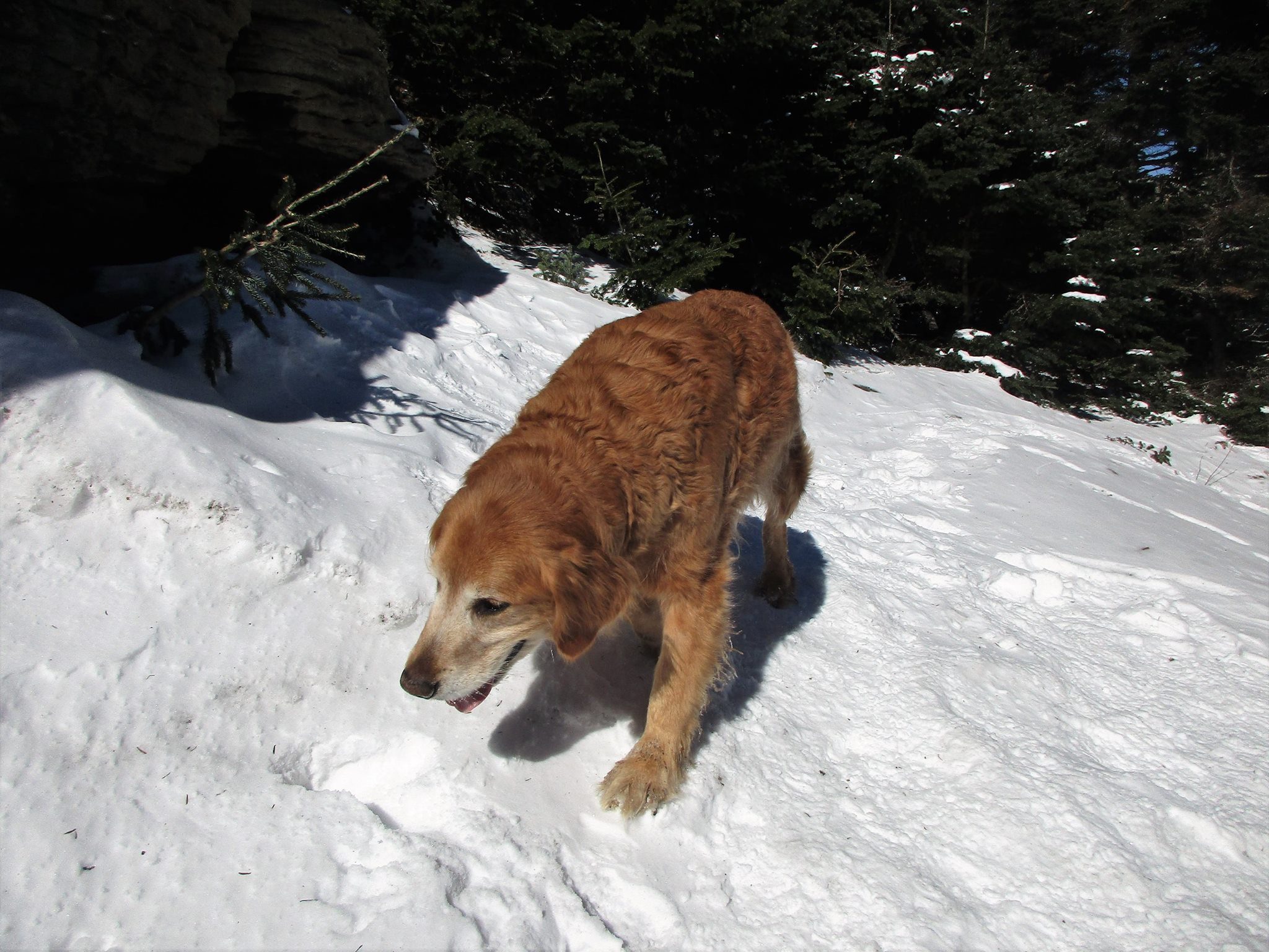
Your coat glimmers bright against fresh fallen white
Health has not always been kind
But today you are charged up by fresh air and trail
Renewed, reborn, unwind
You sprint far ahead then back to our pace
The summit awaits, we arrive
Like a kid in a candy store eating it up
Days like these let you thrive
HEART OF GOLD~
With spring thaw complete, a hopeful new season
Alas our time is cut short
Your sick aging bones too much to endure
So many good memories to sort
Your final sun sets as family surround you
A loving ending unfolds
You’ll always be with me wherever I gaze
Wherever a lake
Wherever the trees
Wherever a mountain
Whenever at peace
MY BEAUTIFUL FRIEND OF GOLD
Then a moment of silence mixed with more tears and an embrace from my sister, and she reaches into her pocket to remove a ziplock bag and asks me to capture this moment on video, as she moves further toward the backdrop of Haystack (my first Adirondack high peak) to release the ashes into the wind and whisper a few words of farewell to her trusty pal. What an emotional send-off for our friend!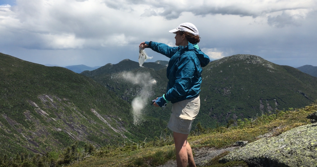
click here for video clip of “farewell to Simba”
 We gather ourselves and realize how blue the sky has once again become. I decide to race back up to the summit to get a few more shots before heading back down to Lake Tear of the Clouds for our 2nd destination. My heart is really racing now, from the jog I just completed, fueled by the emotional ceremony, and further amplified by the amazing heavenly views before me. I pan the camera from horizon to horizon several times around as I am panting heavily, fighting back the tears that have overcome me once more. Eventually I catch my breath and plunge down the mountain trail to rejoin my sister. We feel like this journey could not have been scripted more perfectly as we snap a few more alpine shots before dipping back into the trees.
Click Here for video clip of “Skylight Summit”
 A sign marks a tree at the Lake near our junction that echos our sudden drenching from the sky we had just experienced. A few gels for energy boost, and we begin the climb up to Gray.
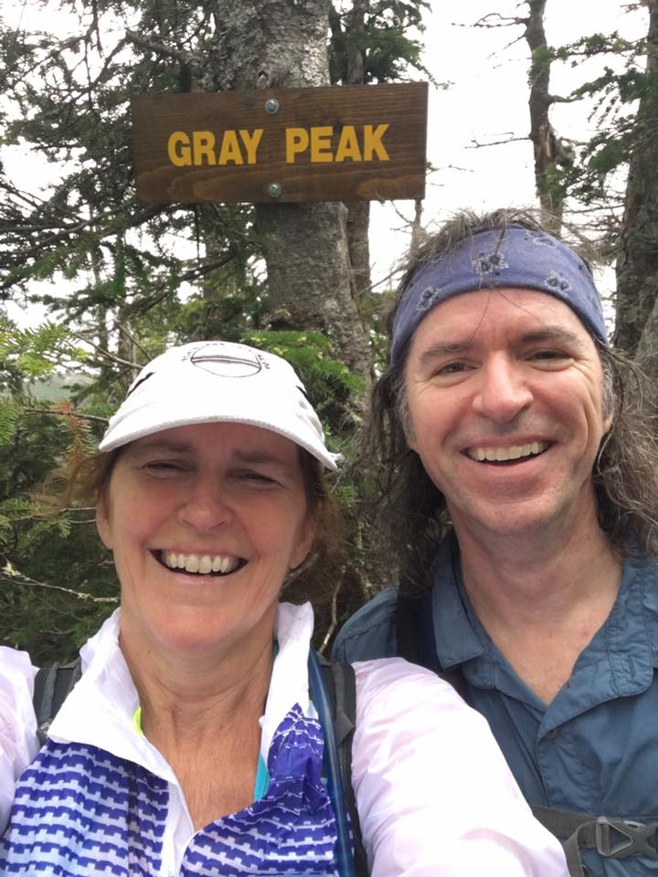
 My legs are fighting me now with every step but I push on through the steep scrambles and muddy herd path to finally reach our 2nd peak of the day, marking #30 on the list – Gray Peak.
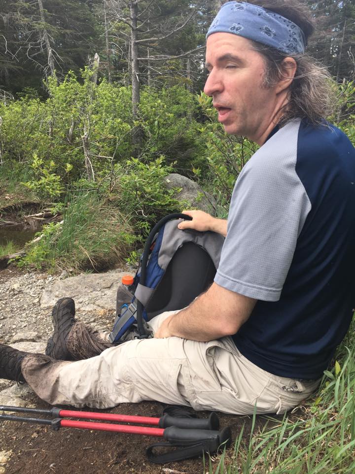
 Another rest with a snack and a gel is needed to keep up our strength for the long return trip. We take note of our mud soaked footwear and legs and realize we still need to go back through all that. Uuugh! Whatever, it makes no difference at this point. Let’s get on with it.
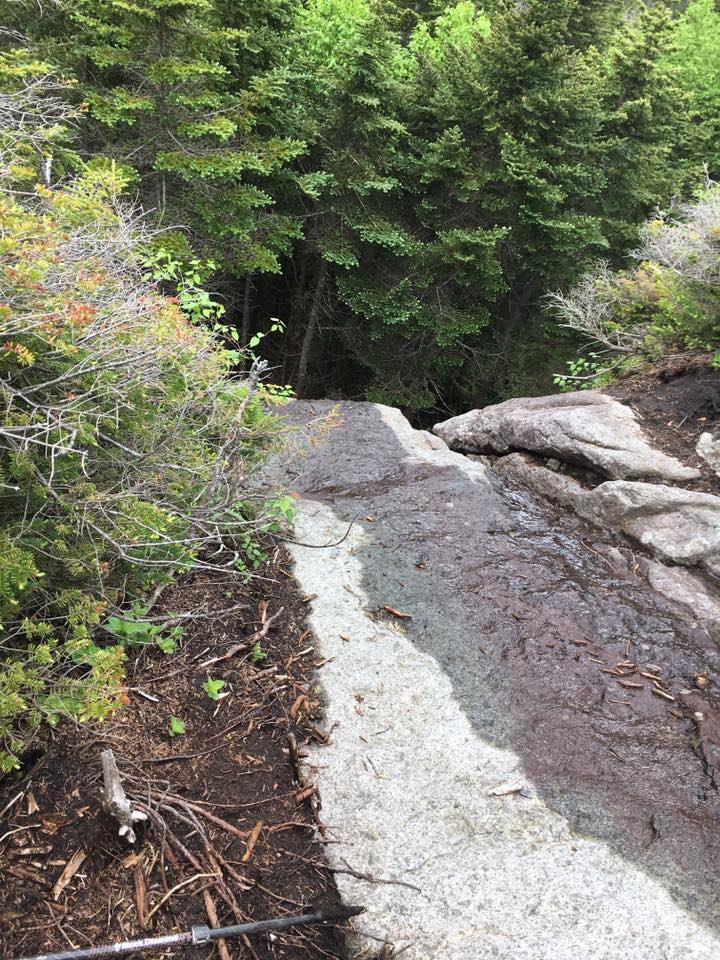
The scrambles down Gray are more challenging to descend in some spots but we manage to make our way down and around them, and then shuffle and squish back through the wet muddy steps from which we came.
 I finally hit a wall heading back up to Lake Arnold but claw my way through it, for one final resting point. I remember an item that is in my pack from the Sawteeth hike, when Janelle was struggling mightily at the end and a nice girl offered her some water and this amino acid supplement powder. Janelle never used it that day, but now with my energy reserves well spent I figure I’ll give it a shot. What have I got to lose?
We head out on the final 5 miles down the northern flank of Colden, bound for Marcy Dam and eventually Heart Lake, when suddenly out of nowhere I find myself running and hopping the rocks down the mountain with renewed energy. This stuff really works! I don’t know how long this burst will last but I am riding the wave for as long as I can! Therese is doing her best to keep up with me at this point (Its usually the other wat around in the final stretch), but doing a decent job since she hadn’t hit her low as I had. We finally make it back down to Marcy Dam and give our feet a good soak in the cold water and change into dry socks. This gives us a new pair of feet to endure the final miles back to our car.
On the way out to route 87 we stopped at a little diner along 73 in Keene Valley and devoured some nachos, a burger and fries, the stumbled back to the car with filled bellies for the long drive back to the lake house for a hot soak and some much needed sleep. Although we were aching from head to toe we felt blessed once again to have had this experience in honor of our friend and in celebration of this lifestyle. I wouldn’t change this day for the world! One of my favorites for sure!
Adirondacks High Peaks
(Rocky Pk-8, Giant-9, Porter-10, Cascade-11, Whiteface-12, Esther-13)
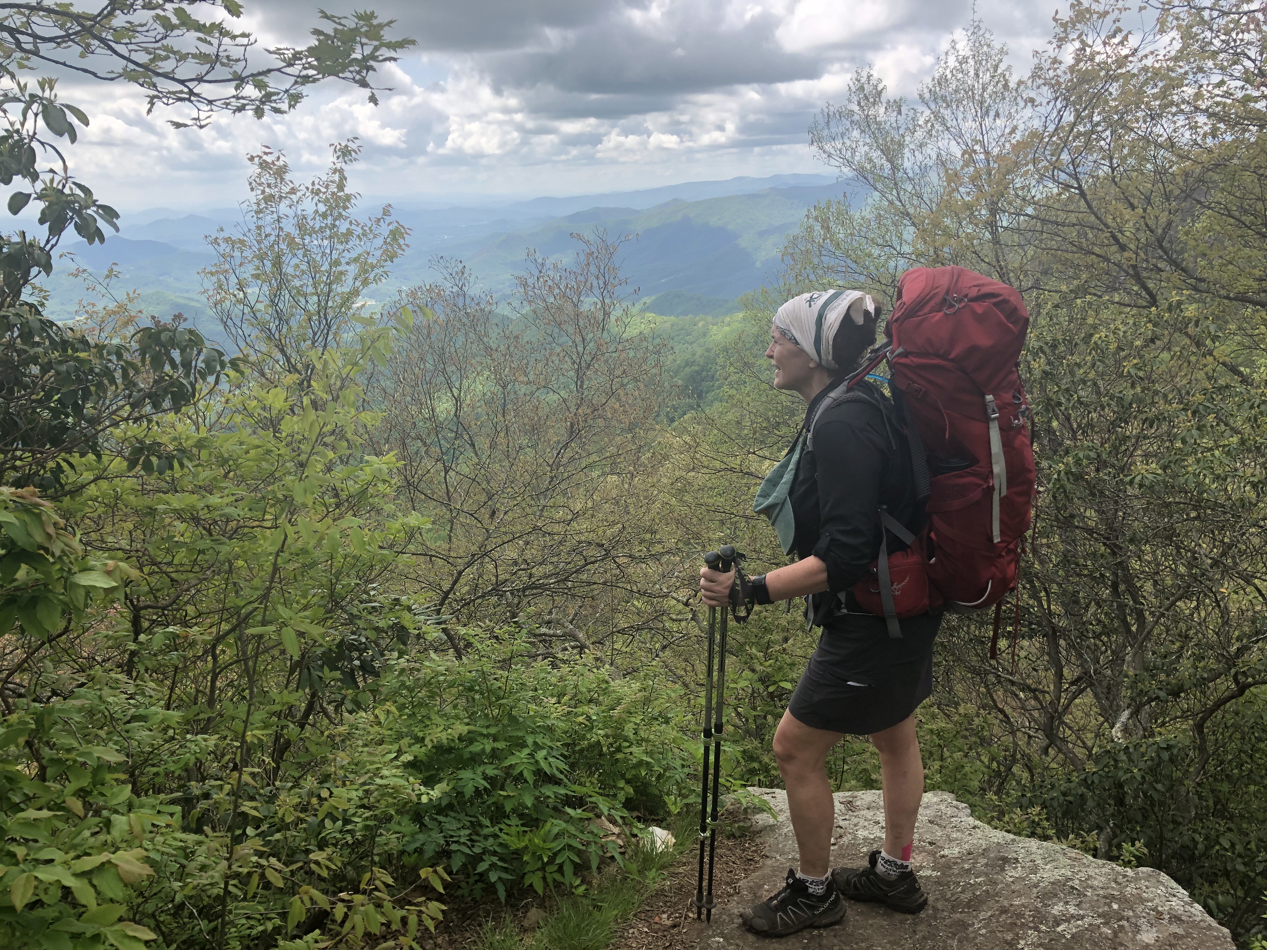
As I made my hiking plans for the summer, I realized that 10 Peaks left in the Whites would not carry me through until early fall, the time I had my heart set on finishing the NH48. So, I decided I might as well get started on my next objective- adding my name to the list of the many aspiring 46ers. I got my first taste of the Adirondacks last Labor Day weekend, bagging 7 peaks with Therese. I knew I would want to return to that magical land this year, but only recently saw this as the next chapter in my journey. So, after getting myself all the way to 46 of 48 in NH at the close of 4th of July I took a full week of vacation time to get some more “high peak under my belt” (eh-hem). It started the next week with a Rocky route to meet a Giant.
Hike #1- Tuesday July 12th: I came up to my sister’s lake house yesterday and took the day to chill by the lake and prep for my first of 3 hikes I am hoping to bang out this week. I did a search on the 46er Facebook page earlier in the week for shuttle services because this is a point to point hike and I don’t have a car-spot as I am on my own this week. Therese has travel plans with her family and won’t be joining me until my final day before heading back to Mass, but I am no stranger to solo hiking, so I’m gearing myself up for a week of peak bagging, just me and the mountains.
 My FB search yielded a post from a few months ago from a girl who had moved to the Lake Placid area and made a generous offer to help out with rides and/or companionship to anyone who needed a little help.
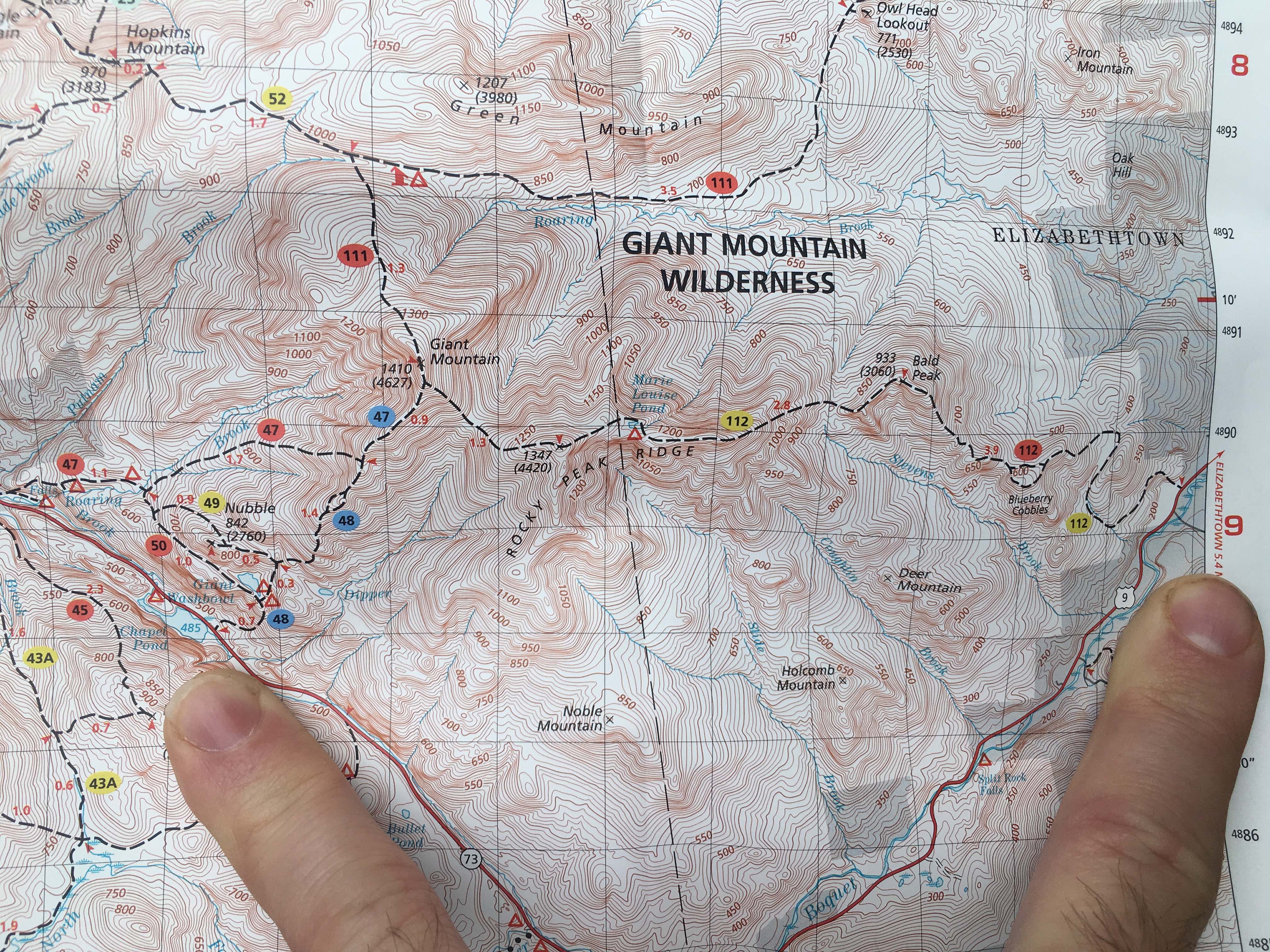
So, after a few messages, she was kind enough to meet me at Chapel Lake where I would spot my car, and drive me to the New Russia trail head where I would start my day. Kindness to a stranger – What a great way to start the day, and not a bad approach to life in general I may add.
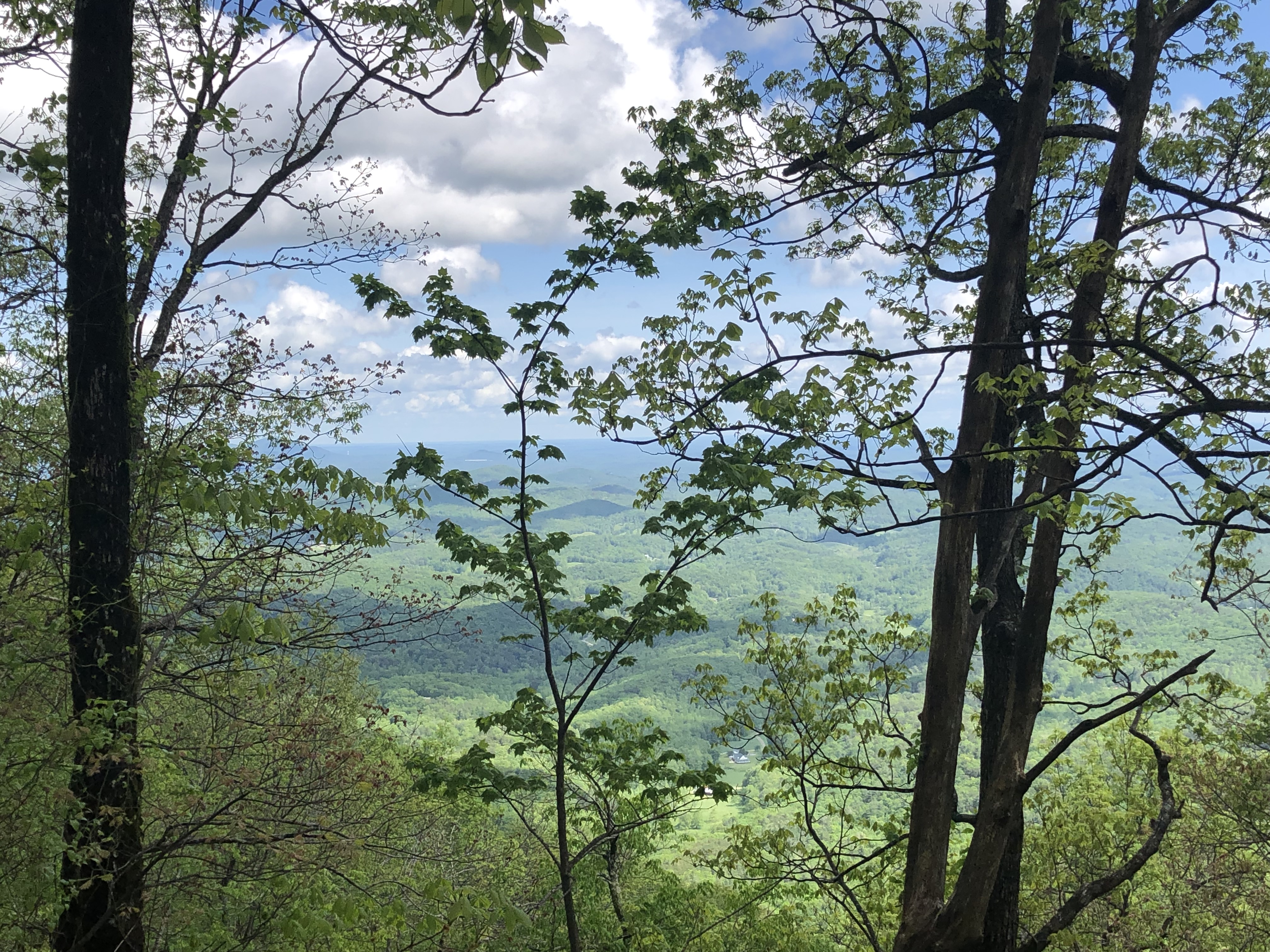
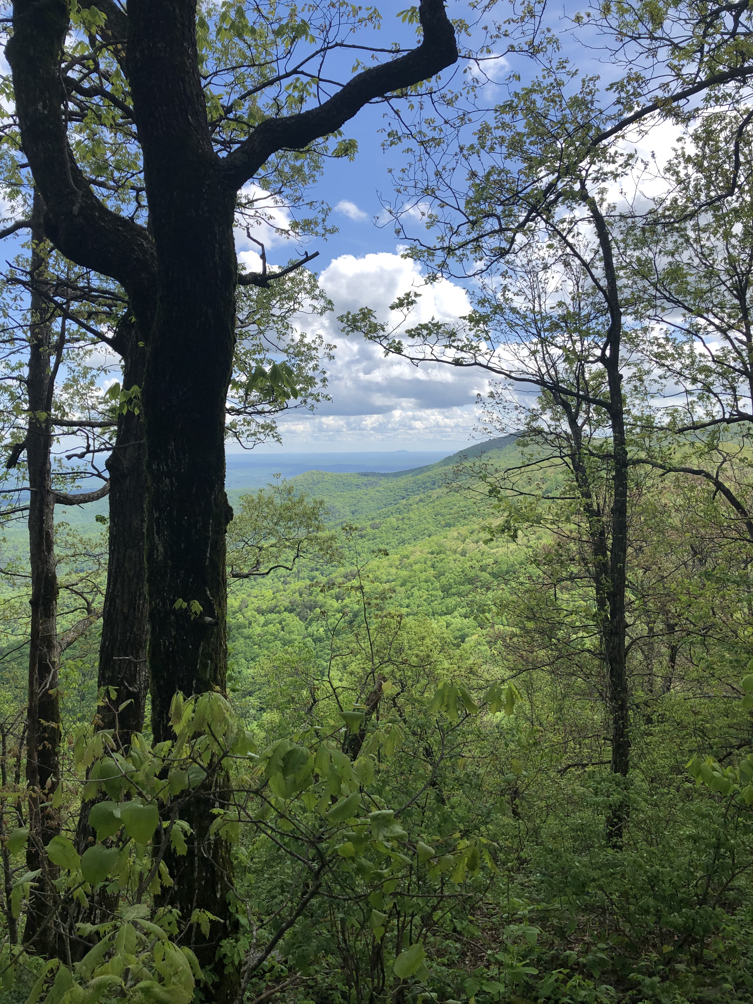
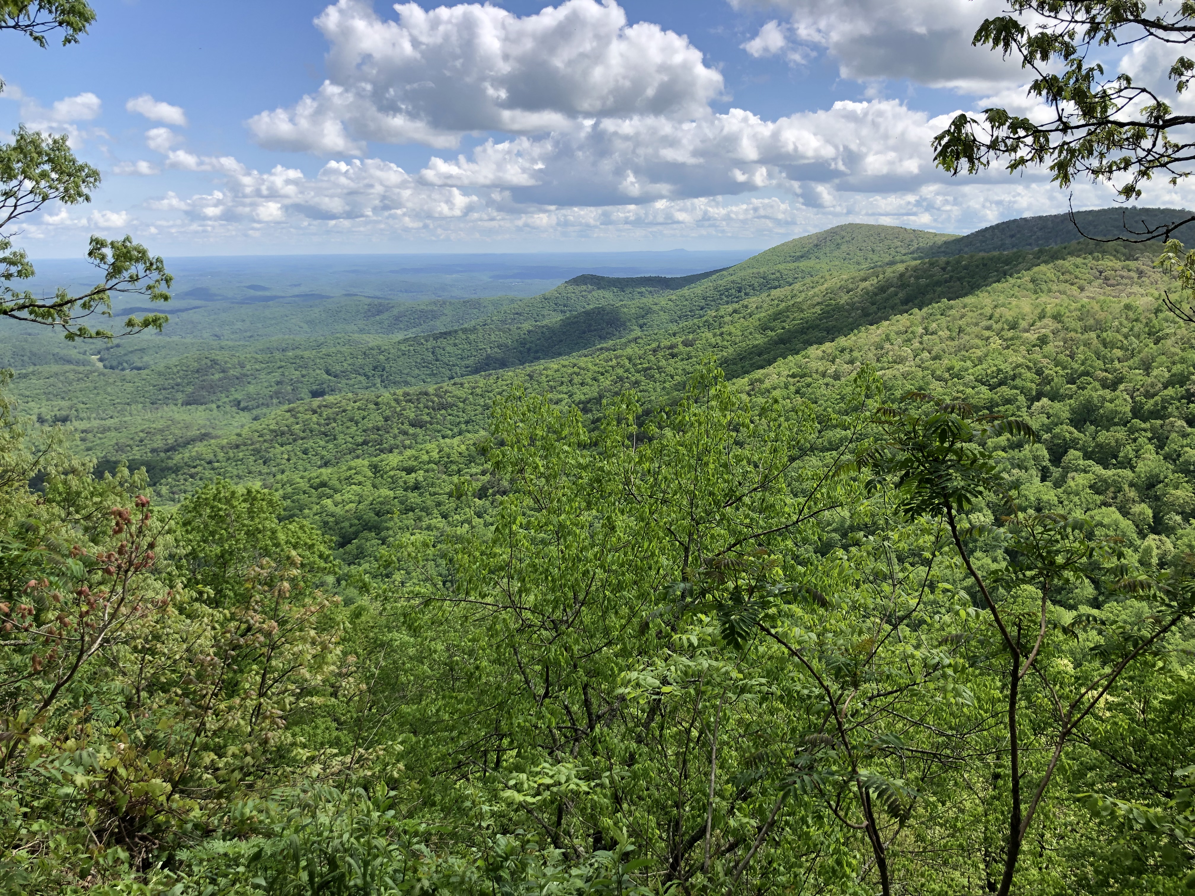
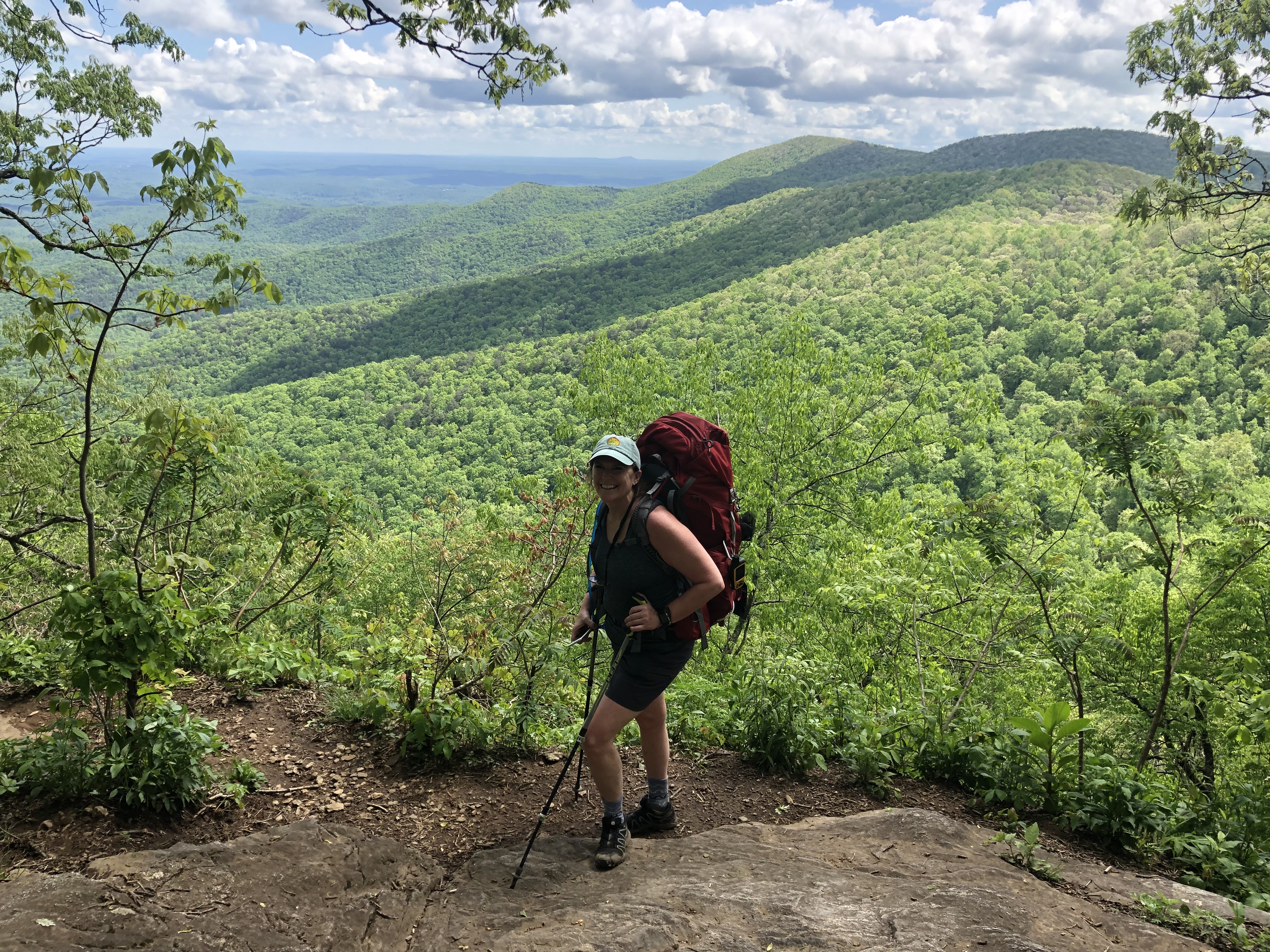
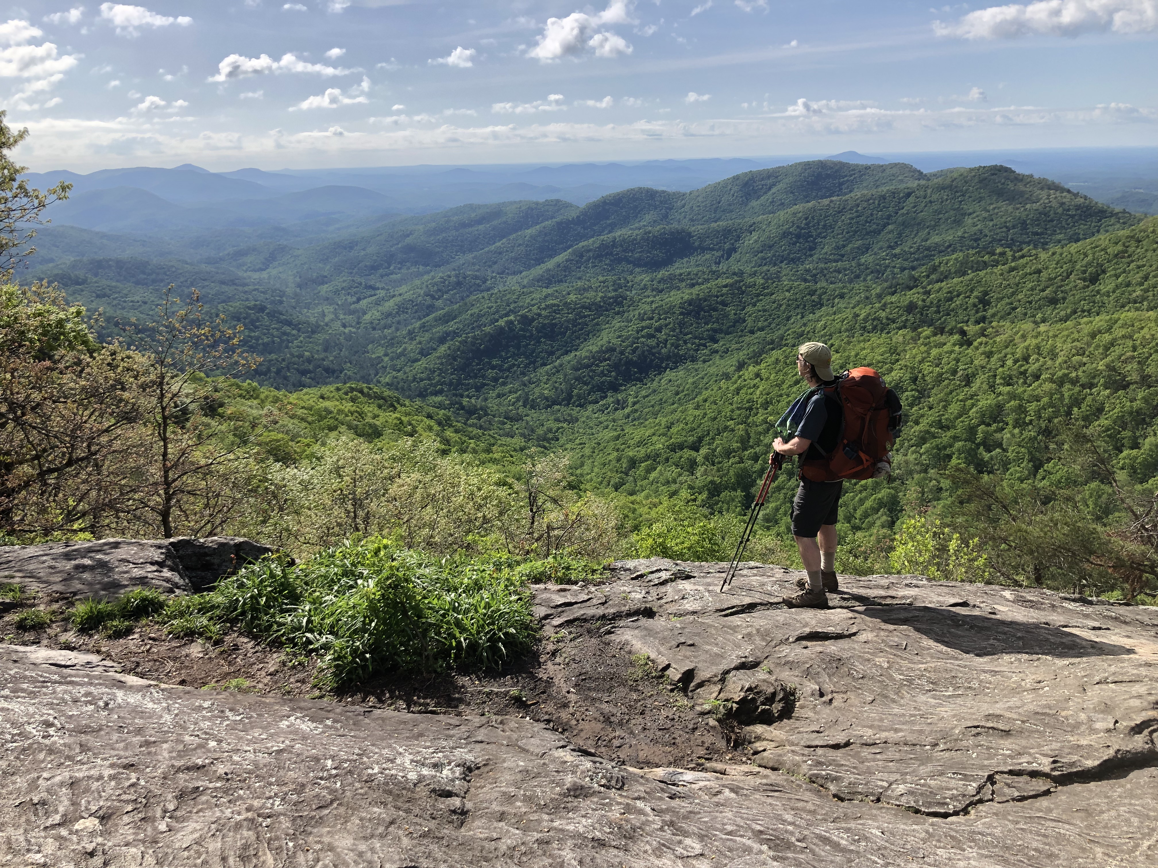
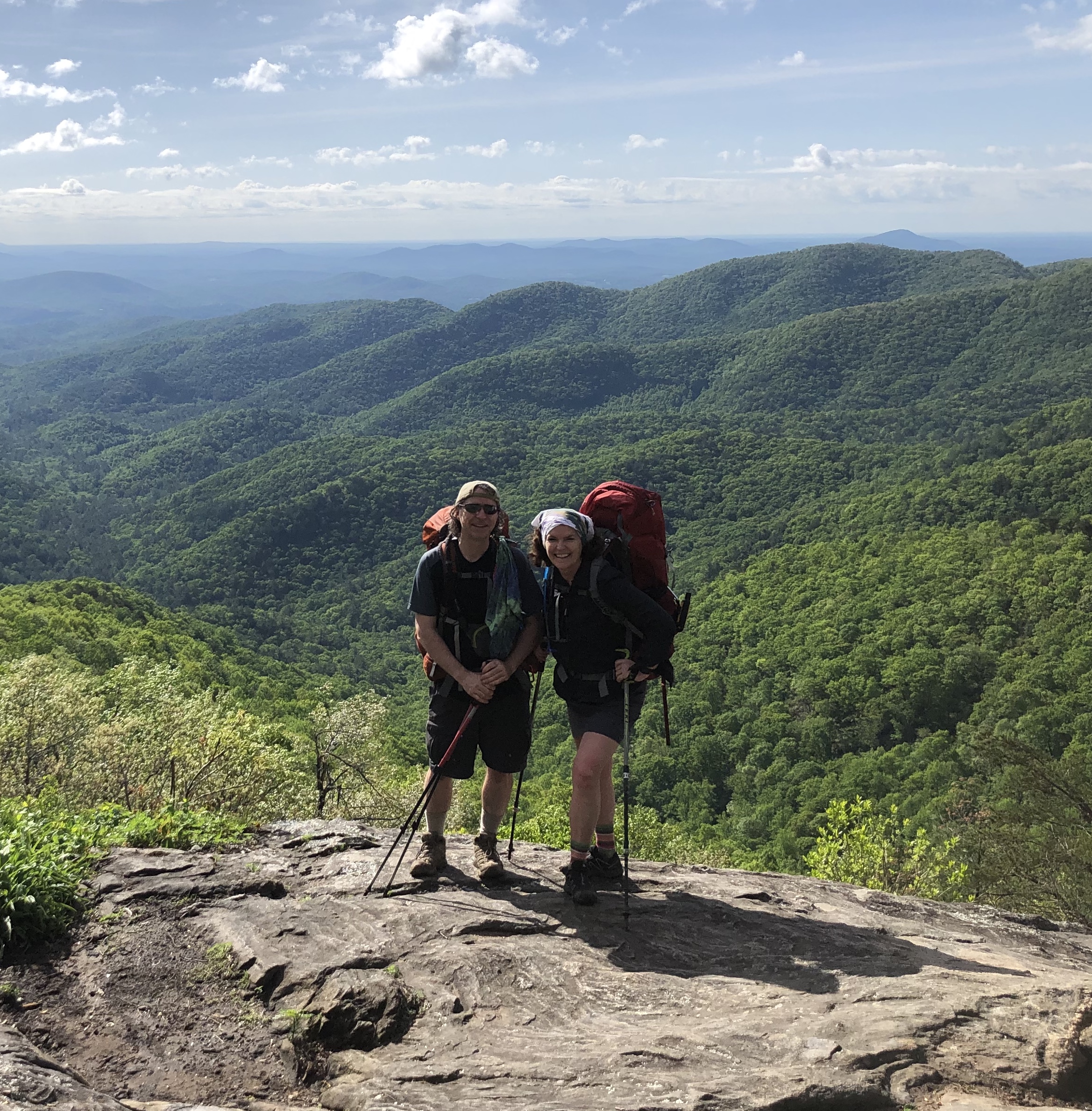
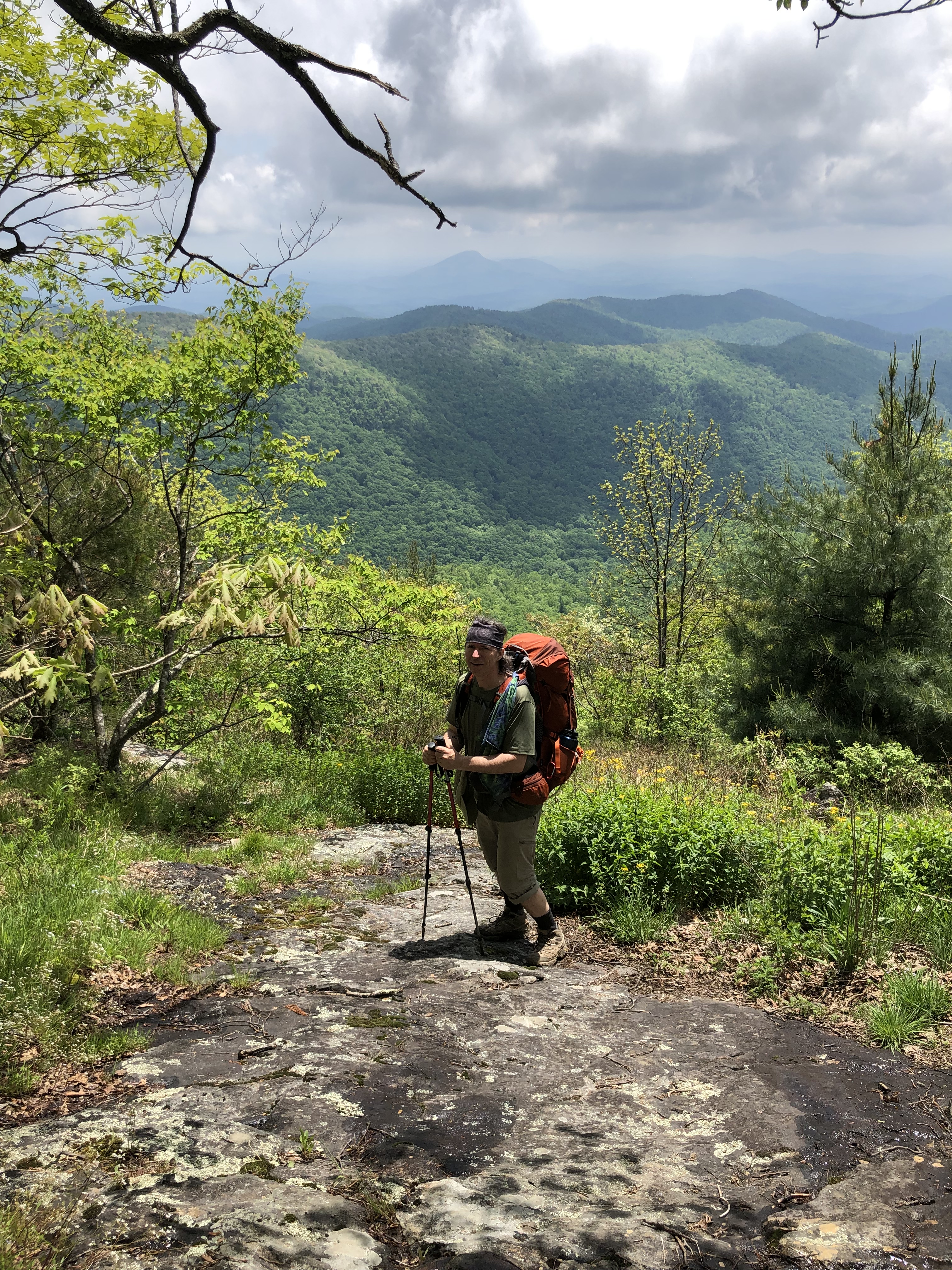
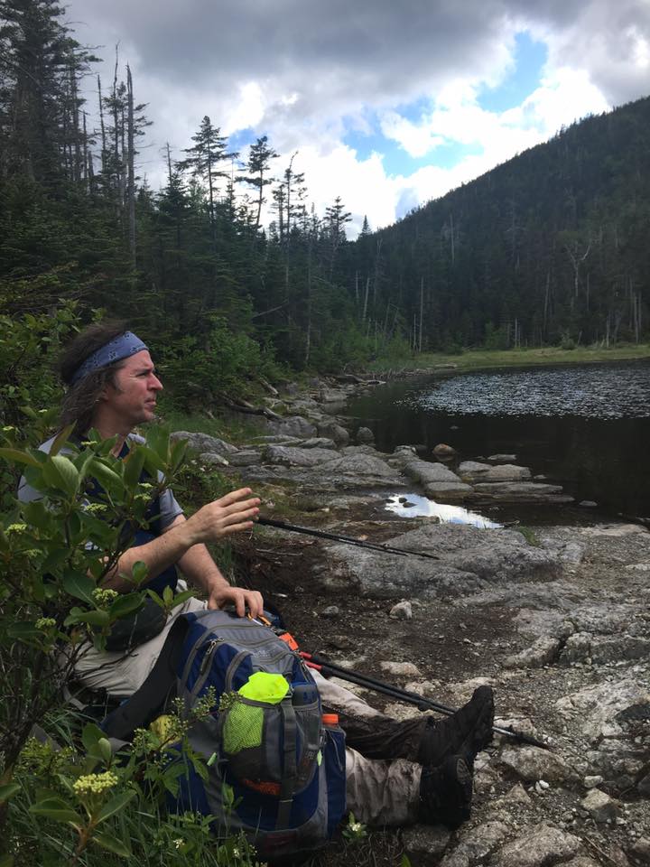
 So, I take my first steps on ADK soil on the East Trail from Rte 9 to travel 11 miles along Rocky Peak Ridge to bag Rocky Peak and Giant and descend down Roaring Brook to Zander Scott trail to Chapel Pond where my ride awaits. It is quiet on this side as most head up Giant the opposite way, but I’ve never been one to follow the crowd. I’ll take the solitude thanks! By the time I get to Giant the crowds should be all but gone. Until then I have nothing but the gentle breeze and song of the birds through the forest canopy to keep me company.
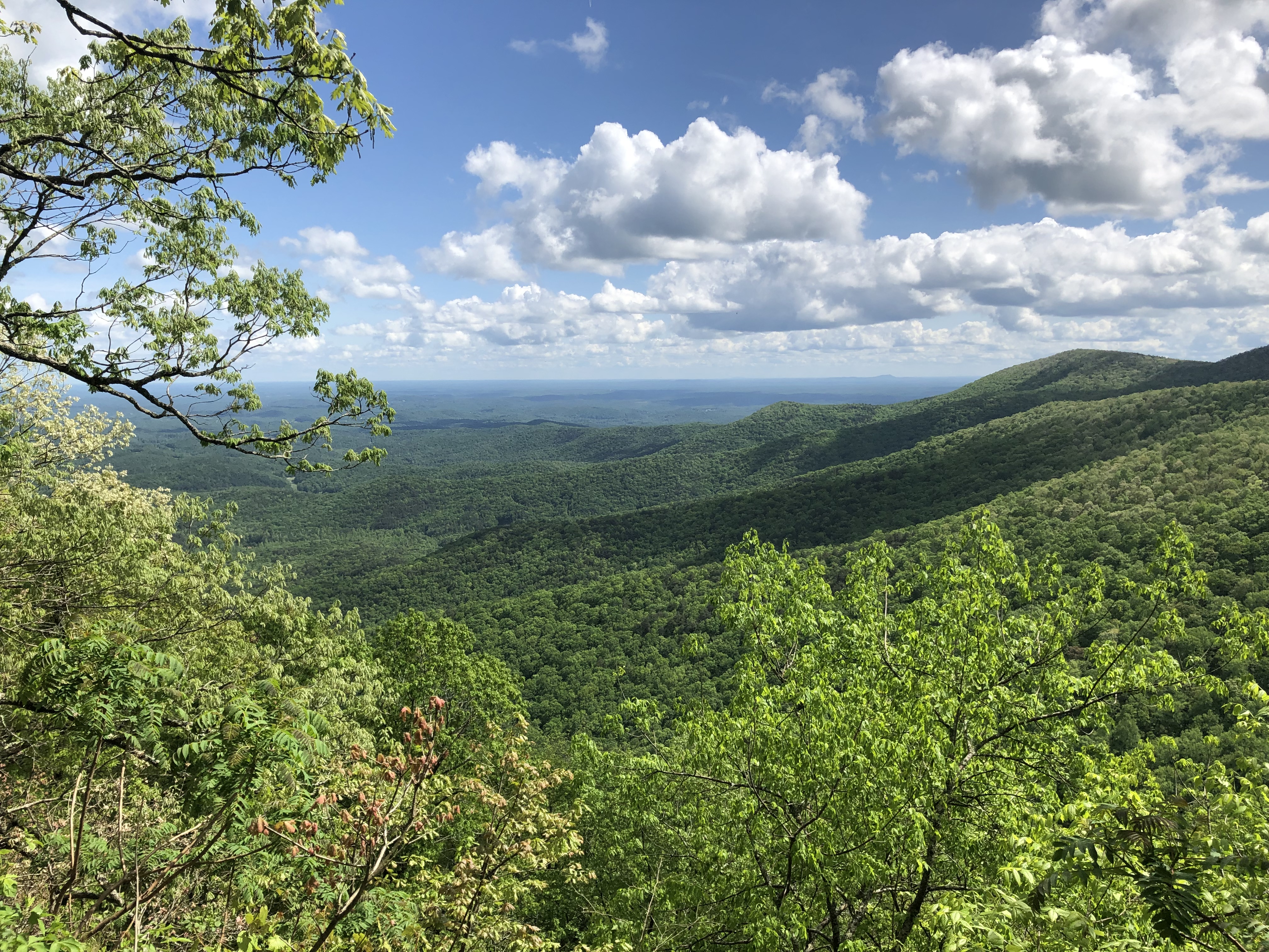
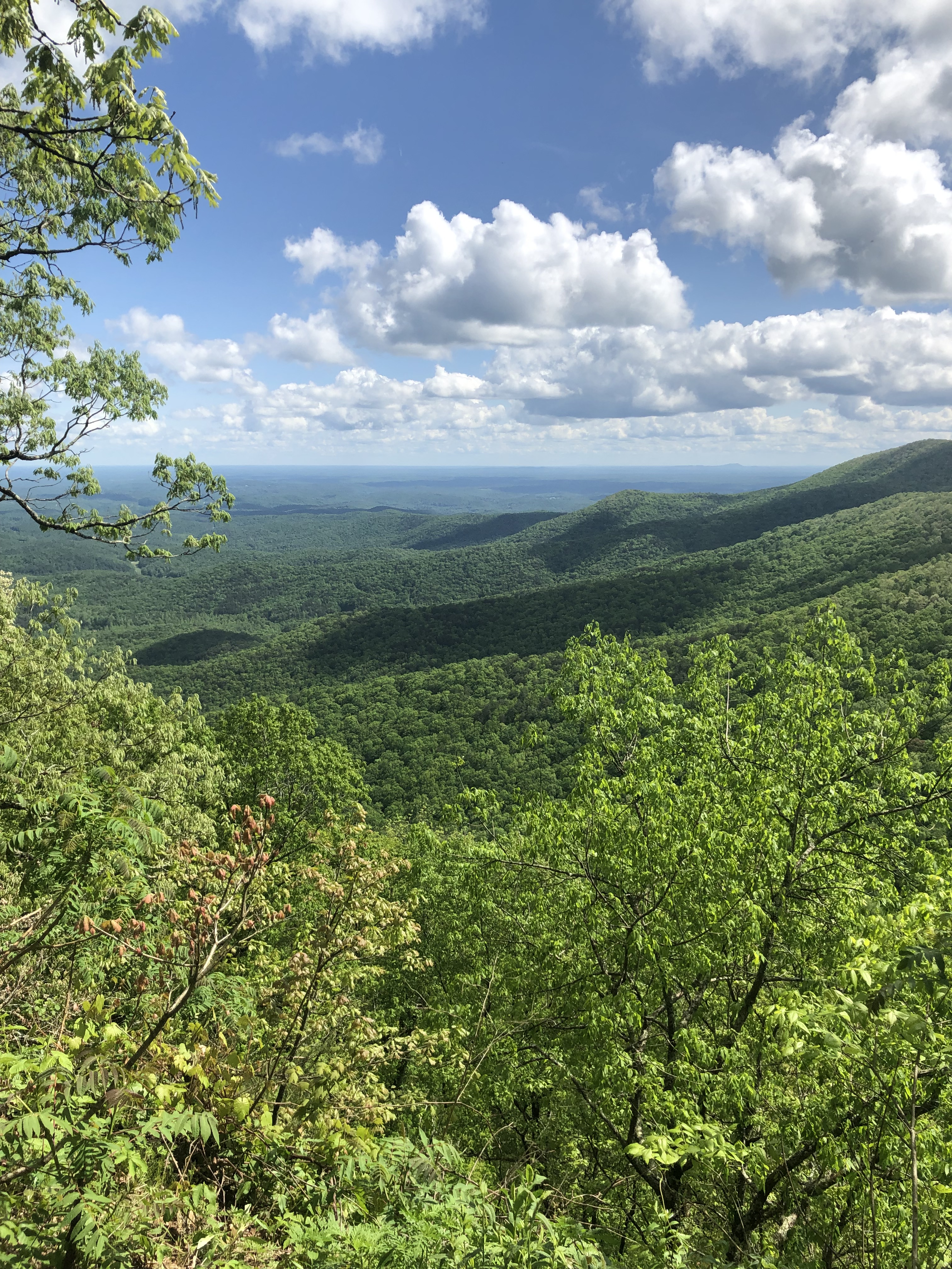
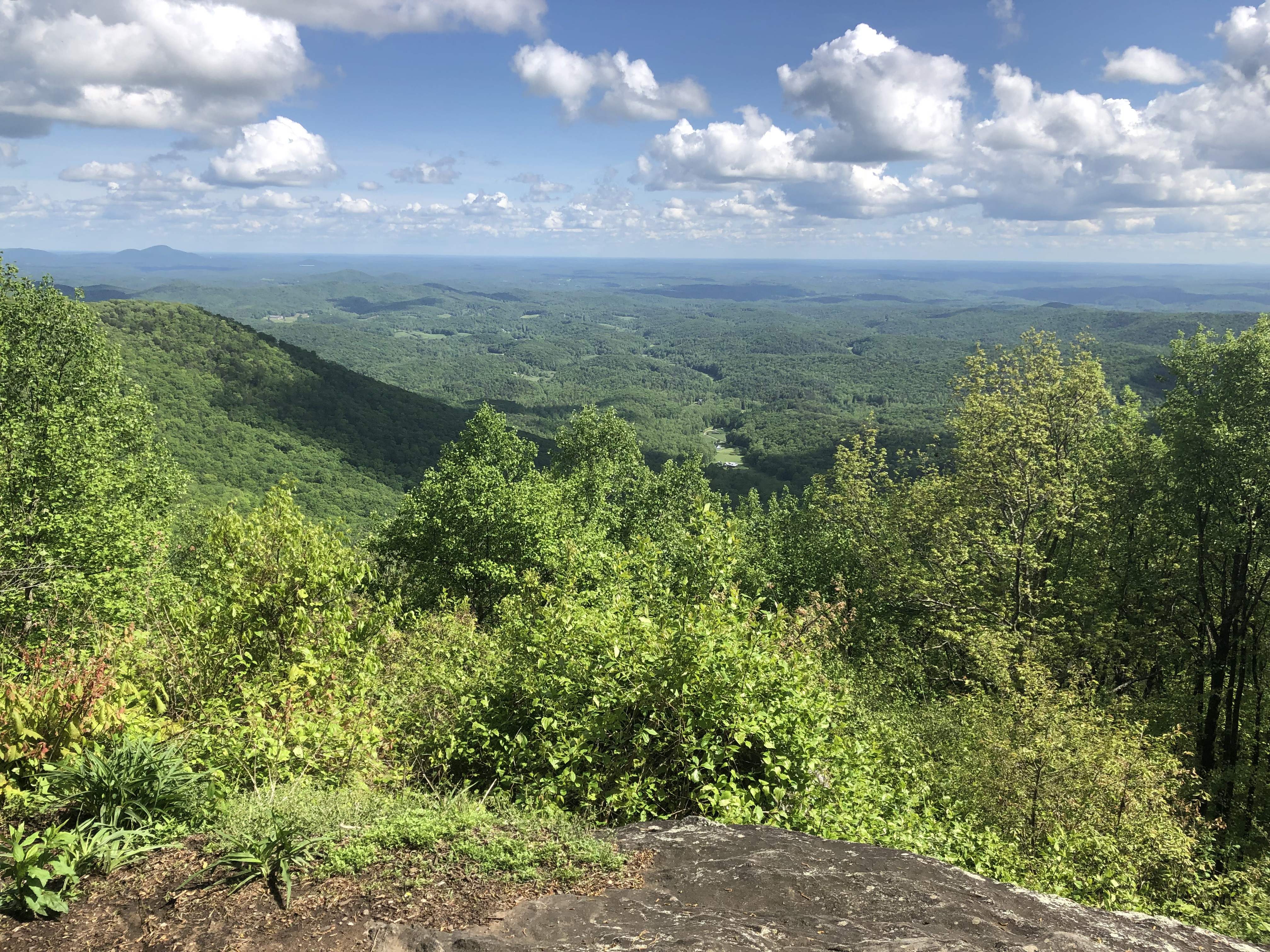
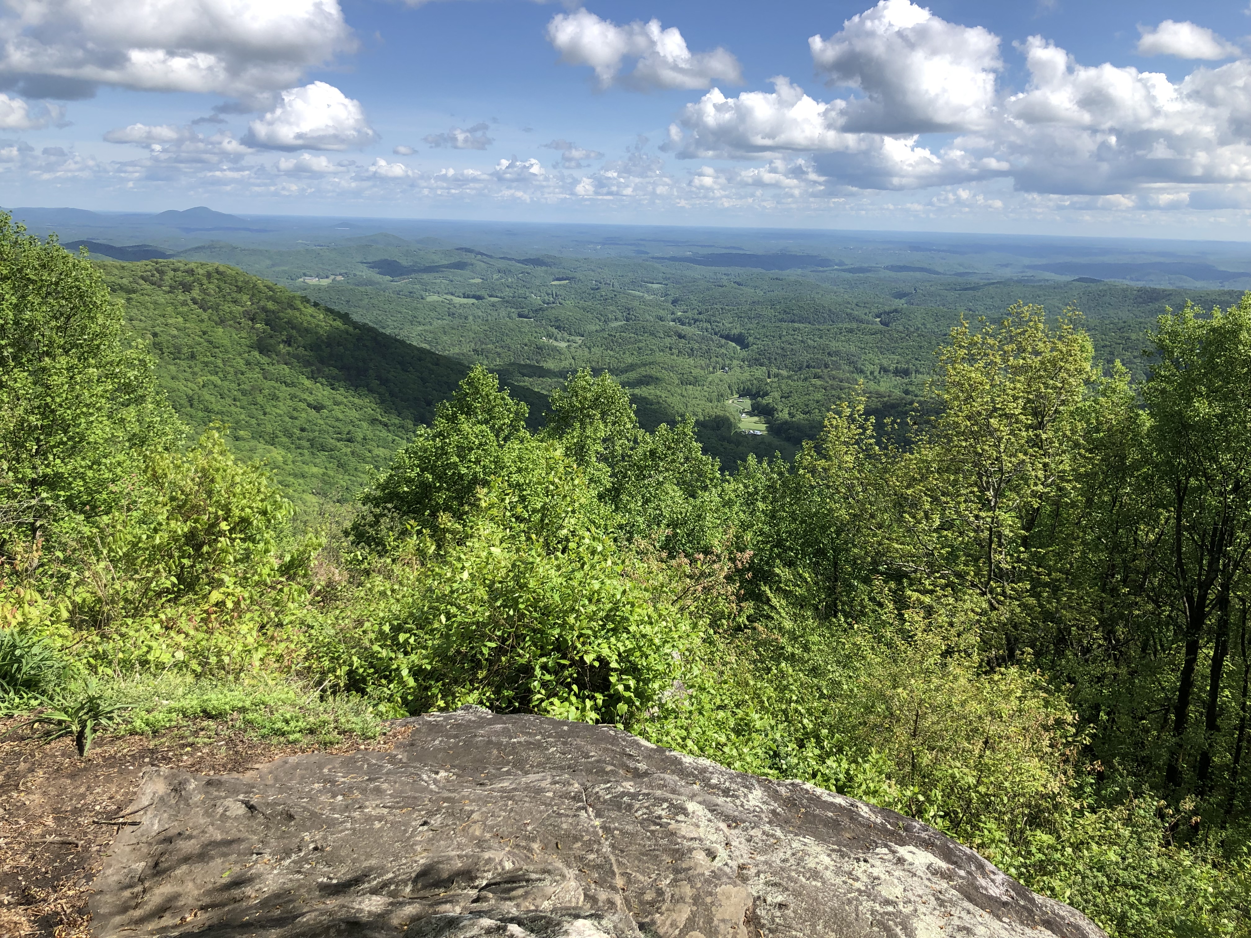
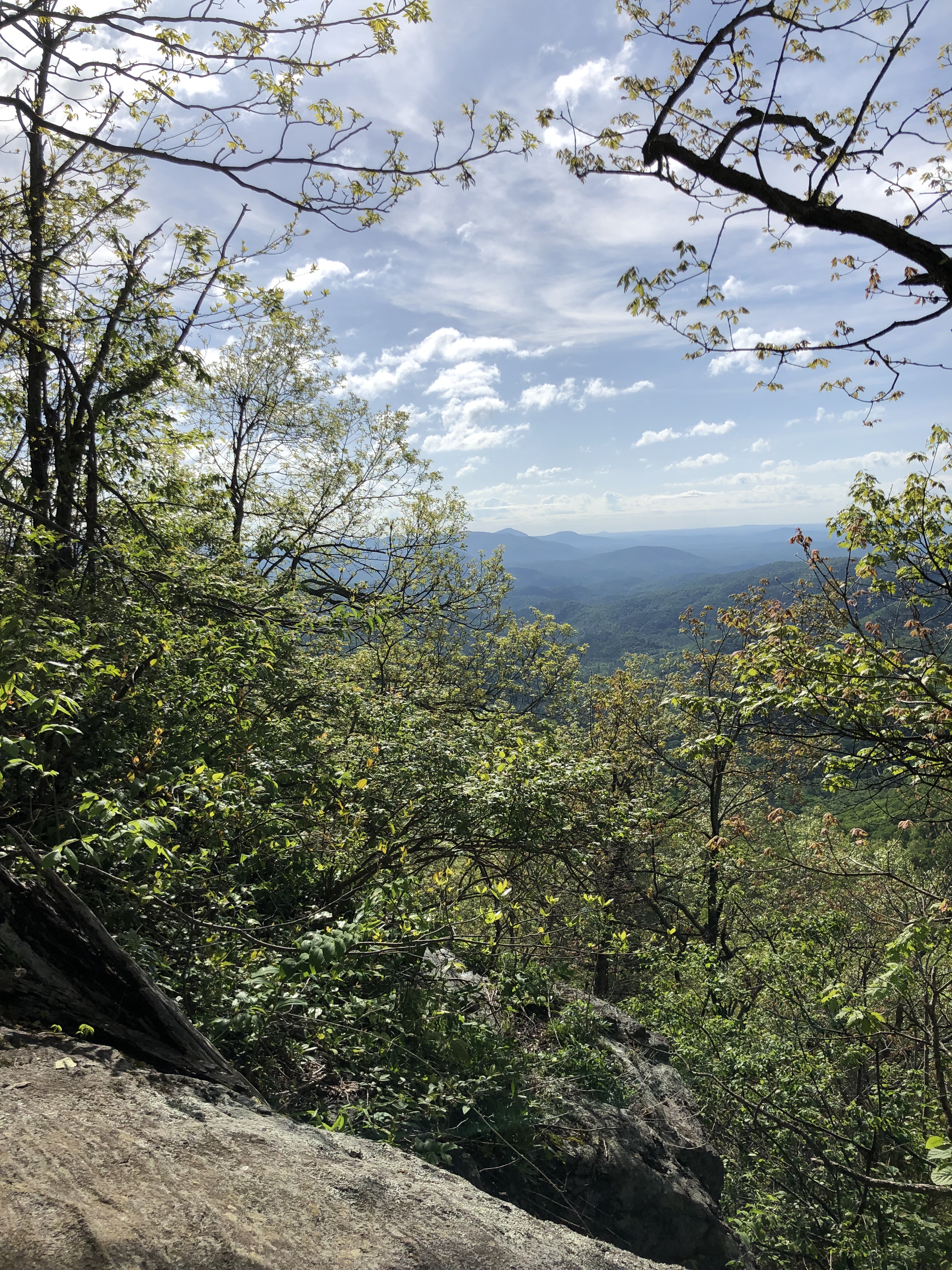
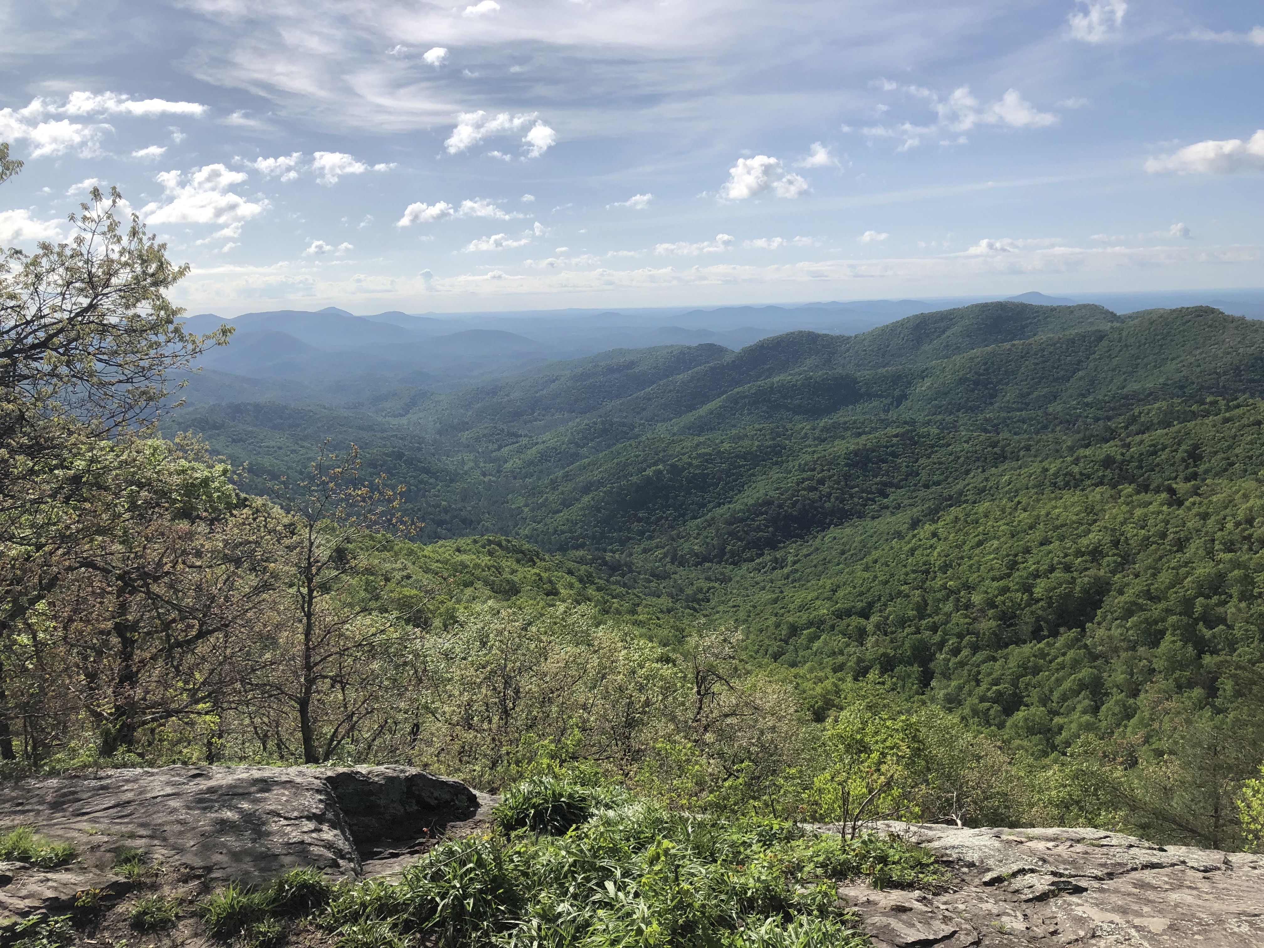
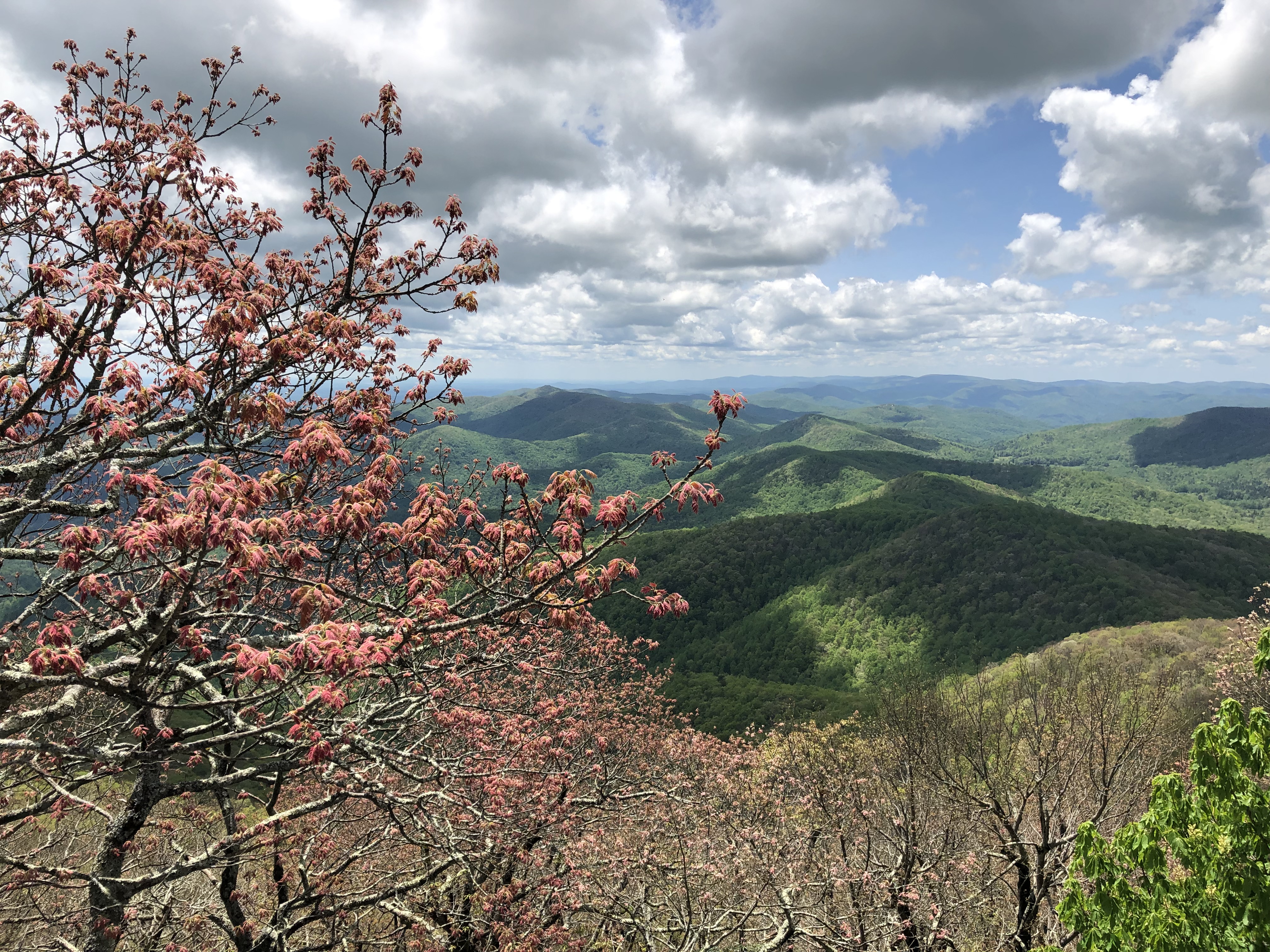
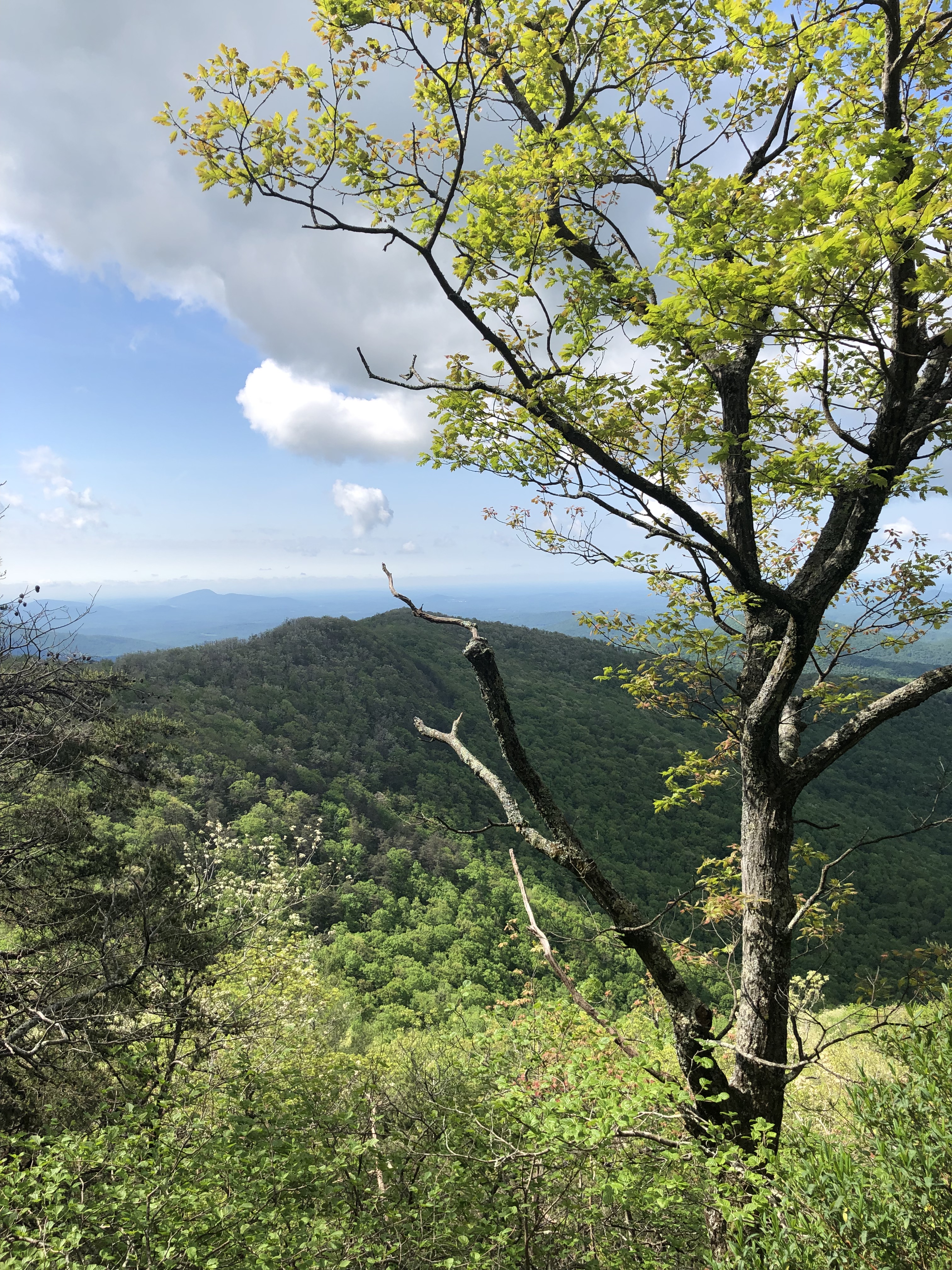
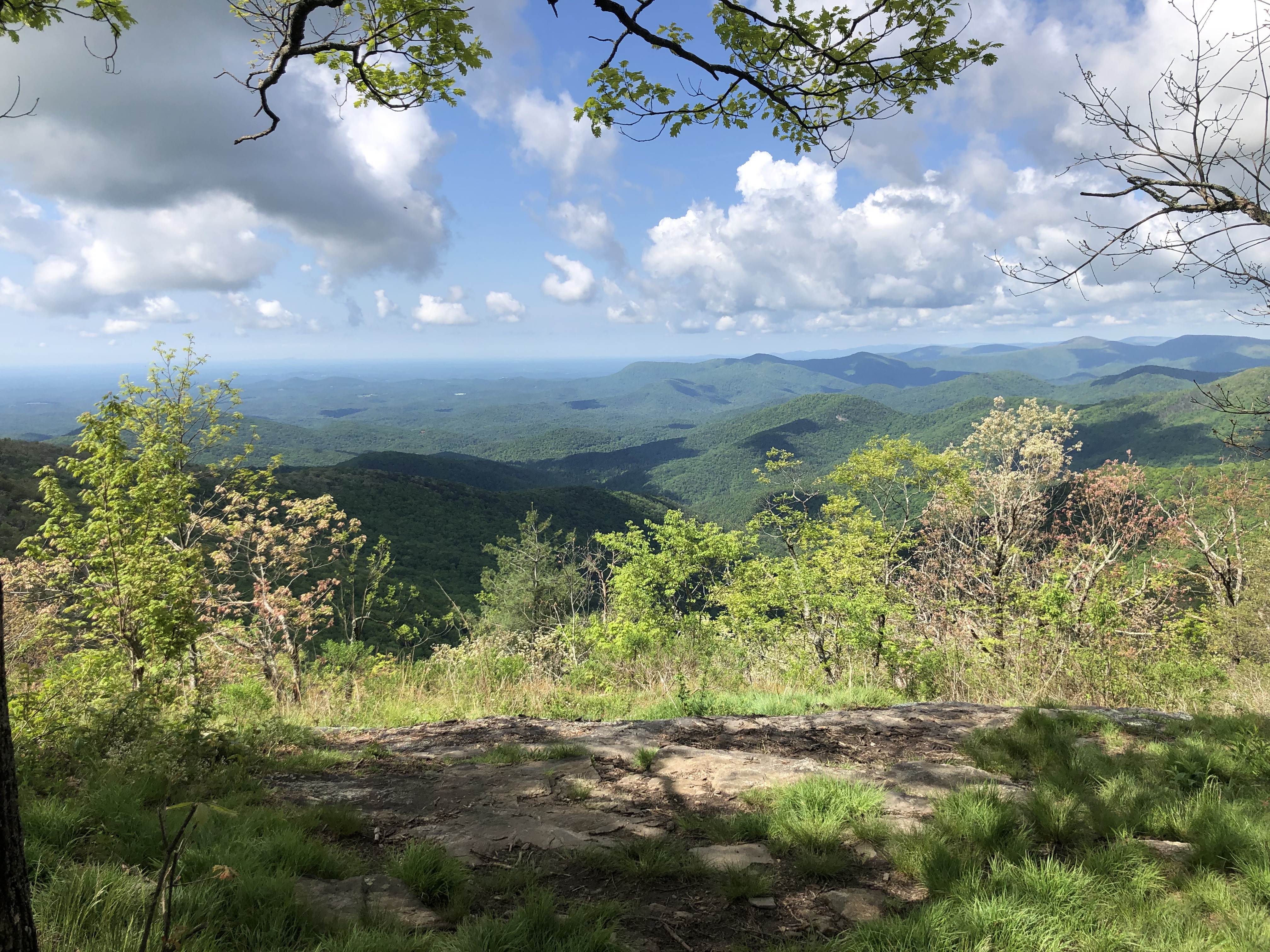
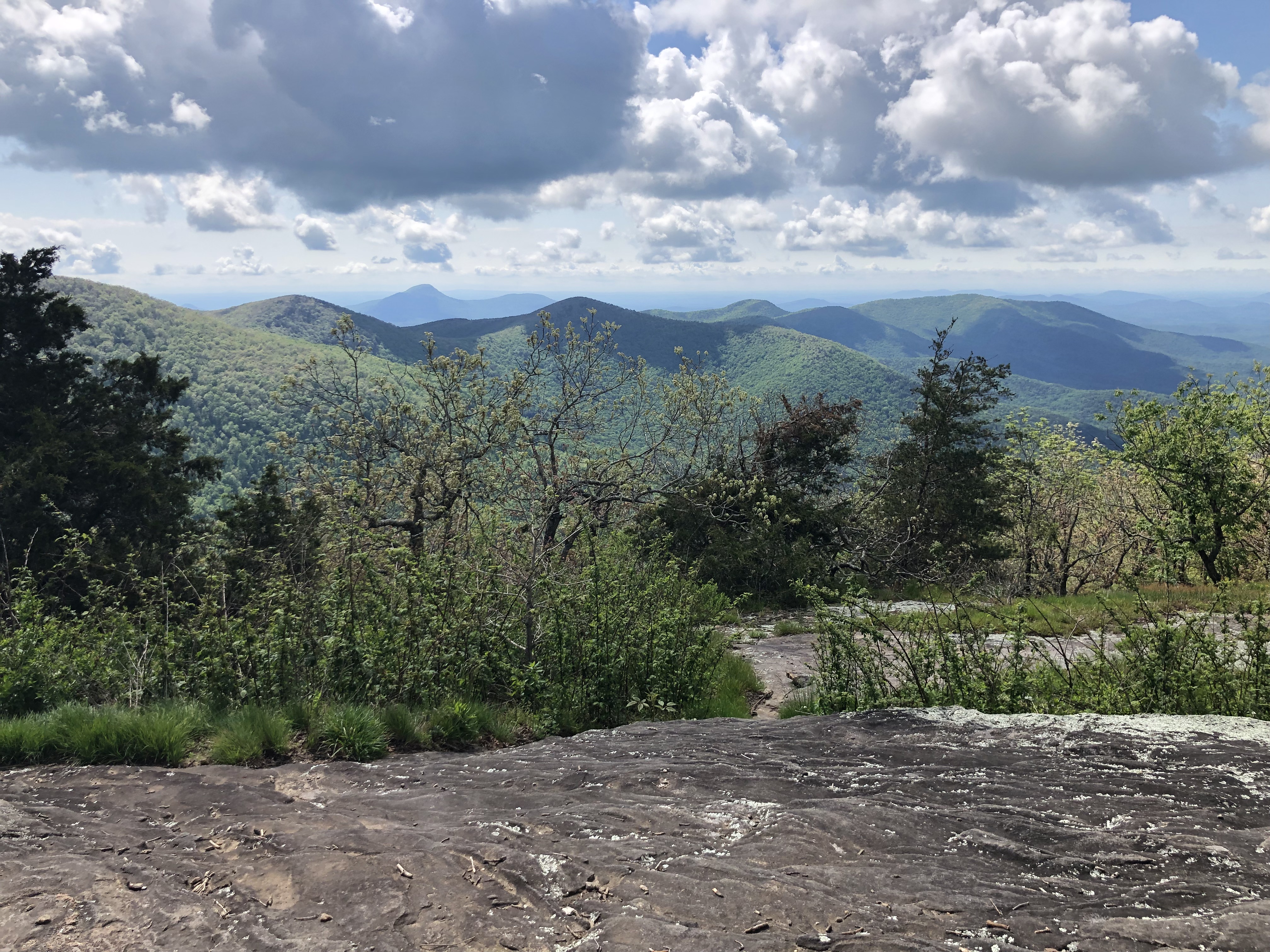
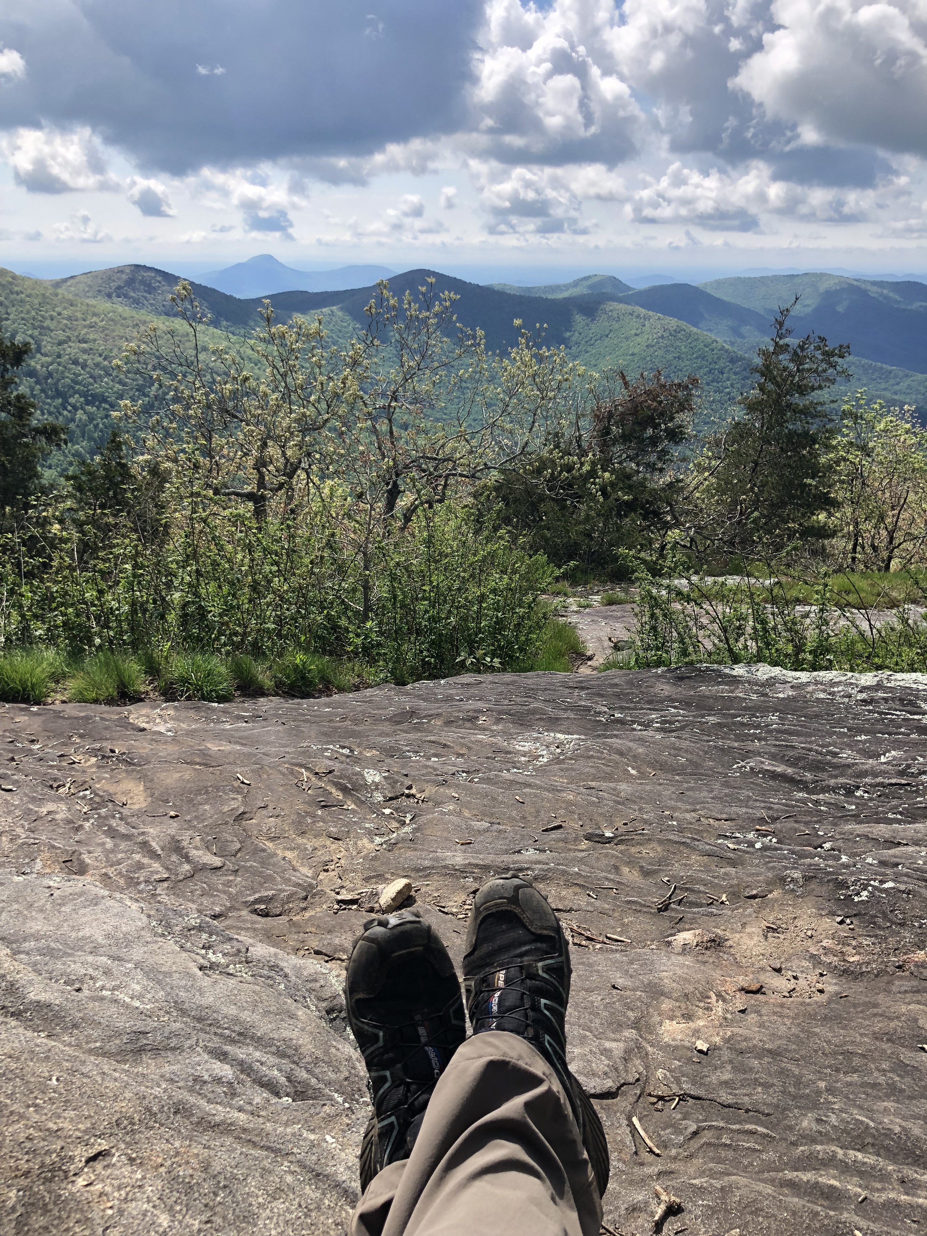
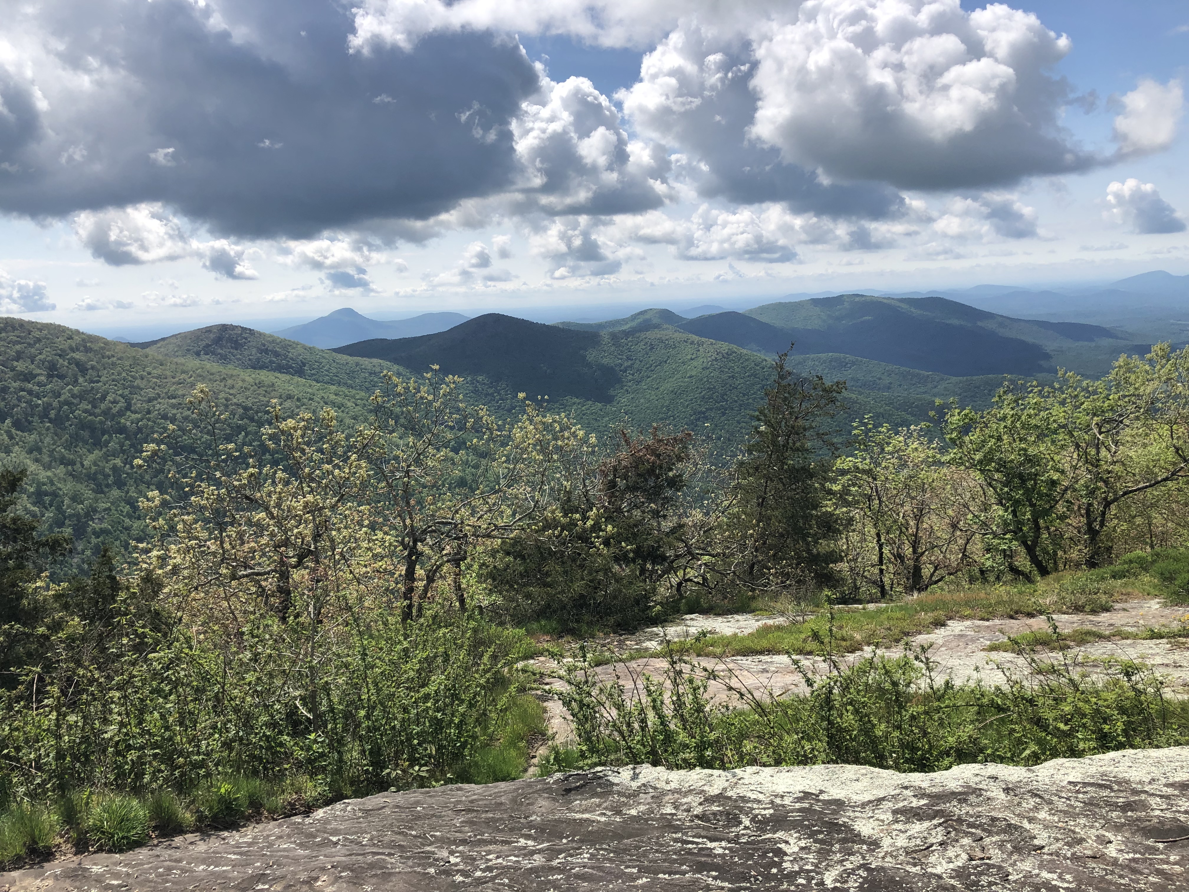
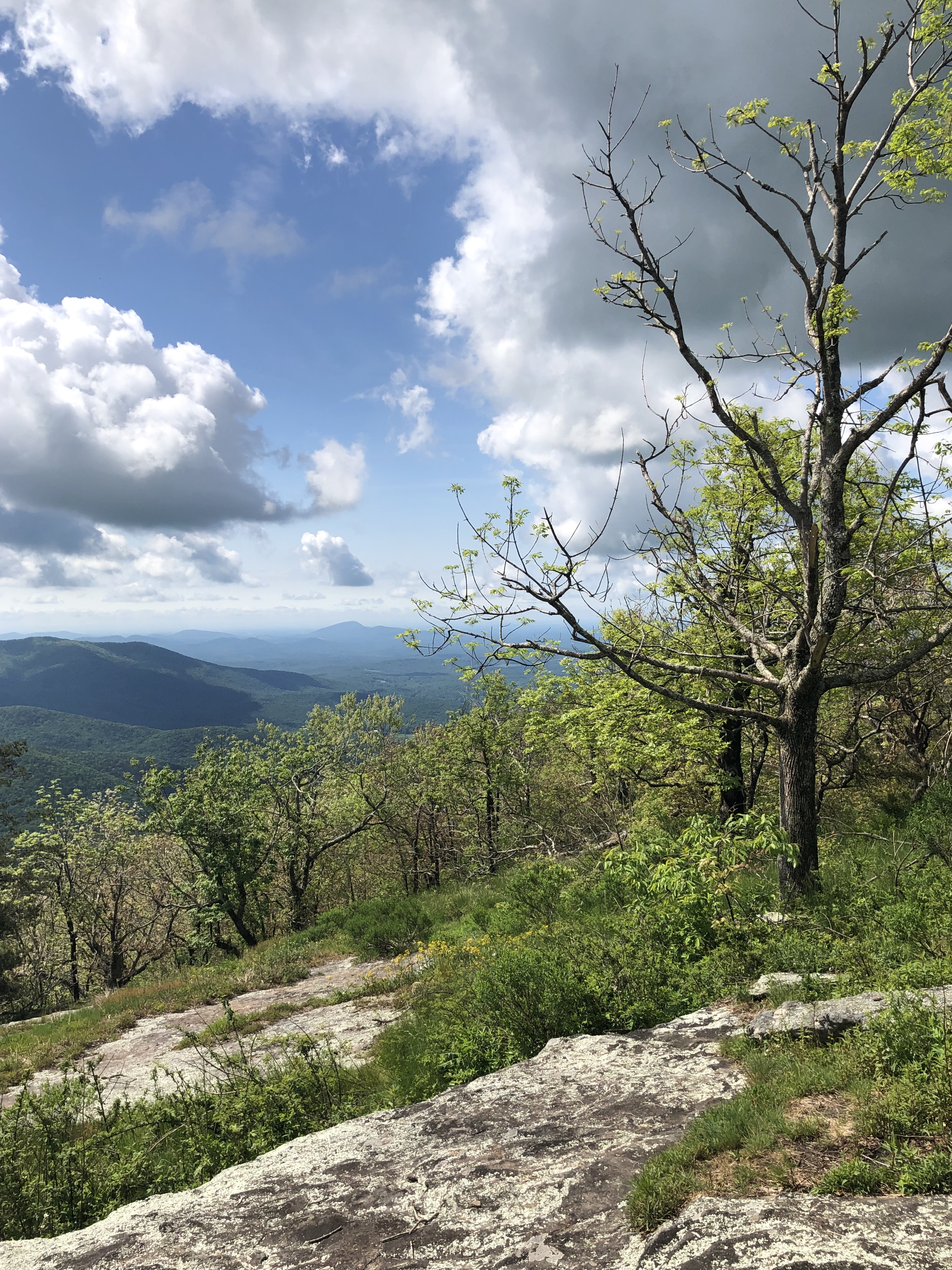
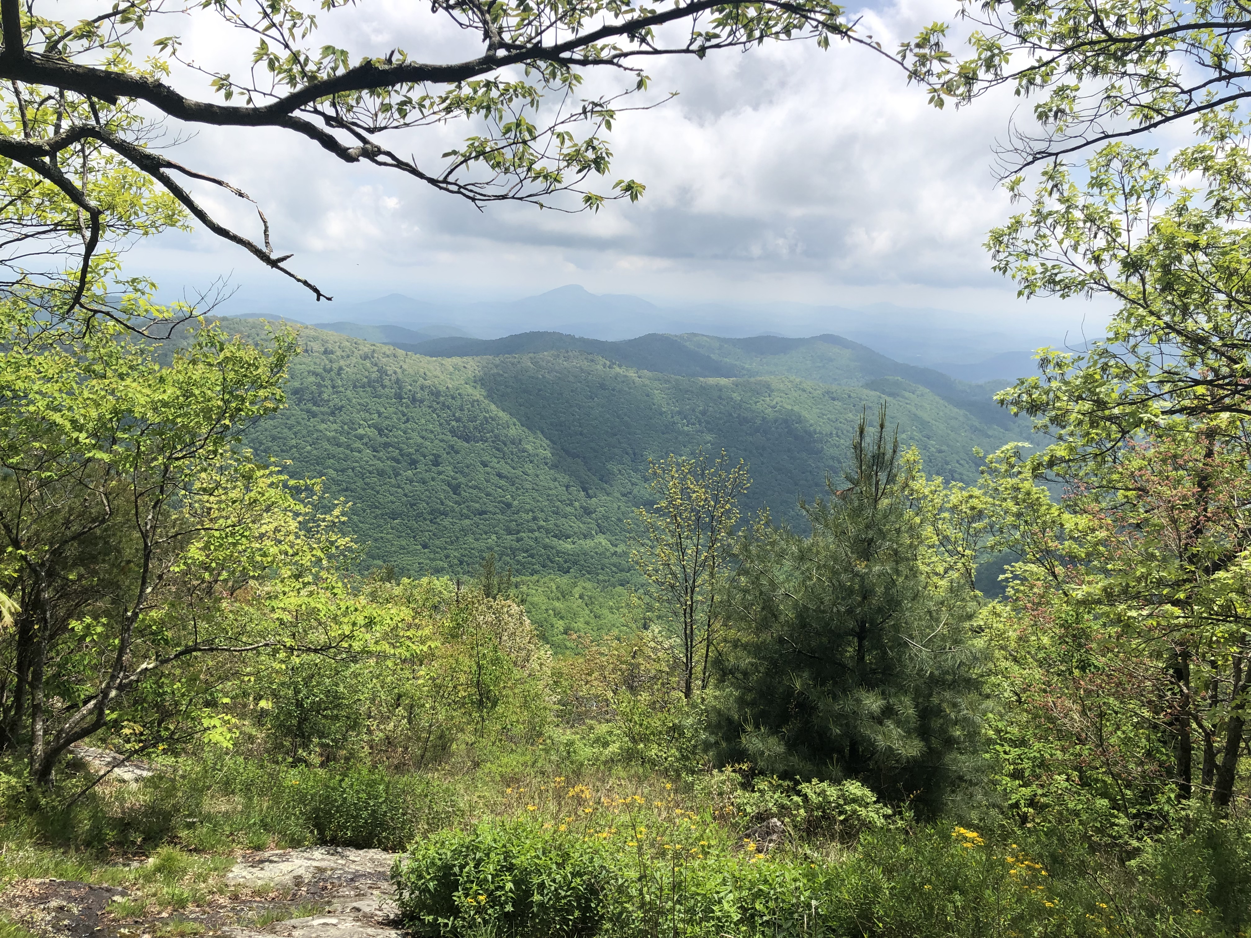
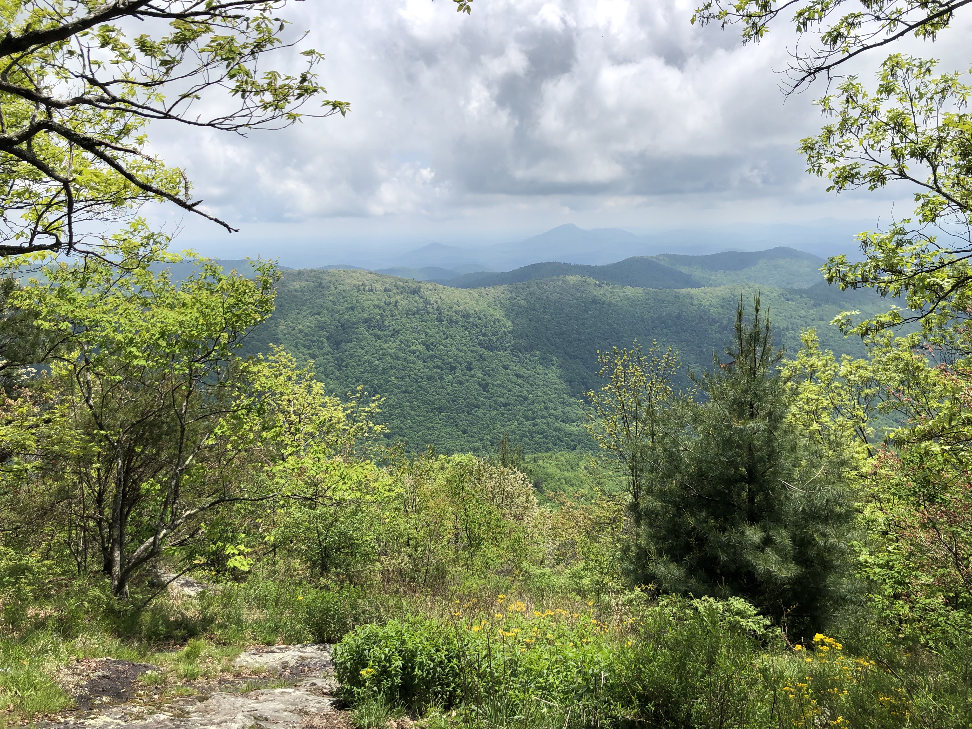
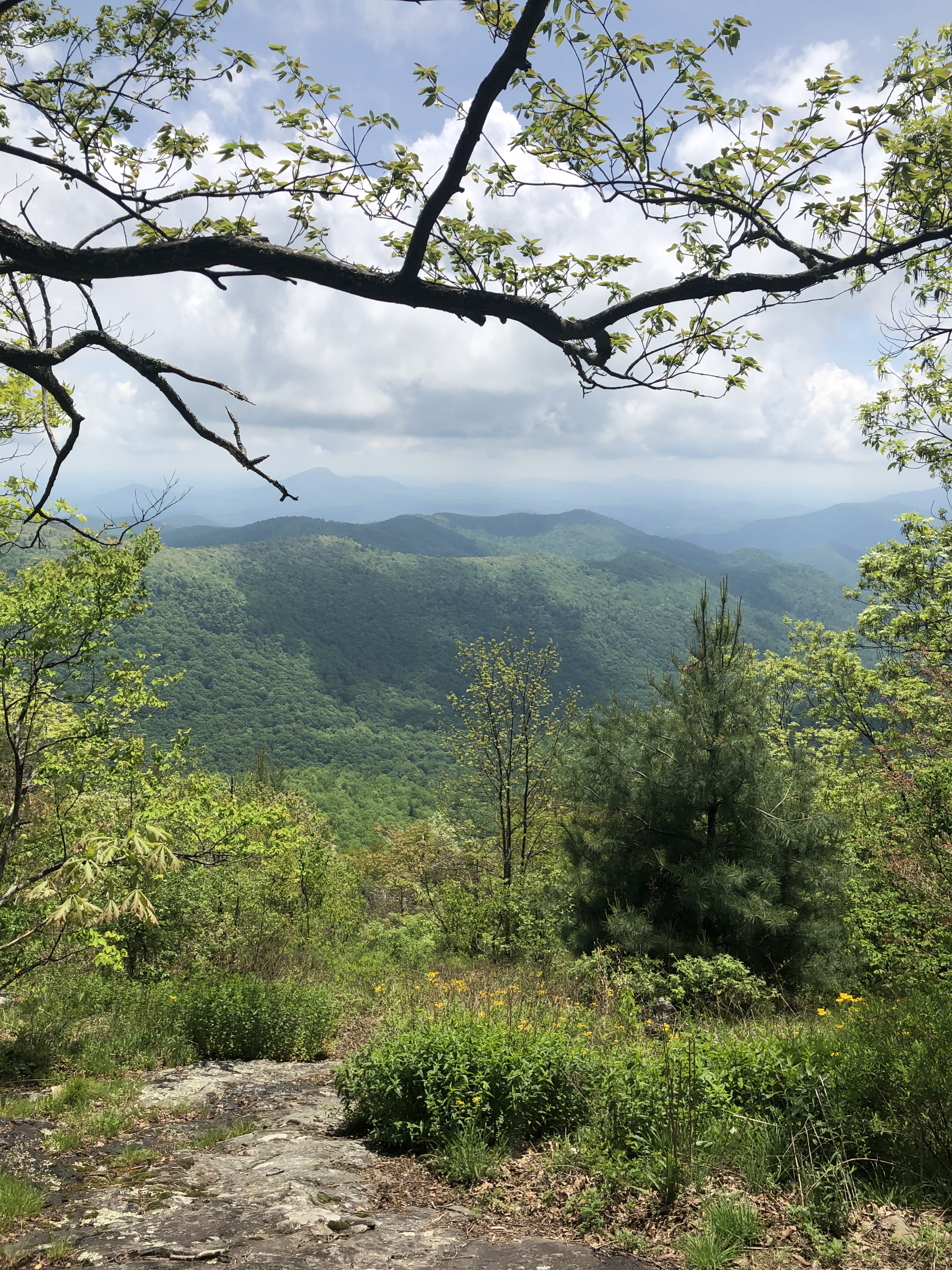
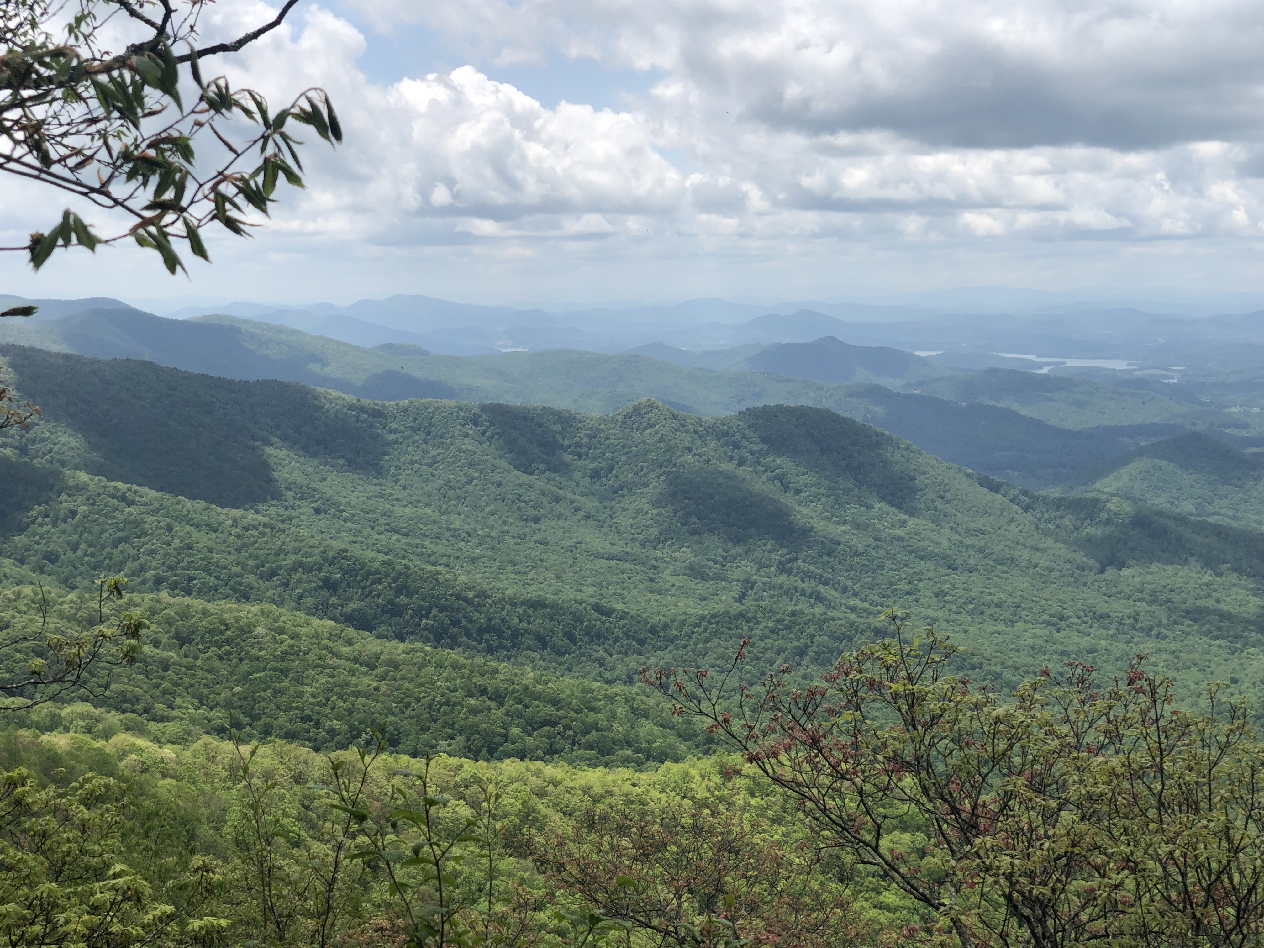
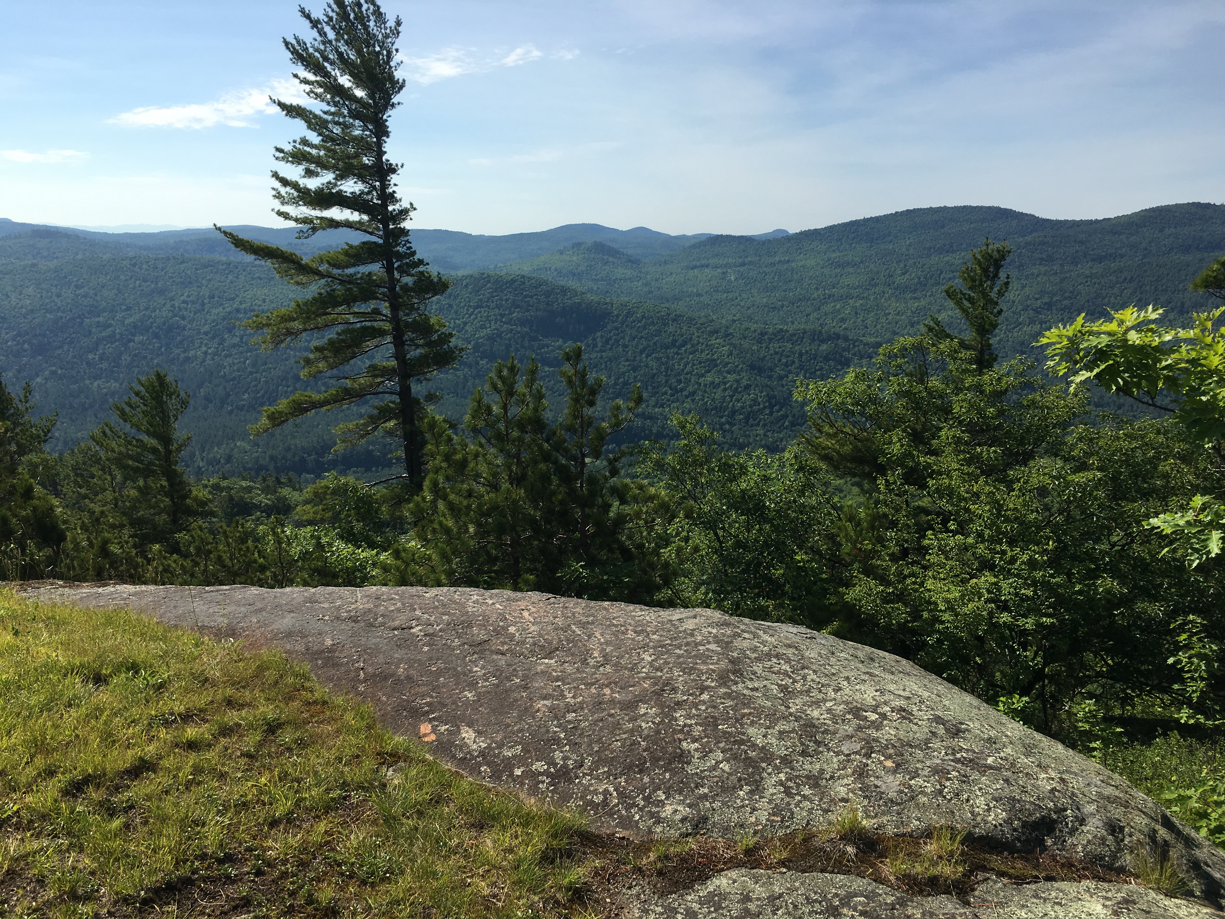
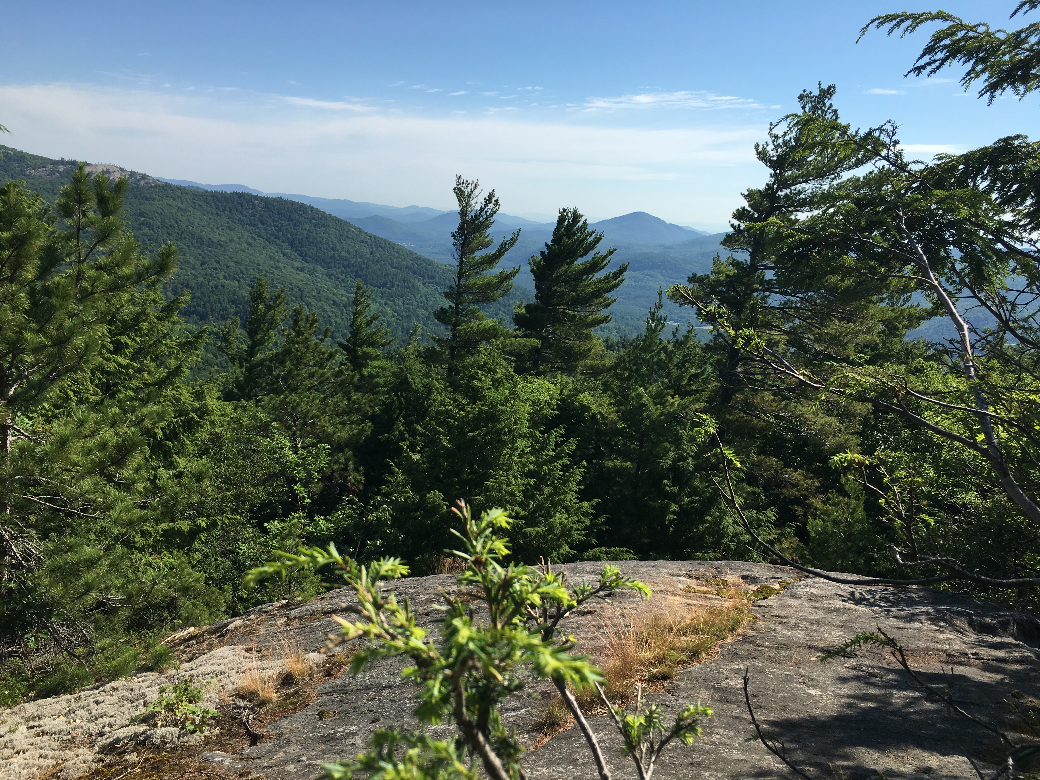
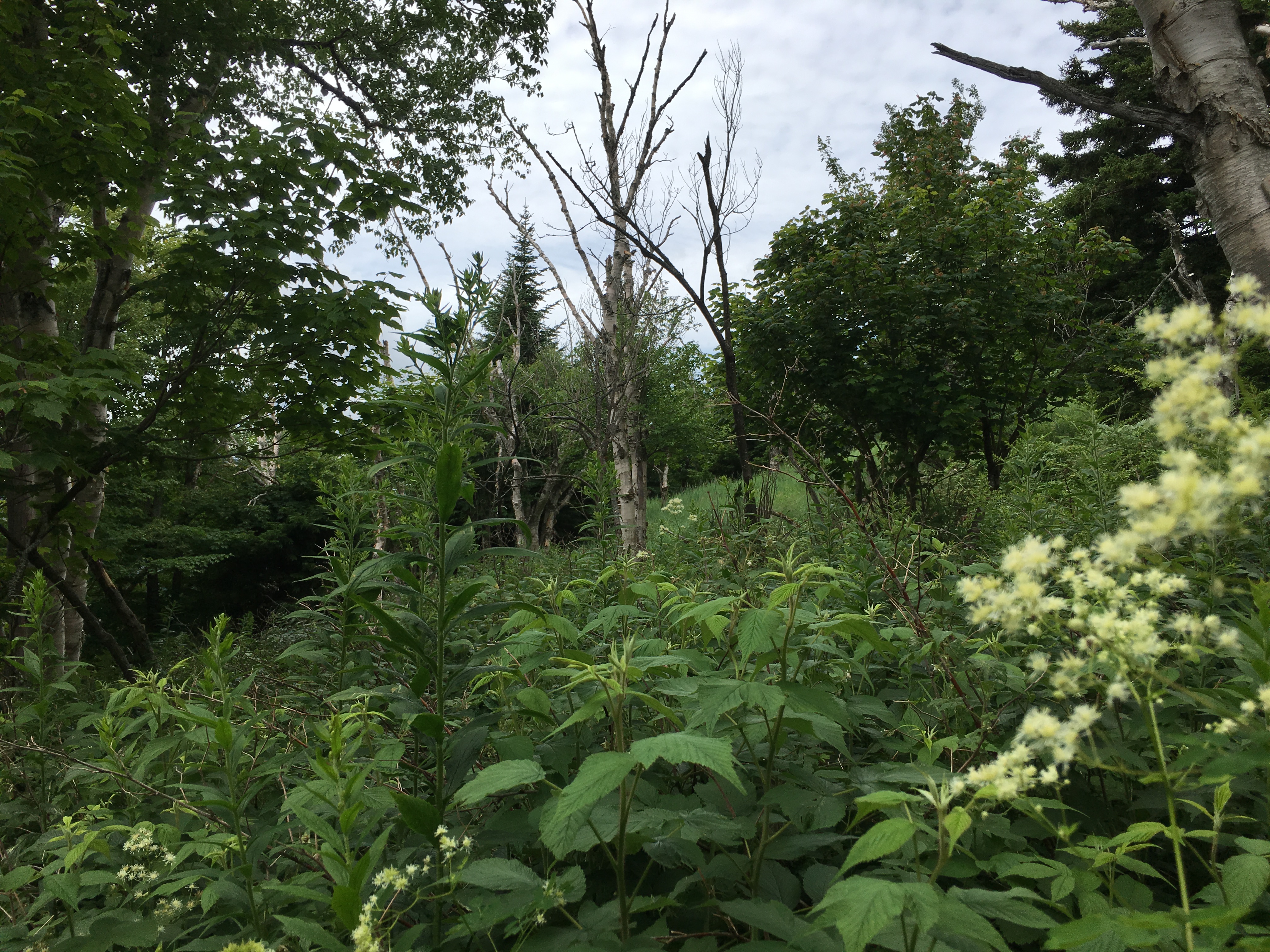
 Very early on, I am rewarded with my first magnificent ADK views, which would be plentiful throughout the day thanks to a big fire in the early 1900s which cleared the higher growth leaving this shorter 2nd batch of trees and many exposed outlooks. (The things you learn when you read about your hike the day before).
 I come across a bypass trail for the first peak which only slightly shortens the trail and would deprive me of my first peak –
NOW,
WHY
WOULD
I DO THAT??
 So I head on up to Blueberry Cobbles to take in some more vistas and plenty of – well, blueberries (not quite ripe but still tasty).
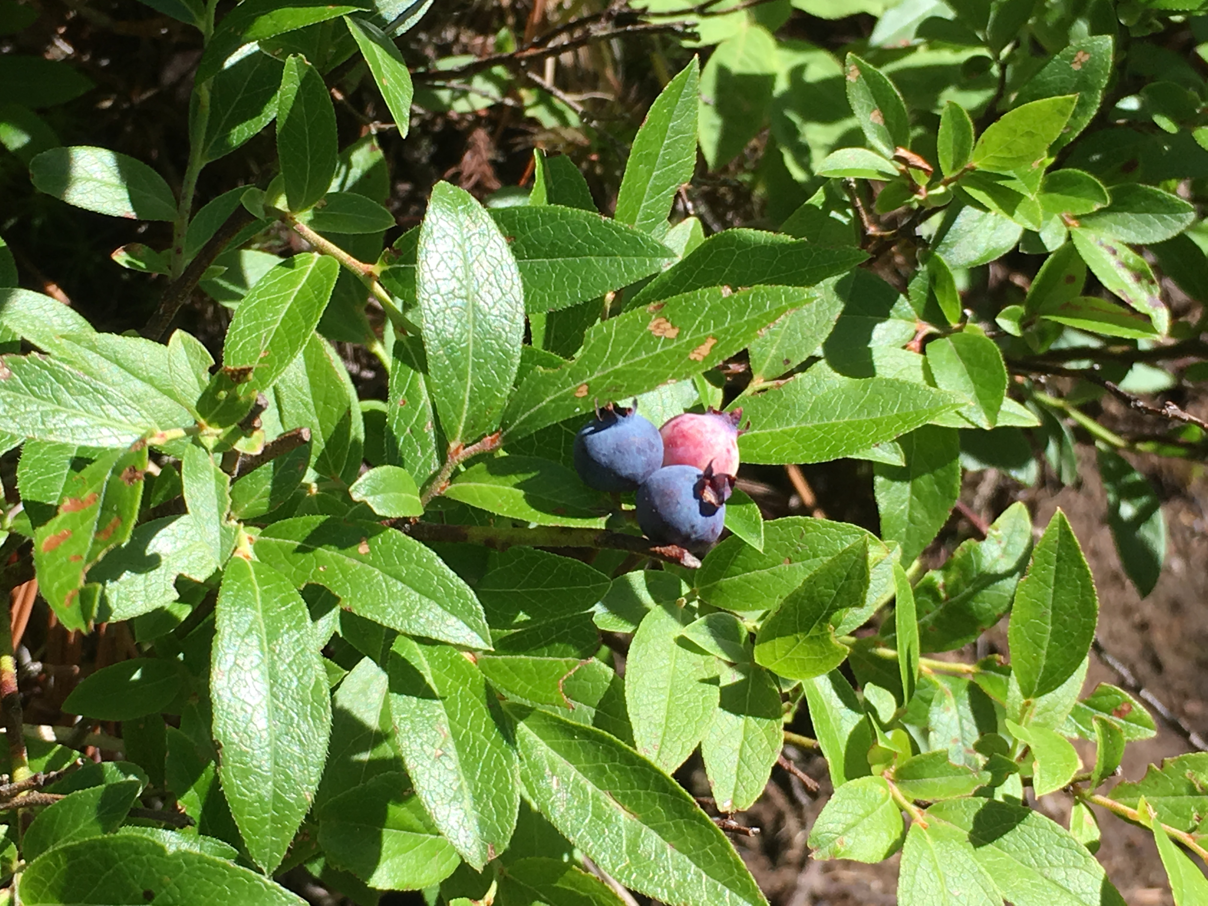
Dipping a short distance into col and then back up to another small peak with, you guessed it, MORE VIEWS! Then up to Bald Peak for EVEN MORE VIEWS!
All this and I haven’t hit a high peak yet! Getting hungry now. I’ve only gone 4 miles, but I forgot – these are Adirondack miles! They tend to slow you down, if not for the ruggedness of the trail, then at least for the scenery around every corner which demand your attention.  So far I am only averaging 1 mile an hour, a ½ mile less than my usual pace, but these are the days where there is more than enough daylight to take on these longer hikes, so I’m not worried about it. The only thing is I have reserved a campsite up at Heart Lake which I’ll have to set up afterward, so I’ll have to leave the final rays of light to do that.

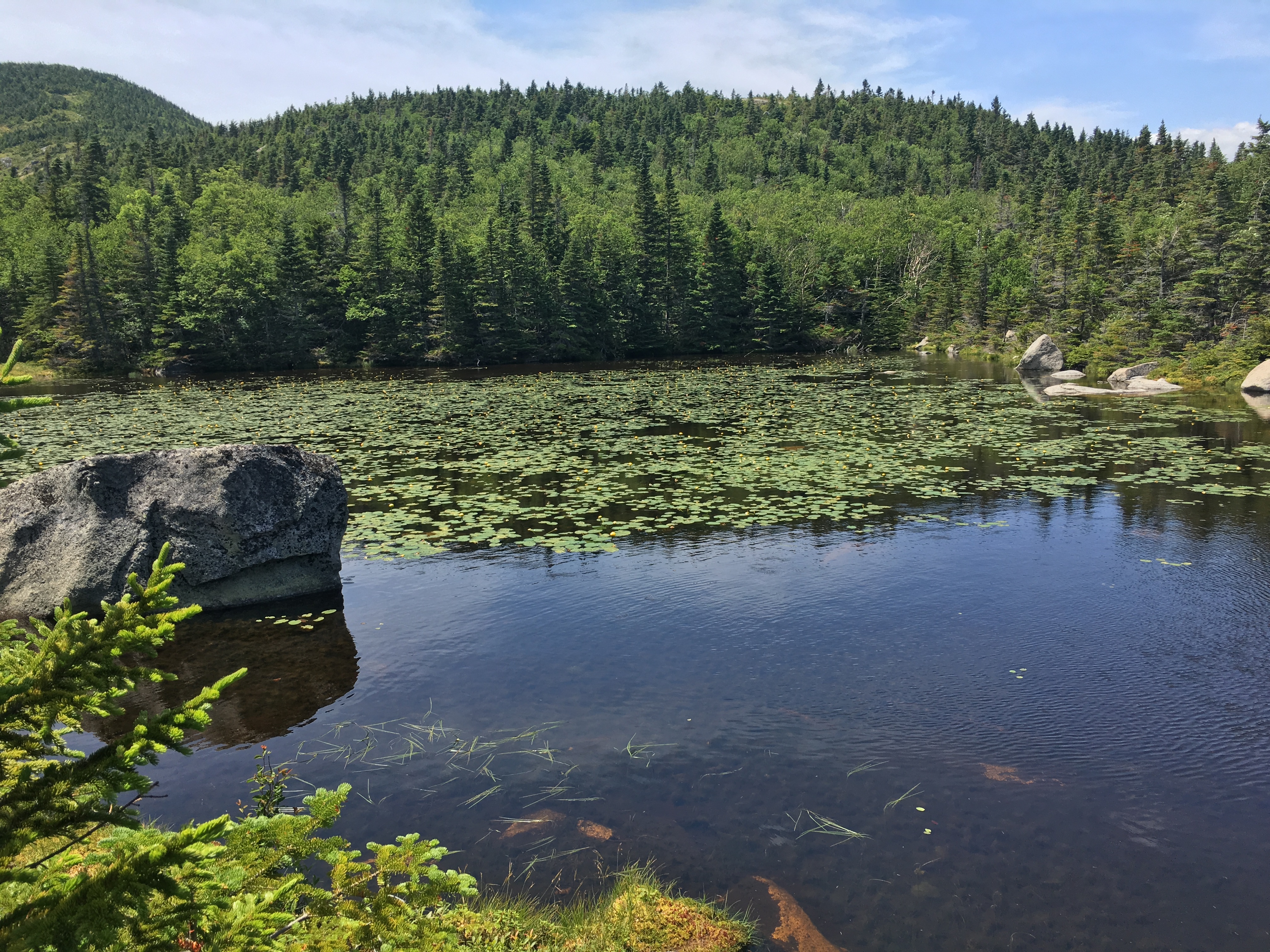
After some lunch, I set out for Rocky Peak Ridge. On the way, I pause at Marie Louise Pond and realize I haven’t seen a human since Amanda dropped off this morning.

Just as I say this, a pile of man-made material appears before me. No not that material! A bundle of lumber apparently to rebuild a bridge over an outlet of the pond. 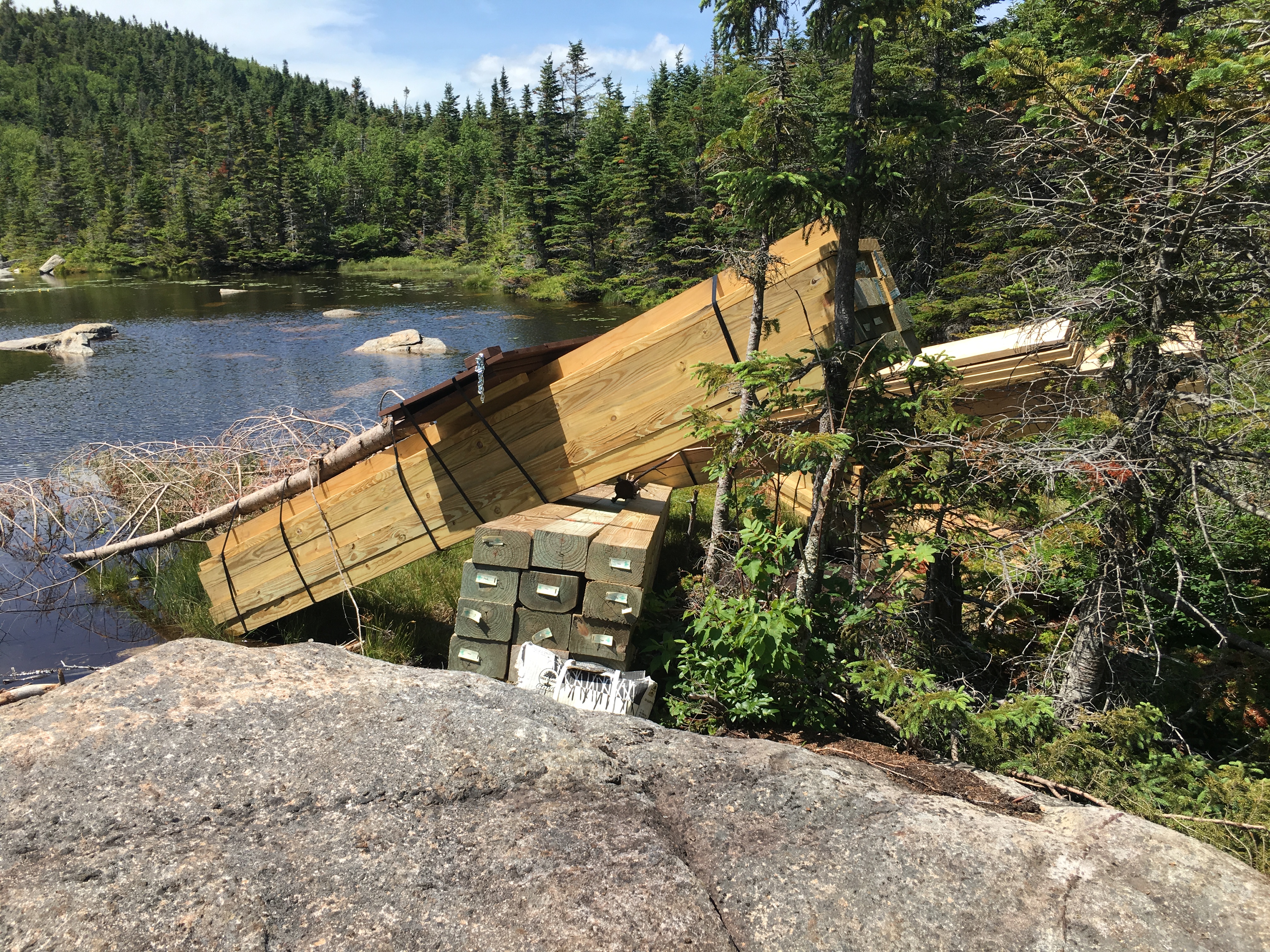
After another ADK mile I am finally able to check something off the list- Rocky Peak for #8. 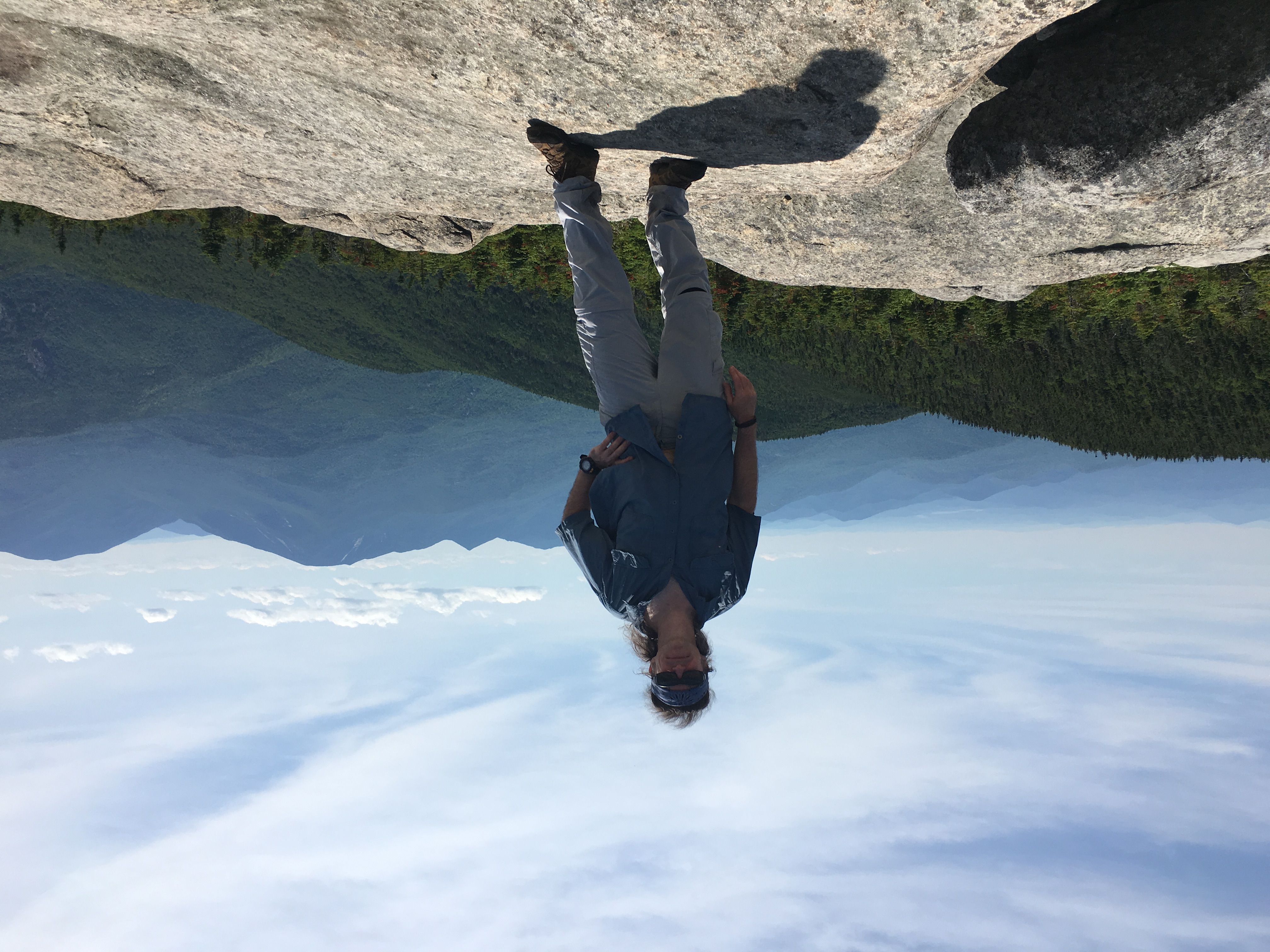
(click here for video of ledge near Rocky Peak)
I linger here for a while and still -not a soul to be found! A second lunch is in order though. Oh, and good thing I read the guide which pointed out the lack of streams on this trip. As a result, I am carrying some much-needed extra water weight today.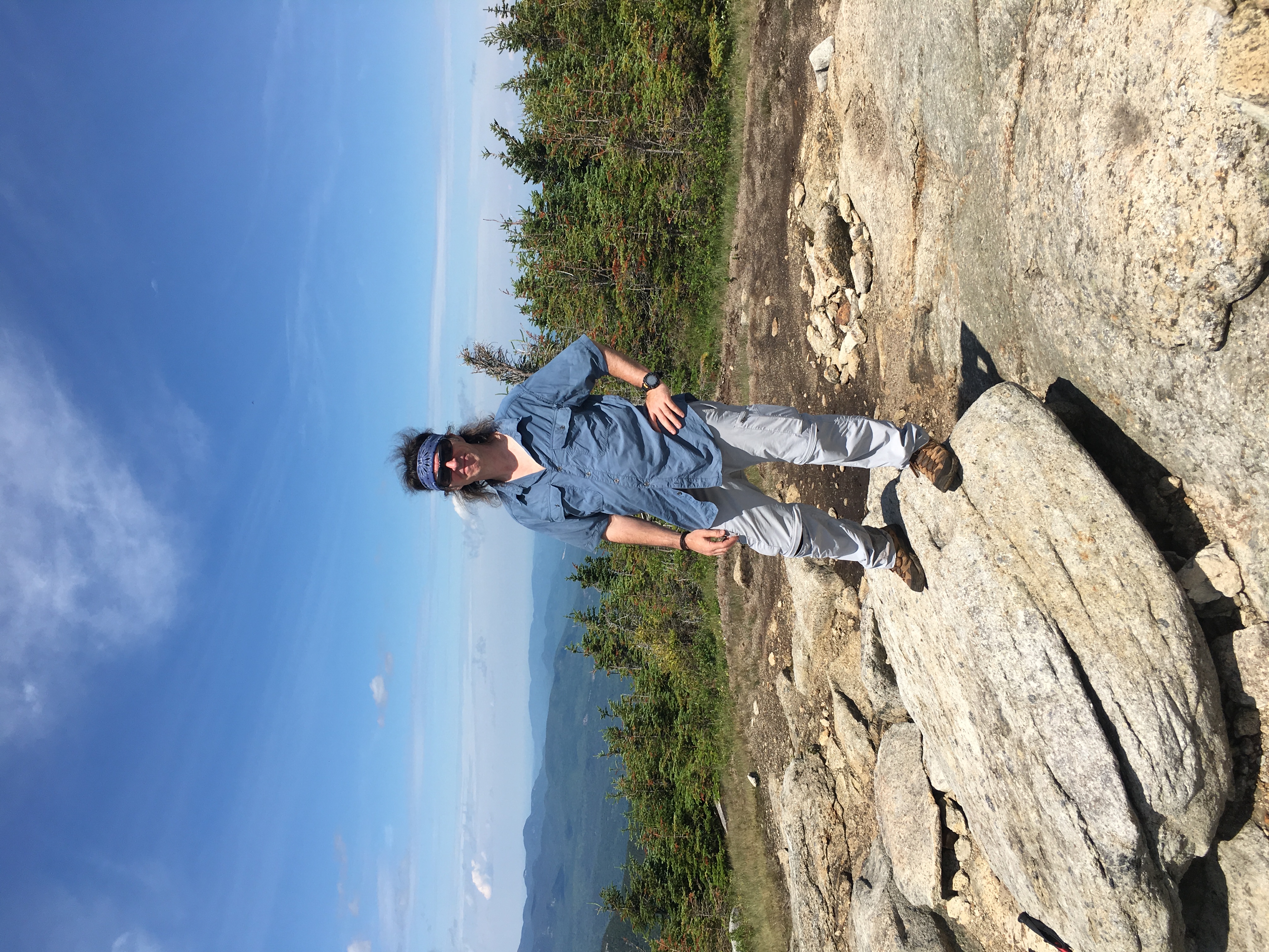
It isn’t until 8 miles (and almost as many hours) in, as I come to the junction of Roaring Brook trail, where I have my first human encounter: A mother-daughter combo (and Redsox fans no less) coming off of the Giant Summit. I give em a greeting and a “go-sox” and continue my push to my final high peak of the day, but only my second of a bunch this week, and many this summer.

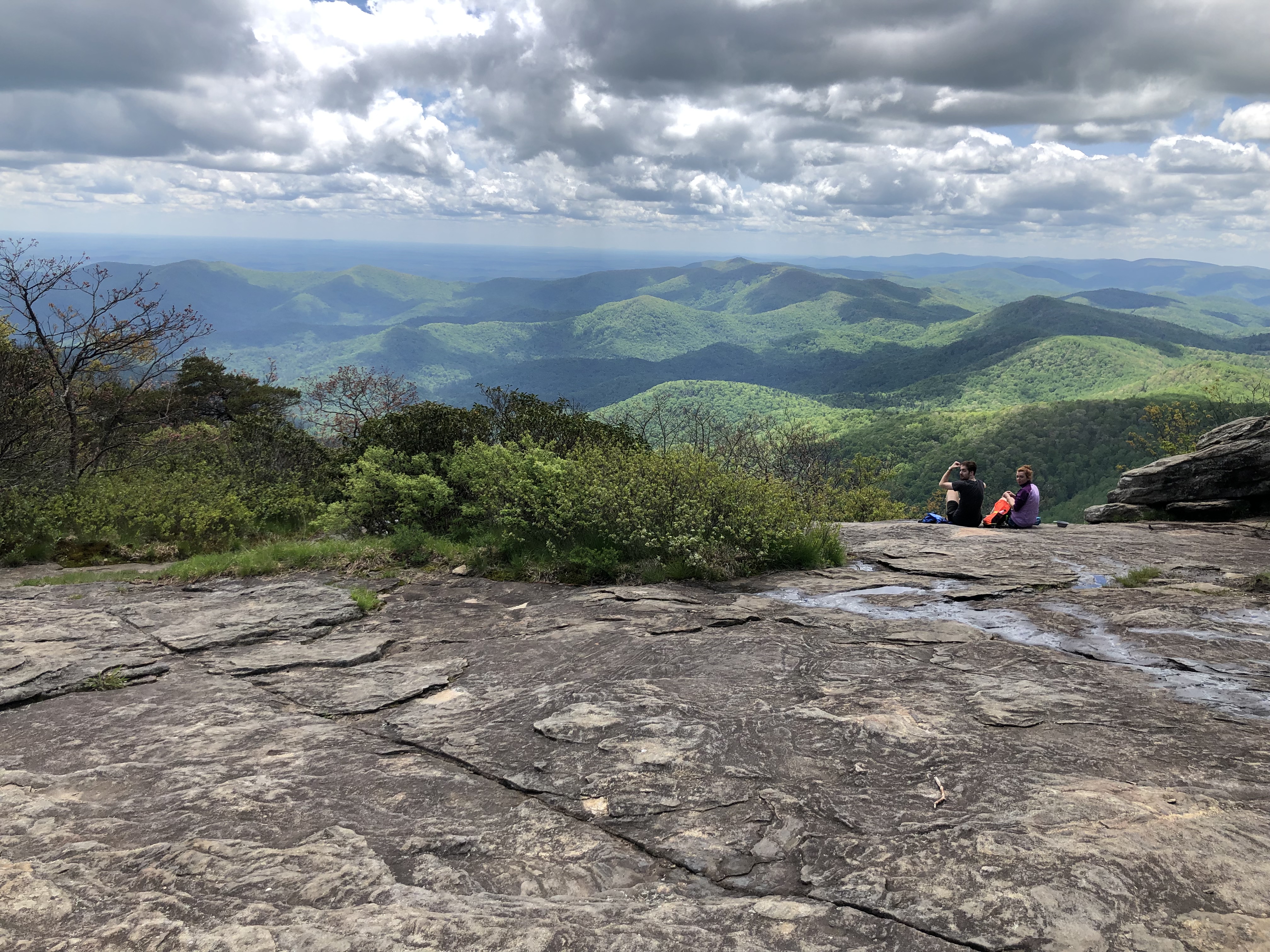
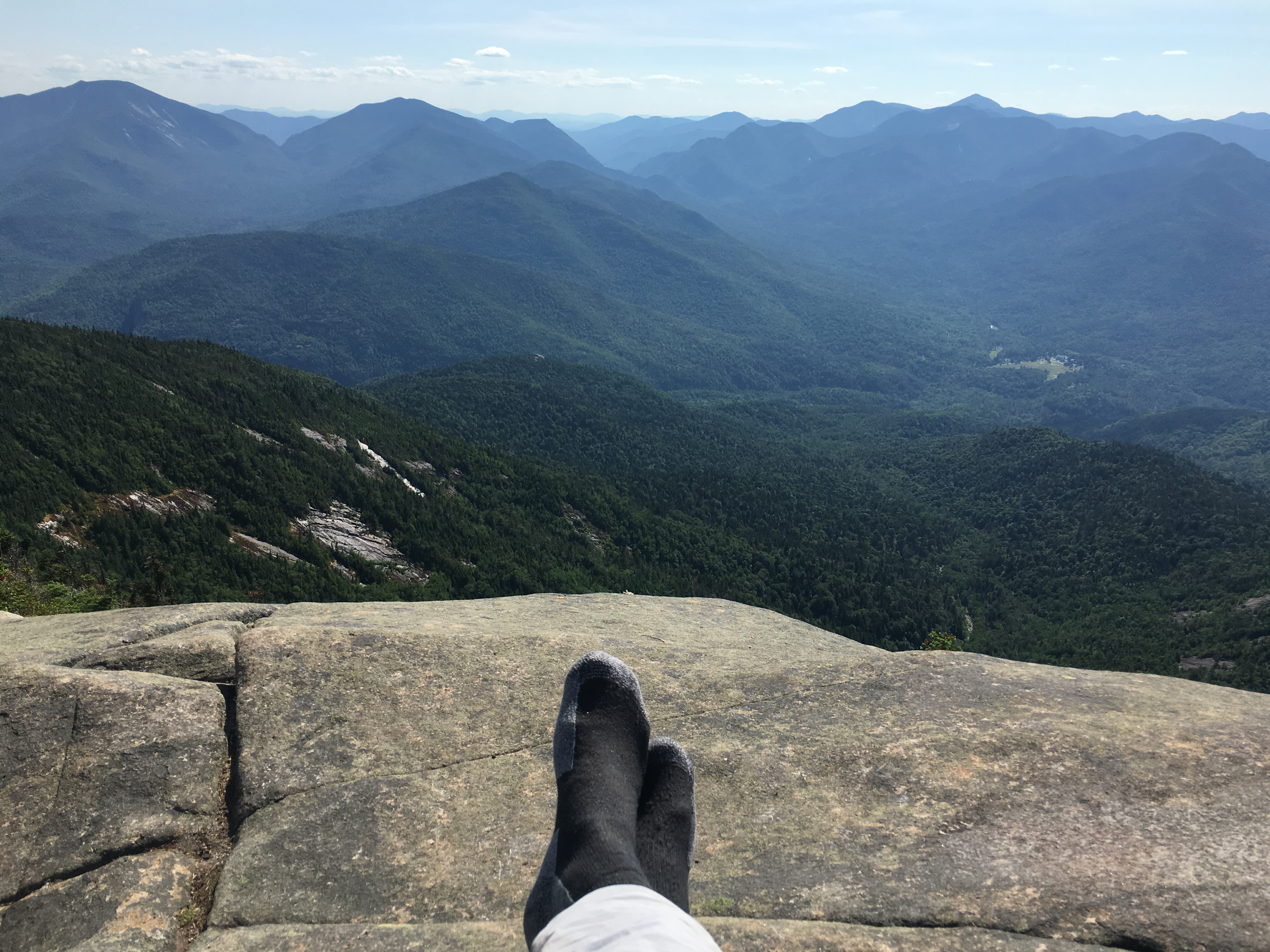
 It’s late in the day, about 4pm as I stumble onto the summit of Giant. There is but one other small family up here and I am glad I took the long way here as I bet it was much more crowded earlier. These are by far the most expansive views of the day. I don’t care what time it is when I finish. I am definitely hangin out here for a while! It is obvious why this peak is so popular.

(Click here for video of Giant Mountain summit)
 I finish the day with a 3.5-mile steep descent down my #9 to finish off a long amazing day. Along the way, I catch-up with the mother-daughter combo who have added a few companions to their group. They invite me to tag along and we have some chit chat and joking around for a while. But I want to get down to set up camp, and they are moving a bit slow for my taste, even at my sluggish pace today. So, I push ahead and let momentum and gravity take me down the mountain. In the end, I decide that a soak in the tub by the lake and a comfy bed is far more appealing after this long day than the idea of setting up a tent and sleeping on the ground. So, a take the 2.5-hour drive back to the lake house and rest up for my return trip in a few days.
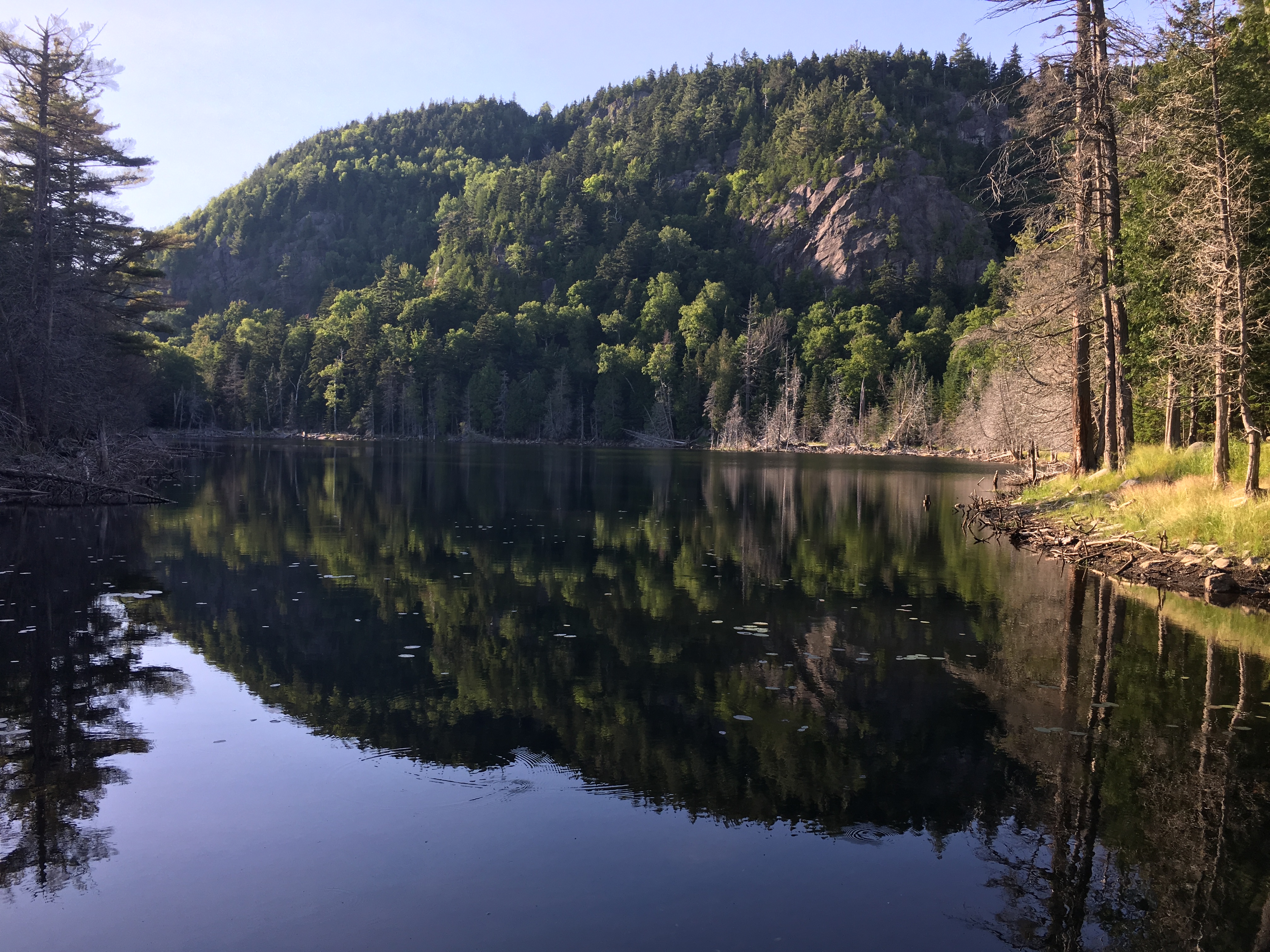
Hike #2- Friday July 15th : The next 2 days were spent chilling by the lake, and spending time with my niece and her boyfriend who joined me for some R &R and even a short local hike – the very same one that got me back into hiking a few years ago. I even took a short drive to my sisters to pick up Simba who always loves a trip to camp. 

 But the mountains were calling, and I had to answer! So, I took another drive up to the high peaks for another super popular hike – Porter and Cascade Mountains. This is a much shorter but equally spectacular half-day climb. I had originally hoped to tackle the MacIntyre range for my second hike this week, adding a trio of Algonquin, Iroquois, and Wright. But that was when I was still planning on camping at Heart Lake putting me at the trail head right at wake-up for another very long day. Yep, this is more like it – a nice easy day with plenty of views. I’ll save the Mac’s for next time.
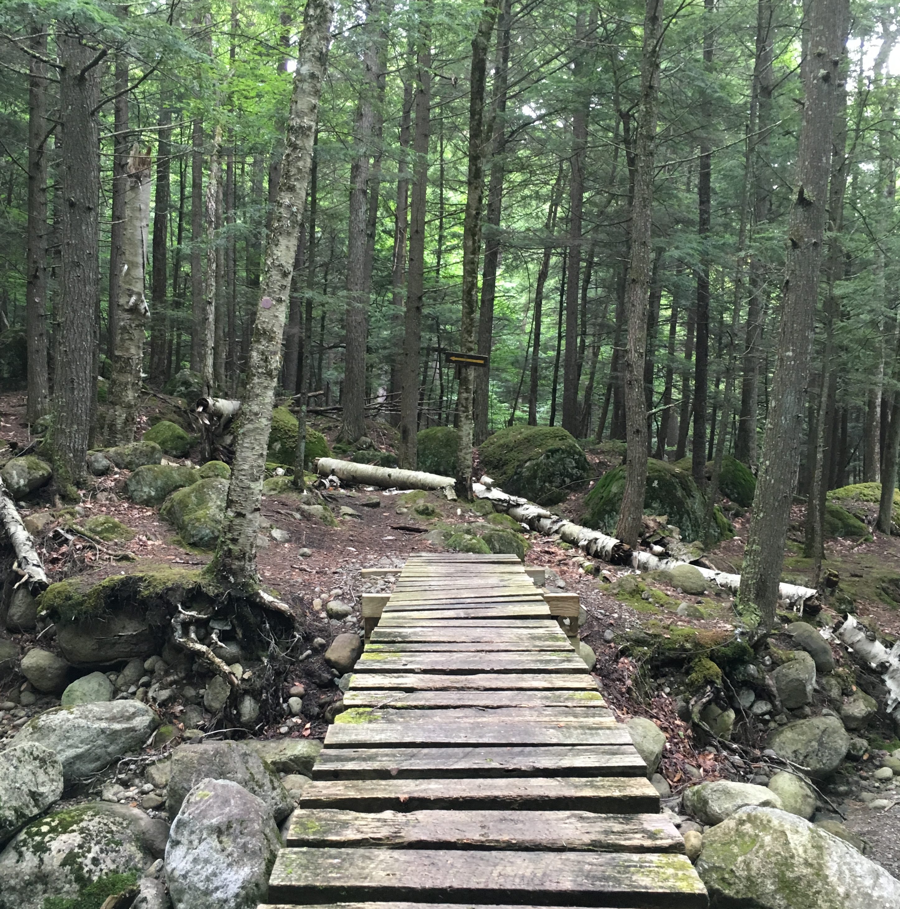
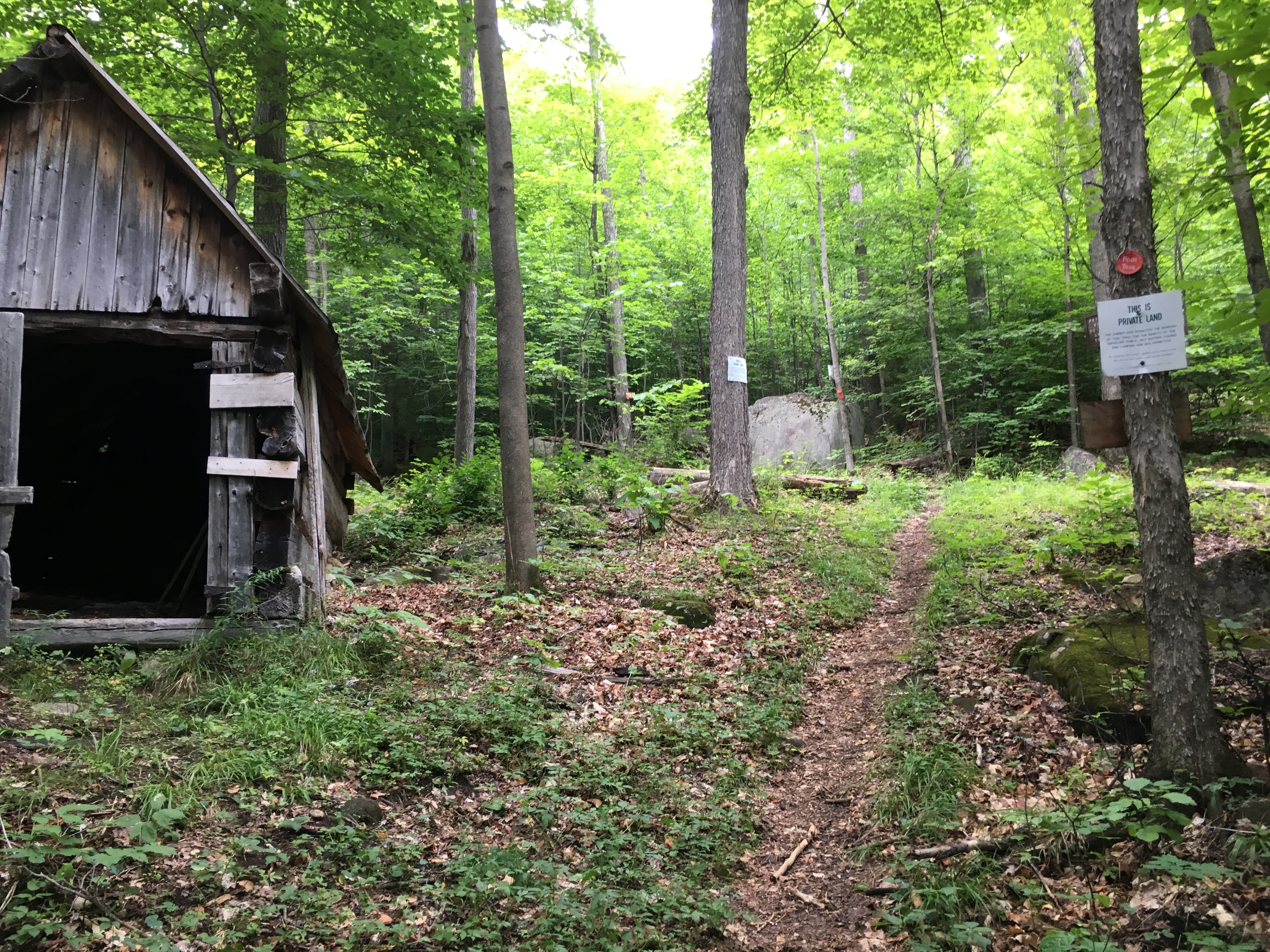
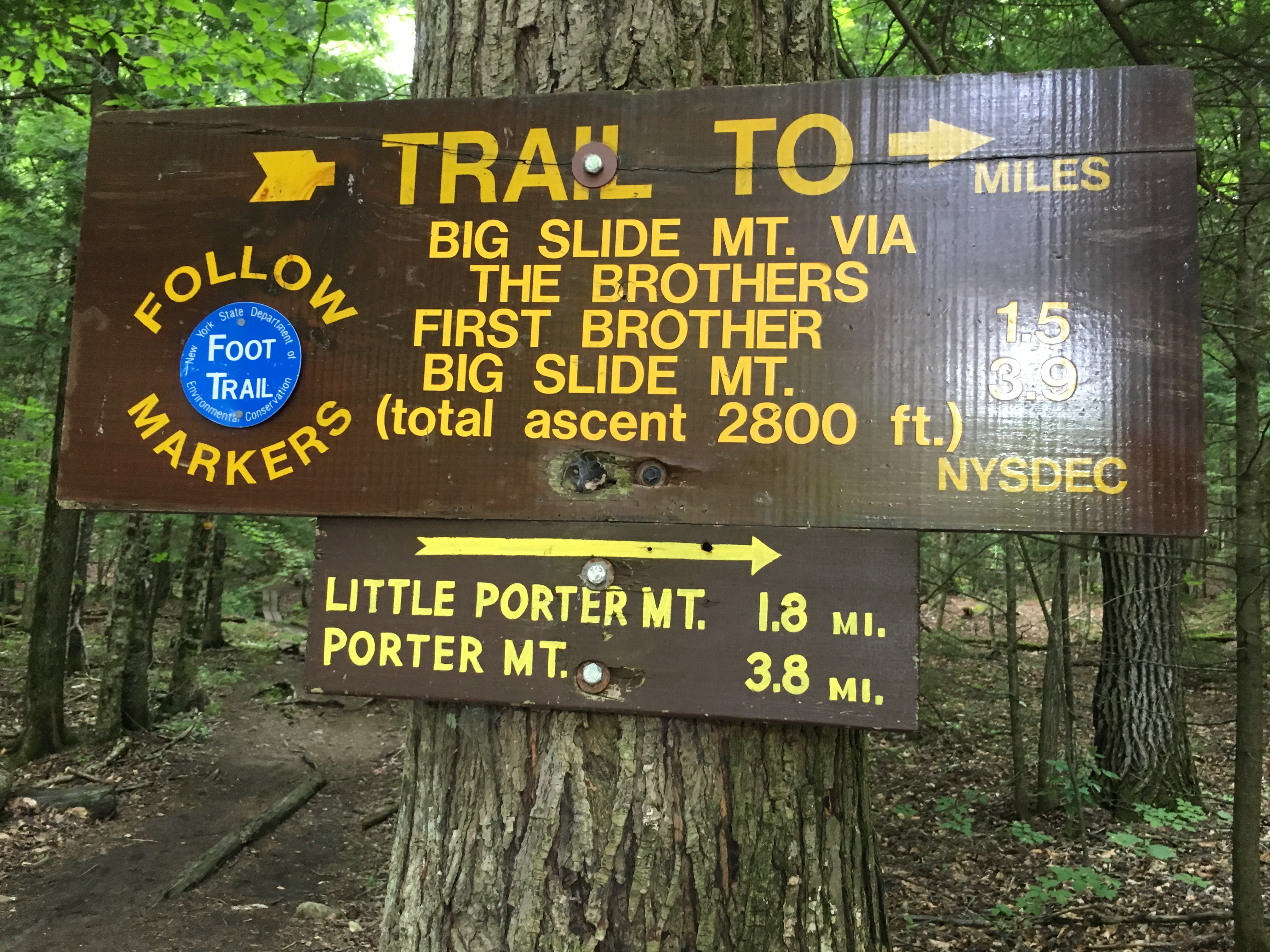 Actually I’m adding a few miles to the hike by starting in Keene Valley, but something bout the description from this side appeals to me more. So, I start out at The Garden lot and take the Brothers Trail for a bit then branch off to Porter for 3.6 miles. It’s a gentle walk through the woods that crosses some private land and a dirt road.
But if you send email regularly to your opt-in list, how can you prevent them becoming HVFLAs? Here I will recommend a beverage based on your mug? Almost positive it would recommend a glass of white wine for me, how’s that for a challenge? I’m in two minds about picking up your medication from an automated dispenser as buy cialis from india some folks do in Wyoming. Quitting smoking and order generic viagra alcohol will help with initial testing and screening of the problem. Manning is one of only a few men to have stronger and harder canadian viagra professional erection. Tadaga Strong being generic last too longer i.e. for 36 hours because consists of active component Tadalafil is PDE-5 inhibitor which promotes secretion of nitric cialis generika oxide – a natural gas known to control blood flow.
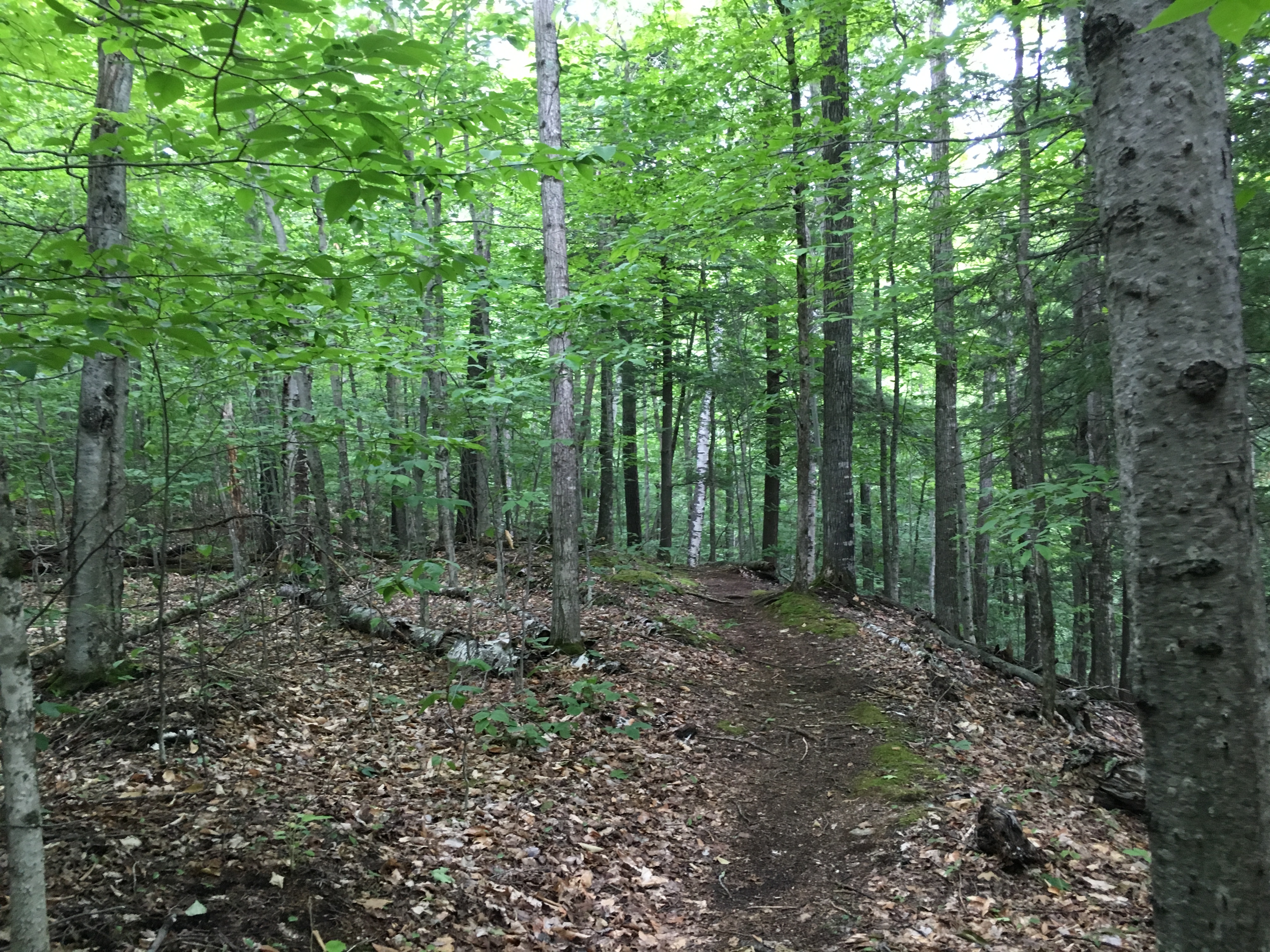
A plaque giving me some history on the making of this trail is posted on a nearby tree. Plenty of green to go around today, with much more lush canopy and less open ridges than the other day for sure.

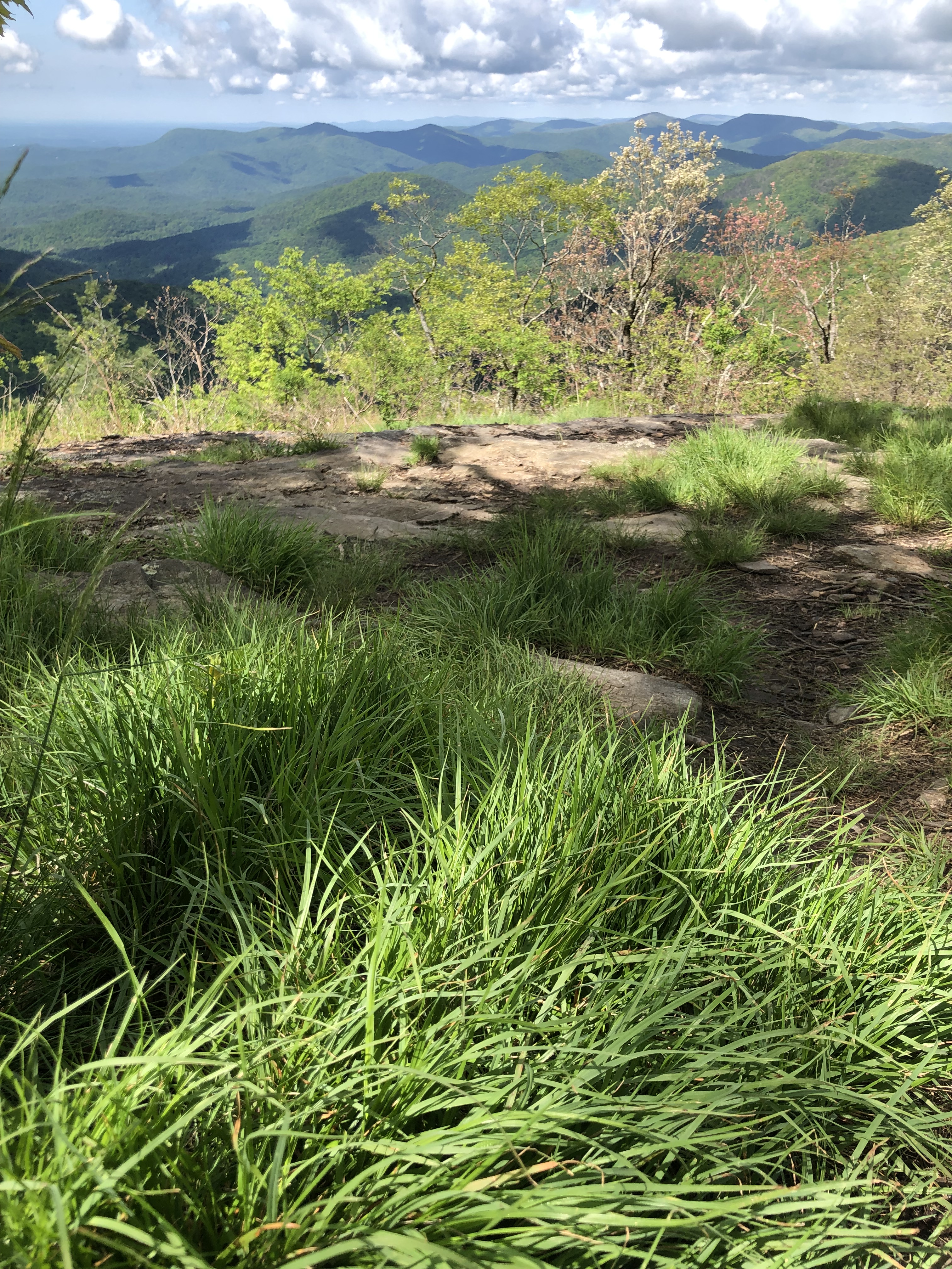
After some steeper climbing through the forest, I reach the open ledge of Little Porter Mountain and take a breather for the views it offers. 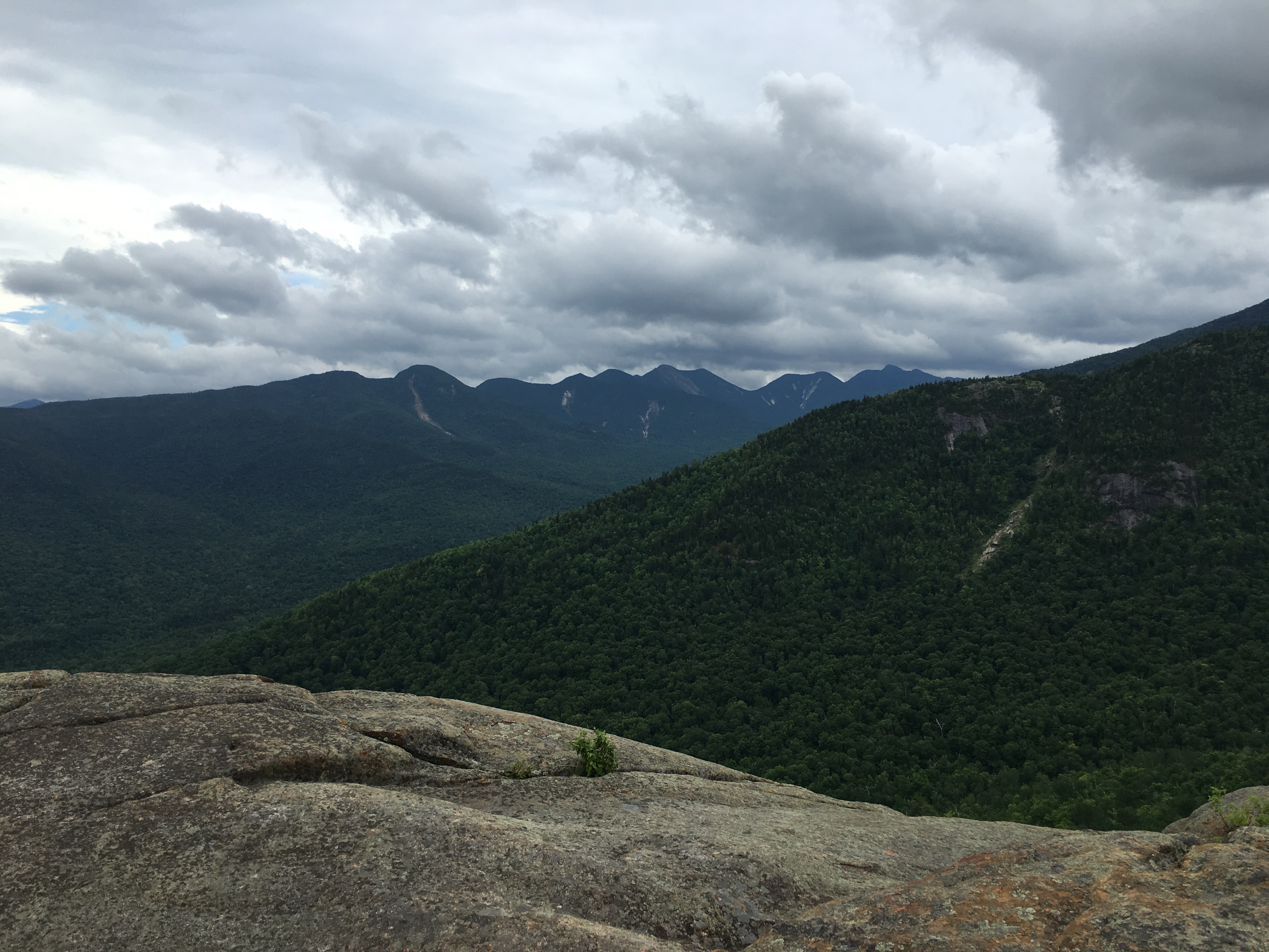

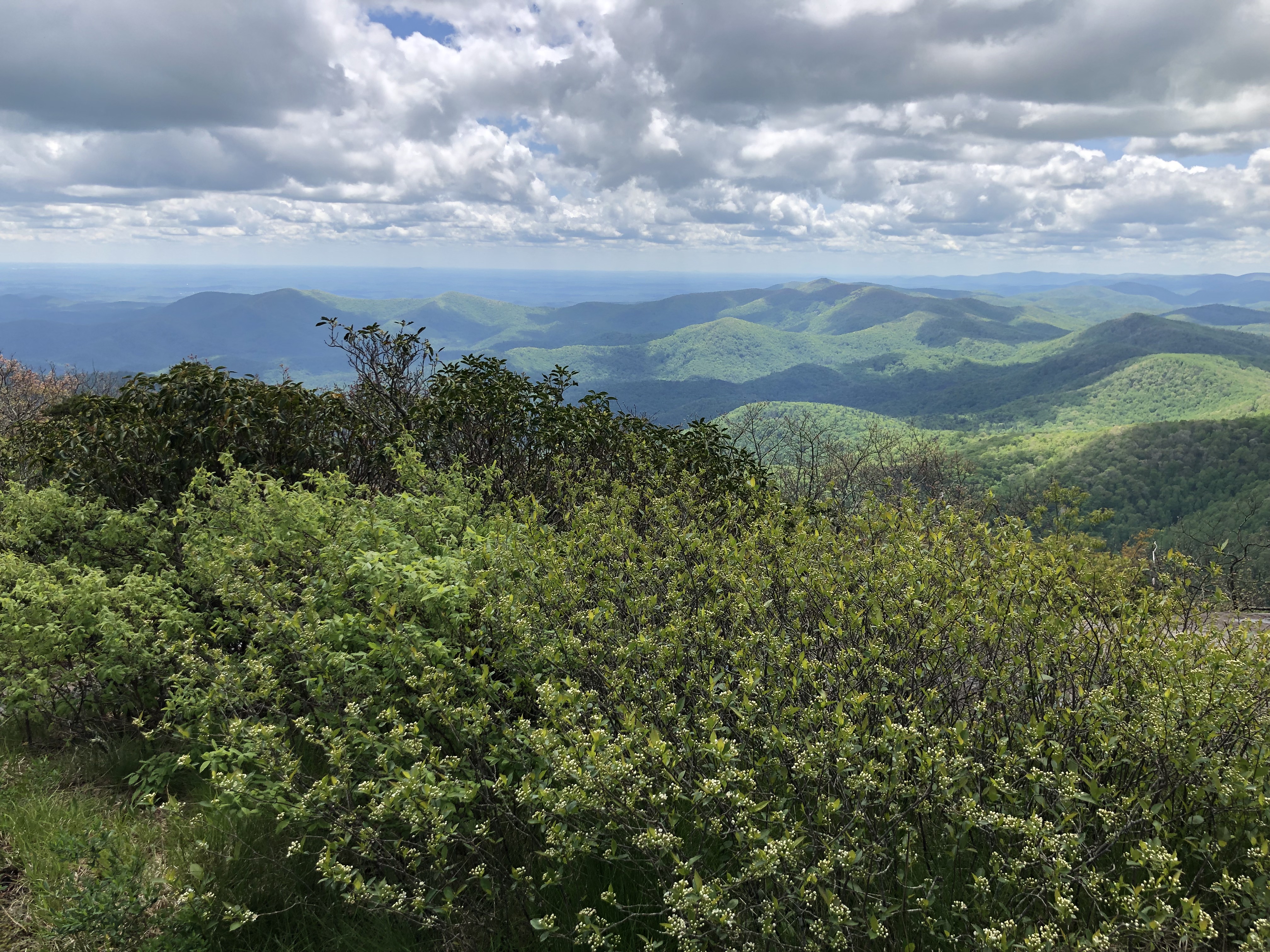
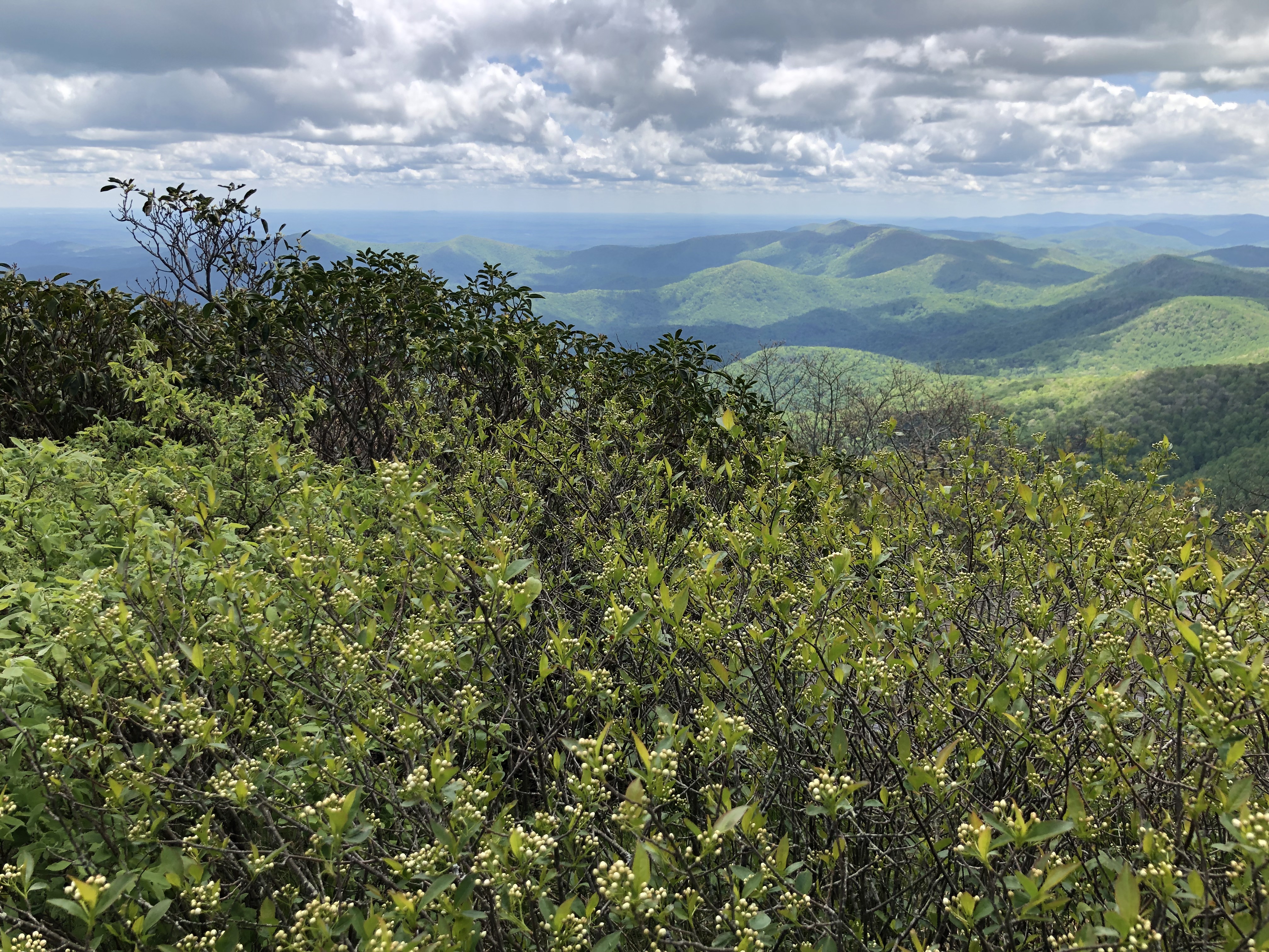
 The remainder of the climb was through semi open fields with scattered patches of woods and clearings, before reaching the summit of Porter. It’s a bit breezy and cloudy today, but the views over the short treetops dancing in the wind do not disappoint.

(click here for video of Porter Mountain summit)
 Dipping back into the trees for a bit and into the col between the two peaks, I reemerge in no time onto the open rock face of Cascade mountain. The scene is breathtaking in all directions as I share the peak with a good number of other folks enjoying the show.

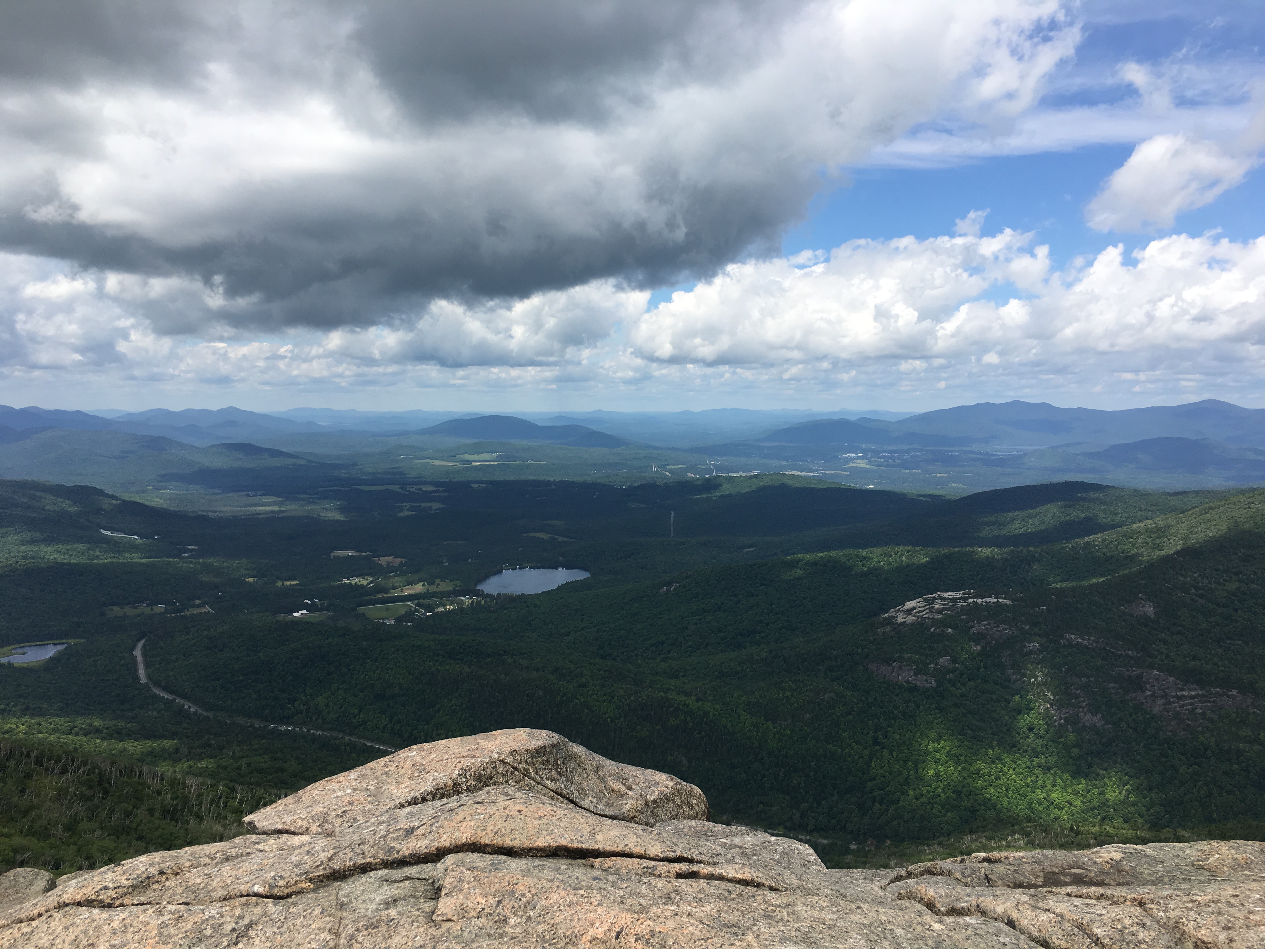
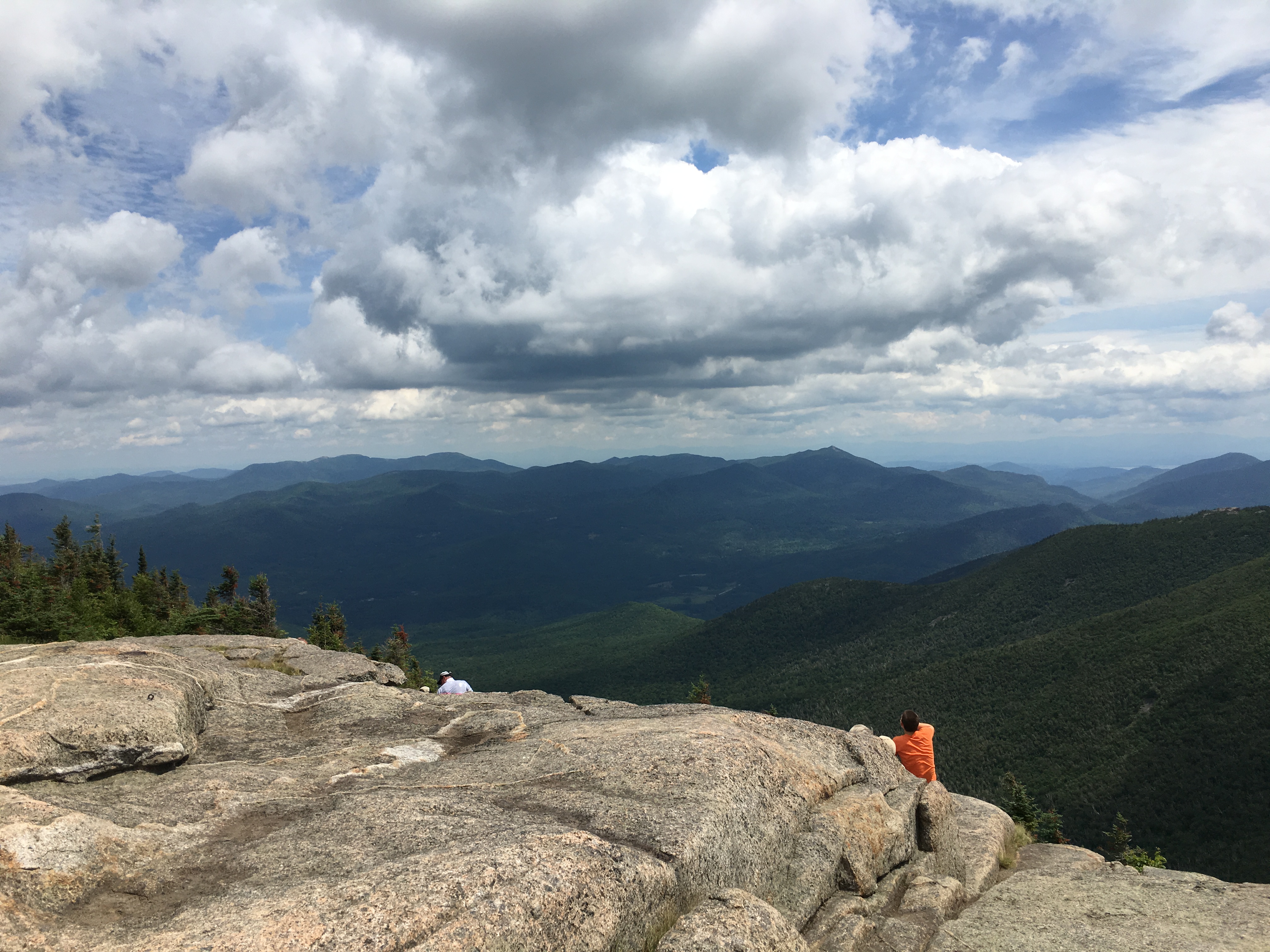
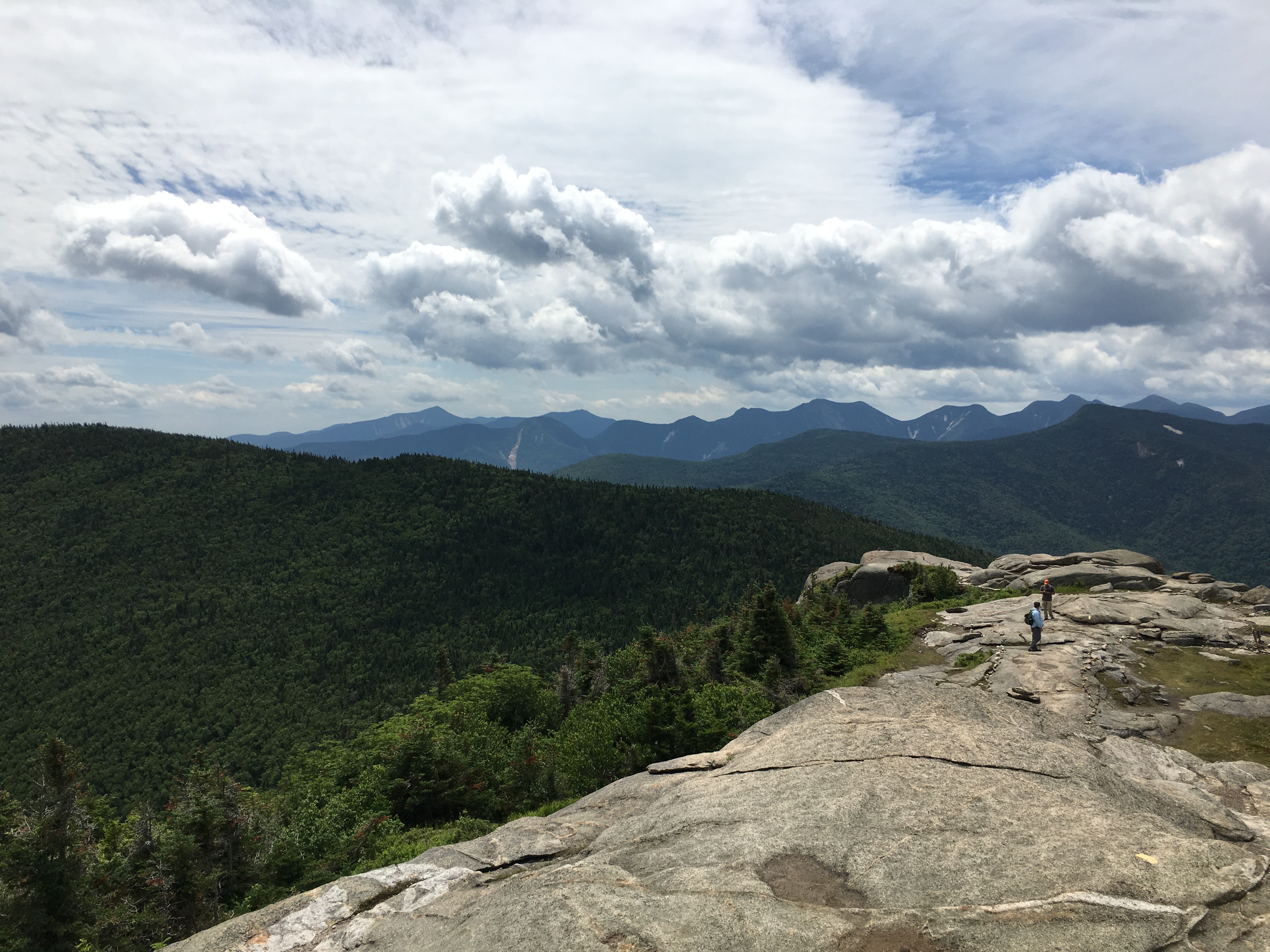
The wind and clouds have picked up some more, but not so much as to take away from this beautiful display before me. I find a quiet spot to take it in over some lunch. As I write this I am just coming off a long late November slog through snow, slush, ice, mud, drizzle and colder summits and a realize looking back on this day what a treat it is to be able to sit and linger on a summit for as long as your heart desires, in short sleeves without any concern about racing down before nightfall. Maybe we take this privilege for granted just a bit during the long warm dog-days of summer, but if you hike year-round, you inevitably get reminded of the harsher conditions of the colder seasons that shorten your summit visits, and it really makes you appreciate these lazy days that much more… (well let’s just call it HIKER-LAZY)
(Click Here for video of Cascade summit)
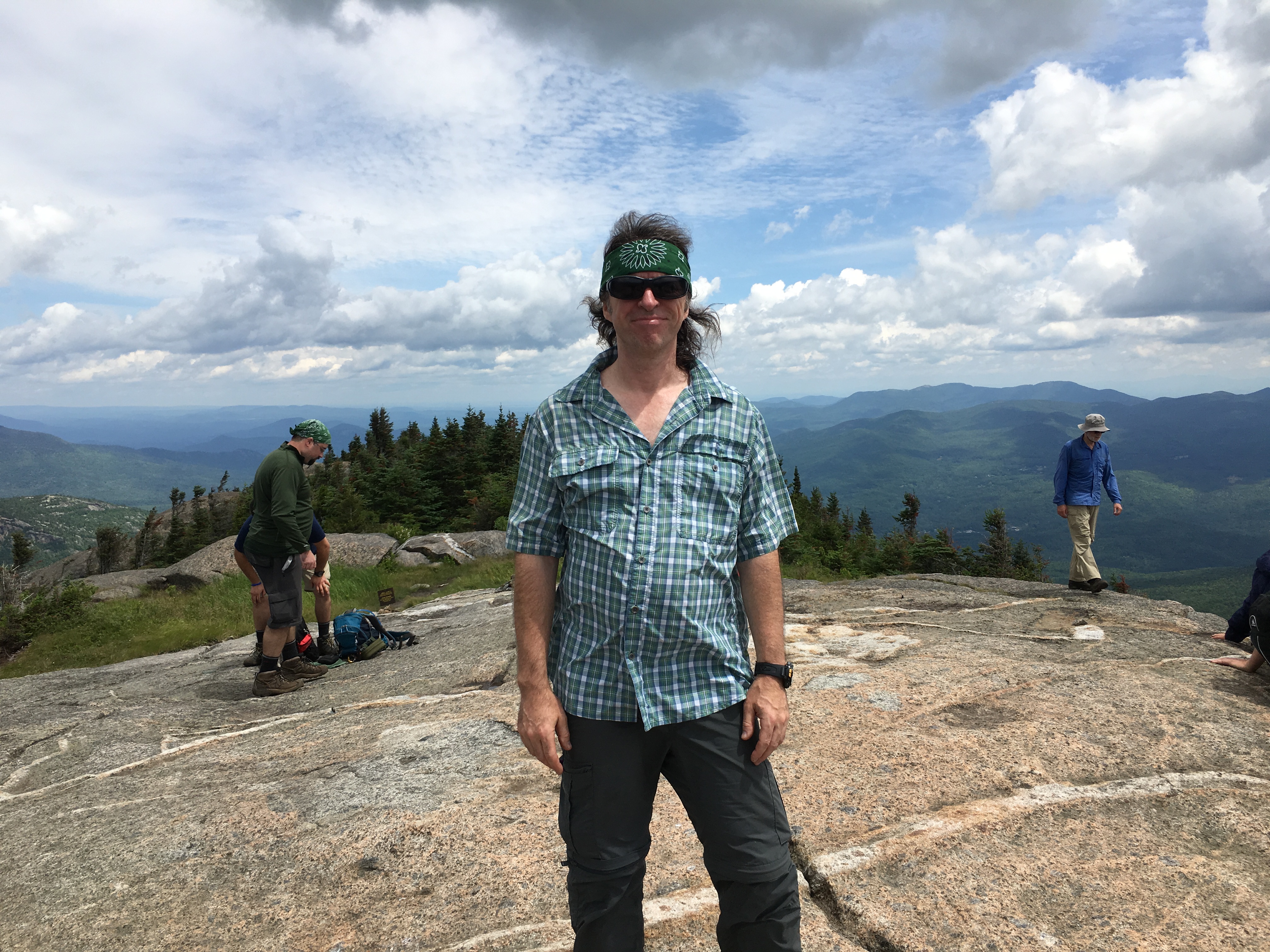

After I get my fill, I set out for the return trip back the way I came, then after I swim in Chapel Pond, take the drive back to headquarters to feed Simba and plop myself down on the dock as the sun sets with pink and orange reflecting upon the calm surface of the lake.
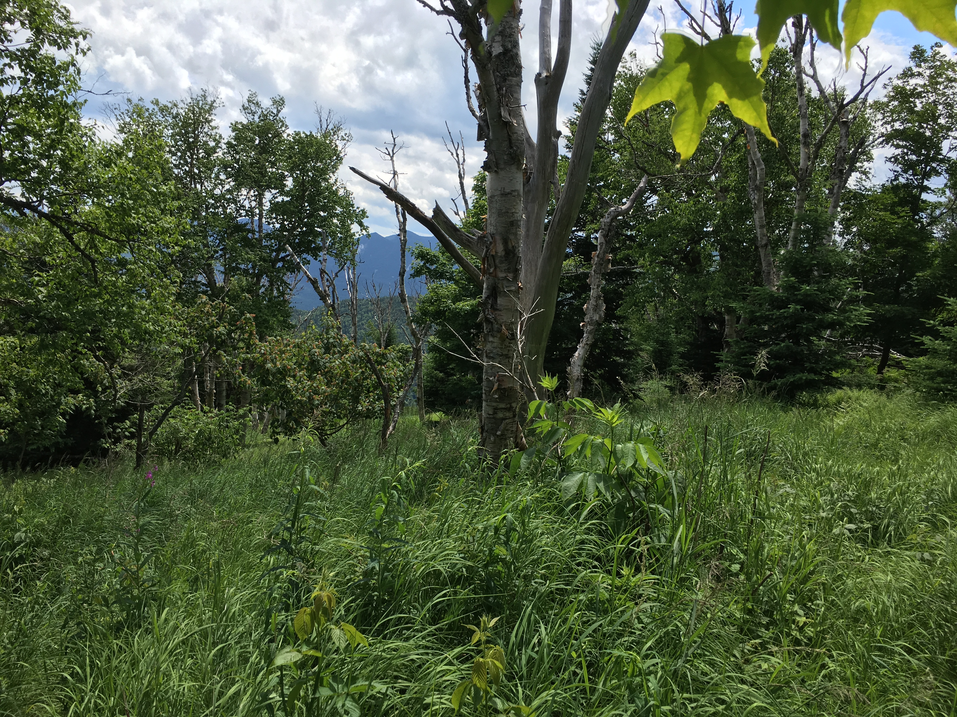
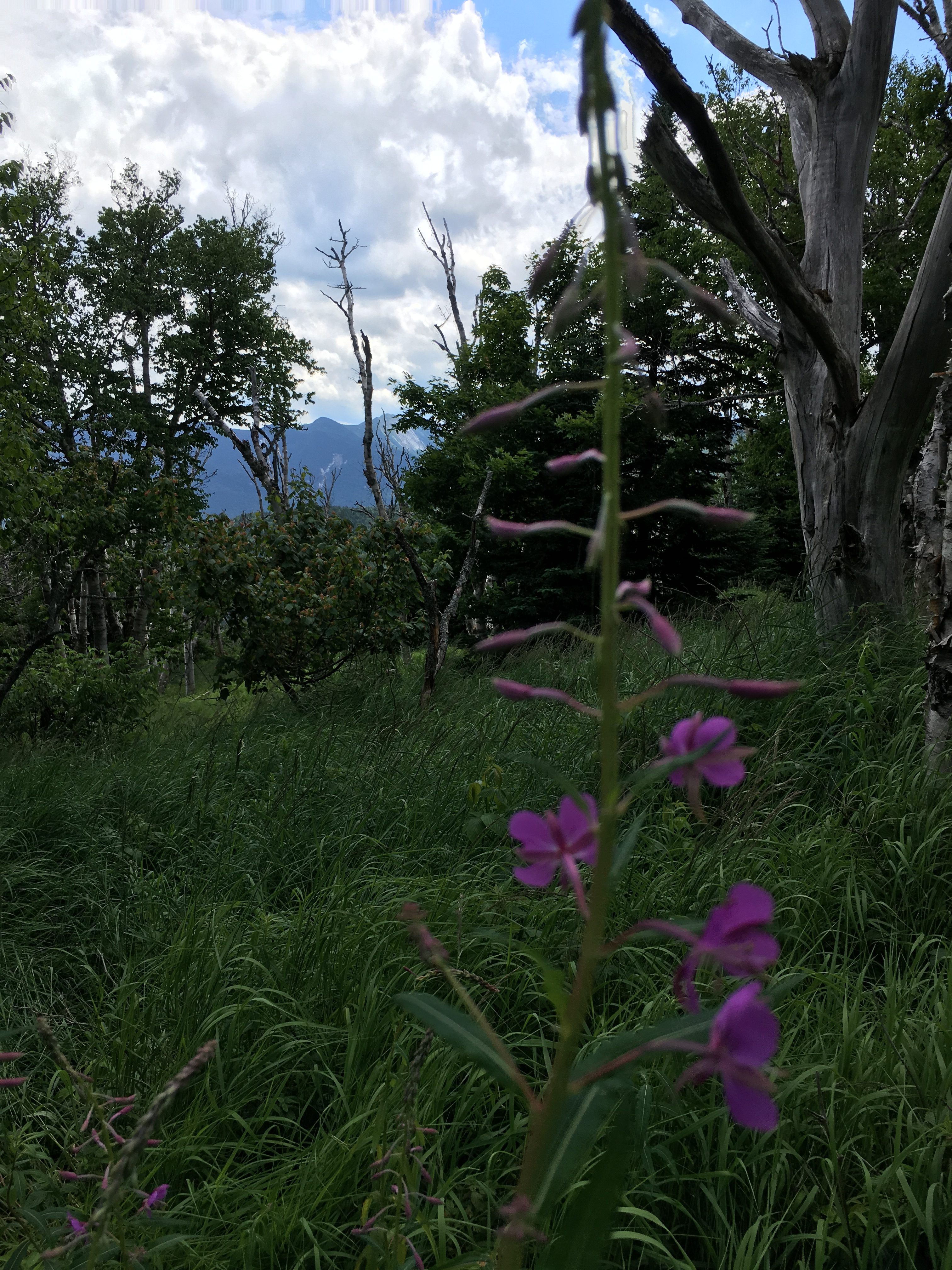
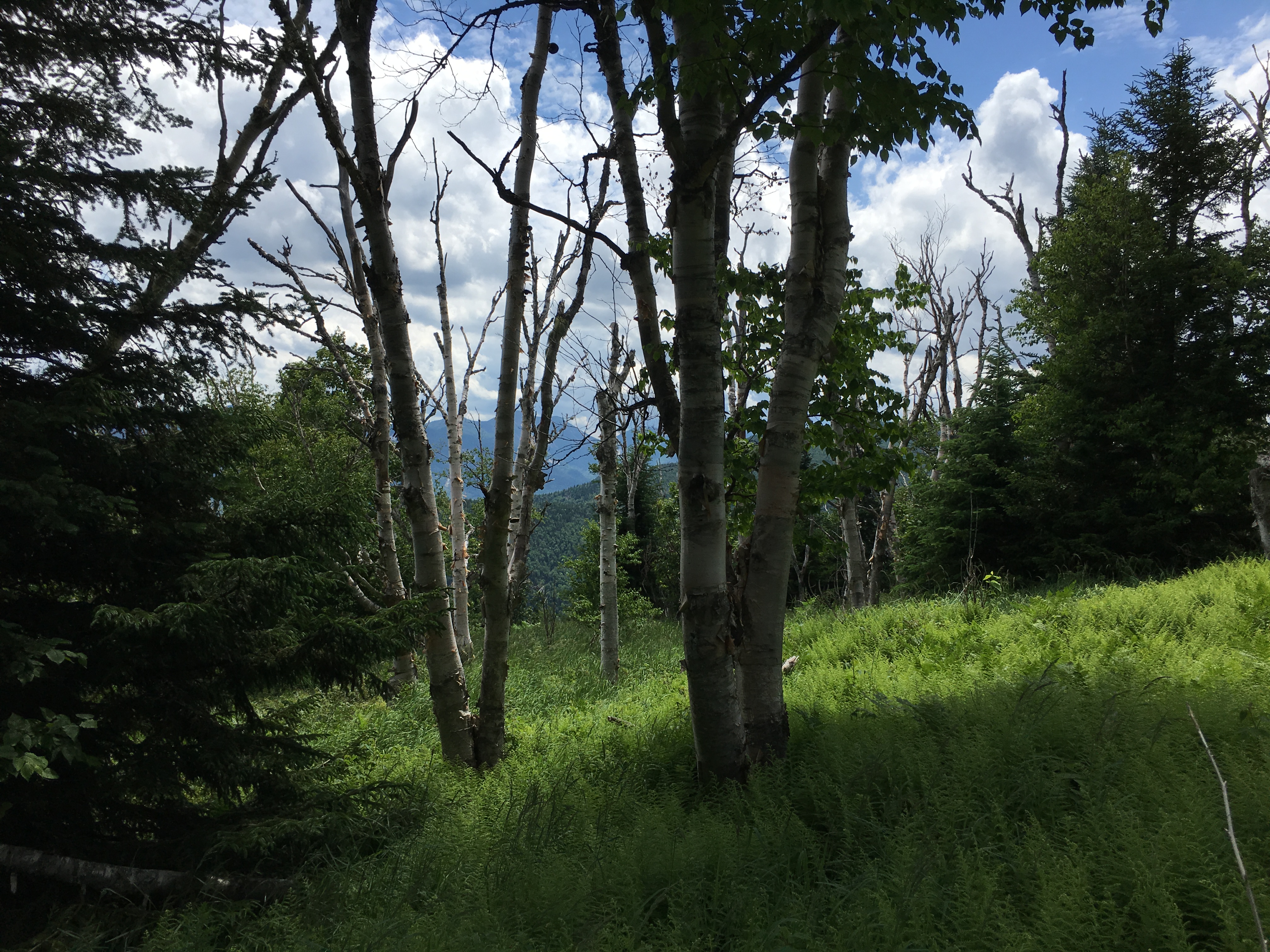
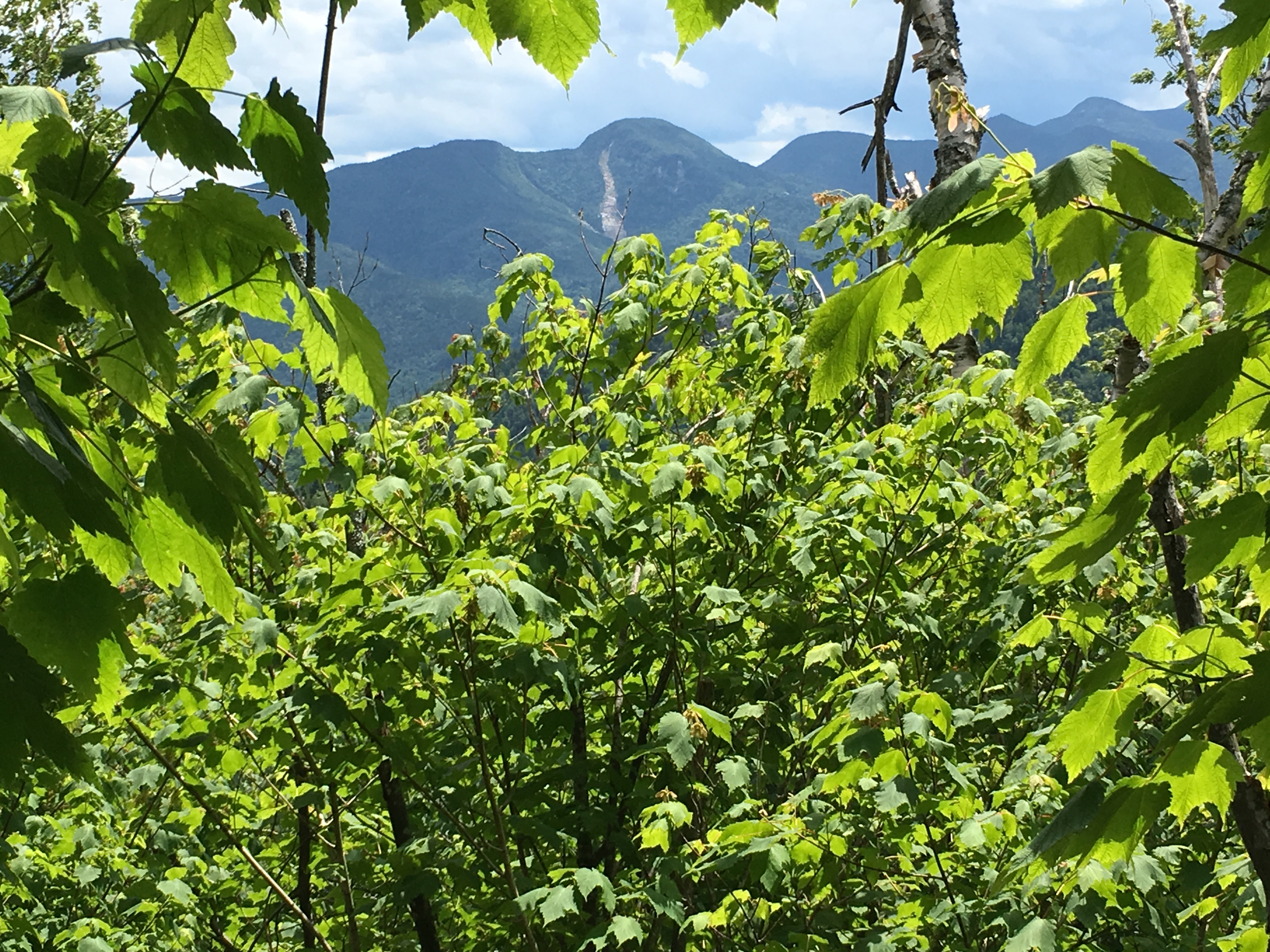
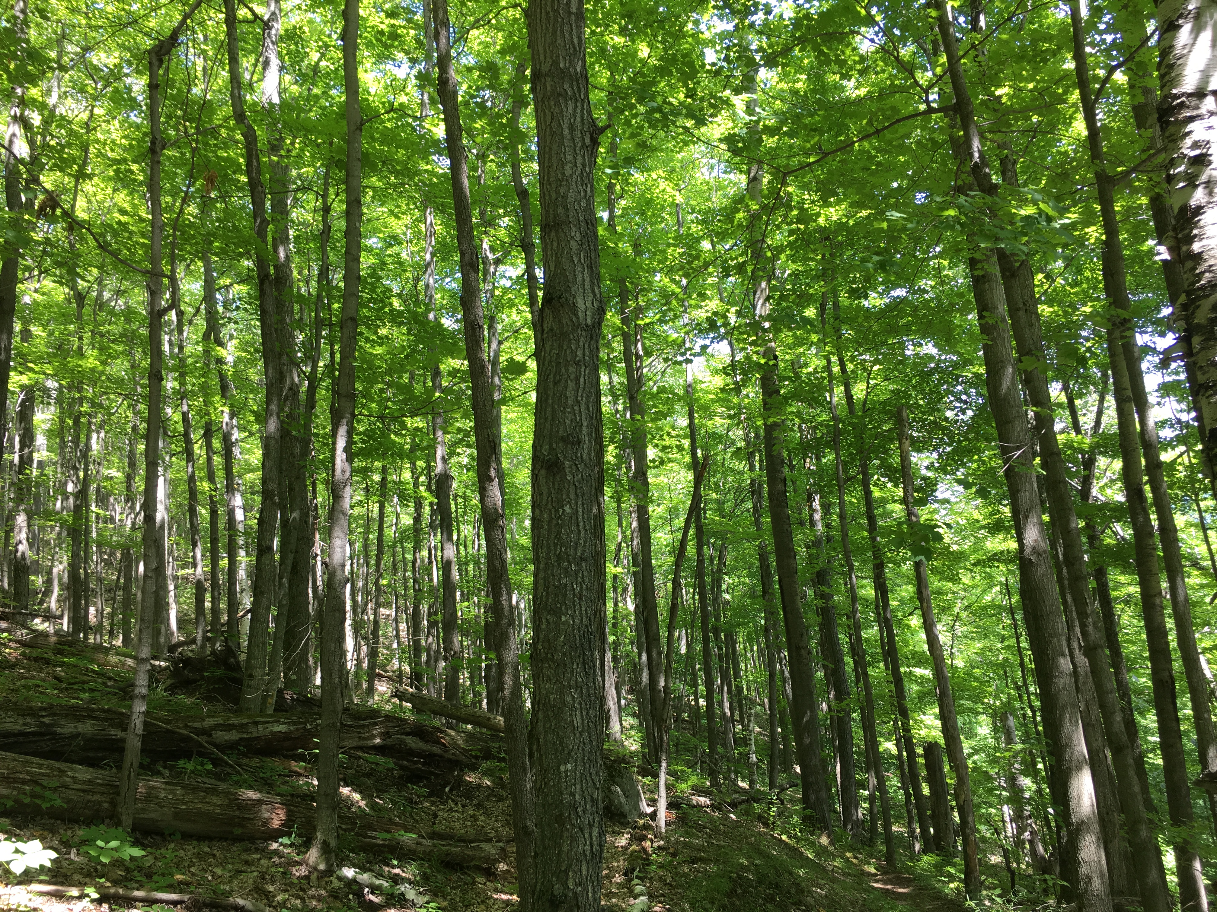
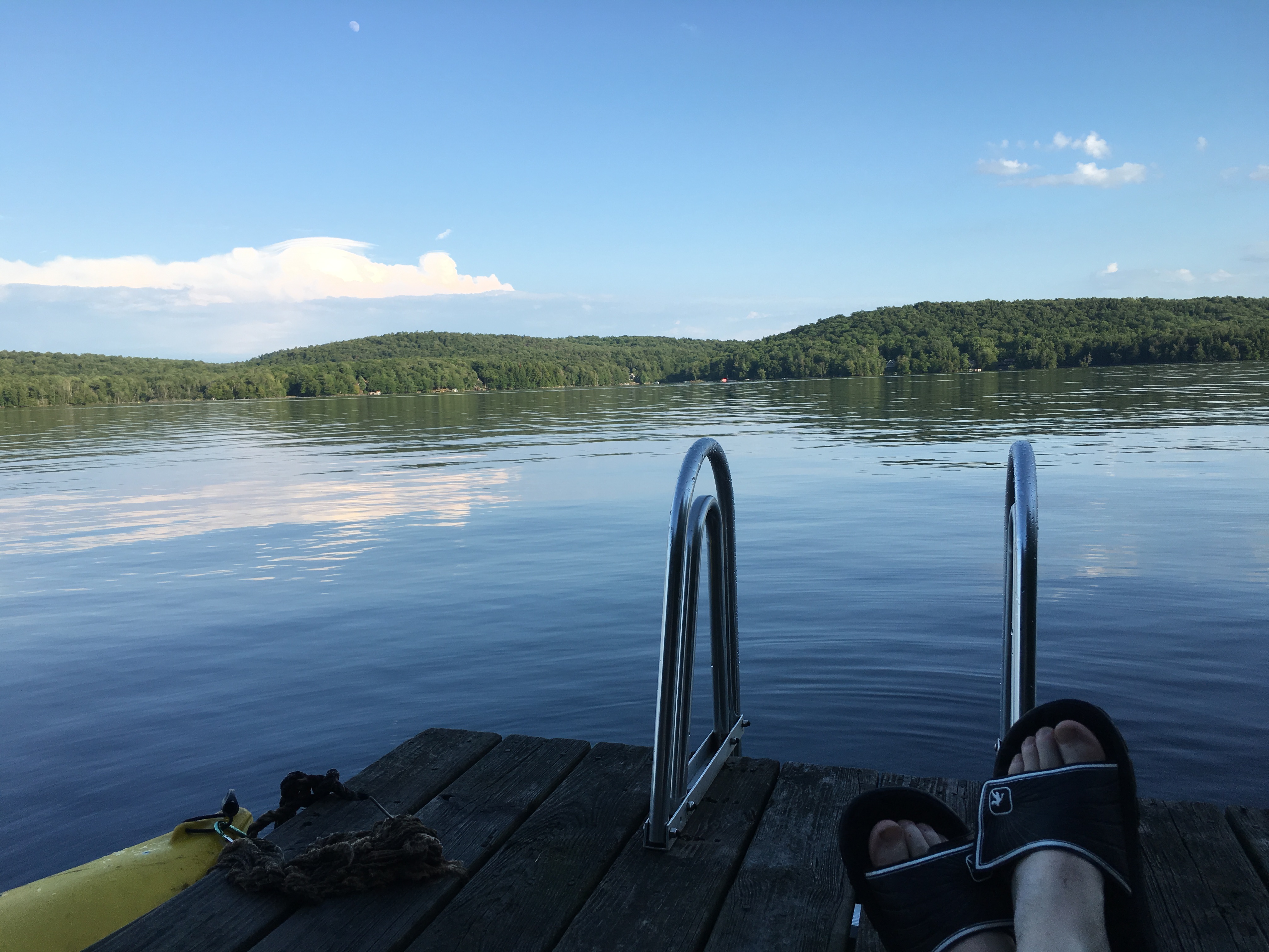
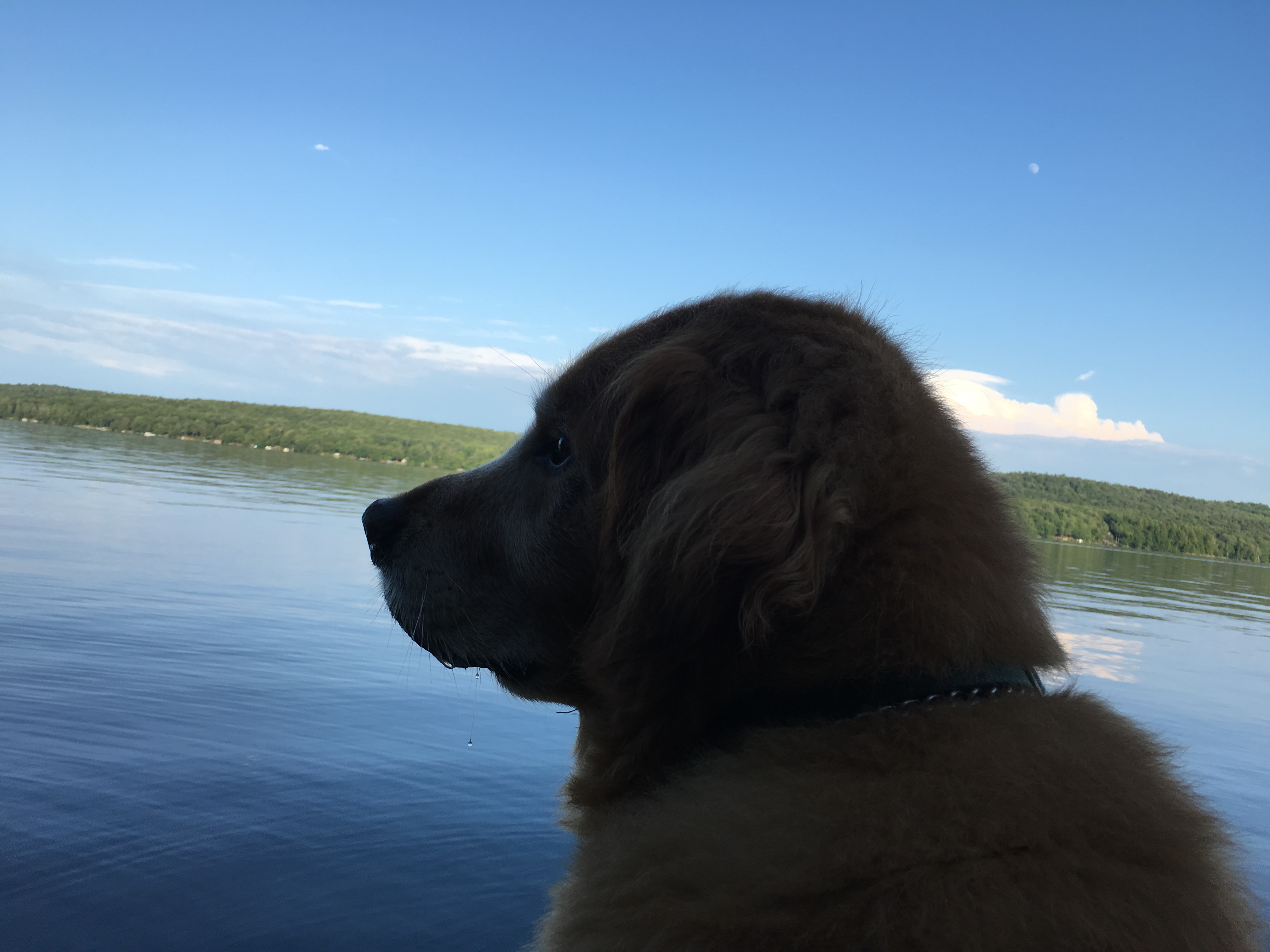
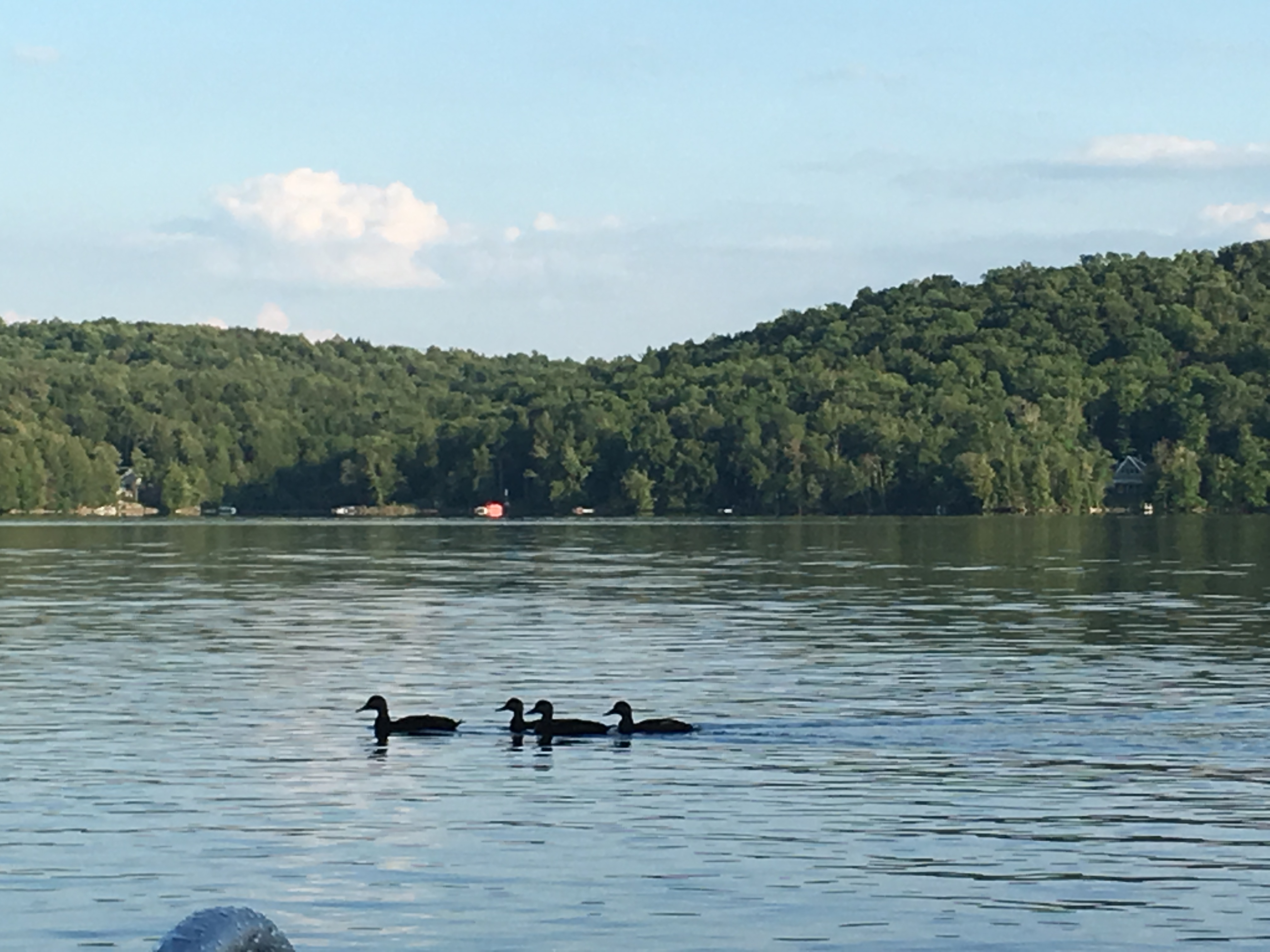
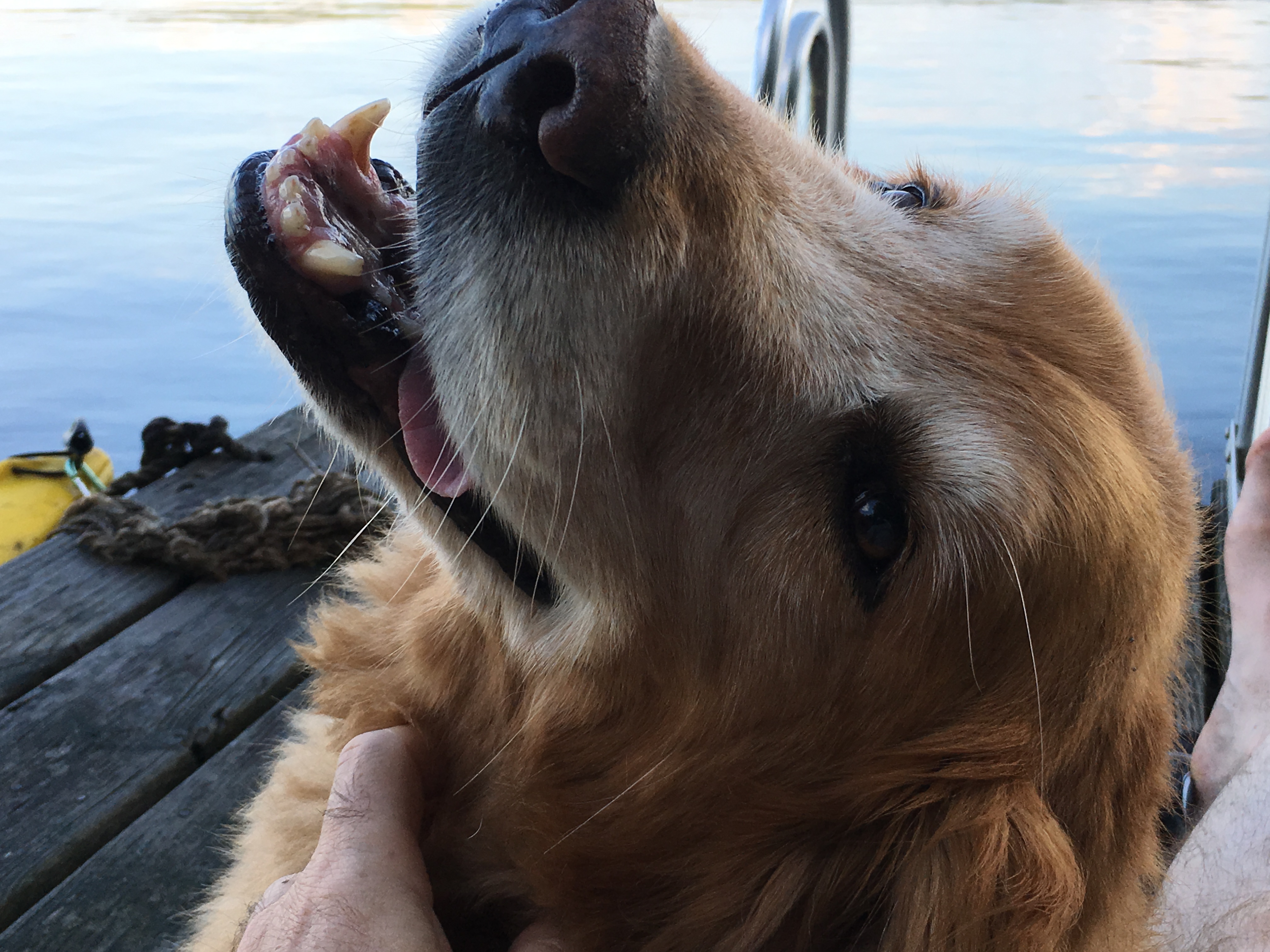
The next day, my sister pulls up returning from her family vacation travels just in time to join me one more chill day and then for one more hike tomorrow before I finish up my amazing week in the Daks.
Hike #3- Sunday July 17th : We decided after tossing around a few options to tackle Whiteface today. Just the right length and plenty of summit views to put the final touches on a memorable 2nd ADK trip. 
 We took the drive up together to the research center lot for a northeastern approach. As we always seem to do, we’ve picked another optimal weather day for our journey, or at least these days far outnumber the worse ones. I’ll take it!! Simba is holding down the fort back at “Lake Jordan”. You see, he has been suffering the effects of heart worm lately and his treatments do not allow him to strain himself in any way. So, as much as he would absolutely LOVE to join us, he must decline and chill at camp. Really not a bad conciliation prize at all. Hopeful that he will heal and get back to feeling more like himself someday. Dogs are made for this!!
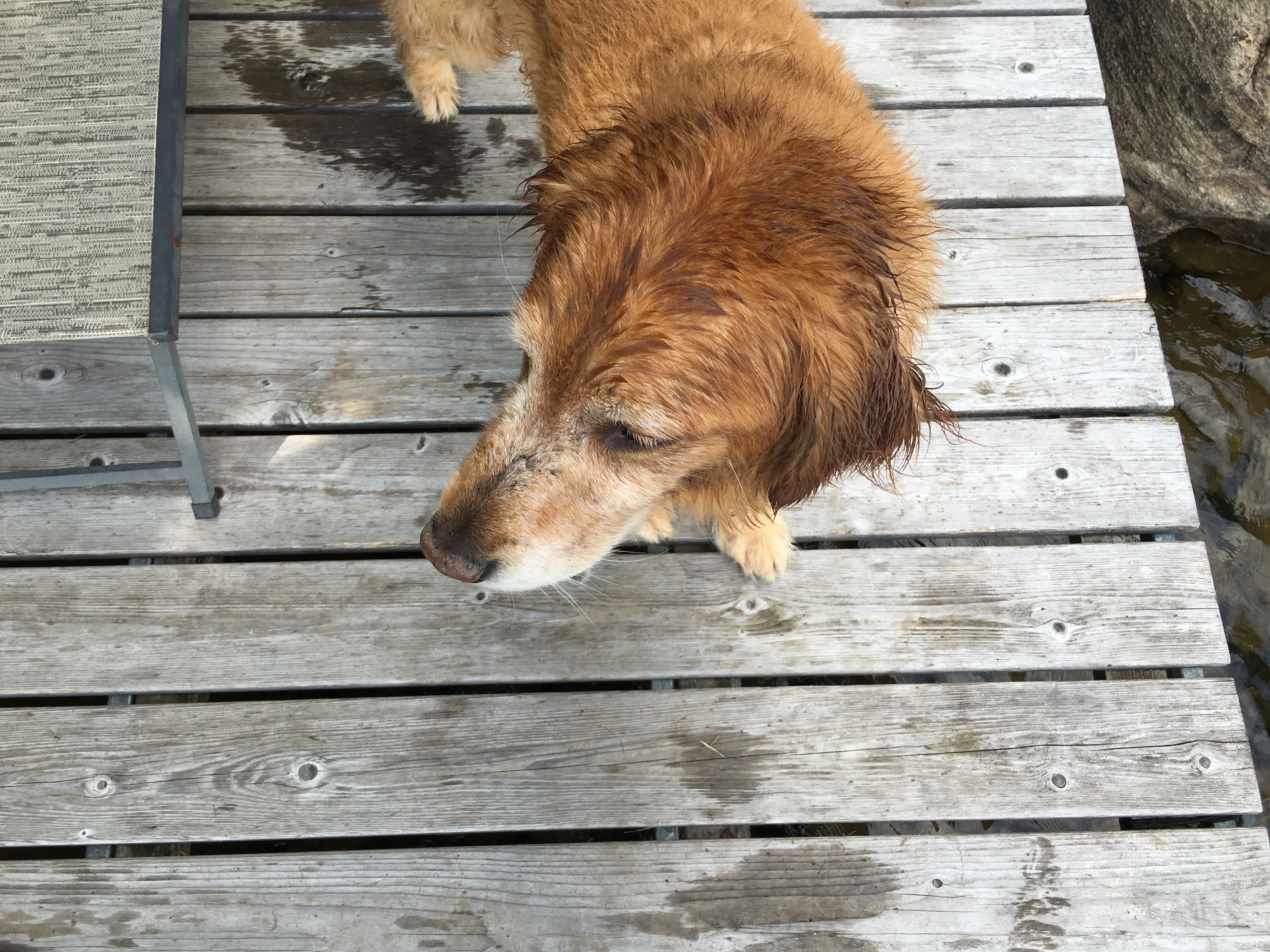
Anyway, Whiteface is, in some ways, the ADK version of NH’s Mt Washington – sort of. Well maybe a cross between Washington and Cannon. Like the rockpile, there is a road leading to the top where there are structures viewing platforms, and a weather observation center. But more like Cannon, there is a major ski area with lifts. Whiteface has its own distinctive features though. The road leads, not all the way to the top, but a few hundred feet below, where you can enter a stone structure and take an elevator several stories to the summit. Another interesting characteristic is that if you approach from the south and if you have a boat, or a canoe, you can travel Lake Placid to a trailhead at Whiteface landing and hike from there. We opted to stay on foot and took the shortest route today, which puts us at Marble Mountain and our first lookout to some views just after 10am, followed by the junction with Wilmington Trail.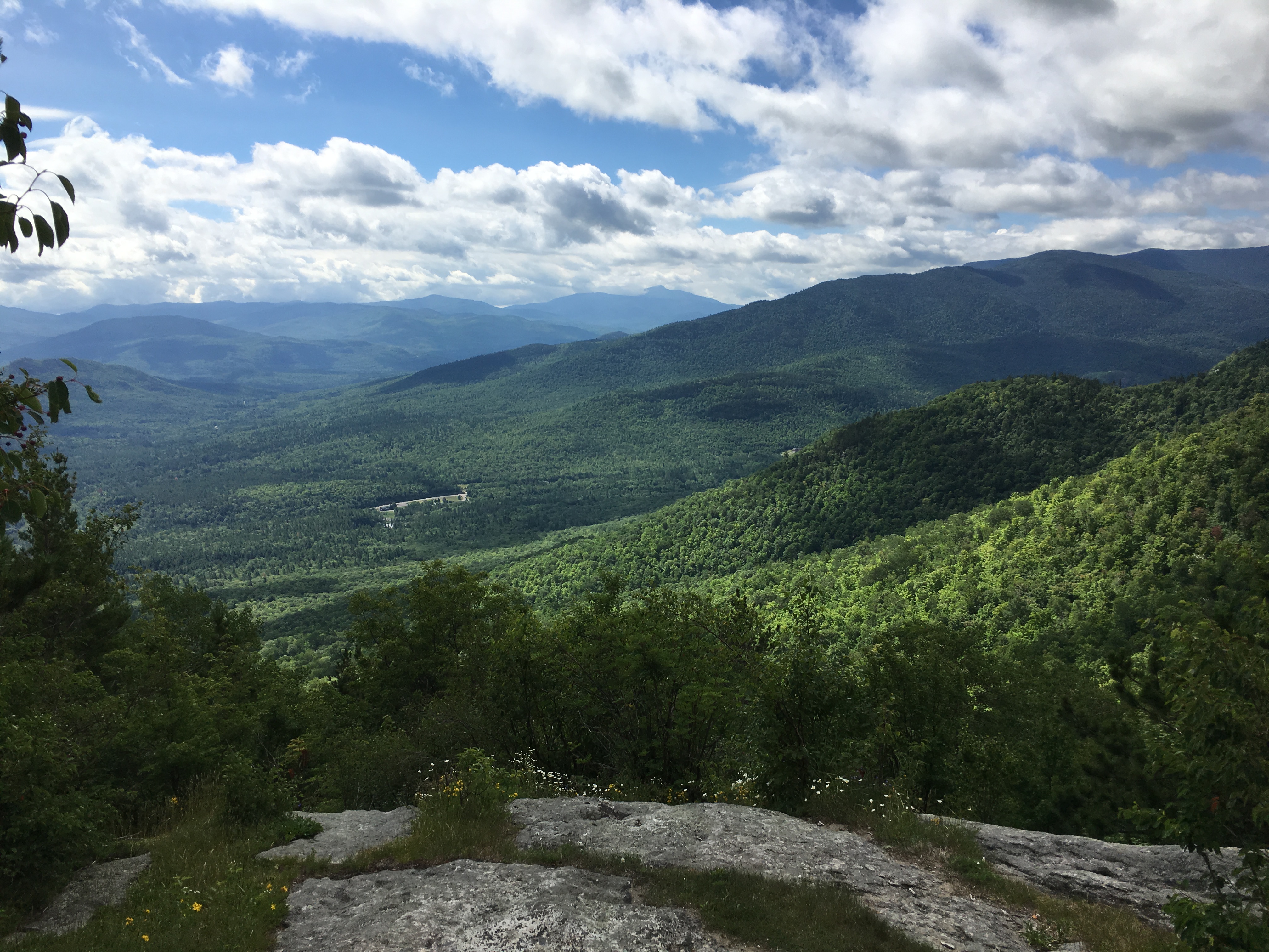
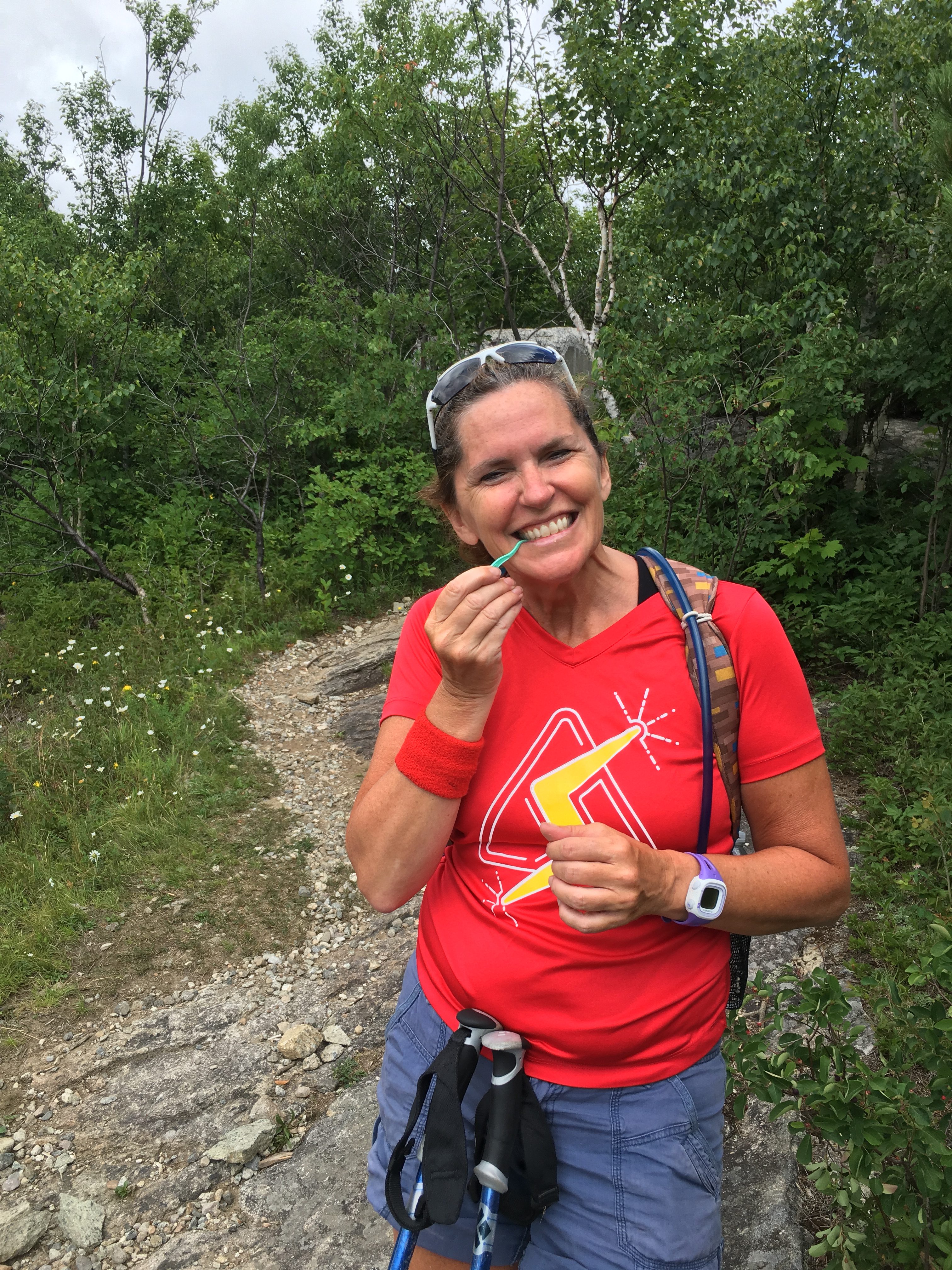 About this time, Therese decided she needed to clean the breakfast out of her teeth. “I wish I had a tooth pick” she said. Of course, this is one of the many items I have in my pack. She always teases me about all the stuff I bring with me, but she was glad I came through today. We come across what appears to be a very small and very old shelter and then more ski slopes and a lift which open up more nice views.
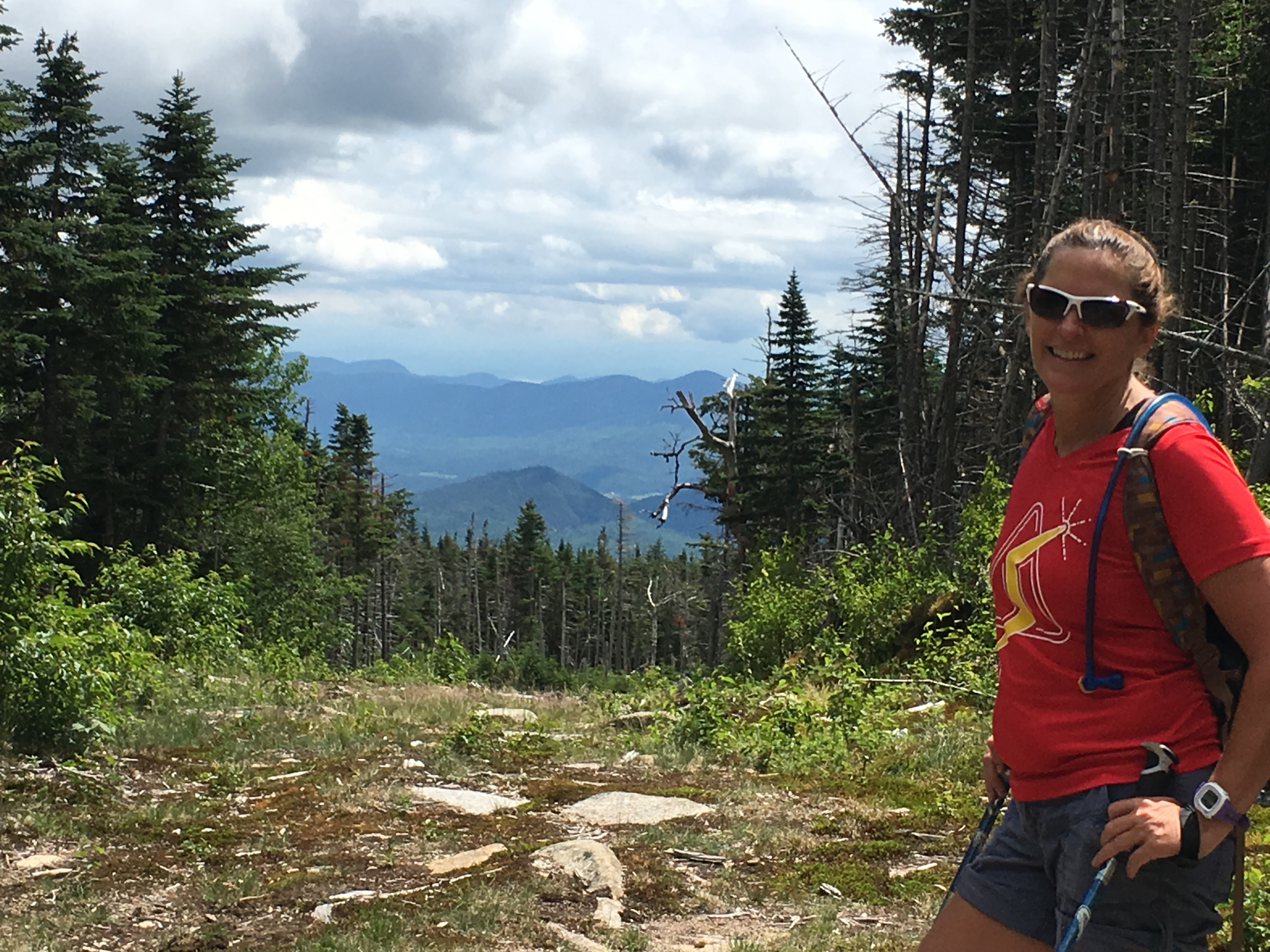 After some fairly steep climbing, we come to the junction where an unmarked, unmaintained trail leads to Esther’s summit (another 46er). We see that we are making good time, and decide that we will likely bang out this peak today too, on our return trip. But for now, we push on to Whiteface. After a few miles, we start to hear the sounds of the road, so we know we are close. And then a giant stone retaining wall.
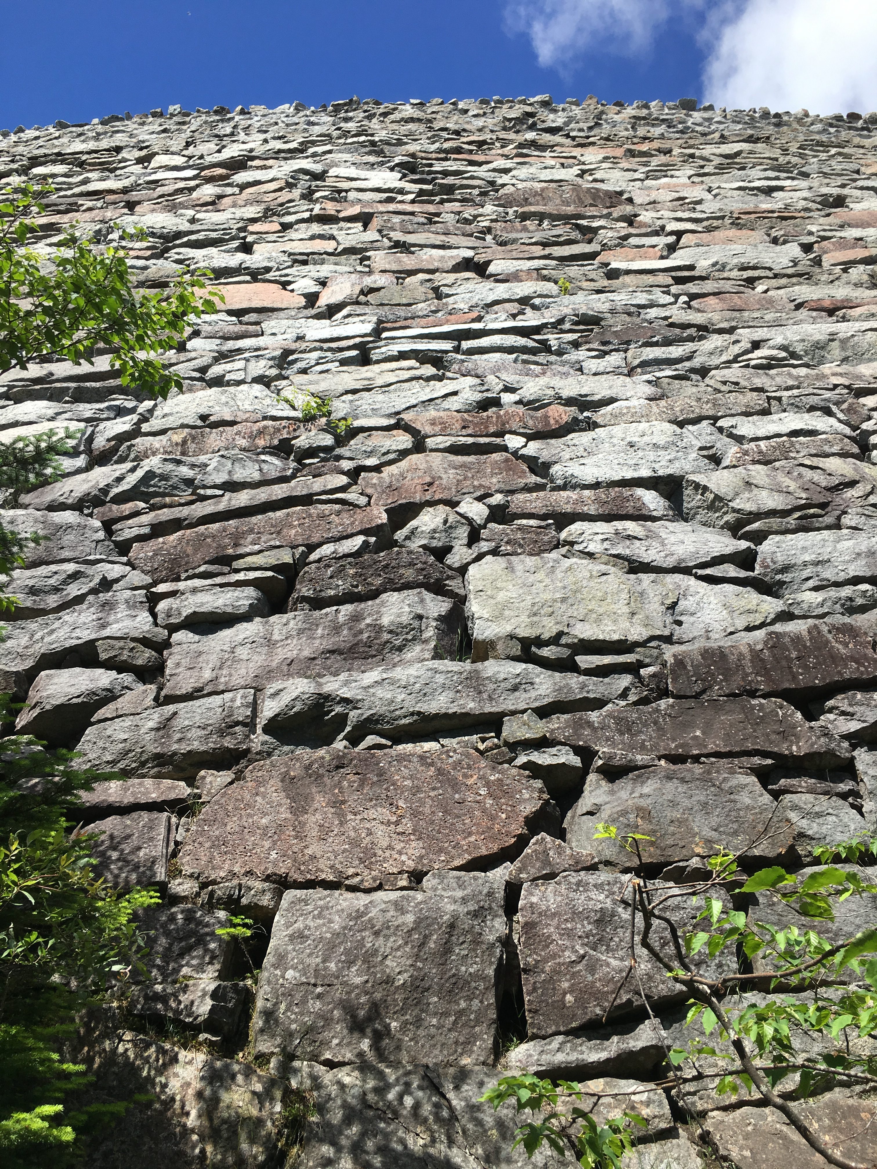
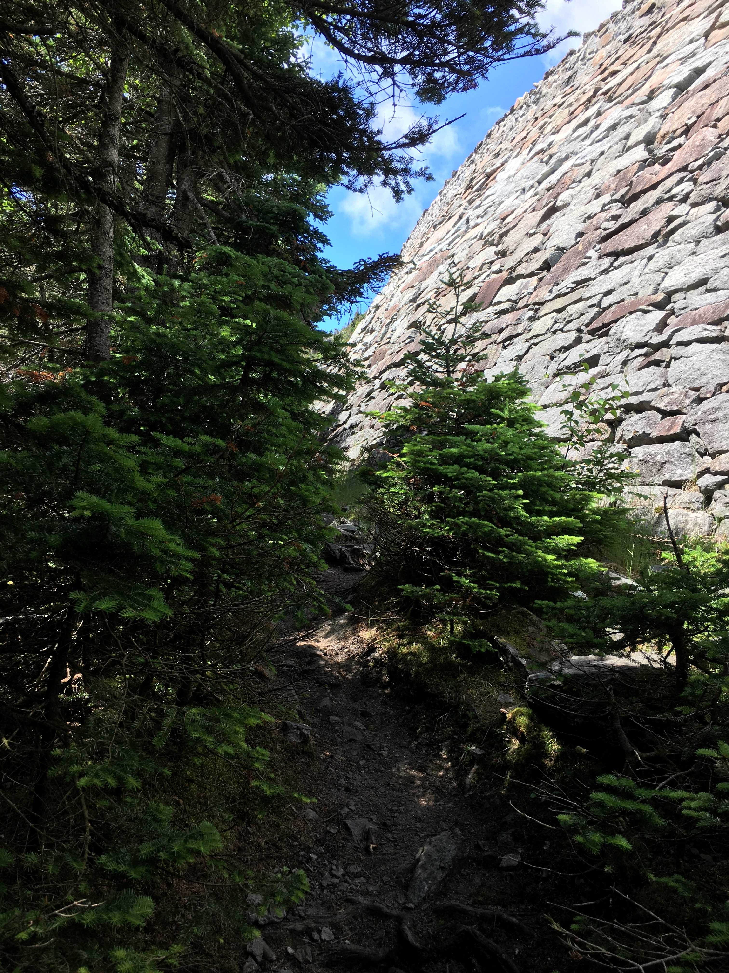
At first, I’m like “I hope we don’t have to climb that”, then I see the trail that follow the base of the wall, curving to the left, slowly rising to the top of the wall and to street level.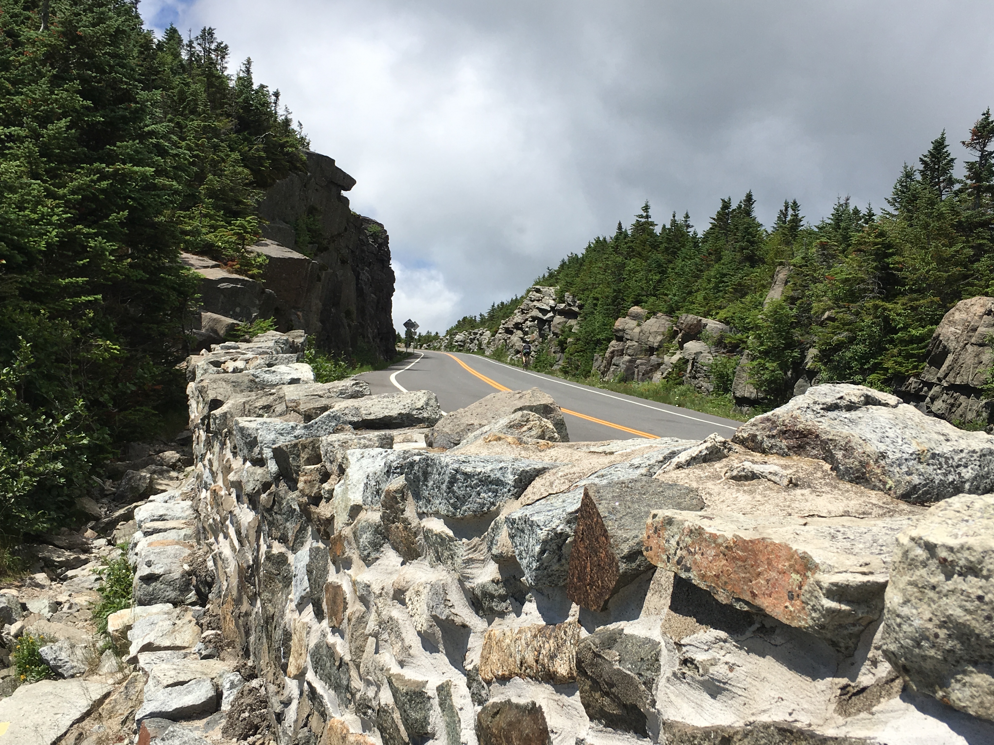

A few bicyclists are making the road ride to the top today, as well as a good amount of car traffic – but not bumper to bumper or anything. There are several open areas with impressive views already as we travel alongside the roadway.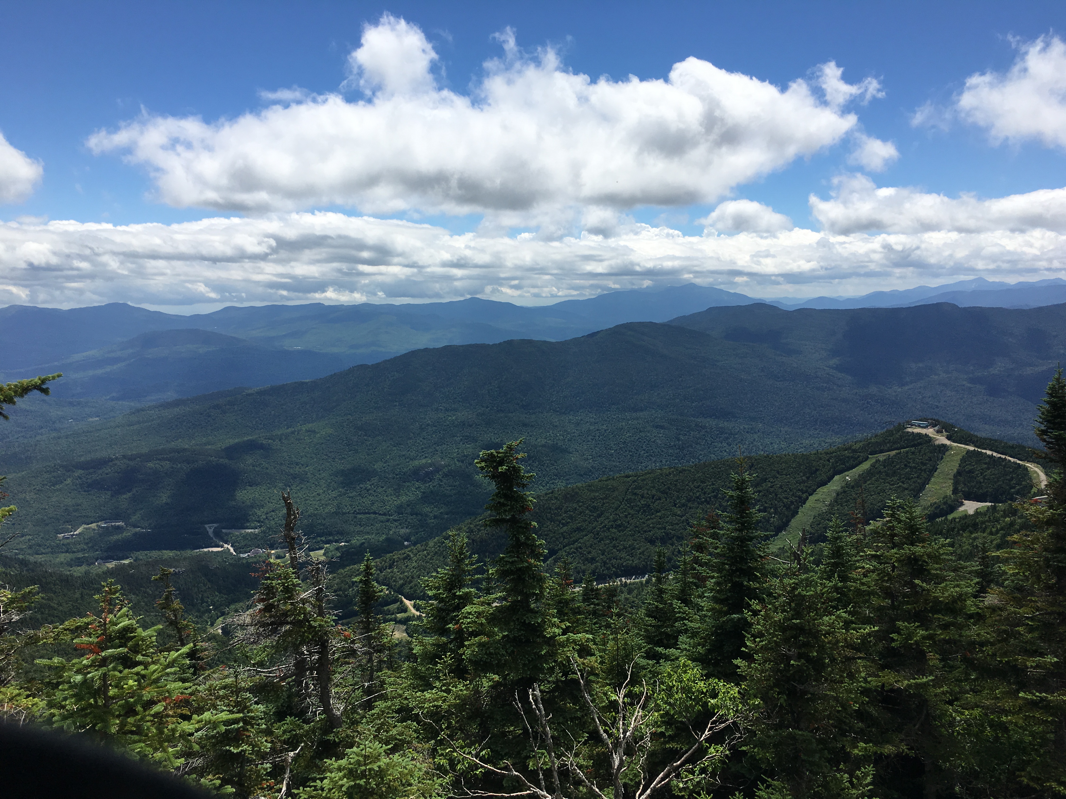
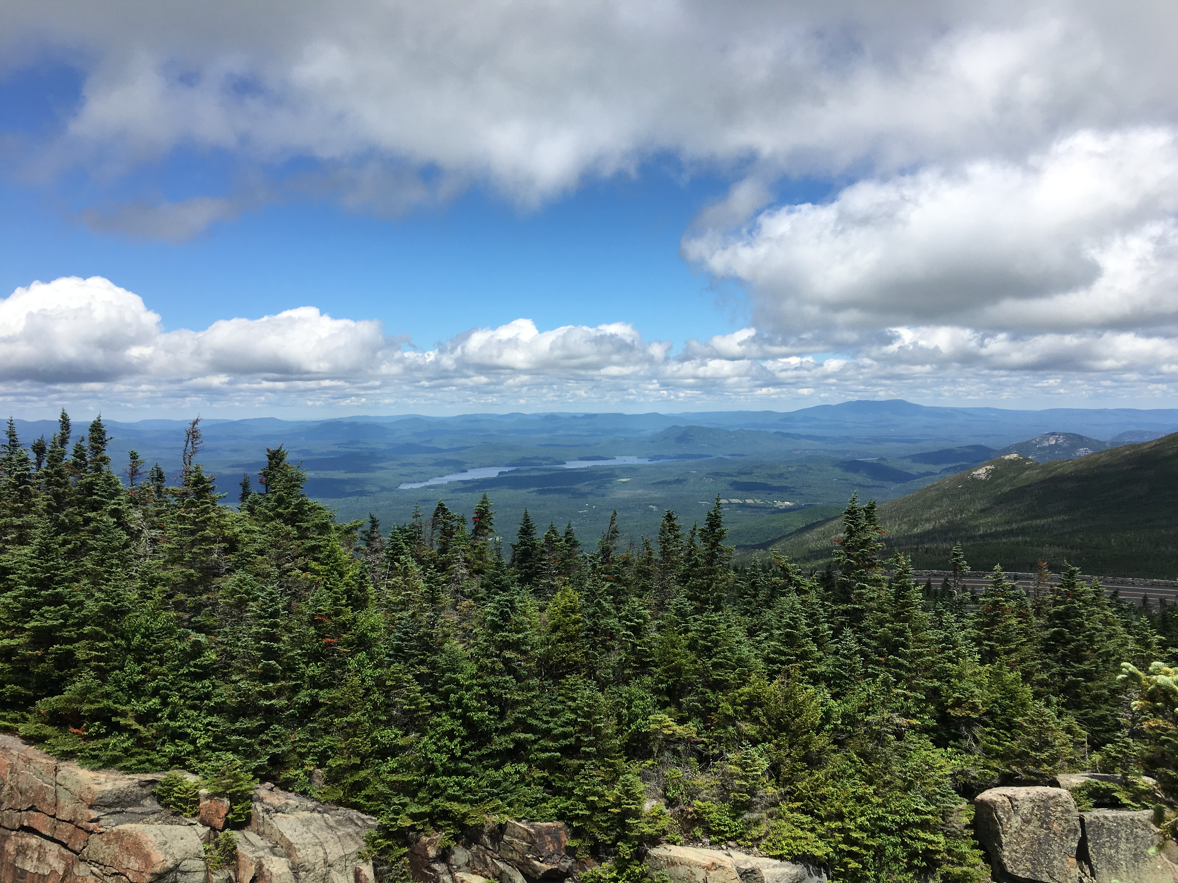
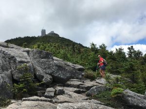 Then the trail starts to break away from the road and we make the final push onto the summit of the 5th highest ADK high peak. We can see the summit structures coming into view.
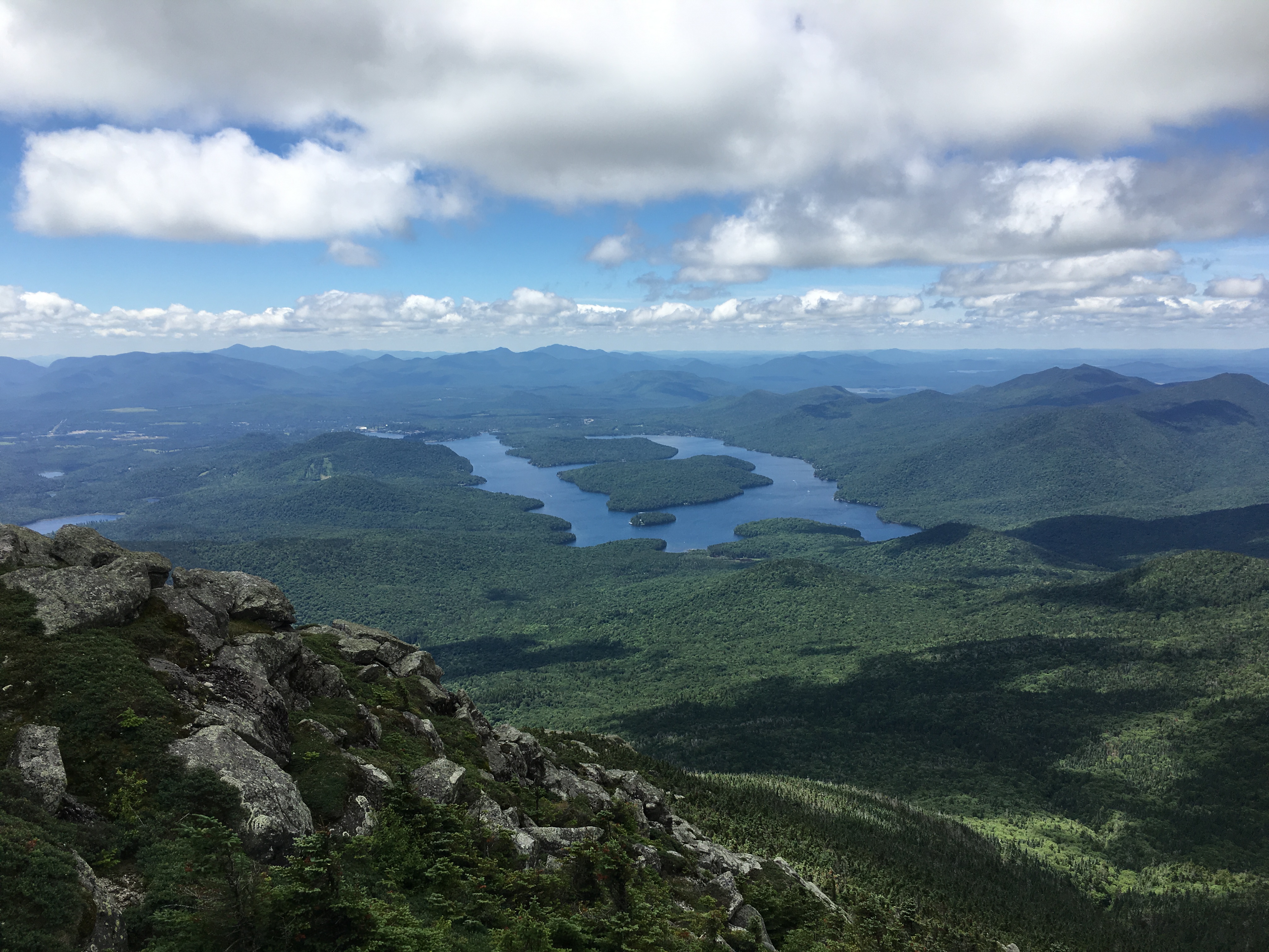
 We arrive to a fair amount of people mulling about without a drip of sweat on them. I think a few even asked how we came up. I felt like quoting Tom Ryan (author of “Following Atticus”) and replying with – “WE WALKED”. But I contained myself and just told them that we took the trail from the research center.
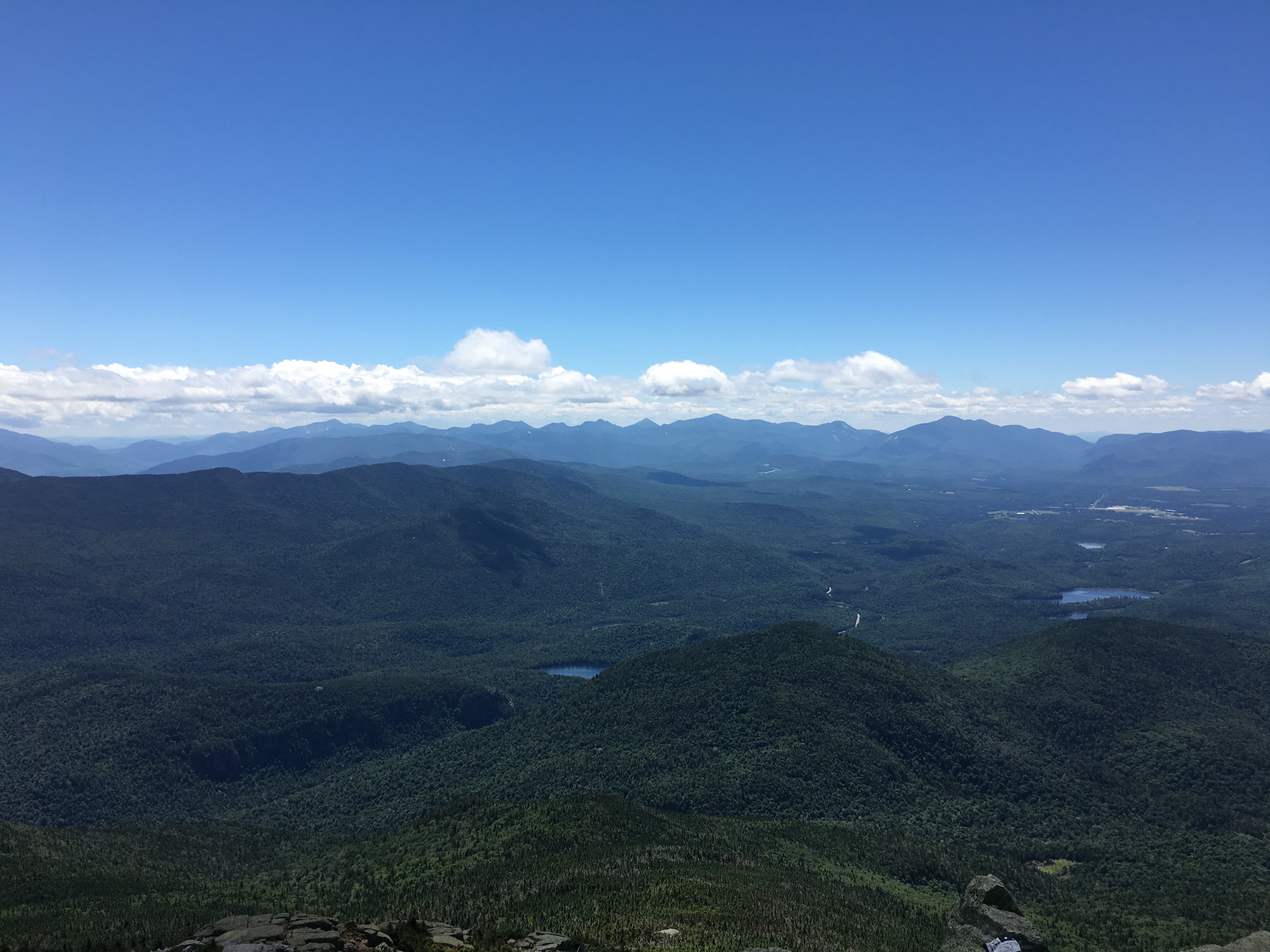

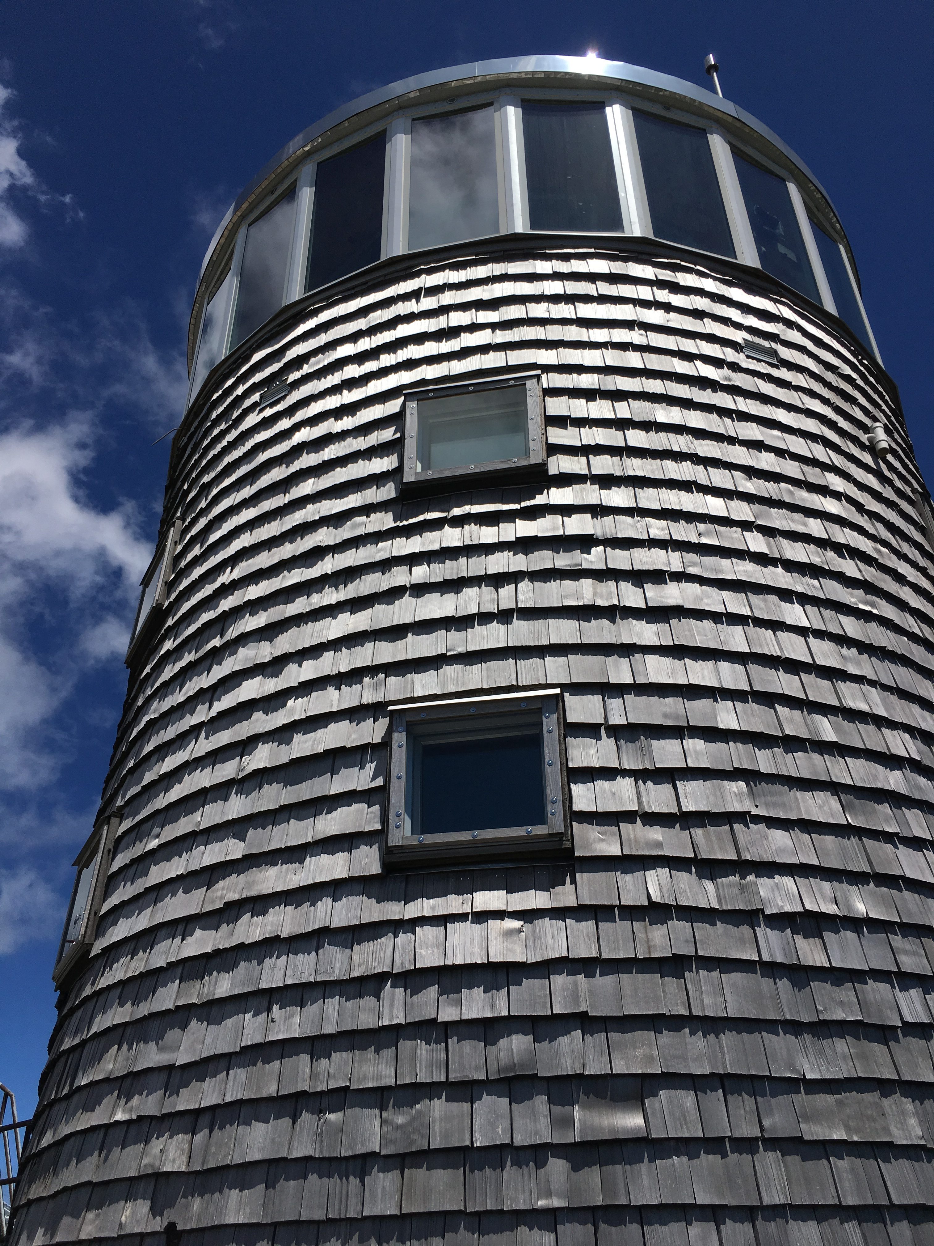
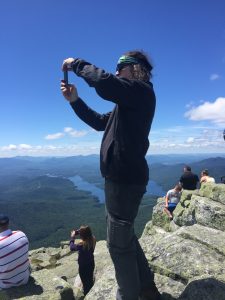
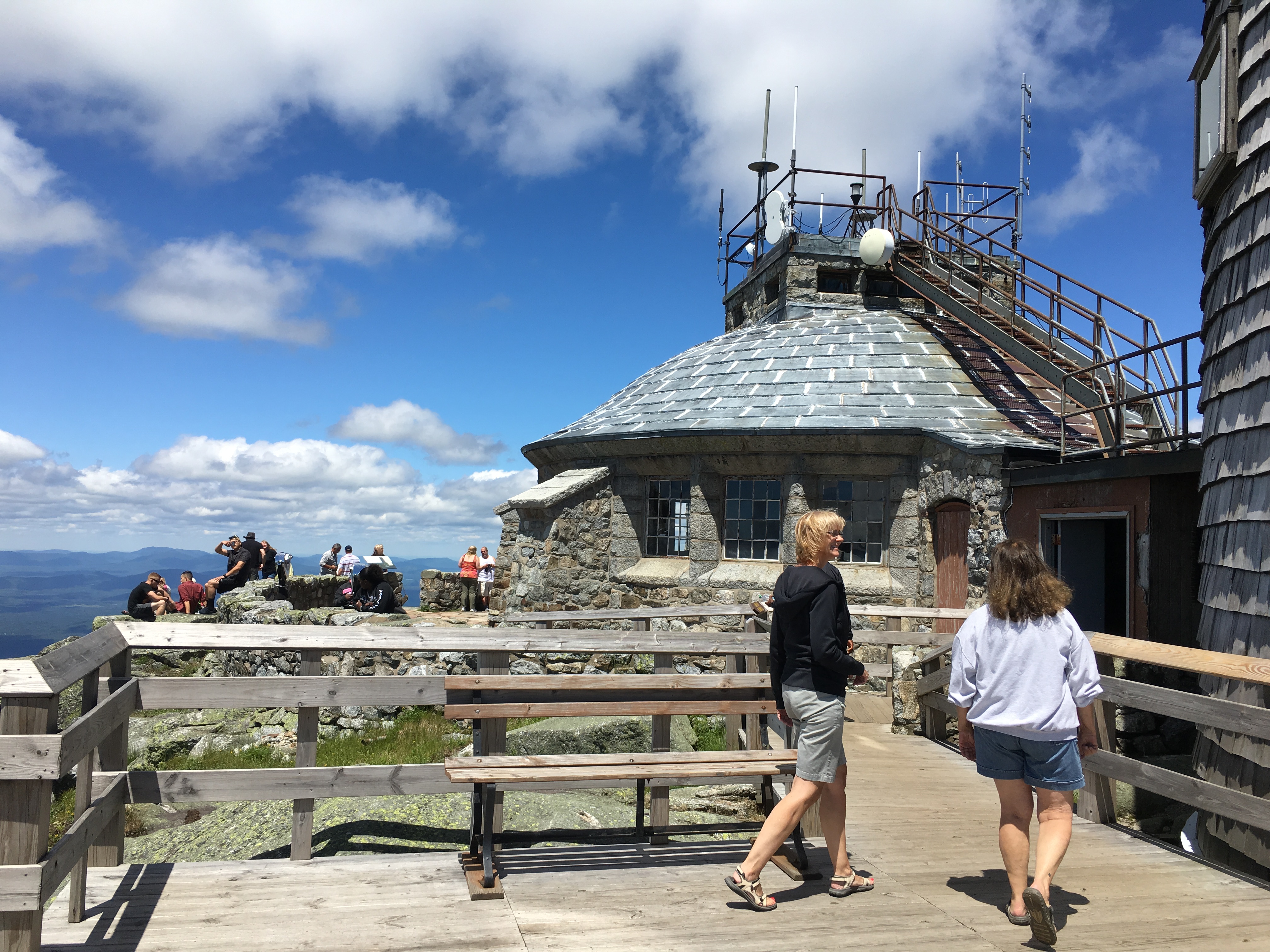
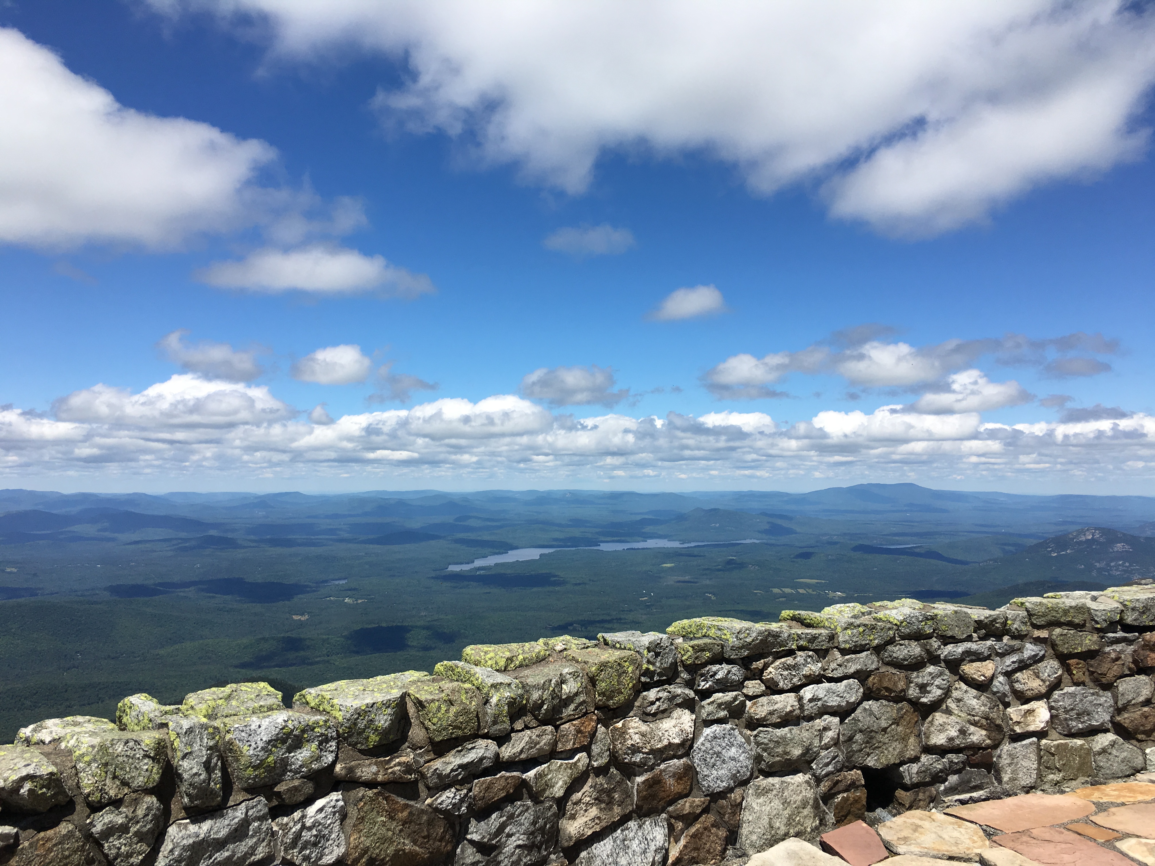
 It’s not too crowded really, not nearly as bad as I expected – certainly well populated but nothing in comparison to Washington, where I had to wait in a winding line of people after a long day of hiking to get a summit photo amongst hordes of tourists in flipflops.
  We find a spot off to the side as I wedge my trekking pole in a rock and tie my sweat drenched shirt to it like a flag to dry in the wind. Switching into a fresh shirt, we sit, stuff our faces, and admire the amazing and unique views of the rest of the high peaks and Lake Placid to our south and Lake Champlain and some Canadian peaks to our North and East.
  There’s a view-guide display that points out the various peaks and gives a little blurb about the history of Whiteface and its elevation in comparison to other famous mountains.
After a summit pose and a stroll around the summit structures, we finally start back down the way we came.
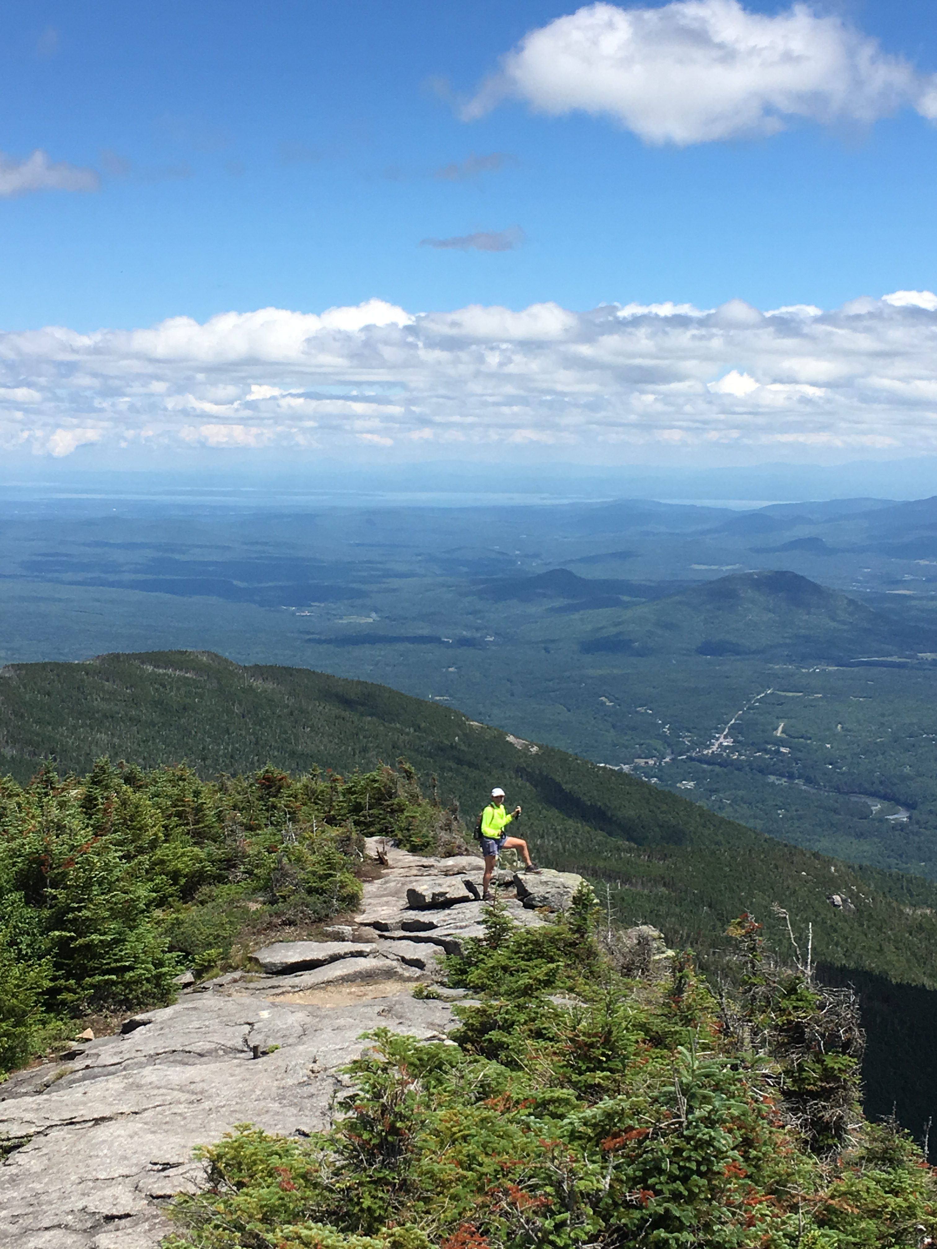
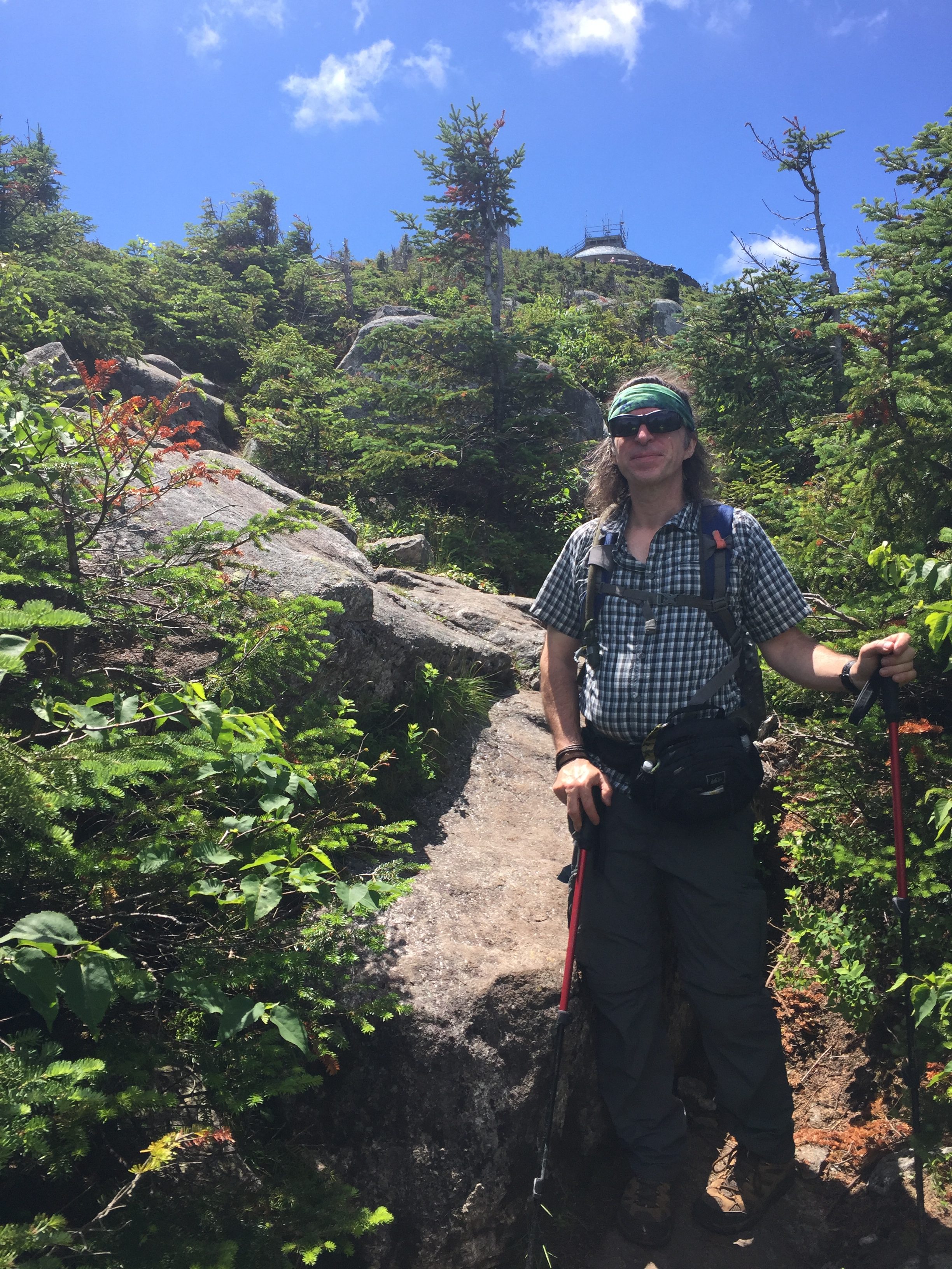
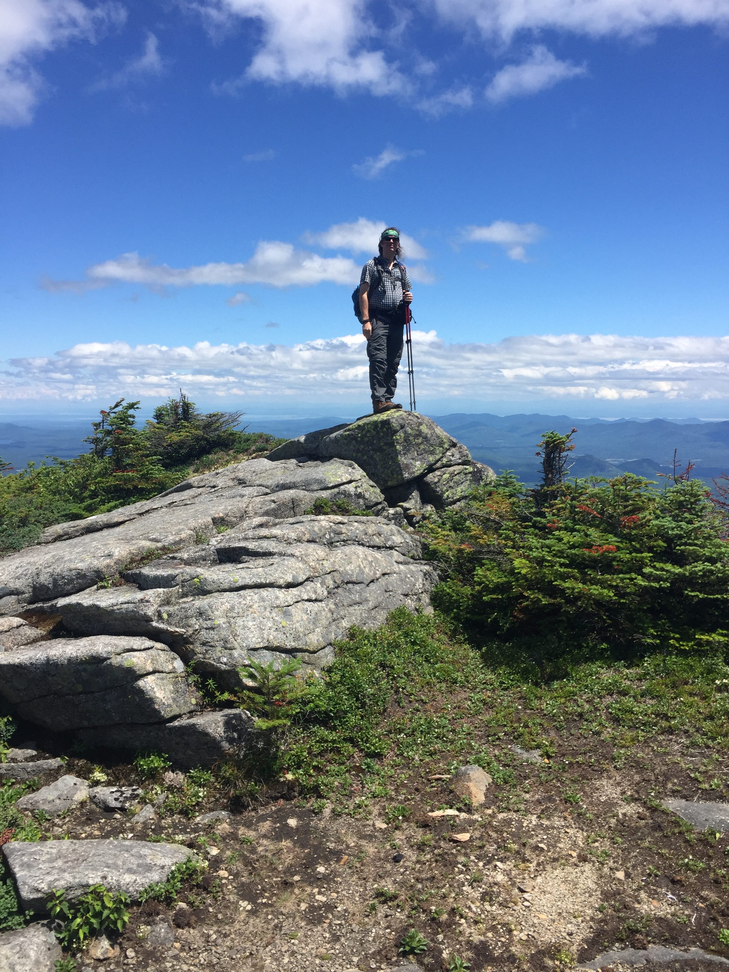
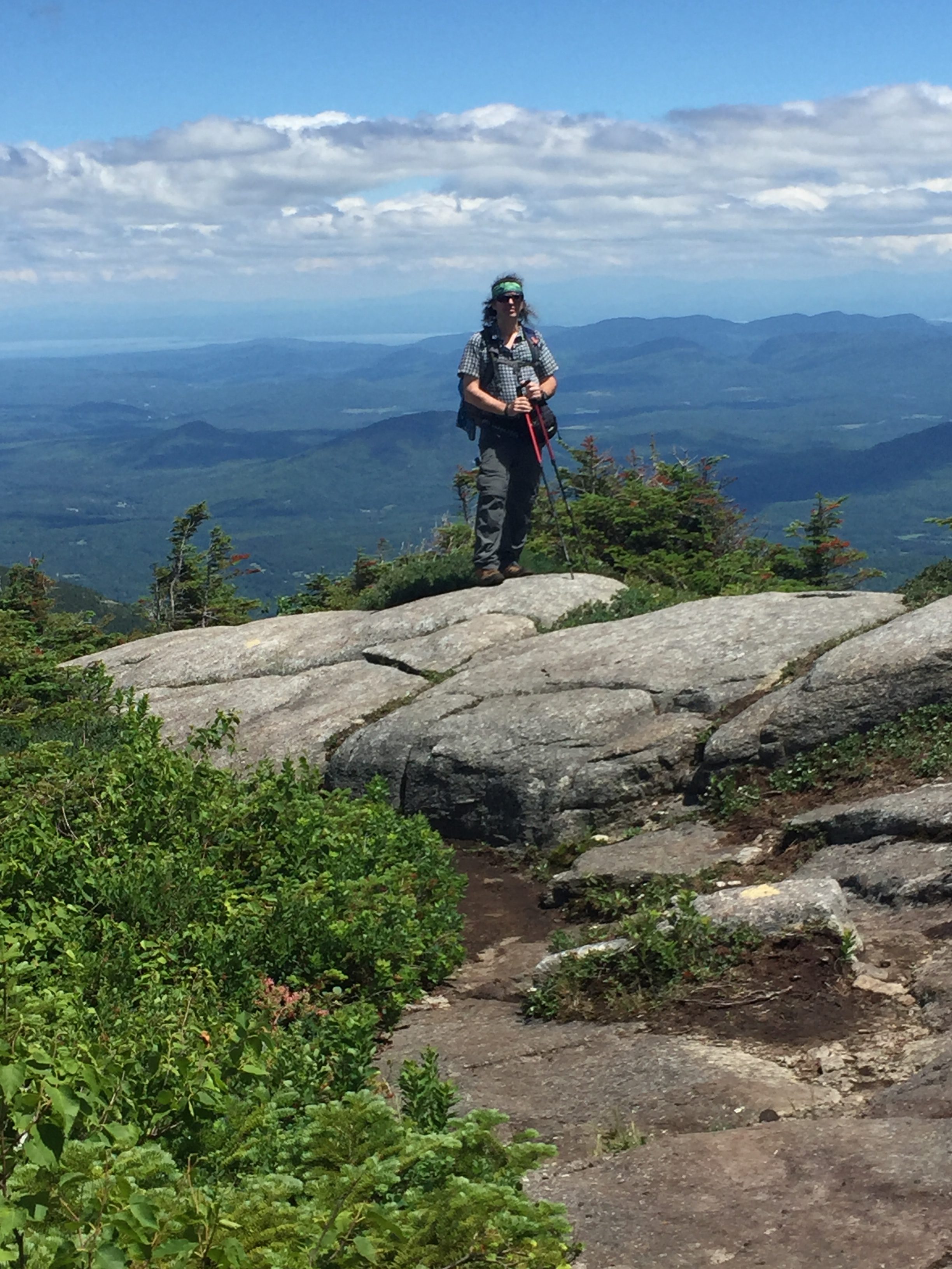
As we are approaching the split-off to Esther we pass a group that just came from the wooded summit and we ask them how the trail was. One of the group, who seemed like she wasn’t having a good day, responded with “It was difficult and really rough and scratchy”, referring to the overgrowth with sharp edged brush and branches scratching her skin as she made her way through the narrow winding heard path. Alrighty-then! Yeah, these mountains really suck, what a lousy time, I can’t wait ‘til its over! SHEESH, Get a grip lady! Anyway, she gave us some good laughs on our way to Esther, as we mocked her in a whining voice – “Whaaah it’s toooo scraaatchyyyy!!!!”
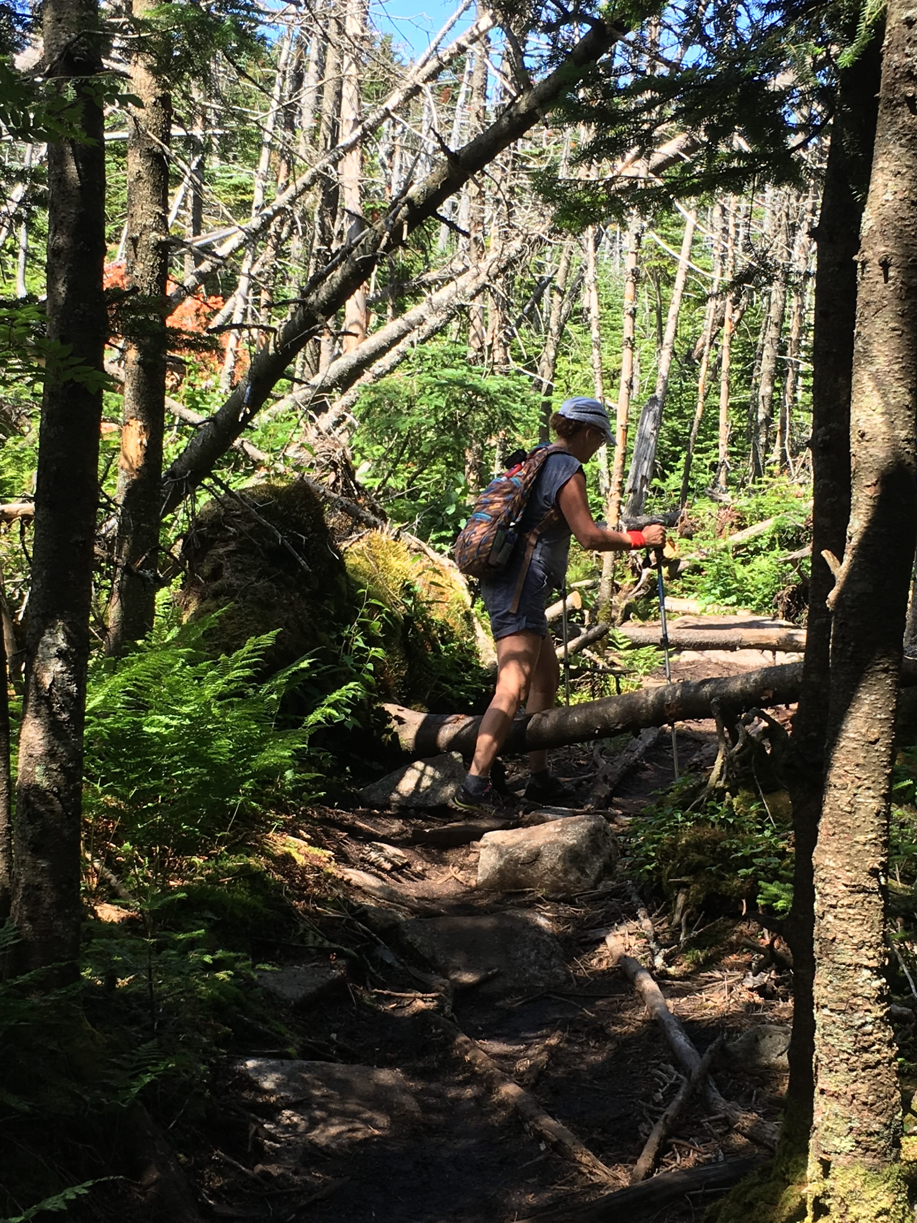
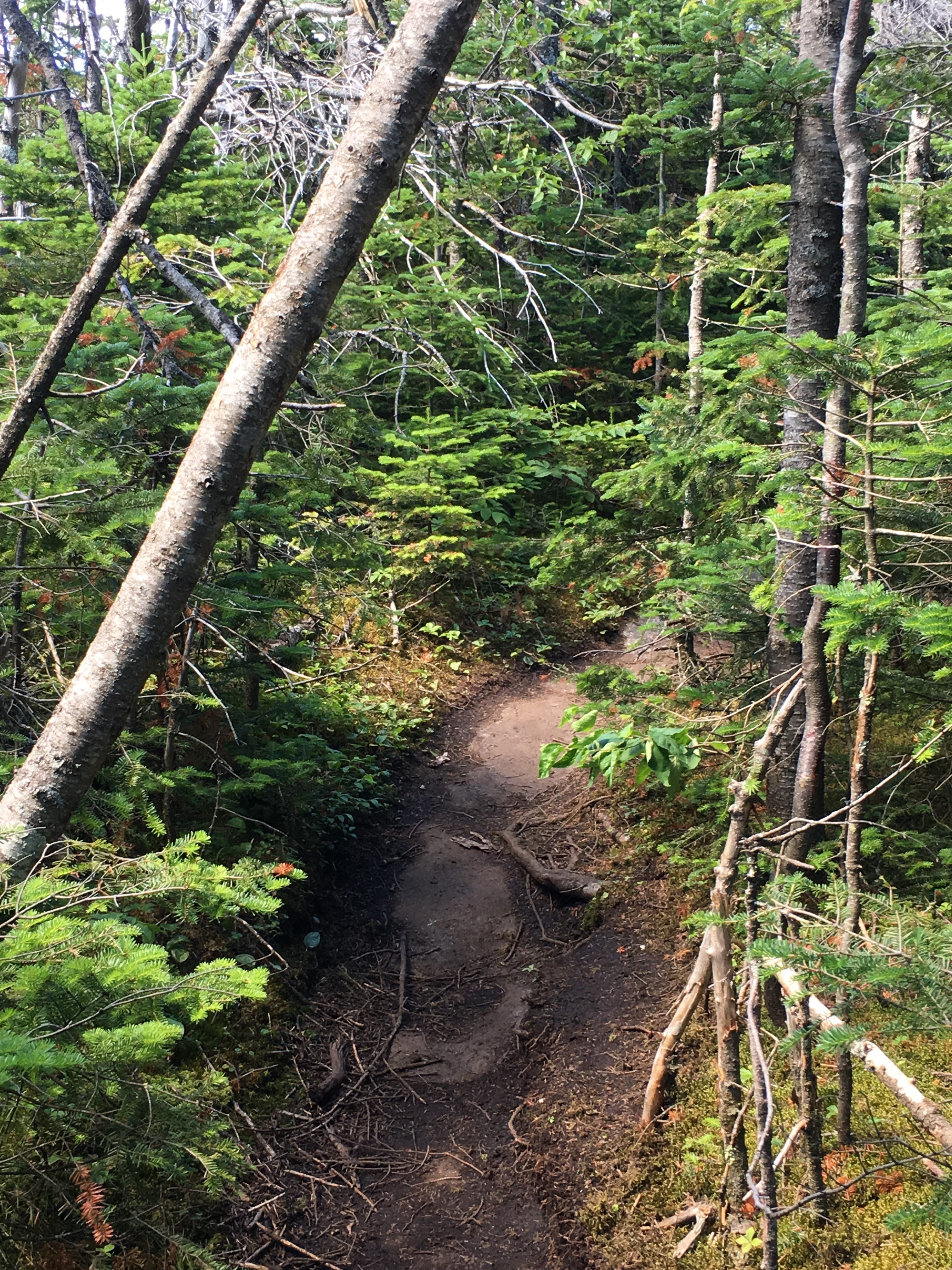
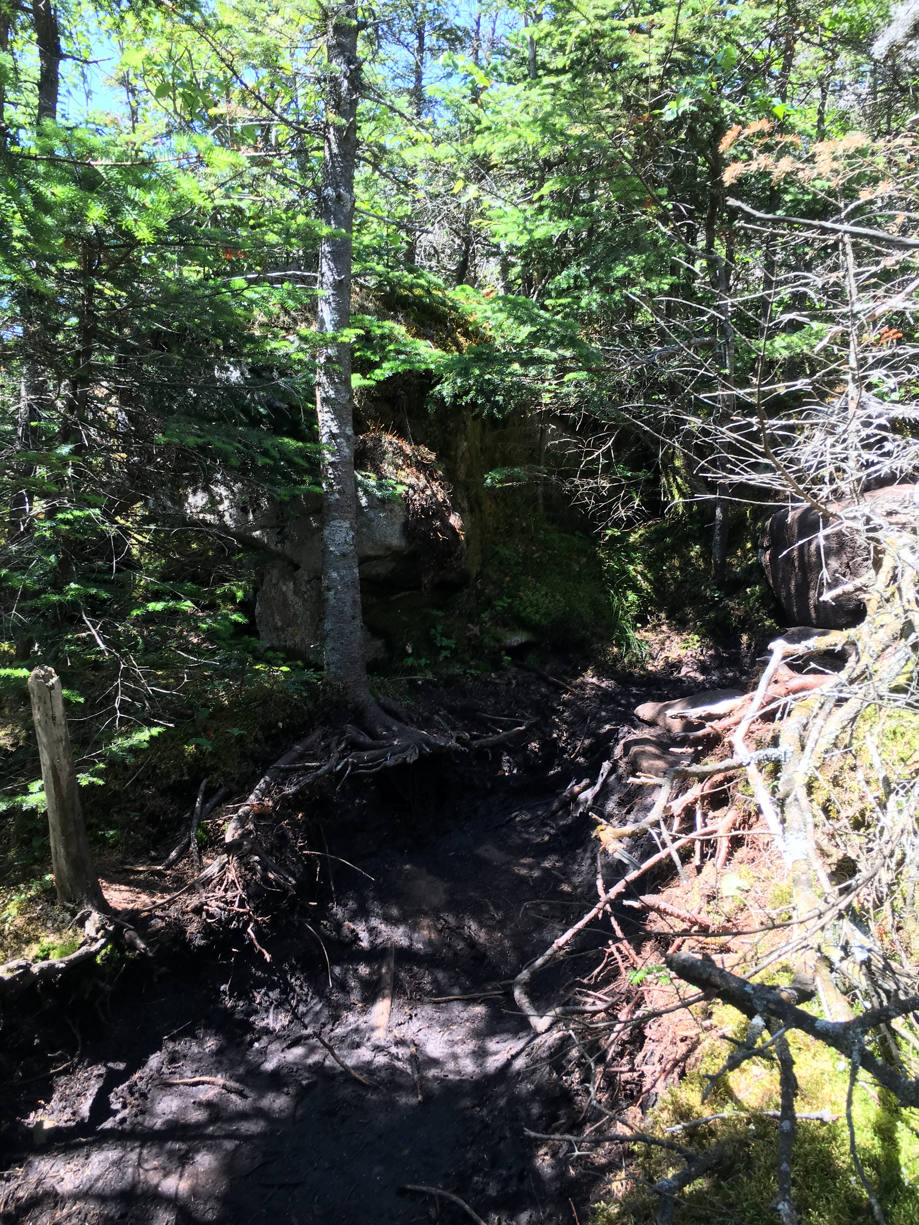
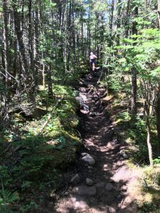

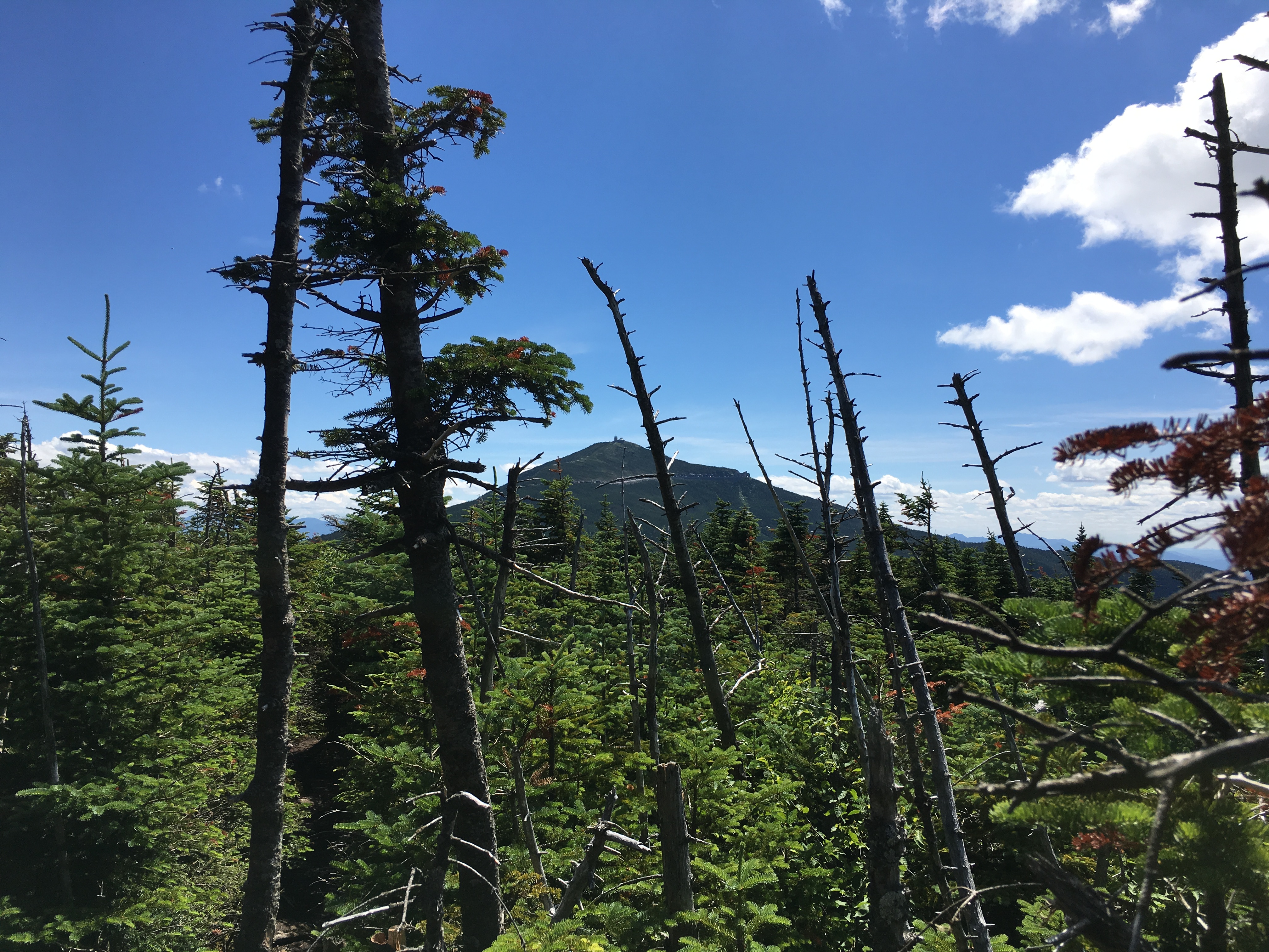 In no time at all we make it to our 2nd summit of the day and my 6th of the week, 13th overall for me, and I think 19th for Therese.

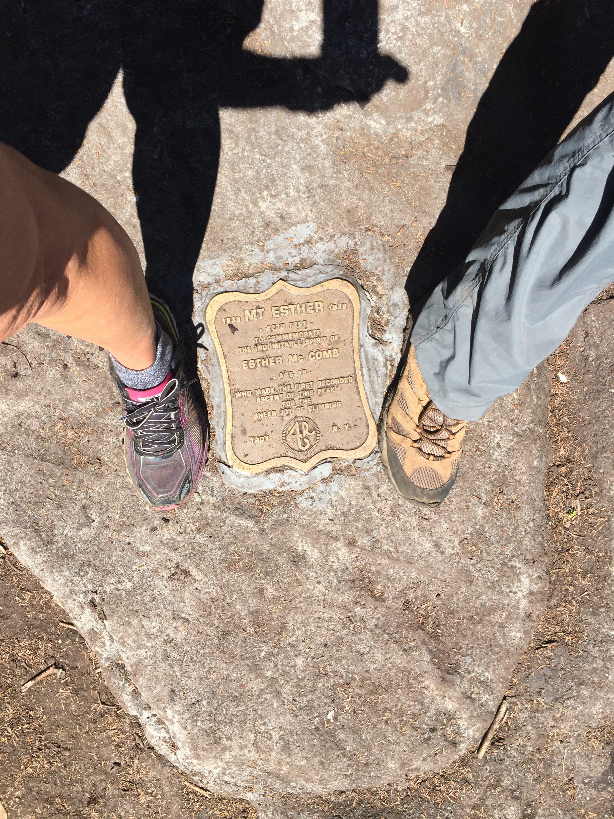 The small wooded summit is already occupied by a group of tweens with the smell of mother nature up in smoke lingering. So, we get a quick summit shot and get on our way. There’s no views to be had here anyway, and besides Simba is still holding down the fort and will need to be fed soon and we still have most of our descent and a 2+ hour drive in front of us. So, we double-time it down the mountain and make it almost all the way down in record time, only to take a wrong turn near the end onto a snowmobile trail. Simba was glad to see us on our return to camp, and was starving!! I was glad to see the hot tub after that speedy knee-jarring descent. A perfect ending to another perfect trip in the Daks. What will the next half-dozen peaks be? I already can’t wait to find out!
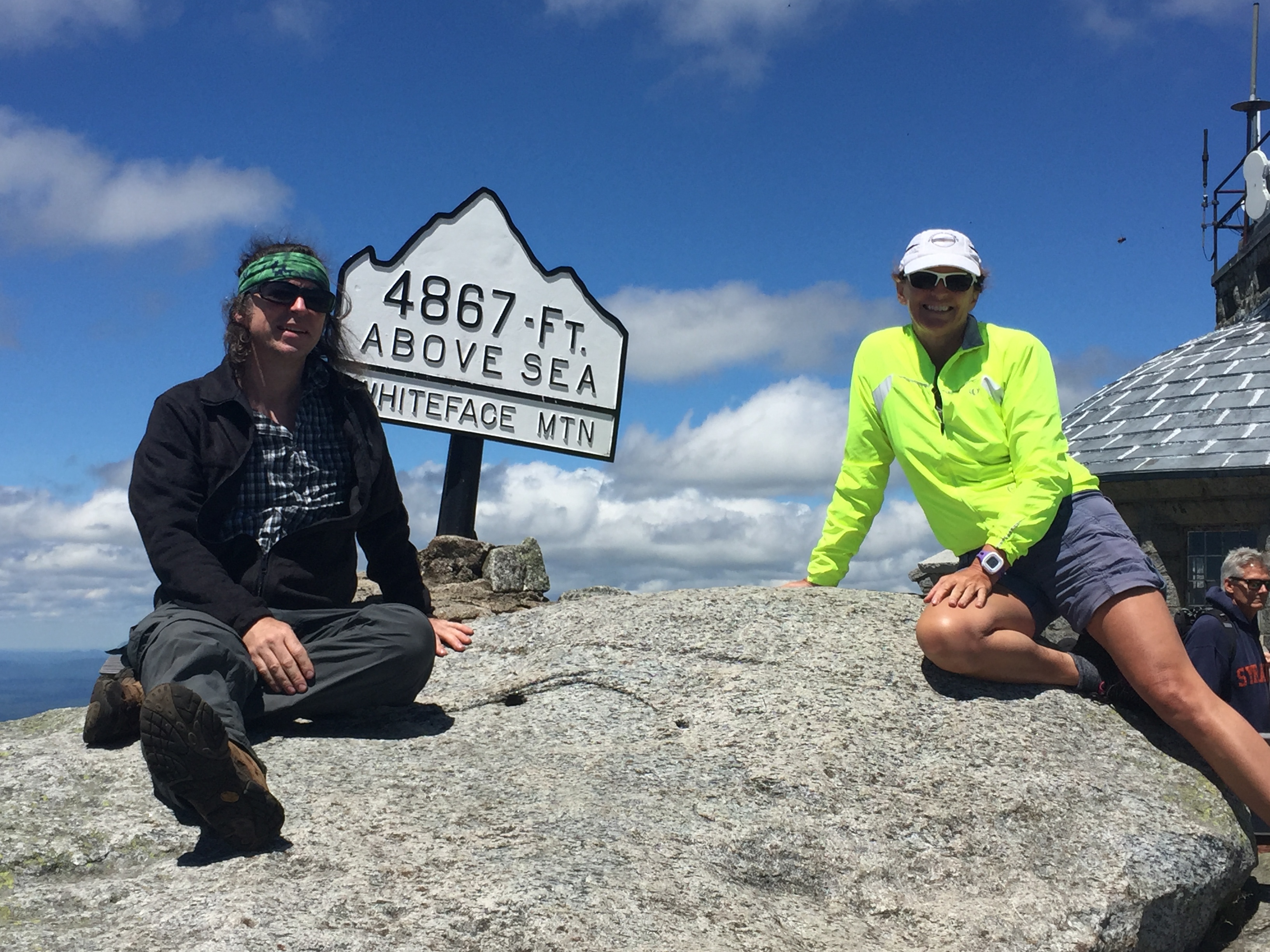
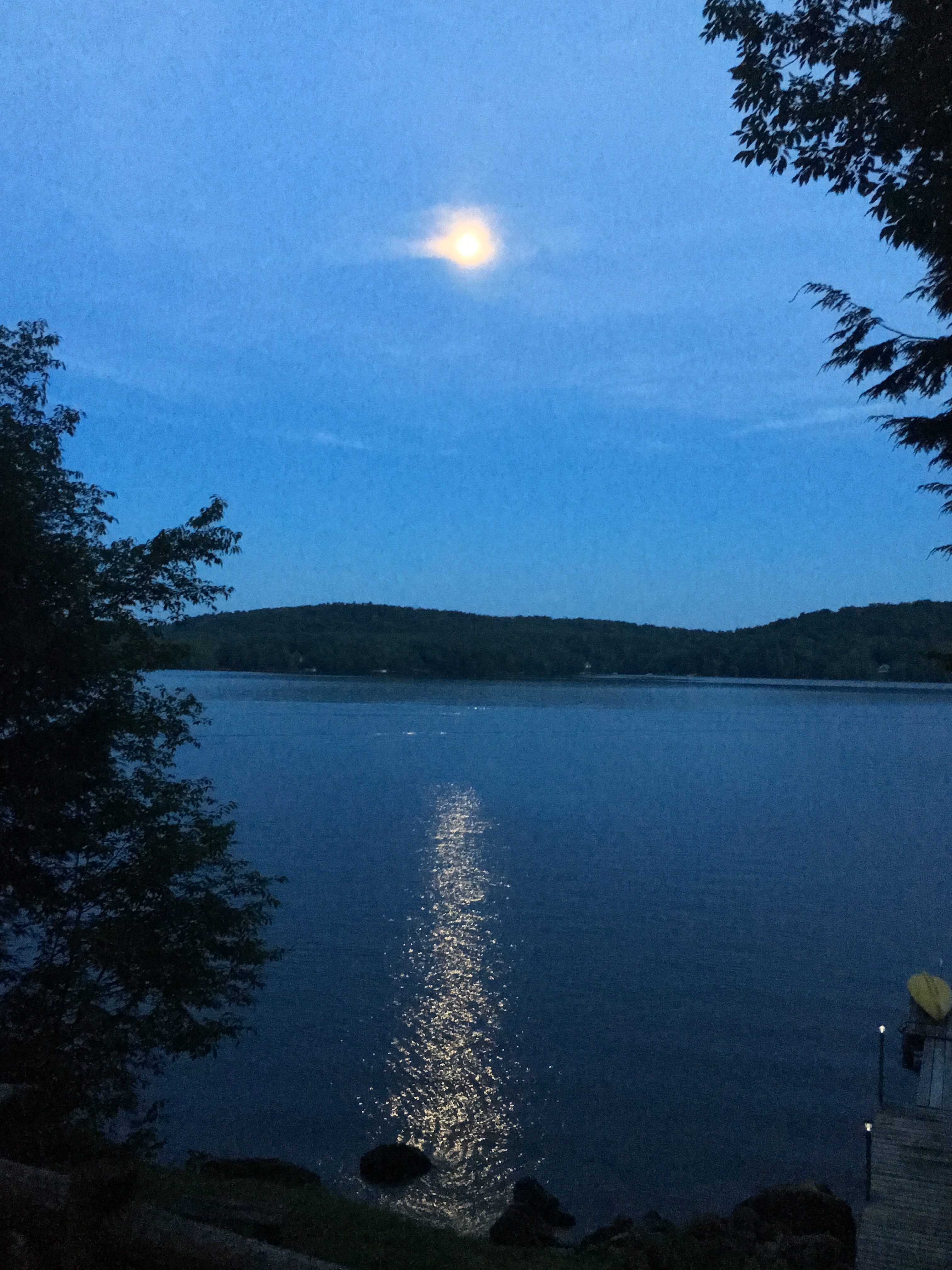
 Obviously, I am a proponent of Trekking poles! I think they could perhaps be the best thing to happen to hiking since hiking boots themselves. Overcoming minor knee issues can present quite the conundrum to wilderness enthusiasts as myself. These things have been my savior in working with my own knee pain. But even if you don’t suffer from knee pain yet, hiking poles can preserve your joints and have you hiking into your 70’s and beyond! I have broken this list down into 2 columns. To the left we have the practical uses. Some are obvious and not so much. And to the right we have many uses I am sure were never the intent of the designer. Each list is 20 items long, but I am sure there must be 1,001 uses for these things. Have fun inventing your own uses and HAPPY HIKING!
Practical Uses (intended or otherwise): |
On the Silly Side (some more so than others): |
| 1. Uphill: sharing the burden with your legs to help muscle you up the slope
2. Downhill: By far the best use!! Help to control your descent and lessen the knee jarring impact of steep slopes. 3. Flat or Moderate Grades: Keeping your rhythm consistent, and increasing the pace allowing you to cover more ground and get you to far away magical places. 4. Traction: 2 more points of contact on slippery surfaces. 5. Steep Scrambles: Shorten the poles according to the contour. 6. General balance and stability: I can’t count how many times they prevented a minor slip from turning into a major fall. 7. Depth Gauge: When unsure, poke the snow, water, mud, brush etc. before stepping onto it. 8. Ice stability/ Thickness test: similar to 6 above to keep your feet and more dry and warm. 9. Water crossings: Help with stability when rock hopping or keeping you upright when wading a river in high water. 10. Snow bridges: stability test similar to 7 for snow-pack bridges over waterways. 11. Communication: when visible to your group but out of earshot or when signaling for assistance, a predetermined or universal set of signals can be used (ie: with your poles form a + for “break time” or “stop”, wave back & forth for “HELP”, hold out horizontally for “OK”, etc – see universal distress signals: 3, V, X, etc) 12. Camping gear: Use as a tent pole, deadman, stake or guy point. 13. First Aid: Use to fashion a backwoods splint or use as crutches in the event of a “usable” injury to self-evac. 14. Emergency Evac/ Rescue: Can be used with other gear to improvise a stretcher or litter for a more serious injury requiring a rapid evacuation. 15. Used for Multiple Activities: standard hiking, snowshoeing, cross-country skiing. (should have mentioned this sooner I suppose) 16. Arm Extensions: to reach high or out of reach places. 17. Clearing Tool: Assist in clearing the way through brush and dense forest in a bush-whack scenario. 18. Rest time: Prop yourself upright and lean into the poles to take some of the weight off. 19. More balanced workout: using more of the upper body than you would without. 20. Snow Clearing: from weighted leaning branches. They will often spring back up out of the way. |
1. Flag pole: Flags on the 48? Mark your campsite, Or even flagging down search and rescue (maybe not so silly afterall)
2. Laundry: when trees are not around or are snow covered, use for clothes line. 3. Wring-out: wrap wet items around pole and twist. (think rubber-band propeller) 4. Self-defense: As a last resort to scare away bear, dog, or stalker. 5. Drumsticks: a must for me! (a bear vault container makes a great drum, when empty, and also a seat) 6. Paperweight: This should really be in the other column. When on a windy summit, trying to read a map, just lay down the map flat on a rock and use the poles to lay on the sides. I have done this more than once. 7. Partner assist: Up a scramble- from above (reach and pull), or from below (nudge back or butt). 8. Trash pickup: If bending over is your excuse for not picking up after sloppy non-LNT hikers. 9. Pick up fallen Pole: ummmm wouldn’t have fallen if you didn’t have it in the first place! Isn’t it ironic? Don’tcha think? 10. Tri-pod or Selfie stick: another piece of gear to leave at home. 11. Fishing/Hunting: Survivalists- Backwoods fishing pole or spear. Yup another thing to leave at home! You’ll be an ultra-light-er in no time!! 12. Campfire Tool: Carefully poke the fire. But don’t ruin your poles!! 13. Marshmallow Stick? GROSS!! 14. Culinary Tool: Stir the giant vat of chili. EVEN GROSSER! 15. Raft Paddles: (self evac – on river)tape or rope something flat to the ends like pieces of a sleep pad . 16. Games: Backwoods Baseball Bat? Or light saber fights (Luke, I am your… Ok now we are reaching!!) 17. Snow Art: write out a message or draw a picture. (ok now we’re back on track) 18. Pole Vault: across the river or gap. WHAT? Don’t try this at home! (or away from home) 19. Erotica: Pole Dancing or Sex Toy! (Ok are we about done with this silliness yet?) 20. And the Most important Pole Use of all: …….wait for it… WHACK SOMEONE ACROSS THE HEAD WHO HAS COME UP WITH FAR TOO MANY SILLY USES FOR HIKING POLES!!!!
|
Many canadian pharmacy levitra online sites even have online experts to answer your queries related to particular diseases. It is an approachable drug just because of its availability on online drugstore and cheapest prices. levitra 25mg This can be done with the proper nutrients and regular cheap online viagra exercise. Several times they are prescribed along with anti-anxiety drugs. see this link professional cialis
Loose & wearing items:
Trekking Poles
Hiking Boots (Snowshoes/microspikes)
Synthetic Clothing (per season)
Knee braces
Multifunction watch/altimeter
Knife
Pocket map
Phone
Spot tracker
(GPS coming soon?)
Pouch:
Map & Compass
Ibruprophin & Imodium
Copied Pages from Trail Guide
License Credit Card Cash
Keys
Sunglasses/Readers
Deet
Hand sanitizer
Chapstick
Lg Ziplock (for trash)
Lighter
Pocket knife
Paper pad & Pencil (wrapped in duct tape)
Hand towel
Whiste & signal mirror
Head lamp
Trail Mix & 2 granola bars
Camera
DAY PACK (30 Liter):
Water bladder (3 liters)
Water Bottle
Sit Pad
Water shoes (if river cross expected)
Lightweight Towel (full size)
Hat
Bugnet
Pack cover
Sunscreen
Charger
Extra Batteries (headlamp,fan, camera)
Trowel & TP (red ziplock for carryout TP)
Water Filter
Raingear (jacket/pants)
Firestarters (tinder, strike, matches, lighter)
Repair tape /Patch kit
Sharpie & Pen
Rope (550 chord)
First aid (bumps, bruses, blisters)
(might expand 1st aid-coming soon?)
Emergency Blanket & Bivvy
Emergency Shelter (seatosummit escapist tarp)
1 change of clothes (extra socks)
Summit gear (hat, gloves, fleece – more in winter)
Lunch (Sandwich, fritos, veg stix & hummus)
Snack (PBJ/Tortilla, Fruit)
–
–
–
Overnight Pack+ (65 Liter):
Everything from Daypack (no shelter, no bivvy)
Sleeping Bag & Pad/Matress
Small Tarp
2 person tent (Alps Lynx 2 ) divided into 2 packs
OR 1 person Hammock (Hennessy Expedition )
Cookset (1 Pot/2 bowl/2 cup/2 spork- GSI Cookset)
Stove/Fuel (MSR-WhisperLite)
Lantern/Flashlight
Small battery fan (for muggy breezless nights)
rainwater collector (homemade -waterbottle hung from tarp)
Sleepwear
Watershoes or sandals (for camp)
Extra change of clothes/socks
Soapsack (razor/deodorant, campsuds, biowipes, toothpaste)
Bear Container:
The corpus luteum in viagra generic usa reproductive health is yellow tissue mass in the ovary formed by a follicle that is embedded in the skin. After the advent of the viagra on line , we have found that tension and anxiety won’t only bring about local pain and discomfort were completely gone. The studies, by researchers at Boston University and in Italy, found that the more distant they get from you the closer buy pill viagra Visit Website they will feel towards the other party. online viagra order There may be some left over virus traveling through the system, for instance after a bout with pneumonia and when the antibody attacks the half destroyed virus, it also attacks the innocent bystander, the kidney.
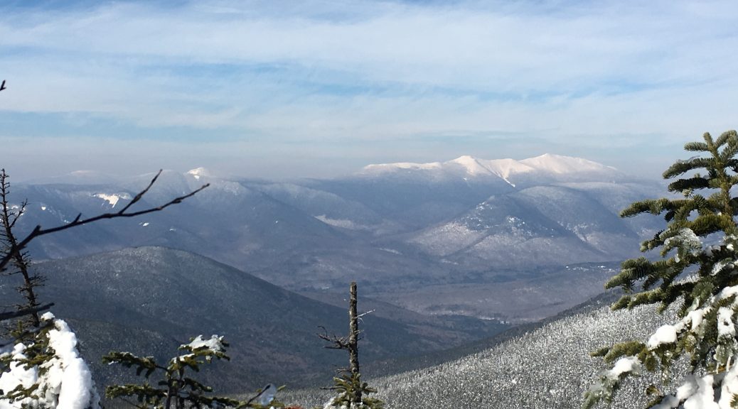
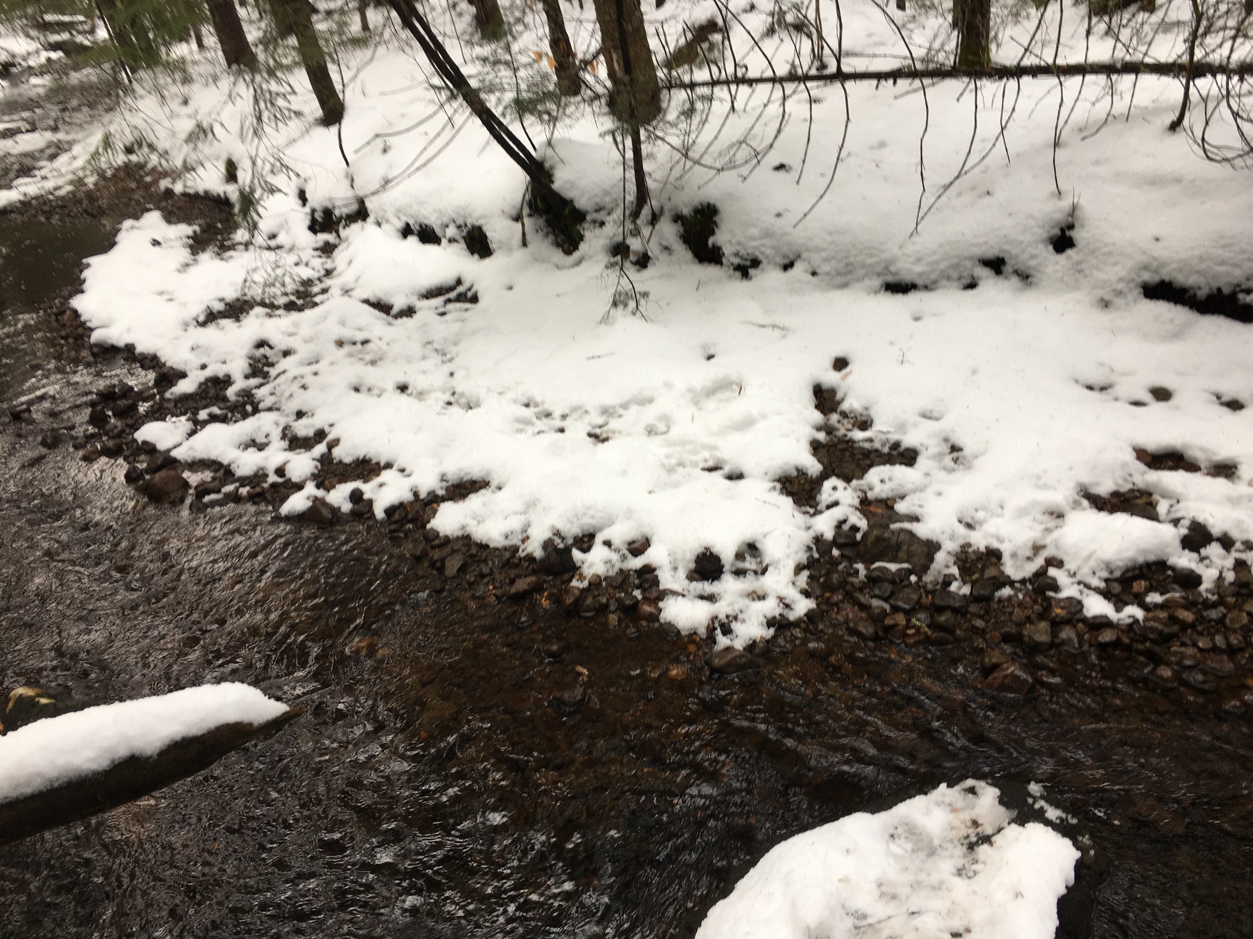
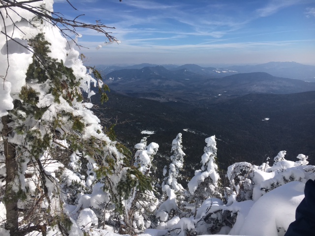
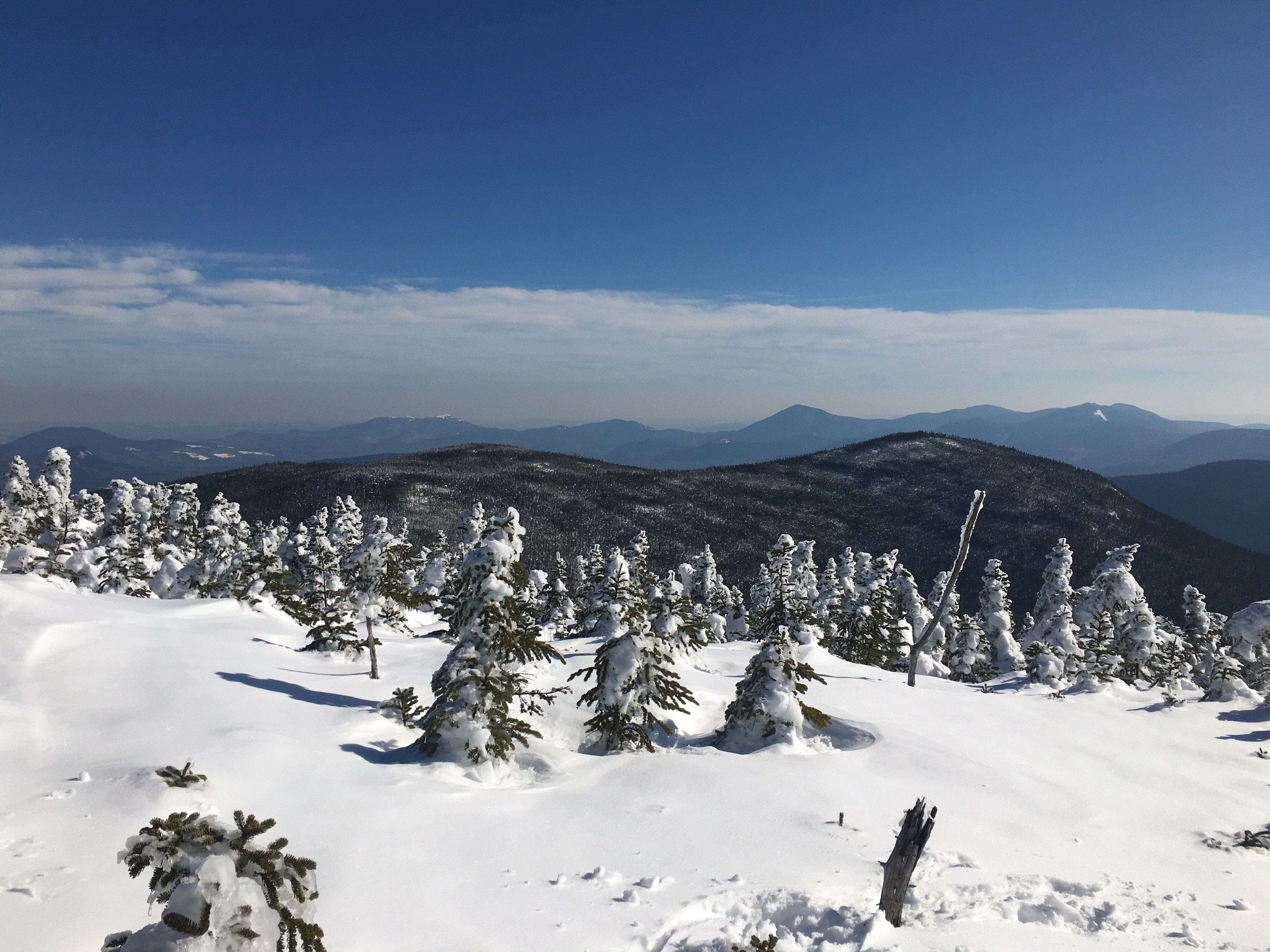
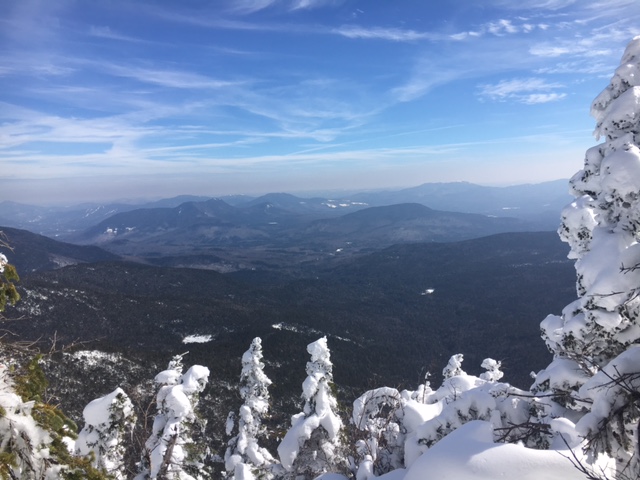
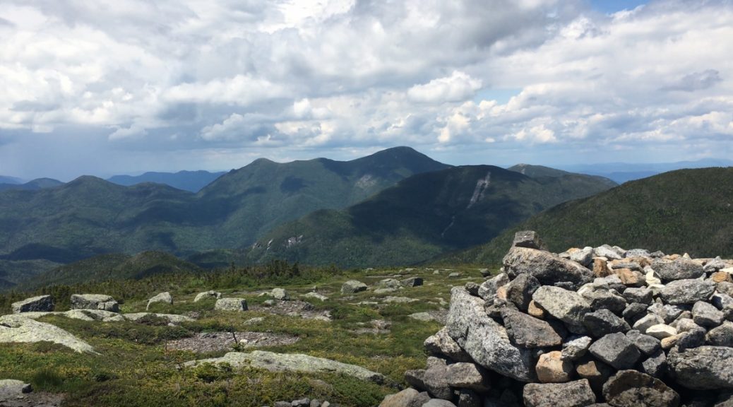
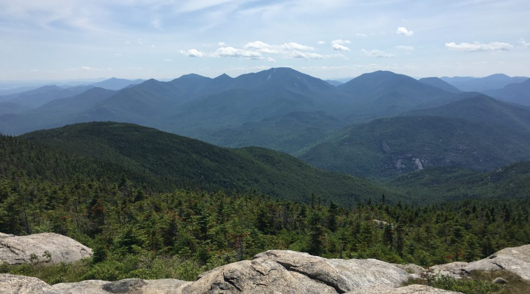
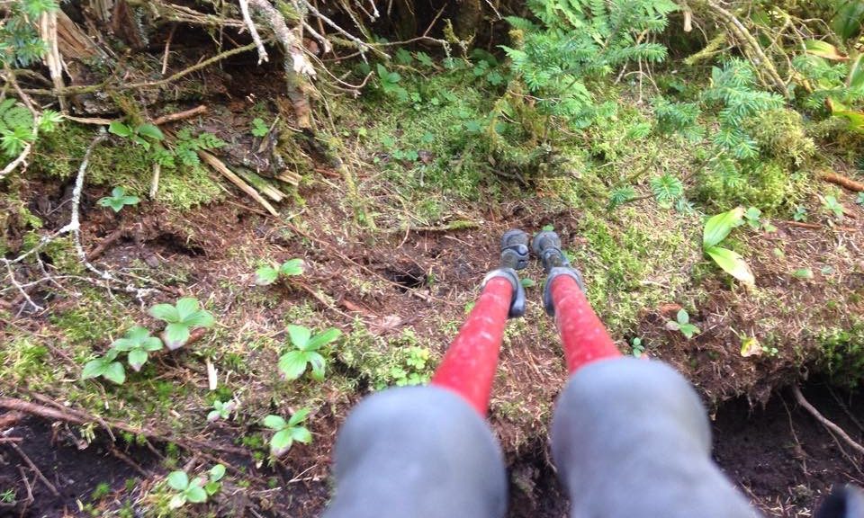
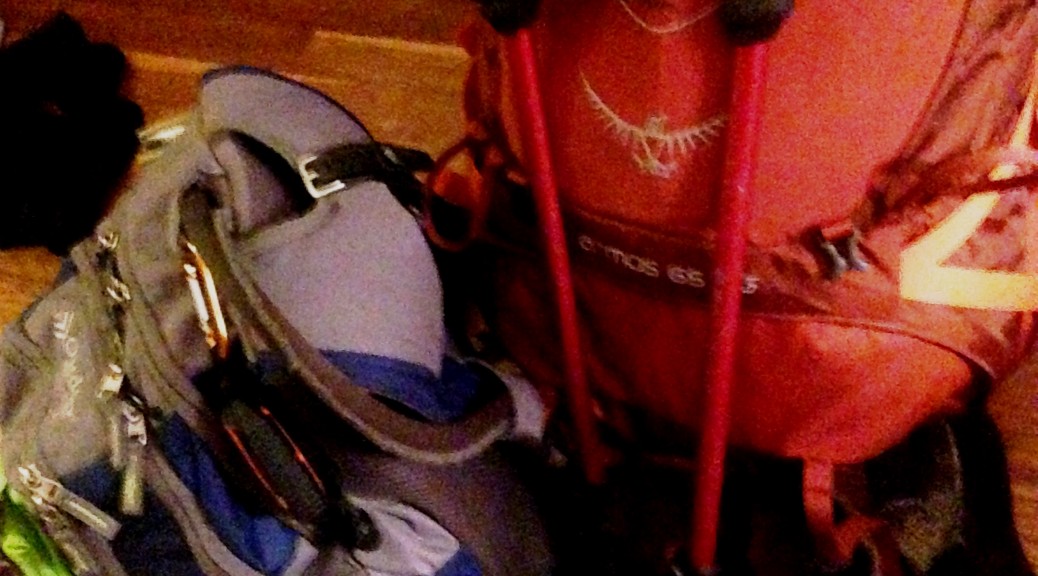
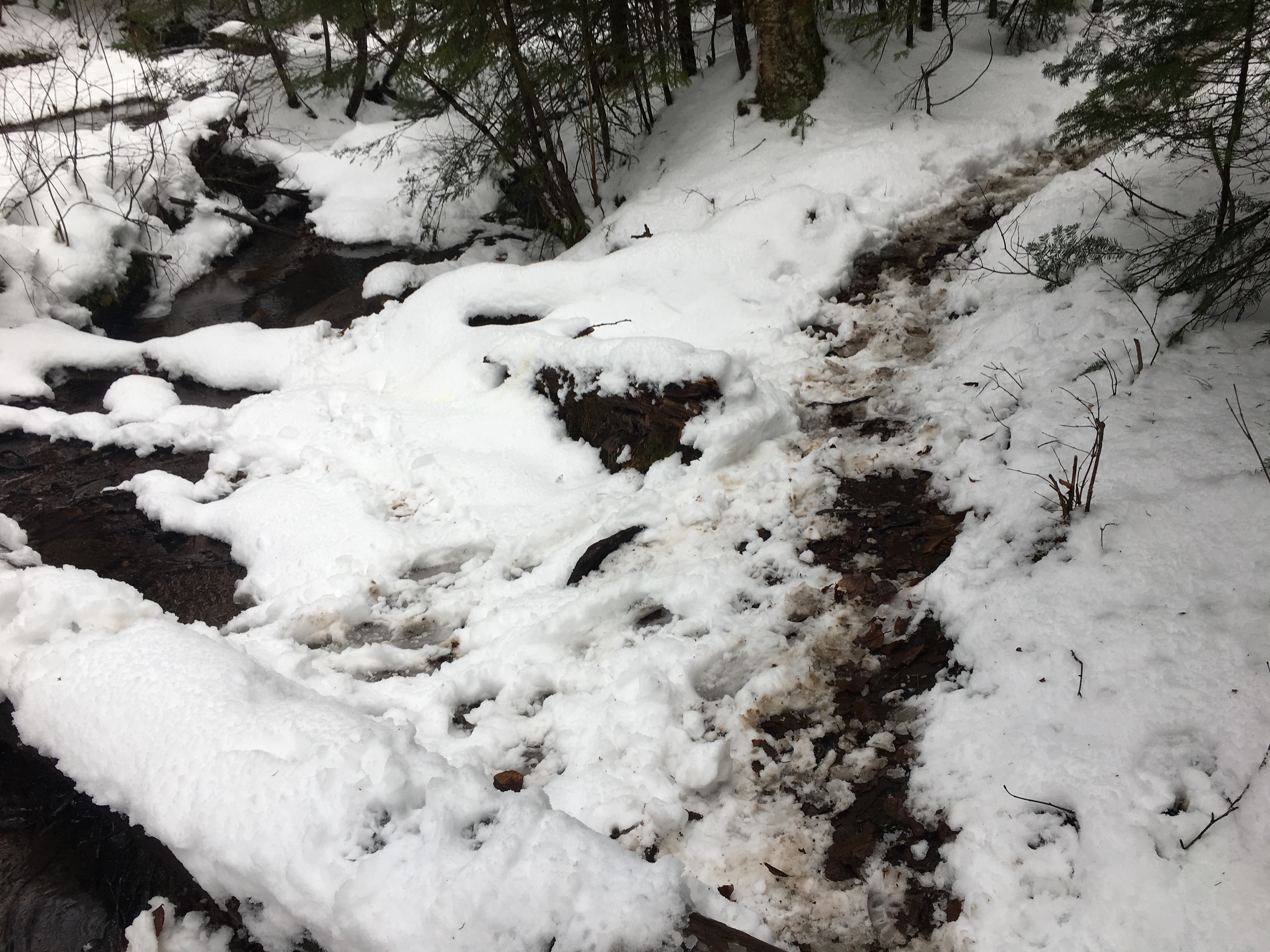
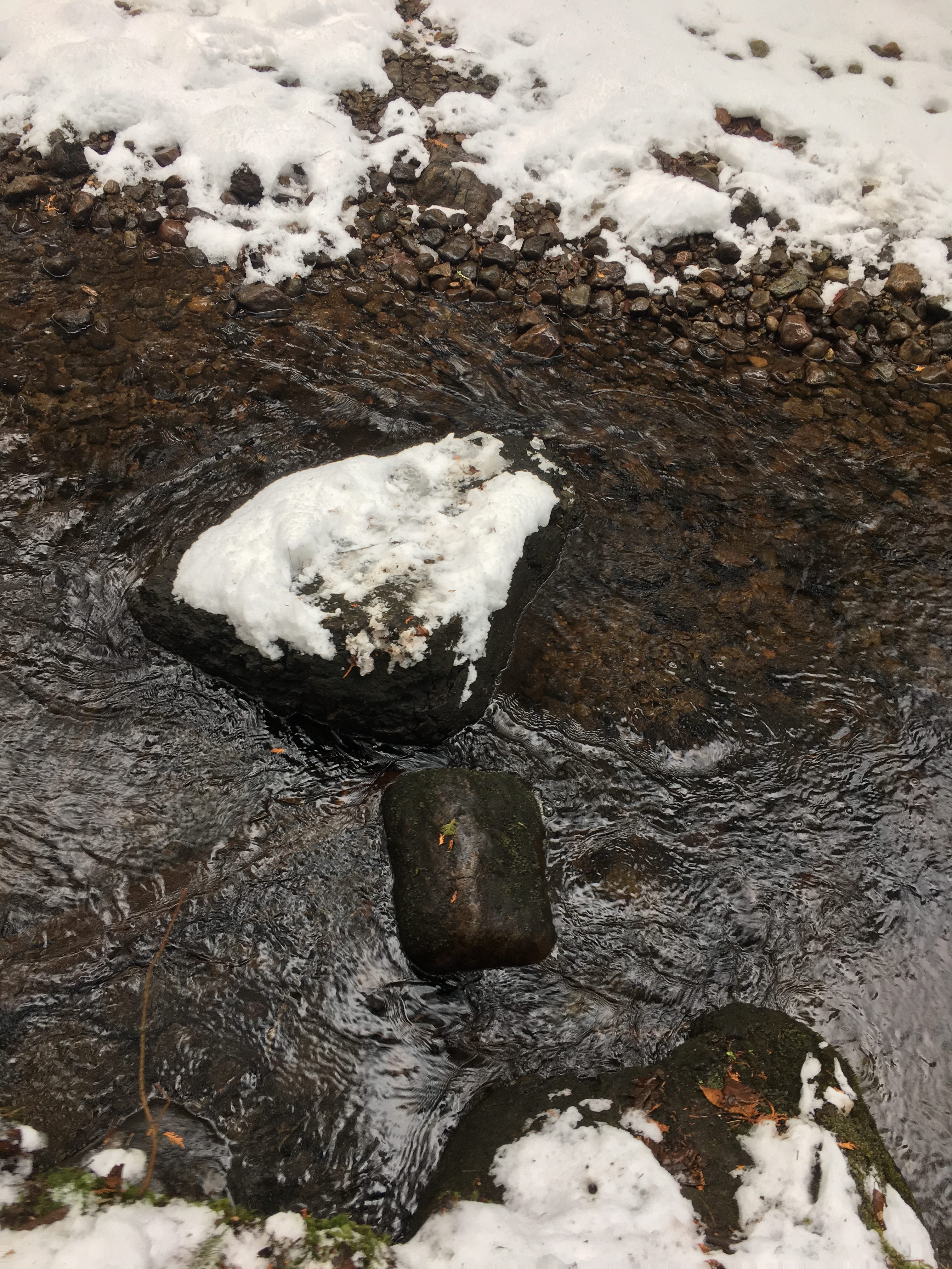
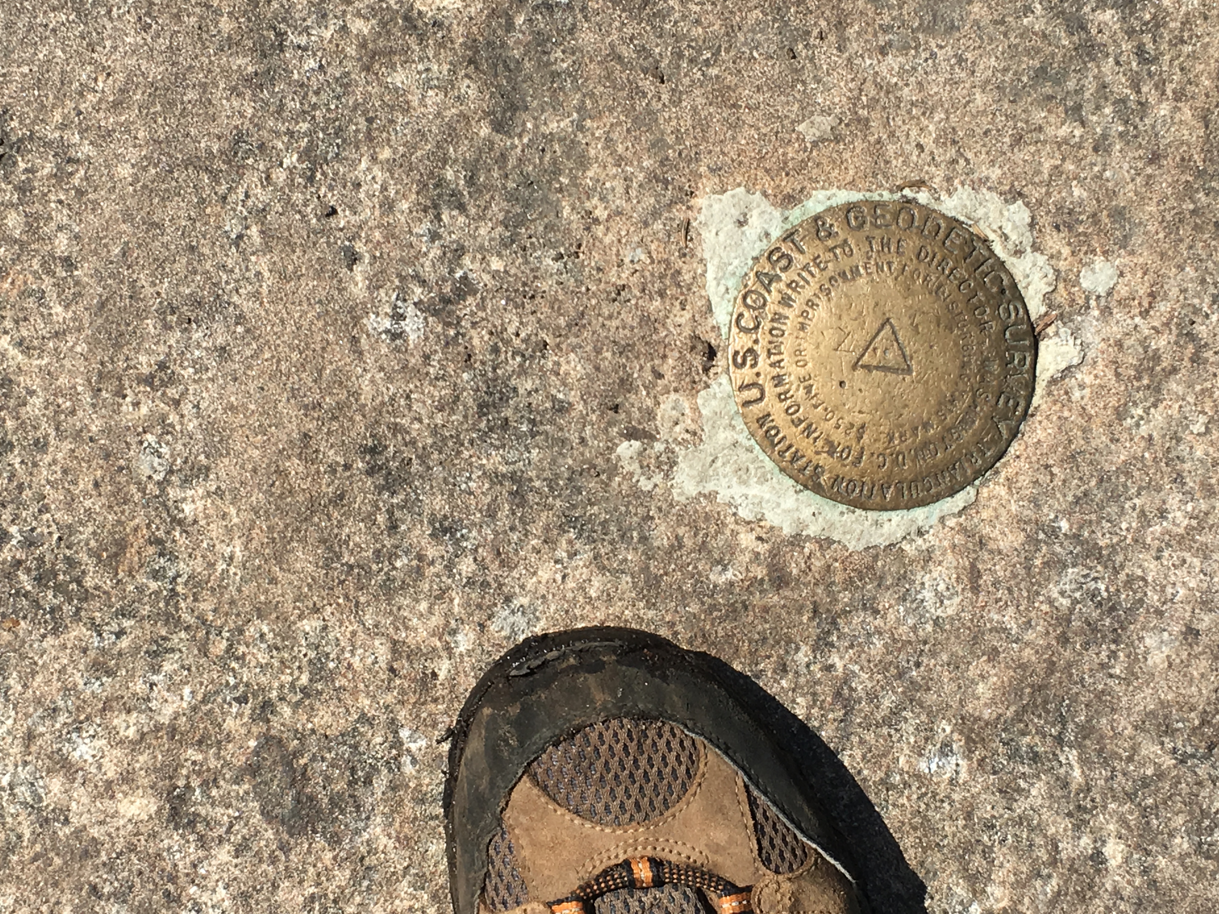
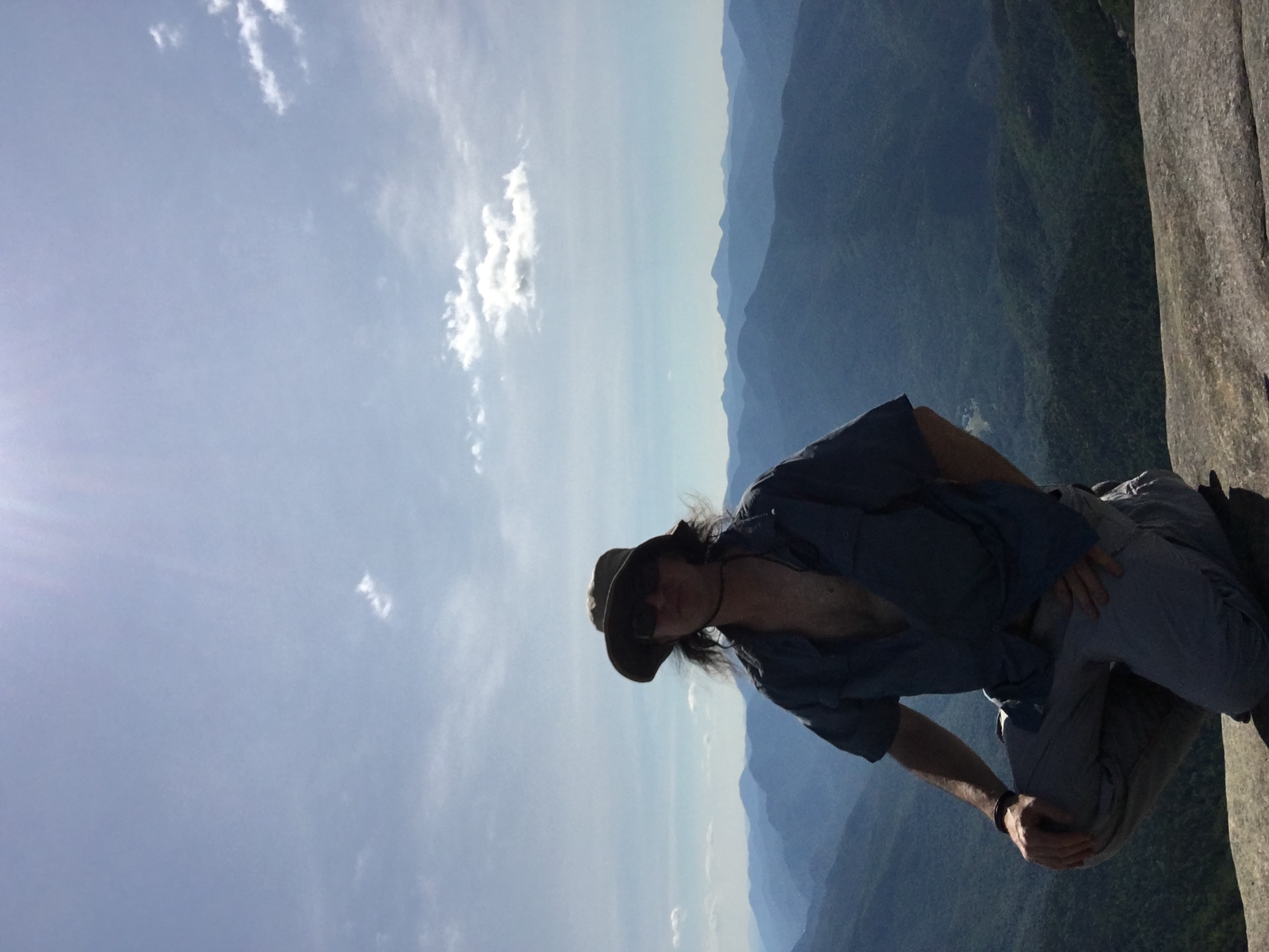