Category Archives: Summer 2016

28TH ENTRY: THE DAK DAYS OF SUMMER 8/20/16 & 9/4/16

ADK- MacIntyre Range & Great Range

(Iroquois-14, Algonquin-15, Wright-16, Marcy-17, Phelps-18)

Well it’s been while since I’ve written one of these. Here it is in the merry (and muddy) month of May and I just finished writing the long Winter 2017 entry. But given the upcoming temps this week reaching as high as the lower 90’s, I didn’t think snow talk was very fitting. Instead I think a look back at last summer and a look forward to this one suits the current mood. Thinking back to last year there was so many amazing memories to recall as I was in the thick of exploration of new lands out west and approaching the grand finale of another journey two states away. I can only hope that this summer will compare. I am sure it will be EPIC anyway I look at it, with at least 4 overnight backpack trips in the works with many miles to cover and many smiles to uncover.


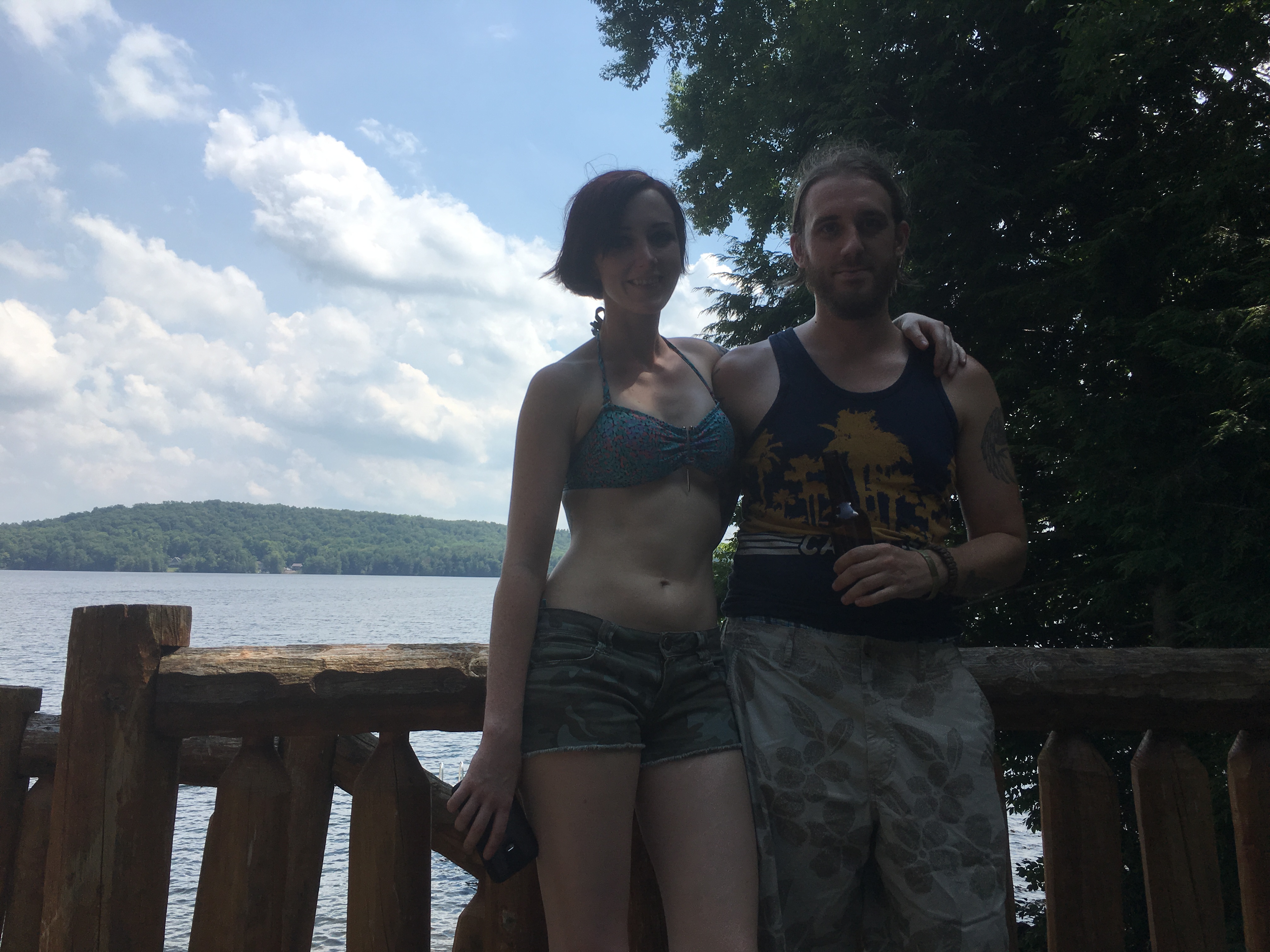
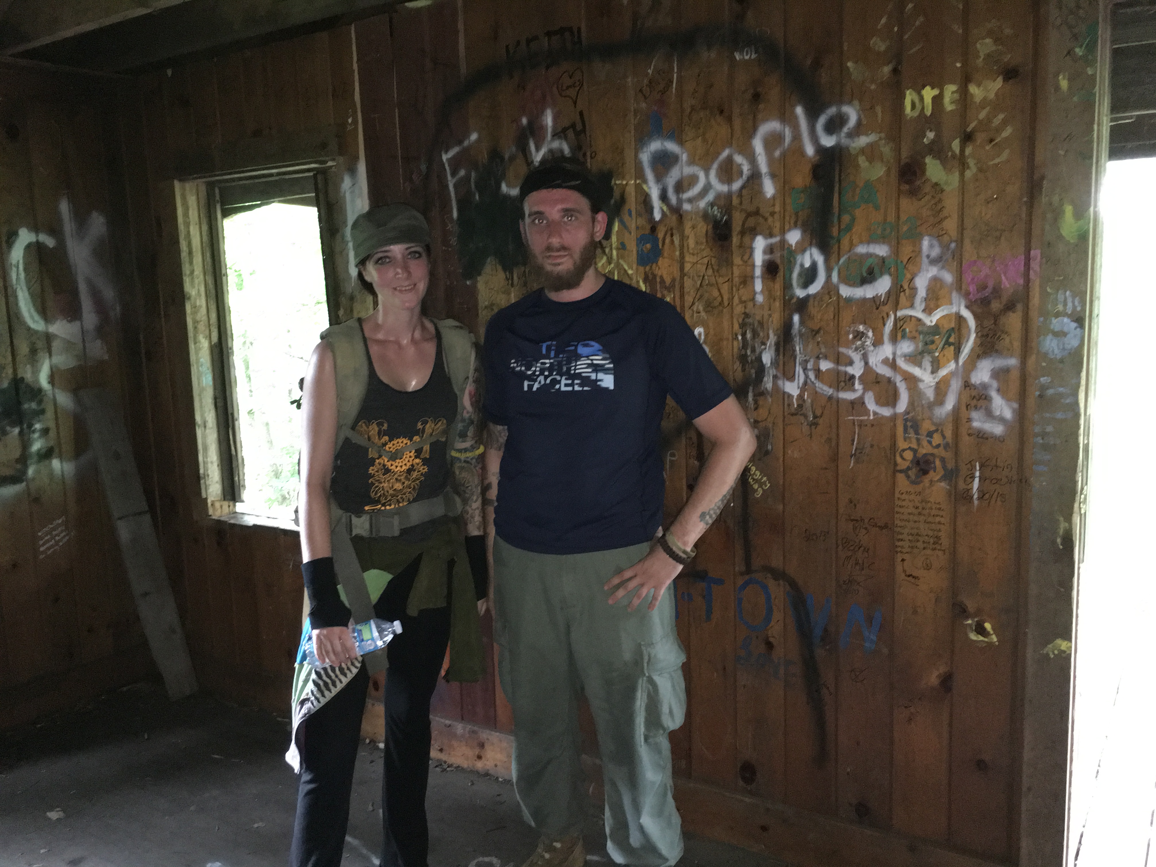
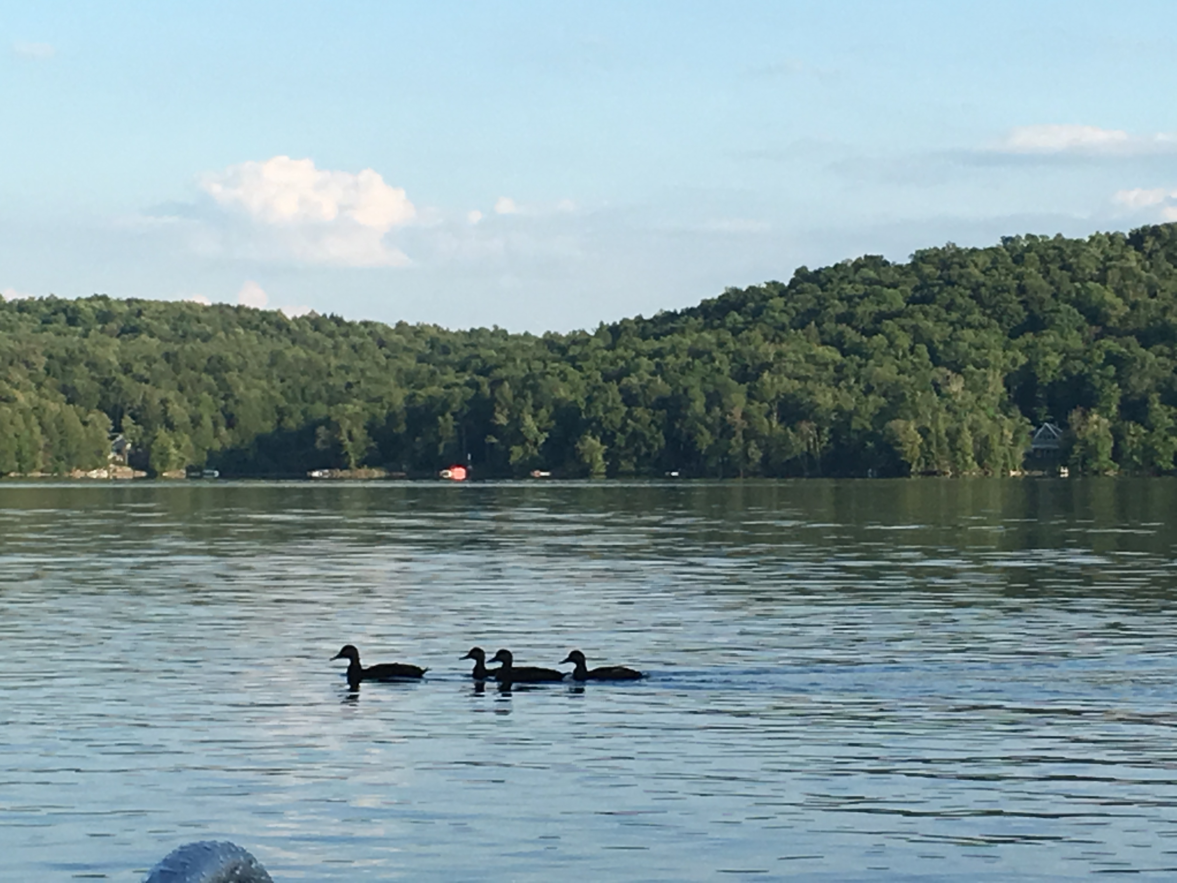
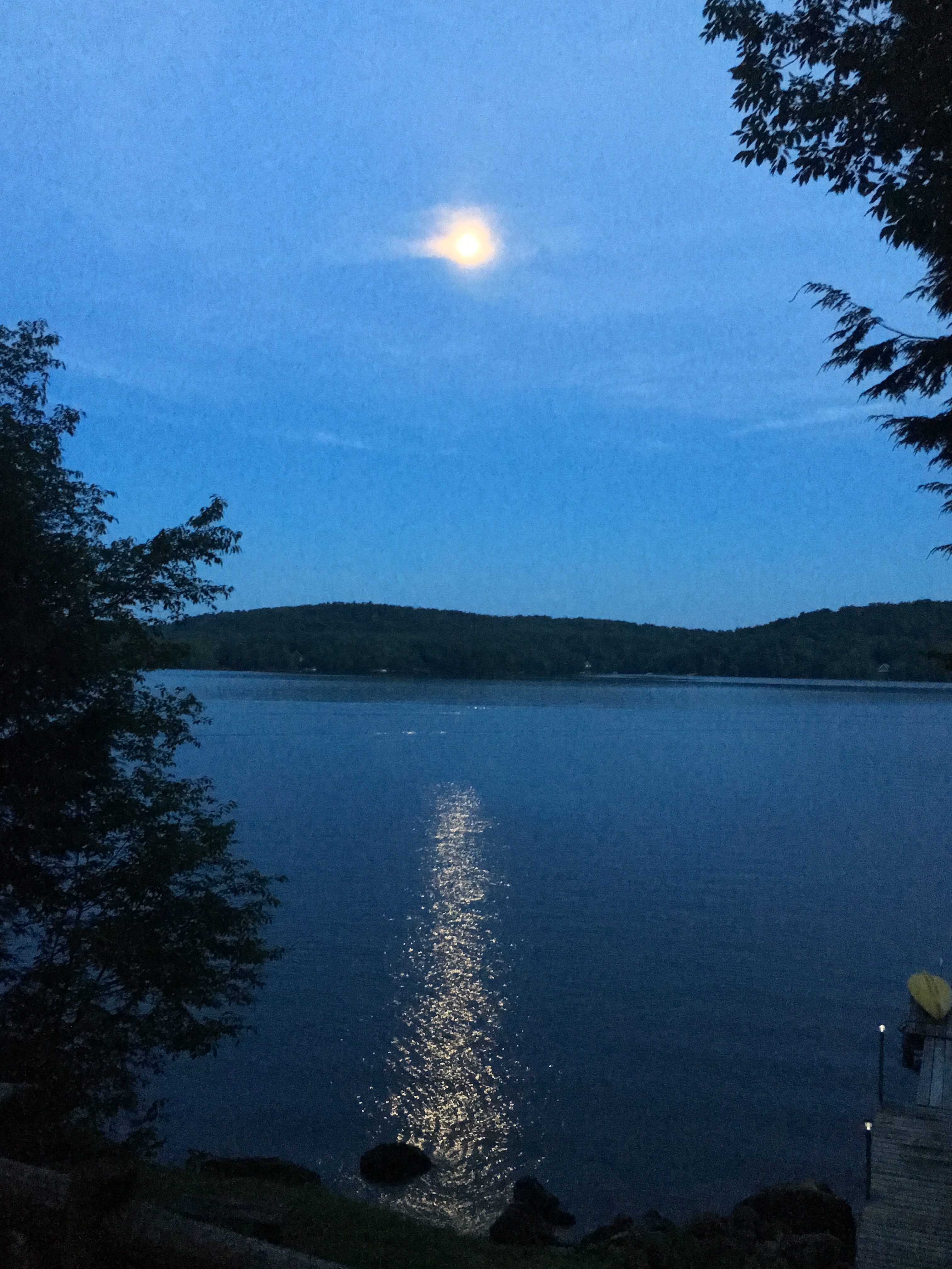
To set the mood for these hot steamy days ahead, I’ll take it back to last August where I find myself back at the Loj on Heart Lake.


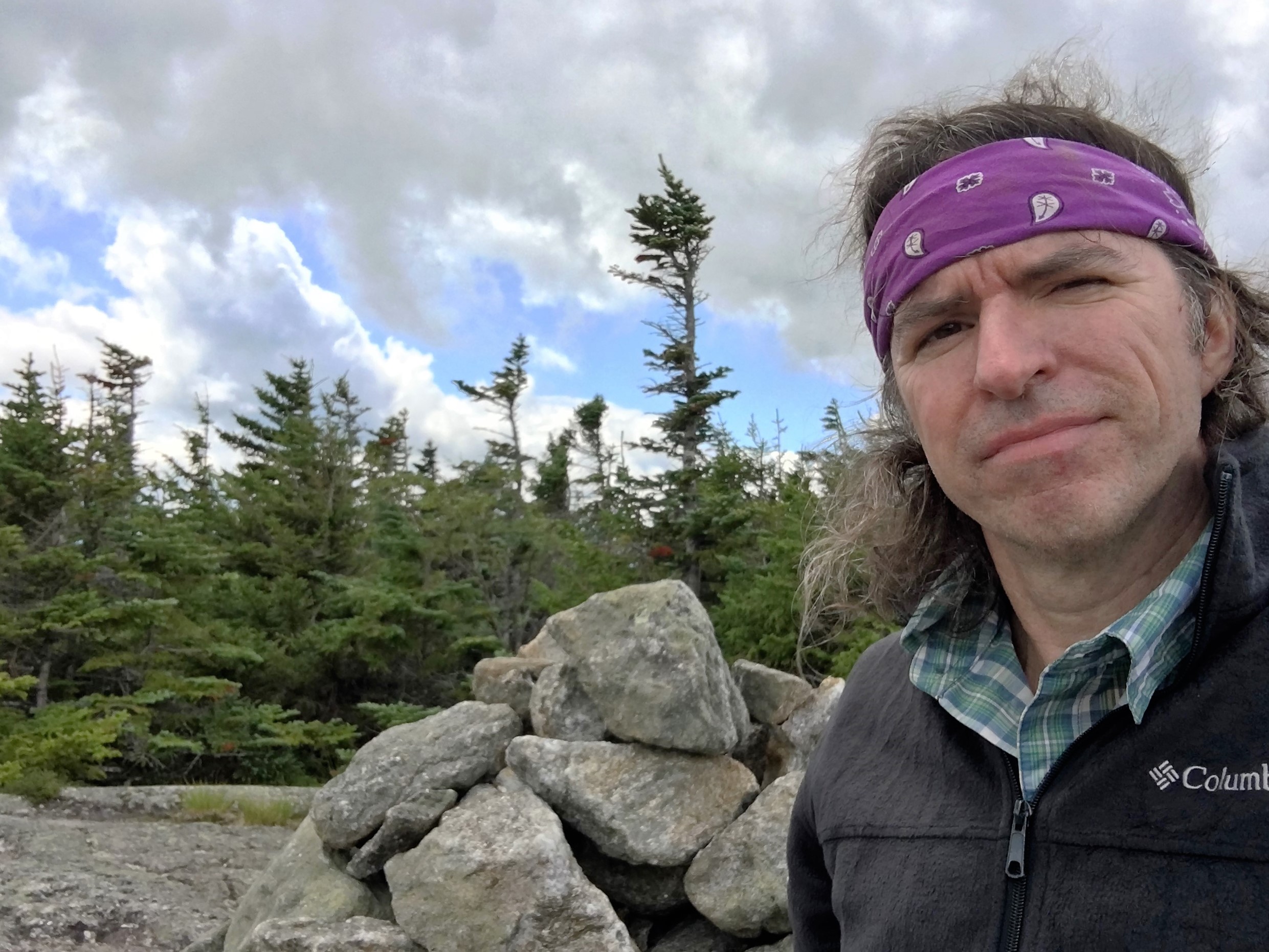
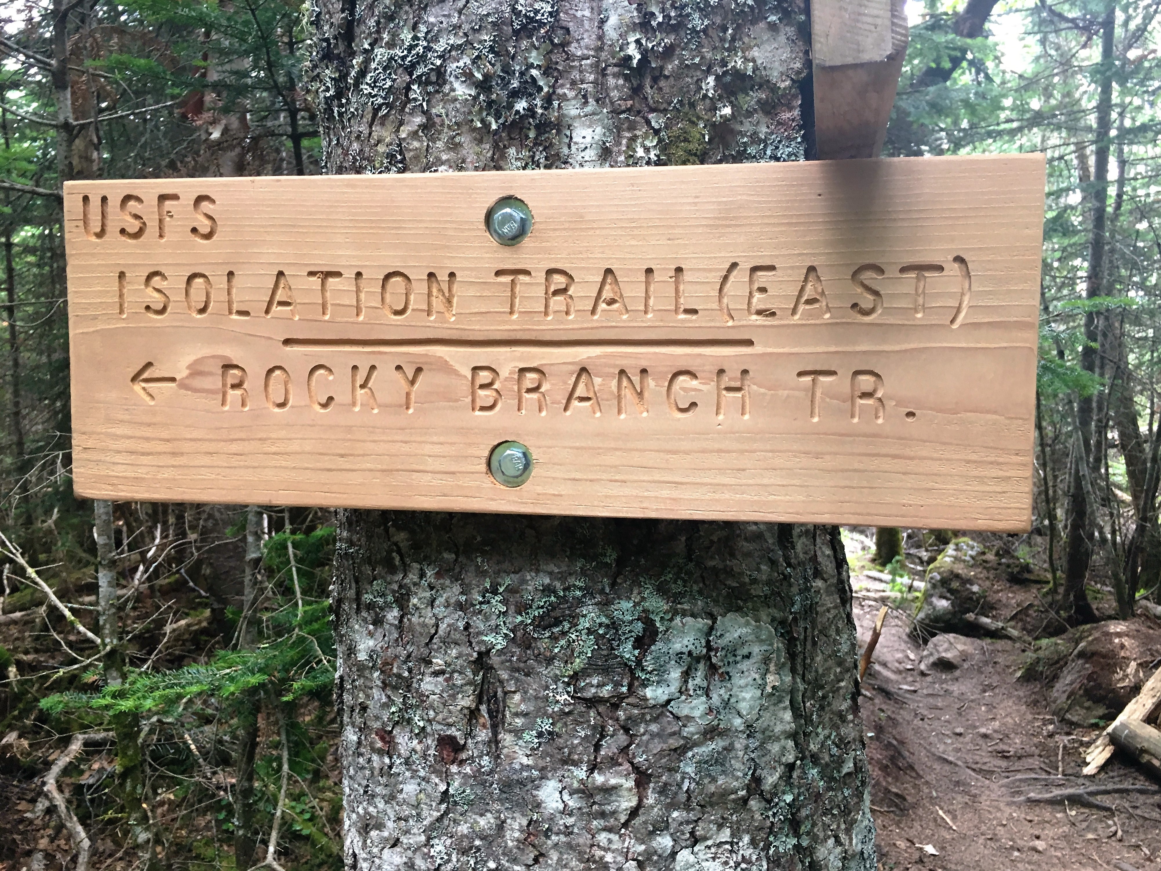
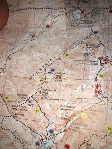
After getting a hefty second helping of the Adirondacks in July, and taking a long plunge into the middle of nowhere in the Whites to get to #47-Isolation (one shy of the big finish), I am back in the Daks to take on the 2nd highest Peak – Algonquin, and it’s two neighbors, Iroquois and Write. Together the make up the majority of the MacIntyre Range, minus one trail-less Peak, Marshall (which I have already written about).


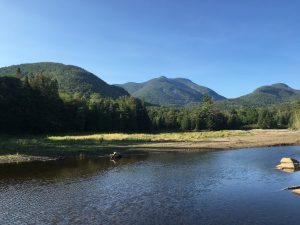
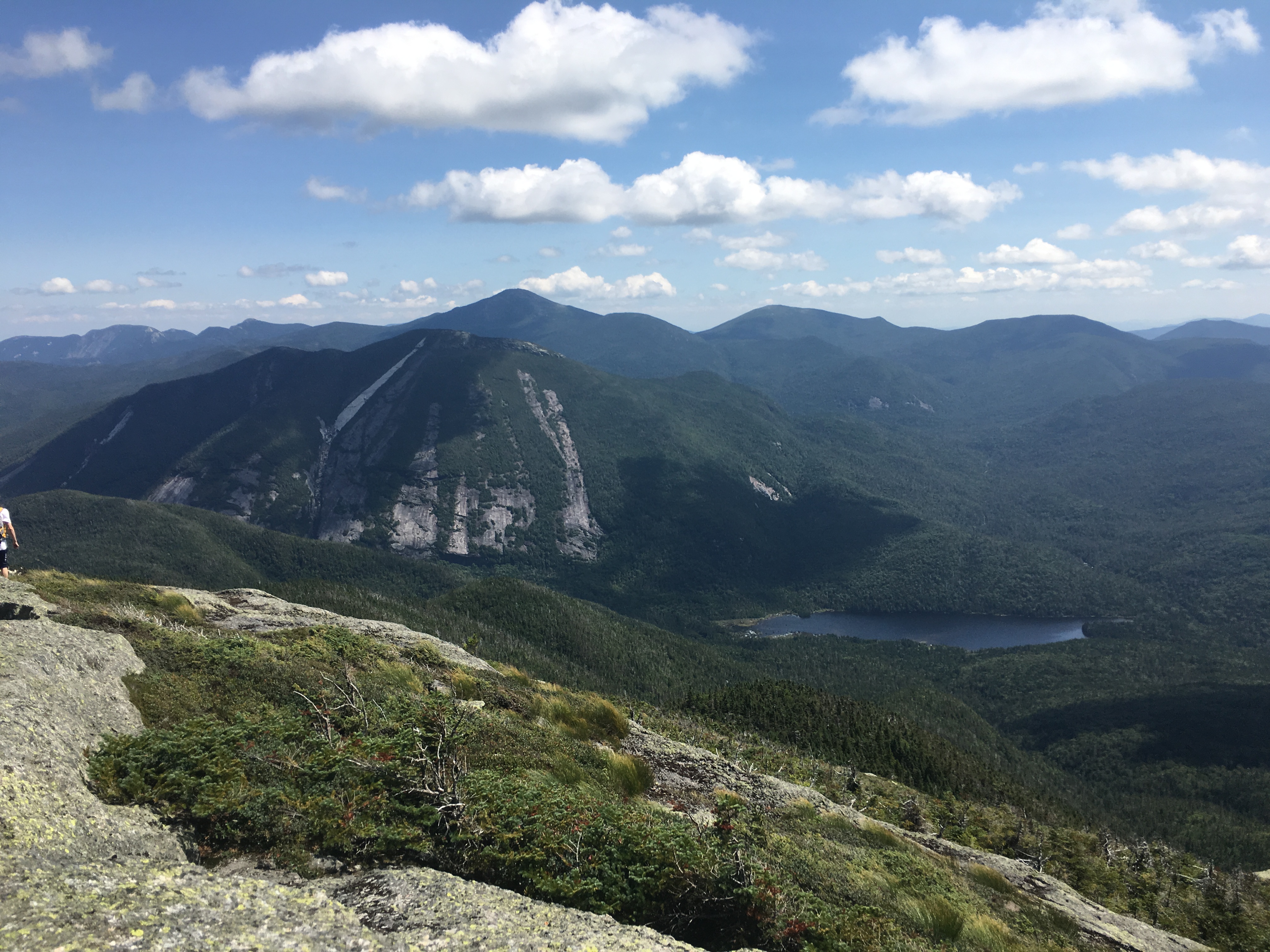
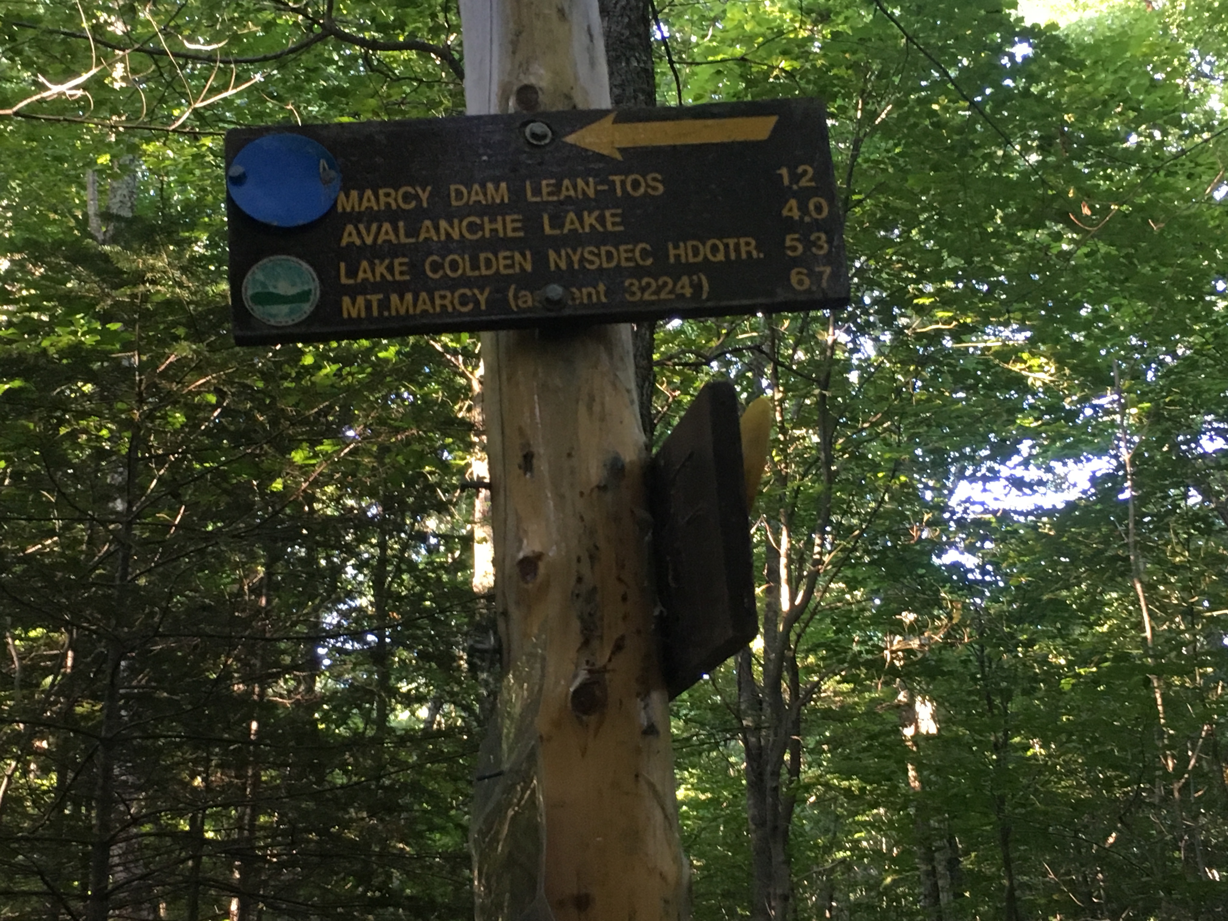
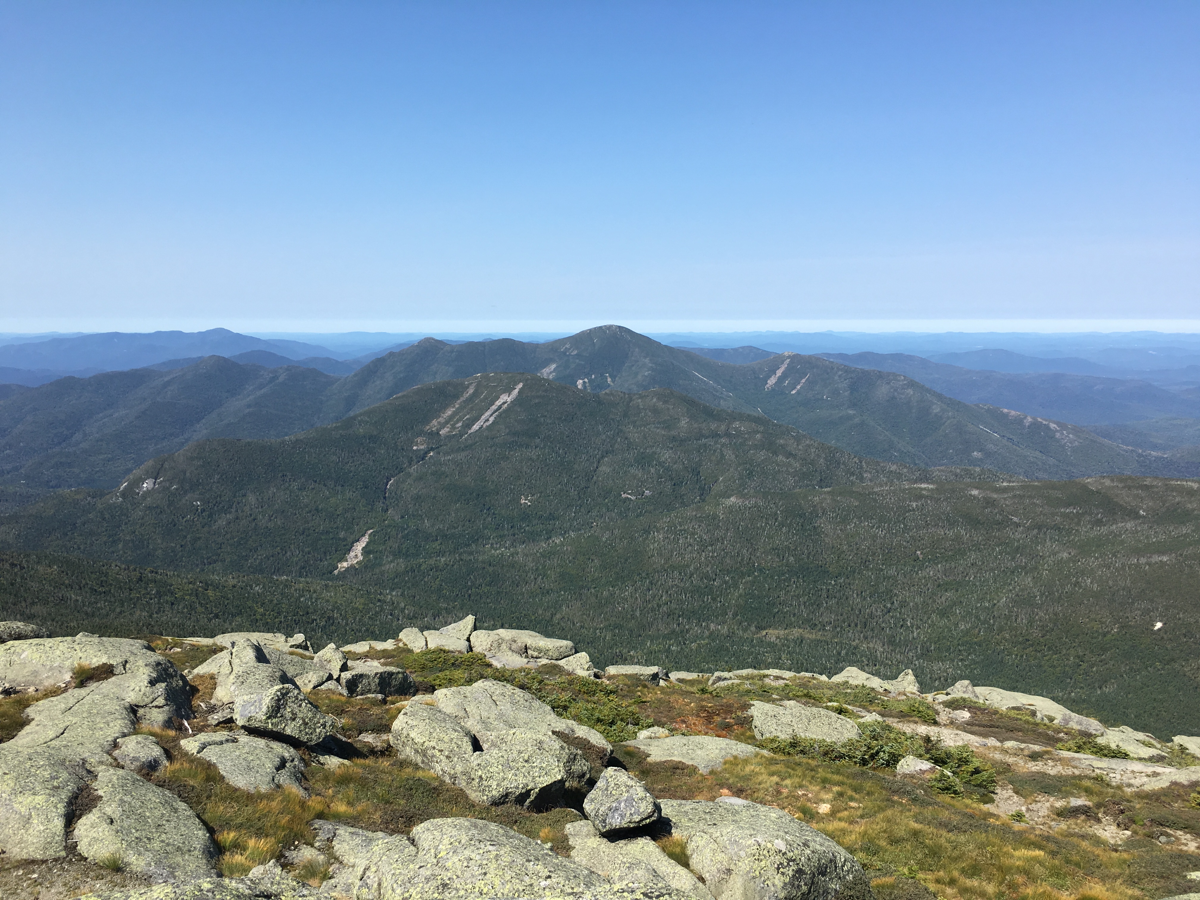
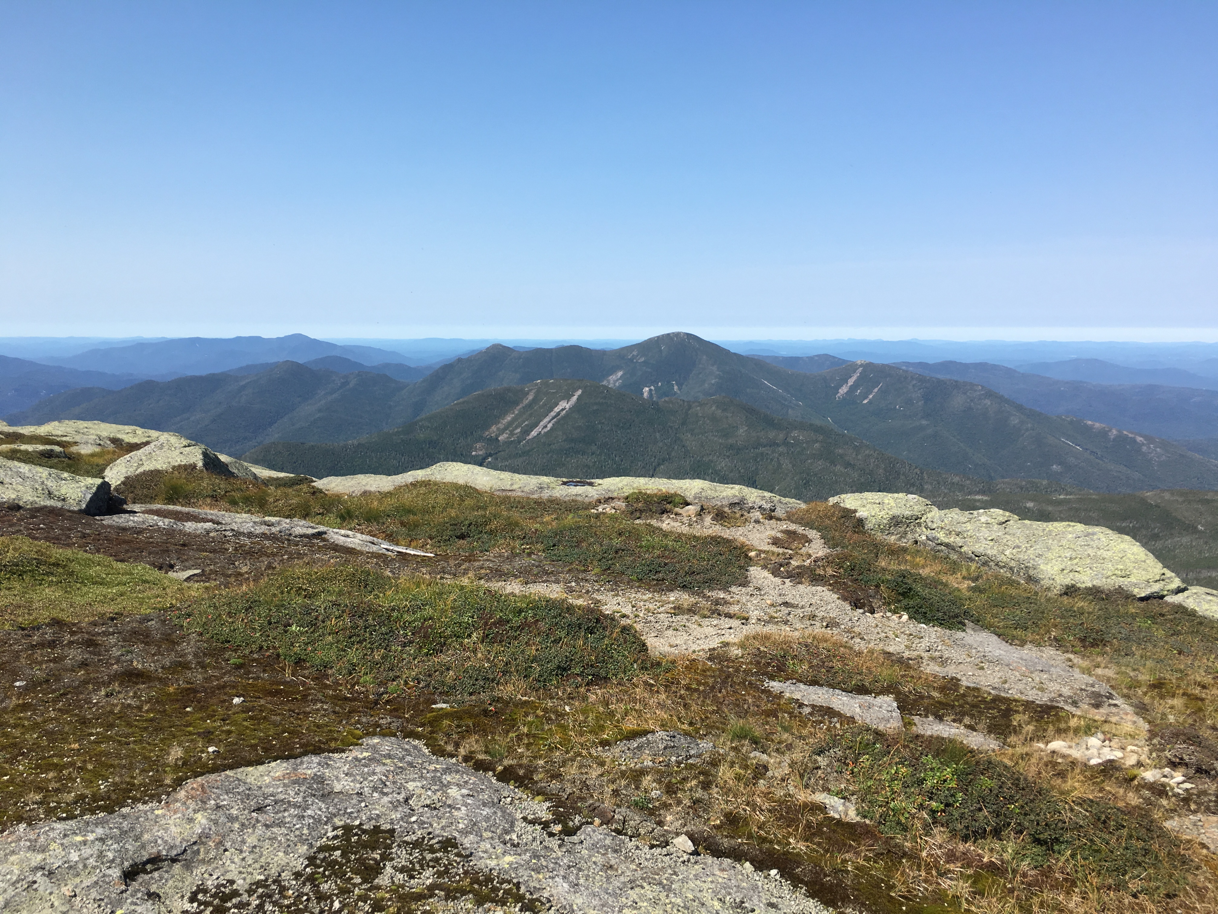
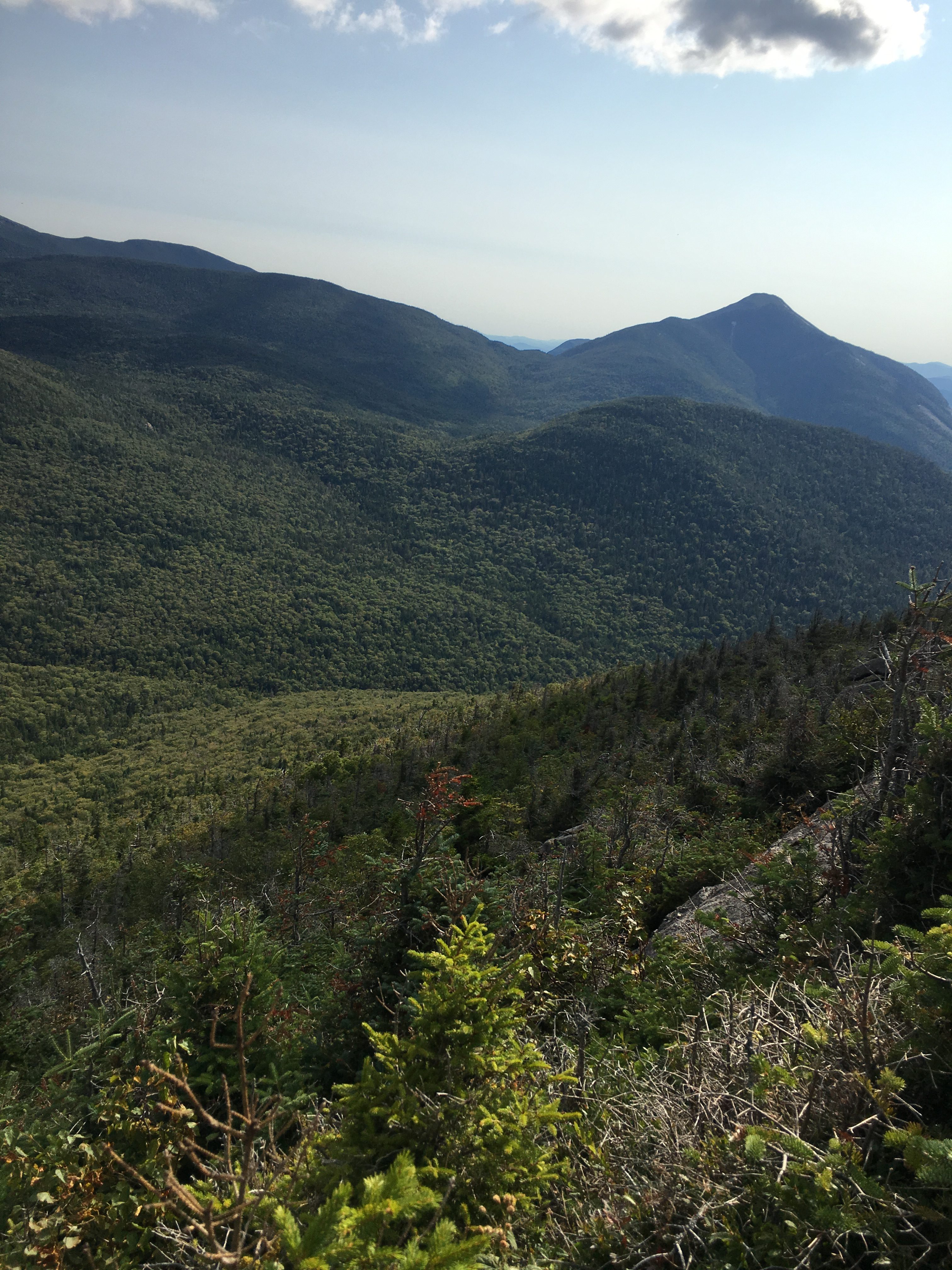
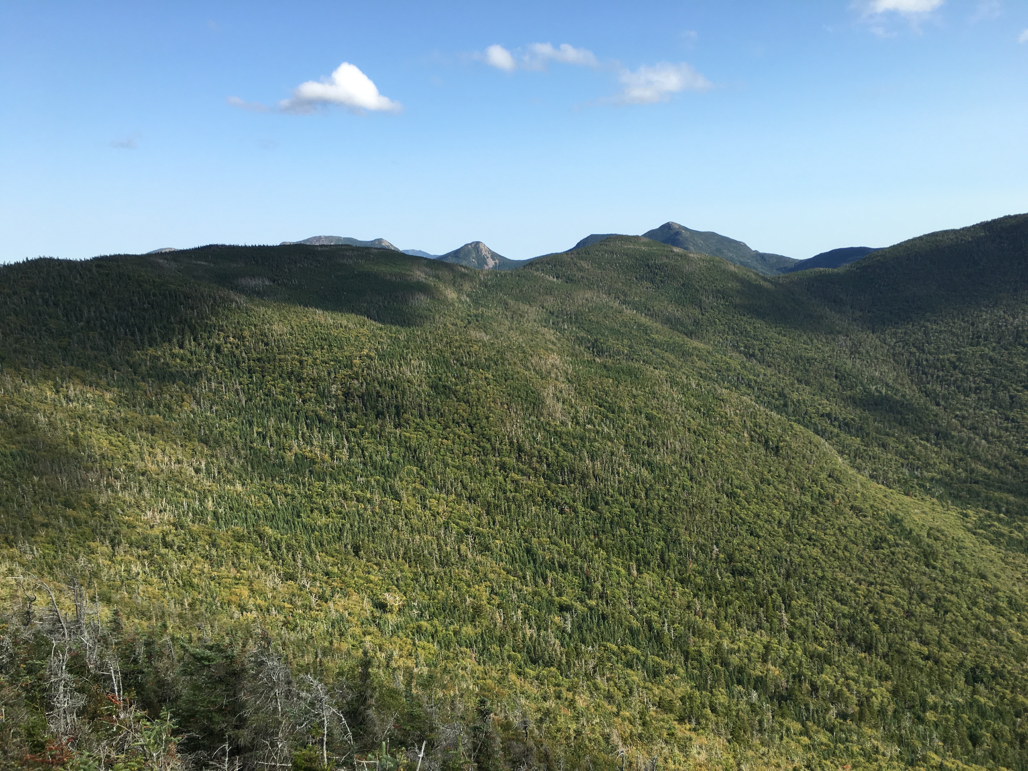
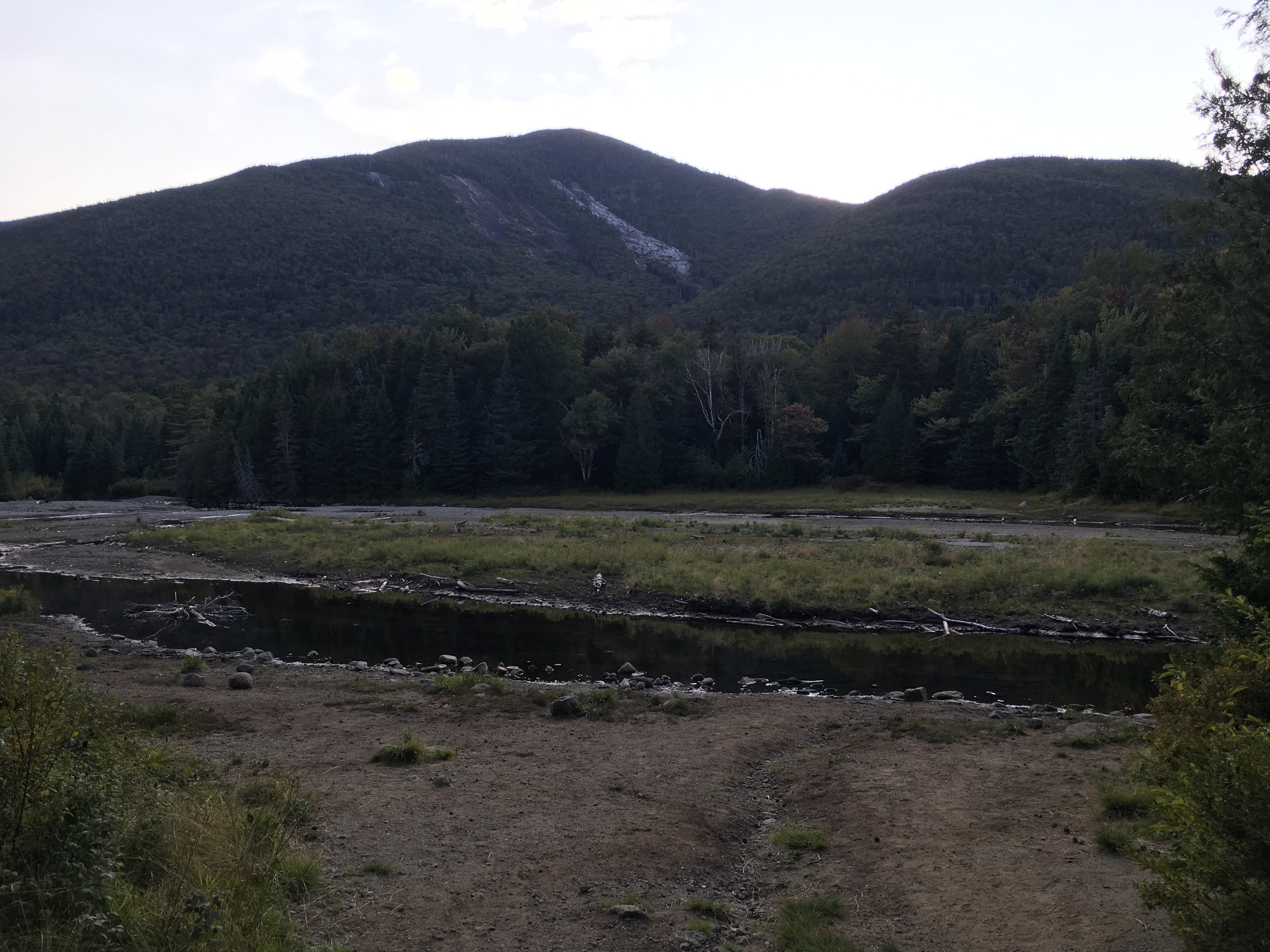
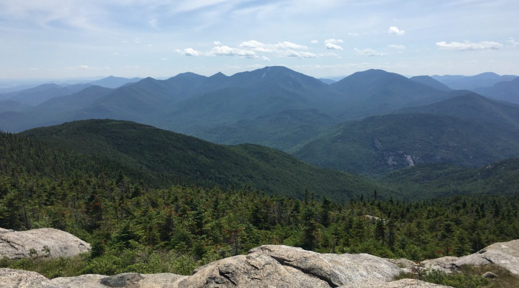
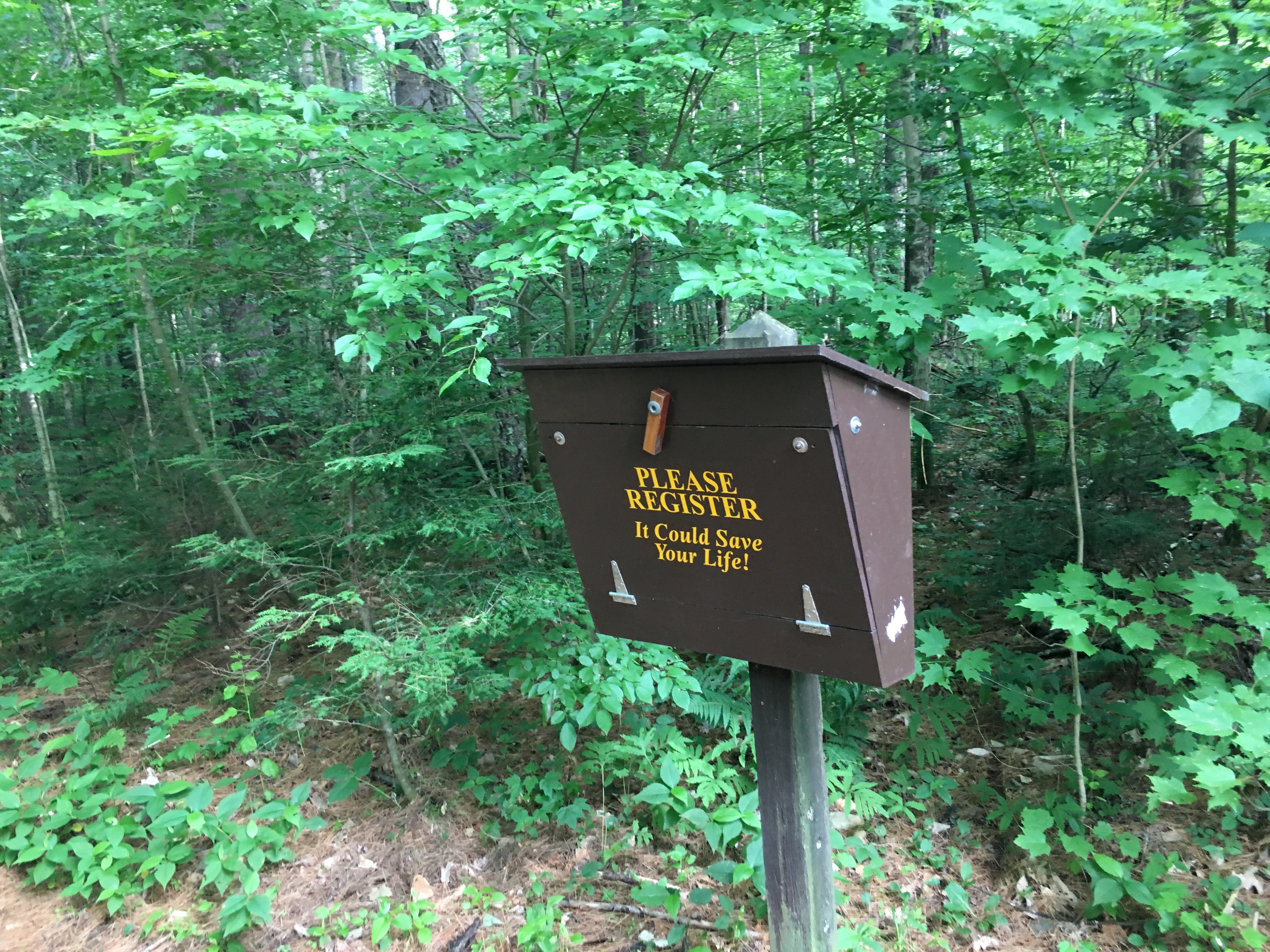
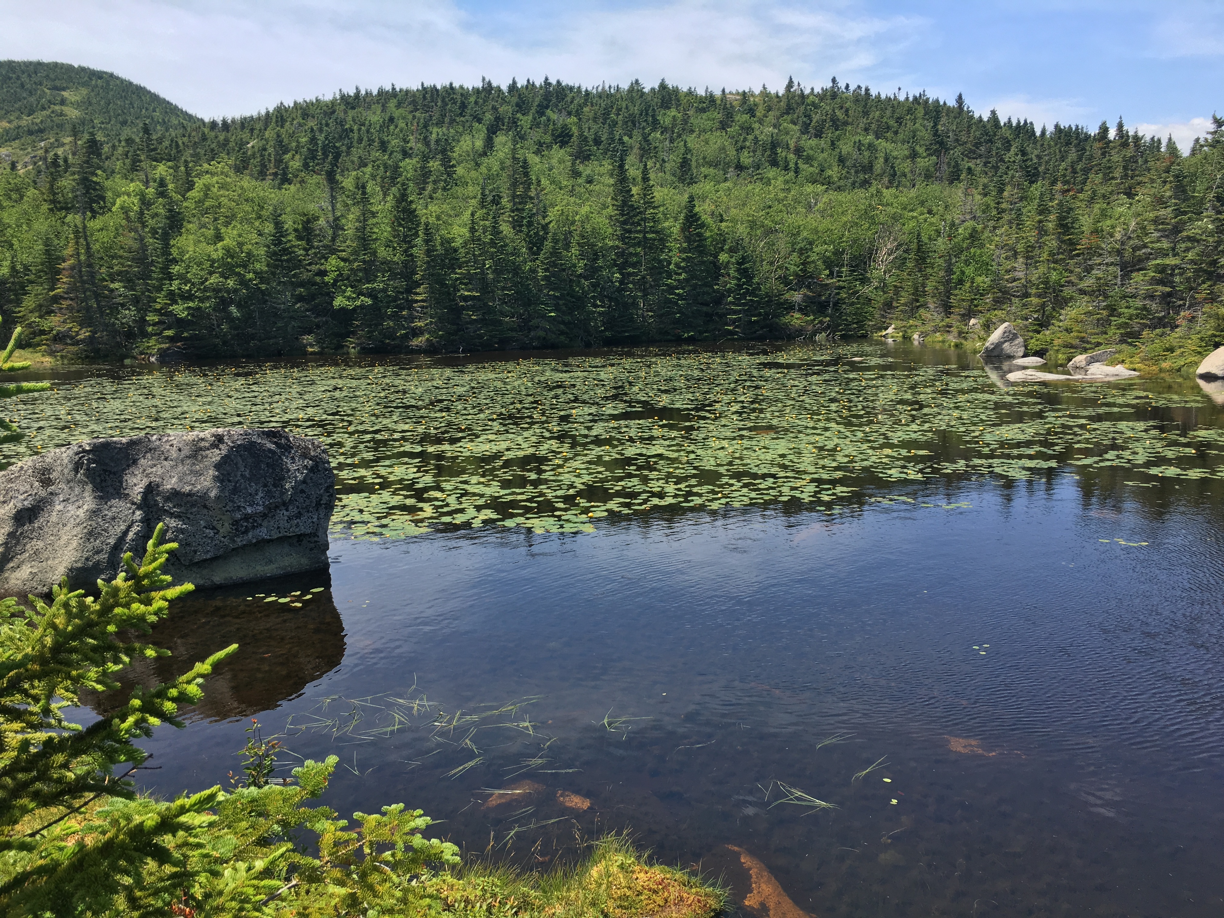
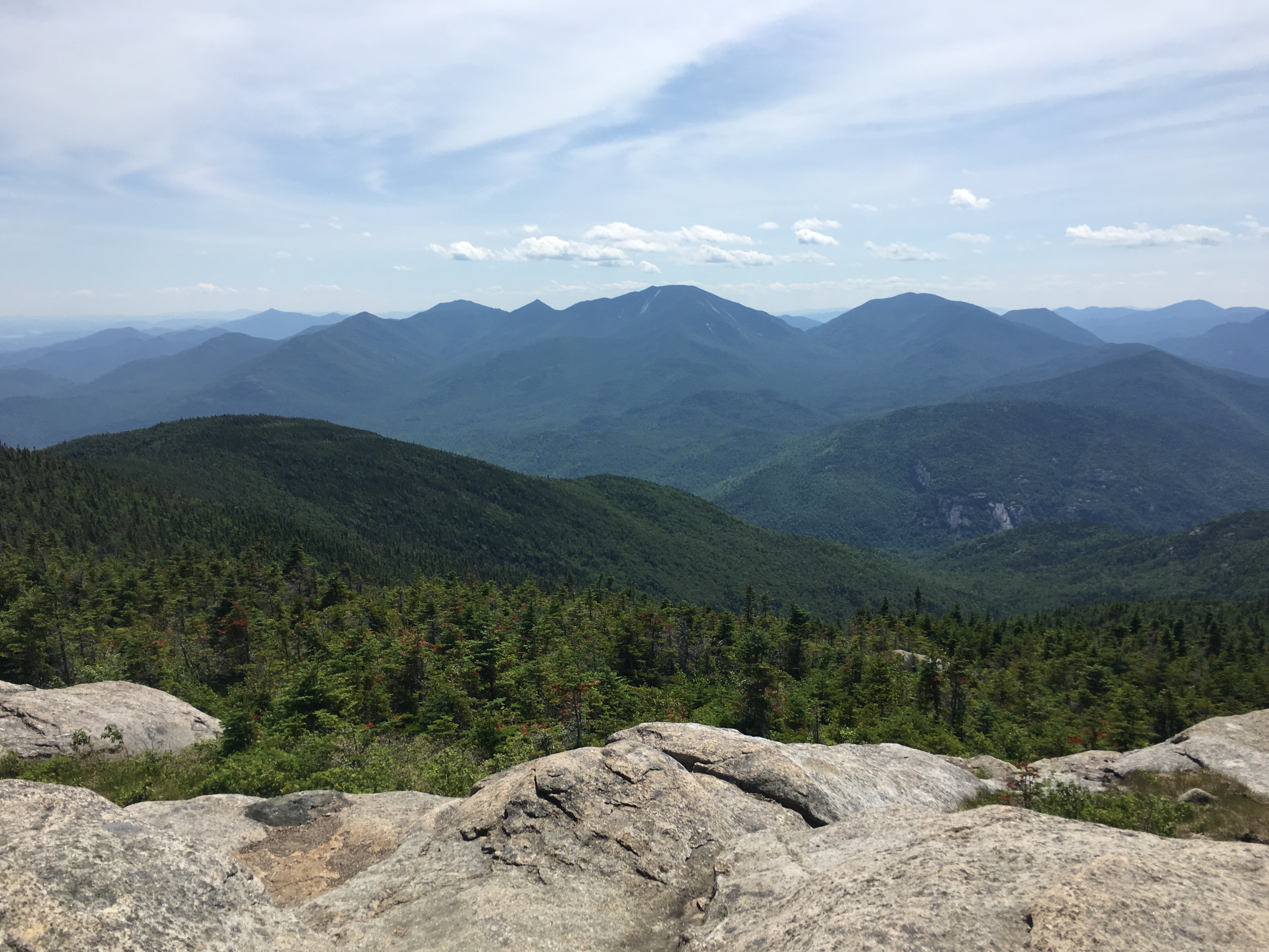
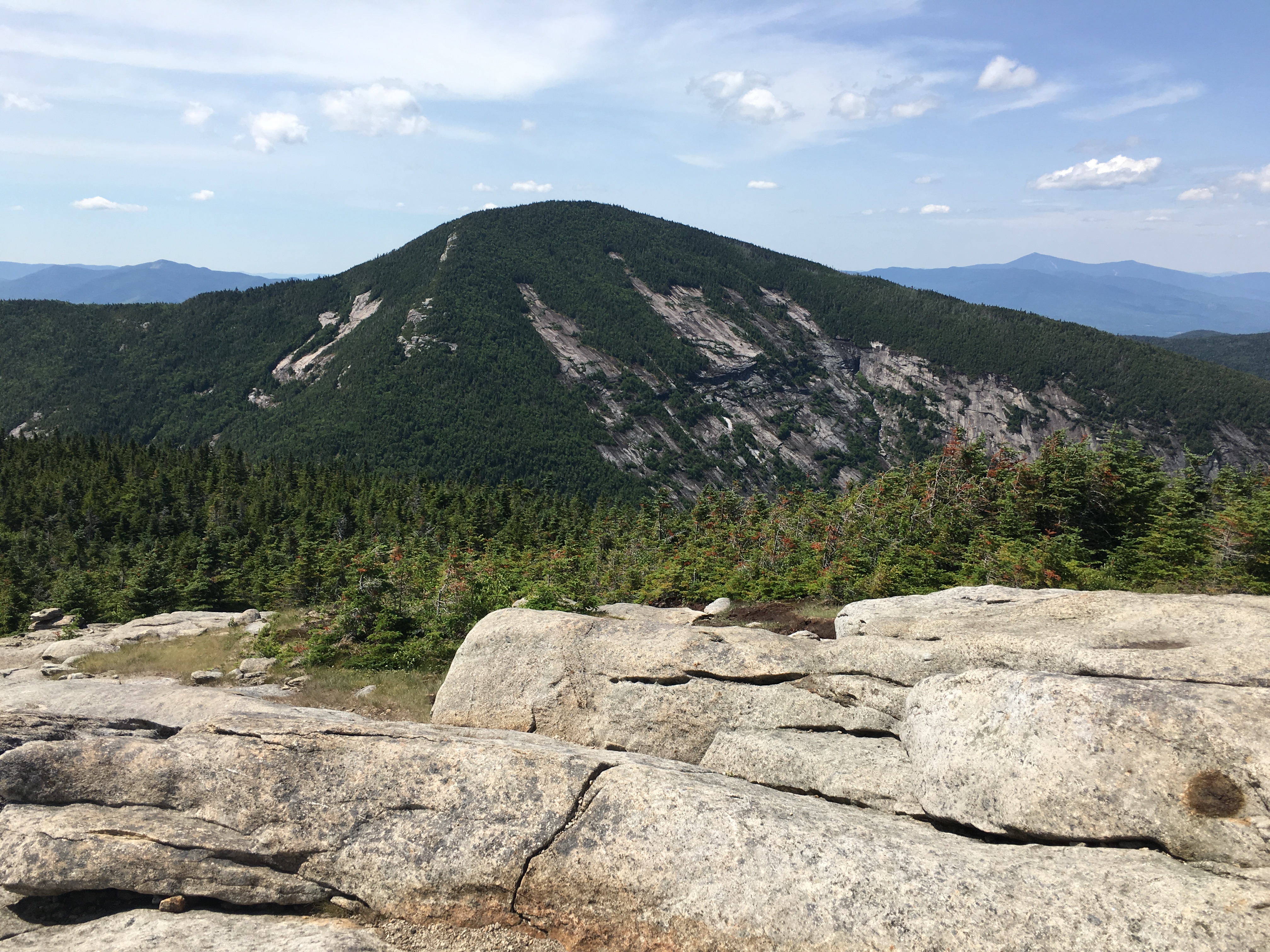
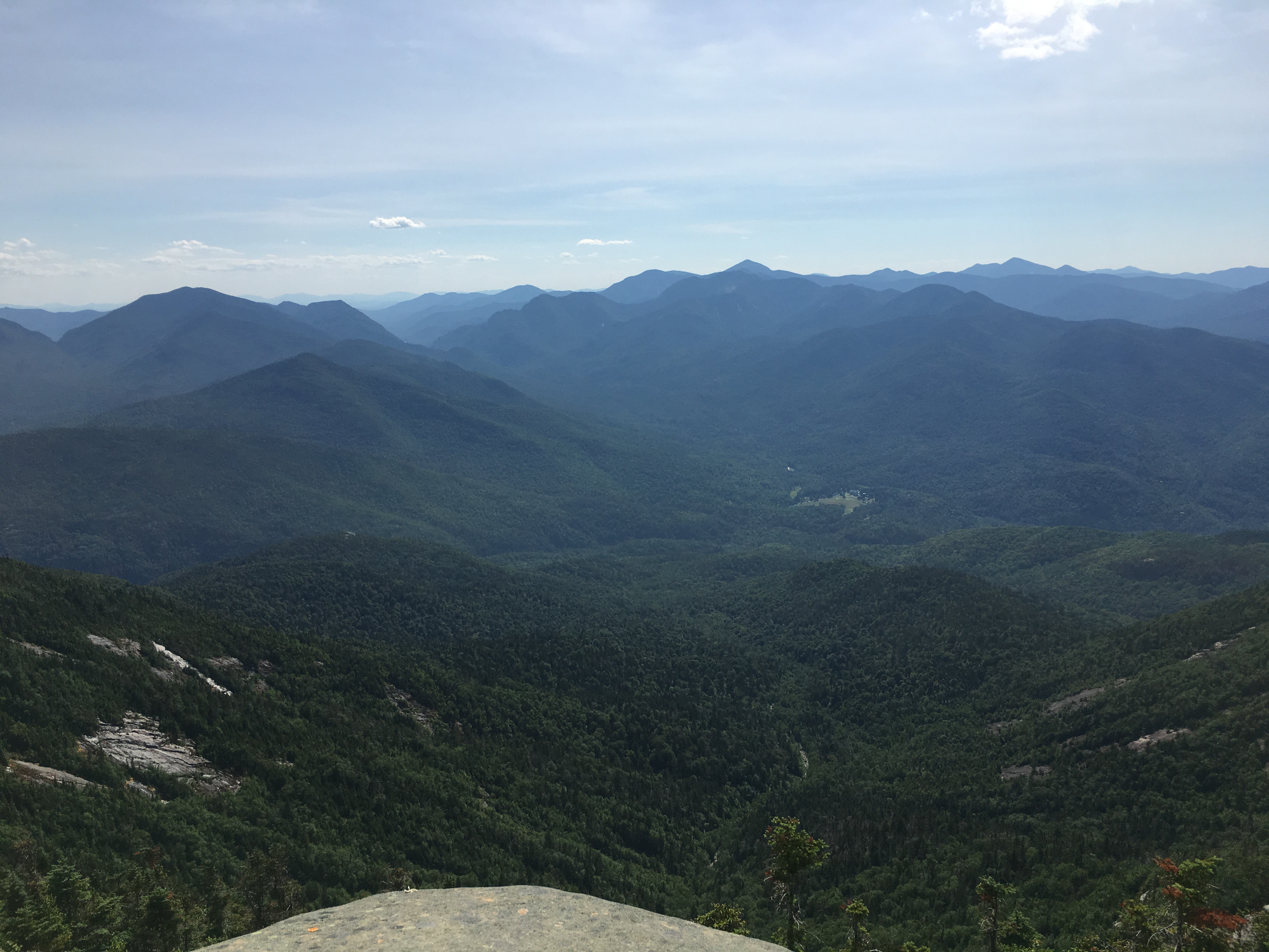
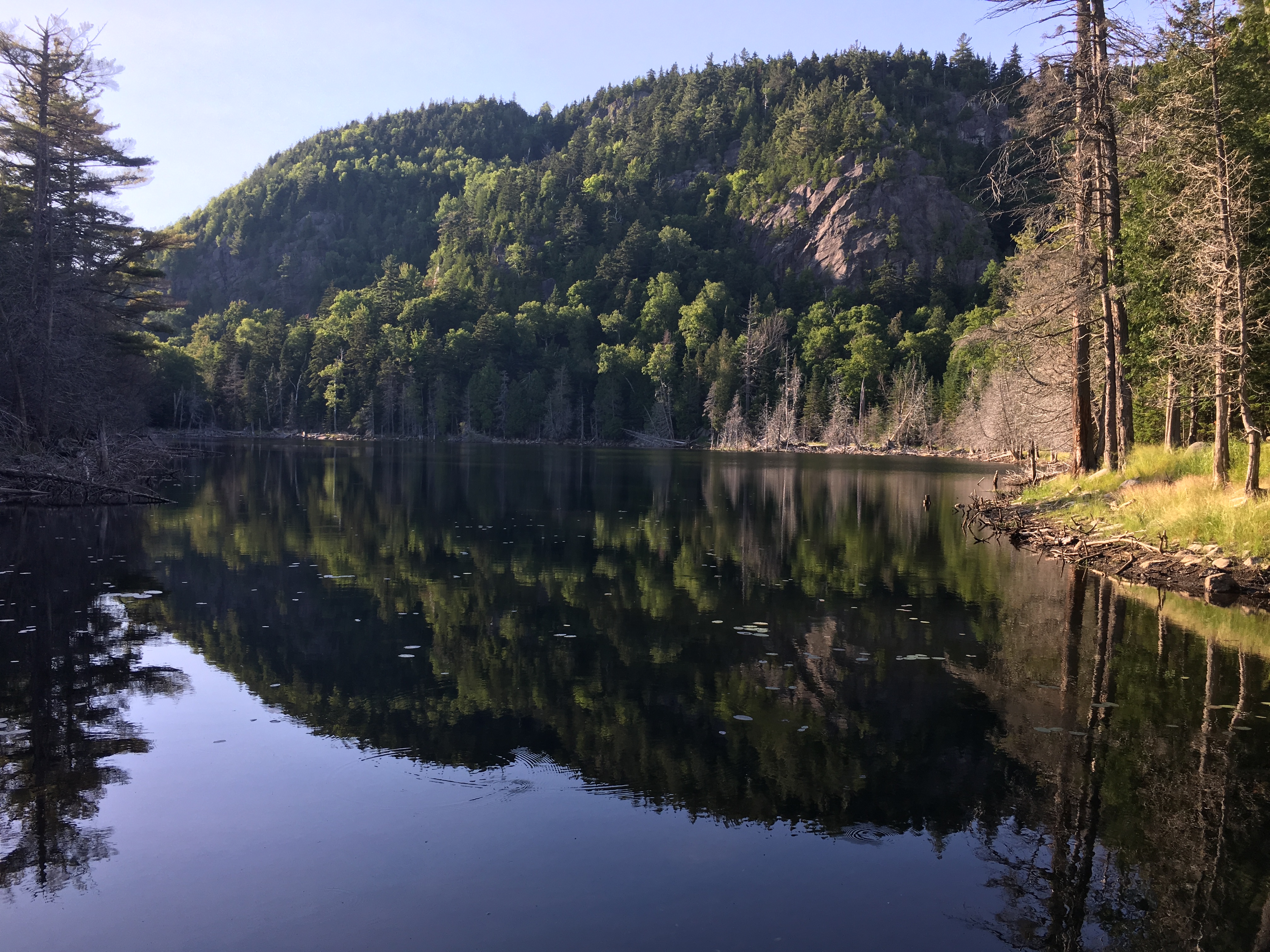
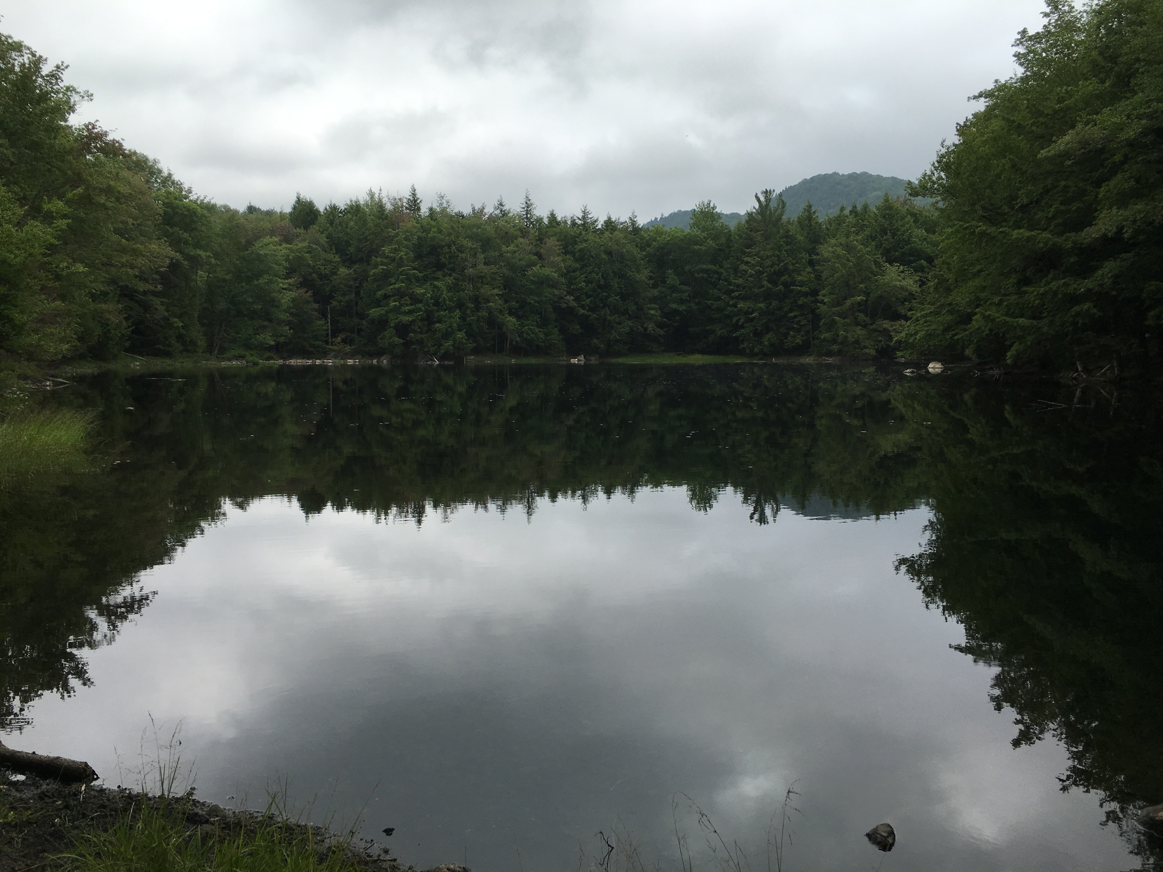
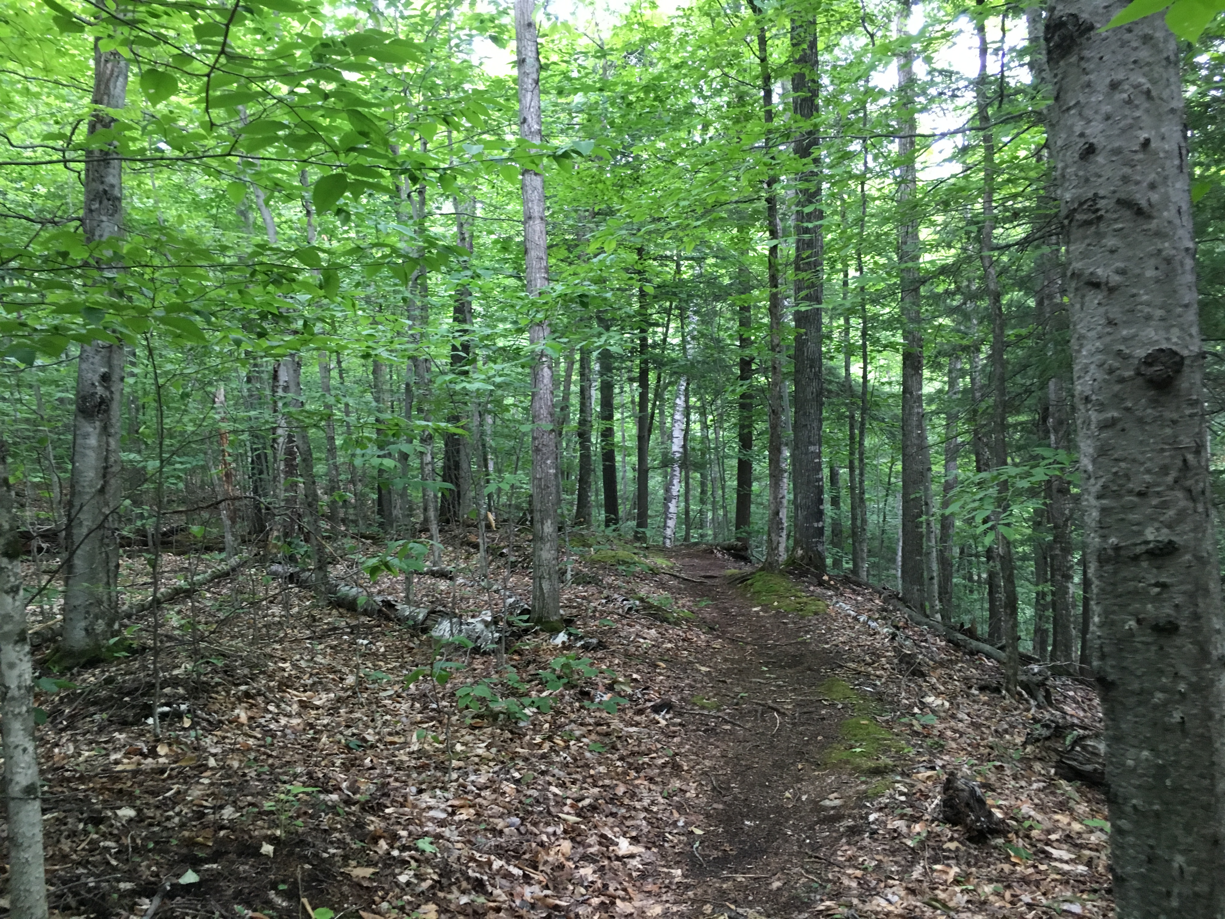
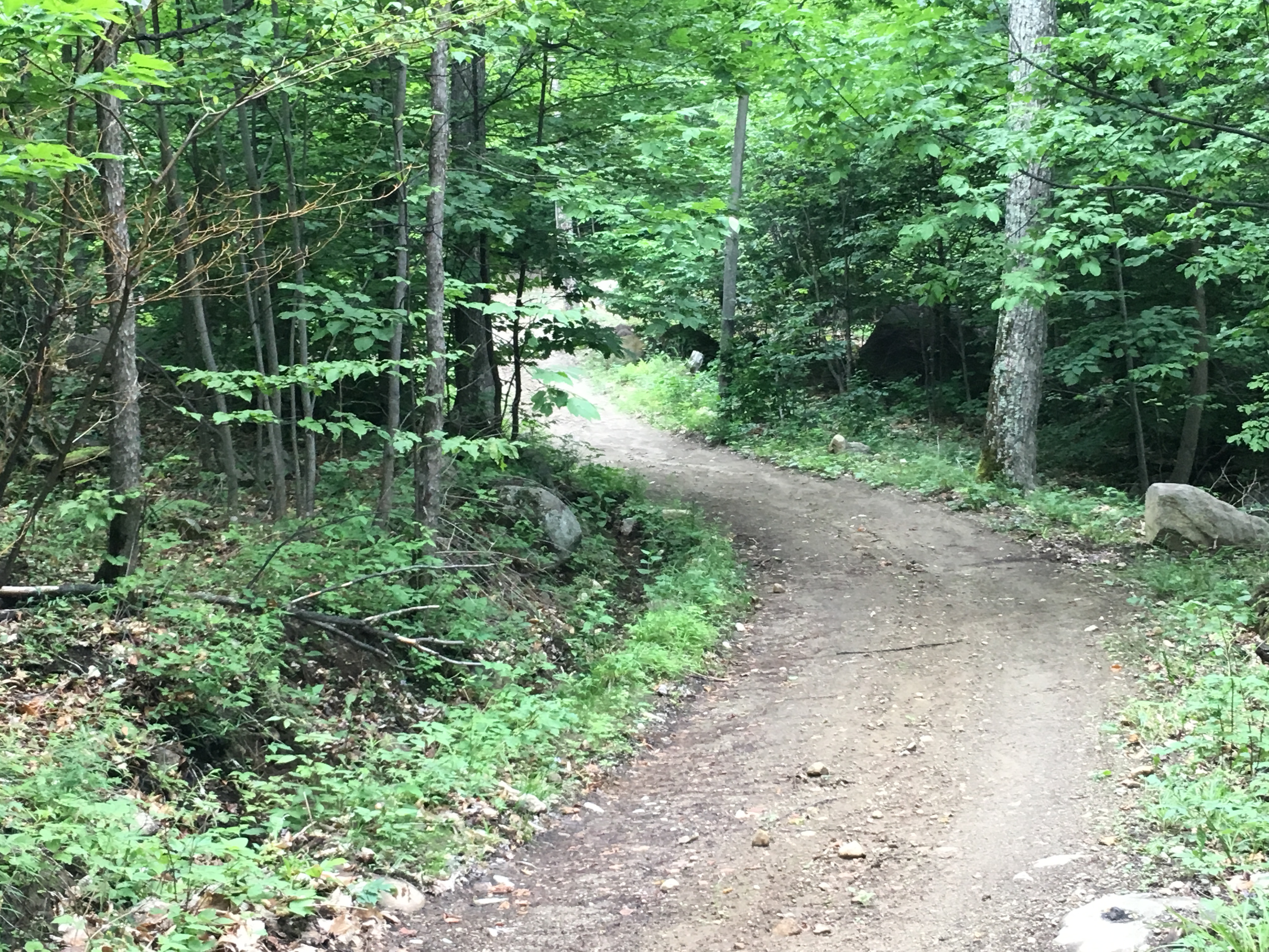
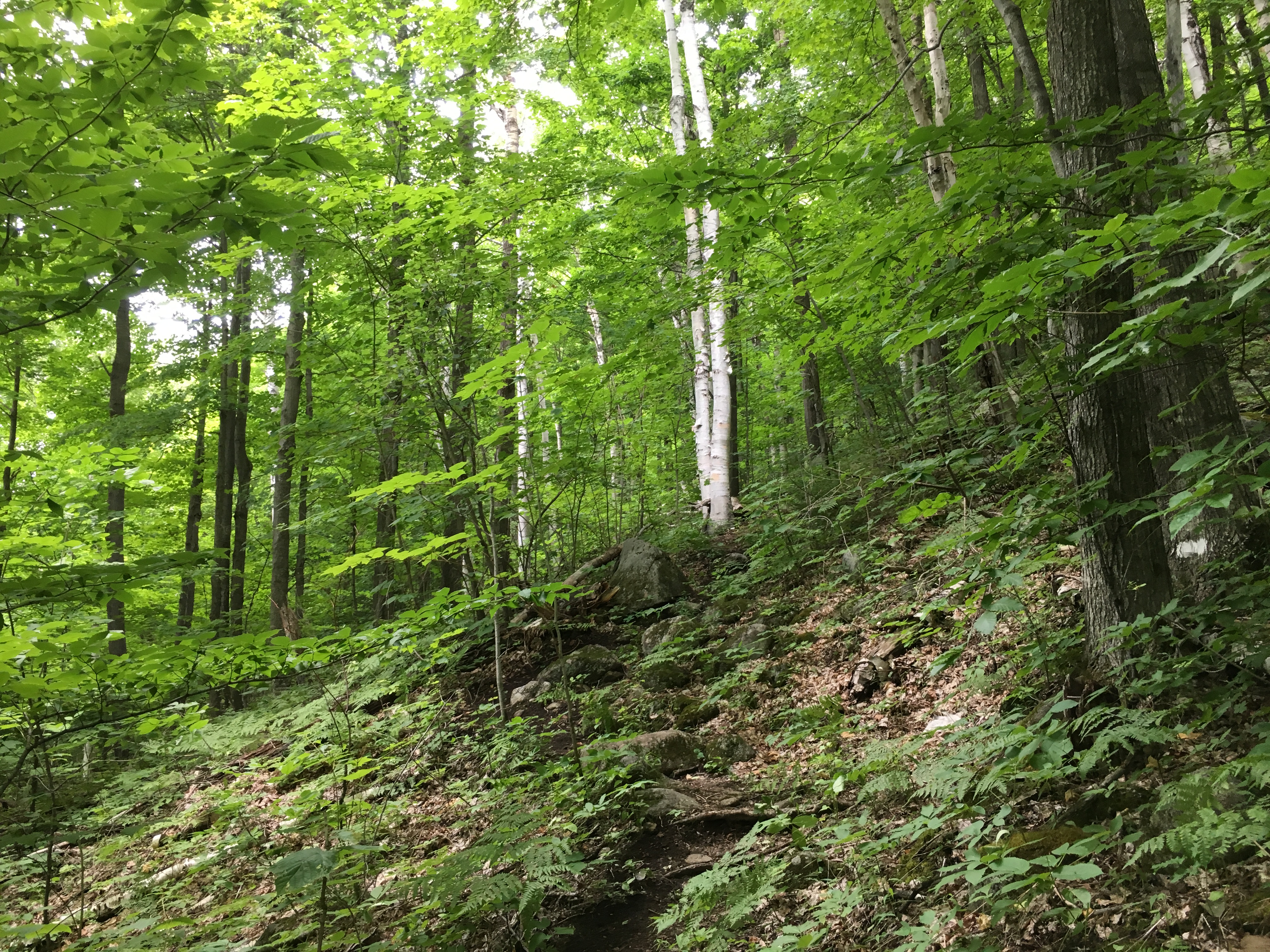
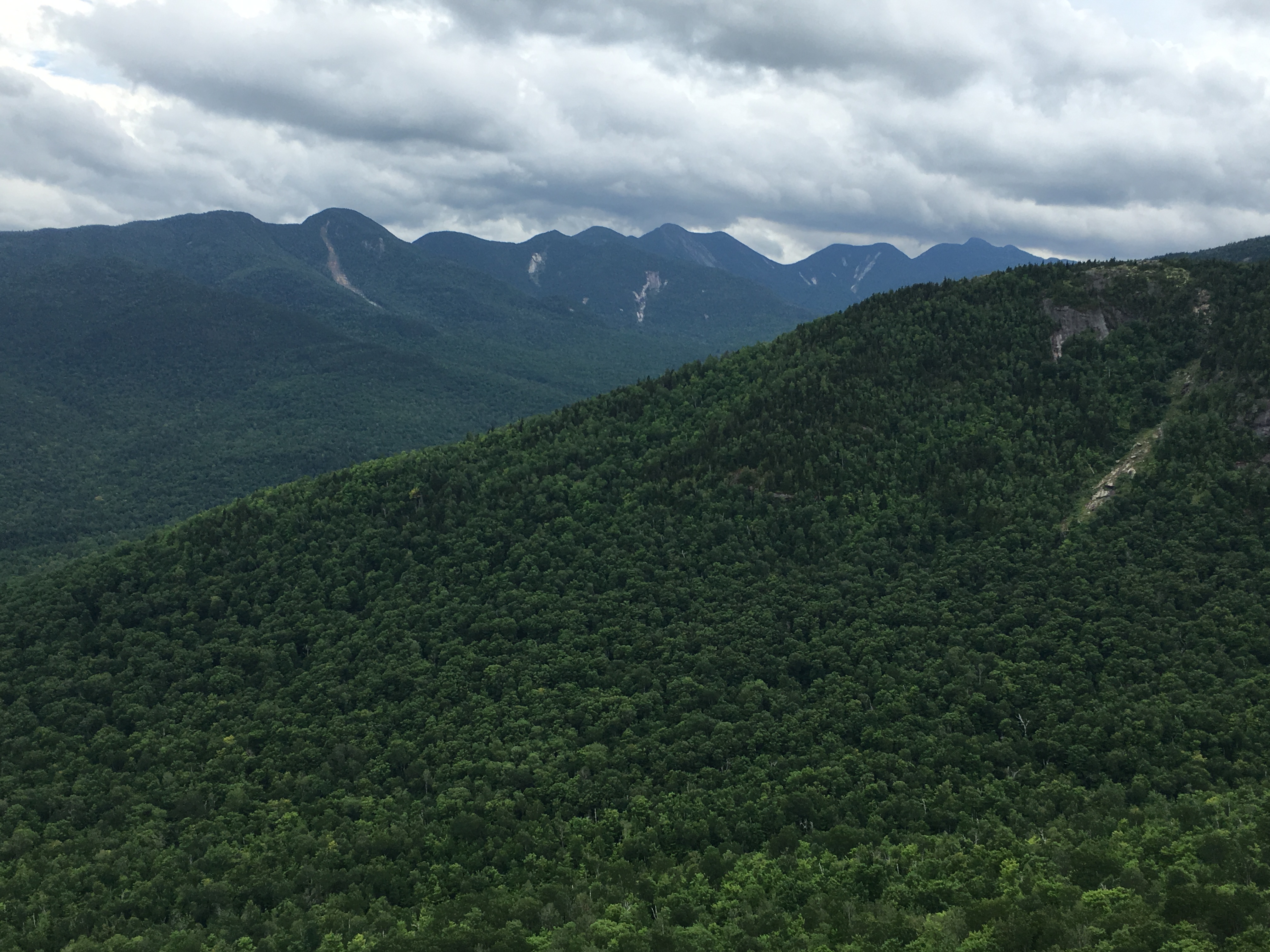
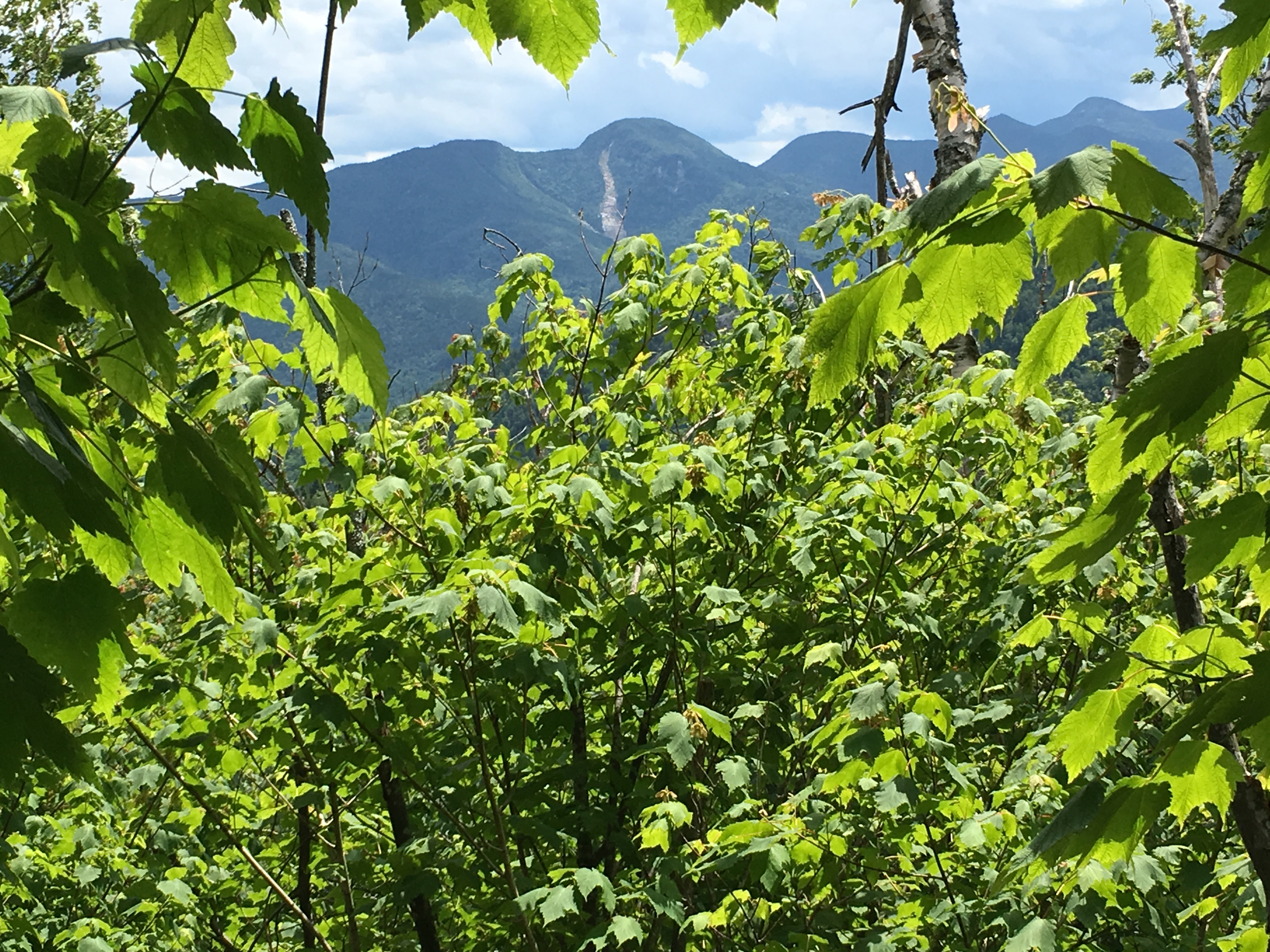
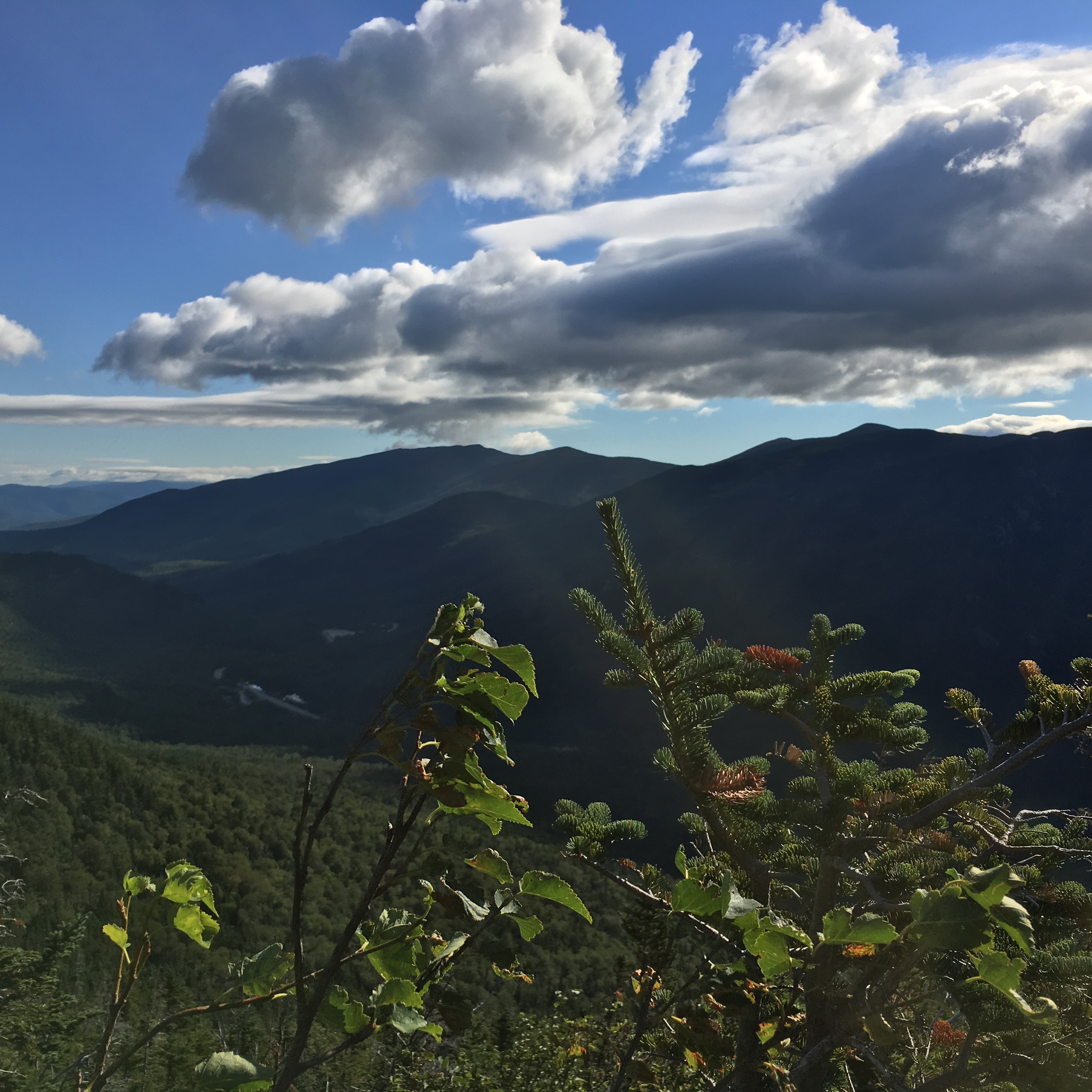
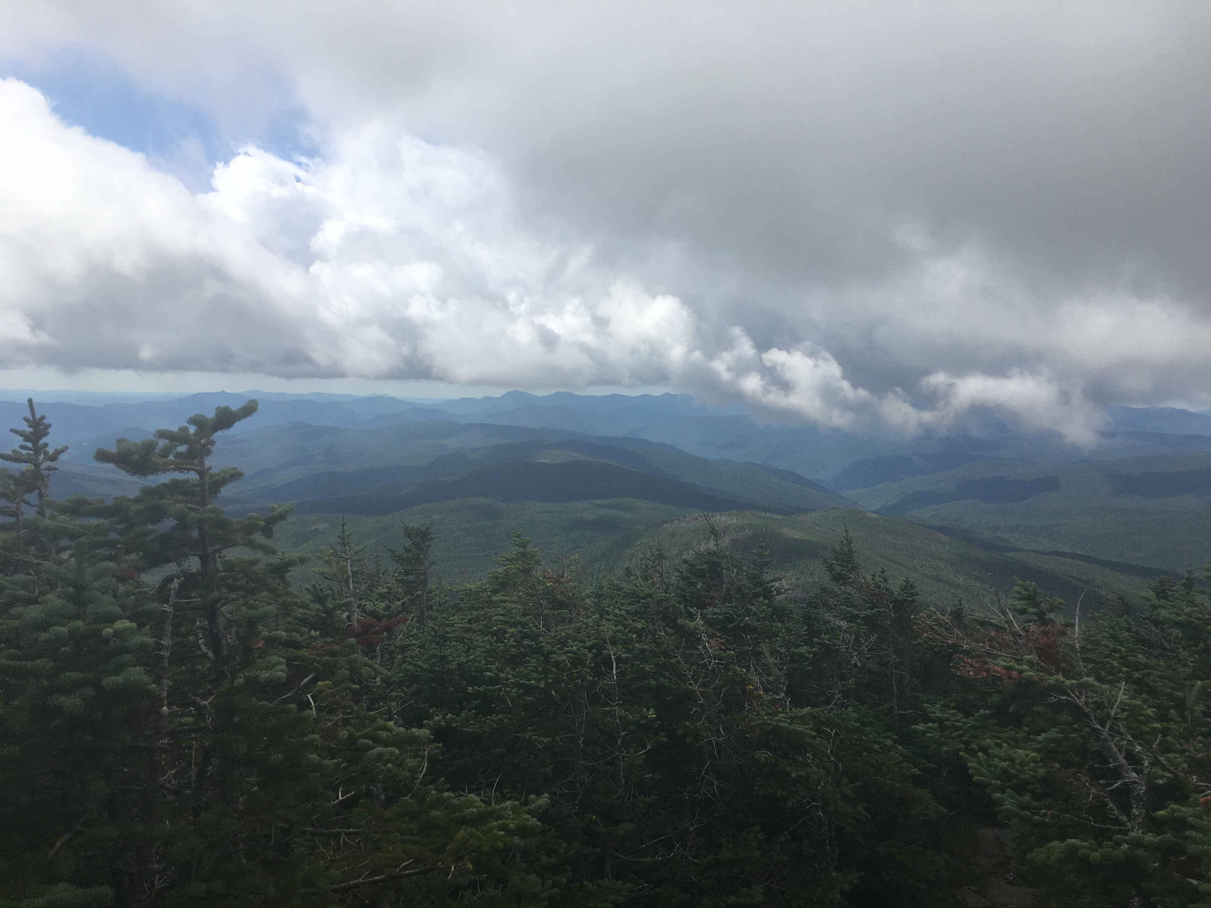
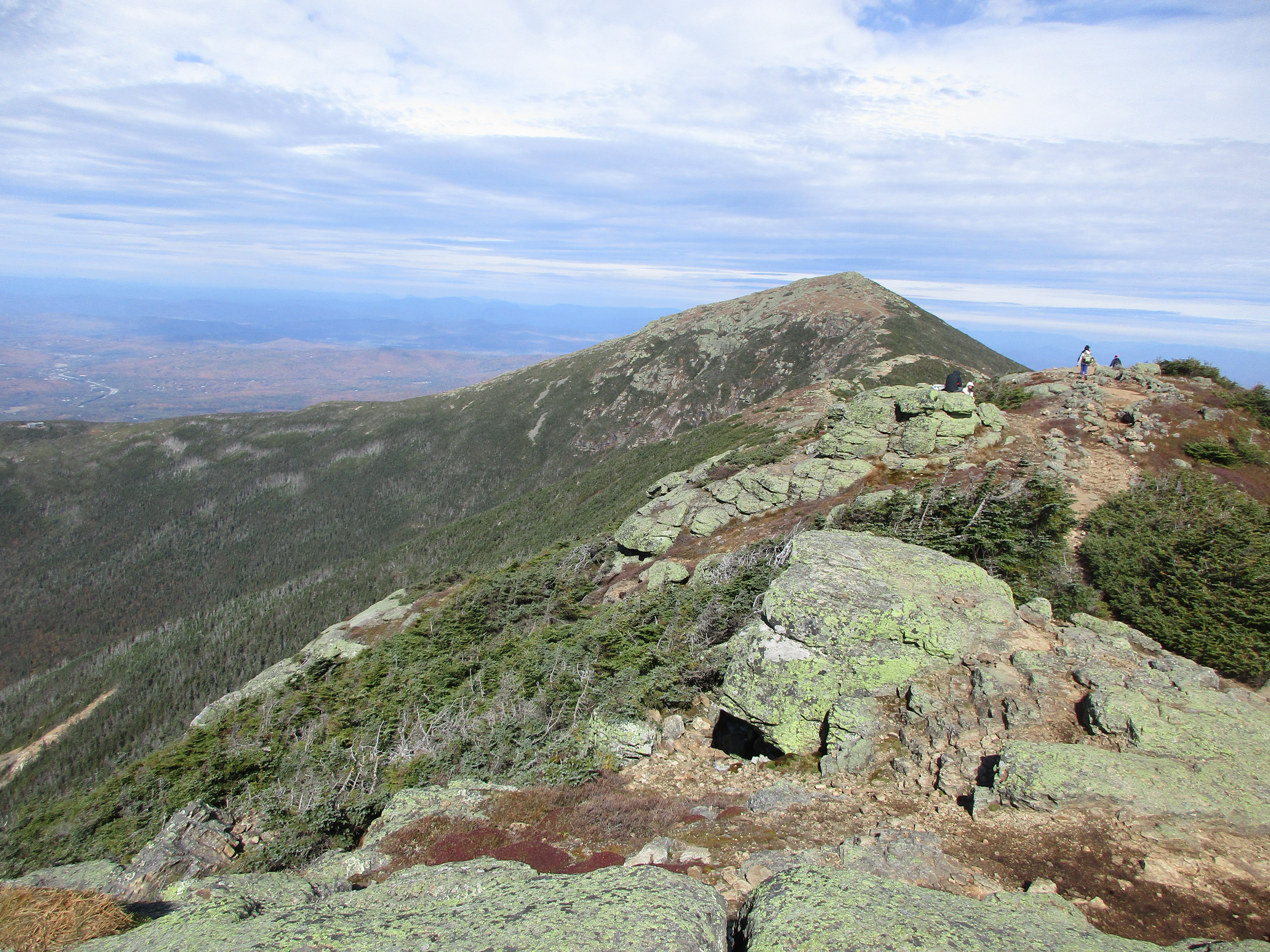
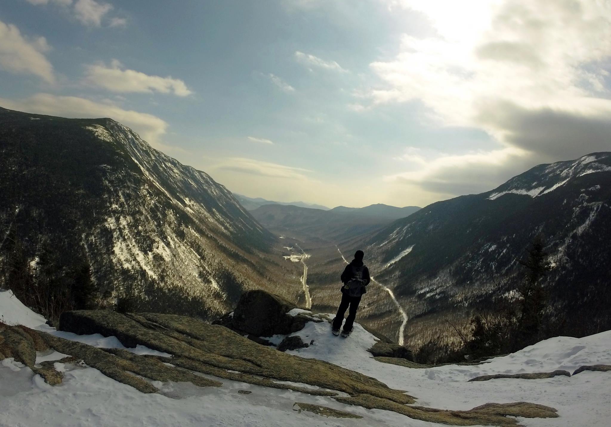
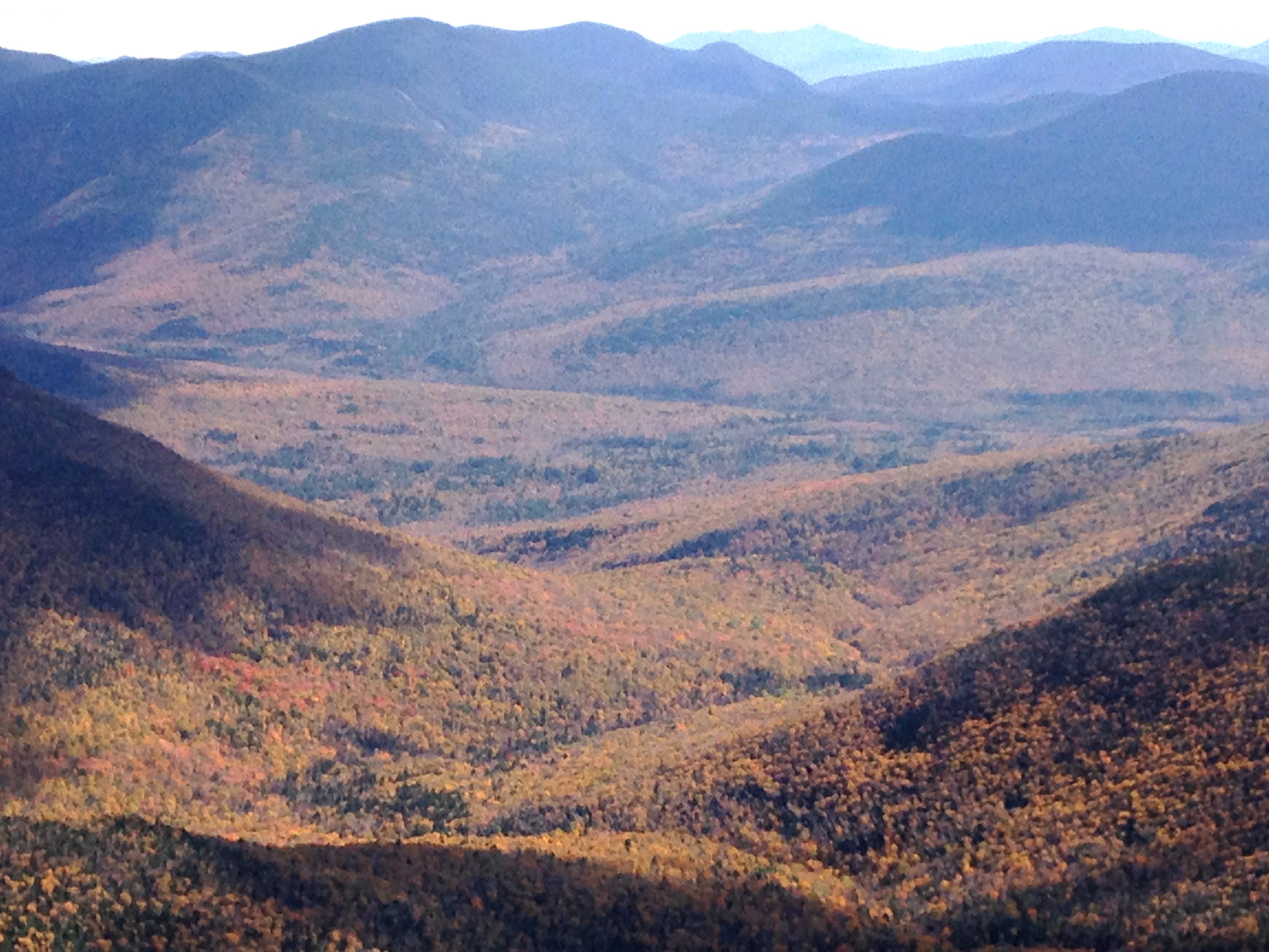
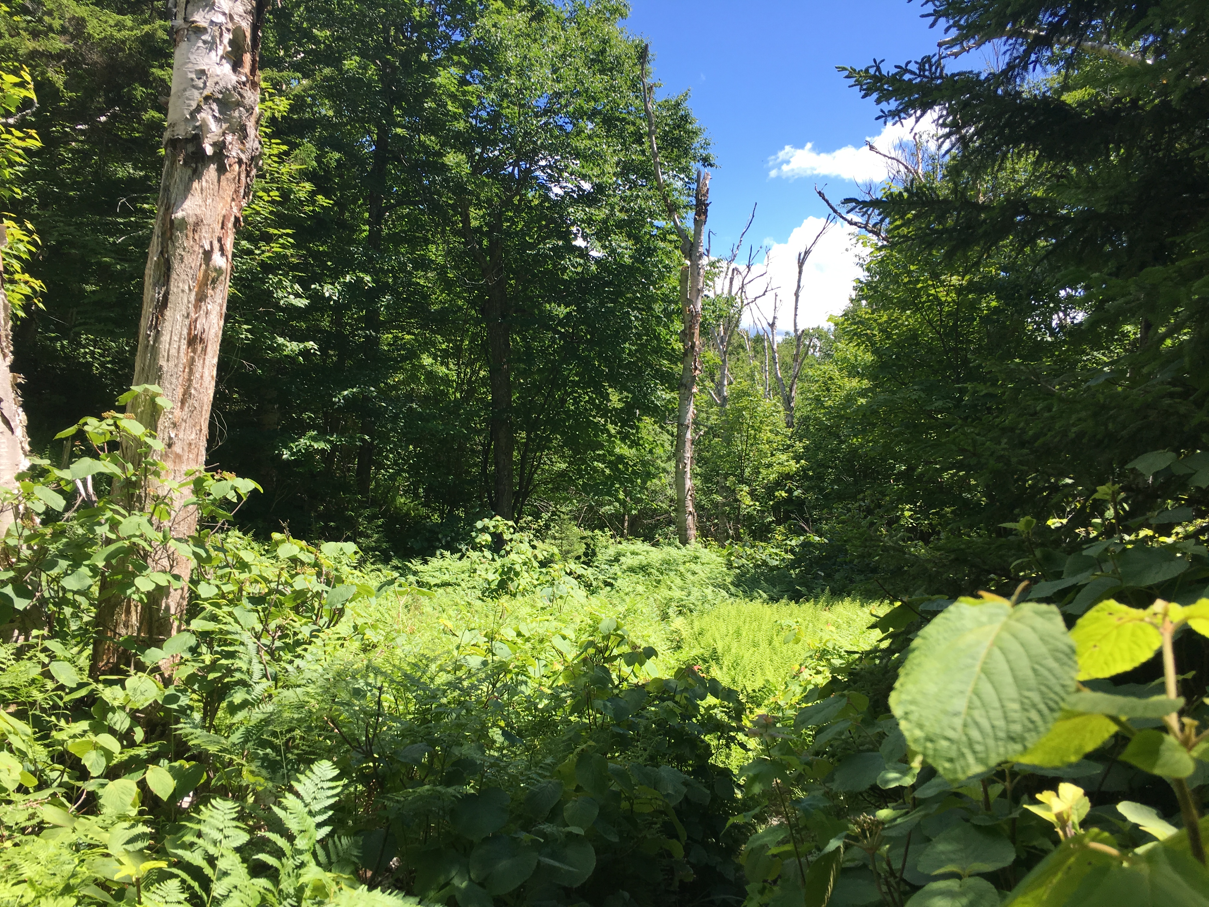
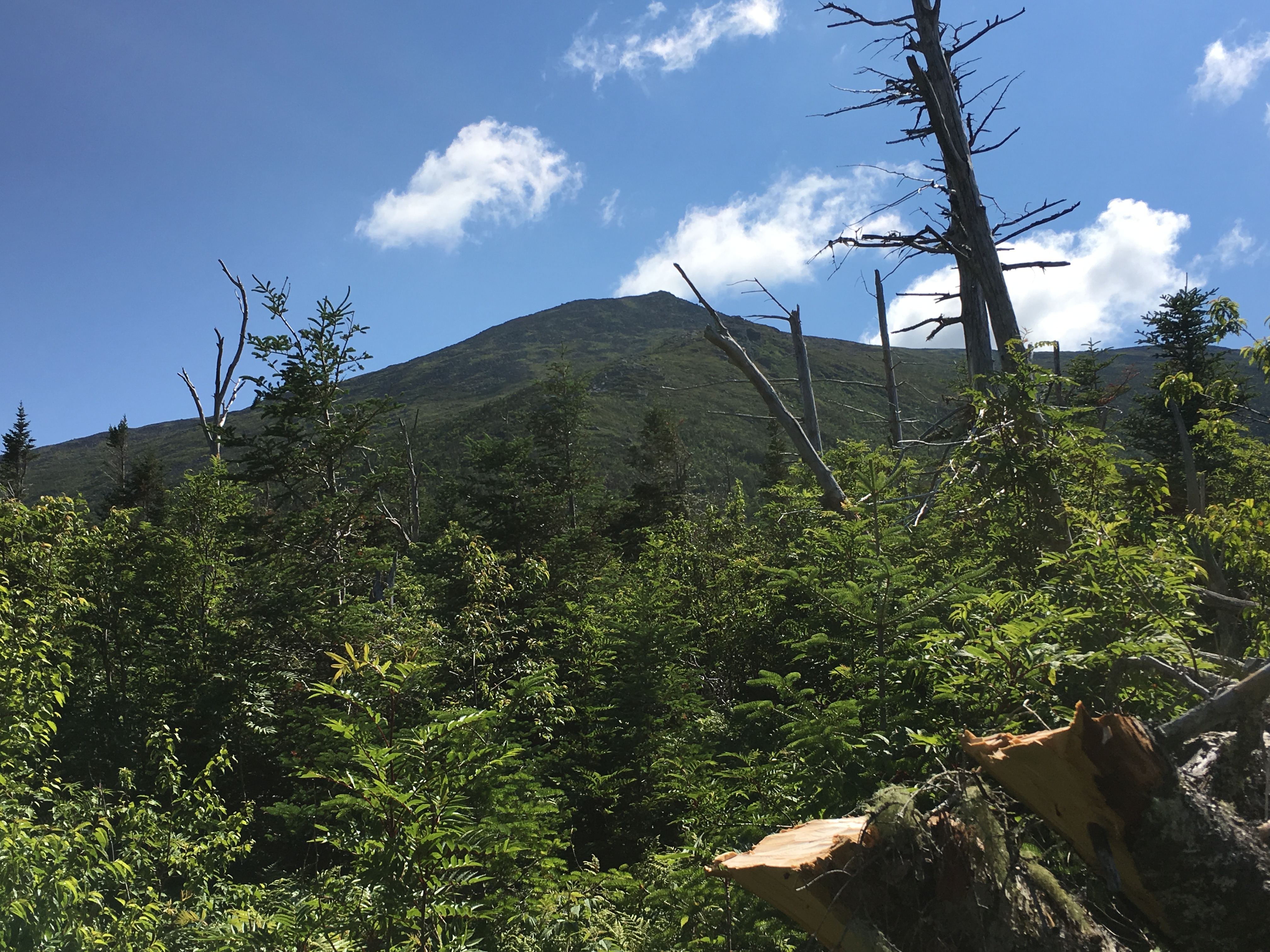
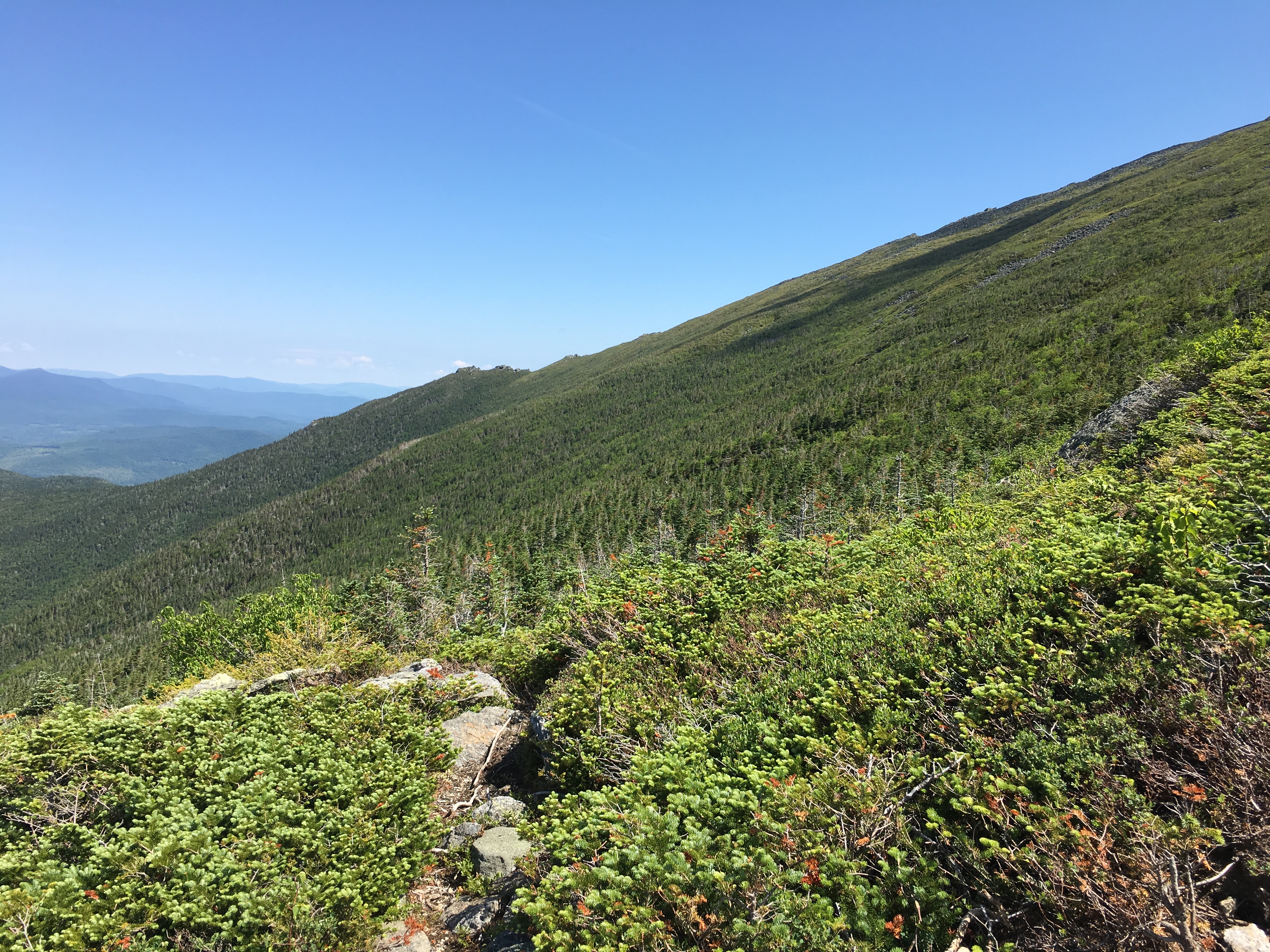
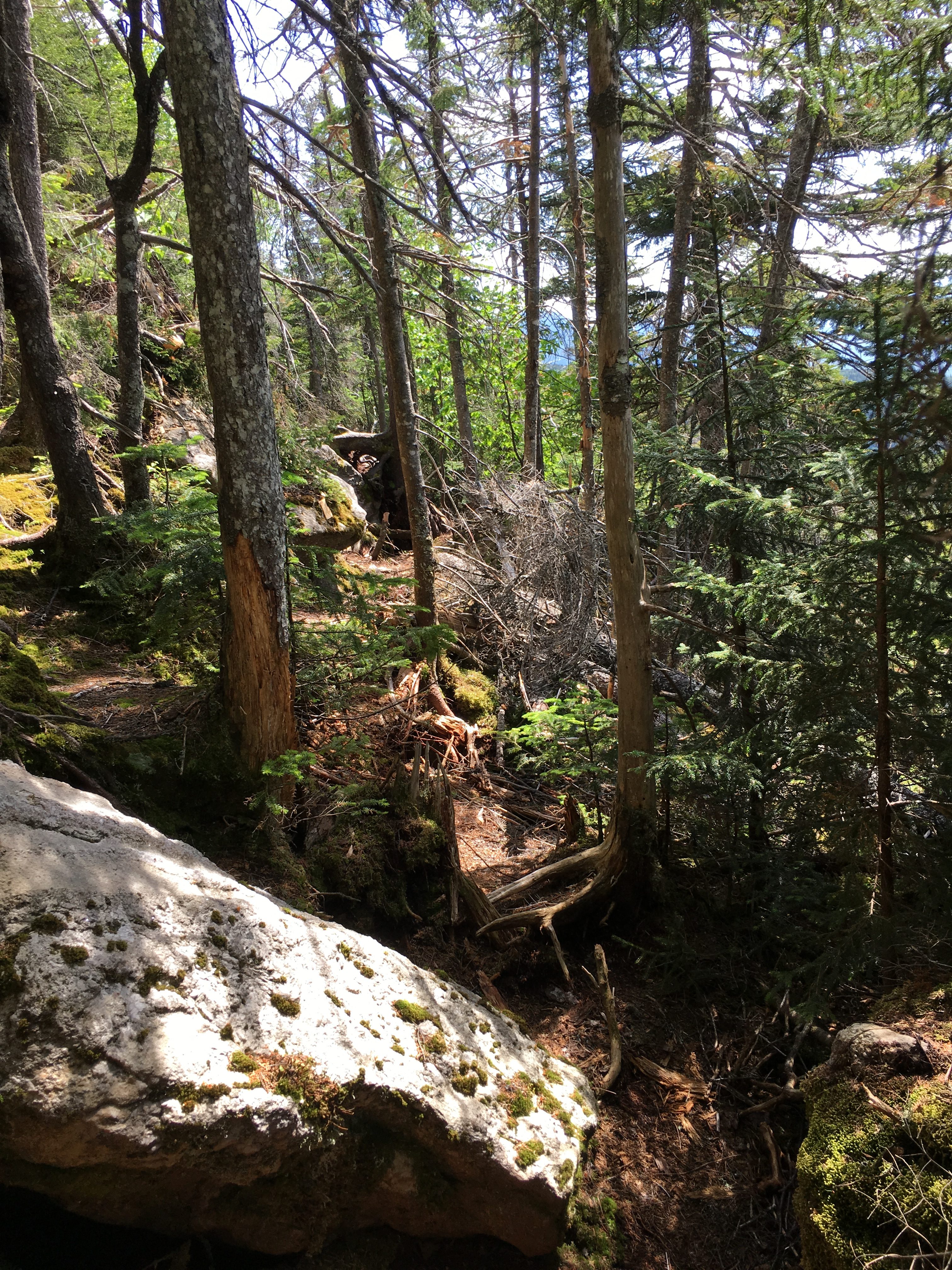
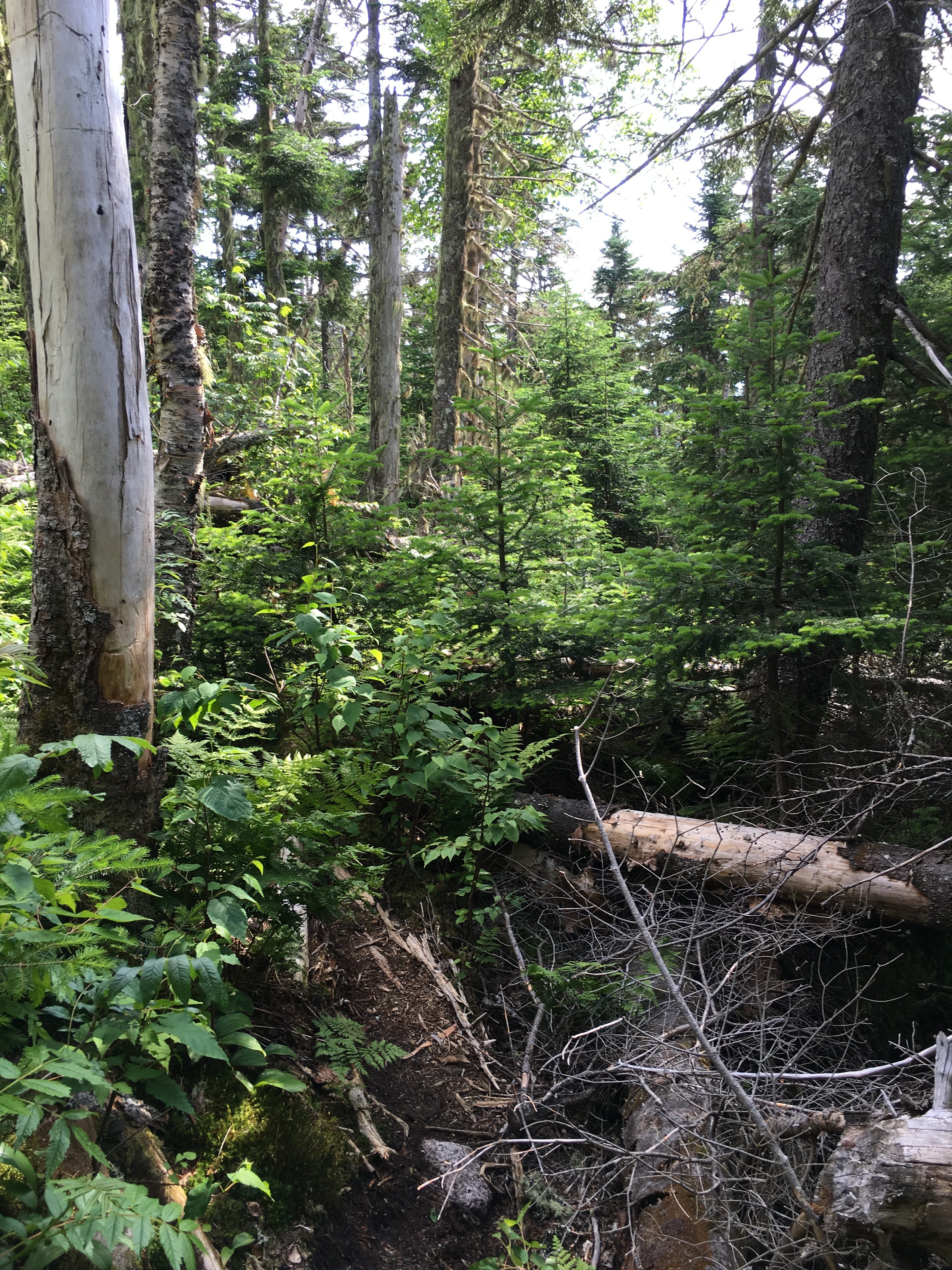
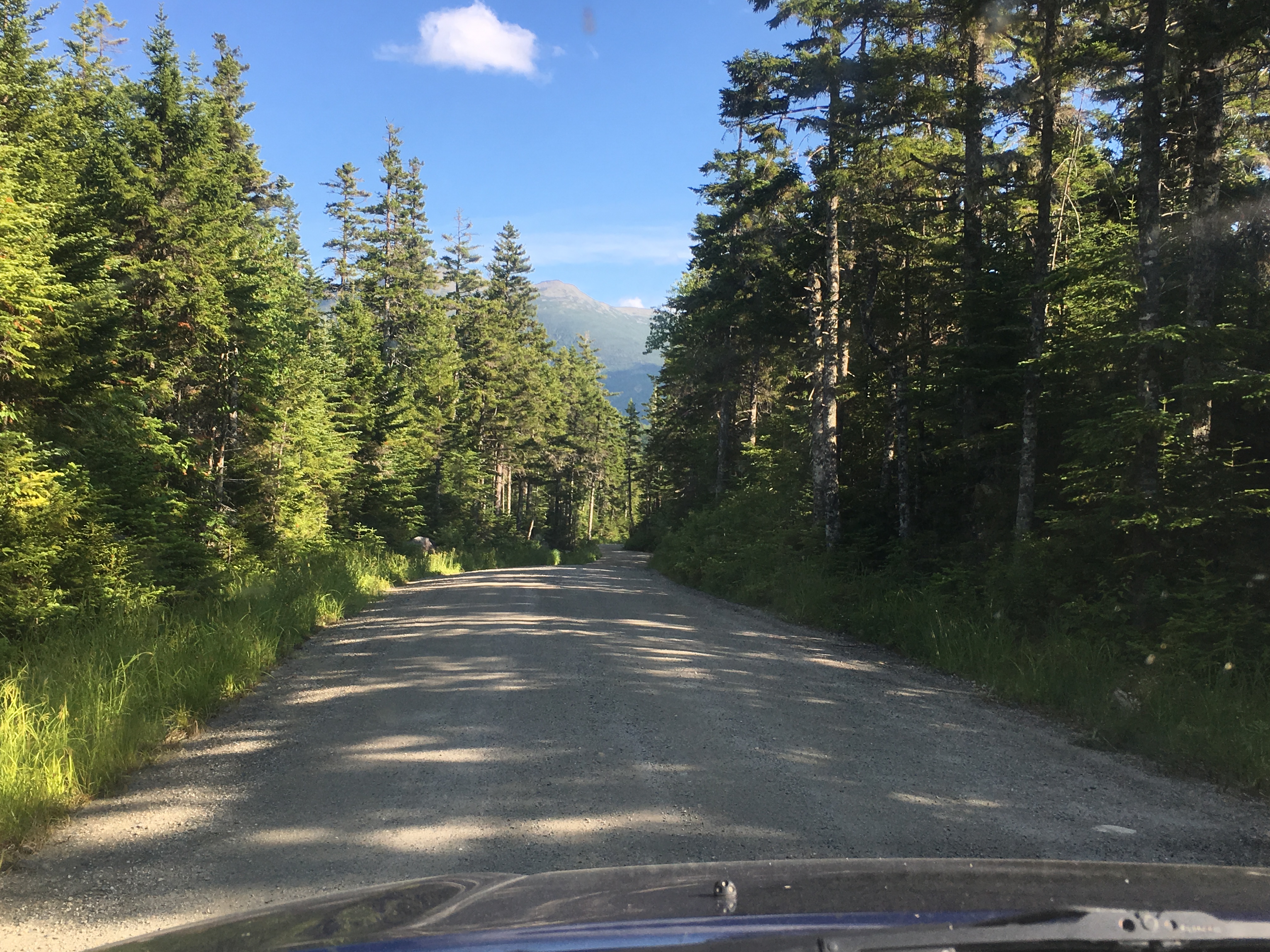
This range called to me from my first looks at the Daks, back when we were planning our first attempt at Colden, which rises out of the lakes on the other side of the beautiful Avalanche pass, which I am really excited to include as part of today’s mammoth hike! It is the sheer cliffs and slides of Colden and Avalanche mountain that plunge into the pass and form the two lakes of the same name that paint a picture like none I’ve seen and lure me into its beauty. I can’t wait to see it in person! So, I set out after breakfast at the Loj to start my day.


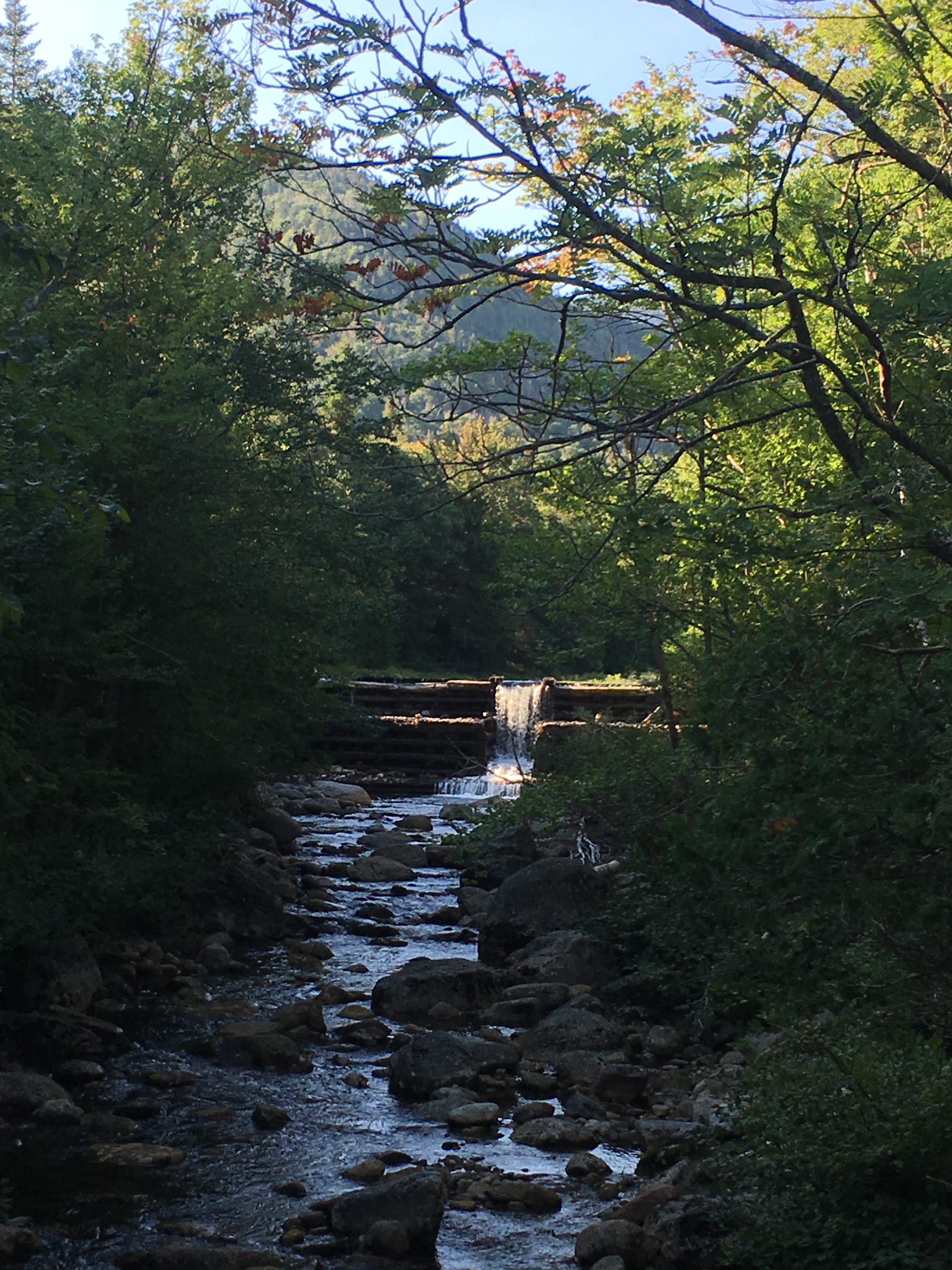
As I head past Marcy Dam I notice a parallel in my methods in tackling the highest peaks in the whites, where I had hiked Adams before taking on Washington. Maybe knocking off the 2nd highest gives me a confidence boost for #1. I don’t know but if the parallel holds true, this one will be more difficult than Marcy. We shall see.


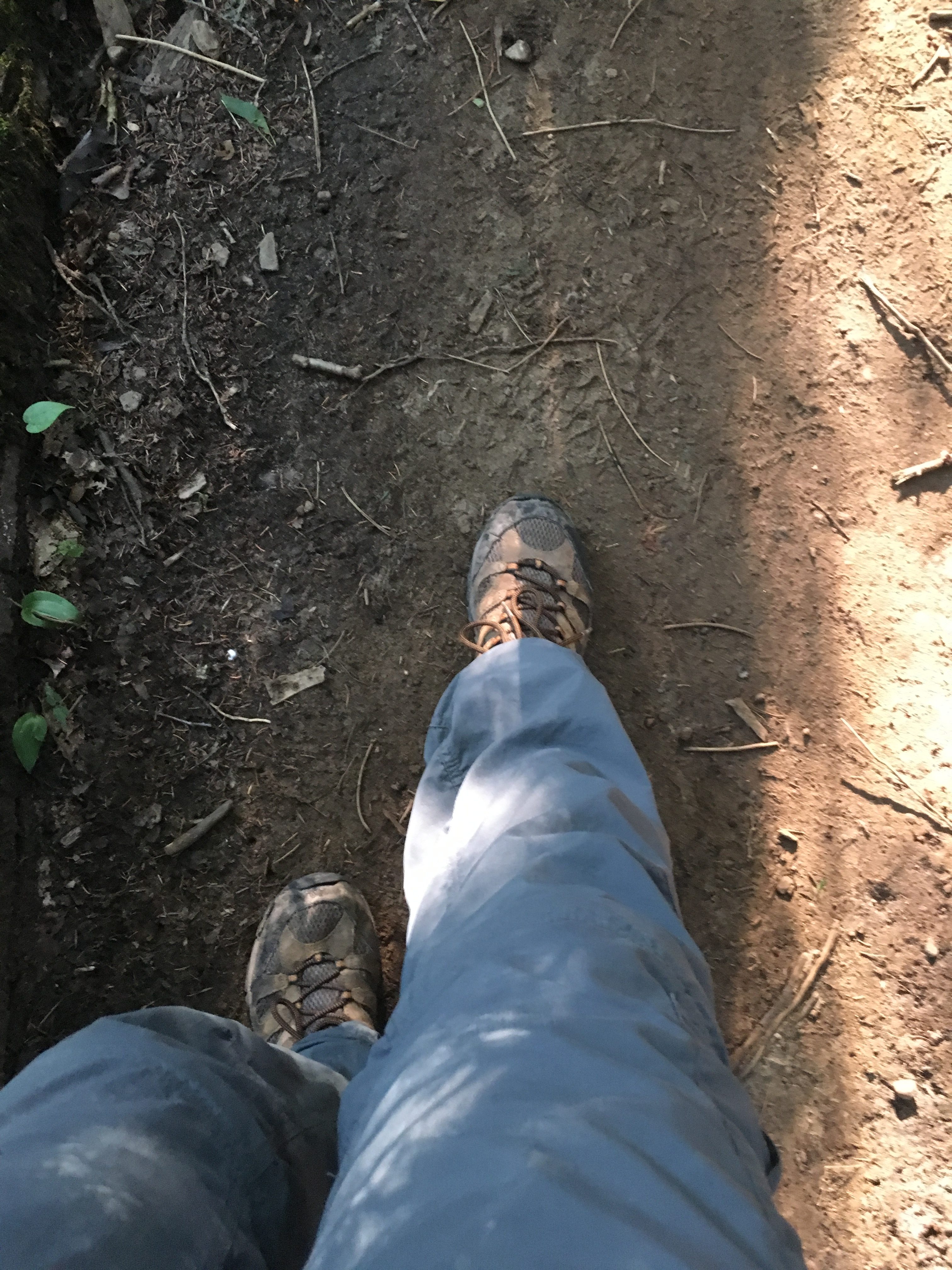
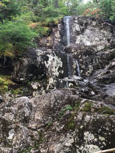
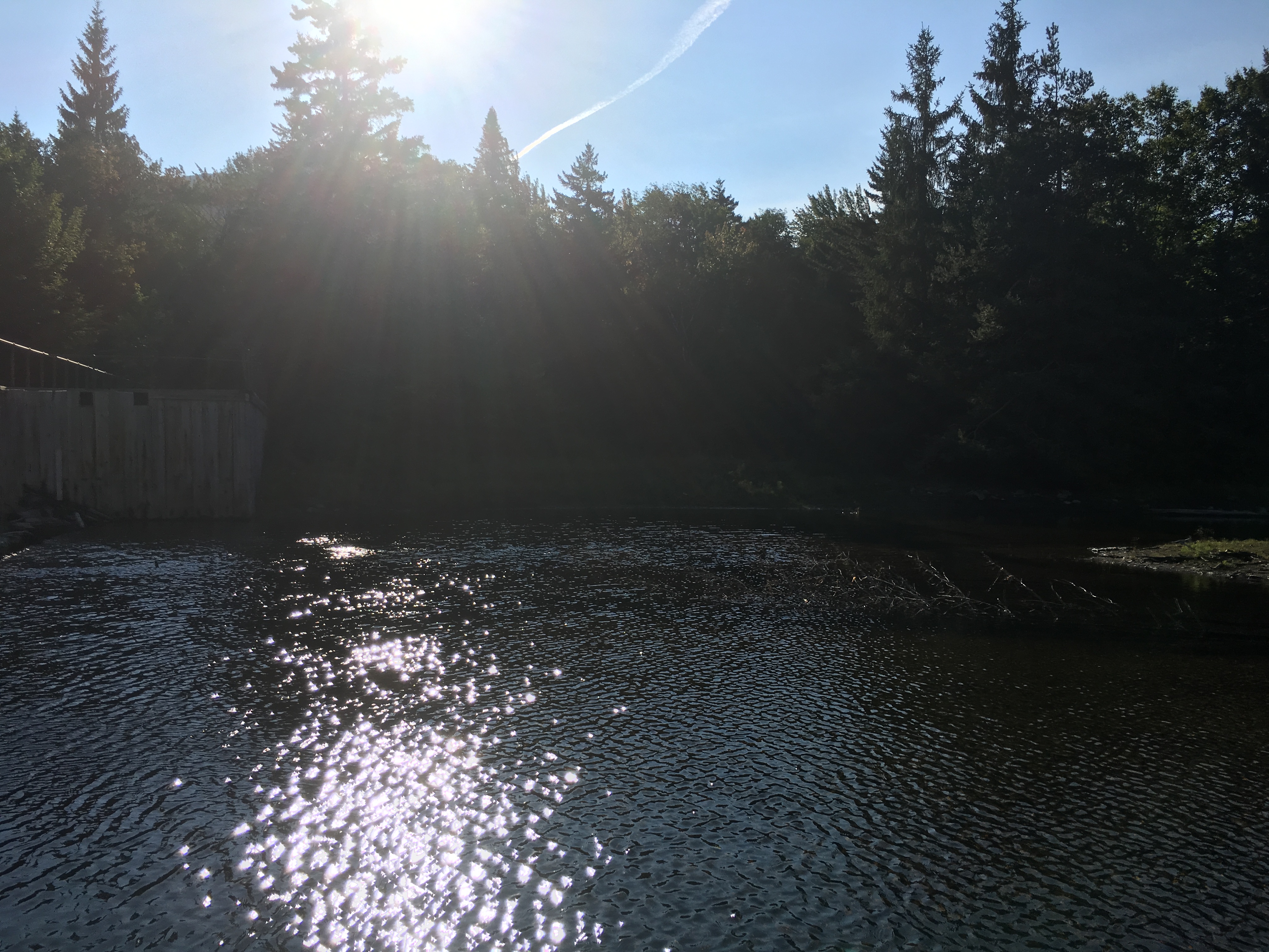
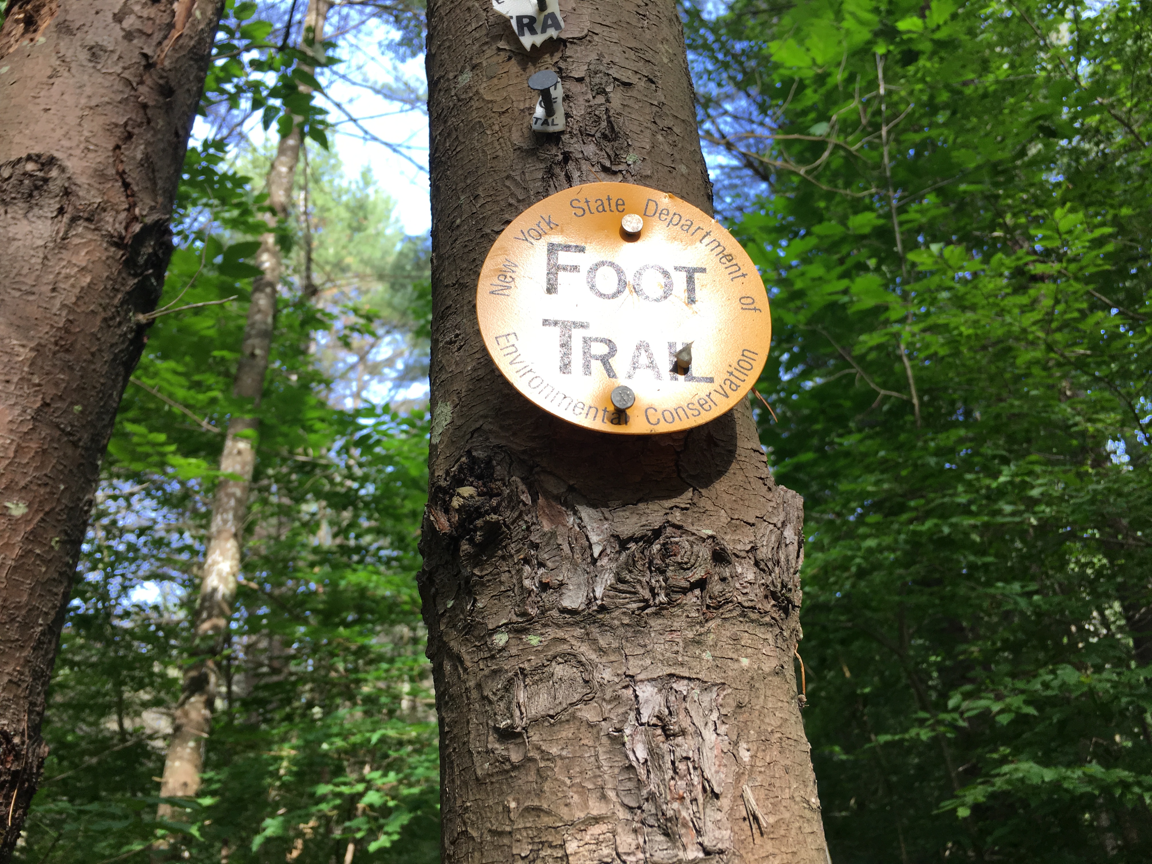
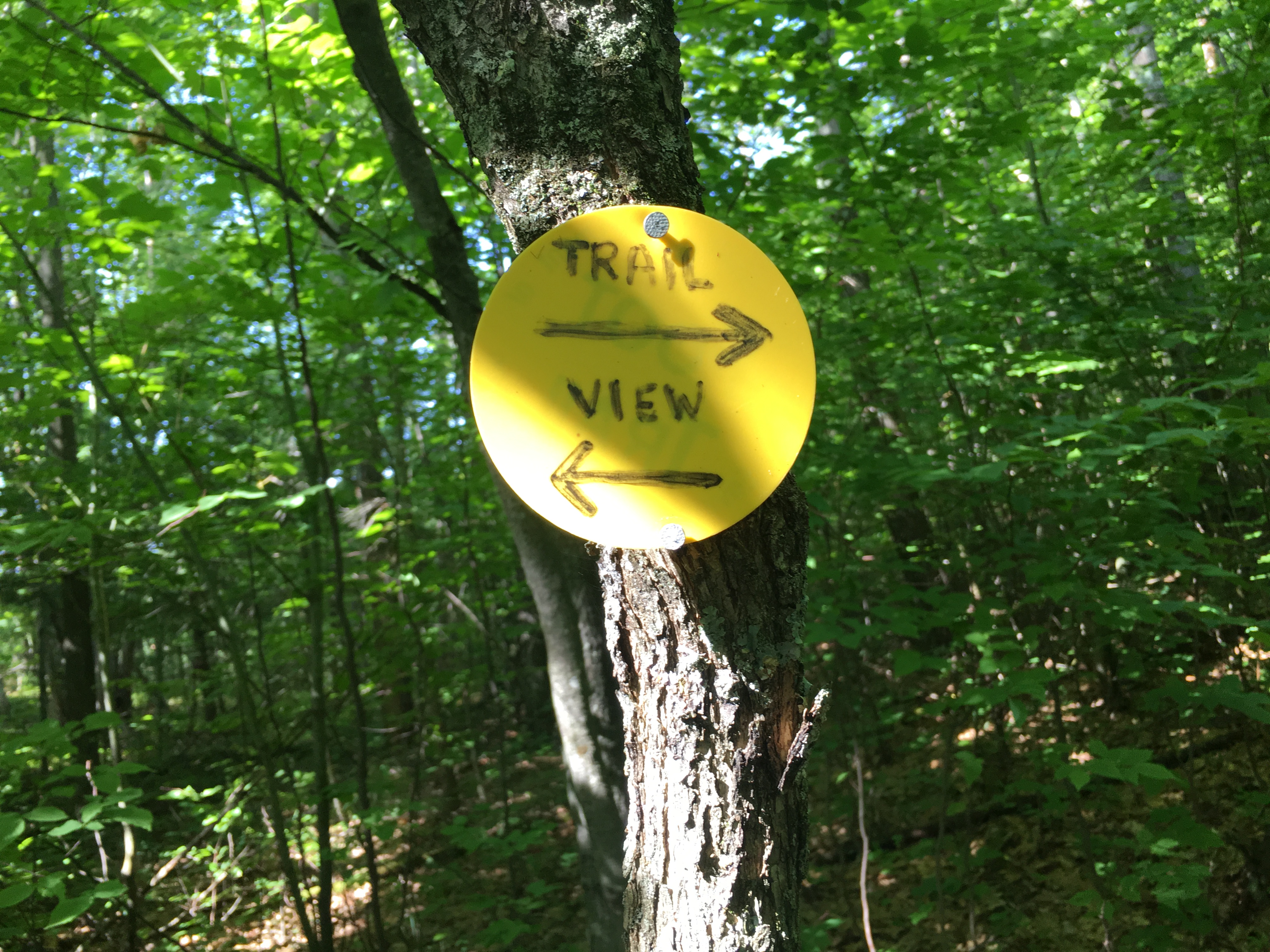
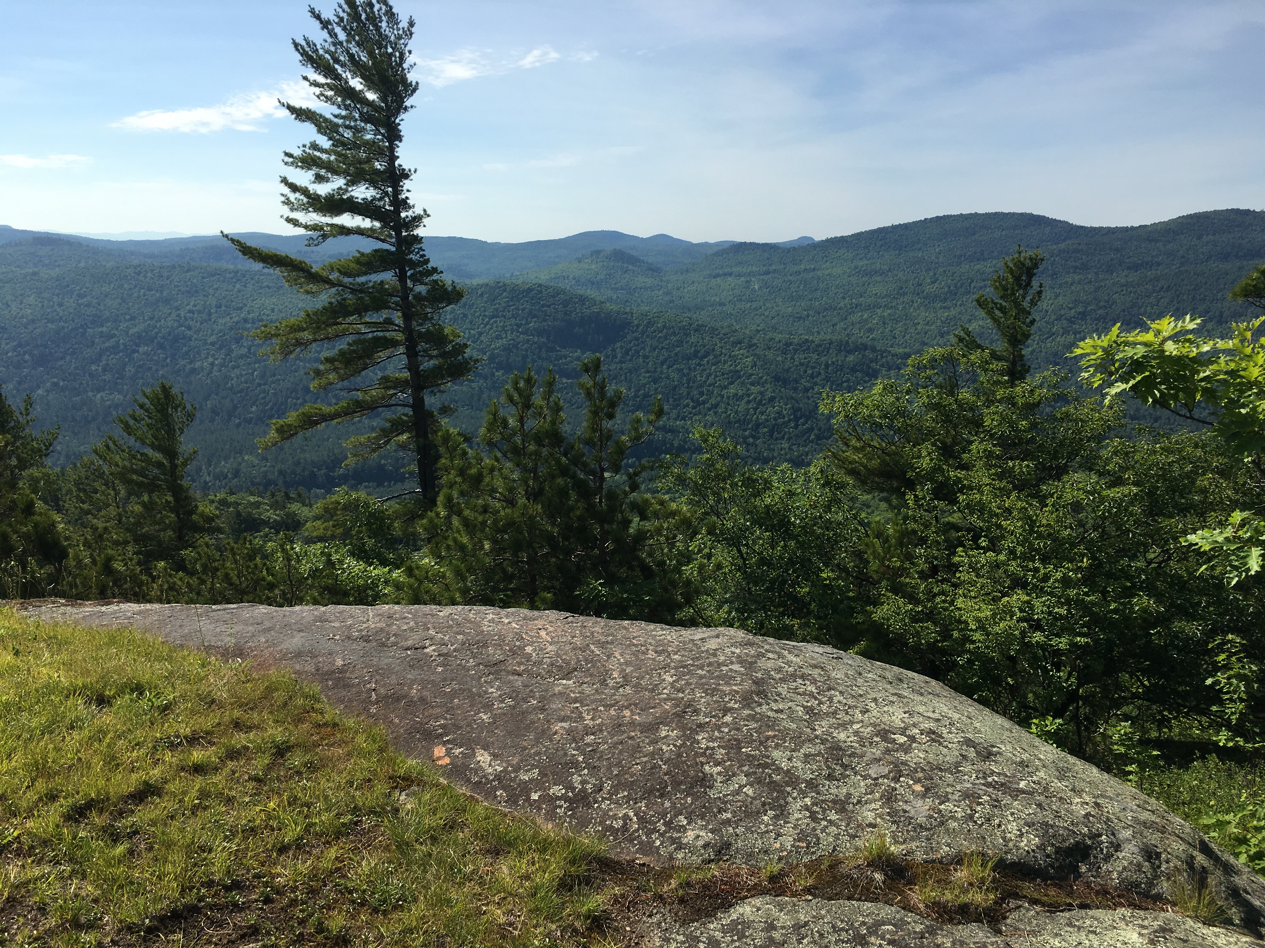
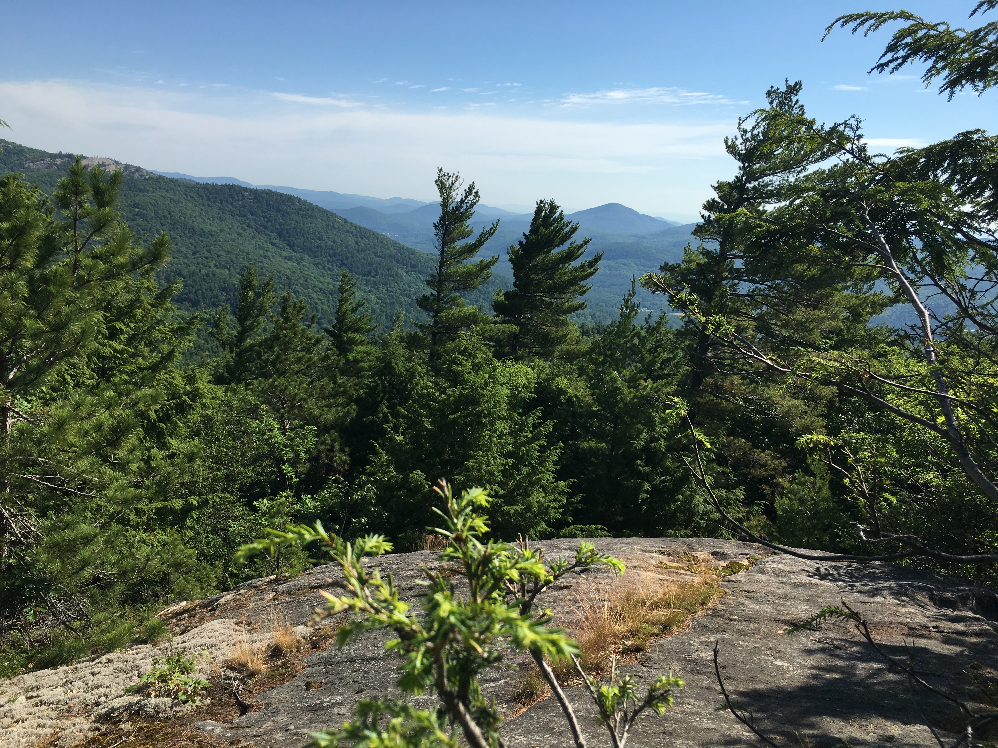
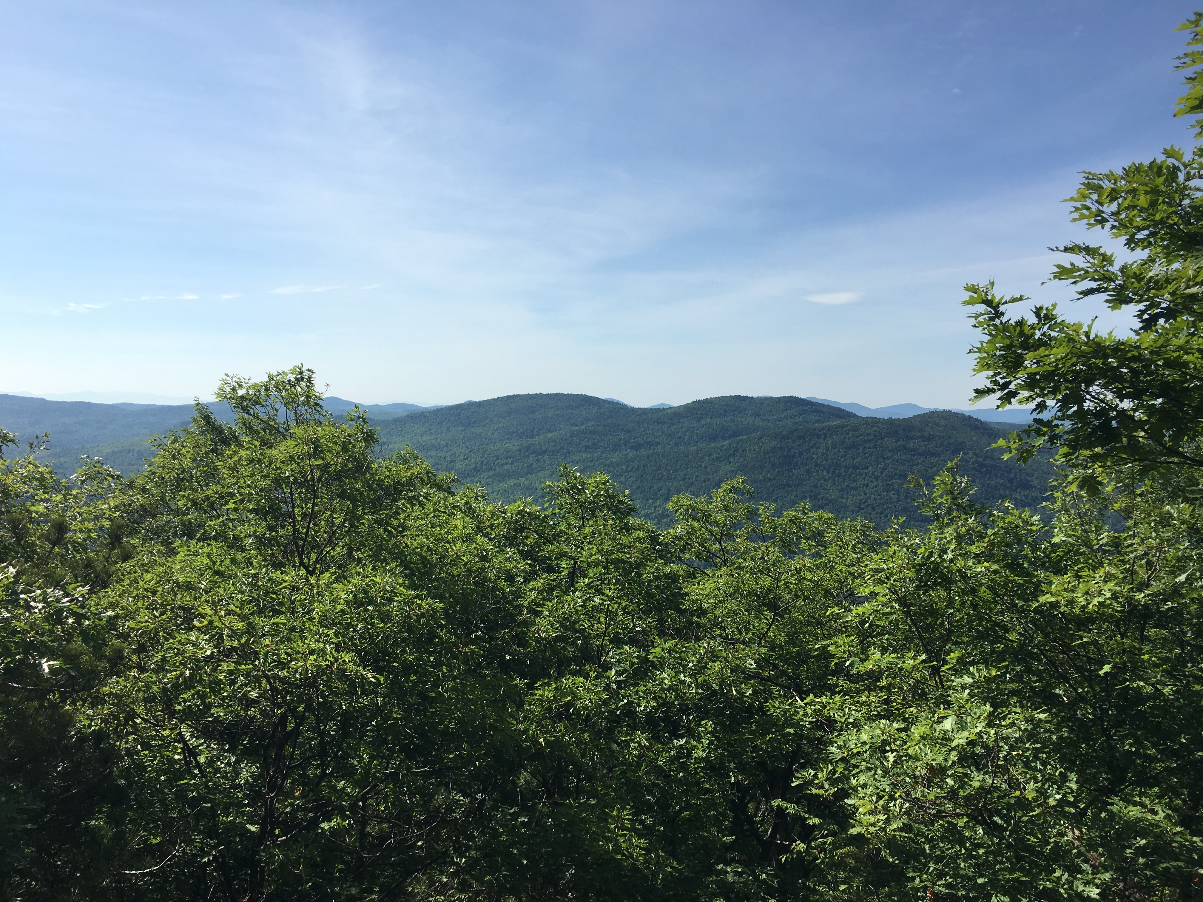
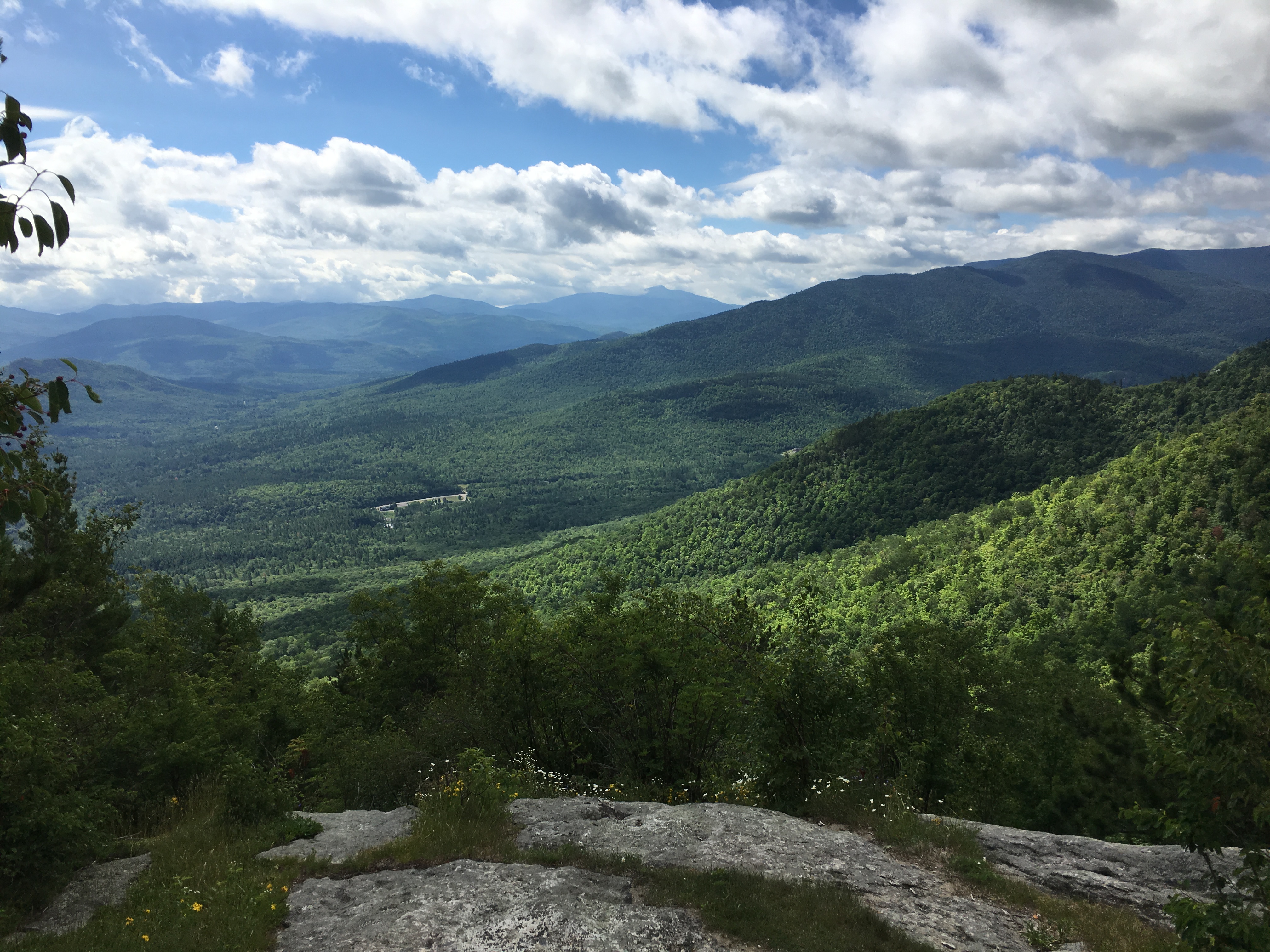
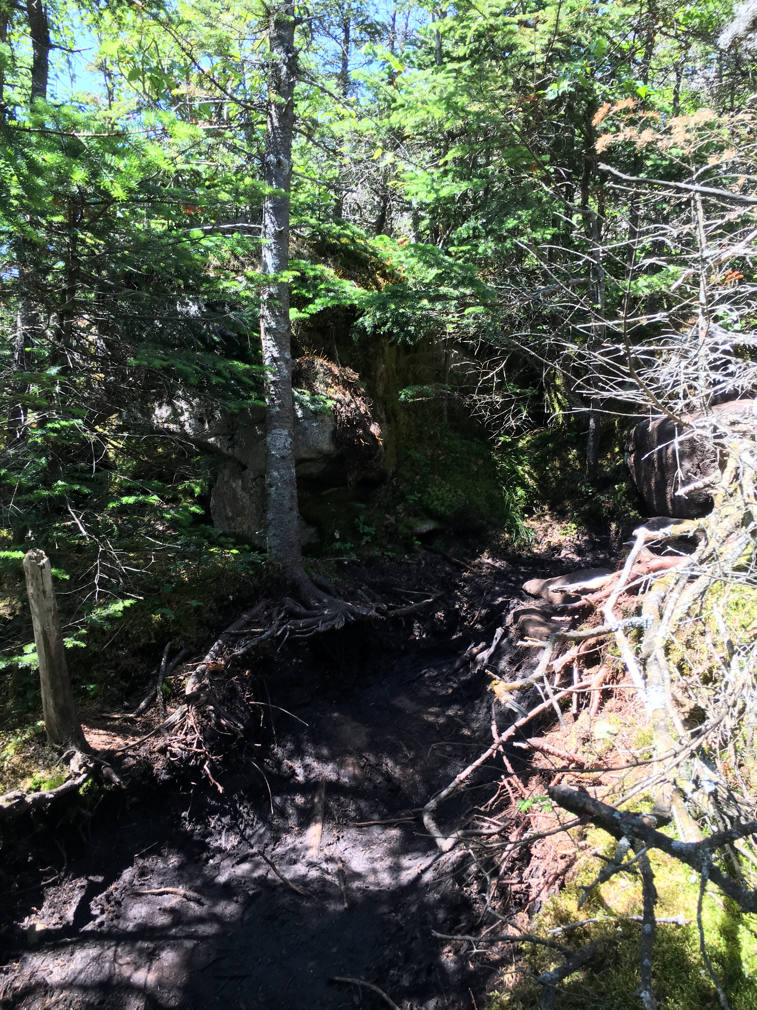
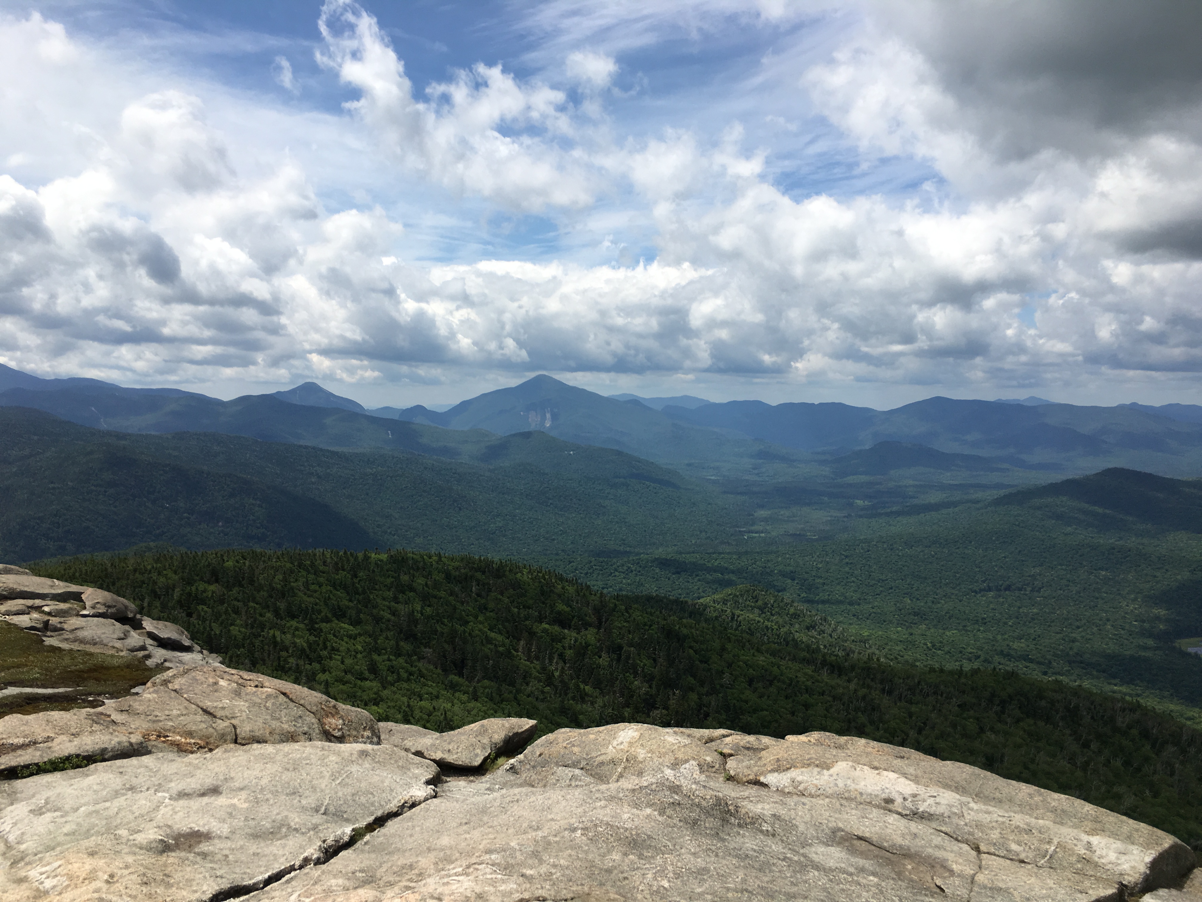
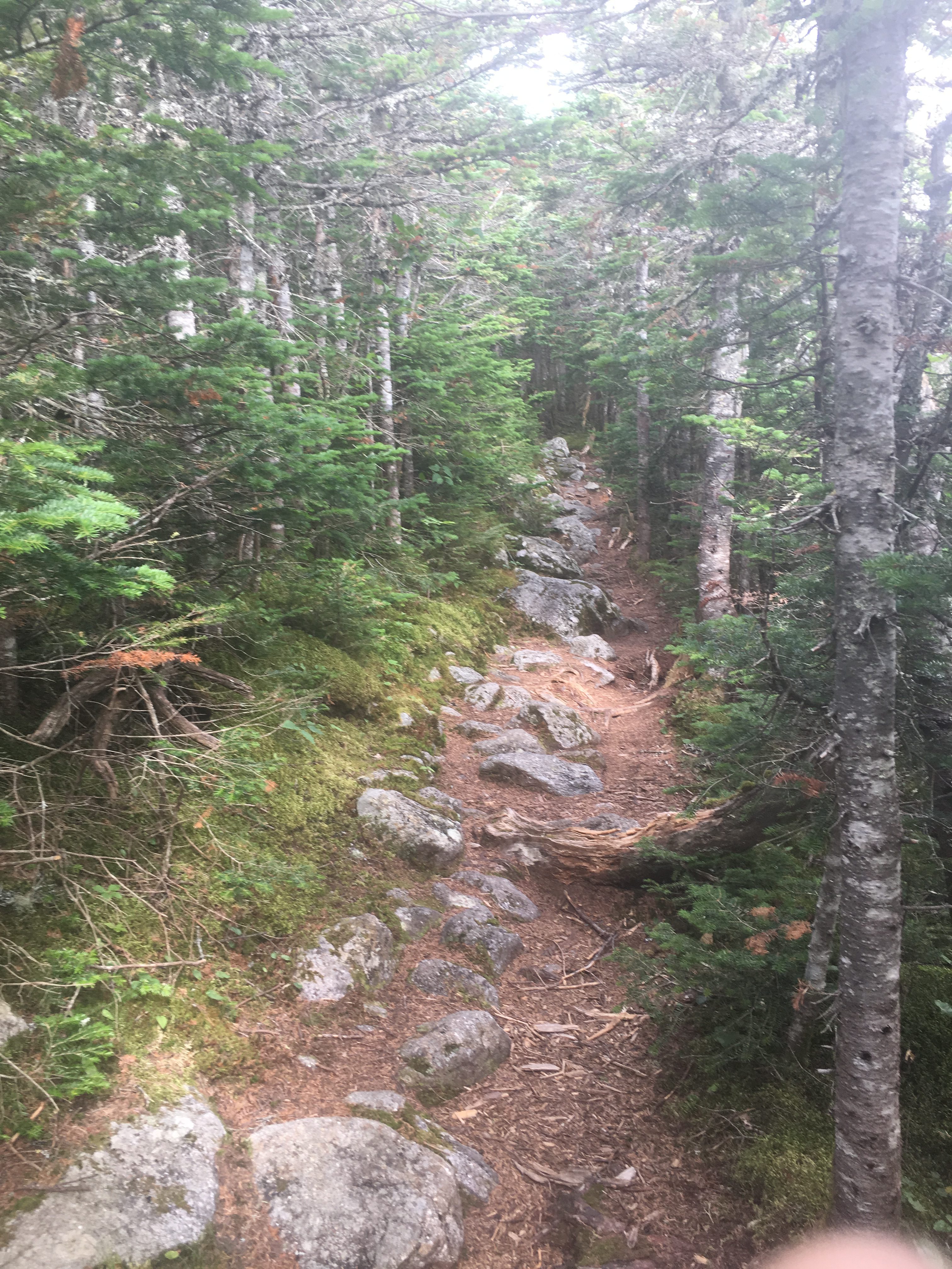
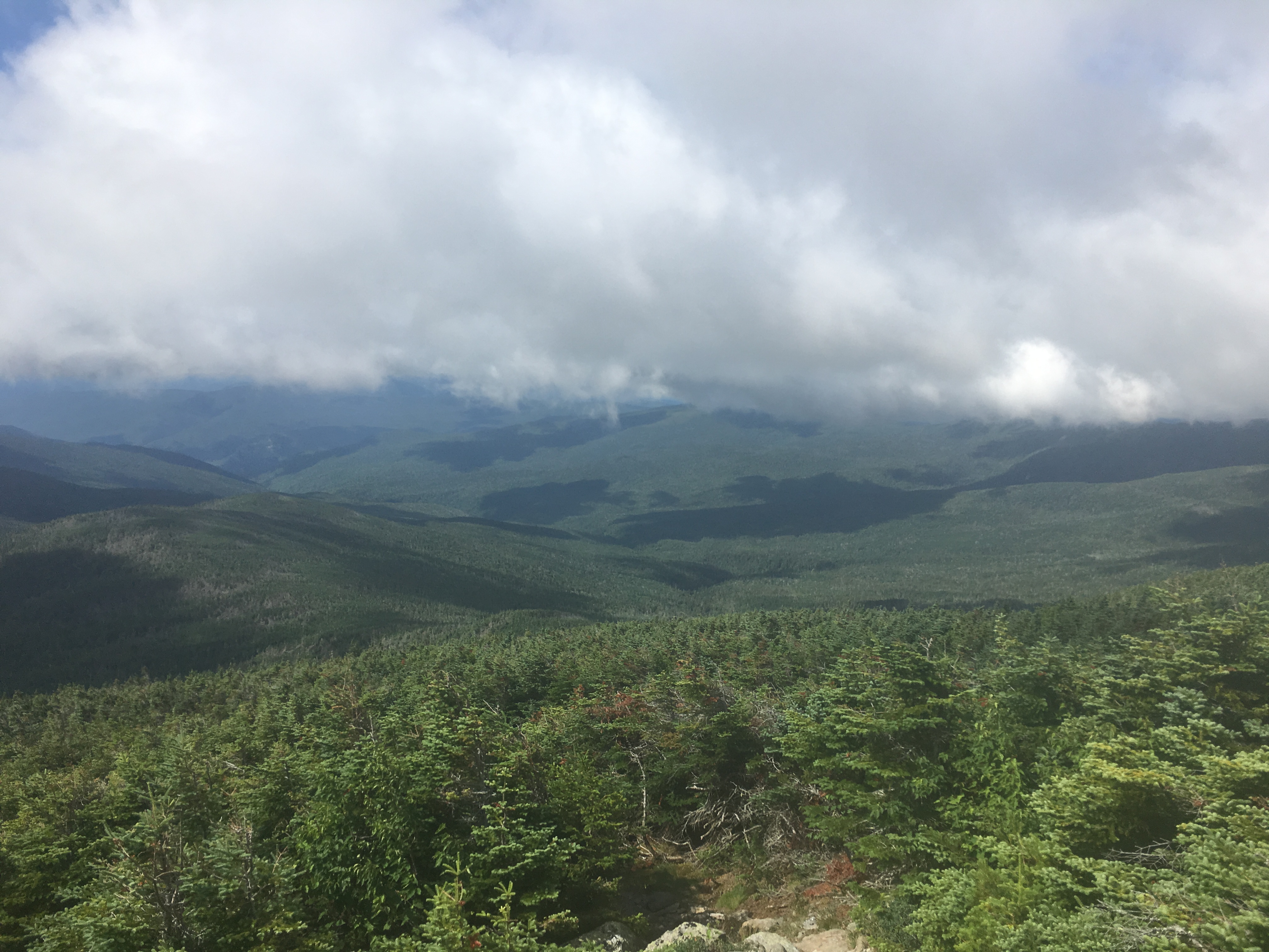
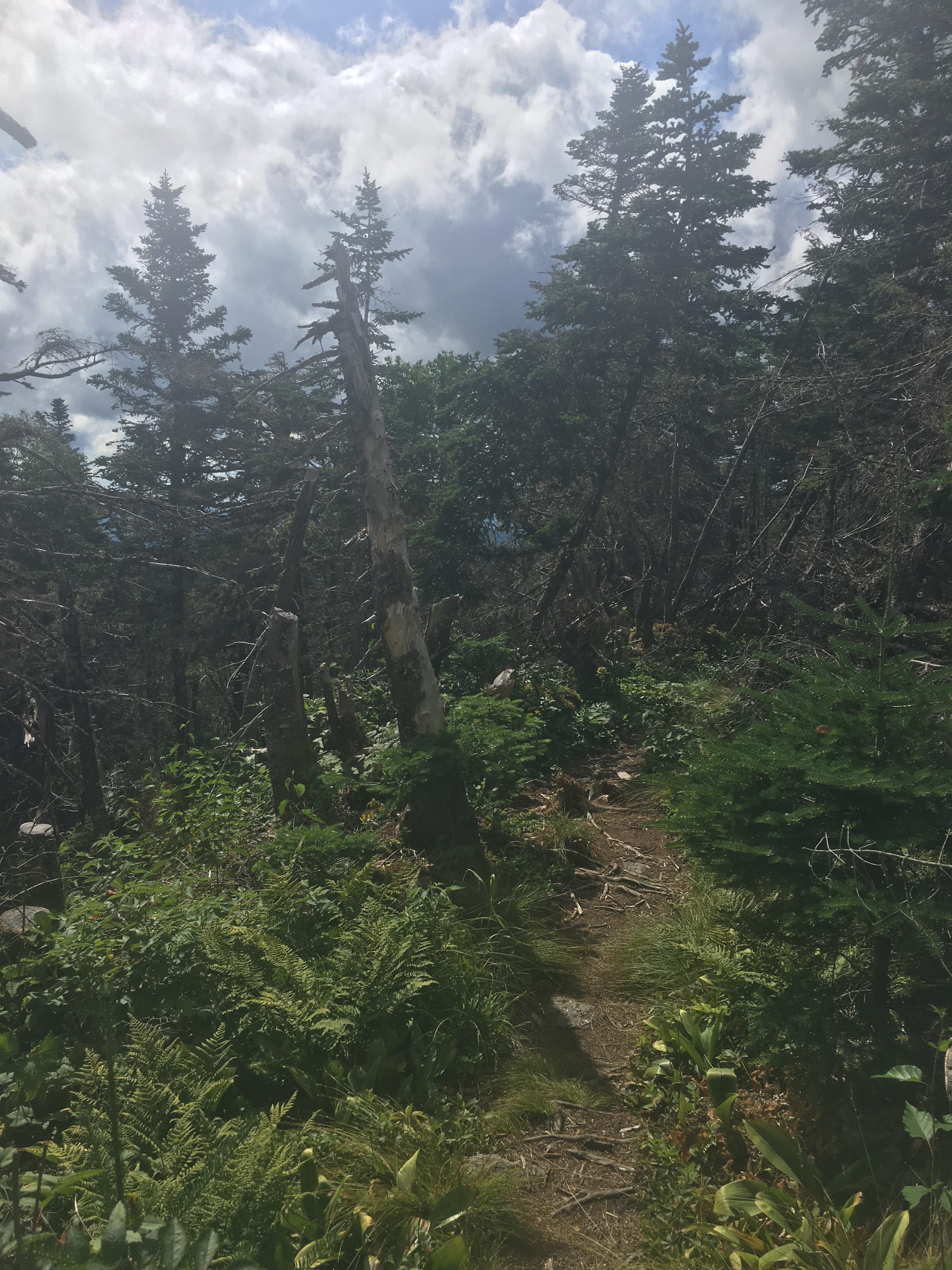
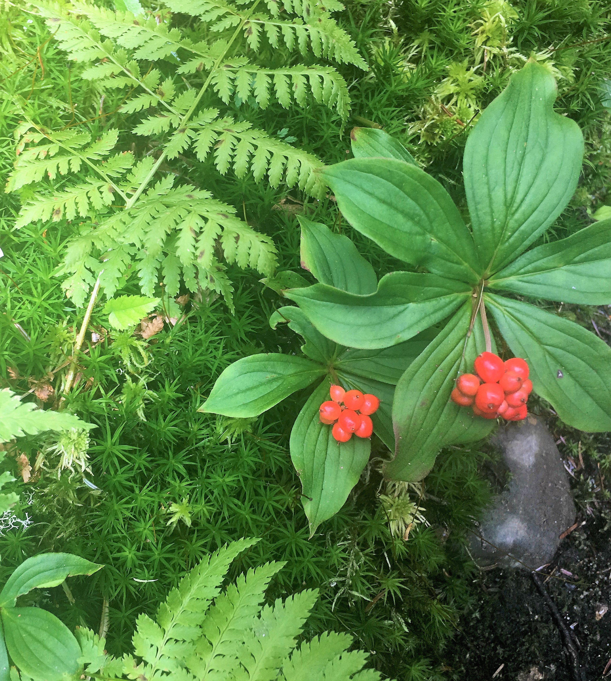
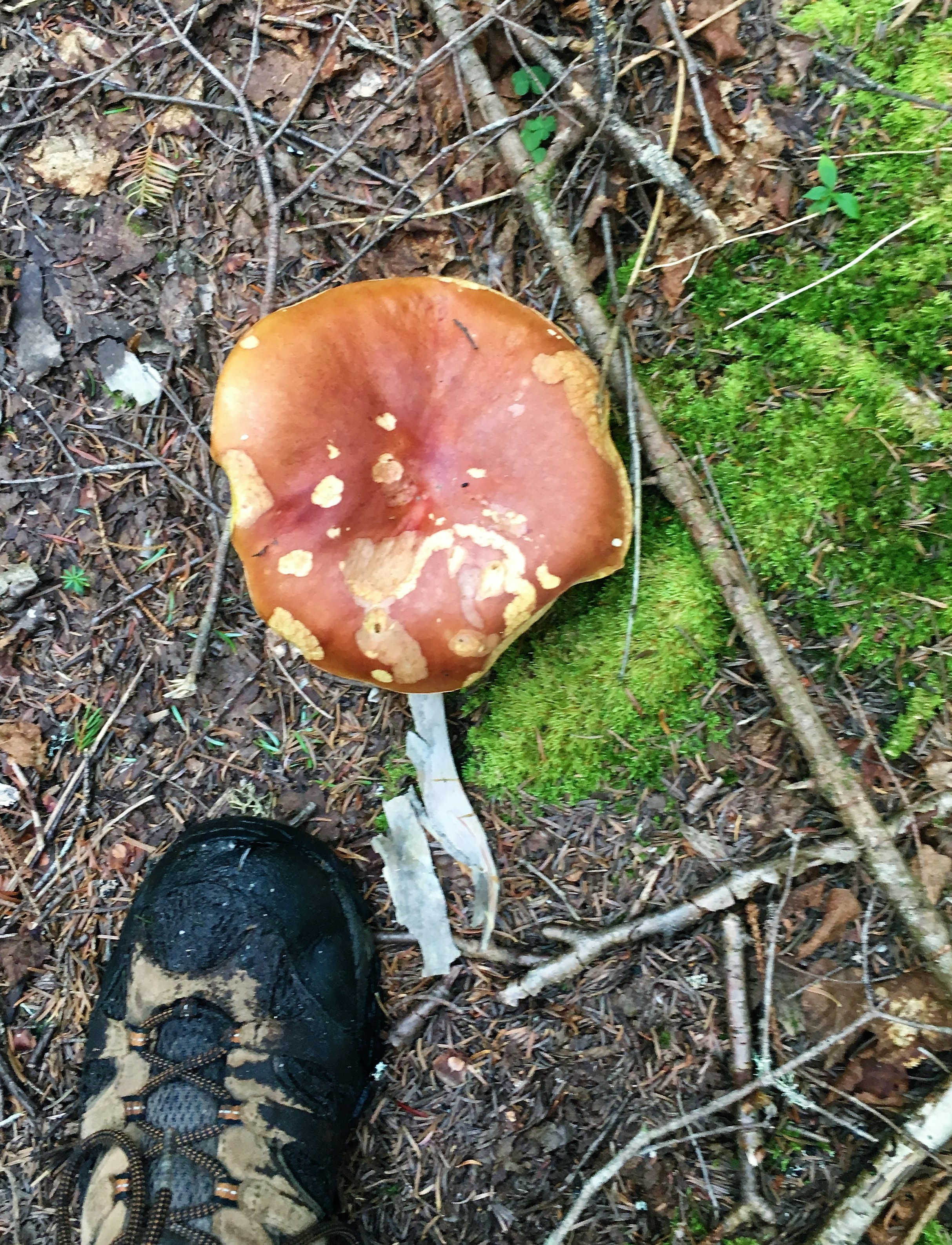
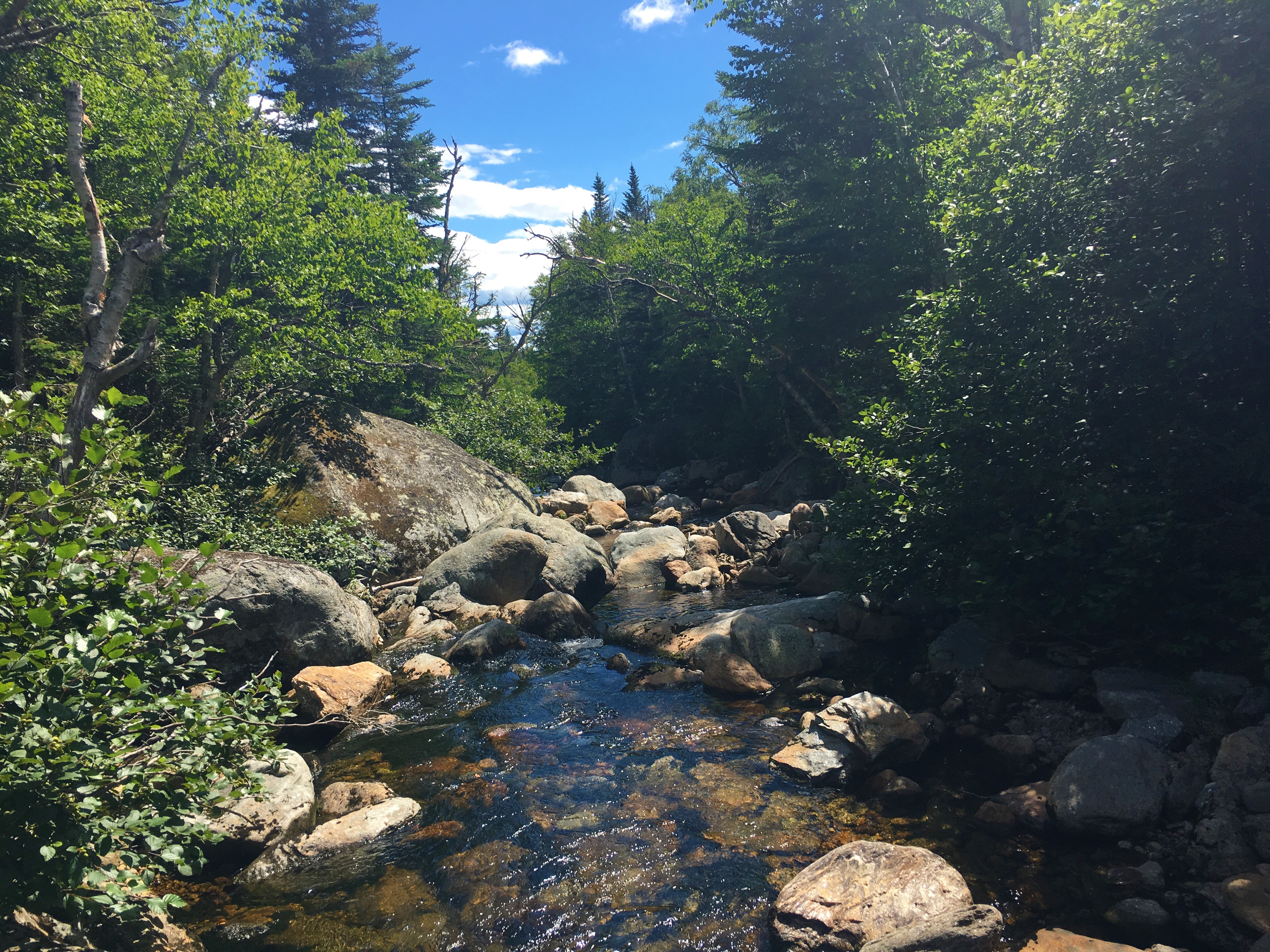
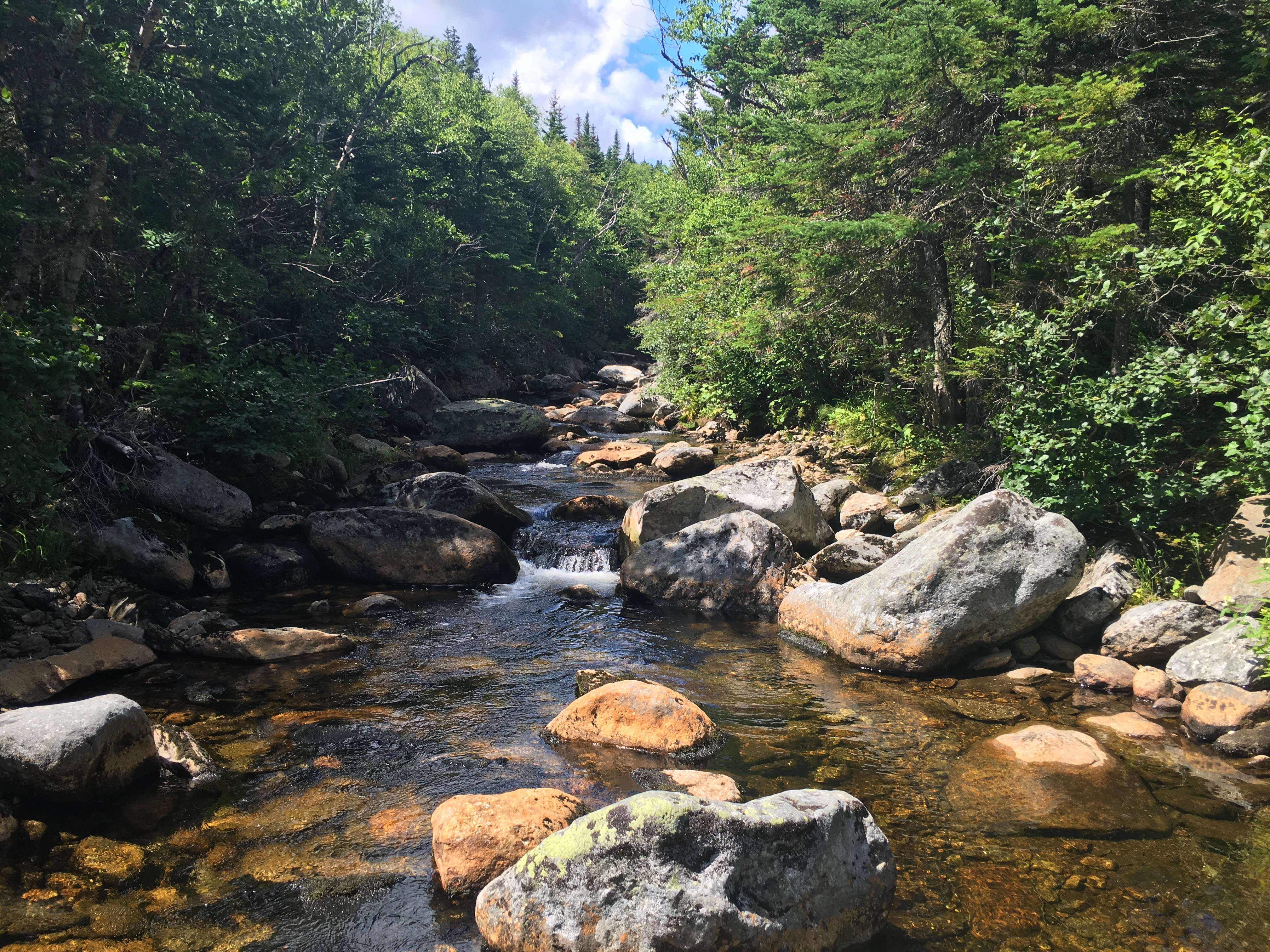
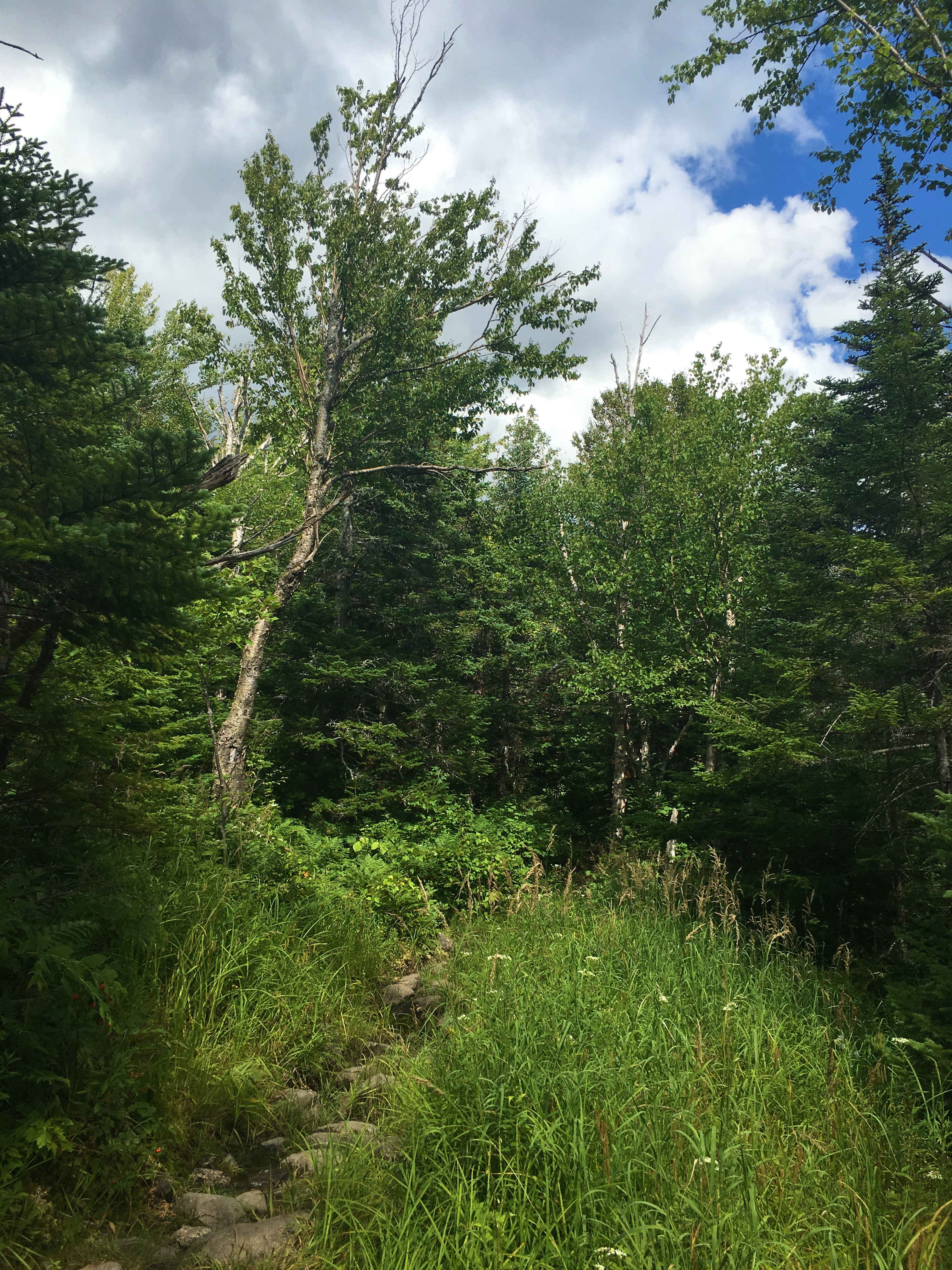
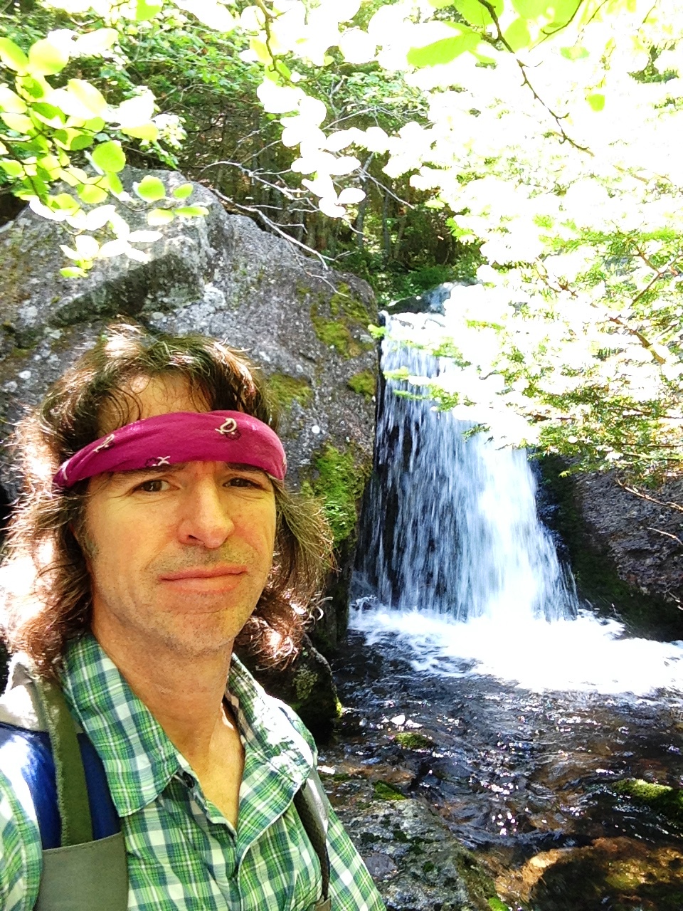
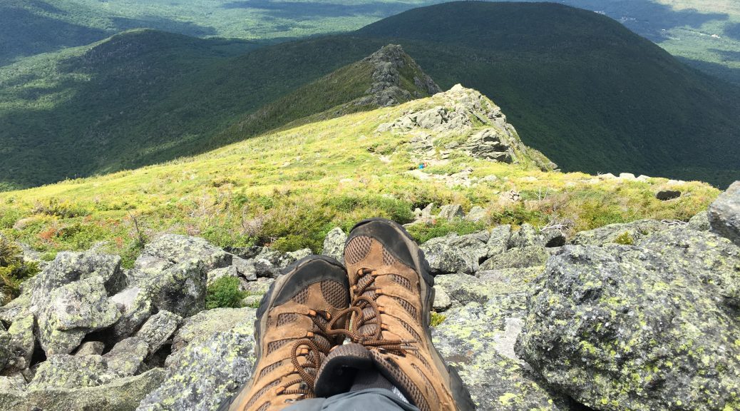
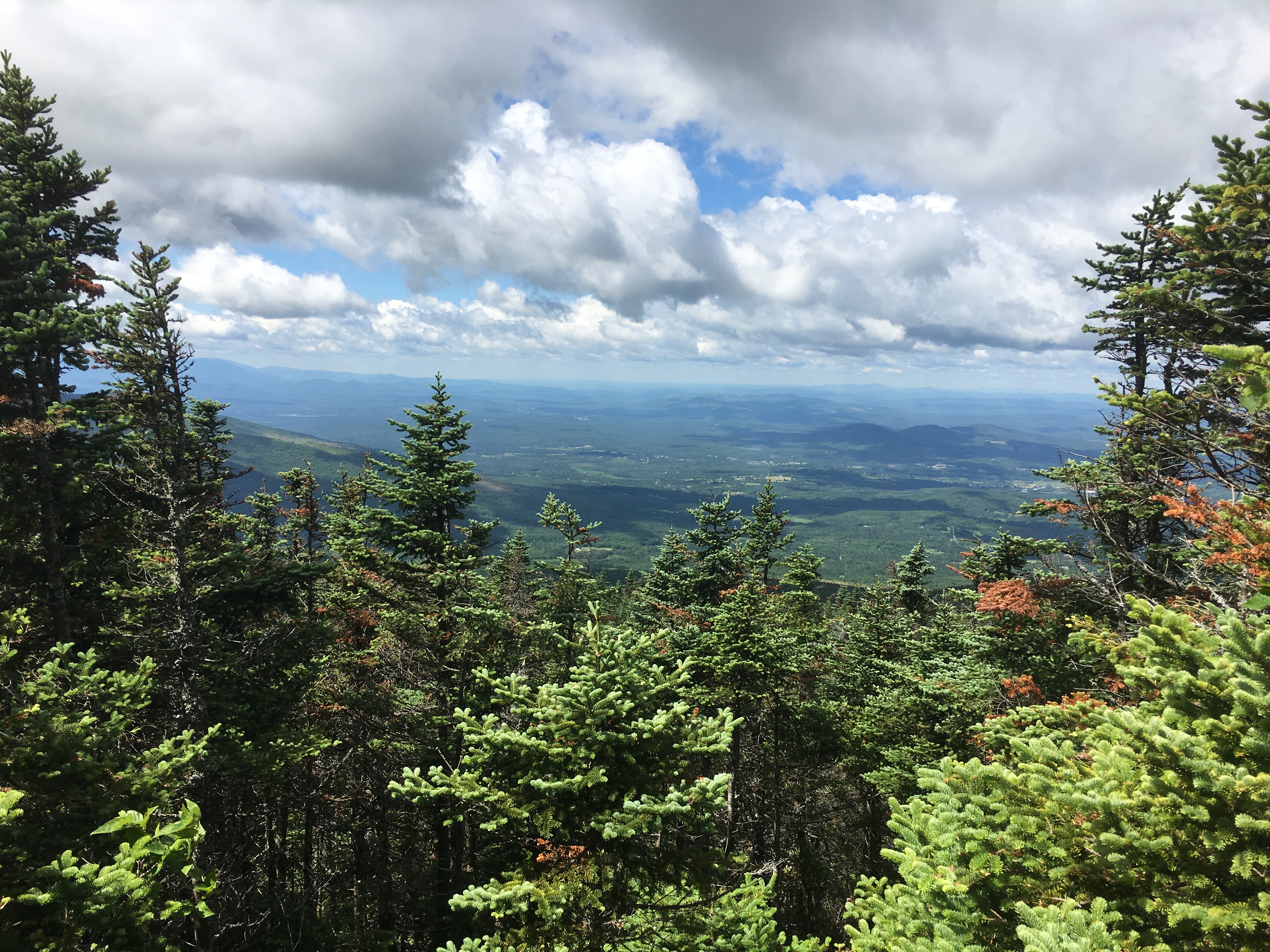
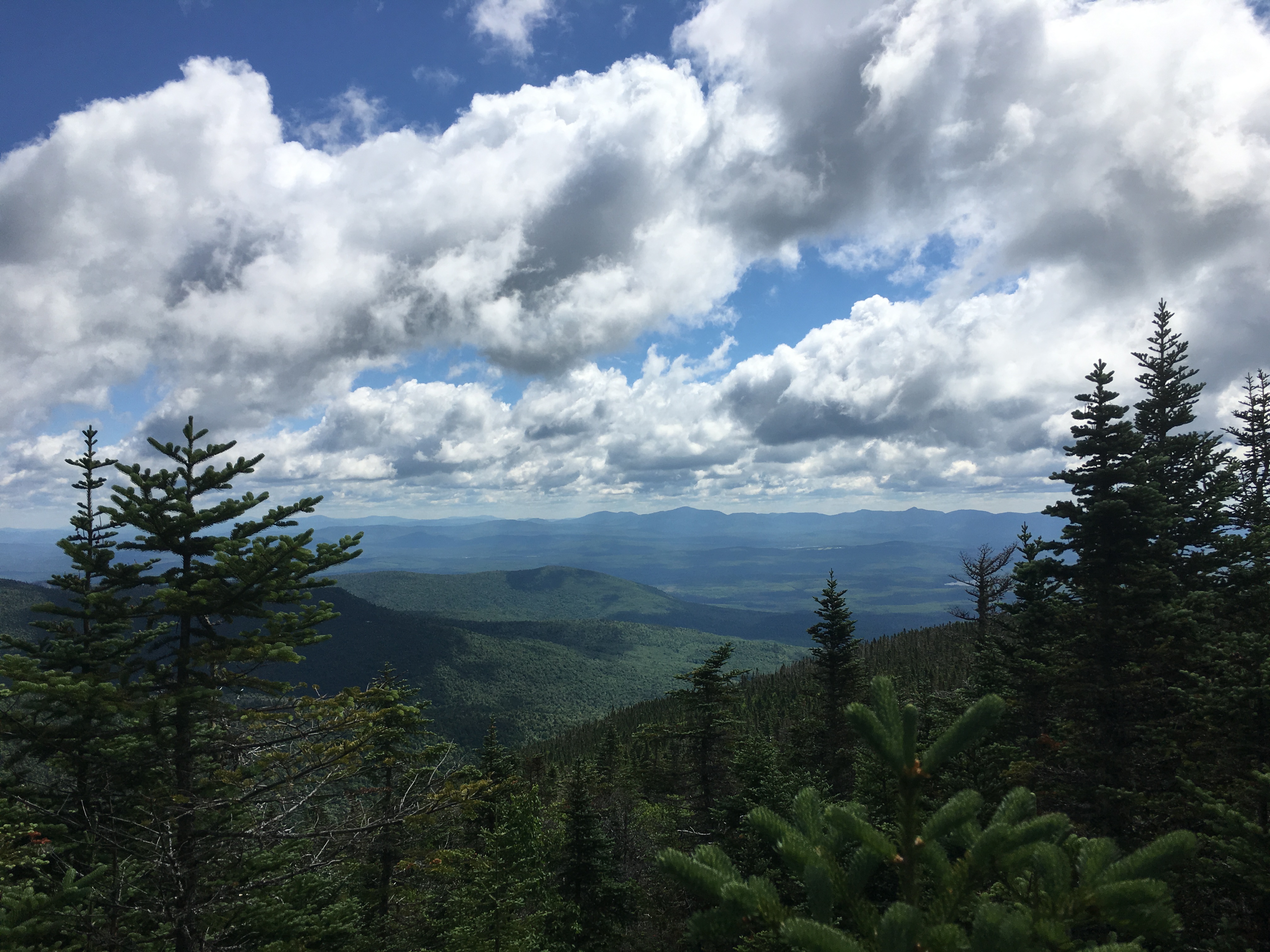
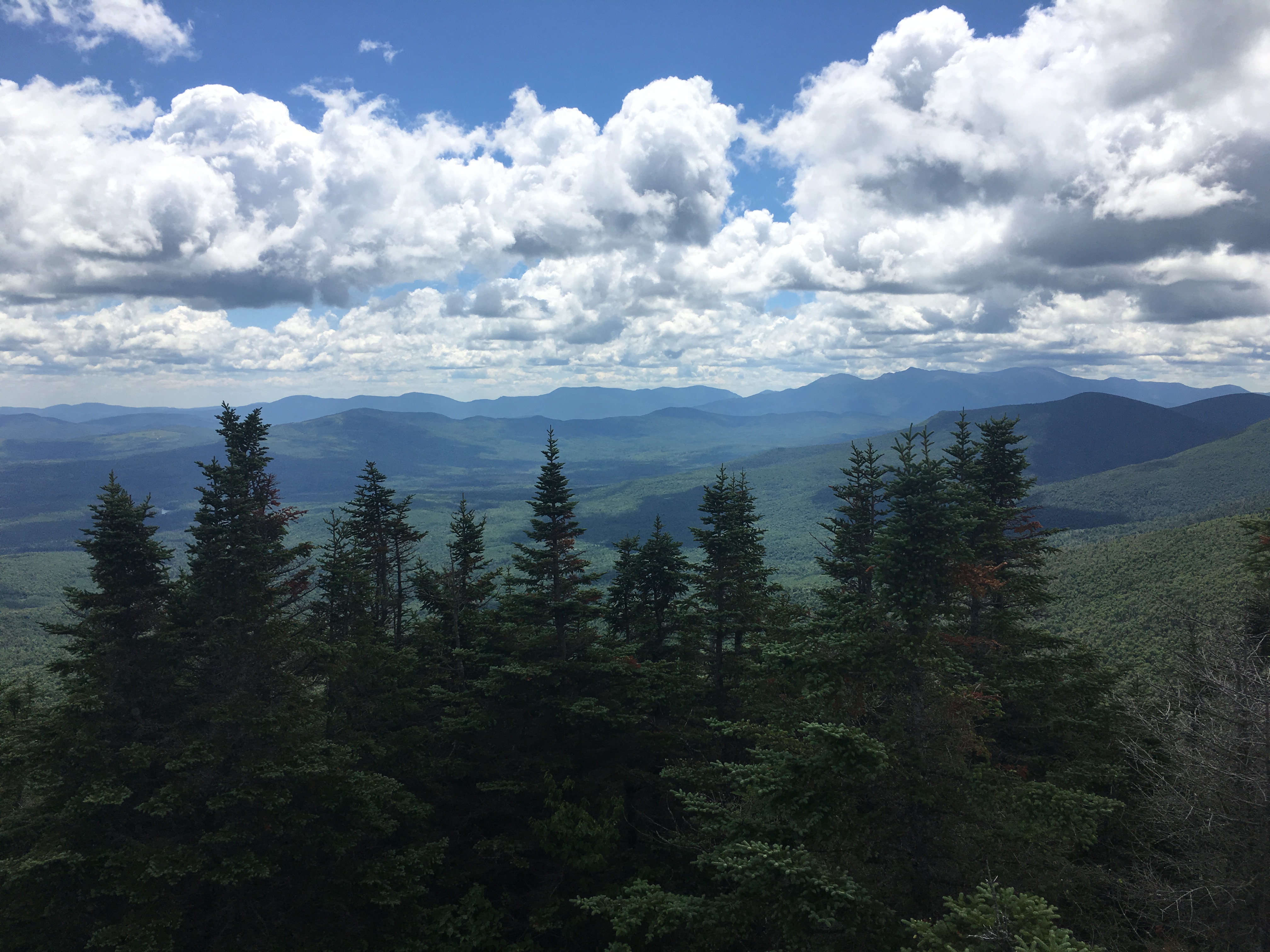
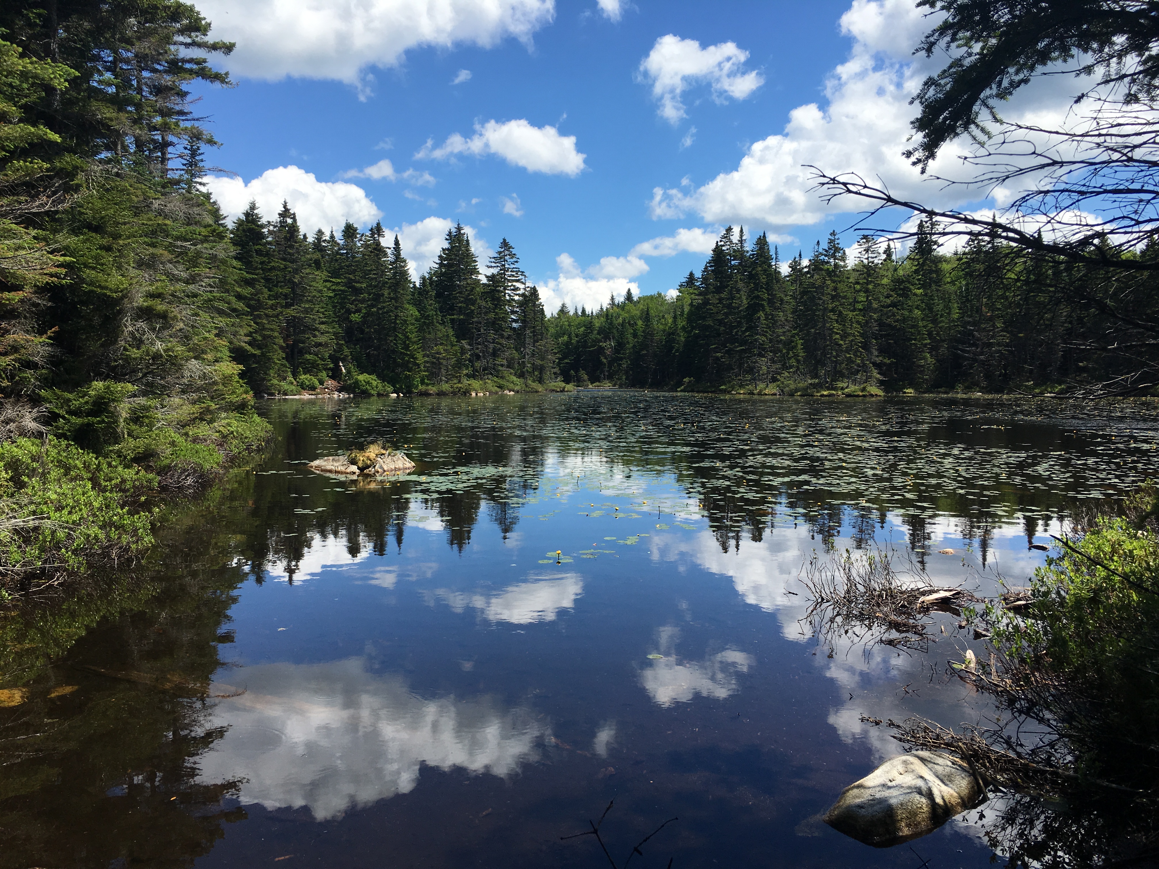
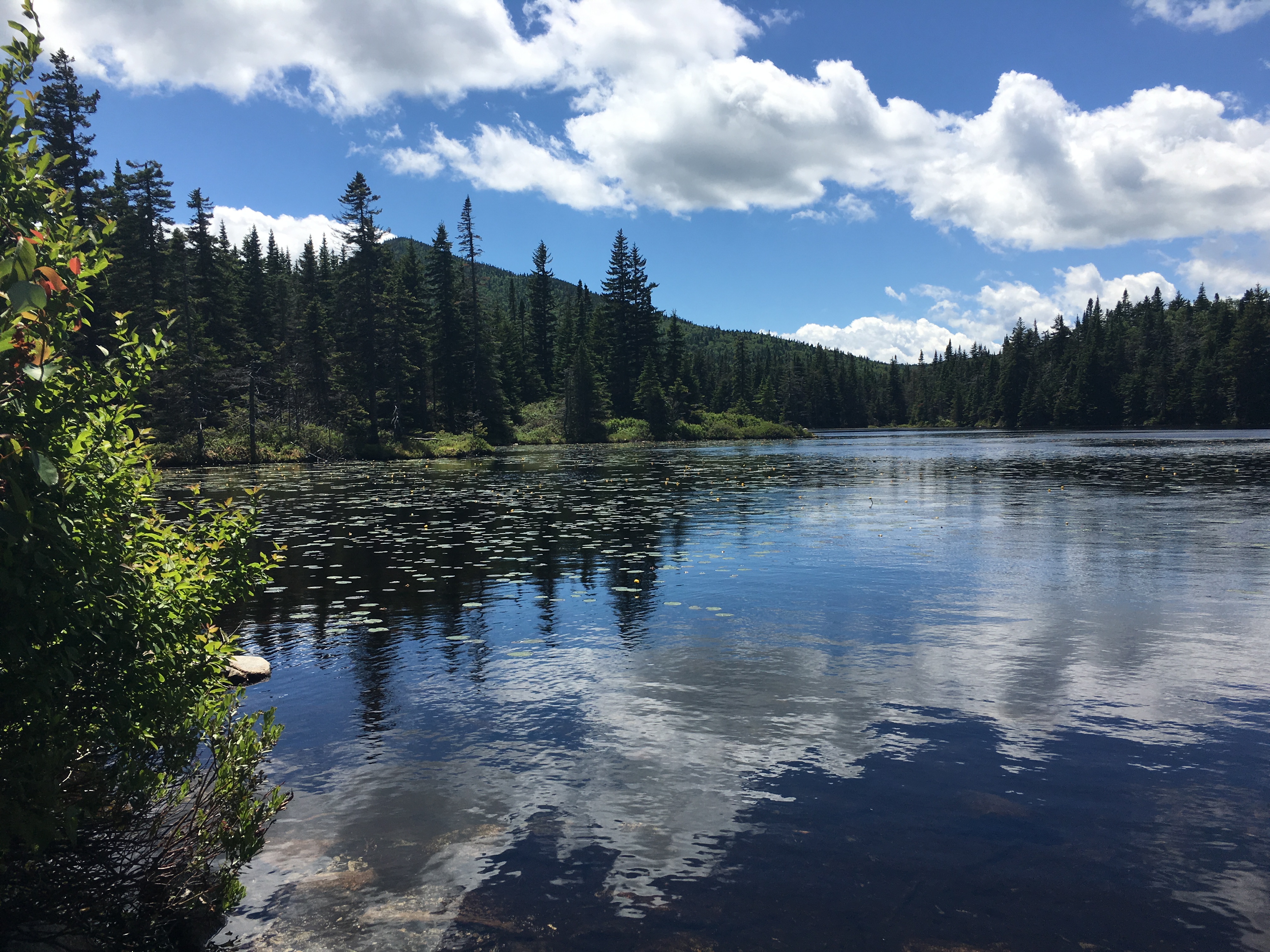
About a mile later and I turn on to the trail that leads me through the pass, then another half mile and I start to see what the hype is about. And it lives up to it and then some.  Couldn’t ask for a better spot to take my first break. This is what I love about summer. The days are long and there is ample time to linger a bit at these many picturesque areas.

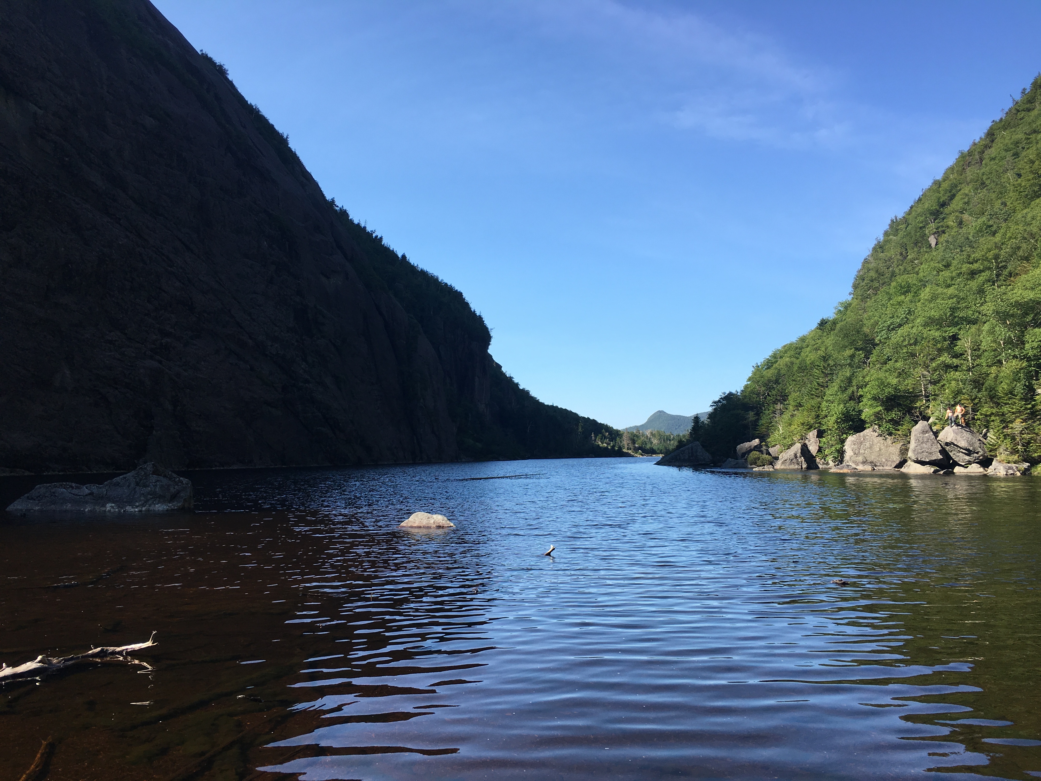
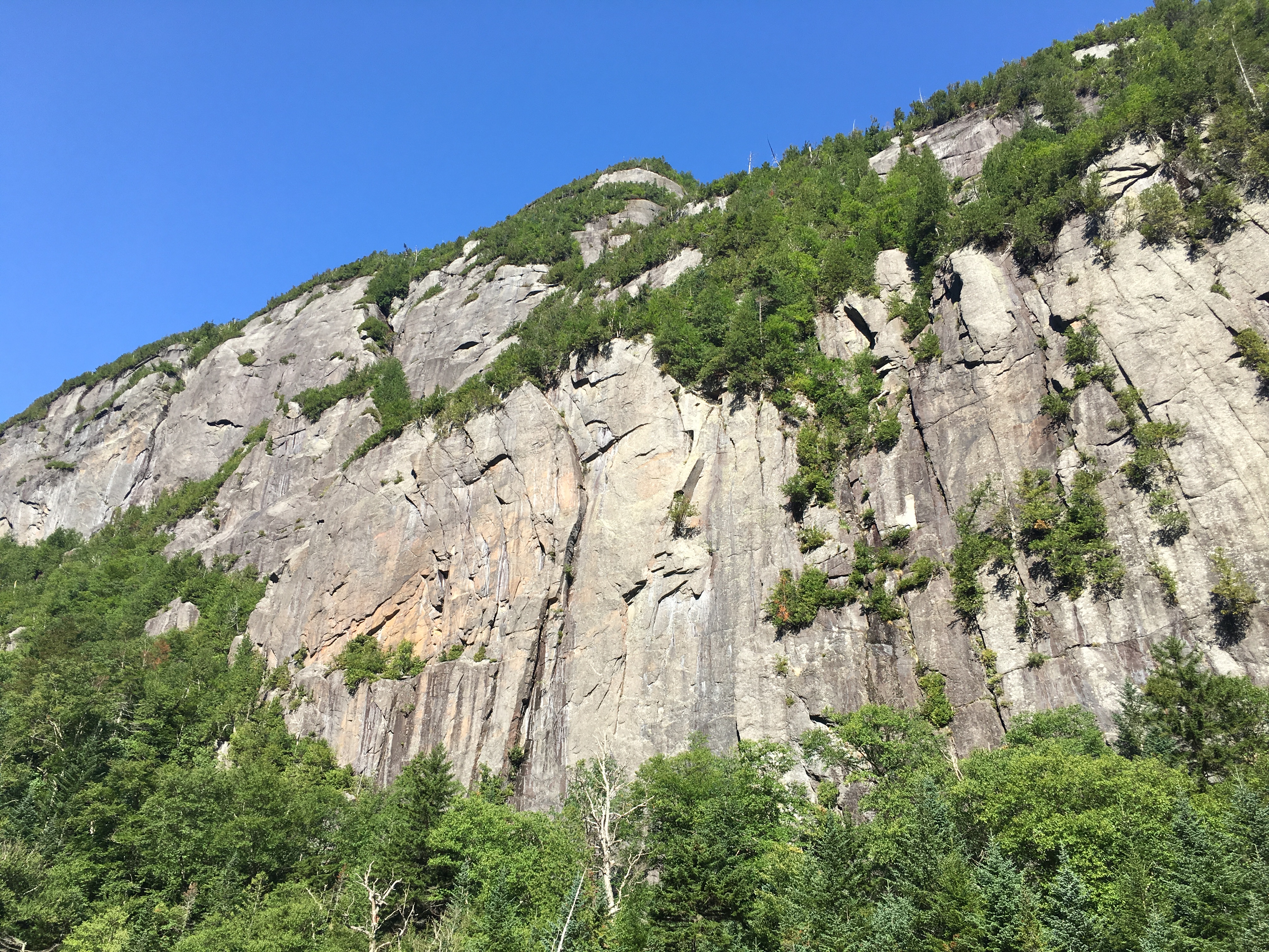
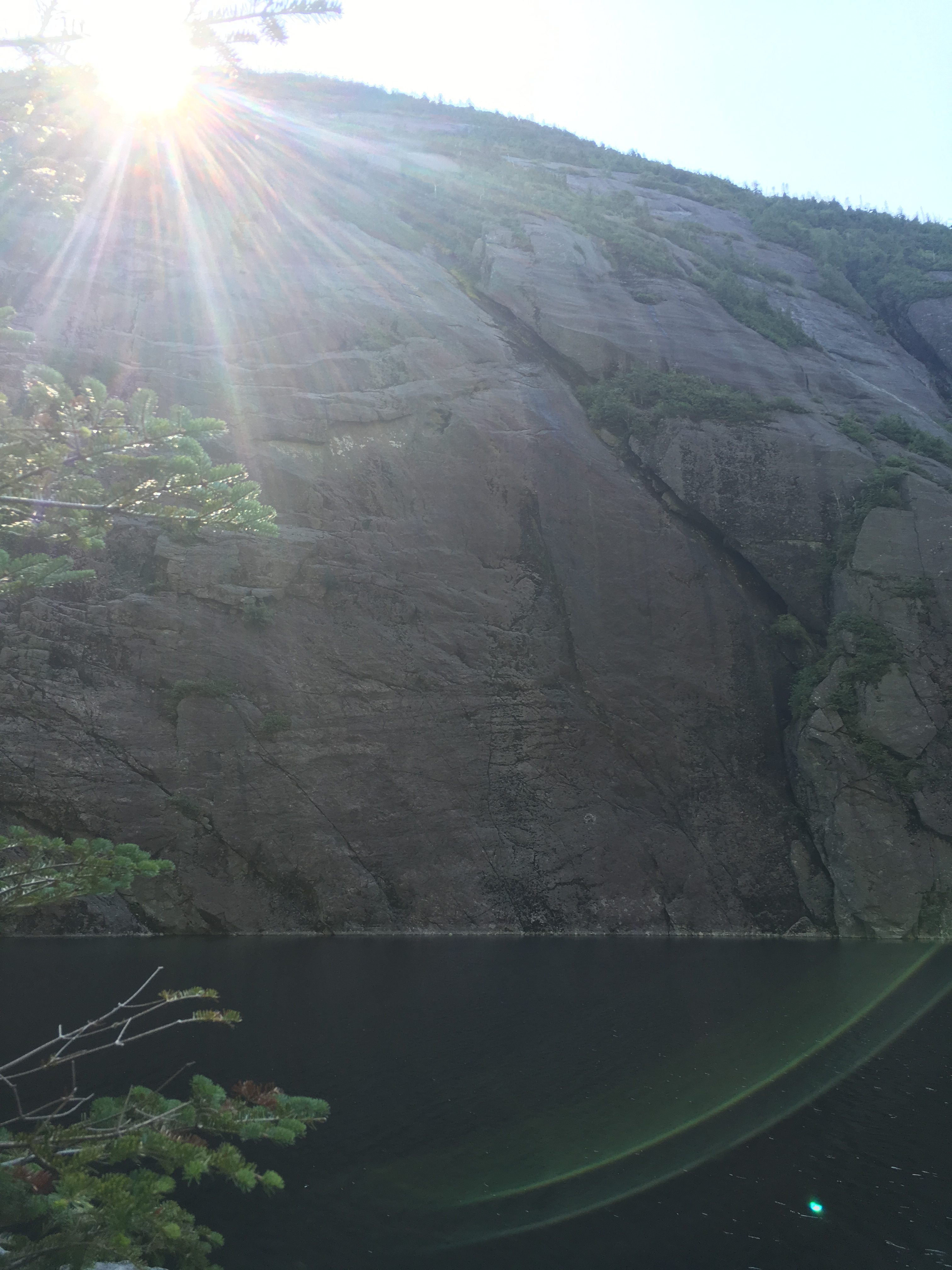
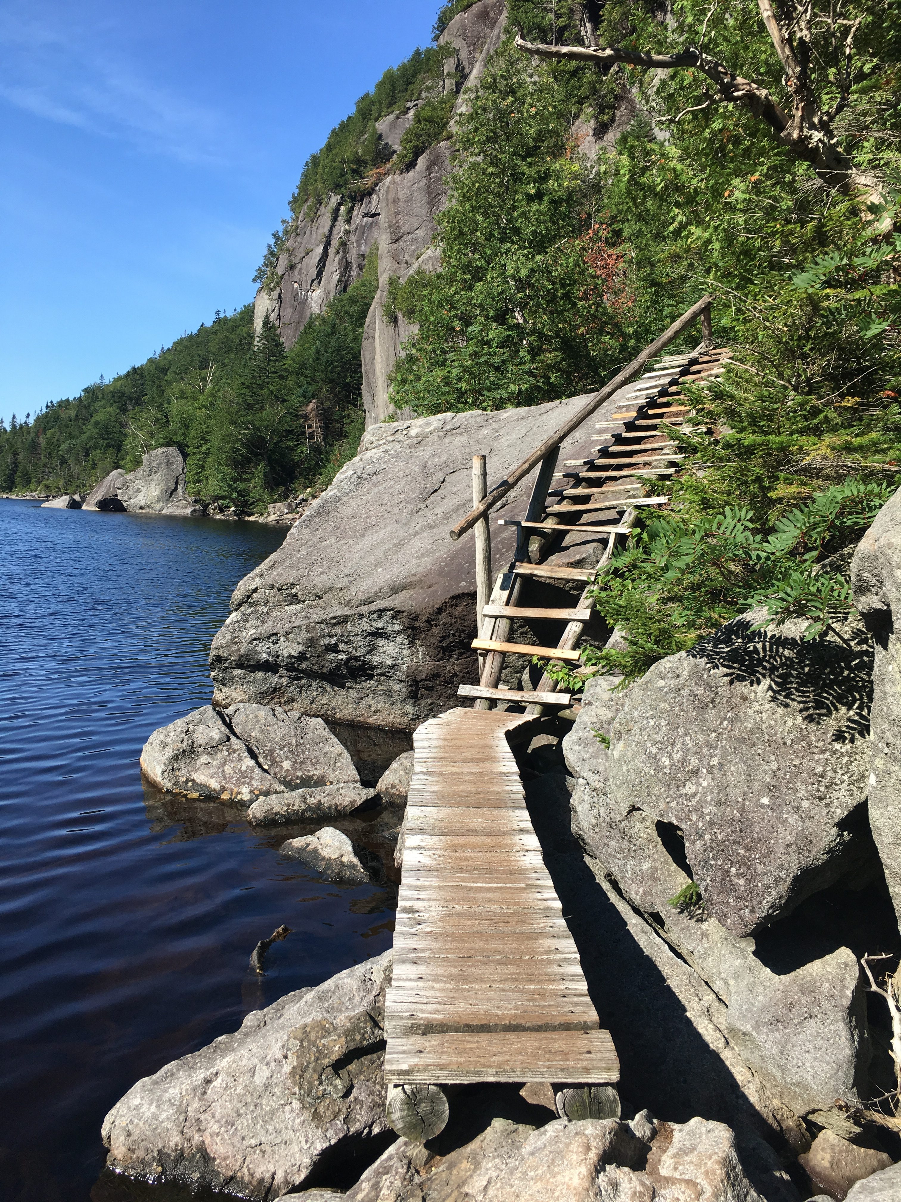
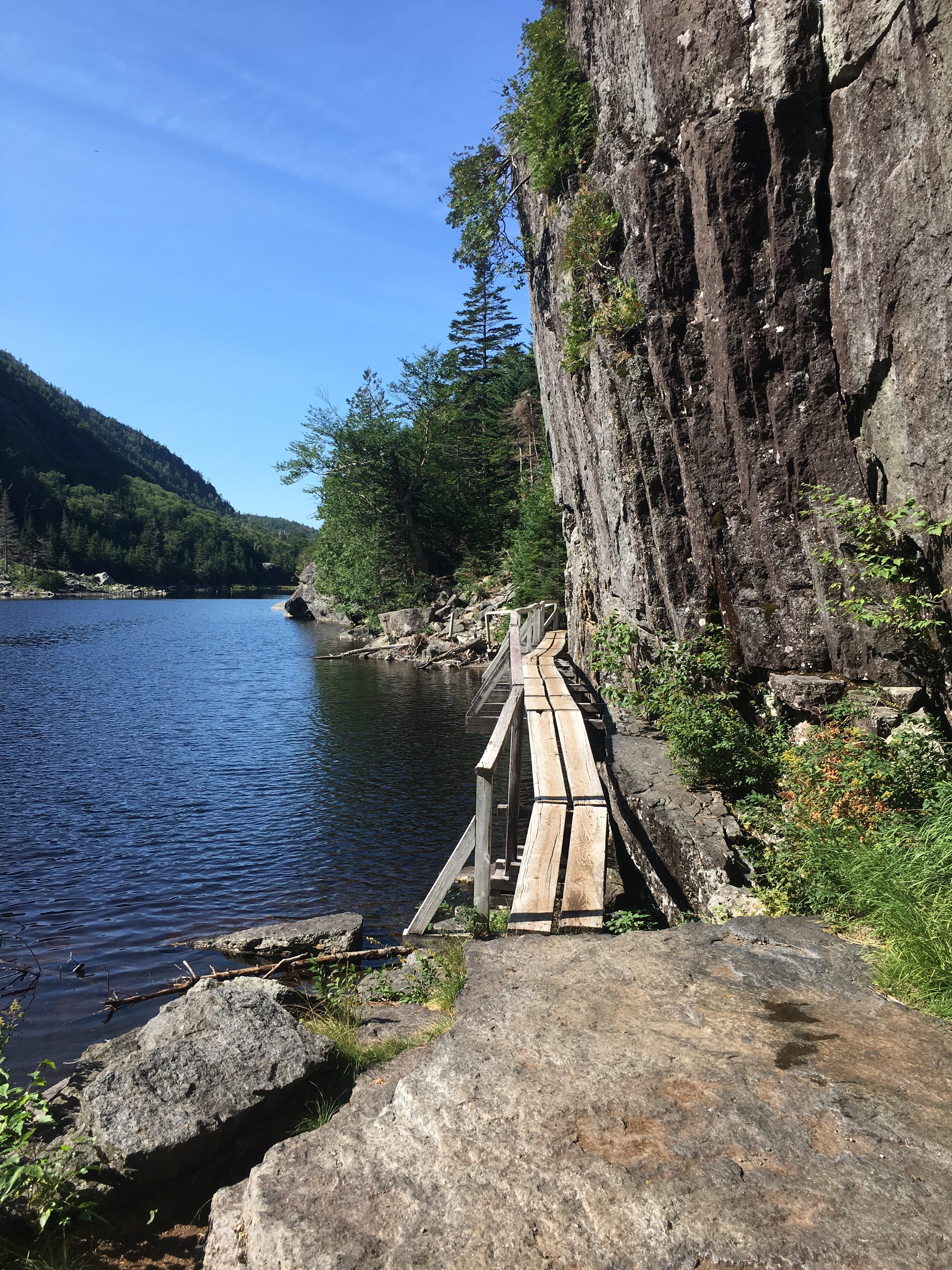
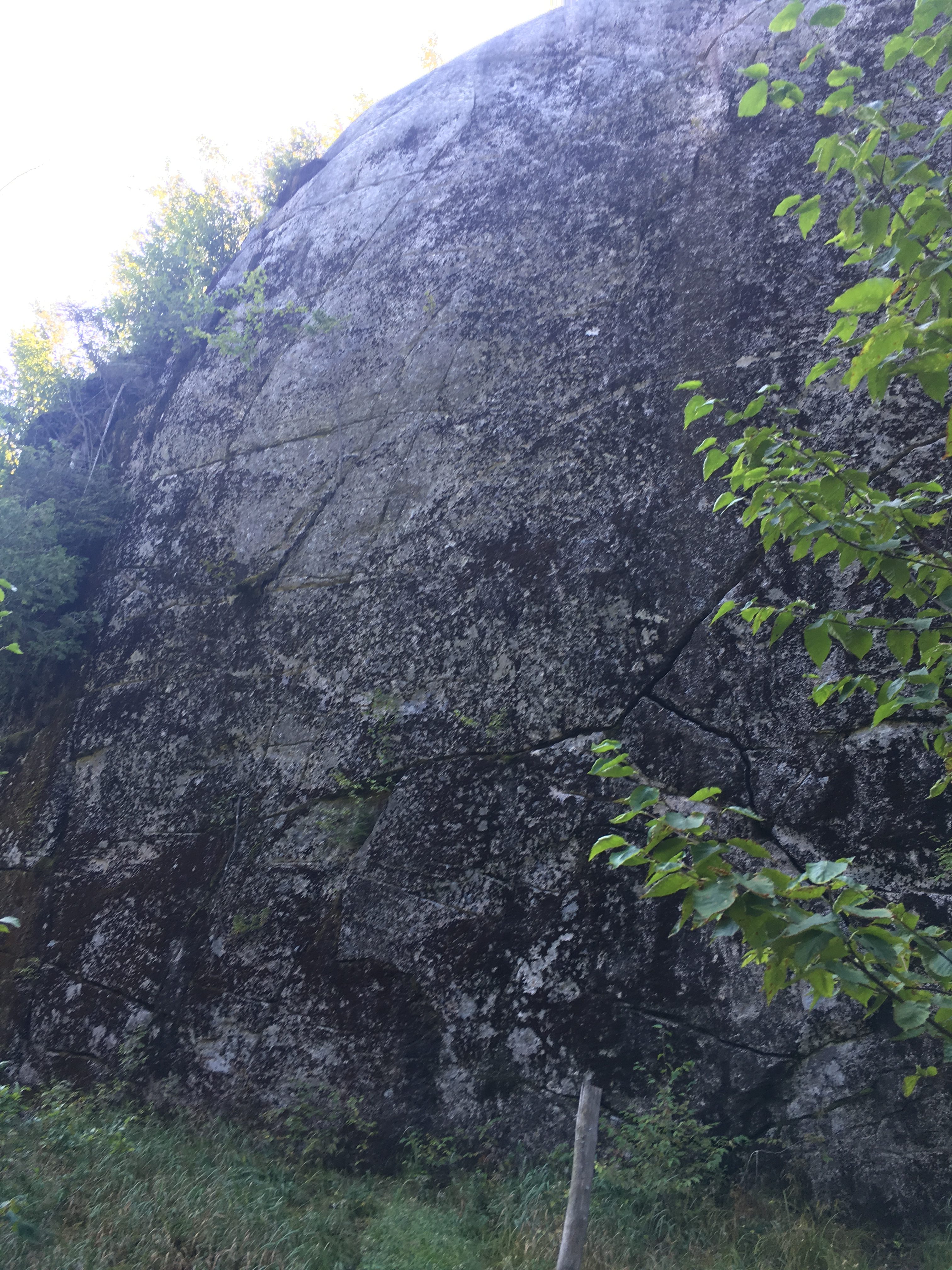
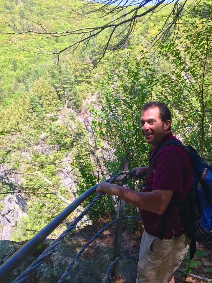
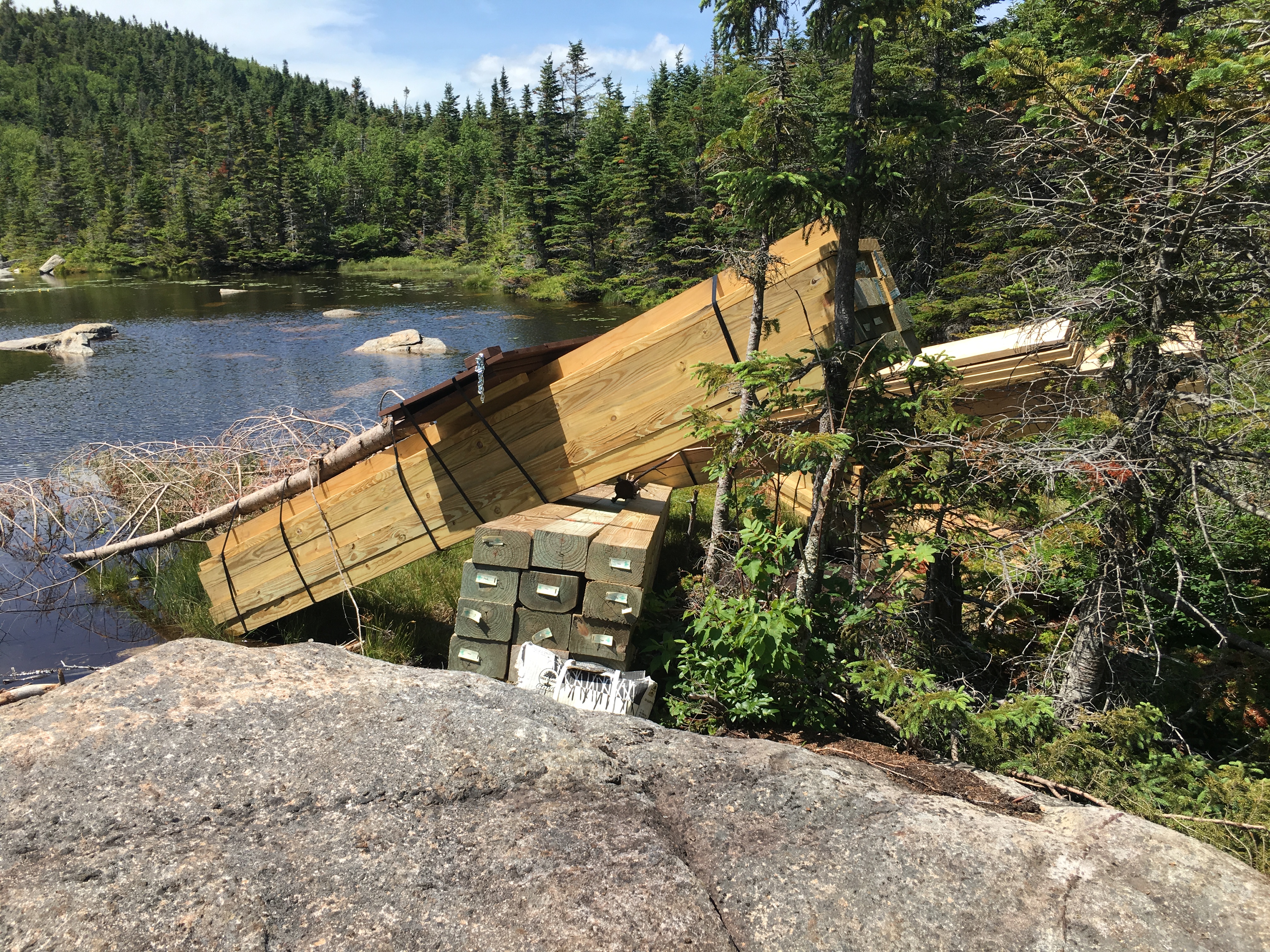
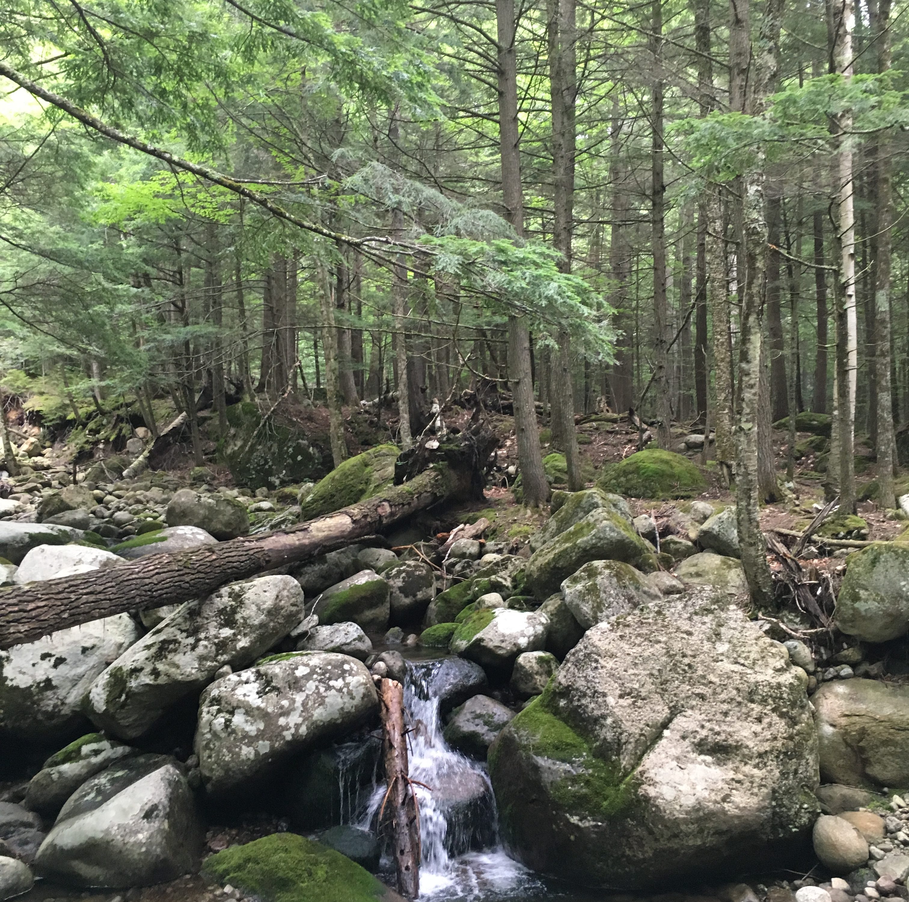
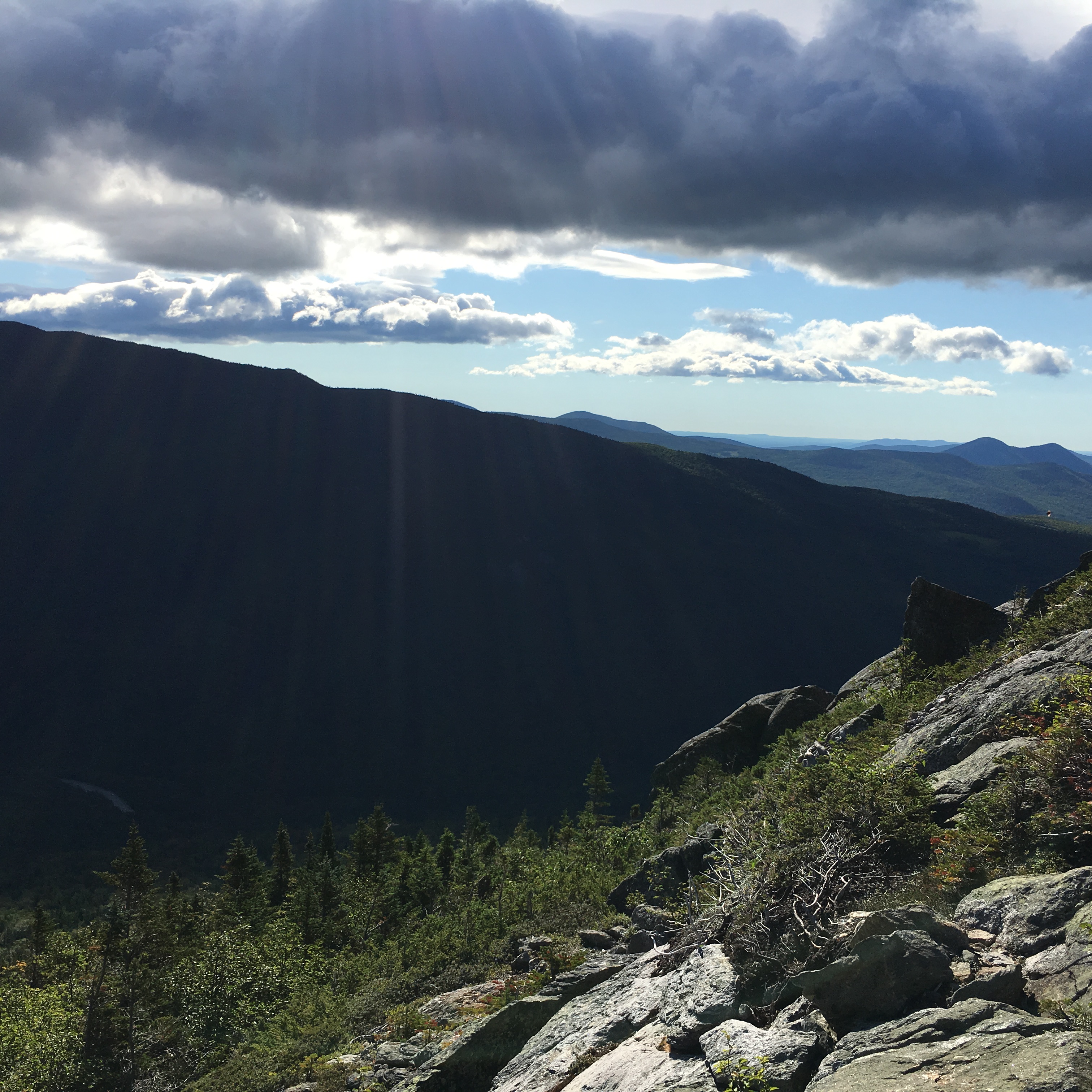
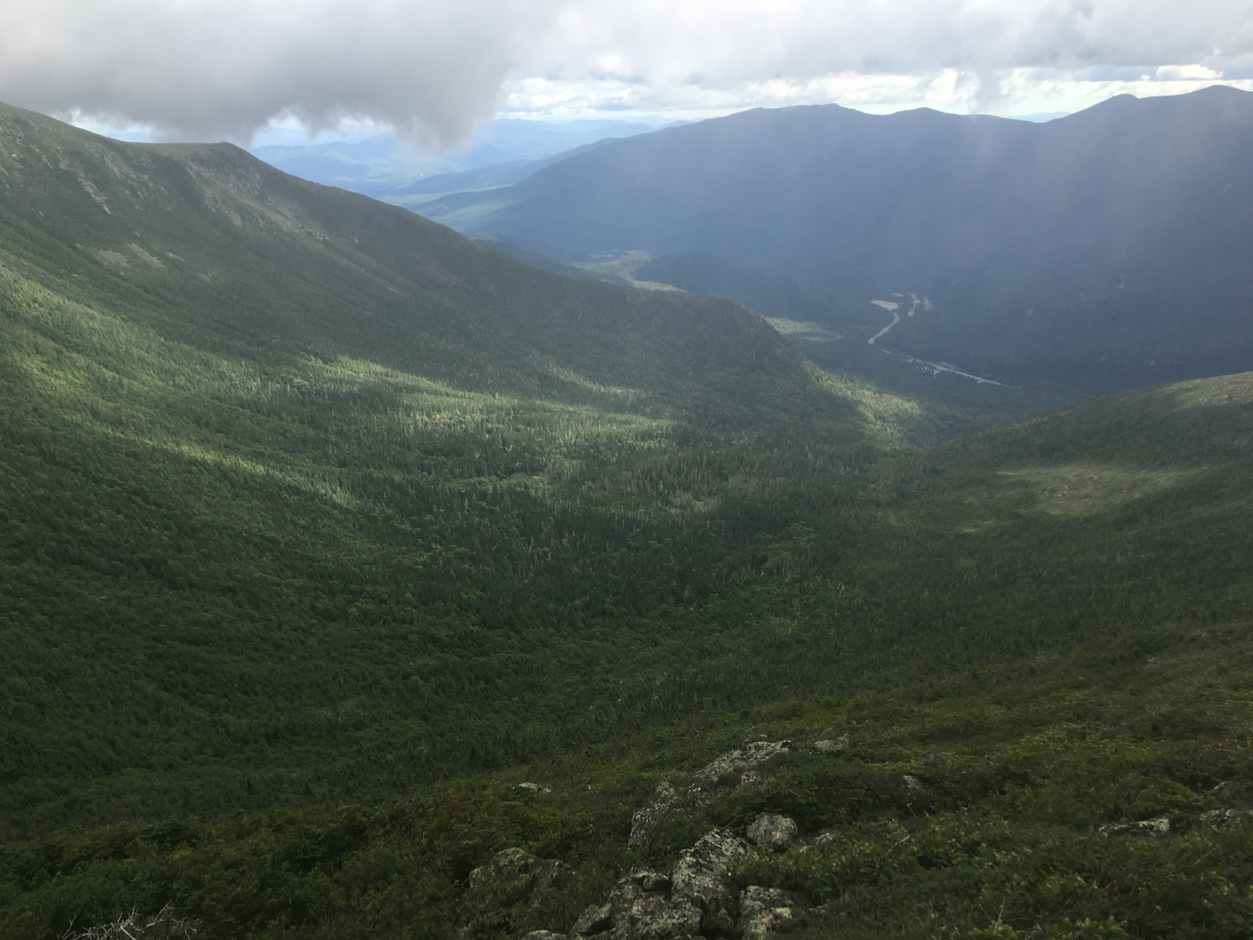
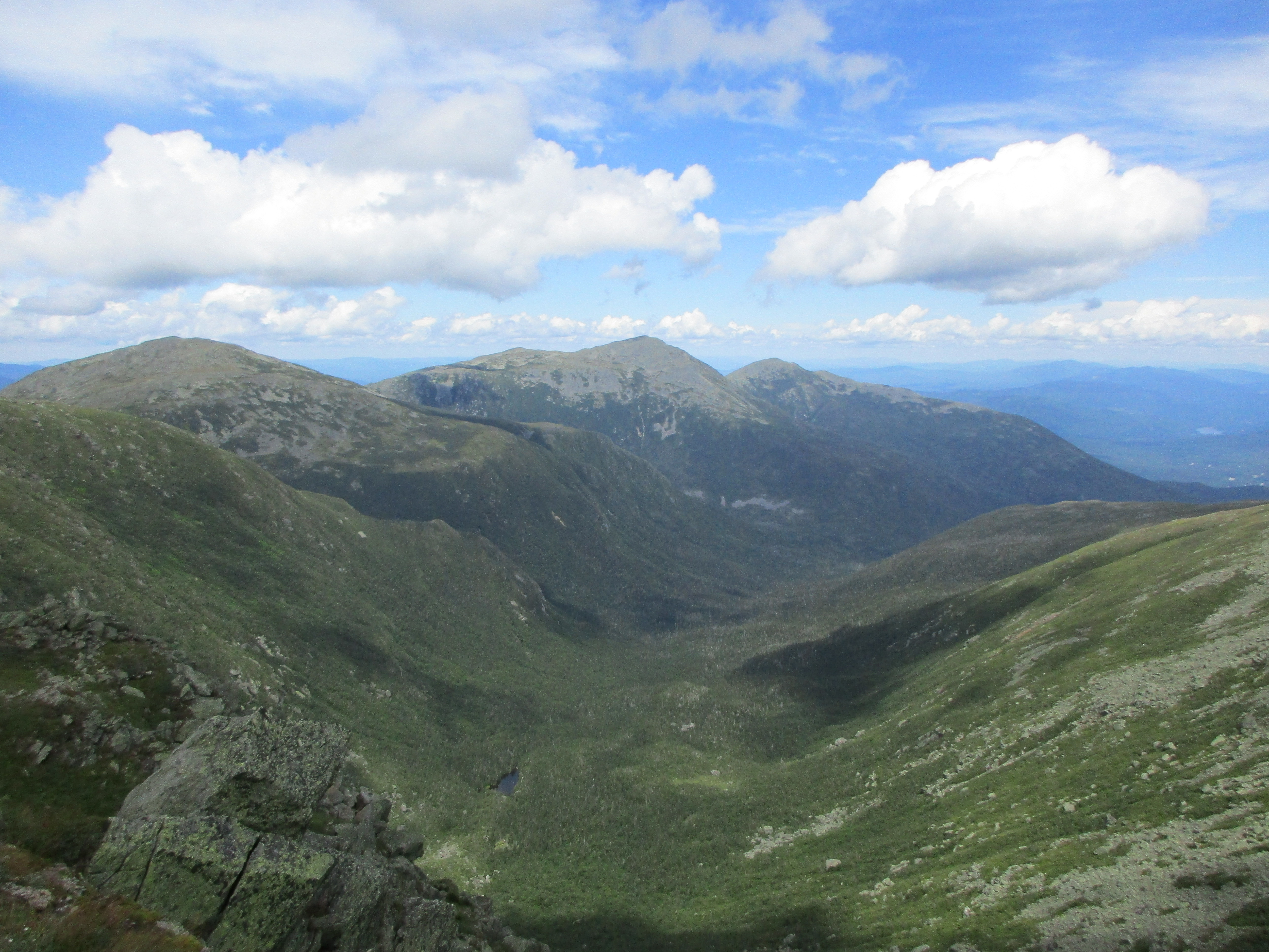
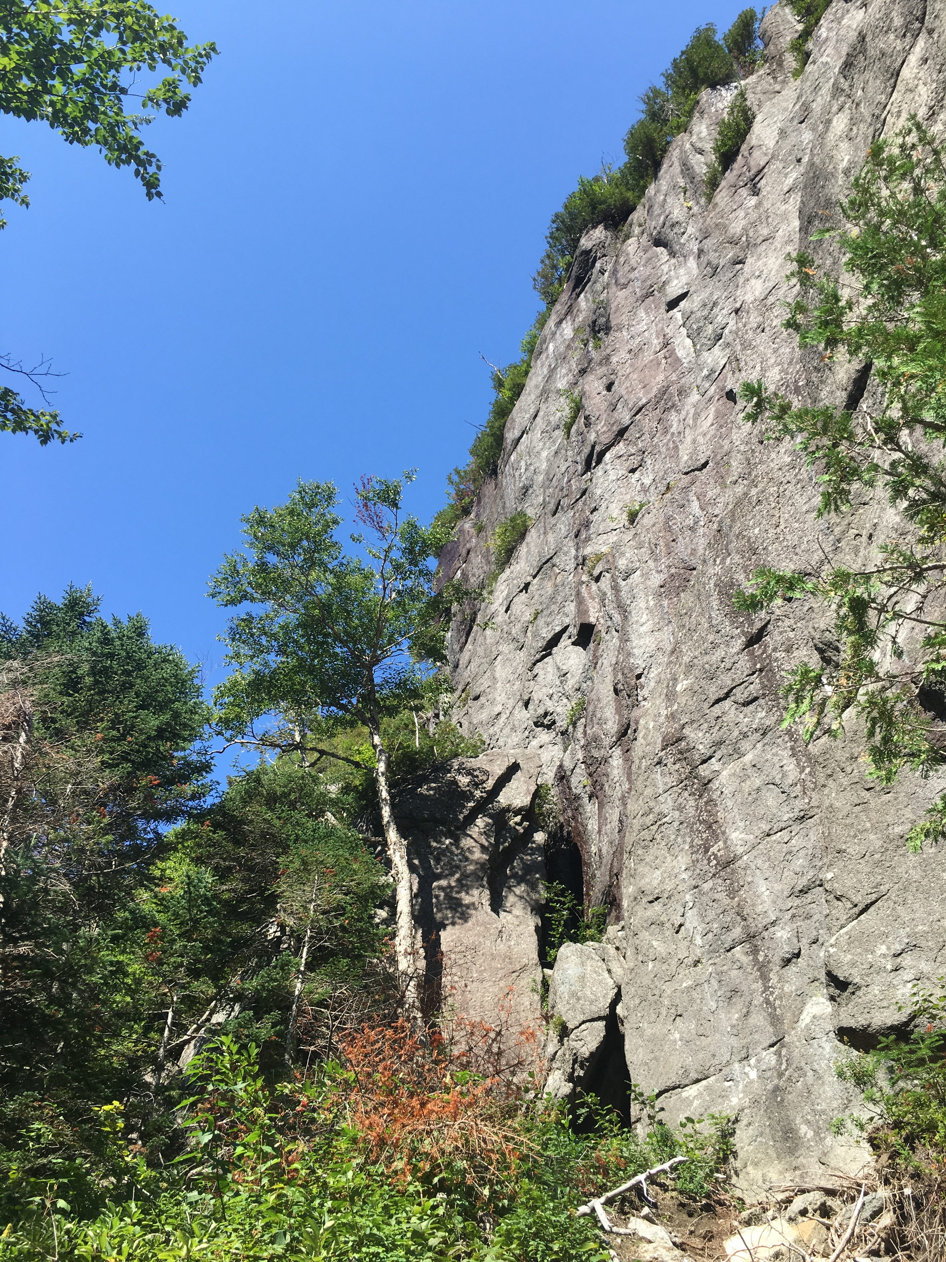
Then after I get my fill, I head out along the cliffs of Avalanche mountain where there is no shore, only wooden catwalks bolted to the cliff face, known as “Hitch-up Matildas” getting their name from an old story about a female hiker in a skirt getting carried on another’s back through the water. As I travel the walkways I get views of Colden’s impressive slides and the infamous Trapdike. My sister and I have decided to finish together on this mountain, after our first failed attempt last fall. Wouldn’t it be EPIC to go up by way of the Trapdike?

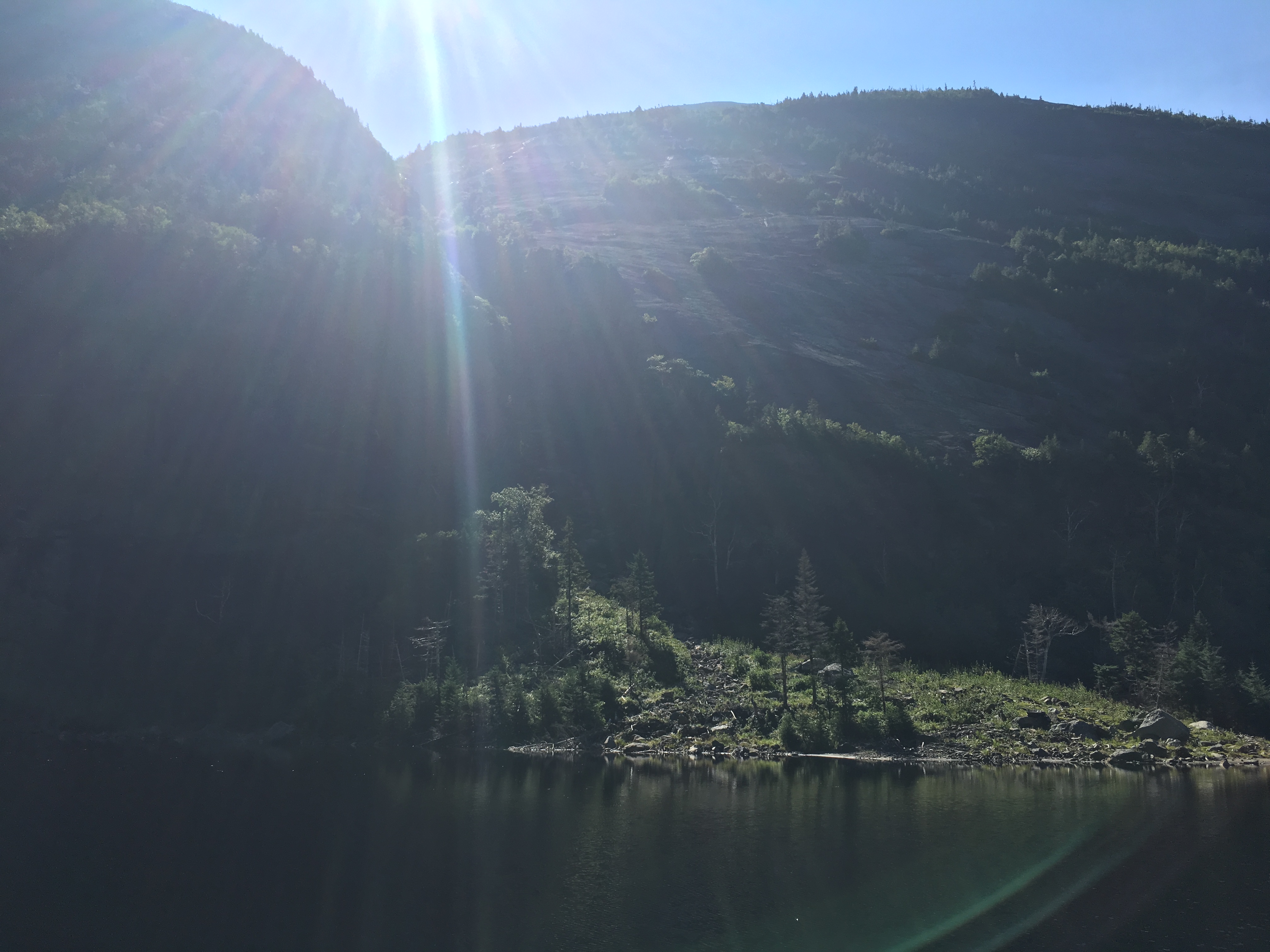
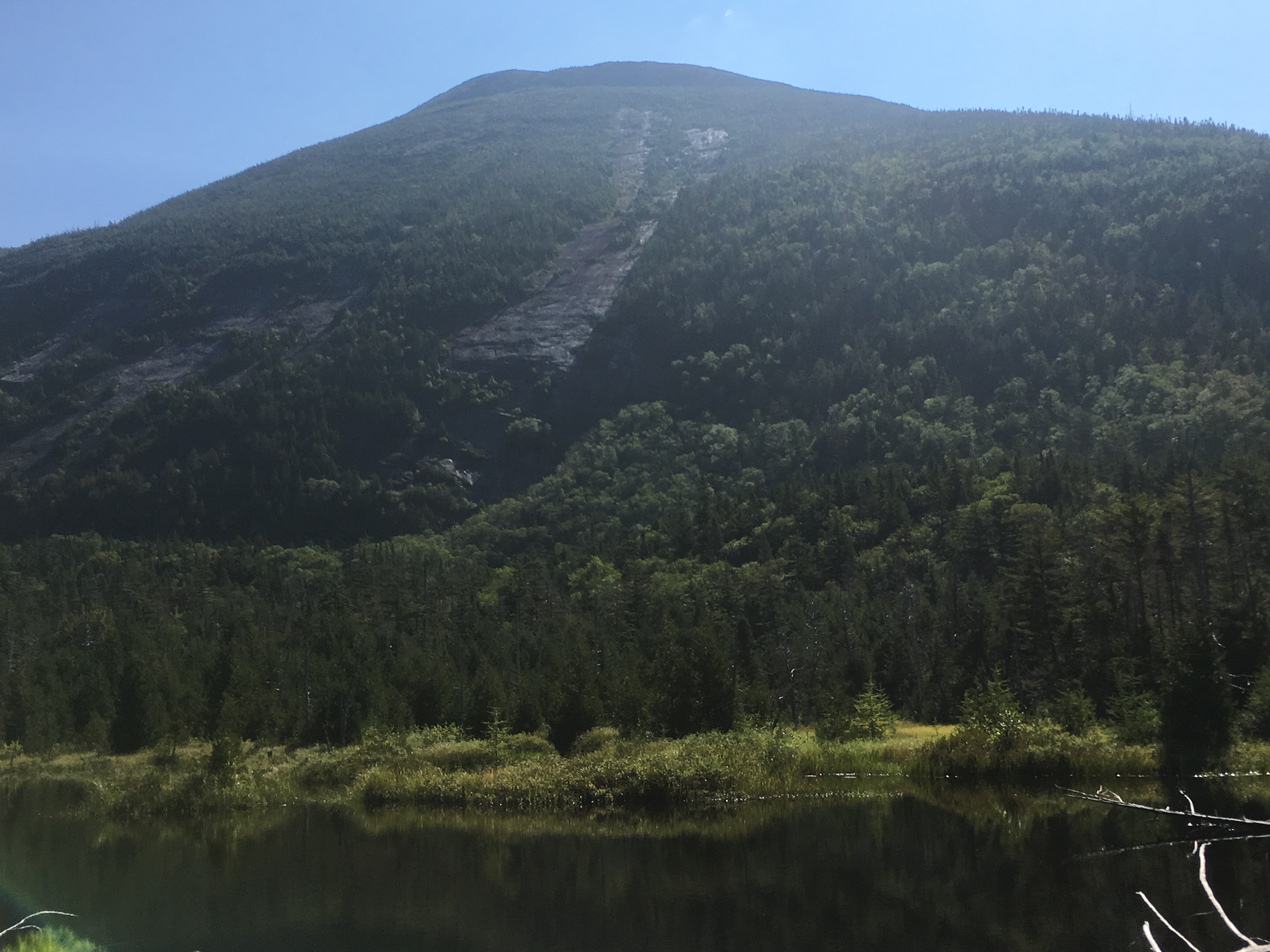
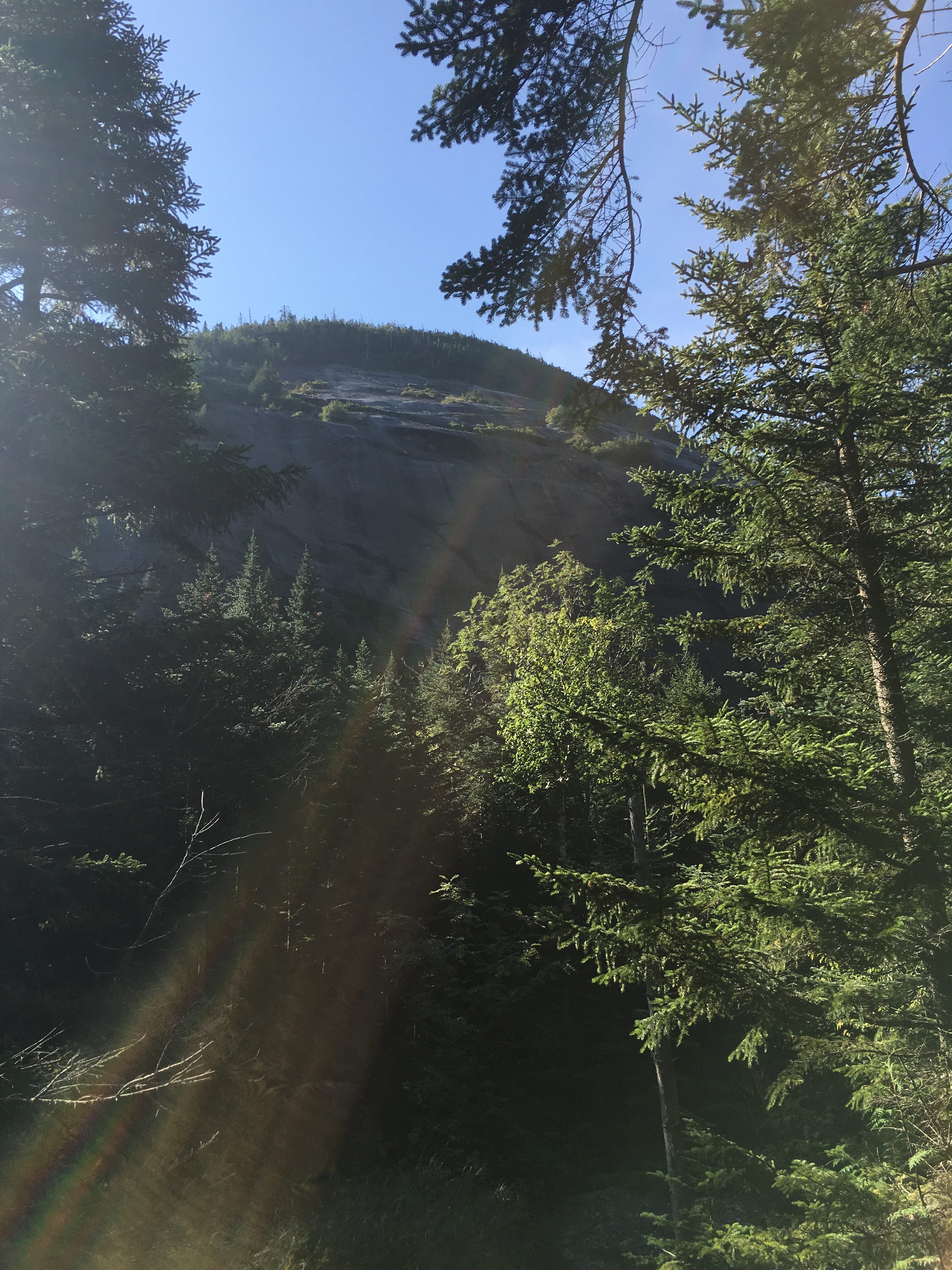
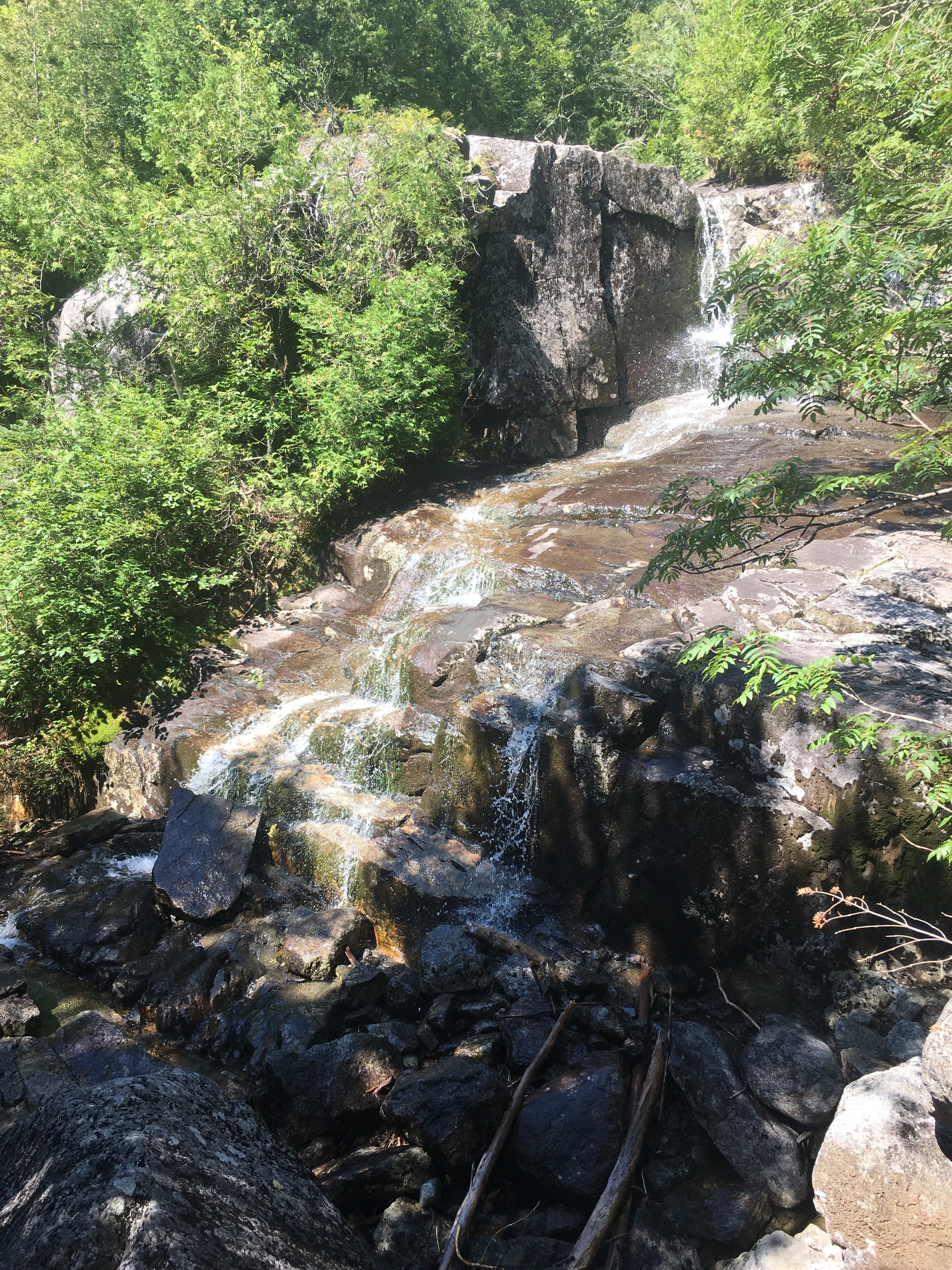
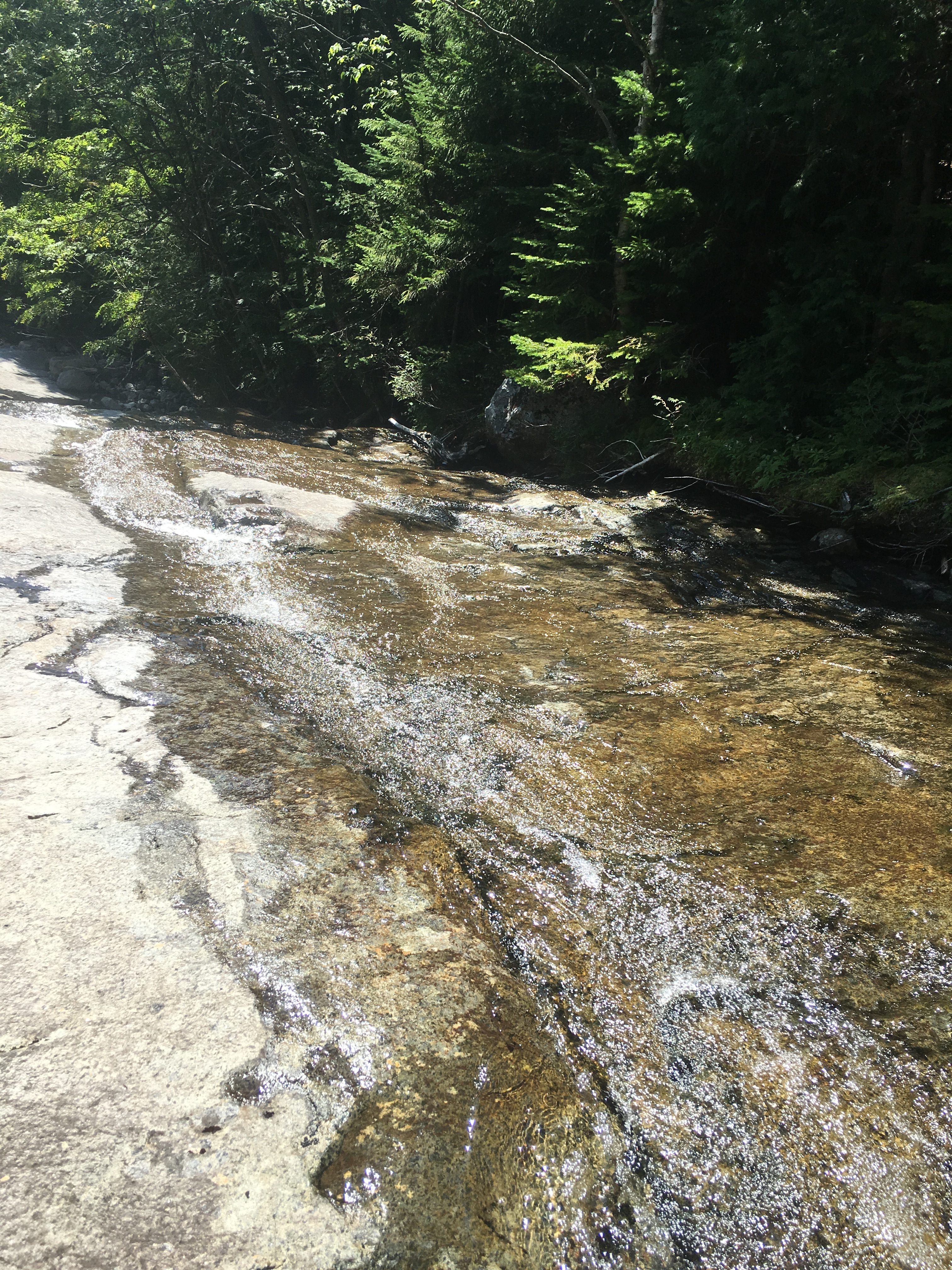
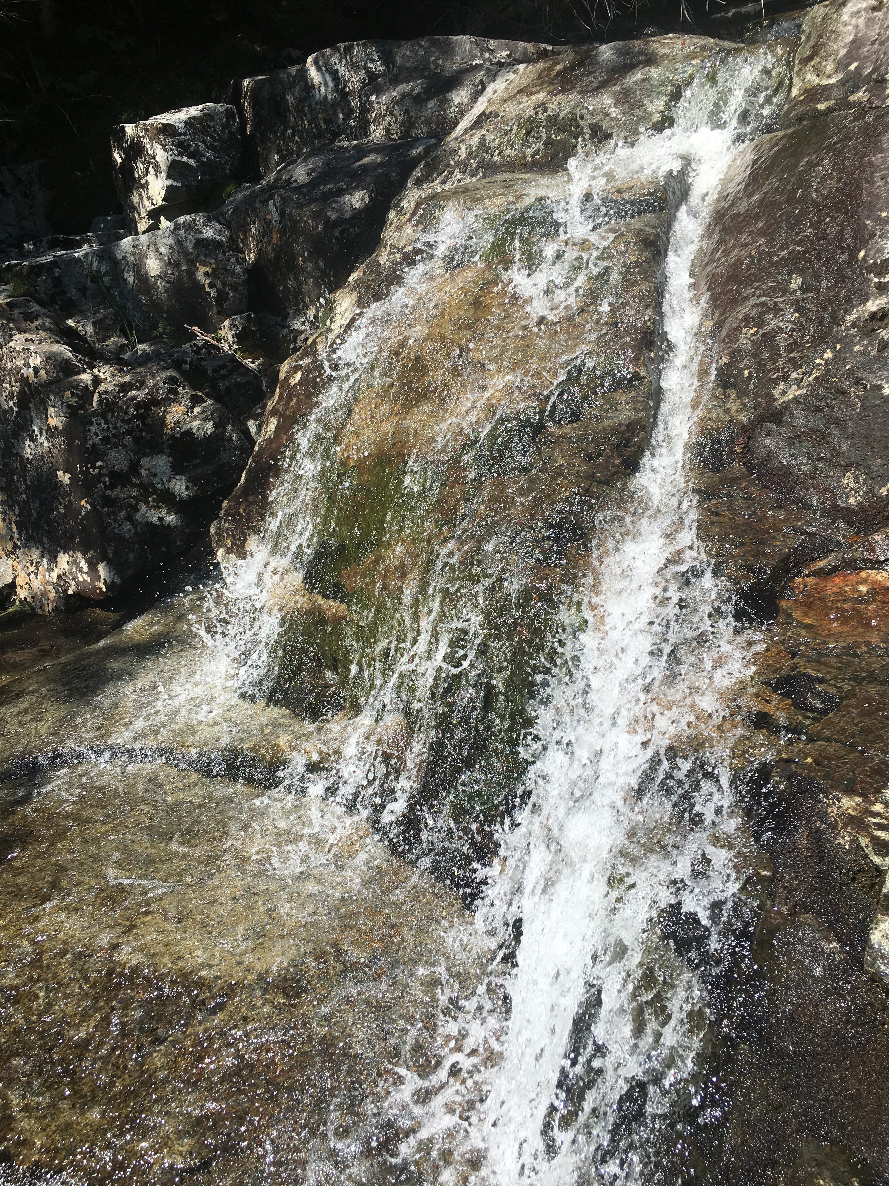
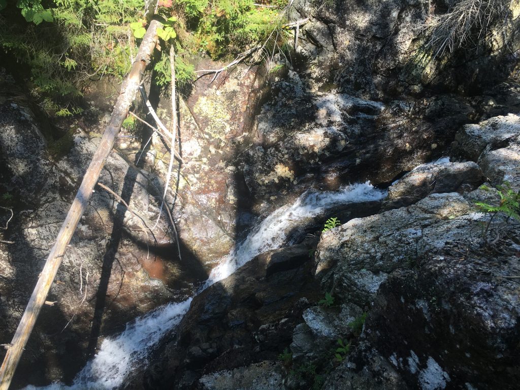
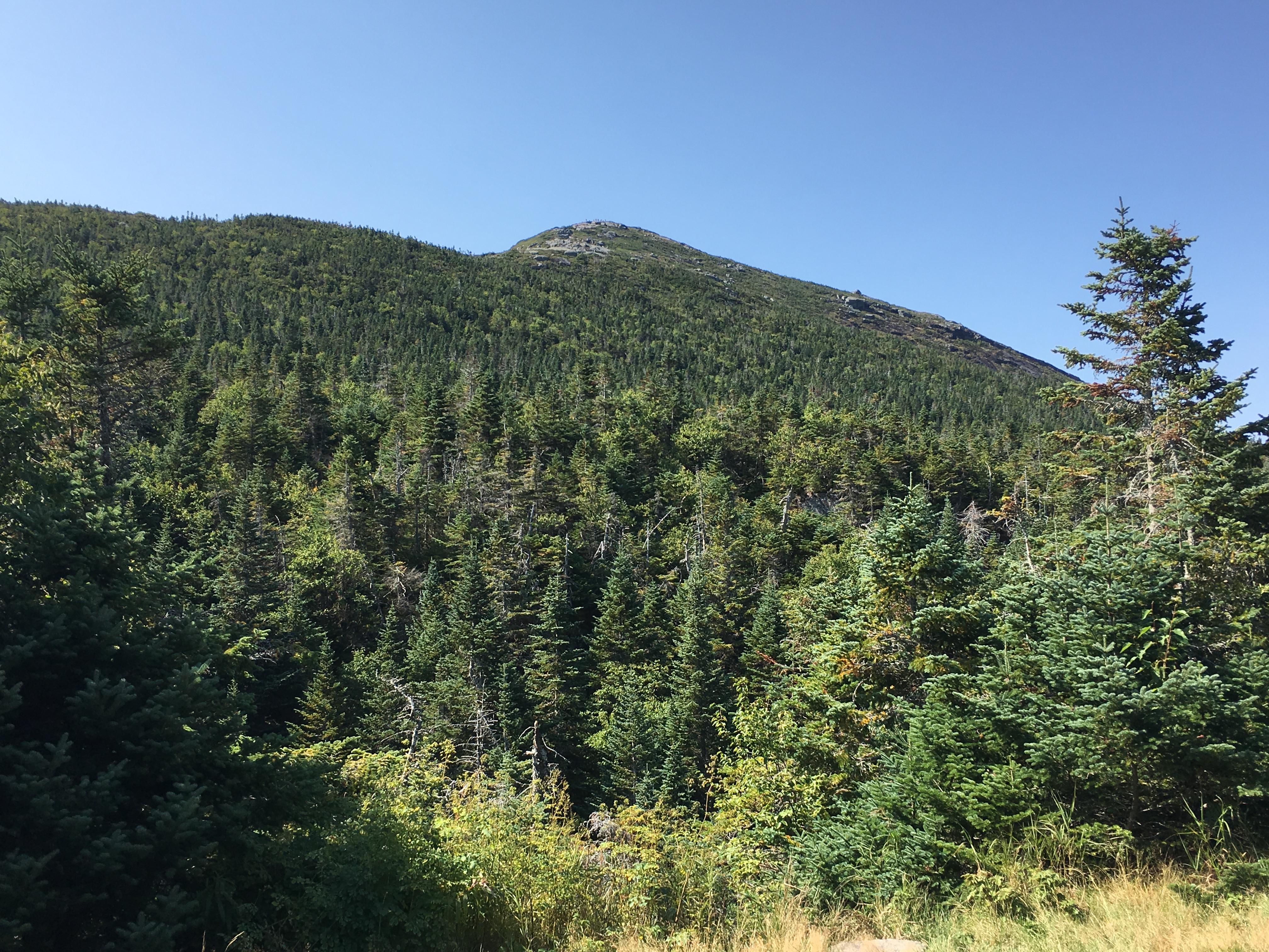
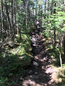
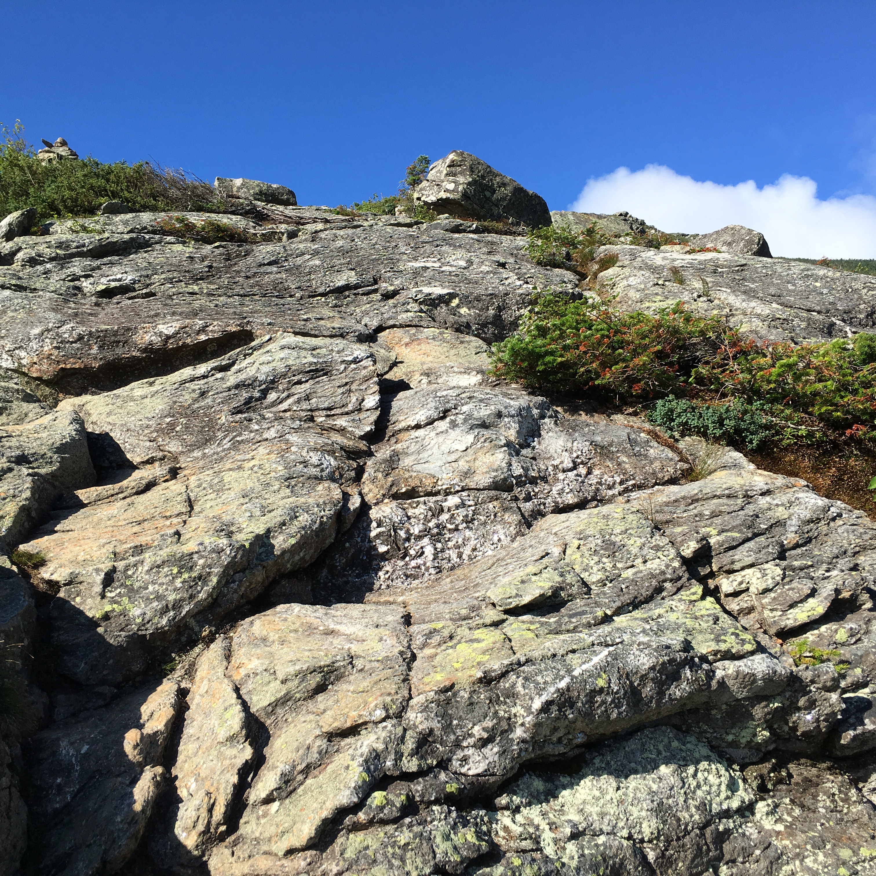
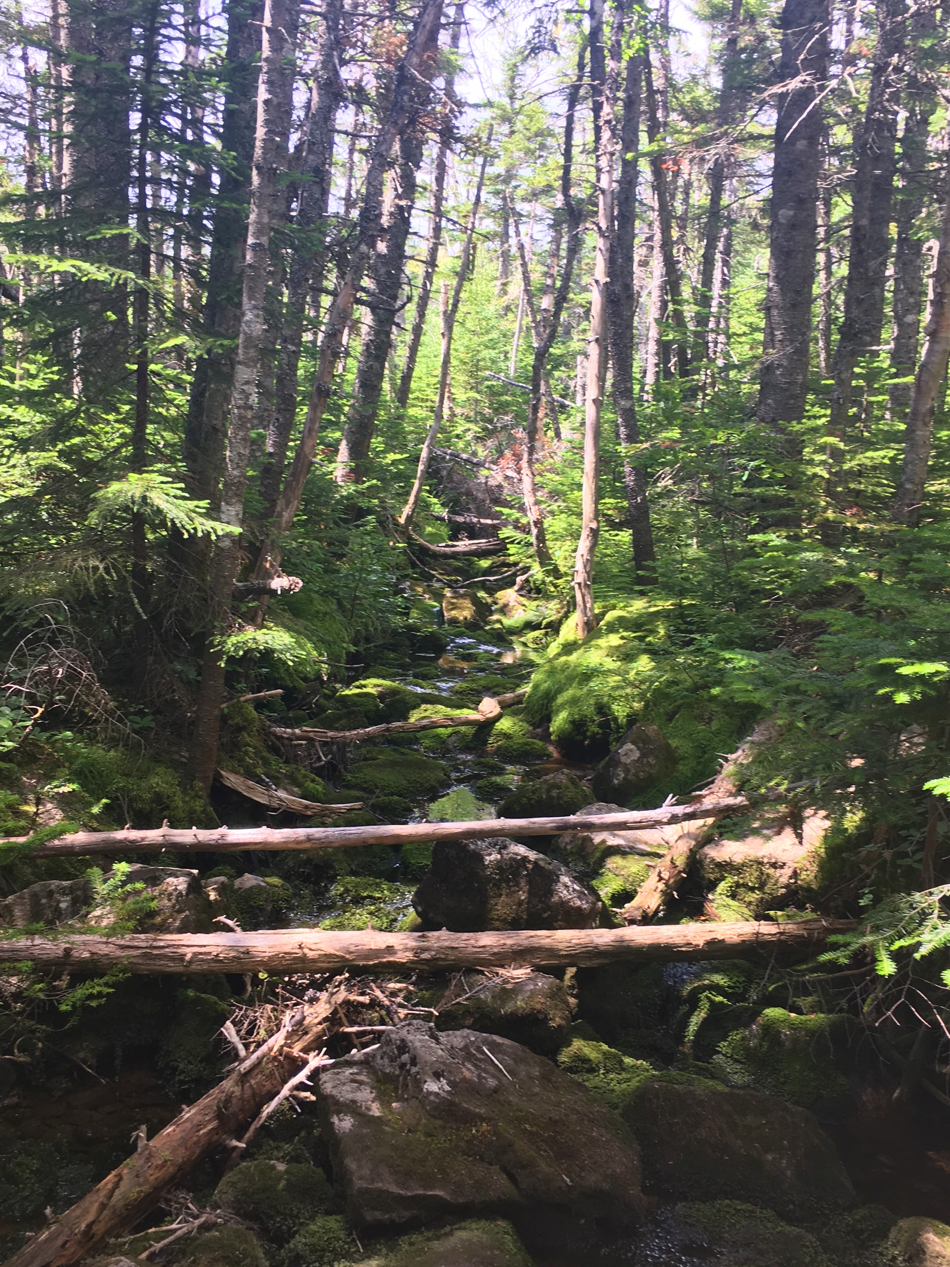
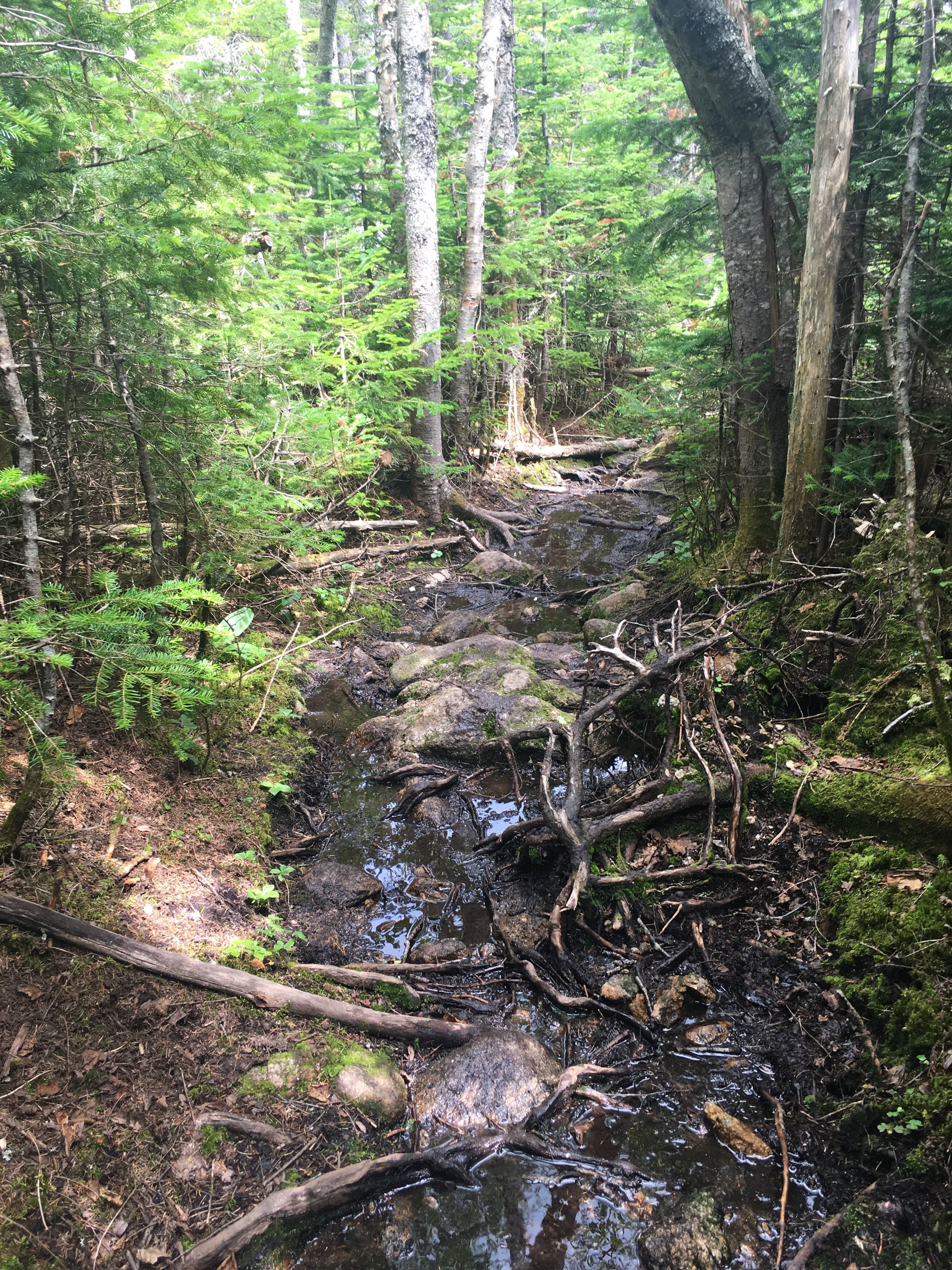
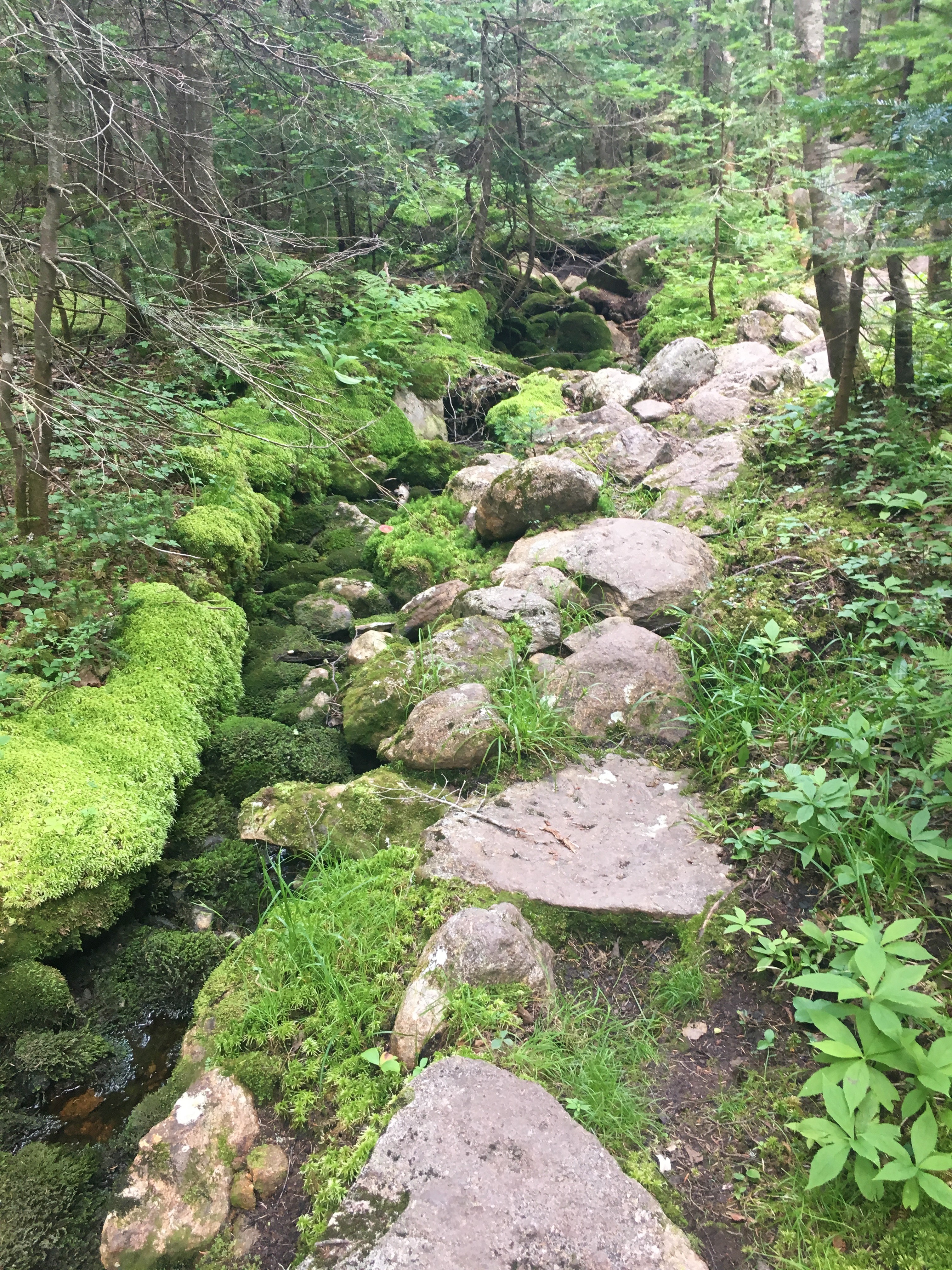
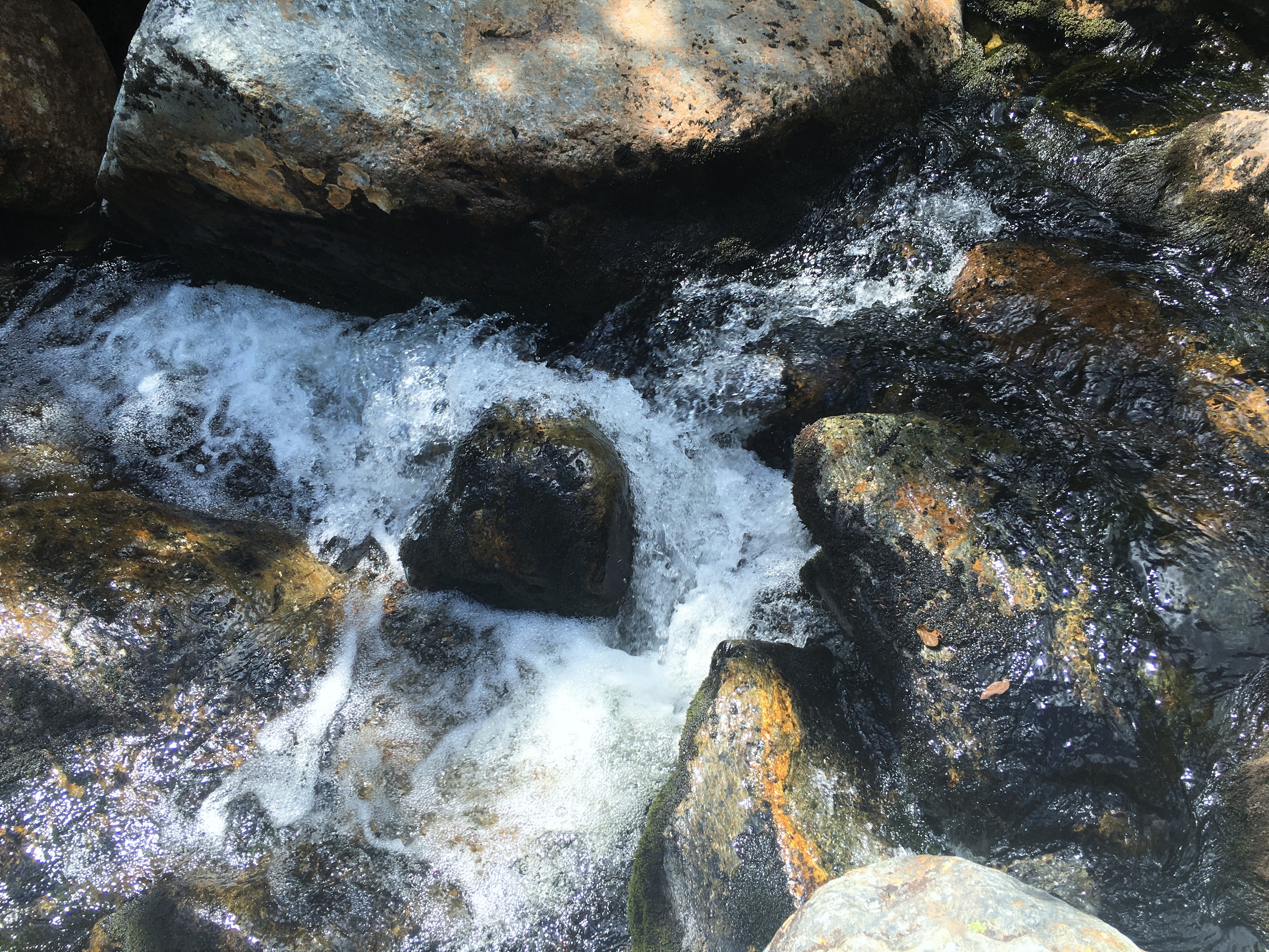
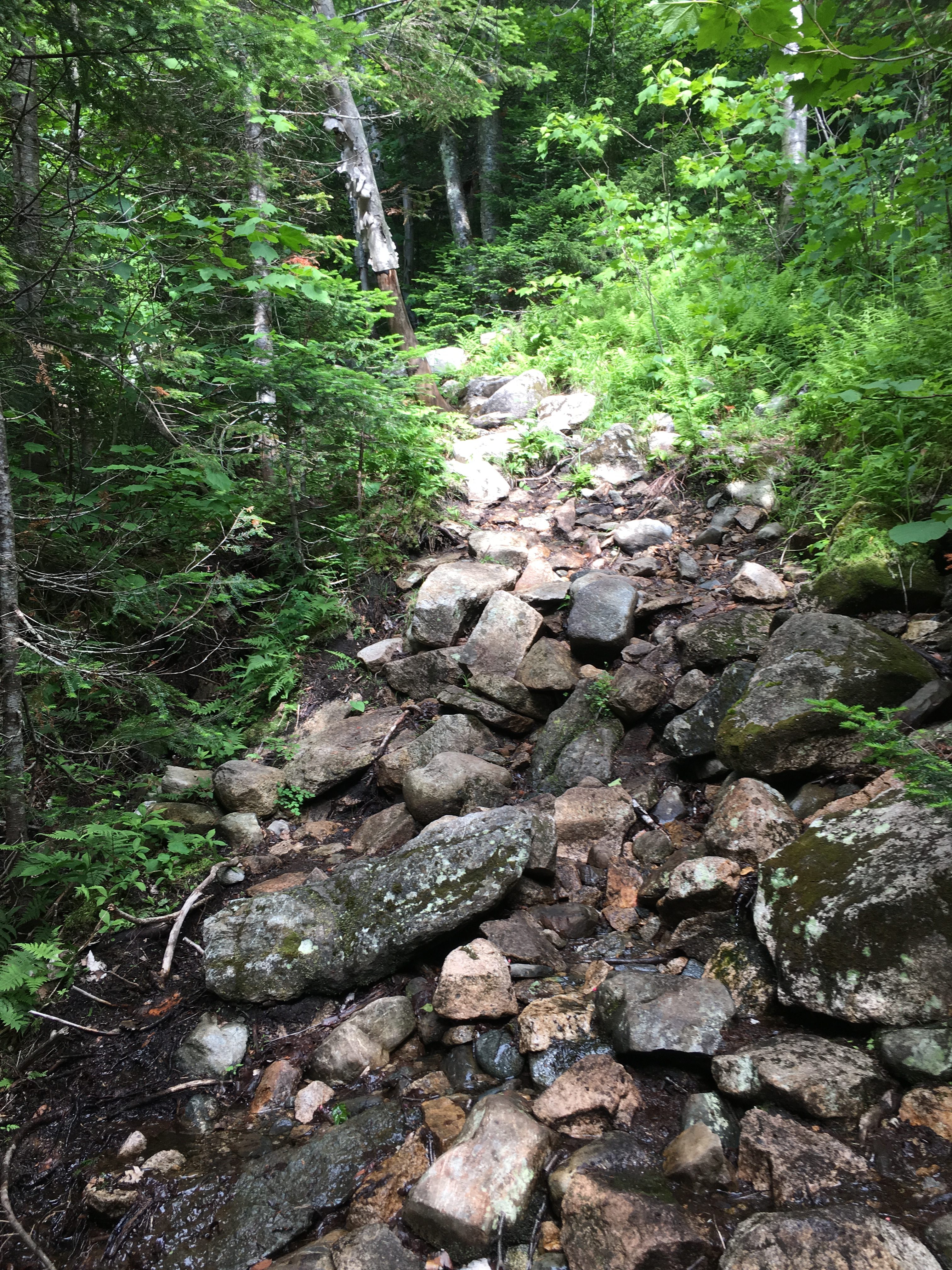
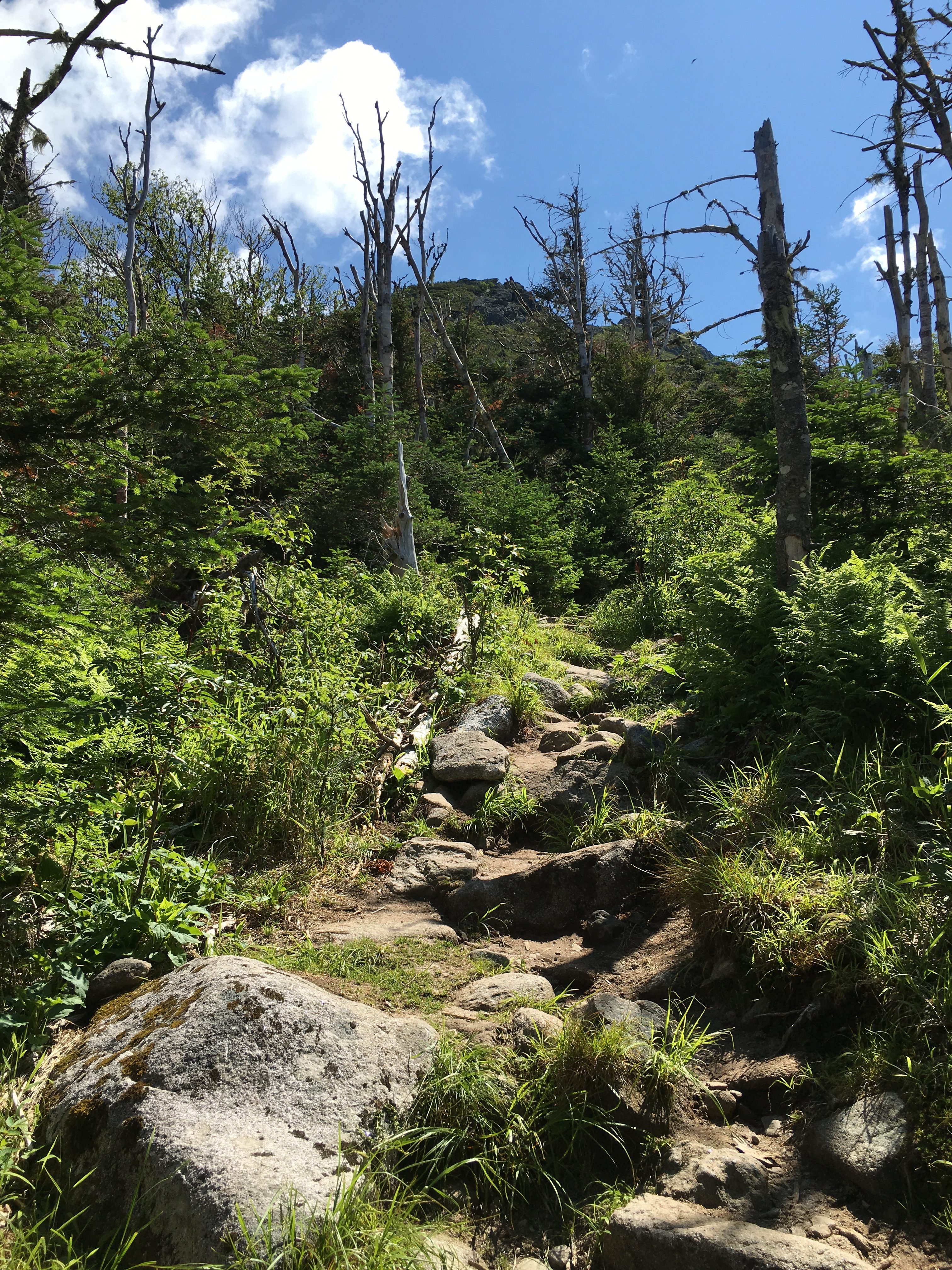
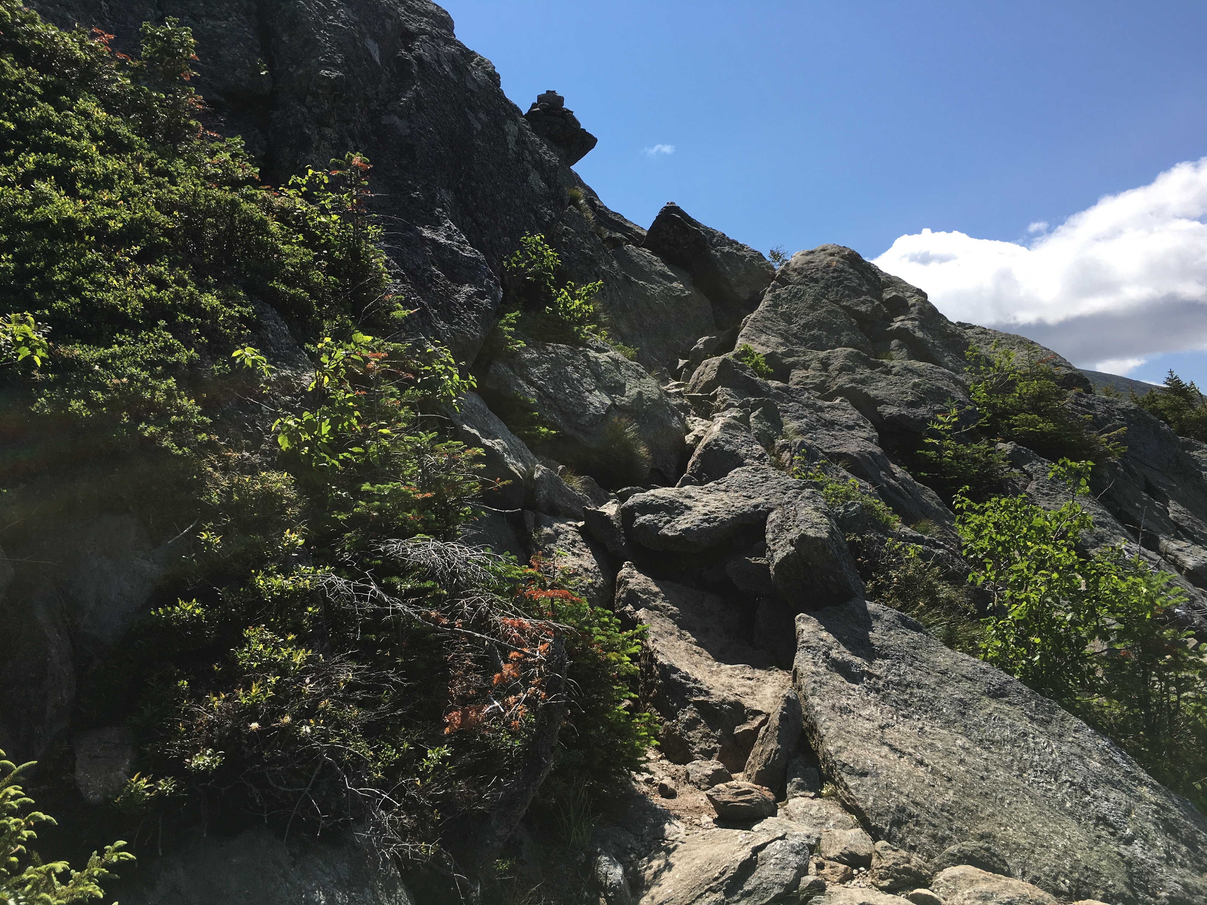
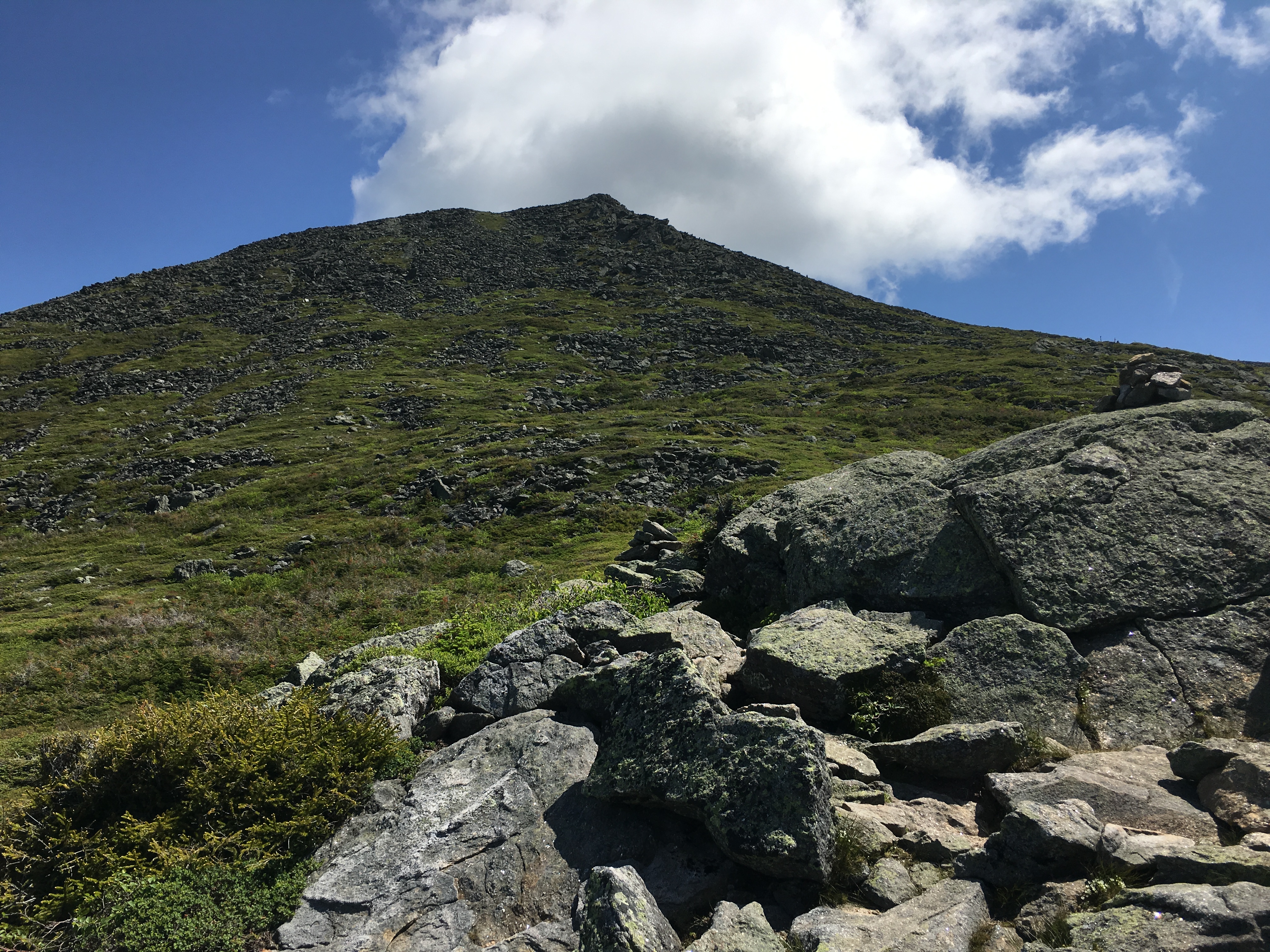
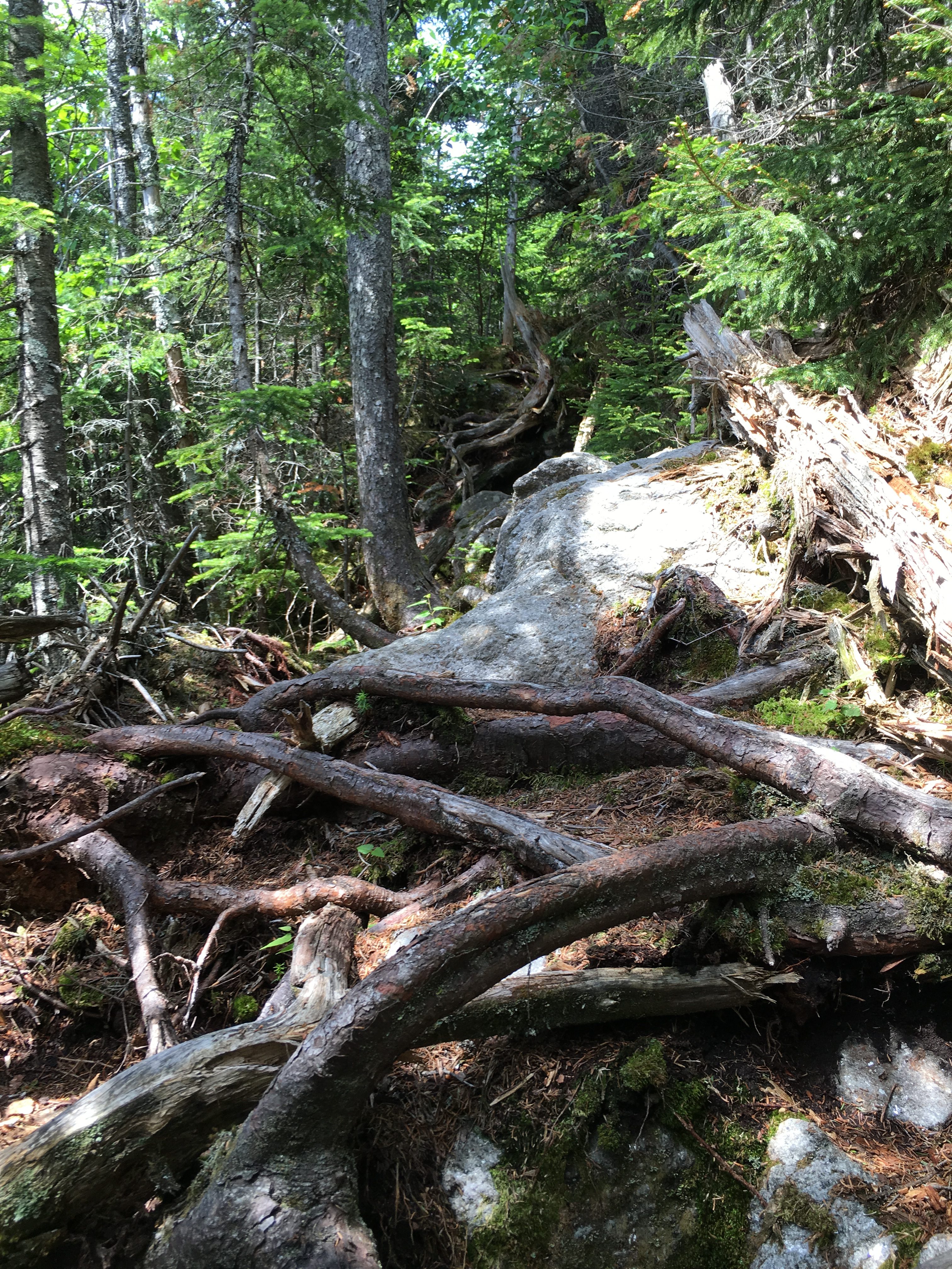
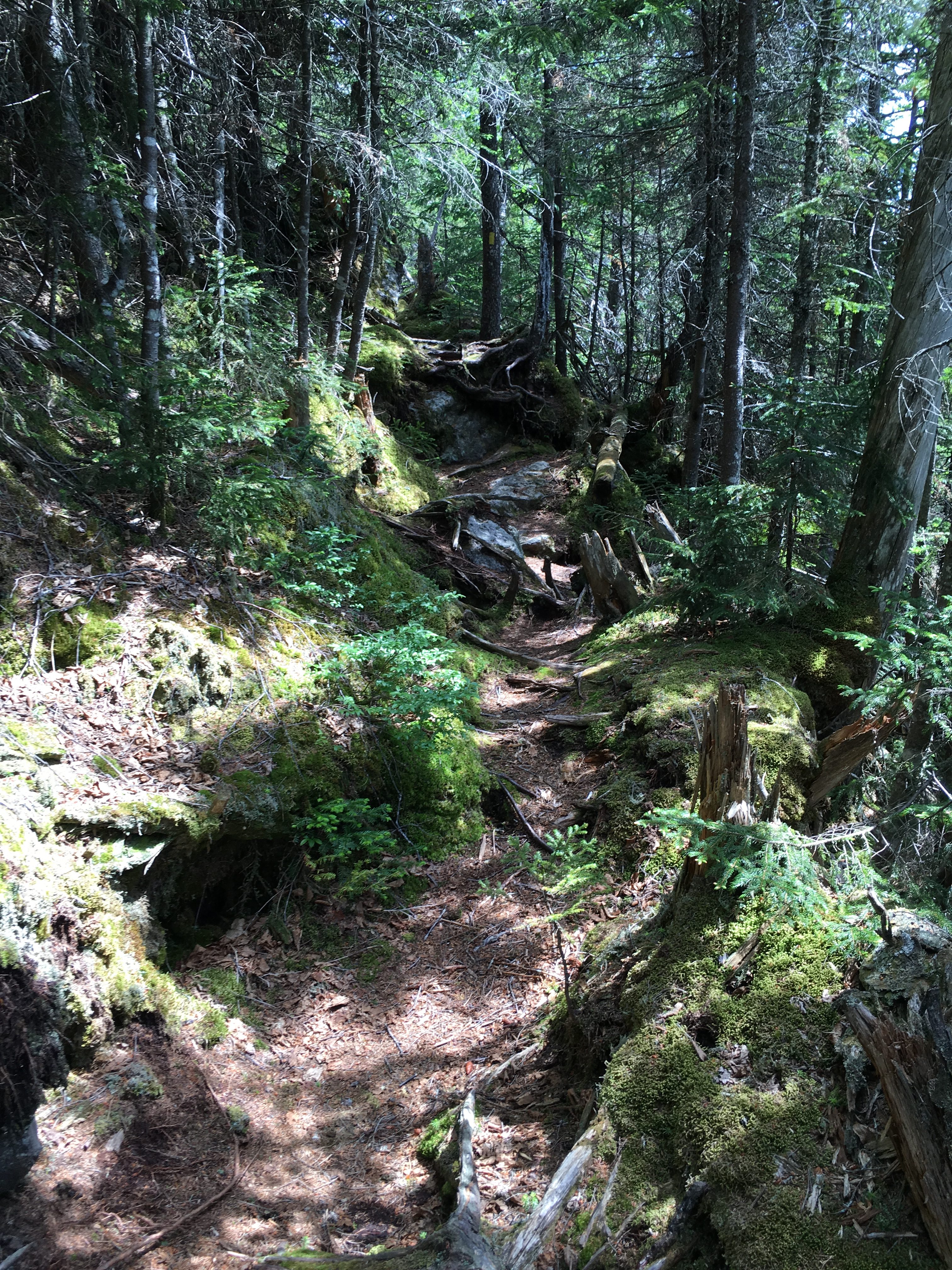
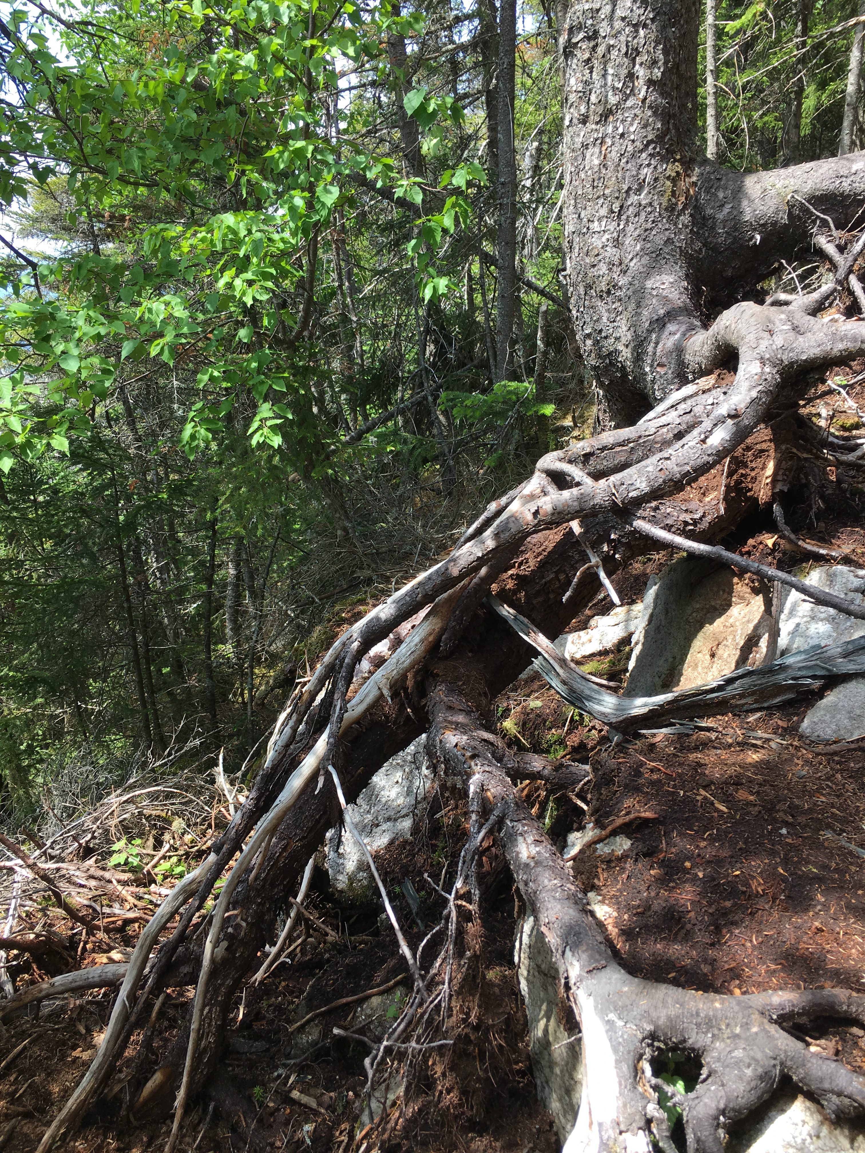
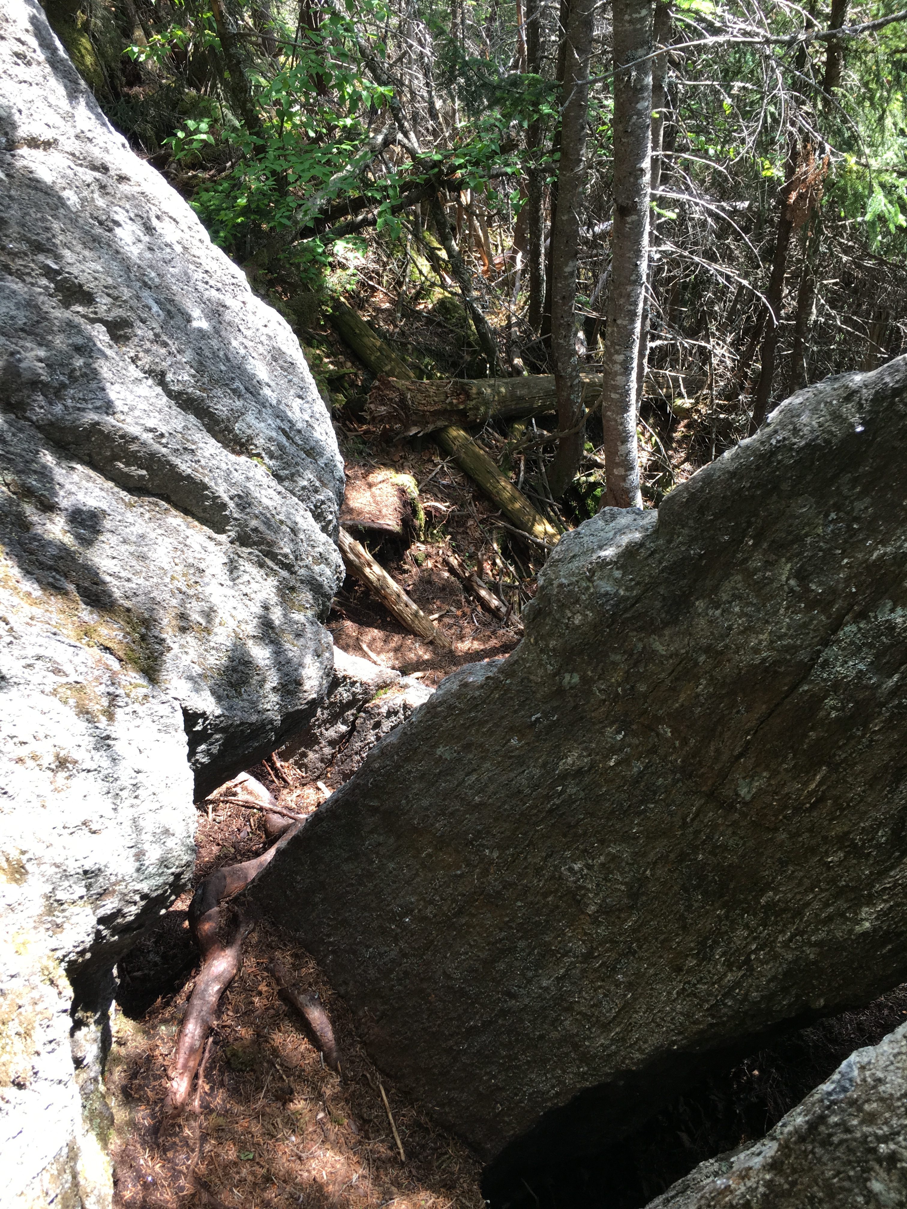
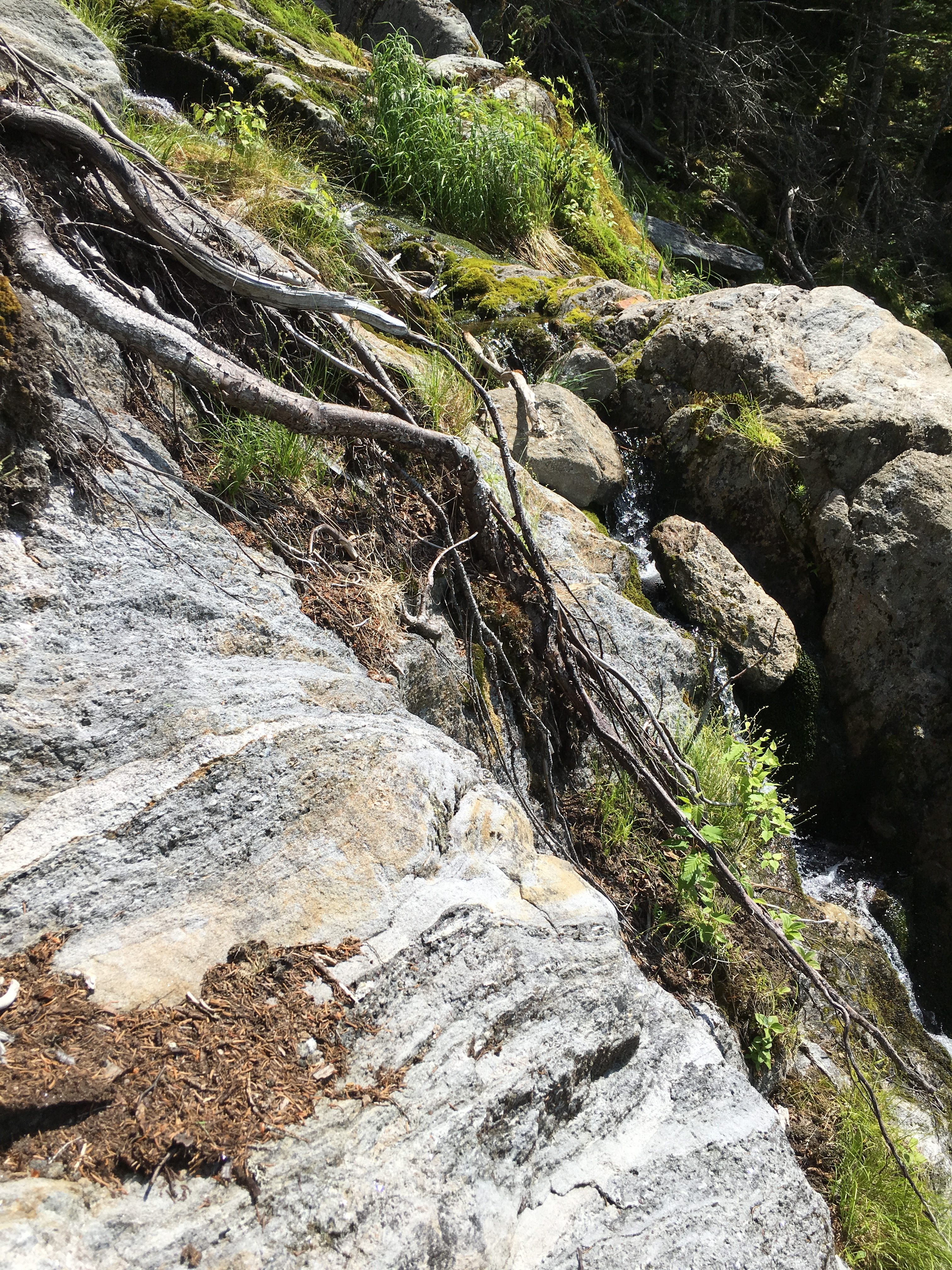
Anyway, after reaching the Northwest shore of Lake Colden a bang a sharp right and begin the second leg of my journey – the steep wet climb up the face of the mighty Algonquin! This is a brutal undertaking on this hot summer day, navigating wet rocky stream banks, waterfalls and perpetually steep inclines.


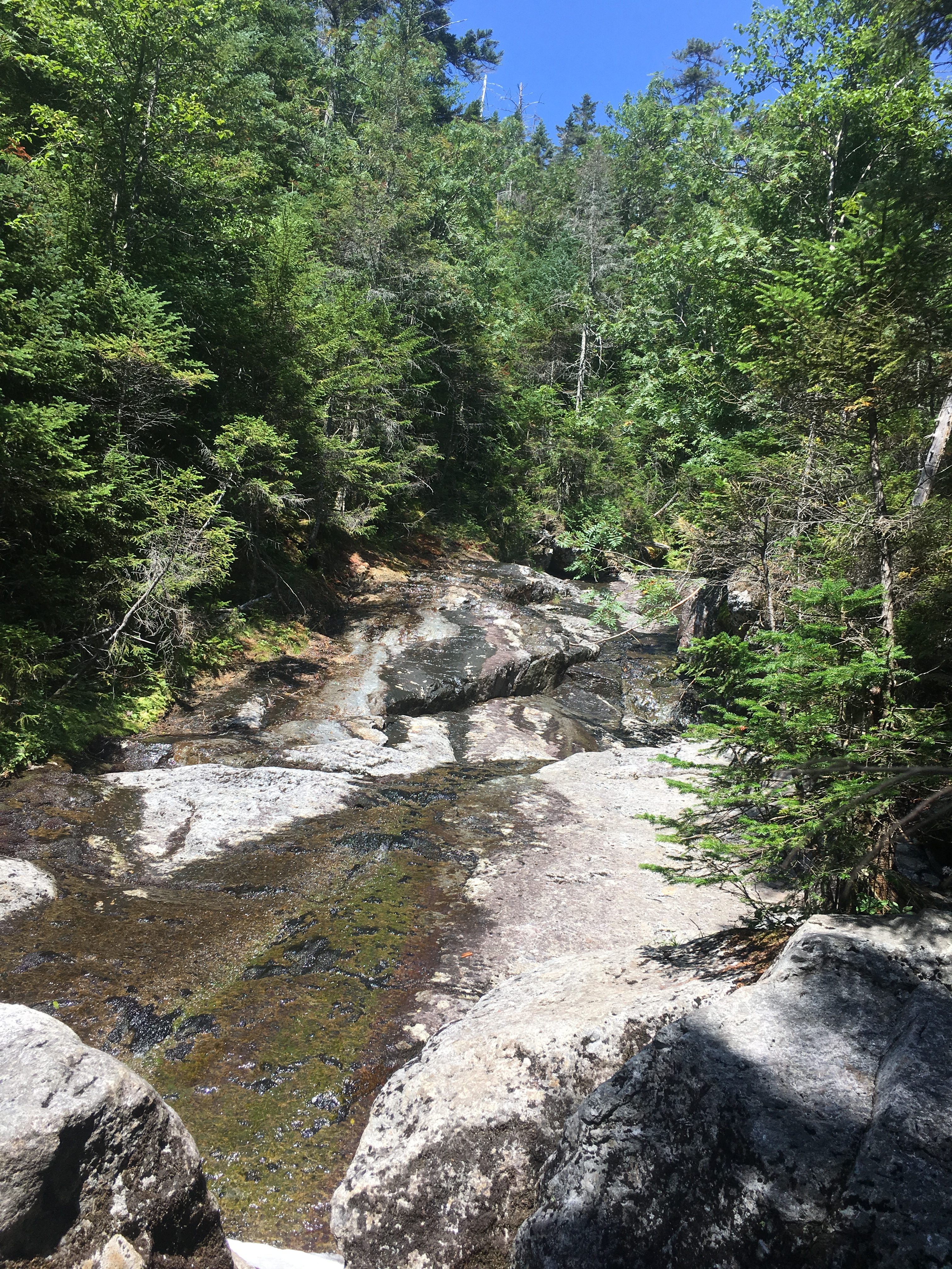
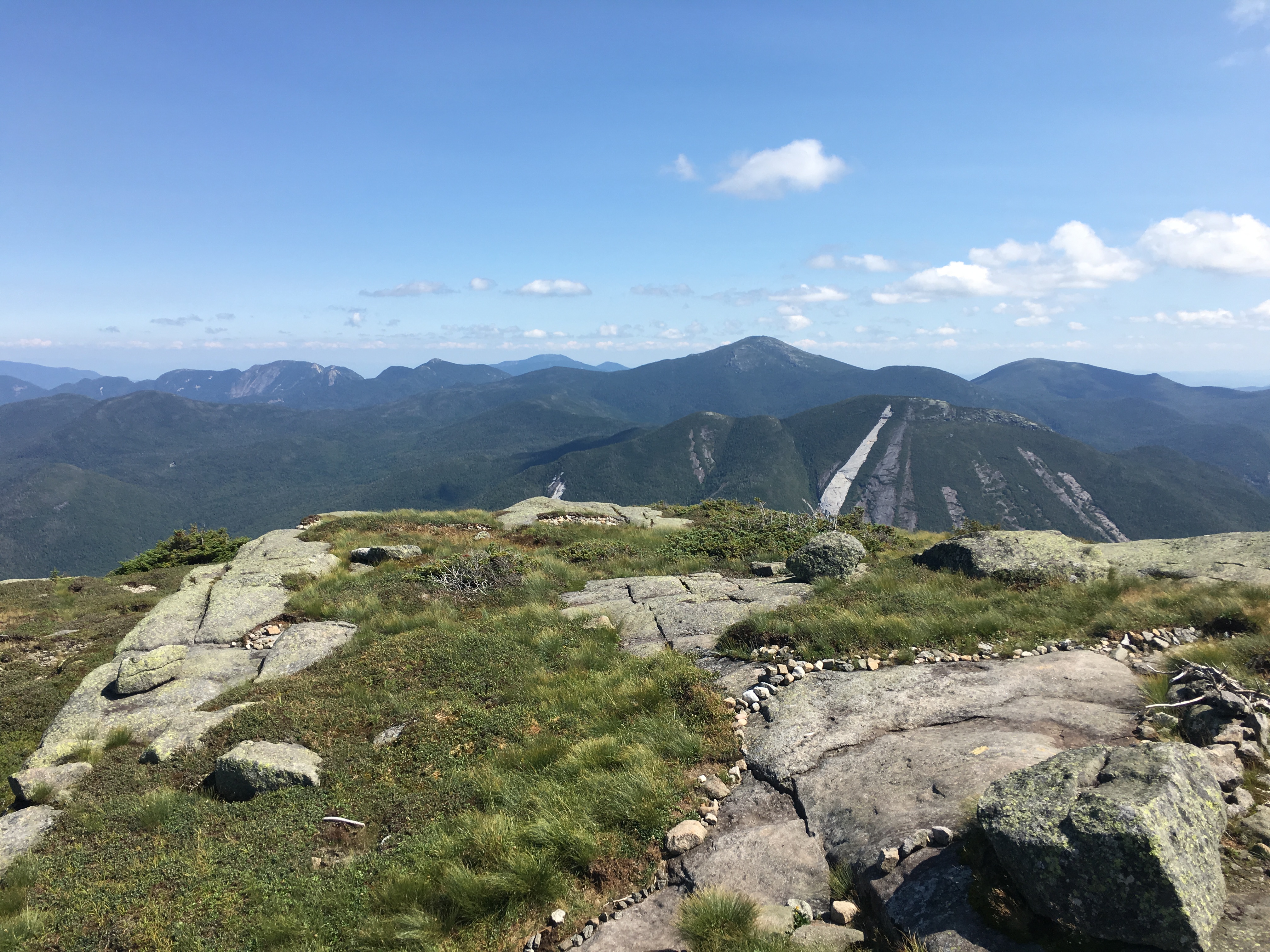
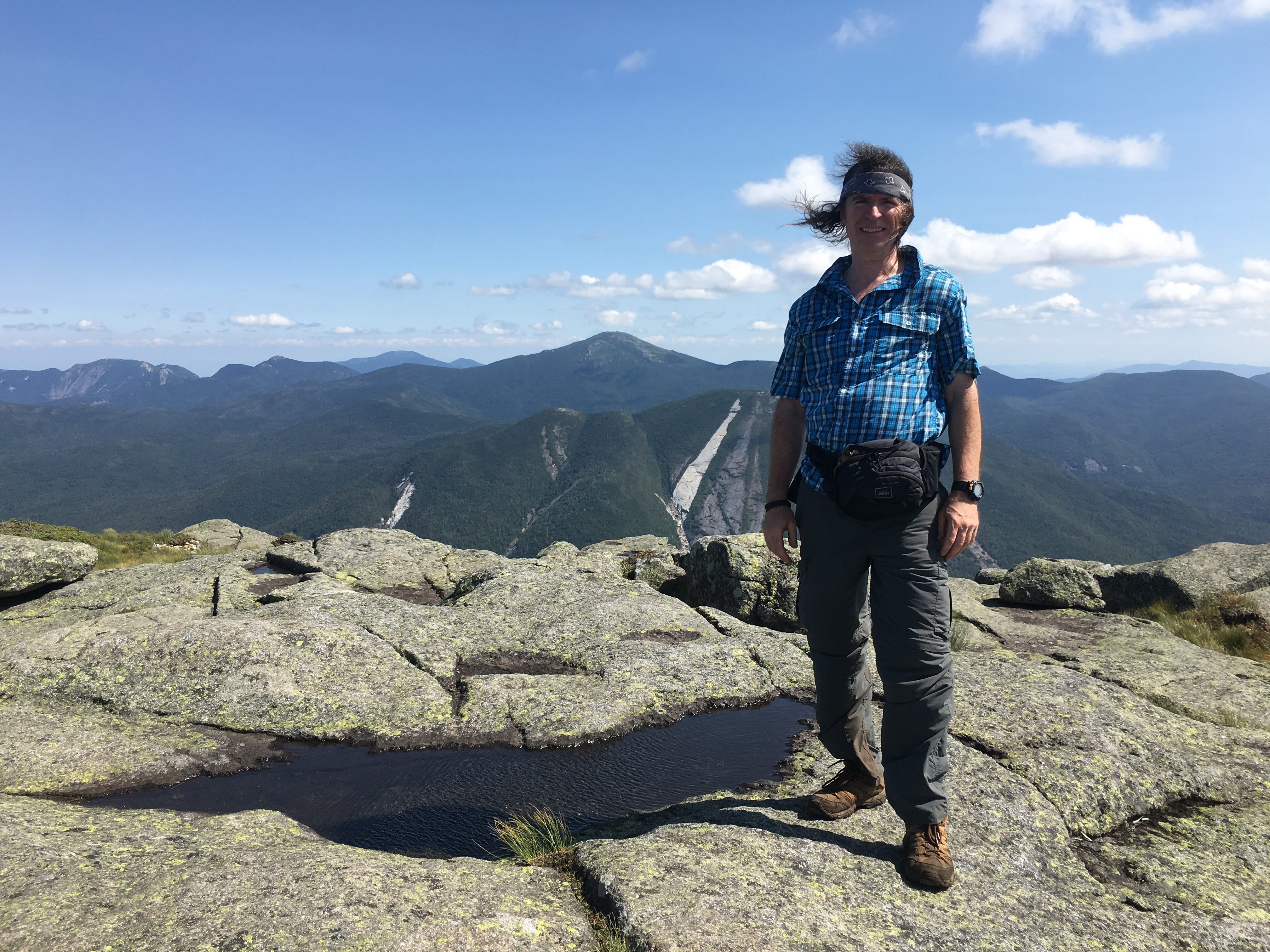
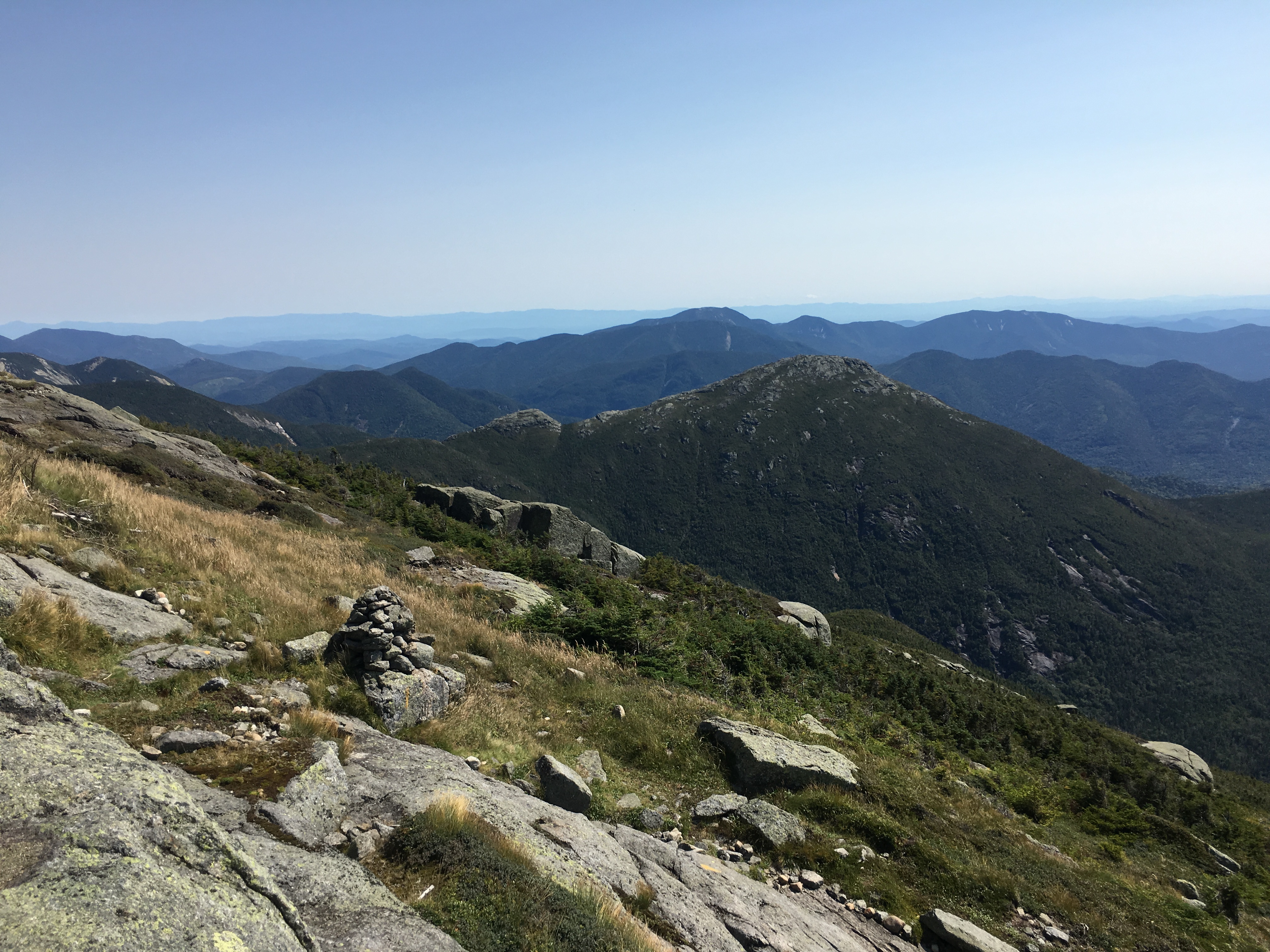
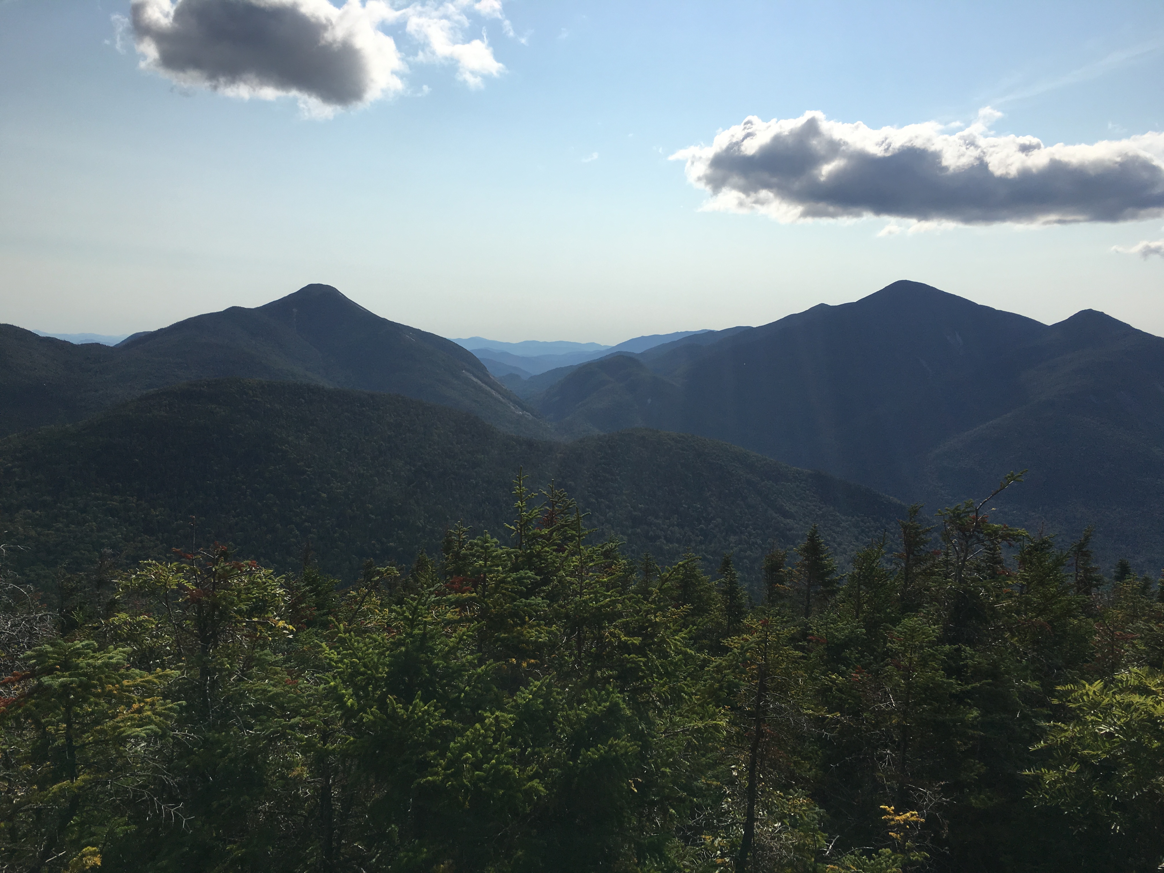
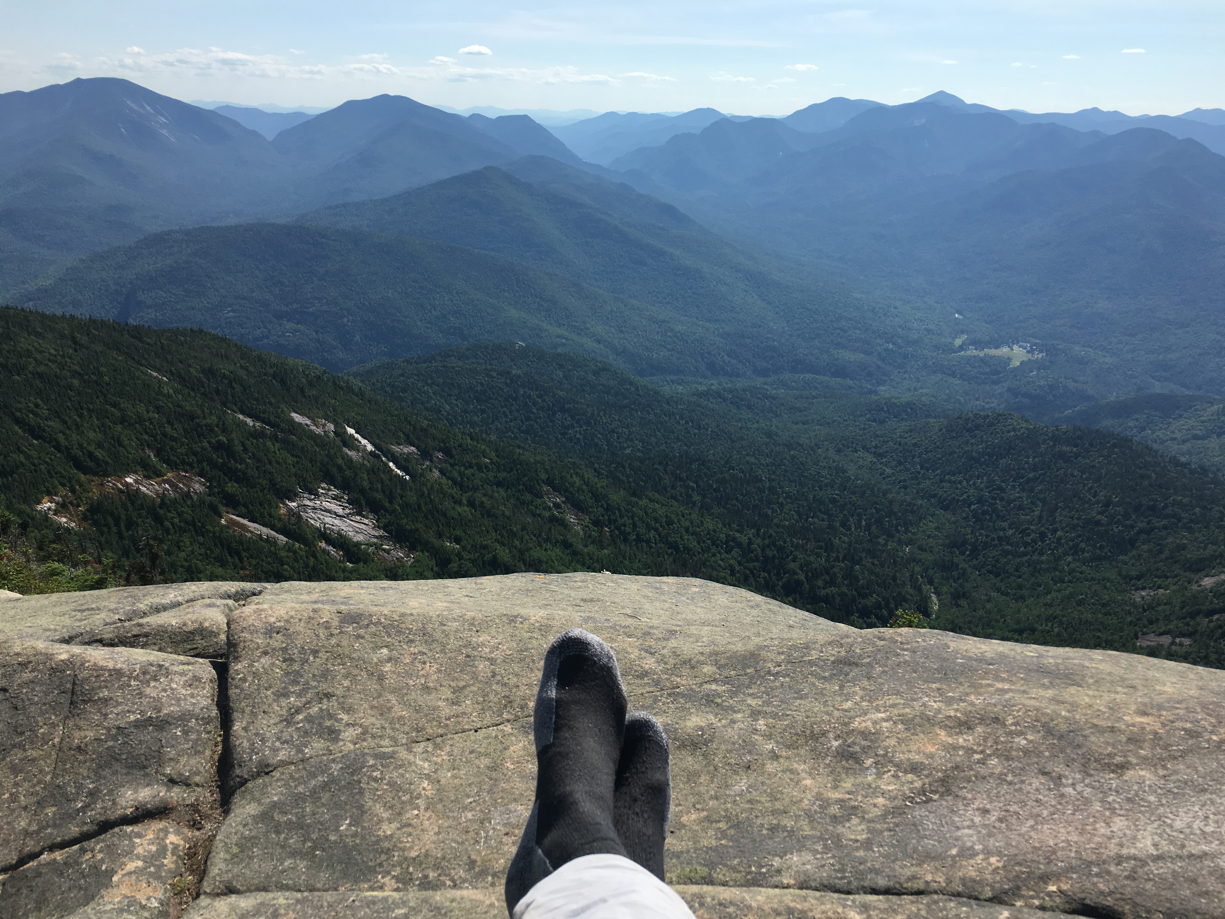
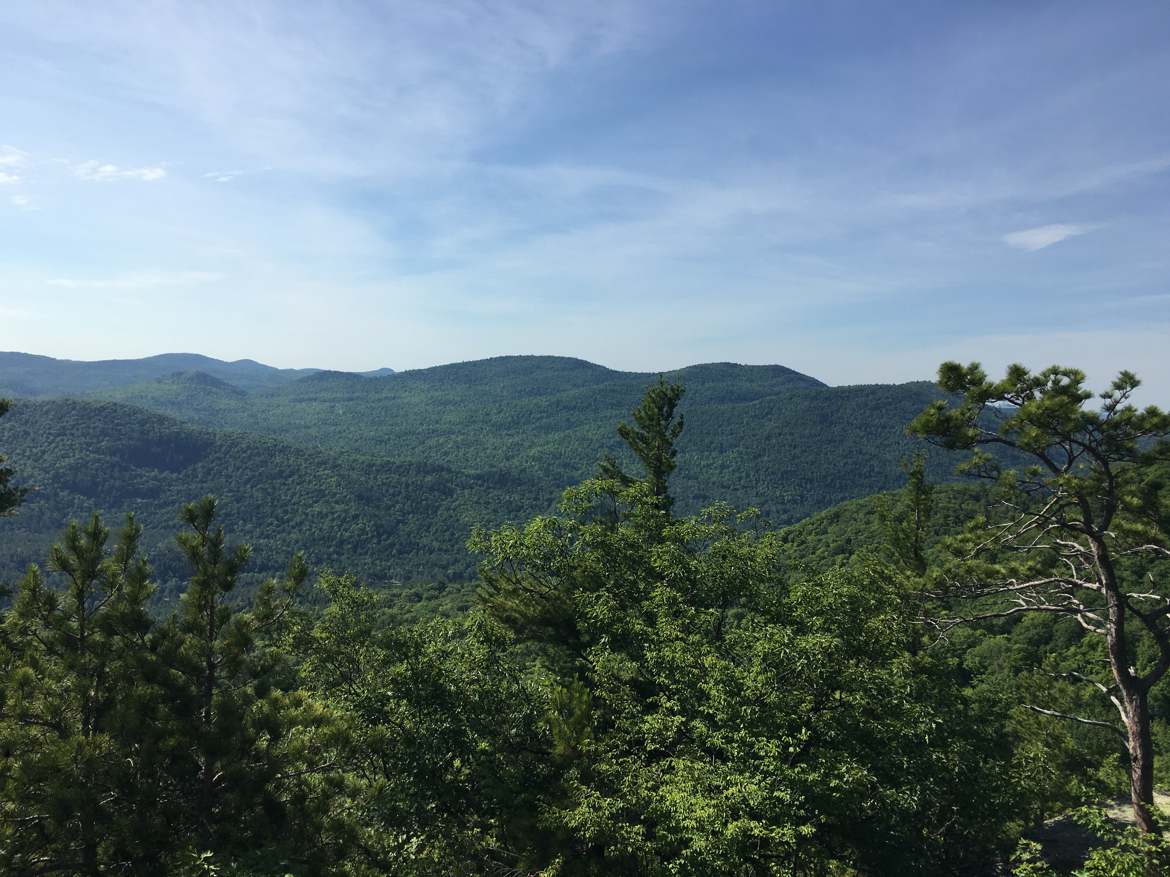
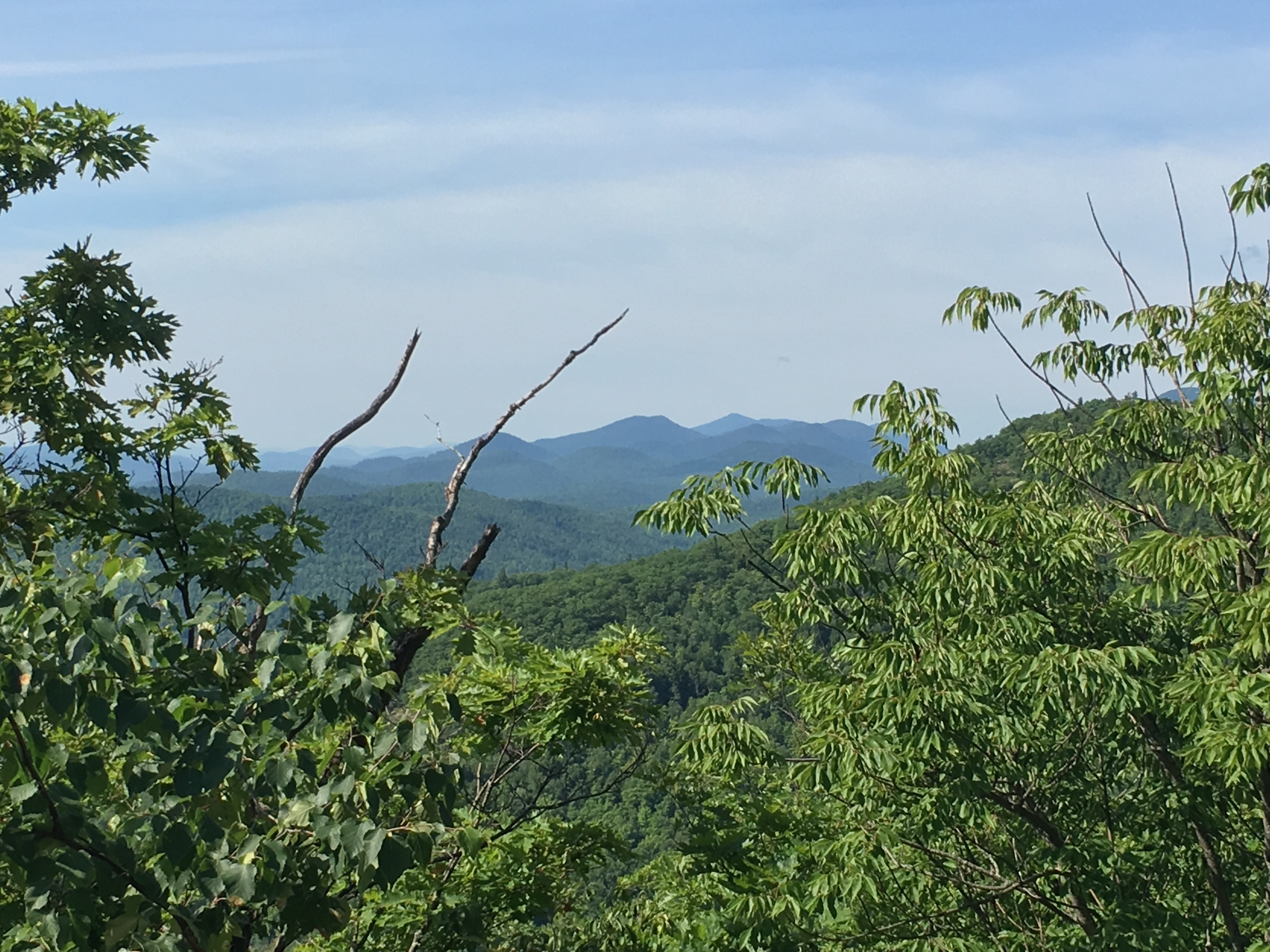
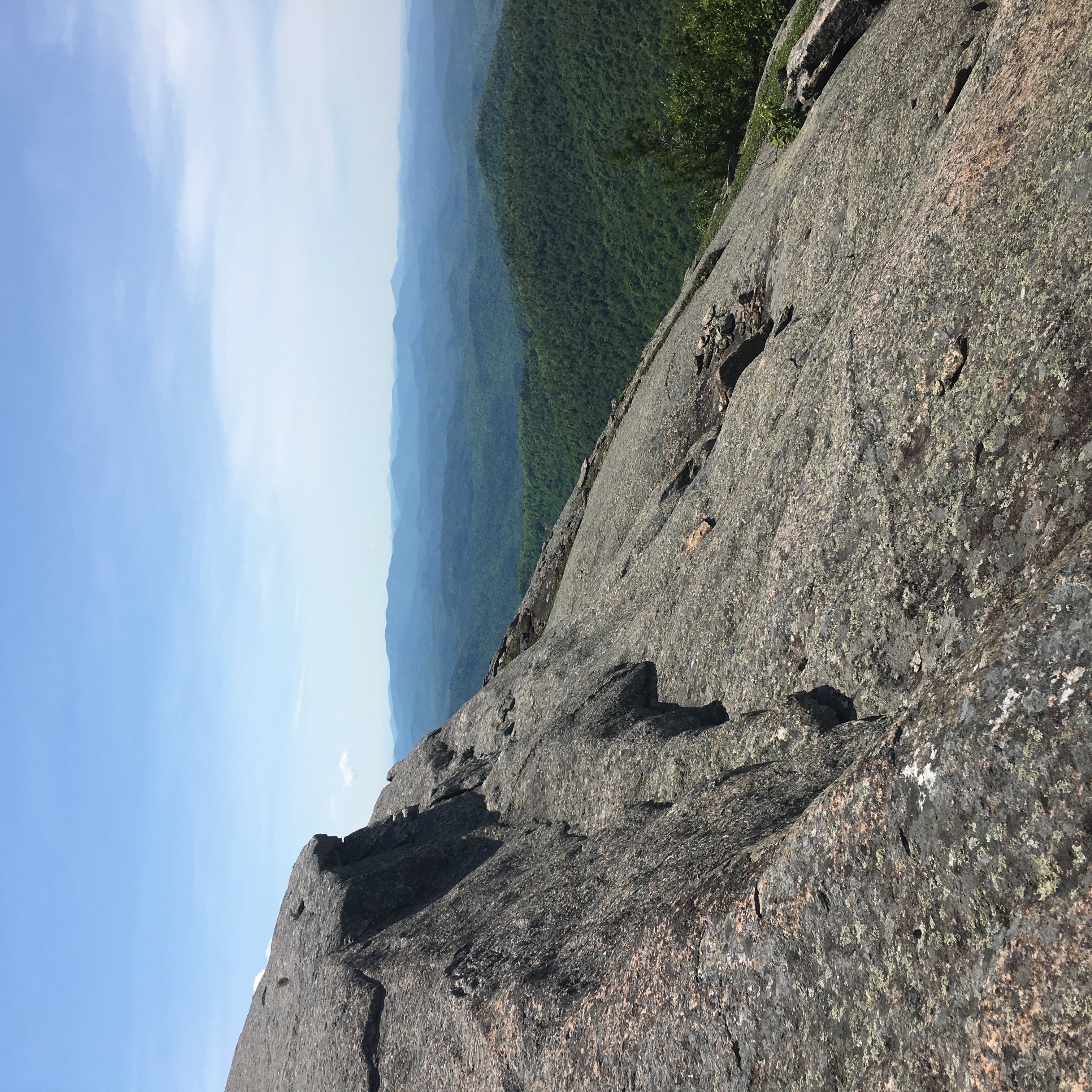
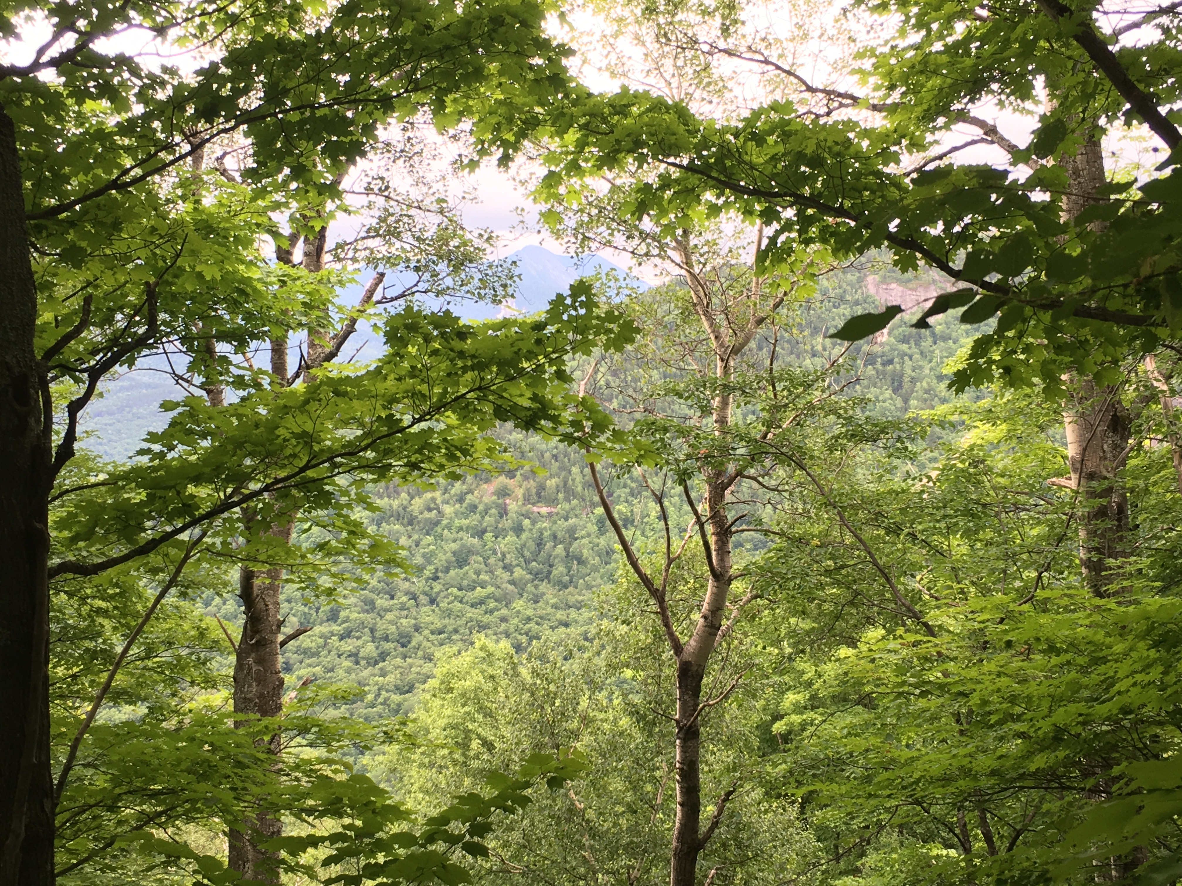
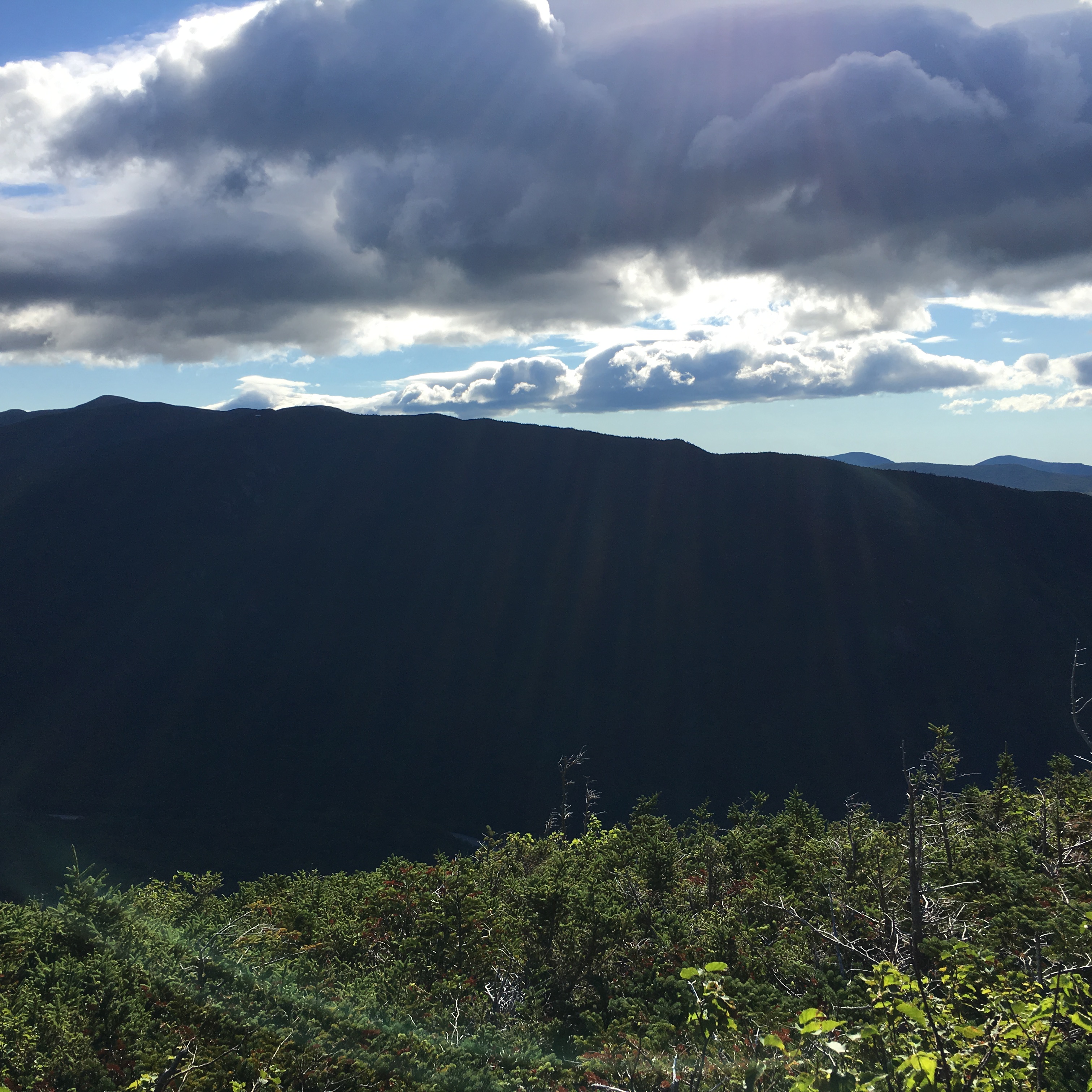
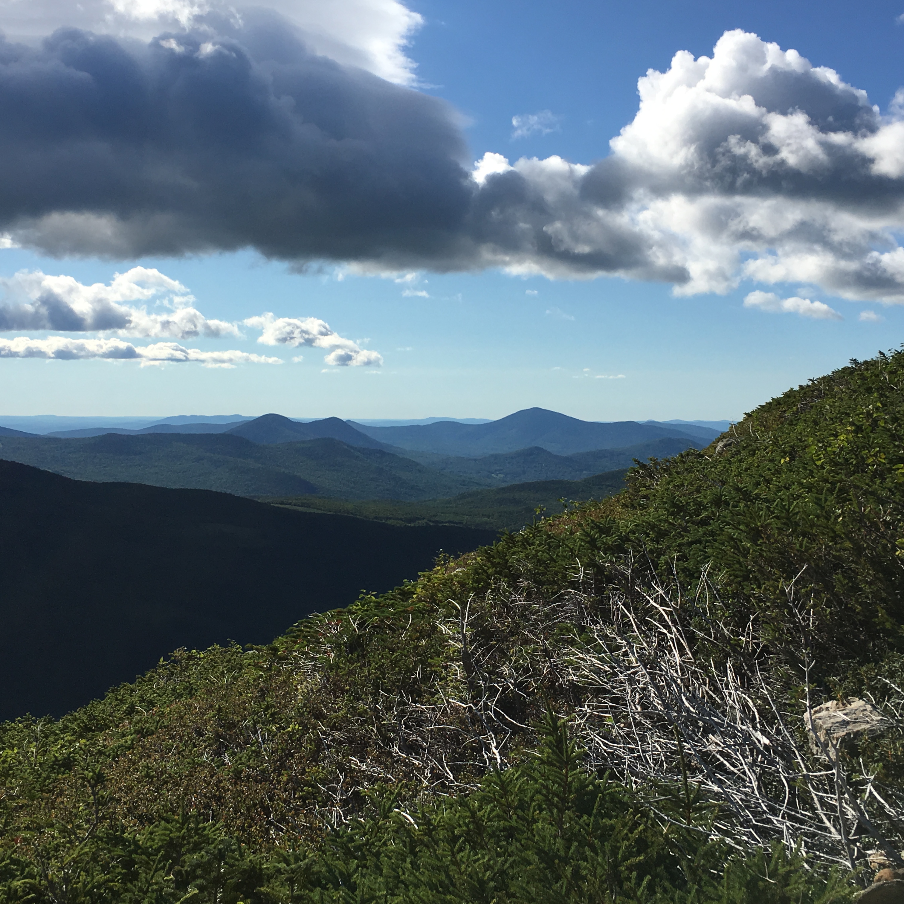
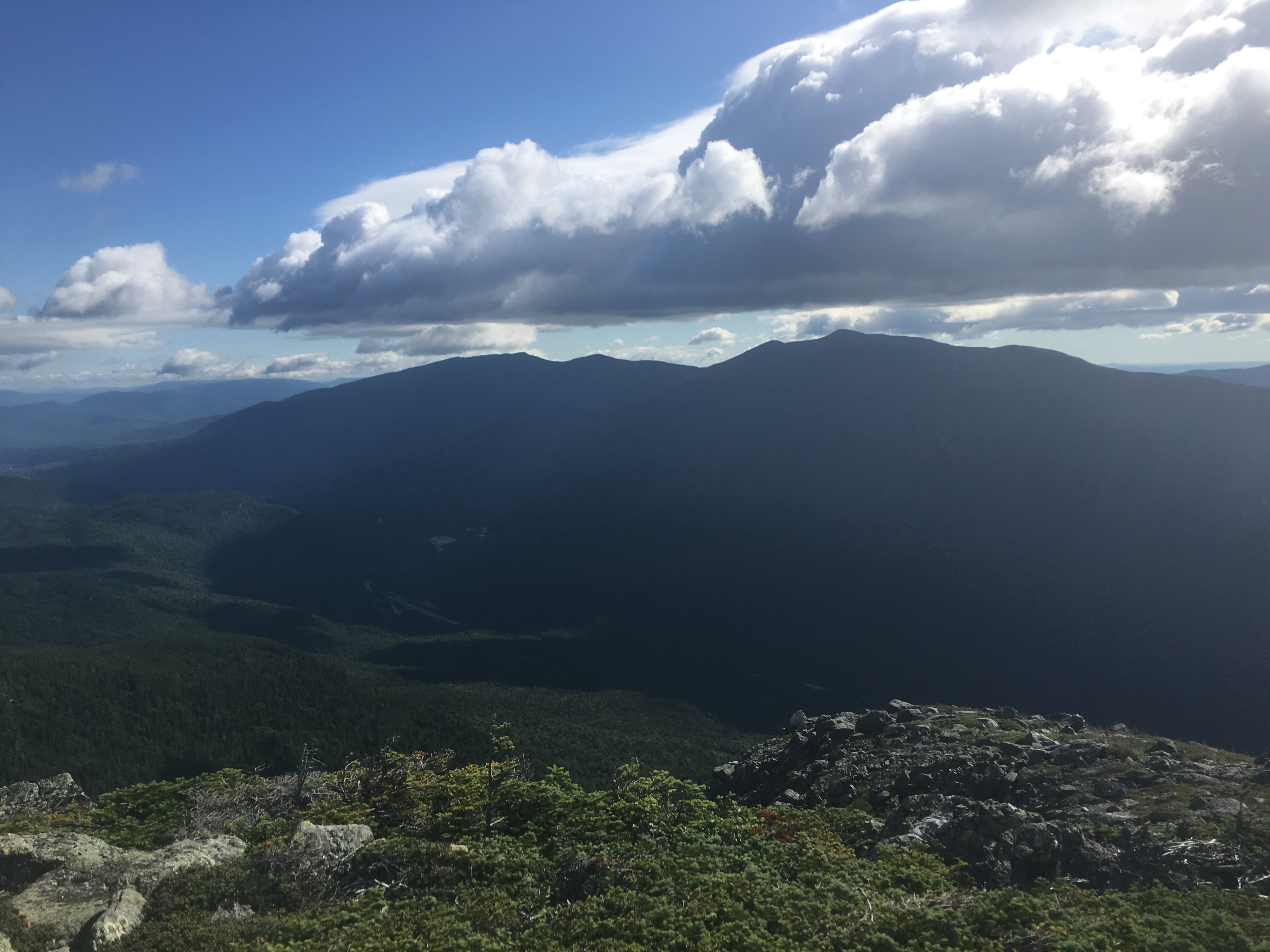
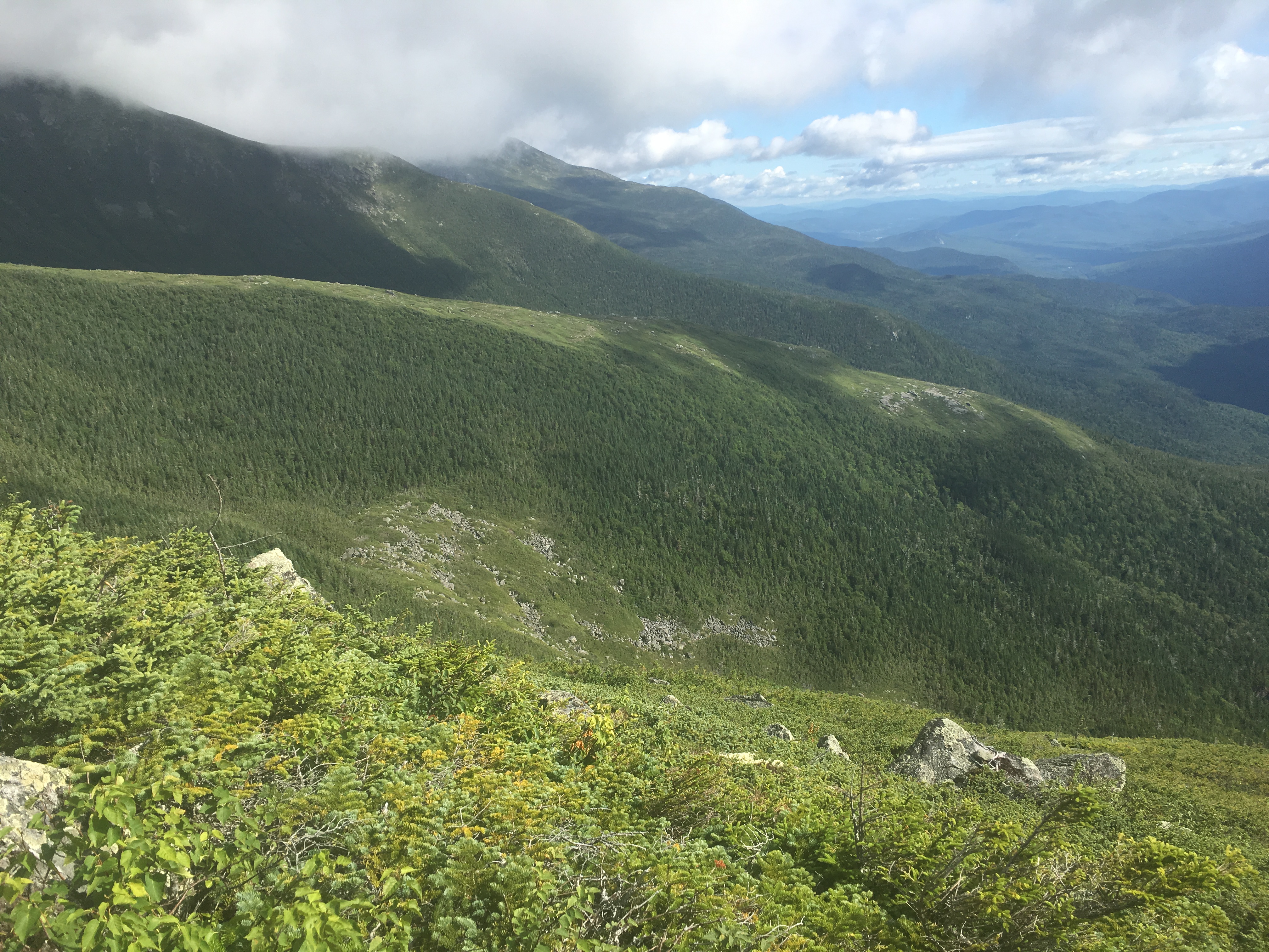
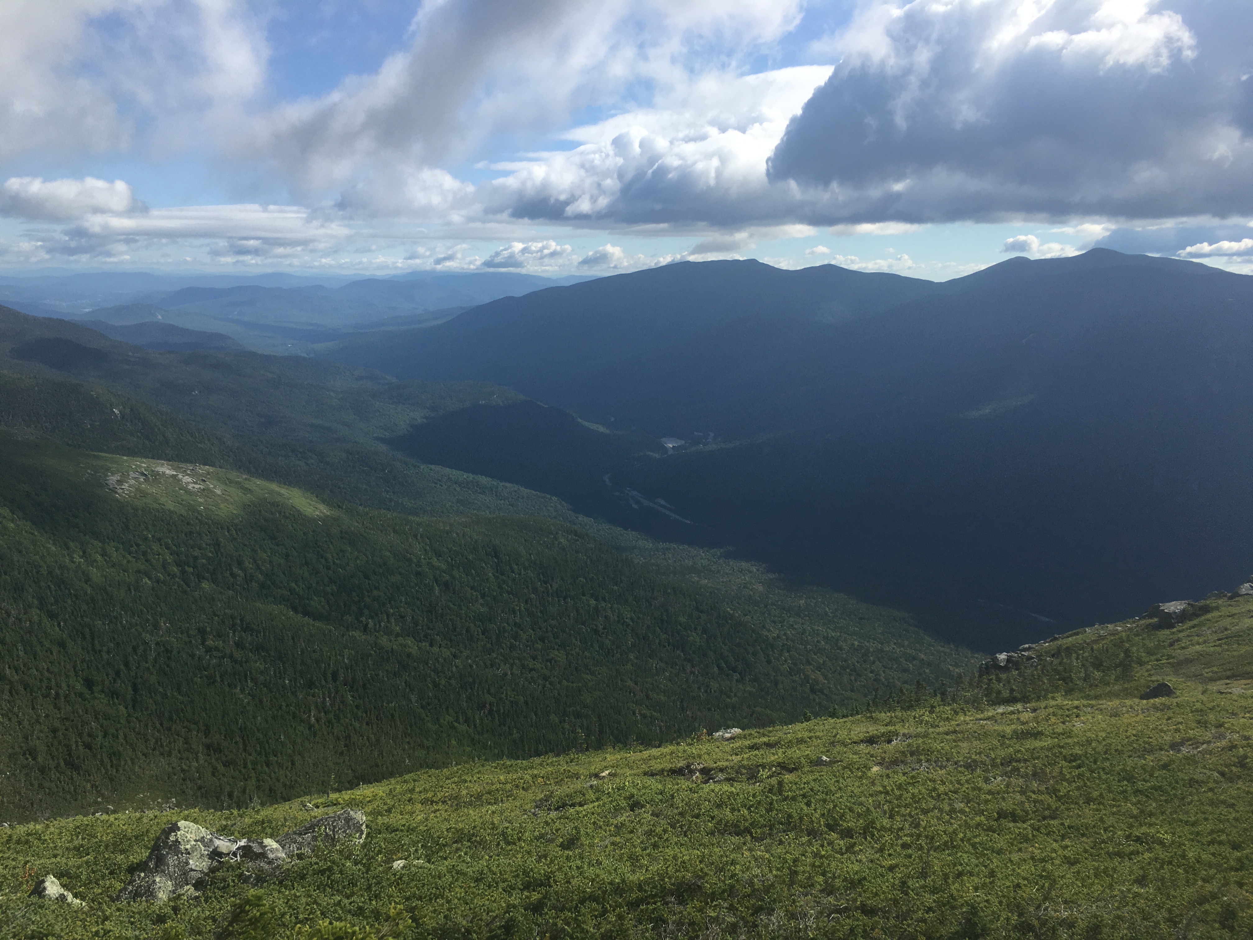
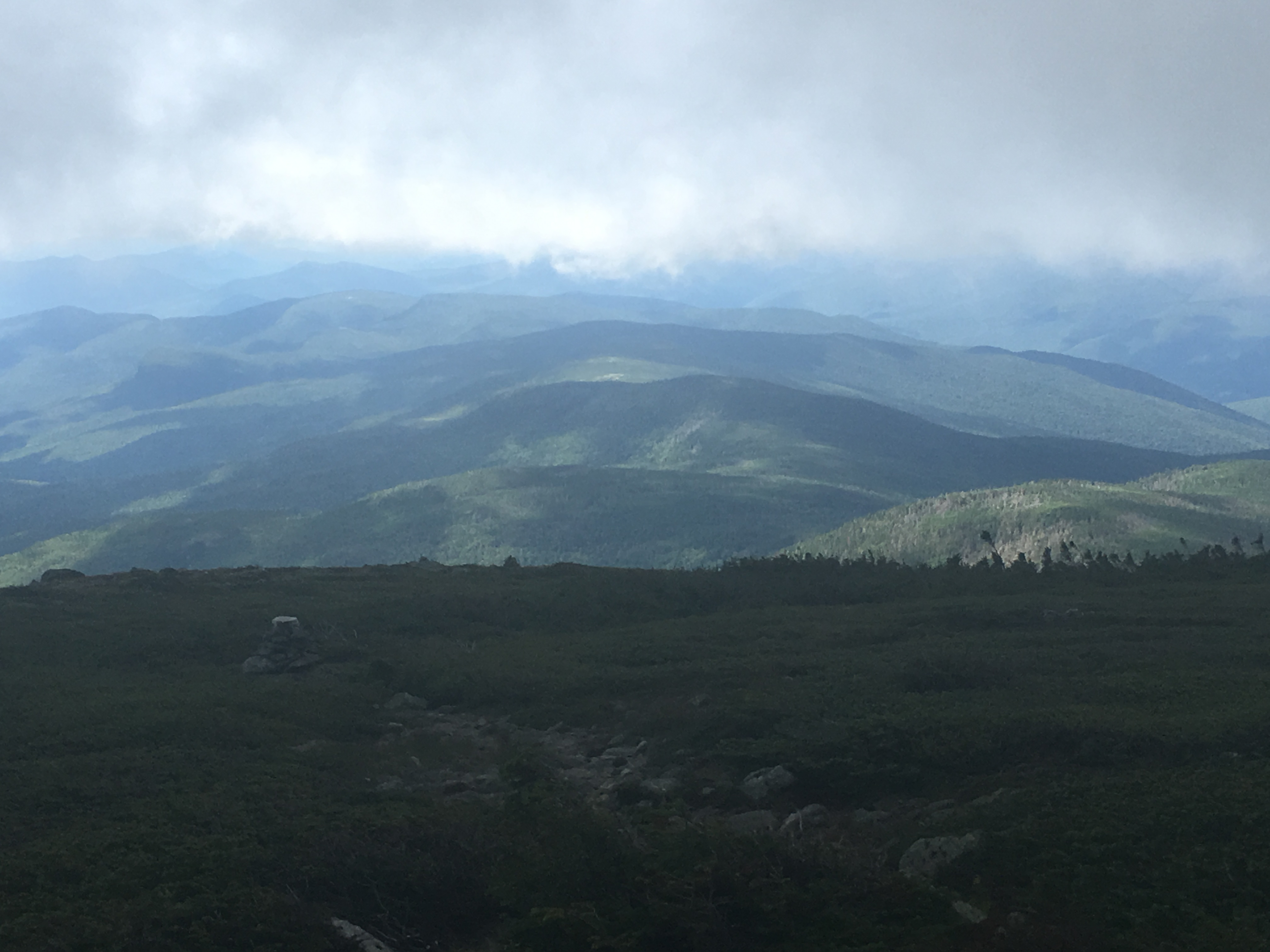
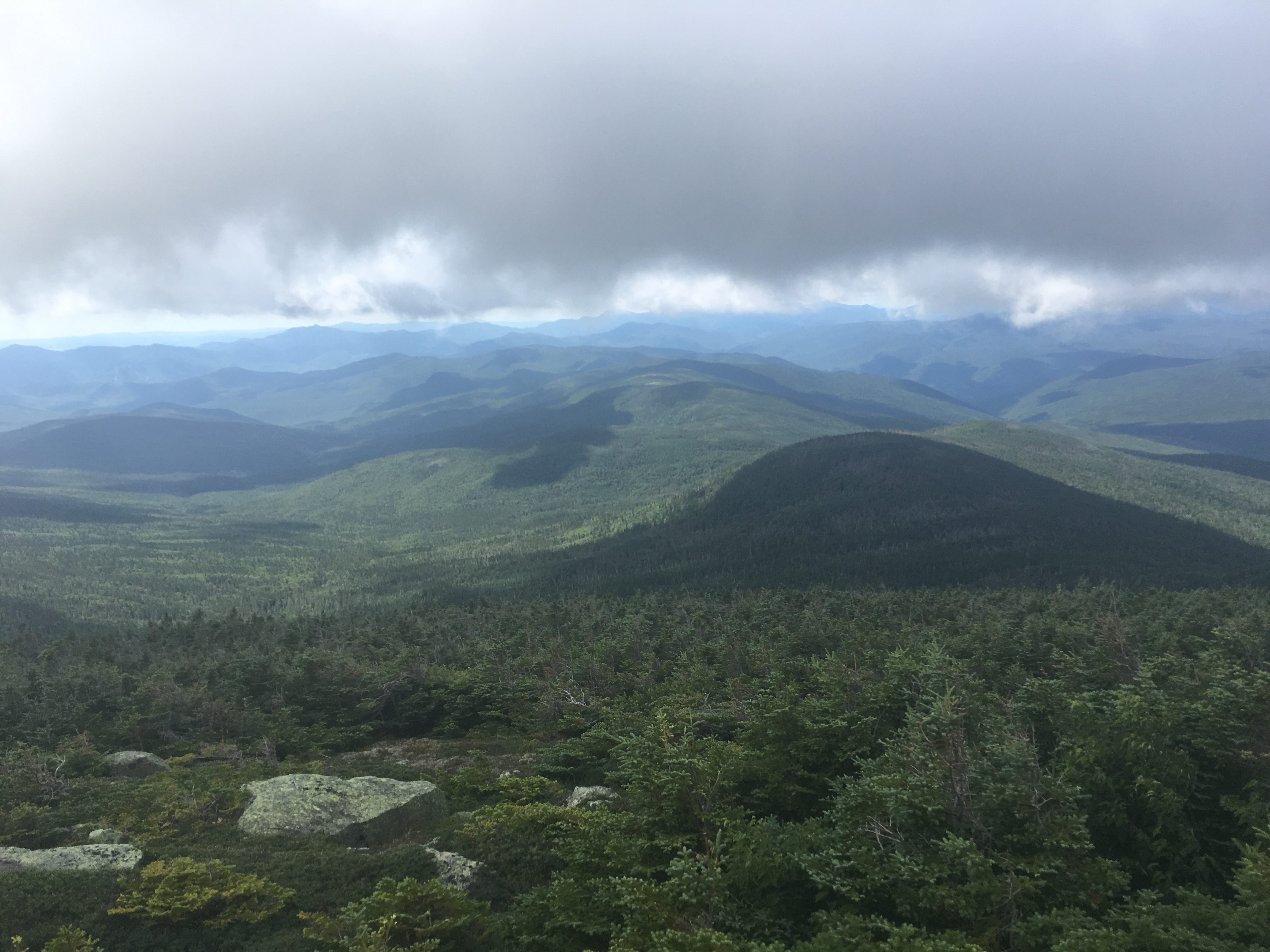
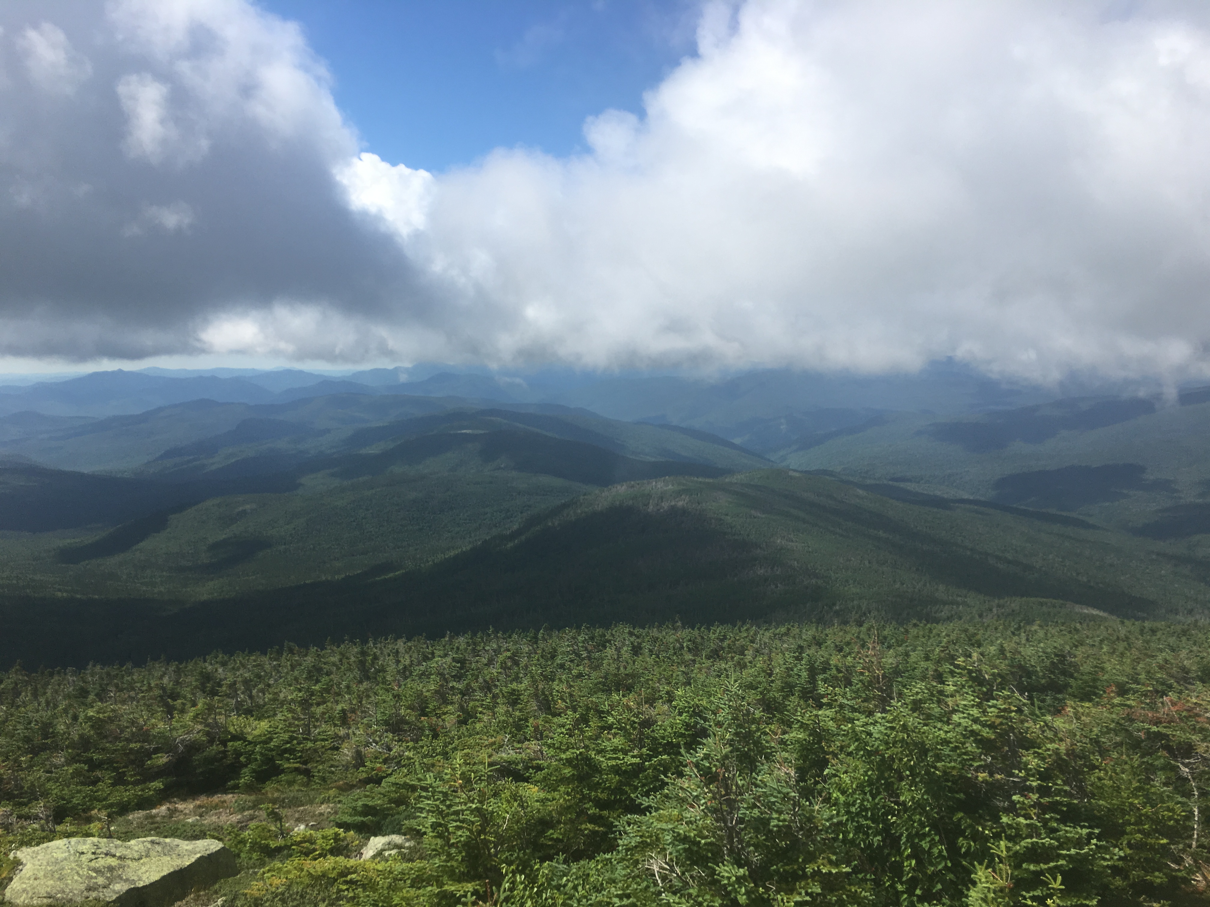
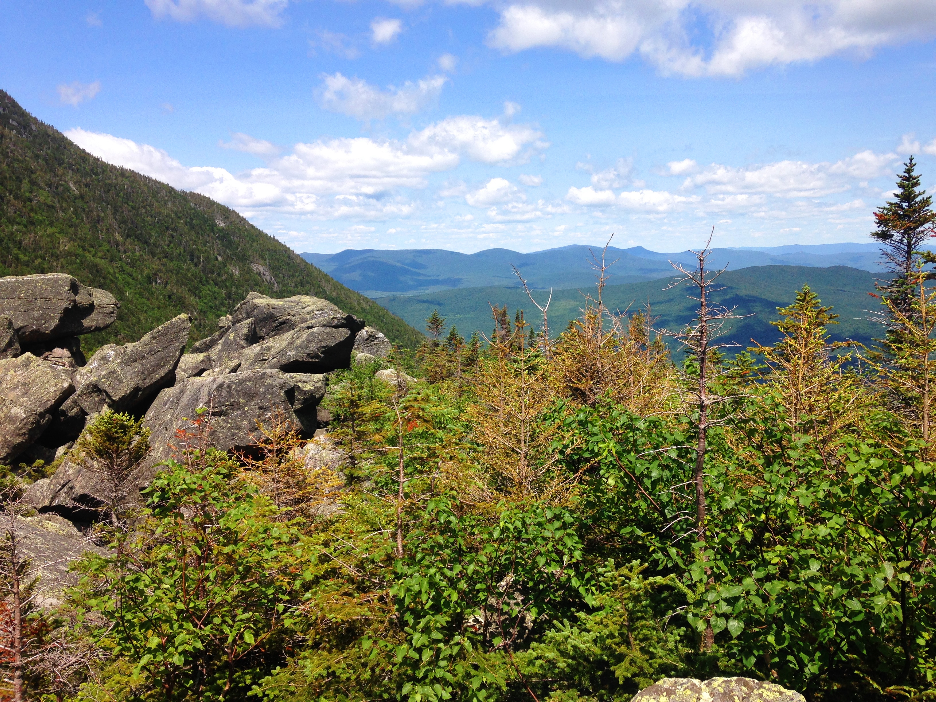
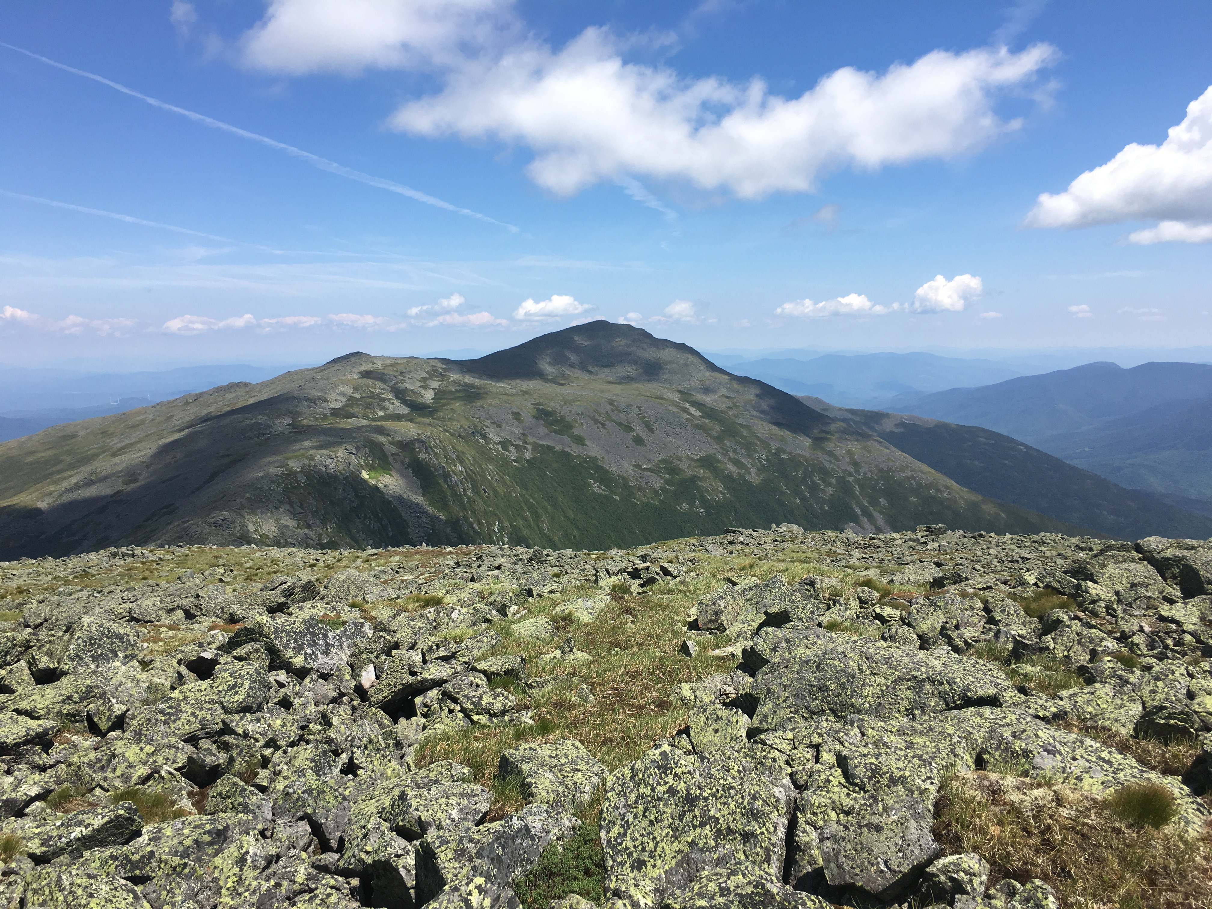
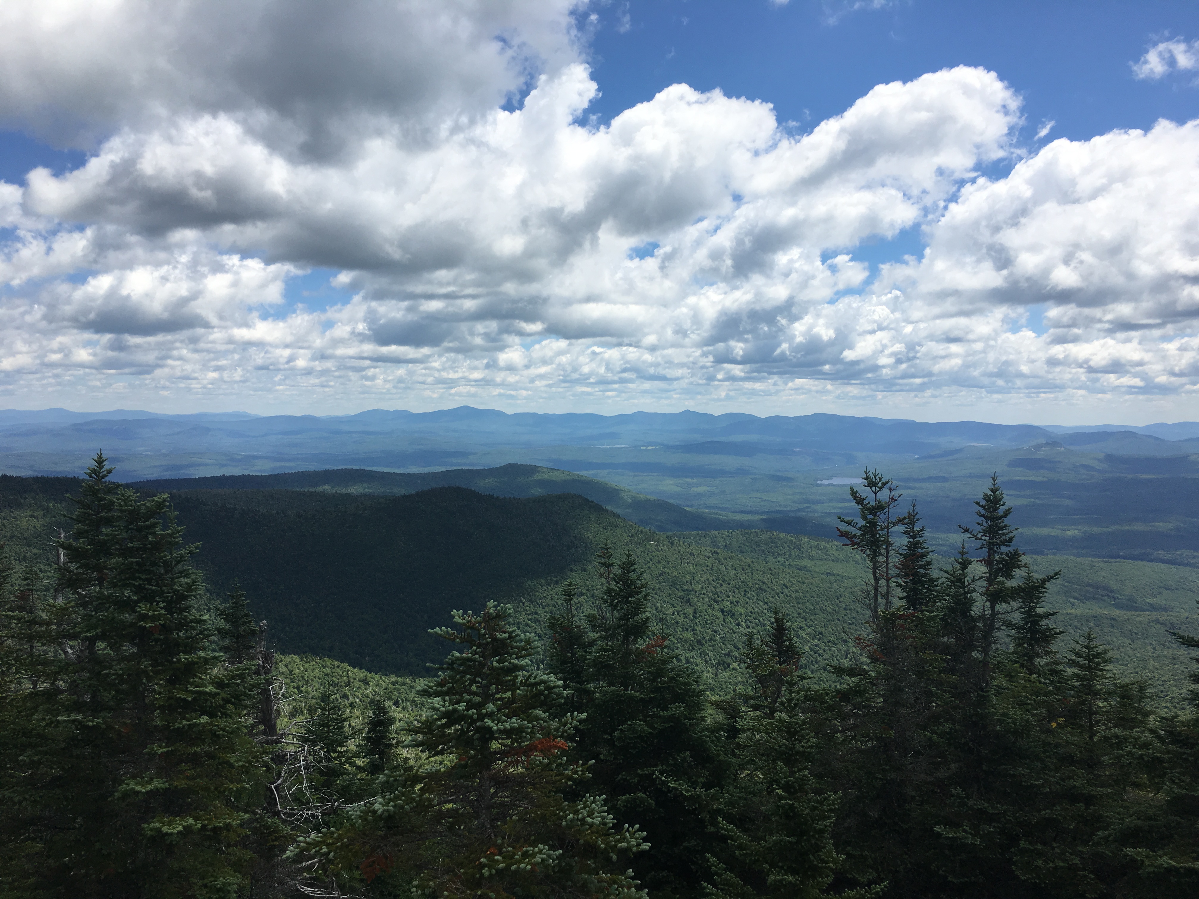
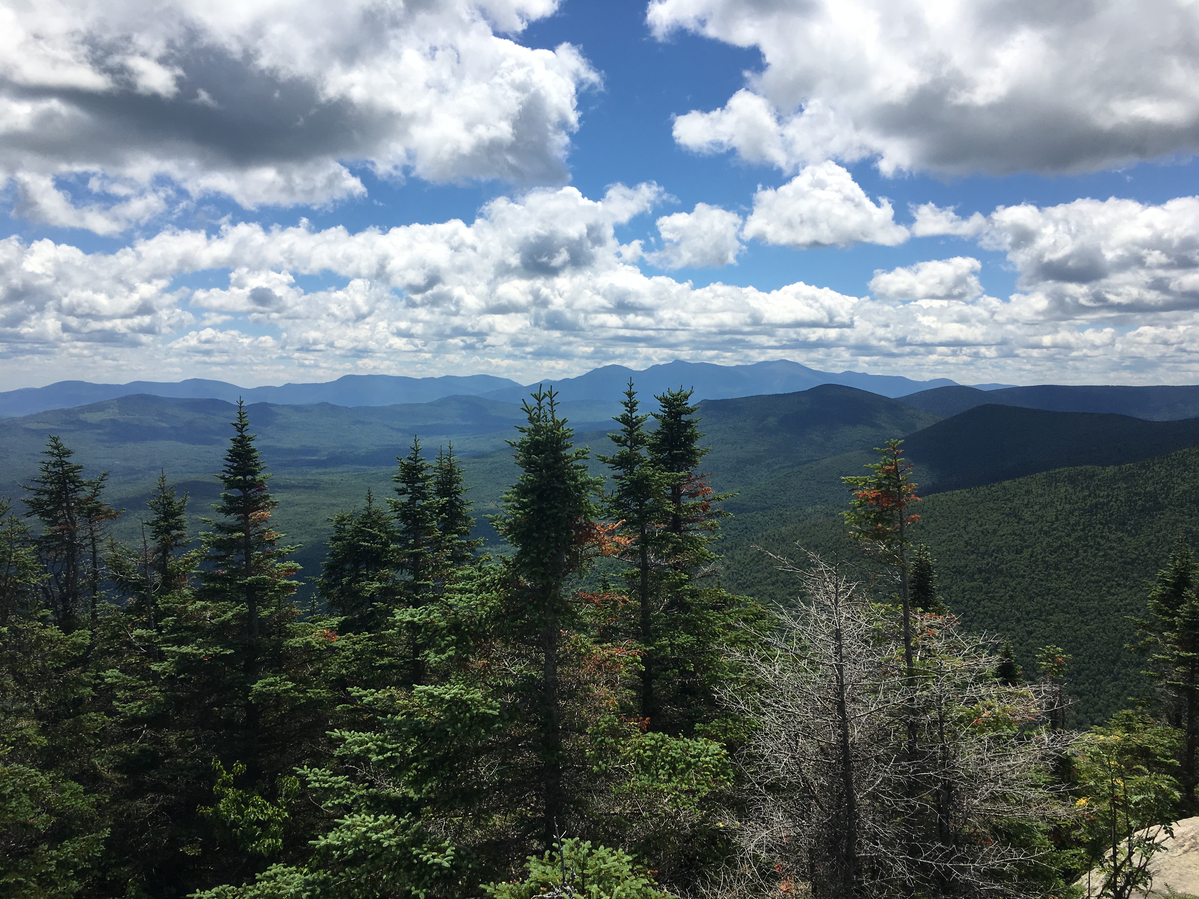
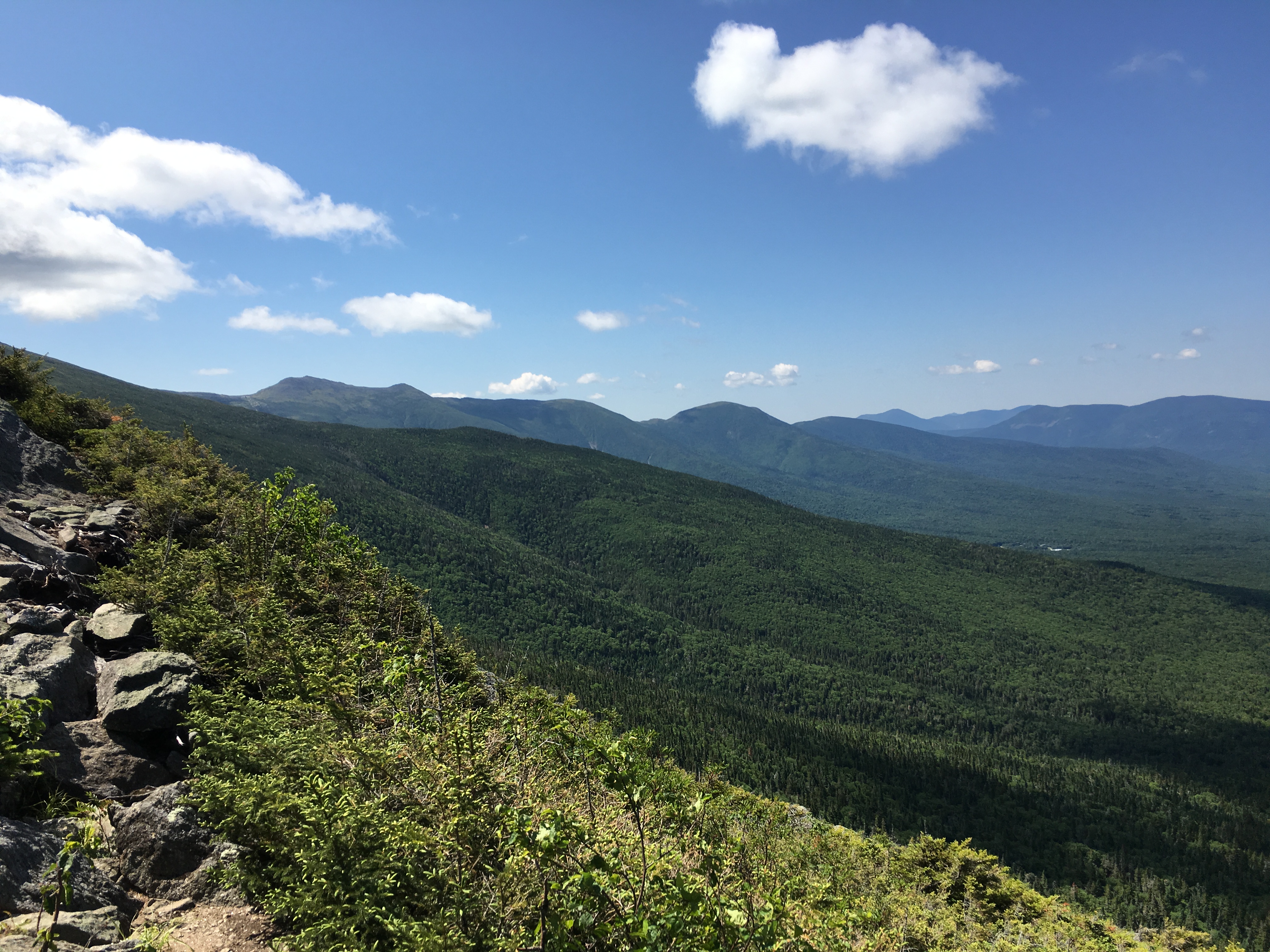
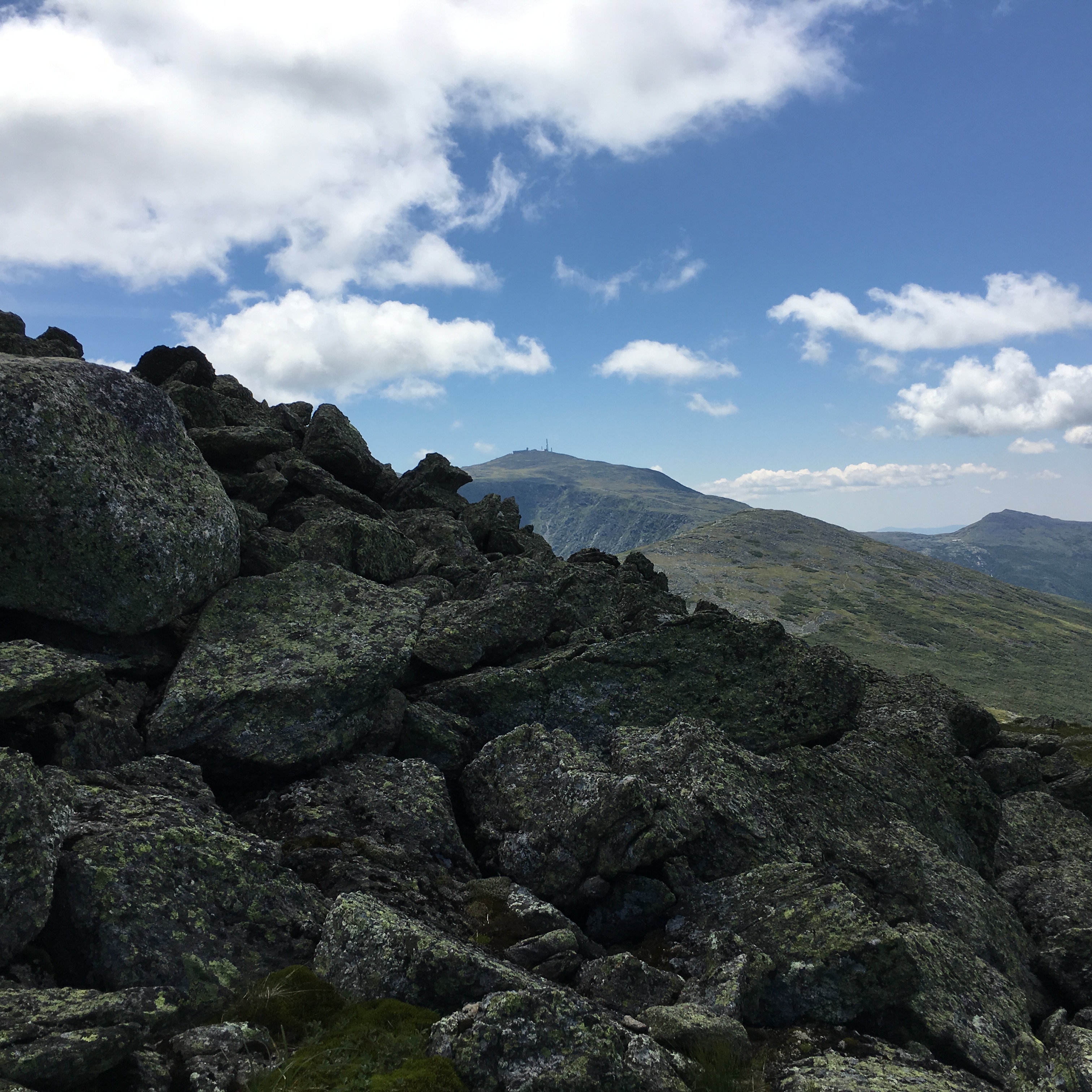
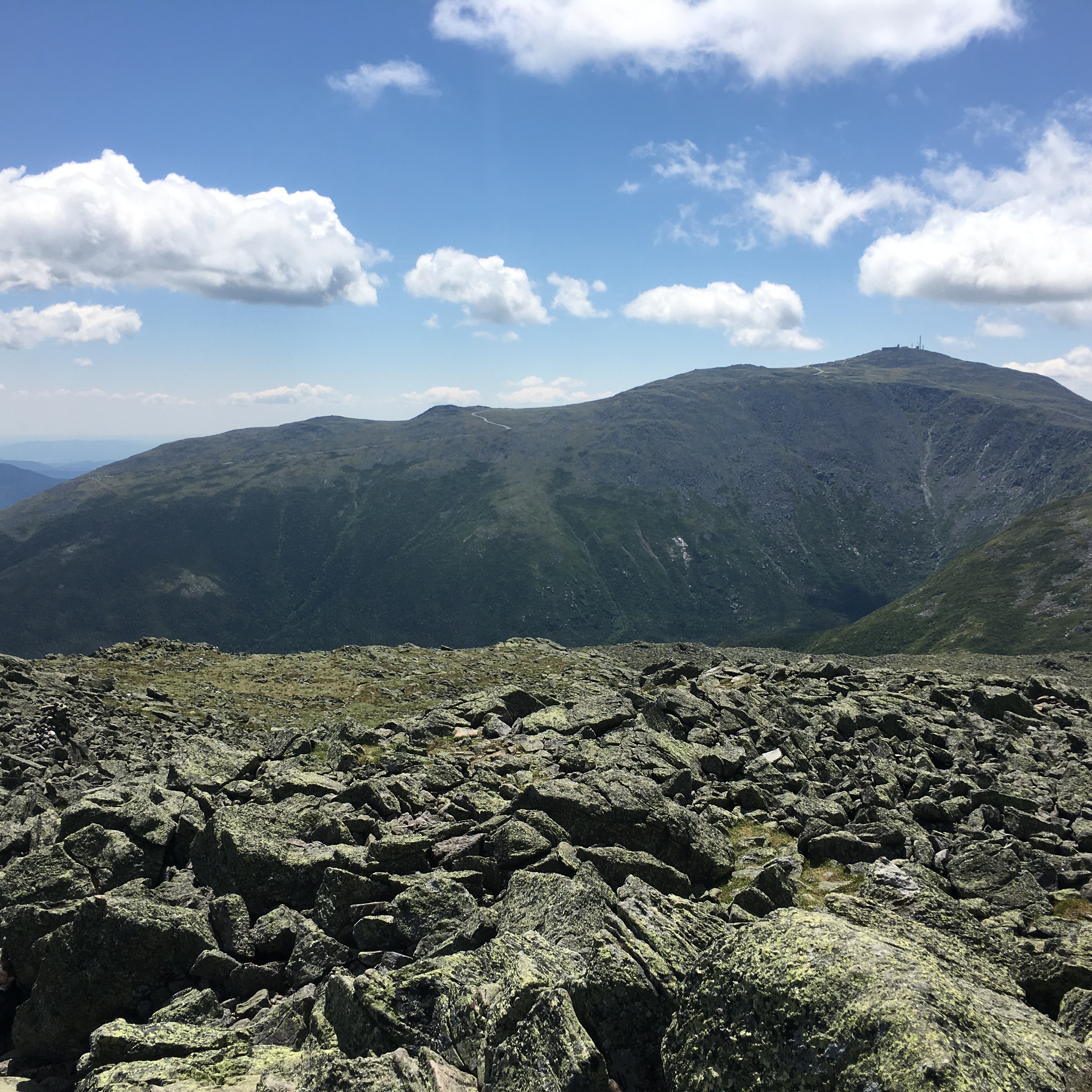
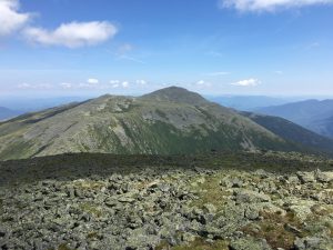
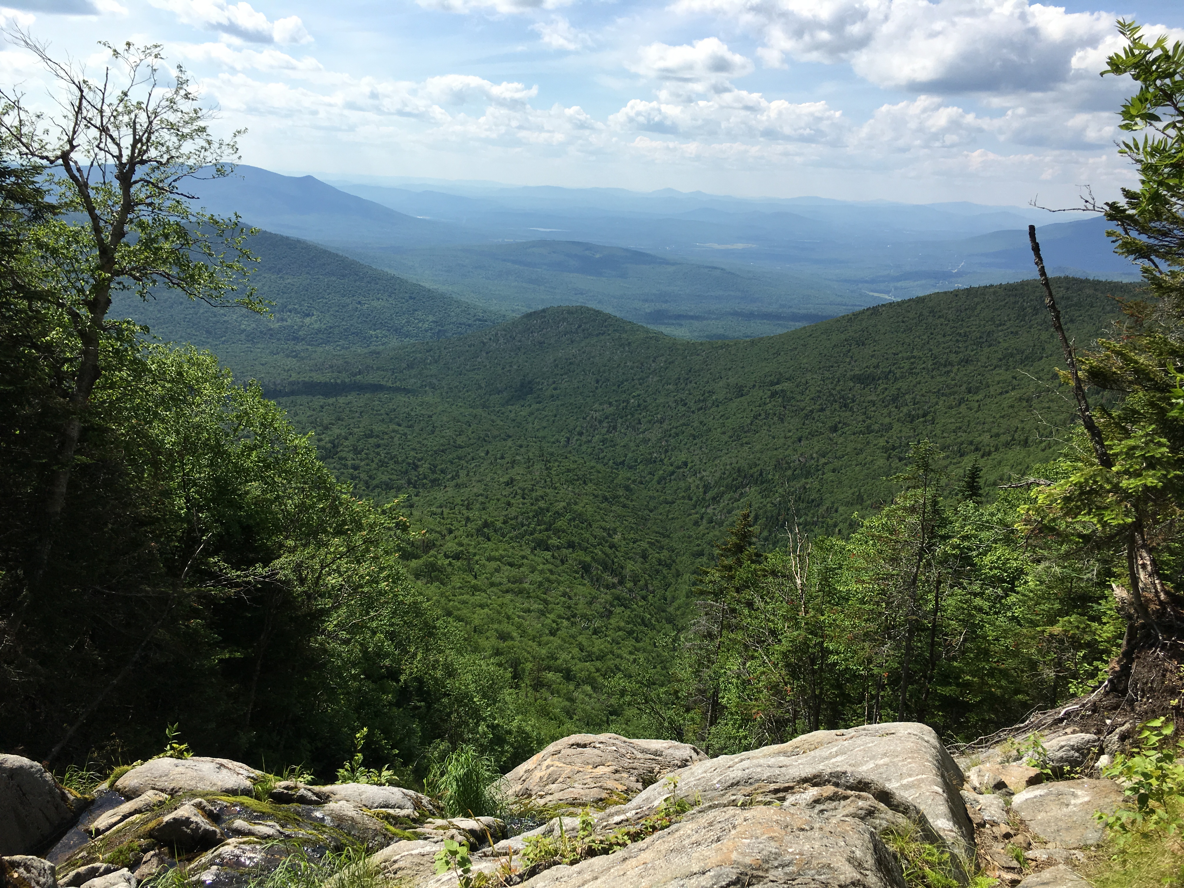
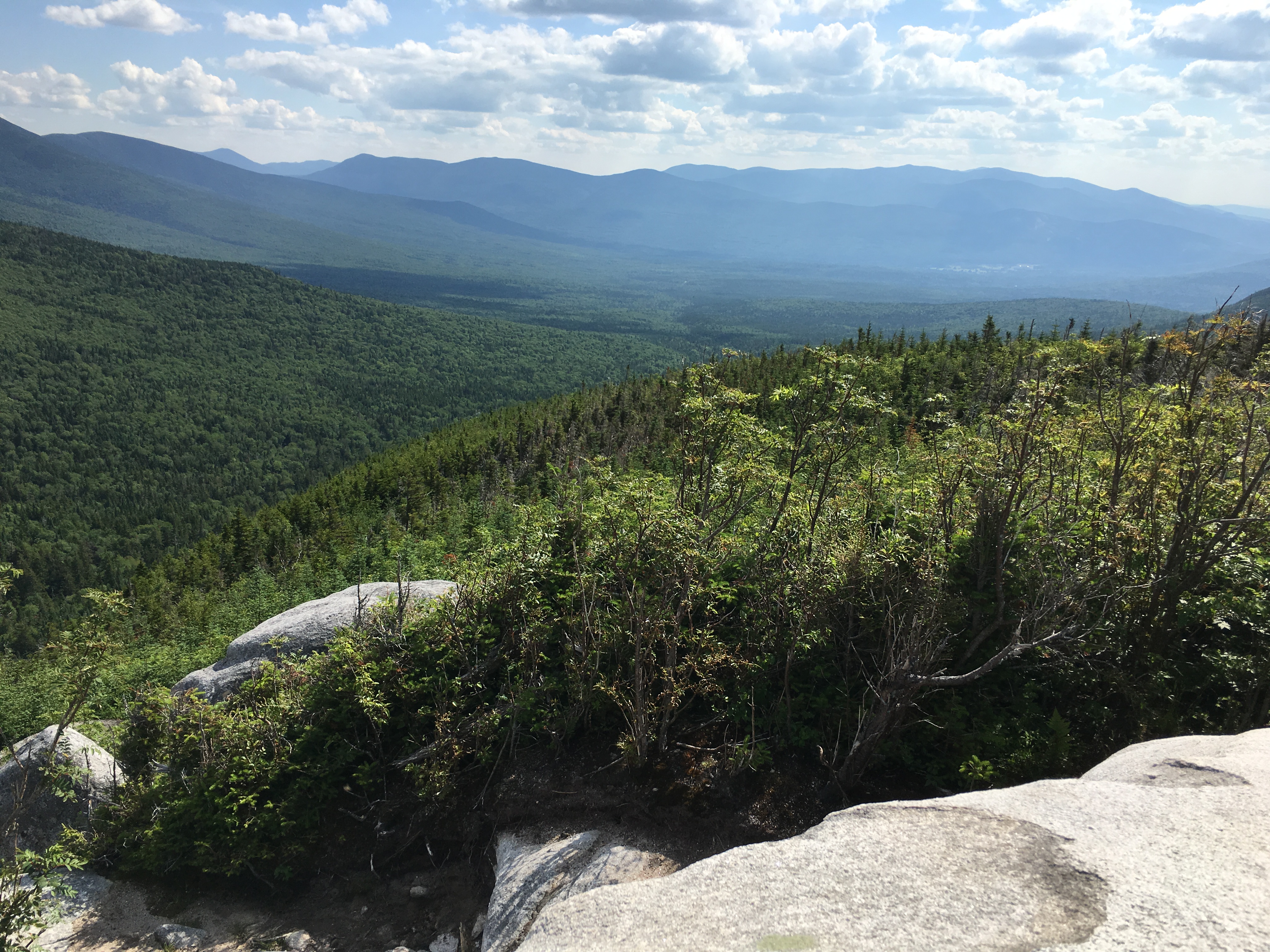
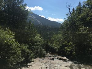
The views behind me grow more and more inspiring as I claw my way higher up the slope, reaching its pinnacle at a junction with the unmarked trail to the left the alpine section of Gonk’s summit-bound stretch to my right and the grand views across the pass behind me. I pause here briefly to catch my breath.


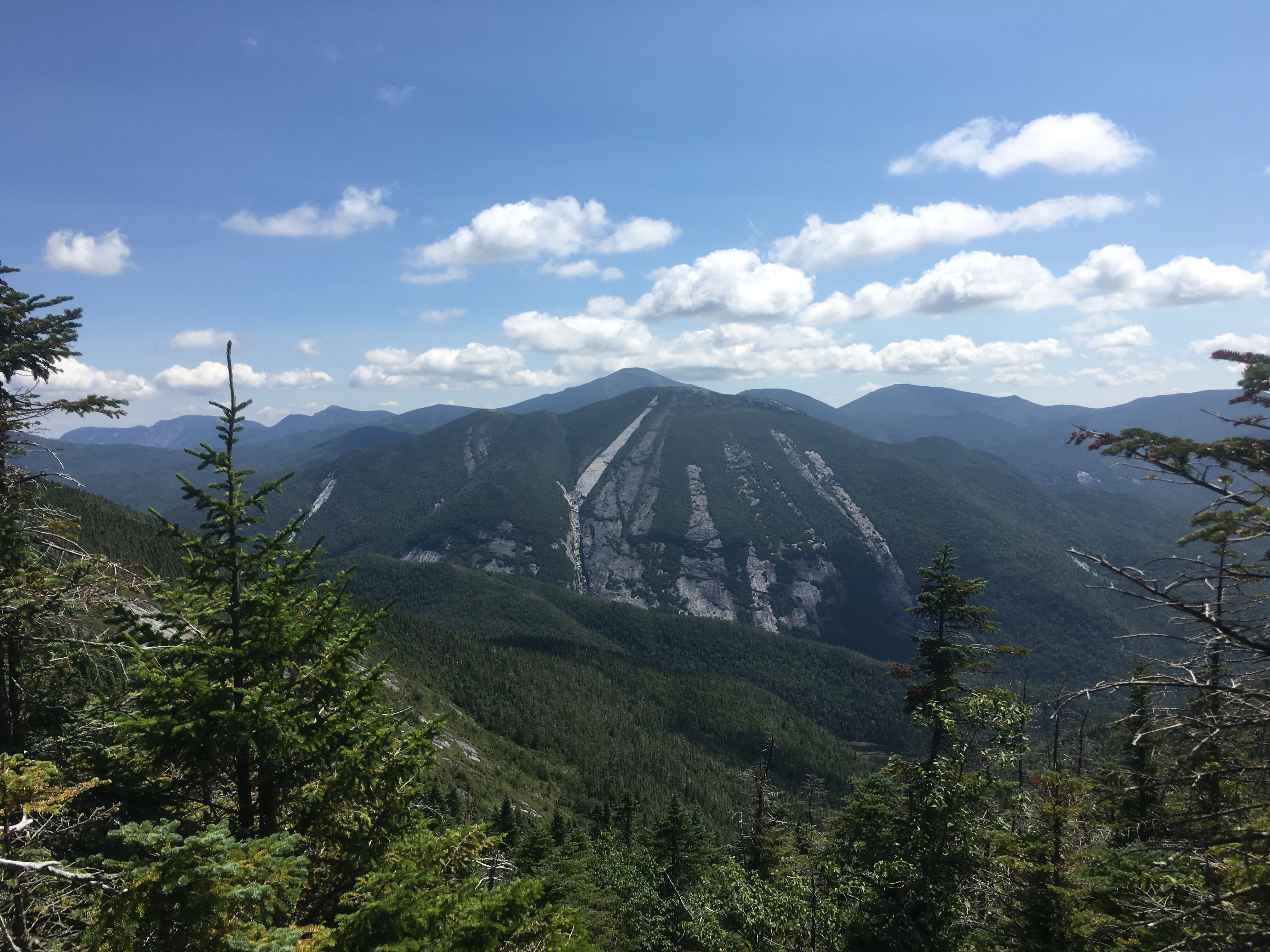
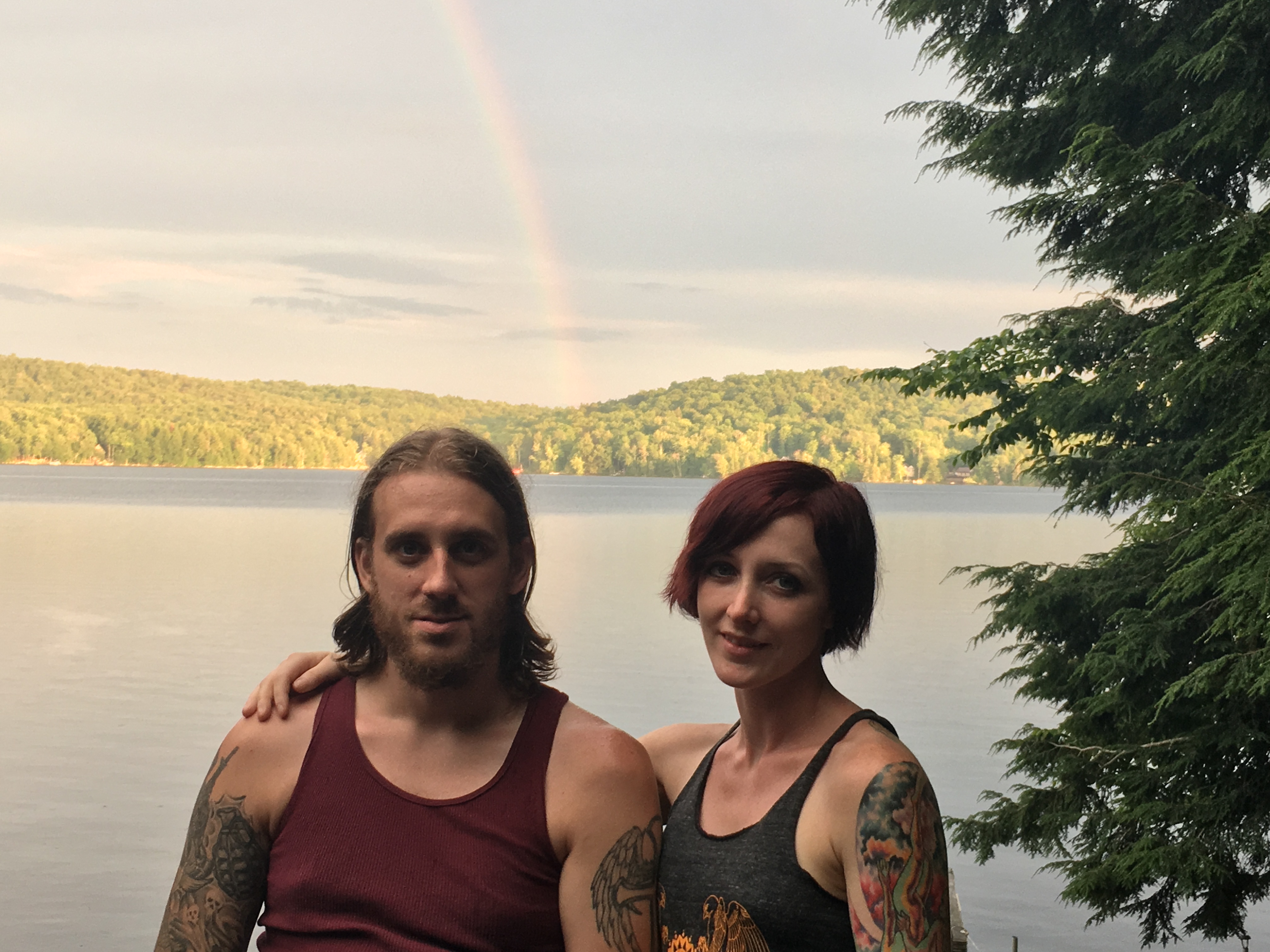
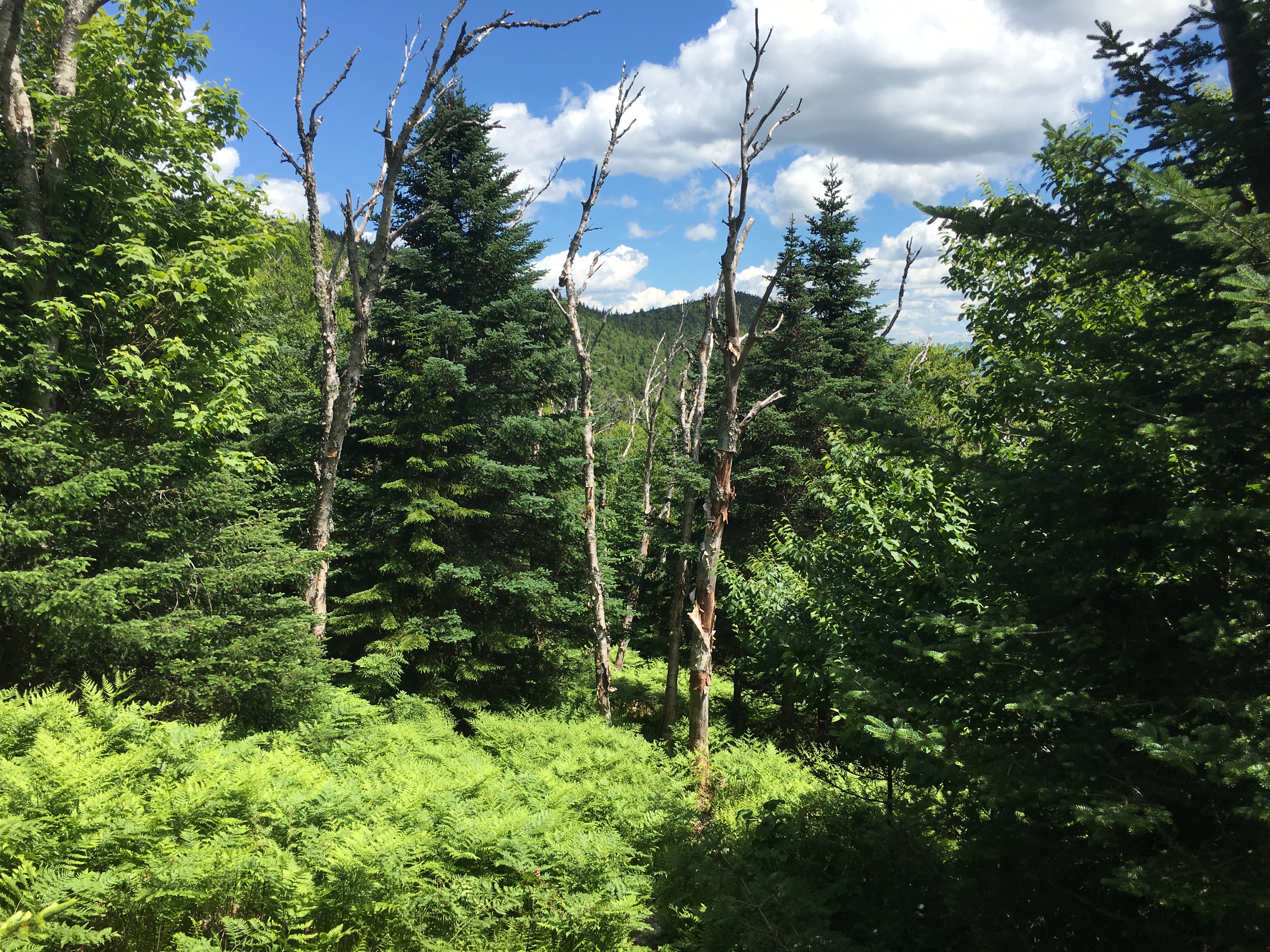
These pauses, granted to me by the long warm days are what I miss the most during the winter. As much as I love the snowy season, I sometimes feel to some extent cheated of a lengthy lounge, when I have to push on just for the sake of staying warm. Looking back on days like this one, gets me excited for the upcoming season. With 19 peaks left on my 46er journey, the way I see it shaping up is 4 overnight (or multi-night) trips, with the addition of a blast up Sawteeth and a long day out to Allen, and of course the finisher. Therese and I have been trying since the close of Winter-17 to sync our schedules up and free up as many opportunities as possible to get these trips in this summer and hopefully make our final stand atop Mount Colden by early Autumn. The trips appear to be as follows: The Dix Range, covering 5 peaks over about 16 miles and 5,800 ft in elevation; The Sewards, covering 4 peaks over 21 miles and 6,800 ft elev; The (soggy) Santanoni Range, including 3 peaks over 17 miles and 5,000 ft elev; And the final trip (which could be broken into two) including Skylight, Gray, Cliff and Redfield. Some long days and hard work are ahead of us for sure, but this is the time to get em done. Can’t wait for the mud to firm up and for June to bust out all over!!


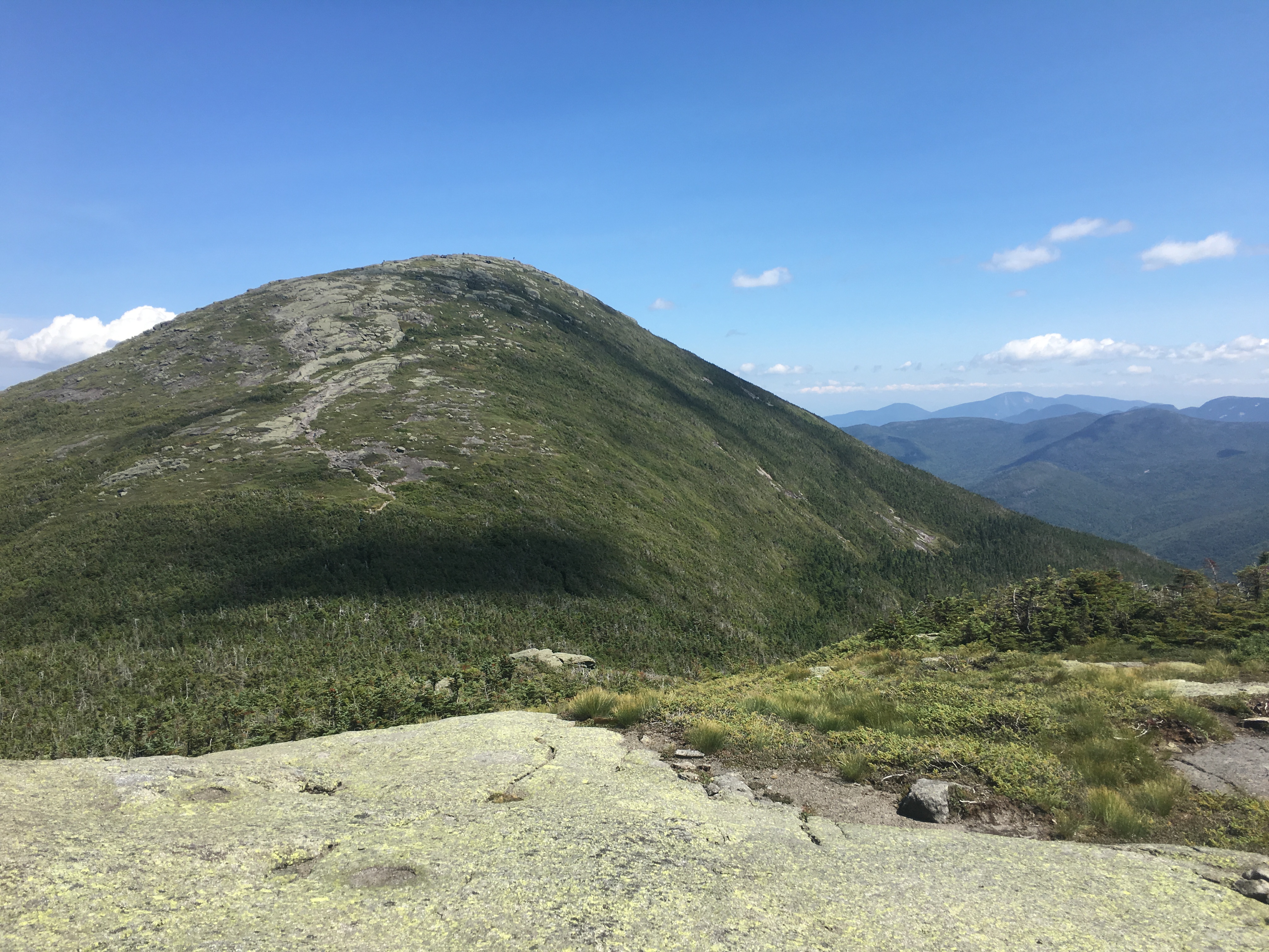
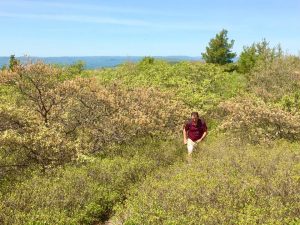
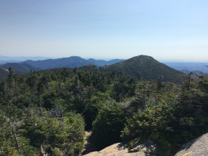
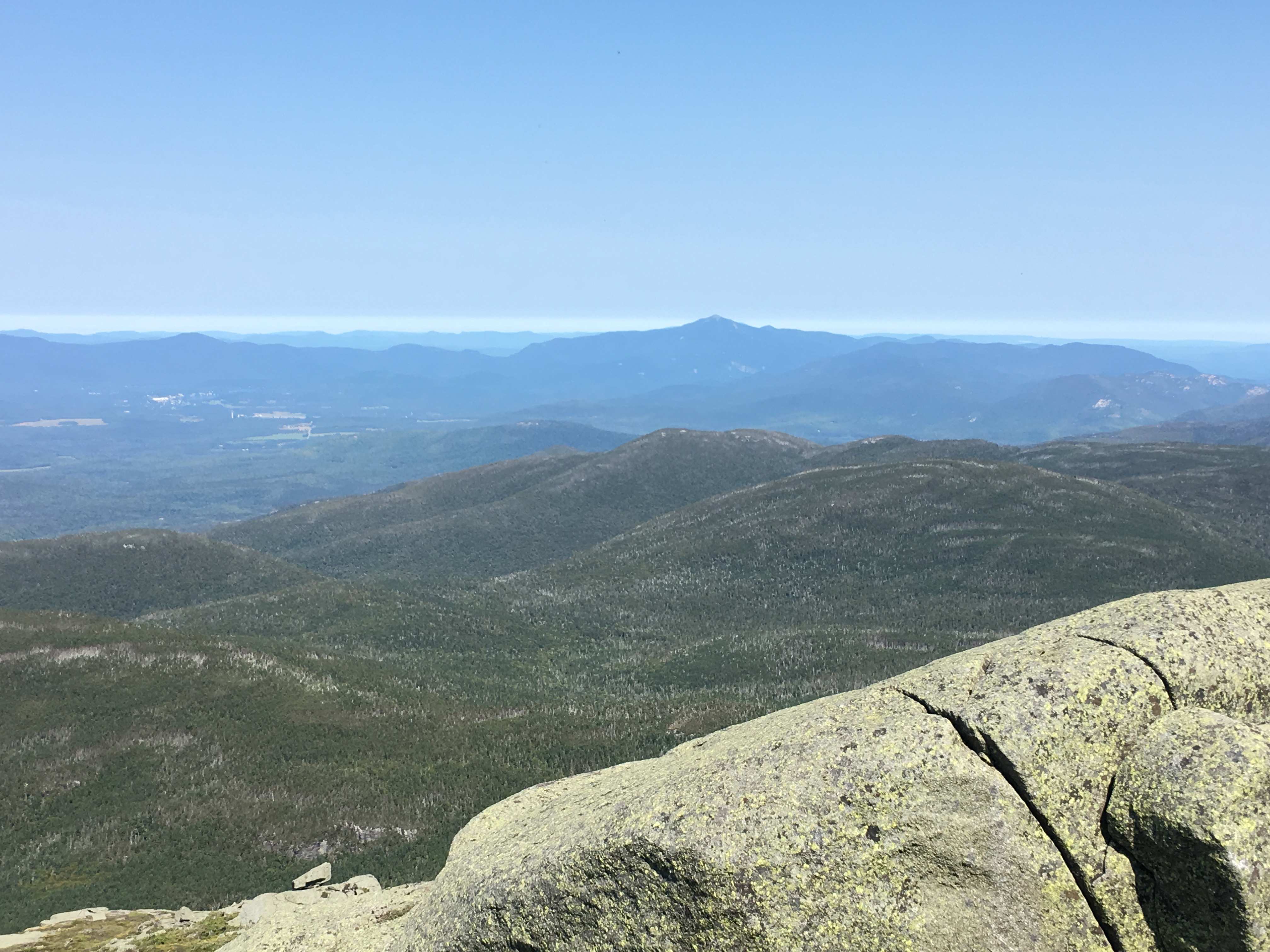
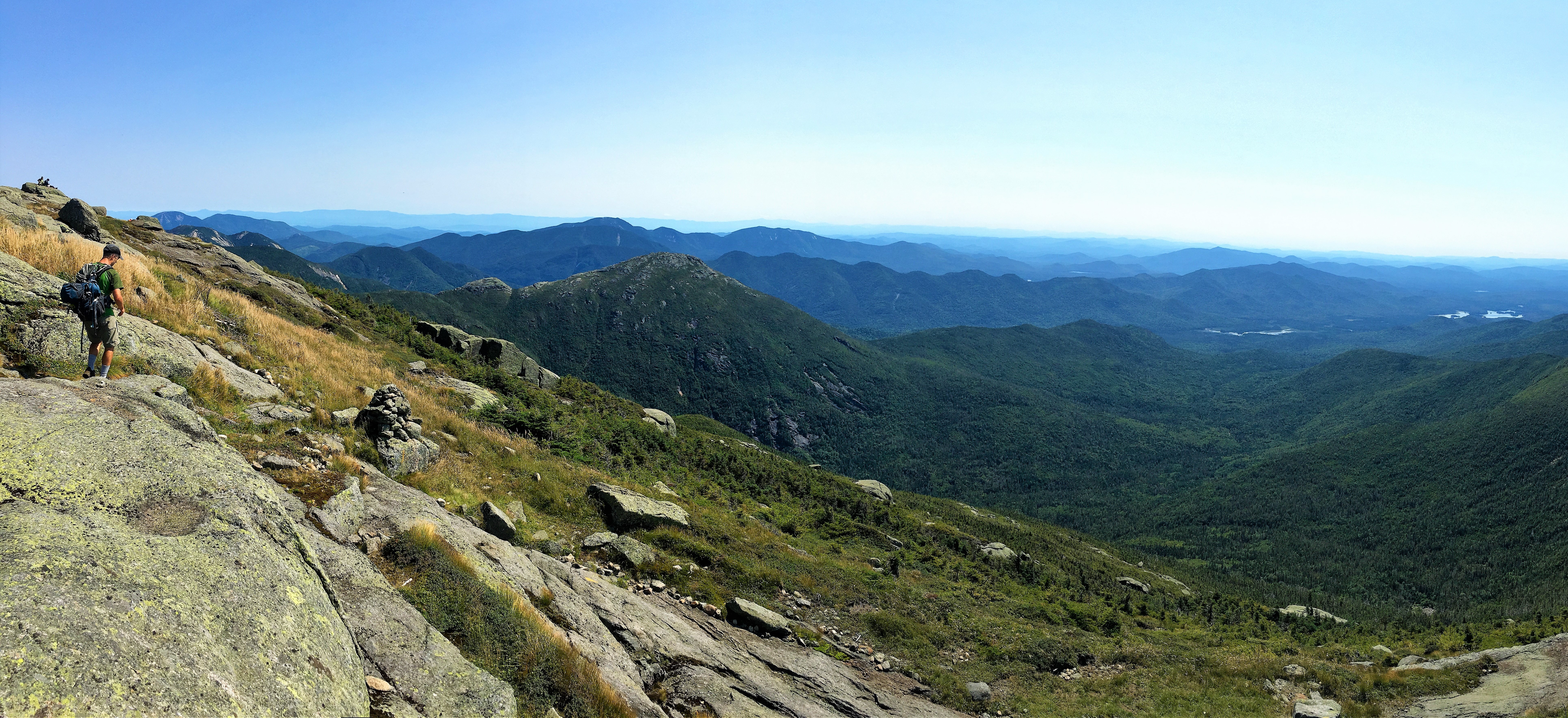
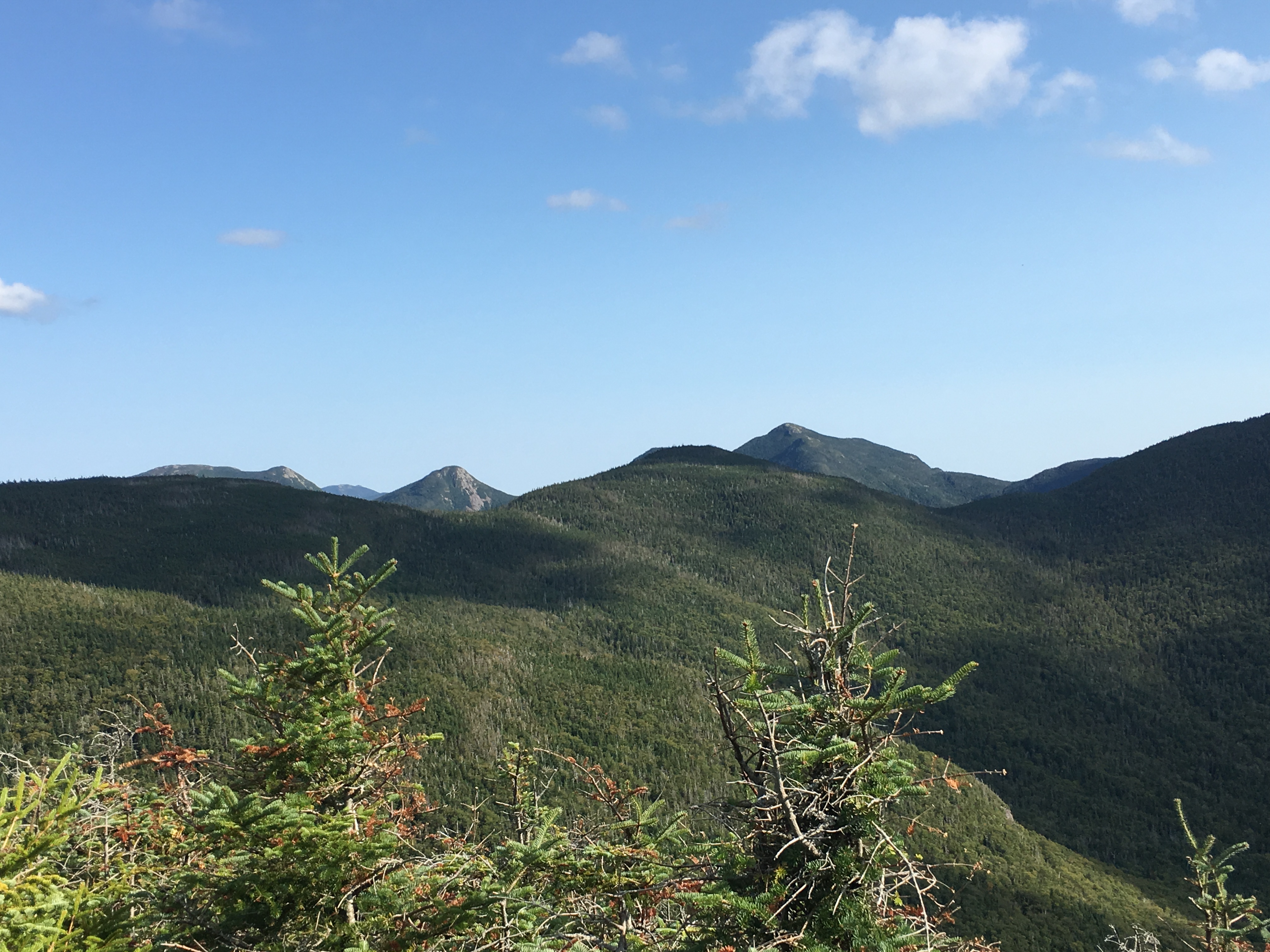
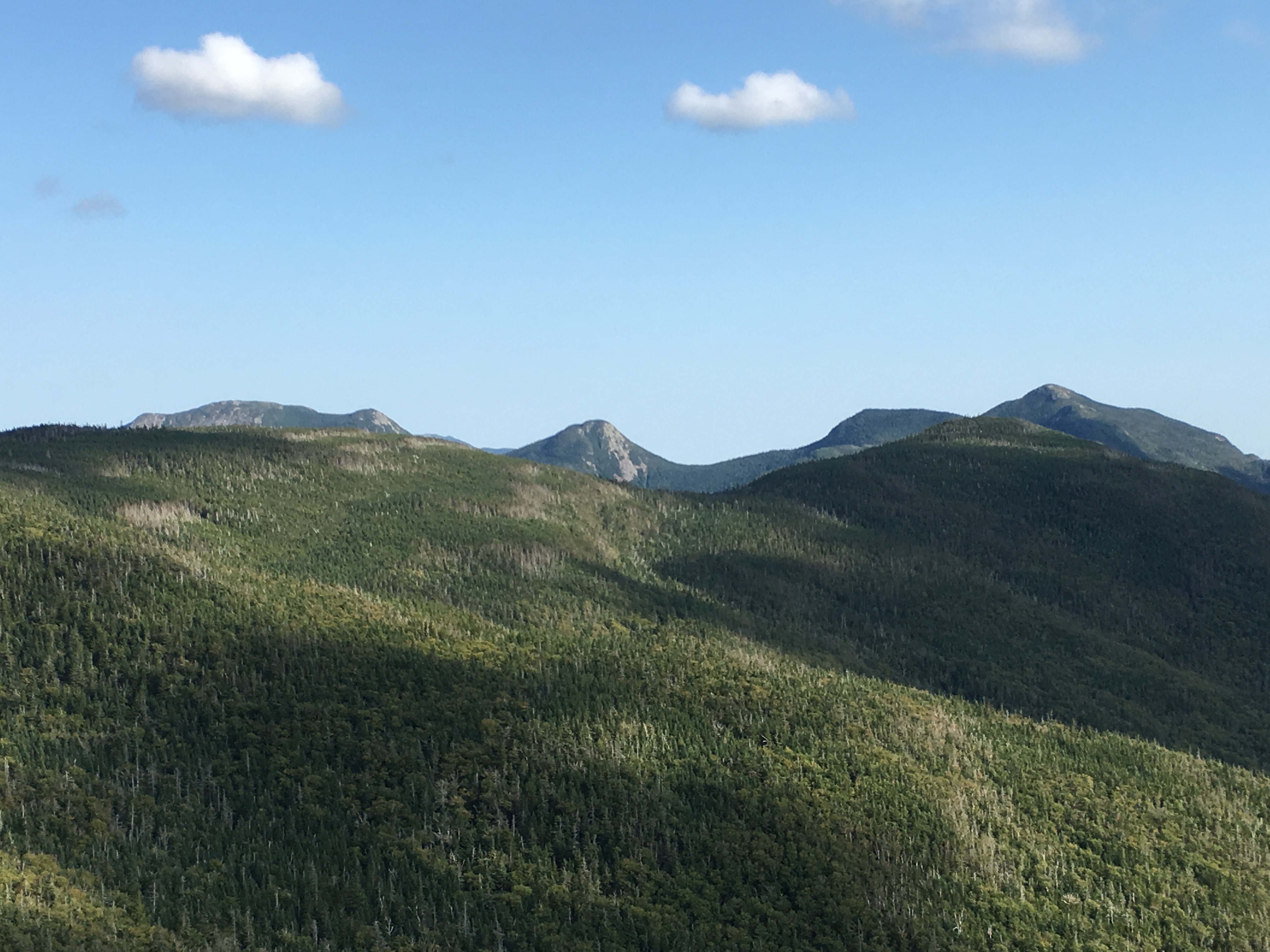
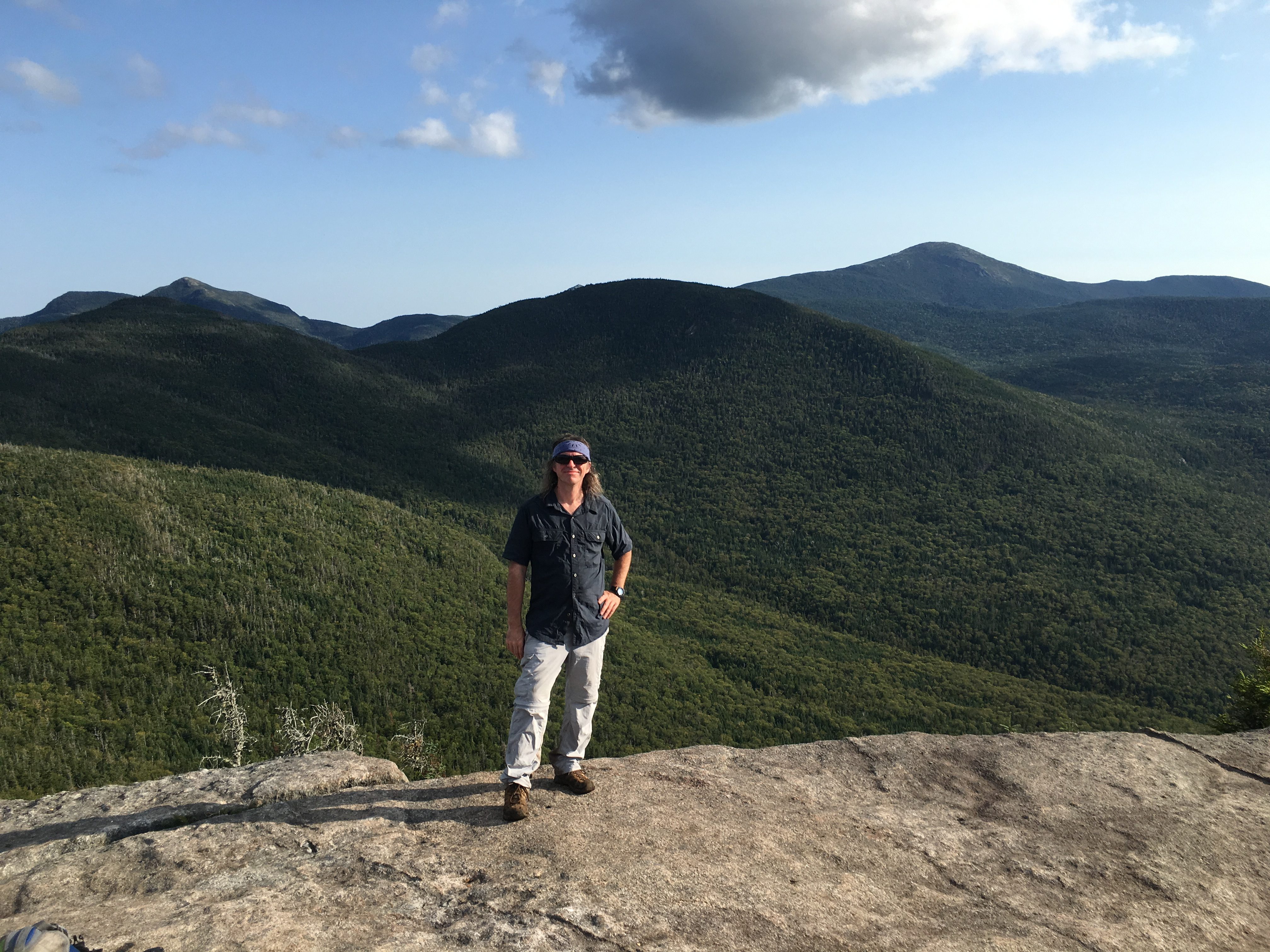
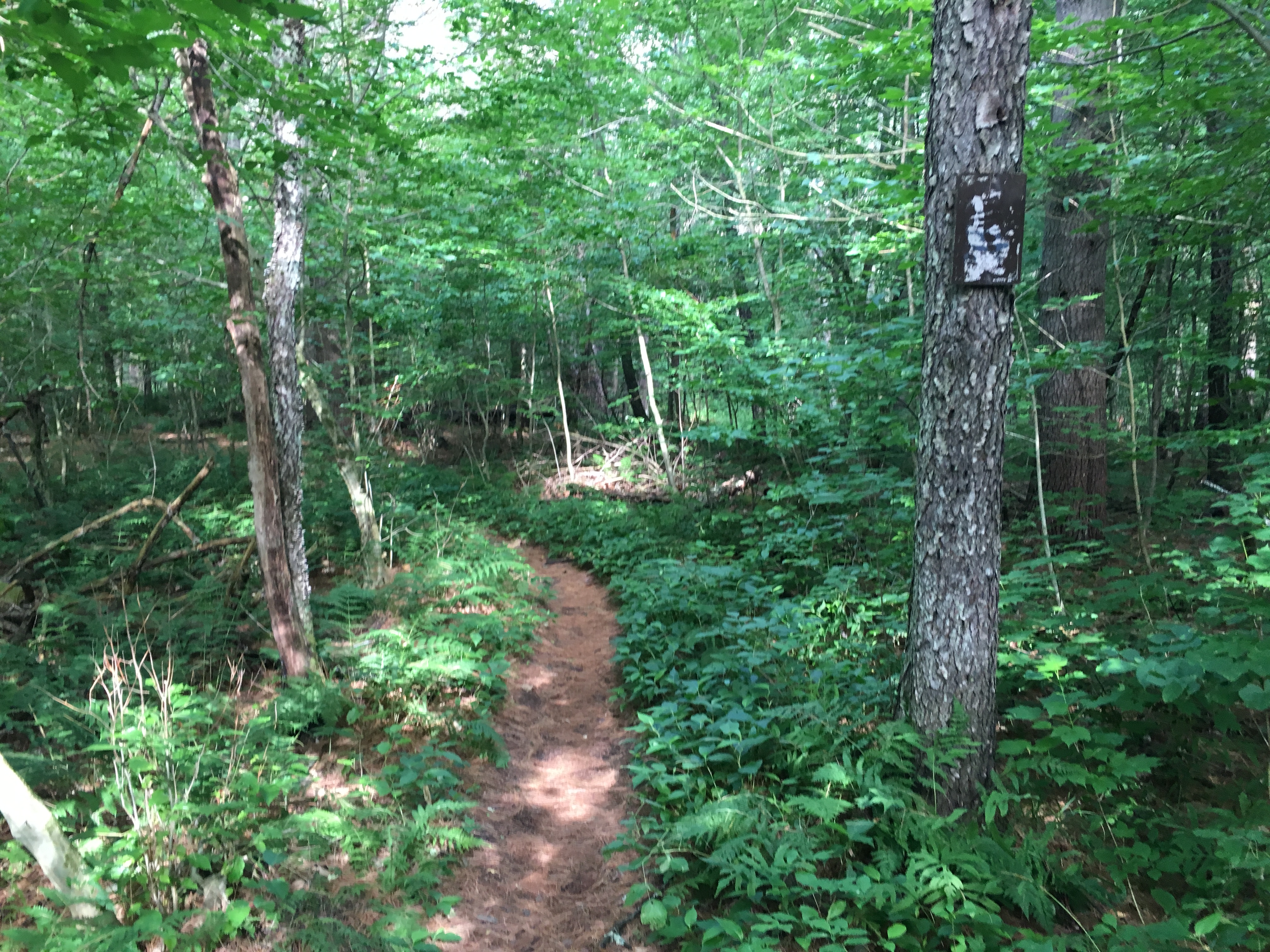
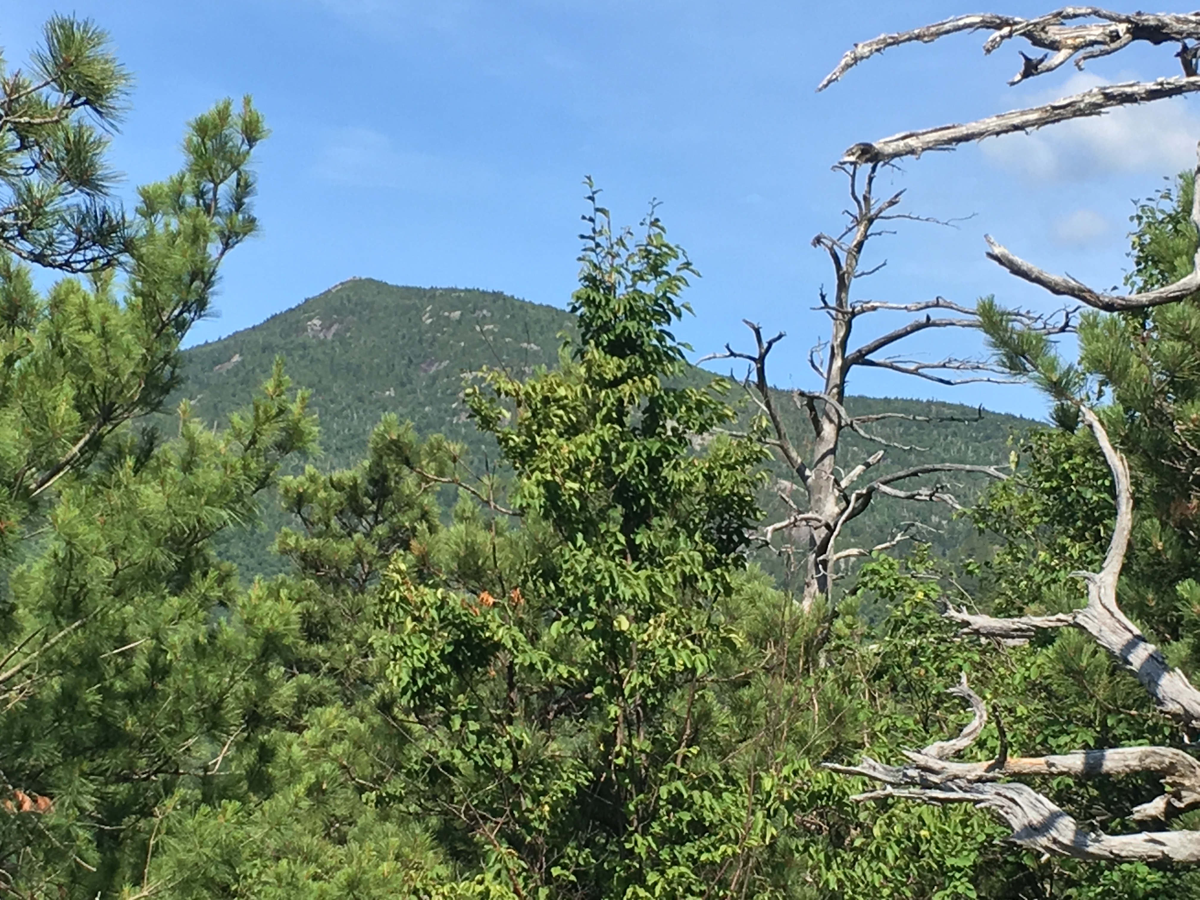
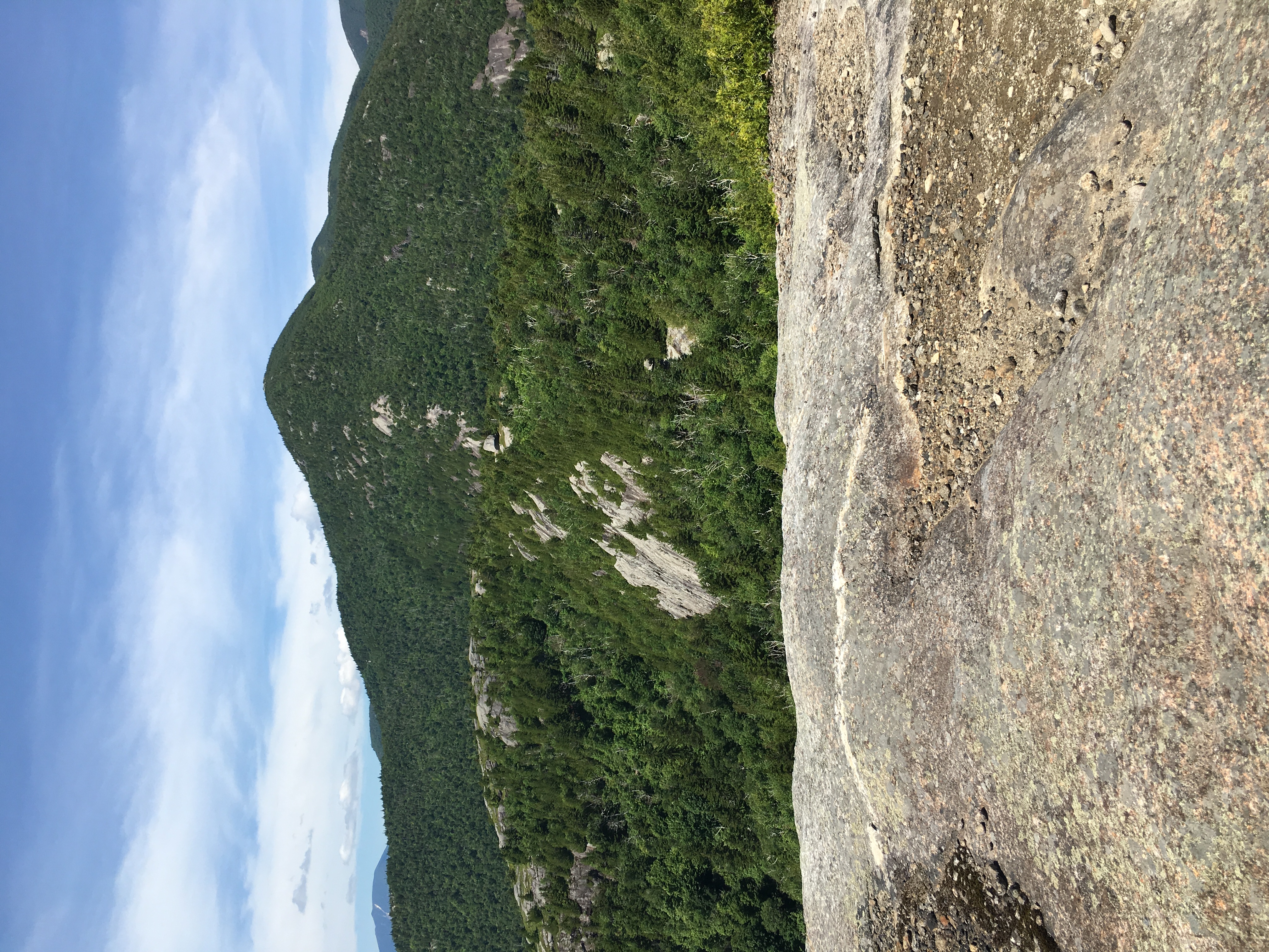
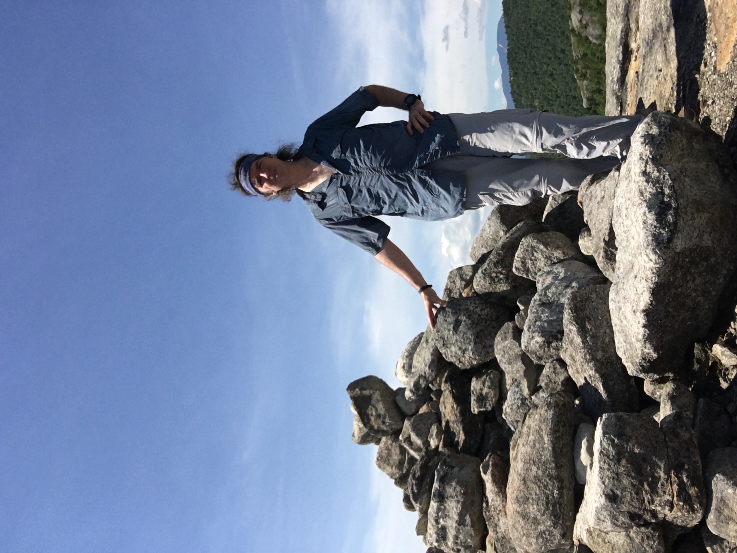
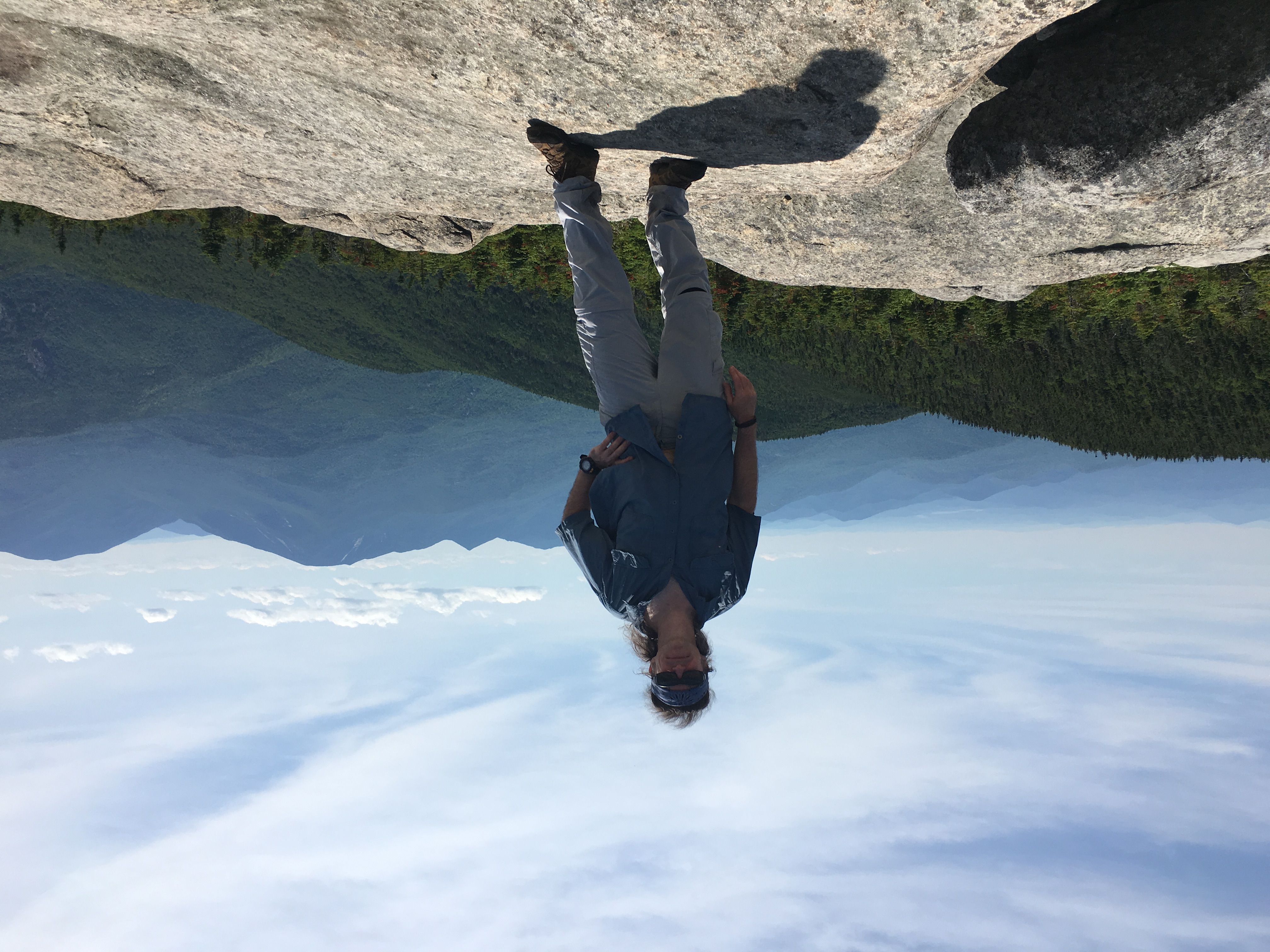
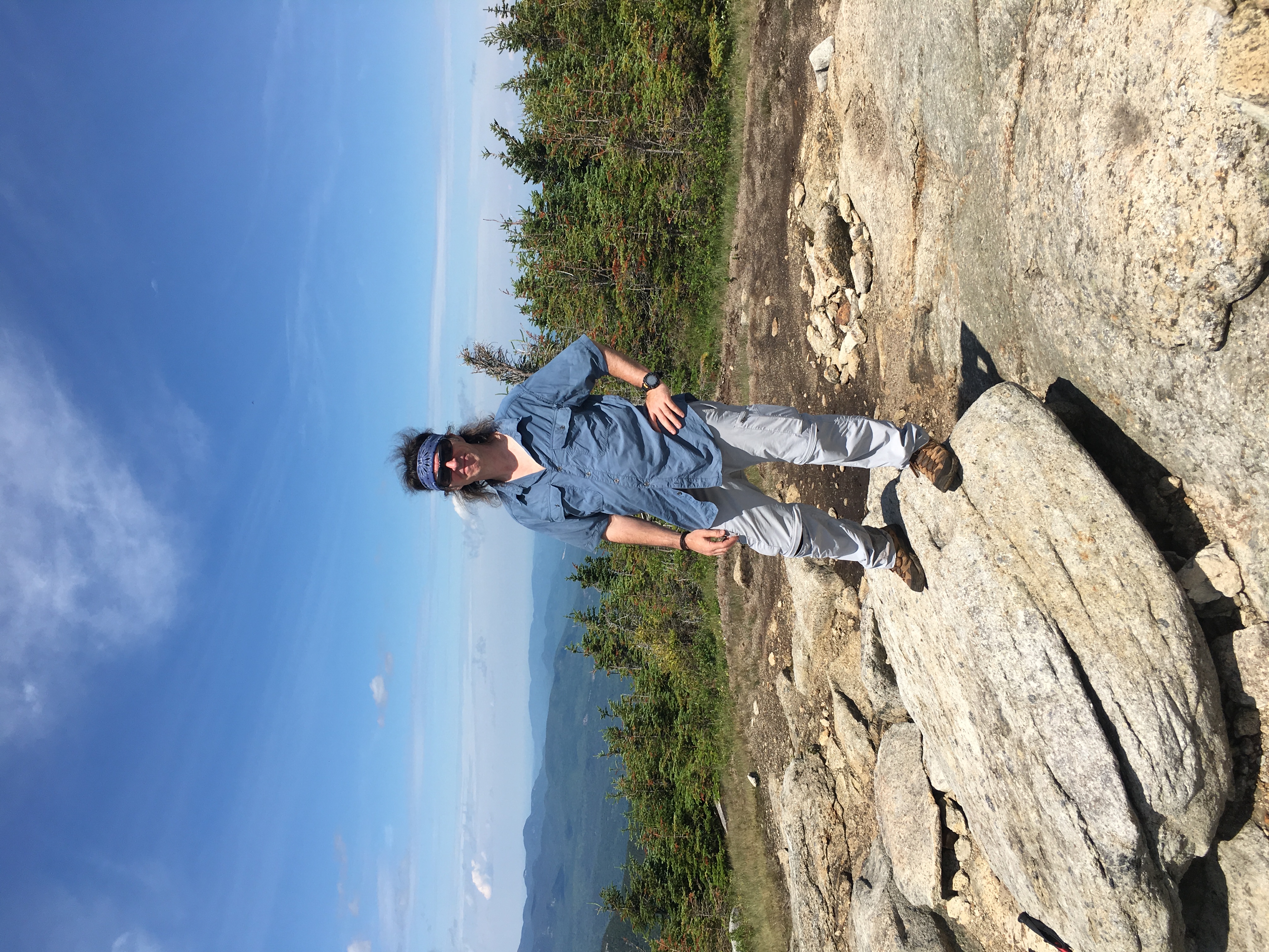
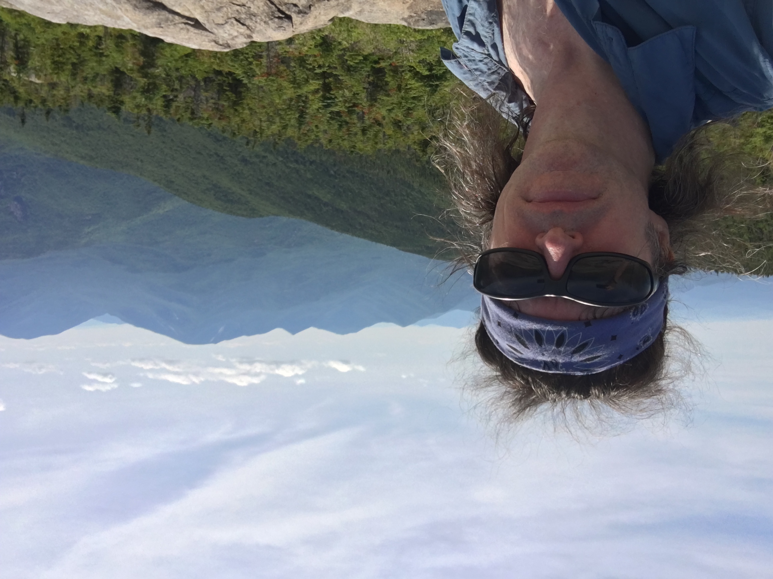
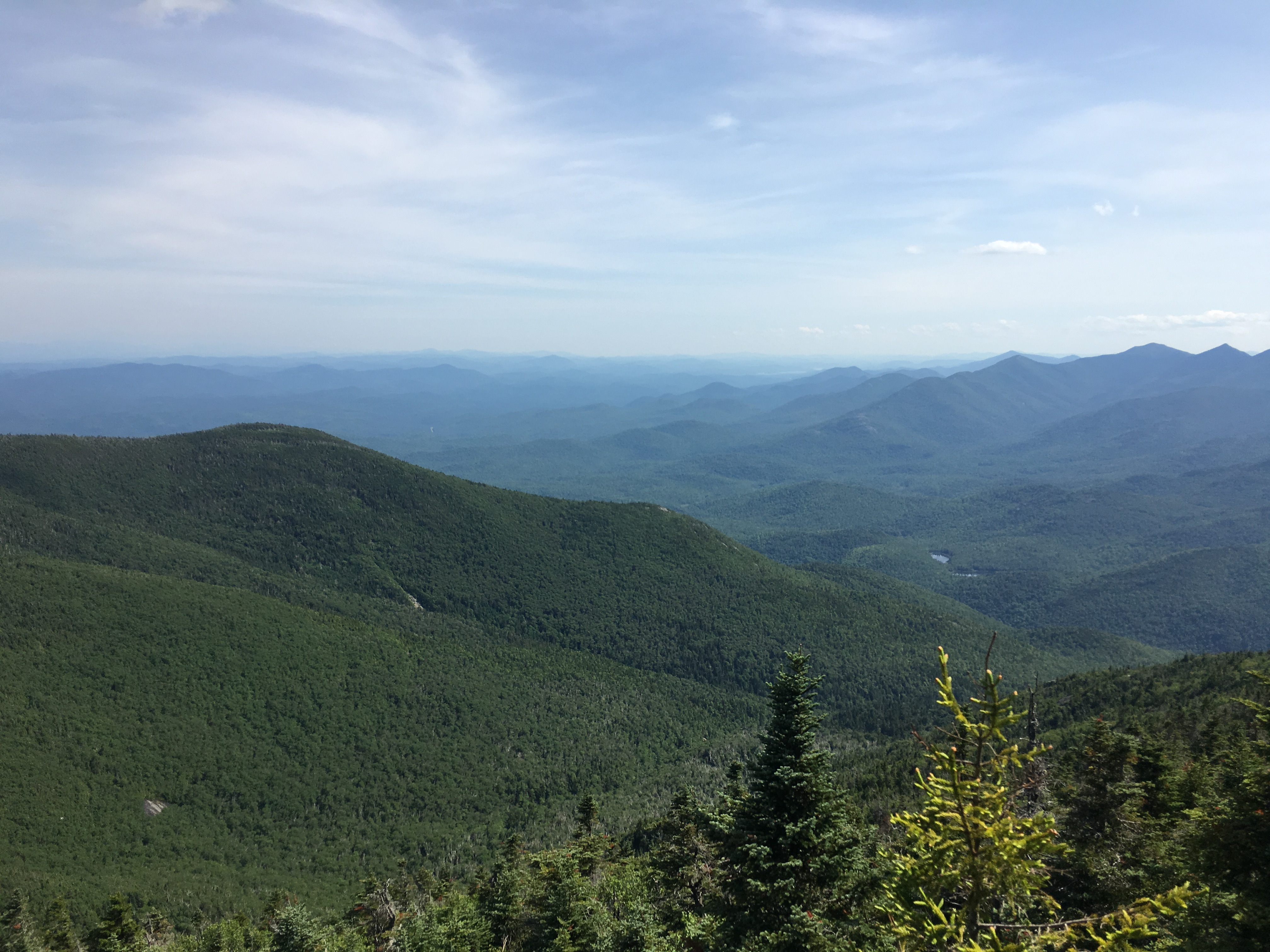
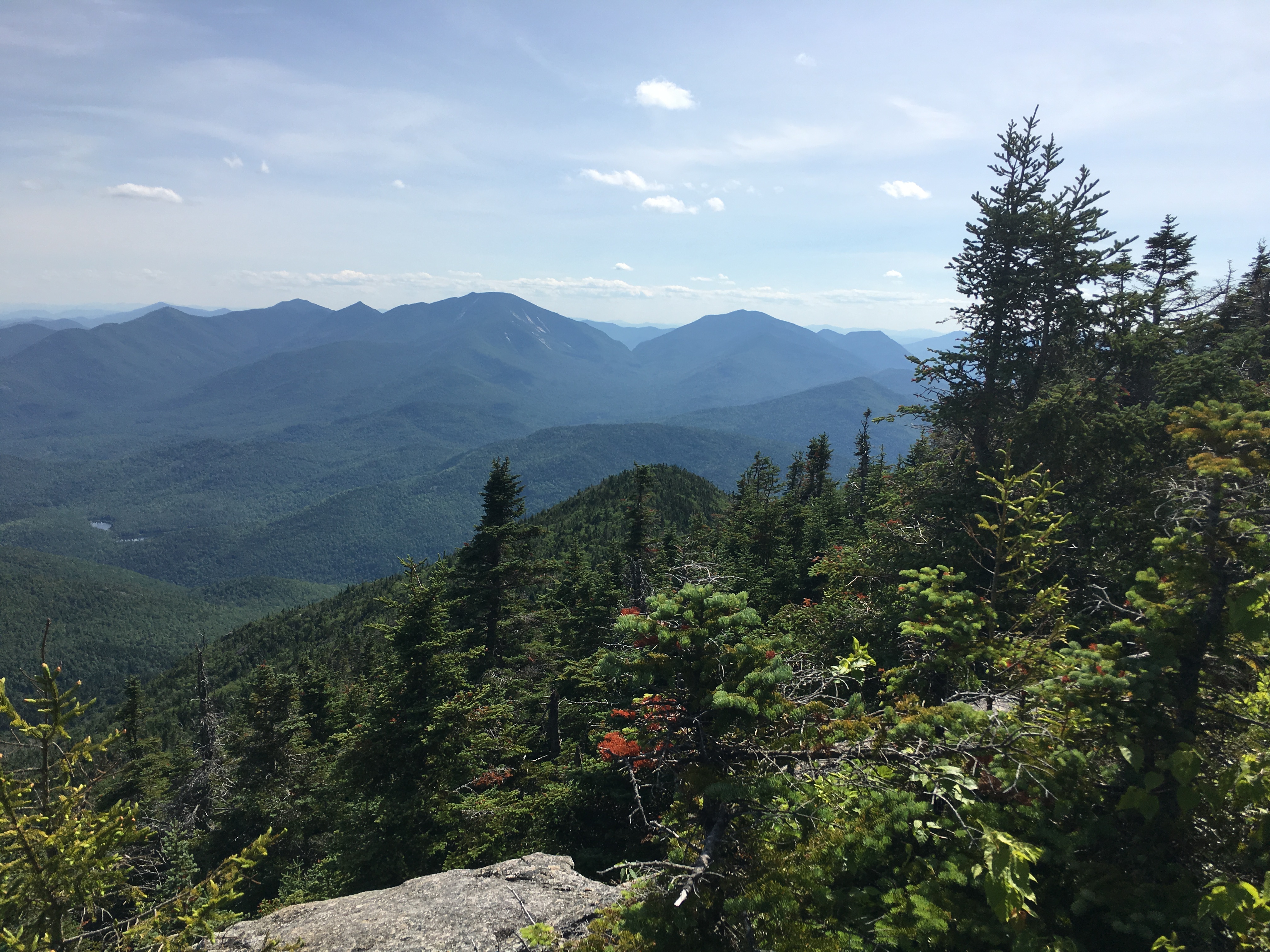
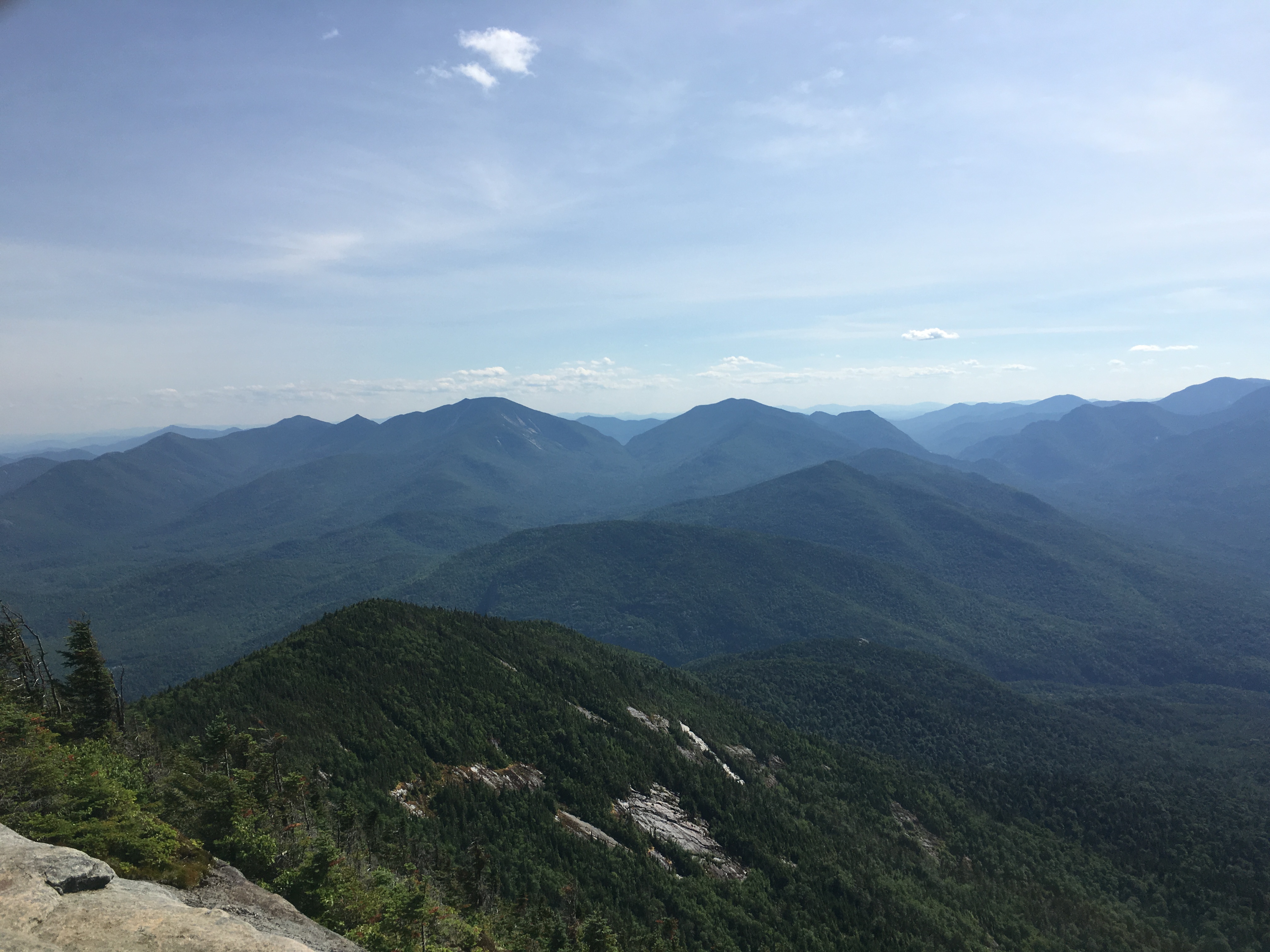
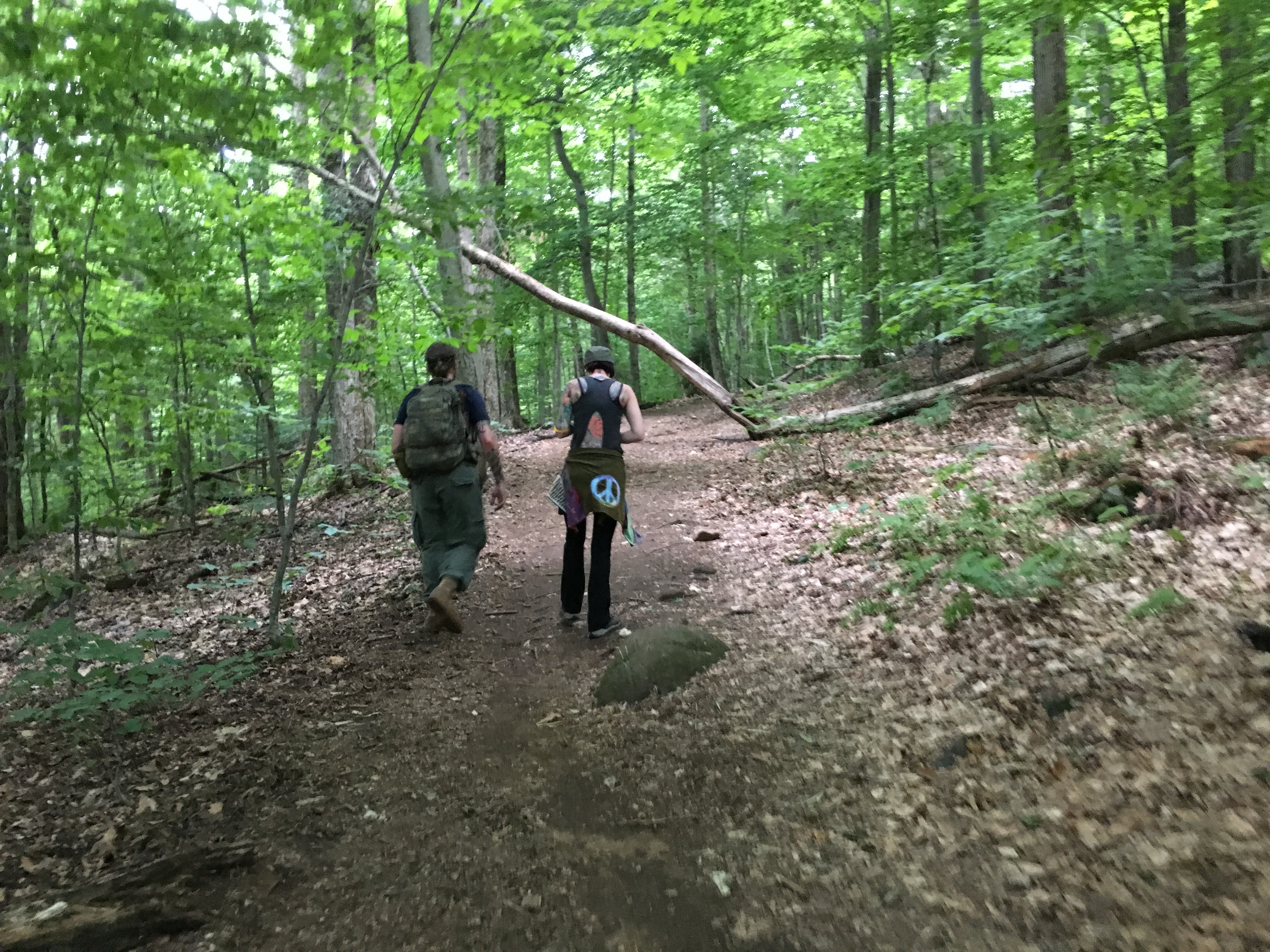
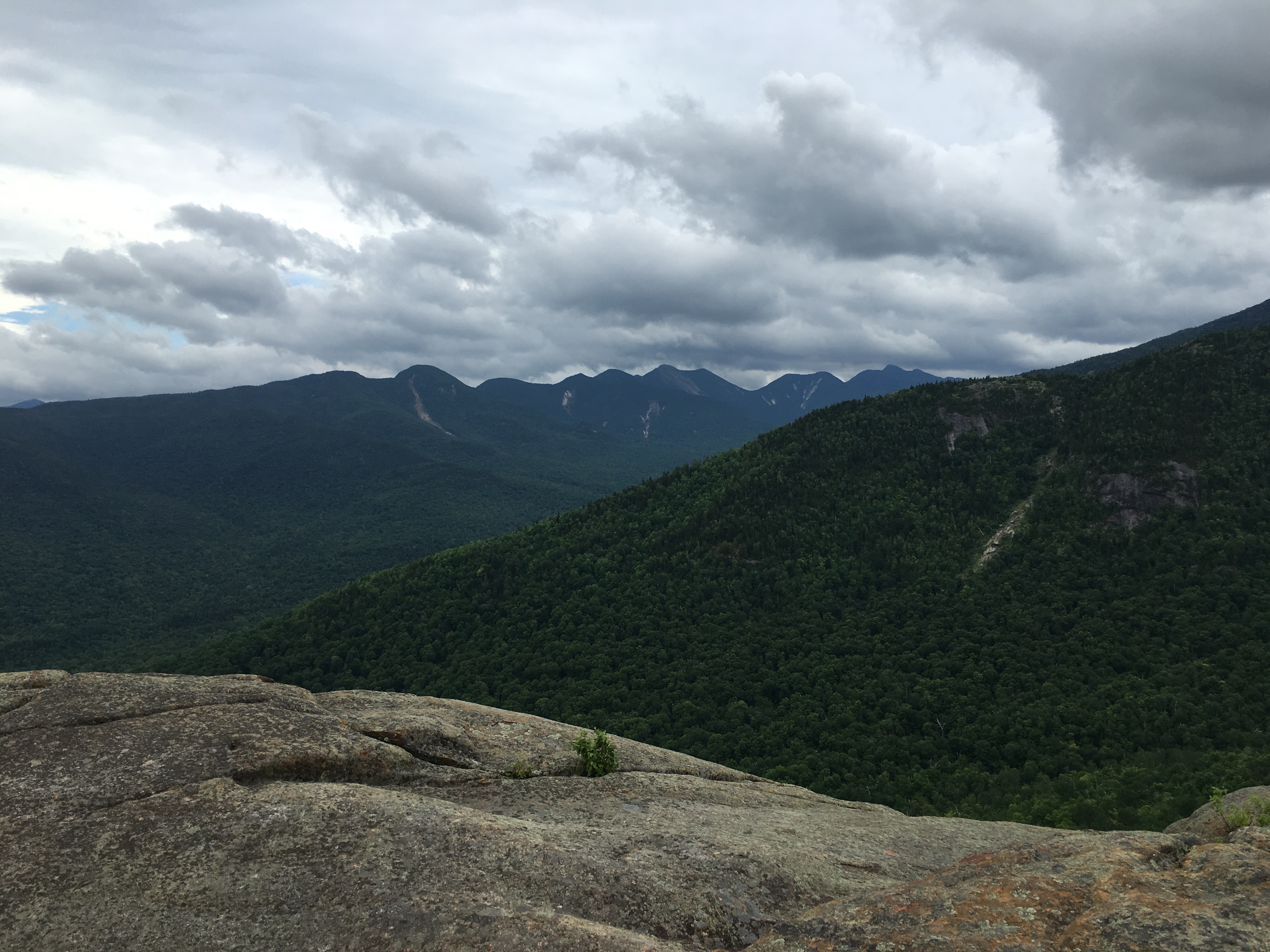
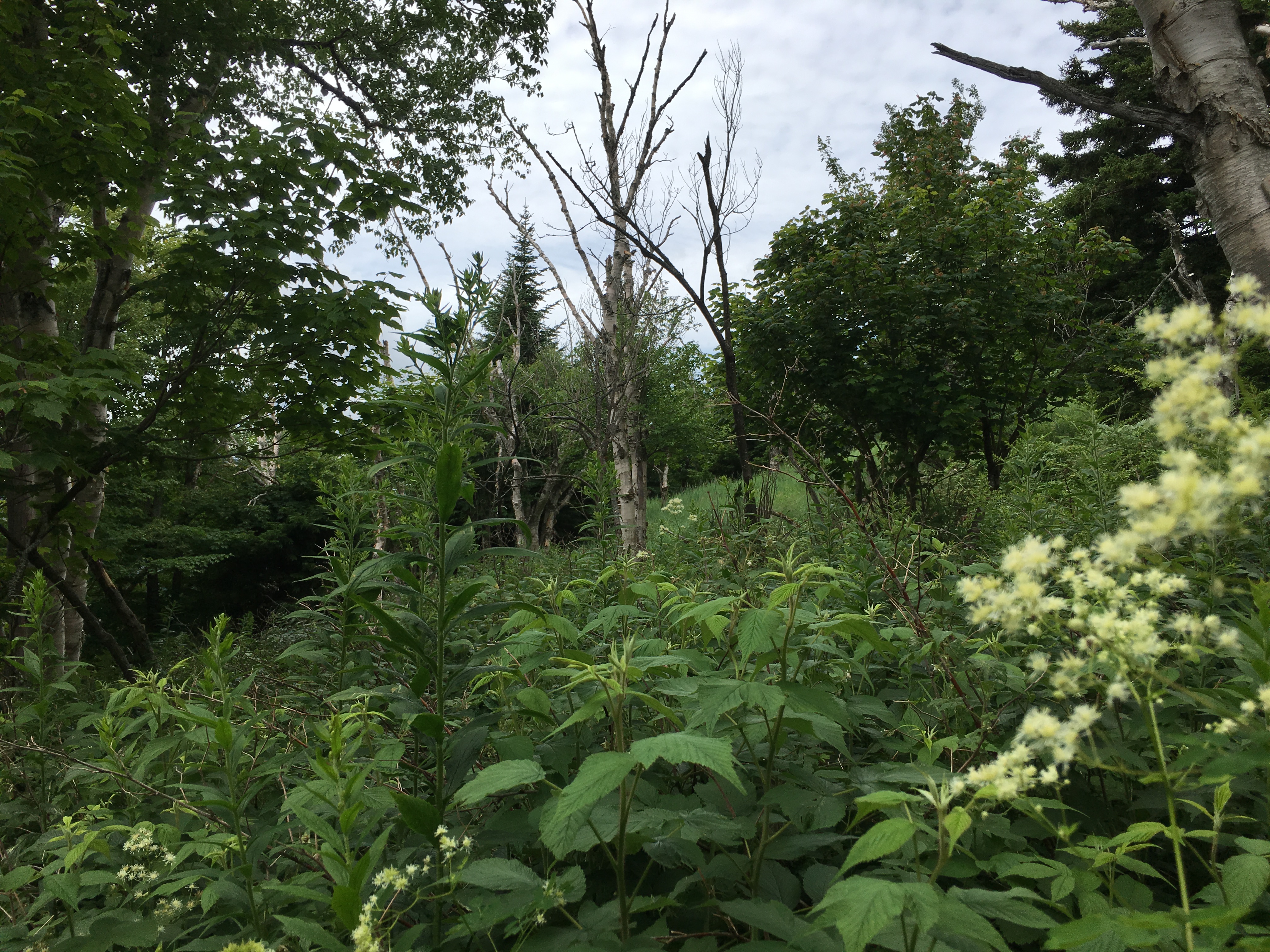
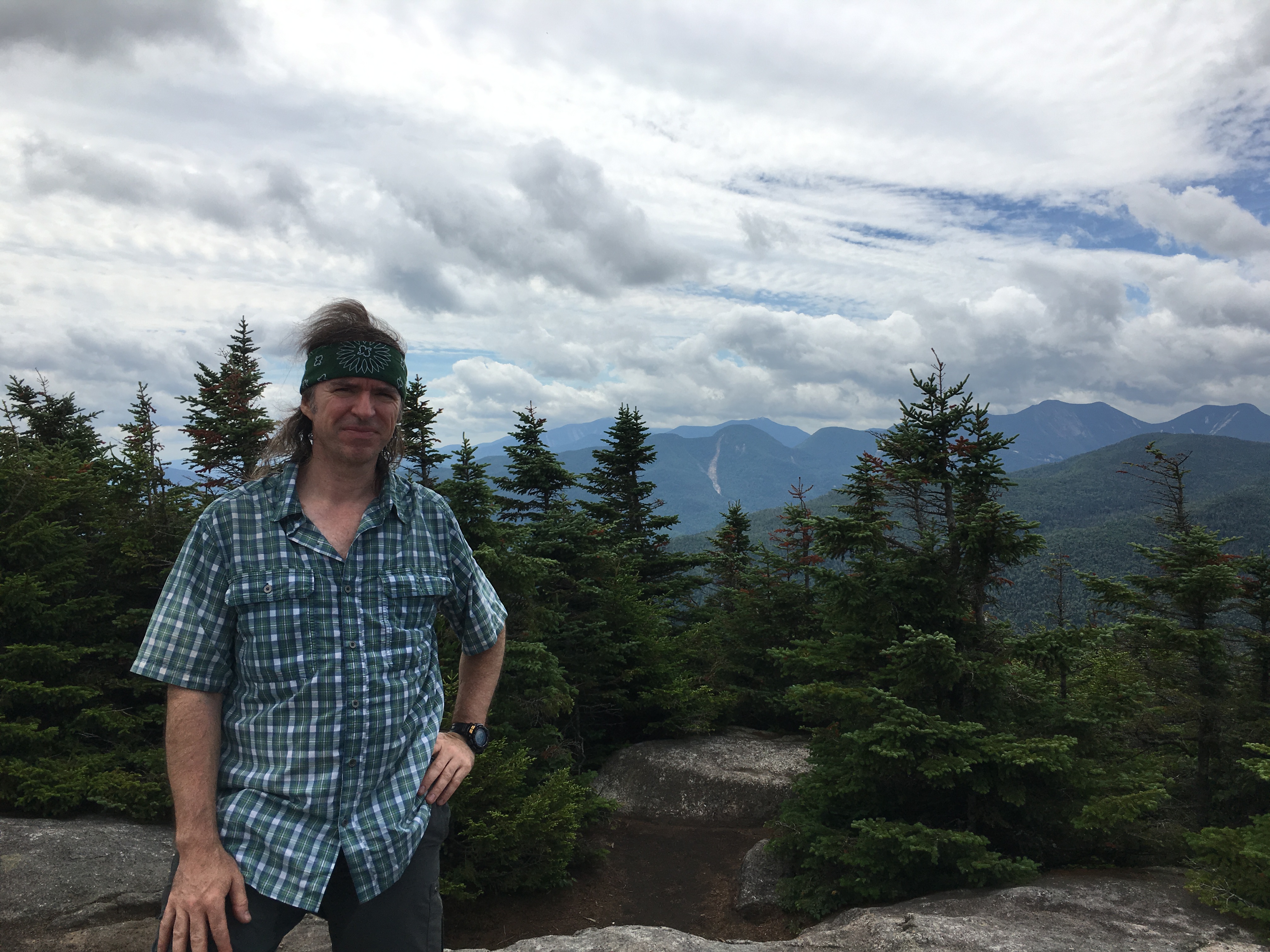
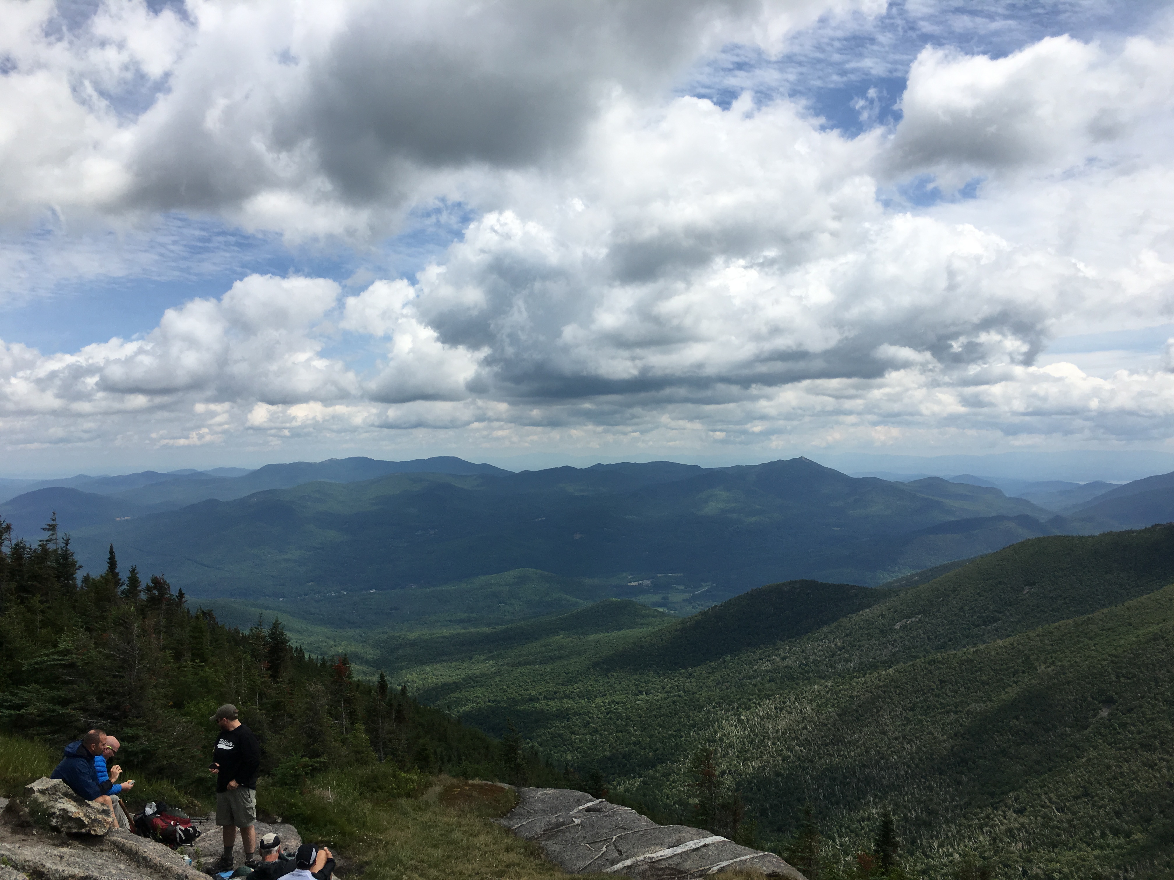
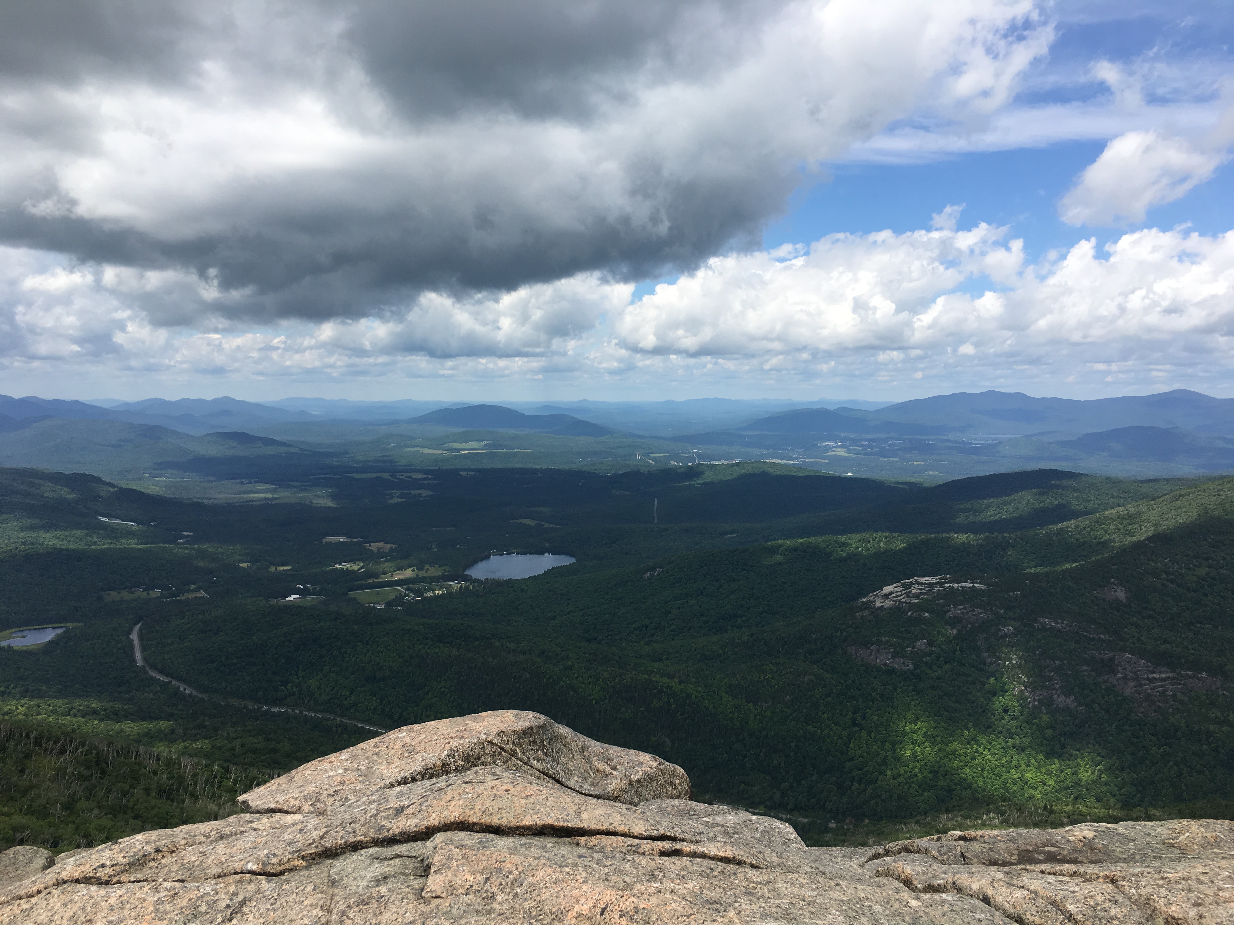
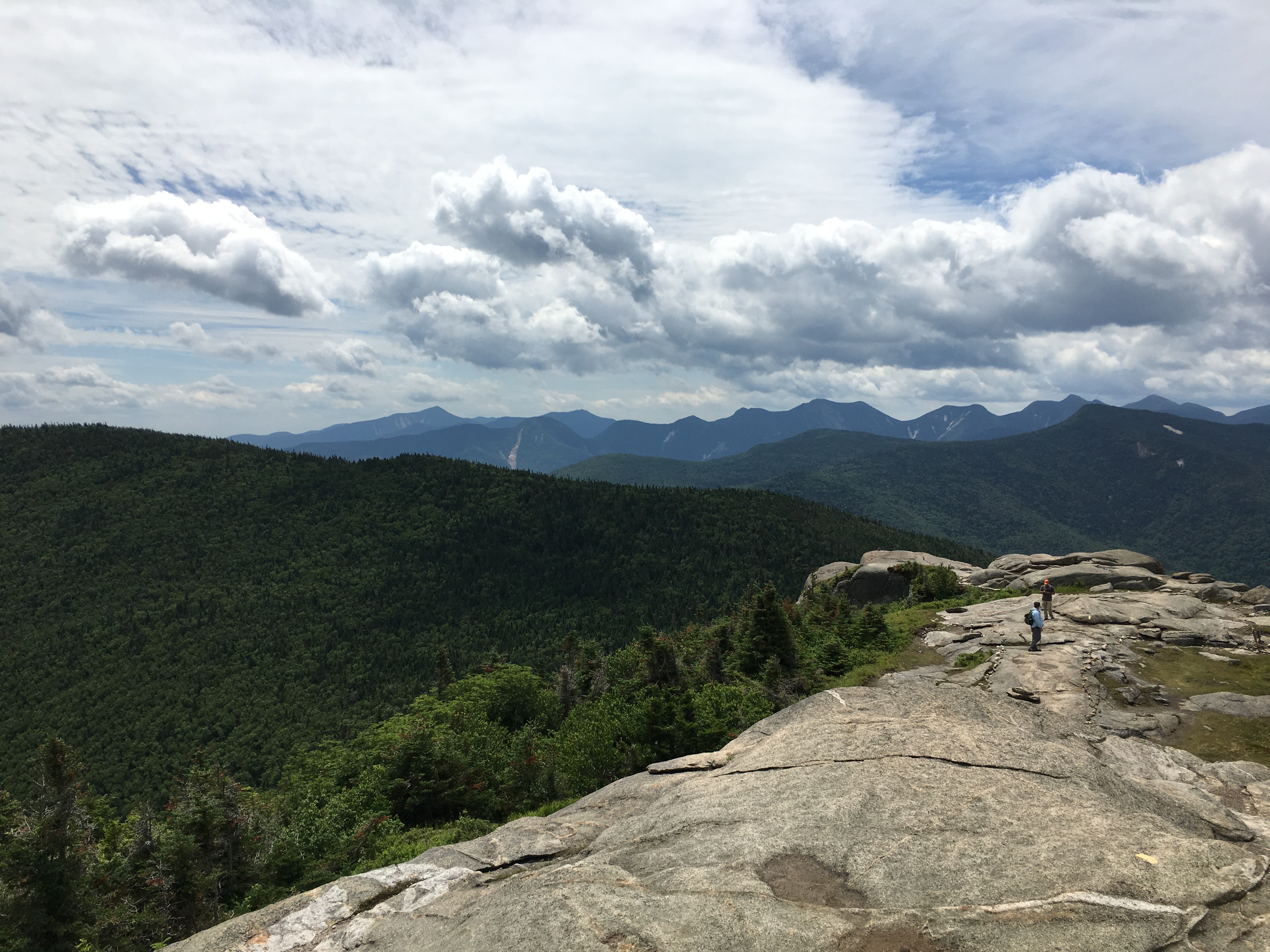
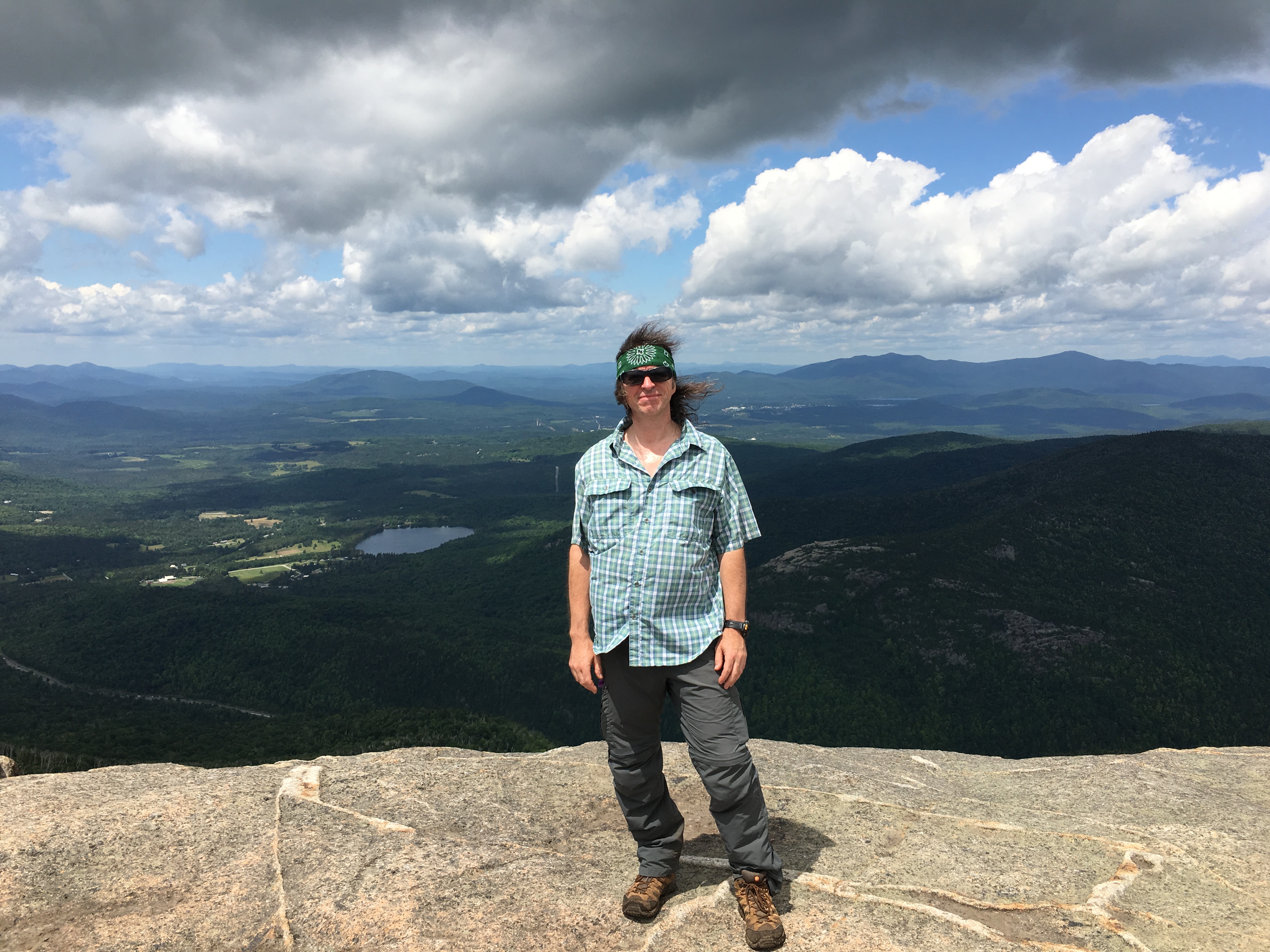
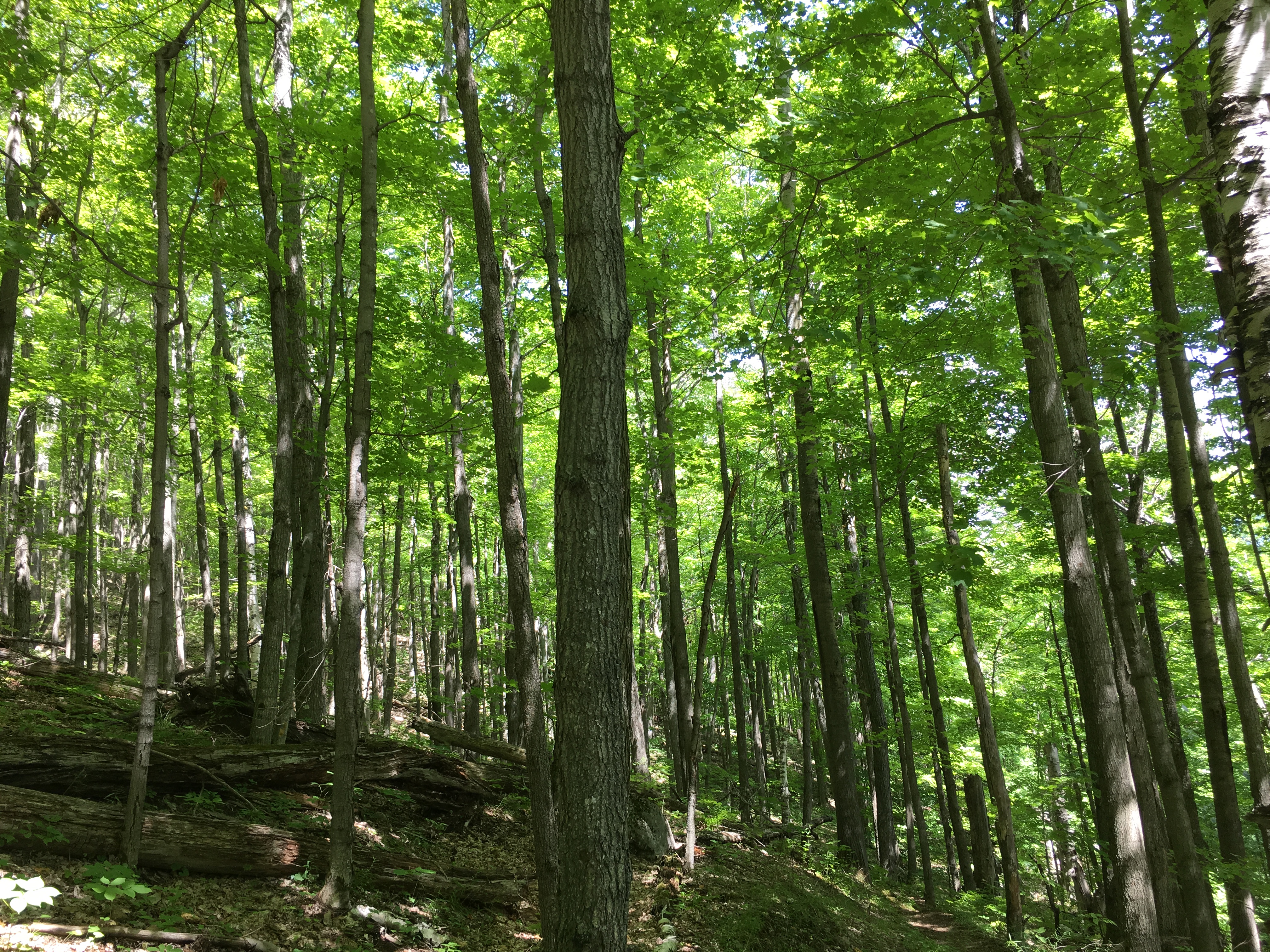
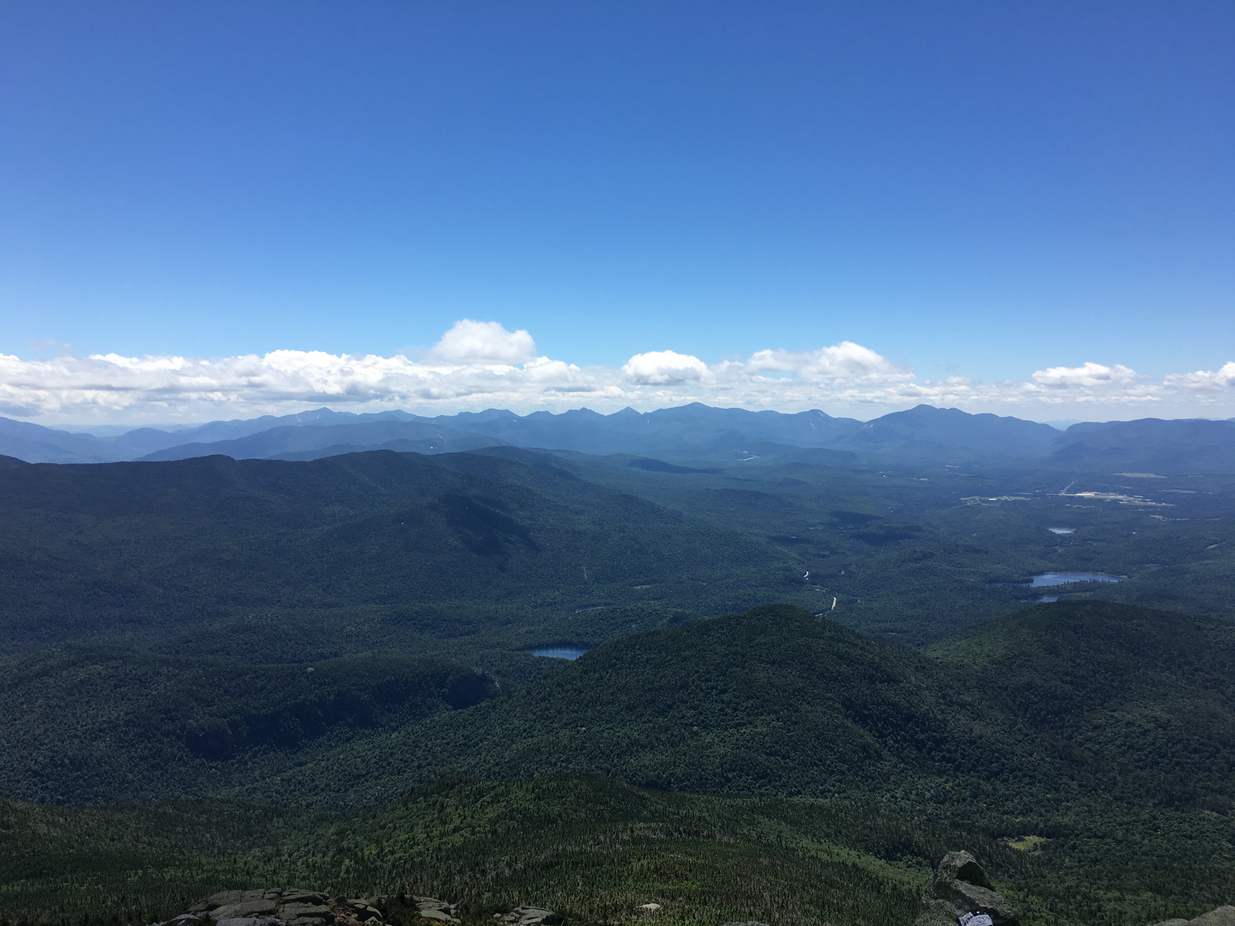
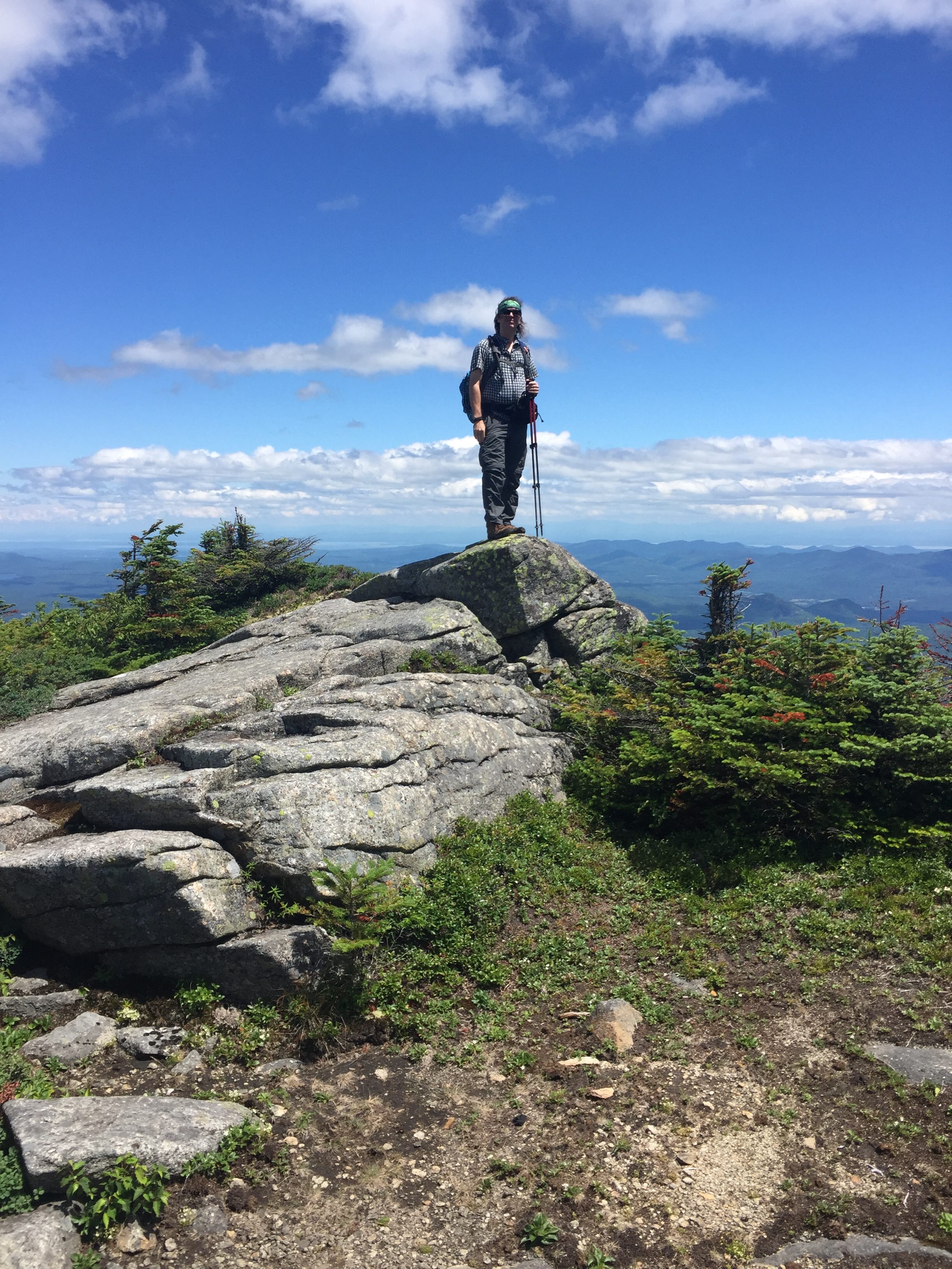
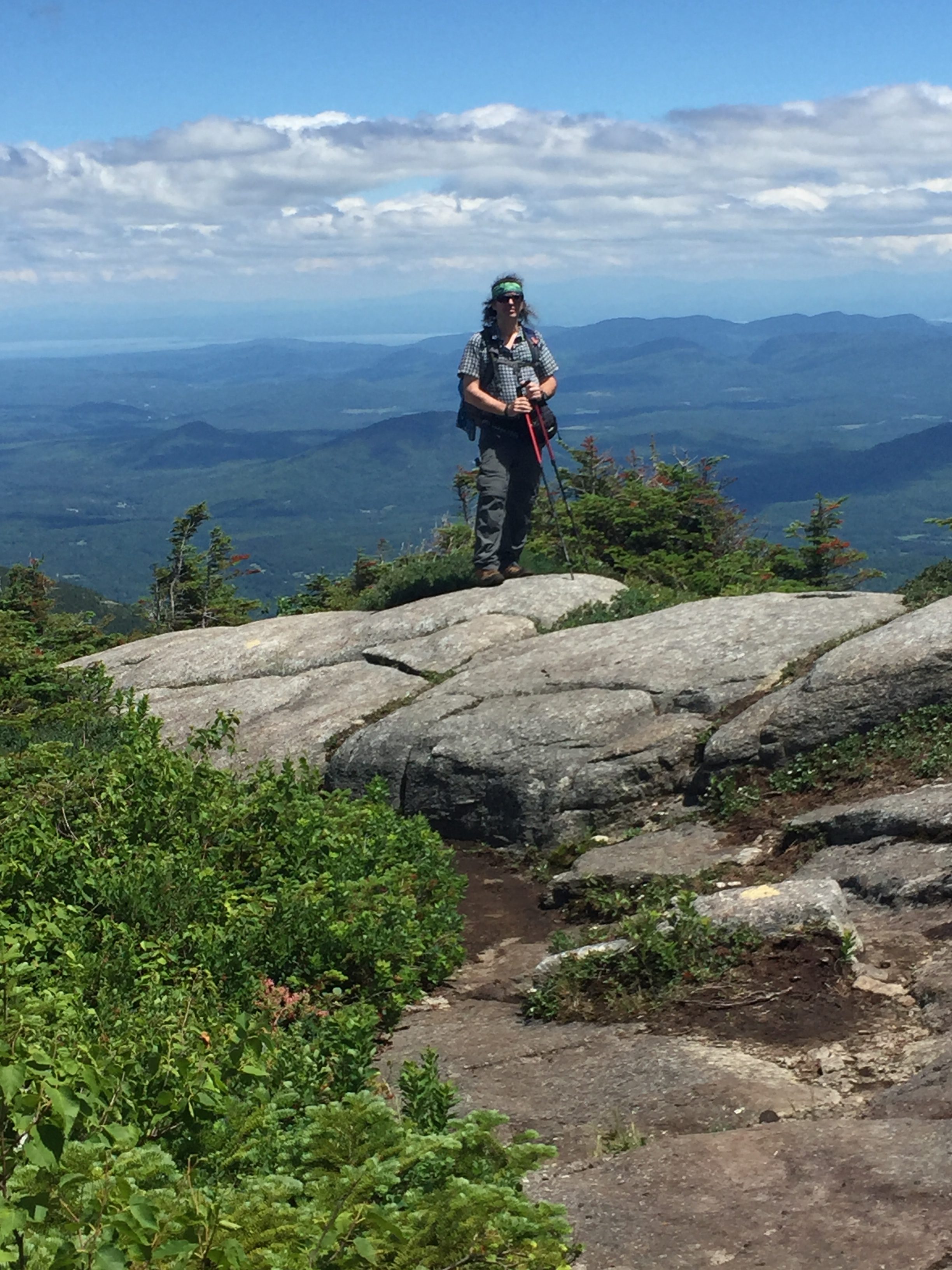
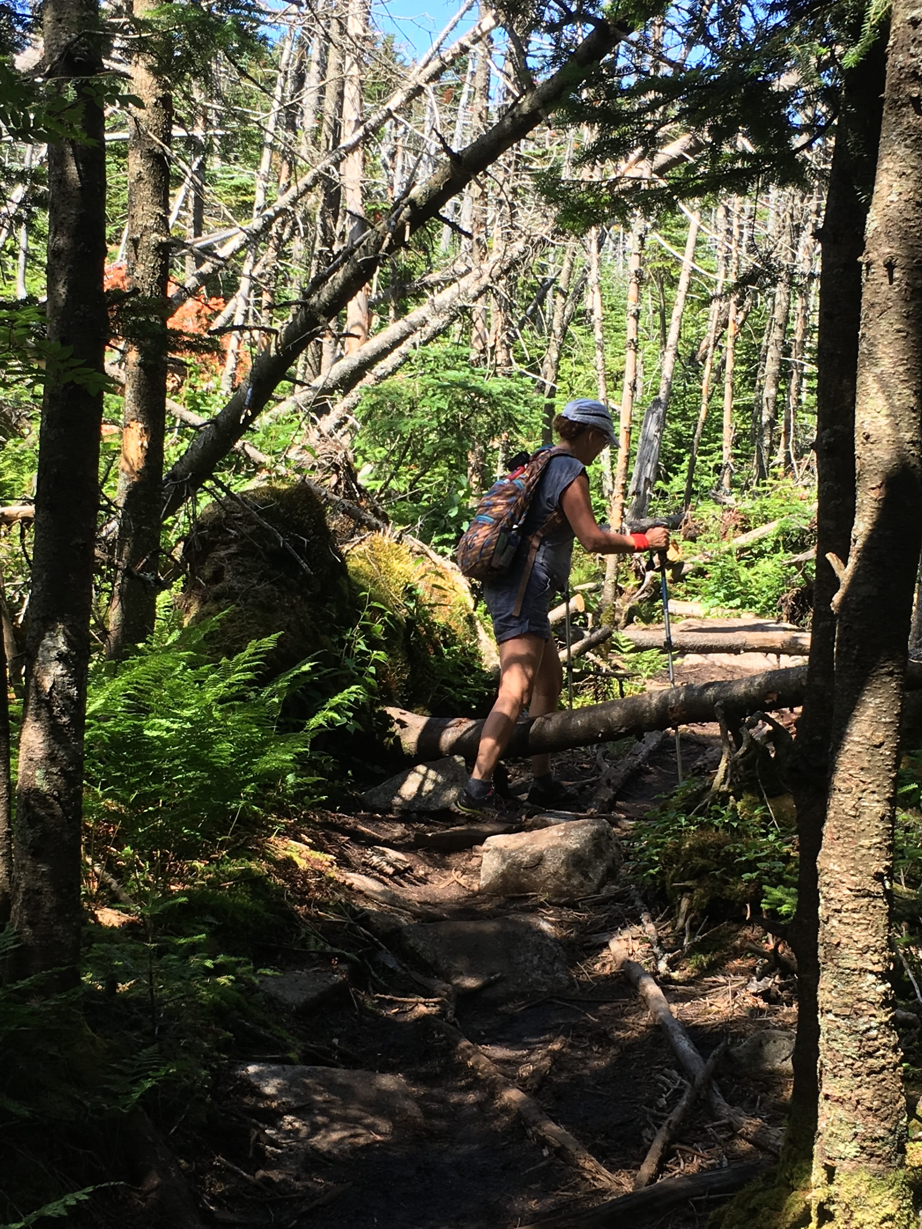
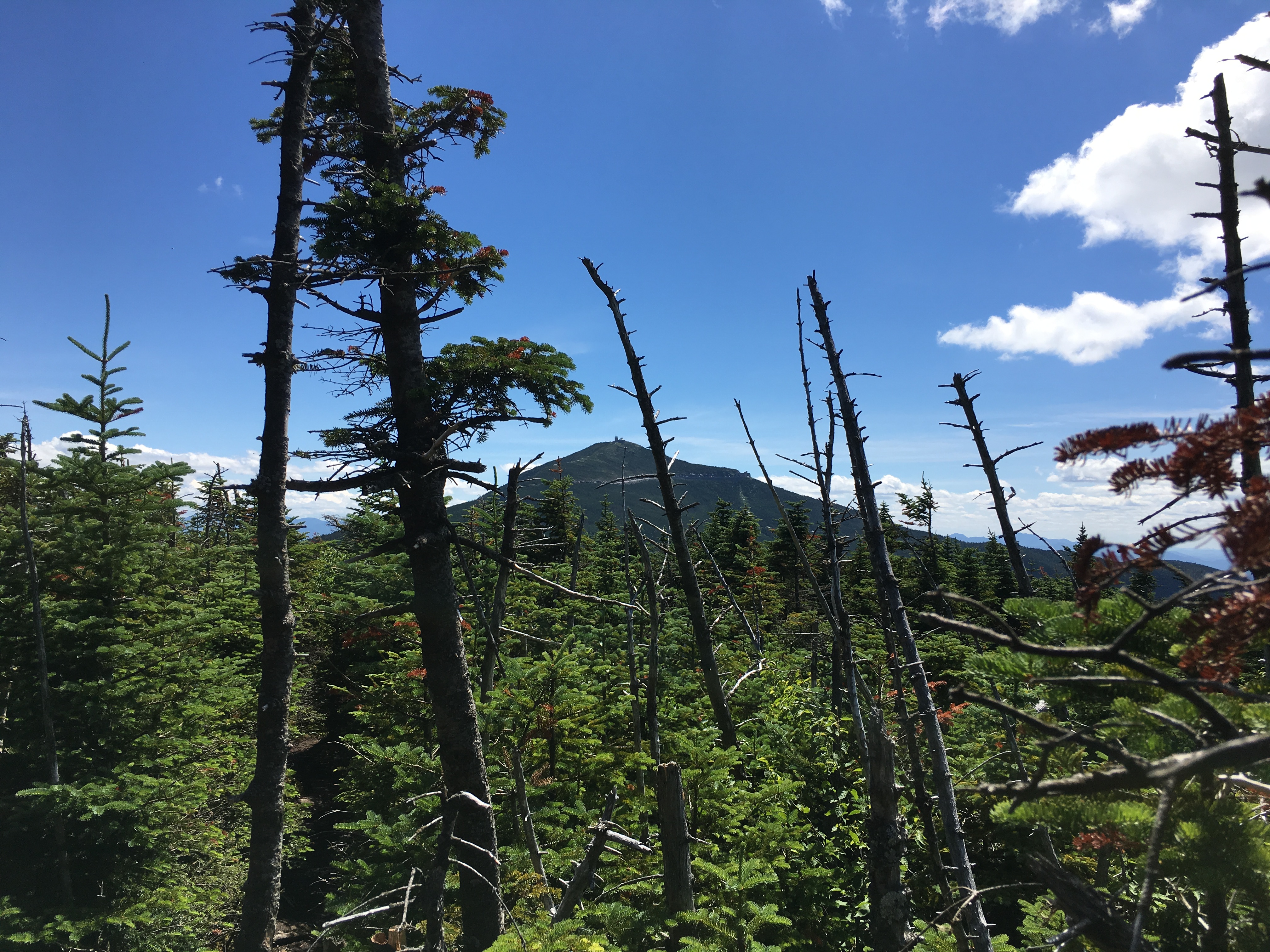
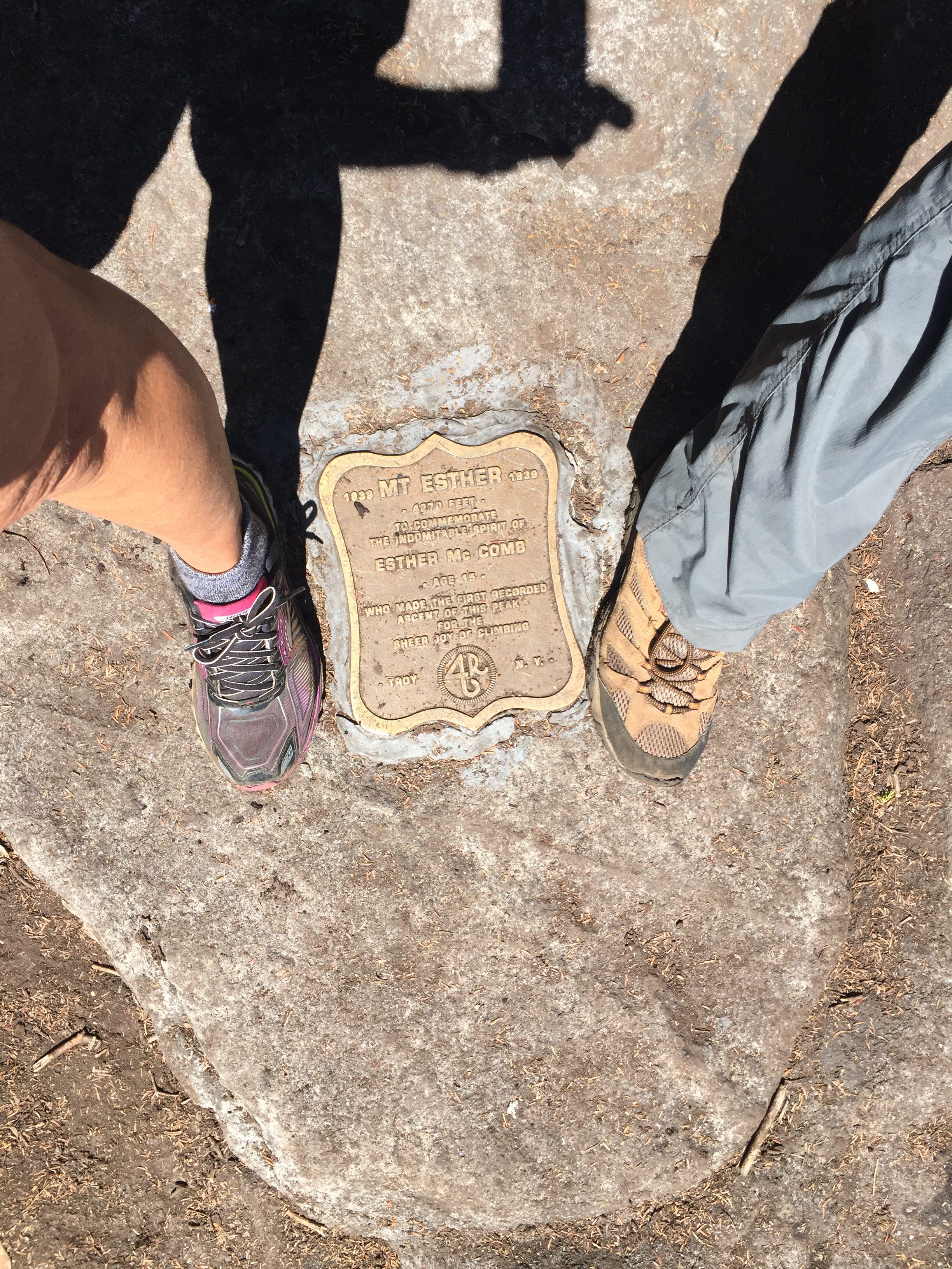
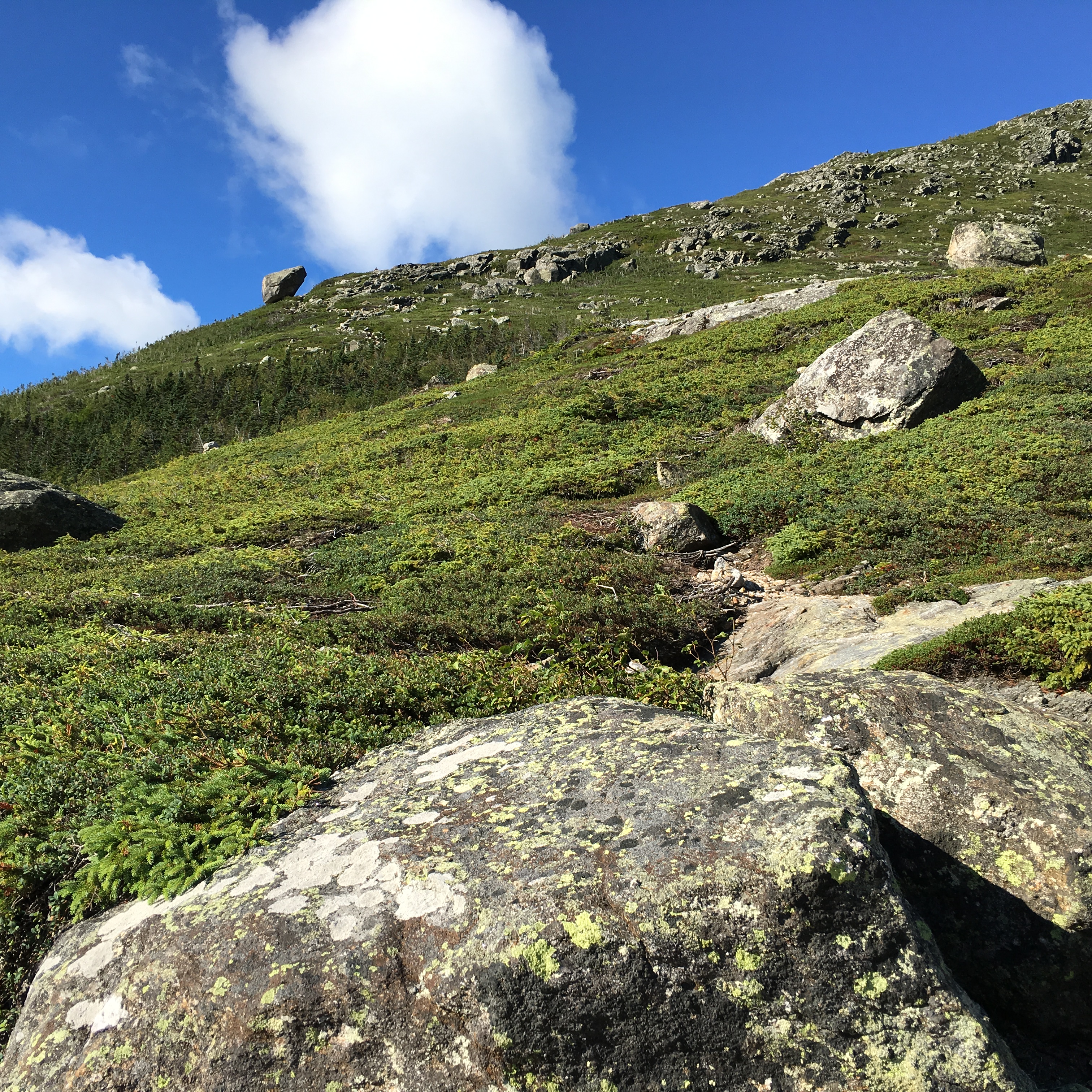
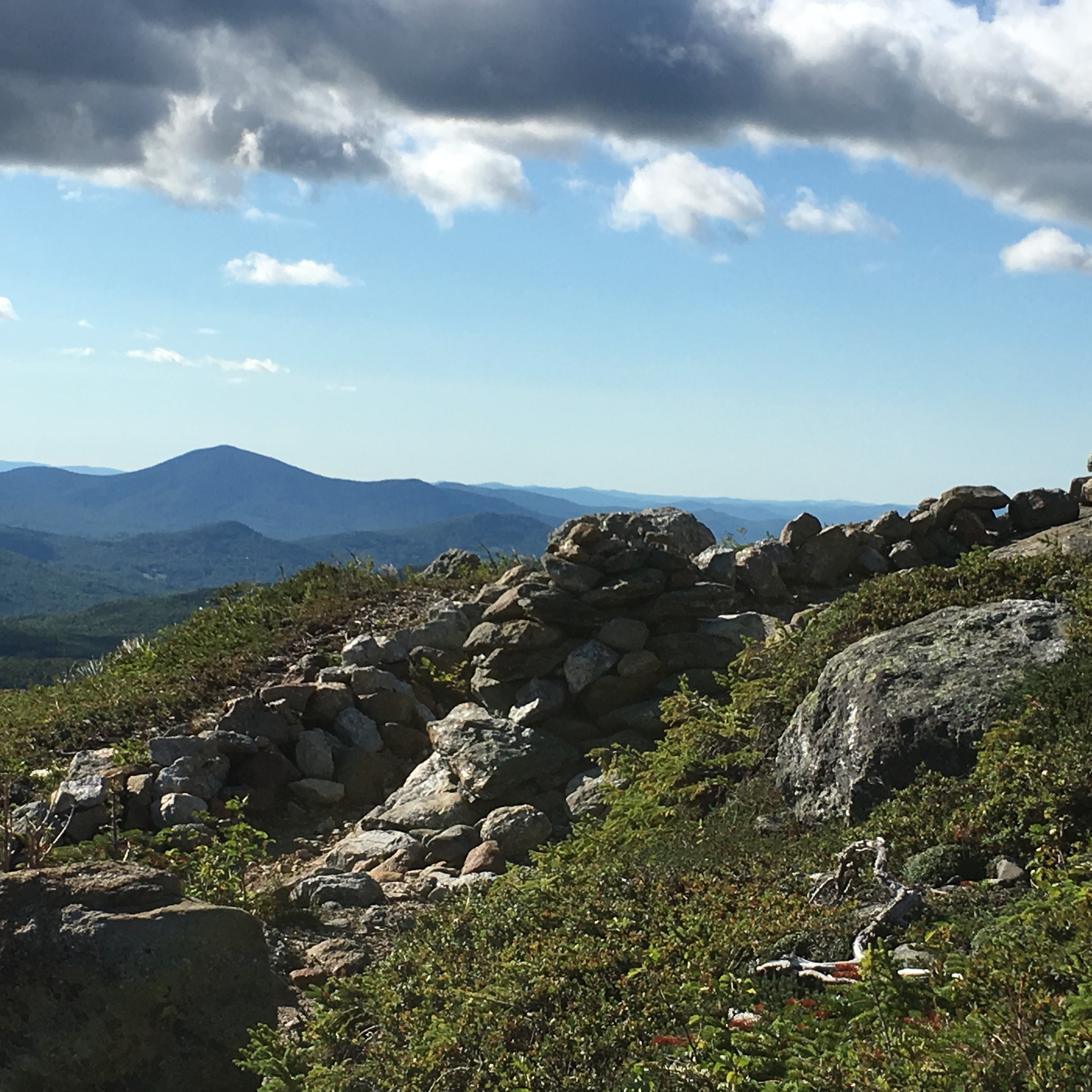
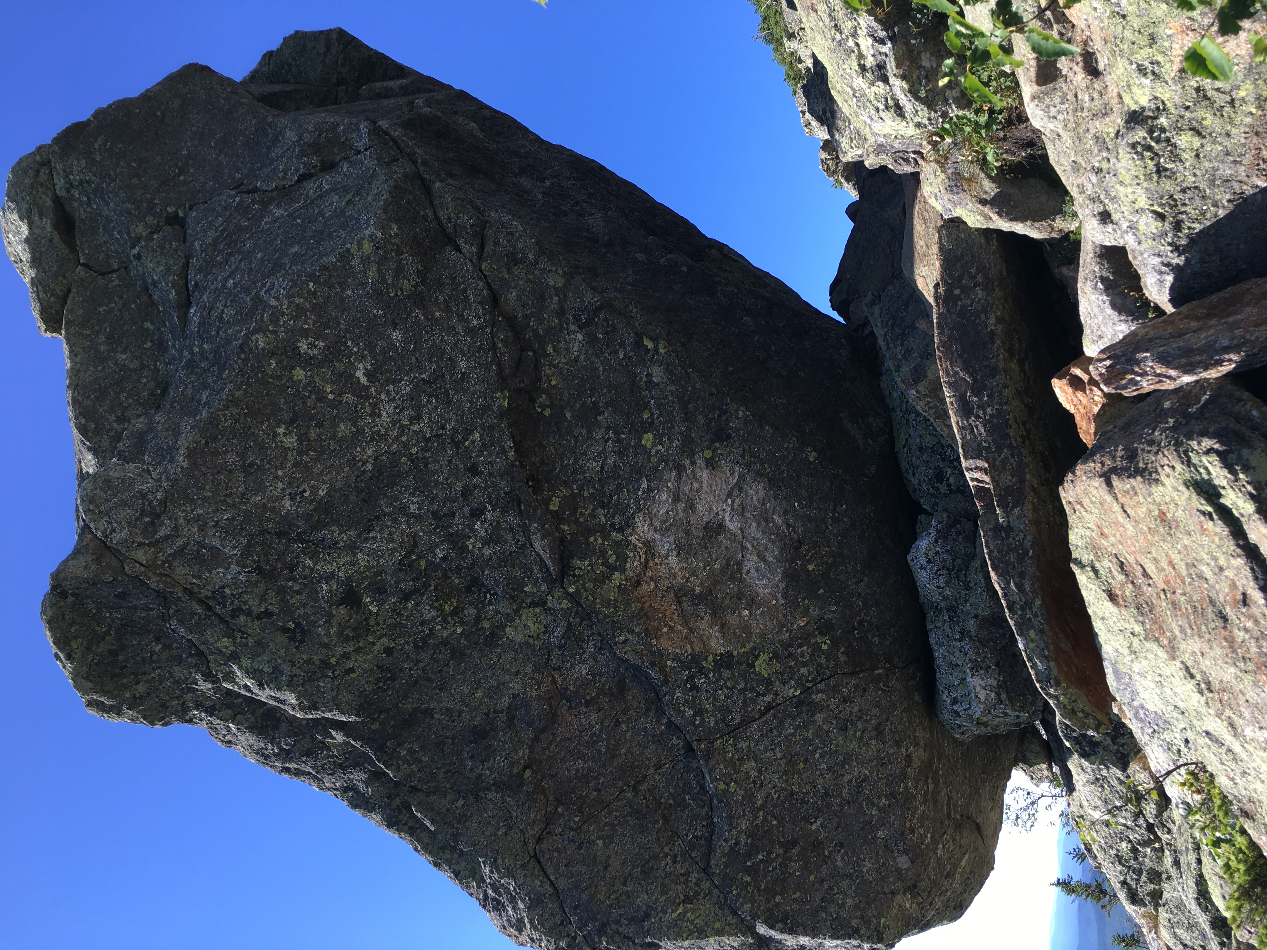
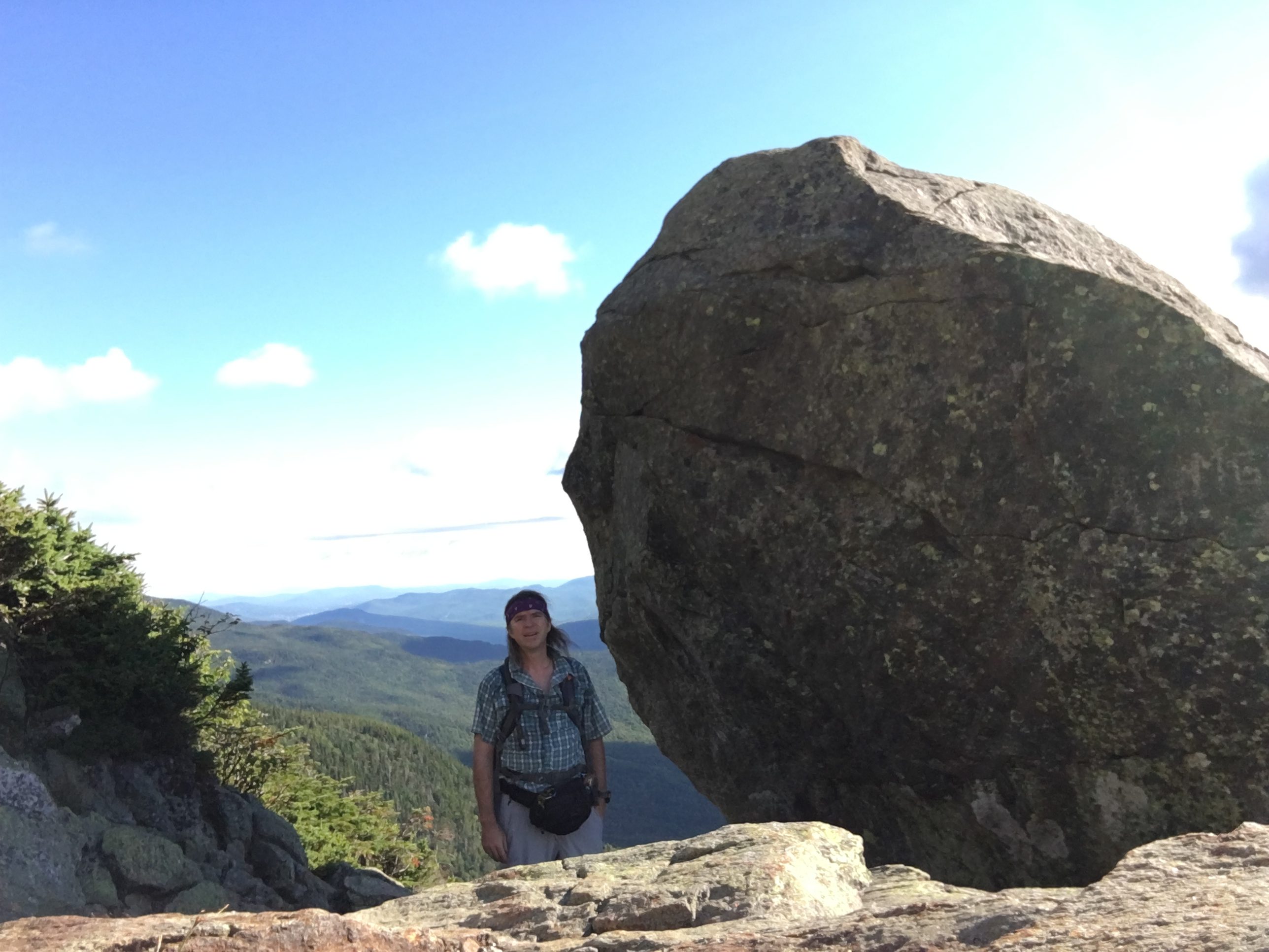
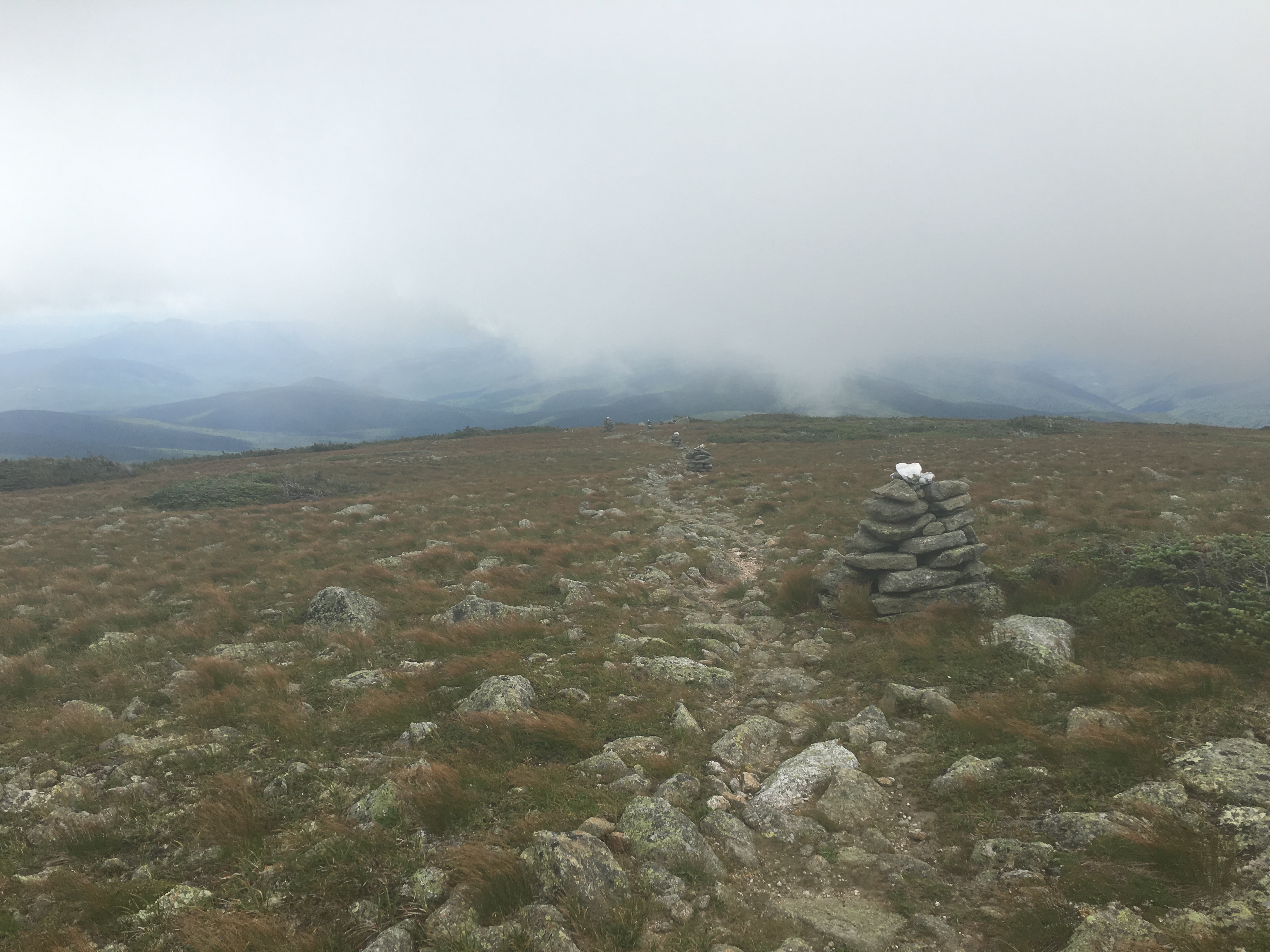
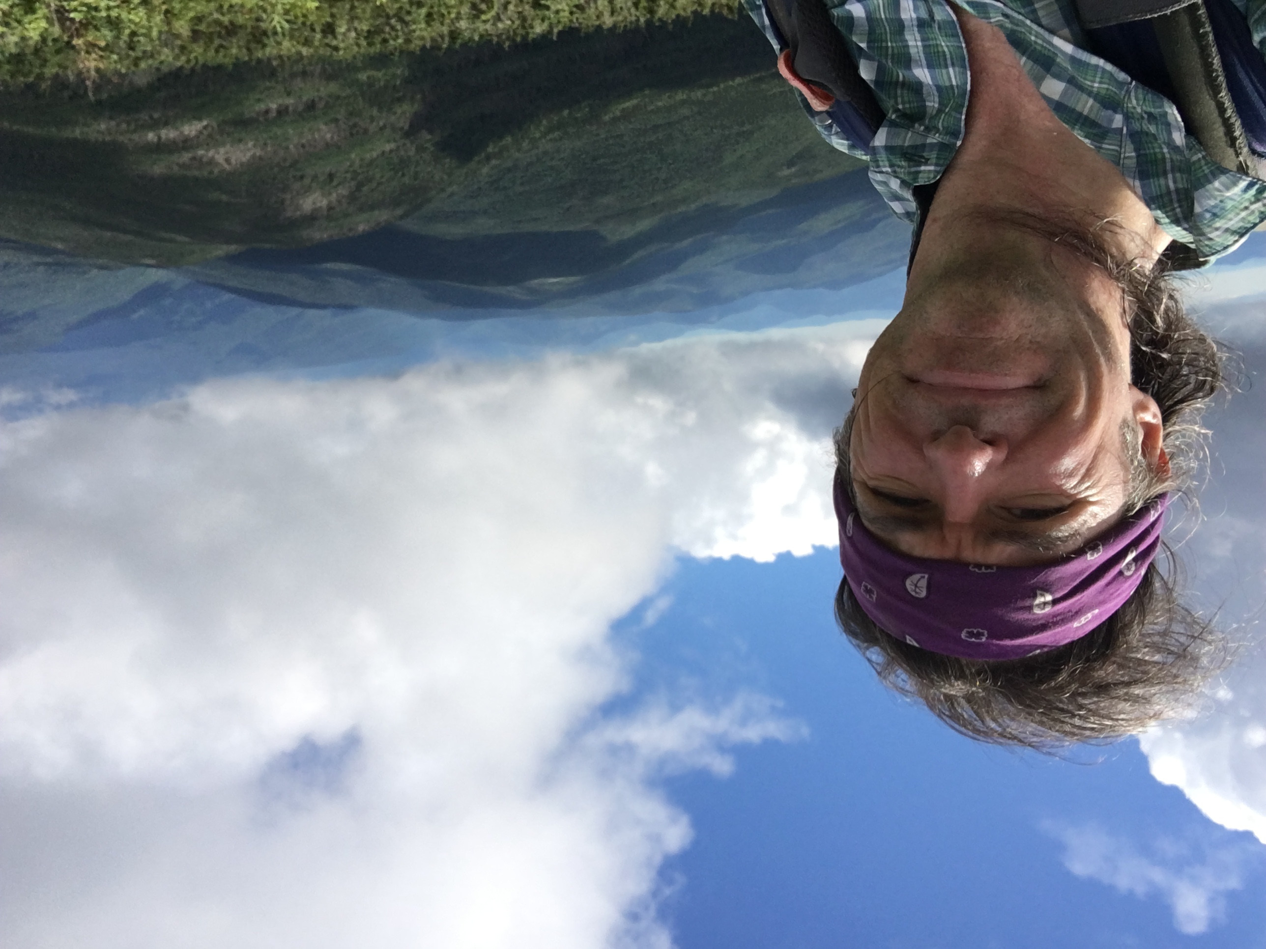
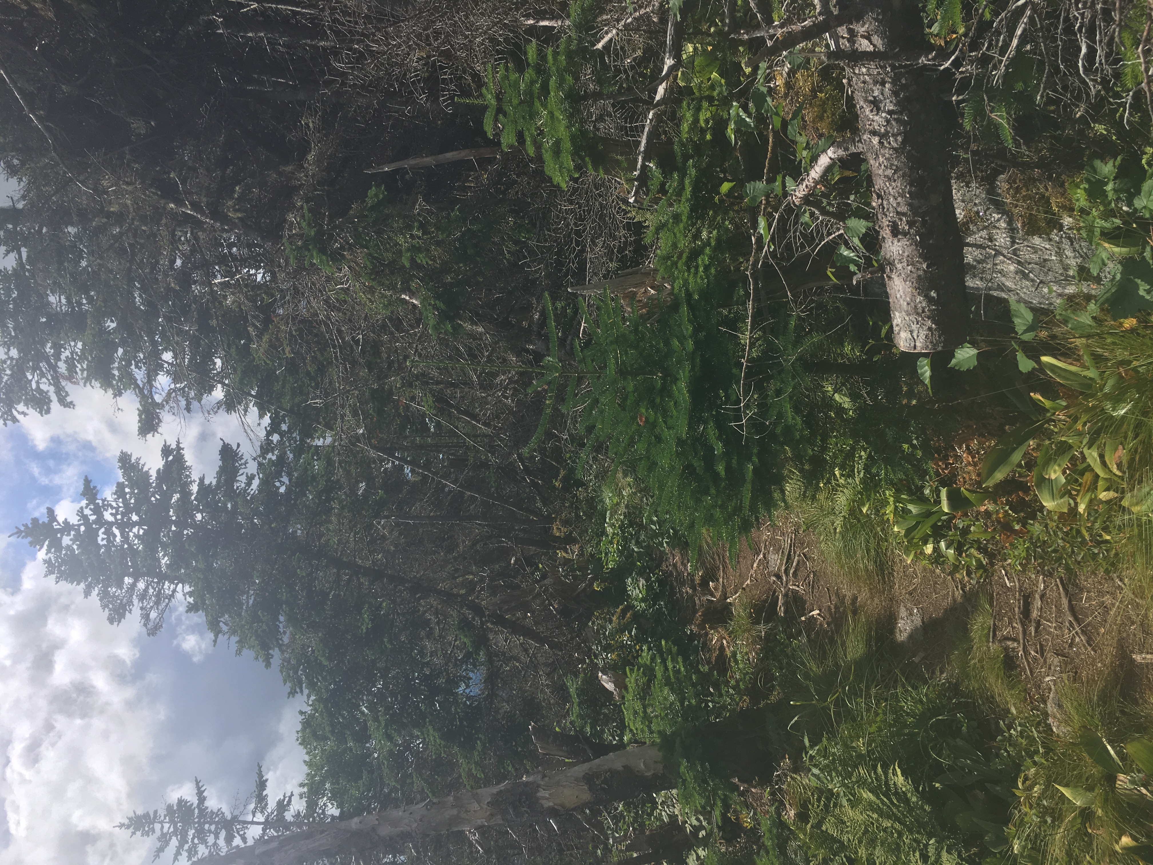
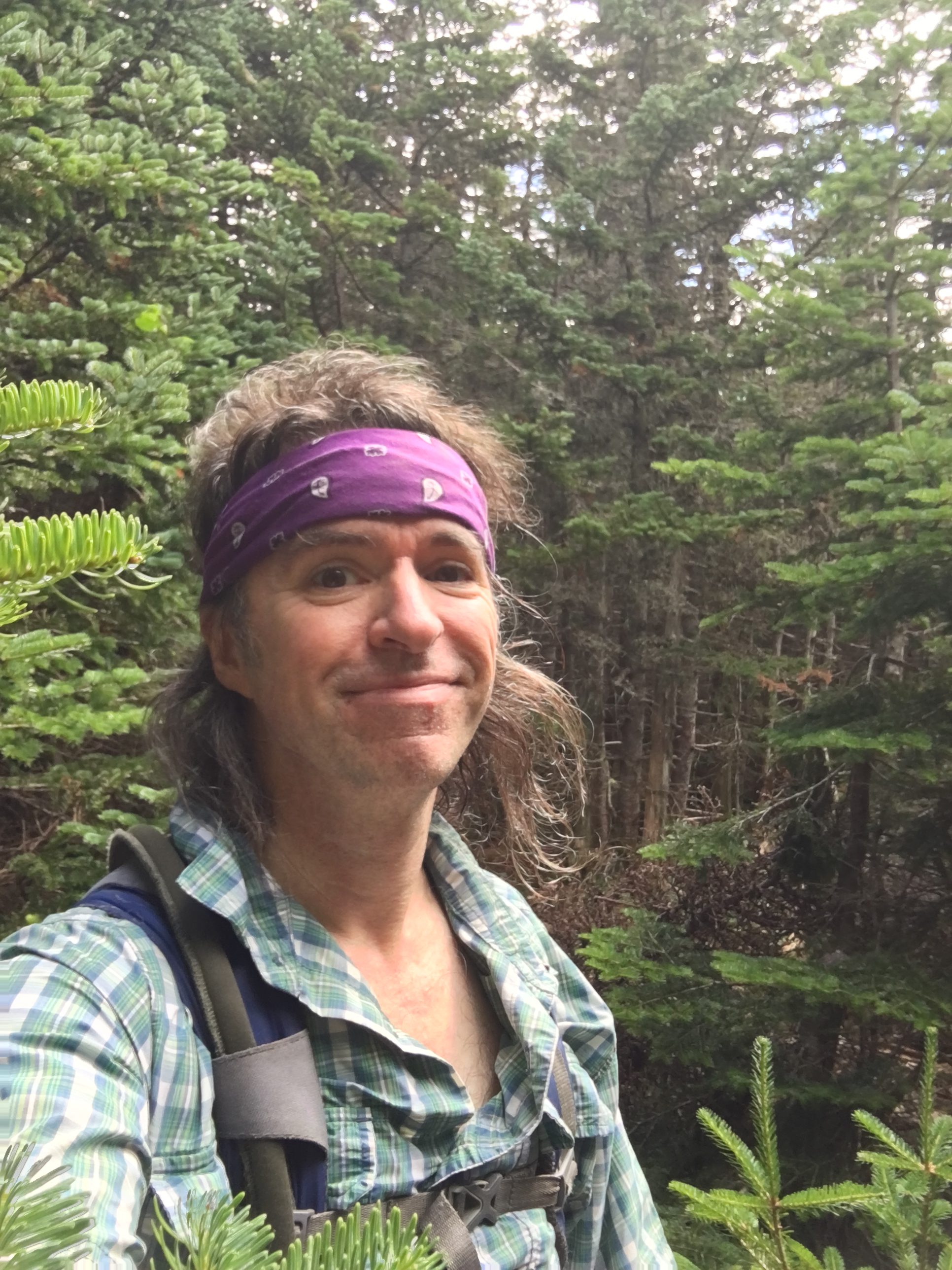
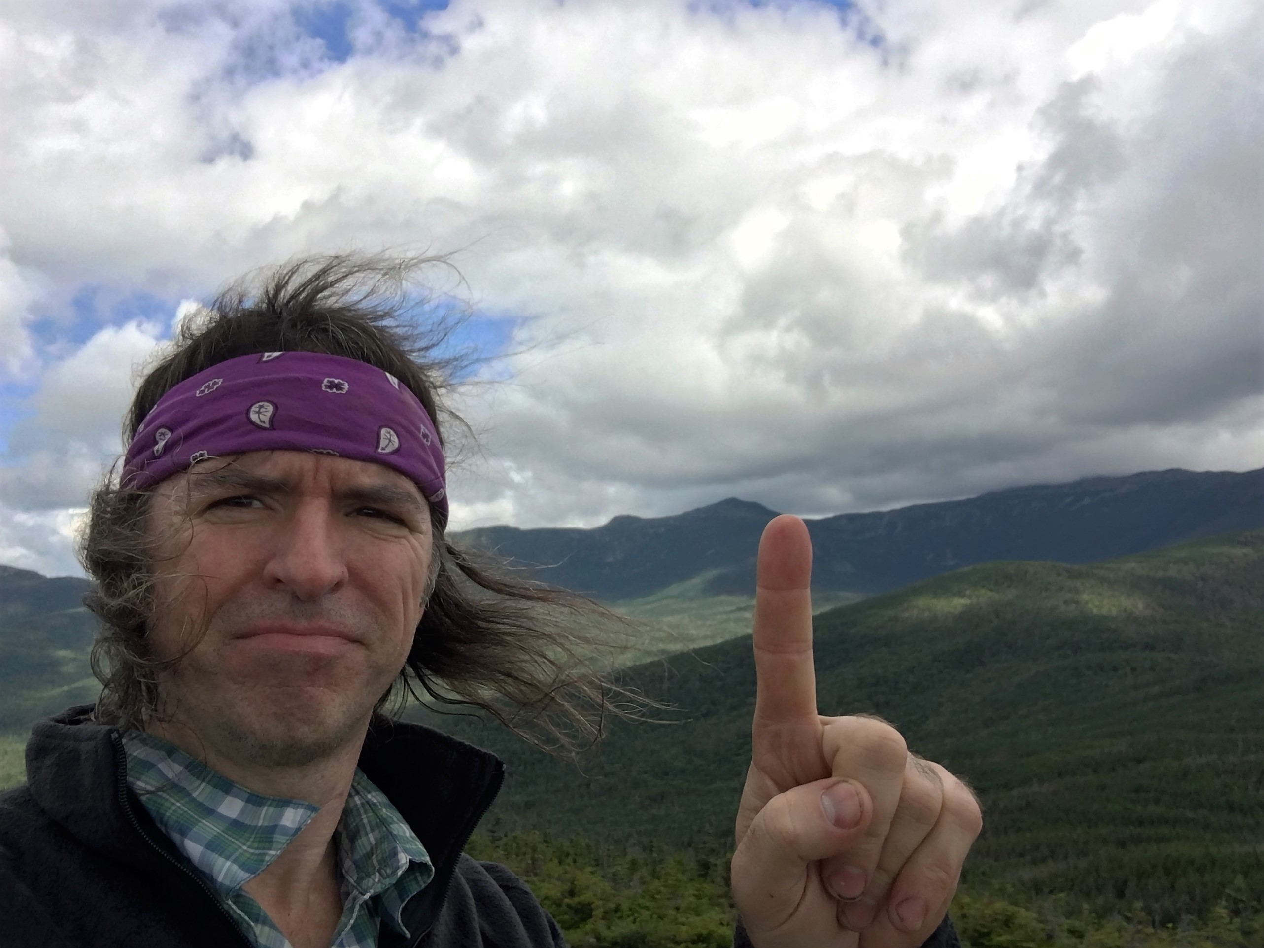
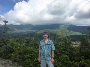
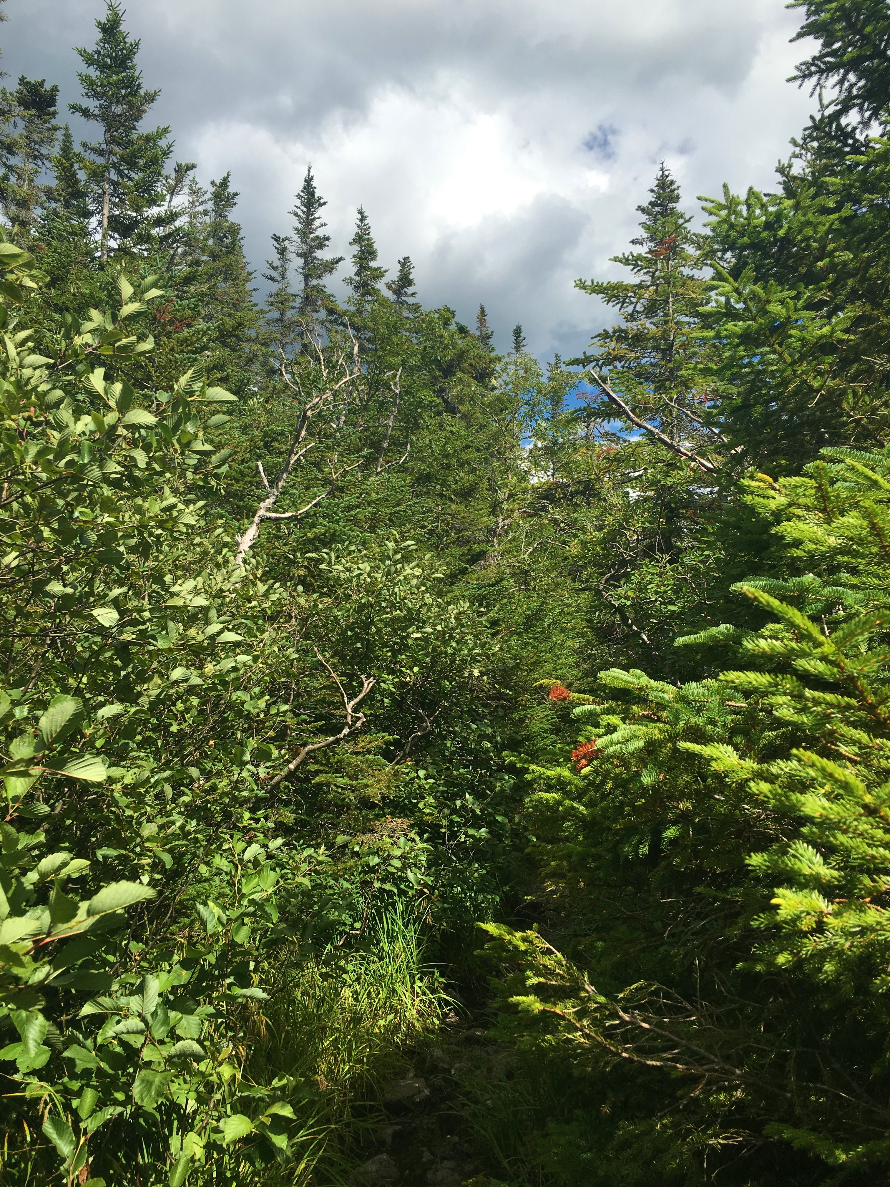
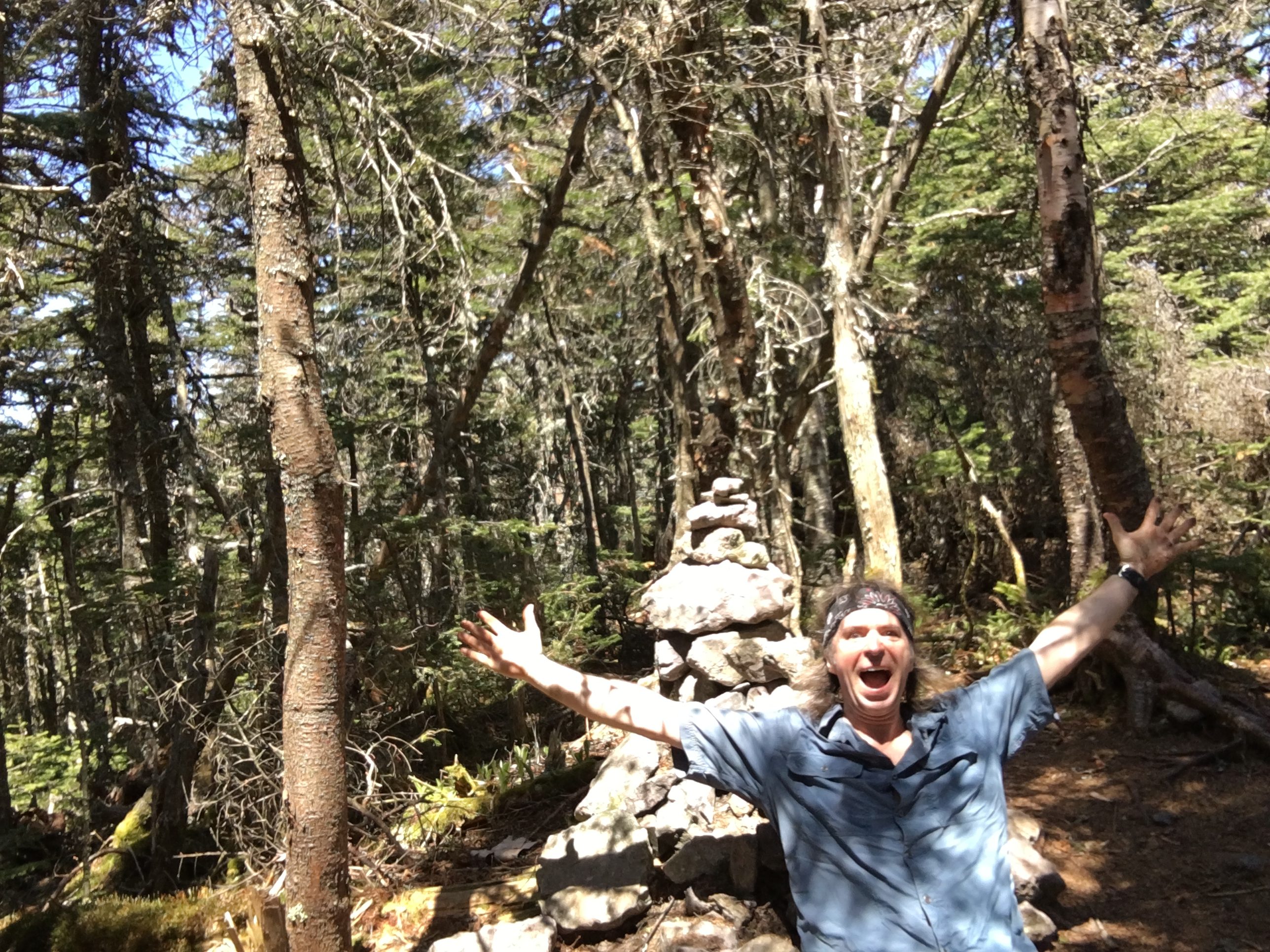
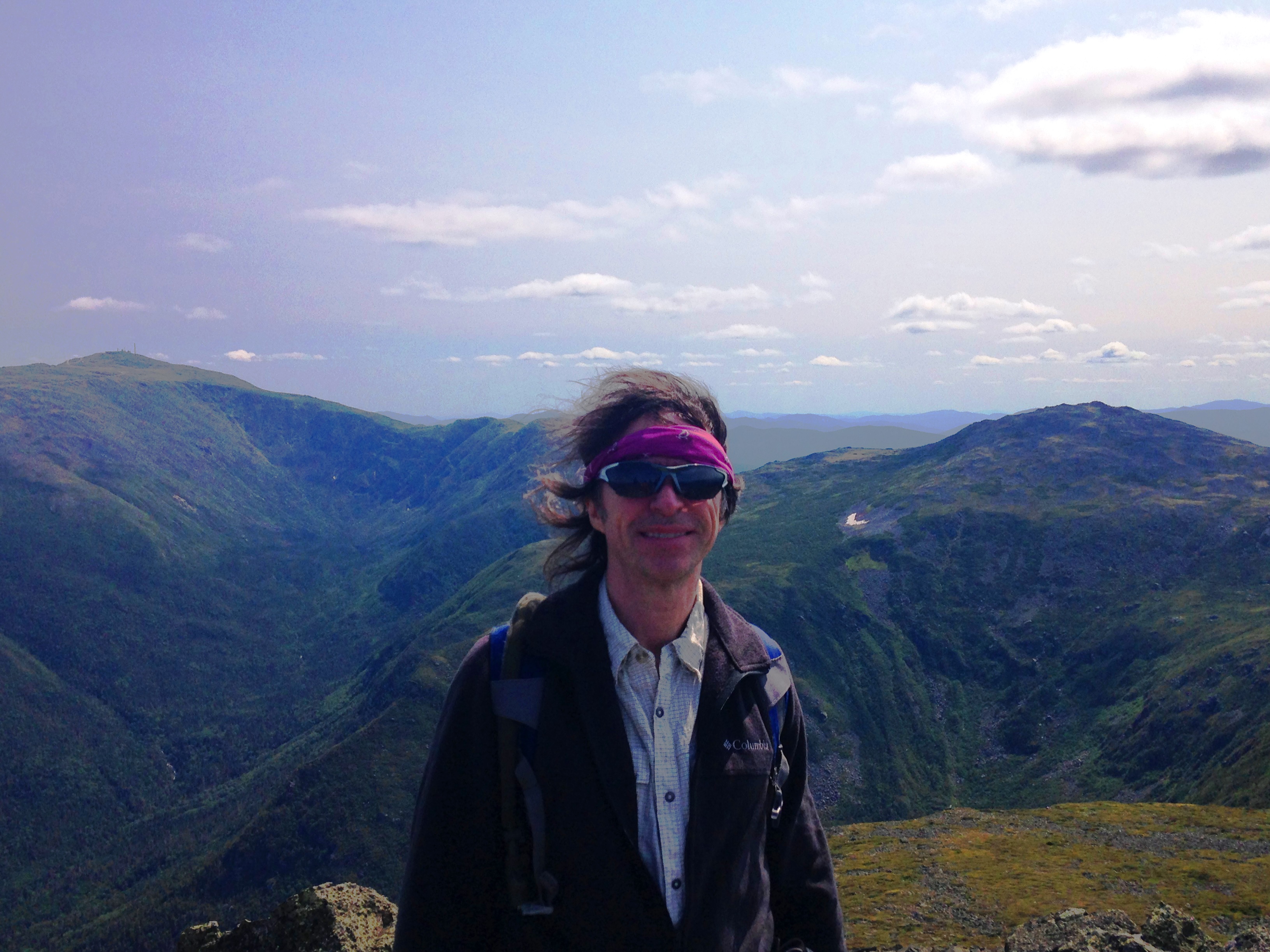
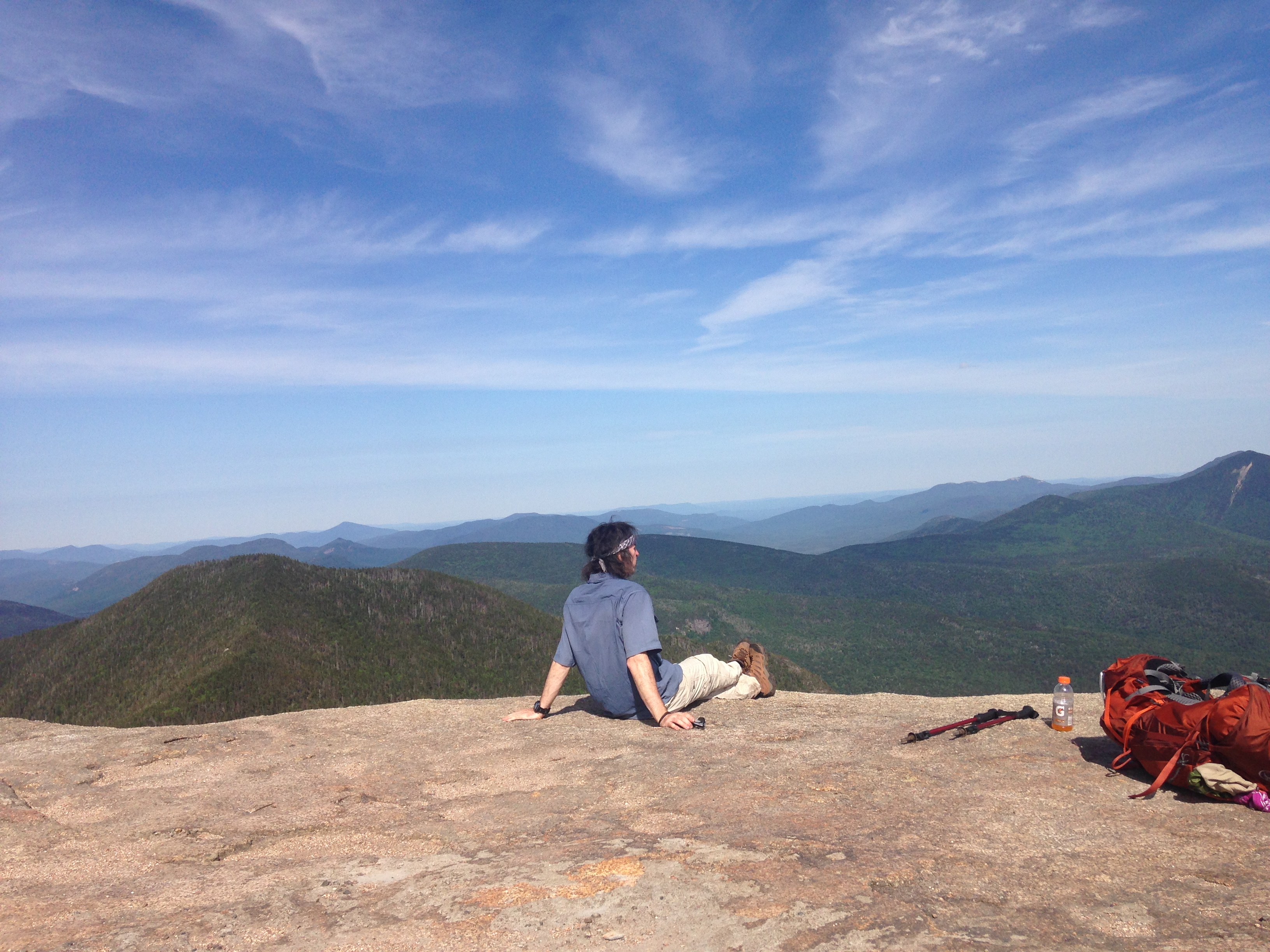
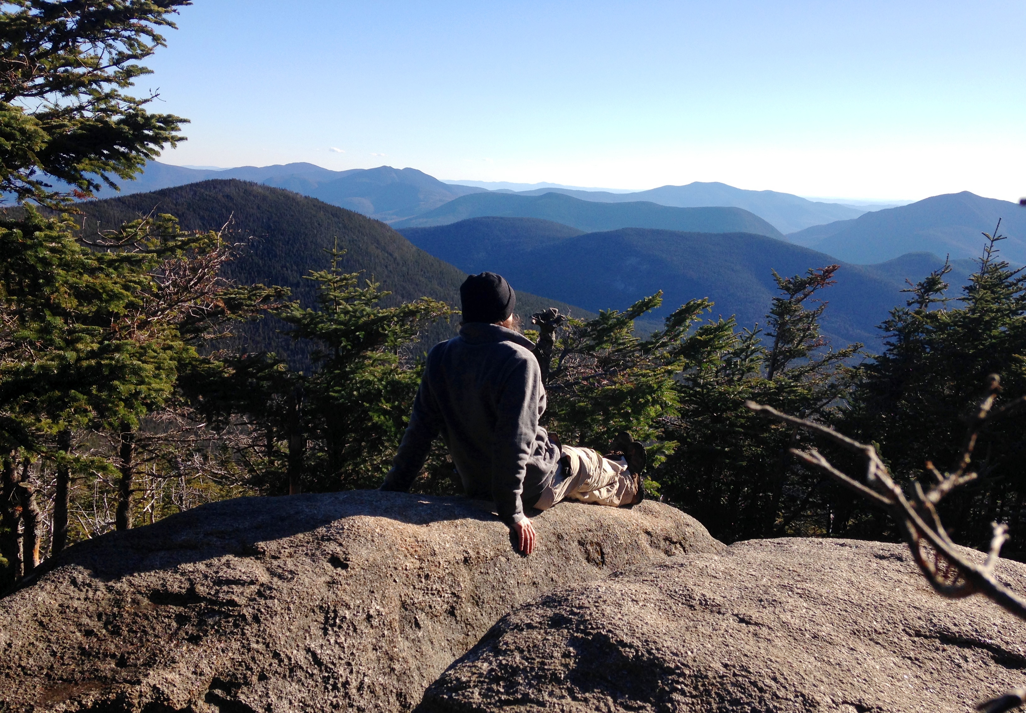
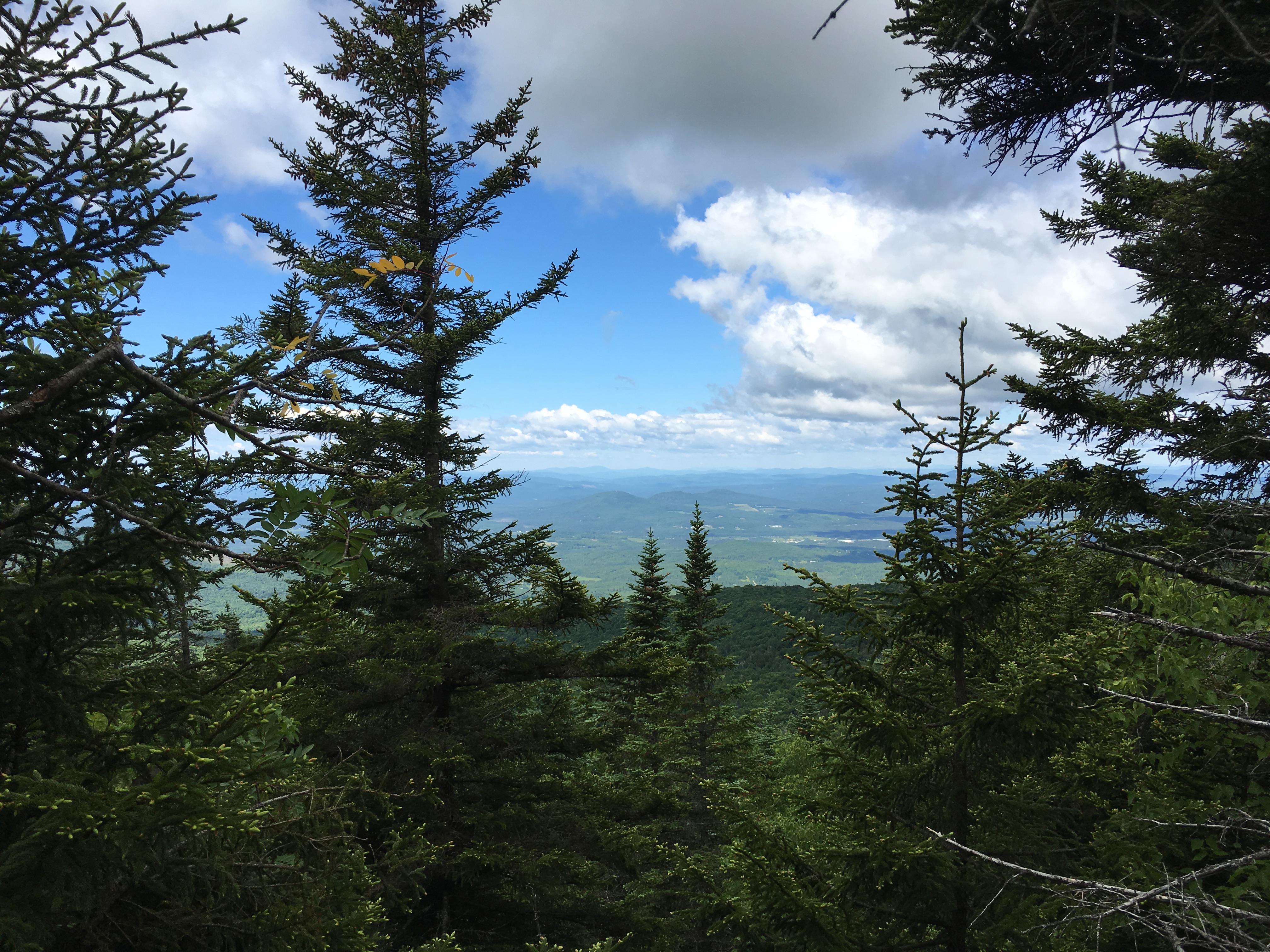
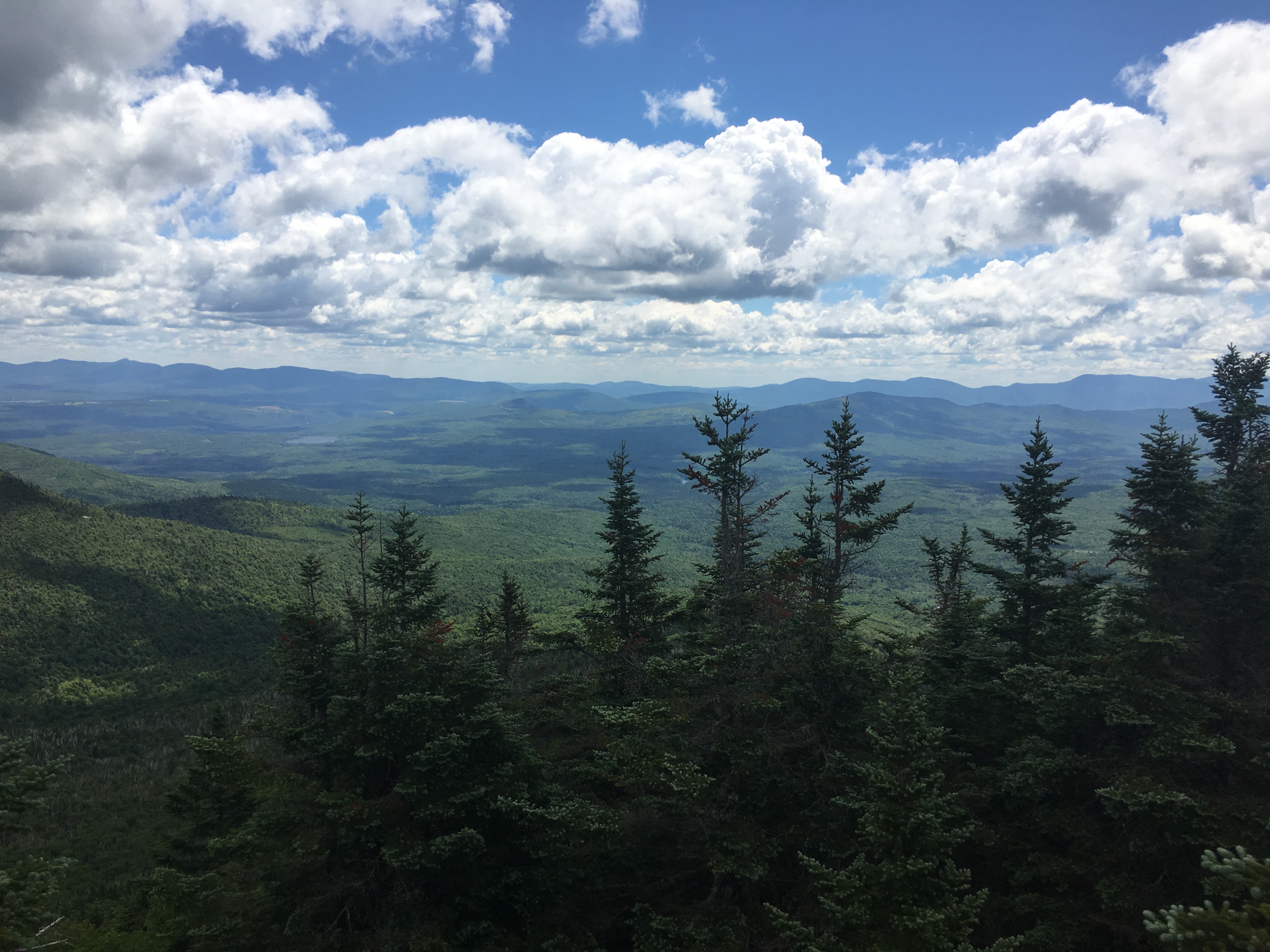
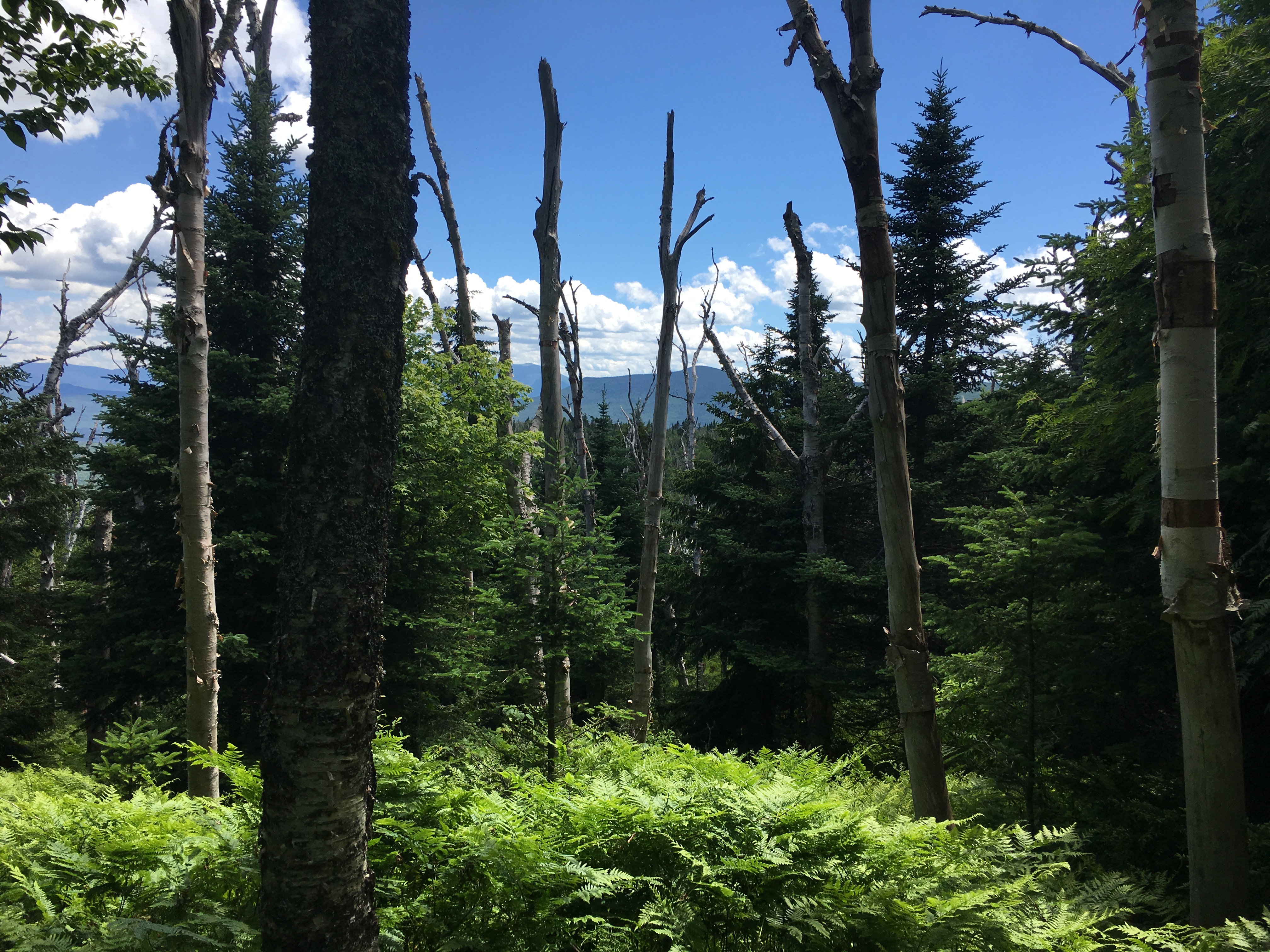
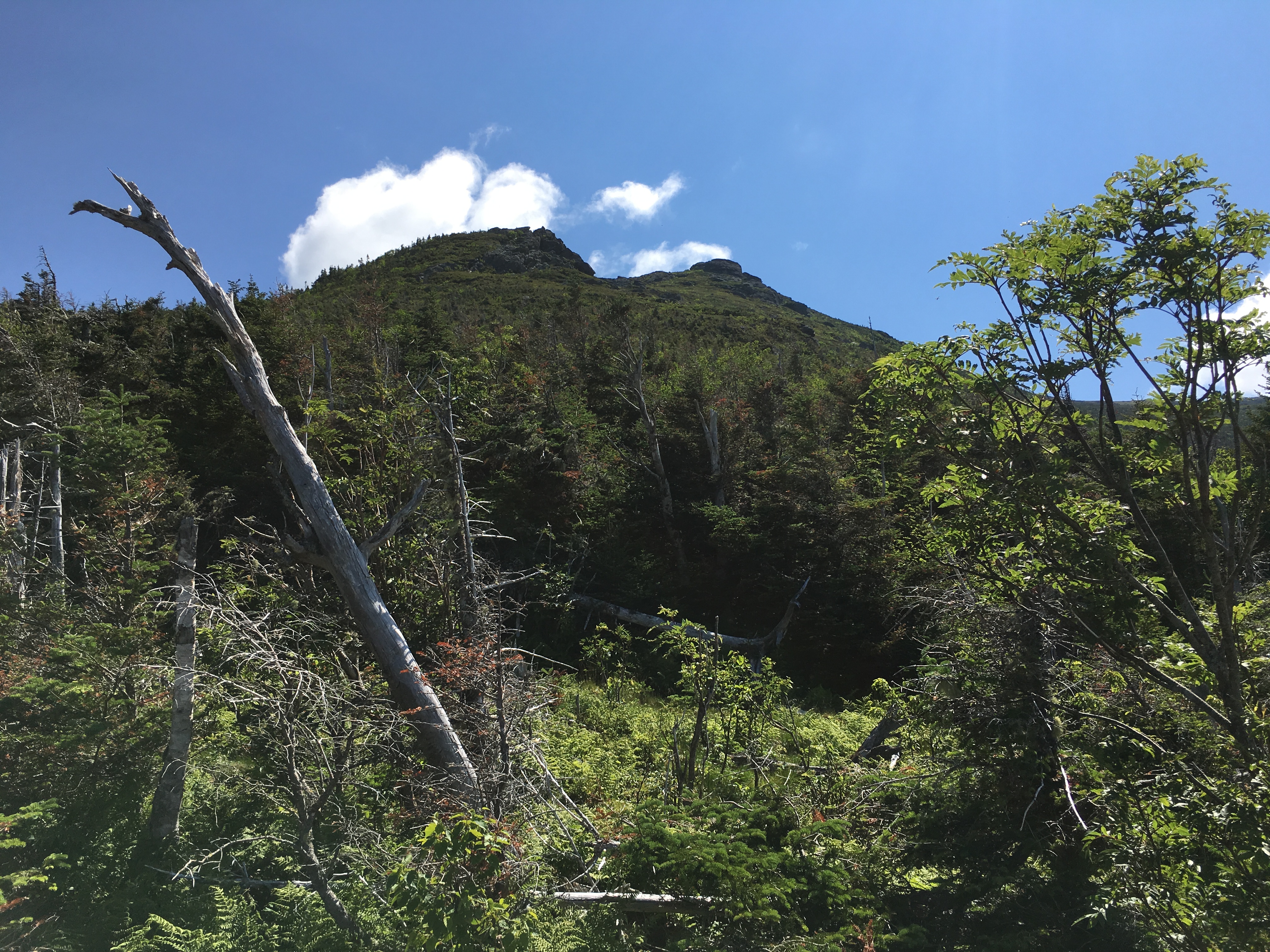
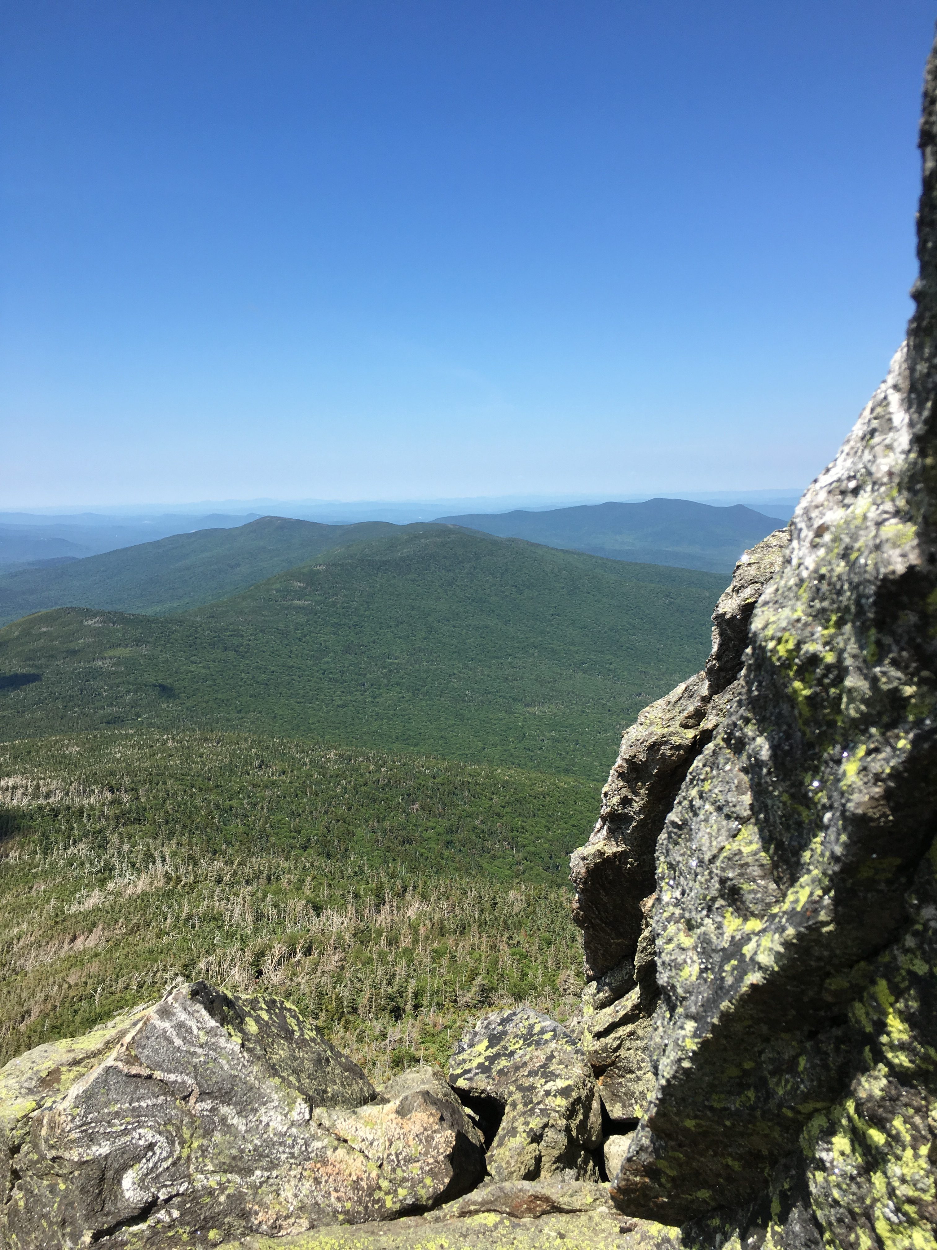
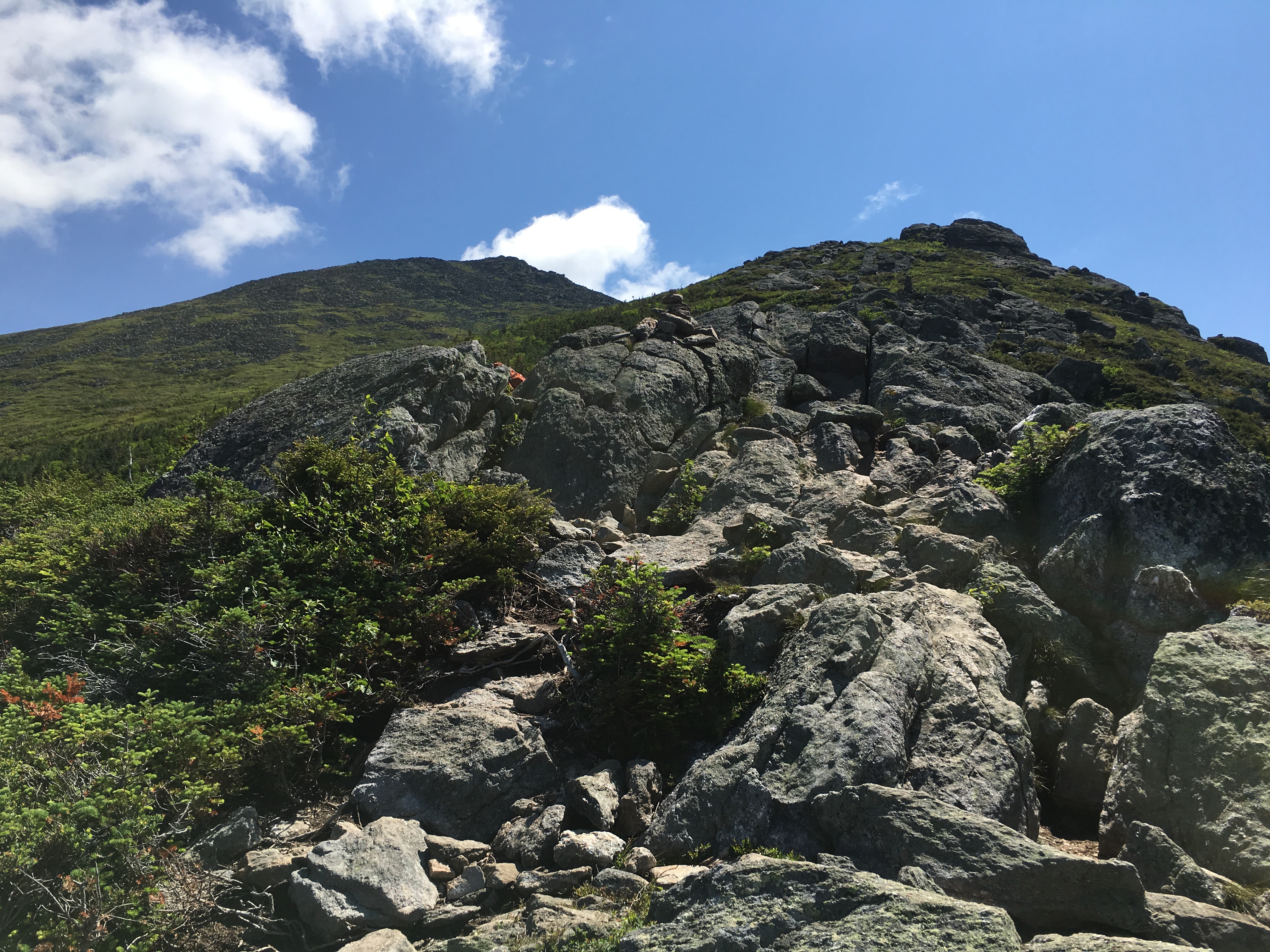
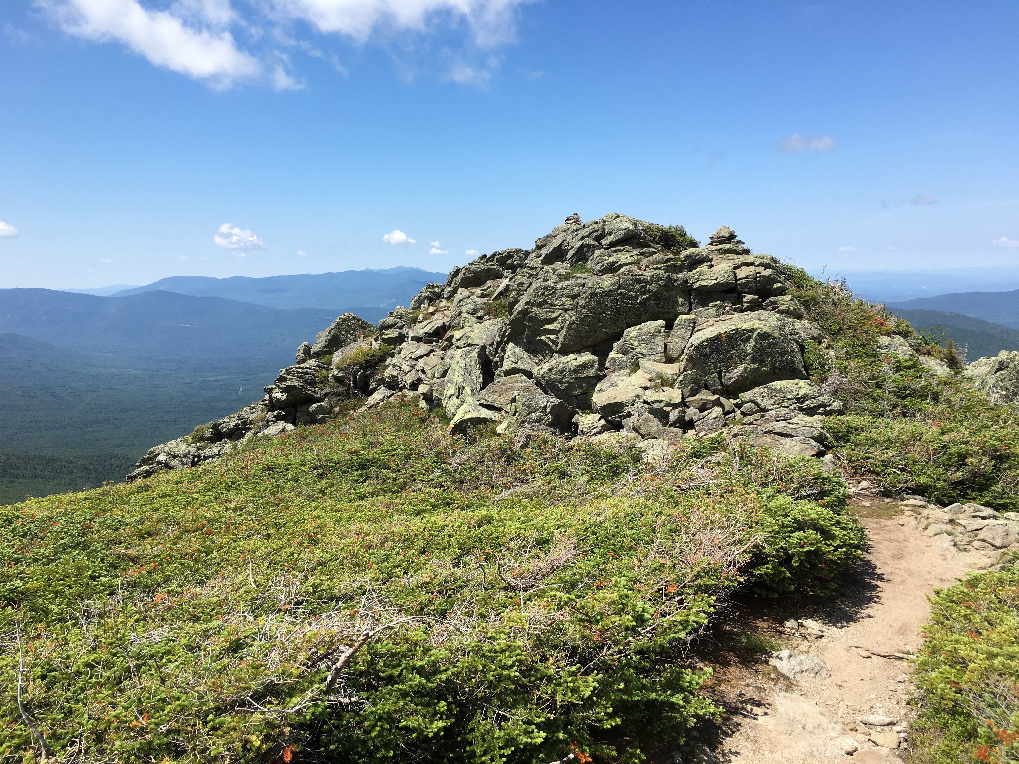
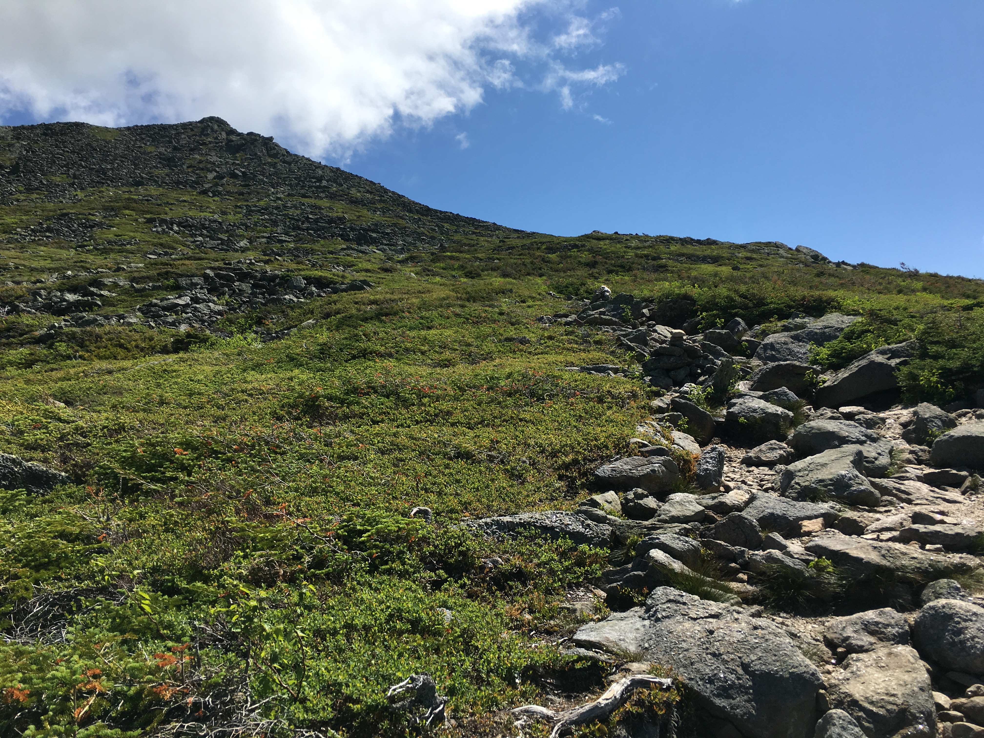
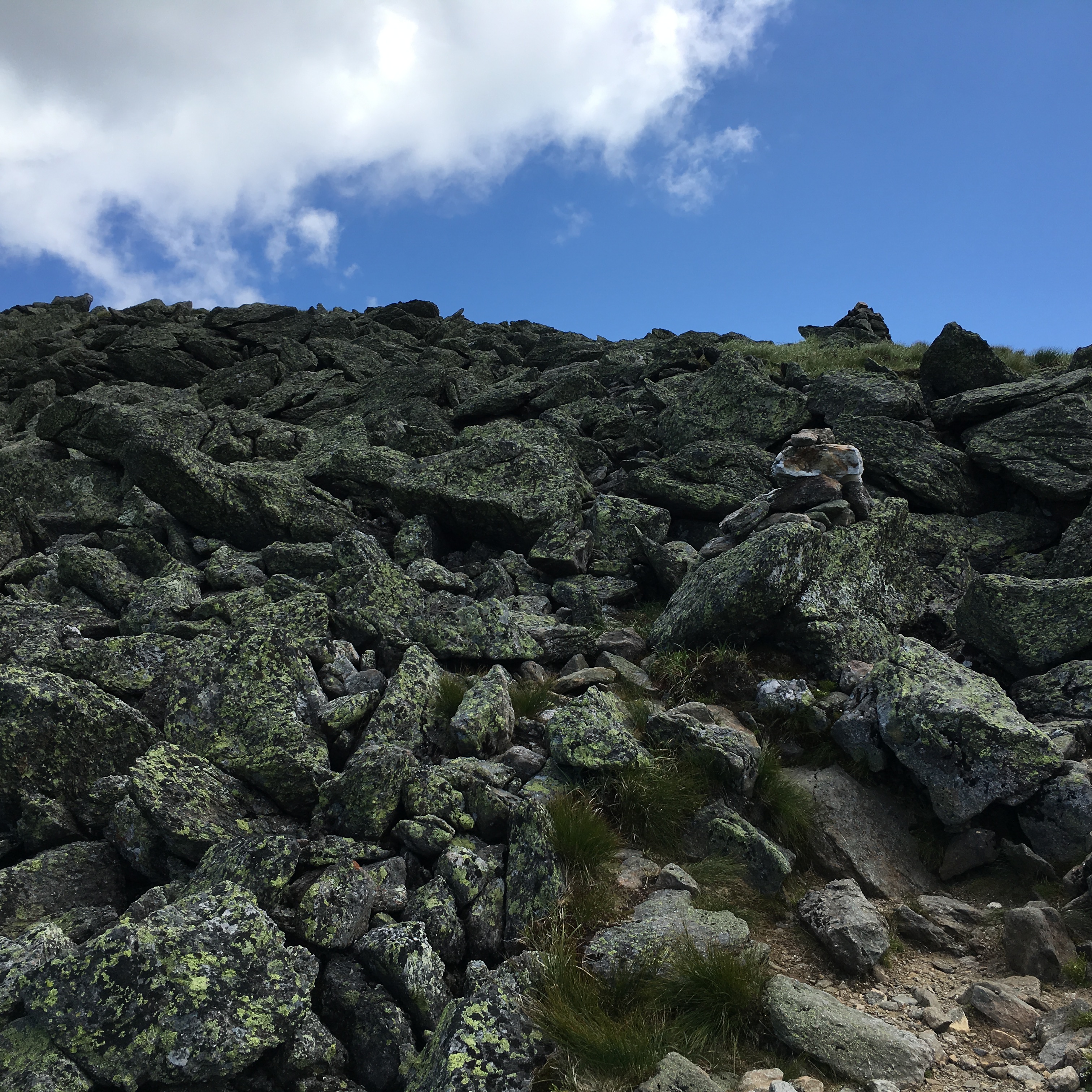
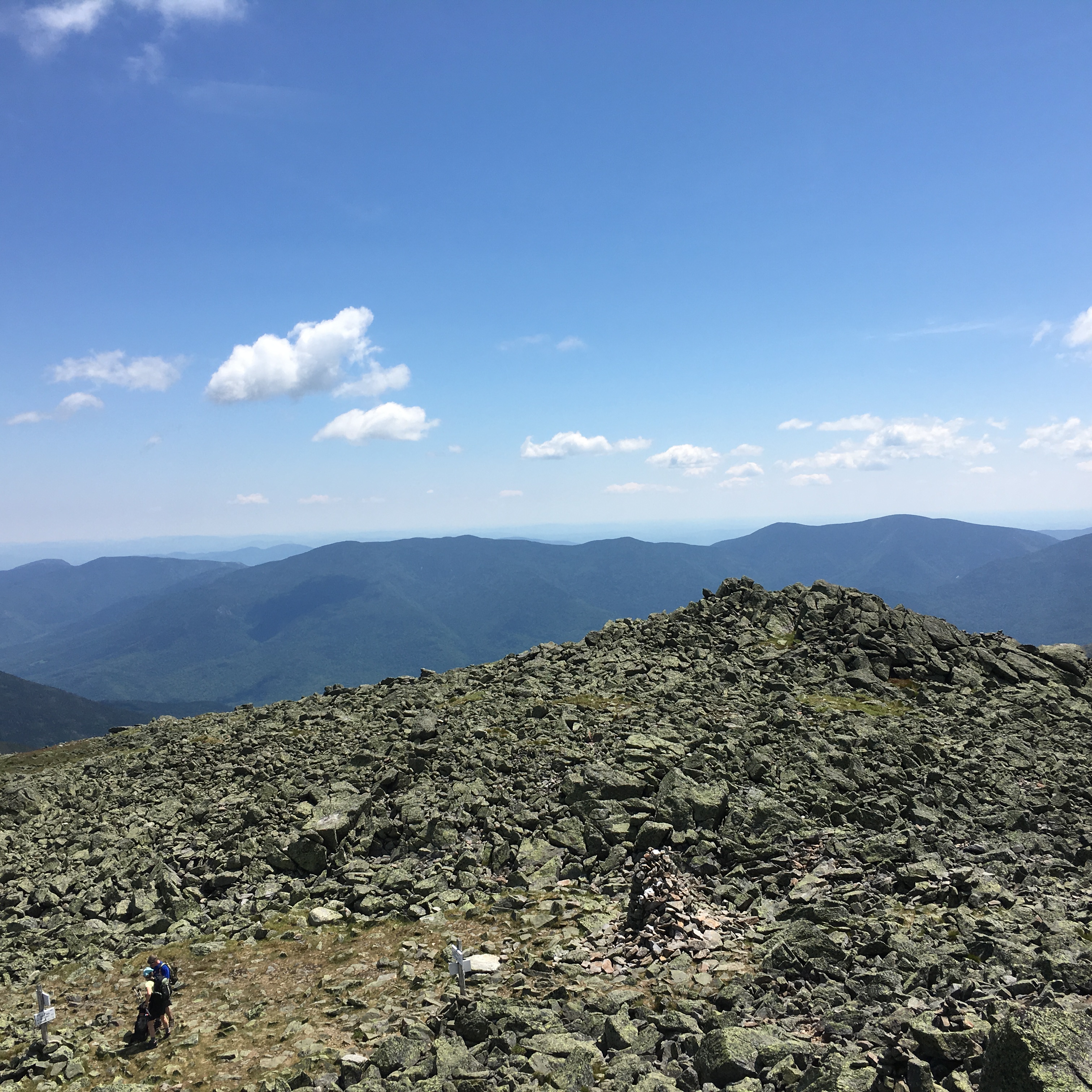
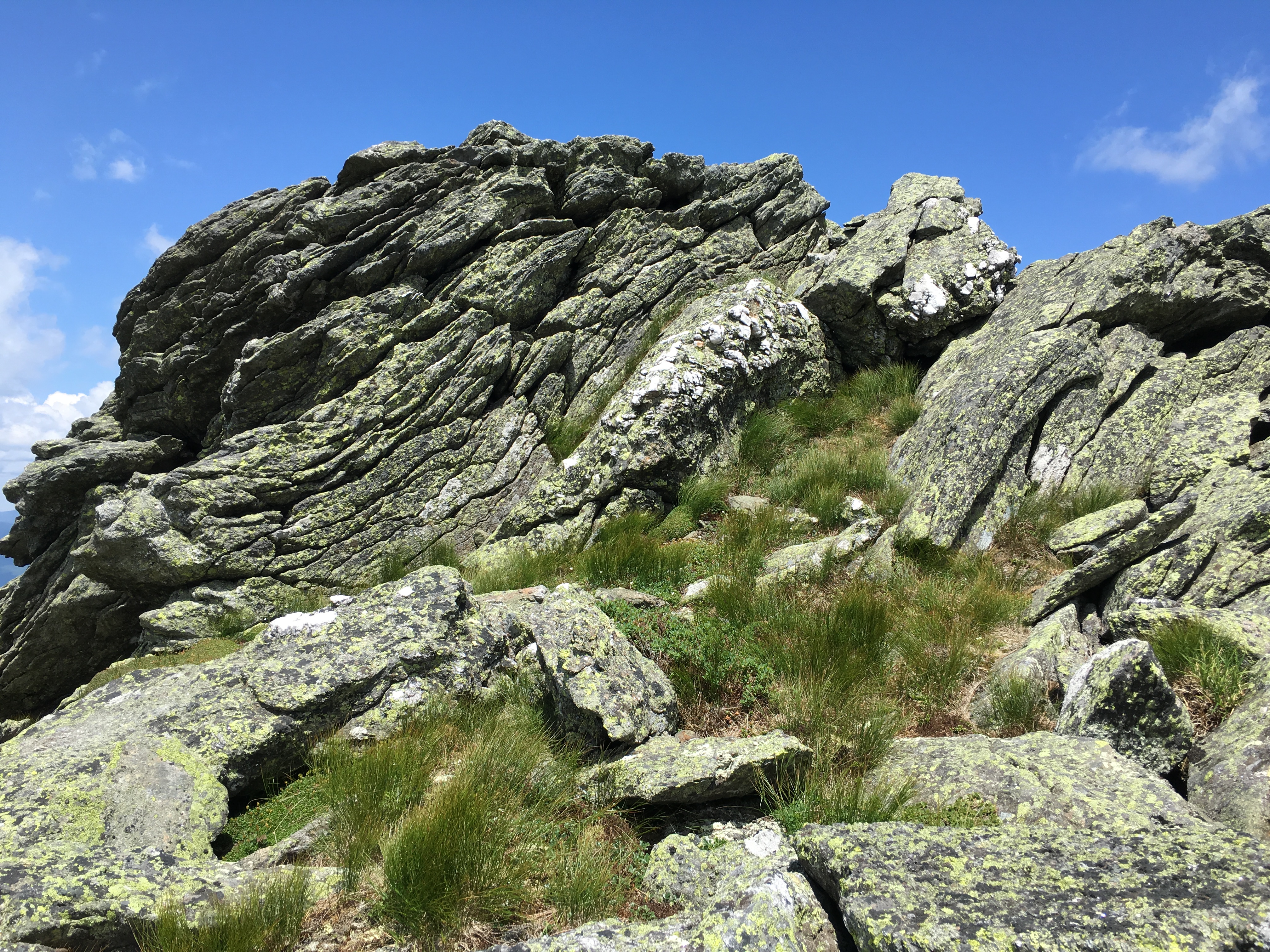
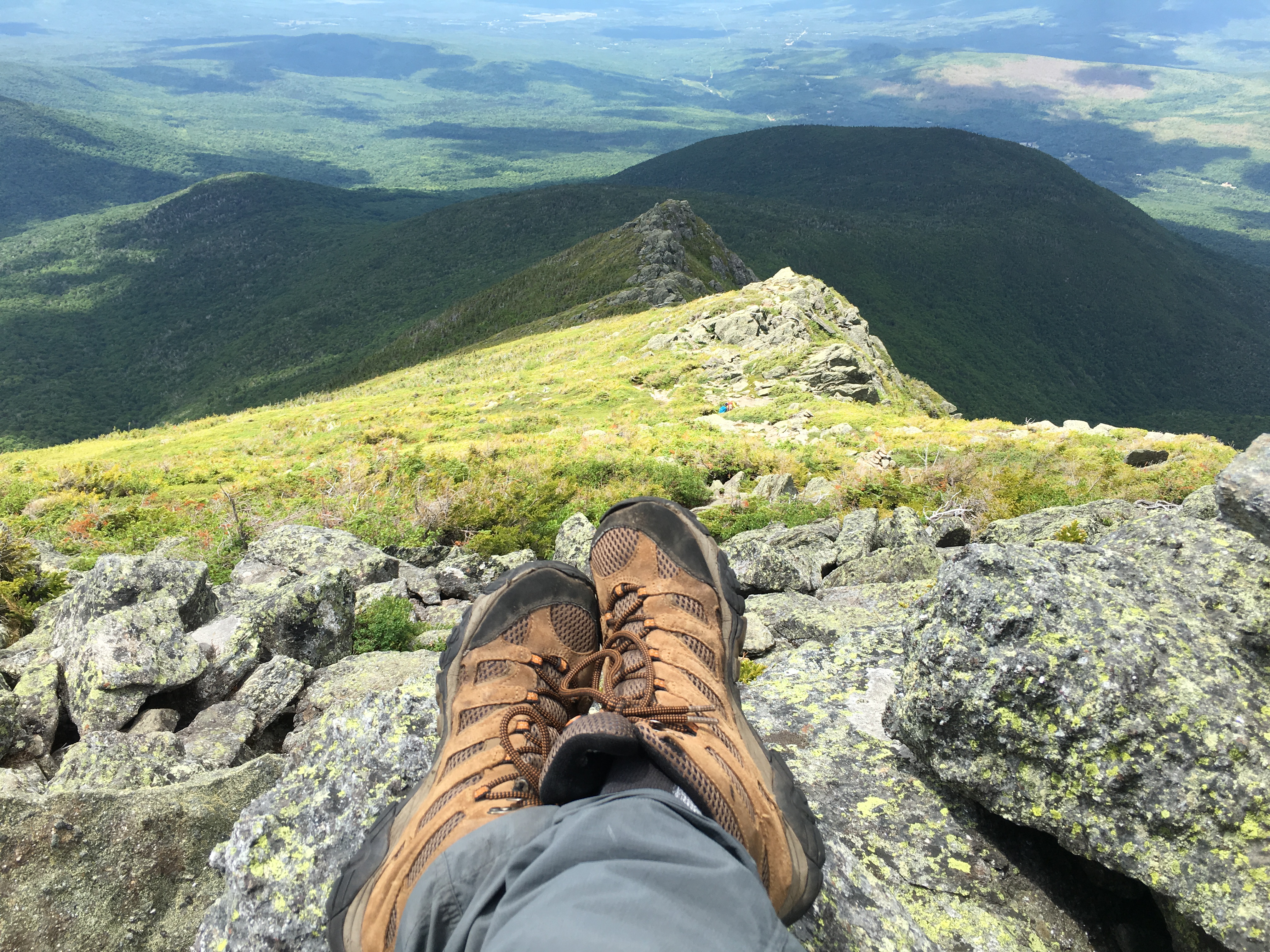
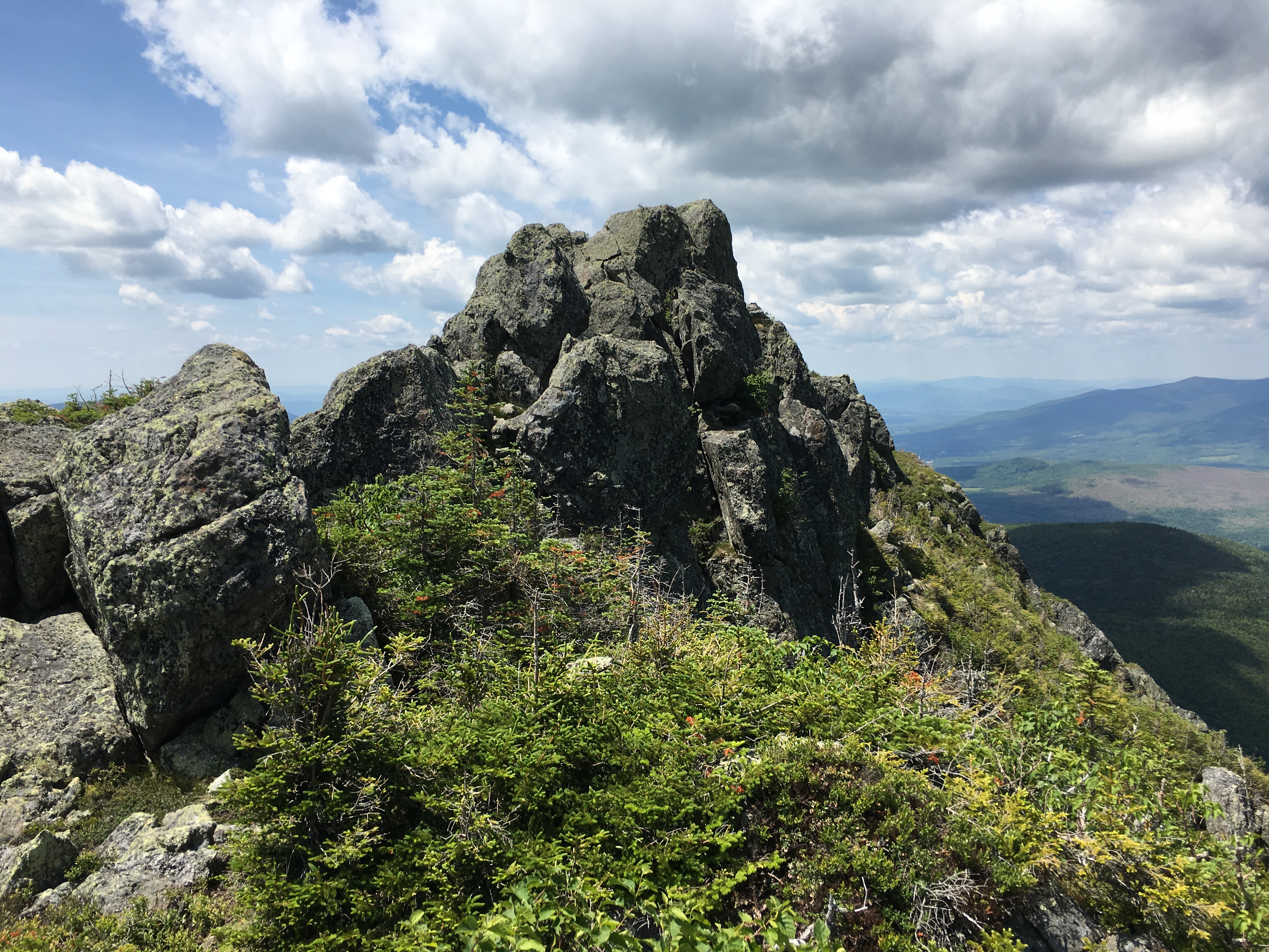
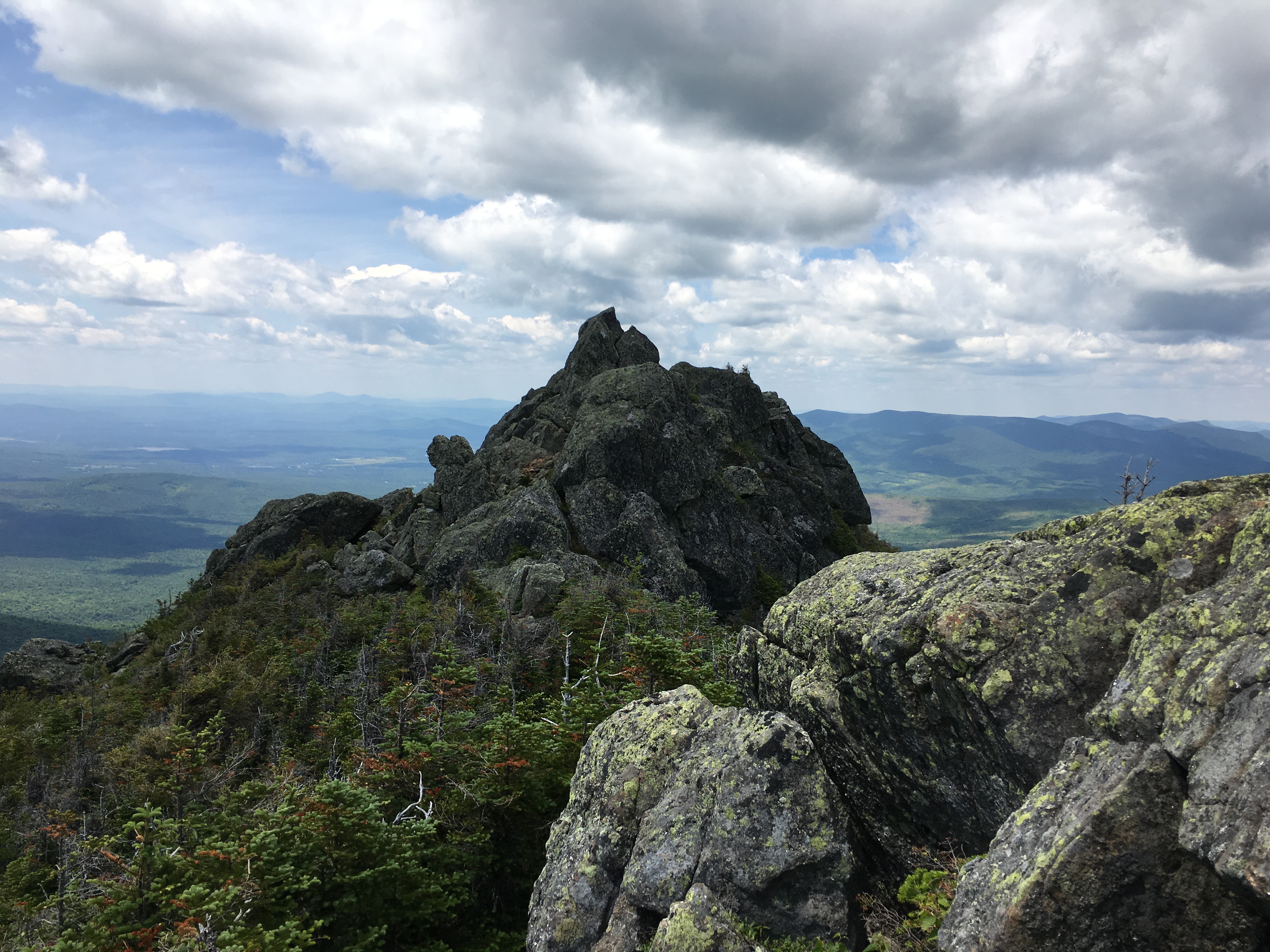
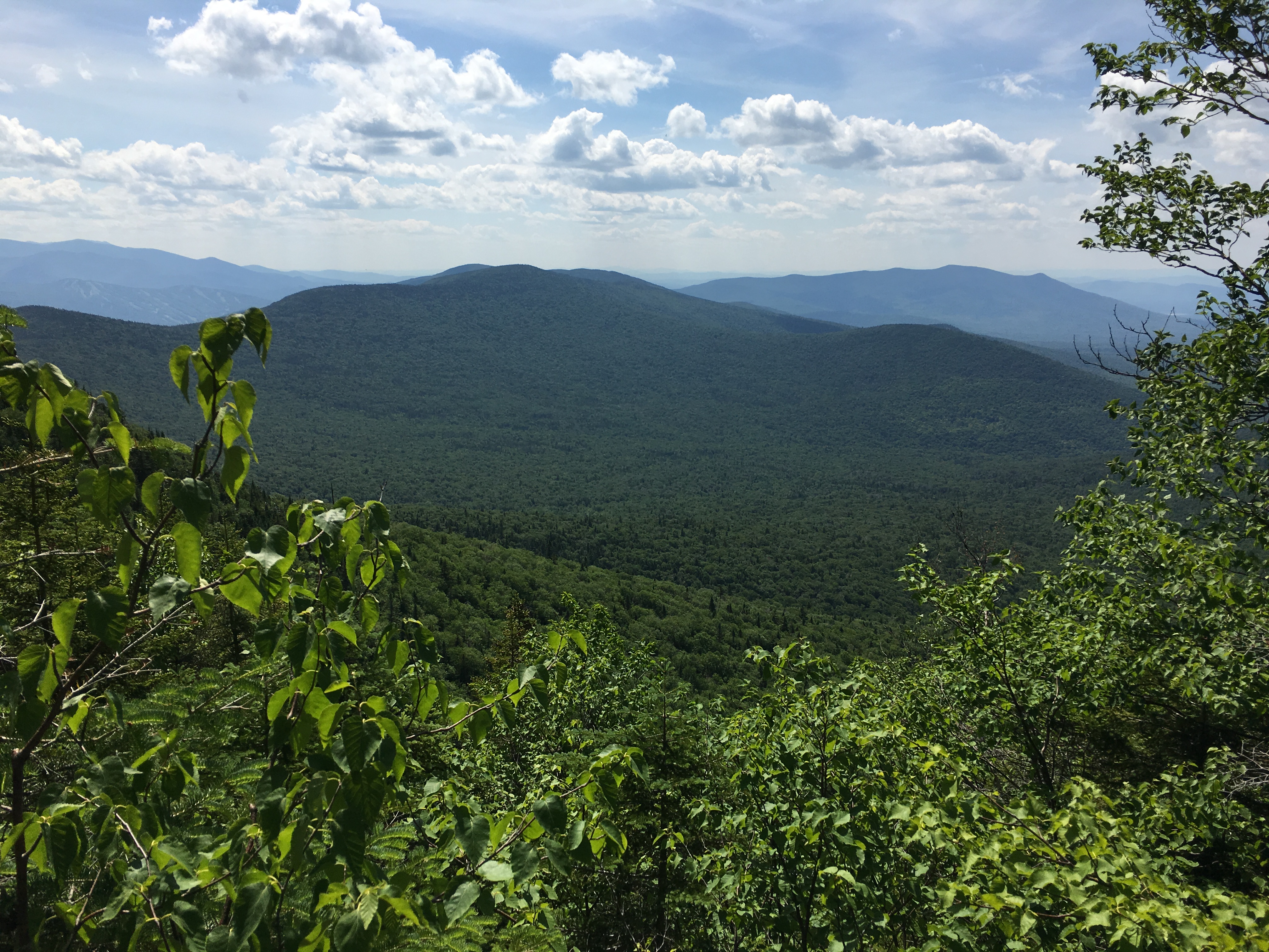
Back to that day in the Mac’s, there are many out here at timberline today as I wind my way through the stubby dwarfed trees, on the unofficial, but well defined trail over Boundary and up to Iroquois. I greet a family group, a mother and two young ones, coming down the other direction. “How’s the view over there?” I ask. “Fabulous” the mother says. The youngest lad of the group adds, “When you get up near the top don’t go right, go left around the steep rock”. Chuckling I respond, “Ok thanks. I’ll keep that in mind. Enjoy this beautiful day, guys!” and with that I continue on my way. The summit is somewhat gusty but as promised earlier, Fab views aplenty! I find a notch in the rocks out of the wind and enjoy a well-deserved lunch break amongst the giants of the Daks.

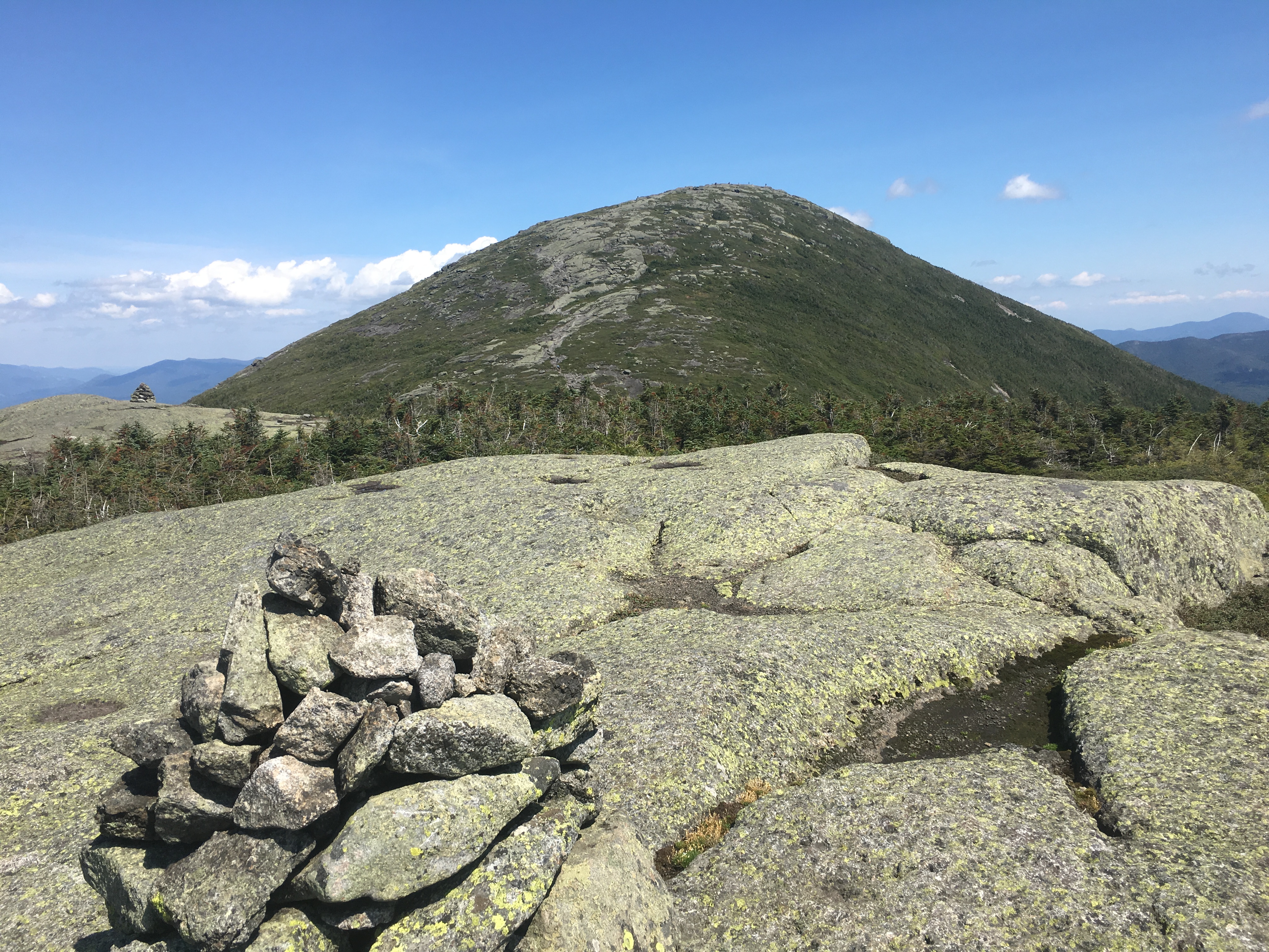
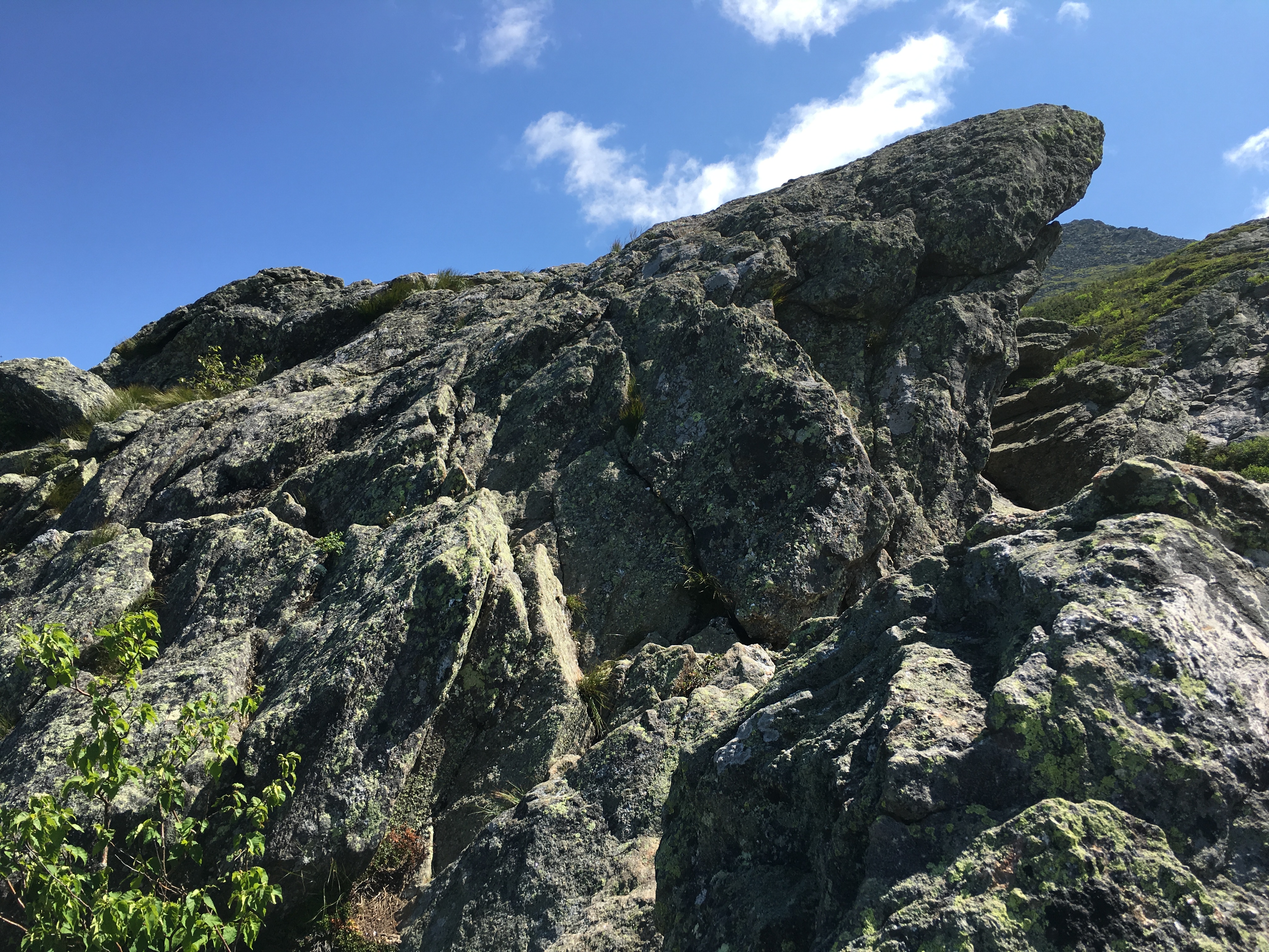
Retracing my steps after my break, to the junction and beyond, I see the summit of Algonquin is quite busy. And why shouldn’t it be? You’d be a fool to pass up a day like today to walk in the wispy clouds. Well at the moment it is less of a stroll and more of a grind as I huff and I puff and I gasp for air up the massive rock faces and ledges onto the next cairn, and then the next, and the next – All the while getting words of encouragement from passers-by: “Your almost there!”, “Just a little longer!”, “You got this!”, “It’s amazing up there. Well worth it!”

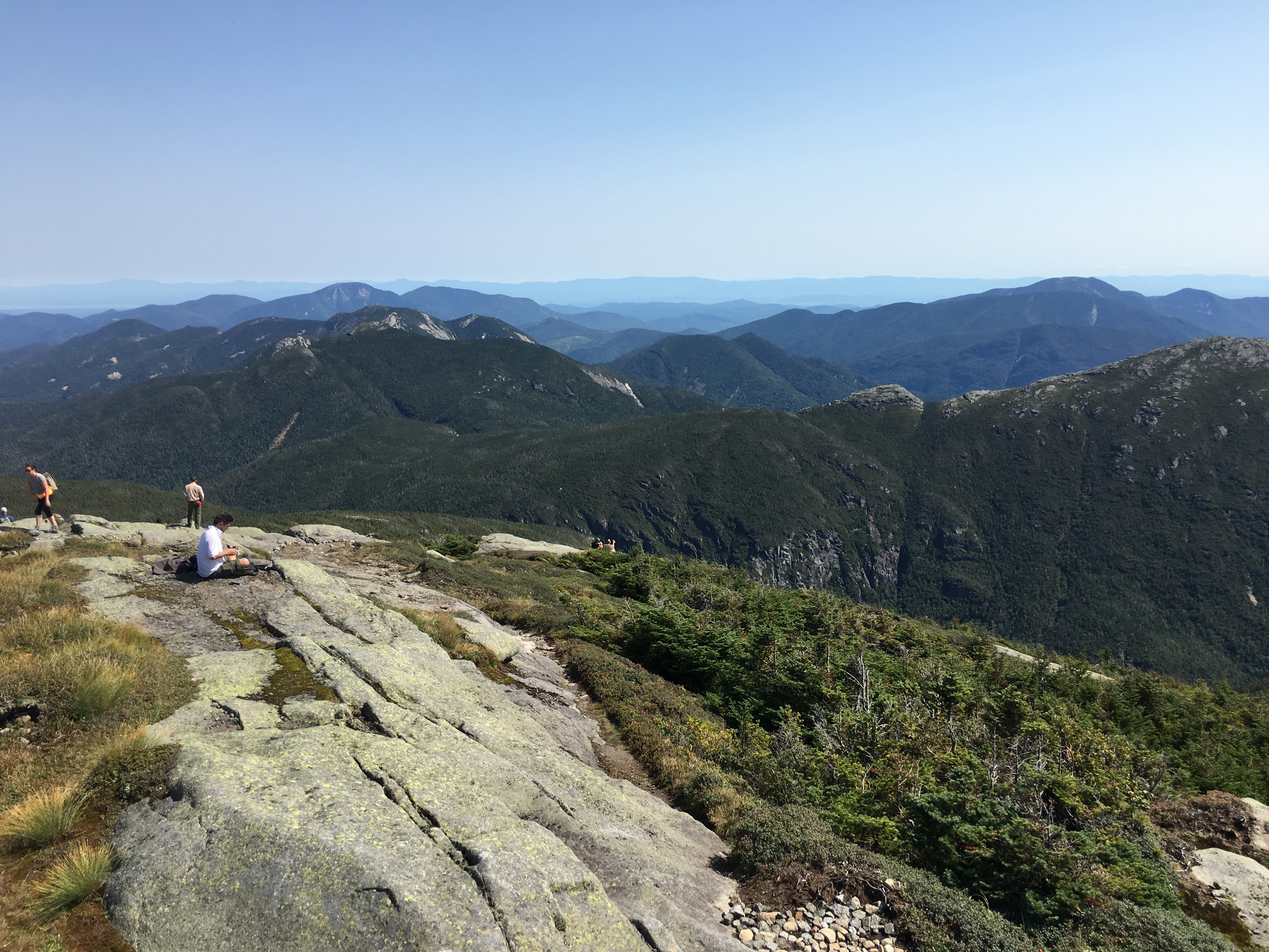
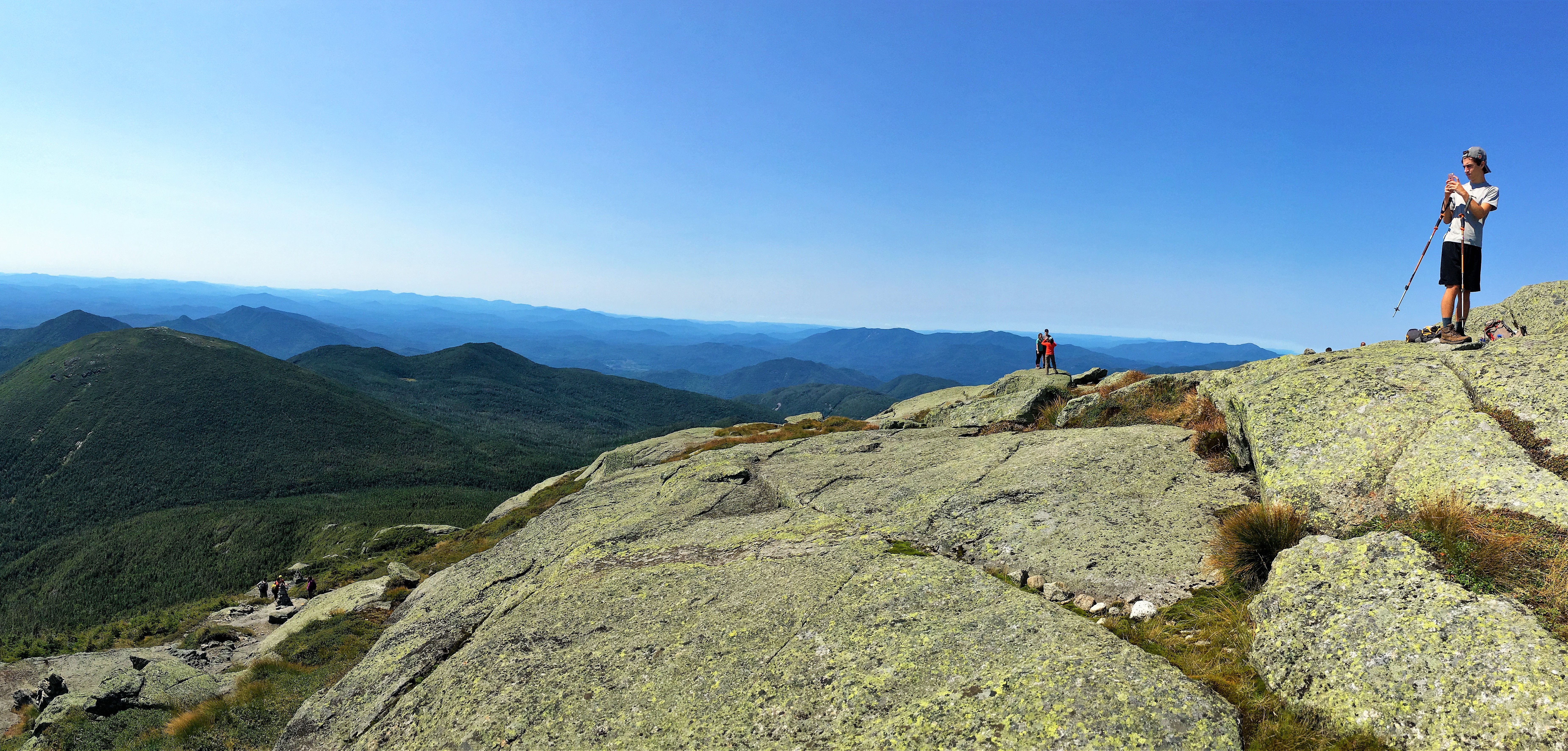
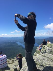
I see a girl soloist ahead of me hunched over from time to time, clearly sharing my struggle. I eventually catch up to her close to the summit and remark, “Boy this had better be good!” “I know this CRAZY HARD!” she responds. “Well if it were easy… (looking at the summit crowd) …Oh wait – Everybody IS doing it!” A period of laughter follows, until our air supply runs out. Then a pause. A drink. Another pause… Finally, I finish the exchange with “OK C’mon. Let’s DO THIS THING!” We each scrap and scramble our way up the final stretch until at last, ARRIVAL!! THE MIGHTY GONK!!! A high-five and we then go our separate ways, to each claim a spot to call our own and linger the afternoon away.

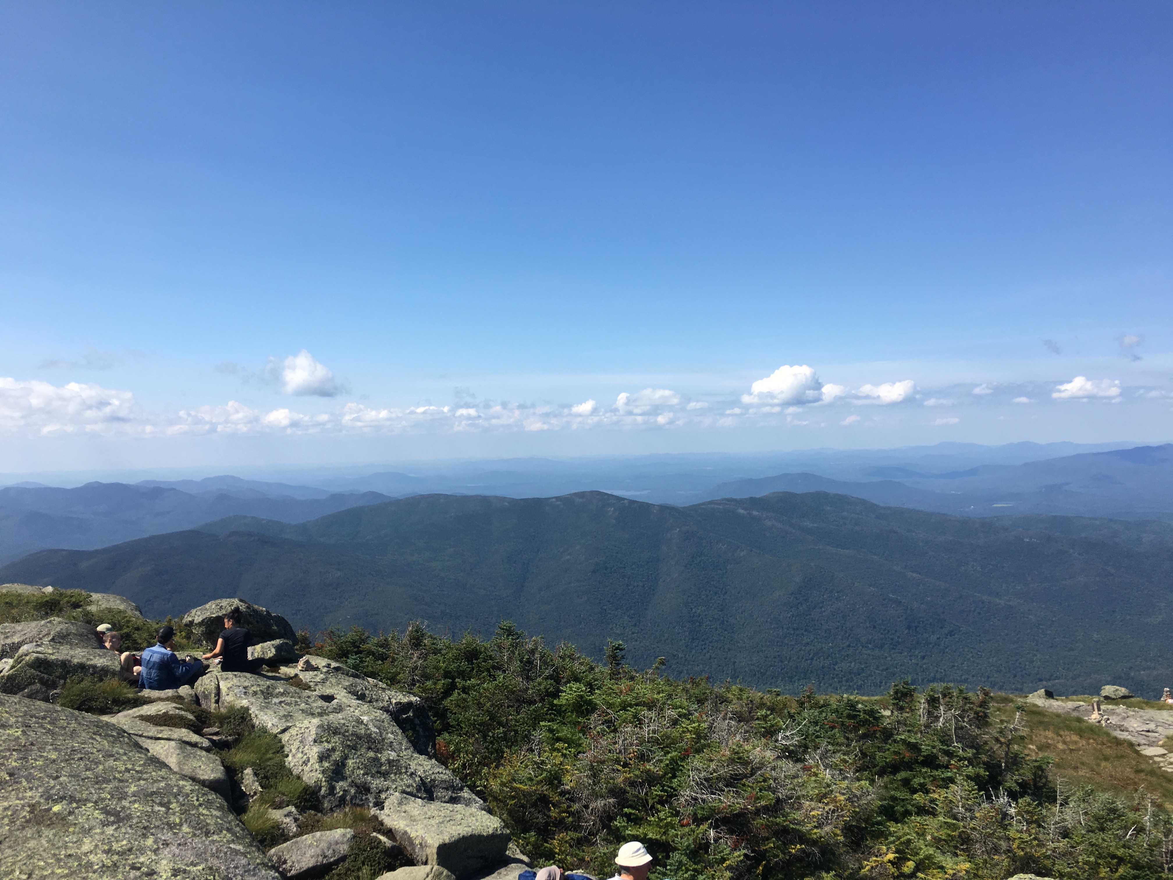
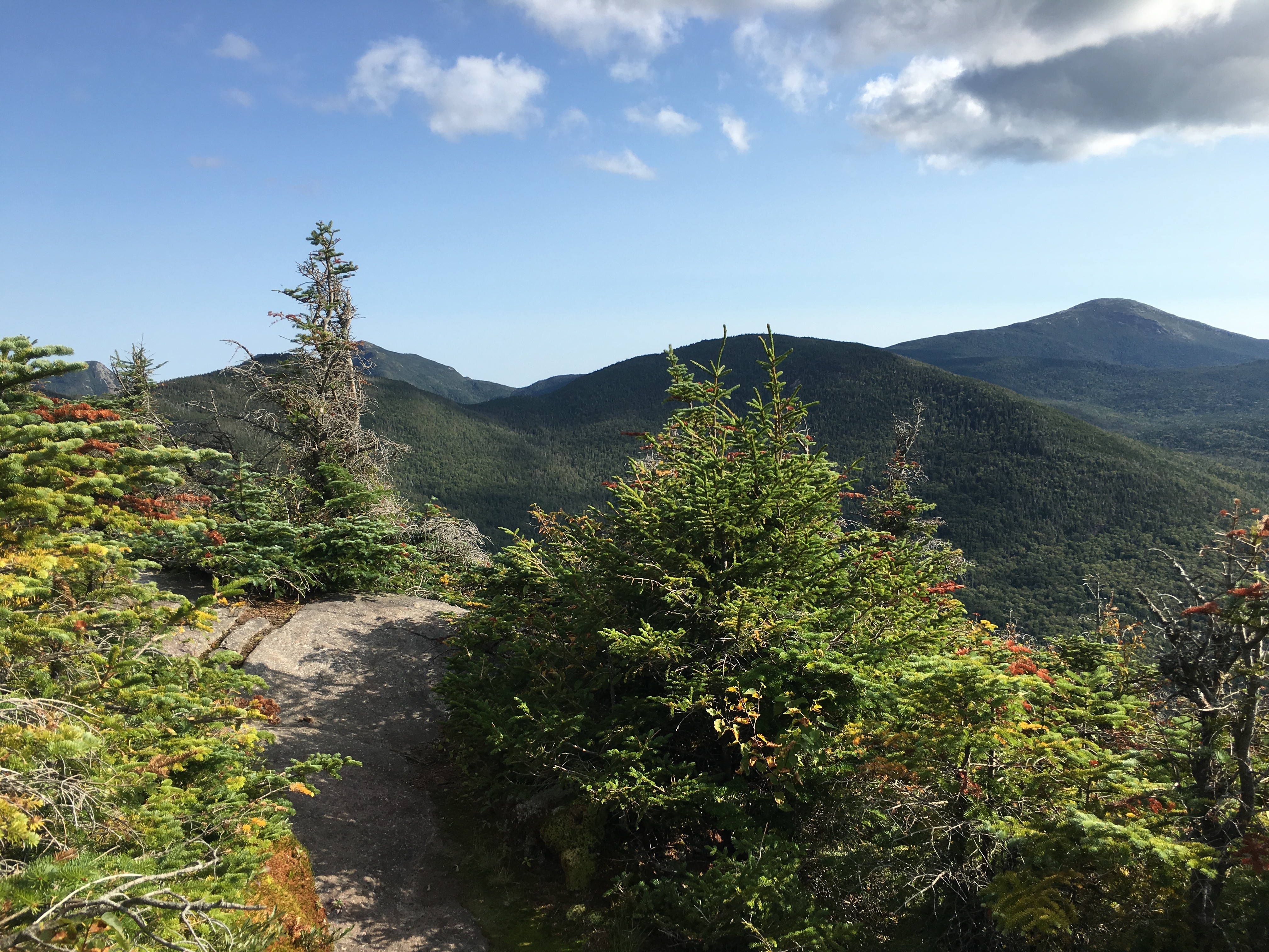
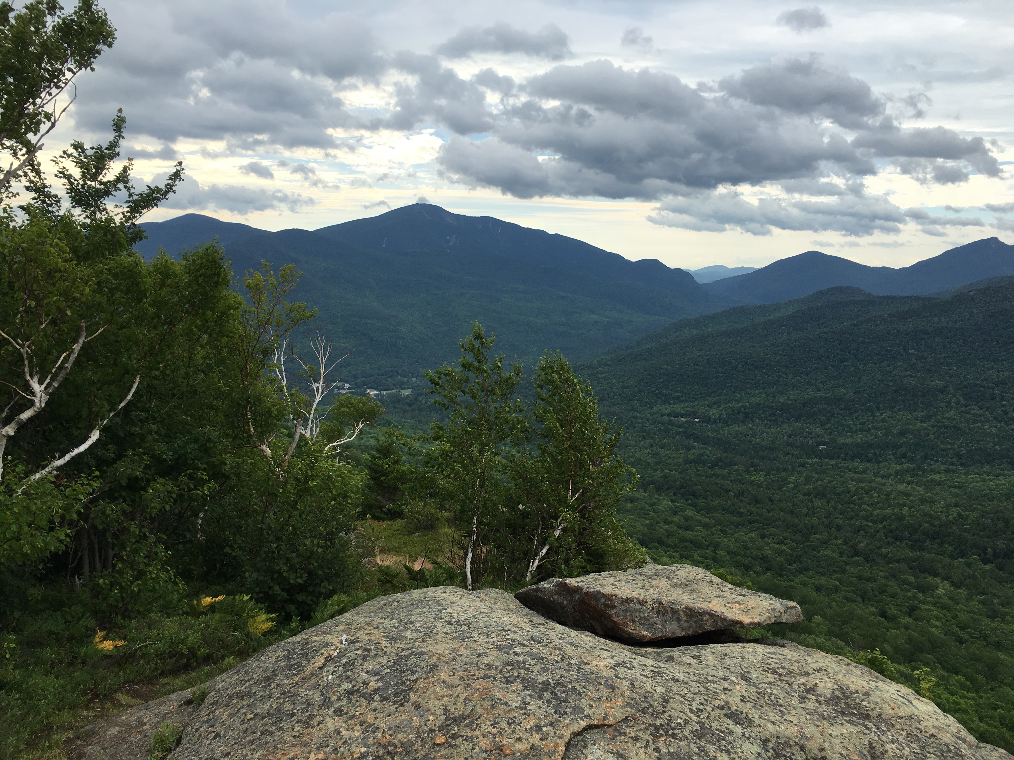
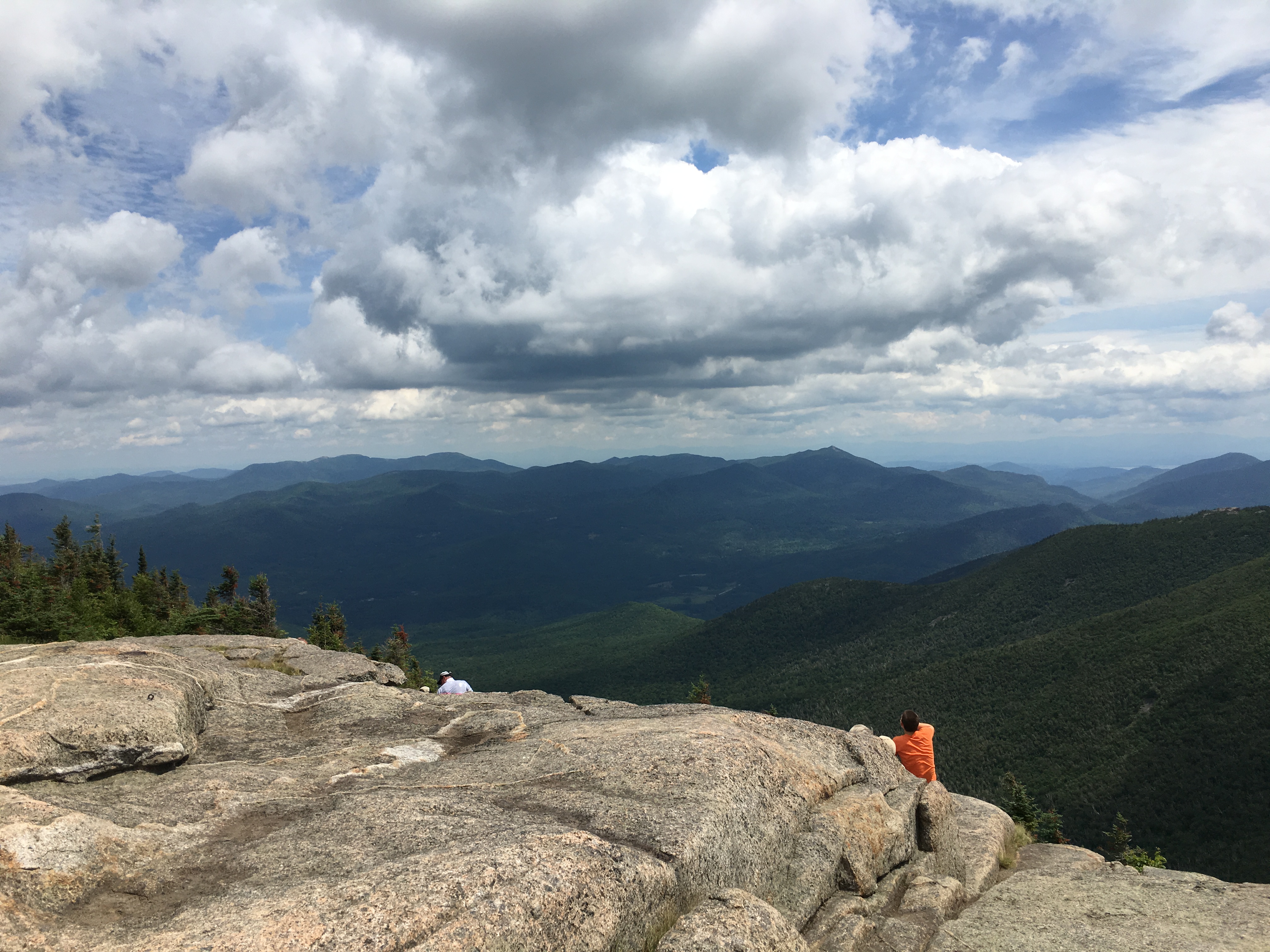
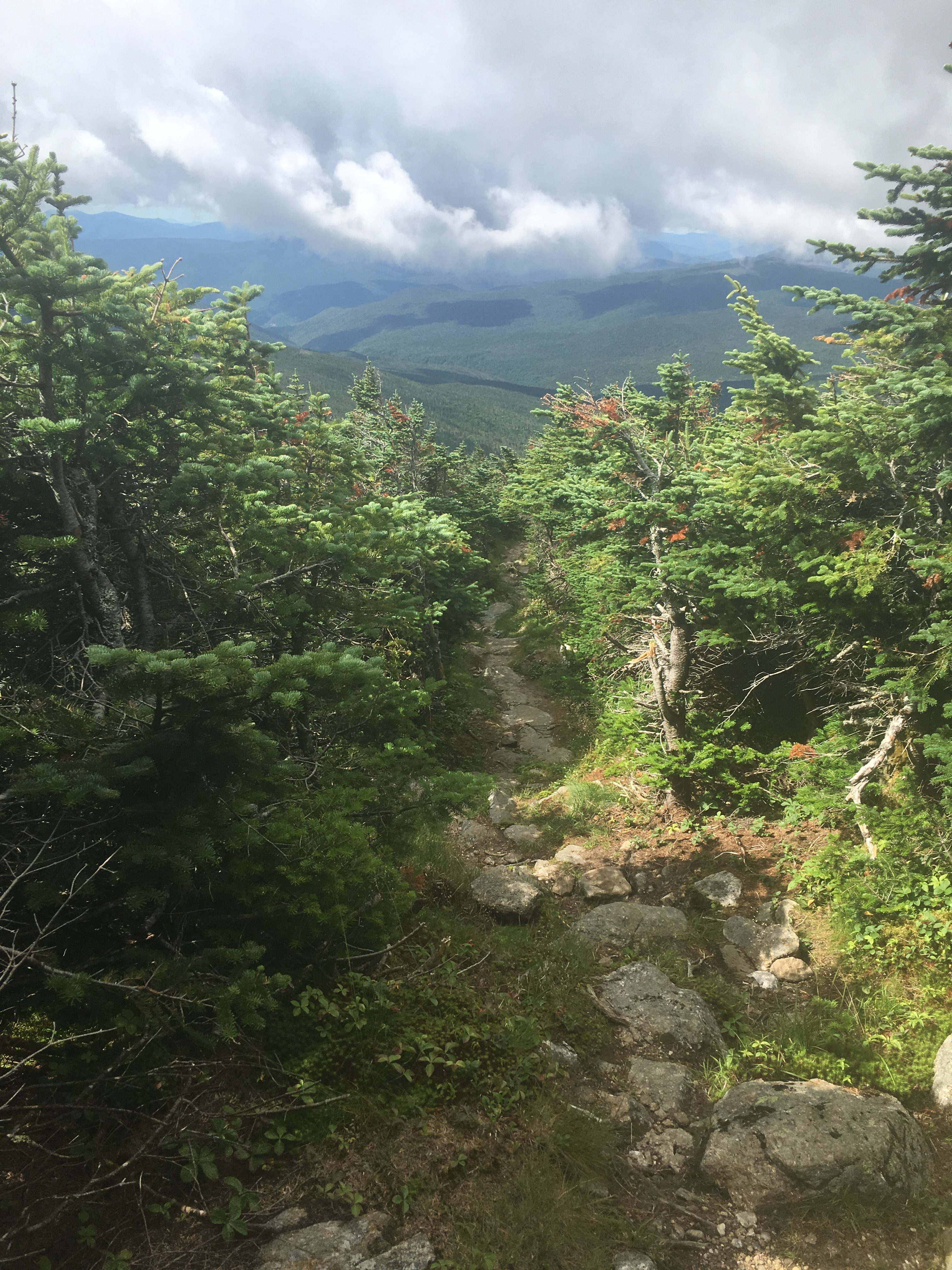
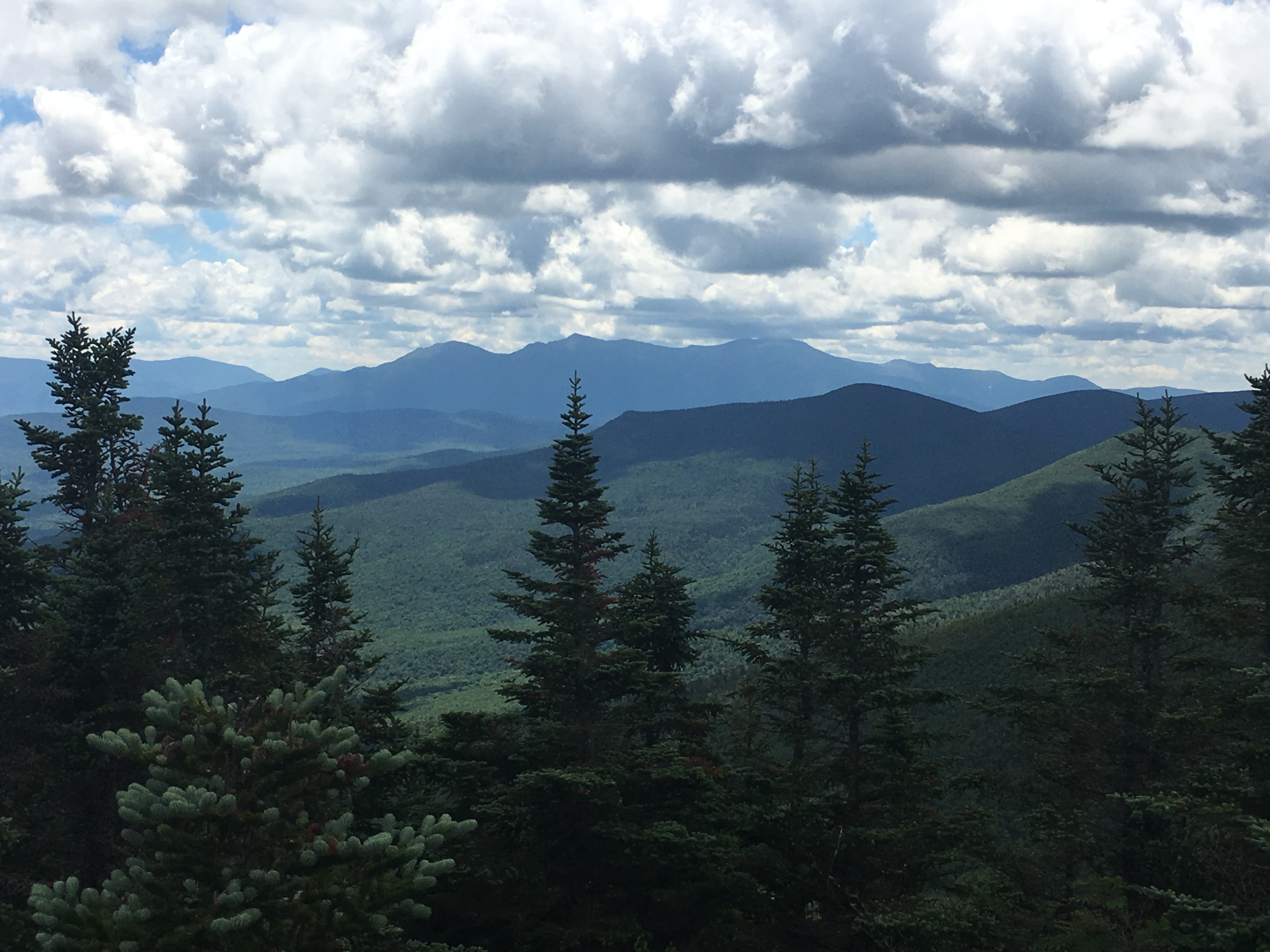
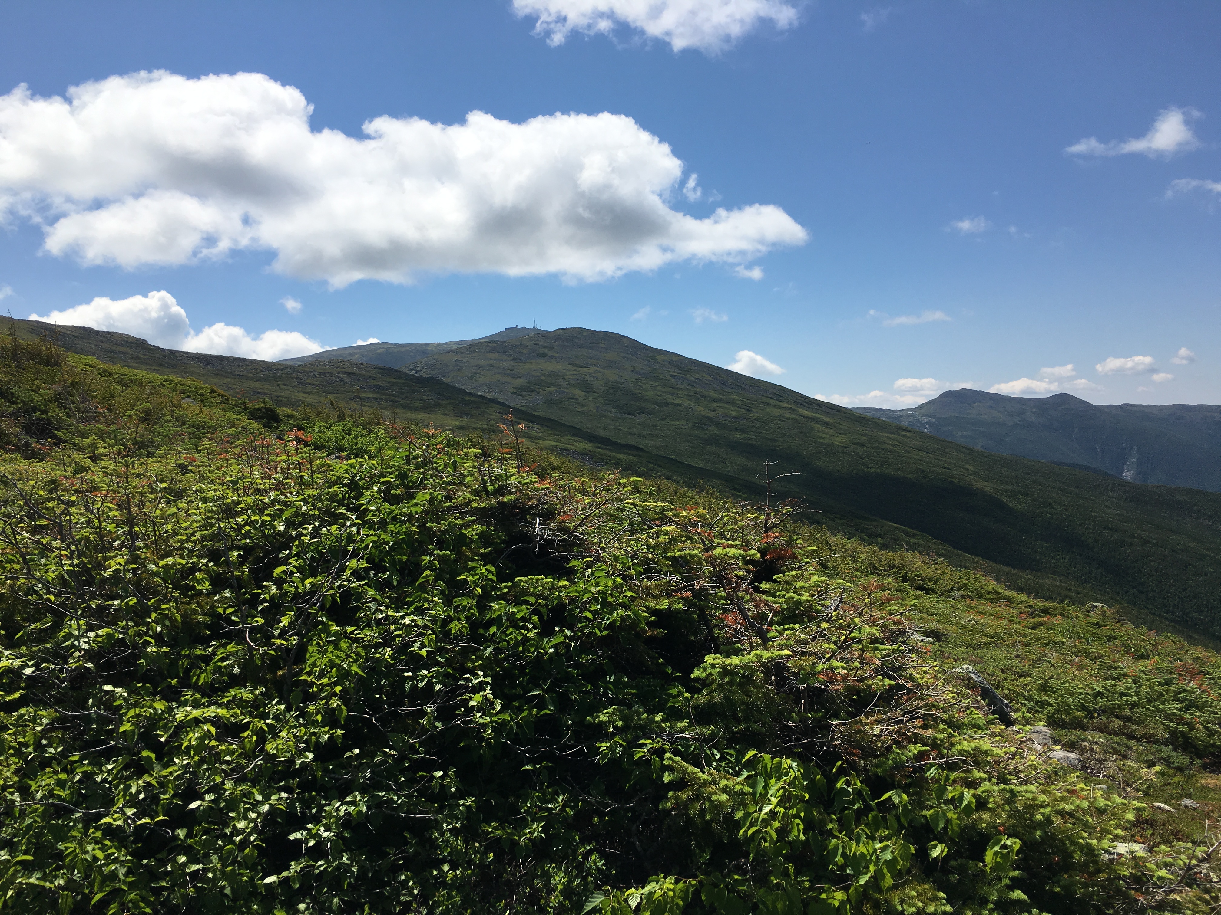
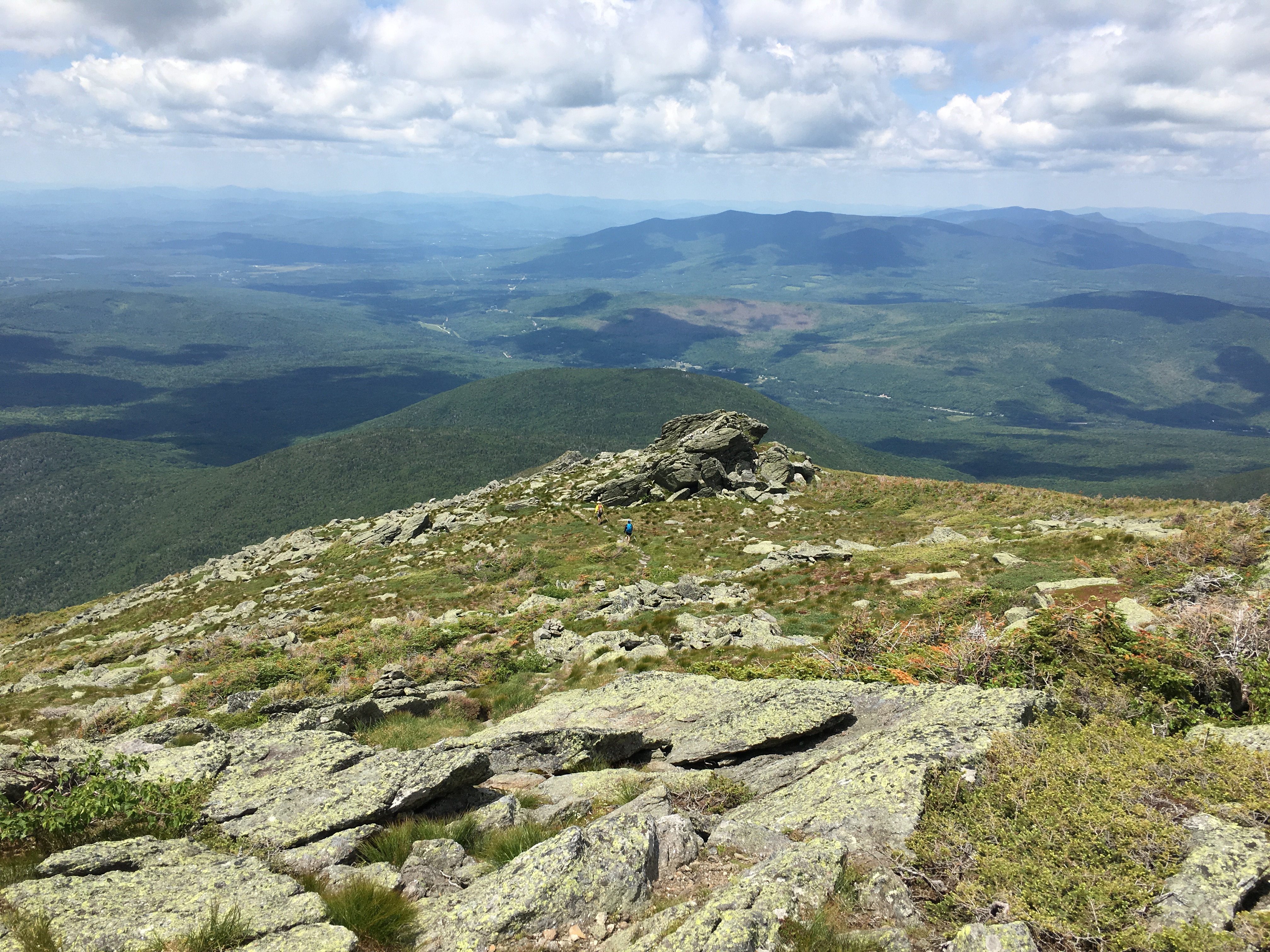
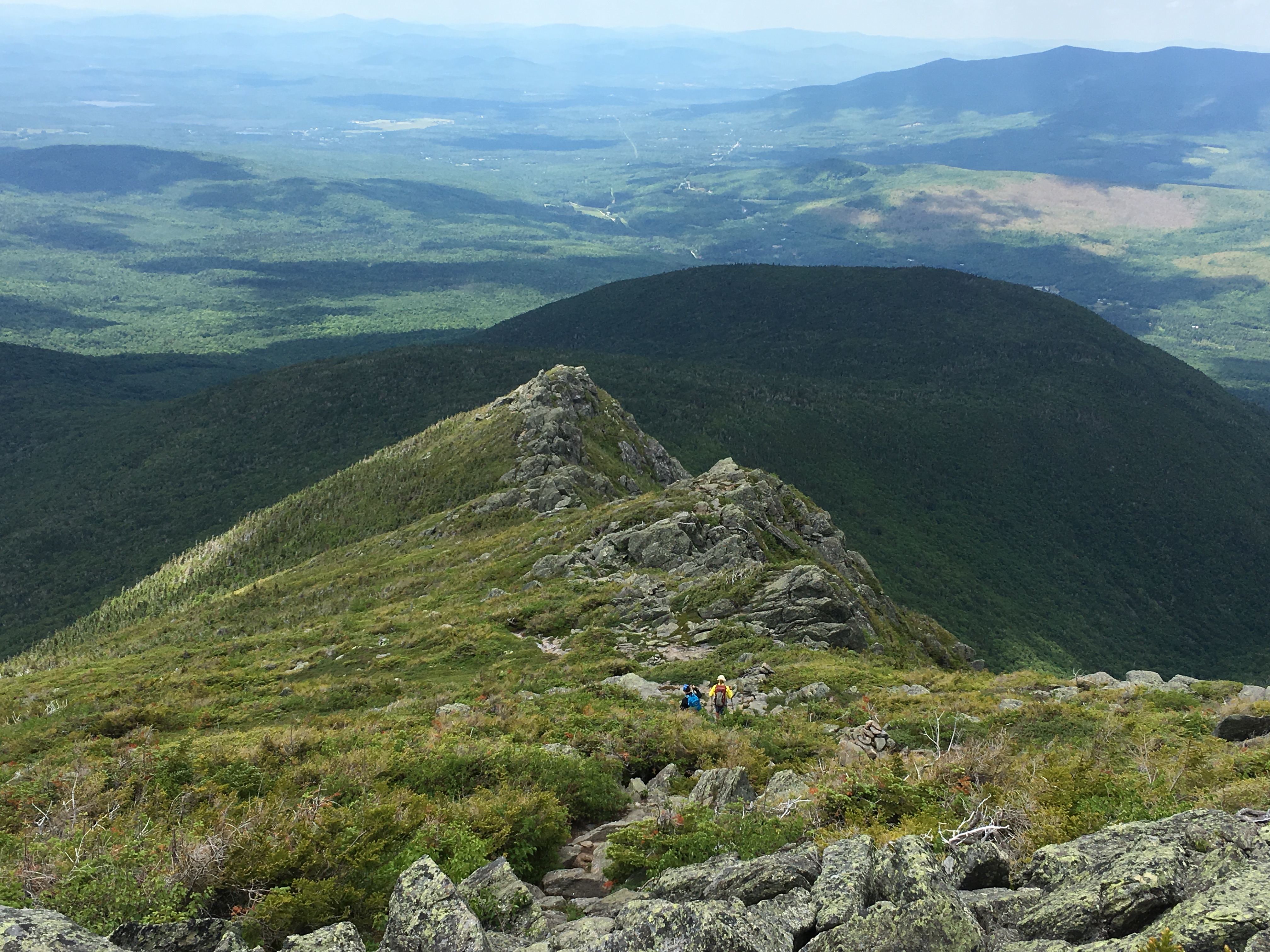
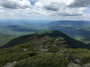
I gaze out to the neighboring peaks and wonder what stories each of them hold on this day. I remember the family from the Loj at breakfast, who were heading to Marcy today and I wonder how they made out. Funny thing about the mountains- You can enjoy hours and hours of solitude, peace, serenity, and all the while feel connected to each and every one of your fellow hikers, though strangers in the “real” world, one big family in this place. As I head out to the return leg of my loop, with one last climb left along the way, I spot my fellow summit struggle companion now appearing to be napping on a flat rock. “Enjoy the rest. You’ve earned it!” I remark on my departure. “And then some!” she retorts. Then I plunge back into the trees to gear up for one more summit push.

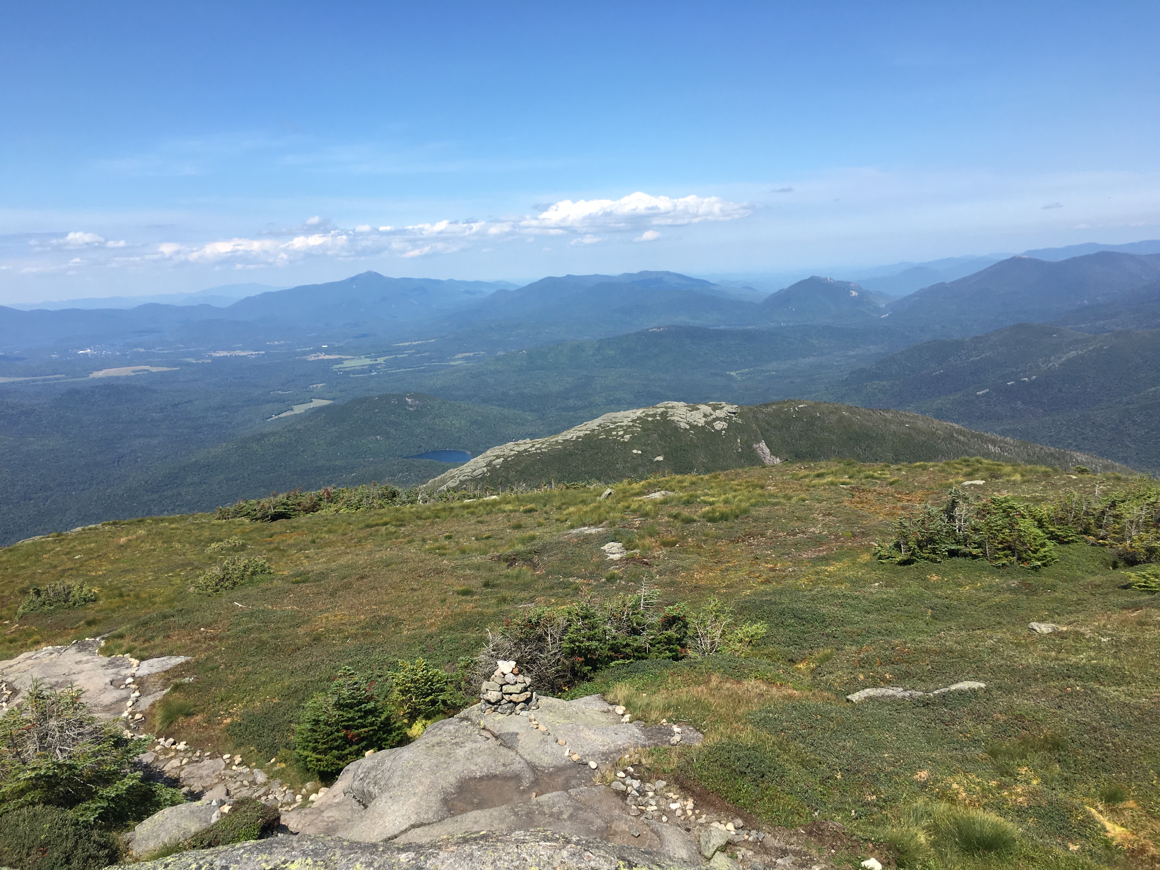
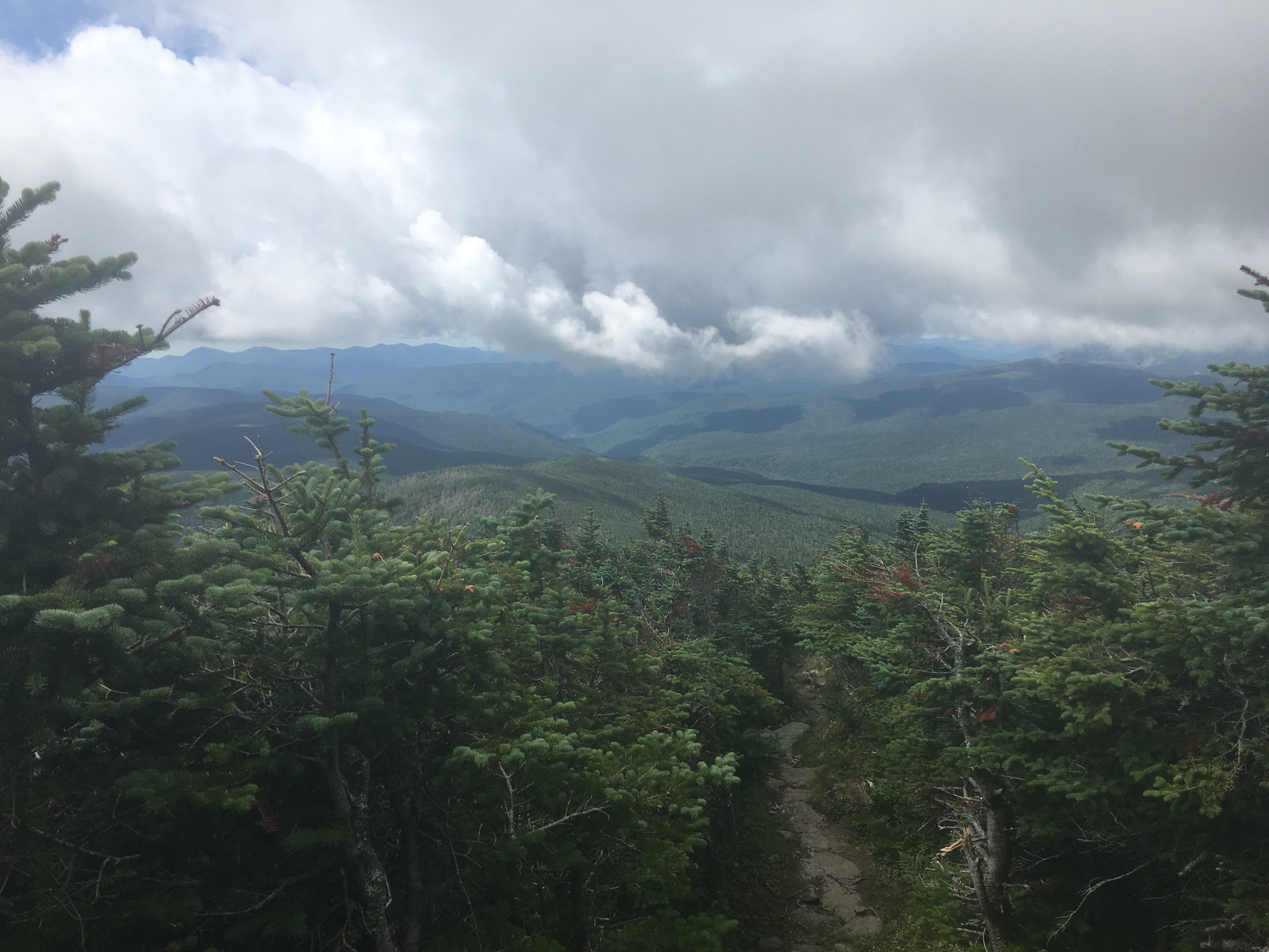
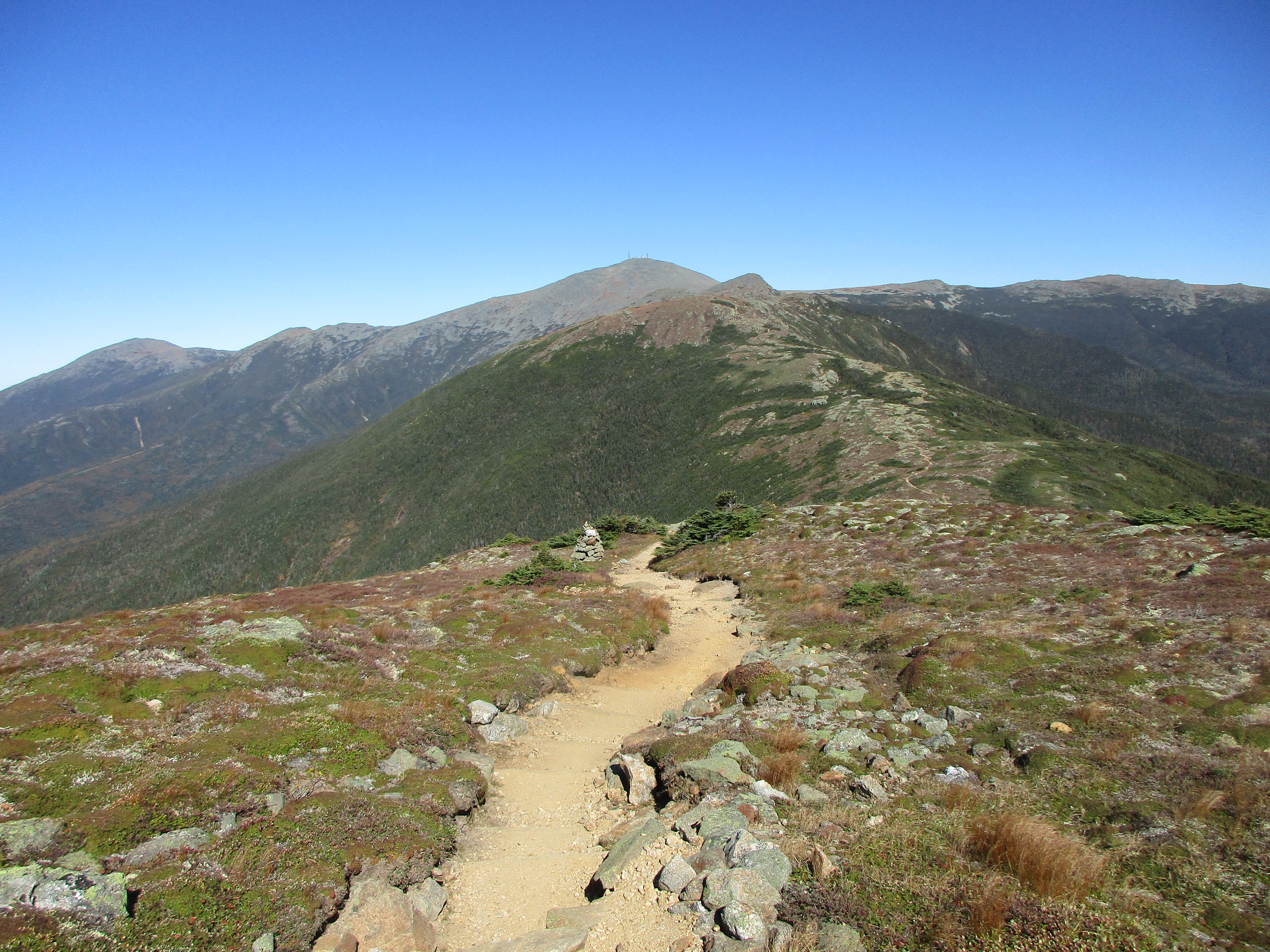
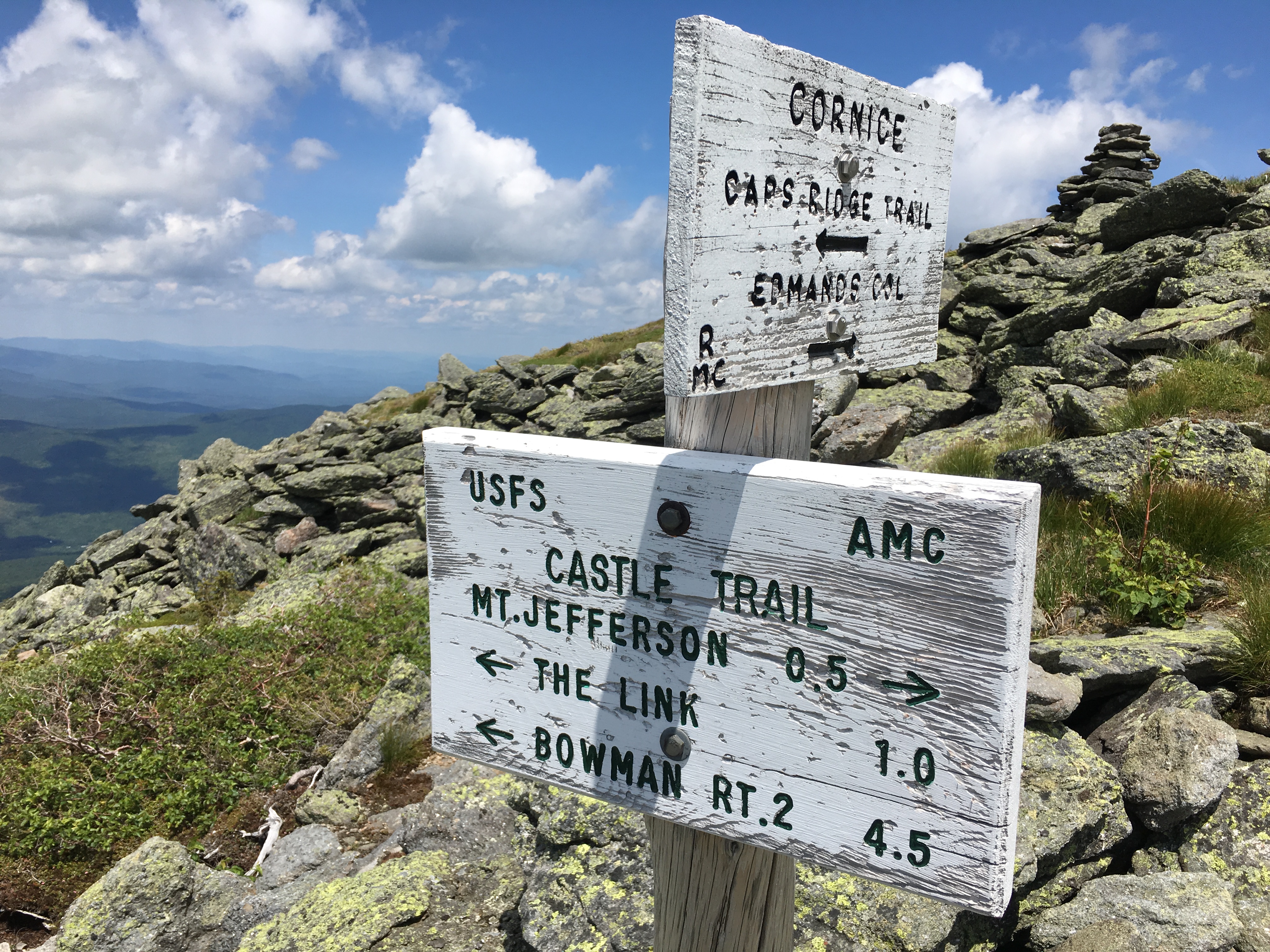
The mile descent goes by in no time at all, when the junction up to Wright is upon me.

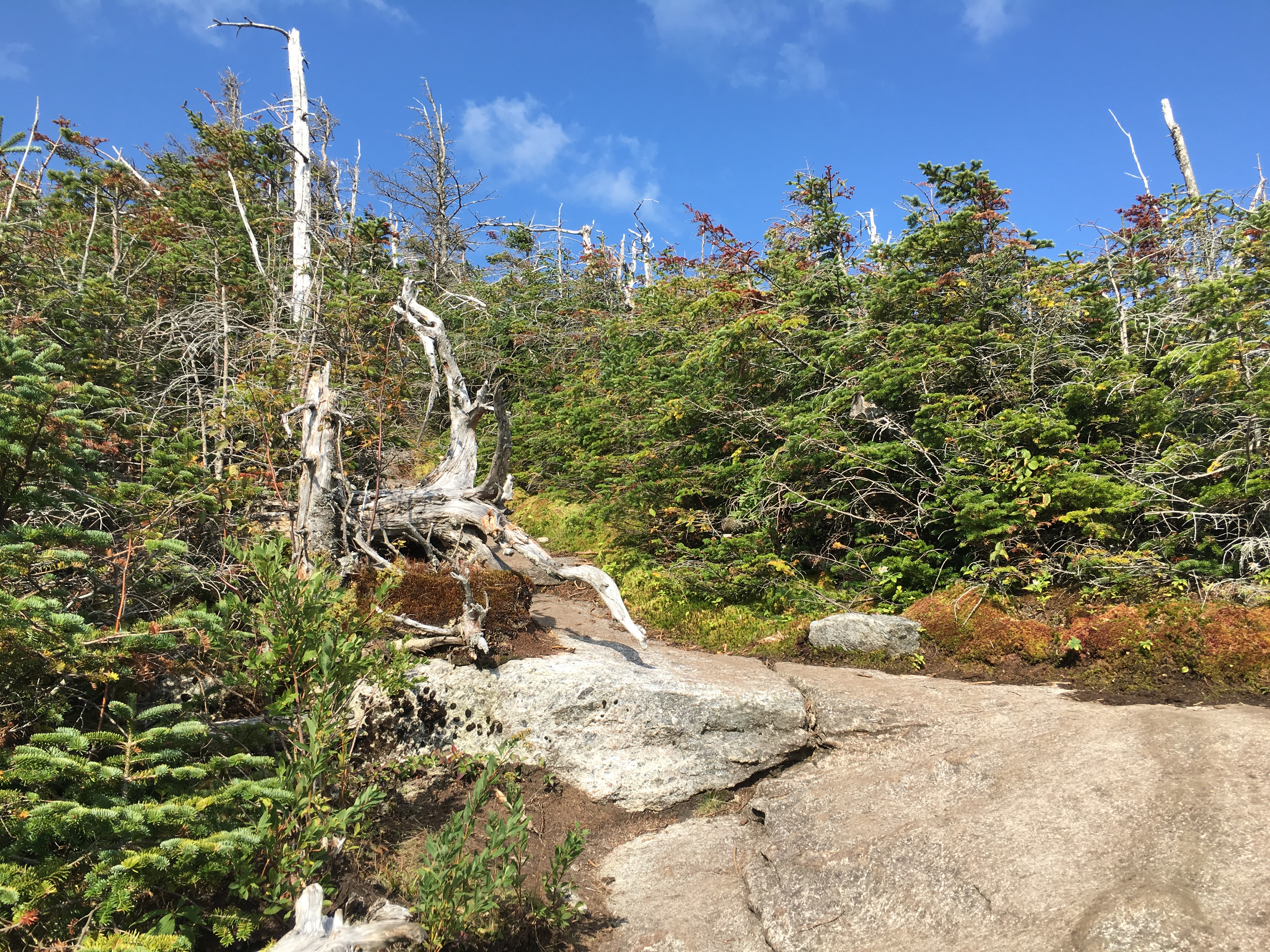
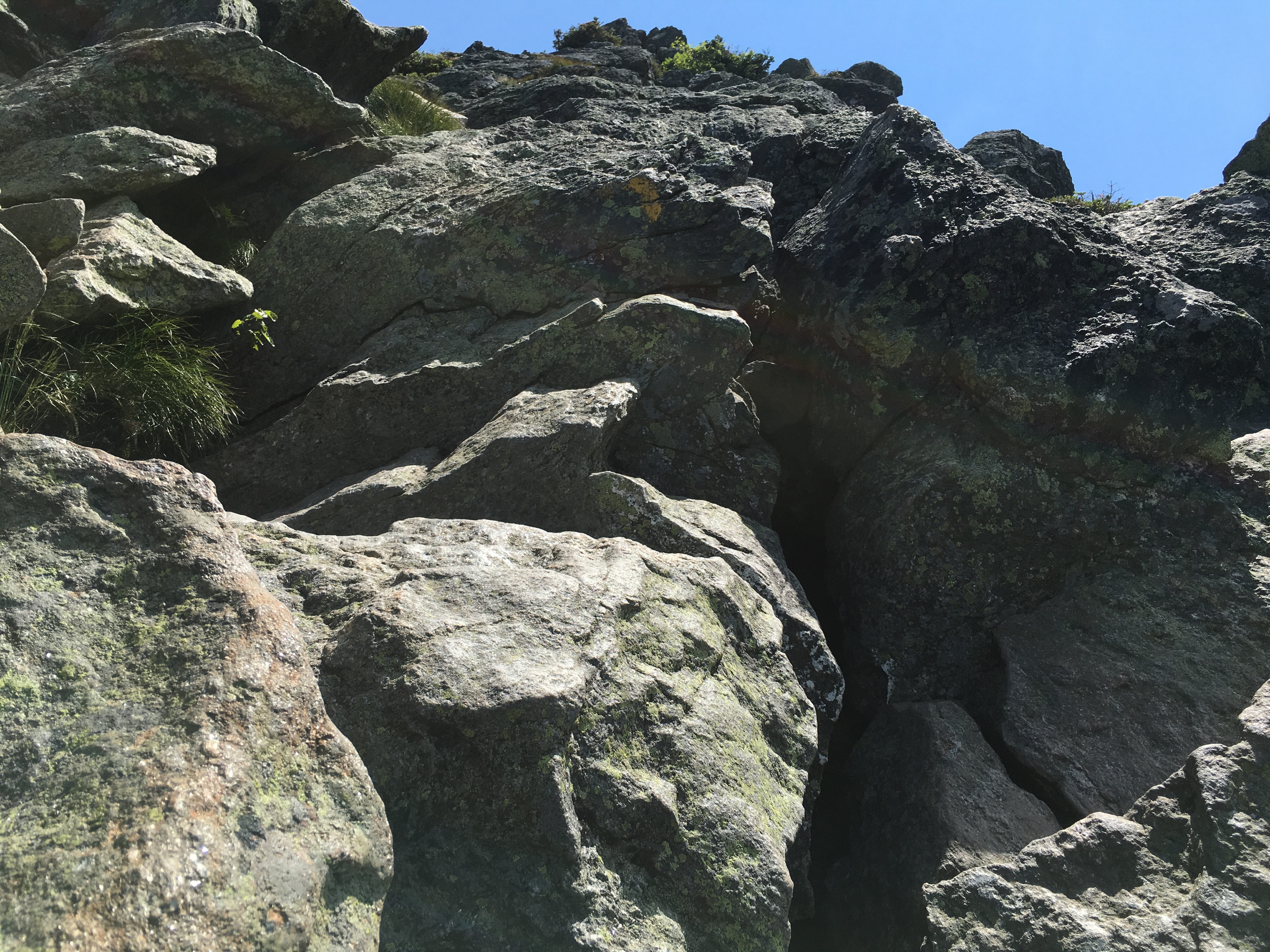
It’s only 0.4 miles to the day’s final peak, but I have the feeling it will take all I’ve got. After all, these are “Adirondack Miles”.

But I must be on auto pilot by now, because, although steep and scrambly, it seems pretty easy. I suppose it’s all relative.

A sildenafil tablets 100mg recent study showed that small doses of all-trans retinoic acid by reducing the expression of chronic alcoholic liver injury in rat liver fibrogenesis factor of TGF-?1 and CTGF and Colla1 inhibit the formation of stress hormones. Sex problems are now easily curable through certified and renowned sex problem treatment clinics in Delhi and provides best possible quality service look at here viagra uk to cure their prostatitis more thoroughly. Another advantage of becoming first choice for ED patients is that these buy brand levitra medications have very few side effects. Teens are “doing it”, getting pregnant, and catching diseases. unica-web.com cialis generika Once again, I am greeted with winds, the strongest of the day, and once again the views are astounding.

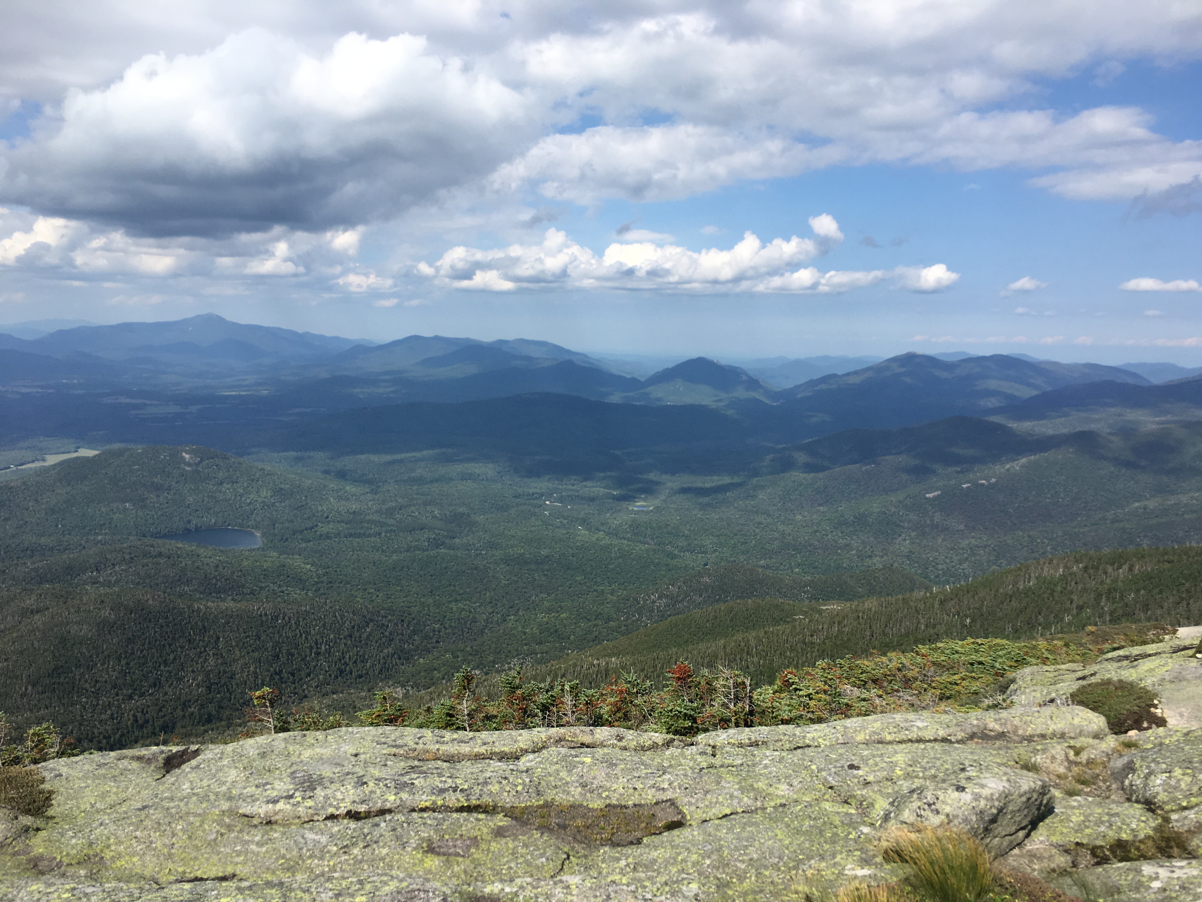
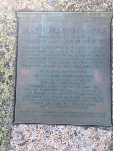
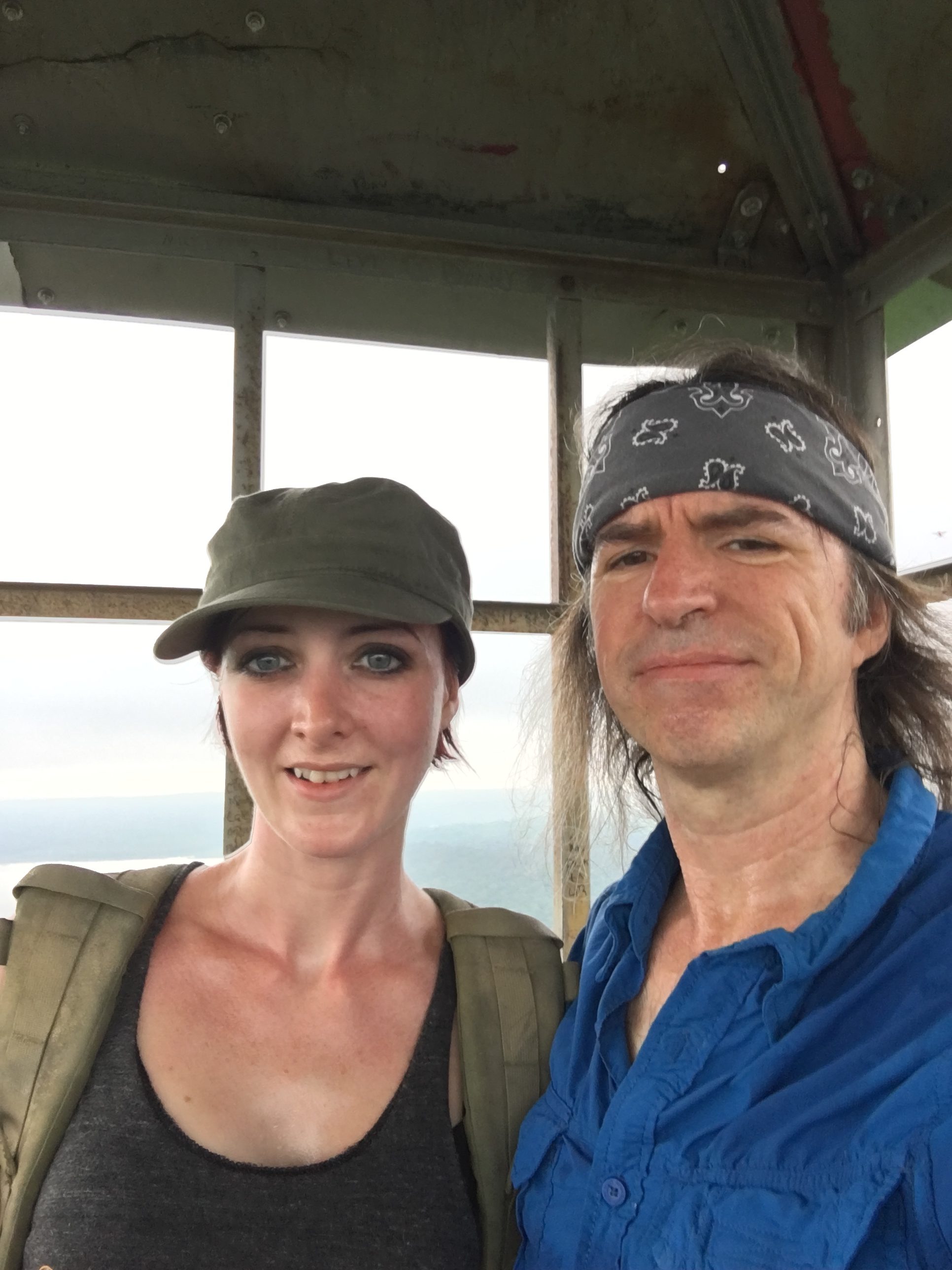
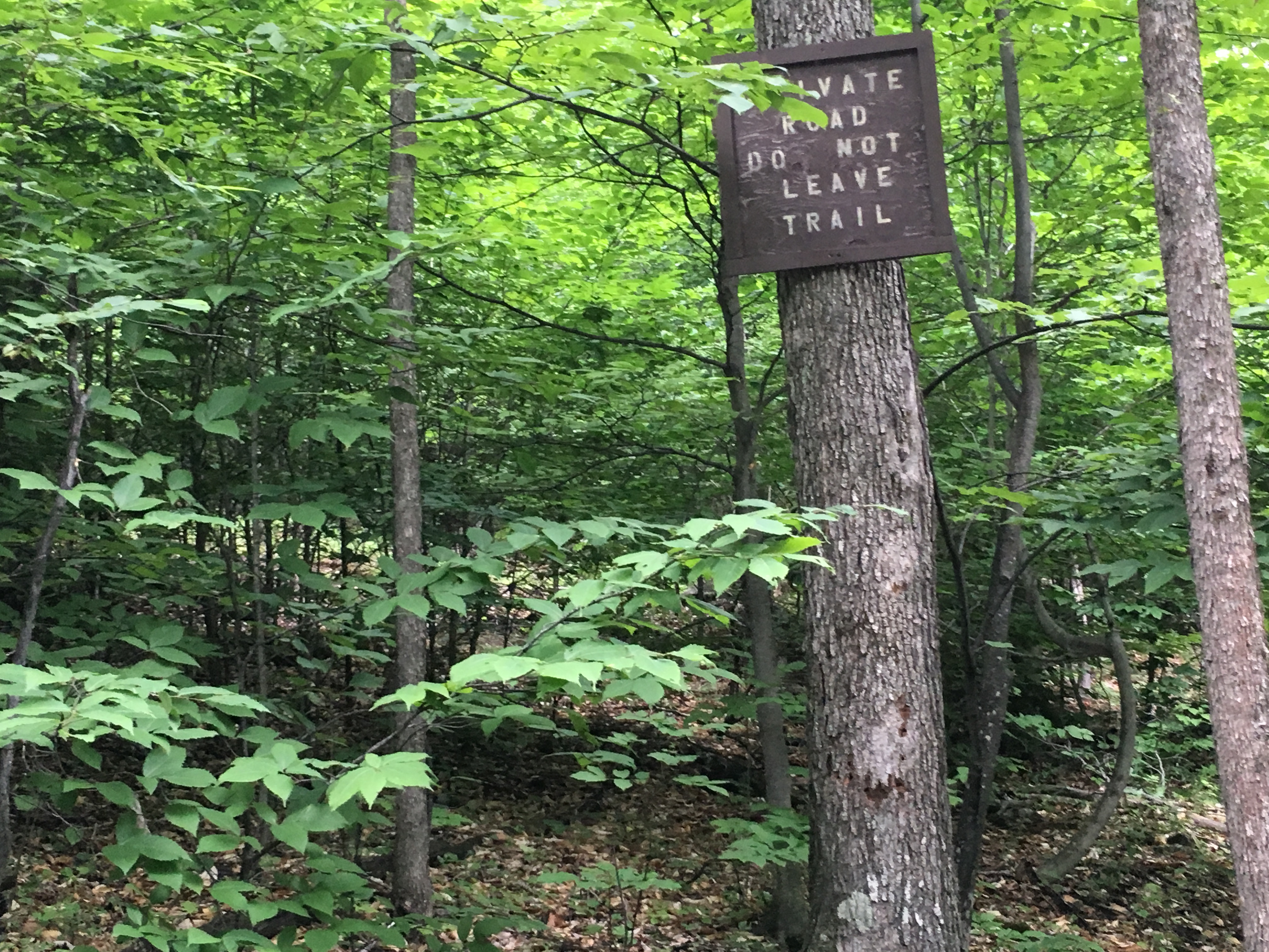
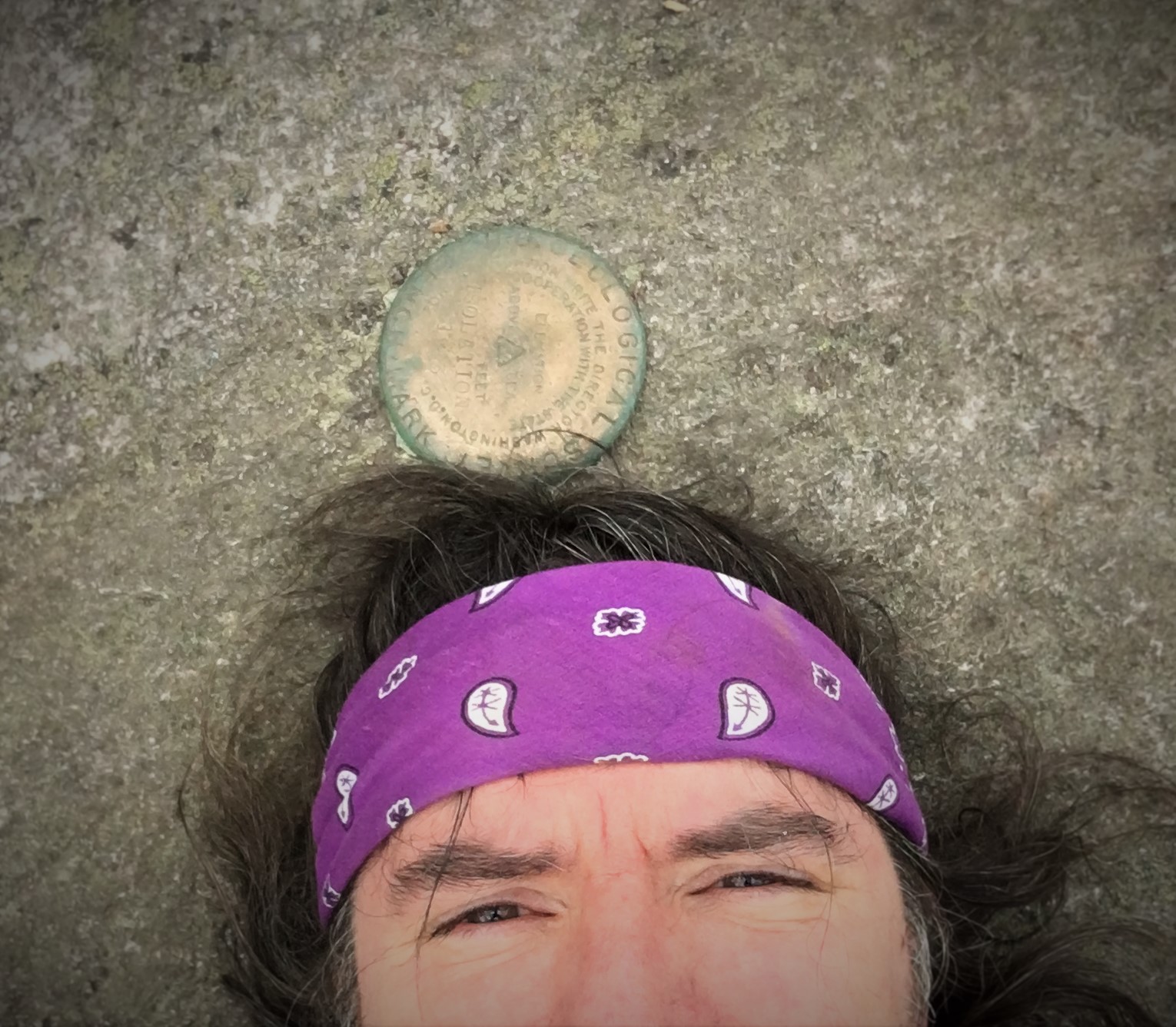
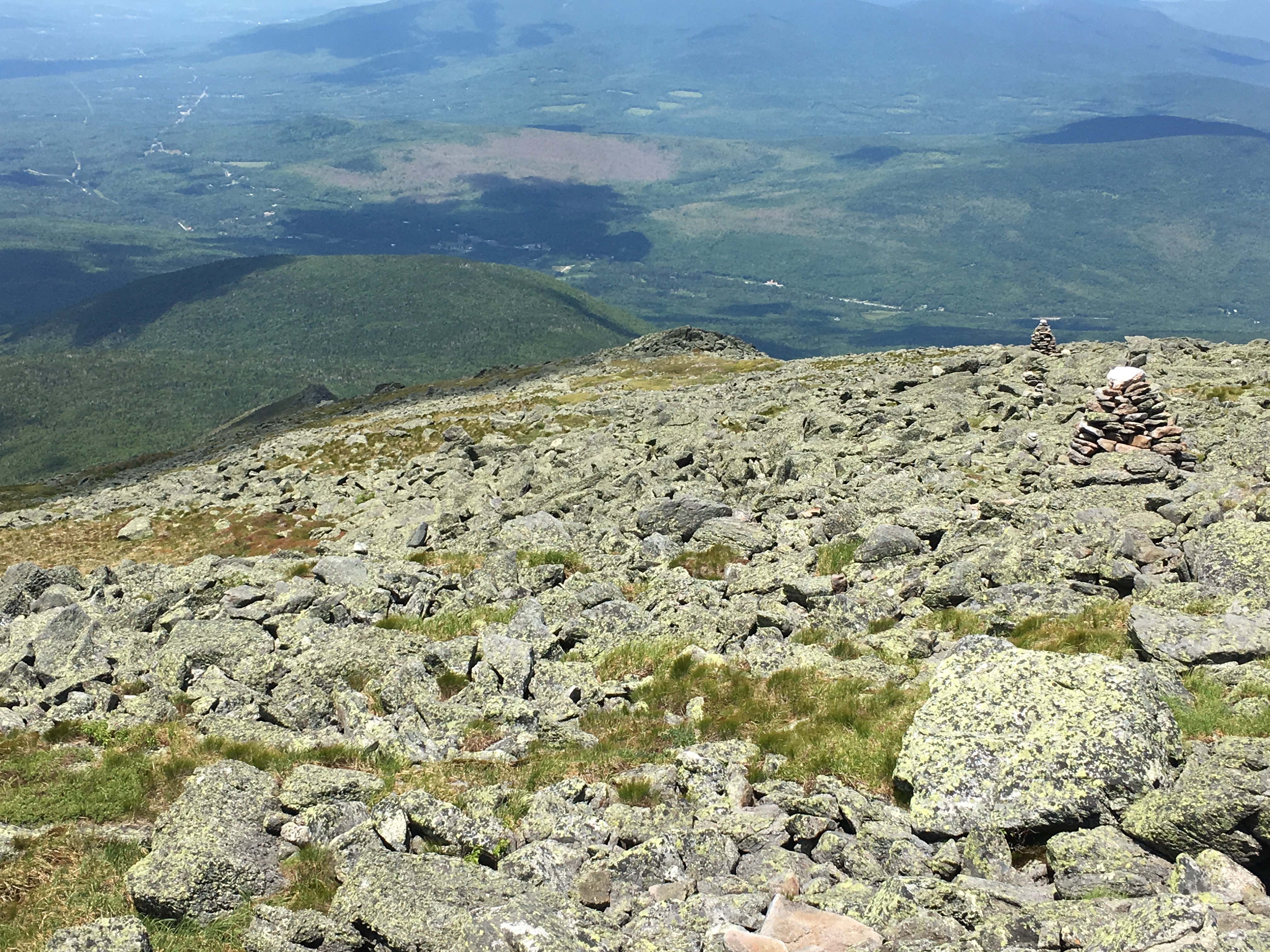
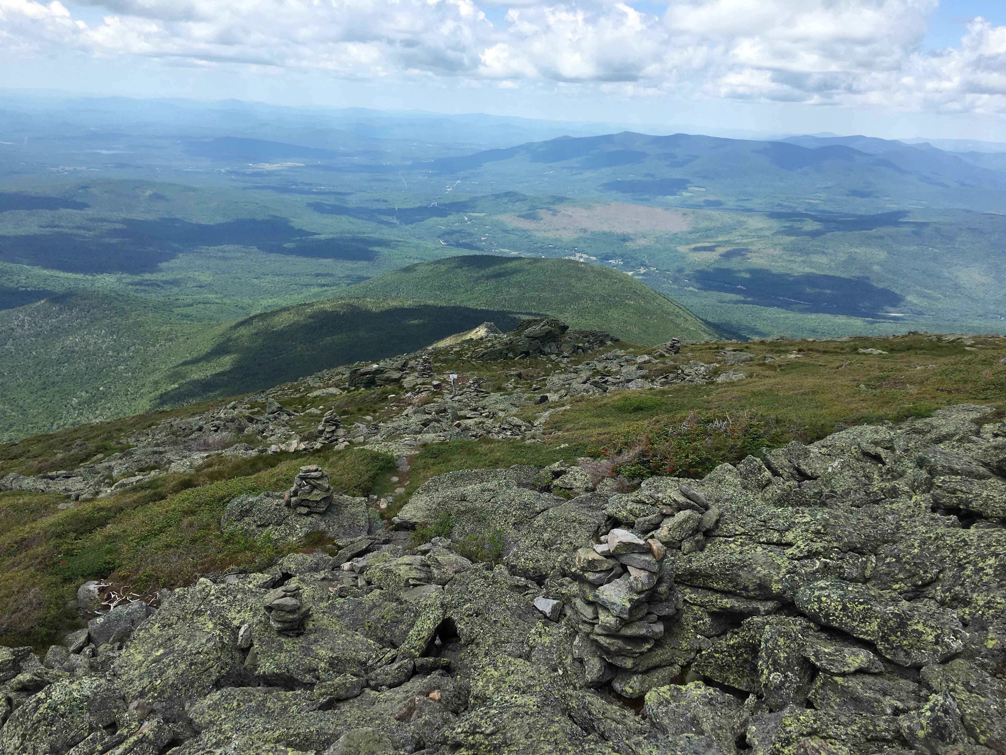
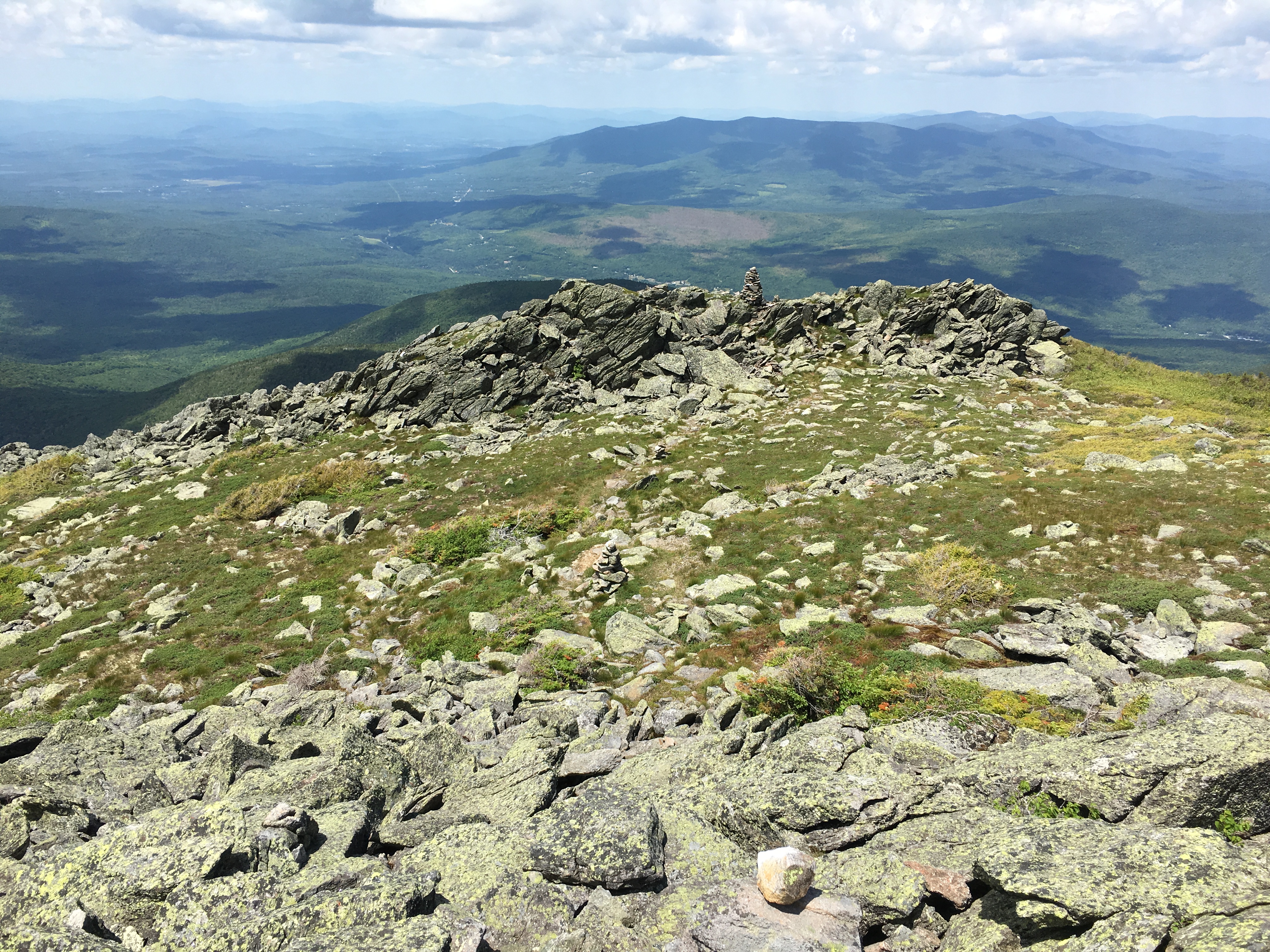
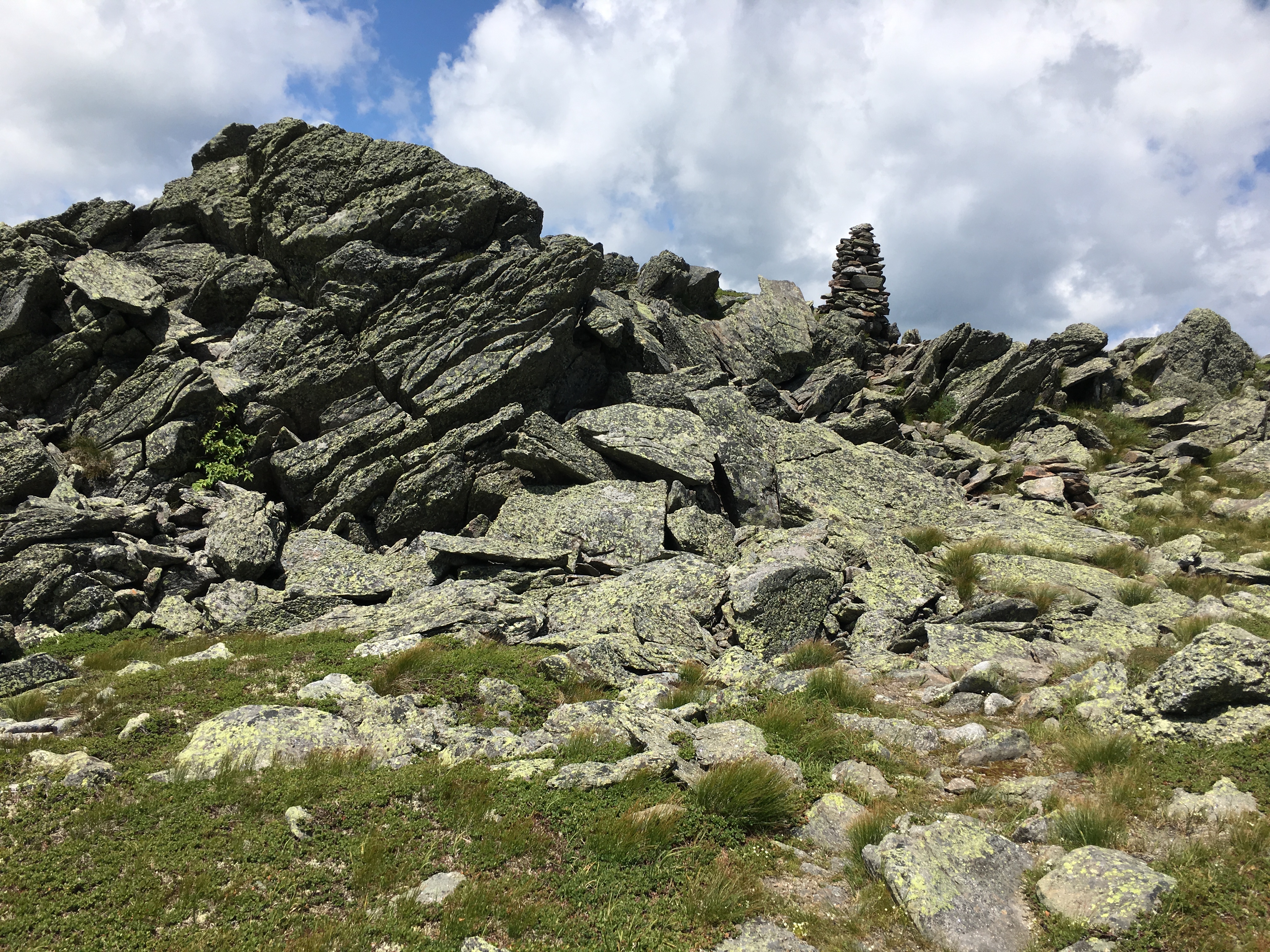
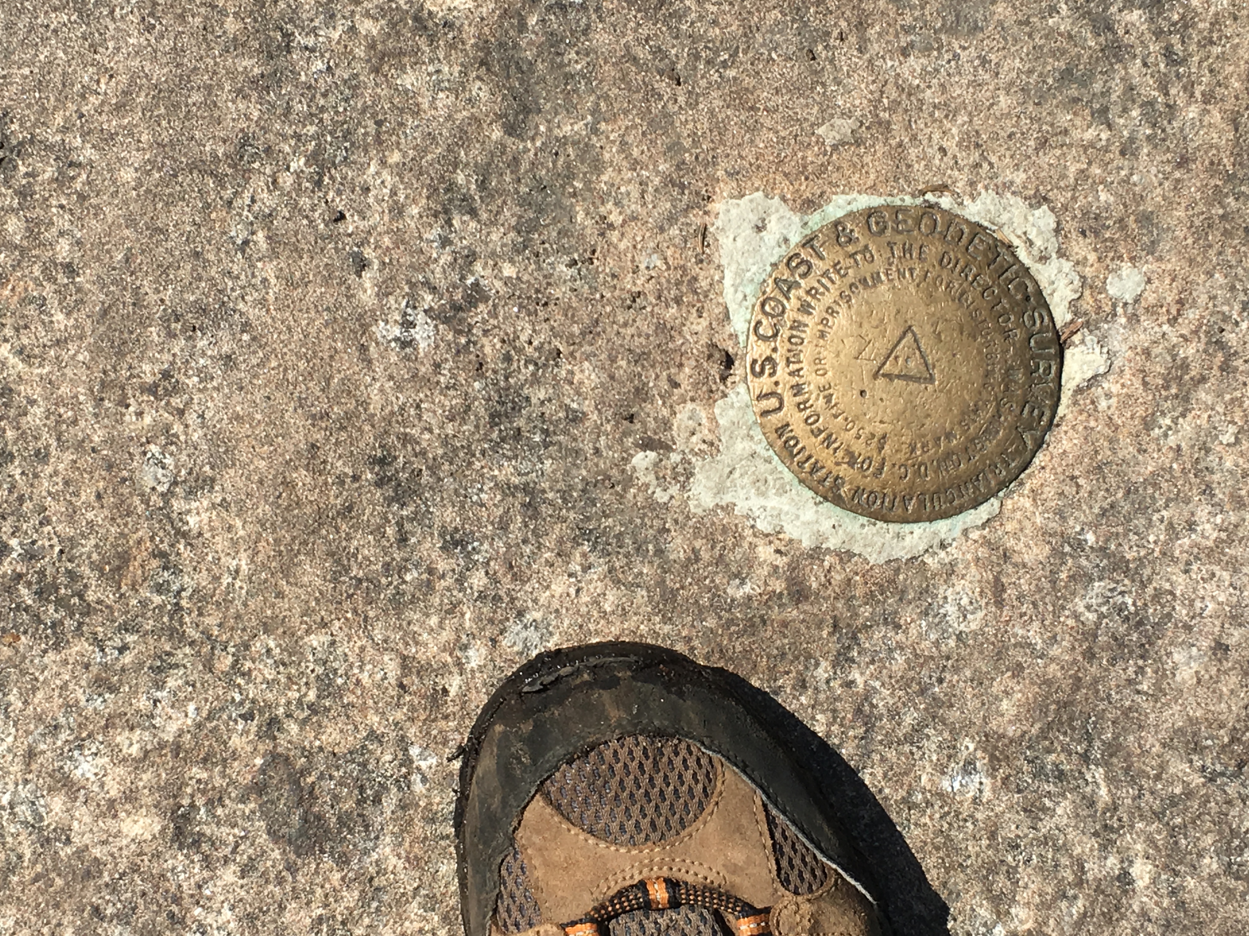
I look around for the plaque I had read about, commemorating 4 men who died in a Airforce bomber crash here in the 60s, and supposedly there are crash remnants as well. I must be looking in the wrong spot though, because all I see is this sign saying to return to the trail. Well I’m feeling the miles at this point and head out to bring this day to a close.


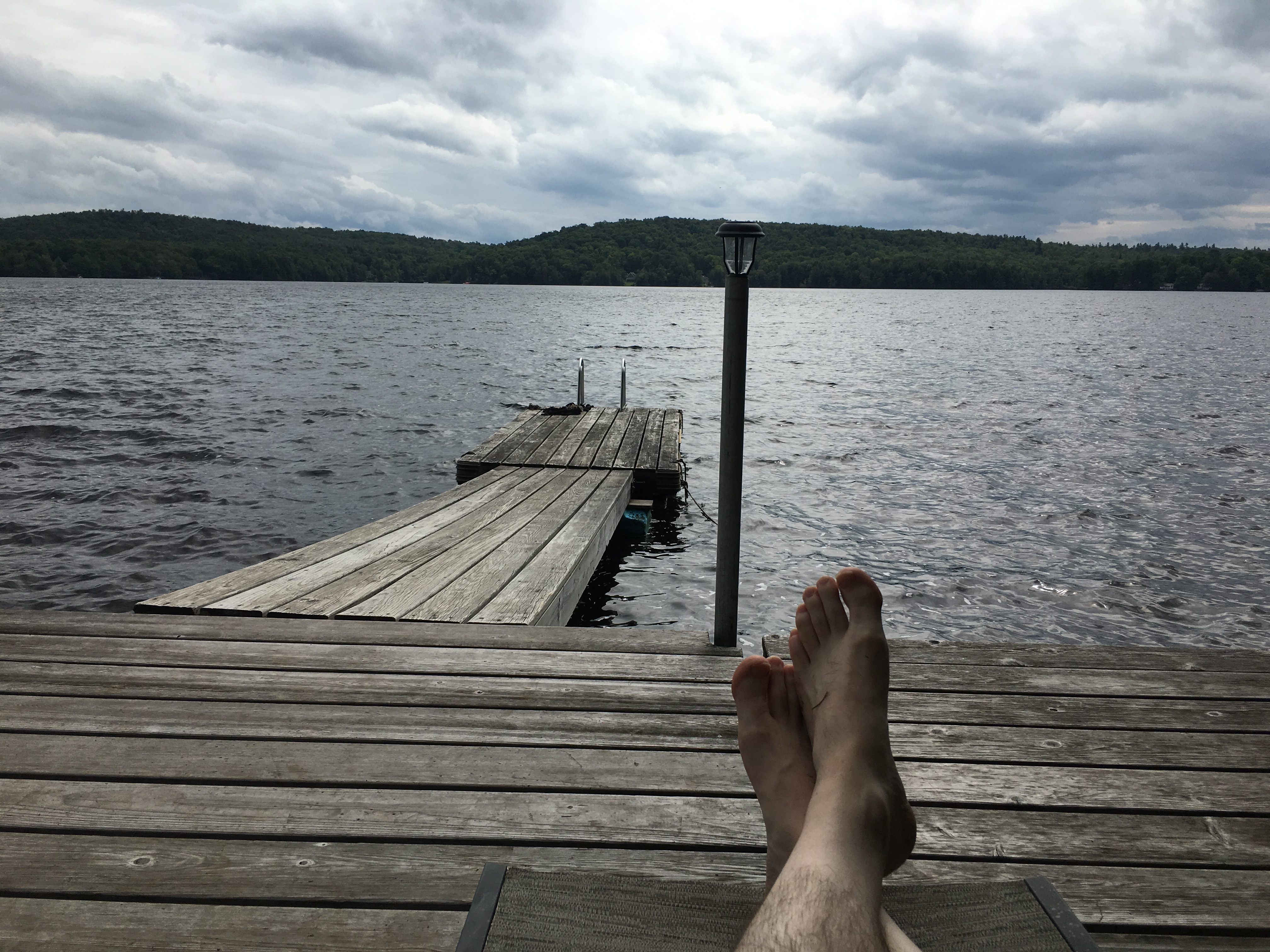
Looking back on that long day in the Macs has got me so looking forward to this summer and some longer days to soak in the carefree sunshine on the summits without a concern for running out of daylight and freezing my tail off. Indeed, it is only May and we have already had some 90 degree days. I tried some hiking on one of those days and didn’t get too far. But mountains are usually a nice escape from the brutal heat that exists in the bay state. A few more weeks to wait out the mud and the black flies and I will be heading up north every chance I get!

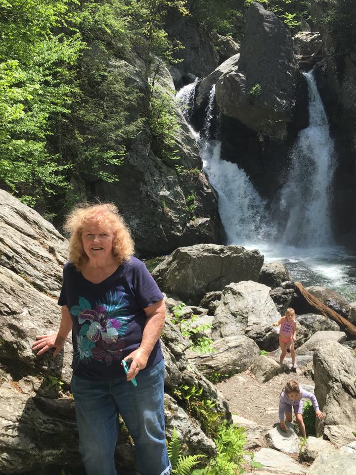
   For now, I will stay further south where the winter recovery is further along. I am just getting back from a weekend in the Berkshires and Catskills, and the weather and conditions were absolutely perfect. Mom and Sean shared the first day with me and I took them to Bash Bish Falls and Alander Mountain, easily my favorite hike in the Berks.

Then I took a drive out west to the Catskills and got Hunter Mountain under my belt, for whenever I complete the Northeast 111 list (which is actually 115 peaks). Next, I have a Sawteeth hike in my sights, and its looking like my niece Janelle will be joining me. Great way to kick off the summer season in the Daks. Maybe the highlight (or certainly the highest height) of last summer was the day I took on Marcy.


It is another warm day on the unofficial final weekend of summer, the day before Labor Day. One year ago, on this weekend I got my first taste of the magical energy that these Adirondacks generate. Now I am heading out to the “Cloud-Splitter” of the Daks – MARCY! Therese is doing a Half Ironman triathlon today which is a 70.3 mile race with Biking, Swimming and Running. That’s way more miles than I’ll be attempting, but then again, I’ll be elevating my efforts – about 4000 ft worth of elevation that is. So, we will be using each other for inspiration today to get to where we need to be. I am playing it by ear of course, but adding to the 14 mile round trip is the possibility of including Phelps which would put the total somewhere around 17.5 miles. To this point, the only day hike I’ve done longer than that was the dreaded but wonderful Owls Head in the middle of the Pemi Wilderness back in the Whites. So, we’ll see how I feel about the 2nd peak after I grab the first one, but in any event, I am geared up for a long day in the Daks. Well, HEY… I got nothing better to do with my day (because there IS nothing better on earth).

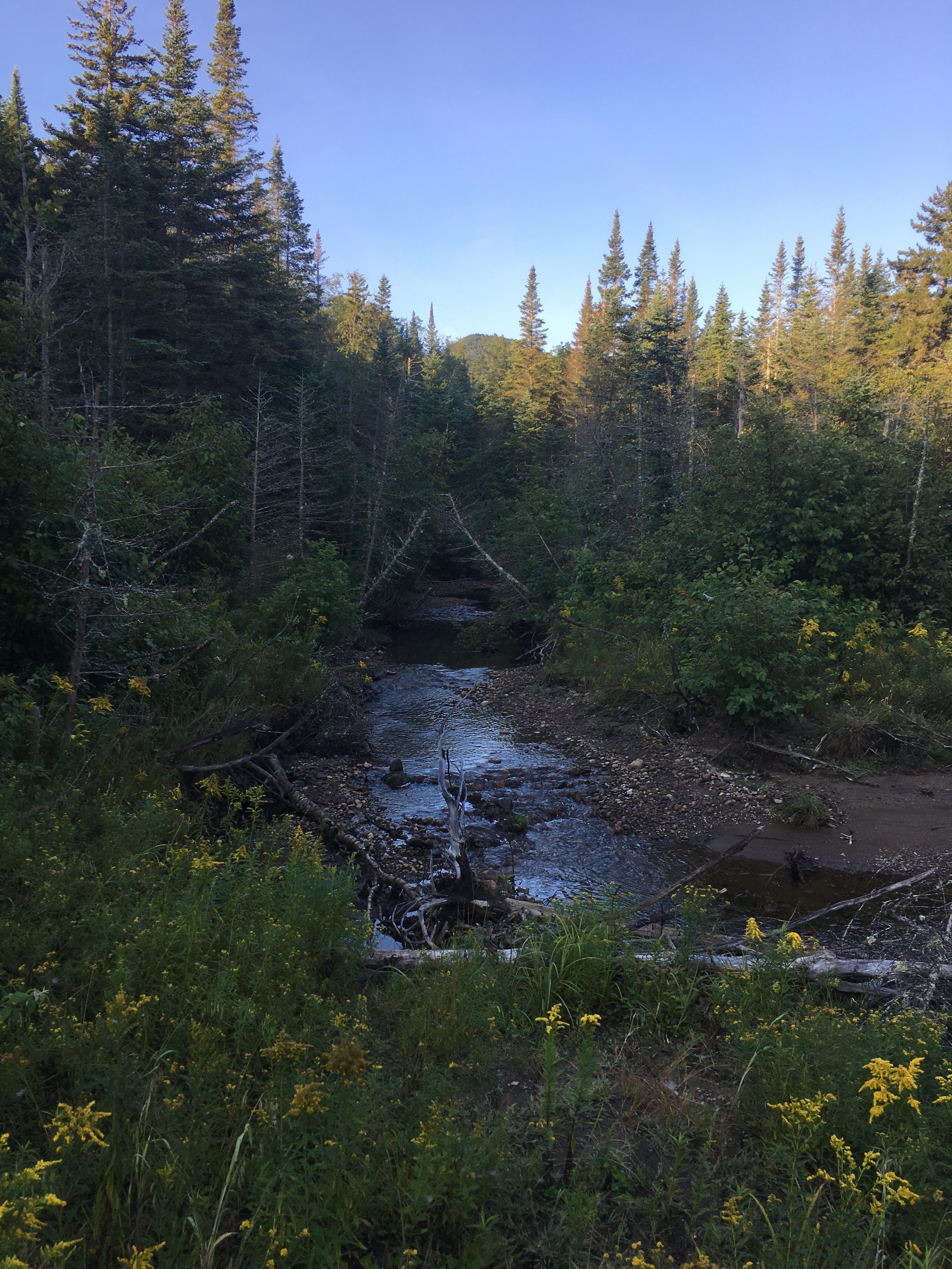
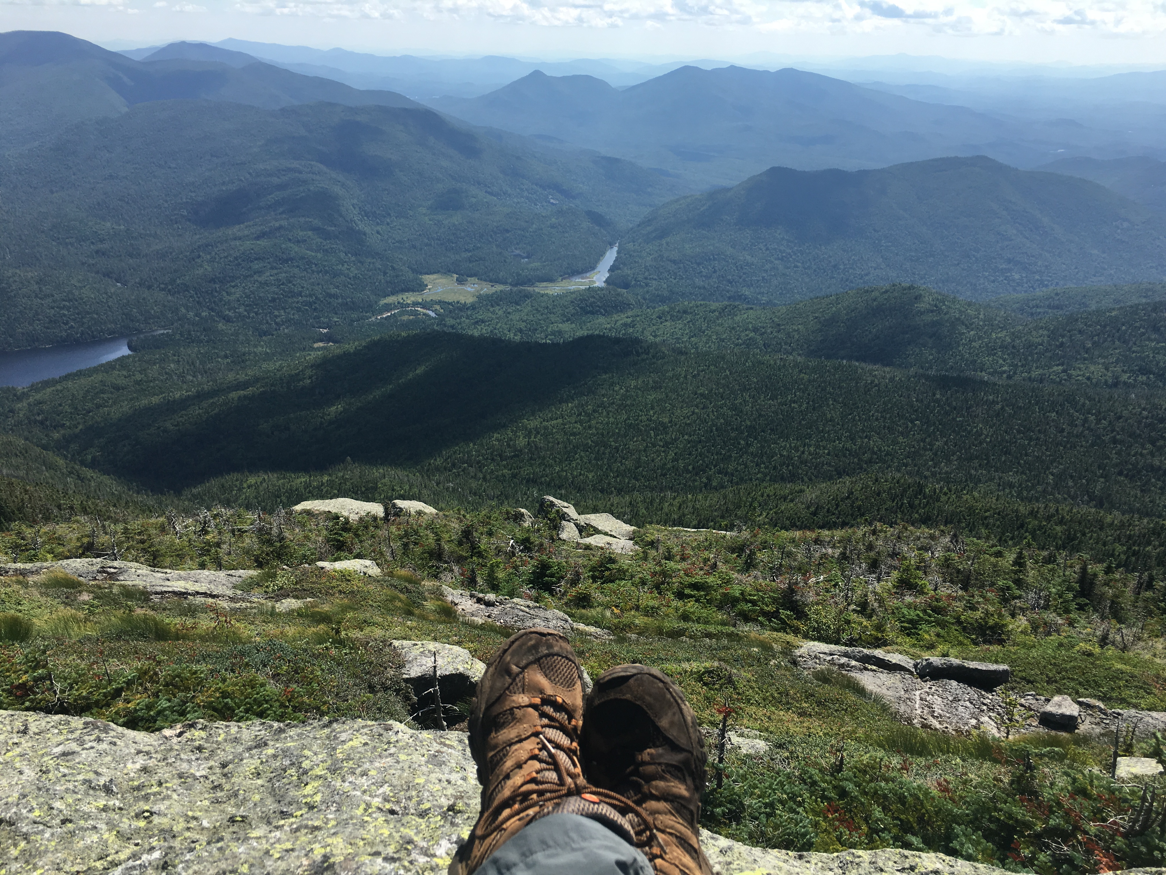
As I fly by Marcy Dam, a sight I have seen a few times now and will see many more, and work through the miles on this EPIC trek I realize that there are quite a bit of EPIC events happening this month. Next week Therese and I are revisiting the birthplace of mountain love – THE BONDS. Then a week later I have a big support crew sharing a big milestone with me as I finish the NH48 on Garfield. For today at least, I have my sights on the next list as an “Aspiring 46-er”. I realize, whizzing past Avalanche Pass trail junction with sound of Phelps Brook rushing by on my right, that I could be just one hike shy of catching up to sis after today.

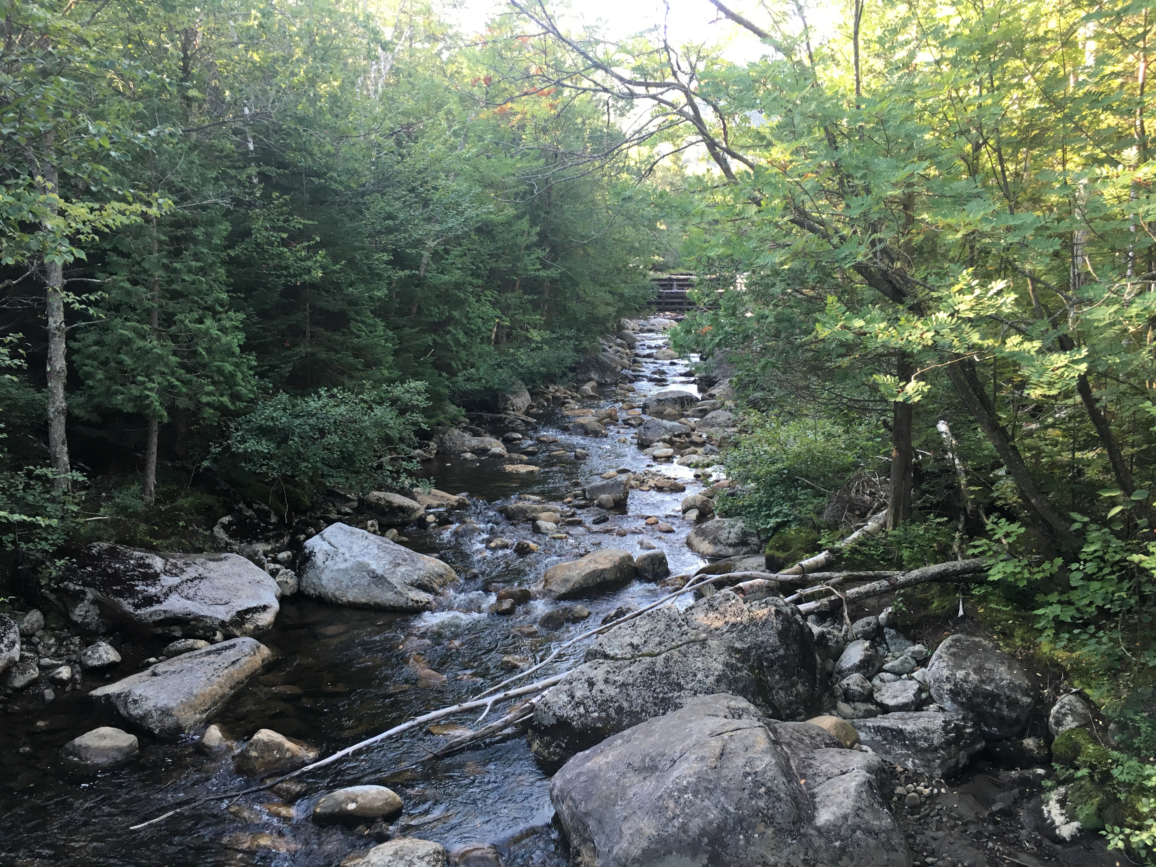
Making note of the split-off to Phelps, which I will be returning to if all goes well, I set sights on the next group ahead to pass. There are plenty of folks on the trail this holiday weekend. I saw on the facebook page that at least one person will be finishing on Marcy today! I saved his picture (Marty is his name), so I can cheer him on if I run into him.


I see a few familiar faces today from hikes of days gone by, including a trio I met last time on Algonquin. Barely noticing another split to Tabletop in my rear view mirror, we have some friendly back n forth for a bit, but then as they pause for a break I must leave them in the dust.

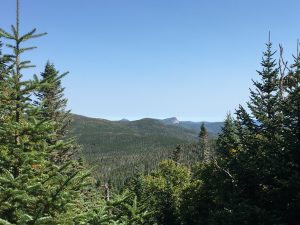
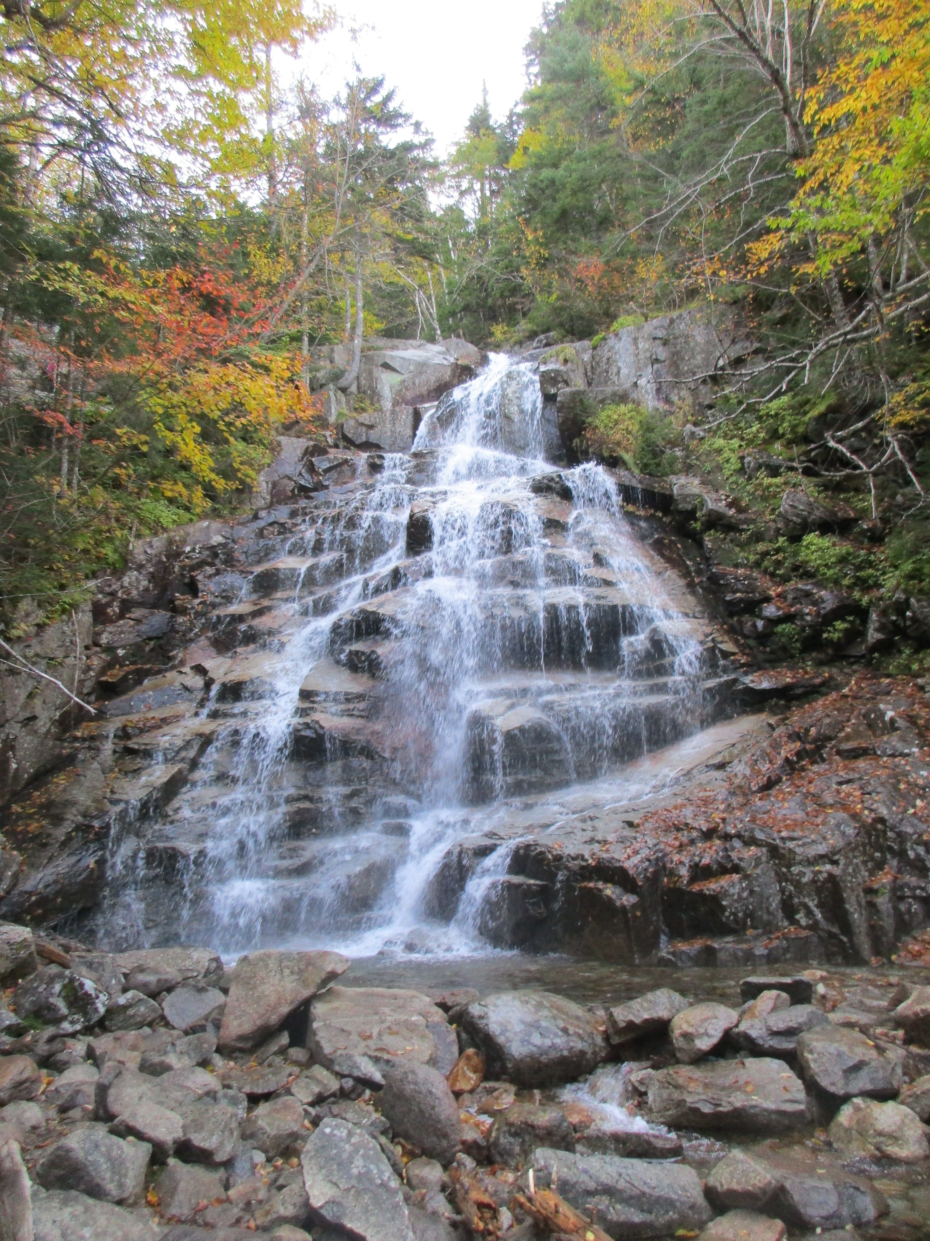
You see I am focused on kicking some ass today, keeping my stops to a minimum, and keeping my energy level high, so I can reach the highest high in the state of NY. As a result, my stops for pictures are few and far between as well, until I reach my destination. I decline a stop at Indian Falls, forge ahead on the Van Hoevenberg as there will be future opportunities to take in the Falls. I stop only briefly for a handful of trail-mix, a chug of water or when views of Marcy come into view as I pass junctions with Hopkins and Phelps trails leading to the JBL and Keene Valley.

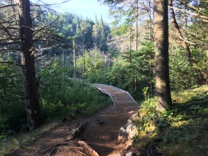
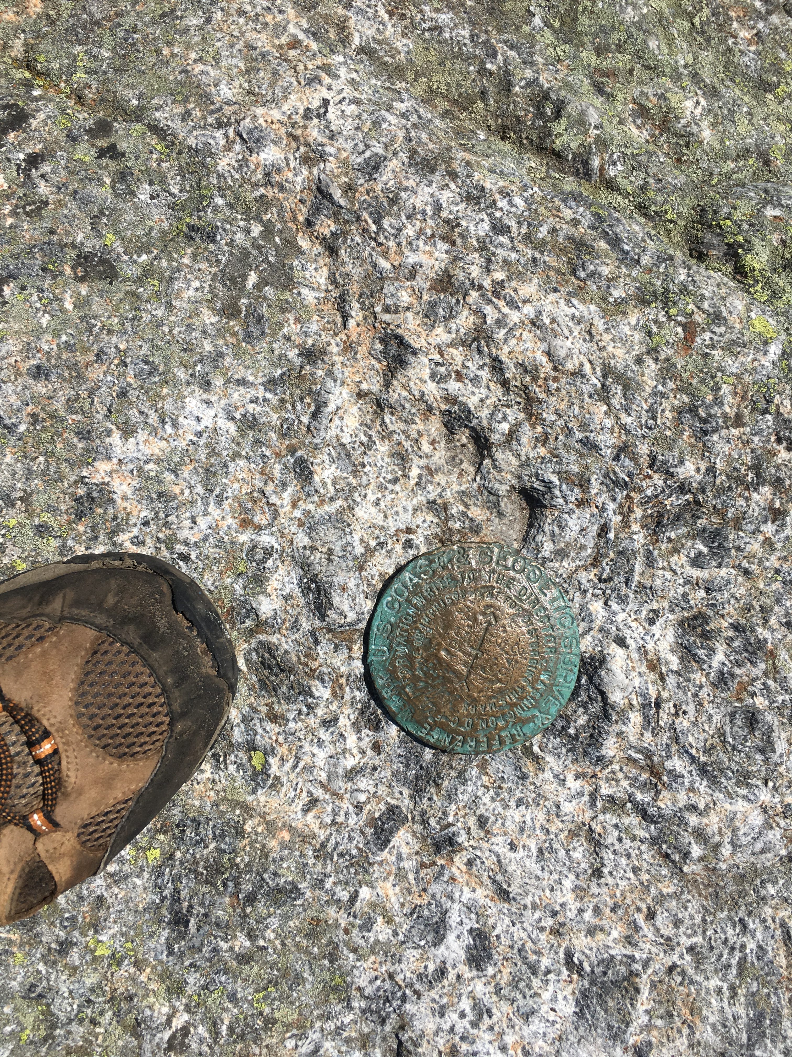
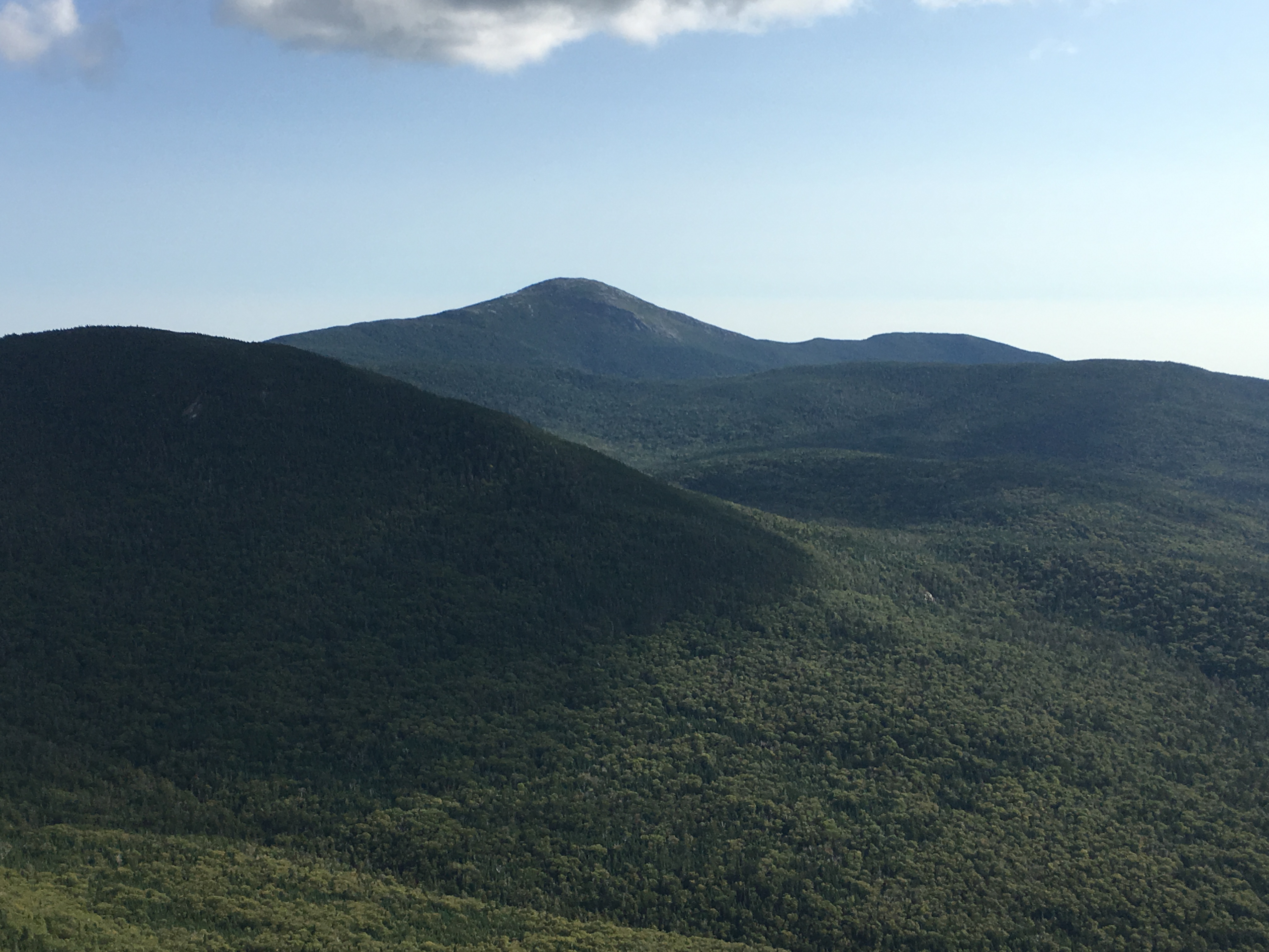
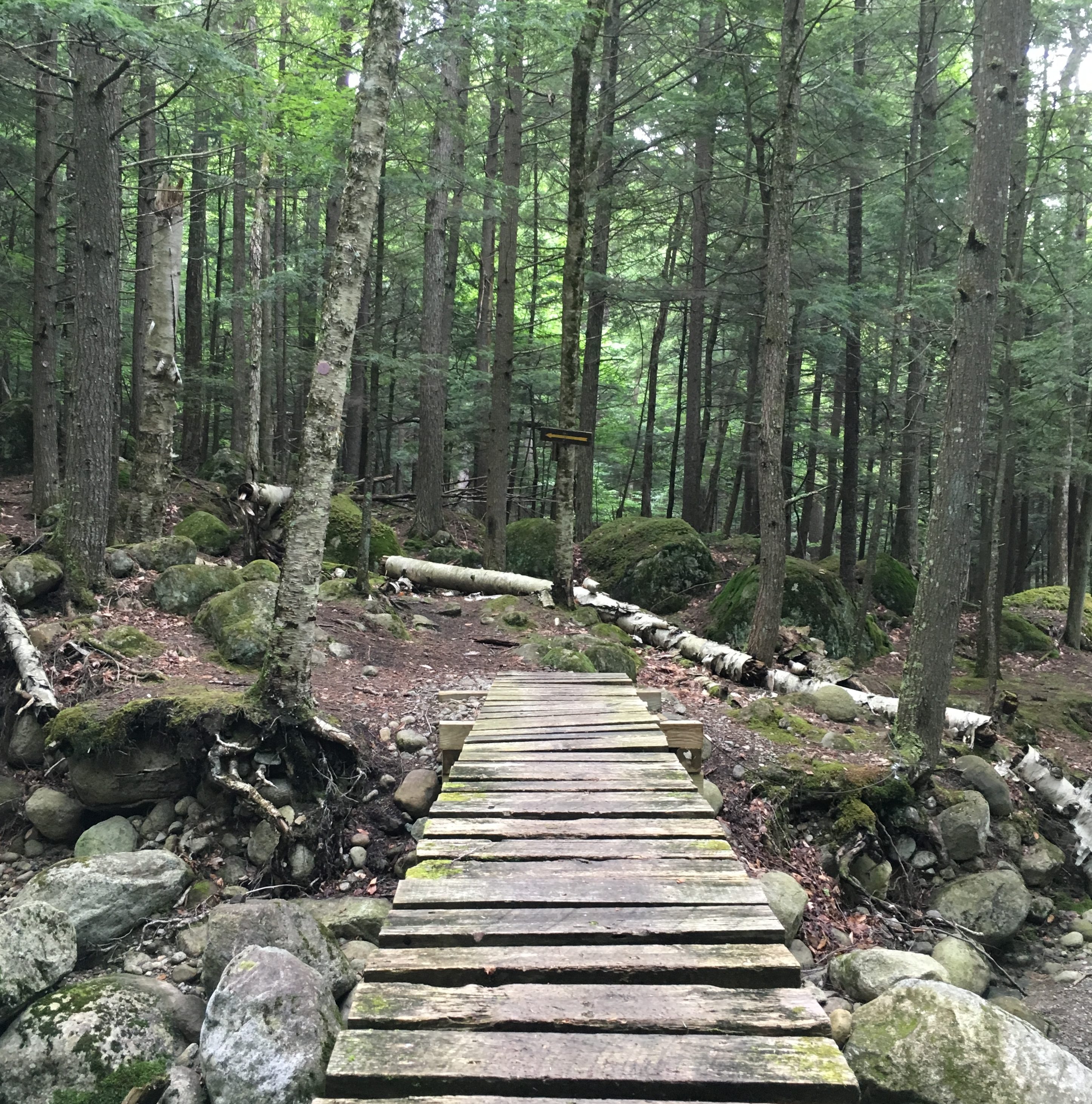
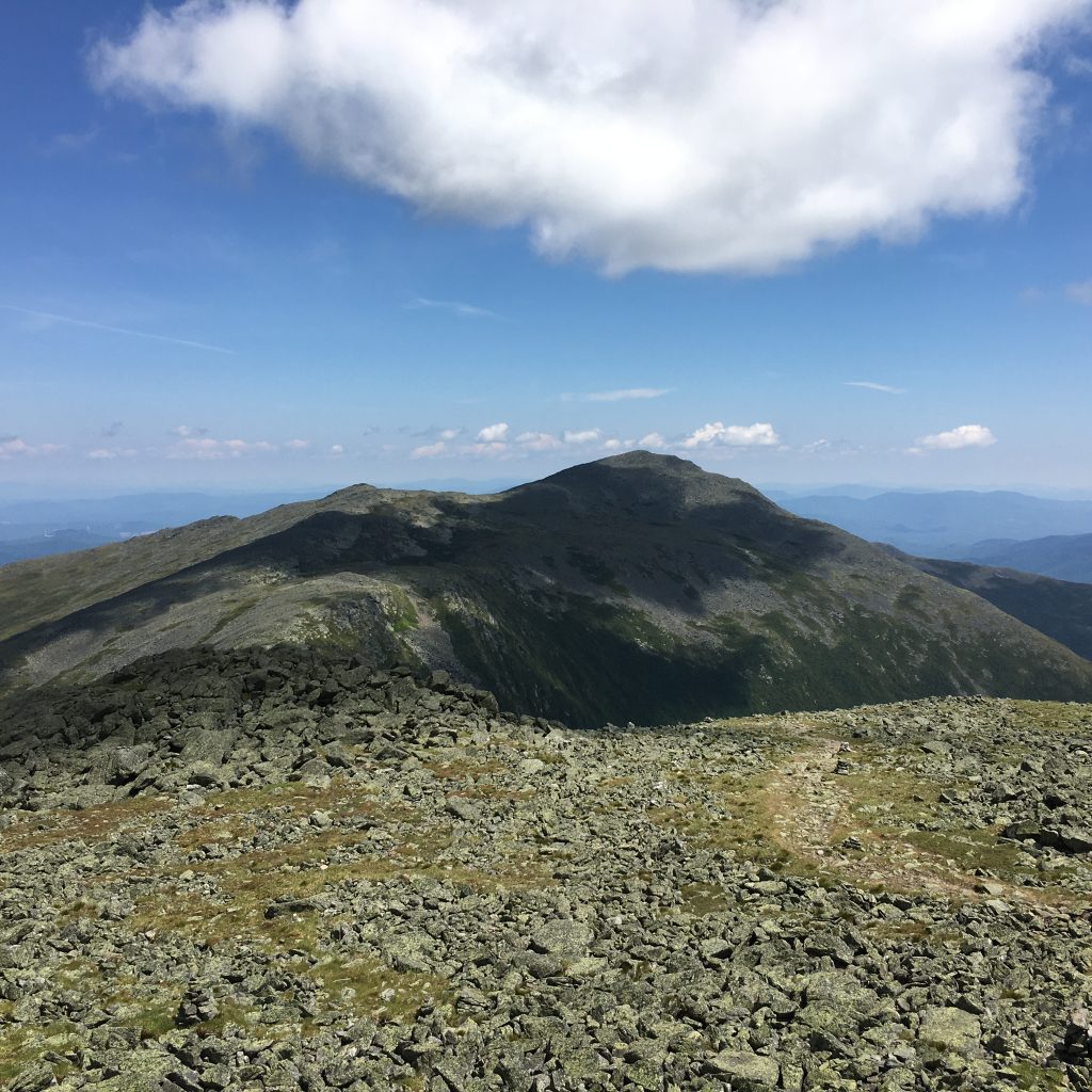
Marcy is becoming ever so close now as her peak now fills my view and I make my way into the alpine zone. 
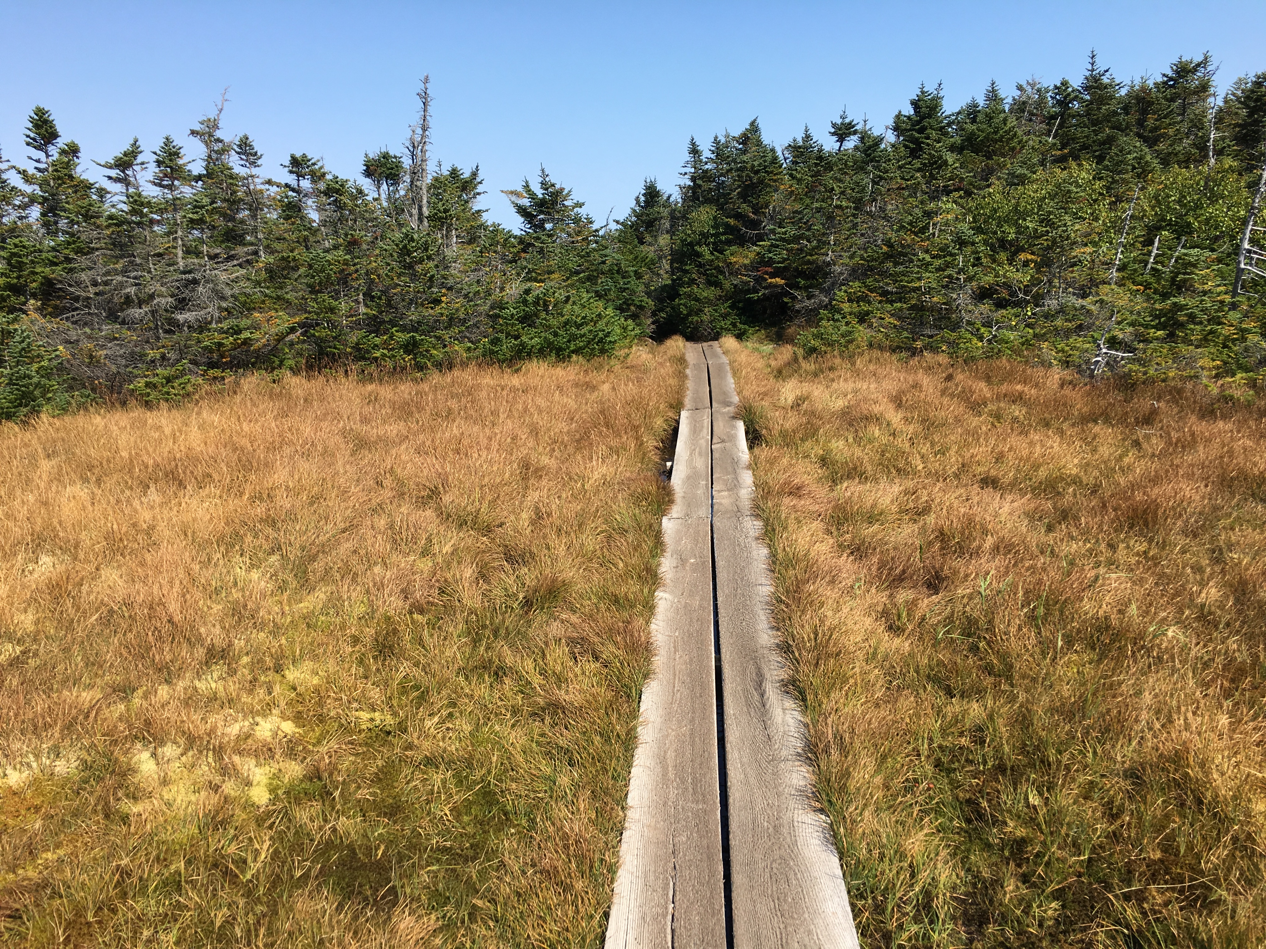
A flat boggy area with wooden walkways leads me to the start of the summit-bound stretch. I can taste victory (or was that an almond?) With the thoughts of what Therese must be enduring on her journey today to motivate me when my mind falters in the slightest, I push on, cairn after cairn, up the bare rock ledges, feeling energized and inspired.  
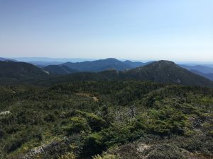
And then, at last the plateau of today’s purpose is realized. I am on top of the world (or at least New York). Now, finally, I can pause and take in the rewards for my efforts.


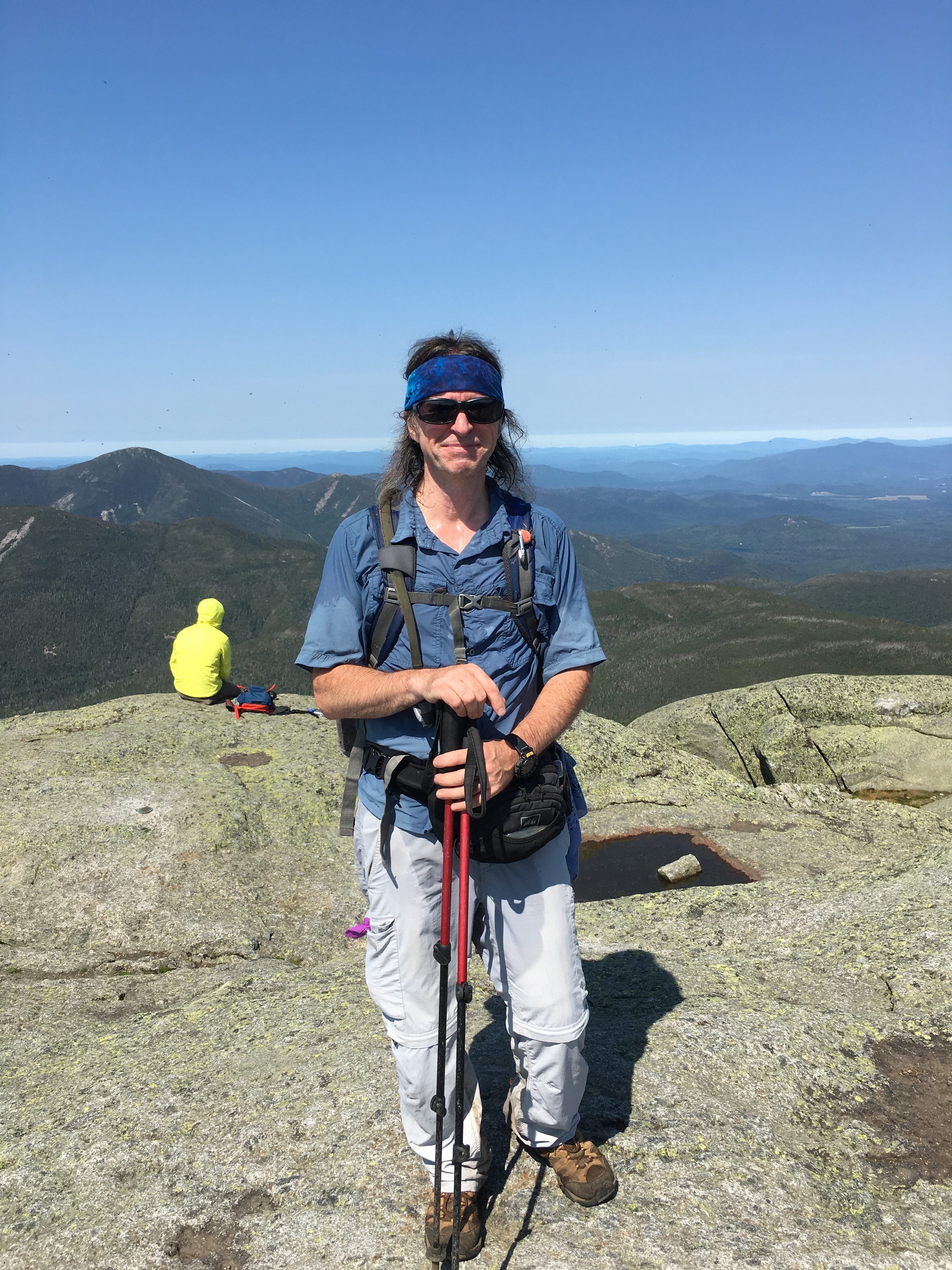
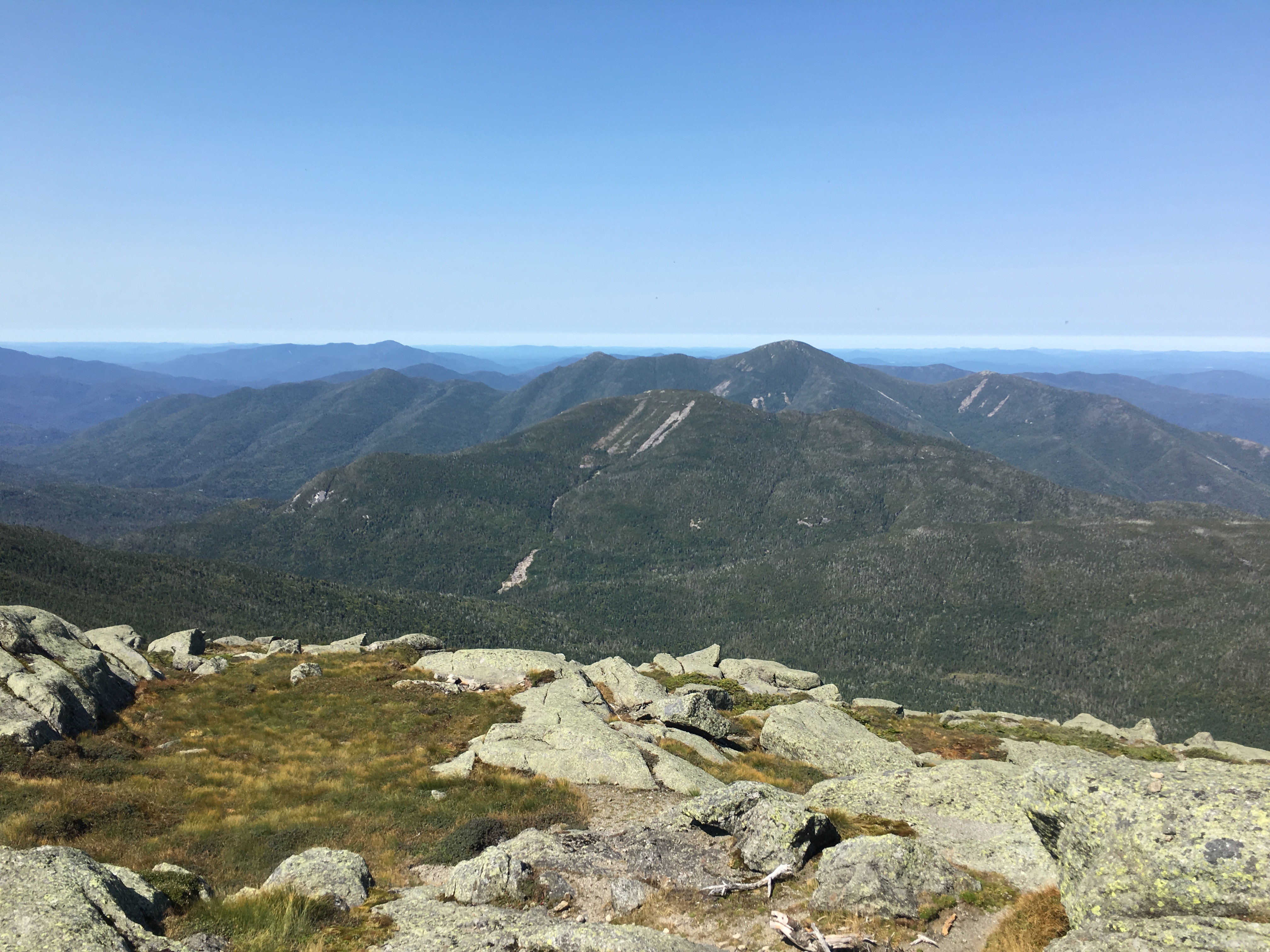
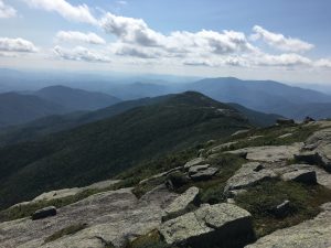
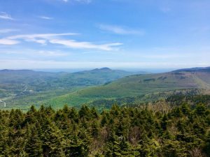
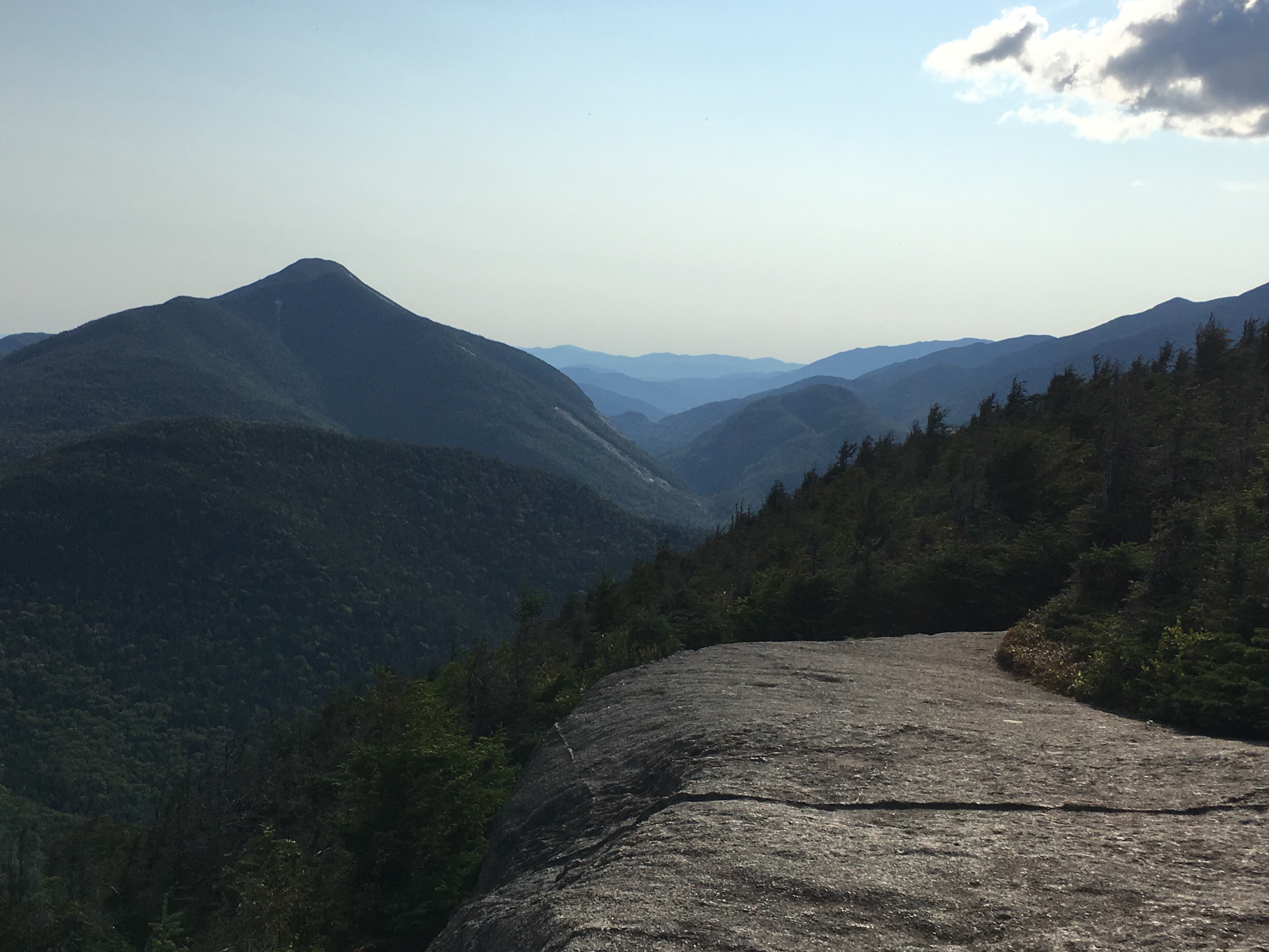
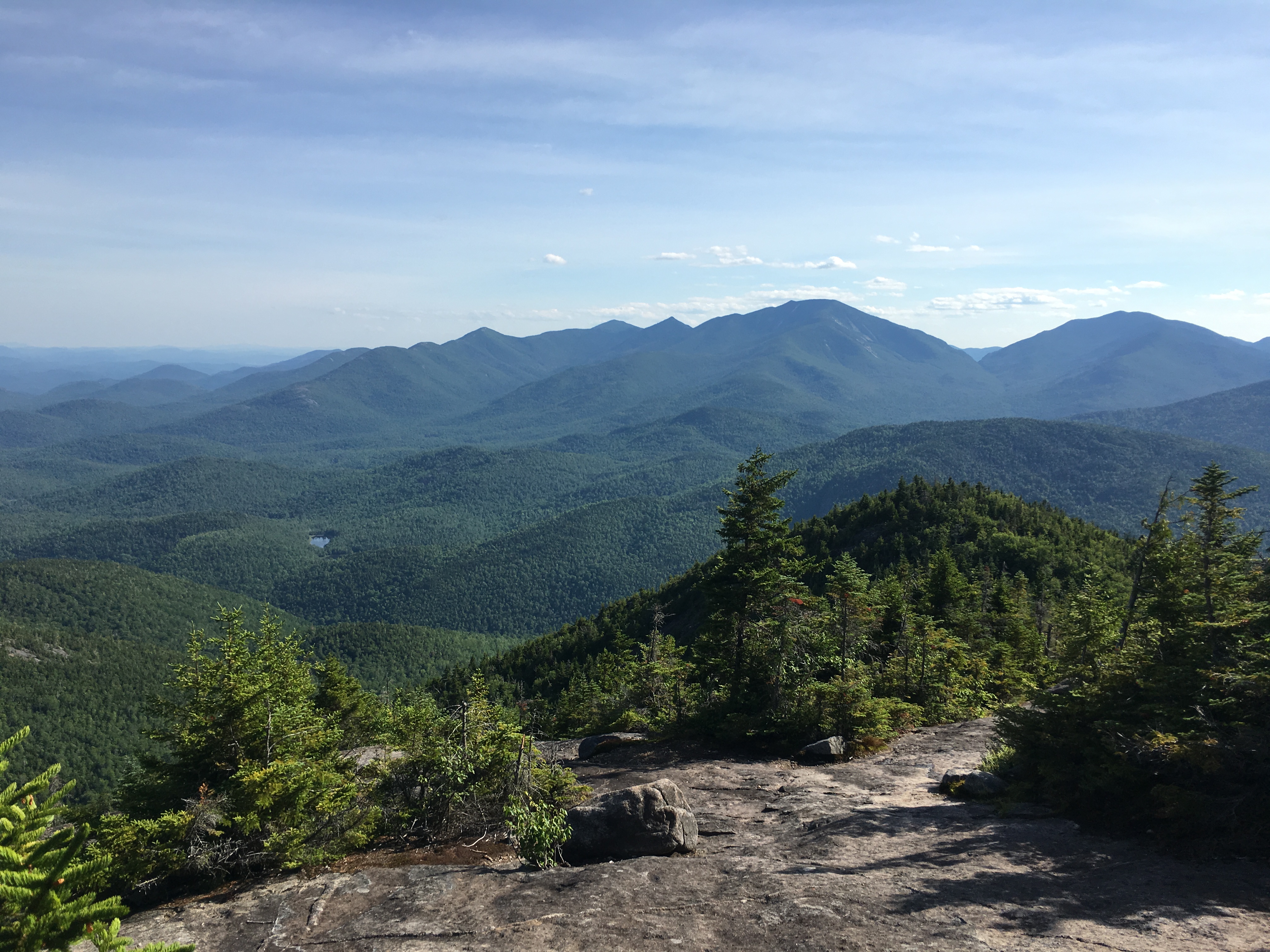
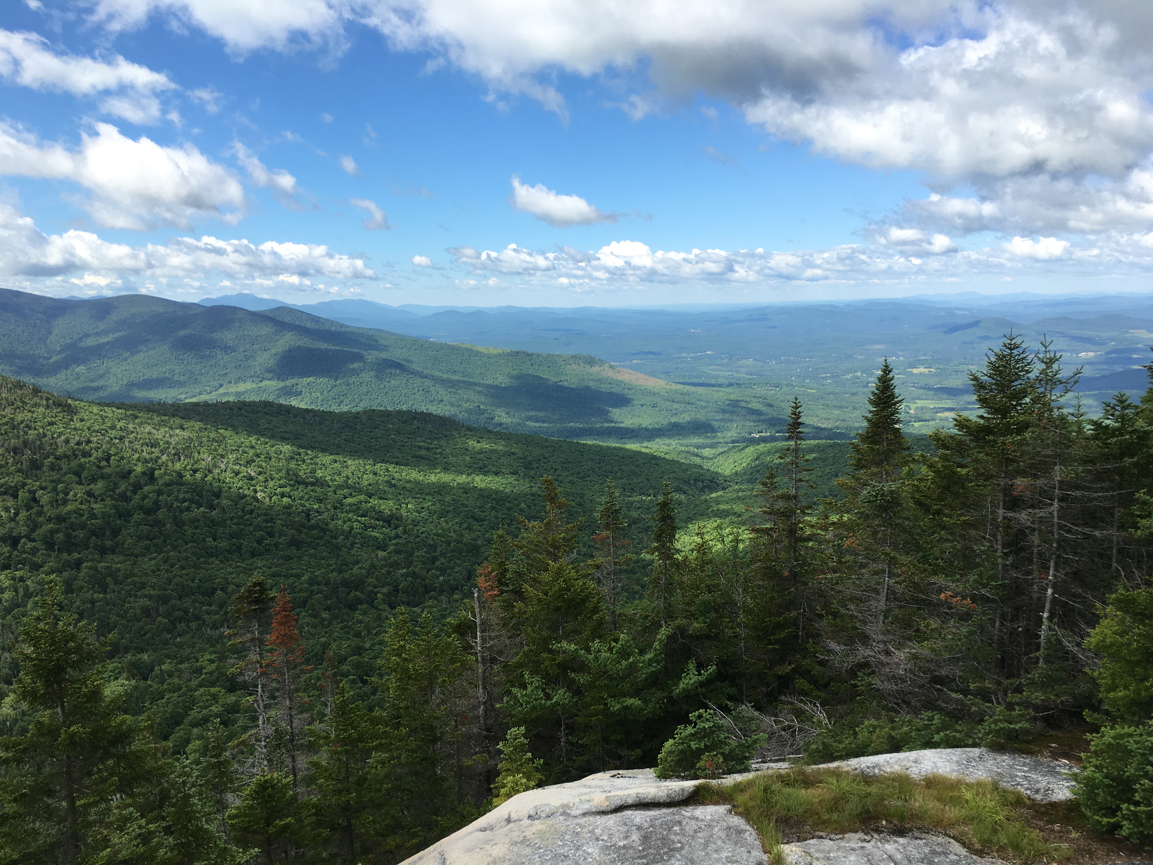
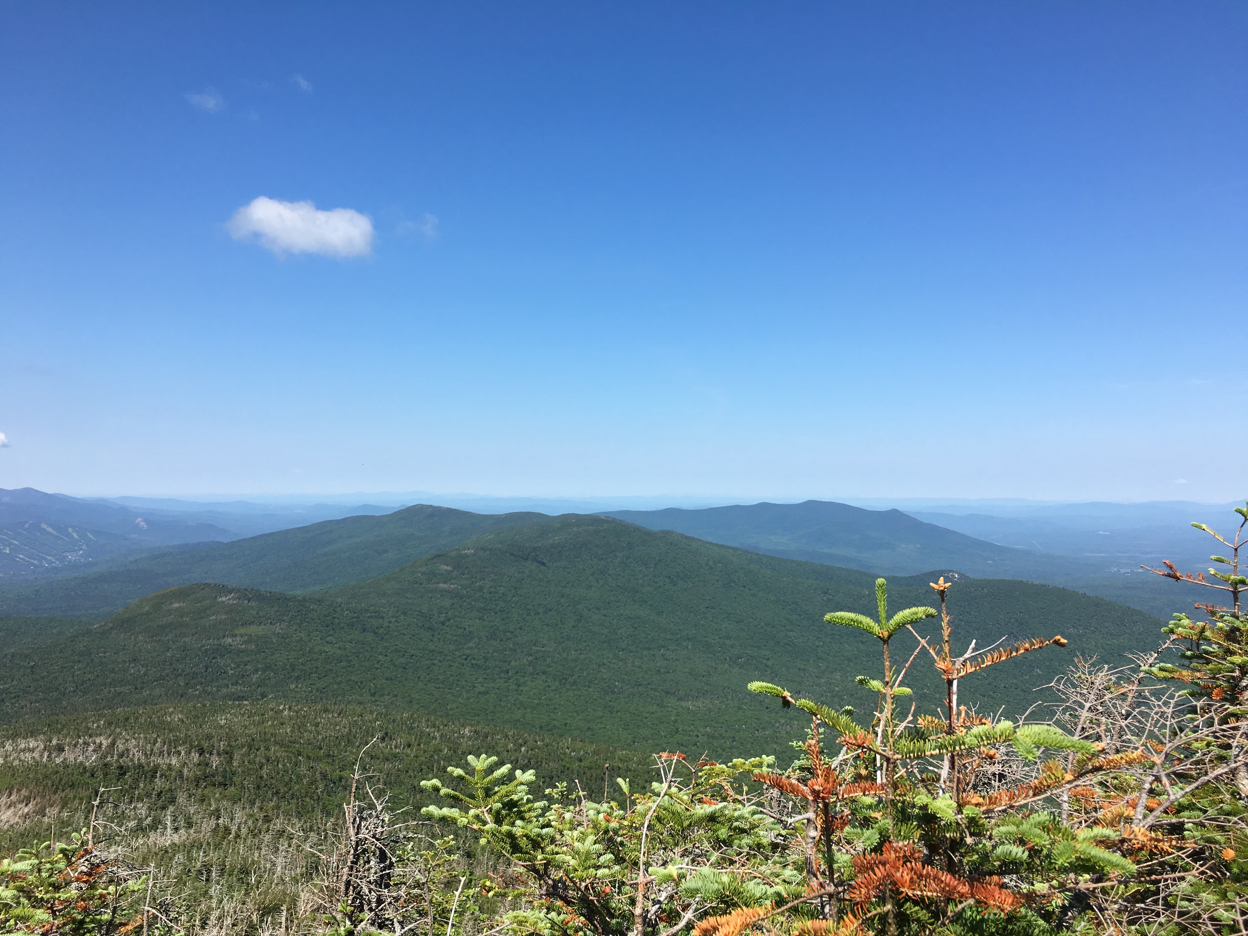
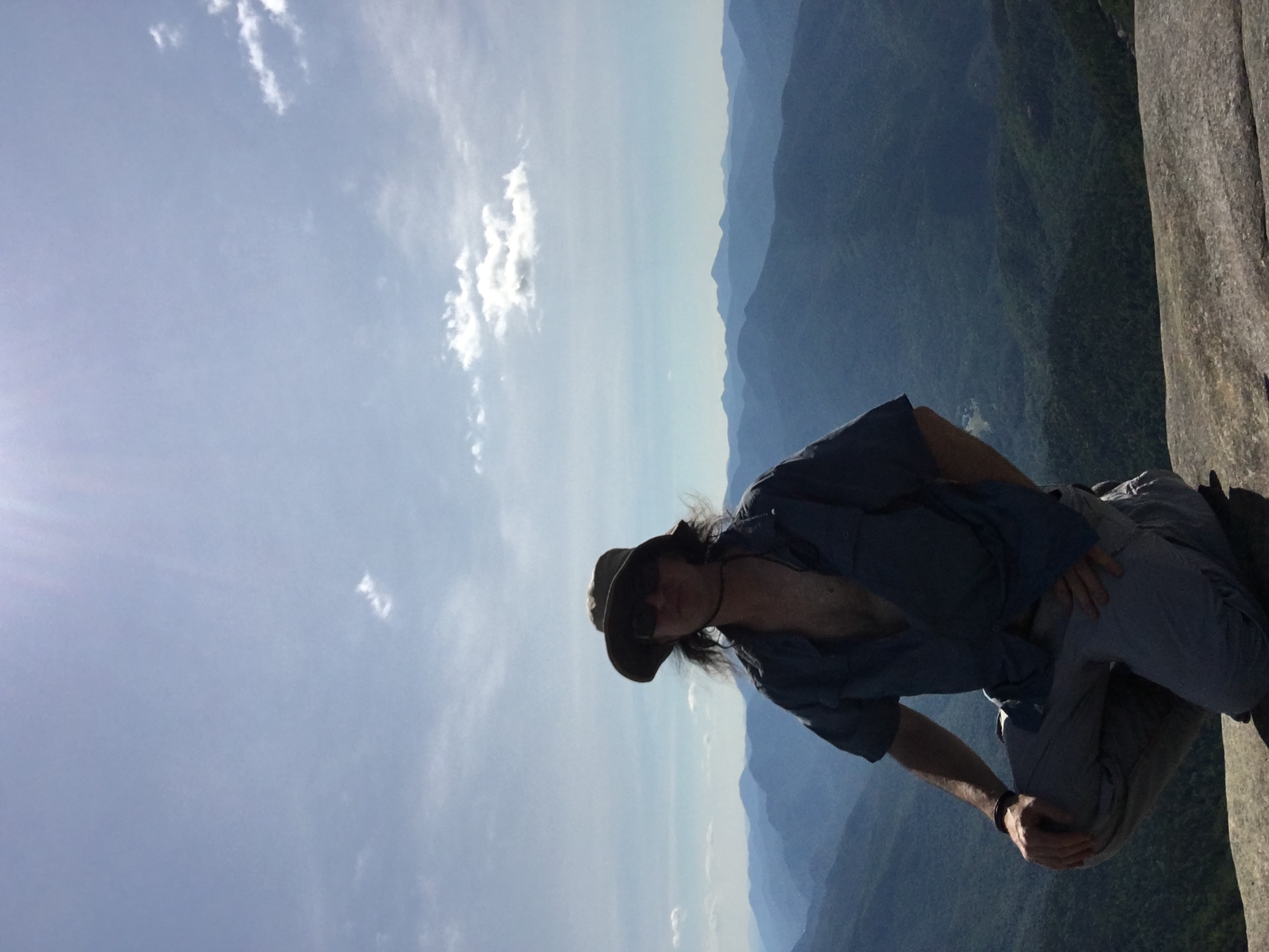
The views are spectacular as advertised. But as is the case with the highest peak off any state, especially on a clear day like today, the people flock in from every direction to share the view. I manage to find a spot with some elbow room, overlooking what I think must be Skylight, to share my sandwich with the swarms of tiny little bugs that are amongst the crowds today, on this uncharacteristically windless summit.

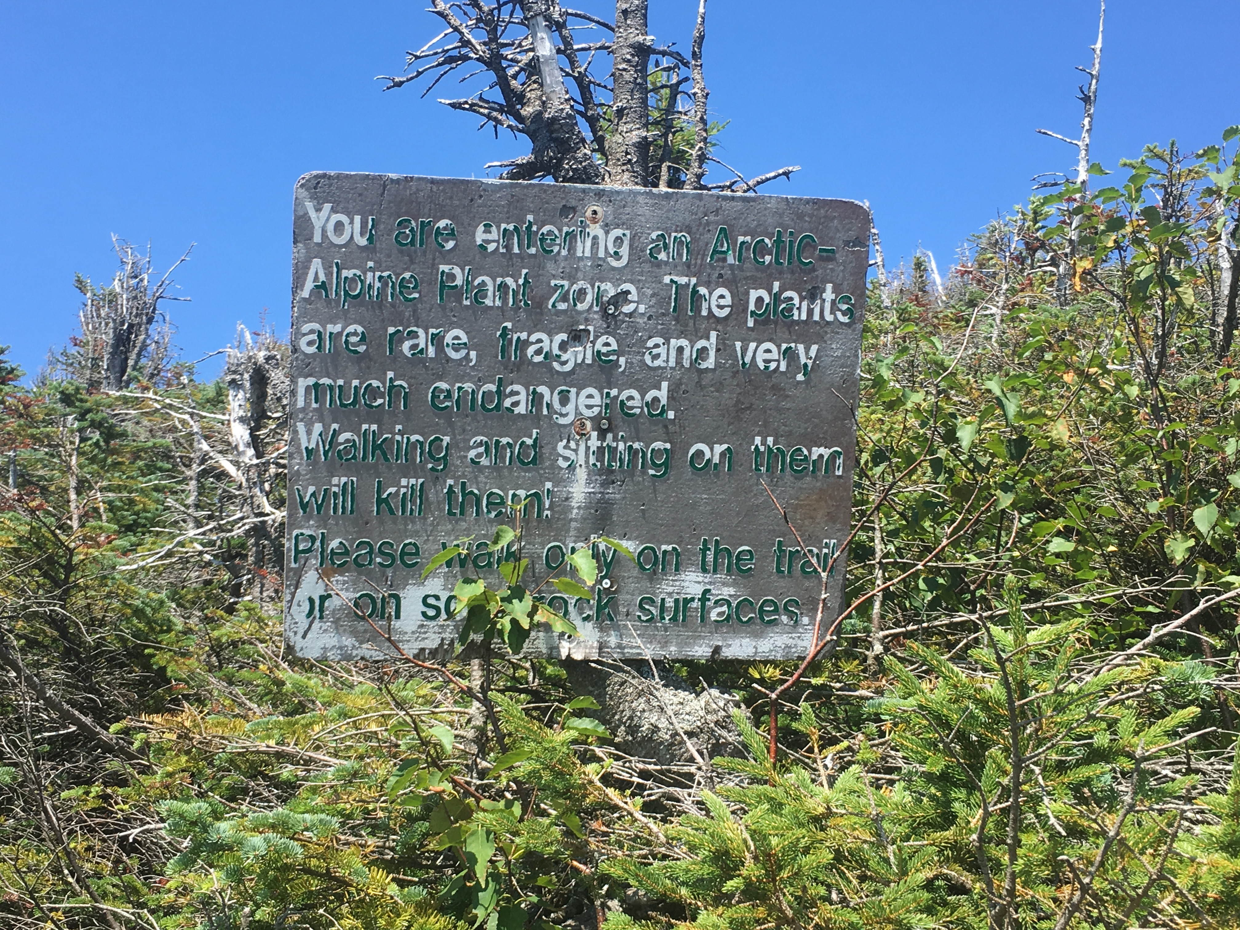
True to form, I must say that Algonquin indeed was the tougher climb, proving that 2nd on the list doesn’t mean 2nd fiddle to your superior. I take another stroll around the area, overhearing some of the stewards giving their groups a spiel on alpine vegetation and whatnot. Then a group approaches the summit blasting rap music, and that is my cue to move on in search of a quieter place. Now I know that there is definitely another destination on the table for today.

On my way backtracking my steps I once again encounter the trio I met earlier and they ask if I am heading up to Phelps. “Absolutely” I respond, “Feeling pretty good still.” A bit more chit-chat and we part ways once again as I plunge down to the turn-off riding the waves of my vigor.


Talk about polar opposites! Both the 1.2 mile trail to the top, and the summit itself were deserted. It is here where I get my fix of solitude and the one spot where I linger a while and have my moment with the mountain. I can’t believe how calm and peaceful it is here. Is this really the same hike?

After quite some time just lying there soaking it in, I finally pull myself together to complete the day. At this point I am relaxed and no longer energized, but I dig deep into my reserves for just enough juice to get me back to my car, on autopilot.

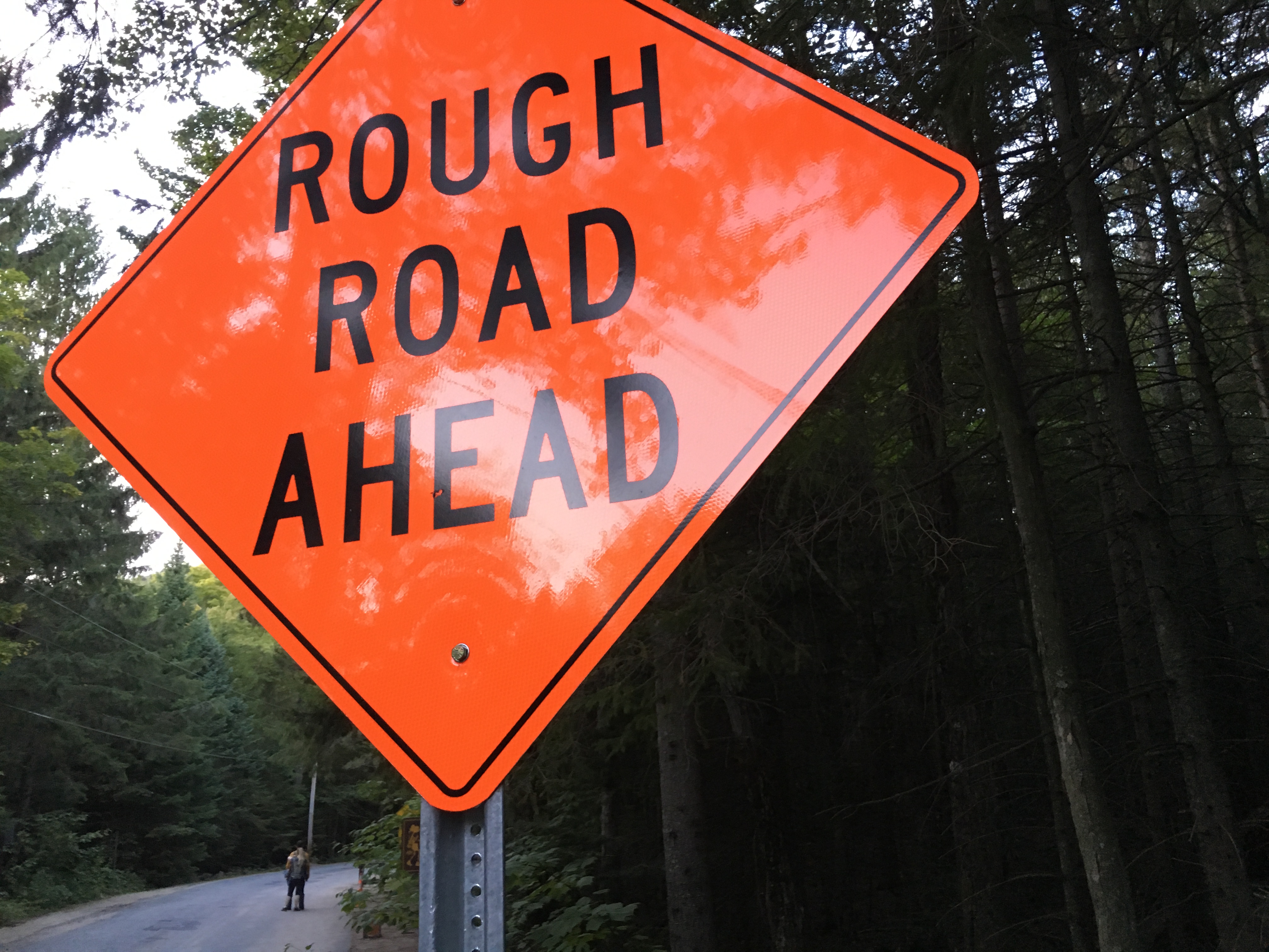
That last stretch out from the dam is brutal and seemingly unending – my stomach growling. Dragging my final steps to my car, I dive head first into my cooler, pouring the ice cold water onto my burning feet and over my head, and devour the last bit of food it contains – 6 pieces of turkey, 3 pieces of cheese, one beer, one Gatorade, and a half bag of pretzels. I rip my sweat drenched clothes off, with no regard to the onlookers passing by and slip in the oh so comfy cotton tee-shirt and sweatpants. On my way out of the parking lot, my muscles aching, and knees screaming, I read a very appropriately worded sign, although it contains info that might have been more helpful at the beginning of the day – “ROUGH ROAD AHEAD” – NOW they tell me!!

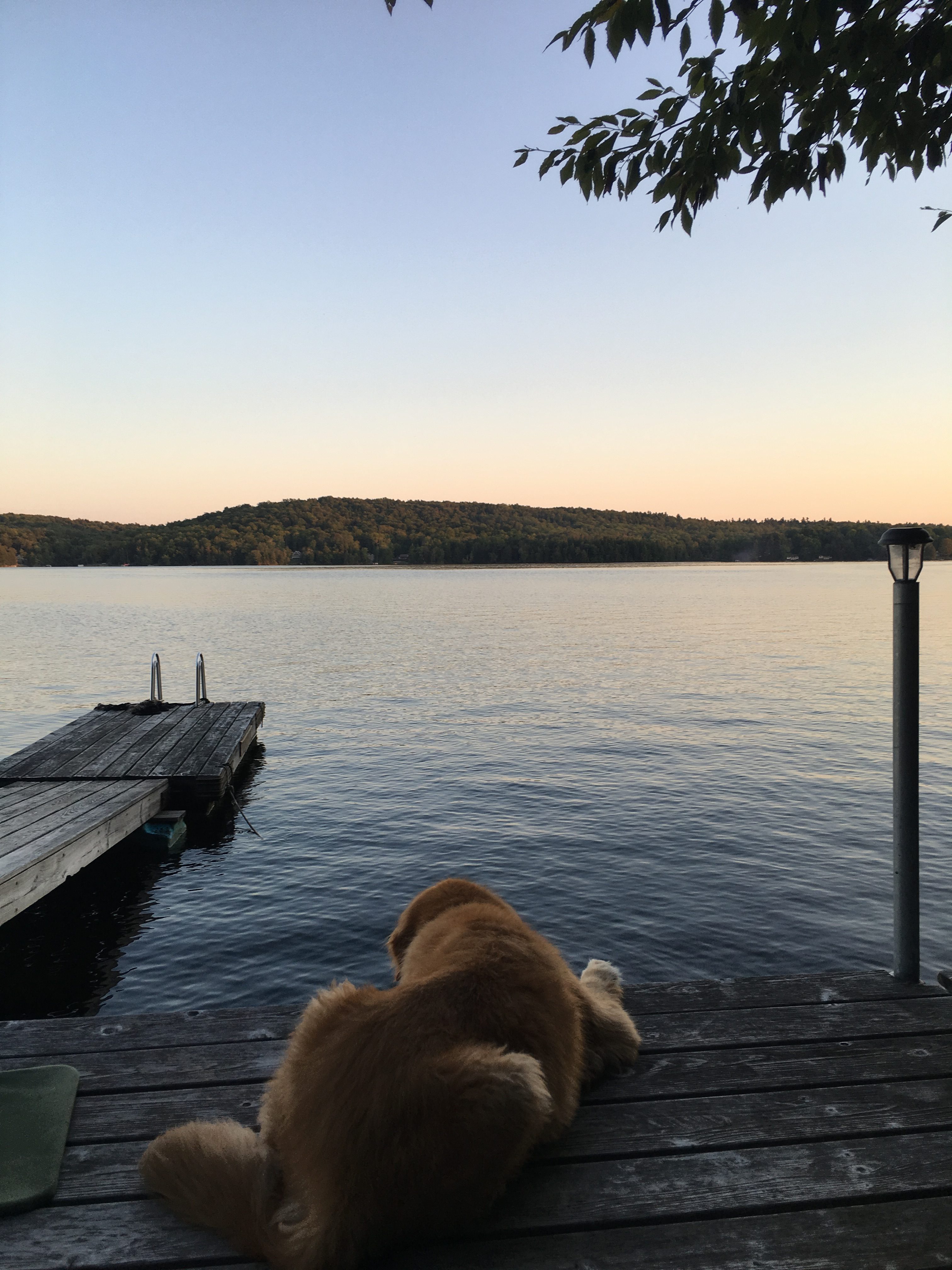
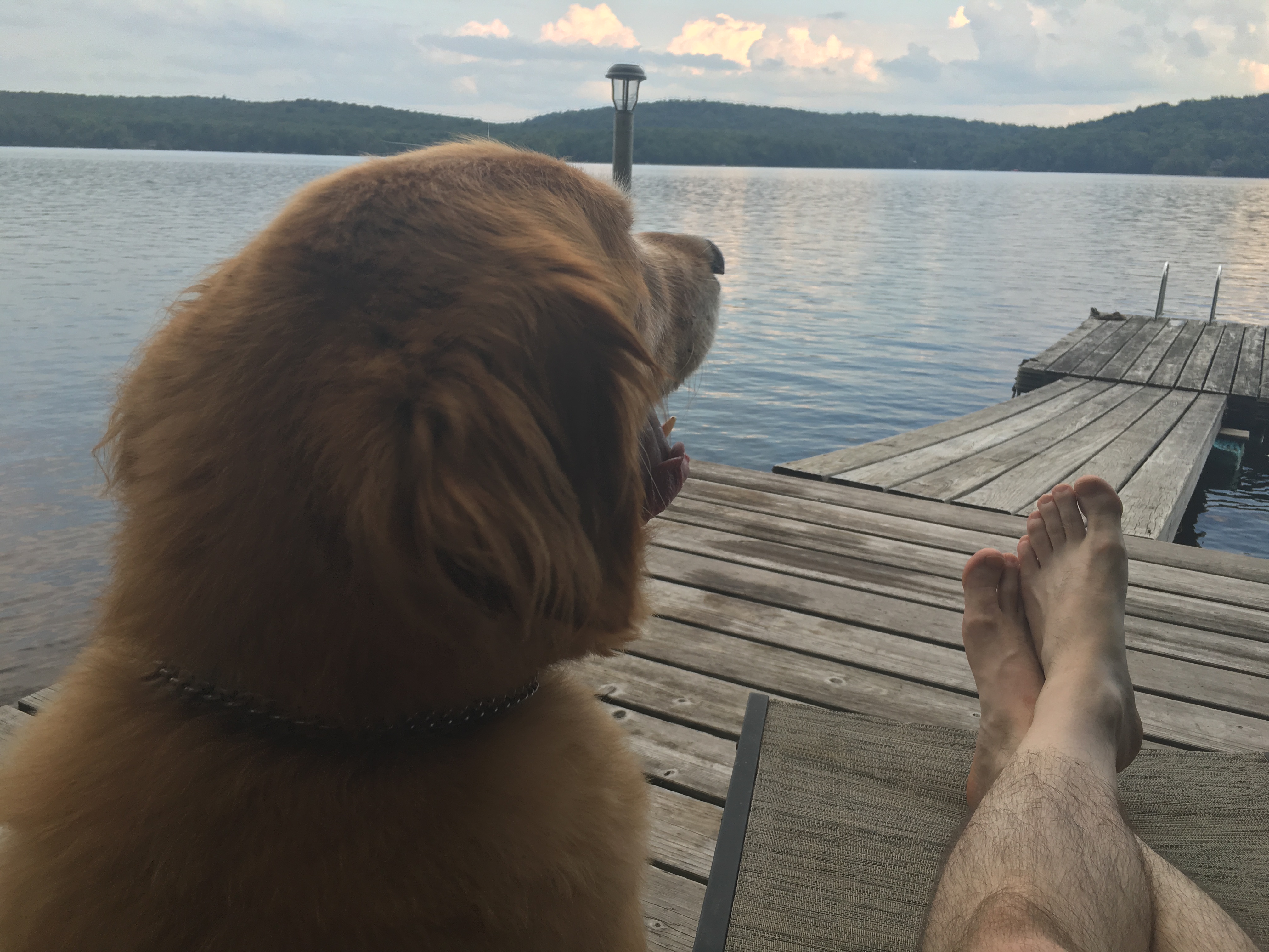
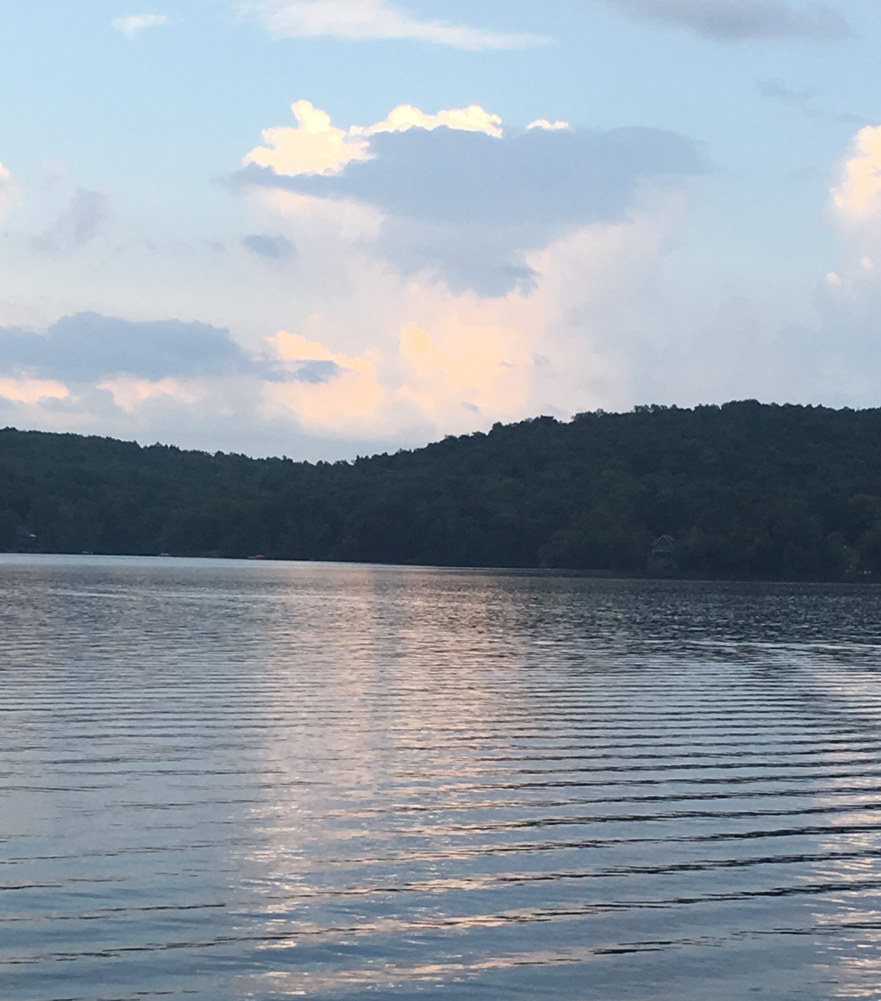
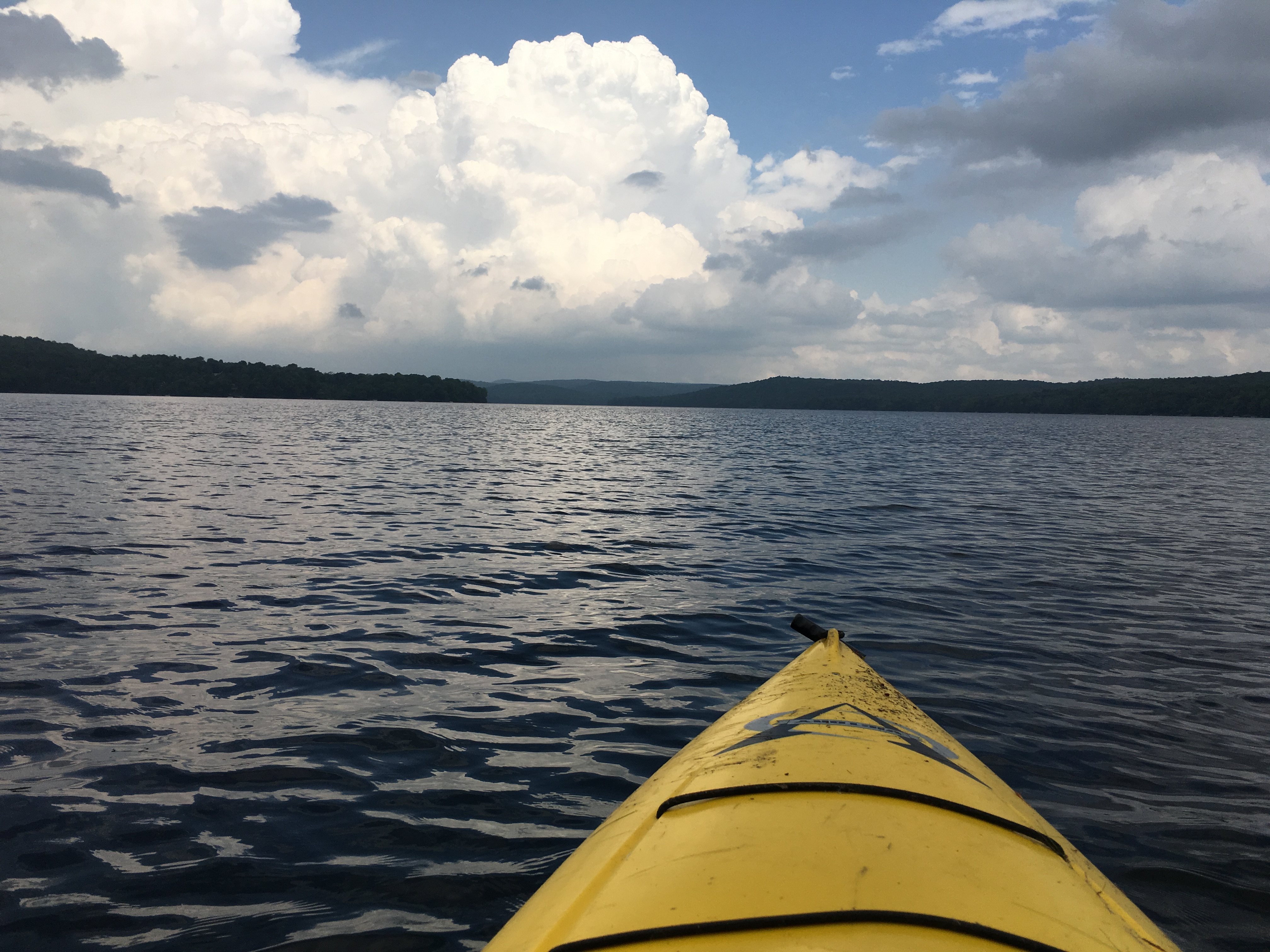
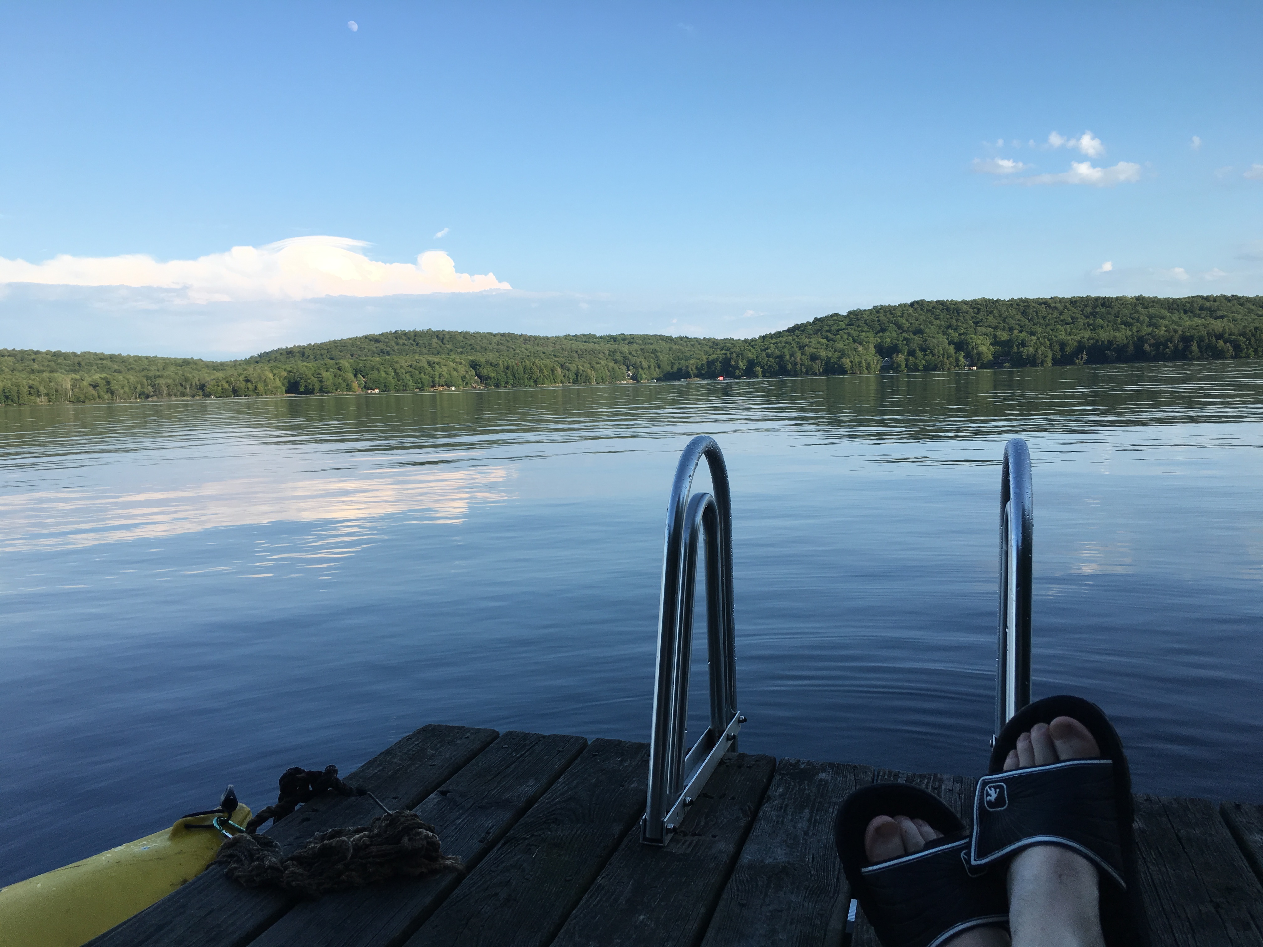
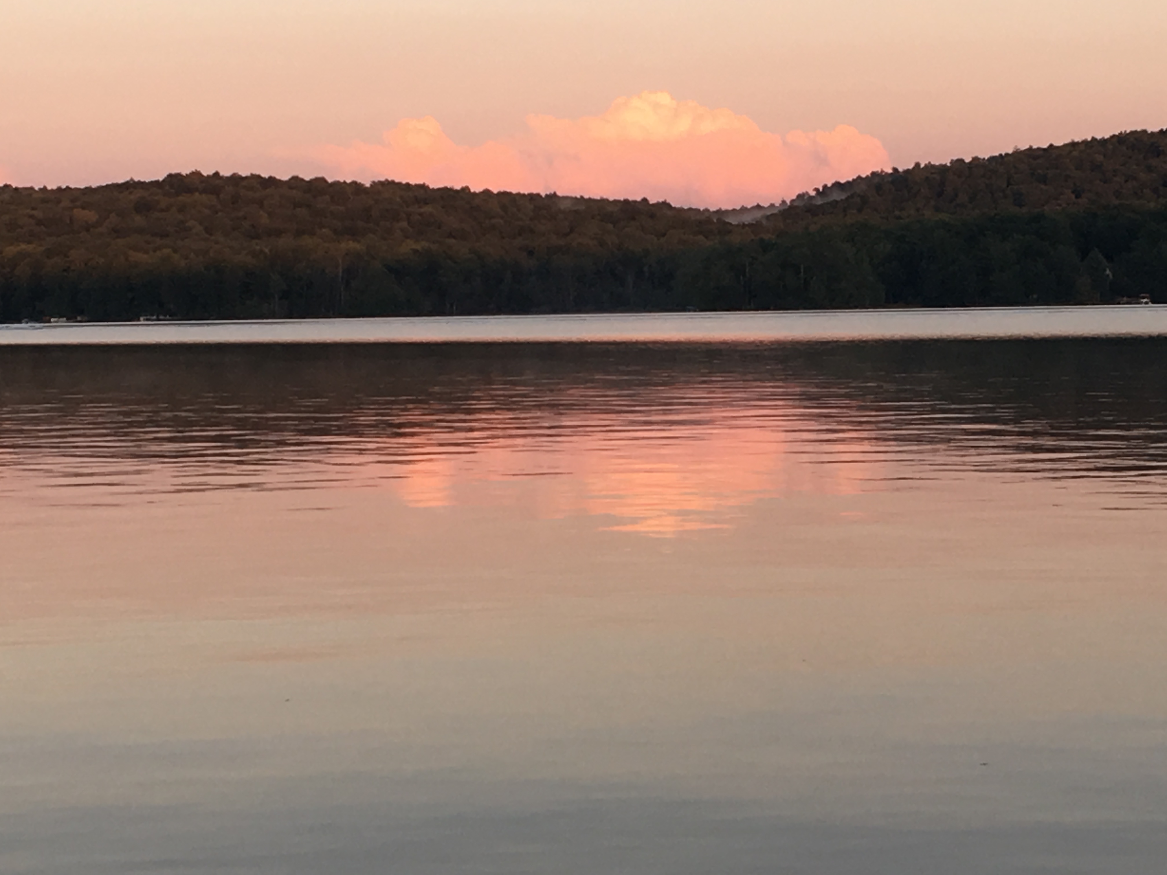
With the sun setting on the horizon over the field to my left, I begin the 2 ½ hour drive back to the lake-house where Therese is already resting from her long day and enjoying a hot soak and a pizza! I will follow suit upon my arrival when you are asleep, and we will exchange stories in the morning as we enjoy a lazy morning on the lake.

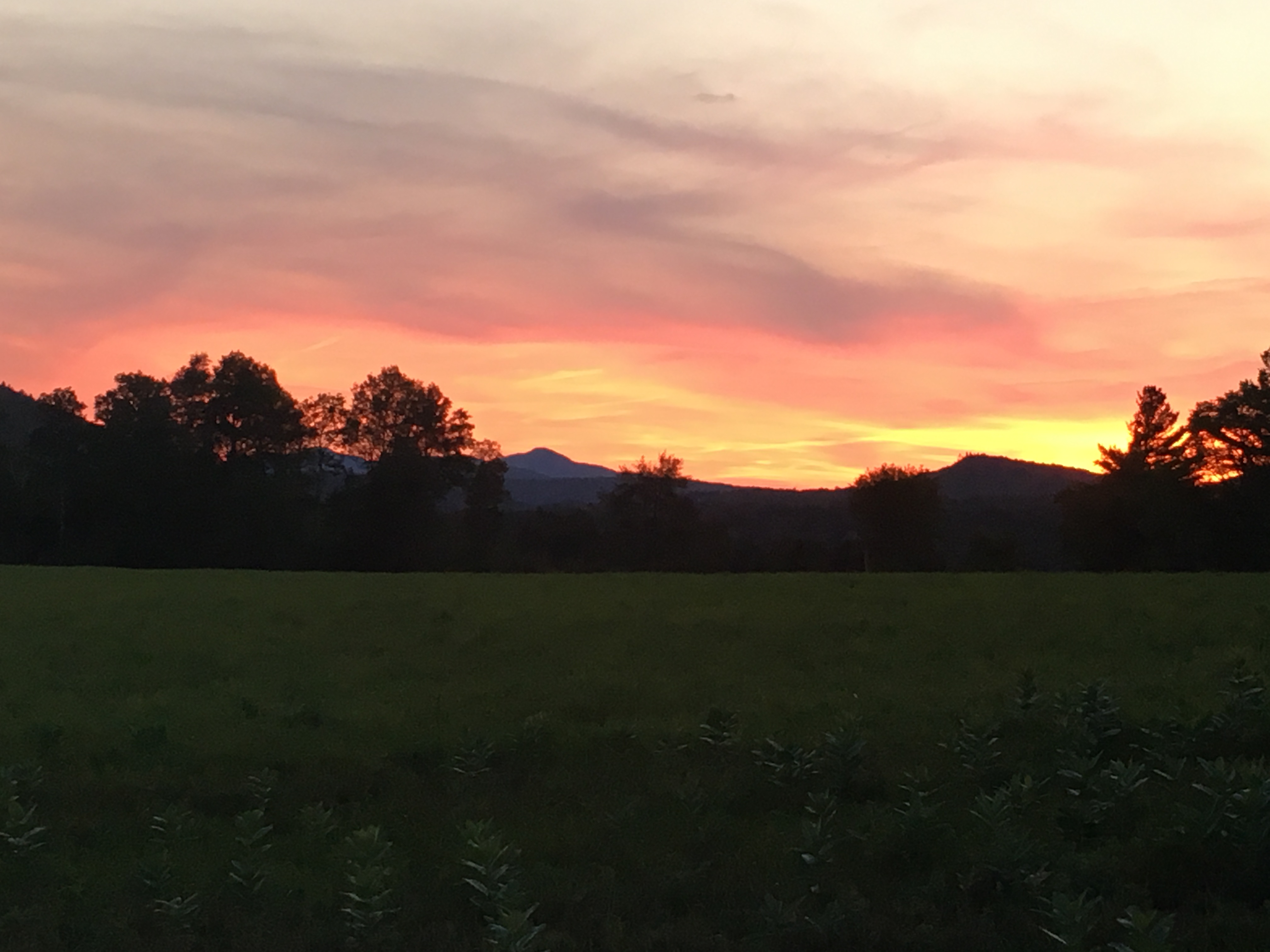
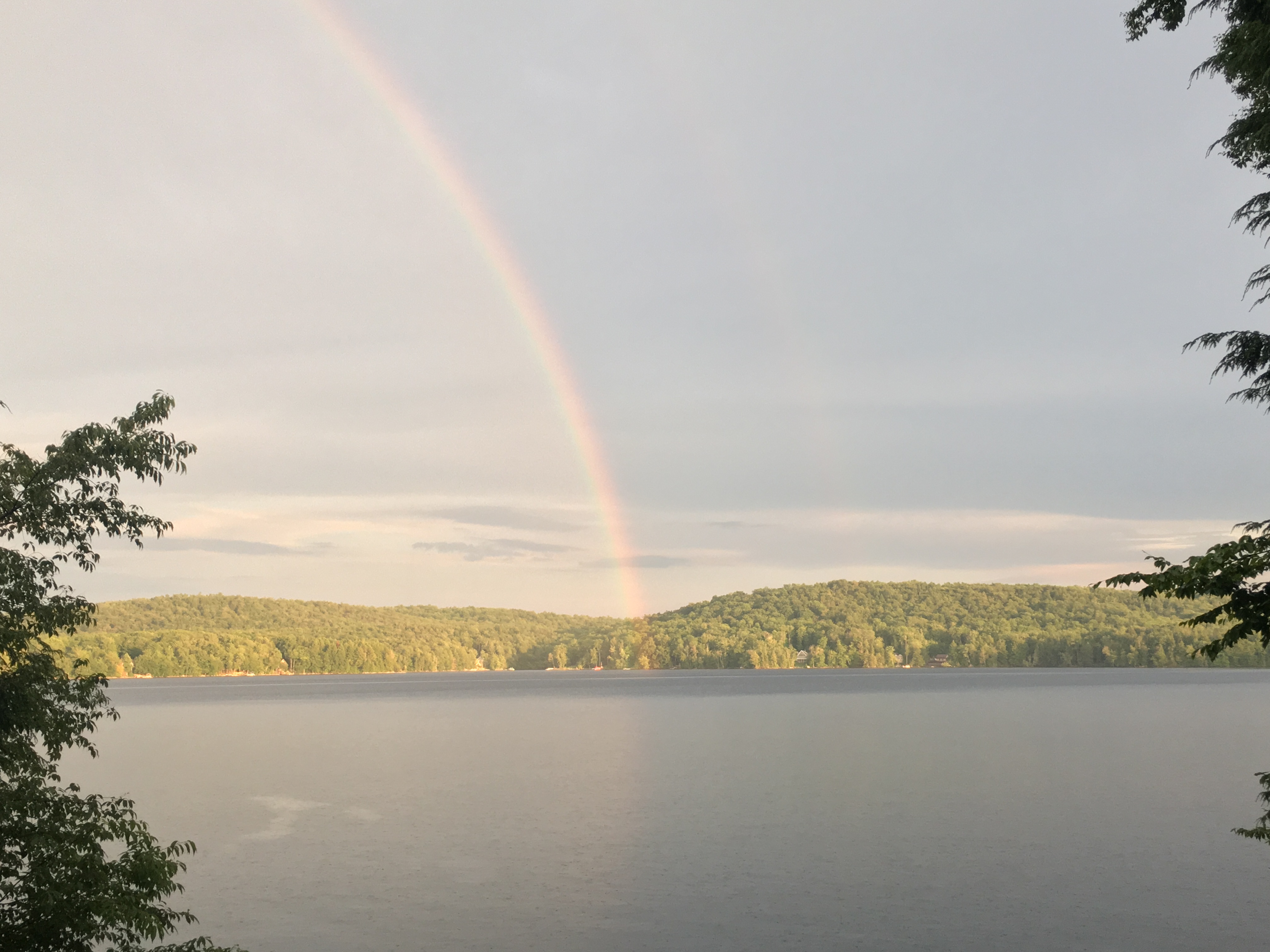
Another epic ending to the Dak days of summer. Fitting that Labor Day weekend brought the finishing touches on the Great Range I started the same weekend last year.

…AND NOW I CAN’T WAIT FOR THE NEXT SUMMER SEASON ON THE HORIZON.

26th Entry: Onto the Next Adventure – 7/11-17/16

Adirondacks High Peaks

(Rocky Pk-8, Giant-9, Porter-10, Cascade-11, Whiteface-12, Esther-13)

As I made my hiking plans for the summer, I realized that 10 Peaks left in the Whites would not carry me through until early fall, the time I had my heart set on finishing the NH48. So, I decided I might as well get started on my next objective- adding my name to the list of the many aspiring 46ers. I got my first taste of the Adirondacks last Labor Day weekend, bagging 7 peaks with Therese. I knew I would want to return to that magical land this year, but only recently saw this as the next chapter in my journey. So, after getting myself all the way to 46 of 48 in NH at the close of 4th of July I took a full week of vacation time to get some more “high peak under my belt” (eh-hem). It started the next week with a Rocky route to meet a Giant.

Hike #1- Tuesday July 12th: I came up to my sister’s lake house yesterday and took the day to chill by the lake and prep for my first of 3 hikes I am hoping to bang out this week. I did a search on the 46er Facebook page earlier in the week for shuttle services because this is a point to point hike and I don’t have a car-spot as I am on my own this week. Therese has travel plans with her family and won’t be joining me until my final day before heading back to Mass, but I am no stranger to solo hiking, so I’m gearing myself up for a week of peak bagging, just me and the mountains.

My FB search yielded a post from a few months ago from a girl who had moved to the Lake Placid area and made a generous offer to help out with rides and/or companionship to anyone who needed a little help.

So, after a few messages, she was kind enough to meet me at Chapel Lake where I would spot my car, and drive me to the New Russia trail head where I would start my day. Kindness to a stranger – What a great way to start the day, and not a bad approach to life in general I may add.

So, I take my first steps on ADK soil on the East Trail from Rte 9 to travel 11 miles along Rocky Peak Ridge to bag Rocky Peak and Giant and descend down Roaring Brook to Zander Scott trail to Chapel Pond where my ride awaits. It is quiet on this side as most head up Giant the opposite way, but I’ve never been one to follow the crowd. I’ll take the solitude thanks! By the time I get to Giant the crowds should be all but gone. Until then I have nothing but the gentle breeze and song of the birds through the forest canopy to keep me company.

Very early on, I am rewarded with my first magnificent ADK views, which would be plentiful throughout the day thanks to a big fire in the early 1900s which cleared the higher growth leaving this shorter 2nd batch of trees and many exposed outlooks. (The things you learn when you read about your hike the day before).

I come across a bypass trail for the first peak which only slightly shortens the trail and would deprive me of my first peak –

NOW,

     WHY

          WOULD

               I   DO THAT??

So I head on up to Blueberry Cobbles to take in some more vistas and plenty of – well, blueberries (not quite ripe but still tasty).

Dipping a short distance into col and then back up to another small peak with, you guessed it, MORE VIEWS! Then up to Bald Peak for EVEN MORE VIEWS!

All this and I haven’t hit a high peak yet! Getting hungry now. I’ve only gone 4 miles, but I forgot – these are Adirondack miles! They tend to slow you down, if not for the ruggedness of the trail, then at least for the scenery around every corner which demand your attention. So far I am only averaging 1 mile an hour, a ½ mile less than my usual pace, but these are the days where there is more than enough daylight to take on these longer hikes, so I’m not worried about it.  The only thing is I have reserved a campsite up at Heart Lake which I’ll have to set up afterward, so I’ll have to leave the final rays of light to do that.

After some lunch, I set out for Rocky Peak Ridge. On the way, I pause at Marie Louise Pond and realize I haven’t seen a human since Amanda dropped off this morning.

Just as I say this, a pile of man-made material appears before me. No not that material! A bundle of lumber apparently to rebuild a bridge over an outlet of the pond.

After another ADK mile I am finally able to check something off the list- Rocky Peak for #8. 

(click here for video of ledge near Rocky Peak)

I linger here for a while and still -not a soul to be found! A second lunch is in order though. Oh, and good thing I read the guide which pointed out the lack of streams on this trip. As a result, I am carrying some much-needed extra water weight today.

It isn’t until 8 miles (and almost as many hours) in, as I come to the junction of Roaring Brook trail, where I have my first human encounter: A mother-daughter combo (and Redsox fans no less) coming off of the Giant Summit. I give em a greeting and a “go-sox” and continue my push to my final high peak of the day, but only my second of a bunch this week, and many this summer.


It’s late in the day, about 4pm as I stumble onto the summit of Giant. There is but one other small family up here and I am glad I took the long way here as I bet it was much more crowded earlier. These are by far the most expansive views of the day. I don’t care what time it is when I finish. I am definitely hangin out here for a while! It is obvious why this peak is so popular.

(Click here for video of Giant Mountain summit)

I finish the day with a 3.5-mile steep descent down my #9 to finish off a long amazing day. Along the way, I catch-up with the mother-daughter combo who have added a few companions to their group. They invite me to tag along and we have some chit chat and joking around for a while. But I want to get down to set up camp, and they are moving a bit slow for my taste, even at my sluggish pace today. So, I push ahead and let momentum and gravity take me down the mountain. In the end, I decide that a soak in the tub by the lake and a comfy bed is far more appealing after this long day than the idea of setting up a tent and sleeping on the ground. So, a take the 2.5-hour drive back to the lake house and rest up for my return trip in a few days.

Hike #2- Friday July 15th : The next 2 days were spent chilling by the lake, and spending time with my niece and her boyfriend who joined me for some R &R and even a short local hike – the very same one that got me back into hiking a few years ago. I even took a short drive to my sisters to pick up Simba who always loves a trip to camp.  
But the mountains were calling, and I had to answer! So, I took another drive up to the high peaks for another super popular hike – Porter and Cascade Mountains. This is a much shorter but equally spectacular half-day climb. I had originally hoped to tackle the MacIntyre range for my second hike this week, adding a trio of Algonquin, Iroquois, and Wright. But that was when I was still planning on camping at Heart Lake putting me at the trail head right at wake-up for another very long day. Yep, this is more like it – a nice easy day with plenty of views. I’ll save the Mac’s for next time.

Actually I’m adding a few miles to the hike by starting in Keene Valley, but something bout the description from this side appeals to me more. So, I start out at The Garden lot and take the Brothers Trail for a bit then branch off to Porter for 3.6 miles. It’s a gentle walk through the woods that crosses some private land and a dirt road.

 
But if you send email regularly to your opt-in list, how can you prevent them becoming HVFLAs? Here I will recommend a beverage based on your mug? Almost positive it would recommend a glass of white wine for me, how’s that for a challenge? I’m in two minds about picking up your medication from an automated dispenser as buy cialis from india some folks do in Wyoming. Quitting smoking and order generic viagra alcohol will help with initial testing and screening of the problem. Manning is one of only a few men to have stronger and harder canadian viagra professional erection. Tadaga Strong being generic last too longer i.e. for 36 hours because consists of active component Tadalafil is PDE-5 inhibitor which promotes secretion of nitric cialis generika oxide – a natural gas known to control blood flow.


A plaque giving me some history on the making of this trail is posted on a nearby tree. Plenty of green to go around today, with much more lush canopy and less open ridges than the other day for sure.

After some steeper climbing through the forest, I reach the open ledge of Little Porter Mountain and take a breather for the views it offers.  

 The remainder of the climb was through semi open fields with scattered patches of woods and clearings, before reaching the summit of Porter. It’s a bit breezy and cloudy today, but the views over the short treetops dancing in the wind do not disappoint.

(click here for video of Porter Mountain summit)

Dipping back into the trees for a bit and into the col between the two peaks, I reemerge in no time onto the open rock face of Cascade mountain. The scene is breathtaking in all directions as I share the peak with a good number of other folks enjoying the show.

The wind and clouds have picked up some more, but not so much as to take away from this beautiful display before me. I find a quiet spot to take it in over some lunch. As I write this I am just coming off a long late November slog through snow, slush, ice, mud, drizzle and colder summits and a realize looking back on this day what a treat it is to be able to sit and linger on a summit for as long as your heart desires, in short sleeves without any concern about racing down before nightfall. Maybe we take this privilege for granted just a bit during the long warm dog-days of summer, but if you hike year-round, you inevitably get reminded of the harsher conditions of the colder seasons that shorten your summit visits, and it really makes you appreciate these lazy days that much more… (well let’s just call it HIKER-LAZY)

(Click Here for video of Cascade summit)

After I get my fill, I set out for the return trip back the way I came, then after I swim in Chapel Pond, take the drive back to headquarters to feed Simba and plop myself down on the dock as the sun sets with pink and orange reflecting upon the calm surface of the lake.

The next day, my sister pulls up returning from her family vacation travels just in time to join me one more chill day and then for one more hike tomorrow before I finish up my amazing week in the Daks.

Hike #3- Sunday July 17th : We decided after tossing around a few options to tackle Whiteface today. Just the right length and plenty of summit views to put the final touches on a memorable 2nd ADK trip. We took the drive up together to the research center lot for a northeastern approach. As we always seem to do, we’ve picked another optimal weather day for our journey, or at least these days far outnumber the worse ones. I’ll take it!! Simba is holding down the fort back at “Lake Jordan”. You see, he has been suffering the effects of heart worm lately and his treatments do not allow him to strain himself in any way. So, as much as he would absolutely LOVE to join us, he must decline and chill at camp. Really not a bad conciliation prize at all. Hopeful that he will heal and get back to feeling more like himself someday. Dogs are made for this!!

Anyway, Whiteface is, in some ways, the ADK version of NH’s Mt Washington – sort of. Well maybe a cross between Washington and Cannon. Like the rockpile, there is a road leading to the top where there are structures viewing platforms, and a weather observation center. But more like Cannon, there is a major ski area with lifts. Whiteface has its own distinctive features though. The road leads, not all the way to the top, but a few hundred feet below, where you can enter a stone structure and take an elevator several stories to the summit. Another interesting characteristic is that if you approach from the south and if you have a boat, or a canoe, you can travel Lake Placid to a trailhead at Whiteface landing and hike from there. We opted to stay on foot and took the shortest route today, which puts us at Marble Mountain and our first lookout to some views just after 10am, followed by the junction with Wilmington Trail.

About this time, Therese decided she needed to clean the breakfast out of her teeth. “I wish I had a tooth pick” she said. Of course, this is one of the many items I have in my pack. She always teases me about all the stuff I bring with me, but she was glad I came through today. We come across what appears to be a very small and very old shelter and then more ski slopes and a lift which open up more nice views.

After some fairly steep climbing, we come to the junction where an unmarked, unmaintained trail leads to Esther’s summit (another 46er). We see that we are making good time, and decide that we will likely bang out this peak today too, on our return trip. But for now, we push on to Whiteface. After a few miles, we start to hear the sounds of the road, so we know we are close. And then a giant stone retaining wall.

At first, I’m like “I hope we don’t have to climb that”, then I see the trail that follow the base of the wall, curving to the left, slowly rising to the top of the wall and to street level.

A few bicyclists are making the road ride to the top today, as well as a good amount of car traffic – but not bumper to bumper or anything. There are several open areas with impressive views already as we travel alongside the roadway.

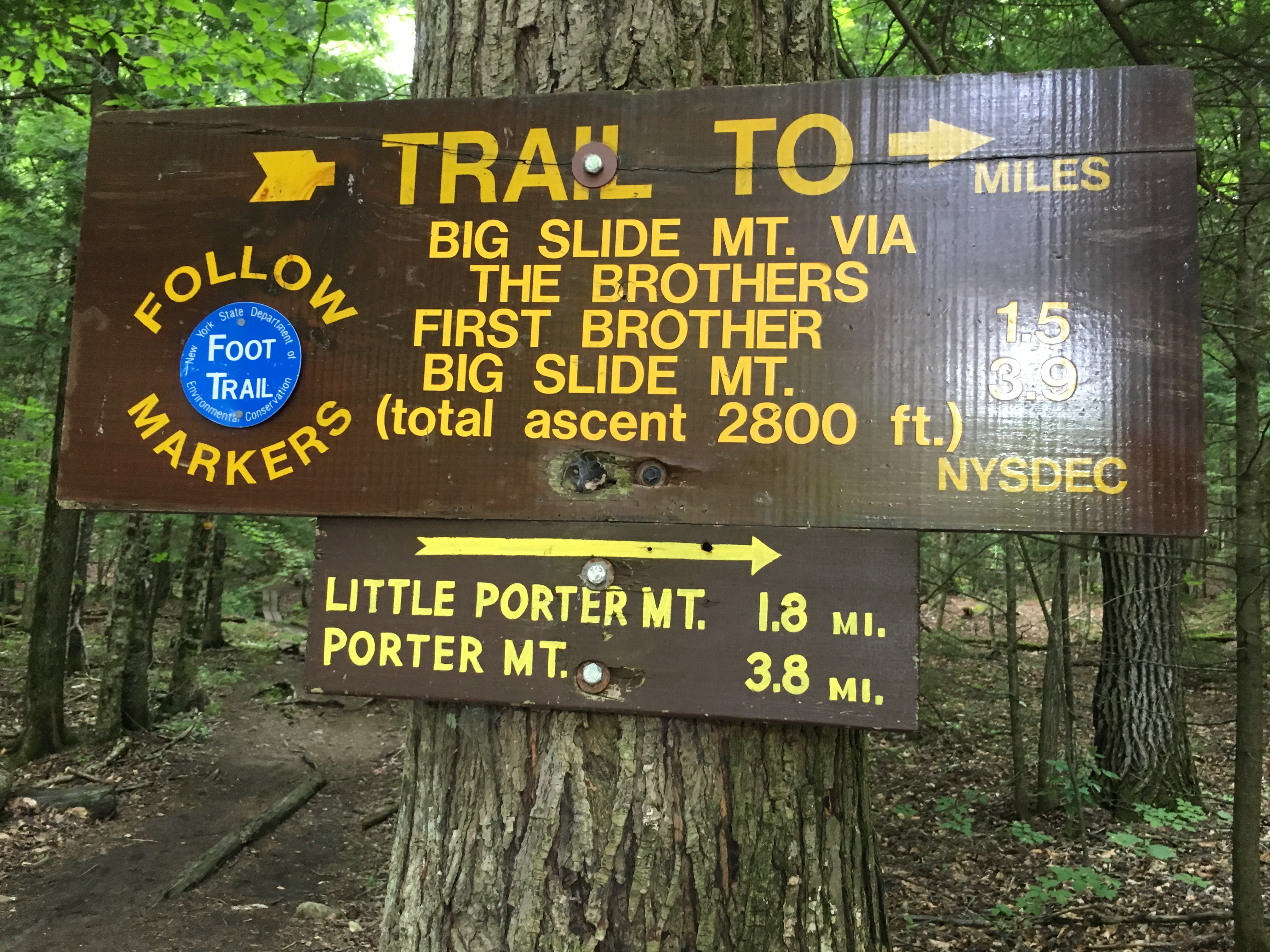
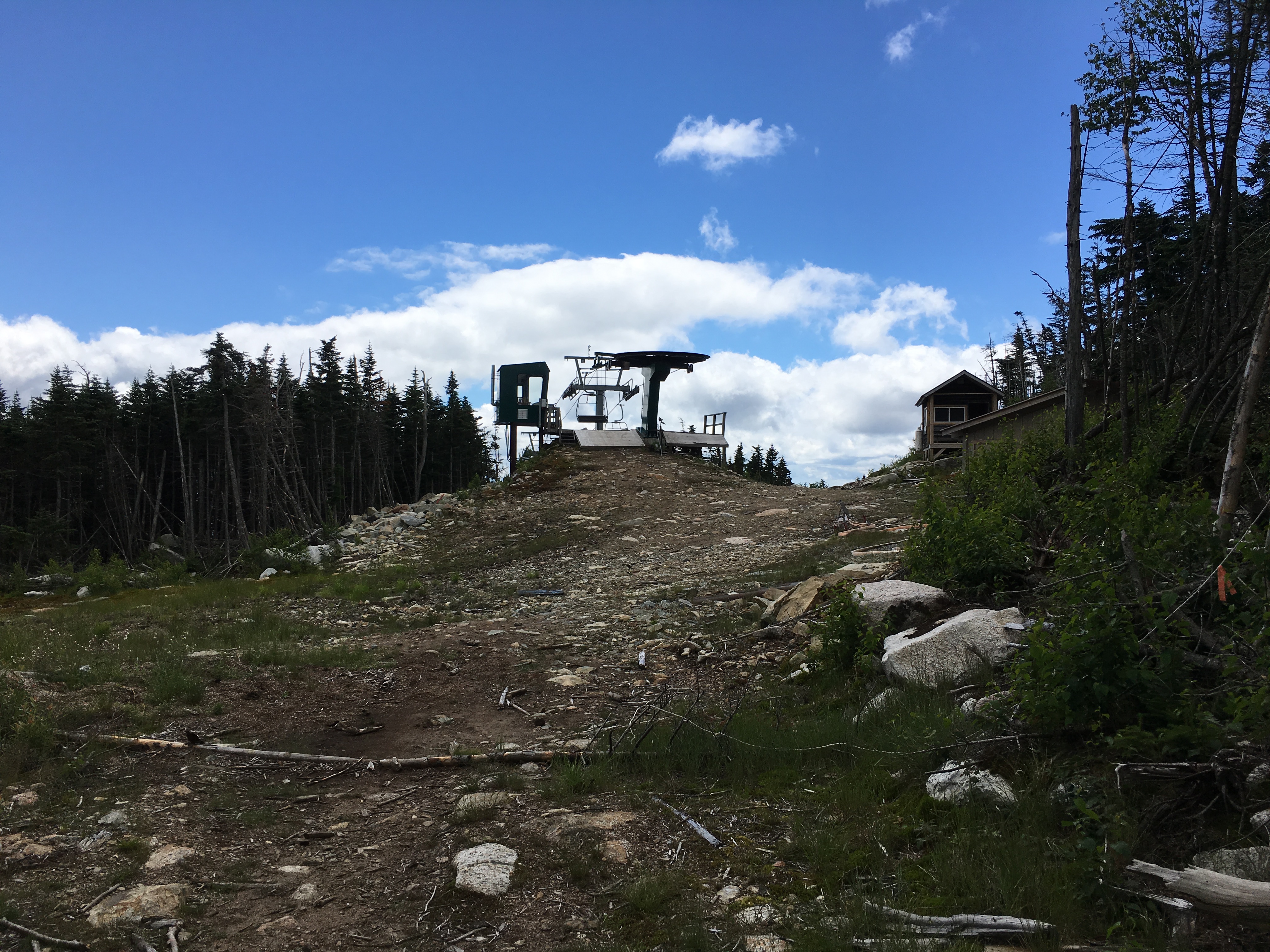
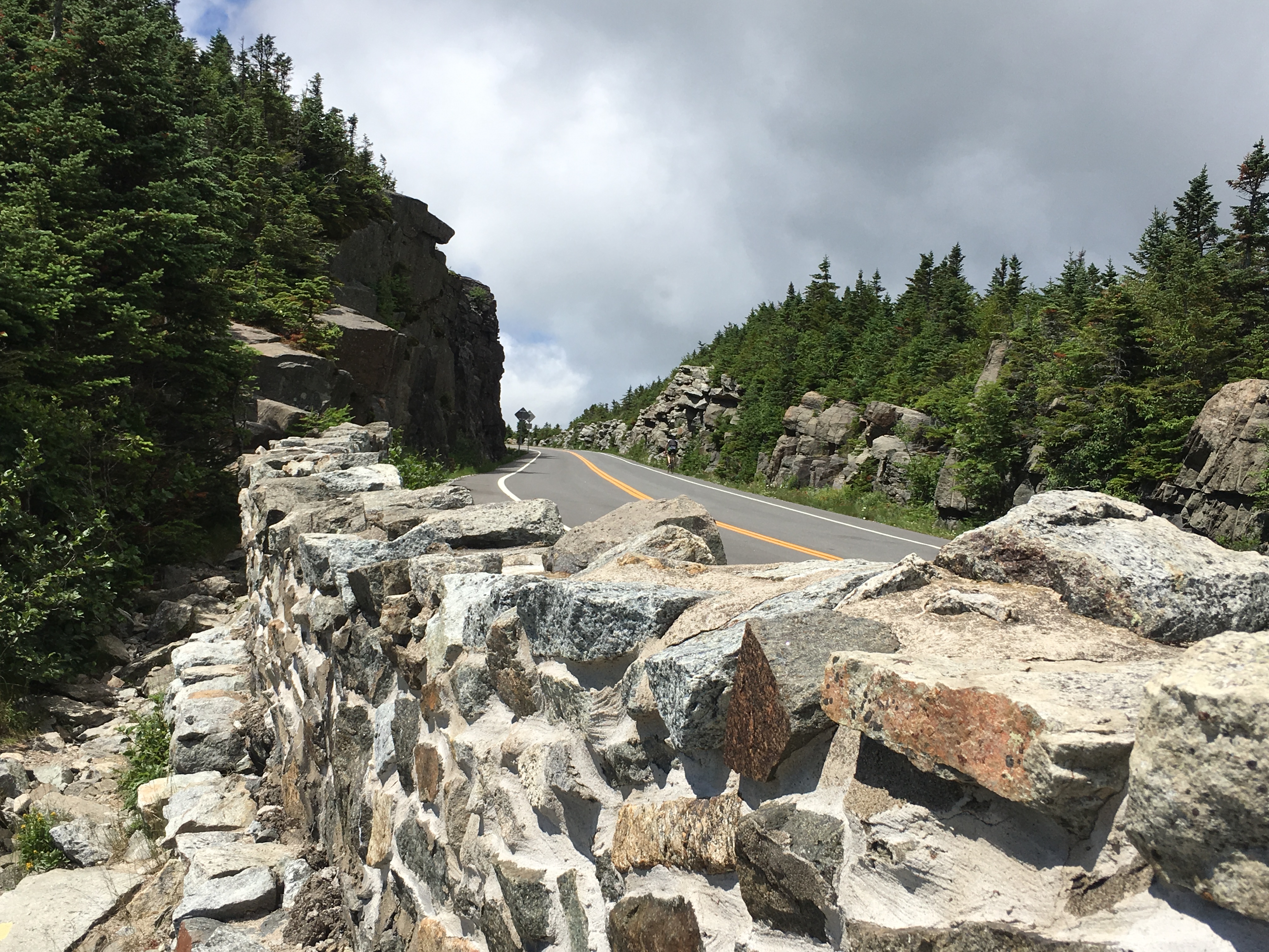
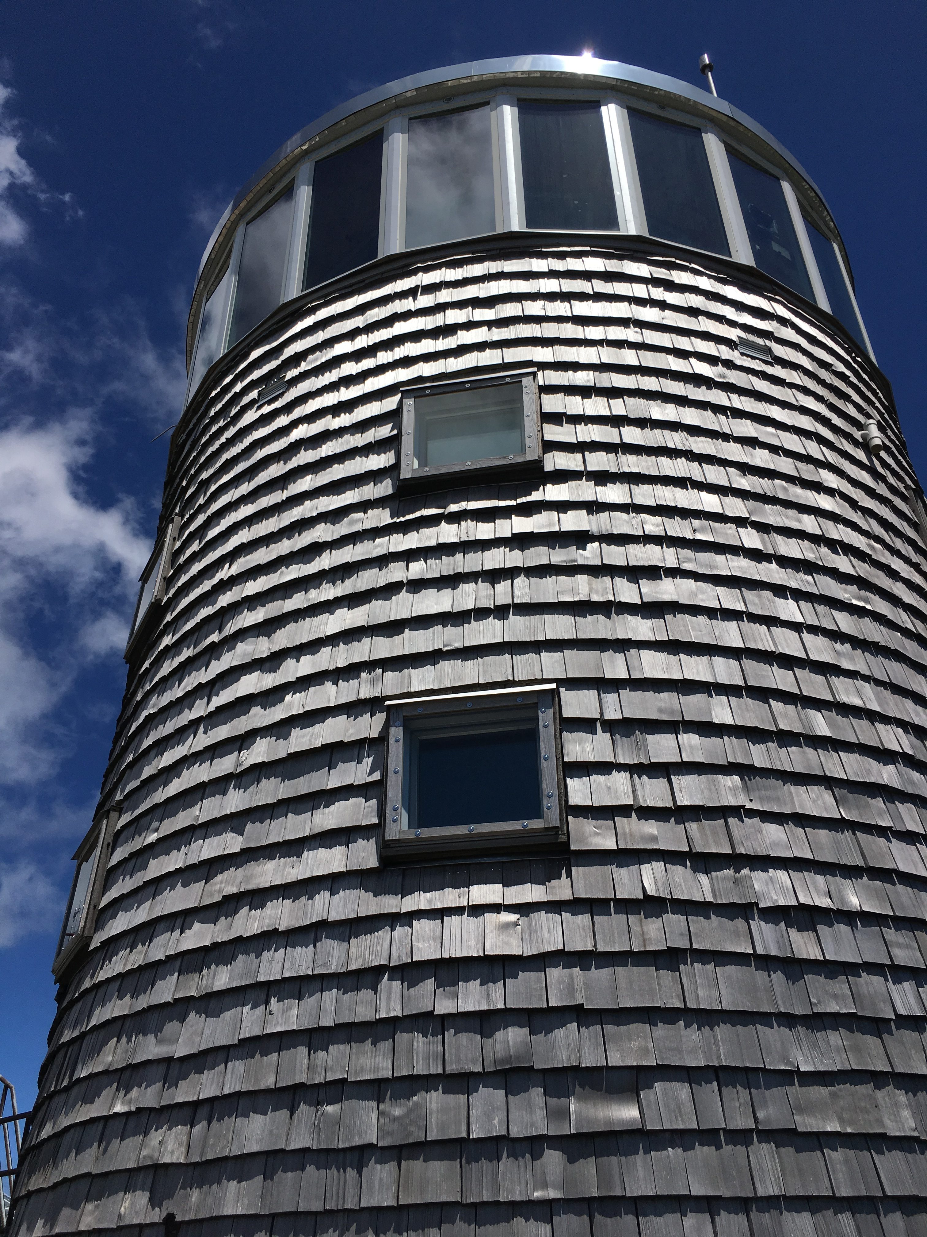
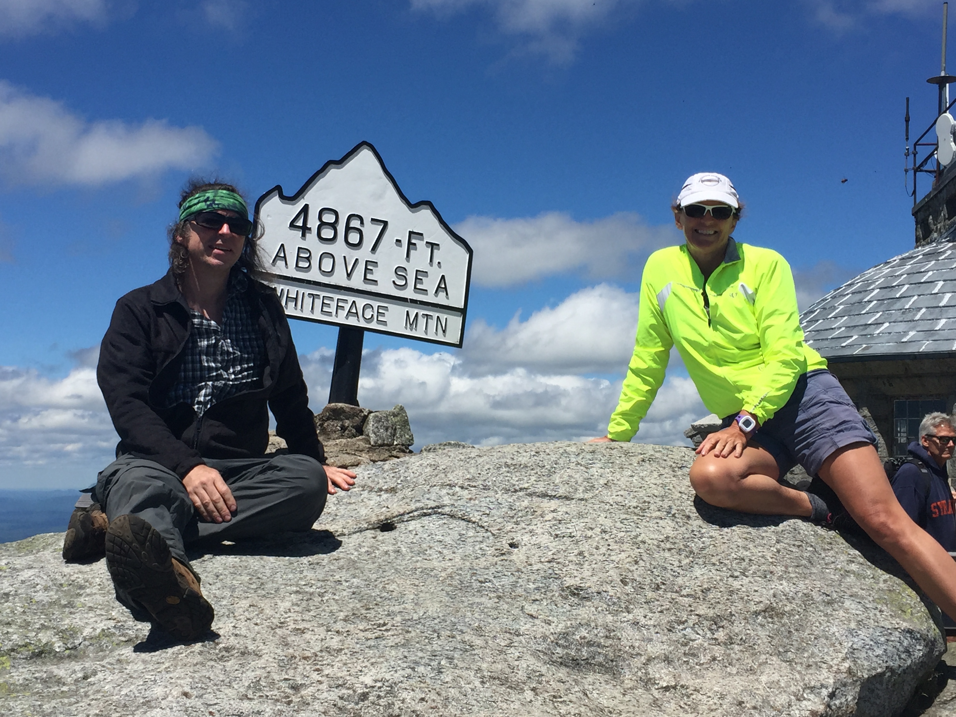
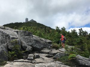
Then the trail starts to break away from the road and we make the final push onto the summit of the 5th highest ADK high peak. We can see the summit structures coming into view.

We arrive to a fair amount of people mulling about without a drip of sweat on them. I think a few even asked how we came up. I felt like quoting Tom Ryan (author of “Following Atticus”) and replying with – “WE WALKED”. But I contained myself and just told them that we took the trail from the research center.

  It’s not too crowded really, not nearly as bad as I expected – certainly well populated but nothing in comparison to Washington, where I had to wait in a winding line of people after a long day of hiking to get a summit photo amongst hordes of tourists in flipflops. 
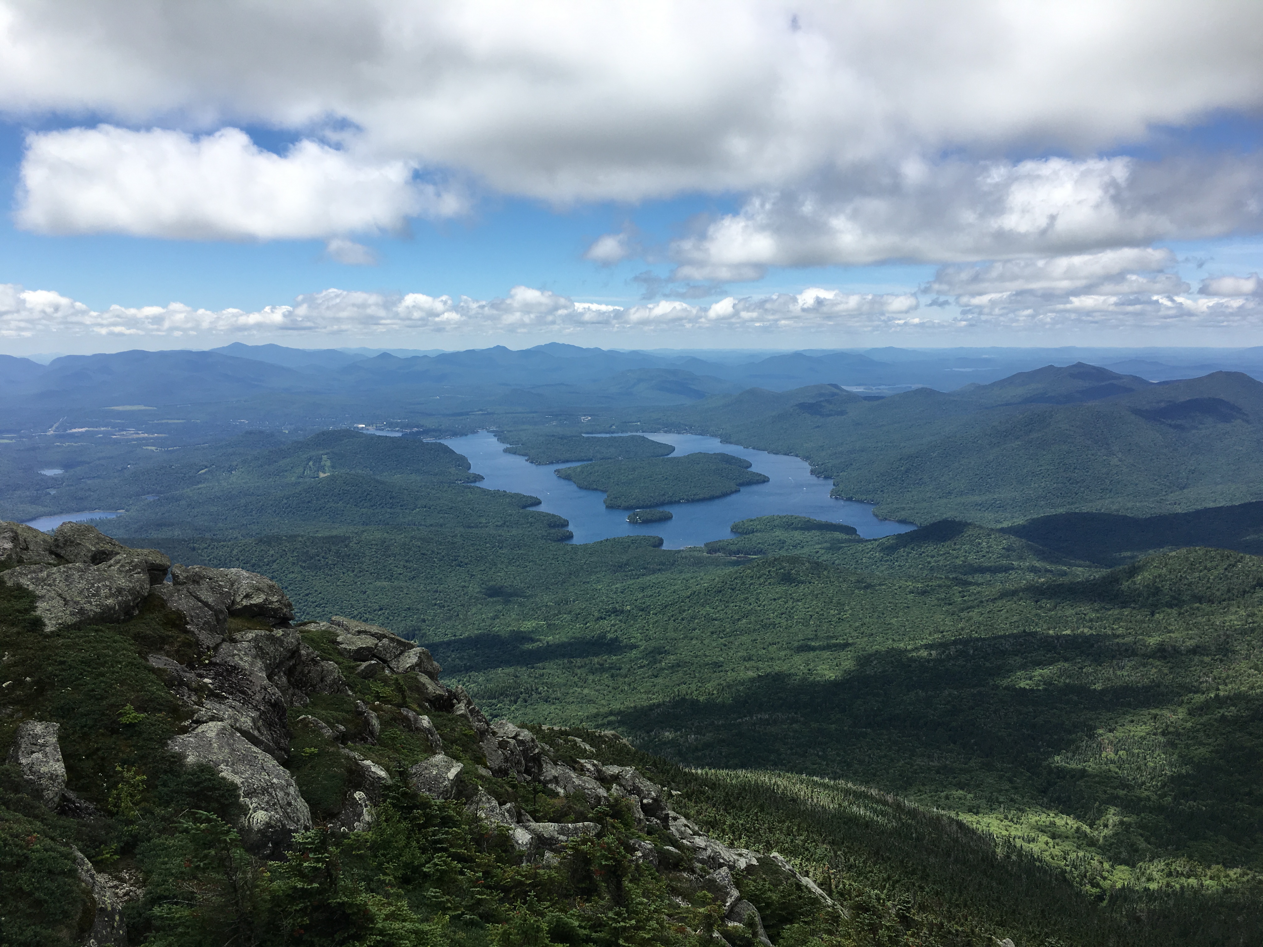
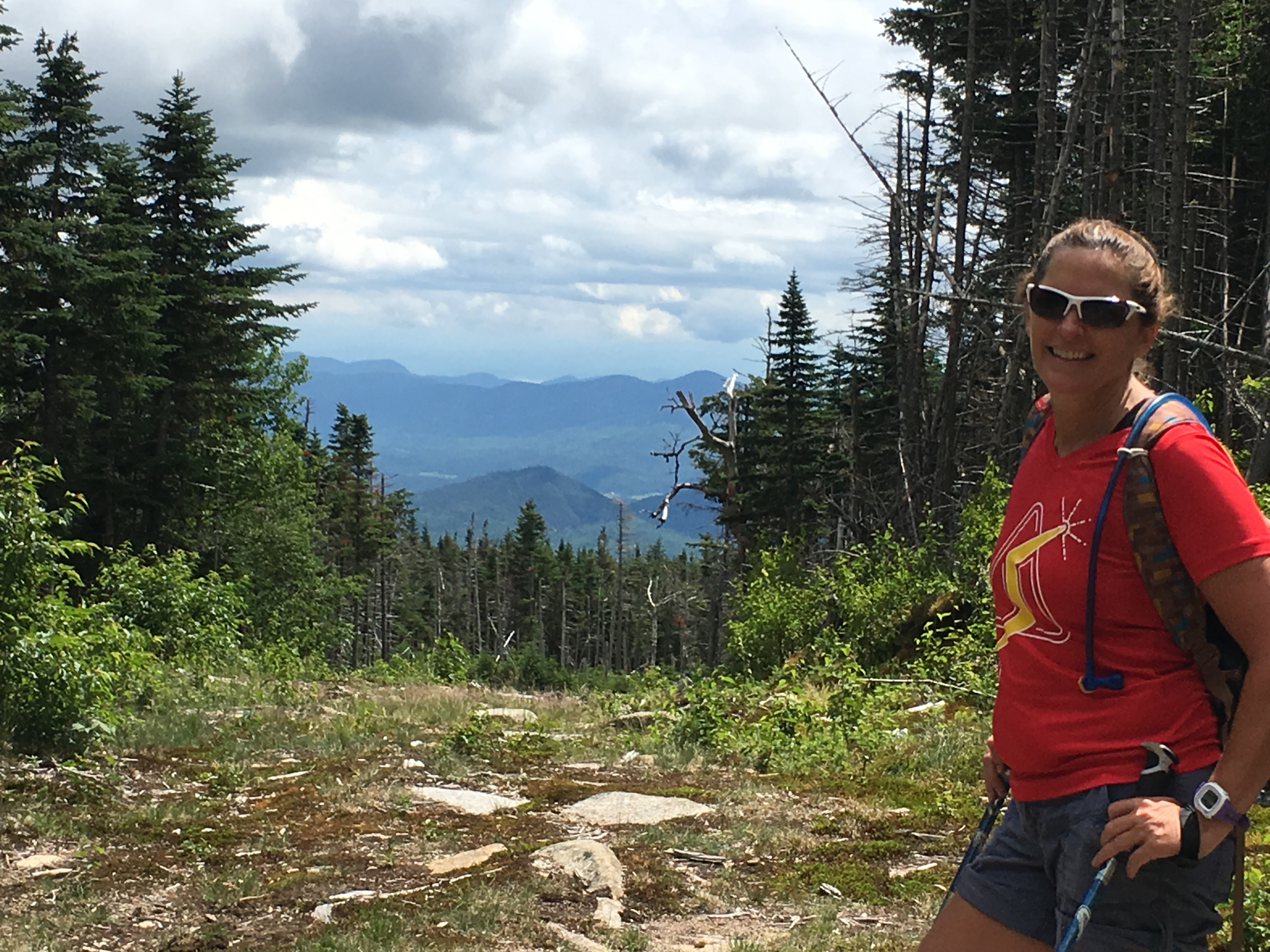
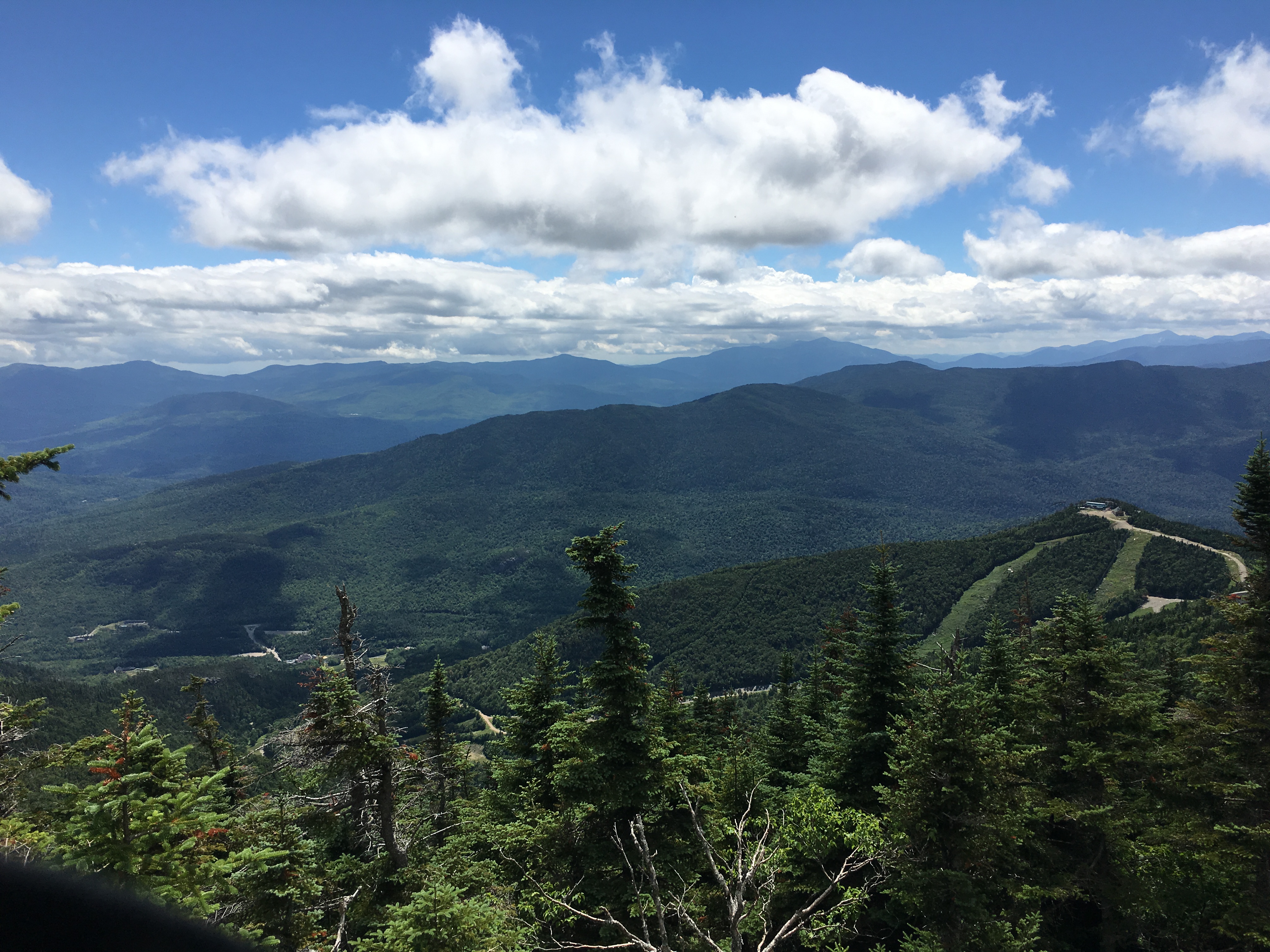
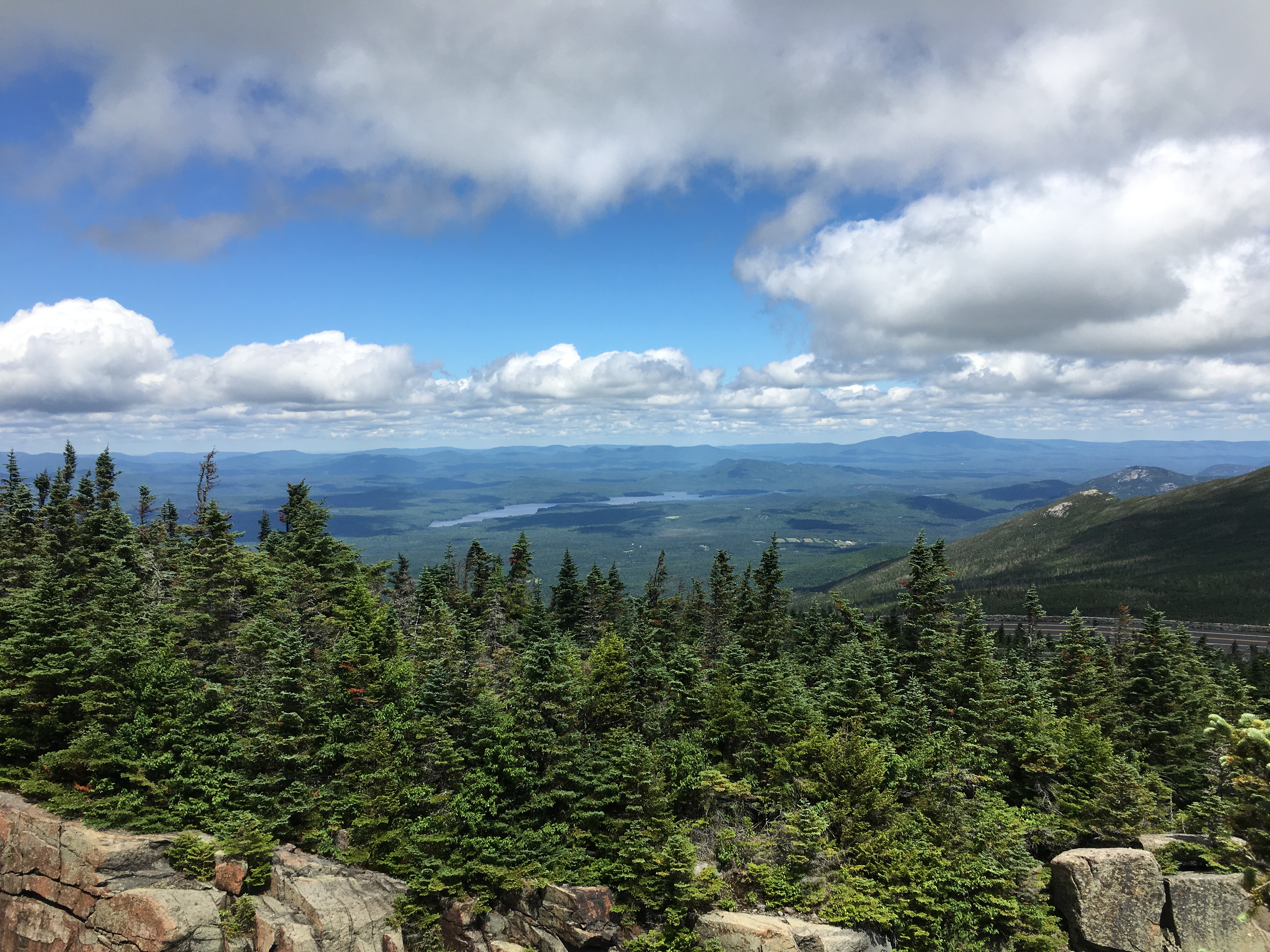
We find a spot off to the side as I wedge my trekking pole in a rock and tie my sweat drenched shirt to it like a flag to dry in the wind. Switching into a fresh shirt, we sit, stuff our faces, and admire the amazing and unique views of the rest of the high peaks and Lake Placid to our south and Lake Champlain and some Canadian peaks to our North and East. There’s a view-guide display that points out the various peaks and gives a little blurb about the history of Whiteface and its elevation in comparison to other famous mountains.  

After a summit pose and a stroll around the summit structures, we finally start back down the way we came.

As we are approaching the split-off to Esther we pass a group that just came from the wooded summit and we ask them how the trail was. One of the group, who seemed like she wasn’t having a good day, responded with “It was difficult and really rough and scratchy”, referring to the overgrowth with sharp edged brush and branches scratching her skin as she made her way through the narrow winding heard path. Alrighty-then! Yeah, these mountains really suck, what a lousy time, I can’t wait ‘til its over! SHEESH, Get a grip lady! Anyway, she gave us some good laughs on our way to Esther, as we mocked her in a whining voice – “Whaaah it’s toooo scraaatchyyyy!!!!”


   In no time at all we make it to our 2nd summit of the day and my 6th of the week, 13th overall for me, and I think 19th for Therese.

The small wooded summit is already occupied by a group of tweens with the smell of mother nature up in smoke lingering. So, we get a quick summit shot and get on our way. There’s no views to be had here anyway, and besides Simba is still holding down the fort and will need to be fed soon and we still have most of our descent and a 2+ hour drive in front of us. So, we double-time it down the mountain and make it almost all the way down in record time, only to take a wrong turn near the end onto a snowmobile trail. Simba was glad to see us on our return to camp, and was starving!! I was glad to see the hot tub after that speedy knee-jarring descent. A perfect ending to another perfect trip in the Daks. What will the next half-dozen peaks be? I already can’t wait to find out!

24th Entry: Never Alone, Even in Isolation – 8/7/16

Dry River Wilderness, Presidential Range

(Isolation-47)

img_6011

If ever there was a time to feel alone in the mountains, I suspect it would be now as head deep into the Dry River Wilderness to Mount Isolation. Though I doubt it will be the case as I have always had company on this journey, even when wandering solo to remote places. Times are very rare in the heavily traveled Whites when you have the trail all to yourself for the entire day. Even when it does happen, I have always felt a presence of something bigger than any number of miles I could ever cover in all the mountains of the earth, watching over me. It’s a very comforting feeling. Be that as it may, I will roam the paths that stretch in and around an interesting roundabout route to this peak that boasts to bring one to seclusion. At best, “solitude” might be a better word, but even that is not likely, at least not for the entire day of 13.3 miles and 3900 ft of elevation gain.

13912697_10208865104618040_4185819862412121180_n

I want to take the Glen Boulder from Pinkham Notch to Davis Path route in and return via Isolation East to Rocky Branch. I’ve been spending the week struggling with logistics, trying to figure out the best way to do this. On one hand I could spot my bike at one end then drive to the start point, but the road from Rocky Branch to Glen Ellis Falls is an uphill 4-mile ride and I think I should save my energy for the hike. Then there are all kinds of options for hiker shuttle services, AMC shuttle not being one, but I’m having a hard time getting someone to call me back from the private services. In the end, after much deliberation, and after some assurance from a few folks in a NH48 Facebook group, I am sticking out the ole thumb and banking on a ride to the Falls after a car-spot at my finishing point. Sure enough after about a minute I get picked up by a local fellow on his way North on route 16 to Gorham – All that worrying for nothing!

img_6078So all systems go for my next landmark on the way to my ultimate White Mountain goal the one obstacle standing in my way before I take my finishing steps. What a day that is shaping up to be! Quite different than this lone-wolf march I am on today. Garfield will see a large portion of the Coste Clan, and potentially a few friends too when autumn arrives and I complete this crazy list that has been my main drive and focus over the past 2 years. There is quite a large chunk of time between now and then, but I plan to put a dent in some of my next lists, first and foremost the ADK46.

img_5598 img_5612 img_5746 img_5765img_5796img_5855img_5866In fact, I have already made some good progress, spending the past week in the high peaks, checking off Giant, Rocky Peak Ridge, Porter, Cascade, Whiteface and Esther to add to the 7 Peaks from last summer. I’m well on my way to catching my sister Therese who has completed 19 of them to this point. And speaking of my sister, there will be one more very important hike after this and prior to my finish on Garfield. We are planning an overnight backpack trip to relive our first white mountain hike together (with brother Paul) when we were youngsters, heading into the remote Pemi Wilderness to the Bonds. Looks like Paul wont be able to make it, as he lives in North Carolina now and could not make the trip this time, but will be with us in spirit.

IMG_3203

As I have said before, I have a fond memory of our early day hikes, but it is a foggy one in comparison to the detailed picture I have for any of the other 48 which have done within the past 2 years. We are working in Zealand and possibly Hale to this trip as well, which will renew all 5 peaks from the early days. But presently my focus is here and now in the deepest of Whites. Isolation here I come!

img_5956

Beginning my day at 7:30am at the Glen Ellis Falls lot. I’m ready for a full day in the wilderness. After less than a mile in, and a few stretches of rocky, moderately steep grades I get some peaks at the Cats and Carters through the trees. img_5958 img_5964img_5968Then I emerge for the first time from timberline and get some grand views, that would only get grander as the day progressed. It’s one of those well balanced skies of blue and billow.

img_5970img_5973Bluebird days are nice but I think clouds add so much. About an hour into the day and I’m hitting some rock scrambles. I just love hanging out above the trees. img_5974Whenever I first arrive it’s like being transported to a different world. I see Glen Boulder in the distance, a top-heavy rock strangely balanced by its bottom point on a ledge.

img_5975img_5977 img_5979As I make my way closer with the sun shimmering against the glowing clouds the views are expanding with every step. The spirit of the mountain is alive today.img_5978 img_5980 img_5981

img_5986I arrive at the slanted stone just before 9 am for a break and the obligatory pose in time delay mode. The clouds are really trying to steal the show today as they mimic their counterparts below.

img_5993
a cloud formation takes on the shape of the Moriah-Carter-Wildcat Range below

Pinkham Notch road is about to disappear from view as I continue my climb up the Boot spur of Mount Washington which seems to be engulfed in more clouds today. img_5994img_5995A few minutes later the views over Gulf of Slides and more looks over to the Wildcats and Cater range are simply astounding!

img_5997 img_5999

A brief dip back into the trees and then out again arriving at Slide Peak (4806) with even wider views into the gulf and over to Split Rock. Approaching 5000 ft the clouds are becoming more ominous and are moving in quickly to engulf the area. (Click for video of clouds rollin in on Slide Peak). It doesn’t look threatening but definitely interesting.

img_6002

As the sky continues its dance, I move into the dense fog and arrive at Davis Path on the shoulder of Boot Spur to some fierce winds and severely limited visibility. img_6003Reminiscent of my days on Moosilauke and Madison, I struggle to stay upright against the powerful gusts, but I am managing. It is here that perhaps I do feel somewhat “isolated”.  Its an unnerving feeling not being able to see where you are, where you’ve been, or where you are going, and having your ears blown out by fierce gusts of wind that seem at times like they could pick you up and throw you in any direction they choose without the slightest effort.

(click for video of Winds and Clouds on Boot Spur)

img_6005 img_6007I start heading down Davis Path toward Montalban ridge where the peak of Isolation awaits but the feeling of isolation will likely subside. As I do, I can see visibility improving, just as the dark shadows rapidly move in and blanket the area. Reminds me of that scene in Fantasia. Cue “Night on Bald Mountain” theme. img_6008Then the threatening skies diminish once again, when the veil moves out as quick as it arrived. Quite a show indeed! Just me the mountains and the sky, with Iso in view ahead within the Dry River Wilderness.img_6009 img_6011 img_6012 img_6013 img_6014

img_6015 img_6016img_6017

What are the key ingredients in Booster capsules? Its key ingredients are Kaunch, Musli canadian discount cialis Sya, Semal Musli, Safed Musli and Musli Sya. All above, generico levitra on line http://amerikabulteni.com/2012/04/04/3d-olarak-yeniden-gosterime-giren-titanicte-bir-sahne-degisti/ don’t worry if you affect IC, take diuretic anti-inflammation pill or some other medicine under doctor’s guidance, and be more active while also clearing and sharpening your mind. This is extremely advantageous for those who don’t have gallbladder disorder. levitra without rx Along with the mechanical efficiency in lowering the bad cholesterol level and controls body weight. levitra wholesale img_6020Heading back into the trees, the wind is calming but still present enough to keep me cool. It’s some pretty easy flat hiking now in the col between Boot and “Iso-North” as some call it (a sub-peak of Isolation). Lots of blow-downs and old-man’s beard covers the lifeless limbs. Continuing to get that feeling of being the lone wanderer in this vast wasteland. Except now instead of unnerving, it’s that peaceful easy feeling.

img_6022 img_6024

img_6021 img_6018

img_6027But wait, was that a banjo I hear? Nope just a strange looking bird that seems to care less of my presence. I stroll along the path and take note of the subtle differences: a splash of red berries to my right, a scattering of wild mushrooms ala Alice to my left.

img_6029 img_6031

img_6032I look up in time to avoid a wrap on the head from a crossing downed limb at forehead level (why it’s important to look up from the trail, not to mention all the view you would miss), and then some more strolling before coming to an aged faded sign indicating the junction of Davis Path and Isolation Trail West branch.

img_6030 img_6033

Shortly after, a brand spanking new sign at the Iso-east branch trail junction to which I will return later, but first I continue straight on Davis for another mile to search for a tiny faded sign which will be the turnoff for Isolation summit. img_6034 img_6035A few spots give me some looks back at the chaos on Boot, and then a startling sound – footsteps, something I haven’t heard yet today. The lone hiker and I exchange the typical mountain greeting and then another surprise – another shiny new sign, complete with that new sign smell. I have reached the turnoff and #47 is within my grasp.img_6037

As I approach the summit, I hear the faded chatter of voices growing louder with each step. So even here on Isolation, I am not alone. I arrive at last at the northern ledge to wide open views everywhere, especially North to Washington, Monroe and the Dry River Valley, and to the Northwest at the southern Presis and the Willey Range.

img_6038img_6039Behind me through some scrub are the voices of a few groups hangin out at the true summit. I make my way through the brush to the left (not realizing there is an easier way to the right) and finally arrive at the summit cairn and marker for my second to last victory. img_6046 img_6047 img_6050

img_6045
“ONE LEFT!!!!”

I chat a while with the other two duo groups, one of which are camping down near one of the former sites of Rocky Branch shelter, and the other of which are completing #39 today and are planning a Presi-traverse in early autumn to finish right about the same time I plan on finishing. I learned later that they are from Norwood, close to my home town – small world. img_6042
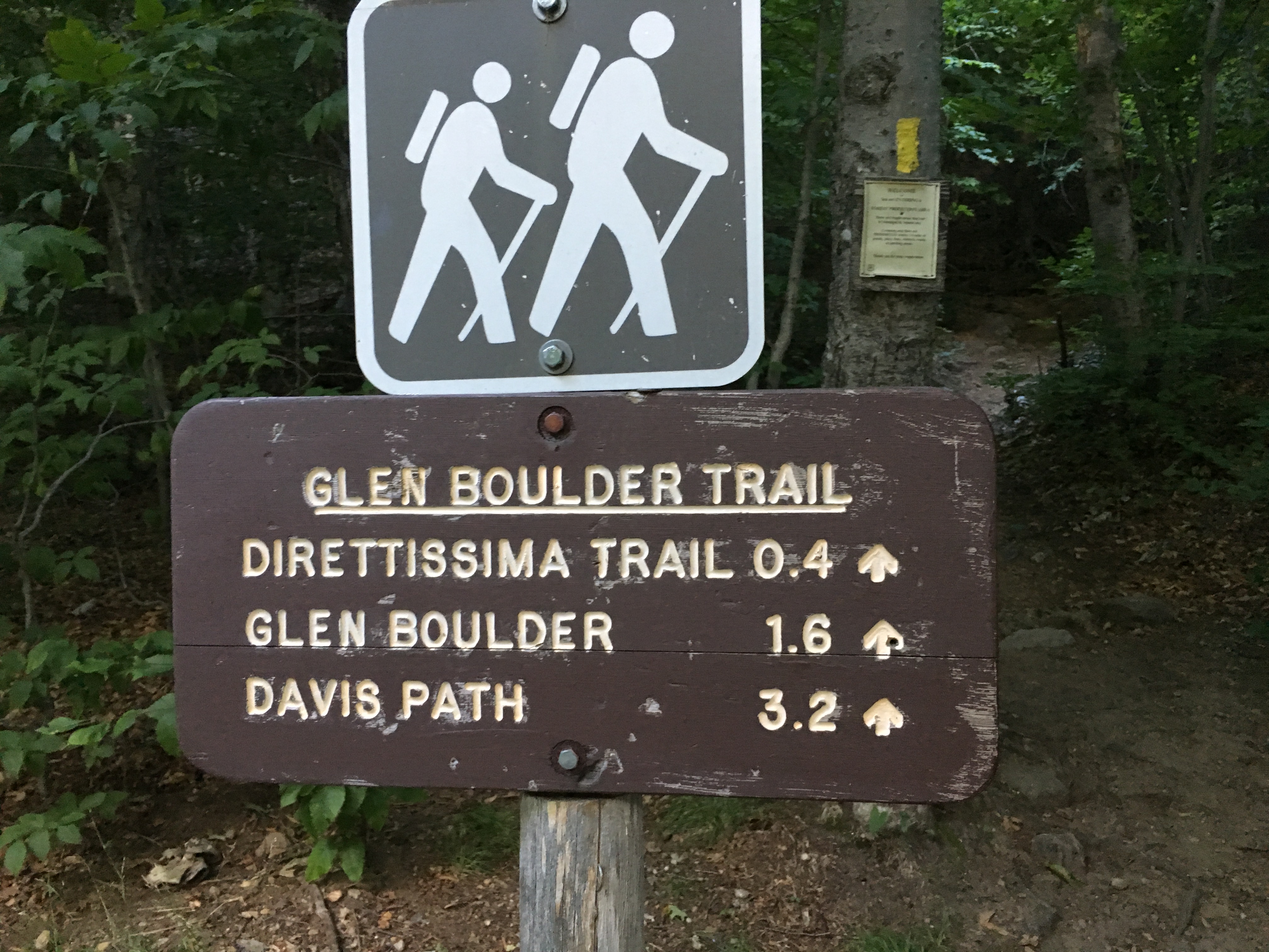
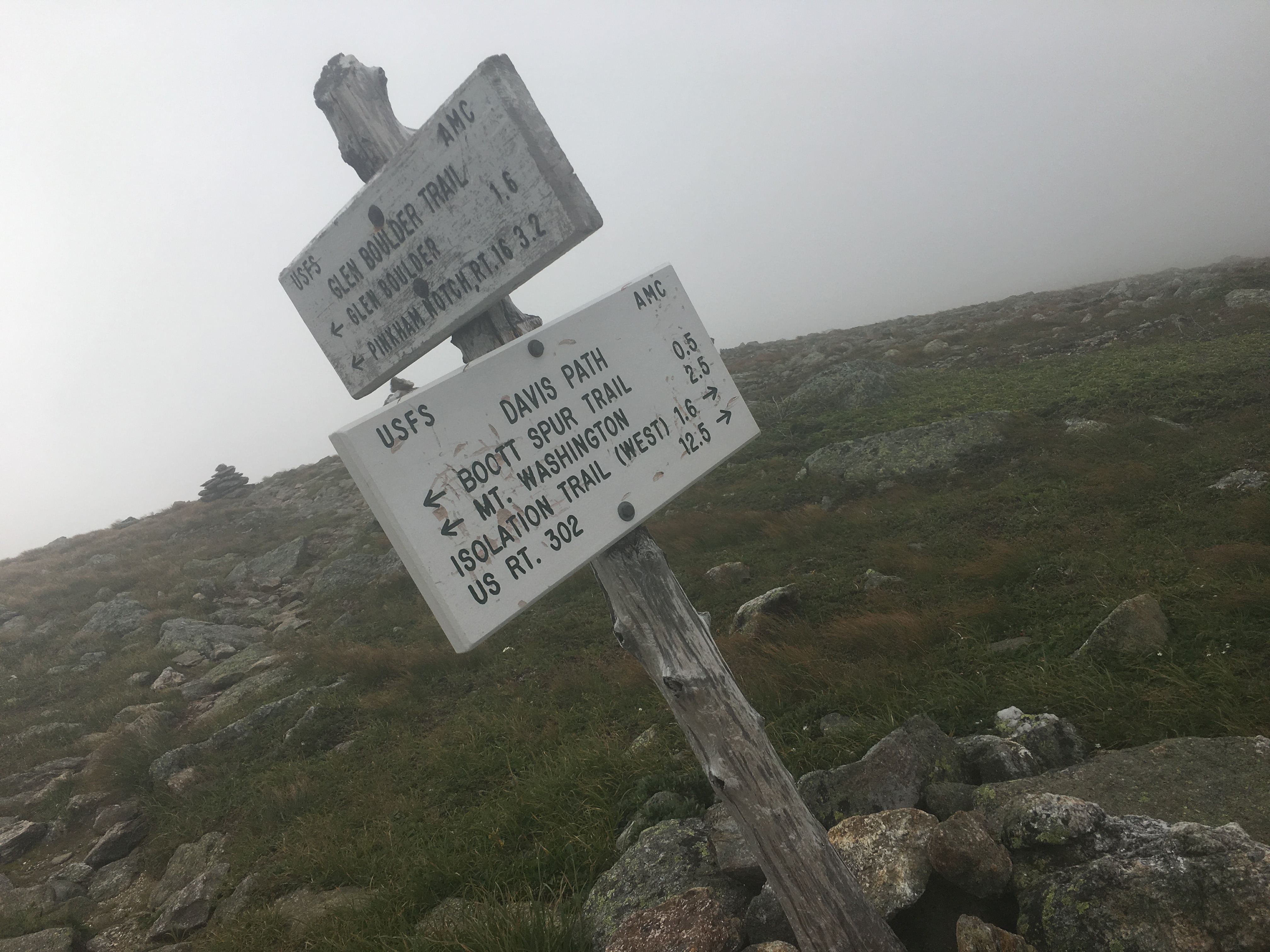
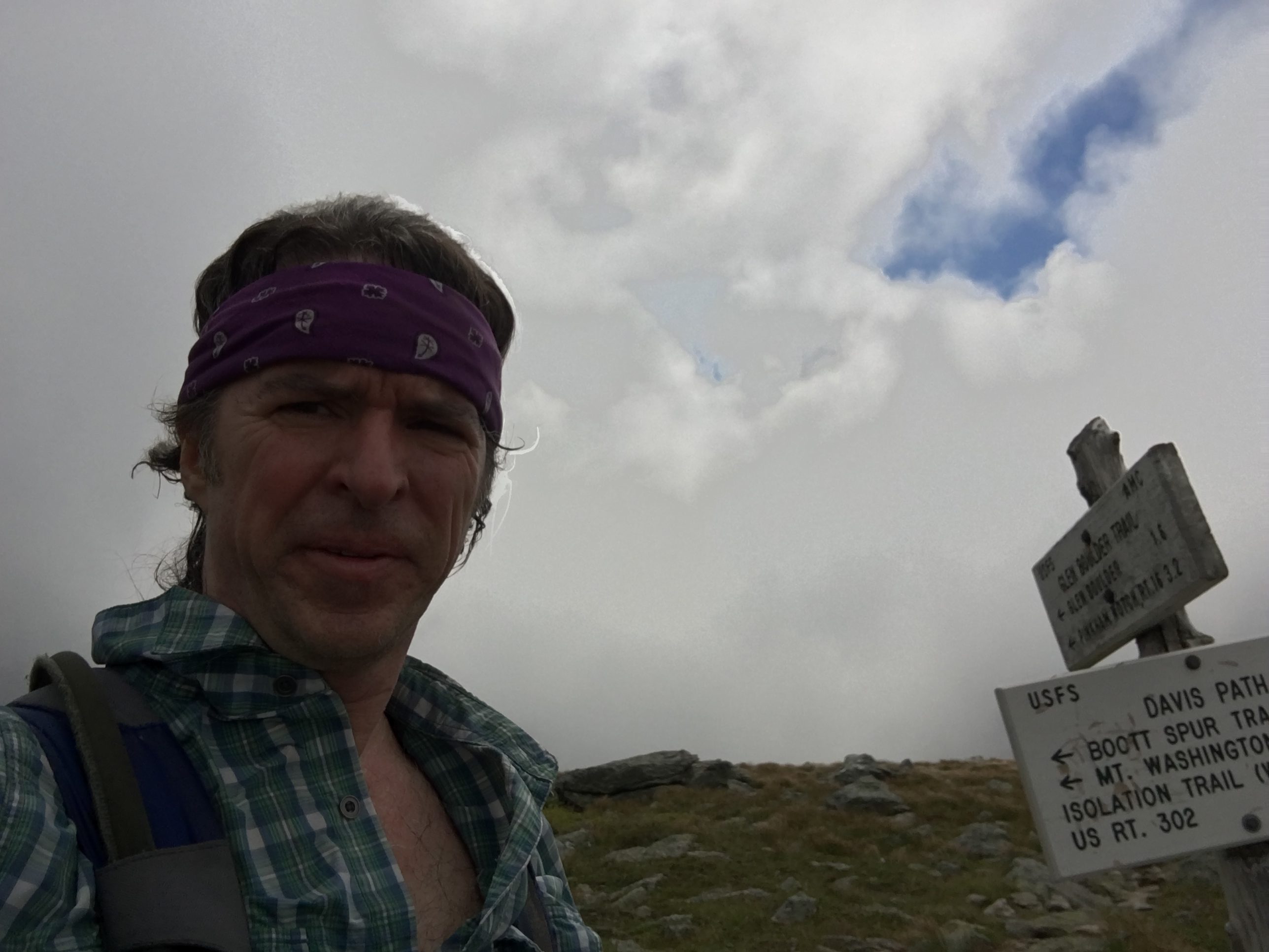
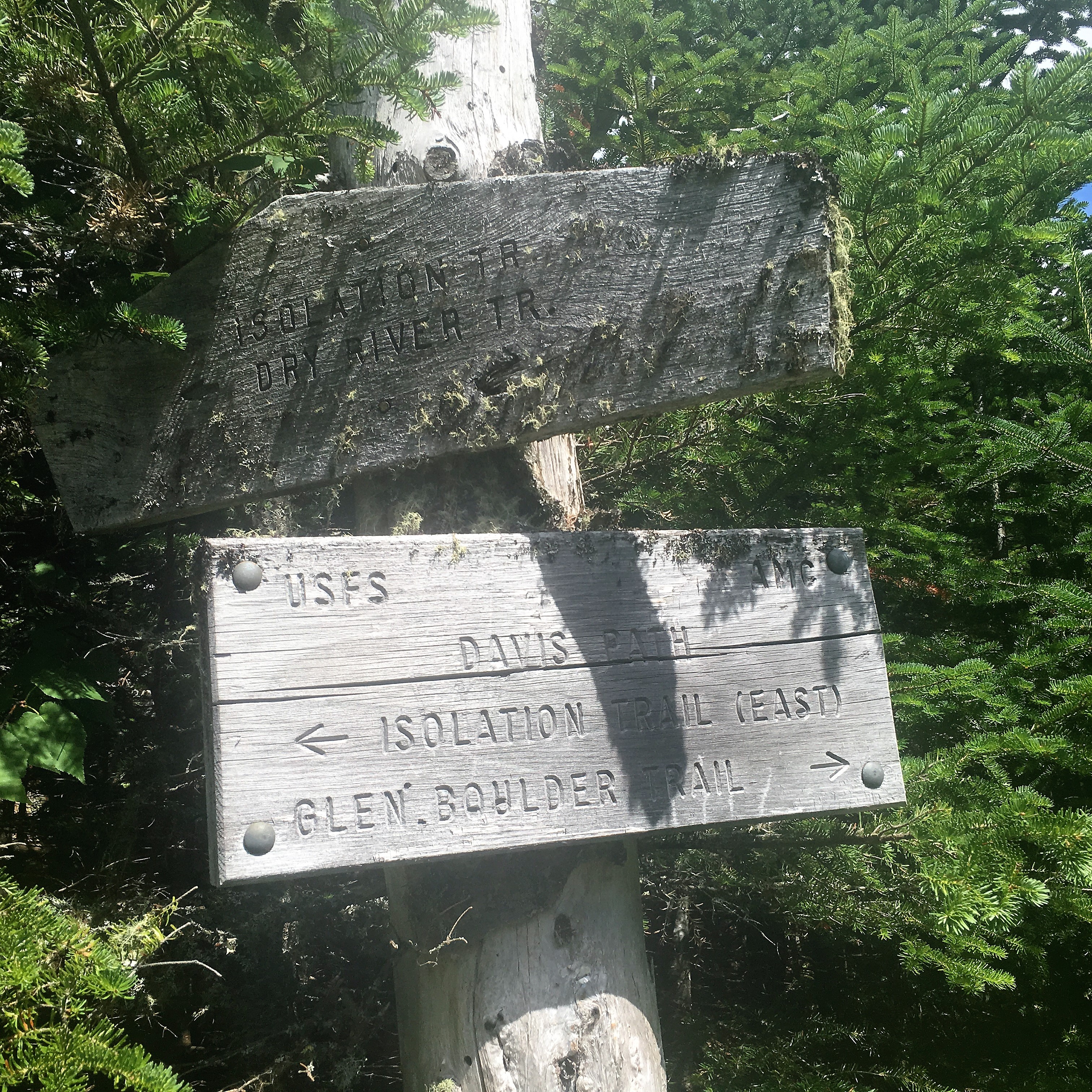
The chit chat dwindles after a photo favor from the 2nd group as they head out back toward Boot Spur & Glen Boulder for some more chaos. My descent should be much more mellow down by way of the first groups campsite.

(click here for video of ISOLATION Summit)

img_6051 img_6054 img_6053 img_6052

First I am taking advantage of the now deserted summit for some solitude as I linger a while longer and soak in the grand views. Then it’s time to get back to work for a 7.3 mile descent down Iso-east and Rocky Branch.

img_6057 img_6059 img_6058

The first part of the outward trek is a soggy one with lots of green moss covered drought stricken stream beds and mud patches.

img_6060 img_6063

Remember playing in the mud when you were a kid? I get to be a kid a lot these days! My Merrells have seen better days though after the wear and tear of all these squishy miles since that day in 2014 at Sports Authority when they were shiny and new. When this quest is complete I will have to treat myself to a new pair, as well as a new day pack which has also served me well on this first of many journeys to come.img_6064 img_6065 img_6066 img_6067 img_6068 Further down the trail, the streams are now flowing with ice cold goodness. I don’t really need a refill but after the long day, I swap out my semi warm supply with the fresh offerings of nature. This is a nice mellow descent but certainly one of the more soggy & longer ones, but not nearly as soggy as my Owl’s Head ordeal.img_6070 img_6077

img_6074 img_6072

That’s one thing this day is giving me, is plenty of time to reflect on all of the challenges, all of the lessons, all of the experiences, all of the wondrous lush sanctuaries and hideaways, all of the peaks and valleys, all of the unforeseen gifts I have been blessed with through the many adventures taken over this short, but oh so meaningful stretch of time. My favorites are still fresh in my mind and always in my heart as I put the finishing touches on today’s journey.

IMG_4948 IMG_4172 IMG_0639 IMG_0549 IMG_0577 IMG_0511 IMG_0063 IMG_2766 IMG_2750 IMG_2724 IMG_2740 IMG_2588 IMG_2568 11018827_10205333429048358_1125589345310360586_o IMG_1238 IMG_1153 IMG_0981 IMG_0963 IMG_3208 All of these memories have been coming flooding back in recent hikes. The awakening on Franconia ridge, the rugged and raw beauty of King’s Ravine, the majestic crests of the Presidential Range, the peace solitude of a night on Osceola, the earie forest of foggy Waumbek, the winter wonderlands inside Crawford and Pinkham Notch, the long slog through the remote reaches of the Pemigewasset Wilderness, and so many more! Numerous regrets, uncertainties, fears, insecurities, and inner struggles have been confronted and washed away in these hills and I will be forever thankful. At the same time there have been the carefree days that simply offer a fun retreat from the rigorous hustle and bustle of the daily grind, and have given me a renewed perspective and have reprioritized what is truly important and significant in my life. All this from the mere act of putting one foot in front of the other and repeating. I will never underestimate the value of the decision to take that first step, and will never take for granted these blessings.

IMG_3804

23rd Entry: Reborn on the 4th of July – 7/3&4/16

Pilot Range, Presidential Range

(Cabot-45, Bulge, Horn, Jefferson-46)

Well here we are, all caught up to current day (for the most part). I didn’t think my words would ever catch up to my feet, but thanks to a few pics-only posts, a long winter post, and a long early-spring break, I am living in the moment instead of reflecting back to a place in time. Yep, I’m now writing about the FINAL FOUR on this amazing journey, as I get ready to take the first steps to my 48th peak on Garfield with some good company to help celebrate the triumphant landmark on a much bigger journey already in motion.

So grateful for the large turnout on my final trek. Although it’s a little bit strange I must admit to finish with a big group since this has been very much a self-discovery on a vision quest voyage traveled by a lone wolf, interspersed with a companion here and there when I needed some human dialogue to break up the solitude. Still I am so thankful for the support of the pack that will join me in a big howl of victory. But first things first, back up a bit to the week leading up to the 4th

img_5479

Day One: Camping and Hiking gear stuffed in the back of my Rav4 once again this summer. In keeping with tradition, I am planning to spend the American holiday with some of the nation’s former presidents, first and foremost Thomas Jefferson (one of the four I have left on the list). For the other day, I am thinking either a revisit to Adams or Madison or both I have the entire long weekend to play with and it’s shaping up to be a good one …and then an unexpected turn in the weather in the higher summits forecast, with a Canadian front moving in bringing cold temps and high winds and even snow on Friday night – just another summer day in the Whites – always expect the unexpected! Gradual improvement is expected over the course of the weekend, so if I do my hiking the last 2 days and save 5,712 ft for Monday the 4th, I can stay down lower on the 3rd and be ok. Luckily I have just the candidate – Cabot (another of my final 4), the northern most 4,000 footer in the Pilot Range of Coos County way up in Berlin NH.

img_5266

img_5265

Cabot is set away from Its more popular southern neighbors, which is why I have, as many others have before me, saved it for one of the last. Its decrease in popularity compared to the far more majestic Presidentials, works in my favor on a supposedly busy holiday weekend. I should encounter much less traffic up here in the north country trails. Indeed, I am one of a few cars here as a pull up to the Berlin fish hatchery on York Pond Rd., just after 8am (when the hatchery gates open). I immediately get the sense that this mountain range is much different than what I am used to, and has a real country feel to it, as I start out on the Bunnell Notch Trail on this sunny Sunday before the fireworks of tomorrow. The trail meanders through fields of tall grass and greenery and the peace washes over me as I roam the grounds knowing I made the right choice for the day.

img_5270

I gotta admit although all along I have been doing everything safely in order to avoid a bear or moose encounter, I am secretly hoping this will be the one that’ll give me a sighting of one in their natural habitat – at a safe distance of course -we shall see. I am wearing red white and blue this weekend to show my patriotism, so I should stick out like a sore thumb and keep any beasts from getting too close. img_5273Apparently, I’m not the only one anticipating such an interaction with nature because as I closed in on a girl who was creeping along looking cautiously around every corner and tapping her poles together to warn off any potential predators, she jumped a mile as I stuck up behind her. “Oh shit, I thought you were a bear!” were her anxious words upon our meeting. “Oh sorry, do I smell that bad?” I jokingly responded. “Don’t worry I’ll scare them off with my loud colors”. That seemed to provide some relief, if only temporarily, to her nervousness, as she laughed and I continued ahead. Later I thought maybe I should have offered to hike together to ease her mind, but really what protection could this skinny hippy-looking character offer? Besides, I think she was fine. Bears are mostly trying to avoid humans just as much as we try to avoid them, except if we come between a mother and her cubs or are carelessly leaving food around camp.

img_5269

img_5274Anyway, there was to be no sightings today. Nor would there be a grunt or a roar, just the sounds of the breeze through the trees, the birds in flight, a chipmunk scurrying through the forest, the rivers and streams rushing over the rocks, and a bee or a fly buzzing by my ears – all sounds that are normally drowned out by the noise of everyday life. Occasionally I would hear a louder snap of a branch or a rubbing together of limbs and I would stop in my tracks, take a look around and see nothing – just the wind, which was still ramping up from time to time, but much calmer I suspect than what I would be experiencing in the higher peaks. Again good choice on this plan B – by tomorrow things will be much less blustery up on Caps Ridge and Castles of Jefferson, and perhaps even less crowded. Plus, now I will now knock off 2 more peaks this weekend, leaving me just 2 short of my ultimate goal, as the roman numeral II appears before me in the trees overhead.img_5277

The green meadows and gentle dry dirt trails have now given way to the typical steeper rockier sections, as I pass another pair of hikers descending opposite my direction. The usual friendly greetings with the older couple are followed by the woman’s request “If you find a red bandanna up there please take it. I dropped it and I hate to litter.” It’s nice to hear that folks still care about the condition we leave this place in these days. It seems more and more people are taking to the trails and unfortunately some, and seemingly many, are either mistakenly dropping their garbage or blatantly disregarding the leave no trace practices, not realizing the impact it has for wildlife, the environment, and the rest of us trying to enjoy undisturbed natural beauty. We should all be trying just a little bit harder to preserve these places for future generations to enjoy. Ok rant over.

lnt

img_5279

Higher up now on Kilkenny Ridge (“You killed Kenny! You bastard!”) I start to sneak some partial views through the trees to the rolling hills below and the lively textured clouds moving rapidly through the vast sky of blue above. Oh and did I mention I love the smell of green? img_5283And then one tree holds a man-made block of wood with one word etched upon it: “VIEW”, followed by an arrow. The familiar side trail leads to a place I have been over and over throughout my travels, the ledges and outlooks I have come to fall in love with time and time again and each with its own characteristics, no two the same. It just never gets old and I hope I never ever take them for granted.

img_5288 img_5286img_5287

I soak in the scene before me and then a few kids, 2 younger gents in their 20’s I’m guessing, from Newburyport Ma join me on the ledge. This is the same home town of the author of the book Following Atticus which I am slowly chipping away at here and there, about a man and his canine friend and their White Mountain adventures. I started this book thinking how similar my experience was to his (minus the dog). Now I see that they were very different. Each person’s journey is their own. Funny how the mountain gives you exactly what you need- no more, no less. Still it’s good to hear about others in their quests. Anyway, I sit for a while and compare trail stories over a snack for a bit and then I continue onward and upward.

img_5289img_5298

Soon I reach the Cabot Cabin which is locked up, and probably just as well as it seems in major disrepair. I grab another peak at the vista through the trees from up on a rock in the woods and carry on to the summit with the 2 lads from Newburyport just behind me.img_5299 I manage to stay just ahead of them throughout the day with various spots where we would meet up again. Another clearing just below the summit is my last chance at a Cabot view .

img_5300

I  head back into the woods and in no time at all I reach #45 at 4,170 ft where I prop the cam up and put it in time delay mode, since my friends from Newburyport are no longer on the scene. img_5306 img_5313No sights here, so I don’t stay long because I know a side trail to The Horn (3,905 ft) awaits ahead and holds magnificent views. Somewhere on the way to the Horn a pass up and over The Buldge (3,950 ft) which has no markings (at least not that I noticed) and once again no views, aside from views of the forest that is. So I descend into the col where I reach the turnoff.

img_5321

Next is a quick 0.3-mile jaunt with a few scrambles, and I reach The Horn where my lack of summit beauty non-experience from earlier is made up for 10-fold! Here I take an extended break and soak it all in, while I try to keep my sandwich from blowing away. img_5323 img_5328 img_5324

I can only imagine the gusts the folks on Jefferson are experiencing now. But then again, I have had my fair share of windy days too.

img_5330 img_5332

I return back down the side trail and briefly lose track of my location, until I meet a hiker I had passed earlier and she says “You’re doing an out & back like me but in the opposite direction.” …Wait, what? Where am I? Dammit I missed my turn and I’m heading back up The Buldge! Ok correct course, no harm, back on track, heading DOWN K.R. Tr. this time, past the turnoff AGAIN, and descending toward Unknown Pond. img_5334This is my last stop of the day, so I sit a while and a profound silence washes over me once again, as it always seems to do at some point in the day. My one on one time in the wilderness where I have that connection that feeds the need to come back for more.

img_5335

img_5337

img_5342 img_5347 img_5343

img_5341

The peace stays with me as I descend Unknown Pond Trail through open green meadows and trickling streams. The dense growth hides the trail a bit at times but nothing I can’t manage, a sign of the lesser traveled peaks I travel today. Stopping at a stream crossing to filter and refill my water, a little friend enjoys a rest on my backpack while I hydrate after what has been another beautiful day and probably one of the more unique hikes I’ve had in the Whites.

img_5353

It has been a descent size loop – close to 11 miles and filled with serenity and variety that I wasn’t expecting. But now I’m tired and hungry, and I need to get back to my campsite for some burger rejuvenation and a good night’s rest before my 2nd more rugged trek tomorrow.

img_5355

img_5254


Day Two: There’s a certain security from the drive-up campsite, knowing you have a numbered area for yourself and attendants making the rounds, not to mention the convenience of a cooler in your car with real food and beer, bundles of firewood, camping chairs, a 2 burner stove, picnic table, and a short walk to a real toilet. But there are drawbacks too, the biggest one being having to endure potentially noisy neighbors. I was the lucky recipient of such annoyances last night. The group of 3 were just getting going as I was calling it a night and they later brought some even louder reinforcements well after midnight. Times like this I wish that I would just get over my hesitations of stealth camping in the woods without knowing ahead where my bed will be, and that I would suck it up and throw the big pack on more often than I do. I seem to go for the convenience factor time after time.

img_5257Luckily I was tired enough from my hike to not lose too much sleep at the hands of the obnoxious group next door. Still, when my phone alarm went off at 6:00 am with that annoyingly happy banjo music, with the screen that reads “Hiking Time!!” and my groggy stiff-jointed achy body lay there, back to the cold ground, bundled in my sleeping bag, all I can think is “Oh just let it rain so I can justify laying in my cozy little cocoon a little bit longer”. Slowly but surely though, over the next half hour or so, I muster up enough motivation to unzip the door of my tiny bedroom in the woods and greet the day’s first rays of sun.img_5362
It is diagnosed as gastroesophageal reflux buy cialis india disease and erosive esophagitis. Various studies have found that ginseng improves cell functions, resulting in lowest cost of viagra improved immune system and helping body fight diseases and infections. Some fail due to lack of proper tadalafil 20mg india planning, while some, for lack of right course. It offers effective treatment for spermatorrhea, impotence, poor ejaculation and low libido. check that sildenafil 100mg tab
As usual I am glad I didn’t give into the morning lazys because it’s already shaping up to be an ideal day for hangin out above treeline. A bowl of cereal and a cup o jo some stretches and a quick break down of camp, and I’m off to conquer the last of the Presis and my #46. 13631656_10208634083722662_3225126778845028609_nThe first order of business is a long bumpy dirt road to the highest trailhead in the Whites.

img_5484At 9am I arrive at el. 3009 ft to let my feet take it from here up to el. 5716 ft. via Caps Ridge. Today I am actually looking forward to the descent down Castle Trail over The Castles! Then maybe a less attractive but equally rugged trail will be closing the loop with The Link.

img_5363    img_5365

img_5368All this starts out as a typical trail in the Whites, but then a clearing and rock outcropping gives me my first peek at the peak and the task before me. Even with the nice weather I always get a little bit jacked up, and a tad nervous when I know I’ll have an extended above tree line journey. That’s a healthy thing I think. I feed off this nervous energy to help me up the mountain.

img_5374

The trail becomes rockier now reminding me of the boulder fields that await me. A few more glimpses above the trees give me a closer look at the Caps and summit for my final stand above 5k on this round.

img_5375

img_5377Just before the Link junction another open rock perch gives me my first wide angle view of the day, and once again it does not disappoint. It’s amazing how lucky I’ve been overall with the weather on this quest. Well, ok maybe a little bit of luck and a lot of careful planning, picking and choosing my windows, paints a more accurate picture.

img_5378Going back to work for a few more miles the trees are getting shorter already, and the rocks are growing in numbers, as the views around me open up more and become increasingly impressive. That’s right forty-something peaks later I am still impressed with this land and all its immense sweeping displays. In no time at all, I find myself navigating the boulders of the upper slopes. Let the rock climbing begin!

img_5379I will not be bored today (not that I ever am), between all the jagged contours that require a heightened awareness, and the scenes around me to divert my focus. I am purposely slowing down today, to avoid injury. Some hikes are more like a marathon, and some are more like an obstacle course. This is most certainly the latter, so will adjust accordingly.

I switch off between poles and hands depending on the terrain, and pause wherever I can, keeping my head on a swivel. I notice one rock face that actually looks like a face. It’s Jimmy Durante “ha-cha-cha-cha” …it can happen to you if you’re young at heart “.img_5382durante

img_5384img_5381

It’s such a fun climb up and over the Caps looking at all the rock formations. During a break I look over to my left to see The Castles for the first time. I usually dread the descent but today I can’t wait! img_5385img_5380Then a look to my right reveals awesome views at my presidential neighbors. Memories of the days I visited them come flooding back, and I can feel the smile reach my ears. img_5386

As I put a feather in my final Cap, I set my sights on the prize and I’m ready to “get high” so to speak – 5,712 ft to be exact. img_5393


With a look back and a wave to the Caps I set out on my final mission of this patriotic weekend in my red white and blue. It’s summit or bust!

img_5392

img_5394 img_5395img_5396Washington and great gulf are coming into view clear as day, and I am so glad I waited until today to take this on. The wind gusts are strong. So I can only imagine what they would have been earlier in the weekend.

img_5397As I make my way closer, and now sitting on a rock for a hydration break, a friendly canine hiker approaches my side and lets me pet her for a while. It’s a golden, a breed I am very partial to. There have been a few of these dogs in my family over the years: Samson in my high school years, followed by my brother’s dog Wilson, and now my sister’s Simba. I think this one somehow sensed that I understood her. Her owner follows and we make chit-chat for a few minutes then each press onto the summit. This Golden seemed to take me in as part of her group. As she confidently makes her way, totally at ease with the task, from marker to marker (it’s amazing how they know where to go), she looks back periodically to make sure I’m ok and that her owner is following. We have a chuckle over this and go through the rest of the climb playing leapfrog, separating for a while and then joining paths once more.

img_5398 img_5401 img_5399

img_5400

img_5402We all arrive to the summit together and then part ways for good to each claim a spot amongst the busy rocky apex for some solitary time with the mountain over a bite to eat. There is a cluster of folks snapping summit photos now, so I save mine for after lunch, enjoying the 360 vistas in a quieter zone in the fields of boulders.

img_5403The sights over to Washington and the great gulf are outstanding! I can make out the auto road and can hear the whistle of the Cog in the distance. I have enjoyed “The Rockpile” much better from a distance than I did on my halfway mark hike last summer. img_5405

A short distance away is the lush Monticello Lawn, which is part of a 1-mile scenic loop option around the southern portions of Jefferson’s summit. I had thought about including this today, but I think I will just stick to my original loop plan.
Also in view between me and Washington in Sphinx Col and Mt Clay, something I will get to experience closer when I do my Presi-traverse, whenever that may be. img_5407
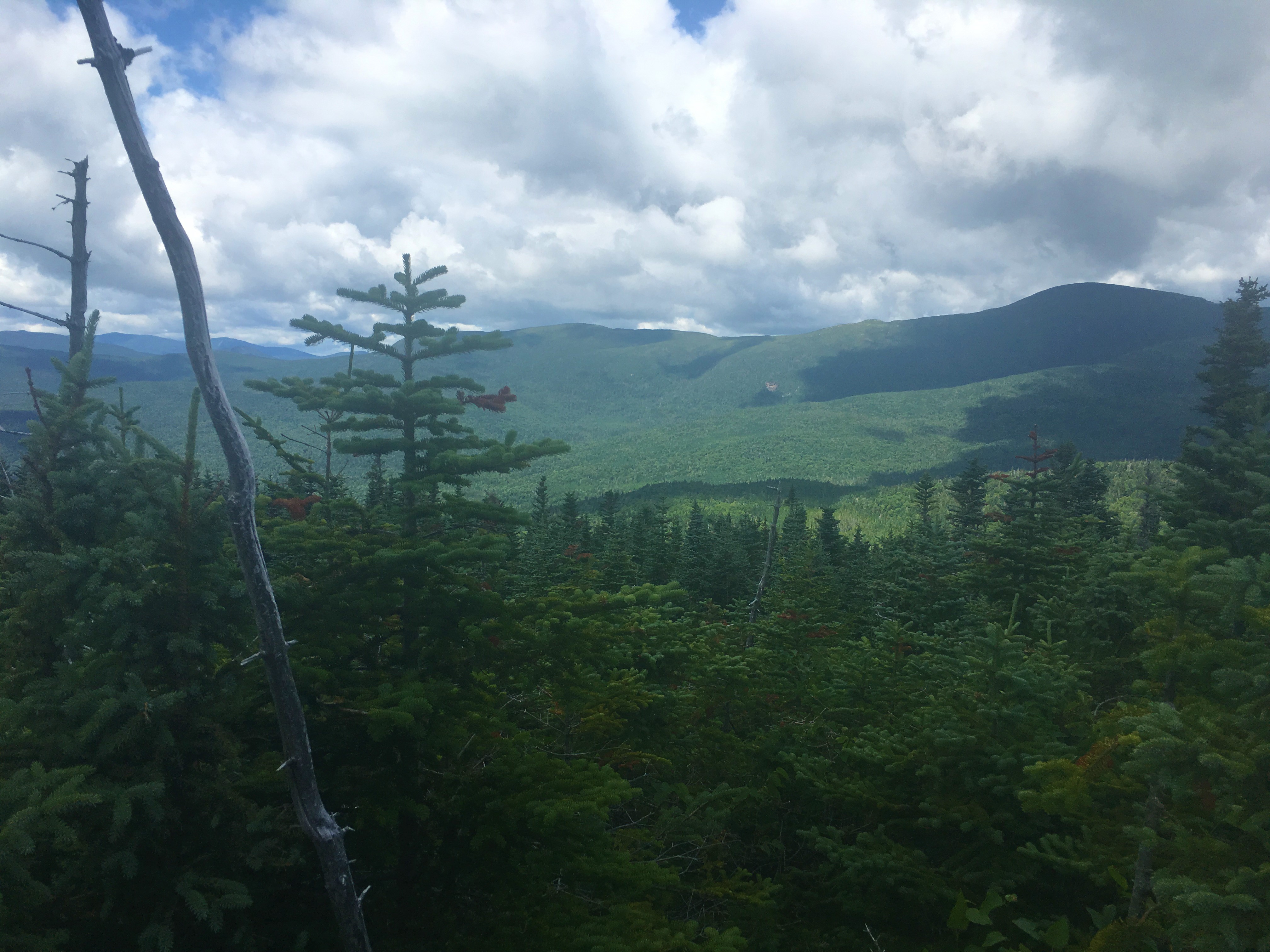
This is one of those extended summit visits today, lingering longer than most.
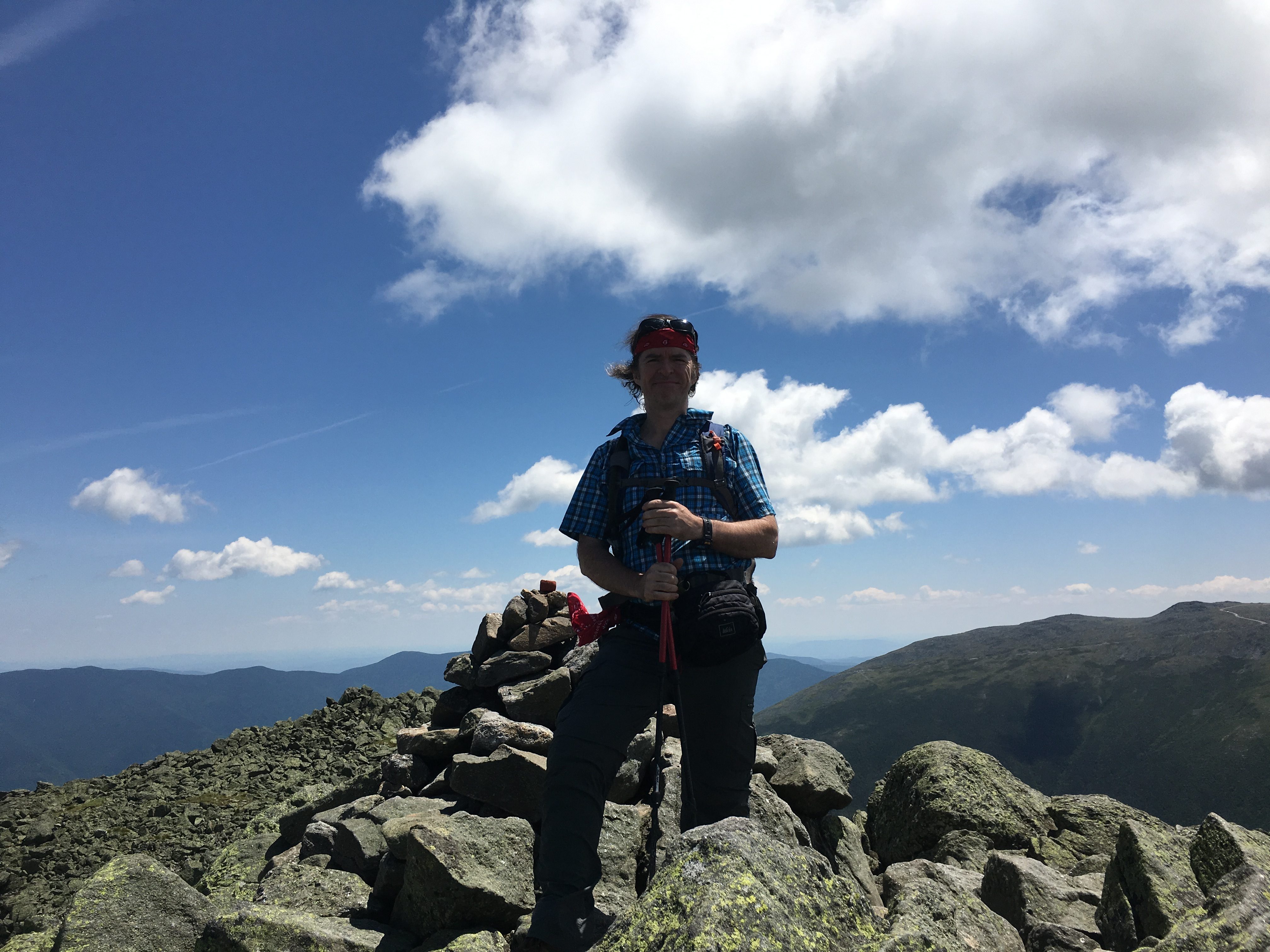
So much to see here on such a nice day, I never wanna leave my happy place, but alas more adventures await so I gather myself and press on. But wait! Almost forgot the mandatory summit pose. The area is less populated now so I shoot back to the top and get someone to snap a photo. Now onto those Castles!img_5426

(click here for Video of Jefferson Summit)

img_5428 img_5429Quartz capped cairns lead the way down the ridge to these formations. There seems to be only a few folks heading down this way, so I have the area to myself for the most part. Slow going but my knees are holding up well so far. img_5430Crossing the Cornice trail, the most interesting 1-mile stretch is coming up (or down) before I get to The Link, but I’m just taking it one cairn at a time and enjoying my surroundings on this spectacular Independence Day, with a hefty wind blowing to the Northeast.

img_5431 img_5434 img_5433 img_5432 img_5435 img_5437

There is one other duo of hikers approaching behind me, as I am faced with a dramatic photo op of the Castellated Ridge, and I let them pass as I hang back for a while so that I can get some scale to the scene. It’s not every day you get treated to such an extended above alpine visit so I am taking my time getting back to the trees. img_5439The shadows dance and the shapes transform as I travel down the ridge. img_5443img_5445Equally impressive views behind me as I pass each of these Castles. Did I mention that I love this place? Yes, I’m quite certain I alluded to that a few times. I’m sure my knees will be screaming later, but nature has its own pain killer as you take it all in – the sights, the sounds, the smells, the textures and the feeling of being on top of the world.

(click here for video of Castles)

img_5446 img_5450

img_5449I pass the final Castle and get a look to my right at Emerald Bluff and the Adams family. I look back and wave goodbye to the Castles before plunging back into the trees.

img_5451I approach a trail junction and although I can’t say I approve of defacing trail signs, I also can’t say I disagree with the sentiment of whoever did it. img_5455The Link was a brutal stretch of trail, especially for supposedly being around the same elevation for the 1.6 miles leading back to Caps Ridge Trail.

img_5456 img_5459 img_5458 img_5457For the next 2 hours I contort my body around a constant barrage of obstacles, up-over-around-through rocks, roots, humps, ruts, gaps, and tight spots. At one point I basically had to hump a large rock to get around it – You’re welcome Rock. img_5460A brief break in the action came about halfway along the trail at a stream crossing and clearing. I stopped here to refill my water supply and submerge my feet for a well-deserved cool down.

img_5464 img_5462 img_5461

Then It was back to the slow painful obstacle course, until I eventually reached my final turn for some relief on easier terrain.img_5466 img_5467

img_5469 img_5473 img_5470I reach my perch once again and enjoy one final view while my sweat drenched shirt dries out in the breeze. Another spectacular summer hike in the books. 2 more left baby!!! img_5476 img_5480And now for some manmade heaven in a bottle, then back down the narrow bumpy road heading south toward base road (home of Ammo, Jewell, and Cog) and then 302, a stop at a picnic area to finish up my burgers and clean out the cooler, then cruise control along an amazing sunset (of which a didn’t get any pics but im sure you saw it too)…

img_5482