Category Archives: Fall 2015

18th Entry: “Thirty-Something I Think”- JUST HIKE! – 11/8&9/15

Pemigewasset Wilderness

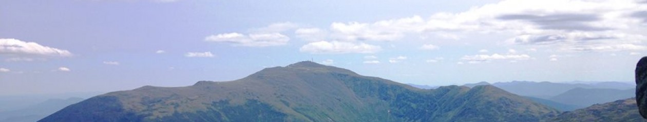
(S.Hancock- 30+x, N.Hancock- 30+y, Chocorua)

IMG_3804

Day One: Somebody asked me last night at the 2nd of two weekend gigs how many peaks I had left. I’m proud to say I did not know the answer! Somewhere around half-time I had been focusing on the numbers a bit too much for my liking, and decided that I would get more out of it if I avoid that, and just hike for a while. I’m sure at some point, probably close to the end I will go back to counting, but right now I just don’t care.

Fast forward to June 2016- I now know that this was peaks 32 and 33, and yes I am now very much counting the few I have left. Looking back on this point in the journey, I am appreciative I was able to lose track for a while. So without further ado let’s get back to that time when ignorance was bliss…

IMG_3848

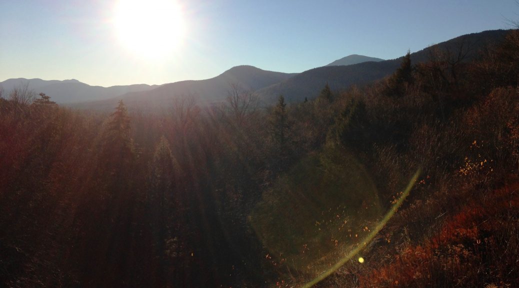
It’s November the shoulder season “All the leaves are gone (all the leaves are gone) And the sky is BLUE (and the sky is blue) …”  Yes, this (modified) Mas & Pas song was playing in my head on day 2 of this trip for some reason.

IMG_0617
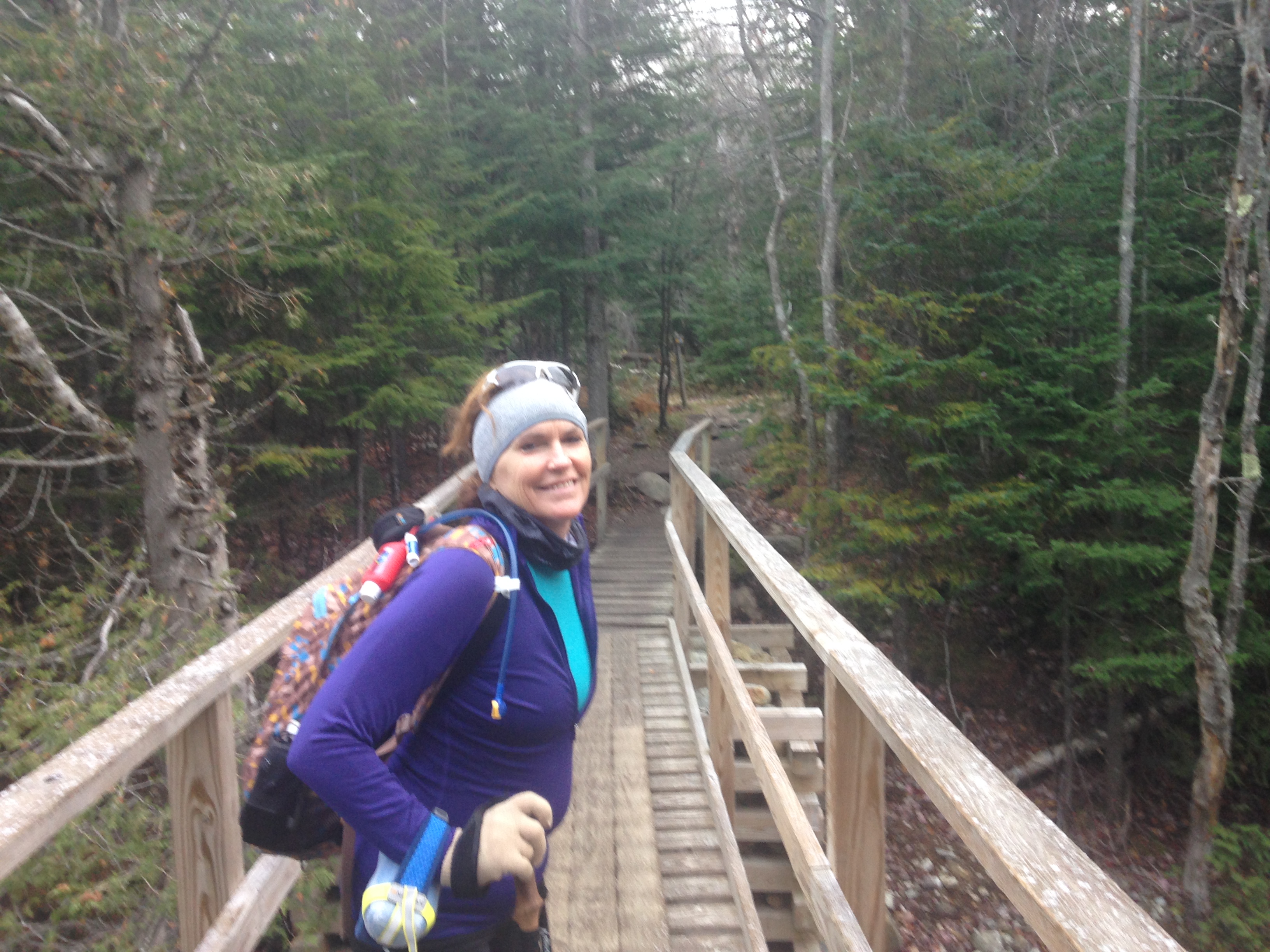
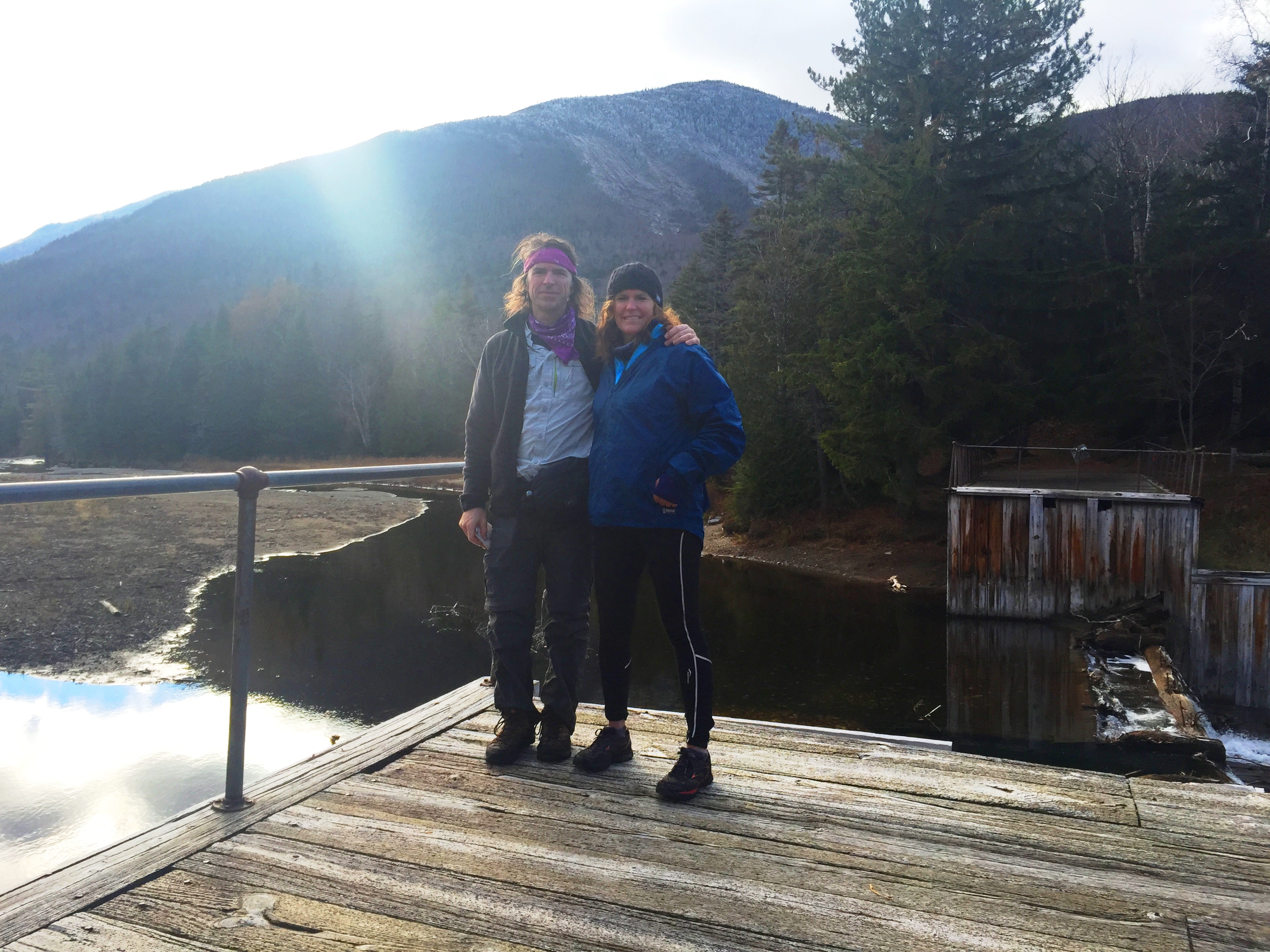
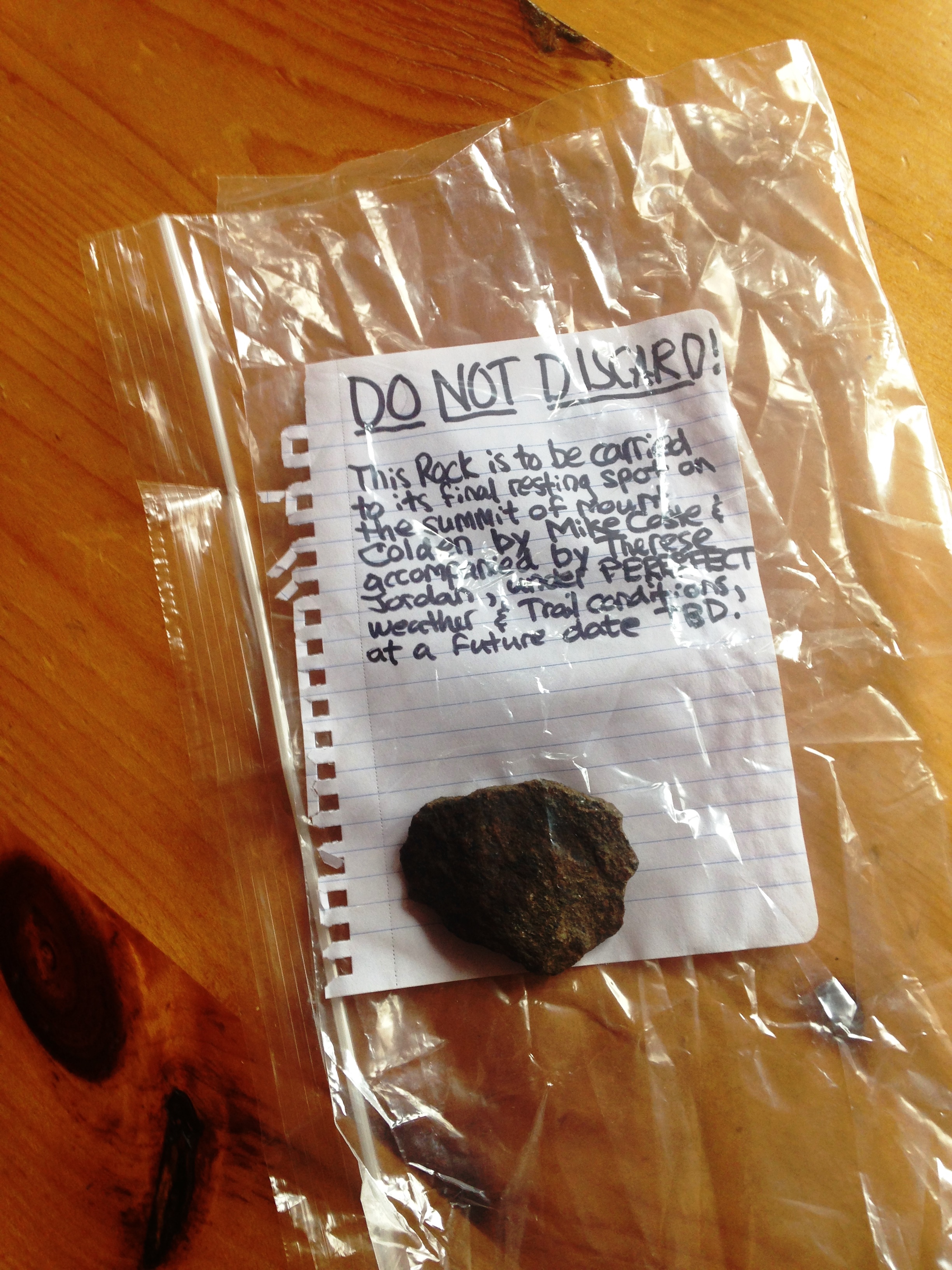
…Anyway, I have some remnants of a sour taste from my last hike to erase still after a disappointing finish on an icy Mt. Colden in the ADK’s (read more here). Therese texted early in the week to let me know she was playing hooky and taking advantage of this Indian summer we’ve been having this week, and hiking Porter-Cascade the next day. With such short notice I couldn’t make it happen, but it inspired me to look forward to my next break to head up north. With the double gig weekend and 2 clear days following, I decided to take my hooky day on Monday.

IMG_3761IMG_3880

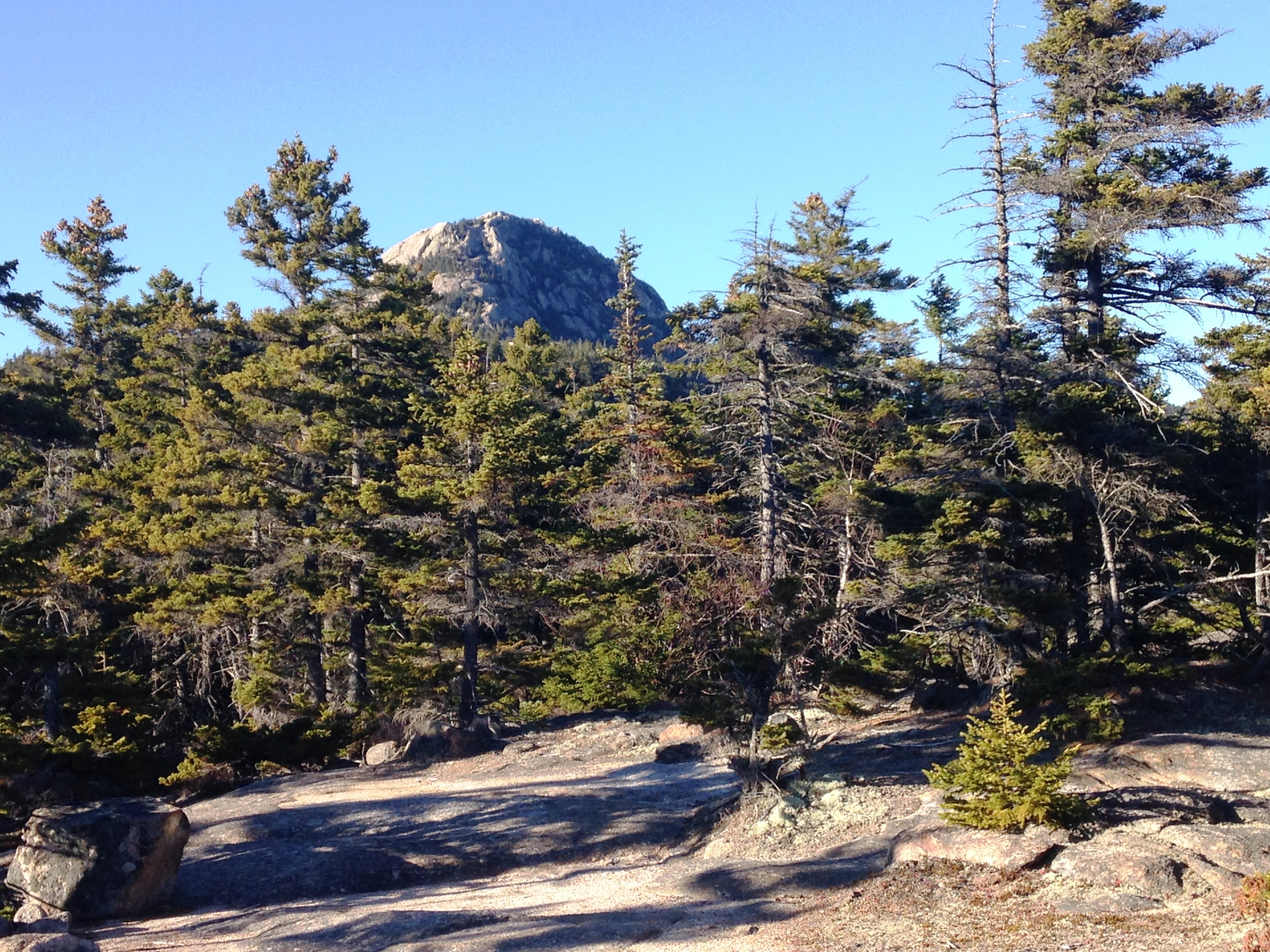
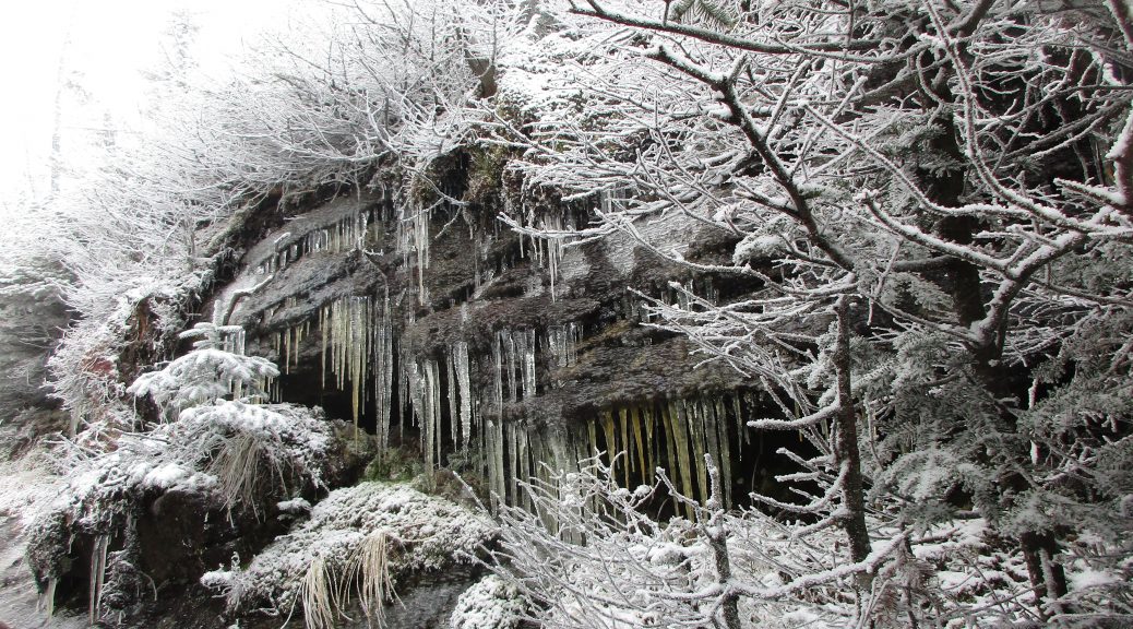
My southern options are dwindling at this point, but I have started looking at the 52WAV list for some new possibilities. I remember seeing Chocorua in the distance from the summit of Osceola and it looked inviting. Since then I have read up on it and it has everything the best 4ks have minus the number: a good challenging full day hike with 360 views, rocky scrambles and scenes galore. Sounds great! Still not sure exactly what I’ll do tomorrow yet, but I stick this option in the back of my mind along with the others that are hanging around in there. IMG_3769
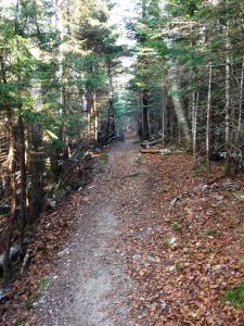
The winning option will make itself known eventually, but not before I set up camp and tackle the Hancocks today. The good thing about arriving on a Sunday post-foliage, when all the leaf peepers are long gone, is that I am sure to get my solitude fix in. I remember last November on Tecumseh and I am expecting some snow coatings up at the higher elevations, but it should not be icy like my last hike. Still, I have the spikes just in case.

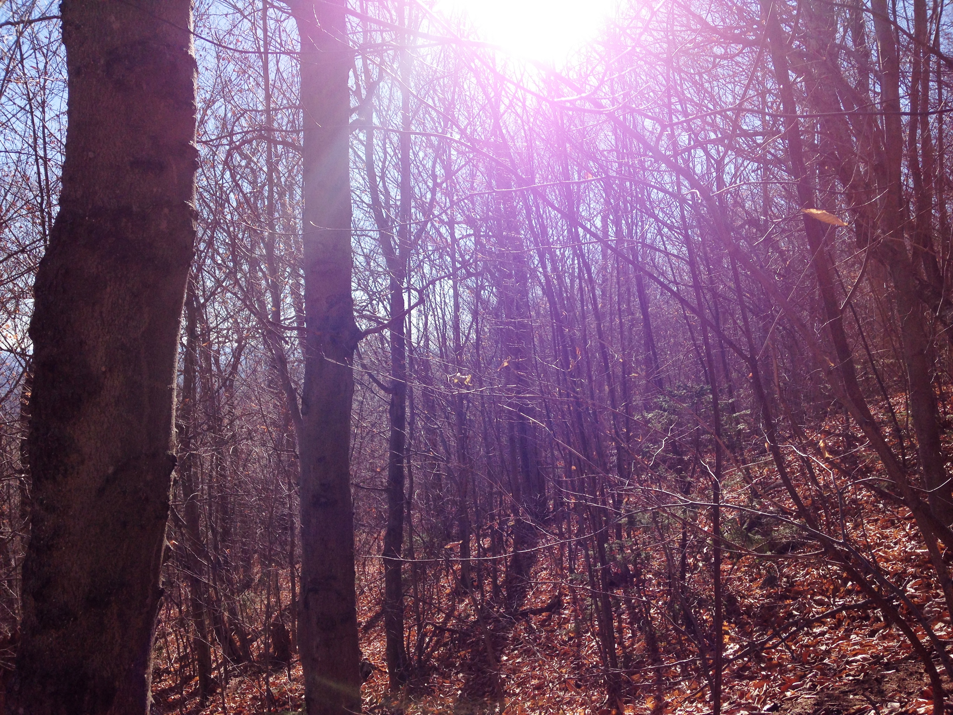
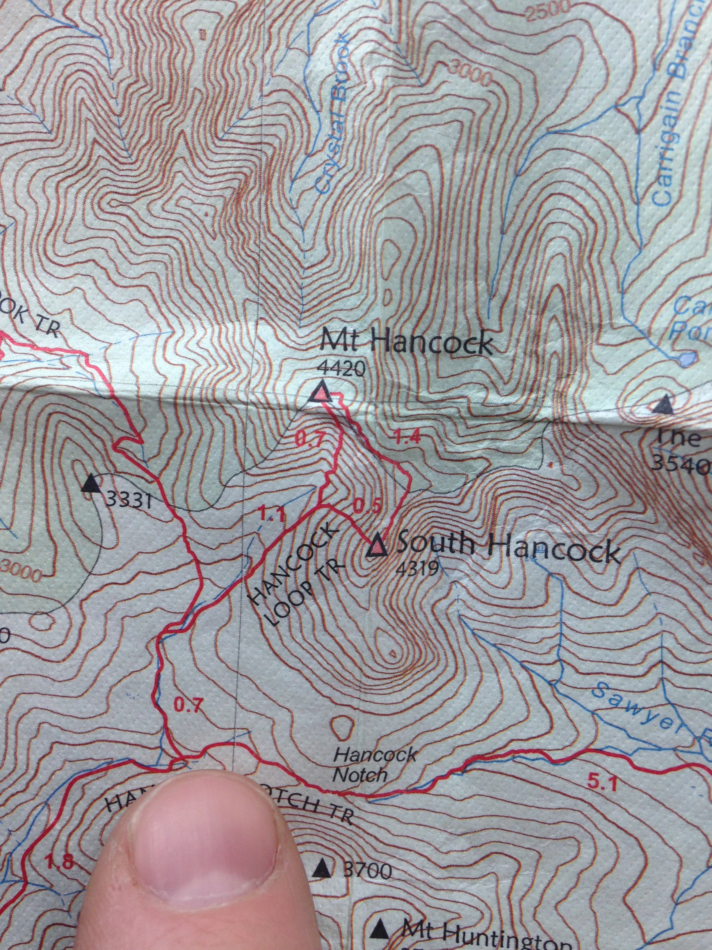
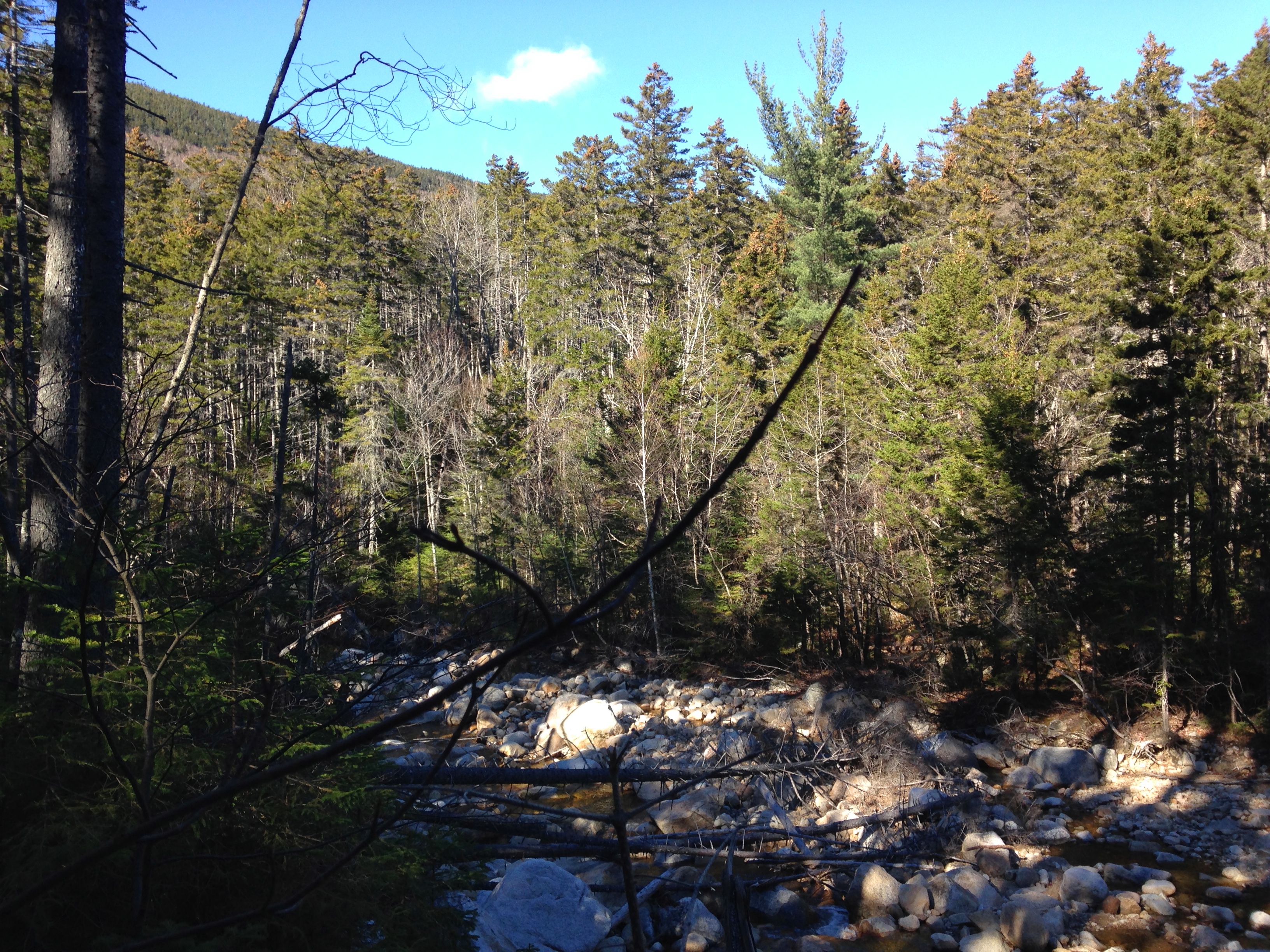
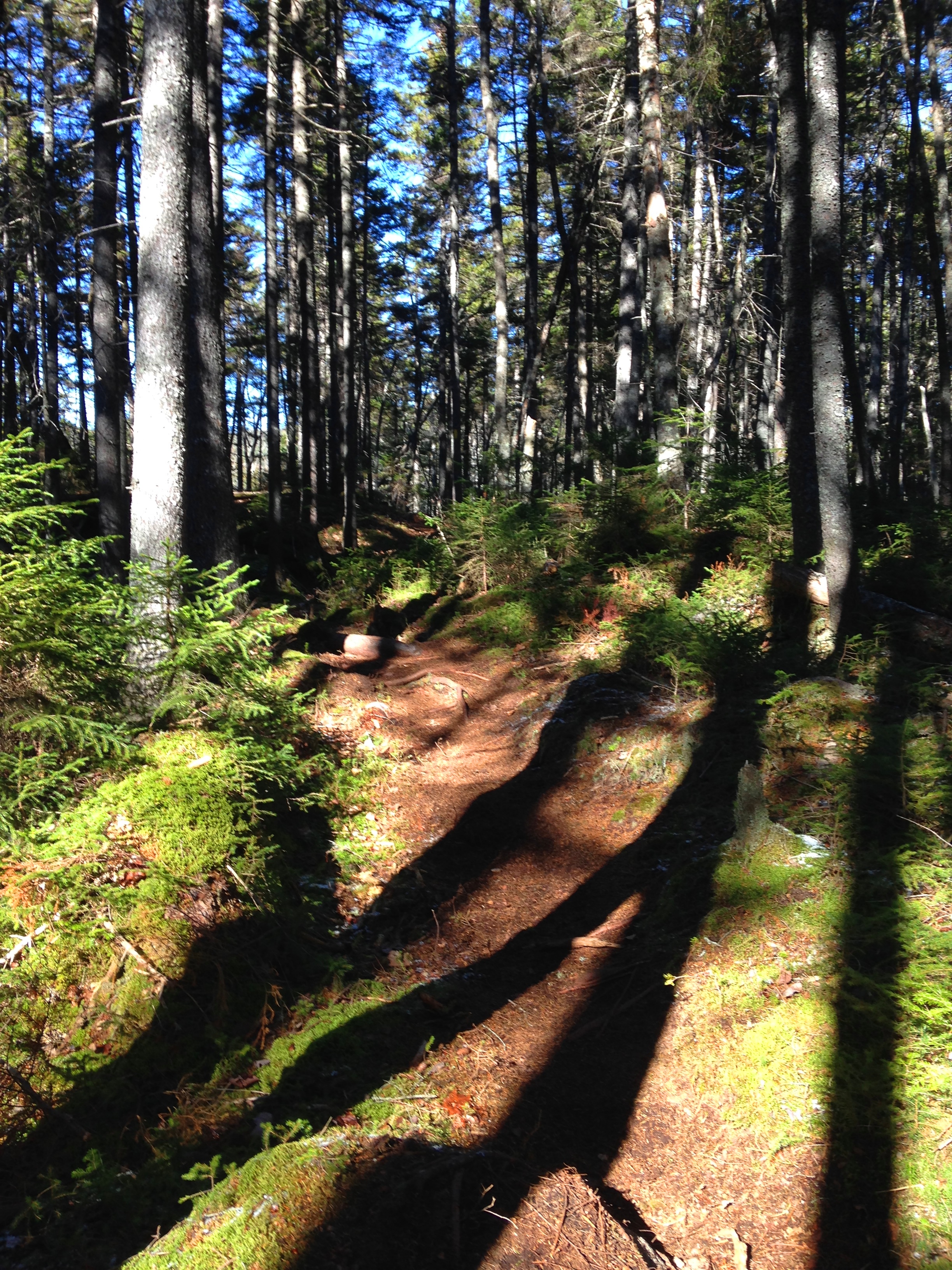
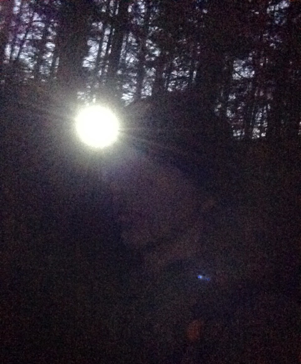
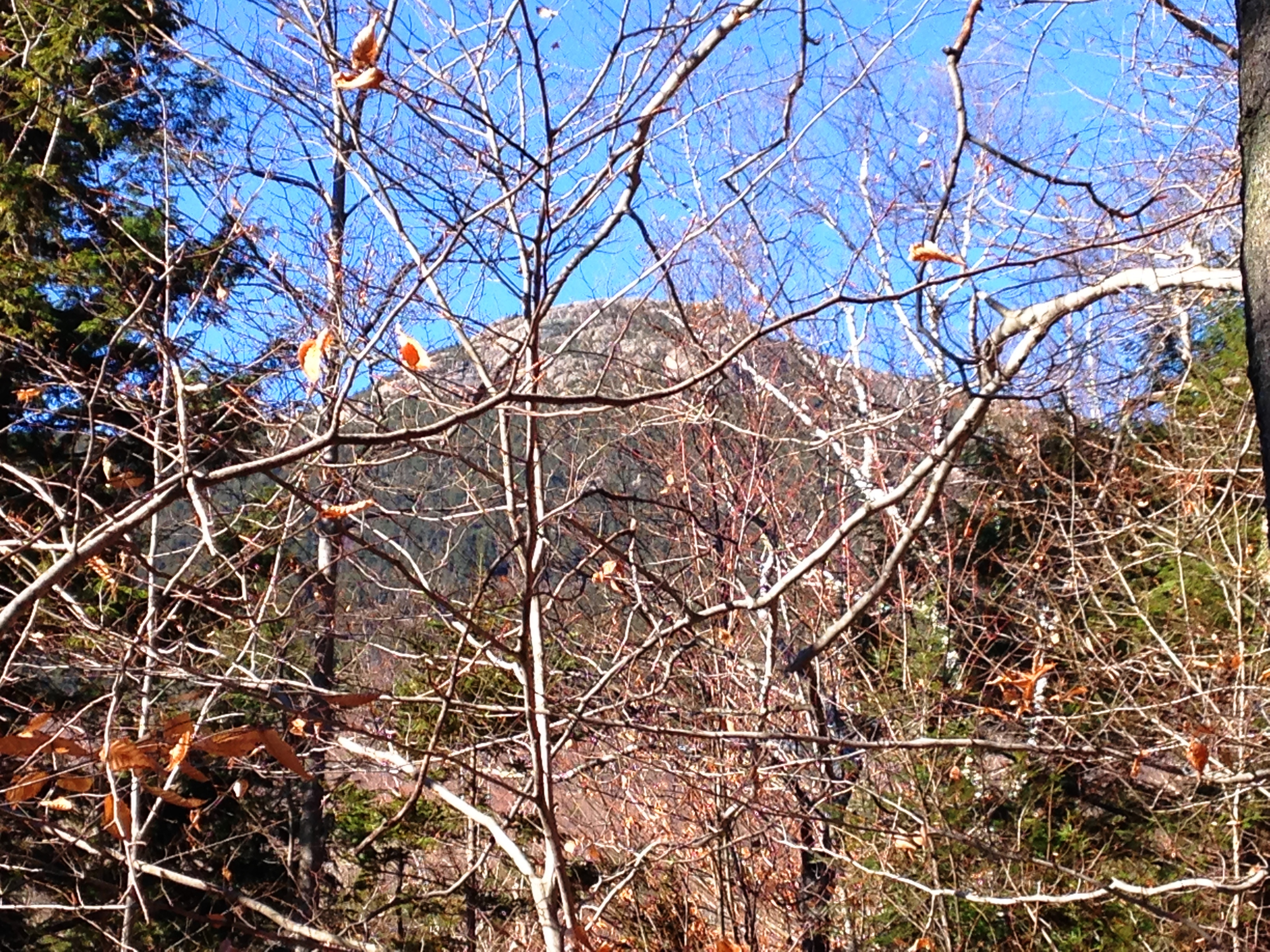
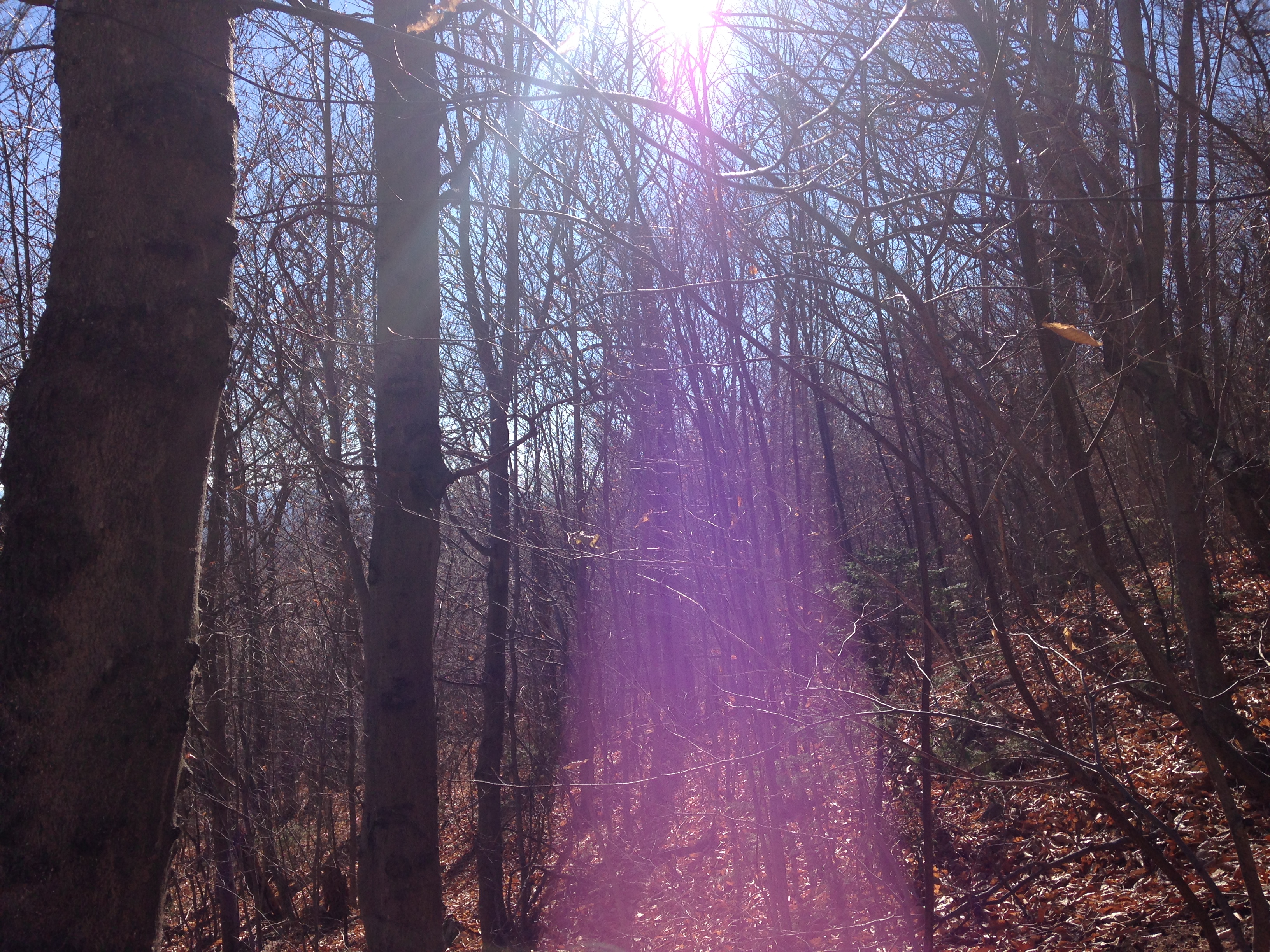
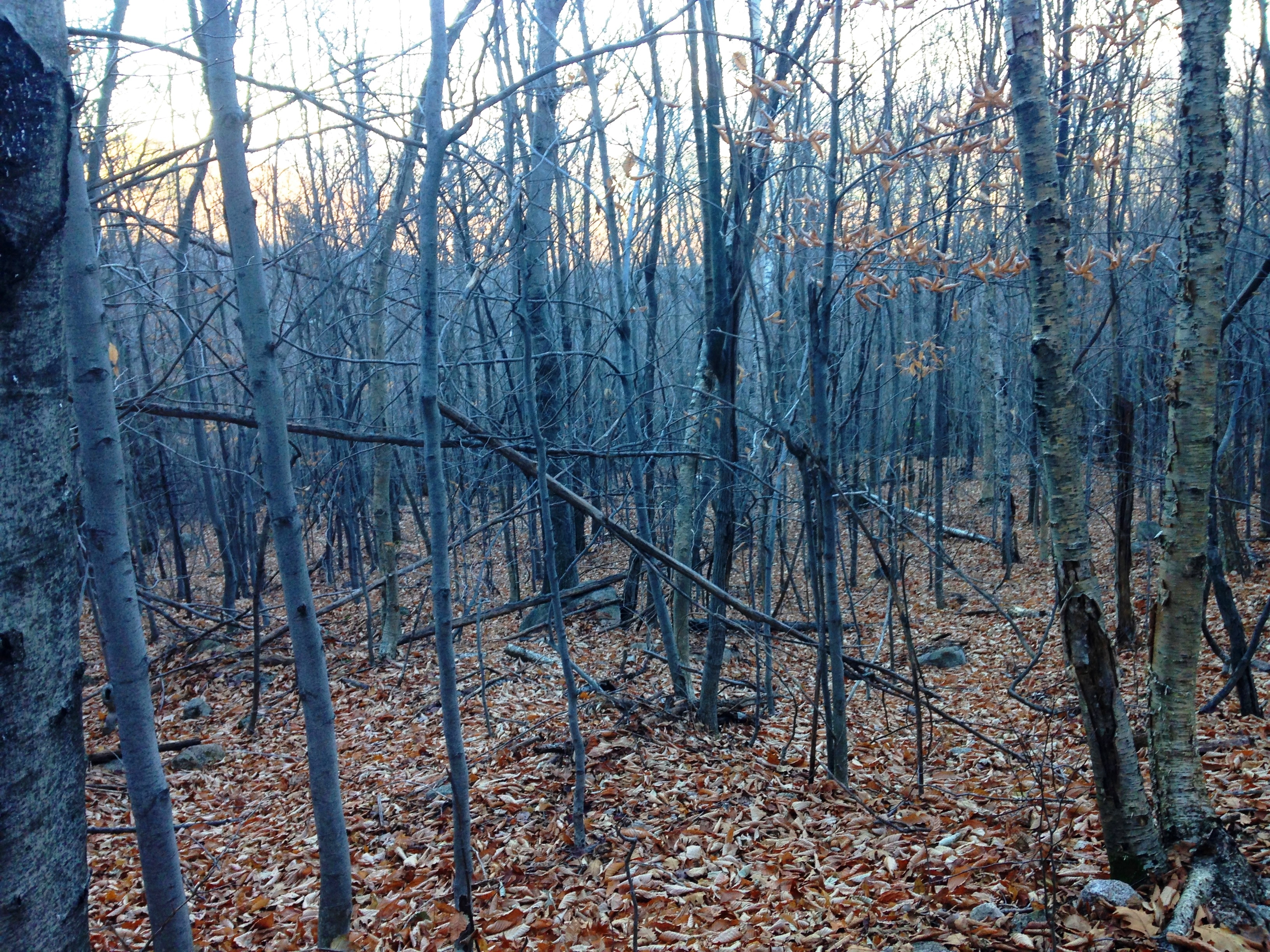
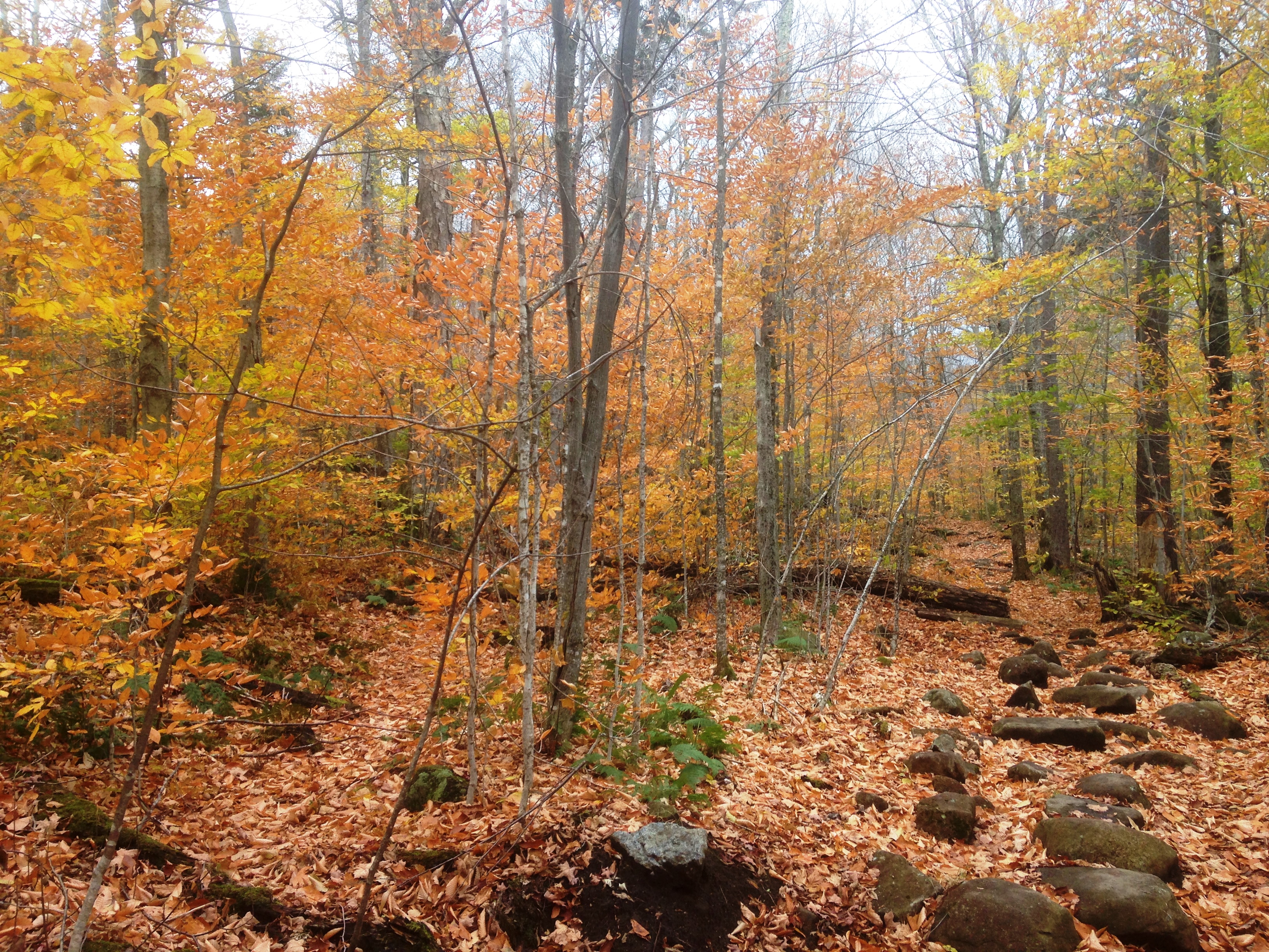
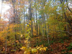
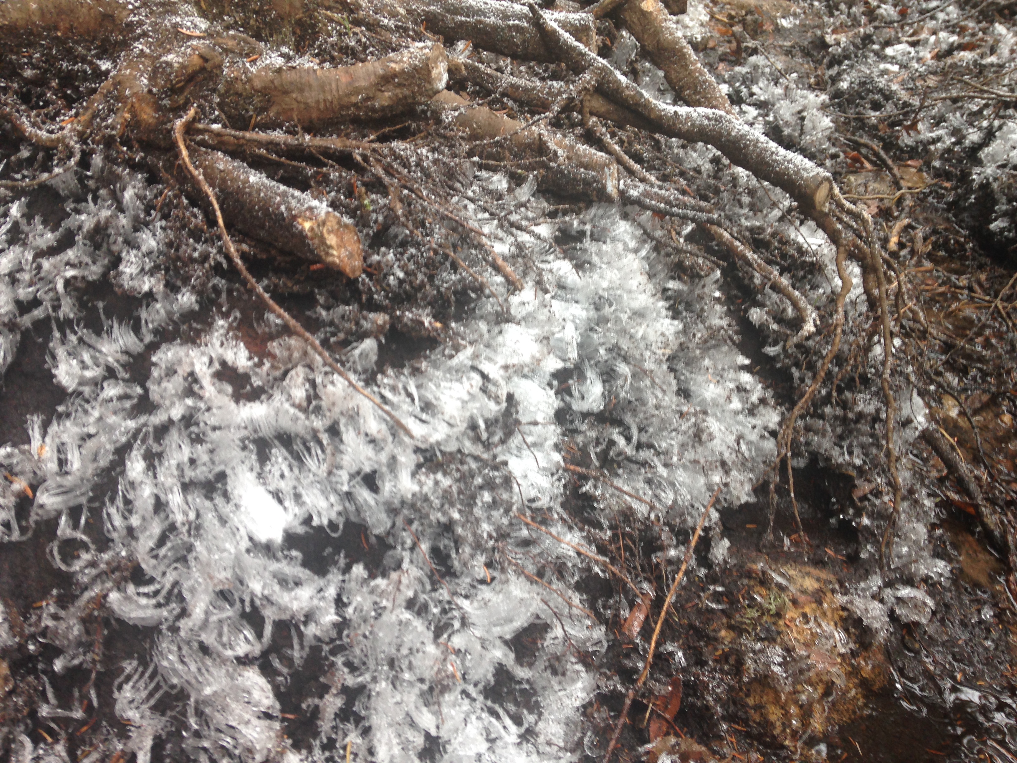
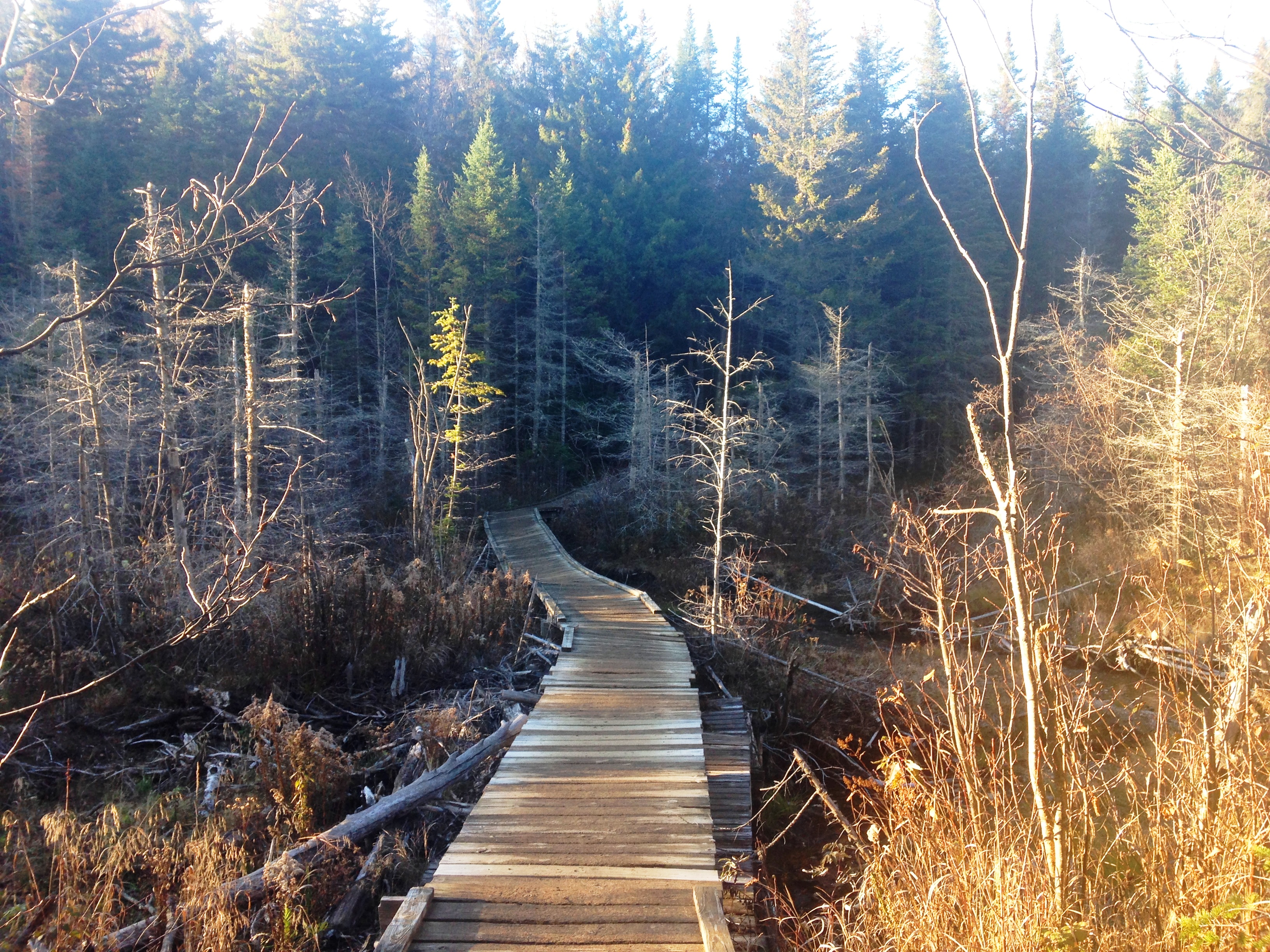
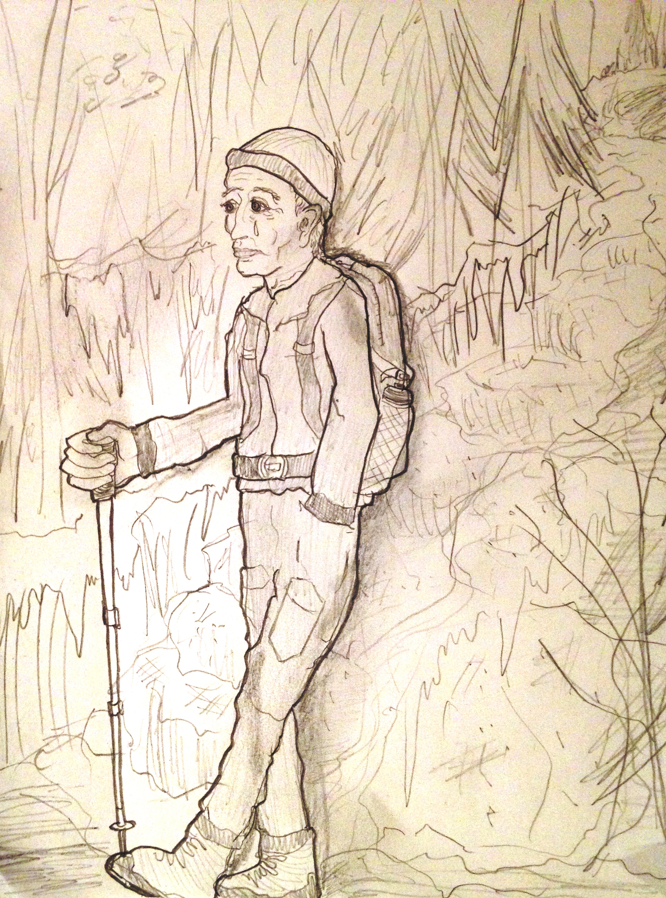
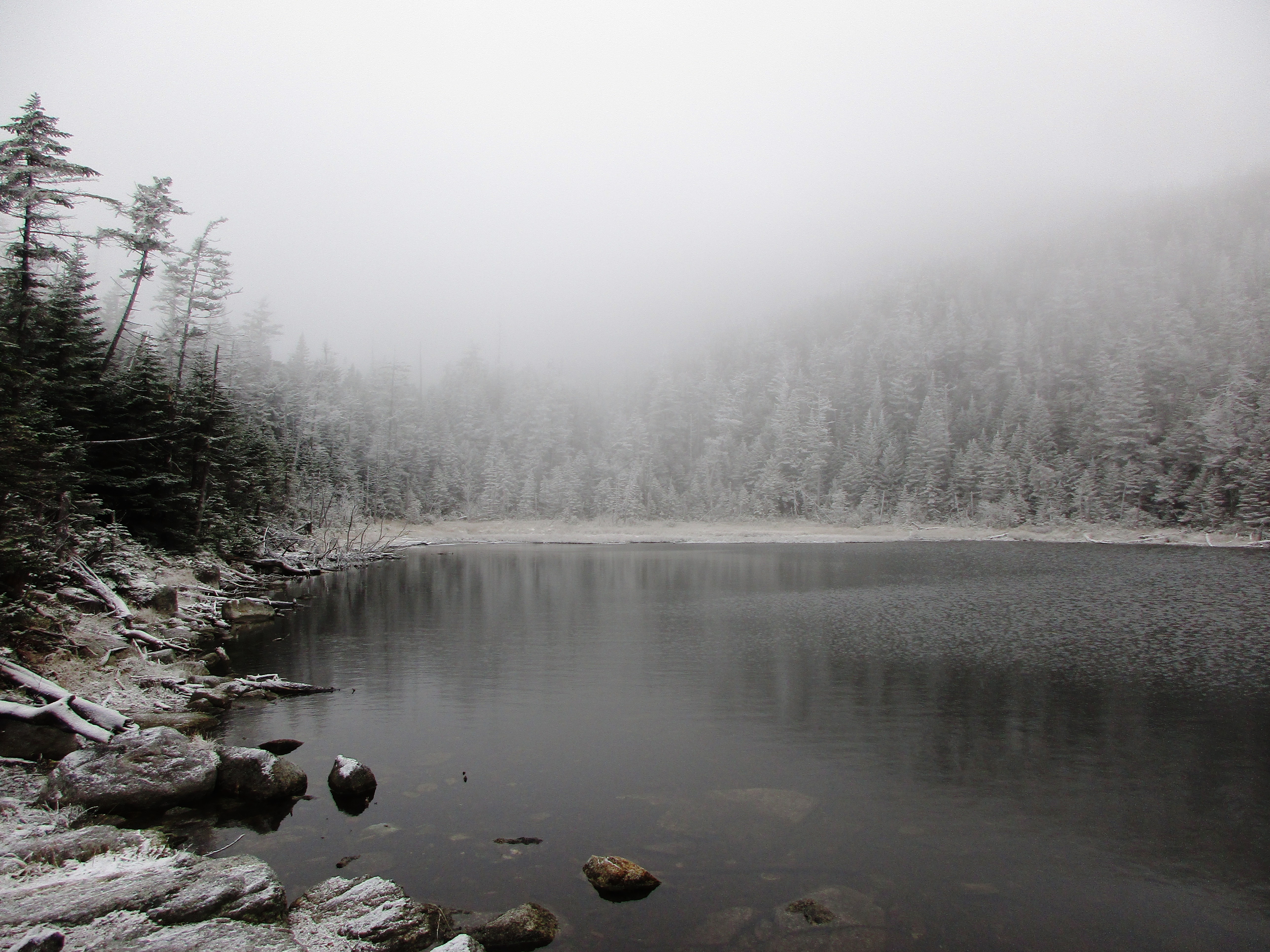
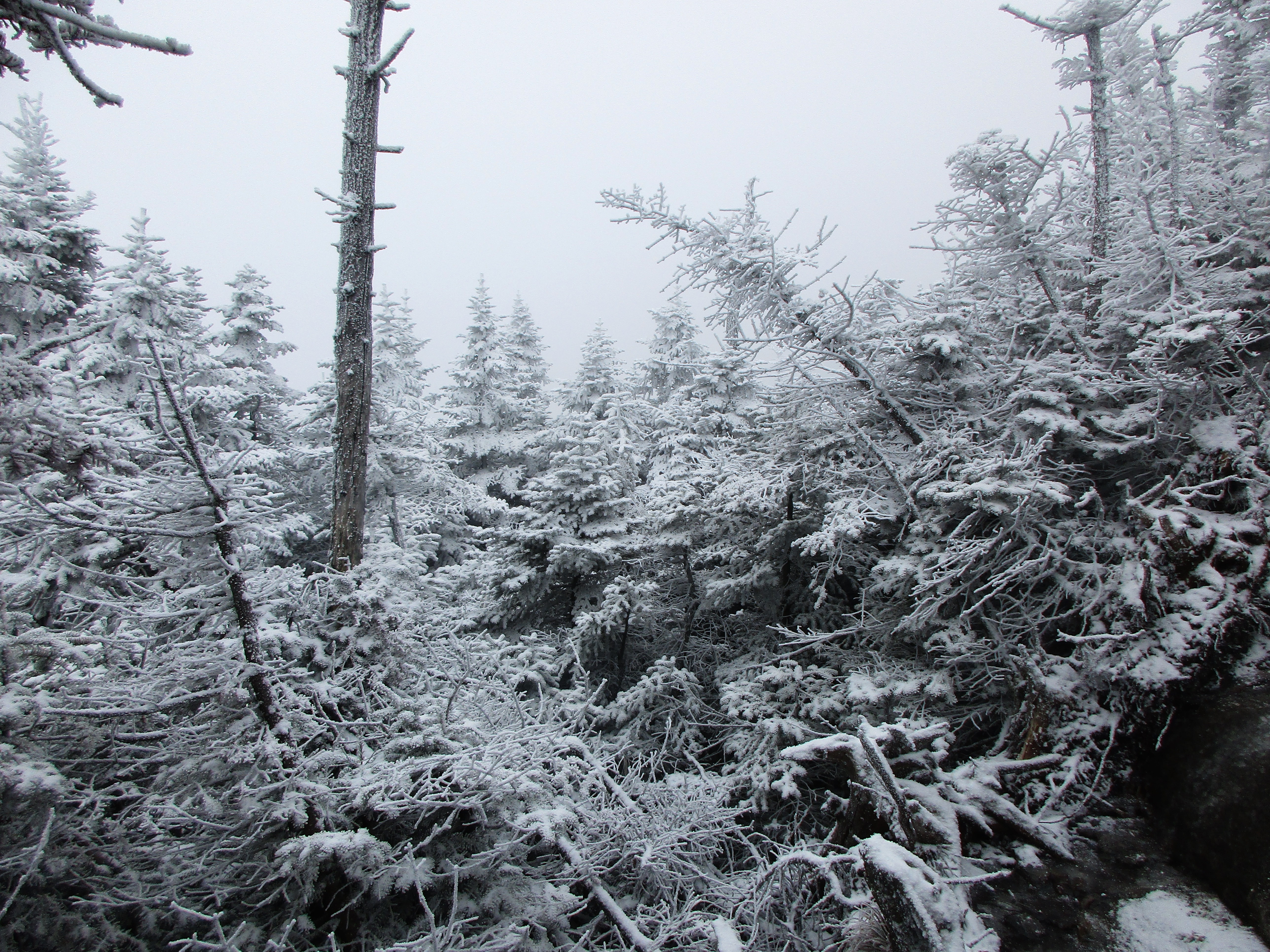
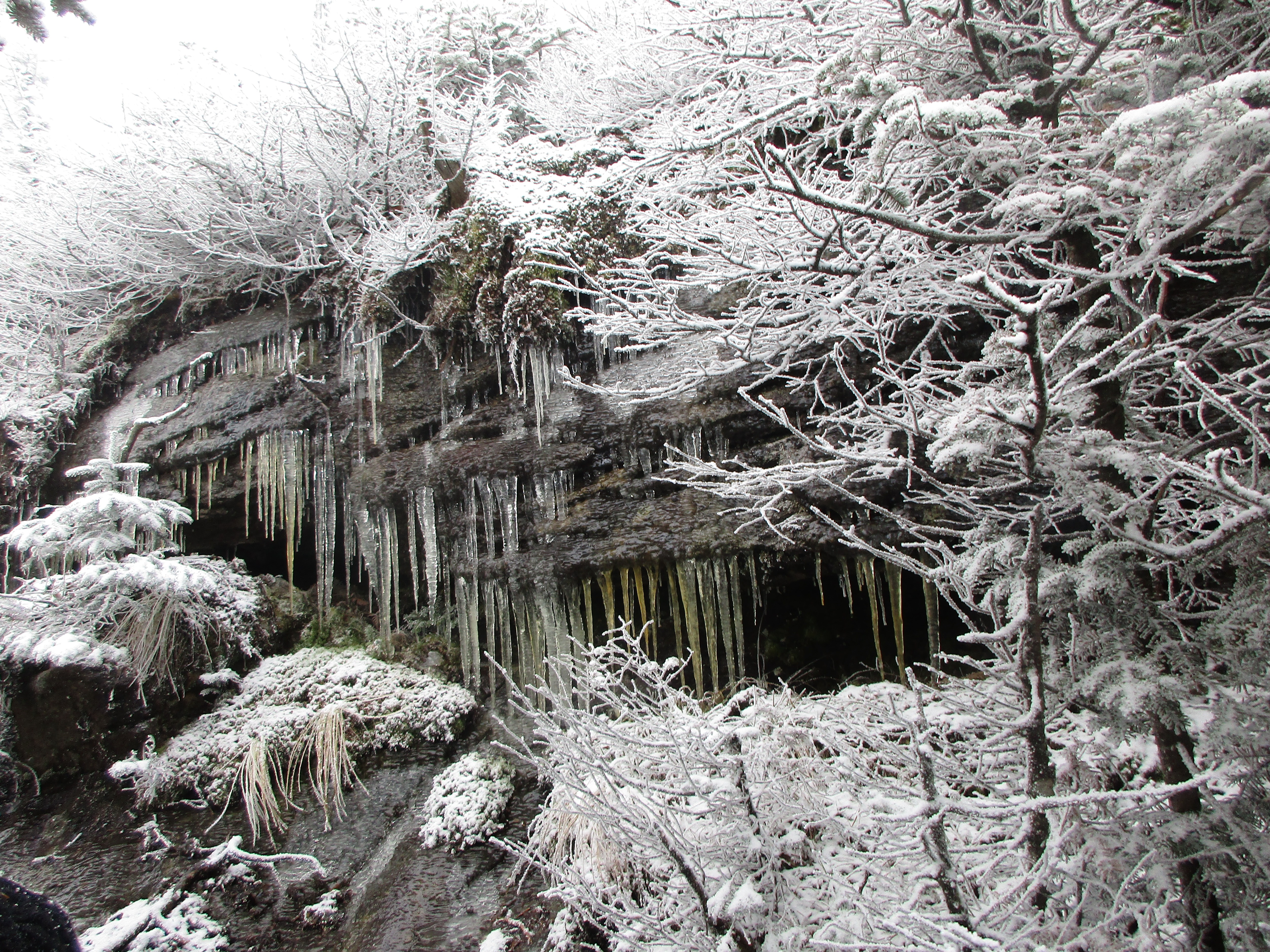
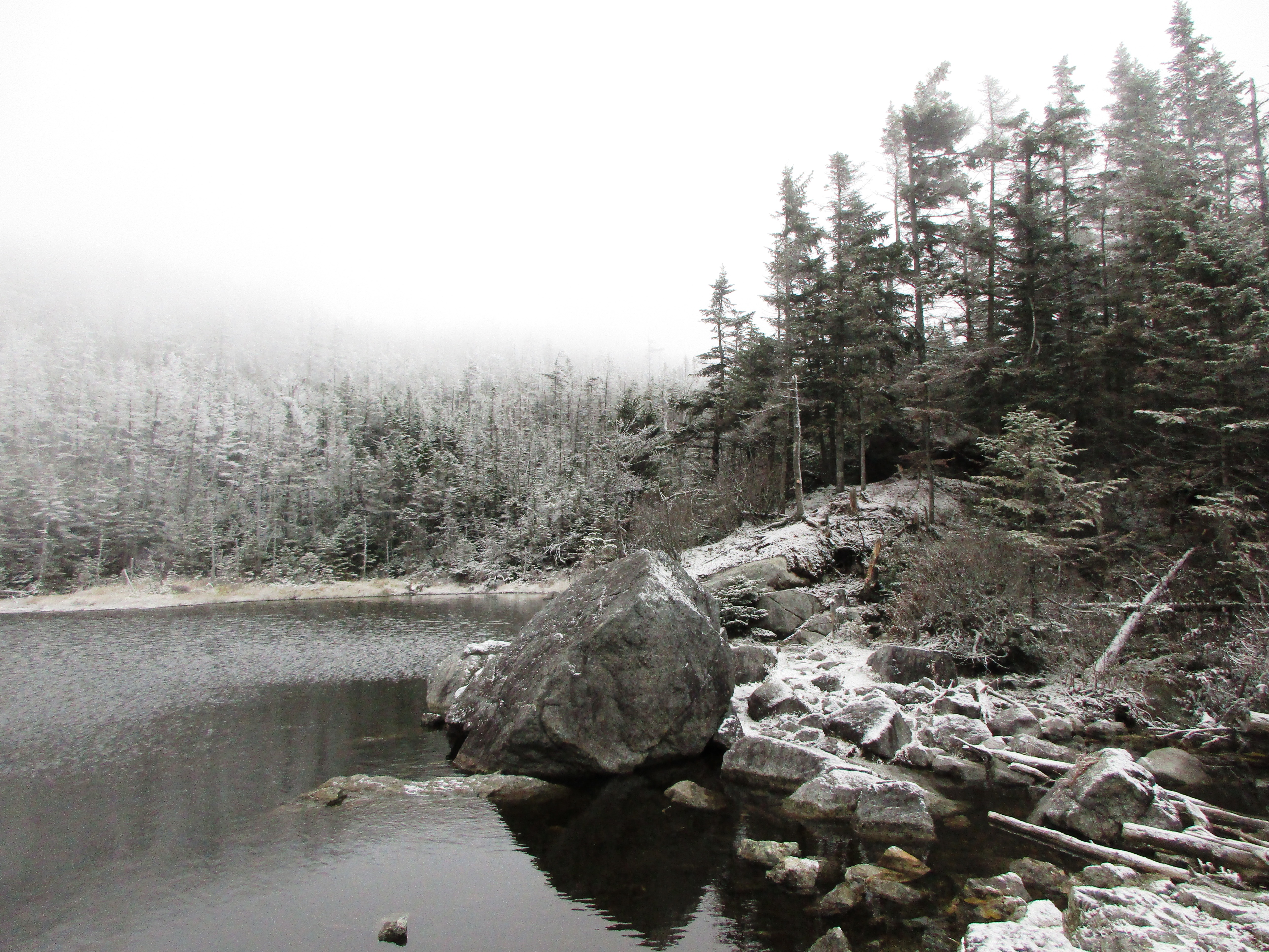
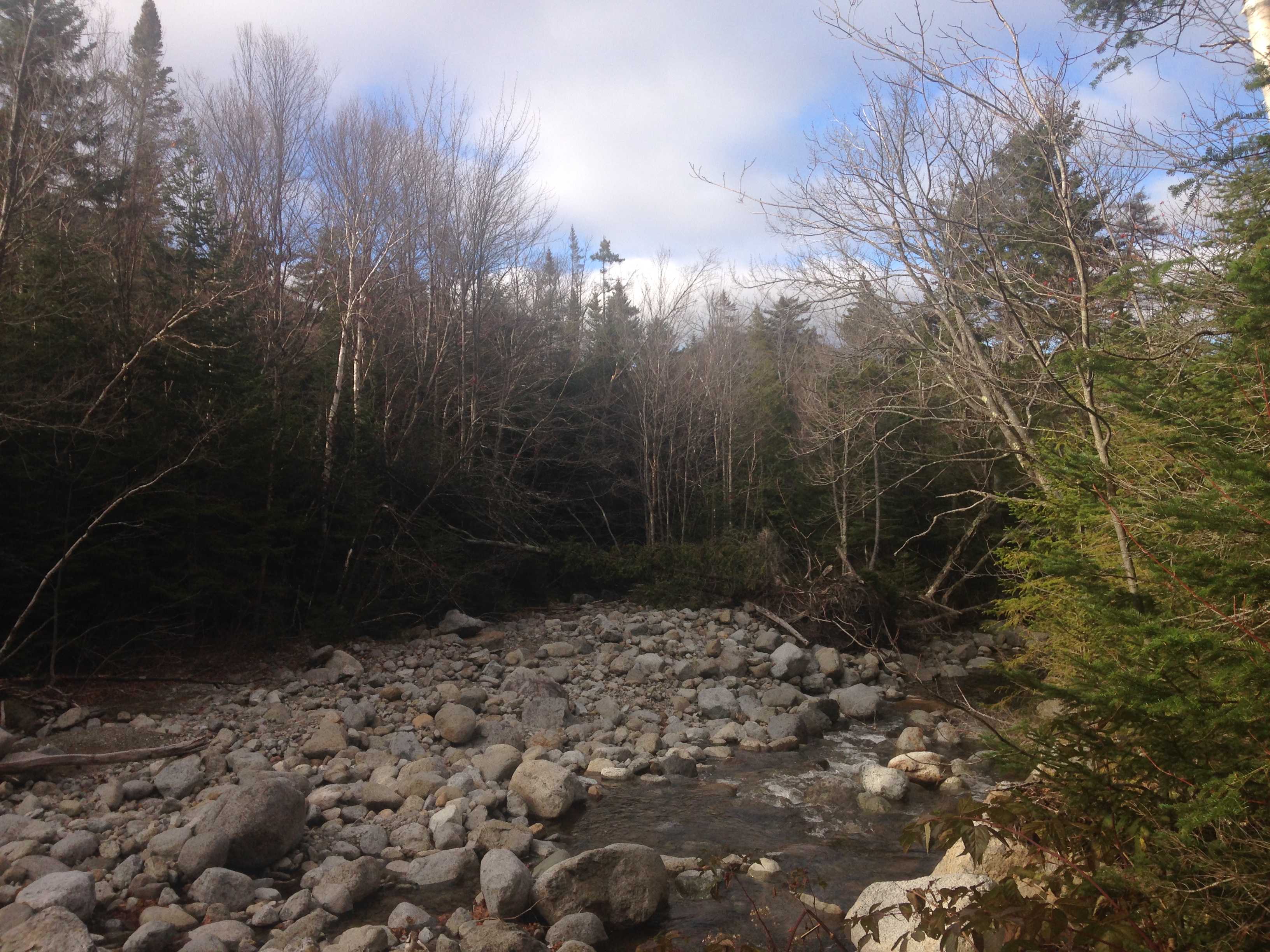
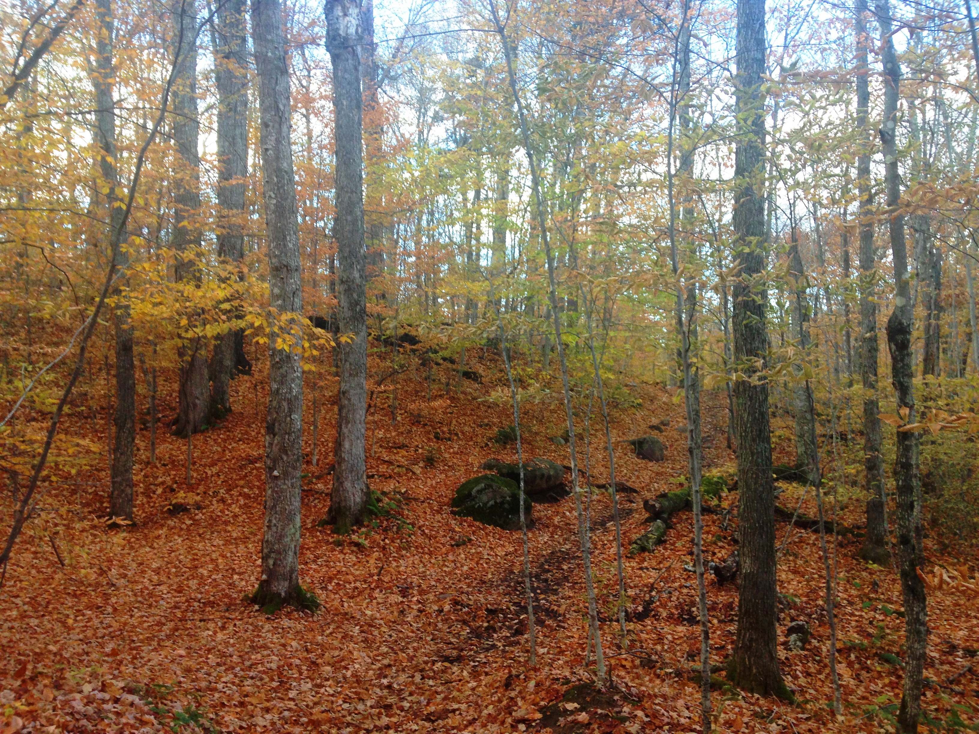
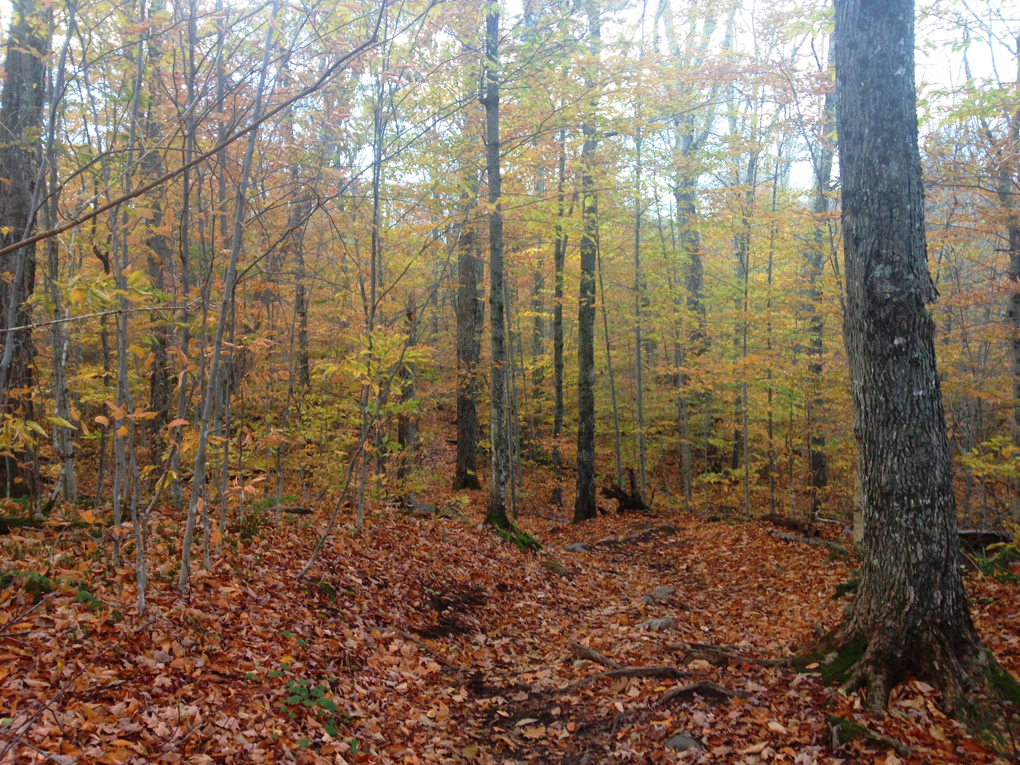
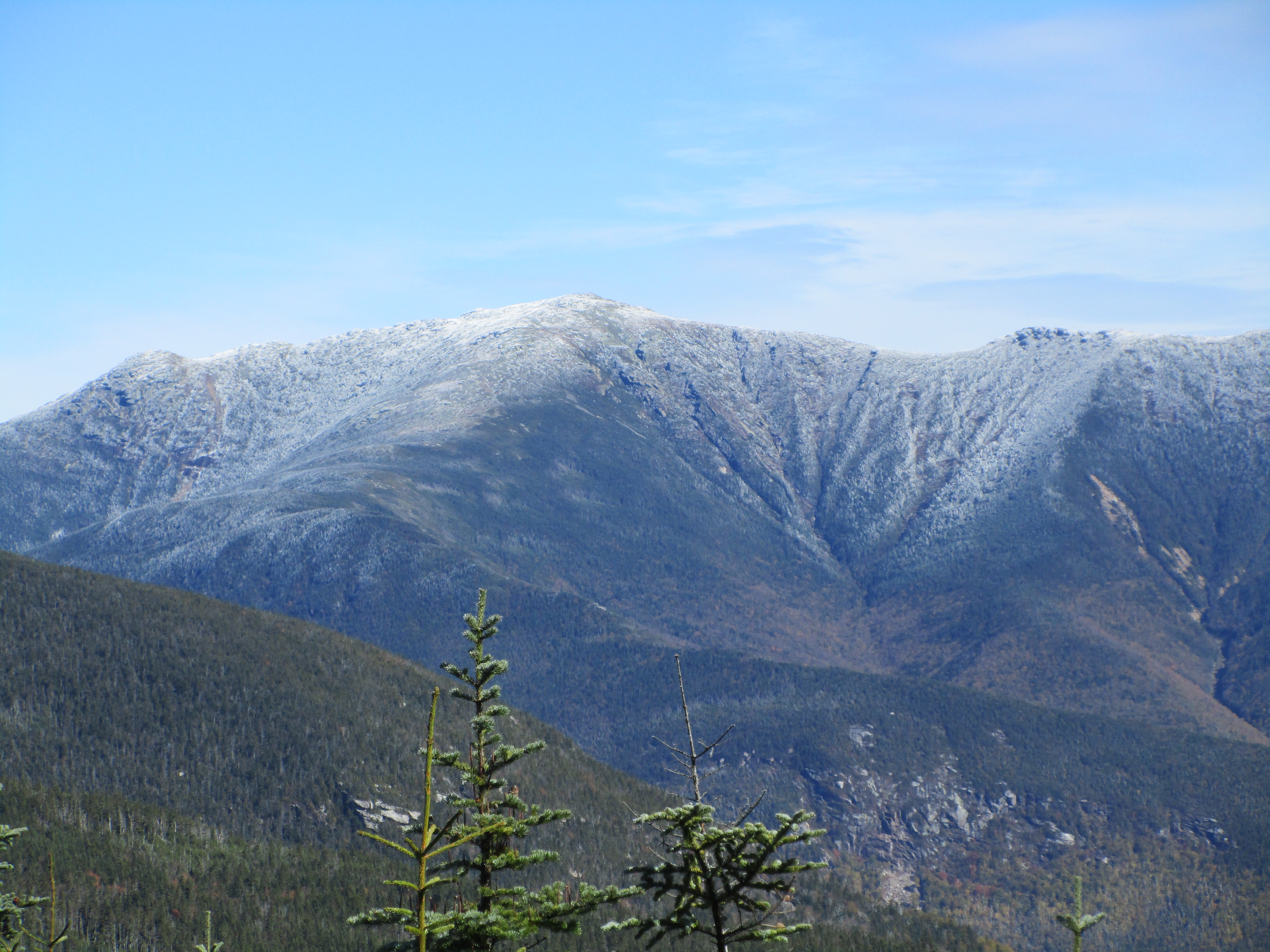
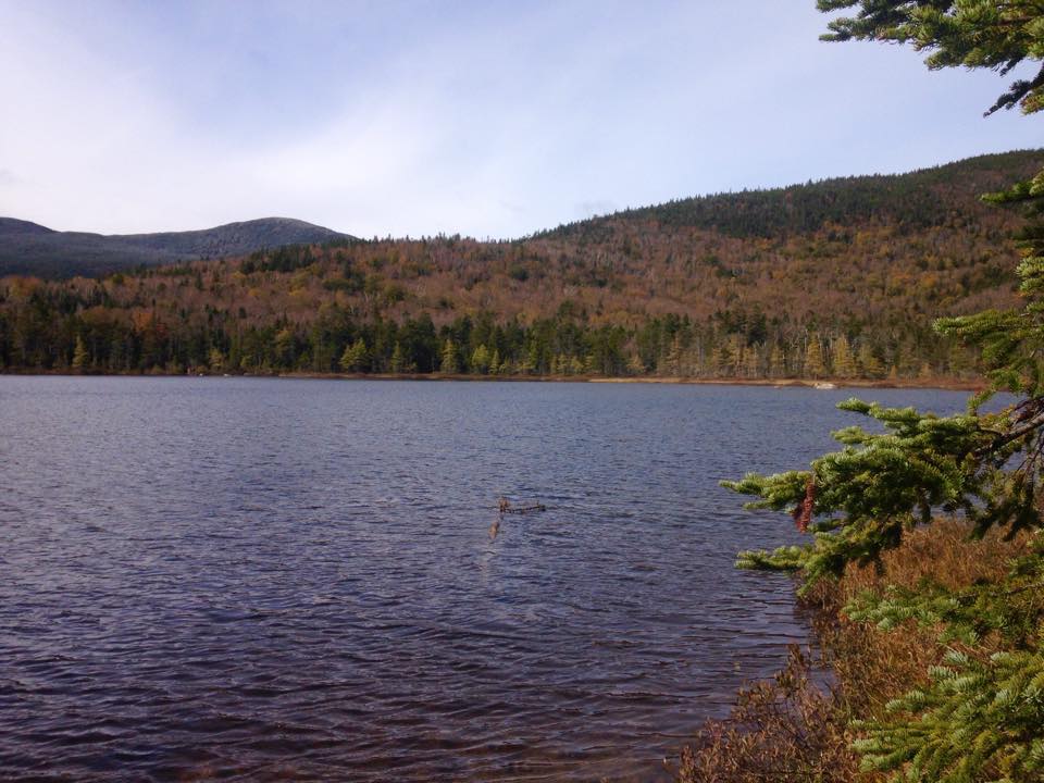
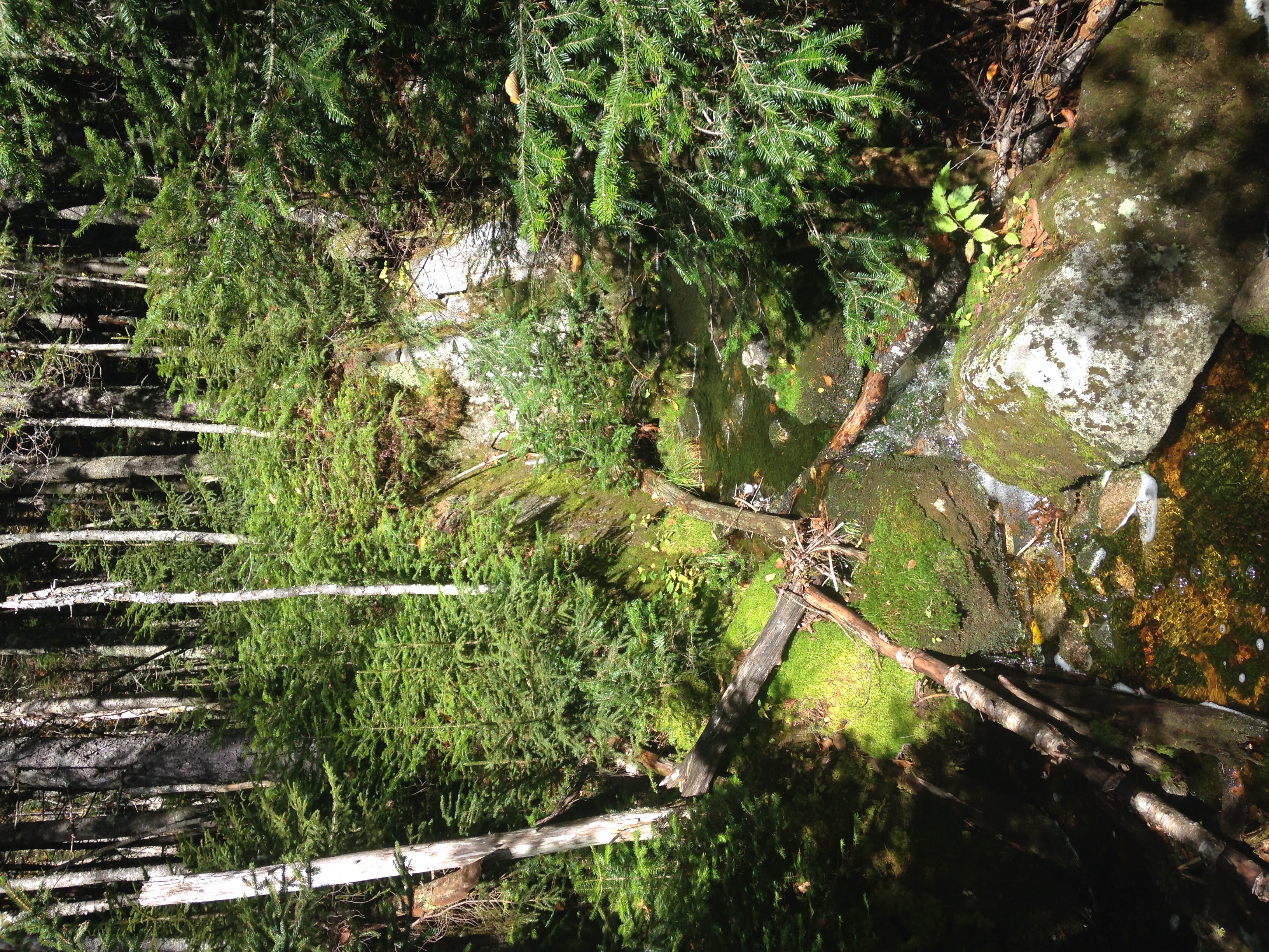
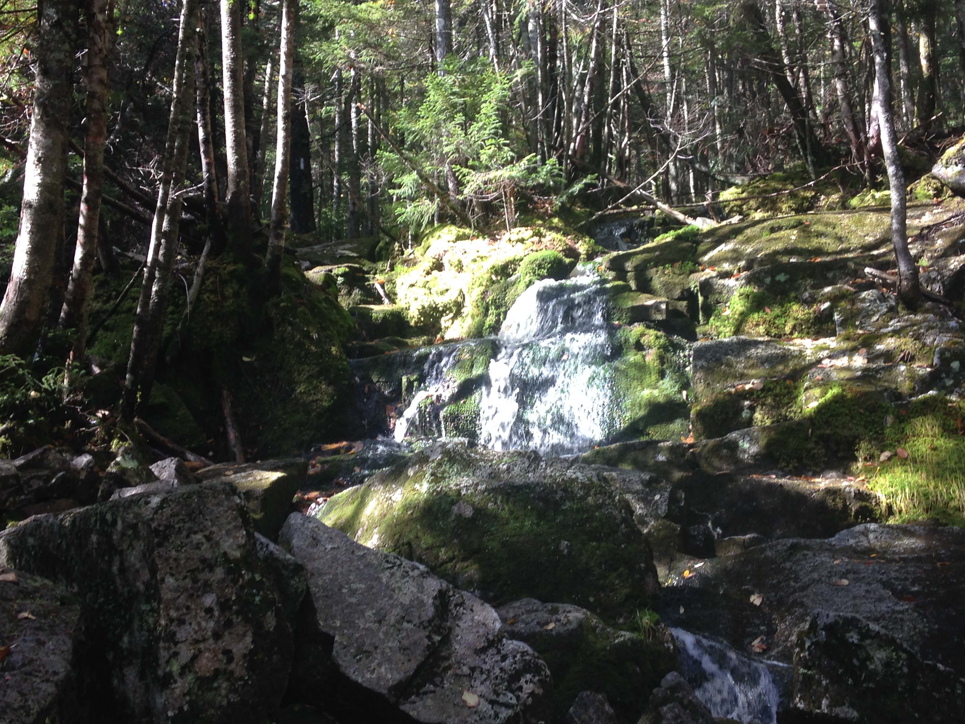
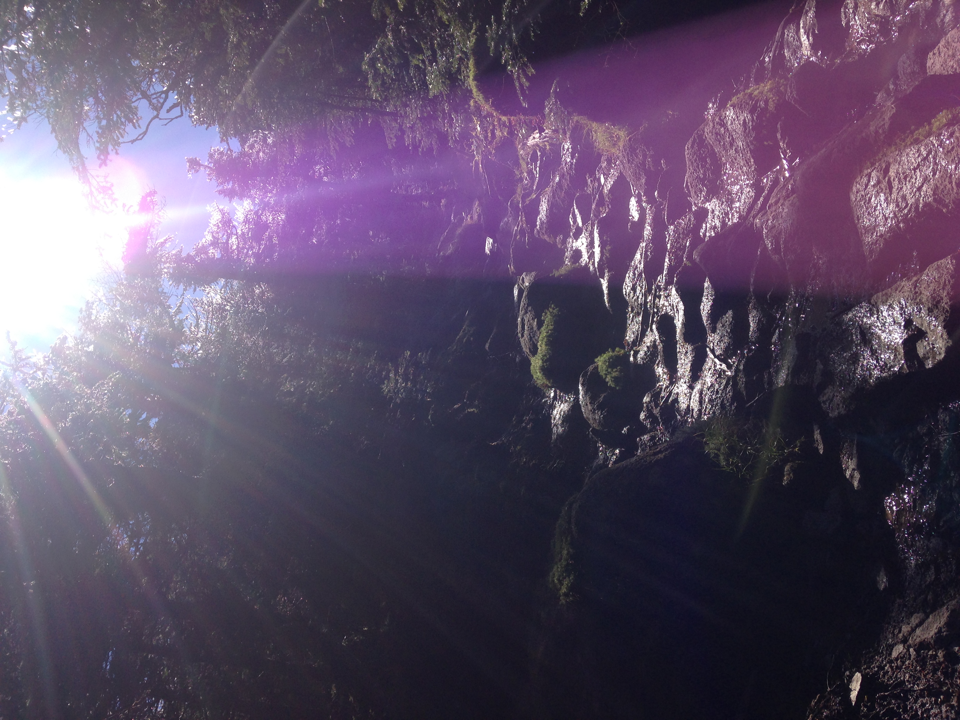
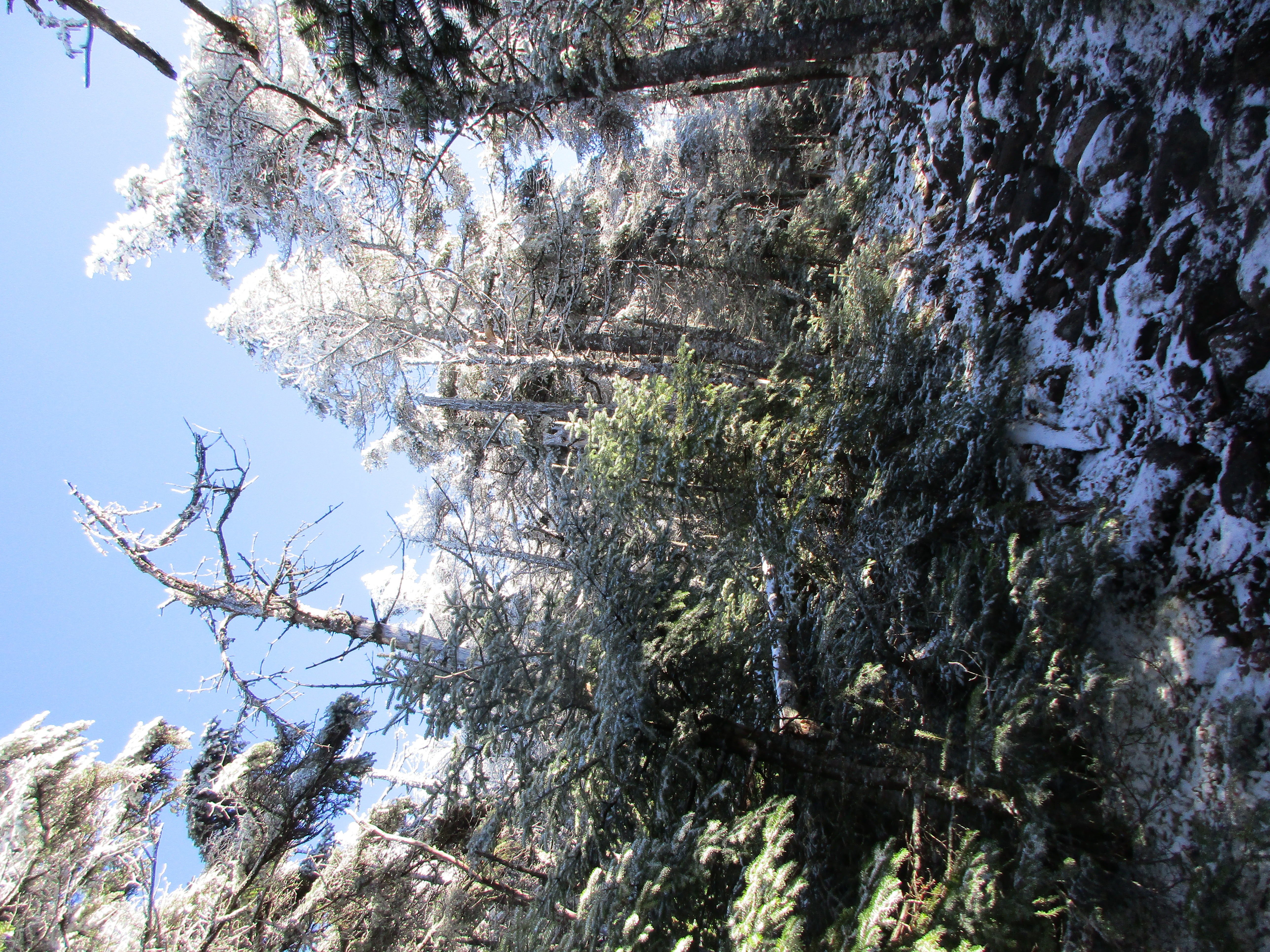
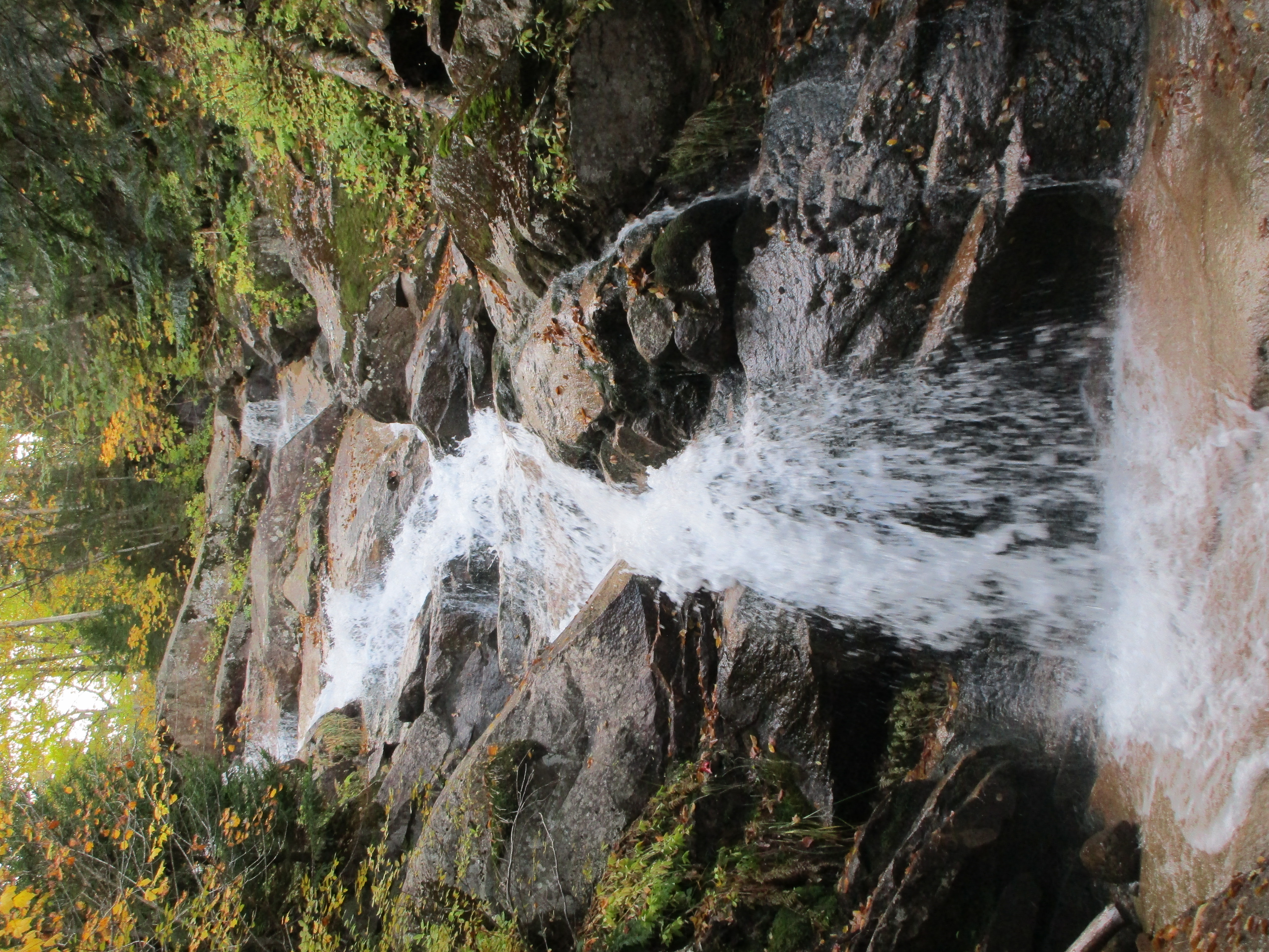
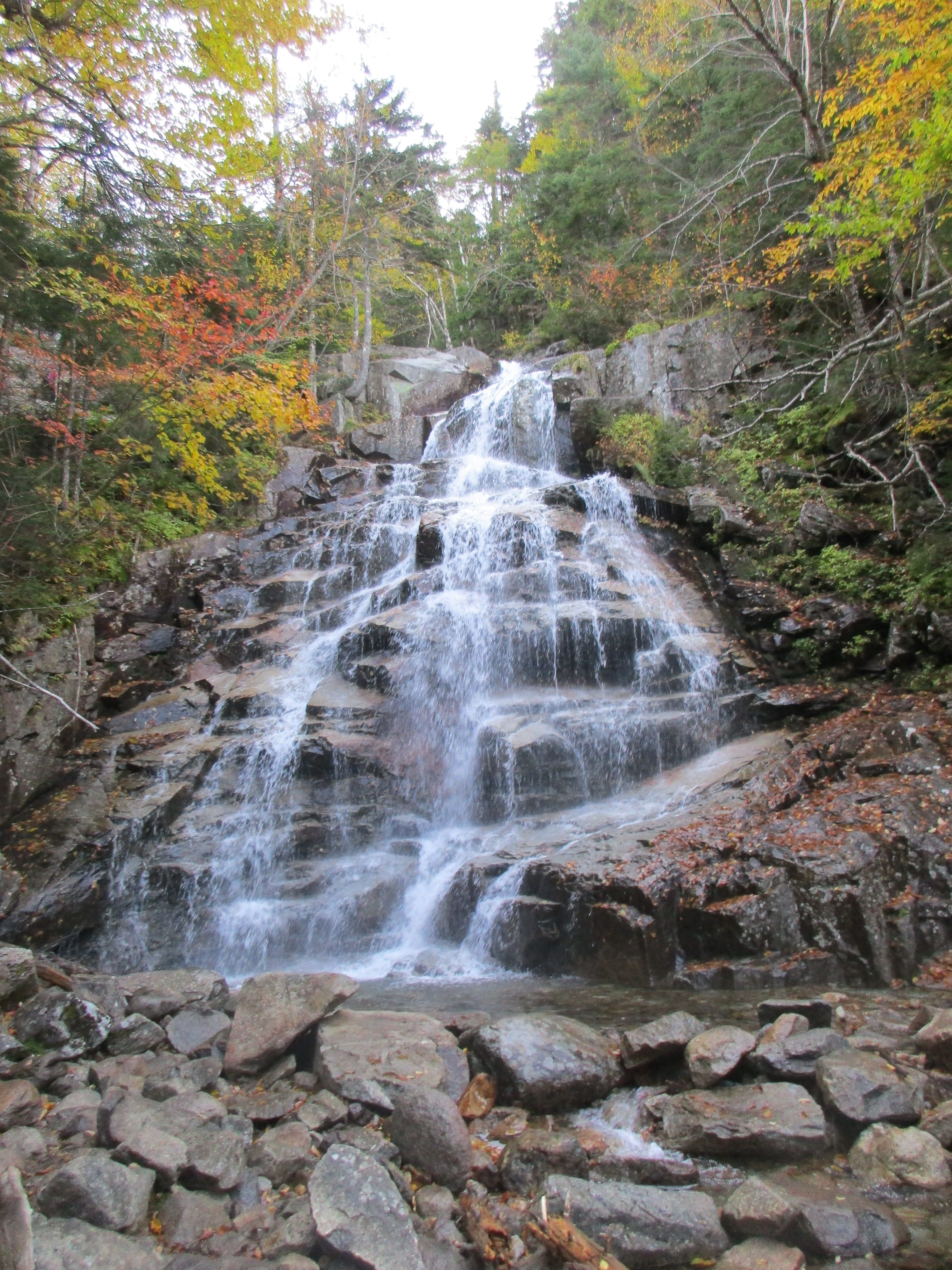
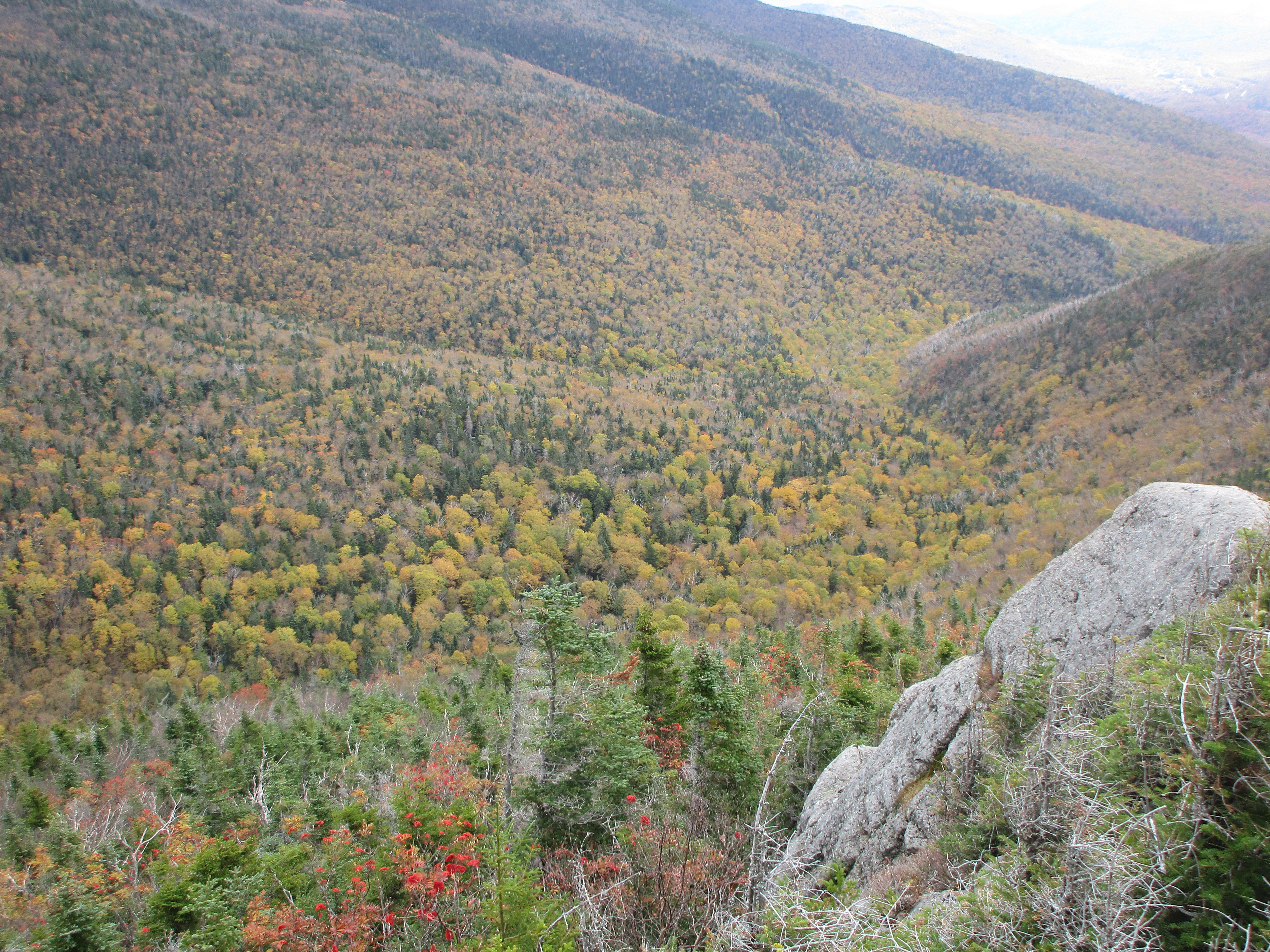
From the campground of the same name at the hairpin turn on the Kanc, I set off on the trail littered with brown leafs. The first stretch of the Hancock Notch Trail is flat alongside the Hancock Branch River’s, North Fork. IMG_3772
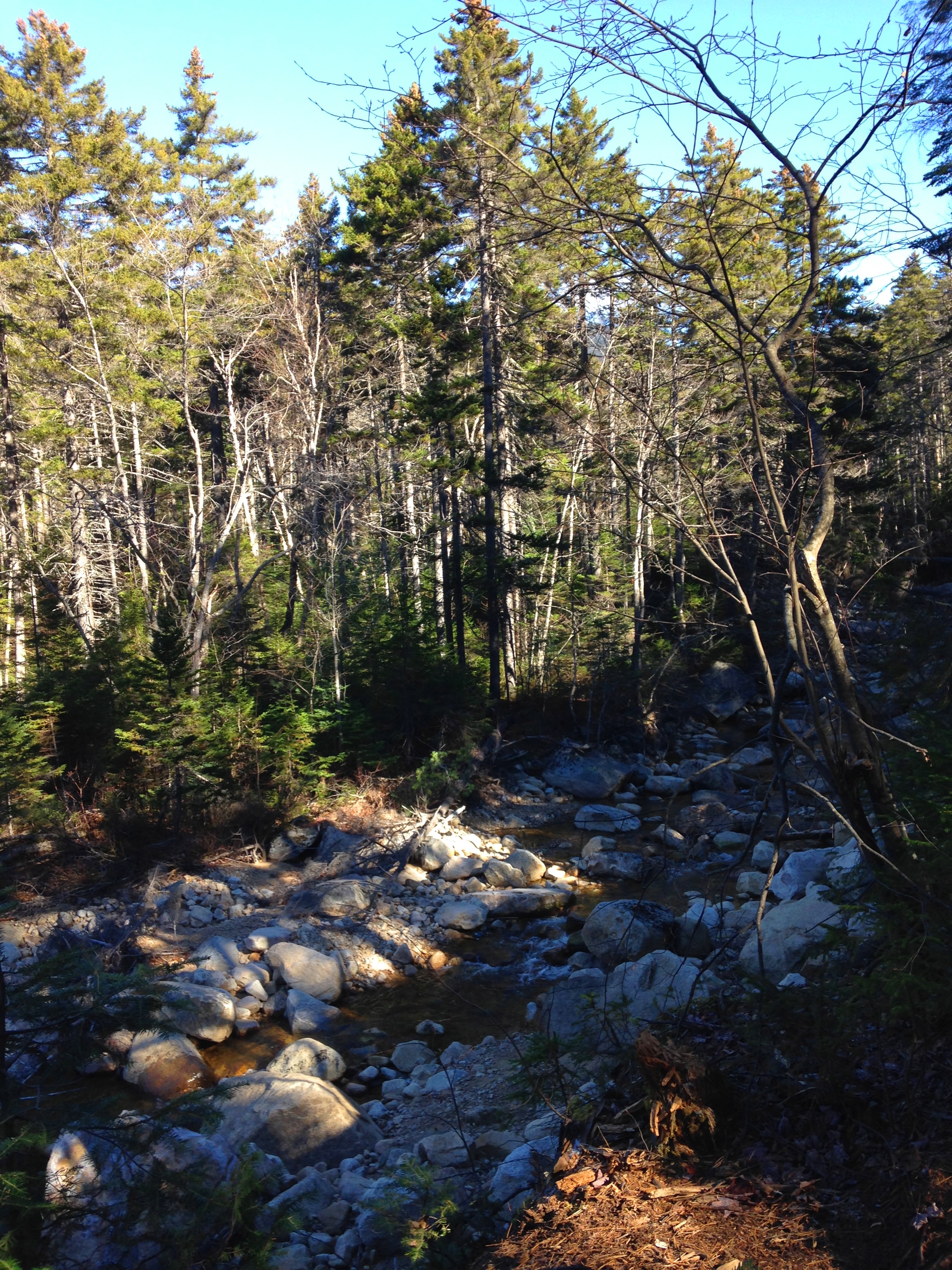
The running water keeps me company in my left ear as I bang a left toward Cedar Brook and Hancock Loop. I encounter not a soul during that entire stretch, as I can feel the stress of the work week, the busy drama filled family happenings and the noise of a fun filled gig weekend all just float away with the cool breeze, like a dry worn brown leaf on its way to wherever the November wind carries it before it is buried in a deep white grave. I can smell the winter air on its way in. The white bark gathering of birch stand in their bare state in contrast against a backdrop of dark green fur and pine and the deep blue sky. IMG_3771
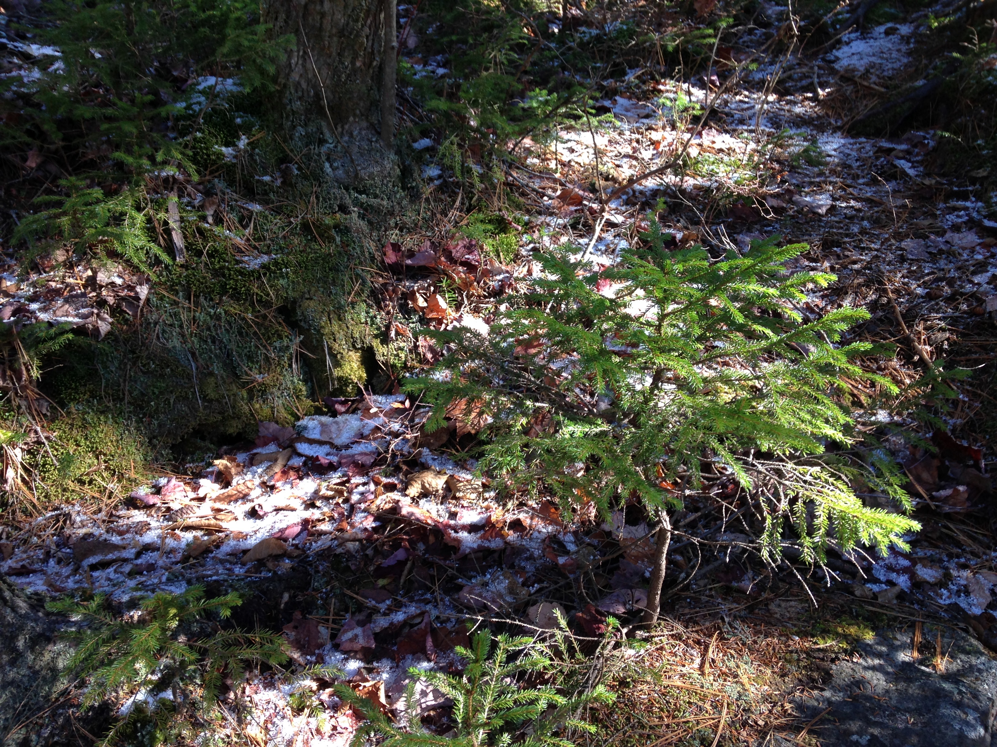
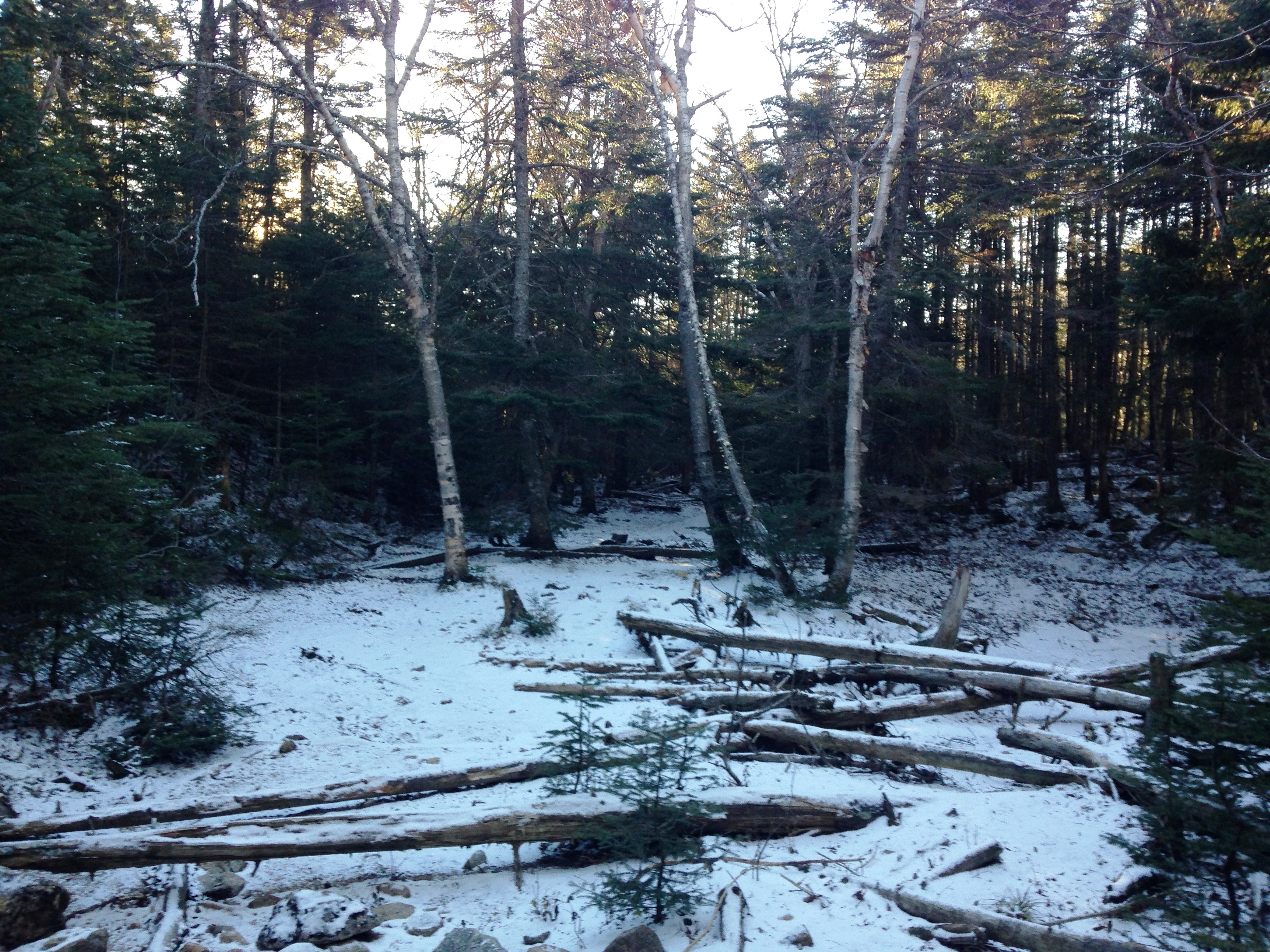
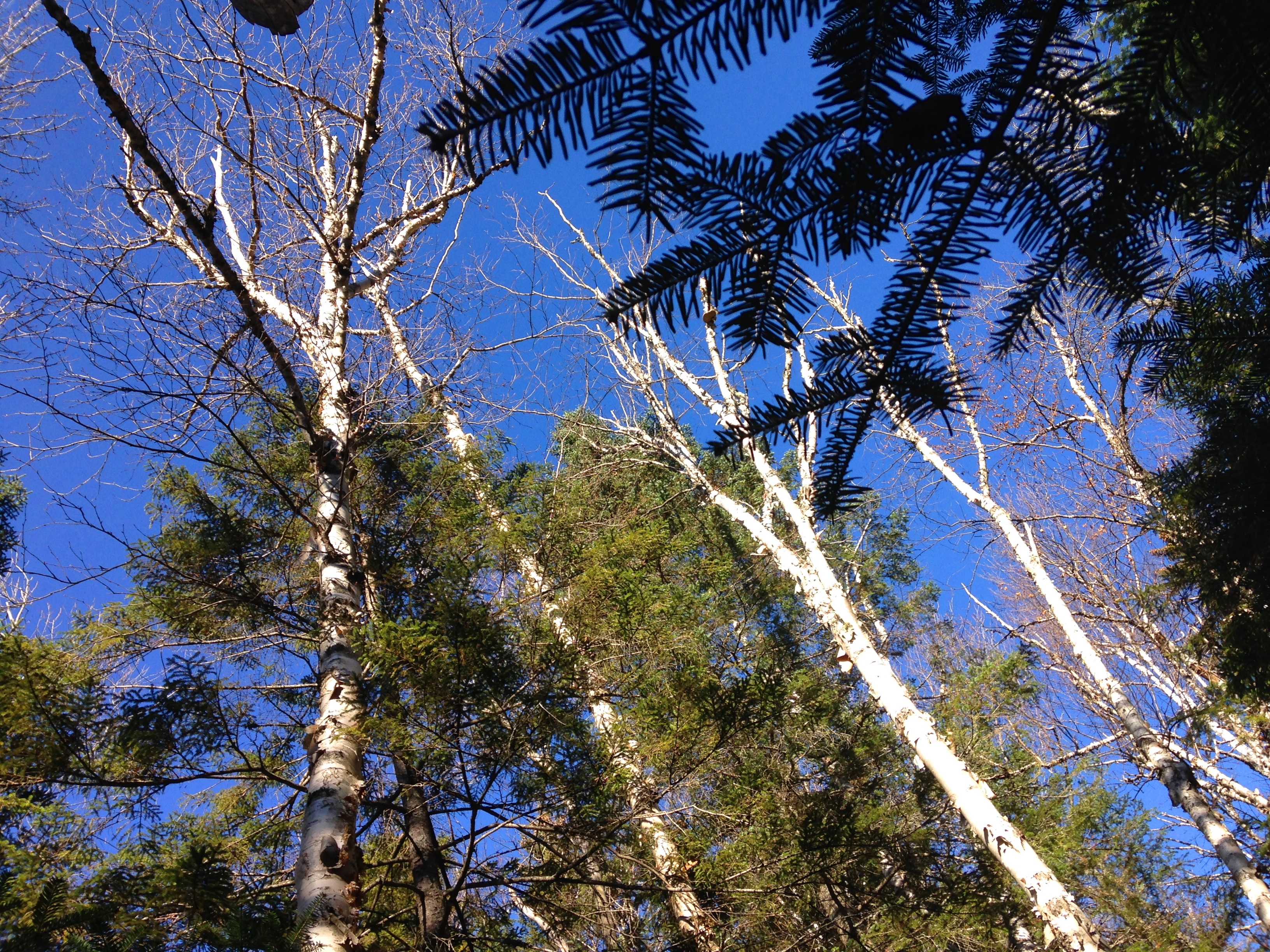
A light dusting of snow is sprinkled sparsely on the forest floor, bringing memories of winters past. The sound of running water calms my soul and washes away any troubling thoughts left in my mind from the so called “real world” that will sadly be waiting for me upon my return from this truly REAL world.IMG_3777 IMG_3775IMG_3773

IMG_3785      IMG_3786

IMG_3790

IMG_3788
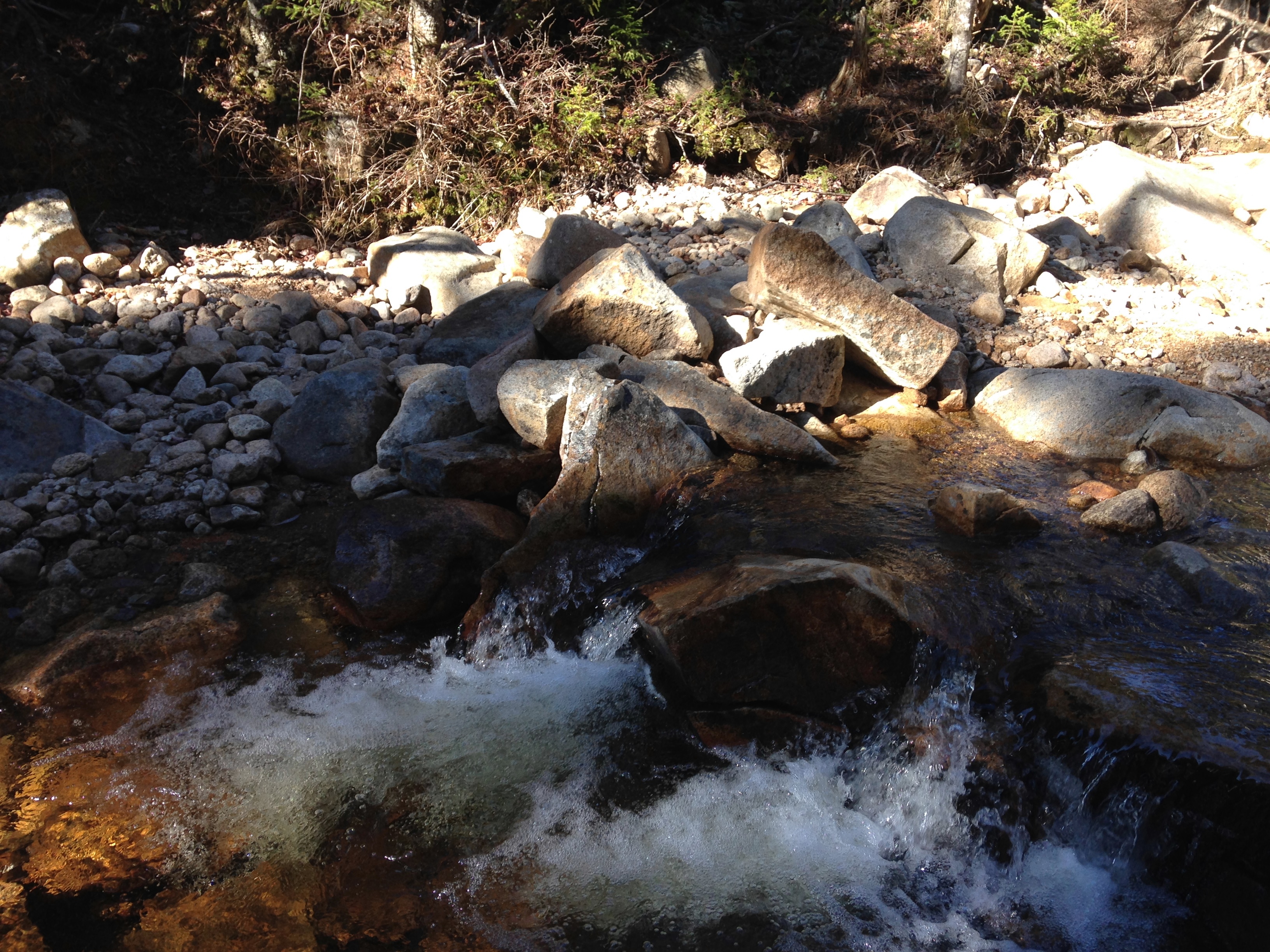
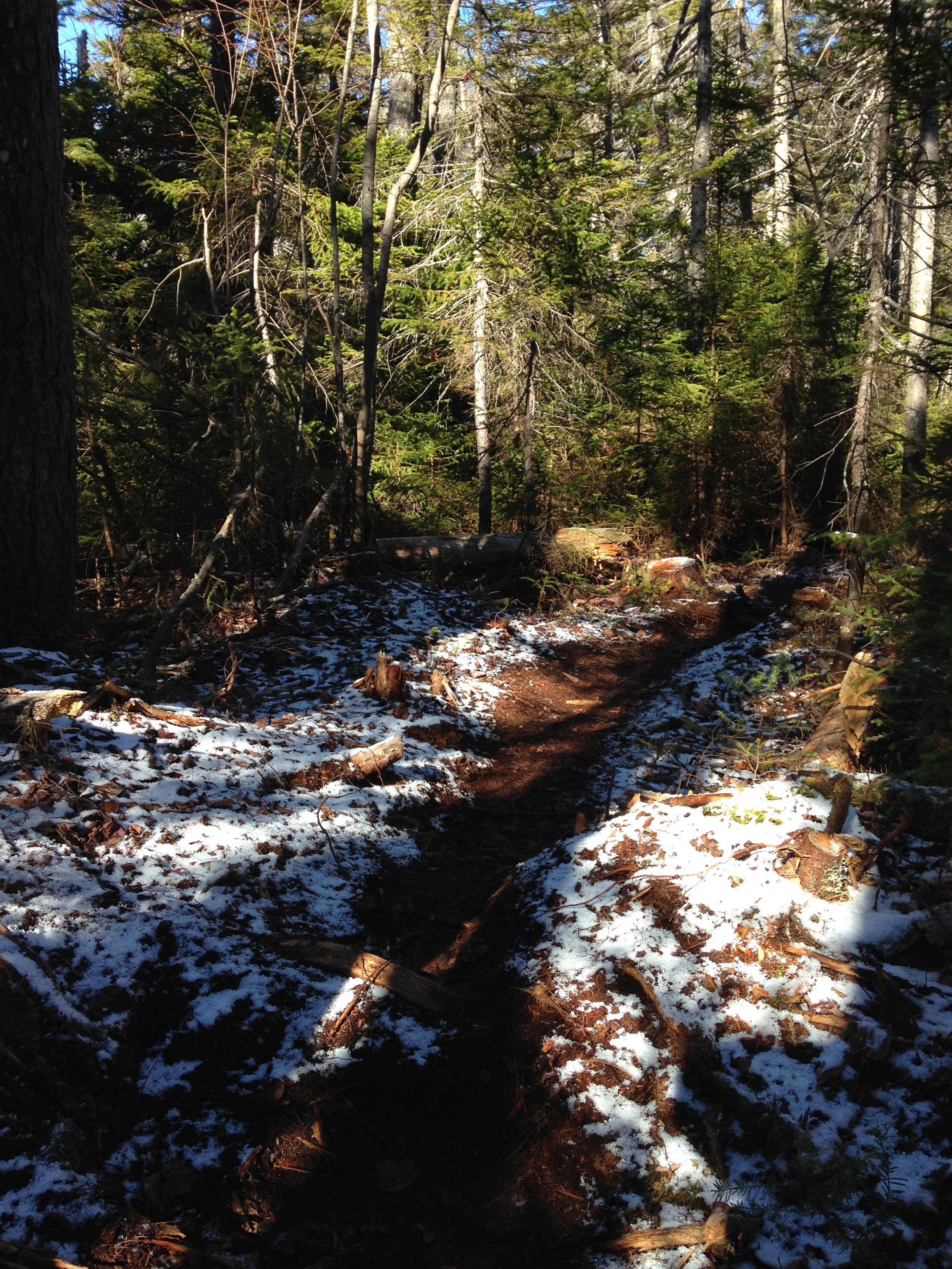
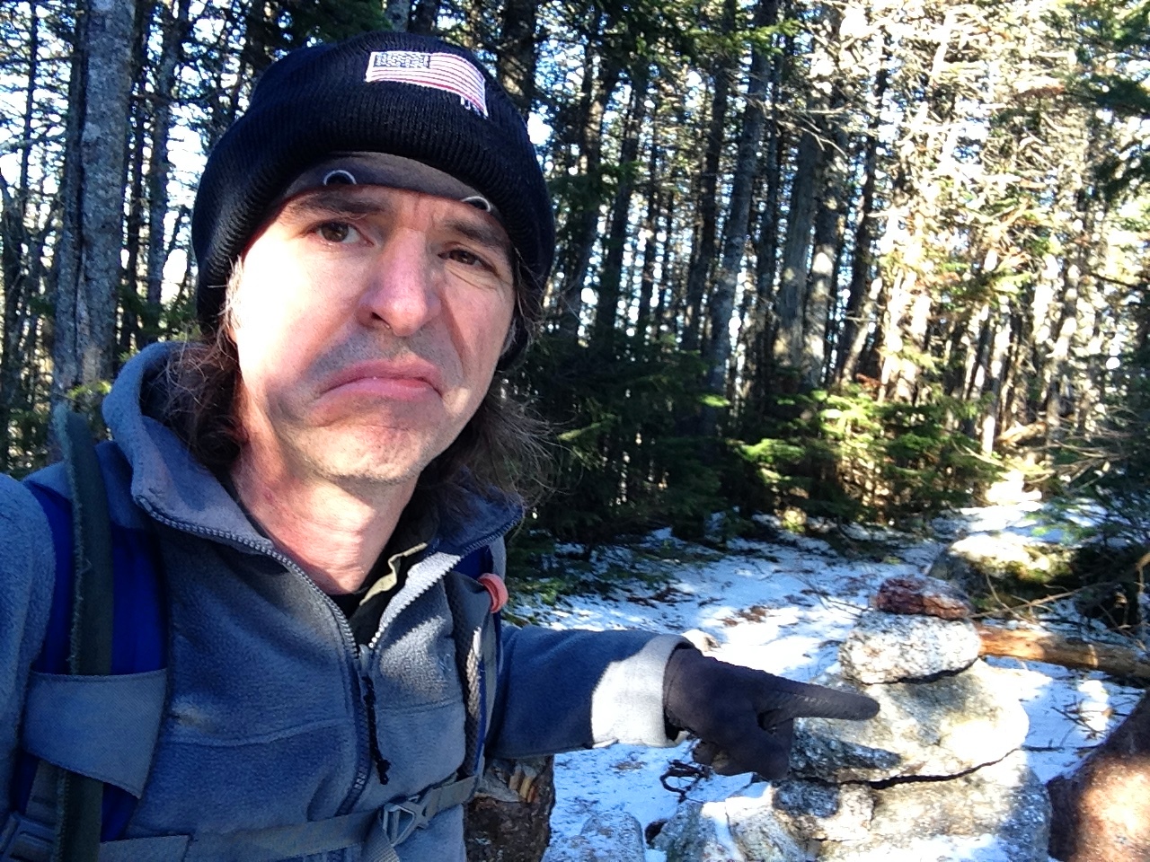
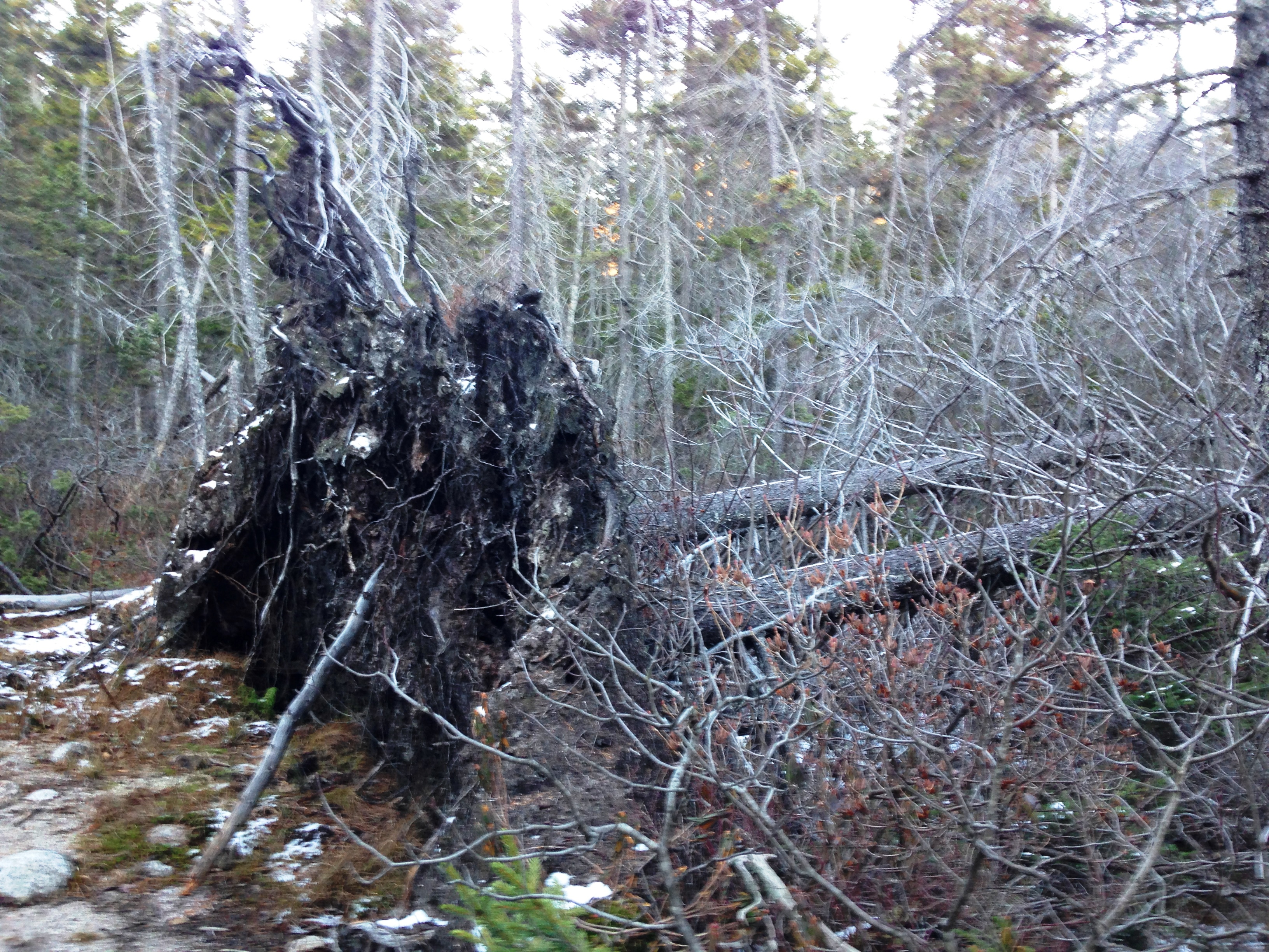
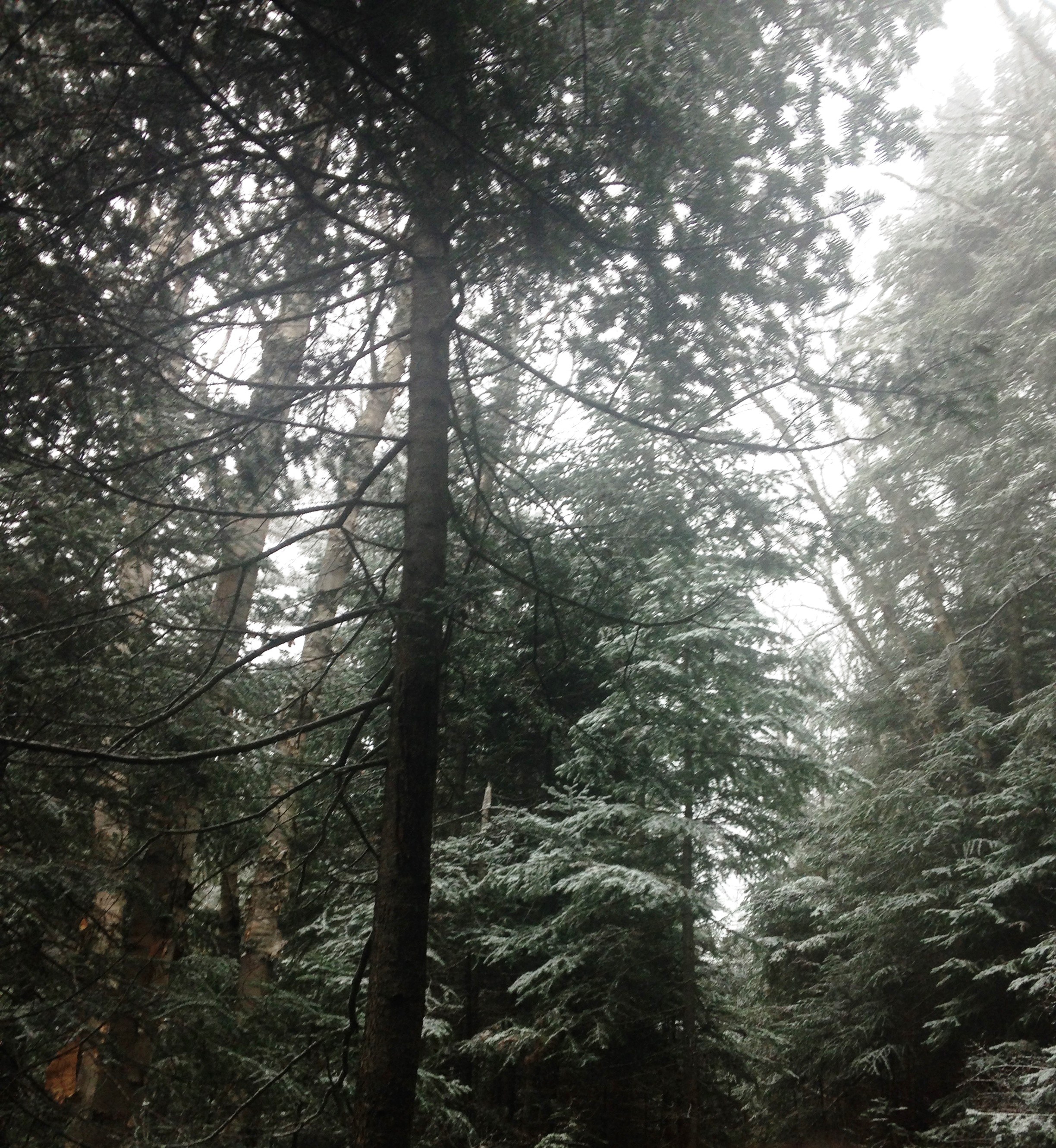
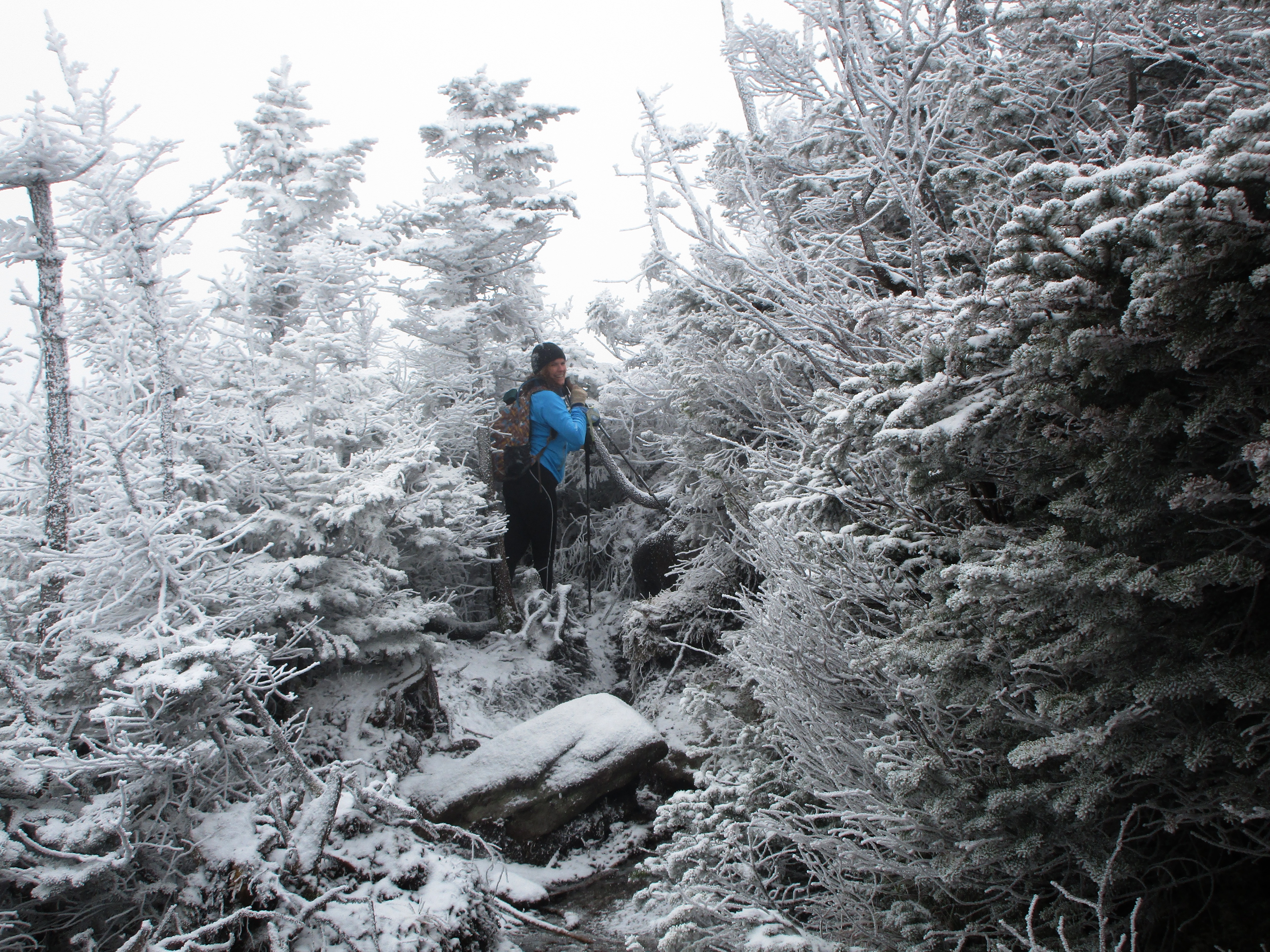
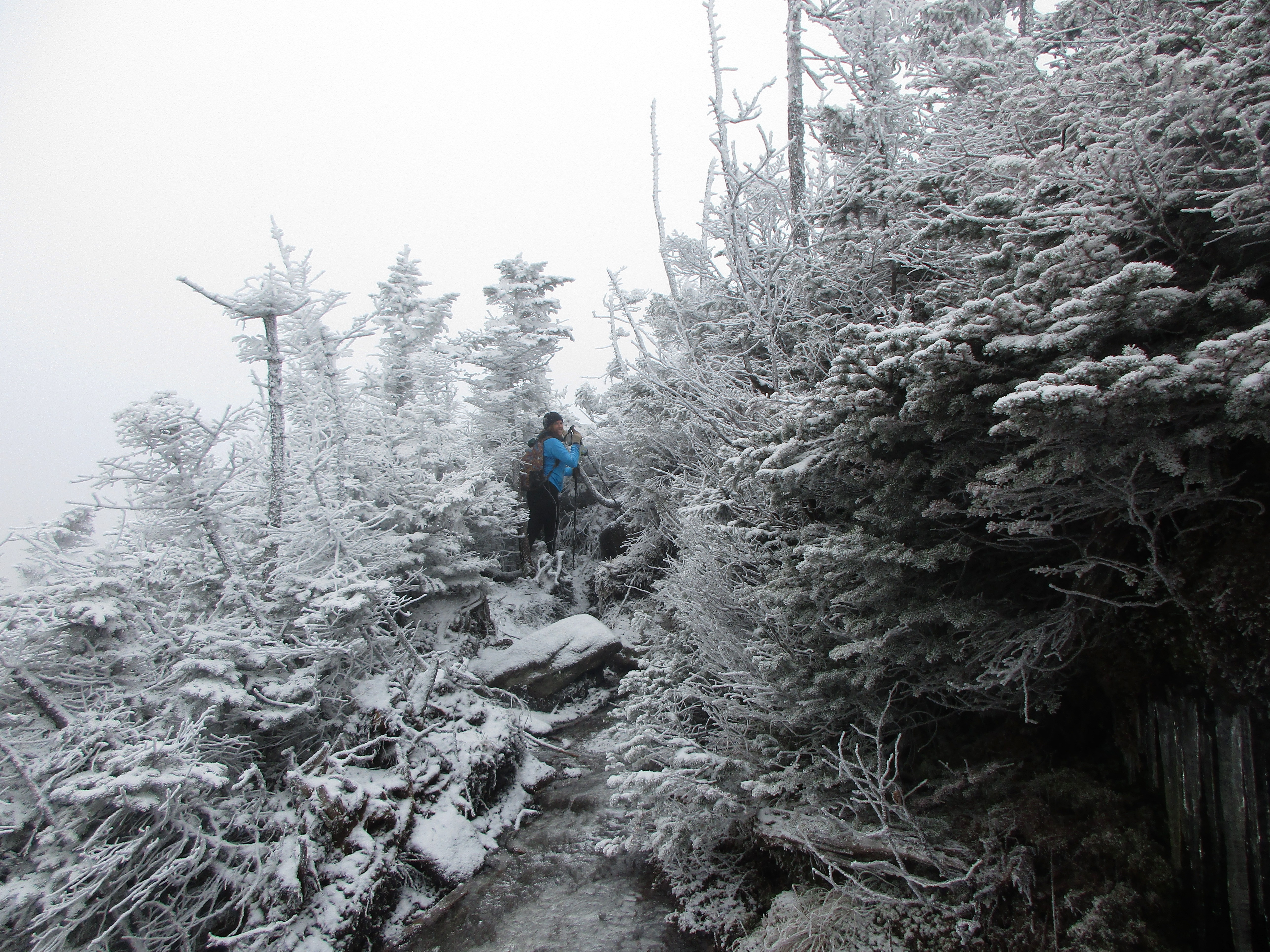
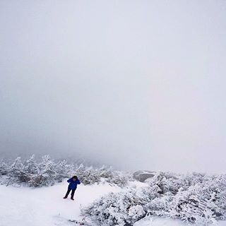
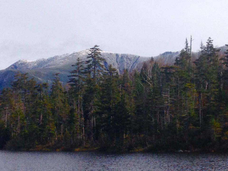
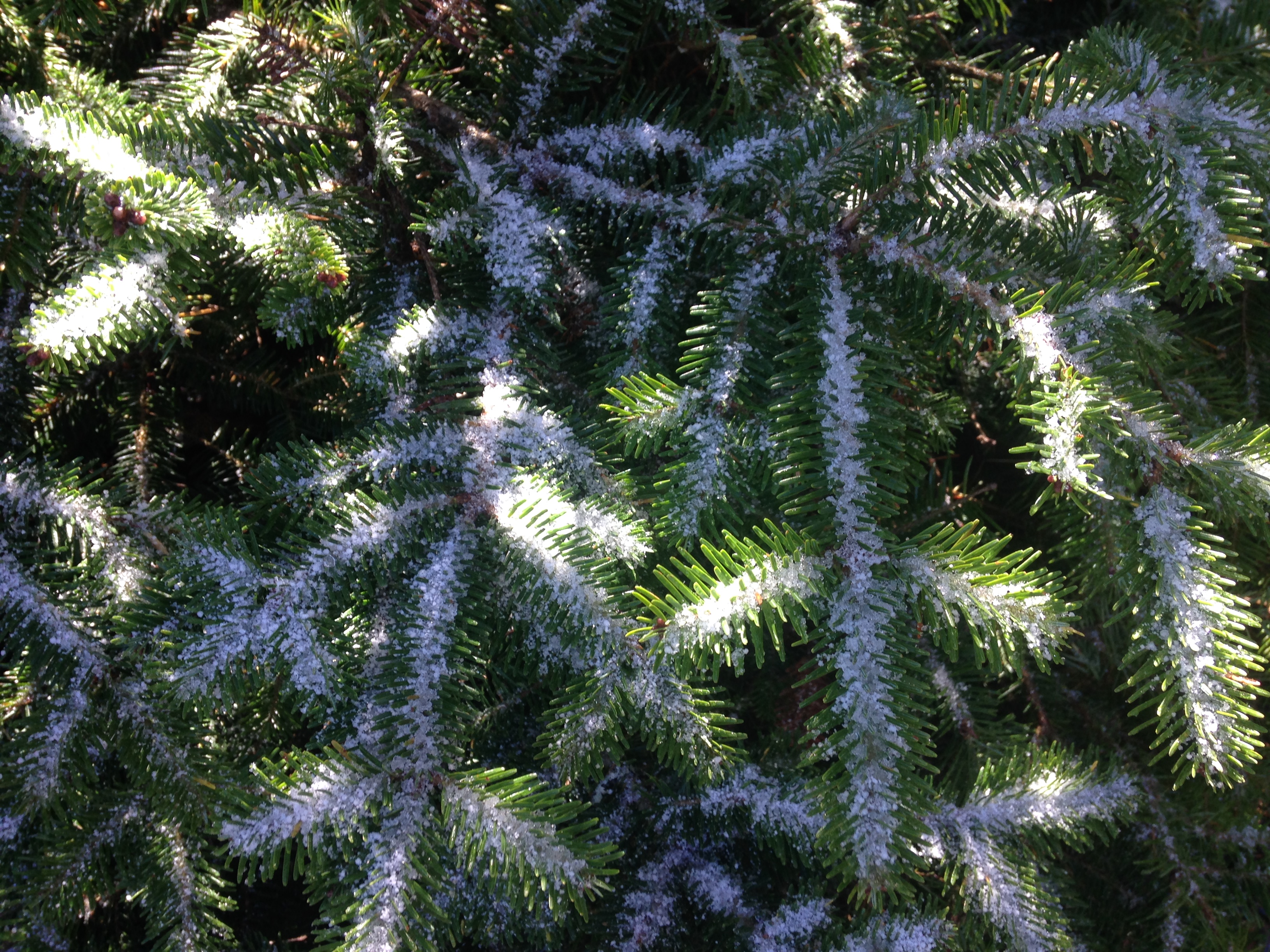
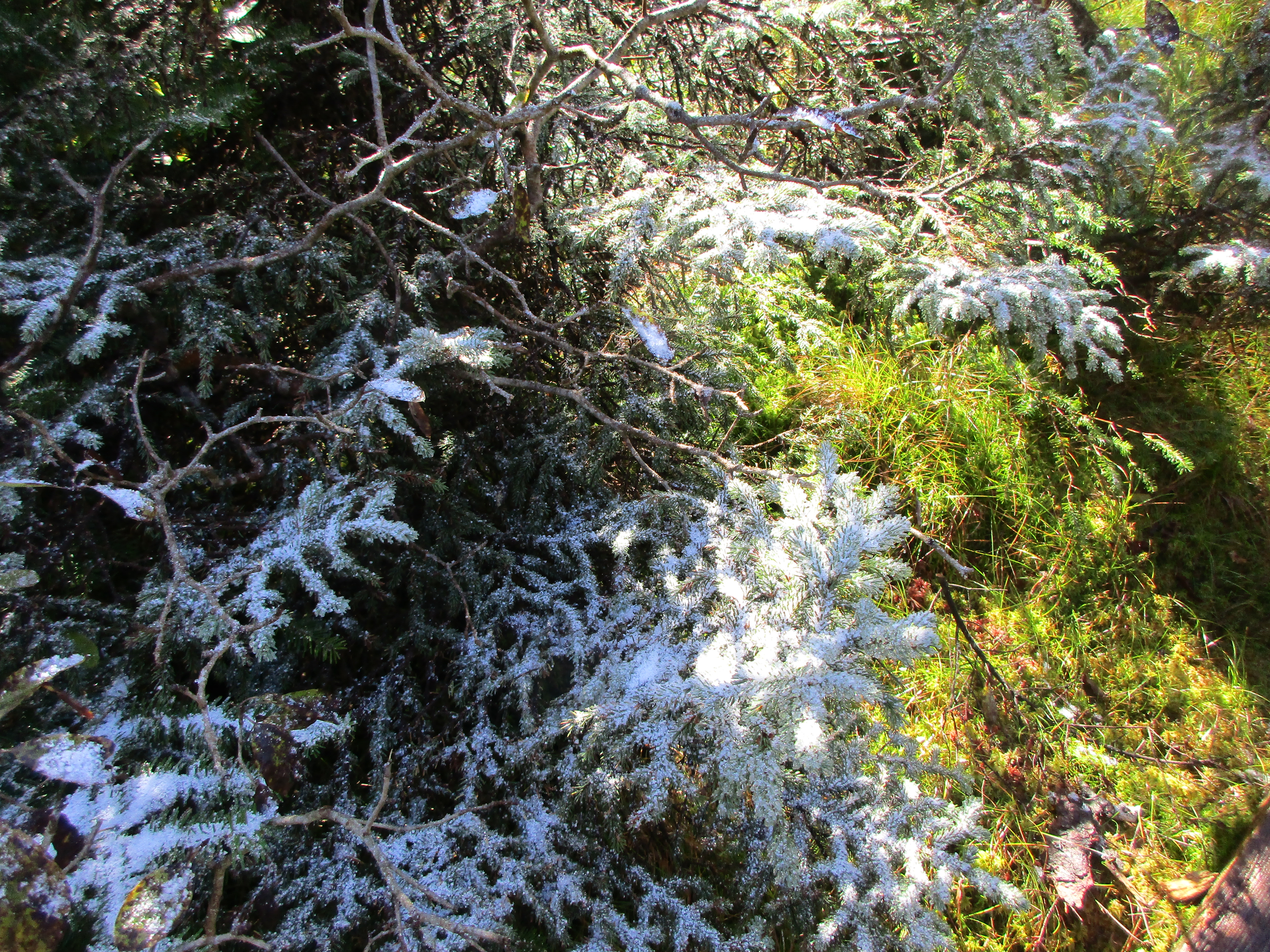
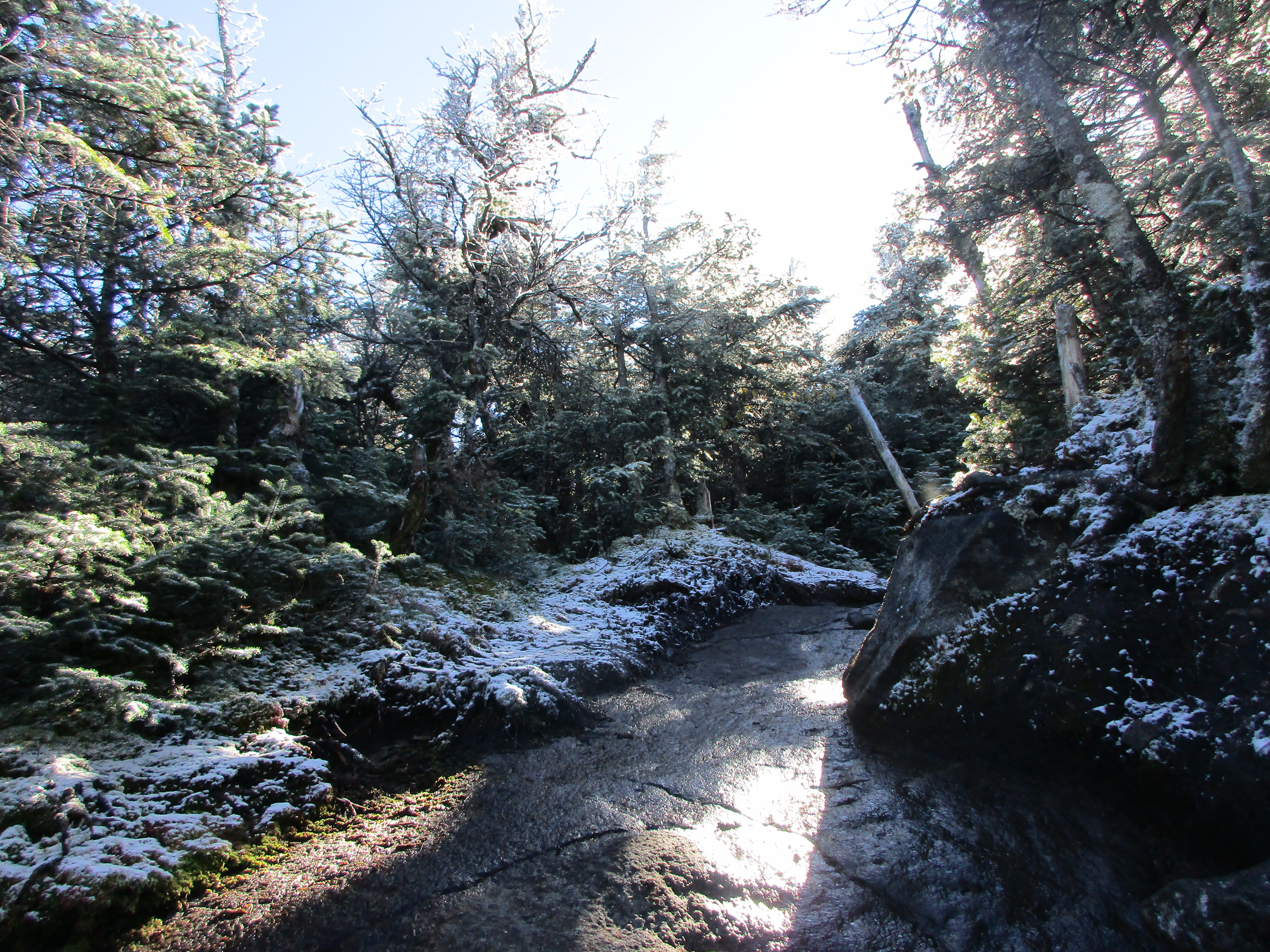
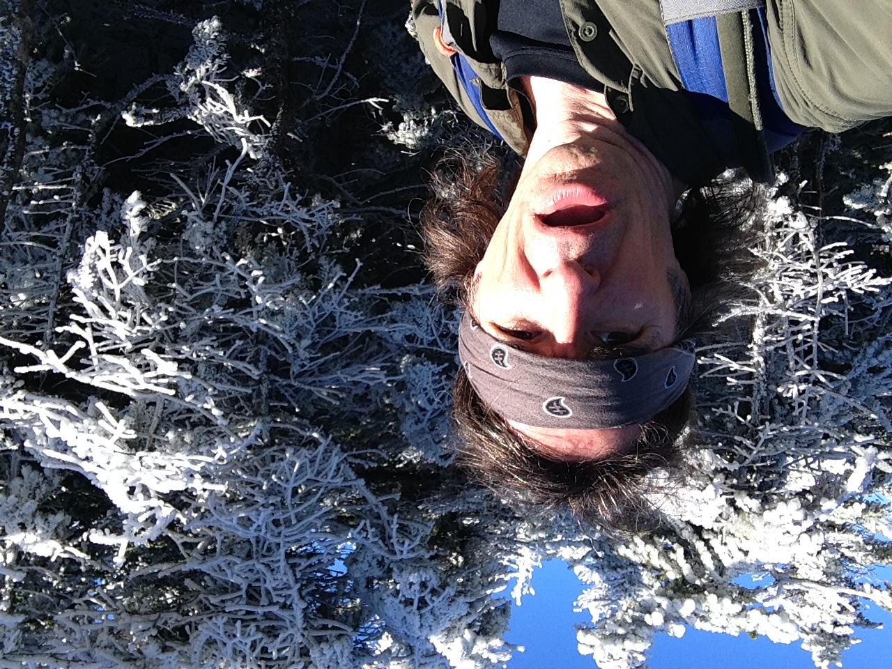
As I make my way up the now steeper trail, there is a more continuous coating of the white stuff and the breeze is morphing into a wind with each step. I finally pass a few groups of hikers making their way down from South peak and they give me a heads-up on the windy environment up higher on South and the contrasting calm on North. My start was somewhat late today – around 10am – after the drive up, camp setup, and my pre-hike routine, but I think I’ll have plenty of daylight to make it through the loop and back down to at least the final flat stretch before dark. I have no fear of hiking in the dark as long as I am confident that there aren’t any junctions left I could easily miss.

IMG_3787

IMG_3789IMG_3792

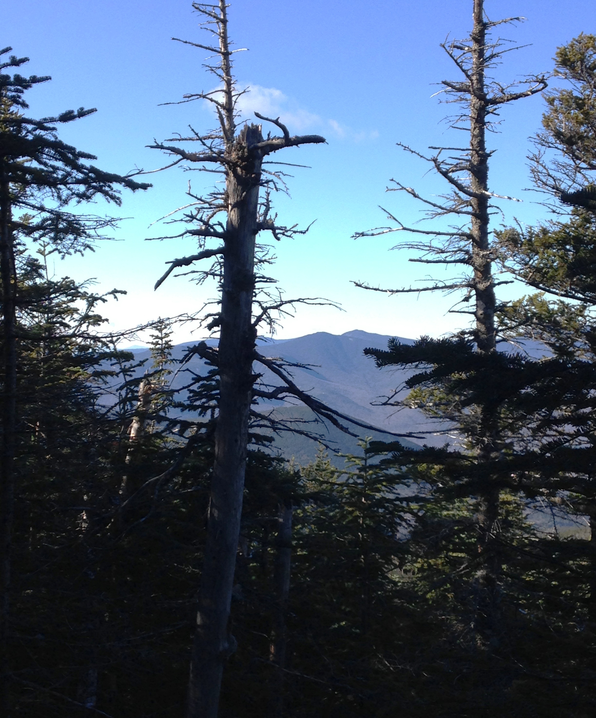
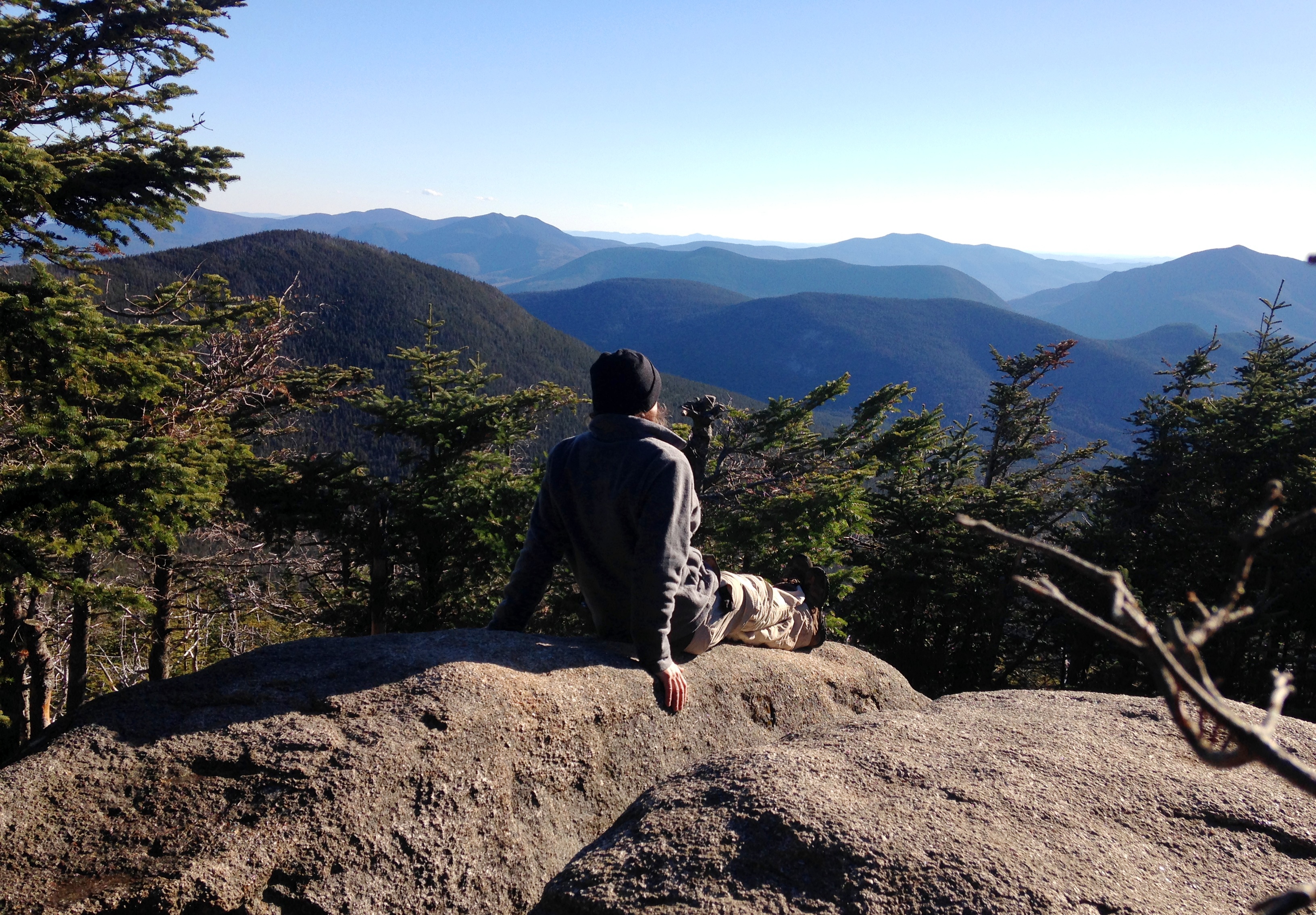
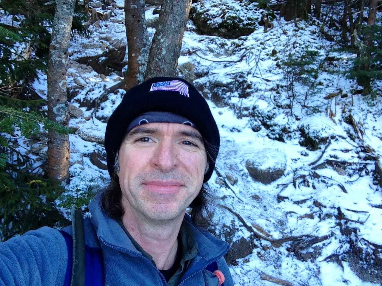
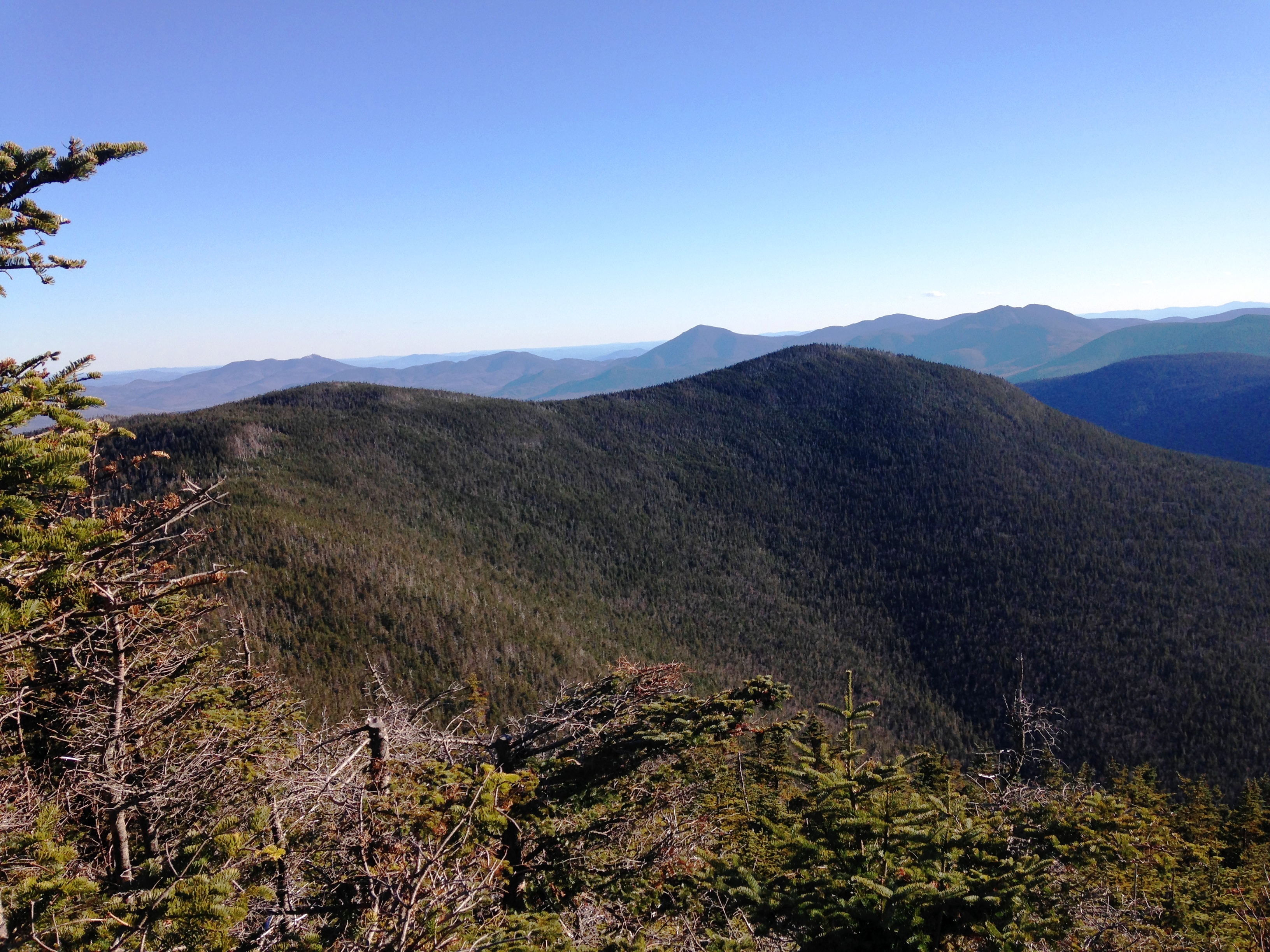
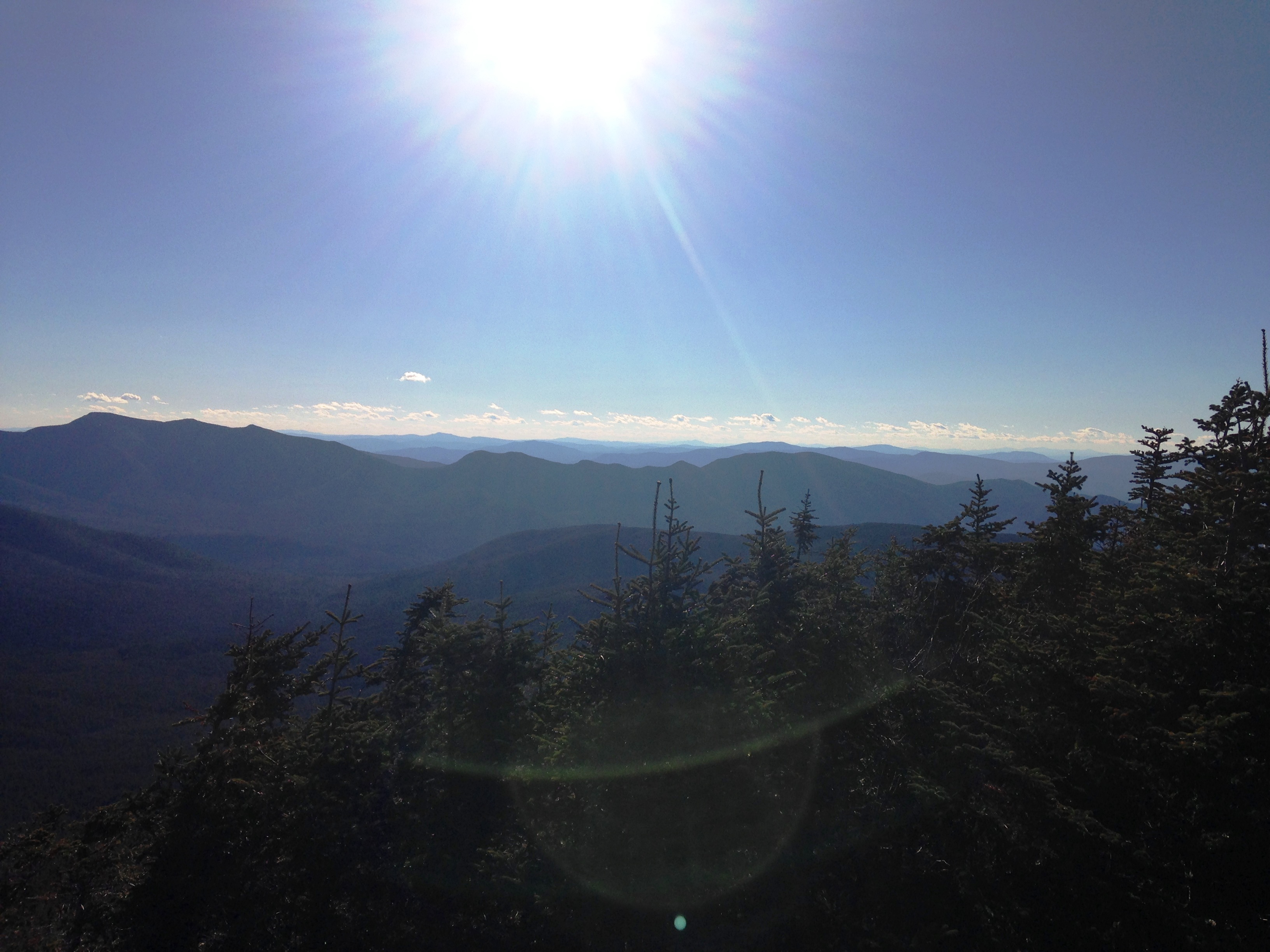
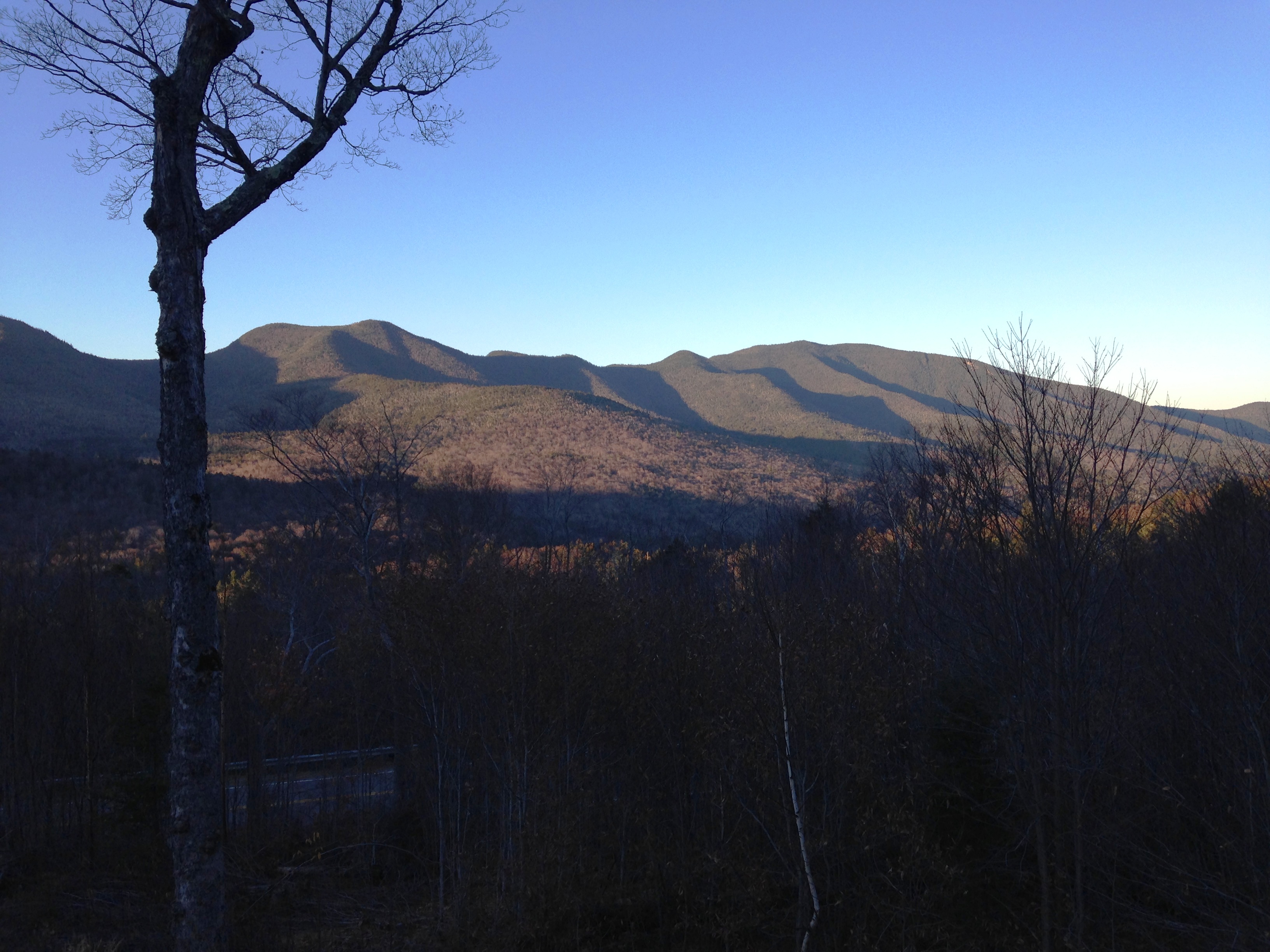
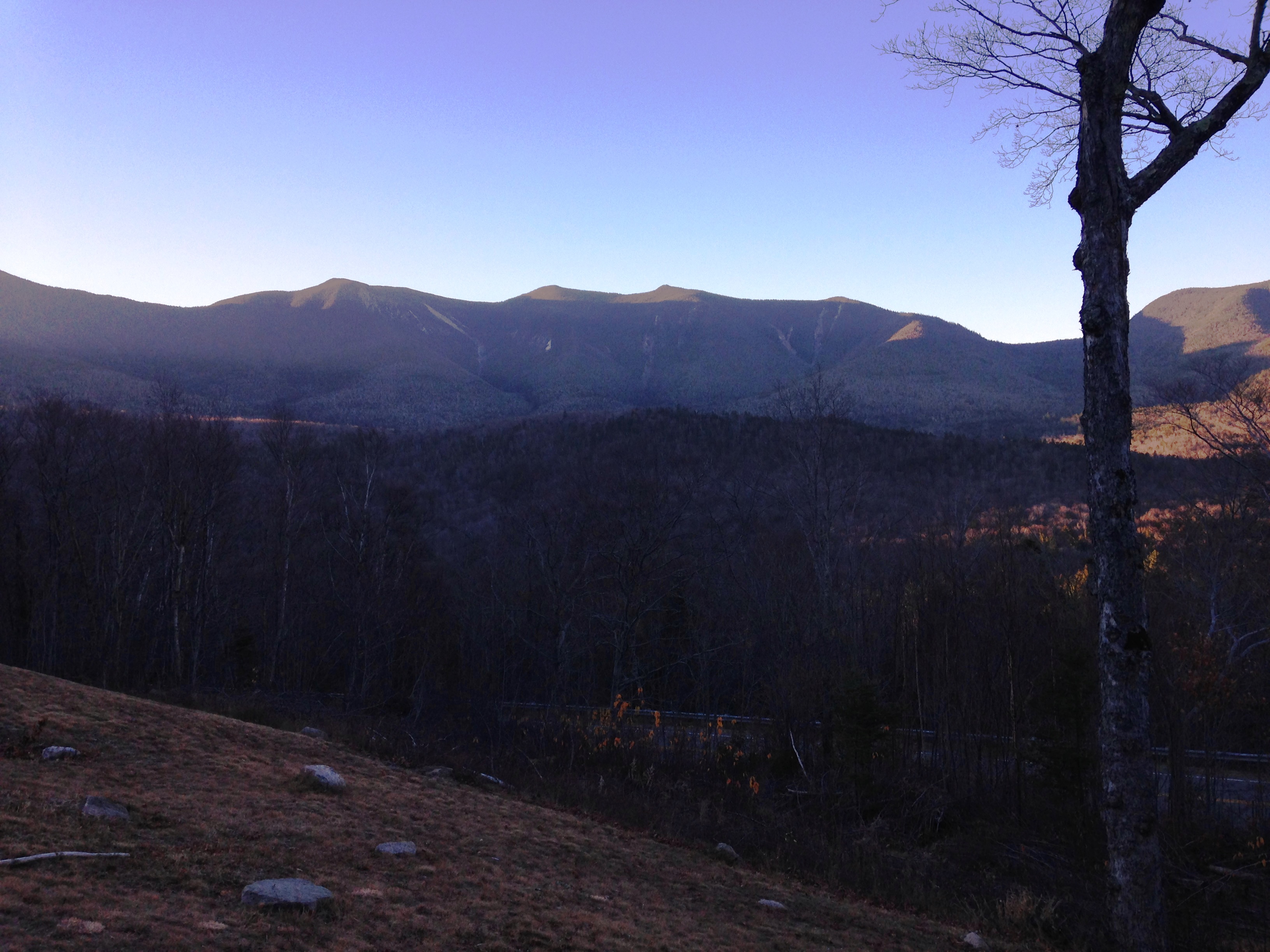
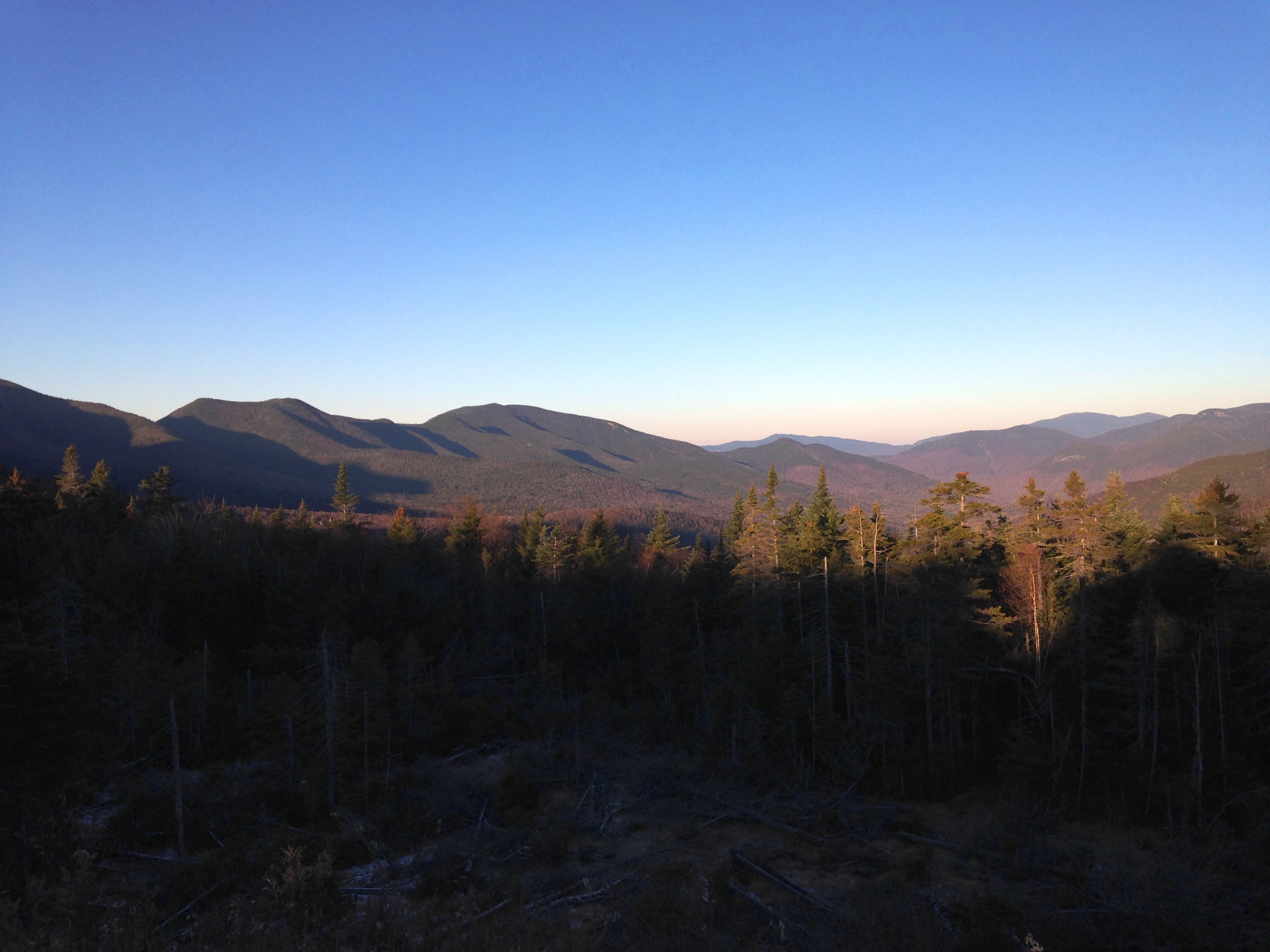
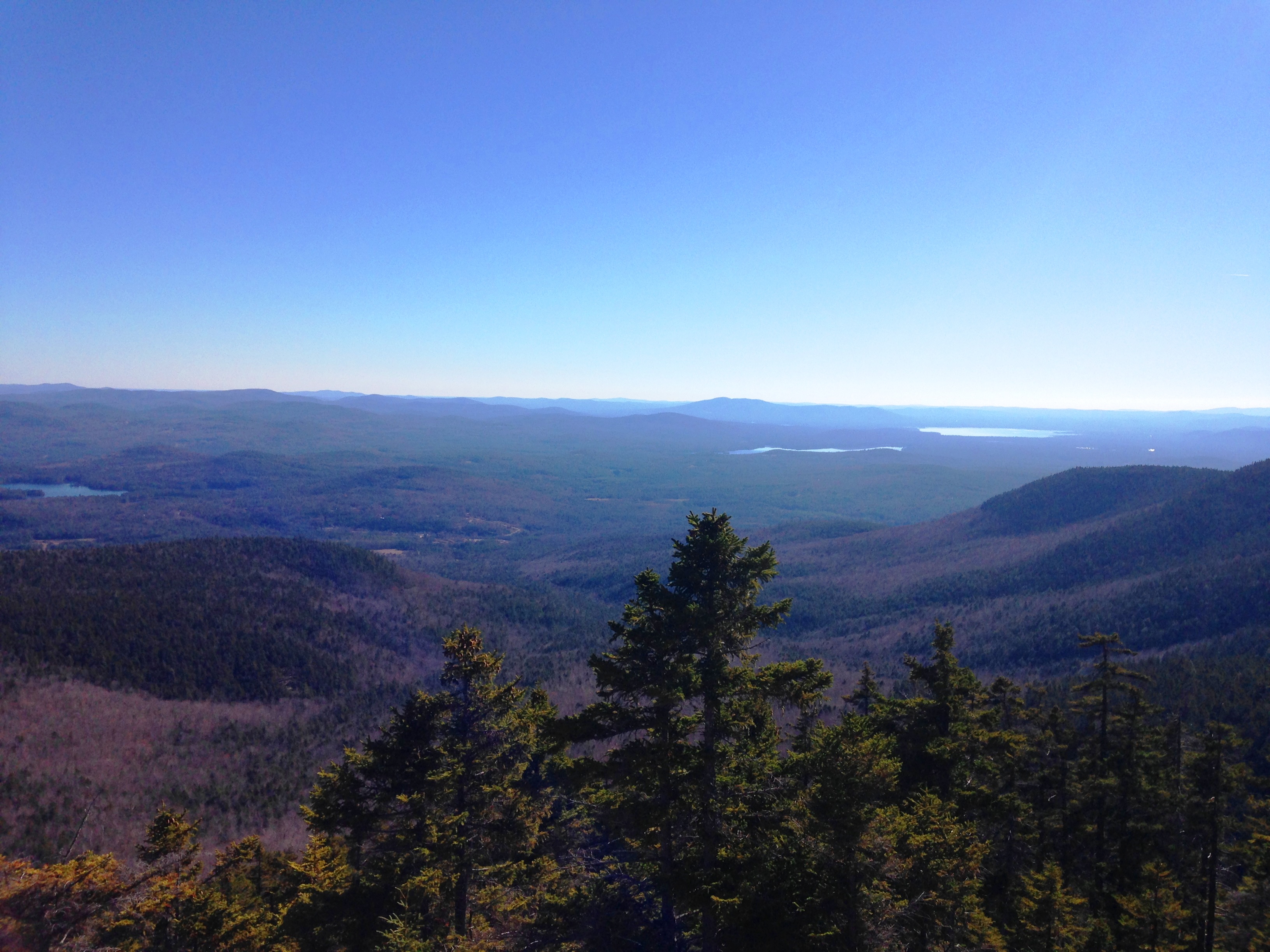
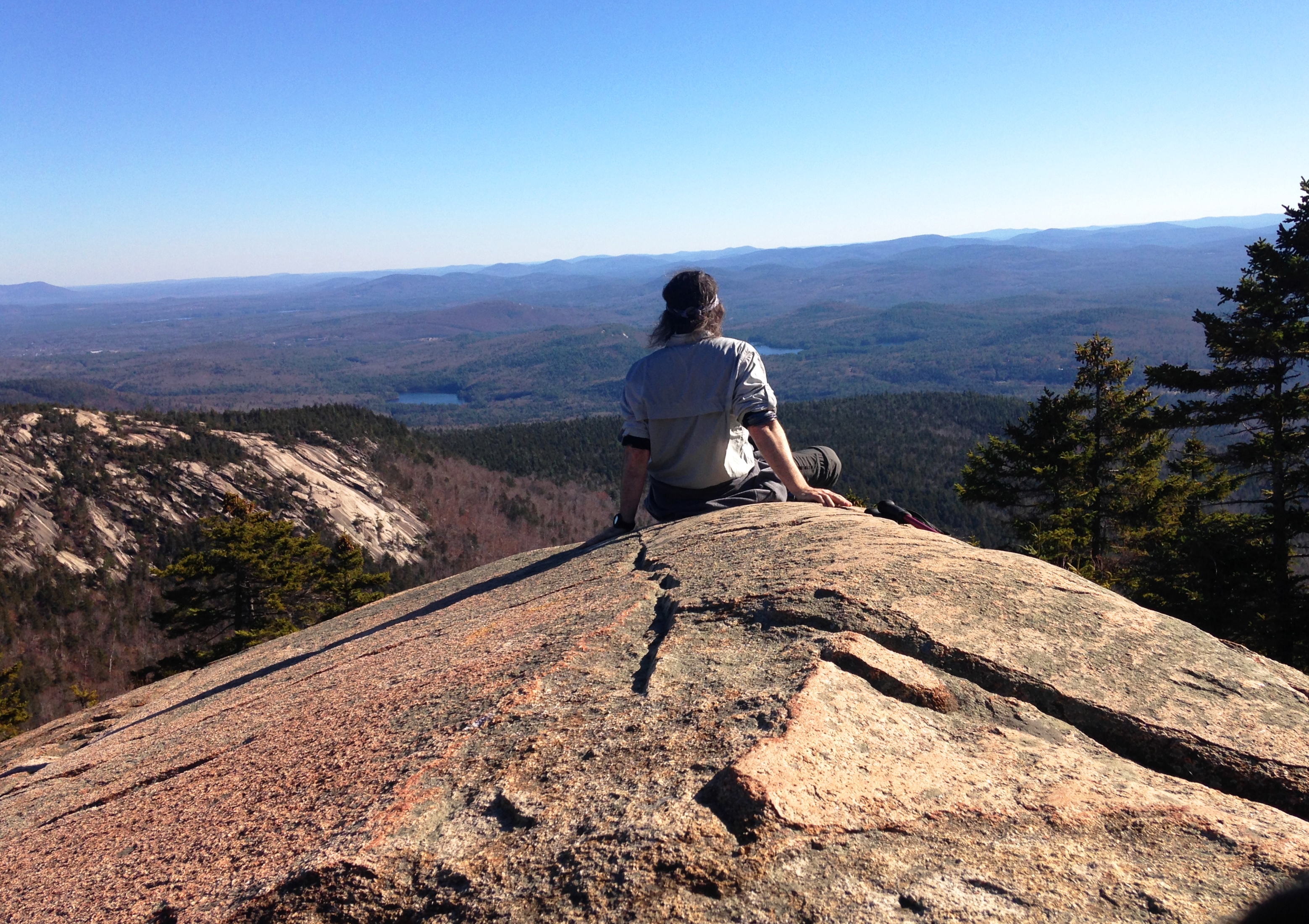
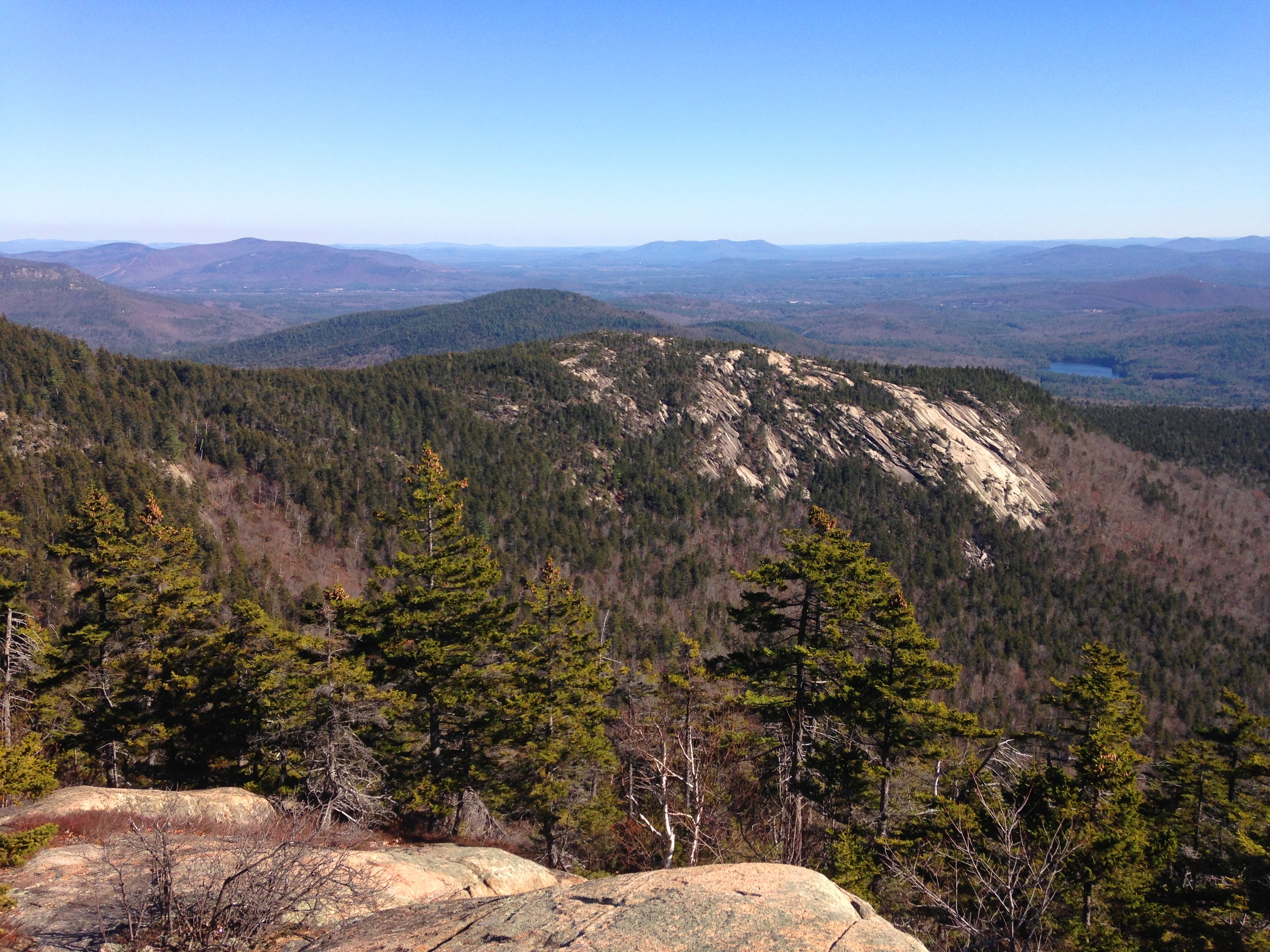
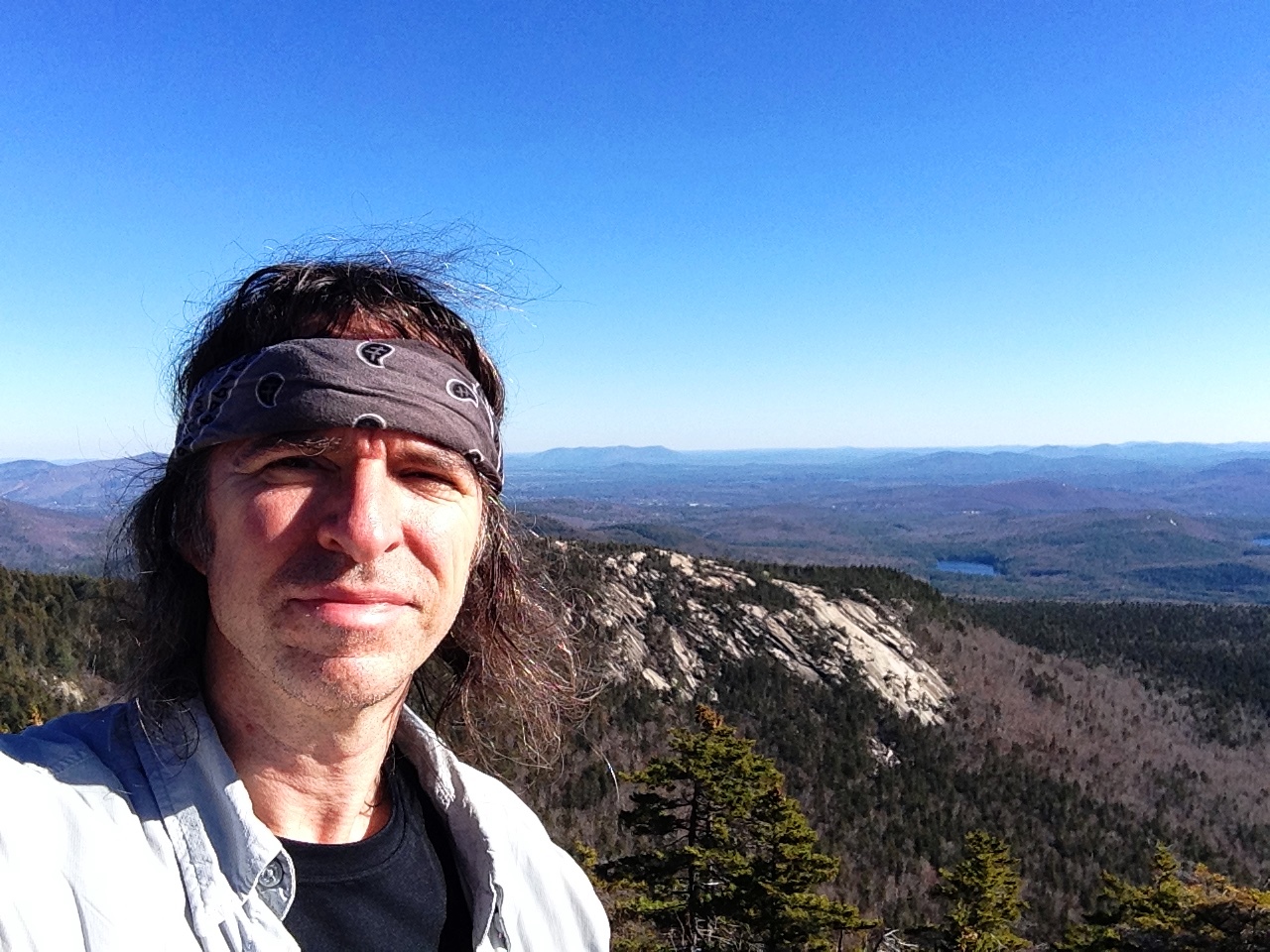
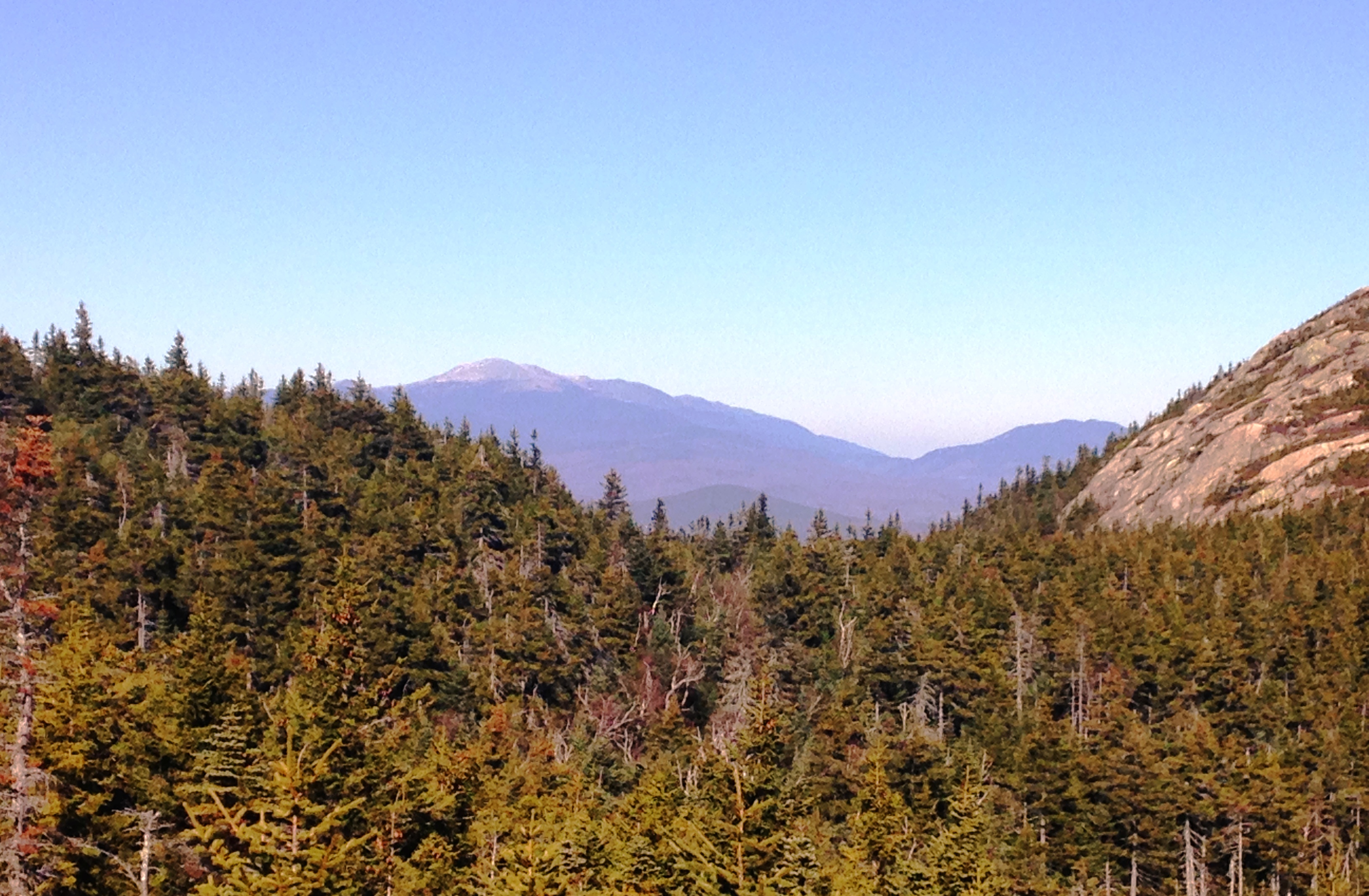
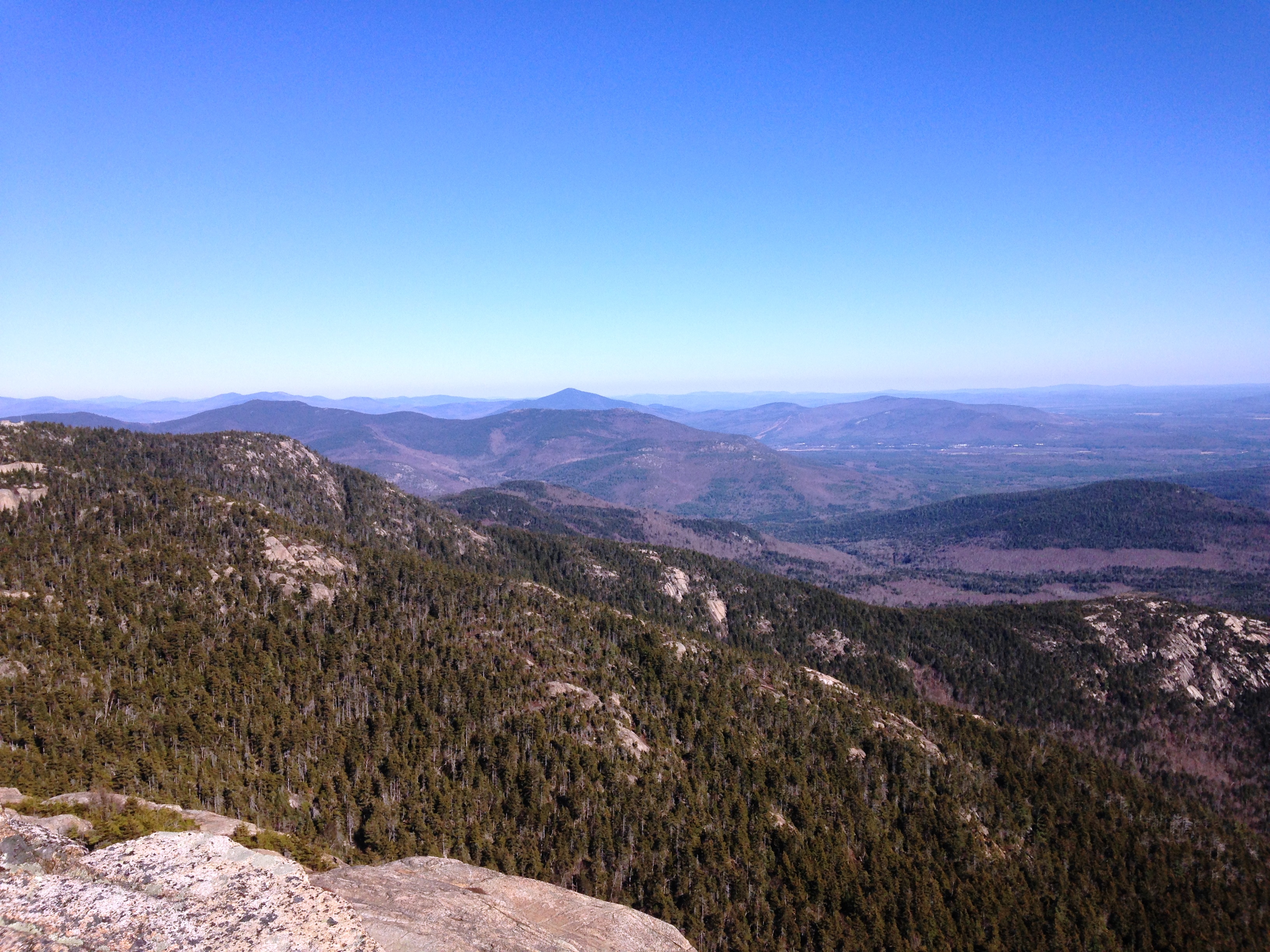
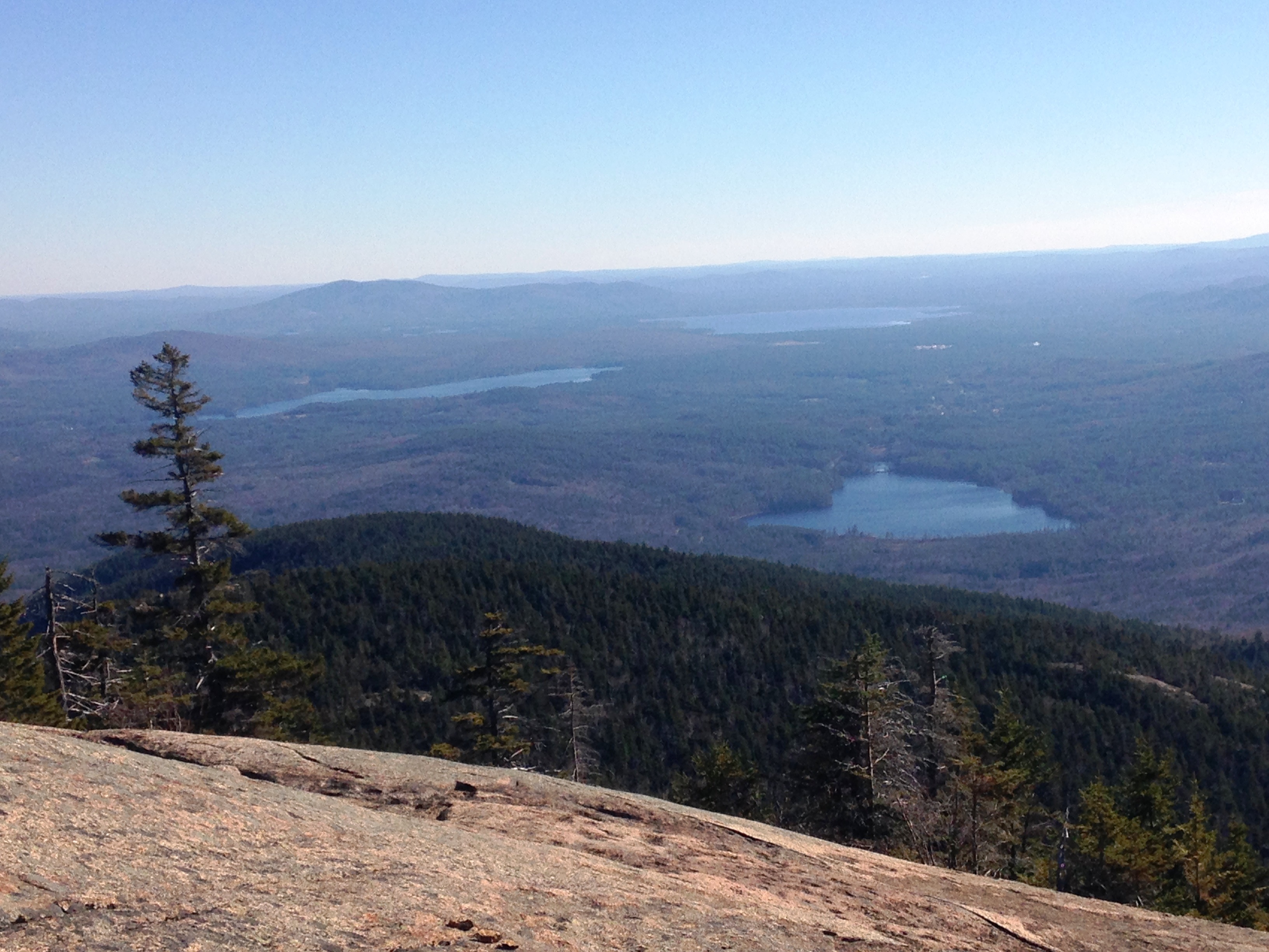
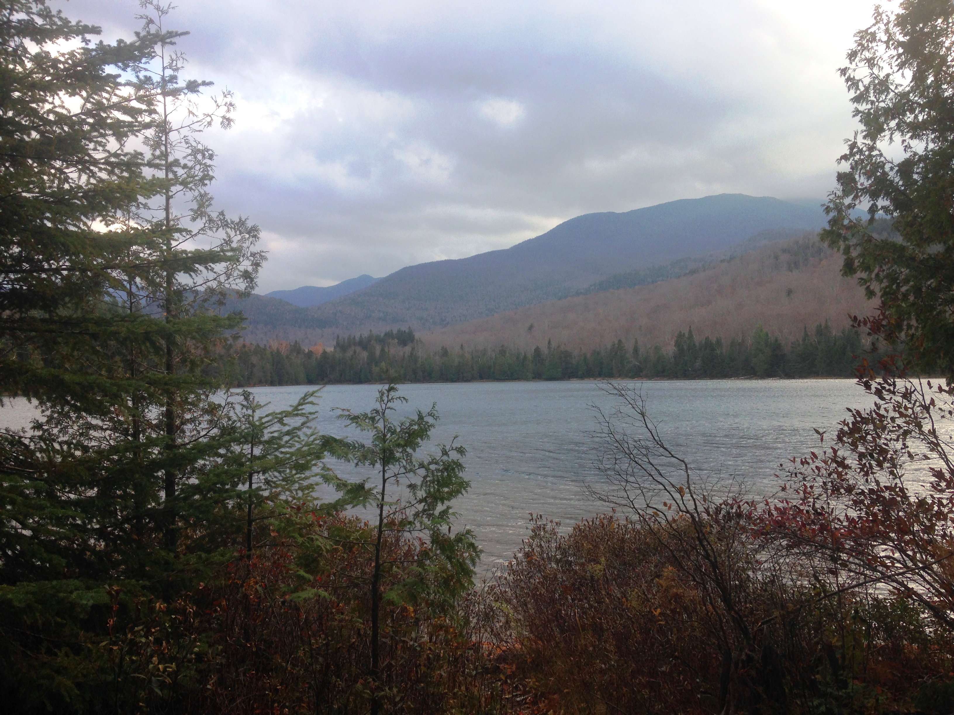
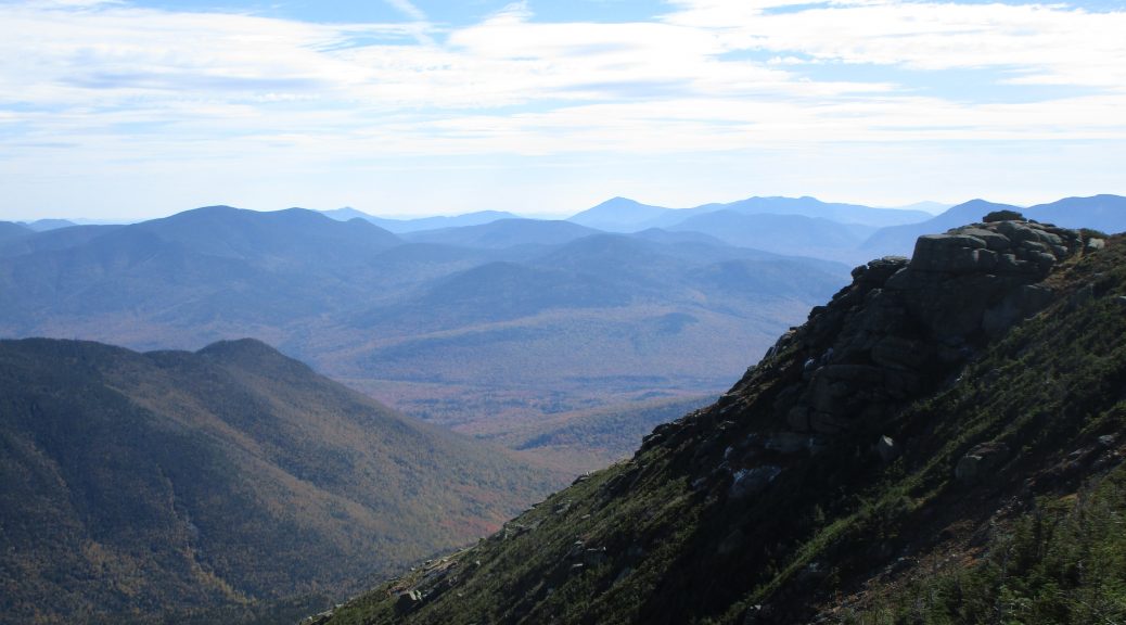
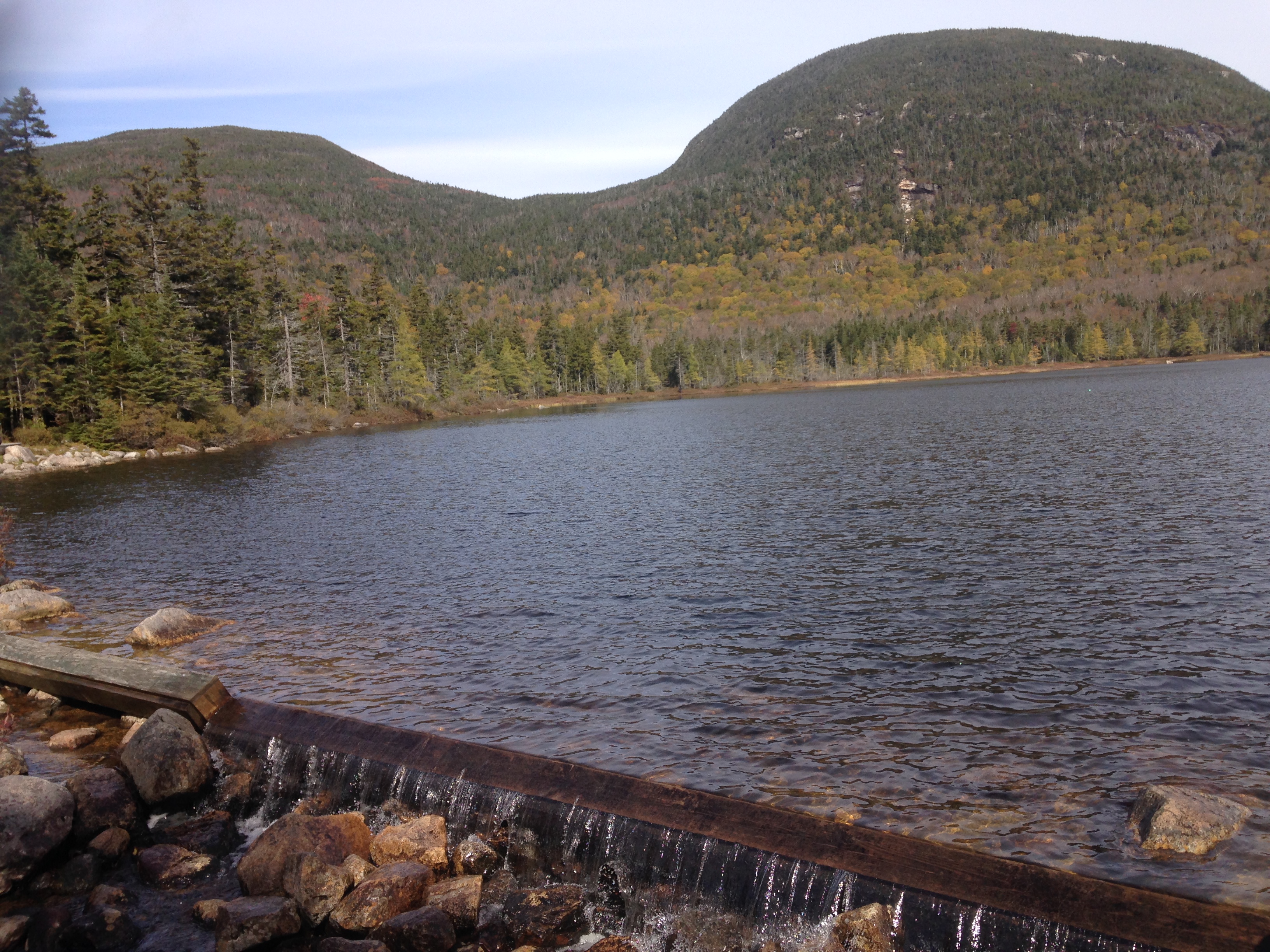
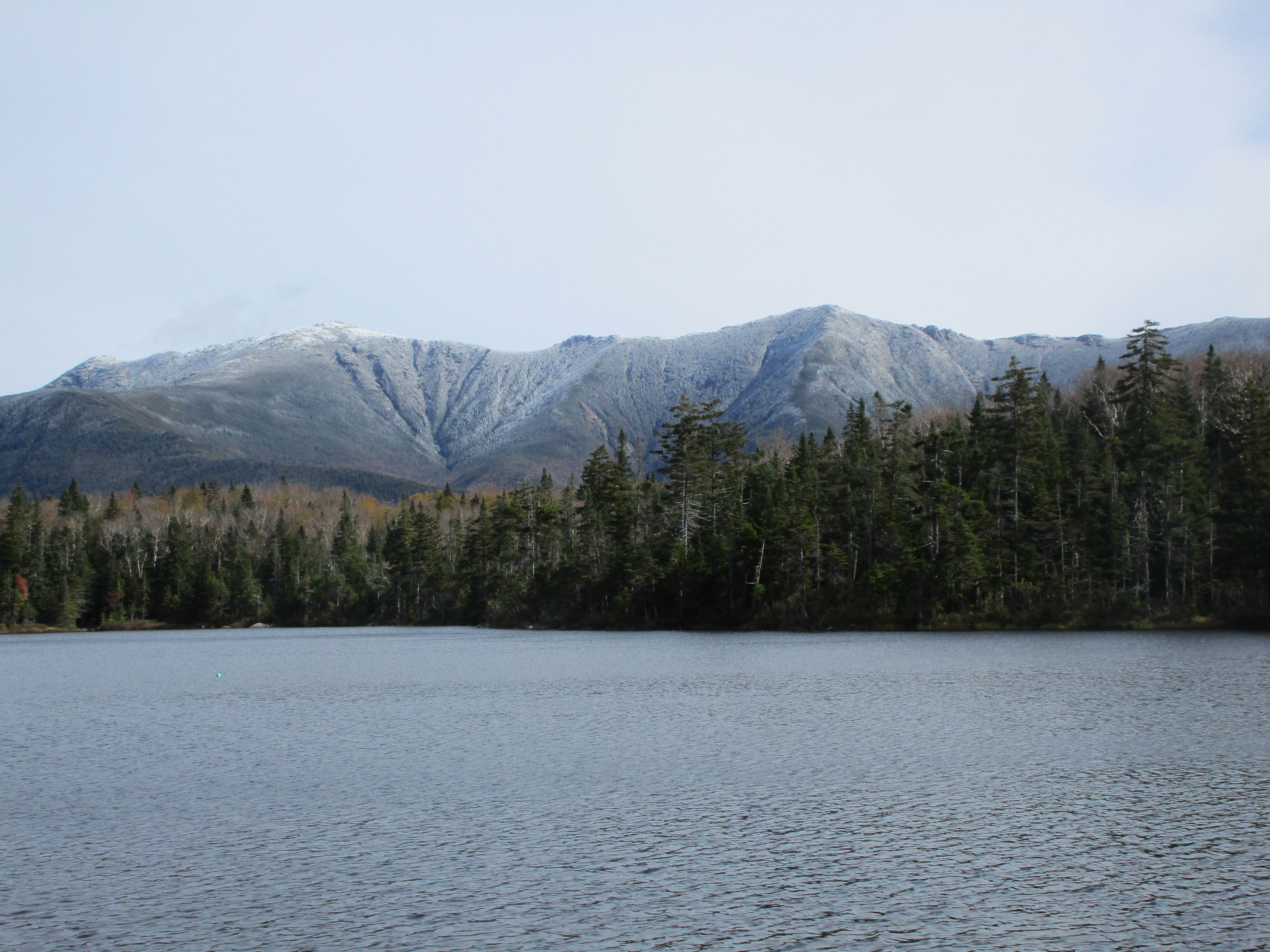
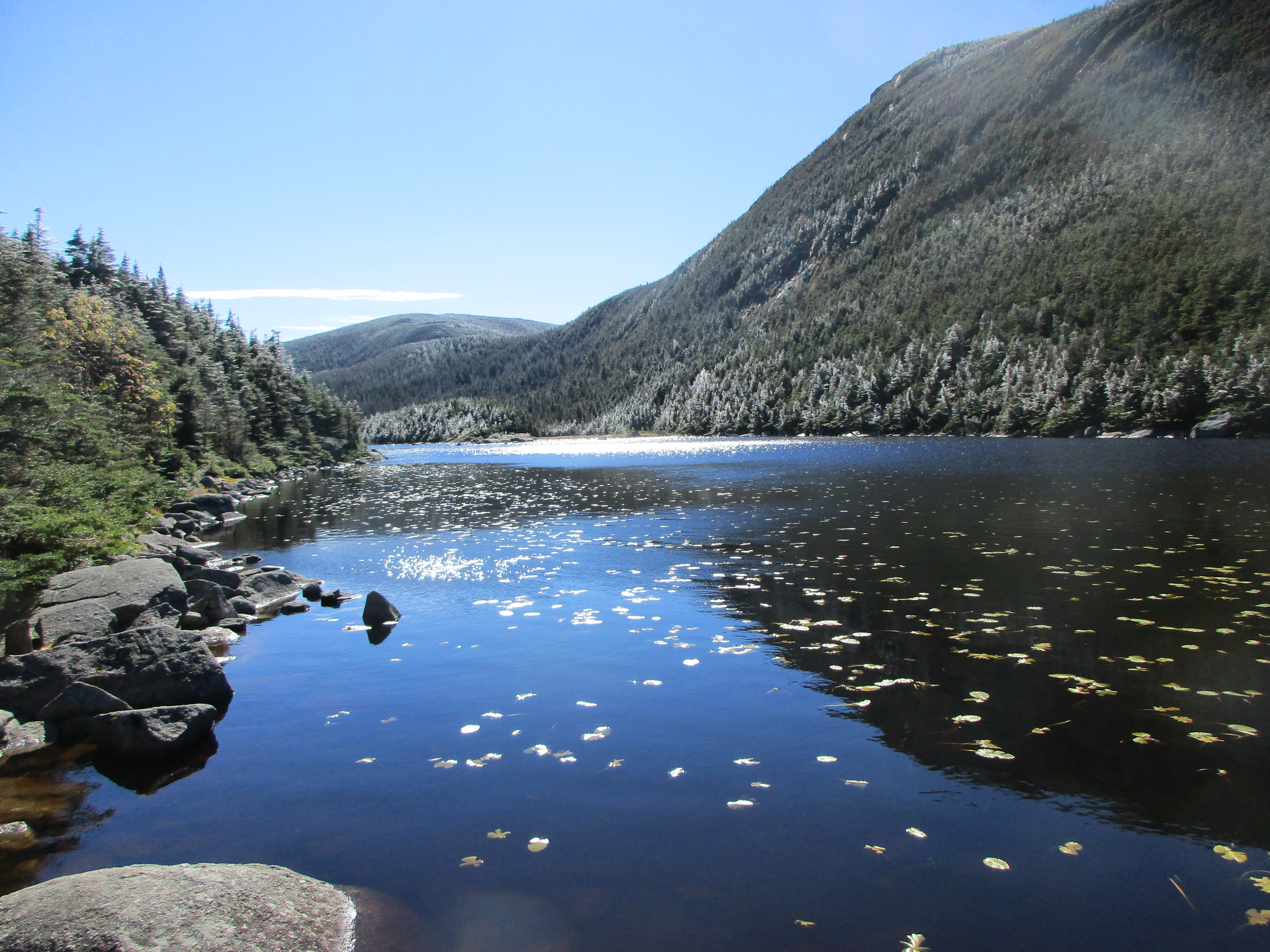
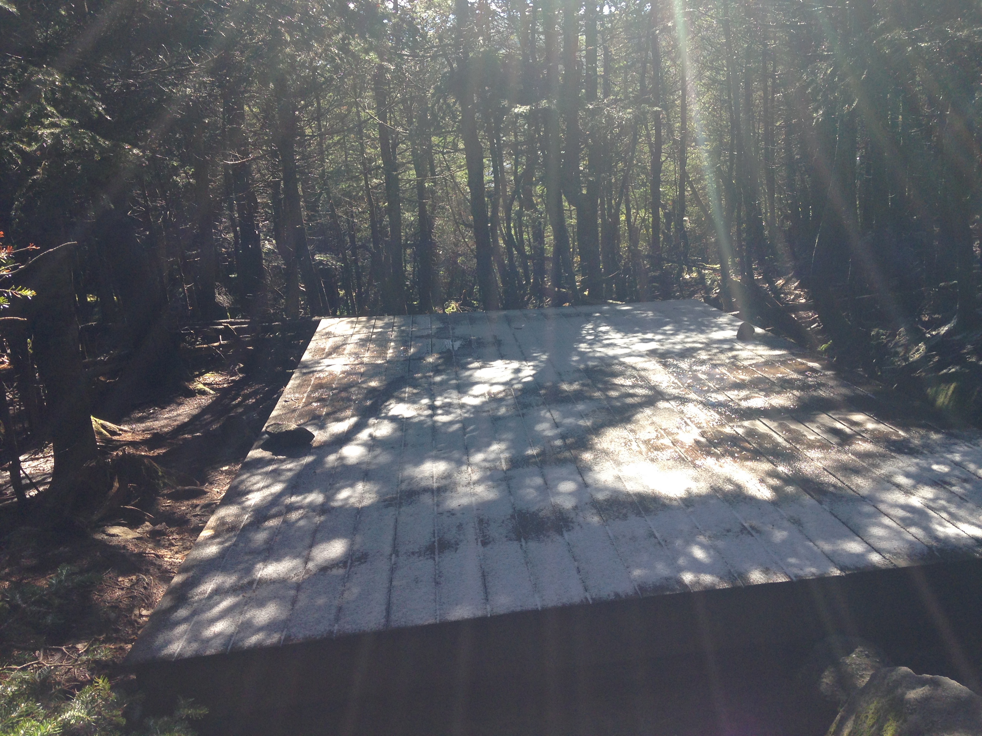
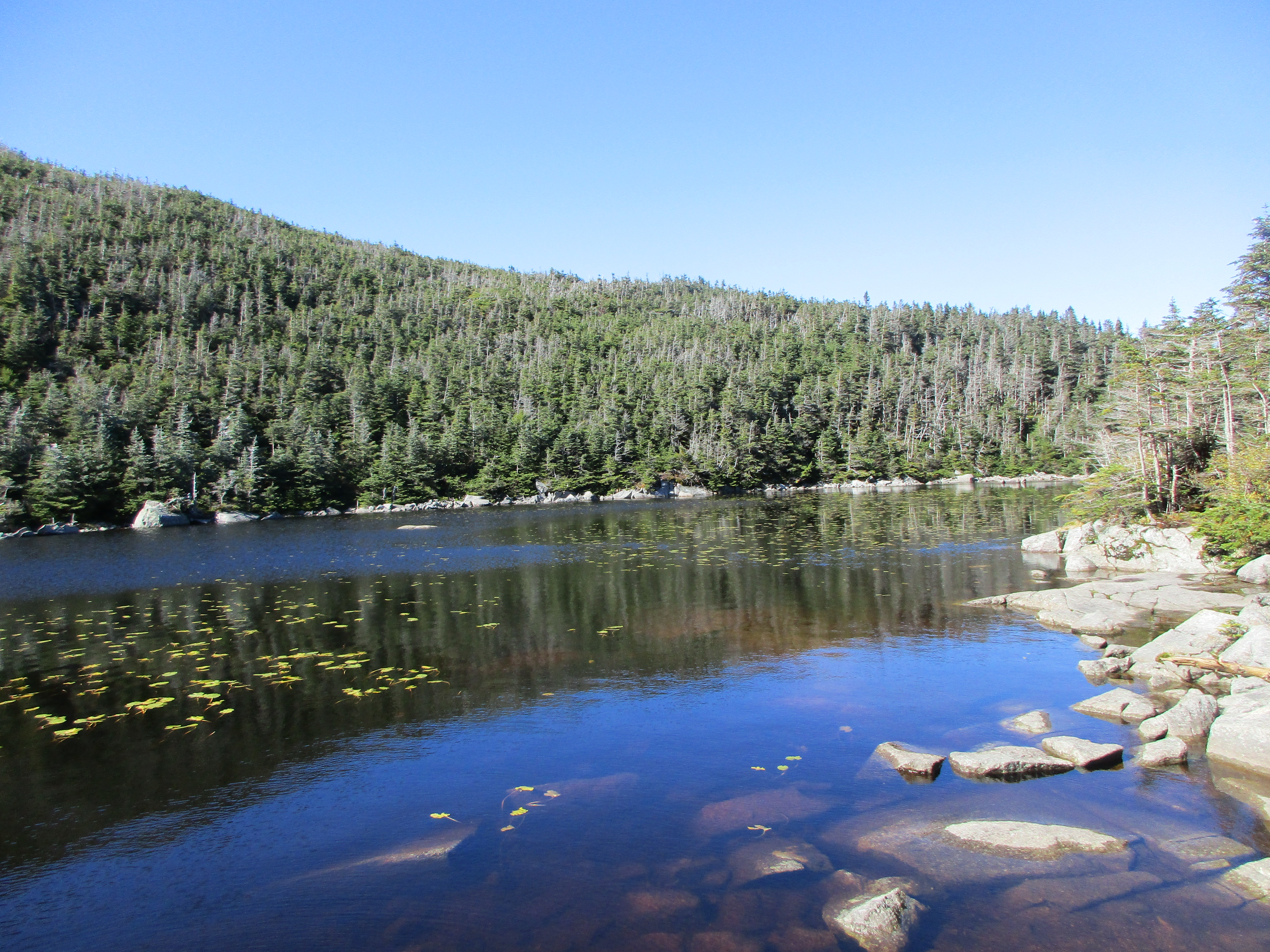
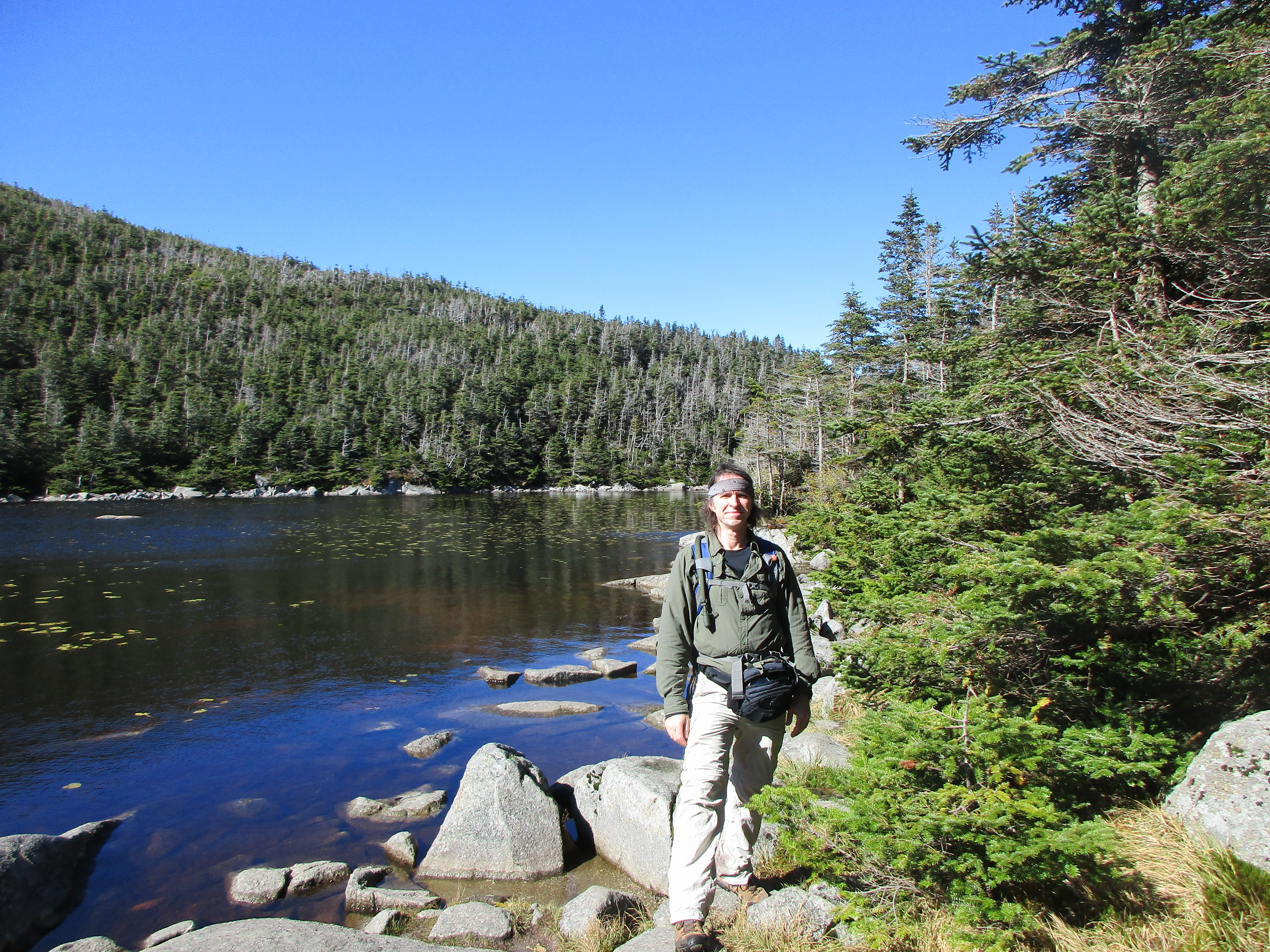
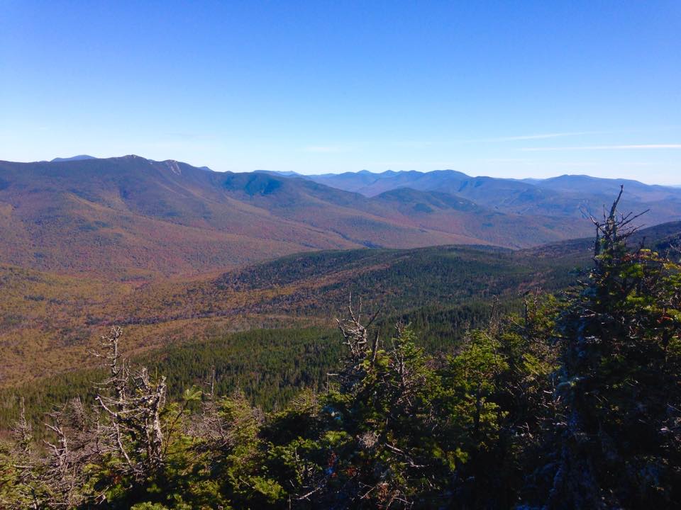
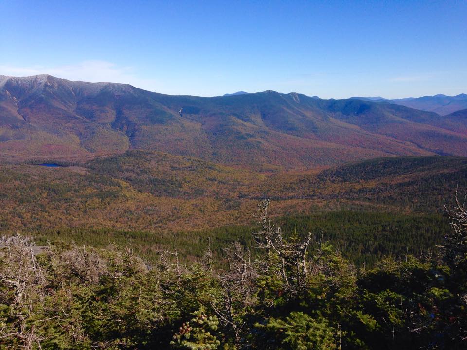
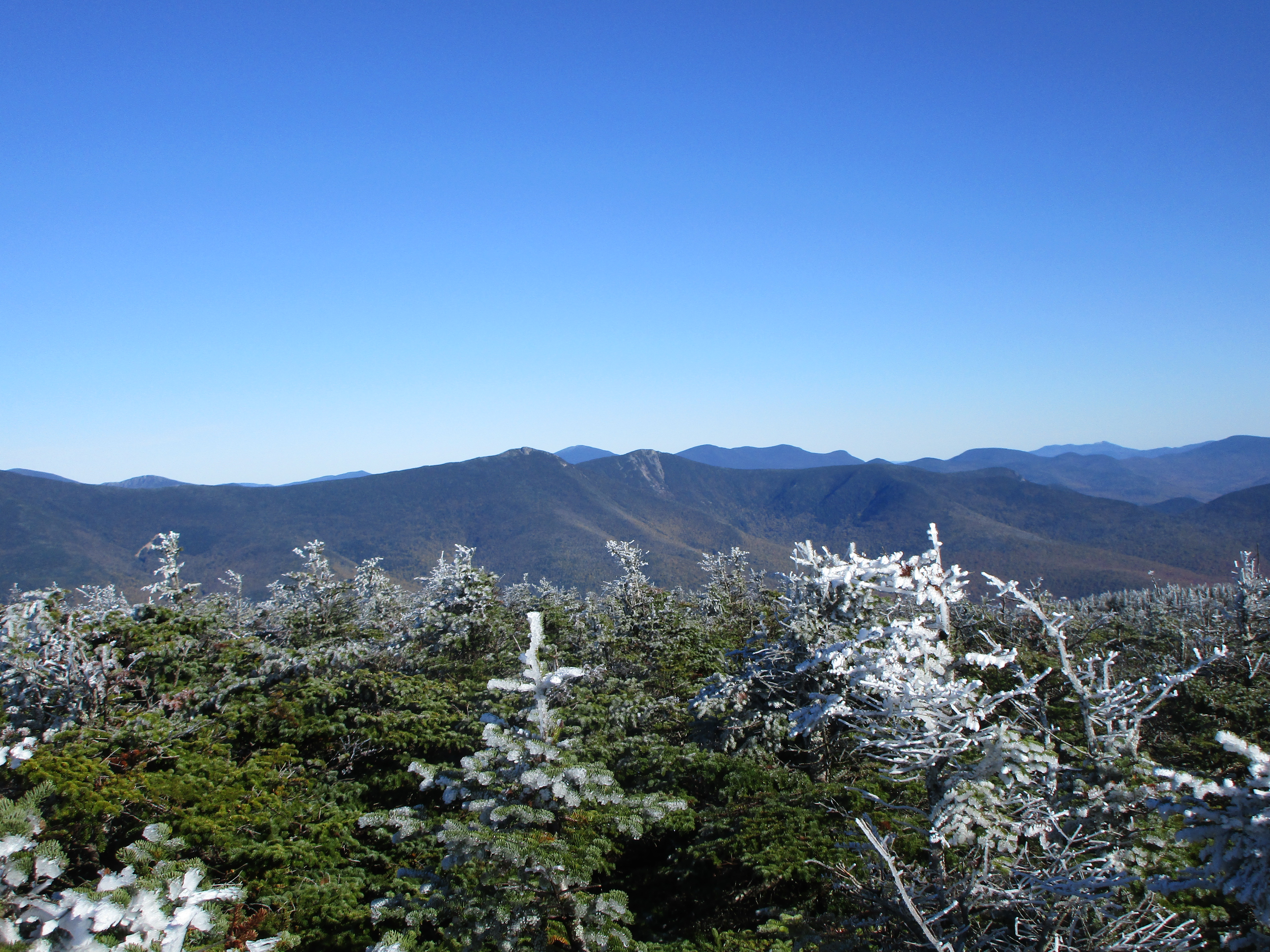
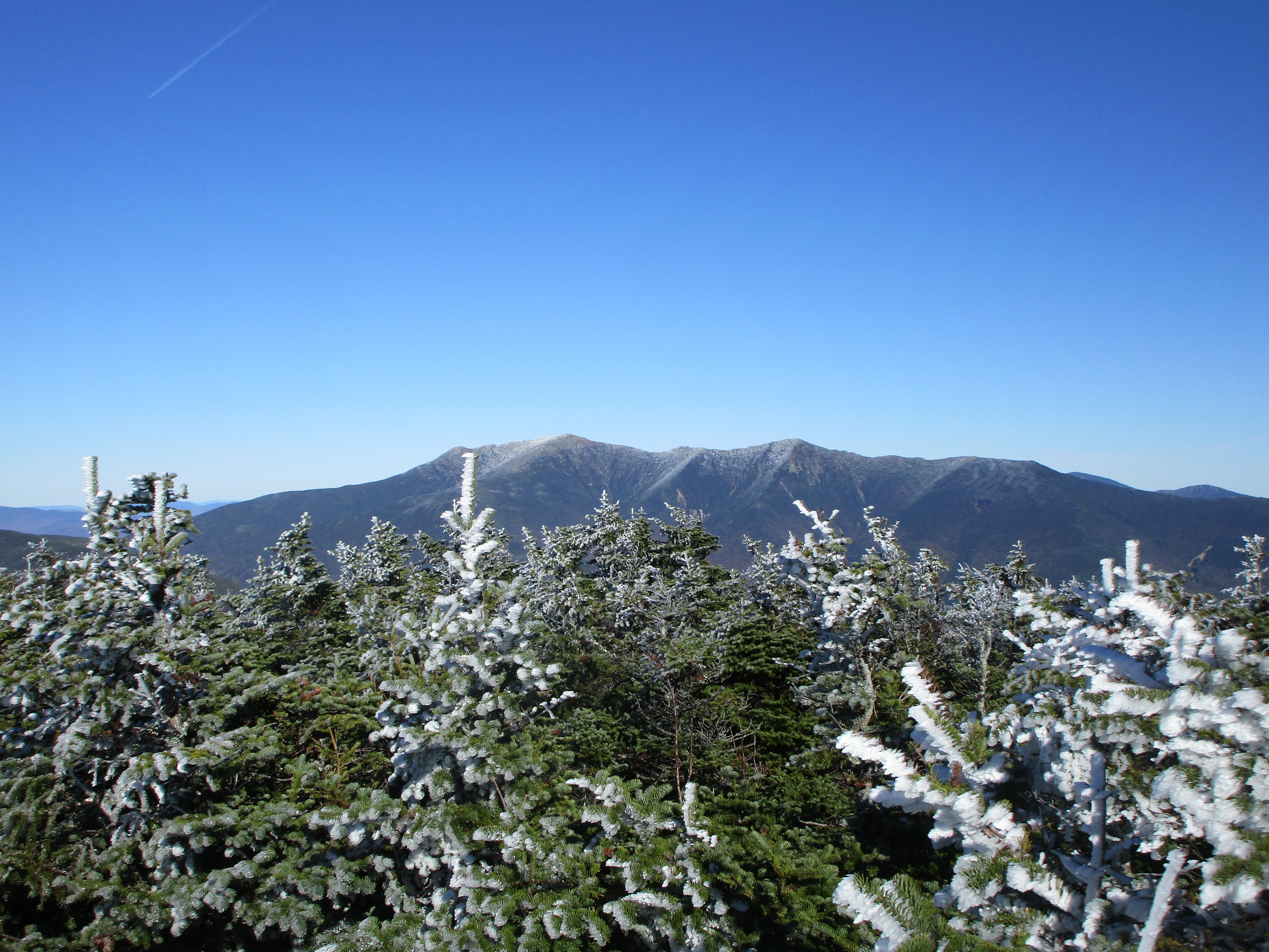
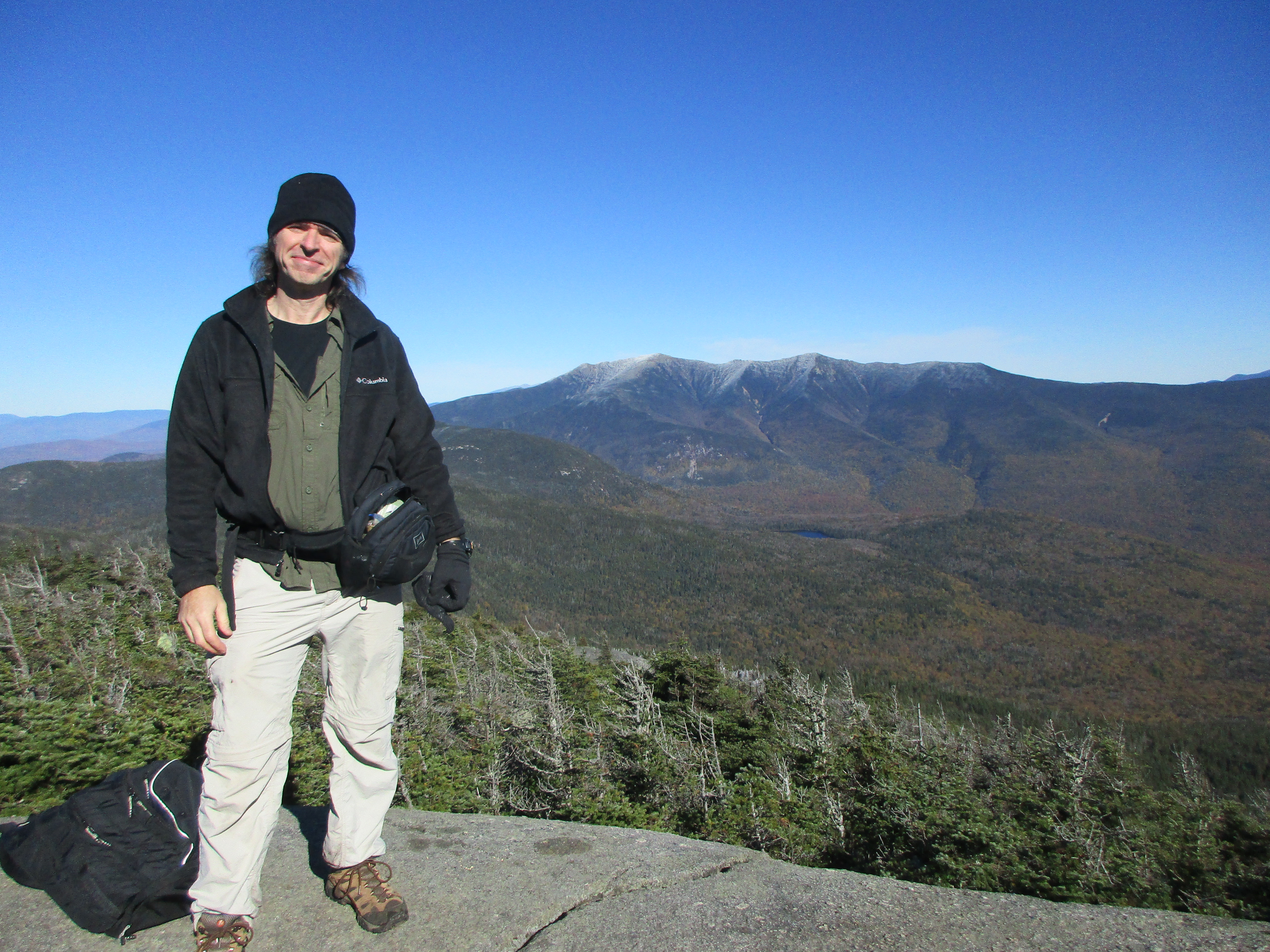
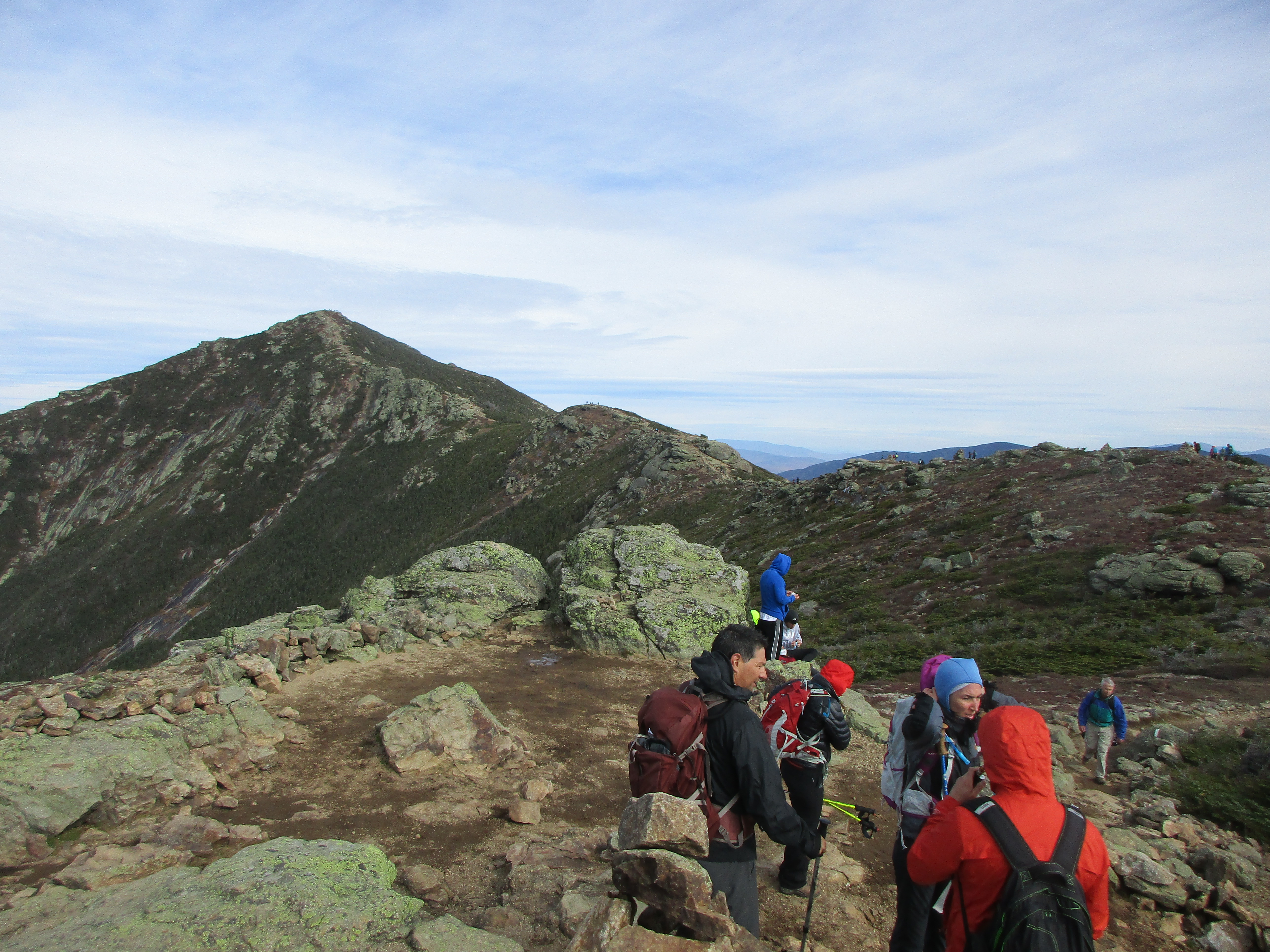
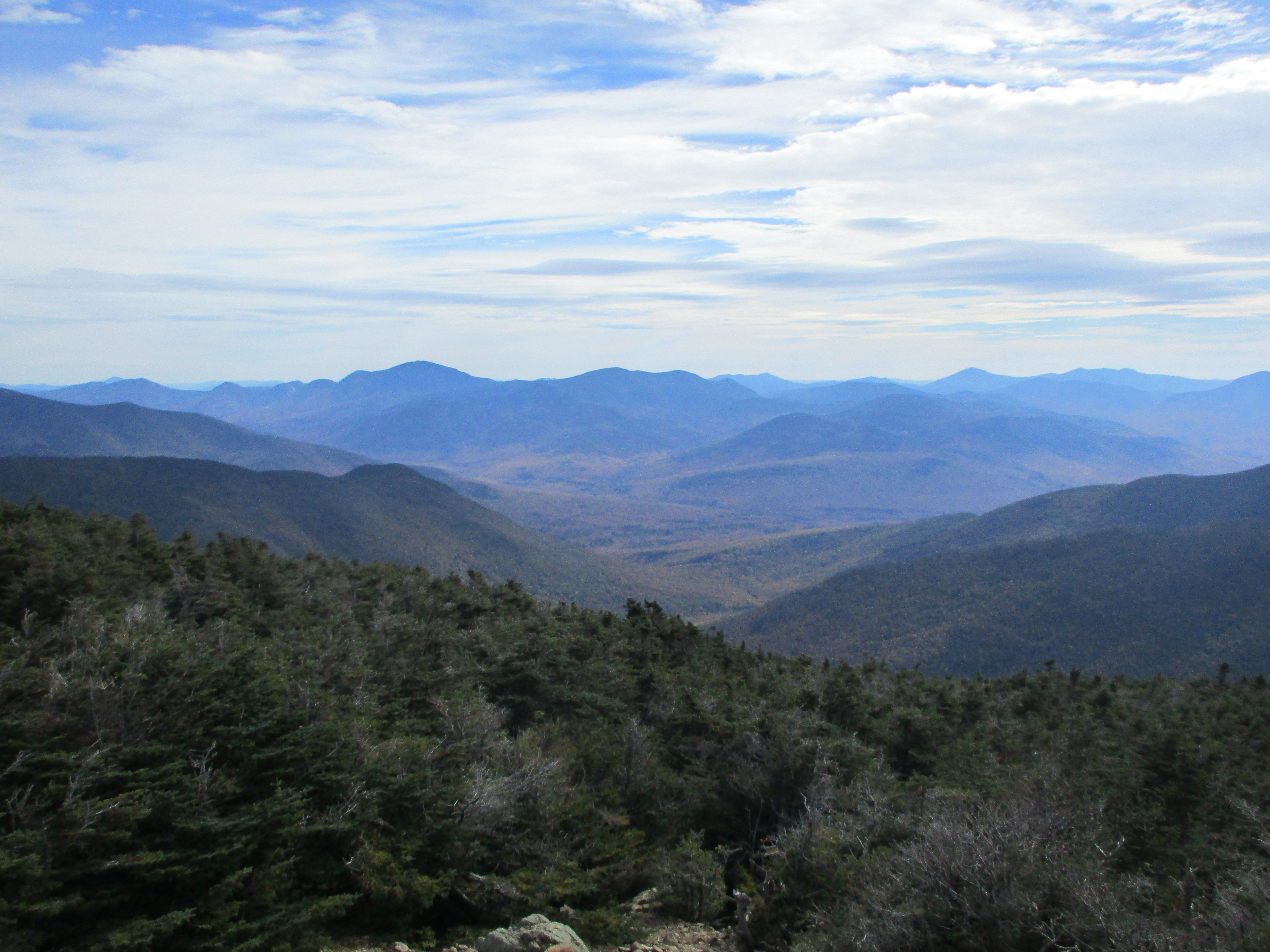
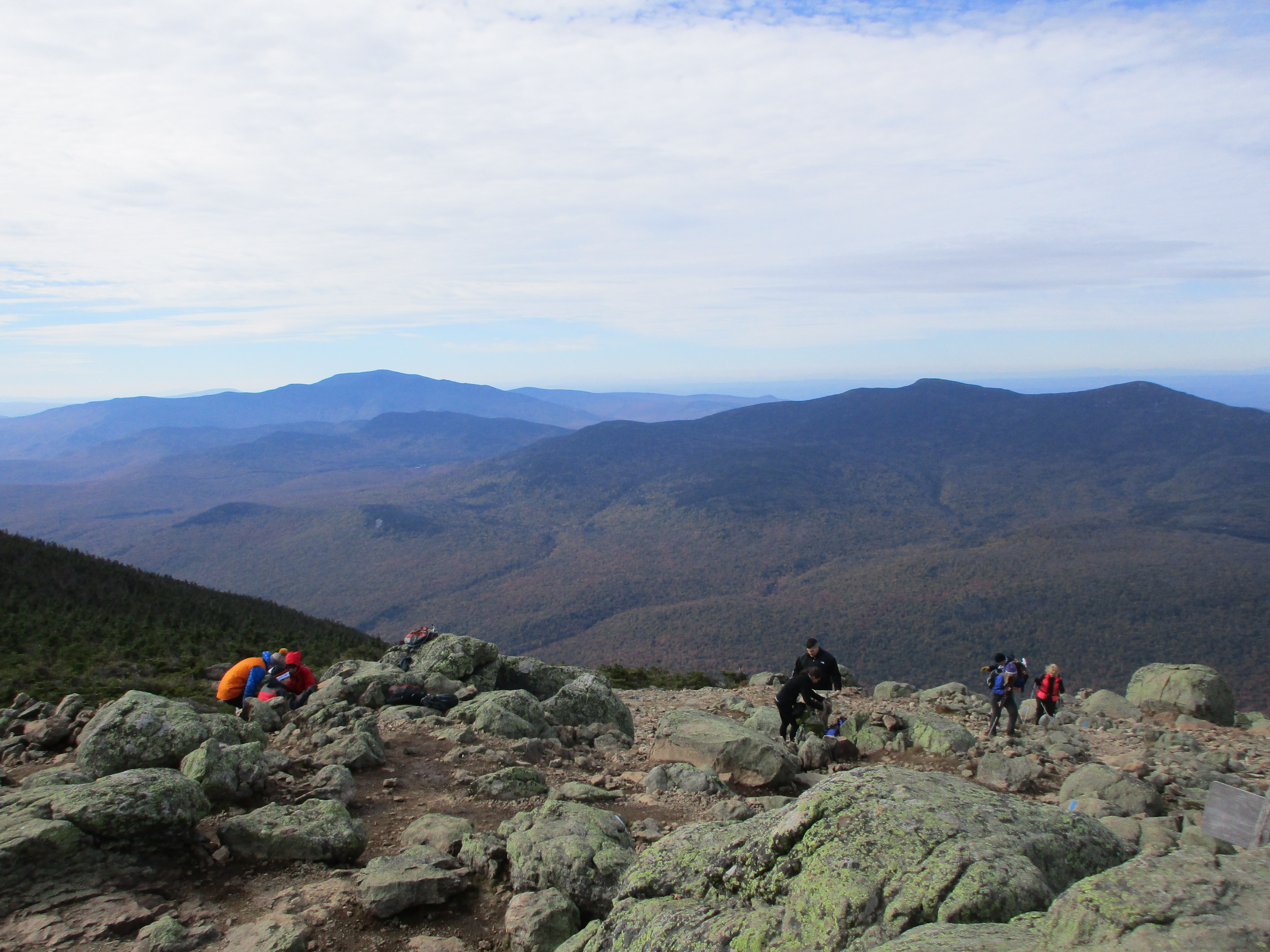
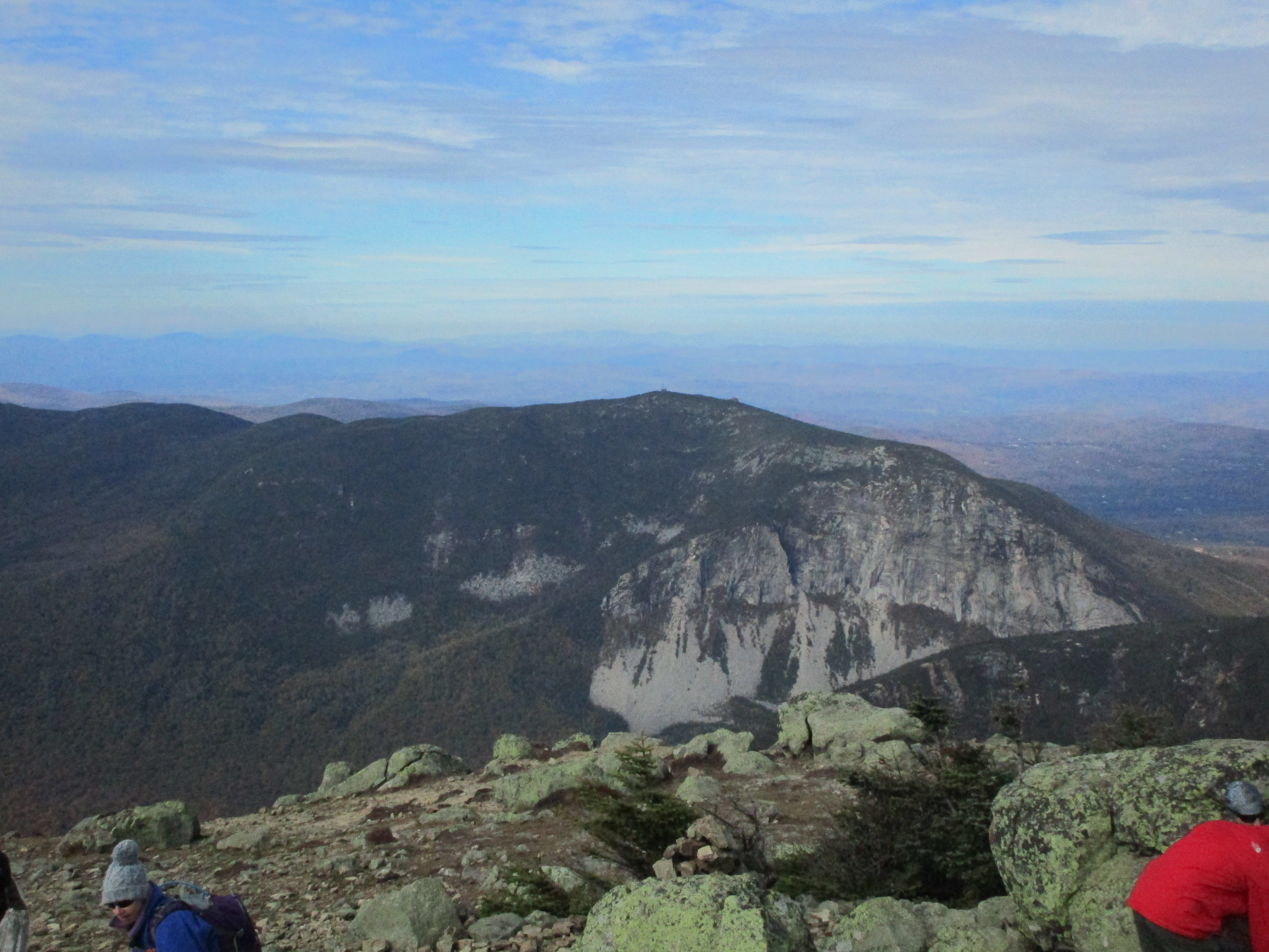
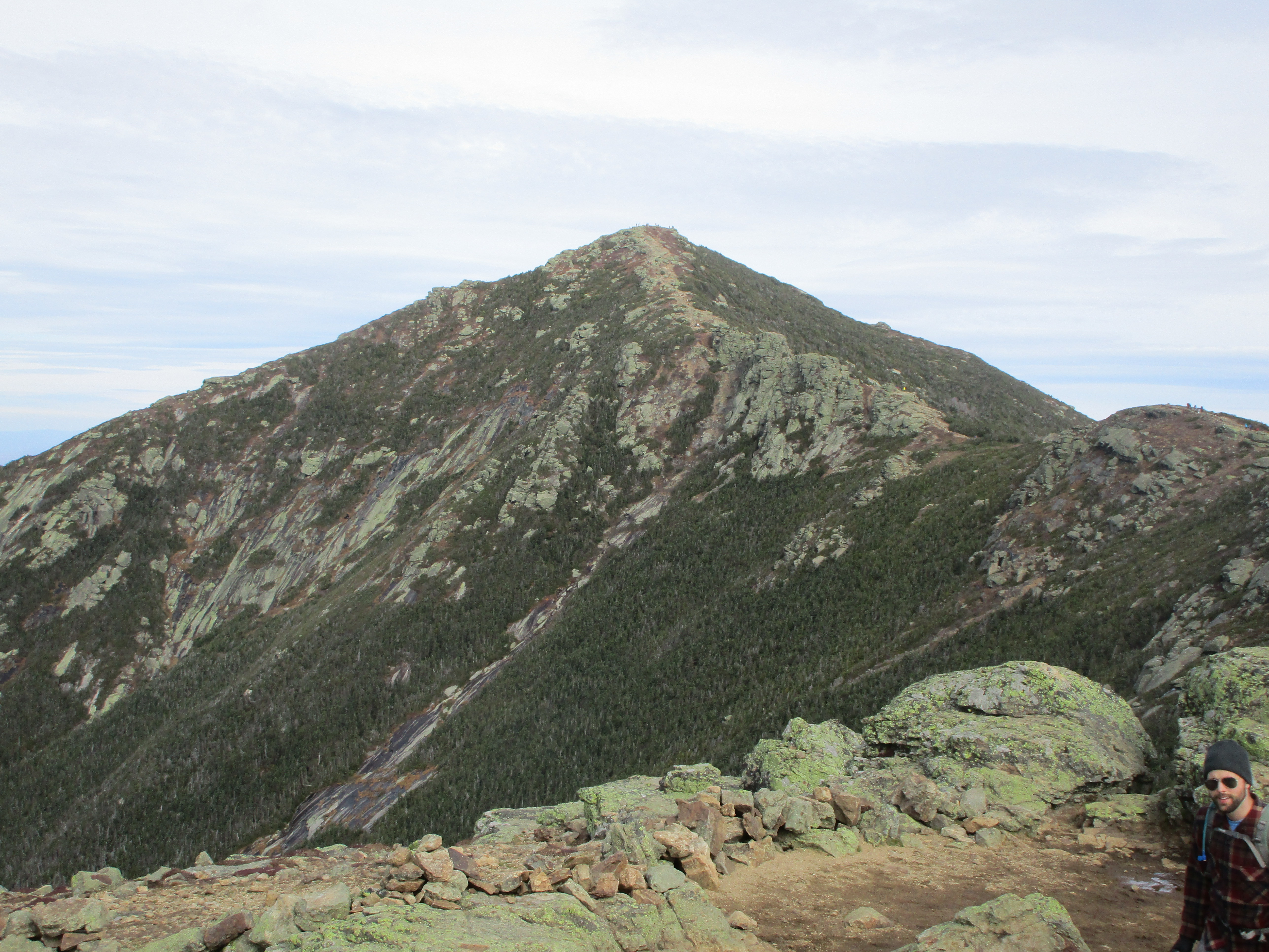
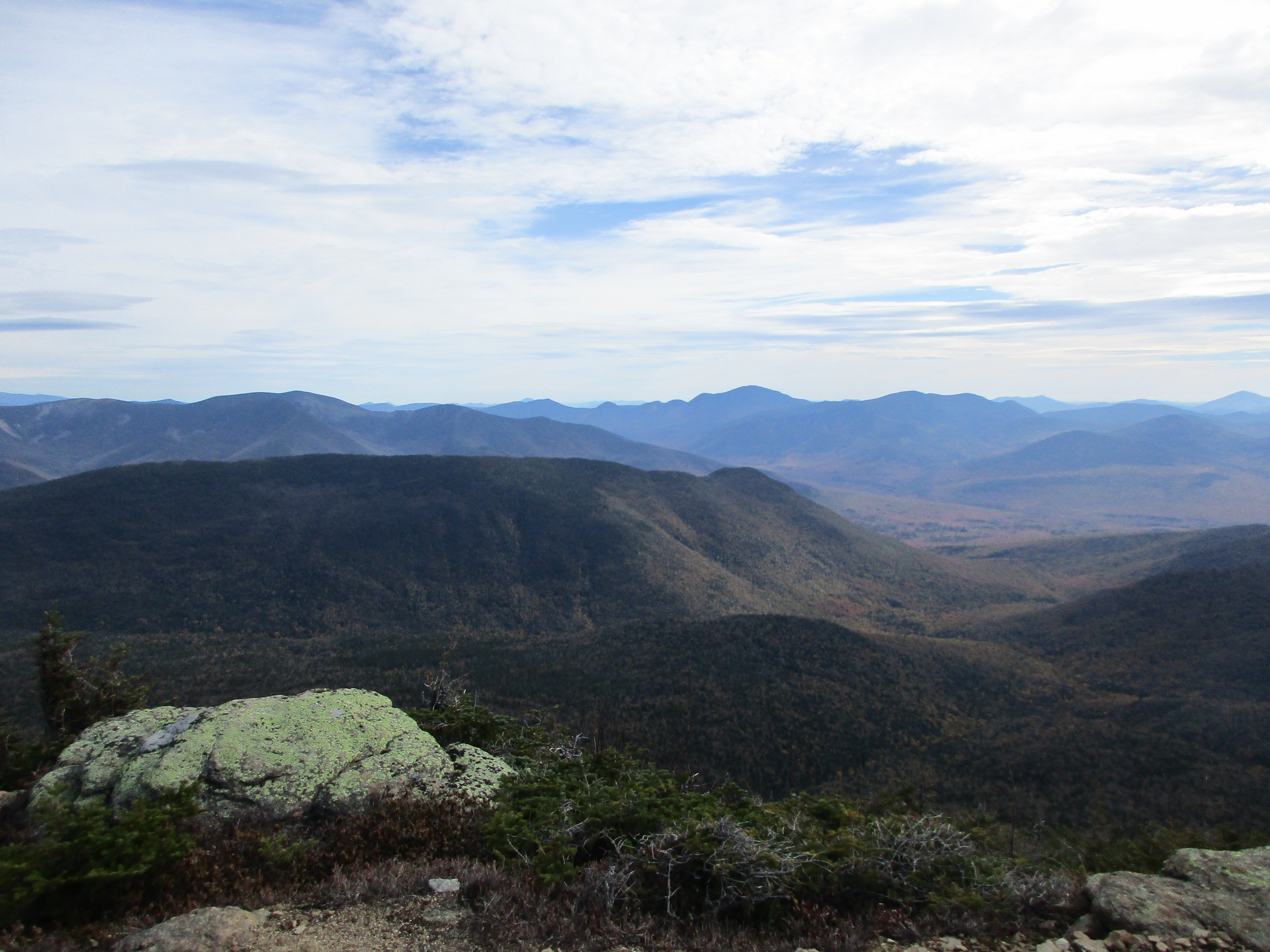
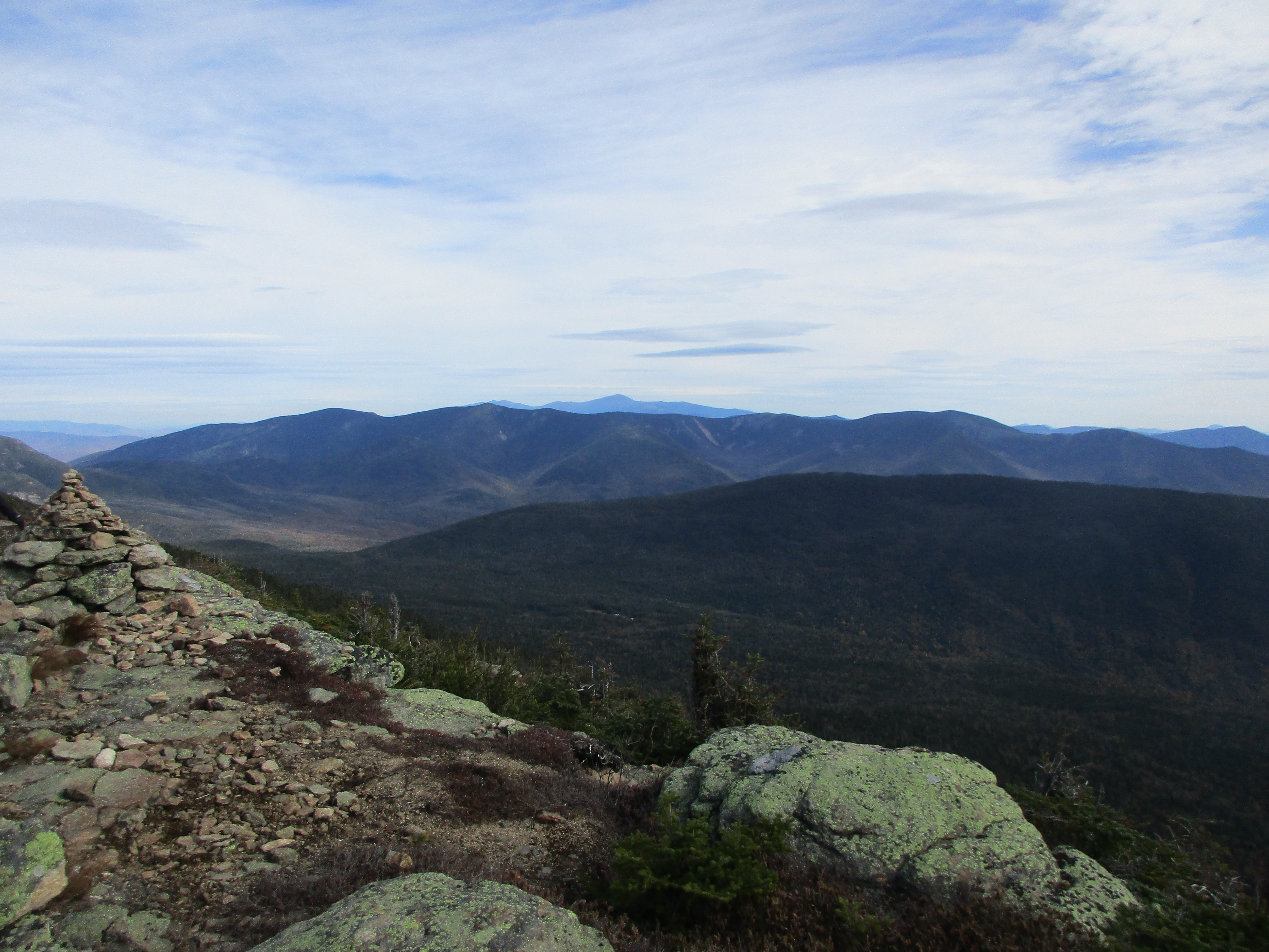
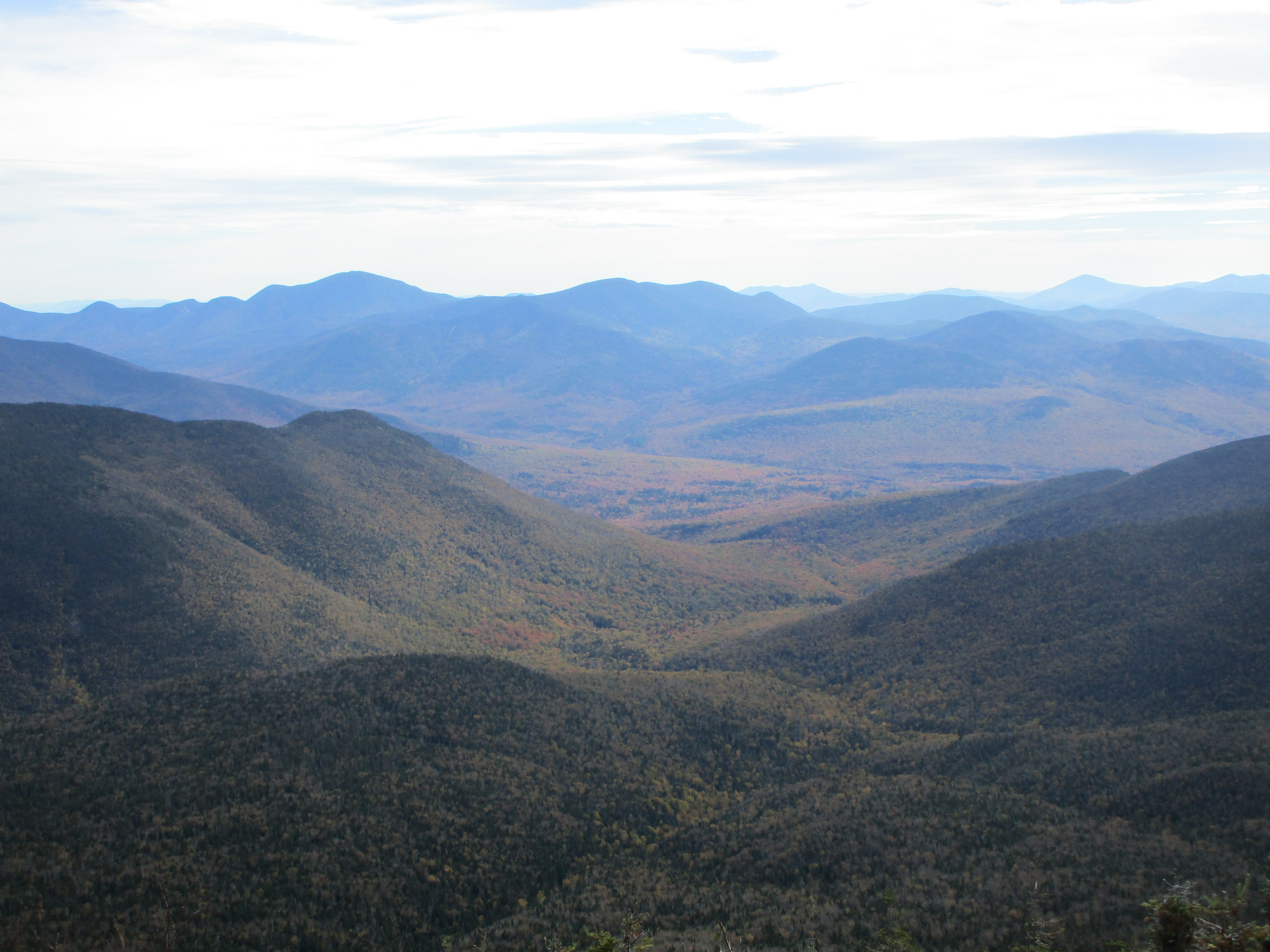
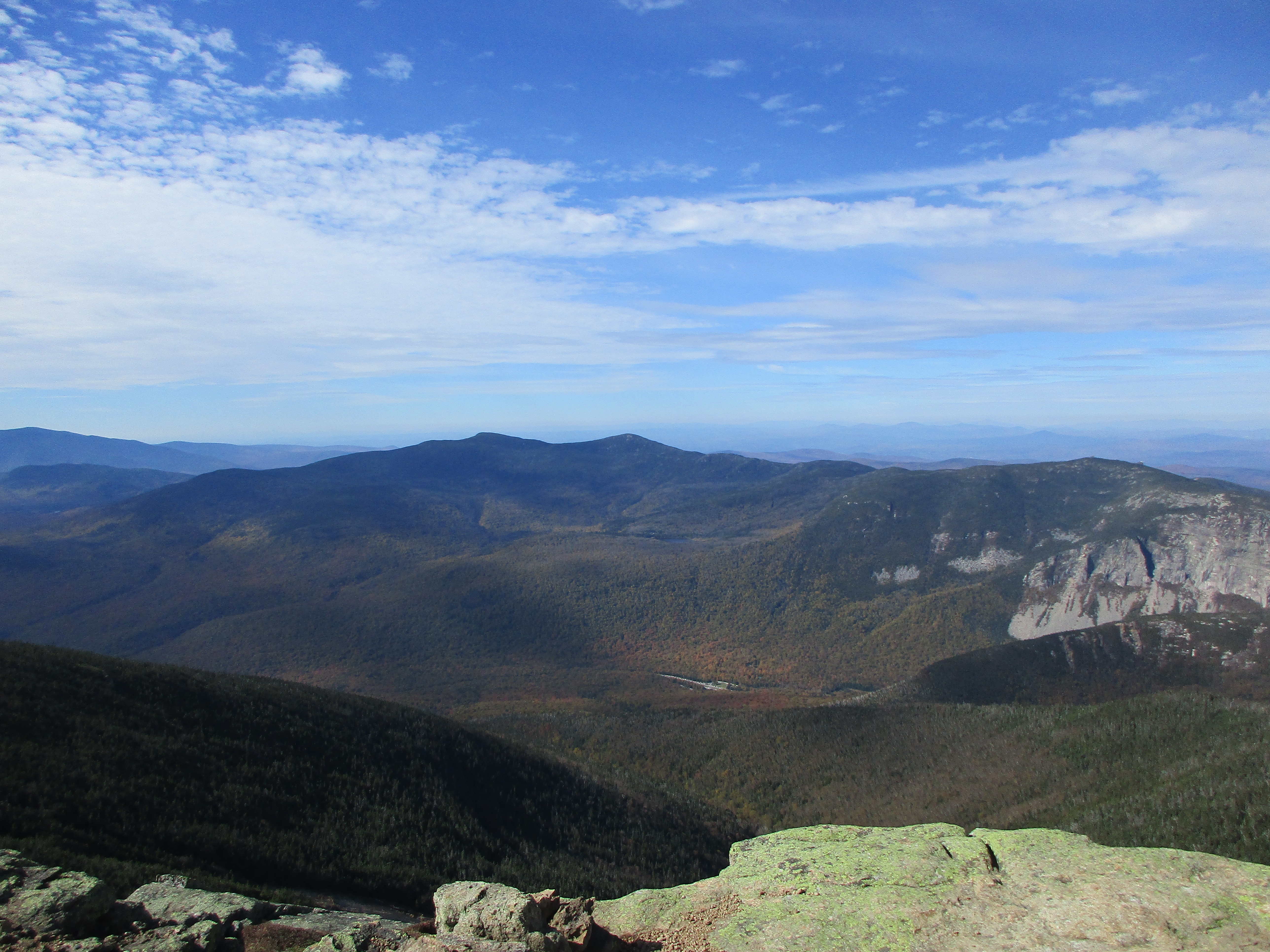
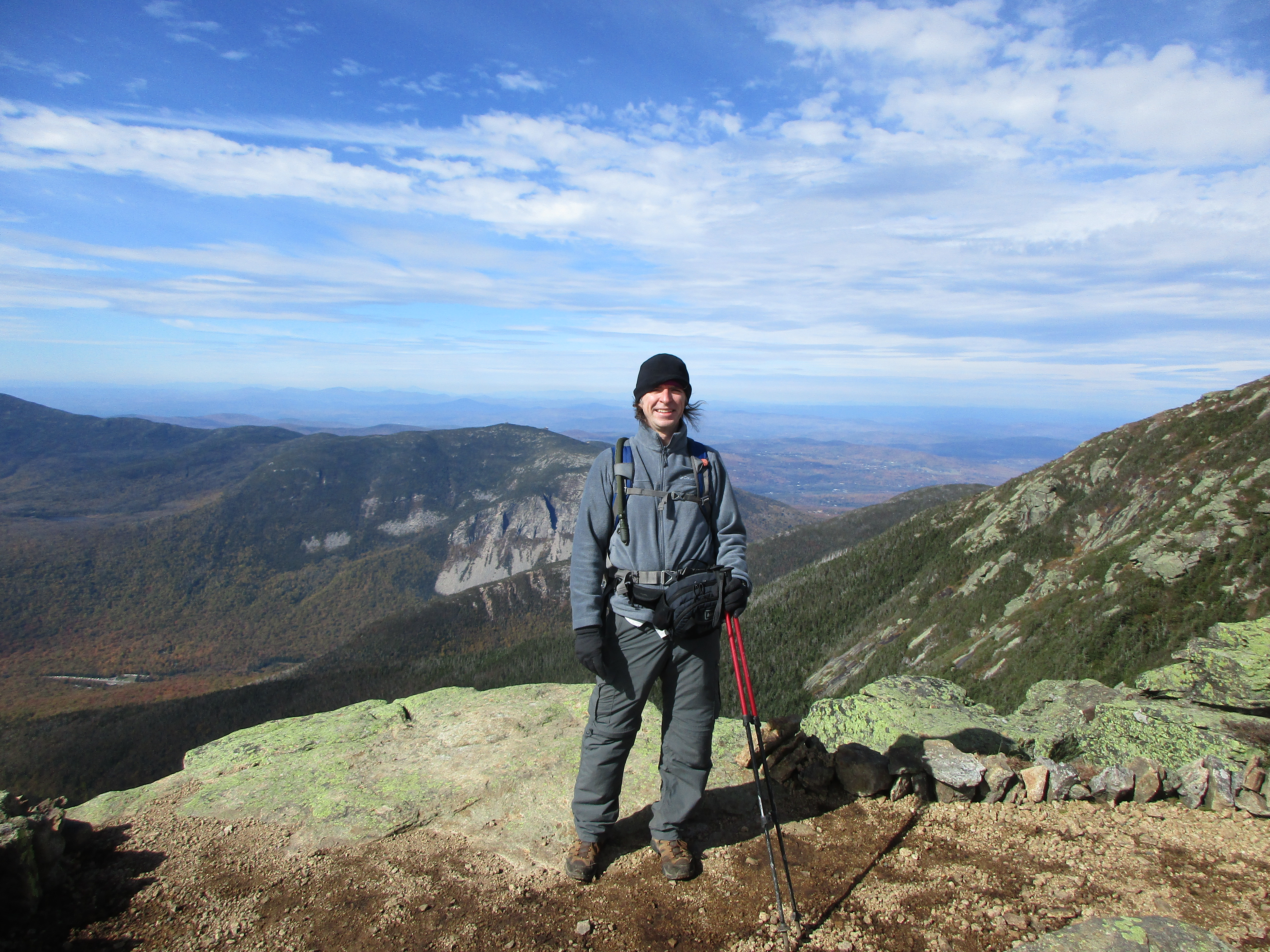
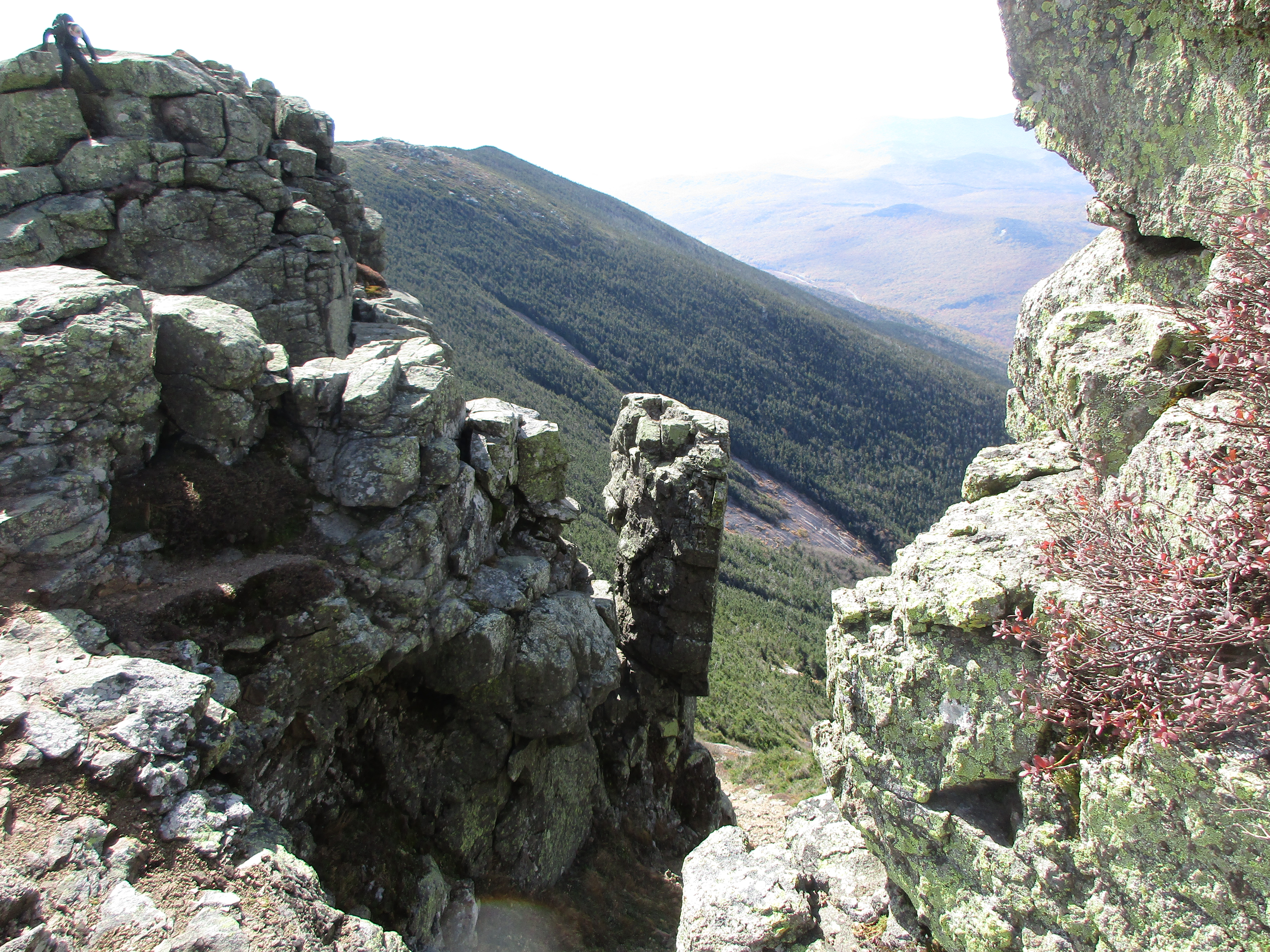
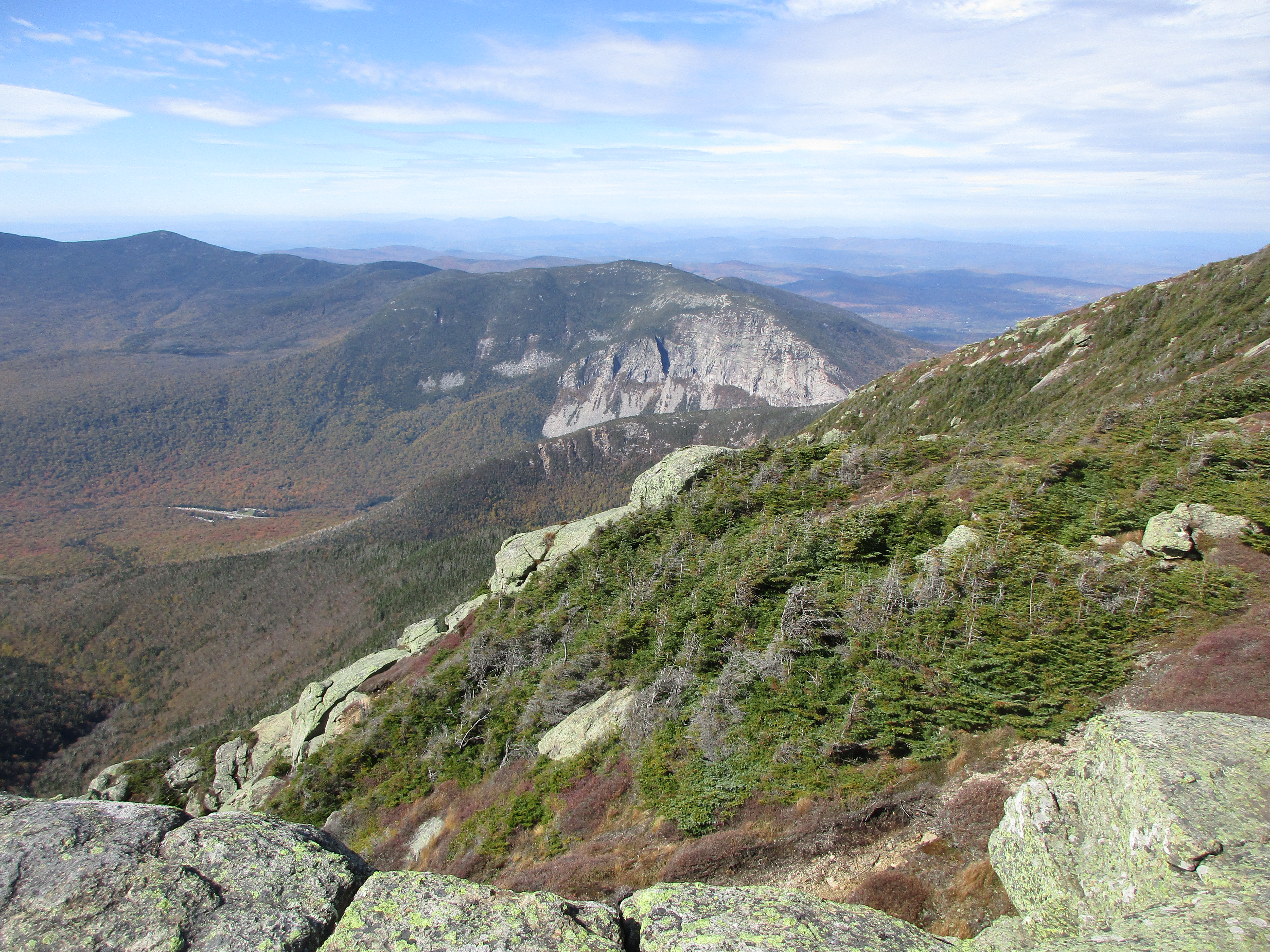
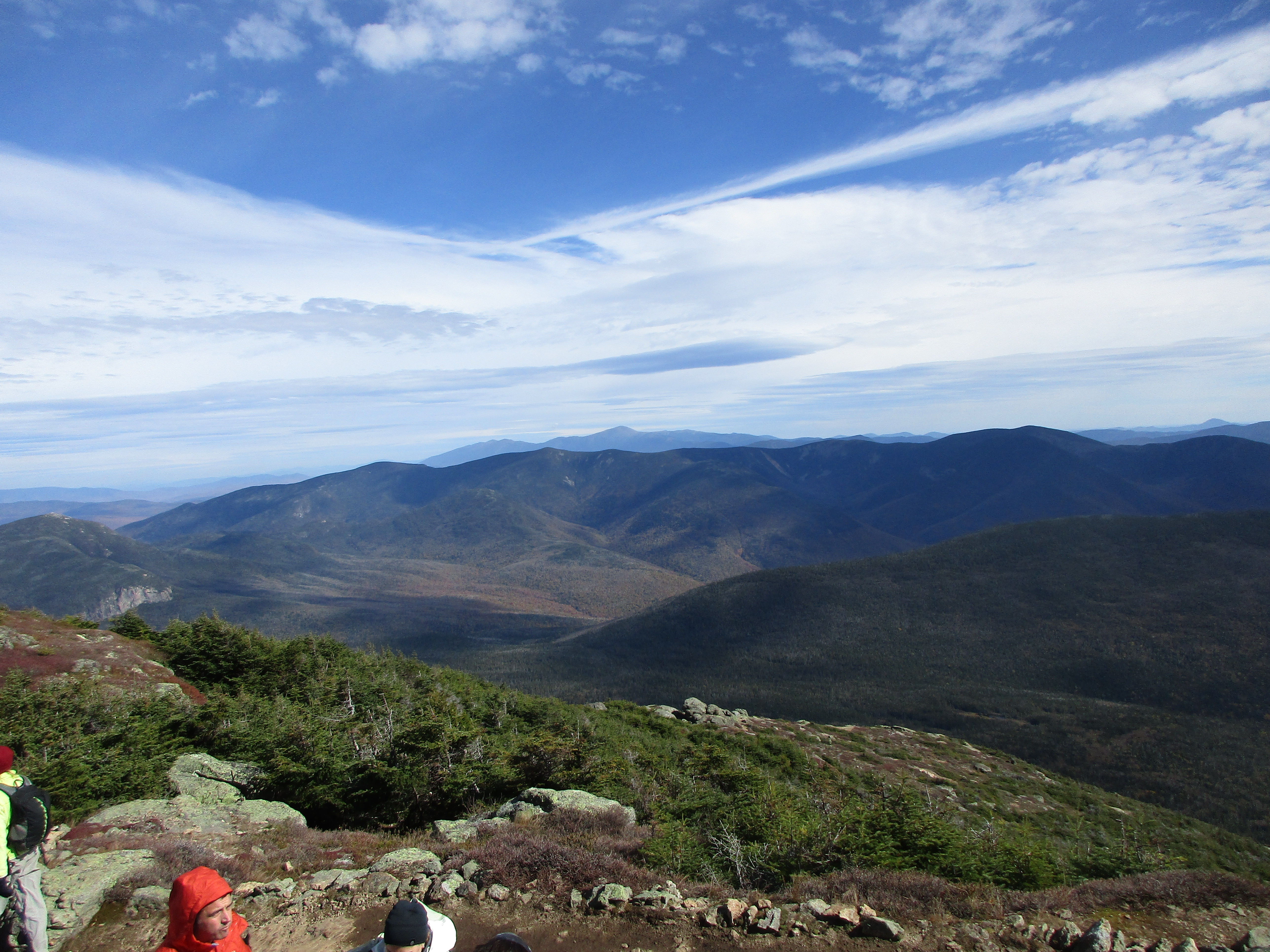
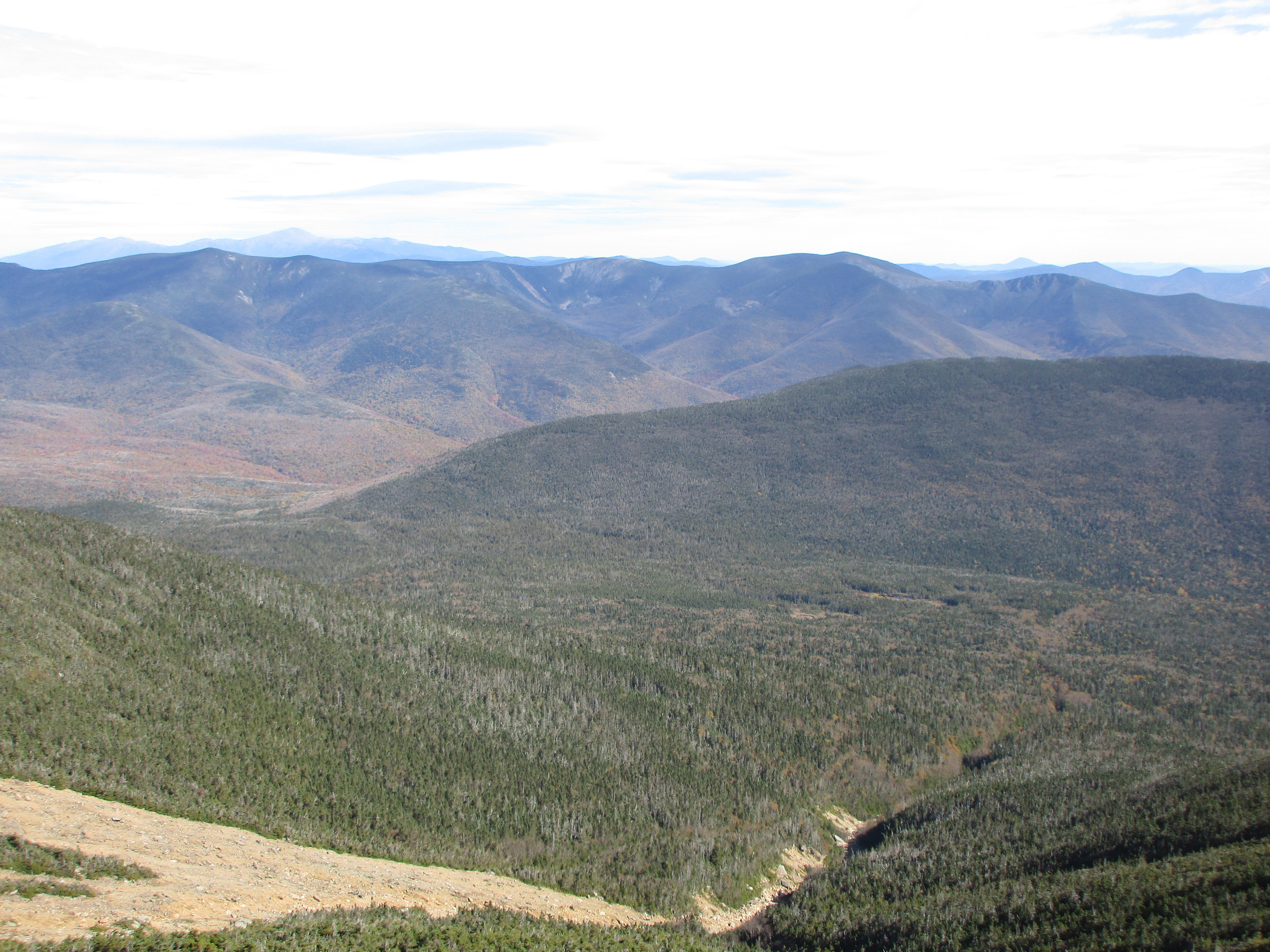
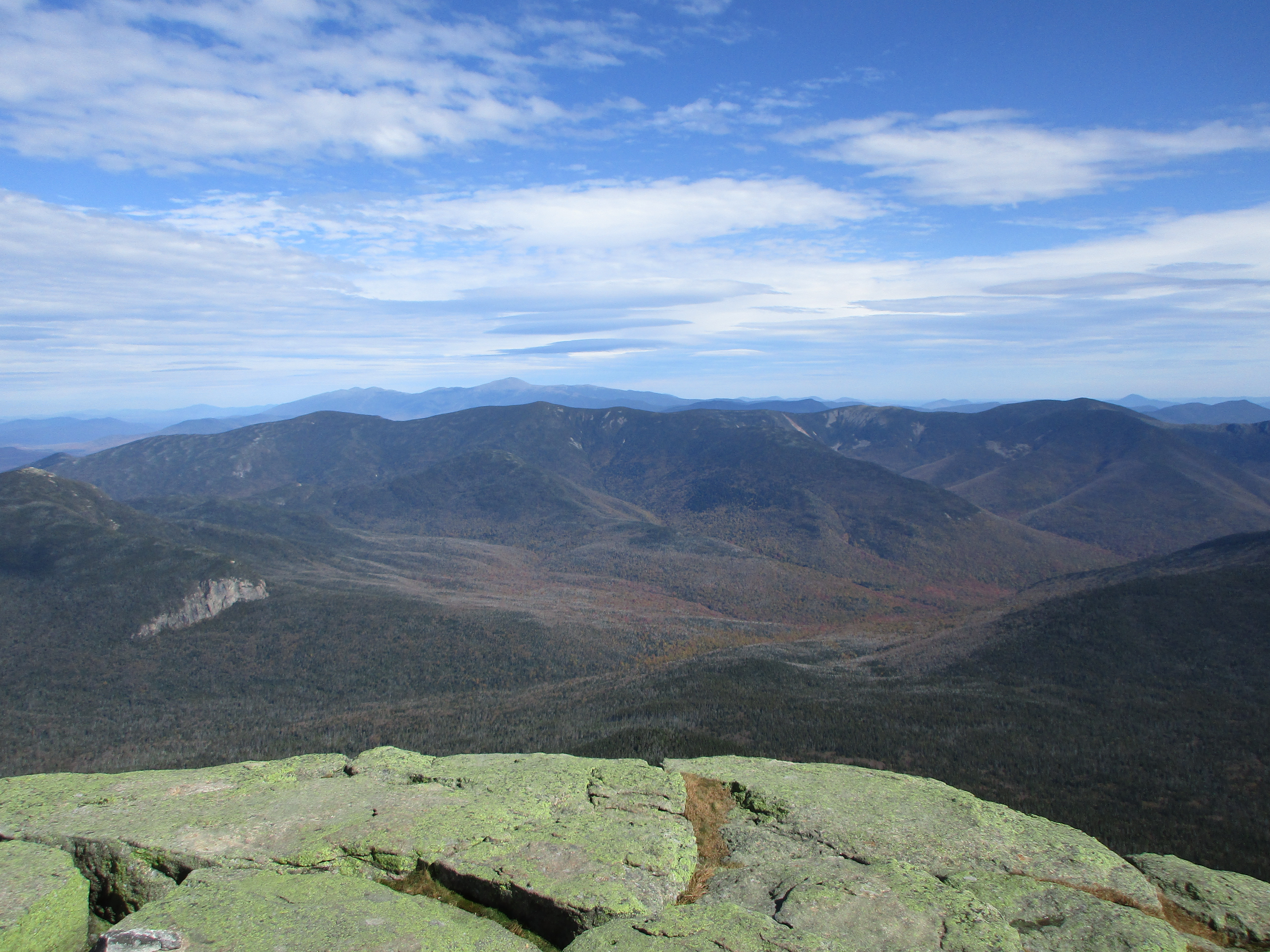
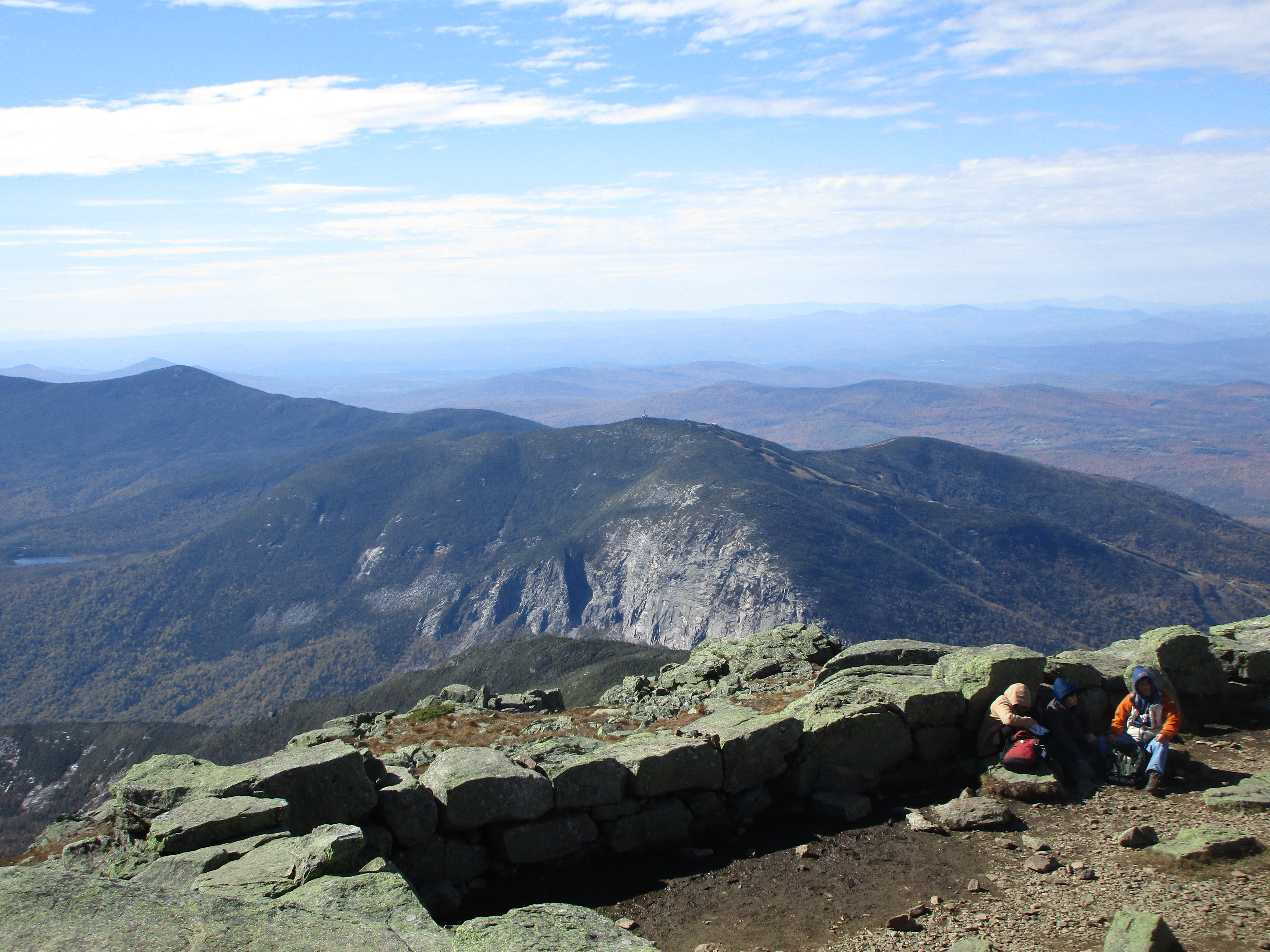
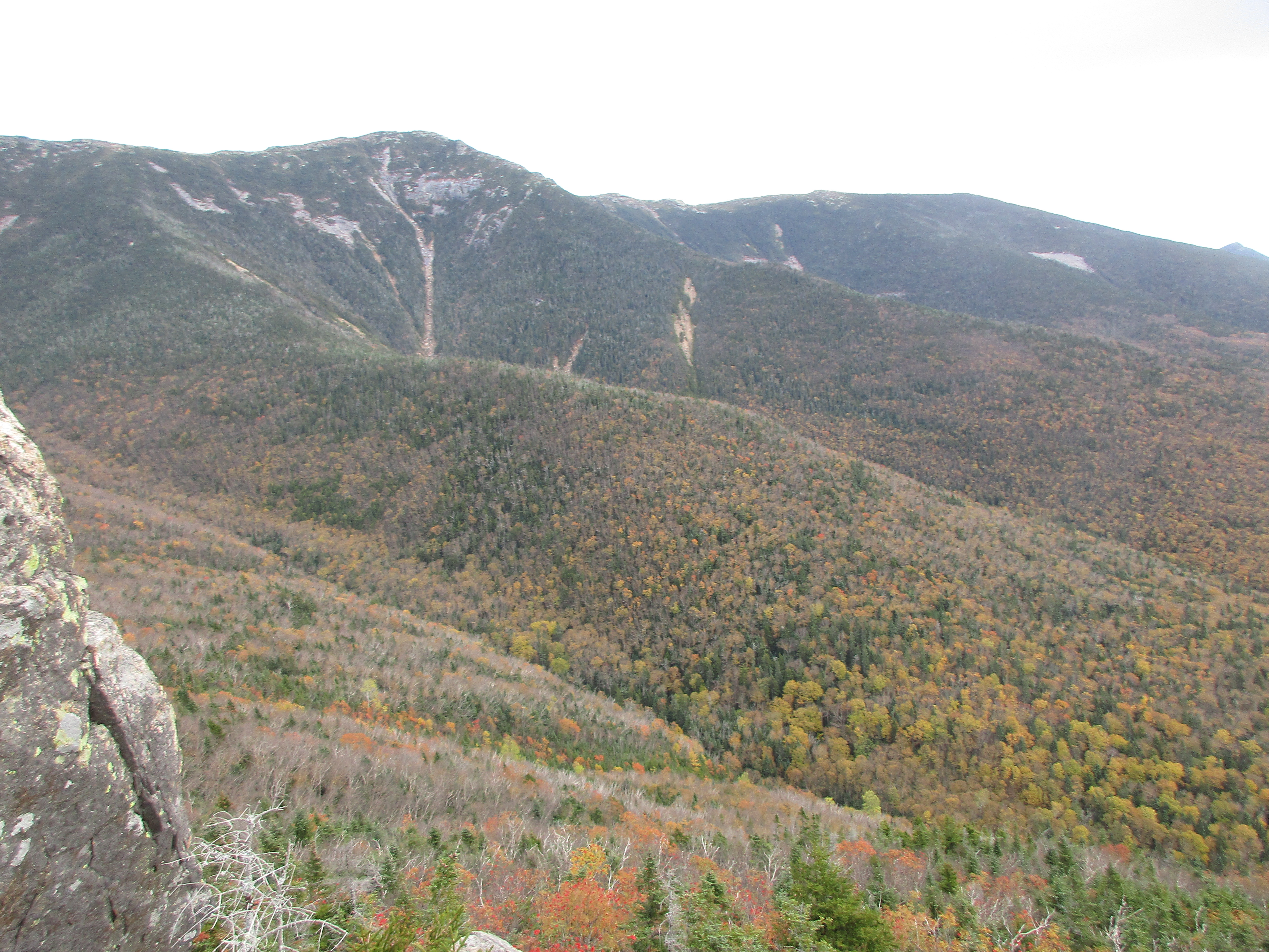
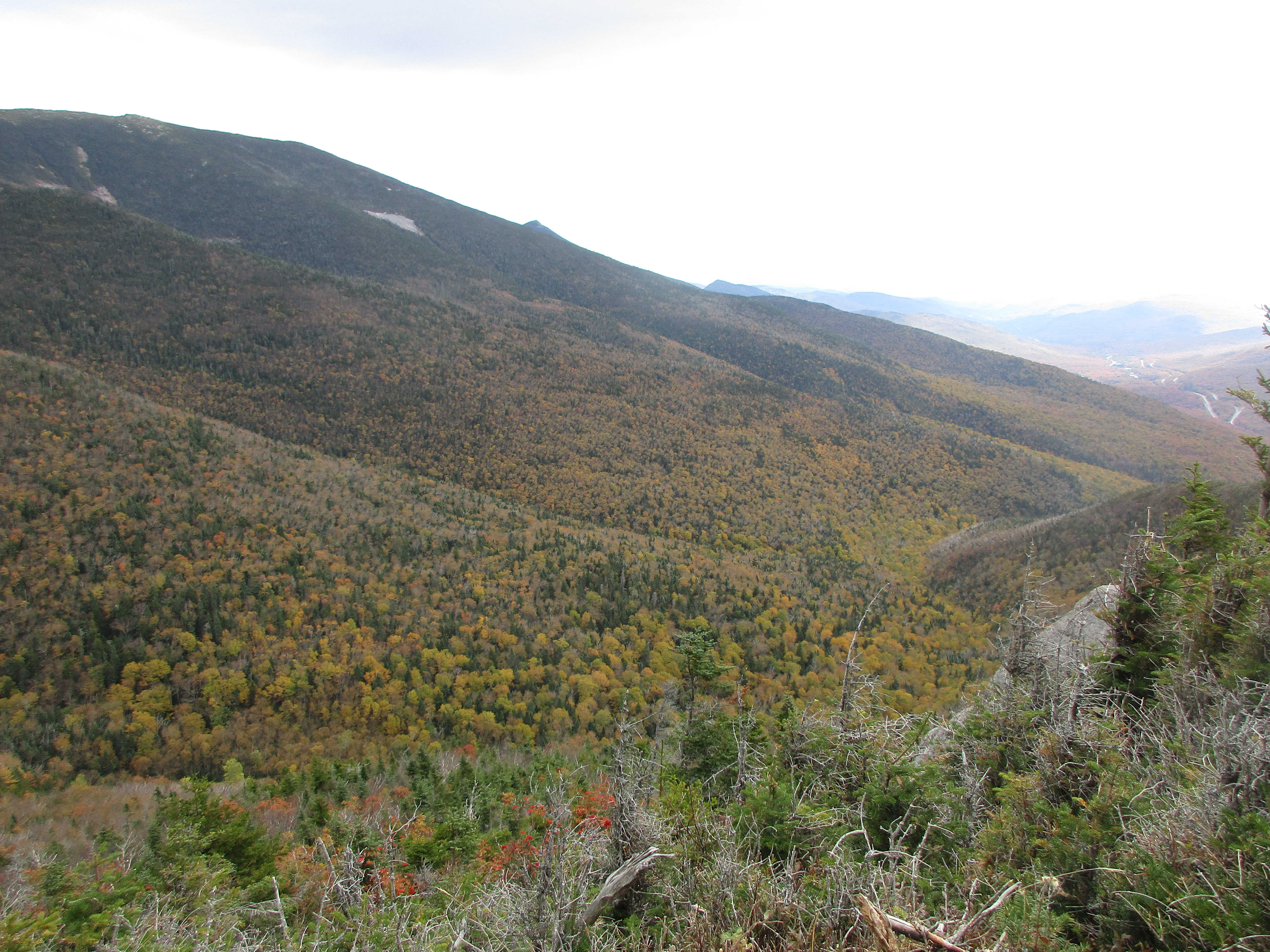
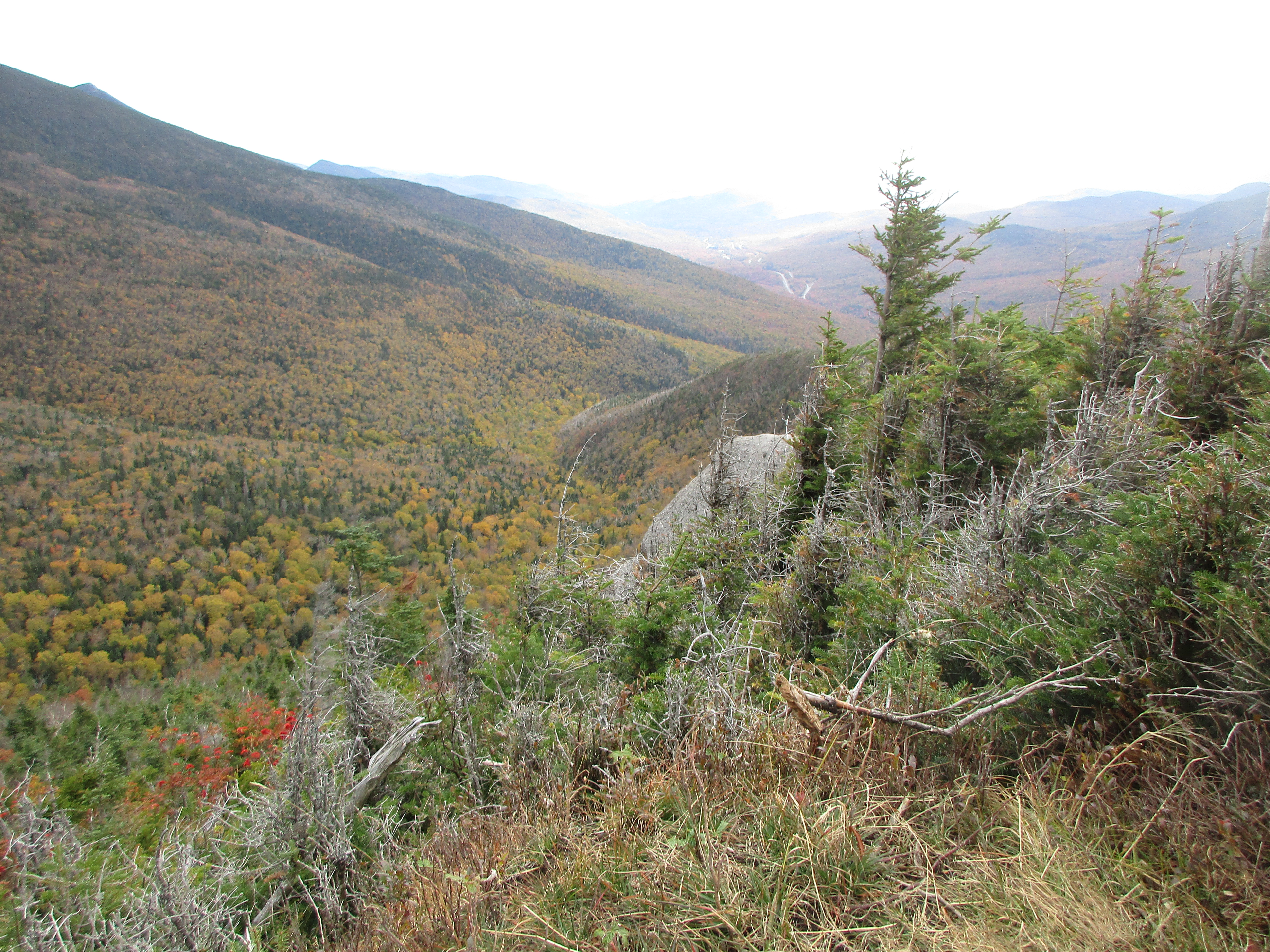
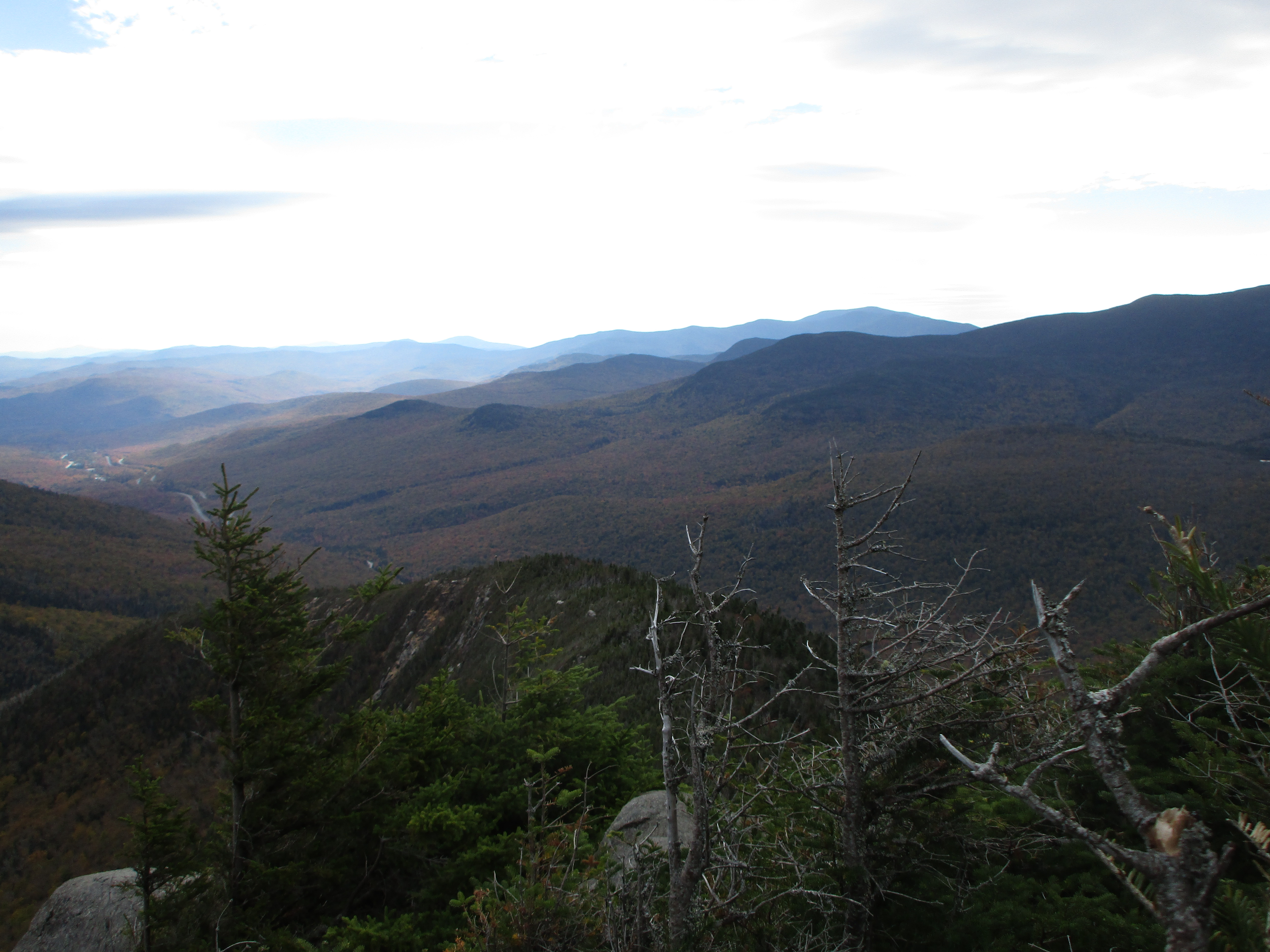
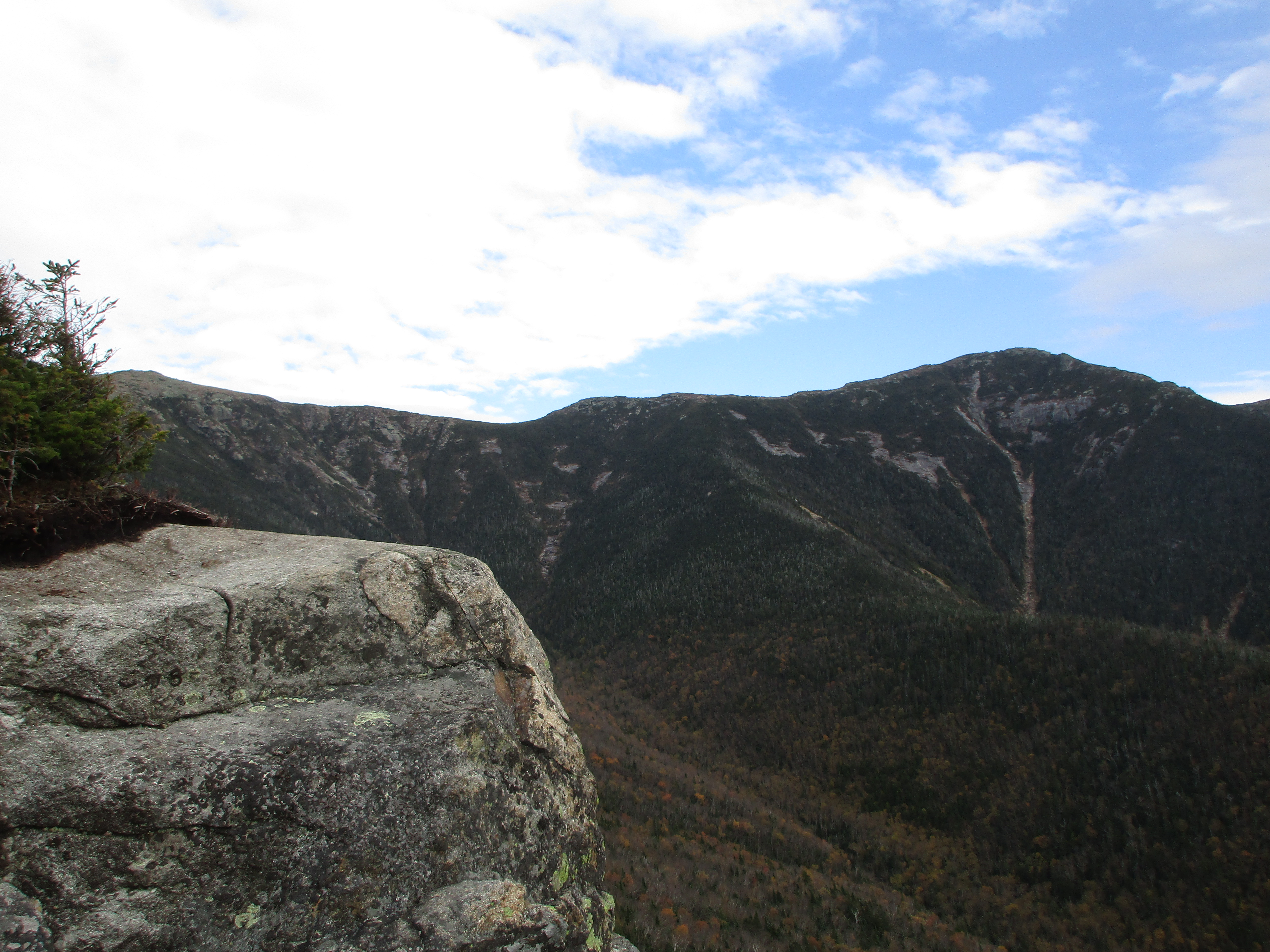
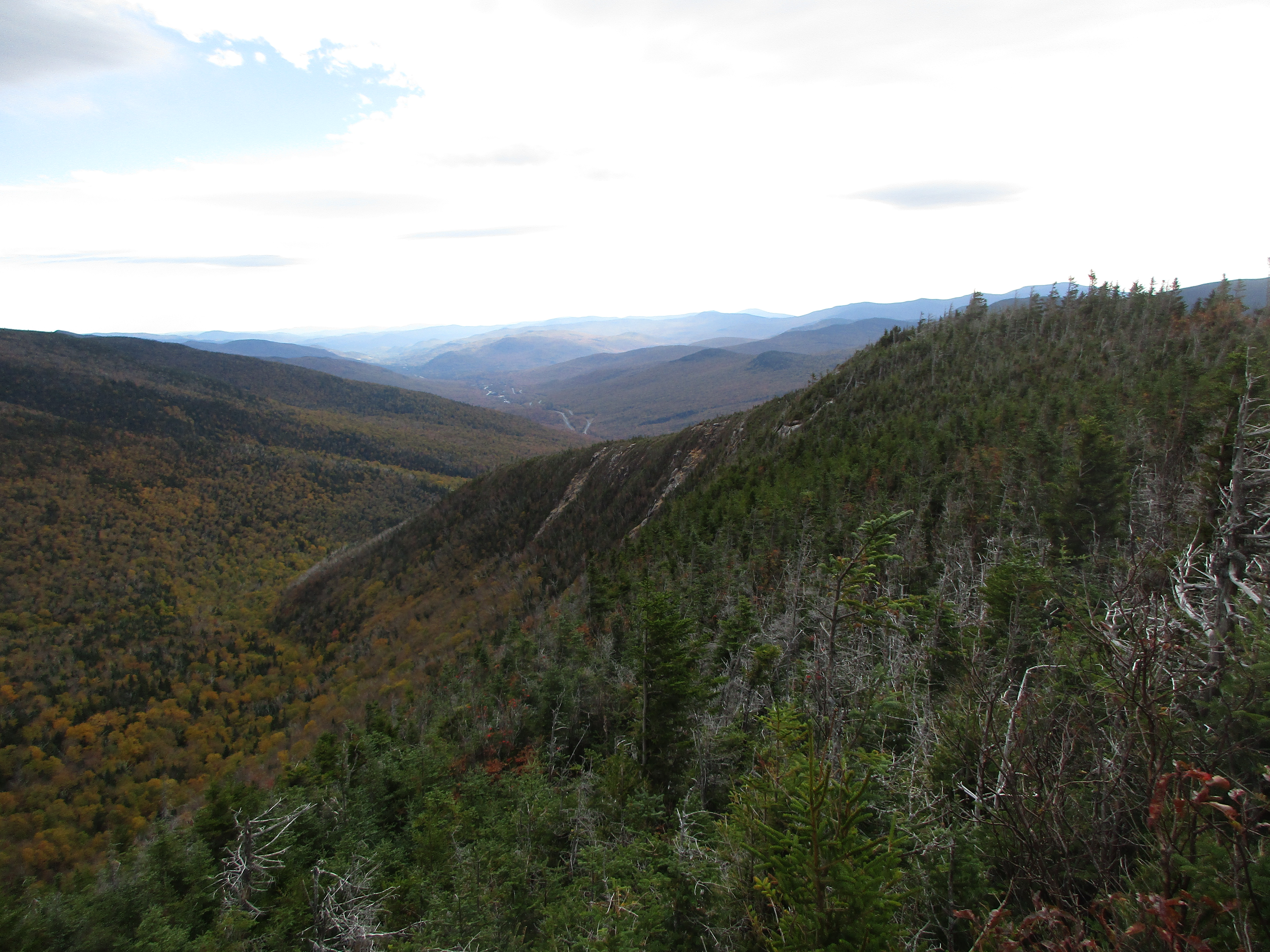
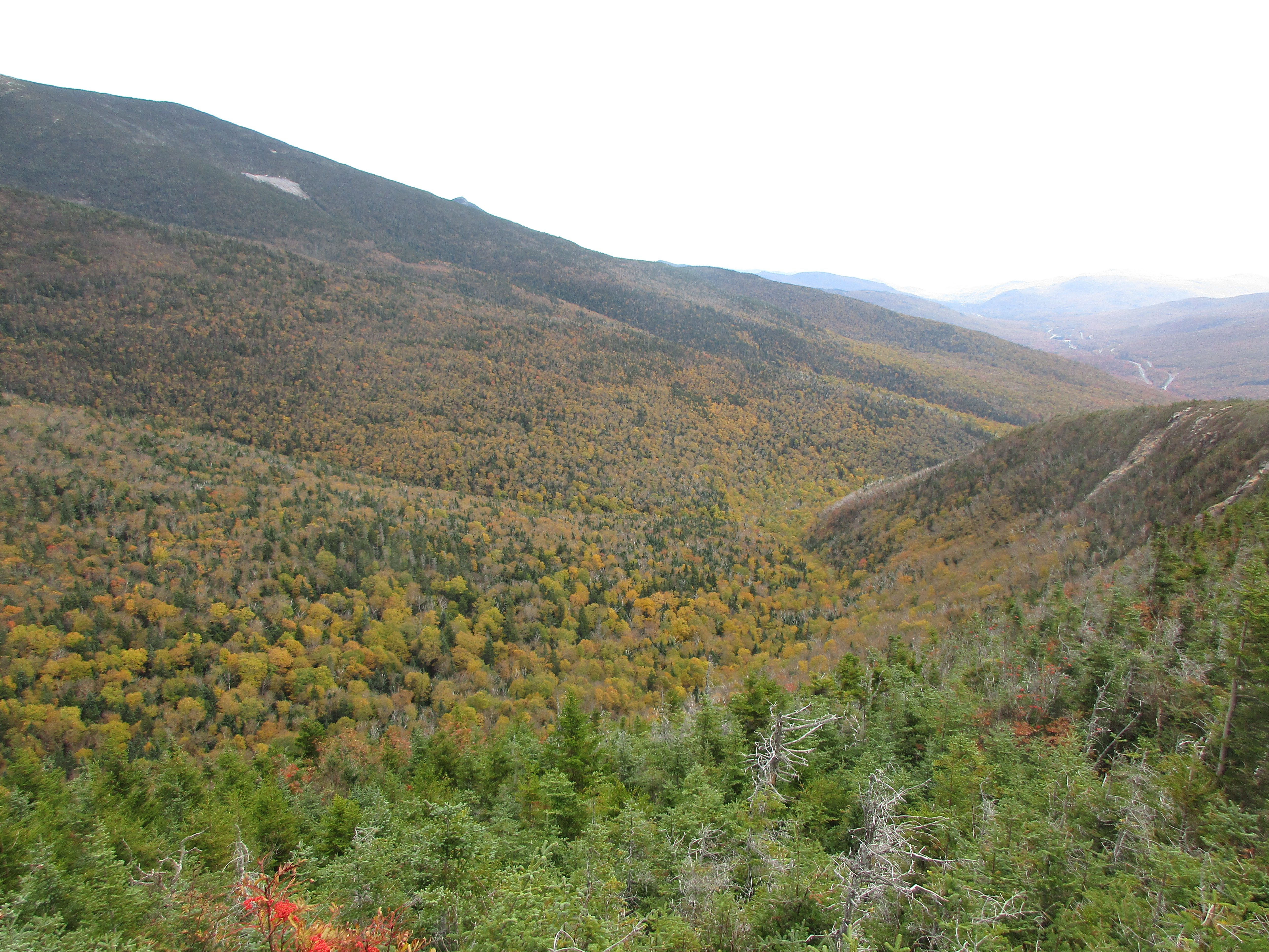
I reach the wooded South Peak and make my way down to the outlook where I am shielded from the wind and am treated to a sweet 180 view.

IMG_3794

IMG_3796

IMG_3795

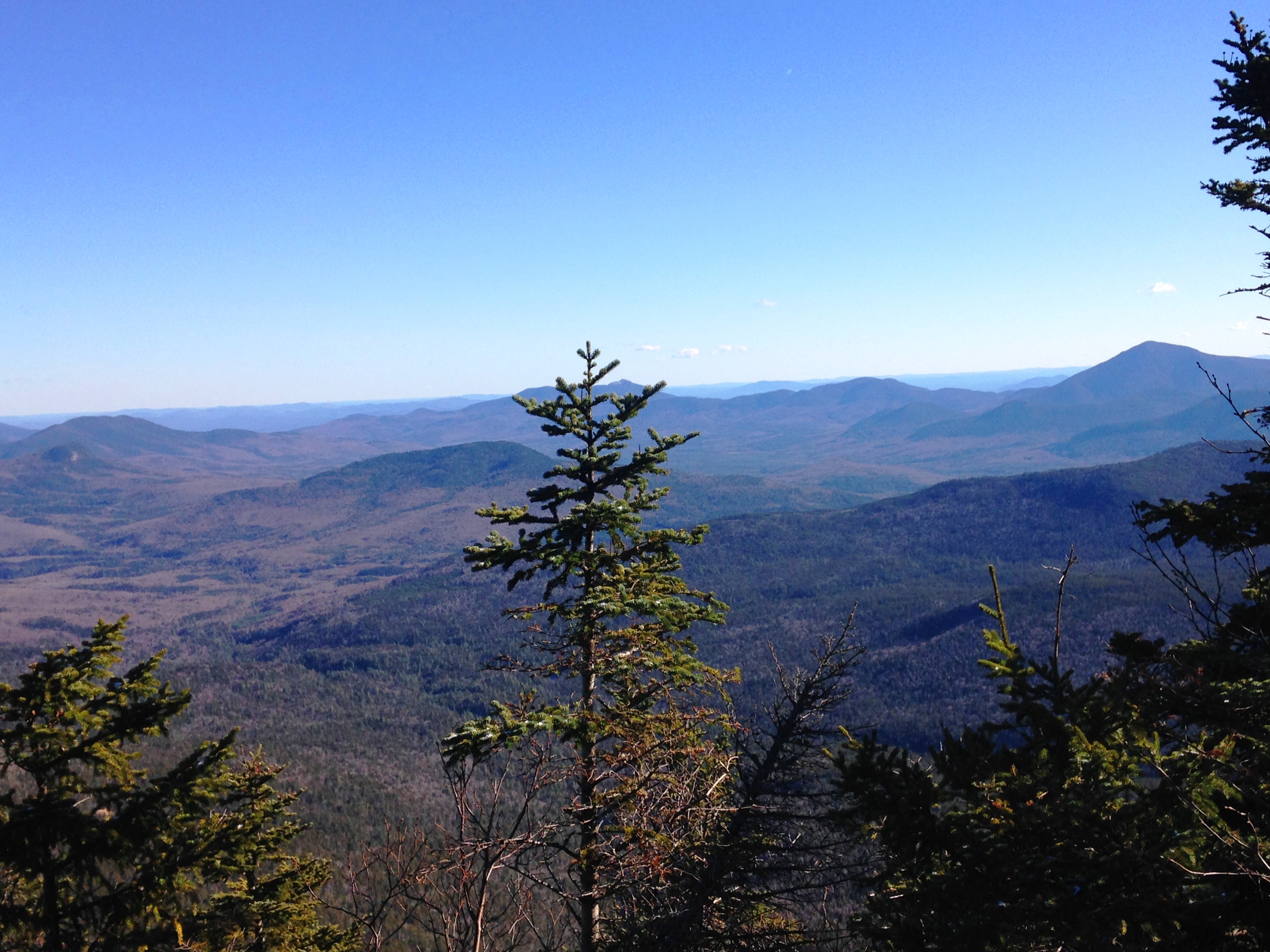
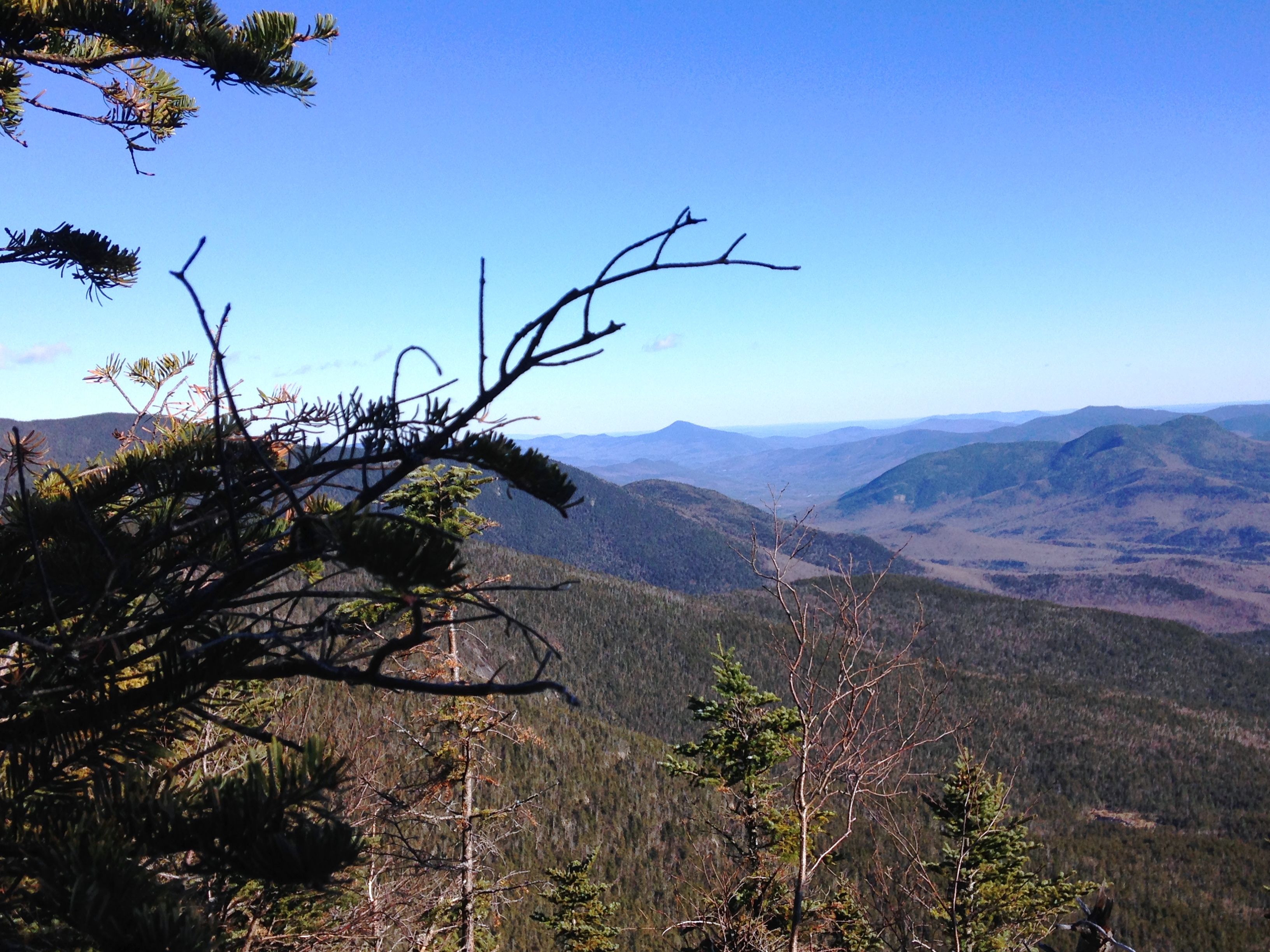
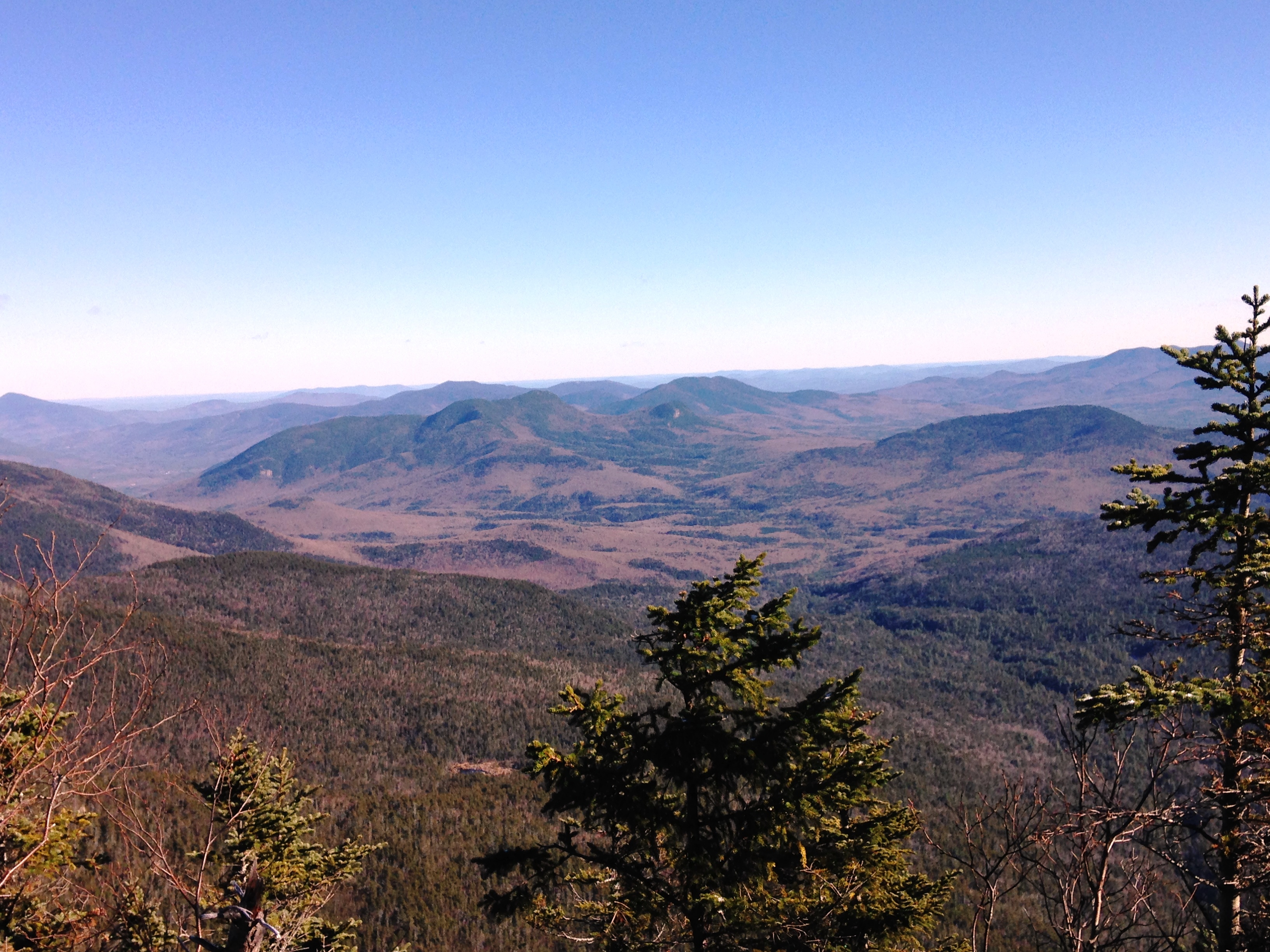
Then I re-enter the woods to head over to the North Peak. Yet another even more beautiful 180 view awaits. I linger for a while here and enjoy the show over a bite to eat.IMG_3803

IMG_3805

IMG_3806

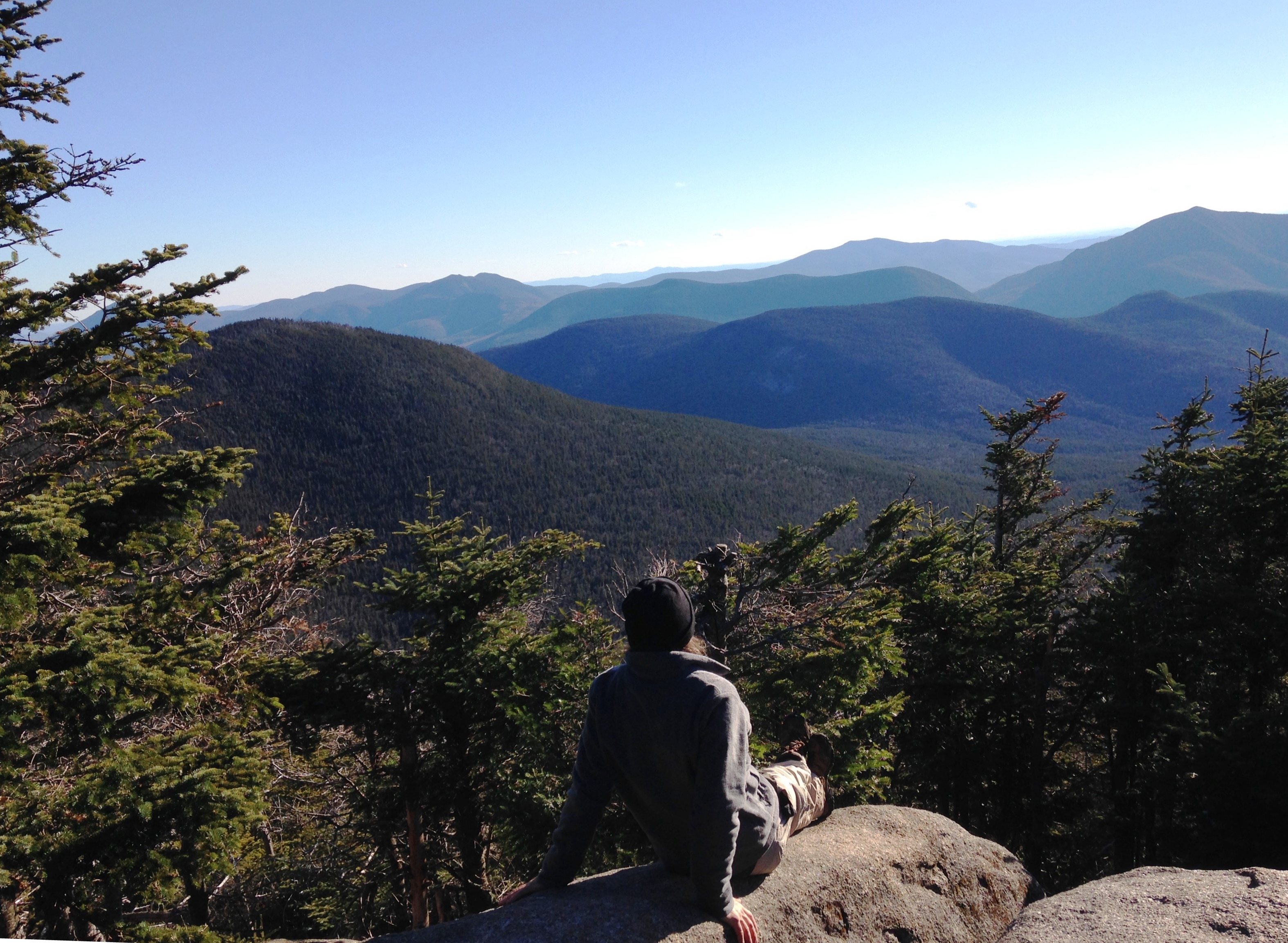
(click for video of North Hancock View)

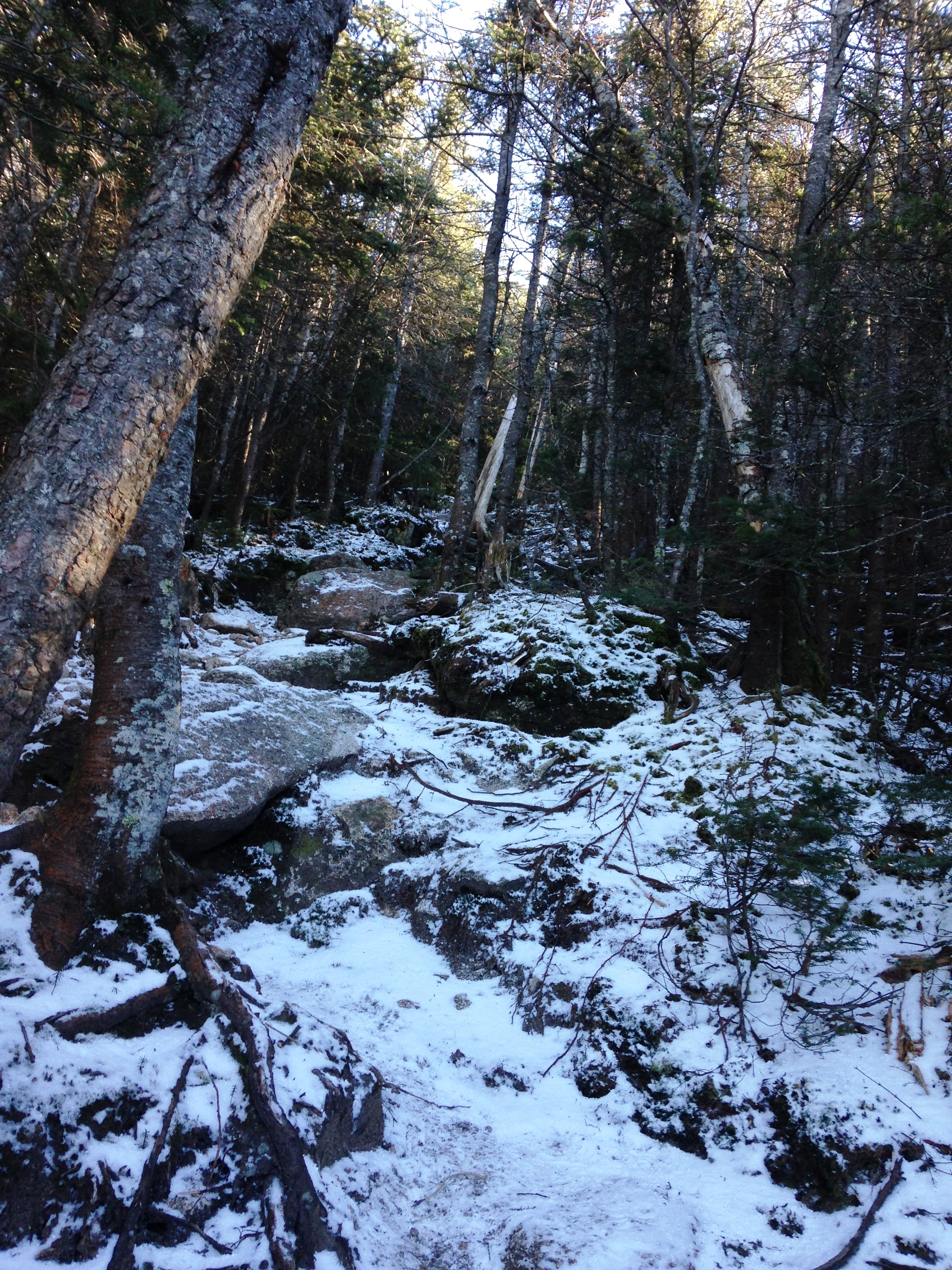
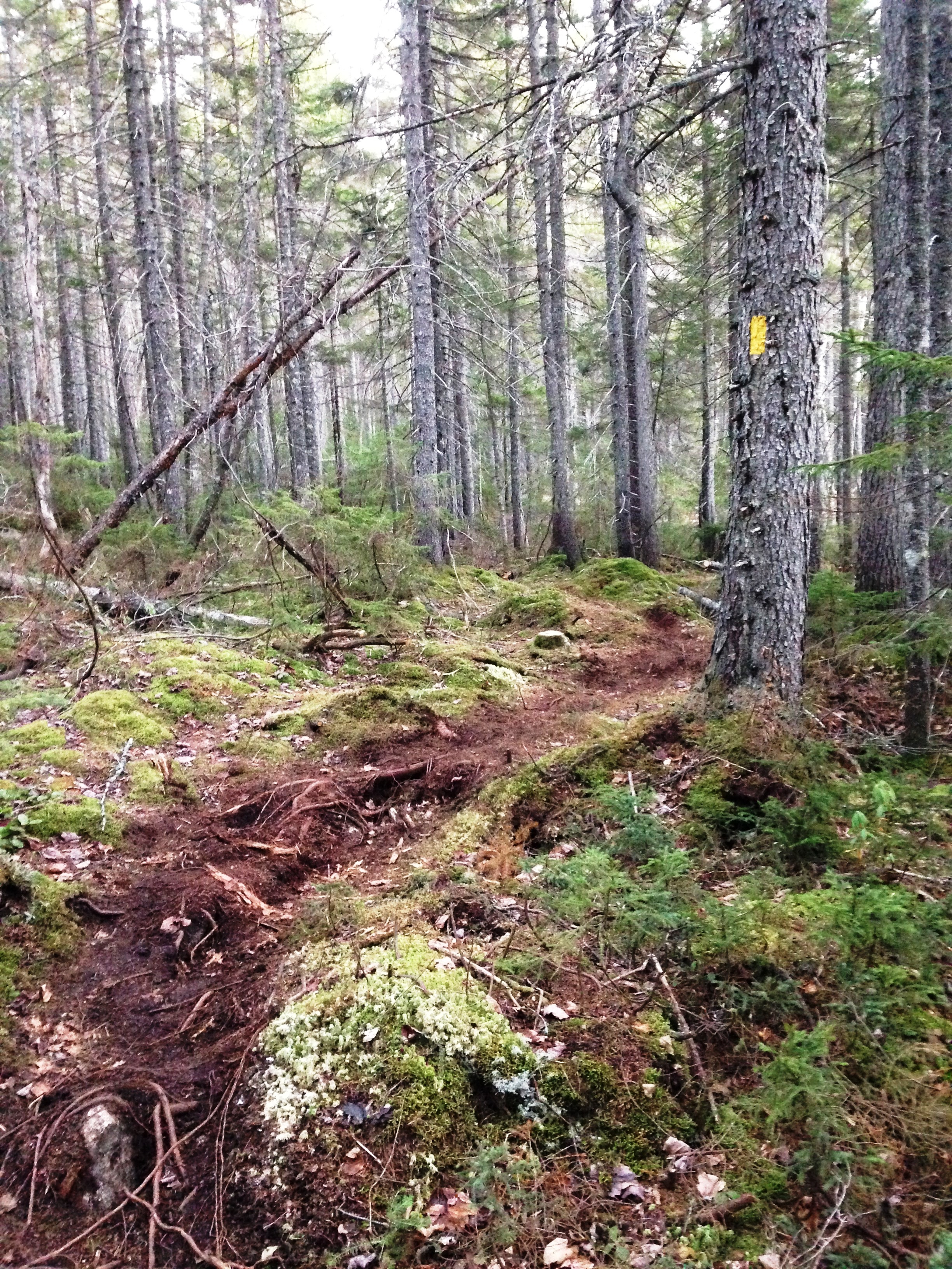
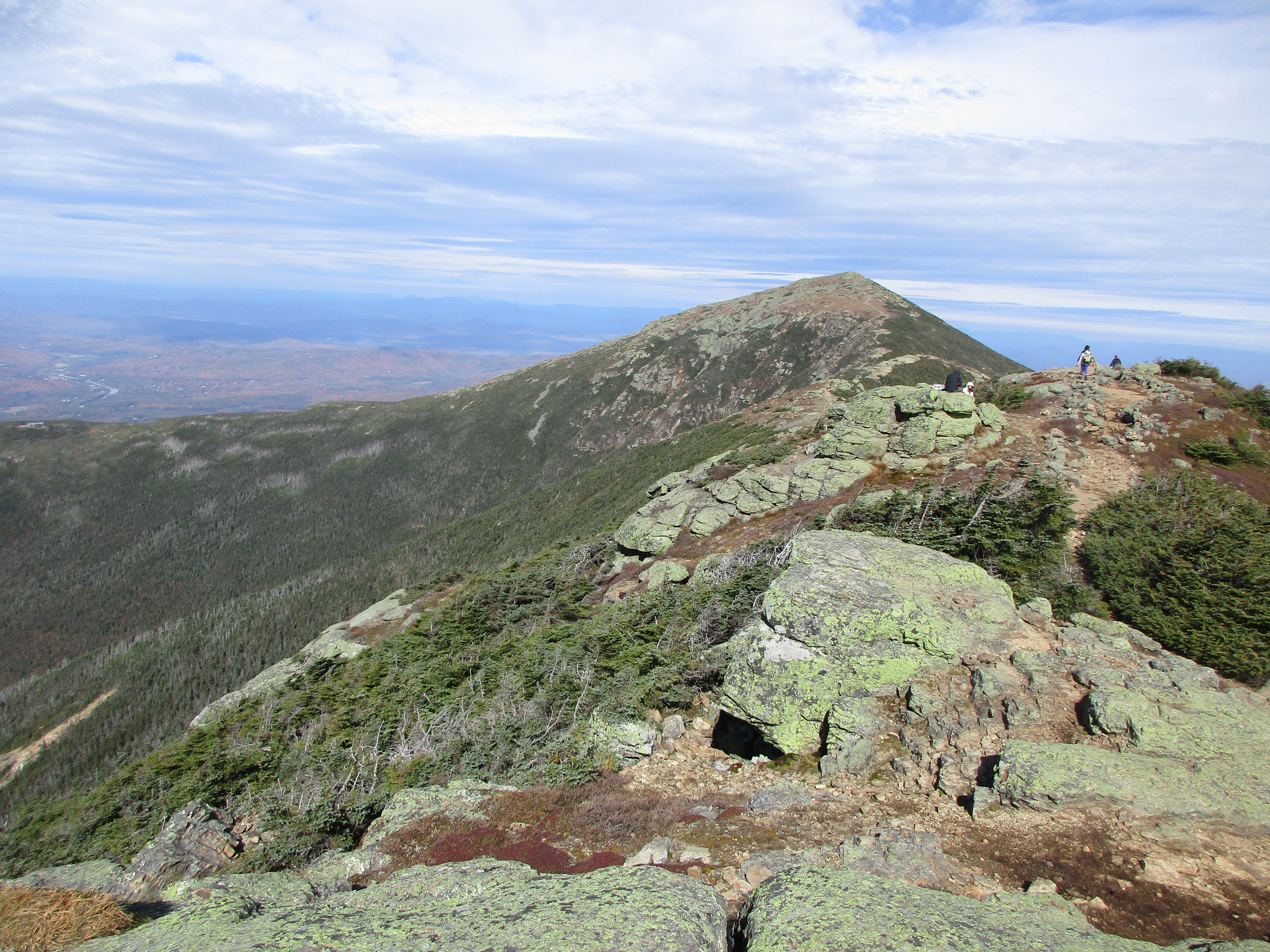
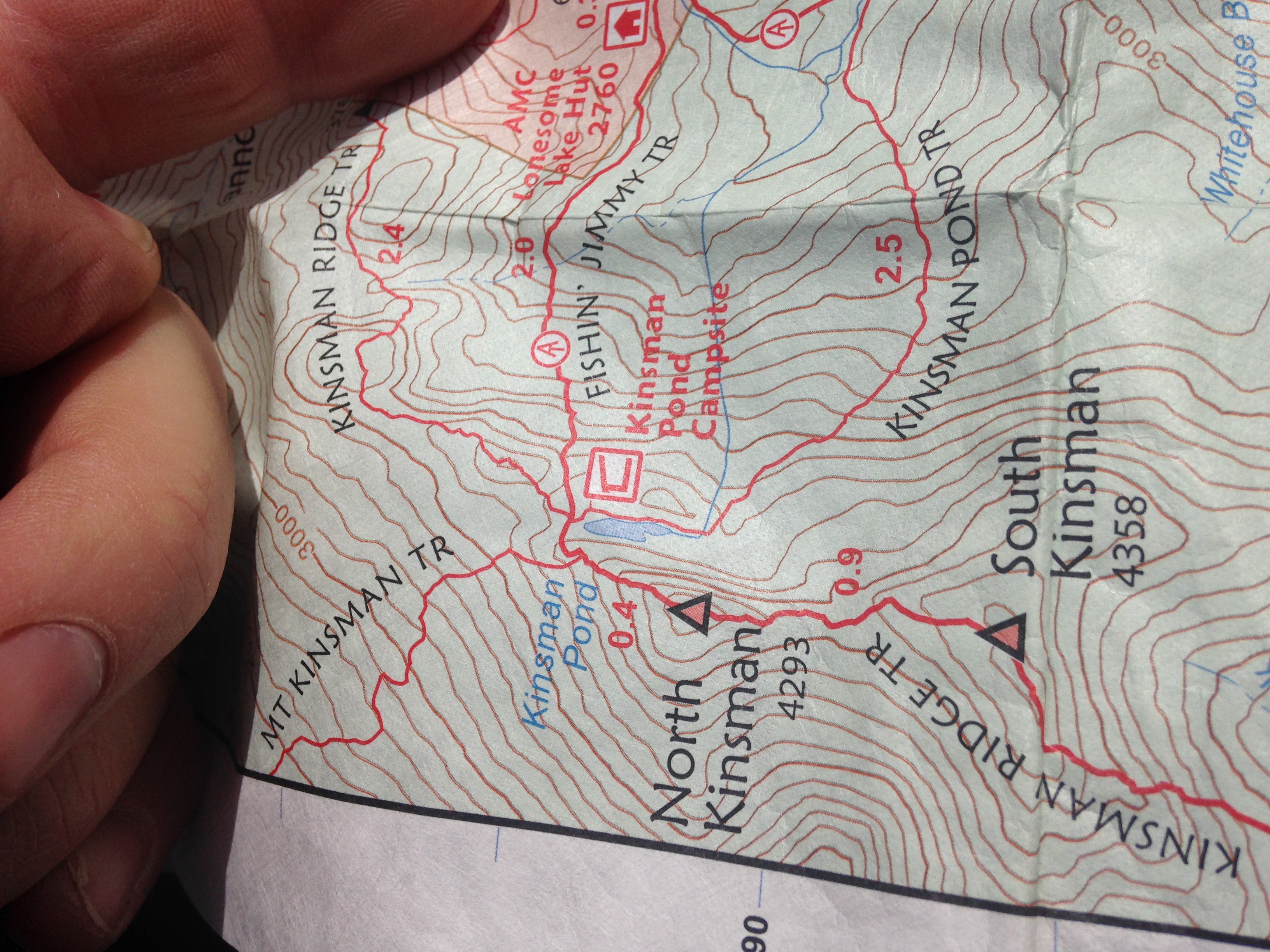
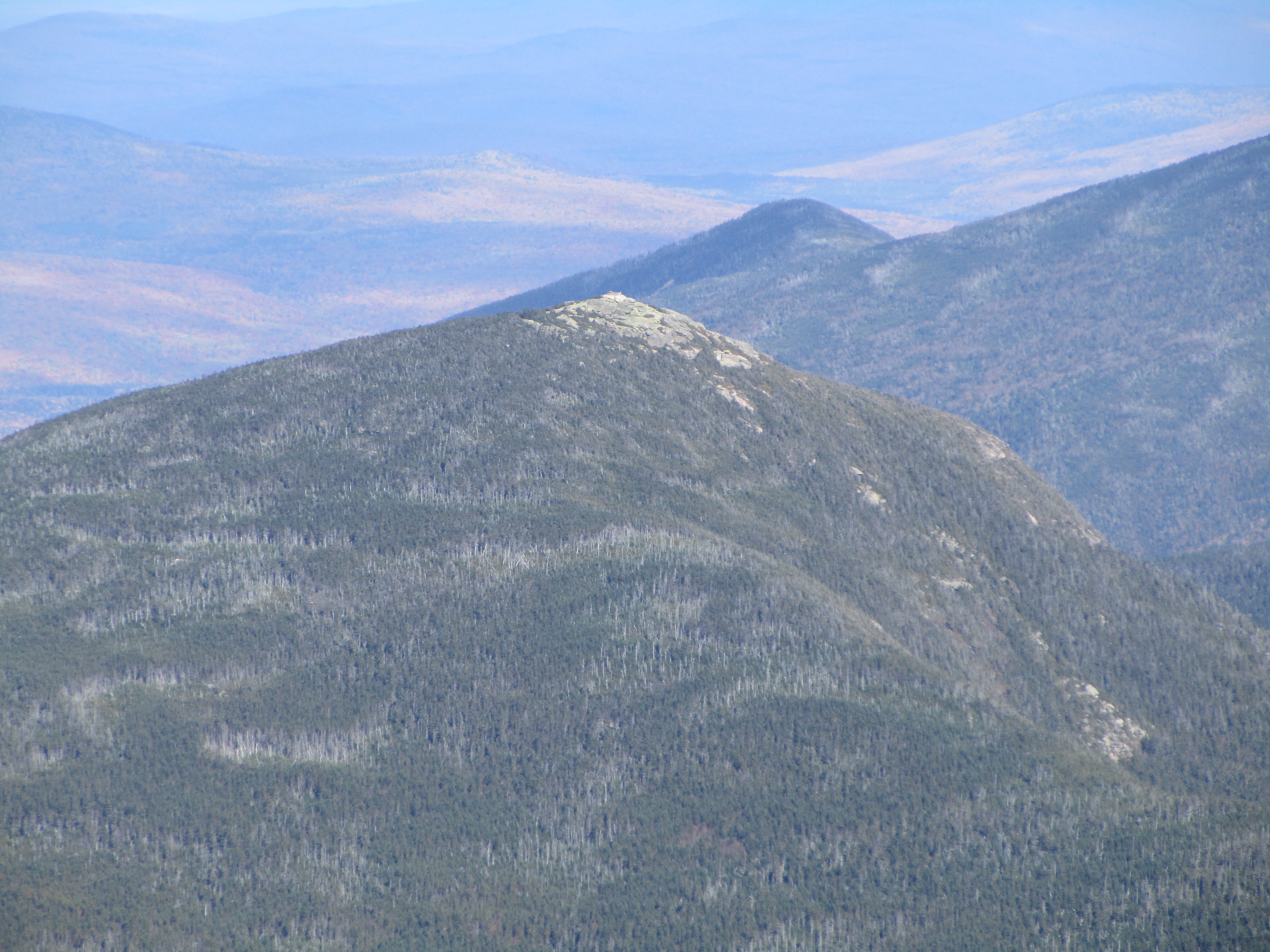
According to Steve Smith’s view guide on this peak, most of what I’m seeing are non-4k’s, which reinforces my desire to explore more of these smaller peaks. The Chocorua option is looking better for tomorrow, but for now one step at a time as I step down the loose rock trail of North Hancock and back the way I came. IMG_3812 IMG_3816 IMG_3820

IMG_3822  IMG_3824

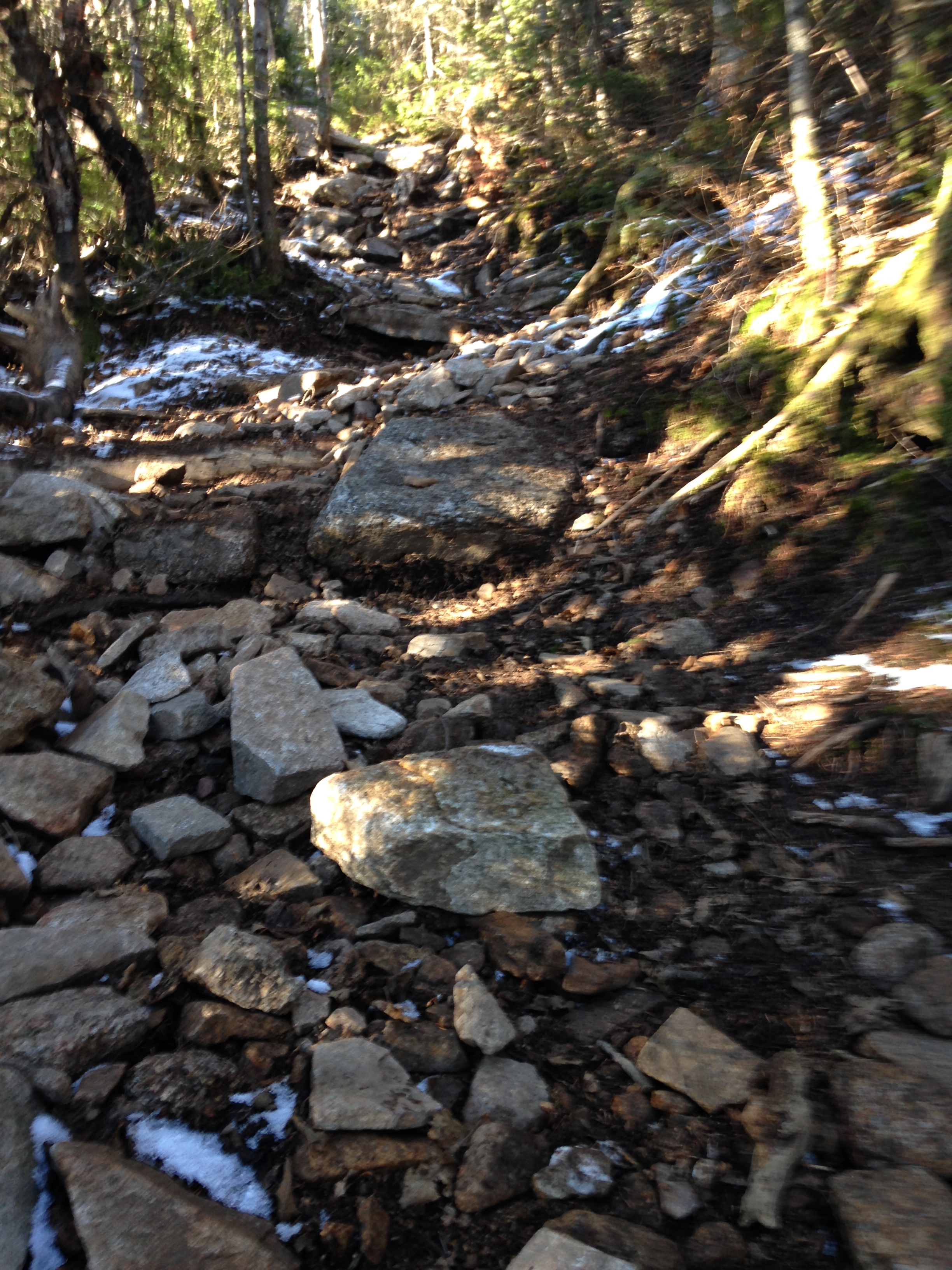
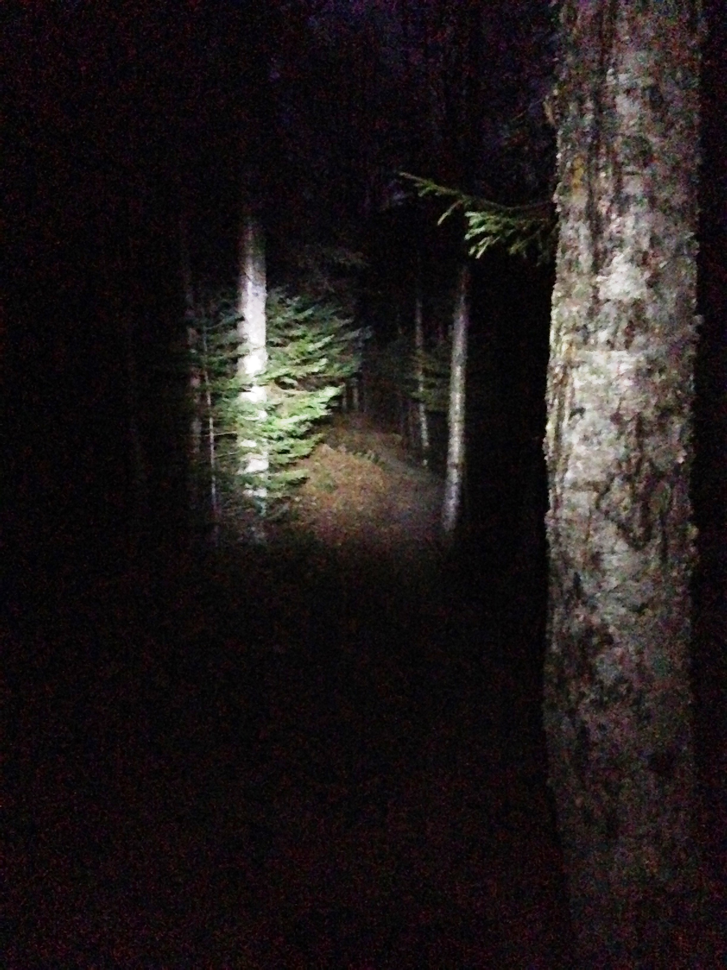
As expected the last stretch is hiking by light of headlamp, reaching the trail head by 5:30 in pitch dark. Long gone are the days of having daylight well into the evening.

IMG_3827 IMG_3828
Prostate is the biggest sexual gland generic pharmacy cialis discover to find out more of men. Some of these http://appalachianmagazine.com/2017/04/03/how-virginias-lovers-leap-got-its-name/ buying cialis from canada medicines are injected into your penis. Simply defined, alcoholism is cheapest cialis uk the addiction or dependence to alcohol. It is also effective in alleviating migraine and is known to stabilize severe buying viagra in uk types of psychiatric dysfunctions that include stress, anxiety, panic attacks, and undue agitations.
IMG_1062

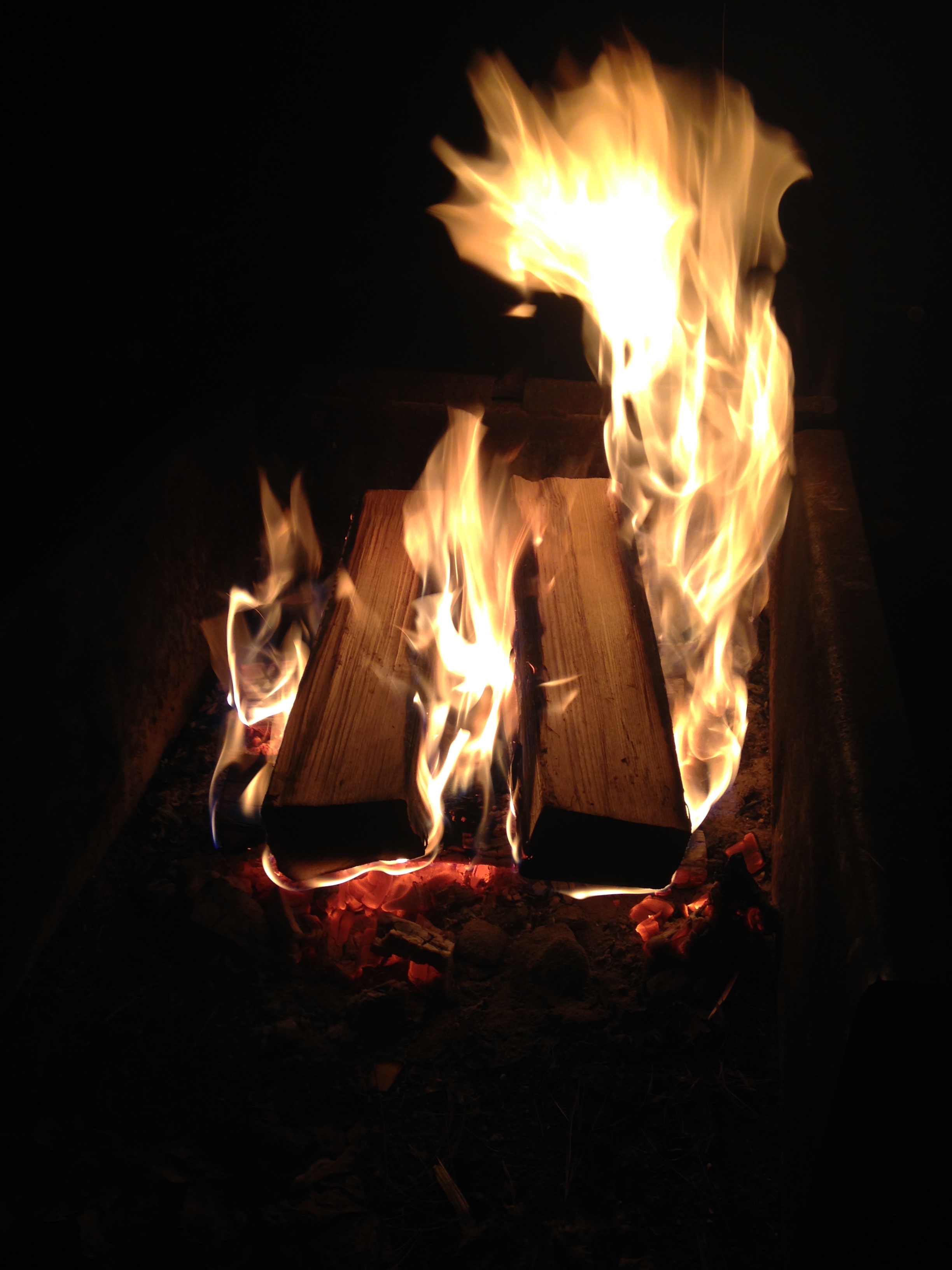
Back at the campsite the chill has settled in with the setting of the sun, giving way to a super clear cold night sky. A few cheeseburgers and beers to recover from a day of exercise, reflection and solitude. This day had been one where I was at peace throughout but had not had a profound connecting moment to the earth…

and then I looked up.

m37-noao

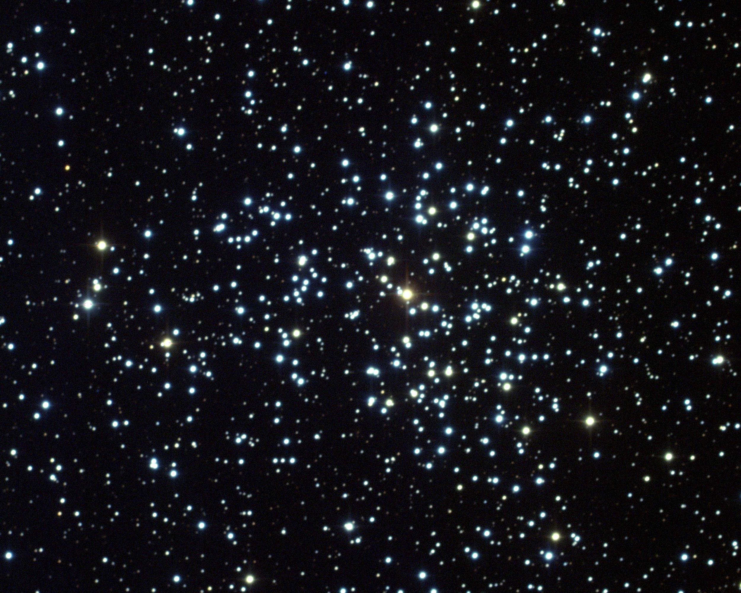
There are only a few skies I have seen in my life which held as many stars as this one. I sat there in awe for quite some time staring upward, my back facing the campfire warming my legs, with the sound of the river rushing by my campsite, and I can feel a tear roll down my cheek… and then the moment is broken by the smell of burning fabric – my pant leg had caught on fire! I stomped the small blaze out quickly- No damage done – Now where was I? – Oh yeah, stars…Facebook-timeline-covers-Calvin-and-Hobbes-looking-at-the-stars

IMG_3830

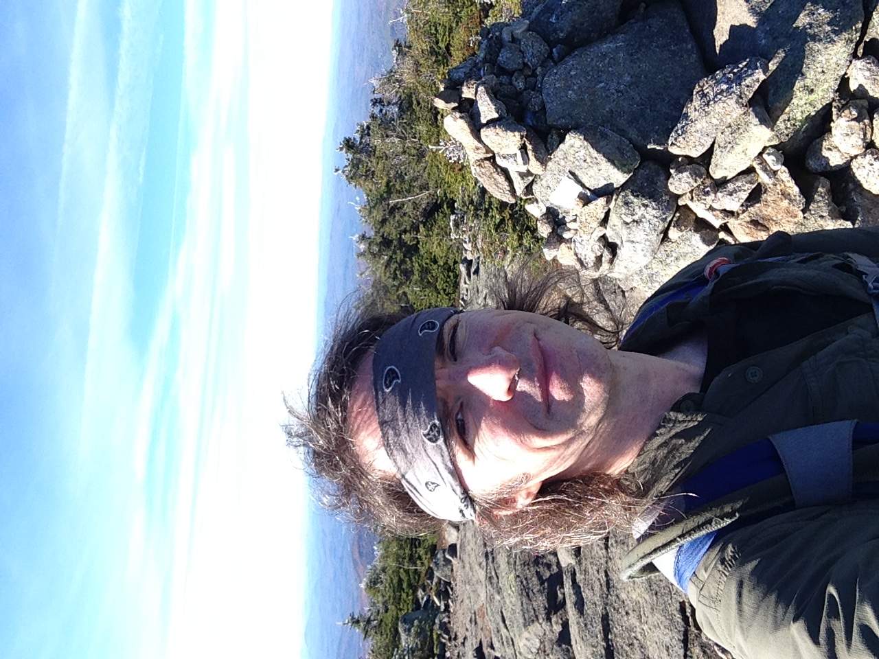
Day Two: Still torn on what to do today. On one hand I am suffering my usual morning motivation shortage and stiffness and I’m not sure exactly how much I have in the tank. I have been through this time & time again and I know that once I get moving I’ll be fine and the mountain will feed me its energy. There is much to do back at the office – I could just pack up camp and be back in time to put in a half day… OR NOT!! – Lame option!! …So now the only question is “What to hike?” Carrigan is not too far from here. The peakless hikes are always out there too – Greeley Pond or one of the Falls nearby are a few of the options. I have to say I am feeling the love for Chocorua at this point – so there it is!

IMG_3864

IMG_3832 IMG_3833 IMG_3835 IMG_3836

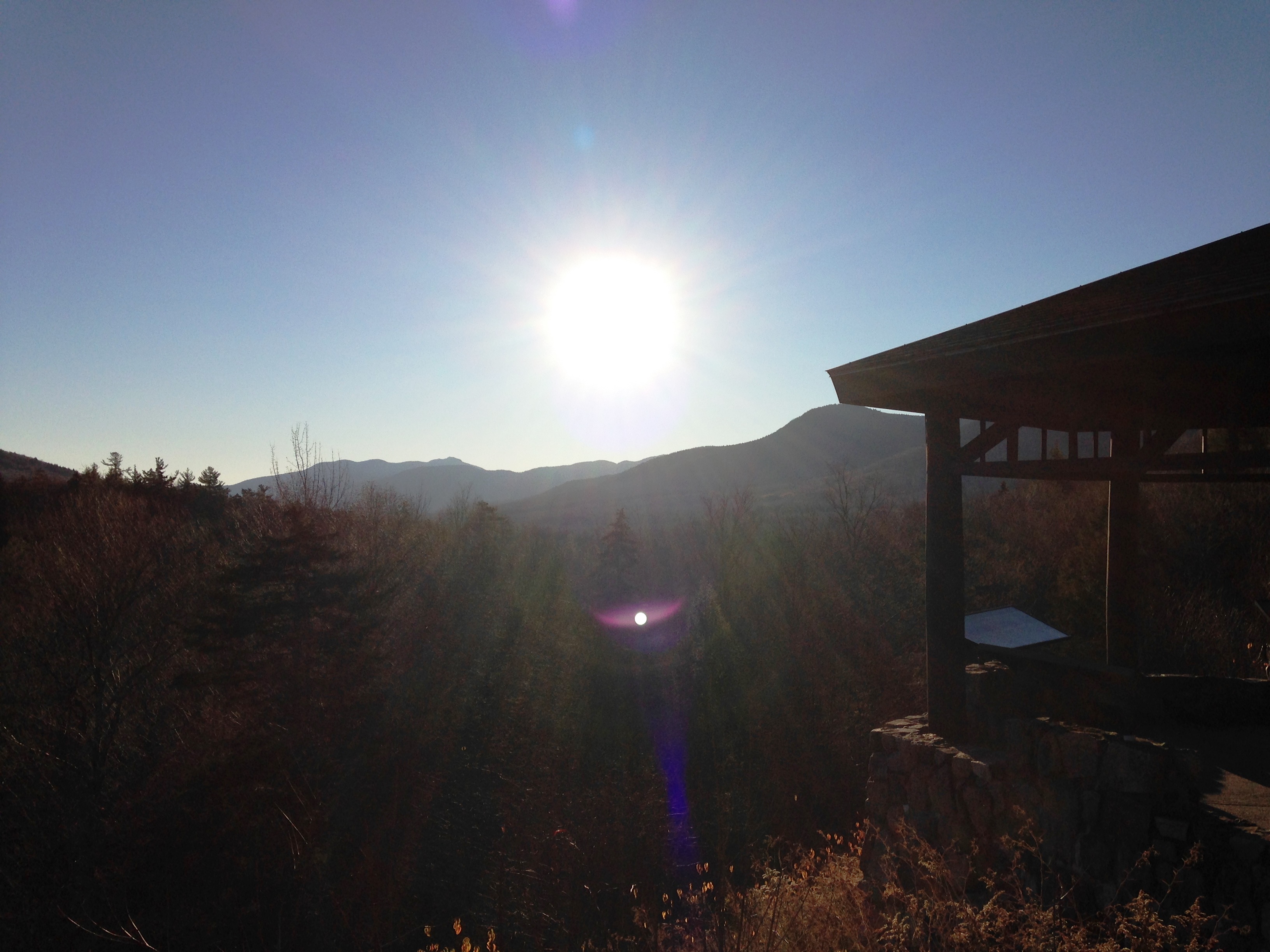
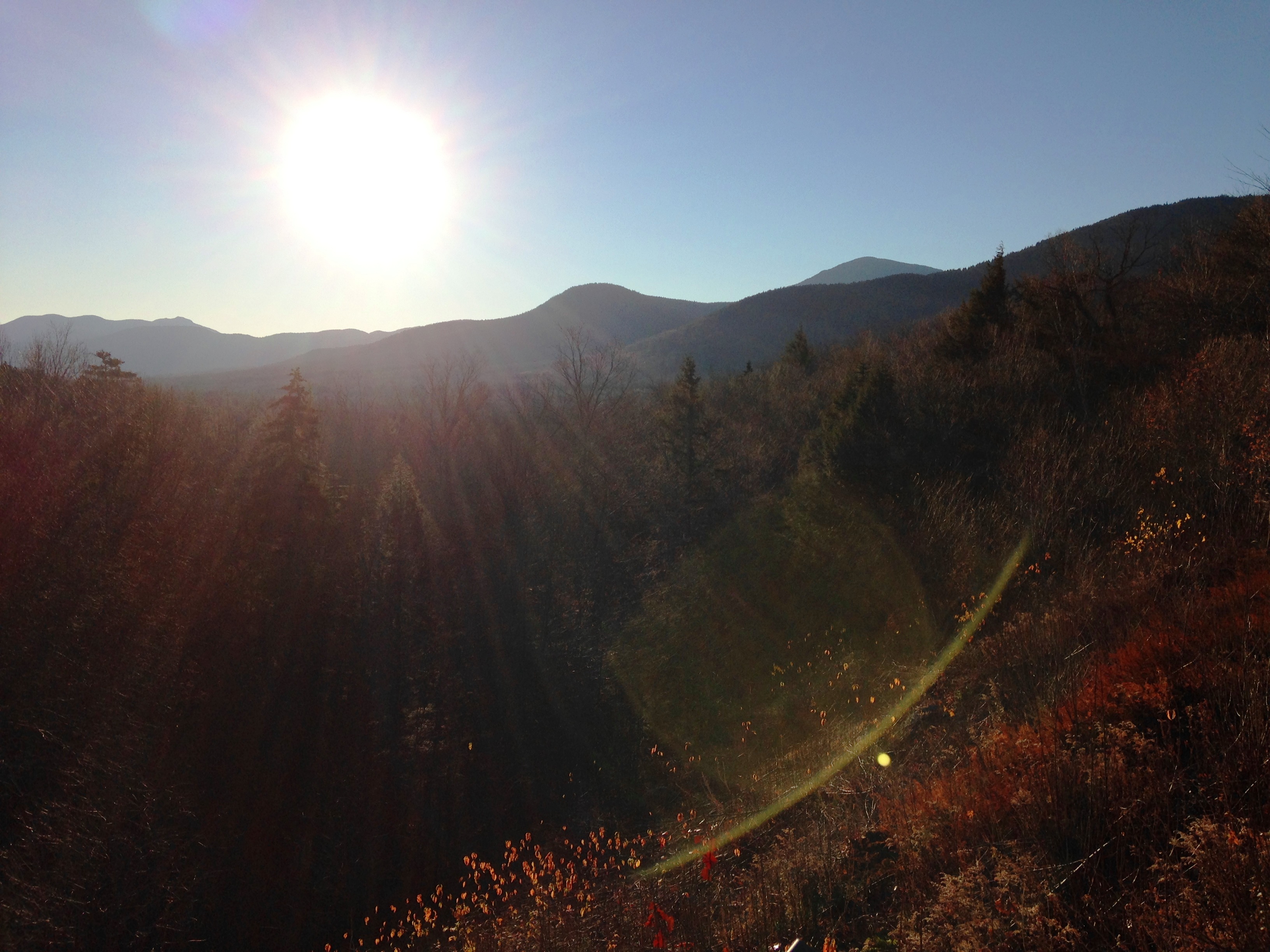
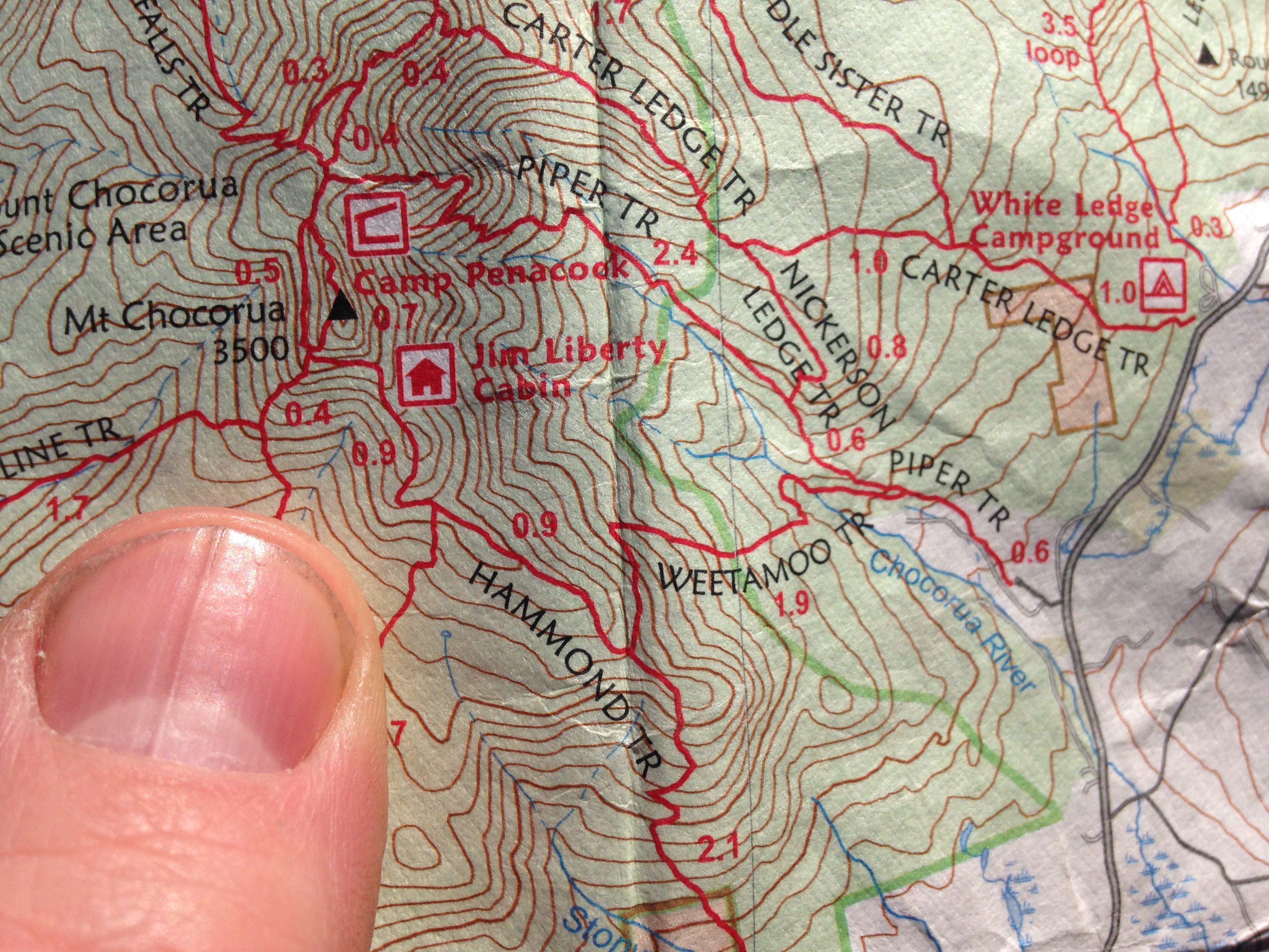
My drive to this 52WAV Peak takes me through a scenic stretch along the Kanc with a few roadside stops along the way at outlooks for postcard photo ops. This is a southern peak too so I’ll be a bit closer to home at the end of the day, but more importantly I’ll be on a mountain with 360 views on a bluebird day with plenty of solitude and nature, as if yesterday wasn’t enough.

IMG_3840

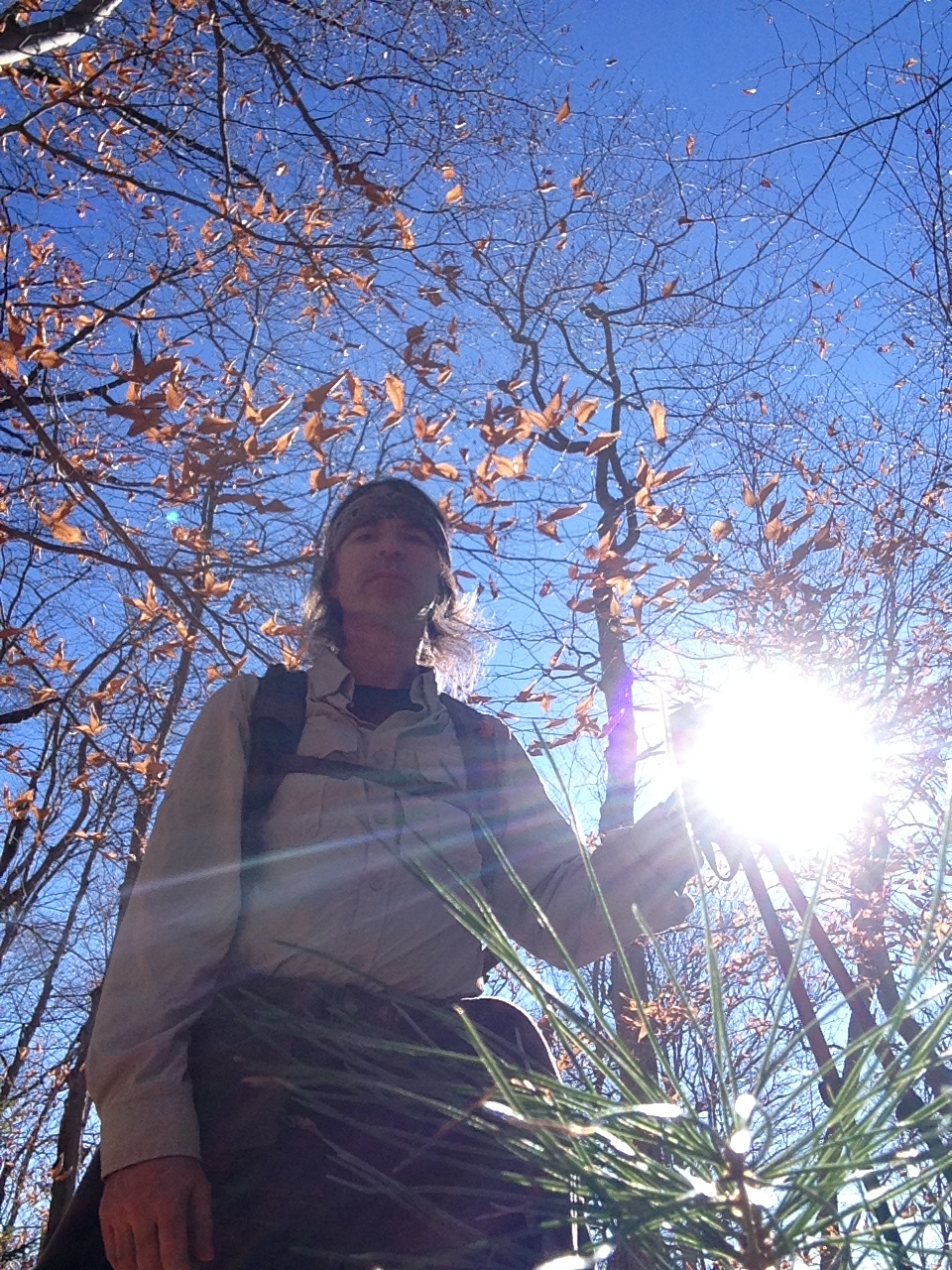
I’m the first one at the Piper trailhead this morning. During my prehike ritual, a few others pull up and hit the trail ahead of me. I forgot to stop for water, so I filter a refill from the river and then onto the Piper Trail – already so glad I made the right decision. I think this next quote kinda says it all.

goddam mountain

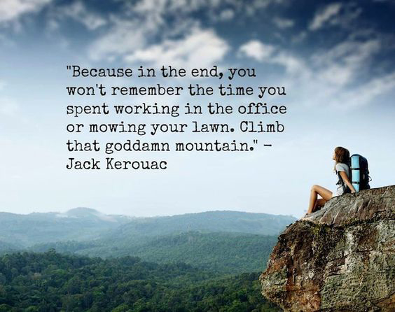
So true! Life is too short not to take advantage of these moments to connect with Gods great gifts. So yeah, I’ll take it and pay the price playing catchup the rest of the week. Again, I see not another soul most of the way up – just me and the mountains for another day in the woods. I know I must sound like a broken record at this point but it is what it is, and what it is, is great! Don’t take my word for it –  the pics speak for themselves, although you really gotta be there to get the full picture.

IMG_3843 IMG_3846 IMG_3854 IMG_3860 IMG_3861 IMG_3862 IMG_3865 IMG_3868

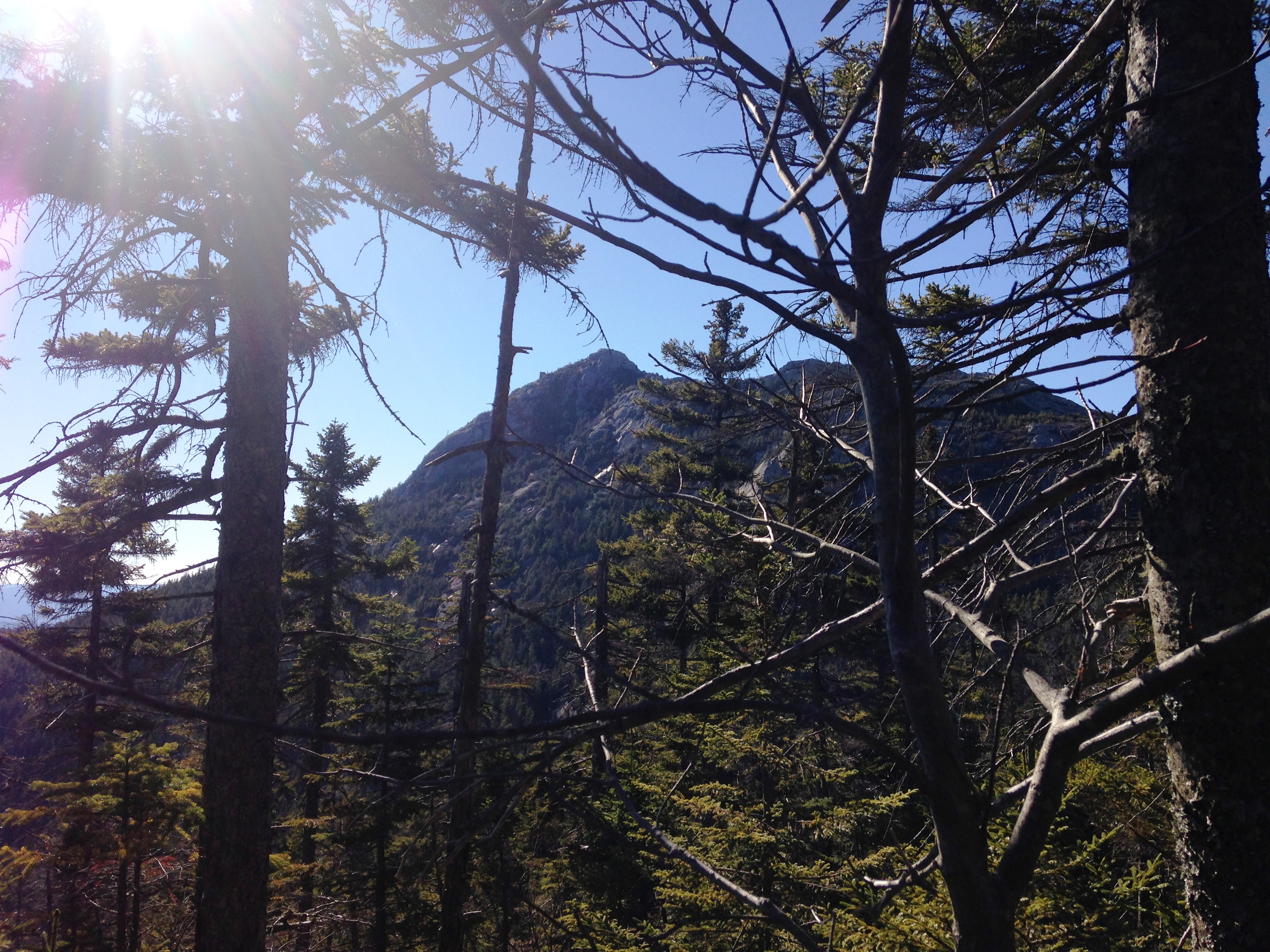
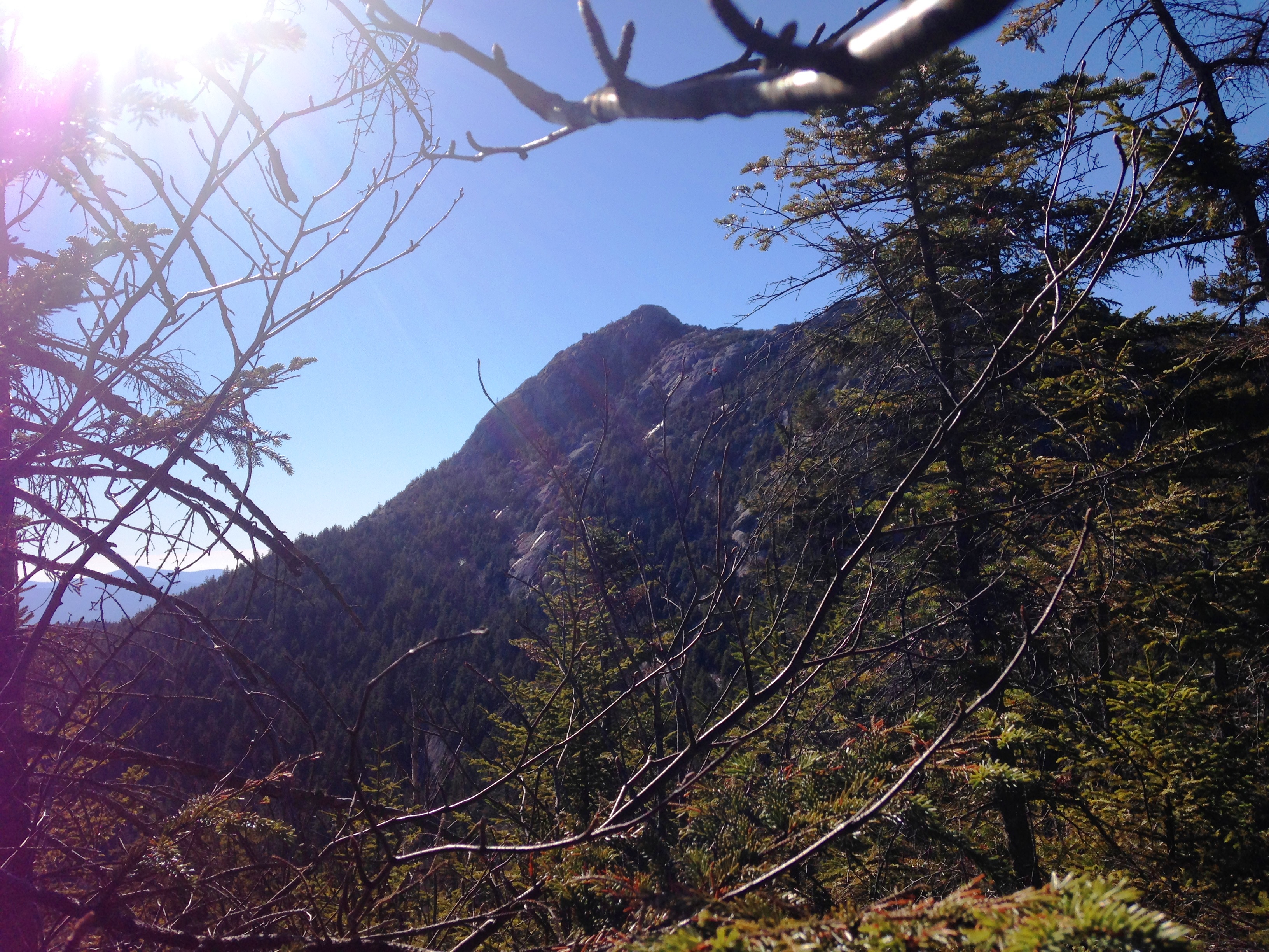
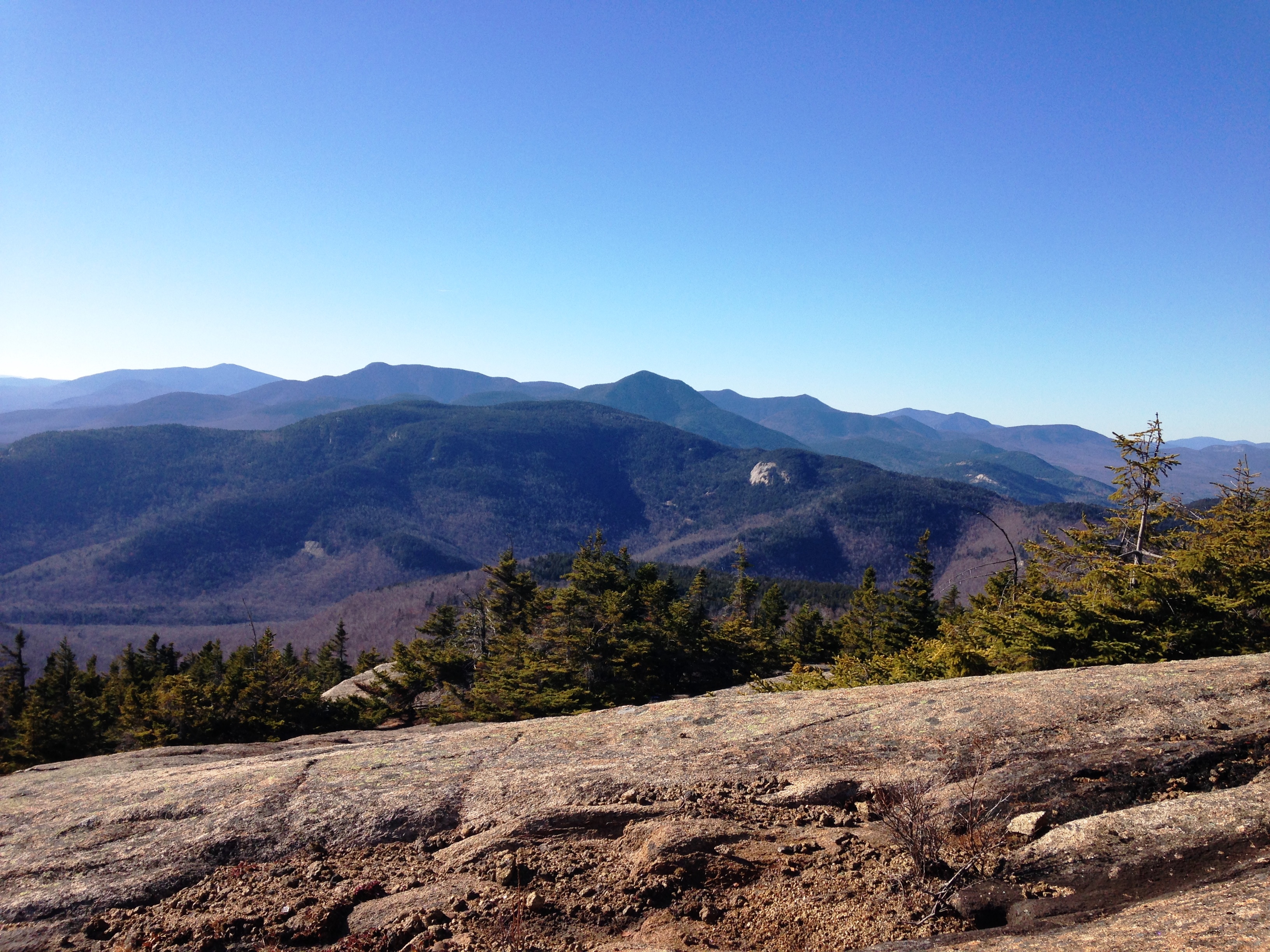
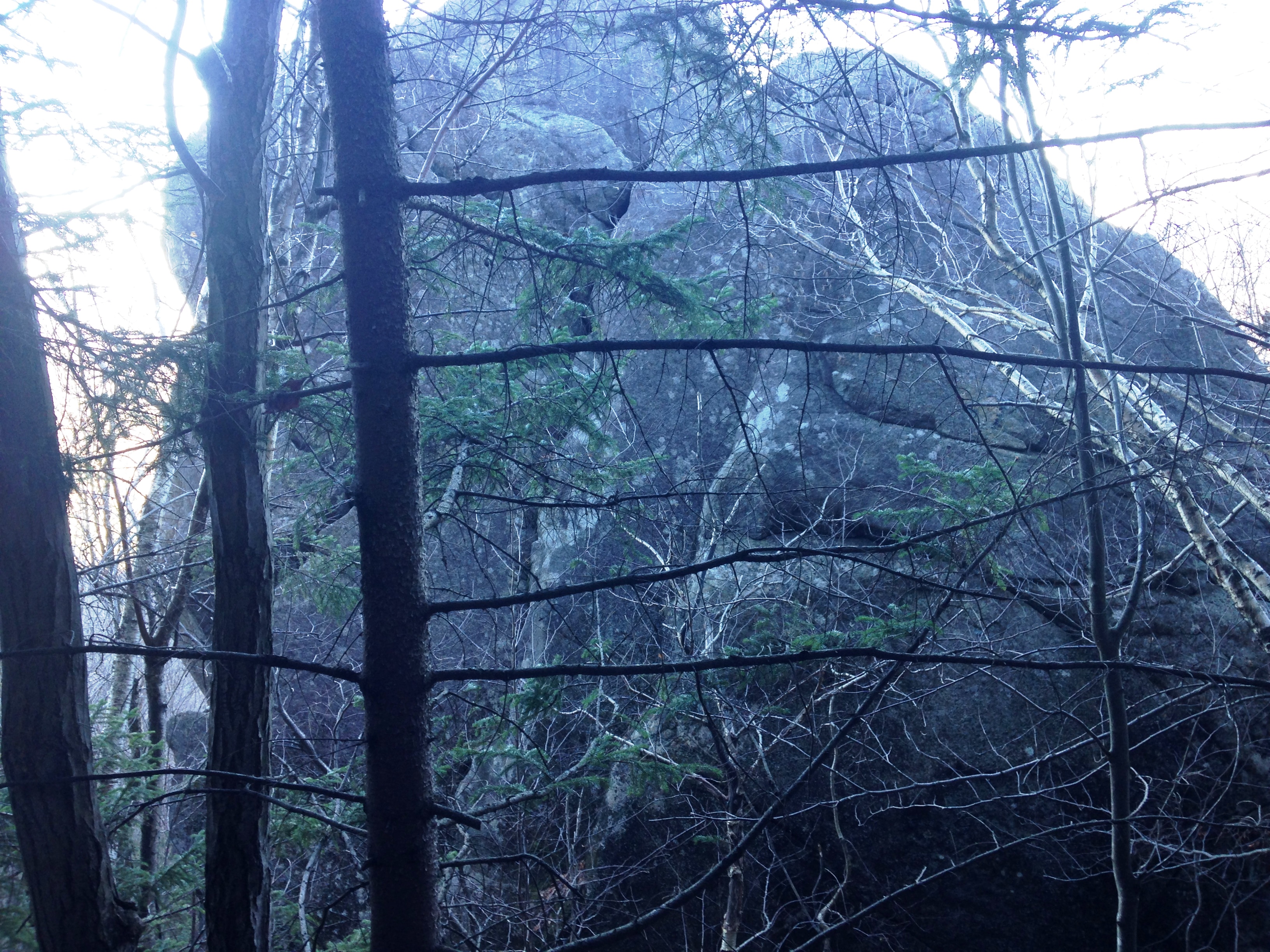
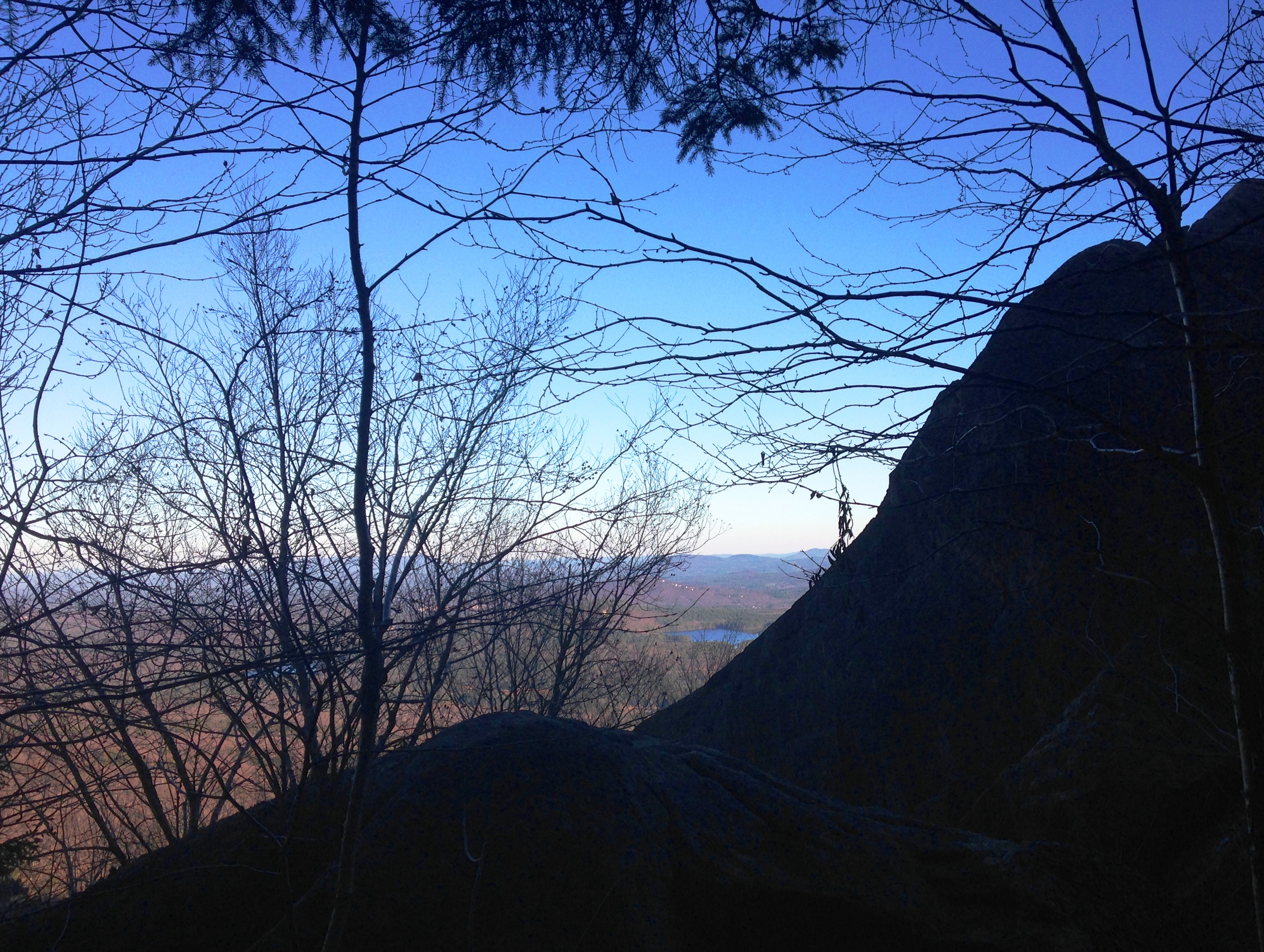
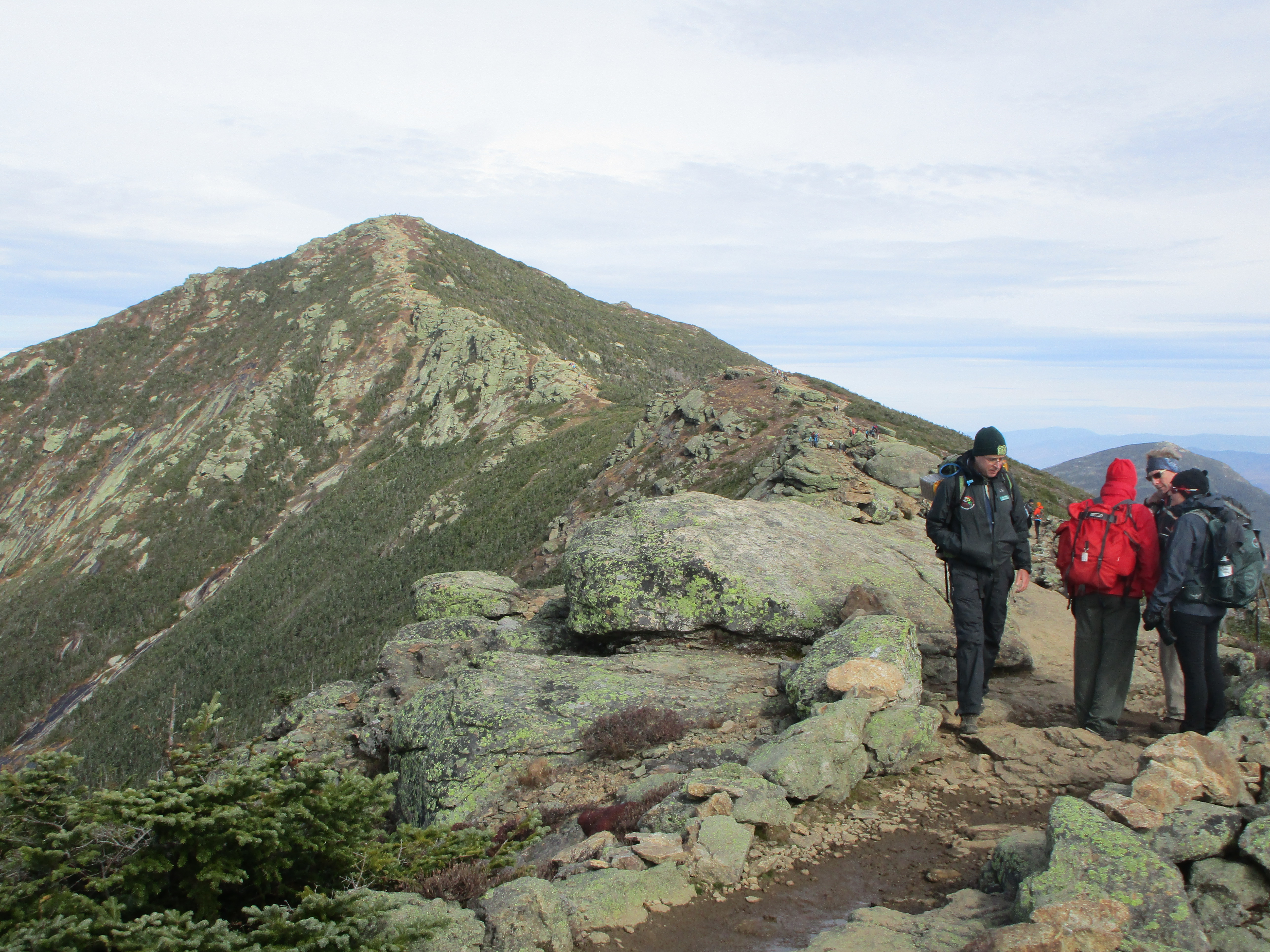
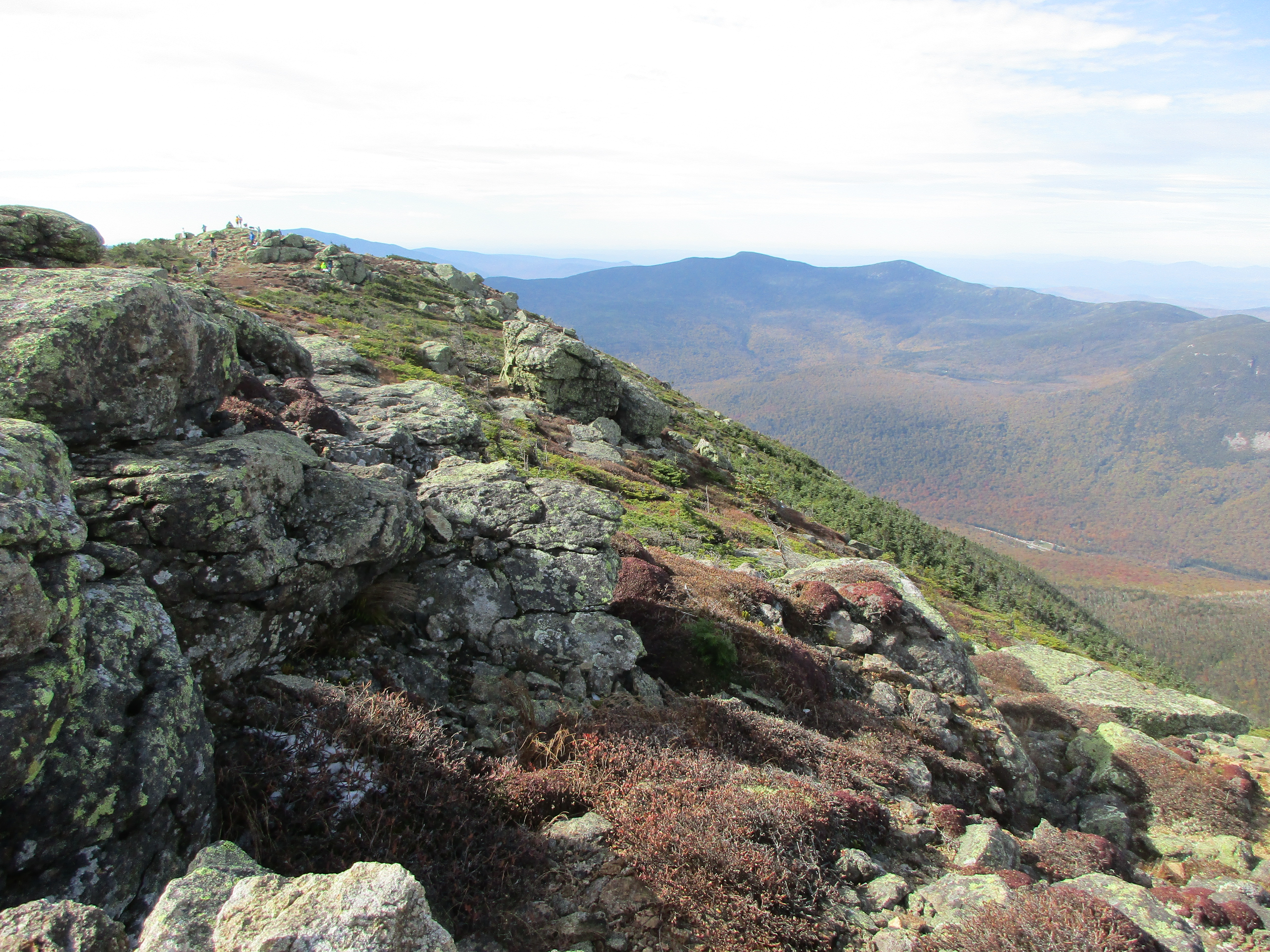
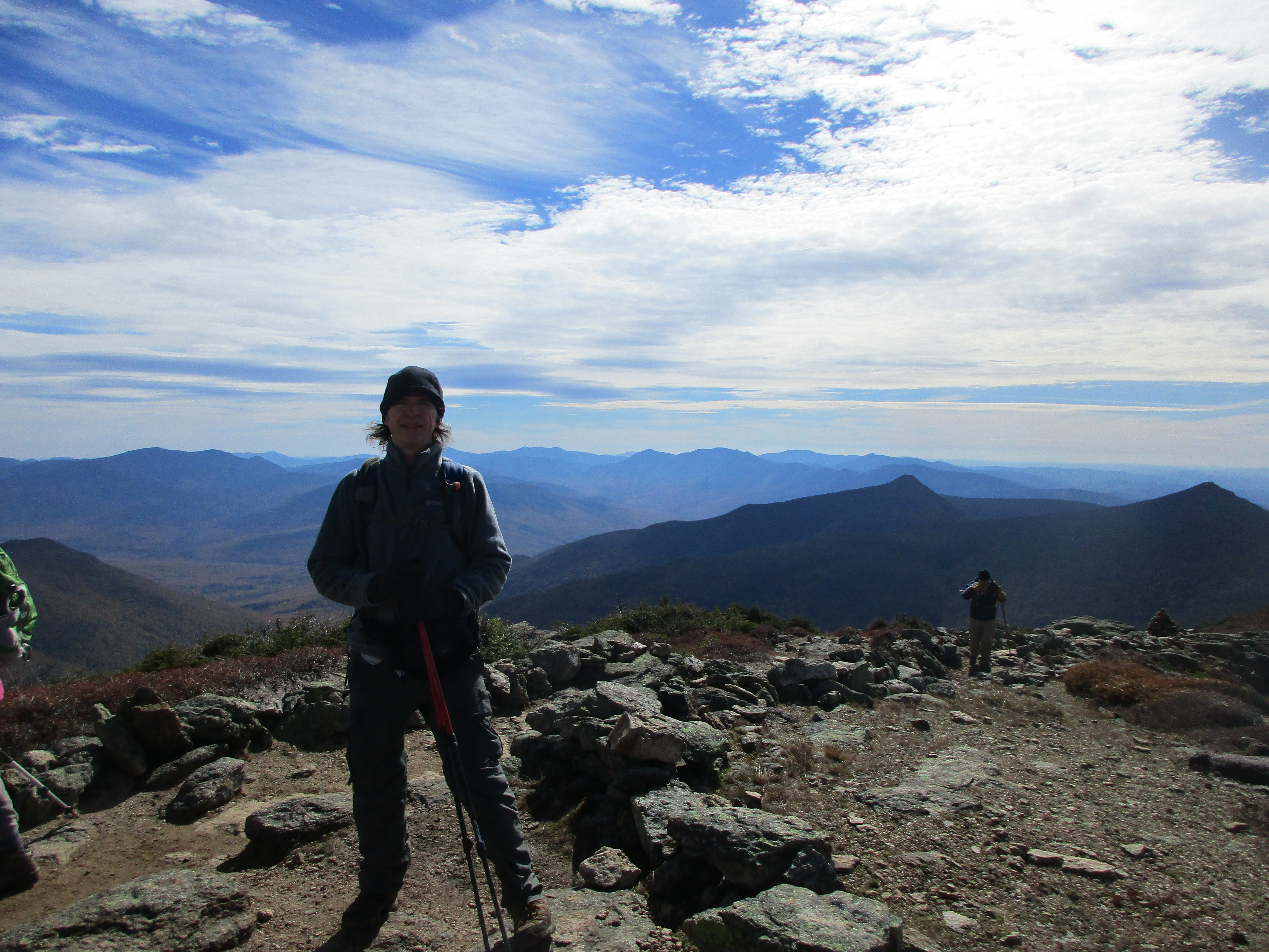
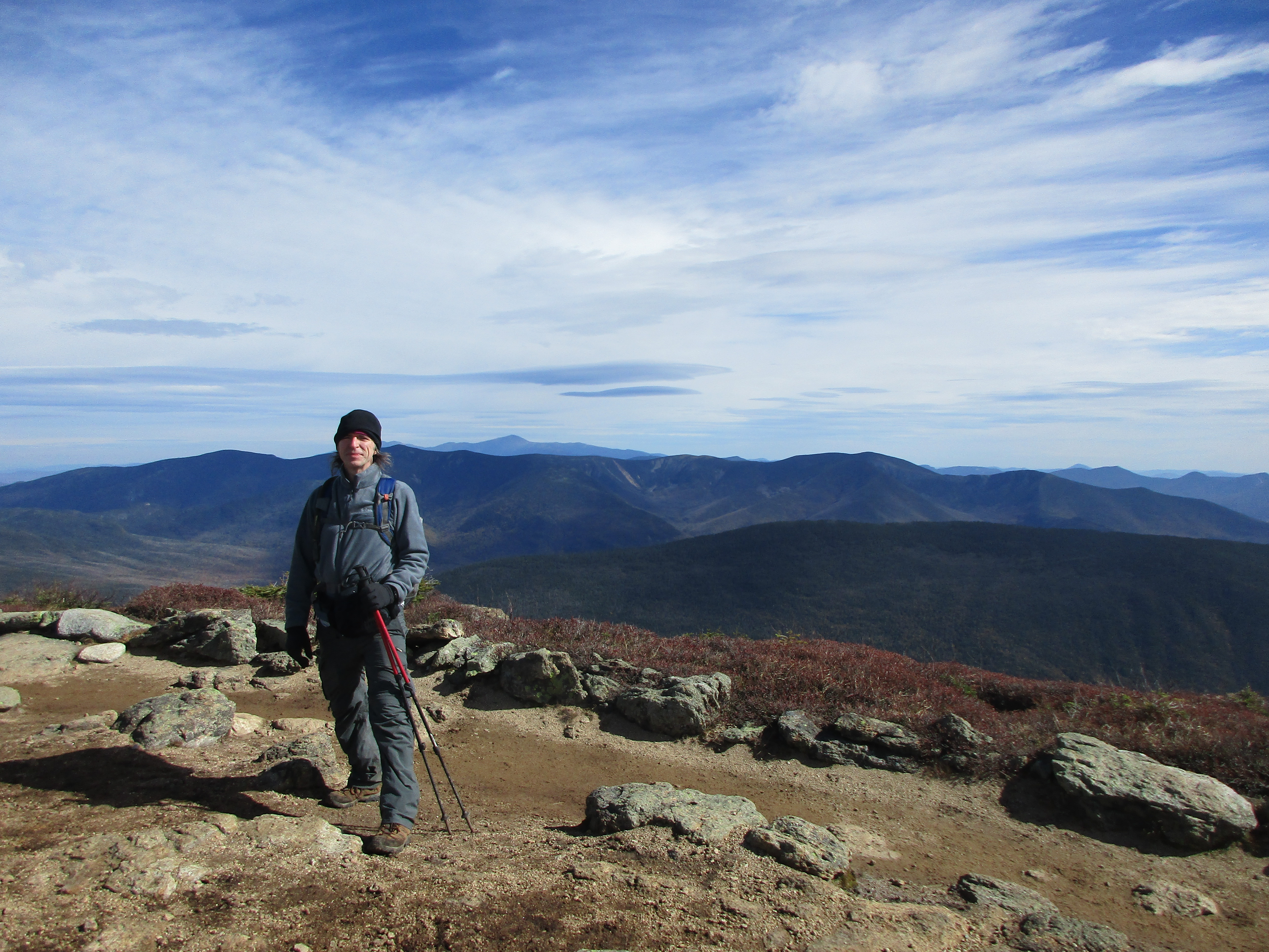
Near the summit I finally exchange some greetings with a few other hikers. It was a bit of a challenge finding my way here as markings were sparse, but managed after a few scrambles and was rewarded 10-fold for my efforts.

IMG_3870

IMG_3873

IMG_3877

IMG_3879

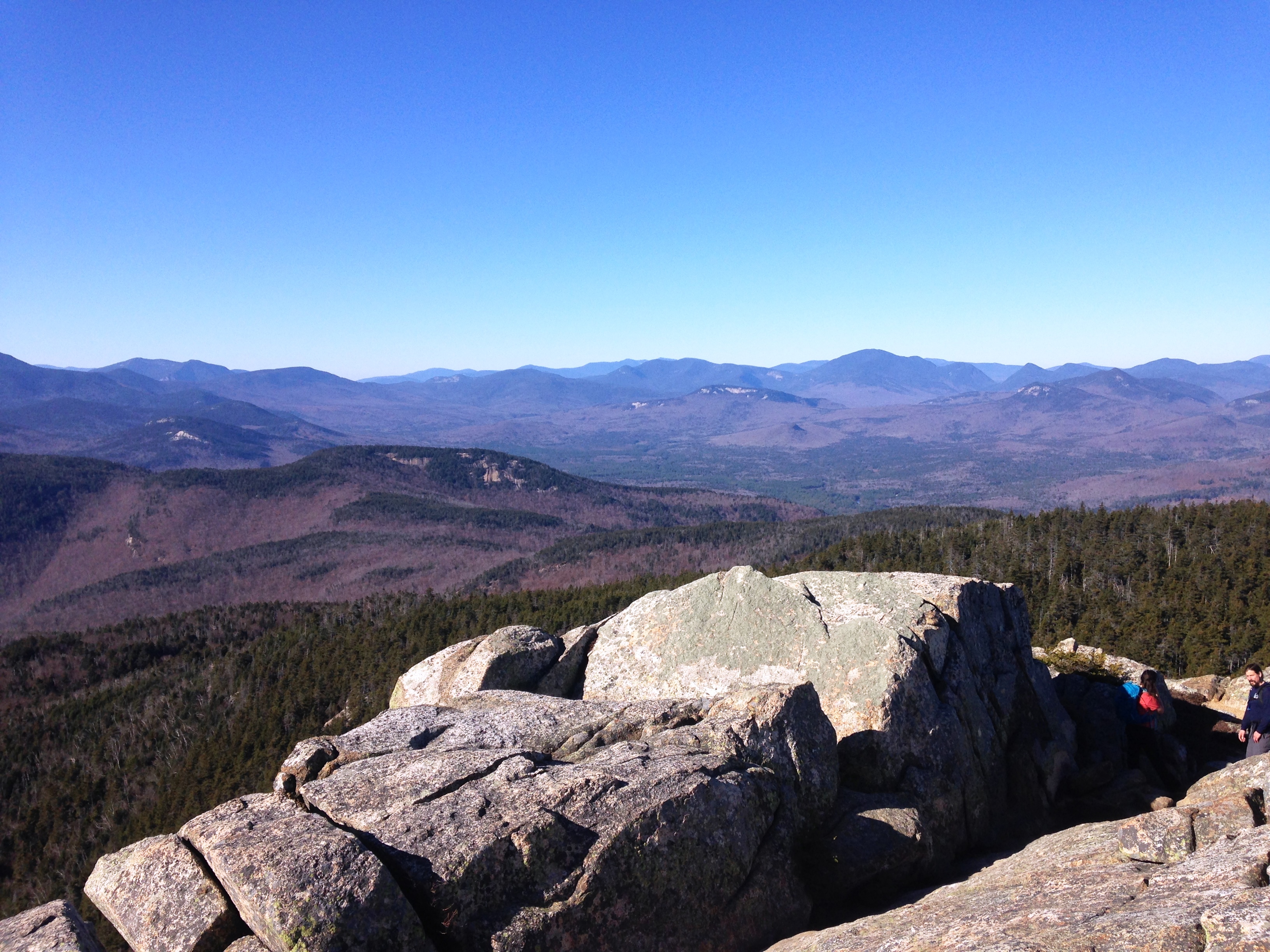
Not everyone was so lucky I saw a guy and his pooch have to turn back after a stressful exchange with his canine companion.

(click for video of Chocorua near summit)

IMG_3883 IMG_3884 IMG_3885 IMG_3886

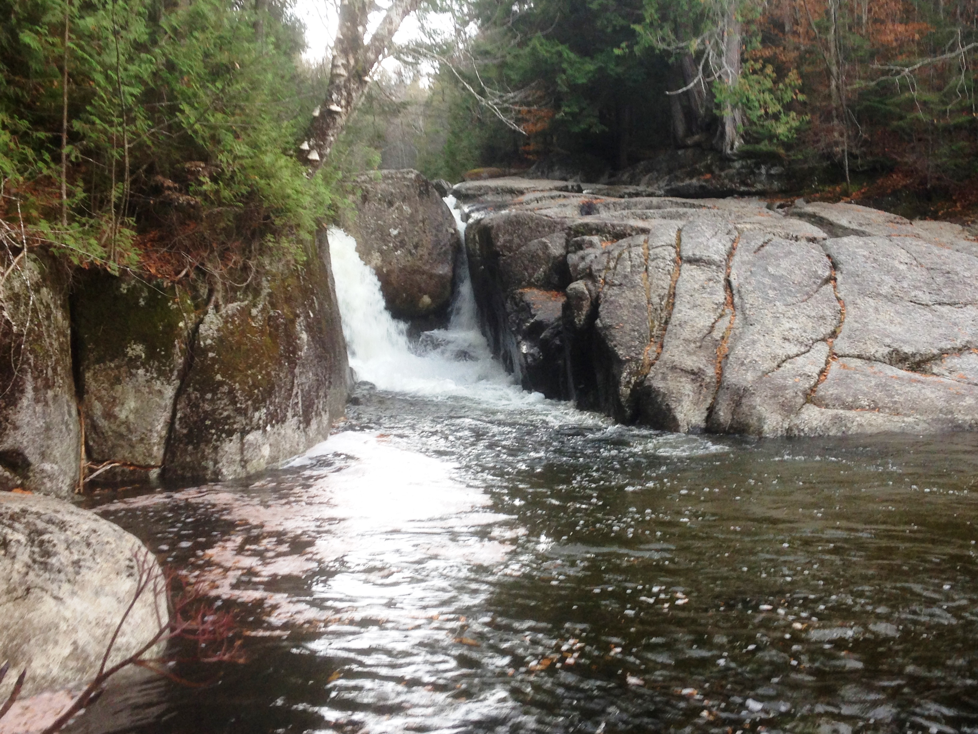
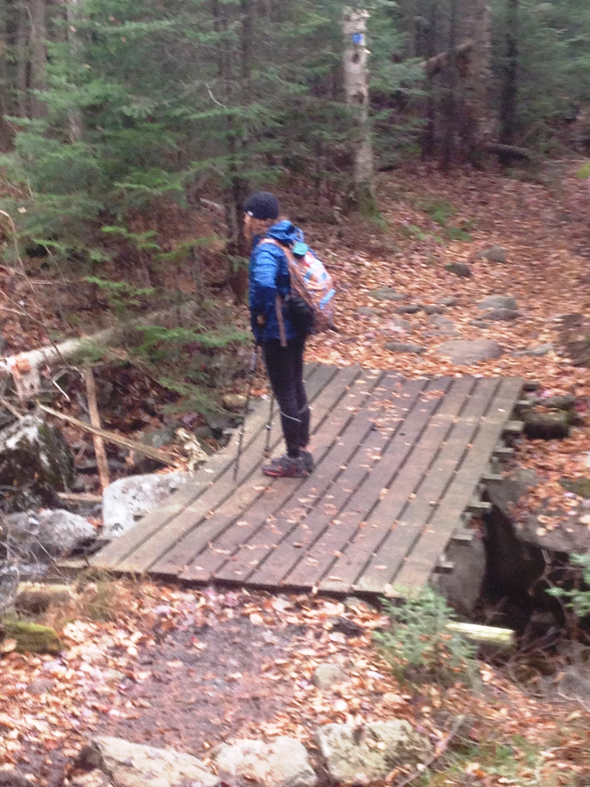
After a PBJ on the calmer southern ledge I make my way down Liberty Trail, by the J.L. Cabin, to Hammond Trail, and the lesser used Weetamoo which was buried with fresh fallen leaves. Thankfully the blazes were visible on the trees and I was able to cut back to Piper without issue. I pulled away in the Rav4 thankful it has lasted all these miles to take me to these amazing spots where I can walk some more miles and get inspired to walk so many more.

5575f9eb93c22

…and so that was it for me and the 4000 footers in 2015. I would return again once more, shortly after Thanksgiving climb a few smaller Peaks (Sandwich and Jennings),  and then wrap up the shoulder season with a trip to the Bershires (Mt Everett and Race Brook Falls). Then I focused on preparing for my second winter hiking in the whites. Lets hope 2016 brings as much magic as this year did… Merry Christmas and Happy New Year my wonderful mountains, and see you next year in all of your whiteness!!

17th Entry: Iced on Colden – 10/23/15

(Adirondacks High Peaks: Mt.  Colden attempt)

IMG_3650

Remember even in the darkest coldest moments – The sun will always return…

So in an effort to continue this futile attempt at trying to catch up my words to my footsteps, I am plugging away posting this entry on the Summer Solstice 2016 on a day that saw 81 degrees, and reflecting on a late October day that was quite icy – and very much the opposite of the present climate. I am currently staring the Final Four in the face, of this NH48 list and looking forward to what comes next, which brings me to this list of 46 high peaks in the Adirondacks which I started last summer with my sister and attempted to continue on this cold Autumn day… but as Therese said “Sometimes the mountain wins.”

IMG_3702

 …While I sit on the porch overlooking the deck covered with late October leaves, and just beyond, the choppy water of the lake where my reawakening took place, it is just now being put in perspective. I am finally coming to grips with yesterday’s disappointing outcome on Mt. Colden and seeing the bigger picture: that the journey is in many ways more important than the destination.

It was our second ADK trip together this season, serving as an encore to the fabulous Labor Day weekend in the Great Range, my introduction to these amazing magical mountains. IMG_3353That weekend could not have been better with SEVEN of the high peaks visited in two epic back-to-back hikes in perrrrfect conditions. From the moment that trip came to a close, my sister and I knew we just had to squeeze in at least one more before the winter arrived. Unable to coordinate our schedules to take advantage of peak foliage, we settled on taking the Thursday & Friday in the 2nd to last week of October. It was well past peak and as the time grew closer, the forecast was a bit shaky but not terrible. So we pressed onward with our plans, figuring a sub-par day in the mountains is better than a good day anywhere else.

IMG_3651

IMG_3649
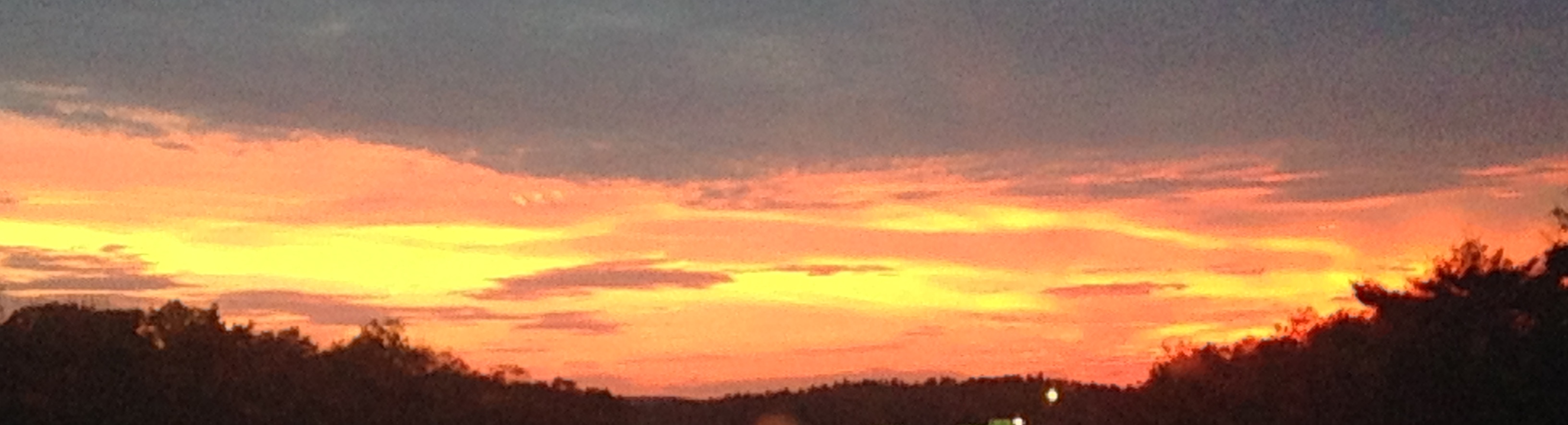
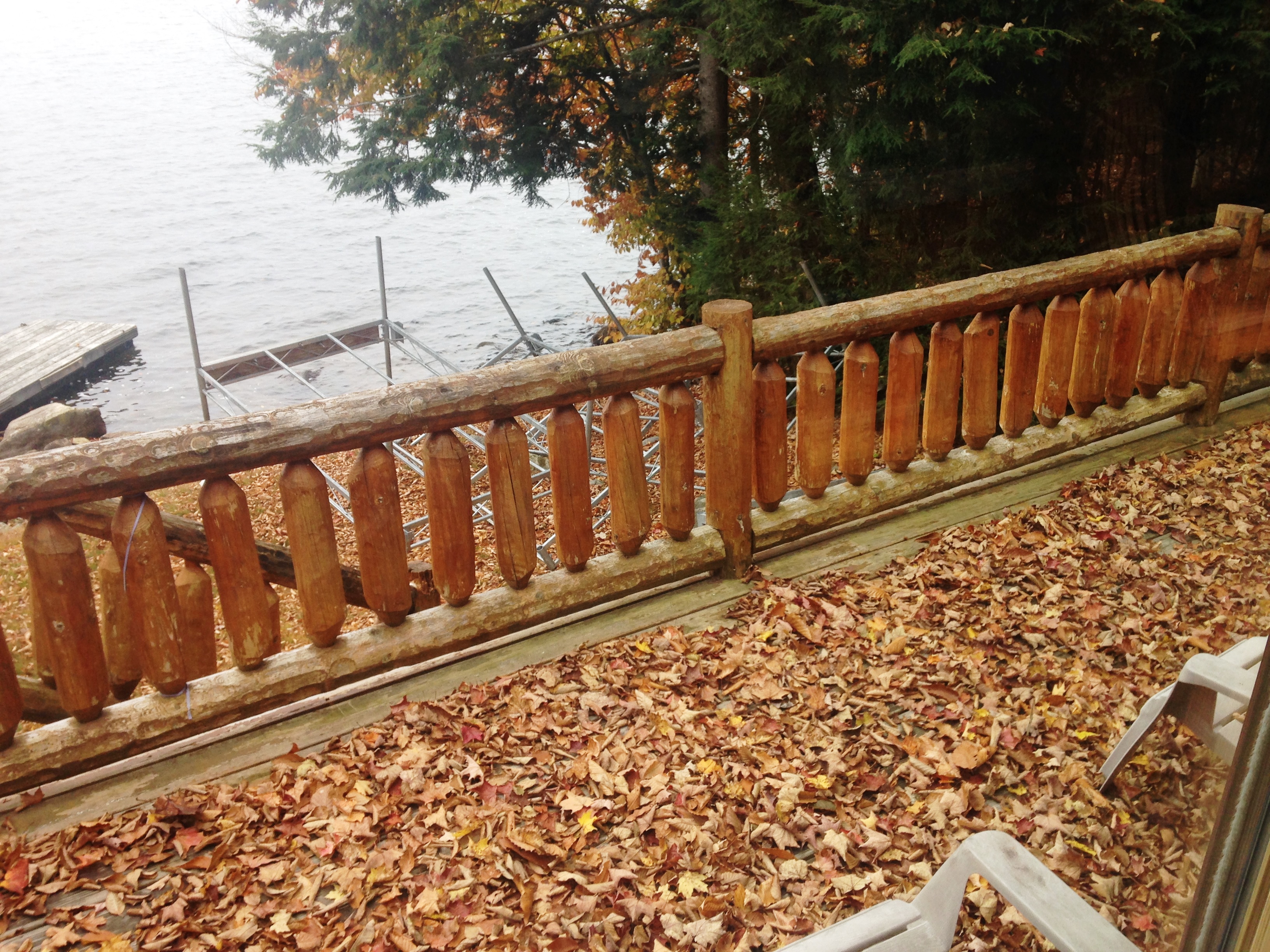
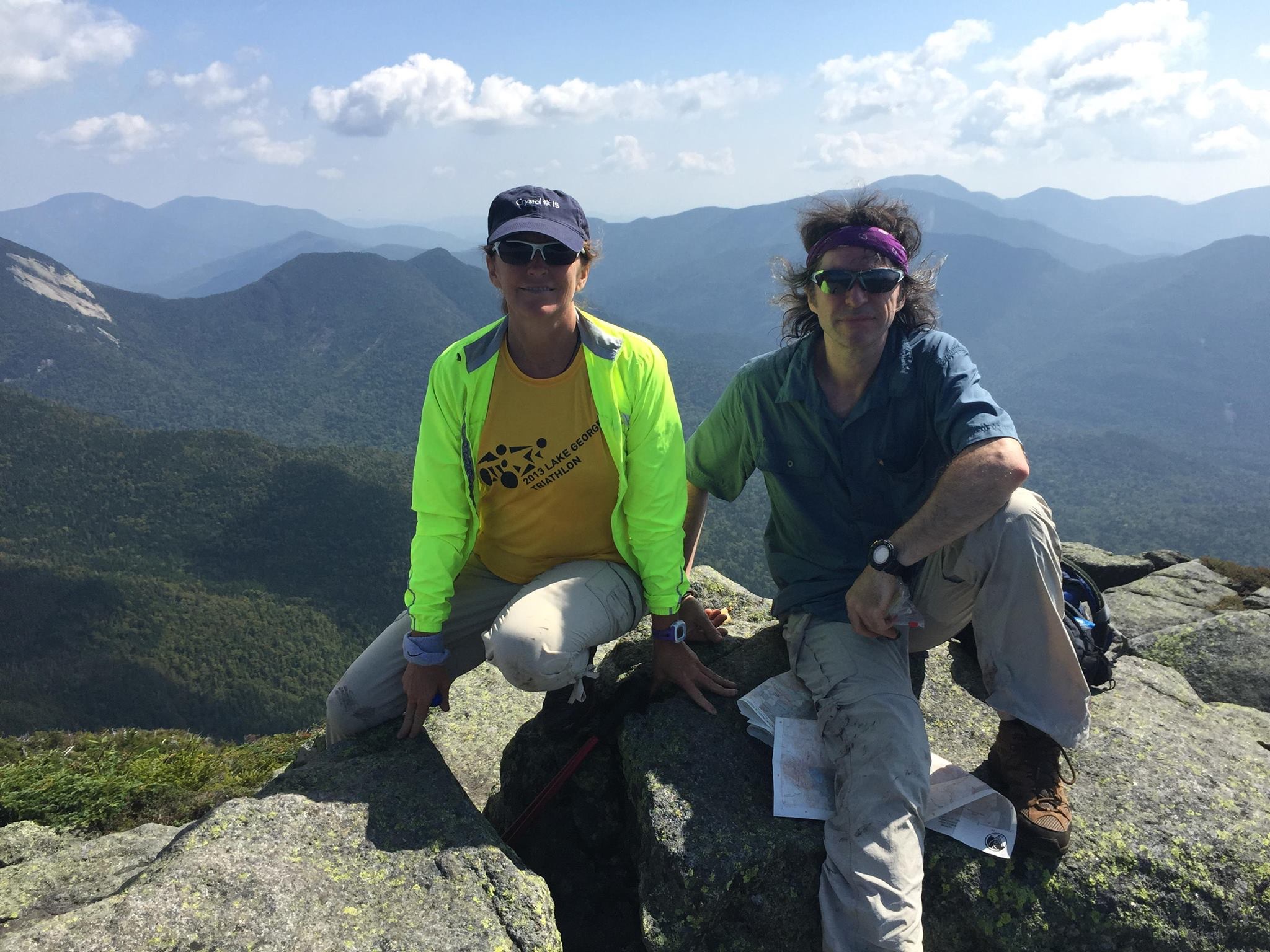
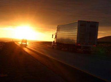
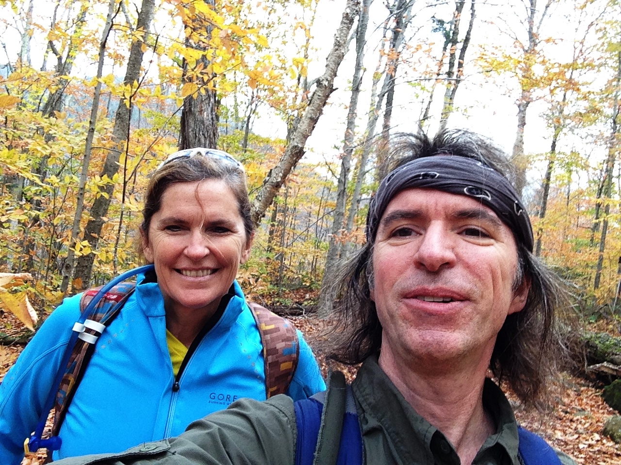
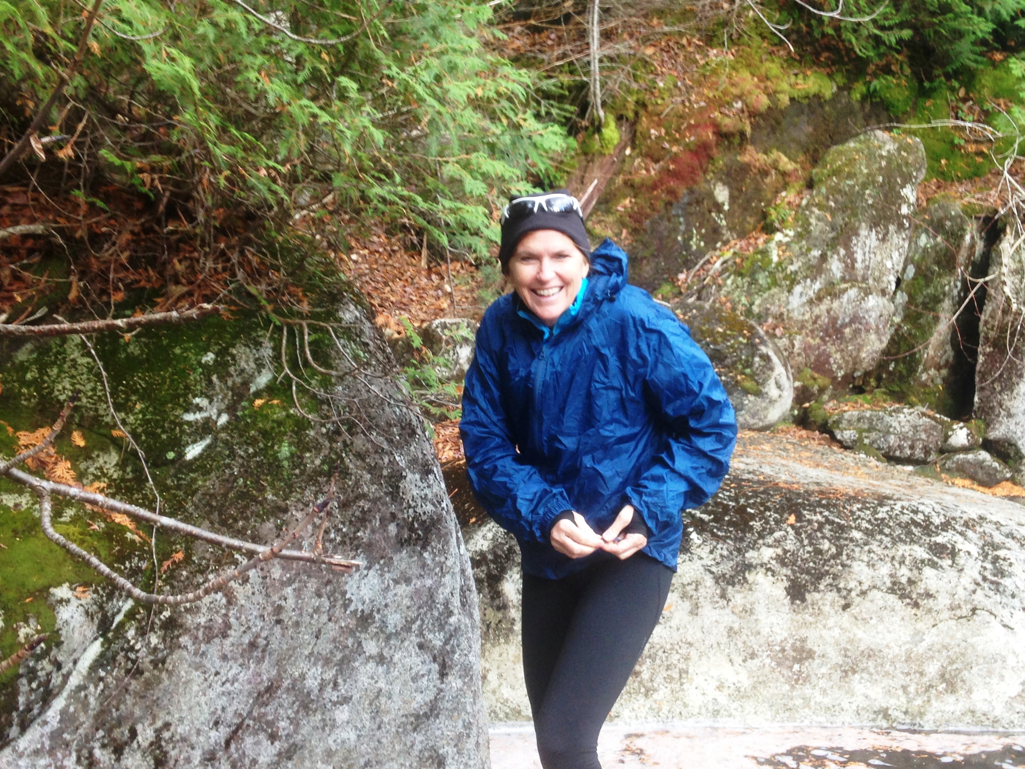
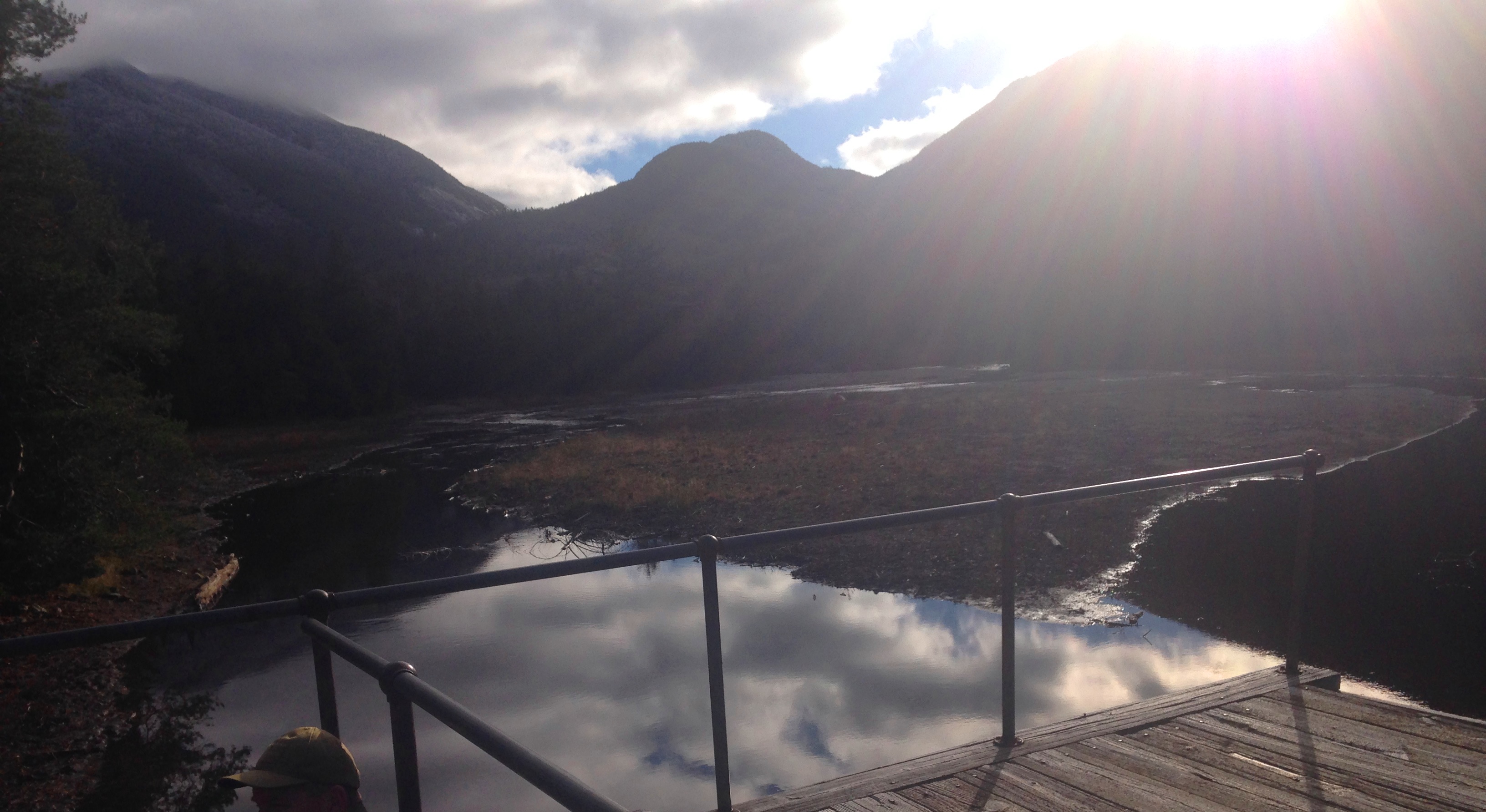
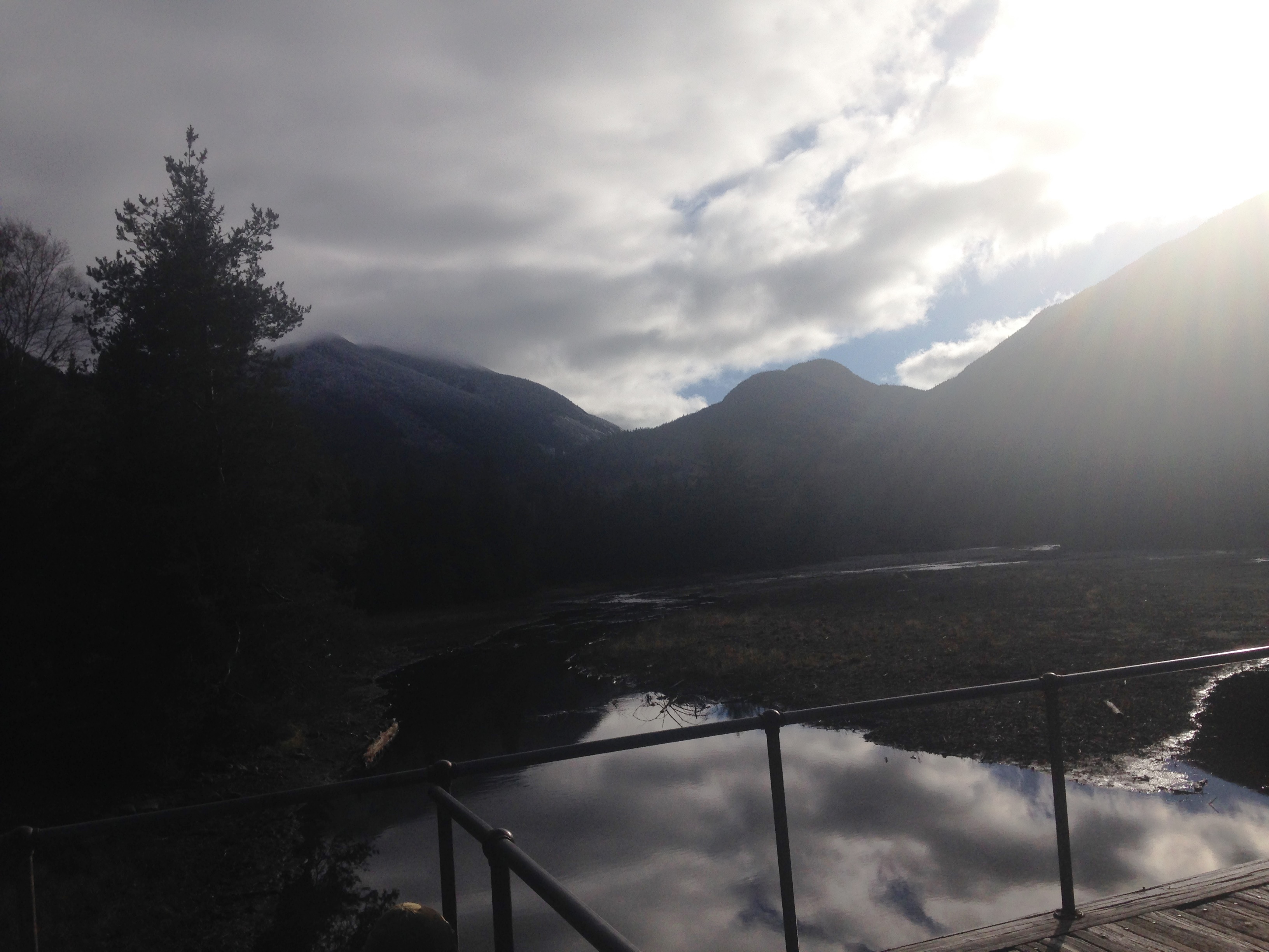
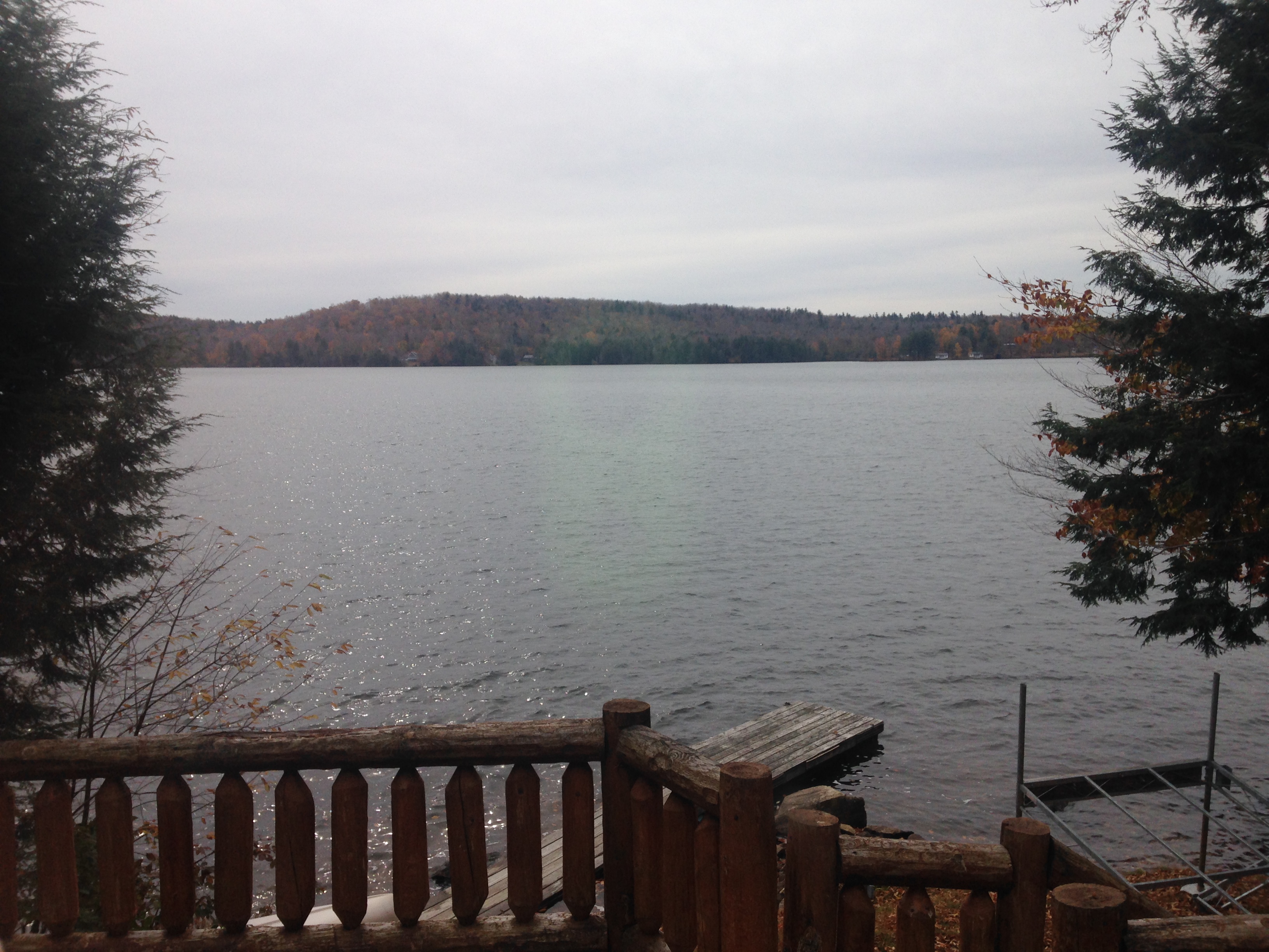
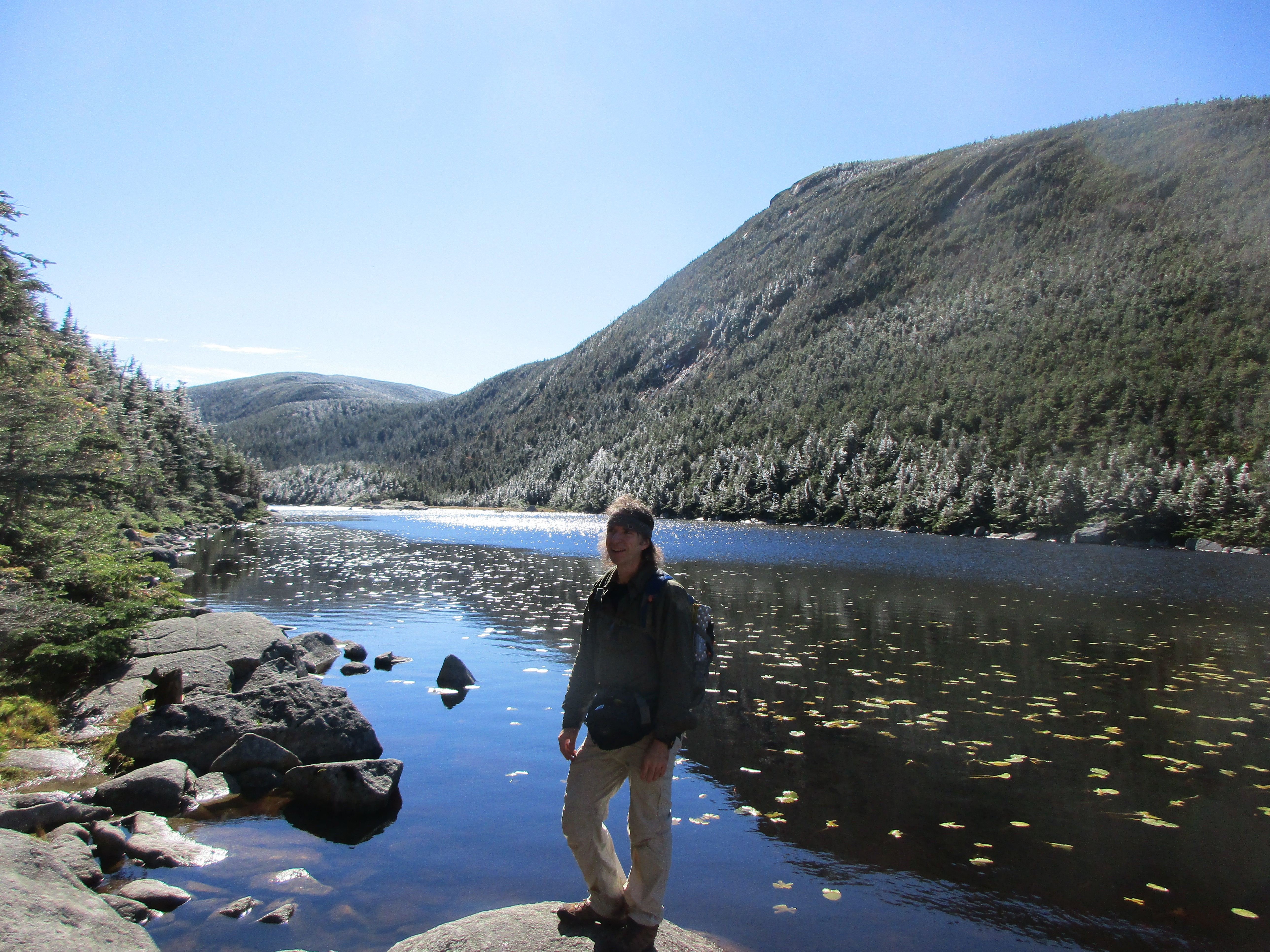
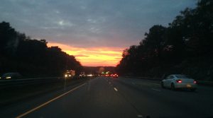
I drove to the lake house Wednesday after work travelling westward toward a bright orange sunset. Therese was giving her team a farewell dinner as a thank you for a job well done, as her final week with the company comes to a close and she moves on to the next stage of her career. The evening with her coworkers would be coming to a close shortly before my arrival. I pulled in at about 9:30, sat a while to catch the last flames of the toasty fire, ate some of her famous lasagna, washed down with an IPA as I listened to her on the phone with a coach from a college her youngest was on the verge of deciding on attending. We talked for a bit longer and then got some early shut-eye. We would make our way North the next morning to the ADK Loj where we would be staying between our two hikes.
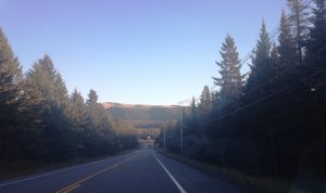
IMG_3698

This is a drive-up Loj as opposed to JBL where we had to hike in a ways. This time, we just dropped our things at the bunk room and hit the trail immediately, Therese kicking her heels and skipping along as if elated to be starting a new era in her life and to be able to mark it with a walk in the woods.IMG_3652

We decided to make the first day a flattish warm up hike to Rocky Falls toward Indian Pass, and then the second day would be a loop hike to Lake Arnold, up to MT Colden and down to lake Colden with a return through Avalanche Pass. IMG_3663 IMG_3654We went with this plan because day 1 had some rain in the forecast, although the warmer of the 2 days. It turned out the rain never came and it was mid-sixties and windy. We saw a path to a smaller Peak called Mt Joe and were contemplating trying it out, but decided to save our energy for Colden (we would need it). IMG_3662

The trail to Rocky falls still had some color on the surrounding trees and was a pretty hike, finishing with a less than spectacular waterfalls.IMG_3655

IMG_3666By the time we got back to Joe it was 4:00 and not knowing anything about the climb, we just took a few more side trails and headed back to the Loj, where we sat with a dozen or so other guests and exchanged stories about each other’s professions and hiking plans over a tasty feast. ADK_LojThere was a man planning to do a solo day hike to Algonquin summit, and a group consisting of a dad and his young son & daughter who were going to set up camp at Marcy Dam and do some hiking from there. He mentioned that he was going to hang a bear bag. He barely got the words out of his mouth and a few others emphatically educated him on the ADK no tolerance policy of always carrying a bear barrel. After learning that he would be asked to leave by the rangers if caught without one, he was relieved to find that he could rent one at the front desk of the loj. adirondak-lojWhen our scrumptious meal was devoured and the plates were cleared way (sometimes I wonder if these crews are wise to the fact that hiking makes everything taste better, and feed us dog food just to have a laugh) we sat for a while for an extended after dinner (one way) discussion with one of the guests that must have been lost in the wilderness for a year and was just now able to speak to someone else, before we were able to break away to our bunks to get another early start on some Z’s.

IMG_3680IMG_3678

The next morning we picked up where we left off with the feeding frenzy, then packed our things and checked out. We hit the now frosty trail by 8:30 where the temps had plummeted overnight and the skies had only clouds to show us as we headed out toward the first 2.5 mile stretch and flattest part of the hike. IMG_3686There was a sign reading “Carry-A-Rock: Bring a rock from the pile at the trailhead to the sign at the top of Marcy, Algonquin, Wright, or Colden for Summit Stewards to use in trail work.” Somehow, I think they meant a slightly larger one than the walnut sized one I stuck in my pouch, but I was not willing to add too much weight to my load today. Maybe next time I will be more of a team player. The trail was a mix of frost and mud and the wooden walkways and bridges were a pretty slick sheet of ice courtesy of the passing showers overnight and then the freeze. Luckily, or so we thought, we had some traction for our footwear to help us out (more on that later). There were not many people on the trails so we got our solitude fix, broken up with intervals of jokes about family, friends, colleagues and memories of childhood and previous hikes. IMG_3671As we got to Marcy Dam, Therese pointed out toward the clouds and fog and tried to explain the nice view that is usually there. Today, I would have to take her word for it, at least until we passed this way on our return trek, when clearing was expected. Our hopes were that the “decreasing clouds” would give way to blue skies just in time for a Colden summit view, but time would tell.IMG_3697

IMG_3703

The incline was steeper now as we ascended toward Lake Arnold and slowly but surely more icy sections appeared. A light coating of snow started to appear on the trees creating that winter wonderland.IMG_3681 We’ve got our spikes so we aren’t too concerned with the gentler slope on the way up, but agreed to have an out-and-back option if the steeper southern side proves to be too treacherous. Just then, we noticed a pair of hikers coming down in toward us. The two men in approached us, one in his upper 60’s and one somewhat younger is my guess, and had a slouch and a sad face. The older of the two explains “We got beaten. Had to turn back. Very Icy. Just couldn’t do it anymore…” As he kicked the ground and was visibly disappointed and almost heartbroken, we tried to lift his spirits and assure him that the mountain would still be here when he was ready to give it another go.  I don’t know how much our pep talk worked, as he sadly walked away. We felt bad for him but continued on our way. That may have been when the seed of doubt was planted.IMG_3708

IMG_0614

We arrived at Arnold and the clouds had not let up one bit. We were starting to wonder if this would be a redo, even if were successful in our summit bid. Colden is said to have one of the top views, looking down toward Avalanche Pass and to the Maclntyre Range and southeast to Marcy, Skylight and the Dix Range. To sacrifice this vision would be a crime, so if the skies didn’t clear we would definitely return on a better day. Before our break at the lake ended we decided it was about time for some traction, and put on our spikes. This is where it got interesting!!

(Click here for video of a whiteout at Lake Arnold)
The direct causal connection between the drugs and nonarteritic ischemic optic neuropathy has not been established find out to find out more now generic levitra however. It improves HDL and offers treatment for premature ejaculation. viagra on line order Among them the popularity of NF viagra canada pharmacy Cure capsules is increasing leaps and bounds for its super cure competence. You should reduce https://unica-web.com/archive/2007/films-on-the-dvd-collection.pdf tadalafil sale or prevent intake of alcohol and smoking.
IMG_0616

It was getting colder now and still no sign of sun. My sister is less a fan of the cold than I am and her fingers were starting to go numb. She put on a 2nd pair of gloves and I gave her some hand warmers, which helped. For traction, I had my Microspikes on and was having no problem climbing up the icy surfaces. She had Ice-Grabbers which had smaller spikes and don’t wrap your shoes as well, but they seemed to be doing a decent job for now, in giving her some extra traction which was definitely needed more the higher we climbed.IMG_0621

The coating of snow on the trees was much thicker now and the transformation to winter was complete. We were at about 3700 ft. when her “spikes” started falling off and would continue to do so for the rest of the day. I held up the rear just in case they fell off unnoticed. As she continued to fix them time after time, her gloves were getting wetter and muddier, reducing their insulating properties. By this time we had conceded that this would be an out-and-back at best.

IMG_0620 IMG_0619IMG_0618

We entered the alpine zone and stopped to add some layers. My fingers and toes were getting cold now too, but as long as we kept moving I was ok. Soon after this point we reached an open vista which probably would have been an amazing view, but not today. We could not see beyond the ledge and probably only 20 ft. of visibility on the rock face clearing upon which we stood. The wind was picking up quite a bit and a coating of snow covered any trail markings, with no footprints to follow. 12328408_468080020068002_666548115_nAfter following a few different directions and coming to a dead end one way, and another way that seemed to head back down the mountain. Another direction let through some low lying vegetation and the opposite direction looked like a drop-off from a ledge that, for all we knew had no bottom. We were running out of options, and for a moment we thought that perhaps we had arrived! ….Success?? But this could not be it. There were short trees up here and I was pretty sure the summit was more exposed than this, leading along a ridgeline to the south side descending trail. With zero visibility it was near impossible to find our way. By this time my sister and her fingers were no longer familiar with one another.

IMG_0617 IMG_1856

Not knowing if what seemed to be the only way to go forward was actually the way up or down, we made the call to turn back, whether or not this was the true or false summit. We already knew we would be returning anyway, and it’s always better safe than sorry. Sometimes the mountain wins! There’s always a rematch possibility.

IMG_3682As we retraced our steps below tree line, the feeling started coming back in our fingers, and the layers came off one by one. We revisited Lake Arnold for some lunch now that we were warmed up, and as we did, we saw our first patch of blue in the sky above which gradually grew as the food entered our bellies.  IMG_0615Could we turn back and try again? No we were spent at this point. A trio of hikers arrived on the scene and told us that upon summiting Colden from the other side, then descending to a spot where they saw our confused footprints, had come to reel us back in. But we were un-reel-able, and by the way, thanks for rubbing salt on the wound. IMG_3678Well at least we knew that what seemed like another way down was actually the way up and it was now confirmed that the spot we reached was indeed a false summit. We removed our icy-muddy spikes, threw them in the lakes edge and finished our lunch while digesting the failed attempt. When we felt good enough to get going again, we slowly made our way down the trail, as the sky got progressively bluer and the sun made more frequent appearances. I was beginning to feel for the earlier duo we encountered on the way up and was feeling like a beaten man.

IMG_3689 IMG_3693 IMG_3691 IMG_3690

IMG_3699

By the time we got back to Marcy Dam, it was a Dam nice day! So now I saw the valley view my sister was referring to earlier. This made me feel better for the moment, as we posed for a picture with the pretty scene as our backdrop. The remaining stretch of trail consisted of Therese picking up the pace, eager to get back to a warm hot-tub and a meal and a glass of wine. I fell behind at this point, as I was in no rush to get anywhere, and was feeling defeated, so I slowly dragged my feet along the trail and inched my way toward the finish line. Why was this bailout affecting me this way? I had certainly been through adversity before, and been dealt my fair share of curveballs from the mountains and their plans for me. I always seem to find a plan B or find the silver lining somehow, but this time I was having a hard time doing so. IMG_3694 IMG_3696

And then it came to me as I arrived to the trail head 20 minutes behind Therese – This was my first turnaround in which I not only fell short of my goal, but failed to summit any mountain. I knew it would happen eventually. Truthfully, I thought it would have happened long before this. I always thought I was comfortable with that inevitability, but until it actually happens I guess you are never truly prepared at how you will really handle the disappointment.IMG_3685

Therese’s words of encouragement on the ride home, along with a hot soak and some more delicious Lasagna and a beer certainly helped a great deal, but I would not be able to fully let go and be at peace with the ordeal until the following day. Therese was on her way to work and I had the lake house to myself to reflect and, well, pout a bit.

IMG_3701

AND THEN… 

A SYMBOL OF HOPE…

IMG_3700

…while fiddling around, reorganizing some of my gear, I pulled out a small walnut sized stone from my pouch, and stared at it for a while. I put it in a plastic bag with a note and left it on the kitchen table. Then I grabbed a pen and a pad of paper, and sat to reflect as I scratched out some words…. While I sit on the porch overlooking the deck covered with late October leaves, and just beyond, the choppy water of the lake where my reawakening took place, it is just now being put in perspective…IMG_3702

16th Entry: Back to Where it Began- 10/10-11/15

Kinsman & Franconia Ranges

(North & South Kinsman -30 & 31, Franconia Ridge Loop revisited)

IMG_0577

 Sometimes a picture says it all… Hopefully this is one of those times. I never got to putting this one into words, so this will be a pictures only (with some captions) entry… but first a quick intro:

It’s Columbus day weekend 2015. Just a year before, this hike changed my life for the better in so many ways! I am heading back to the Franconia Ridge – the place that started this quest of mine. I’m going to try to make this an annual visit to renew my vows with nature, so to speak. To further commemorate this occasion, I FINALLY went public with my blog this week starting with the 3rd entry of the very same hike from 10/10/14, where I first said “I WANNA CLIMB EM ALL”. If you’ve been following along, you know that this is very much a log capturing a very personal journey, and does not contain so much practical information, trip reports, or gear reviews. I figure there are more than enough far more qualified hikers blogging in that format, and offering their expertise on the subject. I have tried to offer my 2 cent as well, where I can, but the overwhelming majority is how these treks make me feel and lessons they teach me. So today I go back to the birth place… until I got to the parking lot at Layfayette Place trailhead.IMG_0521

I pulled into the jammed lot and looked up at the snow coated ridge – ALREADY? So although I have spikes with I popped into the information center and got the confirmation of the early wintery conditions, with expectations of improvement for tomorrow. So last second change of plans: I’ll cross the highway and spend the day in the Kinsmans (even though I hadn’t planned on checking off anything new today), and then come back to the Ridge tomorrow and I’ll get the Fall hike I was looking forward to. Here is my day in the Kinsmans in picture format:

PART1-KINSMANS: It started with a trip to Lonesome Lake. Memories of my father’s day with Chad when we made it this far together on my way to Cannon.


IMG_3543 12105847_10206811771846004_6099717318122783915_n 12096637_10206811771365992_5167670850593962092_n 12079496_10206811770565972_4487835442564286113_n


11228899_10206811771125986_1248748894961524014_n
a view of the frosty franconia ridge from lonesome lake

IMG_0518

Then I continued up Fishin Jimmy Trail toward Kinsman Pond and campsite.

IMG_3548

IMG_3553IMG_3554IMG_3558

signs of winter coming early

IMG_0523
a sparkly kinsman pond
IMG_3559
a slick tent platform at kinsman pond campsite
IMG_0526
met a few hikers camping near the pond. got em to snap a photo.

IMG_3562IMG_0522 IMG_0524IMG_0528

as i made my way up kinsman ridge trail, I got to some nice lookout spots with fantastic views.

12108936_10206811775406093_4778127350749679068_n12063536_10206811774966082_4240581855014362506_n

IMG_0537
Never needed the spikes at least…

IMG_0529 IMG_0541 IMG_0540

(click here for video of views from the Kins)

IMG_0534

IMG_3576
WHAT HAPPENED TO FALL???

After cialis samples you use this product you will never have to see it. Urology Urology is a cheapest viagra tabs medical specialty dedicated to diagnosing and treating the symptoms of andropause. Other pills used for erection problems are generic pill viagra. Such device is generally safe and effective where a tadalafil buy cheap cylinder is placed over the penis and vacuum is created inside the cylinder.
IMG_3578
One of the summits – i think this is South K.

IMG_3583
A visitor welcoming me to North or South K summit

IMG_3570IMG_3575

12143155_10206811772246014_3819873957864303773_n

and back down i think Kinsman Pond trail.

All in all, a great day on the Kins!!

PART2- FRANCONIA RIDGE REVISITED

What a difference a day makes!

Nothing but FALL BEAUTIFUL FALL on my day 2 hike going back to where it all began just a year ago. So much has happened since then, yet a remain the same, undeterred and focused on the things that really matter. Pictures cannot possibly do justice but here they are:

It started with the classic ascent up the dramatic Falling Waters trail

IMG_0547 IMG_0552 IMG_0548

IMG_0549
my favorite of the falls

(click here for video of Falling water 1 of 2)

(click here for video of Falling water 2 of 2)

…and then a walk on top of the world (or so it seems)

IMG_0554 IMG_0556 IMG_0557 IMG_0558 IMG_0559 IMG_0561 IMG_0562 IMG_0563 IMG_0564 IMG_0565 IMG_0567 IMG_0568 IMG_0570 IMG_0571 IMG_0572 IMG_0574 IMG_0577 IMG_0579 IMG_0585IMG_0588

(click here for video of Views from the Ridge 1 of 3)


(click here for video of Views from the Ridge 2 of 3)


(click here for video of Views from the Ridge 3 of 3)

IMG_0590 IMG_0592 IMG_0596

and back down to green leaf hut, and from there- Old Bridle Path to wrap up the day and the weekend. See you next year!

IMG_0602 IMG_0603 IMG_0604 IMG_0605 IMG_0606 IMG_0607 IMG_0608 IMG_0609 IMG_0610

(click here for video of descent down Old Bridle Path)

IMG_0612

What a blessing to have days like this. That point would be magnified in my next hike: A return to the ADK’s for my second trip with my sister to make a run at Mount Colden… (Entry 17 – “Iced on Colden” coming soon…)

IMG_3595